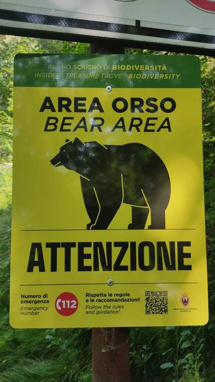
Caratteristica: Adatta a neofiti

  • Sentiero Attrezzato Burrone Giovanelli

    Sentiero Attrezzato Burrone Giovanelli

    Vie Ferrate › Trentino-Alto Adige › Trento
    Sentiero Attrezzato Burrone Giovanelli

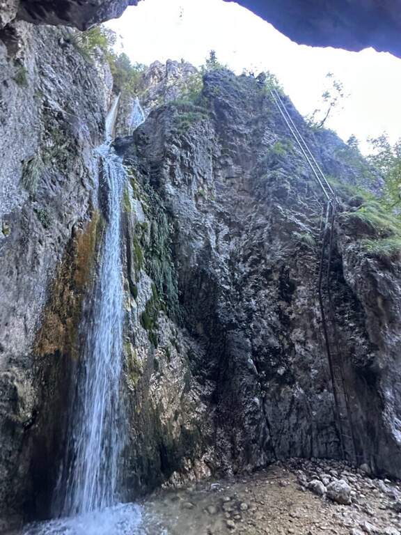
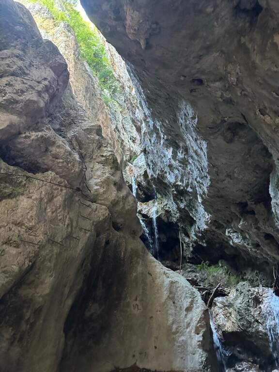
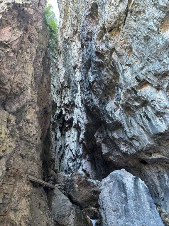
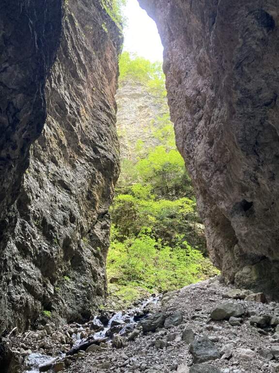
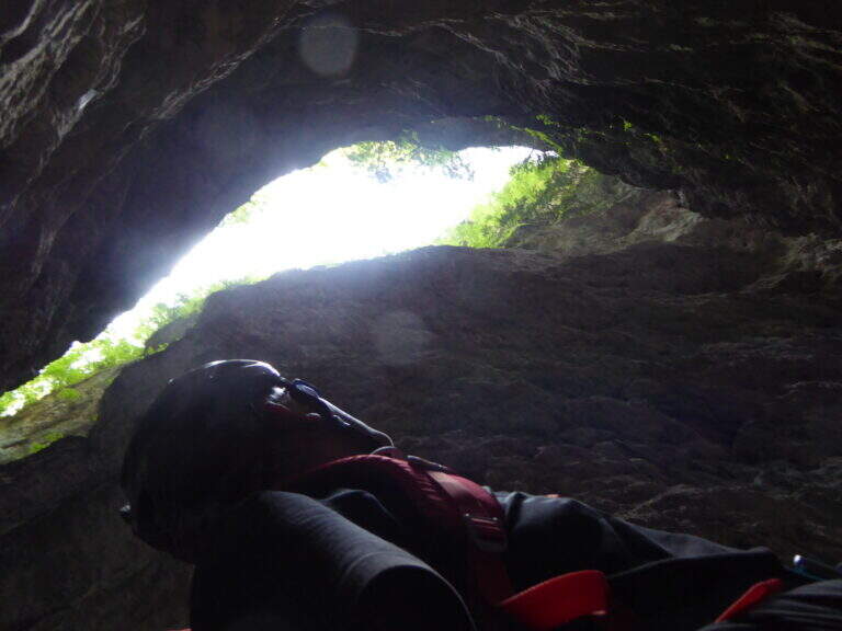
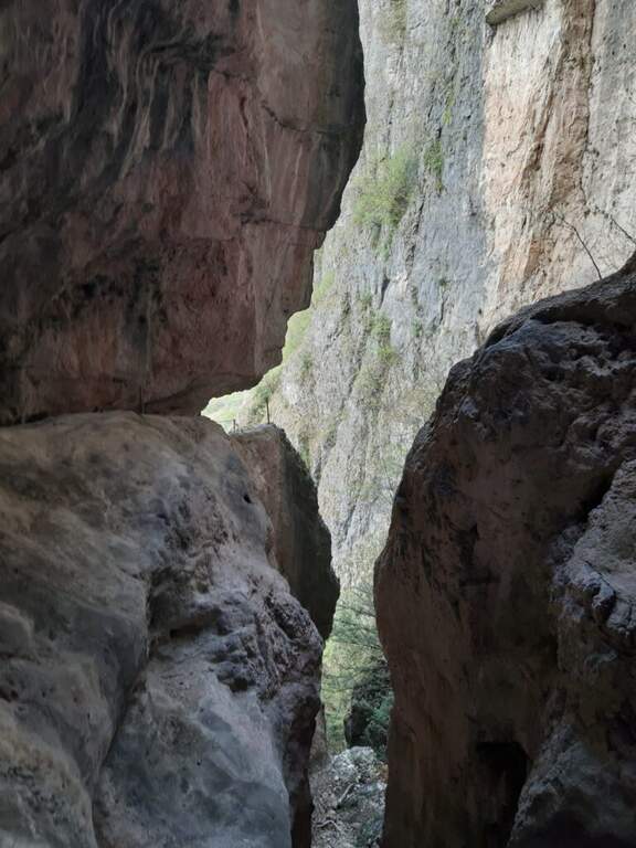
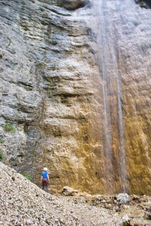
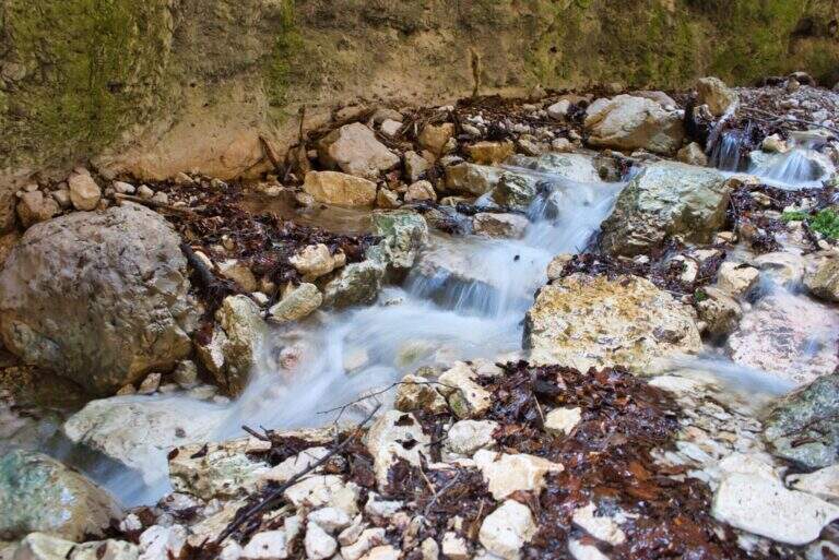
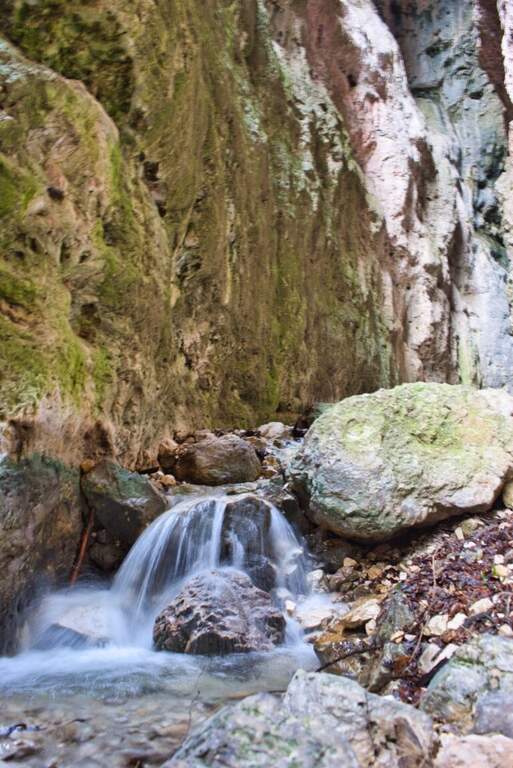
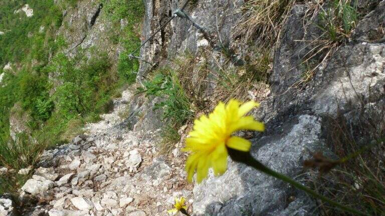
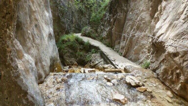
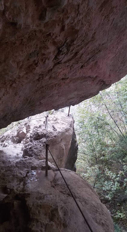
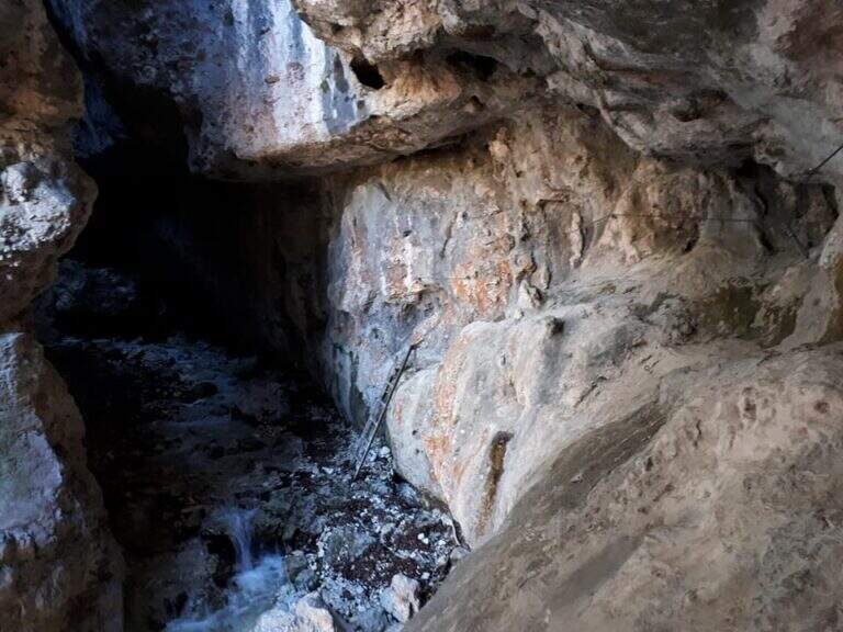
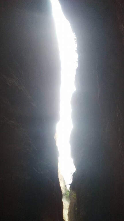
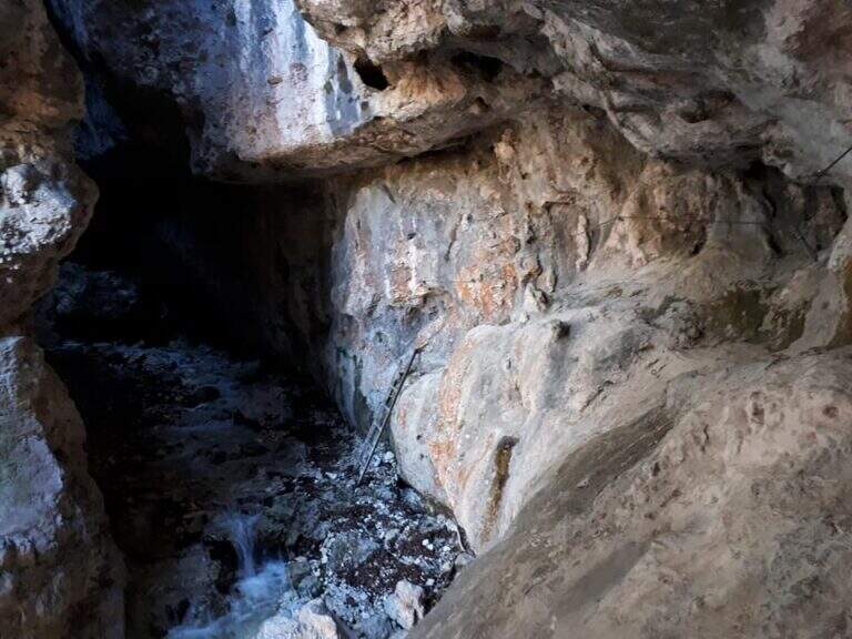
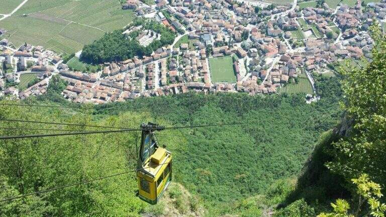
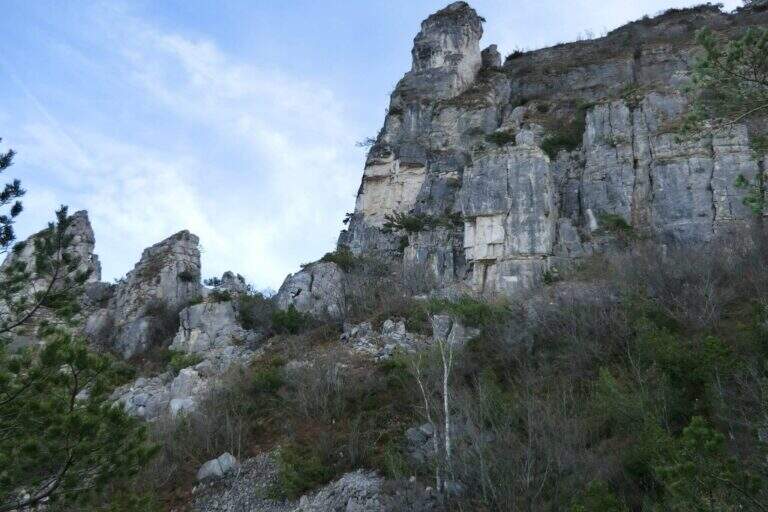
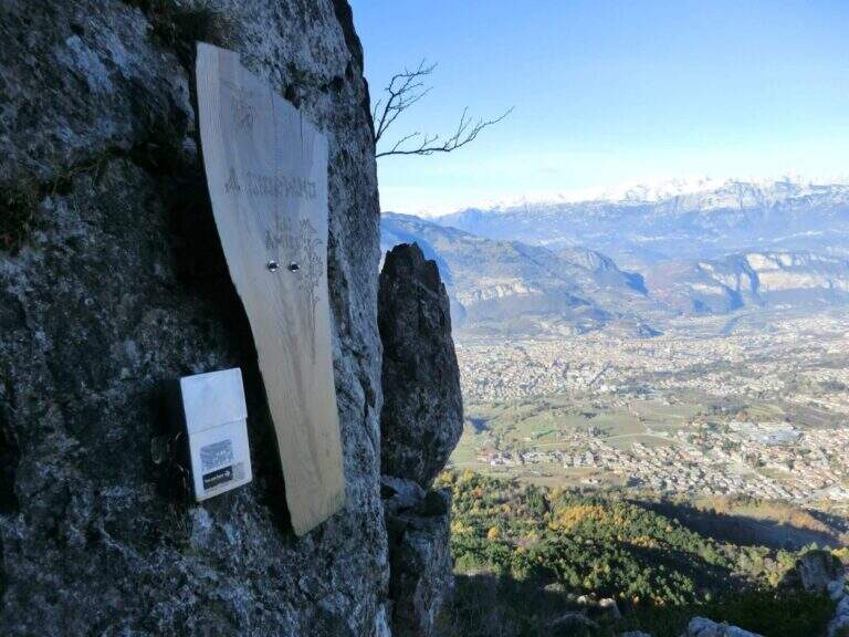
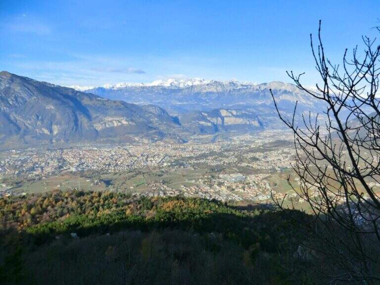
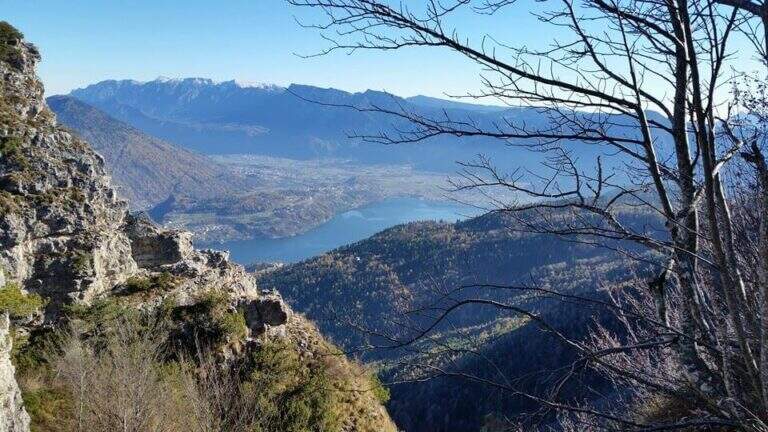
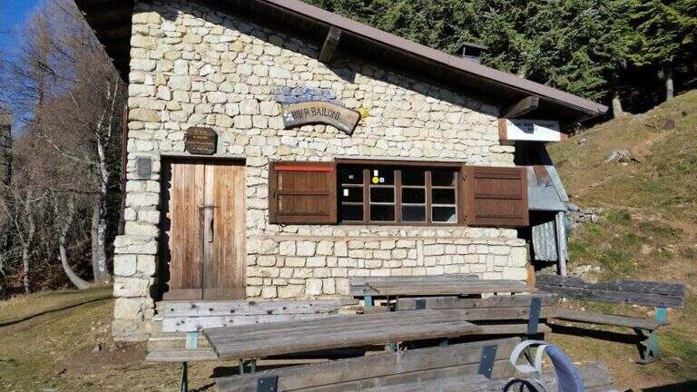
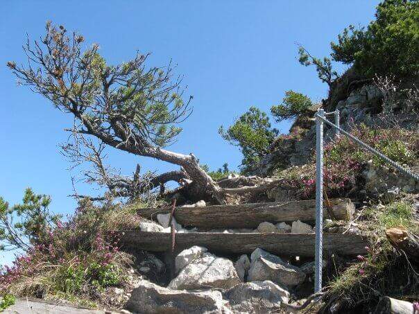
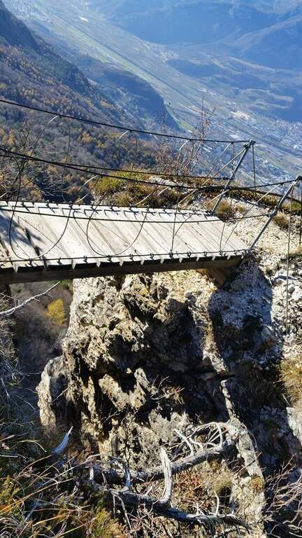
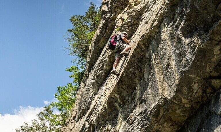
    Il Sentiero Attrezzato al Burrone Giovanelli develops in the suggestive ravine of Mezzocorona, in the province of Trento. It has no particular technical difficulties, it is exposed only in single passages and very pleasant; while being of low altitude you can also travel in summer because it runs largely in a fresh and characteristic hole.

    ▲Approach

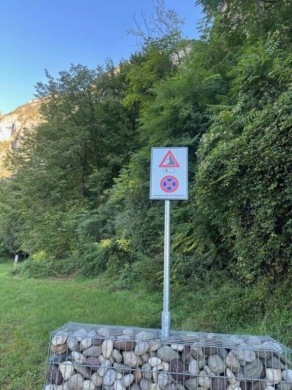
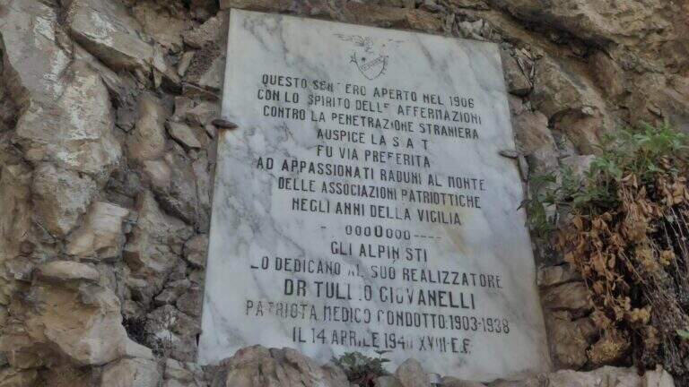
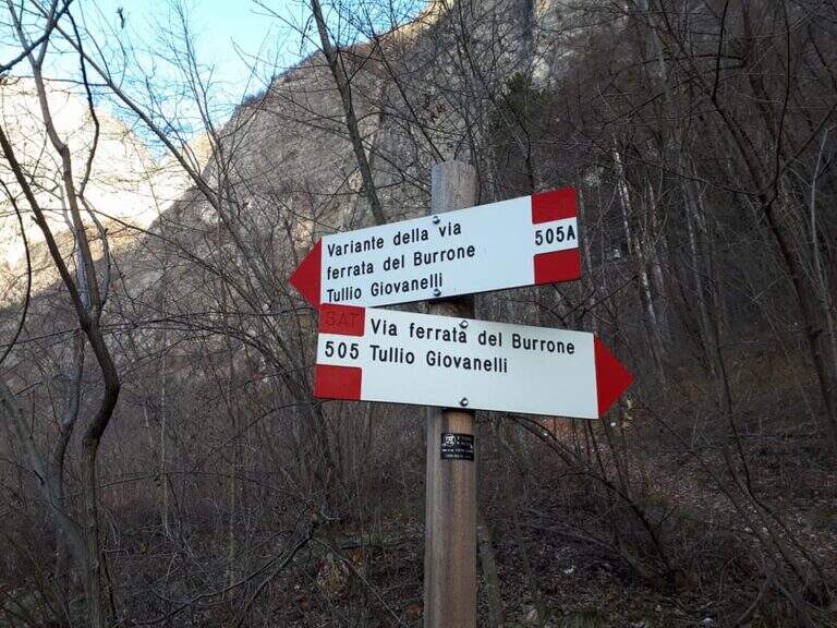
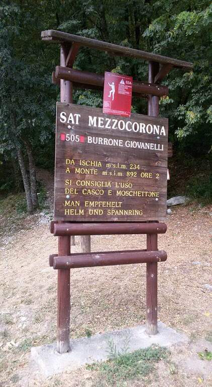
    Starting from Mezzocorona: exit at the toll of San Michele all'Adige (A22) you reach the center, take left Via Cesare Battisti and, before arriving at Mezzolombardo, you will take on the right a narrow but paved road between the vineyards until a parking with information bulletin board. Open road signs on Google Maps. From the parking lot follow the signs of the CAI 505 in the wood; at a first crossroad (5', CAI pole) the sinistra (CAI 505A), a variant più complete, reaching a bridge on the stream and going up on the right horographic up to the red sign and the marble plate that mark l#&39.

    ▲The path

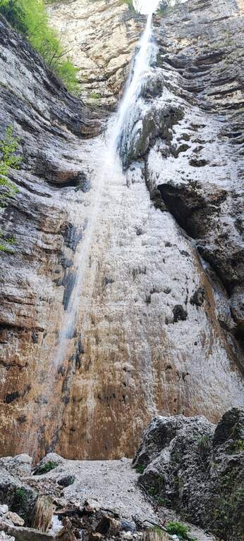
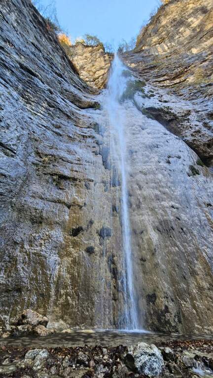
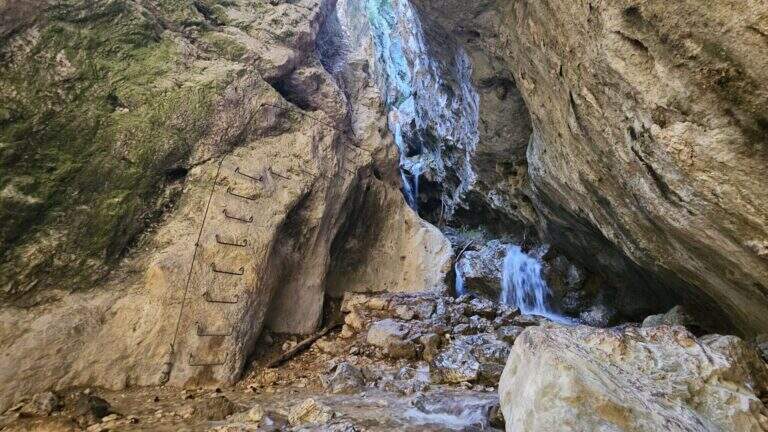
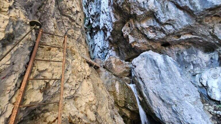
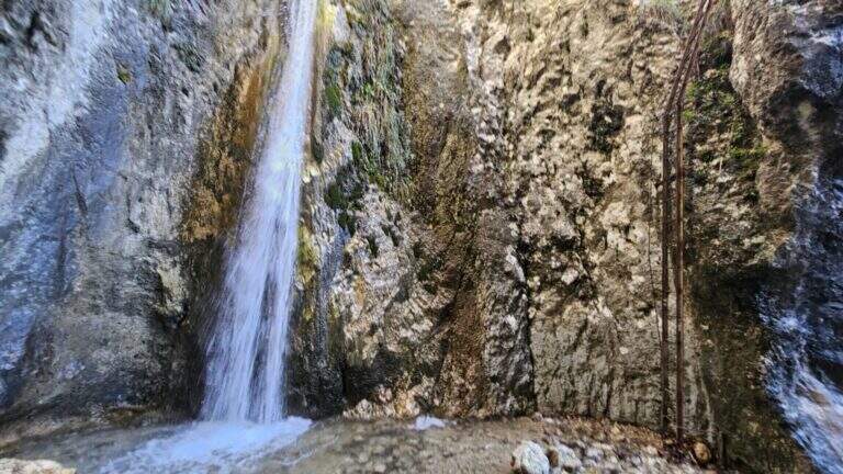
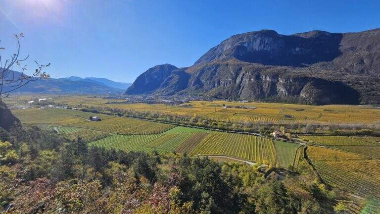
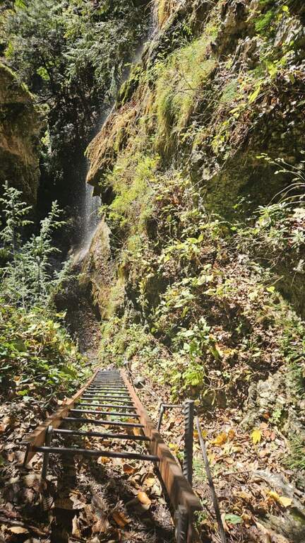
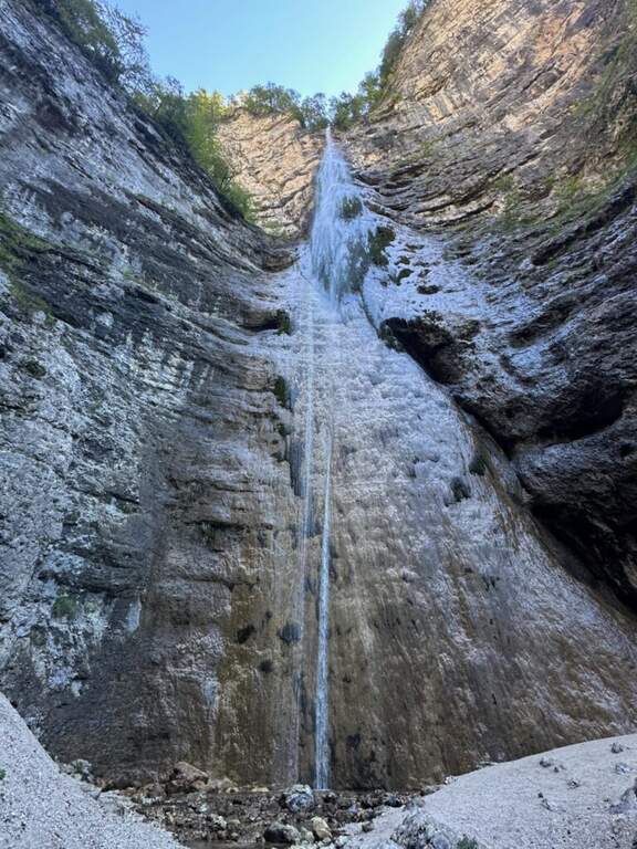
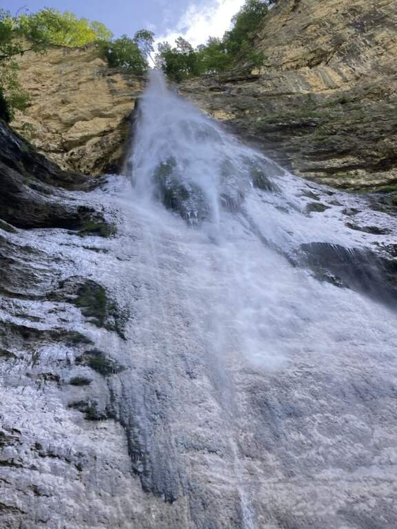
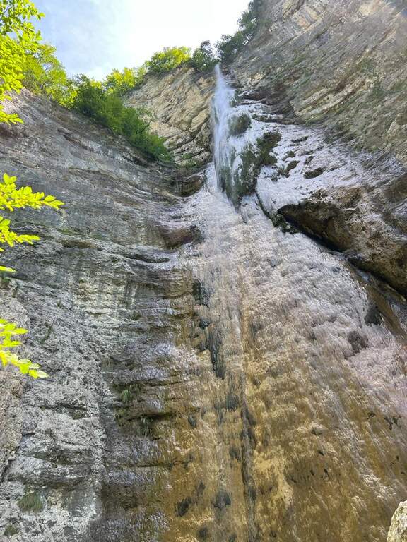
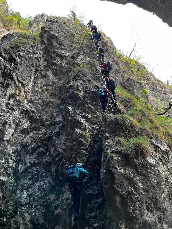
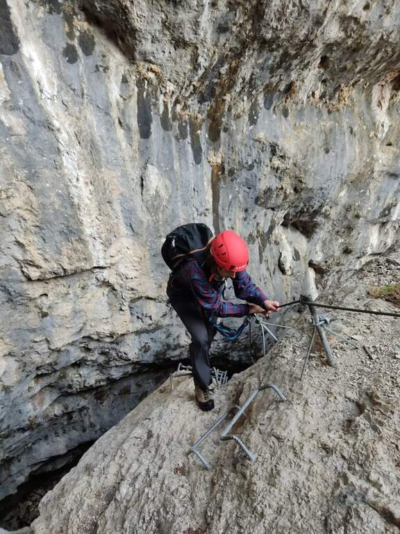
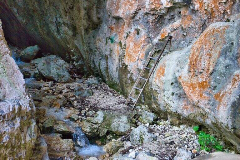
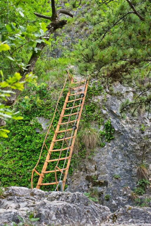
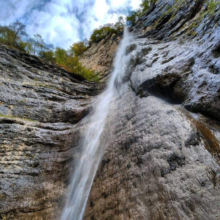
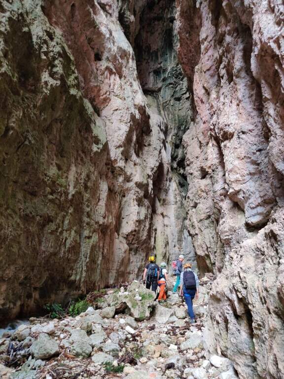
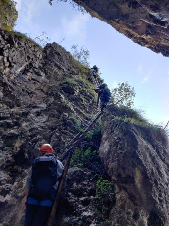
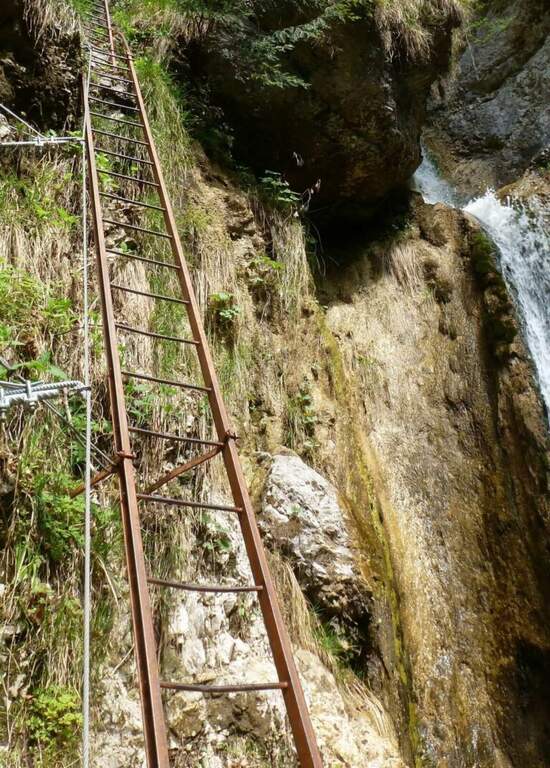
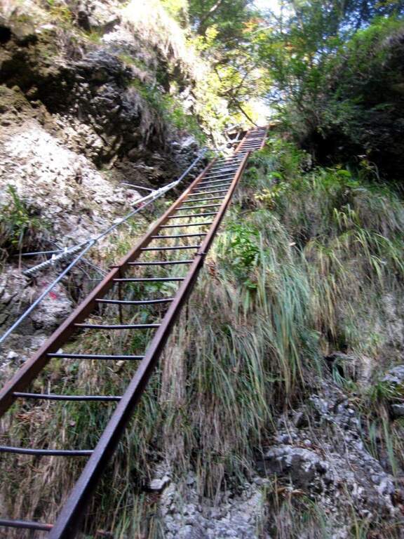
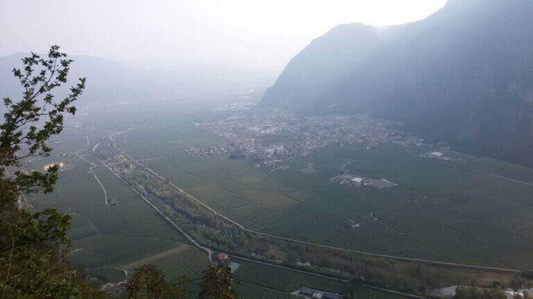
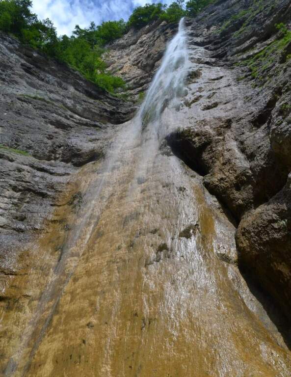
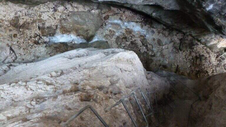
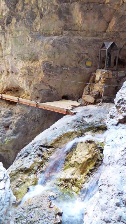
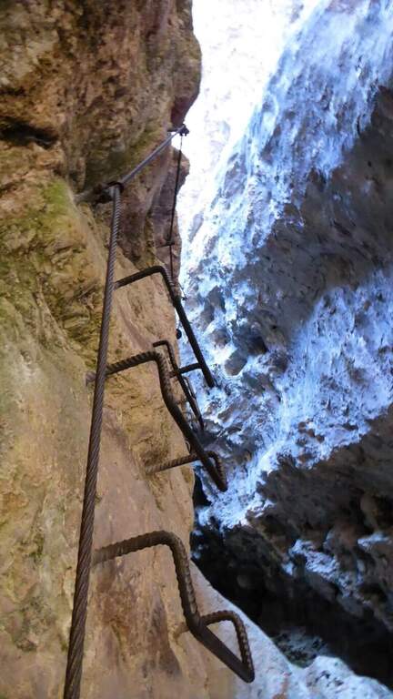
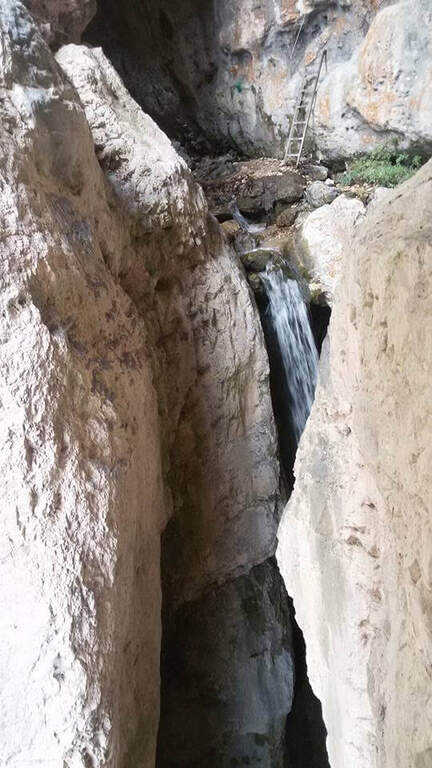
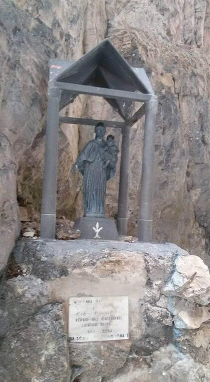
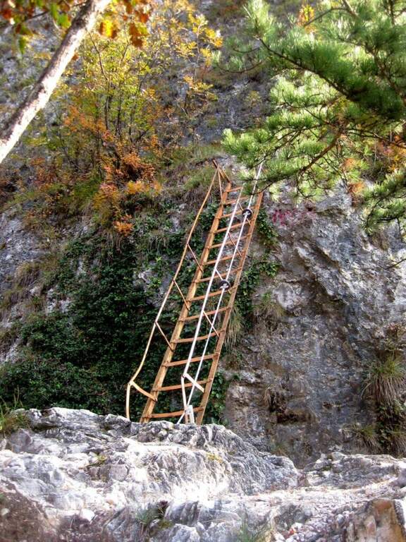
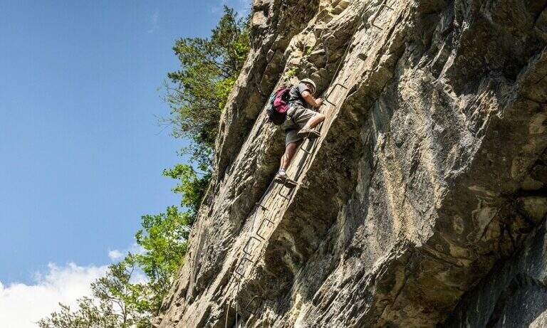
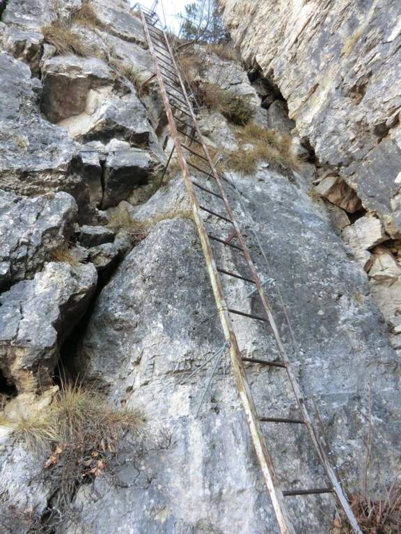
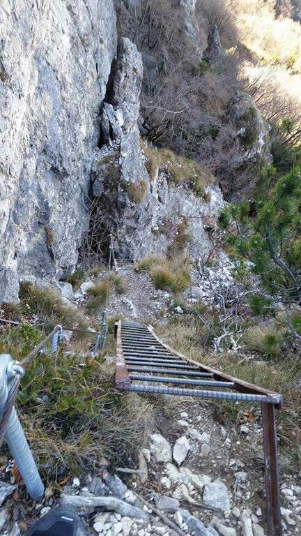
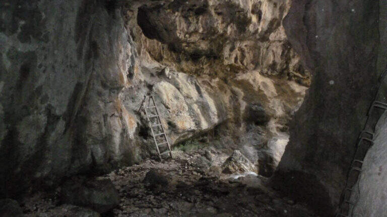
    From the ' start of the equipment an easy cengia horizontal leads to the first waterfall, where you cross the rio and you are under a long metal staircase in two trunks, vertical and exposed but without difficulty; techniques (attention to the wet soles after the forado); at the top, turning, you enjoy the view on the Rotalian Plan. An easy stretch equipped with small rocks and a second ladder più short leads inside the ravine; a slightly uphill nod and a narrow passage equipped lead to the ' real entrance of the hole. A short ladder descends, crosses the rio and goes up the right side on ampie and solid cambre, bending to the right; a short ladder and a nod with wooden catwalk lead to a statua of Madonna. You enter the più tract; ravine ash, little illuminated except in the central hours, climbing alongside the rio in a very suggestive environment until you get out of it; you continue up to a cascade of about 100 meters. Alternating stretches equipped and easy climbs, overcome some wet rocks and a long and lean staircase, you reach l' last staircase that closes the equipment; in about ten minutes the path ends at a forest road (765 m, 1h 15' from' attack, 1h 30' overall).

    ▲Character and difficulty

    Easy equipped way, surpassed thanks to numerous stairs and cambres, with limited exposure to a few steps; the hole environment is the real strength. Also excellent for accompanied neophytes.

    ⚠ After the rio ford the wet soles slip on the stairs: prudence. Rock often wet in the ravine; helmet and set from essential ferrata.

    ▲Discipline

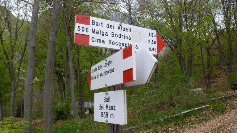
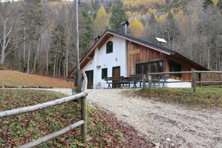
    Adding the forest, for the return there are più options: holding the sinistra you descend into the forest on path 504 up to ' car in about 45' (2h 30' overall); holding the destra, in about one' hour on path 505 (passing from Baita Manzi) you reach the station There is also a più variant; long: it is advisable to check the signs on site.

    ▲To match

    In the area, near, the Ferrata Rio Secco in Cadino di Faedo, la Ferrata di Favogna e la Ferrata Val del Rì mezzolombardo.
    ▲Gallery
    Technical data
    • DifficultyEasy
    • RegionTrentino-Alto Adige
    • ProvinceTrento
    • GroupPayment
    • Approach15 min
    • Fully equipped1h 30'
    • Complete itinerary2h 30'
    • Level difference480 m
    • Route difference670 m
    • Maximum918 m
    • Length5 km
  • Sentiero Attrezzato Bertotti at the Cross of Chegul

    Sentiero Attrezzato Bertotti at the Cross of Chegul

    Vie Ferrate › Trentino-Alto Adige › Trento
    Sentiero Attrezzato Bertotti at the Cross of Chegul

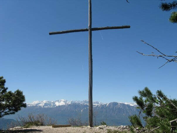
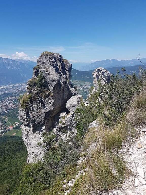
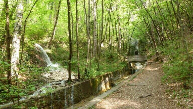
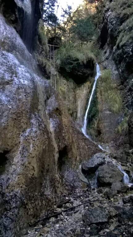
    Il Sentiero Attrezzato Bertotti is a pleasant itinerary of low difficulty that climbs to the Chegul Cross, on the mountains to the east of Trento. It has no technical difficulties and is also suitable for neophytes or those with little experience of ferrate; from the top the panorama is 360 degrees.
    ▲Approach

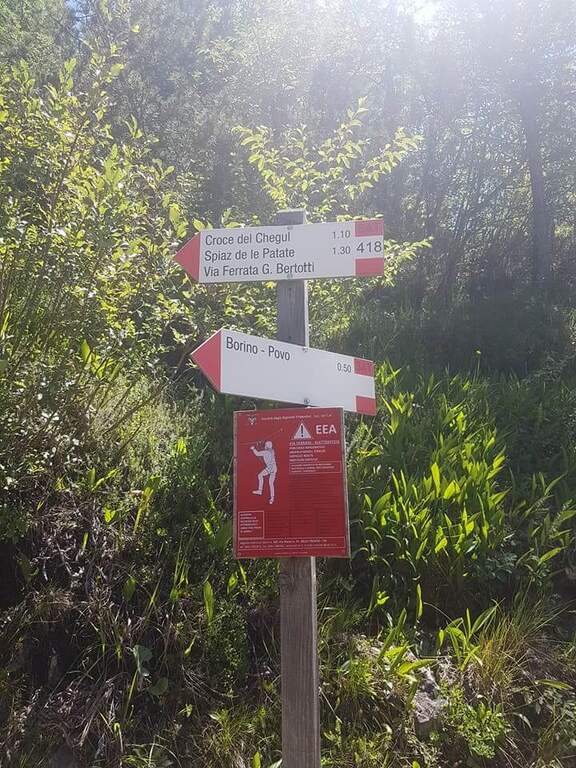
    From the Passo del Cimirlo (733 m), reached by Trento, take the road to the right with indications for Maranza; after about 1.5 km, narrow but asphalted, you can see on the left the signs CAI 418 of the Route Attrezzato Bertotti. You park on the road. Open road signs on Google Maps. From the sign (850 m) you climb steeply into the wood between bends, rocky and massive steps under the walls of the Chegul, then right on a slope up to a census under the crest; with short stretches equipped you reach the libro of the signatures, where a plate marks l' start of the path equipped (1115 m, 30' from the parking lot).

    ▲The path

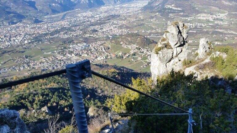
    You go up a canyon in the woods to its più point; high, where you pass between two rocks; then you face a vertical parete equipped with wide cambre. The trail continues easy and free of equipment for a few minutes, up to some small rocks and a long 20-metre-long wire scale, a series of equipped steps leads smoothly to the Croce del Chegul (1263 m), with excellent views of Trento and Bondone (30' from the signature book, 1h overall).

    ▲Character and difficulty

    Itinerary is not difficult: the two vertical sections are facilitated by a staircase and a series of brackets; the difference in altitude is exceeded with stretches equipped in the most exposed points, but the difficulty remains modest. Very beautiful instead the view from the top.

    ⚠ Although easy, it remains an equipped way: helmet and ferrata sets are recommended, especially for the neophytes that approach you.

    ▲Discipline

    On the same route (45' 1h 45' overall) or take a più along anello: a bridge goes up to the Spiaz delle Patate (1310 m), then south to the CAI 411 towards Monte Lalonila, passing old war stations; at a crossroad (1541 m) From the bivouac, in steep descent with the CAI 412 to the west, you reach the Rifugio Maranza (1072 m) and finally, on the CAI 426 and 413, l' car (about 5h total).

    ▲To match

    Walking through the short variant remain time and energy for another way: in Val d'Adige la Ferrata Rio Secco e la Ferrata di Favogna, o il Burrone Giovannelli; towards Garda la Ferrata Che Guevara e la Sentiero de le Stel.

    ▲Gallery
    Technical data
    • DifficultyEasy
    • RegionTrentino-Alto Adige
    • ProvinceTrento
    • GroupValsugana
    • Approach30 min
    • Fully equipped30 min
    • Ring itinerary5h
    • Level difference150 m
    • Route difference886 m
    • Maximum1737 m
    • Length14,7 km
  • Ferrata Arenazzo

    Ferrata Arenazzo

    Vie Ferrate › Basilicata › Power
    Ferrata Arenazzo
    Moderately Hard● OpenDescriptionComplexityMapsGallery

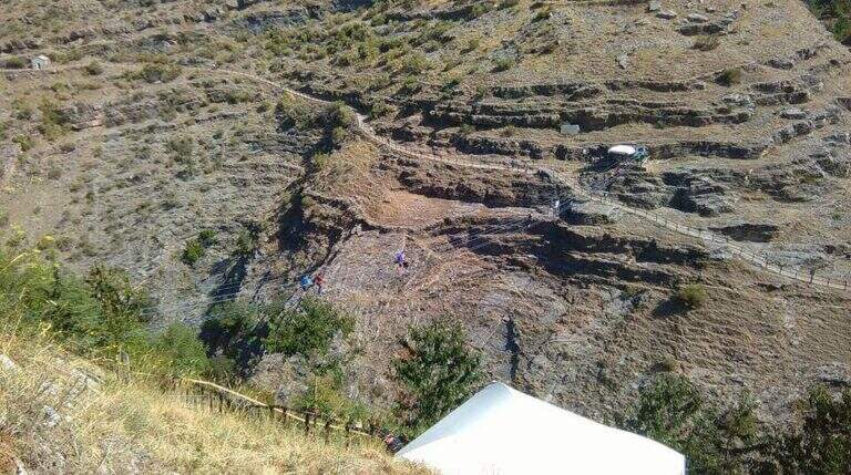
    Una ferrata breve e divertente nel cuore del Parco Nazionale dell’Appennino Lucano, incassata nella stretta valle scavata dal torrente Arenazzo. Le difficolta tecniche restano contenute: il vero protagonista e il lungo ponte tibetano finale, che da solo vale la salita.

    ▲Approach

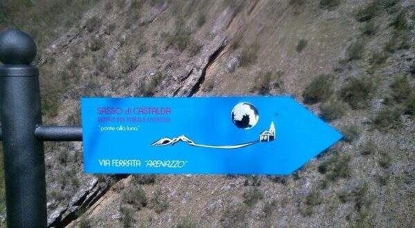
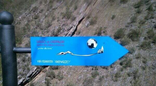
    Il punto di partenza e l’abitato di Sasso di Castalda, in provincia di Potenza. Dal paese ci si porta nei pressi del Ponte alla Luna, dove la segnaletica e abbondante, e si imboccano i segnavia blu “Ferrata Arenazzo” che scendono verso il torrente. Bastano circa 15 minuti per raggiungere l’attacco. Apri il punto di partenza su Google Maps.

    ▲The path

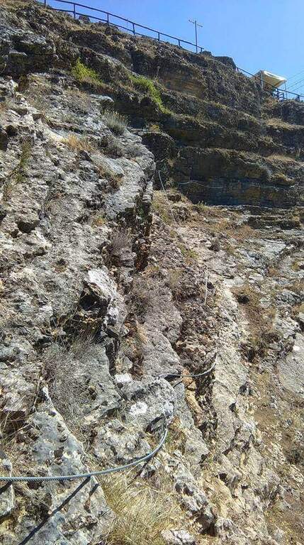
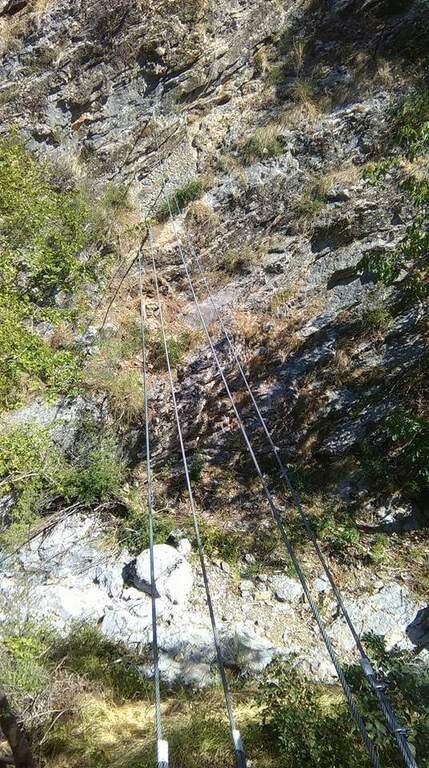
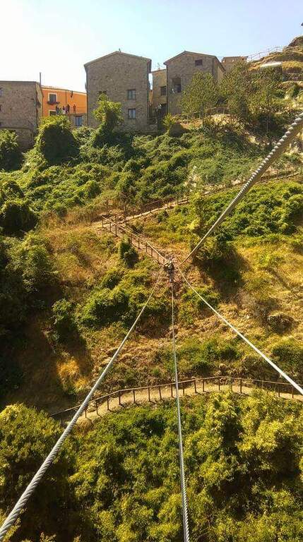
    Si parte percorrendo in discesa un facile sentiero attrezzato che conduce al primo ponte tibetano, teso su 3 corde, lungo 15 metri e alto circa 8. Superato il ponte si affronta un breve tratto verticale, dove alcune staffe agevolano la progressione in diagonale. Segue un traverso con saliscendi mai impegnativi. Dopo questa sezione si scende una placchetta fino al secondo ponte tibetano, quello decisivo: 40 metri di lunghezza, 20 di altezza, teso su 4 corde. Proprio con la sua traversata si chiude la ferrata, a circa 40 minuti dall’attacco.

    ▲Carattere e difficolta

    Tecnicamente e una via alla portata anche di chi ha poca esperienza, ma il passaggio chiave resta il lungo ponte tibetano finale, che oscilla naturalmente durante l’attraversamento.

    ⚠ Il ponte da 40 metri richiede passo fermo e totale assenza di vertigini: valutatelo con onesta prima di impegnarvi nella traversata.
    ▲Discipline

    Terminato il ponte si rientra comodamente in paese lungo un sentiero senza difficolta, per un totale di circa 1 ora e 15 minuti sull’intero anello.

    ▲To match

    In zona si combina alla perfezione con la Ferrata Belvedere (indicazioni in loco) e con la traversata del celebre Ponte alla Luna. Sempre nel Potentino si trovano la Ferrata Marcirosa e la Ferrata Salemm; lungo la costa tirrenica la panoramica Ferrata al Cristo Redentore di Maratea; in Campania, a Volturara Irpina, la recente Ferrata Maroia.

    ▲Gallery
    Technical data
    • DifficoltaModerately Hard
    • RegionBasilicata
    • GroupAppenino Lucano
    • Approach0:15 h
    • Ferrata0:40 h
    • Itinerary (a/r)1:15 h
    • Hardware level difference150 m
    • Route difference300 m
    • Max975 m
    • Length1,5 Km
Need help? Write to us!