Caratteristica: Alpinistico

  • Sentiero Attrezzato dell’Ideale – Bocca d’Ambiez

    Sentiero Attrezzato dell'Ideale – Bocca d'Ambiez

    Vie Ferrate › Trentino-Alto Adige › Trento
    Sentiero Attrezzato dell'Ideale – Bocca d'Ambiez
    Moderately Hard● OpenDescriptionComplexityMapsGallery

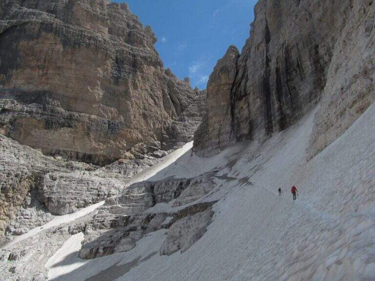
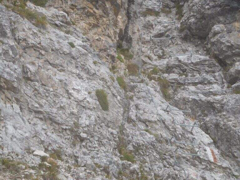
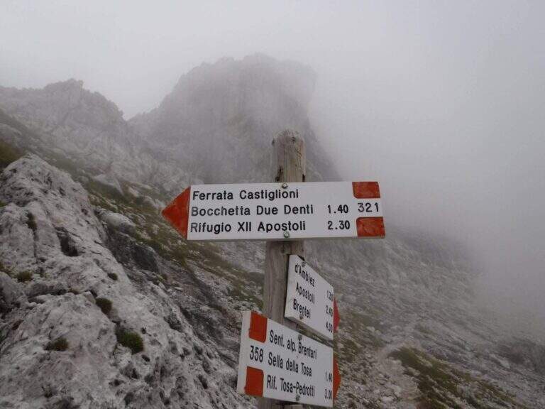
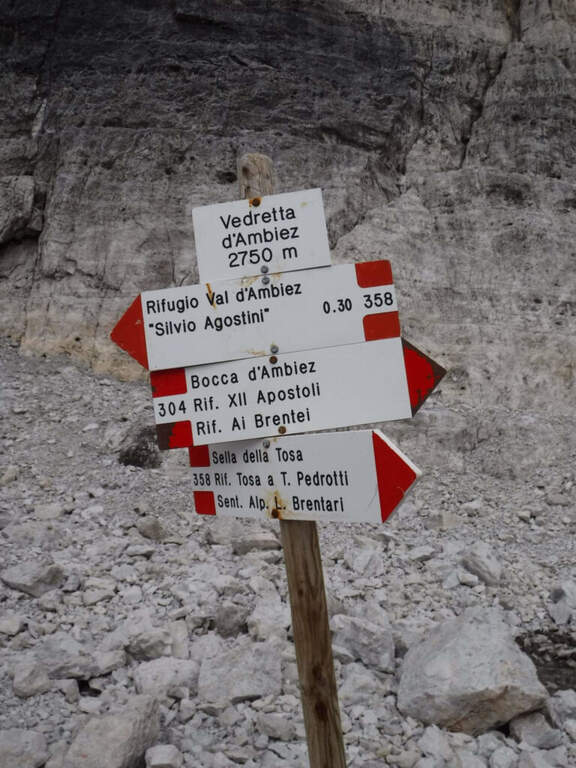
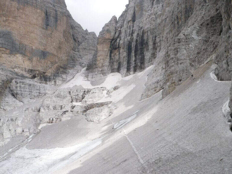
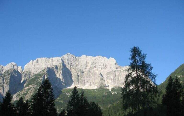
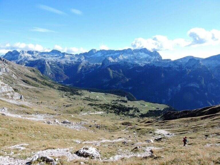
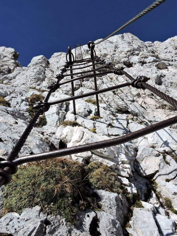
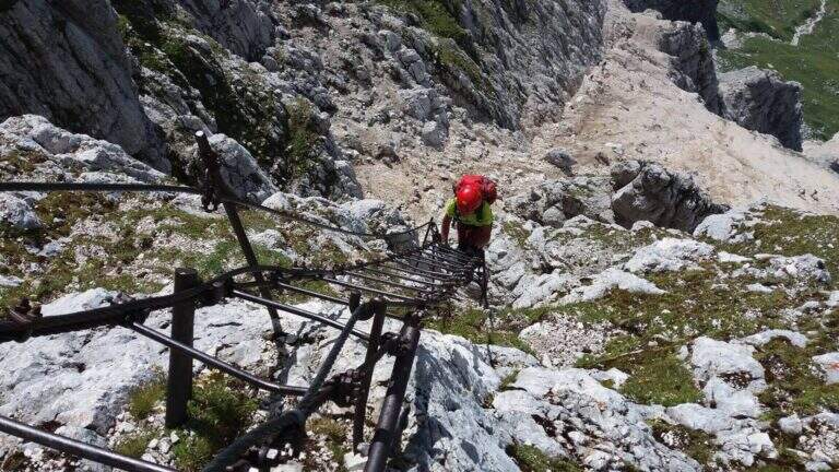
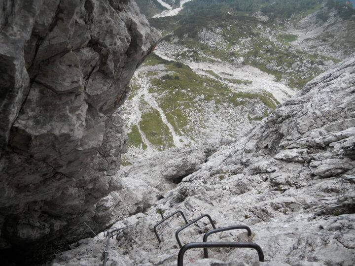
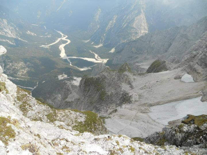
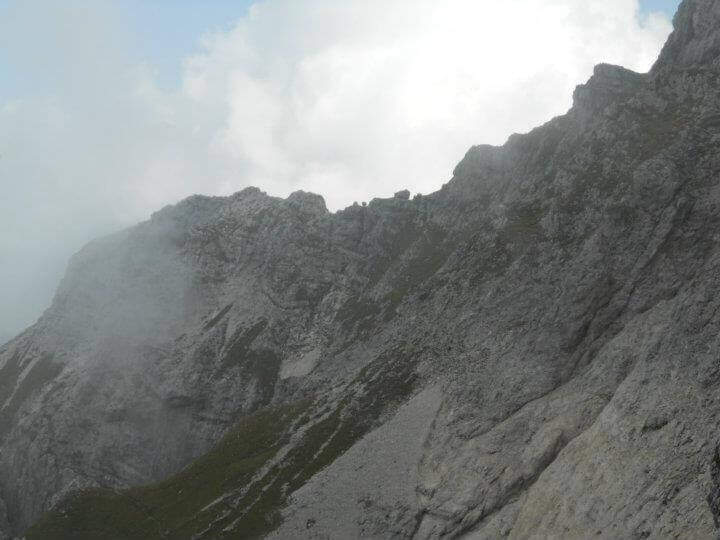
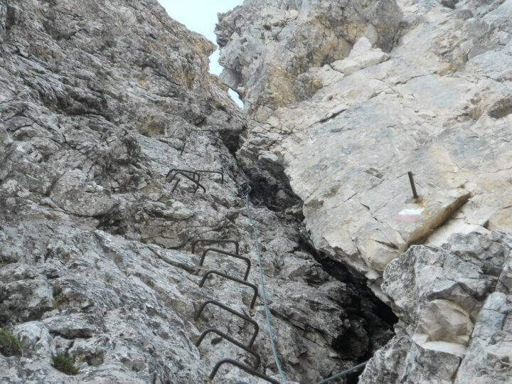
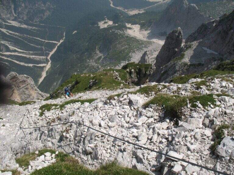
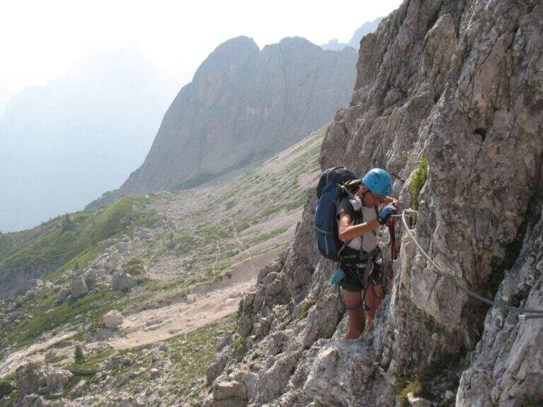
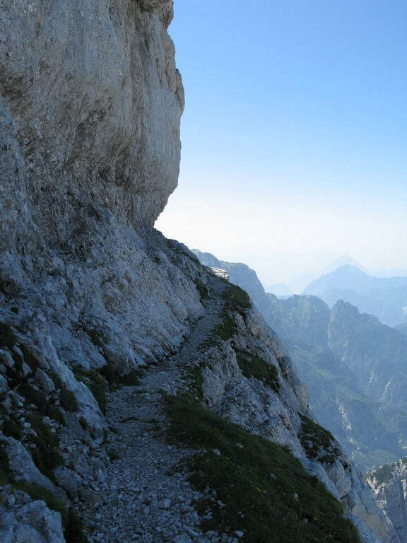
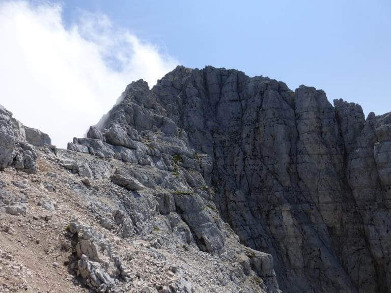
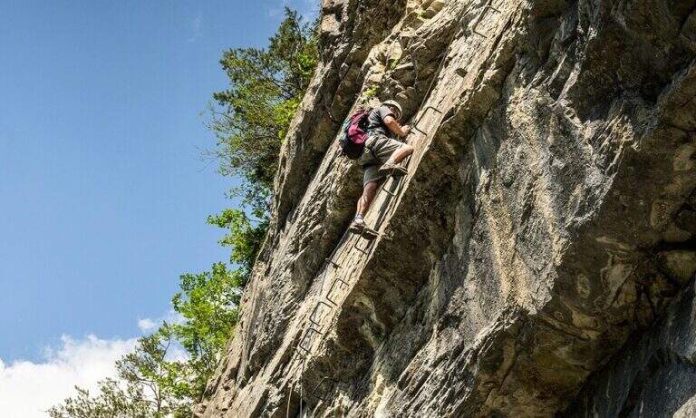
    The Attrezza dell'Ideale Path crosses the wall under the Cima d'Ambiez in the Brenta Dolomites, connecting the Refugi XII Apostoli and Agostini. Although historically classified as an equipped path, it has vertical traits and exposed worthy of a true via ferrata — not to be underestimated.

    ▲Approach

    The most common starting point is the cable car from Pinzolo to Doss del Sabion (directions road map). From Pinzolo on the SS 239 you park in the wide beaches next to the lifts. From the mountain station, follow the Attrezza della Scala Santa path to reach the XII Apostoli refuge (about 3h).

    ▲The path

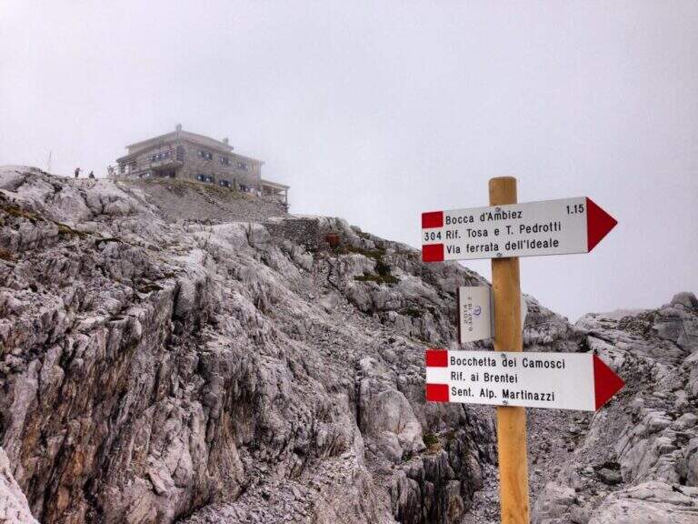
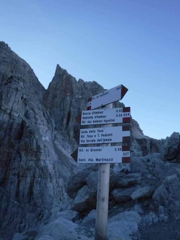
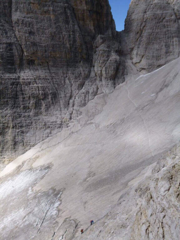
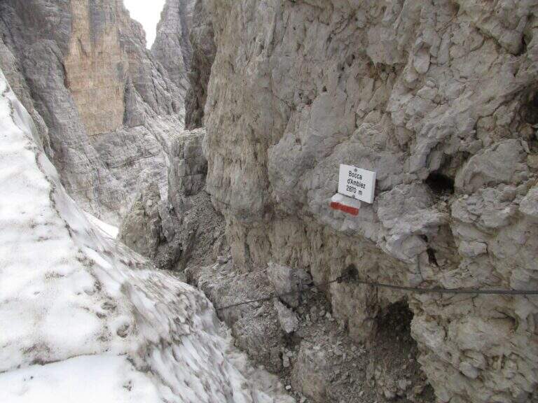
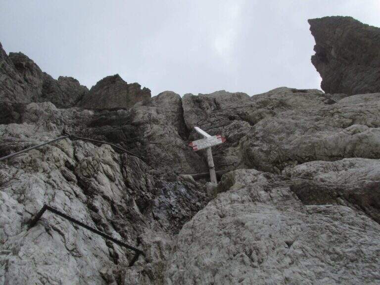
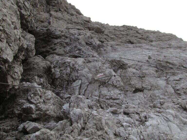
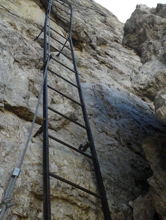
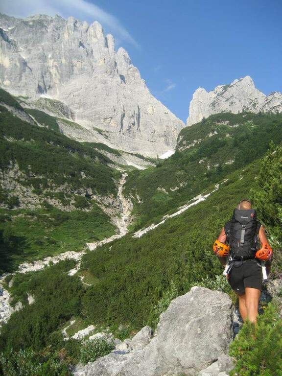
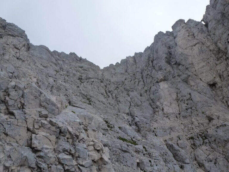
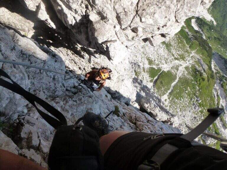
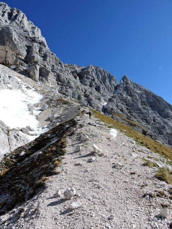
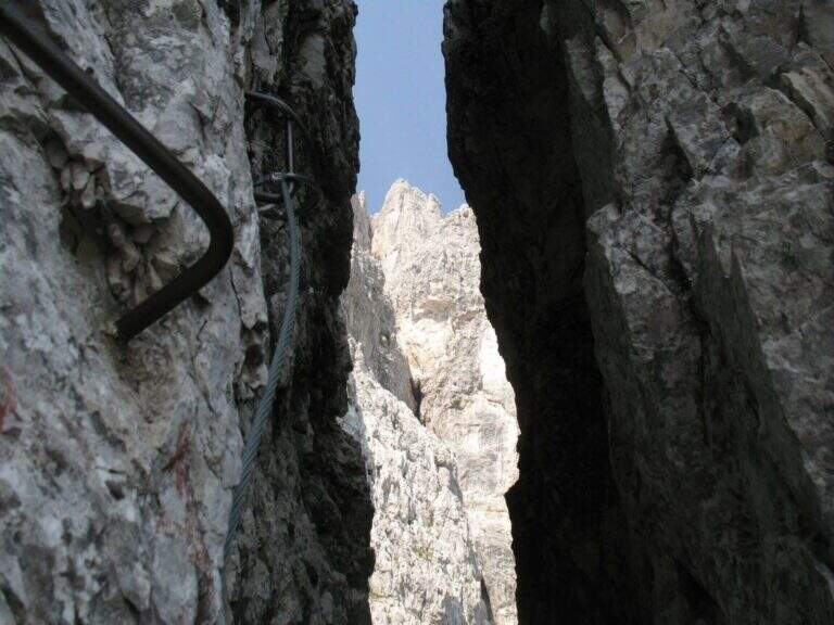
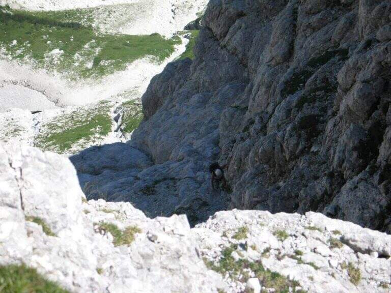
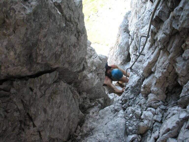
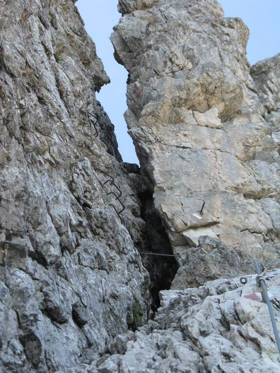
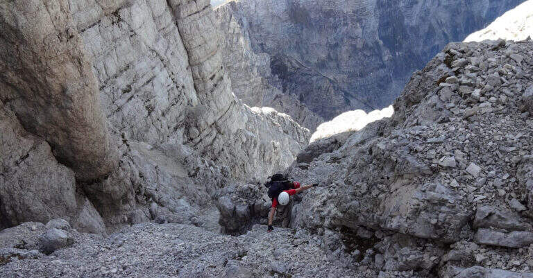
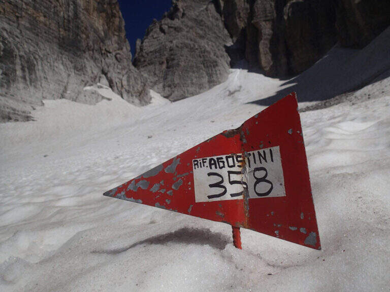
    From Rifugio XII Apostoli follow the CAI 307 towards the east towards the Bocchetta dei Camosci. You go up a valley on a detritic background with slope supported up to a point where the wall tightens: here begin the vertical and exposed traits that justify the reputation of this path. The route climbs towards the Bocca d'Ambiez alternating equipped rocks and aerial cenges. The exit leads to the Rifugio Agostini. The route can also be routed in reverse direction, or as a natural continuation of the Ferrata Brentari that starts from the Rifugio Pedrotti.

    ▲Character and difficulty

    Classified Moderately Difficult, but with passages that approach the Difficult for exposure and verticality. Not suitable for those with the use of the hardware set. Complexity: technique 2/5, physics 3/5, exposure 3/5, environment 3/5.

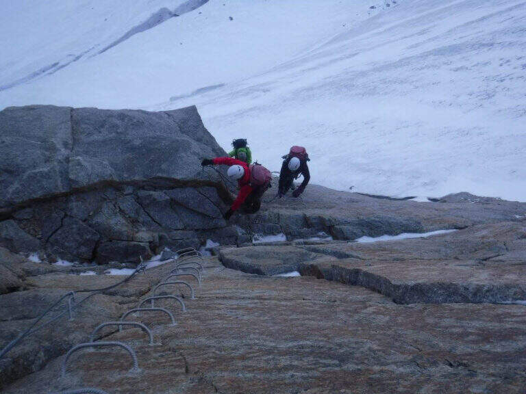
    ⚠ The itinerary takes place at high altitude in the Brenta: possible presence of snow and ice even in summer. Check the conditions at the Rifugio Agostini before leaving.
    ▲Period and safety

    From July to September. High altitude and shaded orientation can keep snow long. Recommended in company or after having traveled other similar level ferrates.

    ▲Discipline

    From the Rifugio Agostini you can descend towards Molveno along CAI paths or return to the Rifugio XII Apostoli to resume the cable car towards Pinzolo.

    ▲To match

    Complementary Ferrata Brentari, al Sentiero della Scala Santa and Ferrata Benini.
    ▲Gallery
    Technical data
    • DifficultyModerately Hard
    • RegionTrentino-Alto Adige
    • GroupDolomiti di Brenta
    • Approach3:00 h
    • Ferrata2:30 h
    • Itinerary (a/r)10:30 h
    • Hardware level difference400 m
    • Route difference450 m
    • Max1750 m
    • Length6 Km
  • Ferrata Amalia al Jof Montasio

    Ferrata Amalia al Jof Montasio

    Vie Ferrate › Friuli-Venezia Giulia › Udine
    Ferrata Amalia al Jof Montasio

    ⚠ ATTENZIONE — VIA INAGIBILE. Dall’agosto 2020 la Società Alpina delle Giulie ha dichiarato la Ferrata Amalia inagibile per una frana sul traverso erboso dopo la Cresta dei Draghi: di fatto non è possibile proseguire fino al Bivacco Suringar e si deve rientrare ridiscendendo la ferrata. Verifica sempre lo stato aggiornato presso il CAI/Società Alpina delle Giulie prima di pianificare.

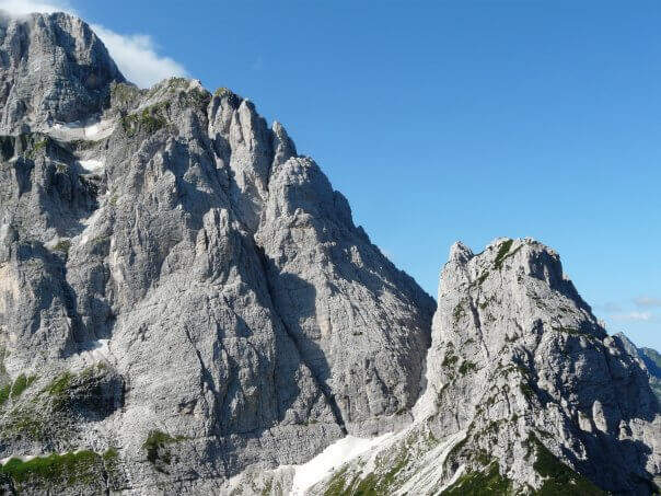
    La Ferrata Amalia (1957) è una storica e severa via di alta montagna sul Jof di Montasio (2754 m), la seconda cima delle Alpi Giulie. È un itinerario lungo e alpinistico, con tratti attrezzati alternati a lunghi passaggi su terreno esposto e instabile in un ambiente selvaggio e poco battuto.

    ▲Approach

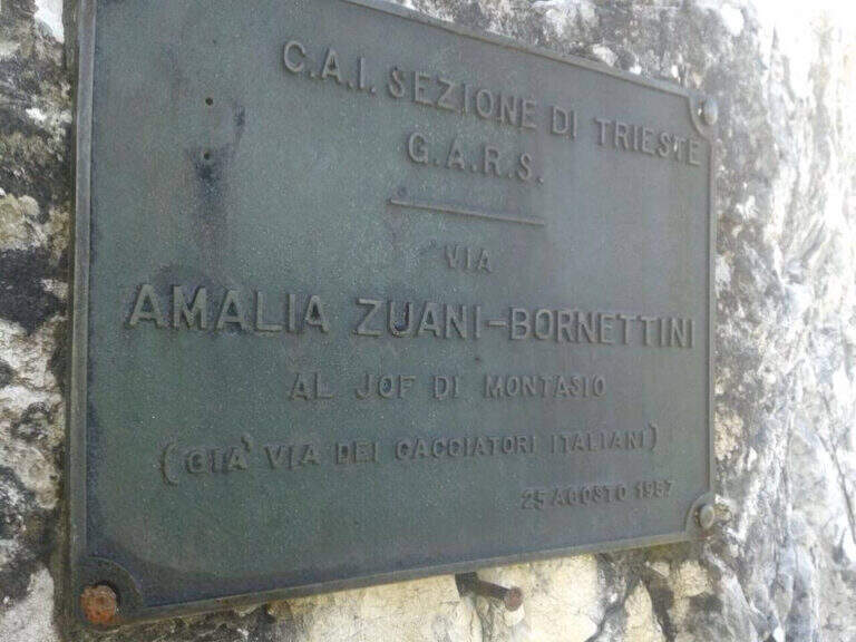
    Si parte dalla Sella di Sompdogna (1427 m): un breve saliscendi sulla carrareccia 611 porta al Rifugio Fratelli Grego, poi il sentiero sale tra mughi e rocce, con vista sul vallone dell’ex ghiacciaio del Montasio, fino alla targhetta metallica d’attacco (~1h30). Road signs →

    ▲The path

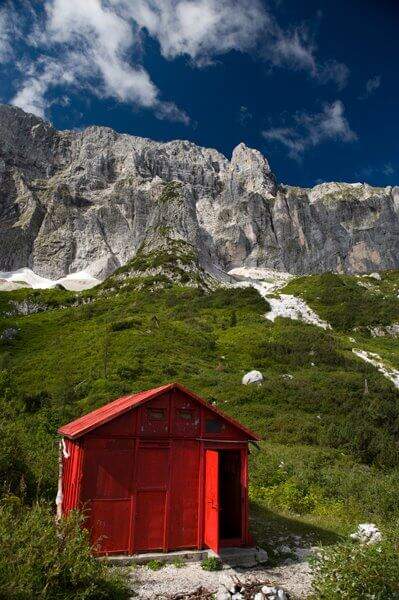
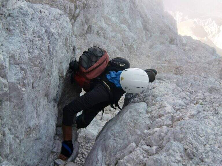
    Il primo tratto attrezzato alterna roccette verticali, balzi e brevi sezioni in libera, con traversi, fessure diagonali e due camini saliti con staffe; il passaggio chiave è una parete verticale superata con staffe e chiodi, seguita da un canalino esposto fino alla forcella che chiude la ferrata. Si risale poi il canalone sotto la Cresta dei Draghi e si percorre la stretta ed esposta cresta omonima, con un tratto in discesa, fino alla Grande Cengia e al Bivacco Suringar (2430 m) — è qui che la via è interrotta dalla frana. In condizioni di agibilità la via Findenegg, su ghiaino e roccette con un camino in libera, conduceva alla cresta finale e alla croce di vetta del Jof di Montasio (2753 m).

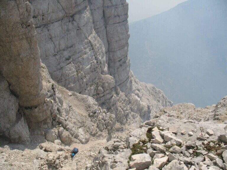
    ⚠ Anche al netto della frana, è un itinerario per esperti molto allenati: traversi a mezzacosta su terreno instabile non attrezzati, disarrampicata fino al II grado non protetta, nevai da attraversare, ambiente isolato. Consigliati bastoncini; il giro completo è lungo e può richiedere il pernottamento in bivacco.
    ▲Discipline

    In condizioni normali la discesa avveniva per la cresta nord verso Cima Verde e la Scala Pipan (~60 m di pioli su funi), poi alla Forca dei Disteis e all’Altopiano del Montasio verso il Rifugio Brazza. Allo stato attuale (via inagibile) si rientra ridiscendendo la ferrata.
    ▲To match

    Sul Montasio e nelle Giulie si trovano il Sentiero Attrezzato Ceria Merlone, la Ferrata Anita Goitan al Jof Fuart e la Ferrata della Vita.

    ▲Gallery
    Technical data
    • DifficultyHard
    • StatoInagibile (frana 2020)
    • RegionFriuli-Venezia Giulia
    • ProvinceUdine
    • GroupJof Montasio
    • Approach1:30 h
    • Ferrata2:30 h
    • Total itinerary11:00 h
    • Hardware level difference~530 m
    • Max Altitude2752 m
    • Length15 km
    • Opening1957
  • Ferrata at Gran Paradiso

    Ferrata at Gran Paradiso

    Vie Ferrate › Aosta Valley › Aosta
    Ferrata at Gran Paradiso

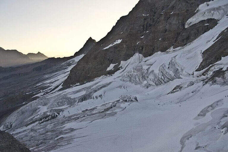
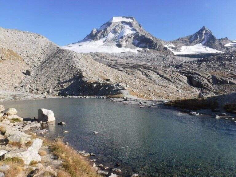
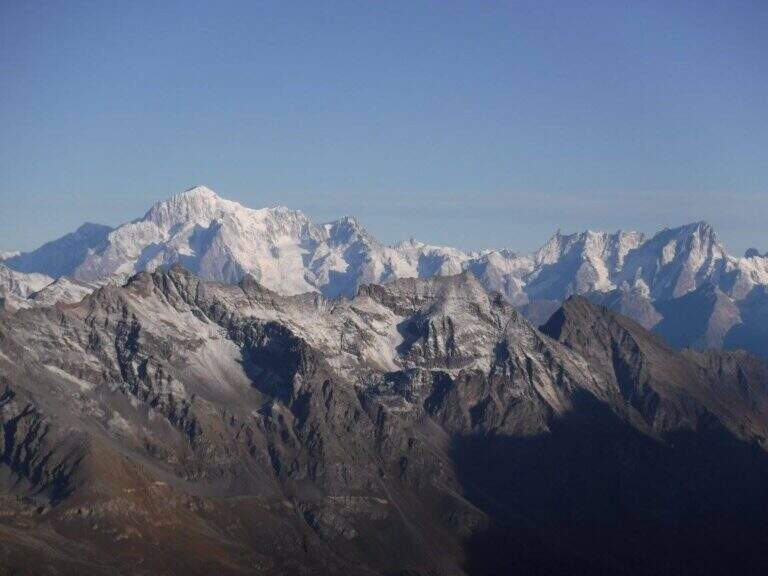
    The Gran Paradiso (4061 m) is the only four thousand entirely in Italian territory, and its equipped route makes it one of the most sought-after alpine climbs of the Alps. It is not a sporty ferrata: it is a high mountain itinerary on the glacier where the stretch with cable is only a part of a long climb between moraines, snow and crevices up to the famous madonnina of summit. It requires alpine experience and glacier equipment.

    ▲Approach

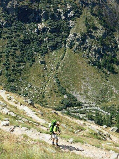
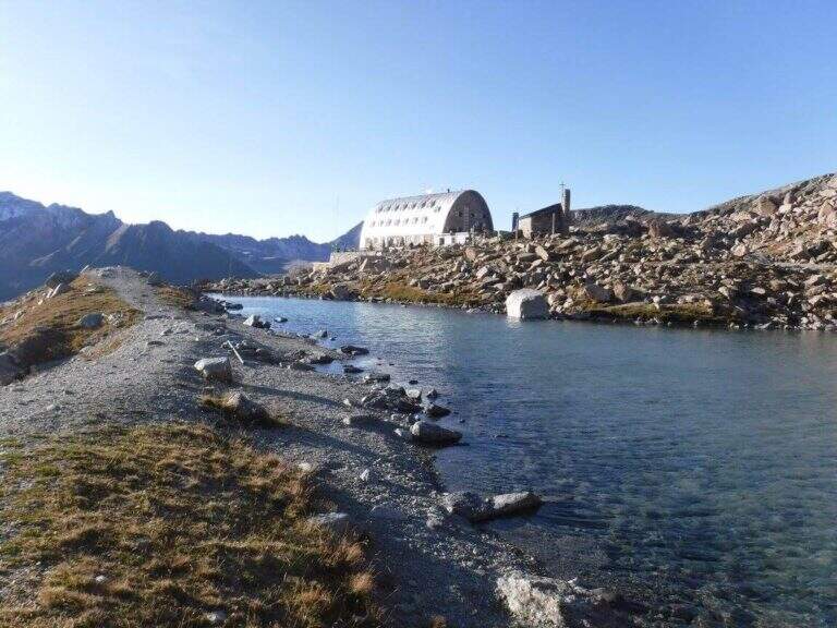
    From the town of Pont, at the bottom of Valsavarenche (~1960 m). A clear path climbs to the plateau of the Rifugio Vittorio Emanuele II (2732 m) in about 2h30 (~745 m of altitude difference). The peak climb is usually faced the following day, starting from the hut before the’ dawn. Road signs for Pont →

    ▲The path

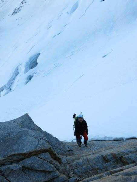
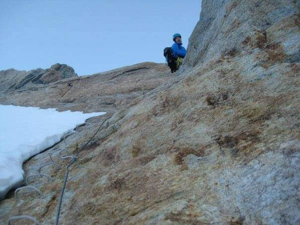
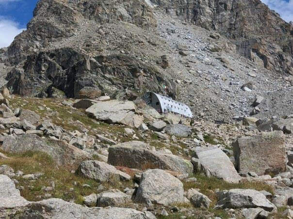
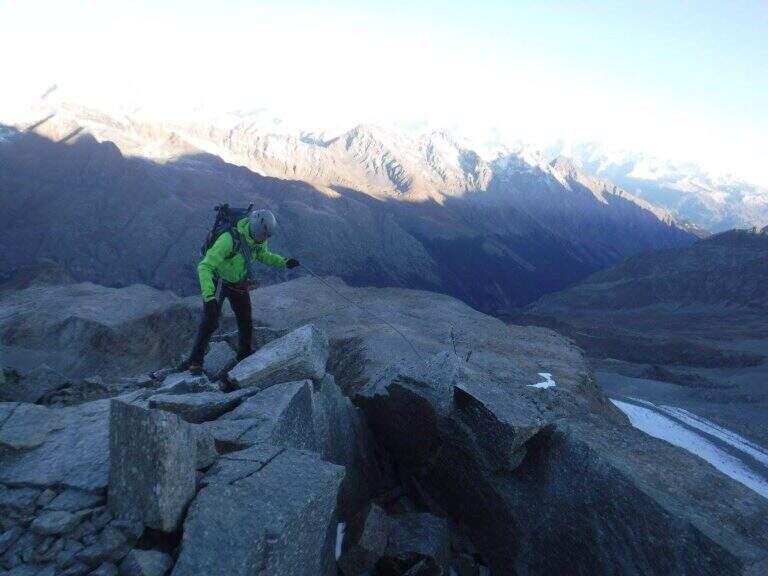
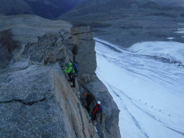
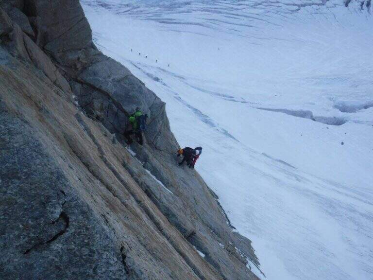
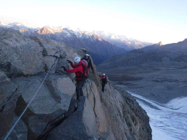
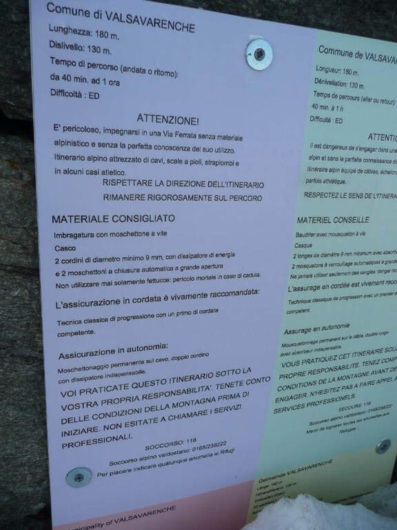
    From the shelter follow the traces of the normal road; in about twenty minutes you cross a glacial creek and you go up the moraina to the wall, wandering right on small rocks with omits, where a multilingual sign signals the beginning of the equipped stretch. The ferrata runs on a rocky coast with metal ropes: exposed beams, short vertical walls, passages on the crest wire, equipped plates and a horizontal traverse under a roof. It goes out on the “schiena d’asino”, where the streets converge from the Chabod and Vittorio Emanuele refuges, and continue on snowy slopes up to the glacial circus of summit. After the last crepeccio, a summit crest of very exposed rocks and a narrow nod on the Tribulation Glacier lead to the madonnine (4061 m).

    di High mountain climbing climb — the initial cartel ranks it as “Extremely Difficult”. They serve complete glacier equipment (ramps, peaks, rope) and ability to move on the frozen glacier. In late season ropes and brackets can be buried by hard snow. To deal only with adequate experience or with an alpine guide; the times are very variable according to the conditions of the ice.
    ▲Discipline

    The descent takes place on the normal road, going back to the glacier and stretch equipped to the refuge, and from there to the valley.

    ▲To match

    In Valle d'Aosta there are other equipped routes such as the Ferrata Casimiro, la Ferrata Marguerettaz e la Ferrata at Mont Chetif.

    ▲Gallery
    Technical data
    • DifficultyHard
    • RegionAosta Valley
    • ProvinceAosta
    • GroupGran Paradiso
    • Approach to the refuge2:30 h
    • Total itinerary~8:00 h
    • Route difference2110 m
    • Max Altitude4061 m
    • Length22 km
Need help? Write to us!