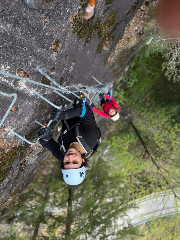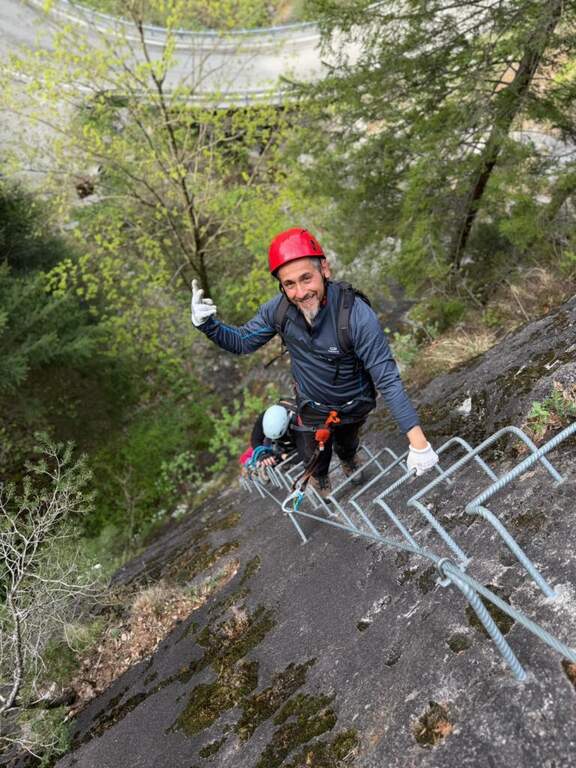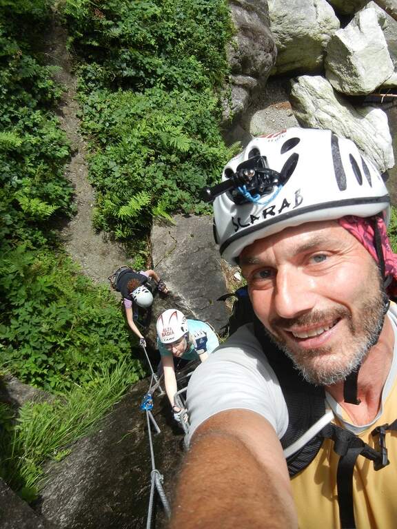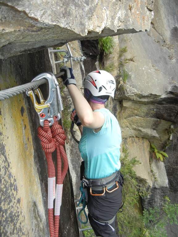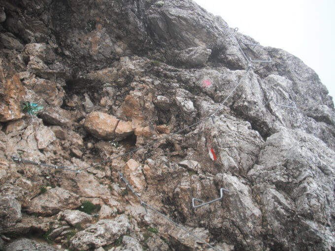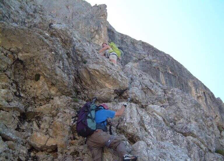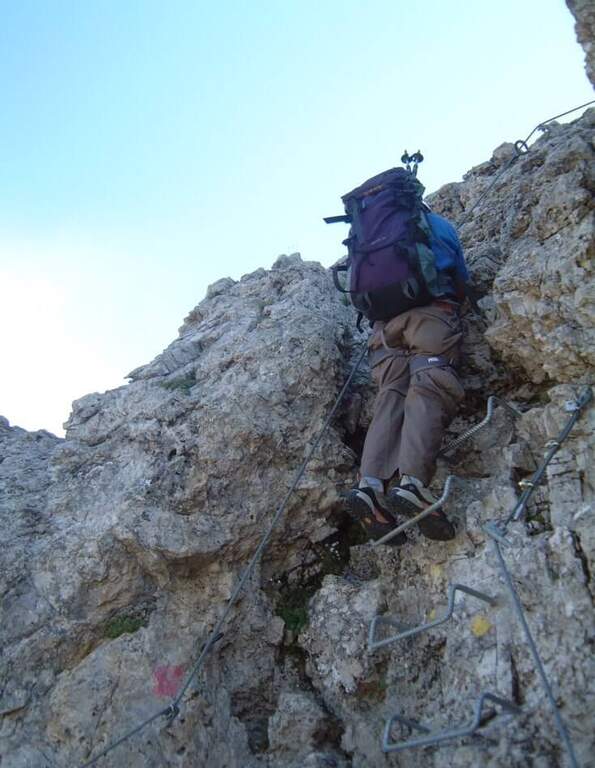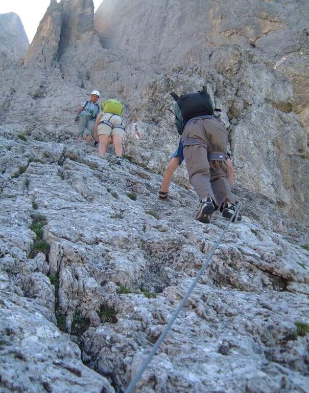
Caratteristica: Ben attrezzata con cambre

  • Ferrata Val di Scala

    Ferrata Val di Scala

    Vie Ferrate › Trentino-Alto Adige › Trento
    Ferrata Val di Scala

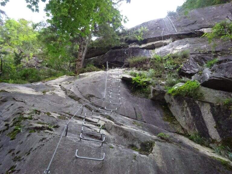
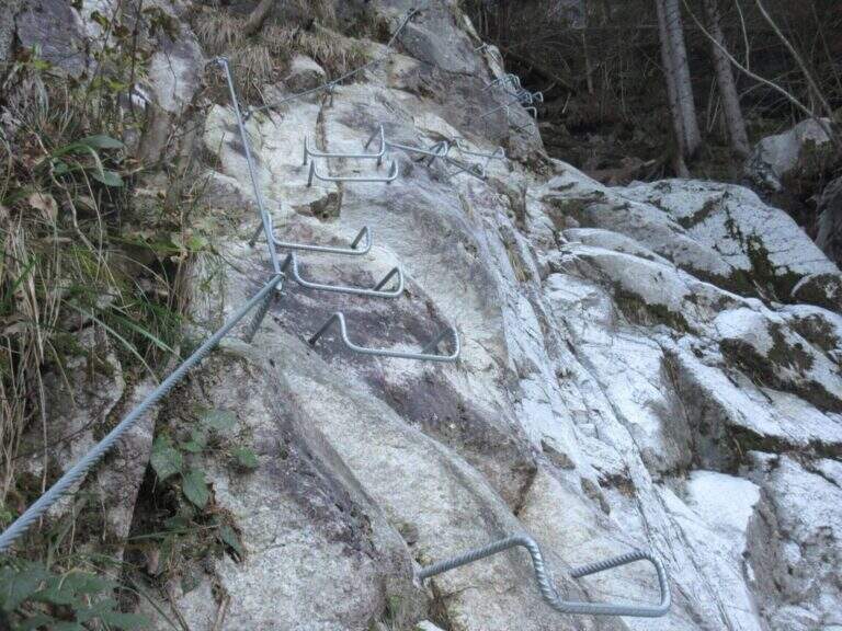
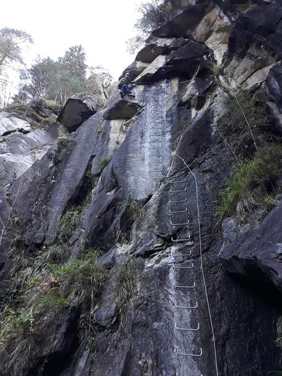
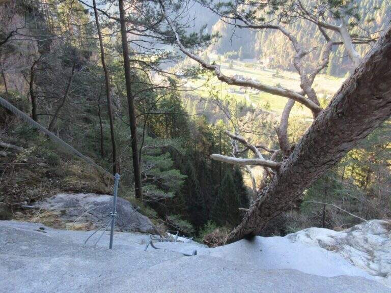
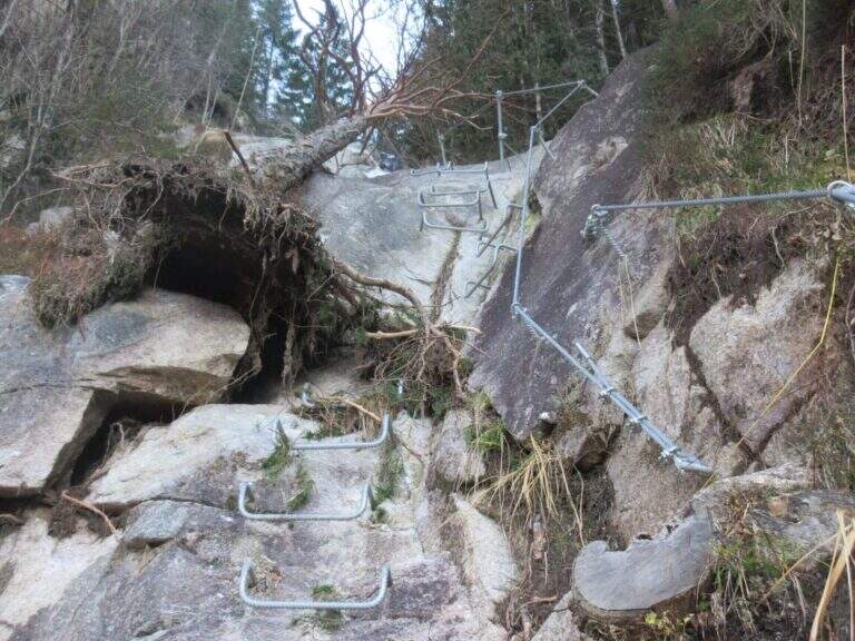
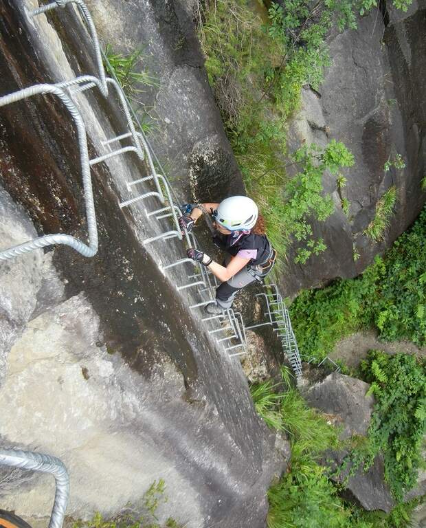
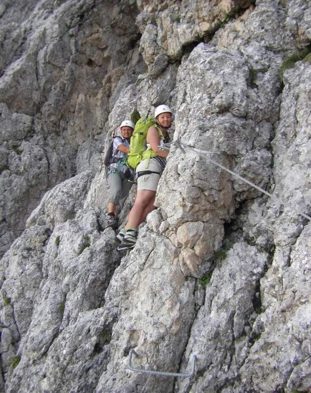
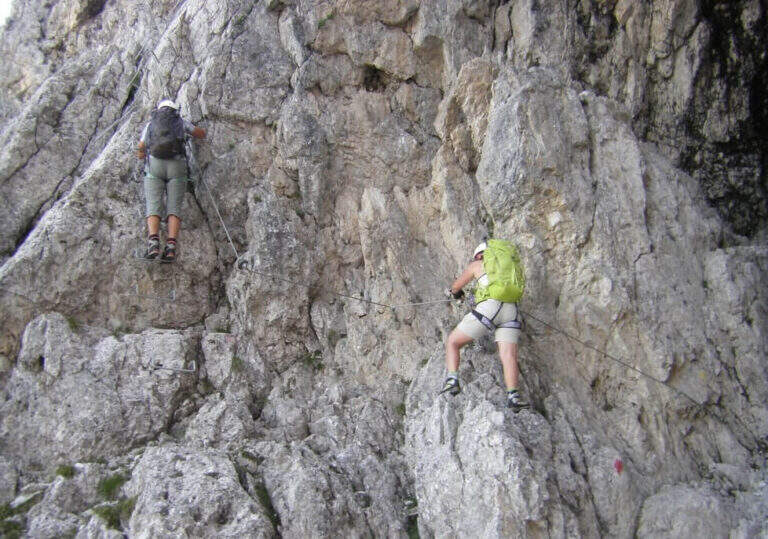
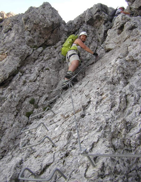
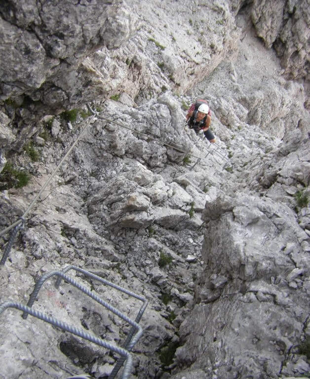
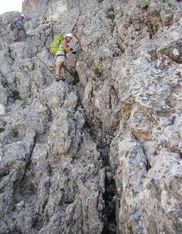
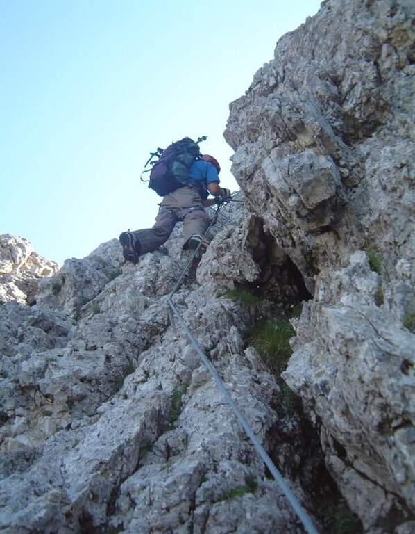
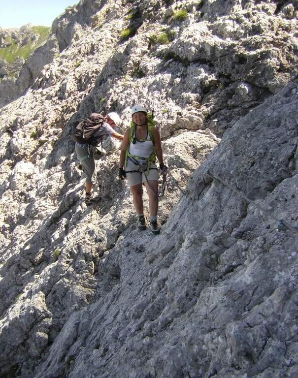
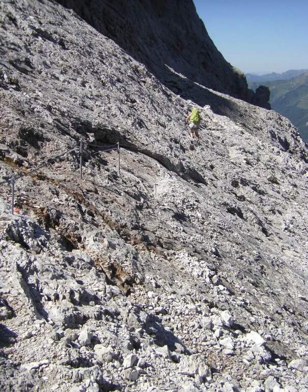
    La Ferrata Val di Scala (also called Caoria or the Canal San Bovo) is a short and well-equipped itinerary, ideal for approaching the world of equipped routes: technical difficulties remain modest even in the presence of a good exposure. The context, in the province of Trento on the side of the Lagorai Chain, is very beautiful and isolated, away from mass tourism.

    ▲Approach

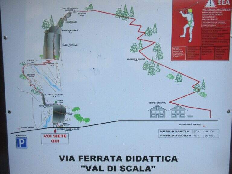
    The starting point is located along the road connecting Canal San Bovo e Caoria and that goes up the Val di Scala: you park near a pronounced curve, with the attack placed a few meters from the road. Open road signs on Google Maps. From the parking lot the street is already visible: in a few minutes, following the track, you reach the attack (10' from the parking lot).

    ▲The path

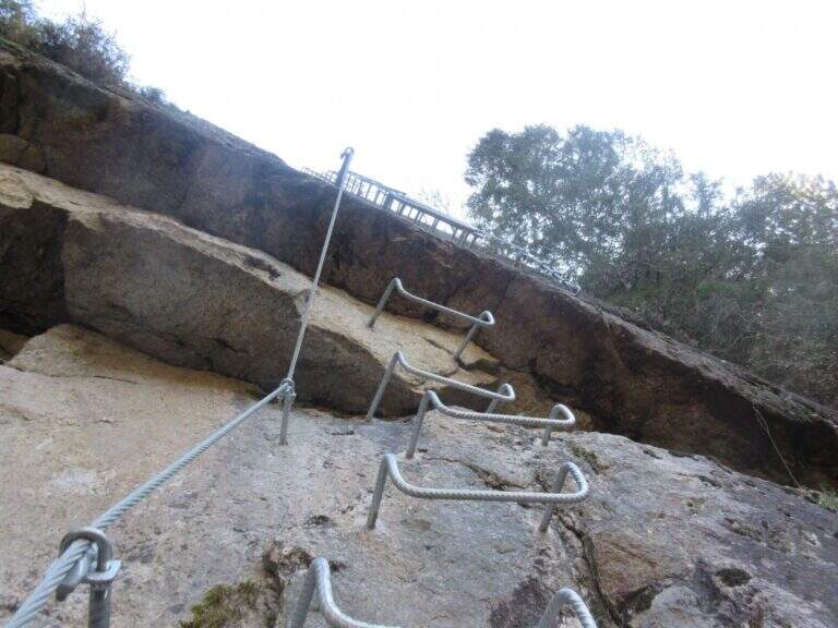
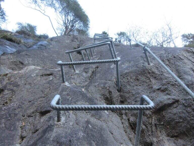
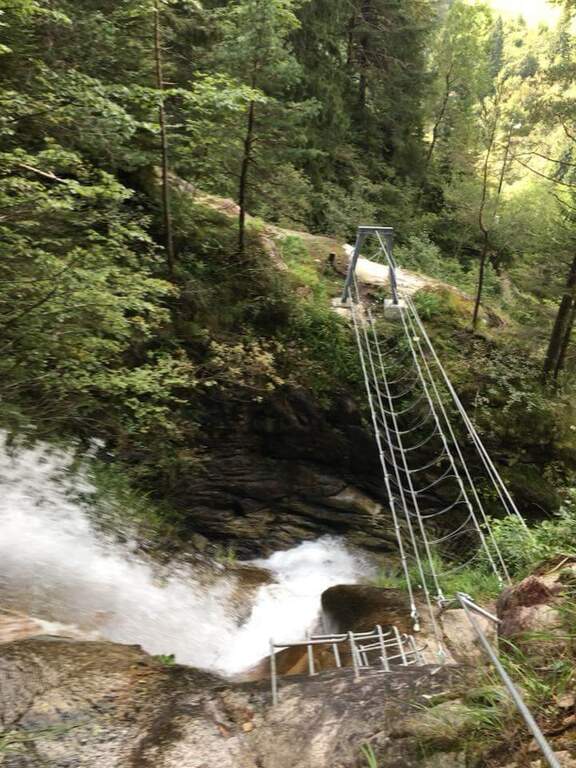
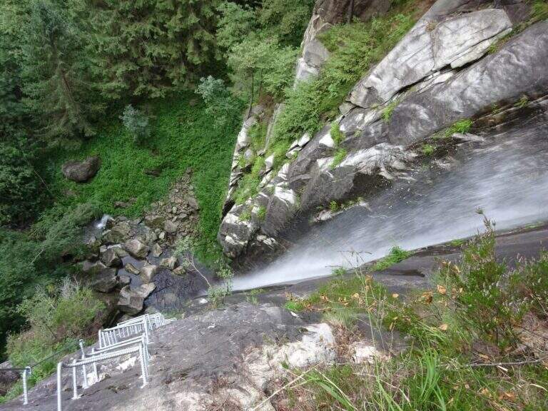
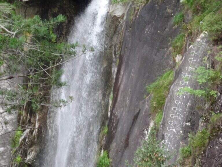
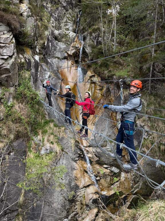
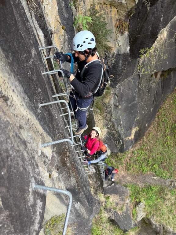
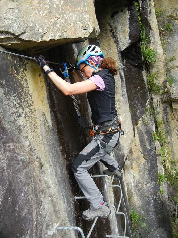
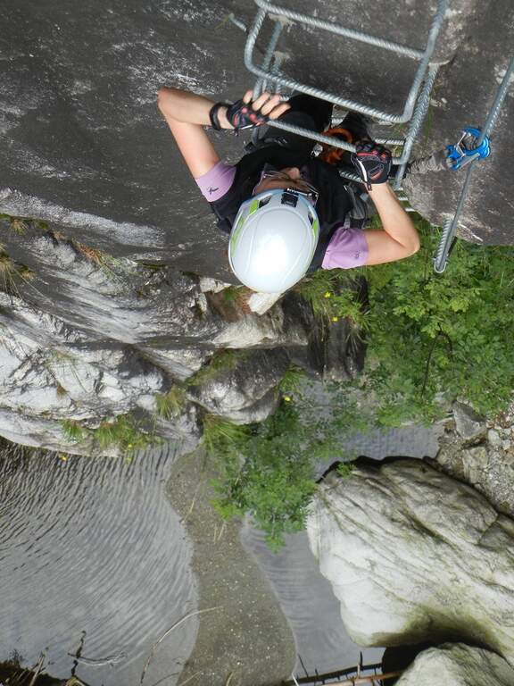
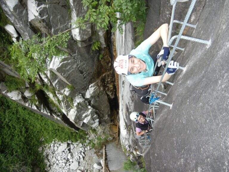
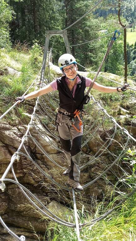
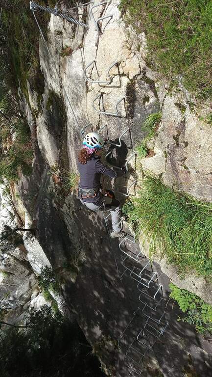
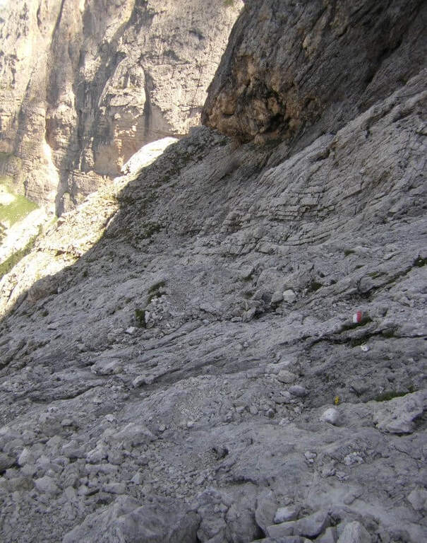
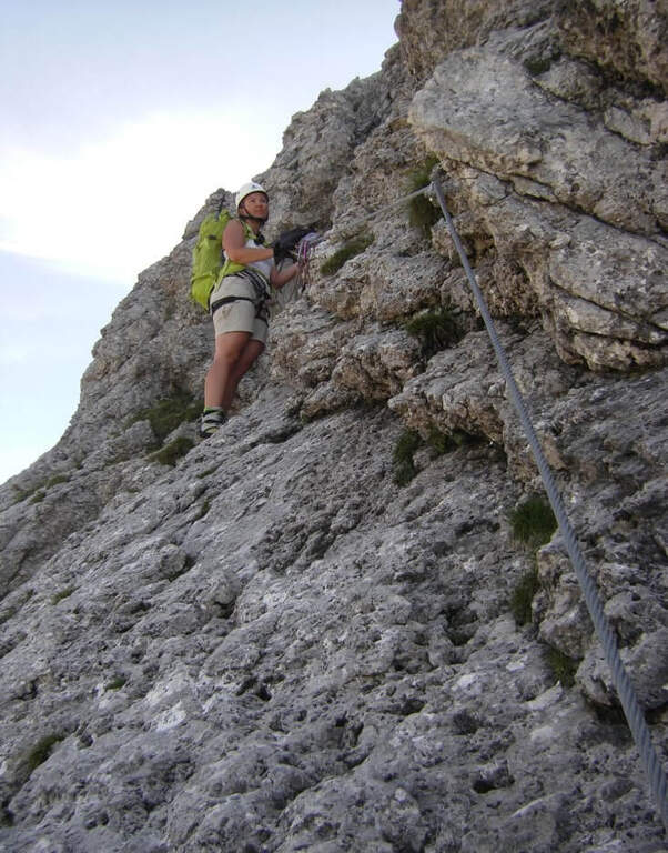
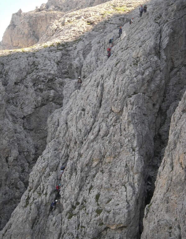
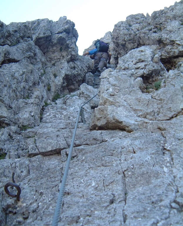
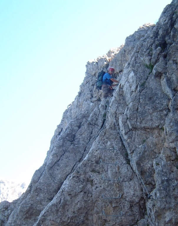
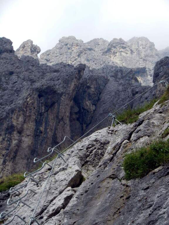
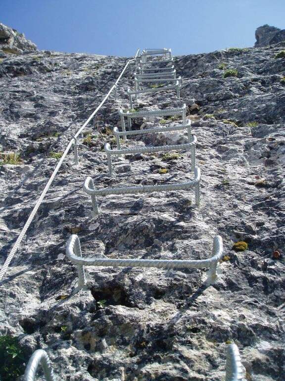
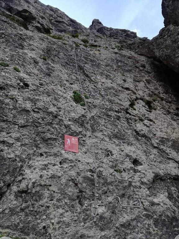
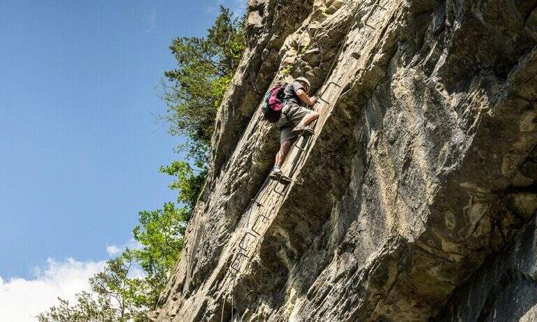
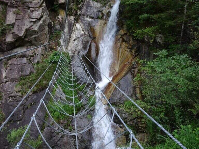
    The first meters are immediately vertical on plate, with a rapid succession of cambre for about fifteen meters, after which a short terrosa nod leads to the right. The cable starts vertically, always on metal cambres, leading under a tetto rocky that goes beyond with the cable that for some meters flows on both sides. Continue vertically on the cambre scale and then on the left towards the bridge suspended , very stable and along about fifteen meters; beautiful the waterfall that flows right of the bridge and that, after l' crossing, it turns uphill. After a short horizontal stretch on the edge of the stream, a series of difficult-to-grave transverses; but very panoramic accompanies the leaps of the course d' water. The equipment is interrupted by a stretch of connecting path, then the cables resume at some small rocks and act as a handrail where the path tightens; a stone goes up beyond which a wooden walkway crosses the stream. Beyond the catwalk we proceed on a track, on the left, to a vertical wall: a long row of cambre rises, interspersed by a short stretch on the left, up to a new rocky roof that this time wanders left with the feet on the &ndash cambre; the più point; exposed to the via. Mounted the roof is divided vertically for about twenty meters up to a short stretch; next to the waterfall again. Finally, there are some rocky balconies abundantly relayed, with short stretches of connection, and after the last equipped rocks the way ends (40' from the ' attack).

    ▲Character and difficulty

    Recent and modern hardware in the design, with numerous metal fixtures. Those looking for a "arrampable" route will be disappointed; those who appreciate verticality will find satisfaction, with limited technical difficulties. It is perfect for taking confidence with the equipped routes to those who are already accustomed to exposed excursions; the equipment is in good condition.

    ⚠ Although technically easy, the way è ben exposed: non è suitable for those suffering vacuum. Helmet and hardware set remain indispensable. For the cartography ` useful the map of the Park of Paneveggio – Pale di San Martino o la Lagorai – Cima d'Asta.

    ▲Discipline

    After finishing the ferrata follow the clearly visible track that brings to the parking space in about 20 minutes (1h 15' overall).

    ▲To match

    It is probably the only easy route in this area of Trentino, rich instead of long and challenging routes. Not far away Ferrata Gabrielli salt in Cima d'Asta; moving to the Pale di San Martino there is the Ferrata del Porton, la Ferrata del Velo e la Ferrata Bolver-Lugli. For those in the first arms, in Val di Fiemme there is the Ferrata del Bombasel at Cermis.
    ▲Gallery
    Technical data
    • DifficultyEasy
    • RegionTrentino-Alto Adige
    • ProvinceTrento
    • GroupChain of Lagorai
    • Approach10 min
    • Ferrata45 min
    • Complete itinerary (a/r)1h 15'
    • Hardware level difference200 m
    • Route difference239 m
    • Maximum1004 m
    • Length2,4 km
  • Ferrata del Velo

    Ferrata del Velo

    Vie Ferrate › Trentino-Alto Adige › Trento
    Ferrata del Velo

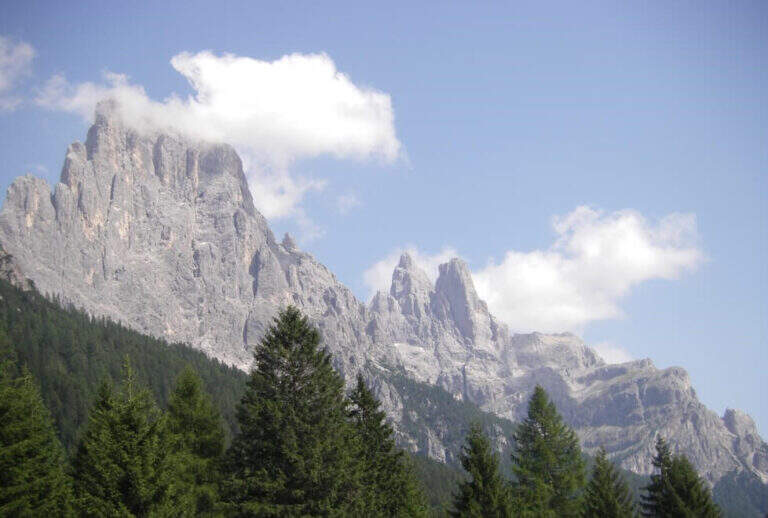
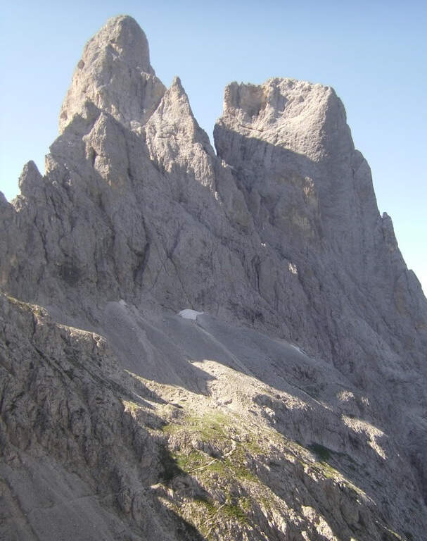
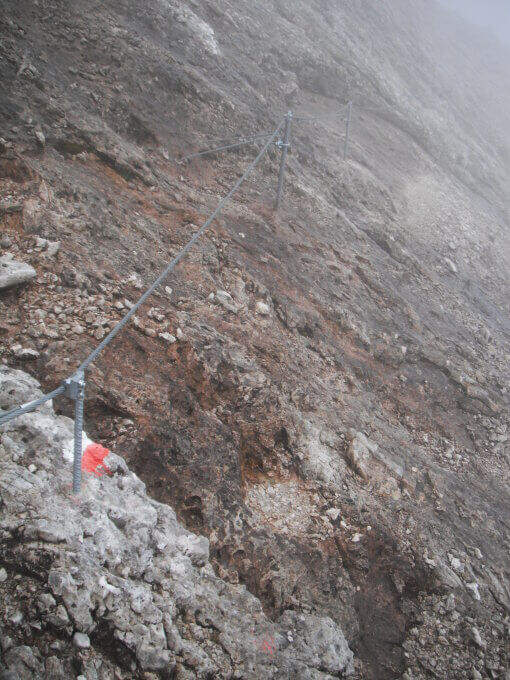
    La Ferrata del Velo sale a Forcella del Porton in un bellissimo ambiente delle Pale di San Martino, dominato da Sasso Maor e Cima della Madonna. È una via di media difficoltà, perfettamente attrezzata, che qui descriviamo in salita con rientro ad anello per la breve Ferrata della Vecia.

    ▲Approach

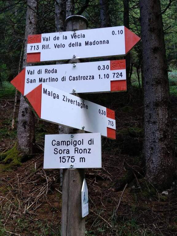
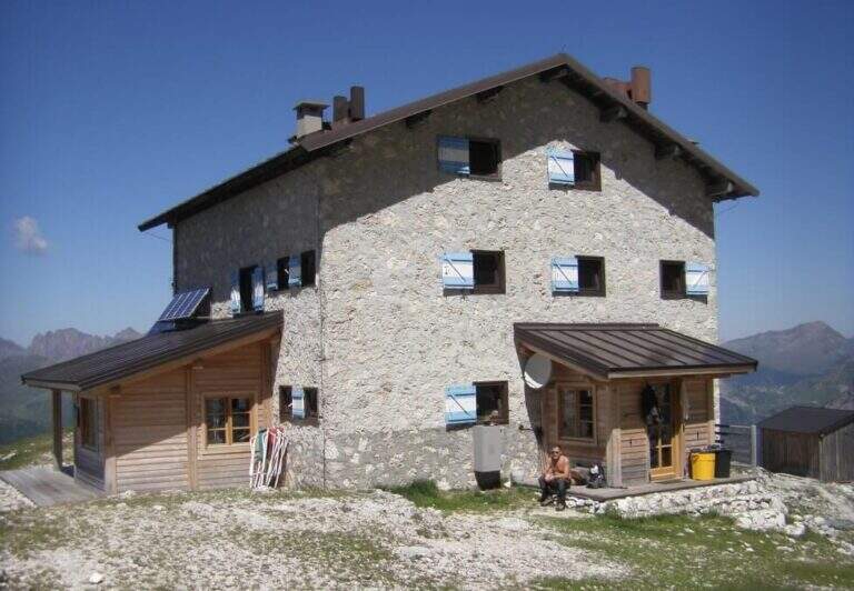
    Punto di partenza è Malga Civertaghe, nel comune di San Martino di Castrozza (TN), raggiungibile per circa 3 km di strada forestale: da San Martino si prende la statale verso sud e, al quarto tornante, si imbocca diritta la strada (parzialmente attrezzata ma in discrete condizioni), tenendo poi la destra in salita fino al parcheggio della malga (starting point on Google Maps). Da Malga Civertaghe (1375 m) si sale verso le pareti della Cima Val di Roda sul sentiero 713, oltre i ruderi di Malga Sopra Ronz; a un bivio si tiene la sinistra (713, in salita ripida) lasciando il 724. Usciti dal bosco su pietraia si arriva a un bivio: a destra il 713 prosegue verso il Rifugio Velo della Madonna, a sinistra si stacca la traccia che si userà per il rientro dalla Ferrata della Vecia. Restando sul 713, con qualche facile tratto attrezzato, si raggiunge il Rifugio Madonna del Velo (2358 m, 2h 15′ dal parcheggio).

    ▲The path

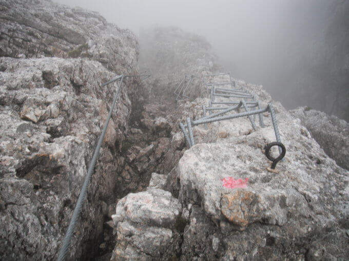
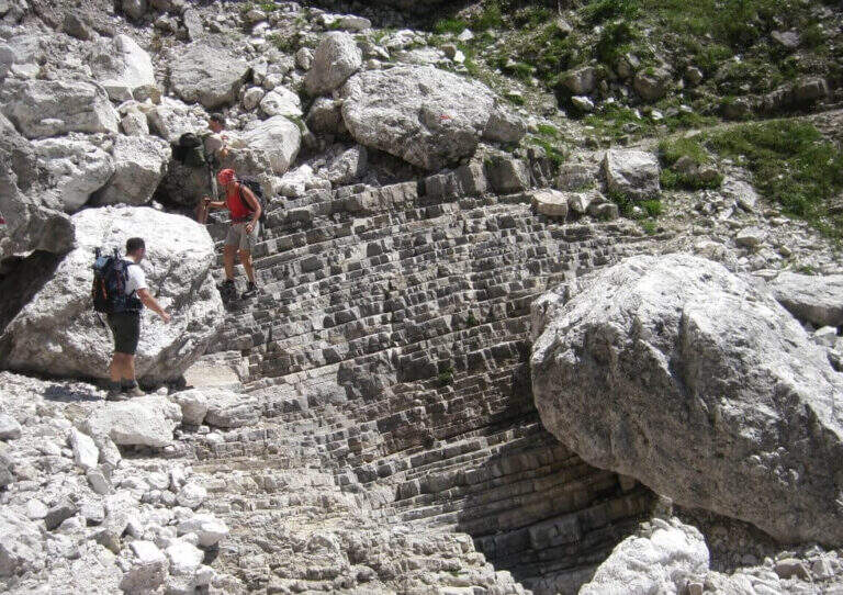
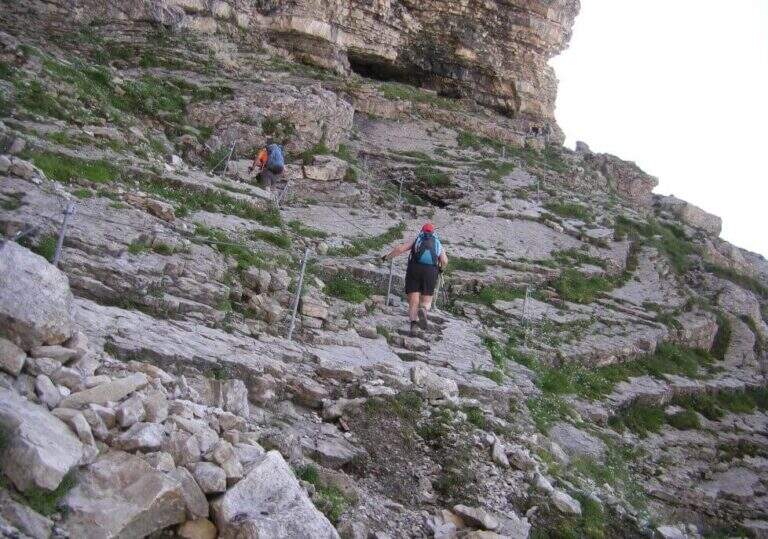
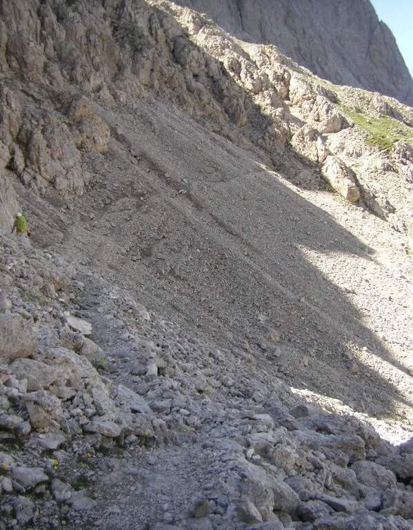
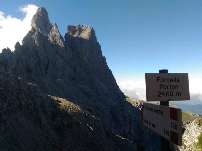
    Dal rifugio si sale prima su ghiaione poi su roccia fino all’attacco, con San Martino di Castrozza alle spalle. Si inizia con una rampa diagonale, poi si sale in diagonale a sinistra e di nuovo a destra in un passaggio un po’ atletico fino alle prime cambre; si prosegue in verticale su parete attrezzata con cambre e un passaggio leggermente strapiombante. Dopo una placca appoggiata in diagonale si affronta il tratto più adrenalinico: dopo una leggera discesa, un traverso prima orizzontale su cambre poi in diagonale, con buona esposizione, quindi un salto di 3 metri con cambre e un tratto verticale attrezzato, le cui difficoltà sono molto ridotte dall’abbondanza di cambre e appigli naturali. Dopo un canalino si sale uno spigolo (prima a destra, poi a sinistra) e ci si inserisce in un canalino appoggiato con cambre nella parte alta. Il tratto conclusivo prevede una paretina verticale, un traverso che gradualmente si allarga e un sentiero attrezzato in diagonale fino al termine delle attrezzature; si prosegue su sentiero in modesta salita e, dopo alcuni tornanti, si raggiunge la Forcella del Porton (2460 m, 1h dal Rifugio Madonna del Velo, 3h 15′ totali), con splendido panorama su Sasso Maor e Cima della Madonna.

    ▲Character and difficulty

    Via di media difficoltà senza singoli passaggi tecnicamente duri: è perfettamente attrezzata e i tratti più impegnativi sono protetti da cambre ampie e abbondanti che riducono molto le difficoltà.

    ⚠ Itinerario d’alta quota: nei canaloni e nei valloni rivolti a nord può esserci neve anche in stagione inoltrata; affrontarlo con tempo stabile.

    ▲Period and safety

    Stagione estiva (quota massima 2460 m circa). Cartografia: carta del Parco Naturale Paneveggio e Pale di San Martino (4Land).

    ▲Discipline

    Poco prima della Forcella del Porton una palina indica sia il Sentiero Gusella (714) sia la discesa in Val della Vecia (739). Si scende lungo il vallone, prima sassoso poi erboso, fino all’attacco superiore della Ferrata della Vecia, che con una lunga serie di cambre aiuta a scendere circa 50 metri di dislivello; al termine il sentiero si innesta a destra sul 713 dell’avvicinamento, che si ripercorre a ritroso fino al parcheggio (2h dalla Forcella del Porton, 5h 15′ totali).

    ▲To match

    La Ferrata del Velo è spesso percorsa in discesa dopo la Ferrata del Porton; in un giro di due giorni si può aggiungere il Sentiero Gusella a Forcella Stephen, mentre per un anello più breve la si abbina alla Ferrata della Vecia. Nelle Pale anche la Ferrata Bolver Lugli, la Ferrata Buzzati, la Gabitta d’Ignoti, il Sentiero del Cacciatore, la Ferrata dell'Orsa and the commitment Ferrata del Canalone.

    ▲Gallery
    Technical data
    • DifficultyHard
    • RegionTrentino-Alto Adige
    • GroupPale di San Martino
    • Approach2:15 h
    • Ferrata1:00 h
    • Itinerary (a/r)5:15 h
    • Hardware level difference200 m
    • Route difference1085 m
    • Max2460 m
    • Length17,6 Km
Need help? Write to us!