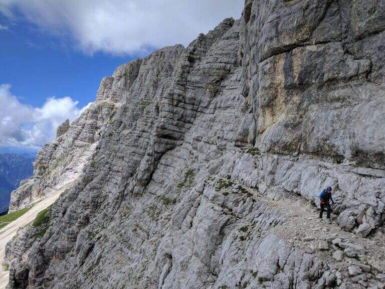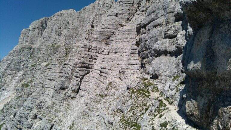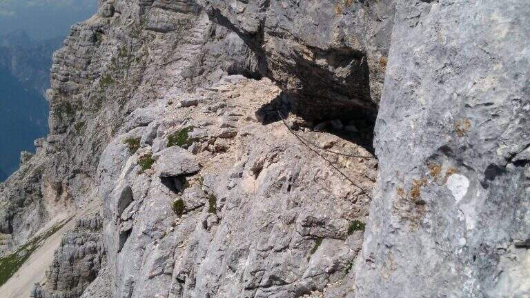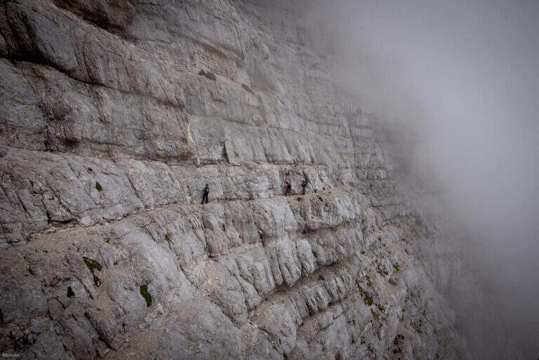
Caratteristica: Cengia

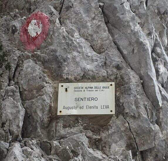
  • Sentiero Attrezzato Leva – Cima di Terrarossa, Montasio

    Sentiero Attrezzato Leva – Cima di Terrarossa, Montasio

    Vie Ferrate › Friuli-Venezia Giulia › Udine
    Sentiero Attrezzato Leva – Cima di Terrarossa, Montasio
    Moderately Hard● OpenDescriptionComplexityMapsGallery

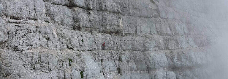
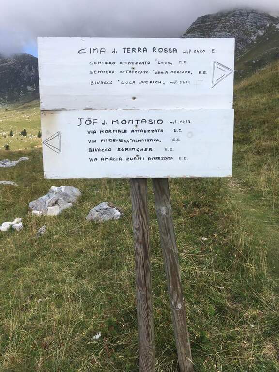
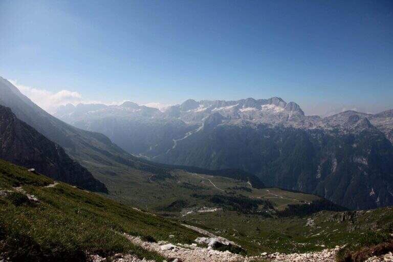
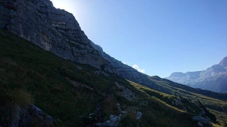
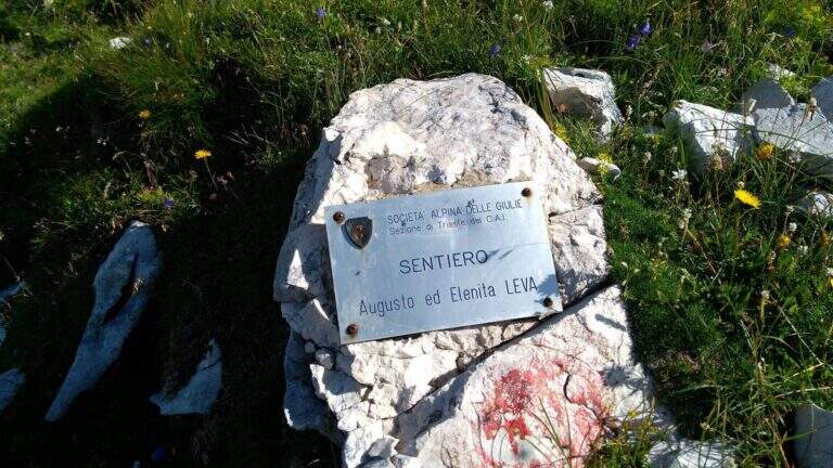
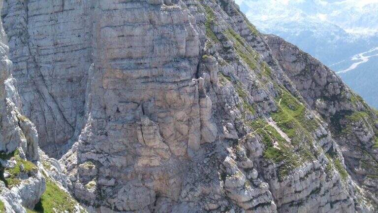
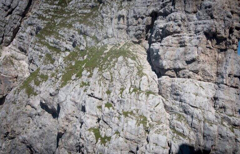
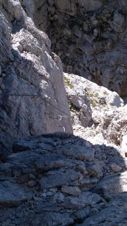
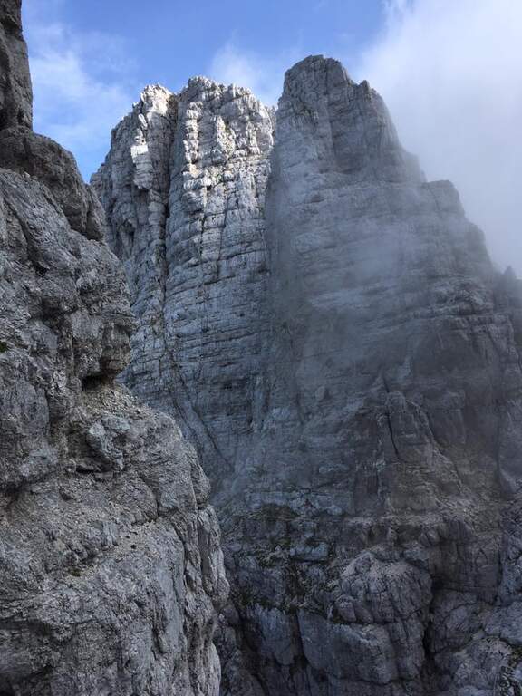
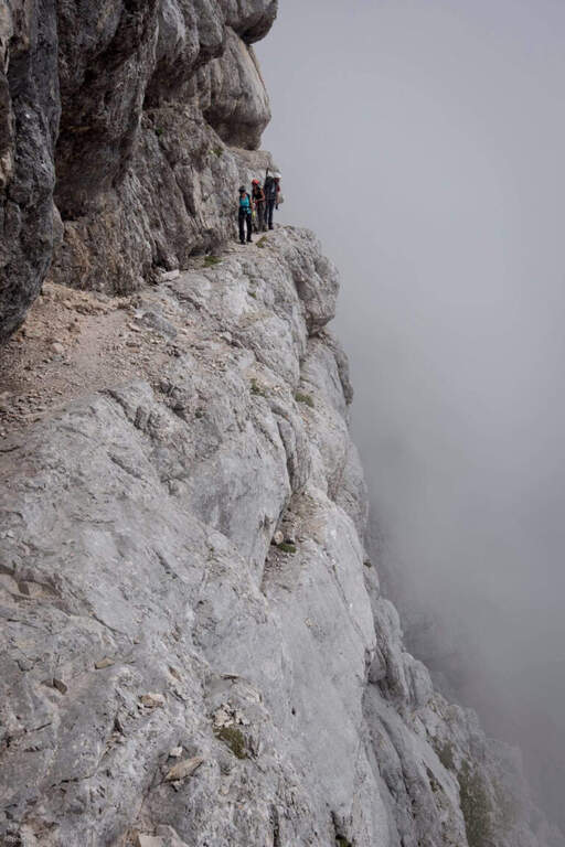
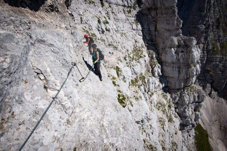
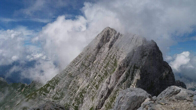
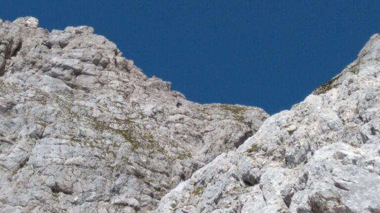
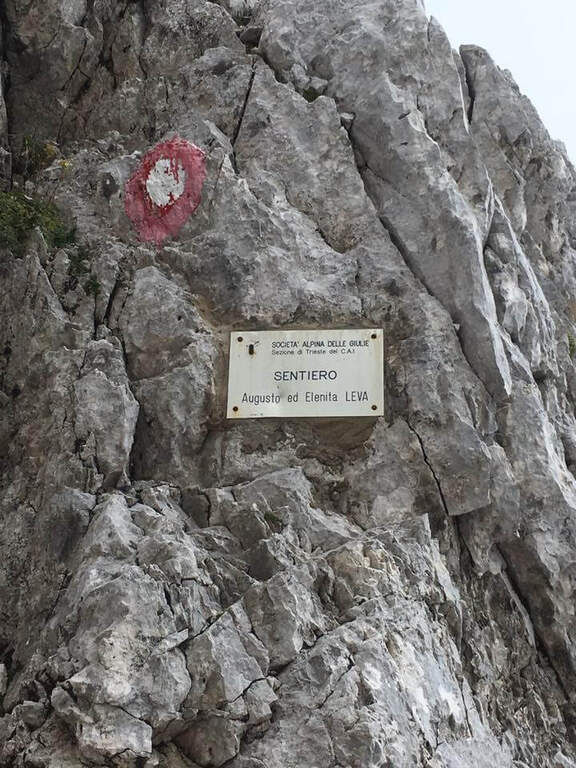
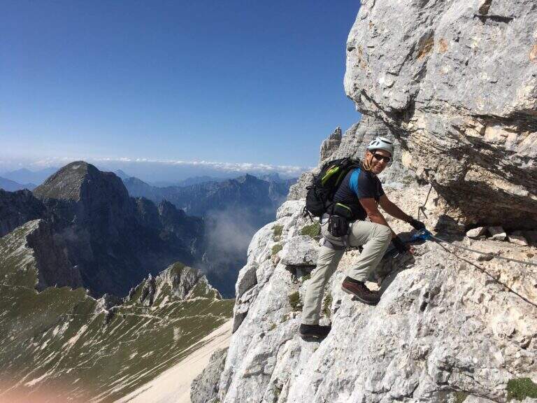
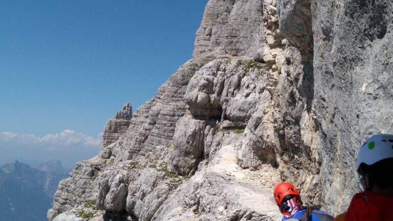
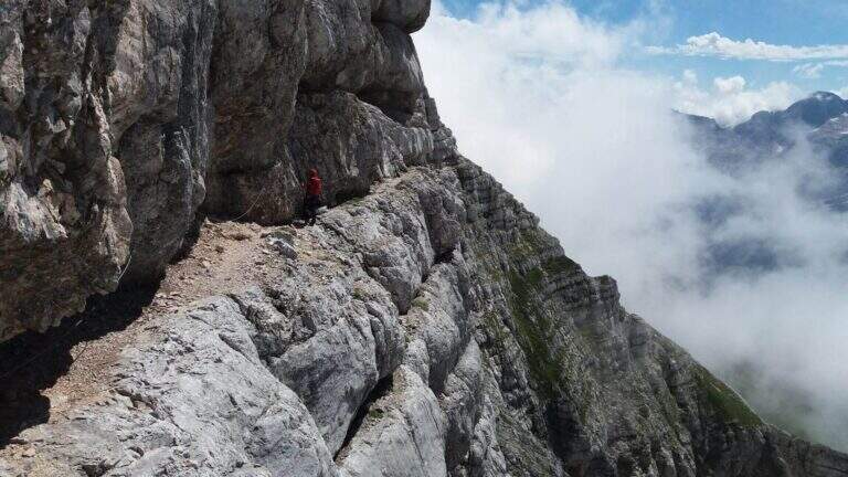
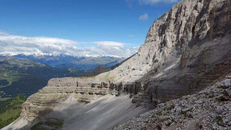
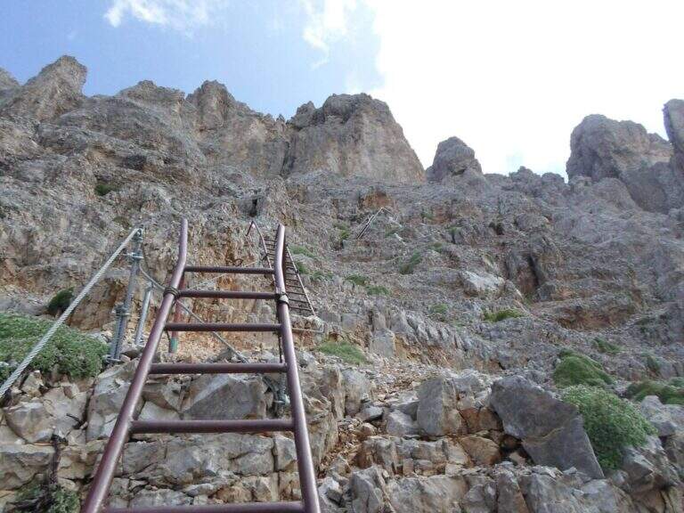
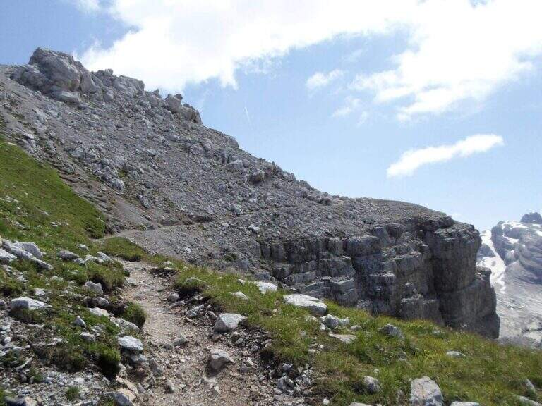
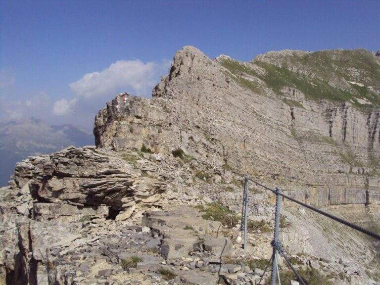
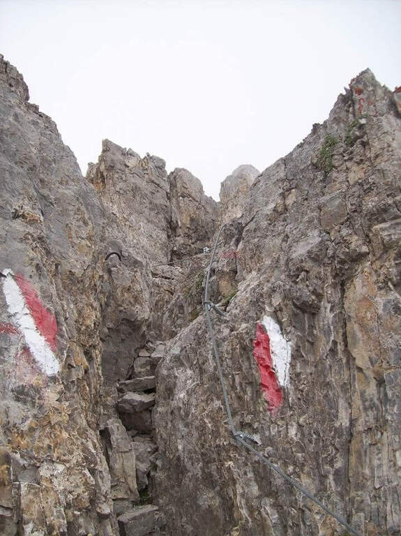
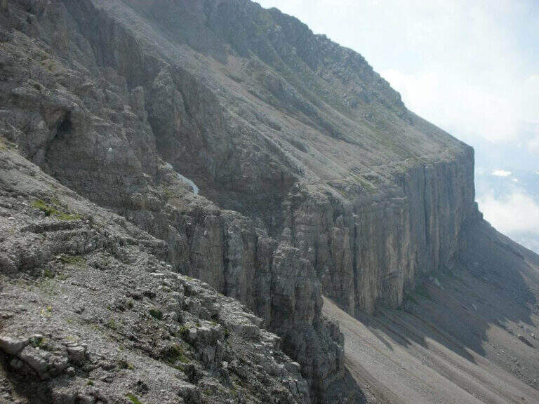
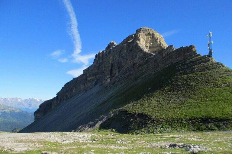
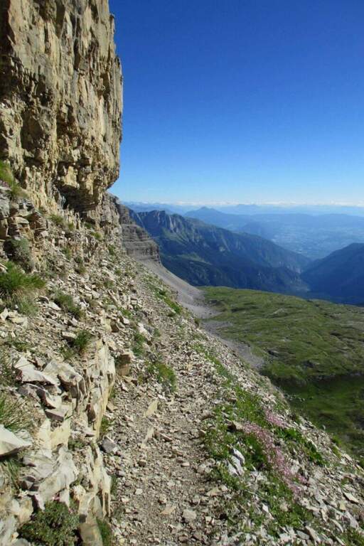
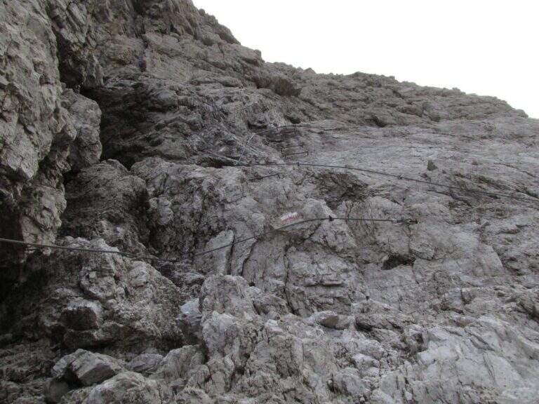
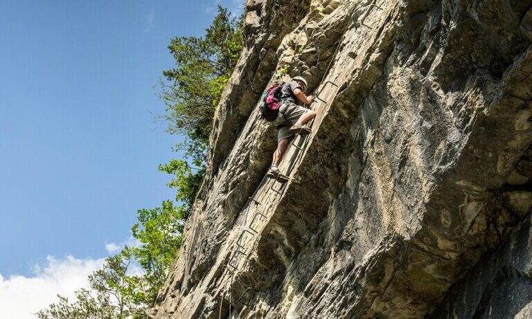
    The Path Attrezzato Leva walks through the scenic hint between the Cima di Terrarossa and the Forca dei Disteis on the slopes of the Jof di Montasio. Itinerary of medium difficulty with exposed and unprotected traits that require safe passage: ideal to be inserted in a more days on the Montasio plateau.

    ▲Approach

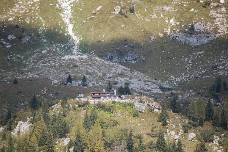
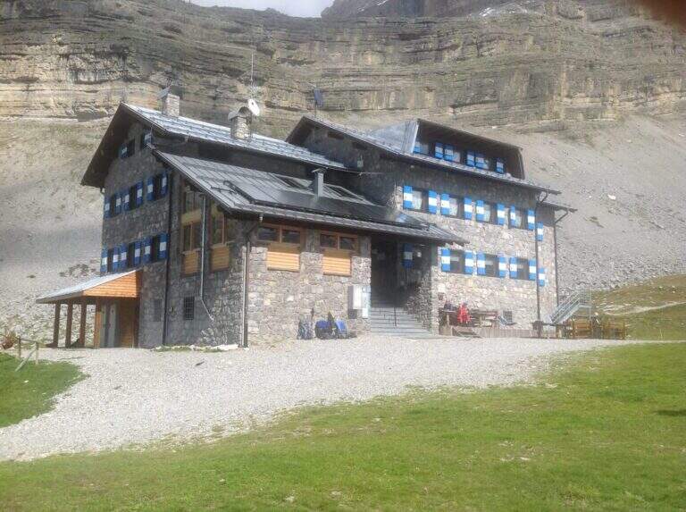
    You reach Chiusaforte on the A23 (exit Carnia Tolmezzo) and continue east for 20 Km until Sella Nevea. From a hairpin bend follow the brown sign for Altopiano del Montasio until the end of the road, where there is a large parking (directions road map). The proposed route passes through the Rifugio Brazza and the Cima di Terrarossa; it does not include the climb to the Jof di Montasio (that is the Ferrata Amalia).

    ▲The path

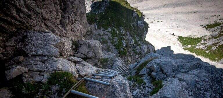
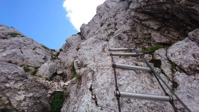
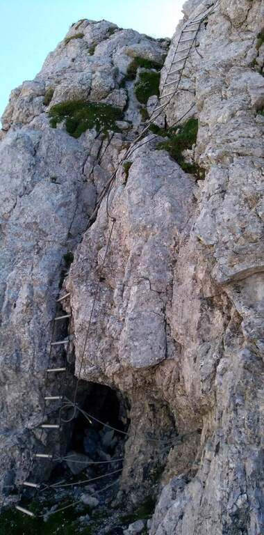
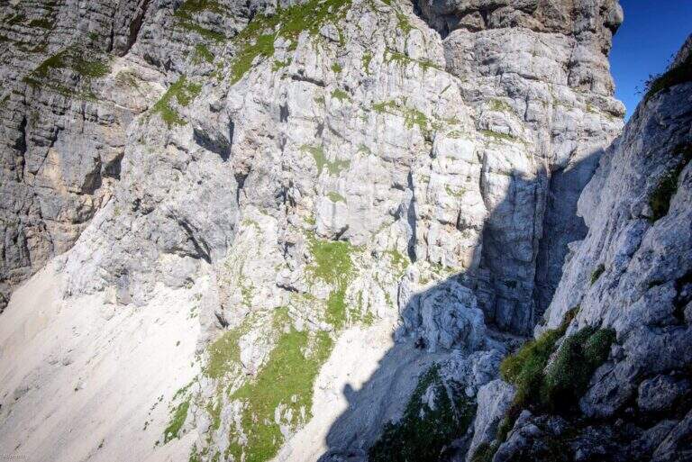
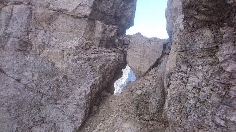
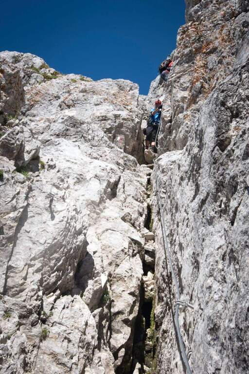
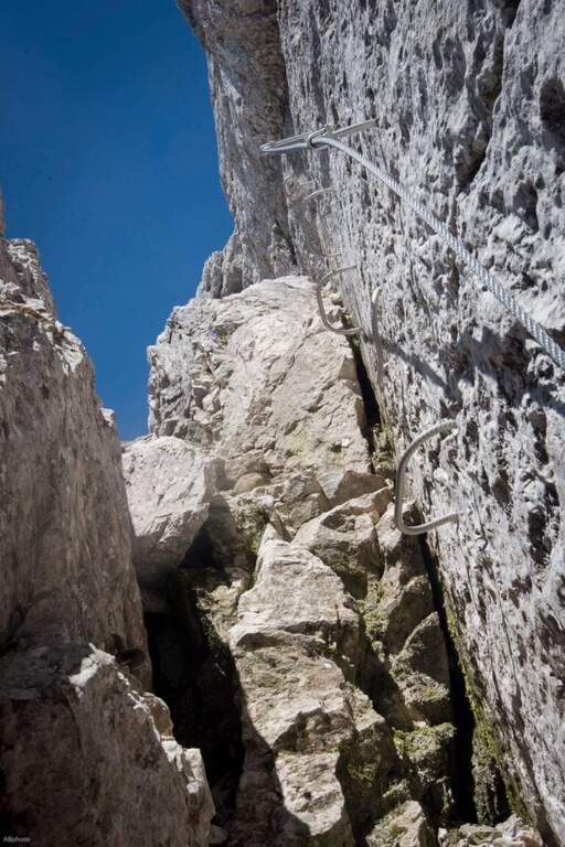
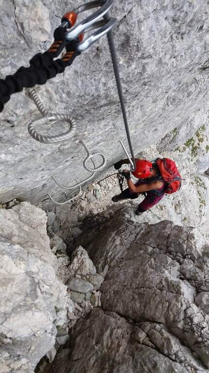
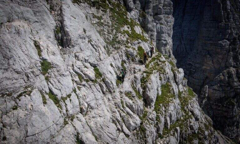
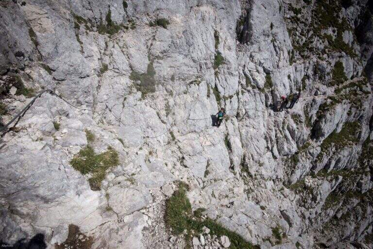
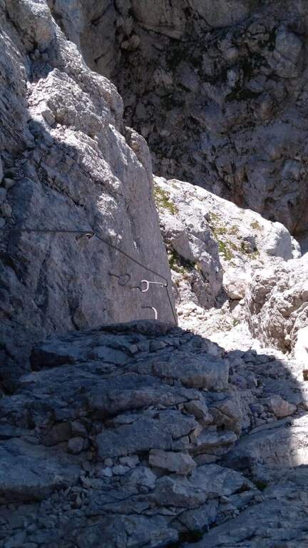
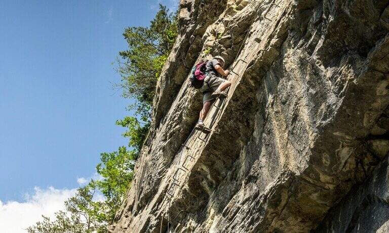
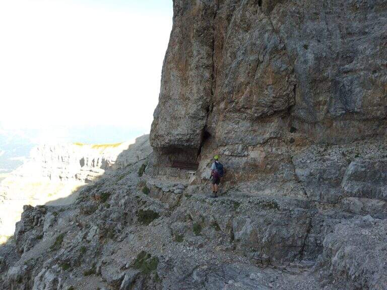
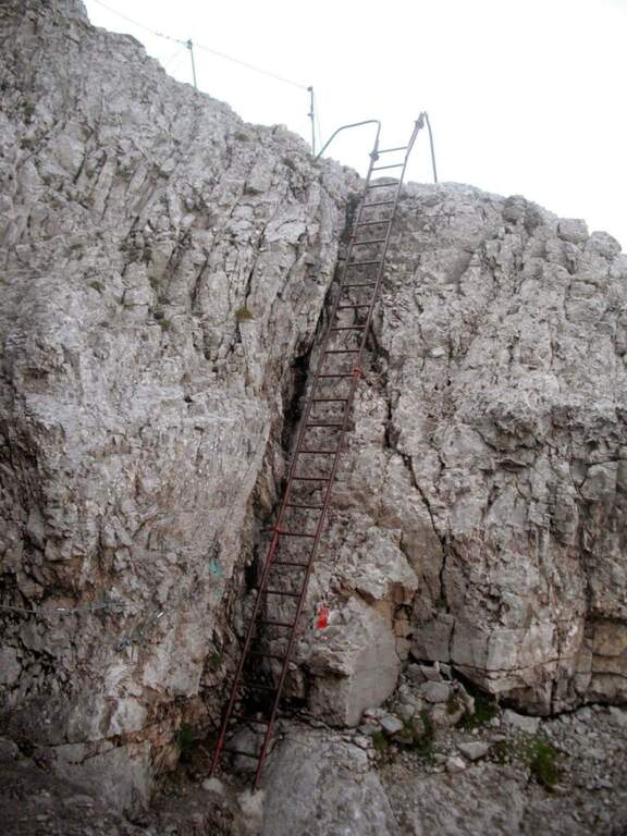
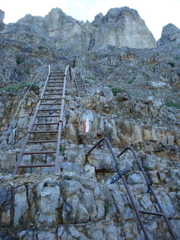
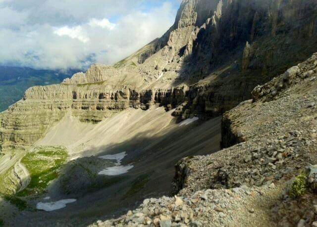
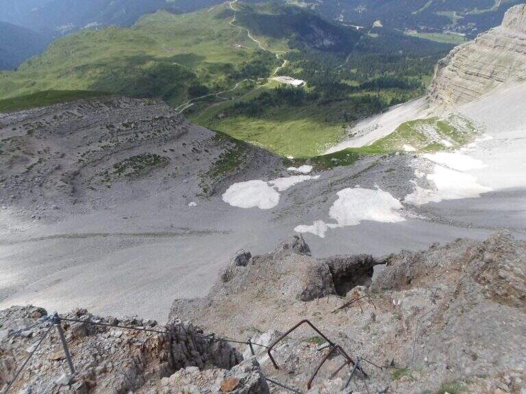
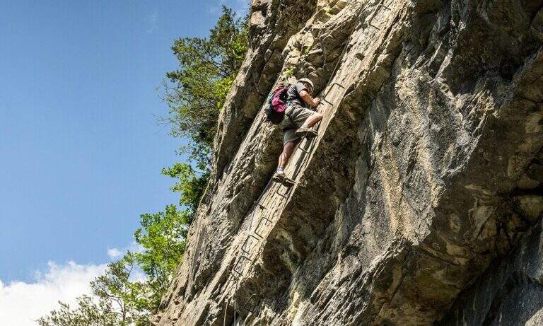
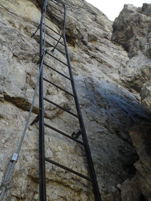
    Take the path from Cima Terrarossa to the west towards Forca dei Disteis. From the top you descend towards the Forca del Pallone (2242 m) facing a characteristic metal staircase leaning on the rock — it requires attention. Then take the equipped nod that wanders the west wall of the Cima Terrarossa: the stretch is exposed for long stretches and not always protected by cables. After passing the Forca del Pallone, the route resumes on the opposite side of the gorge and climbs back to the Forca dei Disteis. The most vertical stretches are located near the Forca, where the most challenging climb of the entire route takes place.

    ▲Character and difficulty

    Classified Moderately Difficult. The equipped traits are contained but the unprotected passages on exposed census represent the real challenge: they require concentration and stability even with heavy backpack. Complexity: technique 2/5, physics 3/5, exposure 3/5, environment 3/5.

    ⚠ The Montasio plateau can preserve snow until late June. Check the conditions with the Rifugio Brazza before leaving.
    ▲Period and safety

    From July to September. High mountain with unstable weather: start early. The route can be reached in both directions but in the direction described (east→west) the more vertical section is going uphill.

    ▲Discipline

    From the Forca dei Disteis you descend to the Rifugio Brazza and then to the starting parking lot along the paths of the Montasio plateau.

    ▲To match

    In the Julian Alps: the Ferrata Goitan at Jof Fuart e la Ferrata Julia at Canin.
    ▲Gallery
    Technical data
    • DifficultyModerately Hard
    • RegionFriuli-Venezia Giulia
    • GroupJulian Alps
    • Approach2:00 h
    • Ferrata1:30 h
    • Itinerary (a/r)5:00 h
    • Hardware level difference178 m
    • Route difference918 m
    • Max2420 m
    • Length9,1 Km
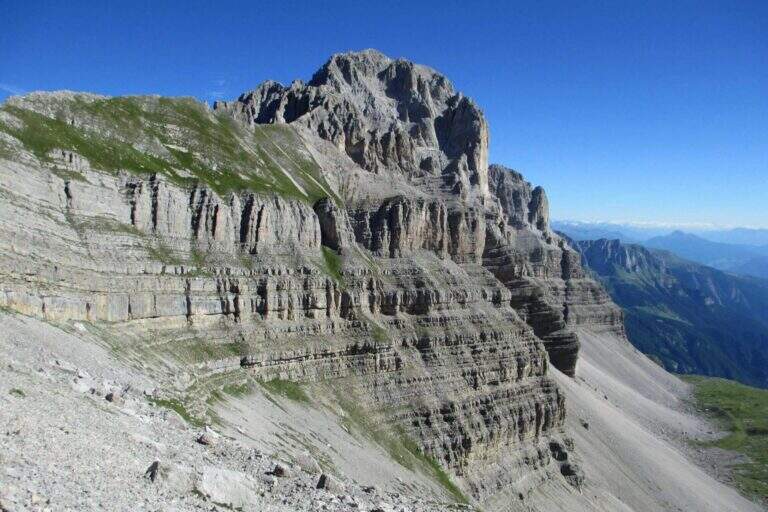
  • Sentiero Attrezzato Vidi al Grostè

    Sentiero Attrezzato Vidi al Grostè

    Vie Ferrate › Trentino-Alto Adige › Trento
    Sentiero Attrezzato Vidi al Grostè
    Moderately Hard● OpenDescriptionComplexityMapsGallery

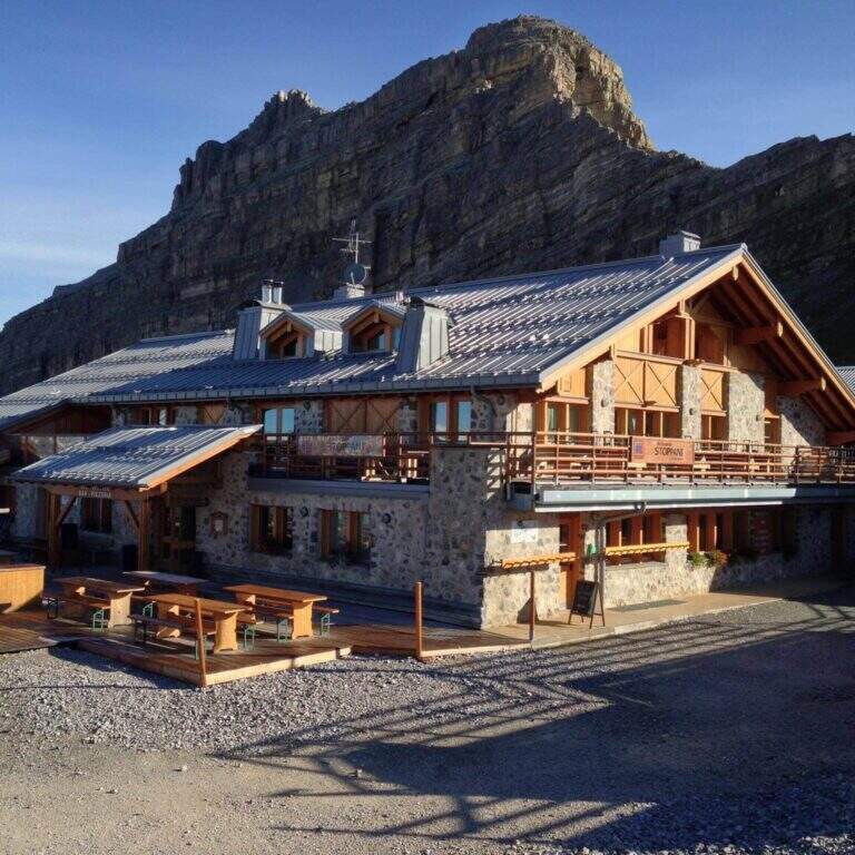
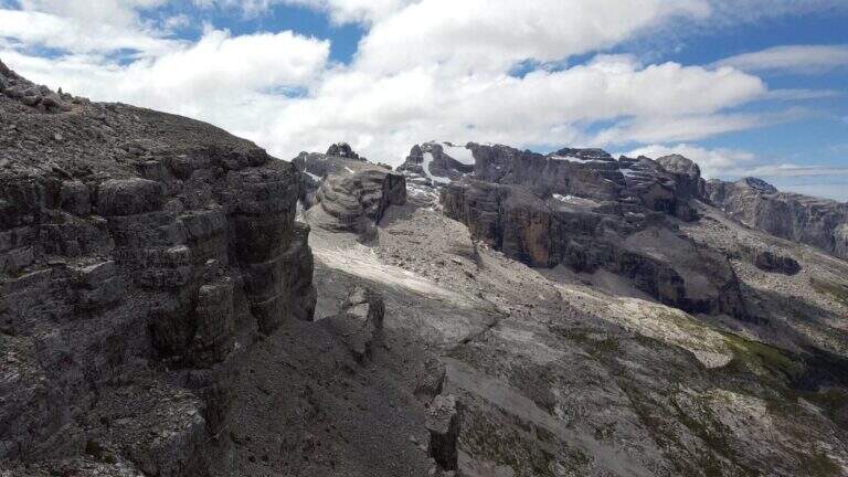
    The Sentiero Attrezzato Gustavo Vidi winds around Pietra Grande and the Orti della Regina in the Brenta Dolomites, starting from the mountain station of Madonna di Campiglio al Grostè. A ring of rare beauty in a corner among the least frequented of the Brenta, with exposure not to be underestimated despite the technical difficulties contained.

    ▲Approach

    You can reach Madonna di Campiglio and take the cable car to Stoppani Refuge at Grostè (directions road map). Alternatively, you walk up the CAI 301 path, which recovers 800 m of altitude in about two hours without excessive slope.

    ▲The path

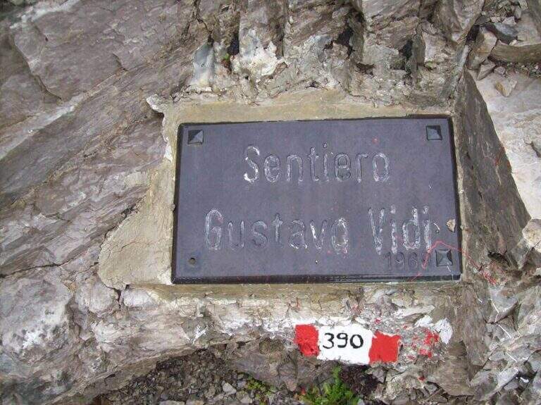
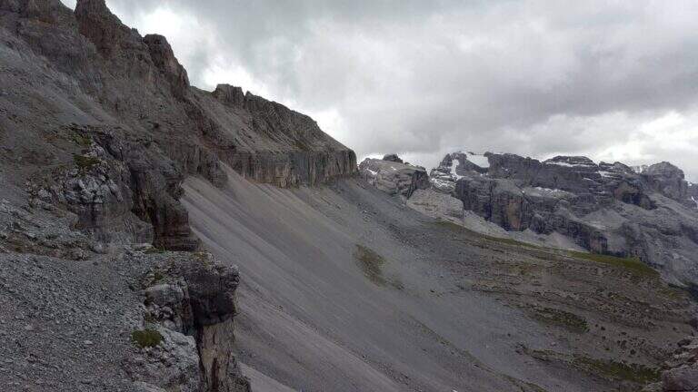
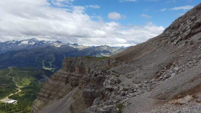
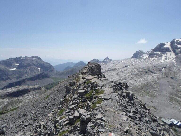
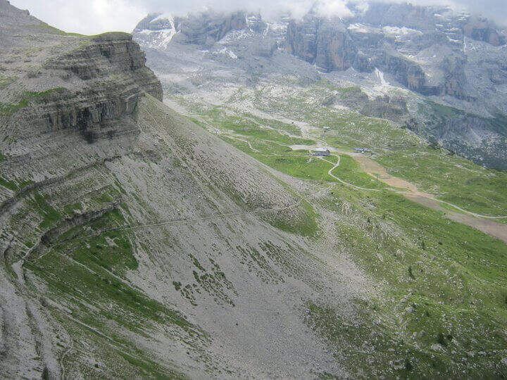
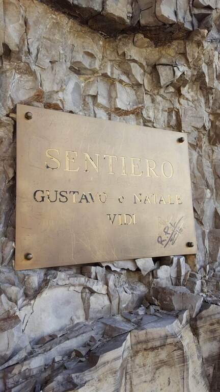
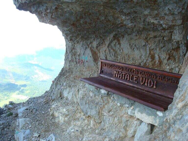
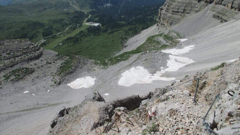
    From the mountain station of the cable car follow the many CAI 390 signs towards Pietra Grande. In twenty minutes you will meet the first red sign that marks the official entrance to the Route Attrezzato Vidi. There are some easy rocks and a steep and gravel path up to a characteristic wide nod, where a metal plate recalls the dedication of the route. Continue north, keeping the altitude, until a first narrowing of ridge with metal equipment. After some unprotected rocks, you face a narrow canal where the cable accompanies the ascent. The route describes an arc around the massif: a long stretch of nod, partially without protection, requires firm foot and concentration. Below you can see the Rifugio Graffer, destination of the return (about 2h 30' from the attack).

    ▲Character and difficulty

    Classified Moderately Difficult. Strictly equipped traits do not have high technical difficulties, but wide nods are exposed and free of cable: they require safe foot and lack of dizziness. Complexity: technique 2/5, physics 2/5, exposure 3/5, environment 2/5.

    ⚠ In late season some passages can preserve snow or ice: peak or ramps as precaution, similar to the whole sector of the Brenta.
    ▲Period and safety

    Recommended from June to September. Avoid in the presence of rainfall or afternoon temporal risk. The cable car closes seasonally: check its availability before leaving.

    ▲Discipline

    From the Rifugio Graffer you will descend by cable car from the intermediate station or continue on foot along the CAI 301 path to Madonna di Campiglio (about 5h total counting the cable car uphill and the descent on foot). Alternatively, go up to the Stoppani Refuge to resume the cable car (3h 30' total).

    ▲To match

    In the same area of the Brenta you can match the Ferrata della Val Gelada or the neighbor Path Equipped with the Palete.

    ▲Gallery
    Technical data
    • DifficultyModerately Hard
    • RegionTrentino-Alto Adige
    • GroupDolomiti di Brenta
    • Approach0:20 h
    • Ferrata2:30 h
    • Itinerary (a/r)3:30 h
    • Hardware level difference220 m
    • Route difference300 m
    • Max2662 m
    • Length4,4 Km
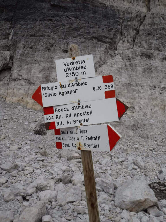
  • Sentiero Attrezzato dell’Ideale – Bocca d’Ambiez

    Sentiero Attrezzato dell'Ideale – Bocca d'Ambiez

    Vie Ferrate › Trentino-Alto Adige › Trento
    Sentiero Attrezzato dell'Ideale – Bocca d'Ambiez
    Moderately Hard● OpenDescriptionComplexityMapsGallery

    The Attrezza dell'Ideale Path crosses the wall under the Cima d'Ambiez in the Brenta Dolomites, connecting the Refugi XII Apostoli and Agostini. Although historically classified as an equipped path, it has vertical traits and exposed worthy of a true via ferrata — not to be underestimated.

    ▲Approach

    The most common starting point is the cable car from Pinzolo to Doss del Sabion (directions road map). From Pinzolo on the SS 239 you park in the wide beaches next to the lifts. From the mountain station, follow the Attrezza della Scala Santa path to reach the XII Apostoli refuge (about 3h).

    ▲The path

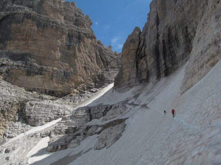
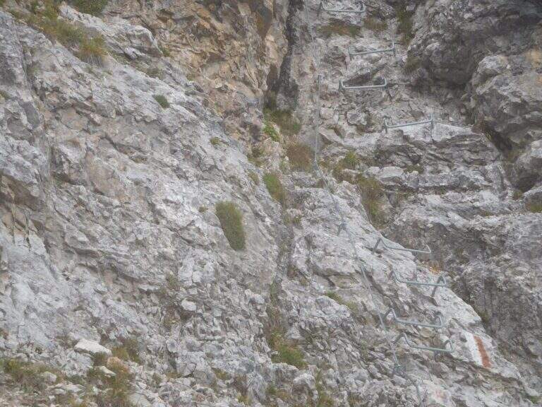
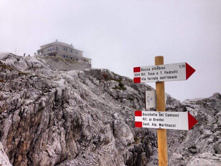
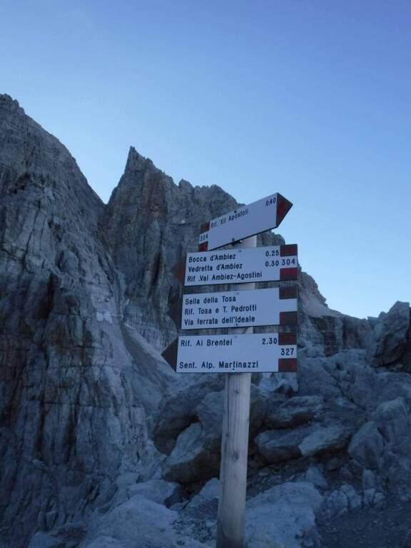
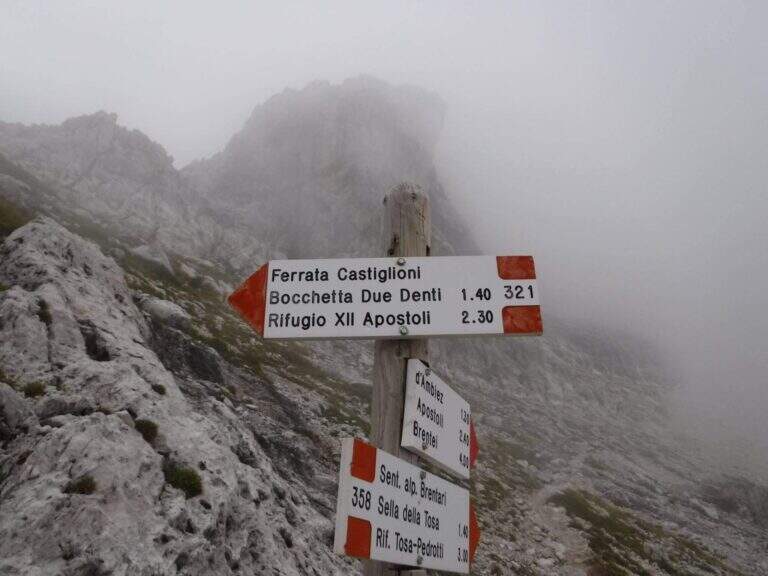
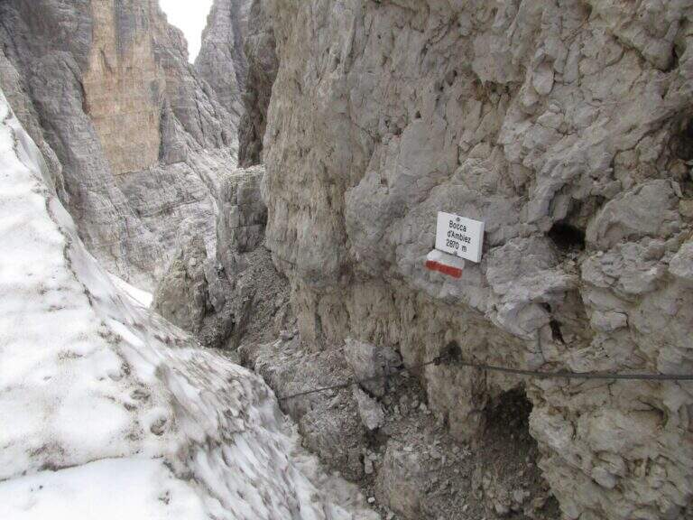
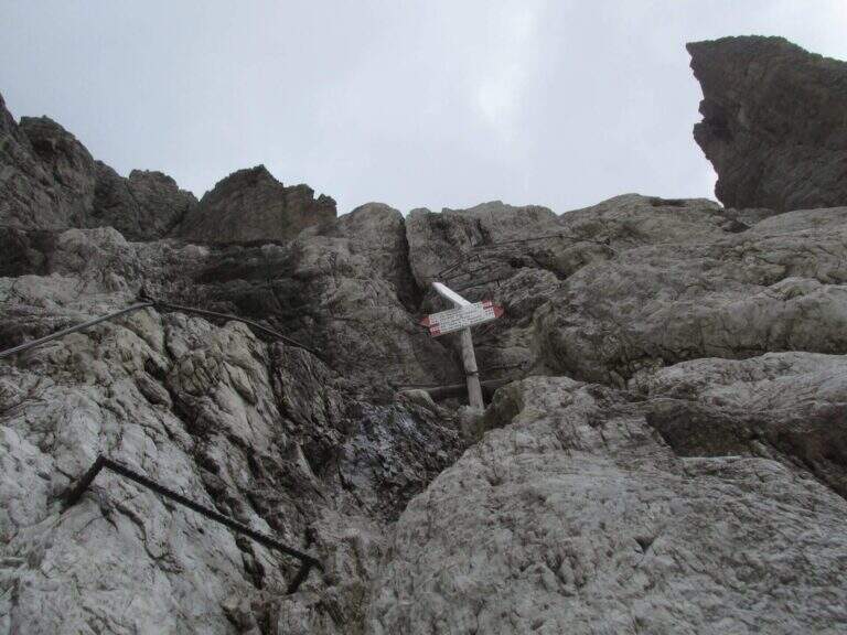
    From Rifugio XII Apostoli follow the CAI 307 towards the east towards the Bocchetta dei Camosci. You go up a valley on a detritic background with slope supported up to a point where the wall tightens: here begin the vertical and exposed traits that justify the reputation of this path. The route climbs towards the Bocca d'Ambiez alternating equipped rocks and aerial cenges. The exit leads to the Rifugio Agostini. The route can also be routed in reverse direction, or as a natural continuation of the Ferrata Brentari that starts from the Rifugio Pedrotti.

    ▲Character and difficulty

    Classified Moderately Difficult, but with passages that approach the Difficult for exposure and verticality. Not suitable for those with the use of the hardware set. Complexity: technique 2/5, physics 3/5, exposure 3/5, environment 3/5.

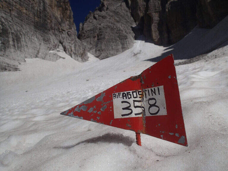
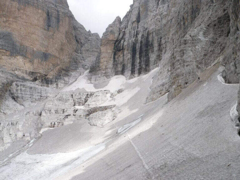
    ⚠ The itinerary takes place at high altitude in the Brenta: possible presence of snow and ice even in summer. Check the conditions at the Rifugio Agostini before leaving.
    ▲Period and safety

    From July to September. High altitude and shaded orientation can keep snow long. Recommended in company or after having traveled other similar level ferrates.

    ▲Discipline

    From the Rifugio Agostini you can descend towards Molveno along CAI paths or return to the Rifugio XII Apostoli to resume the cable car towards Pinzolo.

    ▲To match

    Complementary Ferrata Brentari, al Sentiero della Scala Santa and Ferrata Benini.

    ▲Gallery
    Technical data
    • DifficultyModerately Hard
    • RegionTrentino-Alto Adige
    • GroupDolomiti di Brenta
    • Approach3:00 h
    • Ferrata2:30 h
    • Itinerary (a/r)10:30 h
    • Hardware level difference400 m
    • Route difference450 m
    • Max1750 m
    • Length6 Km
Need help? Write to us!