Caratteristica: Cresta

  • Sentiero Attrezzato dei Mar al Mulaz

    Sentiero Attrezzato dei Mar al Mulaz

    Vie Ferrate › Veneto › Belluno
    Sentiero Attrezzato dei Mar al Mulaz
    Moderately Hard● ClosedDescriptionComplexityMapsGallery

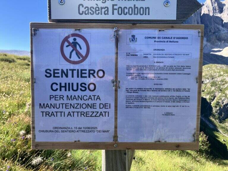
    : ATTENTION — Via CHIUSA: The Equipped Path of the Sea is closed. Check the current conditions before any planning.

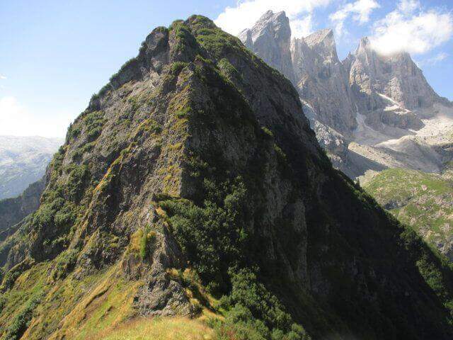
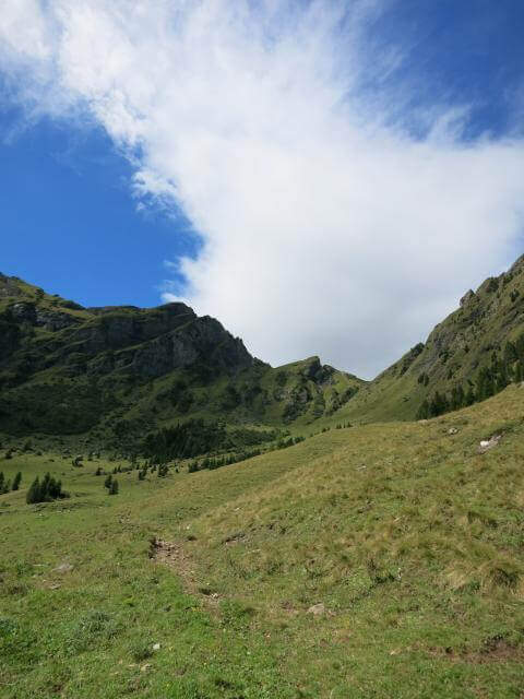
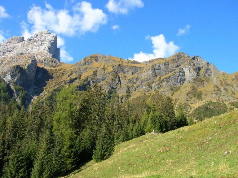
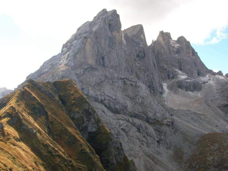
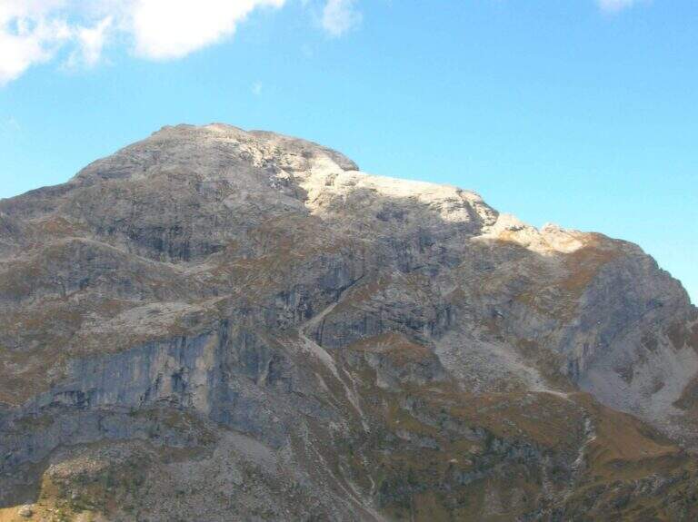
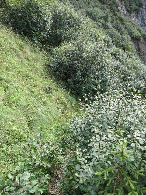
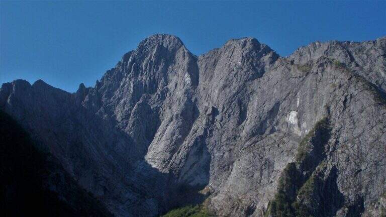
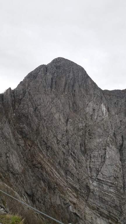
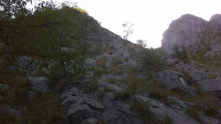
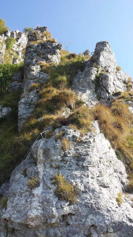
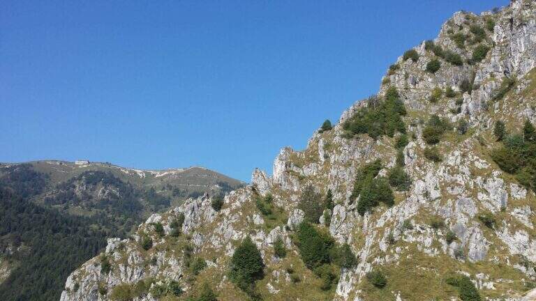
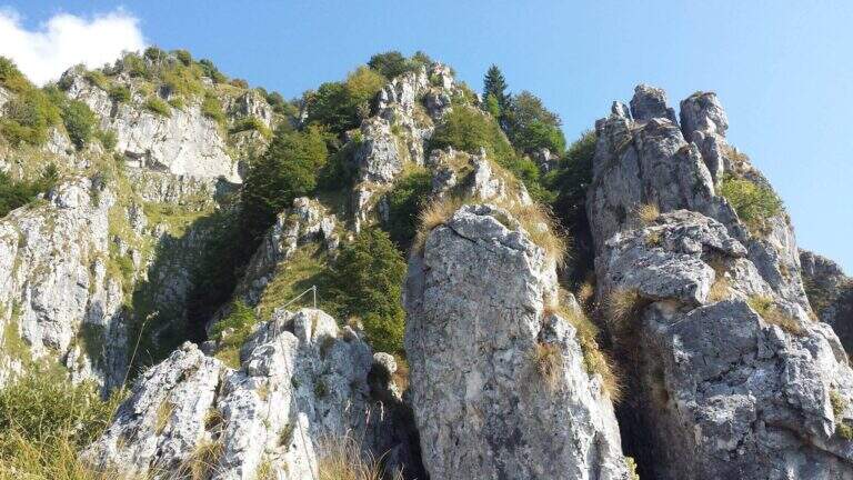
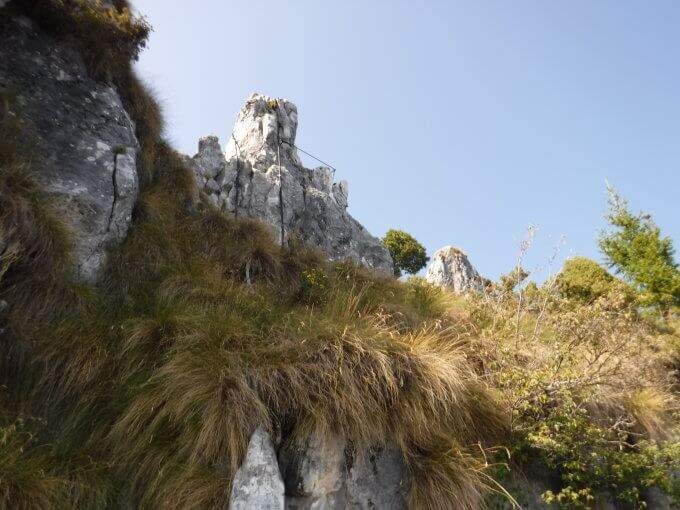
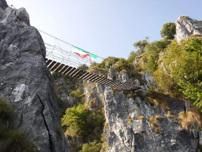
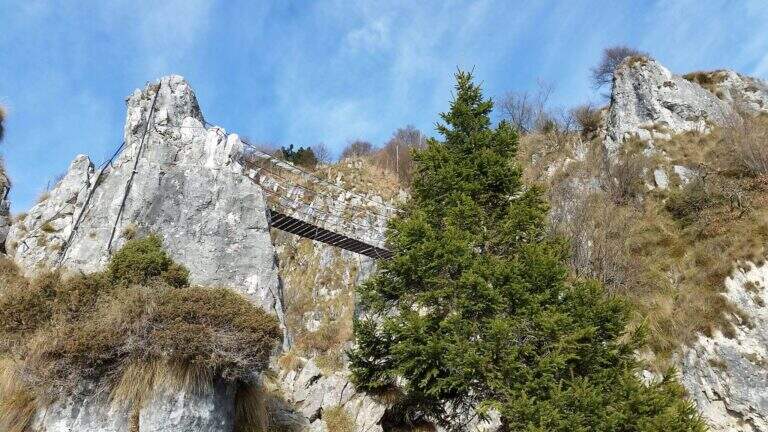
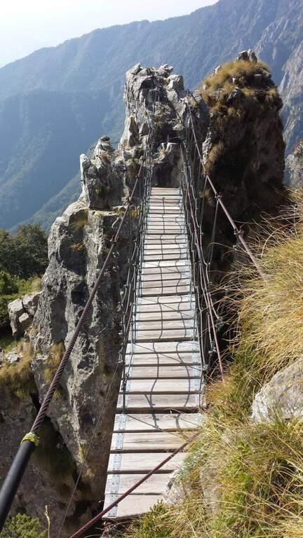
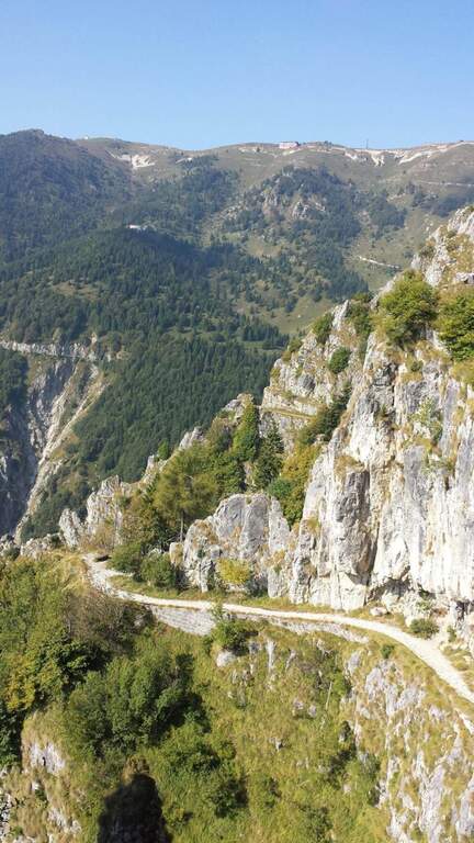
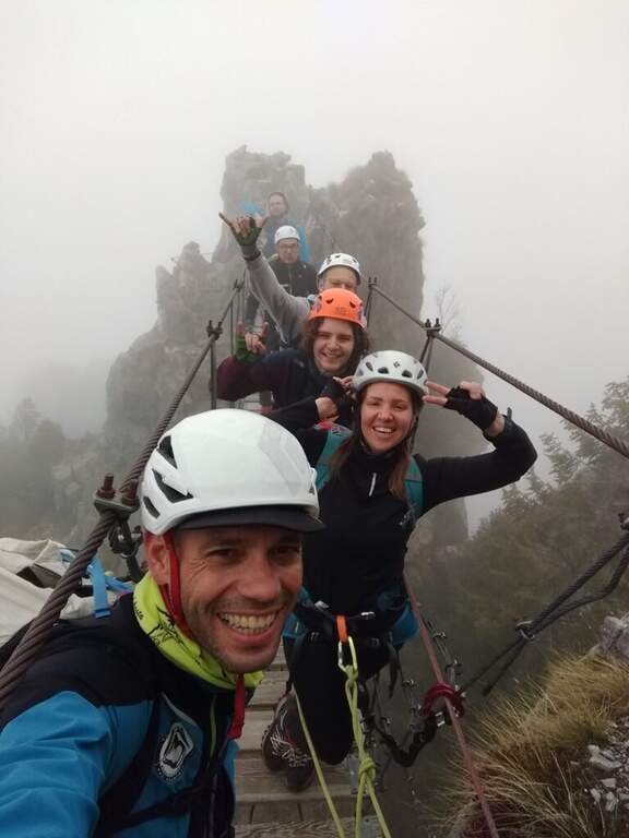
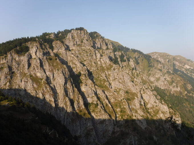
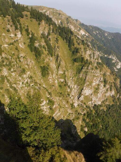
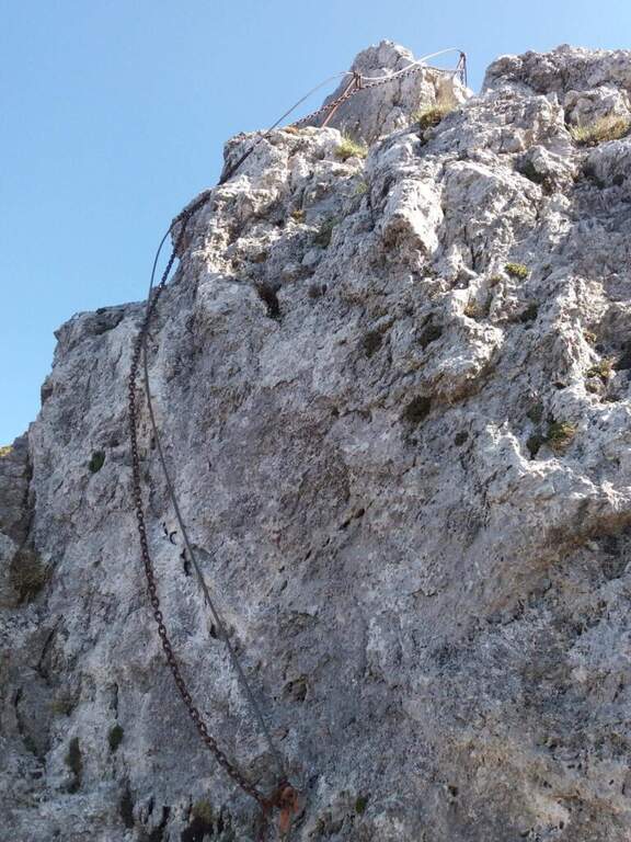
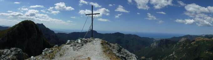
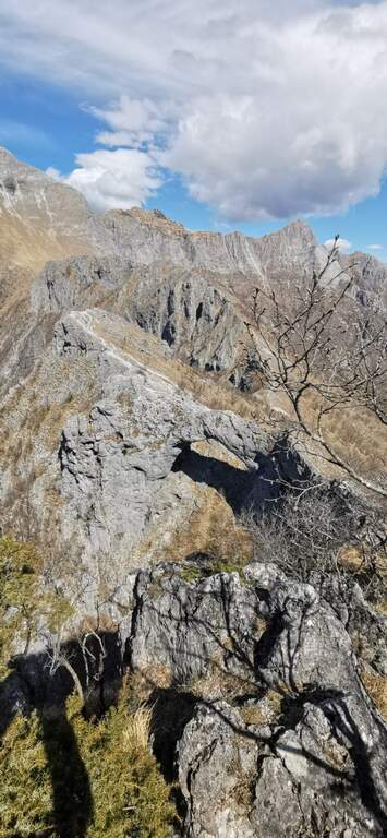
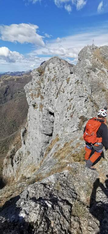
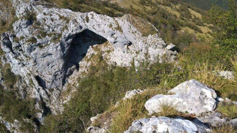
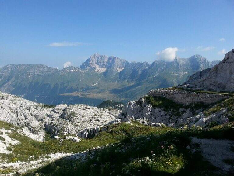
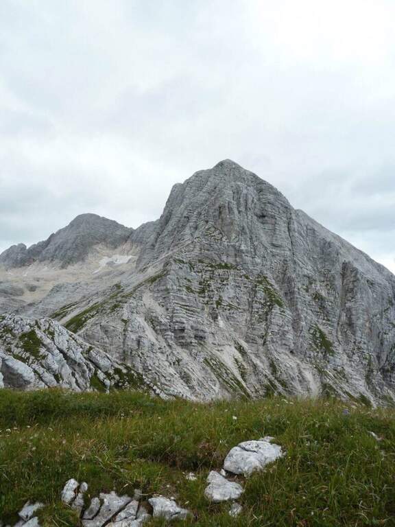
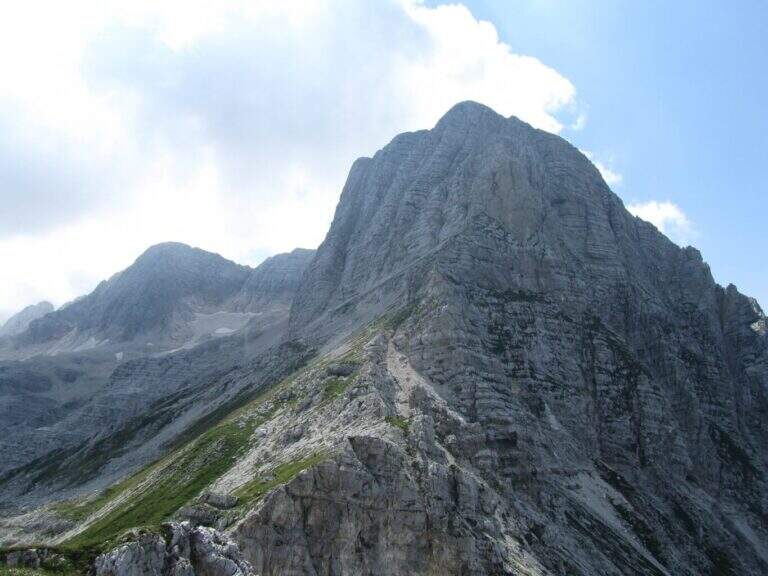
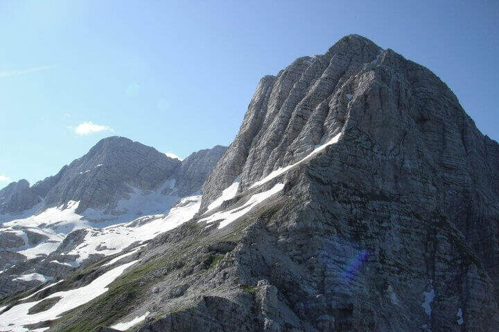
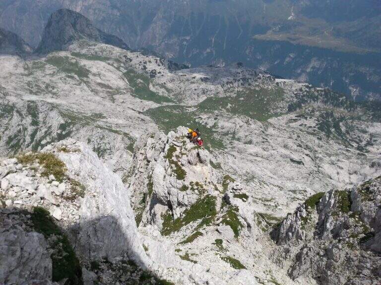
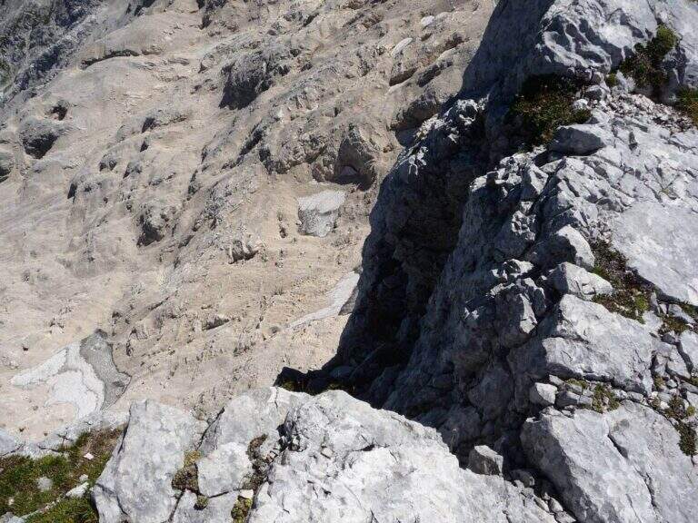
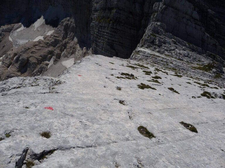
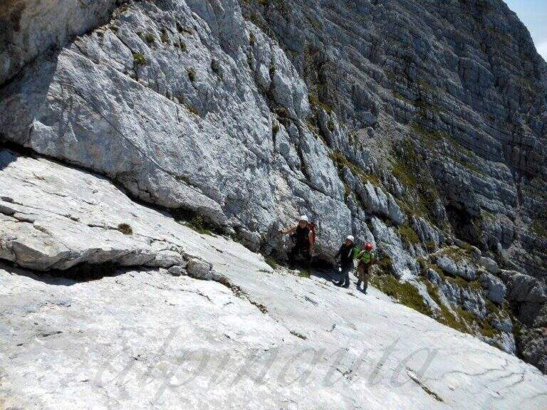
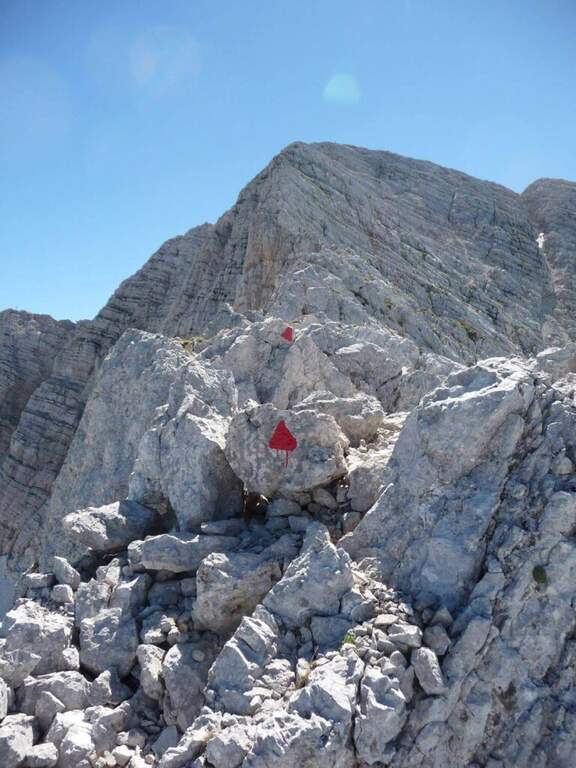
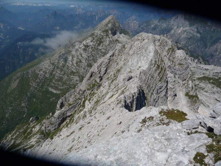
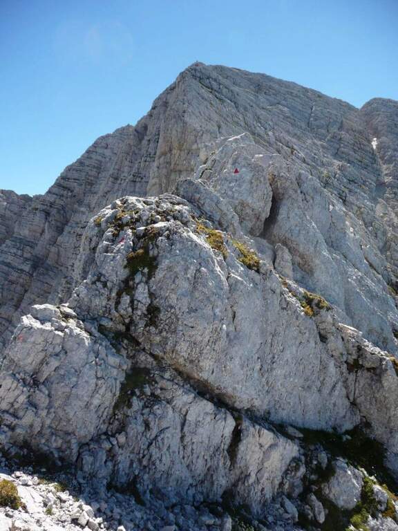
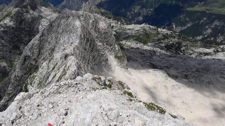
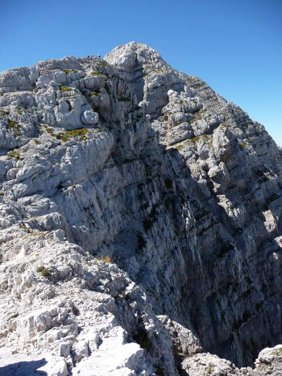
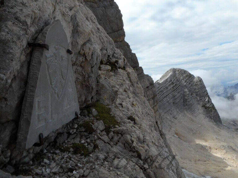
    The Path Attrezzato dei Mar runs through the northern side of the Pale di San Martino with departure from the isolated inhabited area of Gares, climbing towards the Mulaz between views of the Focobon. Itinerary not frequented, technically not difficult but with sometimes insidious background on grass and terrous.

    ▲Approach

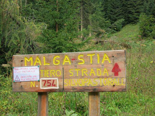
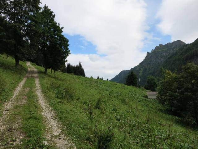
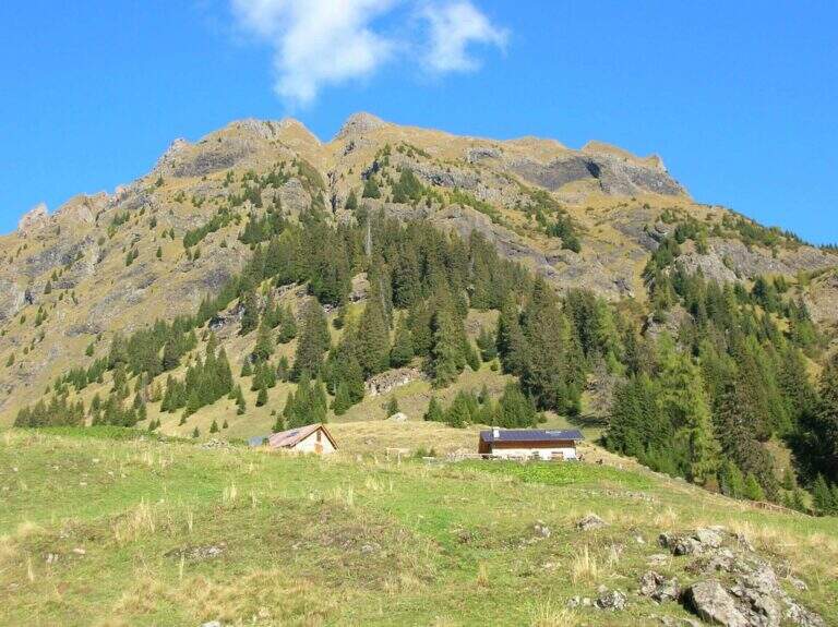
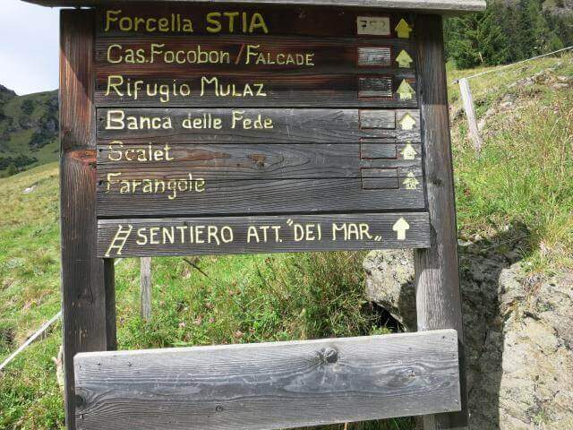
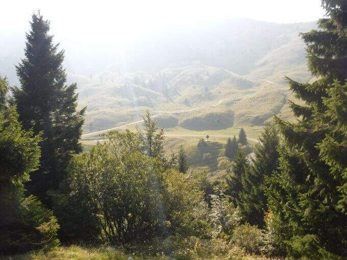
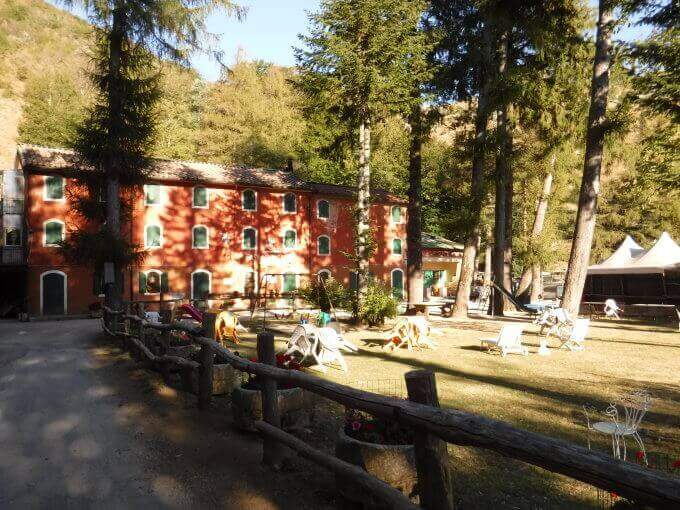
    You reach Gares from Canale d'Agordo turning south (west) for about 7 Km on a beautiful valley (directions road map). Comfortable parking in the village. On foot you will reach the church and take the route towards Malga Stia following the signs, first climbed on track then on path 754 on the left side of Val di Greta. In about 50 minutes you will reach Malga Stia (1785 m), then continue on path 752 towards Forcella Stia.

    ▲The path

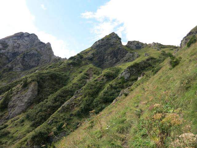
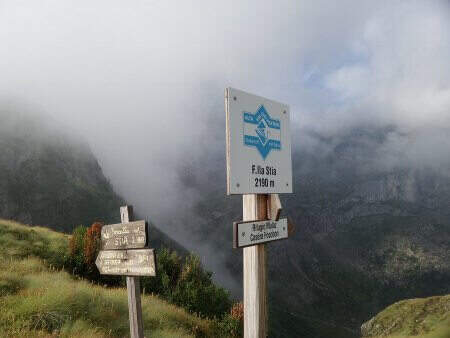
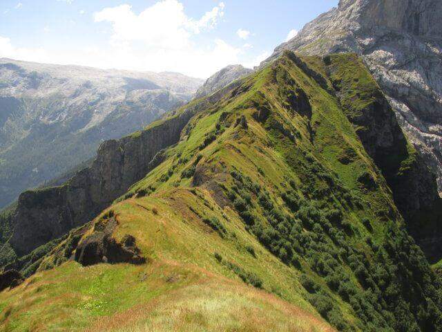
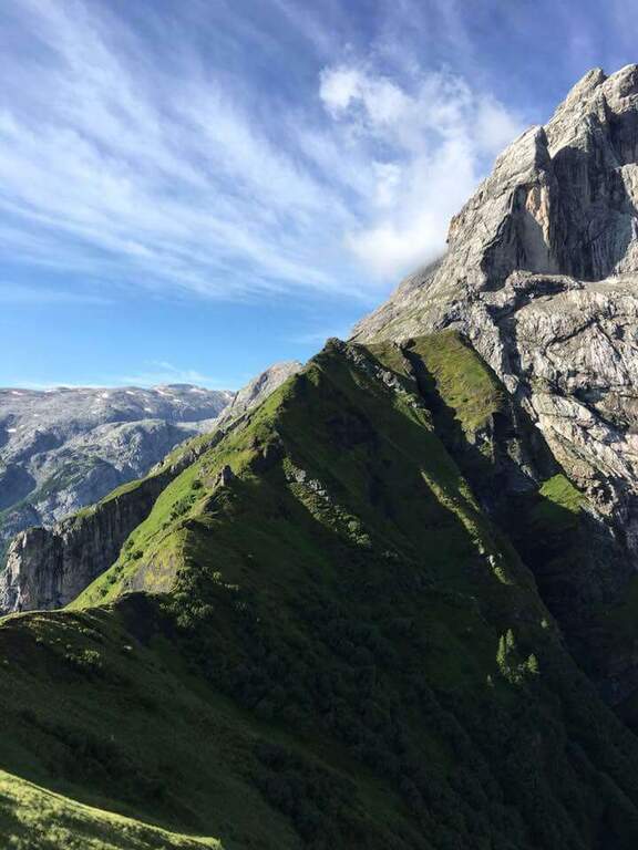
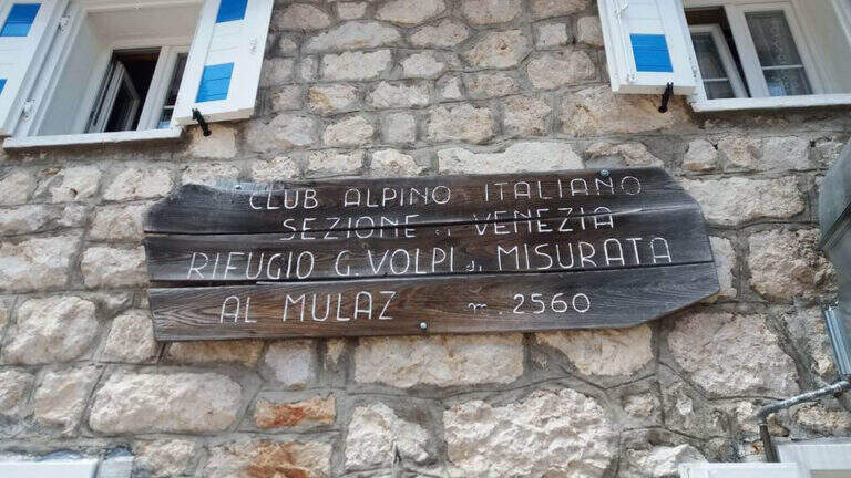
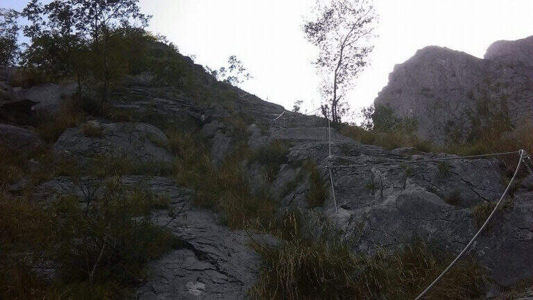
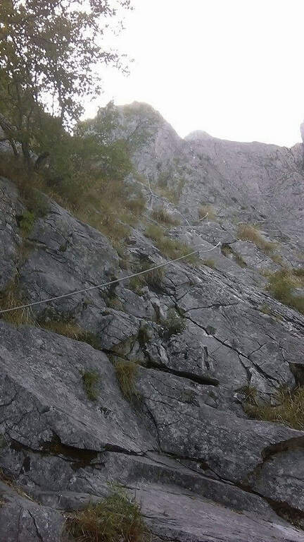
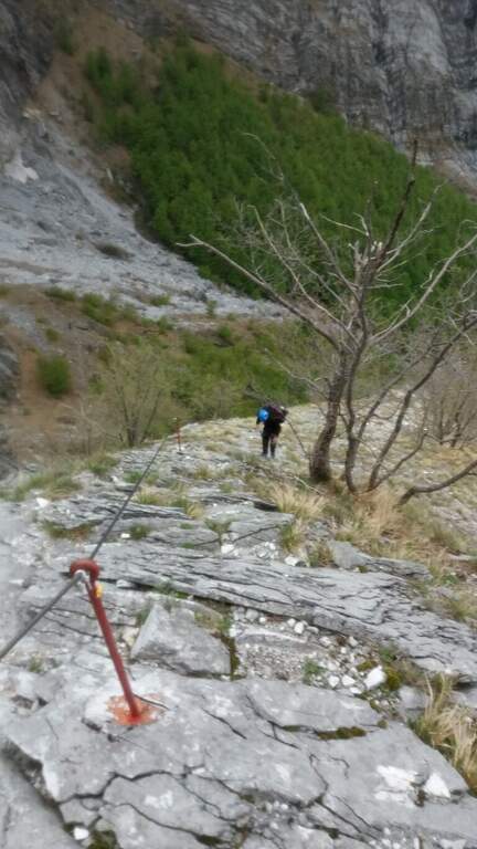
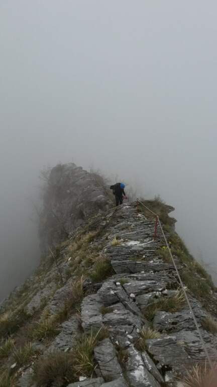
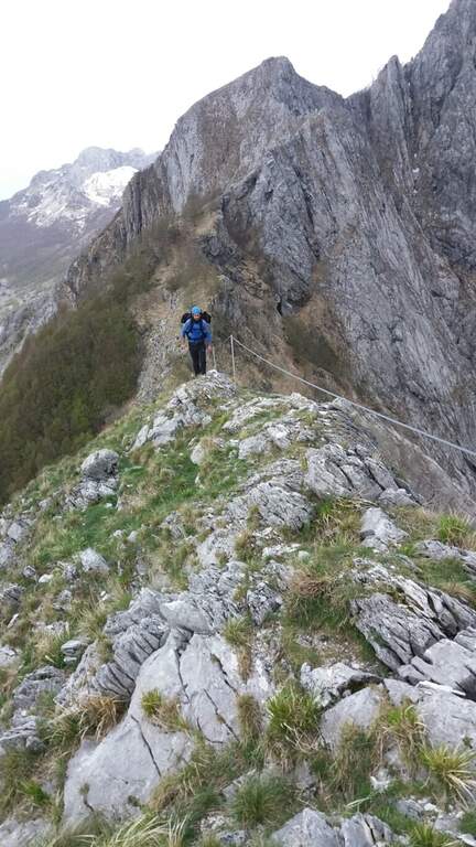
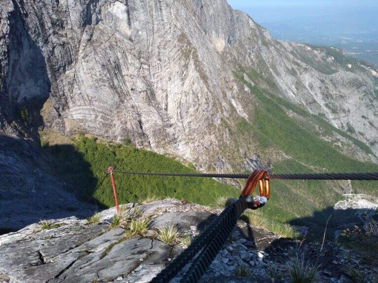
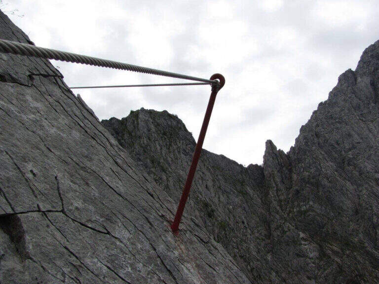
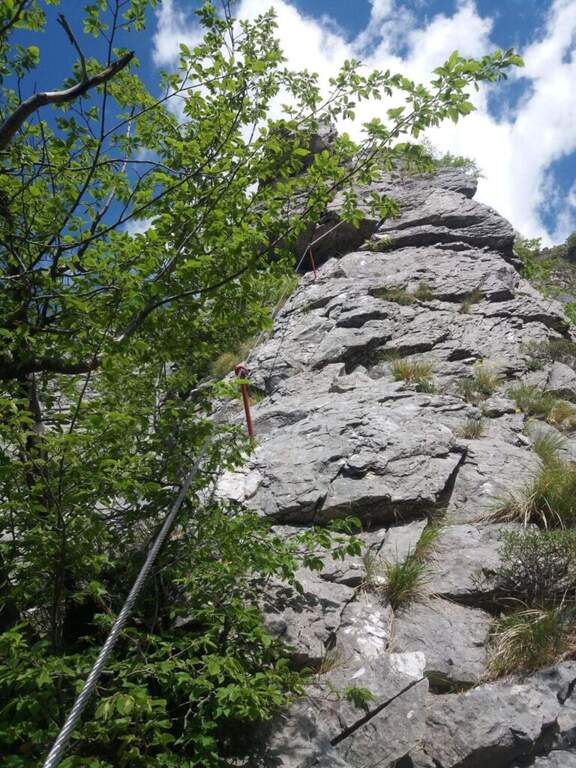
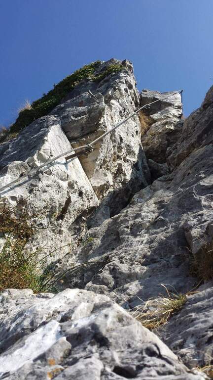
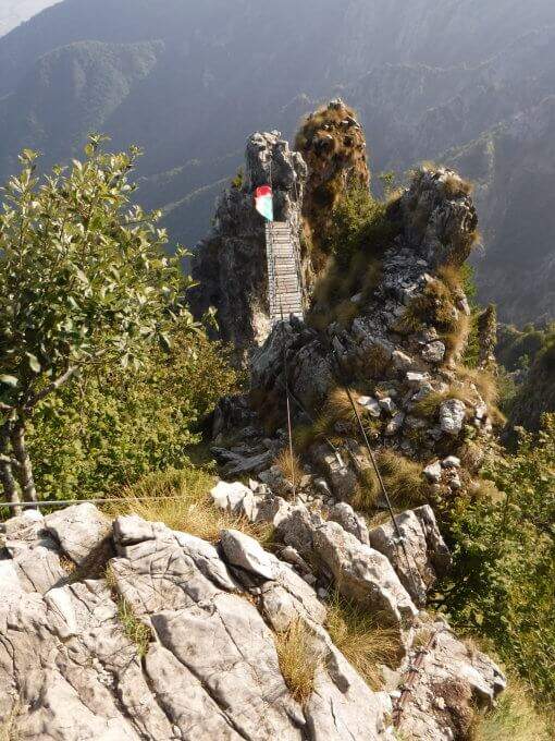
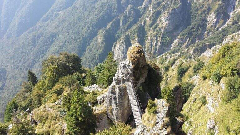
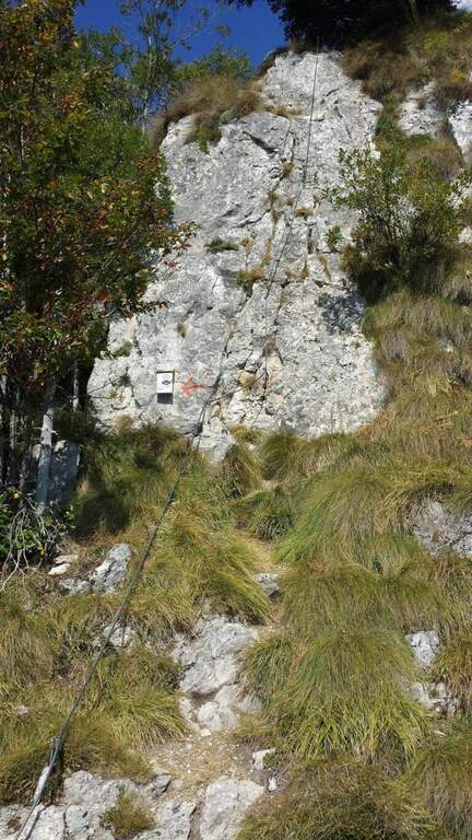
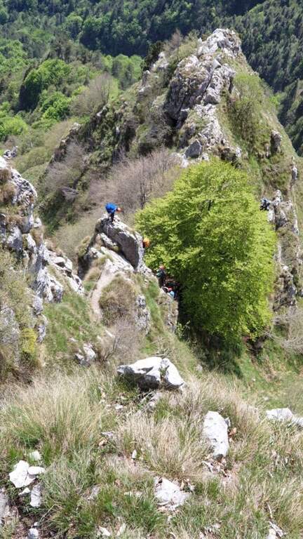
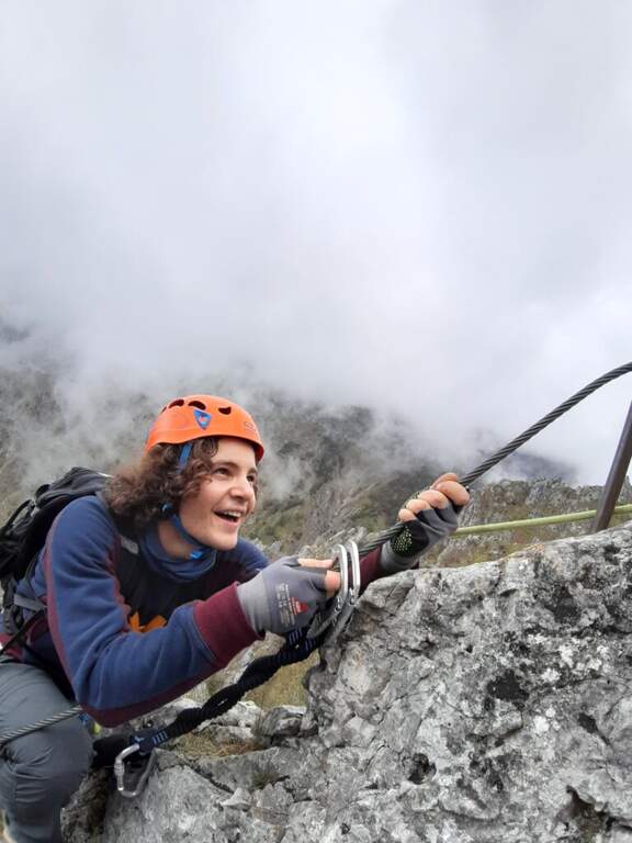
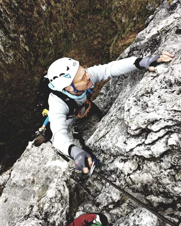
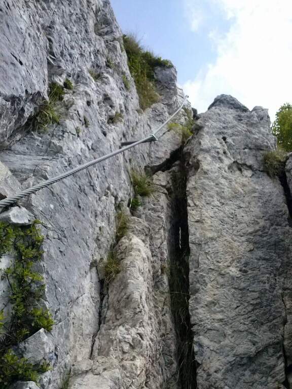
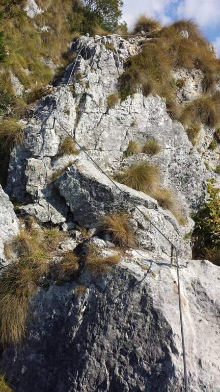
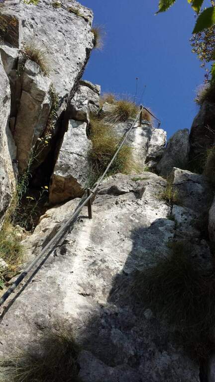
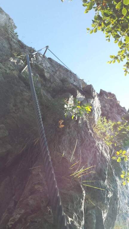
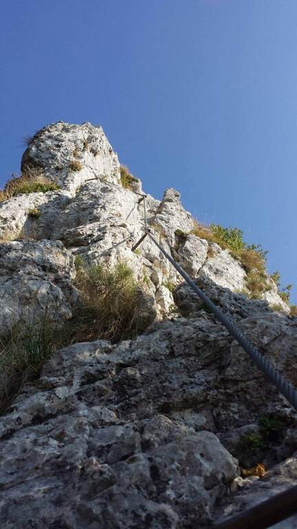
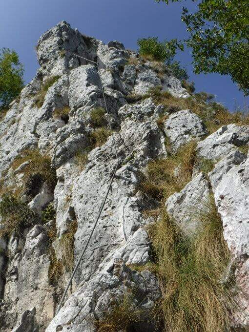
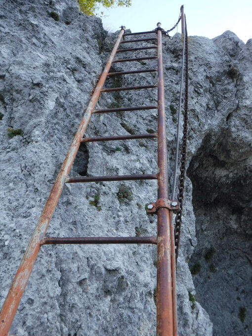
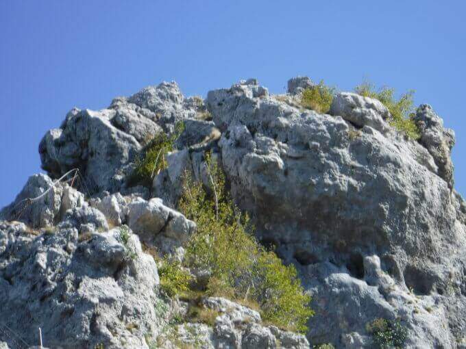
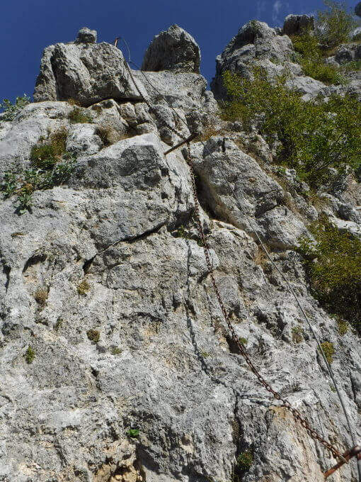
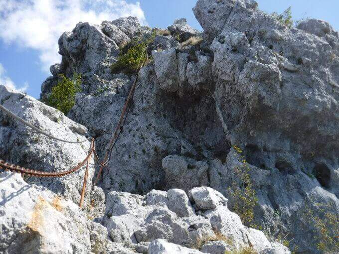
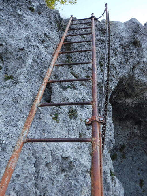
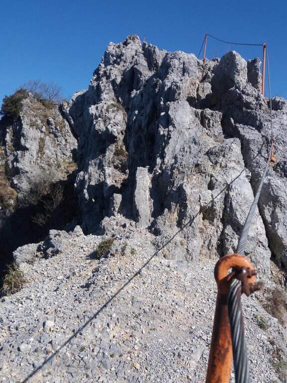
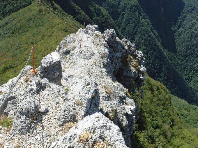
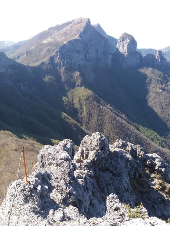
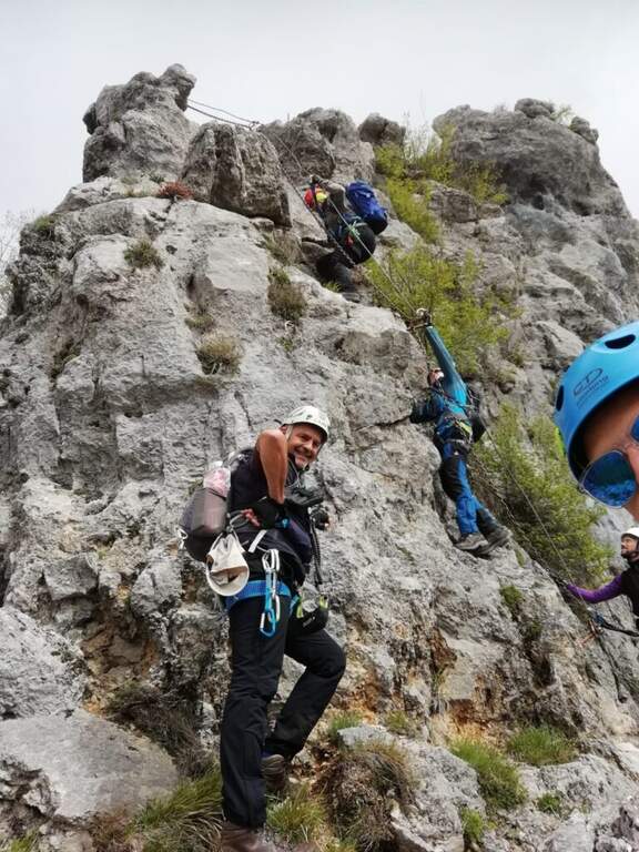
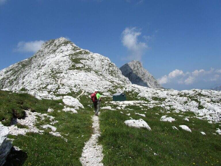
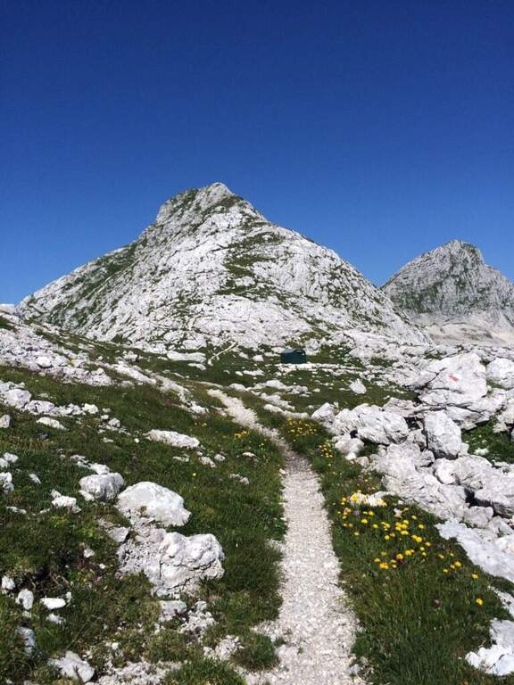
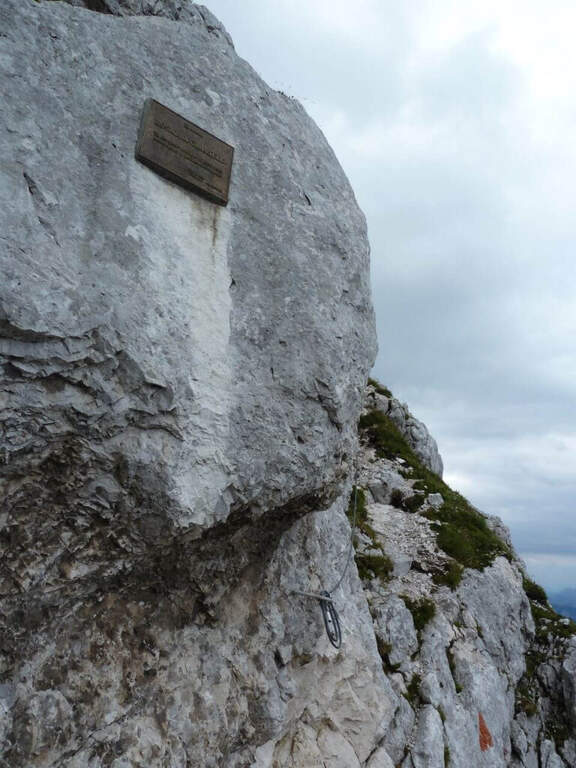
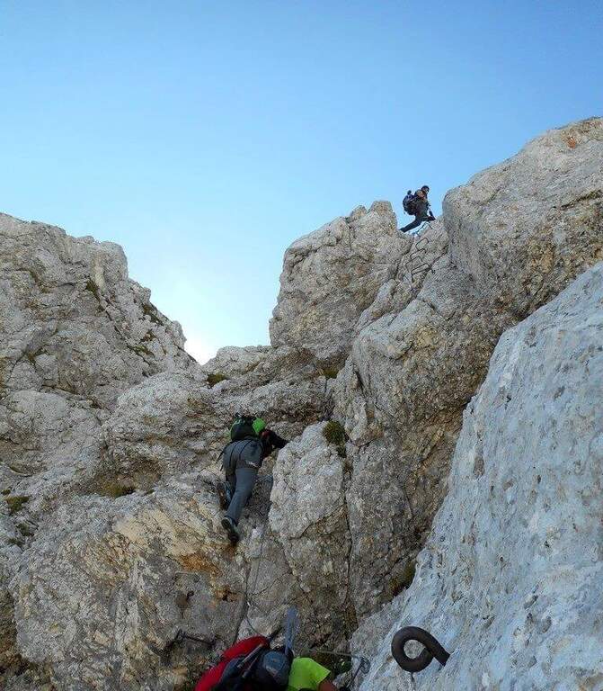
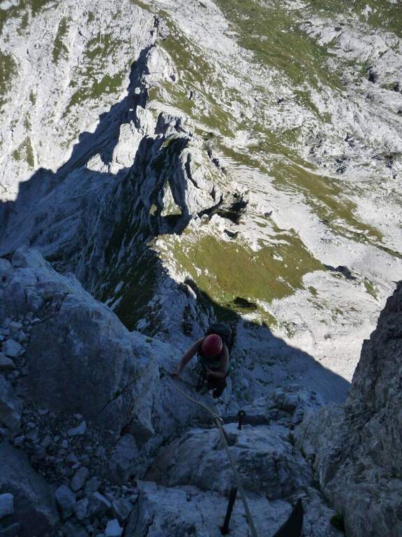
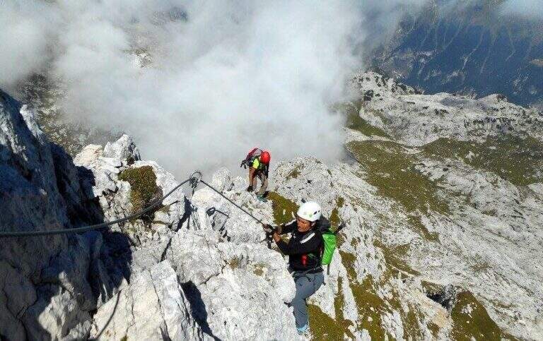
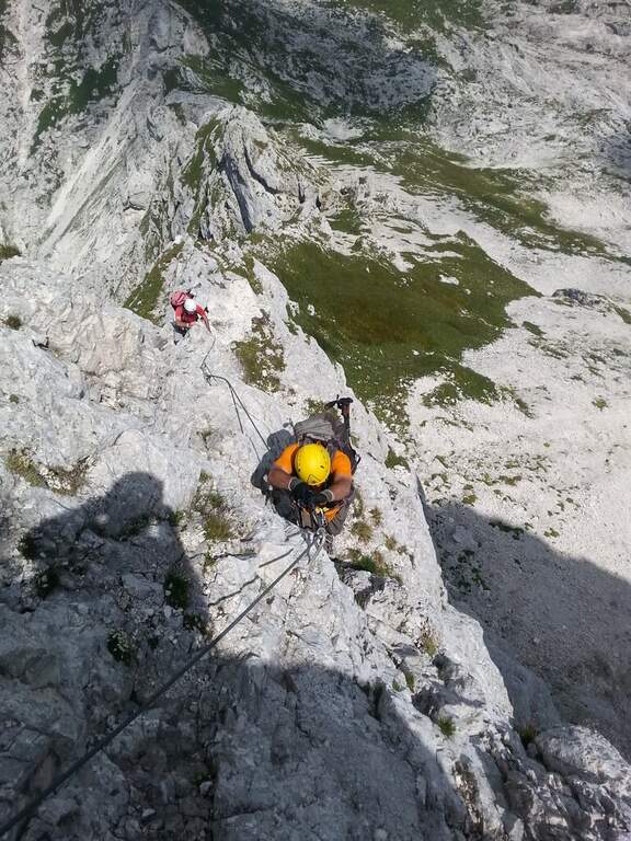
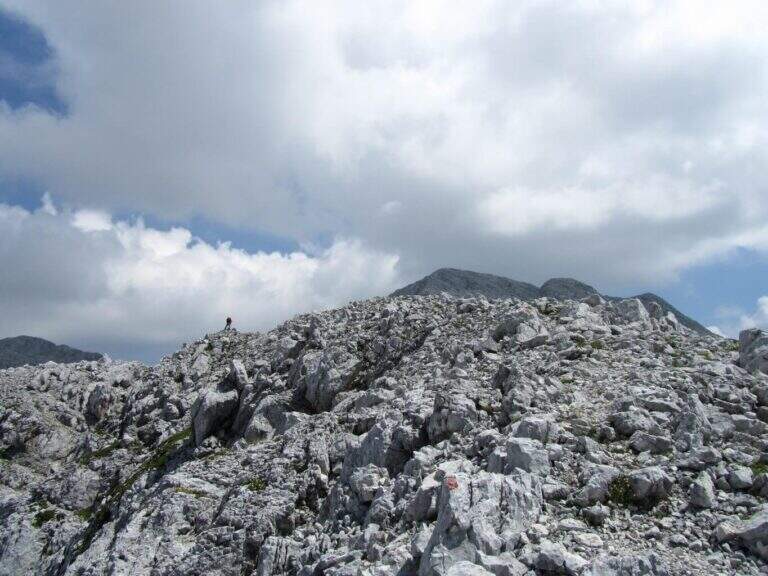
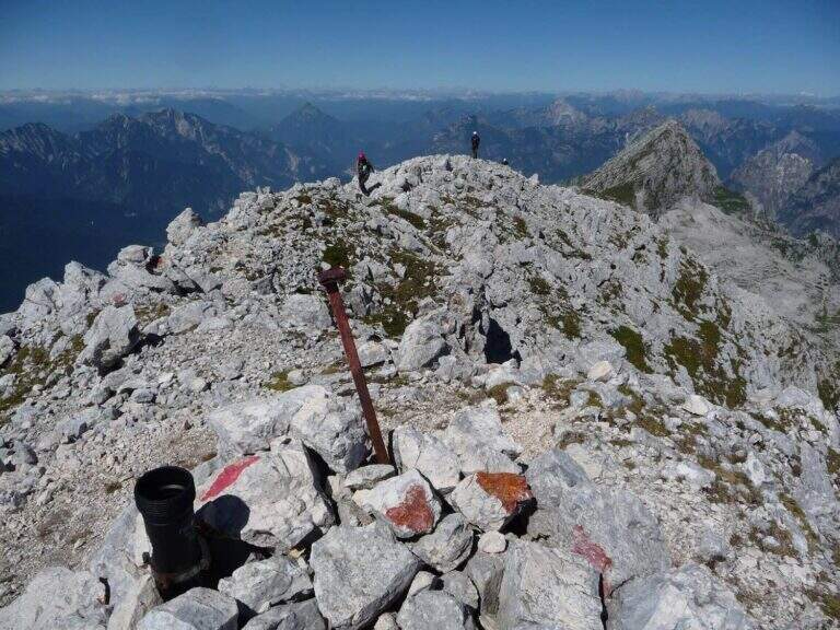
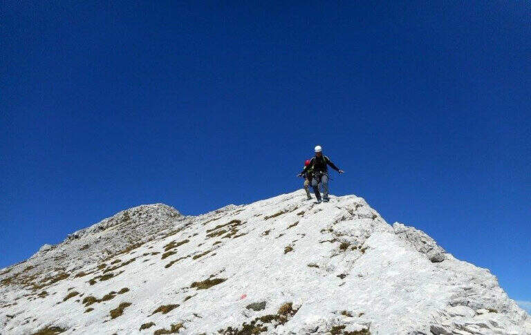
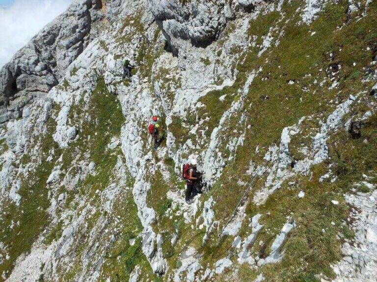
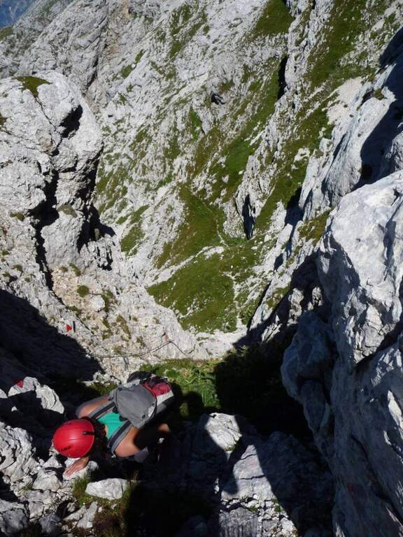
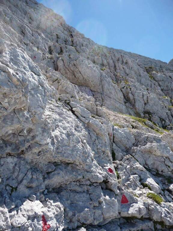
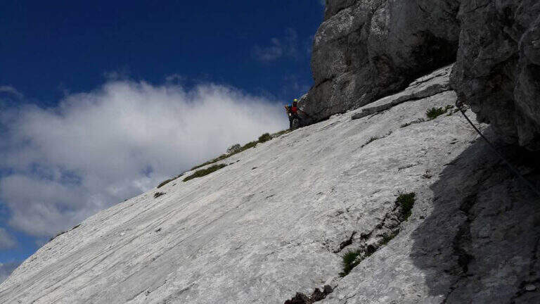
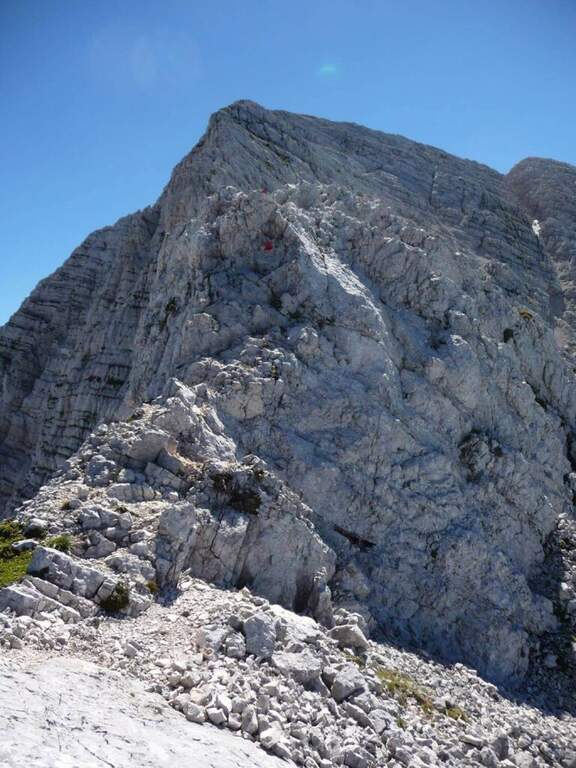
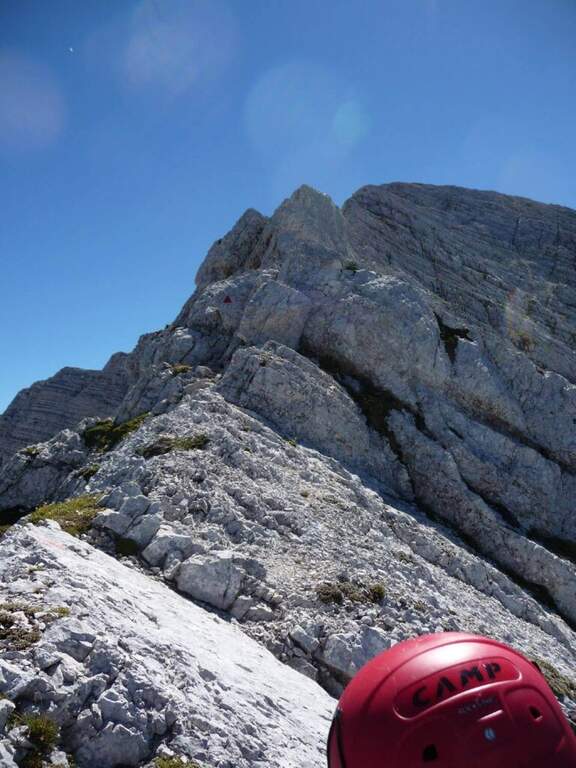
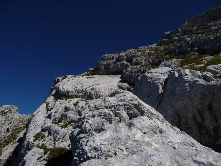
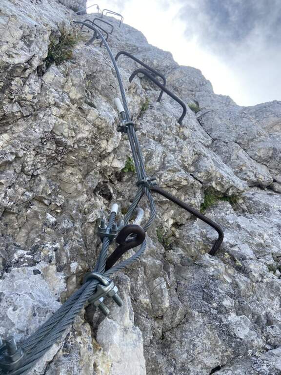
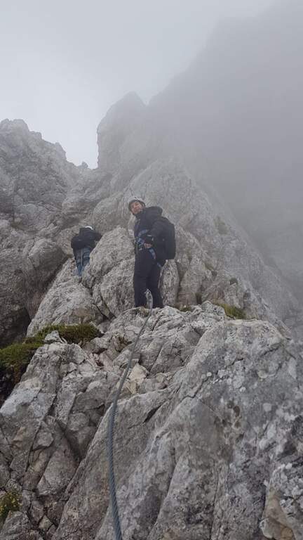
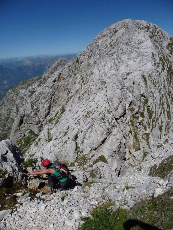
    From Malga Stia follow the path 752 on meadows towards Forcella Stia. At the Cresta dei Mar you arrive at a metal ladder and a sign that marks the beginning of the equipment. You go up the ladder and face a first esile equipped nod. Continue on a grassy ridge following the labile trace towards the rocky ridge that you walk just under the ridge thread, following the metal cables and paying attention to the grassy and terrous bottom that can be slippery with moisture. The route finally leads to the Mulaz.

    ▲Character and difficulty

    Classified Moderately Difficult. The equipped strokes are not technically demanding but the unstable background and lability of the track require orientation and caution. Complexity: technique 2/5, physics 3/5, exposure 2/5, environment 3/5.

    ⚠ It is currently closed. Do not travel without checking the status of the equipment with the competent CAI Section or with the Falcade Finance Guard.
    ▲Period and safety

    Normally open from July to September. Check the reopening before planning the excursion.

    ▲Discipline

    From the Mulaz you descend to the Mulaz refuge and then on a path towards Falcade or return to Gares for the uphill road.

    ▲To match

    In the Pale di San Martino: la Ferrata del Canalino al Mulaz e la Ferrata Gabitta d'Ignoti.

    ▲Gallery
    Technical data
    • DifficultyModerately Hard
    • RegionVeneto
    • GroupPale di San Martino
    • Approach1:45 h
    • Ferrata1:
    • Itinerary (a/r)7:00 h
    • Route difference1180 m
    • Max2560 m
    • Length13 Km
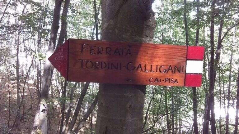
  • Ferrata Tordini Galligani

    Ferrata Tordini Galligani

    Vie Ferrate › Tuscany › Massa-Carrara
    Ferrata Tordini Galligani
    Moderately Hard● OpenDescriptionComplexityMapsGallery

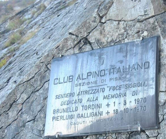
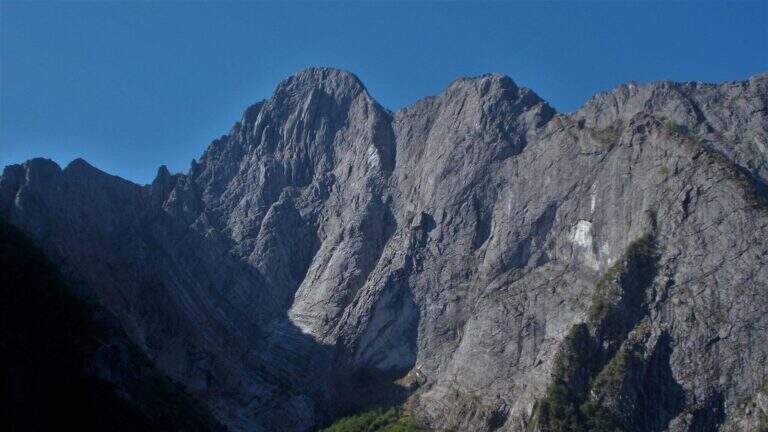
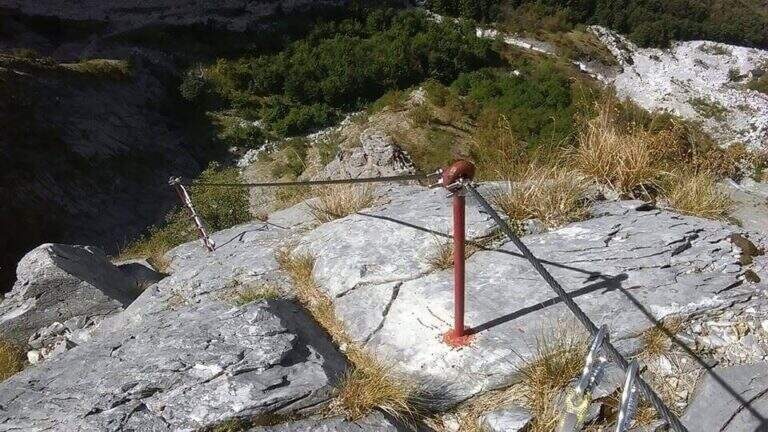
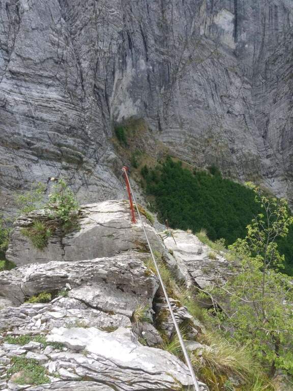
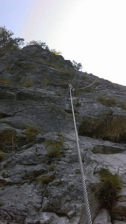
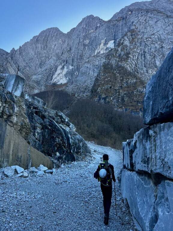
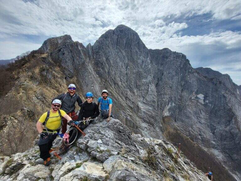
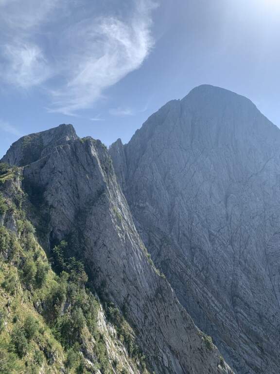
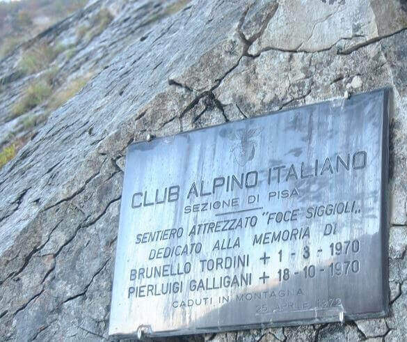
    La Ferrata Tordini – Galligani (also known as Ferrata di Foce Siggioli) è a historic street of the Apuan Alps, next to the north wall of the Pizzo d'Uccello. È of medium difficulty and agrave; and allows you to continue on path from experts to the top of the Pizzo, or to return with a più ring; simple.

    ▲Approach

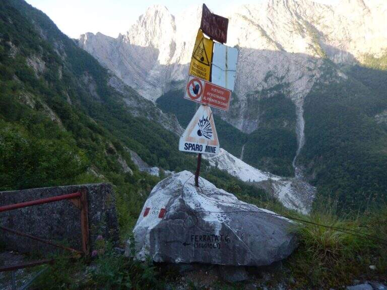
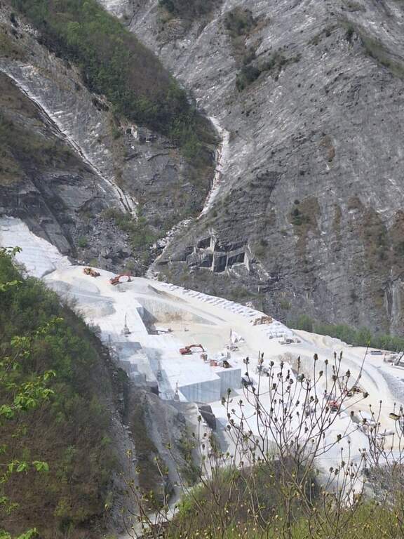
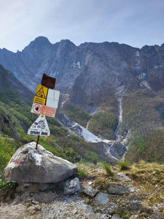
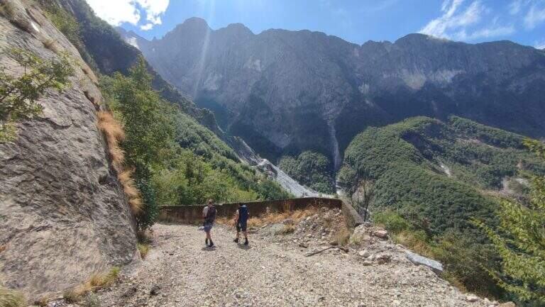
    The ideal starting point is the Cave Cantonaccio at Ugliancaldo. Open road signs on Google Maps. You park in Ugliancaldo and walk along the dirt road for about 1 km; past the bar you go up with some bends, you pass the buildings and the caves, then you enter the woods. Attention to the crossroads just entered the forest: on the right side the Path Attrezzato Zaccagna towards Vinca ( currently interdetto); on the way uphill then bending left towards the east, following the abundant CAI signs up to ' attack at the foot of the wall (circa 1h 30' from the parking ).

    ▲The path

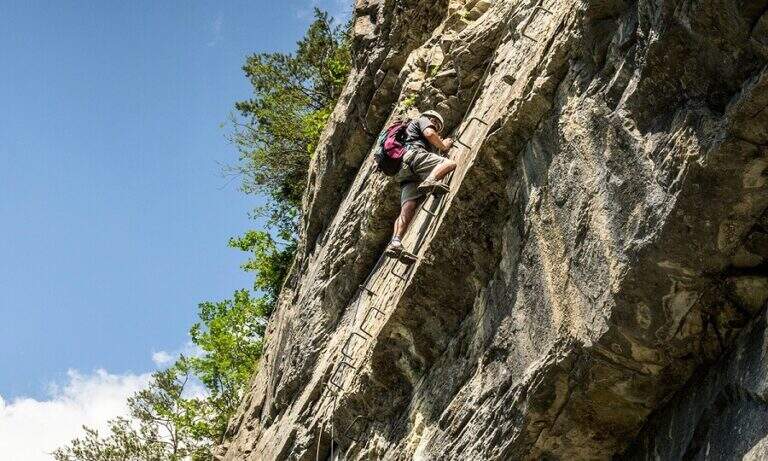
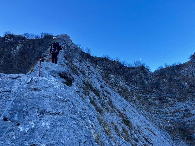
    La via ha lungo sviluppo e due settori. Il primo è una lunga placca inclinata percorsa prevalentemente in aderenza, senza sforzi rilevanti salvo alcuni balzi arrampicabili anche senza cavo; la roccia è il marmo tipico della zona, con ottima aderenza e numerosi fori che fungono da appoggi per i piedi. Raggiunto il filo di cresta, il secondo settore lo segue quasi interamente per quasi 400 metri fino a Foce Siggioli. Il passaggio chiave è il famoso «Naso», uno spigolo esposto che a prima vista pare difficile ma offre ottimi appigli scavati. La pendenza è sempre presente ma mai del tutto verticale; l'ultimo tratto è il più esposto, con pendenza che decresce fino a Foce Siggioli (1390 m), dove la ferrata termina (2h dall'attacco, 3h 30' dal parcheggio).

    ▲Character and difficulty

    Itinerary of medium difficulty, with the charm of marble rock and a long crest progression. difference in level in ferrata 400 m, total 680 m, maximum altitude 1386 m, development 8 km.

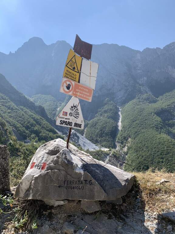
    ⚠ The path from the quarries would take to the parking lot is in bad state of maintenance (2026) and we do not recommend the use: better to park in Ugliancaldo. The nearby Path Attrezzato Zaccagna is interrupted.
    ▲Discipline

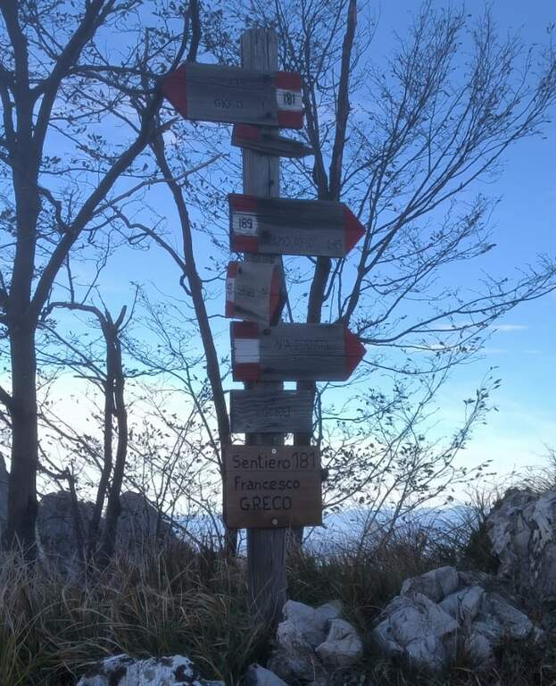
    From Foce Siggioli you can rejoin; continue towards Pizzo d' Bird (EEE trail with rocks and strokes of I degree, not described here) or return along the Cresta of Capradossa ( CAI 181), aerial and recently equipped, up to Poggio Baldozzana. From here the destra is held on the CAI 181 returning to Ugliancaldo (1h 30' from the end of the ferrata, 5h total); è not recommended the CAI 192 on the left, difficult to follow for lack of signage.

    ▲Gallery
    Technical data
    • DifficultyModerately Hard
    • RegionTuscany
    • GroupApuan Alps
    • Approach1:30 h
    • Ferrata2:00 h
    • Itinerary (a/r)5:30 h
    • Hardware level difference400 m
    • Route difference680 m
    • Max1386 m
    • Length8 Km
  • Ferrata Sass Brusai at Monte Boccaor (Grappa)

    Ferrata Sass Brusai at Monte Boccaor (Grappa)

    Vie Ferrate › Veneto › Treviso
    Ferrata Sass Brusai at Monte Boccaor (Grappa)
    Moderately Hard● OpenDescriptionComplexityMapsGallery

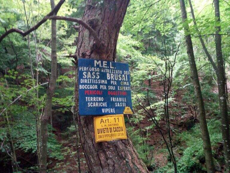
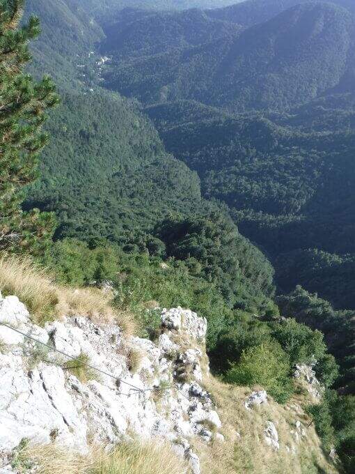
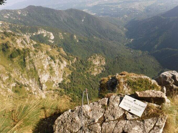
    The Ferrata Sass Brusai climbs the Monte Boccaor in the Grappa Massif: a very climbing route, with più passes; challenging places all' start and end. From the top you can può continue towards the Grappa Shrine and eventually descend from the nearby Ferrata Guzzella. Itinerary of low altitude, for long stretches of the' year.

    ▲Approach

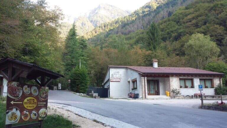
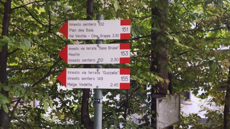
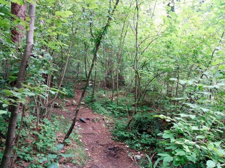
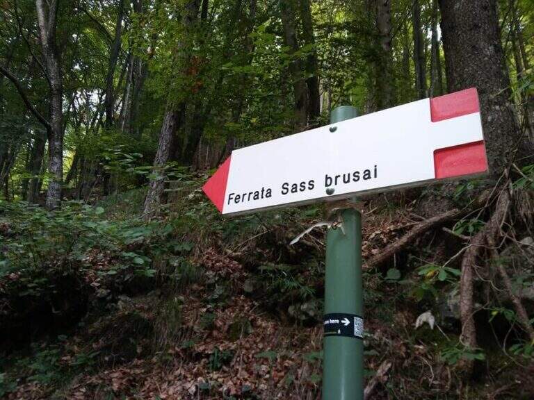
    Starting point the Val San Liberale, at l' the same restaurant, reachable from Crespano del Grappa (TV) along the SP 26: in Crespano follow the signs north to the Val San Liberale up to the ' ample parking at the restaurant (600 m). Open road signs on Google Maps. Si sale per una stradina asfaltata fino a un primo bivio (a sinistra la Ferrata Guzzella, a destra la Sass Brusai): si prosegue dritti finché l'asfalto diventa sterrato e, a un bivio segnalato (710 m, 30' dal parcheggio), si tiene la destra sul CAI 153. Per ripido sentiero nel bosco, seguendo i bolli rossi, si arriva a un bivio dove a sinistra si raggiunge l'attacco (1160 m, 1h 15' dal parcheggio).

    ▲The path

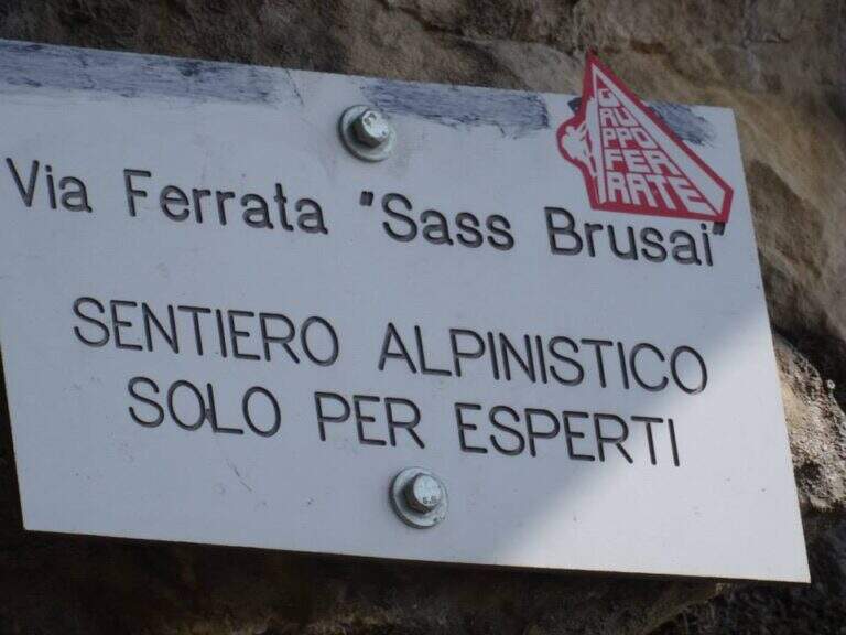
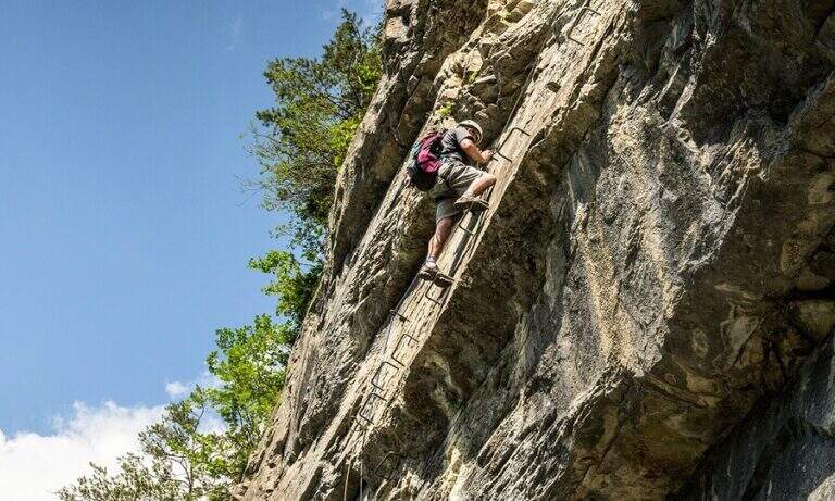
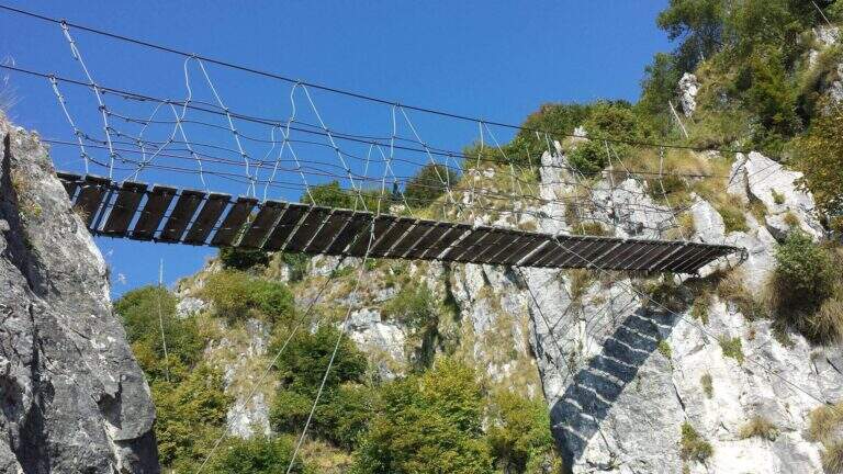
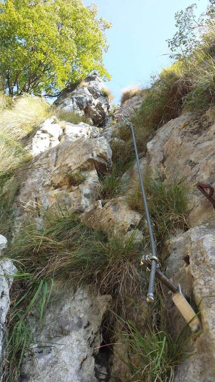
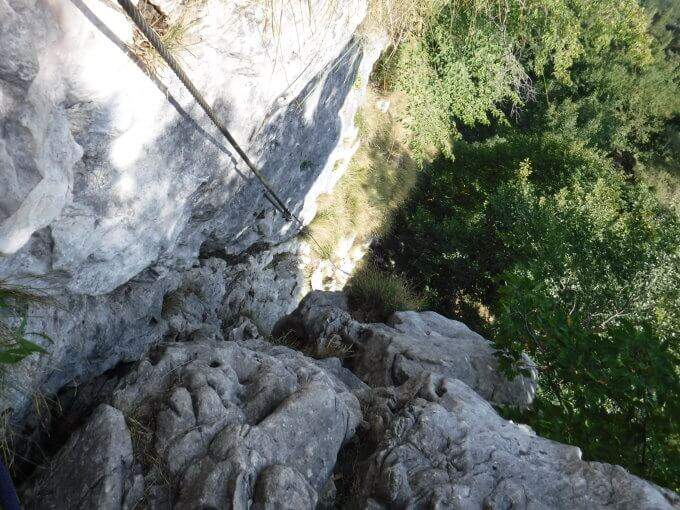
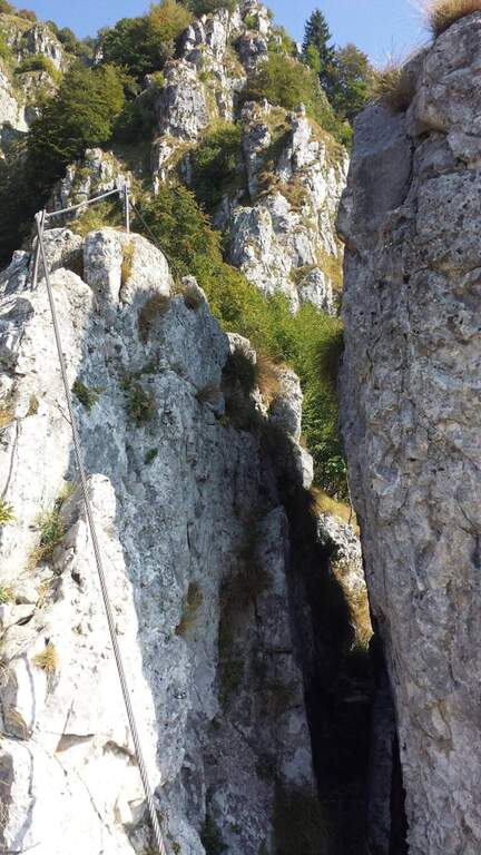
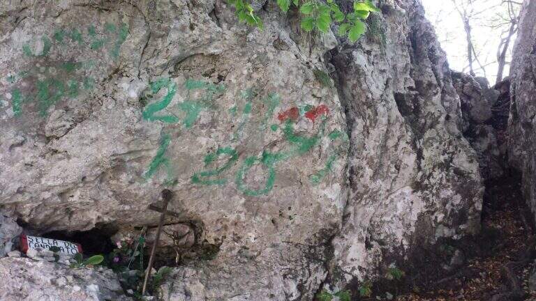
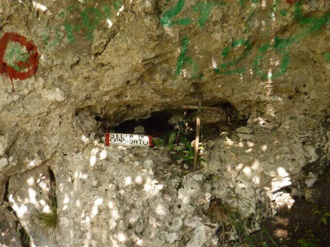
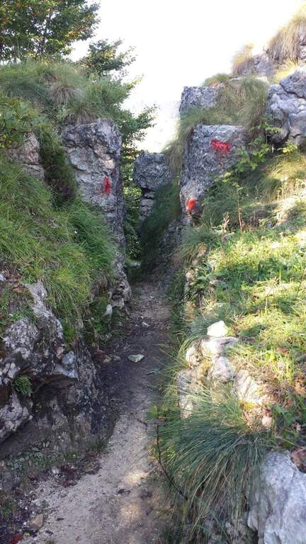
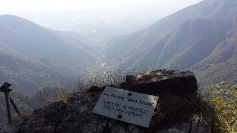
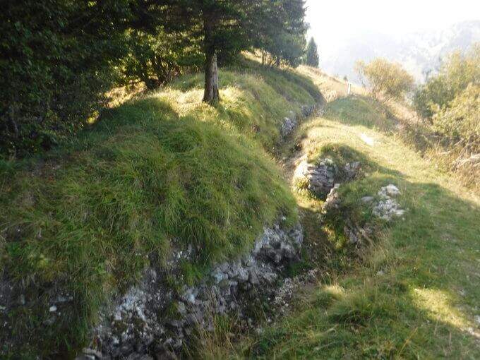
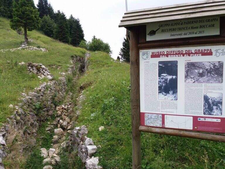
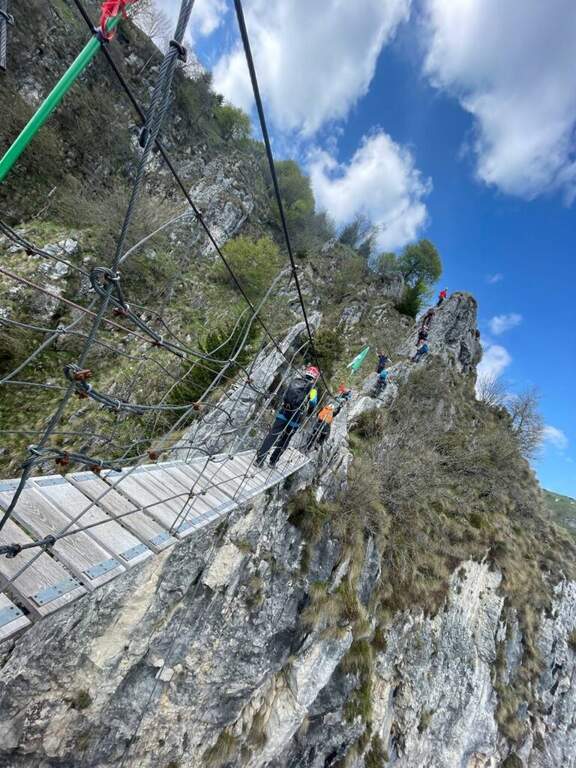
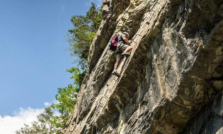
    Dal balconcino d'attacco si salgono alcune roccette a sinistra della targa e si entra nella prima sezione: una parete di una quindicina di metri che in alto prende la forma di un camino, molto piacevole su roccia frastagliata e ricca di appoggi. Usciti dal camino, un paio di balzi su fondo misto roccia-erba (attenzione se umido) e una breve cengia introducono un tratto di sentiero. La seconda sezione risale una cresta di ampi blocchi, tenendosi sul lato sinistro, con basso senso di esposizione per gli alberi circostanti; seguono sentiero erboso e facili balzi attrezzati. La terza sezione sale una costola rocciosa, ben gradonata in basso e più tecnica in alto, dove una fessura e un paio di sporgenze obbligano a procedere in spaccata sul versante opposto alla fune; poi una paretina ben appigliata, una placca e un camino (anch'esso in spaccata) si aprono sulla vista del Monte Grappa. Tra risalti, cenge erbose attrezzate e facili balzi si raggiunge la forcellina «Sella del Candidato» (1345 m, 45' dall'attacco). Oltre la sella due passaggi impegnativi e verticali: una prima parete levigata (possibile qualche trazione sul cavo) e, dopo un collegamento, una nuova paretina esposta presso la cresta. Si prosegue su cresta esposta ma più facile, si risale uno sperone (una rara staffa metallica aiuta dove mancano appigli) e si aggira uno spigolo; una lunga costola, gradoni rocciosi e una placchetta di 6 m portano a un sentiero attrezzato, un balzo e un canalino. Dopo un lungo collegamento si ignora la deviazione per il CAI 152 (1455 m, 1h 15' dall'attacco) e si sale al ponte sospeso: si rimonta il gendarme su placca liscia, lo si aggira a destra e si attraversa il ponte su solide assi (sul versante opposto, a sinistra, una via di fuga verso la strada). Si prosegue a destra: alcune roccette, poi un tratto esposto più impegnativo sotto un gendarme con pochi appigli, una spaccatura da attraversare in spaccata e una cresta appoggiata dove il cavo fa quasi da corrimano. L'ultimo passaggio è una parete di una decina di metri arrampicabile (aggirabile seguendo la freccia rossa presso il libro di via); al termine della placca finiscono le attrezzature e, seguendo la traccia parallela a una vecchia trincea, si raggiunge la vetta del Boccaor (1532 m, 1h 45' dall'attacco / 3h dal parcheggio).

    ▲Character and difficulty

    The most challenging passages are on the first and last wall. Fatious approach and short return to account.

    ⚠ Low altitude and exposure to south: prohibitive in the più months; warm. Beware of unprotected traits with grassy background, which tends to be slippery.
    ▲Period and safety

    Maximum altitude 1532 m: for good part of the year, but to avoid on hot summer days for exposure to the south.

    ▲Discipline

    Dalla vetta si seguono le indicazioni a sinistra per Pian della Bala (1380 m), dove ancora a sinistra si prende il sentiero 151 che scende fino al bivio incontrato all'andata e quindi al parcheggio (1h 30' dal termine / 4h 30' totali).
    ▲To match

    Experts can close a more challenging ring with the neighbor Ferrata Guzzella (preferable downhill, to avoid the many unprotected and slippery sections of Sass Brusai). Near Grappa also athletics Ferrata Santa Felicita; in Val d'Astico the recent Ferrata Anelli delle Anguane; towards the Dolomites Feltrine la Ferrata at Monte Coppolo.

    ▲Gallery
    Technical data
    • DifficultyModerately Hard
    • RegionVeneto
    • GroupGrappa Massif
    • Approach1:15 h
    • Ferrata1:45 h
    • Itinerary (a/r)4:30 h
    • Hardware level difference450 m
    • Route difference905 m
    • Max1532 m
    • Length10 Km
  • Ferrata Salvatori alla Pania Forata (Monte Forato)

    Ferrata Salvatori alla Pania Forata (Monte Forato)

    Vie Ferrate › Tuscany › Lucca
    Ferrata Salvatori alla Pania Forata (Monte Forato)

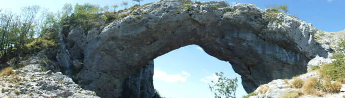
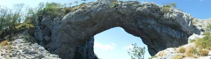
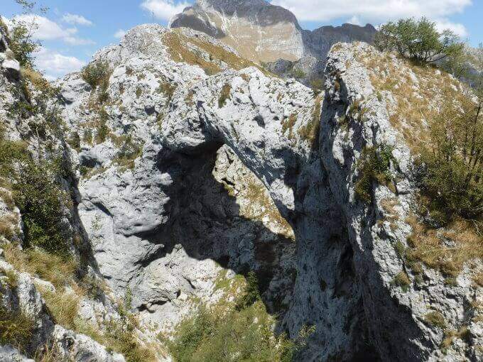
    The Ferrata Salvatori è a facile but aerial way, which faithfully follows the ridge from the Foce Petrosciana al Monte Forato (or Pania Forata), in the Apuan Alps. The low altitude makes it accessible most of the year; the famous natural arch of Monte Forato is worth the whole excursion alone.

    ▲Approach

    Starting point l'Albergo Alto Matanna, in Garfagnana: from Lucca follow the SS 12, then Tenth and Pescaglia, cross the village of Pascoso and, at the indications for l' hotel, turn left on an asphalted road. Open road signs on Google Maps. From ', the hotel rises and soon after takes you to destra il CAI 109, remaining on the north wall of Mount Nona; you reach the Foce delle Porchette and, ignoring the deviations, continue straight on 109 until Foce di Petrosciana (1h 20' from parking).

    ▲The path

    Alla Foce di Petrosciana una targa in marmo indica il ripido accesso alla ferrata (si ignora il sentiero che costeggia in basso il crinale, percorso al ritorno). Si salgono facili roccette fino al primo cavo, che costeggia un traverso e porta a una via di fuga; proseguendo si raggiunge un gendarme roccioso da risalire su un esposto diedro attrezzato di 15 metri, che deposita su un piccolo piano da cui si riparte su una parete ripida con pochi appigli (passaggio chiave). Una scaletta di 5 metri chiude le difficoltà tecniche; da qui la via segue il filo di cresta, esposto ma mai difficile, fino al termine delle attrezzature. Per un'esile traccia si raggiunge la cima del Monte Forato / Pania Forata (50' dall'attacco / 2h 15' dal parcheggio).

    ▲Character and difficulty

    Overall facile, with only a few più passes; technicians in the initial part (the dihedron and the wall of the key passage); the rest è aerial crest. From the ' arc of the Forata Pania è it is possible to make a double rope descent. Named Renato Salvatori, vice-president of the CAI of Forte dei Marmi; installed in' autumn 1977, inaugurated in 1978 and renewed in 1998.

    ⚠ Although easy, the route takes place on exposed ridge: indispensable harness, helmet and ferrata kits; attention with wet rock or strong wind.
    ▲Period and safety

    Low altitude (maximum 1150 m): large part of the year with dry rock.

    ▲Discipline

    Si scende dal lato garfagnino per circa 40 metri fino al marcato CAI 110, che si percorre a ritroso verso l'attacco della ferrata (20' dal termine); da qui si segue a ritroso il sentiero dell'andata fino all'auto (3h 45' totali). In alternativa si può salire da Fornovolasco (Grotta del Vento) per il CAI 6, che risale il torrente Caraglione passando per la grotta «La tana che urla» fino alla Foce di Petrosciana.

    ▲To match

    Concatenate well with the neighbor Ferrata del Procinto (the combined route is described in the report of the Procinto).

    ▲Gallery
    Technical data
    • DifficultyEasy
    • RegionTuscany
    • GroupApuan Alps
    • Approach1:20 h
    • Ferrata0:50 h
    • Itinerary (a/r)3:45 h
    • Hardware level difference400 m
    • Route difference420 m
    • Max1150 m
    • Length9,4 Km
  • Ferrata Grasselli at Picco di Carnizza and Monte Canin

    Ferrata Grasselli at Picco di Carnizza and Monte Canin

    Vie Ferrate › Friuli-Venezia Giulia › Udine
    Ferrata Grasselli at Picco di Carnizza and Monte Canin

    A challenging and mountaineering itinerary in the Alpi Giulie: the Ferrata Grasselli climbs the Picco di Carnizza, then a long ridge connects to the Monte Canin (2587 m) and the descent takes place from Ferrata Julia to the Glacier del Canin. Very varied route, with exposed stretches both on the crest and downhill, to be faced only with experience and stable time.

    ▲Approach

    From the cable car upstream station that from Sella Nevea rises to the Gilberti-Soravito Refuge. From Chiusaforte (20' from ' exit Carnia-Tolmezzo on'A23) follow the signs for Sella Nevea to the east, you pass the bridge and drive for about 20 km until the plants. Open road signs on Google Maps. From the refuge (1850 m) you take to right the path 632 towards the Sella Bila Pec (ruders of a barracks), then halfway towards the Sella Grubia and Bivacco Marussich, going up to the west with the Montasio behind, up to the Bivacco Marussich (2040 m, 1h 30' from the mountain station).

    ▲The path

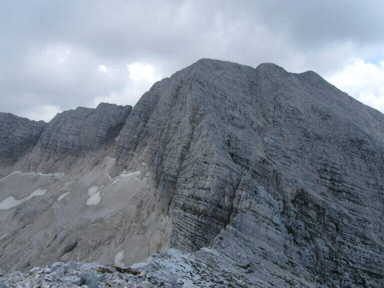
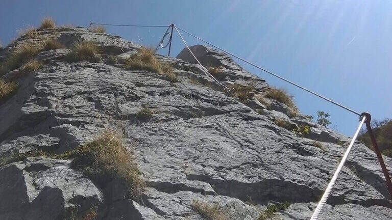
    Dal bivacco si sale su traccia per prati e rocce verso l'evidente spigolo dove la targa segna l'inizio della Ferrata Grasselli (20' dal bivacco). Spostandosi un paio di metri a destra della targa e seguendo i triangoli rossi, si risale una prima parete verticale ben appigliata ma impegnativa (qualche piolo aiuta); si guadagna quota ed esposizione fino a una parete con fessura, che si supera restando a destra su staffe metalliche. Un breve tratto di collegamento e una traccia esposta a sinistra portano su un tratto di cresta attrezzata: roccette esposte ma senza difficoltà sostanziali e alcuni canalini concludono il primo tratto ferrato. Per sentiero ripido tra sfasciumi si raggiunge l'ampia cresta che porta al Picco di Carnizza (2441 m, 1h dall'attacco / circa 3h totali). Inizia la seconda parte verso il Canin: si perde quota e si percorre una cresta che alterna sentiero e placche inclinate (attenzione col bagnato), con notevole precipizio a nord verso il Ghiacciaio del Canin. Seguendo i bolli rossi (triangoli dell'Alta Via Resiniana) si aggira una cengia erbosa, si risalgono balzi attrezzati lungo un canalino e si raggiunge lo spigolo ovest del Canin; alternando tratti su sentiero, placche e roccette si sale fino ai resti della croce del Monte Canin (2587 m, 2h 30' dall'attacco / circa 4h 30' totali).
    ▲Character and difficulty

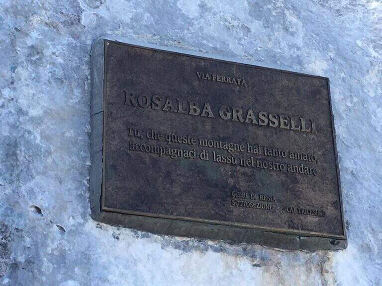
    Beautiful and fulfilling itinerary but challenging, exposed and more difficult traits: both Grasselli and Julia downhill require good experience, discreet technique and no problem with exposure. Installed in 1995 from the CAI of Tricesimo, is named after Rosalba Grasselli.

    ⚠ Da avoid with unstable weather: between the peak of Carnizza, the Canin and the descent from Julia there are no escape routes. Beware of snow at the beginning of the season on the north side of the Picco di Carnizza.
    ▲Period and safety

    Itinerary d' high altitude (2587 m): full summer with stable conditions. For the descent on the glacier are recommended the crampons.

    ▲Discipline

    From the peak of the Canin you descend on the normal road (east side) and in 10-15' you reach the crossroads on the left for the Ferrata Julia (difficultà medium;, downhill requires attention; rock well attached except l' last plaque, più tiring for arms but a few meters). The ferrata ends on the Ghiste of the Canin (1h 30' from the peak / 6h total). The descent of the glacier requires a lot of attention and the ramponi are definitely recommended (usually without big cracks); the track continues south, Sella Bila Pec and the upstream station of the cable car (1h 15' from the end of Julia / about 7h 30' totali).
    ▲To match

    In the Julian Alps: on the Jof Montasio la Via Amalia; towards Val Dogna the long Ferrata Norina at Monte Cavallo; on Jof Fuart the Ferrata Anita Goitan; towards Mangart la Ferrata della Vita.
    ▲Gallery
    Technical data
    • DifficultyHard
    • RegionFriuli-Venezia Giulia
    • GroupJulian Alps
    • Approach1:30 h
    • Ferrata2:30 h
    • Itinerary (a/r)7:30 h
    • Hardware level difference547 m
    • Route difference737 m
    • Max2587 m
    • Length11 Km
Need help? Write to us!