Caratteristica: Forra

  • Ferrata di Rosazza (Valle Cervo)

    Ferrata di Rosazza (Valle Cervo)

    Vie Ferrate › Piedmont › Biella
    Ferrata di Rosazza (Valle Cervo)
    Moderately Hard● OpenDescriptionComplexityMapsGallery

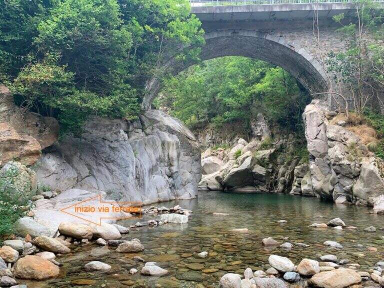
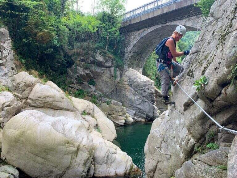
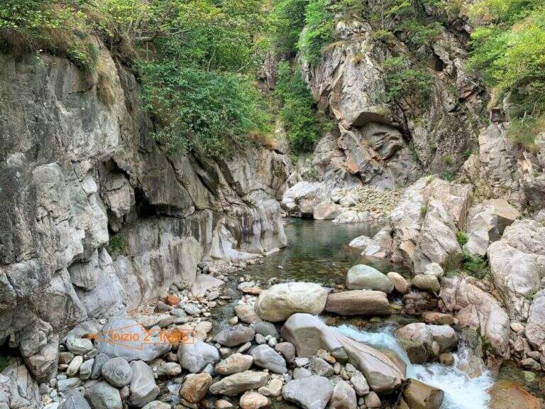
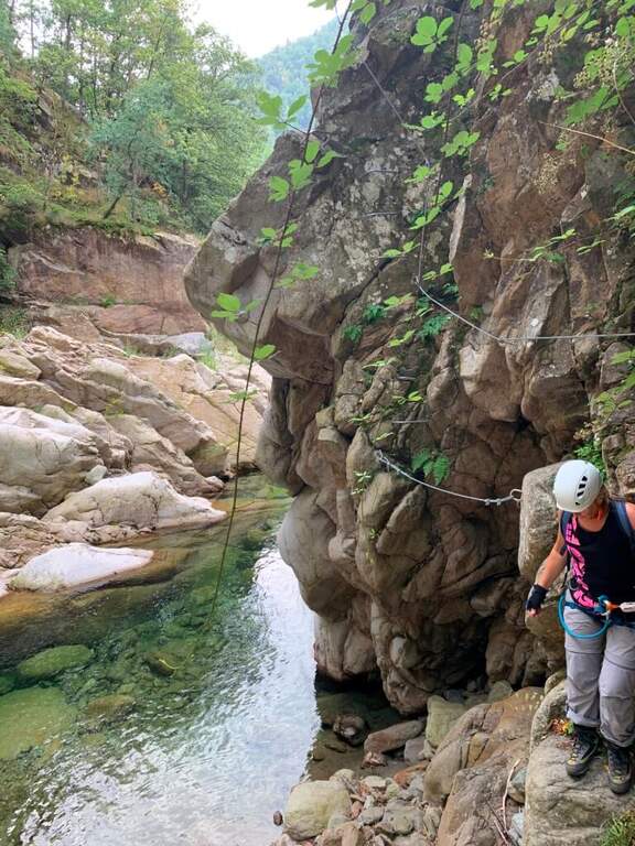
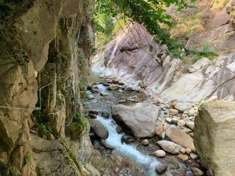
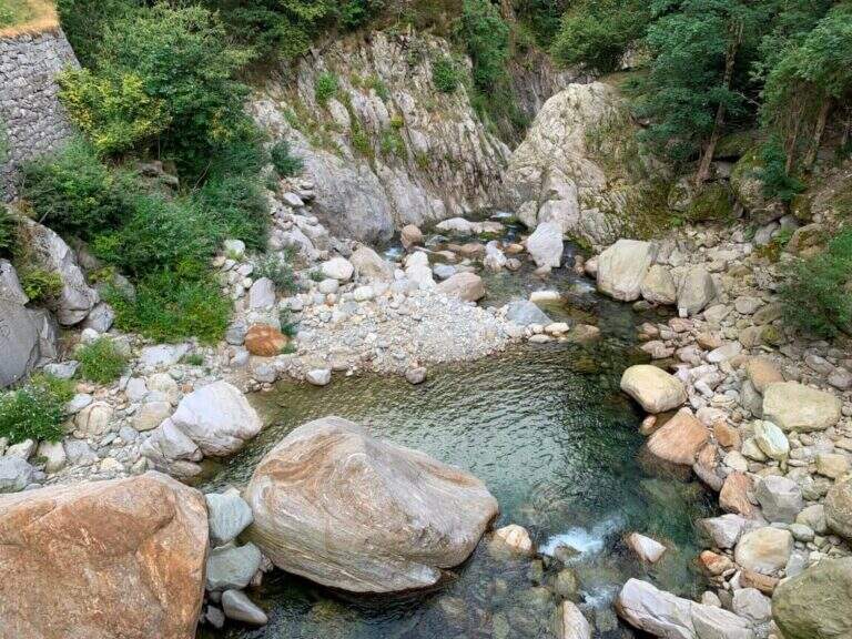
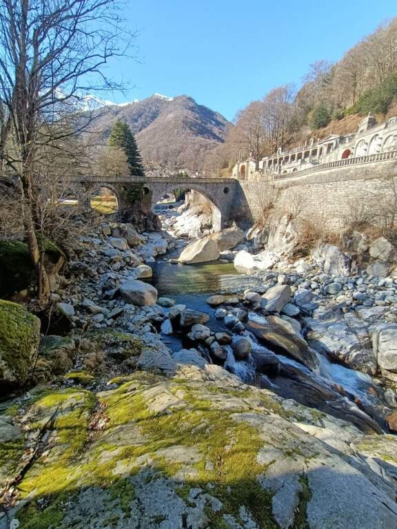
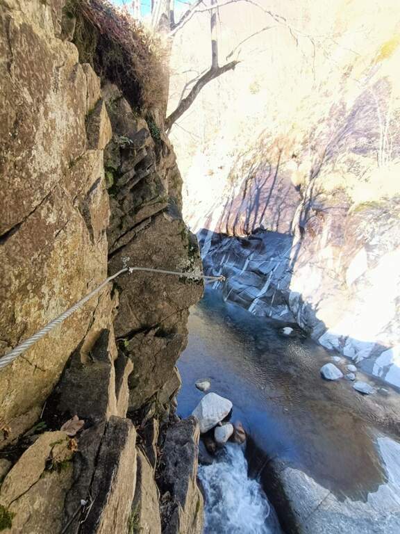
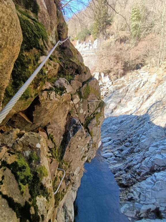
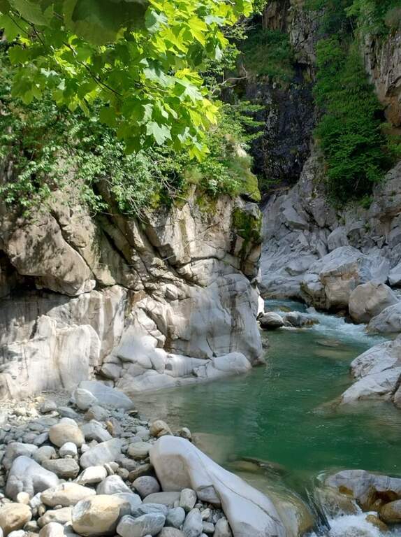
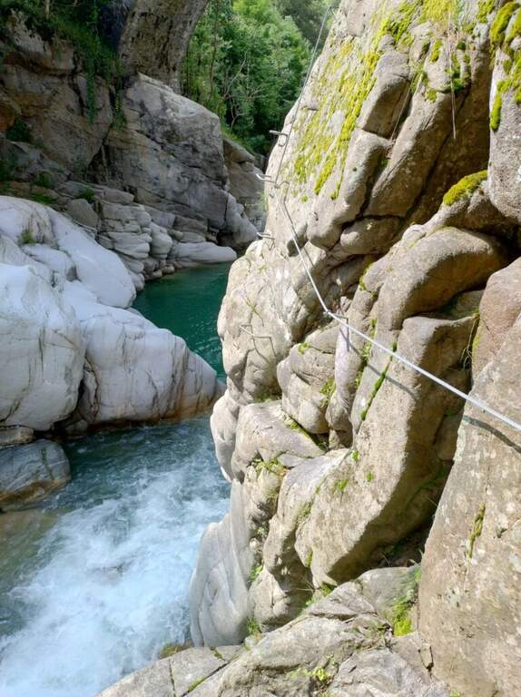
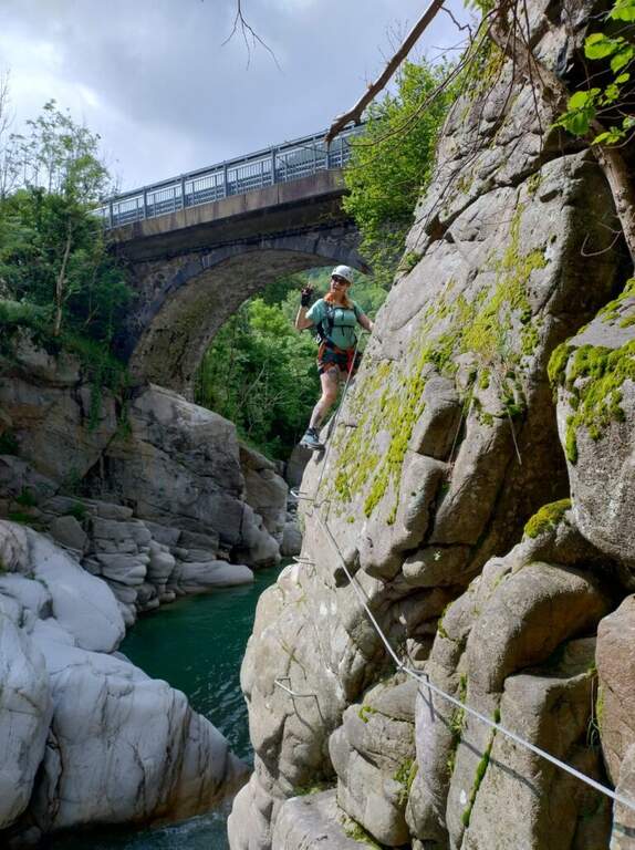
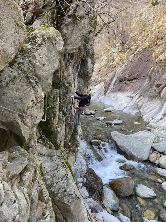
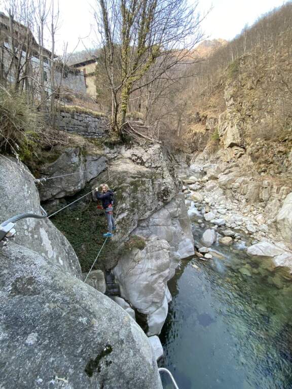
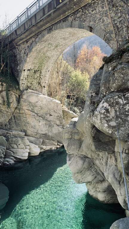
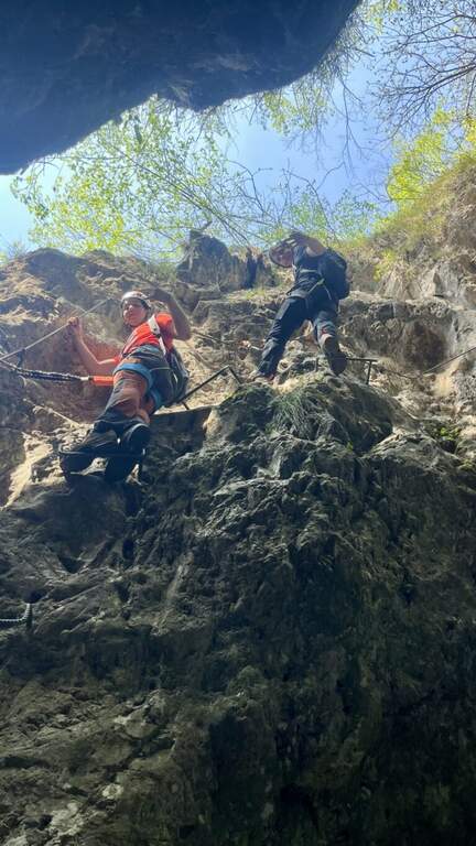
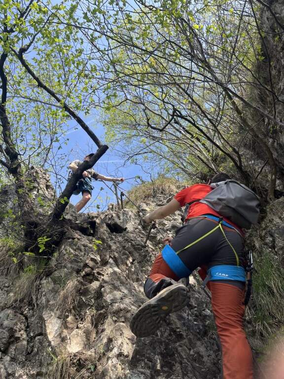
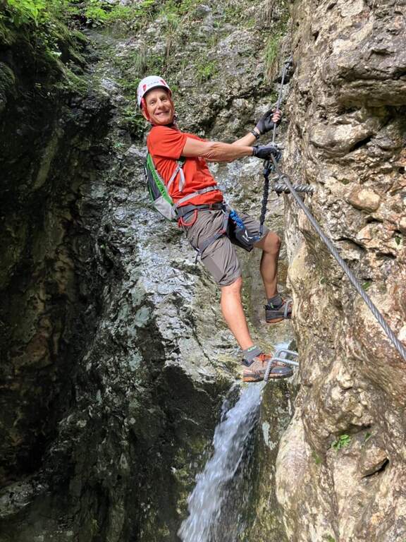
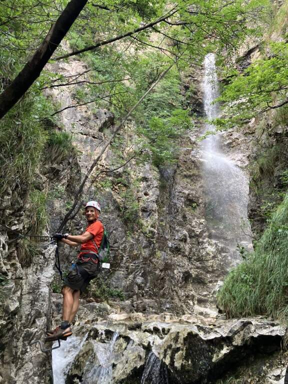
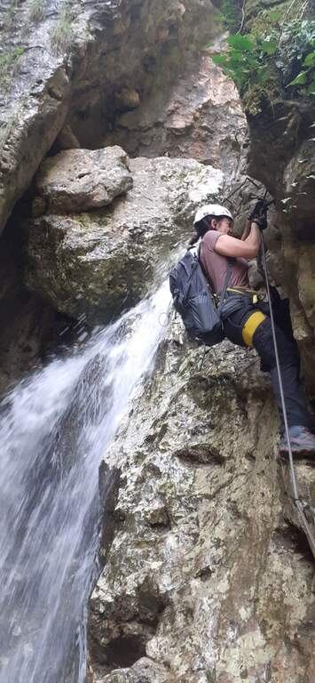
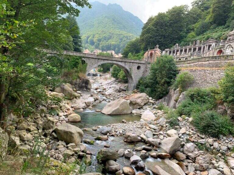
    The Ferrata di Rosazza runs through the beautiful gola of the creek Cervo, between the cemetery of Rosazza and the road bridge just downstream: granite smoothed by ' water, crystal-clear pools that d' summer invite to the bathroom and a mainly horizontal development with short vertical sections uphill and downhill. Two distinct sections and altitude of only 900 m make it suitable for all seasons.

    ▲Approach

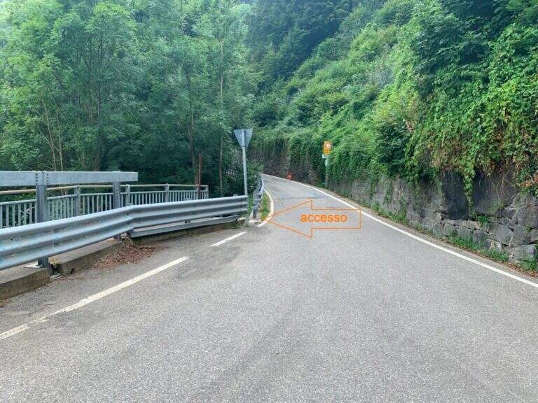
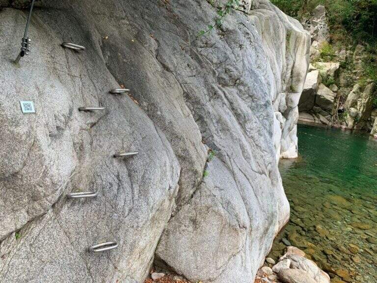
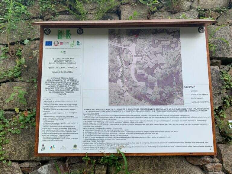
    The route starts at the road bridge on the Cervo stream, which meets arriving from Campiglia Cervo, before Rosazza. From Biella you go up the Cervo Valley; past the bridge between Campiglia and Rosazza you park at ' height of the cimitero of Rosazza. Open road signs on Google Maps. On foot you go back to the valley bridge and descend from the ladder just down the bridge, on the destra orografica (5' from the parking lot); the descriptive cartel arrives on the crude, where a QR code provides information on the first section.

    ▲The path

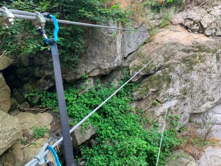
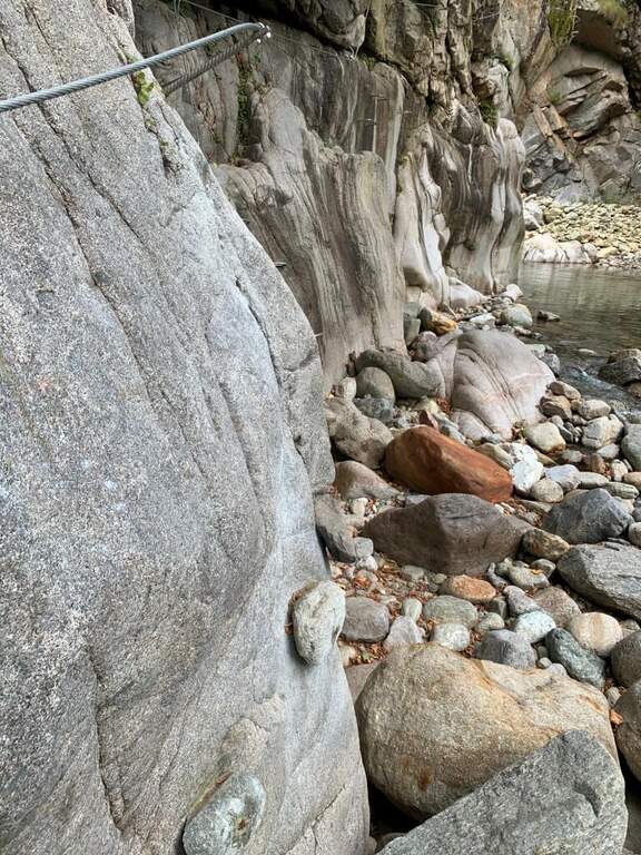
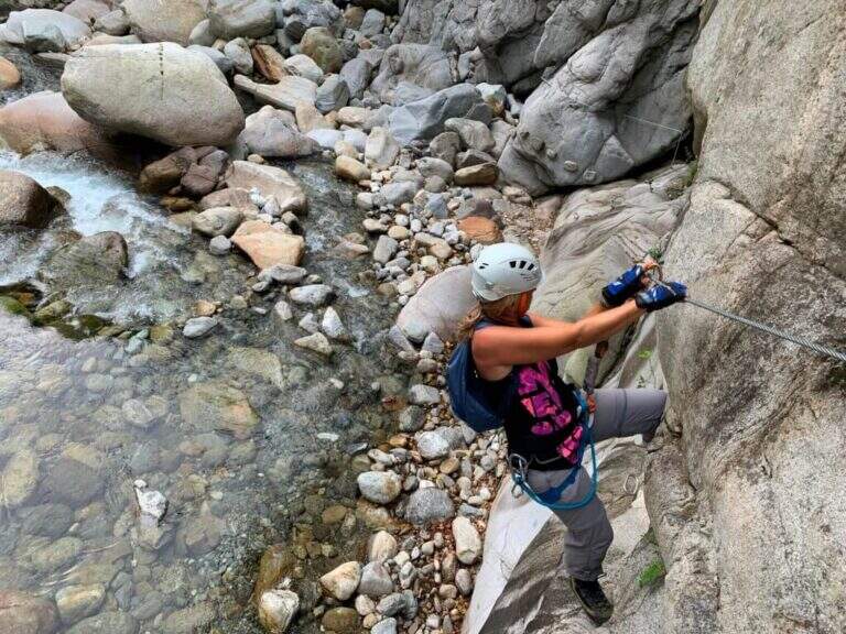
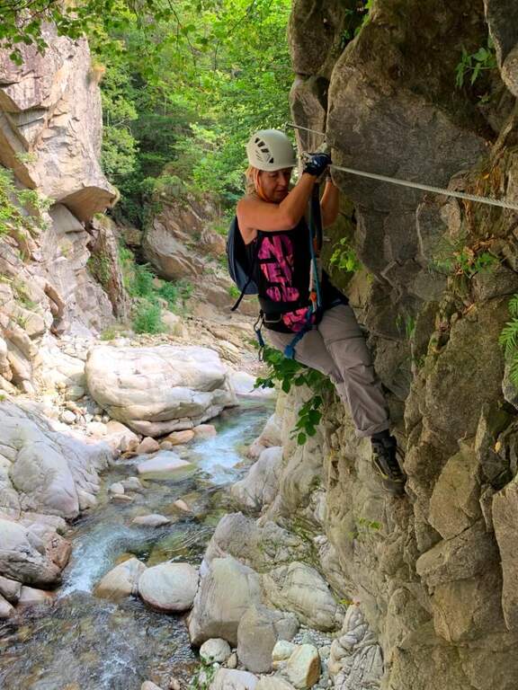
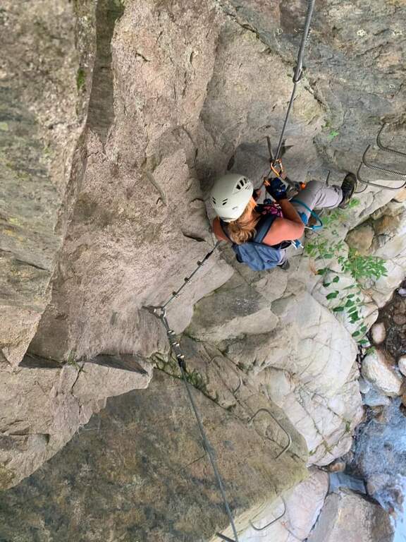
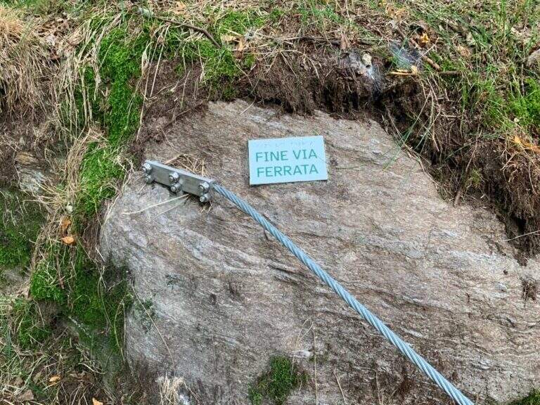
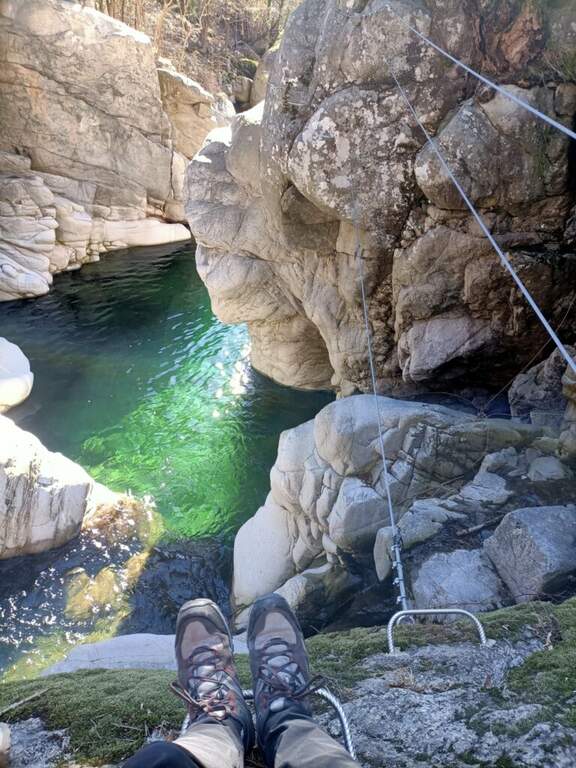
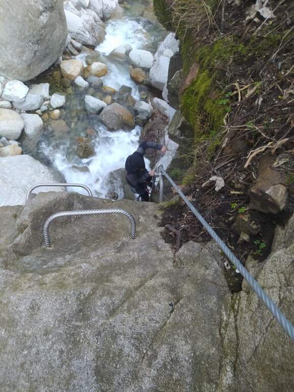
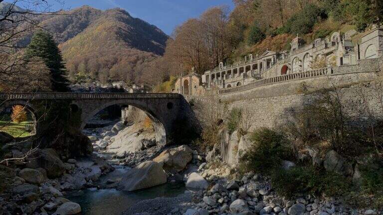
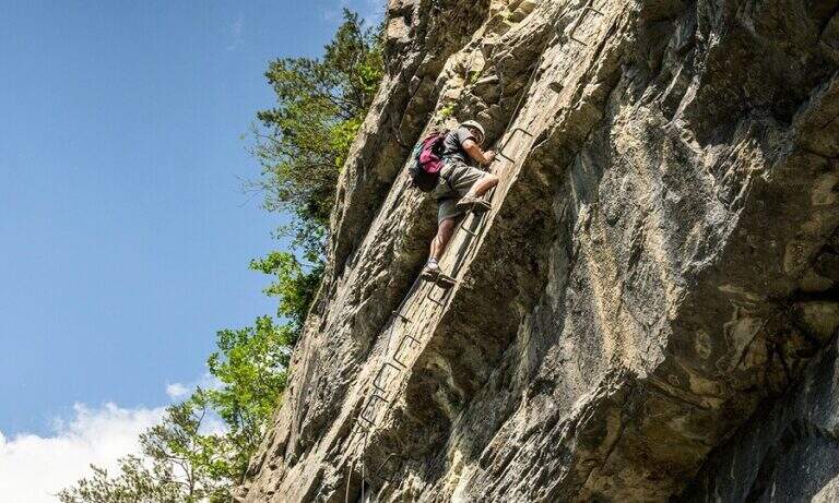
    La first section part with abundant cambres that facilitate progression and continues horizontally, with an easy equipped crossing, passing under the road bridge; you arrive at the ponte Tibetan, beyond which you descend to the bank of the stream on a pebble beach, where the first section (easy) ends and you find a comfortable via of escape towards the road. The second section, marked by a second QR and by foot supports made with nailed stones, immediately shows the più character; technical with some small overhanging carabiner changes; climbing up the gorge the landscape becomes più Wild. A metà about the route earns altitude to the back of some garages at the street, where c'è a second escape route; then returns to metà wall with technical beams, descents and laughter overhanging. When you go back to the gorge and the bridge of the monumental cemetery of Rosazza appears, the ferrata ends (25' from ' attack / 30' from the parking lot); the downstream pozza of the bridge invites you to a bathroom.

    ▲Character and difficulty

    Very short and with multiple escape routes: the first part is easy, also suitable for beginners; the second is more technical but with never excessive difficulty, ideal for those who want to try for the first time with some more complex passage. Report by Stefano Caprile.

    ⚠ Difficultà reduced environment, but evaluate the port of the torrent: after heavy rain some sections may be slippery.
    ▲Period and safety

    Low altitude (about 900 m): can be reached in all seasons, pleasant even in summer for the freshness of the throat.

    ▲Discipline

    Parking & free; less than 100 m from the end of the ferrata: you reach l' car in one minute ( approximately 10' from the term / 50' totali).

    ▲To match

    In the area there are five other routes, all moderately difficult: the Ferrata Nito Staich, la Ferrata Hi Miki, la Ferrata del Limbo, la Ferrata dell'Infernone e la Ferrata della Balma (the first three at Oropa, about 30 minutes by car).
    ▲Gallery
    Technical data
    • DifficultyModerately Hard
    • RegionPiedmont
    • GroupValle Cervo
    • Approach0:05 h
    • Ferrata0:30 h
    • Itinerary (a/r)0:50 h
    • Max880 m
  • Ferrata Rio Secco in Cadino

    Ferrata Rio Secco in Cadino

    Vie Ferrate › Trentino-Alto Adige › Trento
    Ferrata Rio Secco in Cadino
    Moderately Hard● OpenDescriptionComplexityMapsGallery

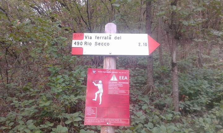
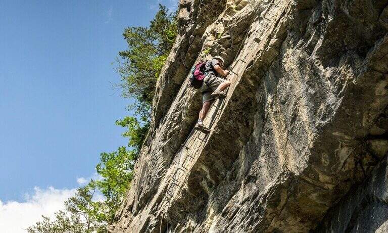
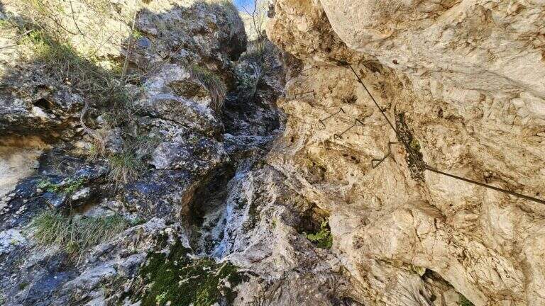
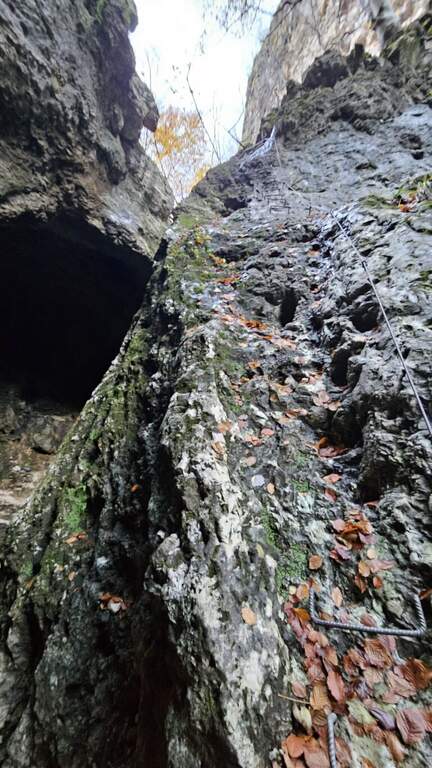
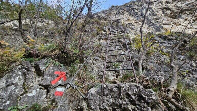
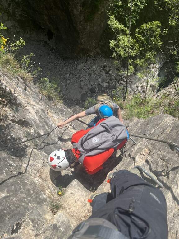
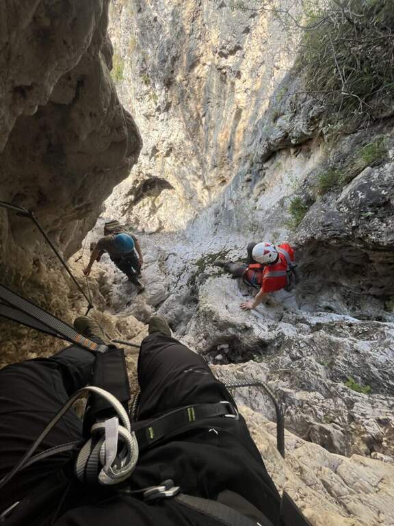
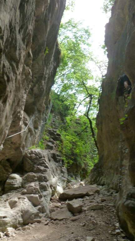
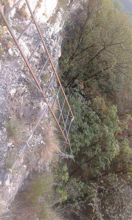
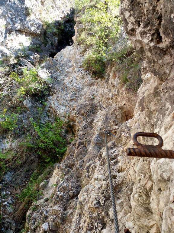
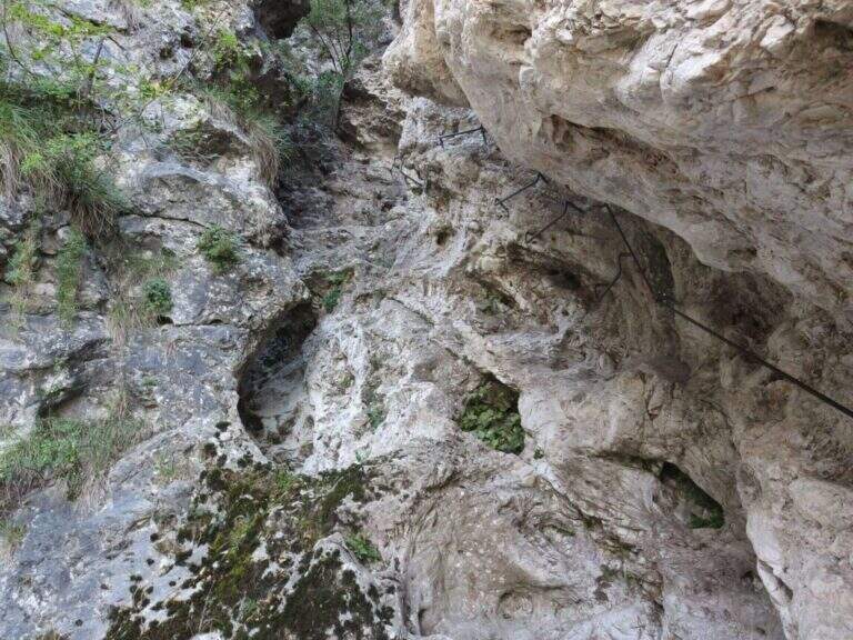
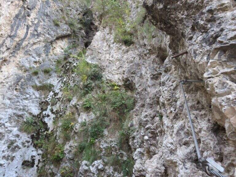
    The Ferrata Rio Secco takes place in the picturesque forra of a rio almost always dry (from which the name), above Cadino. È a varied and satisfying way, with some athletic traits but never technically prohibitive; remaining for the più at' shadow, the temperature remains pleasant also d' summer.

    ▲Approach

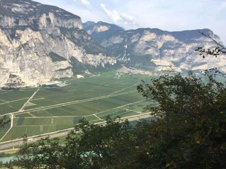
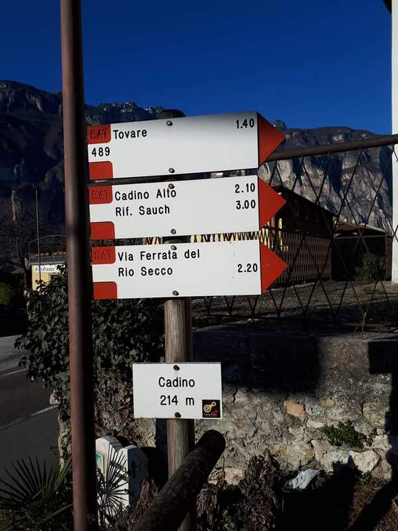
    Starting point l' inhabited by Cadino (TN): exit from ' Brennero highway in San Michele all'Adige and, remaining on the eastern side of the valley, go up for about 4 km towards Bolzano until you find convenient parking at the Restaurant Al Cadino. Open road signs on Google Maps. On the opposite side of the parking lot the white red marks CAI rise steeply in the woods; at a crossroad you hold the destra (left go down the return path) and climb up to a wooden bench, where you can comfortably wear a harness and helmet (15' from the parking lot).

    ▲The path

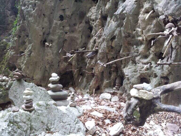
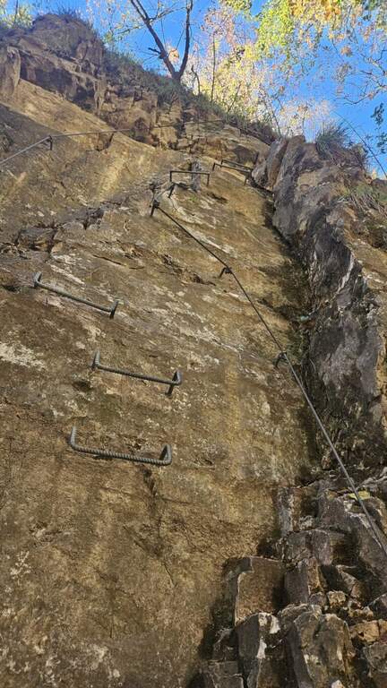
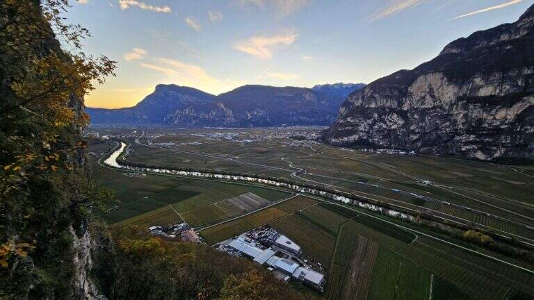
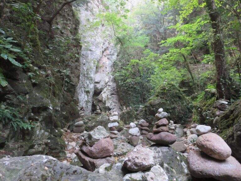
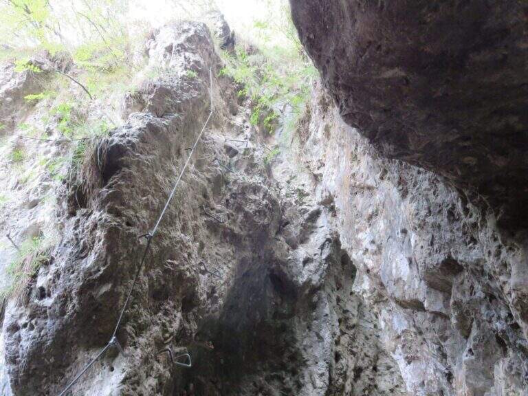
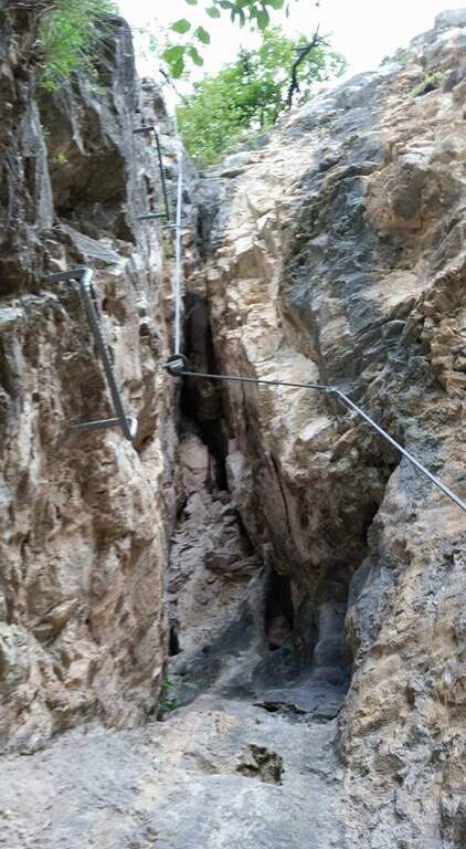
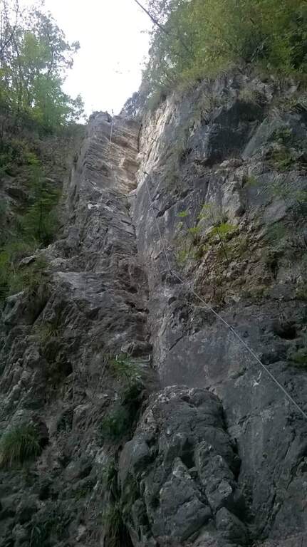
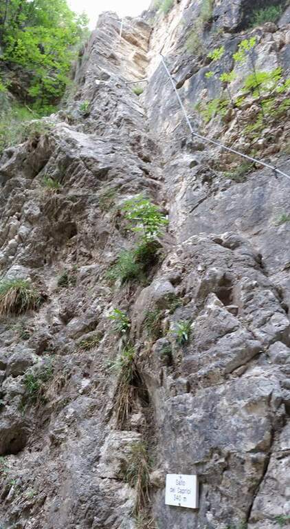
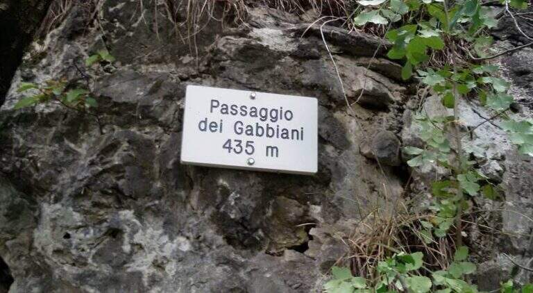
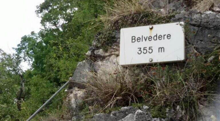
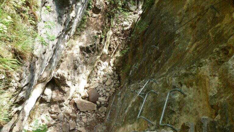
    I primi metri seguono una facile cengia discendente fino al letto del torrente, spesso secco. Sul versante opposto si risale una parete liscia e leggermente strapiombante, agevolata da numerose cambre metalliche e da due corde; poi si traversa a destra su un tratto pianeggiante prima del «Salto dei Caprioi», un bel diedro che alterna ottimi appigli naturali e ampie cambre. Si piega a sinistra su una cengia che aggira uno spigolo e porta sotto una parete verticale solcata da una profonda fessura (buoni appigli naturali e artificiali). Una targhetta «Belvedere» invita a voltarsi sul panorama della piana Rotaliana; un tratto di sentiero attrezzato scende in un caratteristico anfiteatro roccioso con molti omini di pietra. Si risale il versante opposto (sinistra orografica) in un anfratto di roccia levigata e si percorre un lungo traverso a sinistra risalendo il rio, fino a un sentiero attrezzato nel bosco e al «Passaggio dei Gabbiani», un aereo spigolo oggi superabile con discreto sforzo ma senza affanno eccessivo. Segue un lungo traverso in leggera salita con brevi balzi; si passa sulla destra orografica e la parete si stringe in verticale, da risalire con le cambre, poi un breve traverso fino a una via di fuga: a sinistra il CAI 490A (30' per il rientro), a destra si prosegue la via (45' dall'attacco / 1h totali). Si continua su facili roccette e passaggi attrezzati fino al secondo anfiteatro, la «Grotta del Basalisc», dove i passaggi si fanno più impegnativi per la roccia levigata: il primo tratto sale in diagonale su roccia liscia priva di appigli naturali, resa percorribile dalle cambre (media difficoltà, un po' spinti in fuori dal cavo). Al libro delle firme seguono un paio di facili traversi a sinistra e l'aggiramento di uno spigolo esposto dove le staffe aiutano molto; presso la Grotta della Mariotta si risale una parete verticale ben servita da staffe e appigli, dove terminano le attrezzature (1h 15' dall'attacco / 1h 30' totali). Un sentiero ripido nel bosco porta in 5 minuti al cartello che indica a sinistra il rientro a Cadino.

    ▲Character and difficulty

    Difficultà media: varied route, with athletic traits but without technically prohibitive steps. Recent and abundant equipment; very suggestive hole environment, to be covered also in the warm months.

    ⚠ Rio water flow varies with the season: in spring and winter water can be present even impetuous; in summer and autumn (new rains rising) the rio is actually dry. Evaluate the conditions after precipitation.
    ▲Period and safety

    It can be traveled most of the year thanks to the low altitude (maximum 640 m) and shaded exposure. Level difference of 234 m, total development about 2.5 km.

    ▲Discipline

    Il sentiero esce in breve dal bosco affacciandosi sulla Val d'Adige 600 metri più in basso e scende ripido (utili i bastoncini). Si incontra una lunga scala metallica e alcuni facili tratti attrezzati in discesa, per cui conviene tenere ancora l'imbrago; si prosegue ripidi nel bosco fino al bivio dell'avvicinamento, dove si tiene la destra per scendere al parcheggio (1h dal termine della ferrata / 2h 30' totali).

    ▲To match

    For the short approach it combines well with other routes of Val d'Adige: the nearby Ferrata di Favogna, la Ferrata Mendola al Roen, la Ferrata delle Aquile in Andalo, or, in Val di Sarca, the Ferrata Pisetta, la Ferrata Che Guevara e la Ferrata Marangoni to Mori. To be noted also the recent Ferrata della Croce di Fai.

    ▲Gallery
    Technical data
    • DifficultyModerately Hard
    • RegionTrentino-Alto Adige
    • GroupVal d'Adige
    • Approach0:15 h
    • Ferrata1:15 h
    • Itinerary (a/r)2:30 h
    • Hardware level difference234 m
    • Route difference384 m
    • Max640 m
    • Length2,5 Km
Need help? Write to us!