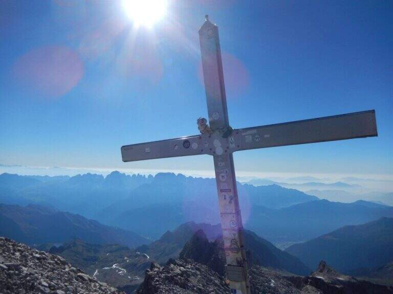
Caratteristica: Impegnativa

  • Ferrata Monte Nero (Presanella)

    Ferrata Monte Nero (Presanella)

    Vie Ferrate › Trentino-Alto Adige › Trento
    Ferrata Monte Nero (Presanella)

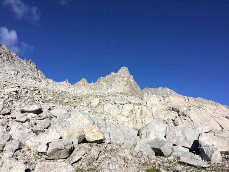
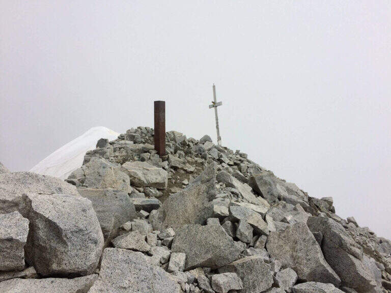
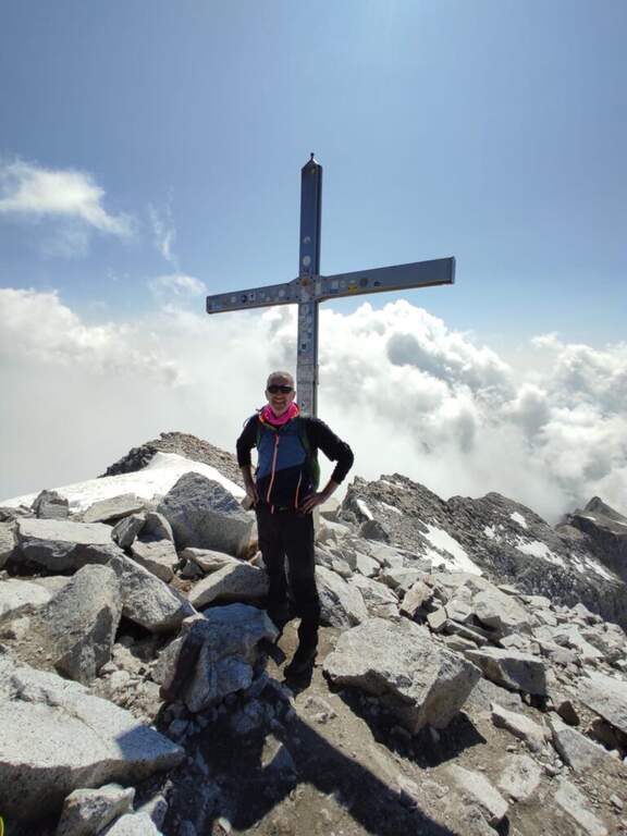
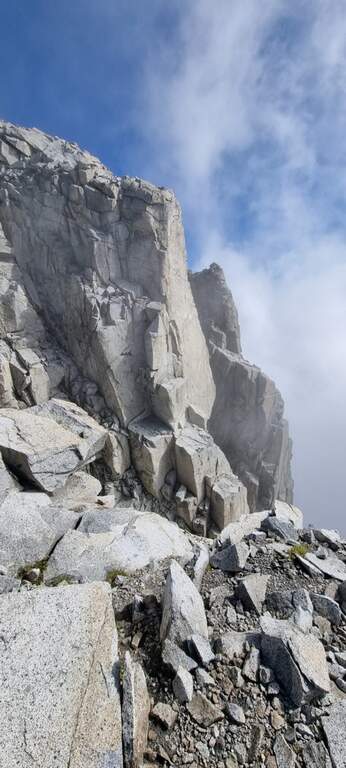
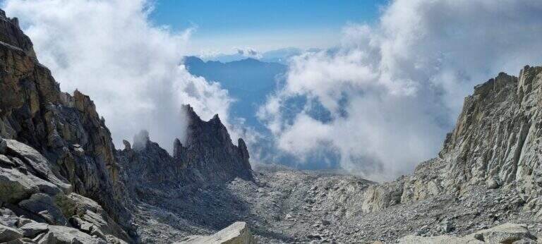
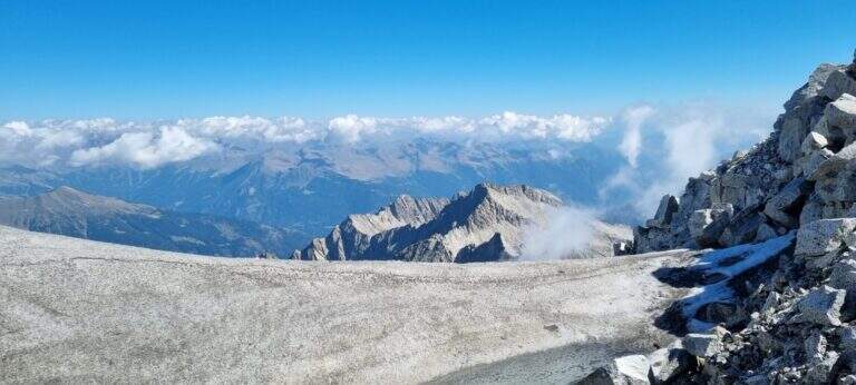
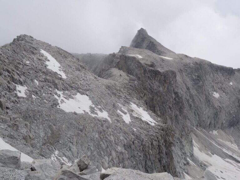
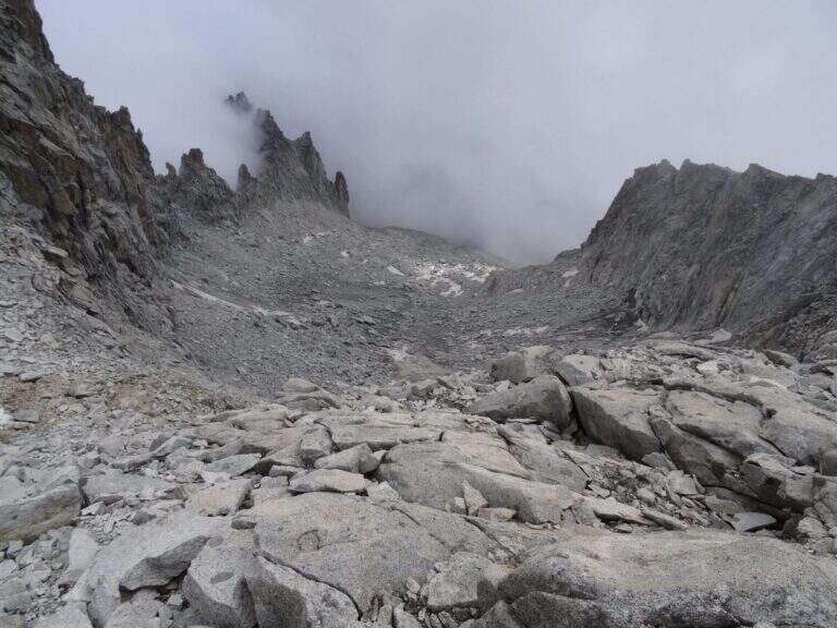
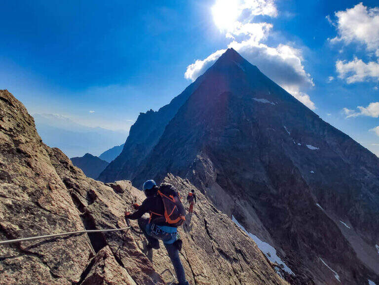
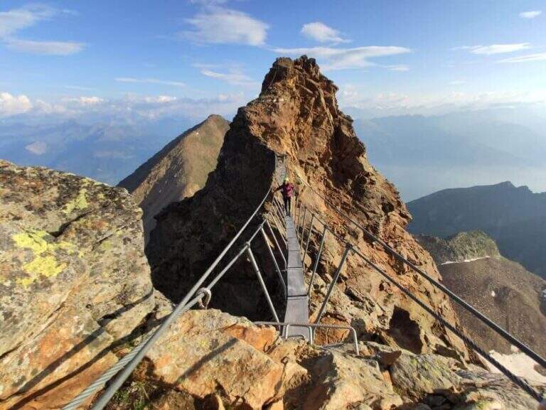
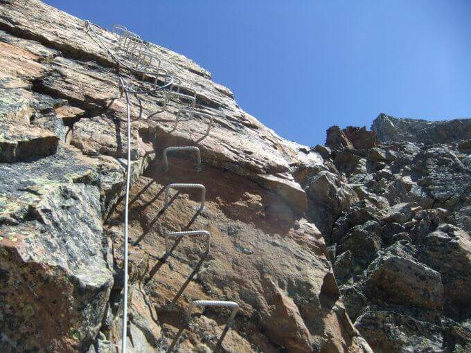
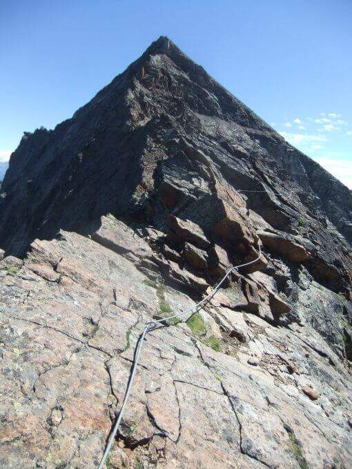
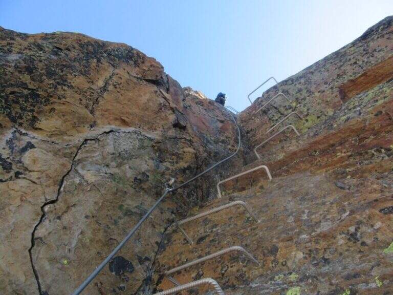
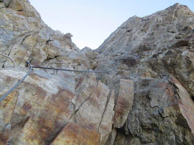
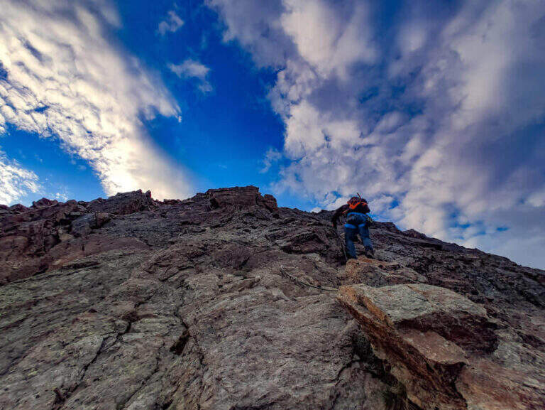
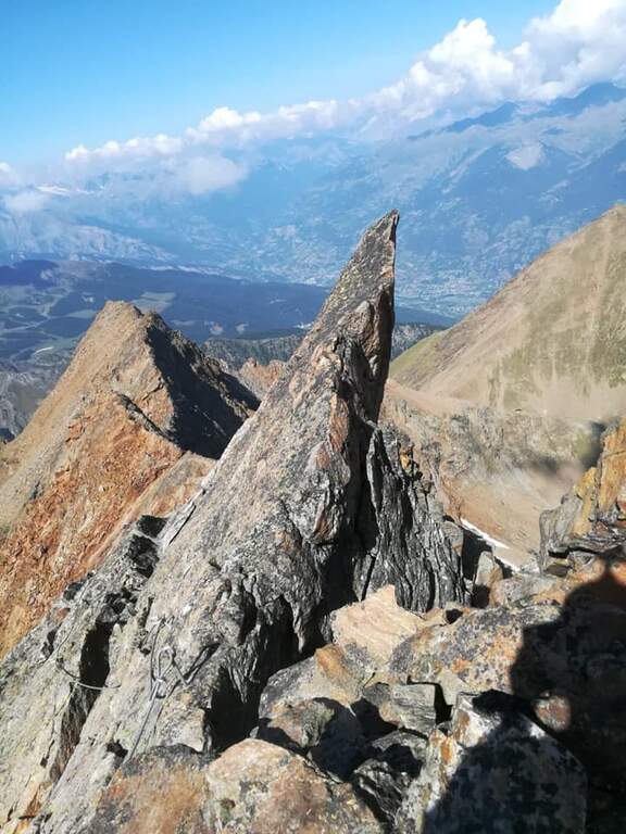
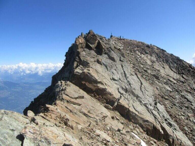
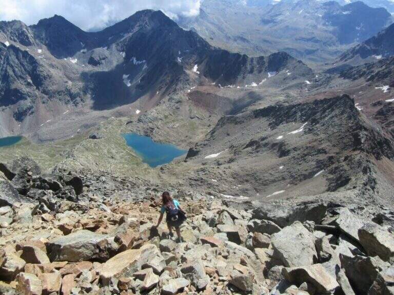
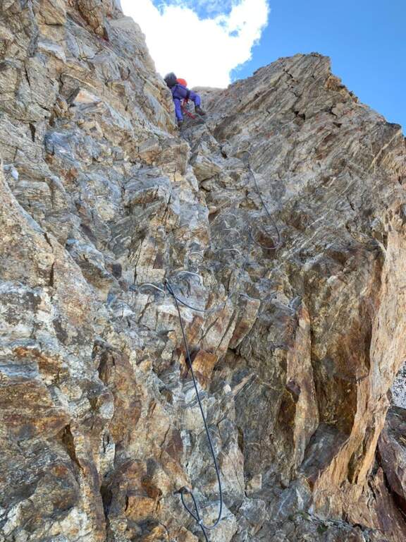
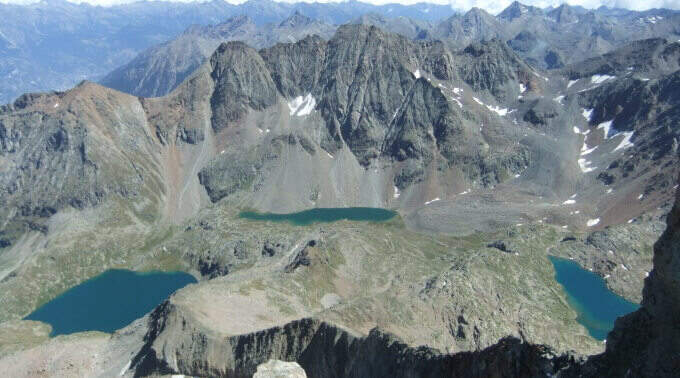
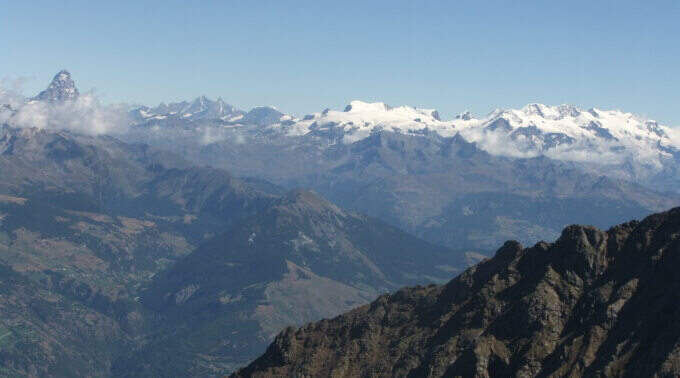
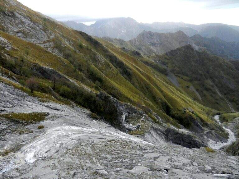
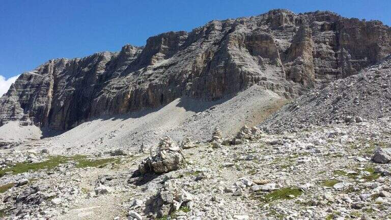
    The recent Ferrata Monte Nero is only a part — short (95 m of altitude) but central — of a long and challenging high mountain route that, from Val d'Amola and the Segantini Refuge, leads to the summit of the Presanella (3558 m), the highest point entirely in Trentino. L' itinerary requires l' crossing a vedretta with ramps.

    ▲Approach

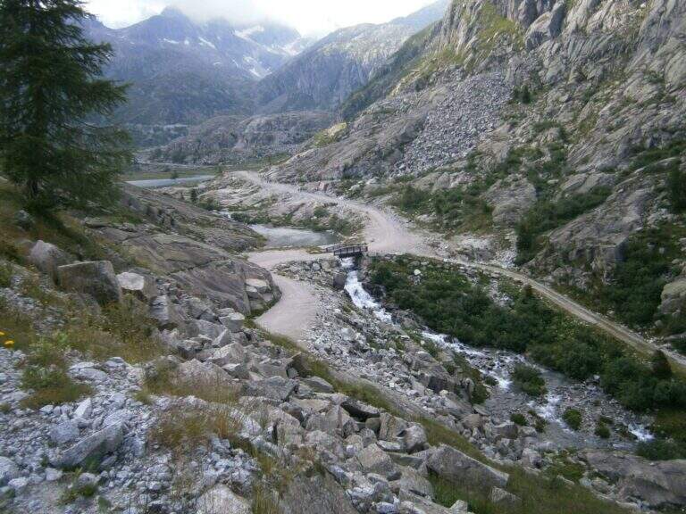
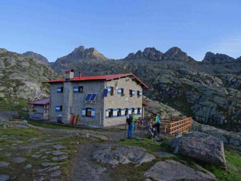
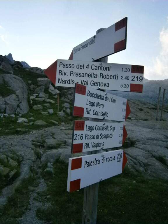
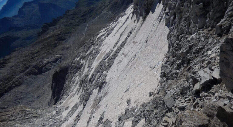
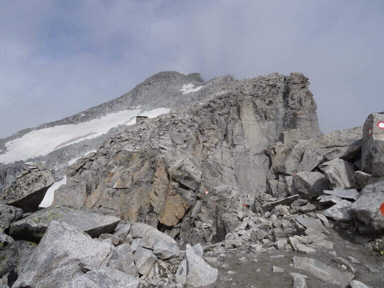
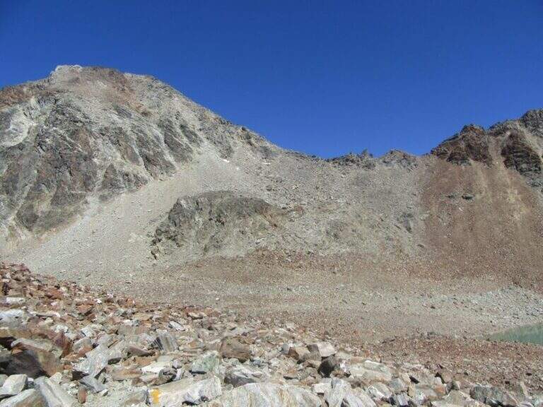
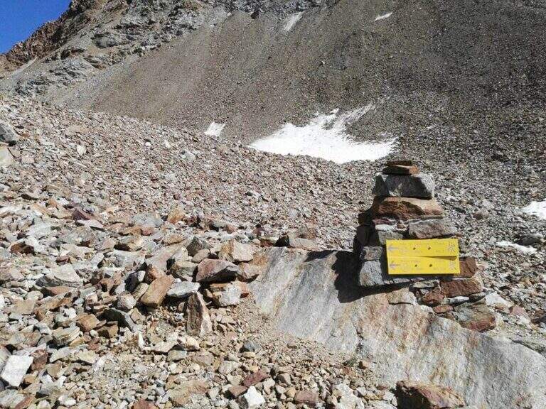
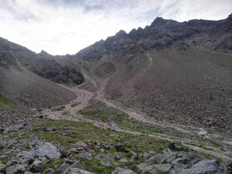
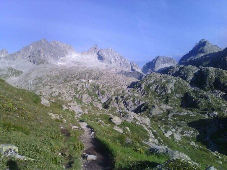
    From the parking lot at the bridge on the Sarca stream, in Val d'Amola (Malga Vallina d'Amola, 2006 m). From the SS239 Pinzolo–Madonna di Campiglio, in Pinemonte Basso take the road to the Val Nambrone; beyond the Nambrone Refuge you climb on a carrabile up to a crossroad where you continue to the left (to the right the Cornisello Refuge) to the parking lot. Open road signs on Google Maps. Follow the signpost west 211, then at the junction you hold the right on the 211 «Oscar Collini» which, steep but without difficulty, leads to Rifugio Segantini (2373 m, 1h from parking). Behind the hut follow the signs for the Presanella to the north-west, pointing to the moraine and taking as reference the Black Mountain; you reach the vedretta (live ice or snow according to season: necessary ramps, attention to the rocks) and cut diagonally up to the rock, climbed up with passages of Igan up to the ' attack (3070 m, 1h 30&#.

    ▲The path

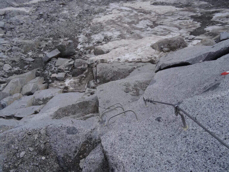
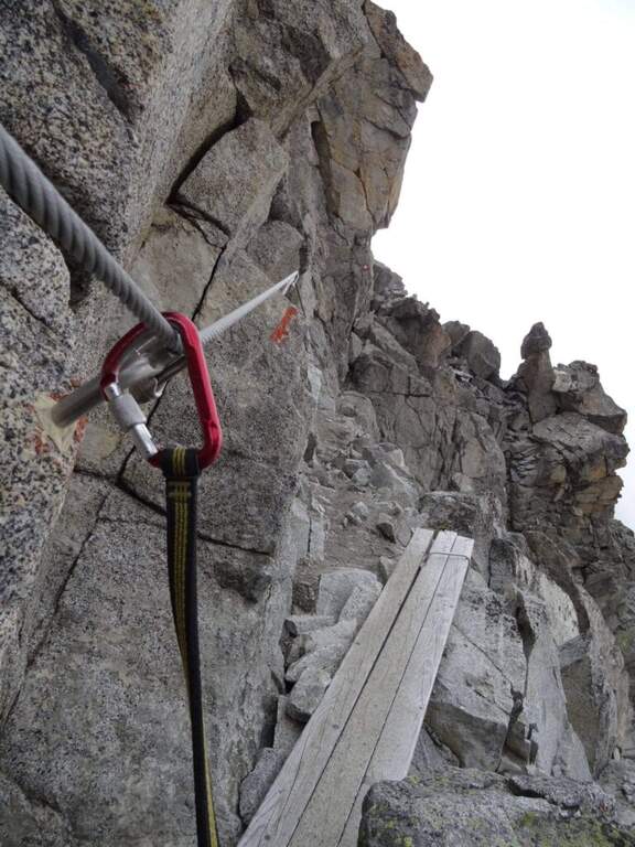
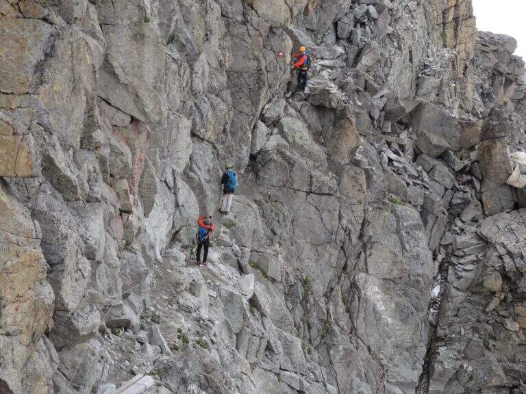
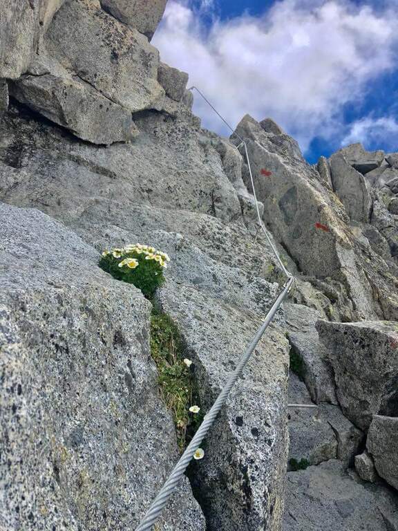
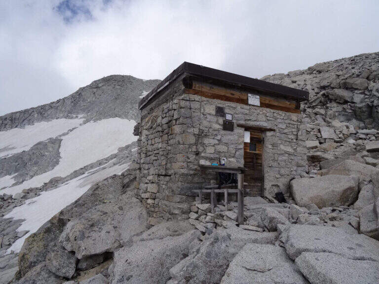
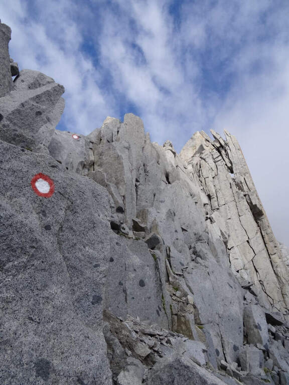
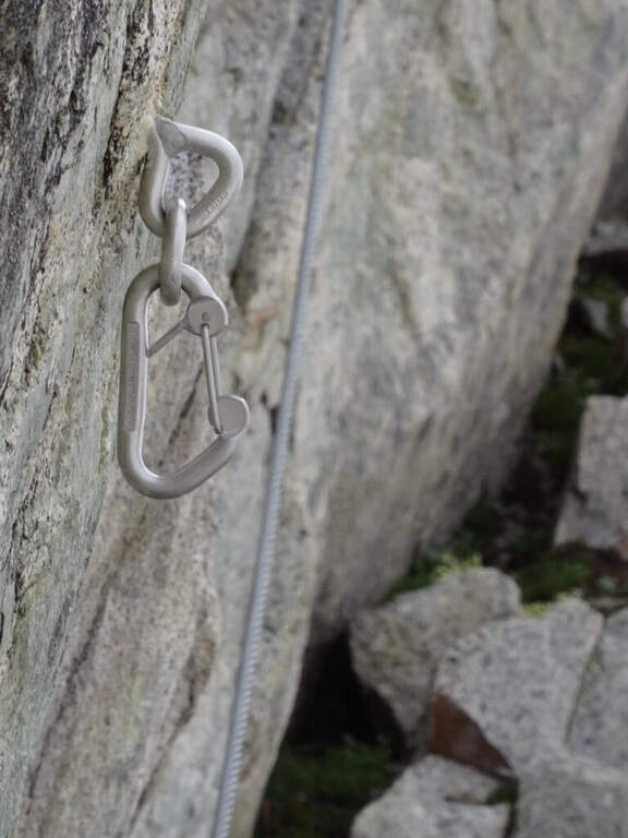
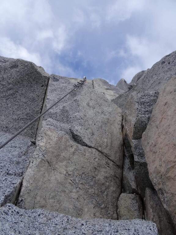
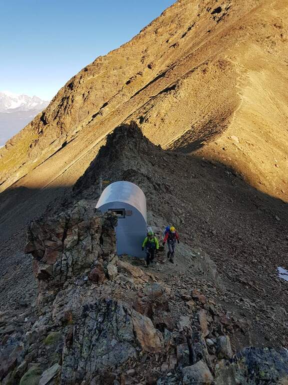
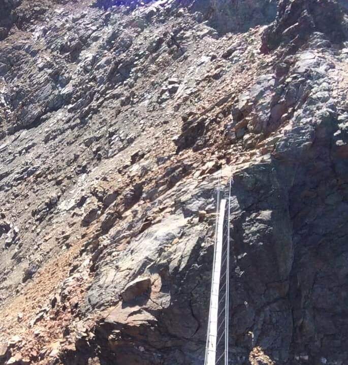
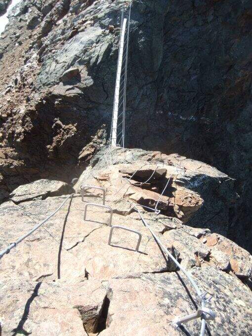
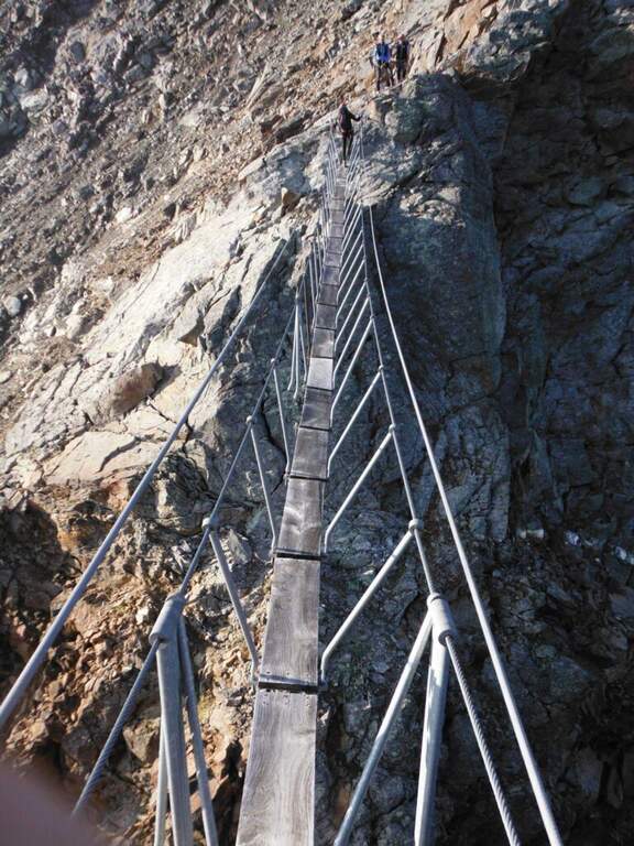
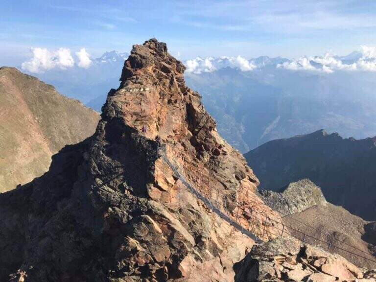
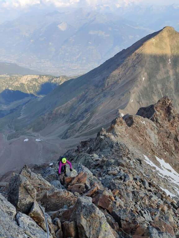
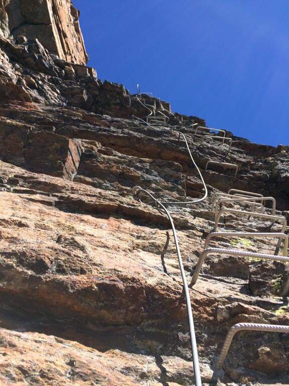
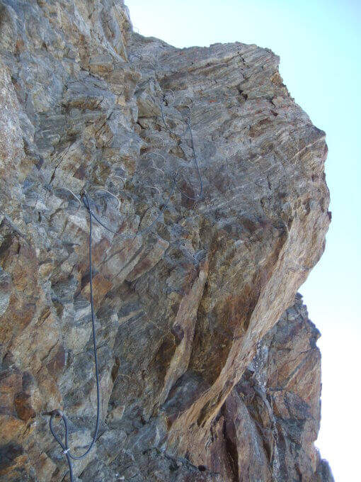
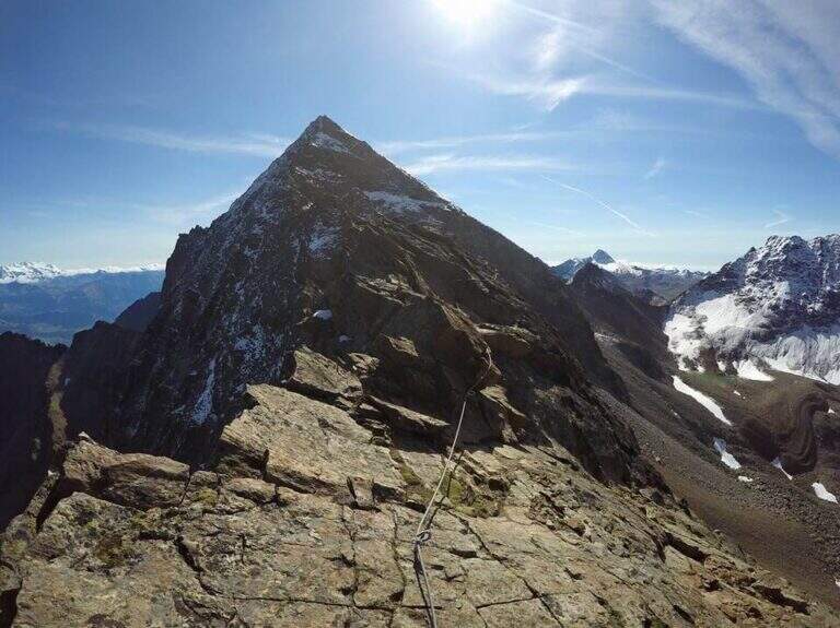
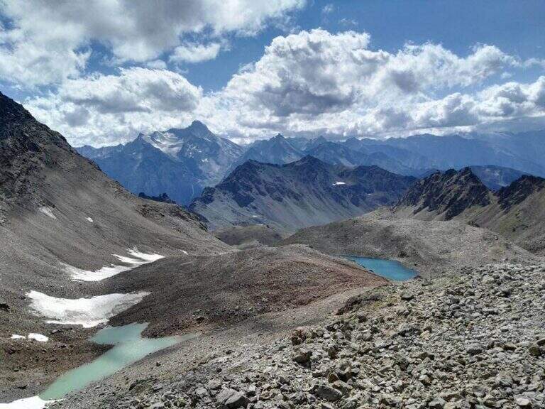
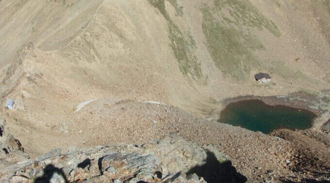
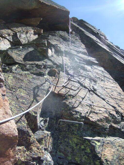
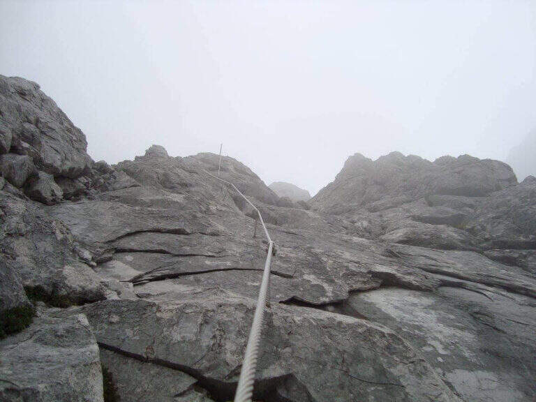
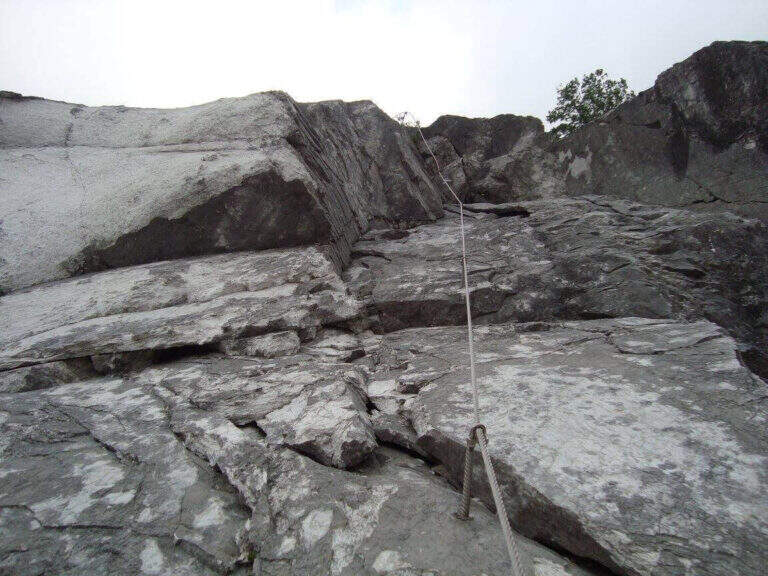
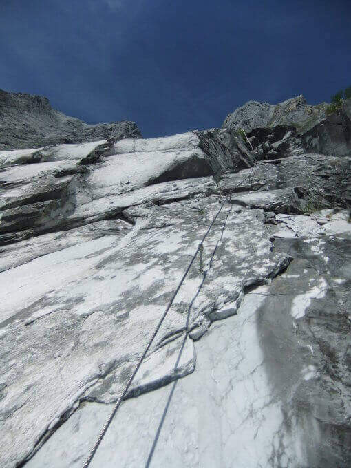
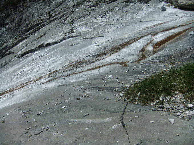
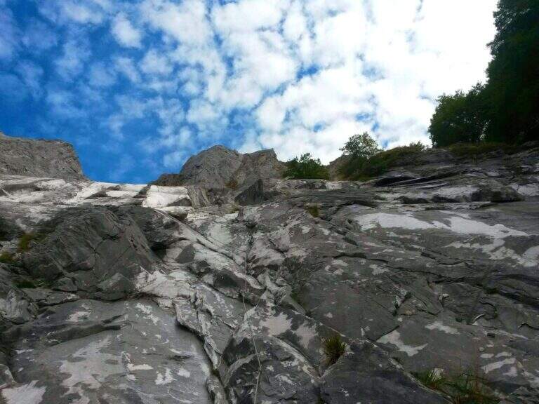
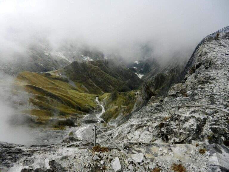
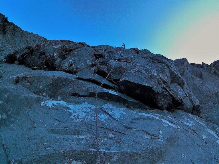
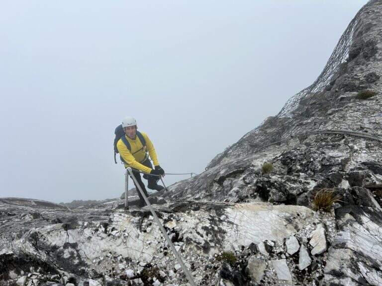
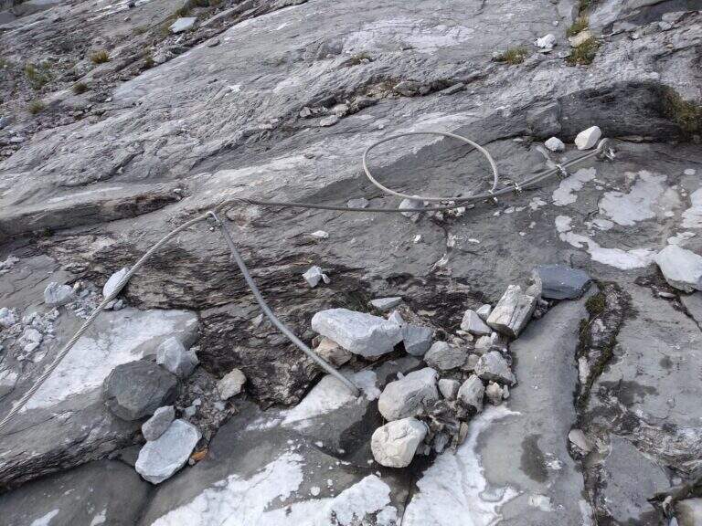
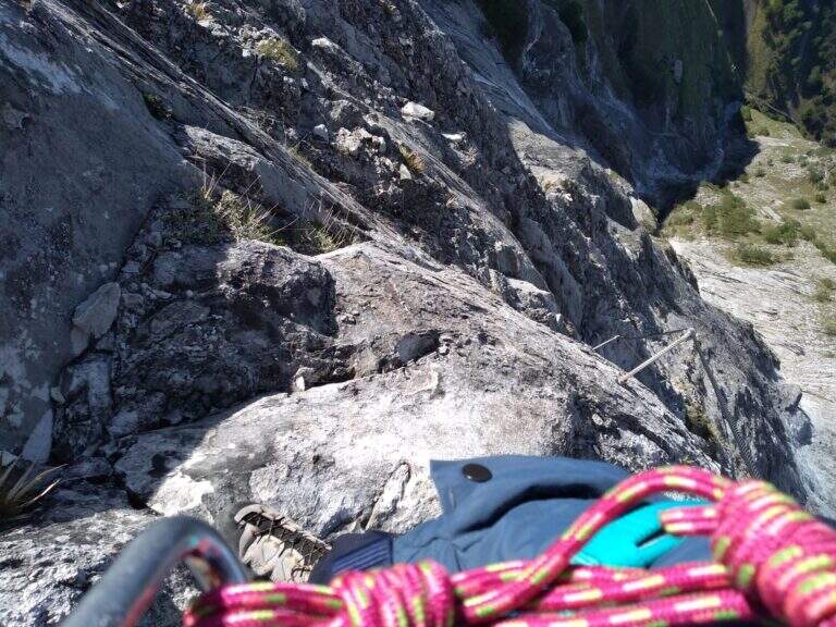
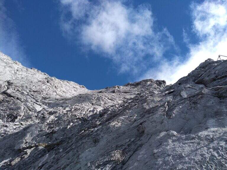
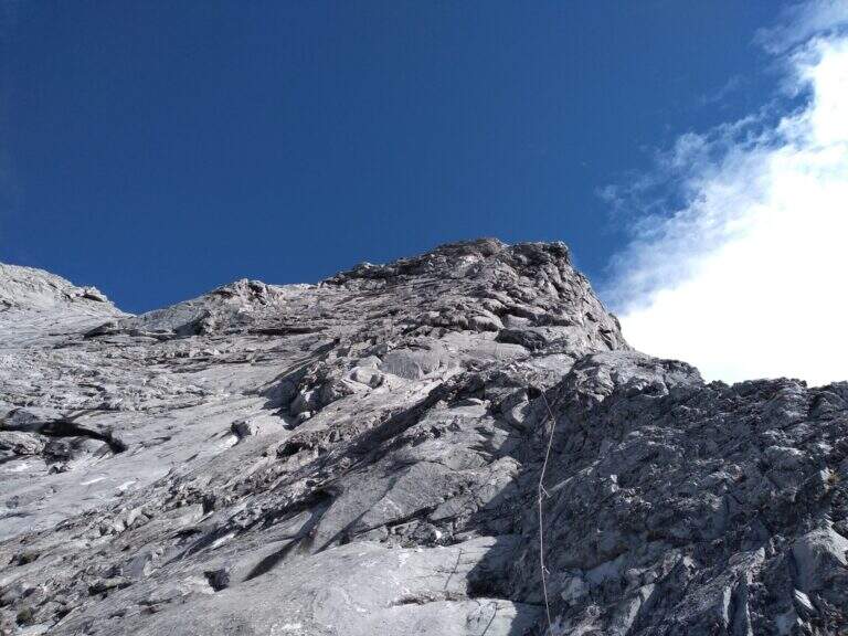
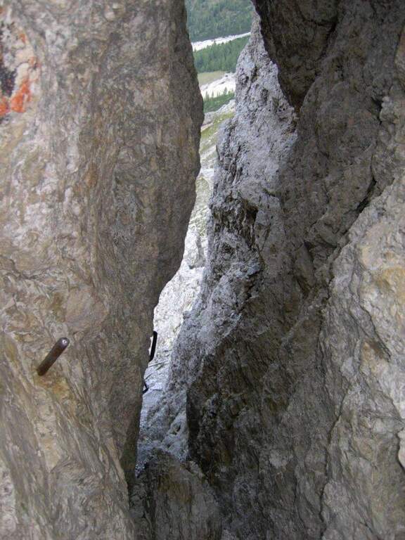
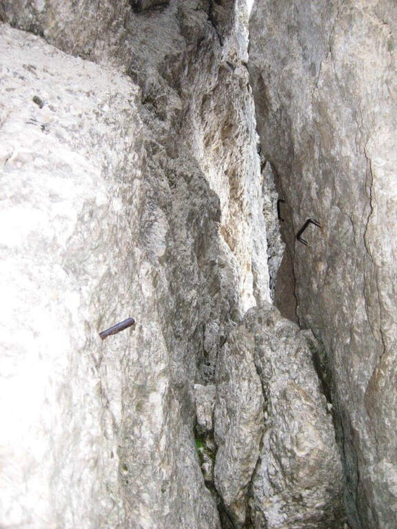
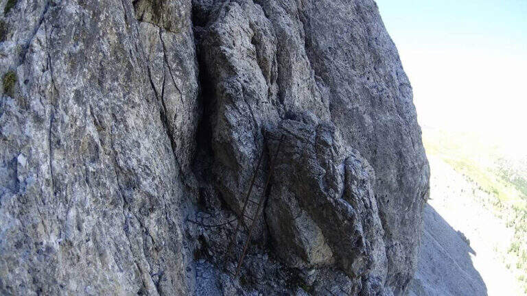
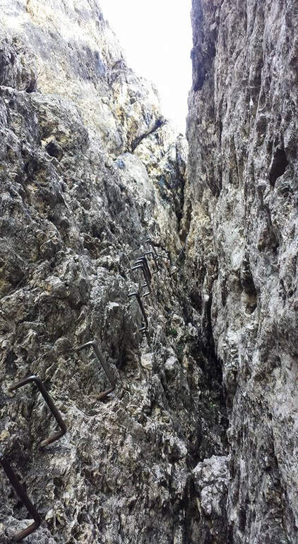
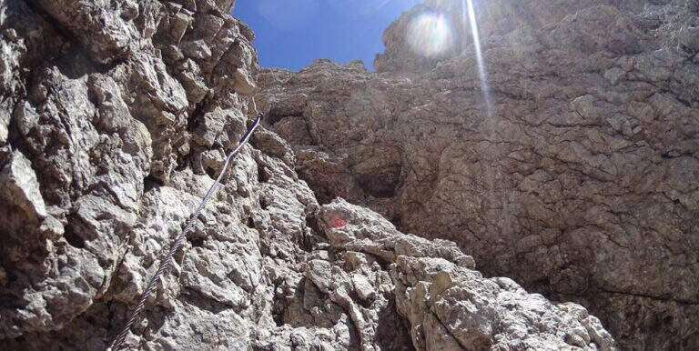
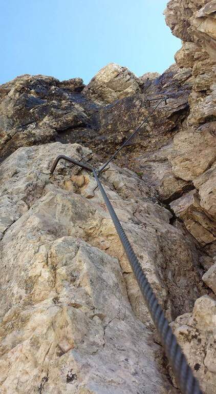
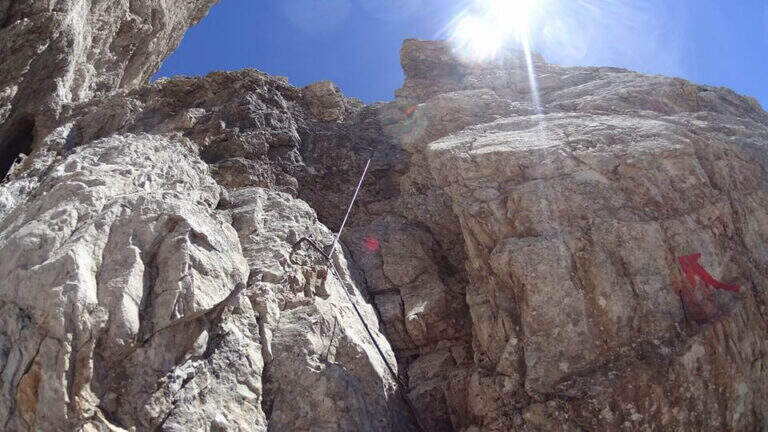
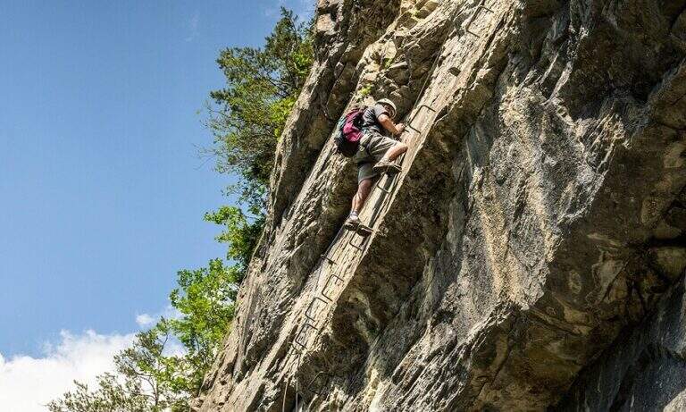
    New metal cable and numerous fixtures help on smooth rock passages. It rises on plates supported with some brackets, then an exposed but not challenging traverse overlooking the ' route. The ferrata is not continuous: in some places the cable leaves space to rocks and easy balconies. There is a narrow nod equipped with wooden catwalk, then alternating plaques and balconies and a'exposed sloped ramp to the right to the highest point of the road on the crest (3165 m). The cable then leads to the opposite side, going down for about 50 m towards the Vedretta of Nardis Orientale with uncomplicated climbing and a long set of fixtures, where the ferrata ends (30' from' attack). On this vedretta, in late season, the ramps usually do not serve; the main difficulty is l' orientation with poor visibility (pow omits and boils). Continue north-west along the valley to the plateau above the vedretta, from which you will find the Bivacco Orobica: to reach it a couple of delicate passages (a stretch equipped in descent and a cross exposed on friable bottom with wooden axles). From the bivouac (3382 m, 1h 30' from the end of the ferrata) follow the track on the left side of the crest to the summit of the Presanella (3558 m, 45' from the bivouac, 5h from the parking lot).

    ▲Character and difficulty

    Long itinerary, with significant difference in altitude and mountaineering character. The ferrata itself is difficult but short; the greater commitment is environmental. In the stretch between the Vedretta di Nardis and the Bivacco Orobica there are nails with mosquitoes useful for a sure with rope.

    ⚠ Need ramps and peak. Maximum attention in the crossing of the Vedretta di Monte Nero, also for the instability of stones. Start early: recommended overnight at the Segantini Refuge to reach the summit in the morning. Stable weather.
    ▲Period and safety

    Summer season with glacier under conditions. High mountain: evaluate snow, visibility and weather.

    ▲Discipline

    The return takes place backwards for the route (about 5h to the car, about 10h total).

    ▲To match

    Similar climbs in the area: Flower trail at Tonale, Ferrata Tabaretta all'Ortles e Cengles Croda Ferrata.
    ▲Gallery
    Technical data
    • DifficultyHard
    • RegionTrentino-Alto Adige
    • GroupAdamello-Presanella
    • Approach2:30 h
    • Ferrata0:30 h
    • Itinerary (a/r)10:00 h
    • Hardware level difference95 m
    • Route difference1558 m
    • Max3558 m
    • Length15,5 Km
  • Ferrata del Monte Emilius (Col Carrel)

    Ferrata del Monte Emilius (Col Carrel)

    Vie Ferrate › Aosta Valley › Aosta
    Ferrata del Monte Emilius (Col Carrel)
    Very difficult● OpenDescriptionComplexityMapsGallery

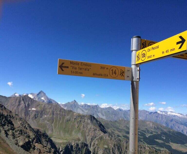
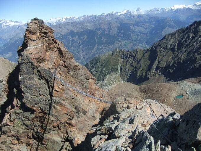
    The Ferrata del Monte Emilius crosses the north and north-west ridge of the top (3551 m) from the Colle Carrel: for length, environment and altitude difference should be considered one of the most challenging. It is a high mountain itinerary not to be underestimated, more than 16 km, which should be broken in two days with overnight stay at the Arbolle Refuge or the Federigo Bivacco.

    ▲Approach

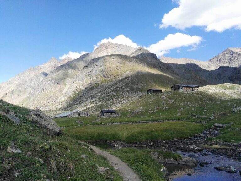
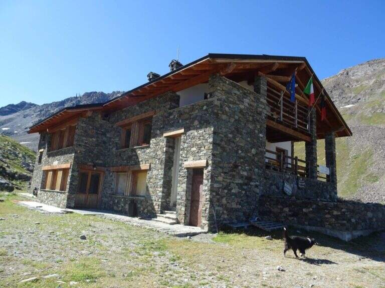
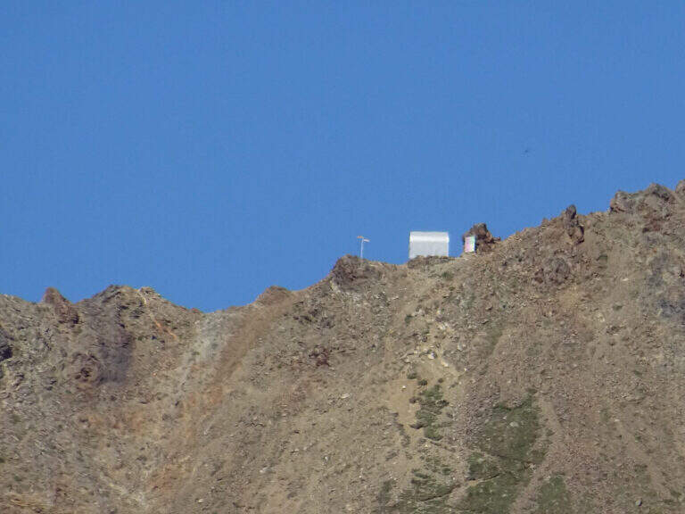
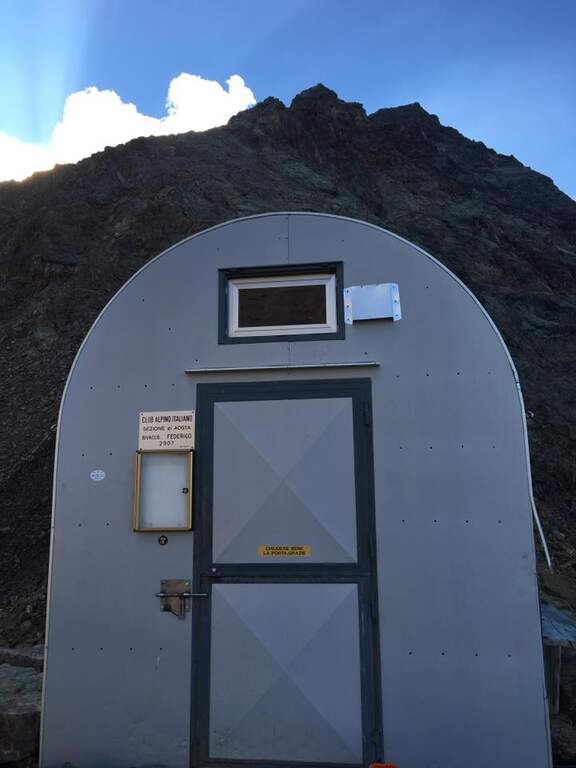
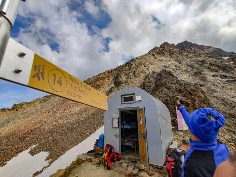
    From the Aosta-Pila mountain station, continue to Chamolé station (2300 m). Open road signs on Google Maps. Follow the path towards Refuge Arbolle (mark 19c then 19a uphill, then a hundred meters downhill in the Arbolle valley; 1h 30' from the upstream station). You should stay at the shelter. From there go down the path 14 (Vallone di Comboe) up to a crossroads where you keep the right on the paths 16c e 16a to the spartan Bivacco Federigo (2907 m), under the Colle Carrel (1h 30' from the refuge, 3h 45' total). The ferrata starts right behind the bivouac.

    ▲The path

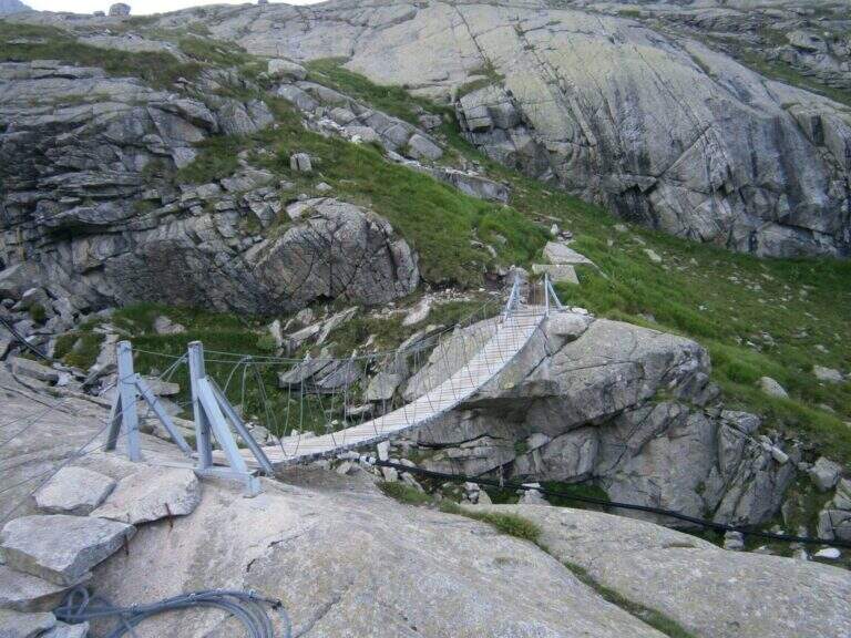
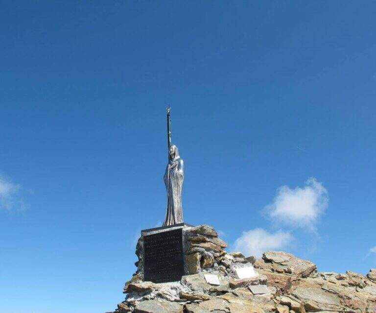
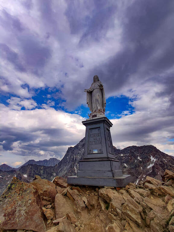
    From the bivouac follow the traces up to the' attack; the road takes place mainly on the crest wire. There are rocks and several exposed but not difficult traverses, up to a point where you disarrampica towards a suspended bridge very exposed, with wooden walkway for your feet. Beyond the bridge you reach the Mont Ross, from which you continue on the right side on sloped and exposed plates; here a via escape (cart) descends right towards Lake Gelato. The ferrata alternates along the crest path and vertical or exposed passages protected by cable and cambre, along beautiful granite plaques, up to the Petit Emilius (3342 m). Always holding the right of the wire you pass the steps and a vertical section with metal fixtures where there can be a snowmaker even in late season (better to have the ramps). A last rocky highlight leads to the final ridge and, in about ten minutes, to the top madonnine (3551 m, 4h 30' from the bivouac, 7h 30' total).

    ▲Character and difficulty

    Excellent and well positioned equipment, but it is a ferrata to be considered as part of a long, challenging and fulfilling alpine itinerary. At the end of the road, attention is paid to some unprotected sections on rock not always stable.

    ⚠ Until at least at the end of July bringing ramps and peak: it is not unusual to find snow at altitude, where safety equipment can be unusable. A stable weather is indispensable. The cable car closes relatively early in summer: prohibitive route in one day, better in two.
    ▲Period and safety

    Full summer with snow absent or manageable at altitude. High mountain: assess conditions, plant and weather times.

    ▲Discipline

    From the top you descend along the normal road to the Passo dei Tre Cappuccini, along the Gelato Lake and continue until the Rifugio Arbolle (2h 30' from the top, 10h total). From the refuge, back to the path of approach to the cable car (1h from the refuge, 11h total).

    ▲To match

    Staying in Arbolle, on the return you can walk the simplest but panoramic Sentiero Attrezzato Panorama. Other itineraries in Valle d'Aosta: Ferrata del Gran Paradiso, Ferrata al Bivacco Borelli e Ferrata delle Crete Seche.

    ▲Gallery
    Technical data
    • DifficultyVery difficult
    • RegionAosta Valley
    • GroupMonte Emilius
    • Approach3:00 h
    • Ferrata4:30 h
    • Itinerary (a/r)11:00 h
    • Hardware level difference750 m
    • Route difference1250 m
    • Max3551 m
    • Length16,4 Km
  • Ferrata Monte Contrario

    Ferrata Monte Contrario

    Vie Ferrate › Tuscany › Massa-Carrara
    Ferrata Monte Contrario
    Very difficult● OpenDescriptionComplexityMapsGallery

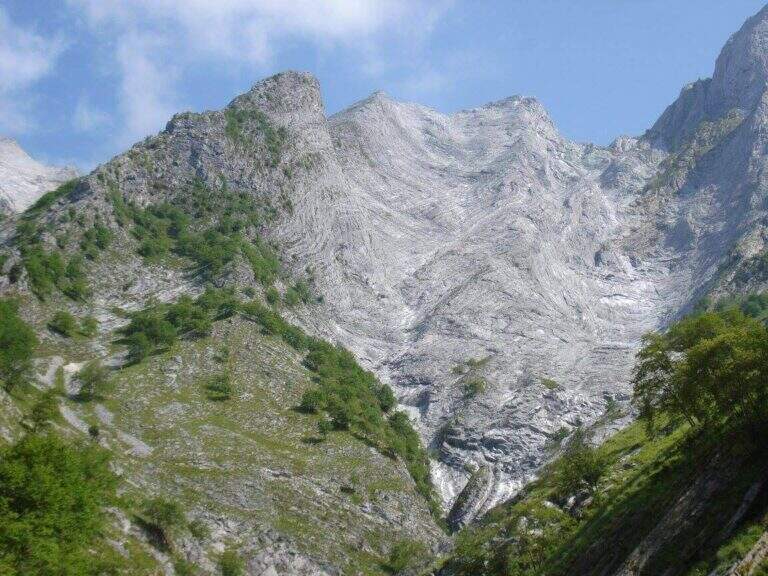
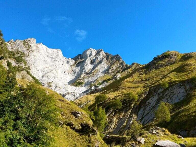
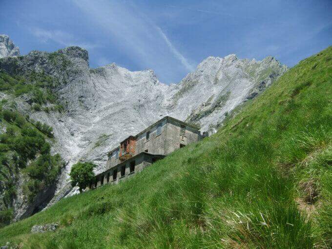
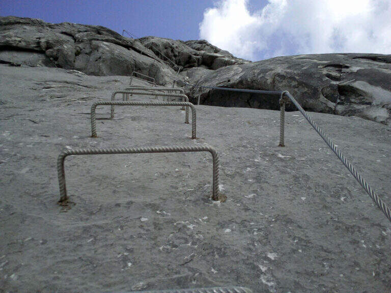
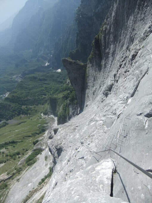
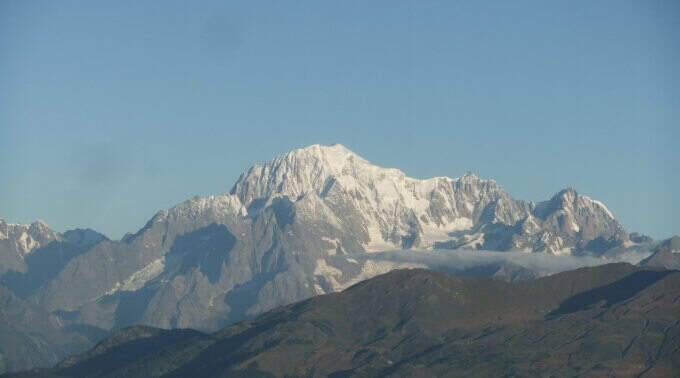
    Recent and technical, the Ferrata del Monte Contrario dates back to the southern wall of the homonymous summit until near the Passo delle Pecore: it is the technically more difficult ferrata of the Apuan Alps, inserted in a long and tiring itinerary both uphill and returning.

    ▲Approach

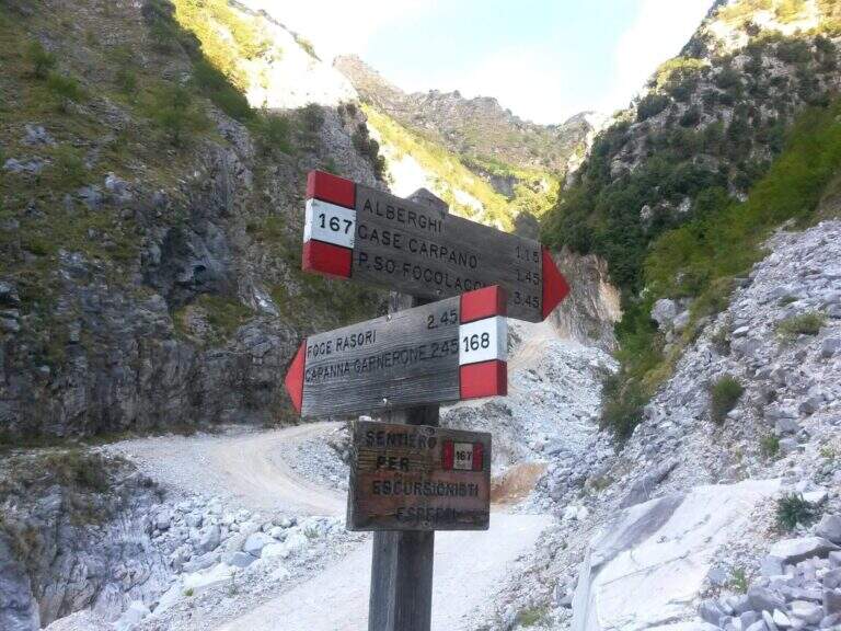
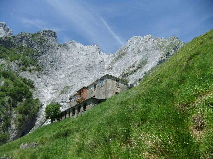
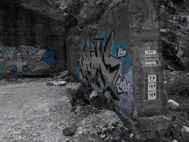
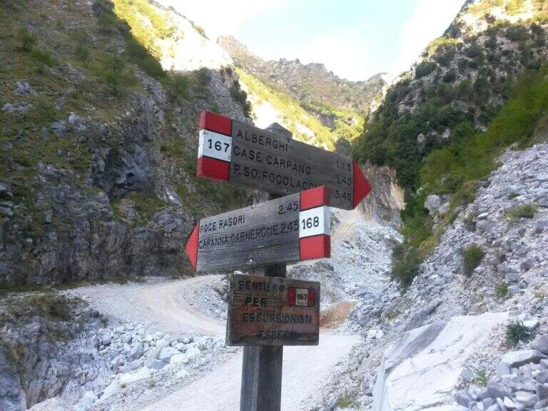
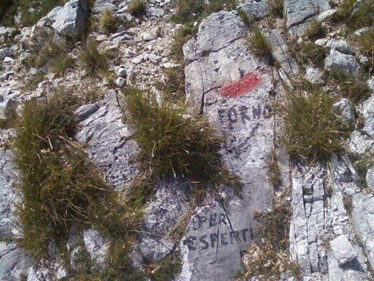
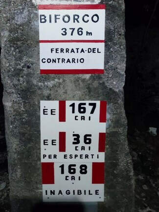
    Starting from the locality Biforco, near Forno: from the toll of Massa (A12) you go up the Via Bassa Tambura; in Biforco l' asphalt ends in front of a bar, where the marble road begins. Open road signs on Google Maps. From Biforco take uphill the paths CAI 167-168 along the Canal Fondone; after about a kilometer take the CAI 167 towards the Valley of the Hotels. The path climbs steep under l' imposing south wall; passed an abandoned building (former cave workers' dwelling) continues on track, omits and wooden poles until all' attack, after a last tiring tear (2h from the parking lot).

    ▲The path

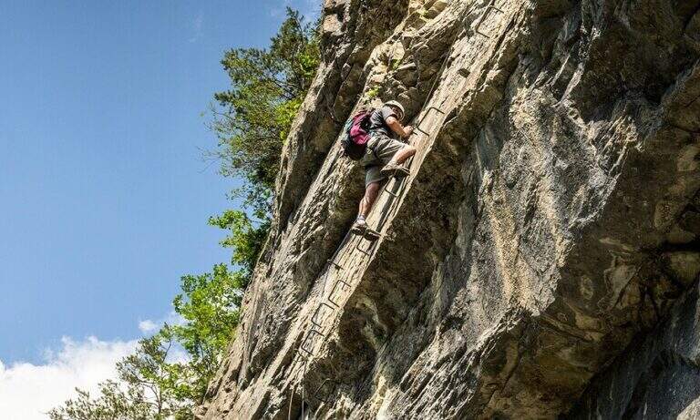
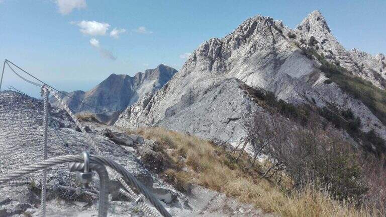
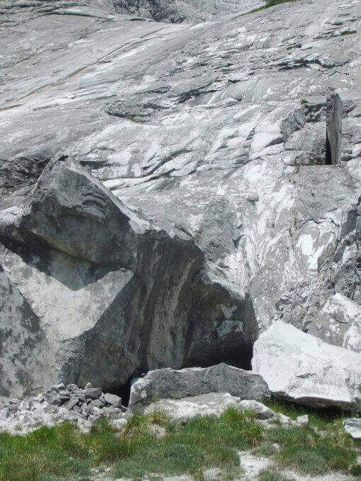
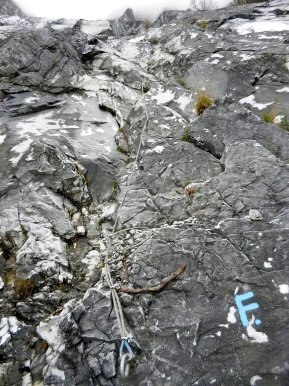
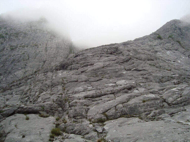
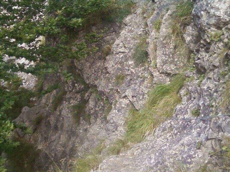
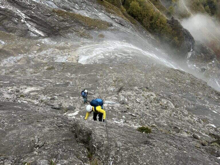
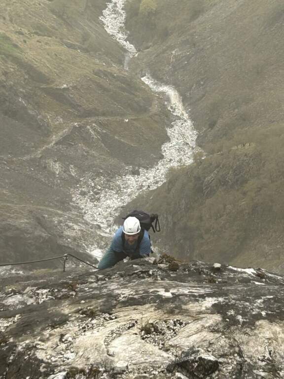
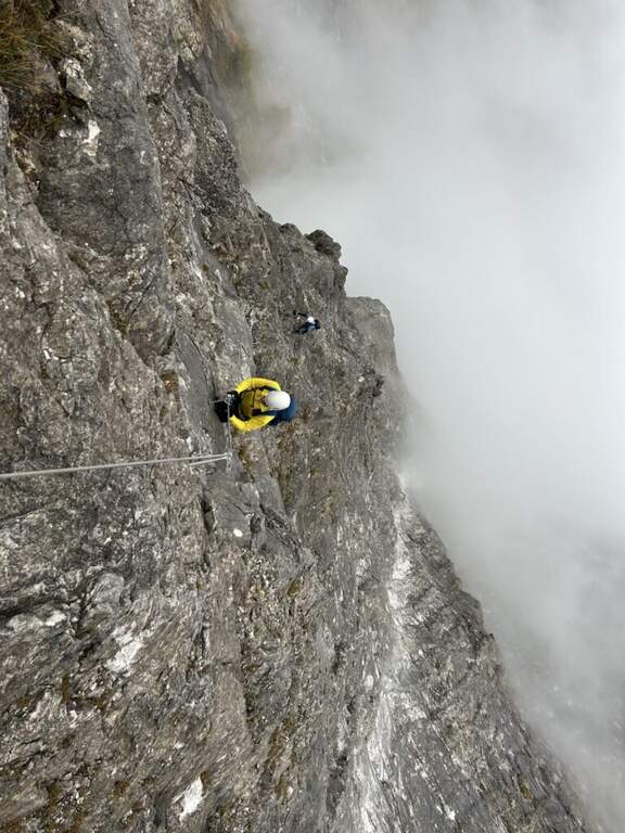
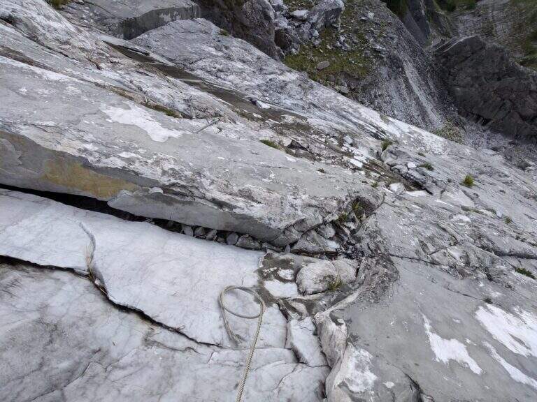
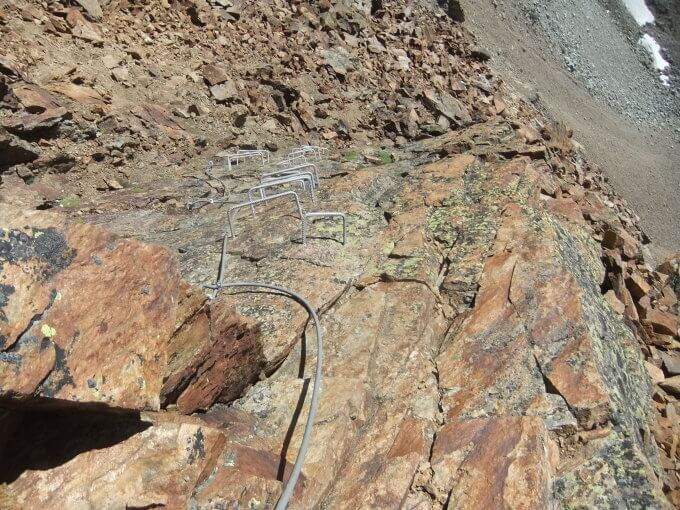
    The ferrata starts on a long slanted slab, to be climbed into the grip using natural hooks and, where it serves, the chain, up to a small terrace where the cable ends momentarily. The second section increases slope and exposure along the approximately 400 meters of altitude difference: in the lower part there are good natural sticks, while in the upper part the rock becomes smoother and, in the absence of good climbing skills, are comfortable some artificial hooks. The last walls rise and the street ends after a paramassive network (2h 30' from the attack, 4h 30' from the parking lot).

    ▲Character and difficulty

    It is the most difficult from the technical point of view among the Apuan ferrates: the level is not prohibitive uphill, but rock and exposure impose caution. To be faced with caution in the summer months: the not high altitude and exposure to the south can make the climb very warm.

    ⚠ Both return options are challenging, steep and exposed: to avoid in bad weather. The descent via Grondilice / Foce dei Rasori (CAI 168) is currently chiusa by order and indicated as inagibile by CAI signs; use the descent of Pradacetti.
    ▲Period and safety

    Better than half seasons or days does not towers. Stable time indispensable given the steepness of the return paths.

    ▲Discipline

    At the end of the ferrata turn left towards Grondilice. Recommended option: in about 20' you reach the Sella dei Pradacetti, from which a steep and exposed path descends in about 2h 30' to the Valley of the Hotels and, along the CAI 167, back to Biforco (3h 45' from the end of the ferrata, about 8h 30' total). The second option (CAI 186 at Grondilice Window, Rasor Foce and CAI 168 along the Fondone Canal) is currently not recommended and closed by order.

    ▲To match

    The length of the itinerary precludes concatenaments in the day. A valid option is to stay at the Orto refuges of Donna or Donegani and to face another excursion the following day.

    ▲Gallery
    Technical data
    • DifficultyVery difficult
    • RegionTuscany
    • GroupApuan Alps
    • Approach2:00 h
    • Ferrata2:45 h
    • Itinerary (a/r)8:00 h
    • Hardware level difference587 m
    • Route difference1270 m
    • Max1625 m
    • Length11 Km
  • Ferrata delle Mesules (Pößnecker)

    Ferrata delle Mesules (Pößnecker)

    Vie Ferrate › Trentino-Alto Adige › Trento
    Ferrata delle Mesules (Pößnecker)

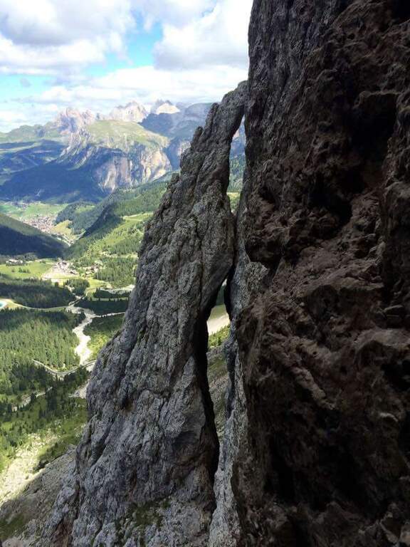
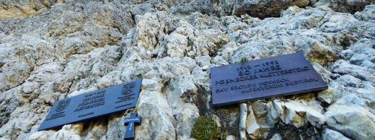
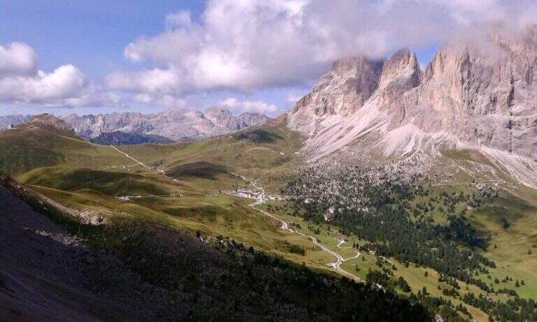
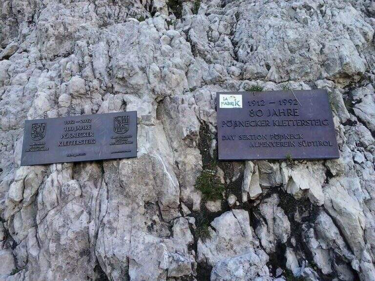
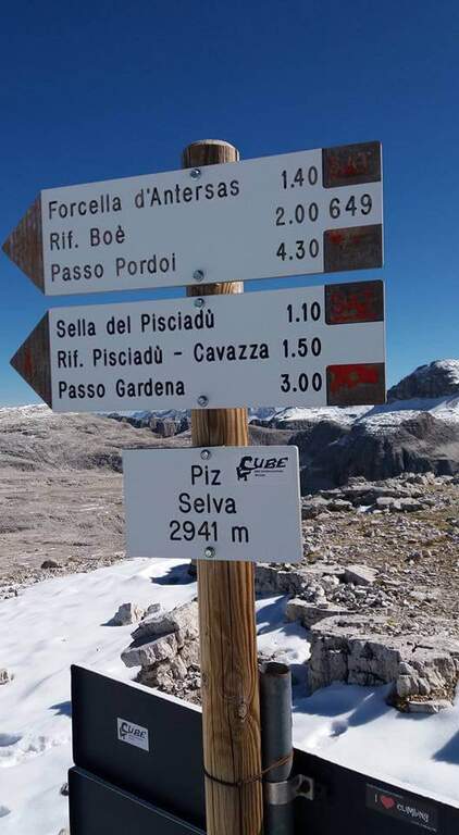
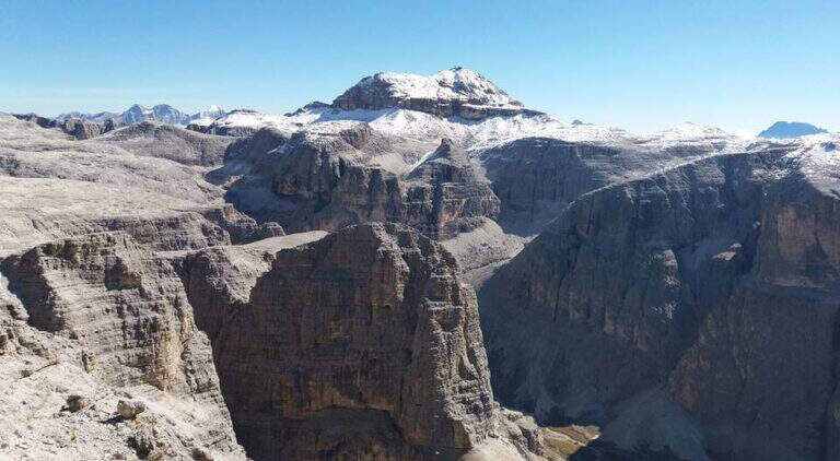
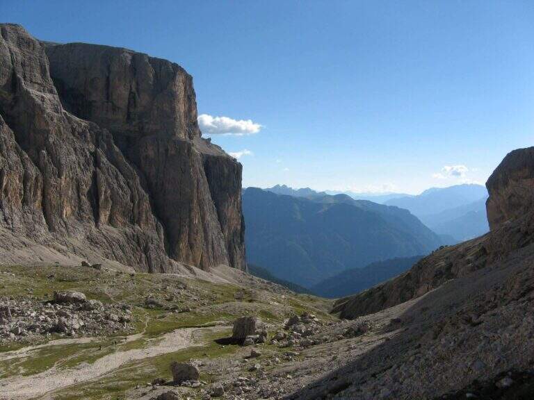
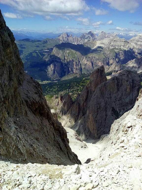
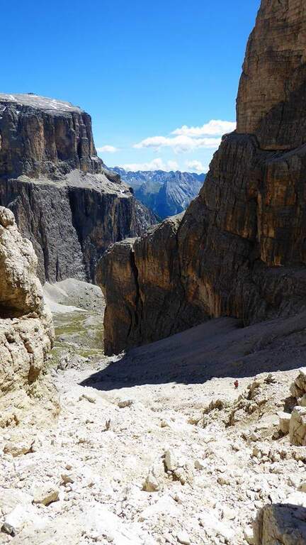
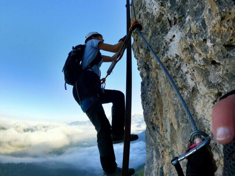
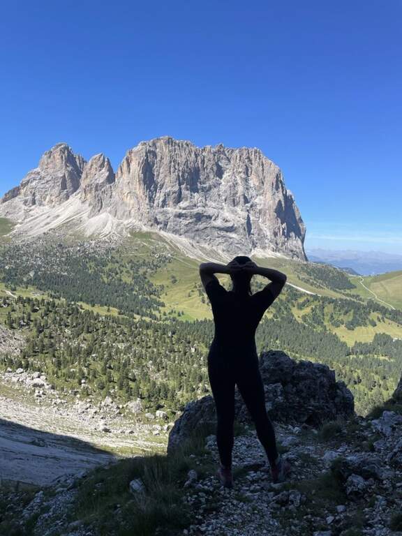
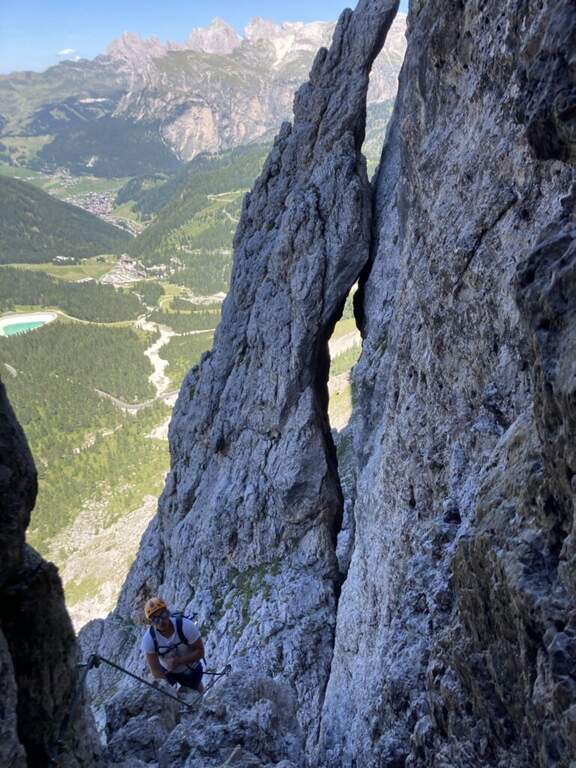
    La Ferrata delle Mesules — storica Pößnecker Klettersteig del 1912 — risale il versante occidentale del Gruppo Sella fino al Piz Selva (2941 m). È un itinerario lungo, tecnico e vario, con alcuni punti chiave non protetti che richiedono piede fermo e assenza di vertigini, immerso in un panorama a 360 gradi sui grandi gruppi dolomitici di Val di Fassa e Val Gardena.

    ▲Approach

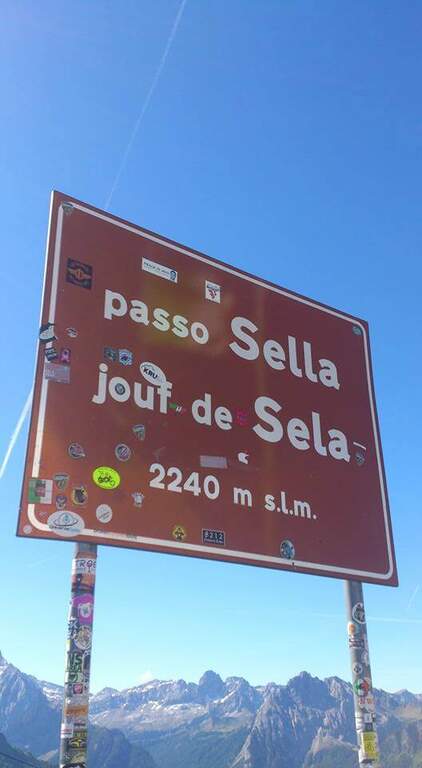
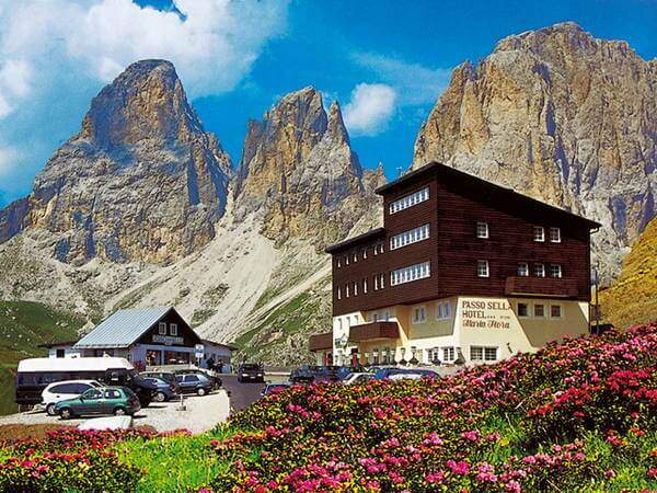
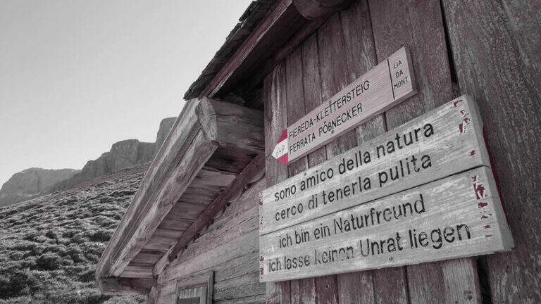
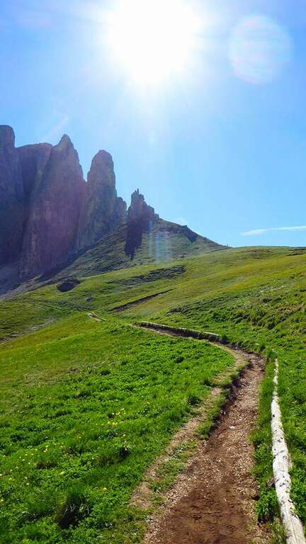
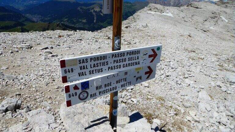
    Si parte dal Passo Sella, tra Val di Fassa e Val Gardena. Conviene lasciare l'auto sul versante della Val di Fassa, nei pressi dell'Albergo Maria Flora: così si imbocca direttamente il sentiero d'attacco e ci si ritrova allo stesso versante al rientro. Open road signs on Google Maps. Dal parcheggio si segue il segnavia CAI 649 verso nord-est, in direzione delle Torri del Sella: prima su prato, poi su fondo detritico con pendenza crescente fino all'attacco (2290 m, 30' dal parcheggio).

    ▲The path

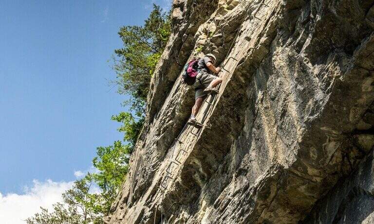
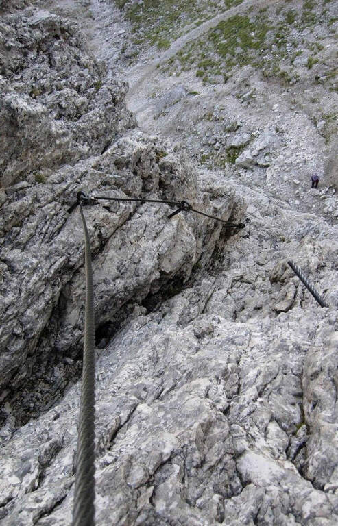
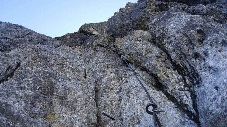
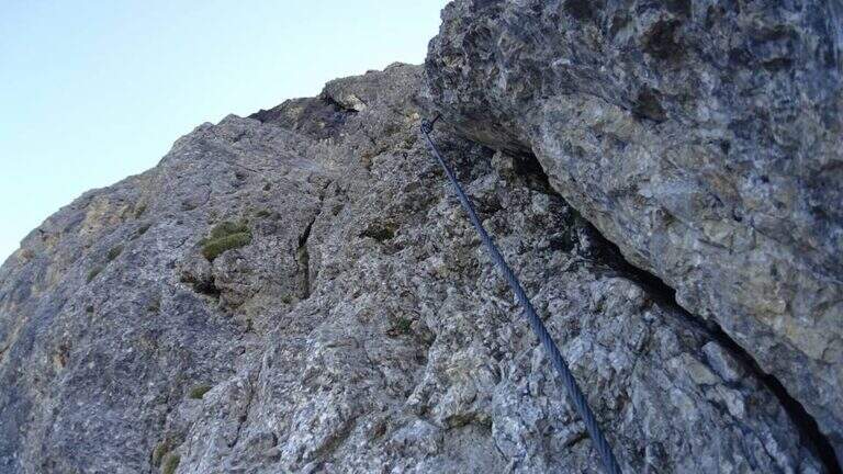
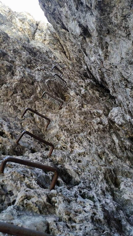
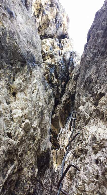
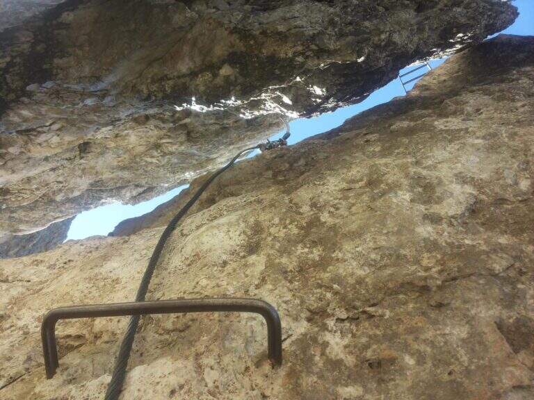
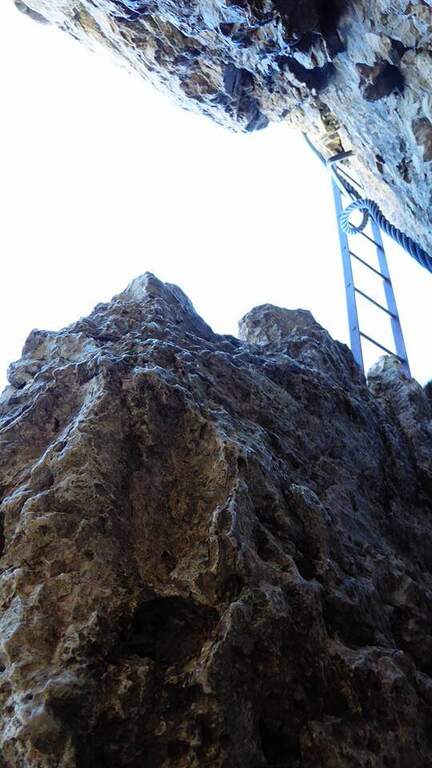
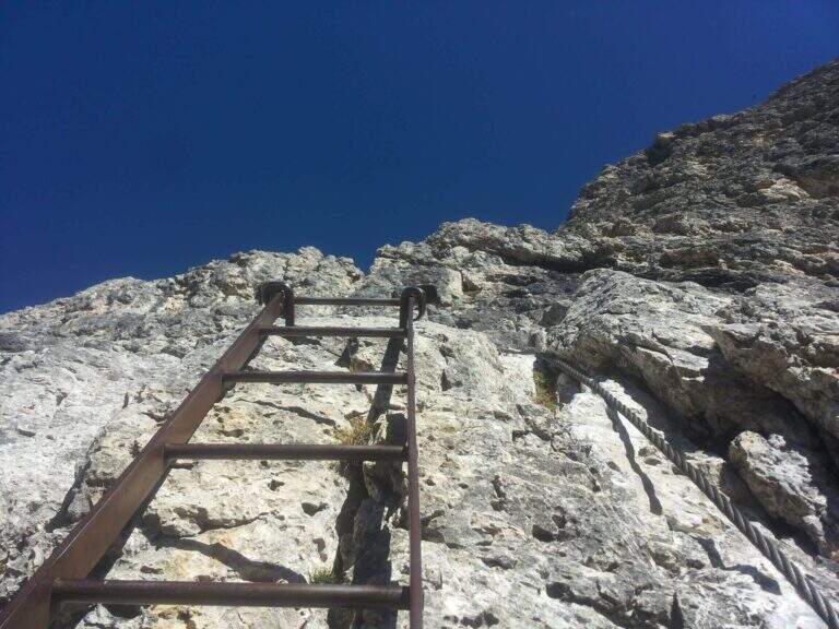
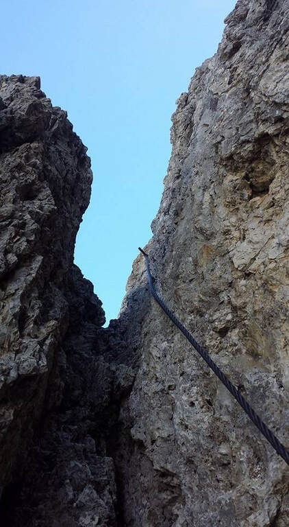
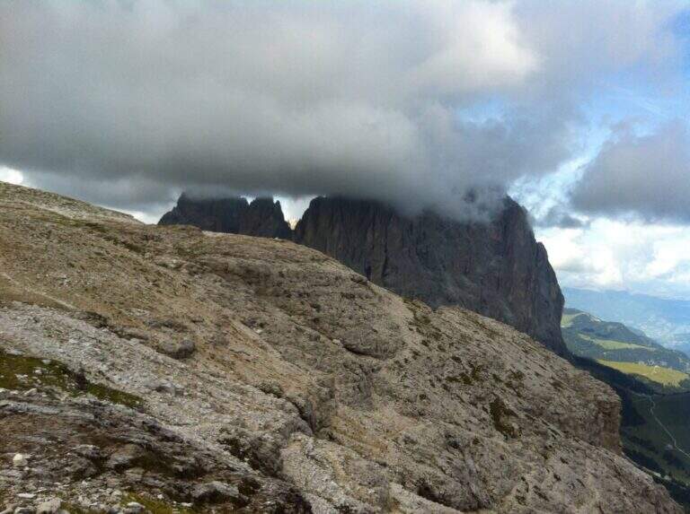
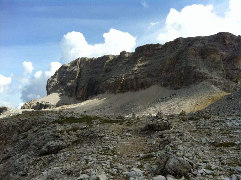
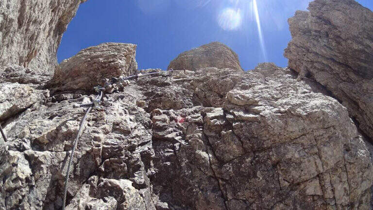
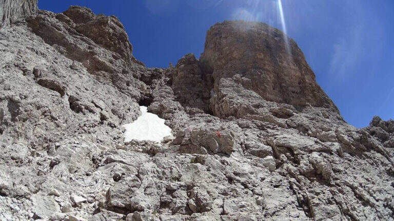
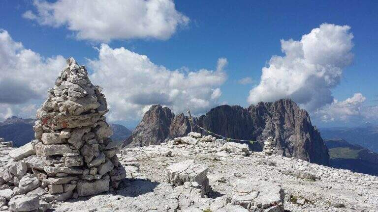
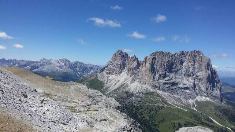
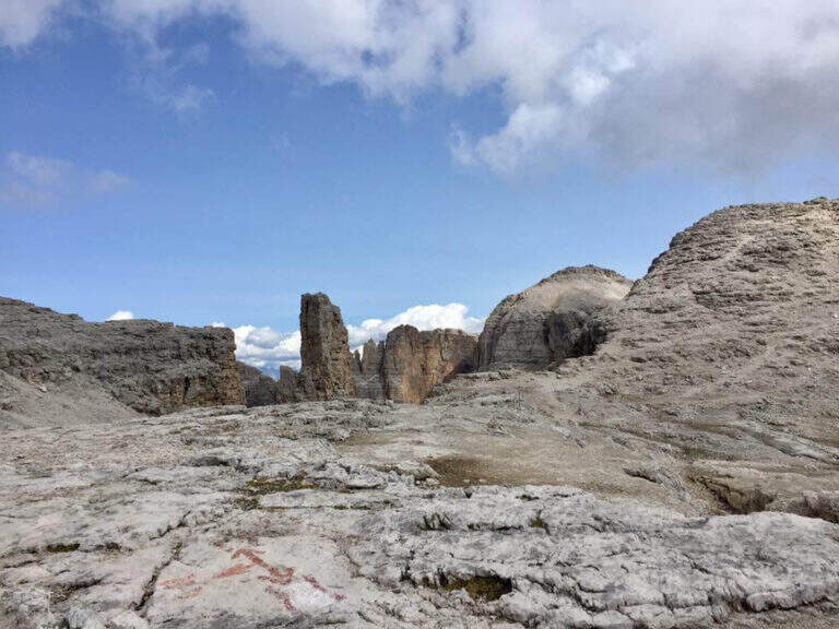
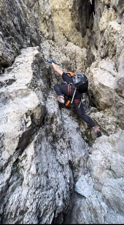
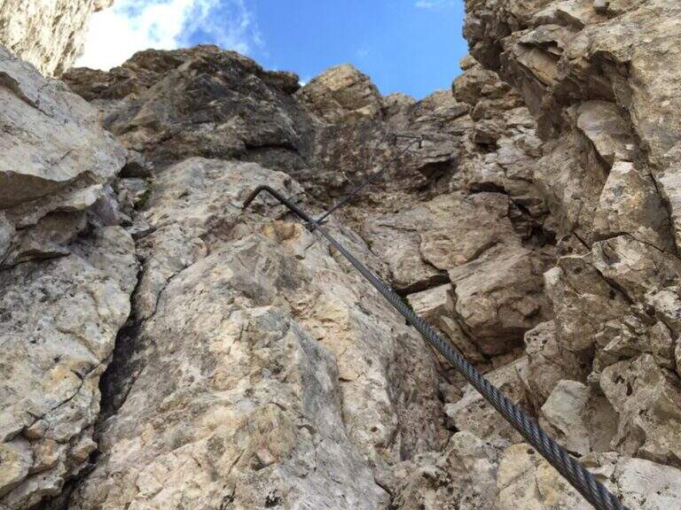
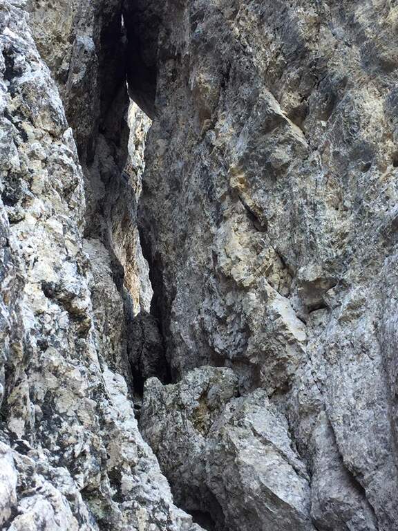
    L'attacco è stato modificato rispetto al tracciato originale e oggi è considerato più difficile. Superate le prime roccette non protette si entra nel primo di una lunga serie di camini, su parete appoggiata verso sinistra; pochi chiodi segnalano l'aumento di difficoltà e la riduzione degli appigli. Si alternano tratti verticali e diagonali con una fessura d'appoggio fino a un terrazzino. Qui inizia la sezione più impegnativa: ci si addentra in un anfratto risalendo roccette di I grado fino a un passaggio di II grado in spaccata, non protetto da fune, da affrontare con buon piede, cercando gli appoggi e aiutandosi con le mani su entrambi i lati dell'anfratto per superare un masso fino ad alcune staffe. Si scende qualche metro alla prima scaletta, da cui ci si gira a osservare il tratto appena salito. Dopo una seconda scaletta arriva l'altro punto chiave: uno stretto camino con staffe (prima a sinistra), unica assicurazione perché manca la fune; nella parte alta le staffe passano sul lato destro e occorre girarsi su sé stessi (manovra ostica con zaino voluminoso), per uscire poi a sinistra su due pioli in un passaggio molto aereo e prendere una scaletta poco stabile. Si sale una parete levigata, quindi un facile camino con buoni appoggi e staffe; brevi tratti orizzontali e roccette chiudono le attrezzature. Si entra in un vallone che si risale su traccia, si superano altri facili tratti attrezzati e un sentiero esposto a mezzacosta verso destra fino all'Altopiano delle Mesules. Un sentiero di collegamento porta sotto l'ultima sezione: una cengia esposta, balzi rocciosi ben appigliati e passaggi solo a tratti attrezzati conducono alla vetta del Piz Selva (2941 m), affacciata sul Sassolungo (3h dall'attacco, 3h 30' totali).

    ▲Character and difficulty

    Escursione ad ampio respiro, dal carattere alpino, riservata a ferratisti esperti e preparati. I due passaggi chiave della prima sezione (max II grado) non sono protetti: le difficoltà sono soprattutto psicologiche, per l'esposizione e per gli spazi angusti. Il lungo camino richiede agilità nella parte alta e sconsiglia zaini ingombranti.

    ⚠ L'Altopiano delle Mesules è selvaggio e isolato, senza punti d'appoggio: con nebbia il rischio di perdere l'orientamento è concreto. Percorrere la via solo con previsioni di tempo stabile. Per uscire dal camino può servire un rinvio o una fettuccia per agganciare lo zaino all'imbraco e riuscire a girarsi.
    ▲Period and safety

    Piena estate, con meteo stabile: l'itinerario è lungo (16 km, 7h 45' complessive) e si svolge a quasi 3000 m senza punti d'appoggio. Buona pianificazione e partenza mattutina.
    ▲Discipline

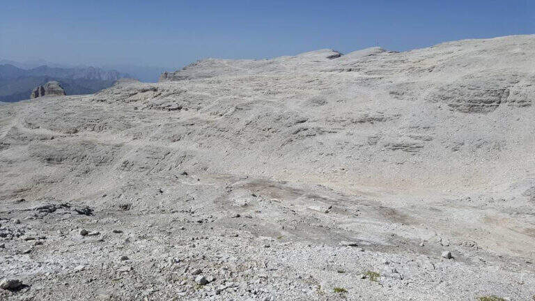
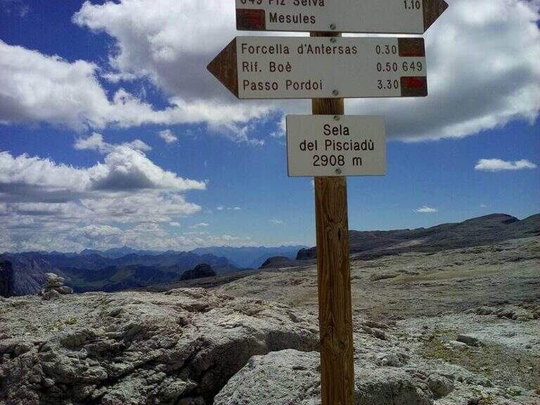
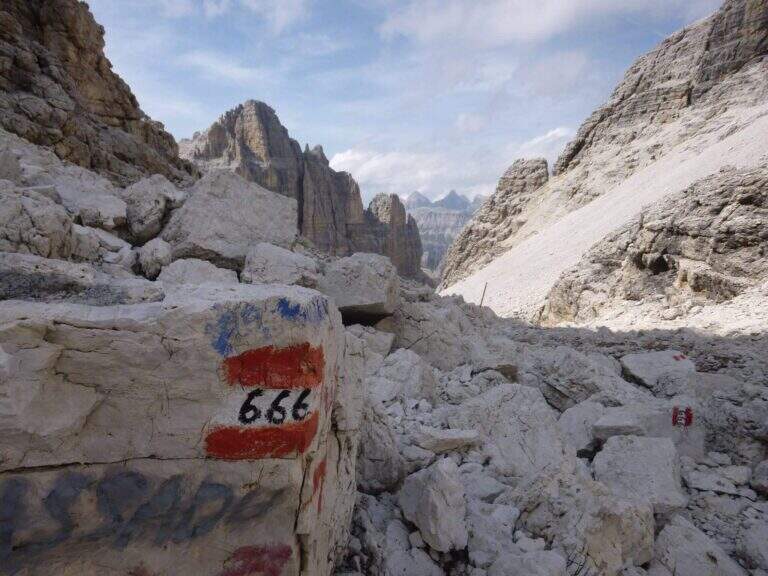
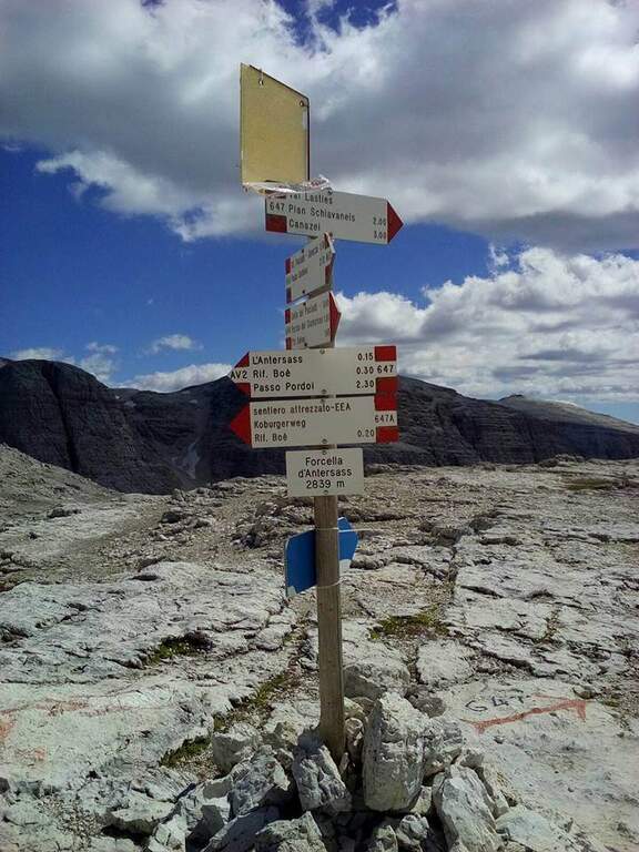
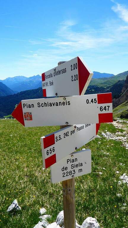
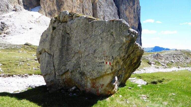
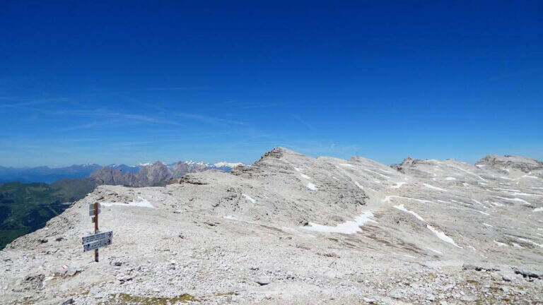
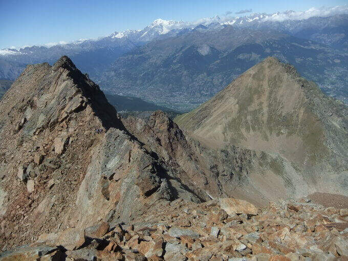
    Dal Piz Selva si percorre il lungo e brullo Altopiano delle Mesules verso nord-est seguendo i radi segni del CAI 649 fino al Piz Miara (2964 m). Da qui l'opzione normale prosegue sul 649 perdendo leggermente quota: si ignorano i bivi col 767 (Rifugio Pisciadù) e col 666 (Val de Tita) fino alla Forcella dell'Antersass (2842 m, 1h 15' dalla vetta). Si prende a destra il sentiero 647 che cala nella Val de Lasties fino al Pian di Sella (2283 m, 2h 30' dalla vetta), poi indicazioni e tratto asfaltato fino al Passo Sella (4h dalla vetta, 7h 30' totali). Solo per esperti, un canalone non segnato sotto il Piz Miara (labili tracce, un paio di tratti attrezzati) scende diretto nella Val de Lasties risparmiando circa 1h 30'.

    ▲To match

    Sul Gruppo Sella, raggiungibili in breve in auto: Ferrata Piazzetta, Ferrata Tridentina, Ferrata del Piz da Lech e Ferrata del Vallon; vicino al Passo Sella la Ferrata Schuster al Sassopiatto e la Ferrata at the Col Rodella.

    ▲Gallery
    Technical data
    • DifficultyHard
    • RegionTrentino-Alto Adige
    • GroupGruppo del Sella
    • Approach0:30 h
    • Ferrata3:00 h
    • Itinerary (a/r)7:45 h
    • Hardware level difference650 m
    • Route difference700 m
    • Max2973 m
    • Length16 Km
Need help? Write to us!