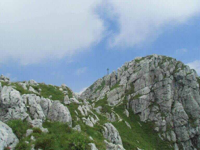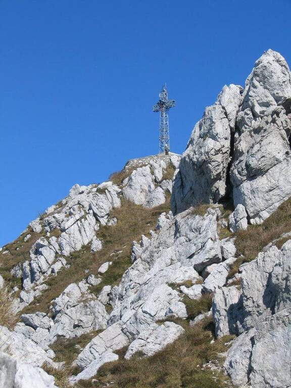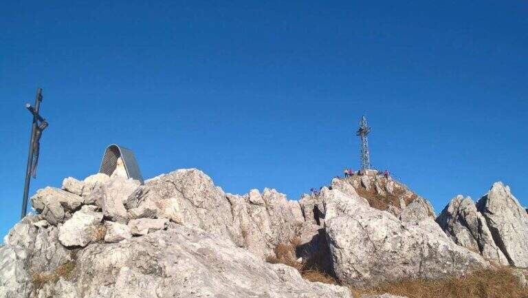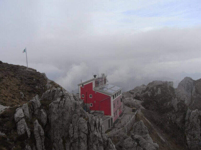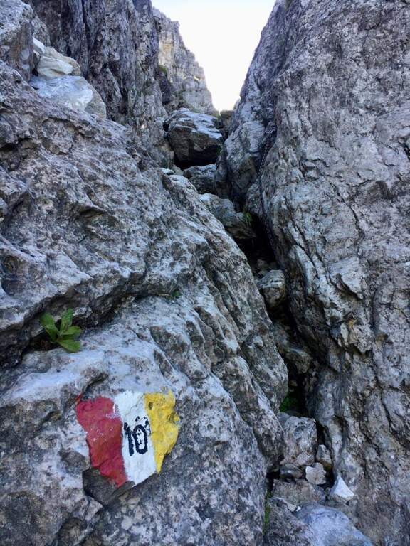
Caratteristica: Possibile concatenamento

  • Sentiero Attrezzato Carlo Villa al Canale Bobbio

    Sentiero Attrezzato Carlo Villa al Canale Bobbio

    Vie Ferrate › Lombardia › Lecco
    Sentiero Attrezzato Carlo Villa al Canale Bobbio
    Moderately Hard● OpenDescriptionComplexityMapsGallery

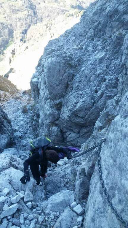
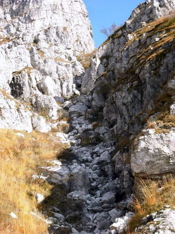
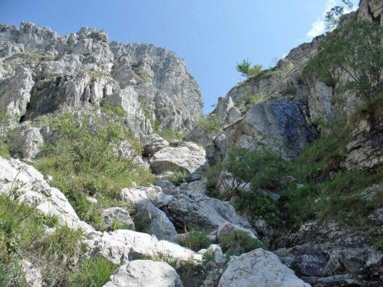
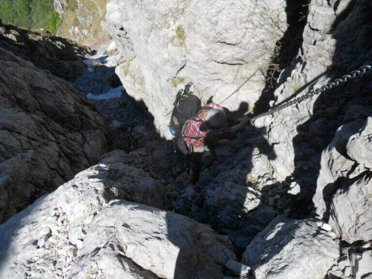
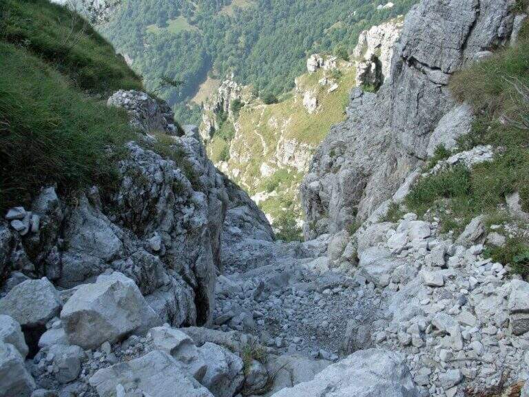
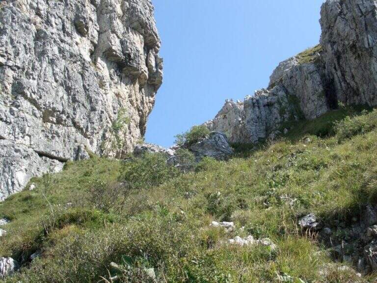
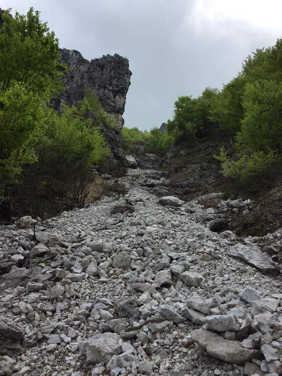
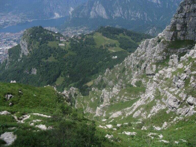
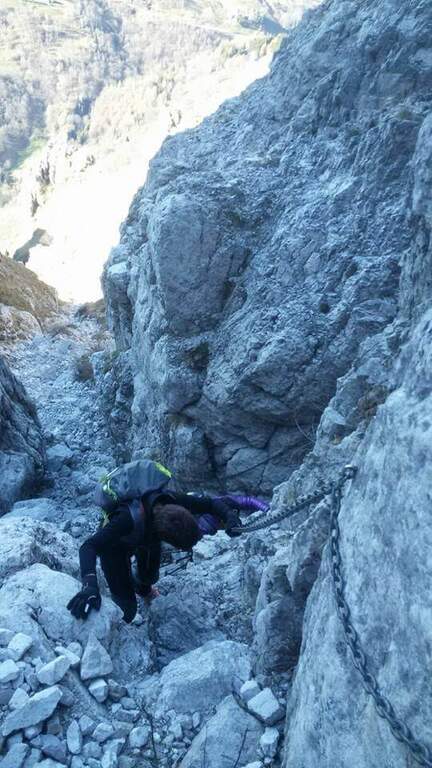
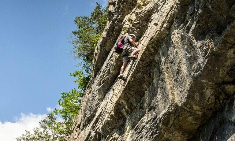
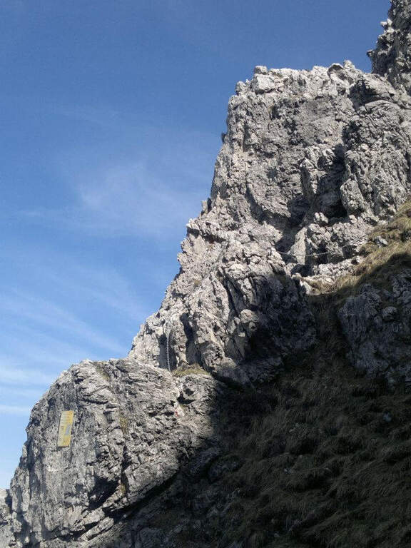
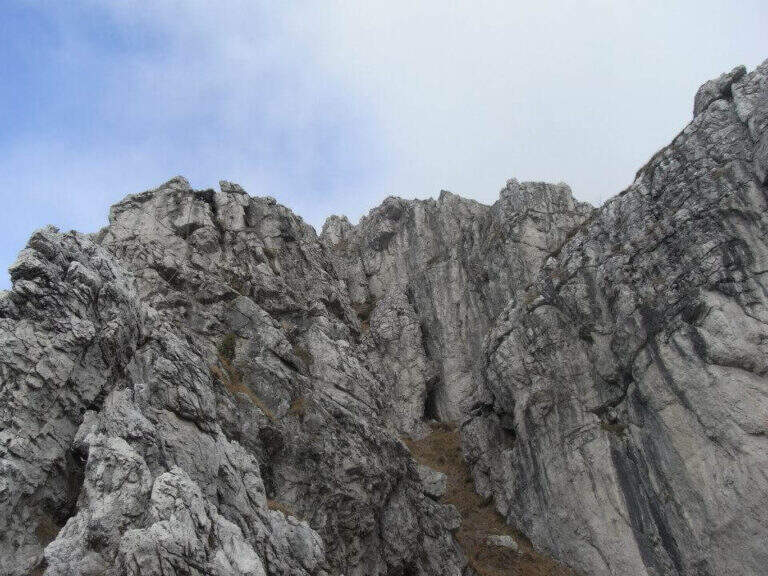
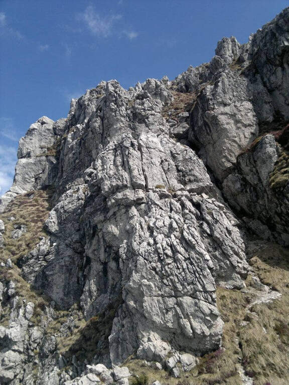
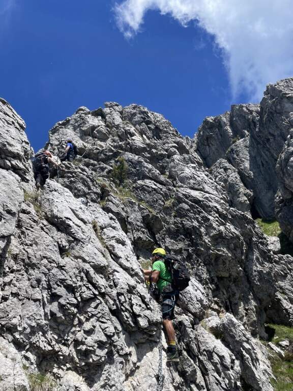
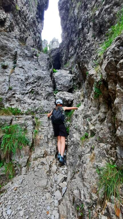
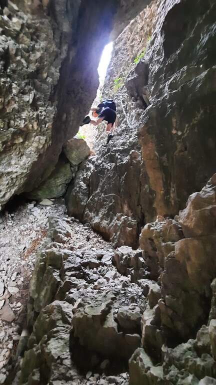
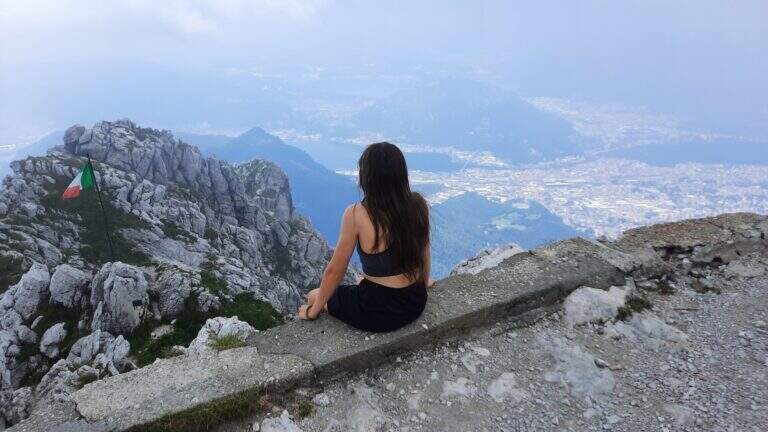
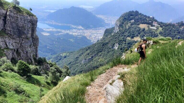
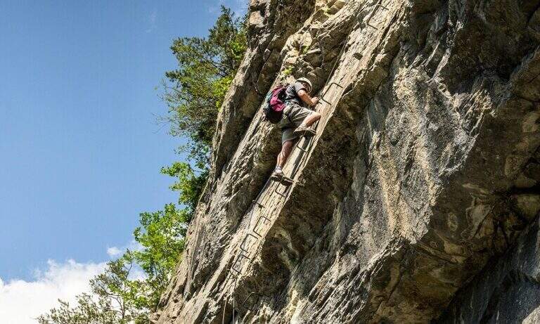
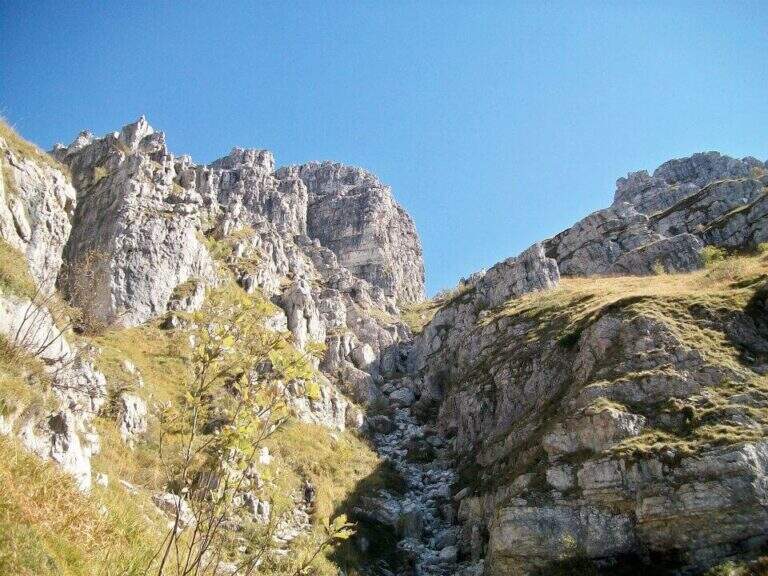
    Il Sentiero Attrezzato Carlo Villa al Canale Bobbio connects the Piani d'Erna to the crest of the Resegone, going up a suggestive channel with some exposed sections equipped. It is accessible in both directions and easily connected to the other routes of Resegone.

    ▲Approach

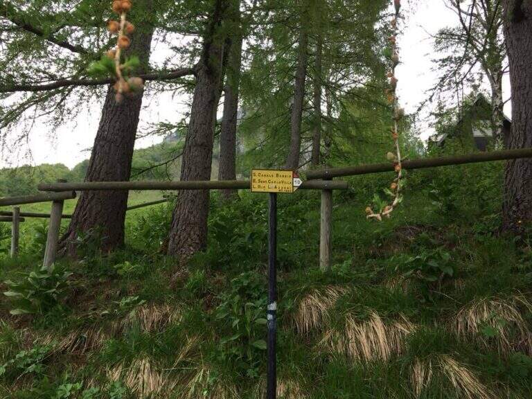
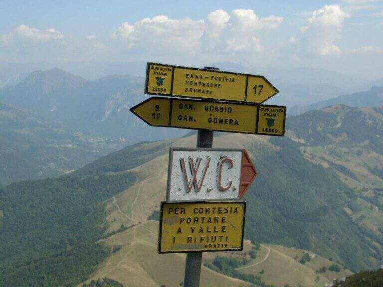
    Starting from the ' wide square of the funivia for the Plans d'Erna in Lecco (from the highway Lecco–Ballabio, exit «Piani d'Erna», between the hairpin bends to the square). Open road signs on Google Maps. It can be arranged; climb to Piani d'Erna in three ways: with the funivia, walk to Stoppani Refuge, or with the long but not difficult Ferrata Gamma 1. From Piani d'Erna descends to the Bocche d'Erna and follow the signs for the Sentiero 10, uphill on dirt road to some houses; from here, to the right (cartel), the path enters the forest where the actual route begins (20' from Piani d'Erna).

    ▲The path

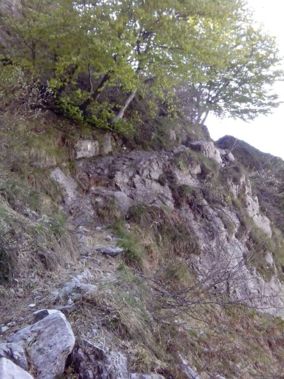
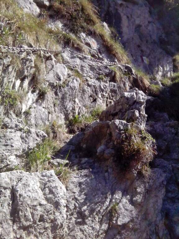
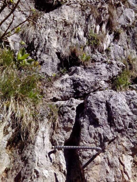
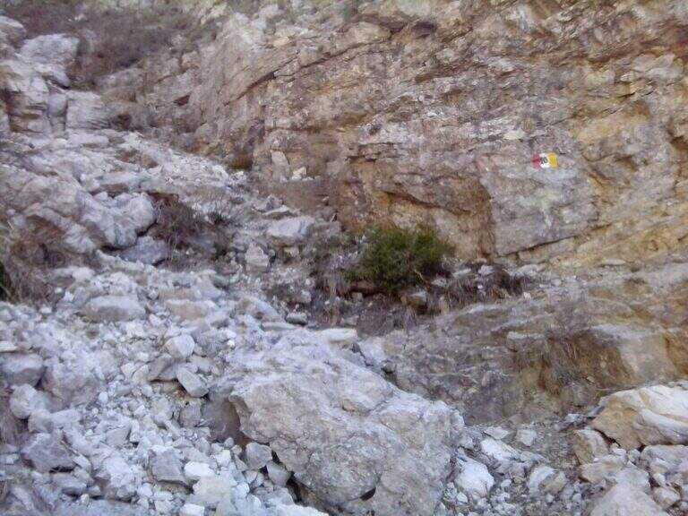
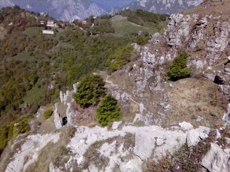
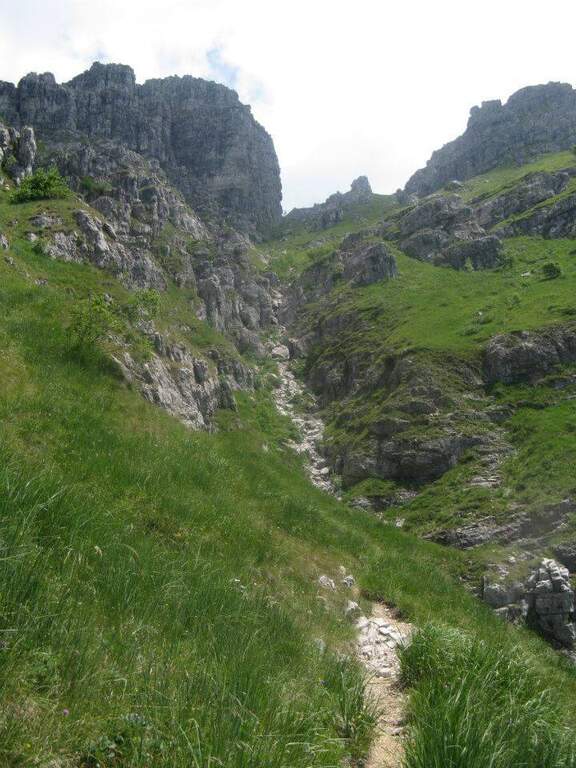
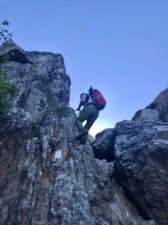
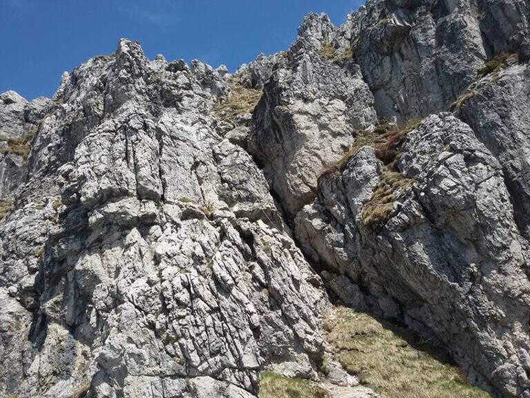
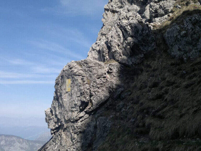
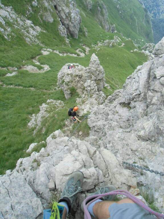
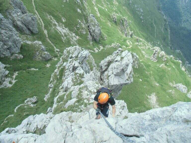
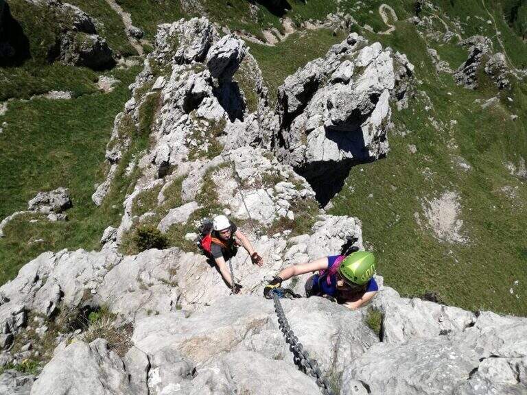
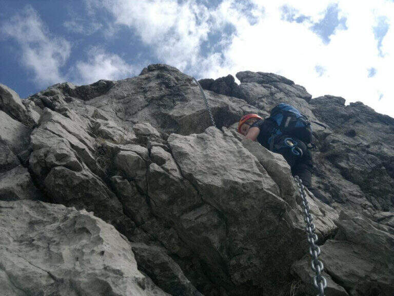
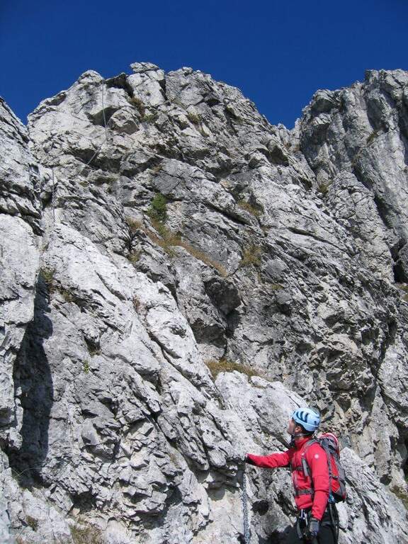
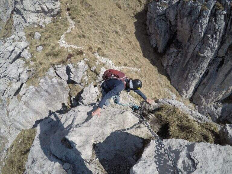
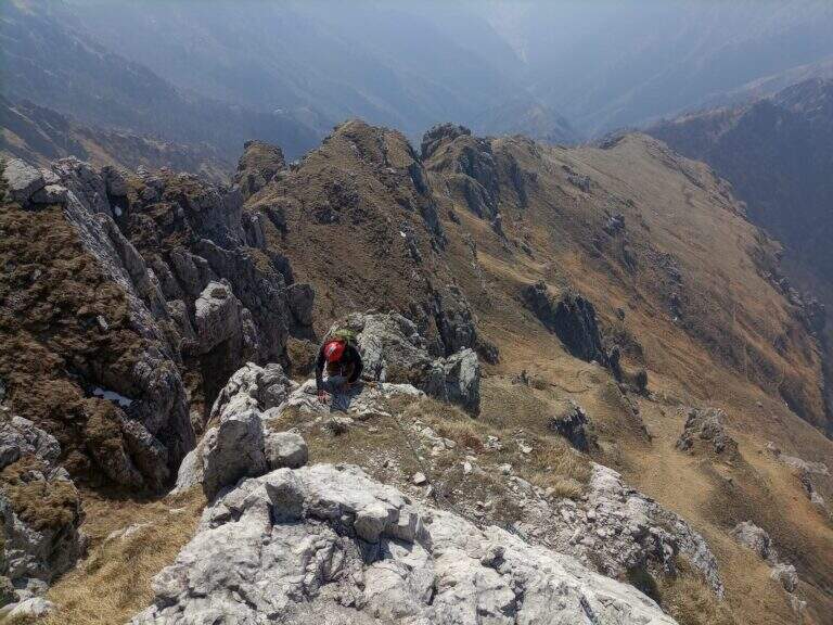
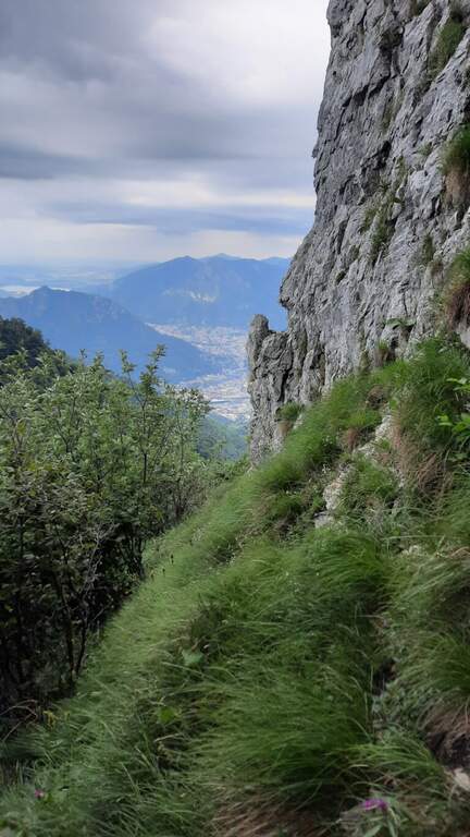
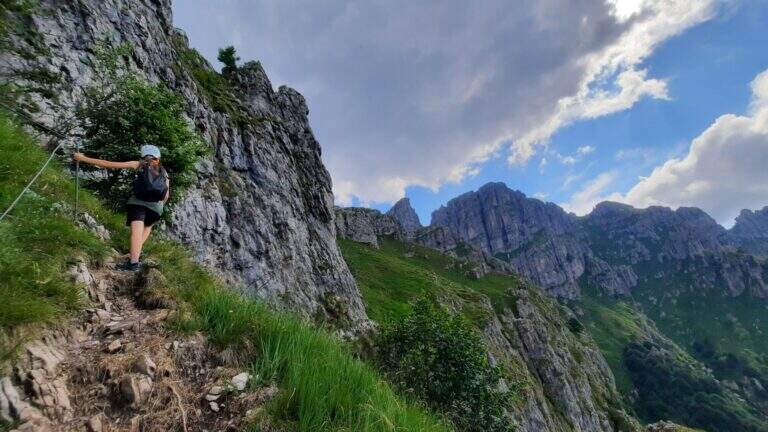
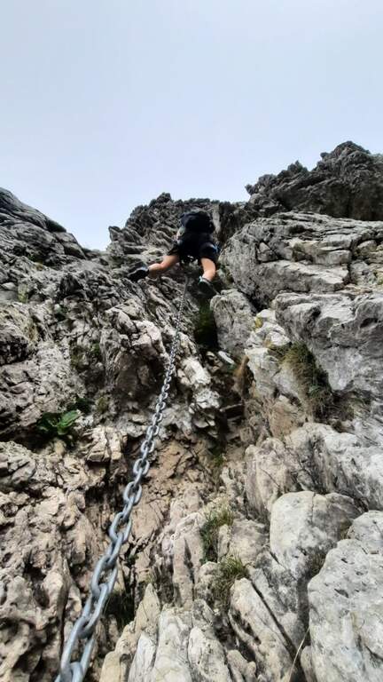
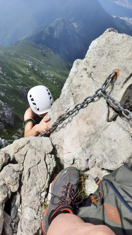
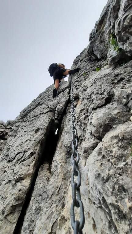
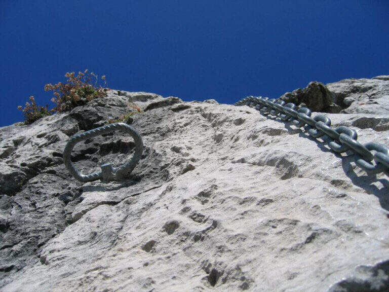
    Il sentiero parte senza difficoltà verso sud-sudovest, con molti saliscendi, alcuni assistiti da catene e cavi nei tratti più esposti (attenzione col fondo umido). Si raggiungono alcune cenge esposte attrezzate, una con una staffa; da qui il percorso si fa più impegnativo addentrandosi nel canalone, seguendo i segni bianco-rosso-giallo. Si risale una costa esposta sul lato destro con l'aiuto del cavo, tratto più ripido e faticoso, incastonato tra le guglie della cresta nord del Resegone, fino nella parte più angusta del Canalone Bobbio. Si risale un tratto di poco meno di 100 metri con diversi massi attrezzati (paretine di 2-4 metri, in genere in traversata diagonale, con un paio di tratti verticali). Il paesaggio diventa più austero fino a una stretta gola dove si trova il passaggio chiave, comunque di difficoltà moderata; nella gola un gendarme roccioso di circa 3 metri si risale e si attraversa in diagonale a sinistra, chiudendo le difficoltà. Si prosegue in ripida salita su misto terra e sassi e poi sui prati sommitali fino alla Selletta di Bobbio, dove il sentiero termina (2h dall'inizio del tratto attrezzato, 2h 20' dalla stazione a monte).

    ▲Character and difficulty

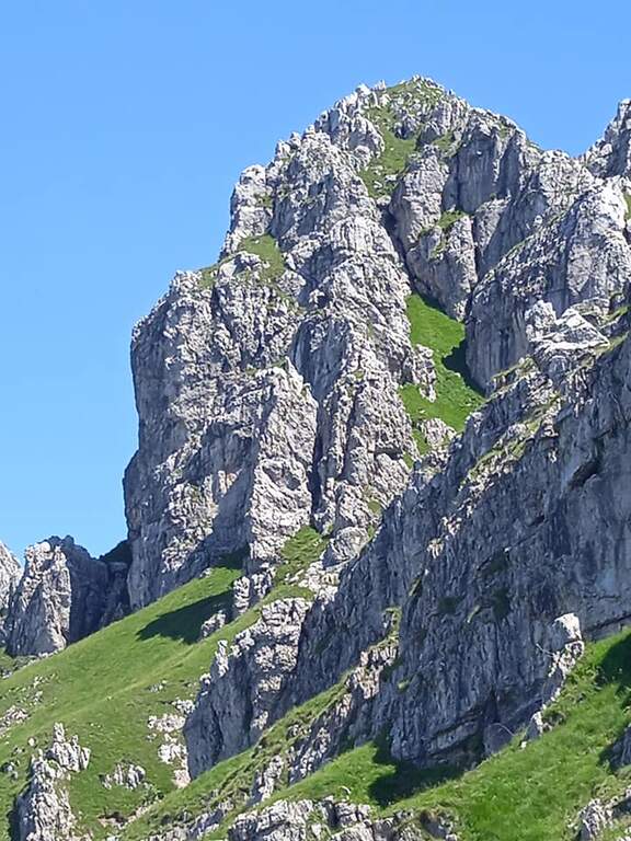
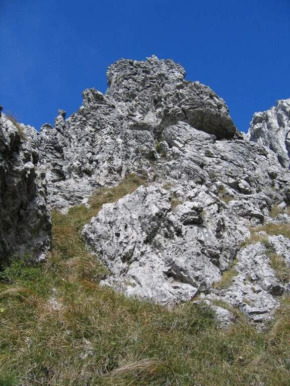
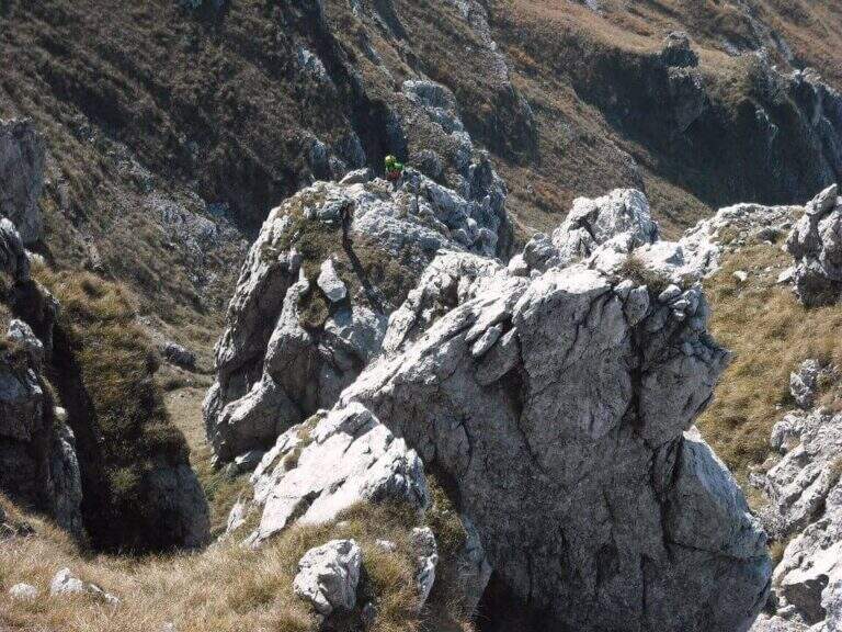
    Itinerary of moderate difficulty: the equipped sections protect exposed cenges and the mass of the canalone, never really exposed but sometimes steep and tiring. Beautiful rocky environment between the Resegone spires.

    ⚠ With wet bottom the initial ups and the cenges become slippery: prudence. Helmet and essential hardware set, also for possible stones in the canalone.

    ▲Discipline

    L' più option; common: in about 20' we reach the Rifugio Azzoni by crossing the ridge south-southwest; from here we descend on Sentiero 1 and, at the crossroads on Sentiero 5 to Piani d'Erna and the cable car (1h 45' from the end, 4h complex Alternatively, from the Selletta Bobbio you can può take the north ridge of the Resegone (beware of the rocks) to the Passo Giuff.

    ▲To match

    It easily concatenates with other routes of Resegone, such as the Ferrata Gamma 1 approaching and the Sentiero del Caminetto downhill.
    ▲Gallery
    Technical data
    • DifficultyModerately Hard
    • RegionLombardy
    • ProvinceLecco
    • GroupResegone
    • Approach20 min
    • Fully equipped2h
    • Complete itinerary4h
    • Level difference400 m
    • Route difference451 m
    • Maximum1740 m
    • Length6 km
  • Ferrata Silvano de Franco (Resegone)

    Ferrata Silvano de Franco (Resegone)

    Vie Ferrate › Lombardia › Lecco
    Ferrata Silvano de Franco (Resegone)

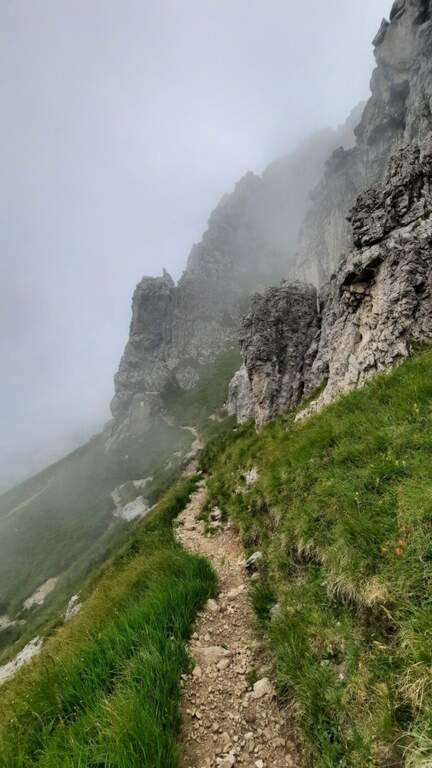
    La Ferrata Silvano de Franco ` an alternative route to the più routes; bars for the summit of Resegone, the mountain that dominates Lecco. È a corto itinerary but challenging, along the southwest ridge, on high exposure and with some difficult plaques; l' & ` rather long, reason why it is often chained with other equipped routes that go back to Pian Serrada.

    ▲Approach

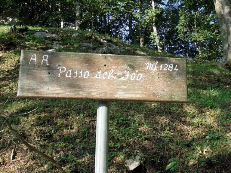
    Starting point l' wide cable car square for the Piani d'Erna in Lecco. Open road signs on Google Maps. There are more alternatives, depending on whether you use the cable car and want to insert another equipped path. The most direct: from the mountain station follow the path 5 towards the Rifugio Azzoni; at the crossroads with the path 1 take it to the left uphill, you pass the Passo della Zibretta (1h 15' from the cable car) and, paying attention to a' slight trace to the left towards a pole, you descend slightly until the' attack (1h 30' from the cable car). Alternatively, you can go up on foot from the parking lot on path 1 above the Stoppani Refuge (about 3h all' attack) or enter the Centenary Ferrata or the Caminetto Path first from the Fò Pass; and the Pian Serrada.
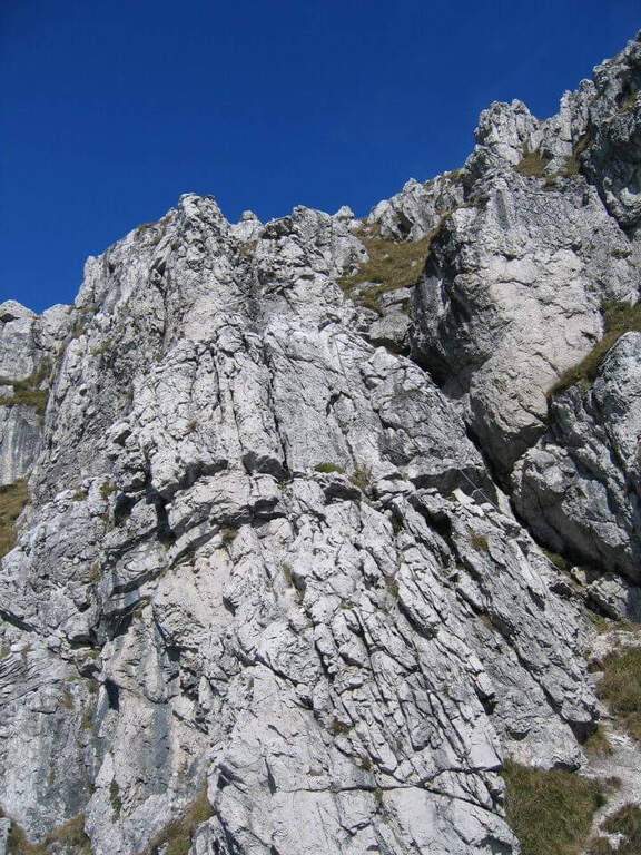
    ▲The path

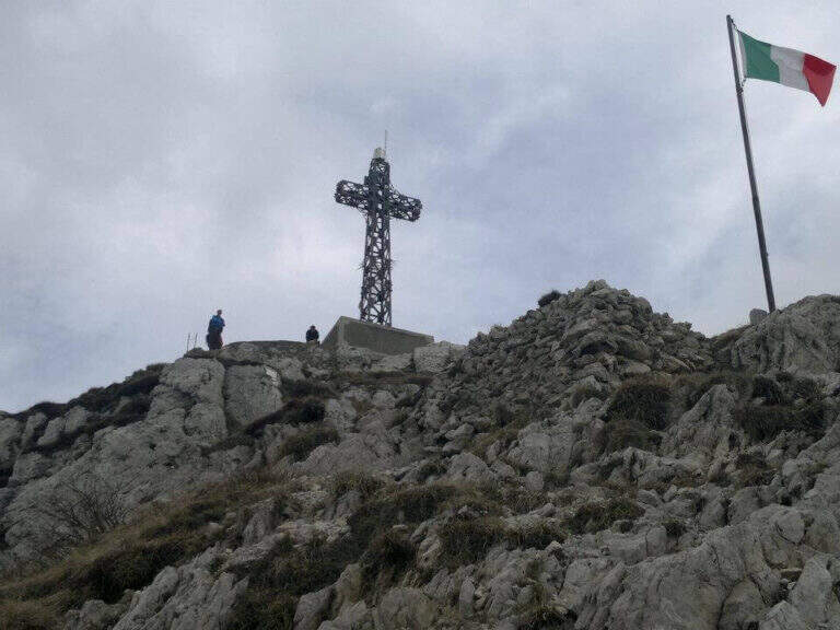
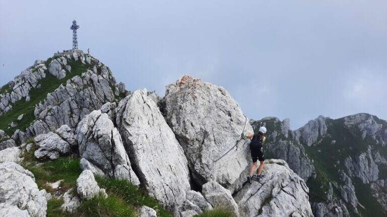
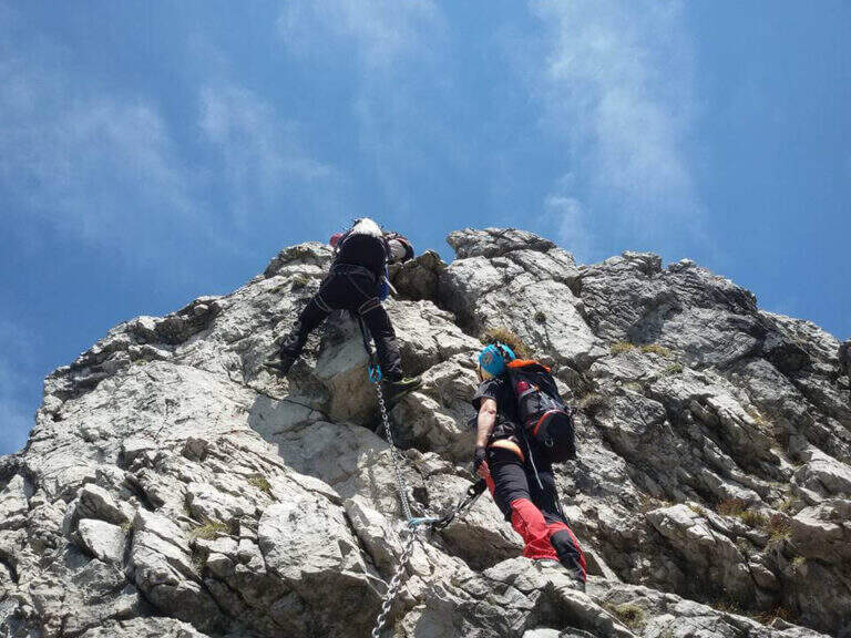
    La ferrata inizia con un breve balzo dove la catena passa in una fessura della roccia; seguono roccette ricche di appigli naturali e un secondo tratto più lungo, con roccia frastagliata, dove la pendenza cresce e la catena corre in un canalino con un piccolo balzo più difficile (utile la catena). Dal pulpito di questo tratto si vede un secondo settore verticale, preceduto da un breve sentiero di cresta su esile traccia attrezzata sul lato destro del filo. Il secondo torrione attacca con un diedro di 4 metri dagli appigli poco evidenti (conviene salire coi piedi a sinistra, pur scorrendo la catena a destra); si aggira una sporgenza a destra, si rimontano un paio di risalti — uno più faticoso — fino a un terrazzino, oltre il quale c'è un tratto di discesa attrezzata. Seguendo la traccia si raggiunge un nuovo tratto che parte sotto un basso tetto, difficile da iniziare senza trazionare sulla catena, poi più appigliato; una breve cengia a sinistra porta a una parete con fessura a sinistra e paretina a destra. Si stacca un attimo dai moschettoni e si riattacca su un risalto; un esposto tratto verticale, ben appigliato dopo i primi metri, rimonta uno spigolo sul lato destro fino a un tratto di cresta tra balzi e roccette, meno impegnativo ma molto esposto. Oltre un'esposta selletta si attacca l'ultima sezione su un pilastro (lato sinistro), poi roccette e risalti più marcati sul filo destro della cresta; si esce sul sentiero di cresta, non difficile ma da fare con attenzione dopo le piogge, con la croce di Punta Cermenati in vista. Alcuni saliscendi, l'aggiramento in discesa di un masso e si arriva alla croce (1h dall'attacco, 2h 30' dalla stazione a monte).

    ▲Character and difficulty

    Ferrata not long but with some difficult passages not to be underestimated, less joke of other routes in the area of Resegone.

    ⚠ The chain, present along the whole path, is mosquitable but rather bulky: sometimes I hang in the progression, and the puppets tend to entangle.

    ▲Period and safety

    GPS tracks (GPX and KMZ) are available; the Grigne, Resegone and Valsassina map is useful for the area.

    ▲Discipline

    Dalla croce si vede il Rifugio Azzoni; raggiuntolo si scende sul sentiero 1 fino al bivio col 5, da cui si può tenere il 5 a destra verso i Piani d'Erna e la funivia (1h 15' dal termine, 3h 45' totali) oppure restare sul sentiero 1 verso il Rifugio Stoppani e il parcheggio (2h dal termine, 4h 30' totali).

    ▲To match

    It often concatenates with one of the equipped paths that go back to Passo Fò, or climbing the Ferrata Gamma 1 from the Piani d'Erna. On the Resegone you can also walk Ferrata Gamma 2 e la Cresta della Giumenta.

    ▲Gallery
    Technical data
    • DifficultyHard
    • RegionLombardy
    • GroupResegone
    • Approach1:30 h
    • Ferrata1:00 h
    • Itinerary (a/r)3:45 h
    • Hardware level difference180 m
    • Route difference485 m
    • Max1860 m
    • Length8 Km
Need help? Write to us!