Caratteristica: Rinnovata nel 2019

  • Sentiero Attrezzato degli Alpini a Punta d’Albiolo

    Sentiero Attrezzato degli Alpini in Punta d'Albiolo

    Vie Ferrate › Lombardy › Brescia
    Sentiero Attrezzato degli Alpini in Punta d'Albiolo
    Moderately Hard● OpenDescriptionComplexityMapsGallery

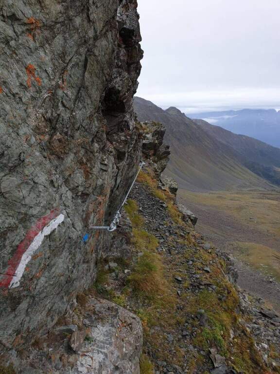
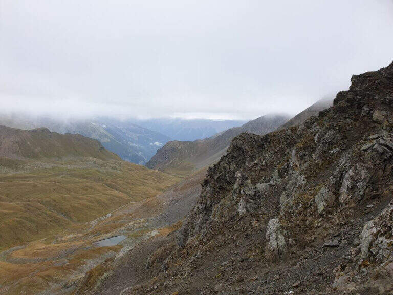
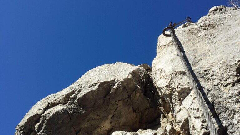
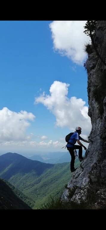
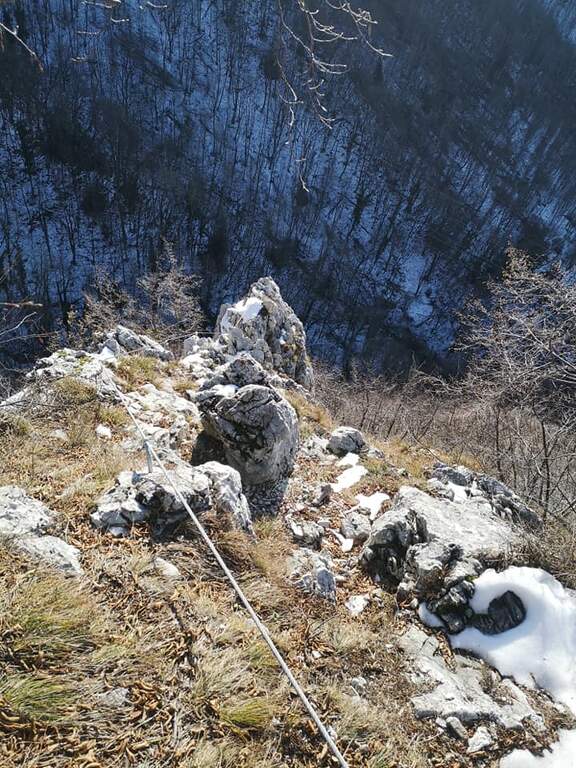
    Il Sentiero Attrezzato degli Alpini connects the Forcella del Montozzo to Passo dei Contrabbandieri, near Passo del Tonale (Brescia). More than a via ferrata is an exposed path equipped with modest difficulty: the cable is useful especially with wet bottom and in a couple of exposed beams. The report is described by the Forcella del Montozzo at Passo dei Contrabbandieri, but the route is commonly done on the contrary; the optional climb to Punta d'Albiolo is recommended.

    ▲Approach

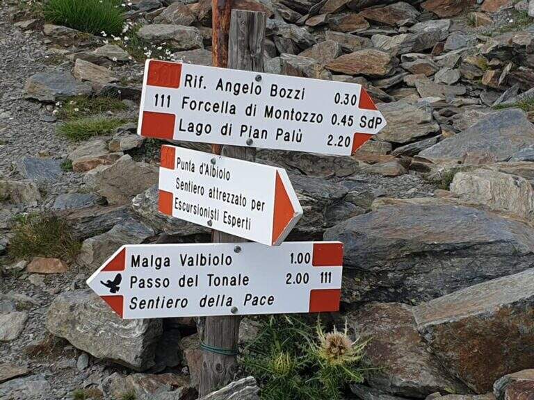
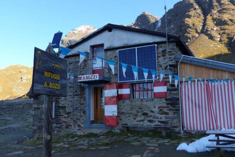
    It starts from Case of Viso (1754 m), in the province of Brescia at Passo del Tonale. Open road signs on Google Maps. Take the sentiero n. 52 which in a ' hour and a half leads to the Rifugio Bozzi (2478 m); stretching about twenty minutes you will reach steeply the Forcella del Montozzo (2613 m, 1h 45'), beginning of the path equipped. Alternatively, you can può climb from Trentino to Pejo (loc. Fontanino, paths 111/111b, about 3h 50') or from Passo del Tonale (Hospizio di San Bartolomeo, path 111 for Malga Valbiolo, about 2h 30' at Passo dei Contrabbandieri, along così l' route on the contrary).

    ▲The path

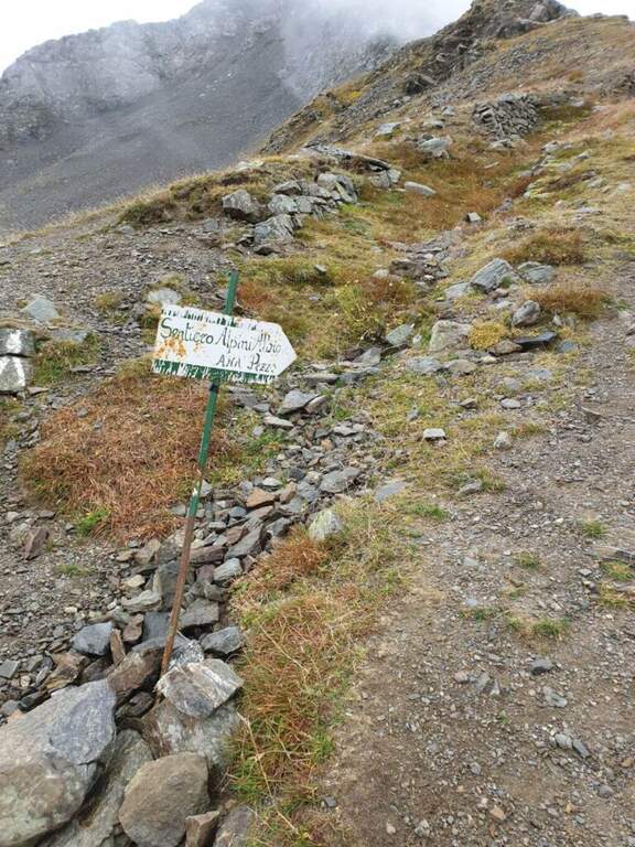
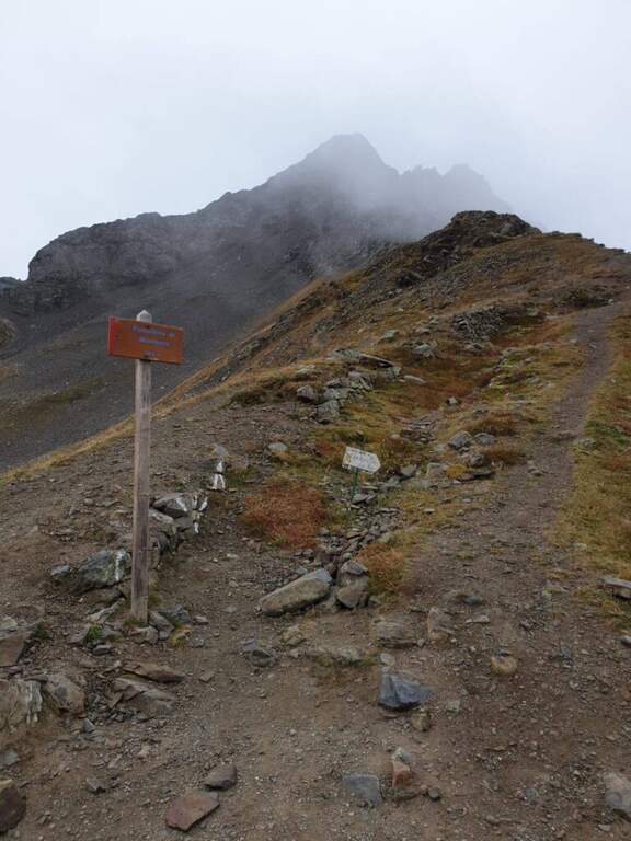
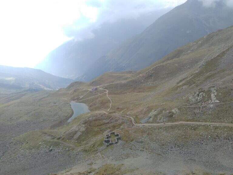
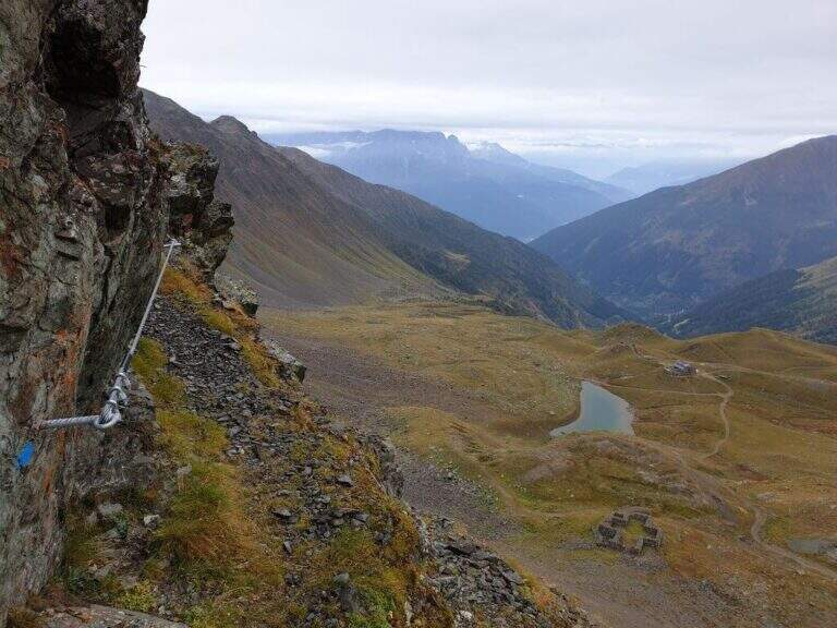
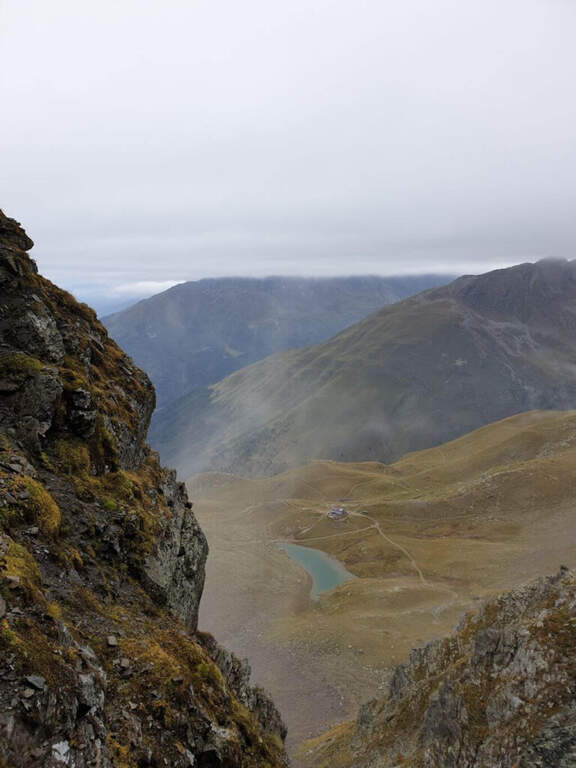
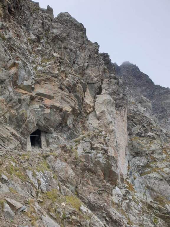
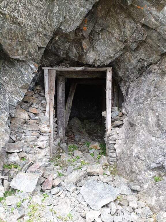
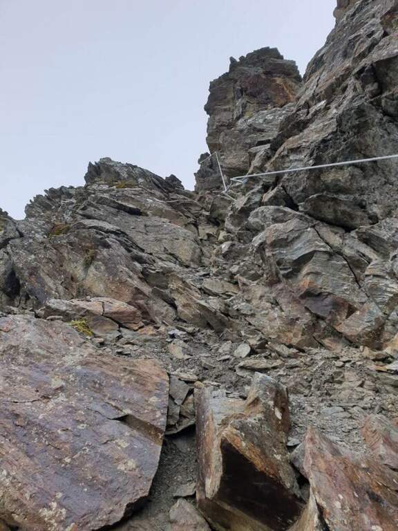
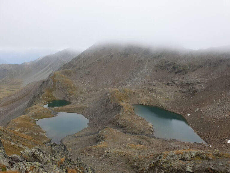
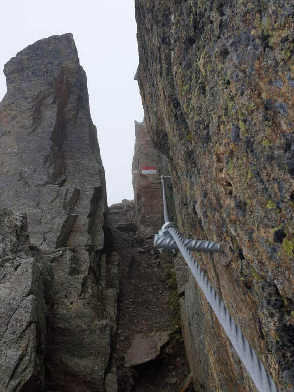
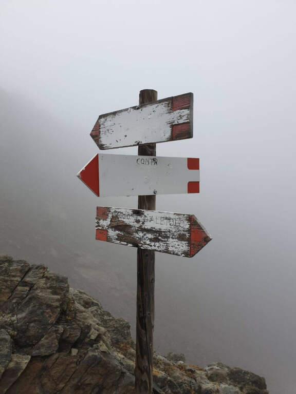
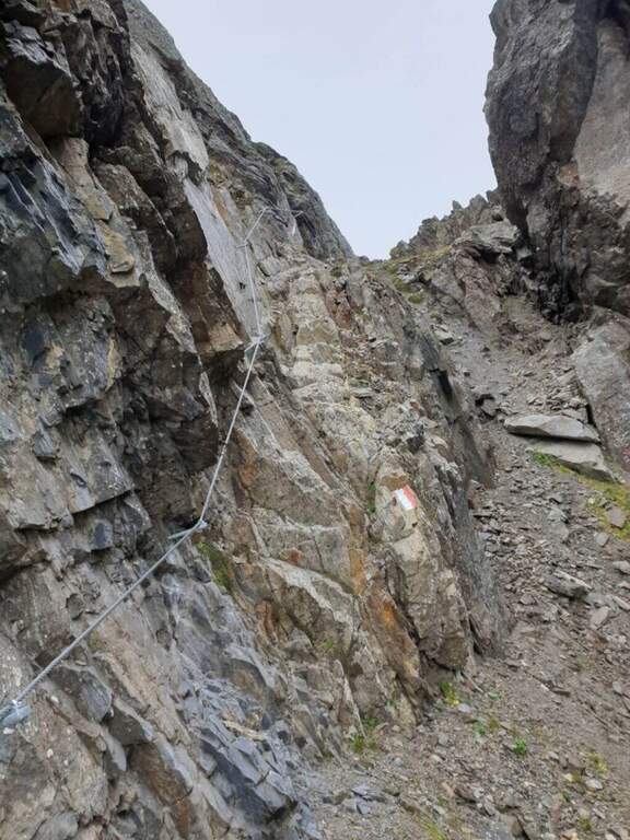
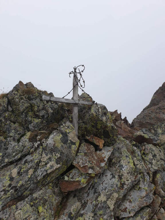
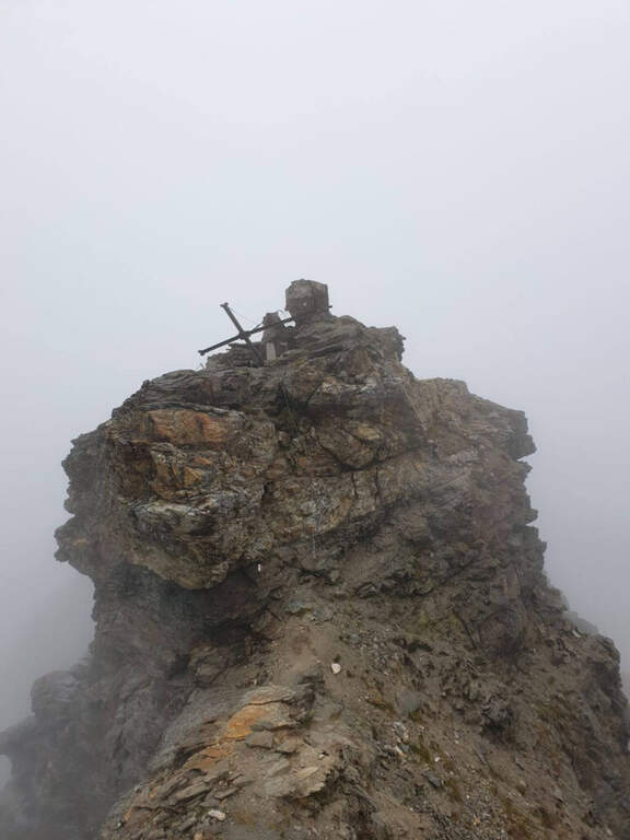
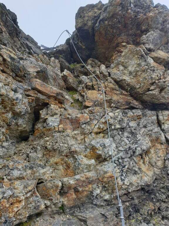
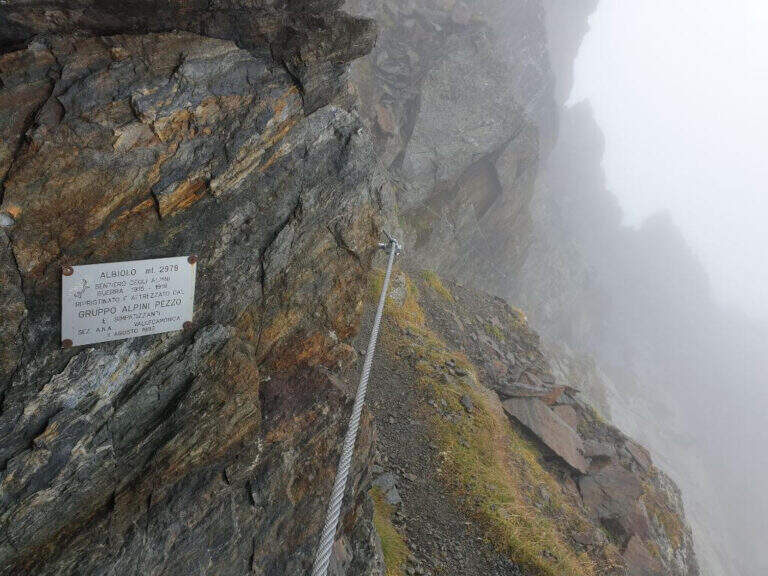
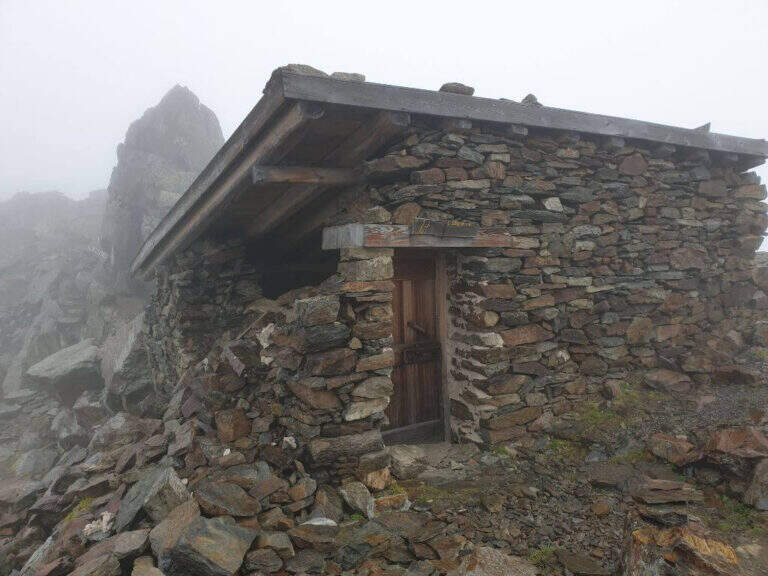
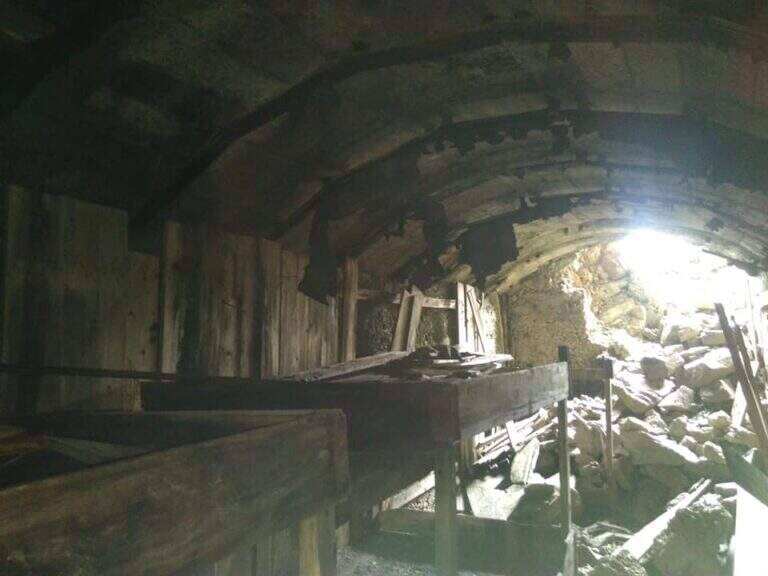
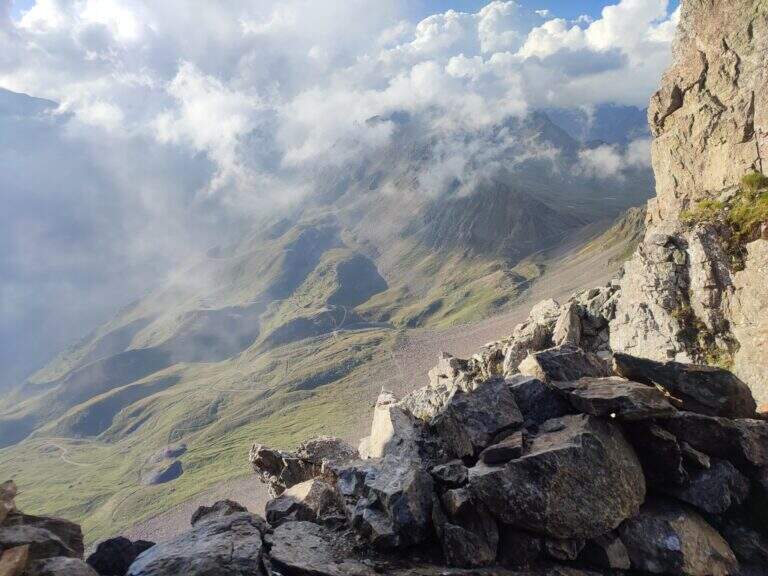
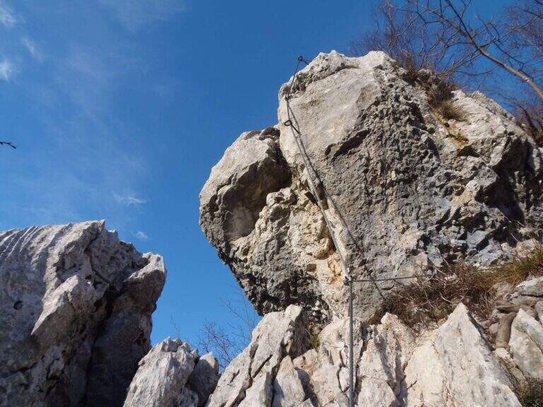
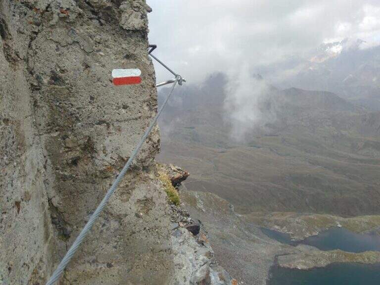
    Dalla Forcella del Montozzo (2613 m) il sentiero parte sul versante che domina la valle del Montozzo e il Rifugio Bozzi, incontrando subito diverse gallerie e tunnel usati dagli Alpini nella Prima Guerra Mondiale. Il tracciato è molto ripido e a tratti esposto; dopo alcuni passaggi attrezzati si supera una piccola forcella che apre la vista sui laghetti di Albiolo. Seguono altre cenge e passaggi esposti fino a un cartello: a destra prosegue il Sentiero degli Alpini verso il Passo dei Contrabbandieri, a sinistra la deviazione per il Torrione di Albiolo. Prendendo la deviazione, in pochi minuti e semplici passaggi si arriva sotto l'Albiolino (piccola croce di vetta); proseguendo a sinistra si trova il Torrione di Albiolo (2976 m), con un cavo metallico che aiuta la salita alla croce (attenzione: tratto con pericolo di caduta). Tornati al cartello, si riprende il Sentiero degli Alpini che in circa mezz'ora porta al Passo dei Contrabbandieri (2679 m), dove sorge una capanna in totale abbandono (1h 30' dall'inizio del sentiero, circa 3h 30' complessive). Chi vuole può allungare in meno di mezz'ora alla Cima Casaiole (2779 m), splendido balcone panoramico con altri camminamenti e trincee della Grande Guerra.

    ▲Character and difficulty

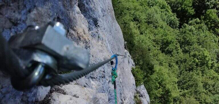
    Nice path of mention on the war walks, of technical commitment contained but with exposed traits where the cable instills safety. The equipped part has been completely renovated in August 2019 and is in excellent condition, except for a couple of loose but not dangerous thickets.

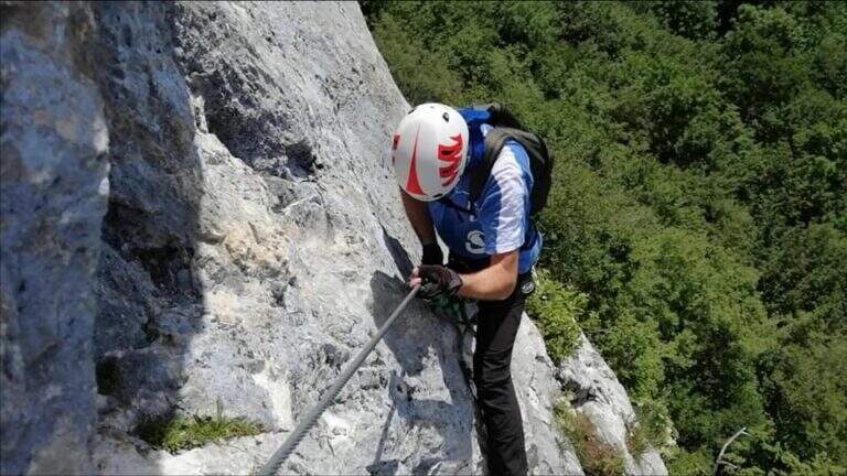
    ⚠ To face only in the absence of snow (ideally from June to September): wet soil è insidious, especially in chain-free passages. Helmet and iron set recommended.

    ▲Discipline

    From the Contrabbandieri Pass the più return; quick descends north to the Rifugio Bozzi (20-30') and from here to Case di Viso (about 1h 15'), for a total of almost 5h.

    ▲To match

    The natural ridge ` the Ferrata of Austriaci, which from Punta d'Albiolo leads to the Eastern Tonal (a similar, difficult and slightly higher environment). In the area of Ponte di Legno è very recommended the Path of Flowers; going down in Val Camonica there are the Ferrata at Corno del Grevo, la Ferrata at Pizzo Badile Camuno e il Parco delle Fucine di Casto.
    ▲Gallery
    Technical data
    • DifficultyModerately Hard
    • RegionLombardy
    • ProvinceBrescia
    • GroupAdamello-Presanella
    • Approach1h 45'
    • Fully equipped1h 30'
    • Complete itinerary4h 45'
    • Route difference1250 m
    • Maximum2970 m
    • Length11 km
  • Ferrata Spigolo della Bandiera

    Ferrata Spigolo della Bandiera

    Vie Ferrate › Lombardy › Brescia
    Ferrata Spigolo della Bandiera
    Moderately Hard● OpenDescriptionComplexityMapsGallery

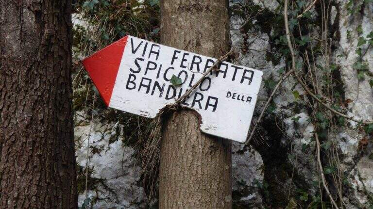
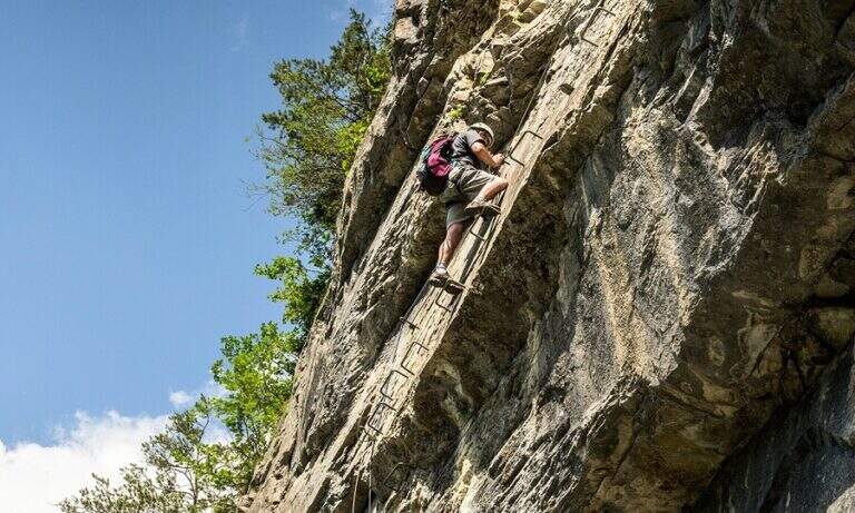
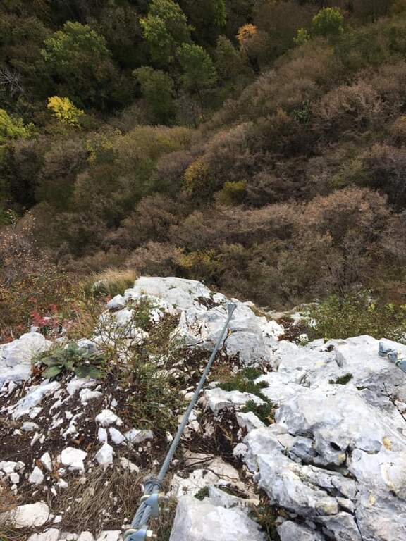
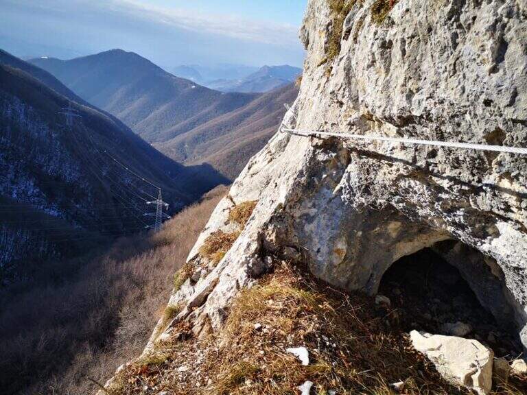
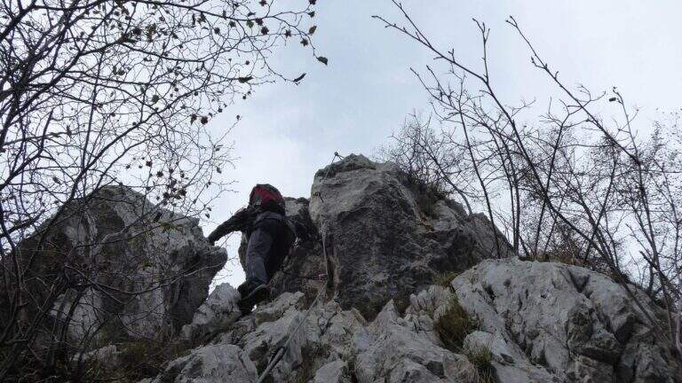
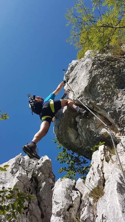
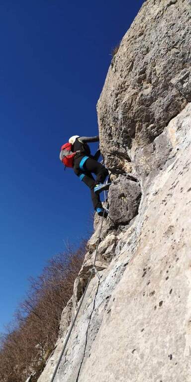
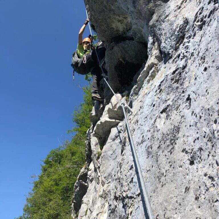
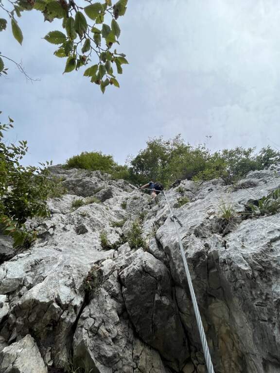
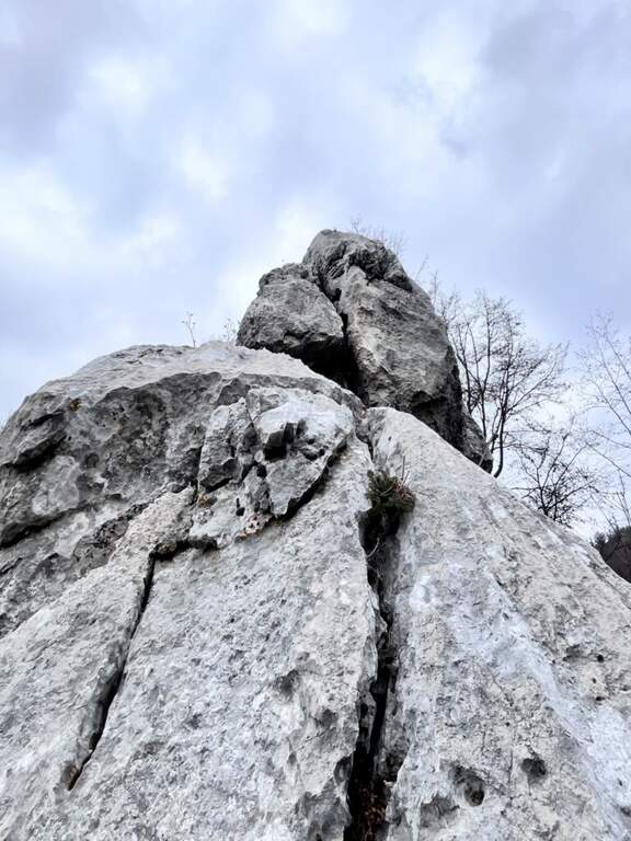
    La Ferrata Spigolo della Bandiera climbs an aerial edge at Monte Spino, above the western coast of Lake Garda. È a short but exposed and athletics: in più points l' excellent jagged rock allows to climb, but a passage requires a momentum due to the scarce natural couple. The route è was renovated in 2019 with a slightly modified track that avoids the old key point, but that introduces a short overhanging step of level difficult not to underestimate.

    ▲Approach

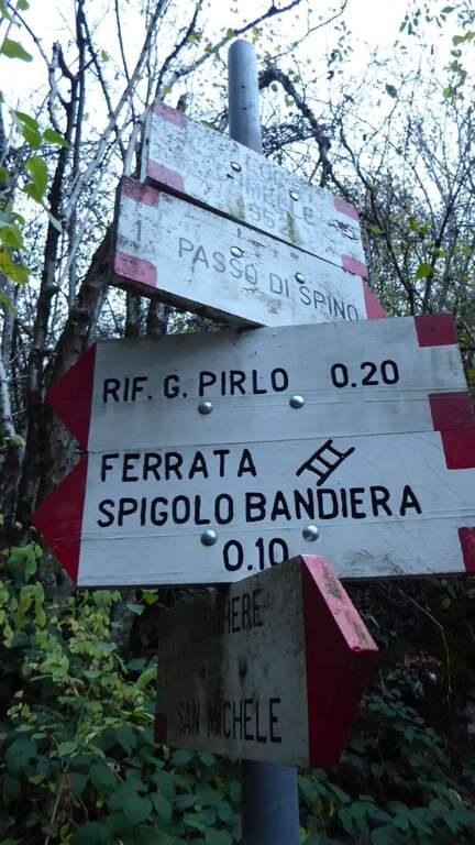
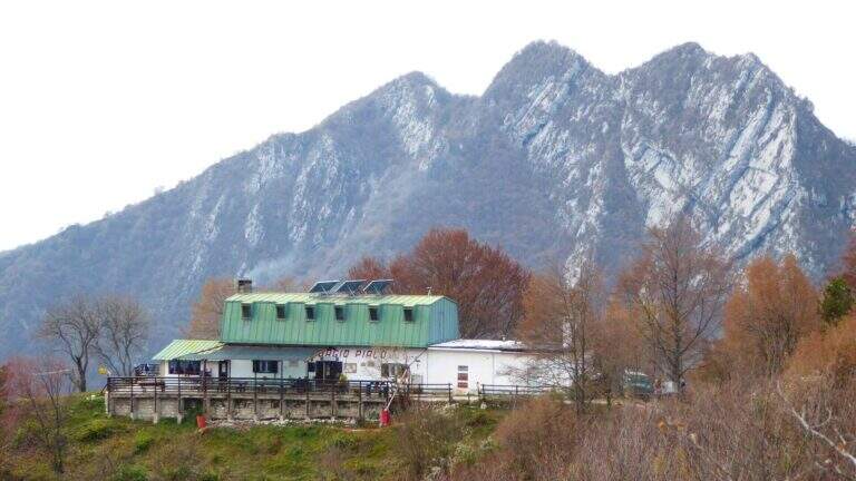
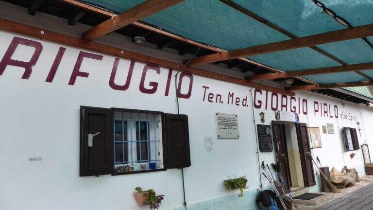
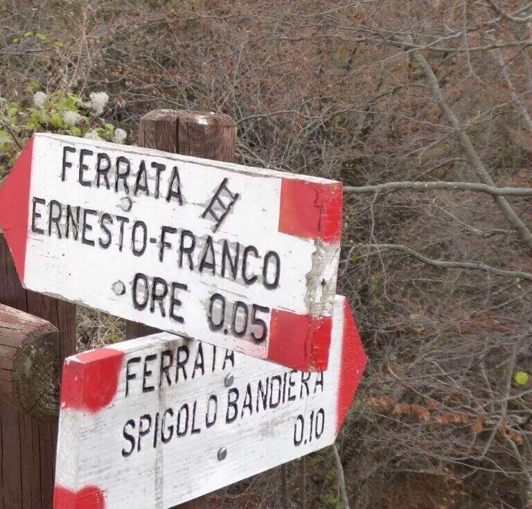
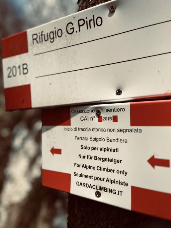
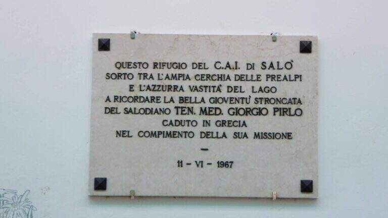
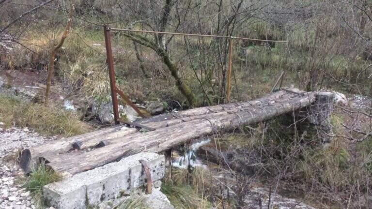
    Starting point San Michele, at Gardone Riviera (crossing Brescia del Garda): from San Michele you go towards the Val di Sura to the Restaurant Colomber, at a fork. Open road signs on Google Maps. You can park at the restaurant or keep the left on a road that soon becomes dirt and then dissected (recommended to the low cars), with several wide to the locality Verghere. From the restaurant continue on the road on the left to Verghere, then on the CAI path 201, guadando due volte il torrente Barbarano (attenzione a seguire i segni CAI, talvolta ingannevoli) fino al bivio di Cascina Gemelle (950 m, 1h dal parcheggio), dove si tiene la sinistra in salita verso il Rifugio Pirlo allo Spino e la ferrata; un ripido sentiero porta al bivio segnalato per la Spigolo della Bandiera (1h 10' dal parcheggio, 1h 30' dal ristorante).

    ▲The path

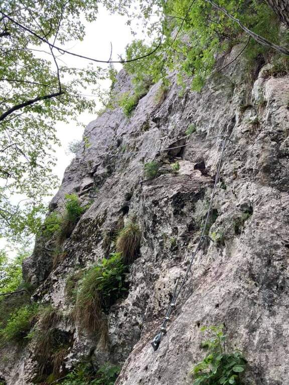
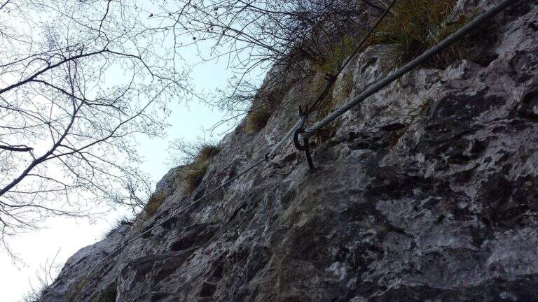
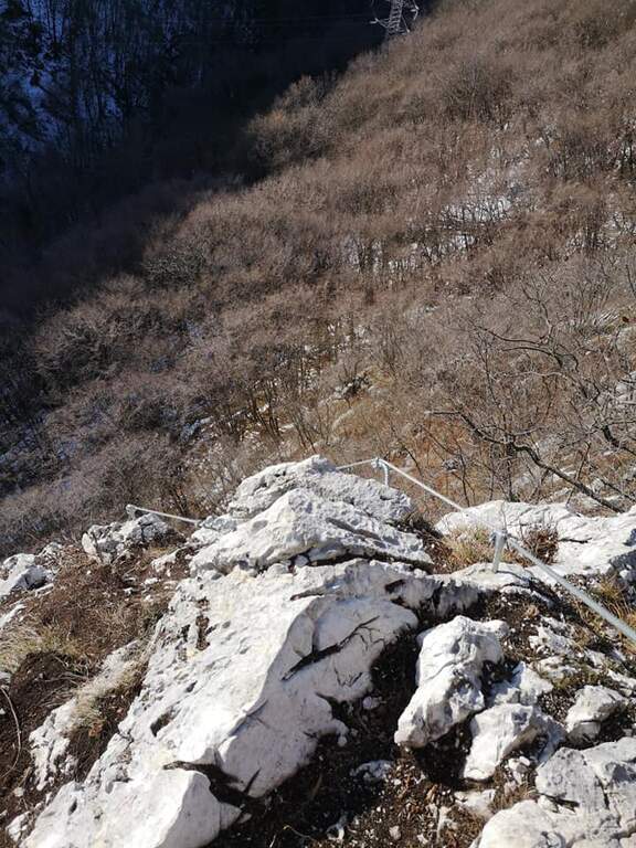
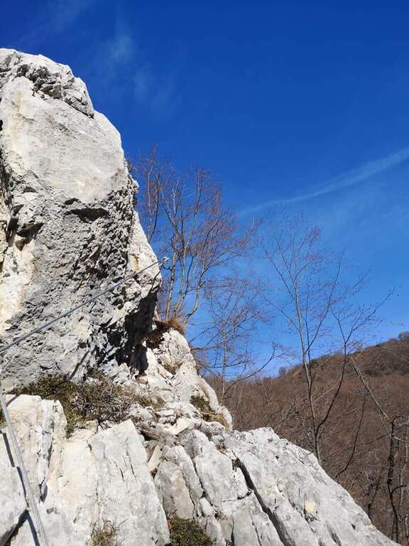
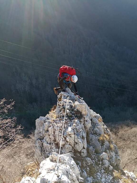
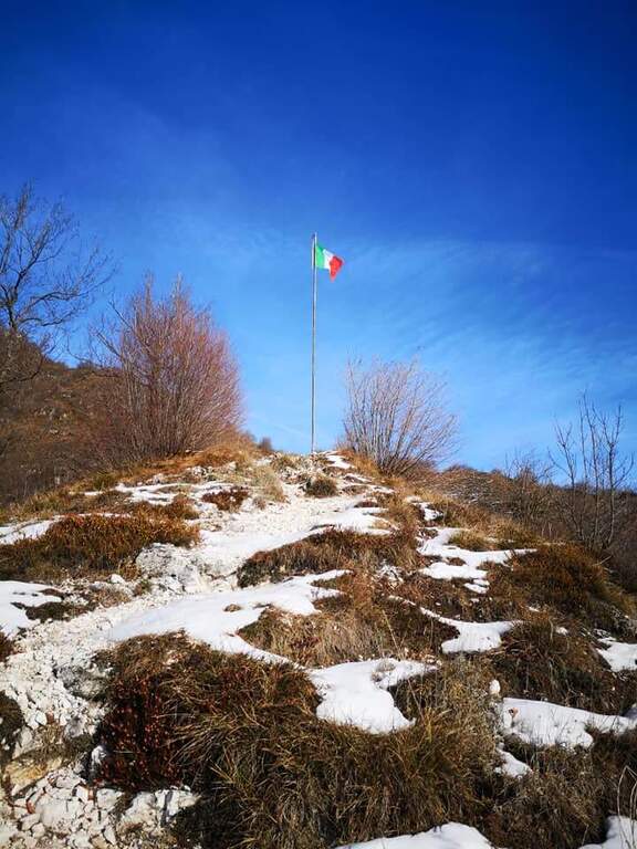
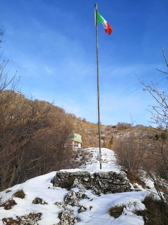
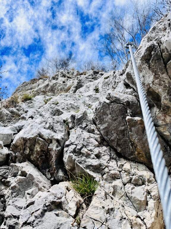
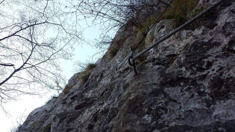
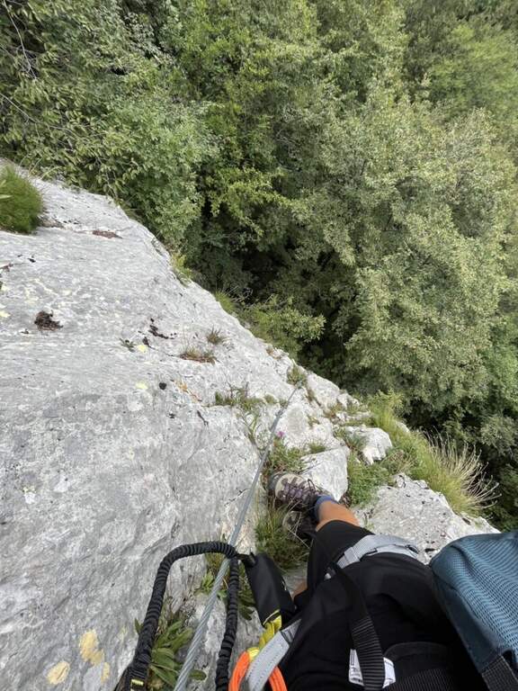
    The road begins with a medium-traverse of difficult-to-grave; to the left to a vertical wall on the right side of the edge: part quite entangled, with a couple of challenging passages for the small hooks, up to a nail beyond which the edge becomes più easy and pleasantly climbable, albeit aerial (attention to the stability & agrave; of some blocks). You reach a rough terrace where to stay. On the new track 2019, from the terrace you move to the left in an exposed area, crossing on smooth rock and difficult to climb, up to good supports for the feet leading under the new key step: a overhanging wall of 4-5 meters, where two brackets help the first two meters but the rest is probably going over the cable. You get under the characteristic passage of the old track, which goes right up a wall with l' aid of a bracket, reconnecting just above all' original itinerary on the terminal crest. Quest' last stretch è exposed but not difficult, with the cable that mainly acts as a handrail; finished the equipment, the path leads to the top flag (30' from' attack, 1h 40' totali).

    ▲Character and difficulty

    Short but exposed, good test bench after the first easy ferrates: vertical, with stretches free of natural or artificial hooks in which you need to pull up of arms with a certain athleticity. The rock is however good and in many ways gives idea of stability.

    ⚠ Strong exposure along almost the entire route, with a peak in the last passage before the final crestine. The new 2019 track does not reduce the difficulties but increases them, with the overhanging step as a key point.

    ▲Period and safety

    GPS tracks are available (GPX and KMZ); for the area is useful the map of the 4Land Alto Garda Bresciano Park.

    ▲Discipline

    Dal termine si segue la traccia più marcata a sinistra verso il Rifugio Pirlo (da cui il sentiero direttissimo riporta al bivio della ferrata e all'auto, 3h totali), oppure a destra verso il Passo dello Spino e poi il CAI 1 fino al bivio dell'andata (3h 30' totali); in alternativa l'ampia forestale riporta al Ristorante Colomber (4h totali).

    ▲To match

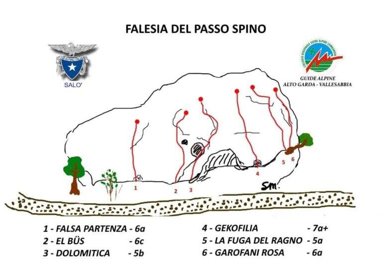
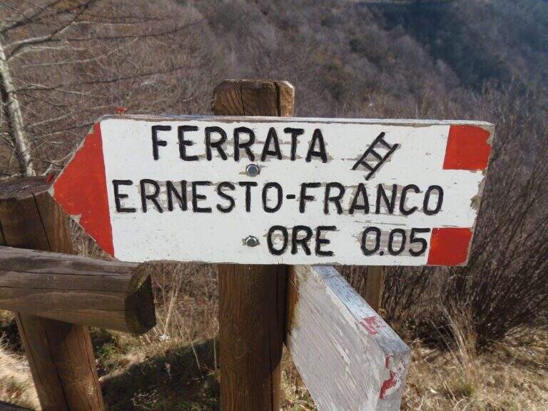
    The nearby Ferrata Ernesto Franco, an ideal time to match, was dismantled and replaced by a cliff equipped at the Pirlo refuge. Returning, you can continue towards Sentiero Sperone del Crocefisso o, towards Lake Idro, la Ferrata Crench and the neighbors ♪ e Gypsies.

    ▲Gallery
    Technical data
    • DifficultyModerately Hard
    • RegionLombardy
    • GroupAlto Garda Bresciano
    • Approach1:10 h
    • Ferrata0:30 h
    • Itinerary (a/r)3:00 h
    • Hardware level difference100 m
    • Route difference650 m
    • Max1165 m
    • Length11,6 Km
Need help? Write to us!