Caratteristica: Solitario

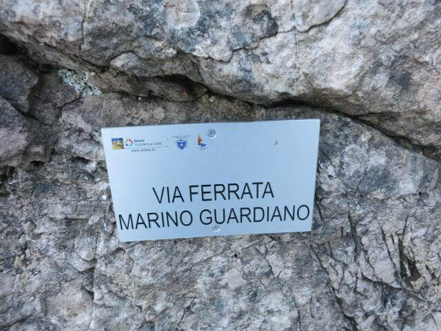
  • Sentiero Attrezzato Marino Guardian – Monte Pelf

    Sentiero Attrezzato Marino Guardian – Monte Pelf

    Vie Ferrate › Veneto › Belluno
    Sentiero Attrezzato Marino Guardian – Monte Pelf
    Moderately Hard● OpenDescriptionComplexityMapsGallery

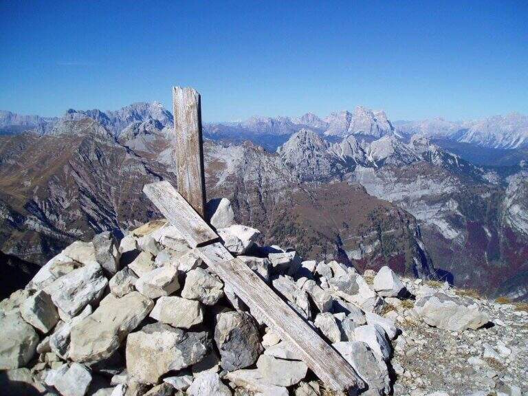
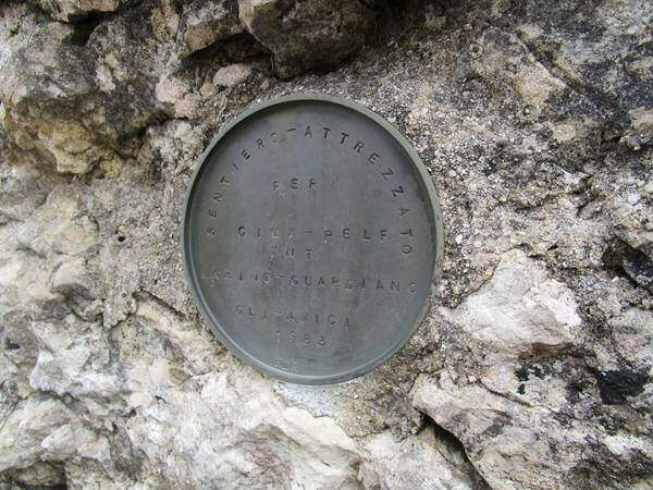
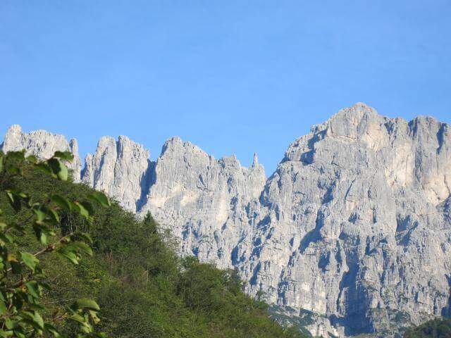
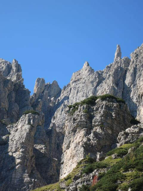
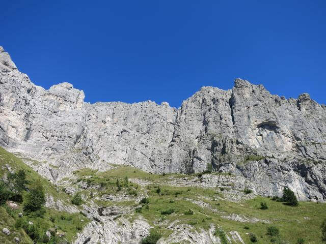
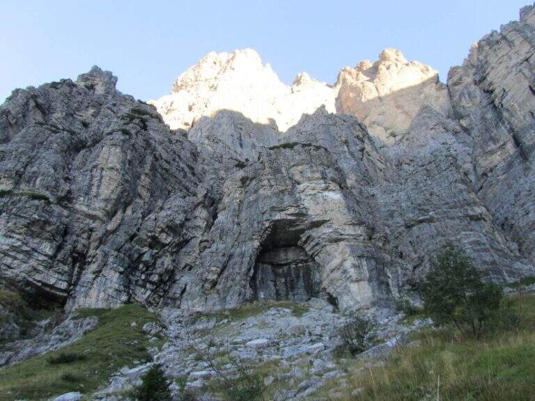
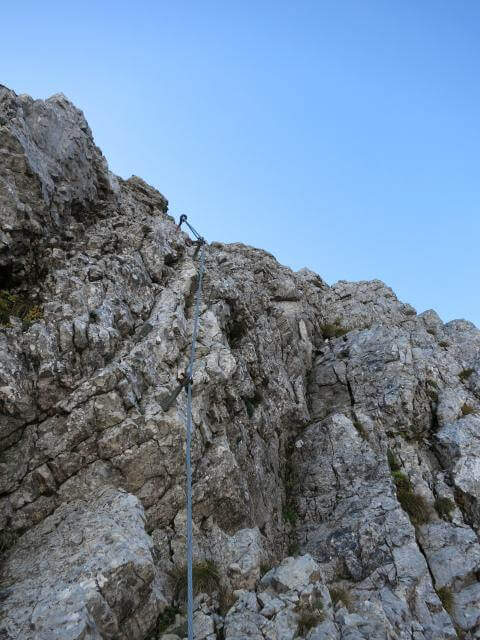
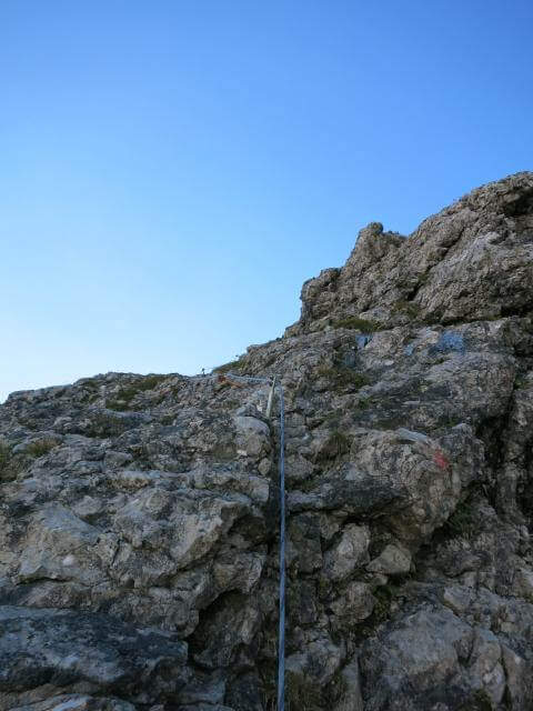
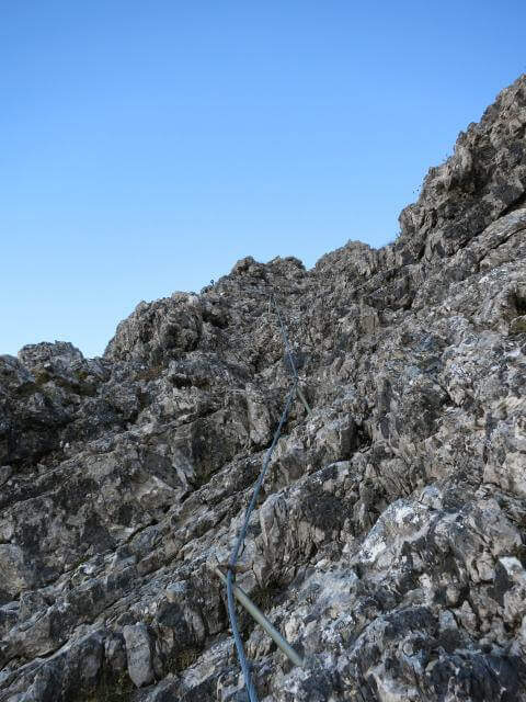
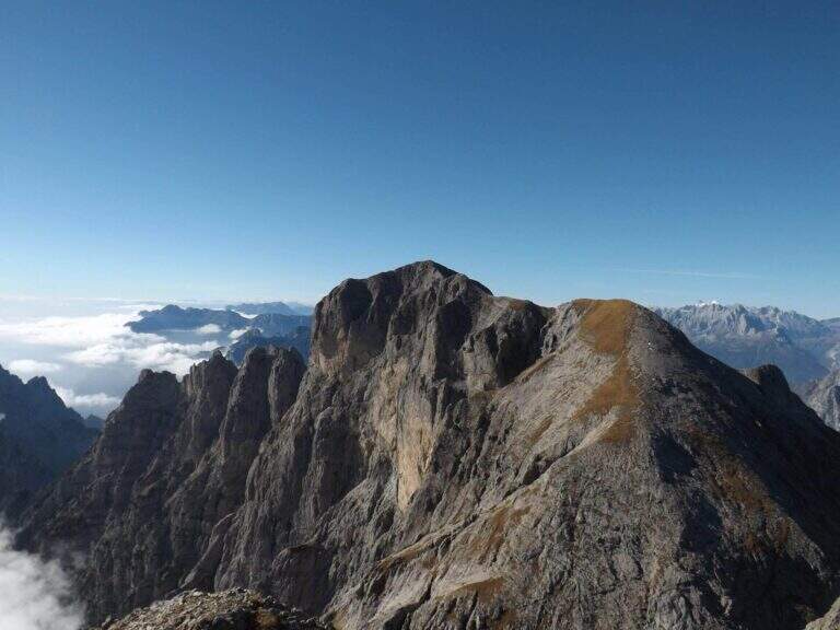
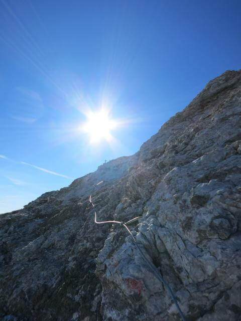
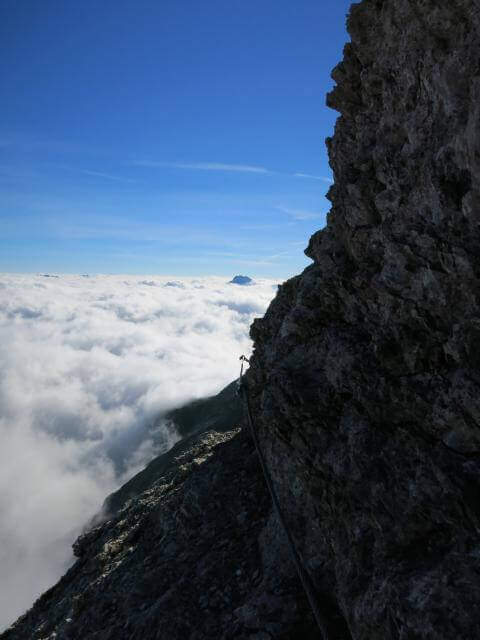
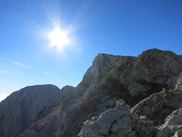
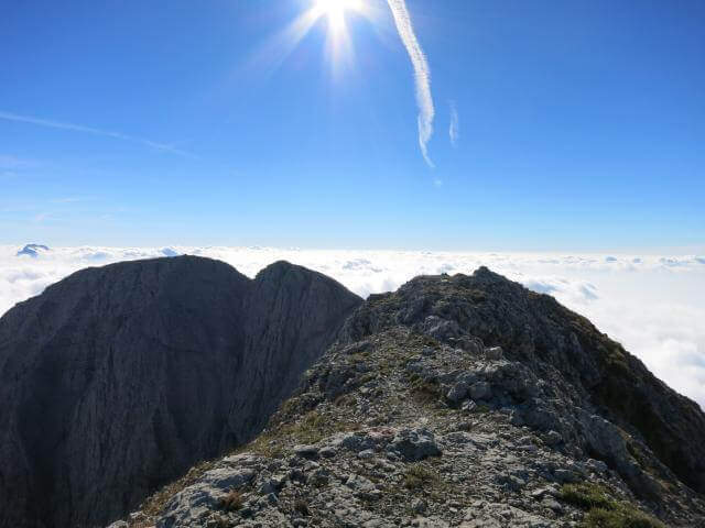
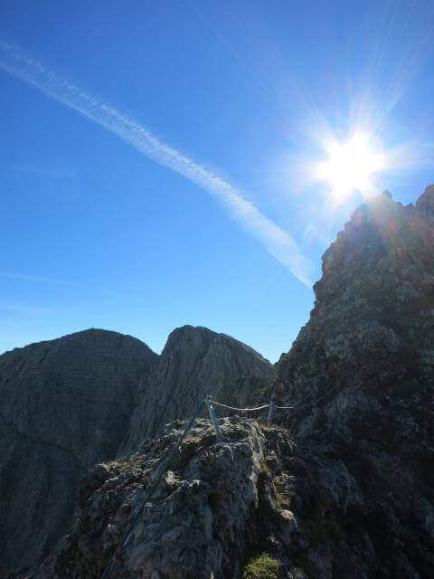
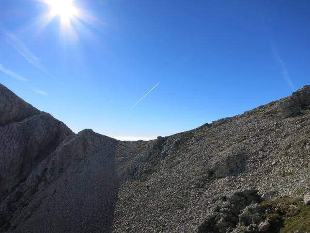
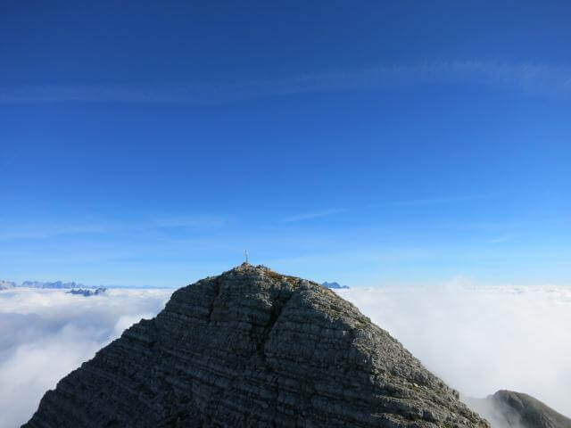
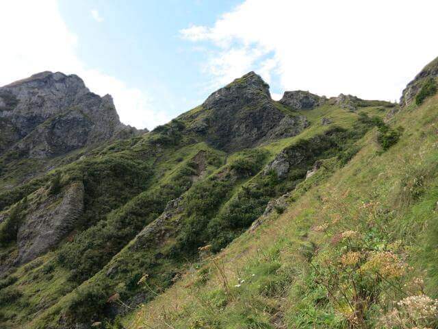
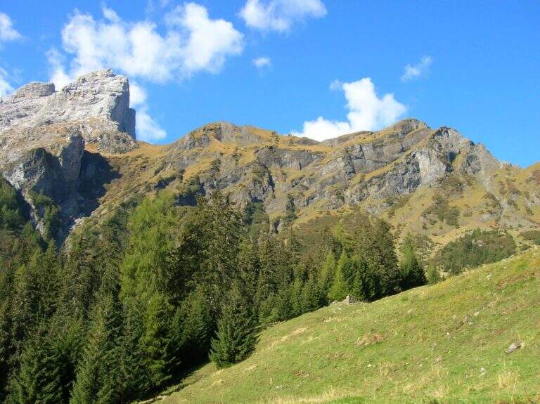
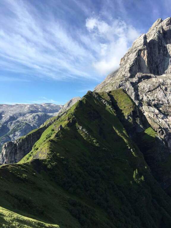
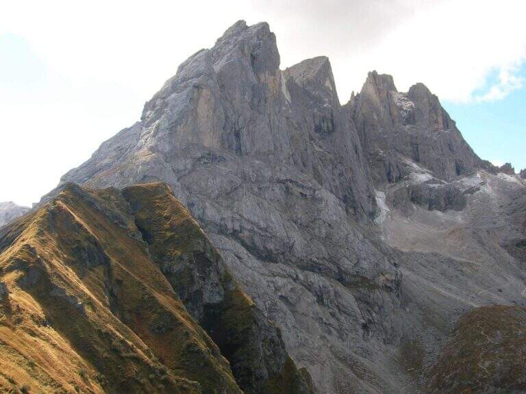
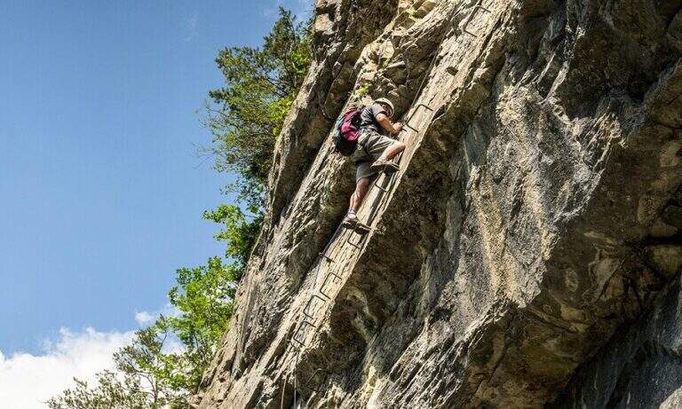
    The Sentiero Attrezzato Marino Guardian climbs to Monte Pelf in the Schiara Group, one of the wildest massifs in the Belluno Dolomites. Long and challenging itinerary — ideal to be combined with other routes of the Schiara in a more days — with moderate technical difficulties in the equipped traits but exposed and not trivial in unprotected passages.

    ▲Approach

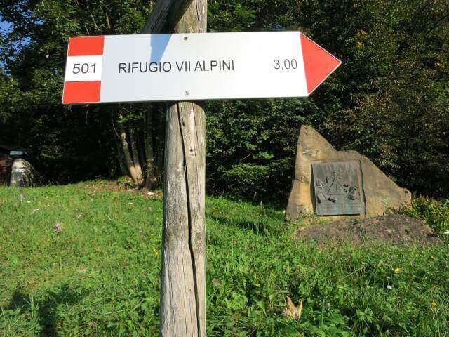
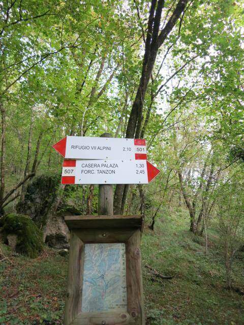
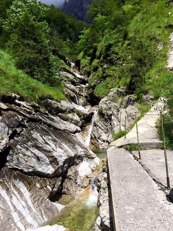
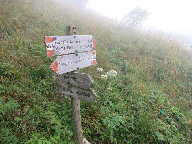
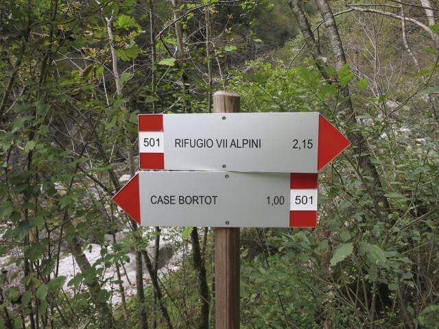
    From Case Bortot (695 m) in the province of Belluno (directions road map): from Belluno follow the road of Col di Lana, then towards Bolzano Bellunese and the Parco delle Dolomiti Bellunesi. Parking is on the final deck. Follow the CAI 501 in the forest: after the Ponte del Mariano (30′) the left for Rifugio VII Alpini (1502 m — 2h 45′).

    ▲The path

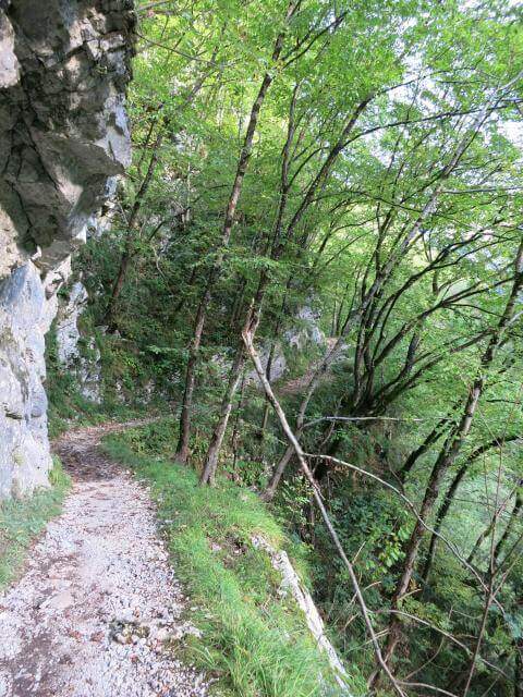
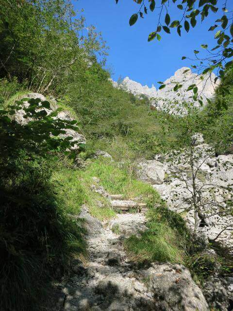
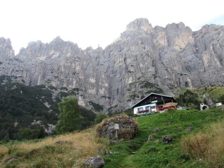
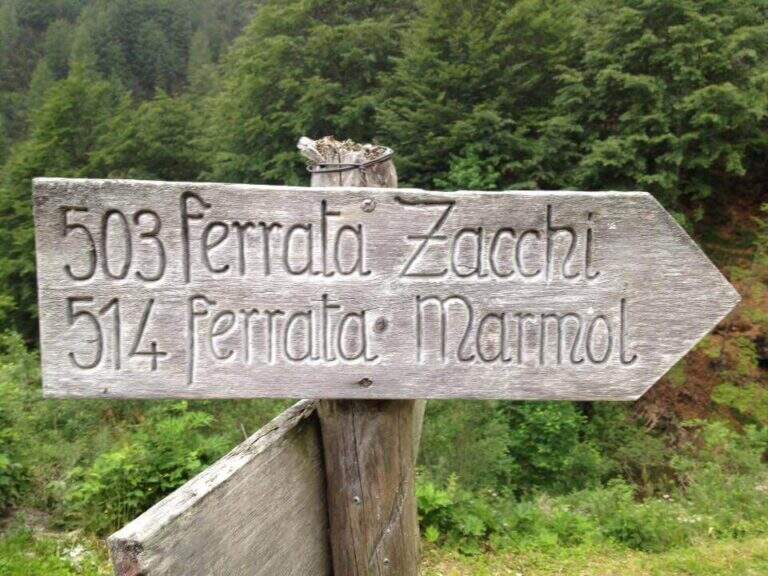
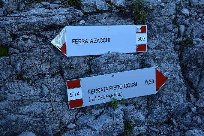
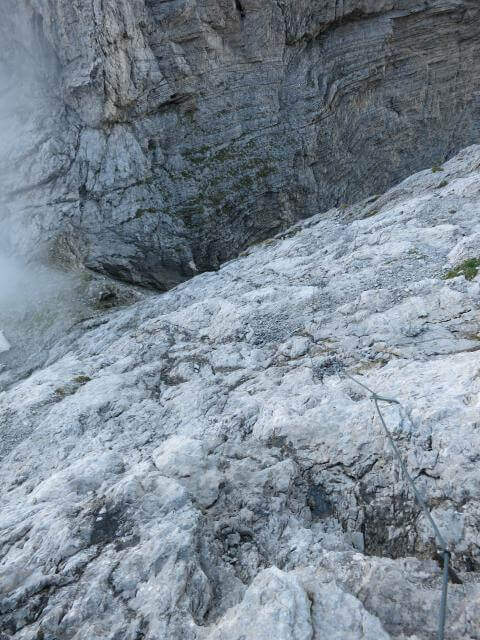
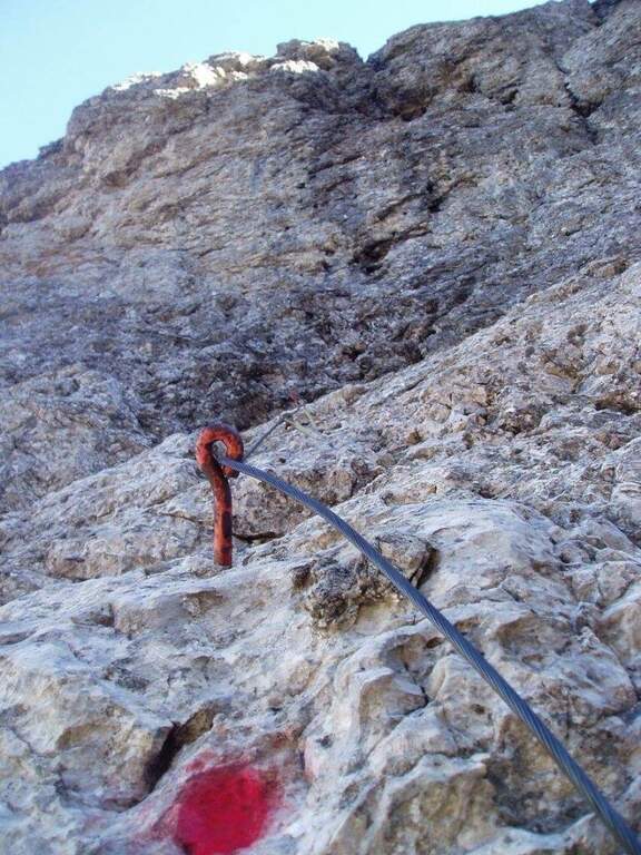
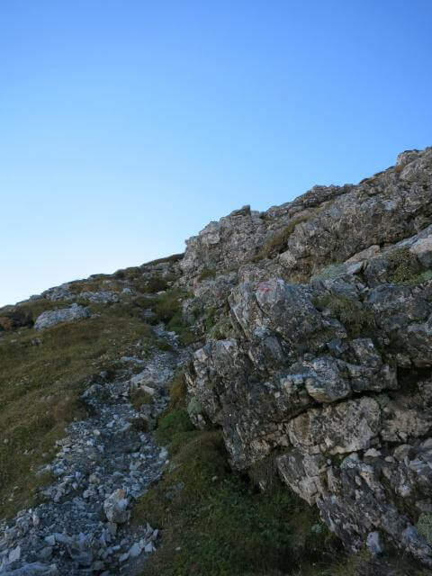
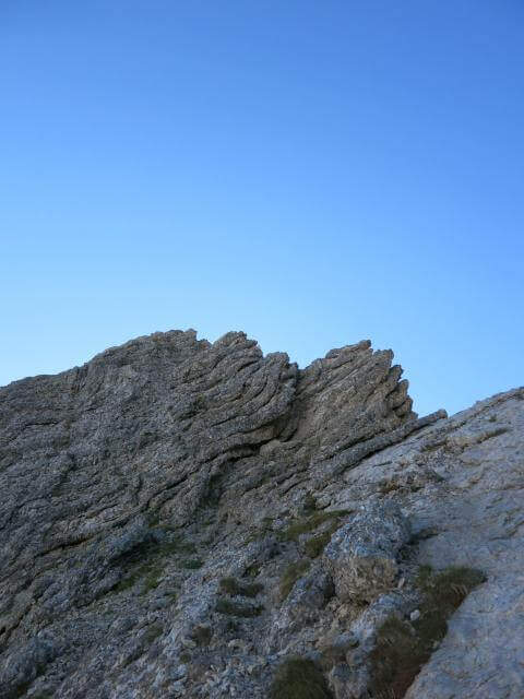
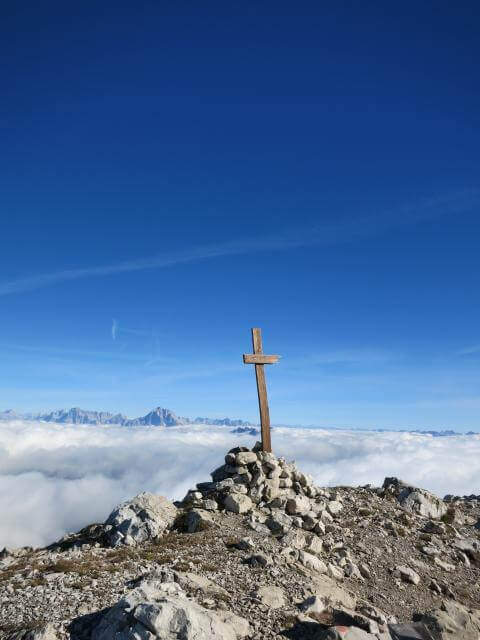
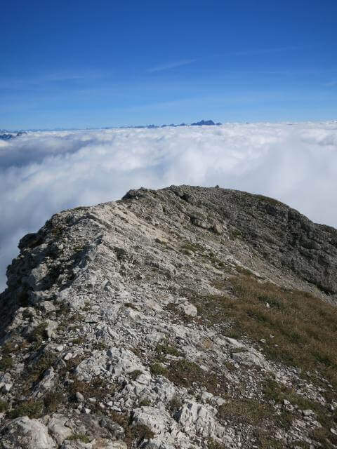
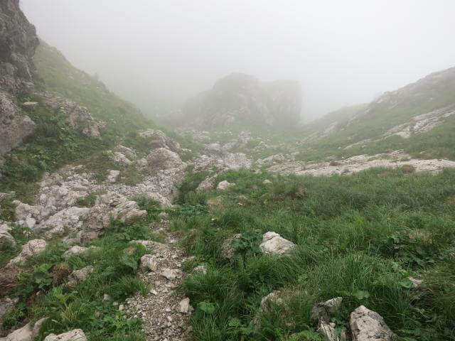
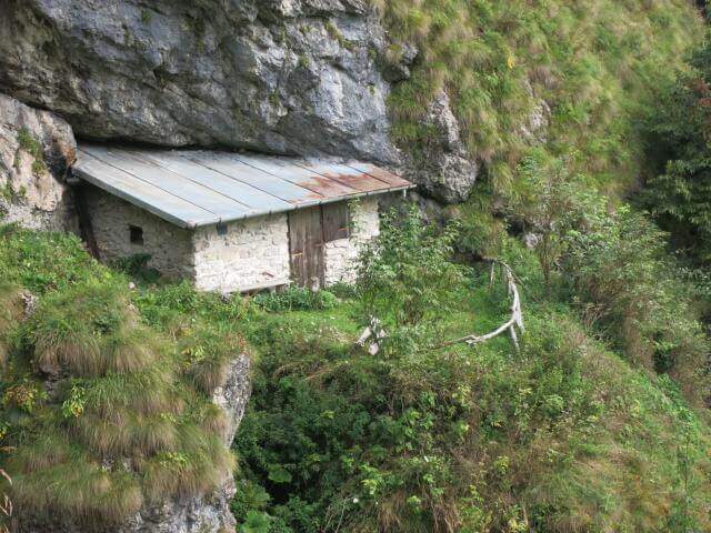
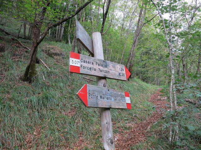
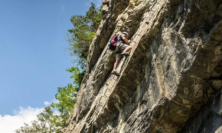
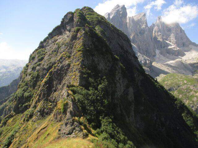
    From Rifugio VII Alpini go up towards Forcella Marmol with Ferrata Marmol, which is the first equipped stretch of the day. Adding the fork you leave the ferrata and attack the Path Attrezzato Guardian in the direction of the Pelf: the route rises on mixed ground, alternating rock and grass, with stretches equipped with moderate difficulty and long passages on exposed crest without protections. The summit of Monte Pelf is the highest and most panoramic point of the itinerary. The return descends along the CAI 507 to Ponte del Mariano and the departure parking.

    ▲Character and difficulty

    Classified Moderately Difficult, with a total length of day very challenging. The equipped routes do not exceed MD but the itinerary is not suitable for those who have no experience on alpine terrain. Complexity: technique 2/5, physics 4/5, exposure 3/5, environment 4/5.

    ⚠ Itinerary not to be underestimated for length and isolation. Bring abundant food and water; check availability of Rifugio VII Alpini (open seasonally).
    ▲Period and safety

    From July to September. The complete excursion takes a full day or an overnight stay at the refuge. Start at dawn to avoid afternoon thunderstorms.

    ▲Discipline

    From Pelf you descend to CAI 507 towards the Mariano Bridge and to the parking lot of Case Bortot (ring itinerary).

    ▲To match

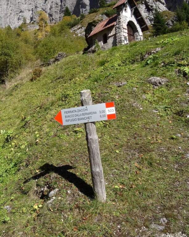
    In the Schiara Group: the Ferrata Zacchi, la Ferrata Marmol e la Ferrata Berti.
    ▲Gallery
    Technical data
    • DifficultyModerately Hard
    • RegionVeneto
    • GroupDolomiti Bellunesi – Group Schiara
    • Approach6:30 h
    • Ferrata1:30 h
    • Itinerary (a/r)11:30 h
    • Hardware level difference340 m
    • Route difference1805 m
    • Max2502 m
    • Length22 Km
  • Sentiero Attrezzato dei Mar al Mulaz

    Sentiero Attrezzato dei Mar al Mulaz

    Vie Ferrate › Veneto › Belluno
    Sentiero Attrezzato dei Mar al Mulaz
    Moderately Hard● ClosedDescriptionComplexityMapsGallery

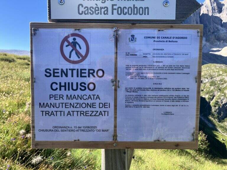
    : ATTENTION — Via CHIUSA: The Equipped Path of the Sea is closed. Check the current conditions before any planning.

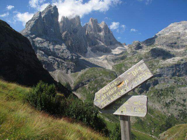
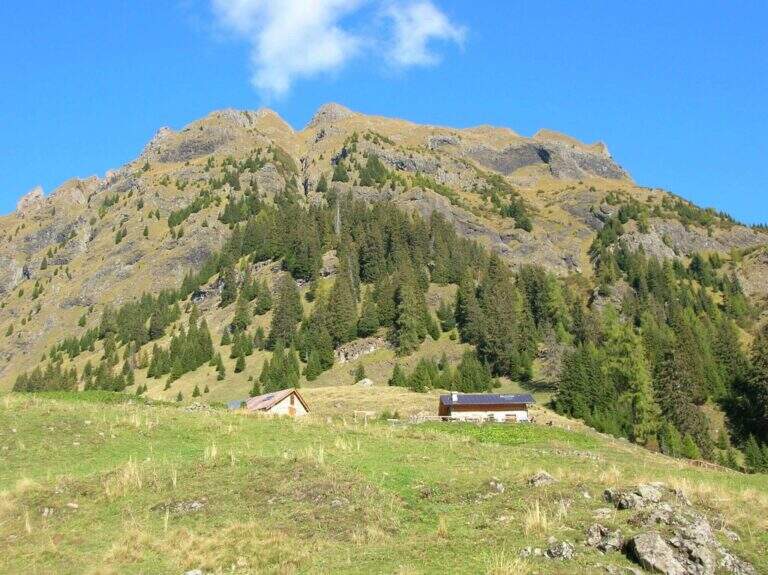
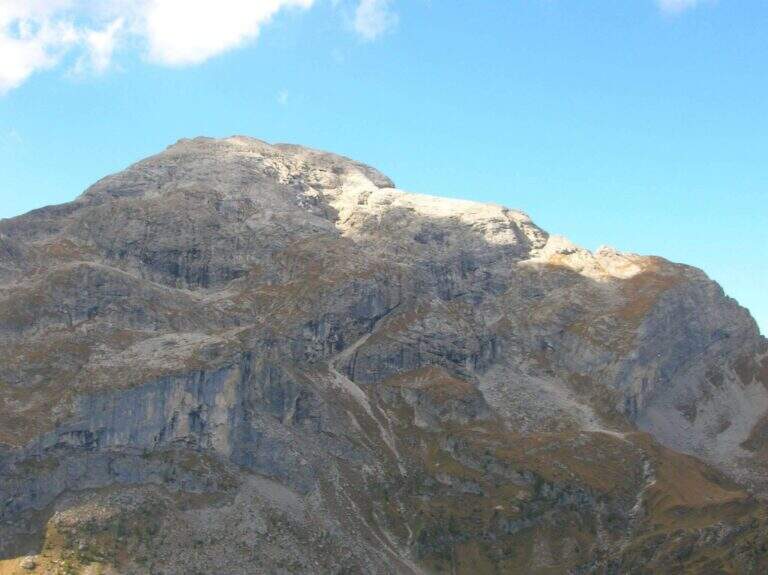
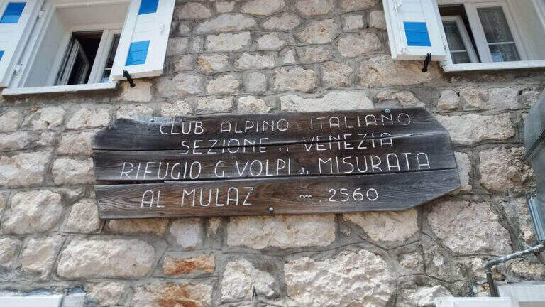
    The Path Attrezzato dei Mar runs through the northern side of the Pale di San Martino with departure from the isolated inhabited area of Gares, climbing towards the Mulaz between views of the Focobon. Itinerary not frequented, technically not difficult but with sometimes insidious background on grass and terrous.

    ▲Approach

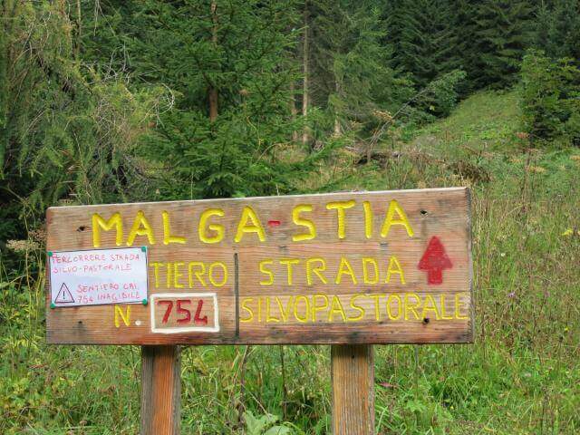
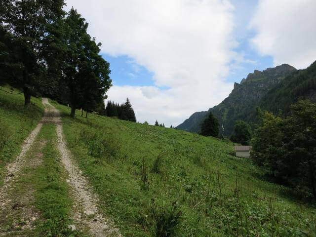
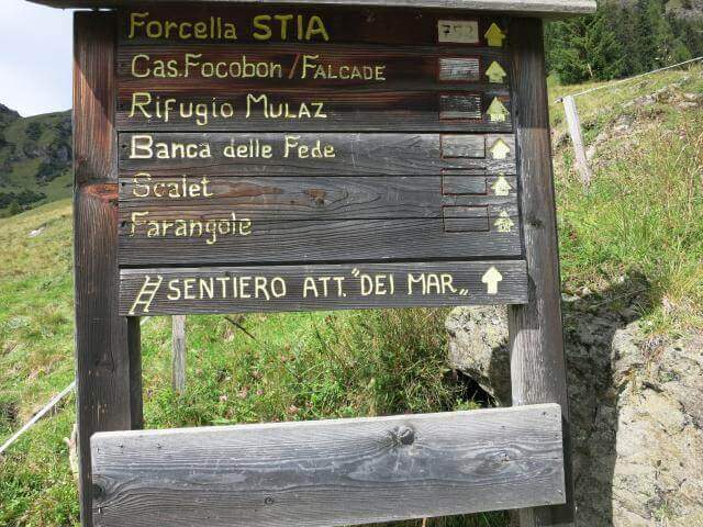
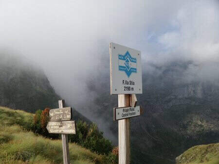
    You reach Gares from Canale d'Agordo turning south (west) for about 7 Km on a beautiful valley (directions road map). Comfortable parking in the village. On foot you will reach the church and take the route towards Malga Stia following the signs, first climbed on track then on path 754 on the left side of Val di Greta. In about 50 minutes you will reach Malga Stia (1785 m), then continue on path 752 towards Forcella Stia.

    ▲The path

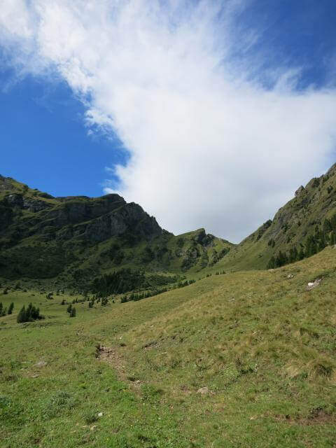
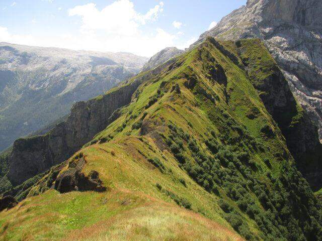
    From Malga Stia follow the path 752 on meadows towards Forcella Stia. At the Cresta dei Mar you arrive at a metal ladder and a sign that marks the beginning of the equipment. You go up the ladder and face a first esile equipped nod. Continue on a grassy ridge following the labile trace towards the rocky ridge that you walk just under the ridge thread, following the metal cables and paying attention to the grassy and terrous bottom that can be slippery with moisture. The route finally leads to the Mulaz.

    ▲Character and difficulty

    Classified Moderately Difficult. The equipped strokes are not technically demanding but the unstable background and lability of the track require orientation and caution. Complexity: technique 2/5, physics 3/5, exposure 2/5, environment 3/5.

    ⚠ It is currently closed. Do not travel without checking the status of the equipment with the competent CAI Section or with the Falcade Finance Guard.
    ▲Period and safety

    Normally open from July to September. Check the reopening before planning the excursion.

    ▲Discipline

    From the Mulaz you descend to the Mulaz refuge and then on a path towards Falcade or return to Gares for the uphill road.

    ▲To match

    In the Pale di San Martino: la Ferrata del Canalino al Mulaz e la Ferrata Gabitta d'Ignoti.
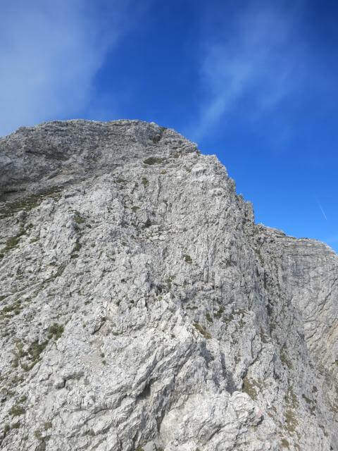
    ▲Gallery
    Technical data
    • DifficultyModerately Hard
    • RegionVeneto
    • GroupPale di San Martino
    • Approach1:45 h
    • Ferrata1:
    • Itinerary (a/r)7:00 h
    • Route difference1180 m
    • Max2560 m
    • Length13 Km
Need help? Write to us!