Caratteristica: Stile francese

  • Ferrata del Rouas in Bardonecchia

    Ferrata del Rouas in Bardonecchia

    Vie Ferrate › Piedmont › Turin
    Ferrata del Rouas in Bardonecchia
    Moderately Hard● In MaintenanceDescriptionComplexityMapsGallery

    to Status reported: «In Maintenance». The source indicates ongoing work/maintenance: verify the agility and state of the equipment before leaving.

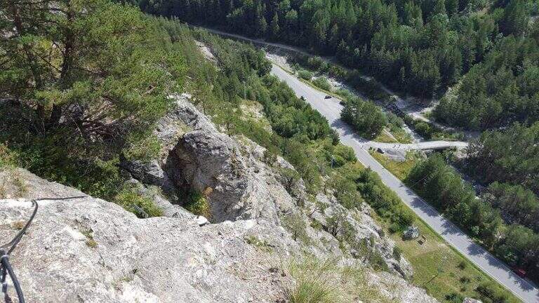
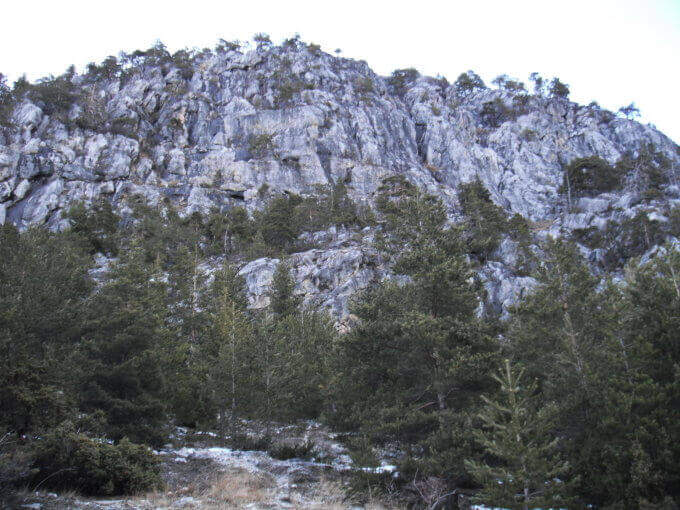
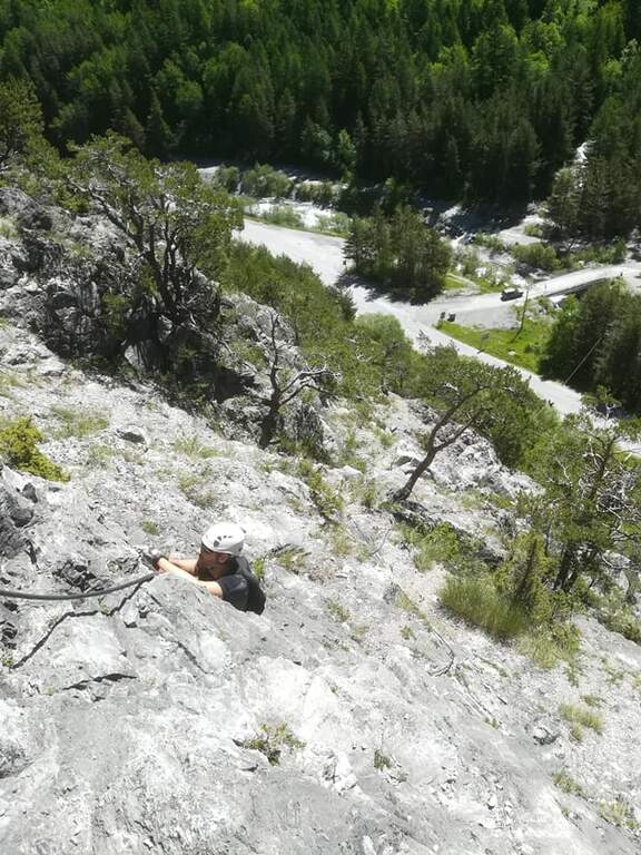
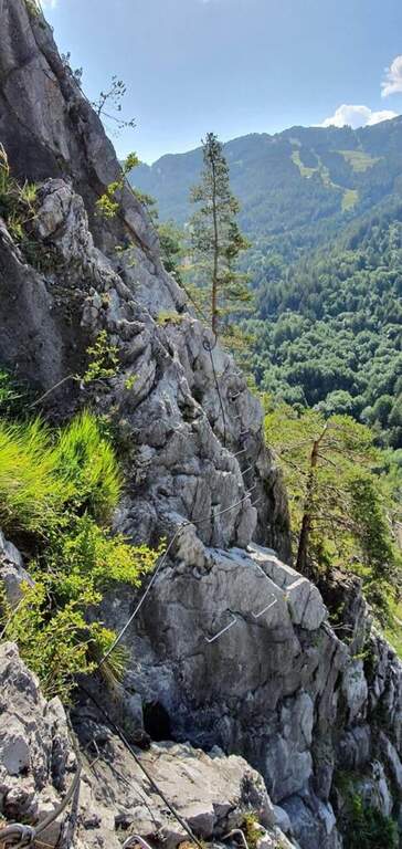
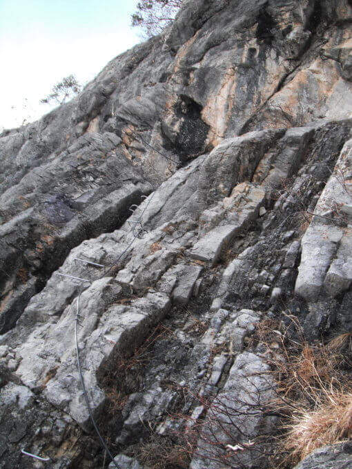
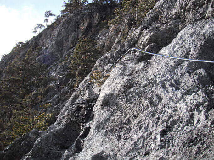
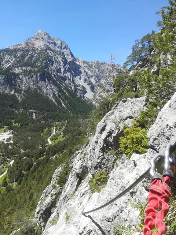
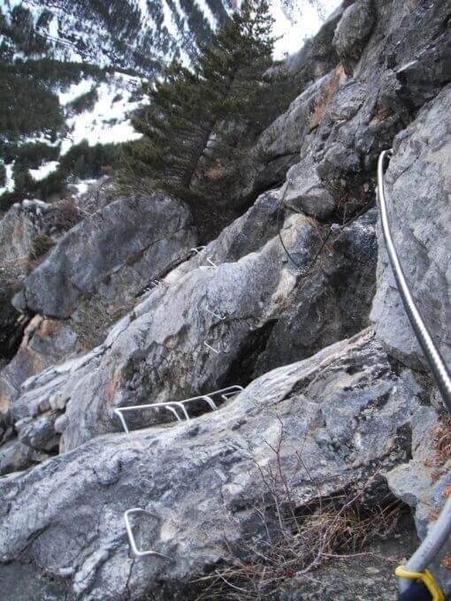
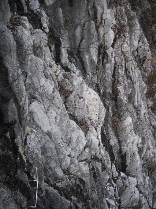
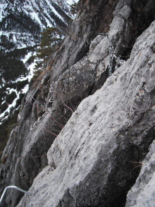
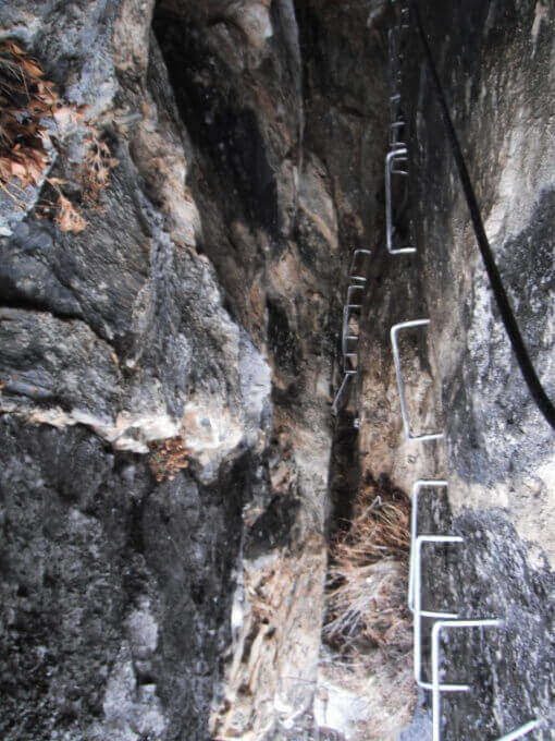
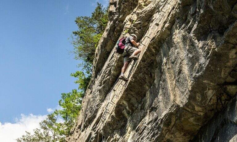
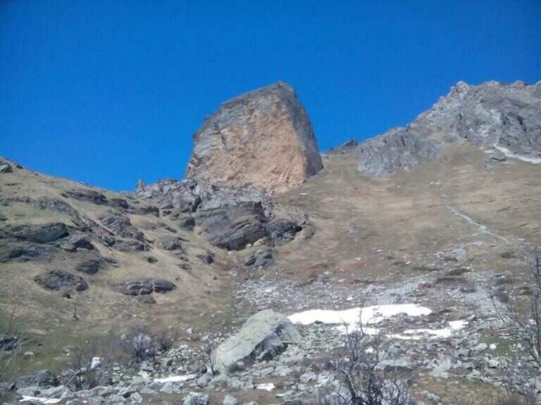
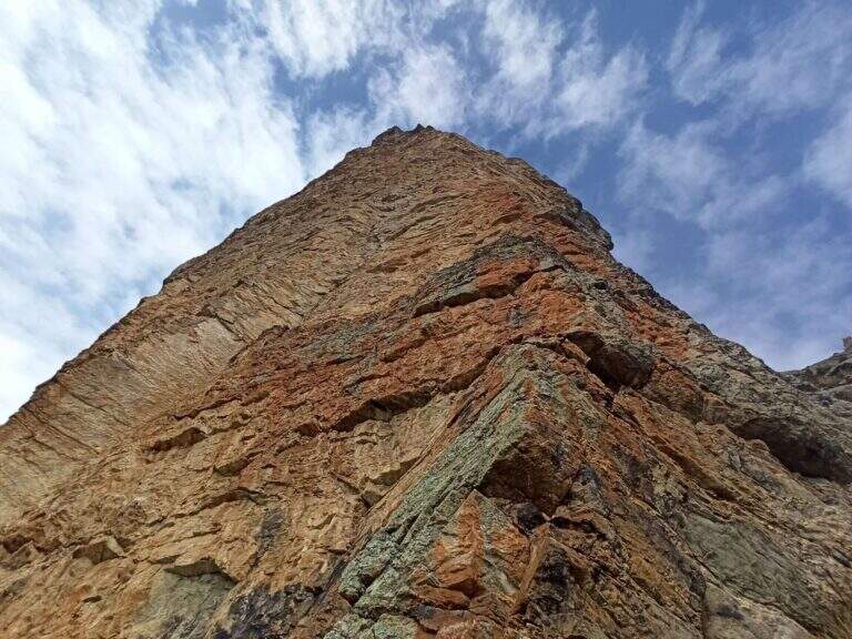
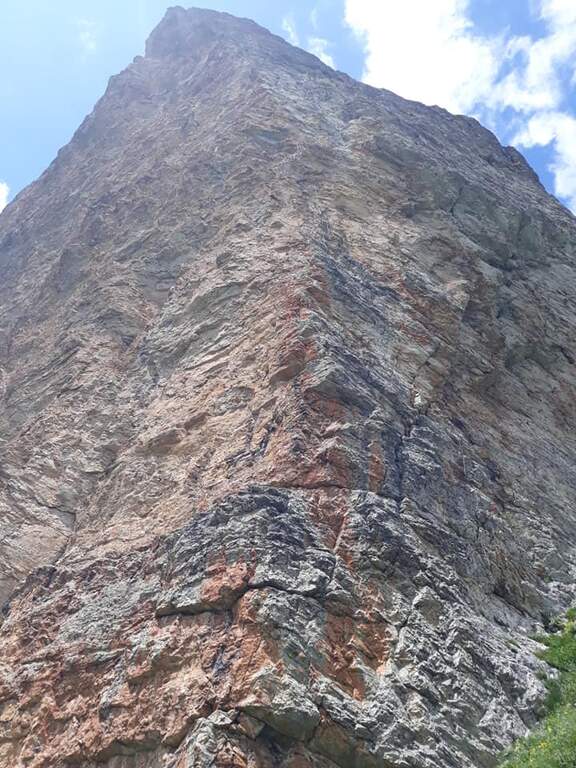
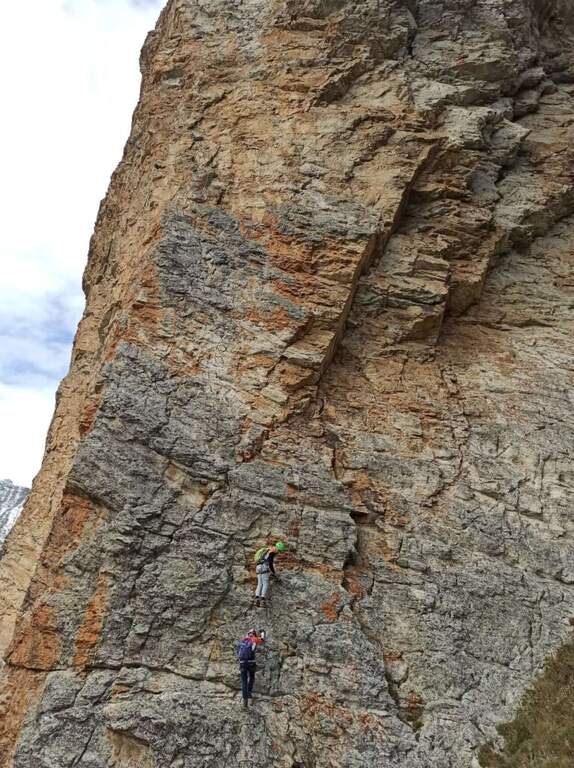
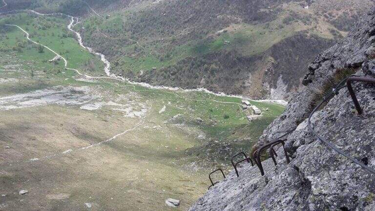
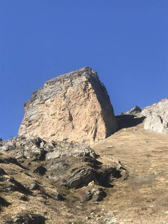
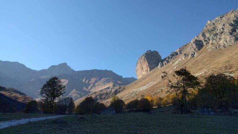
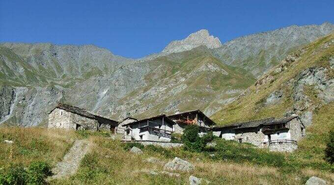
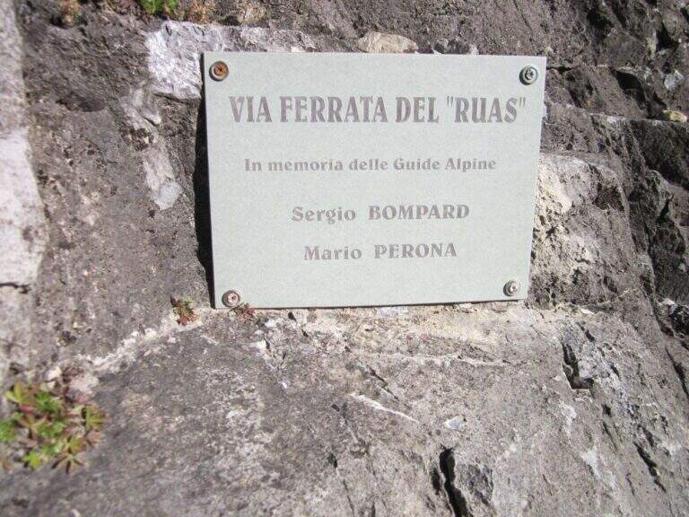
    La Ferrata del Rouas è una via recente nell'alta Val di Susa, al confine con la Francia: atletica e «alla francese», molto attrezzata, con una variante difficile e impegnativa. Nell'itinerario base è adatta anche ai neofiti, viste le attrezzature in ottimo stato. È intitolata a Bompard e Perona.

    ▲Approach

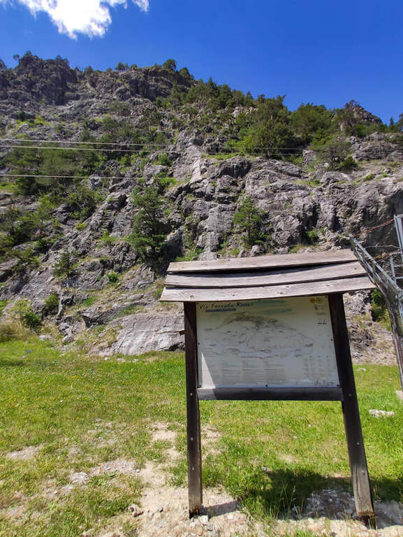
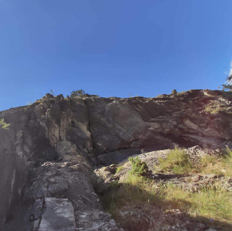
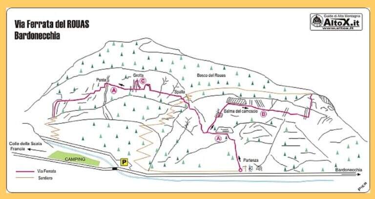
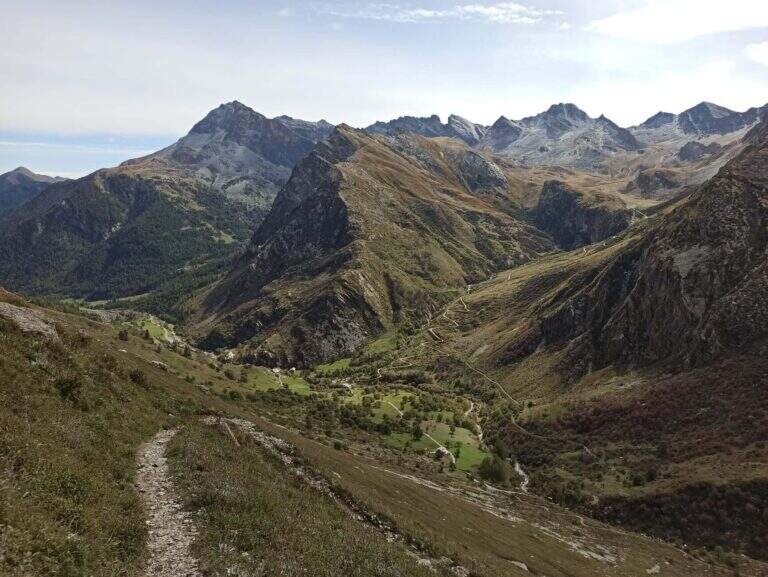
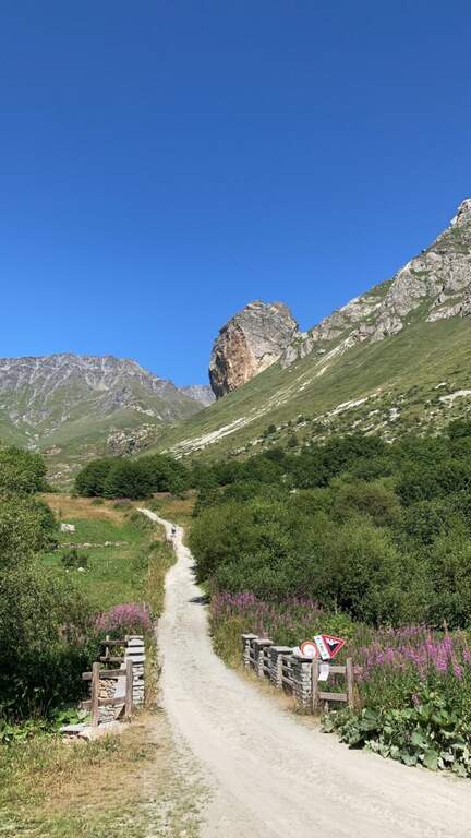
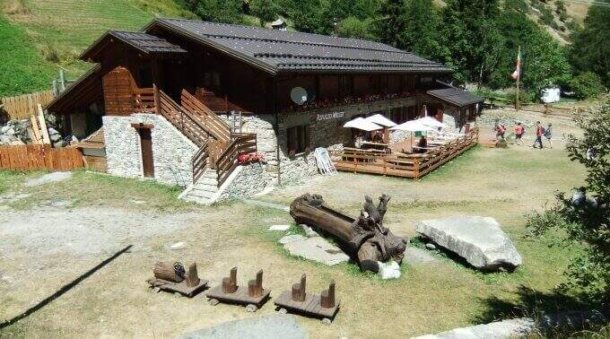
    Starting point the fraction of Melezet, municipality of Bardonecchia (TO): cross the village continue on SP216 for 300 m, until you notice the parable of a repeater; just beyond you park at the inn of the ferrata. Open road signs on Google Maps. A very short path leads in just over 5 minutes to the attack wall.

    ▲The path

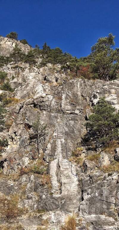
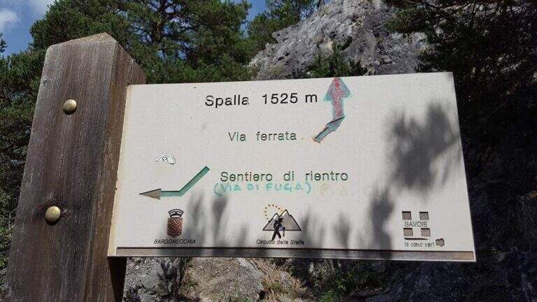
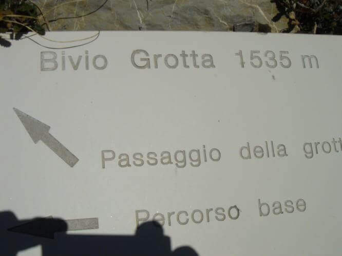
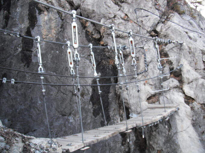
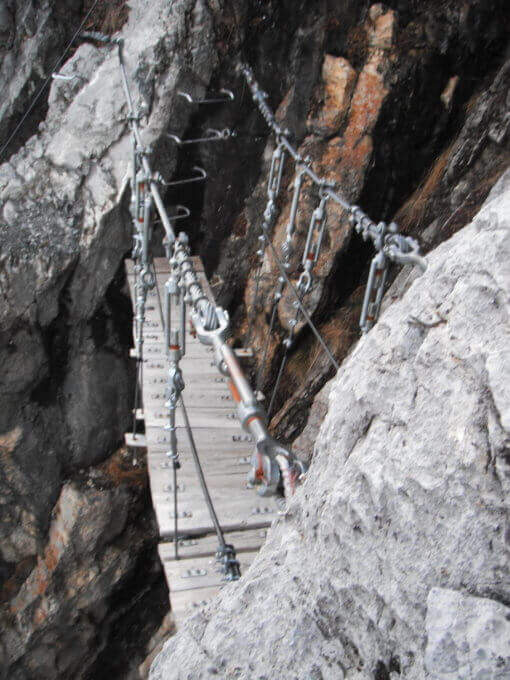
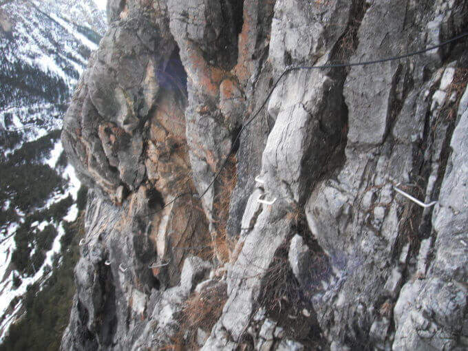
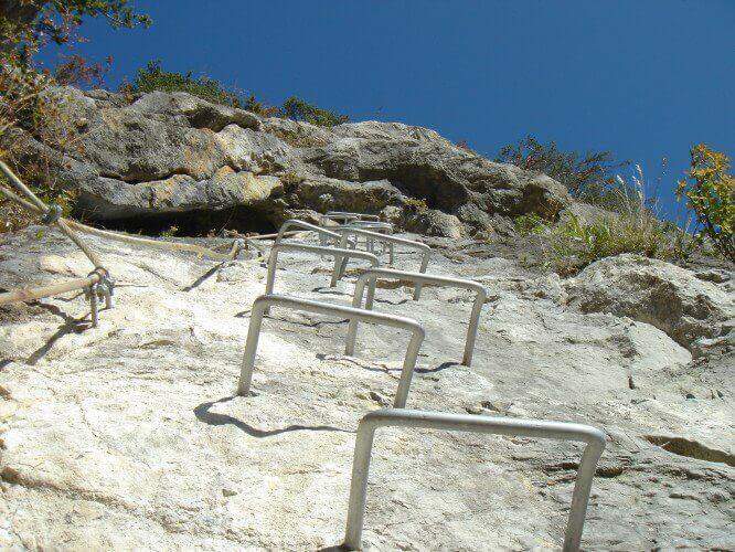
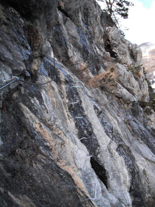
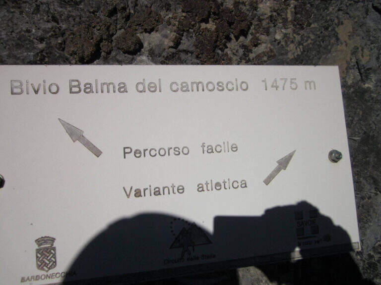
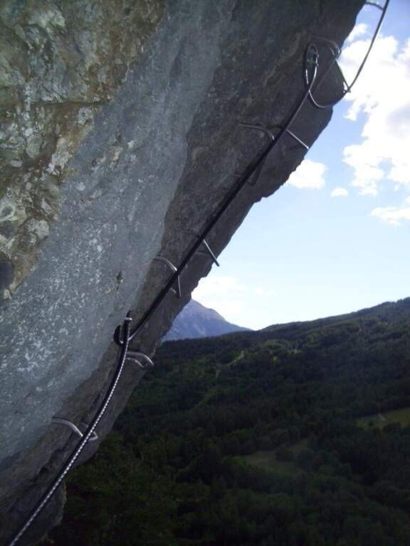
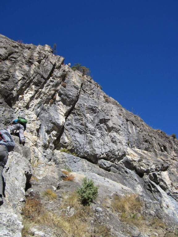
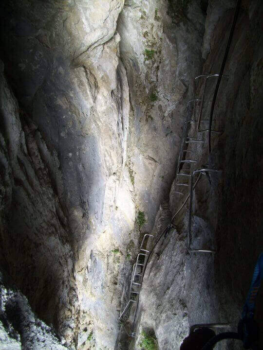
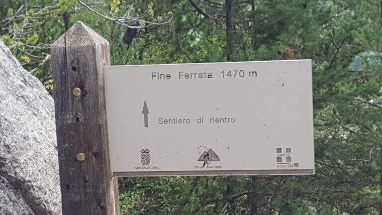
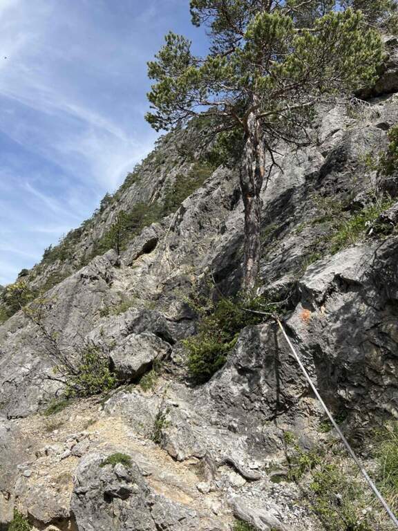
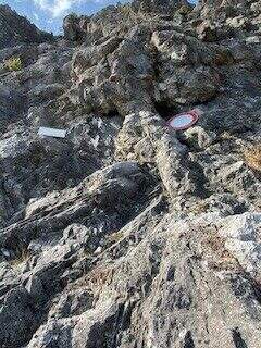
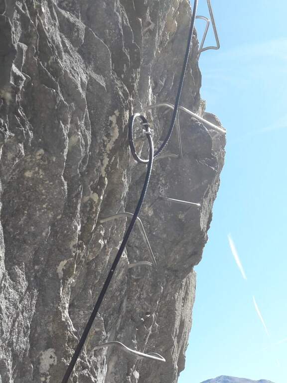
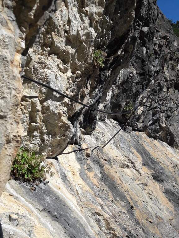
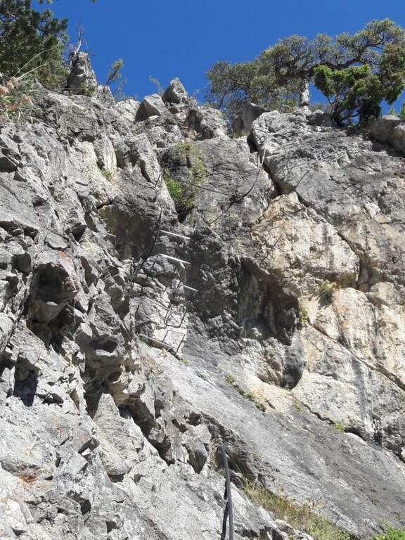
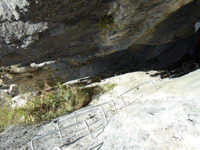
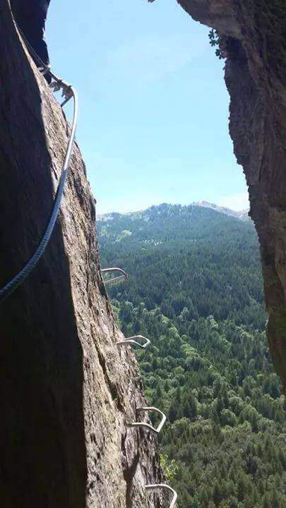
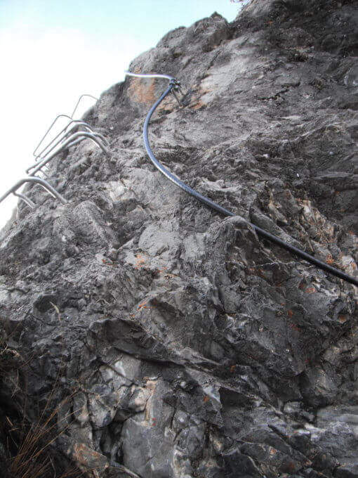
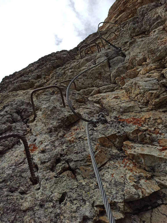
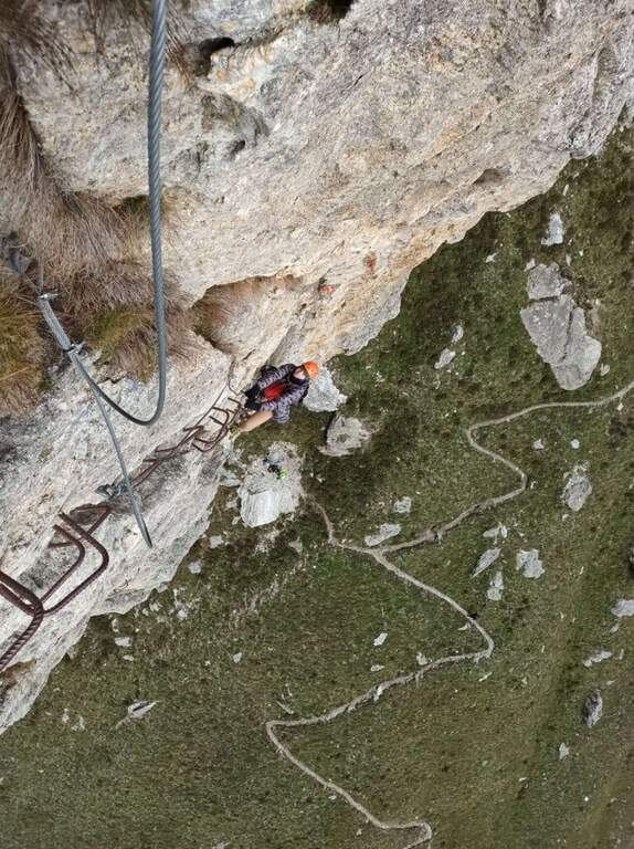
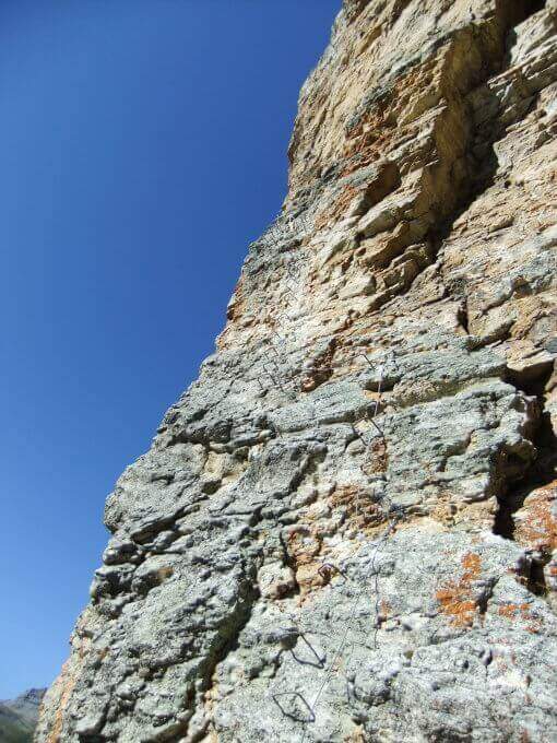
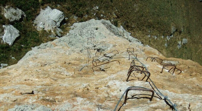
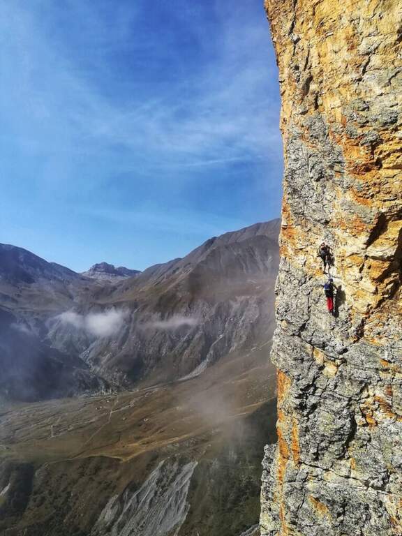
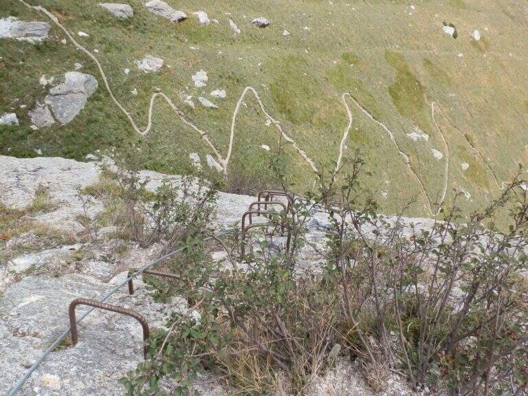
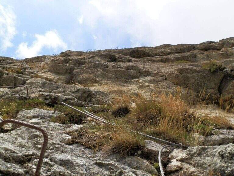
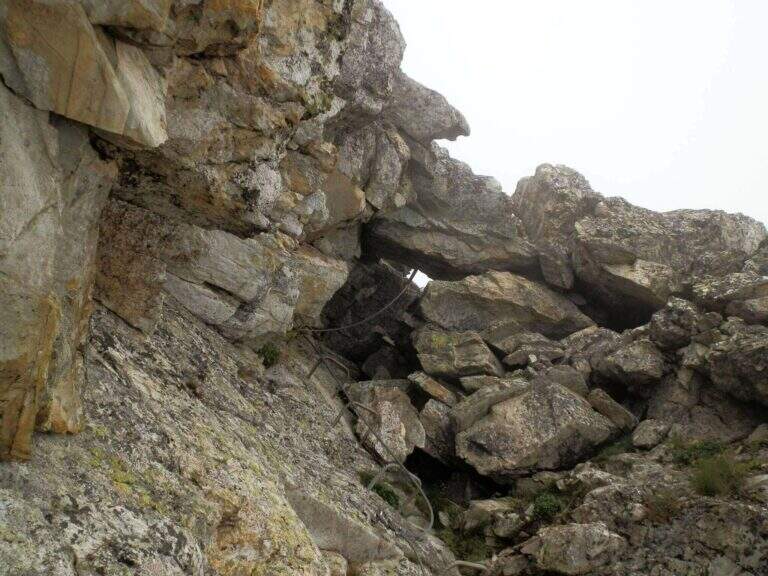
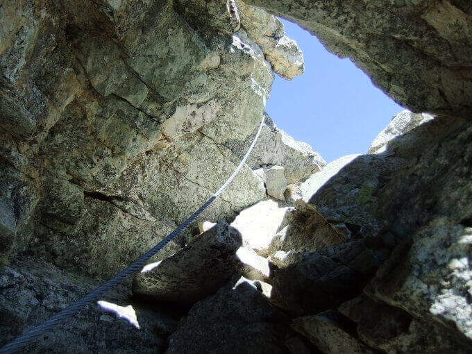
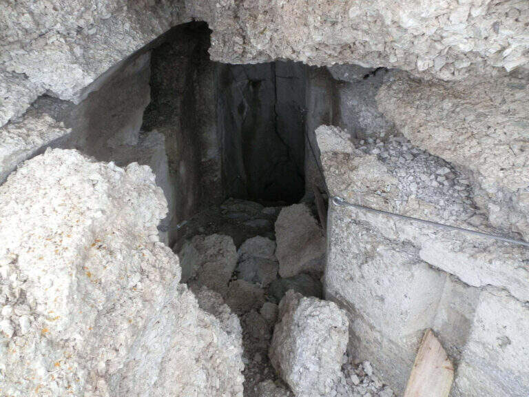
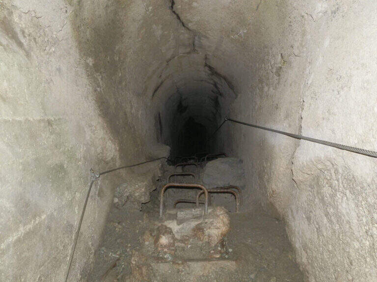
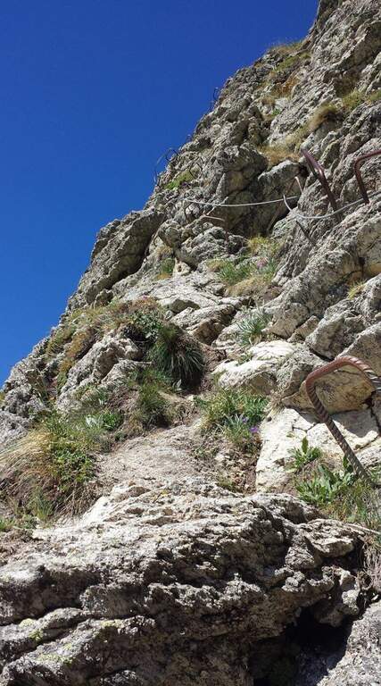
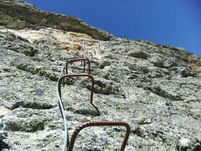
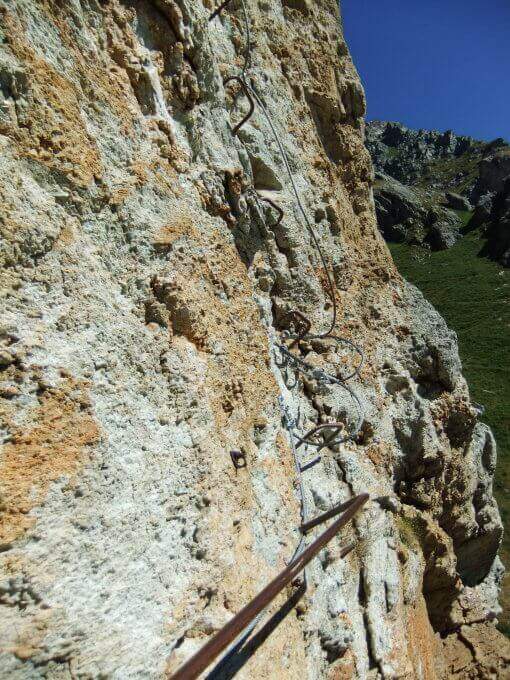
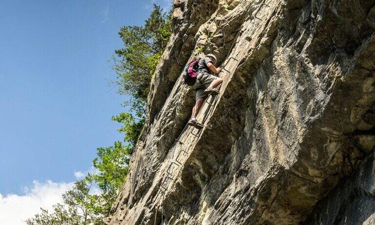
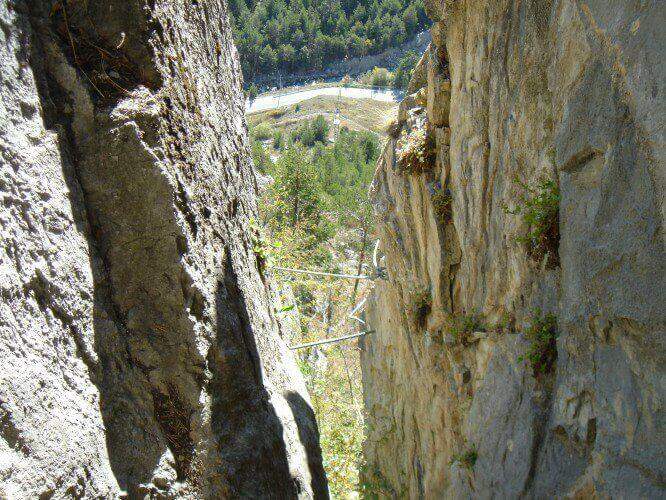
    The route consists of 3 sectors not necessarily concatenabiles. Il sector shares the first section with sector B: a couple of tilted walls and balconies with abundant cambre, turn left on a traverse that bypasses a' imposing protrusion and you reach a crossroad where, vertically, part l' route B (Balma del Camoscio). After leaving the B, three vertical walls with cambre, never too difficult but in increasing exposure, interspersed with traverses (at a point attention to the bulky backpack: useful a postponement to hang it); you reach the shoulder where the path of the section B falls and the via escape. Continue on a long oblique traverse to the cave (Porta C); ignoring the deviation continues until the bridge suspended , crosses it and begins the descent with beams and short walls assisted by brackets, never difficult, until the end (2h by ' attack ignoring the two deviations / 2h 5' totali). L'itinerary B, dal bivio, risale un primo tratto verticale e un lungo traverso, poi un altro tratto verticale impegnativo e infine il passaggio chiave: una parete strapiombante di circa 6 metri, perfettamente staffata ma che «spancia» mettendo a dura prova le braccia (utile un rinvio corto); seguono un traverso in leggera discesa (attenzione ai piedi), un diedro e un paio di piccoli strapiombi, fino a una facile cresta e al bosco di Rouas (1h 15' dal bivio / 1h 45' dall'attacco), da cui un sentiero riporta a un incontro con l'itinerario A. Il tratto C è una breve parete con una grotta e un piccolo tratto sospeso, dopo il quale si ridiscende verso il proseguimento dell'itinerario A (10' dalla deviazione).

    ▲Character and difficulty

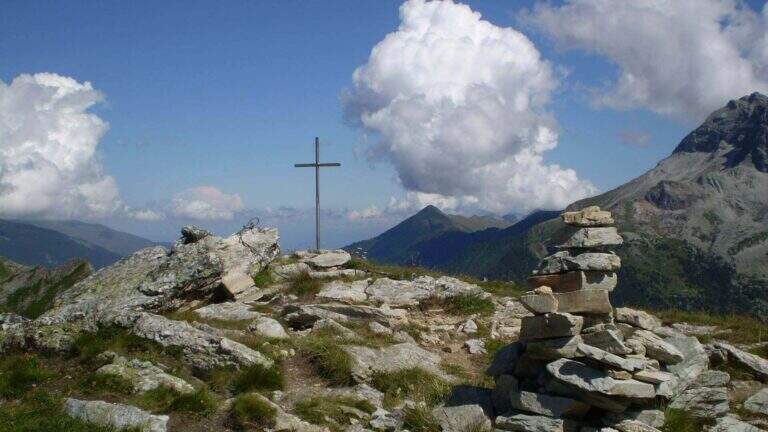
    Via alla Francese, very equipped and fun; there is no real summit. L' A è itinerary; also suitable for neophytes, while the B è sector; clearly più athletics (keystrapiombo). Recent equipment and in good condition.

    ▲Period and safety

    Season from spring to autumn with dry rock. Remembering the state "In Maintenance", make sure of the conditions of the equipment.

    ▲Discipline

    After the A section descends along l' obvious path up to a road, which runs towards sinistra in the direction of the parking lot (15' from the term / 2h 20' total if you do not walk the B and C sections; 4h total if routes A, B and C).

    ▲To match

    In Val di Susa, area rich in itineraries: in Claviere la Ferrata di Rocca Clarì, la Ferrata del Bunker e la Low Battery Hardware; la Ferrata Guido Rossa in Caprie, la Ferrata dell'Orrido di Chianocco, la Ferrata dell'Orrido di Foresto e la Ferrata della Ruceia.
    ▲Gallery
    Technical data
    • DifficultyModerately Hard
    • RegionPiedmont
    • GroupVal di Susa
    • Approach0:05 h
    • Ferrata2:40 h
    • Itinerary (a/r)3:00 h
    • Hardware level difference125 m
    • Route difference275 m
    • Max1500 m
    • Length1,4 Km
  • Ferrata di Rocca Senghi (Val Varaita)

    Ferrata di Rocca Senghi (Val Varaita)

    Vie Ferrate › Piedmont › Cuneo
    Ferrata di Rocca Senghi (Val Varaita)

    The Ferrata di Rocca Senghi dates back to l' the homonymous torrione isolated in Val Varaita: a difficult, athletic and « French », with different stretches overhanging. Difficult & Agrave; techniques are not very high, given l' abundance of cambres and brackets, but it should be faced only if well trained. Downhill you can può cross a suggestive galleria militare.
    ▲Approach

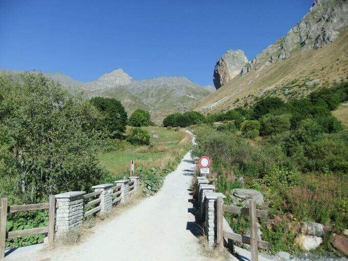
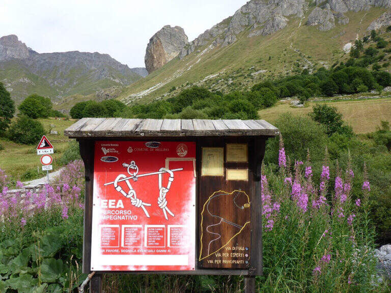
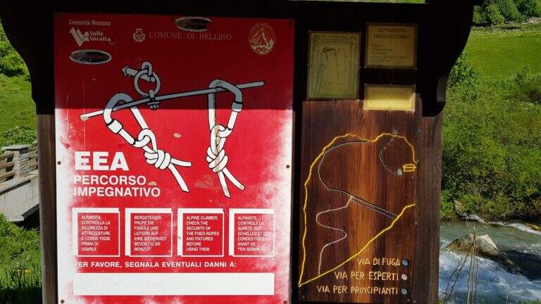
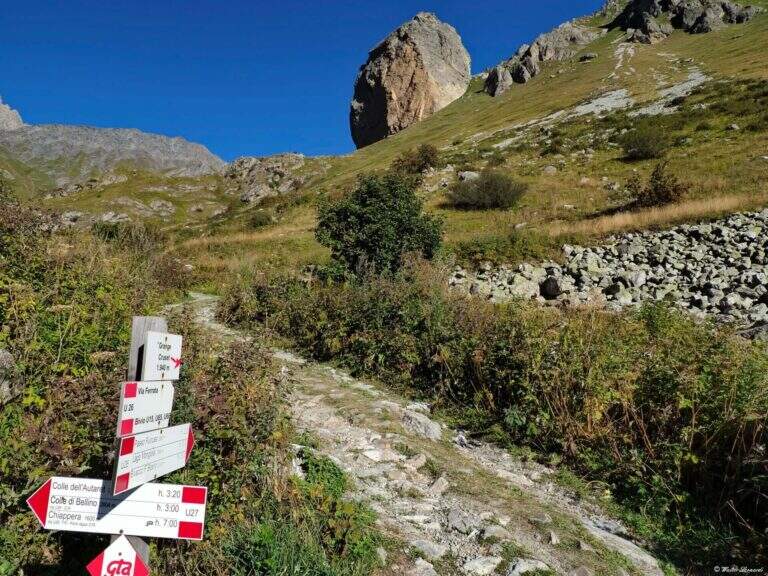
    Starting point the Sant'Anna of Bellino (CN): you pass the bridge over the Varaita stream and park in the bay. Open road signs on Google Maps. On foot you continue towards the next bridge (fontana on the left), you cross it and you take the path U26 towards the Grange Cruset, then at the crossroads right on the branch for Rocca Senghi (cartel). Passed a basin that shows the way and the escape routes, you go up the steep path to serpentine along a grassy canal up to the isolated rock; the attack is on 2190 m, on the left side, near a comfortable deck to equip itself (1h from the parking lot).

    ▲The path

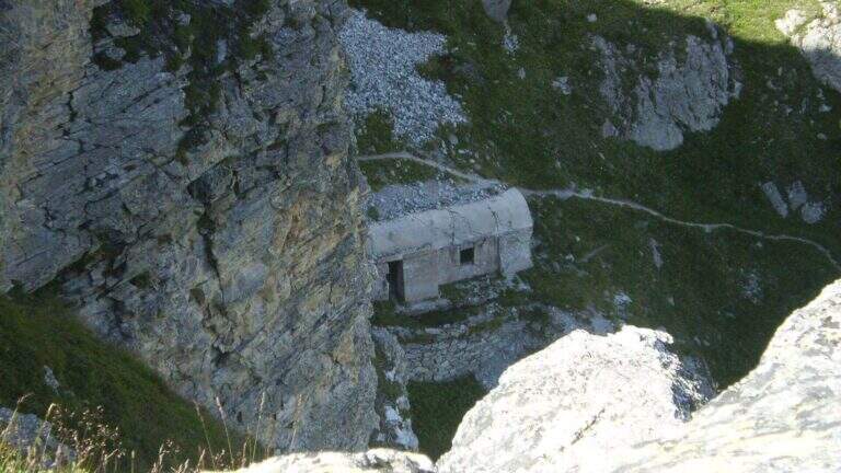
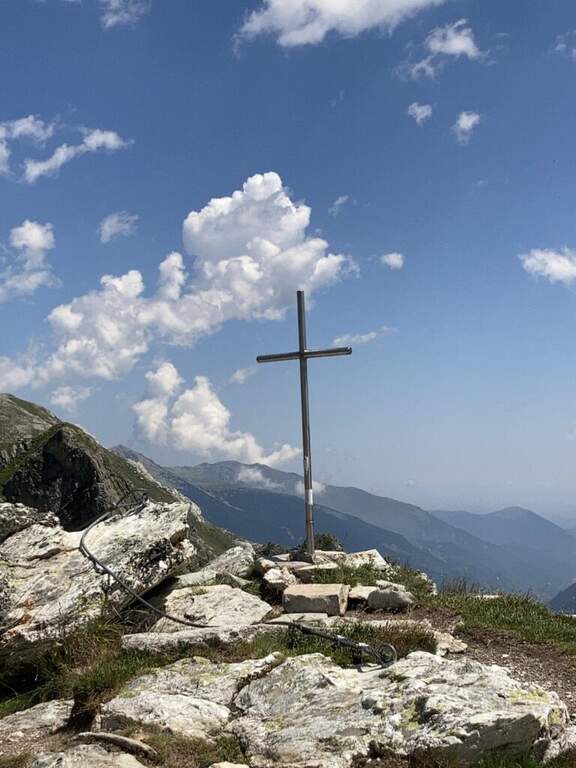
    Lo sviluppo è visibile dal basso: ci si sposta progressivamente lungo il filo dello spigolo in forte esposizione. Si attacca con un tratto orizzontale a sinistra scendendo un paio di metri dal sentiero, quindi si sale in verticale su parete a tratti leggermente strapiombante, con abbondanti staffe (talvolta distanti tra loro, scomode per chi è di bassa statura). Si guadagna quota rapidamente fino a un tratto orizzontale a sinistra con staffe per mani e piedi, e si raggiunge il caratteristico spigolo in forte esposizione. Si prosegue su una serie di pareti verticali alternate a brevi tratti orizzontali, decisamente impegnative; dopo circa 45' dall'attacco si arriva a una cengia diagonale dove rifiatare dopo la prima serie di pareti atletiche (qui, a destra, una via di fuga che, per una cengia, raggiunge un ricovero militare abbandonato e da lì la vetta per sentiero o per una galleria militare di 30 m). La seconda parte ha caratteristiche simili ma con meno strapiombi e qualche parete più appoggiata: dopo un tratto orizzontale a destra si passa dentro un caratteristico foro nella roccia; ancora pochi minuti in verticale e si raggiunge la croce metallica della vetta di Rocca Senghi (circa 1h 30' dall'inizio / 2h 30' totali).

    ▲Character and difficulty

    cut cable to French , therefore little tense: less useful to traction in difficult points, but the abundant brackets give much support for hands and feet.

    ⚠ Athletic route: not recommended to those who do not è well trained. For the downhill military tunnel è needs a front stack. Attention to the distance between the brackets for low-stage people.
    ▲Period and safety

    High valley summer itinerary; start early and with good physical conditions. Height of the attack 2190 m.

    ▲Discipline

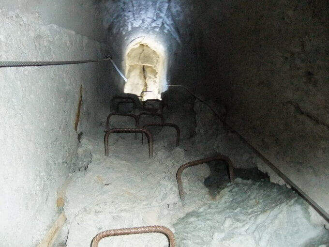
    From the top you go down to a saddle and at a crossroad: at destra a path leads to the remains of the military shelter; at sinistra you can può go downhill the galleria militare (about 30 m, initially equipped with metal steps and cable, indispensable frontal pile) that connects the two sides and deposits. From the shelter a path shows near the ' attack and then, backwards, to the parking lot (1h from the term / 3h 30' totali).

    ▲To match

    On day, in Val Varaita, la Ferrata di Chiaronto. Among the other routes of the Cuneese: the long Ferrata degli Alpini all'Oronaye, la Ferrata di Camoglieres, la Ferrata dei Funs e la Ferrata del Bec Valletta to Limone; further south, in the province of Savona, the Ferrata degli Artisti.

    ▲Gallery
    Technical data
    • DifficultyHard
    • RegionPiedmont
    • GroupVal Varaita
    • Approach1:00 h
    • Ferrata1:30 h
    • Itinerary (a/r)3:30 h
    • Hardware level difference230 m
    • Route difference320 m
    • Max2450 m
    • Length8,7 Km
Need help? Write to us!