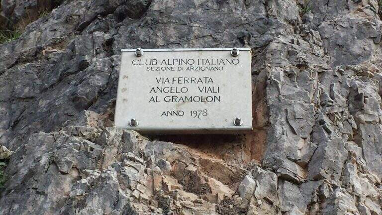
Caratteristica: Vajo / canalone

  • Ferrata Viali at Monte Gramolon

    Ferrata Viali at Monte Gramolon

    Vie Ferrate › Veneto › Vicenza
    Ferrata Viali at Monte Gramolon
    Moderately Hard● OpenDescriptionComplexityMapsGallery

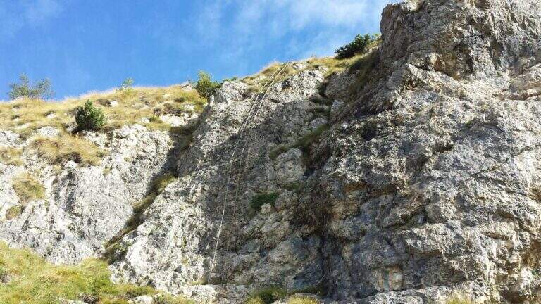
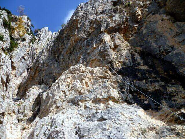
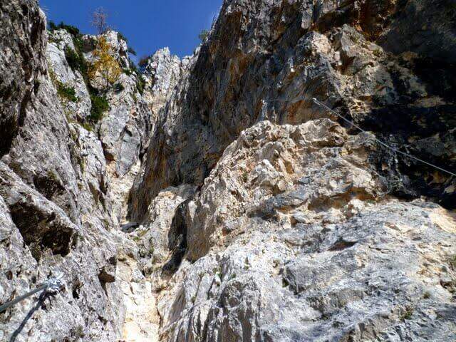
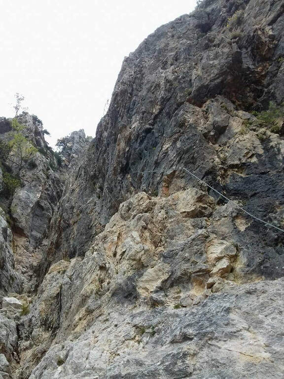
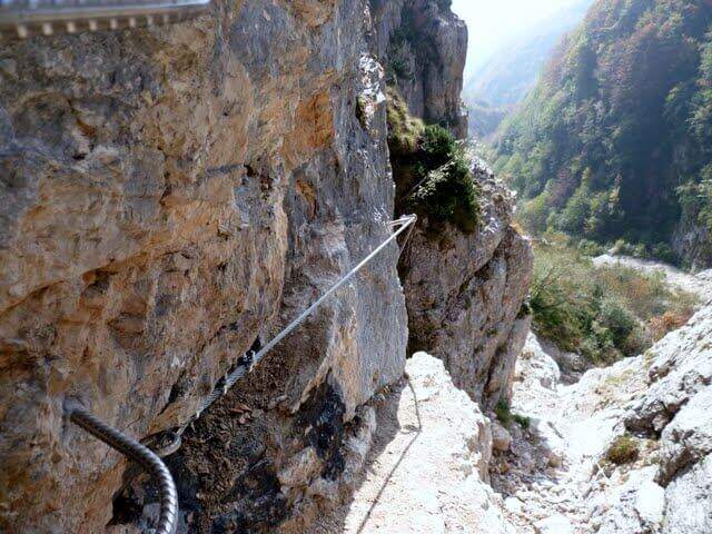
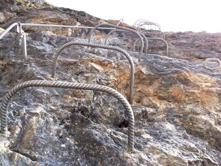
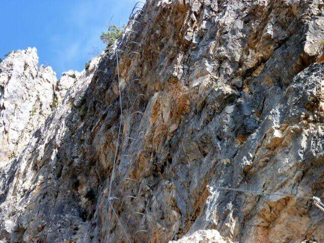
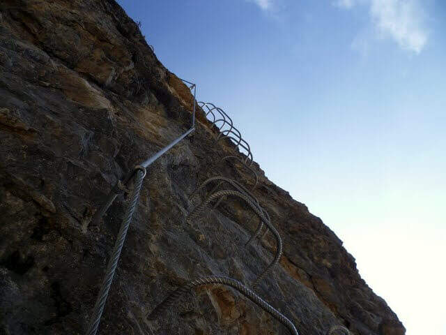
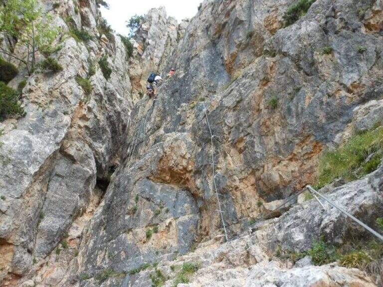
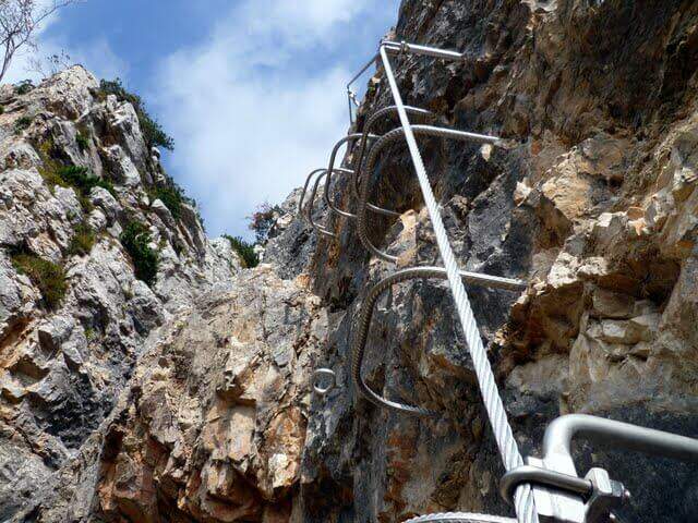
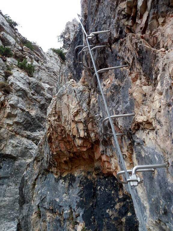
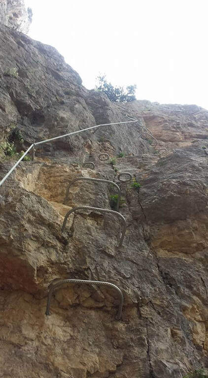
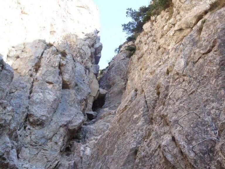
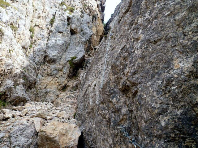
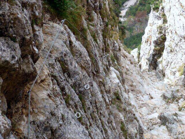
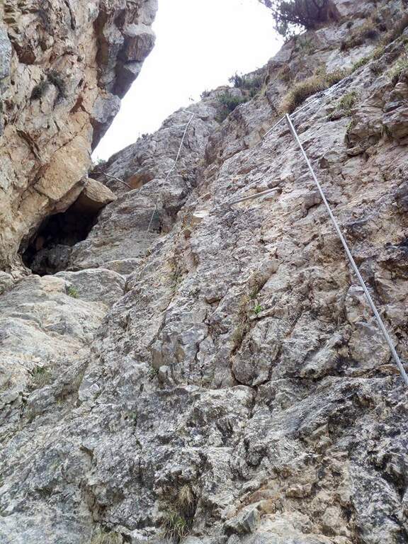
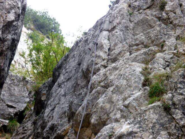
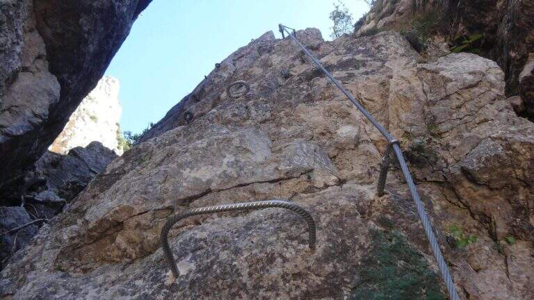
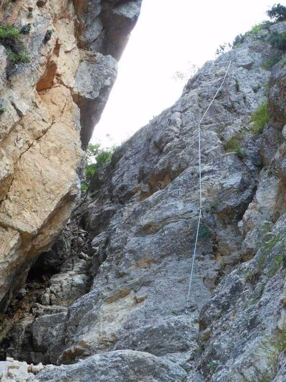
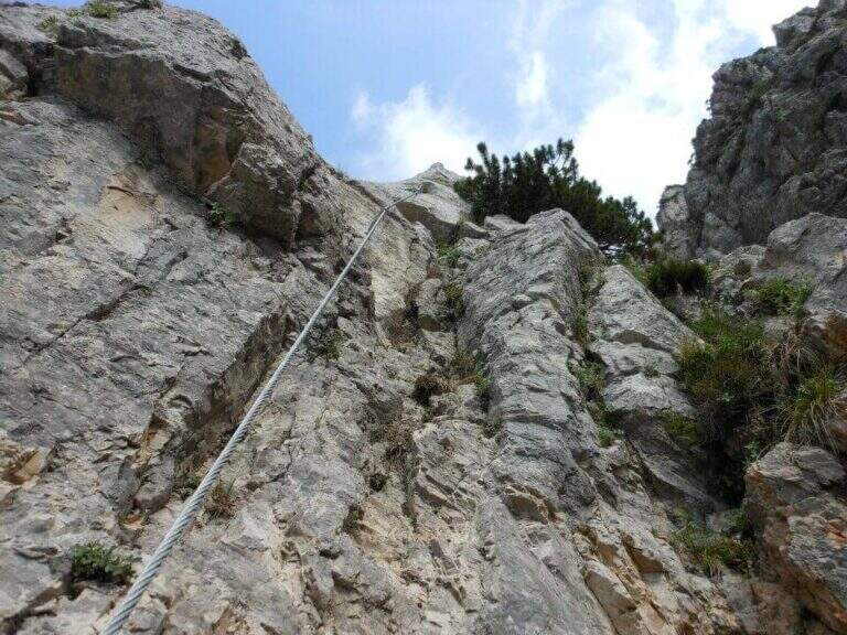
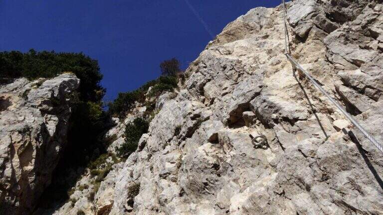
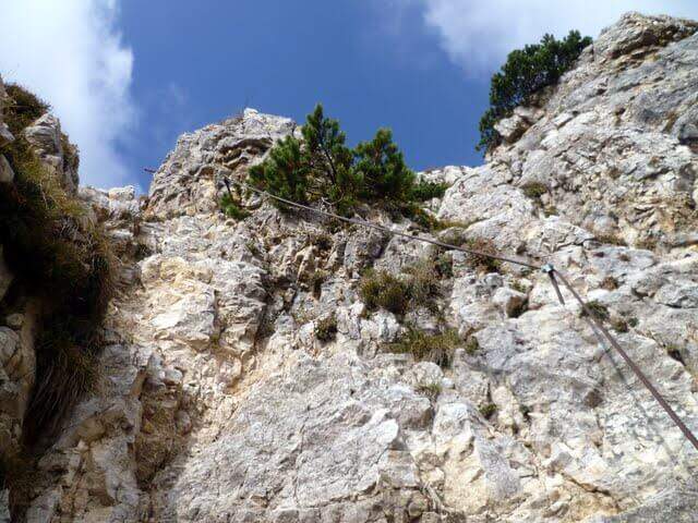
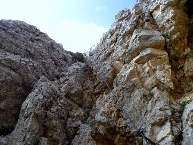
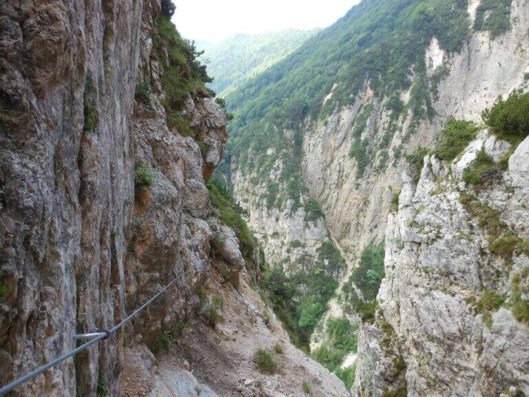
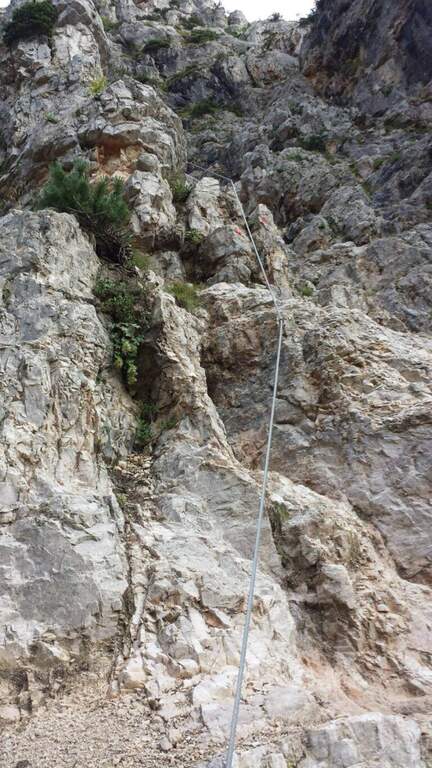
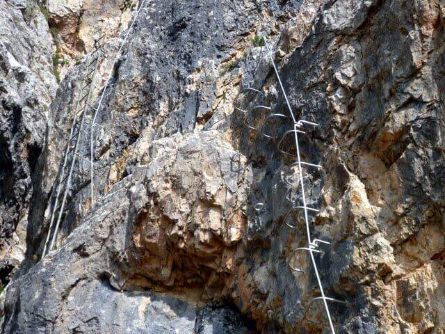
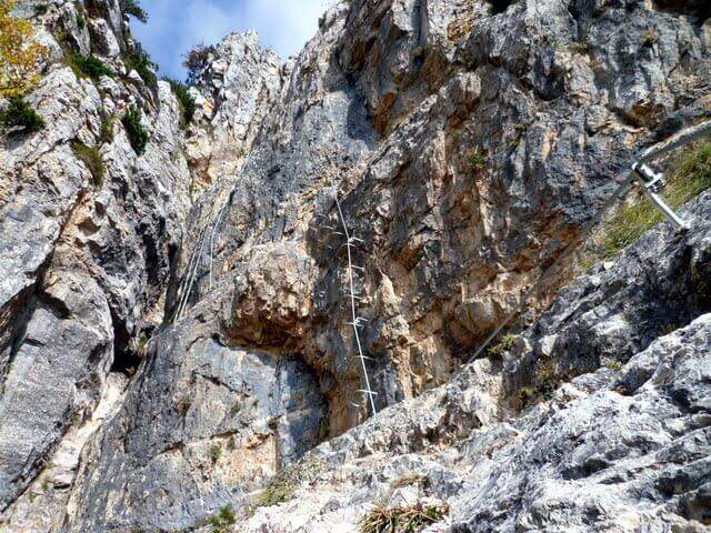
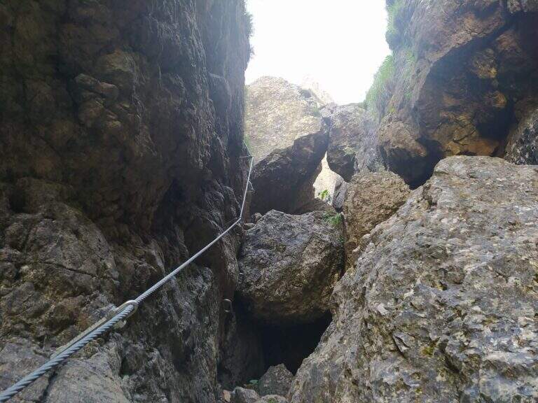
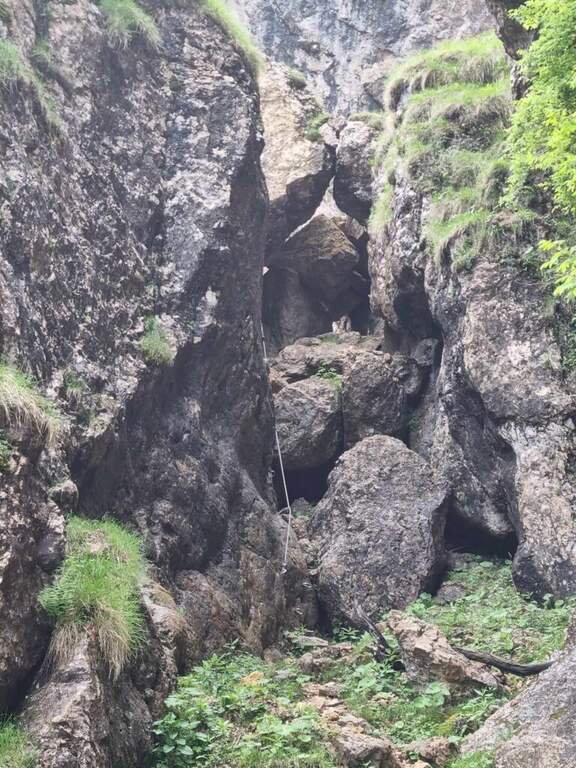
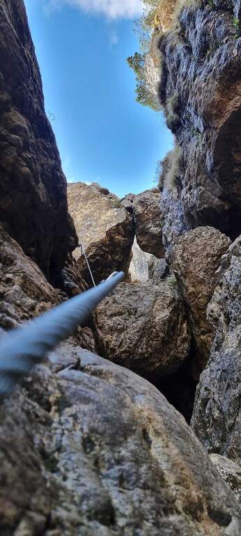
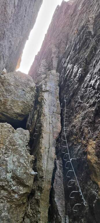
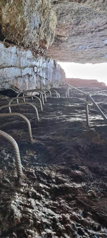
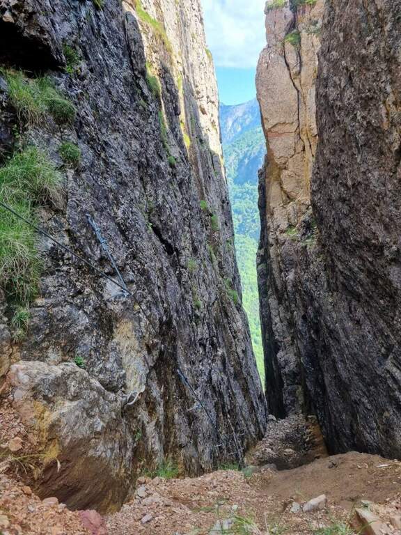
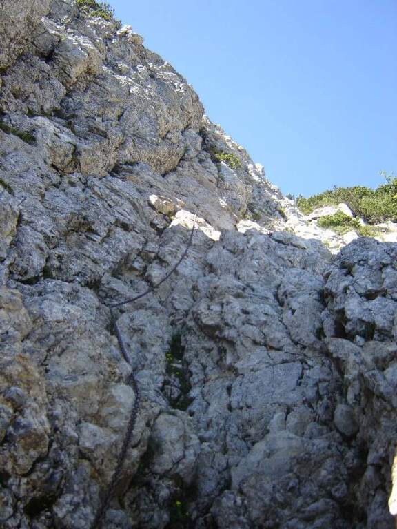
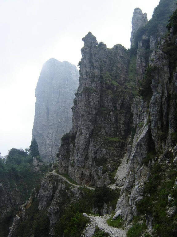
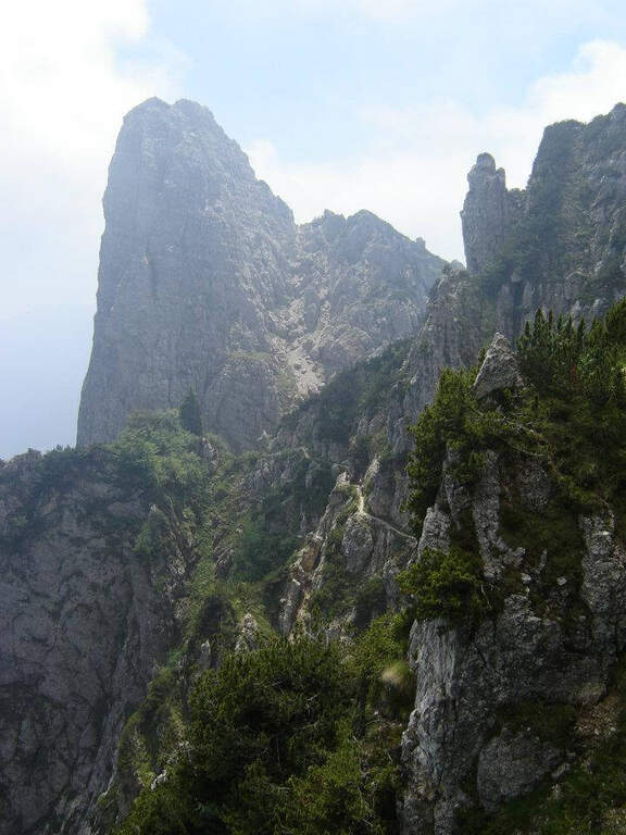
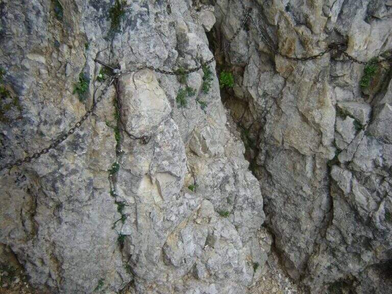
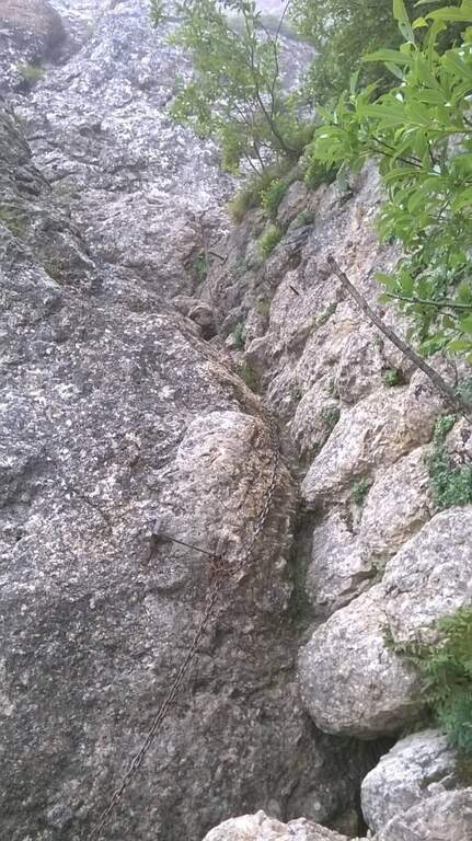
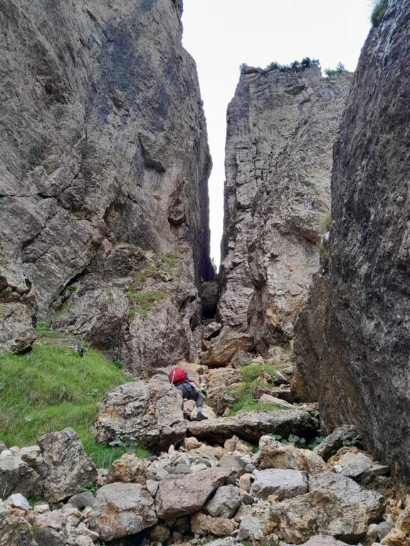
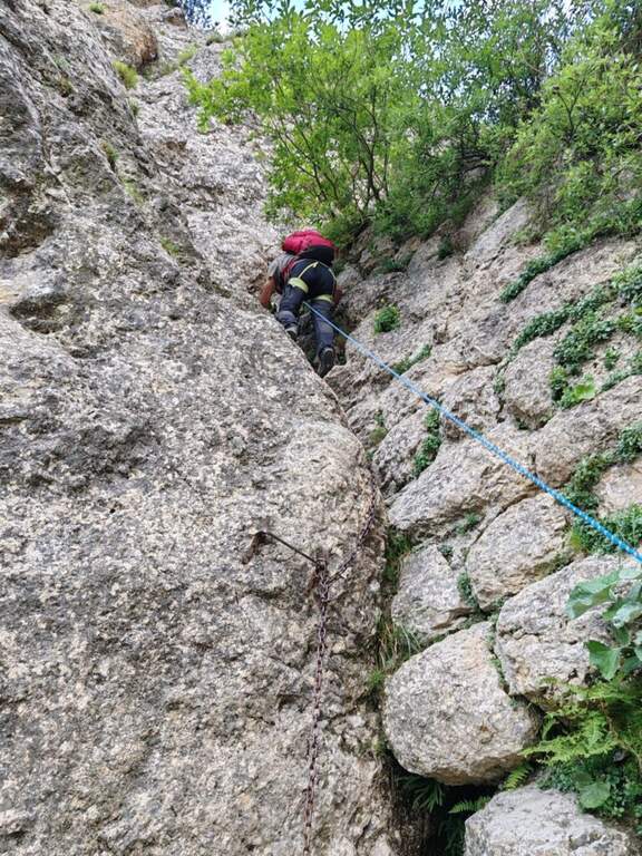
    La Ferrata Viali salt a canon under the Monte Gramolon, in the vicentino. È varied, of medium difficulty and with some pi&grave passages; challenging and athletic (in particular two overhanging walls equipped with brackets), with short approach and return and development at low altitude.

    ▲Approach

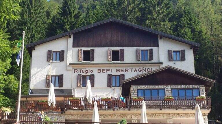
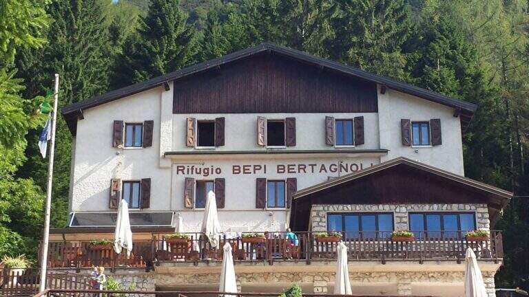
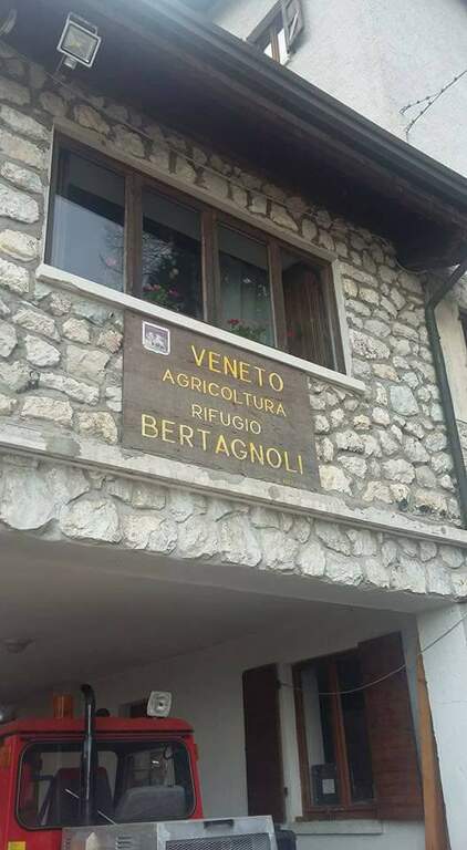
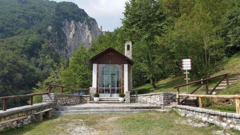
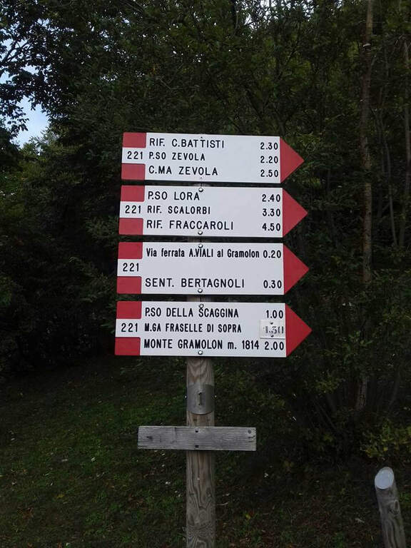
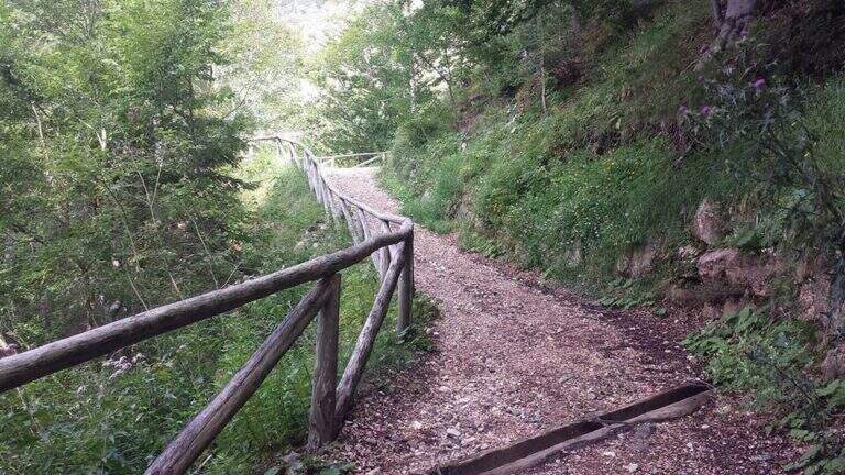
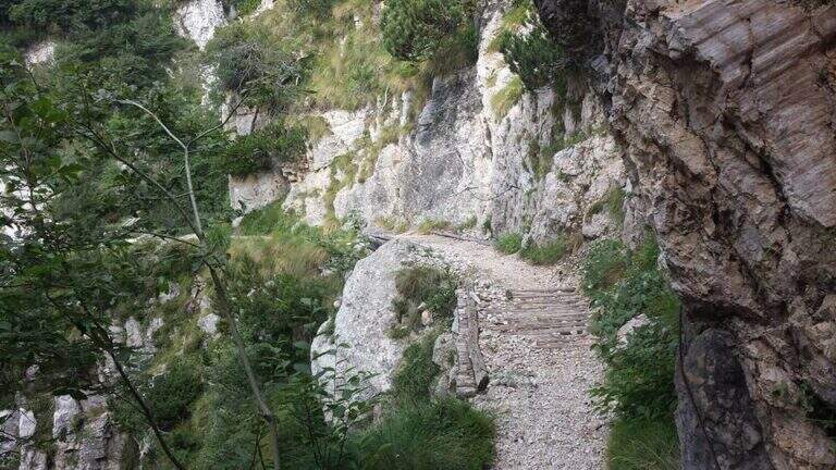
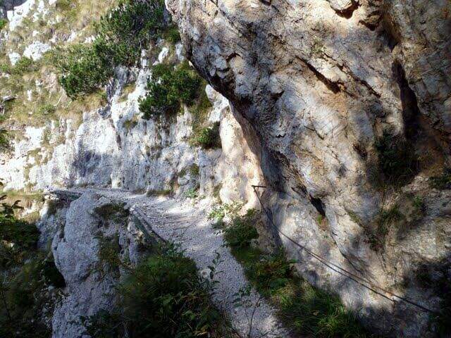
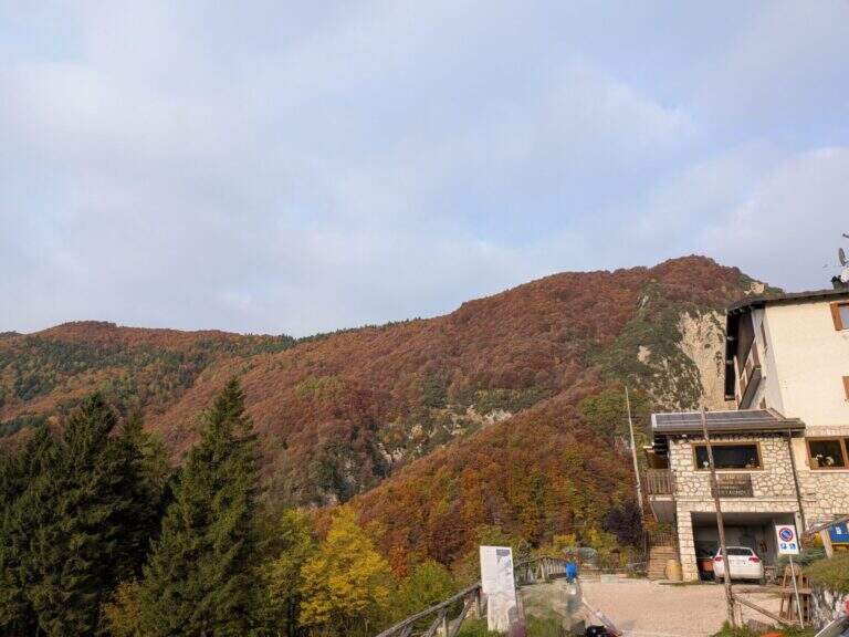
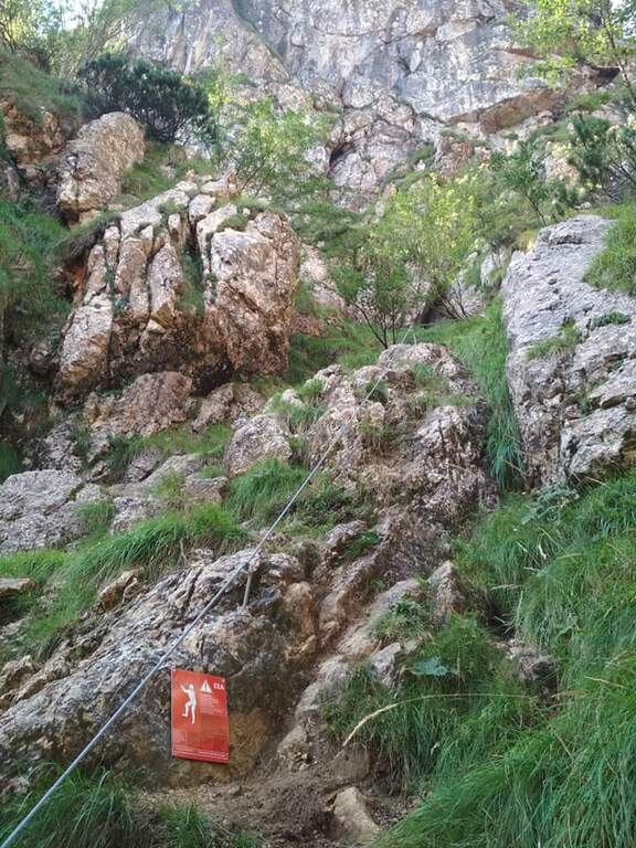
    Starting from the Rifugio Bepi Bertagnoli (1225 m), where ends the road of the valley of Campodalbero (from Arzignano to Chiampo, then right to Campodalbero). Open road signs on Google Maps. Oltre il rifugio, presso una chiesetta, una palina CAI indica a destra il sentiero 221; tra salita e discesa, con alcuni passaggi attrezzati esposti su fondo un po' franoso, si scende alla base del canalone fino al primo cartello della Ferrata Viali e all'attacco poco più in alto (20' dal parcheggio).

    ▲The path

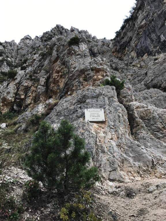
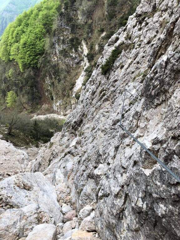
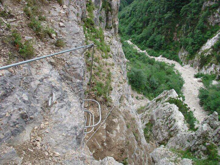
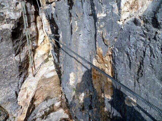
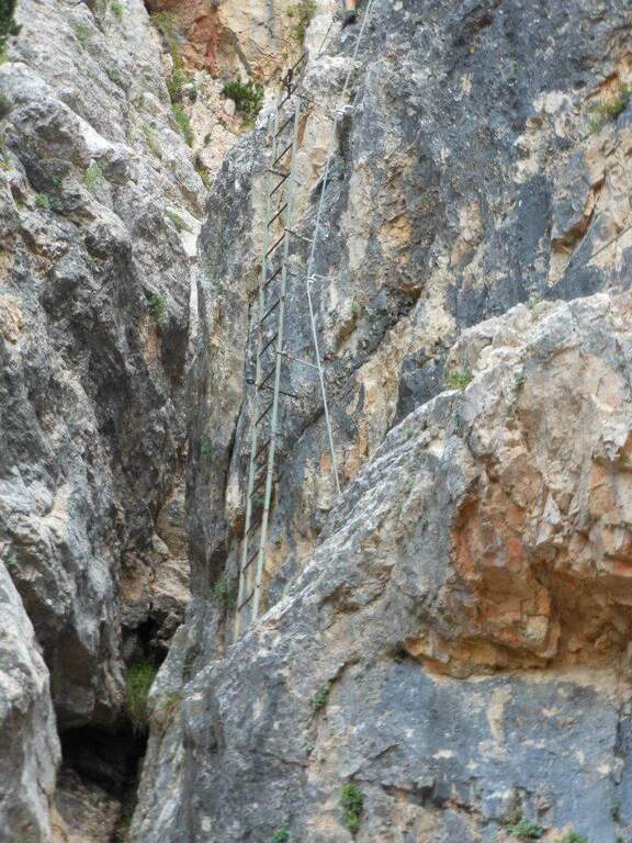
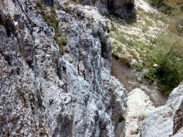
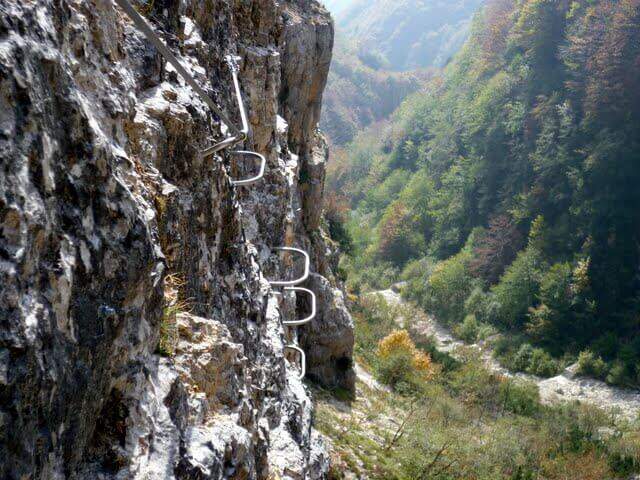
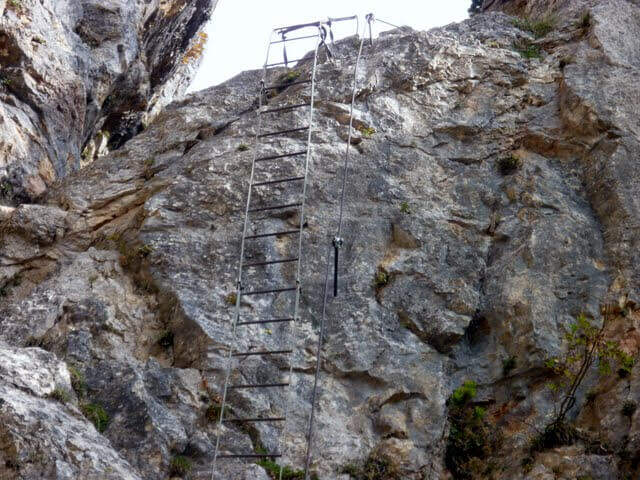
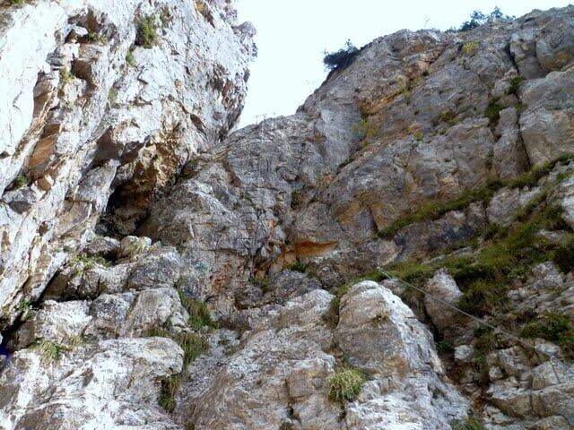
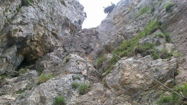
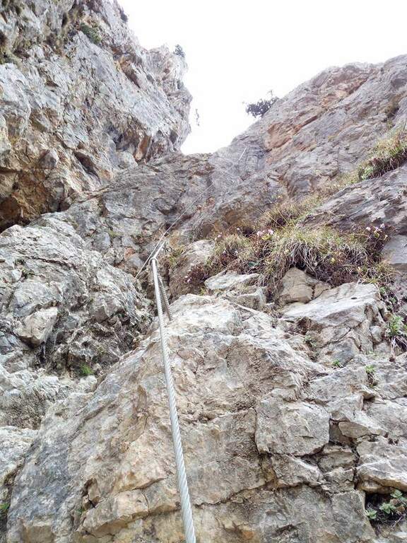
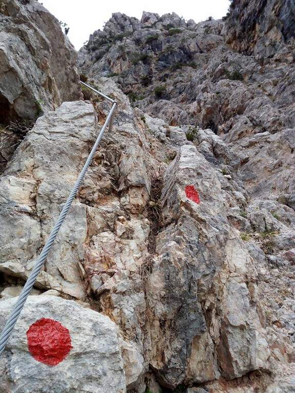
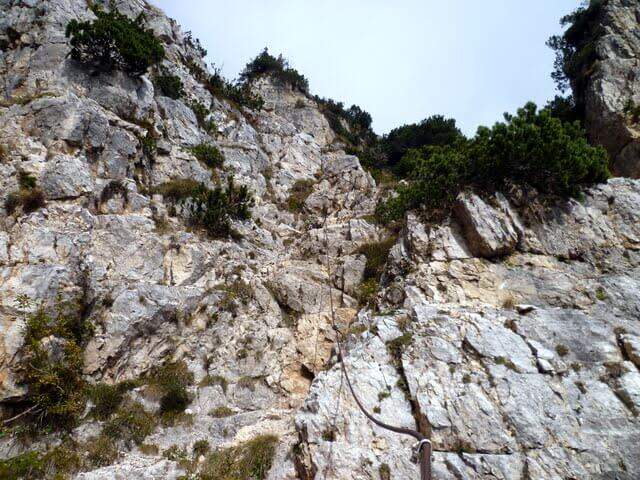
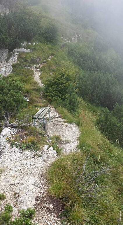
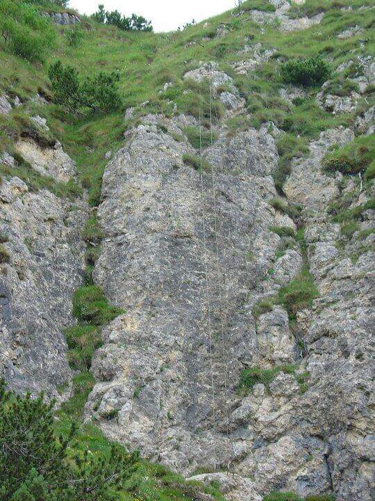
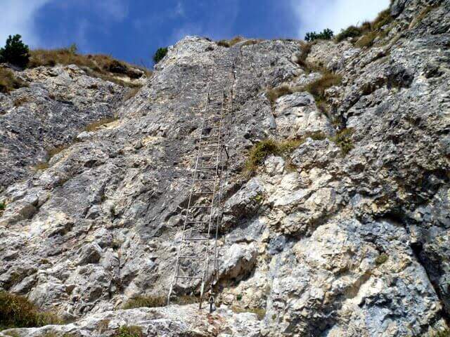
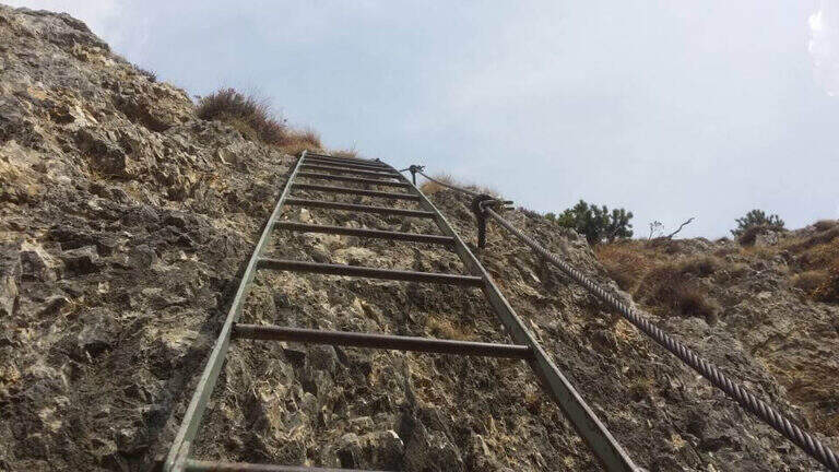
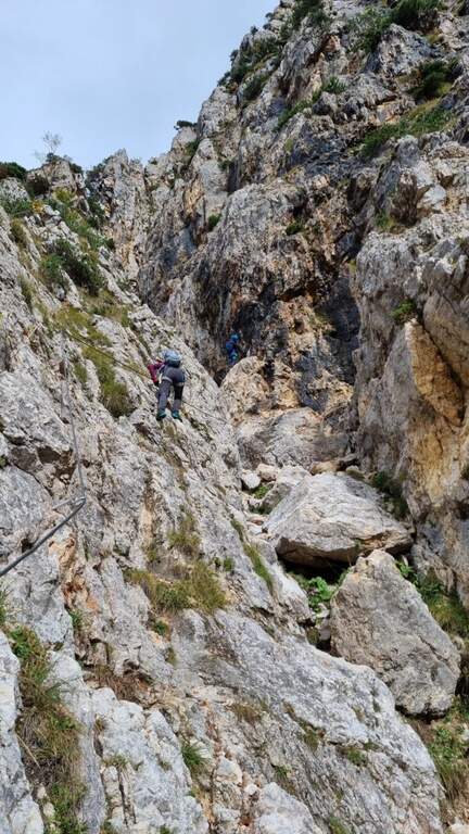
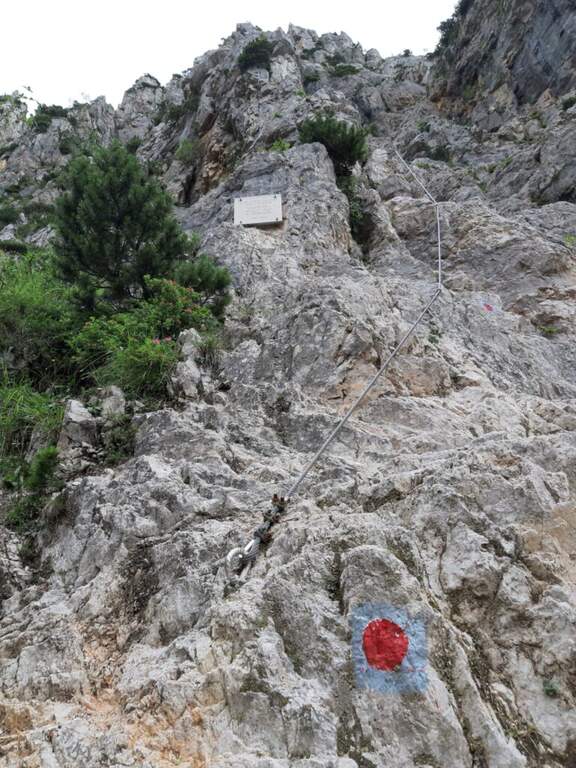
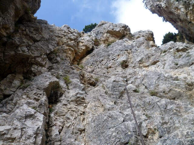
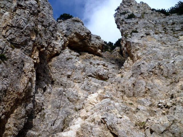
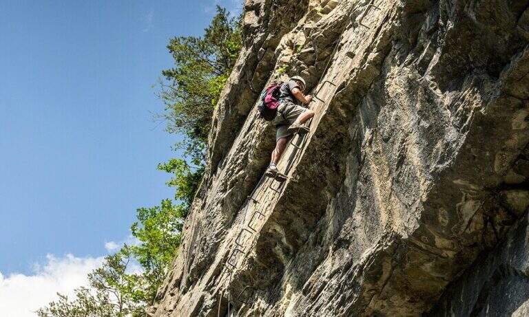
    You climb diagonally on a corner to the left of the canalone, on rock, then a traverse to the right of difficult-and-grave media; it leads to the right side of the canal. After a brief mention, the key pass is facing: a overhanging wall of about fifteen meters equipped with a long series of wide brackets (strapillating all' start, vertical in the center, again overhanging at the top). An exposed cross leads to a second wall equipped , challenging but più short, ending with diagonal brackets on a nod. There is a vertical staircase of about twenty pioli, traverses and vertical traits on poles and brackets in the canalone, a long stretch on slightly overhanging edge and a climb on the opposite side, exposed and graded. A path equipped with a bench connects to the final section: a long metal staircase of about 25 meters and a stretch of equipped path leads to the path 202, where the Ferrata Viali ends (2h from' attack).

    ▲Character and difficulty

    Fun and athletic way in the overhanging stretches, on rock not always solid. Level difference in ferrata 370 m, total 550 m, maximum altitude 1700 m, development 3.5 km. Being low altitude, to avoid on summer days too hot.

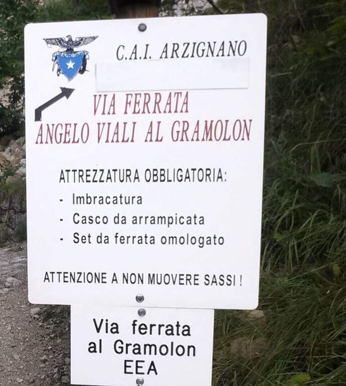
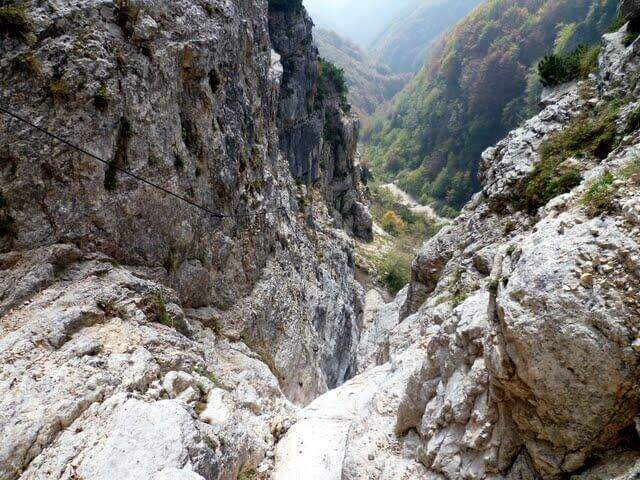
    ⚠ The bottom è composed of pebbles and unstable traits and are not rare the scariche di sassi: the helmet è absolutely mandatory and you need not to move rocks on the canal to the following.
    ▲Discipline

    Per rientrare al Rifugio Bertagnoli si segue il sentiero 202 a sinistra, si attraversa una galleria militare (non serve la torcia) fino a un ripido sentiero prima del Passo di Scagina che scende nel bosco, passando accanto al monumento a Bepi Bertagnoli, fino all'attacco della ferrata (40' dal termine) e quindi a ritroso al parcheggio (circa 1h dal termine, 3h 30' totali). In alternativa si può proseguire verso la vetta del Gramolon.

    ▲To match

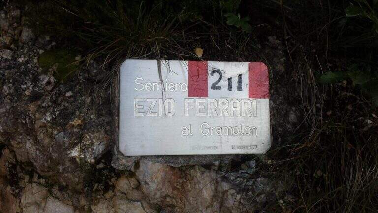
    On the same Gramolon Ferrata Ezio Ferrari; not far, towards the Carega, the Ferrata Campalani.
    ▲Gallery
    Technical data
    • DifficultyModerately Hard
    • RegionVeneto
    • GroupSmall Dolomites
    • Approach0:20 h
    • Ferrata2:00 h
    • Itinerary (a/r)3:30 h
    • Hardware level difference370 m
    • Route difference550 m
    • Max1700 m
    • Length3,5 Km
  • Ferrata del Vajo Stretto

    Ferrata del Vajo Stretto

    Vie Ferrate › Trentino-Alto Adige › Trento
    Ferrata del Vajo Stretto
    Moderately Hard● OpenDescriptionComplexityMapsGallery

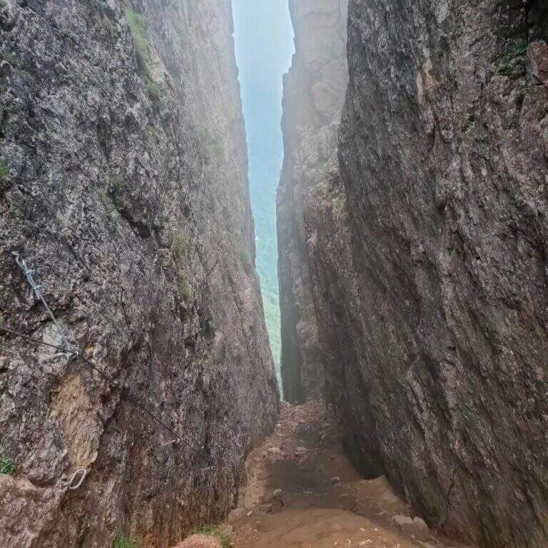
    La Ferrata del Vajo Stretto rises the eastern wall of the Monte Cornetto, in the small Dolomites on the border between Trento and Vicenza. It stands a narrow rocky streak with difficulty and agrave; never significant, in a very beautiful environment; combined with the summit of Cornetto becomes a long and fulfilling ring.

    ▲Approach

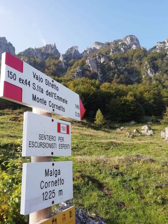
    Starting from Malga Cornetto (1225 m), on the road connecting Pian delle Fugazze to the Pasubio Shrine (large paid parking). Open road signs on Google Maps. Follow the sentiero 150 (ex 44) first on meadows then in the forest, with CAI signs and written on stones, up to ' attack ( approximately 40' from parking ).

    ▲The path

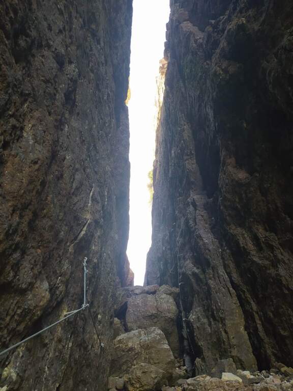
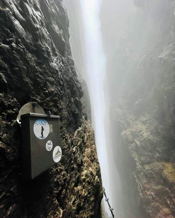
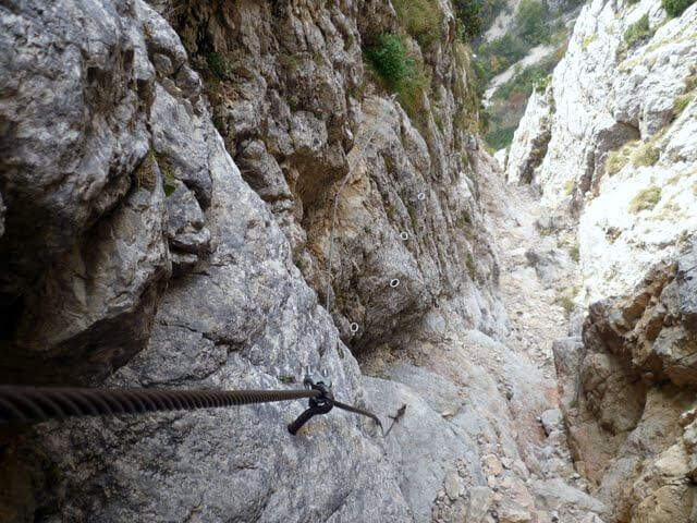
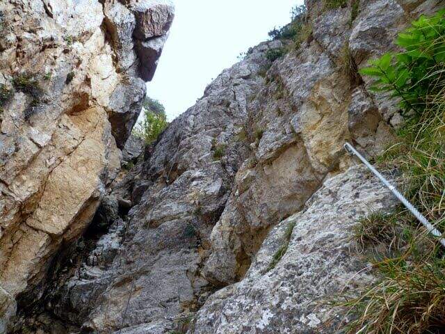
    Dal cartello rosso si salgono facili roccette verso l'evidente canalone, alternando risalti e cenge erbose fino all'ingresso del vajo. Le attrezzature si interrompono e ci si sposta sul lato sinistro per risalire il canale su roccia appigliata e qualche cambra, verso un caratteristico tunnel naturale tra massi incastrati. Oltre il tunnel si prosegue nella fenditura tra incombenti pareti, alternando tratti di sentiero a tratti assicurati con passi di arrampicata mai difficili e diversi passaggi in camino tra rocce incastrate. Un passaggio più verticale (molte cambre) e un traverso esposto a sinistra, oltre un grande masso spesso umido, portano al libro firme; si sale infine la rampa sul lato destro e si esce dal Vajo Stretto, dove termina la ferrata (circa 1550 m, 1h dall'attacco, 1h 45' dal parcheggio). All'intersezione col Vajo Cassa da Morto si tiene la sinistra in salita fino a un ghiaione e alla Selletta dell'Emmele (1675 m, 20'); consigliato proseguire per la vecchia mulattiera militare alla Forcella del Cornetto (1825 m) e, per il sentiero attrezzato della via normale (esposto ma non difficile, tratti con catena), alla croce del Monte Cornetto (1899 m, circa 3h dal parcheggio).
    ▲Character and difficulty

    Itinerary of difficulty contained but of great atmosphere, between fireplaces and framed stones. Overall difference 600 m, maximum altitude 1899 m, development 8.6 km.

    ⚠ Helmet absolutely necessary for the danger of falling stones along the vajo. Attention to the slippery bottom of some sections; bulky backpacks create problems in the most cramped points, better a small backpack or connect it to the harness with a fectuccia.
    ▲Discipline

    You go down backwards the path equipped with summit up to path 149; it is recommended to continue south halfway towards the Baffelan and the Campogrosso Pass, between never difficult stretches and war tunnels, up to the Passo degli Onari (1760 m) and the Passo del Baffelan. From here the sentiero 177 (Boale del Baffelan) descends a canalone (attention, with a vertical jump protected by chain) to the Road of the King (sentiero 175) which reports to Malga Cornetto (3h from the summit, 6h totali).

    ▲To match

    The Cornetto area is rich in equipped itineraries: towards Carega la Ferrata del Vajo Scuro e la Ferrata Campalani at Carega.

    ▲Gallery
    Technical data
    • DifficultyModerately Hard
    • RegionTrentino-Alto Adige
    • GroupSmall Dolomites
    • Approach0:40 h
    • Ferrata1:00 h
    • Itinerary (a/r)6:00 h
    • Route difference600 m
    • Max1.899 m
    • Length8,6 Km
Need help? Write to us!