Gruppo: Alpi Apuane

  • Ferrata Tordini Galligani

    Ferrata Tordini Galligani

    Vie Ferrate › Tuscany › Massa-Carrara
    Ferrata Tordini Galligani
    Moderately Hard● OpenDescriptionComplexityMapsGallery

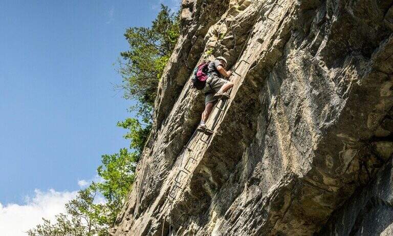
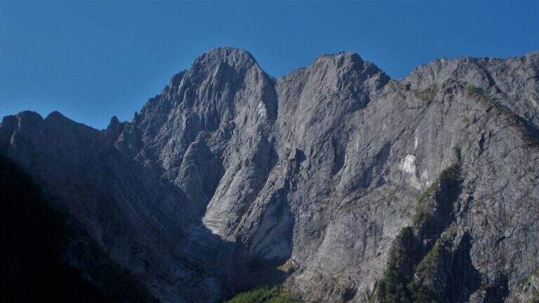
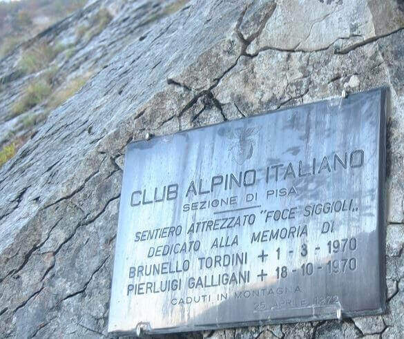
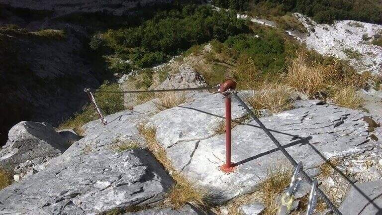
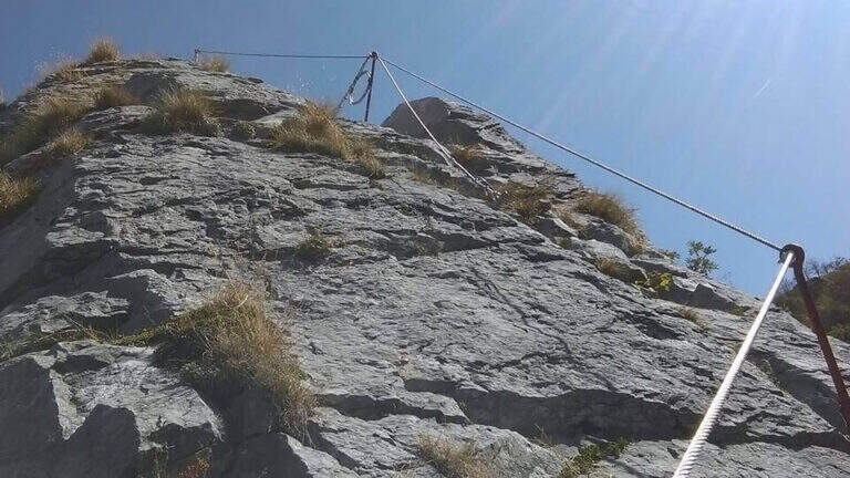
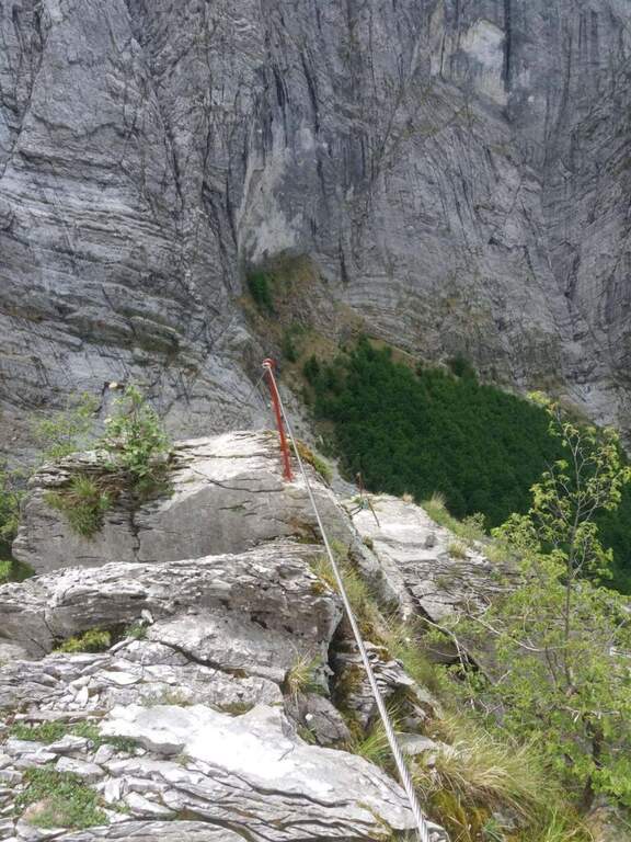
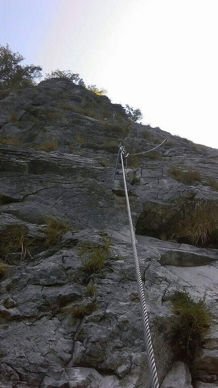
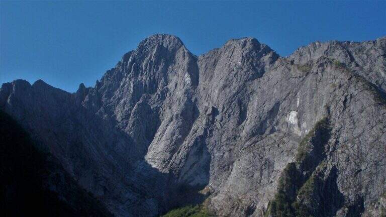
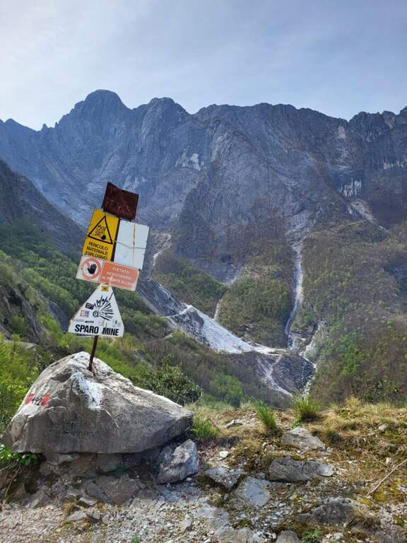
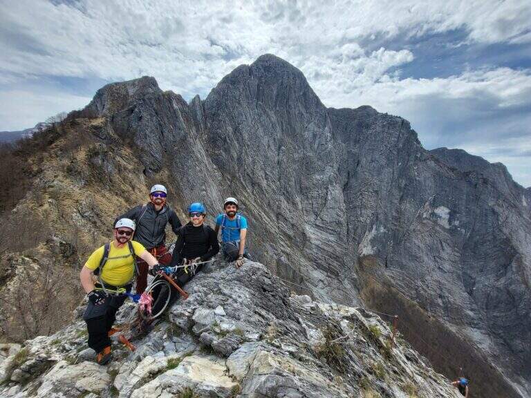
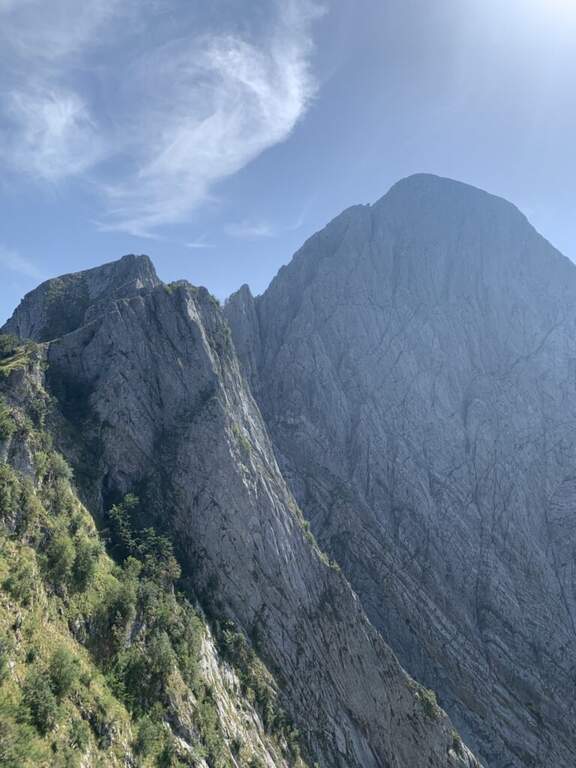
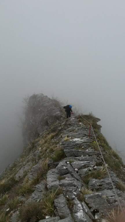
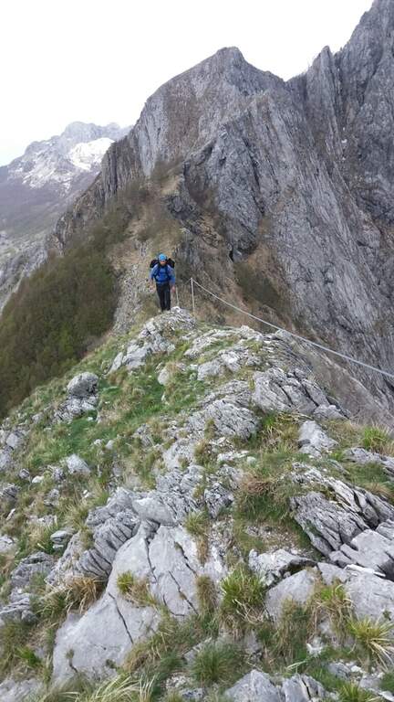
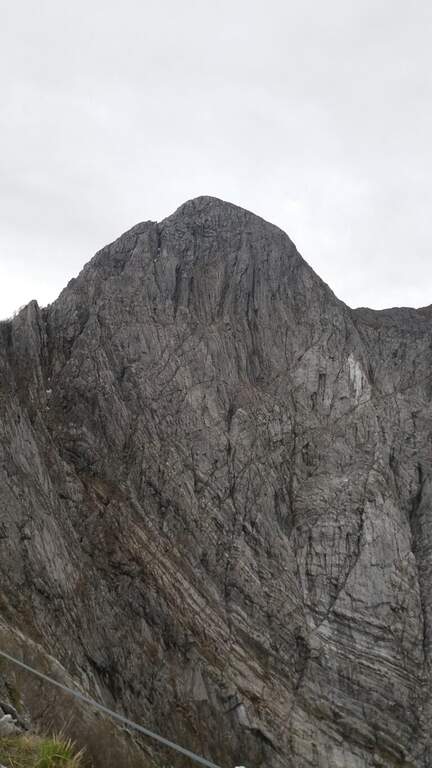
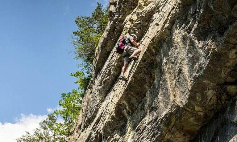
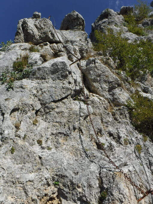
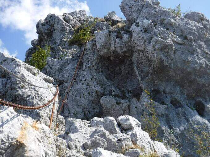
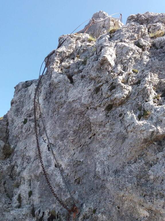
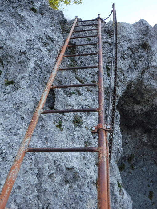
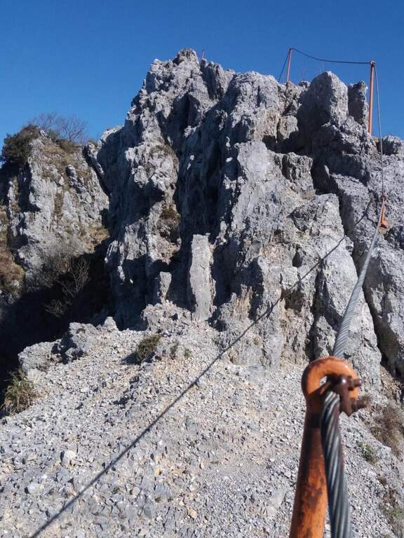
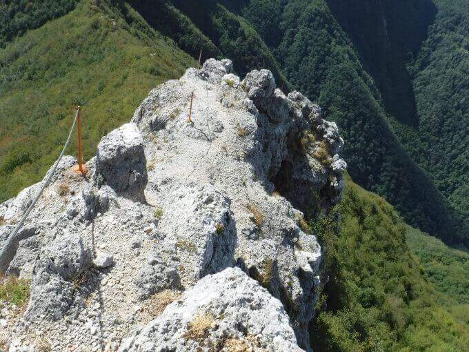
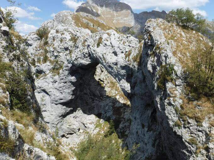
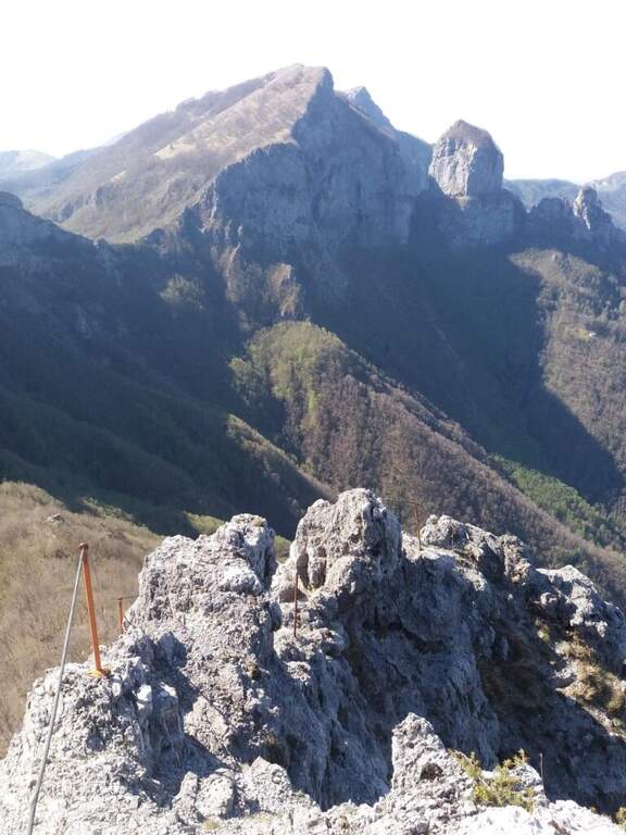
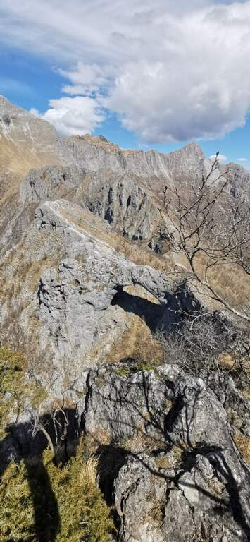
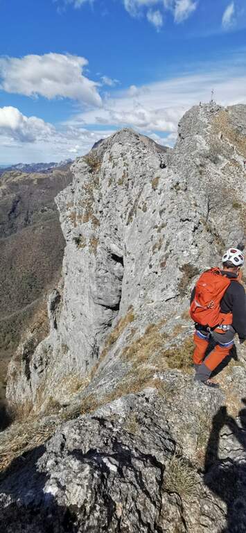
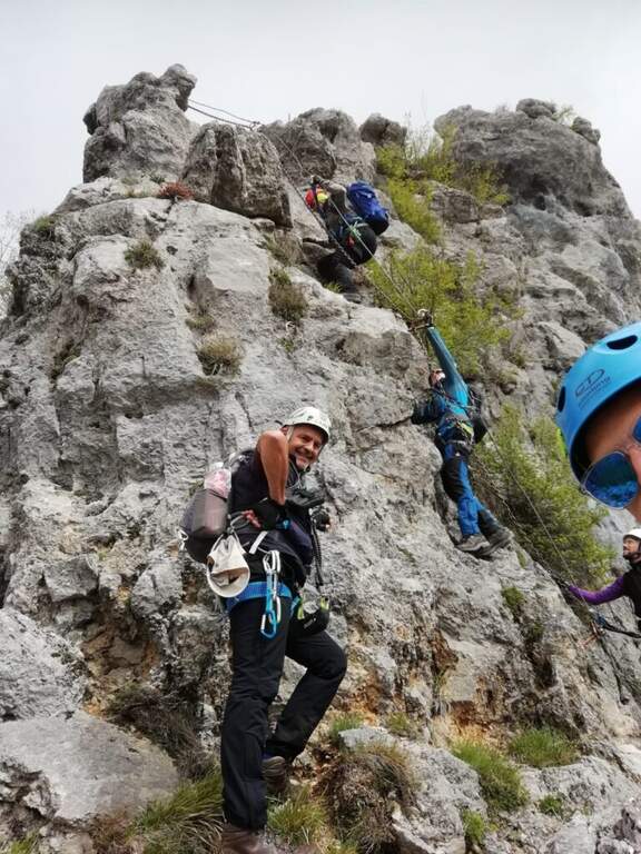
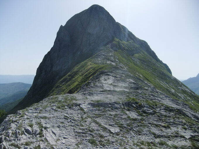
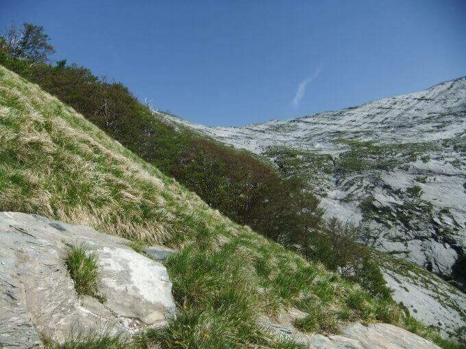
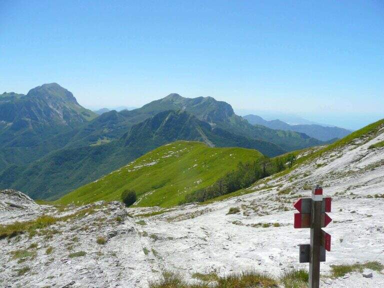
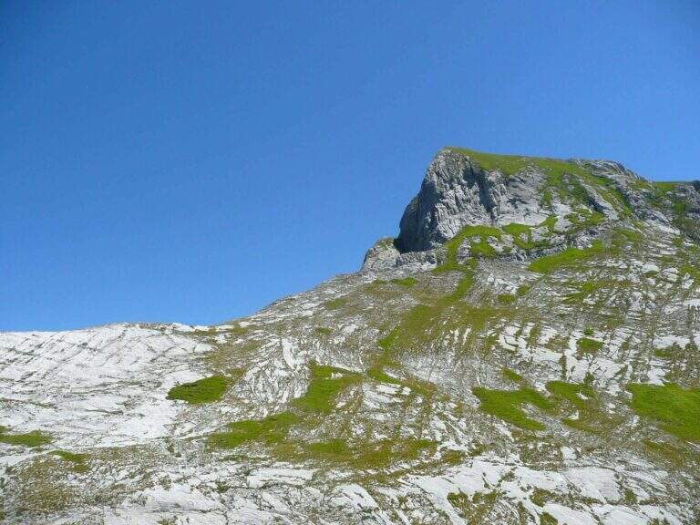
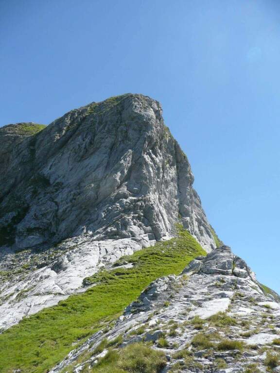
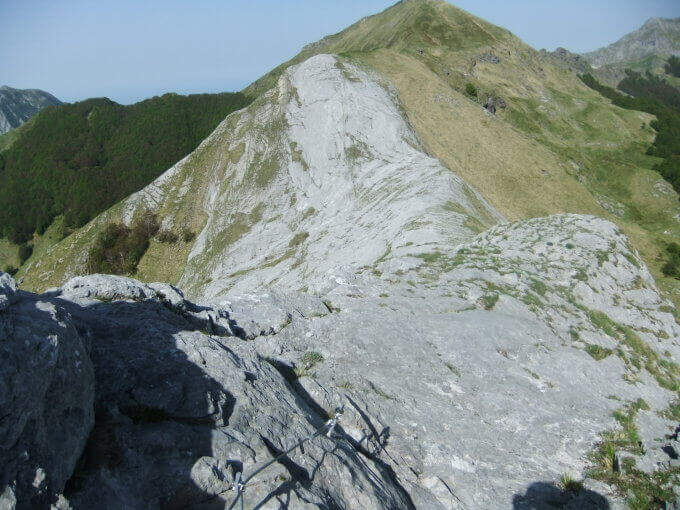
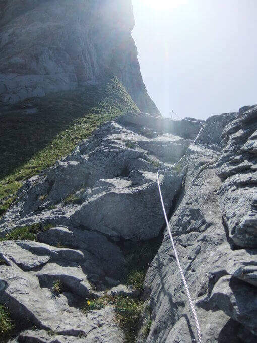
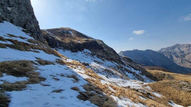
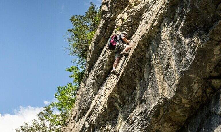
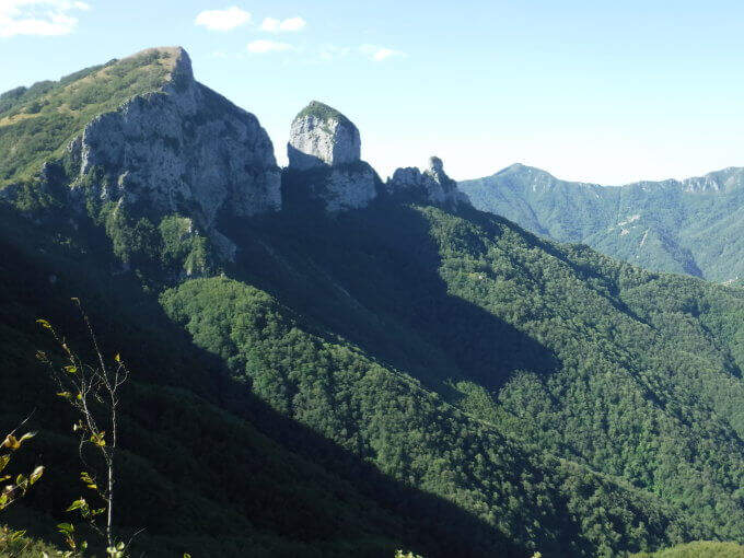
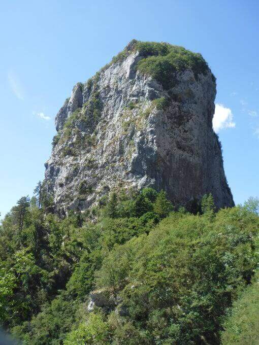
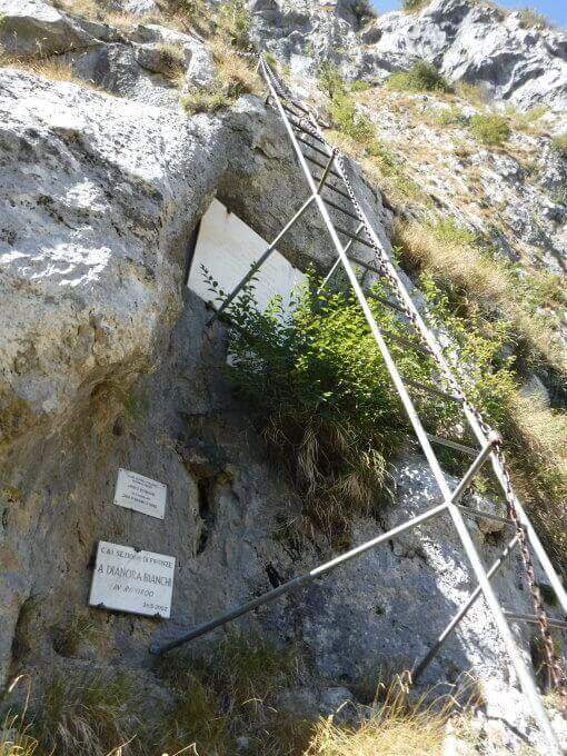
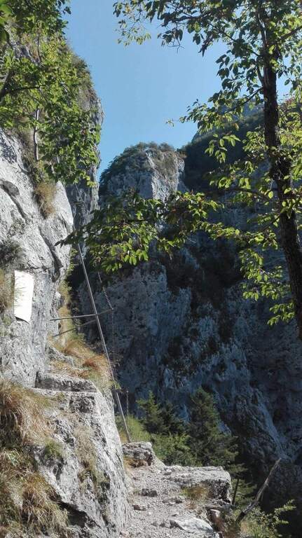
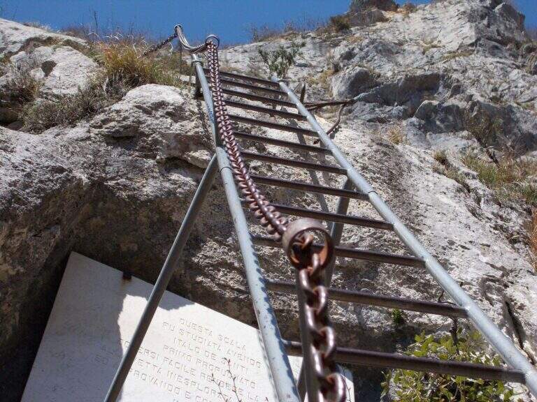
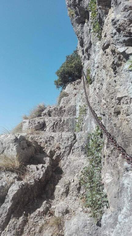
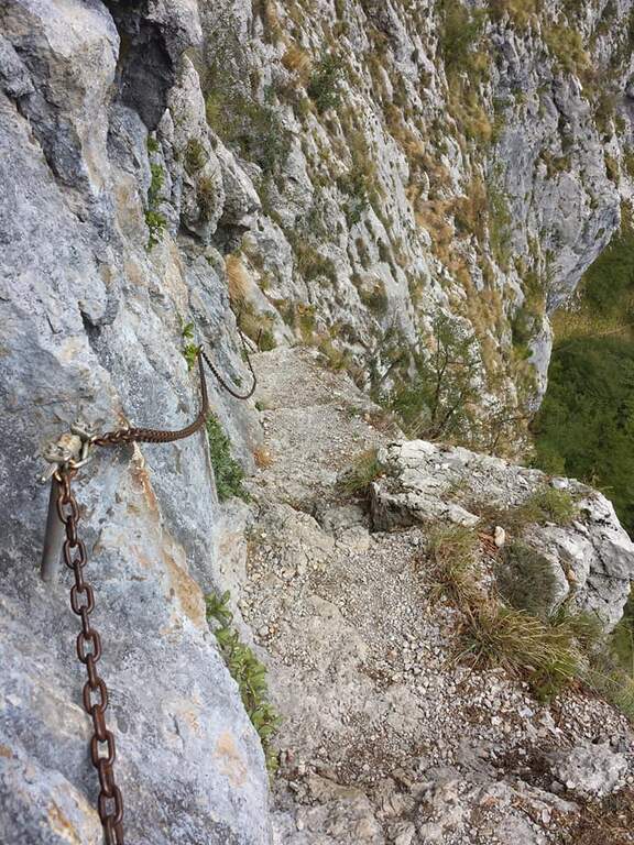
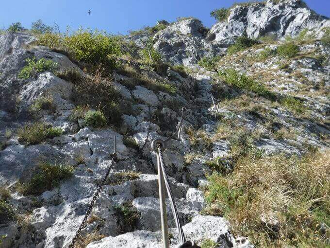
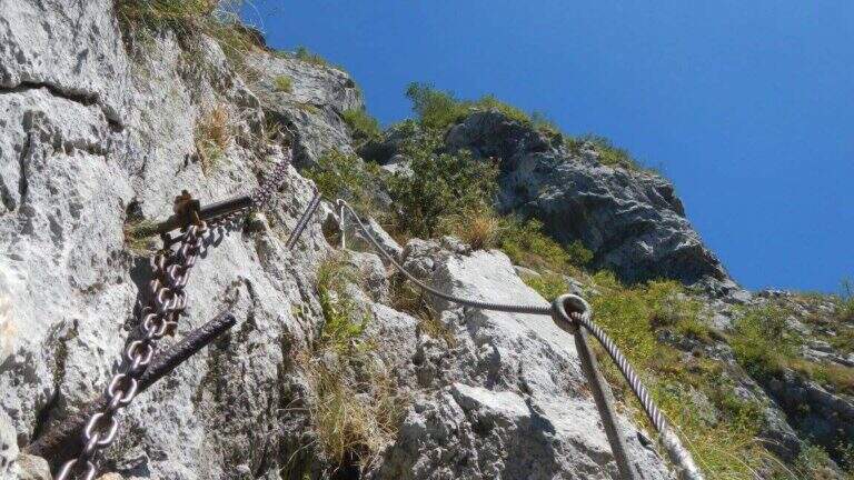
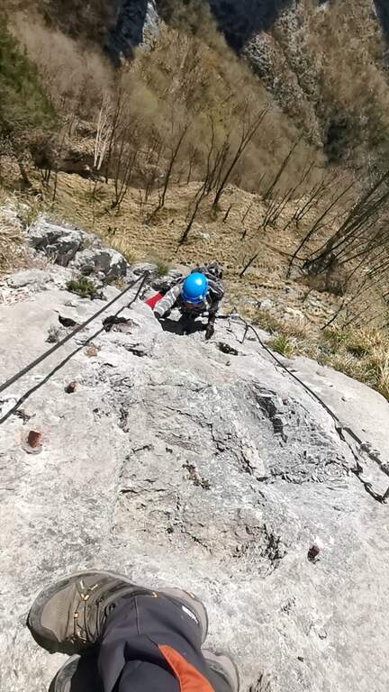
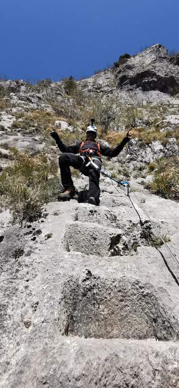
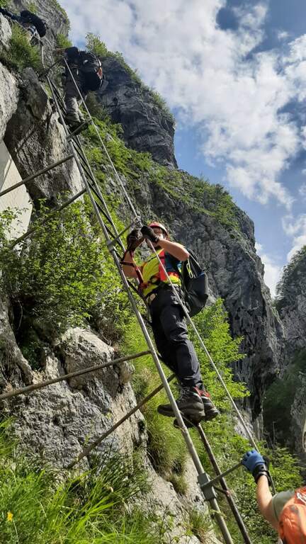
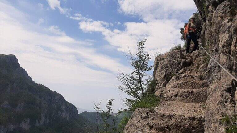
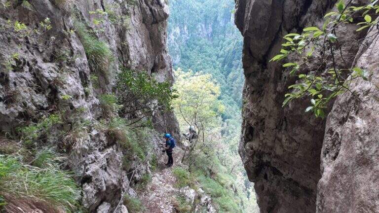
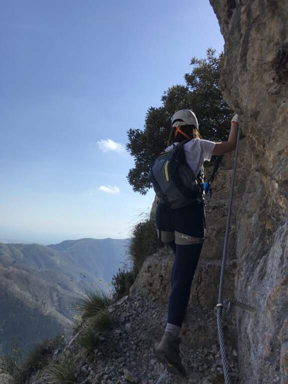
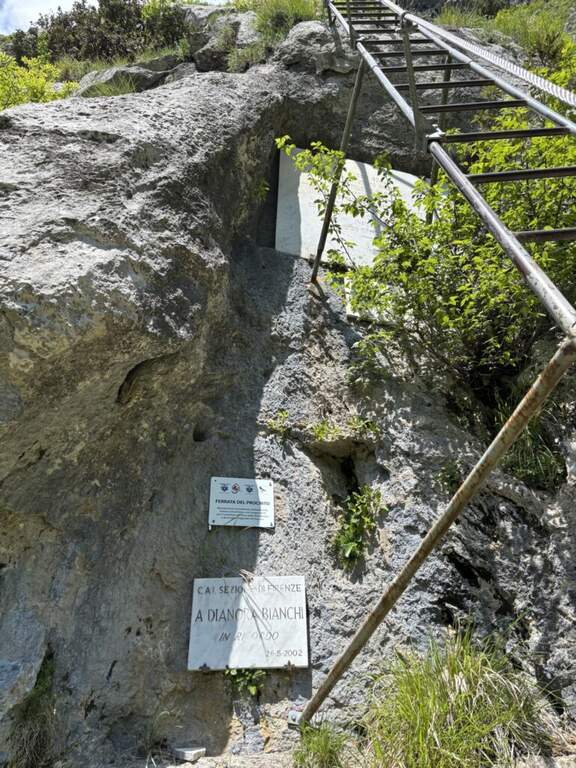
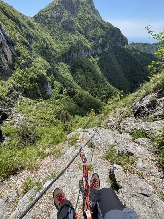
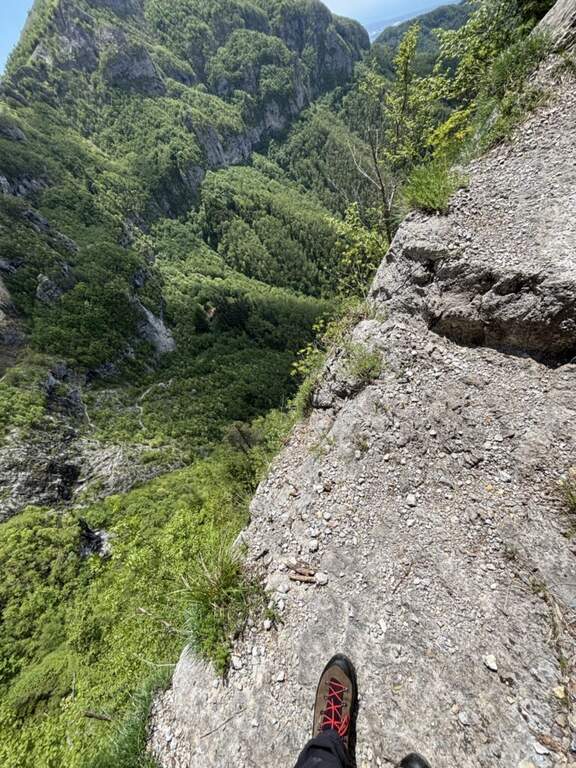
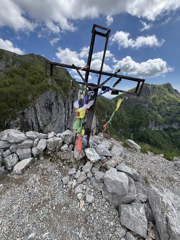
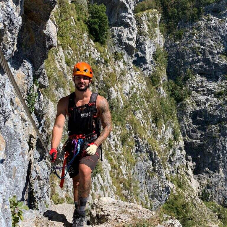
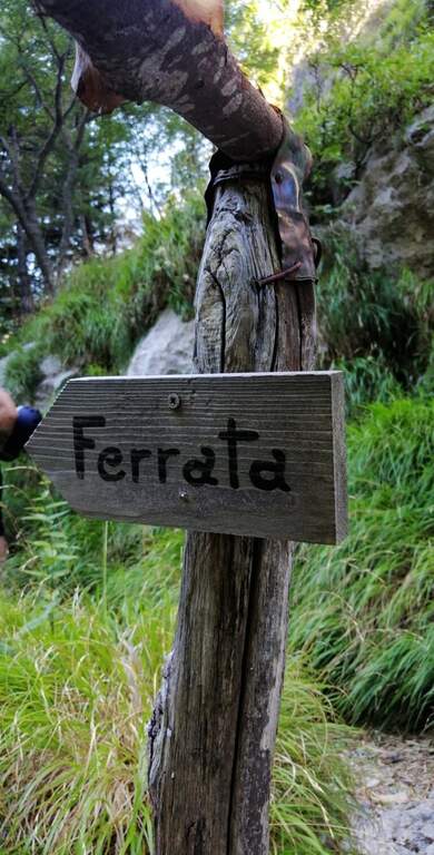
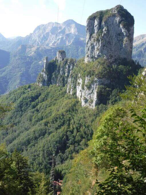
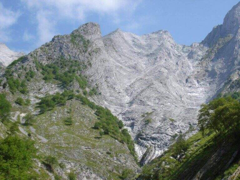
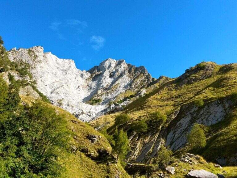
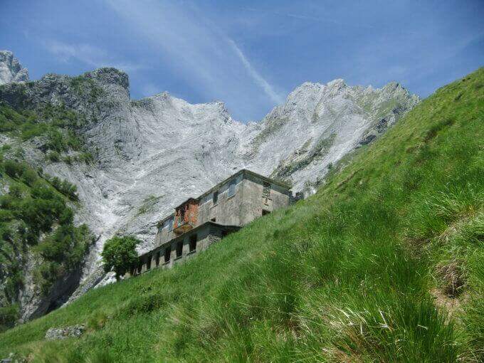
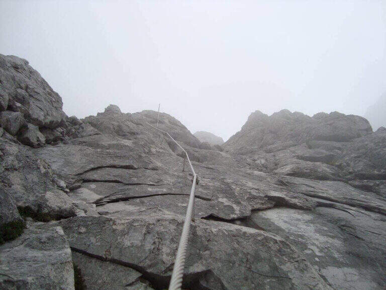
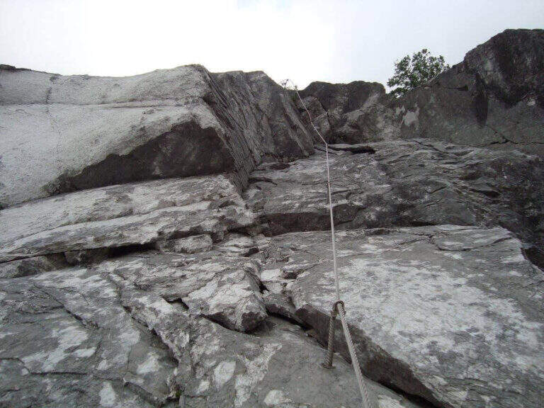
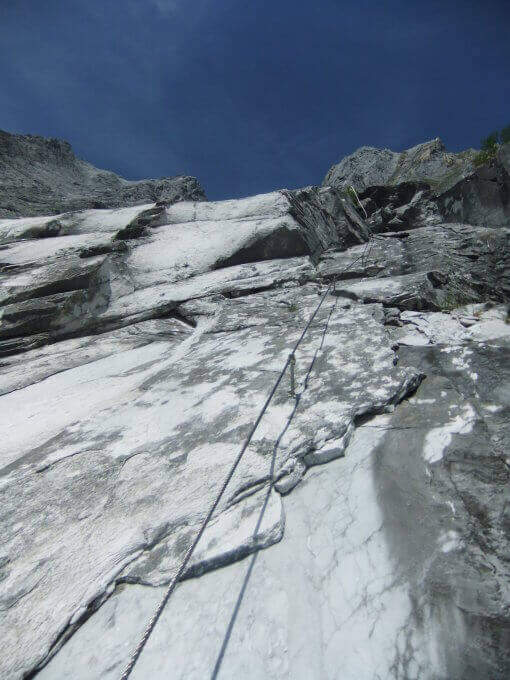
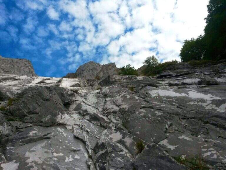
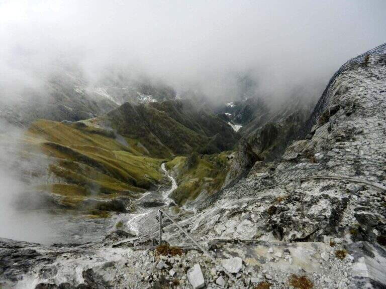
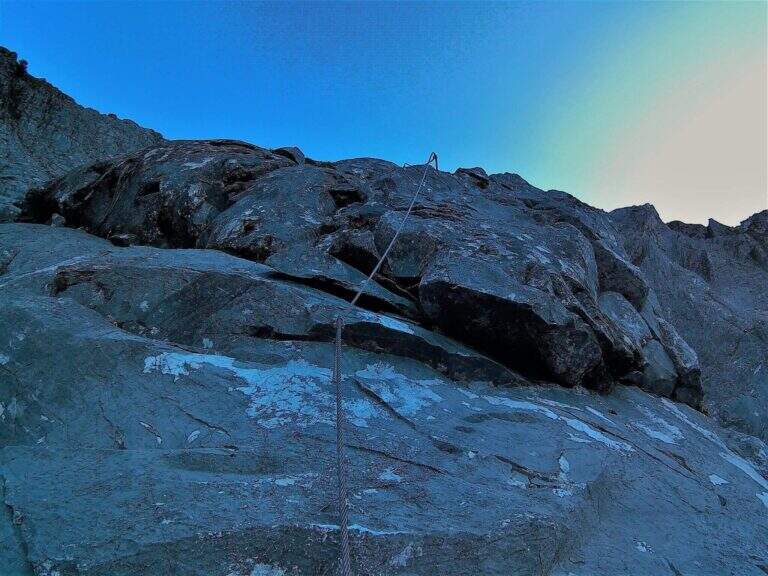
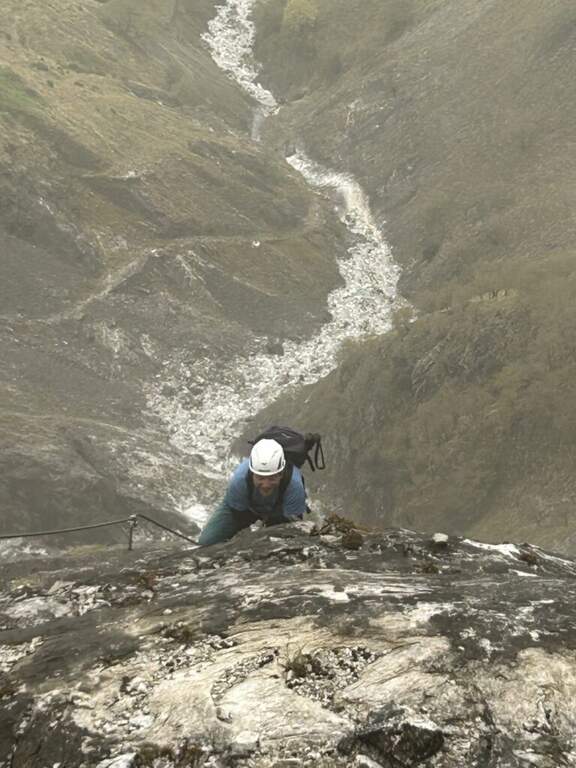
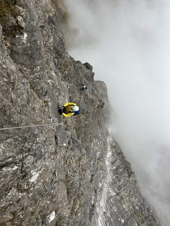
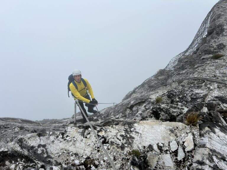
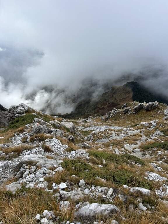
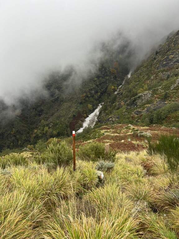
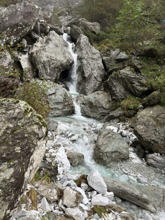
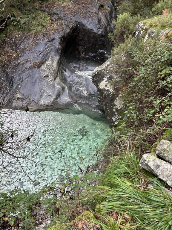
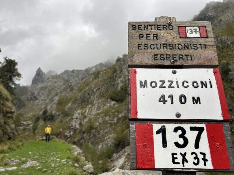
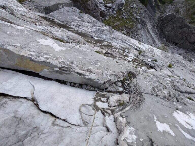
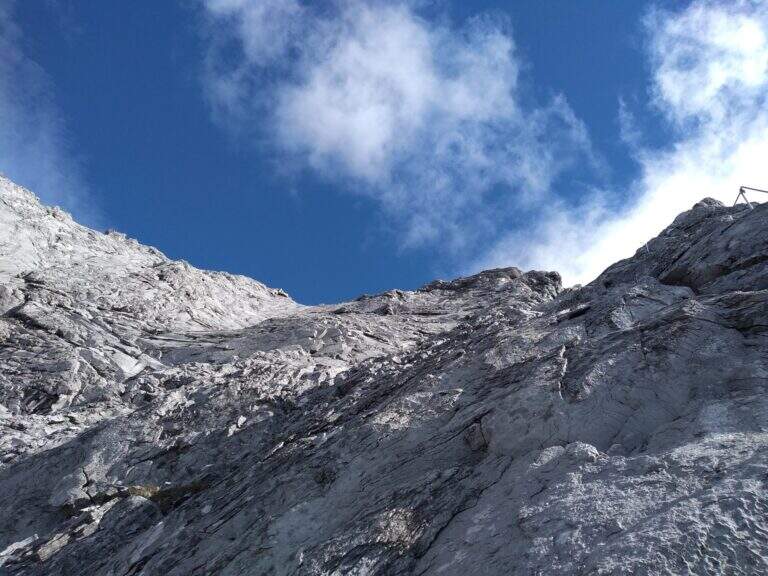
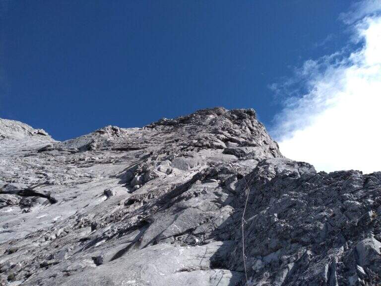
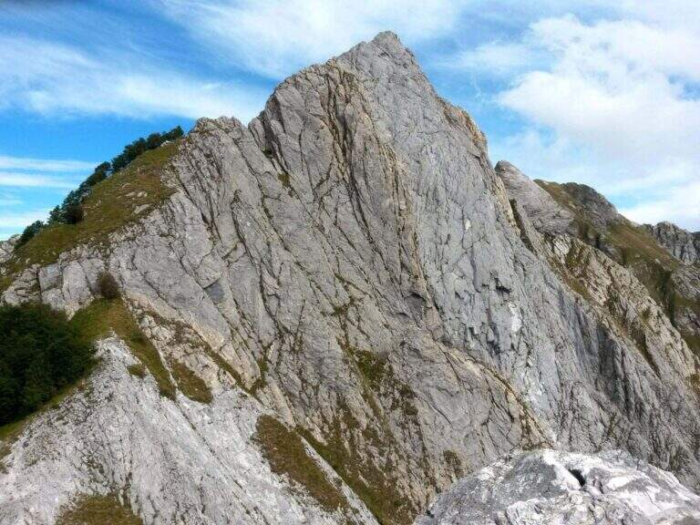
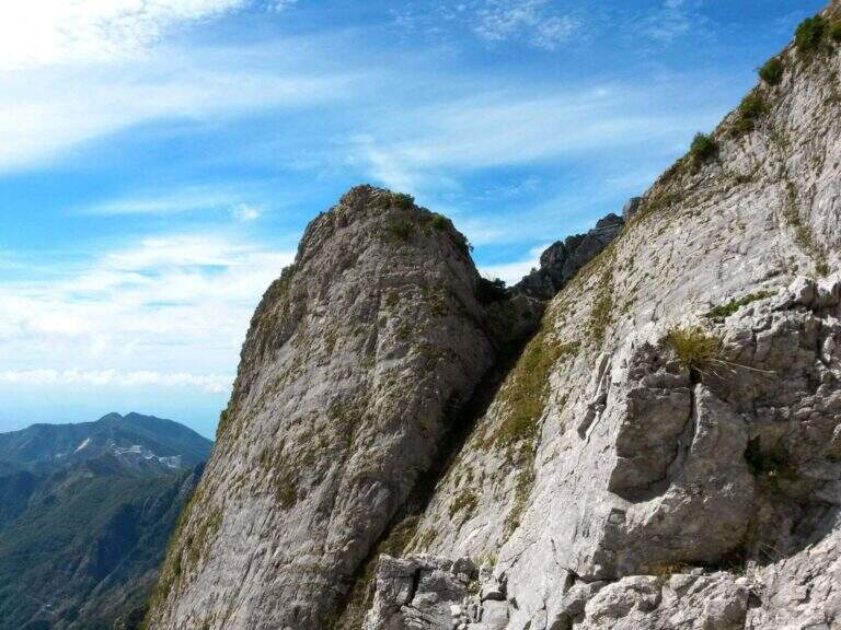
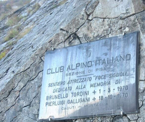
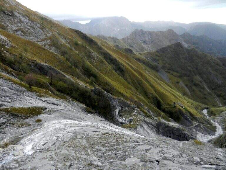
    La Ferrata Tordini – Galligani (also known as Ferrata di Foce Siggioli) è a historic street of the Apuan Alps, next to the north wall of the Pizzo d'Uccello. È of medium difficulty and agrave; and allows you to continue on path from experts to the top of the Pizzo, or to return with a più ring; simple.

    ▲Approach

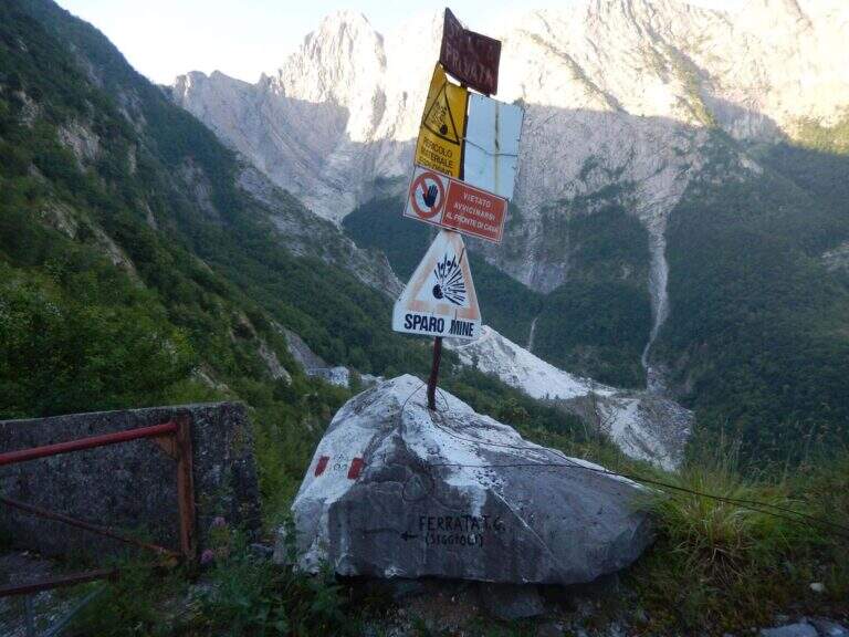
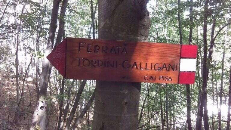
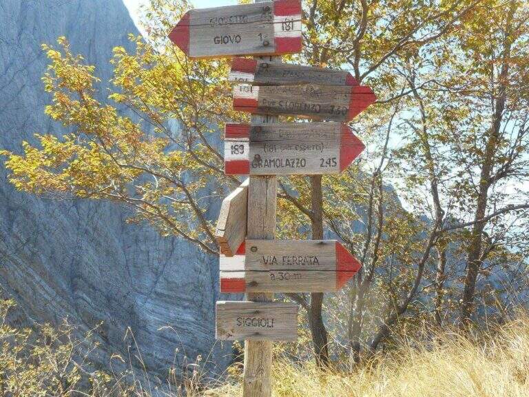
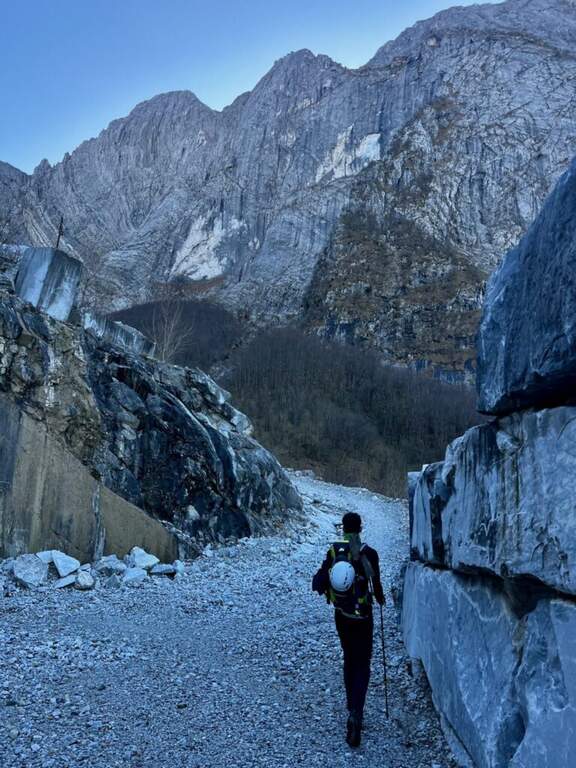
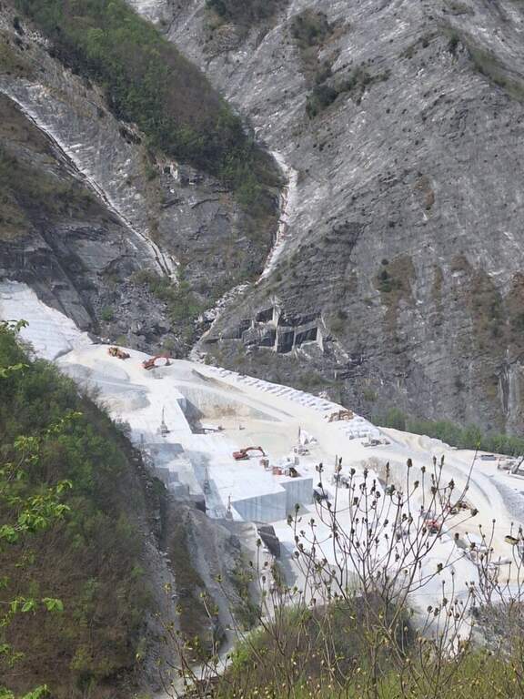
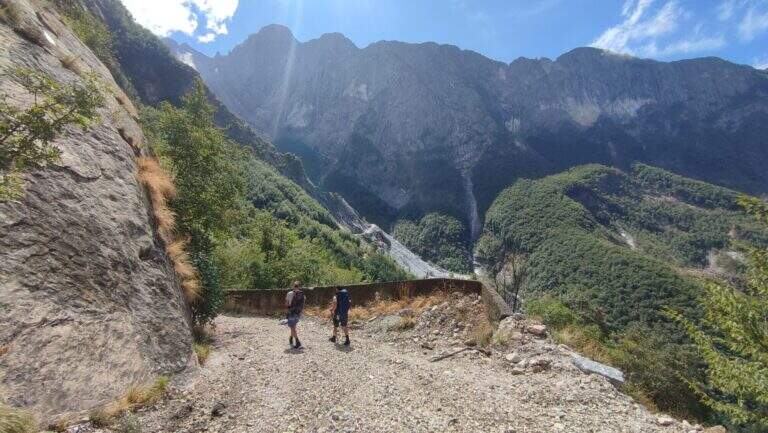
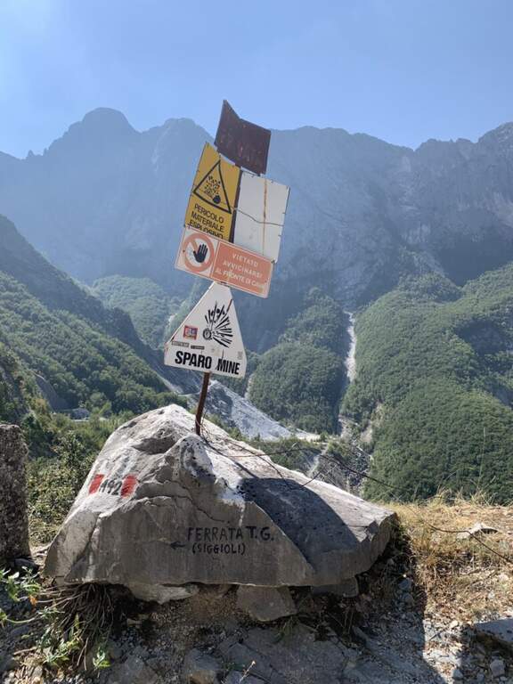
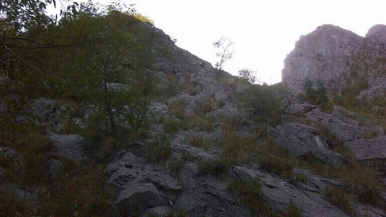
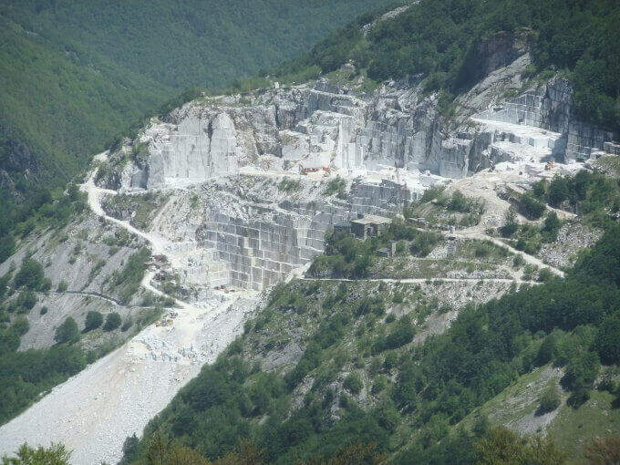
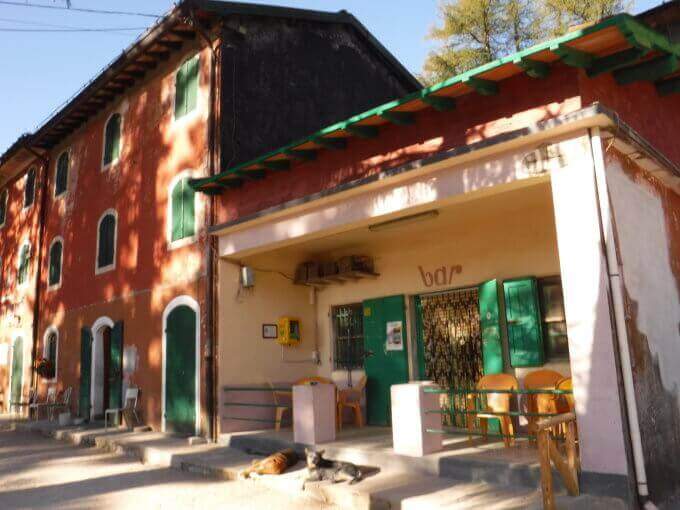
    The ideal starting point is the Cave Cantonaccio at Ugliancaldo. Open road signs on Google Maps. You park in Ugliancaldo and walk along the dirt road for about 1 km; past the bar you go up with some bends, you pass the buildings and the caves, then you enter the woods. Attention to the crossroads just entered the forest: on the right side the Path Attrezzato Zaccagna towards Vinca ( currently interdetto); on the way uphill then bending left towards the east, following the abundant CAI signs up to ' attack at the foot of the wall (circa 1h 30' from the parking ).

    ▲The path

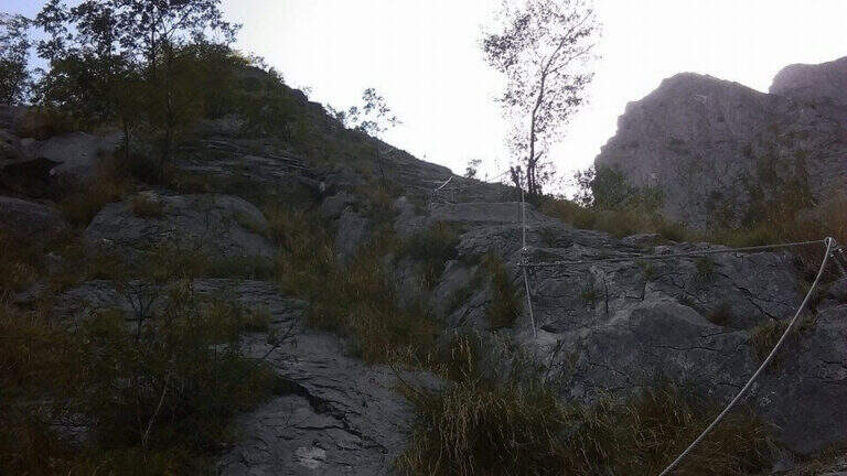
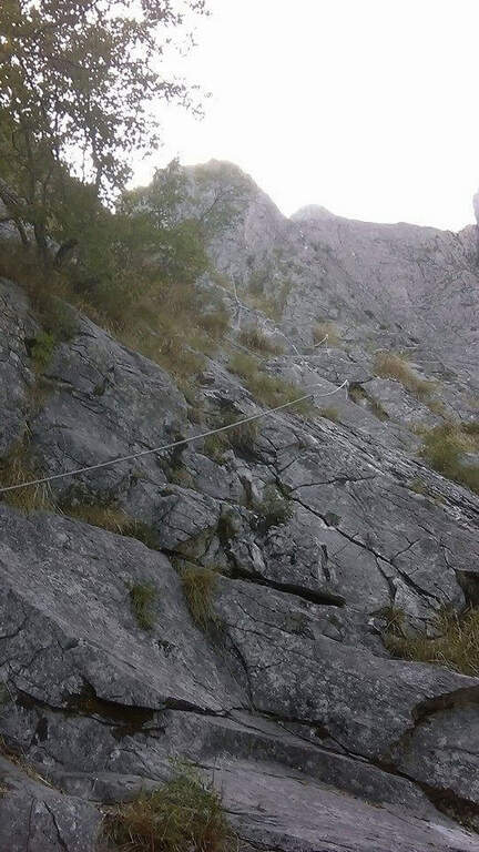
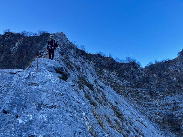
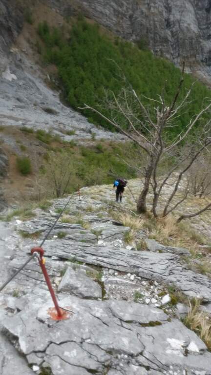
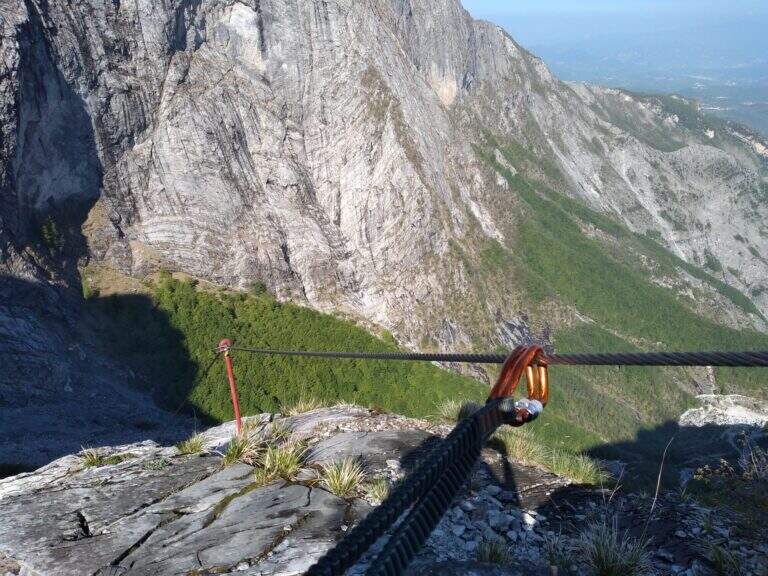
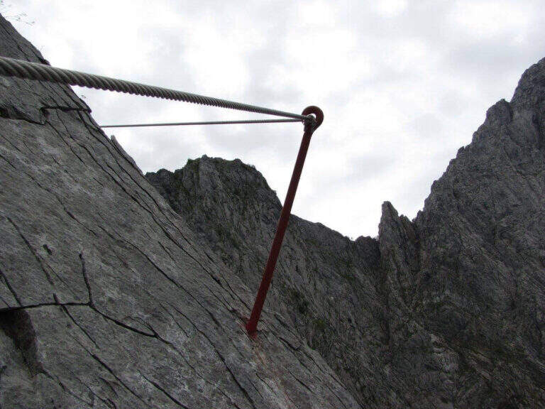
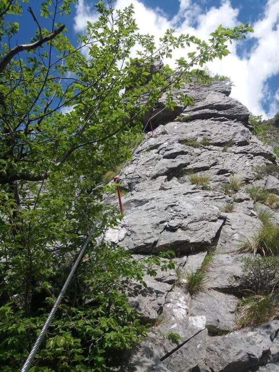
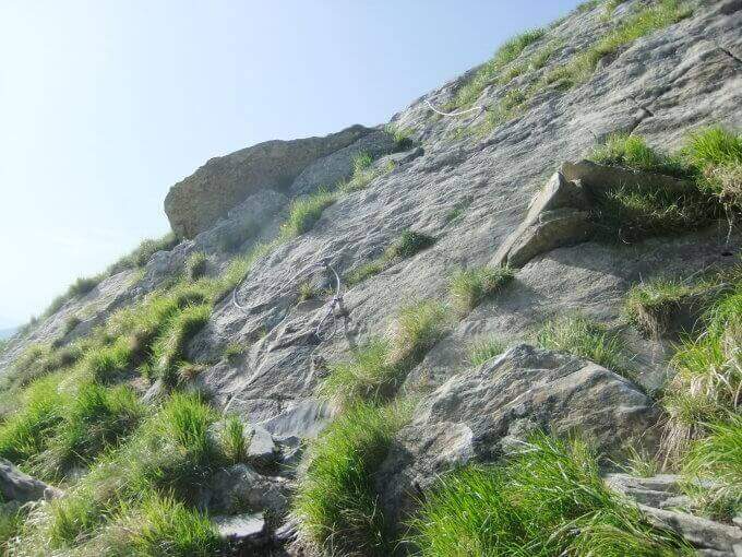
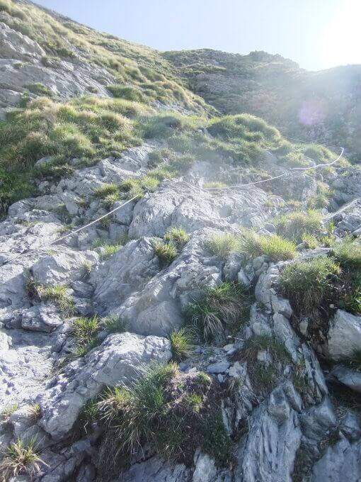
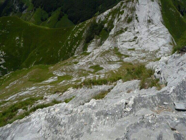
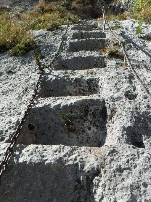
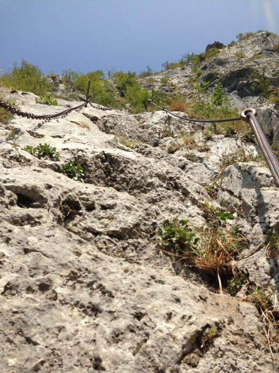
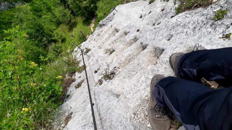
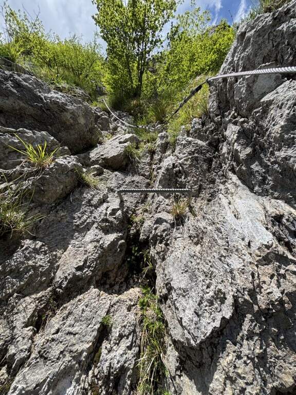
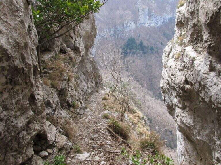
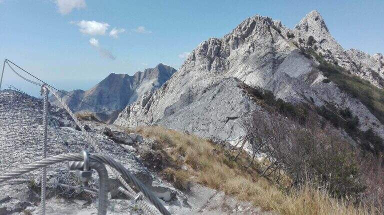
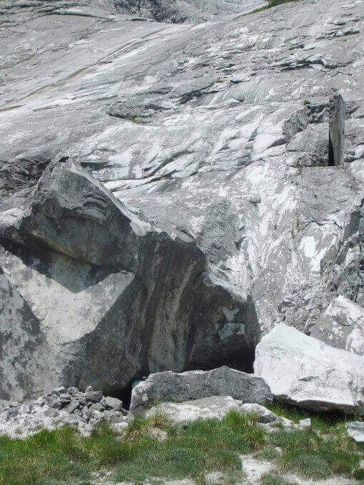
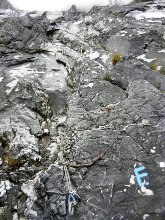
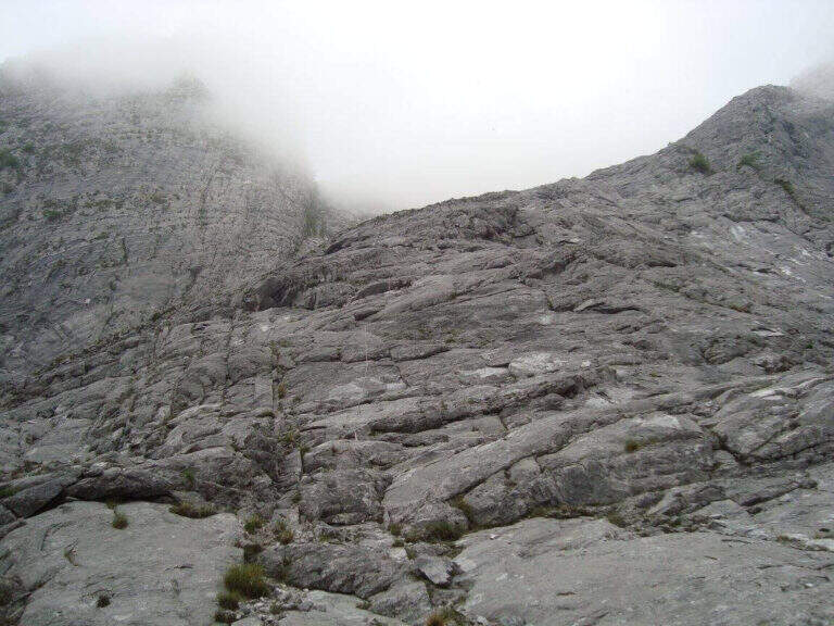
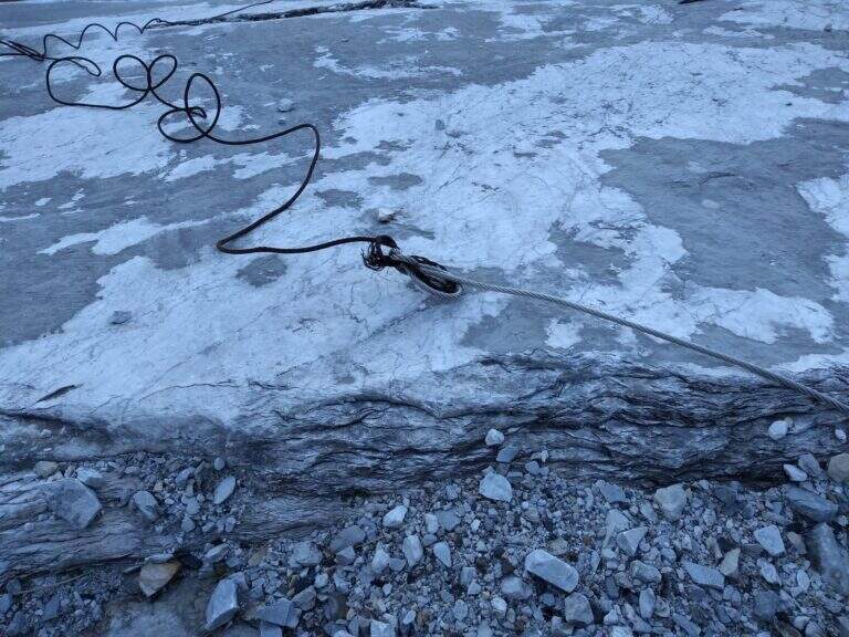
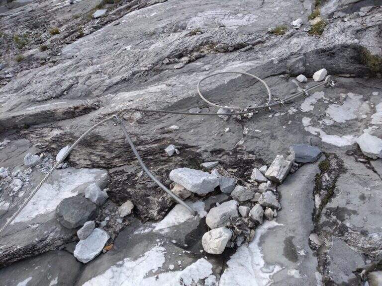
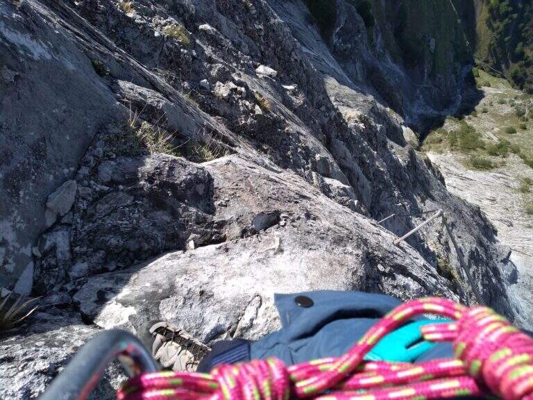
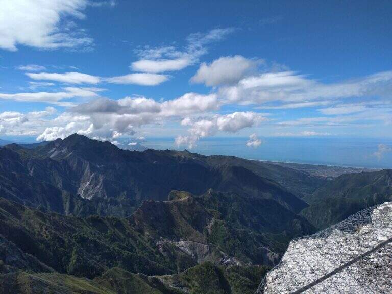
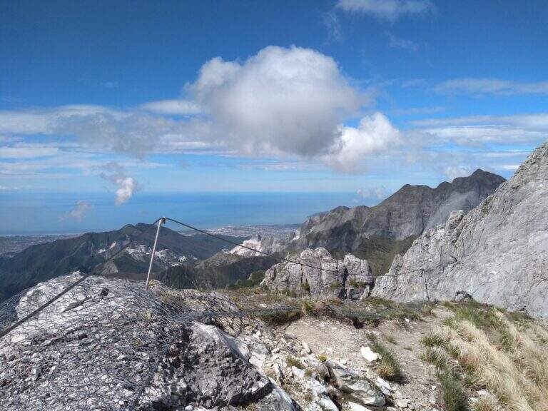
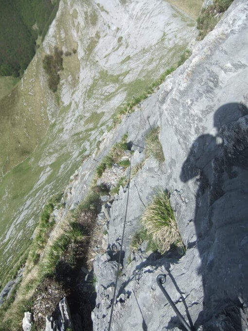
    La via ha lungo sviluppo e due settori. Il primo è una lunga placca inclinata percorsa prevalentemente in aderenza, senza sforzi rilevanti salvo alcuni balzi arrampicabili anche senza cavo; la roccia è il marmo tipico della zona, con ottima aderenza e numerosi fori che fungono da appoggi per i piedi. Raggiunto il filo di cresta, il secondo settore lo segue quasi interamente per quasi 400 metri fino a Foce Siggioli. Il passaggio chiave è il famoso «Naso», uno spigolo esposto che a prima vista pare difficile ma offre ottimi appigli scavati. La pendenza è sempre presente ma mai del tutto verticale; l'ultimo tratto è il più esposto, con pendenza che decresce fino a Foce Siggioli (1390 m), dove la ferrata termina (2h dall'attacco, 3h 30' dal parcheggio).

    ▲Character and difficulty

    Itinerary of medium difficulty, with the charm of marble rock and a long crest progression. difference in level in ferrata 400 m, total 680 m, maximum altitude 1386 m, development 8 km.

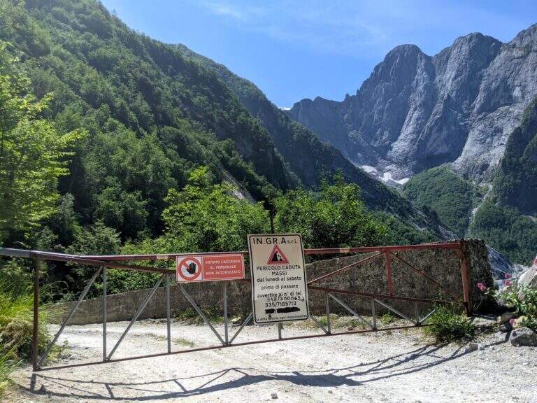
    ⚠ The path from the quarries would take to the parking lot is in bad state of maintenance (2026) and we do not recommend the use: better to park in Ugliancaldo. The nearby Path Attrezzato Zaccagna is interrupted.
    ▲Discipline

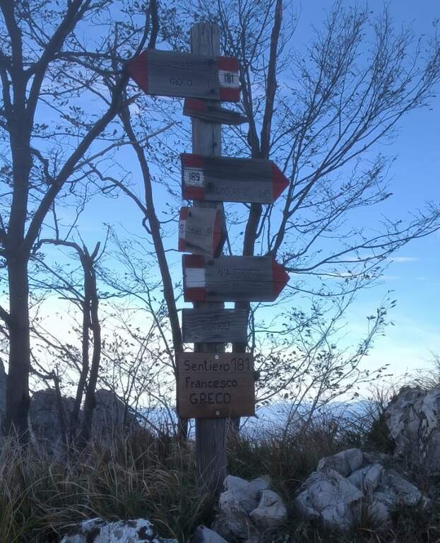
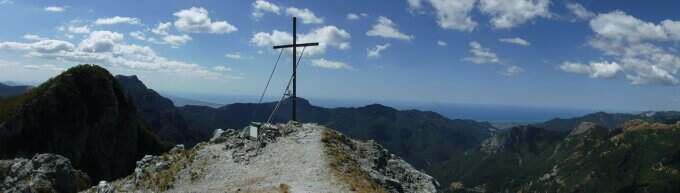
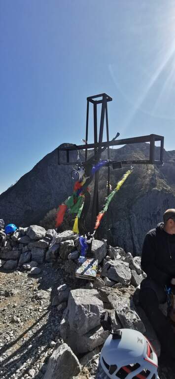
    From Foce Siggioli you can rejoin; continue towards Pizzo d' Bird (EEE trail with rocks and strokes of I degree, not described here) or return along the Cresta of Capradossa ( CAI 181), aerial and recently equipped, up to Poggio Baldozzana. From here the destra is held on the CAI 181 returning to Ugliancaldo (1h 30' from the end of the ferrata, 5h total); è not recommended the CAI 192 on the left, difficult to follow for lack of signage.

    ▲Gallery
    Technical data
    • DifficultyModerately Hard
    • RegionTuscany
    • GroupApuan Alps
    • Approach1:30 h
    • Ferrata2:00 h
    • Itinerary (a/r)5:30 h
    • Hardware level difference400 m
    • Route difference680 m
    • Max1386 m
    • Length8 Km
  • Ferrata Salvatori alla Pania Forata (Monte Forato)

    Ferrata Salvatori alla Pania Forata (Monte Forato)

    Vie Ferrate › Tuscany › Lucca
    Ferrata Salvatori alla Pania Forata (Monte Forato)

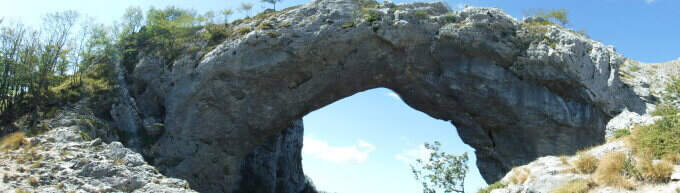
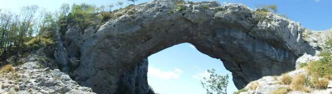
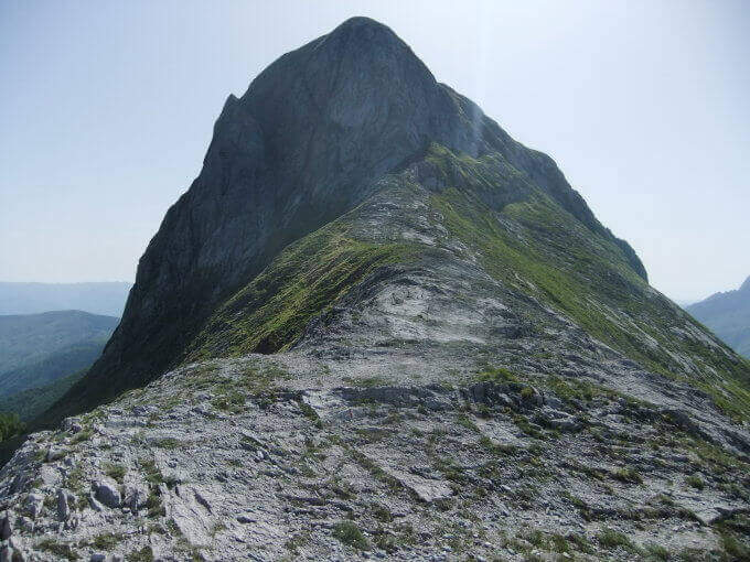
    The Ferrata Salvatori è a facile but aerial way, which faithfully follows the ridge from the Foce Petrosciana al Monte Forato (or Pania Forata), in the Apuan Alps. The low altitude makes it accessible most of the year; the famous natural arch of Monte Forato is worth the whole excursion alone.

    ▲Approach

    Starting point l'Albergo Alto Matanna, in Garfagnana: from Lucca follow the SS 12, then Tenth and Pescaglia, cross the village of Pascoso and, at the indications for l' hotel, turn left on an asphalted road. Open road signs on Google Maps. From ', the hotel rises and soon after takes you to destra il CAI 109, remaining on the north wall of Mount Nona; you reach the Foce delle Porchette and, ignoring the deviations, continue straight on 109 until Foce di Petrosciana (1h 20' from parking).

    ▲The path

    Alla Foce di Petrosciana una targa in marmo indica il ripido accesso alla ferrata (si ignora il sentiero che costeggia in basso il crinale, percorso al ritorno). Si salgono facili roccette fino al primo cavo, che costeggia un traverso e porta a una via di fuga; proseguendo si raggiunge un gendarme roccioso da risalire su un esposto diedro attrezzato di 15 metri, che deposita su un piccolo piano da cui si riparte su una parete ripida con pochi appigli (passaggio chiave). Una scaletta di 5 metri chiude le difficoltà tecniche; da qui la via segue il filo di cresta, esposto ma mai difficile, fino al termine delle attrezzature. Per un'esile traccia si raggiunge la cima del Monte Forato / Pania Forata (50' dall'attacco / 2h 15' dal parcheggio).

    ▲Character and difficulty

    Overall facile, with only a few più passes; technicians in the initial part (the dihedron and the wall of the key passage); the rest è aerial crest. From the ' arc of the Forata Pania è it is possible to make a double rope descent. Named Renato Salvatori, vice-president of the CAI of Forte dei Marmi; installed in' autumn 1977, inaugurated in 1978 and renewed in 1998.

    ⚠ Although easy, the route takes place on exposed ridge: indispensable harness, helmet and ferrata kits; attention with wet rock or strong wind.
    ▲Period and safety

    Low altitude (maximum 1150 m): large part of the year with dry rock.

    ▲Discipline

    Si scende dal lato garfagnino per circa 40 metri fino al marcato CAI 110, che si percorre a ritroso verso l'attacco della ferrata (20' dal termine); da qui si segue a ritroso il sentiero dell'andata fino all'auto (3h 45' totali). In alternativa si può salire da Fornovolasco (Grotta del Vento) per il CAI 6, che risale il torrente Caraglione passando per la grotta «La tana che urla» fino alla Foce di Petrosciana.

    ▲To match

    Concatenate well with the neighbor Ferrata del Procinto (the combined route is described in the report of the Procinto).

    ▲Gallery
    Technical data
    • DifficultyEasy
    • RegionTuscany
    • GroupApuan Alps
    • Approach1:20 h
    • Ferrata0:50 h
    • Itinerary (a/r)3:45 h
    • Hardware level difference400 m
    • Route difference420 m
    • Max1150 m
    • Length9,4 Km
  • Ferrata Malfatti al Sumbra

    Ferrata Malfatti al Sumbra

    Vie Ferrate › Tuscany › Lucca
    Ferrata Malfatti al Sumbra

    The Ferrata Malfatti is an easy road that goes up Monte Sumbra from the slope of Passo Fiocca, in the southern Apuans. It develops above all on grassy balconies exposed but never complicated, with the cable that acts as a handrail: a route suitable for those who approach the ferrates.

    ▲Approach

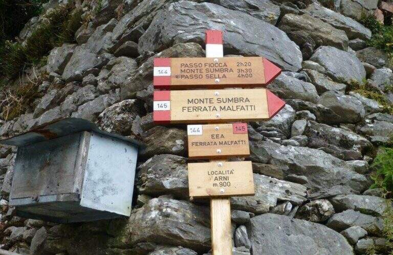
    The starting point is the village of Arni (Lucca), reachable from the Garda side or from the Versilia along the SP13: from Garfagnana (Castelnuovo) turn right before the gallery towards Campagrina and Arni; from Versilia you pass the gallery and turn left for Arni. Starting point on Google Maps. Parked at the obvious church, you climb the staircase and behind you take a road towards the last houses of Arni, where the CAI 144 path begins for the Fiocca Pass (1560 m). The path climbs steep between junipers and shrubs, then halfway the south wall of Monte Fiocca (traccia not always evident, follow the signs); after Malpasso (1h 40' from the parking lot) you face a passage not protected a bit more complex and exposed. Then you enter a beech forest, you get two often dry streams and, beyond a grassy stretch, you reach a saddle; from here a steep slope of rocks and then naked marble leads to Passo Fiocca (2h 30' from the parking lot). From the pass turn right onto the CAI 145 towards the wall of the Sumbra and in a short time you reach the attack (15' from the Fiocca Pass, 2h 45' from the parking lot).

    ▲The path

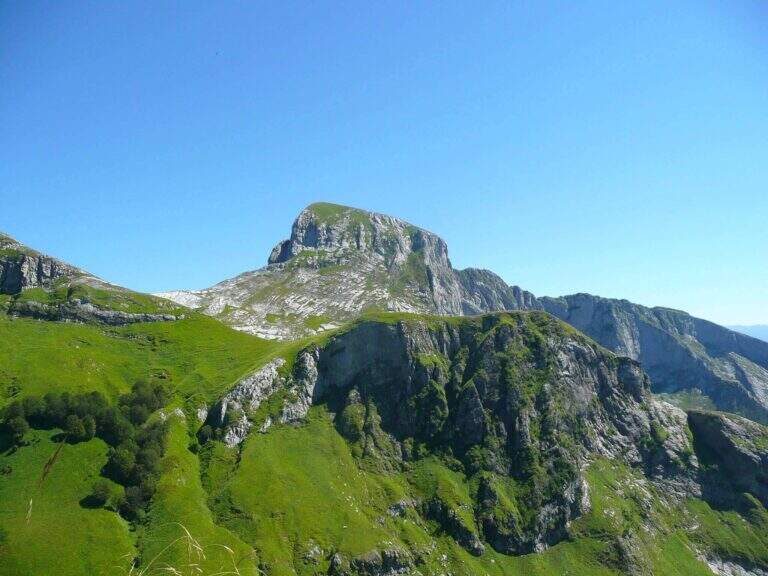
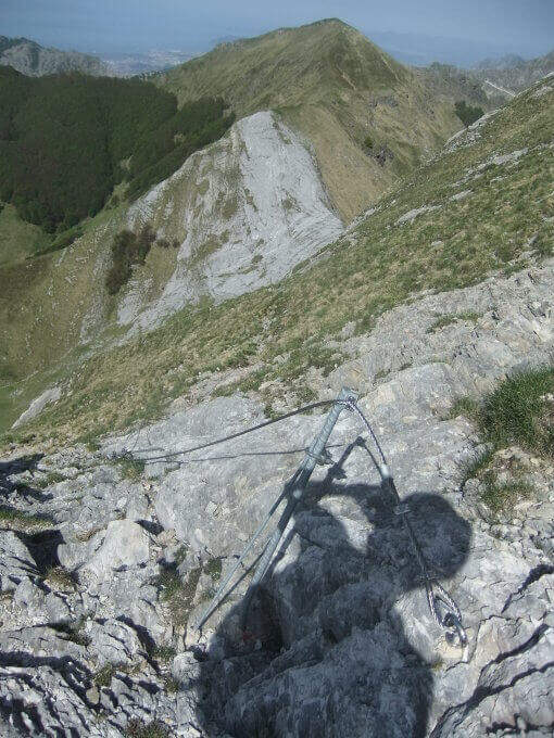
    The road goes up the south slope of the Sumbra, daring at first sight but in reality more equipped path than real ferrata. Start by reassembling some rocks and continue between exposed grassy balzes until you get on the main path for the summit (30' from the attack, 3h 15' from the parking lot). Turning left on steep ascent you will arrive in short at the top of Mount Sumbra, with satisfying view between the Apennines, sea and Apuane (3h 25' from the parking lot).

    ▲Character and difficulty

    Technical difficulty contained, with the value of bringing to the top of a mountain: a good choice to start with the ferrates.

    ⚠ The equipment is not all in good state of maintenance. To avoid bad weather: the CAI 144 between Arni and Passo Fiocca has points that become ostic with wet soil.
    ▲History

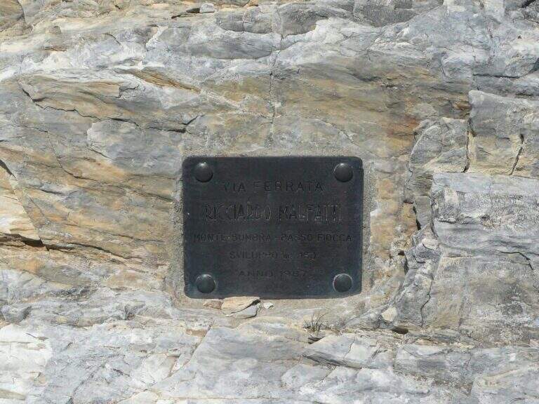
    Ferrata Malfatti was installed in 1987.

    ▲Discipline

    From the summit the ferrata goes back to Passo Fiocca, where there are two options: redefine the steep CAI 144 backwards towards Arni (about 2h from Sumbra, 5h 30' total); or continue straight on CAI 144 (and climb to Monte Fiocca in 40' a/r) that, bypassing the north wall of Fiocca, leads to Passo Sella, from which 31.

    ▲To match

    For length and difference in altitude it is difficult to concatenate in the day, but stopping in the southern Apuans you can walk in the adjacent days Ferrata Salvatori e la Ferrata del Procinto.

    ▲Gallery
    Technical data
    • DifficultyEasy
    • RegionTuscany
    • GroupApuan Alps
    • Approach2:45 h
    • Ferrata0:30 h
    • Itinerary (a/r)5:30
    • Hardware level difference180 m
    • Route difference849 m
    • Max1765 m
    • Length12,5 Km
  • Ferrata del Procinto (Aristide Bruni)

    Ferrata del Procinto (Aristide Bruni)

    Vie Ferrate › Tuscany › Lucca
    Ferrata del Procinto (Aristide Bruni)

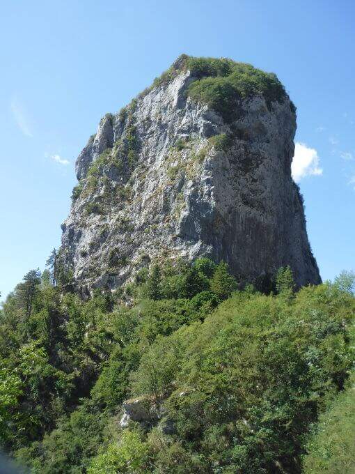
    The Monte Procinto is a truly unique formation: a square tower of 150 m with straight and overhanging walls on the four sides. For almost a century, an equipped road goes up its side and leads to the summit grove in about 40 minutes. Technically it is not difficult, but it is strongly exposed and should be faced both uphill and downhill.
    ▲Approach

    The starting point is the Rifugio Alto Matanna, reachable by a narrow steep road but in good condition: from Lucca you enter Garfagnana on the SS12, then towards Diecimo and Pescaglia; passed Pascoso, following the indications for "Rifugio Alto Matanna" turn left on an asphalt road. Starting point on Google Maps. Behind the refuge starts the path CAI 5, which follows right uphill to the north; you cross the basin of the Callare di Matanna and you descend along the south wall of Mount Nona, glimpse the panettone of the Procinto to the south-west. In the forest, at a crossroads, you leave the CAI 5 (which goes down to the Forte dei Marmi Refuge) for a narrow right track indicated for the Monte Procinto; a wooden bridge crosses the narrow nod at the base of the tower, you hold the left and, with attention, you will find the deviation to the right (without signals) that leads to the tombstones and the attack of Ferrata Aristide Bruni (1h from the parking lot).

    ▲The path

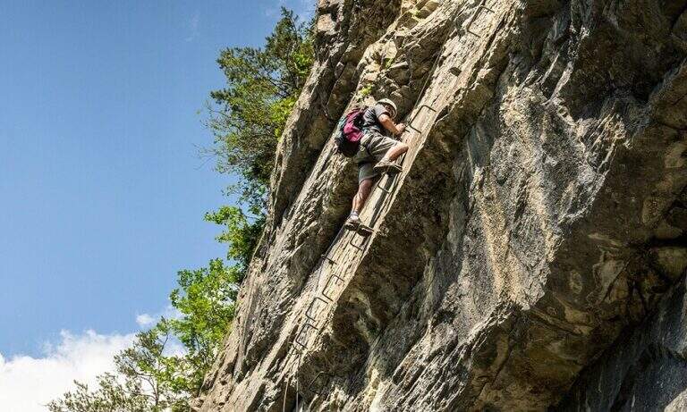
    A ladder equipped with cable and chain goes up immediately, then a wall where artificially carved several steps that rise in marked exposure, with metal equipment in support of progression. Once you reach a comfortable terrace you face a passage where it is not trivial to find supports for your feet; you continue taking advantage also some artificial steps, you walk a diagonal census and, with the last minutes in the woods, you reach the top (40' from the attack, 1h 40' from the parking lot).

    ▲Character and difficulty

    Short but strongly exposed: more than technical difficulties, it is the air under the feet to make it challenging.

    ⚠ It goes both uphill and downhill on the same route: maximum attention to hikers who proceed in the opposite direction, above and below. The rope and chain are not perfectly stretched and can unbalance; for the strong exposure it is not suitable for neophytes.
    ▲History

    It is the oldest railway in Italy: it dates back to 1893, several times renovated (last revision in 2020). It is named after Aristide Bruni, who in 1879 climbed first, with others, this unique tower in the first documented climb; the route was then converted into a path equipped with the support of the CAI of Florence.

    ▲Discipline

    You go down the same route, with care for those who go up. Back to the base of the Forcinto you go back to CAI 5 left on the way: you go up, you go over the Callare di Matanna and you go down to the car (1h 20' from the end of the ferrata, 3h overall).

    ▲To match

    It is often combined with the neighbor Ferrata Salvatori at Monte Forato, extending the itinerary of at least 3 hours: from the graft on the CAI 5 it is held the right, then the CAI 121 and the CAI 109 to the Foce di Petrosciana, from which the crest of the Salvatori.

    ▲Gallery
    Technical data
    • DifficultyHard
    • RegionTuscany
    • GroupApuan Alps
    • Approach1:00 h
    • Ferrata0:40 h
    • Itinerary (a/r)3:00 h
    • Hardware level difference170 m
    • Route difference170 m
    • Max1172 m
    • Length4 Km
  • Ferrata Monte Contrario

    Ferrata Monte Contrario

    Vie Ferrate › Tuscany › Massa-Carrara
    Ferrata Monte Contrario
    Very difficult● OpenDescriptionComplexityMapsGallery

    Recent and technical, the Ferrata del Monte Contrario dates back to the southern wall of the homonymous summit until near the Passo delle Pecore: it is the technically more difficult ferrata of the Apuan Alps, inserted in a long and tiring itinerary both uphill and returning.

    ▲Approach

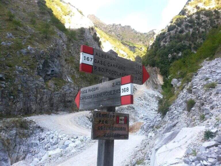
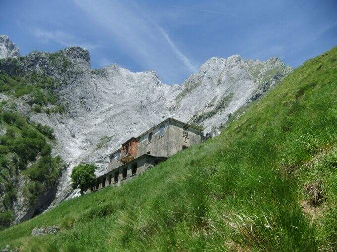
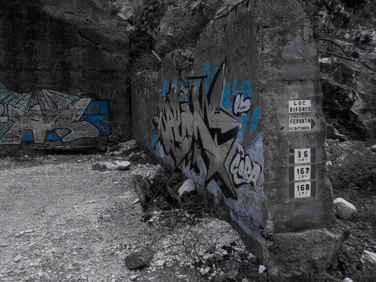
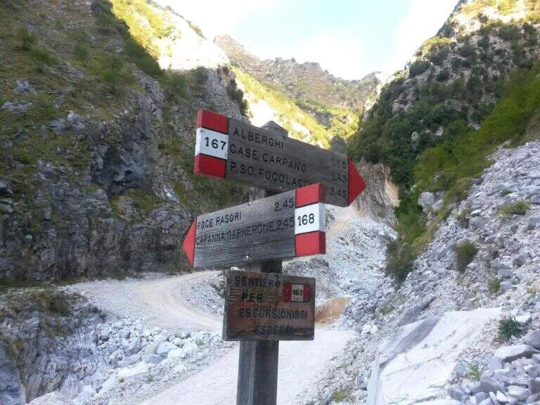
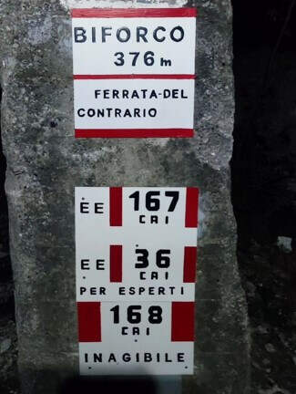
    Starting from the locality Biforco, near Forno: from the toll of Massa (A12) you go up the Via Bassa Tambura; in Biforco l' asphalt ends in front of a bar, where the marble road begins. Open road signs on Google Maps. From Biforco take uphill the paths CAI 167-168 along the Canal Fondone; after about a kilometer take the CAI 167 towards the Valley of the Hotels. The path climbs steep under l' imposing south wall; passed an abandoned building (former cave workers' dwelling) continues on track, omits and wooden poles until all' attack, after a last tiring tear (2h from the parking lot).

    ▲The path

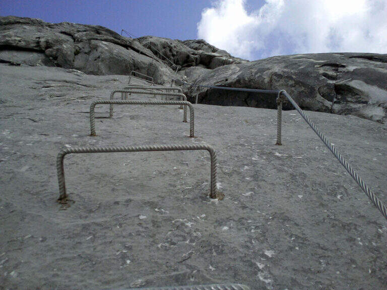
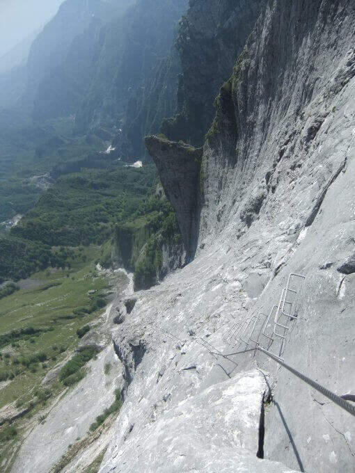
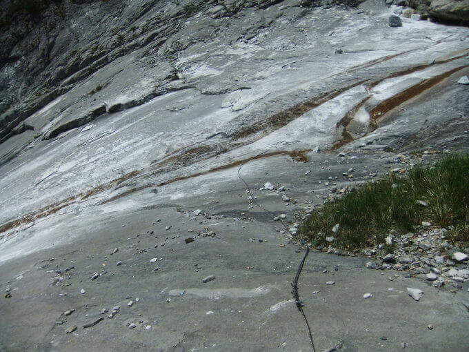
    The ferrata starts on a long slanted slab, to be climbed into the grip using natural hooks and, where it serves, the chain, up to a small terrace where the cable ends momentarily. The second section increases slope and exposure along the approximately 400 meters of altitude difference: in the lower part there are good natural sticks, while in the upper part the rock becomes smoother and, in the absence of good climbing skills, are comfortable some artificial hooks. The last walls rise and the street ends after a paramassive network (2h 30' from the attack, 4h 30' from the parking lot).

    ▲Character and difficulty

    It is the most difficult from the technical point of view among the Apuan ferrates: the level is not prohibitive uphill, but rock and exposure impose caution. To be faced with caution in the summer months: the not high altitude and exposure to the south can make the climb very warm.

    ⚠ Both return options are challenging, steep and exposed: to avoid in bad weather. The descent via Grondilice / Foce dei Rasori (CAI 168) is currently chiusa by order and indicated as inagibile by CAI signs; use the descent of Pradacetti.
    ▲Period and safety

    Better than half seasons or days does not towers. Stable time indispensable given the steepness of the return paths.

    ▲Discipline

    At the end of the ferrata turn left towards Grondilice. Recommended option: in about 20' you reach the Sella dei Pradacetti, from which a steep and exposed path descends in about 2h 30' to the Valley of the Hotels and, along the CAI 167, back to Biforco (3h 45' from the end of the ferrata, about 8h 30' total). The second option (CAI 186 at Grondilice Window, Rasor Foce and CAI 168 along the Fondone Canal) is currently not recommended and closed by order.

    ▲To match

    The length of the itinerary precludes concatenaments in the day. A valid option is to stay at the Orto refuges of Donna or Donegani and to face another excursion the following day.

    ▲Gallery
    Technical data
    • DifficultyVery difficult
    • RegionTuscany
    • GroupApuan Alps
    • Approach2:00 h
    • Ferrata2:45 h
    • Itinerary (a/r)8:00 h
    • Hardware level difference587 m
    • Route difference1270 m
    • Max1625 m
    • Length11 Km
Need help? Write to us!