Gruppo: Appennino Tosco-Emiliano

  • Hiking trail Monte Gendarme – Passo del Cerreto

    Hiking trail Monte Gendarme – Passo del Cerreto

    Vie Ferrate › Tuscany › Massa-Carrara
    Hiking trail Monte Gendarme – Passo del Cerreto

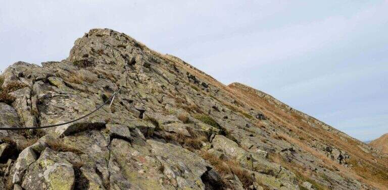
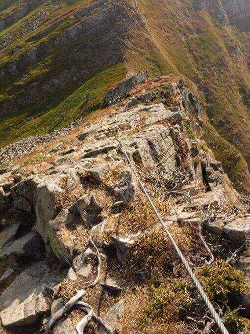
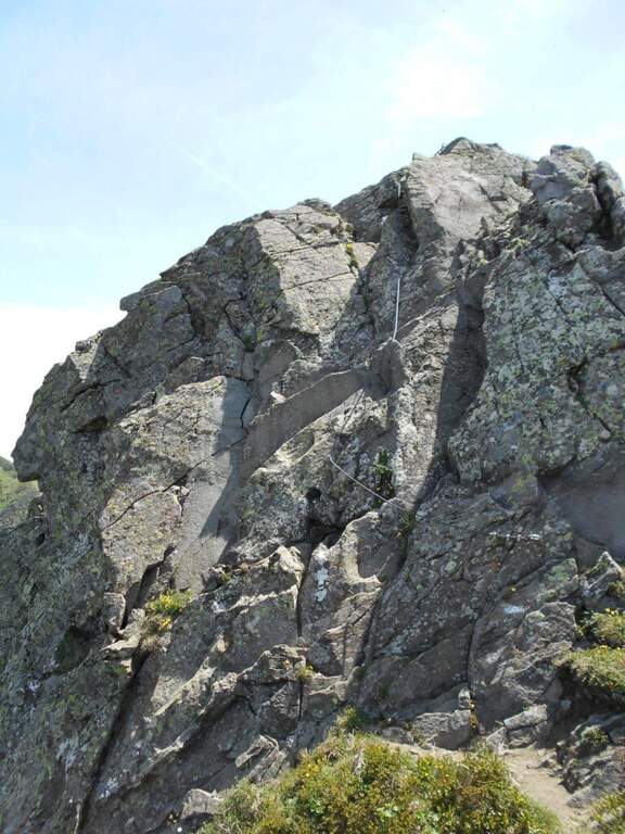
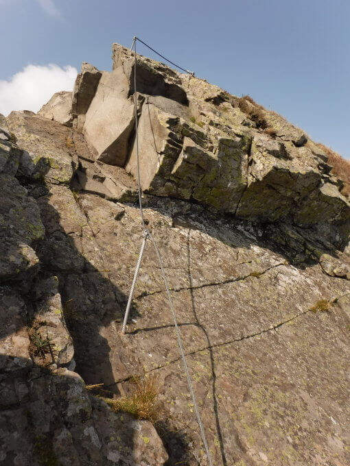
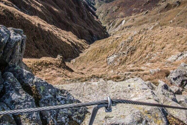
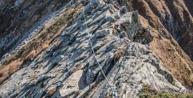
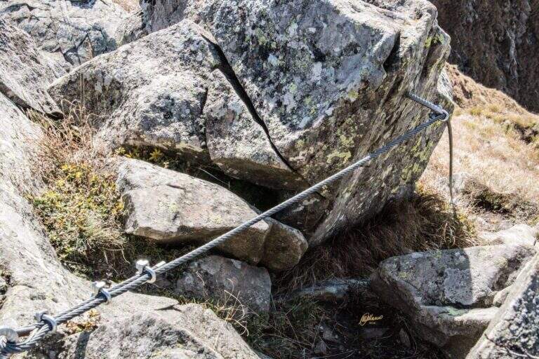
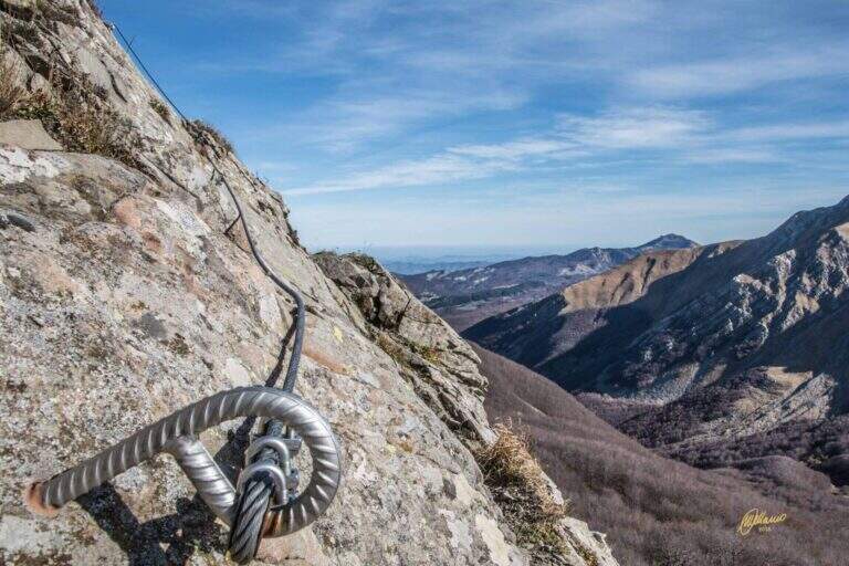
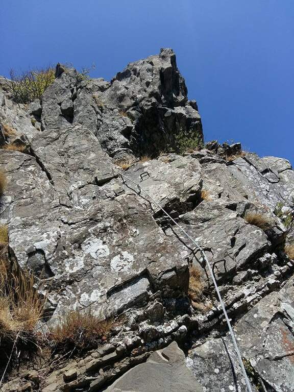
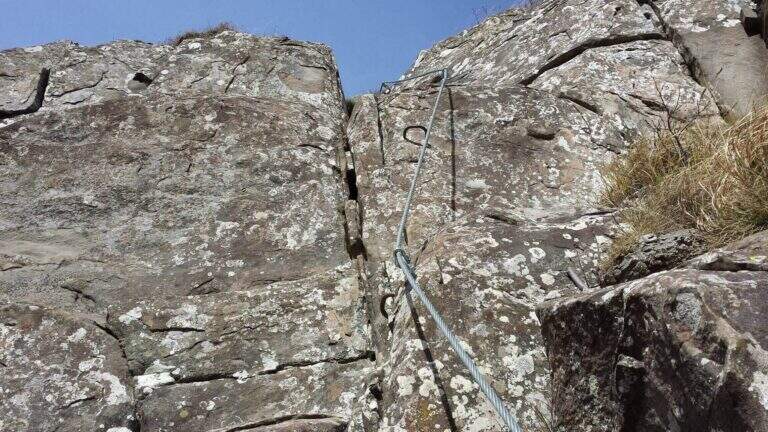
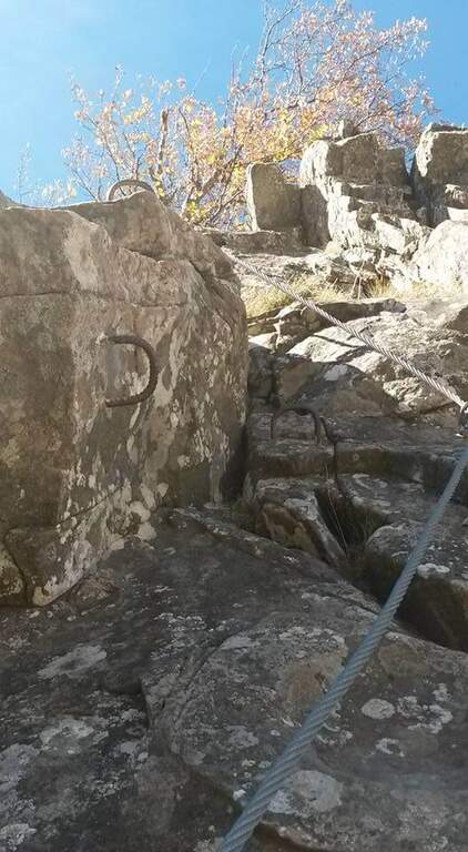
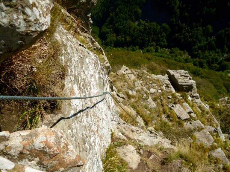
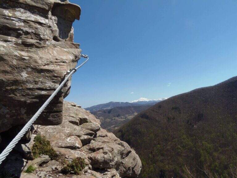
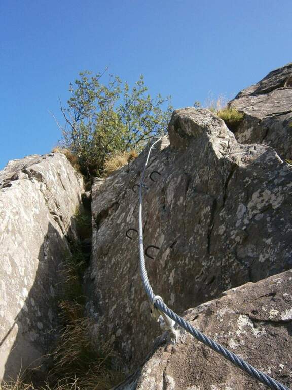
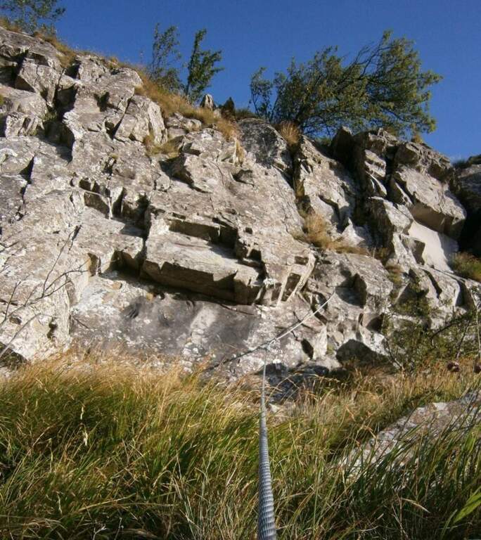
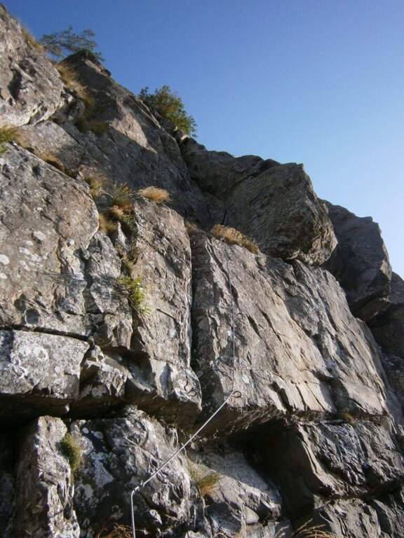
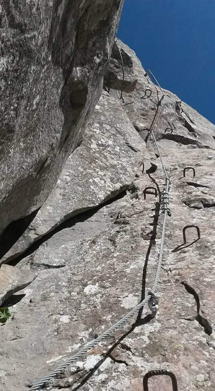
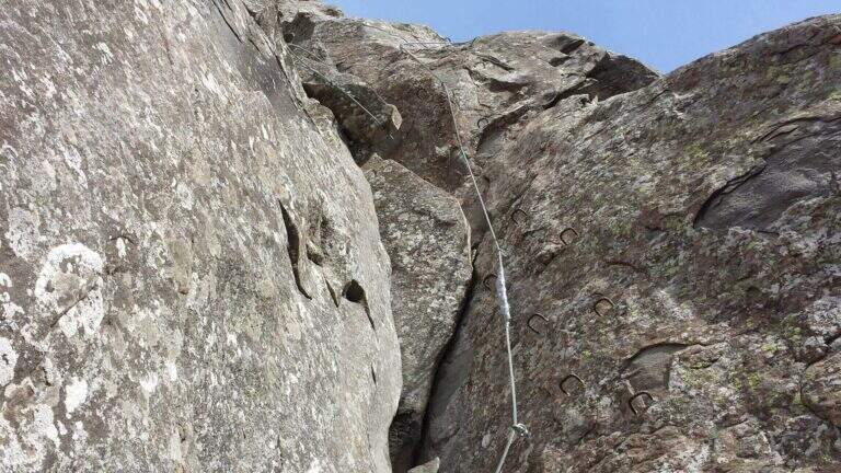
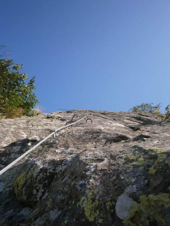
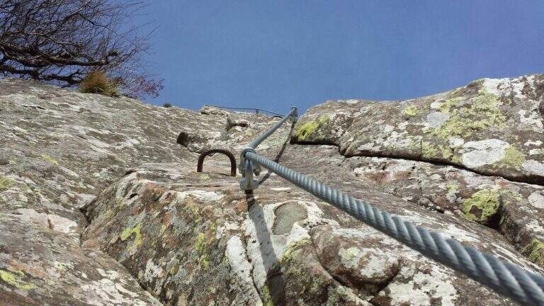
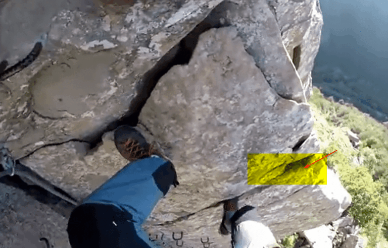
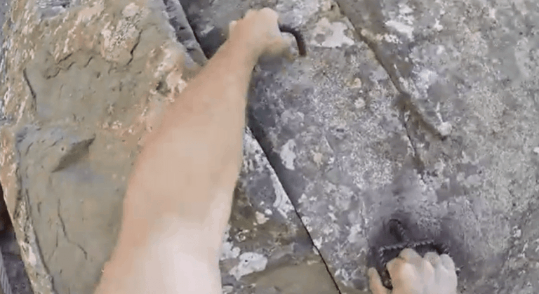
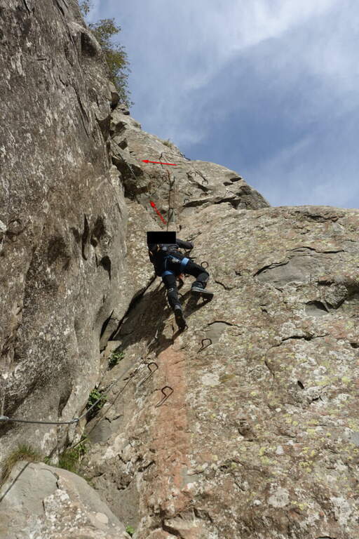
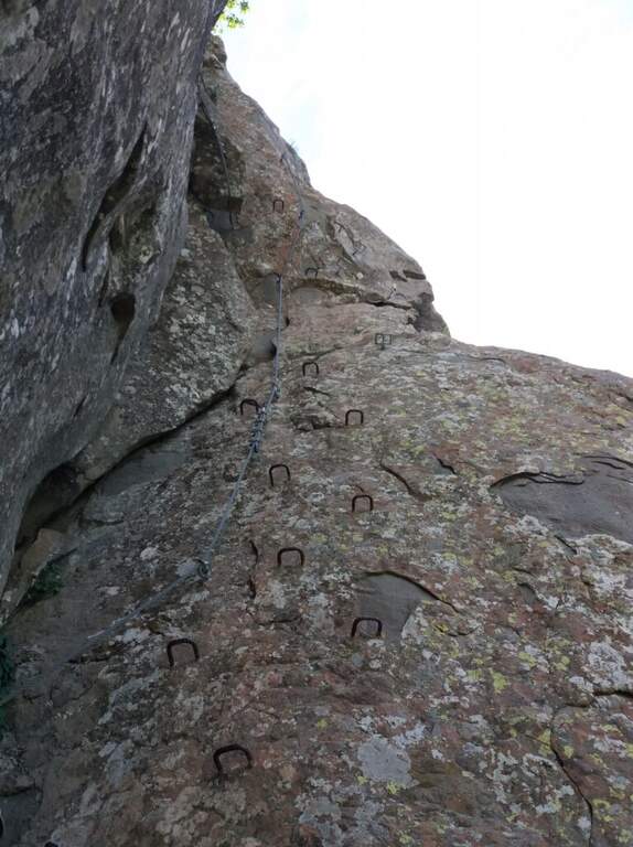
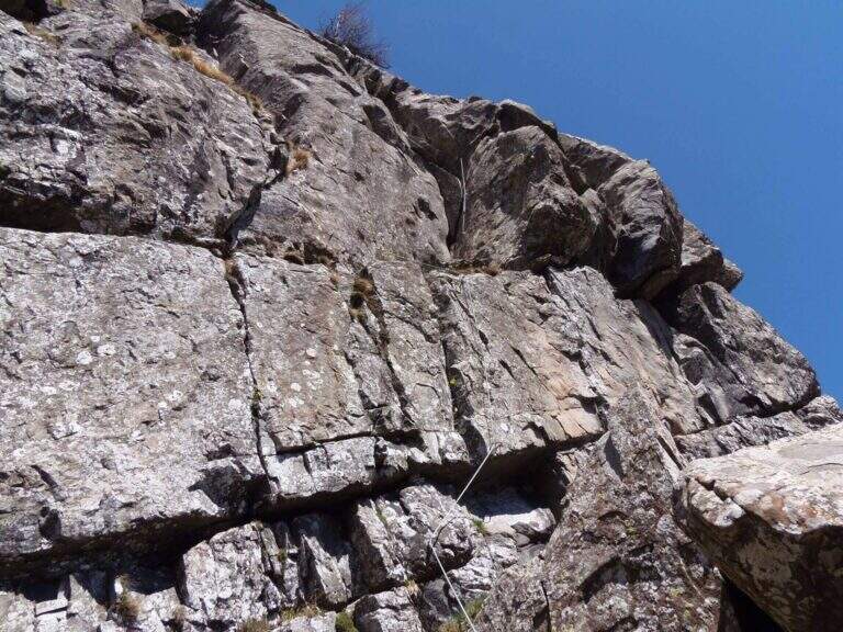
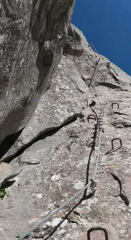
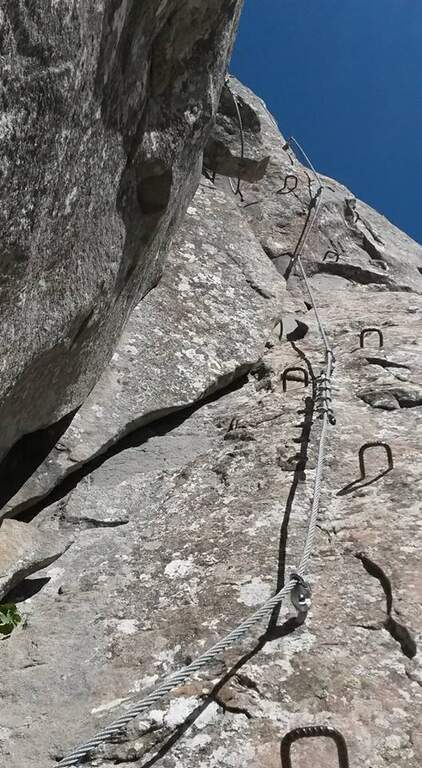
    : ATTENTION — Via SMANTELLATA: The equipped sections of the Monte Gendarme Path were dismantled. The climb now requires unprotected climbing passes of the second degree or to be protected with individual material. Do not walk as an equipped path.

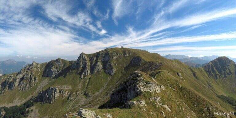
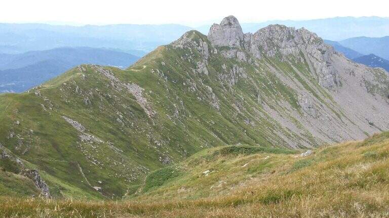
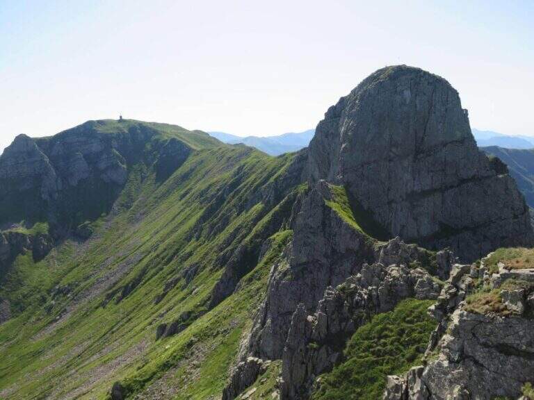
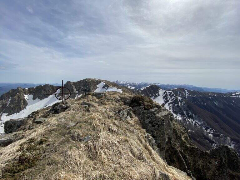
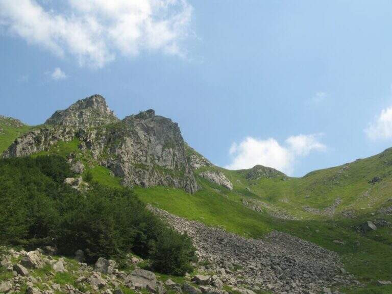
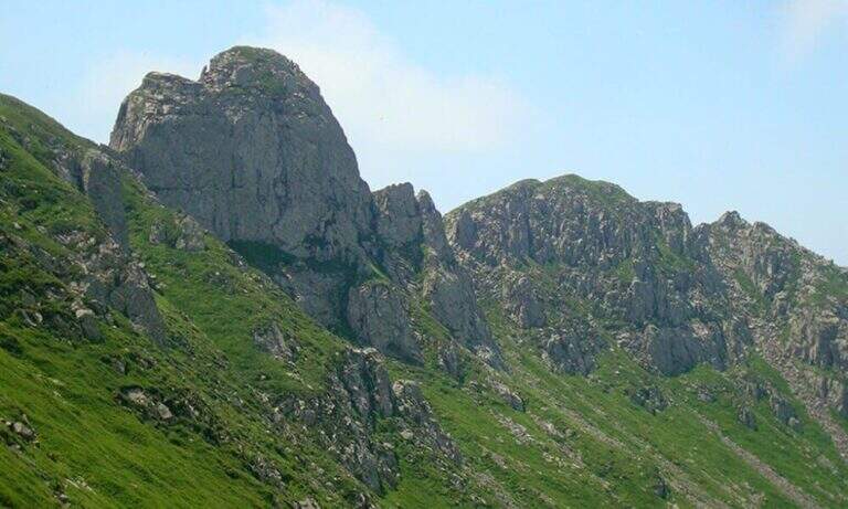
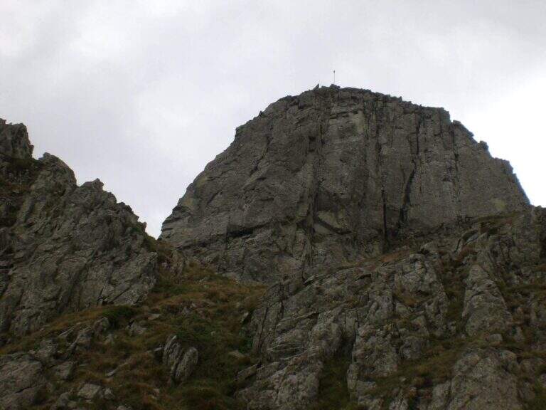
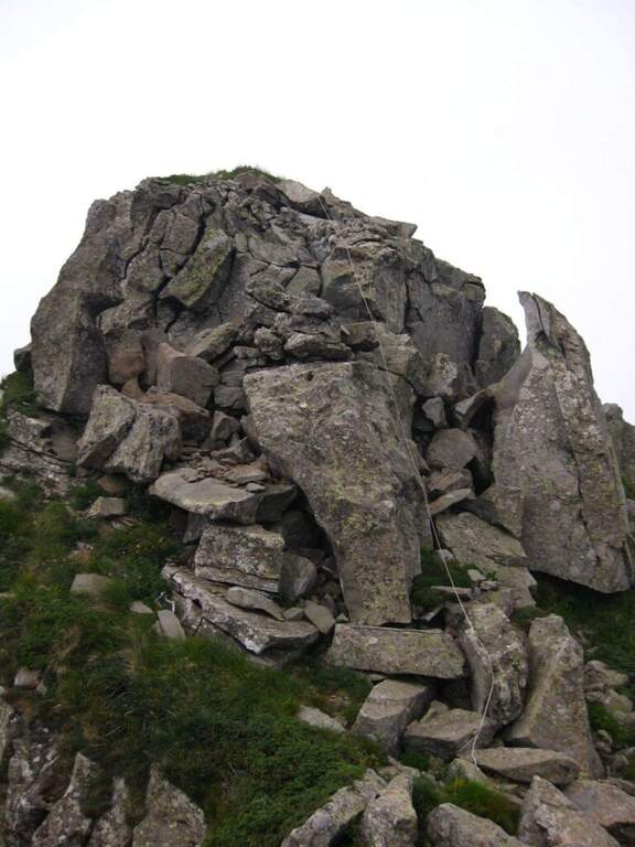
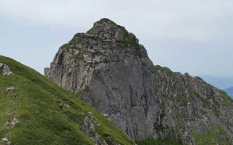
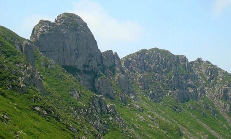
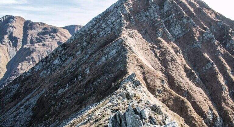
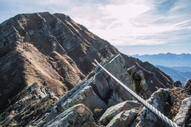
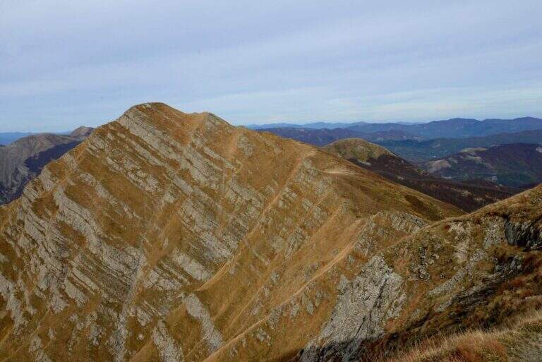
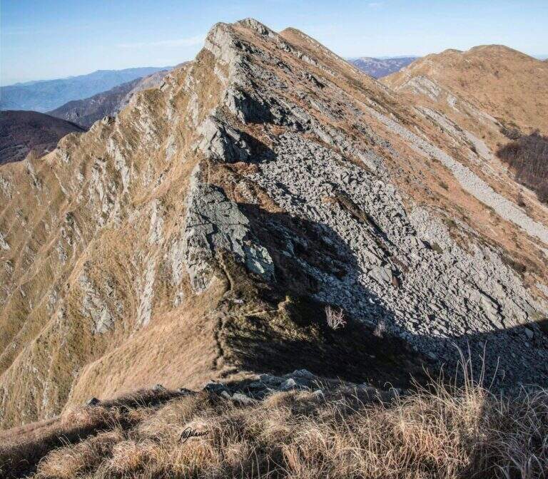
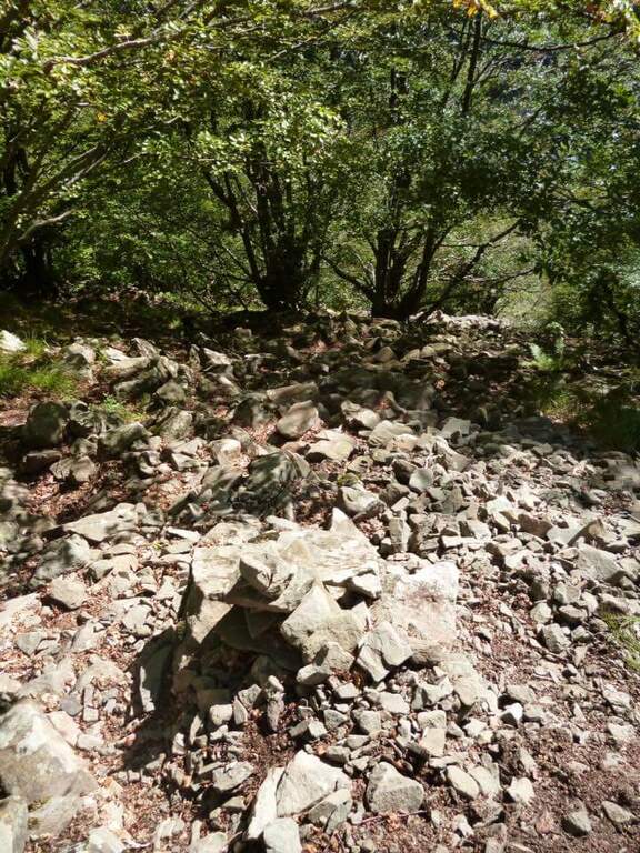
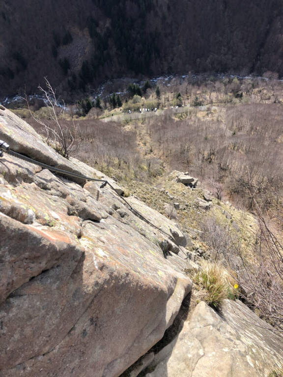
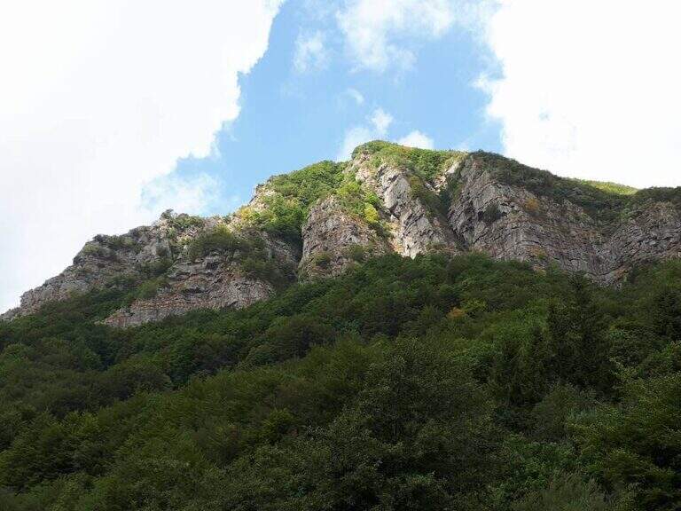
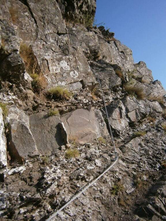
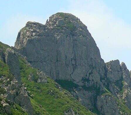
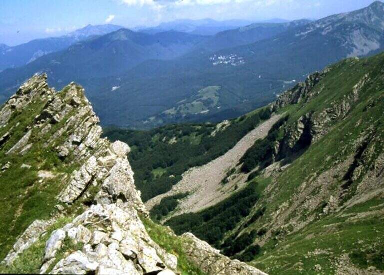
    The Attrezza del Monte Gendarme path goes up the Vallone dell'Inferno on the Tuscan-Emilian Apennines, starting from the Cerreto Pass towards the 1895 m of Monte La Nuda and Monte Gendarme (1872 m). The original street had a short stretch equipped in the top section, now removed. The hiking trail remains accessible but requires basic alpine experience.

    ▲Approach

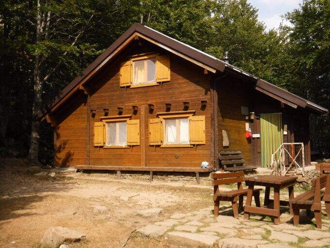
    The Cerreto Pass (1261 m) can be reached from Reggio Emilia or from Aulla (A15) along the SS 63 (directions road map). Spacious parking and dining options at the pass. Follow the path 00 towards the Vallone dell'Inferno.

    ▲The path

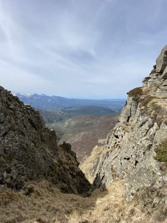
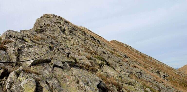
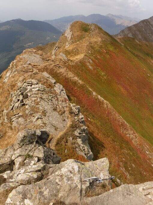
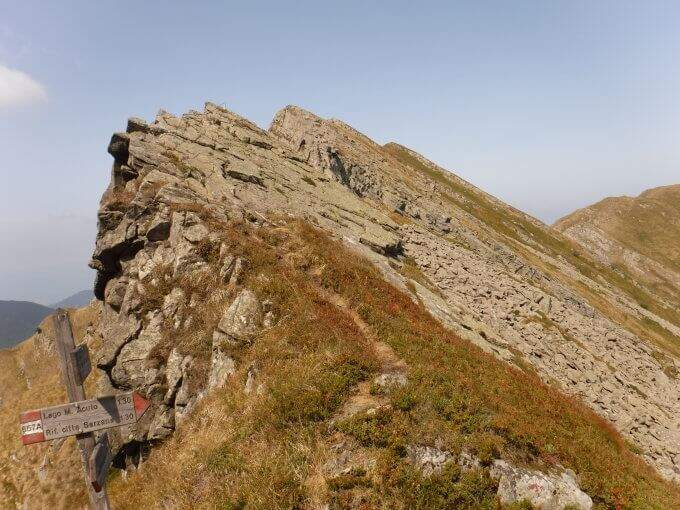
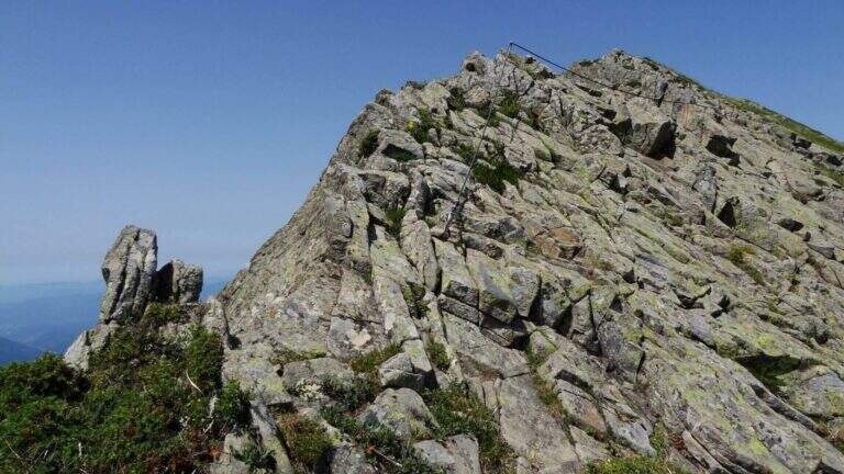
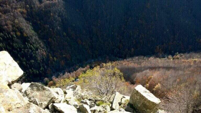
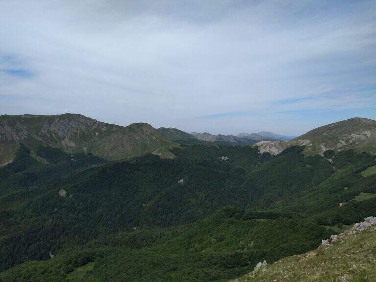
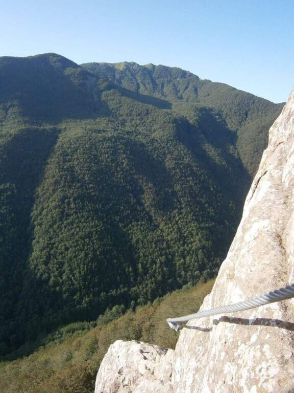
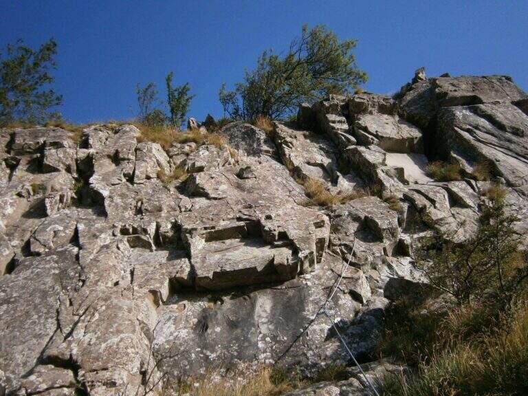
    From Passo del Cerreto you go up the Vallone dell'Inferno along the path 00 to Bivacco Rosario (1h 30'). Once you reach the ridge you can climb left towards Monte La Nuda (15') or right to follow the CAI 94 which runs along the valley to the base of the rocky wall of Monte Gendarme (1h 45' total). The top section where the equipment was placed now requires free passages of 2 degree. The summit (2h approximately) offers views of the Apuans to the west and the Gulf of Spezia to the northwest.

    ▲Character and difficulty

    Originally classified Easy for the presence of the equipment. After dismantling the summit passes require mountaineering experience (II degree). Hiking complex: technique 1/5, physics 2/5, exposure 2/5, environment 3/5.

    ⚠ The way is officially dismantled. Do not approach the summit section without climbing knowledge or without adequate individual protections.
    ▲Period and safety

    The Vallone dell'Inferno is available from May to October as an excursion. The climb to the summit of Gendarme is not recommended without adequate climbing equipment.

    ▲Discipline

    You descend along the way up to Passo del Cerreto.

    ▲To match

    On the Emilian Apennines: the Ferrata degli Alpini alla Pietra di Bismantova e la Ferrata dell'Ultimo Sole.
    ▲Gallery
    Technical data
    • DifficultyEasy
    • RegionTuscany
    • GroupAppennino Tosco-Emiliano
    • Approach1:45 h
    • Ferrata0:15 h
    • Itinerary (a/r)3:30 h
    • Hardware level difference47 m
    • Route difference630 m
    • Max1895 m
    • Length13 Km
  • Caves of Camporaghena and Monte Alto

    Caves of Camporaghena and Monte Alto

    Vie Ferrate › Emilia Romagna › RE
    Caves of Camporaghena and Monte Alto
    Moderately Hard● OpenDescriptionComplexityMapsGallery

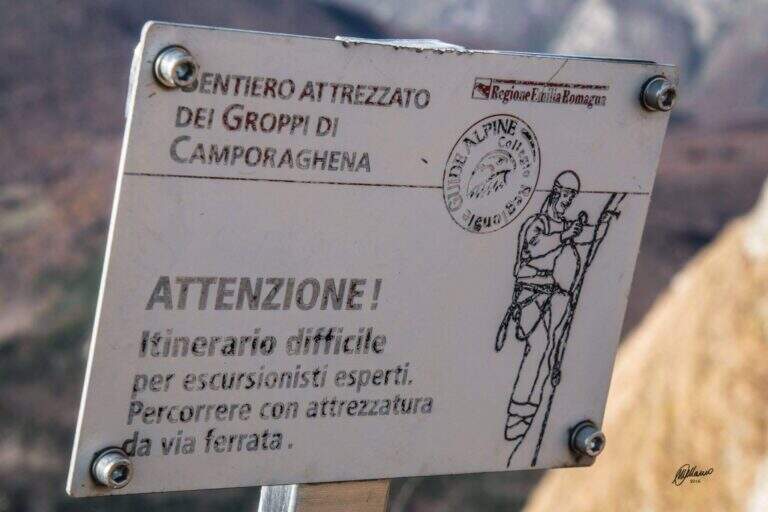
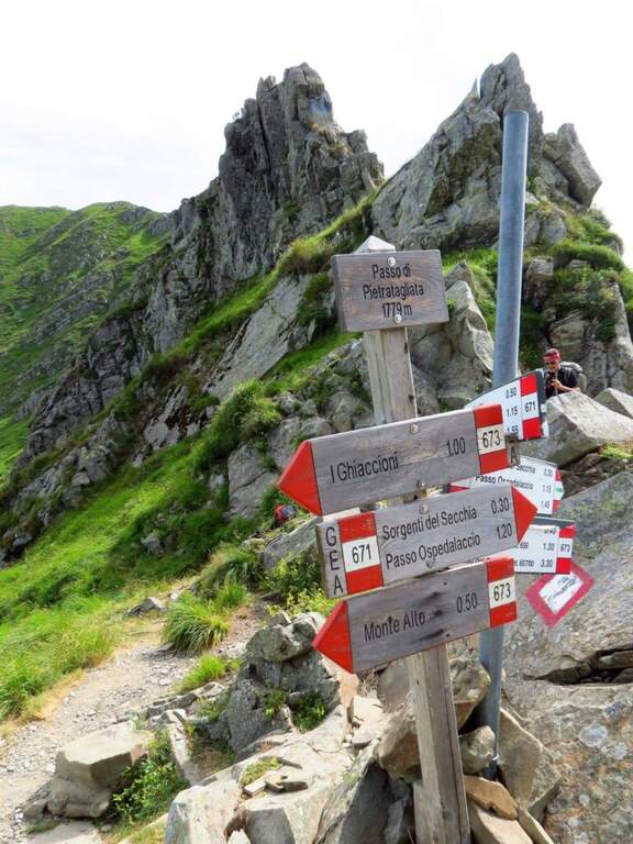
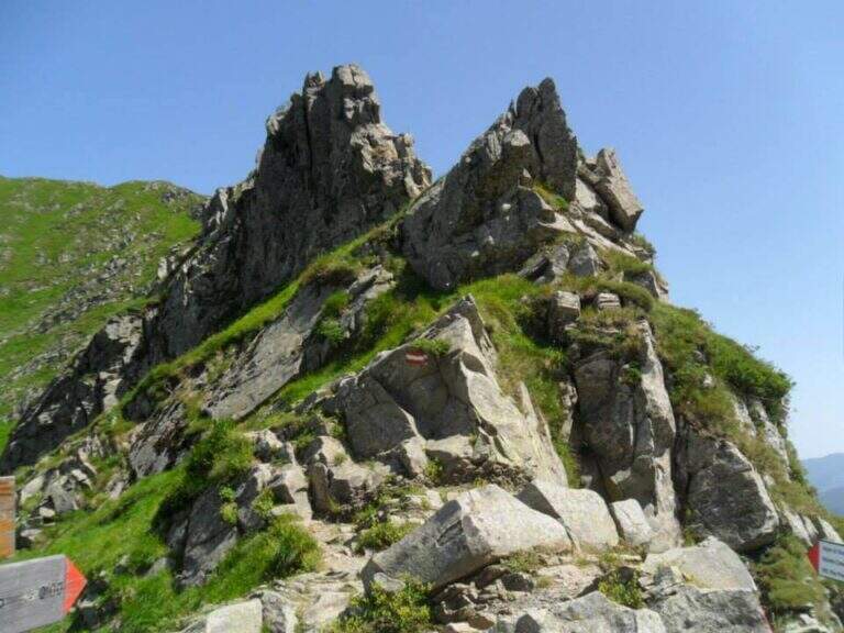
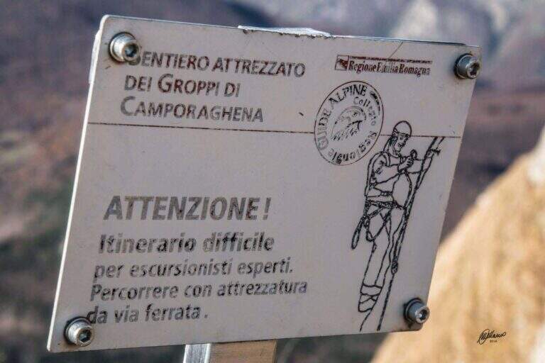
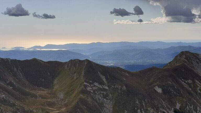
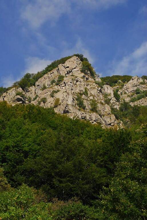
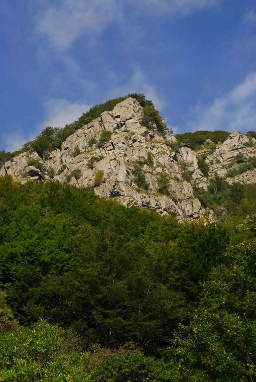
    The Groppi di Camporaghena and Monte Alto (1904m) represent the most alpine corner of the Tuscan-Emilian Apennines: a long itinerary with three sections equipped on Monte Alto at the triple border between the provinces of Reggio Emilia, Parma and Massa-Carrara.

    How to arrive and approach

    The starting point is Succiso Nuovo, a small hamlet of the municipality of Ventasso in the province of Reggio Emilia (RE), reachable along the road that climbs from Busana or from Collagna to the upper valley of the Secchia. Park in the village and take the CAI 653 signpost that leads to the high altitude. The approach takes about 3 hours: the path crosses the Torrente Liocca and goes up towards the plateau of Camporaghena, area of high altitude pastures at the provincial border RE/PR/MS.

    The path

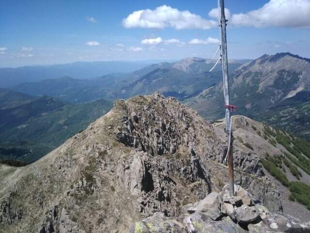
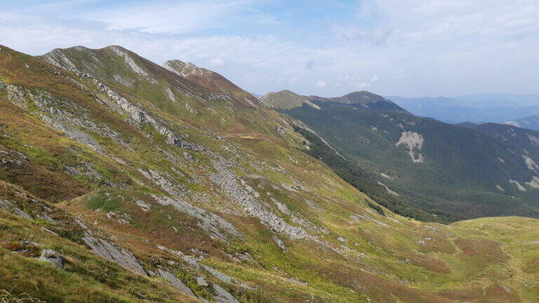
    From Succiso Nuovo you go up to the 653 signpost, crossing the Torrente Liocca and earning altitude towards the panoramic Groppi di Camporaghena. The three equipped sections are located on the crest of Monte Alto (1904m) and exceed the steepest and rocky sections of the itinerary with about 2h30′ of equipped route (rail level difference: 100m). The landscape has a morphology reminiscent of prealpine areas, with unusual vertical walls for the northern Appennine. The maximum quota is 1904m.

    Character and difficulty

    A challenging itinerary mainly for the exceptional length (16km, 9 total hours, 1325m of total altitude difference) and the isolation of the environment. The three sections equipped on Monte Alto are never technically extreme but the fatigue accumulated in the 3 hours of approach makes them more significant. The environment of the Tuscan-Emilian Apennines at this altitude is wild and far from services. Difficulty: Moderately Difficult. Not suitable for beginners for durability and insulation.

    Period and safety

    Recommended from June to October. The length requires morning departure to complete the itinerary with daylight (9 hours). The isolation of the path requires bringing water, food and clothing for all weather conditions. In case of bad weather the descent can be complicated. Check snow conditions at altitude in late spring.

    Discipline

    The descent takes place through the reverse climb, descending from Monte Alto to the Groppi di Camporaghena and then along the 653 signpost to Succiso Nuovo. The total time of the round trip is about 9 hours.

    To match

    The Monte Alto and the Groppi di Camporaghena are located in a small area of the Apennine reggiano-parmense, suitable for those who love hiking in wild environments and far from the crowd. In the nearby Apuan Alps (Turkish) there are more technical and spectacular ferrate. The Alta Via dei Parchi runs through this area of the northern Apennines.

    ▲Gallery
    Technical data
    • DifficultyModerately Hard
    • RegionEmilia-Romagna
    • GroupAppennino Tosco-Emiliano
    • Approach3:00 h
    • Ferrata2:30 h
    • Itinerary (a/r)9:00 h
    • Hardware level difference100 m
    • Route difference1325 m
    • Max1904 m
    • Length16 Km
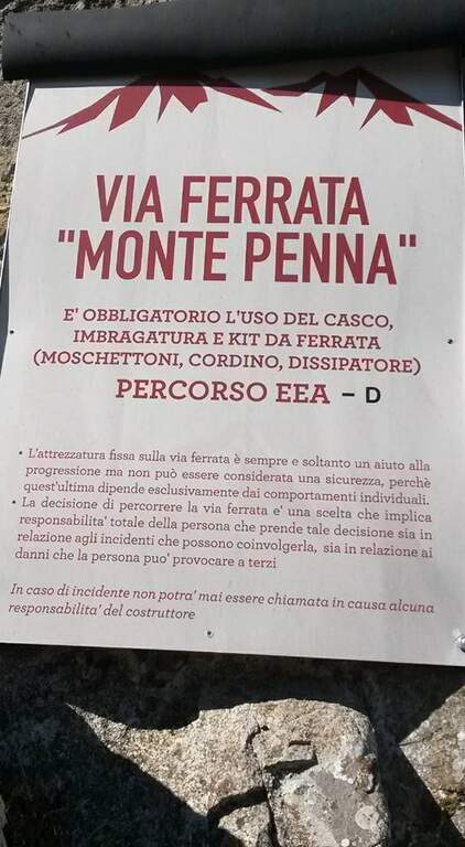
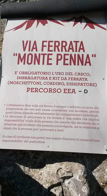
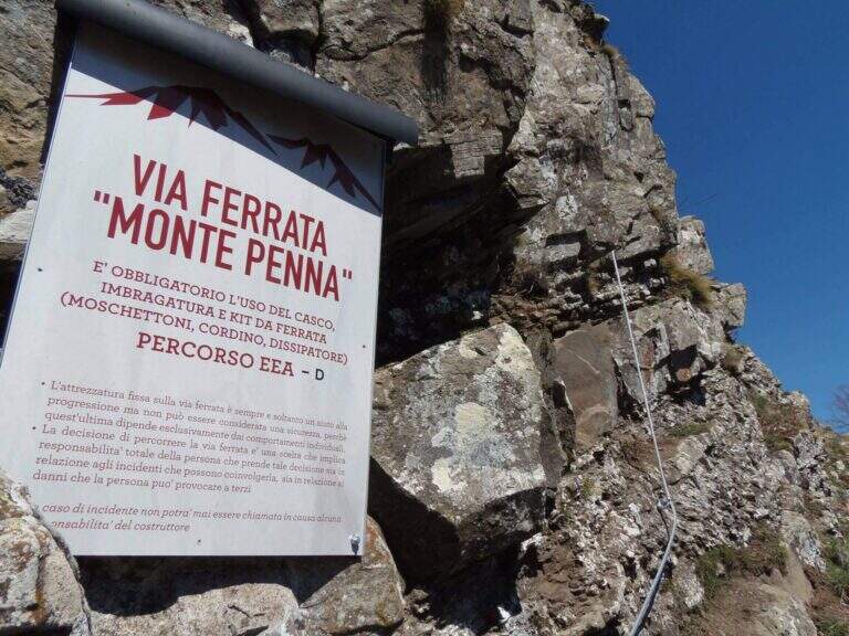
  • Ferrata Monte Penna (Penna di Civago)

    Ferrata Monte Penna (Penna di Civago)

    Vie Ferrate › Emilia-Romagna › Reggio Emilia
    Ferrata Monte Penna (Penna di Civago)

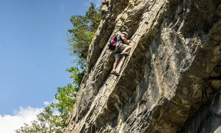
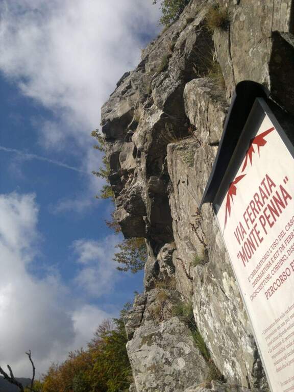
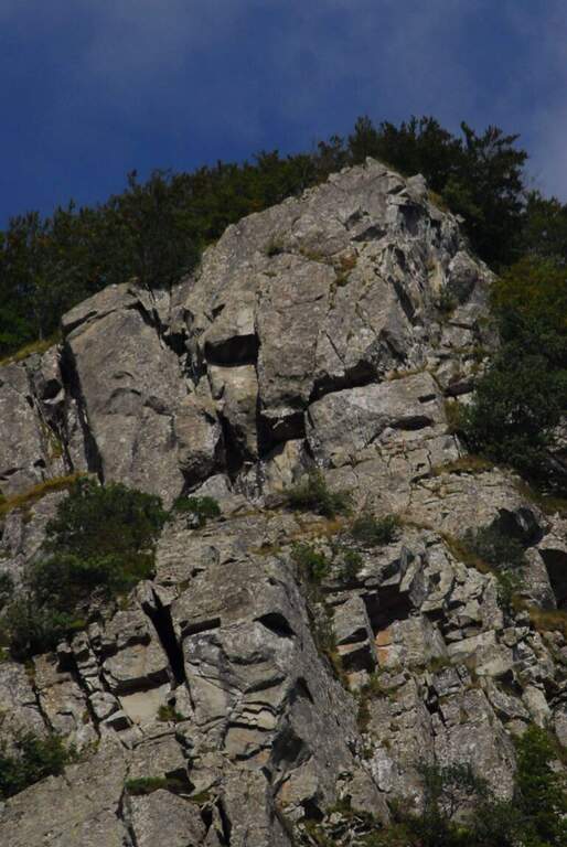
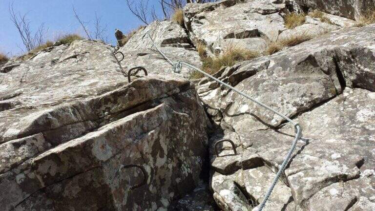
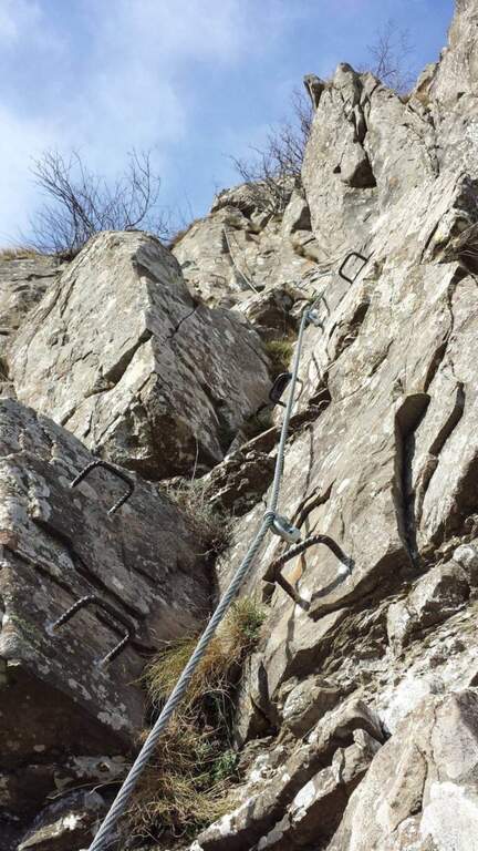
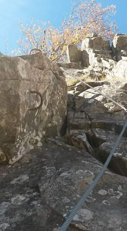
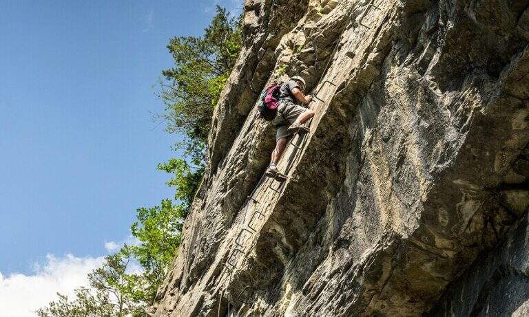
    Above Civago, the last foreman before the Passo delle Radici, stands the Penna di Civago: a sharp profile of walls that rise rapidly towards 1400 m. On this wall runs a short but difficult and athletic ferrata, where challenging steps increase away after the attack.

    ▲Approach

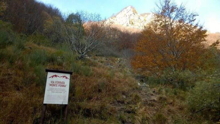
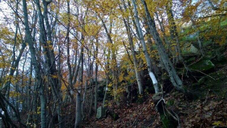
    It starts from the village Case of Civago (about 1h 30' from Reggio Emilia or Modena), where you park along the dirt road from which the paths for the refuges Battisti, Segheria and Bargetana leave. Open road signs on Google Maps. On foot you continue on the dirt road for about 5 minutes, holding the Penna di Civago on the right, up to a sign with directions for the ferrata; at a steep track you go up following white signs and omits, first for a stone then for steep paths, up to a traverse exposed that leads to the beginning of the equipment (30' from the parking lot).

    ▲The path

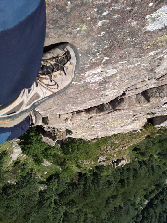
    The street is markedly vertical: l'arenaria is sometimes not climbing, but pioli, handles and cambre are well arranged to facilitate progression. You first climb on two diedri, then an exposed edge and a challenging fireplace; finished the fireplace you cross a grassy path where to rest before the second part, harder. This immediately attaches vertically with a slightly overhanging wall (about 10 m) on hardness, up to a small nod where to catch breath before the key pass: a overhanging belly on a 8-metre wall. Although well equipped, it must be faced with caution and rapidity in order not to exhaust the forces in the arms; it is advisable to study the arrangement of the handles before leaving. It follows a 'exposed sandstone plate where some brackets help, but it is difficult to avoid tracing the cable in a couple of points seen the smooth rock. L' last stretch has difficulty: in 5' a wall and an exposed but simple nod are exceeded, and the ferrata ends with beautiful view on Civago, on Lake Fontanaluccia and Mount Giovarello (1h from' attack, 1h 30' total).

    ▲Character and difficulty

    Short but athletic: a couple of steps can put in serious difficulty who is inexperienced or untrained. Peculiarity: difficulties increase after the attack, leaving few opportunities to stop the climb and go back.

    ⚠ In summer 2018 two brackets were added in the key passage, which significantly reduces the difficulty. It remains a physical way: honest assessment of training and experience. Inaugurated in October 2014.
    ▲Period and safety

    Season from spring to autumn. Case and progression careful on smooth sandstone.

    ▲Discipline

    Continue for 5' uphill on steep path until you get on a CAI path. It is recommended to continue left on the CAI 631 A towards the Cavallina (less steep and slippery of CAI 607, about 40'), going down to the CAI 605 that you take to the left; this convenient mule track ends at the dirt road of the parking (2h 30' total). For water, the CAI 605 to the right leads to 5' to a source.

    ▲Gallery
    Technical data
    • DifficultyHard
    • RegionEmilia-Romagna
    • GroupAppennino Tosco-Emiliano
    • Approach0:30 h
    • Ferrata1:00 h
    • Itinerary (a/r)2:30 h
    • Hardware level difference145 m
    • Route difference480 m
    • Max1505 m
    • Length5 Km
Need help? Write to us!