Gruppo: Catena del Lagorai

  • Ferrata Val di Scala

    Ferrata Val di Scala

    Vie Ferrate › Trentino-Alto Adige › Trento
    Ferrata Val di Scala

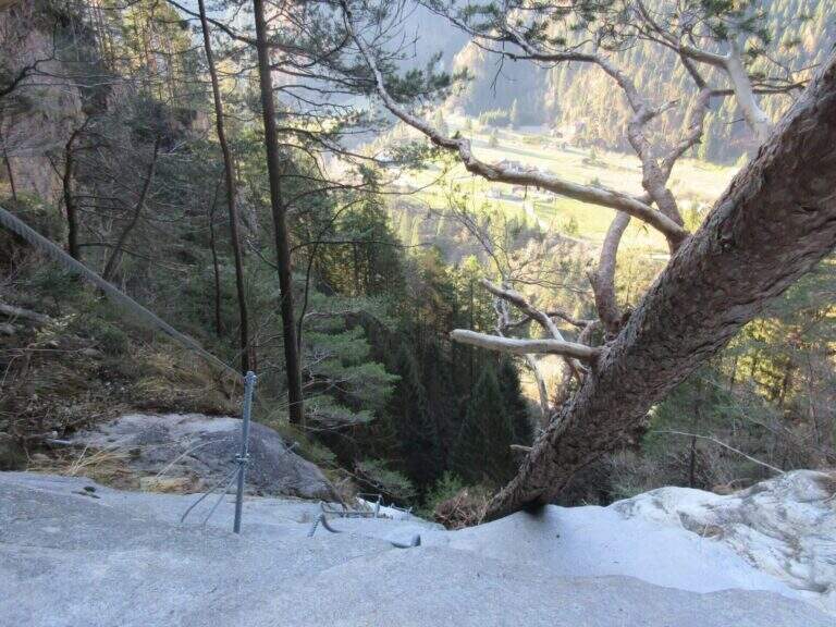
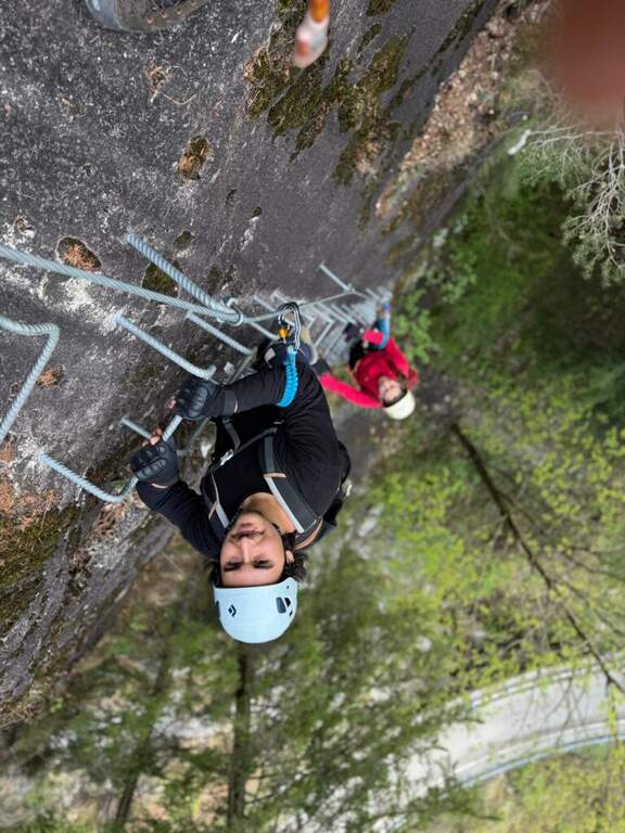
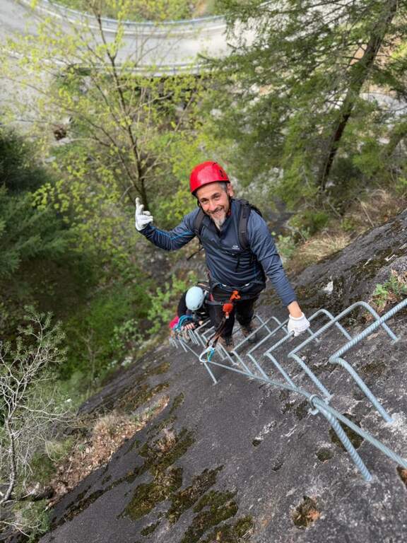
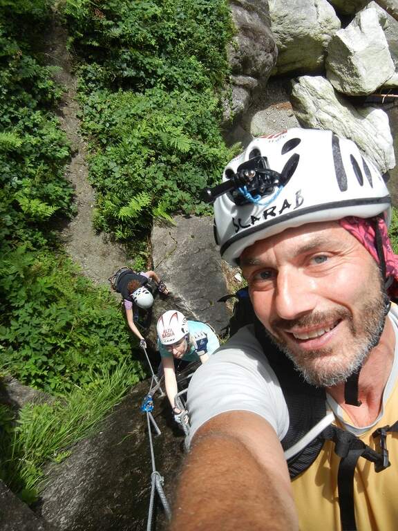
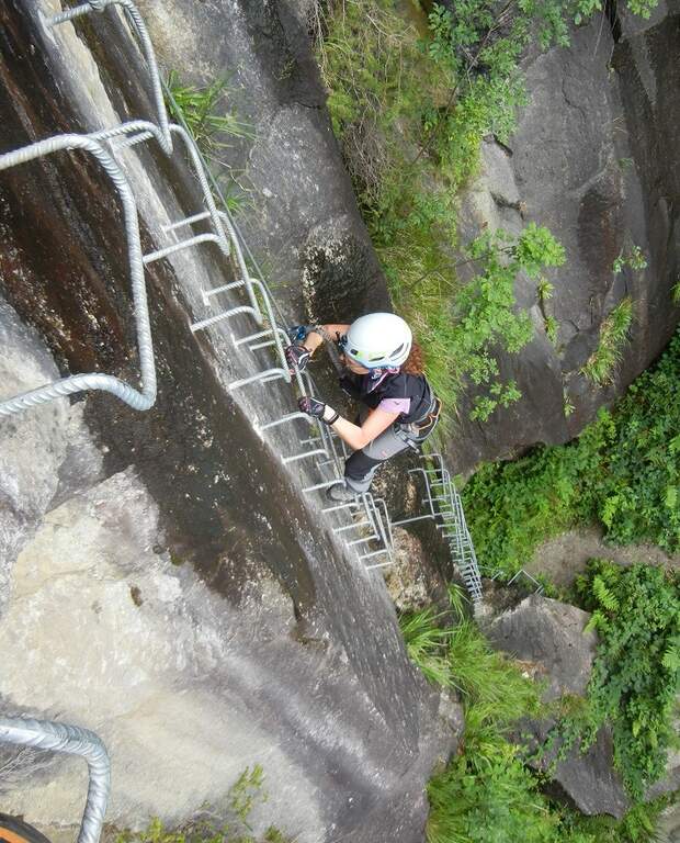
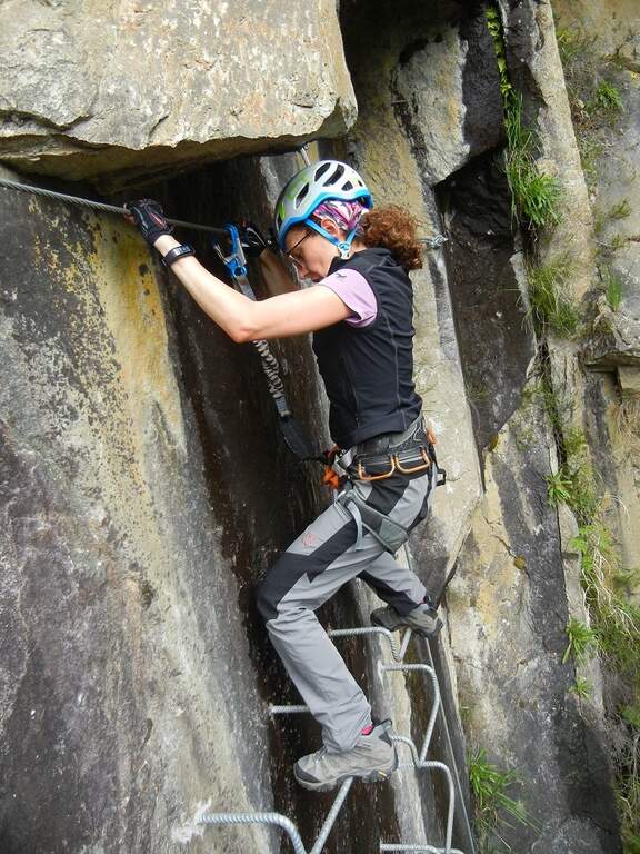
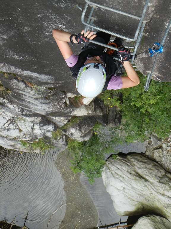
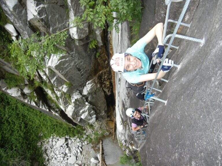
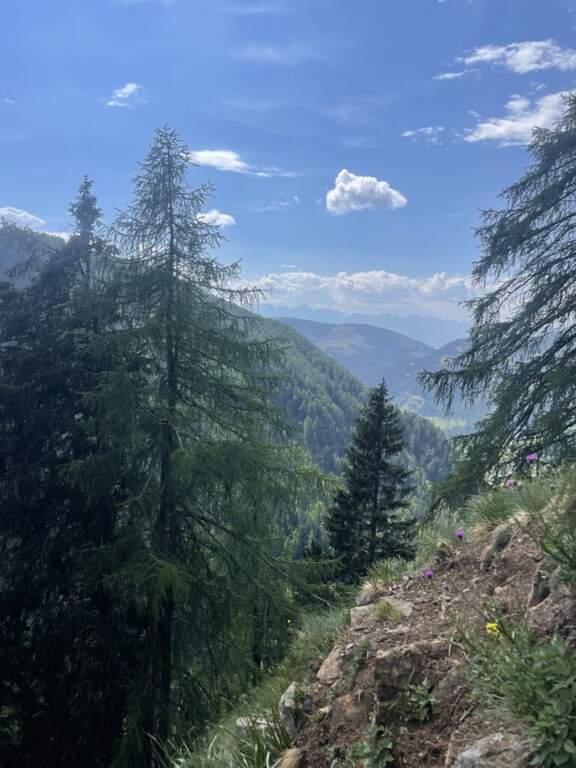
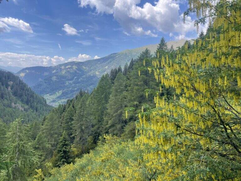
    La Ferrata Val di Scala (also called Caoria or the Canal San Bovo) is a short and well-equipped itinerary, ideal for approaching the world of equipped routes: technical difficulties remain modest even in the presence of a good exposure. The context, in the province of Trento on the side of the Lagorai Chain, is very beautiful and isolated, away from mass tourism.

    ▲Approach

    The starting point is located along the road connecting Canal San Bovo e Caoria and that goes up the Val di Scala: you park near a pronounced curve, with the attack placed a few meters from the road. Open road signs on Google Maps. From the parking lot the street is already visible: in a few minutes, following the track, you reach the attack (10' from the parking lot).

    ▲The path

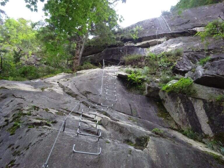
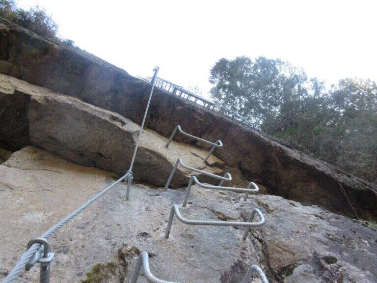
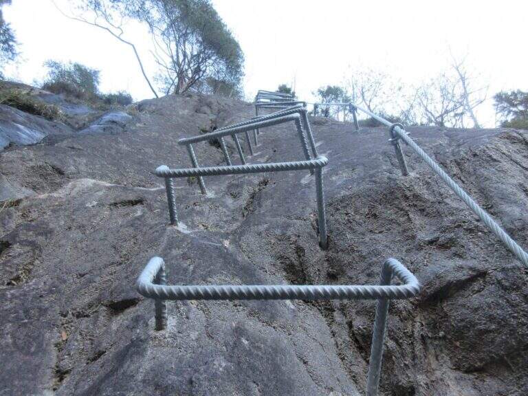
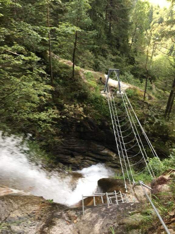
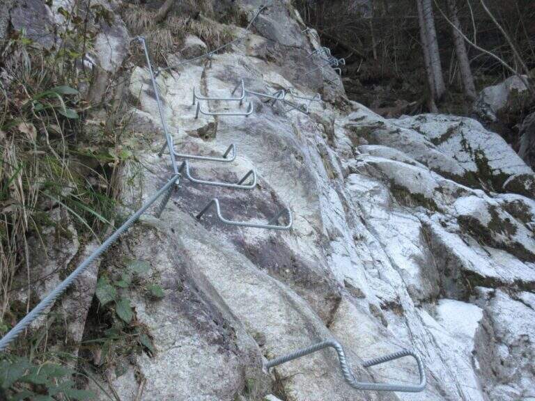
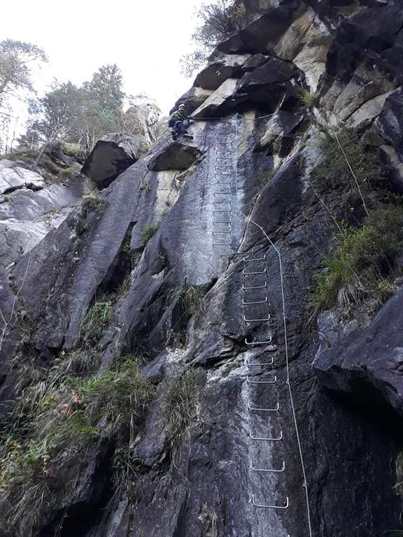
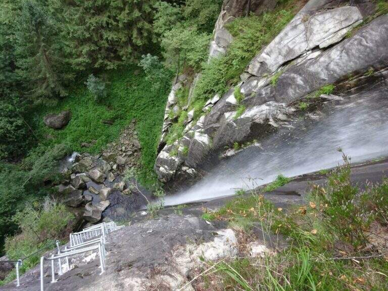
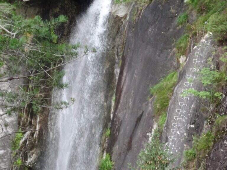
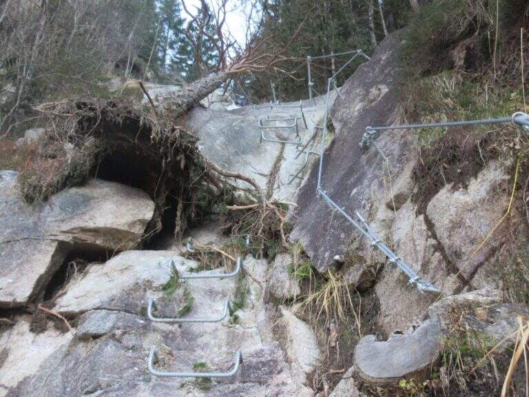
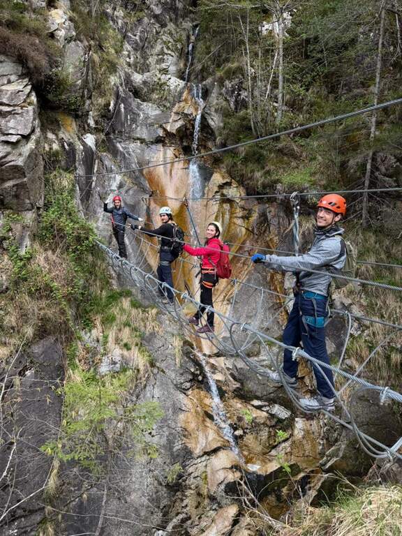
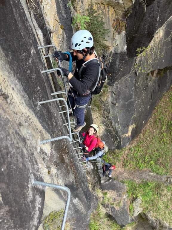
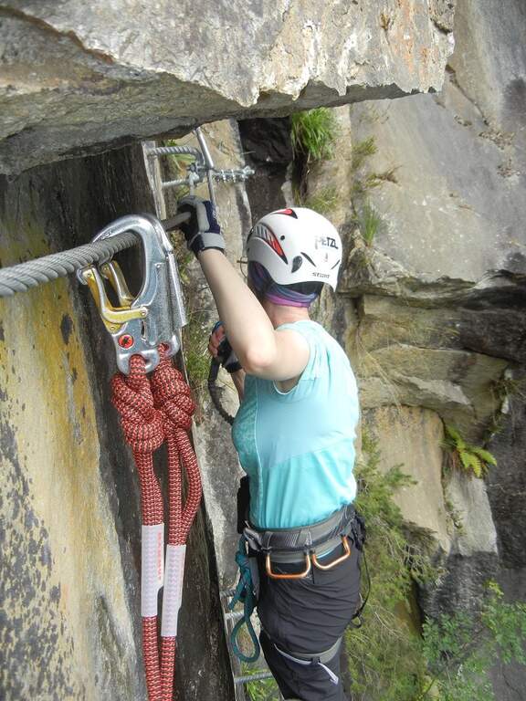
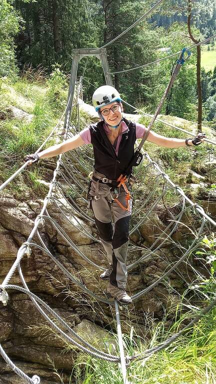
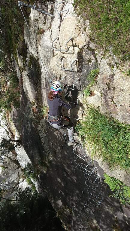
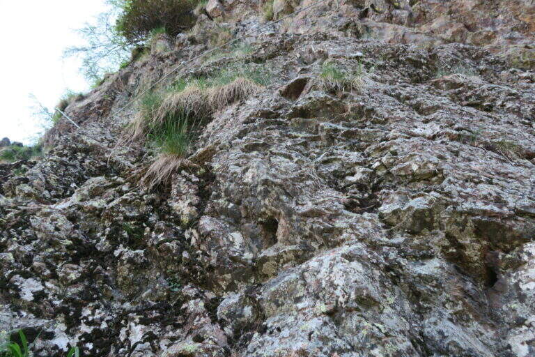
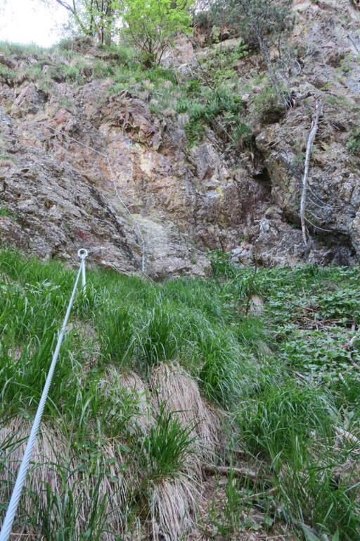
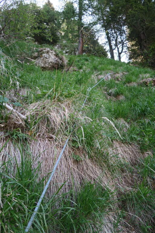
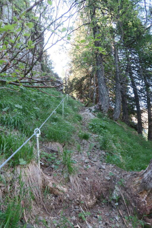
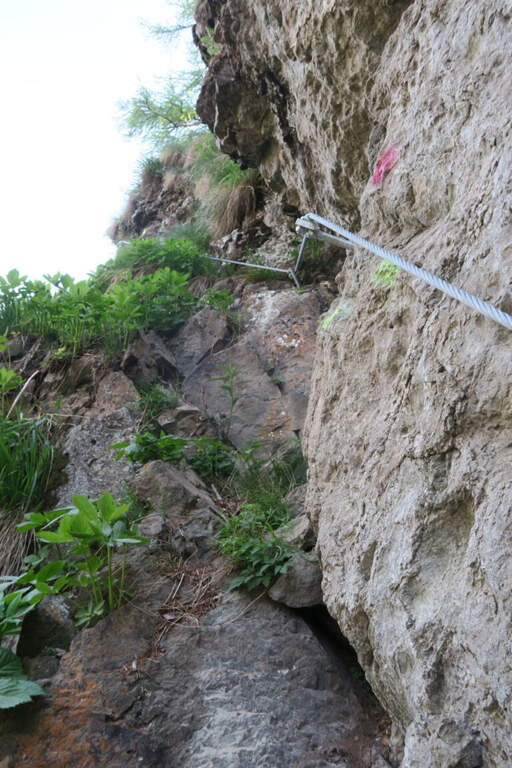
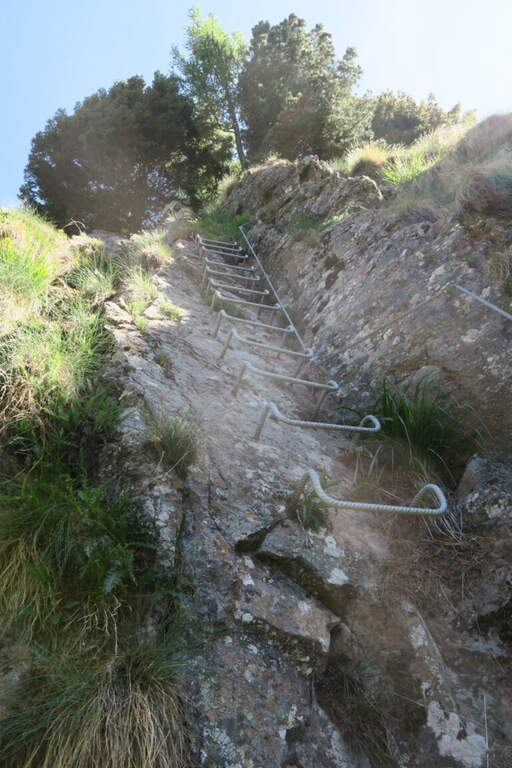
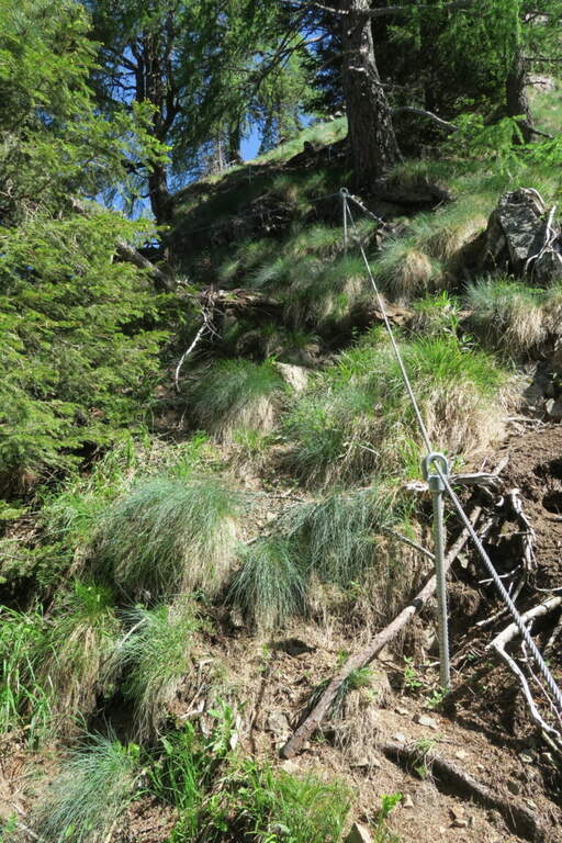
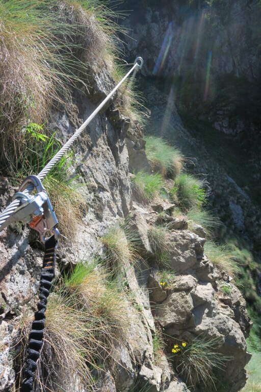
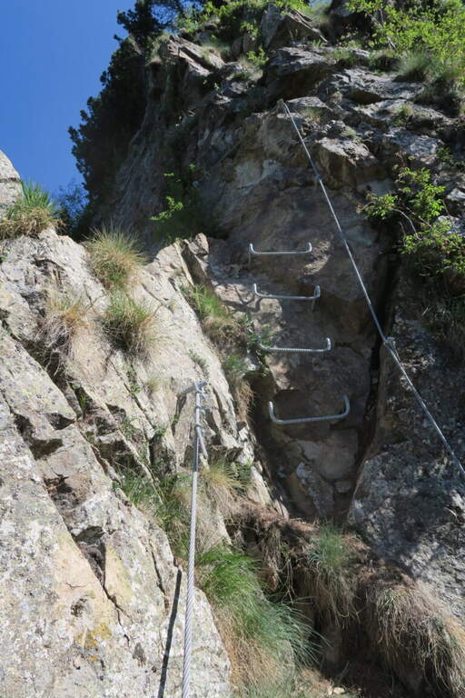
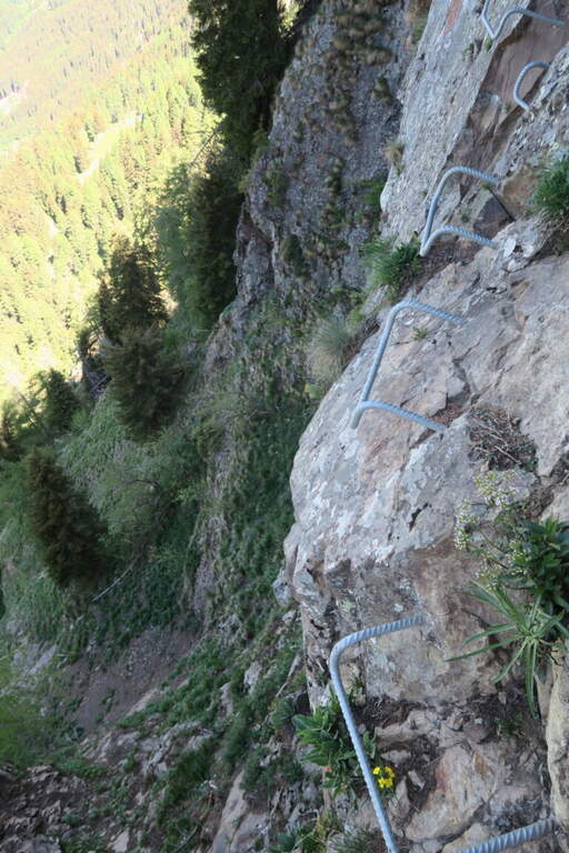
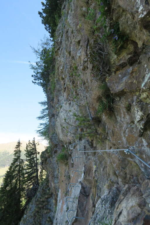
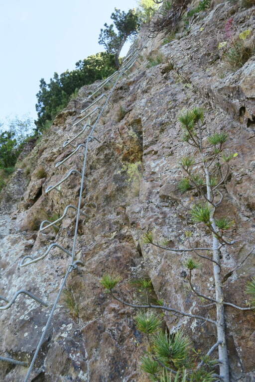
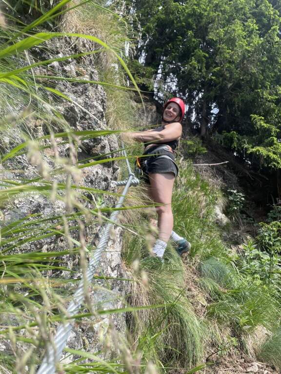
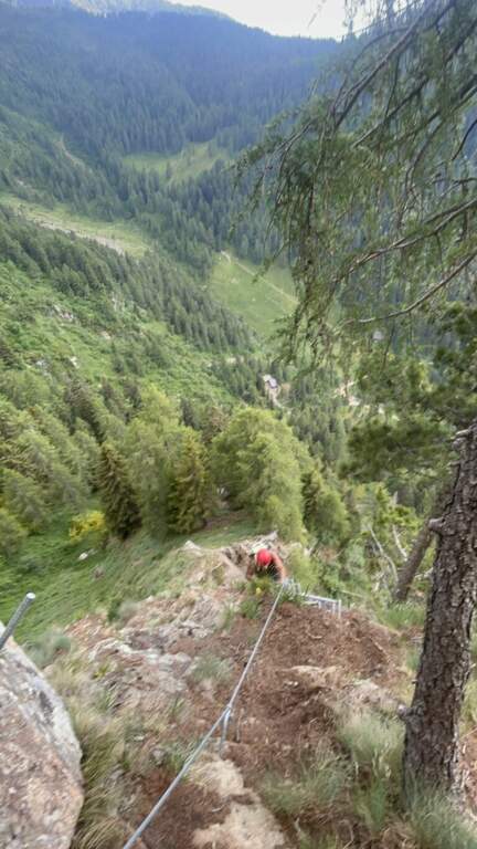
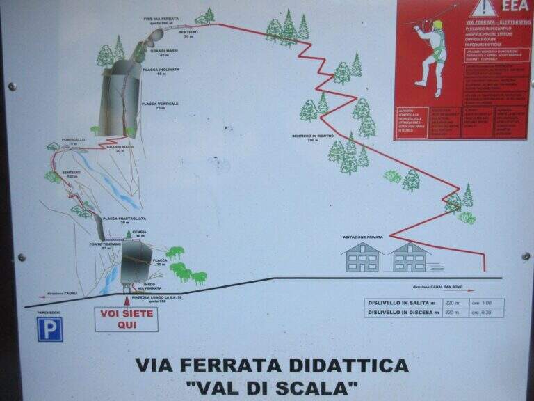
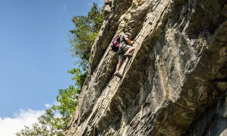
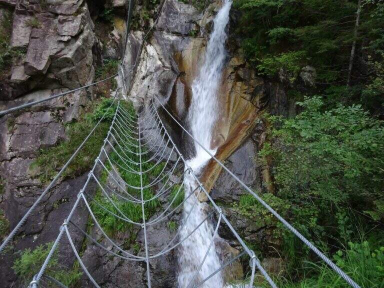
    The first meters are immediately vertical on plate, with a rapid succession of cambre for about fifteen meters, after which a short terrosa nod leads to the right. The cable starts vertically, always on metal cambres, leading under a tetto rocky that goes beyond with the cable that for some meters flows on both sides. Continue vertically on the cambre scale and then on the left towards the bridge suspended , very stable and along about fifteen meters; beautiful the waterfall that flows right of the bridge and that, after l' crossing, it turns uphill. After a short horizontal stretch on the edge of the stream, a series of difficult-to-grave transverses; but very panoramic accompanies the leaps of the course d' water. The equipment is interrupted by a stretch of connecting path, then the cables resume at some small rocks and act as a handrail where the path tightens; a stone goes up beyond which a wooden walkway crosses the stream. Beyond the catwalk we proceed on a track, on the left, to a vertical wall: a long row of cambre rises, interspersed by a short stretch on the left, up to a new rocky roof that this time wanders left with the feet on the &ndash cambre; the più point; exposed to the via. Mounted the roof is divided vertically for about twenty meters up to a short stretch; next to the waterfall again. Finally, there are some rocky balconies abundantly relayed, with short stretches of connection, and after the last equipped rocks the way ends (40' from the ' attack).

    ▲Character and difficulty

    Recent and modern hardware in the design, with numerous metal fixtures. Those looking for a "arrampable" route will be disappointed; those who appreciate verticality will find satisfaction, with limited technical difficulties. It is perfect for taking confidence with the equipped routes to those who are already accustomed to exposed excursions; the equipment is in good condition.

    ⚠ Although technically easy, the way è ben exposed: non è suitable for those suffering vacuum. Helmet and hardware set remain indispensable. For the cartography ` useful the map of the Park of Paneveggio – Pale di San Martino o la Lagorai – Cima d'Asta.

    ▲Discipline

    After finishing the ferrata follow the clearly visible track that brings to the parking space in about 20 minutes (1h 15' overall).

    ▲To match

    It is probably the only easy route in this area of Trentino, rich instead of long and challenging routes. Not far away Ferrata Gabrielli salt in Cima d'Asta; moving to the Pale di San Martino there is the Ferrata del Porton, la Ferrata del Velo e la Ferrata Bolver-Lugli. For those in the first arms, in Val di Fiemme there is the Ferrata del Bombasel at Cermis.
    ▲Gallery
    Technical data
    • DifficultyEasy
    • RegionTrentino-Alto Adige
    • ProvinceTrento
    • GroupChain of Lagorai
    • Approach10 min
    • Ferrata45 min
    • Complete itinerary (a/r)1h 15'
    • Hardware level difference200 m
    • Route difference239 m
    • Maximum1004 m
    • Length2,4 km
  • Ferrata della Miniera dell’Erdemolo

    Hardware of the Erdemolo Mine

    Vie Ferrate › Trentino-Alto Adige › Trento
    Hardware of the Erdemolo Mine
    Moderately Hard● OpenDescriptionComplexityMapsGallery

    The Ferrata della Miniera dell'Erdemolo is a very recent itinerary, realized above the ancient mines of calcopirite (arms) active between 1400 and 1600, in Val dei Mocheni. It is short and in the complex easy, with the only concluding part "moderately difficult": ideal for beginners and for those looking for a first taste of equipped path, between steep path, a short exposed crossing and a vertical wall bracketed with a pinch of overhanging.

    ▲Approach

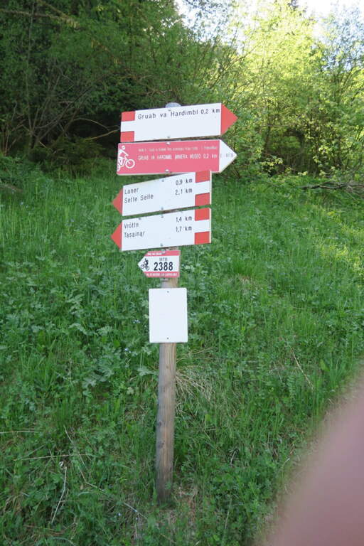
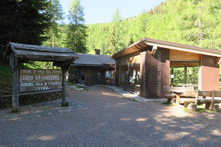
    Starting from the ' ample paid parking in the locality Frotten («Vròttn» in mòcheno), municipality of Palù del Fersina (TN), reachable by Pergine Valsugana; just before there is also a free parking lot in loc. Canopi, about 20' on foot. Open road signs on Google Maps. From the Frotten parking lot follow the forest road n. 325 towards «Miniera dell'Erdemolo»/Maso Lenzi, reaching in about 30' l' building of mine visits. Continue on the ascent cemented road (indications «Laner – Sette Selle») for about 300 m: on the right a diagonal track (if you reach the sign «343B – Intertol Sette Selle» you have gone over a few meters). This track, uphill south-east in the underwood, leads to all' attack in about 15' (1830 m, about 50' from parking).

    ▲The path

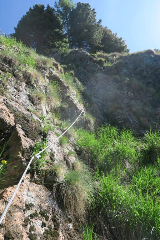
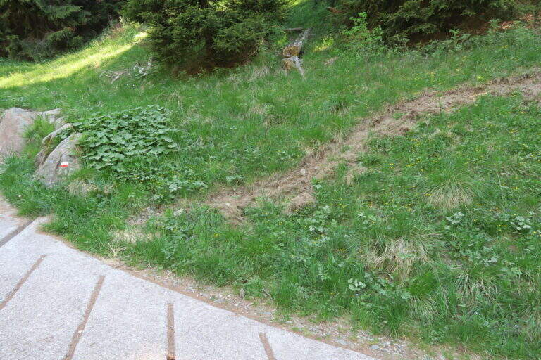
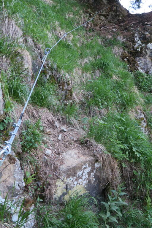
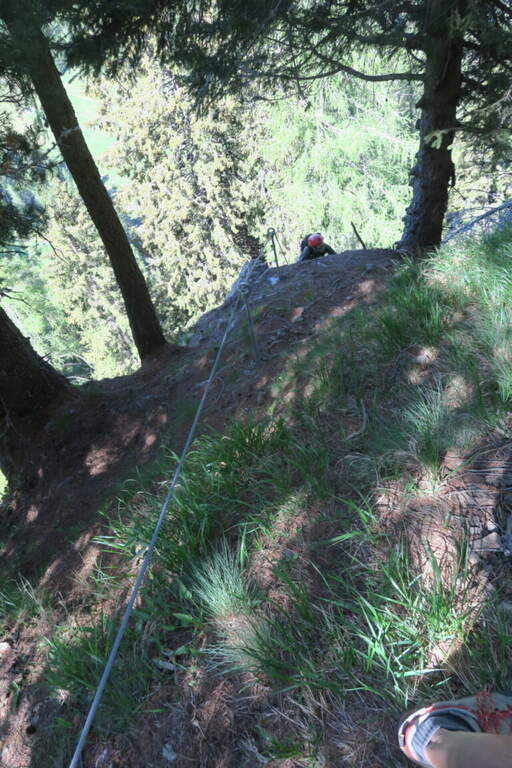
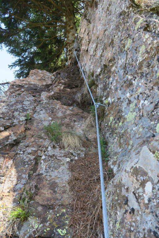
    The rope begins on a simple slope, followed by easy rocks and an easy crossing. For a large part it is a path equipped with the cord as a handrail, useful on the steep soil mixed with grassy laces and land; a short stretch of rock interrupts the grassy ascent, which continues to bends. A first cambre ladder is easily overcome, then a stretch in the undergrowth and a short and fun across rock in light exposure. Some brackets earn altitudes up to the most beautiful stretch: a traverse on rock and brackets to the left, well exposed for a few meters. The key point remains: a vertical paretine of about 10 m with a short and light strapiombo, however without force on the arms. It stands on a last grassy slope where the cord ends, at 1960 m (40' from' attack, about 1h 30' from parking).

    ▲Character and difficulty

    Short path and satisfaction, suitable for those who approach the ferrates. Exposed to the west, you can also face on summer days thanks to the limited direct irradiation. In both ways, unless otherwise indicated.

    ⚠ Ferrata completed in summer 2026 (Common of Palù del Fersina, PNRR funds): this is a very recent work, it is advisable to verify its status before departure.
    ▲Period and safety

    Summer season; given the low altitude and exposure to the west is pleasant also with moderate heat.

    ▲Discipline

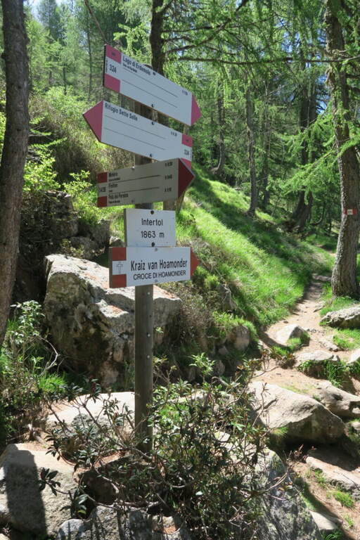
    Continue east for a few dozen meters until you enter the trail 324, which takes to the left for the descent (about 20') until the crossroads "loc. Intertol". To return to the forest road and the mine holds the left on 343B; alternatively, on the right on the 324 you reach the Rifugio Sette Selle (about 20') and then descend to the sentiero 343 at the Frotten parking lot, closing a ring (recommended option).

    ▲To match

    Given the brevity, in the Valsugana area: the easy Ferrata di Valimpach at Caldonazzo, il Sentiero Attrezzato Church in Levico Terme, il Sentiero Attrezzato Bertotti at Passo del Cimirlo and, in the heart of Lagorai, the most challenging Ferrata Gabrielli in Cima d'Asta.

    ▲Gallery
    Technical data
    • DifficultyModerately Hard
    • RegionTrentino-Alto Adige
    • GroupChain of Lagorai
    • Approach0:50 h
    • Ferrata0:40 h
    • Itinerary (a/r)1:45 h
    • Hardware level difference130 m
    • Route difference460 m
    • Max1960 m
    • Length4,5 Km
Need help? Write to us!