Gruppo: Grigne

  • Sentiero Attrezzato della Cresta Sinigaglia alla Grigna Meridio

    Sentiero Attrezzato della Cresta Sinigaglia alla Grigna Meridio

    Vie Ferrate › Lombardia › Lecco
    Sentiero Attrezzato della Cresta Sinigaglia alla Grigna Meridio
    Moderately Hard● OpenDescriptionComplexityMapsGallery

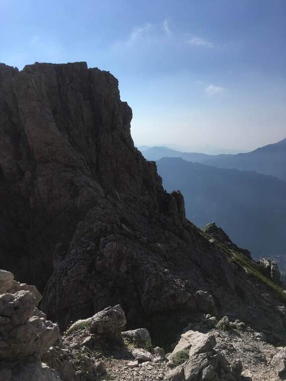
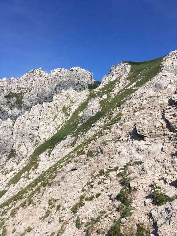
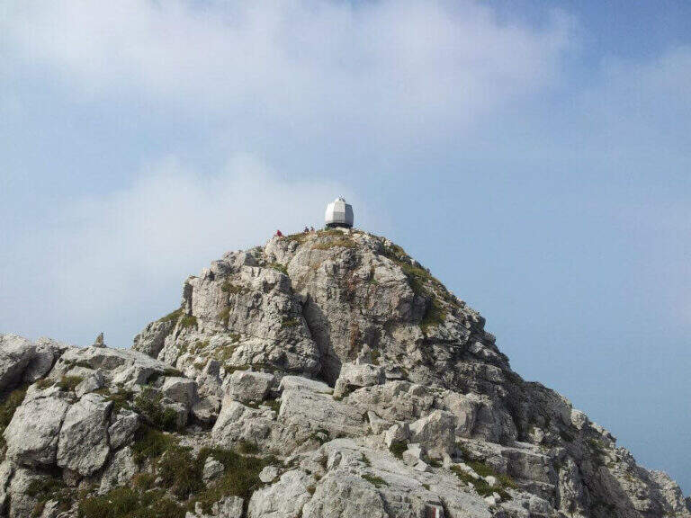
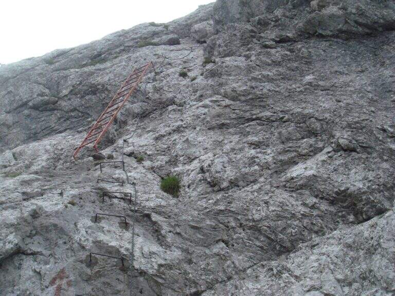
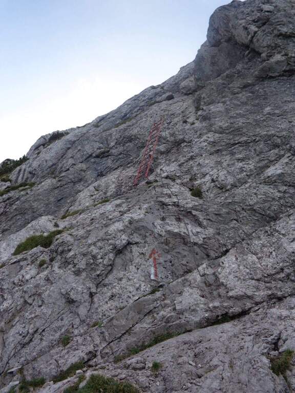
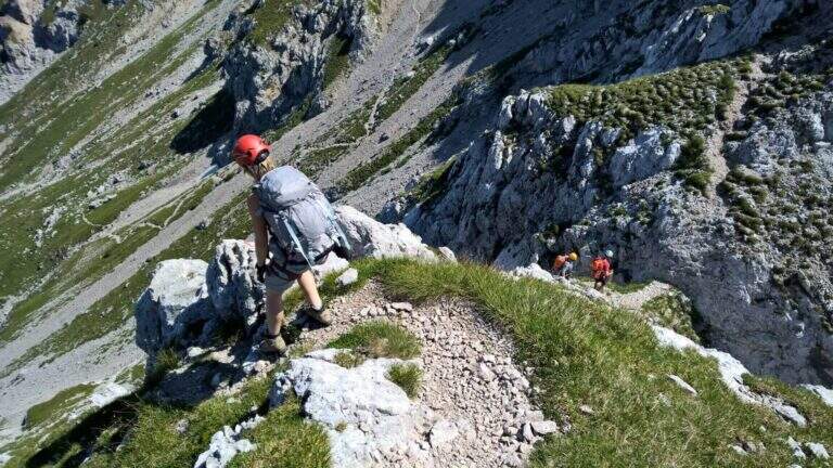
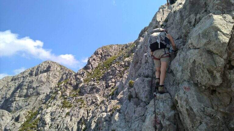
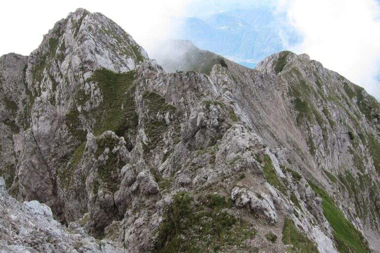
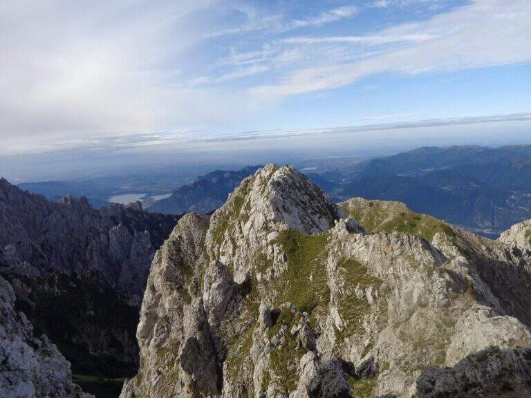
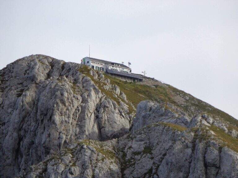
    The Attrezzato Path of Cresta Sinigaglia is one of the possible climbs to the South Grigna starting from the Resinelli Plans. Compared to the nearest and most frequented Cresta Cermenati is less beaten and a little more difficult, while remaining on moderate technical difficulties; the last stretch is very exposed, although the climbing difficulties remain contained.

    ▲Approach

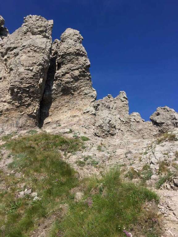
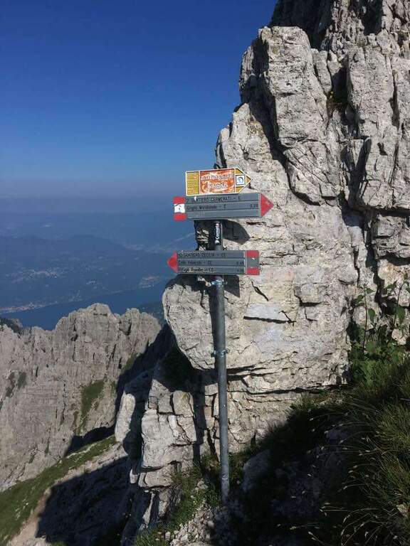
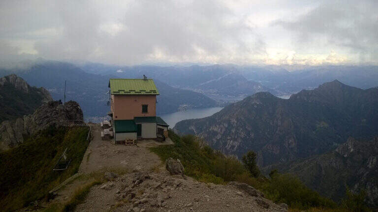
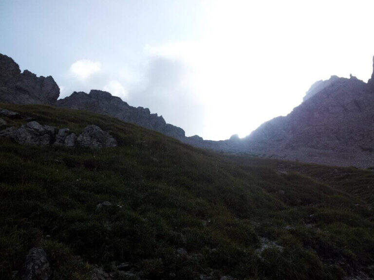
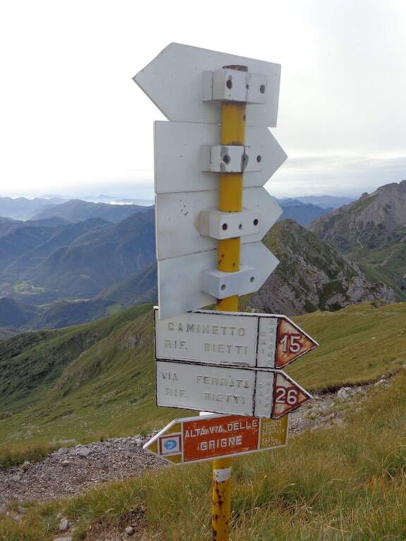
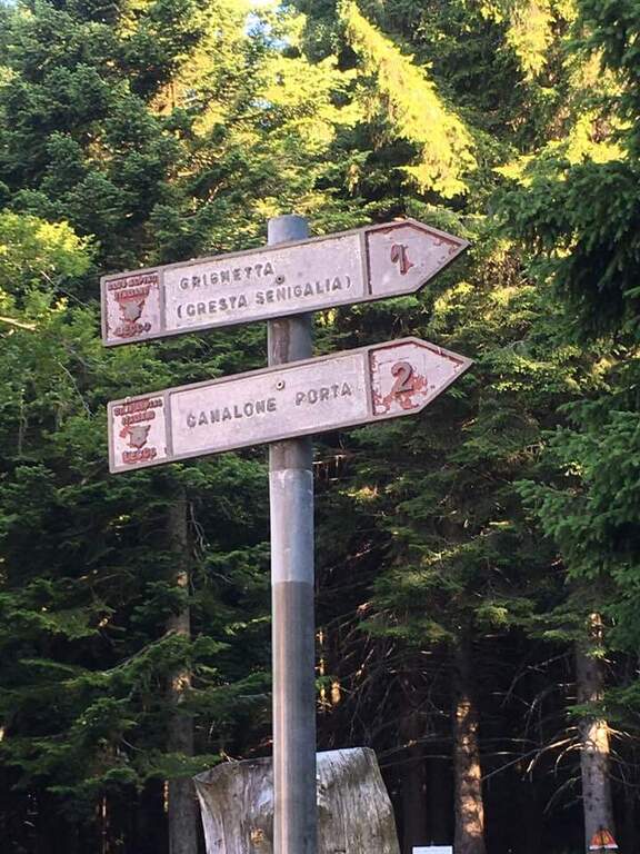
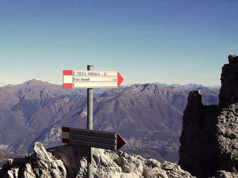
    It starts from Piani dei Resinelli, in the province of Lecco. From Ballabio you go up the uphill slope and, after the many bends, near the big brown welcome sign you continue for a hairpin bend; you climb briefly and at the next junction you hold the left along the narrow paved road until a parking lot at a bar (open up Google Maps). From the parking lot in 5 minutes you reach the Rifugio Carlo Porta and continue on the paths 1/2 inside the forest; you ignore a crossroads to the right for the Rifugio Soldanella, then, exit the forest, another crossroads where on the left the path 2 goes up the Canalone Porta. Unknown both, continue on path 1 to Cresta Sinigaglia climbing steeply to the north-east; you ignore the crossroads through the mountain routes up to a pitch for the landing of the helicopters, continue straight and, ignored also the path 3 that goes down to Canalone Porta, you reach the first equipped parts (2h from the parking lot).

    ▲The path

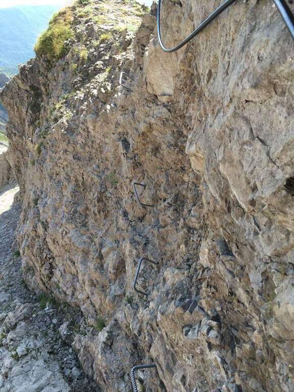
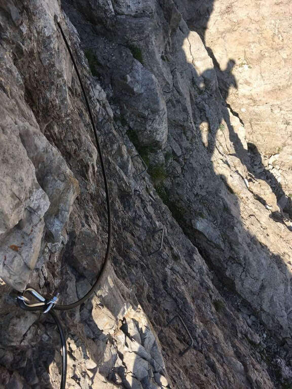
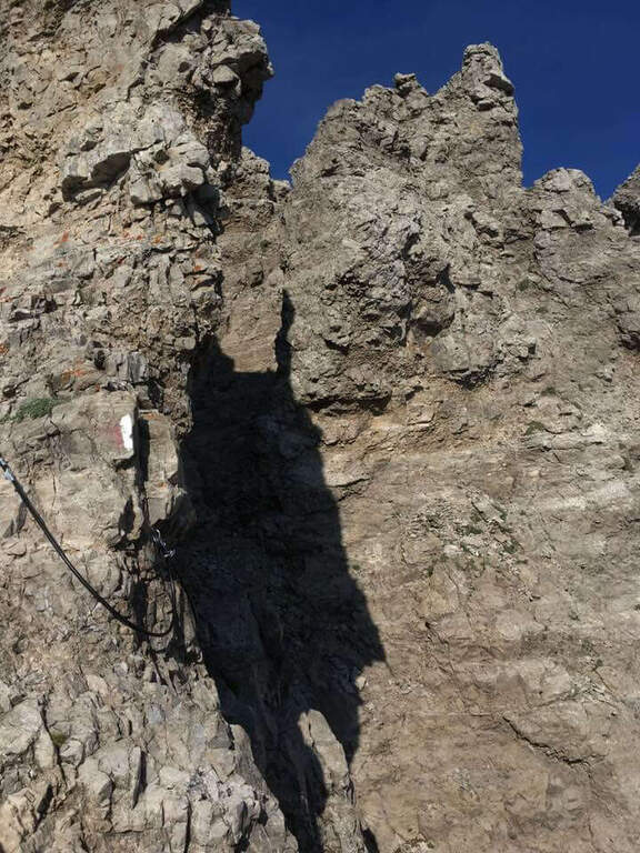
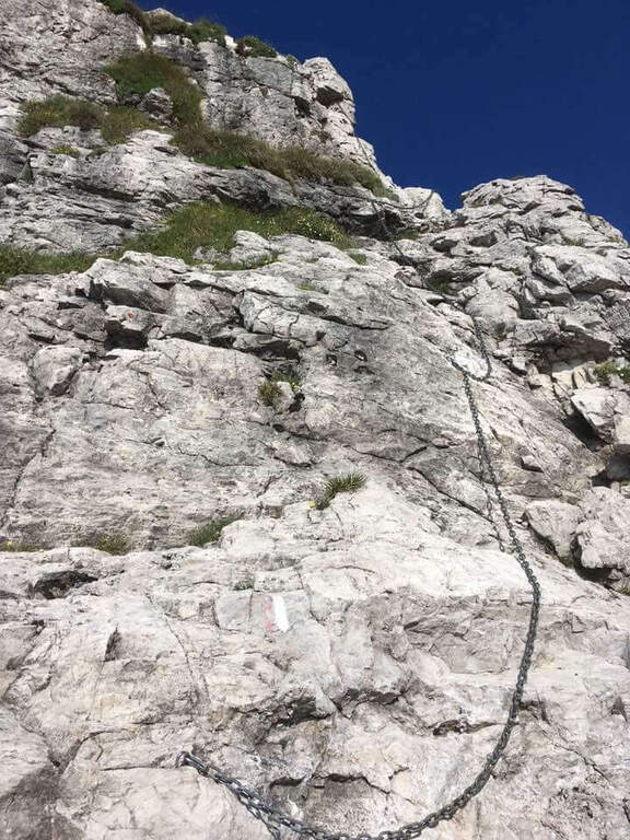
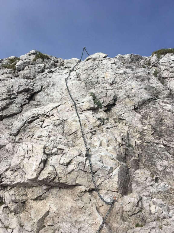
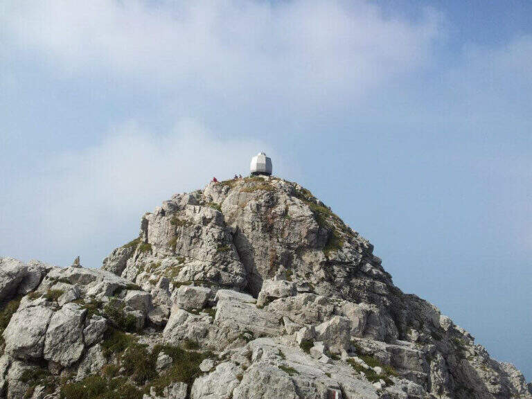
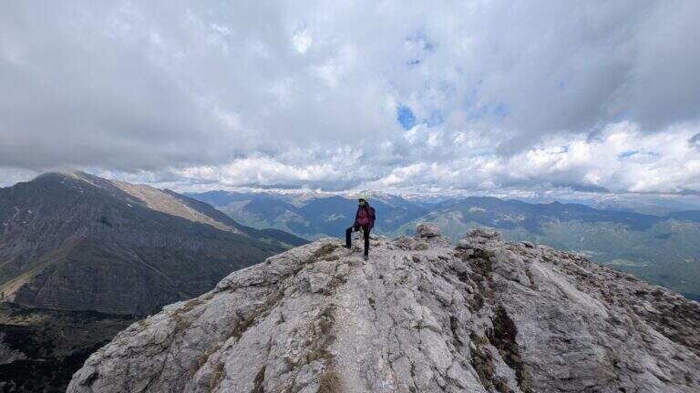
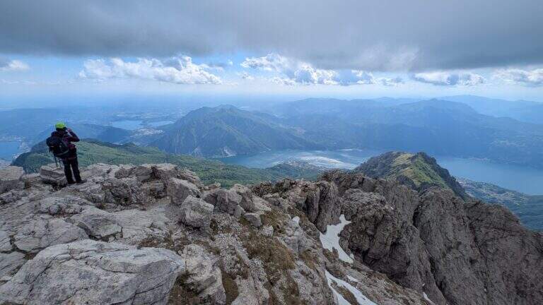
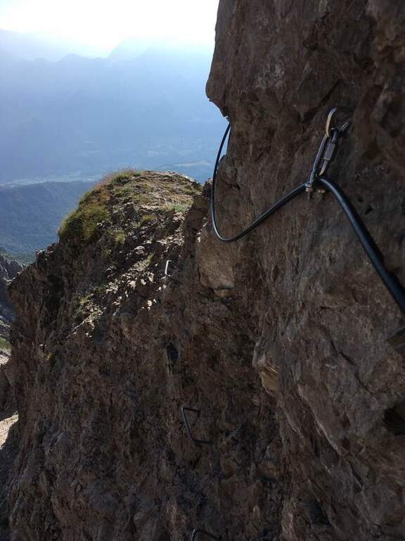
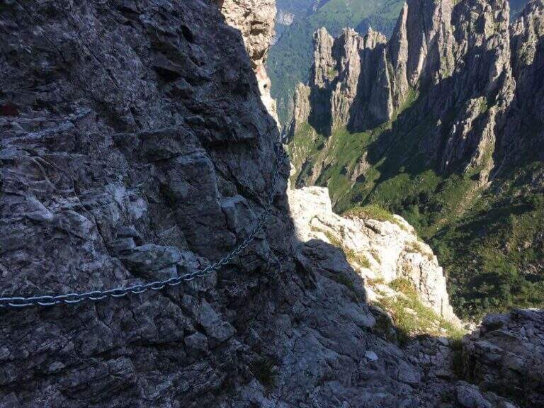
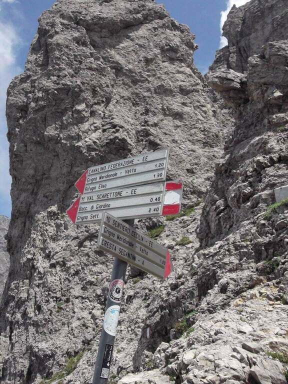
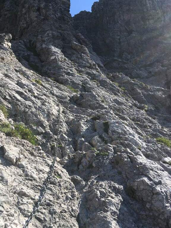
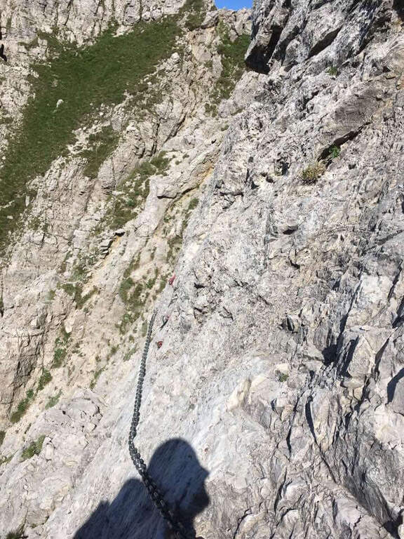
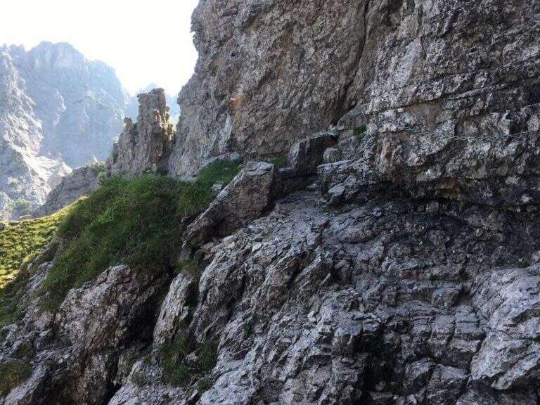
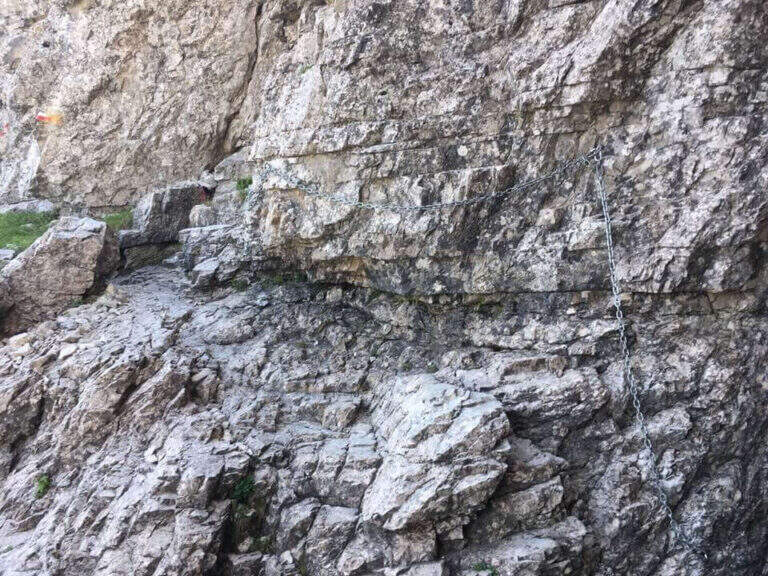
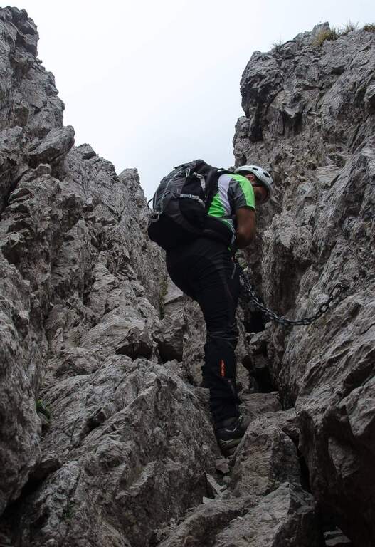
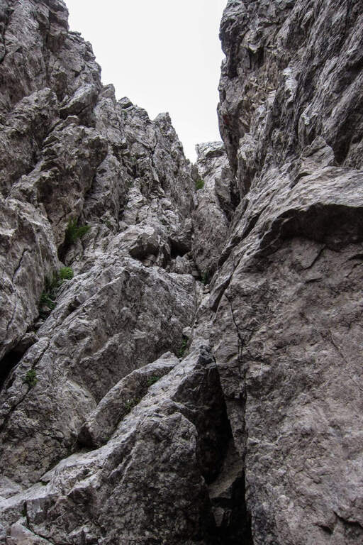
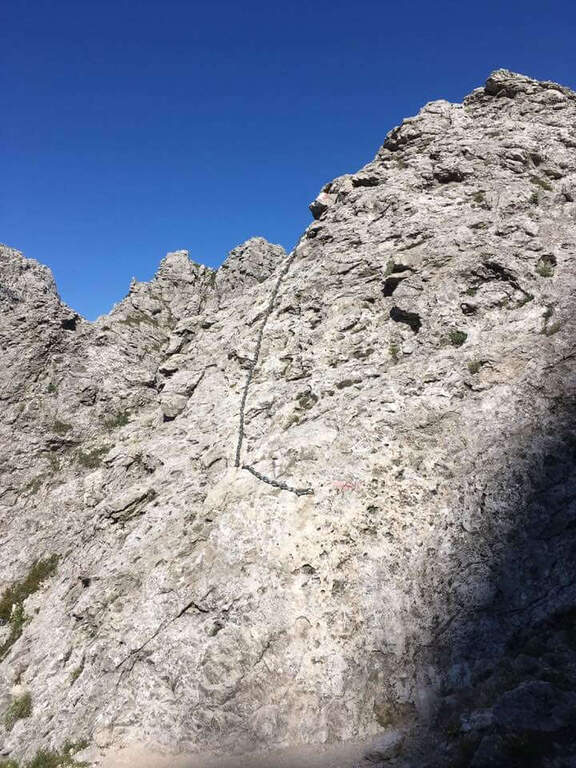
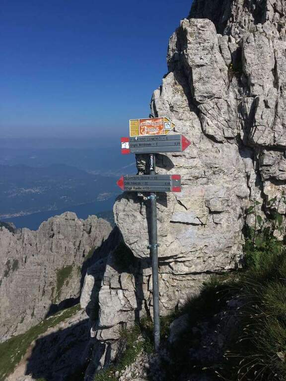
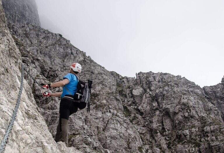
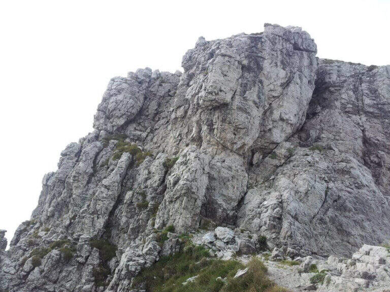
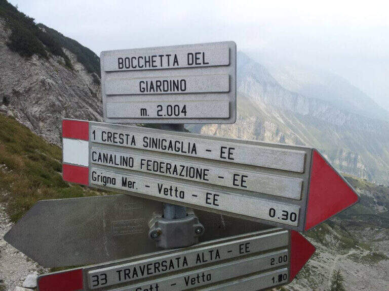
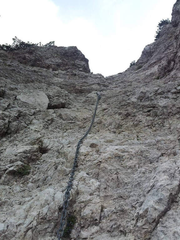
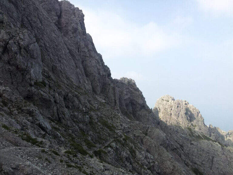
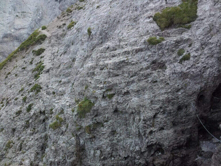
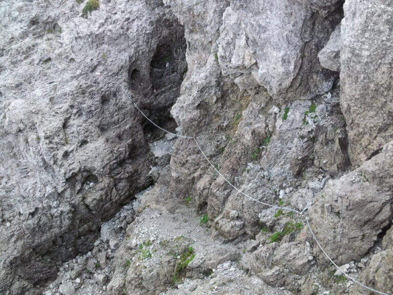
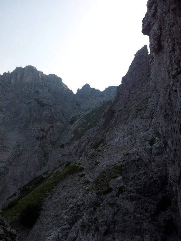
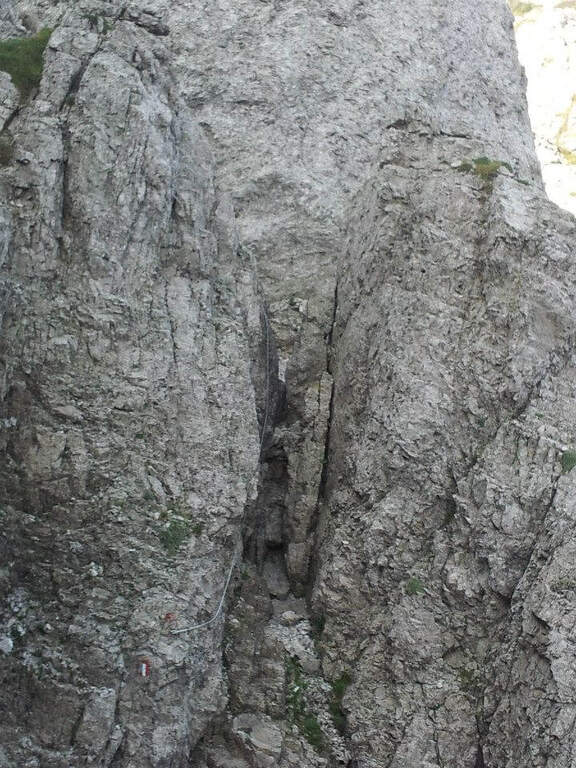
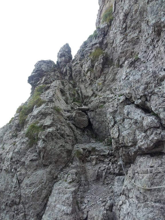
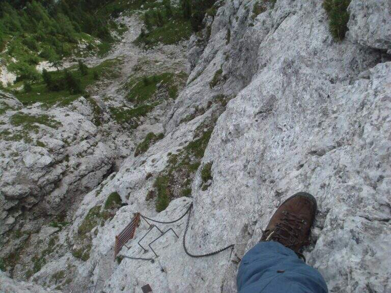
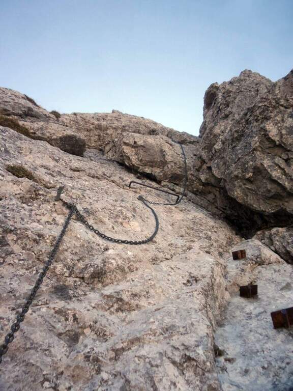
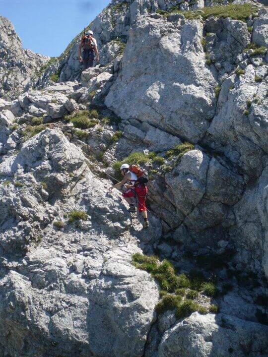
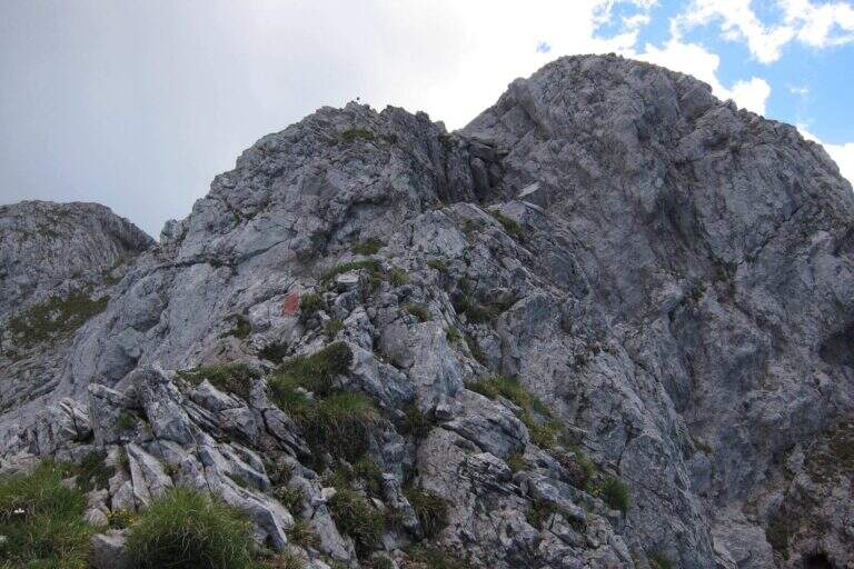
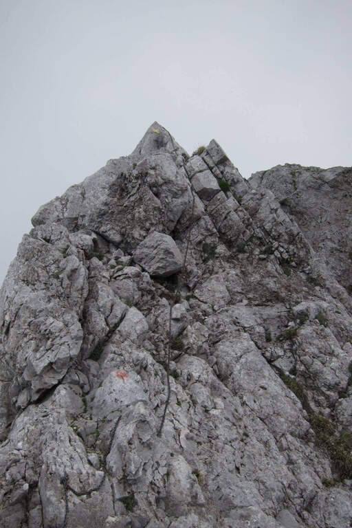
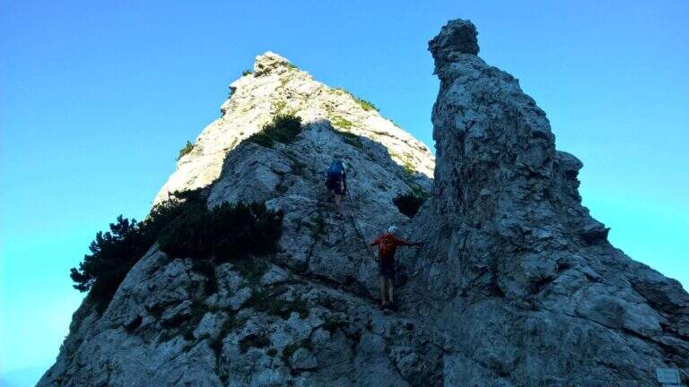
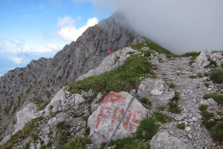
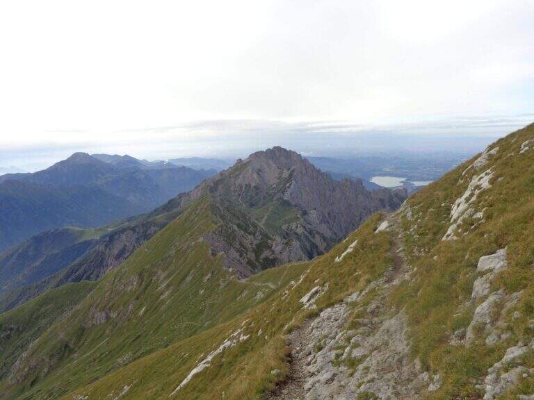
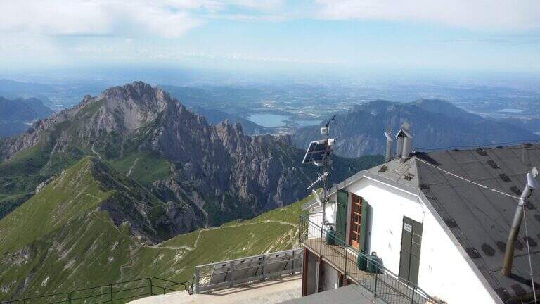
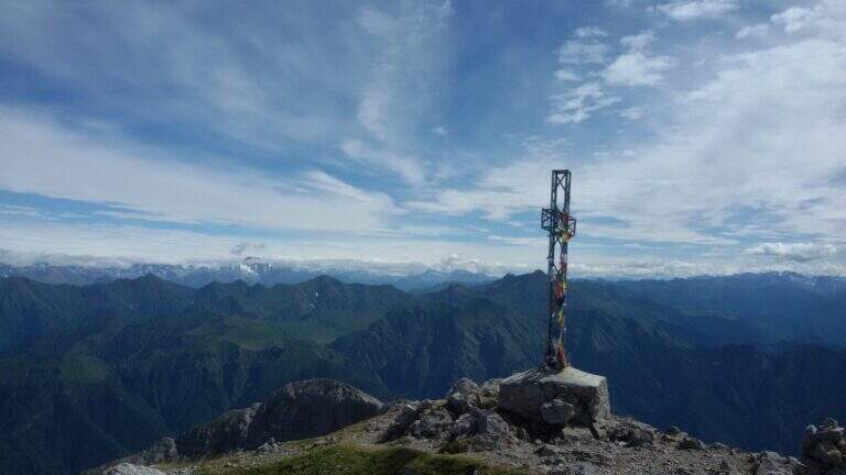
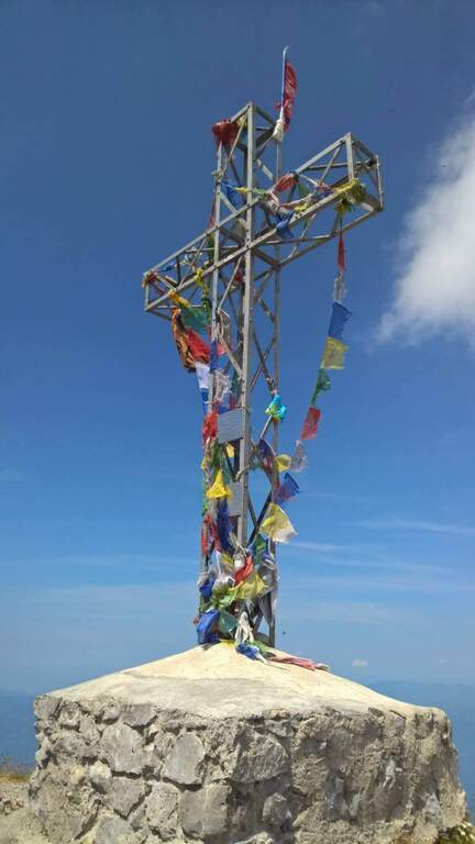
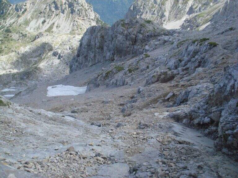
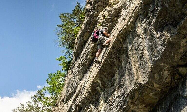
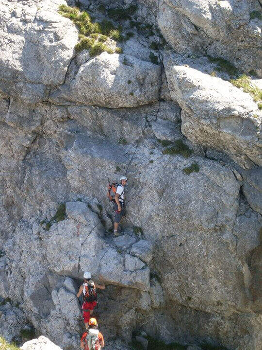
    The equipped stretch begins with an exposed traverse, the “Salto del Gatto”, where a wire rope with black sheath helps to pass in greater safety until the beginning of a rocky canal to rise. After the canal you arrive at the Wind Mouth (2065 m), from which you can finally see the top of the South Grim. Continue along the ridge of path 1 to the west, ignoring the path that on the right descends along the steep Canalino of the Federation; after the fork there is about ten minutes to the summit, to be earned going up the last stretch equipped with big chains: a series of small rocks and a last exposed wall lead to Bivacco Ferrario and the summit cross (45′ from the Salto del Gatto, 2h45 overall).

    ▲Character and difficulty

    Two points deserve attention along the way: the “Salto del Gatto” and the last equipped stretch that leads to the top. They are not difficult steps, but are exposed and require a minimum of experience.

    ⚠ The last stretch towards the cross is very exposed, although with technical difficulties contained: firm foot and a minimum of habit to the equipped paths.
    ▲Period and safety

    High mountain summer itinerary in the Grigne (max. 2177 m). The exposure of the equipped sections requires attention, especially with wet rock.

    ▲Discipline

    From the South Grigna the most used way to return to the Rifugio Carlo Porta is the path 7 along the Cresta Cermenati: not difficult, but generally quite crowded and a little slippery. In about 1h30 he returns to the refuge (4h total).

    ▲To match

    You can combine in a long ring with the Sentiero Attrezzato Cecilia towards the Rosalba refuge, then descending to the Resinelli plains with the Foppe Path. For a multi-day itinerary towards the North Sea you can evaluate the Ferrata del CAI Mandello.
    ▲Gallery
    Technical data
    • DifficultyModerately Hard
    • RegionLombardy
    • GroupGrims
    • Approach2:00 h
    • Ferrata0:45 h
    • Itinerary (a/r)4:00 h
    • Hardware level difference123 m
    • Route difference629 m
    • Max2177 m
    • Length6 Km
  • Sentiero Attrezzato Cecilia alla Grigna Meridio

    Sentiero Attrezzato Cecilia alla Grigna Meridio

    Vie Ferrate › Lombardia › Lecco
    Sentiero Attrezzato Cecilia alla Grigna Meridio
    Moderately Hard● OpenDescriptionComplexityMapsGallery

    The Path Attrezzato Cecilia connects the Rosalba Refuge to the path of the Cresta Cermenati, which climbs to the summit of the Grigna Meridionale (Grignetta). It is not a purely vertical path: it is useful to cut, among continuous climbs, the rocky wall that runs under the Cresta Segantini. A long and challenging itinerary in the legs, in one of the most beloved corners of the Grigne.

    ▲Approach

    Starting from Piani dei Resinelli, in the province of Lecco, reached by Ballabio climbing the hairpin bends. When you arrive at the hamlet you will find parking near the former Alippi refuge (open up Google Maps). From here you go up to the Rosalba Refuge following the path 9, known as Sentiero Attrezzato delle Foppe (1h45 from the parking lot). Alternatively, along the ascent you can choose the variant of the Attrezza dei Morti Path, steeper, which saves about fifteen minutes and still leads to the refuge (1h30 from the parking lot).

    ▲The path

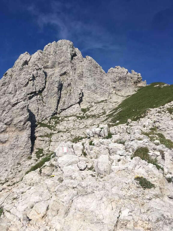
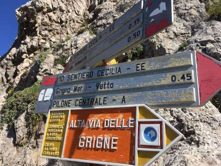
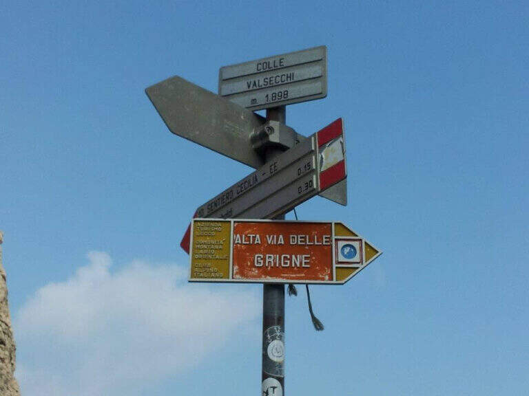
    From the Rifugio Rosalba take the path 10, which enters a rocky amphitheatre and in about ten minutes, with the first metal equipment, leads to the Colle Garibaldi (1824 m). Continue now on the slope of the Val Scarettone, meeting some equipped sections, up to the Colle Valsecchi (1898 m), where the Sentiero della Direttissima is set in Cecilia. Shortly after you ignore the left deviation for the Path of the Val Scarettone and continue between climbs under the Cresta Segantini. It faces a long diagonal crossing with chains under the Central Pilone, alternating stretches of convenient path to rocks, transverses and cenges, sometimes equipped with chains sometimes not. There are some exposed but well-painted walls up to the path 7 of the Cresta Cermenati: from here the difficulties fall clearly and, with still few steps equipped with chain, you gain the summit of the South Grigna (1h30 from the Rosalba Refuge, 3h15 overall).

    ▲Character and difficulty

    Technically it is not an extreme itinerary, but it demands constant attention for the numerous traits exposed on cenges and transverses, some of which are not protected, and for long and tiring development. Along the way it is necessary to follow carefully the signs (blue-red circles), which in some part is not immediate.

    ⚠ For most of the route you walk along traverses placed under the high Cresta Segantini, a mountaineering itinerary: the helmet is highly recommended for the whole route, for the risk of rocks from above.
    ▲Period and safety

    High mountain summer itinerary in the Grigne (max. 2184 m). The development of 14 km and the exposed sections require good physical preparation, steady pace and attention to orientation.

    ▲Discipline

    From the top of the Grignetta you can descend in several ways. Returning back, you can walk through the Path Attrezzato Cecilia or the Sentiero Attrezzato della Val Scarettone (an imperative downhill) to the Rifugio Rosalba, and then the Sentiero delle Foppe or the variant of the Morti (about 2h30 from the top, 5h30 total). Alternatively, go down the south side along the Cresta Cermenati up to the Rifugio Carlo Porta and then to the parking lot, or face the most complicated Cresta Sinigaglia, with its equipped path, always towards the Rifugio Carlo Porta: in the latter case a long and beautiful ring of about 7 hours total.

    ▲To match

    Cecilia is often faced after Sentiero Attrezzato delle Foppe. Staying in Grigne area you can think of a multi-day itinerary that includes the Ferrata del CAI Mandello al Sasso Carbonari on the Grignone; on the way down to the lake there is the Hiking Trail e il Route of the River.

    ▲Gallery
    Technical data
    • DifficultyModerately Hard
    • RegionLombardy
    • GroupGrims
    • Approach1:45 h
    • Ferrata1:30 h
    • Itinerary (a/r)5:30 h
    • Hardware level difference259 m
    • Route difference850 m
    • Max2184 m
    • Length14 Km
  • Ferrata CAI Mandello al Sasso dei Carbonari

    Ferrata CAI Mandello al Sasso dei Carbonari

    Vie Ferrate › Lombardia › Lecco
    Ferrata CAI Mandello al Sasso dei Carbonari
    Moderately Hard● OpenDescriptionComplexityMapsGallery

    La Ferrata CAI Mandello al Sasso dei Carbonari risale fino alla vetta della Grigna Settentrionale (Grignone) lungo un’aerea cresta che alterna tratti attrezzati e balzi rocciosi. È un itinerario lungo e impegnativo ma mai di difficoltà elevata, percorribile ad anello in circa 8 ore: richiede buona forma fisica e piede fermo.

    ▲Approach

    Si parte dall’ampio spiazzo in località Cainallo, comune di Esino Lario (Lecco): da Varenna si sale a Esino Lario e si seguono i cartelli per Cainallo fino al parcheggio (starting point on Google Maps). Prima meta è il Rifugio Bietti (1.719 m): si sale per il sentiero 24 fino alla Bocchetta di Prada, si tiene la sinistra e tra sali-scendi si raggiunge il rifugio (1h 30′). Da qui si sale verso est, lungo il Canalone di Releccio e poi il Canalone della Neve, fino a un bivio dove si tiene la destra (cartello per la ferrata); per traccia un po’ franosa si arriva al Sasso dei Carbonari, lo si aggira a destra fino a un canalino in cima al quale è l’attacco. Un tratto in salita e poi in breve discesa (catene) porta all’intaglio della ferrata (1h dal rifugio, 2h 30′ totali).

    ▲The path

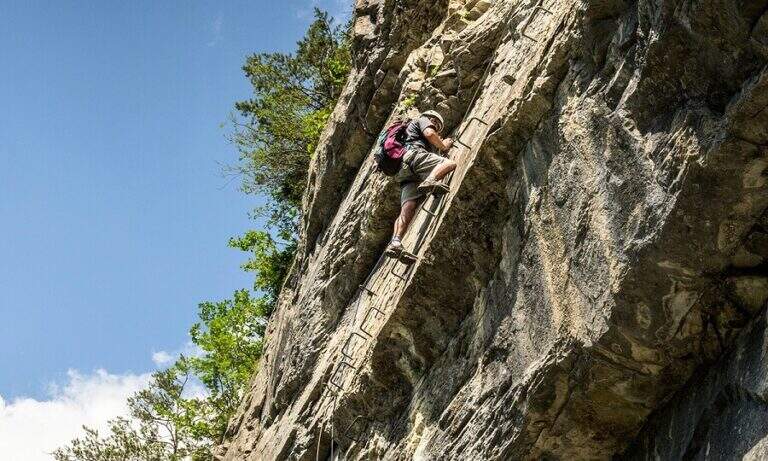
    L’inizio risale una parete di circa 30 metri con una scala metallica a metà, catena e infissi; nel tratto finale si supera un intaglio roccioso, che chiude la sezione più difficile della via. Si guadagna quota tra gradoni terrosi e mughi, poi su pendio erboso fino alla cresta, che diventa via via più stretta e rocciosa ma con traccia evidente. Si risale una parete di una quindicina di metri arrampicando con l’ausilio della catena (un po’ lasca), quindi si percorre la cresta vera e propria, con un alternarsi di salite e discese a tratti attrezzate e a tratti no, in ambiente stupendo ma esposto. Un’ultima parete di una quarantina di metri, con alcune staffe e catena, conclude la ferrata sulla cresta sud del Grignone. Proseguendo si incrocia la Via del Caminetto (che sale da sinistra) e si tira dritto fino alla Bocchetta del Releccio; di lì, lungo la via normale orientale, si passa il Rifugio Brioschi e in breve si raggiunge la vetta (2h 15′ dall’attacco, 4h 45′ totali).

    ▲Character and difficulty

    Itinerario lungo, panoramico e appagante, su cresta aerea ma senza difficoltà tecniche elevate. Aperta nel 1971; come molte vie del lecchese sfrutta una solida catena. Difficoltà complessiva: Moderatamente Difficile.

    ⚠ In molti tratti la catena è lasca e la chiodatura distante: è assolutamente da evitare ogni caduta. L’itinerario è sconsigliato in caso di maltempo o nebbia per lo sviluppo in cresta e l’esposizione.
    ▲Period and safety

    Anello d’alta montagna con elevato dislivello (circa 970 m, quota max 2.409 m): da percorrere in stagione estiva con tempo stabile; a inizio stagione è possibile trovare neve in discesa. Cartografia consigliata: carta delle Grigne, Resegone e Valsassina.

    ▲Discipline

    Per chiudere l’anello, dalla vetta si scende verso il rifugio e si prosegue lungo la cresta nord-ovest su placche a tratti attrezzate. Si ignora il bivio a sinistra per la Bocchetta dei Guzzi tenendo la destra, si supera un passaggio più impegnativo con catena e, seguendo le indicazioni, si raggiunge il Rifugio Bogani. Di lì si scende verso sud-ovest fino al bivio segnalato per Cainallo e, per sentiero a tratti ripido ed esposto, si rientra sul percorso dell’andata fino al parcheggio (2h 45′ dalla cima, 7h 30′ totali).

    ▲To match

    Per la lunghezza difficilmente si abbina in giornata, ma pernottando nei rifugi delle Grigne si possono percorrere il Sentiero Attrezzato Cecilia, la Direttissima alla Grigna Meridionale, il Foppe Path o, salendo da Mandello, il Sentiero della Val Cassina.

    ▲Gallery
    Technical data
    • DifficultyModerately Hard
    • RegionLombardy
    • GroupGrims
    • Approach2:30 h
    • Ferrata2:15 h
    • Itinerary (a/r)7:45 h
    • Hardware level difference380 m
    • Route difference970 m
    • Max2409 m
    • Length18 Km
Need help? Write to us!