Gruppo: Ortles

  • Ferrata Tabaretta

    Ferrata Tabaretta

    Vie Ferrate › Trentino-Alto Adige › Bolzano
    Ferrata Tabaretta
    Very difficult● OpenDescriptionComplexityMapsGallery

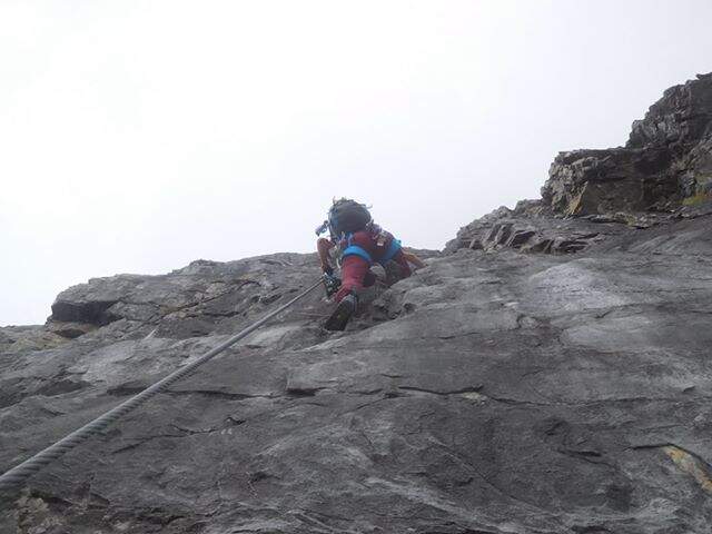
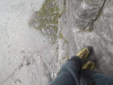
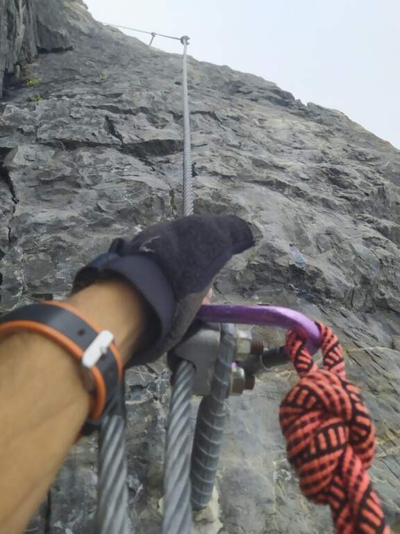
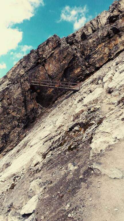
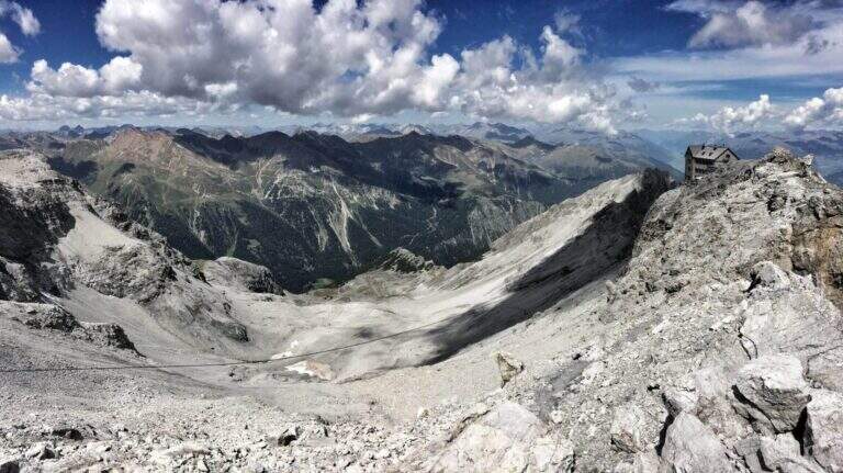
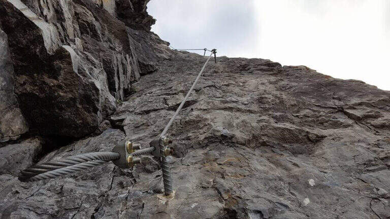
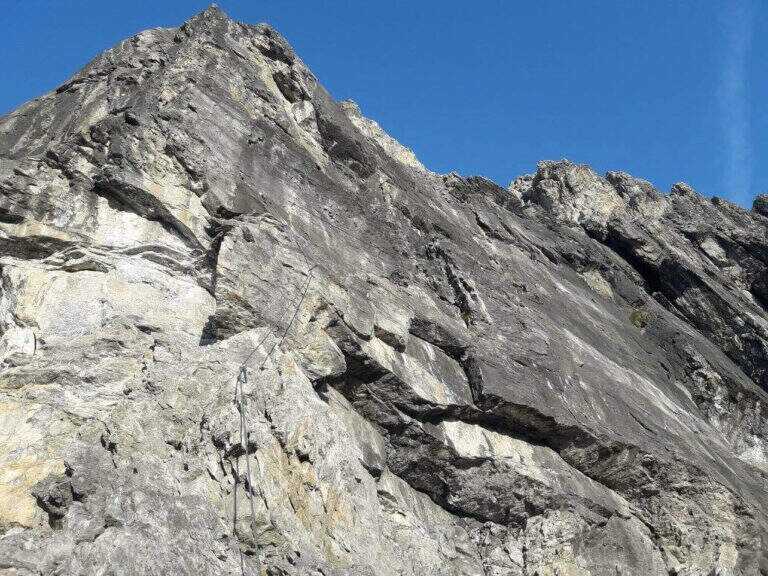
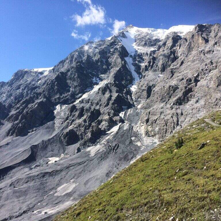
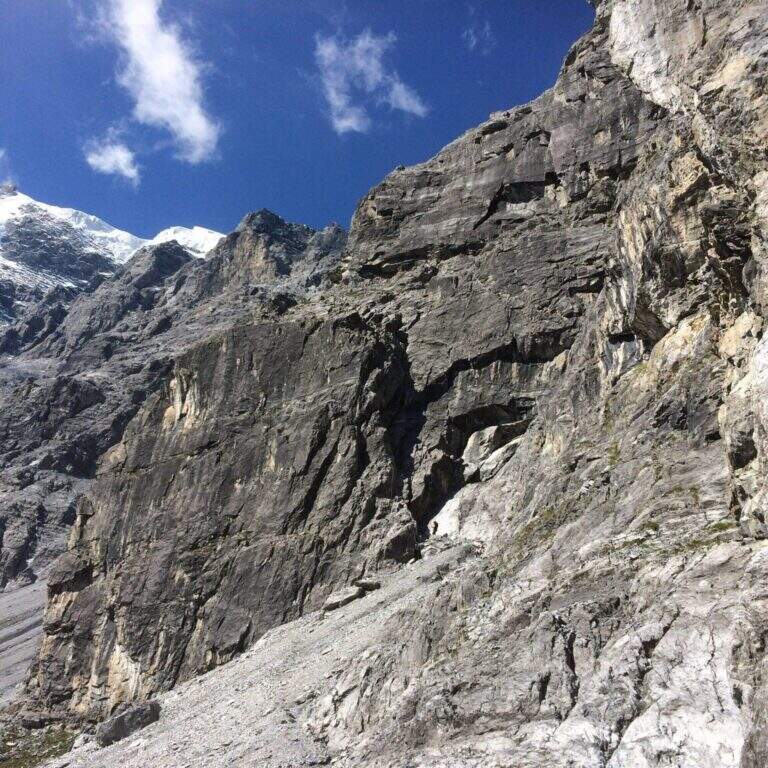
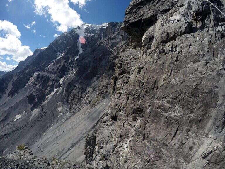
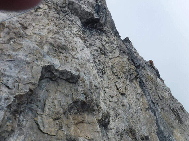
    La Ferrata Tabaretta is one of the most severe routes in the Italian Alps: the imposing north wall of the Ortles, under Punta Tabaretta, dates back to a high mountain environment over 3000 meters. Technical difficulties up to the extreme are added to a remarkable physical and mental commitment; the rock is often poor of hooks and in many ways it advances by pulling on the cable. There are no escape routes.

    ▲Approach

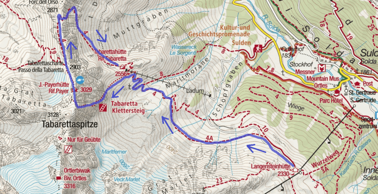
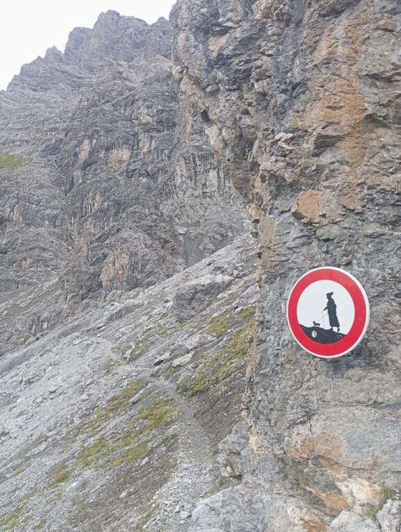
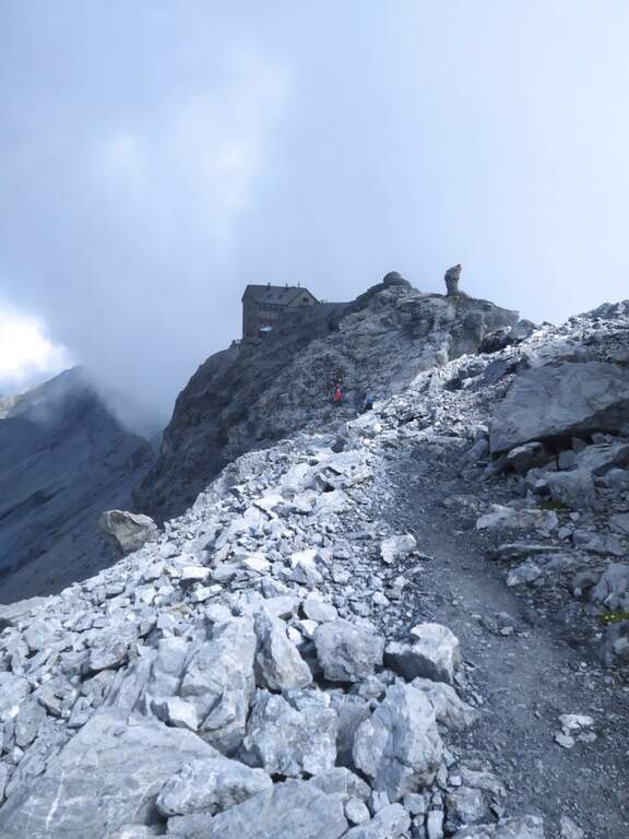
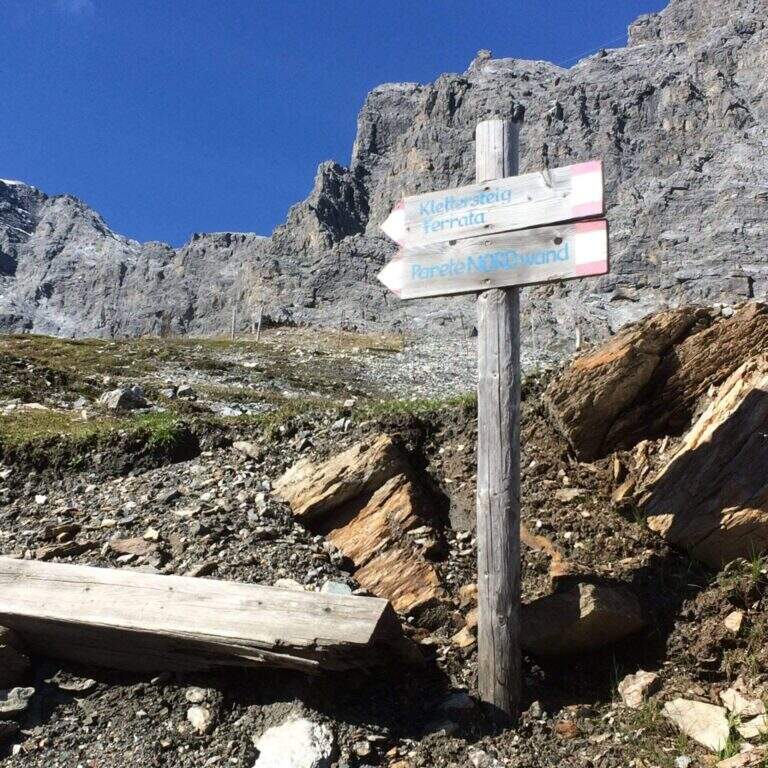
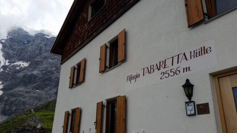
    From the upstream station of the seggiovia dell'Orso in Solda (2330 m); è the share to which to descend, without continuing beyond. Open road signs on Google Maps. Dalla stazione si segue il sentiero CAI 10 a mezza costa fino a un bivio, dove si tiene la sinistra sul CAI 4A; si procede verso ovest aggirando la parete nord dell'Ortles fino a innestarsi sul CAI 4 e, per alcuni tornanti, si raggiunge il Rifugio Tabaretta (2556 m, 45' from the upstream station). Behind the refuge starts the marked path «Ferrata – North-and-raque wall; which, halfway south-west, leads under the bastion all' attack (15' from the shelter, 1h from the station).

    ▲The path

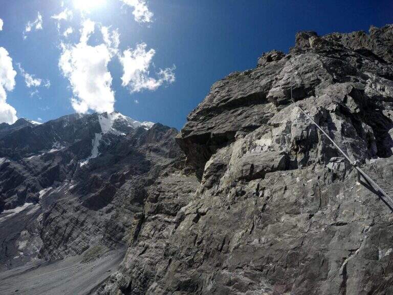
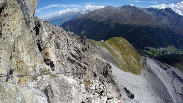
    You start on rocks at a corner; climb it immediately you gain exposure and you enter the street figure, with few hooks that force you to pull on the cable. After a terrace you descend a couple of meters and you will reassemble a very exposed dihedron, then a diagonal plate leads to a small terrace. Since 2019 the original attack has been replaced by a more challenging variant: a wall of a hundred meters, vertical, exposed and flooded with supports, which stands on the same terrace. Continue to the right on small rocks and on a vertical plaque, a short traverse to the right and a dihedron taste; a rocky roof forces to cross to the left at a crack (first tiring tract). The cable starts vertically in a slightly overhanging and little stretched up to a panoramic terrace on the Tabaretta Refuge and Ortles. After some vertical meters bend diagonally to the right in ascending cross of Geelen Knott, the key passage: very few supports for the feet, to be overcome with rapidity and force of arms not to "burn" (use a referral or a fog). You pass the roof, you go up with a second rope on the right, you walk around a corner and you reach a large terrace with short hint. They follow a plaque of about twenty meters, easy rocks, a smooth plaque to be overcome by pulling on the cable, a very exposed right traverse and more climbing traits, up to a stretch of crest and to the book signatures. The last section climbs on aerial edge, a horizontal beam exposed, a vertical wall with a small protruding roof and an ascending traverse to the demanding but entangled right, then a difficult dihedron and plane (plug on the right side, not enough to climb without cable). You leave on the left, you pass plaque, small rocks and a short fireplace and finish the equipment. For a gravel path you can connect to the ridge that from the Rifugio Payer climbs to the Ortles, the highest point of the route (3076 m), and descend to the Rifugio Payer (3029 m, 2h from the attack, 3h 45' from the mountain station).

    ▲Character and difficulty

    Continues and without respite: most of the stretches are difficult and very difficult, with extreme tips such as the Geelen Knott traverse. Maximum ratings on all fronts (technical, environment, exposure, physical commitment). The equipment is great but should not induce to underestimate the way.

    ⚠ No escape and mountain environment over 3000 m: climb reserved for very trained ferratisti, with careful weather assessment and early departure. Level difference in ferrata 500 m, total 720 m, development 9,6 km.
    ▲Period and safety

    Summer itinerary d' high altitude, to be faced with stable conditions and dry rock. The GPX and KMZ tracks are available. The Tabaretta and Payer refuges offer support along the route.

    ▲Discipline

    Dal Rifugio Payer si segue il sentiero di cresta CAI 4, con tratti esposti e parzialmente attrezzati, fino alla Forcella dell'Orso (2871 m); da qui si scende ripidamente, poi più dolcemente, nella vallata di Solda al Rifugio Tabaretta (1h 30' dal Payer, 5h 15' totali). Si rientra infine a ritroso per il sentiero di avvicinamento alla stazione a monte della funivia dell'Orso (30', 5h 45' totali).
    ▲Gallery
    Technical data
    • DifficultyVery difficult
    • RegionTrentino-Alto Adige
    • GroupOrtles
    • Approach1:45 h
    • Ferrata2:00 h
    • Itinerary (a/r)5:45 h
    • Hardware level difference500 m
    • Route difference720 m
    • Max3076 m
    • Length9,6 Km
  • Ferrata del Trafoi

    Ferrata del Trafoi

    Vie Ferrate › Trentino-Alto Adige › Bolzano
    Ferrata del Trafoi
    Moderately Hard● OpenDescriptionComplexityMapsGallery

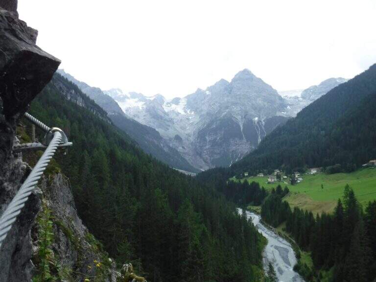
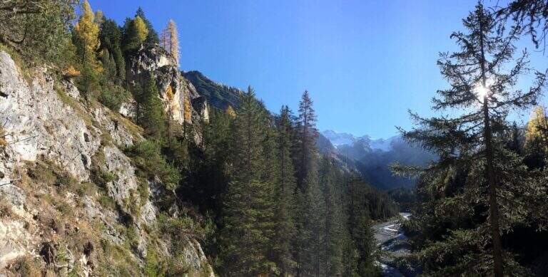
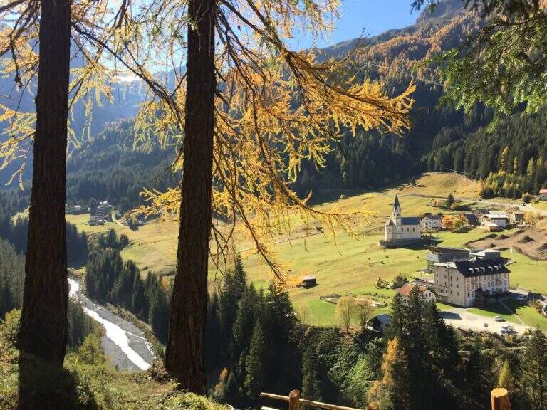
    La Ferrata del Trafoi è una via moderna (2019), breve e in gran parte facile, che risale uno sperone roccioso lungo il torrente che scende dal Passo dello Stelvio verso la Val Venosta, a Trafoi (BZ). Adatta a famiglie e neofiti nella variante facile, propone anche una variante moderatamente difficile; perfetta per un ritaglio di tempo o come complemento a un giro più lungo ai piedi dell’Ortles.

    ▲Approach

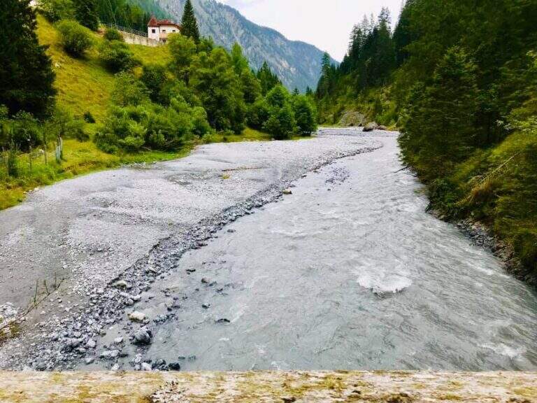
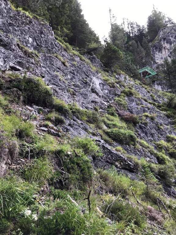
    Si parcheggia a bordo strada nel paese di Trafoi (BZ), lungo la statale dello Stelvio (starting point on Google Maps). La parete è ben visibile sul lato opposto del torrente: si scende verso il greto (circa 70 m di dislivello, due possibili discese — al tornante o circa 200 m verso il paese), si attraversa un ponte di legno e, seguendo le indicazioni, si raggiunge l’attacco (15′ dal parcheggio). Lungo la via è visibile la piattaforma di una tirolienne che attraversa il torrente verso il paese (al momento senza informazioni certe sulle condizioni d’uso).

    ▲The path

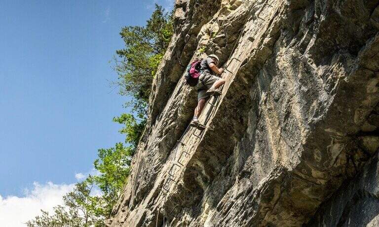
    La prima sezione è facile, adatta a neofiti e famiglie (con le dovute precauzioni): si sale in diagonale a destra su rampe inclinate (unica insidia il fondo a tratti sporco), alcune roccette e un breve tratto di collegamento; riprese le attrezzature, dopo un traverso un po’ più impegnativo si arriva a un bivio. Variante facile (a sinistra): prosegue su difficoltà analoghe, con una rampa e qualche bel balzo gradonato attrezzato che guadagna quota ed esposizione, un passaggio appena più verticale ma non difficile e, dopo un diagonale, la piattaforma di fine ferrata (30′ dall’attacco). Variante moderatamente difficile: proseguendo sulla cengia attrezzata si arriva a un secondo bivio (a destra una grotta) da cui la via sale verticale con pioli e attrezzature che facilitano la salita: una ventina di metri verticali, alcune roccette, un balzo più impegnativo e un facile traverso a destra fino alla stessa piattaforma.

    ▲Character and difficulty

    Via Moderatamente Difficile nella variante più impegnativa, ma sostanzialmente facile e ben attrezzata (2019), inserita in una bella valle alpina con panorami sull’Ortles e sulle Alpi al confine italo-austriaco.

    ⚠ Ottima per famiglie e neofiti nella variante facile: per i più piccoli usare attrezzatura da ferrata adeguata. Attenzione al fondo talvolta sporco nelle rampe iniziali.

    ▲Period and safety

    Bassa quota (massimo 1630 m): percorribile in buona parte della stagione, condizioni della valle permettendo. Cartografia: carte della zona dell’Ortles-Stelvio.

    ▲Discipline

    Il rientro avviene per comodo sentiero che, a sinistra della piattaforma, scende verso il torrente e riporta a ritroso al parcheggio (circa 1h totali).

    ▲To match

    Naturale ma impegnativo proseguimento è la salita al Rifugio Payer (3000 m, circa 1500 m di dislivello, sentieri 3 e 19 per il Passo della Tabaretta — arrivo della più dura Ferrata della Tabaretta). Verso lo Stelvio, nel Sondriese, la Ferrata al Torrione Porro e la Ferrata Cuore della Croce al Palabione; in Val Venosta la Cengles Croda Ferrata, le ferrate Hoachwool e Knott a Naturno, la Ferrata del Murmele in Val Martello e la Ferrata Heini Holzer a Merano.

    ▲Gallery
    Technical data
    • DifficultyModerately Hard
    • RegionTrentino-Alto Adige
    • GroupOrtles
    • Approach0:15 h
    • Ferrata0:45 h
    • Itinerary (a/r)1:15 h
    • Hardware level difference60 m
    • Route difference170 m
    • Max1630 m
    • Length1 Km
Need help? Write to us!