Gruppo: Val Gallina

  • Ferrata Parete dei Falchi

    Ferrata Parete dei Falchi

    Vie Ferrate › Veneto › Belluno
    Ferrata Parete dei Falchi

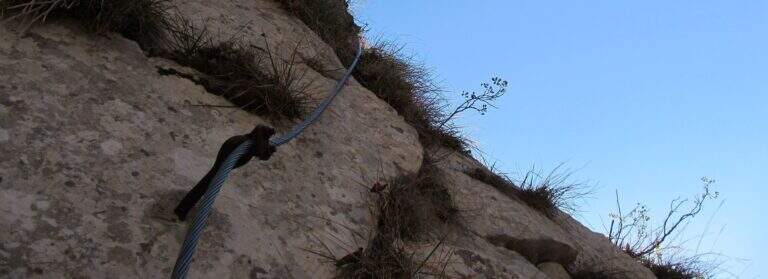
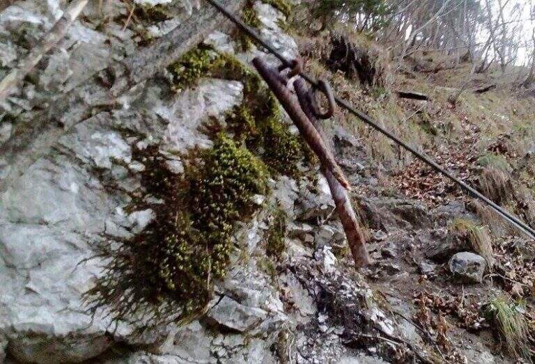
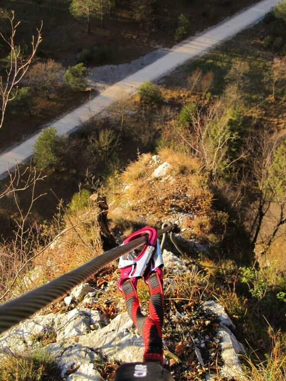
    Attention: the road has long been maintained. The source signals (autumn 2020) cable in some parade points, soft terminals and very spaced thickens, with high fall factor in case of flight. The historic approach from the parking lot of the power station was also interrupted by a landslide on the cycle path. Carefully assess the state of the equipment before engaging and checking the current conditions.

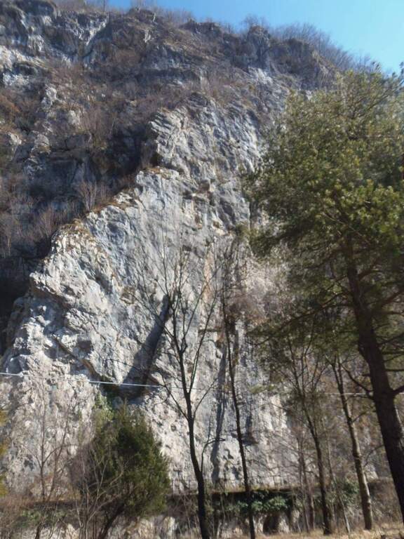
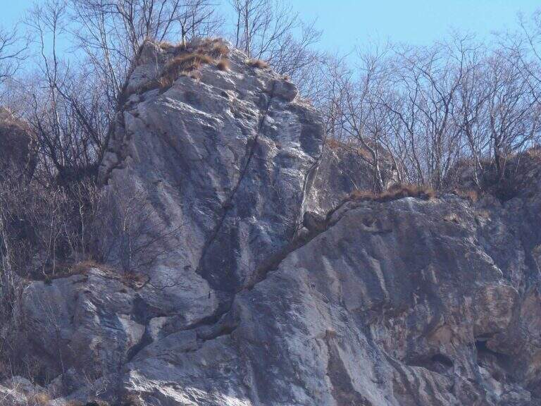
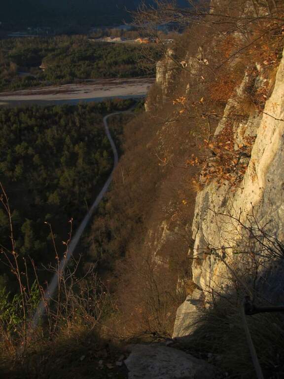
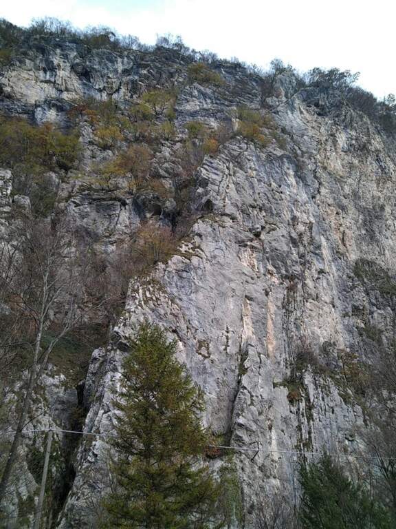
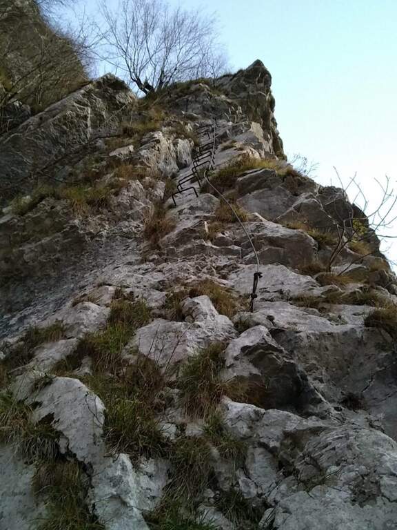
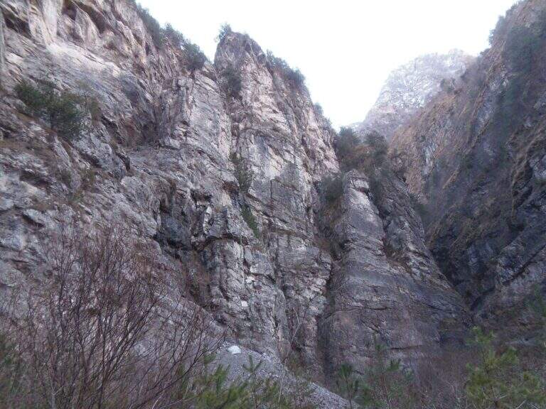
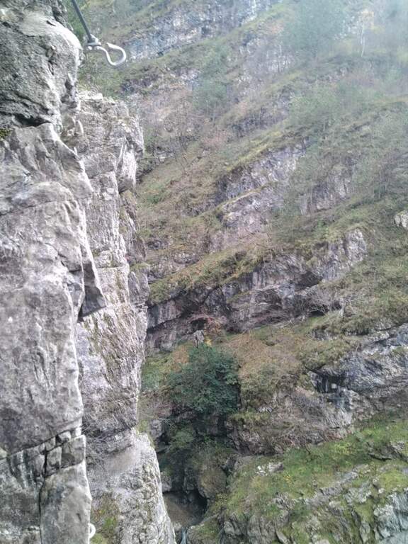
    The Ferrata alla Parete dei Falchi, near Soverzene (Belluno), is short, intense, athletic and difficult: it rises by making wide use of the arms, with a free attack and a striking key stroke. For brevity it is a good training, but the overall safety of the way is questionable and the return is exposed and on unstable background.

    ▲Approach

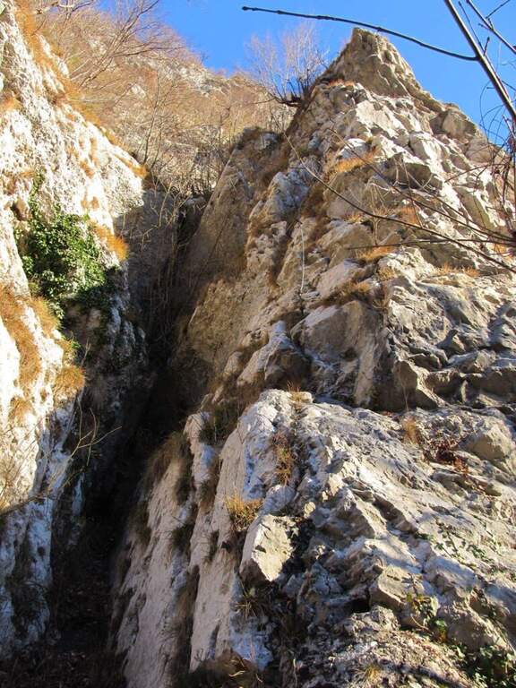
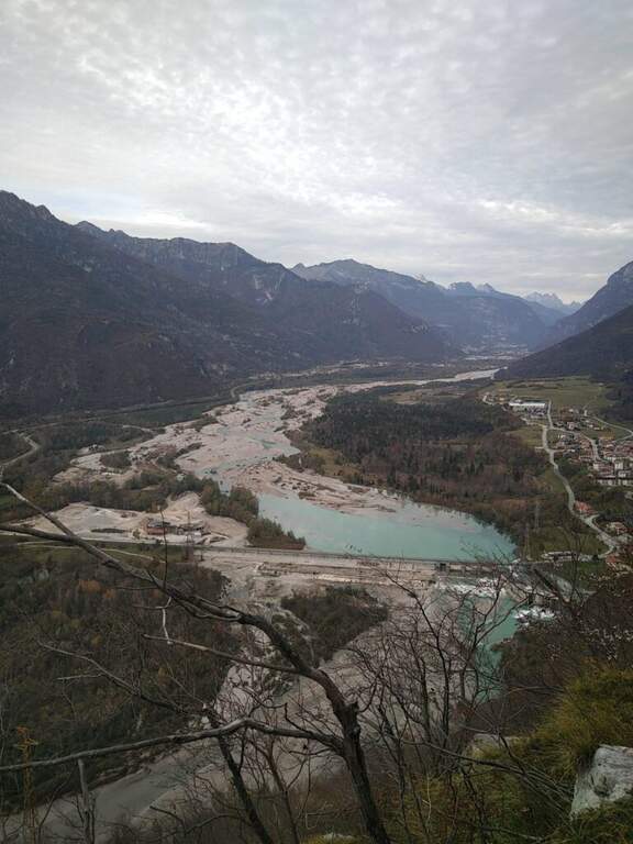
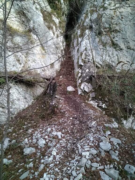
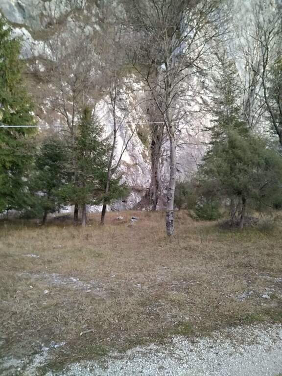
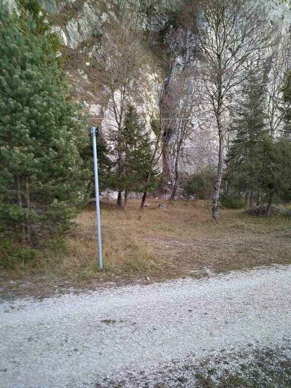
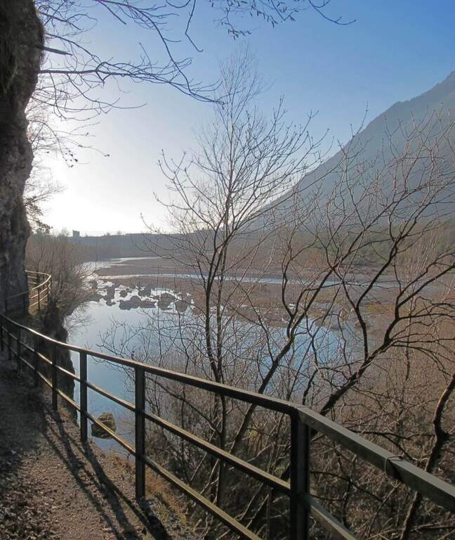
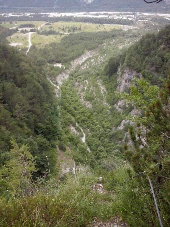
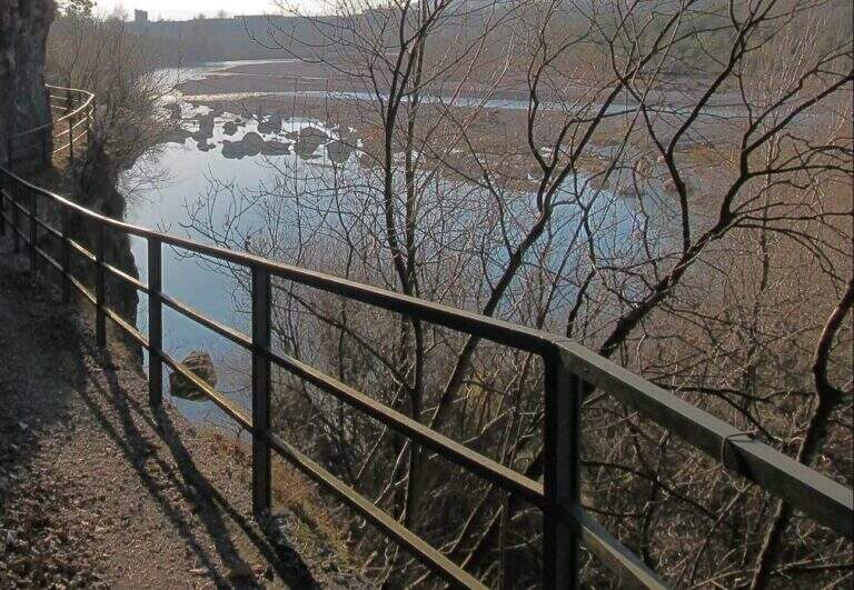
    The historic starting point is the Central Elettrica between Soverzene and Pian di Vedoia (Belluno): cross the bridge over the Piave you search parking at the central. Starting point on Google Maps. From here an unpaved road (transit prohibition) takes off to the right towards the Piave and, along the climbing walls, leads to a metal walkway beyond which, on a distinct rocky rib, you can see the attack (15' from the parking lot). After a landslide on the cycle path, this approach may be interrupted: Alternatively, you park at the church of the hamlet of Soccher (from Cadola) and you reach the base of the rib along the cycle path to the north, carefully identifying the attack, which is not on the road but higher.

    ▲The path

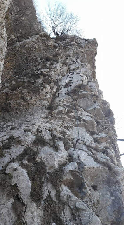
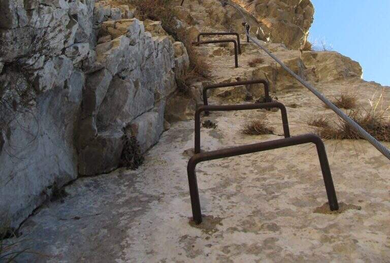
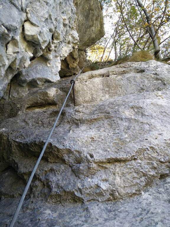
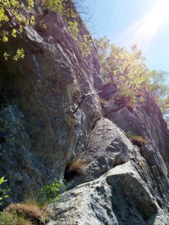
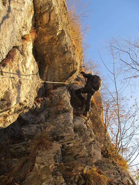
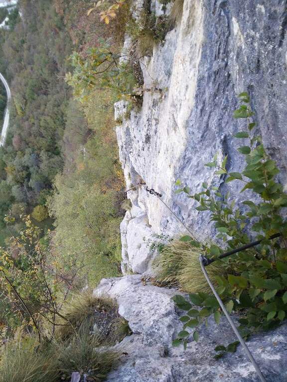
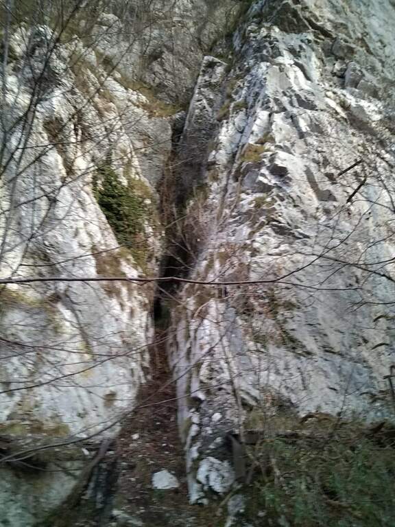
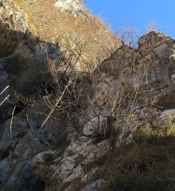
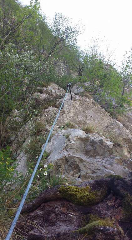
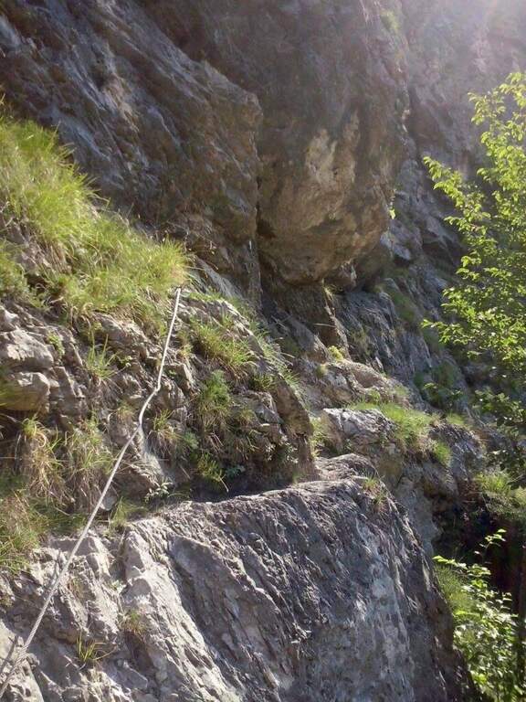
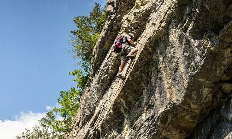
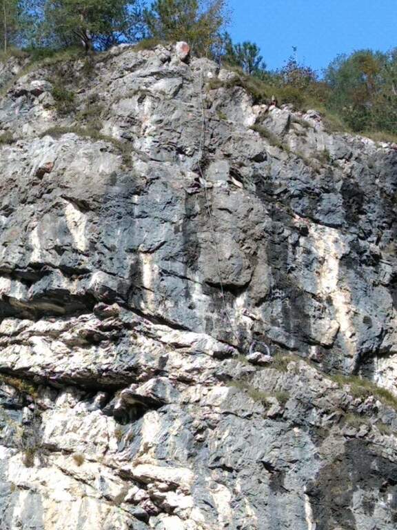
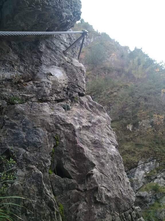
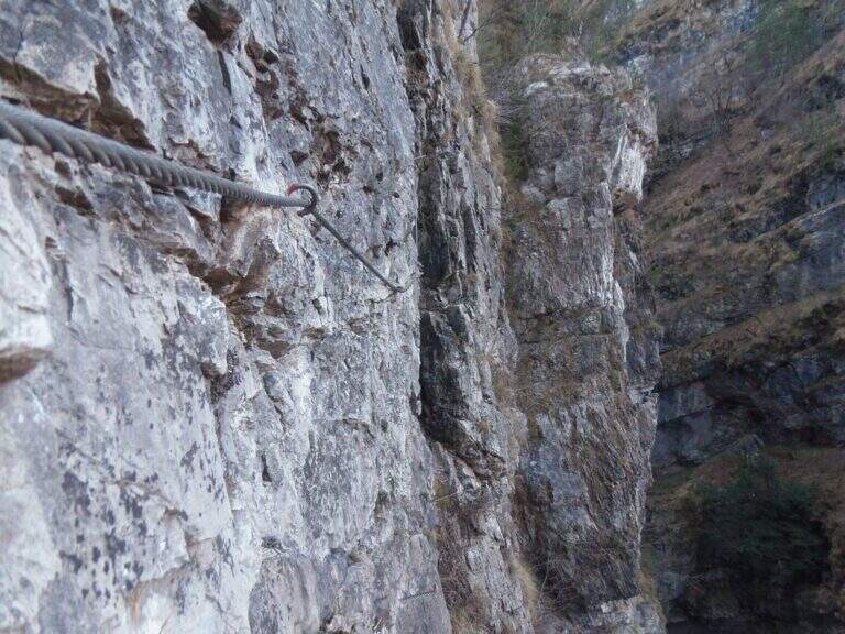
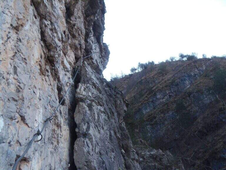
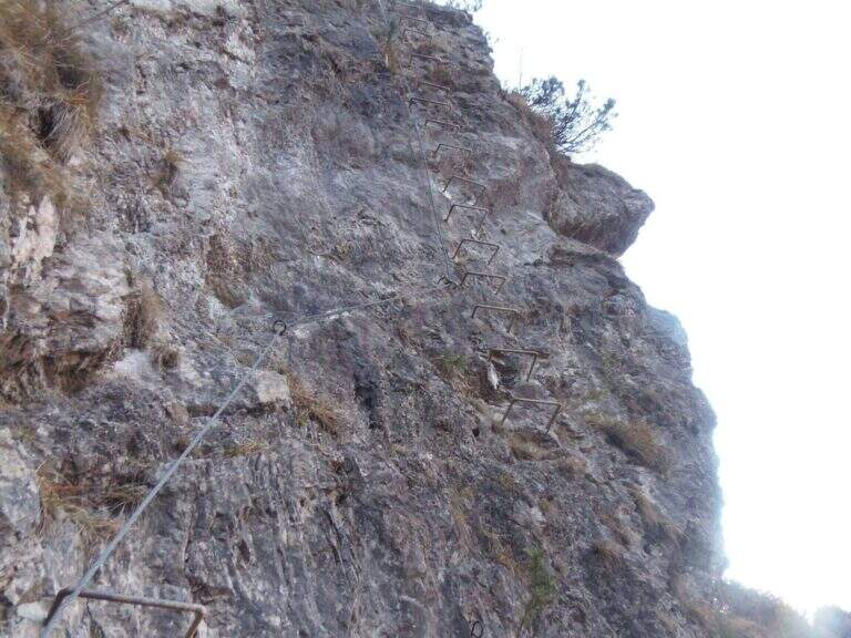
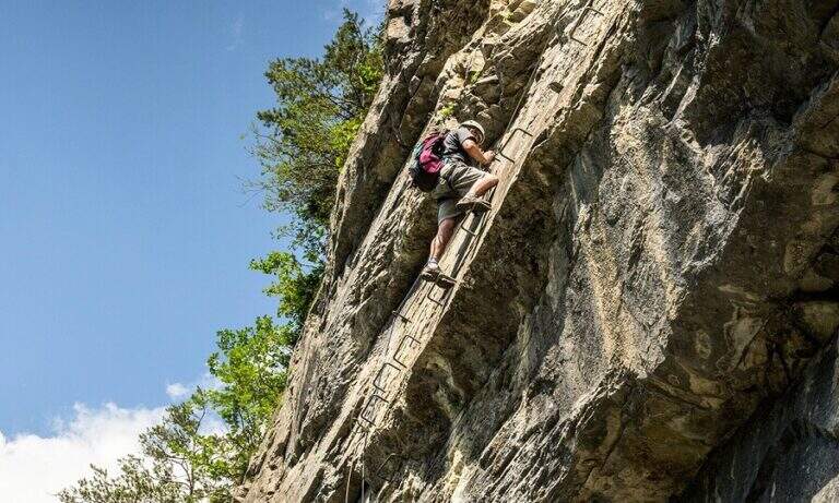
    The attack is the first test bench: the cable starts at 4 meters from the ground and you need to climb a section of III degree free to secure. Once you reach the cable you climb a vertical wall of about twenty meters where, despite the cambres, the slope makes you feel the first difficulties; beyond the cambre the road continues vertical and aerial on rock poor of hooks and at times covered with vegetation, little climbable. Attached a edge rises a grassy tract (useful hollow on slippery soil) and leads under a rocky roof on a spurt but easy; it wanders the roof on the left with a diagonal traverse and bends right onto balzi of mixed grass and rock up to a balcony. It follows the passage probably more challenging: a spur with ascending traverse to the right, at times overhanging, which requires strength and agility (some pioli help the feet on smooth rock); the last stretch on plaque is decidedly athletic. After passing this section of about fifteen meters the ferrata ends (30' from the attack, 45' from the parking lot).

    ▲Character and difficulty

    A short but not technically prohibitive way, where the force of arms counts above all. The main limit is safety: in several points the distance between the tokens is many meters, with high fall factor; maximum caution.

    ▲Discipline

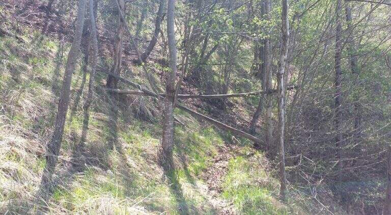
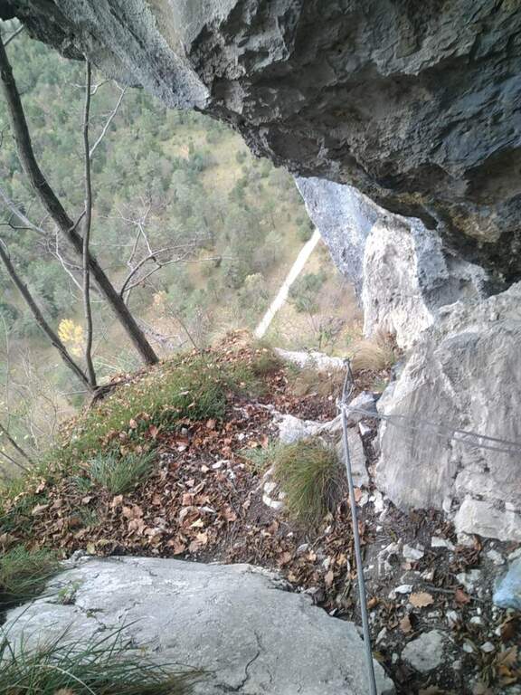
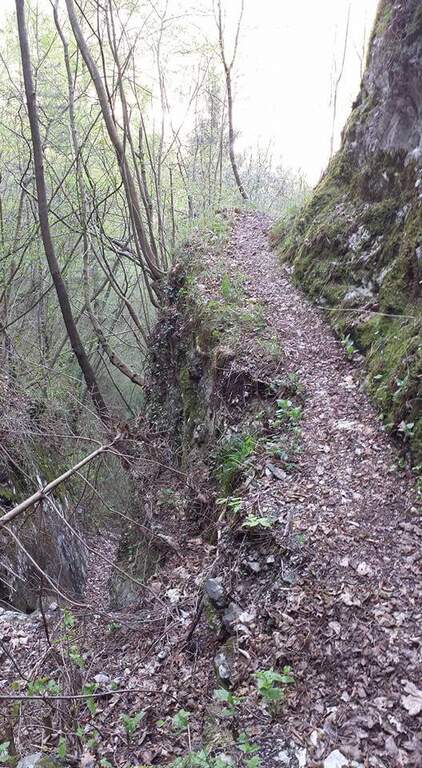
    You follow the orange signs that descend steeply towards the central; the path is very steep and the foliage makes it slippery. Towards the end you walk an exposed and narrow nod with friable soil and slippery sloped rock, equipped with a unconscious cord: it is advisable to follow the arrow that, shortly before, bypasses the stretch exposed on the left. Then you return to the approach path and to the car (30' from the top, 1h 15' total).

    ▲To match

    For short approach and return it is well matched with other trips of the area: the neighbor Ferrata Palestra di Roccia della Val Gallina, the imprint Ferrata della Memoria al Vajont and, towards the Fall, the Costacurta; on the pordenonese sideAlta Via dei Rondoi.
    ▲Gallery
    Technical data
    • DifficultyHard
    • RegionVeneto
    • GroupVal Gallina
    • Approach0:15 h
    • Ferrata0:30 h
    • Itinerary (a/r)1:30 h
    • Hardware level difference150 m
    • Route difference170 m
    • Max250 m
    • Length1,5 Km
  • Ferrata Palestra di Roccia Val Gallina

    Ferrata Palestra di Roccia Val Gallina

    Vie Ferrate › Veneto › Belluno
    Ferrata Palestra di Roccia Val Gallina

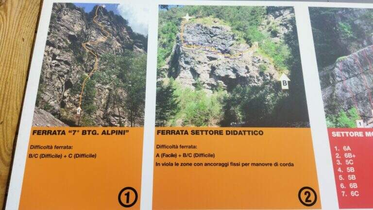
    Alla Palestra di Roccia della Val Gallina (nota anche come VII Reggimento Alpini), presso Soverzene (Belluno), si sviluppano sulla stessa bastionata più vie attrezzate: la Ferrata A, facile ma molto esposta, e la Ferrata B, decisamente difficile con un paio di passaggi che richiedono tecnica e forza nelle braccia. Nel 2019 è stata aperta anche una terza via, C, difficile e atletica. Itinerari brevi, ottimi come allenamento anche in stagione invernale.

    ▲Approach

    Si raggiunge Soverzene sul versante orientale del Piave: da sud si arriva da Pian di Vedoia attraversando il ponte sul Piave, si passa accanto alla centrale elettrica (punto di partenza della vicina Ferrata Parete dei Falchi) e si entra in paese; verso nord si imbocca via Val Gallina e, a un bivio presso un piccolo edificio religioso, si tiene la sinistra verso Longarone fino alle indicazioni per il parcheggio della palestra di roccia. Starting point on Google Maps. Dal parcheggio, attraversato un torrente, in pochi minuti si è sotto la parete: a sinistra la Ferrata A, a destra il diedro della Ferrata B.

    ▲The path

    Ferrata A. Verso sinistra si sale una rampa diagonale di una decina di metri, poi una parete verticale di roccia impegnativa resa semplice da numerosi pioli e staffe. Una nuova rampa a sinistra porta sotto il passaggio più impegnativo della A: un canalino ben attrezzato ma verticale ed esposto. Seguono una stretta e aerea cengia a sinistra, un camino non difficile e un traverso a destra; dopo alcuni balzi innocui si raggiunge il termine (15' dall'attacco, 30' dal parcheggio).

    Ferrata B. Dallo spiazzo si va a destra in discesa fino al torrente, dove attacca la via. Dopo i primi metri di cavo in diagonale si sale verticali e, dopo 4 metri, si affronta un tratto strapiombante: la roccia spancia, il cavo sale a destra della sporgenza mentre gli appigli migliori (naturali e staffe) sono a sinistra; conviene procedere rapidi nei 3 metri strapiombanti. Si esce su un balconcino, si risale un breve tratto di roccette che piega a sinistra sotto un camino (cavo prima a sinistra poi a destra, con staffe e appoggi naturali); usciti dal camino, un traverso di 3 metri a destra porta a una lunga serie di cambre su parete levigata, poi a una stretta cengia verso sinistra fino a un breve diedro. Si arriva al passaggio chiave: un impegnativo traverso che prima risale un tetto roccioso (con pioli, aggirando uno spigolo), poi prosegue orizzontale, aereo e su roccia molto levigata; il cavo sale quindi in una fessura con buoni appoggi per i piedi e, dopo un altro traverso ascendente a destra, porta sotto una parete verticale e leggermente strapiombante con staffe e pioli. Superato il tratto chiave si sale su parete più appoggiata, poi due lunghe serie di cambre unite da un breve traverso diagonale; il cavo piega infine a destra su una rampa di terra e roccia, aggira uno spigolo e termina (30' dall'attacco, circa 50' dal parcheggio).

    Ferrata C. Aperta nel 2019, difficile e atletica; la relazione di dettaglio non è ancora disponibile sulla fonte.

    ▲Character and difficulty

    Per i ferratisti l'itinerario consigliato è salire la B e scendere la A. La Ferrata B è la più difficile: il tratto strapiombante iniziale, il camino e il traverso non sono da sottovalutare (per questo è classificata difficile nonostante la brevità). La Ferrata A non ha passaggi tecnici impegnativi ma è decisamente esposta.

    ⚠ Le vie sono state ri-attrezzate di recente, con cavo largo ma non sempre teso. Un tratto della Ferrata B risultava (2017) instabile, con un fittone su una porzione di roccia in distacco: serve prudenza. Casco sempre obbligatorio.
    ▲Discipline

    Dalla Ferrata A si scende per una traccia a sinistra fino al punto di partenza e al parcheggio (20' dal termine). Dalla Ferrata B si segue la traccia a sinistra fino al termine della A e si scende come per quest'ultima (circa 1h 30' totali).

    ▲To match

    Vista la brevità, si abbina bene alla vicina Ferrata Parete dei Falchi. Verso Longarone l'impegnativa Ferrata della Memoria al Vajont; a est la Ferrata Costacurta e l'Alta Via dei Rondoi; sullo Schiara diverse ferrate impegnative (Sperti, Berti, Marmol, Zacchi).

    ▲Gallery
    Technical data
    • DifficultyHard
    • RegionVeneto
    • GroupVal Gallina
    • Approach0:05 h
    • Ferrata0:30 h
    • Itinerary (a/r)1:30 h
    • Hardware level difference90 m
    • Route difference100 m
    • Max560 m
    • Length1 Km
Need help? Write to us!