Gruppo: Valle Aurina

  • Ferrata Pursteinwand

    Ferrata Pursteinwand

    Vie Ferrate › Trentino-Alto Adige › Bolzano
    Ferrata Pursteinwand
    Very difficult● OpenDescriptionComplexityMapsGallery

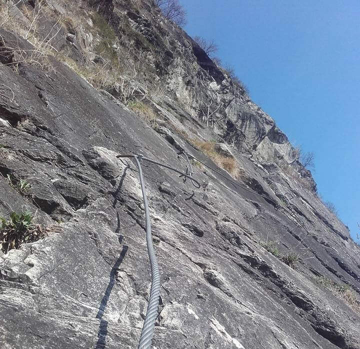
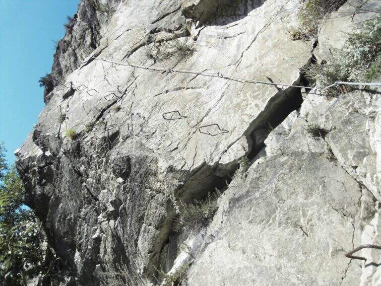
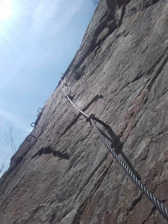
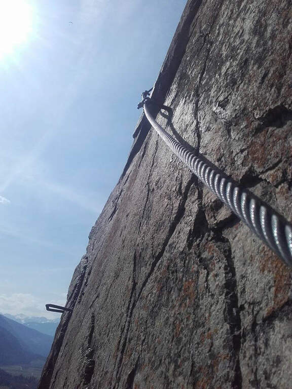
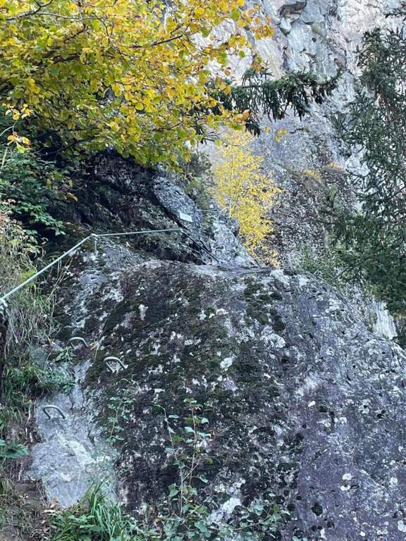
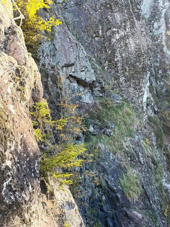
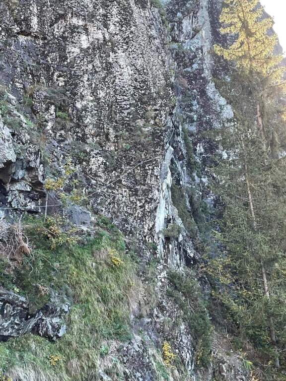
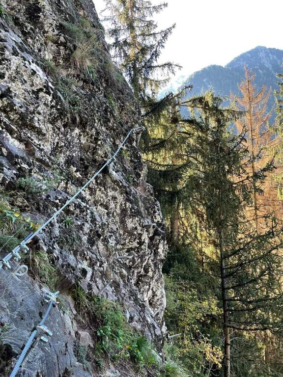
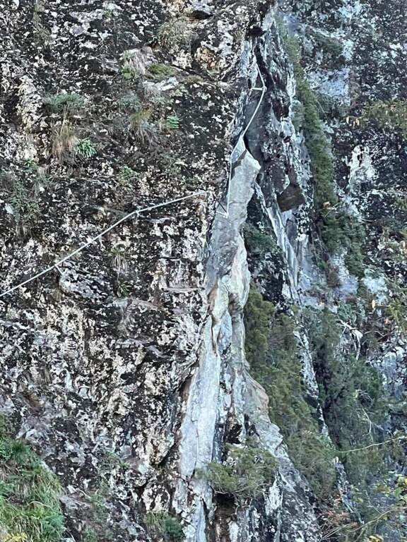
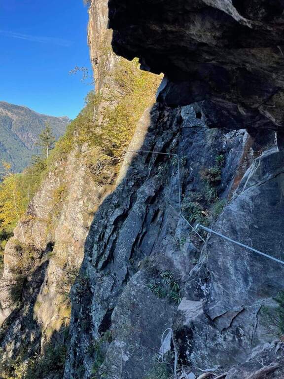
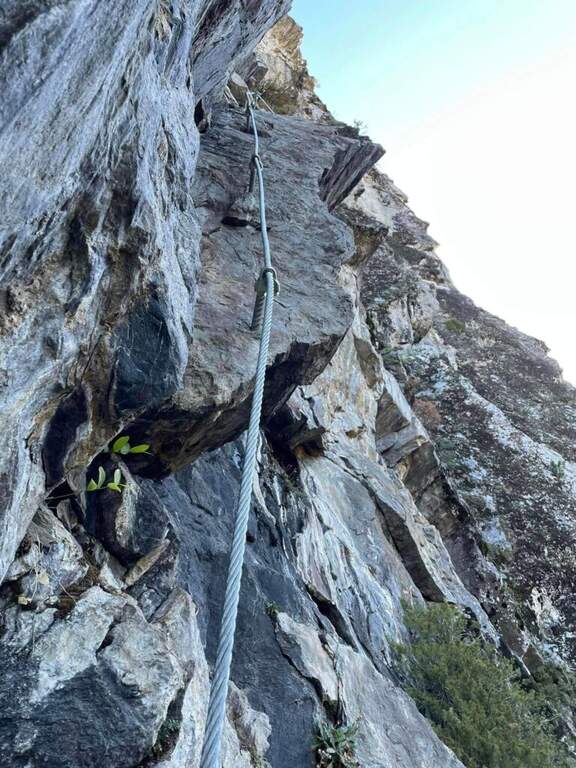
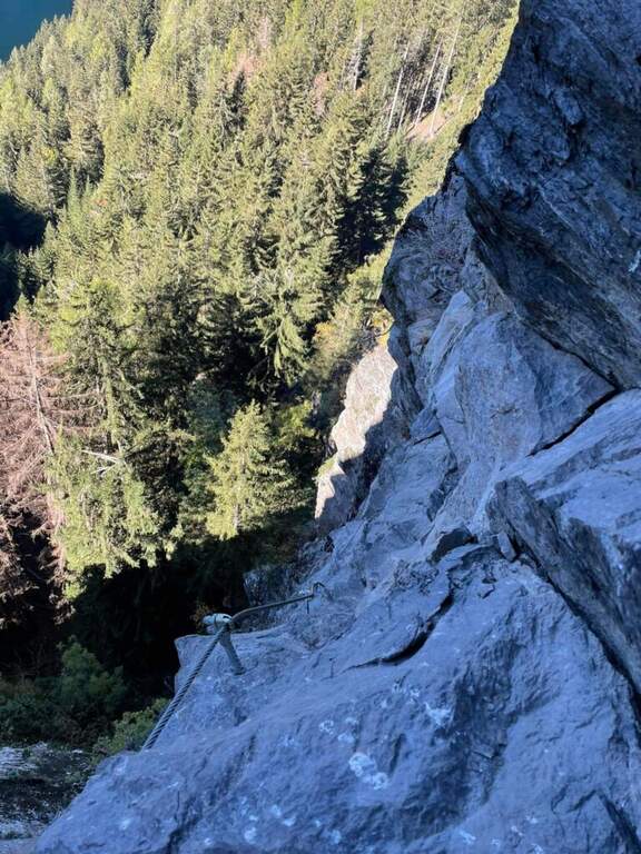
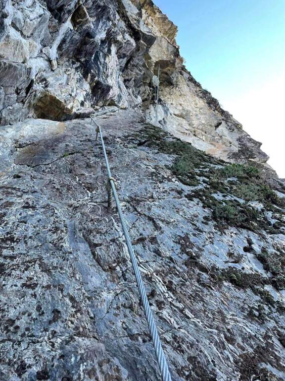
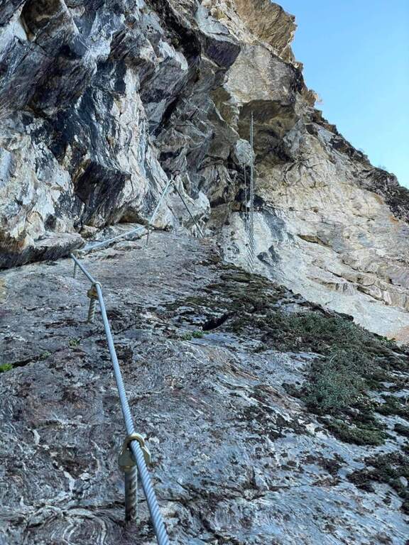
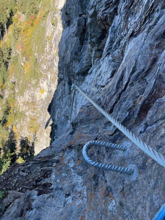
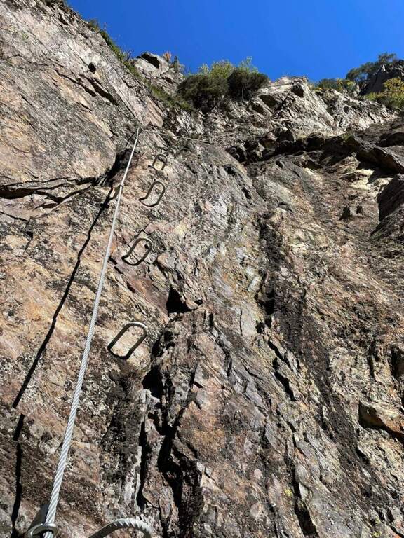
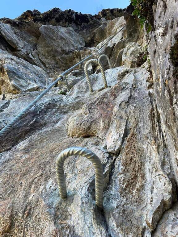
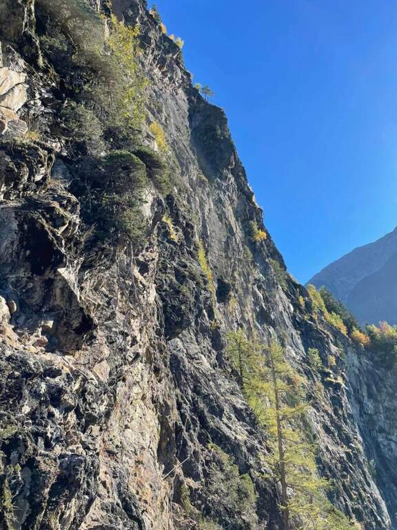
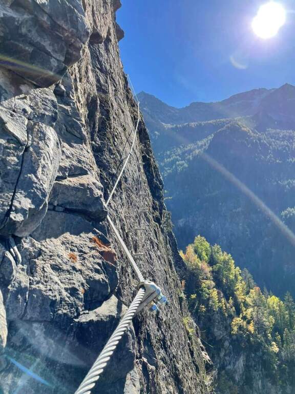
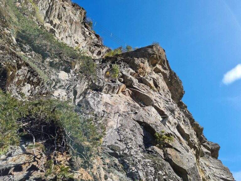
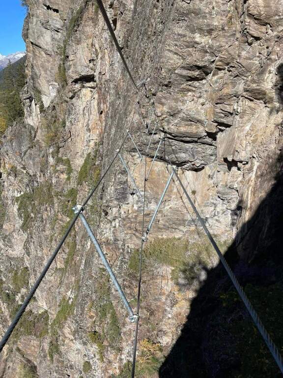
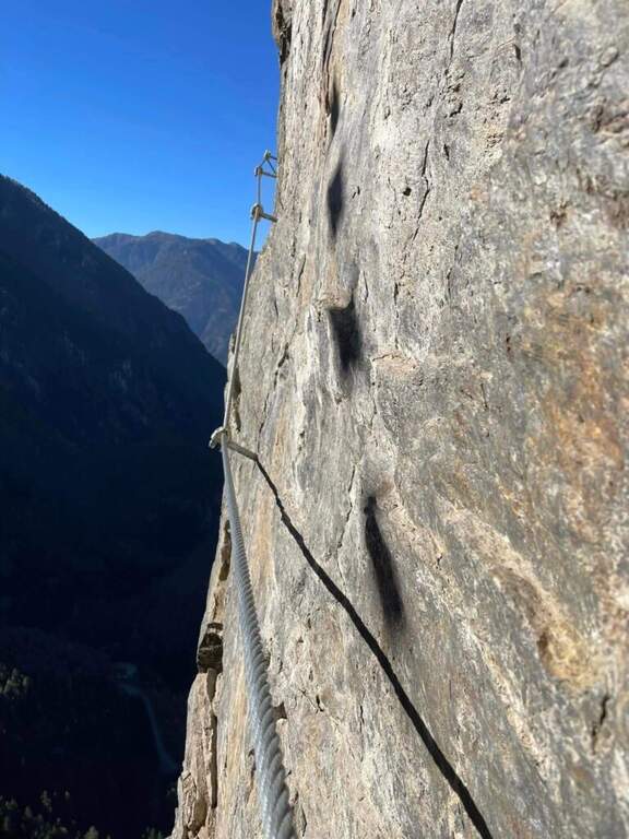
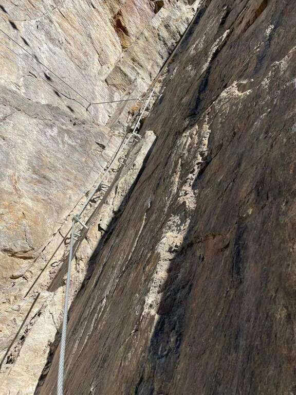
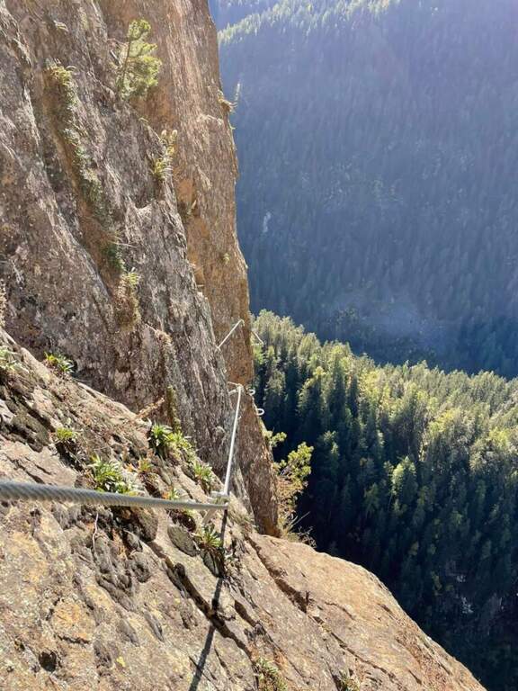
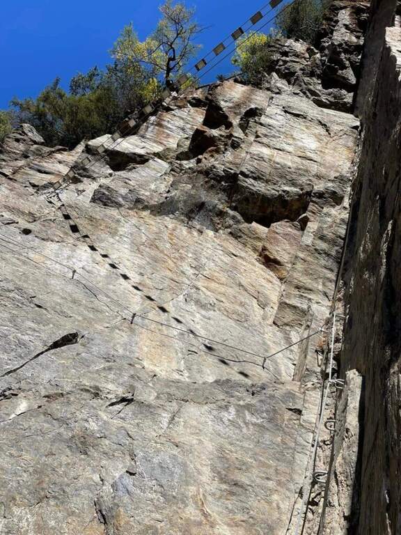
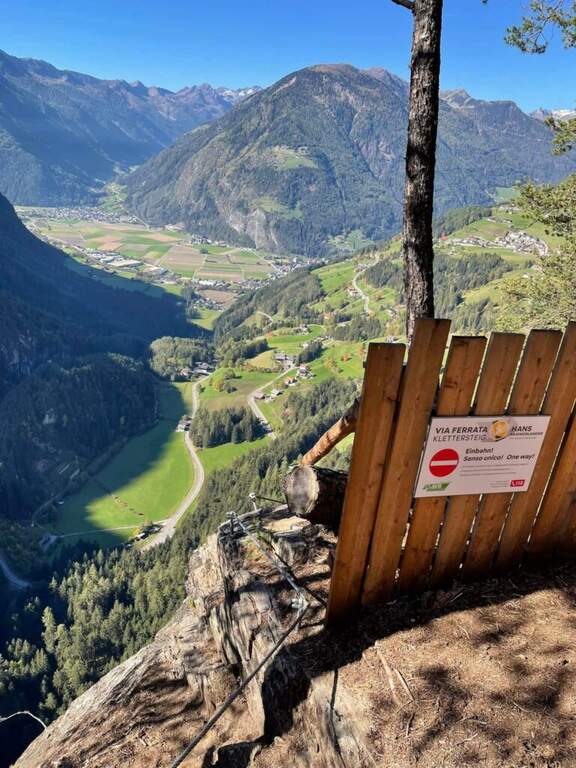
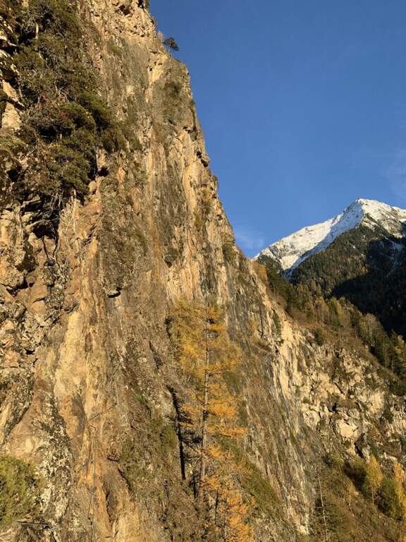
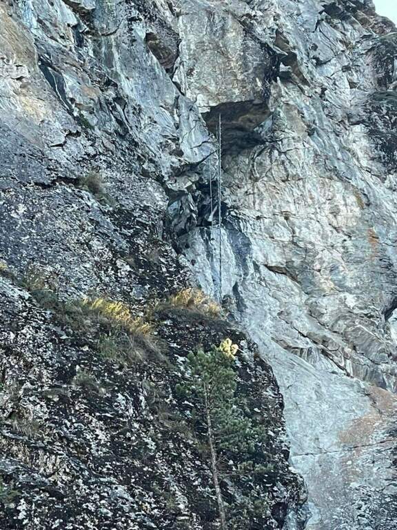
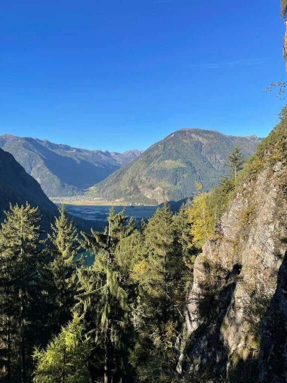
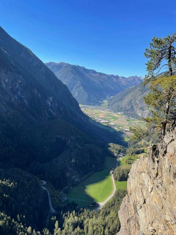
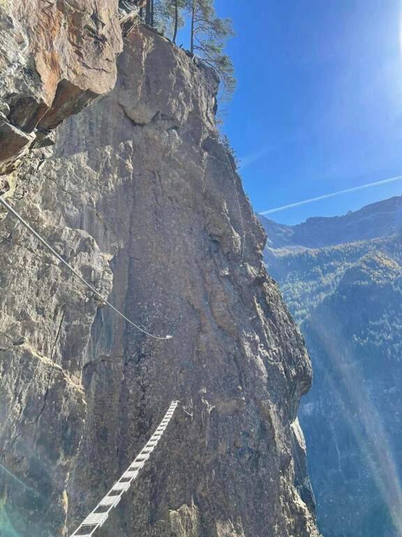
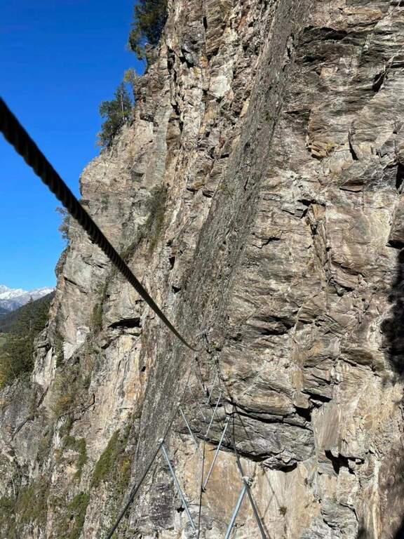
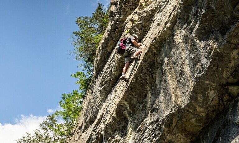
    The recent and athletic Ferrata Pursteinwand climbs up a steep slope on the eastern side of the Aurina Valley, above Campo Tures. It is a short itinerary but not to be underestimated, which requires strength and technique and does not lead to a peak but to a panoramic point on the valley. For style — polished rock and abundant metal equipment — it recalls more the French ferrates of the Western Alps than the classic Dolomite routes.

    ▲Approach

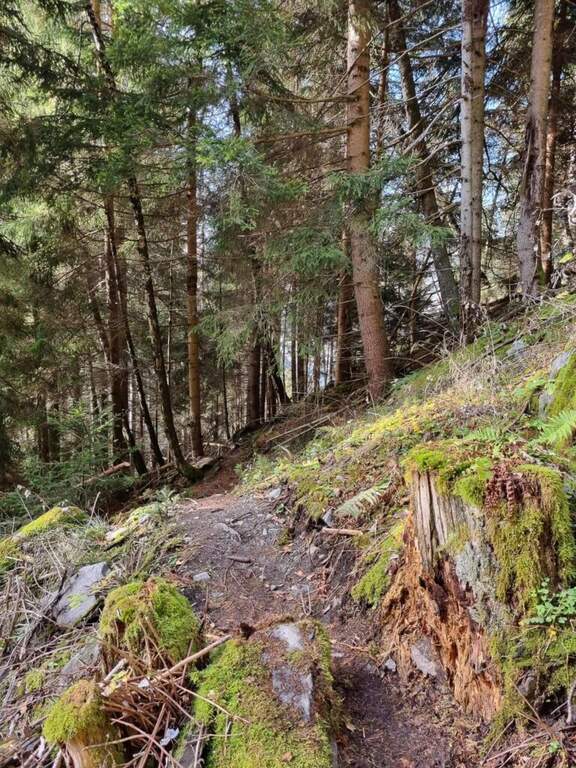
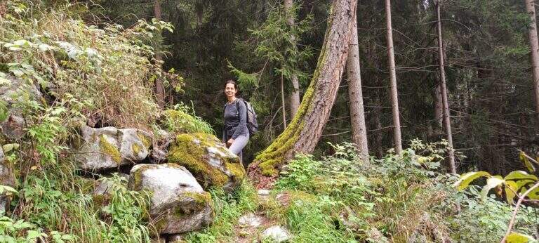
    The starting point is Campo Tures, in Valle Aurina, reachable from Brunico; just before the village, in an industrial area, you park at the last building. Starting point on Google Maps. You follow the signs for the ferrata and the rock gym towards the wall, well visible from the parking lot; you pass under the wall on the floor, then to the right you take the marked deviation. A sign of stone fall is held on the right, climbing a rocky slope up to the attack sign (15' from the parking lot).

    ▲The path

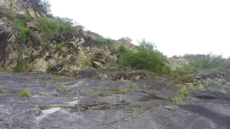
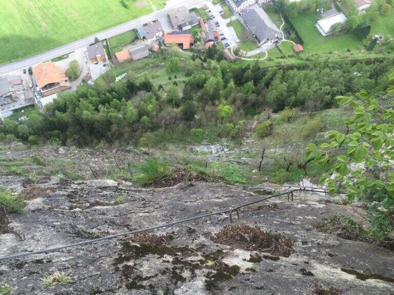
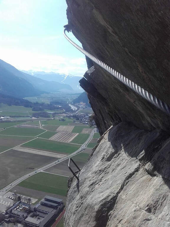
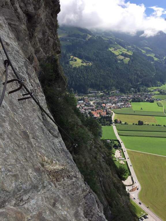
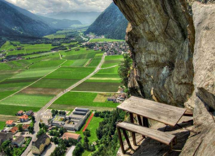
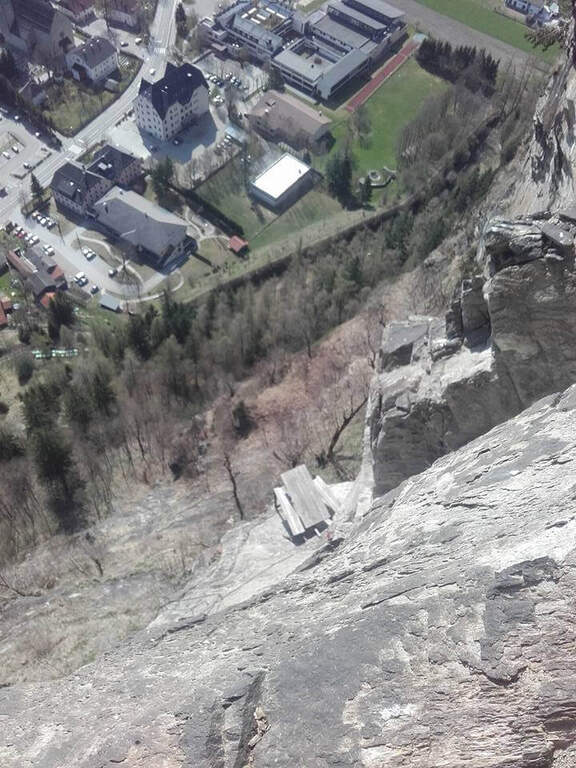
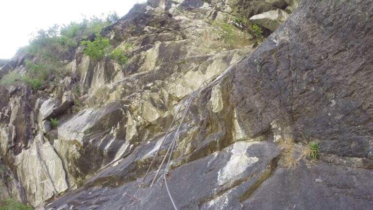
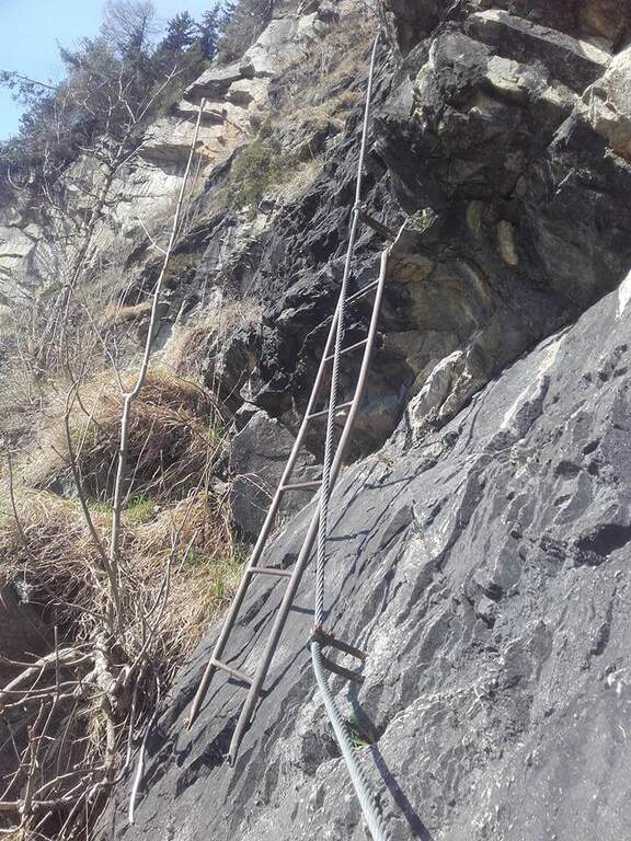
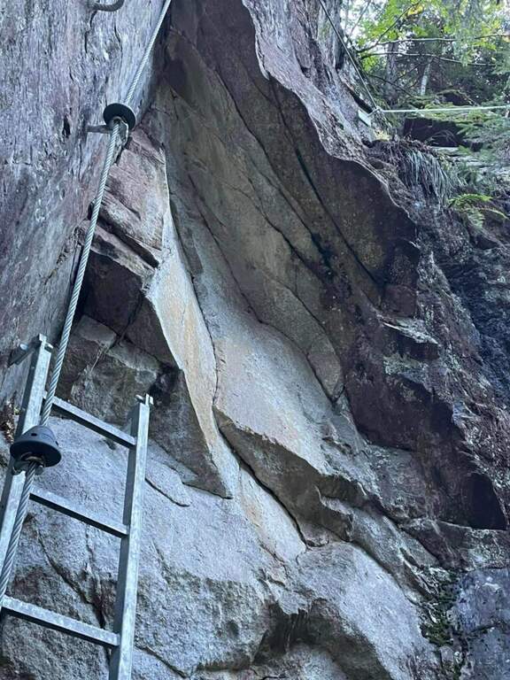
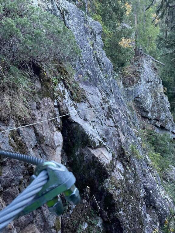
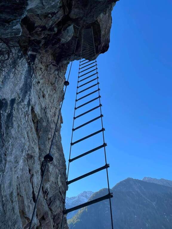
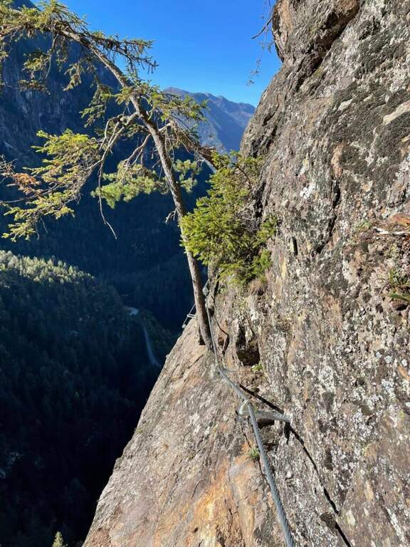
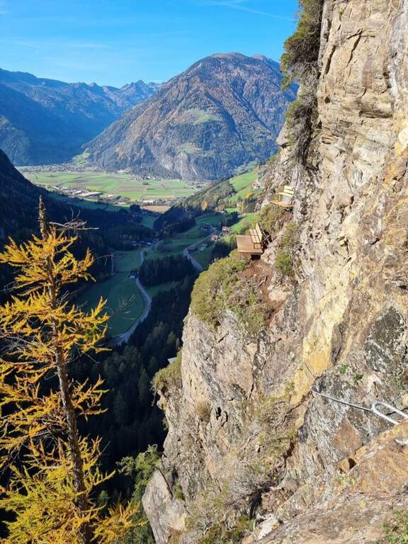
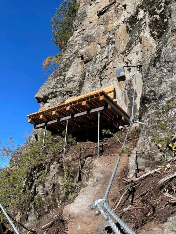
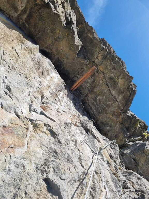
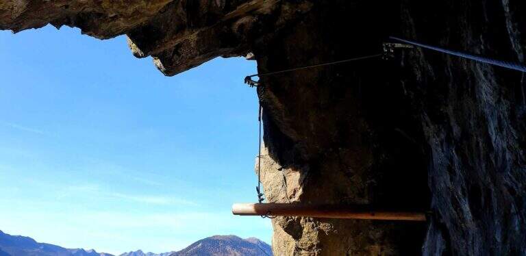
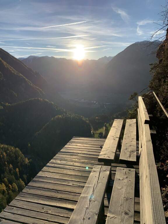
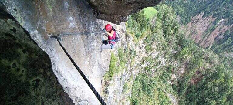
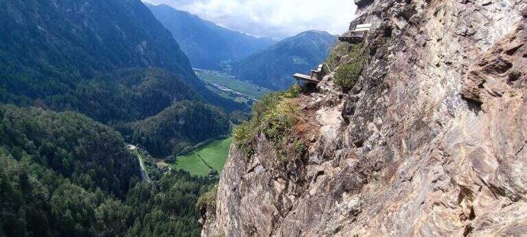
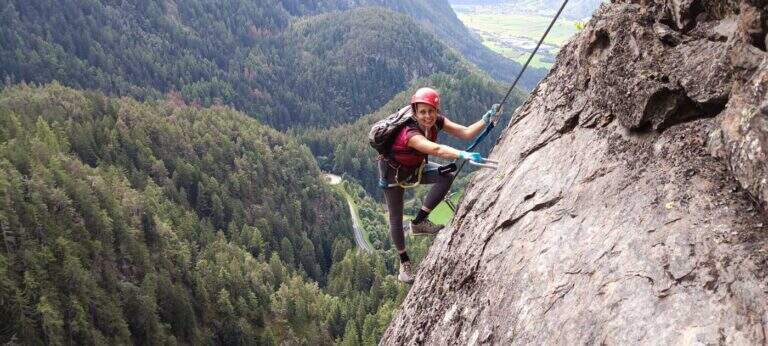
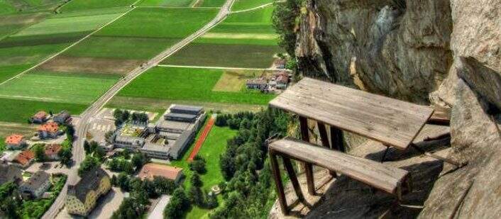
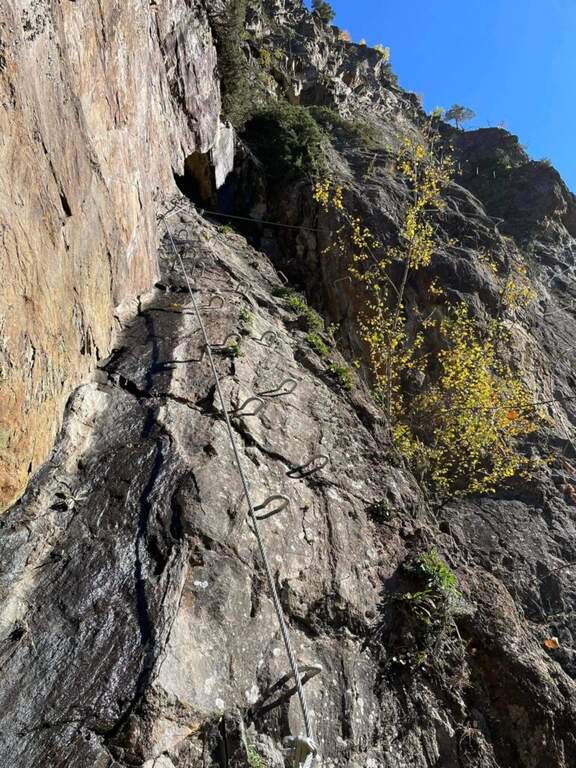
    The attack is under a long tilted black plate. The first meters, vertical and often humid, with a couple of brackets, then bend to the left before a difficult oblique traverse to the right: immediately you notice the figure of the street, a compact and smooth rock that, in the absence of natural hooks, obliges you to use a lot of the cable. You climb vertically on narrow brackets up to a challenging leap with a overhanging belly, to be overcome with good force of arms; diagonally to the left and then on an exposed and difficult traverse to the right you gain a panoramic terrace on the Aurina Valley. A pair of vertical and diagonal tears make gain altitude and exposure before a long traverse, less challenging but challenging for the distance between the brackets; it comes out on an exposed edge where the cable changes direction of 90° and goes right up to one of the most iconic points of the street, a table with two benches anchored to the rock, with the feet almost empty. The last part is the most vertical: a wall smoothed with many brackets, a short oblique traverse on the right, a very athletic overhanging stretch at a corner, the passage under a roof with a first metal scale to overcome of momentum, then the cable bends left under an evident rocky roof. On a strong display there is a new vertical and a traverse on the right (providential brackets when the energies fall), then a overhanging leap with a second metal scale in the lower part, whose exit remains very demanding and requires good technique or traction on the cable; the last meters are a right traverse without hooks and some vertical passages closing the street (1h 30' from the attack, 1h 45' total).

    ▲Character and difficulty

    Athletic and anomalous Ferrata for the South Tyrolean landscape, which deliberately seeks technical difficulties and overhanging passages on polished rock; it varies, with many horizontal and obliquious traverses that also test the expert Ferratists. Recent equipment and in good condition.

    ⚠ It requires strength, technique and absence of dizziness. Useful to bring a fectuccia or a referral to rest in the most demanding traits. Itinerary short, ideal on uncertain days where a long excursion is not recommended.
    ▲Discipline

    From the end you follow the trail in the forest that leads in short to a road; you keep the right downhill and, following the signs (cartel 27A), you descend to Campo Tures and on asphalt you return south to the parking lot (30' from the end, 2h 15' total).

    ▲To match

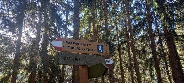
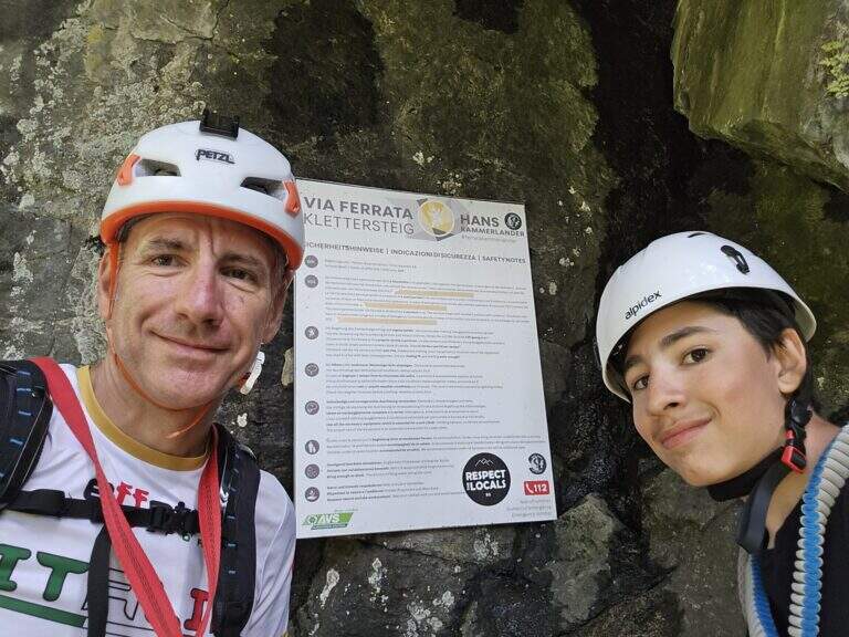
    In the Aurina Valley, further north, the long and challenging mountain route of the Ferrata del Ghiste-Camino al Sasso Nero; near Campo Tures the difficult Ferrata Hans Kammerlander (2022). To the south Ferrata di Valdaora and, towards the Alps of Sesto, the Ferrata dei Costoni di Croda Rossa.
    ▲Gallery
    Technical data
    • DifficultyVery difficult
    • RegionTrentino-Alto Adige
    • GroupValle Aurina
    • Approach0:15 h
    • Ferrata1:30 h
    • Itinerary (a/r)2:15 h
    • Hardware level difference200 m
    • Route difference380 m
    • Max1125 m
    • Length3,4 Km
  • Ferrata Hans Kammerlander

    Ferrata Hans Kammerlander

    Vie Ferrate › Trentino-Alto Adige › Bolzano
    Ferrata Hans Kammerlander
    Very difficult● OpenDescriptionComplexityMapsGallery

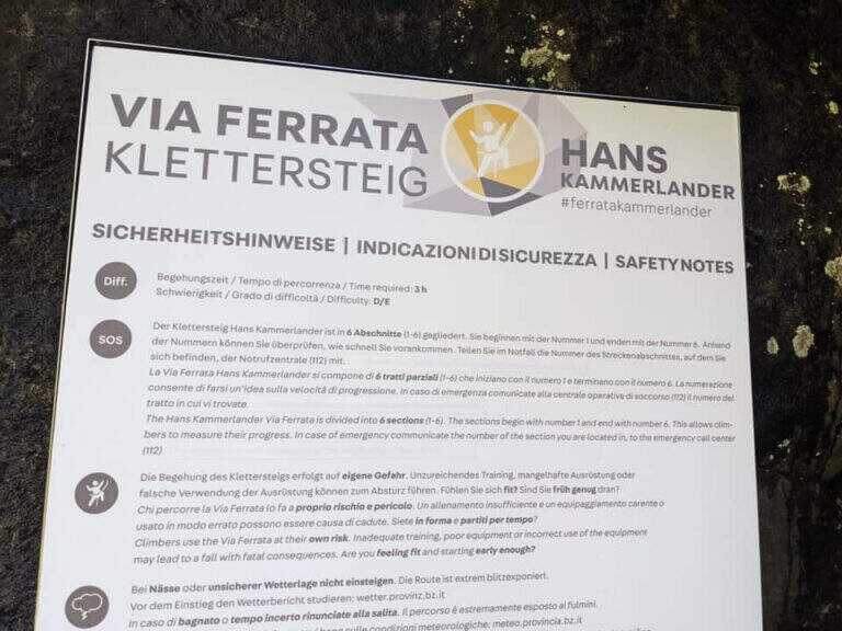
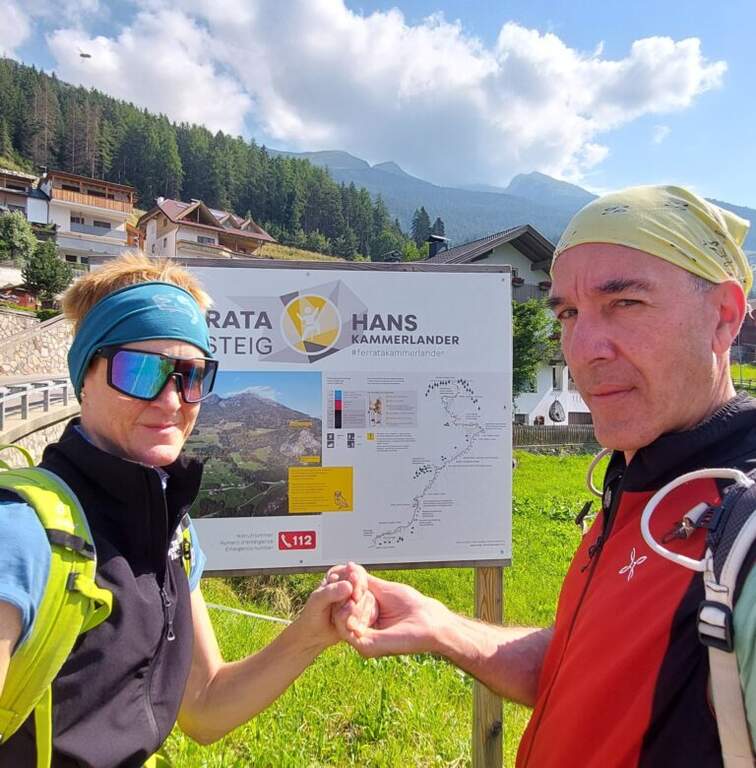
    Tracciata sopra Acereto, in Valle Aurina, la recente Ferrata Hans Kammerlander è un itinerario moderno e impegnativo: non raggiunge una cima, ma cerca le difficoltà della parete con notevole esposizione e una grande varietà di passaggi. Avvicinamento e rientro brevi ne fanno un'ottima meta per una mezza giornata.

    ▲Approach

    Si parte da Acereto, tra Campo Tures e Riva di Tures, in provincia di Bolzano. Giunti a Campo Tures si seguono le indicazioni per la SP48 verso Riva di Tures; dopo qualche minuto, sulla sinistra, le indicazioni per Acereto portano a un ampio spiazzo ghiaioso sulla destra, presso una fermata dell'autobus, dove conviene parcheggiare perché l'itinerario è ad anello (starting point on Google Maps). Dal parcheggio si sale sul bordo destro della strada e si imbocca la Hintergasse in leggera discesa, seguendola per circa 1 km fino a un tornante più marcato; pochi metri oltre, una traccia a sinistra scende nel bosco e, seguendo i cartelli, in pochi minuti porta all'attacco (circa 30' dal parcheggio).

    ▲The path

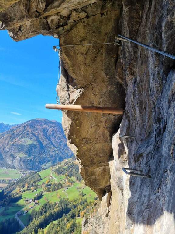
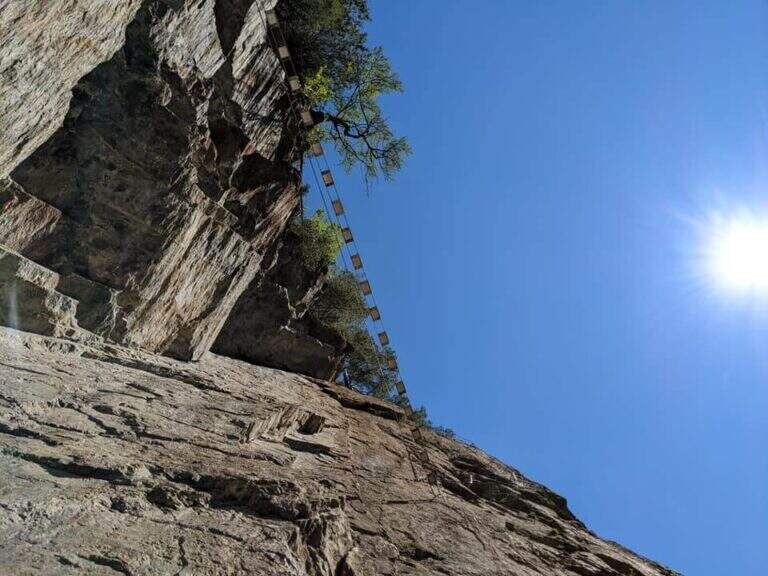
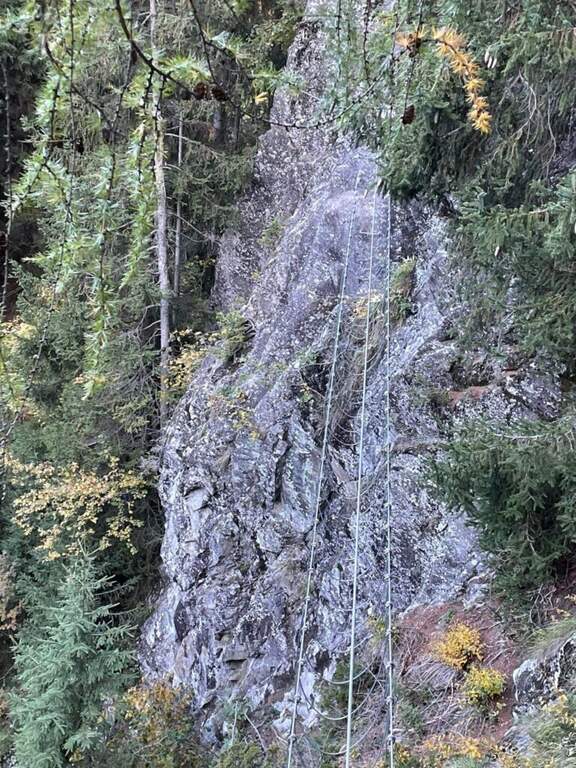
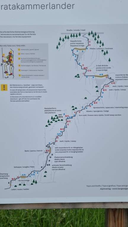
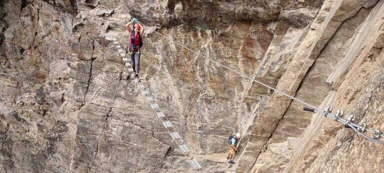
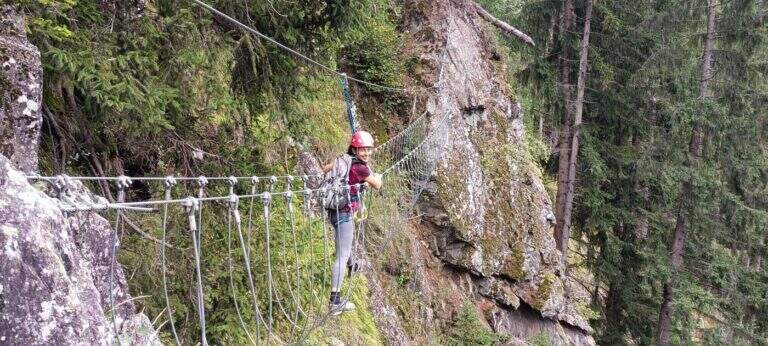
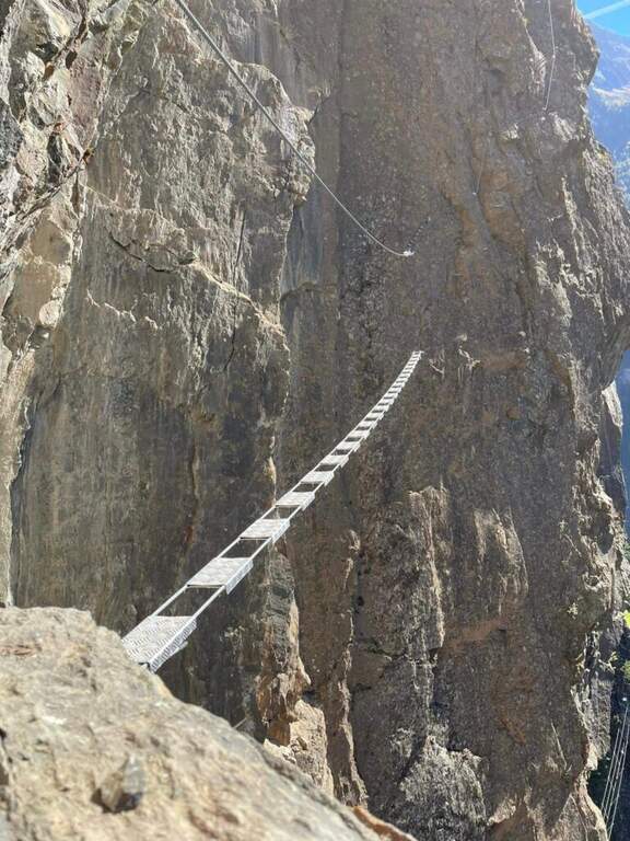
    Dalla nicchia di partenza si sale una breve scala metallica e si affronta una prima serie di traversi verso destra, già impegnativi per la scarsità di appoggi e per la roccia scivolosa e coperta di muschio; conducono al primo ponte sospeso, reso un po' ballerino dal fatto che gli appoggi per i piedi sono separati dalla struttura. Oltre il ponte, alcuni passaggi più semplici con comode staffe portano a una cengia erbosa dove conviene studiare il seguito, perché la difficoltà aumenta nettamente e si mantiene alta quasi fino alla fine. Si attacca un impegnativo traverso a destra su roccia via via strapiombante, con appoggi sfuggenti e umidi che riducono le possibilità di arrampicare e impongono l'uso del cavo; si sale poi un bel diedro a roccia levigata fino a un punto di riposo, con una panchina in legno a sinistra, sotto una lunga scala "marinara" meno stabile, da salire con equilibrio e decisione. Segue il passo chiave, breve ma intenso: un traverso a sinistra in forte esposizione per aggirare uno spigolo e salire una breve paretina levigata, con possibilità di arrampicare ridotte. Usciti dal passaggio si riposa su un tratto orizzontale e si riprende su una paretina verticale ricca di cambre metalliche per i piedi, poi un paio di paretine intervallate da facili traversi fino a due panchine in legno con il libro firme, a circa metà via, con vista su Campo Tures. La seconda parte attacca una paretina con staffe e un traverso orizzontale che supera un breve strapiombo; si prosegue a destra tra balzi e traversi fino a un passaggio difficile, sotto un pronunciato tetto da aggirare a sinistra usando un tronco d'albero sospeso come appoggio per i piedi attorno a uno spigolo marcato, con un traverso esposto e atletico ma breve. Raggiunto e superato il secondo ponte sospeso, si traversa a sinistra in grande esposizione, con buoni appoggi, fino a un diedro appoggiato dove le difficoltà calano. Nel tratto finale si sale verso sinistra al terzo e ultimo ponte, dagli ampi appoggi per i piedi ma con una sola fune come corrimano; oltre il ponte, gli ultimi dieci metri verso destra chiudono la via (circa 3h dall'attacco, 3h 30' totali).

    ▲Character and difficulty

    È una ferrata di stile moderno, con modeste possibilità di arrampicare sulla roccia, che concentra strapiombi, traversi, passaggi espostissimi, scale e ponti in un itinerario bello e vario.

    ⚠ Un paio di passaggi, brevi, sono estremi pur senza essere mai continui: è importante affrontare la via in buono stato di forma. Si consiglia di portare una longe per potersi fermare e riposare nei tratti più impegnativi.

    ▲Discipline

    Pochi metri oltre il termine si raggiunge una strada che si segue verso sinistra, in salita, per qualche minuto; il rientro si può abbreviare imboccando a sinistra alcune tracce che tagliano nel bosco verso il paese. In circa 30 minuti si è di nuovo in paese e quindi al parcheggio (circa 4h totali).

    ▲History

    La via è dedicata al fortissimo alpinista Hans Kammerlander, nato proprio ad Acereto: ha salito dodici dei quattordici Ottomila, sette dei quali con Reinhold Messner. La ferrata è stata inaugurata nel 2022.

    ▲To match

    A Campo Tures si trova la più breve ma altrettanto impegnativa Ferrata Pursteinwand. Salendo verso nord lungo la Valle Aurina si raggiunge il lungo itinerario che include la Ferrata al Sasso Nero e la più facile Ferrata di Speikboden; scendendo verso sud si arriva alle ferrate della Val Pusteria, tra cui la recente Ferrata del Piz de Peres.

    ▲Gallery
    Technical data
    • DifficultyVery difficult
    • RegionTrentino-Alto Adige
    • GroupValle Aurina
    • Approach0:30 h
    • Ferrata3:00 h
    • Itinerary (a/r)4:00 h
    • Hardware level difference300 m
    • Route difference340 m
    • Max1566 m
    • Length5,8 Km
Need help? Write to us!