Gruppo: Valmalenco

  • Ferrata Vigneron in Caspoggio

    Ferrata Vigneron in Caspoggio

    Vie Ferrate › Lombardy › Sondrio
    Ferrata Vigneron in Caspoggio
    Moderately Hard● OpenDescriptionComplexityMapsGallery

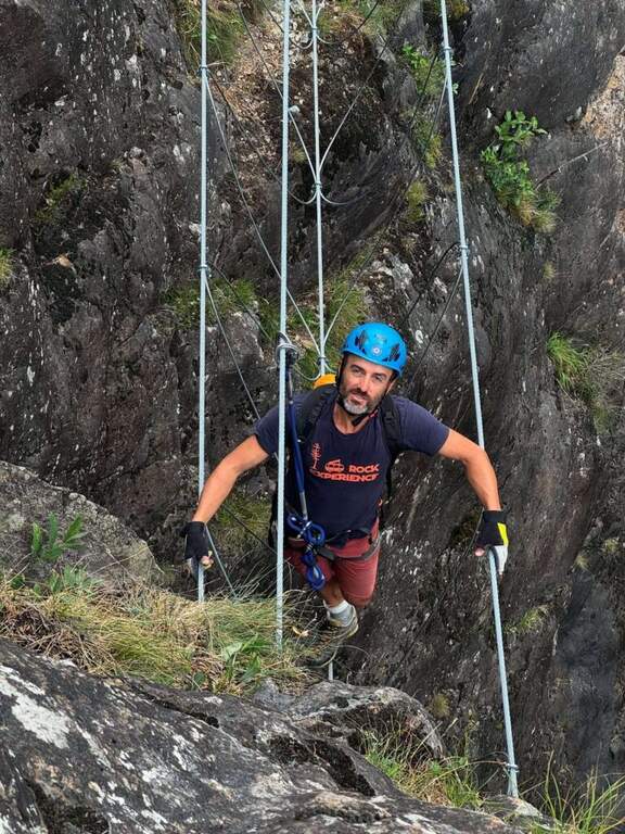
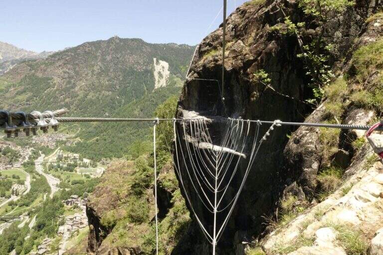
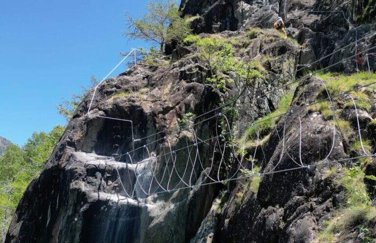
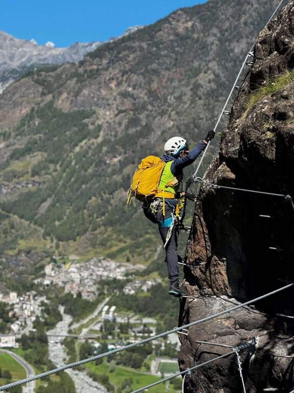
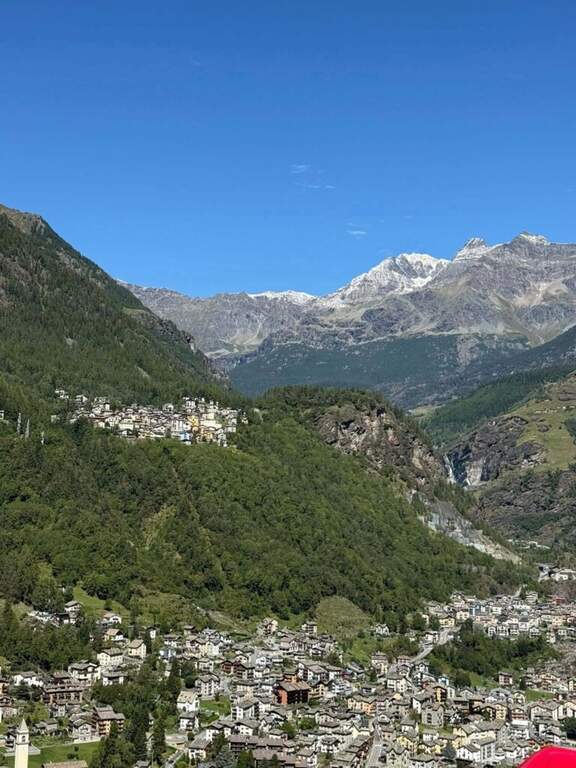
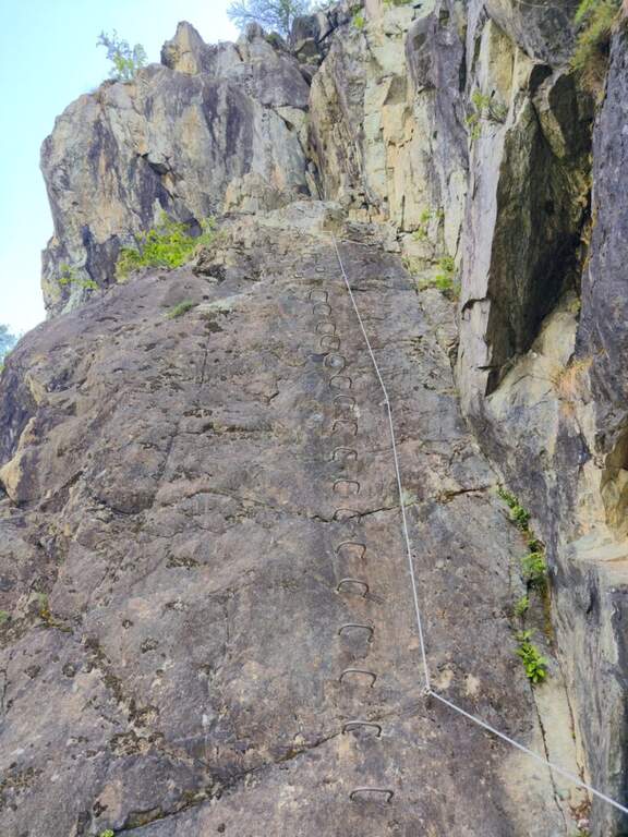
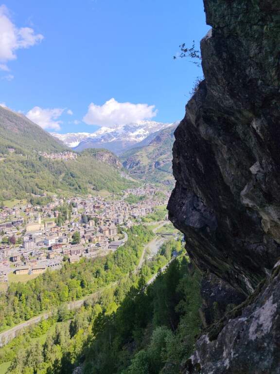
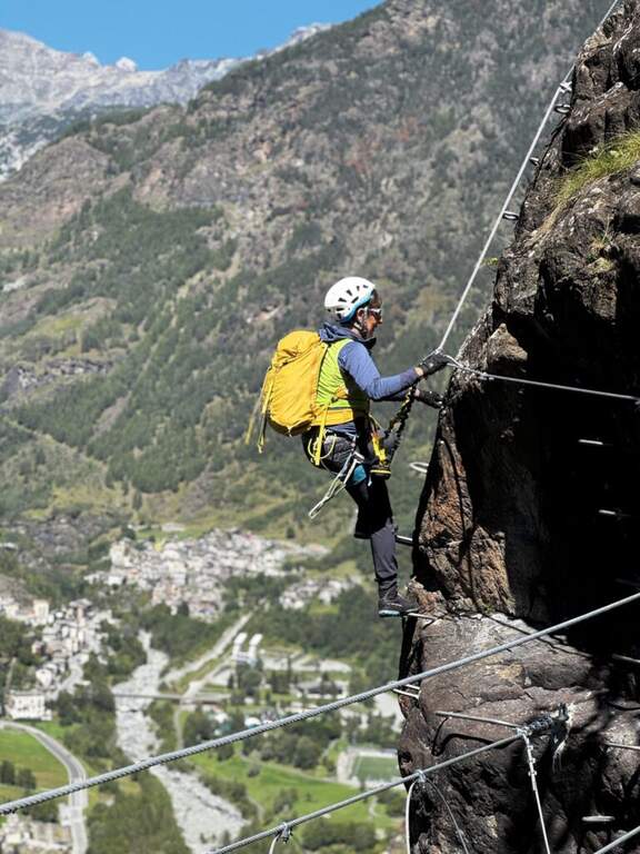
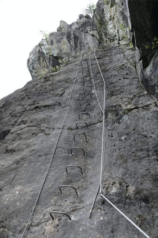
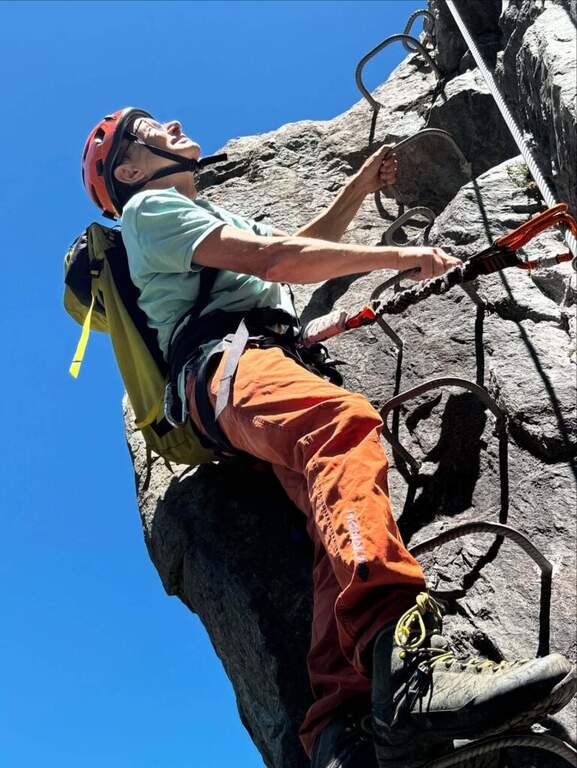
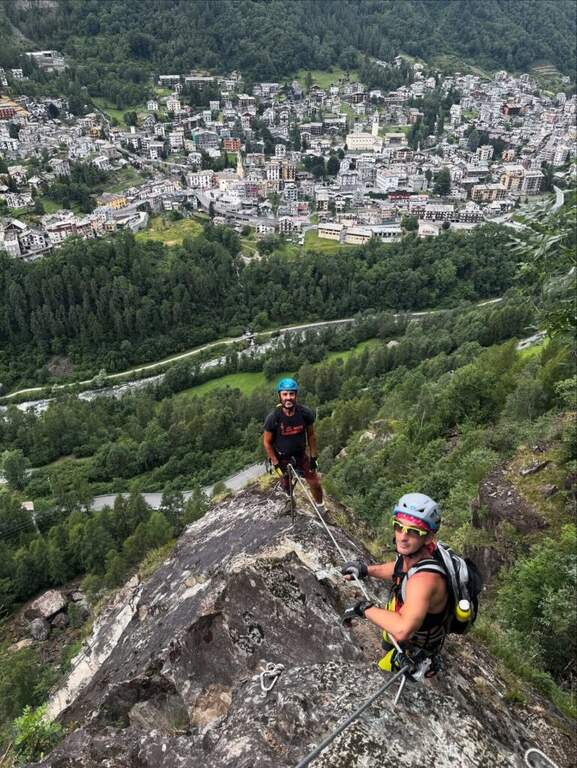
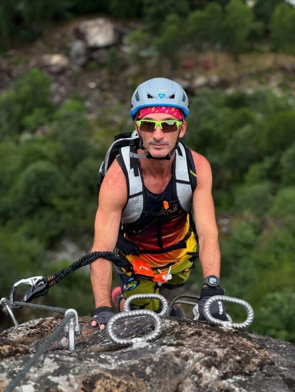
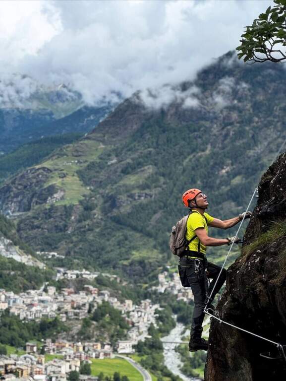
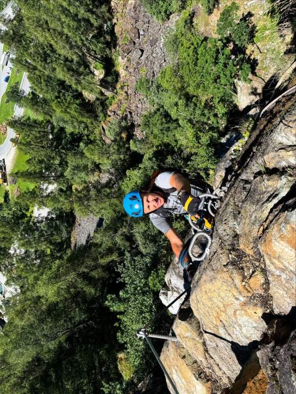
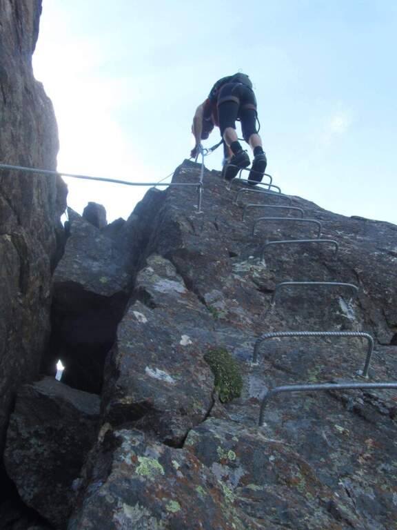
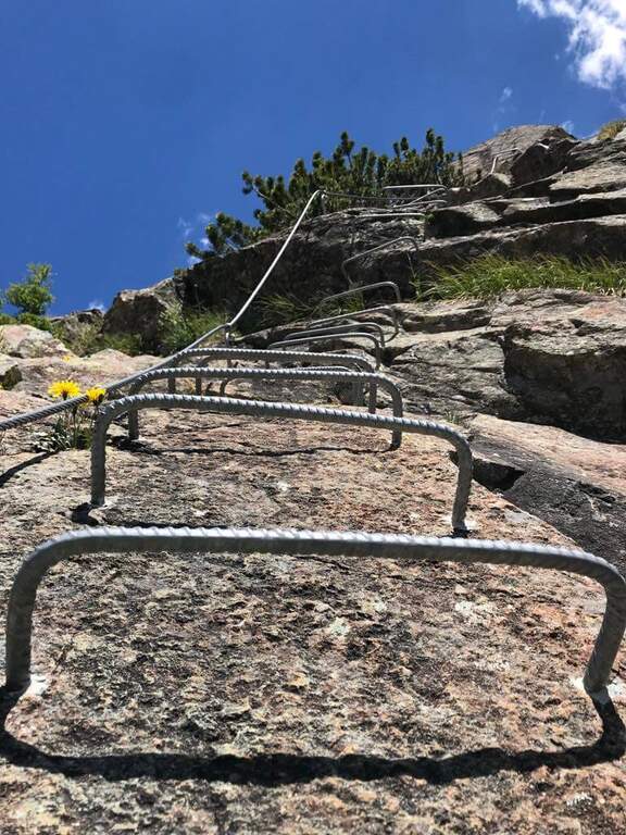
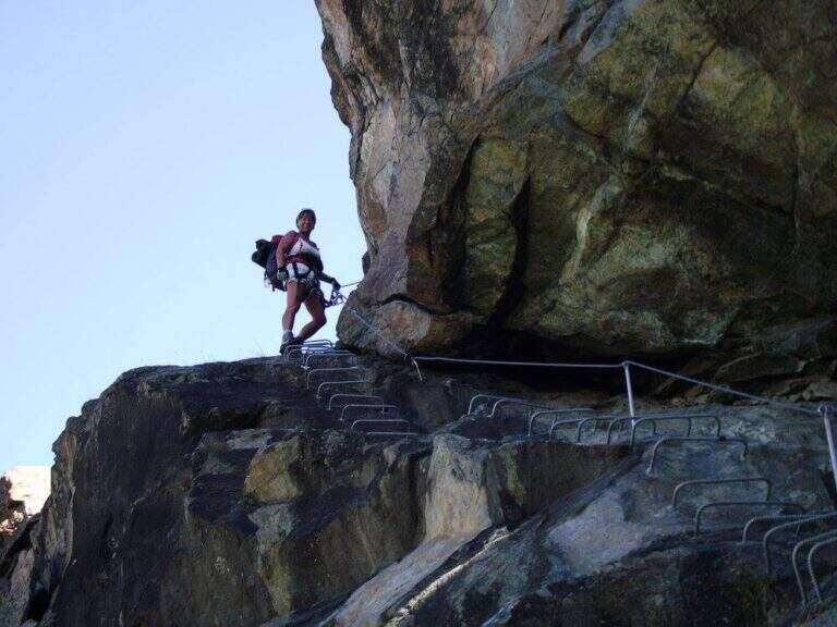
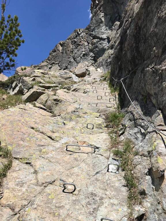
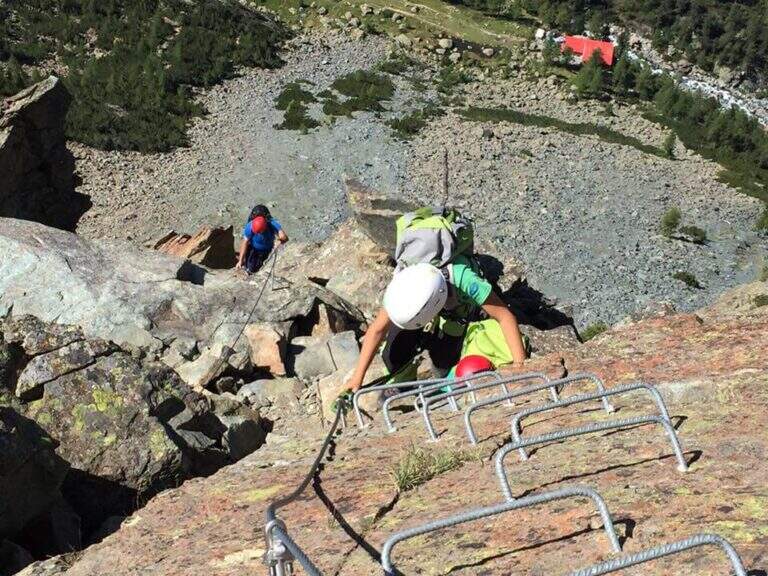
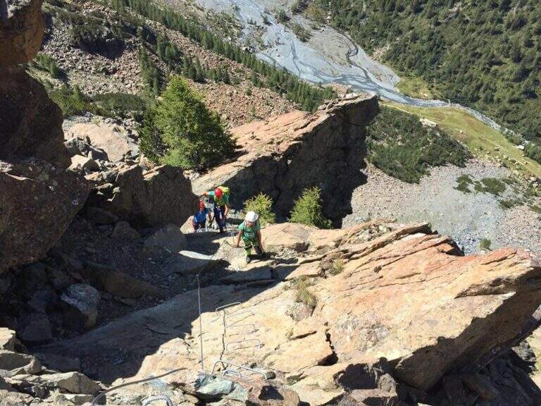
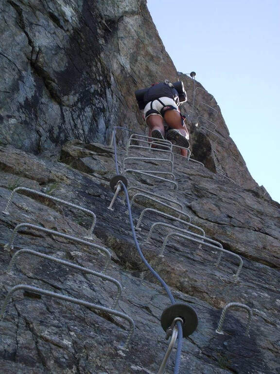
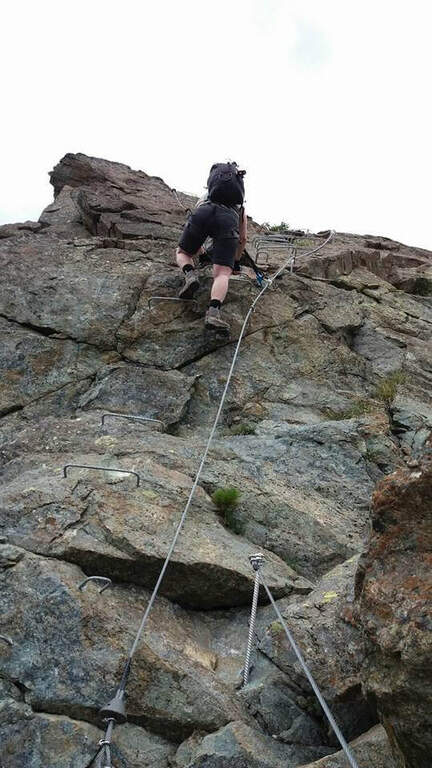
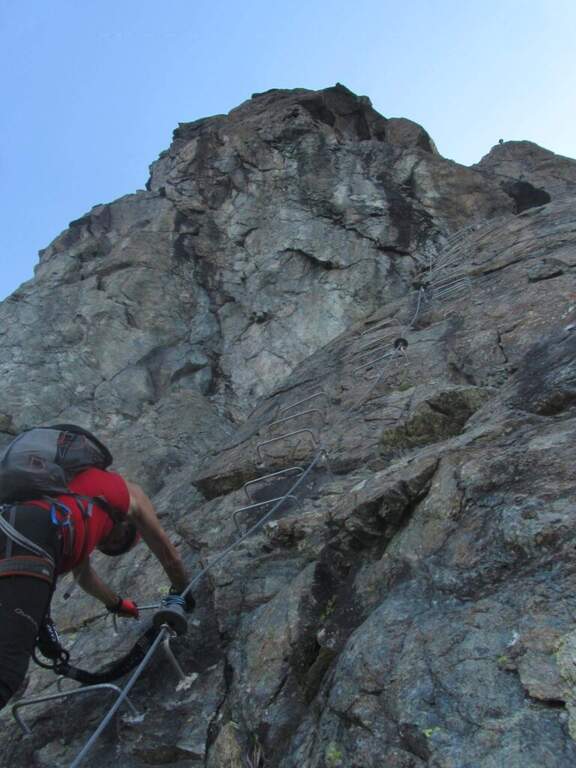
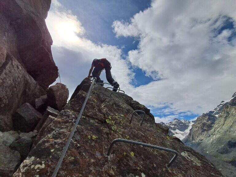
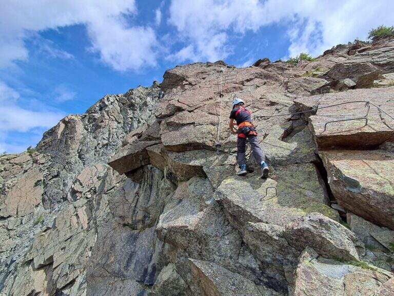
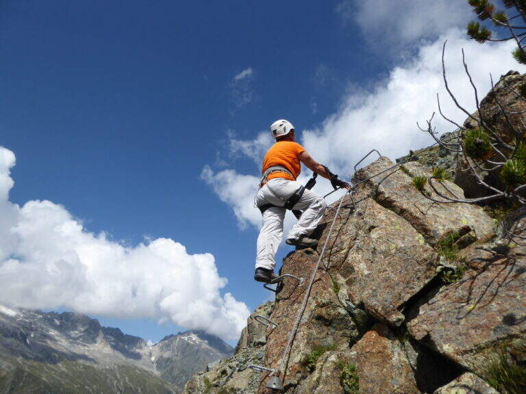
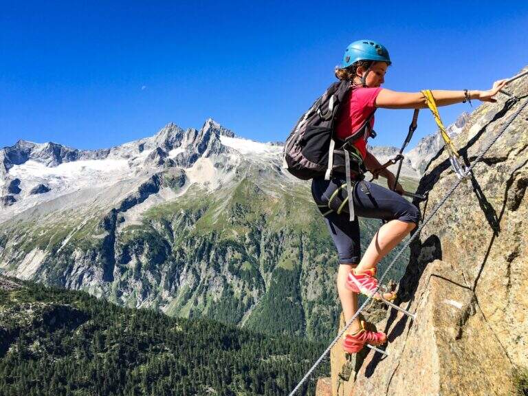
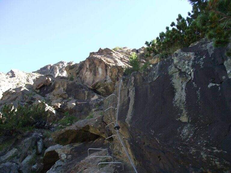
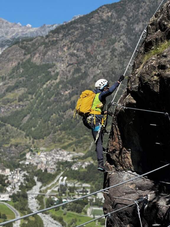
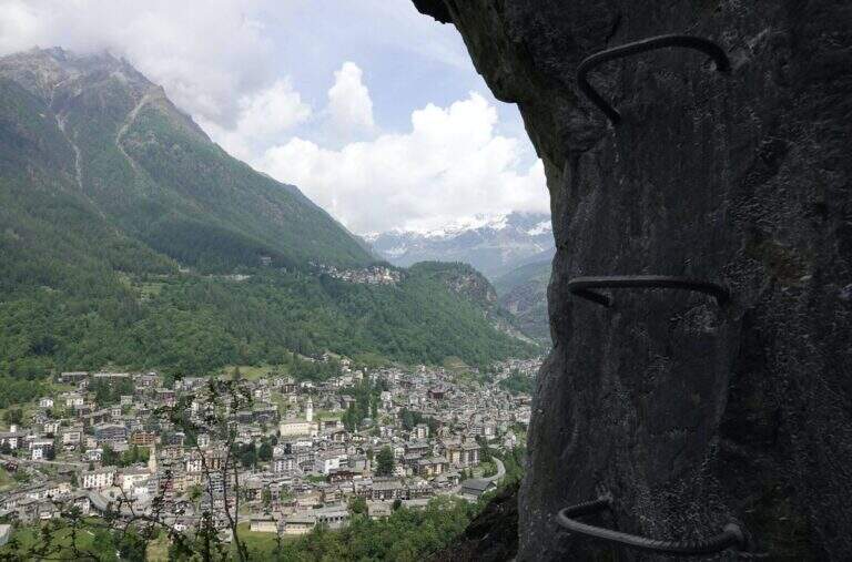
    La Ferrata Vigneron in Caspoggio (Valmalenco, Sondrio) è un via «alla Francese», athletic, vertical and exposed but without particular difficulties; techniques: it goes up long plates abundantly equipped with brackets and rope very tense, and gives a ponte tibetano and spectacular views of the valley.

    ▲Approach

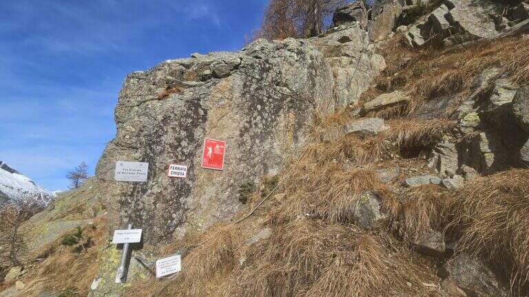
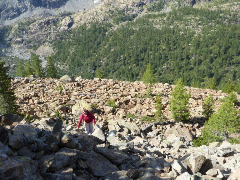
    You leave at the resort "Castello" in Caspoggio (SO): you park near the roundabout on the provincial road of Valmalenco (or at the parking lot of the first bend for Caspoggio). Open road signs on Google Maps. You climb the town for about 150 m to the hairpin bend; over a large boulder a first sign indicates the path to the crag « The Castle » and a second l' attack of the ferrata, on the southern edge of the cliff ( approximately 10' from'auto).

    ▲The path

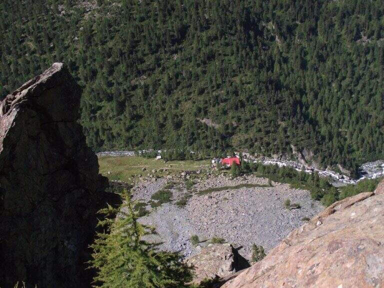
    It begins with a wall with almost vertical leaps that oblique to the left, then a wall leads to the large end of the first section. An easy crossing north leads to the second section, più long: vertical balzes and leans up to an almost vertical ramp, a short traverse and an air passage between edge and dihedron overlooking Primolo. After a resting edge you reach the più tract; vertical, the muro of Old England, overhanging for a few meters all' start (athletic and exposed pass) and then vertical. The oblique street on the left until the ponte tibetano (about 12 meters), which ends with a short vertical wall very airy and a panoramic edge on the Valmalenco Church; who wants to avoid the può bridge; bypass it on the right on the nod. It follows another long wall, at some point vertical and exposed, then the ferrata is lowered and by line of life on a well-equipped path you will arrive at the end (1h 45' from' attack, about 2h totali), overlooking the Pizzo Scalino and Caspoggio.

    ▲Character and difficulty

    Vertical and exposed with athletic difficulties but well equipped; the low altitude makes it possible almost all year round except the coldest winter months. Level difference in ferrata 210 m, total 260 m, maximum altitude 1215 m, development 3 km.

    ⚠ The road remains in shadow in the morning and takes little sun d' winter: attention to the possible ice on the path of return and prudence in the forest after the rains.
    ▲Discipline

    Dal boschetto sommitale, a sinistra (nord) un comodo sentiero porta in 10' alla frazione di Santa Elisabetta; prima delle prime villette si vira a sinistra (ovest) nel bosco verso Caspoggio, si raggiunge il centro sportivo Zenith e, per via Vanoni e via Burri, si segue verso la frazione Albertazzi fino alla strada dei parcheggi (45' dal termine, circa 3h totali).

    ▲To match

    In Valmalenco you can match the Ferrata al Torrione Porro above Clarification.
    ▲Gallery
    Technical data
    • DifficultyModerately Hard
    • RegionLombardy
    • GroupValmale
    • Approach0:10 h
    • Ferrata2:00 h
    • Itinerary (a/r)3:00 h
    • Hardware level difference210 m
    • Route difference260 m
    • Max1215 m
    • Length3 Km
  • Ferrata al Torrione Porro

    Ferrata al Torrione Porro

    Vie Ferrate › Lombardy › Sondrio
    Ferrata al Torrione Porro
    Moderately Hard● OpenDescriptionComplexityMapsGallery

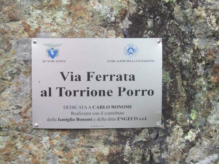
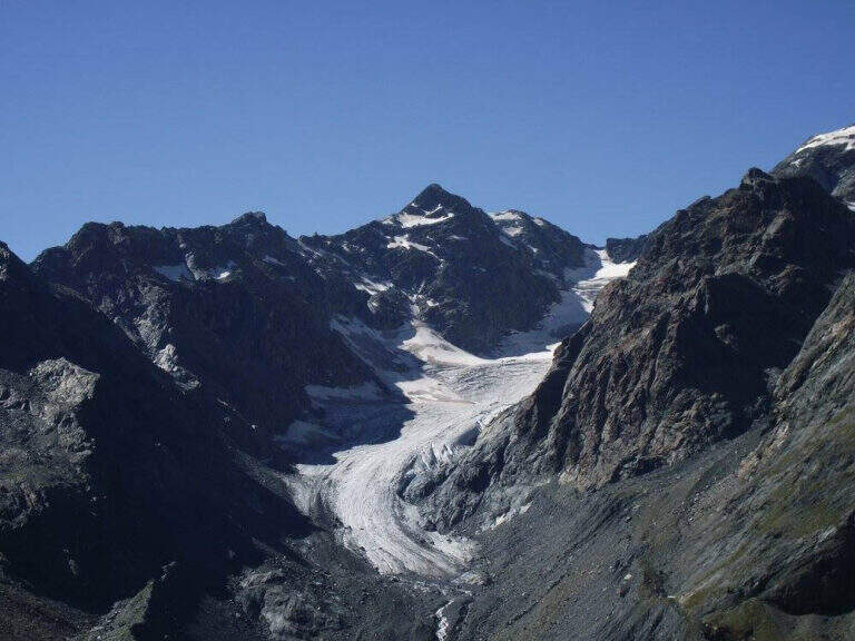
    La Ferrata al Torrione Porro develops in high Valmalenco, above Chiareggio. It is abundantly equipped and of moderate difficulty, without technical passages relevant even in the second part, more exposed; from the summit you enjoy a beautiful view on the Glacier of the Ventina and the Group of Disgrace.

    ▲Approach

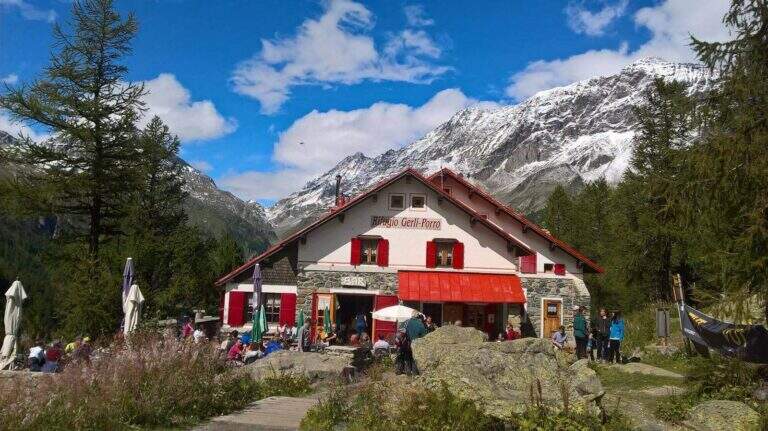
    It starts from the 'inhabited of Chiareggio (Chiesa in Valmalenco). Open road signs on Google Maps. At the end of the village a staircase descends to a pole with the CAI signposts: cross the bridge over the Mallero stream and cross the dirt road to the Rifugio Gerli-Porro (1h from the parking lot). Beyond the refuge follow the path to Lake Pirola up to a pole; you keep the left towards l' attack, you go up some bends up to a junction where you separate ferrata and normal way, and in short you reach the red sign d' start (30' from the refuge, 1h 30' from the parking ).

    ▲The path

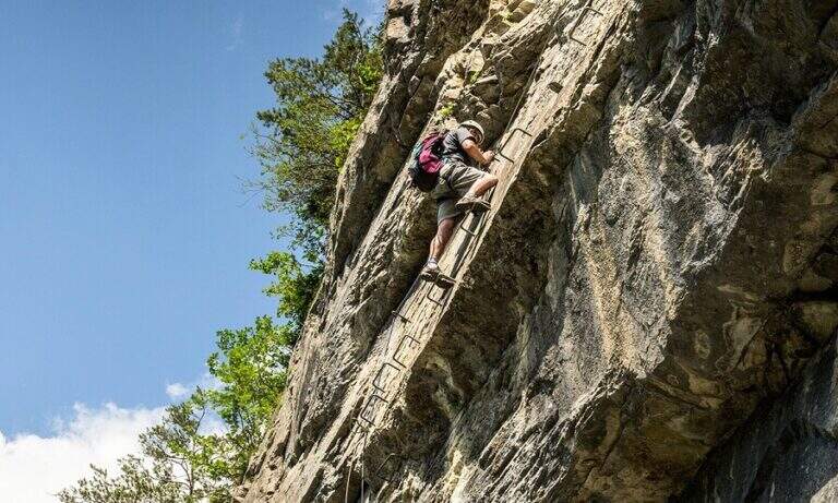
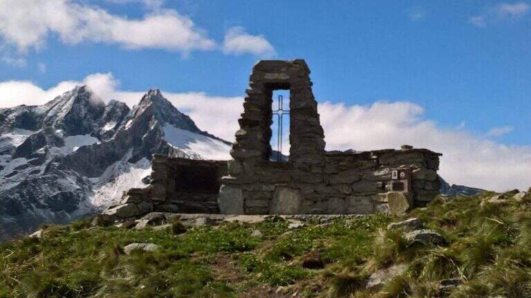
    The equipment starts on an ascending ramp to the right, runs smoothly until the first vertical sections with plenty of brackets. There are short rocky cliffs and diagonal stretches up to a ramp where the cable acts almost as a handrail. The second part è definitely più vertical and exposed but technically easy thanks to brackets and handles: tre long walls, one of which with a exposed section where the rock pushes towards l' outside and requires pi` Come on. At the end you can può climb left at the top of the Torrione Porro (50' from the attack, 2h 30' total) or continue right towards the path of the normal road.

    ▲Character and difficulty

    Recently (launched July 10, 2016, built by CAI Valmalenco and Guide Alpine Valmalenco), with equipment in good condition and very abundant: the technical difficulties are reduced and the ascent is also suitable for those who have moderate experience. 195 m, total 823 m, maximum altitude 2435 m, development 12 km.

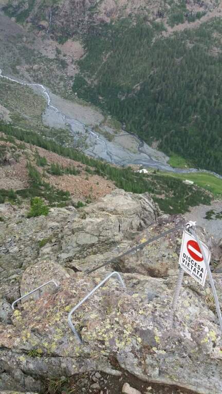
    ⚠ As indicated by a fine-tune sign, la descent along the è route; prohibited: it falls from the normal route.
    ▲Discipline

    From the ' summit lift follow the via normal, which leads to the junction of the ' then, downhill, to the Rifugio Gerli-Porro and to the parking lot (1h 30' from the summit, 4h totali).

    ▲Gallery
    Technical data
    • DifficultyModerately Hard
    • RegionLombardy
    • GroupValmale
    • Approach1:30 h
    • Ferrata0:50 h
    • Itinerary (a/r)4:00 h
    • Hardware level difference195 m
    • Route difference823 m
    • Max2435 m
    • Length12 Km
Need help? Write to us!