
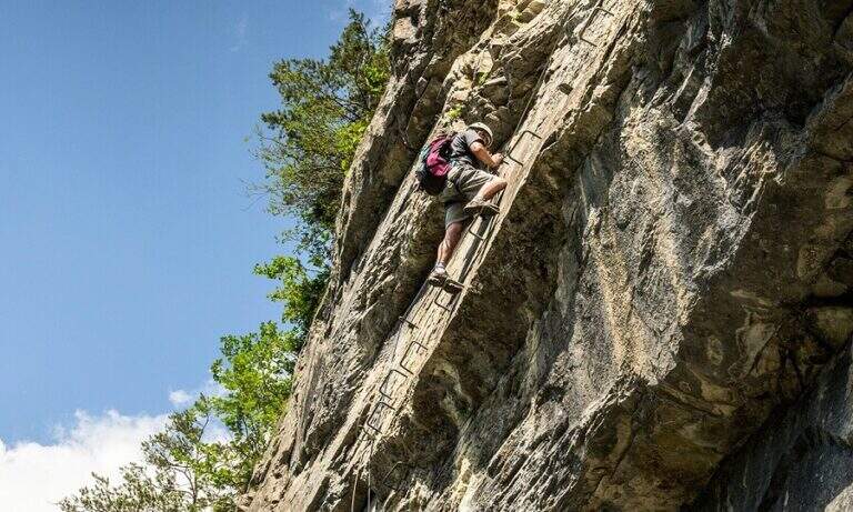
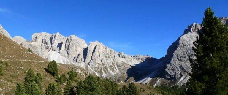
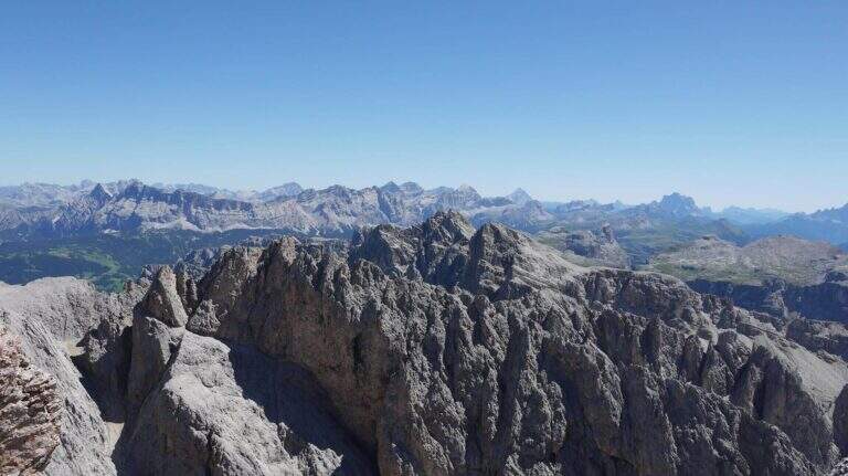
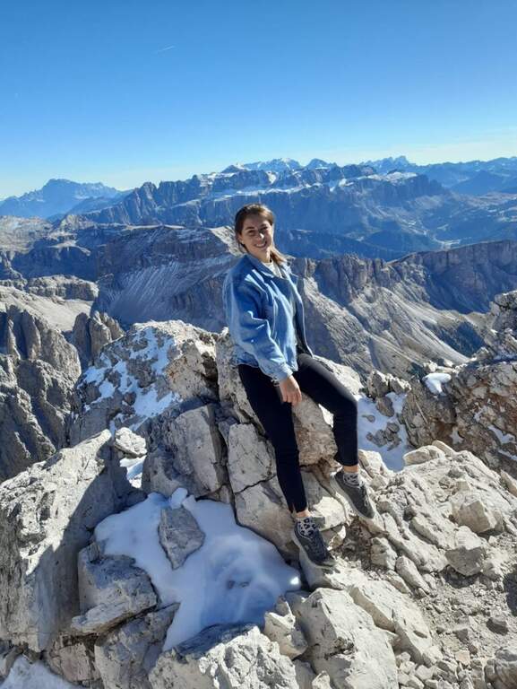
La Ferrata at Sass Rigais door on the highest peak of Val Gardena and Odle, to 3025 m, combining two equipped routes: the ferrata est e la south ferrata. The difficulties are medium-low on both, but the east has more accentuated vertical traits and it is therefore advisable to go uphill. Approach and return are long and challenging.
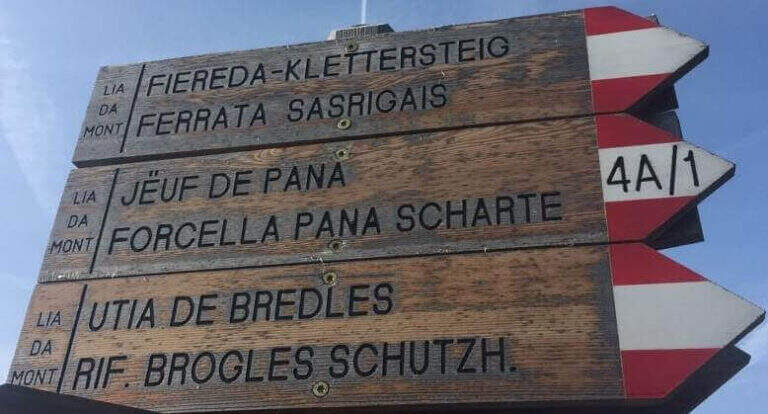
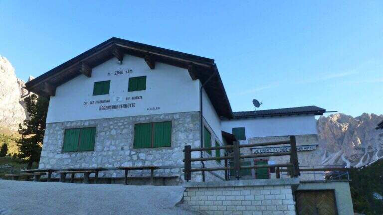
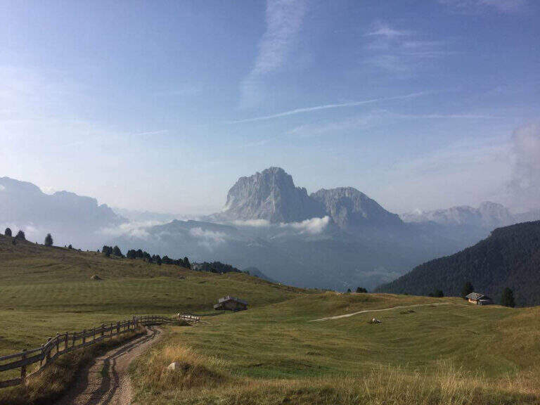
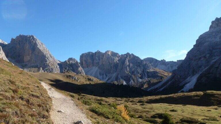
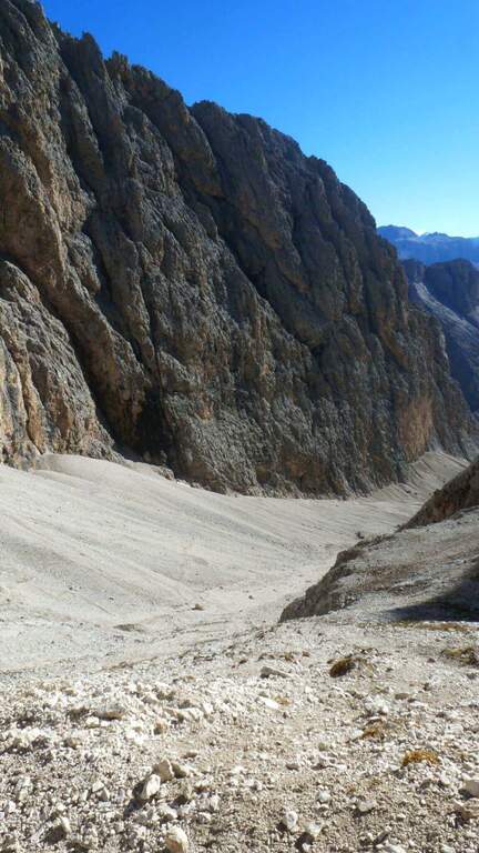
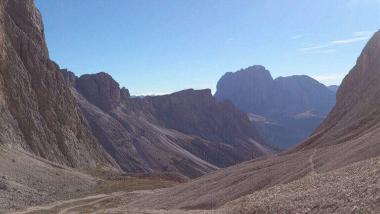
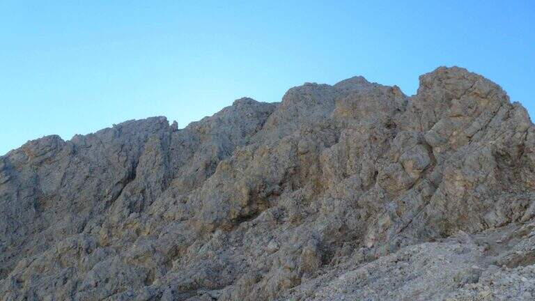
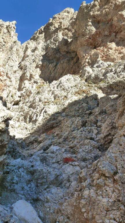
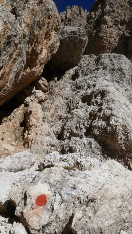
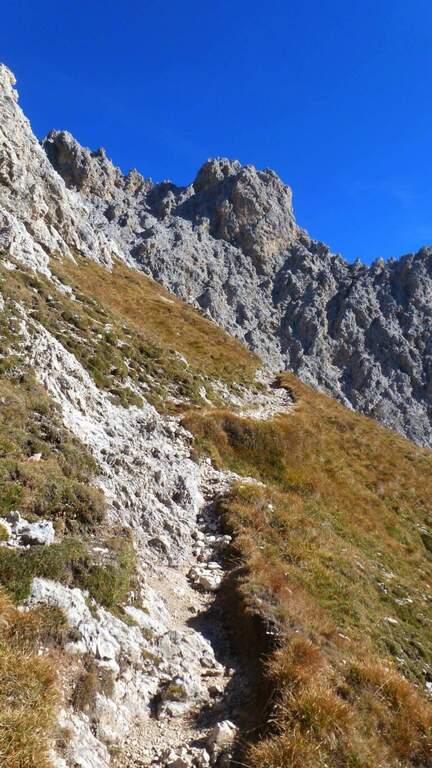
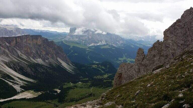
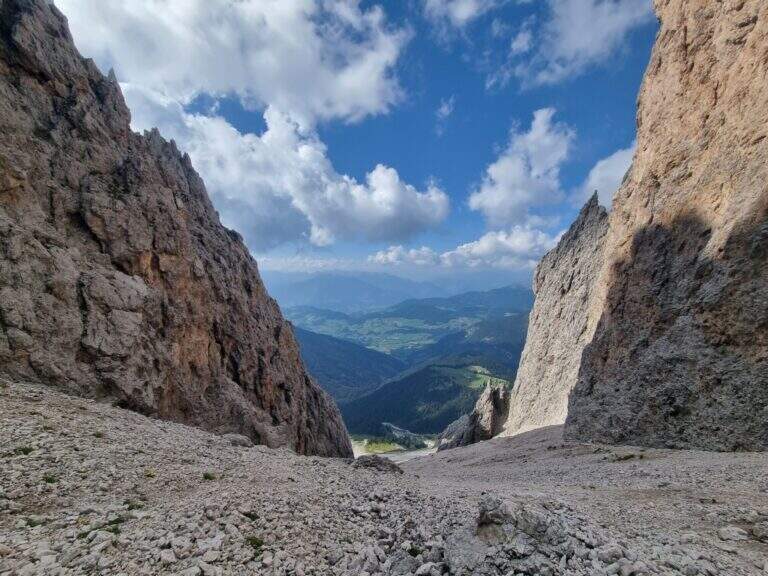
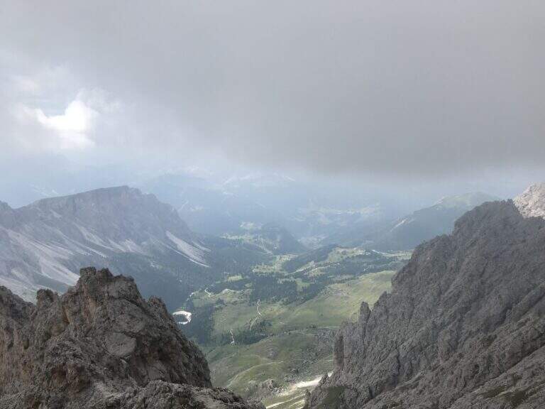
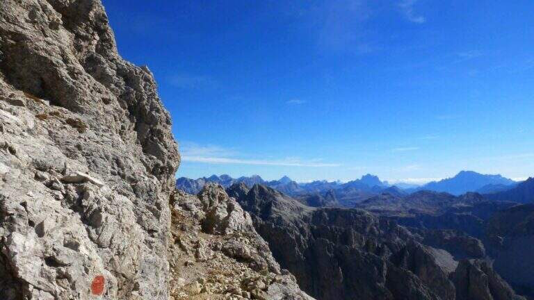
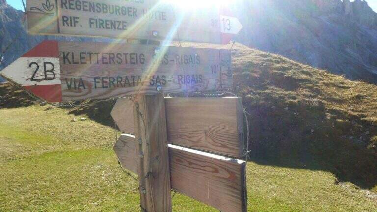
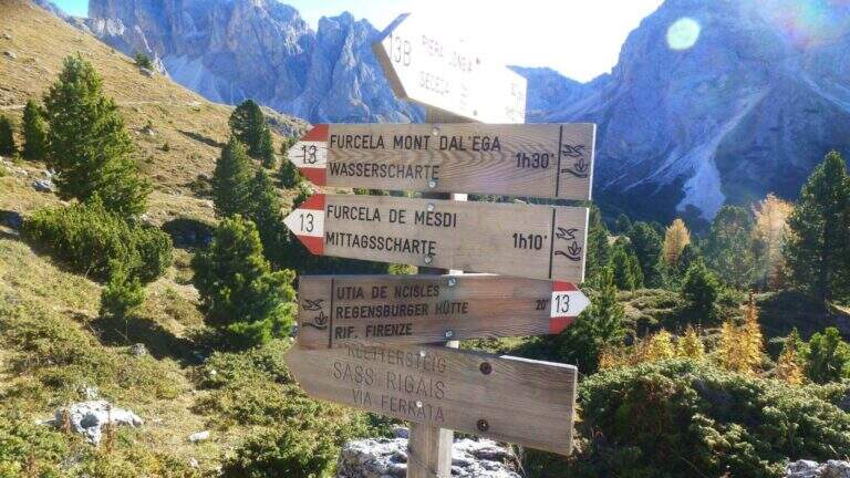
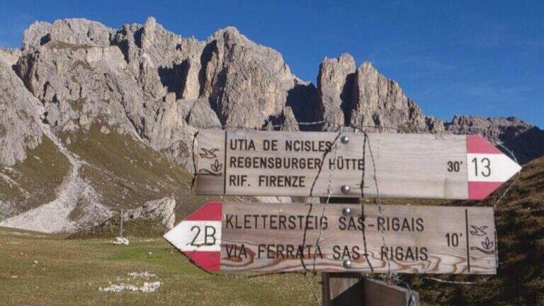
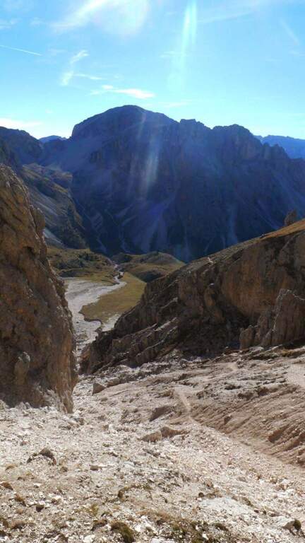
Starting from the mountain station of the cable car that connects Selva di Val Gardena to the Rifugio Col Raiser (2106 m): from Selva you go towards Santa Cristina to the Strada Ruecia, where are the plants, parking in the wide beach in front. Open road signs on Google Maps. From the upstream station follow signs for Sass Rigais to the north-east, signpost 4, up to the Rifugio Firenze (2040 m), reached in a few minutes of ascents on road. From the refuge the path 13 punta dritto al Sass Rigais fino al bivio presso il Plan Ciautier (2322 m, 1h dalla stazione a monte): qui si può tenere la destra e salire il lungo vallone detritico della Val Salieres (per la ferrata est) oppure la sinistra col segnavia 29 verso la Forcella de Mesdì (per la ferrata sud). In questa relazione si sale dalla est e si scende dalla sud. Tenuta la destra e risalito il vallone detritico tra Sass Rigais e Furchetta, si raggiunge la forcella che li separa (2696 m, 2h 15' totali), con vista sulla Val di Funes; si tiene poi la sinistra per salire su traccia con bolli rossi la placca est fino alla sella d'attacco (2800 m, 2h 30' totali).
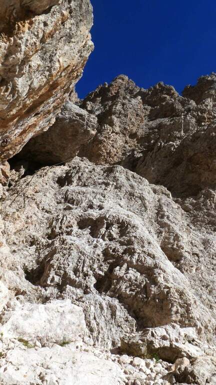
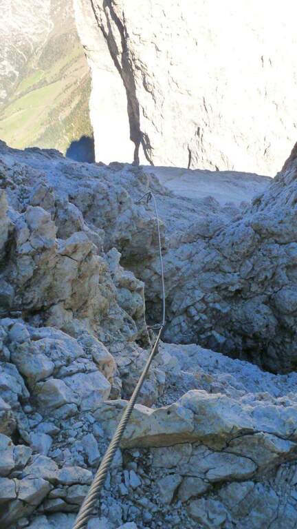
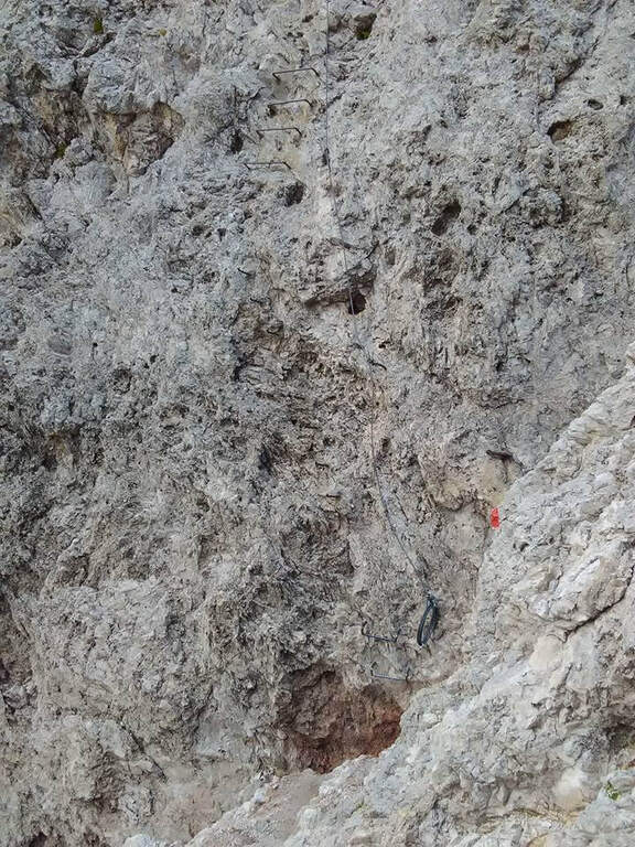
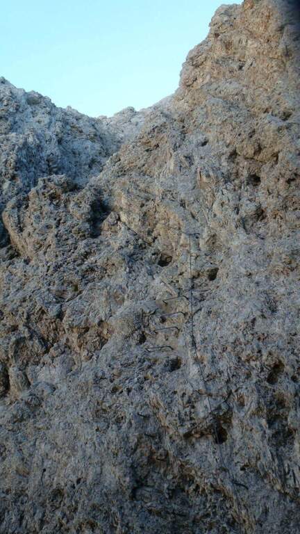
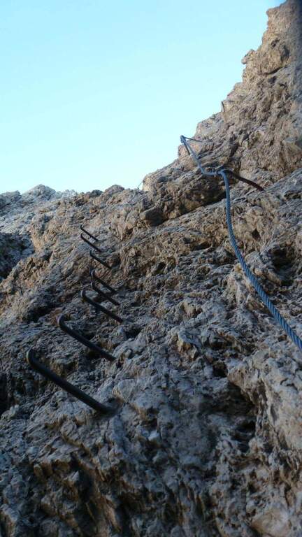
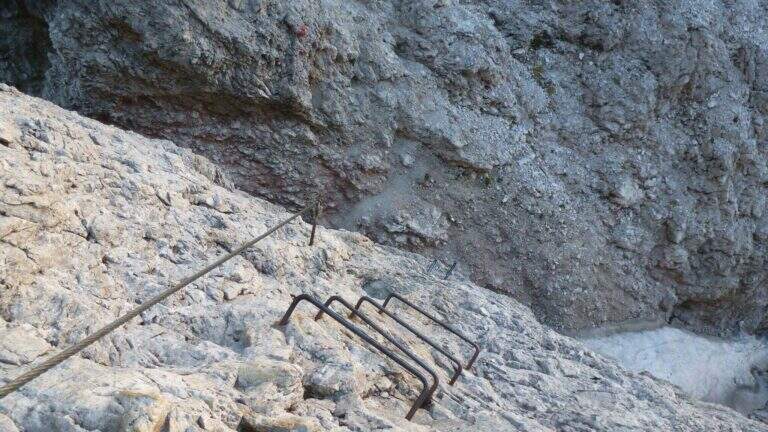
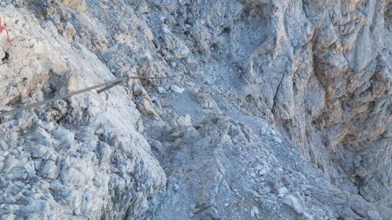
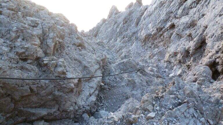
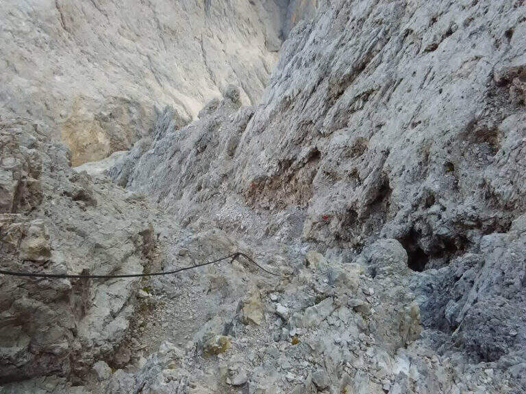
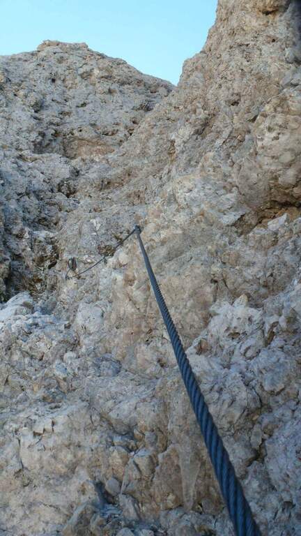
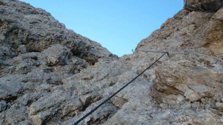
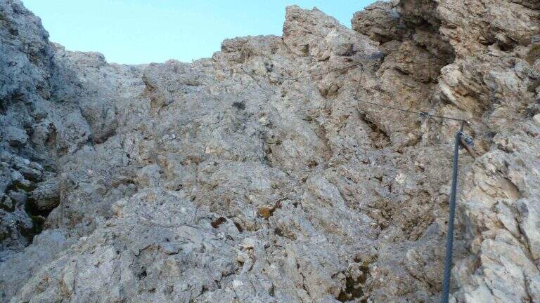
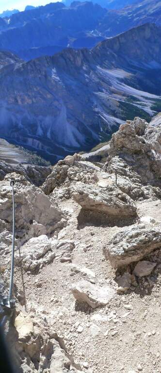
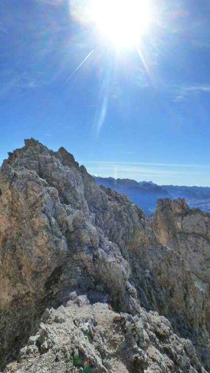
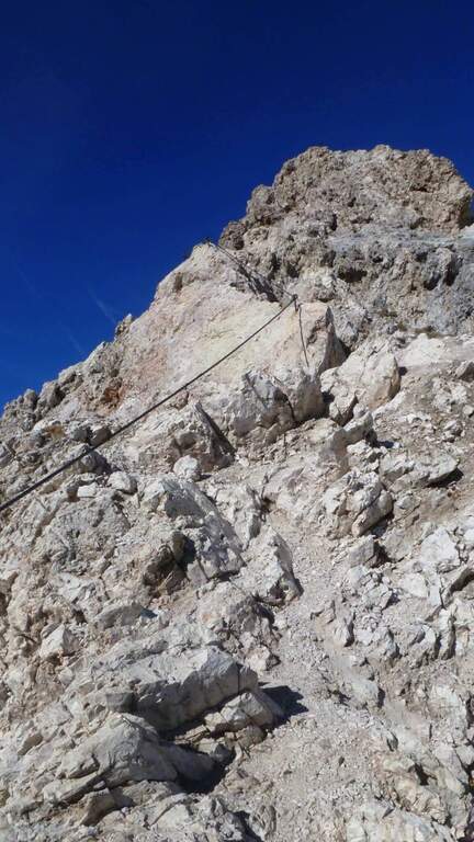
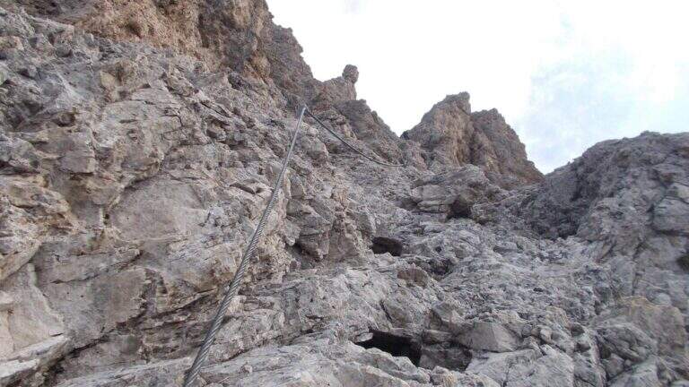
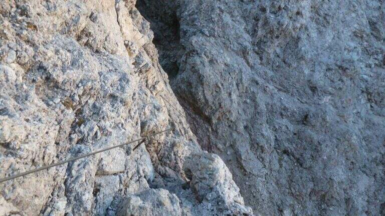
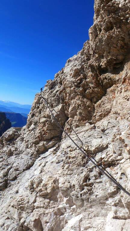
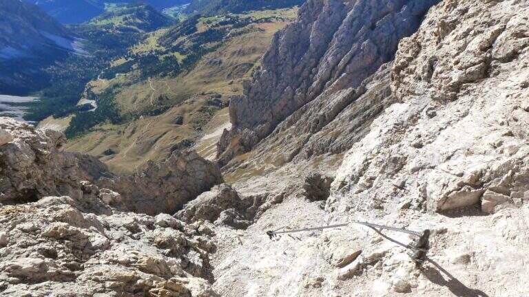
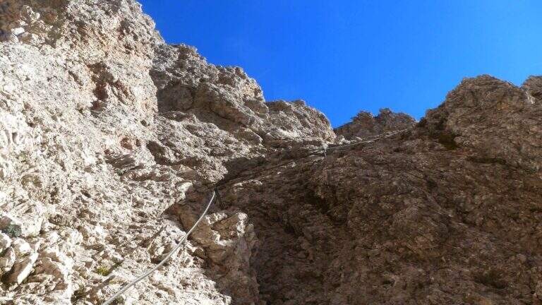
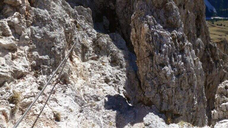
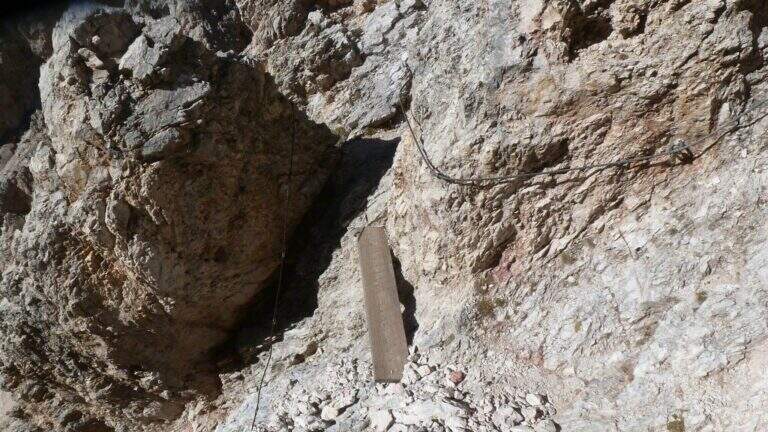
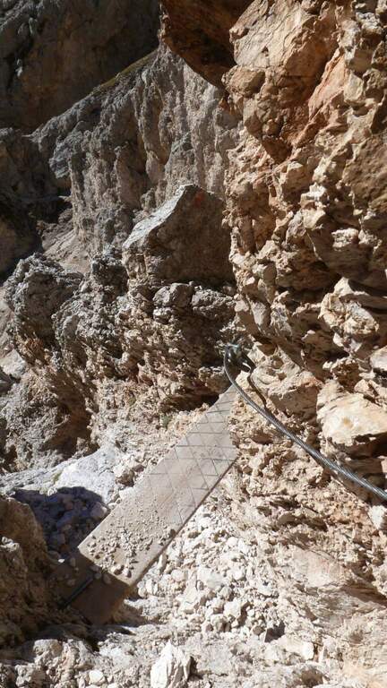
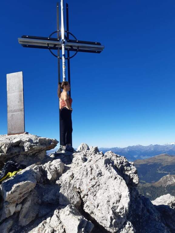
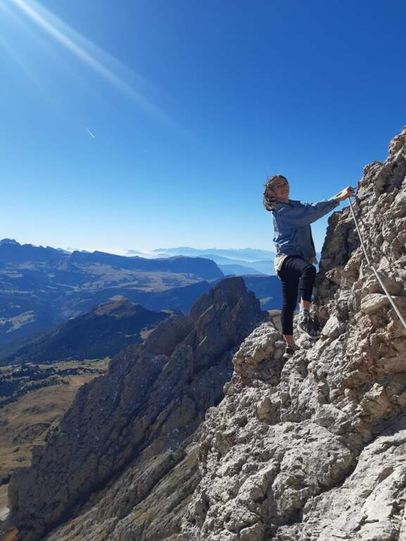
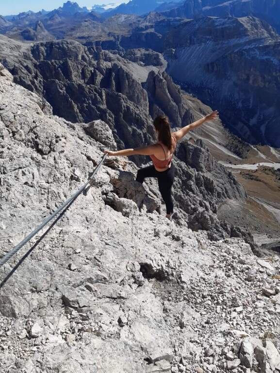
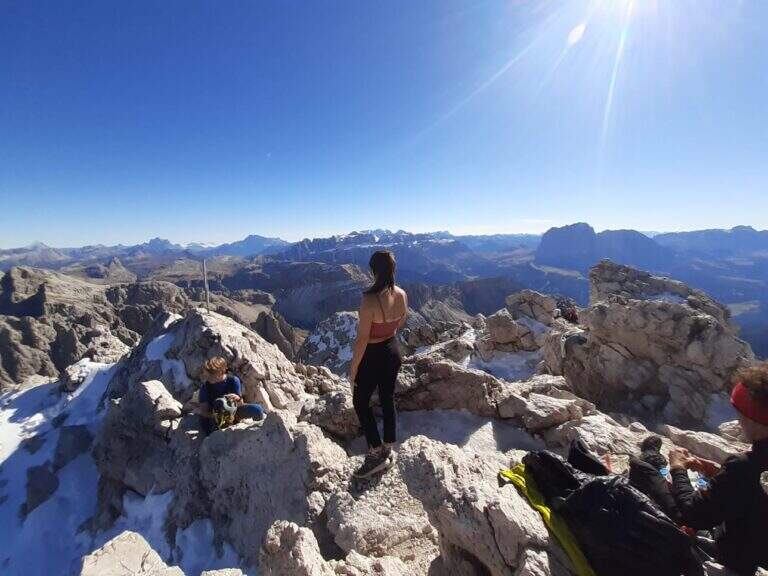
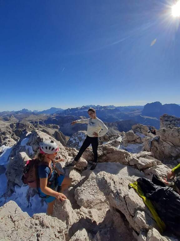
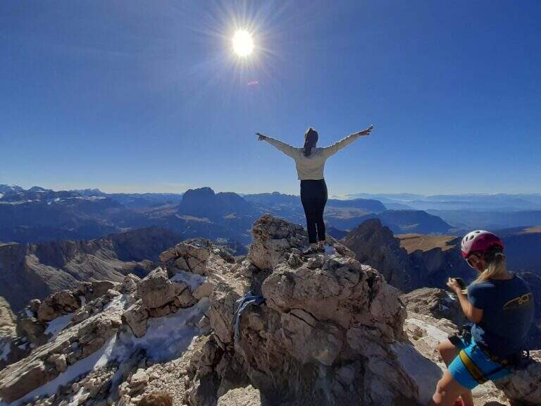
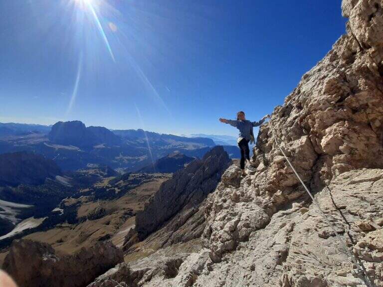
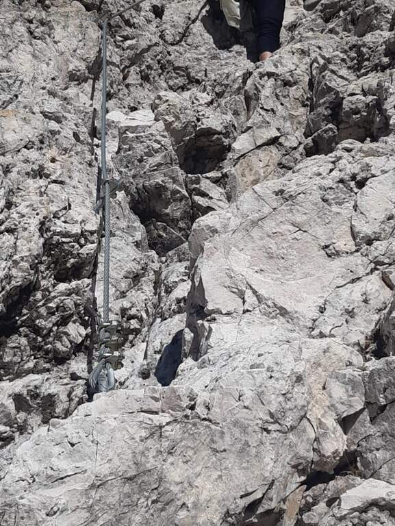
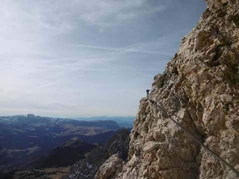
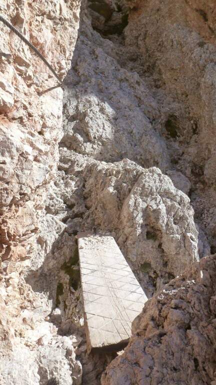
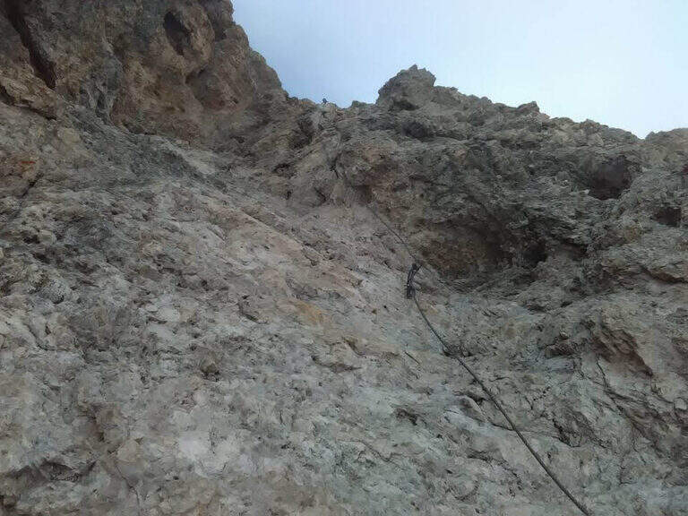
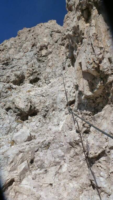
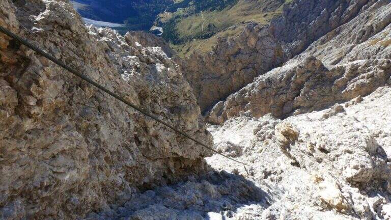
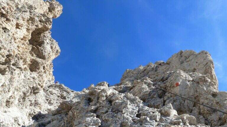
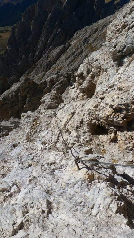
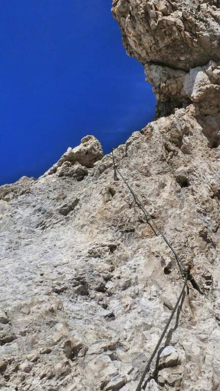
La east ferrata inizia su roccette ben appigliate, dove il cavo serve da sola autoassicurazione; si supera una fessura e una rampa verso sinistra fino a un punto verticale che si affronta con un breve traverso a sinistra su semplici chiodi e poi in verticale su ampie e solide staffe. Seguono ancora roccette senza difficoltà e un canalino roccioso verso destra; usciti dal canalino si vede la croce sommitale. Una serie di balzi rocciosi alternati a facili roccette porta alla crestina finale e alla croce del Sass Rigais (3025 m, 1h dall'attacco, 3h 30' totali). Per la discesa si imbocca la ferrata sud: ci si dirige a sud lungo una crestina sommitale a tratti non protetta, poi su una lunga serie di roccette, rampe inclinate e balzi di difficoltà medio-bassa con cui si perde rapidamente quota fino a innestarsi in un sentiero ripido; un ultimo balzo con una rampa e un salto più verticale presso una passerella in legno chiude le attrezzature (1h dalla vetta, 4h 30' totali).
Medium difficulty Ferrata that leads on a three thousand of the Odle-Puez; the combination of a uphill road and a downhill road makes it pleasant also for the expert ferratista.
GPS tracks (GPX and KMZ) are available; the map of Val Gardena, Val di Funes and Alpe di Siusi or Val Badia di 4Land is useful for the area.
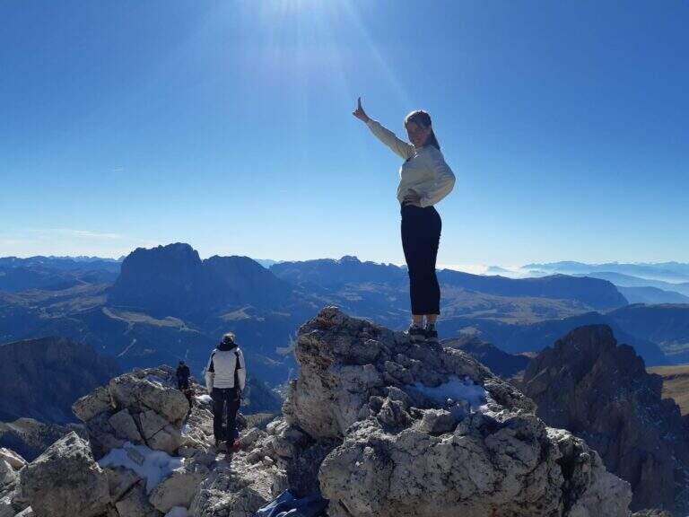
Sass Rigais is the highest mountain in Val Gardena and Odle. Reinhold Messner went up with his father only five years, well before the construction of the via ferrata.
From the end of the equipment you descend to the valley for a gravel valley towards the Plan Ciautier; at a crossroads you can può keep the right for a shortcut marked towards the Col Raiser (reent about 1h, totale about 6h).
In Val Gardena you can join the ferrates Small e al Gran Cir near Selva; towards the Sella Group the overview Tridentine; towards Passo Sella, in an increasing order of difficulty Ferrata at the Col Rodella, la Schuster at Sassopiatto e la of the Mesules at the Piz Selva.
- DifficultyModerately Hard
- RegionTrentino-Alto Adige
- GroupOdle
- Approach2:30 h
- Ferrata1:00 h
- Itinerary (a/r)6:00 h
- Hardware level difference225 m
- Route difference870 m
- Max3025 m
- Length9,7 Km