
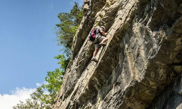
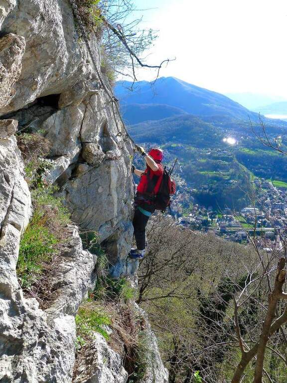
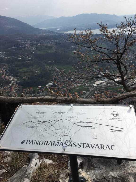
La Ferrata Sass del Tavarac ` a difficult and athletic street above Erba, in the province of Como. È of traditional type, with equipment reduced to the minimum and without fixtures in support of the climb: it is aimed at expert hikers, well trained and with good force of arms. The rock offers almost everywhere good climbing skills; and despite the low altitude (749 m), it can be appreciated also by più climbers; demanding.
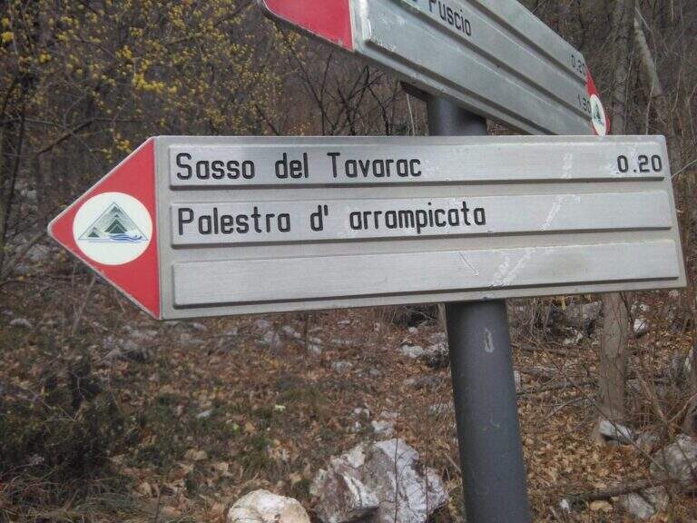
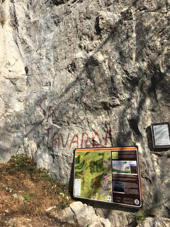
It starts from the 'inhabited of Crevenna (common of Erba), in the direction of the 'Heremo di San Salvatore. Open road signs on Google Maps. The road that leads to the 'Eremo è private and in theory not accessible (who uses it risks the fine, but saves 30'); alternatively it goes partially via San Giorgio up to a dirt road on the right where to park. From here two options: take the paved road and then climb from the path into the wood, cutting various bends (entrance «official » signalled by two steps in stone; 30-35' from the parking lot); or take the path starting from ' We will, following the signs for the ferrata and the nearby crag with red stamps, up to search for l' attack on the right of the crag (30' from'Eremo, 1h from the slargo San Giorgio).
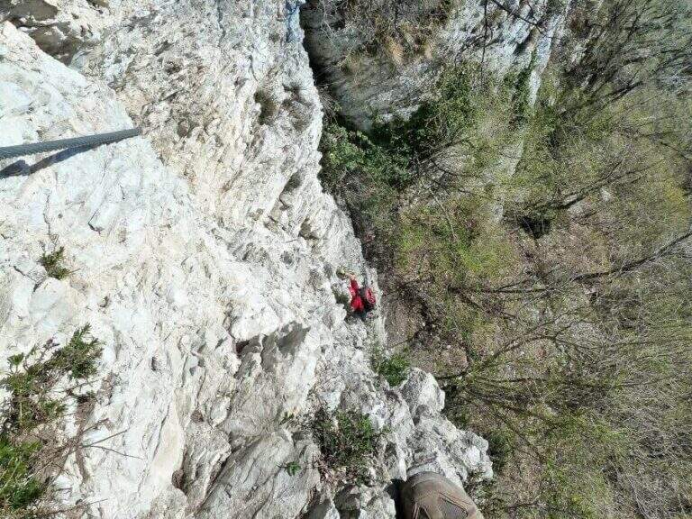
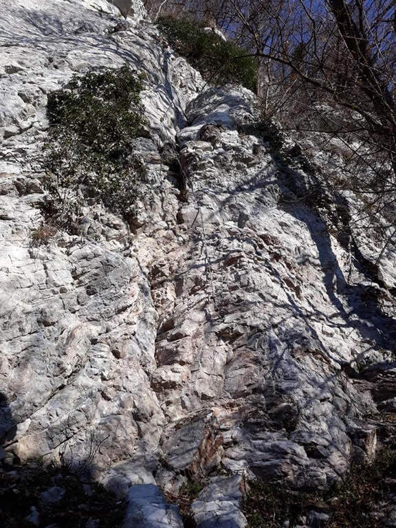
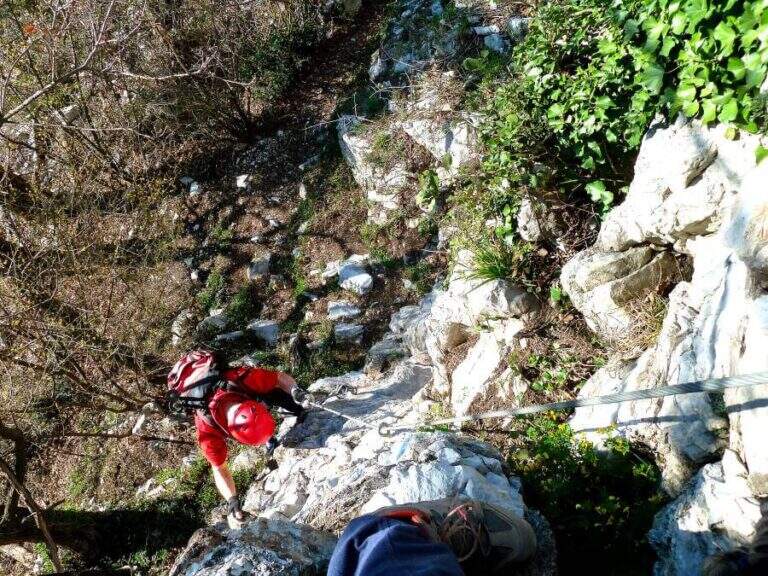
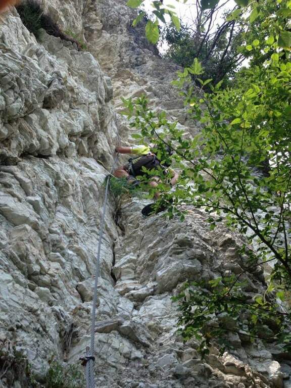
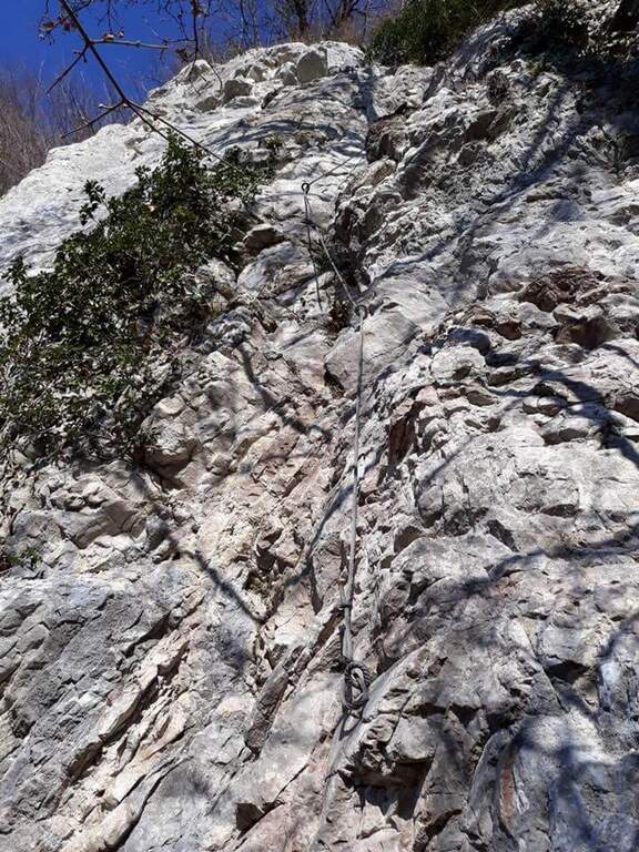
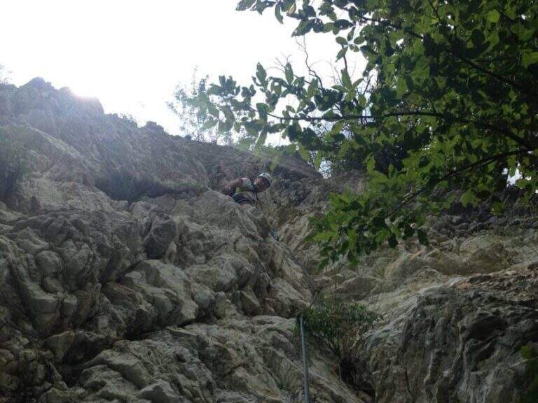
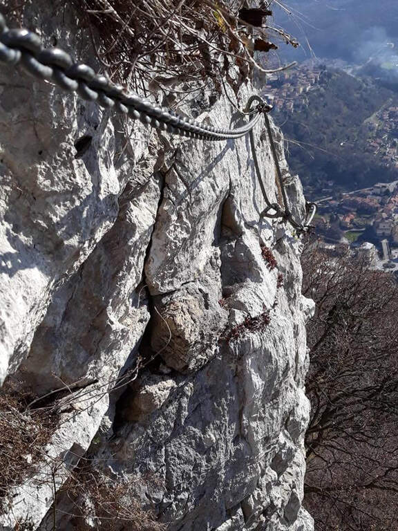
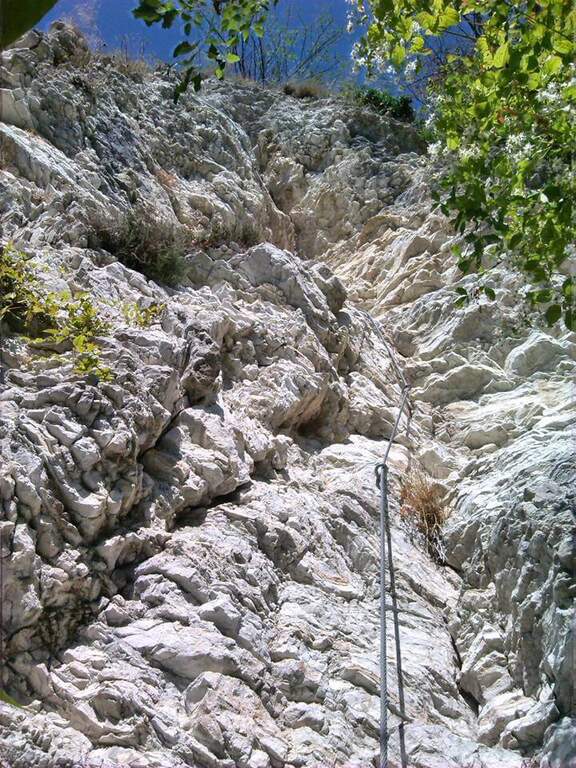
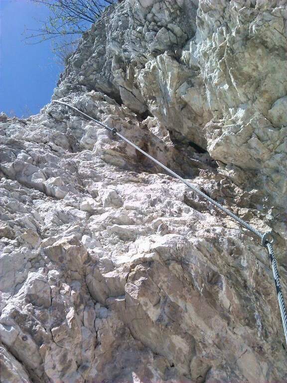
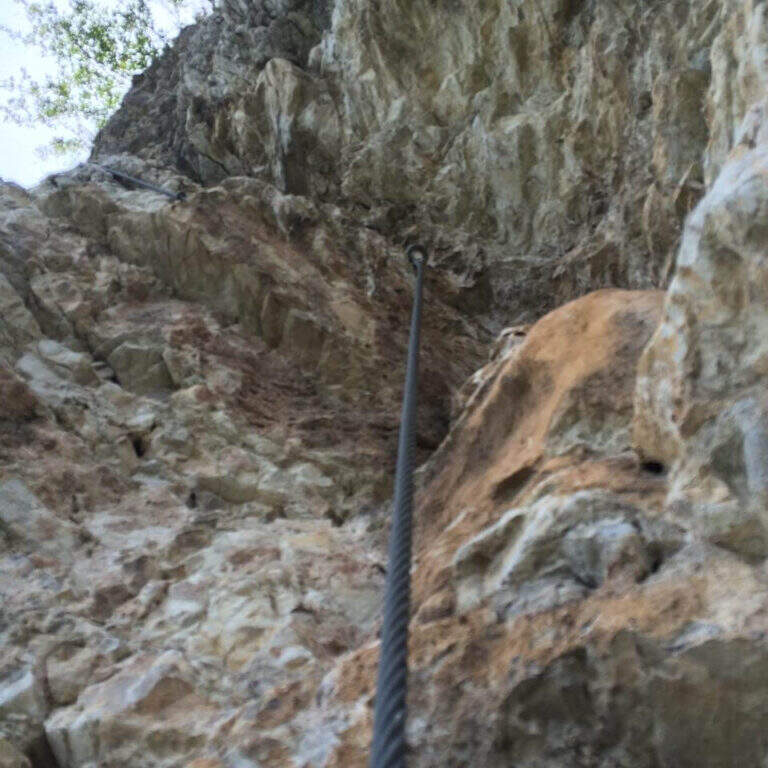
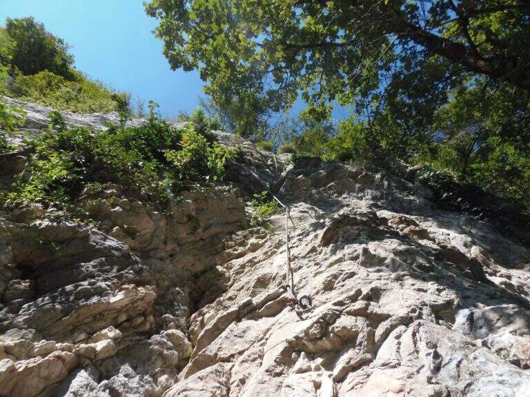
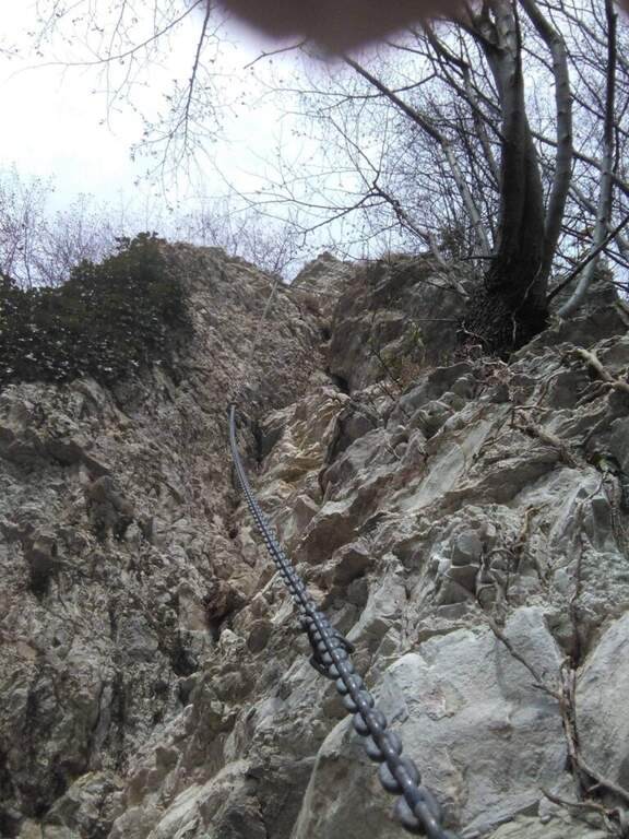
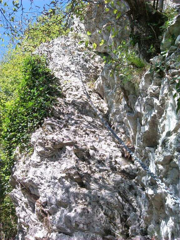
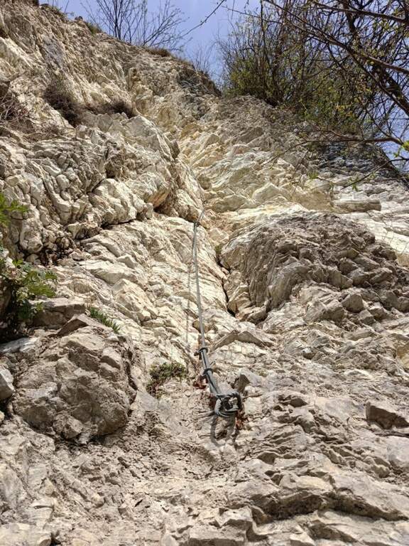
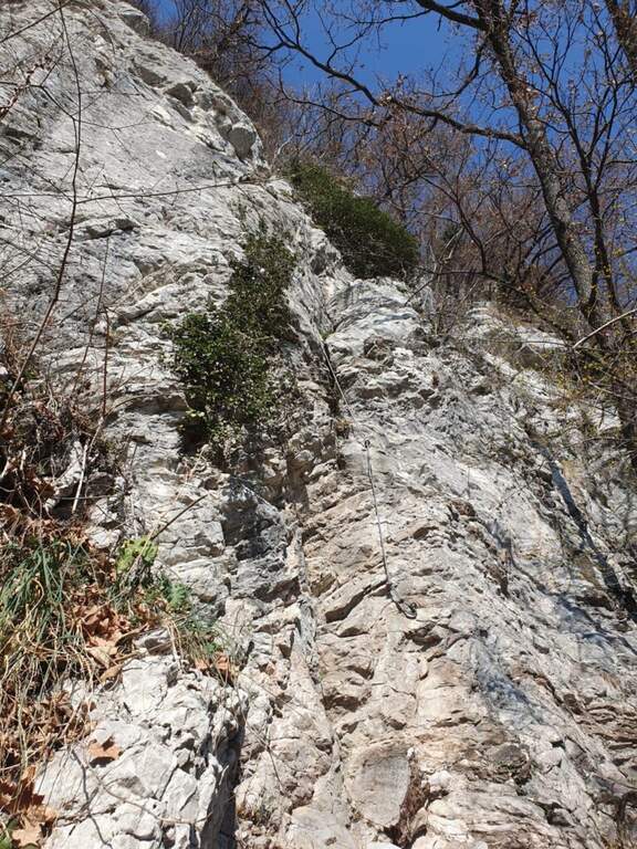
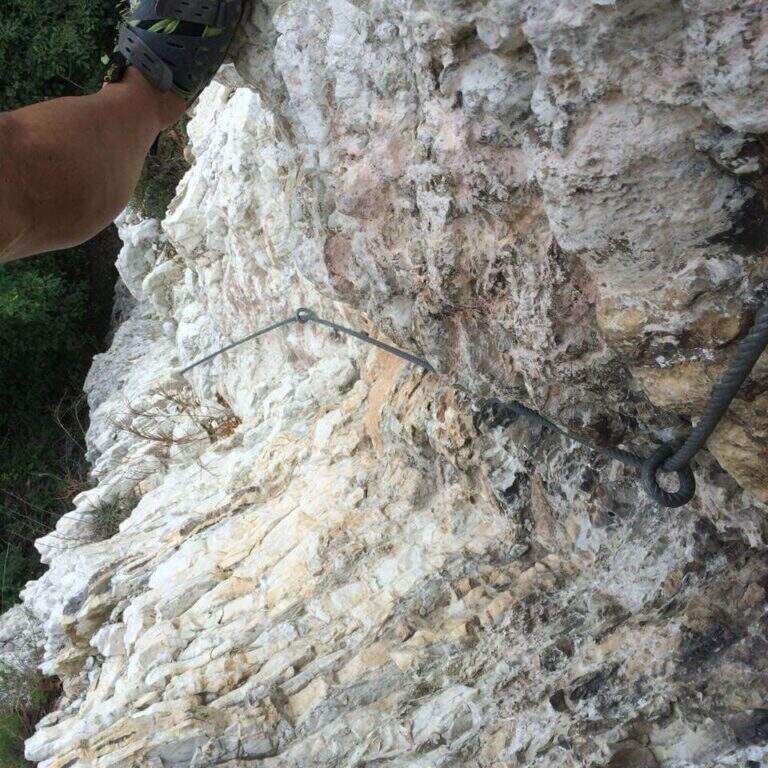
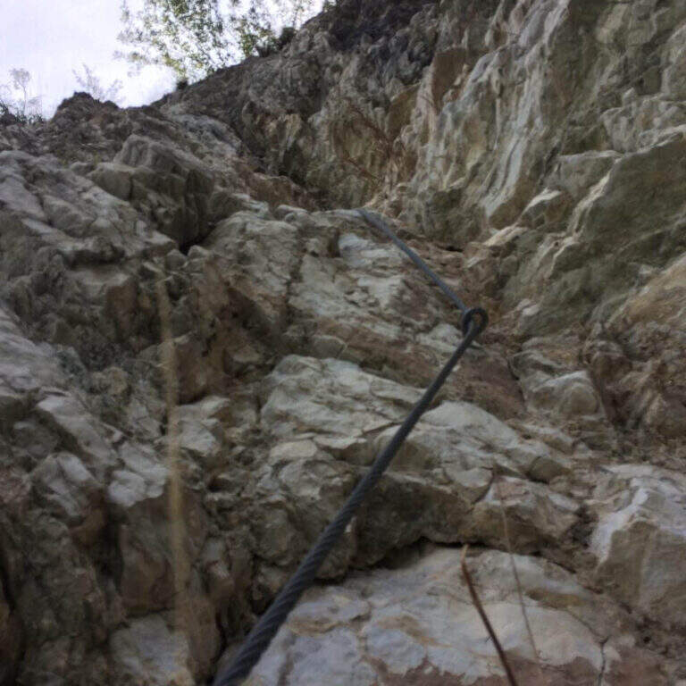
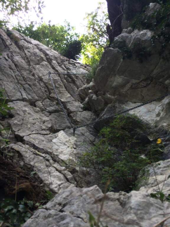
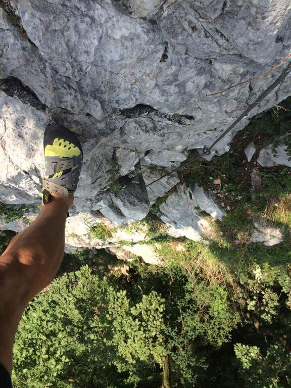
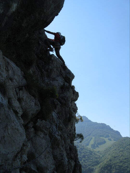
The route is divided into tre sections difficult to understand; decreasing. La first è the più selective: immediately climbs a wall with characteristics of unmarked dihedron, about 30 meters very challenging and with few hooks; on top a cross with chains to the left, exposed and tiring, with the feet in adherence, leads to a canal to be climbed up to a crossroads (right the second section, to the left a d' street). The seconda attacks with a path equipped along a ramp and rocky and grassy steps up to a second vertical wall, less hard than the first but with less solid rock: it goes up for about fifteen meters, then a più traverse; easy closes the section (here you meet the chain of the descent path, usable as escape route). The terza section starts on fairly coricated rocks up to a white-yellow wall of difficultà similar to the second but with less secure rock, on which to pay attention to hands and feet remembering that under c'è the cliff; the last balconies close the ferrata (45' from' attack, about 2h from the parking space).
Short but demanding and technically difficult, with metal equipment reduced to the minimum (in good condition): it favors those who master the climbing technique.
Low altitude, therefore accessible in most of the year with good rock conditions. GPS tracks (GPX and KMZ) are available.
Due alternative: al termine della ferrata seguire subito a destra la traccia con catena, che scende presso la parete di salita — a tratti esposta, instabile e attrezzata con catena piuttosto lasca, con un paio di brevi disarrampicate — fino all'attacco e poi a ritroso (45' dal termine, 2h 45' totali); oppure salire leggermente nel bosco fino a una mulattiera, imboccarla a sinistra in discesa passando accanto ai settori d'arrampicata Sasso San Salvatore e Sasso d'Erba, ignorando i bivi, fino all'Eremo e all'auto (1h dal termine, 3h totali).
Area rich in similar difficulties: the 30° OSA at Corno Rat, la of the 25th anniversary of the Western Horn, la Ferrata al Corno Medale e la Countess of Monte Due Mani; towards Varesotto la Ferrata Bellotti near Mesenzana.
- DifficultyHard
- RegionLombardy
- GroupLarian Triangle
- Approach1:00 h
- Ferrata30
- Itinerary (a/r)3:00 h
- Hardware level difference170 m
- Route difference350 m
- Max749 m
- Length4 Km