
La Ferrata Tramuntin climb the Monte Rest in the Carniche Prealps, on the Pordenonese side. It is a very scalable and logical way, with only one really challenging passage and many pleasant traits to climb without traction on the cable, in an isolated and unpopular environment.
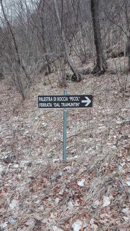
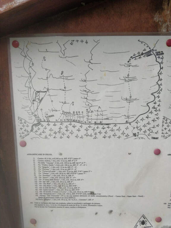
Start along the road that connects Tramonti di Sopra (Pordenone) to Ampezzo (Udine): at a bend accentuated to the left (coming from the south) a sign on a dark background indicates the Palestra di Roccia and the Ferrata del Tramuntin. Open road signs on Google Maps. It follows the trail in the forest that, with a semicircle in an anti-clockwise sense, leads in about 30' all' attack, little beyond a mountaineering path on canalone and numerous pitches of a nearby cliff (30' from parking).
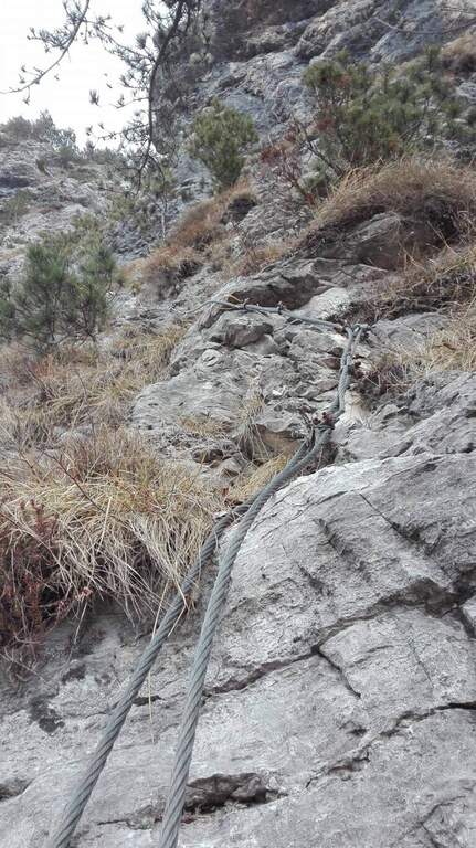
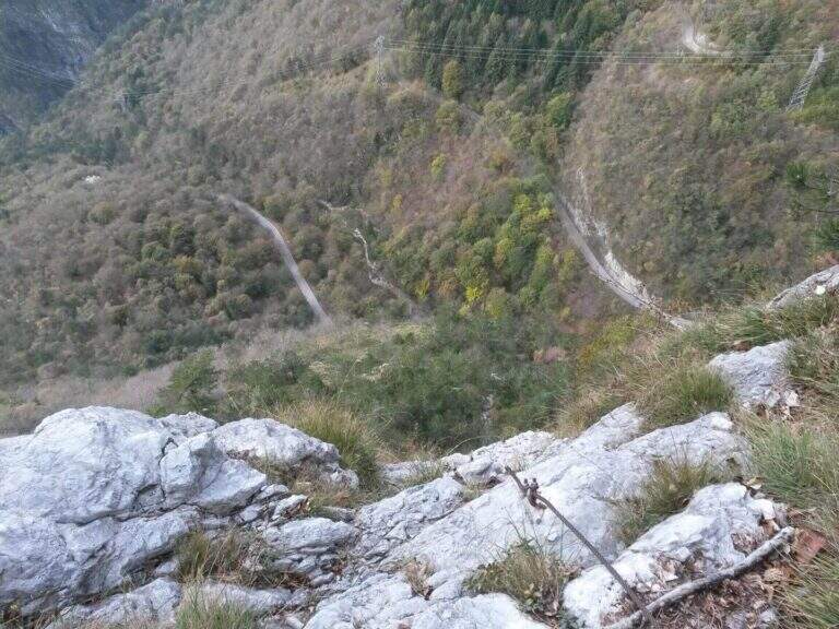
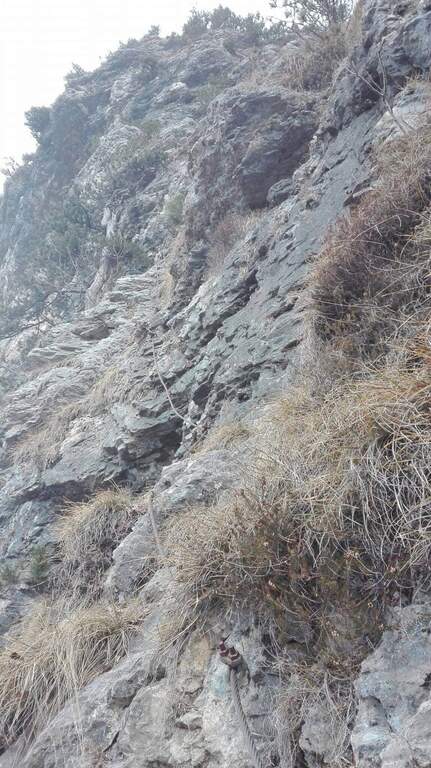
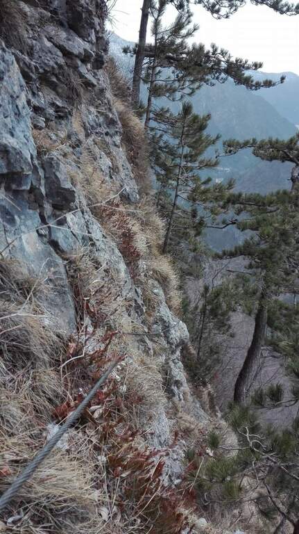
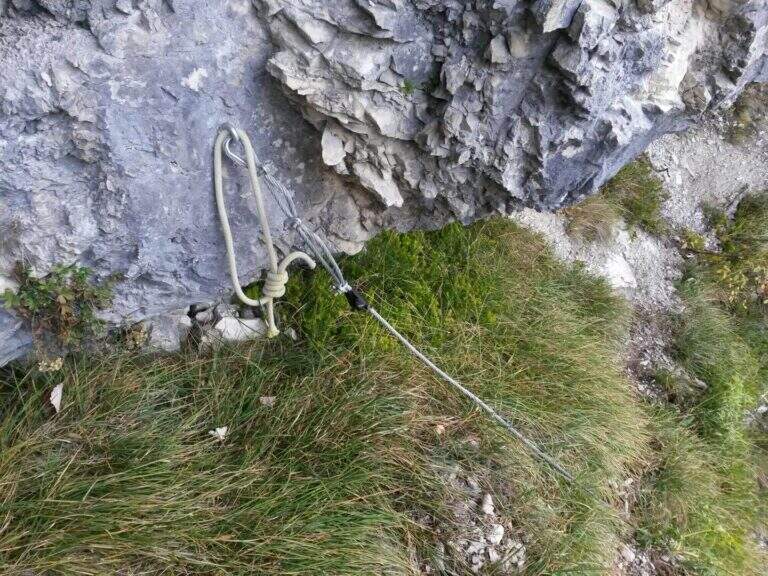
La via risale una parete selvaggia cercando le debolezze della roccia: sviluppo breve (circa 100 m) ma impegnativo. L'inizio è appoggiato e ricco di appigli; dopo pochi minuti si incontra una prima serie di passaggi più impegnativi e si traversa a sinistra con un singolo passaggio più difficile. Nel complesso resta molto arrampicabile, con roccia talora instabile ma ricca di appoggi. Si risale l'ampio colatoio fino al termine delle attrezzature (circa 40' dall'attacco, 1h 15' dall'auto). Da qui inizia il tratto più impegnativo dell'escursione: il sentiero che collega il termine della via a Casera Monte Rest è molto ripido, su roccette ed erba potenzialmente scivolose, a tratti attrezzato; seguendo i bolli rossi si esce dalla faggeta e si raggiunge la casera, da cui si sale in vetta al Monte Rest (1780 m, circa 4h totali).
Itinerary pleasant and isolated, despite the low altitude. Level difference in ferrata 120 m, total 870 m, maximum altitude 1780 m, development 8 km.
From Monte Rest you go back to Casera Rest, then continue north-north-west, losing altitude to the asphalted road; alternating roadside and stretches of path that cut the mountain you return to the parking lot (2h from Monte Rest, 6h totali).
The other equipped route of Pordenone is theAlta Via dei Rondoi on Monte Cavallo. Towards Forni di Sopra, two very different routes: the athletic and modern Adventure Climb at Clap Varmost and the impegnative Ferrata Cassiopea al Torrione Comici.
- DifficultyModerately Hard
- RegionFriuli-Venezia Giulia
- GroupCarnic prealps
- Approach0:30 h
- Ferrata1:00 h
- Itinerary (a/r)6:00 h
- Hardware level difference120 m
- Route difference870 m
- Max1780 m
- Length8 Km