
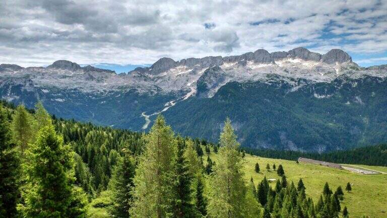
The Ceria Merlone Trail is a long and panoramic route of the Julian Alps, starting from the Montasio plateau. After a long approach to the Forcella Lavinal dell’Orso, follow a magnificent ridge path that closes a large downhill ring to the Rifugio Brazzà. Numerous traits are not protected, and in some cases require short climbing passes: a superb path but to be experienced. The route is dedicated to the mountaineers Celestino Ceria and Ruggero Merlone, and was inaugurated in 1971 by the Cividale Alpine Battalion, in memory of the line held by the Alpini on this ridge during the Great War.
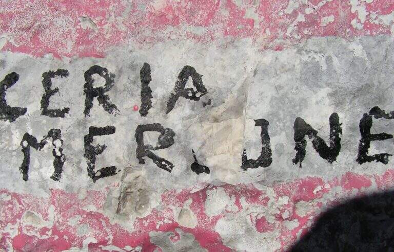
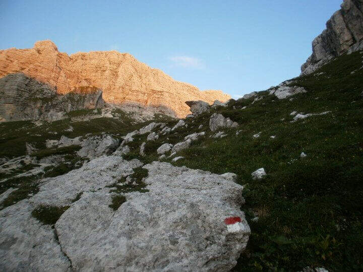
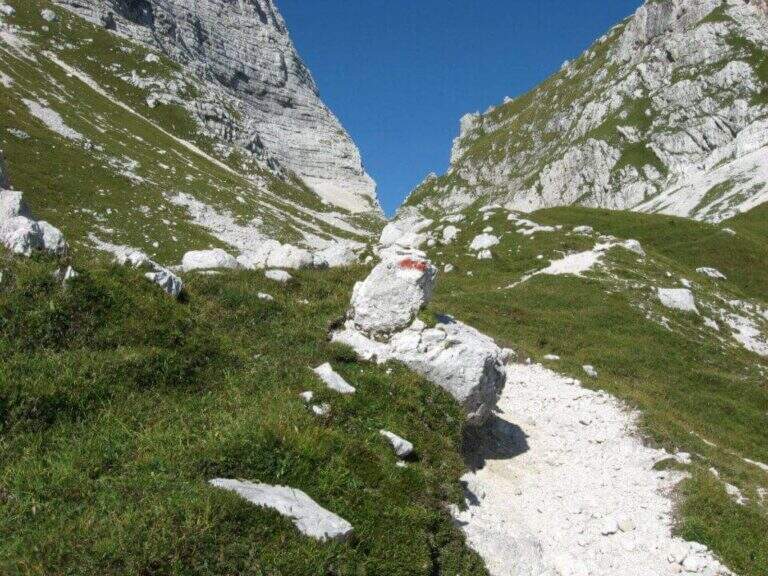
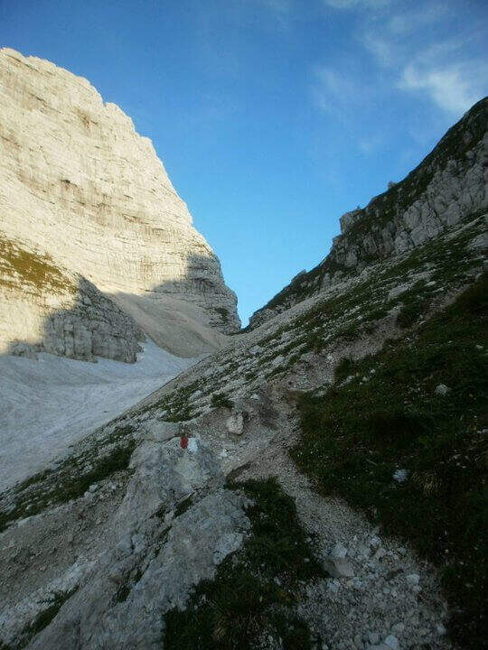
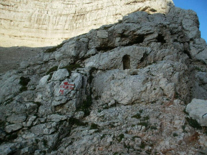
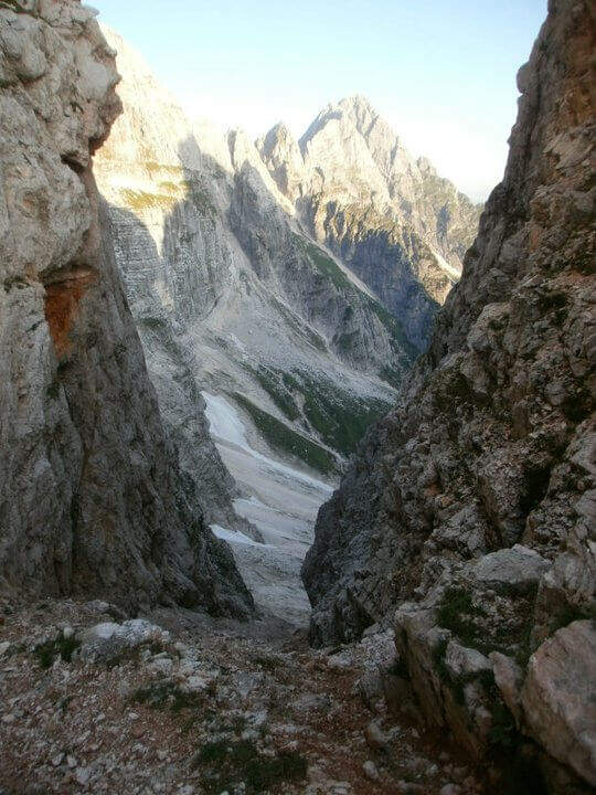
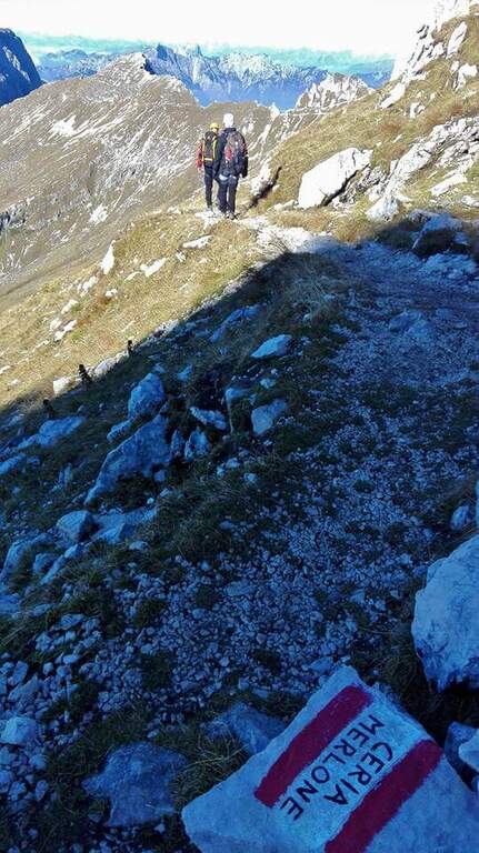
It starts from a large parking lot along the road that connects Malga Montasio with Sella Nevea, on the Montasio plateau (UD). To get to Sella Nevea you reach Chiusaforte, 20 minutes from the Carnia-Tolmezzo exit of A23; from there follow the signs to Sella Nevea towards the east, you pass the bridge and you drive for 20 km to the village, where a hairpin a brown sign indicates the plateau of Montasio, to follow until the end of the road (open up Google Maps). The route is proposed here from the east (Forcella Lavinal dell’Orso) to the west (Cima Terrarossa), towards which many equipped sections run uphill. From the parking lot (about 1500 m) you climb on dirt road towards the Rifugio Brazzà; after a few minutes you cross a dirt road with 624 signpost that cuts right into a false plateau. Losing a little bit of altitude you pass the Casere Parte di Mezzo and then the Casere Larice (1479 m, 30′ from the parking lot); ignored a track to the right that goes down to Sella Nevea, you reach the Casere Cregnedul Refuge above (1515 m, 1h from the parking lot). It is snowed on the path 625 that climbs from Sella Nevea, it is held the left uphill, first in the forest and then pointing to the north; the south wall of the Cregnedul to Passo degli Scalini (2022 m, 1h from Casere Cregnedul Refuge, 2h totals). Passed the pass opens a valley: on the left you can see the Lavinal Forcella dell’Orso and the ridge of Ferrata Goitan. You cut the valley following the track and, on the opposite side, the white-red signs, going up with a certain affanno towards the fork; just before you follow a writing on rock and a trace that detaches to the left: here begins the Path Ceria Merlone (30′ from the Passo degli Scalini, about 2h30 total).
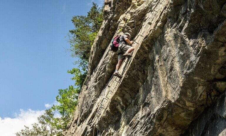
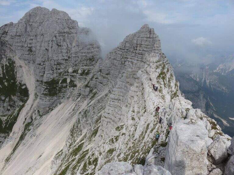
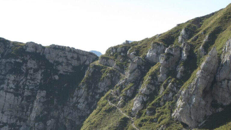
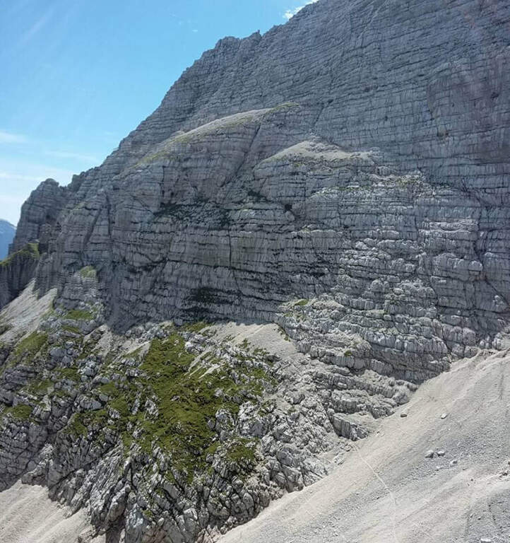
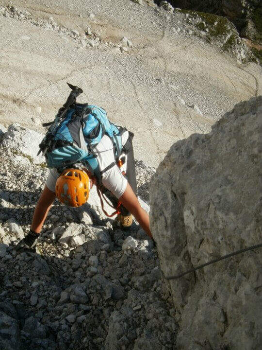
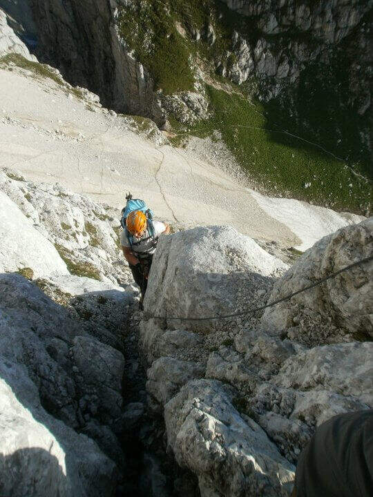
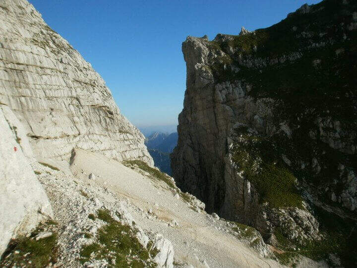
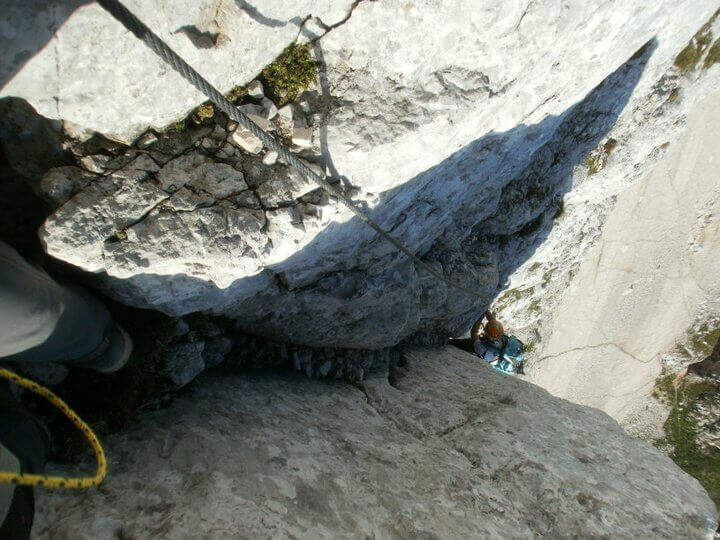
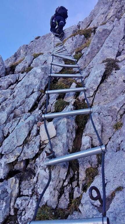
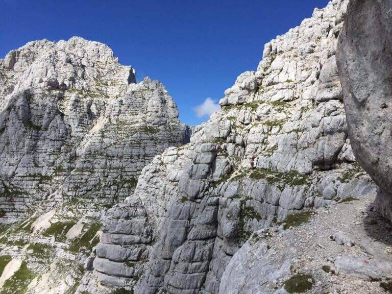
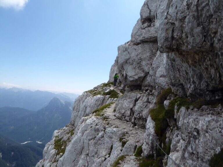
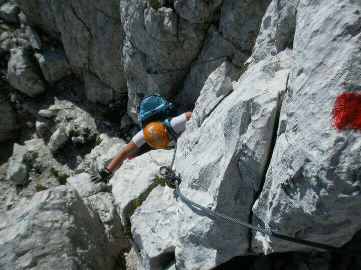
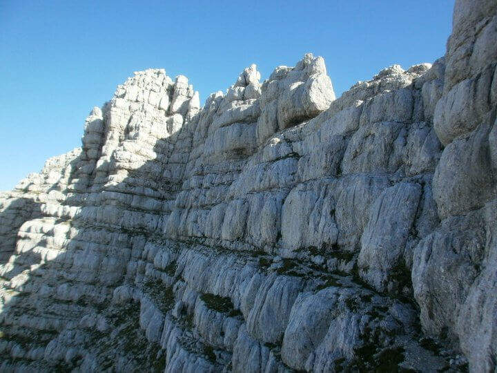
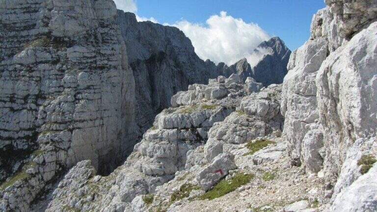
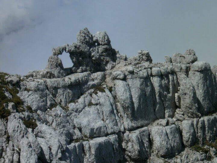
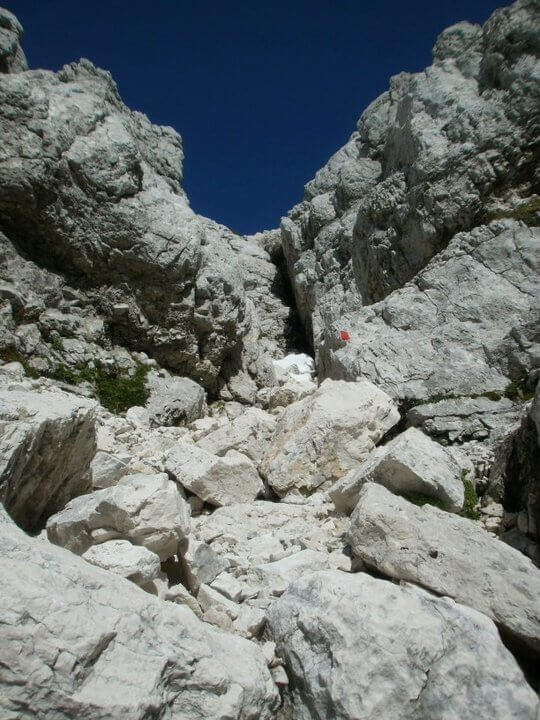
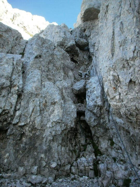
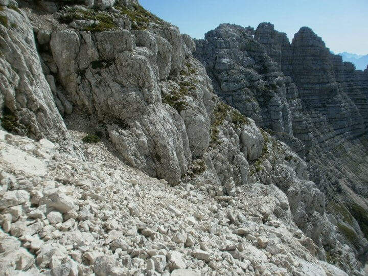
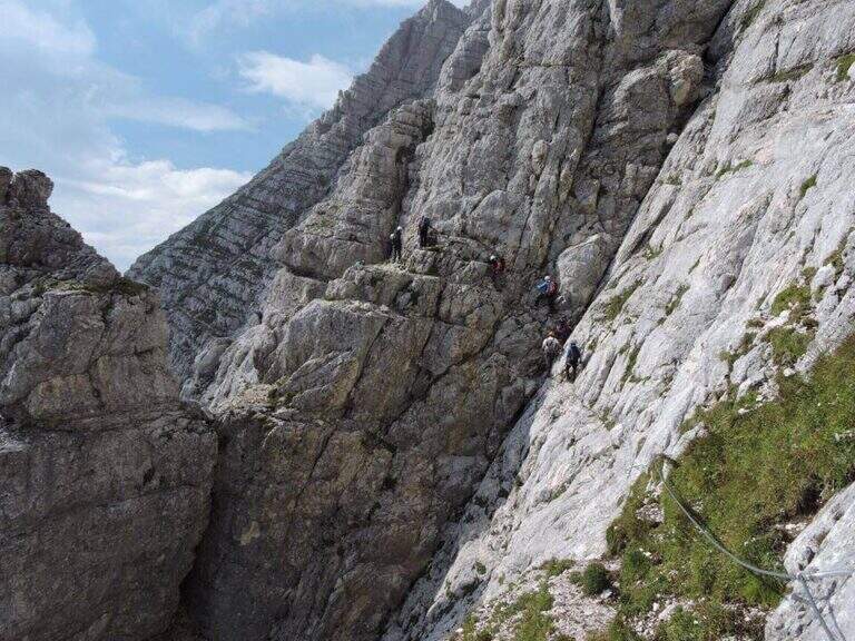
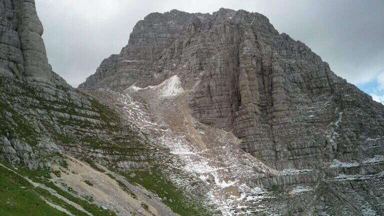
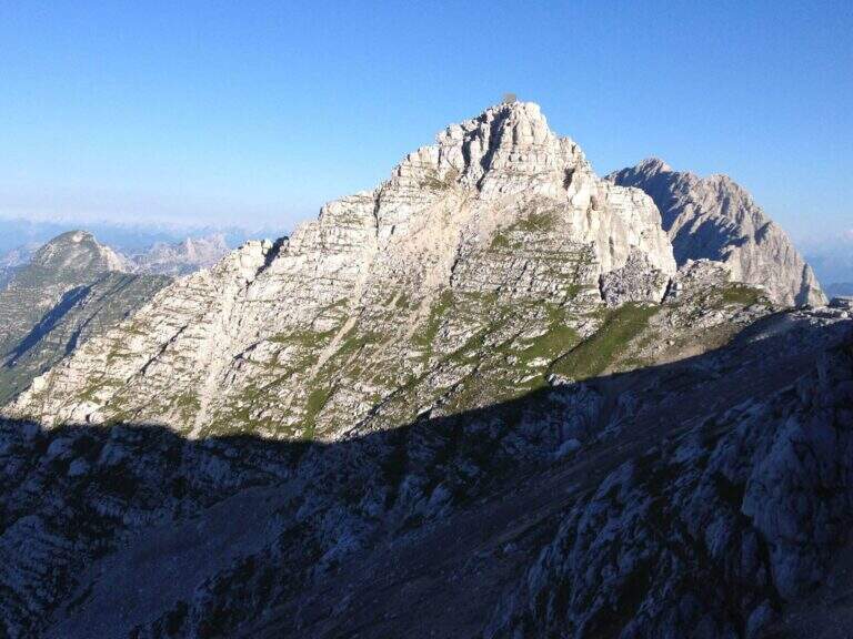
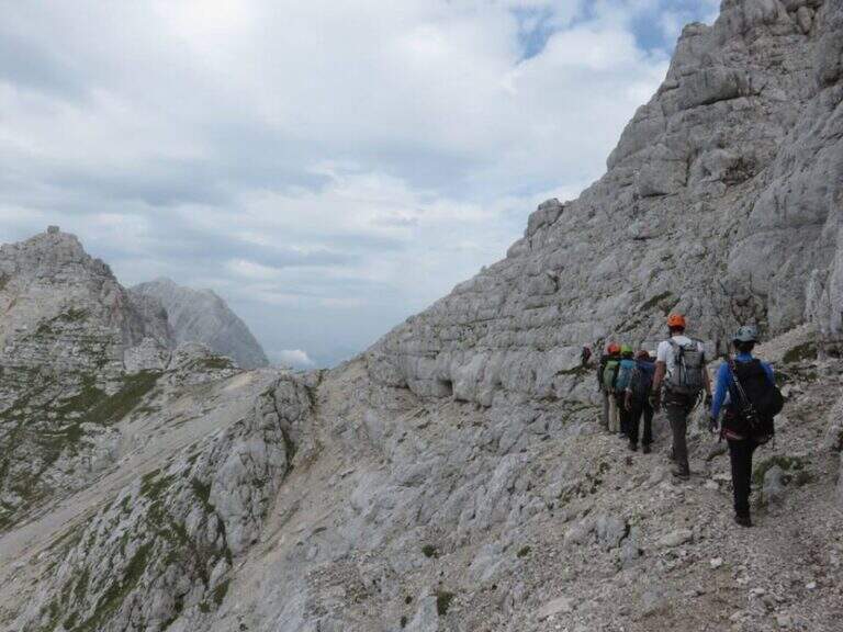
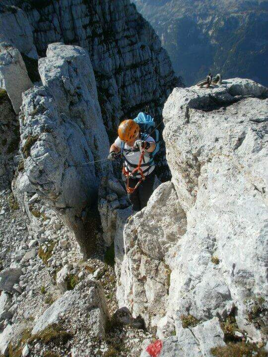
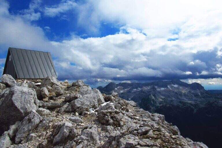
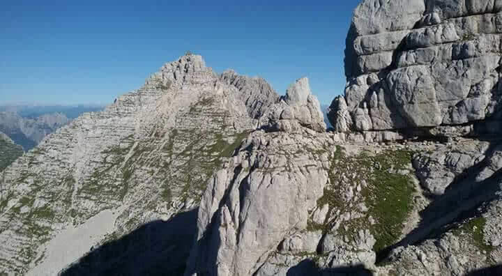
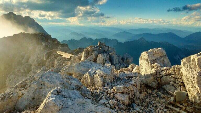
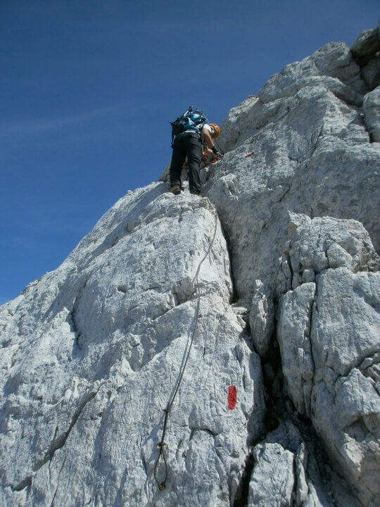
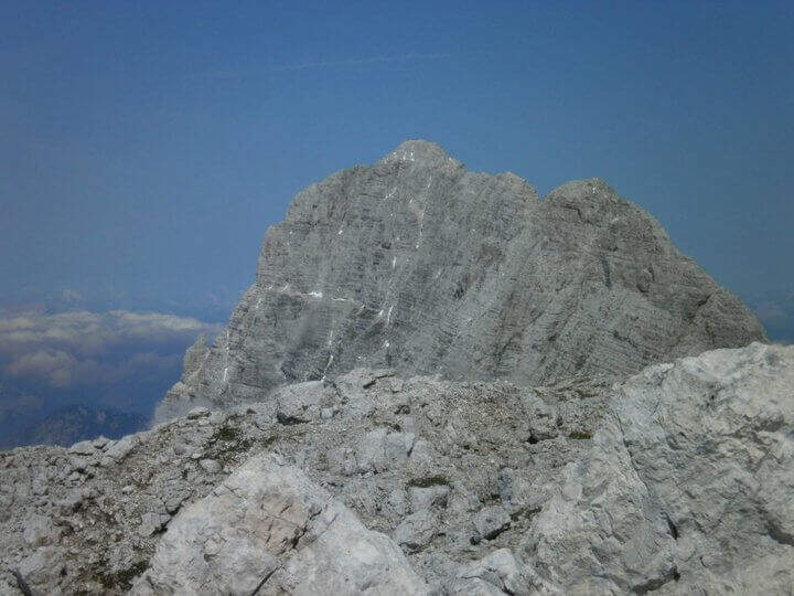
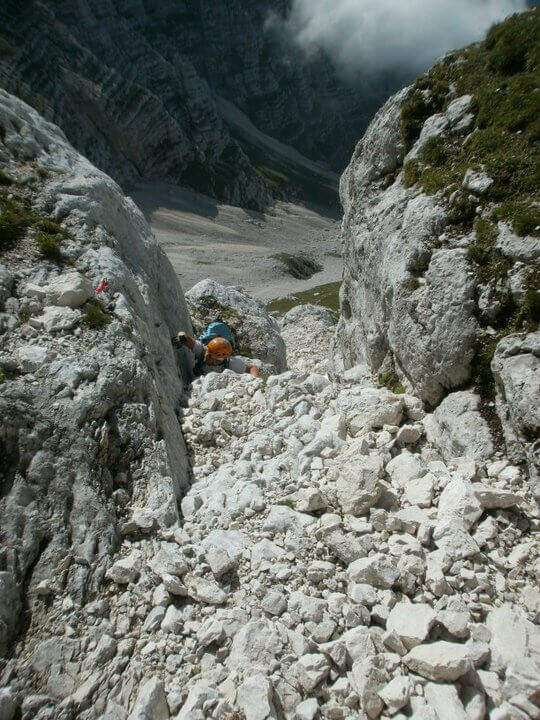
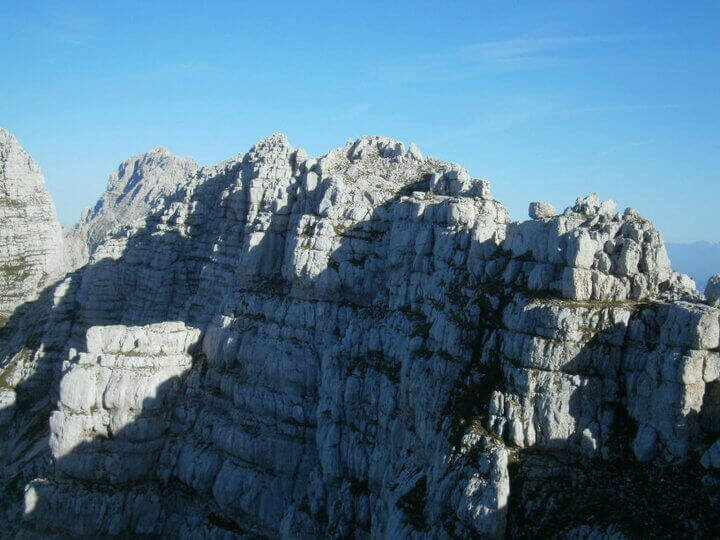
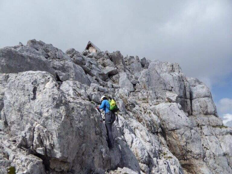
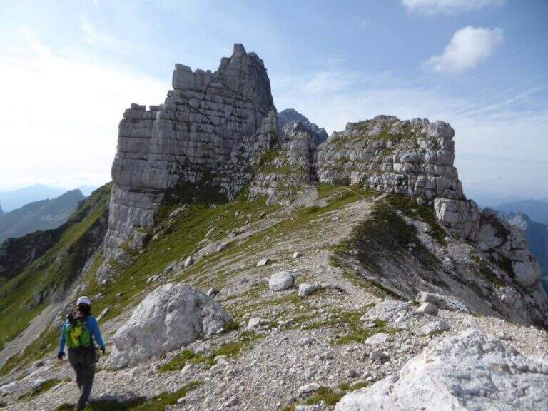
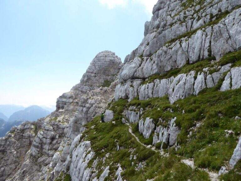
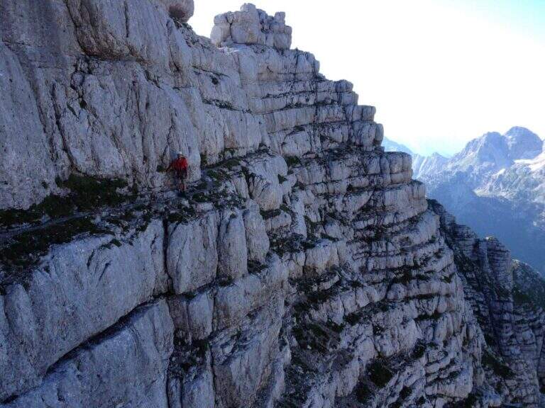
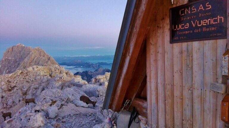
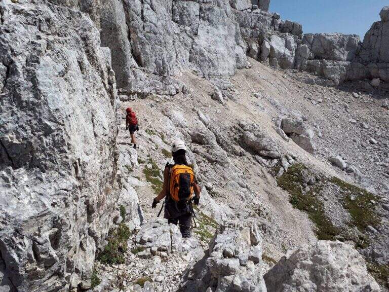
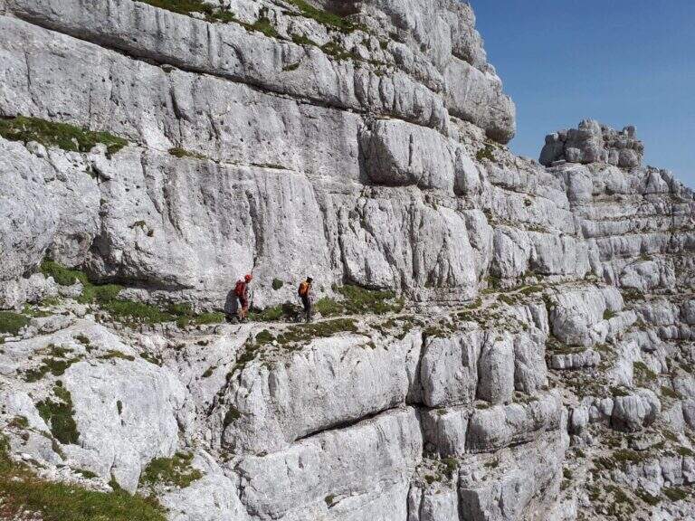
The first goal is the Forcella Cregnedul, reached by gaining around 200 meters around the imposing walls of Punta Plagnis. It climbs on a pebble bottom up to a first stretch equipped that exceeds some rocks, a vertical wall and a tilted plaque; left behind the Lavinal Forcella dell'Orso, proceeds diagonally up to a fireplace equipped and a metal ladder resting on the rock, and in an alternation of passages on the right and on the left closes the first tiring section to the Forcella Cregnedul (2340 m). Now follow the trail on a wide unprotected nod that wanders the southern walls of Punta Plagnis, passing from the east to the west side: the passages are exposed but generally wide, except for a couple of forks and rocks on the west side where the path tightens; the most exposed sections have a handrail. With a stretch equipped downhill you descend a few meters, then walk on wide and comfortable cenges to the Forca de la Val (2352 m, 1h15 from Forcella Cregnedul), which separates the Modeon del Buinz from the Cima de la Puartate. You can climb equipped canals interspersed by detritic gland, holding to the south to avoid to the north the steep wall, in a stretch rich of exposed protected cenges; you reach a fork nestled and you begin to wander the southern wall of the Modeon del Buinz towards the Sella di Buinz, with in front of the Foronon del Buinz and its bivouac just below the summit. There is an exposed nod equipped, you climb a short stretch sprotetto on an unstable background, you walk a census and you take on the west wall of Modeon; along a wide ridge on the south side, on a slight ascent, you pass stretches equipped with rocks and easy rocky balconies up to the new and functional Bivacco Vuerich (2531 m, 1h15 from Forca de la Val, 3h45 from the attack). From the top of the Foronon del Buinz follow the wide ridge, walk through a walkway and start to lose altitude with easy passages of climbing, equipped in the most demanding cases; holding on the south side you walk exposed cenges usually not protected and you reach a new vertical stretch, with a well-equipped canal but well-dressed, followed by some rocks, up to the Forca de Lis Siens From the wide saddle the path runs on a false plateau between modest climbs on the south side to the crossroads marked with stone writing (2285 m, 15′ from Forca de Lis Siens, 5h from the attack) between the climb to Cima Terrarossa and the Path Ceria Merlone, where the equipped road ends.
It has no particular technical difficulties, neither in the equipped or unprotected traits; however, it deserves great attention to the numerous passages exposed along the canals and canals. It develops entirely at altitude, with the Bivacco Vuerich halfway in excellent conditions, but with only two escape routes, both unmarked.
High mountain summer itinerary in the Julian Alps (max. 2531 m). The equipment and signs are in good condition, but the development, exposure and scarcity of escape routes require experience, training and attention to the weather.
From the final crossroads (2285 m) the quickest descent is to the left, towards the plateau of Montasio; if you want you can climb to the nearby Cima Terrarossa (2420 m, 45′ return). Keeping the right and descending towards the plateau you reach the Rifugio Brazzà (1660 m, 1h15 from the end of the ferrata) and then parking (about 1h30 from the end, 9h overall).
The environment is suitable for several days: you can climb to the Jof in Montasio for the Ferrata Amalia and use the Ceria Merlone to return to the north side, or match it to Sentiero Attrezzato Leva overnight in a refuge or bivouac. From the Lavinal Fork of the Bear you can take the Ferrata Goitan towards the Jof Fuart. Staying in the Julian Alps we also signal Ferrata Julia at Canin e la Ferrata della Vita al Mangart.
- DifficultyModerately Hard
- RegionFriuli-Venezia Giulia
- GroupJulian Alps
- Approach2:30 h
- Ferrata5:00 h
- Itinerary (a/r)9:00 h
- Hardware level difference257 m
- Route difference1031 m
- Max2531 m
- Length16 Km