
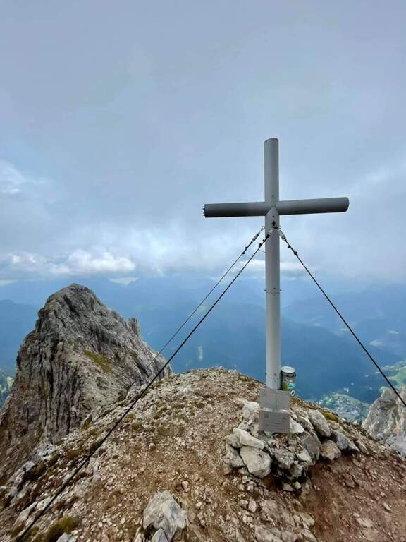
The Route of Monte Cernera climbs from the Giau Pass to the panoramic summit (2664 m) in the group of the Croda da Lago. Short and only partially equipped path, with a terminal channel that requires special attention when wet.
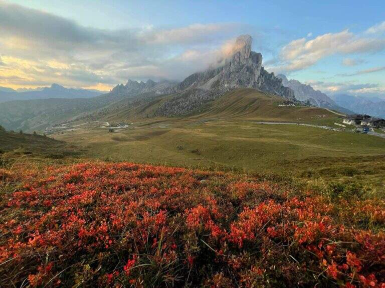
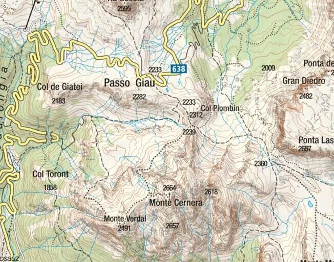
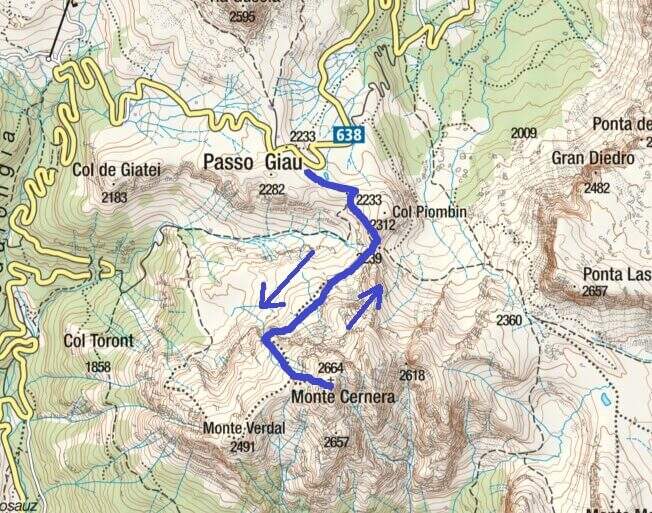
The Giau Pass (2233 m) can be reached on the road between Alleghe and Cortina d'Ampezzo (directions road map). Large parking space at the pass. Follow the CAI 436 path south towards Forcella Col Piombin. Adding the fork you turn right along the meadows following the track until the first stretch (30' from the parking lot).
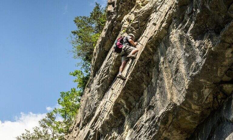
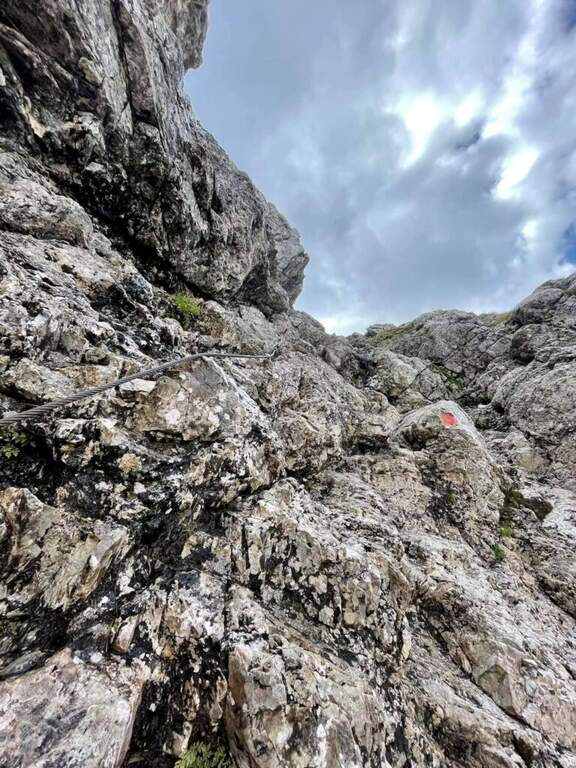
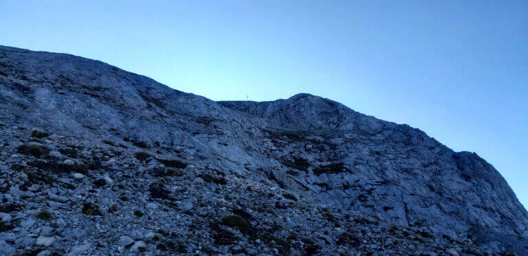
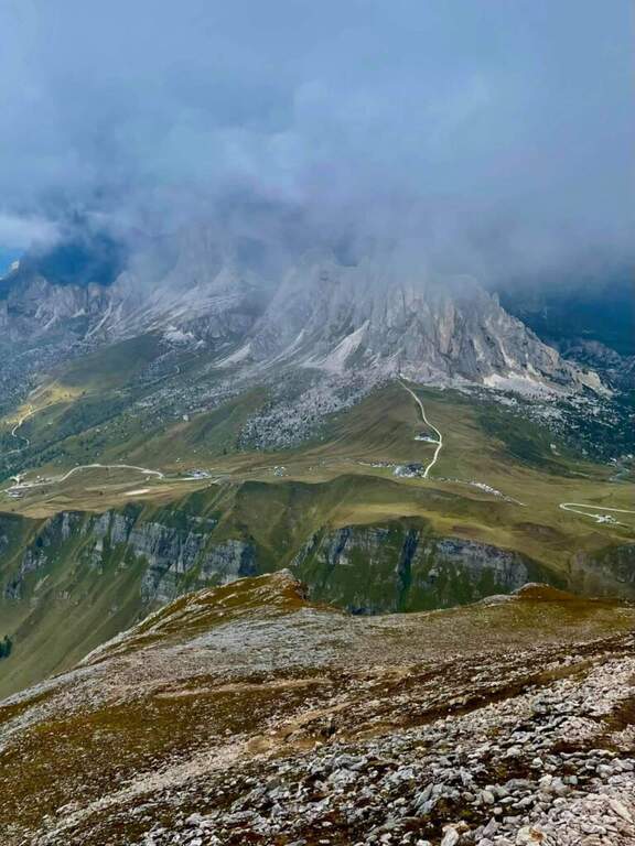
The first equipped section dates back to a rocky plaque of a few meters. After the highlight you reach a carving and slightly higher you face the second stretch, slightly more vertical than the first. Continue on increasingly steep track until the base of a rocky canal often wet for drainage: it is the key passage, to be followed carefully. After the canal, a few meters of easy climbing on rocks lead to the peak cross (1h 30' approximately from the parking lot), with 360° views of the Giau Pass and the surrounding Dolomites.
Classified Easy. The equipped sections are short and well-addressed. Complexity: technique 1/5, physics 2/5, exposure 2/5, environment 2/5.
From June to October. Avoid in case of storm: the top is exposed. The pass can be snowed at the beginning of the season.
Back on the uphill path to Passo Giau (3h total round and back).
Moving north you can reach the routes of Cortina: the Ferrata Sci Club 18, la Ferrata Strobel e la Ferrata dell'Averau.
- DifficultyEasy
- RegionVeneto
- GroupDolomiti Ampezzane – Croda da Lago
- Approach0:30 h
- Ferrata1:15 h
- Itinerary (a/r)3:00 h
- Hardware level difference50 m
- Route difference431 m
- Max2.664 m
- Length6 Km