Caratteristica: Adatta a chi inizia

  • Ferrata Ventricini at Corno Piccolo

    Ferrata Ventricini at Corno Piccolo

    Vie Ferrate › Abruzzo › Teramo
    Ferrata Ventricini at Corno Piccolo
    Moderately Hard● OpenDescriptionComplexityMapsGallery

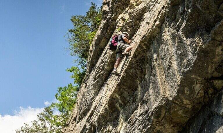
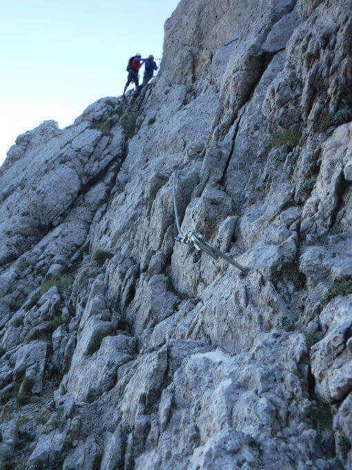
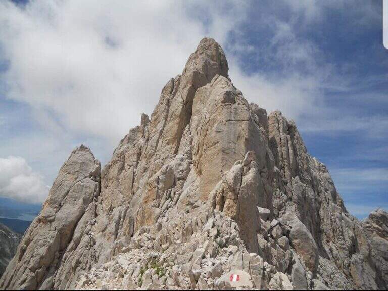
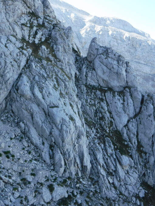
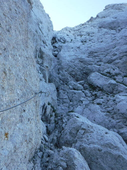
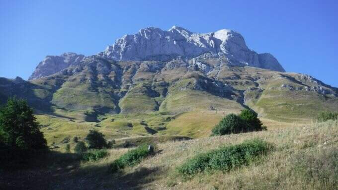
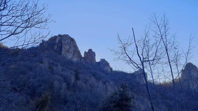
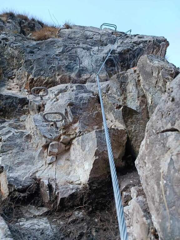
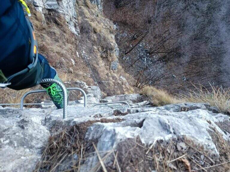
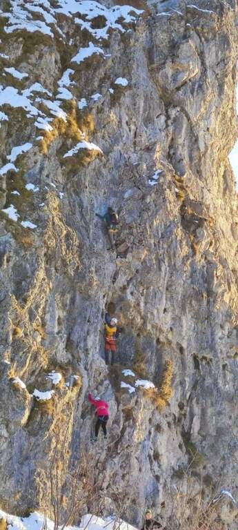
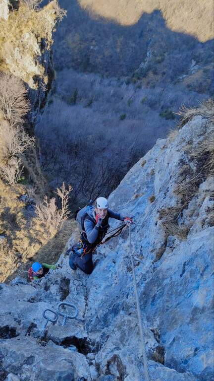
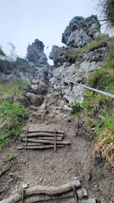
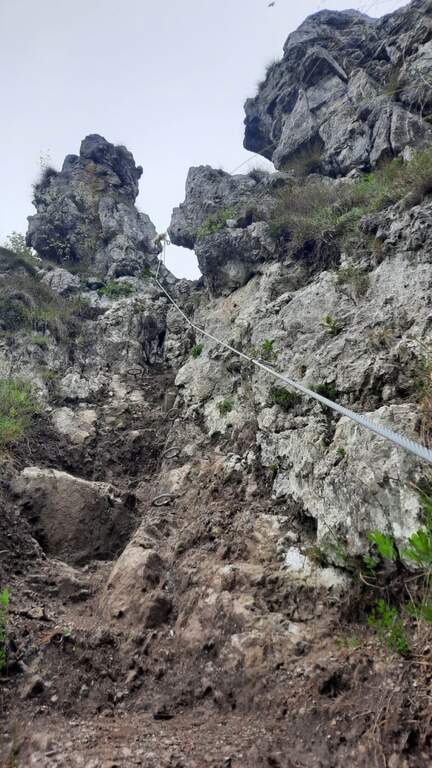
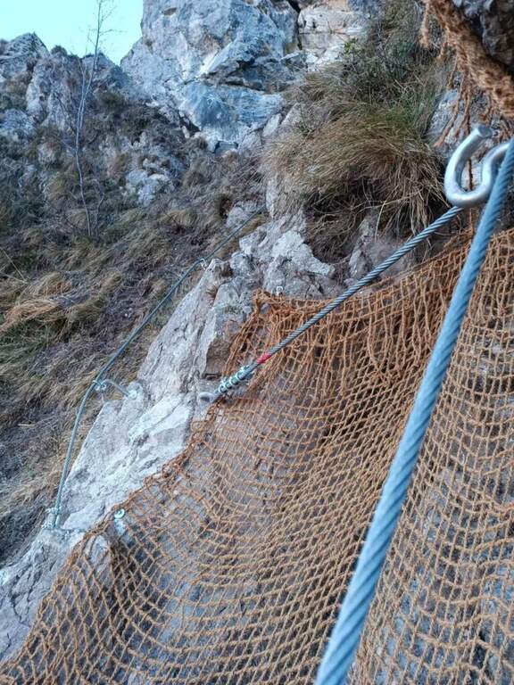
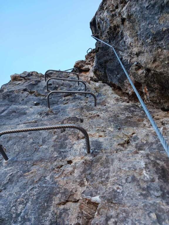
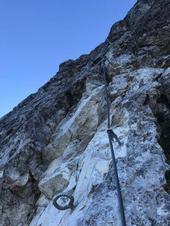
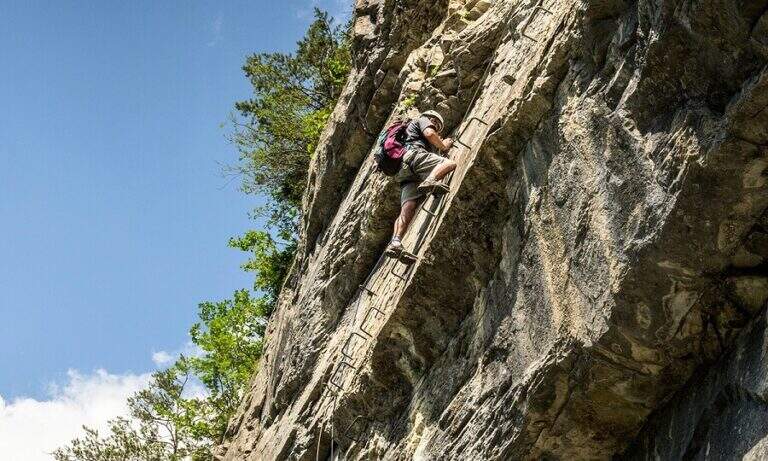
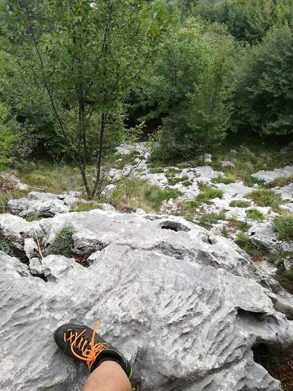
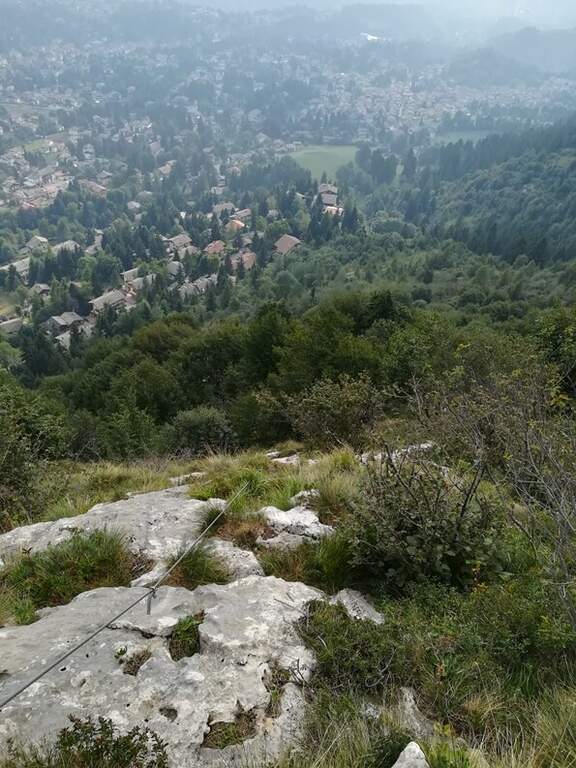
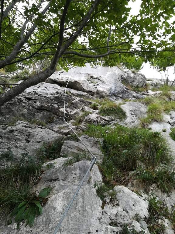
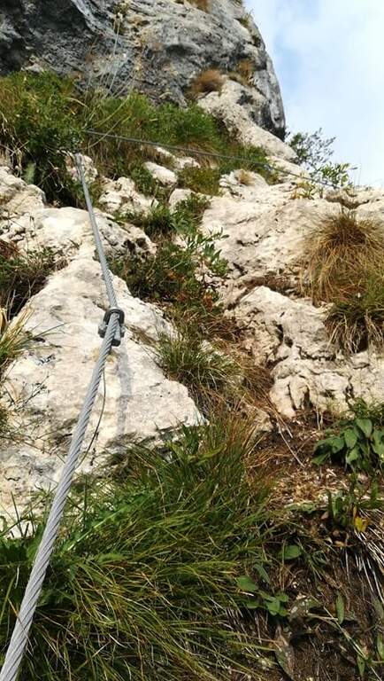
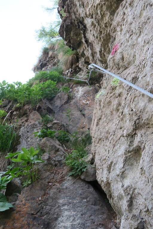
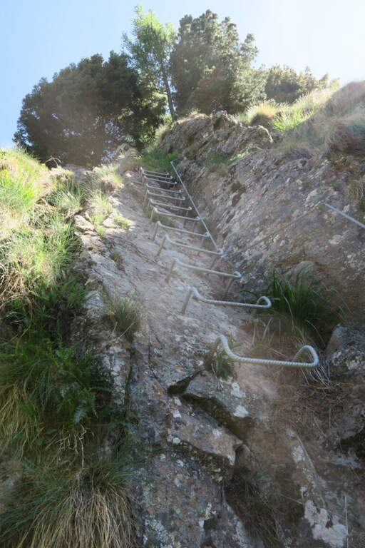
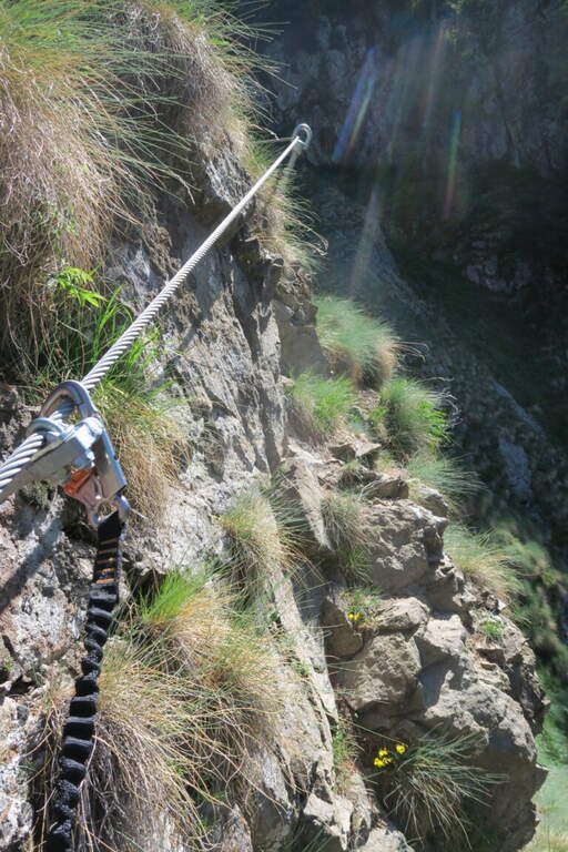
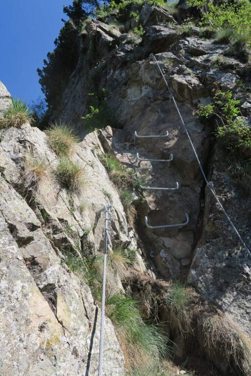
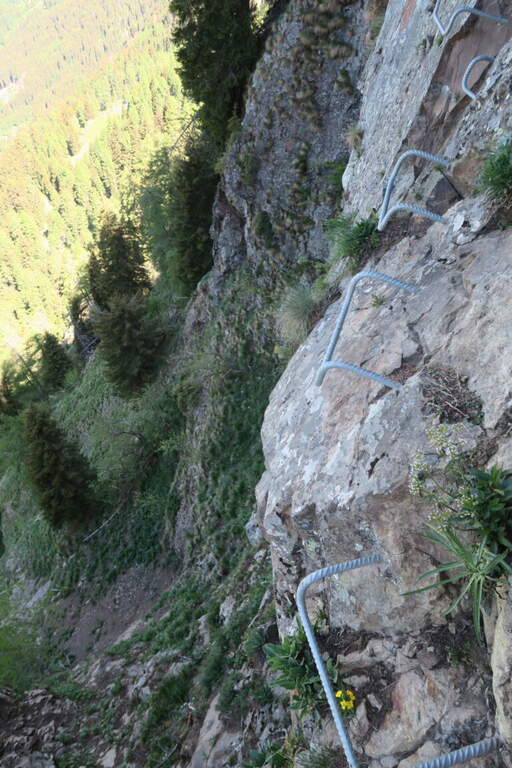
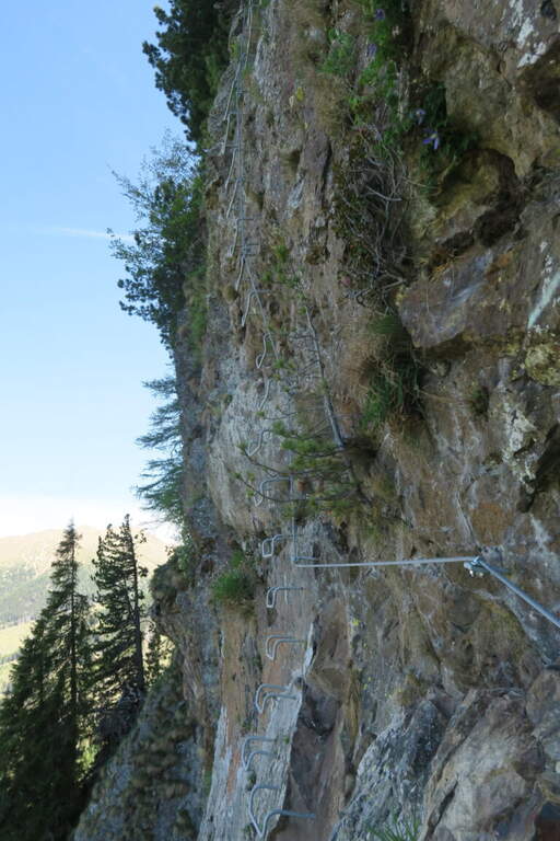
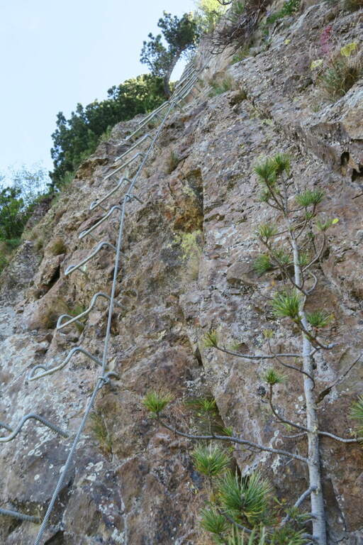
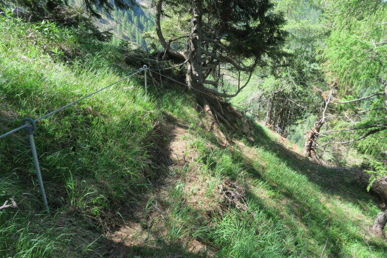
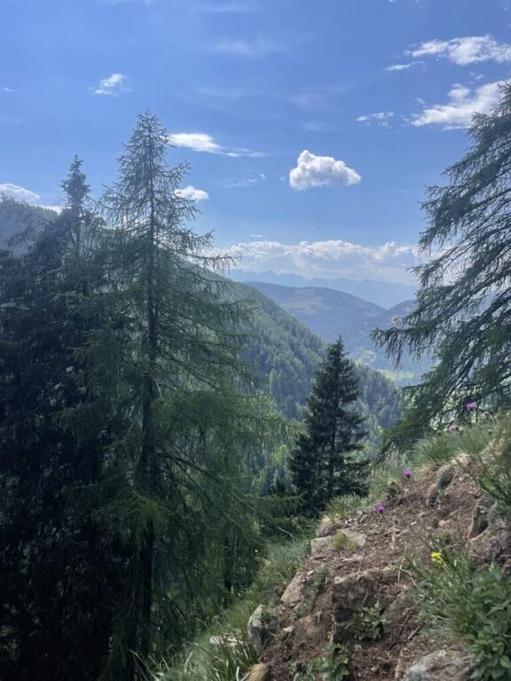
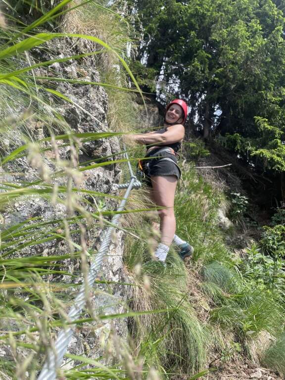
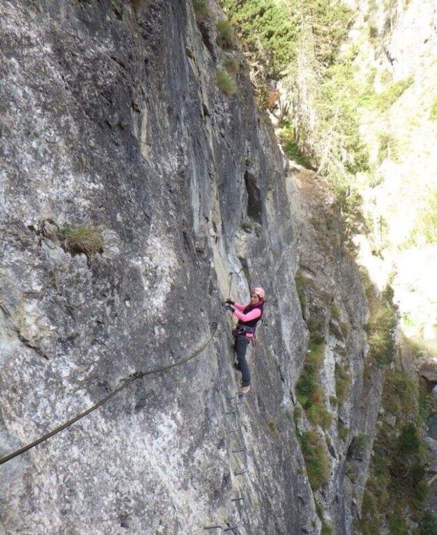
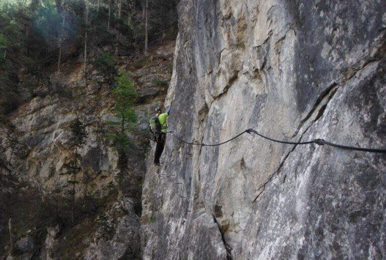
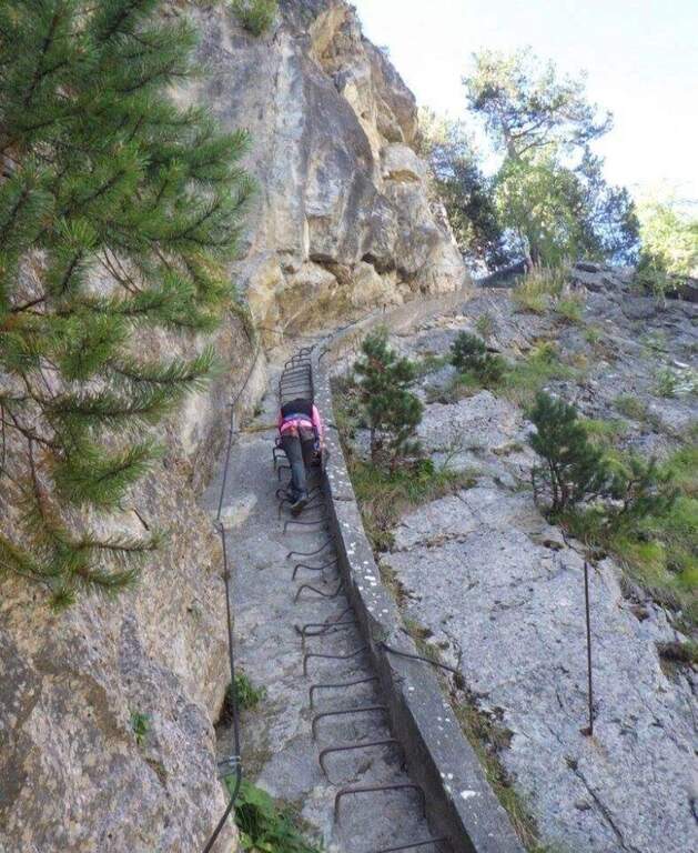
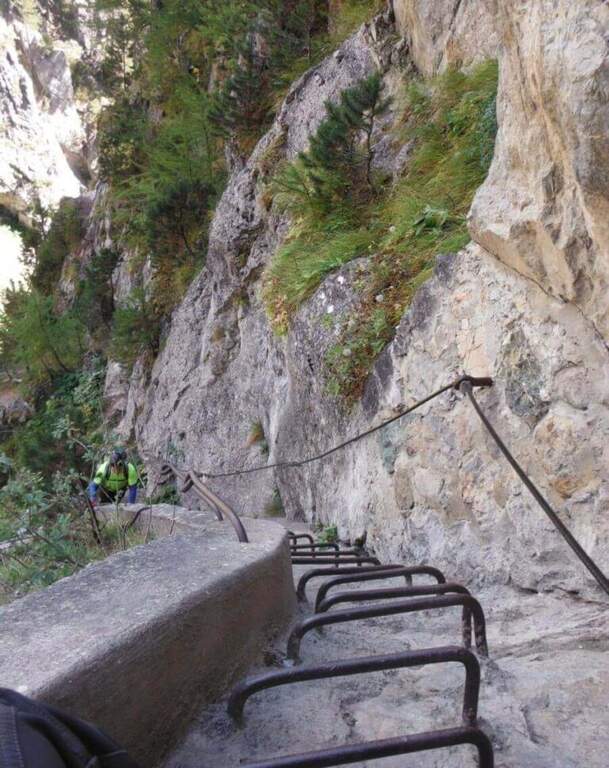
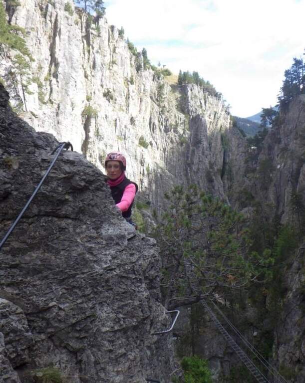
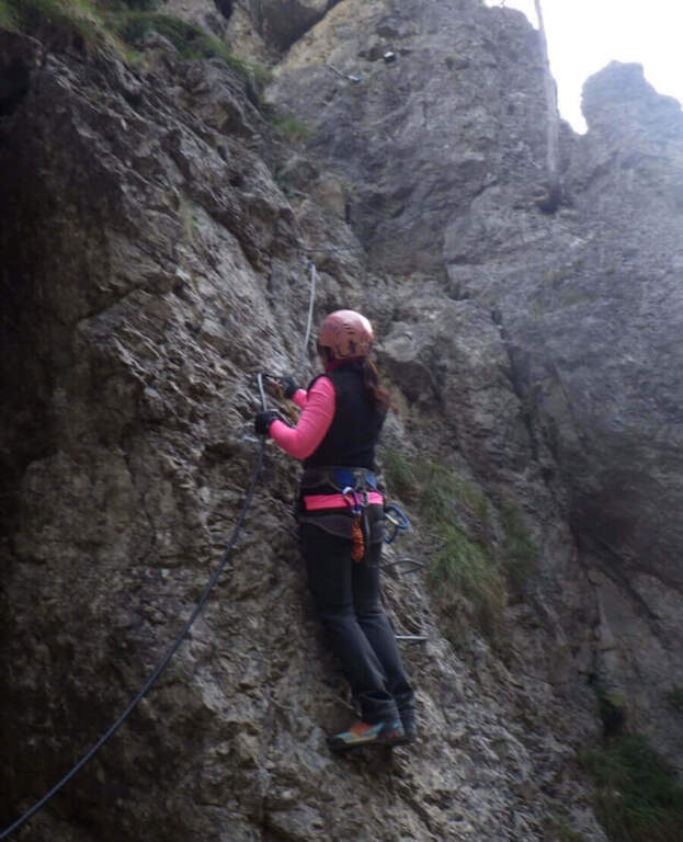
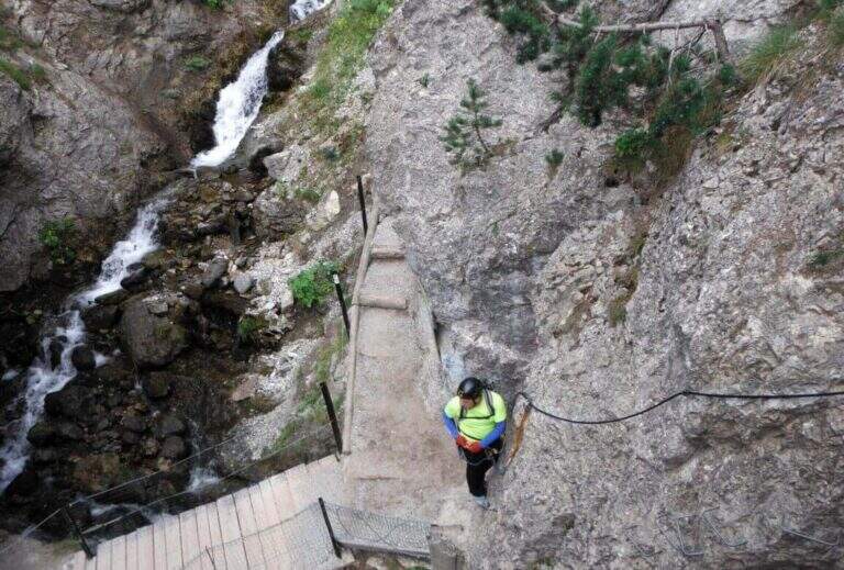
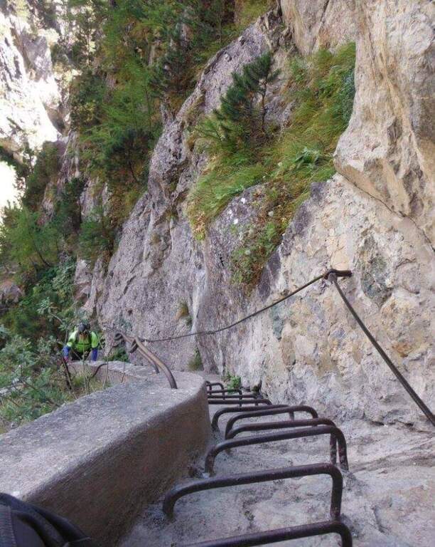
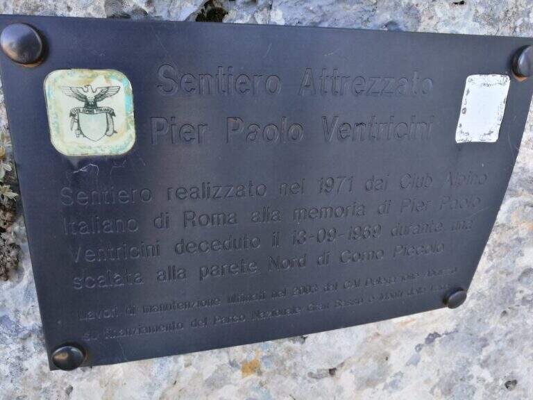
    Il Sentiero Ventricini, newly equipped with new ropes and stairs, bypasses the west wall of the Corno Piccolo in the Gran Sasso. È an interesting and never difficult itinerary, largely assimilated to a challenging equipped path: also suitable for those who have not yet gained experience on complex ferrate routes.

    ▲Approach

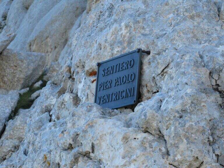
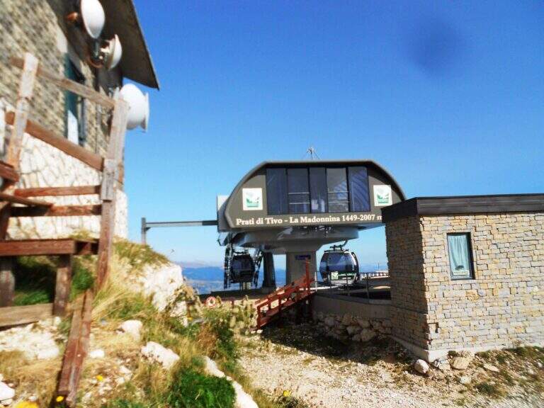
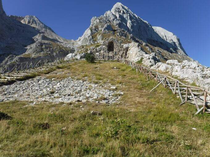
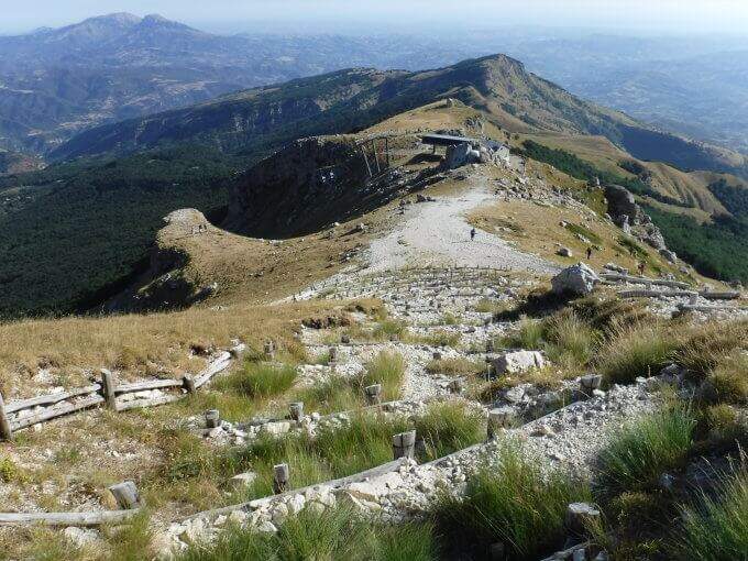
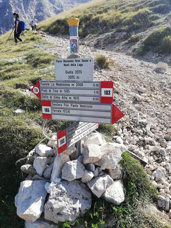
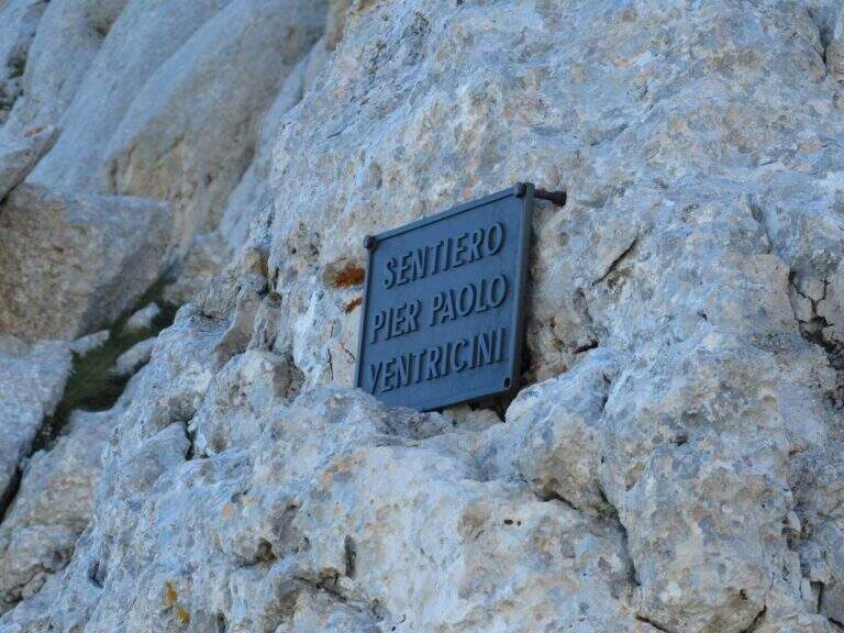
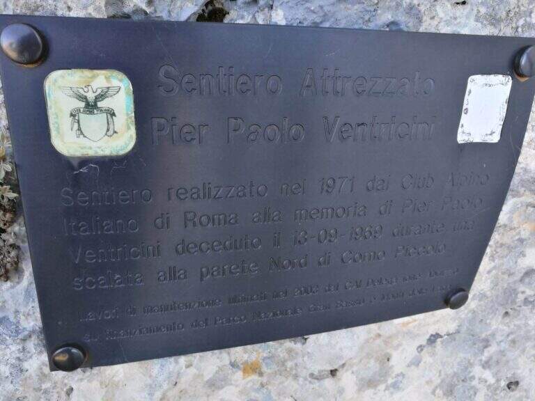
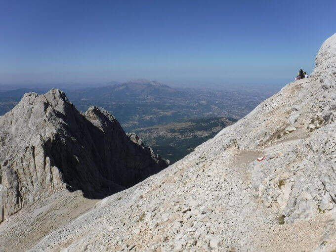
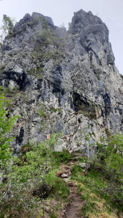
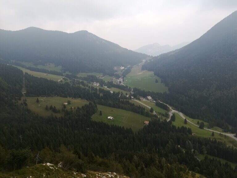
    You can reach Prati di Tivo (Teramo), on the slopes of the Gran Sasso (exit A24 S. Gabriele – Colledara, then SS del Gran Sasso). Open road signs on Google Maps. Dalla stazione a monte dell'ovovia (località la Madonnina) si segue il sentiero 103 verso il Rifugio Franchetti; dopo circa 10' si tiene il bivio a destra e, a mezzacosta sul fianco nord del Corno Piccolo, si raggiunge la targa d'inizio della ferrata (45' dall'ovovia).

    ▲The path

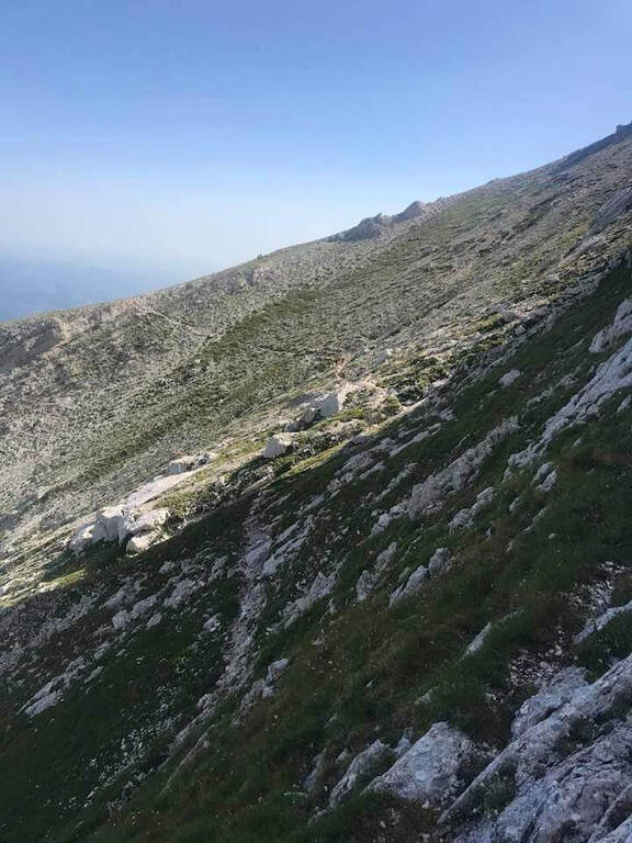
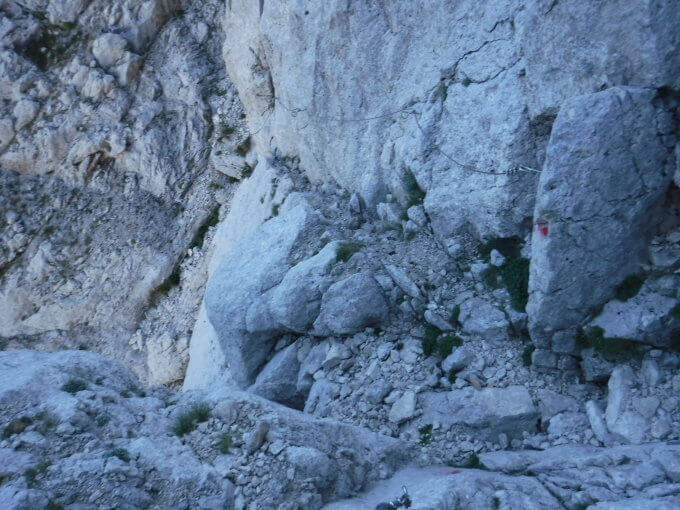
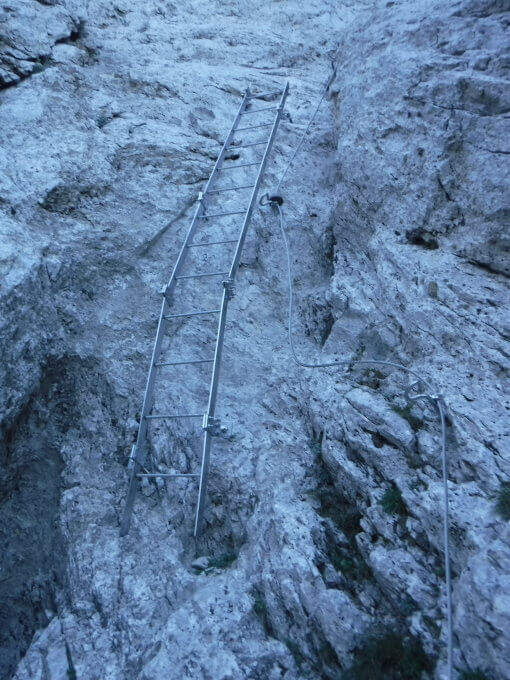
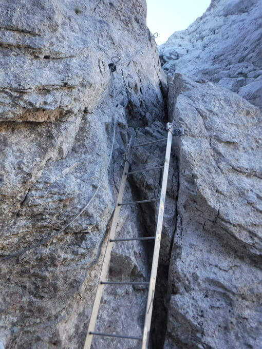
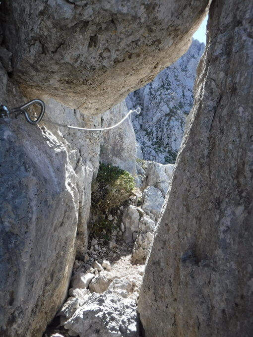
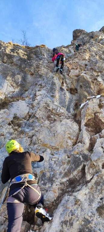
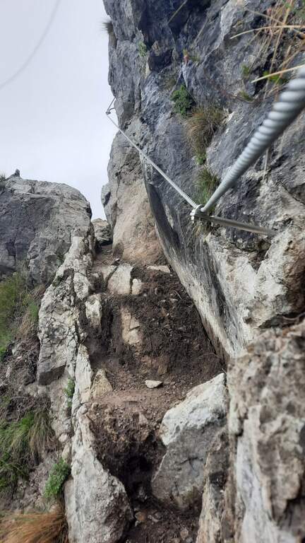
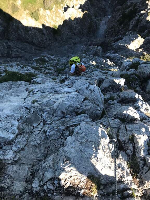
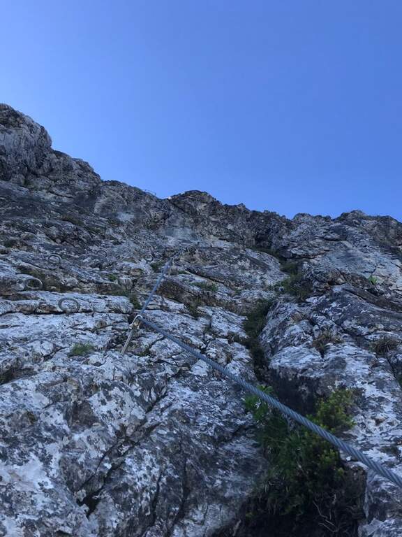
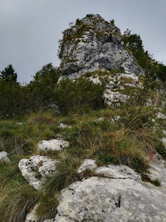
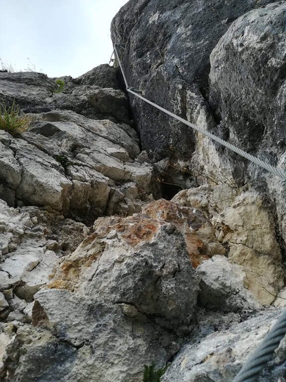
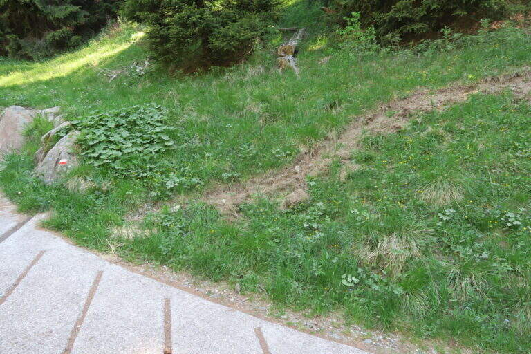
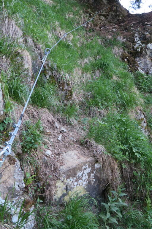
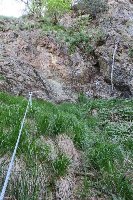
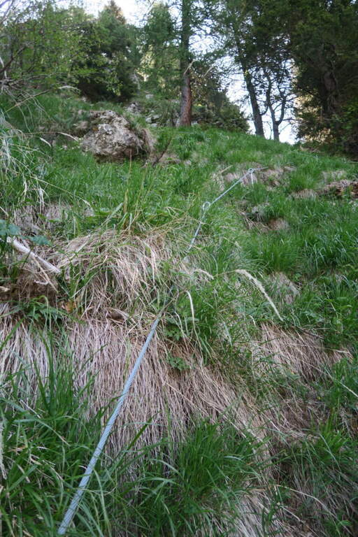
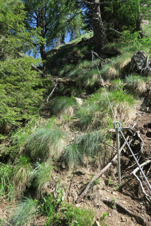
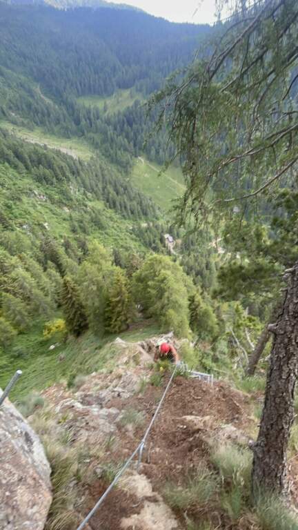
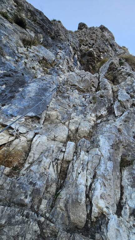
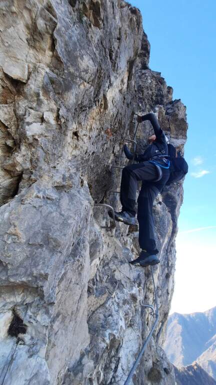
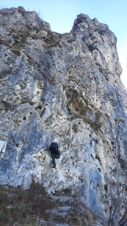
    The initial part è in discesa for a few meters along the white-red bubbles, up to a equipped stretch that goes up vertical with cable and never difficult stairs. You reach the west wall of the Corno Piccolo and continue between climbs, blinds and easy passages sometimes not protected, up to a passage framed between two massive where, impossible to pass with the backpack on the shoulder, it is best to hang it all' Imbrago with a postponement or a fettuccia. Shortly after the ferrata ends (1h 20' from' attack, 2h 15' totali).

    ▲Character and difficulty

    Technically easy way, great to take confidence with the environment of the Gran Sasso and to build ring routes. Level difference in ferrata 250 m, total 550 m, maximum altitude 2575 m, development 7 km.

    ⚠ Access depends on the opening of the Prati di Tivo ovovia: check the times and any closures of the plant before leaving, as an alternative, evaluating the ascent on foot from the Cima Alta refuge.
    ▲Discipline

    Dal termine si può salire a sinistra la via normale al Corno Piccolo (passaggi di I grado, 1h) e poi rientrare a ritroso lungo il Ventricini fino all'ovovia (5h 30' totali); oppure proseguire fino alla Sella dei Due Corni e scendere al Rifugio Franchetti, da cui per la Ventricini si torna all'ovovia (1h 30' dal termine, 4h 45' totali).

    ▲Gallery
    Technical data
    • DifficultyModerately Hard
    • RegionAbruzzo
    • GroupGran Sasso
    • Approach0:45 h
    • Ferrata1:20 h
    • Itinerary (a/r)5:30 h
    • Hardware level difference250 m
    • Route difference550 m
    • Max2575 m
    • Length7 Km
  • Ferrata il Nido dei Santa Croce (Corna Maria)

    Ferrata il Nido dei Santa Croce (Corna Maria)

    Vie Ferrate › Lombardia › Bergamo
    Ferrata il Nido dei Santa Croce (Corna Maria)

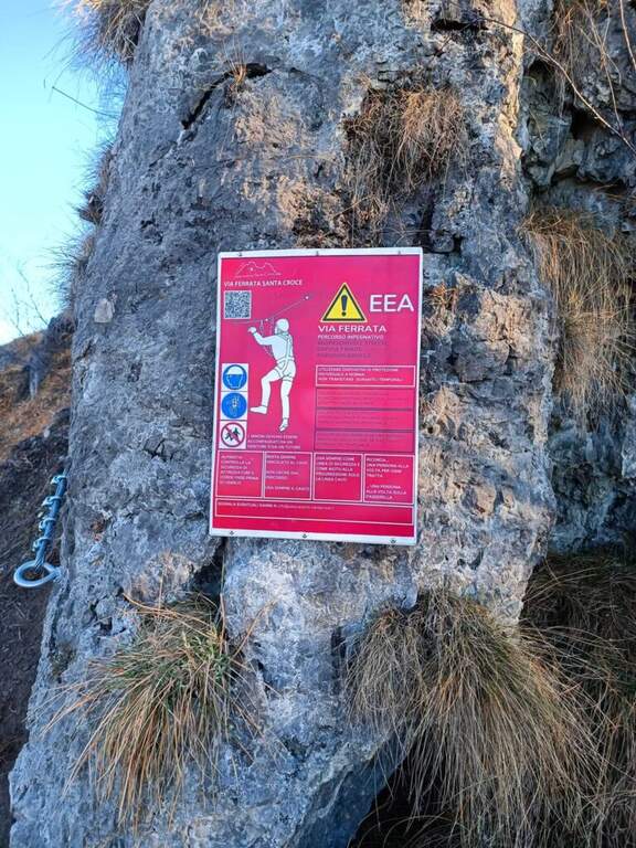
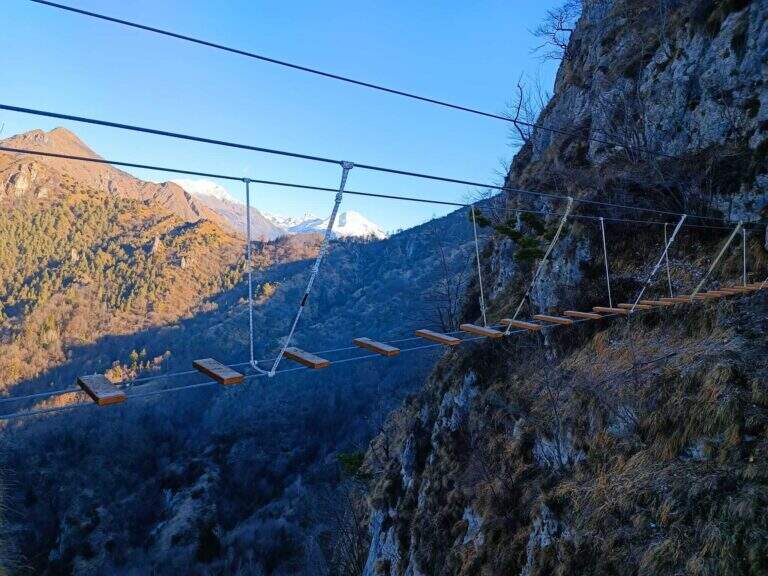
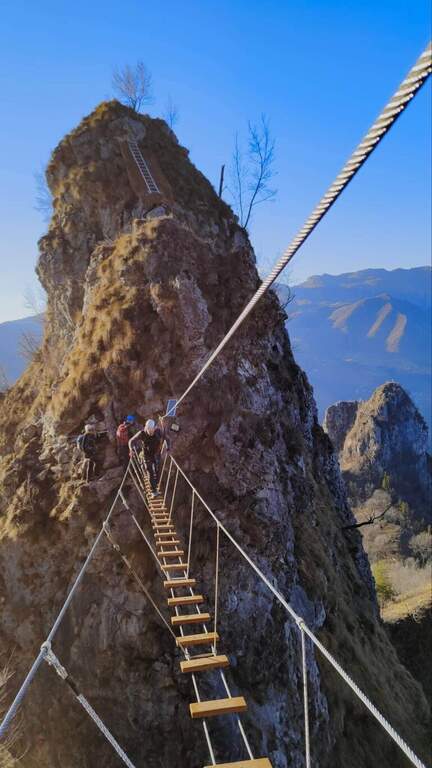
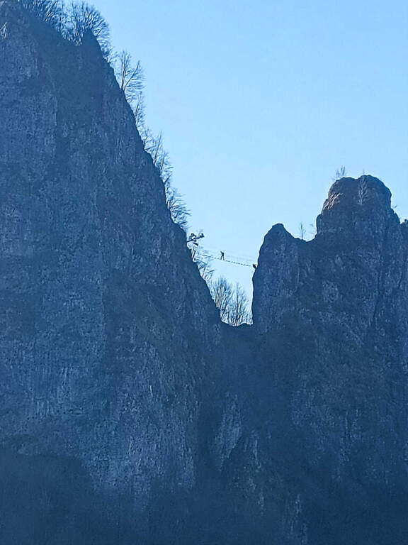
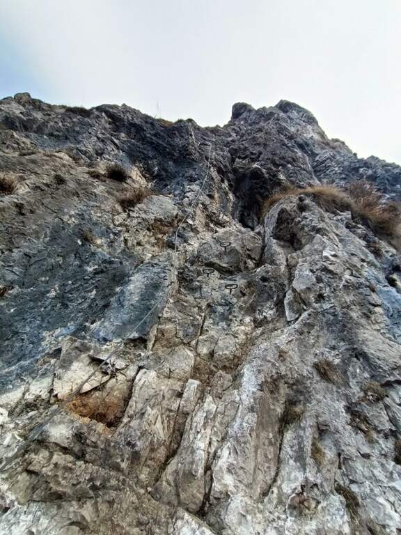
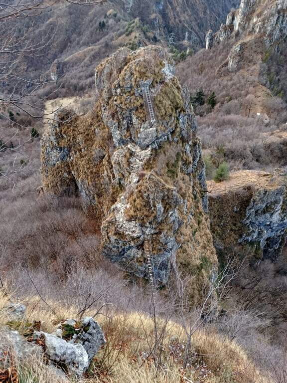
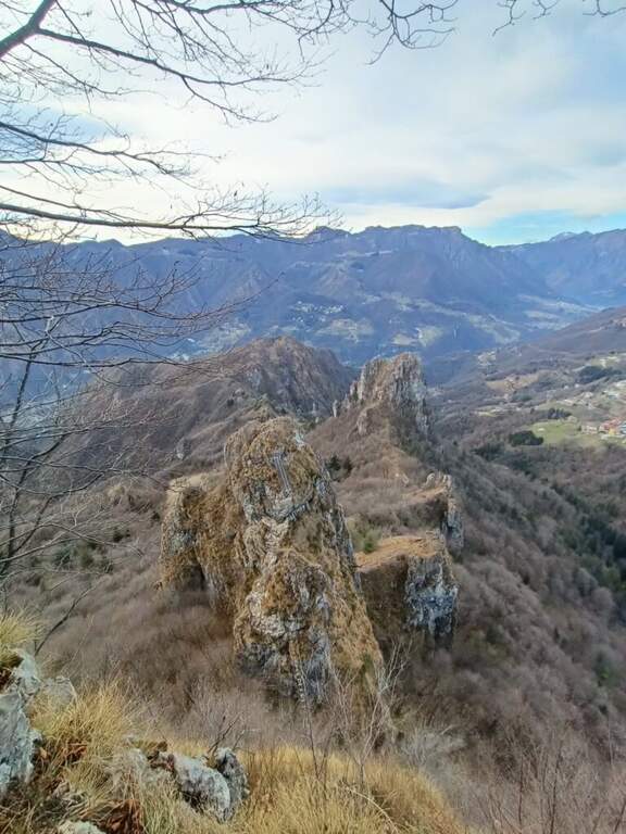
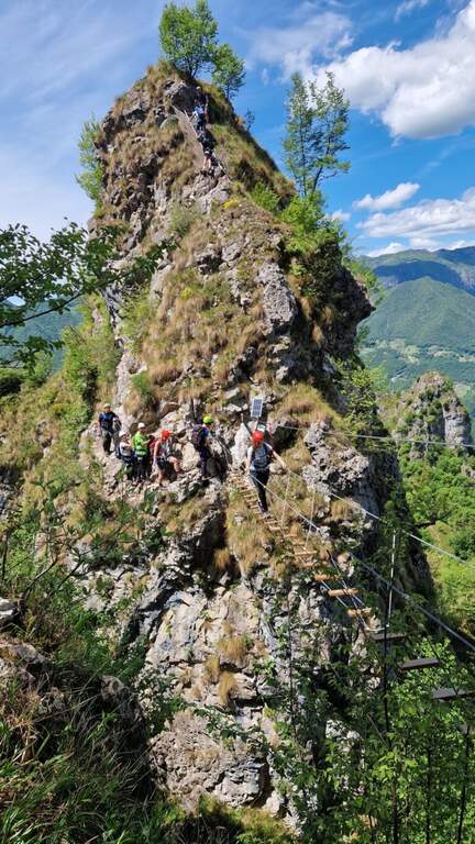
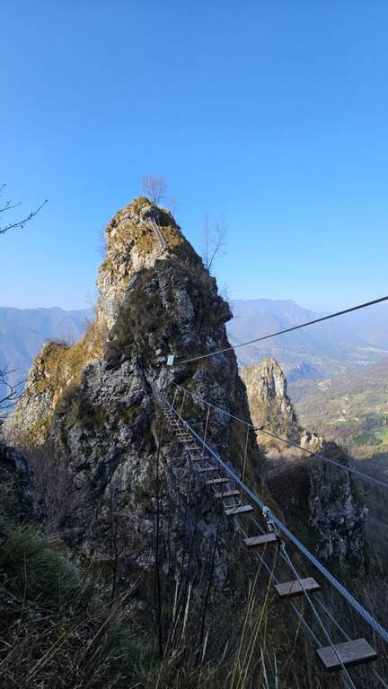
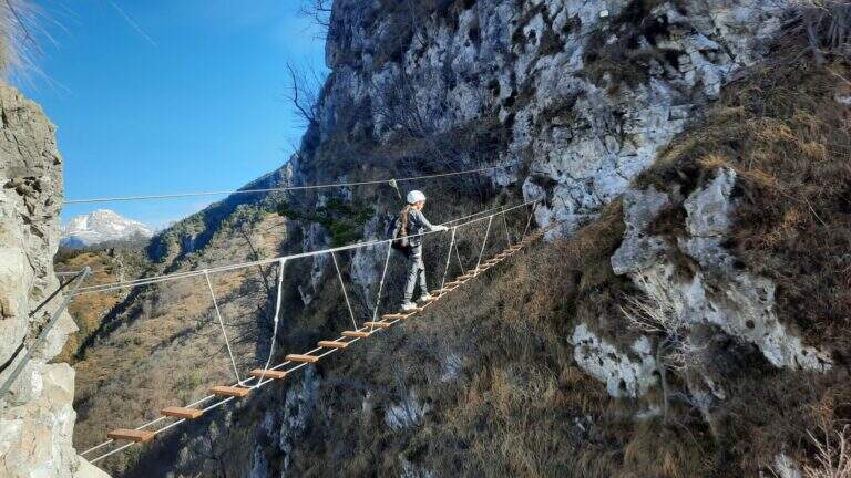
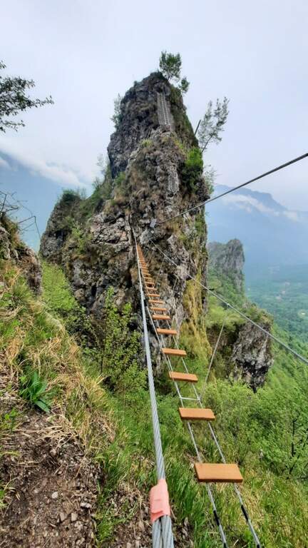
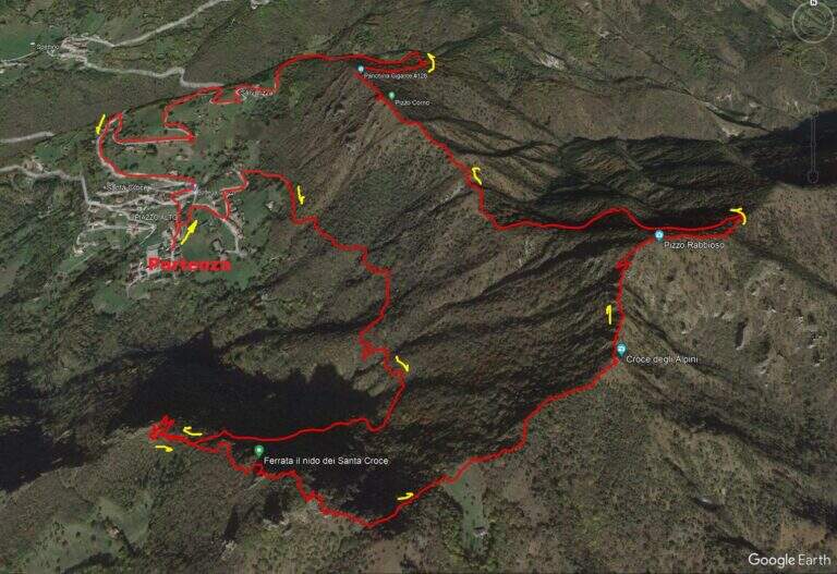
    La Ferrata del Nido dei Santa Croce è una via recente in Val Brembana (Bergamo) che sale la Corna Maria, presso San Pellegrino Terme. Nel complesso è facile — con la sola eccezione di una paretina «moderatamente difficile» — e regala passaggi interessanti e un bel ponte sospeso; è percorribile tutto l'anno.

    ▲Approach

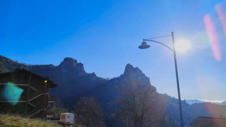
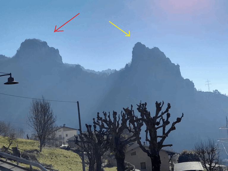
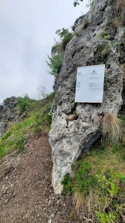
    Si parte dalla frazione di Santa Croce (San Pellegrino Terme). Si risale la Val Brembana fino a San Pellegrino; da sud si supera il paese e si esce a destra dove indicato «Dossena / San Pellegrino Terme», poi si segue per Antea e quindi a destra per Santa Croce, parcheggiando ad esempio nell'ampio spazio vicino alla chiesa. Open road signs on Google Maps. Dal paese sono ben visibili le due mete: a sinistra la Corna Maria, a destra la Corna Pedezzina. Si segue il sentiero CAI 561 verso la Corna Maria; al punto di congiunzione dell'anello si prosegue dritti verso il Monte Rabbioso, incontrando un paio di segnavia per la ferrata, fino a una sella con un capanno di caccia verde dove si svolta a sinistra; sulla destra il cartello d'attacco (30' dal parcheggio).

    ▲The path

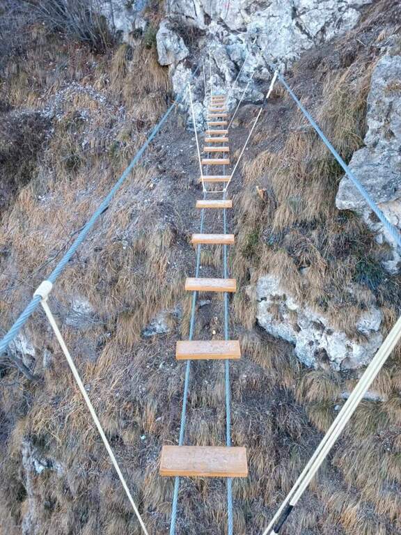
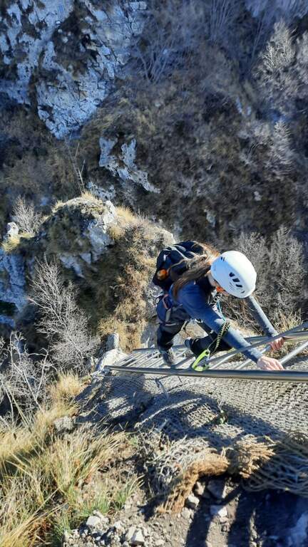
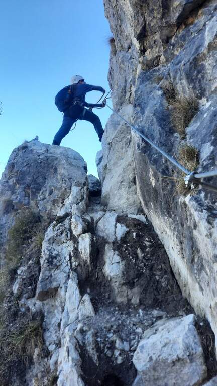
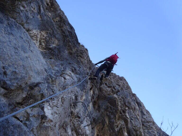
    I primi metri sono sentiero attrezzato con un breve balzo roccioso e un tratto di collegamento. Si sale poi una bella parete verticale di calcare, ben frastagliata e dotata di cambre e maniglie: è il tratto «moderatamente difficile». Si prosegue in salita per una trentina di metri piegando a destra fino a un terrazzino terroso panoramico sulla Val Brembana; ci si sposta a sinistra e si sale uno spigolo ben gradonato, poi un facile traverso orizzontale a destra conduce a una scaletta metallica da percorrere in discesa. Sotto si vede il ponte sospeso, raggiunto dopo una quindicina di metri di disarrampicata facilitata dalle cambre (attenzione a un paio di passaggi in cui per individuare gli appoggi serve sporgersi). Si traversa a sinistra e si raggiunge il ponte sospeso (17 m), con assi di legno. Oltre il ponte si sale verso destra su passaggi di modesta difficoltà fino a un terrazzino, poi su risalti rocciosi arrampicabili fino al termine dei tratti verticali (le attrezzature fungono solo da corrimano). Si segue infine la traccia fino alla cima della Corna Maria (1057 m, circa 40' dall'attacco, circa 1h 15' dal parcheggio).

    ▲Character and difficulty

    Via recente, con attrezzature abbondanti e in ottimo stato, adatta a principianti con un minimo di esperienza (in particolare per un paio di passaggi nella prima parte e per il tratto in discesa prima del ponte). Aperta al pubblico da inizio 2022; fa parte di un progetto più ampio che include la vicina Corna Pedezzina (completata nel 2023).

    ⚠ Essendo una via di costruzione recente, prestare attenzione al terreno e a eventuali detriti lungo il percorso.
    ▲Period and safety

    Bassa quota: percorribile quasi tutto l'anno, eventualmente evitando i mesi più caldi.

    ▲Discipline

    Dalla Corna Maria si segue il cavo che, verso est, scende e aggira la cima in direzione del Pizzo Rabbioso; si prosegue in cresta per circa 70 m fino a deviare a destra in discesa, raggiungendo il sentiero CAI 561. Si tiene la destra per tornare a Santa Croce (circa 2h totali); a sinistra si completa invece il giro ad anello. Lungo la discesa è possibile abbinare, seguendo la segnaletica, la vicina Ferrata alla Corna Pedezzina.

    ▲To match

    In zona: la Ferrata alla Corna Pedezzina, la difficile Ferrata del Monte Ocone in Valle Imagna, la Ferrata Maurizio all'Alben e, nelle Orobie, la Ferrata del Pizzo del Becco.

    ▲Gallery
    Technical data
    • DifficultyEasy
    • RegionLombardy
    • GroupPrealps Bergamasche
    • Approach0:30 h
    • Ferrata0:40 h
    • Itinerary (a/r)0:45 h
    • Max1057 m
    • Length3,5 Km
  • Ferrata del Monte Sarrandone

    Ferrata del Monte Sarrandone

    Vie Ferrate › Lombardia › Bergamo
    Ferrata del Monte Sarrandone

    The Ferrata del Monte Sarrandone is short and without significant difficulties, just above Castione della Presolana: an ideal itinerary as the first approach to the ferrates, which can be reached most of the year. It is probably, along with the Madonnina del Coren, the easiest piece of the province of Bergamo.

    ▲Approach

    It starts from the hamlet of Bratto-Dorga (Castione della Presolana). Coming from the valley you pass Bratto towards Passo della Presolana; after a hairpin bend, uphill on the left, a sign signals the end of the hamlet and, a few meters later, an asphalted cobble closed by a bar. Open road signs on Google Maps. You park just before the cobble (un' car) or about 100 m above (3 cars). You walk up the cobble, you ignore a first track on the left and continue until you intercept the sentiero CAI 28, which you take left: in short you reach the limestone plate where the ferrata begins, unmarked (1260 m, about 20' from the parking lot).

    ▲The path

    The rock is mostly calcareous and, towards the end, dolomitic. The way is divided into two trunks. The primo climbs on rock with moderate slope, in support, accessible either by climbing or by holding the cable; despite the vegetation (grass, bushes) there is no lap for hands and feet, with some more steep but simple traits. It follows a stretch of connection uphill in the forest until the second plaque. The secondo is mainly on calcareous plates in support, then more fun with l' slope rise, up to a nice passage to the right and a vertical section with hooks to climb in pleasant climbing. After about twenty meters you reach the top, with a view of the valley (1460 m, about 40' from' attack, about 1h total).

    ▲Character and difficulty

    Fully equipped with stretch galvanized steel cable, fixed with L. simple and pleasant, is used by alpine guides as a preparatory course and by CAI schools for youth mountaineering.

    ⚠ Also on an easy way, helmet and ferrata sets remain obligatory. The attack is not reported: follow CAI 28 until the plaque.
    ▲Period and safety

    Most of the year can be traveled, given the quota. Check the absence of snow/ice on the plates.

    ▲Discipline

    Go down backwards. Interesting alternative: a double rope descent from the summit (about 30 m) to a small natural amphitheatre, then in the forest to resume the ferrata for the descent (total time about 1h 45').

    ▲Gallery
    Technical data
    • DifficultyEasy
    • RegionLombardy
    • GroupPrealps Orobie
    • Approach0:20 h
    • Ferrata0:40 h
    • Itinerary (a/r)1:45 h
    • Hardware level difference180 m
    • Route difference400 m
    • Max1446 m
  • Ferrata del Monte Amariana

    Ferrata del Monte Amariana

    Vie Ferrate › Friuli-Venezia Giulia › Udine
    Ferrata del Monte Amariana

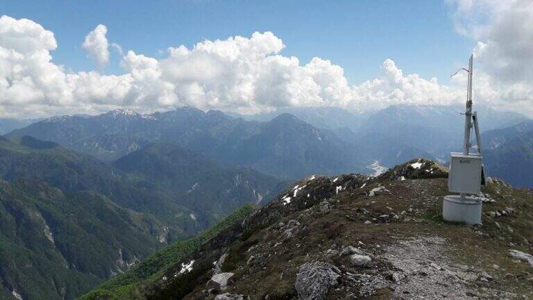
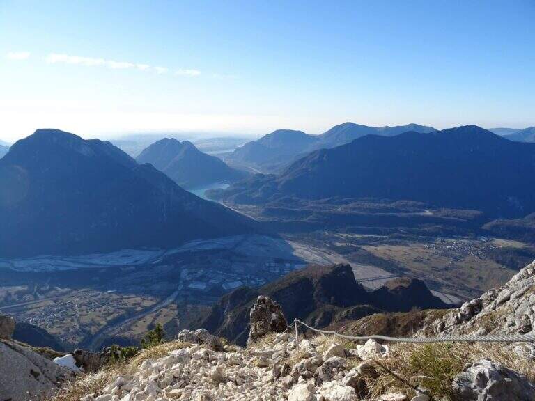
    Mount Amariana (in Friulian "La Mariane"), in the Carniche Prealps, rises at the confluence between Fella and Tagliamento and gives from the summit (1905 m) a 360-degree panorama, much higher than all nearby peaks. The ferrata on the south side is an easy and medium length itinerary (about 7 km between climb and descent) that goes up a canalone up to the saddle below the top.

    ▲Approach

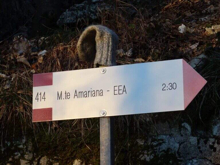
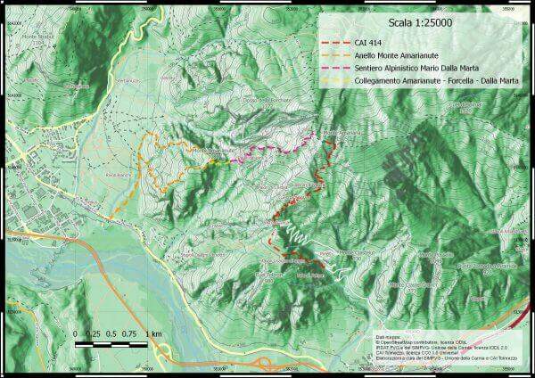
    Exit from the motorway exit of Amaro turn right towards the village; at l', turn left and cross it towards the slopes of the mountain. To the last houses continue along the military road to the Forca del Cristo (980 m). Open road signs on Google Maps. From the Forca del Cristo take the signpost CAI 414, pass by the cuel from the noglars and, out of the woods, you will see the view on Mount San Simeone and the valley. After about 2,6 km you reach the ' attack, about 1700 m; the path is well tracked and free of crossings (except one at the end of the ferrata), so it is practically impossible to miss the road.

    ▲The path

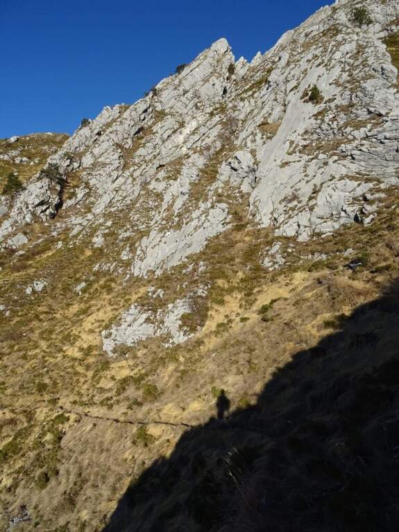
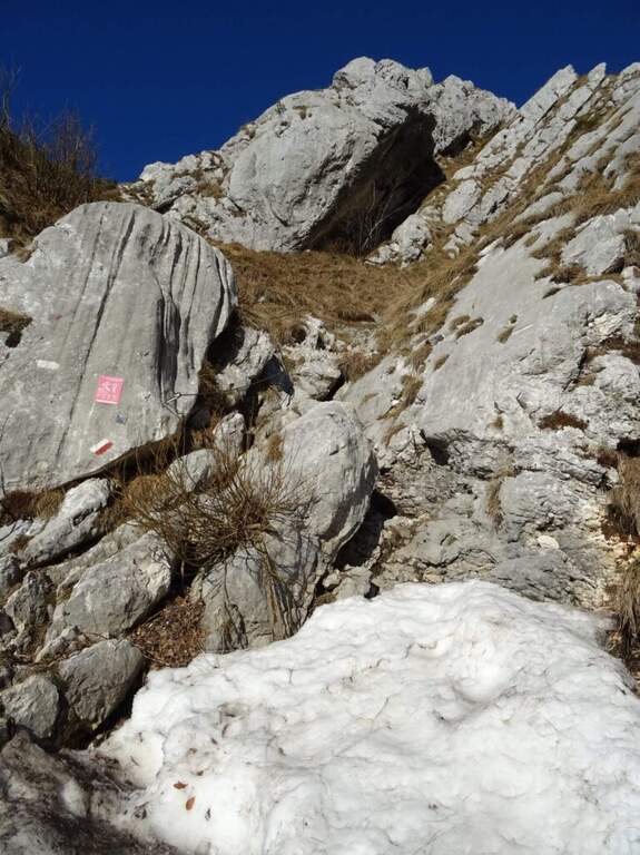
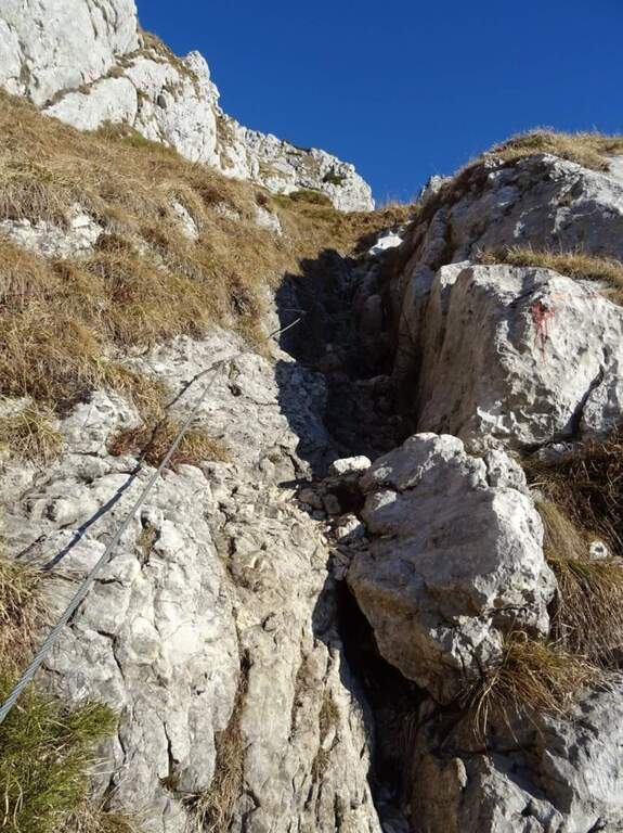
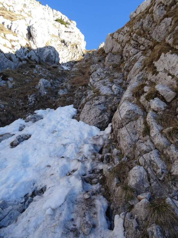
    From ' attack, reported by the CAI red folder (posted after the renovation of the structure in 2016), continues for about 500 m with practical cables grafted into the canalone d' ascent to the saddle under the top. The ferrata is easy; the canalone has quite unstable background, so the helmet is indispensable and should be paid attention not to move debris, which would slide towards the following. After the canal, the equipped sections continue on easy oblique ramps until their end; then you reach the peak (1905 m) in short, on path (2h 30' from ' start).

    ▲Character and difficulty

    Itinerary easy, in fact an equipped path: the ascent could be done even without the cables, but it remains recommended at least for those who have a minimum of experience.

    ⚠ However strongly recommended case: the falls of rocks moved by the weather or other hikers are not infrequent. For low altitude and exposure, address it in spring or autumn: in summer temperatures are very high.
    ▲Period and safety

    Spring and autumn are the best times. Case always worn for the risk of discharges in the tank.

    ▲Discipline

    The quickest option is the return to the uphill route, again to the Forca del Cristo (around 4h 45'). Alternatively, having two cars, you can descend on the north side with the other ferrata up to the Pradut saddle, with possible stop to the newly renovated Bivacco Cimenti-Floreanini (1067 m), continuing up to Illeggio (607 m); or descend the east ridge passing through the shelter Pian d'Aiars (1475 m) and the rec. M. Forcella (1098 m) until the "Ponte".

    ▲To match

    In Carnia: the recent Ferrata Farina del Diavolo in Villa Santina, la Ferrata Cassiopea al Torrione Comici e la Ferrata Cinquanta del Clap.

    ▲Gallery
    Technical data
    • DifficultyEasy
    • RegionFriuli-Venezia Giulia
    • GroupCarnic prealps
    • Approach1:15 h
    • Ferrata1:00 h
    • Itinerary (a/r)4:45 h
    • Hardware level difference300 m
    • Route difference870 m
    • Max1905 m
  • Ferrata della Miniera dell’Erdemolo

    Hardware of the Erdemolo Mine

    Vie Ferrate › Trentino-Alto Adige › Trento
    Hardware of the Erdemolo Mine
    Moderately Hard● OpenDescriptionComplexityMapsGallery

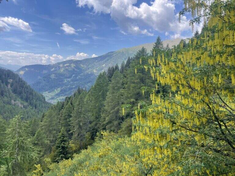
    The Ferrata della Miniera dell'Erdemolo is a very recent itinerary, realized above the ancient mines of calcopirite (arms) active between 1400 and 1600, in Val dei Mocheni. It is short and in the complex easy, with the only concluding part "moderately difficult": ideal for beginners and for those looking for a first taste of equipped path, between steep path, a short exposed crossing and a vertical wall bracketed with a pinch of overhanging.

    ▲Approach

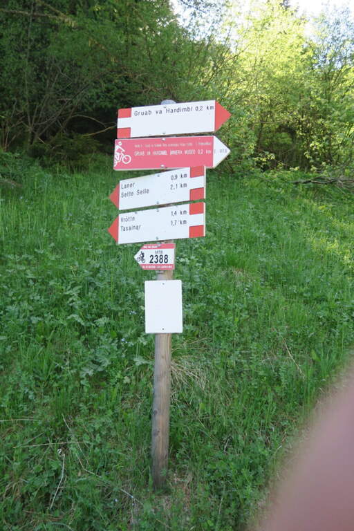
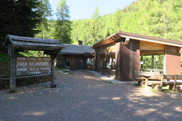
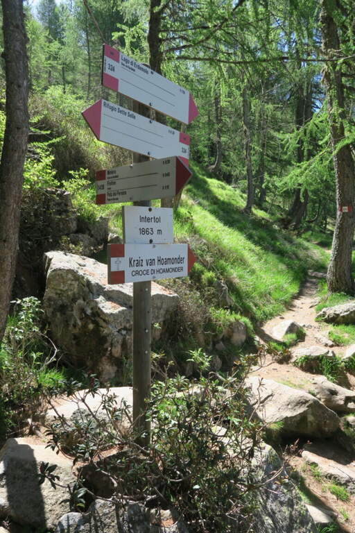
    Starting from the ' ample paid parking in the locality Frotten («Vròttn» in mòcheno), municipality of Palù del Fersina (TN), reachable by Pergine Valsugana; just before there is also a free parking lot in loc. Canopi, about 20' on foot. Open road signs on Google Maps. From the Frotten parking lot follow the forest road n. 325 towards «Miniera dell'Erdemolo»/Maso Lenzi, reaching in about 30' l' building of mine visits. Continue on the ascent cemented road (indications «Laner – Sette Selle») for about 300 m: on the right a diagonal track (if you reach the sign «343B – Intertol Sette Selle» you have gone over a few meters). This track, uphill south-east in the underwood, leads to all' attack in about 15' (1830 m, about 50' from parking).

    ▲The path

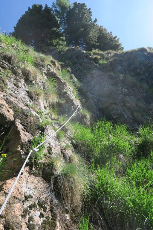
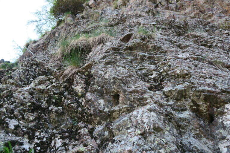
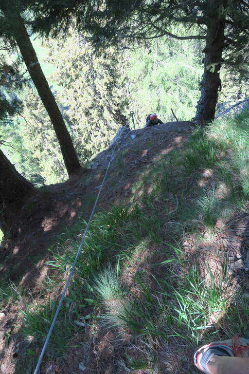
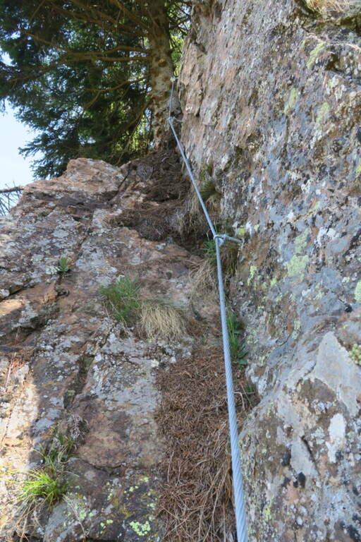
    The rope begins on a simple slope, followed by easy rocks and an easy crossing. For a large part it is a path equipped with the cord as a handrail, useful on the steep soil mixed with grassy laces and land; a short stretch of rock interrupts the grassy ascent, which continues to bends. A first cambre ladder is easily overcome, then a stretch in the undergrowth and a short and fun across rock in light exposure. Some brackets earn altitudes up to the most beautiful stretch: a traverse on rock and brackets to the left, well exposed for a few meters. The key point remains: a vertical paretine of about 10 m with a short and light strapiombo, however without force on the arms. It stands on a last grassy slope where the cord ends, at 1960 m (40' from' attack, about 1h 30' from parking).

    ▲Character and difficulty

    Short path and satisfaction, suitable for those who approach the ferrates. Exposed to the west, you can also face on summer days thanks to the limited direct irradiation. In both ways, unless otherwise indicated.

    ⚠ Ferrata completed in summer 2026 (Common of Palù del Fersina, PNRR funds): this is a very recent work, it is advisable to verify its status before departure.
    ▲Period and safety

    Summer season; given the low altitude and exposure to the west is pleasant also with moderate heat.

    ▲Discipline

    Continue east for a few dozen meters until you enter the trail 324, which takes to the left for the descent (about 20') until the crossroads "loc. Intertol". To return to the forest road and the mine holds the left on 343B; alternatively, on the right on the 324 you reach the Rifugio Sette Selle (about 20') and then descend to the sentiero 343 at the Frotten parking lot, closing a ring (recommended option).

    ▲To match

    Given the brevity, in the Valsugana area: the easy Ferrata di Valimpach at Caldonazzo, il Sentiero Attrezzato Church in Levico Terme, il Sentiero Attrezzato Bertotti at Passo del Cimirlo and, in the heart of Lagorai, the most challenging Ferrata Gabrielli in Cima d'Asta.

    ▲Gallery
    Technical data
    • DifficultyModerately Hard
    • RegionTrentino-Alto Adige
    • GroupChain of Lagorai
    • Approach0:50 h
    • Ferrata0:40 h
    • Itinerary (a/r)1:45 h
    • Hardware level difference130 m
    • Route difference460 m
    • Max1960 m
    • Length4,5 Km
  • Ferrata del Bunker (of the Military)

    Ferrata del Bunker (of the Military)

    Vie Ferrate › Piedmont › Turin
    Ferrata del Bunker (of the Military)
    Moderately Hard● OpenDescriptionComplexityMapsGallery

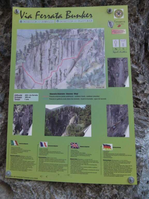
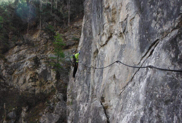
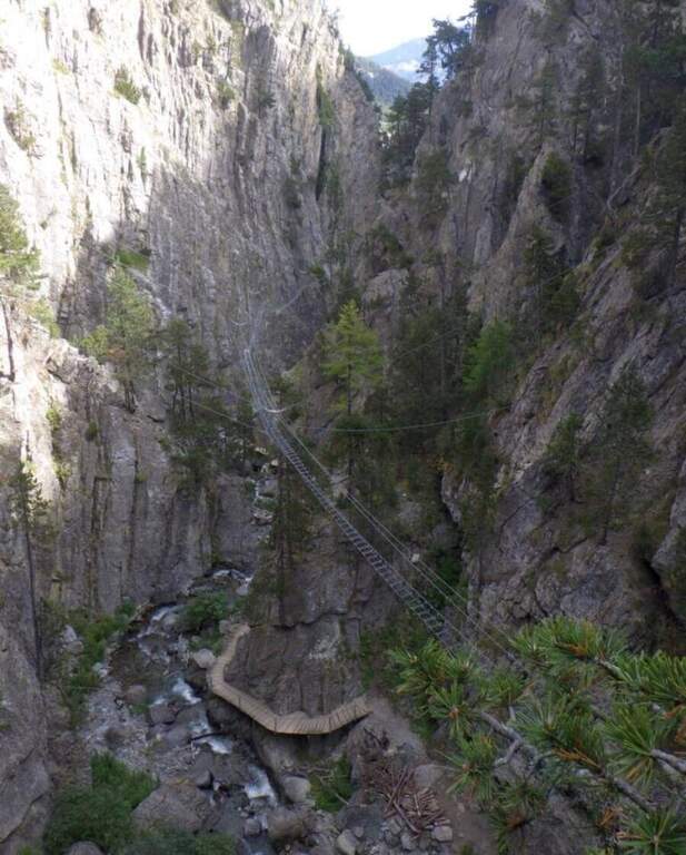
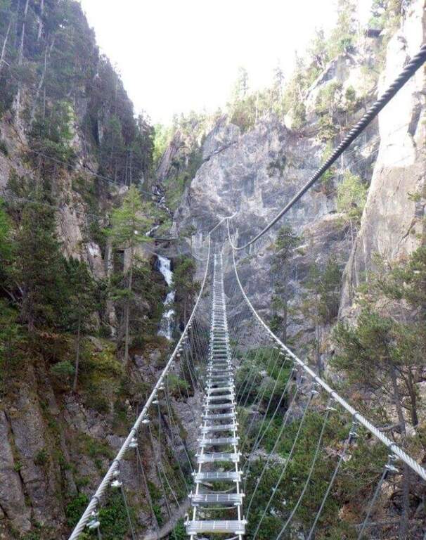
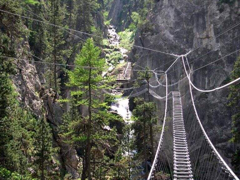
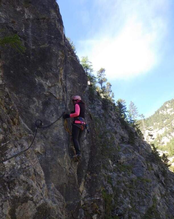
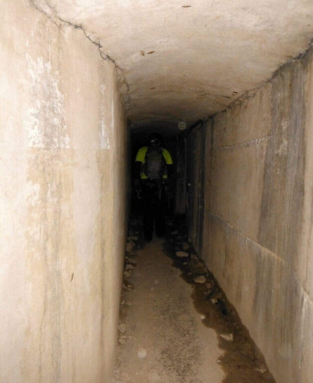
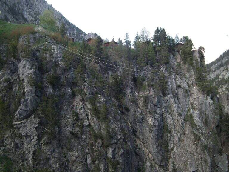
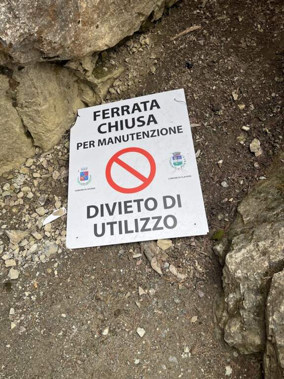
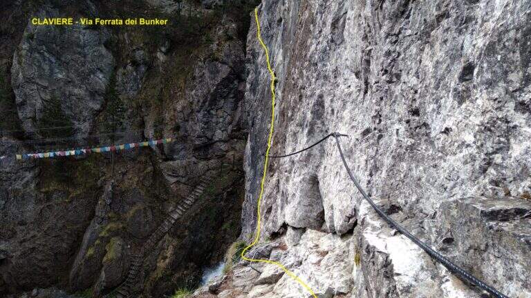
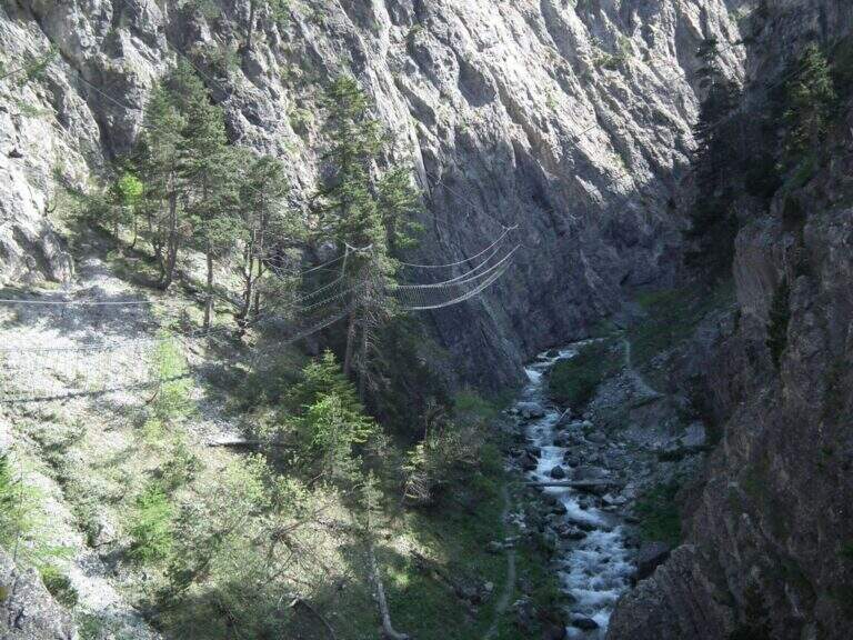
    The Ferrata del Bunker (or the Military) runs along the wall that divides the Gorges of San Gervasio, on the Dora Piccola, near Claviere. It's not difficult, but it's definitely aerial: it starts immediately after the world's longest suspended bridge and closes through a short bunker and two other Tibetan bridges.

    ▲Approach

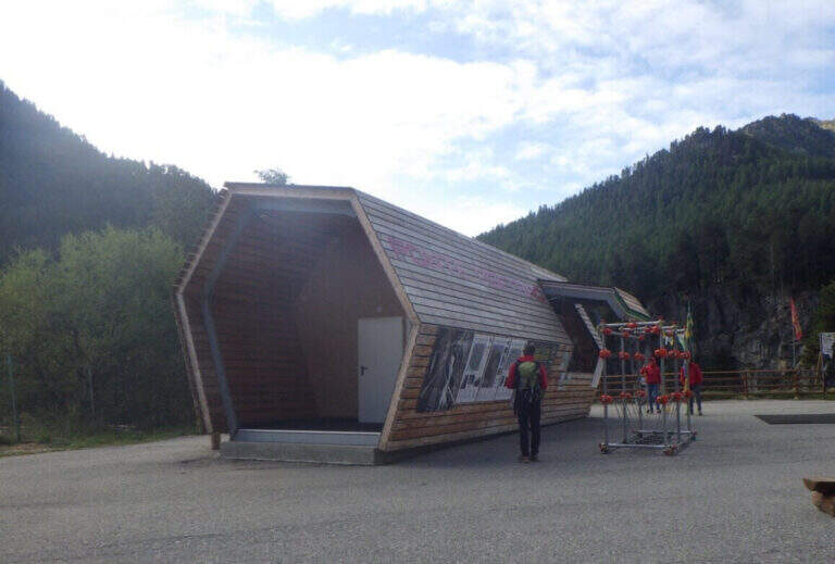
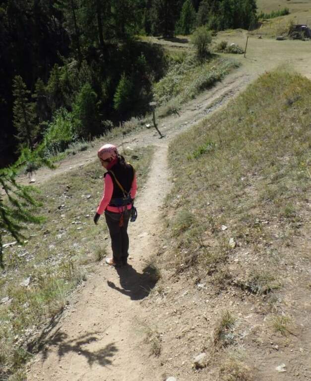
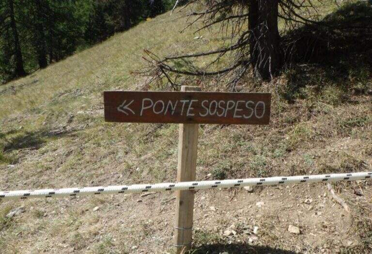
    The usual starting point is the ticket office of the Tibetan Bridge of Claviere (high Val di Susa, Turin), a wooden case well marked in the village. Open road signs on Google Maps. From the center you cross the suspension bridge «Sergio Bompard» (408 m), followed by an approach bridge of another 70 m: at the end it is at l' attack (30' from parking). Alternatively, park at the campsite after the roundabout before the gallery: go down to the ski lift for children, go up the opposite side and go left towards the gorge of the Tibetan bridge (25').
    ▲The path

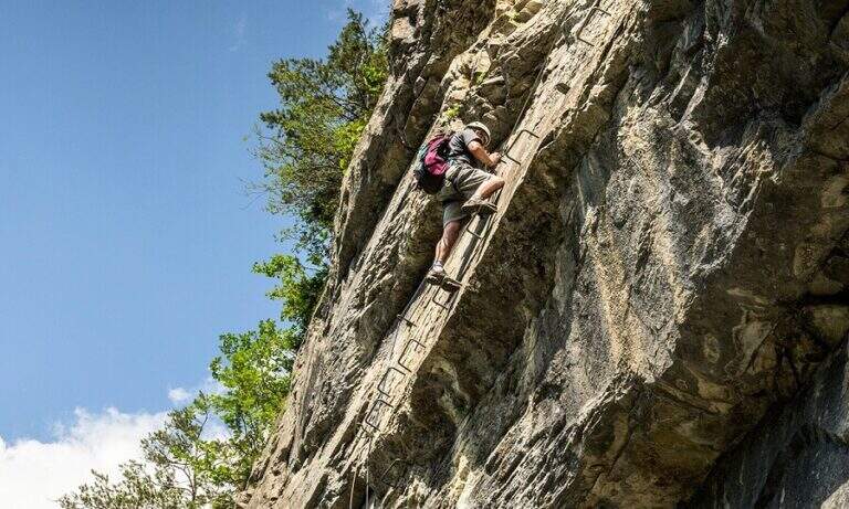
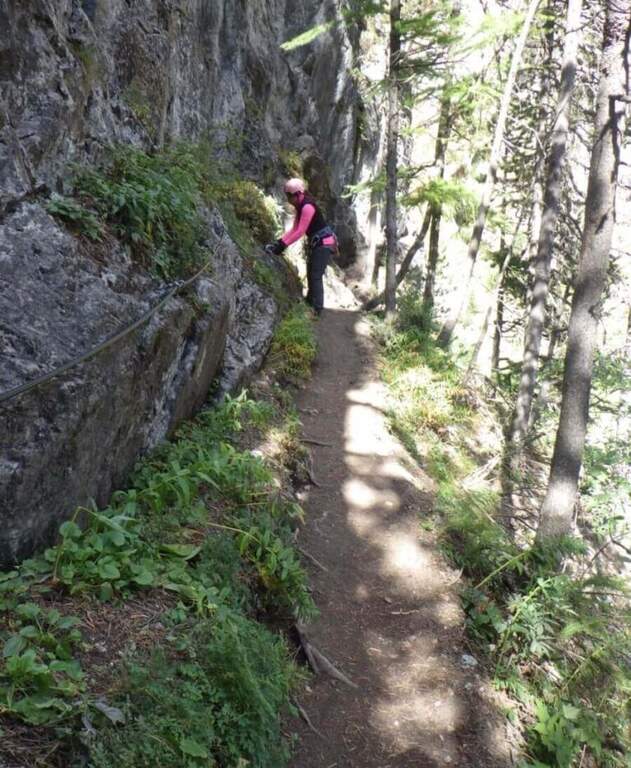
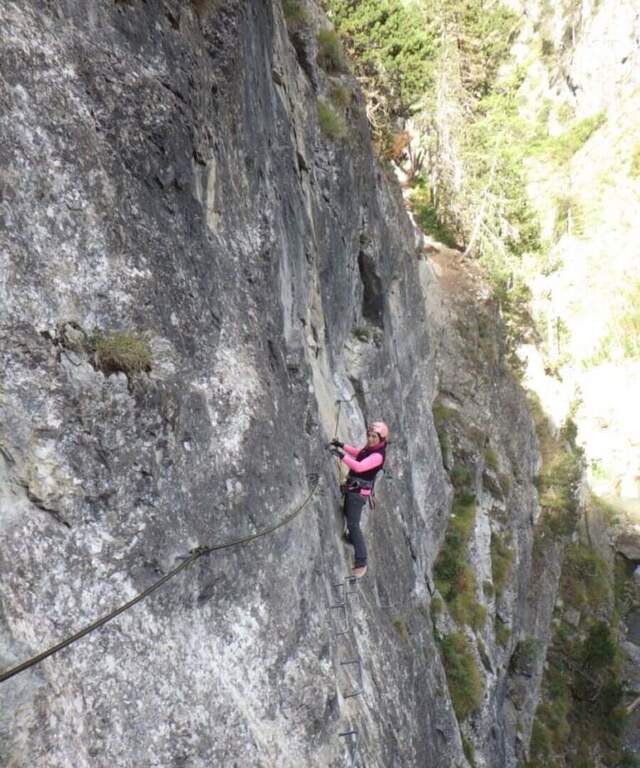
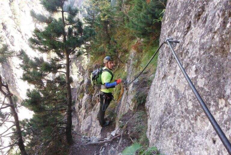
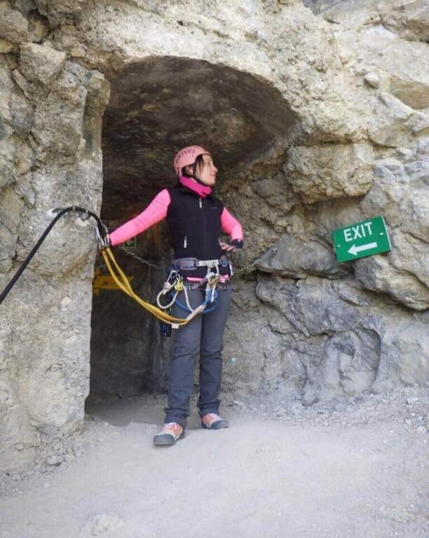
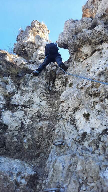
    The ferrata begins with a downhill stretch, then climbs right onto the wall that divides the Dora Piccola, earning immediately exposure. It proceeds on a horizontal across a lot of plane above the river, well assisted by brackets, up to a tilted ramp that becomes vertical ascent and ends on a nod. The nod leads to the bunker (usually illuminated in opening hours, but a torch is recommended); all' exit is at a third long Tibetan bridge that leads to the slope where the ferrata ends (1h from' attack, 1h 30' parking).

    ▲Character and difficulty

    Technically contained, but very exposed: the three Tibetan bridges require absolute absence of dizziness. Suitable for those with little experience but firm head.

    ⚠ Bring a flashlight to the bunker. At the ticket office of the Tibetan Bridge you can rent the equipment.
    ▲Period and safety

    Season from late spring to autumn. Check times and accessibility of bridges at the operator.

    ▲Discipline

    From the end of the final Tibetan bridge you descend in short to the ticket office (15', 2h total).

    ▲To match

    Often combined with the Ferrata di Rocca Clarì (difficile) and the Low-High and Chaberton Battery Hardware, which concatenates three ways. From 2024 we also signal the Ferrata delle Cascate di Novalesa.

    ▲Gallery
    Technical data
    • DifficultyModerately Hard
    • RegionPiedmont
    • GroupAlta Val di Susa
    • Approach0:30 h
    • Ferrata1:00 h
    • Itinerary (a/r)2:00 h
    • Hardware level difference90 m
    • Route difference100 m
    • Max1758 m
    • Length2 Km
Need help? Write to us!