Caratteristica: Adatta alle famiglie

  • Ferrata del Somator (Monte Biaena)

    Ferrata del Somator (Monte Biaena)

    Vie Ferrate › Trentino-Alto Adige › Trento
    Ferrata del Somator (Monte Biaena)

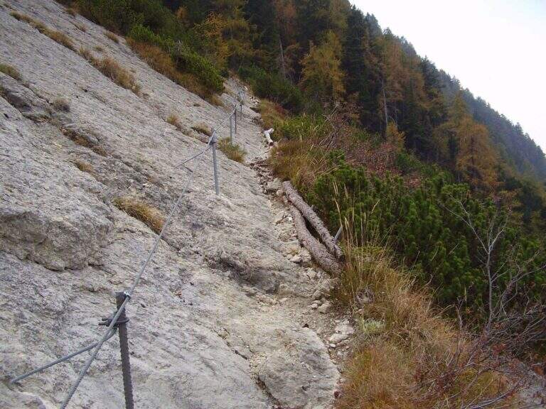
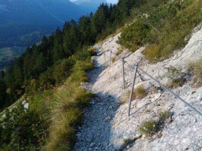
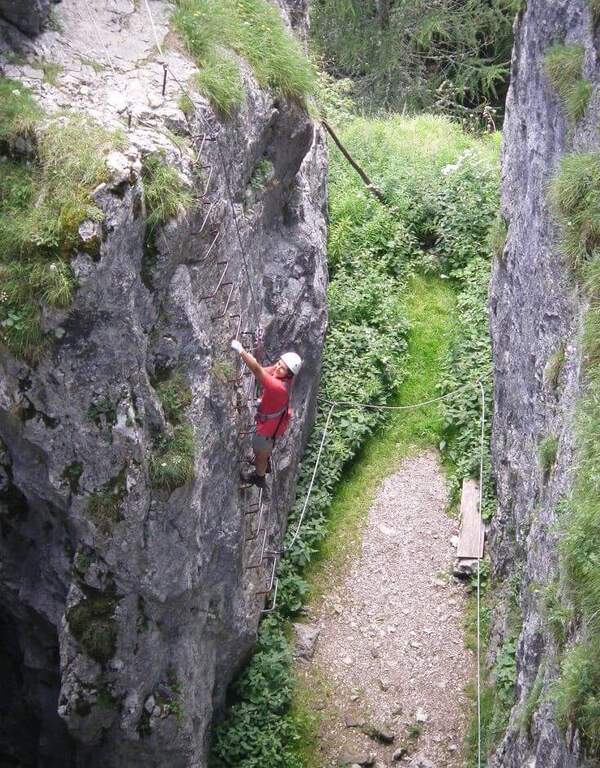
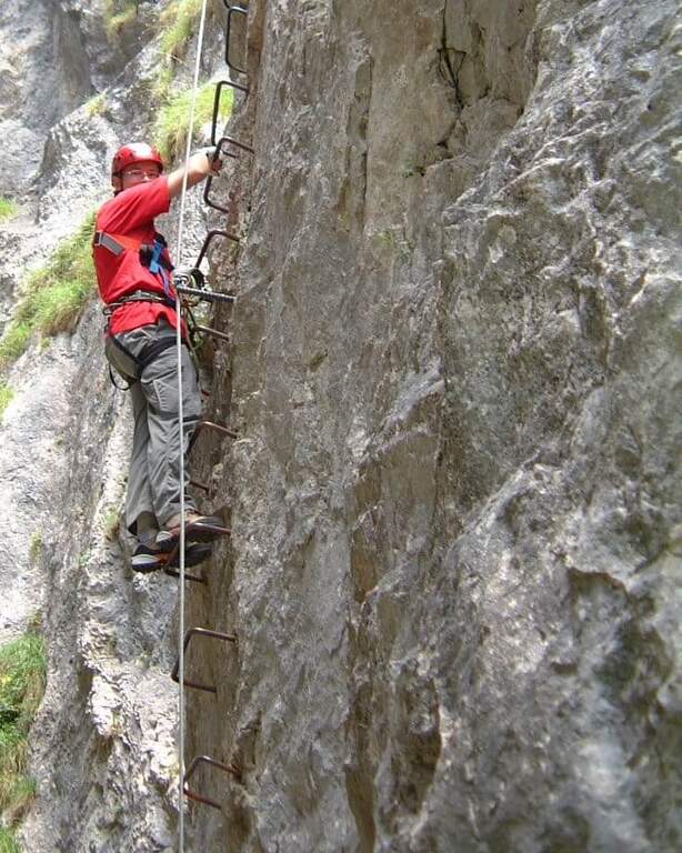
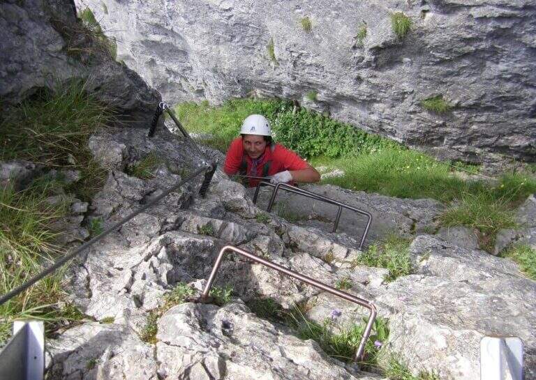
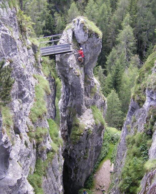
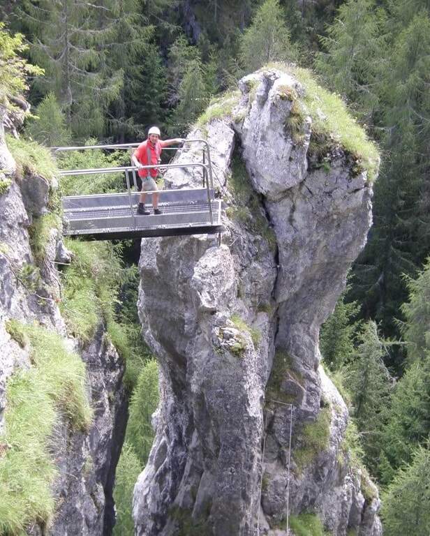
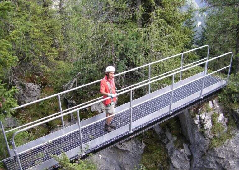
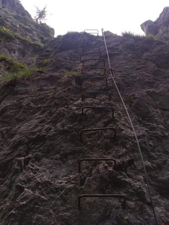
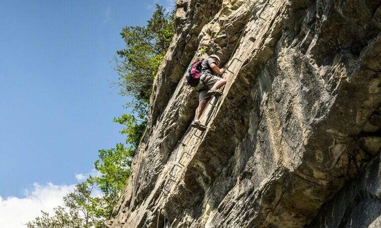
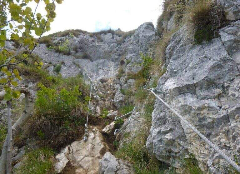
    La Somator Ferrata ` a pleasant ring itinerary at Monte Biaena, in the Gardesane Prealps between Rovereto and Riva del Garda. È a facile street: some elementary rocky ridges are equipped with brackets and cambres to facilitate hikers, and l' environment with lake view makes it an ideal destination for families.

    ▲Approach

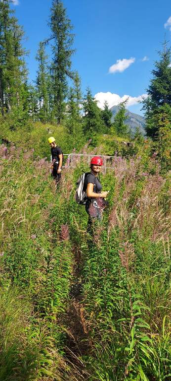
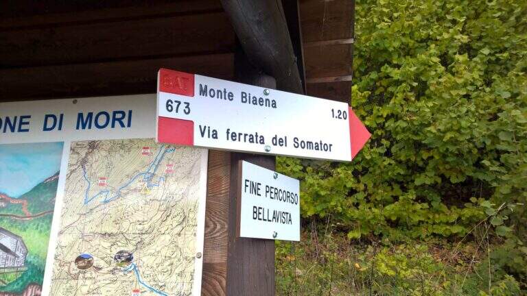
    Starting point is the parking of the Restaurant Pizzeria La Baita, between Ronzo-Chienis and Castellano (Trento). Open road signs on Google Maps. From the parking lot follow the CAI signs 671 on asphalt road to the east; the first crossroad to the left is ignored for the Path Attrezzato de le Laste (which will be the return) and, between the tracks that detach to the right, we start after a few minutes on the path 673, where the Somator Path begins (30' from'auto); wanting, a short deviation on 642 reaches the Malga Somator Refuge.

    ▲The path

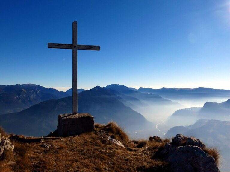
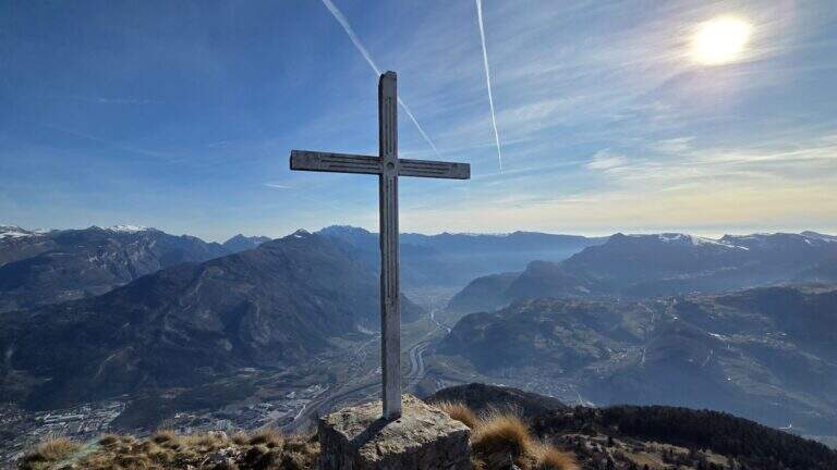
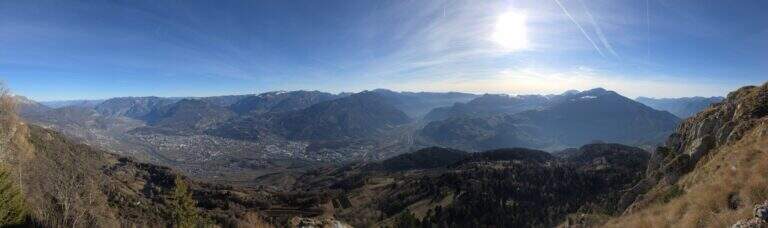
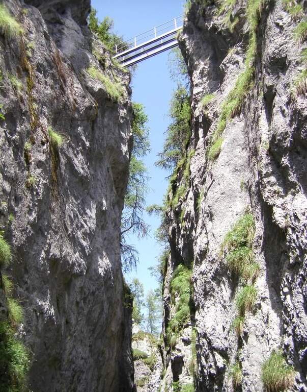
    The path always remains quite easy, with some stretches that shrink and become equipped, a couple of easy vertical leaps and a canal. After passing the stretches, continue in view of Mount Biaena, with a beautiful view of the lake (1617 m, 1h 30' from'auto).

    ▲Character and difficulty

    Although known as «ferrata», the climb to Mount Biaena is an easy route, suitable for neophytes and families.

    ▲Period and safety

    GPS tracks (GPX and KMZ) are available; the map of Alto Garda and Valle di Ledro is useful for the area, or Pasubio and Vallagarina 4Land.

    ▲Discipline

    For the return you descend on the east side following the track 671; after about 10' the trail 678 is ignored on the left and continues in the forest with some easy stretches equipped up to a track and at the junction of the ' gone, returning all' car ( approximately 2h 30' totali).

    ▲To match

    Garda offers many similar routes: Ferrata Rio Sallagoni in Castel Drena, la Ferrata Colodri to Arco; on the western side the Susatti a Cima Capi e l'Friendship in Cima Sat; for a higher degree the Marangoni to Mori.
    ▲Gallery
    Technical data
    • DifficultyEasy
    • RegionTrentino-Alto Adige
    • GroupPrealps Gardesane
    • Approach0:30 h
    • Ferrata1:00 h
    • Itinerary (a/r)2:30 h
    • Hardware level difference70 m
    • Route difference315 m
    • Max1617 m
    • Length4,5 Km
  • Ferrata Sass de Rocia

    Ferrata Sass de Rocia

    Vie Ferrate › Veneto › Belluno
    Ferrata Sass de Rocia

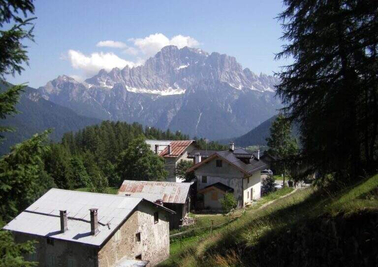
    La Ferrata at Sass de Rocia is located near Laste, in the province of Belluno, and è among the più simple of the subgroup of Marmolada. Technically elementary and with low altitude difference, & perfect for those who want to take confidence with verticalit & agrave;: the few steep traits are equipped with abundant brackets and ladders, and the ` enlivened by tre suspension bridges that make it an ideal destination for families and neophytes.

    ▲Approach

    You reach the hamlet of Ronch, just above Laste (Belluno), and you leave l' car in the square in the center of the village. Già along the road, just before ' inhabited, a sign indicates the path that climbs into the forest towards l' attack. Open road signs on Google Maps. From the square you return to the ' climb for a few meters and take the path to the left, uphill, in the forest: well marked and devoid of difficulty;, in about 10 minutes it leads to all' attack (15' from parking ).

    ▲The path

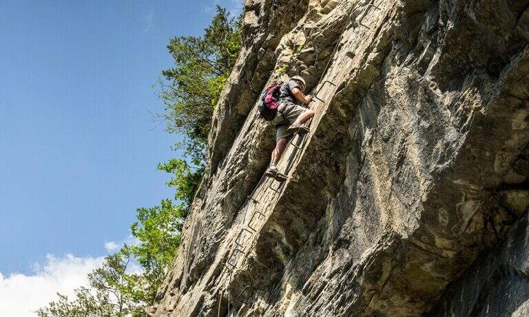
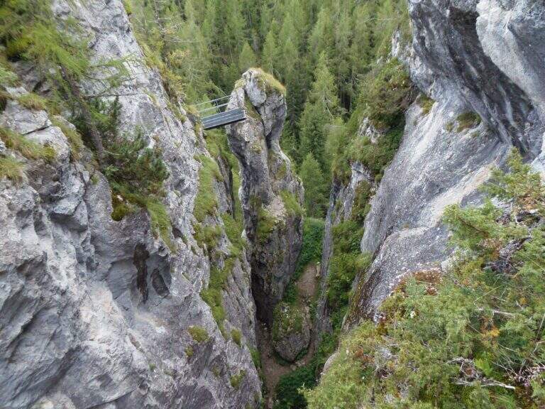
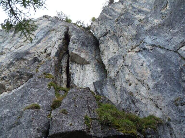
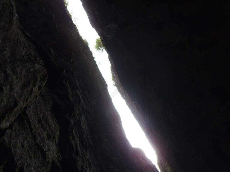
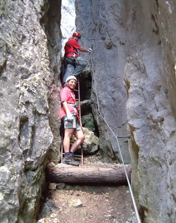
    Si attacca una paretina attrezzata con staffe e una scaletta metallica, oltre la quale ci si infila in un anfratto stretto fra le pareti del Sass de Rocia, risalito con la corda che fa da corrimano. In fondo una scaletta metallica appoggiata di circa 4 metri conduce a una cengia che, dopo pochi passi, piega con un tornante a sinistra sotto una parete verticale: la roccia è liscia e povera di appigli ma fittamente attrezzata di staffe, e un breve tratto leggermente strapiombante costituisce l'unica vera difficoltà. Si esce su un terrazzino dove le attrezzature piegano a sinistra per qualche metro prima di ripartire in verticale con altre staffe e un breve passaggio a sinistra. Si guadagna così il primo ponte sospeso, che scavalca la gola attraversata all'ingresso. Da qui il tracciato diventa sentiero attrezzato: alcune facili roccette tra i mughi portano al secondo ponte sospeso, quindi un tratto di sentiero inizialmente attrezzato conduce al terzo ponte sospeso. Un'ultima breve traccia termina al Bivacco Pian delle Stelle, dove finisce la ferrata (30' dall'attacco, 45' dal parcheggio).

    ▲Character and difficulty

    A very easy way, designed for principants and families: some vertical traits are exceeded by helping with the brackets, reducing to a minimum l' climbing. L' exhibition è contained and l' modest physical commitment.

    ▲Period and safety

    Due to the approach and the short return, it is an ideal itinerary even on uncertain weather days. GPS tracks (GPX and KMZ) are available.

    ▲Discipline

    La discesa può ripercorrere interamente la via di salita; in alternativa, superati i primi due ponti e giunti in prossimità del terzo, si segue la traccia che aggira la gola scendendo prima una scaletta e poi un sentiero, fino a innestarsi nel sentiero di avvicinamento e rientrare al parcheggio (30' dal bivacco, 1h 15' in totale).

    ▲To match

    It is the easiest of the ferrates of the subgroup of Marmolada, where the historical streets stand out Eternal, a Punta Penia, al With Ombert e al Colac. Towards the Falzarego Pass there are two easy routes, the ♪ e l'Averau; descending towards Civetta the challenging Yellow Flames, Titus e Alleghesi, besides the long Constantine to the Moiazza.

    ▲Gallery
    Technical data
    • DifficultyEasy
    • RegionVeneto
    • GroupMarmolada
    • Approach0:15 h
    • Ferrata0:30 h
    • Itinerary (a/r)1:15 h
    • Hardware level difference100 m
    • Route difference130 m
    • Max1576 m
    • Length0,9 Km
Need help? Write to us!