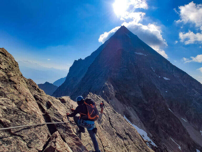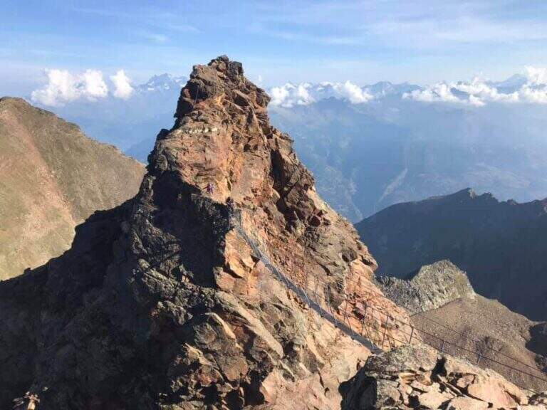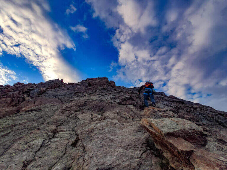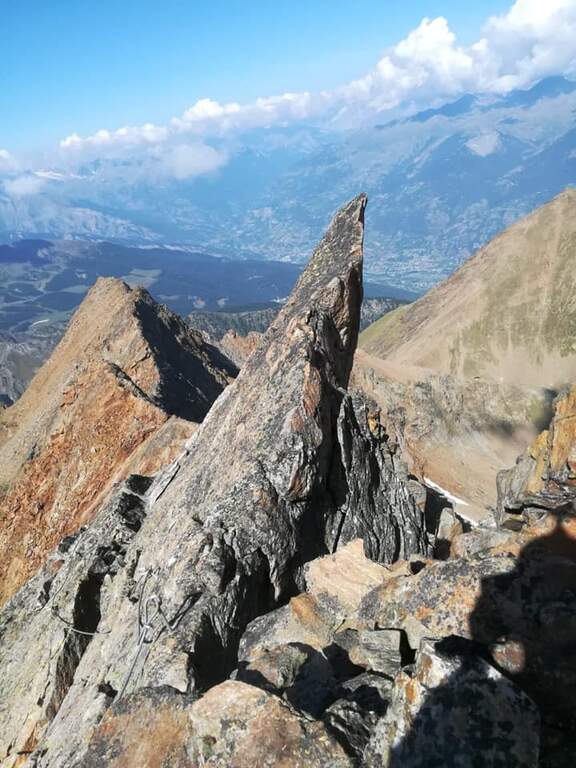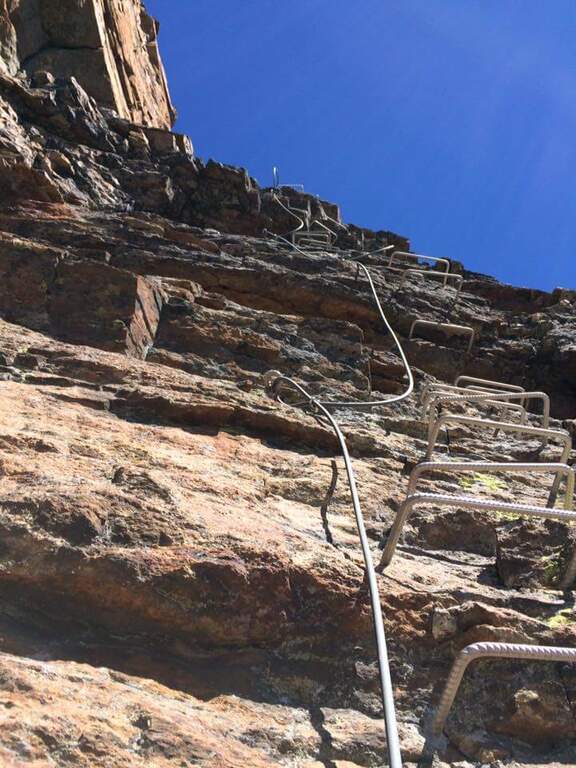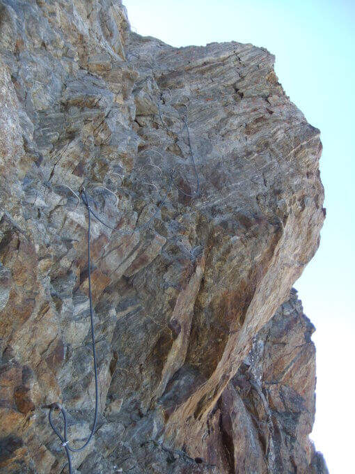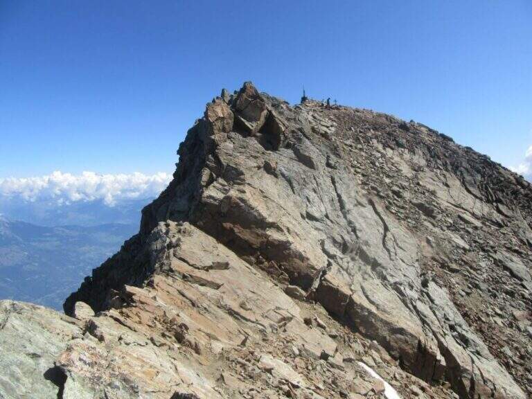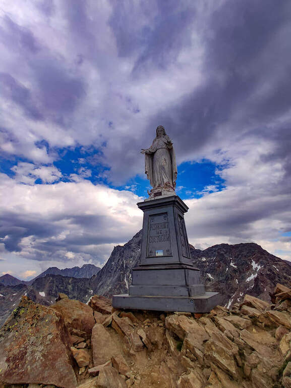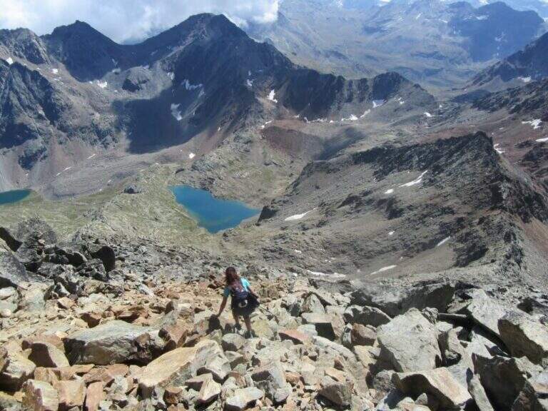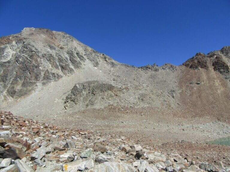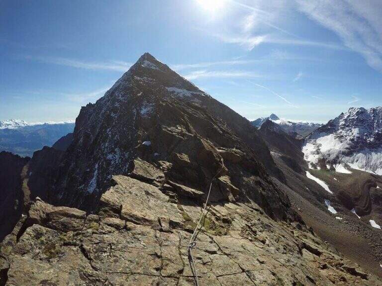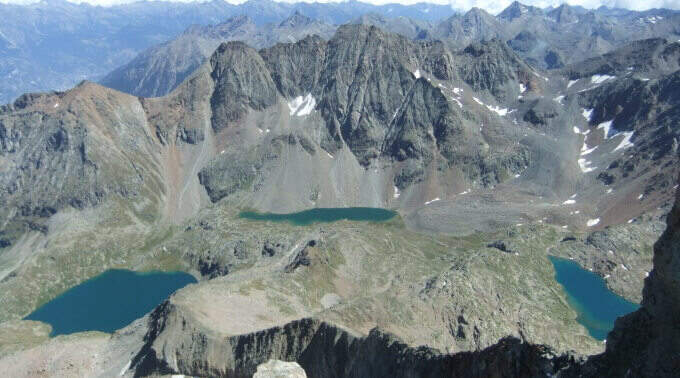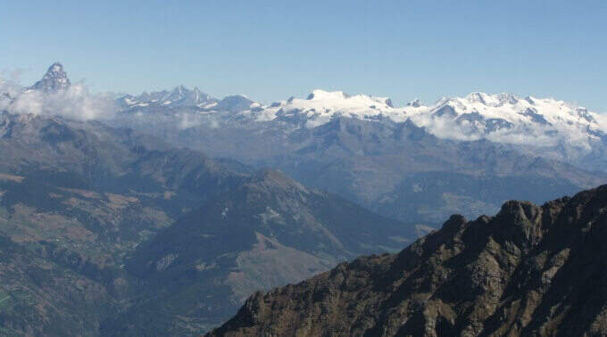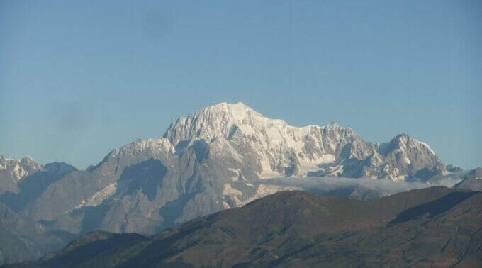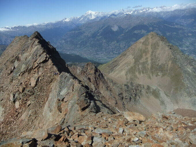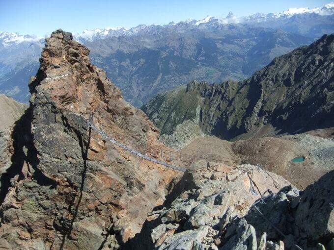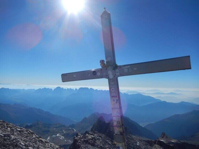
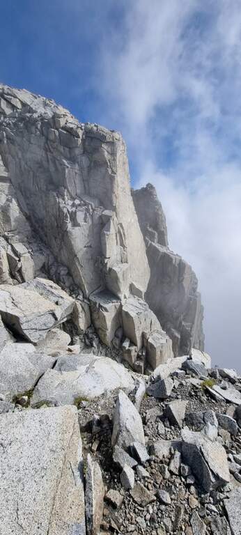
The recent Ferrata Monte Nero is only a part — short (95 m of altitude) but central — of a long and challenging high mountain route that, from Val d'Amola and the Segantini Refuge, leads to the summit of the Presanella (3558 m), the highest point entirely in Trentino. L' itinerary requires l' crossing a vedretta with ramps.
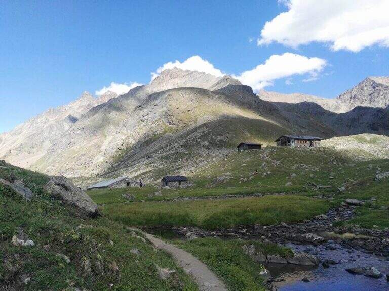
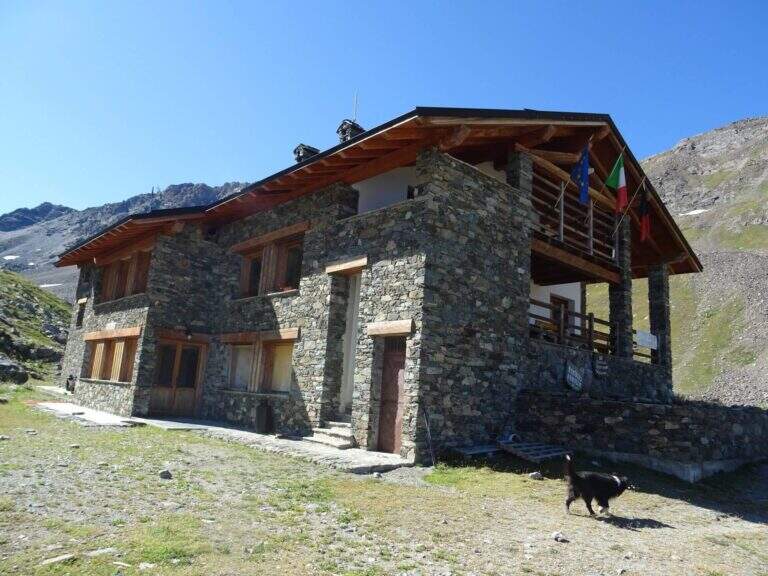
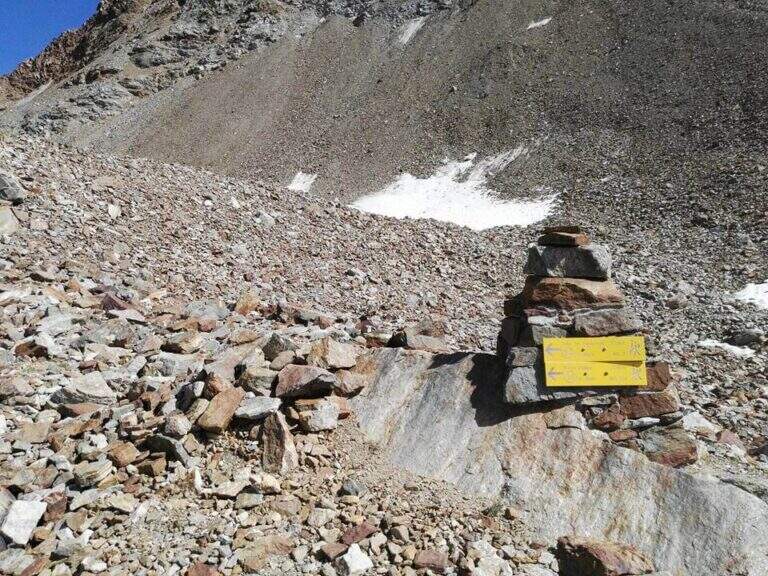
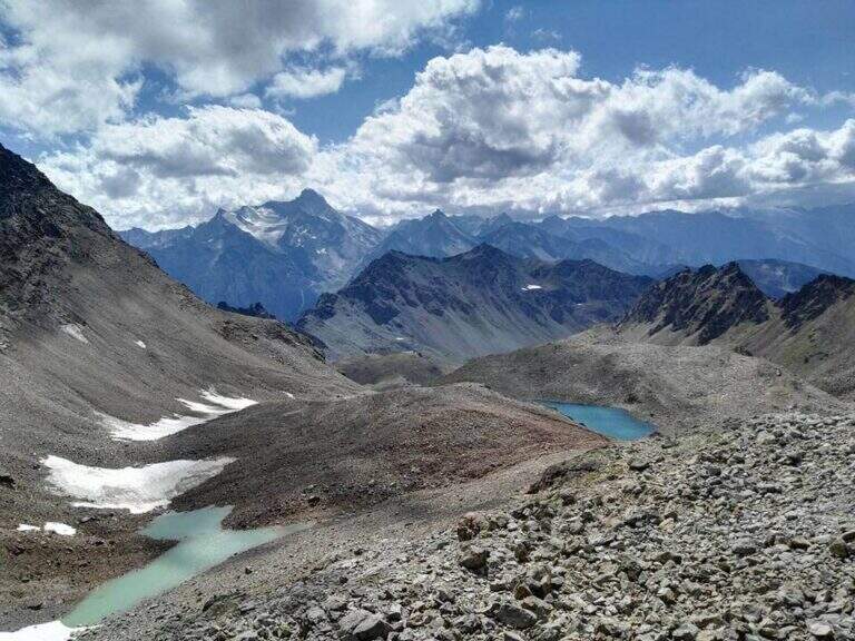
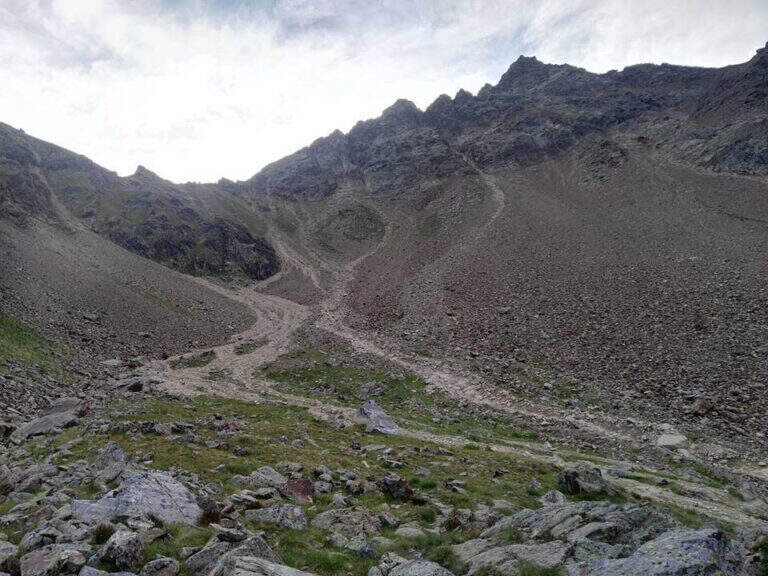
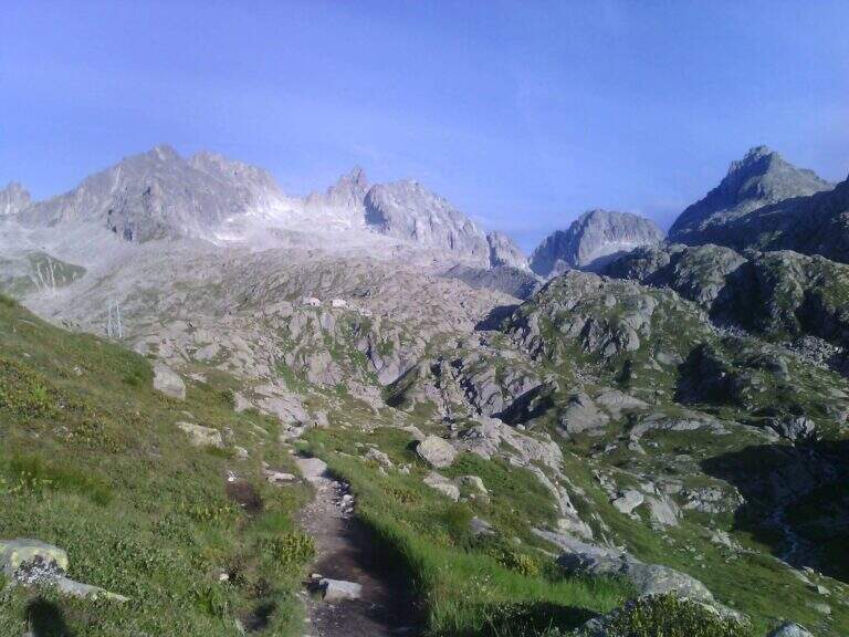
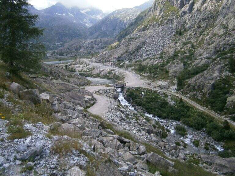
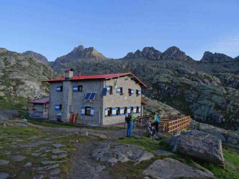
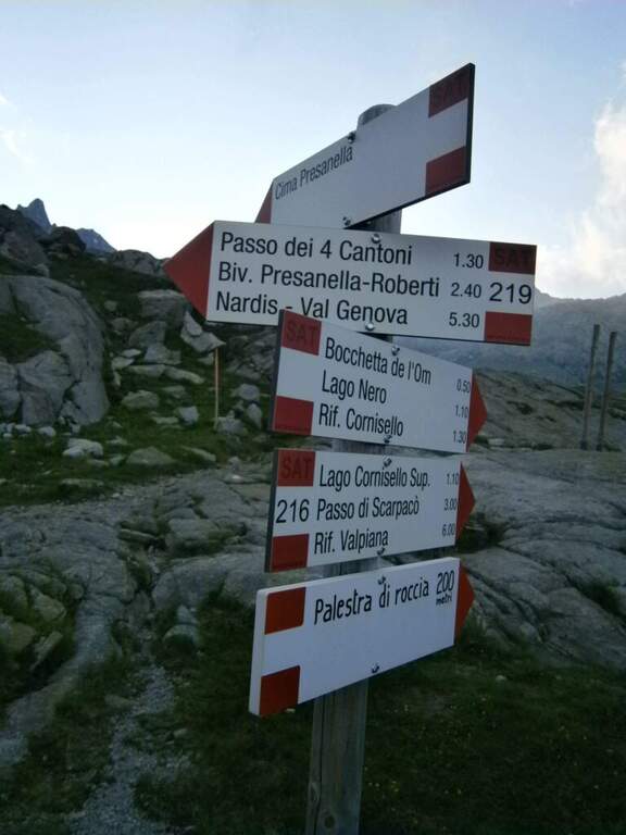
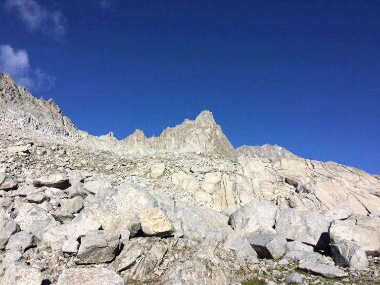
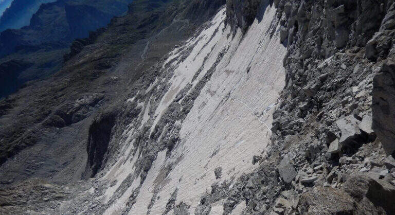
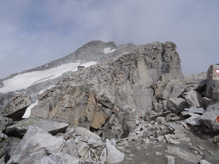
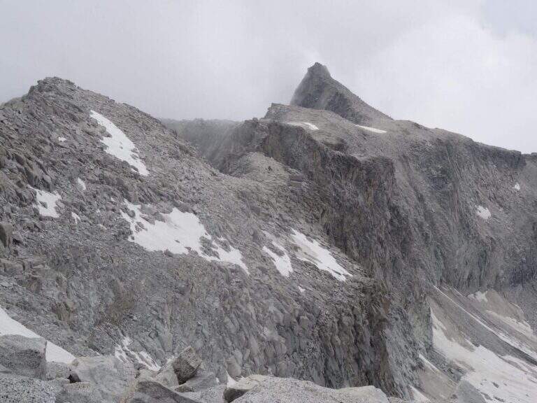
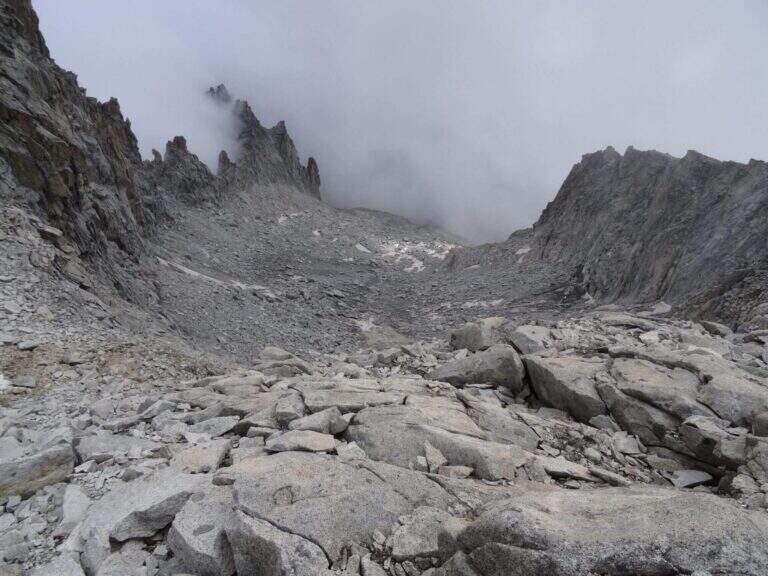
From the parking lot at the bridge on the Sarca stream, in Val d'Amola (Malga Vallina d'Amola, 2006 m). From the SS239 Pinzolo–Madonna di Campiglio, in Pinemonte Basso take the road to the Val Nambrone; beyond the Nambrone Refuge you climb on a carrabile up to a crossroad where you continue to the left (to the right the Cornisello Refuge) to the parking lot. Open road signs on Google Maps. Follow the signpost west 211, then at the junction you hold the right on the 211 «Oscar Collini» which, steep but without difficulty, leads to Rifugio Segantini (2373 m, 1h from parking). Behind the hut follow the signs for the Presanella to the north-west, pointing to the moraine and taking as reference the Black Mountain; you reach the vedretta (live ice or snow according to season: necessary ramps, attention to the rocks) and cut diagonally up to the rock, climbed up with passages of Igan up to the ' attack (3070 m, 1h 30&#.
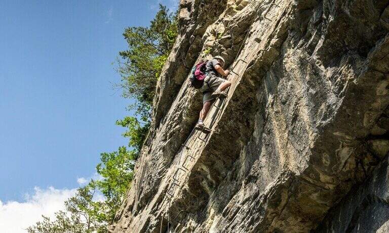
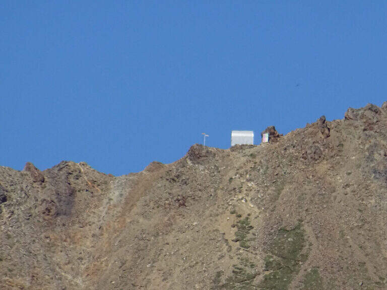
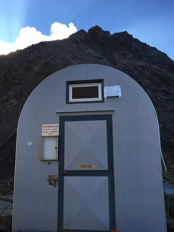
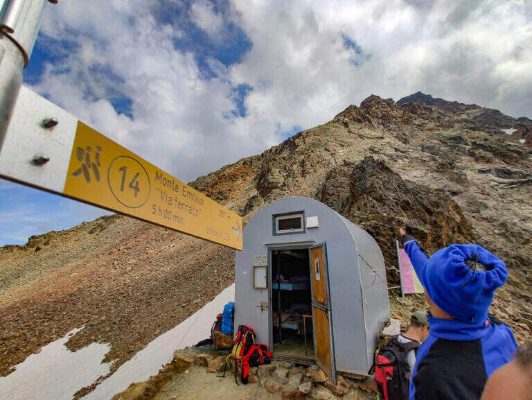
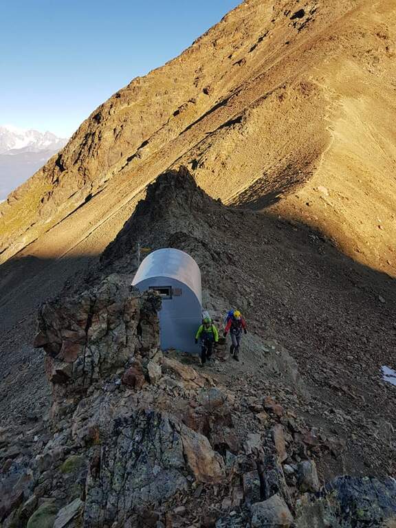
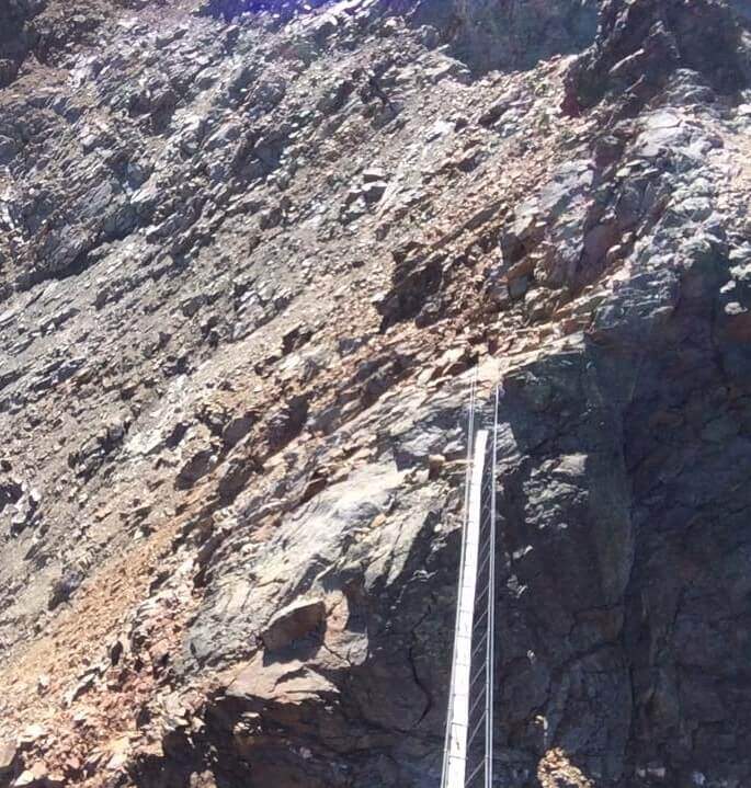
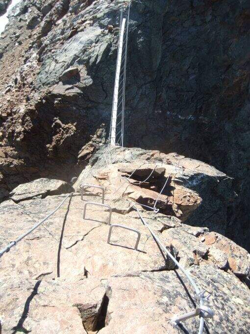
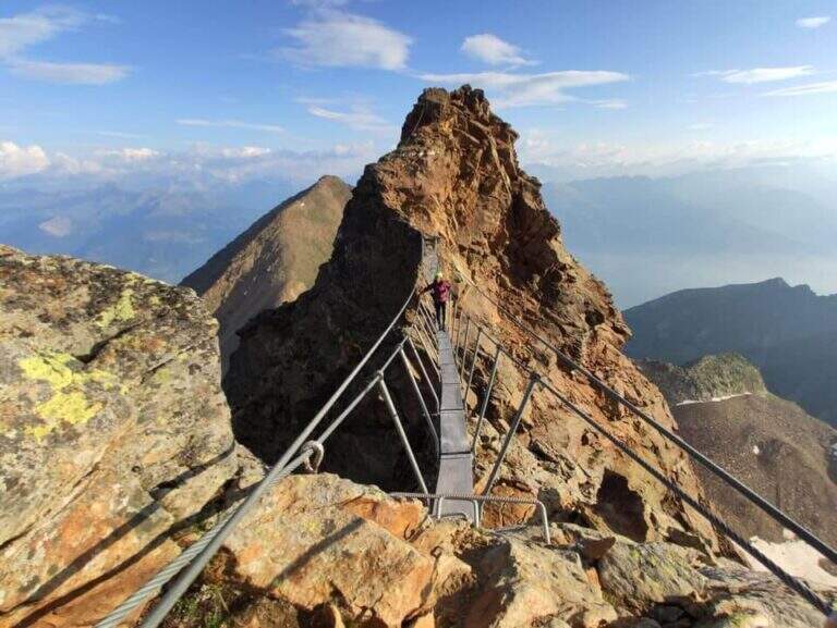
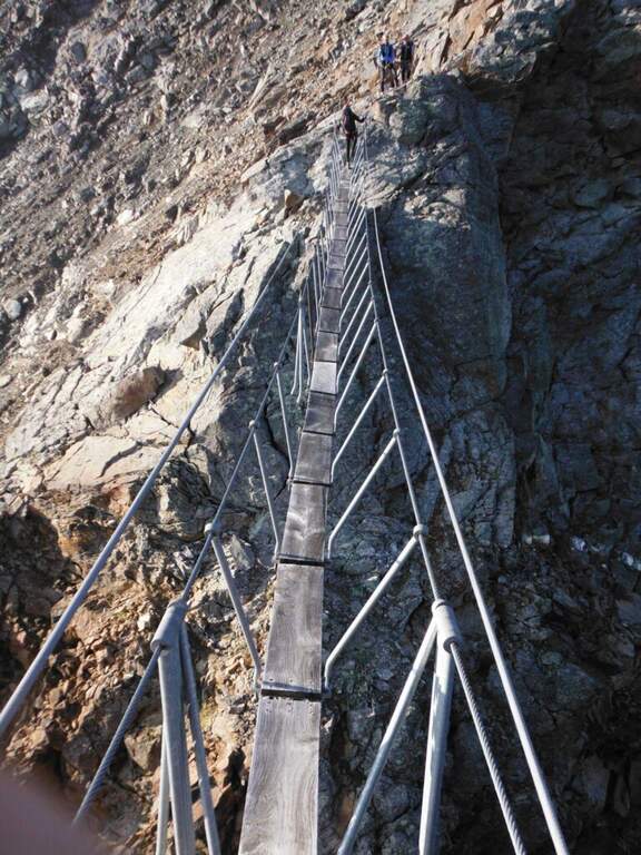
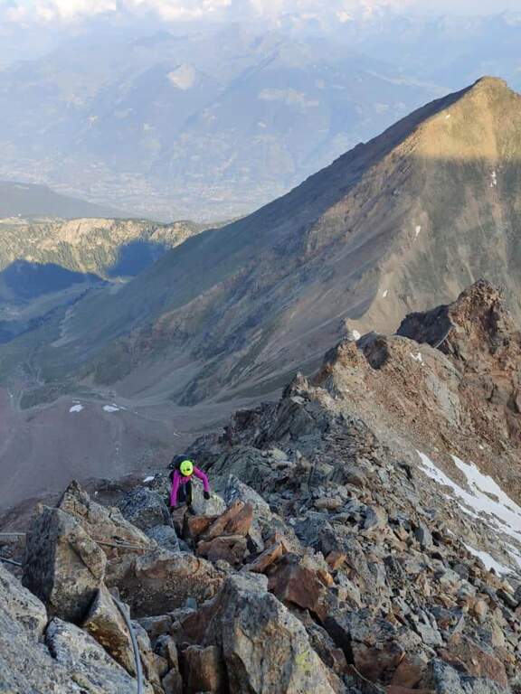
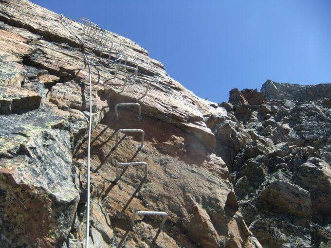
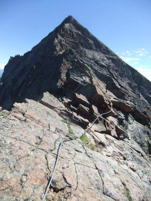
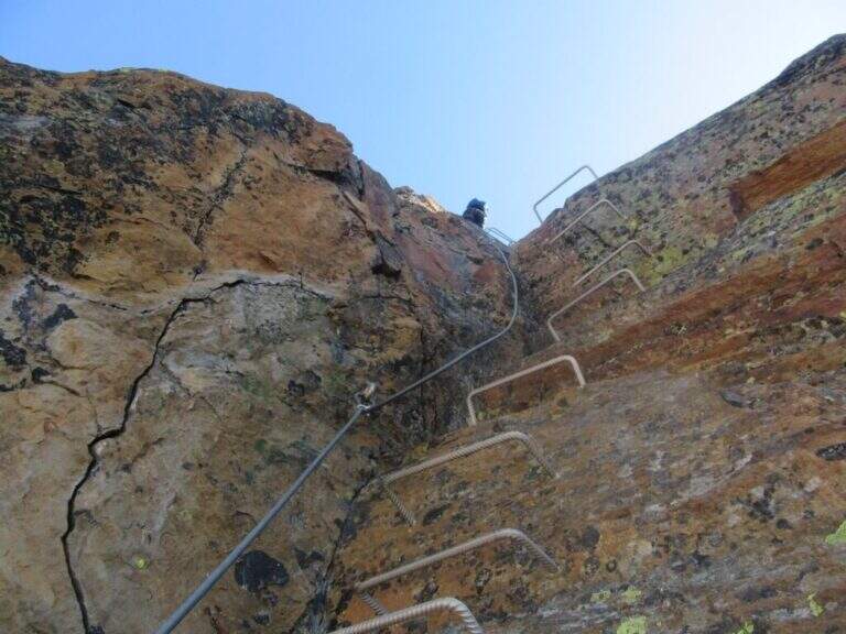
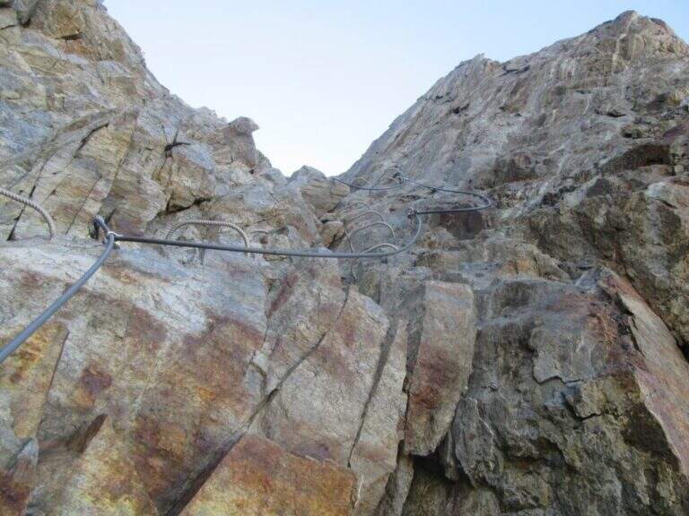
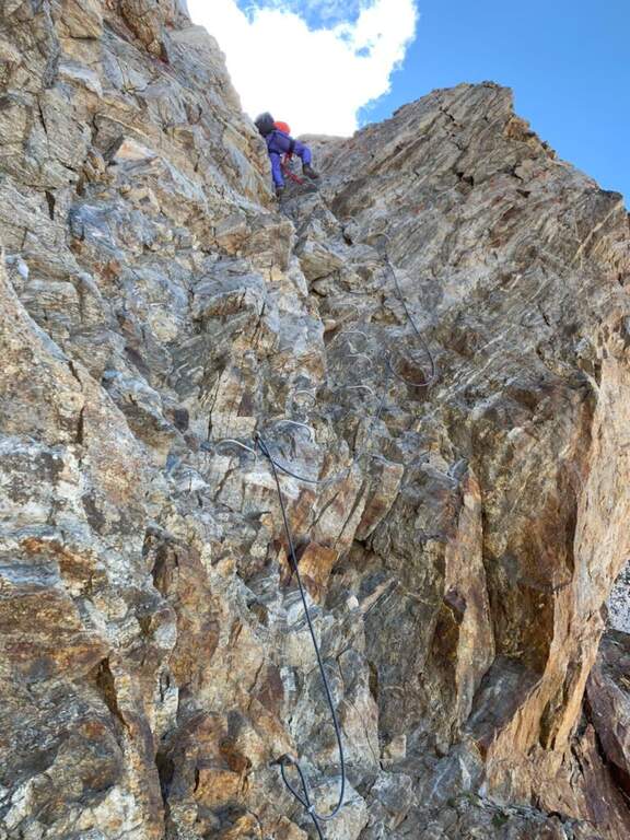
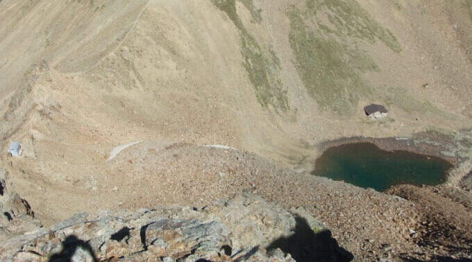
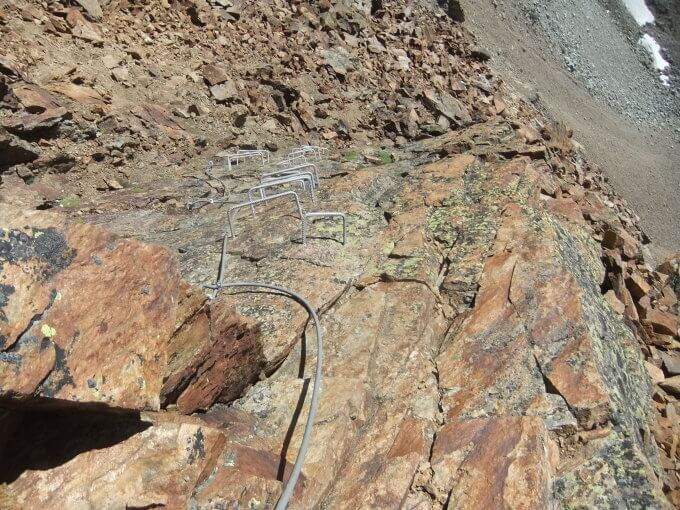
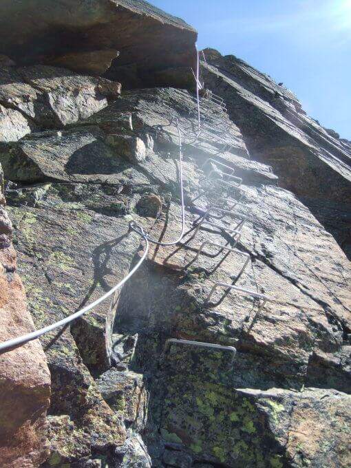
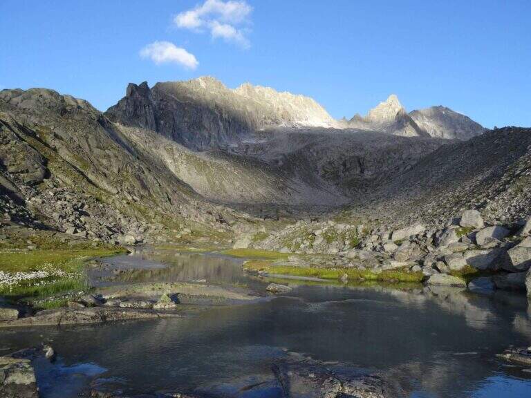
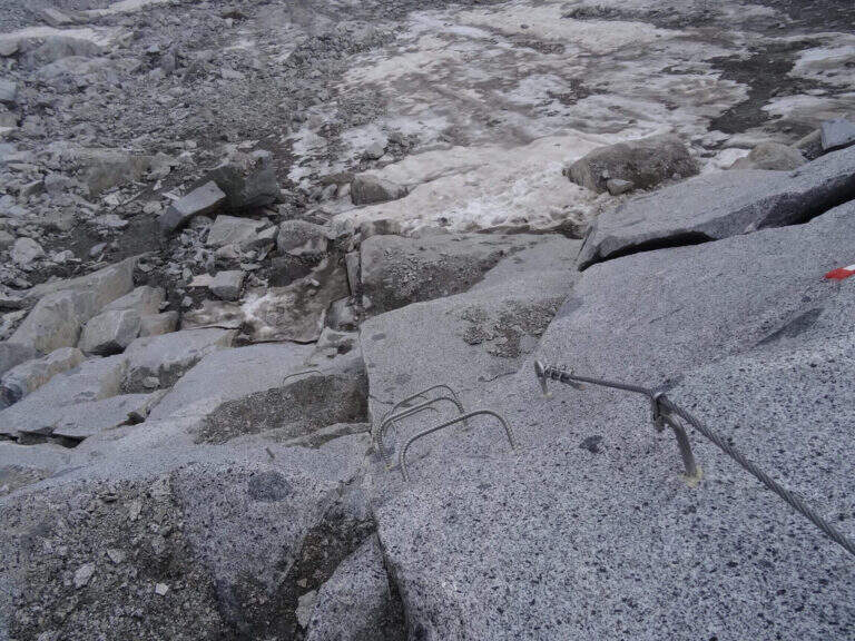
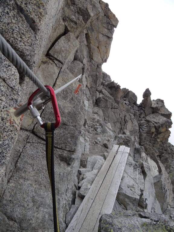
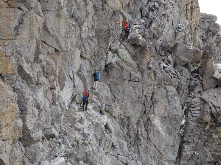
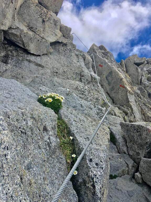
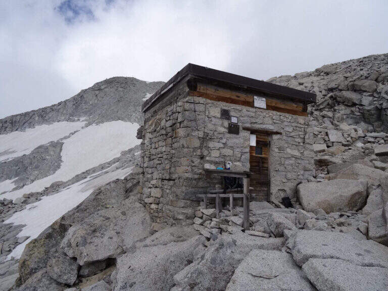
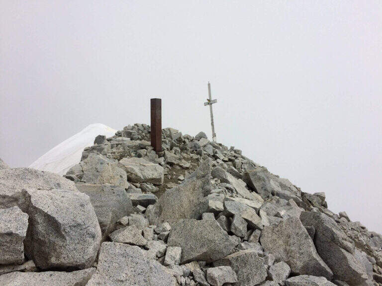
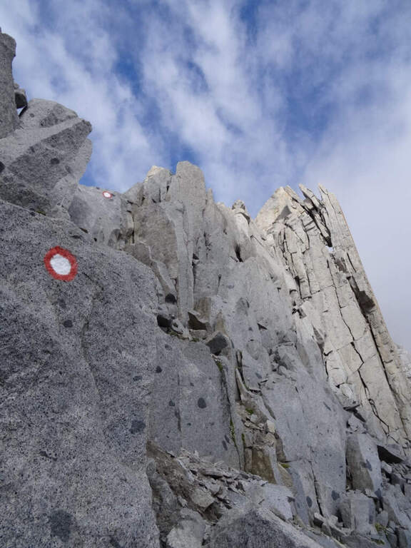
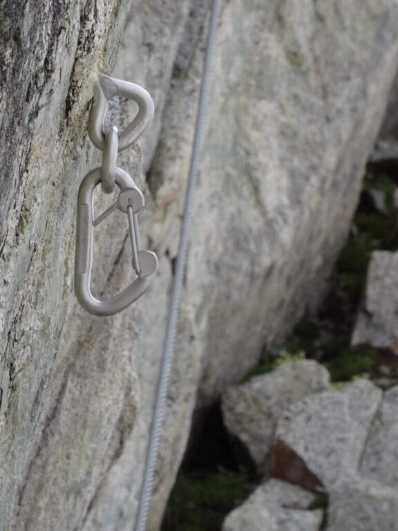
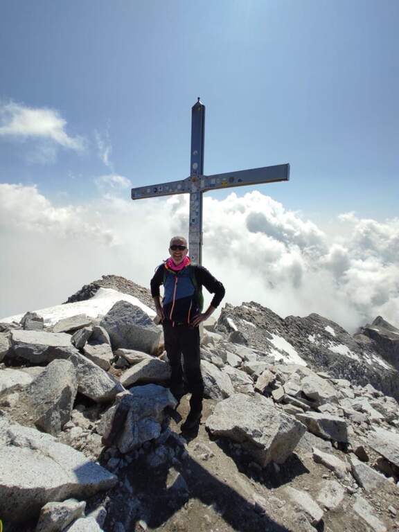
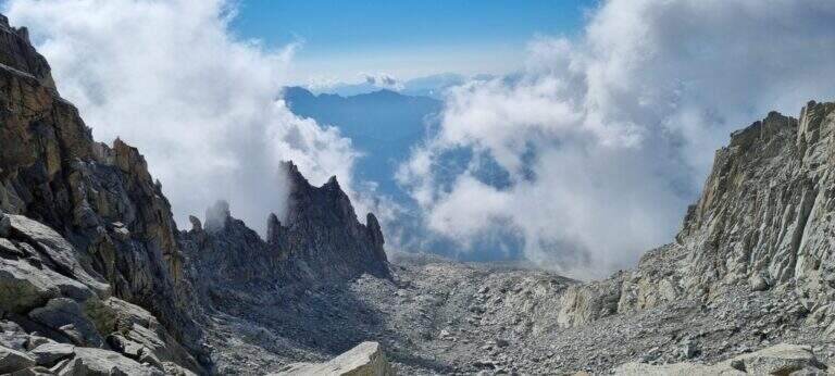
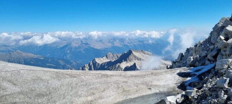
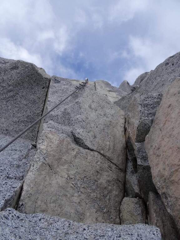
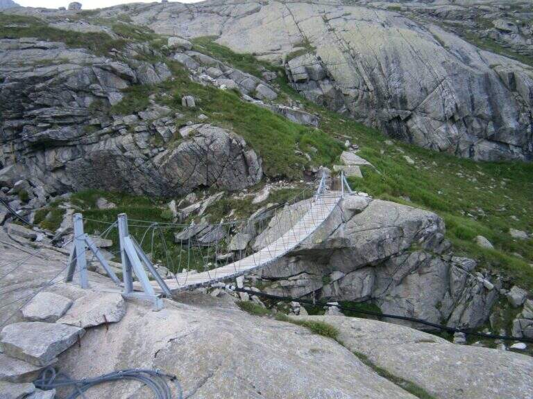
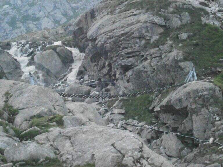
New metal cable and numerous fixtures help on smooth rock passages. It rises on plates supported with some brackets, then an exposed but not challenging traverse overlooking the ' route. The ferrata is not continuous: in some places the cable leaves space to rocks and easy balconies. There is a narrow nod equipped with wooden catwalk, then alternating plaques and balconies and a'exposed sloped ramp to the right to the highest point of the road on the crest (3165 m). The cable then leads to the opposite side, going down for about 50 m towards the Vedretta of Nardis Orientale with uncomplicated climbing and a long set of fixtures, where the ferrata ends (30' from' attack). On this vedretta, in late season, the ramps usually do not serve; the main difficulty is l' orientation with poor visibility (pow omits and boils). Continue north-west along the valley to the plateau above the vedretta, from which you will find the Bivacco Orobica: to reach it a couple of delicate passages (a stretch equipped in descent and a cross exposed on friable bottom with wooden axles). From the bivouac (3382 m, 1h 30' from the end of the ferrata) follow the track on the left side of the crest to the summit of the Presanella (3558 m, 45' from the bivouac, 5h from the parking lot).
Long itinerary, with significant difference in altitude and mountaineering character. The ferrata itself is difficult but short; the greater commitment is environmental. In the stretch between the Vedretta di Nardis and the Bivacco Orobica there are nails with mosquitoes useful for a sure with rope.
Summer season with glacier under conditions. High mountain: evaluate snow, visibility and weather.
The return takes place backwards for the route (about 5h to the car, about 10h total).
Similar climbs in the area: Flower trail at Tonale, Ferrata Tabaretta all'Ortles e Cengles Croda Ferrata.
- DifficultyHard
- RegionTrentino-Alto Adige
- GroupAdamello-Presanella
- Approach2:30 h
- Ferrata0:30 h
- Itinerary (a/r)10:00 h
- Hardware level difference95 m
- Route difference1558 m
- Max3558 m
- Length15,5 Km