Caratteristica: Avvicinamento lungo

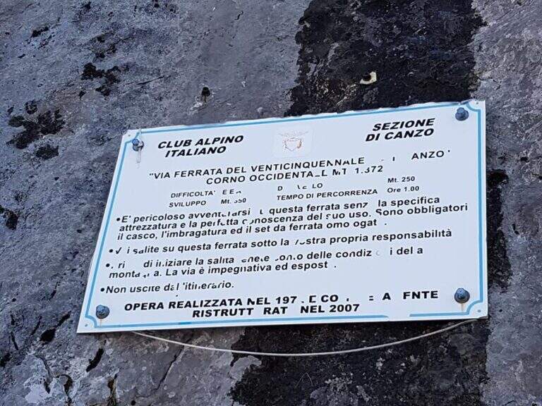
  • Ferrata del Twenty-fivennale al Corno Occidentale di Canzo

    Ferrata del Twenty-fivennale al Corno Occidentale di Canzo

    Vie Ferrate › Lombardy › Como
    Ferrata del Twenty-fivennale al Corno Occidentale di Canzo

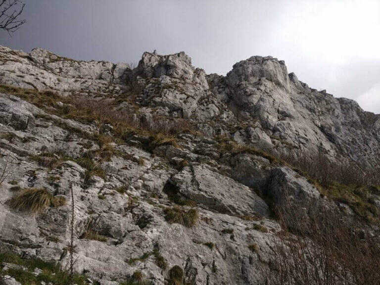
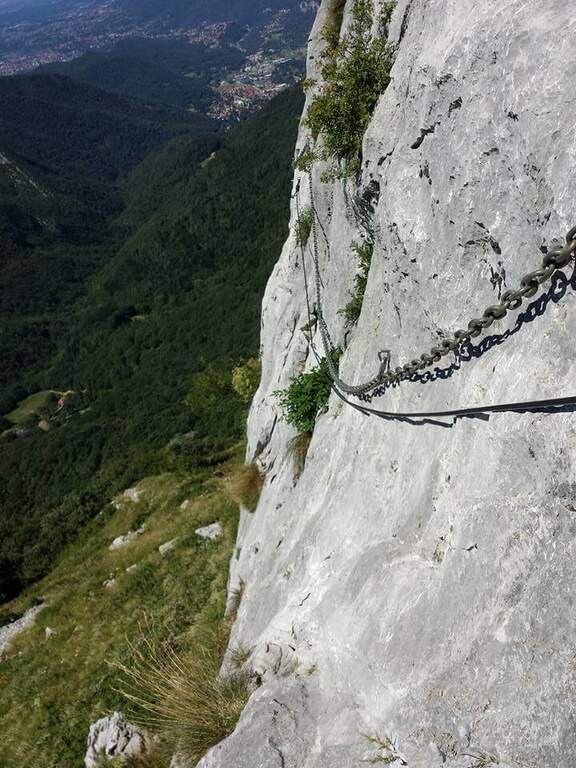
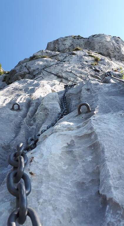
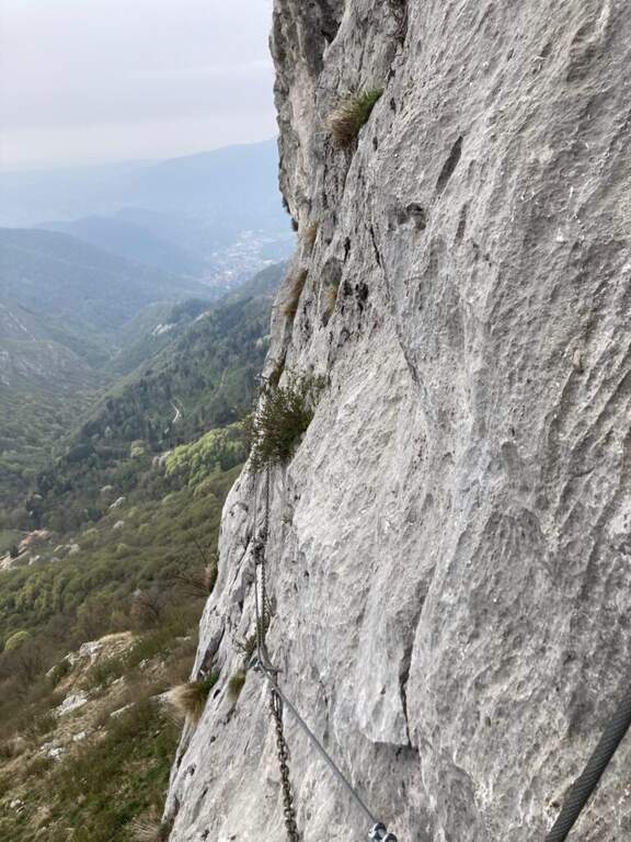
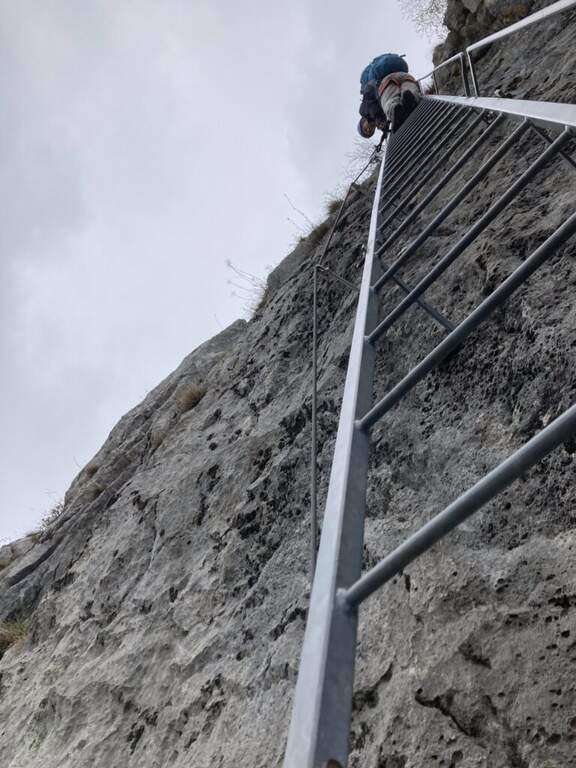
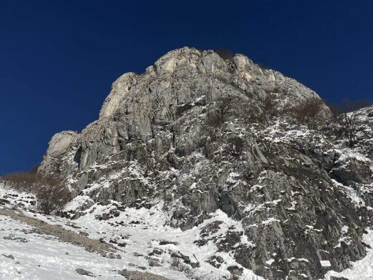
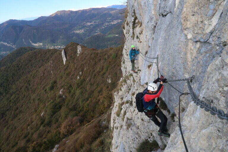
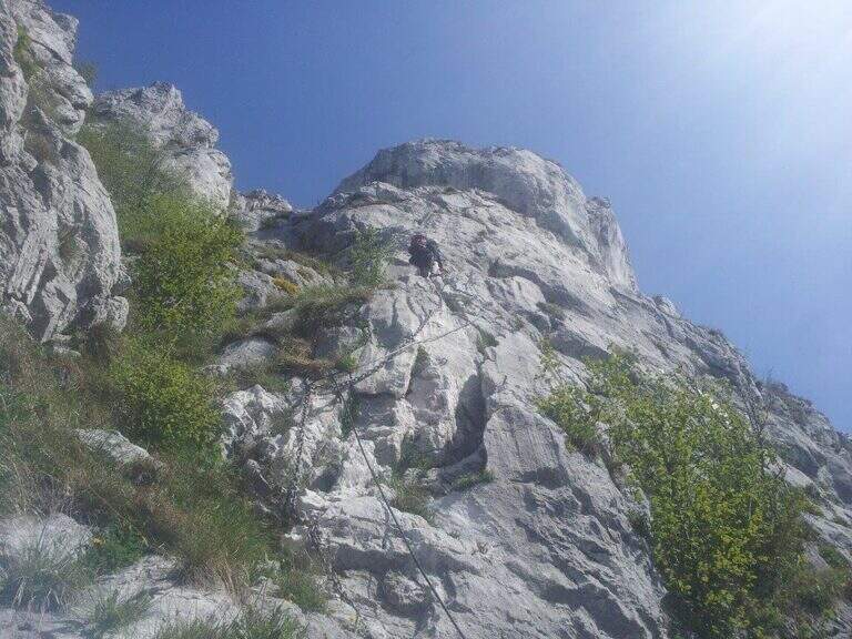
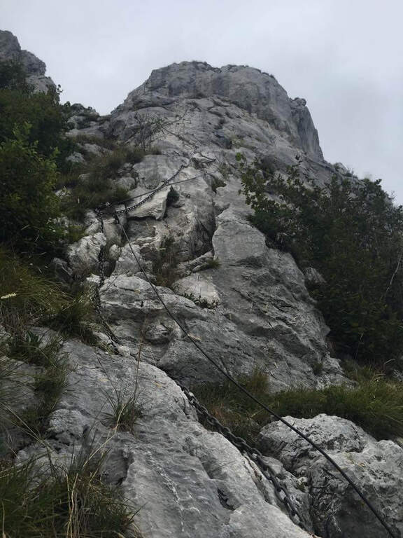
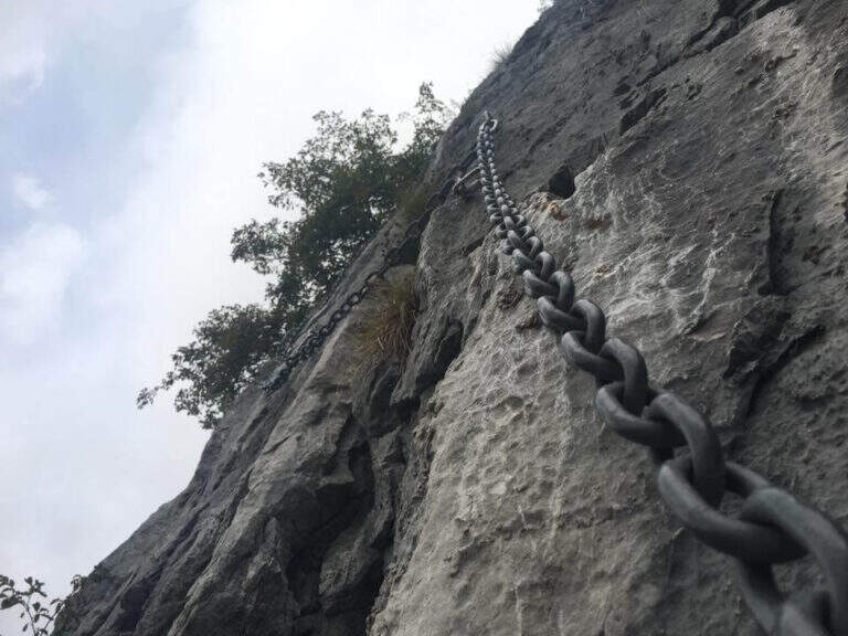
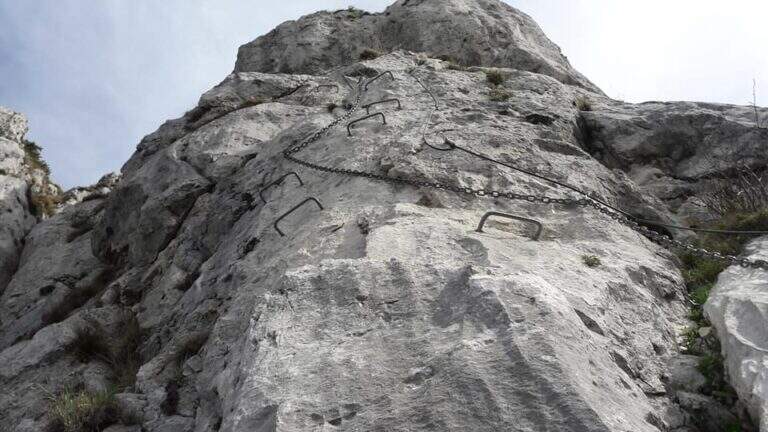
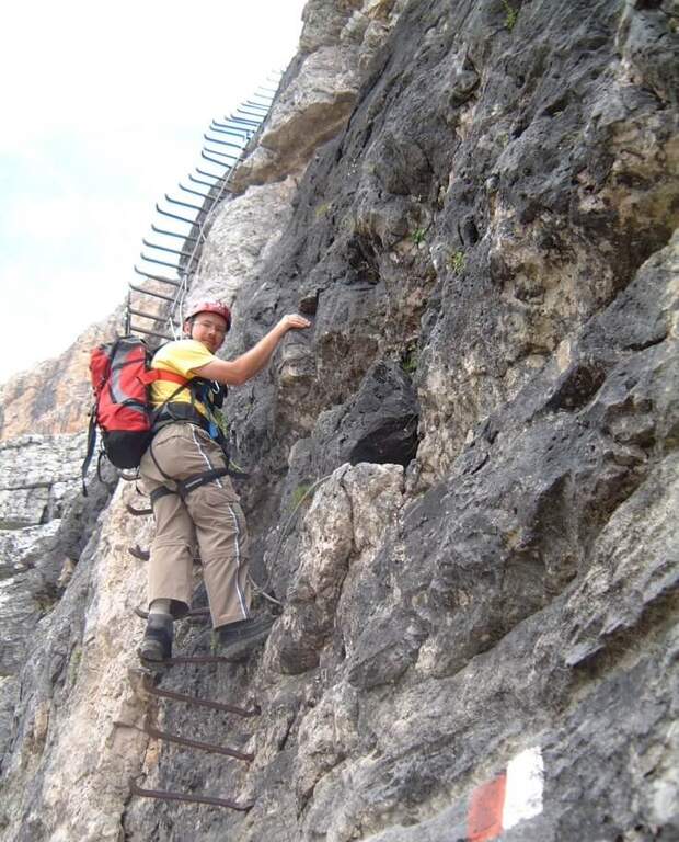
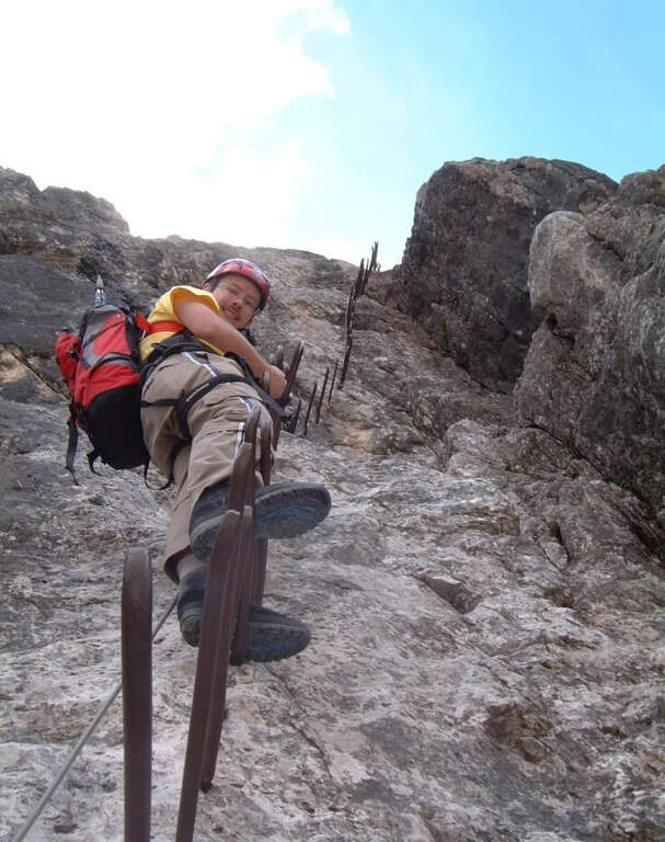
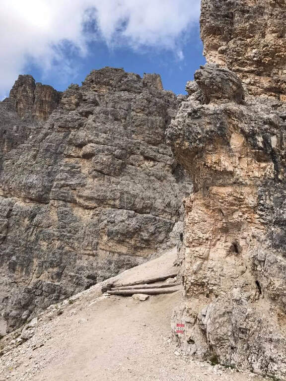
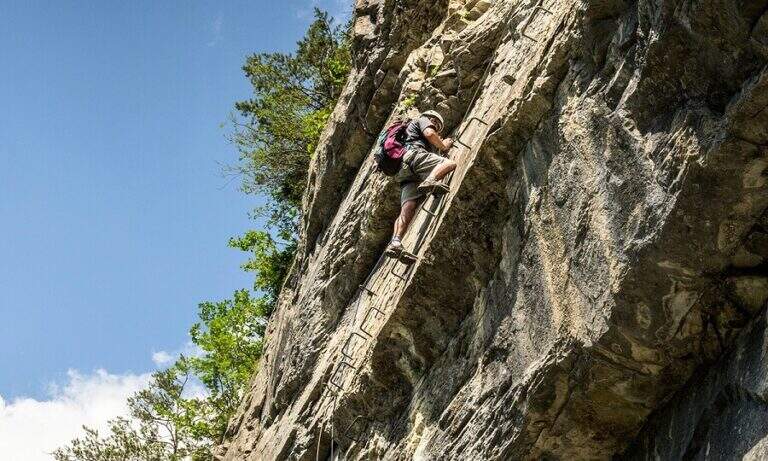
    La Ferrata del Twenty-fivennale at the Western Horn of Canzo, in the comasco, is a challenging route with rather long approach. It develops on a wall that makes little use of brackets: in order not to strain unnecessarily the arms on the chain it is advisable to climb, exploiting the excellent natural hooks.

    ▲Approach

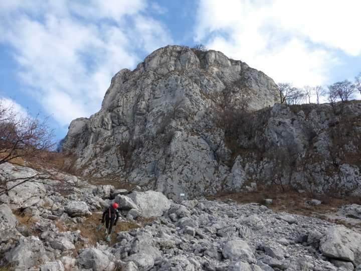
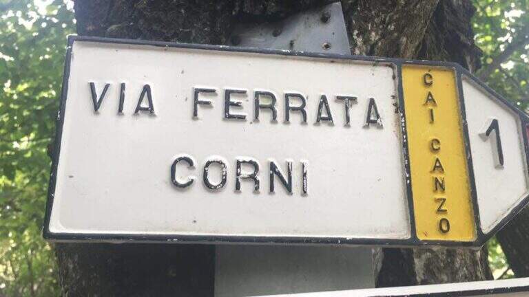
    It starts from the Sorgenti of Gajum, in Canzo (Como), where at the end of via Gajum c'è a deck to park. Open road signs on Google Maps. Da Gajum si raggiunge il Rifugio Terz'Alpe (sentiero lungo il torrente Ravella oppure per Prim'Alpe e Second'Alpe); dal rifugio si sale ripidi a nord verso la Colma di Pianezzo e, poco prima della croce, si segue a destra una traccia che per un ghiaione porta all'attacco (1h 45' da Gajum).

    ▲The path

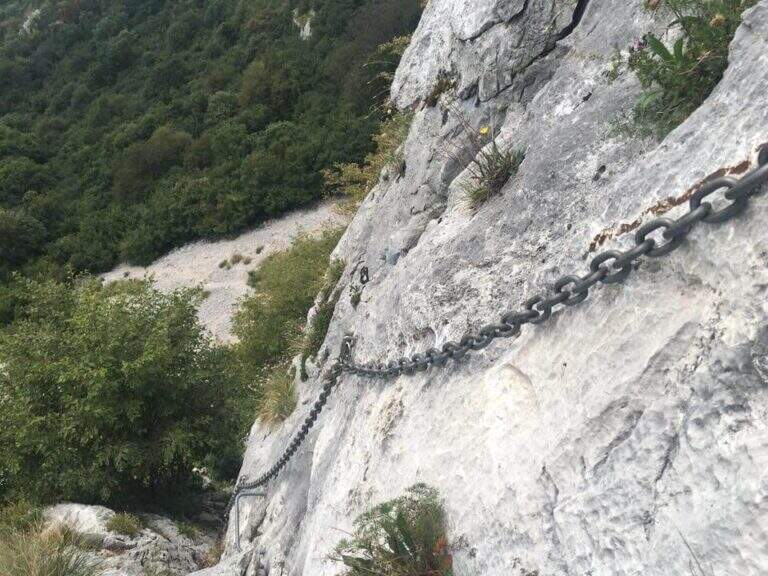
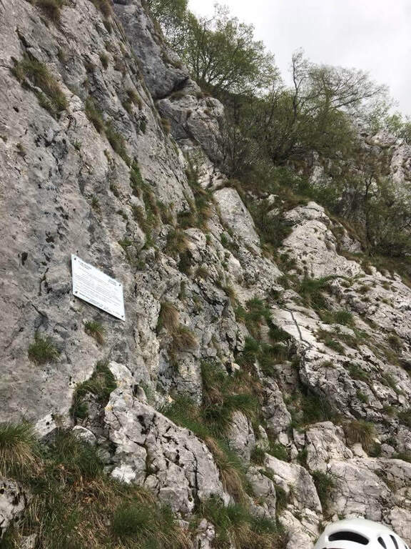
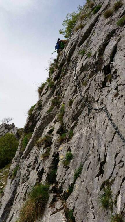
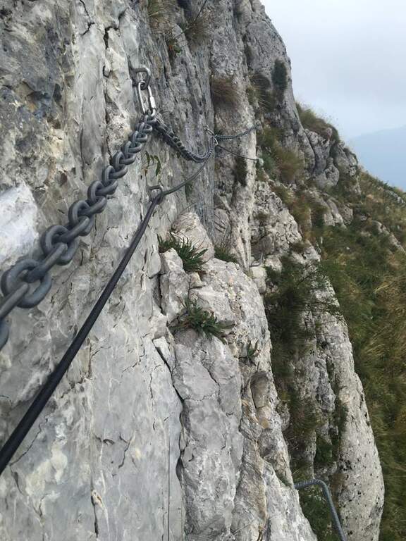
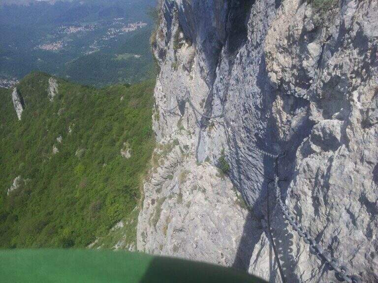
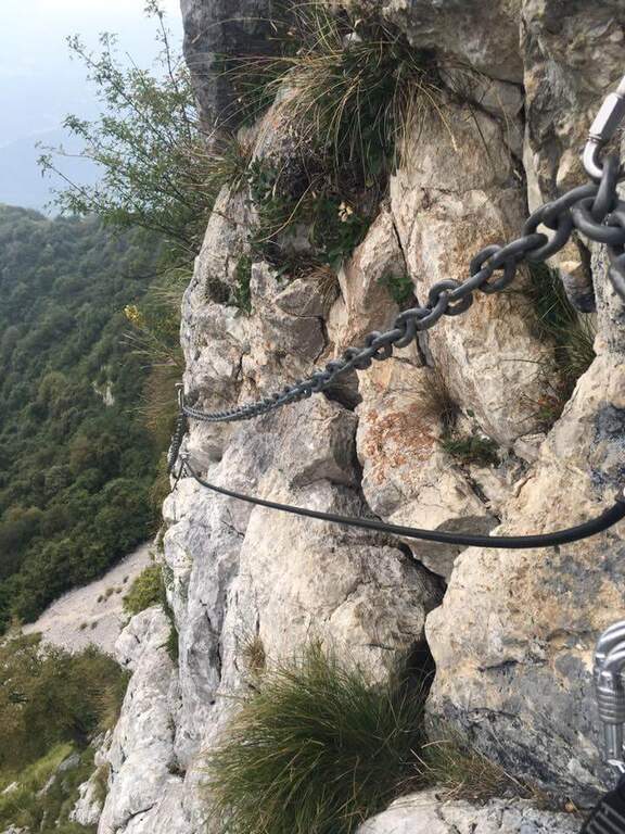
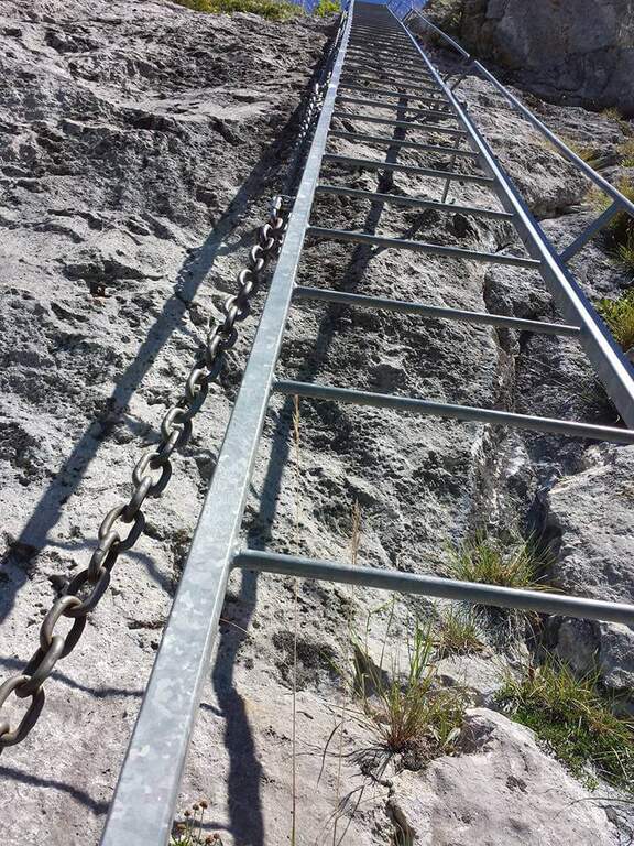
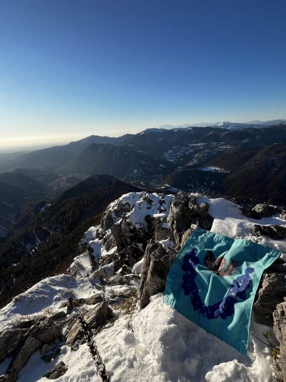
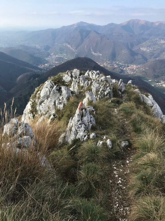
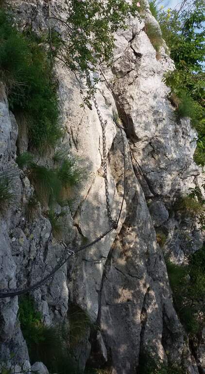
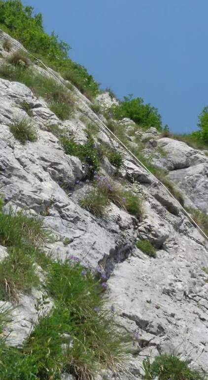
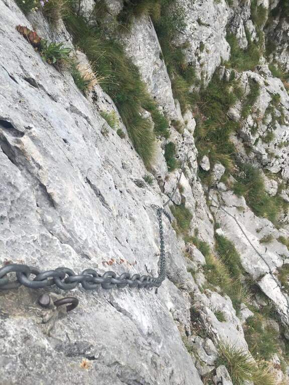
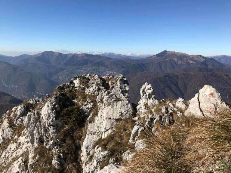
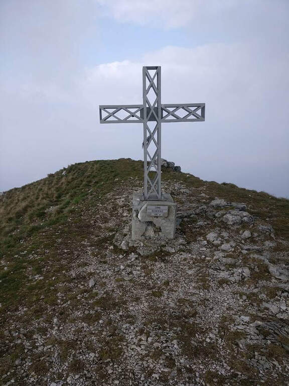
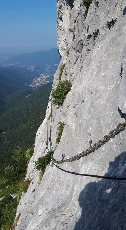
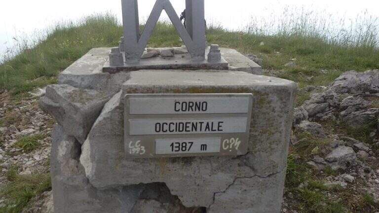
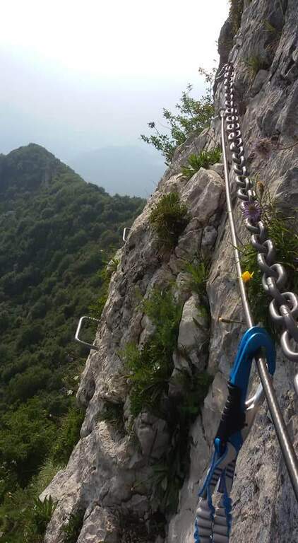
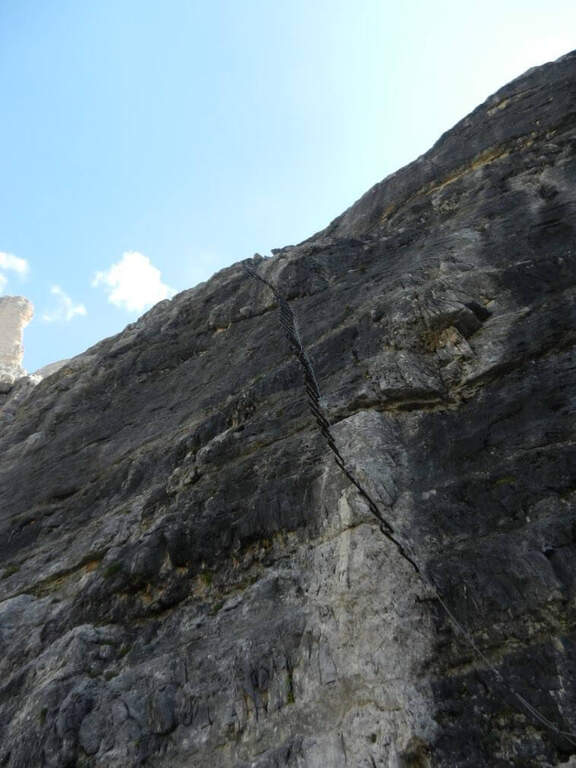
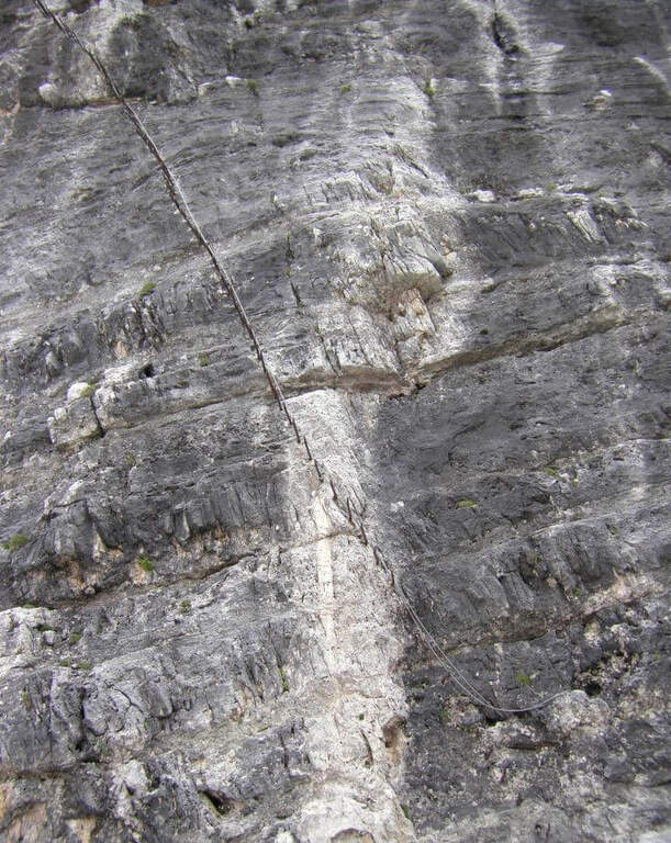
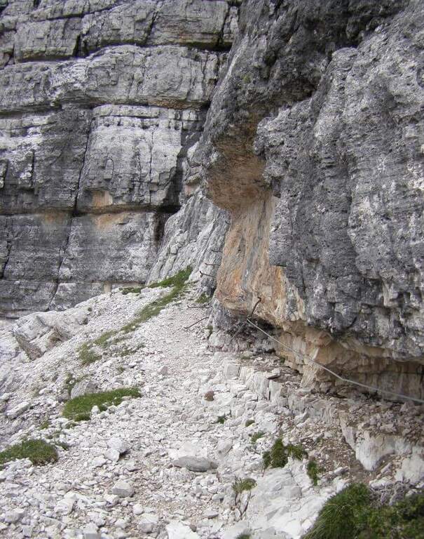
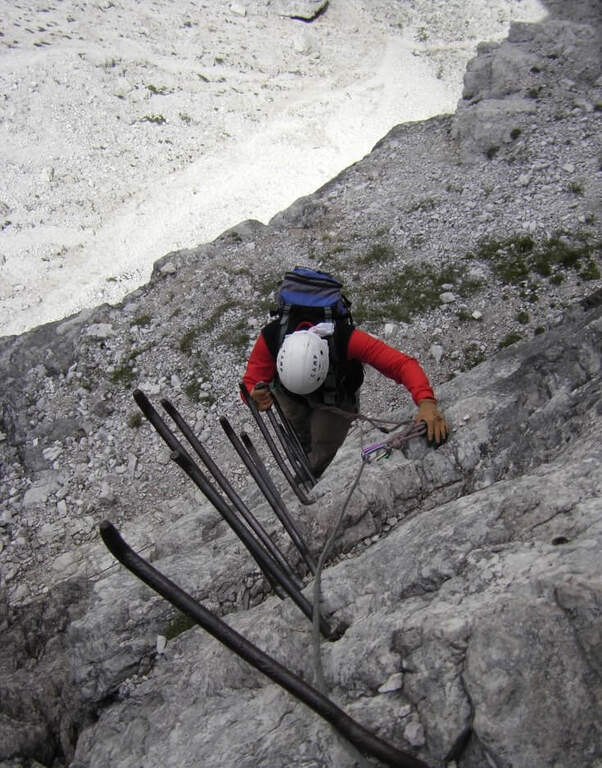
    It sticks on a short plate leaning on the right, then on the left diagonally on a well-dressed wall up to a long smooth plate, originally without brackets and today with some artificial hooks: it should climb. Turn right into a narrow canal with two brackets, walk around a tree and face a long traverse to the right with good supports but not always easy hooks (use the chain to balance, without induging in the stretches in light overhangs). There is a non-banal dihedron, some small rocks, a vertical wall of medium difficult to use; and a wire scale of about 20 meters; after a belly and small rocks you can reach a well-equipped path and l' last pillar, which requires good technique on smooth plaques (some staff present). After the walls, follow the red boils to the right, descend the saddle and go up to the summit of the Corno Occidentale (1h 30' from the attack, 3h total).

    ▲Character and difficulty

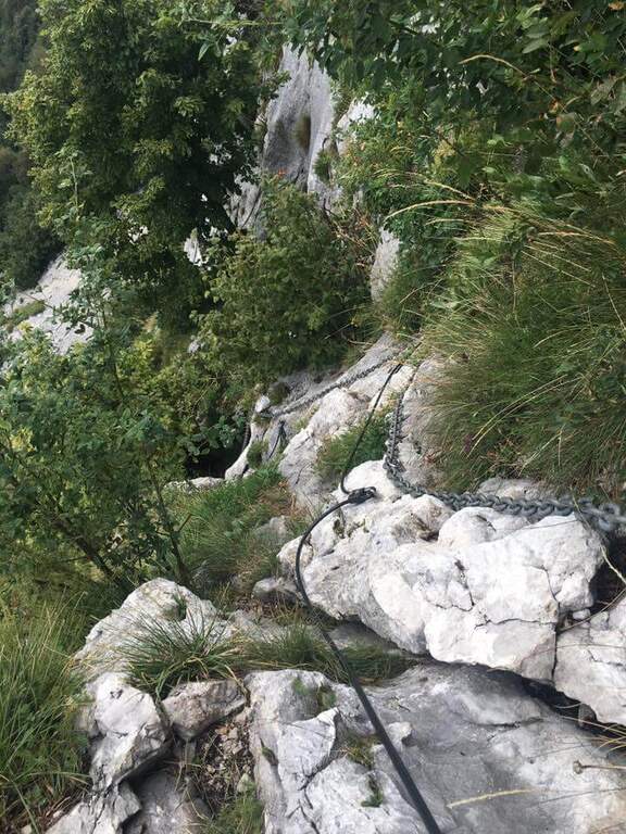
    Not long but with numerous technical steps, not recommended for beginners. The rope è often flanked or replaced by a catena coarse which sometimes prevents the carabiner to flow. Lifting height 250 m, total 900 m, maximum altitude 1373 m, development 11 km.

    ⚠ Beware of the Passo della Vacca, to be faced at least once at the end of the summit: passage not difficult but exposed, not to be underestimated just when you relax after the effort.
    ▲Discipline

    Two options. For a ripido Canalno (passages of I degree, slippery if wet) follow the red boils north to the fork of the Two Horns, then to the Rifugio Pianezzo and Gajum (1h 45' from the term, 4h 45' totali). Alternatively, go back to the path from the saddle to the ridge to a less steep canal, descending at the cross of the' approach and then to the Rifugio Pianezzo and Gajum (2h from the term, 5h total).

    ▲To match

    The most trained hikers can combine it in a long ring with Ferrata at Corno Rat, from Valmadrera.
    ▲Gallery
    Technical data
    • DifficultyHard
    • RegionLombardy
    • GroupLarian Triangle
    • Approach1:45 h
    • Ferrata1:30 h
    • Itinerary (a/r)4:45 h
    • Hardware level difference250 m
    • Route difference900 m
    • Max1373 m
    • Length11 Km
  • Ferrata La Scala del Menighel

    Ferrata La Scala del Menighel

    Vie Ferrate › Veneto › Belluno
    Ferrata La Scala del Menighel
    Moderately Hard● OpenDescriptionComplexityMapsGallery

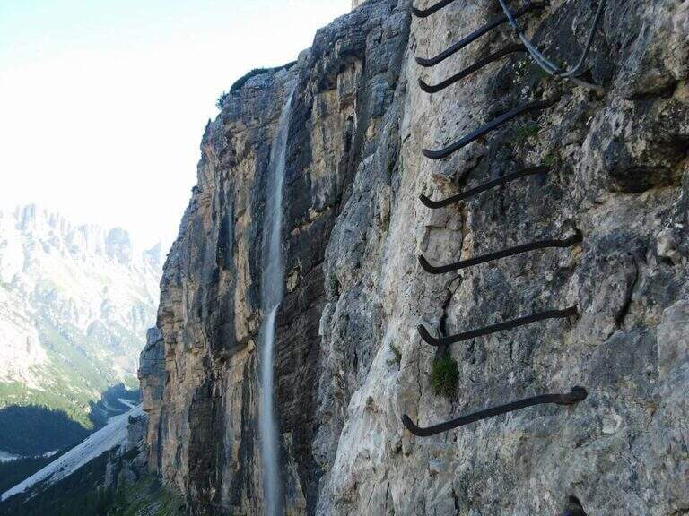
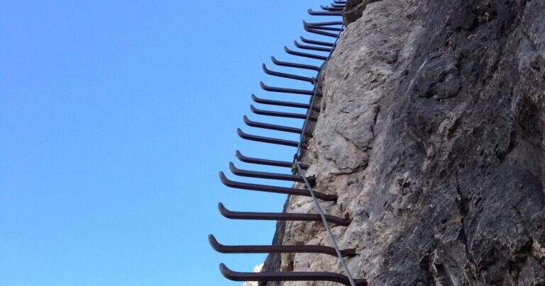
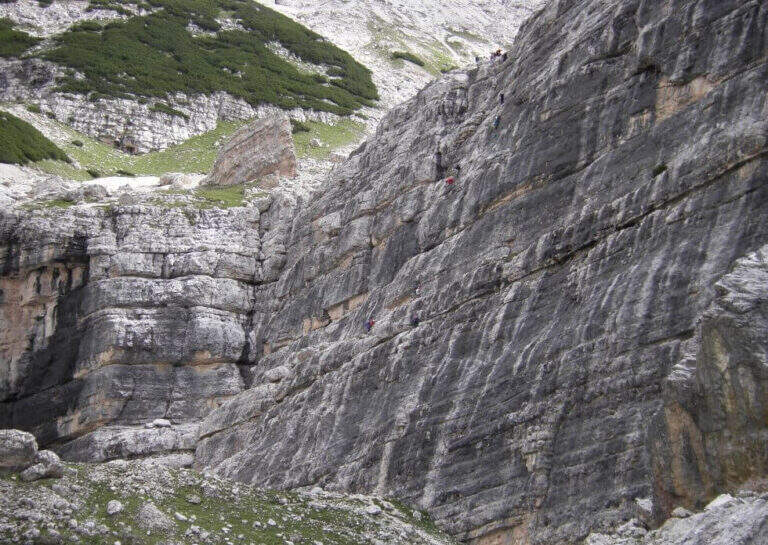
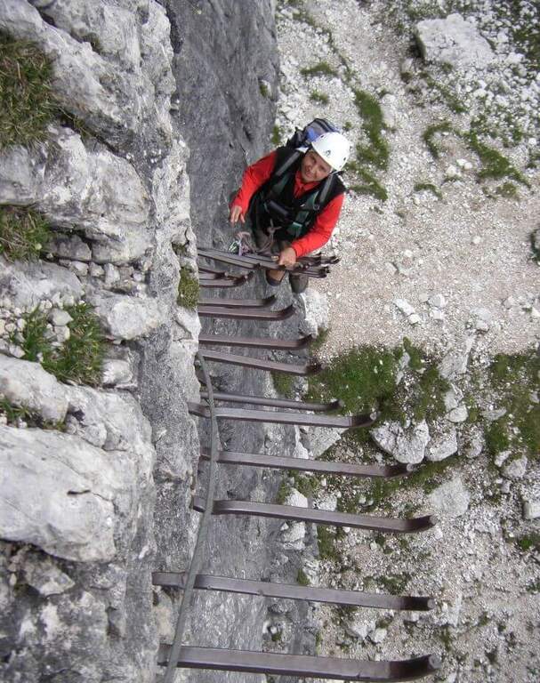
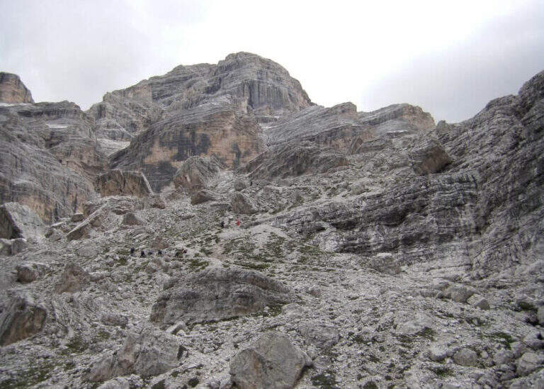
    La Ferrata Scala del Menighel è a short and unique stretch that, as the name says, è a true scala: a long series of metal frames that dates back to a bastion of about 100 meters on the north side of the Tofana of Rozes, cutting the valley of the Masarè. It is usually used to complete the tour at the base of the Tofana di Rozes by leaning to the Giussani Refuge. There is no difficulty; techniques of relief, but è exposta and the structure of the fixtures, dating back to the early twentieth century, requires concentration.

    ▲Approach

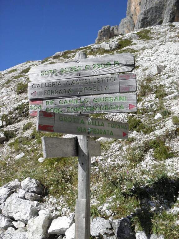
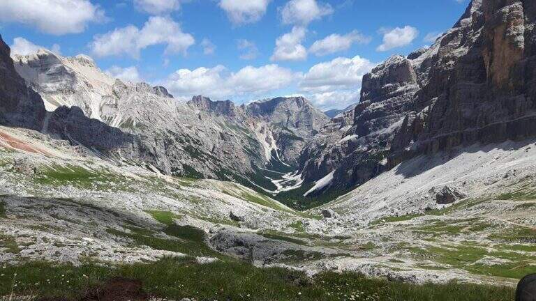
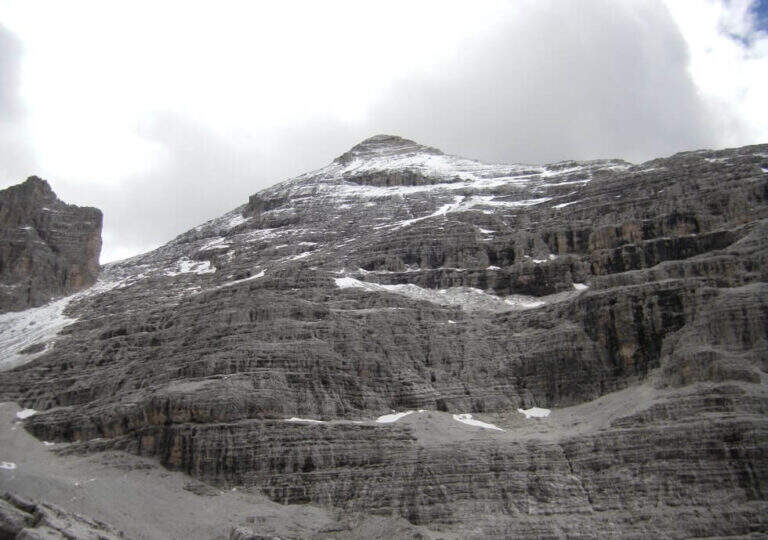
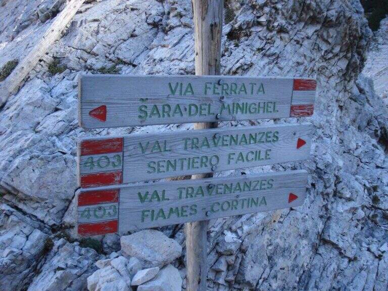
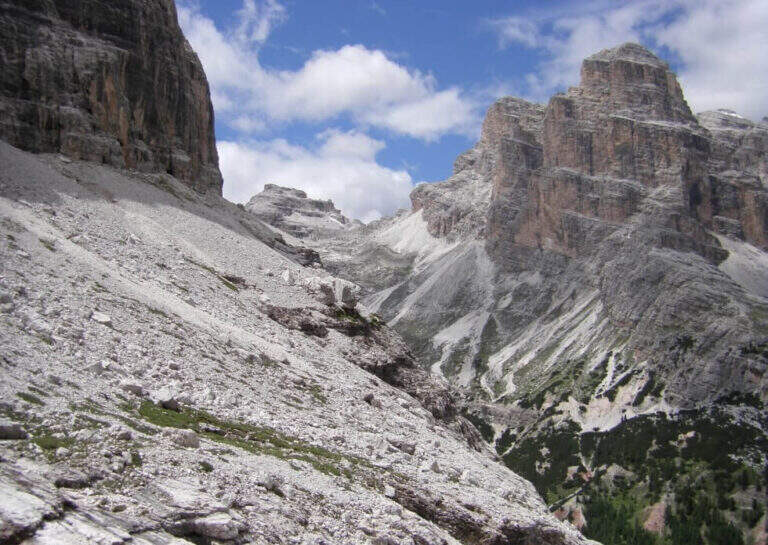
    Starting point the Rifugio Dibona, on the ampezzano slope south of the Tofana di Rozes, reachable by asphalted road that departs from the state Cortina– Passo Falzarego (follow the indications for the Rifugio Dibona, avoiding the junction for the Rifugio Duca d'Aosta). Open road signs on Google Maps. From Dibona take the path 403 on road, with modest slope, towards the south wall of Tofana; at a crossroad the 403 goes right towards the Giussani Refuge, but continue straight towards the south wall on the path 404, ignoring the bivi for the Ferrata of the Tofana Cave and for the Lipella/Gallerie del Castelletto. You reach the Forcella Col dei Bos and turn north into the Val Travenanzes, up to a fork on the right that leads to all' evident bastion of the Scala del Menighel (2h 30' from the Rifugio Dibona).

    ▲The path

    The ferrata è divided into two sections very similar. The first begins with a long series of fixtures, curves in the terminal tract, which rise diagonally to the left on a moderate gradient first then più vertical: the ascent has no difficulty; techniques, being a sequence of steps, but l' exposure quickly becomes evident. You can reach a census from which you can può admire calmly the waterfall that drops a hundred meters più to the left. The second section continues with the same fixtures, now bending to the right and with greater verticalità, until the end of the equipment (20' from' attack, about 3h totali).

    ▲Character and difficulty

    Due to the modest technical difficulties, it is also possible to hikers with moderate experience, but very exposed.

    ⚠ The fixtures date back to the early twentieth century: the ascent, although easy, requires concentration for their structure and exposure. The approach and return are long and tiring, and alone they would almost pass on the second floor the brevity of the equipped section.

    ▲Period and safety

    GPS tracks (GPX and KMZ) are available; the map of Cortina and the Dolomites of Ampezzo or the Val Badia of 4Land is useful for the area.

    ▲History

    The Scale of Menighel is first via ferrata of the area of Cortina d'Ampezzo. Luigi Gilarduzzi, called "Minighèl", blacksmith and manager of the Wolf von Glanvell Refuge in Val Travenanzes (drawn by the Italian artillery in 1915). To connect his refuge to the Giussani Refuge (then Cantor), Gilarduzzi forged 200 robust metal pioli that in 1907 they became the "Scala del Menighel".

    ▲Discipline

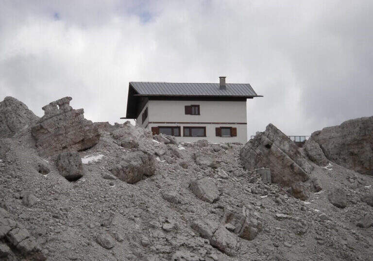
    The return is ringing around the Tofana of Rozes. From the end of the ferrata, under the north wall, climb steeply on the path 403 with a series of hairpin bends up to the Giussani Refuge (2580 m, 1h from the end of the ferrata); from here, always for the 403 narrow between the Tofana of Rozes and Punta Anna, you descend to the Rifugio Dibona (1h from Giussani, 2h from the end of the ferrata, 5h totali).

    ▲To match

    Often it matches downhill to Ferrata Lipella that goes up to the Tofana of Rozes. From the Giussani refuge you can reach Ferrata Formenton at Tofana di Dentro e il Sentiero Attrezzato Olivieri; by Dibona Path equipped Astaldi. To the Falzarego Pass Tomaselli, la Fuses at Sas de Stria e l'Averau.

    ▲Gallery
    Technical data
    • DifficultyModerately Hard
    • RegionVeneto
    • GroupTofa
    • Approach2:30 h
    • Ferrata0:20 h
    • Itinerary (a/r)5:00 h
    • Hardware level difference75 m
    • Route difference830 m
    • Max2573 m
    • Length11,4 Km
Need help? Write to us!