Caratteristica: Bassa quota

  • Sentiero Attrezzato della Vergella al Monte San Martino

    Sentiero Attrezzato della Vergella al Monte San Martino

    Vie Ferrate › Lombardia › Lecco
    Sentiero Attrezzato della Vergella al Monte San Martino

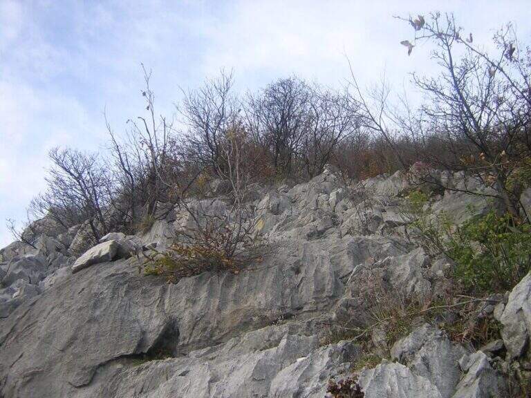
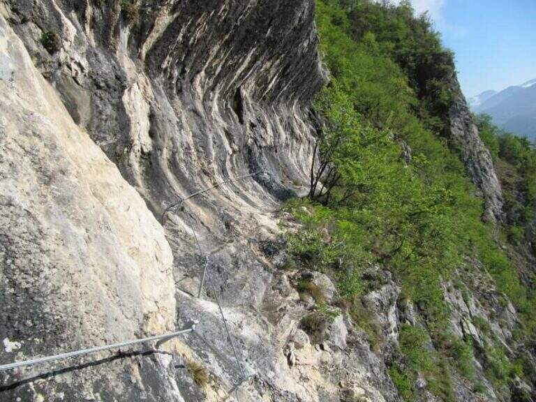
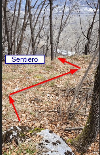
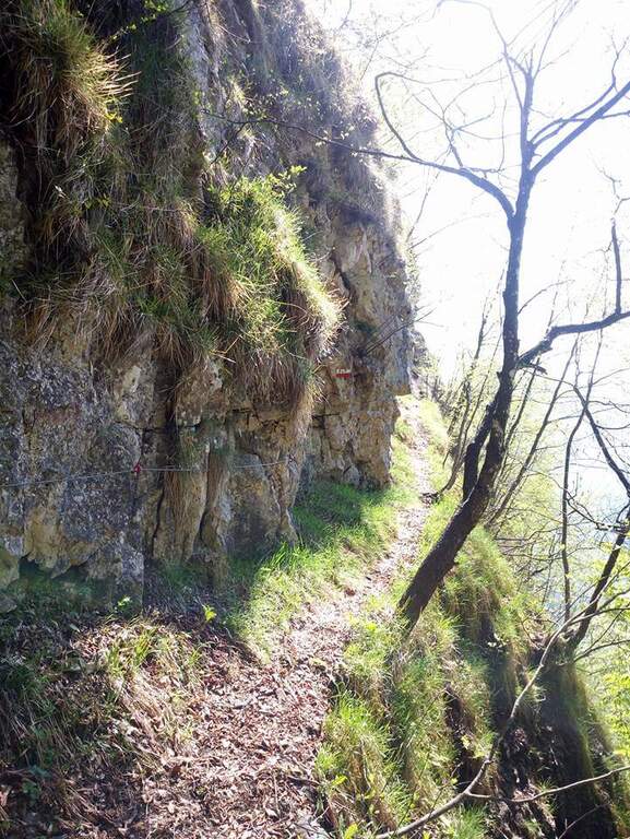
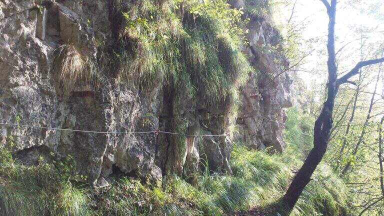
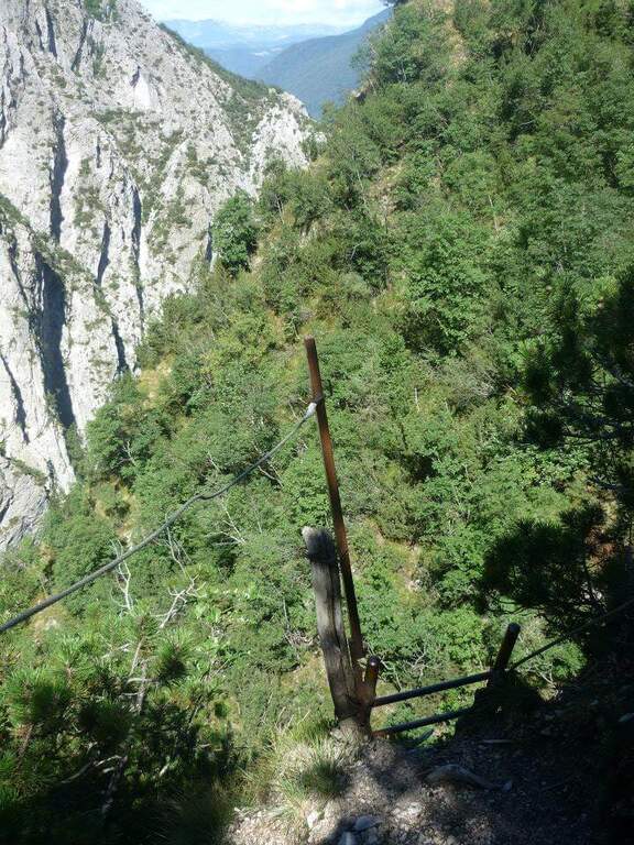
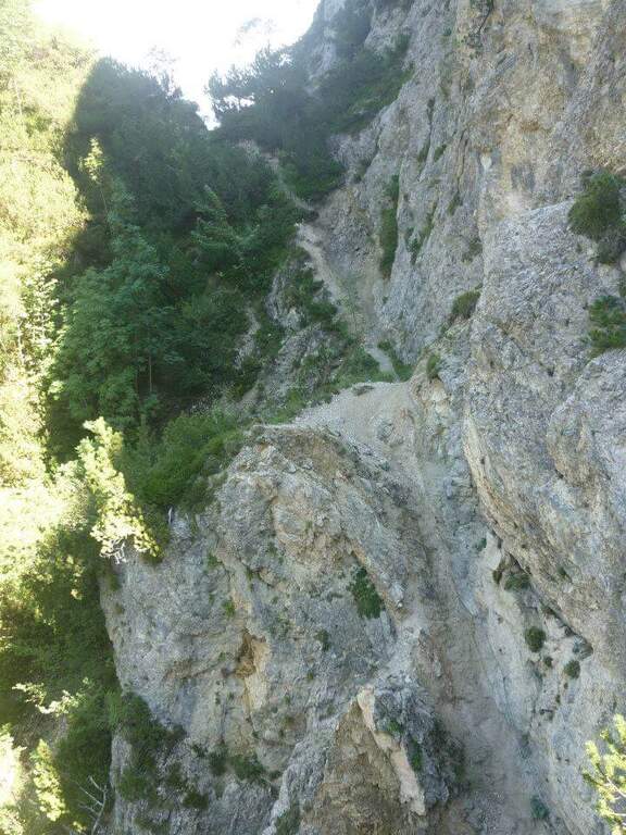
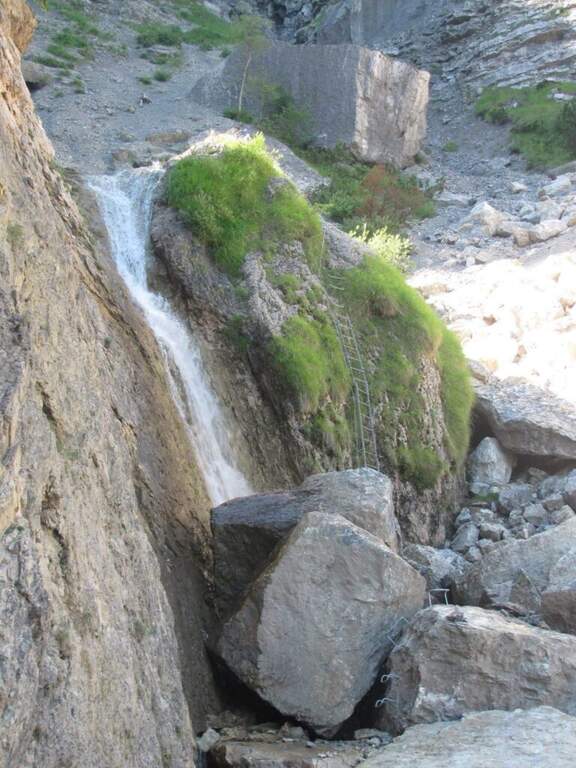
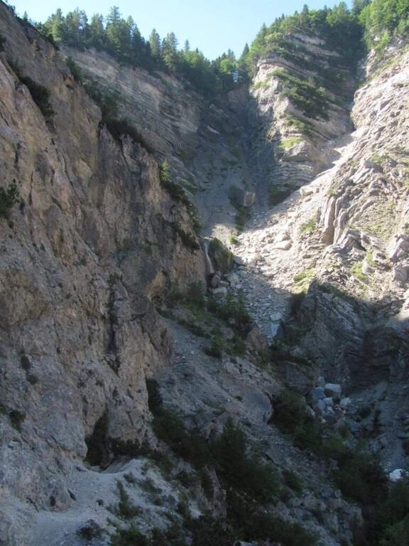
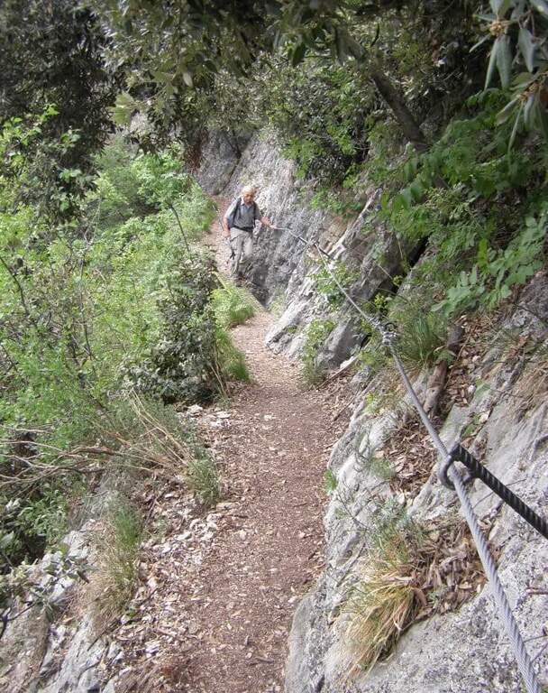
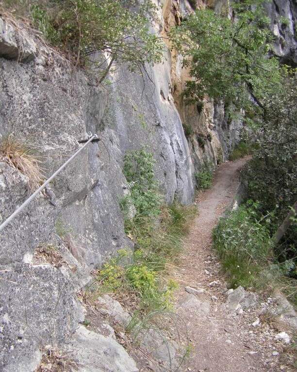
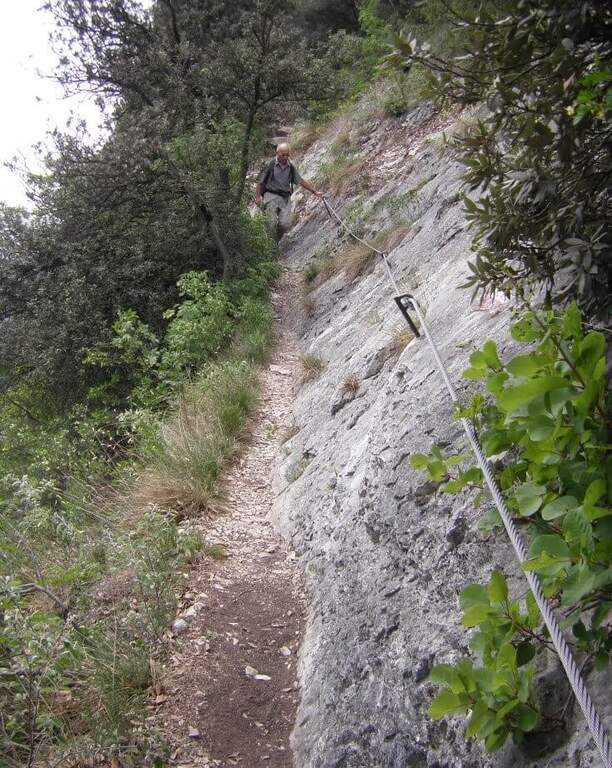
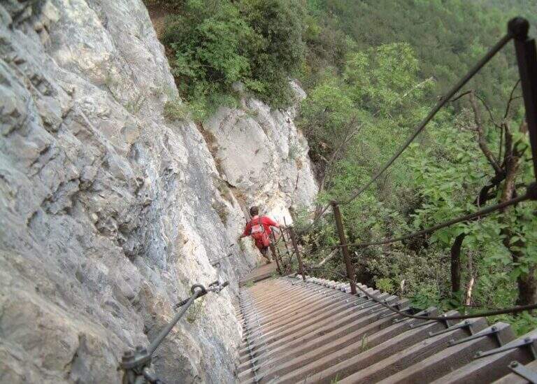
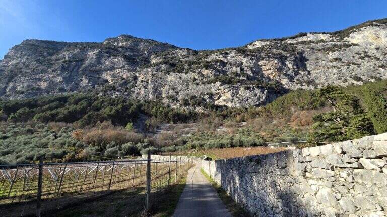
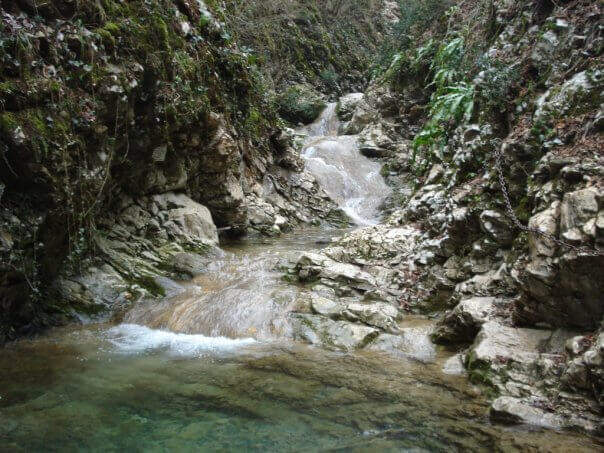
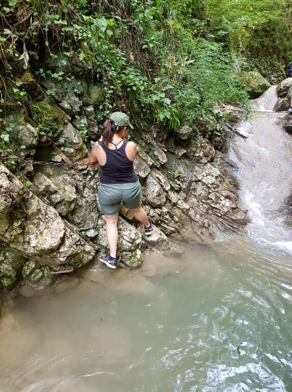
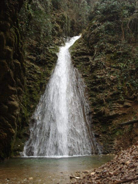
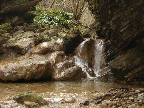
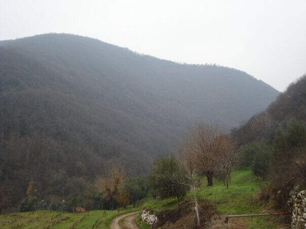
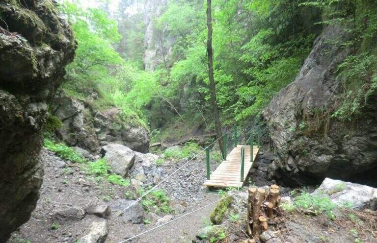
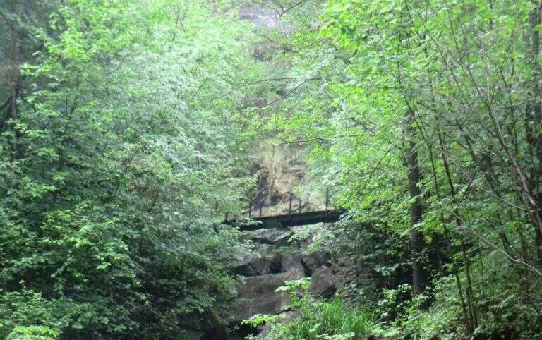
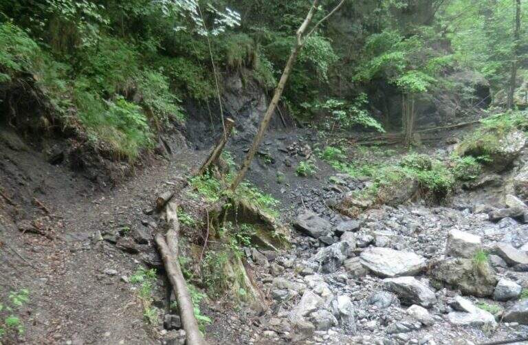
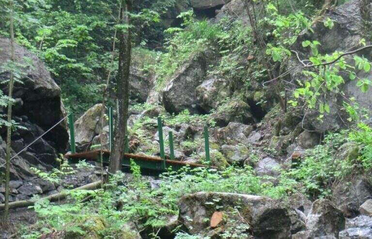
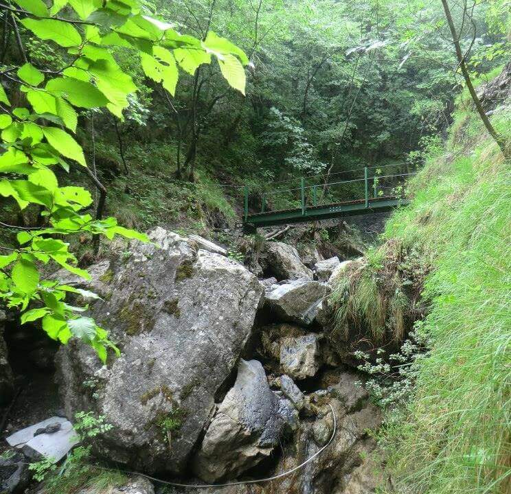
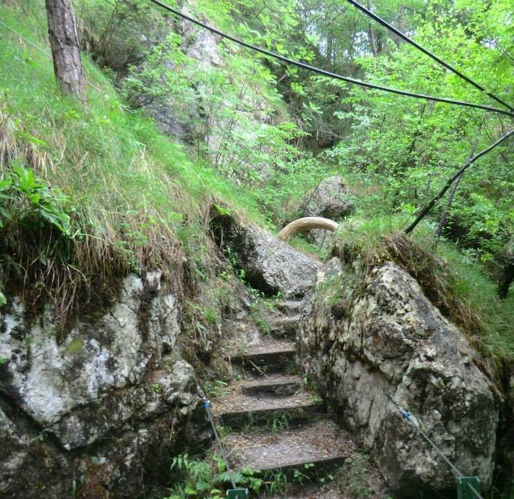
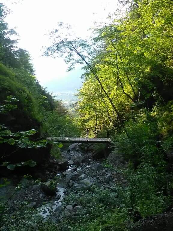
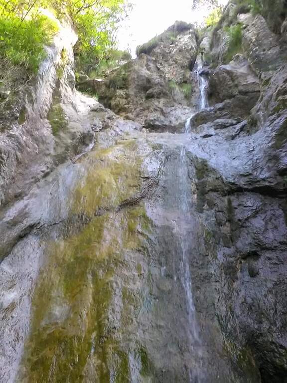
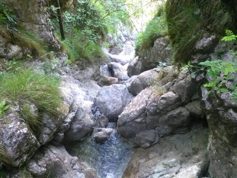
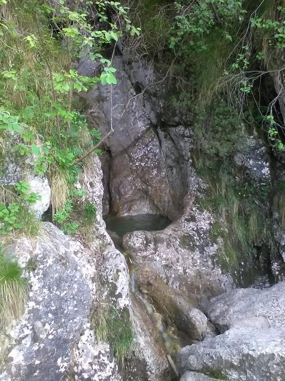
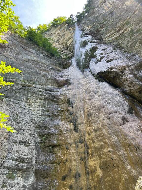
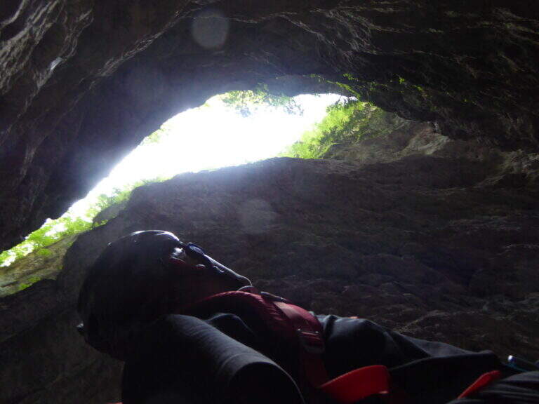
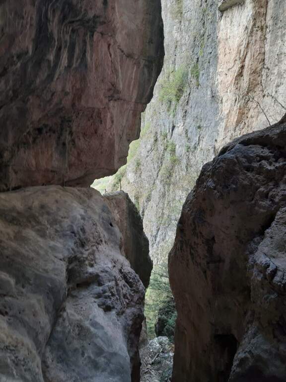
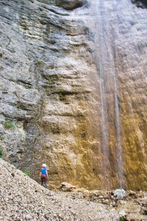
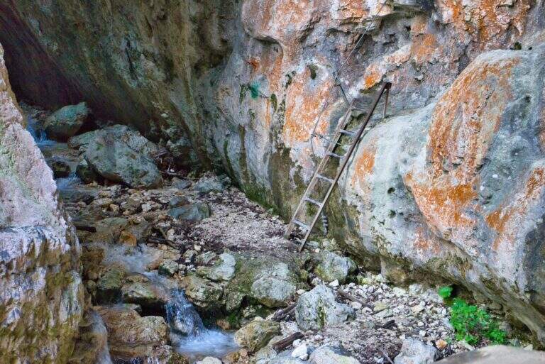
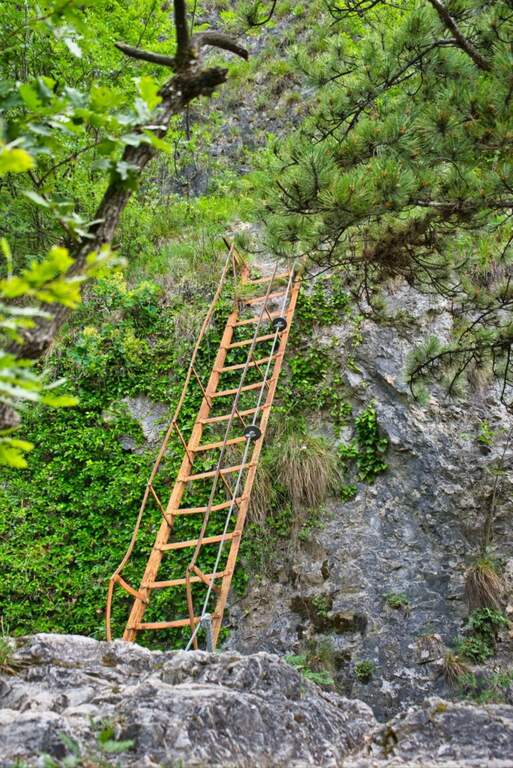
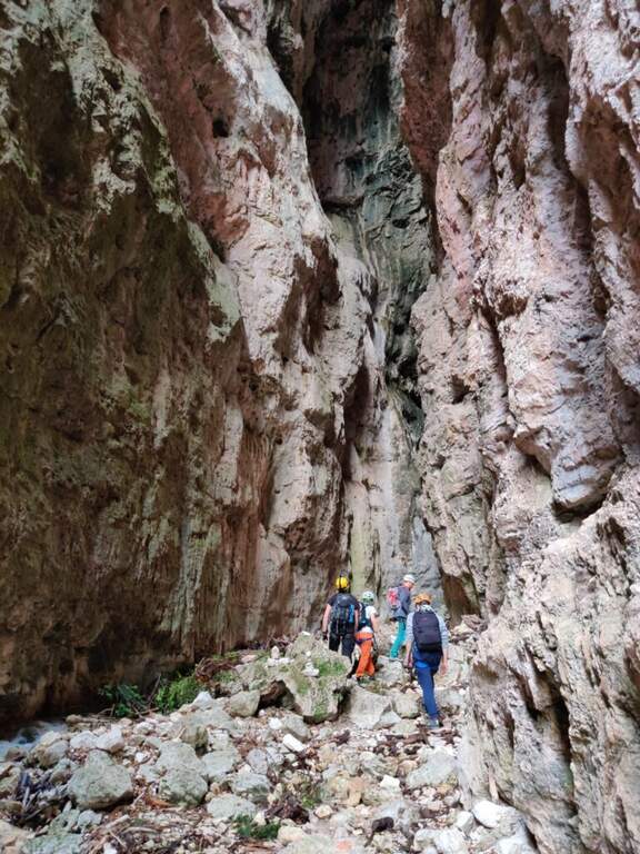
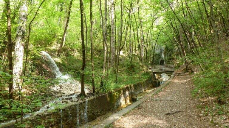
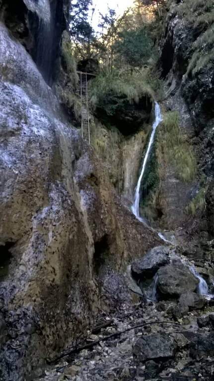
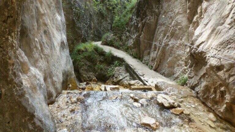
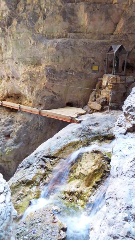
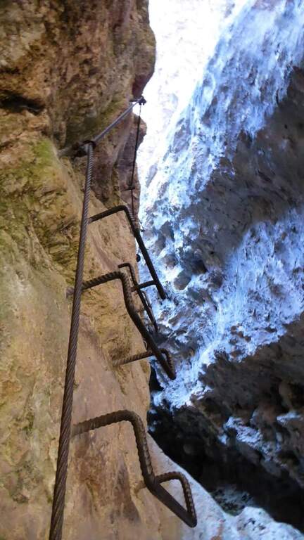
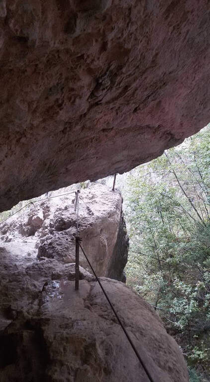
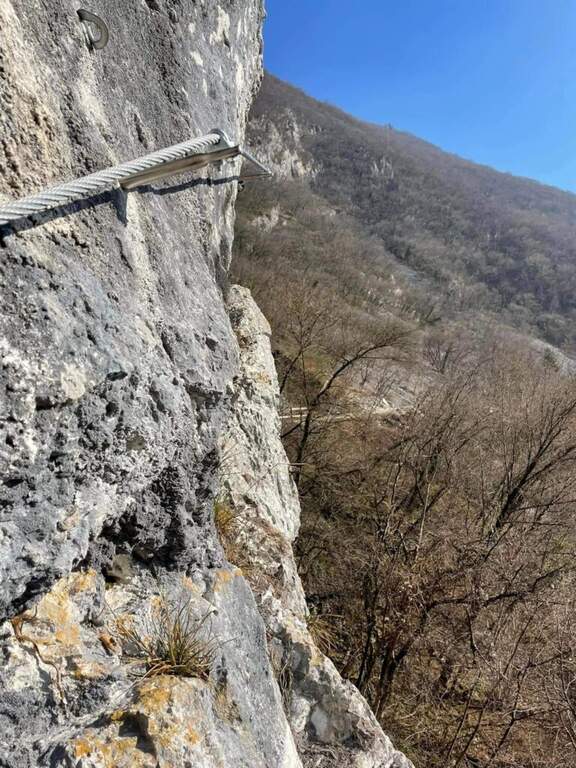
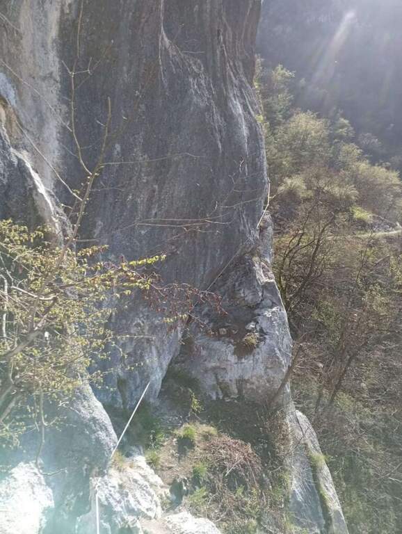
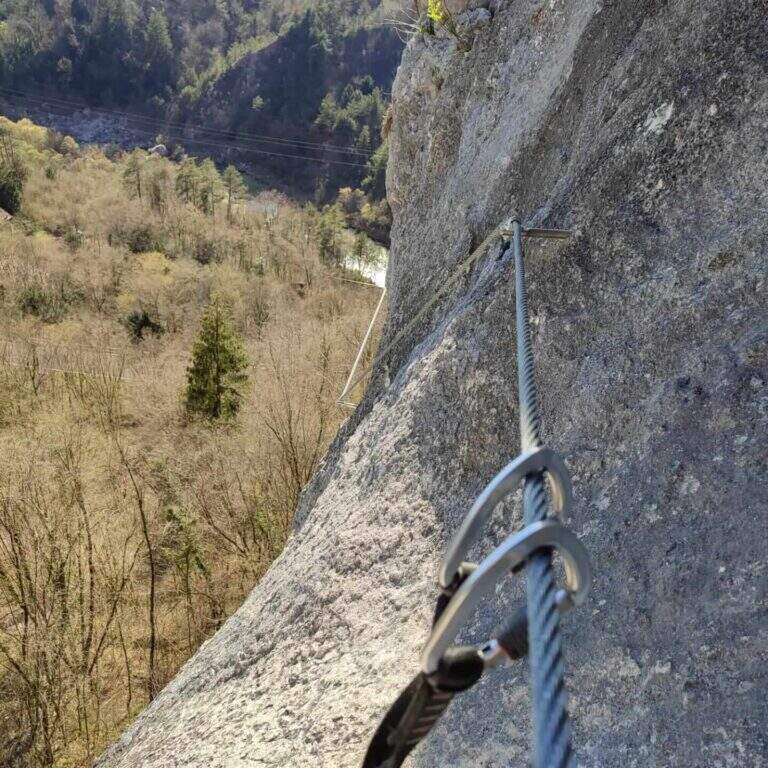
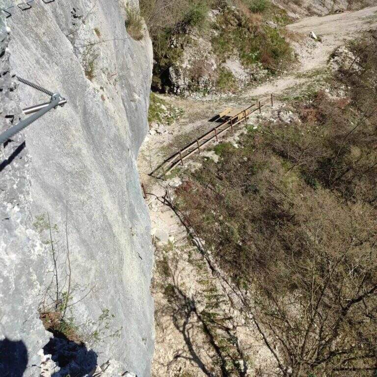
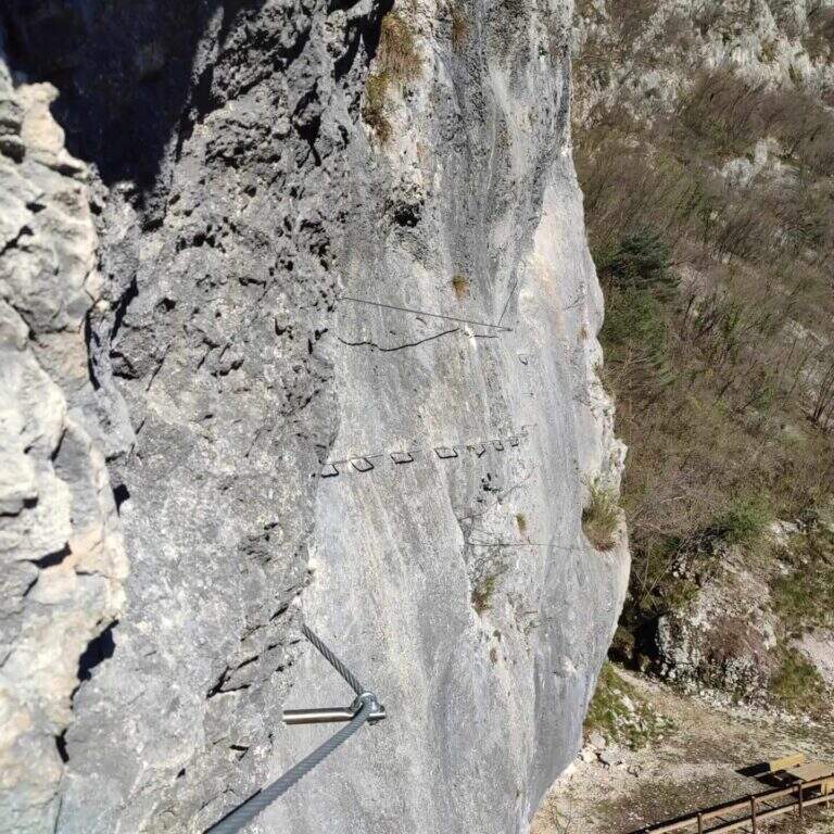
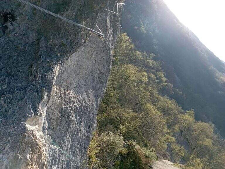
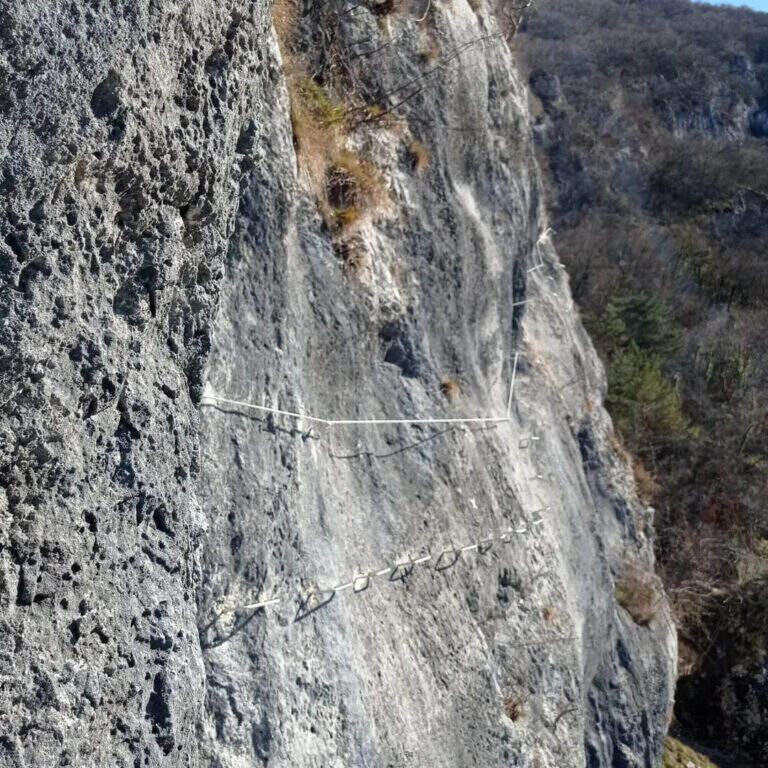
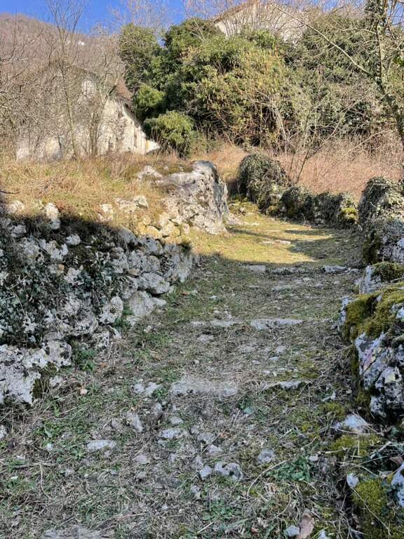
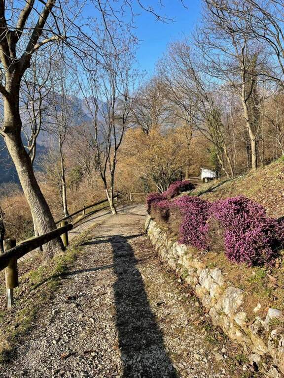
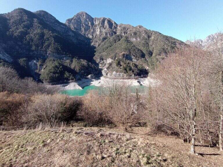
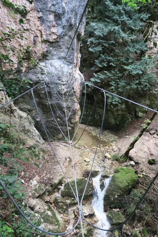
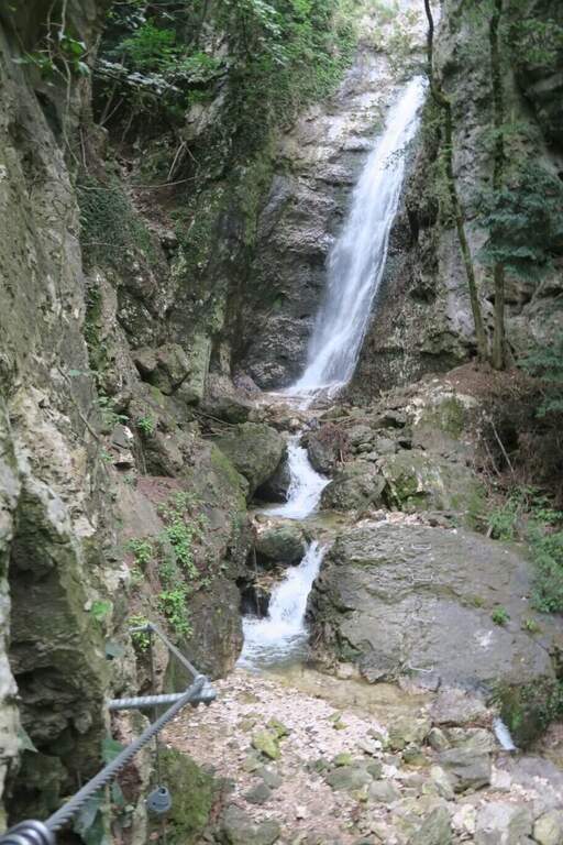
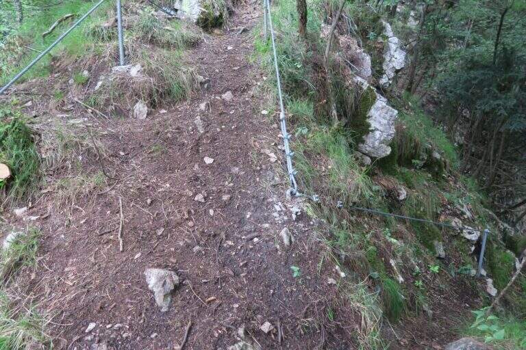
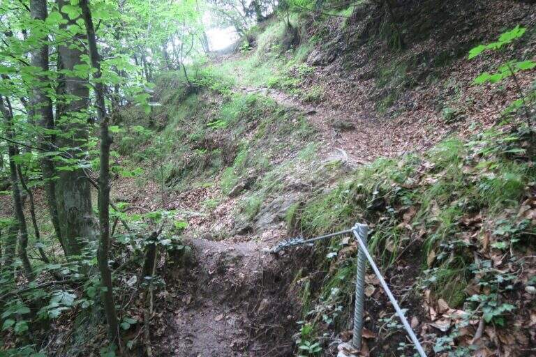
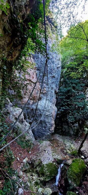
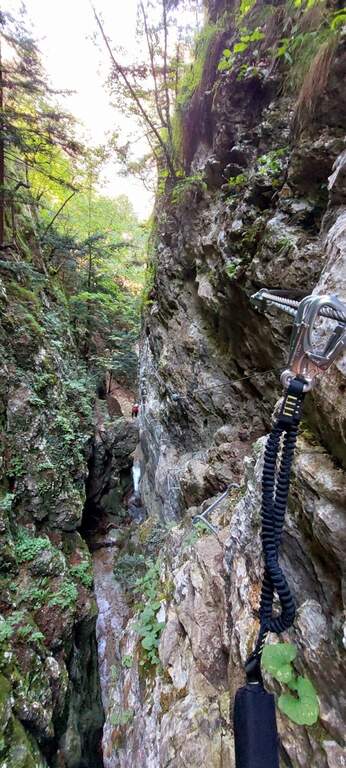
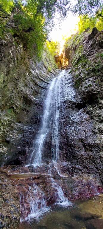
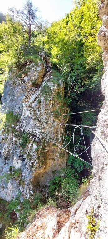
    The Sentiero Attrezzato della Vergella is a variant of ascent compared to the most beaten path that from Lecco leads to the Chapel of Madonna del Carmine, under Monte San Martino. It has no hardship and allows to trace back a couple of more challenging rocky laughter with the help of some chains. It is generally available throughout the year, paying attention to the warmest months.

    ▲Approach

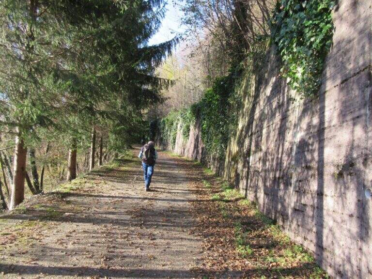
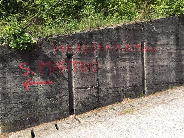
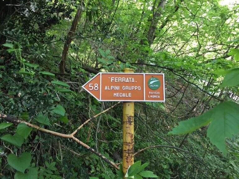
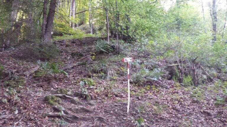
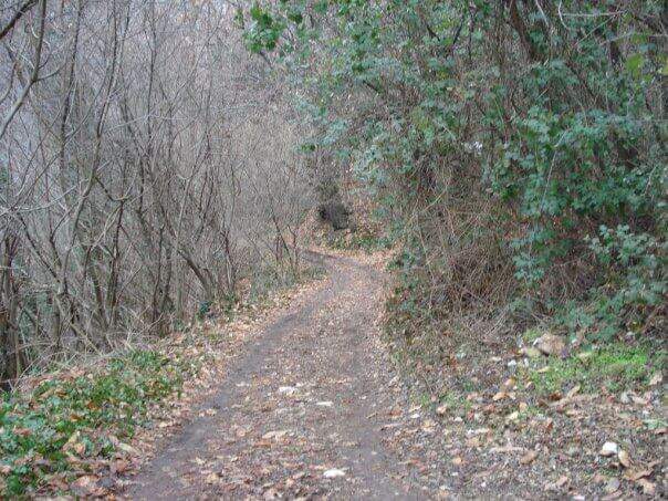
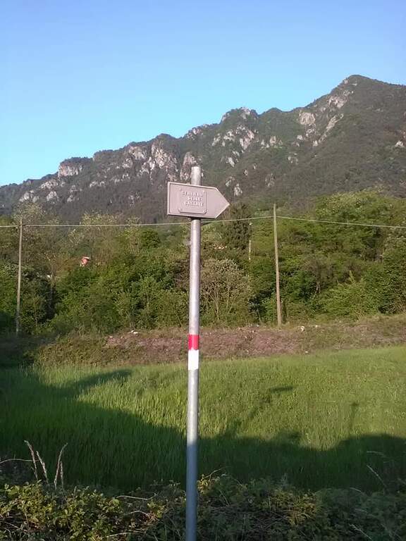
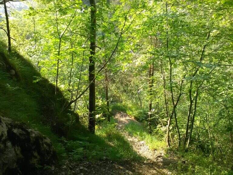
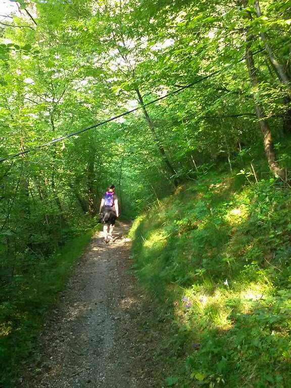
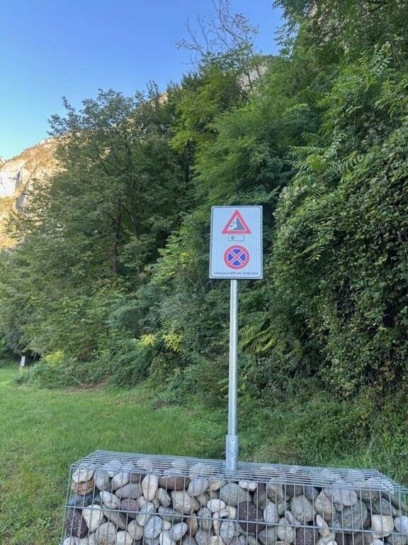
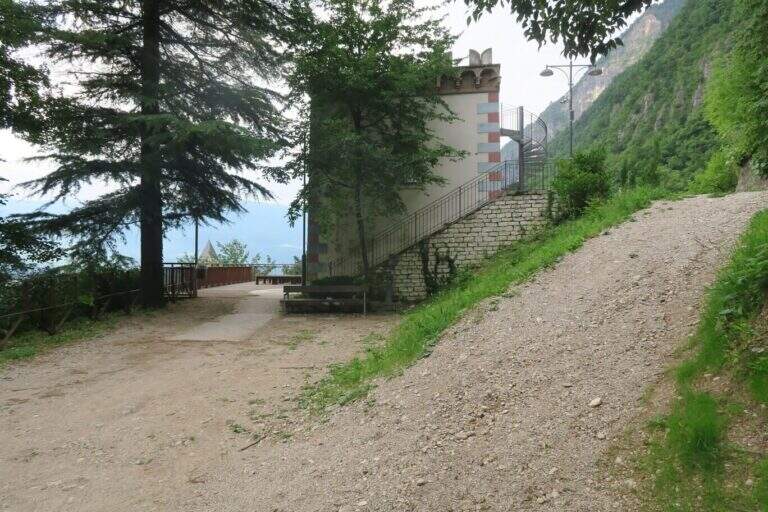
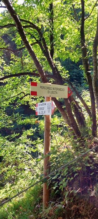
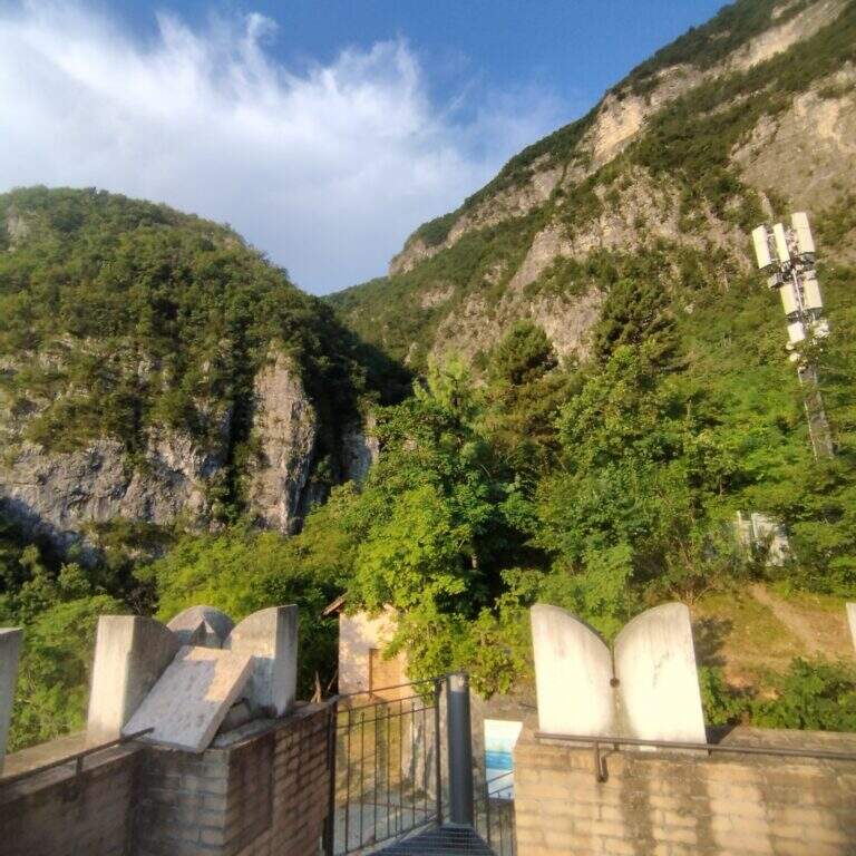
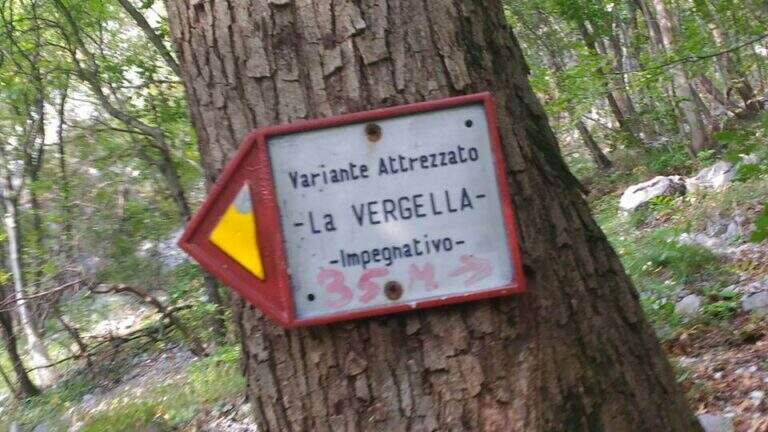
    It starts from the town of Rancio Alto, over Lecco. From Lecco take the road towards Ballabio up to a evident double hairpin bend in the middle of the houses: near the second bend, where on the left a road continues straight, take Via Quarto and walk about 200 meters until you notice, near a pedestal, an asphalted road on the right that goes steeply with an open rusty white bar. You go up this steep street, you turn a first bend on the left and, at a crossroad, you go right uphill for a couple of minutes until a bar where you park (open up Google Maps). From the parking lot continue on the cemented road to a bend, where you continue straight on a mule track (CAI 52); you ignore some bivores that detach to the right (including CAI 58 for Ferrata del Medale) and, under the walls of Monte San Martino, you go back some bends up to a crossroad where a white sign indicates left the Sentiero Attrezzato della Vergella (20′ from the parking lot).

    ▲The path

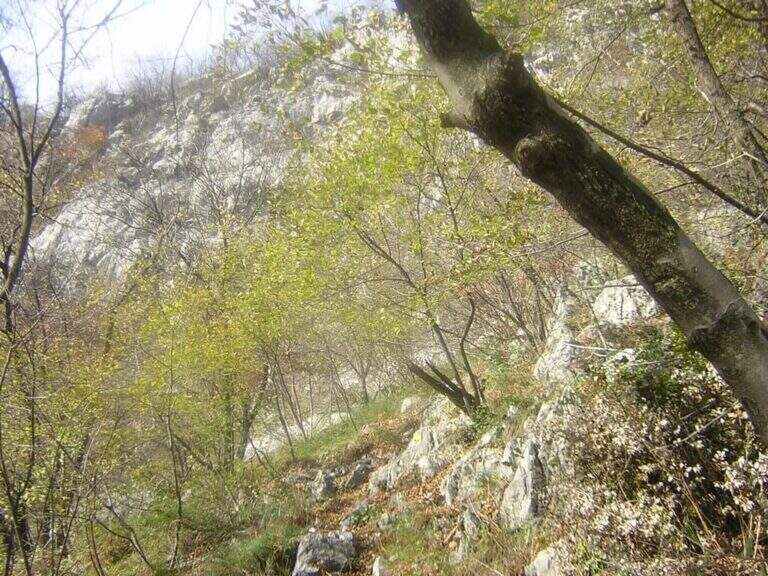
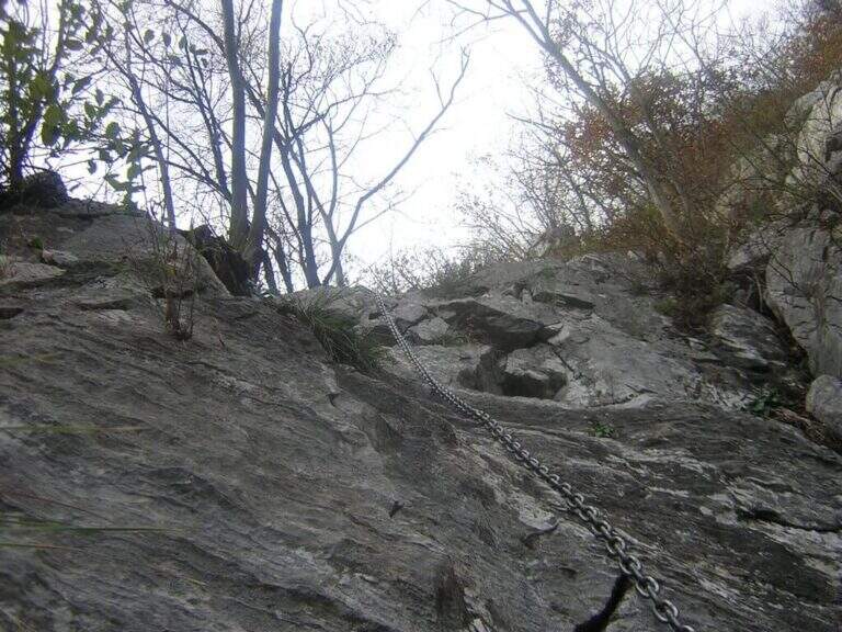
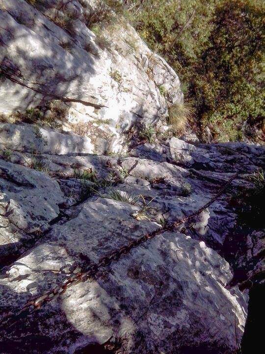
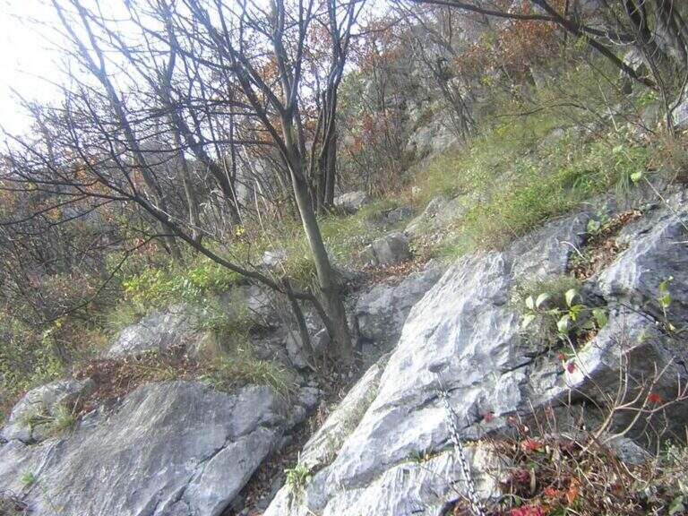
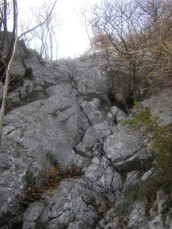
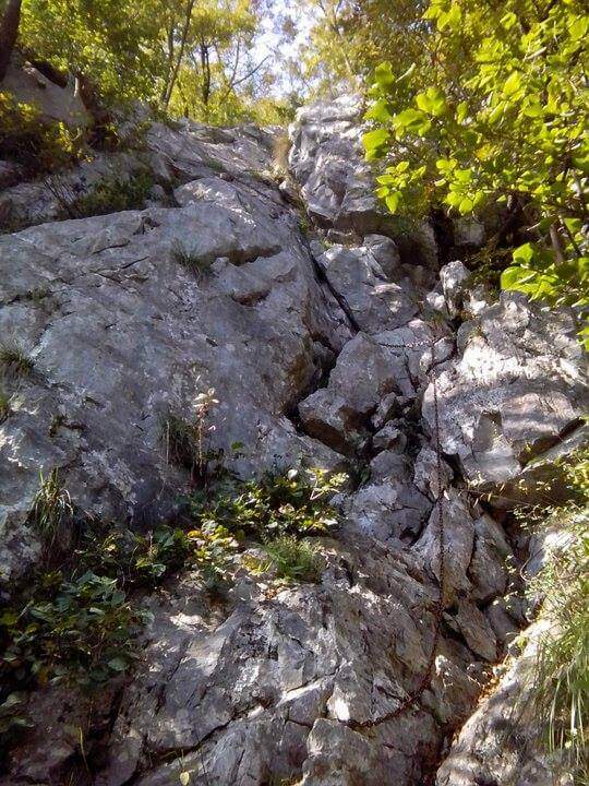
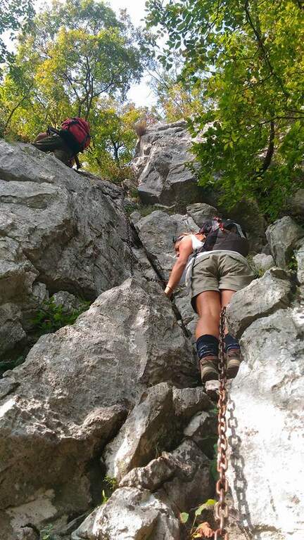
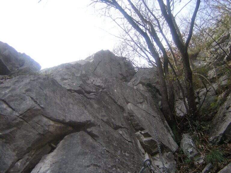
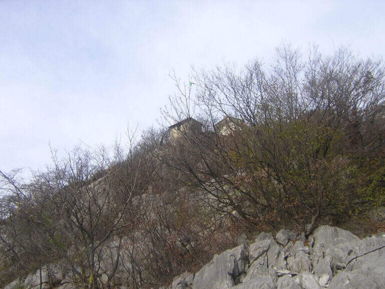
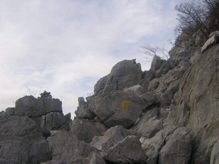
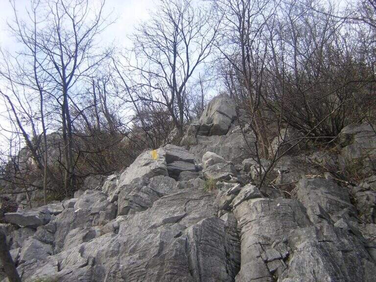
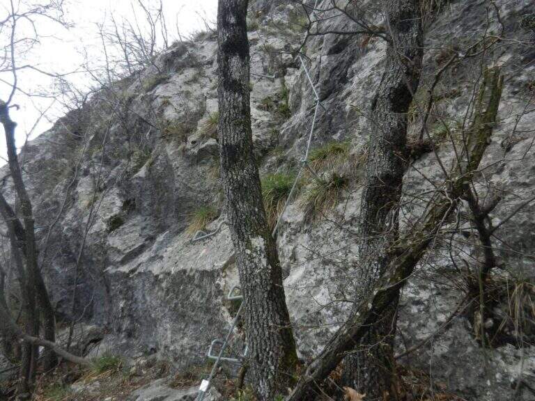
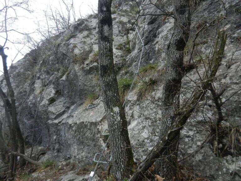
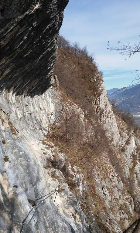
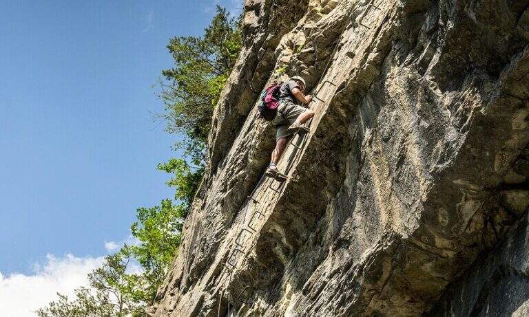
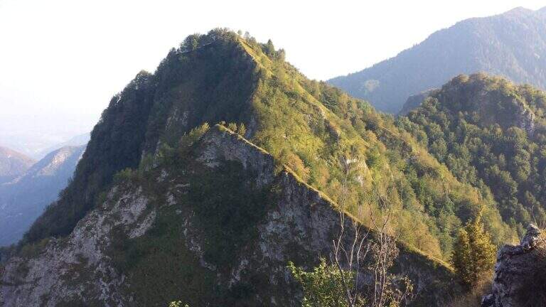
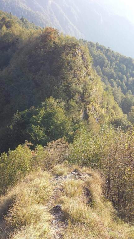
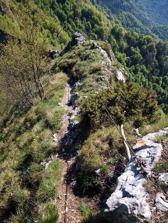
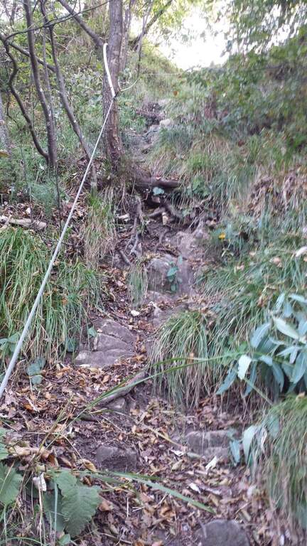
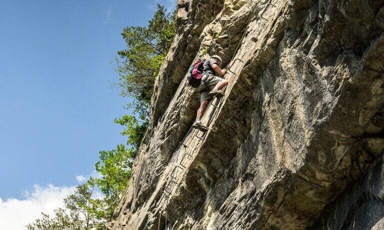
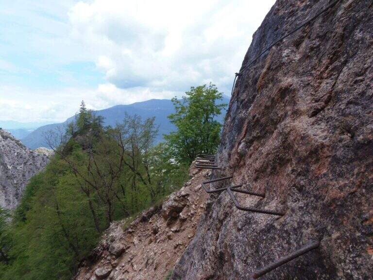
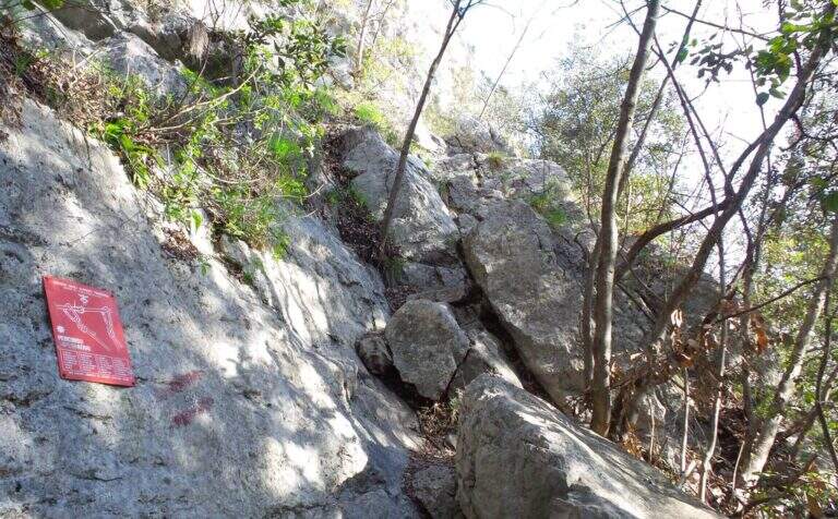
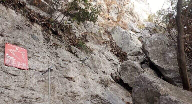
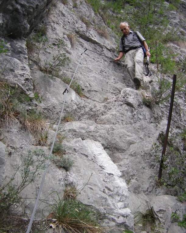
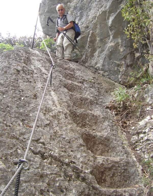
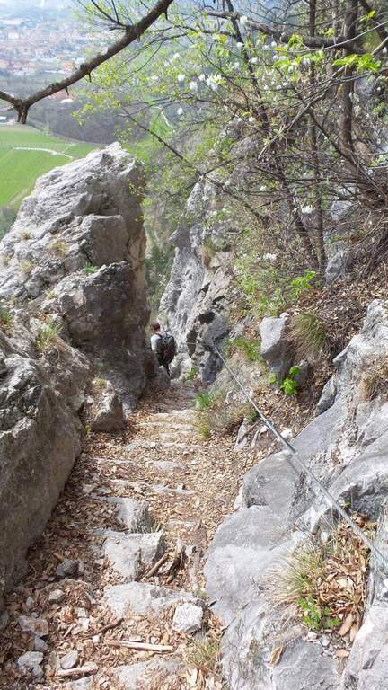
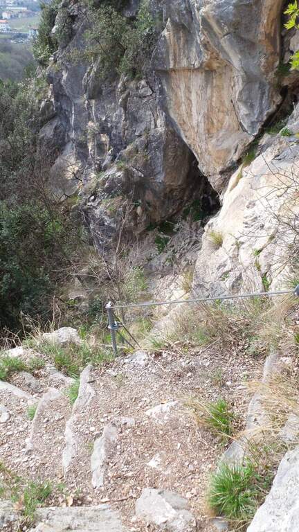
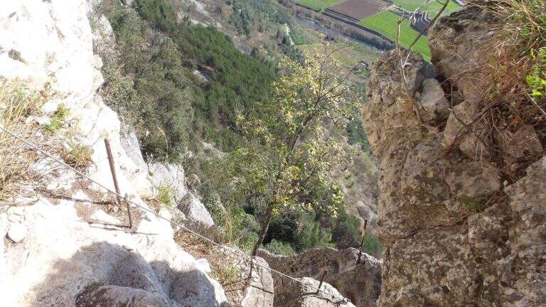
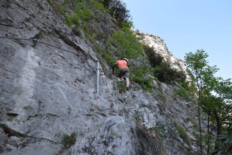
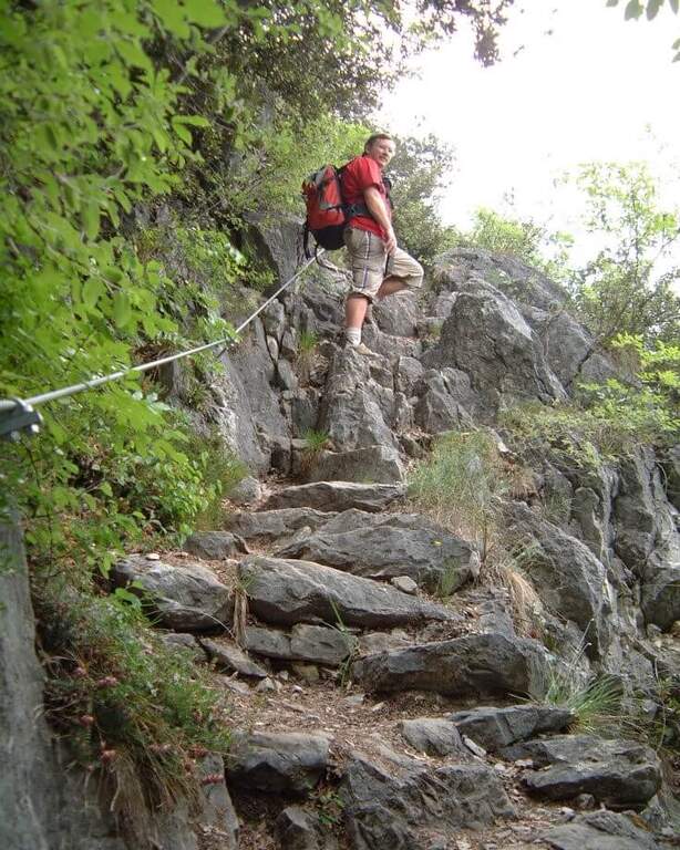
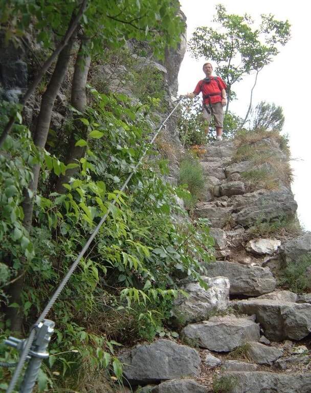
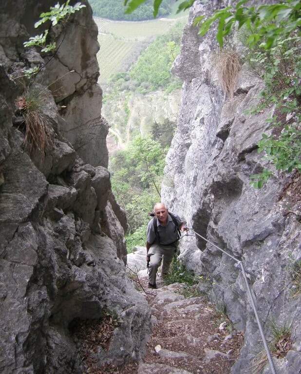
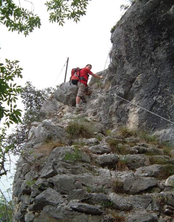
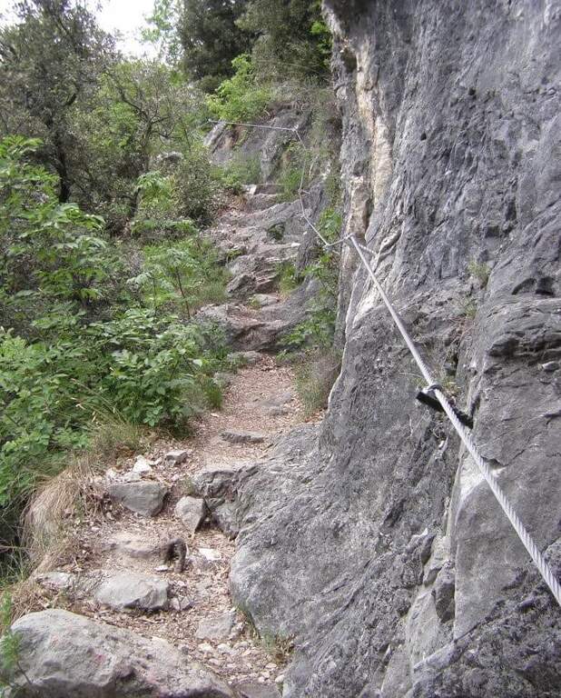
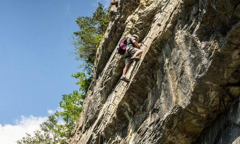
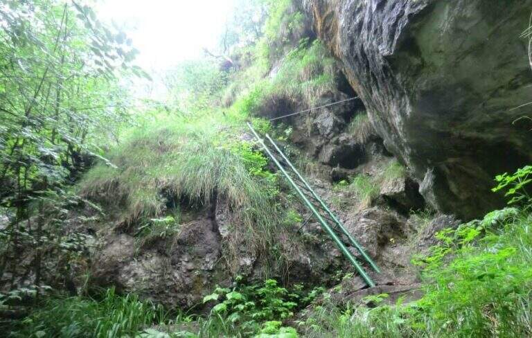
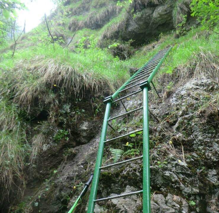
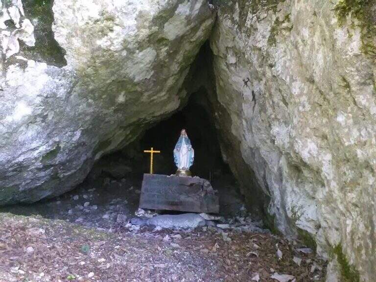
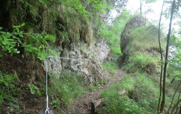
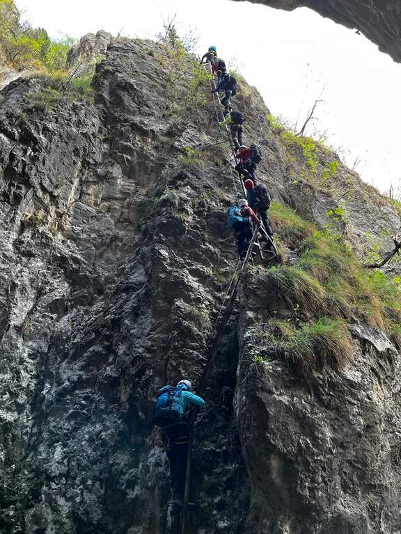
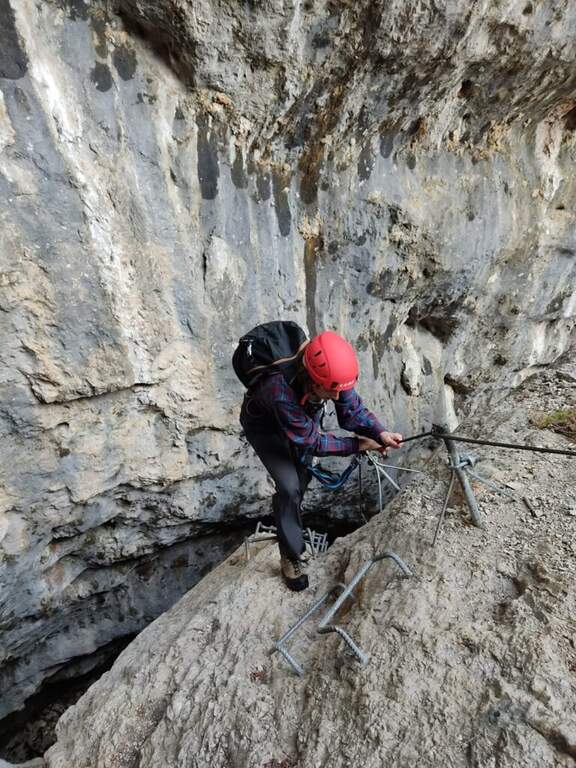
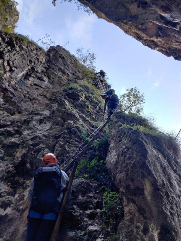
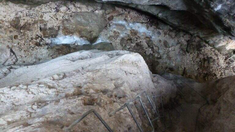
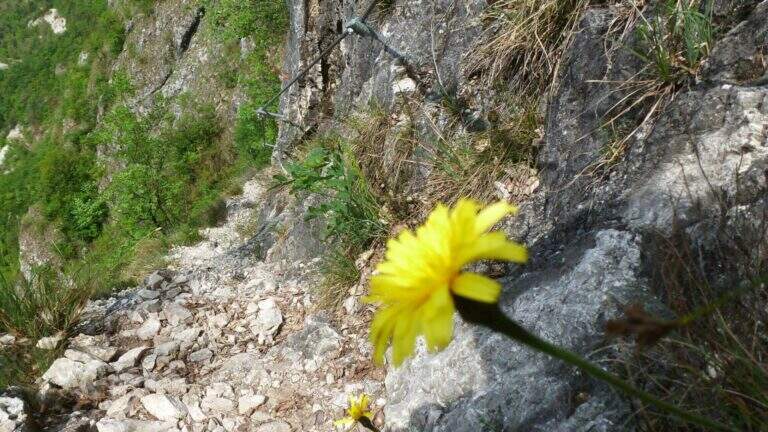
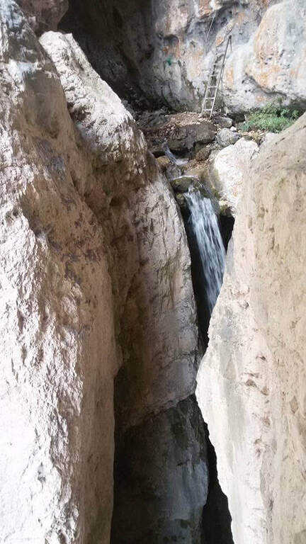
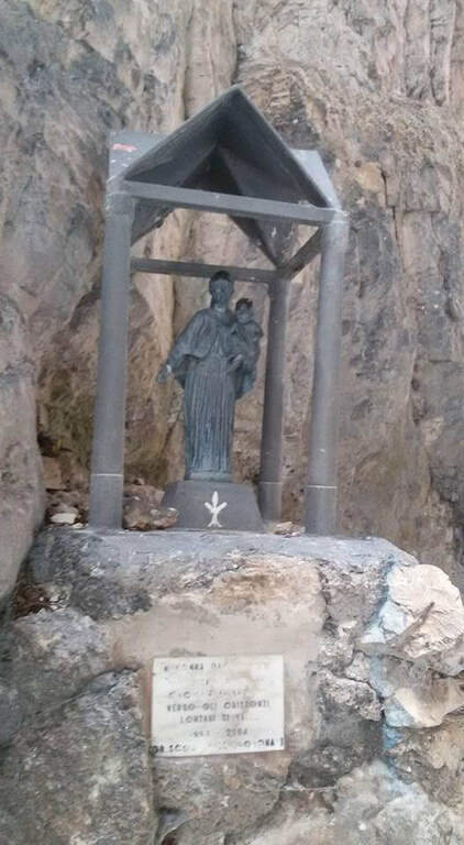
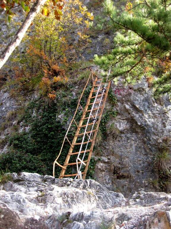
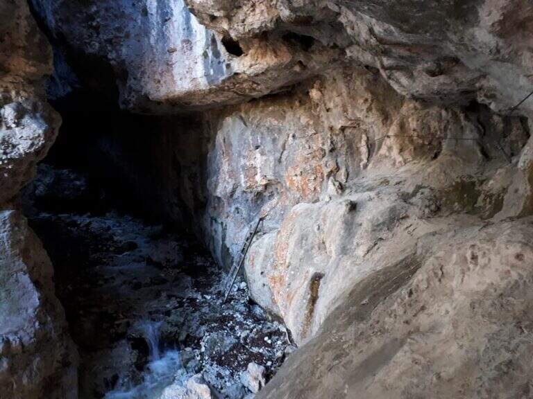
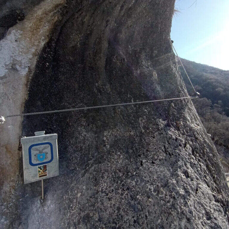
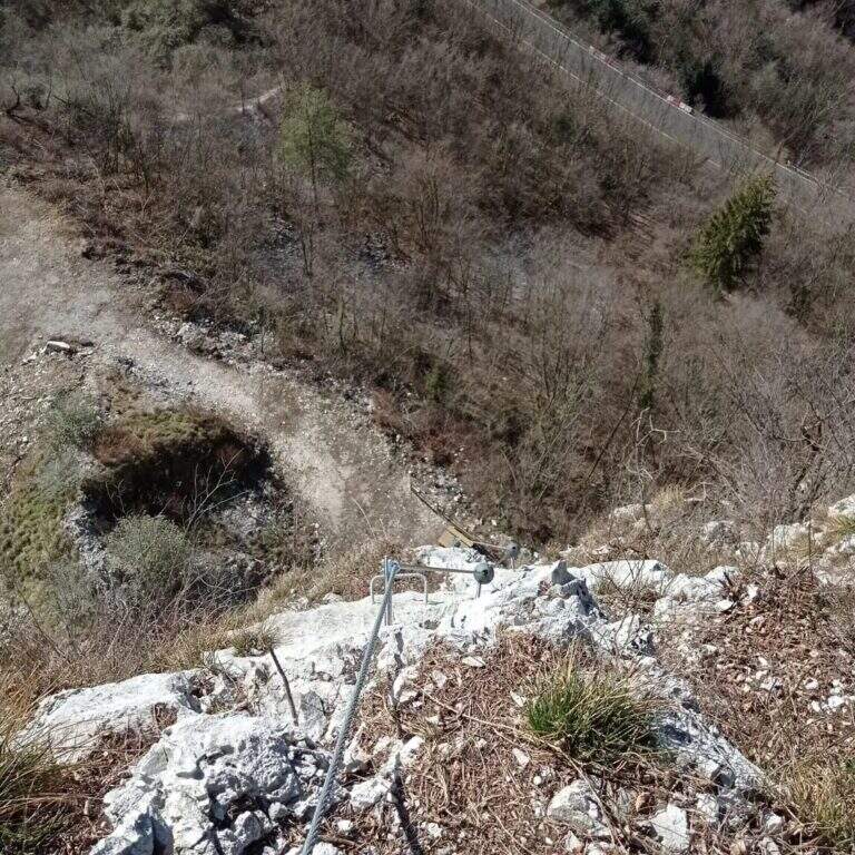
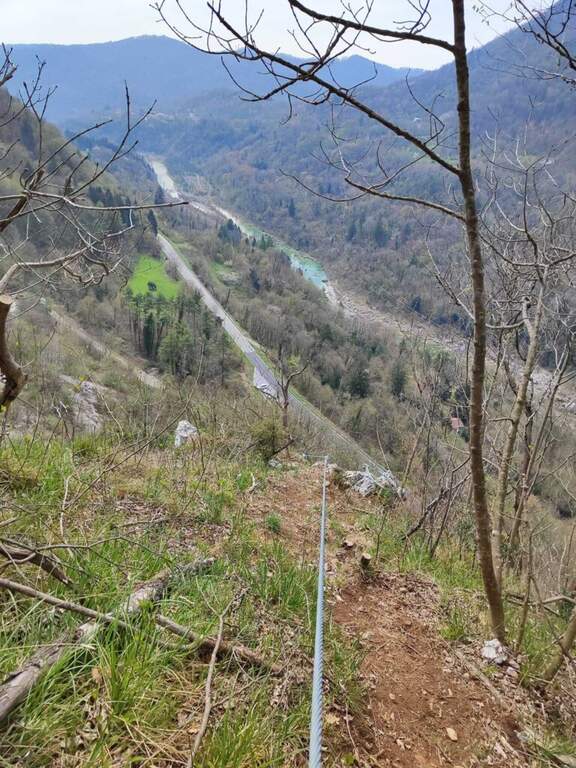
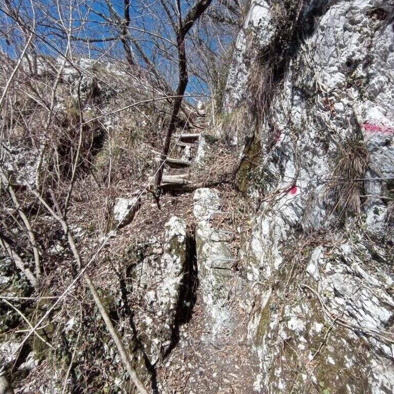
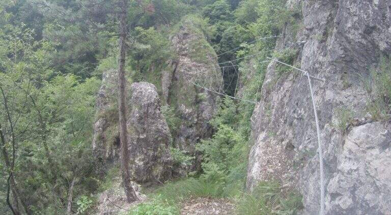
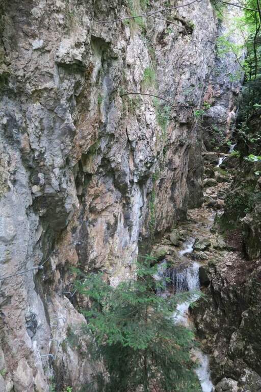
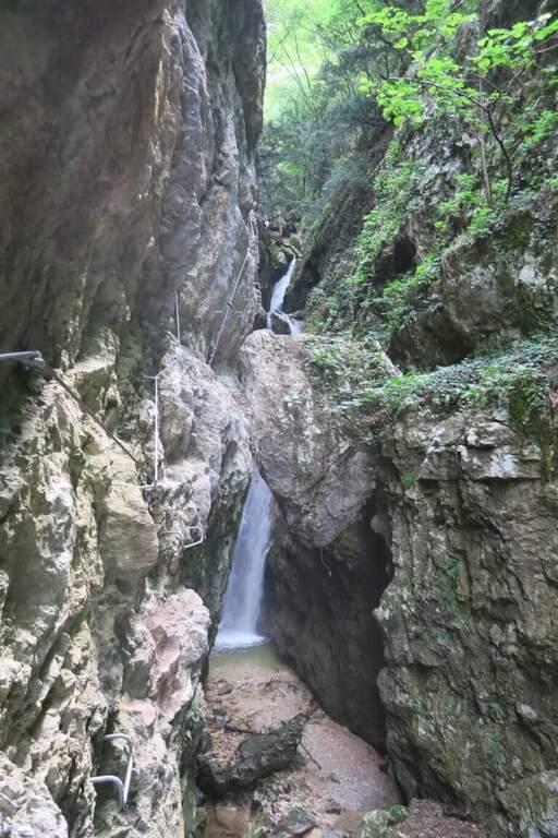
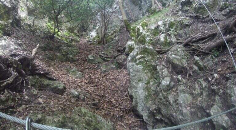
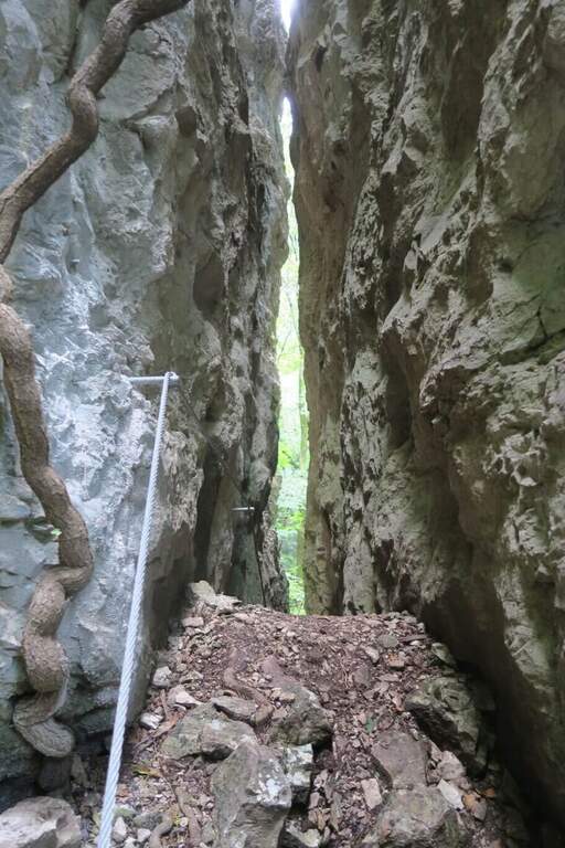
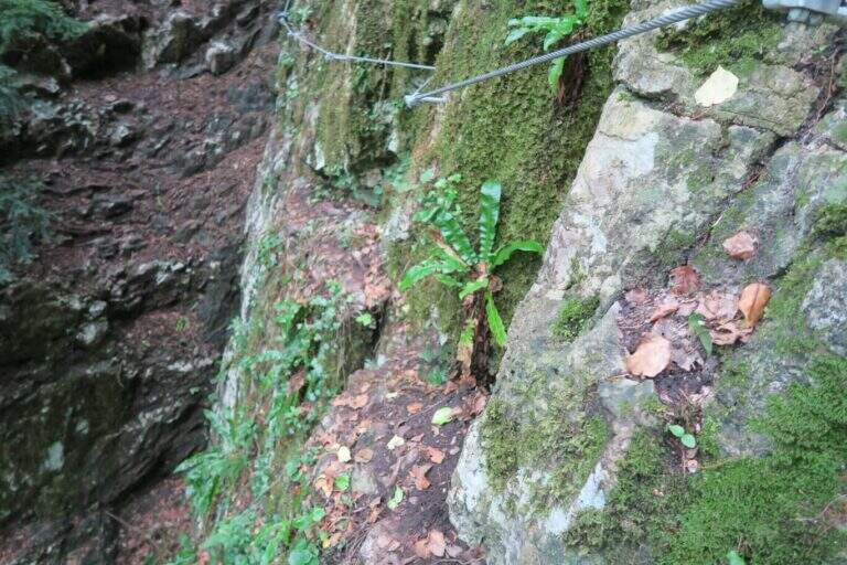
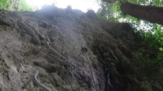
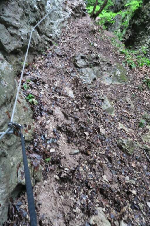
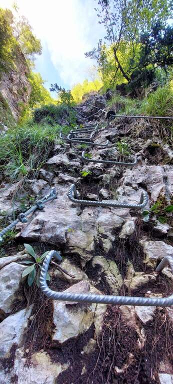
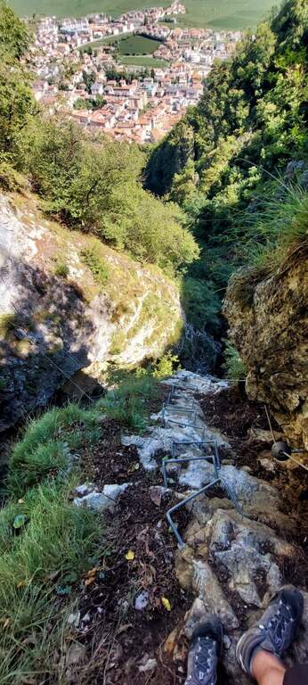
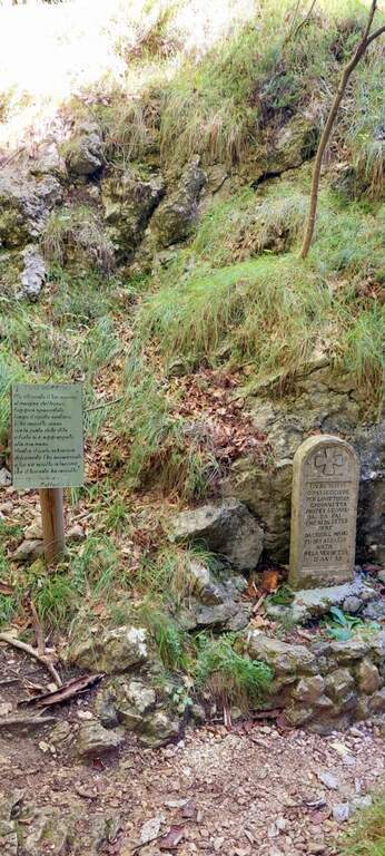
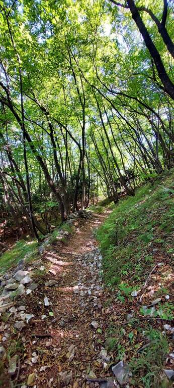
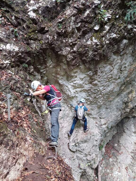
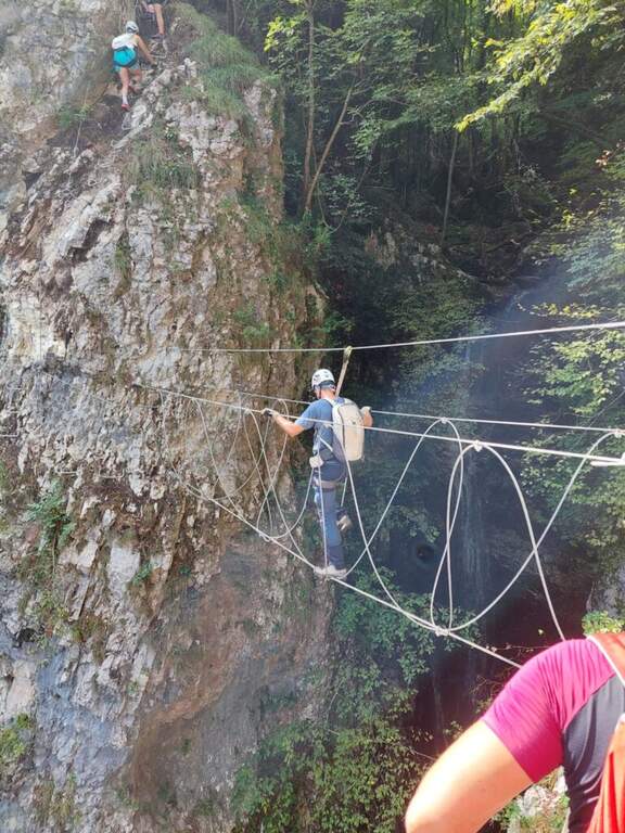
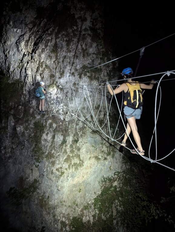
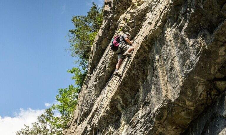
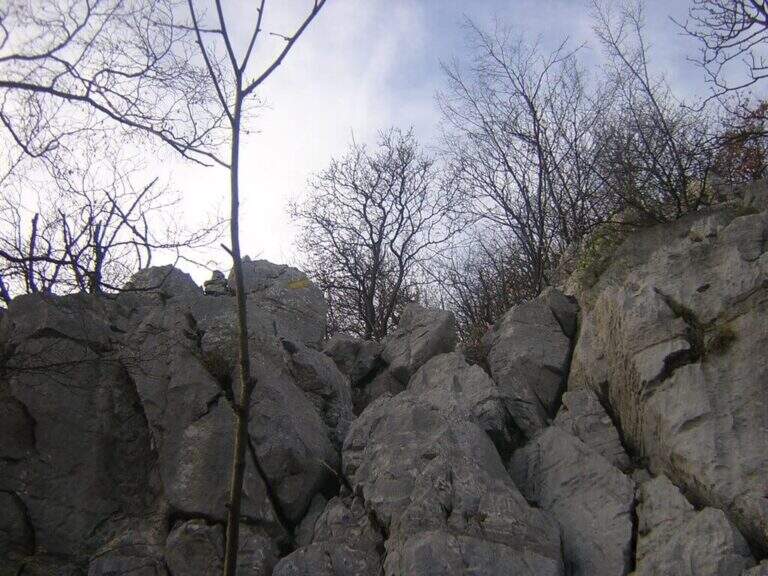
    From the deviation follow the yellow signs of the route; near the crag of the Placchette di San Martino you continue straight until the attack. The equipped path goes up a rocky channel in which the chain immediately develops vertically on a wall at first smoothed, then more entangled, climbs quite smoothly; in the upper part it crosses to the left leaving on a beautiful panoramic terrace. Continue up to a second vertical wall, from the appearance of an unmarked dihedron, which sticks following the chain on the left side; climb the wall and face a traverse to the left, exit and rise some rocky steps until the end of the equipment. Between rocky balconies and uncomplicated rocks, and a last steep stretch of path, ends the Path of the Vergella (1h from the attack, about 1h30 from the parking lot), with the Chapel of the Madonna del Carmine now in sight.

    ▲Character and difficulty

    The itinerary has no significant difficulty. The two more vertical sections are suitably equipped and give the necessary safety to less experienced hikers, while those who are more trained can try to trace them back without using the chain.

    ⚠ After abundant rains or in autumn months the foliage makes slippery some stretches, especially if the path is traveled downhill.
    ▲Period and safety

    Low altitude (maximum 742 m): it is a route almost all year round, with attention to the heat in the summer months and the slippery of the bottom in the humid seasons.

    ▲Discipline

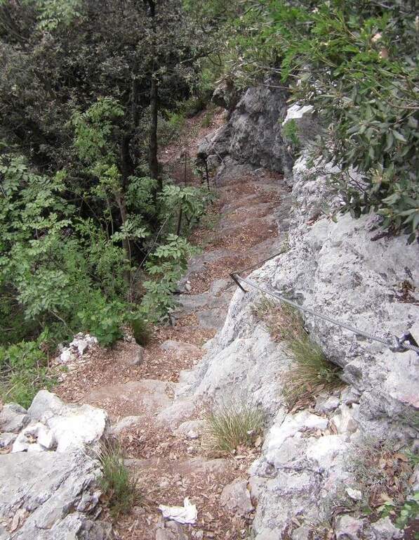
    If the itinerary ends at the chapel, take the path to its right, which descends first into the woods, then between rocky steps and finally under the walls of Monte San Martino, until you reach the path of the way and then to the parking lot (45′ from the chapel, 2h15 total). Alternatively you can continue along other routes: on the right of the chapel take the Sentiero Attrezzato Silvia for the summit of Monte San Martino (45′), evaluating then if you continue towards the Corno del Medale and descend along the Path of the Medale, or towards the Coltiglione along the Sentiero del GER; another possibility is to climb up the summit for the normal route and, towards the Rifugio Piazza, descend along the most difficult Sentiero dei Pitti.

    ▲To match

    For experienced hikers an interesting alternative is to climb the challenging Ferrata del Medale and descend along the Sentiero Attrezzato Silvia and then this of the Vergella. In the surroundings there are also GER Path to the Coltiglione and the most difficult Sentiero Attrezzato dei Pizzetti.
    ▲Gallery
    Technical data
    • DifficultyEasy
    • RegionLombardy
    • GroupPrealpi Lecchesi – Monte San Martino
    • Approach0:20 h
    • Ferrata1:00 h
    • Itinerary (a/r)2:00 h
    • Hardware level difference150 m
    • Route difference372 m
    • Max742 m
    • Length7 Km
  • Sentiero Attrezzato de le Stel in Val d’Adige

    Sentiero Attrezzato de le Stel in Val d'Adige

    Vie Ferrate › Trentino-Alto Adige › Trento
    Sentiero Attrezzato de le Stel in Val d'Adige

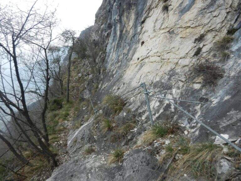
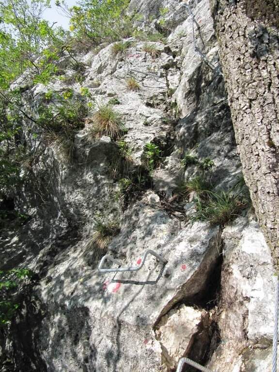
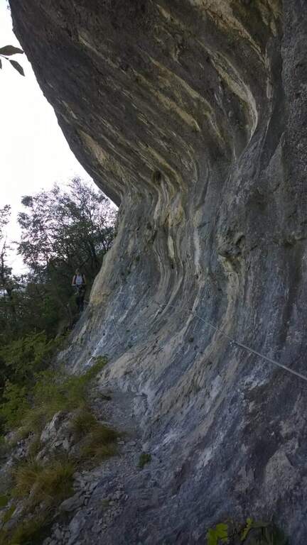
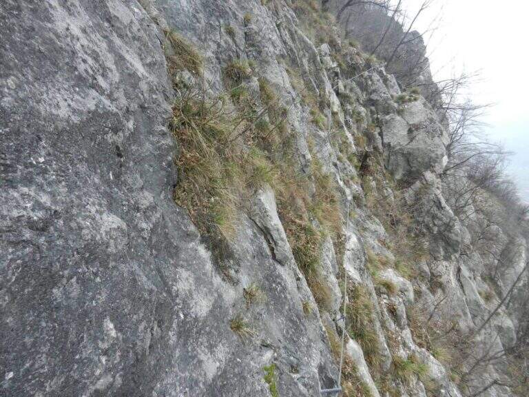
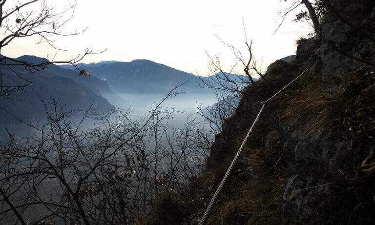
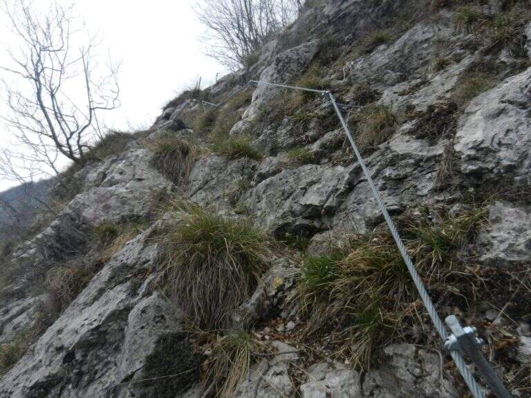
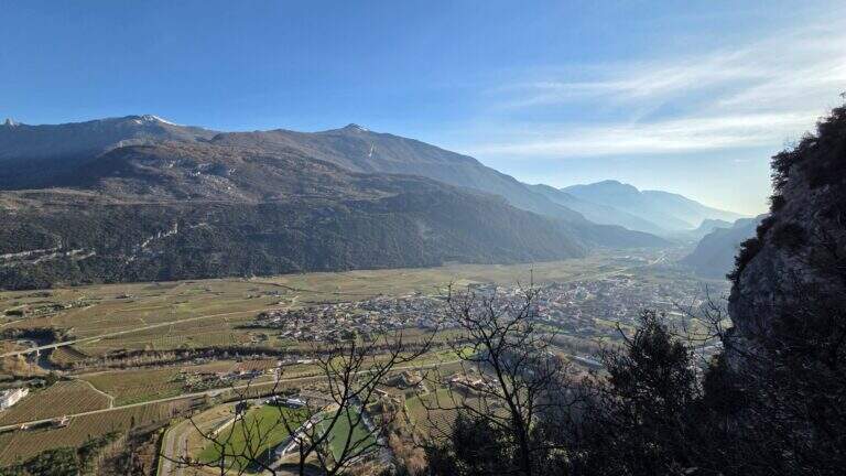
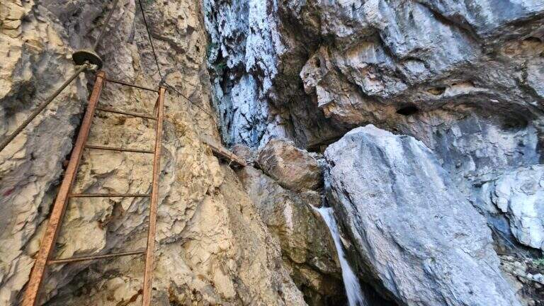
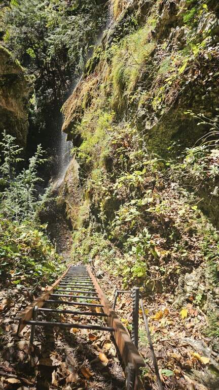
    The Sentiero Attrezzato de le Stel is a rather easy route of the Val d’Adige, with some equipped passages and a short climbable stretch. Developing at low altitude, it is recommended in winter or early season, when high altitudes are not yet available.

    ▲Approach

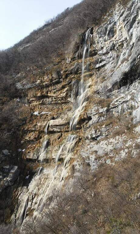
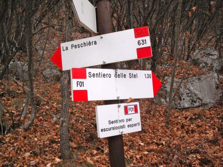
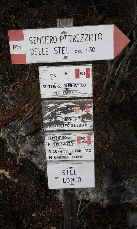
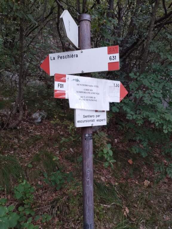
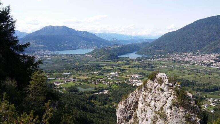
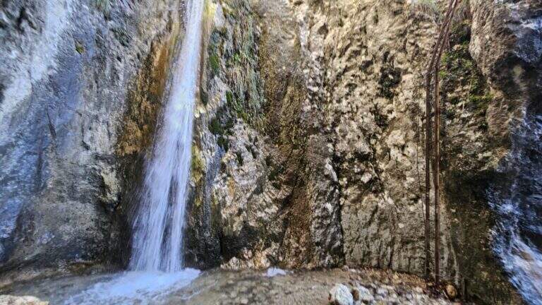
    From the village of Aldeno, in Val d’Adige south of Trento. You can reach the town of La Busa along Via al Bondone, where a road climbs steeply west: you look for parking nearby and take the cemented road (open up Google Maps). It climbs through the vineyards following the CAI 631 on a carrareccia, ignoring some traces that detach to the right and left, up to a panoramic point with benches (40′ from the parking lot). You face some harmless stretches equipped, then you leave 631 on the waterfall path, you reconnect briefly on 631 and finally you leave it to take the path F01, that is the Sentiero Attrezzato de le Stel, well marked by the white-red signs of the CAI (620 m, 1h from the parking lot).

    ▲The path

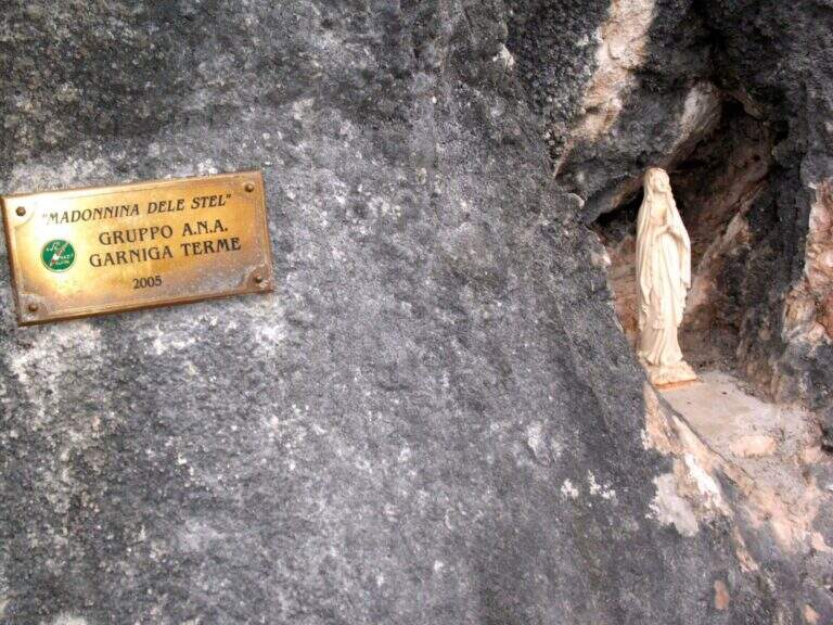
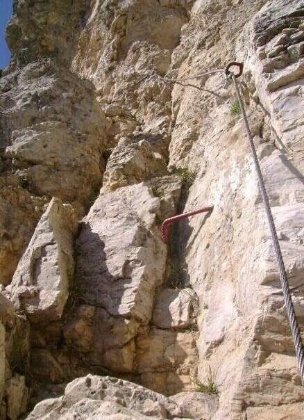
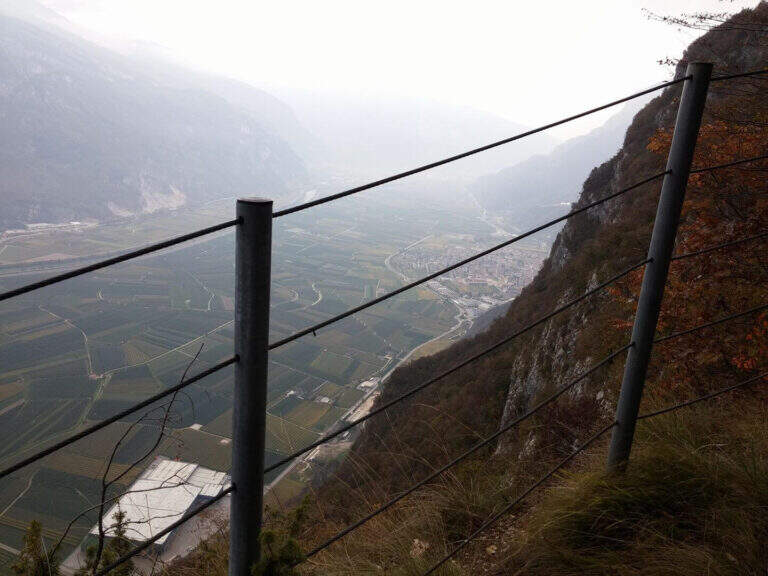
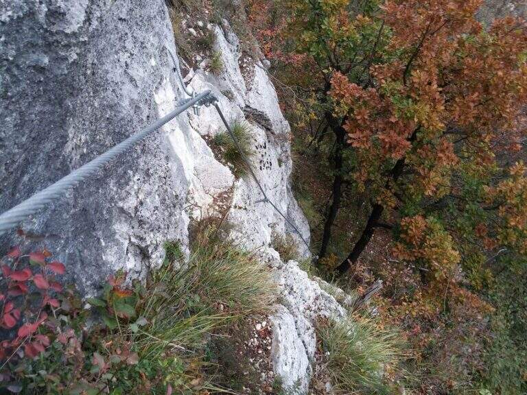
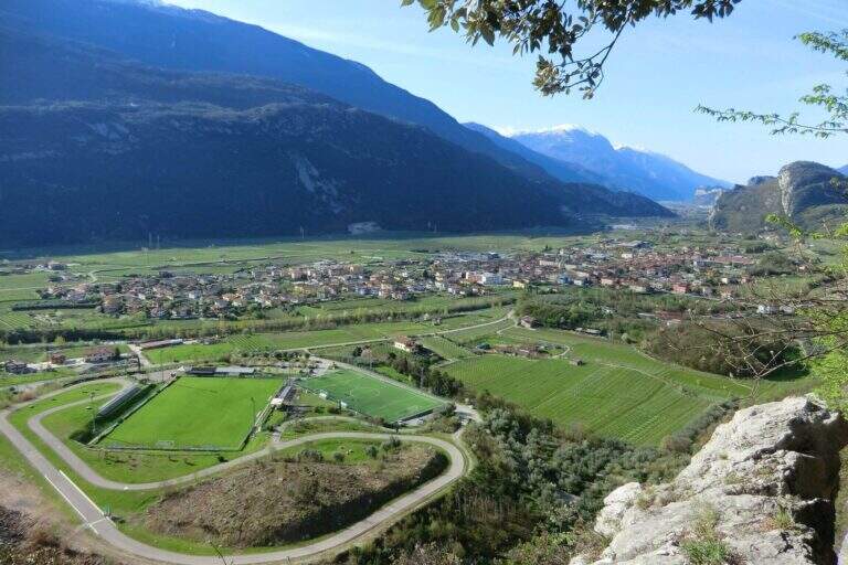
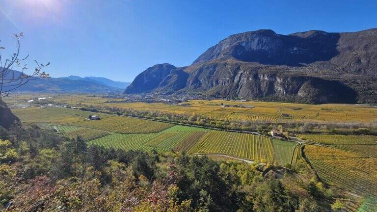
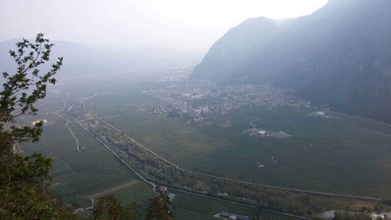
    The path winds halfway on good track, with some easy balconies equipped with metal fixtures that facilitate its passing; alternate stretches of easy path to short stretches equipped steep but easy, until you reach the Madonna characteristic of the route, where a bench invites you to stop and admire the Val d’Adige with its vineyards and orchards. Once again the path, now narrower, you arrive at a narrow rocky nod rather exposed but properly equipped; finished the nod, the slope increases on small balconies and equipped rocks. It is the most interesting part: you can climb the easy steps, never higher than the II degree, keeping the equipment as self-insurance. You then earn steeply up to a pole with a sign that marks the end of the Sentiero de le Stel (about 1h30 from the beginning of the equipped part, 2h30 overall).

    ▲Character and difficulty

    The route is not difficult, even if a section climbs through easy climbing steps. The most challenging part is probably to find the way in the first half: the track is not marked impeccablely and sometimes it serves a bit of breath to understand the continuation in the wood between the dungs.

    ⚠ Non-banal orientation in the first half, with incomplete signage. Be careful at a point where the old track climbs to the left, with a cordon in non-excellent conditions: old and new path gather a little further.
    ▲Period and safety

    Low altitude (max 808 m): it is one of the ideal routes for winter or early season. The technical difficulties are contained, but it should be faced with dry rock, given some exposed traits.

    ▲Discipline

    From the end of the path you climb for a short stretch in the woods, then take the descent alternating stretches on forest in and out of the woods; you proceed without difficulty in parallel with the Sentiero de le Stel until you reconnect on 631 and continue the descent (2h from the end of the equipped path, 4h30 total).

    ▲To match

    From Aldeno you can reach quickly, along the Val d’Adige, the village of Mori, where the exposition rises Ferrata Marangoni; not far away is easy and panoramic Somator Ferrata. In Val d’Adige you can also walk Ferrata Rio Secco near Cadino, while climbing to Trento meet the Sentiero Attrezzato Bertotti and the difficult Ferrata Segata bondone.

    ▲Gallery
    Technical data
    • DifficultyEasy
    • RegionTrentino-Alto Adige
    • GroupMonte Bondone – Val d'Adige
    • Approach1:00 h
    • Ferrata1:30 h
    • Itinerary (a/r)4:30 h
    • Hardware level difference90 m
    • Route difference583 m
    • Max808 m
    • Length8,8 Km
  • Sentiero Attrezzato degli Eroi al Monte Peurna

    Sentiero Attrezzato degli Eroi al Monte Peurna

    Vie Ferrate › Veneto › Belluno
    Sentiero Attrezzato degli Eroi al Monte Peurna

    The Athletic Path of the Heroes rises to Mount Peurna, in Val Schievenin. It is easy in the short stretches equipped, but ostic in the long stretches not protected on unstable background; the itinerary is not subject to punctual maintenance and sometimes it is difficult to identify. It runs in an area full of testimonies of the Great War.

    ▲Approach

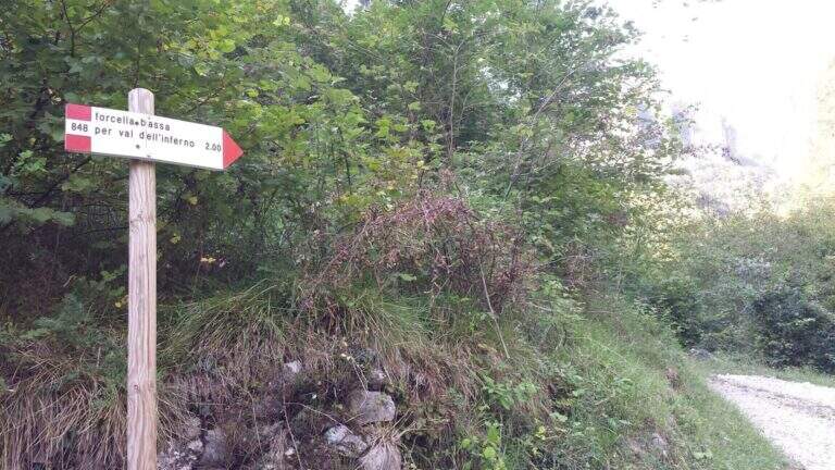
    You reach the Schievenin Valley, in the province of Belluno: from the Piave valley, near Quero, you proceed towards the east following the indications for Schievenin; arrived in the village you enter the valley on a narrow but paved road until a parking lot, beyond which there is no transit (attention to some colatoi and holes that can damage the low cars) (open up Google Maps). From the parking lot (515 m) you walk along the road to the north, on dirt road with signpost 848, following for Forcella Bassa; in proximity to a curve a track takes off to the left in the wood, without pole and signaled only by a small sign (15′ from the parking lot). The path 848 climbs along the Valley of Hell to Forcella Bassa: a stretch that at 2017 was rather poorly kept, with divel trees, trace at times difficult to spot and half-coast passes on slippery bottom and exposed on the left side. Adding Forcella Bassa (1044 m, 1h from the crossroads), the left is held on the longest path of the Heroes (AV8 carts), of which you only walk a stretch; southward, on the eastern side of the Peurna, the path has stretches on grass and insidious and unprotected soil. Attached the east wall, on the south-eastern side you reach the first equipped stretch (1h15 from Forcella Bassa, 2h30 total).

    ▲The path

    The first equipped stretch develops in the ridge, with the cable to the right: it descends along this stretch until an easy and wide equipped nod. Continue on the path south to the second stretch equipped, where you go up a very steep passage on slippery bottom, protected for safety. Beyond this point the equipment ends and with them the equipped part of the Heroes Path (30′ from the attack, 3h total).

    ▲Character and difficulty

    Where protected, the itinerary does not have technical difficulties; the main difficulties are due to the numerous stretches of path on an insidious and unprotected background. It is also easy to lose the track: both approaching and returning there are points with fallen trees and traits invaded by tall orchards and herbs.

    ⚠ Itinerary little maintained and at times difficult to spot, with long stretches not protected on unstable, slippery and exposed background. Long trousers and telescopic poles are recommended; carefully evaluate weather and orientation capacity.
    ▲Period and safety

    Low altitude (maximum 1207 m): the route is accessible in most of the hiking season, but the conditions of the bottom and the vegetation can make it tiresome. Care in orientation is the main security factor.

    ▲Discipline

    Continue on a slight descent until you cross the path 843, you keep the left and shortly after the left following the signpost 839 that leads to Schievenin. Once the paved road runs along the way, you find yourself downstream from the parking lot, then you go up the road to the starting point (2h from the end of the equipment, 5h overall).

    ▲To match

    To the south, towards Bassano del Grappa, there are two ferrates that go up to the sacred area of Grappa, the Ferrata Sass Brusai e la Ferrata Guzzella; for something more challenging, although short Ferrata Santa Felicità. To the north you reach the Lagorai with the Ferrata Gabrielli in Cima d’Asta, while towards the Dolomites Feltrine lies Ferrata at Monte Coppolo.

    ▲Gallery
    Technical data
    • DifficultyEasy
    • RegionVeneto
    • GroupDolomiti Feltrine – Val Schievenin
    • Approach2:30 h
    • Ferrata0:30 h
    • Itinerary (a/r)5:00 h
    • Hardware level difference100 m
    • Route difference785 m
    • Max1207 m
    • Length9,1 Km
  • Sentiero Attrezzato Church in Val Scura

    Sentiero Attrezzato Church in Val Scura

    Vie Ferrate › Trentino-Alto Adige › Trento
    Sentiero Attrezzato Church in Val Scura
    Moderately Hard● To checkDescriptionComplexityMapsGallery

    viso Notice — In 2017 the ferrata was closed for maintenance and is not confirmed by official reopening. Two traits can present missing equipment or maintenance, which greatly increases the degree of difficulty. Check the updated conditions before leaving: to proceed safely, you need a steady foot and a rope to ensure the climbing companion.

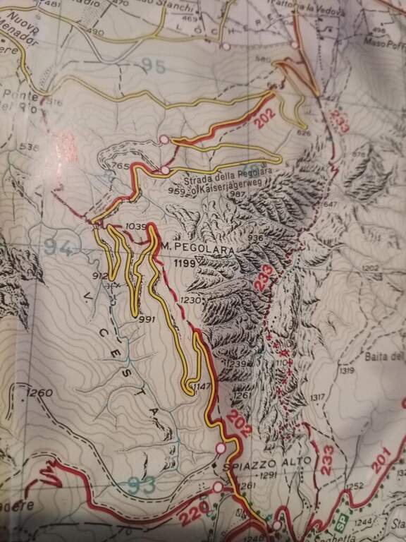
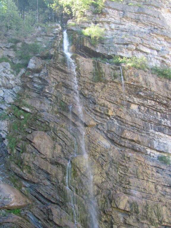
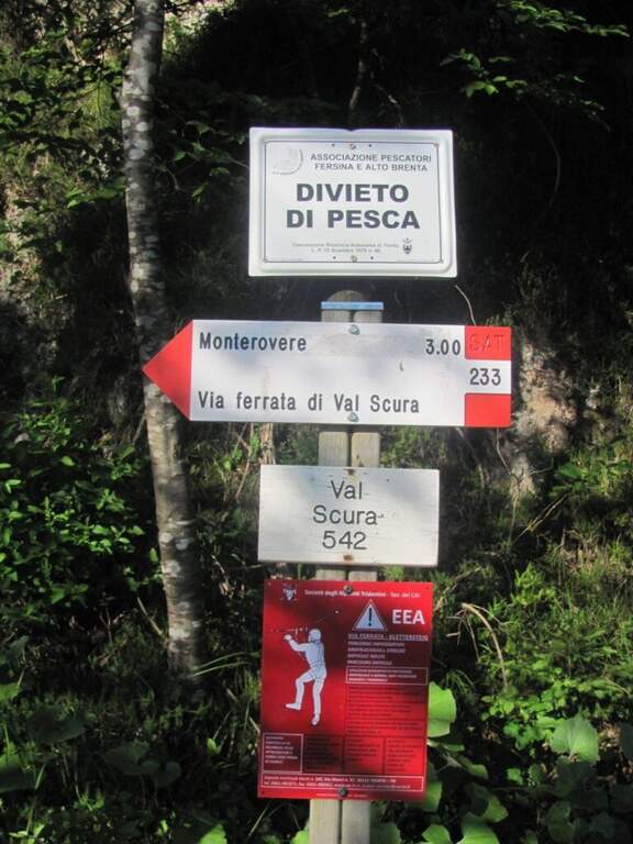
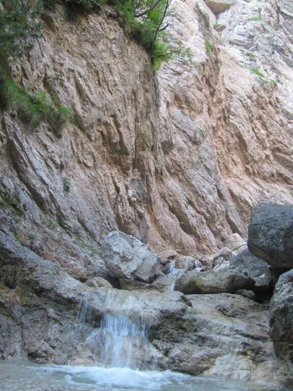
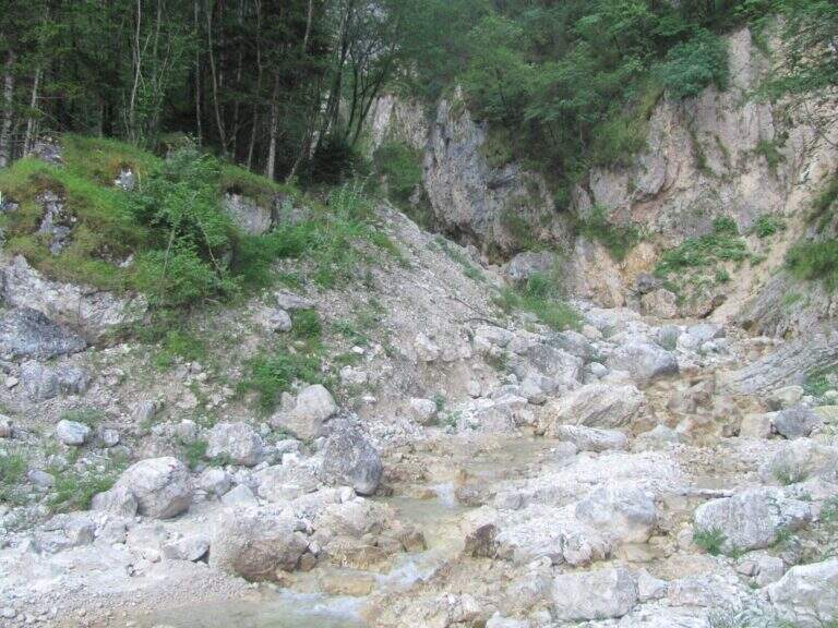
    The Sentiero Attrezzato Chiesa is a pleasant excursion that goes up the Val Scura, near Levico Terme, in the province of Trento. The difficulty is moderate and the bottom, at times unstable, requires a minimum of experience of equipped excursions. It is a perfect itinerary for half seasons, when the Rio Bianco has good flow and you can admire the many waterfalls along the way; we offer it as a ring with return from the Menador Path.

    ▲Approach

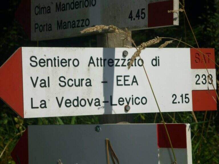
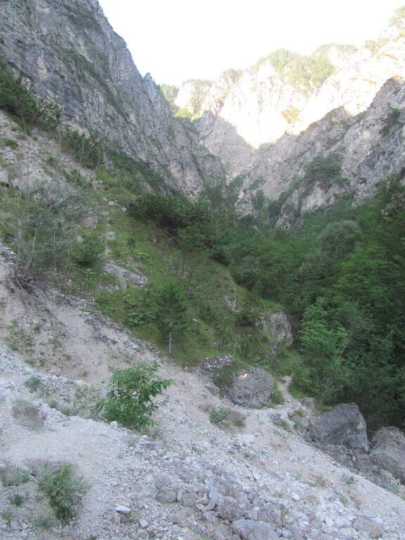
    The starting point is in the municipality of Levico (TN). From Levico Terme you go south towards Lochere until you reach the Hotel Paoli, where you park (a large street on the left), ideal for the ring with return from the Menador Path (open up Google Maps). The asphalted road goes up to the first bend: where it continues to the right uphill, a sign and a red plate indicate the entrance into the wood. You climb on an easy path, keeping the left on the southern side, with Mount Pegolara on the right and Mount Calmo on the left. Hand as you climb you face different cheeks of the White Rio — you are all before the start of the ferrata — while the environment becomes increasingly beautiful, with pronounced rocky spires on the sides. In short you will find the first equipped stretch (850 m, 1h from the parking lot).

    ▲The path

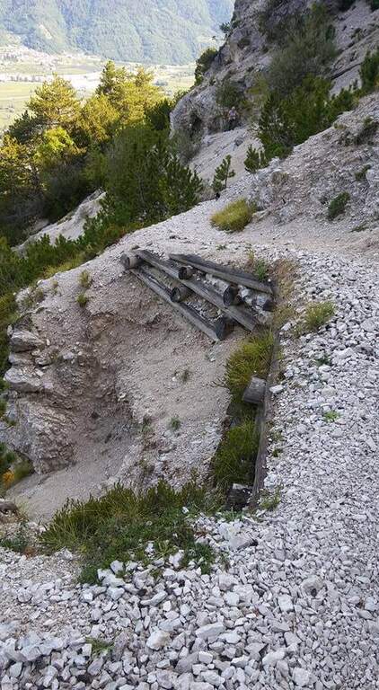
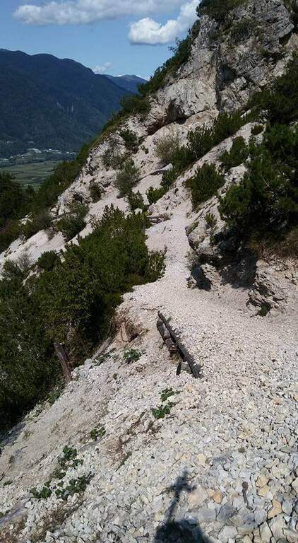
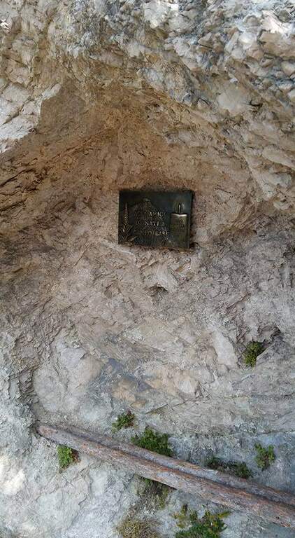
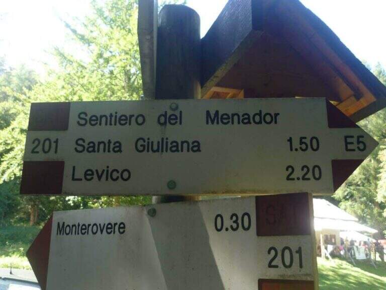
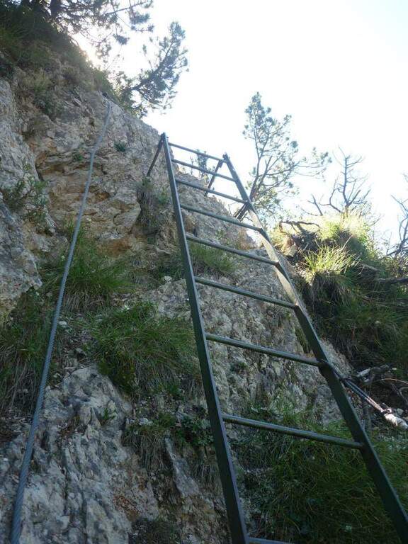
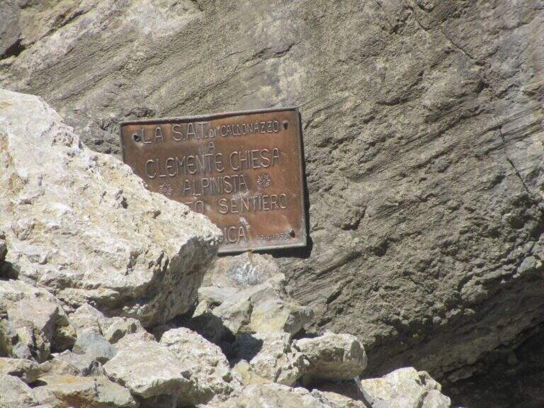
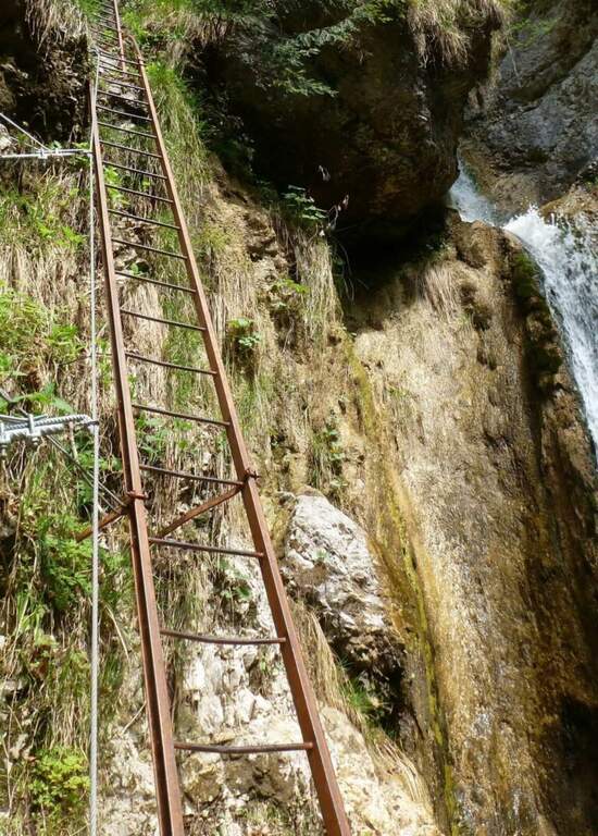
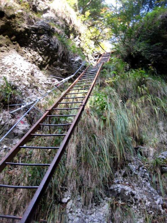
    You go up a first stretch of wire rope to overcome a saddle; besides, after an easy but slippery debris, you descend a metal ladder losing a little bit of altitude towards the stream and a spire that seems to land the valley. Cross the stream and climb the second metal staircase, which helps to overcome a swan, followed shortly after by a third staircase. There is a nod on the creek, where it serves attention because the cable tends to push out and the bottom is slippery for moisture. You go up a new staircase and continue on a comfortable path with a splendid view of mountains, waterfalls and streams; you pass this easy stretch, you face a steeper climb on a rough, unspoilt bottom up to a panoramic point on the Valsugana. The second part begins: the first equipped section is an exposed but not difficult traverse, with support brackets; they follow a comfortable nod and a new ladder. Then you go through an unequipped section, descend into a detritic groove and go up what is probably the most difficult passage of the road, a sloped wall composed of natural steps on which you need attention. There are two metal ladders and you continue to descend a detritic trait quite challenging; then go up on a little stable but not difficult, you pass the plate dedicated to Clement Church and you complete the detritic tract. Passing next to a beautiful waterfall you reach a new rocky nod, which takes you to the right; the complete one, you climb a ladder leaning on a rock and you cross the stream near some rocky rocks. With a last ladder the equipped part ends, near a plateau (1247 m, 1h45 from the attack, 2h45 overall).

    ▲Character and difficulty

    For technical difficulties the way would be to be cataloged as easy, but the state of the equipment has raised the degree: with two sections without protection or maintenance, they serve steady foot and a rope to ensure the companion. The environment is really suggestive and, for the low altitude, the itinerary is absolutely to visit, especially in the half seasons.

    ⚠ Along the way there are numerous guades of the Rio Bianco and several cenges on the creek with slippery bottom for moisture: attention to the step and tendency of the cable to push out.
    ▲Period and safety

    Low altitude (maximum 1370 m): the itinerary lends itself well to the half seasons, when the Rio Bianco has good flow and the waterfalls are at best. In addition to checking the state of the equipment, it is good to evaluate the flow of the stream for the numerous guades.

    ▲Discipline

    After finishing the ferrata continue along the path in the wood that, southward, points to the locality Seghetta. At the first crossroads you will take the left towards Baita Cangi, on the 201 marker. Although not the fastest route, we offer the return to the Path of Menador in the Val Pisciavacca: at the second crossroads you still keep the left and you walk a pleasant path between uphills, take a little slippery on debris, bridges and gudes, until you return to the car. At the end of the Path of Menador (2h30 from the end of the ferrata) you keep the left along Via delle Valli until you resume the provincial road of the way; again on the left you reach in short the parking lot in front of the hotel (5h30 total).

    ▲Gallery
    Technical data
    • DifficultyModerately Hard
    • RegionTrentino-Alto Adige
    • GroupValsugana – Vigolana
    • Approach1:00 h
    • Ferrata1:45 h
    • Itinerary (a/r)5:30 h
    • Hardware level difference390 m
    • Route difference828 m
    • Max1370 m
    • Length11,7 Km
  • Sentiero Attrezzato delle Cavre (Scaloni e Anglone)

    Sentiero Attrezzato delle Cavre (Scaloni e Anglone)

    Vie Ferrate › Trentino-Alto Adige › Trento
    Sentiero Attrezzato delle Cavre (Scaloni e Anglone)

    The Path Attrezzato delle Cavre is a ring that cooks together two equipped sections — the Path of the Scaloni and the Path of the Anglon — connected up from a panoramic stretch. Easy, exposed and very well equipped, it is one of the ideal itineraries for those who are at first experiences. The low altitude, near Arco, makes it accessible all year round, with the only shortness to avoid it in the hottest hours.

    ▲Approach

    From the village of Ceniga, near Arco (TN). Coming from Arco, turn left from the state towards the center of the village; at the height of Via del Ponte, on the right, there is a large parking lot where to leave the car (open up Google Maps). From the parking lot you go up Via del Ponte on the opposite side of the road towards the Roman Bridge and, crossing it, you pass on the opposite bank of the Sarca River. The right is held and you will soon meet a CAI pole with the indication of the Attrezzato Path of the Scaloni; following the paline you climb on a rocky bottom until the attack of the first stretch (30′ from the parking lot).

    ▲The path

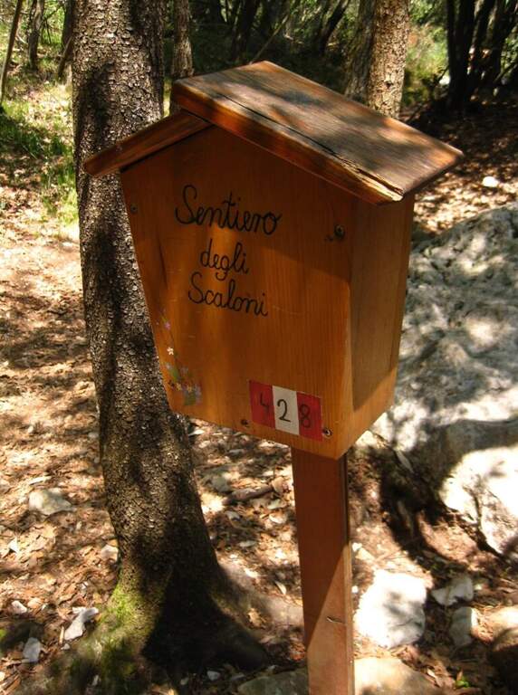
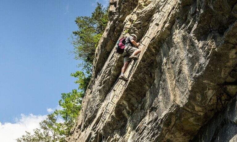
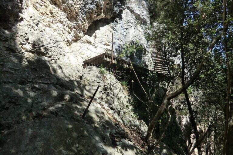
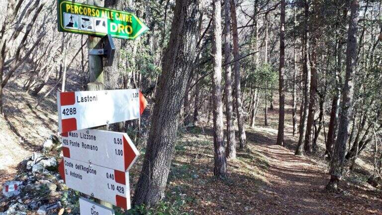
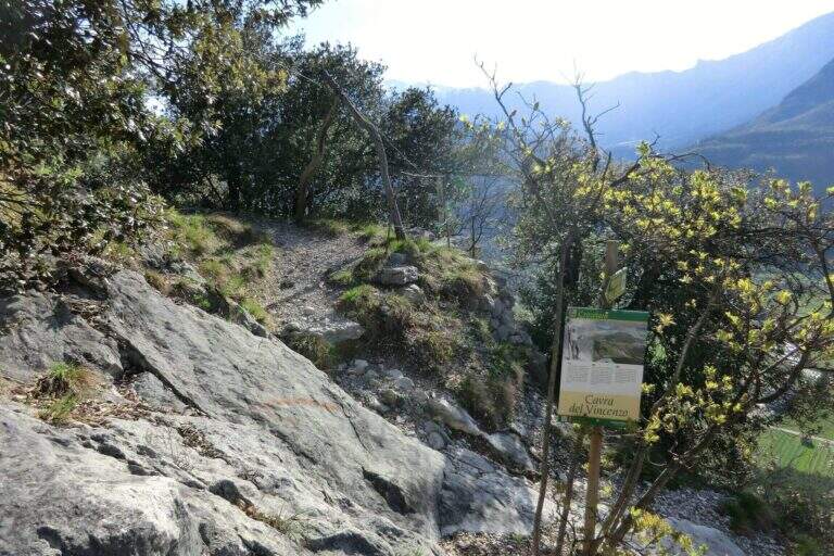
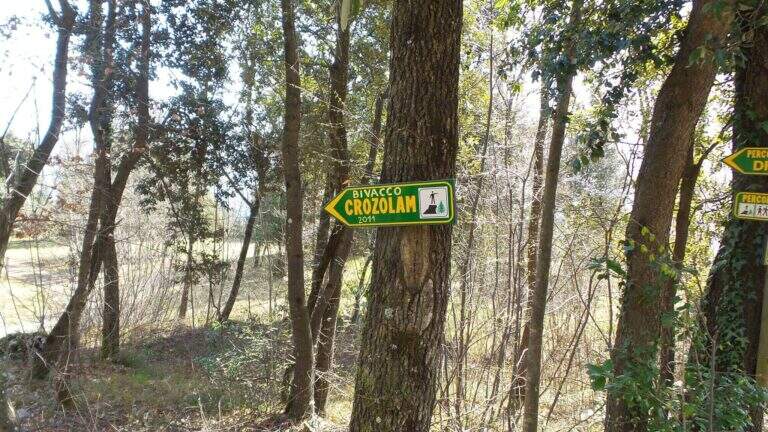
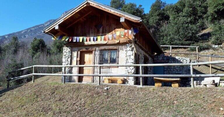
    The Path of the Scaloni rises diagonally on easy rocks and leads to a terrosa nod that continues to the left, equipped, with exposed traits and more steep; a short bridge over a gap and you get to the most characteristic section, from which the path takes the name. Under an imposing wall a staircase with metal base and wooden steps rises diagonally, first to the right and then to the left, earning altitude and exposure without any real difficulty. At the top of the staircase you face a sloped plaque with artificial steps made in the rock and rope on the left; you continue on a stretch of path equipped up to a sloped ramp with stone steps, exposed but easy. You go uphill to the left some small rocks and end the Scaloni at the wooden box with the signature book and the red sign (30′ from the attack, 1h from the parking lot). From here we go north/north-west to the Dos Tondo, where the path 428B begins; we ignore the crossroads on the left for the church of Sant’Antonio (CAI 408). The 428B, a true Cavre path, runs halfway towards the Bivacco Crozolam; from the bivouac it continues to the north ignoring the forest and follows for Dro up to a crossroads where, while the CAI 425 continues to the left, you go down to the right to intercept the Anglone Path (1h from the end of the Scaloni, 2h overall). The Anglone has exposed hinges equipped and stretches put in safety especially for bad weather: the upper part is definitely easy, while the second one is steeper and includes a tilted plate to be dropped with caution using the equipment to make adherence. You get to a canal with rock steps and equipped rocks — the most exposed point, which requires only a firm foot — and finally to a last nod dug in the rock that slopes steeply in the meadows, up to the houses of Dro and an asphalt road (45′ from the attack of the Anglo, 2h45 overall).

    ▲Character and difficulty

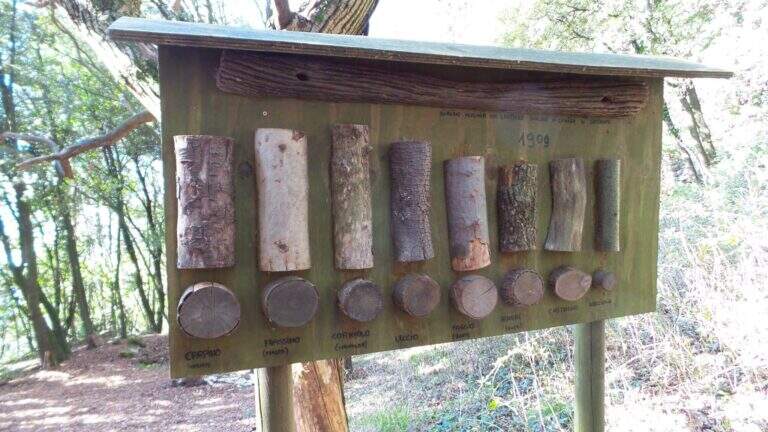
    The ring consists of two equipped sections, one uphill route and one downhill, but nothing prohibits facing them in both directions. It is suitable for neophytes, without particular technical difficulties, with abundant equipment and in good state of maintenance. Historical curiosity: the Path of the Scaloni dates back to 1909 as a military route of the Austrian soldiers.

    ⚠ Low altitude: in warm months it should be avoided in the central hours of the day. The sloped plate downhill on the Anglone requires attention, especially if wet.
    ▲Period and safety

    Throughout the year thanks to the quota (514 m). Although without technical difficulties, some sections on census are exposed: it serves steady step and constant attention.

    ▲Discipline

    From the end of the Anglone follow the CAI 425 path southwards, which runs on a little busy paved road, to the Roman Bridge and back to the parking lot (30′ from the end of the Anglone, 3h15 total).

    ▲To match

    Starting early in the morning, time and energy remain to concatenate a second itinerary of the area: easy Ferrata Colodri to Arco or Ferrata di Rio Sallagoni in Castel Drena. Moving to Fiavè you will find Ferrata di Ballino to the falls and, stretching a little, the Ferrata di Preore.

    ▲Gallery
    Technical data
    • DifficultyEasy
    • RegionTrentino-Alto Adige
    • GroupValle del Sarca
    • Approach0:30 h
    • Ferrata2:15 h
    • Itinerary (a/r)3:15 h
    • Hardware level difference390 m
    • Route difference400 m
    • Max514 m
    • Length6 Km
  • Sentiero Attrezzato delle Cascate di Monticelli Brusati

    Sentiero Attrezzato delle Cascate di Monticelli Brusati

    Vie Ferrate › Lombardy › Brescia
    Sentiero Attrezzato delle Cascate di Monticelli Brusati

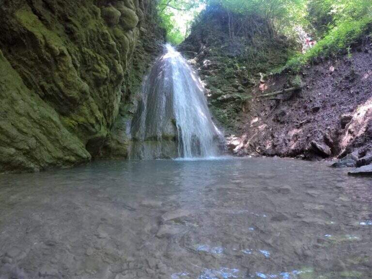
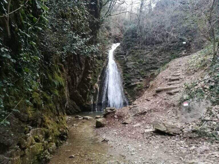
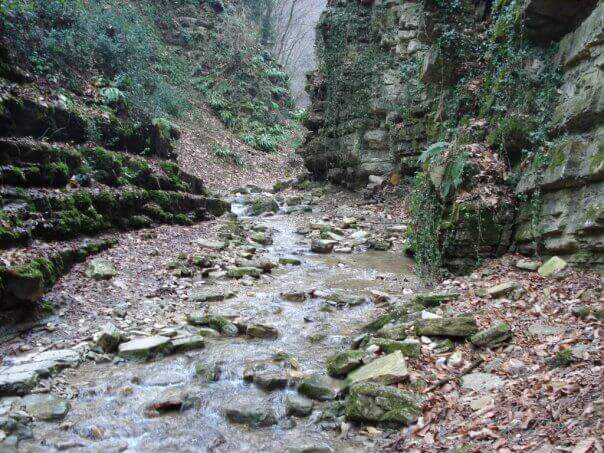
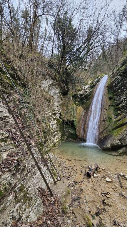
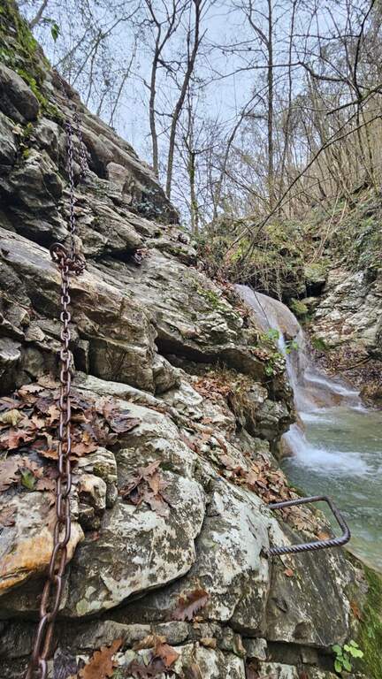
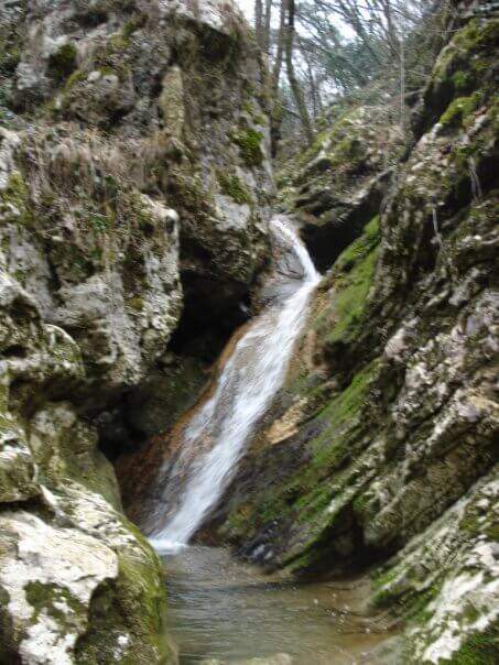
    In the gorge excavated by the Gaina stream, in the province of Brescia, this equipped path gives an easy and suggestive itinerary, without technical difficulties and with a landscape suitable also for families and children. It is the type of route that you play all about the environment: water, laminated rocks and waterfalls, with the equipment used only to accompany the progression along the stream.

    ▲Approach

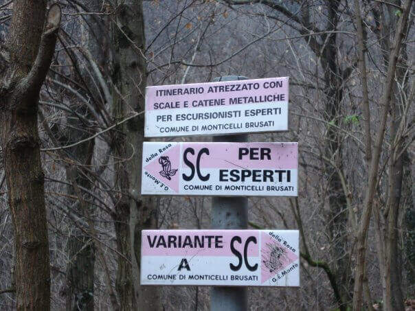
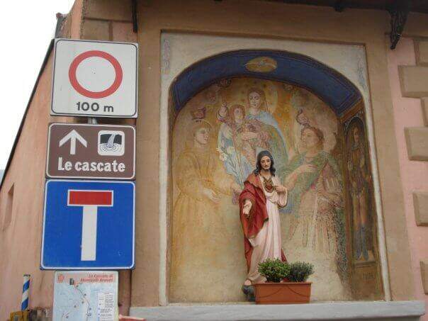
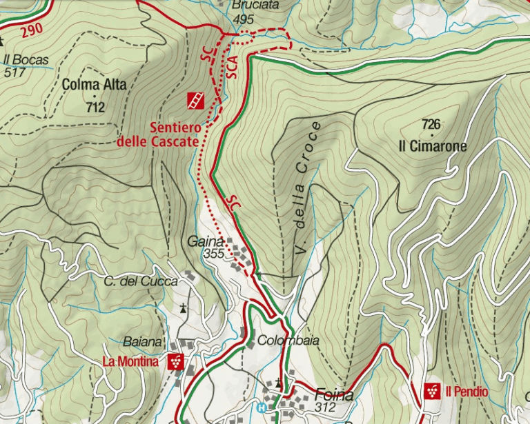
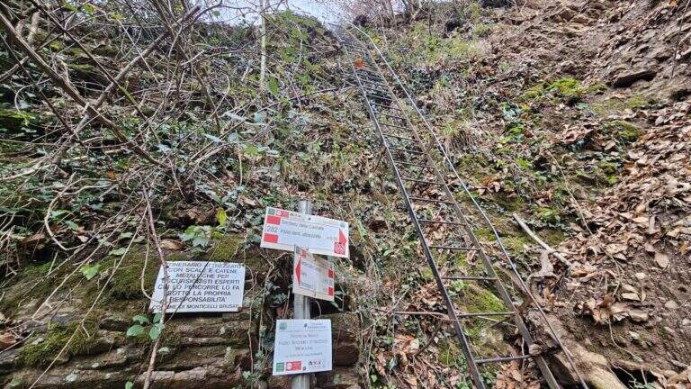
    It starts from the village of Gaina, fraction of Monticelli Brusati (BS). After passing the bus station of Monticelli Brusati, after a few minutes you can see on the left a white sign that indicates Gaina: take the road uphill, which soon narrows, until the village, where the road biforca. You hold the right and you will immediately find the parking place where you leave the car (open up Google Maps). From the parking lot, in front, a brown sign indicates “Cascate”: continue on the road, initially asphalted, up to a junction (10′ from the parking lot) where you choose between the easy route and that for experts. The most beautiful solution is to climb from the path for experts and return from the easy one.

    ▲The path

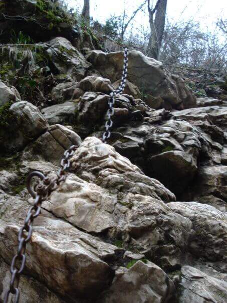
    You descend on the bed of the creek, now proceeding on the right now on the left horographic depending on where the bottom is dry, helping with the big rocks to cross it. You will encounter a crossroads that would bring you back to the easy path: you ignore it and head towards a waterfall, where the equipped section begins. It sticks up a metal staircase of about ten meters, then walks next to the stream between laminated rocks and wood. After a first curve the throat tightens and finally begins the equipped part: it starts on the left with some chains on sloping rocks, then it passes on the right horographic with a short traverse equipped with three brackets for the feet, which avoids entering the water. Continue on a slight diagonal and cross the stream, then go up a rocky slope diagonally next to the water (attention to the wet rock). A new crossing wets the feet, except in the summer months; on the other side you find the chain at a waterfall, in correspondence of the only vertical stretch equipped, a 6-8 meters wall to be overcome also with the help of the brackets. You cross the stream and enter the final stretch: in short, on the path, you reach the last beautiful waterfall, next to which a second staircase closes the route (1h15 from the attack, 1h30 total).

    ▲Character and difficulty

    Also in the variant for experts the path does not have significant technical difficulties: it is suitable for neophytes and keeps everywhere a contained exposure. The only real attention goes to the moisture brought from the stream, which can make more slippery some passages.

    ⚠ The rock at the creek is often wet: careful foot in the transverses and the cenges. Several crossings bathe the feet, except in summer when the flow is low or the bed is dry.
    ▲Period and safety

    The altitude is low (538 m), therefore the route is accessible in most of the year; in the warm months the stream can however show up with little water or dry, reducing the spectacularness of the falls.

    ▲Discipline

    From the end of the staircase you go up the track to a crossroads that indicates the easy return or that for experts. You can then go back to the equipped path or, more quickly, take the easy variant that runs higher than the stream. In both cases you reach the country and then parking (30′ from the end of the street, 2h overall).

    ▲To match

    Energies allowing, it is a route that lends itself to be combined with a more challenging route of the area, such as the Ferrata Corno del Bene o il Sentiero Attrezzato Trentapassi. Moving to Val Trompia you can reach Ferrata Caspai, la Ferrata Nasego e il Parco delle Fucine di Casto.

    ▲Gallery
    Technical data
    • DifficultyEasy
    • RegionLombardy
    • GroupPrealps Bresciane
    • Approach0:10 h
    • Ferrata1:15 h
    • Itinerary (a/r)2:00 h
    • Hardware level difference190 m
    • Route difference200 m
    • Max538 m
    • Length5 Km
  • Sentiero Attrezzato delle Cascate di Idro

    Sentiero Attrezzato delle Cascate di Idro

    Vie Ferrate › Lombardy › Brescia
    Sentiero Attrezzato delle Cascate di Idro

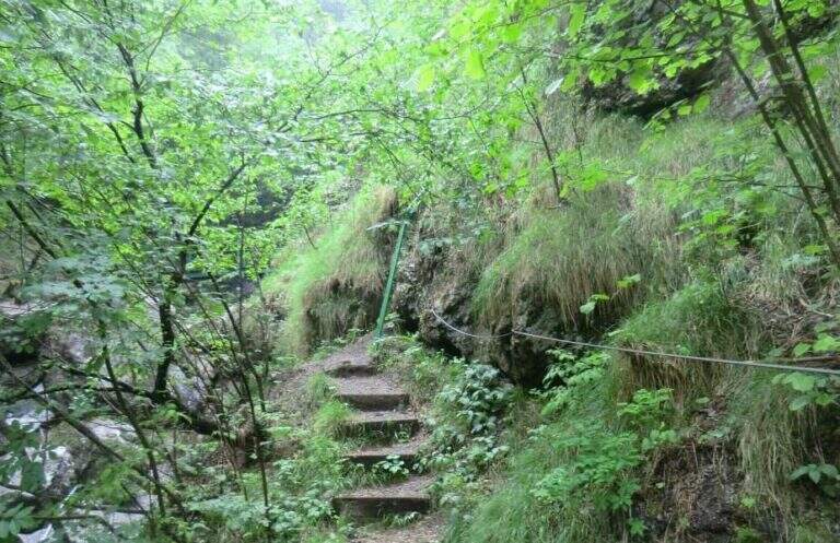
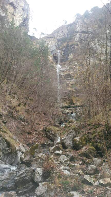
    Il Sentiero Attrezzato alle Cascate di Idro ` an easy itinerary, equipped in the exposed part inside the hole of the torrente Neco, on Lake d’Idro. Very beautiful from the landscape point of view, shows a suggestive throat with short approach, ideal for those with little experience.
    ▲Approach

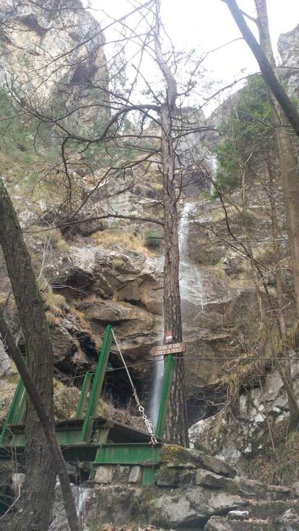
    Starting from Crone, on the eastern shore of Lake d’Idro: along the SP58 you can see on the right a road towards the Pizzeria Ristorante Bellavista, where you park (Via Coste), then take right the directions for the path. Open road signs on Google Maps. Follow the signs: straight the normal path, at destra il «Sentiero delle Cascate» (the two are reunited with più forward). You climb on the road between the meadows, then downhill to the bed of the Neco and its hole, at a wooden bridge and a first waterfall; you avoid the bridge and climb on the left side of the waterfall, entering the equipped path (15′ from the parking lot).
    ▲The path

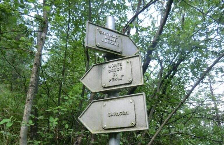
    There are two inclined rock walls equipped with two metal scales (the second più long of the first); on the top you go left on a engineered grassy and, bypassing a edge, ends the equipped part (10′ from’ attack, 25′ from parking). Continue on the path passing a bridge at a ’ another beautiful waterfall and then in the forest, until a crossroads with the normal path left at ’ start. From here you can rejoin; close the short hike turning left towards Crone (40′ overall) or keep the right towards the Croce of Perlè : with lake view, then in the Serè valley; and in a thick forest, at a crossroads turn left and follow a short stretch of ridge with easy rocks up to the peak cross (1h 30′ overall).

    ▲Character and difficulty

    Itinerary without any technical difficulties of importance, it is also advisable for those who have little or no experience provided in form and with firm foot; equipment in good condition. Traced ex novo in 1995-96 and restored in 2004.

    ⚠ It is better to travel in the half seasons, avoiding the summer heat and l’ winter, when the falls can iced. Recommended helmet for stairs in the hole.

    ▲Discipline

    It can be traced back, possibly along the equipped path (about 1h from the summit, 2h 30′ overall). Alternatively, from the ’ last intersection can be combined; close a long anello for the Cocca di Idro, Cima Crench and Punta Pelada, returning to Crone (about 4h 30′ overall).

    ▲To match

    Concatenate well with the Ferrata Crench (saving Cima Crench and Cocca d'Idro) and, always on Lake Idro, with easy Ferrata delle Ginestre e la Ferrata del Fregio.

    ▲Gallery
    Technical data
    • DifficultyEasy
    • RegionLombardy
    • ProvinceBrescia
    • GroupLake Idro
    • Approach15 min
    • Fully equipped10 min
    • Complete itinerary2h 30′
    • Level difference200 m
    • Route difference220 m
    • Maximum620 m
    • Length3,5 km
  • Sentiero Attrezzato Burrone Giovanelli

    Sentiero Attrezzato Burrone Giovanelli

    Vie Ferrate › Trentino-Alto Adige › Trento
    Sentiero Attrezzato Burrone Giovanelli

    Il Sentiero Attrezzato al Burrone Giovanelli develops in the suggestive ravine of Mezzocorona, in the province of Trento. It has no particular technical difficulties, it is exposed only in single passages and very pleasant; while being of low altitude you can also travel in summer because it runs largely in a fresh and characteristic hole.

    ▲Approach

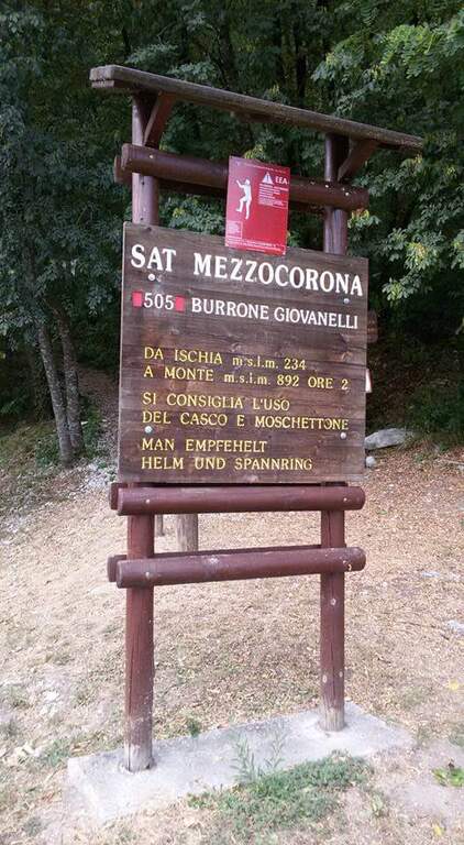
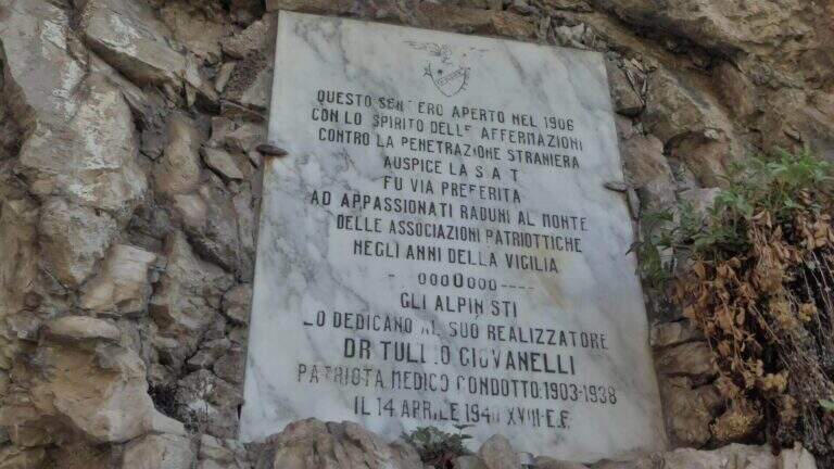
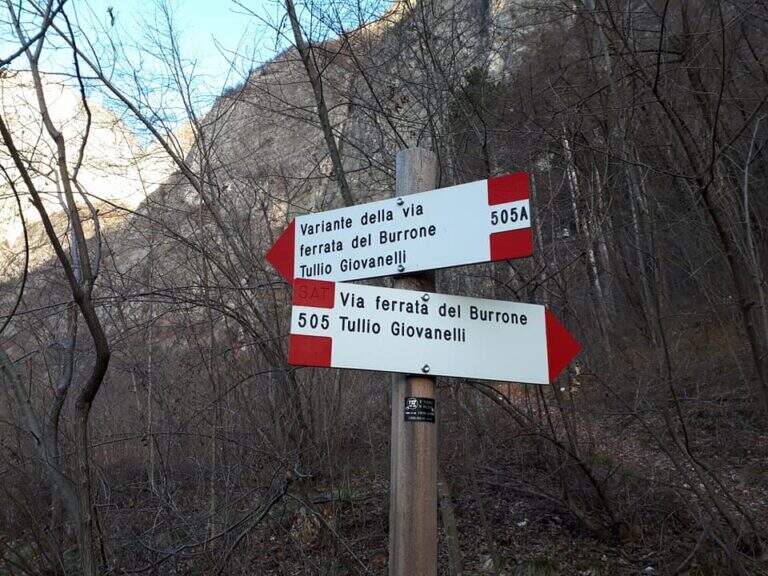
    Starting from Mezzocorona: exit at the toll of San Michele all'Adige (A22) you reach the center, take left Via Cesare Battisti and, before arriving at Mezzolombardo, you will take on the right a narrow but paved road between the vineyards until a parking with information bulletin board. Open road signs on Google Maps. From the parking lot follow the signs of the CAI 505 in the wood; at a first crossroad (5', CAI pole) the sinistra (CAI 505A), a variant più complete, reaching a bridge on the stream and going up on the right horographic up to the red sign and the marble plate that mark l#&39.

    ▲The path

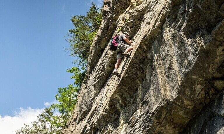
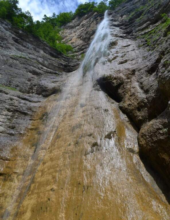
    From the ' start of the equipment an easy cengia horizontal leads to the first waterfall, where you cross the rio and you are under a long metal staircase in two trunks, vertical and exposed but without difficulty; techniques (attention to the wet soles after the forado); at the top, turning, you enjoy the view on the Rotalian Plan. An easy stretch equipped with small rocks and a second ladder più short leads inside the ravine; a slightly uphill nod and a narrow passage equipped lead to the ' real entrance of the hole. A short ladder descends, crosses the rio and goes up the right side on ampie and solid cambre, bending to the right; a short ladder and a nod with wooden catwalk lead to a statua of Madonna. You enter the più tract; ravine ash, little illuminated except in the central hours, climbing alongside the rio in a very suggestive environment until you get out of it; you continue up to a cascade of about 100 meters. Alternating stretches equipped and easy climbs, overcome some wet rocks and a long and lean staircase, you reach l' last staircase that closes the equipment; in about ten minutes the path ends at a forest road (765 m, 1h 15' from' attack, 1h 30' overall).

    ▲Character and difficulty

    Easy equipped way, surpassed thanks to numerous stairs and cambres, with limited exposure to a few steps; the hole environment is the real strength. Also excellent for accompanied neophytes.

    ⚠ After the rio ford the wet soles slip on the stairs: prudence. Rock often wet in the ravine; helmet and set from essential ferrata.

    ▲Discipline

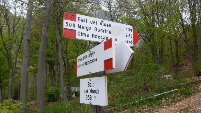
    Adding the forest, for the return there are più options: holding the sinistra you descend into the forest on path 504 up to ' car in about 45' (2h 30' overall); holding the destra, in about one' hour on path 505 (passing from Baita Manzi) you reach the station There is also a più variant; long: it is advisable to check the signs on site.

    ▲To match

    In the area, near, the Ferrata Rio Secco in Cadino di Faedo, la Ferrata di Favogna e la Ferrata Val del Rì mezzolombardo.

    ▲Gallery
    Technical data
    • DifficultyEasy
    • RegionTrentino-Alto Adige
    • ProvinceTrento
    • GroupPayment
    • Approach15 min
    • Fully equipped1h 30'
    • Complete itinerary2h 30'
    • Level difference480 m
    • Route difference670 m
    • Maximum918 m
    • Length5 km
  • Ferrata di Valmeduna

    Ferrata di Valmeduna

    Vie Ferrate › Friuli-Venezia Giulia › Pordenone
    Ferrata di Valmeduna

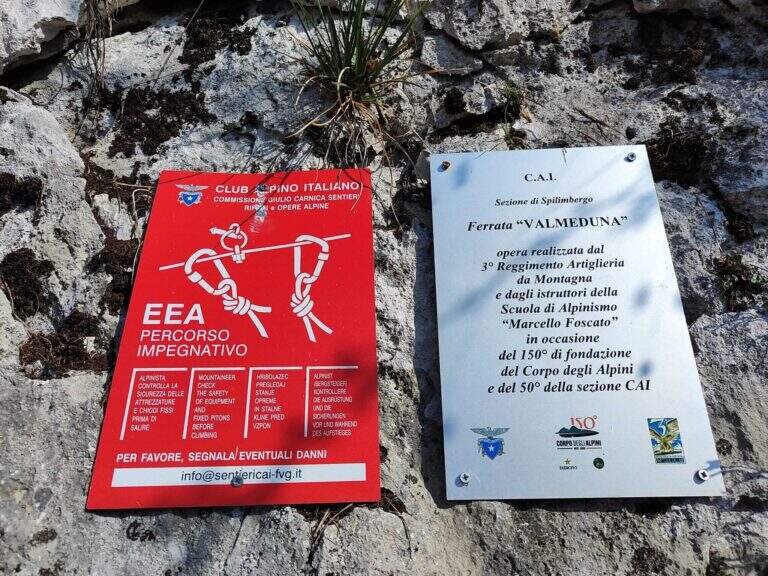
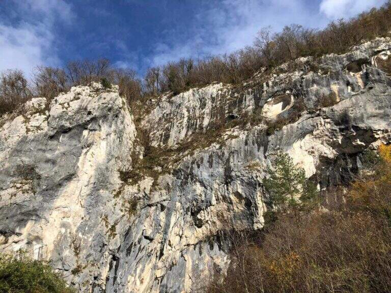
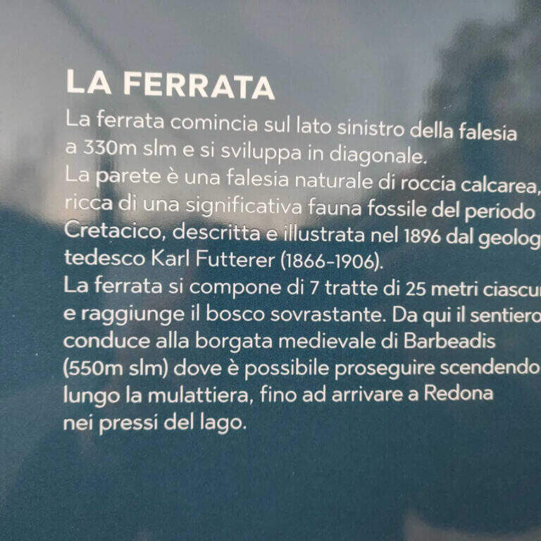
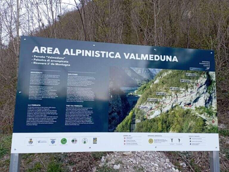
    La Ferrata di Valmeduna is a recent route in the province of Pordenone, near the town of Redona. Of modern style, it proposes quite constant difficulties in an environment from "rock plate": it does not reach a peak, but it is an excellent training for altitude itineraries. It is well equipped and not devoid of athletic passages.

    ▲Approach

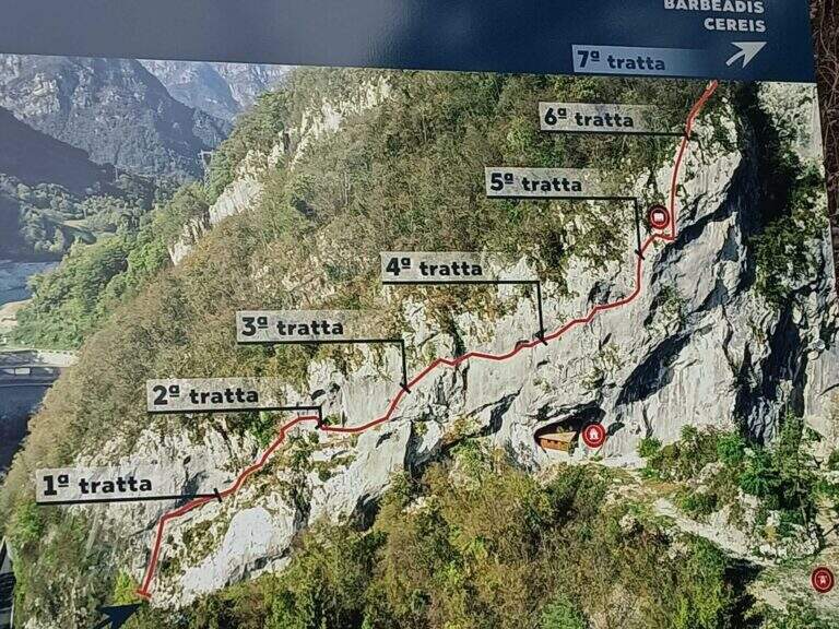
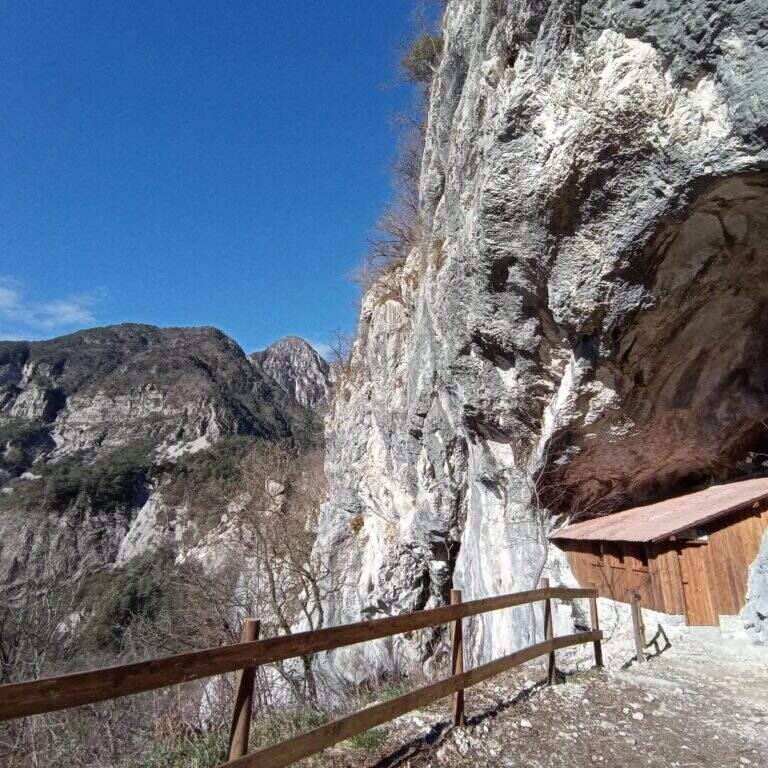
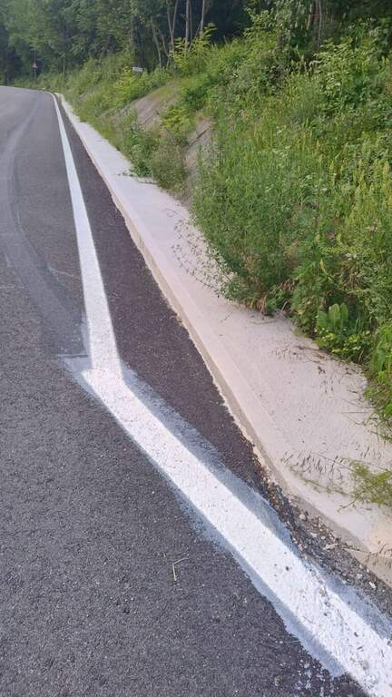
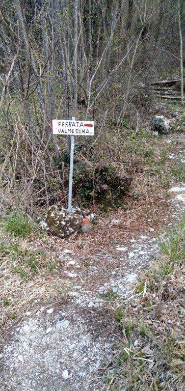
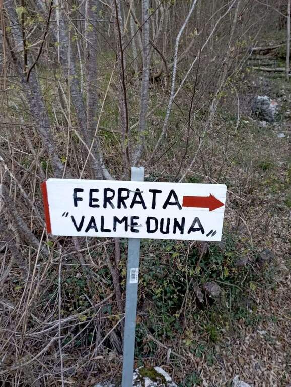
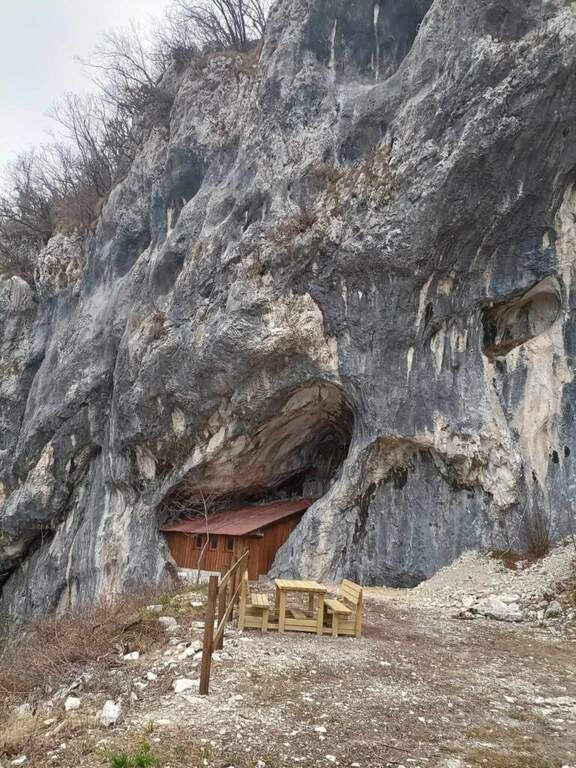
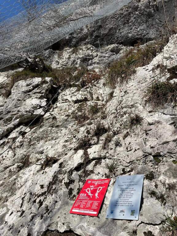
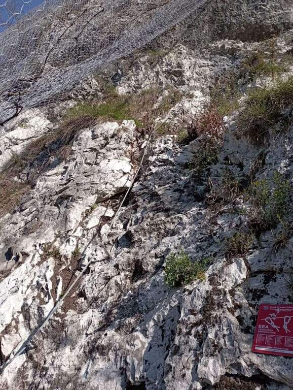
    Follow the regional road linking Meduno a Tramonti di Sopra: arriving from the south, the parking is on the right side before the "Tramonti di Sopra" sign and before the artificial invader. Open road signs on Google Maps. From the parking lot follow the sidewalk to a path that climbs on the right; following the signs and the bolli red towards the east-southest you arrive at a bend, then at a crossroad where you descend slightly left to the new rock gym on beautiful limestone, where you will find a bivacco, tables and benches, d' routes; climbing and climbing. Near the bivouac a path descends to the left at ' attack, on the left side of the wall, at the CAI red sign and a paramass network (about 10').

    ▲The path

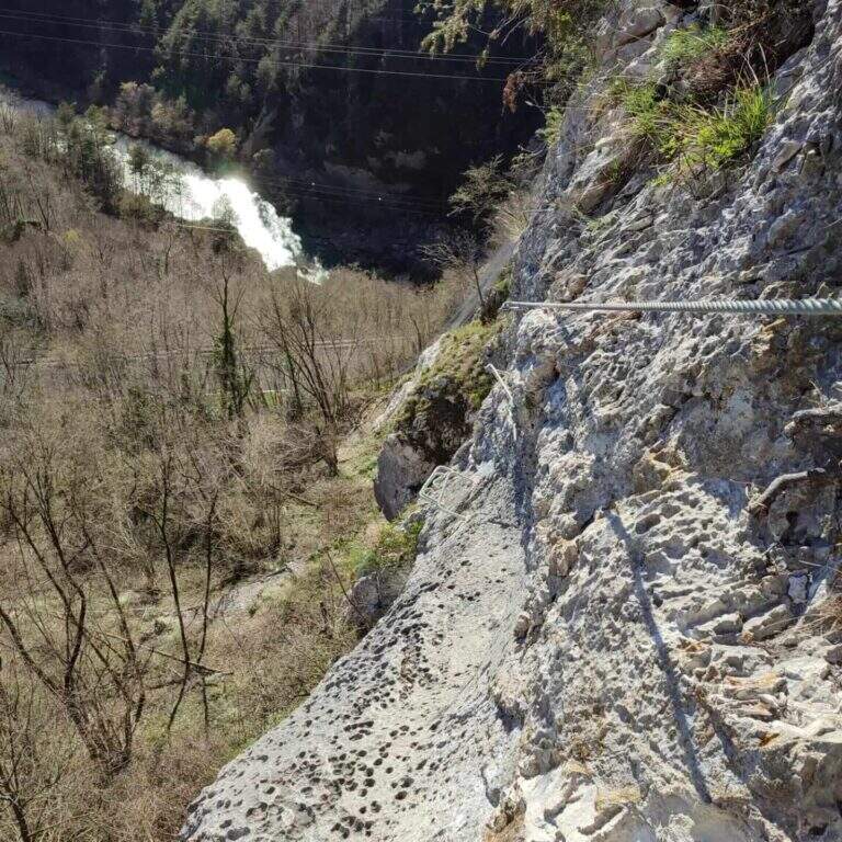
    The development è mainly on traverses and short vertical traits. It is attacked by a paretin backed under the paramassive network, climbing on rock very jagged; climb some small rocks proceed rightwards meeting the first beams and a in grip. You can reach and double a edge, with a view below sé on the ' area of the ' approach. The central part è the più challenging: a long series of horizontal and diagonal transverses from left to right, some on cambre for the feet, others in adherence, with stretches in slightly overhanging that require decision and rapidtà in the changes of muskete; without becoming extreme, the way asks for a certain physical and good habit all' exposure. You can reach a nicchia with the book cassette signatures; from here a short passage crosses a edge and the cable continues vertical for a few meters without cambre, where you should climb. After a few più meters; easy ends the central section. The final part, on small rocks and short balconies, & difficult & agrave; lower: following the uphill cable, after about ten minutes you reach the end of the street (about 45' from' attack, 1h from' car).

    ▲Character and difficulty

    Technical and athletic route, with constant exposure in the central section and very beautiful limestone rock. Recent and abundant equipment. The difficulty remains concentrated in the central part of the overhanging transverses.

    ⚠ The slightly overhanging beams require trained arms and rapidity in musketeton changes: it is not a way for those who are at first experience. Although it is of low altitude, helmet and ferrata sets are indispensable.

    ▲Period and safety

    Inaugurated on November 26, 2022 (50° anniversary of the CAI section of Spilimbergo, with the Alpini group of the 3rd Mountain artillery). Given the low altitude it lends itself to the whole year, including the beautiful winter days.

    ▲Discipline

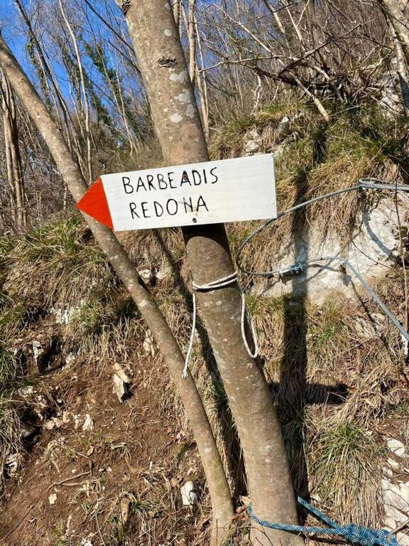
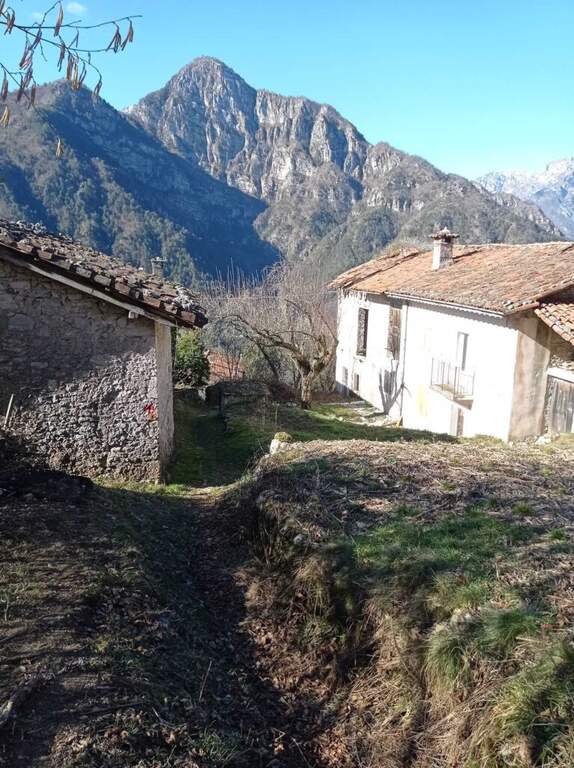
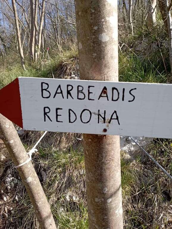
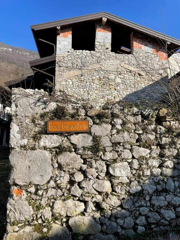
    You should not immediately remove l'imbrago: a few minutes after the term you will meet a equipped roofing channel. Following the signs you descend towards the localtà Barbeadis, a small village only reachable on foot, returning to ring along a mule track in the woods with panoramic views of the valley (about 1h 15' overall).

    ▲To match

    In the province of Pordenone there is also the Ferrata del Tramuntin e l'Alta Via dei Rondoi. Climbing to Forni di Sopra there are Ferrata Adventure Climb at Clap Varmost e la Ferrata Cassiopea al Torrione Comici.

    ▲Gallery
    Technical data
    • DifficultyHard
    • RegionFriuli-Venezia Giulia
    • ProvincePordenone
    • GroupCarnic prealps
    • Approach10 min
    • Ferrata45 min
    • Complete itinerary (a/r)1h 20'
    • Hardware level differenceca 125 m
    • Route differenceca 220 m
    • Maximumca 550 m
    • Lengthca 4 km
    • Year2022
  • Ferrata Val del Rì

    Ferrata Val del Rì

    Vie Ferrate › Trentino-Alto Adige › Trento
    Ferrata Val del Rì
    Moderately Hard● OpenDescriptionComplexityMapsGallery

    La Ferrata Val del Rì is a modern and suggestive street that creeps into the narrow hole dug by the Rio Fai, above the village of Mezzolombardo, in the Piana Rotaliana north of Trento. It does not lead to a top but inside the throat, with vertical difference: the progression is almost continuous on metal steps and cambre, interspersed by four Tibetan bridges and the scenery of numerous waterfalls. Inaugurated in July 2024.

    ▲Approach

    The reference è the locality; Toresela (a small tower building), just above the Parish Church of the historical center of Mezzolombardo. Behind the church the space for l' car & car; poor; it is advisable to follow the indications for the Cimitero / Camposanto (road uphill to the left from Via San Pietro) and use l' wide attached parking, then walk to the long Ponte Sospeso, cross it with the Toresela in view below. Alternatively, you can climb the road with an indication «Toresela» and after about 150 m you park on the right, then walk for another 200 m until the small building of the ' aqueduct and the panoramic deck (panchine, useful for wearing l'imbrago). Open road signs on Google Maps.

    ▲The path

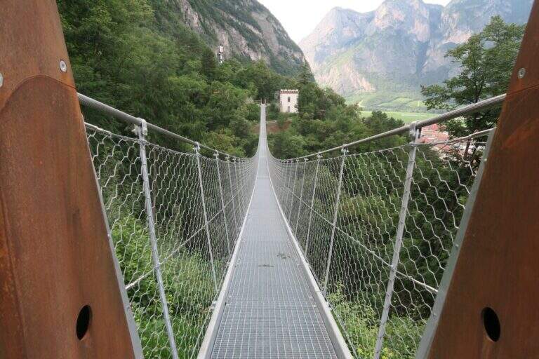
    Dal terrazzo si scendono alcuni scalini e si imbocca il sentiero che passa sotto il ponte sospeso; tenendosi sempre sulla destra si procede in piano o in lieve discesa, protetti da staccionate in legno e cordino, per 3-4 minuti fino a guadare il Rio Fai sui sassi. Si è ora nella forra, davanti al cartello e ai primi scalini dell'attacco. Si sale una prima serie di scalini su parete verticale, poi brevi passaggi a zig-zag su terra ripida e pietre e una lunga scalinata verticale; dopo un breve traverso esposto a destra si affronta il primo ponte tibetano (corto e ben teso) presso una prima bella cascata, raggiungendo uno sperone roccioso. Altri scalini, un tratto aereo sullo sperone e si arriva al secondo ponte tibetano, più lungo ed esposto, che riporta sulla destra orografica. Si percorre una crestina, poi il bosco, scendendo verso la forra: un lungo traverso su staffe radente all'acqua include un passaggio più impegnativo, con appoggi rientranti rispetto al cavo che obbligano a un po' di lavoro di braccia. Si risale di qualche metro, un traversino obliquo a destra, e aggirata la curvatura della parete si incontra il punto con appoggi più scarsi e distanziati, tra i più impegnativi della via. Seguono un traverso e una breve alternanza discesa-salita su staffe fino al terzo ponte, basso e vicino all'alveo. Ci si addentra nella gola con un traverso ascendente, in vista di due cascate (una di una quindicina di metri) e di un grande masso incastrato fra le pareti: lo si risale, si traversa e si guadagna quota con scalini leggermente strapiombanti. Si è circa a metà via. Alcuni tratti di ripido sentiero bagnato e fangoso si superano aiutandosi con alberi e cordino; una paretina strapiombante con gradini porta a un terrazzino e a una stretta fenditura panoramica di una decina di metri, ventilata, da percorrere in leggera discesa. Si scende fra terra e roccette riavvicinandosi all'acqua, si supera una breve cengia e un traverso a destra che aggira un blocco, fino a tornare al livello del torrente presso un'altra cascata. Guadato il ruscello sui grandi sassi, una lunga serie di scalini verticali leggermente strapiombanti costituisce il terzo passaggio prudentemente «difficile» per la maggior esposizione; ci si sposta a sinistra a fianco della cascata e si risale fino al quarto e ultimo ponte tibetano, il più corto. Attraversato, con scalini in traverso a sinistra si entra in un sentiero attrezzato e si raggiunge un bivio: tenendo il cordino di sinistra si arriva subito al sentiero 602B per il rientro (versione parziale, 1h 20' dall'attacco); tenendo il cordino di destra, meno evidente e in discesa, si prosegue nella versione completa, consigliata perché le difficoltà sono uguali o inferiori. Si supera lo spallone roccioso a sinistra, una ventina di metri di scalini, terreno misto umido, cascatine risalite su staffe, un breve traverso atletico e un tratto fangoso; con un paio di zig-zag su costone si raggiunge lo storico sentiero 602B: la ferrata è finita (20' dal bivio, 1h 40' dall'attacco). In 4-5 minuti di salita si può raggiungere il comodo spiazzo «Loc. Giuel», sopra il piccolo ponte di cemento dove l'itinerario termina.

    ▲Character and difficulty

    Modern design, with prevalence of steps and cambre: the polished rock, often wet and mosquito, offers few natural hooks and induces to proceed on the equipment. Three passages which can be prudently considered 'difficult', especially for exposure, and four Tibetan bridges; the vertical difference still remains contained.

    ⚠ Rock and bottom are often wet and in some muddy traits: it is likely to get wet feet, it is best to keep spare shoes in the car. After heavy rains the flow of the stream can be abundant. While developing in the shadows and with the cool of the falls, it is not recommended in the middle hours in the middle of the summer.
    ▲Period and safety

    Being of low altitude, in a cool and largely shaded environment, it is possible to travel almost all year round and combined with other short ferrates of the area.

    ▲Discipline

    From the beach «Loc. Giuel» (panchine and fountain) goes back backwards following the indications «Mezzolombardo senti. 602B»: the path descends comfortable to the cemetery, wanders left along the perimeter wall on cemented road and returns to the parking lot (35' from the deck, 2h 20' from the attack for the complete lap). Those who left the car at Toresela follow the indications for the "Suspended Bridge".

    ▲To match

    Staying in the area and continuing towards Fai della Paganella you can walk Ferrata Croce di Fai. With another half day are close (10-15 minutes by car) the Ferrata Rio Secco to Cadino di Faedo and the Ferrata del Burrone Giovannelli in Mezzocorona; just beyond Ferrata di Favogna e la Ferrata delle Aquile in Paganella.

    ▲Gallery
    Technical data
    • DifficultyModerately Hard
    • RegionTrentino-Alto Adige
    • ProvinceTrento
    • GroupPayment
    • Approach5 min
    • Ferrata2h 30'
    • Complete itinerary (a/r)3h 15'
    • Maximum630 m
    • Length5,8 km
    • Year2024
Need help? Write to us!