Caratteristica: Breve avvicinamento

  • Ferrata della Sassella

    Ferrata della Sassella

    Vie Ferrate › Lombardy › Sondrio
    Ferrata della Sassella

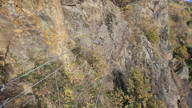
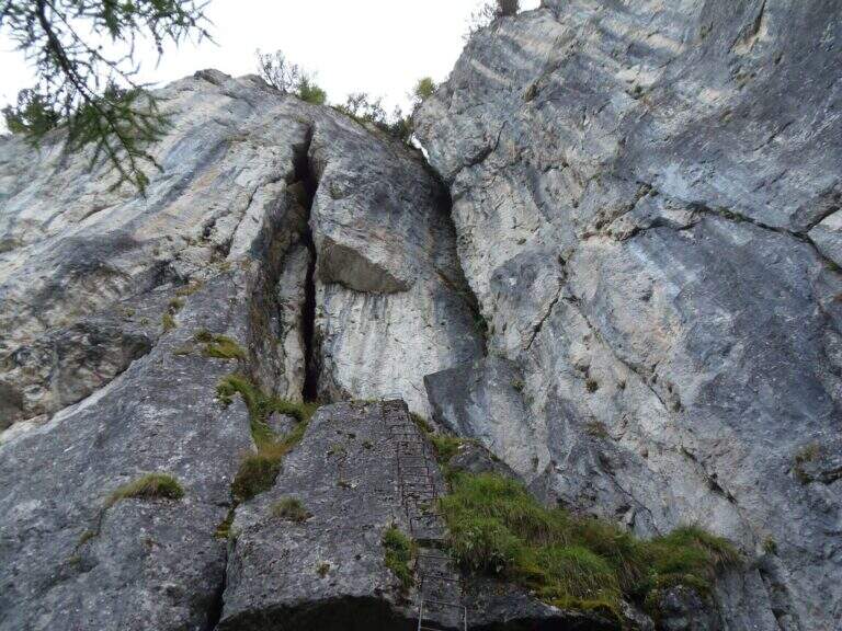
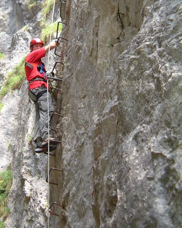
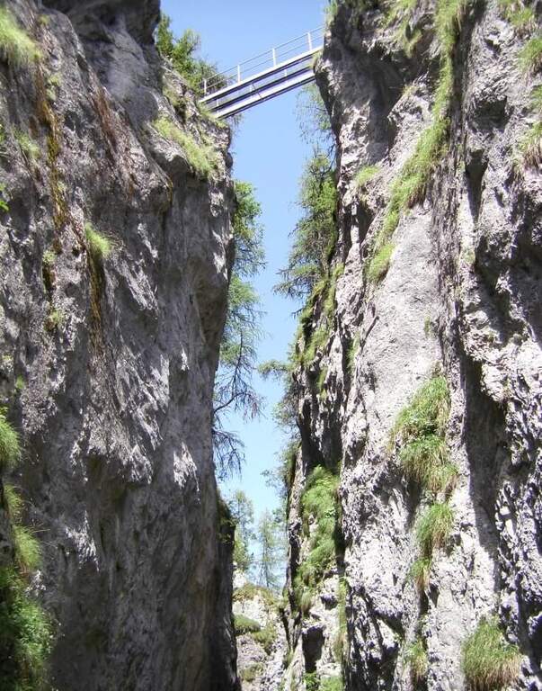
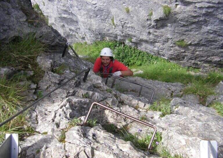
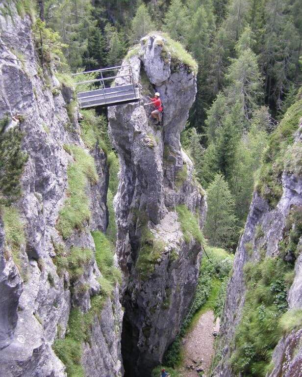
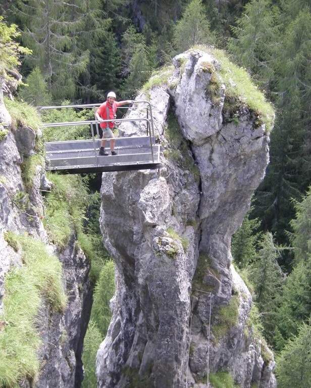
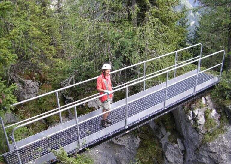
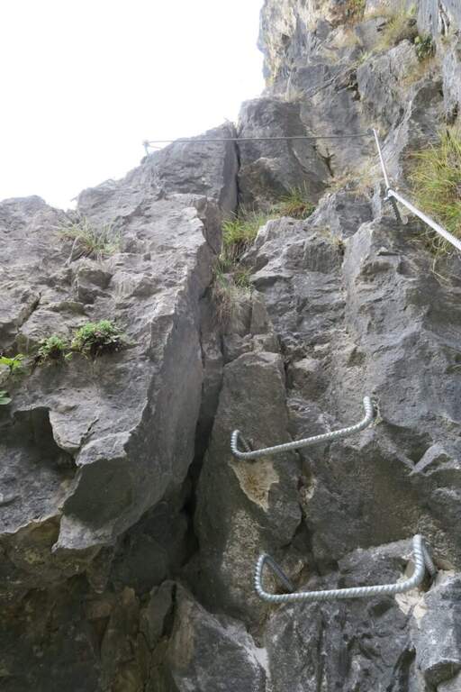
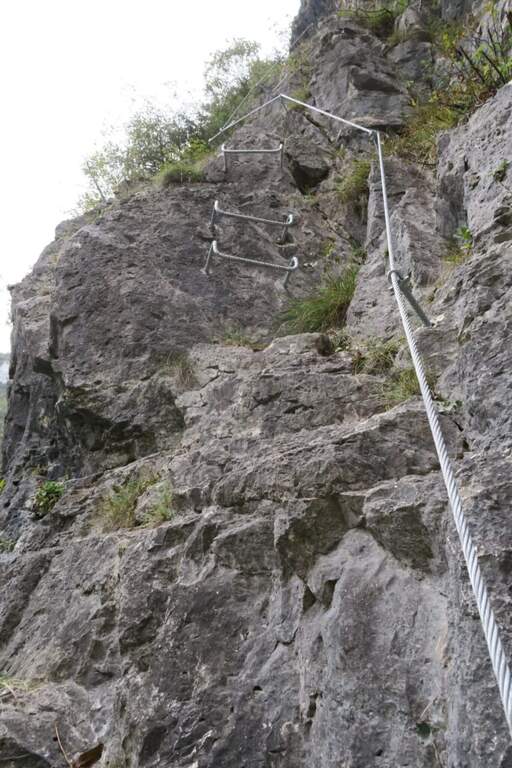
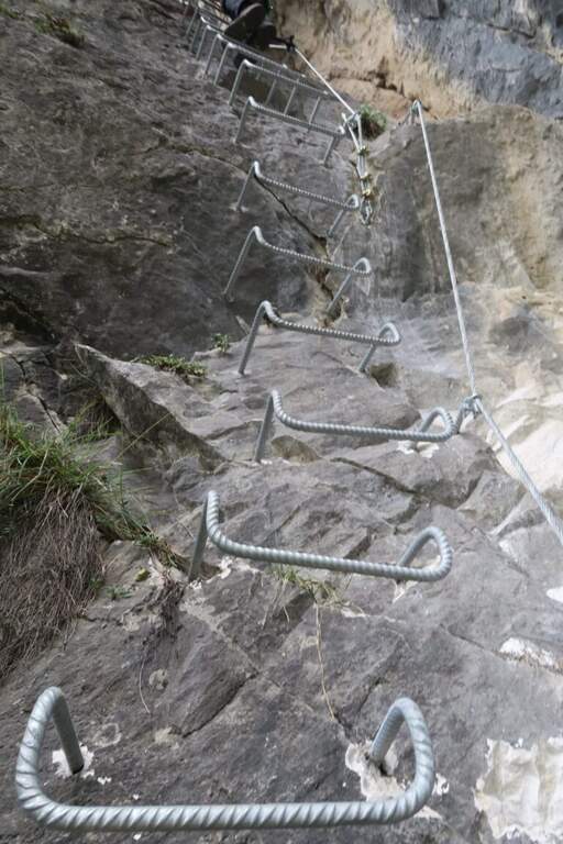
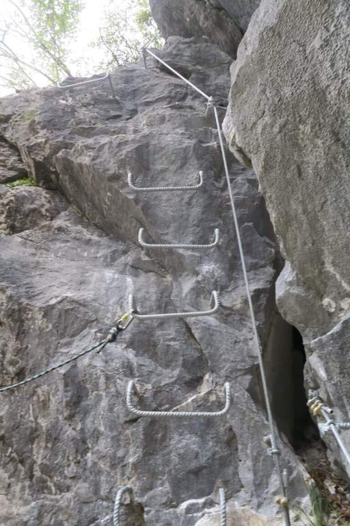
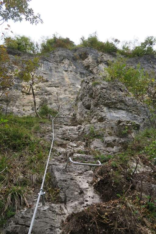
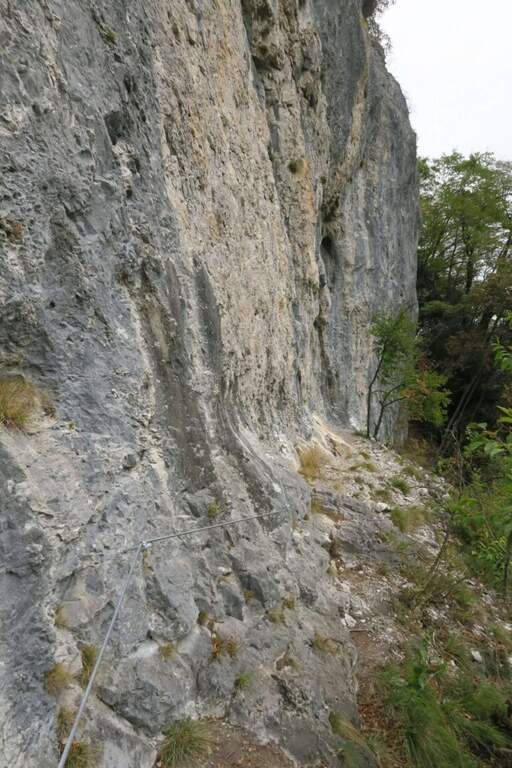
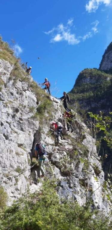
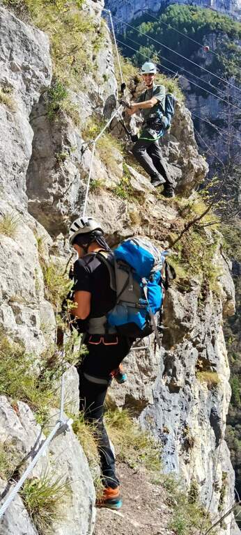
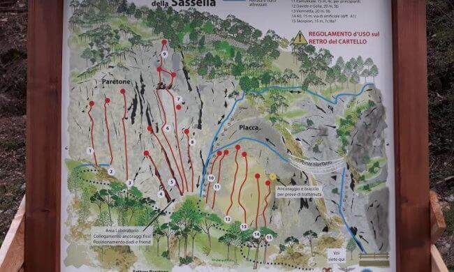
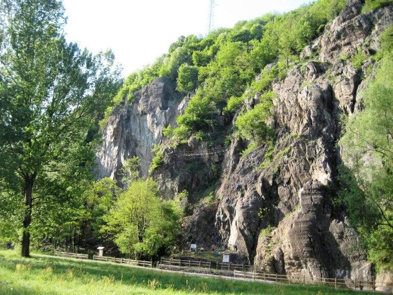
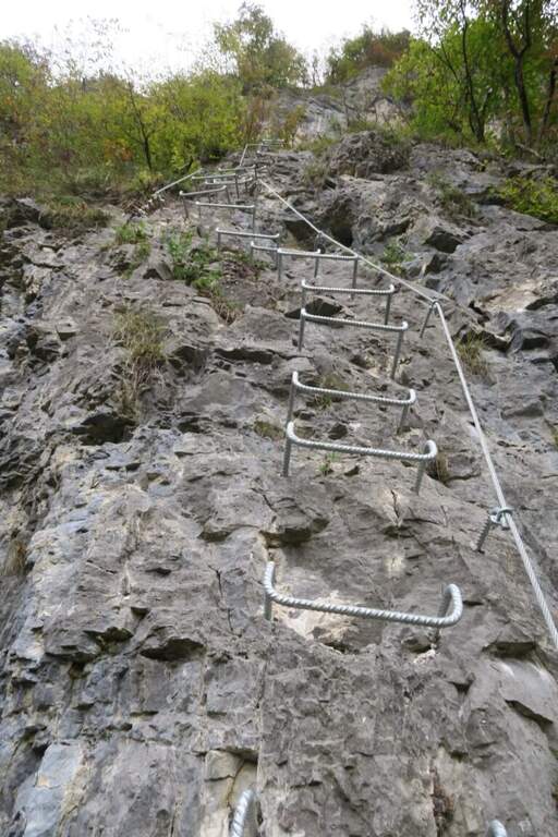
    La Ferrata della Sassella ` a short, well-equipped route built on the rock gym of the same name, at the western gates of Sondrio in Valtellina. The development è content and, except for short sections, does not have any difficulty and importance. The wall offers two parallel routes connected by a suspended bridge, indicated in the all' basin; entrance: a quick and fun itinerary, perfect to join some d' shooting; climbing.

    ▲Approach

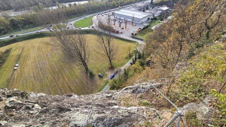
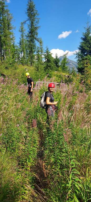
    You can reach the locality; Sassella, on the west outskirts of Sondrio. Open road signs on Google Maps. Already from the parking lot is well visible, on the opposite side of the road, the wall on which the ferrata and the climbing routes run; a short path leads in a few minutes to the wall and the attack.

    ▲The path

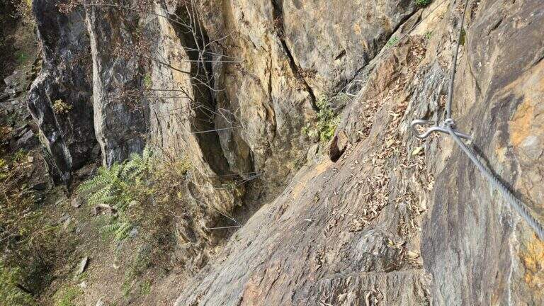
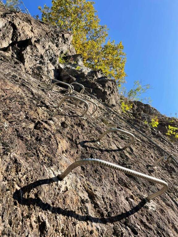
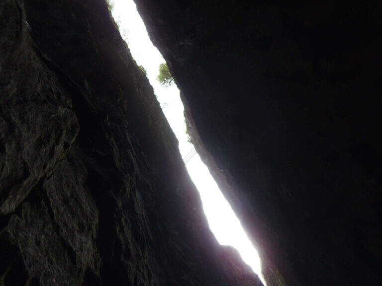
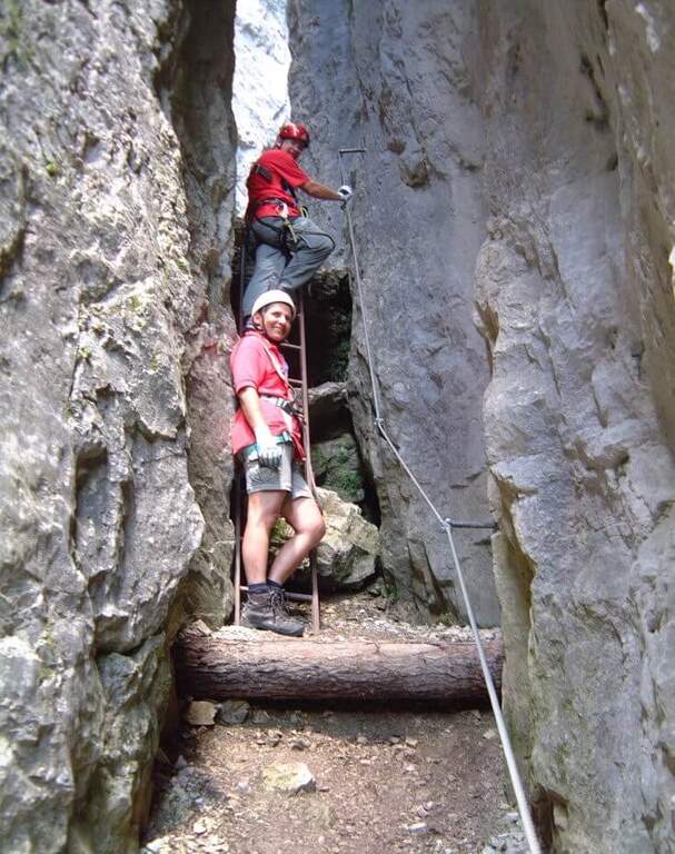
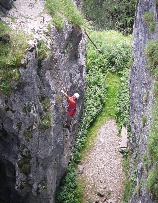
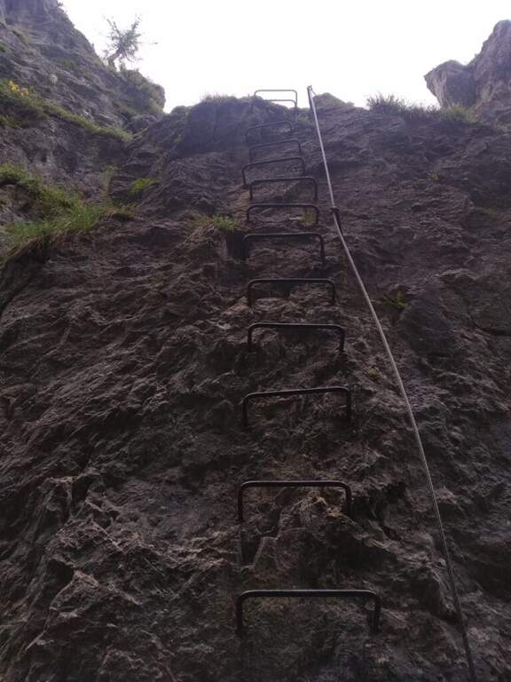
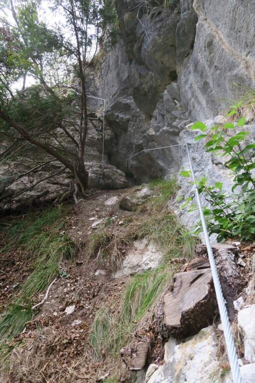
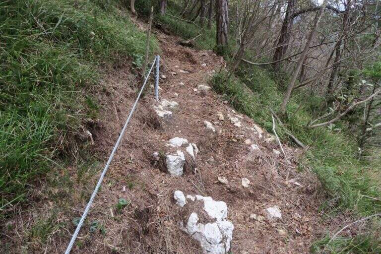
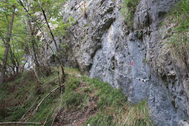
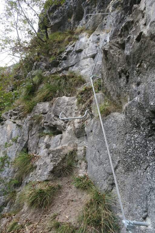
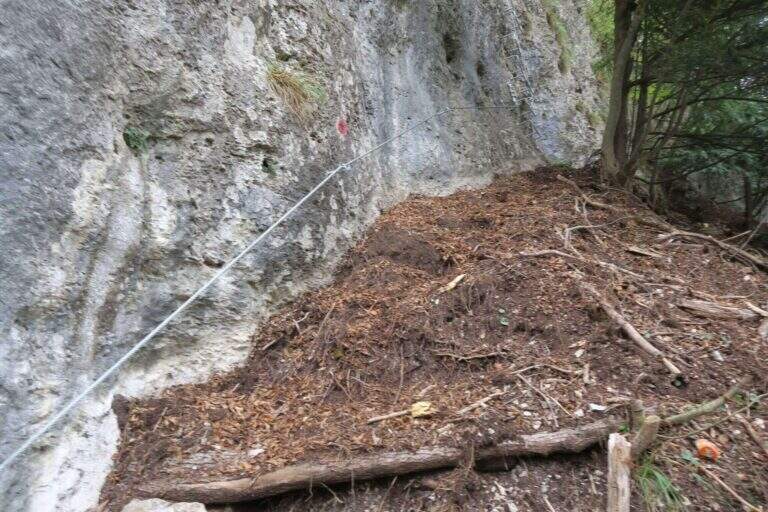
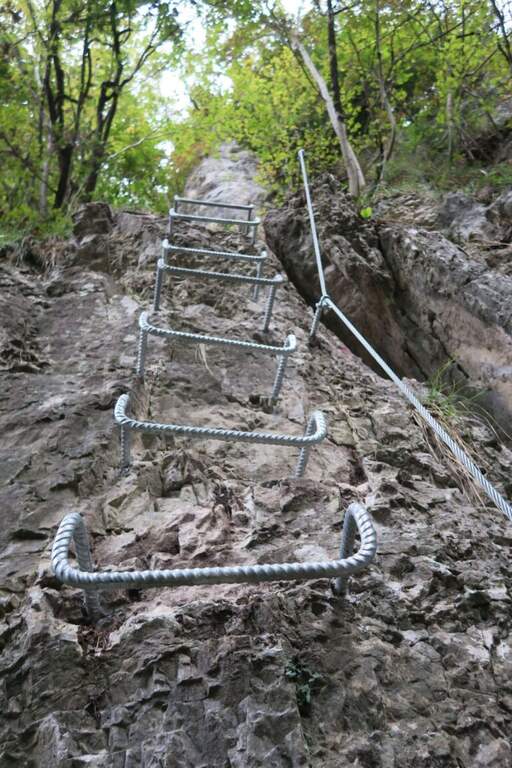
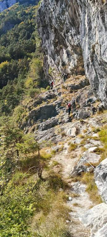
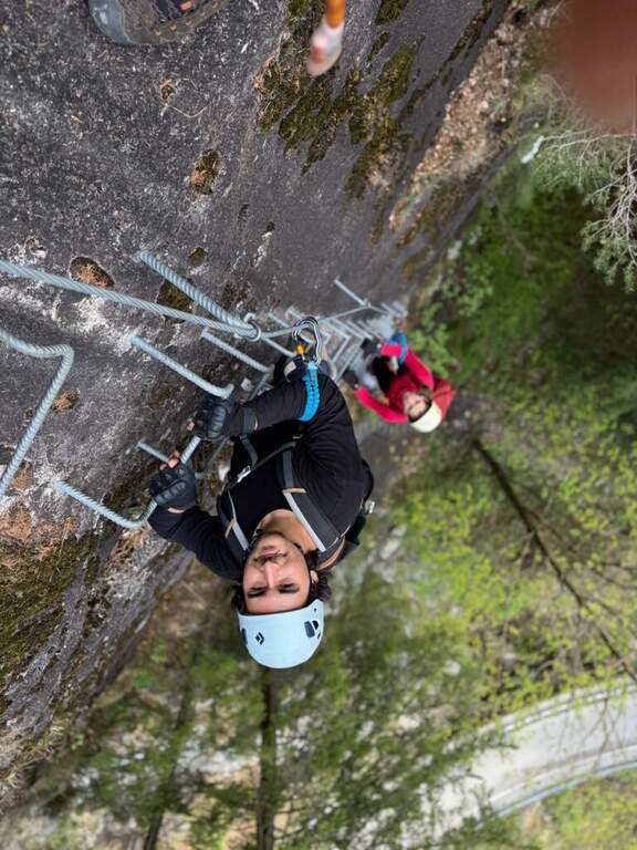
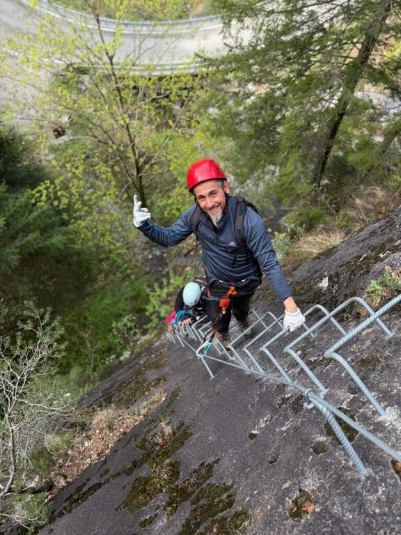
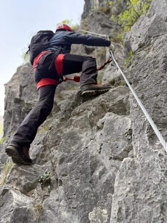
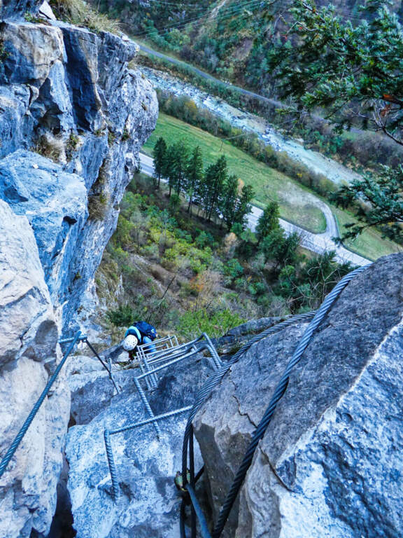
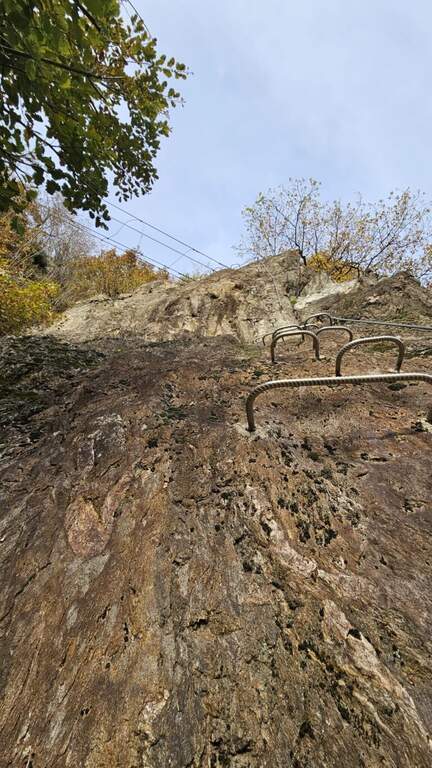
    The wall, a sixty-foot tall, houses two tracks that rejoin to metà. The settore right rises a rather lean hedgehog, then a vertical at first and finally with a short overhanging section, supported by numerous brackets; it arrives così to the ponte suspended on three ropes. Cross it, continue on a plaque with an easy traverse to the left until you meet the left settore , which attacks about fifty meters beyond the right leaving, going up a vertical wall but full of brackets and handles. From the point where the two itineraries are joined vertically on brackets along a placconata, then the path enters the forest turning into a path equipped and ends in short (circa 20' overall wall).

    ▲Character and difficulty

    Short and never really difficult, ideal for those who move the first steps and perfect to match some shooting along the adjacent rock gym.

    ▲Period and safety

    The low share makes it possible for most of the year. An official GPS track is not available for this route.

    ▲Discipline

    You descend on the right following the traces of return.

    ▲History

    The Ferrata è was inaugurated on the 21 April 2018, at the adjacent rock gym.

    ▲To match

    Ferrates in Valtellina are not many: Sassella lends itself to be combined with Torrione Porro or Ferrata della Croce al Palabione; not far, in Valchiavenna, the ferrates ♪ e Succeeds.
    ▲Gallery
    Technical data
    • DifficultyEasy
    • RegionLombardy
    • GroupValtellina
    • Approach0:10 h
    • Ferrata0:25 h
    • Itinerary (a/r)1:00 h
    • Hardware level difference70 m
    • Route difference80 m
    • Length0,5 Km
  • Ferrata Sass de Rocia

    Ferrata Sass de Rocia

    Vie Ferrate › Veneto › Belluno
    Ferrata Sass de Rocia

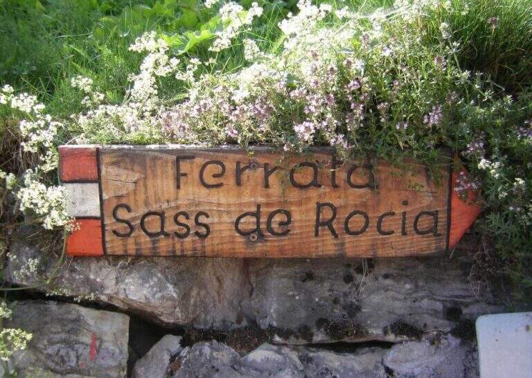
    La Ferrata at Sass de Rocia is located near Laste, in the province of Belluno, and è among the più simple of the subgroup of Marmolada. Technically elementary and with low altitude difference, & perfect for those who want to take confidence with verticalit & agrave;: the few steep traits are equipped with abundant brackets and ladders, and the ` enlivened by tre suspension bridges that make it an ideal destination for families and neophytes.

    ▲Approach

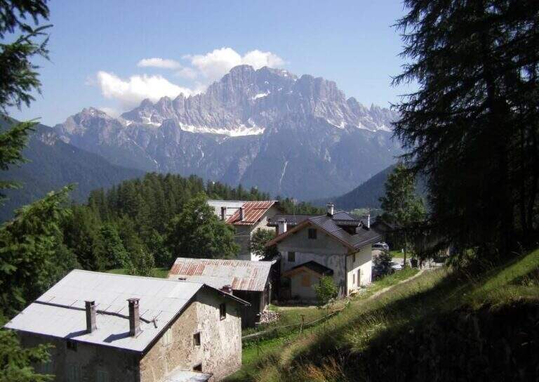
    You reach the hamlet of Ronch, just above Laste (Belluno), and you leave l' car in the square in the center of the village. Già along the road, just before ' inhabited, a sign indicates the path that climbs into the forest towards l' attack. Open road signs on Google Maps. From the square you return to the ' climb for a few meters and take the path to the left, uphill, in the forest: well marked and devoid of difficulty;, in about 10 minutes it leads to all' attack (15' from parking ).

    ▲The path

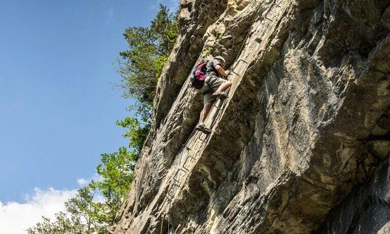
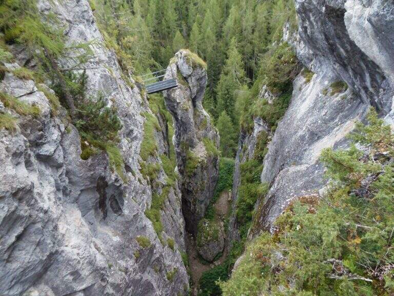
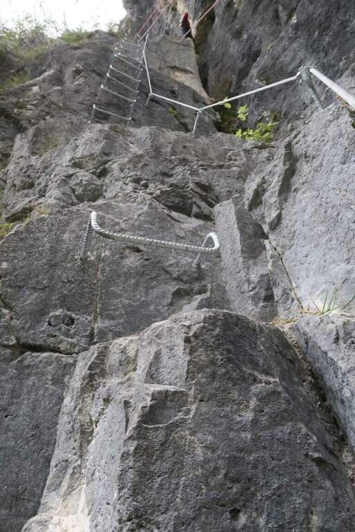
    Si attacca una paretina attrezzata con staffe e una scaletta metallica, oltre la quale ci si infila in un anfratto stretto fra le pareti del Sass de Rocia, risalito con la corda che fa da corrimano. In fondo una scaletta metallica appoggiata di circa 4 metri conduce a una cengia che, dopo pochi passi, piega con un tornante a sinistra sotto una parete verticale: la roccia è liscia e povera di appigli ma fittamente attrezzata di staffe, e un breve tratto leggermente strapiombante costituisce l'unica vera difficoltà. Si esce su un terrazzino dove le attrezzature piegano a sinistra per qualche metro prima di ripartire in verticale con altre staffe e un breve passaggio a sinistra. Si guadagna così il primo ponte sospeso, che scavalca la gola attraversata all'ingresso. Da qui il tracciato diventa sentiero attrezzato: alcune facili roccette tra i mughi portano al secondo ponte sospeso, quindi un tratto di sentiero inizialmente attrezzato conduce al terzo ponte sospeso. Un'ultima breve traccia termina al Bivacco Pian delle Stelle, dove finisce la ferrata (30' dall'attacco, 45' dal parcheggio).

    ▲Character and difficulty

    A very easy way, designed for principants and families: some vertical traits are exceeded by helping with the brackets, reducing to a minimum l' climbing. L' exhibition è contained and l' modest physical commitment.

    ▲Period and safety

    Due to the approach and the short return, it is an ideal itinerary even on uncertain weather days. GPS tracks (GPX and KMZ) are available.

    ▲Discipline

    La discesa può ripercorrere interamente la via di salita; in alternativa, superati i primi due ponti e giunti in prossimità del terzo, si segue la traccia che aggira la gola scendendo prima una scaletta e poi un sentiero, fino a innestarsi nel sentiero di avvicinamento e rientrare al parcheggio (30' dal bivacco, 1h 15' in totale).

    ▲To match

    It is the easiest of the ferrates of the subgroup of Marmolada, where the historical streets stand out Eternal, a Punta Penia, al With Ombert e al Colac. Towards the Falzarego Pass there are two easy routes, the ♪ e l'Averau; descending towards Civetta the challenging Yellow Flames, Titus e Alleghesi, besides the long Constantine to the Moiazza.

    ▲Gallery
    Technical data
    • DifficultyEasy
    • RegionVeneto
    • GroupMarmolada
    • Approach0:15 h
    • Ferrata0:30 h
    • Itinerary (a/r)1:15 h
    • Hardware level difference100 m
    • Route difference130 m
    • Max1576 m
    • Length0,9 Km
  • Ferrata di San Silvestro al Monte Totoga (Primiero)

    Ferrata di San Silvestro al Monte Totoga (Primiero)

    Vie Ferrate › Trentino-Alto Adige › Trento
    Ferrata di San Silvestro al Monte Totoga (Primiero)
    Moderately Hard● OpenDescriptionComplexityMapsGallery

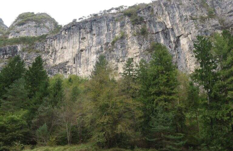
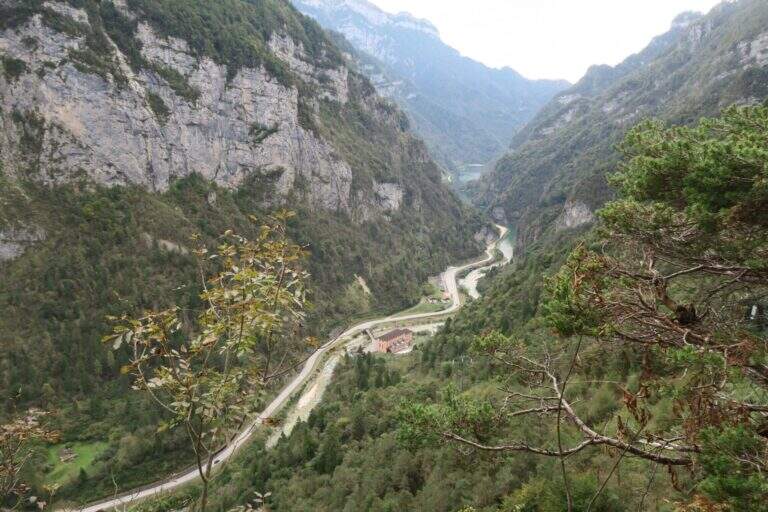
    The Ferrata di San Silvestro takes its name from the chiesetta on the middle coast of Monte Totoga, the final destination of the ' itinerary. È a short route, mainly facile with some moderately difficult passages, divided into two sections; approaching less than 5 minutes, low exposure and quick return make it ideal for beginners and hikers looking for a simple equipped route.

    ▲Approach

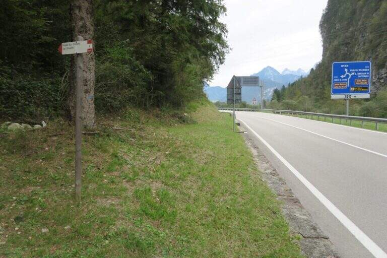
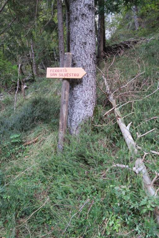
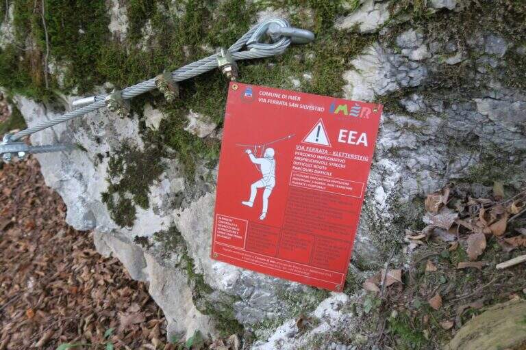
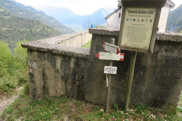
    The starting point is on board the SS 50 of Grappa and the Rolle Pass, climbing from Feltre to Primiero: just finished the lago of Schenér, just before the roundabout for Imer and just before the tunnel for Canal San Bovo, c'è a deck with indication «Falesia San Silvestro» (another più parking lot; large on the opposite side). Open road signs on Google Maps. Follow the path «Falesia di San Silvestro» and, shortly after, a sign on the right indicates l' attack, with the classic red sign (5' parking ).

    ▲The path

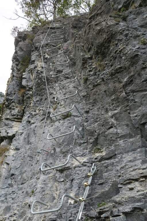
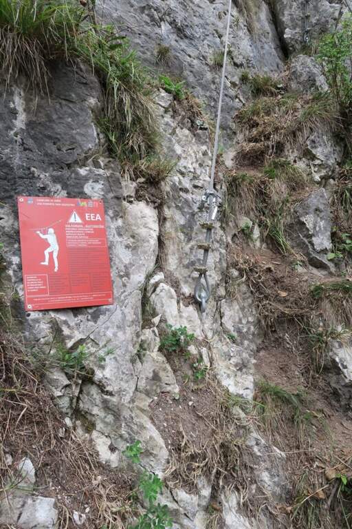
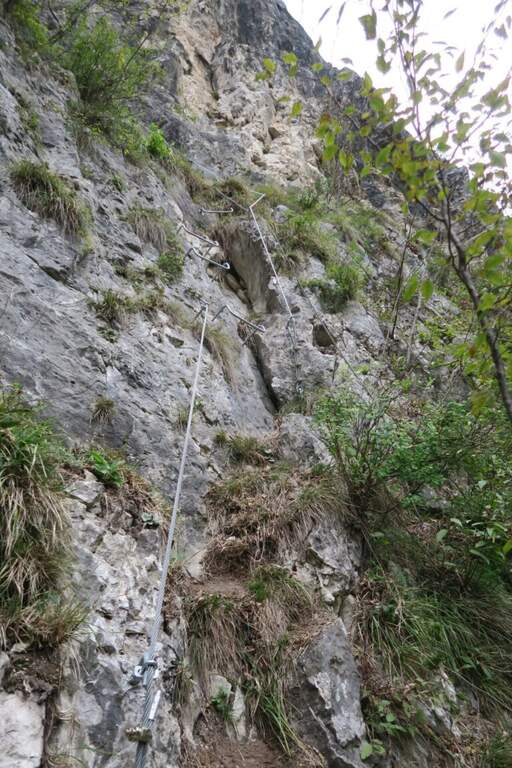
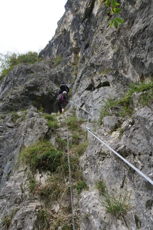
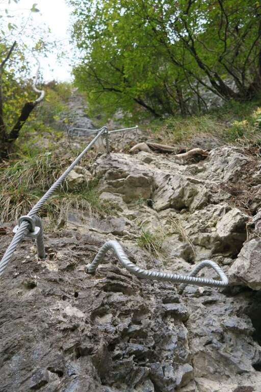
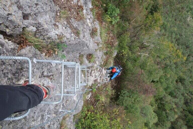
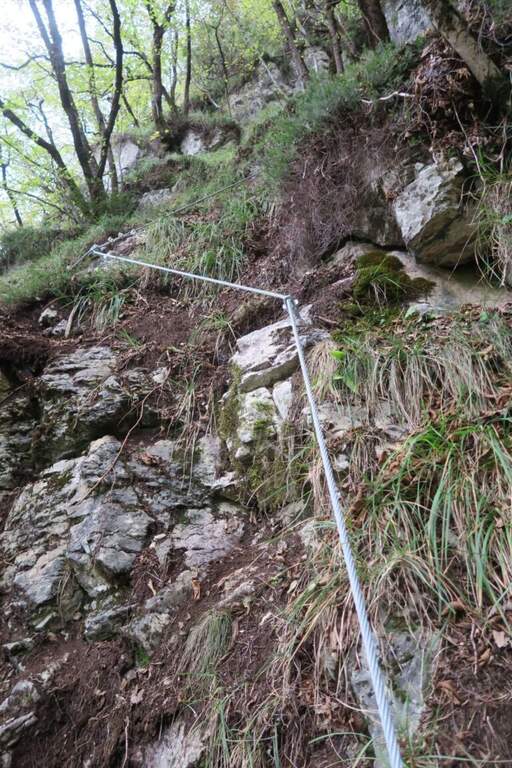
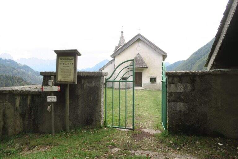
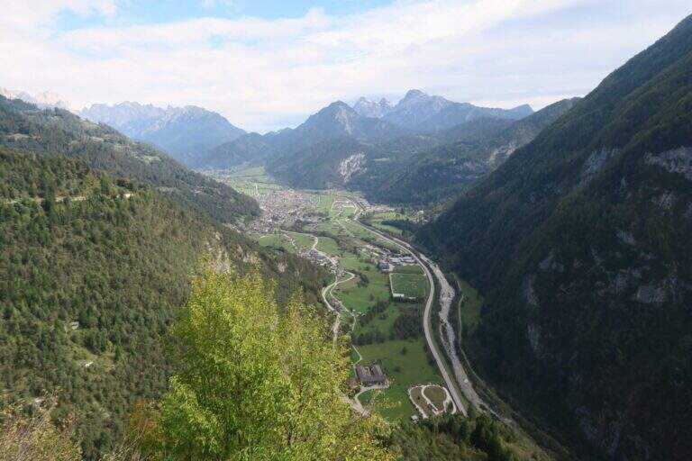
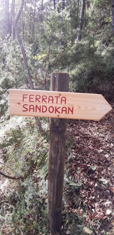
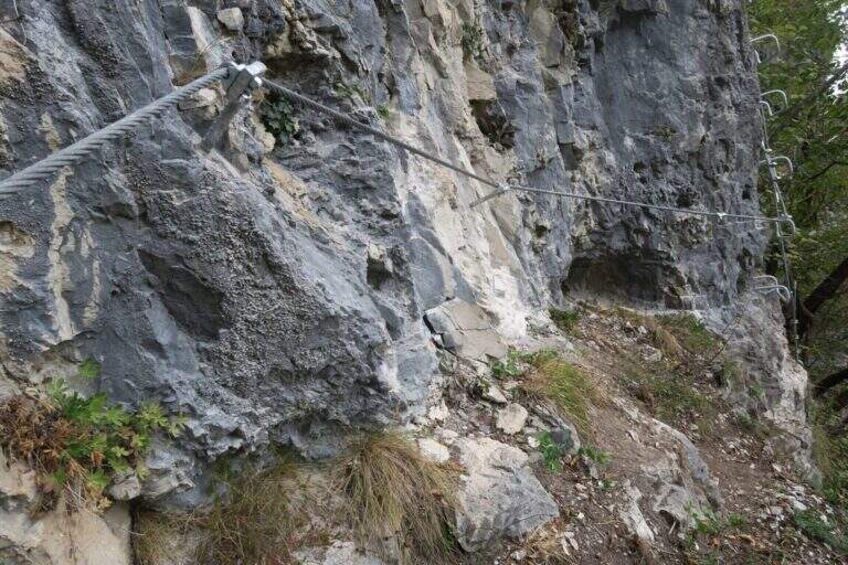
    First section: si parte con un tratto abbastanza verticale ma ben ammanigliato (gradini in roccia, staffe e facili roccette), poi si sale in diagonale verso sinistra su gradoni di solida roccia con varie cambre, una serie di cambre verticali, qualche balzo e una paretina staffata, fino al pianoro boschivo che chiude la prima sezione (circa 150 m di quota dal parcheggio): la parte iniziale è moderatamente difficile, il resto facile. In 5 minuti si arriva a un bivio sotto un traliccio: a sinistra il percorso per ragazzi «Sandokan», dritto la seconda sezione (qui un primo rientro per chi non vuole proseguire, 20' dall'attacco). Si prosegue nel sottobosco e in circa 15' si raggiungono le attrezzature: tre tratti di semplice sentiero attrezzato, poi facili roccette con qualche staffa e un traverso a sinistra fino a una parete verticale di circa 10 m ben provvista di cambre — il primo dei due tratti più esposti, comunque contenuto. Da un terrazzino panoramico (a destra il lago di Schenér, a sinistra Imer e Mezzano) si continua con altri passaggi su appoggi naturali e staffe; un traverso a destra e una lunga serie di staffe irregolari per circa 15 m costituiscono il secondo tratto più esposto. Si prosegue tra roccette, scalini e staffe, poi un lungo e semplice traverso a destra protetto dal bosco; si aggira la parete in obliquo aiutandosi col cordino a sinistra e, dopo un ultimo facile tratto attrezzato (terreno a tratti fangoso dopo le piogge), si arriva alla Chiesetta di San Silvestro, splendido punto panoramico (circa 1h dall'attacco / 1h 5' dal parcheggio).

    ▲Character and difficulty

    Way adapted to the principianti: very short approach, contained exposure, modest physical commitment. A metà path, at the crossroads, the easy variant « is separated;Sandokan» (edited by Alberto Zanon), which descends to a large census and then to zig-zag in the forest up to one' another crag and parking (about 20', accessible uphill or downhill).

    ▲Period and safety

    Low altitude: all year round, with attention to snow or ice in winter. Exposed to the south-east, it is not recommended on very hot summer days, while being partly sheltered from the vegetation. No official GPS available on this route.

    ▲Discipline

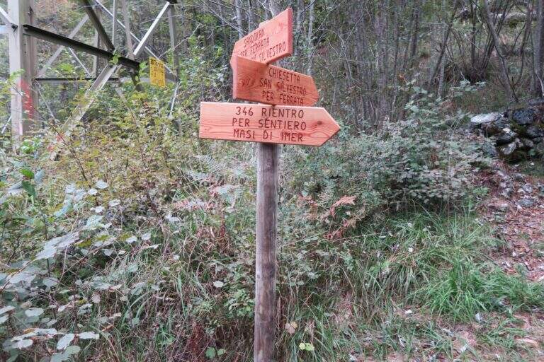
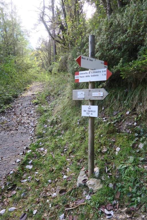
    From the church a sign indicates two options. Recommended: trail 346 which in about 40' leads to the provincial to the Masi of Imer (restaurant « At Bus») and in other 10' at the parking lot, crossing the road and the roundabout in front of the tunnel (50' from the term). Alternatively, it can be può stretch the lap up to 346 until the Passo Gobbera and get off for the provincial road towards Imer or for dirt/summer that connects più below the first option (about 1h 30').

    ▲To match

    In the Primiero and surroundings: the Ferrata del Canalone at the refuge Treviso and, at the Pale, the Ferrata Bolver-Lugli; towards the Dolomites Feltrine la Ferrata at Monte Coppolo.

    ▲Gallery
    Technical data
    • DifficultyModerately Hard
    • RegionTrentino-Alto Adige
    • GroupPrimiero
    • Approach0:05 h
    • Ferrata1:00 h
    • Itinerary (a/r)1:50 h
    • Hardware level difference330 m
    • Route difference380 m
    • Max965 m
    • Length5,4 Km
Need help? Write to us!