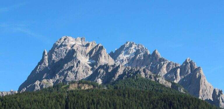
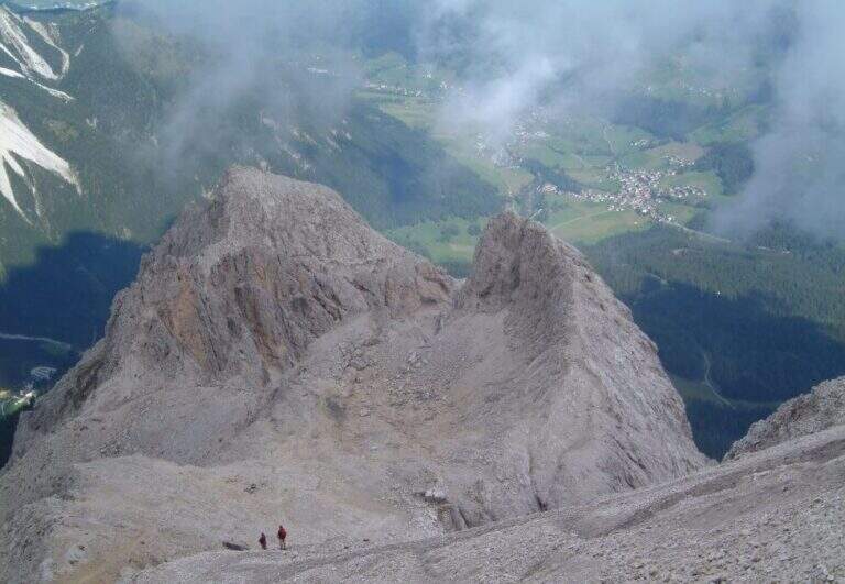
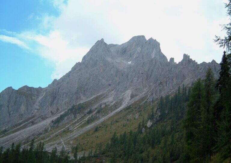
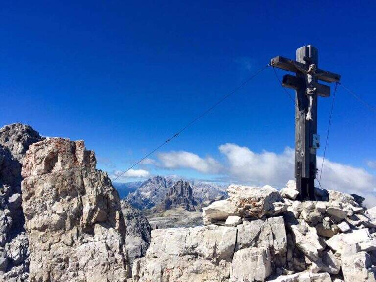
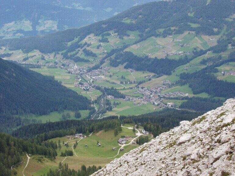
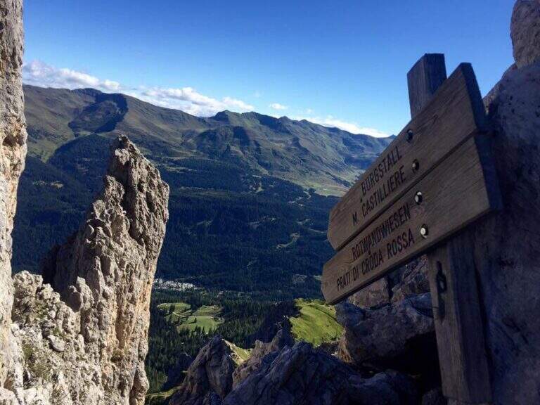
Inaugurated in 2022, the railway that climbs to the Forcella del Sassolungo is a modern, varied and very climbing route that leads from Passo Sella to the Toni Demetz Refuge, in the heart of the Sassolungo–Sassopiatto group, between the Val Gardena wood carving e la Val di Fassa. It is a medium difficulty road (MD) that, while not reaching a peak, gives a fun progression, some air stroke and an exceptional panorama on the Dolomite groups around Passo Sella. The altitude is not high and the approach is short, which makes it an excellent start of season or to be combined with other itineraries of the area.
▲Departure and approach
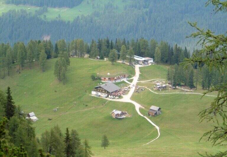
The starting point & the valley station of the cable car that from the Passo Sella (2180 m) rises to the Demetz Refuge. The pass is reached by car both from Canazei, coming up from Val di Fassa, and from Selva, from Val Gardena. Here the road signs and parking on Google Maps →
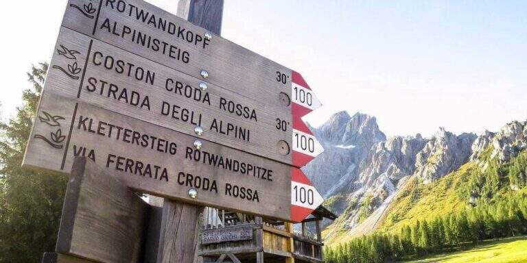
There are two ways to get to the’ attack. The first è all on foot: from the parking lot follow the sentiero CAI 525 and, after about 45–60 minutes, the signs indicate l’ are located on the left. The second takes advantage of the funivia Passo Sella → Demetz: once in altitude you lose a po’ of difference in altitude descending along the 525 until the junction for l’ attack, saving about one’ hour of walk. The climb on foot remains the più choice; satisfying and complete.
▲The route, stretch by stretch
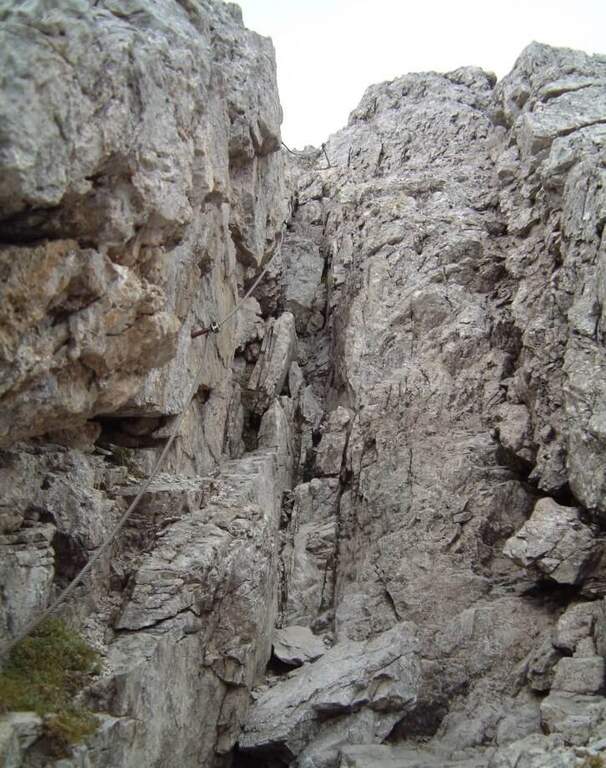
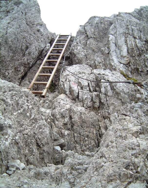
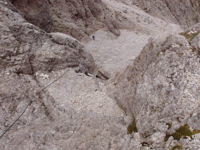
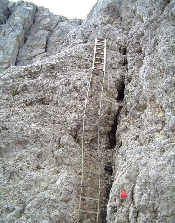
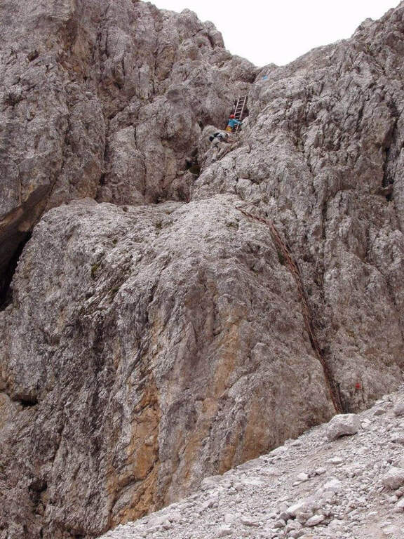
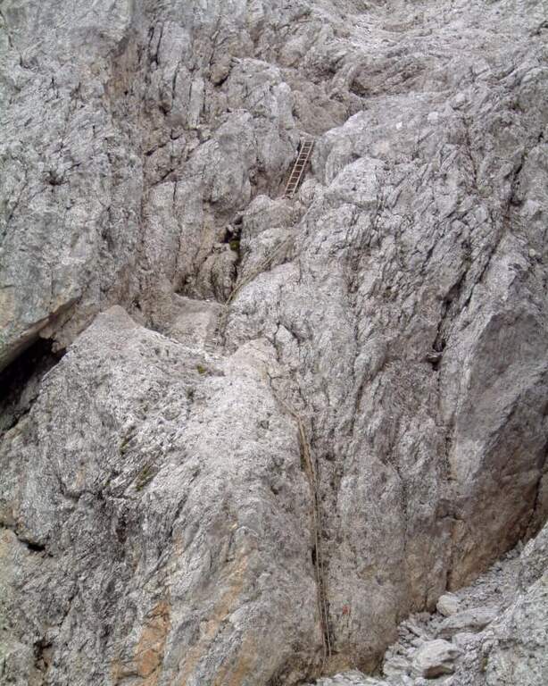
The ferrata does not allow heating: the first meters are the most challenging of the whole street. It attaches a short vertical dihedron of dark rock with an initial step in light overhangs to disconnect from the ground; pioli and metal brackets help in the very first meters, then it crosses right and begins to gain altitude. After passing this first leap, you walk around a corner and walk a narrow nod to the left, up to a beautiful vertical wall.
Here the rock is very well-maintained and it is best to climb by looking for natural hooks instead of tractioning on the cable: it is one of the most pleasant traits. You reach the edge of a canal, you cross it and continue on the right side; bypassing another edge you are under a leap near a diedro, where some brackets facilitate the rise of a logical and fun passage. Upstairs it stands on a small grassy plateau.
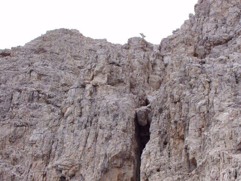
Start to the left on a nod that is thinned to become a cross, reaching a classic dolomitic channel. The cable leads uphill diagonally, with good supports for the feet but a constant commitment, up to a short overhanging step: here too the brackets reduce the difficulty and, but it serves a decisive point to face it. All’ exit from the fireplace the spires of the Sassolungo and the Sassopiatto emerge imposing above the head. The box with the libro of summit and a panoramic bench, about 30–40 minutes after l’ attack: the ideal spot for a stop.
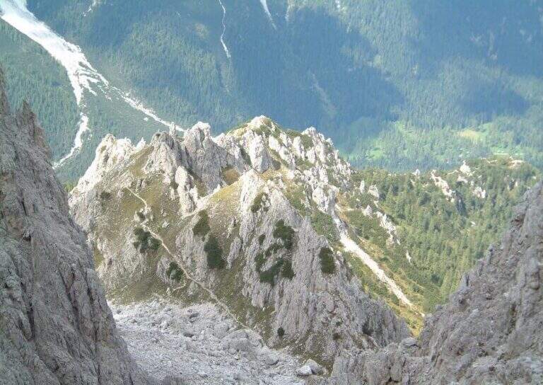
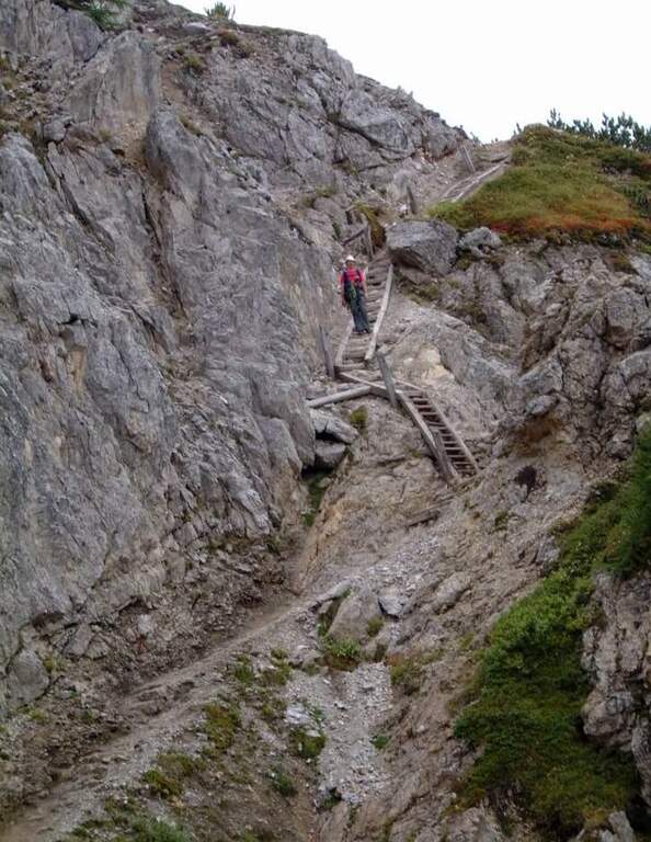
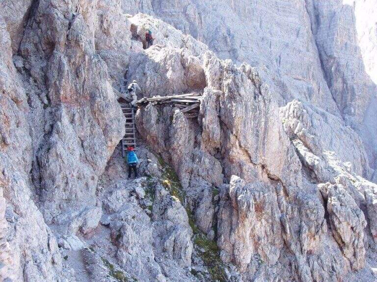
From here the road goes up some small rocks, over a corner and with a right-hand crossing reveals the Rifugio Demetz, destination of the ’ itinerary. You earn the ridge, easy but exposed, you walk through short climbs and a characteristic bridge suspended , then you wind up a vertical stretch up to a fork. In addition to the fork the cable is divided vertically and, for più rocks; easy, leads to a beautiful yellowish placconata: a challenging first step, then still vertical climb up to a worked dihedron. The last fifty meters remain beautiful and continuous, bringing back on the ridge with a narrow fireplace, before the short discesa equipped that closes the way just above the shelter (about 1h 30′ from the’ attack, 2h 30′ from Passo Sella).
Numerous equipped escape routes allow you to return to path 525 without completing l’ entire ferrata: useful in case of crowding or weather worsening.
▲Character and difficulty
Despite the classification of difficultà media; (MD), the Forcella del Sassolungo non è a way for absolute beginners. È continuously equipped and therefore always safe, but often develops vertically and on display, with three or four steps requiring good force of arms and familiarity with the rock. Where progression is made più hard intervene pioli and artificial brackets that lower the difficultà technique, but l’ initial attack and overhanging steps remain challenging. È perfect for those who have già some ferrata in the legs and want to climb having fun; not recommended to those suffering from vacuum or è to the very first experience.
▲Period, equipment and descent
Recommended period: from the beginning of summer all’ autumn, snow allowing; the contained quota makes it available even at season not yet mature. Tool: homologated hardware kit, harness and mandatory helmet — this is a recent opening route, the può rock; present still friable traits, then pay attention to the mobile stones, especially at the start and with other ropes above. Descent: from the end of the cable leads down to the nearby Demetz Refuge (2685 m, about 10 minutes); from here you return with the cable car to Passo Sella or walk on path 525 (about 1h 15′), for a total of about 4 hours.