Caratteristica: Inaugurata nel 2022

  • Ferrata di Valmeduna

    Ferrata di Valmeduna

    Vie Ferrate › Friuli-Venezia Giulia › Pordenone
    Ferrata di Valmeduna

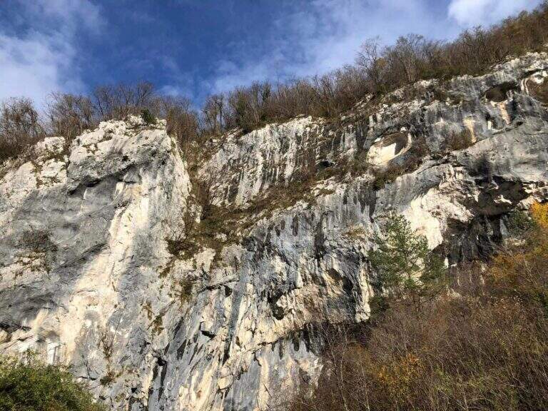
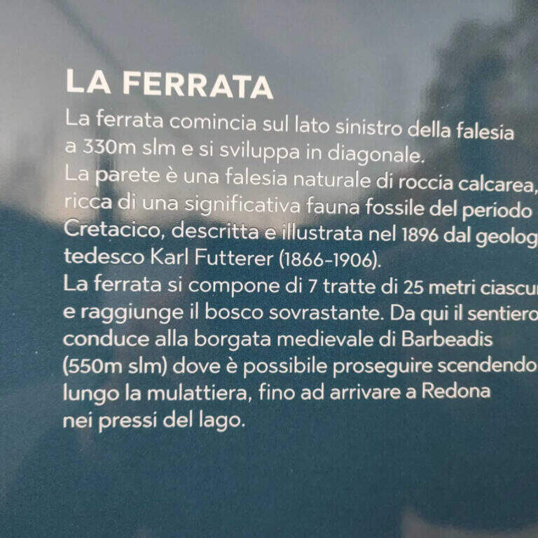
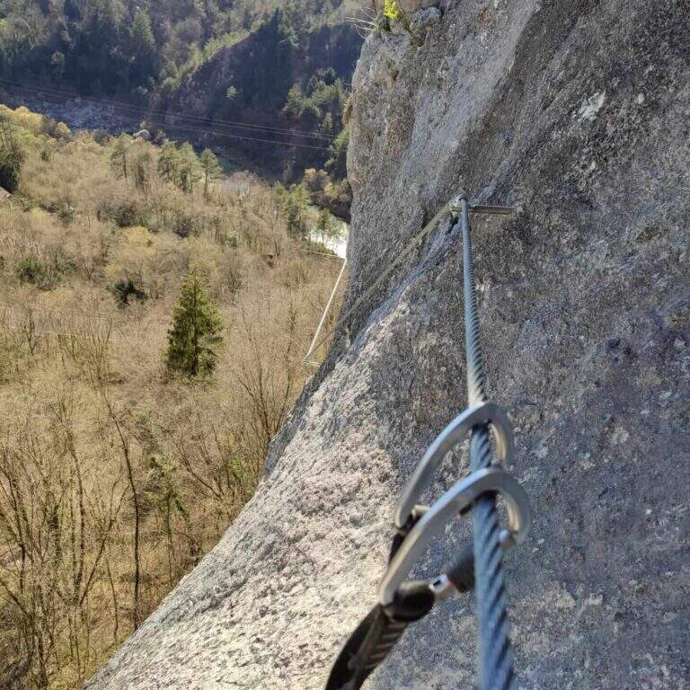
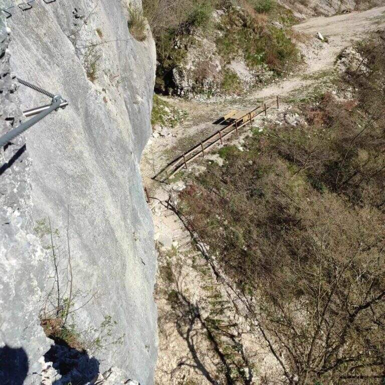
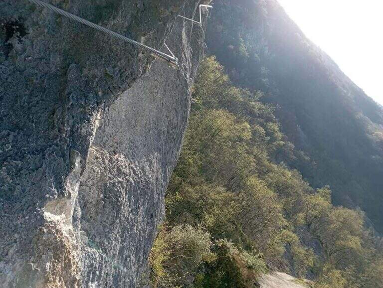
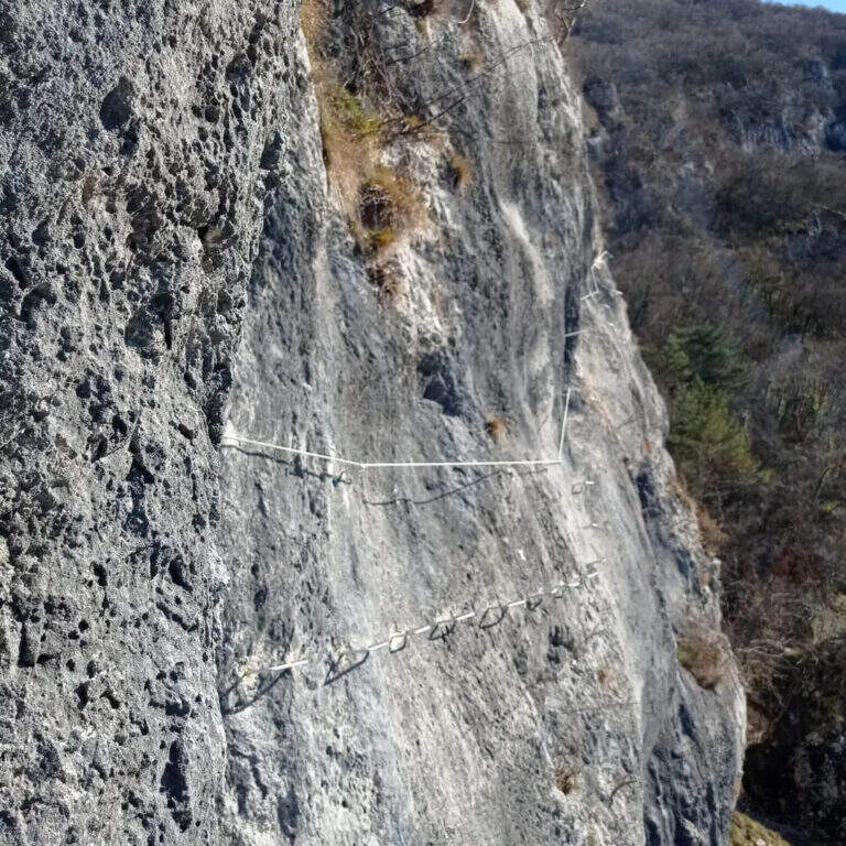
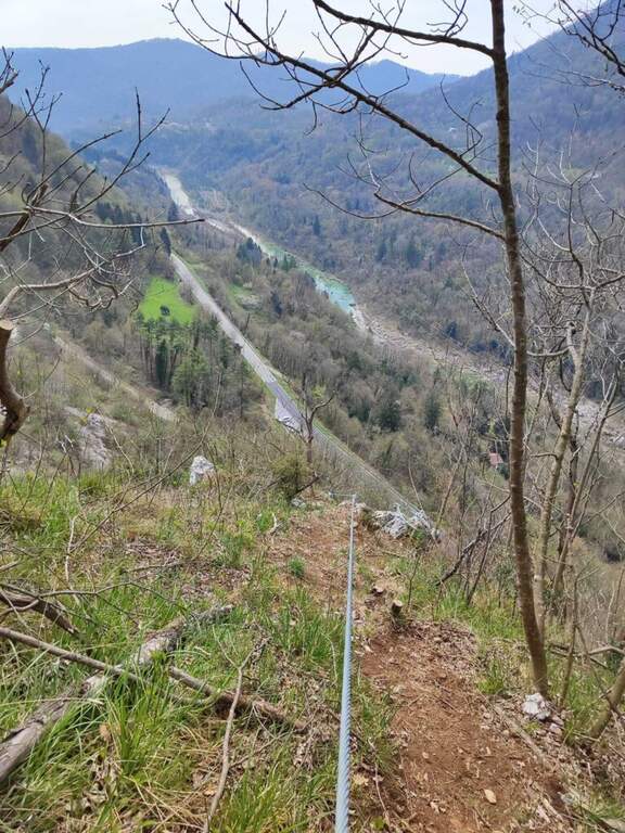
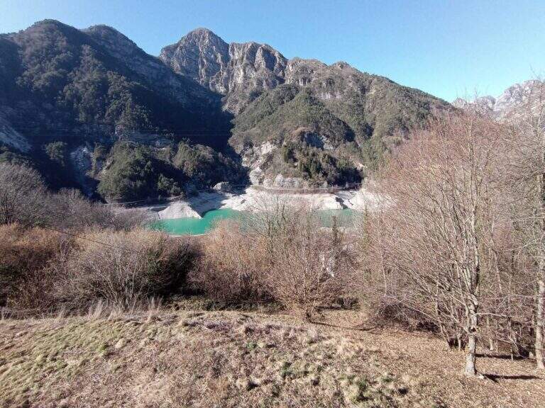
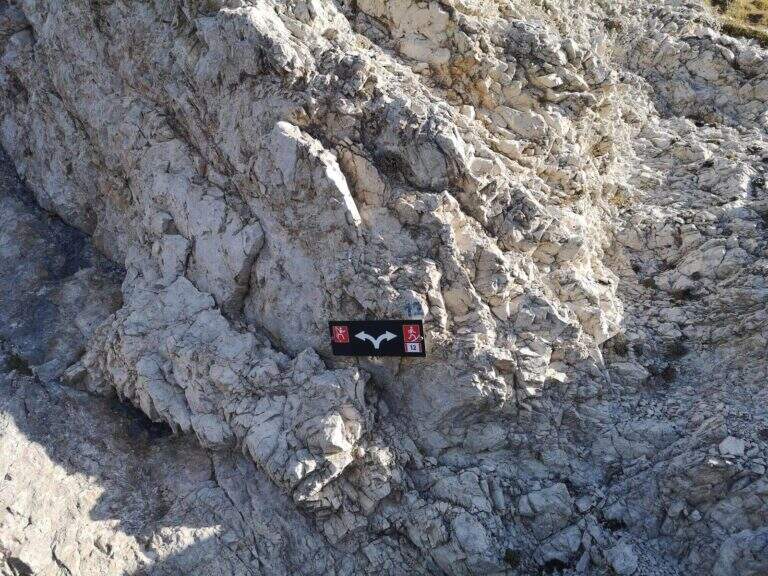
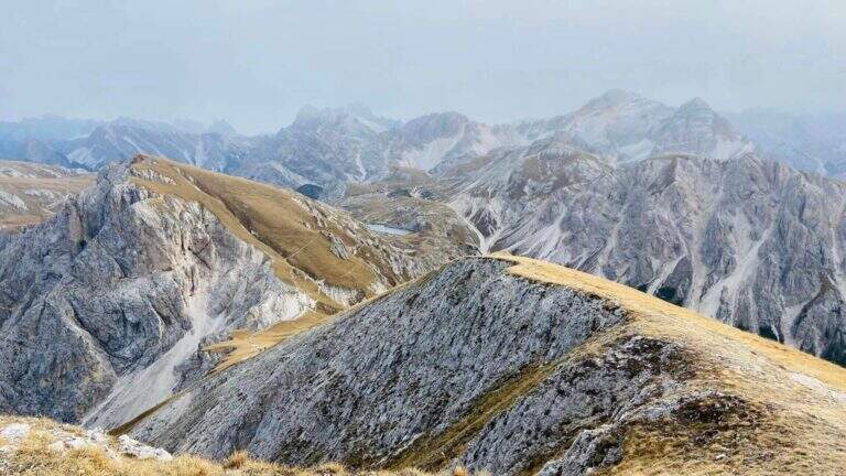
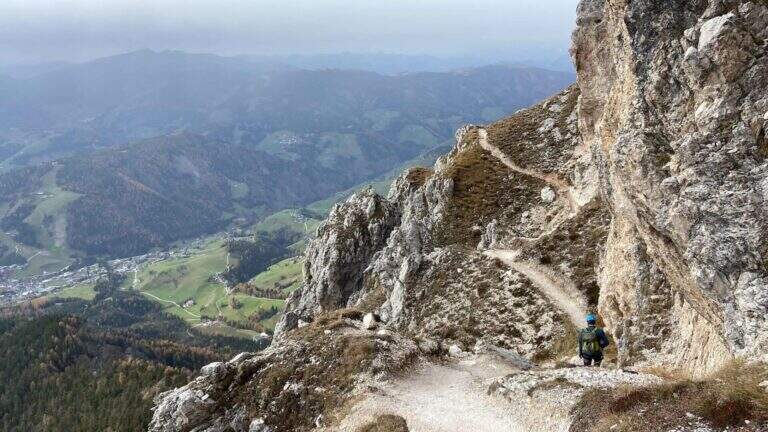
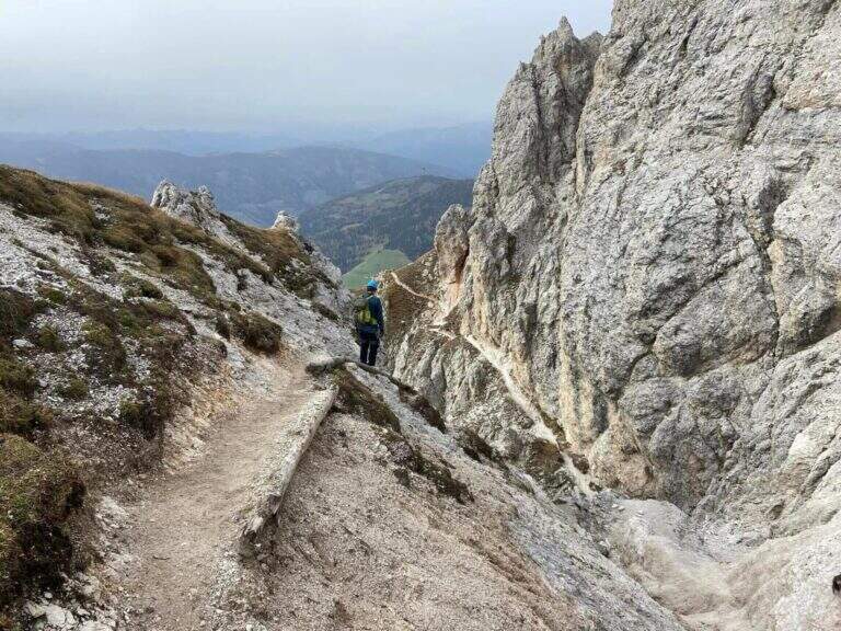
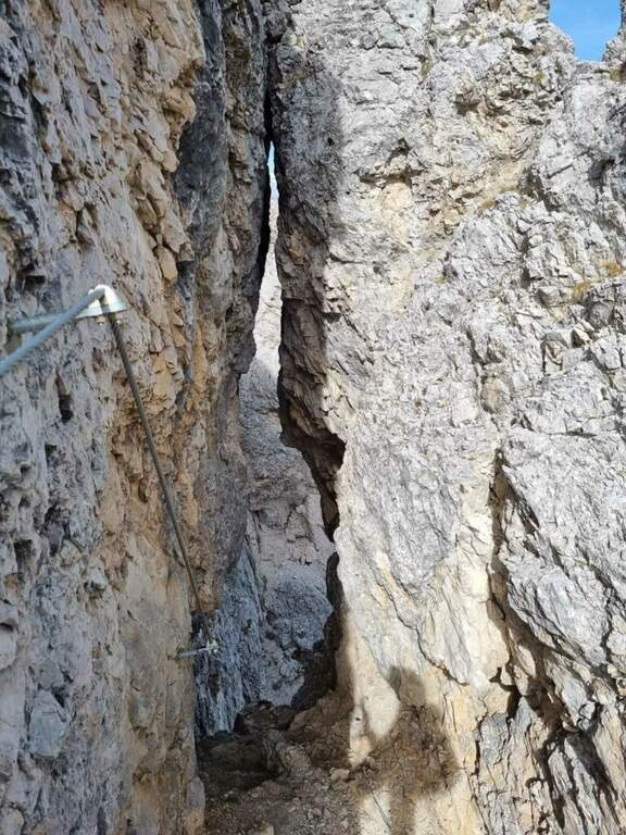
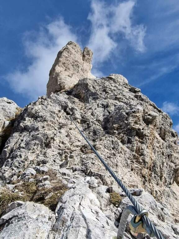
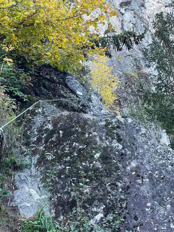
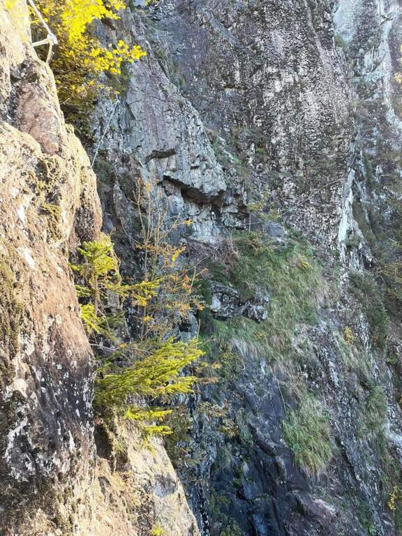
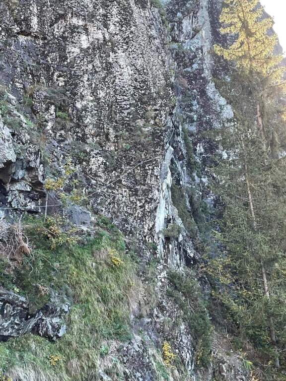
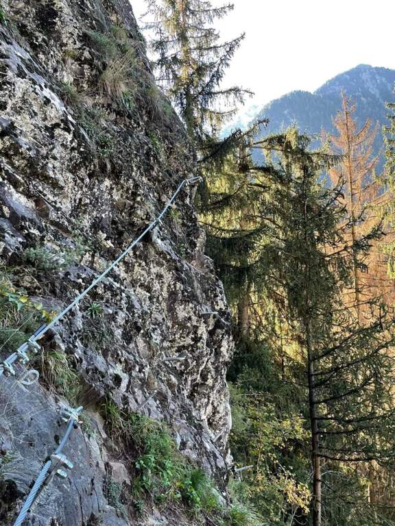
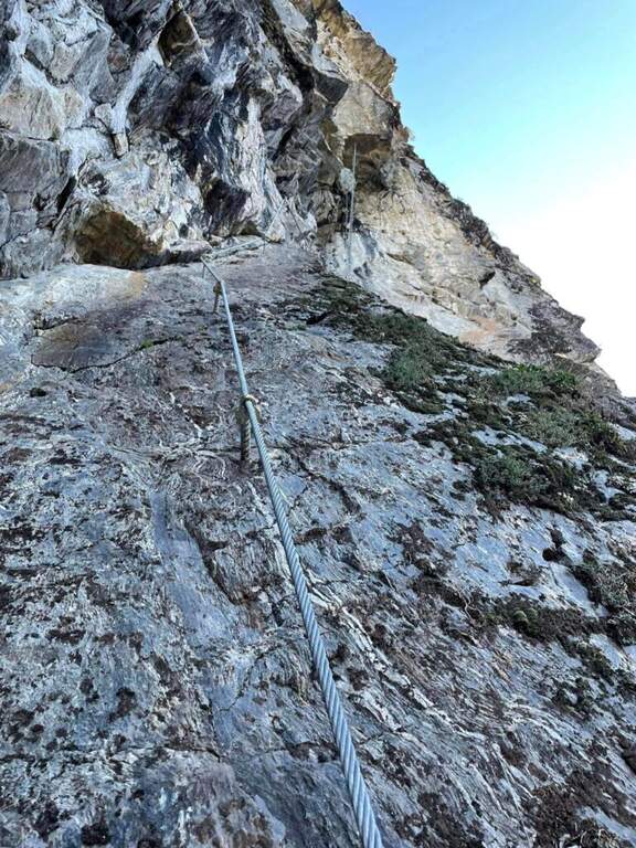
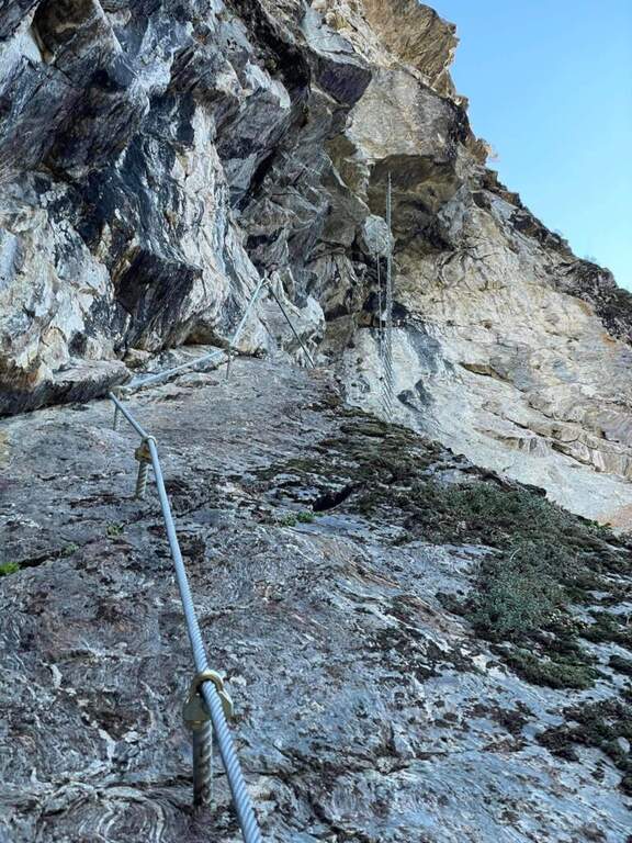
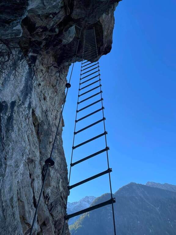
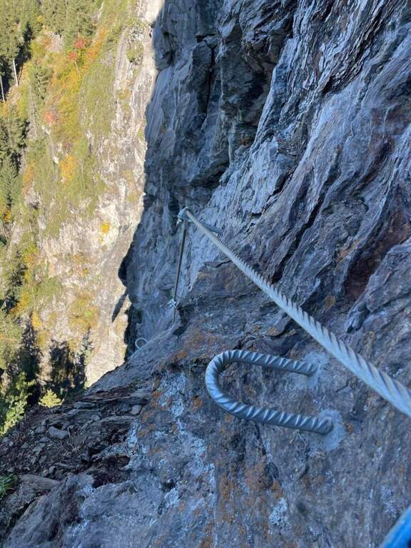
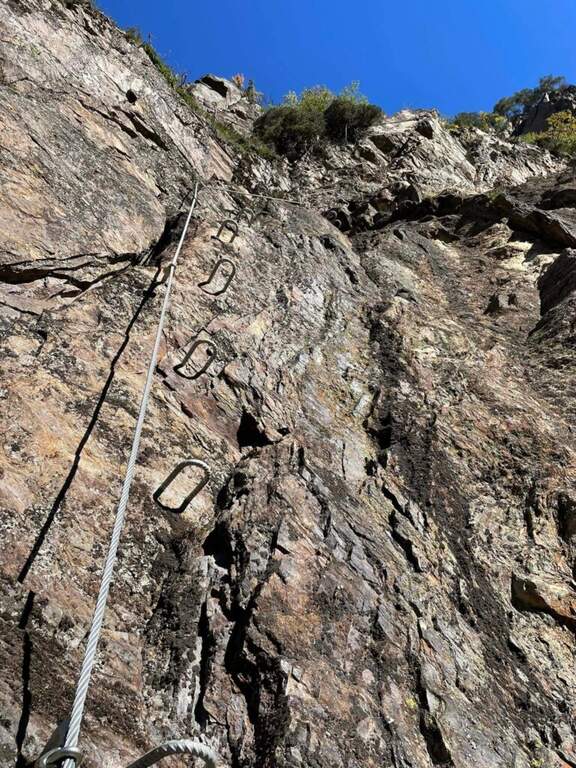
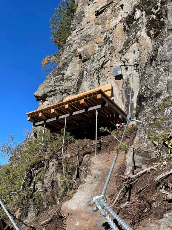
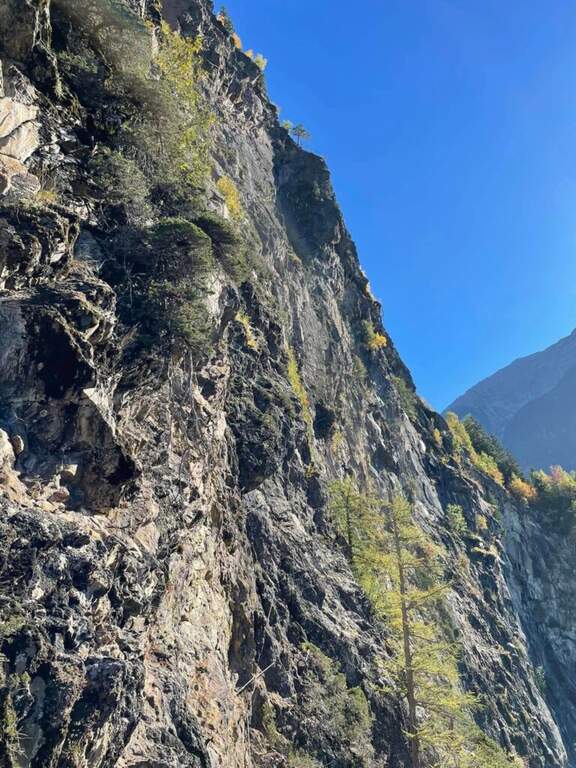
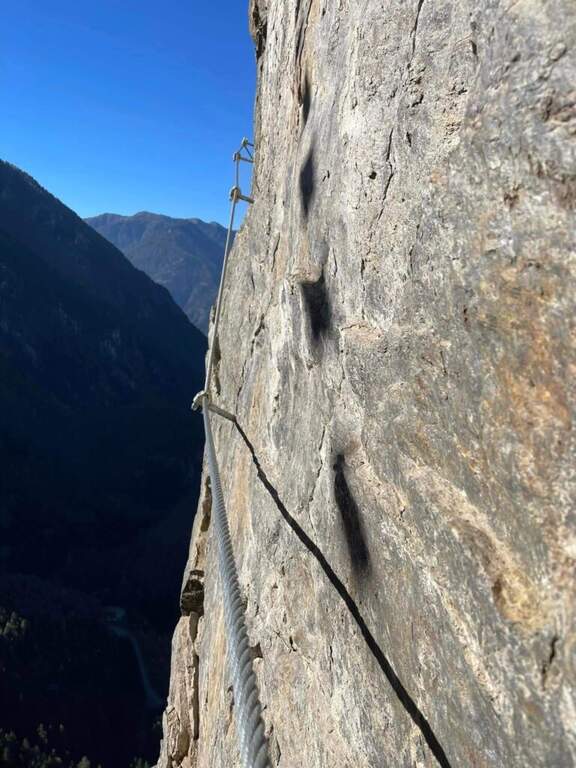
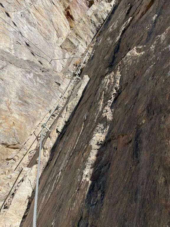
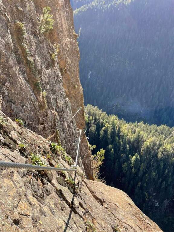
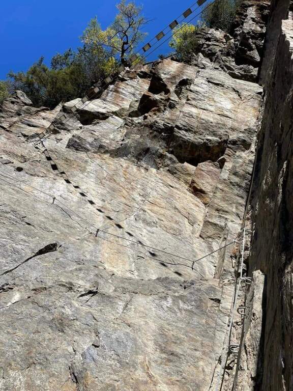
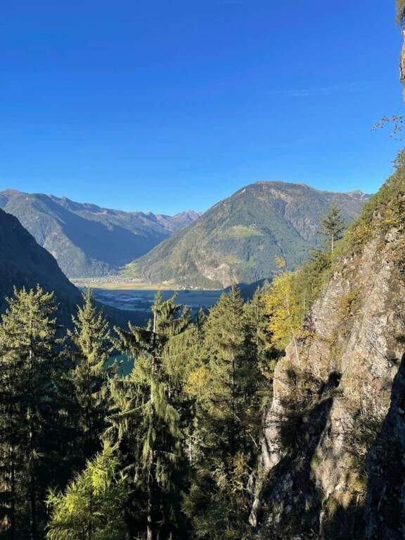
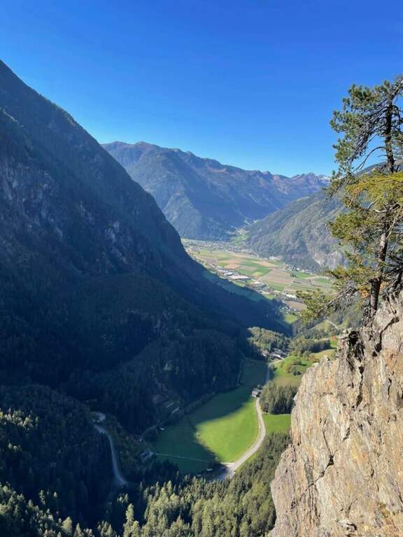
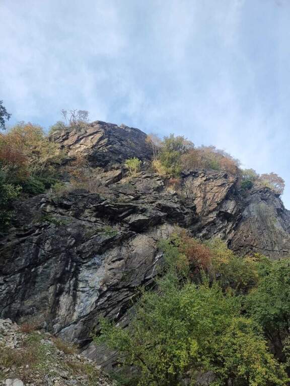
    La Ferrata di Valmeduna is a recent route in the province of Pordenone, near the town of Redona. Of modern style, it proposes quite constant difficulties in an environment from "rock plate": it does not reach a peak, but it is an excellent training for altitude itineraries. It is well equipped and not devoid of athletic passages.

    ▲Approach

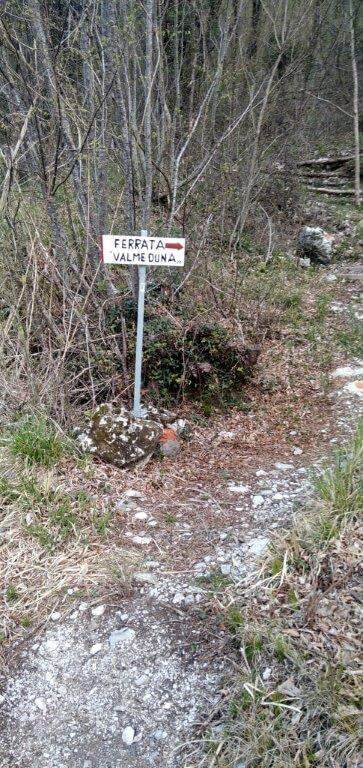
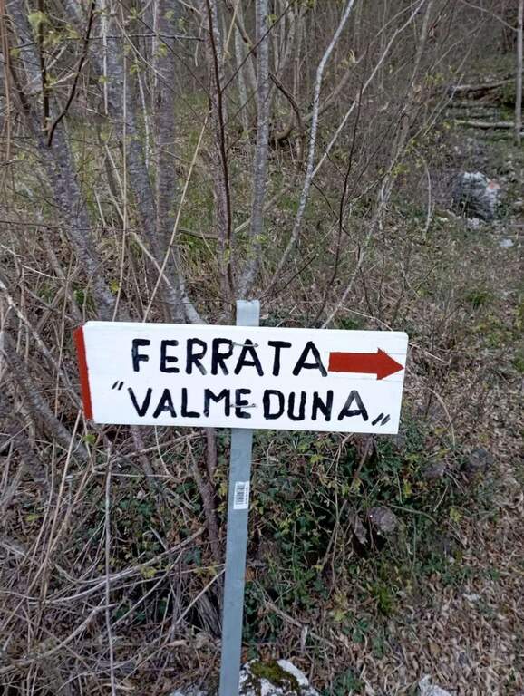
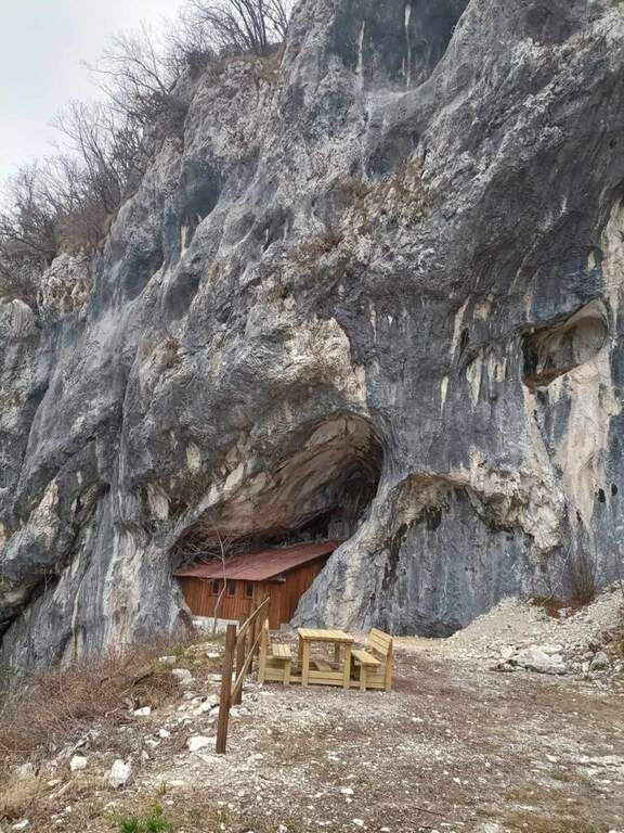
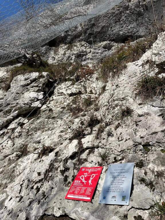
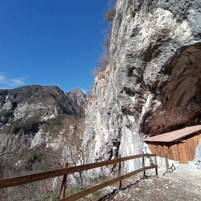
    Follow the regional road linking Meduno a Tramonti di Sopra: arriving from the south, the parking is on the right side before the "Tramonti di Sopra" sign and before the artificial invader. Open road signs on Google Maps. From the parking lot follow the sidewalk to a path that climbs on the right; following the signs and the bolli red towards the east-southest you arrive at a bend, then at a crossroad where you descend slightly left to the new rock gym on beautiful limestone, where you will find a bivacco, tables and benches, d' routes; climbing and climbing. Near the bivouac a path descends to the left at ' attack, on the left side of the wall, at the CAI red sign and a paramass network (about 10').

    ▲The path

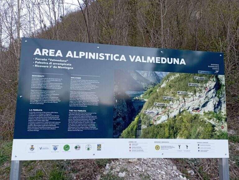
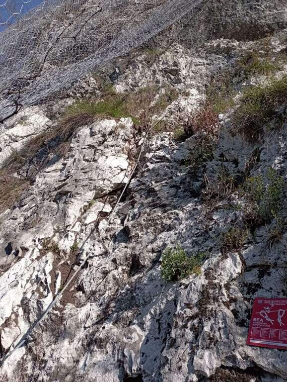
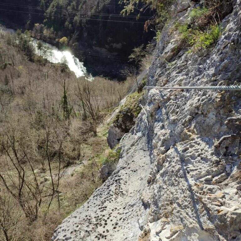
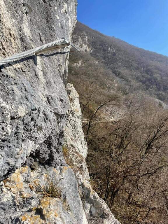
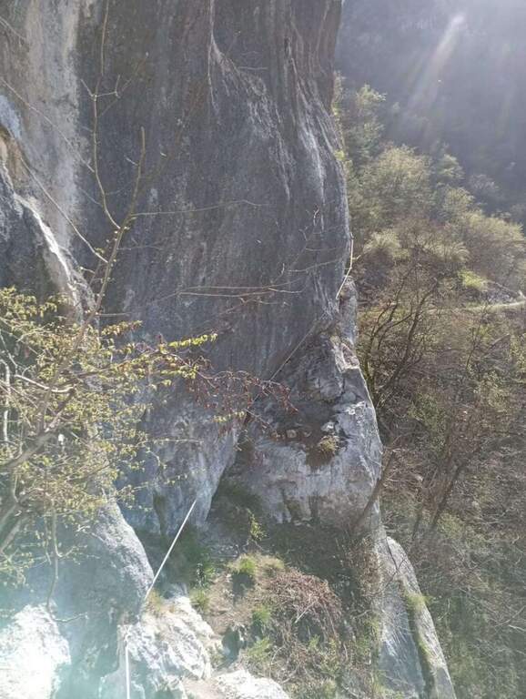
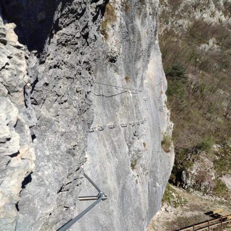
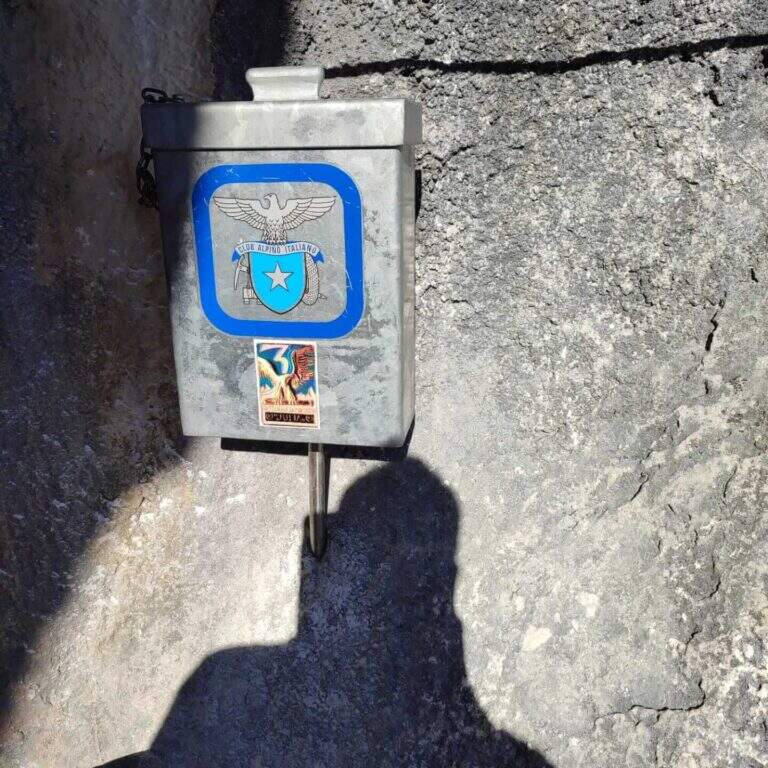
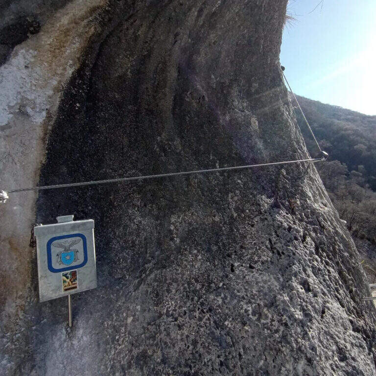
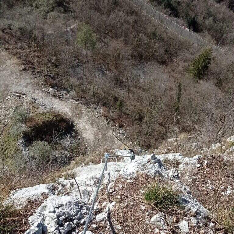
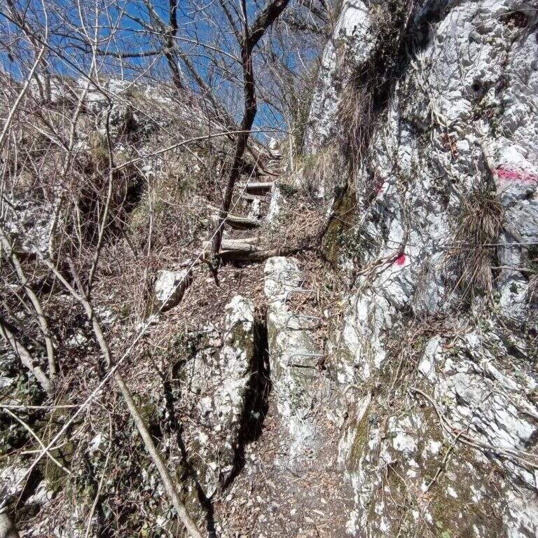
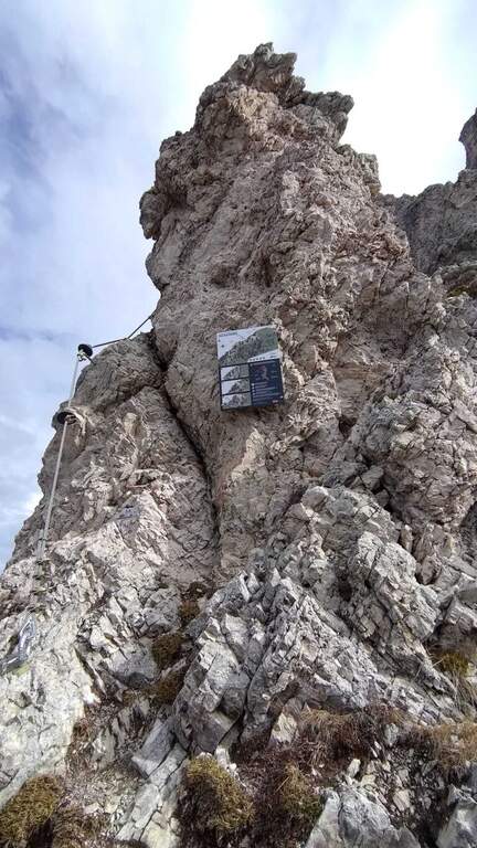
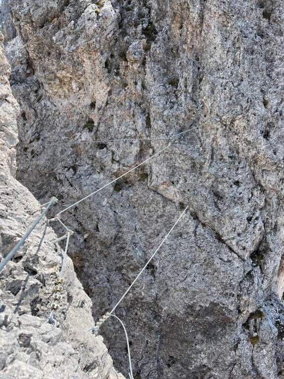
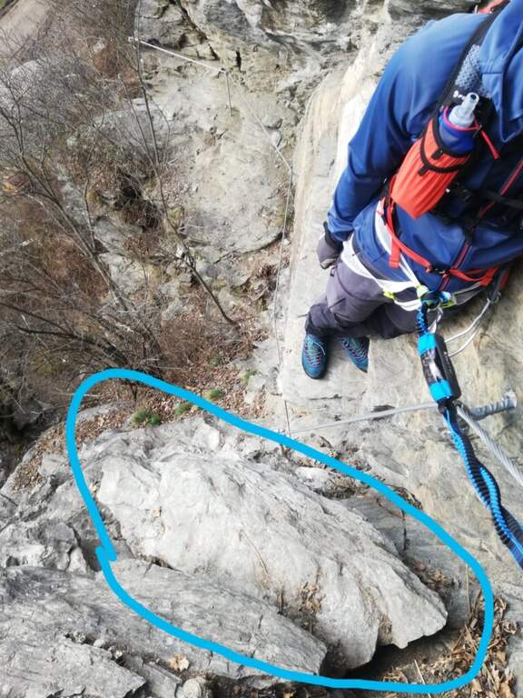
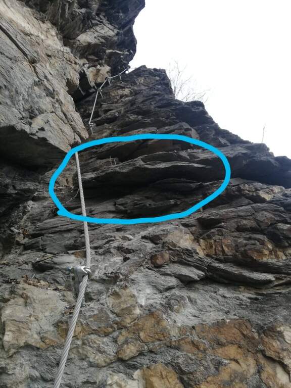
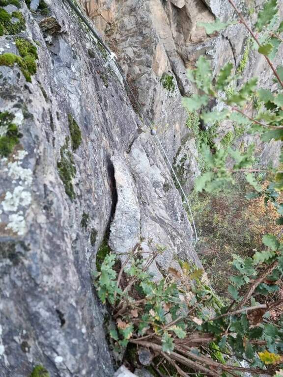
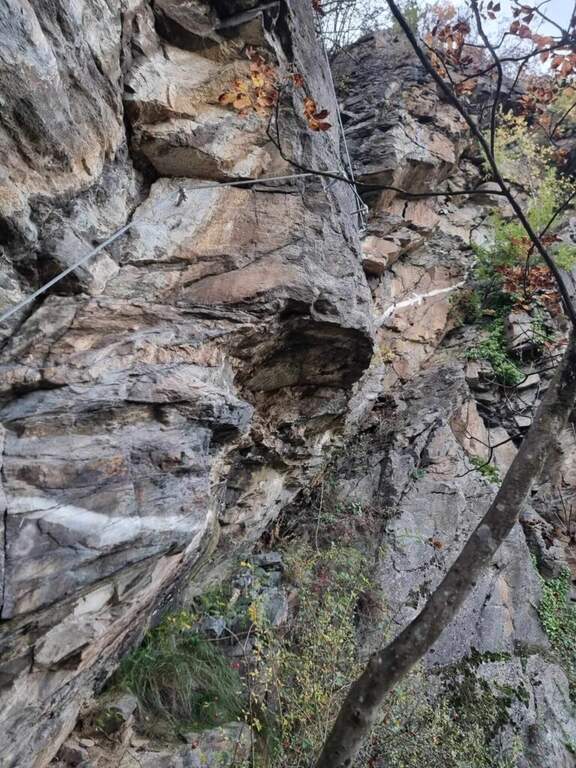
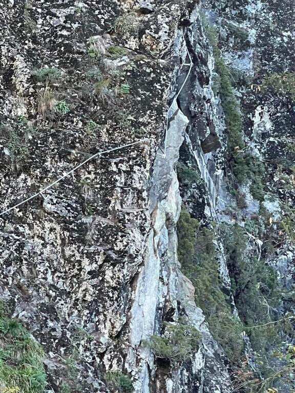
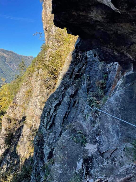
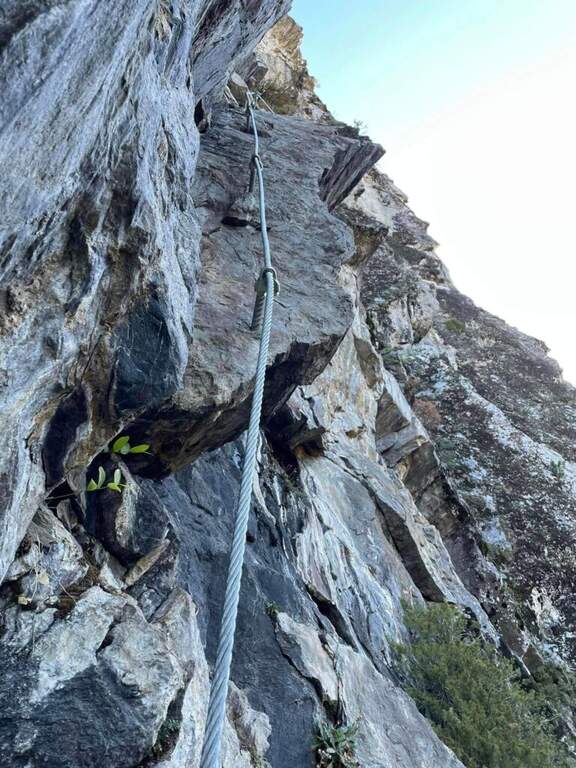
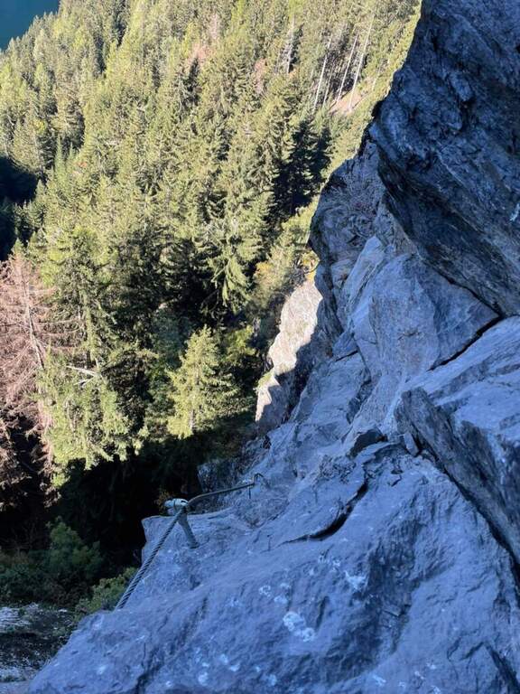
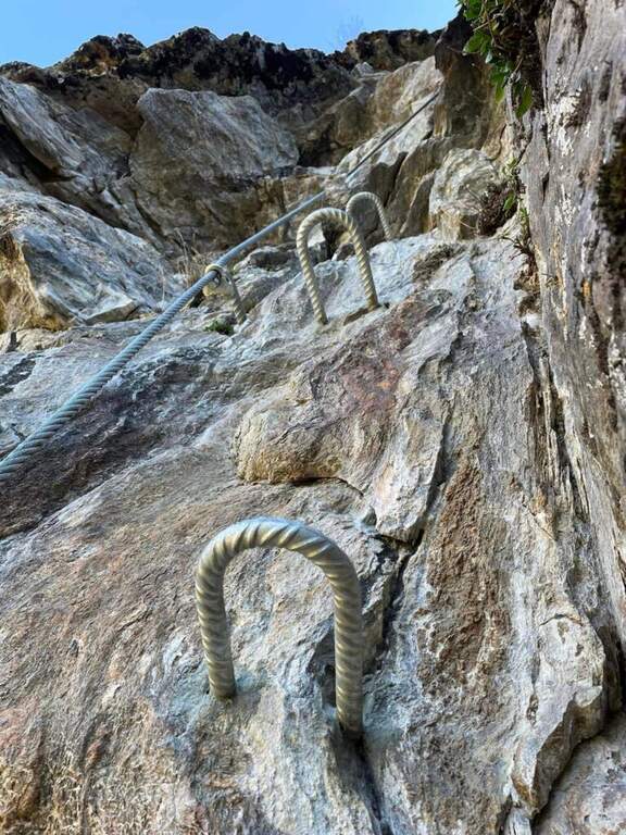
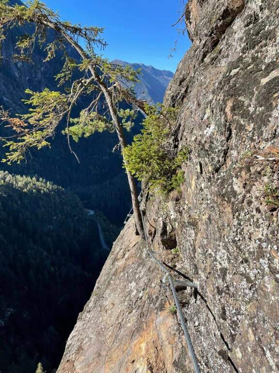
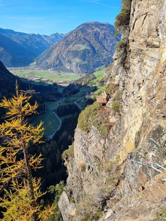
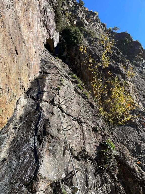
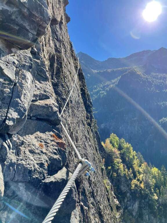
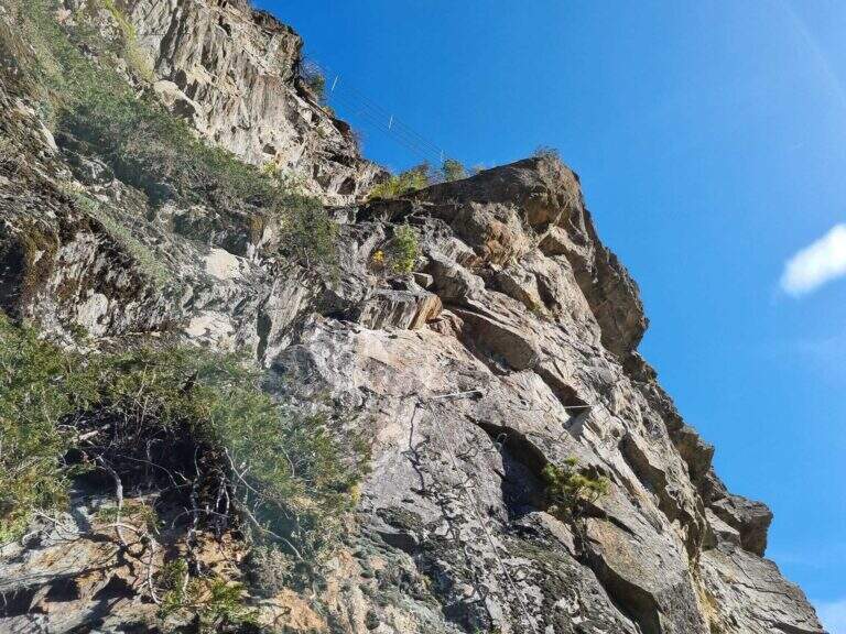
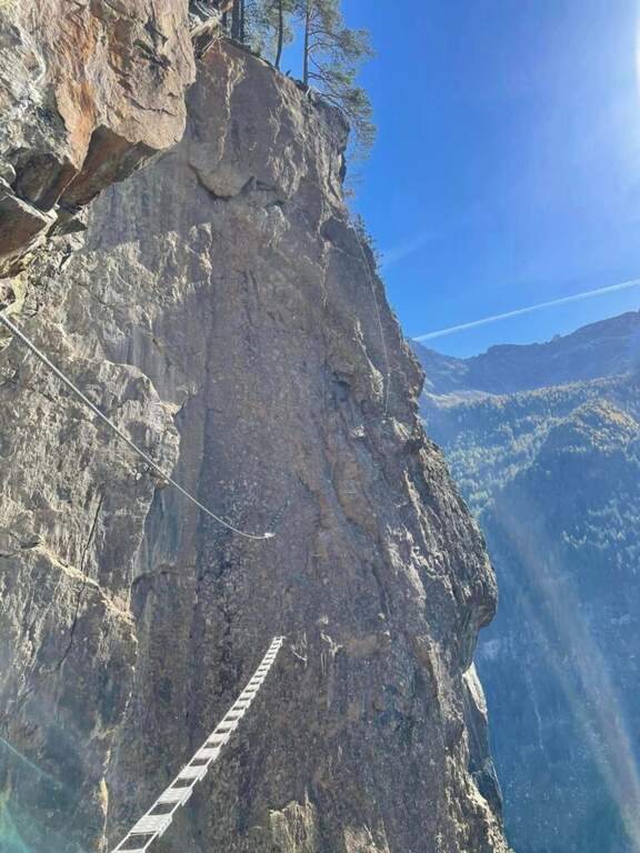
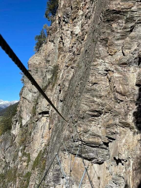
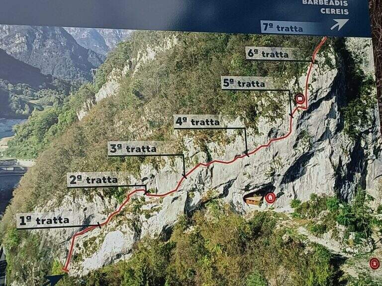
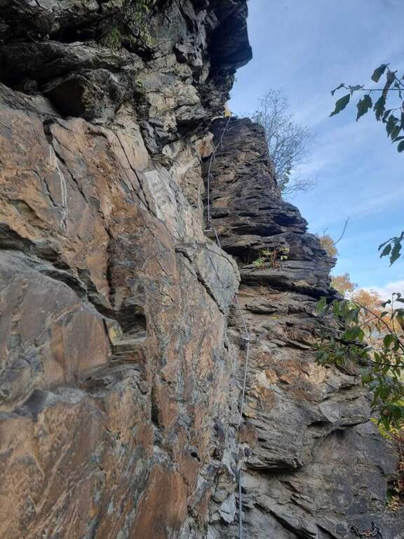
    The development è mainly on traverses and short vertical traits. It is attacked by a paretin backed under the paramassive network, climbing on rock very jagged; climb some small rocks proceed rightwards meeting the first beams and a in grip. You can reach and double a edge, with a view below sé on the ' area of the ' approach. The central part è the più challenging: a long series of horizontal and diagonal transverses from left to right, some on cambre for the feet, others in adherence, with stretches in slightly overhanging that require decision and rapidtà in the changes of muskete; without becoming extreme, the way asks for a certain physical and good habit all' exposure. You can reach a nicchia with the book cassette signatures; from here a short passage crosses a edge and the cable continues vertical for a few meters without cambre, where you should climb. After a few più meters; easy ends the central section. The final part, on small rocks and short balconies, & difficult & agrave; lower: following the uphill cable, after about ten minutes you reach the end of the street (about 45' from' attack, 1h from' car).

    ▲Character and difficulty

    Technical and athletic route, with constant exposure in the central section and very beautiful limestone rock. Recent and abundant equipment. The difficulty remains concentrated in the central part of the overhanging transverses.

    ⚠ The slightly overhanging beams require trained arms and rapidity in musketeton changes: it is not a way for those who are at first experience. Although it is of low altitude, helmet and ferrata sets are indispensable.

    ▲Period and safety

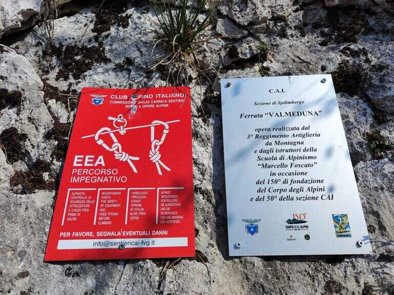
    Inaugurated on November 26, 2022 (50° anniversary of the CAI section of Spilimbergo, with the Alpini group of the 3rd Mountain artillery). Given the low altitude it lends itself to the whole year, including the beautiful winter days.

    ▲Discipline

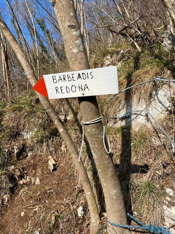
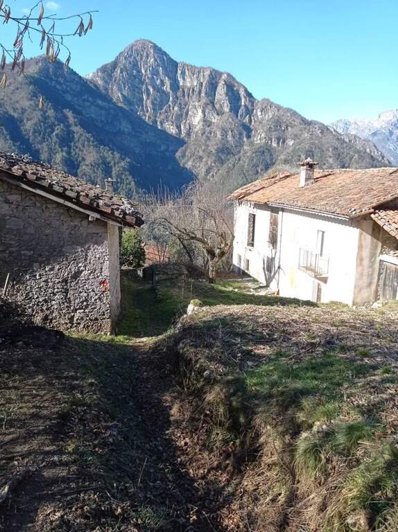
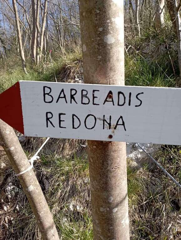
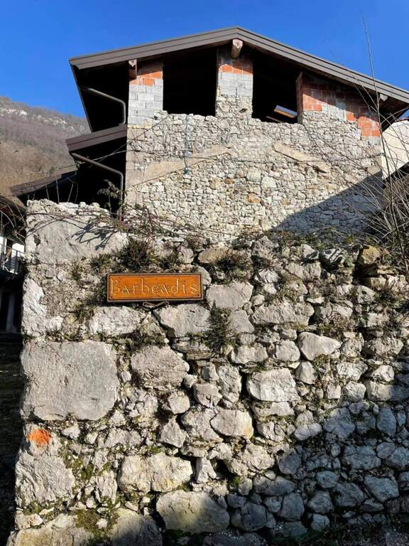
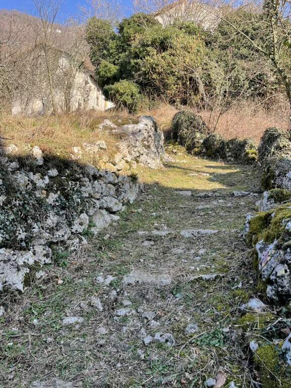
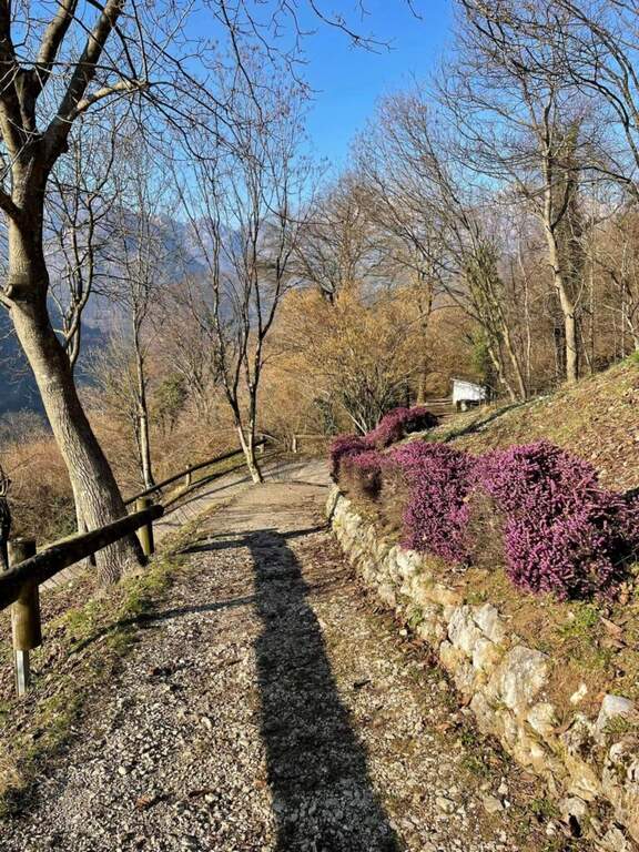
    You should not immediately remove l'imbrago: a few minutes after the term you will meet a equipped roofing channel. Following the signs you descend towards the localtà Barbeadis, a small village only reachable on foot, returning to ring along a mule track in the woods with panoramic views of the valley (about 1h 15' overall).

    ▲To match

    In the province of Pordenone there is also the Ferrata del Tramuntin e l'Alta Via dei Rondoi. Climbing to Forni di Sopra there are Ferrata Adventure Climb at Clap Varmost e la Ferrata Cassiopea al Torrione Comici.
    ▲Gallery
    Technical data
    • DifficultyHard
    • RegionFriuli-Venezia Giulia
    • ProvincePordenone
    • GroupCarnic prealps
    • Approach10 min
    • Ferrata45 min
    • Complete itinerary (a/r)1h 20'
    • Hardware level differenceca 125 m
    • Route differenceca 220 m
    • Maximumca 550 m
    • Lengthca 4 km
    • Year2022
  • Ferrata at Piz de Peres

    Ferrata at Piz de Peres

    Vie Ferrate › Trentino-Alto Adige › Bolzano
    Ferrata at Piz de Peres
    Moderately Hard● OpenDescriptionComplexityMapsGallery

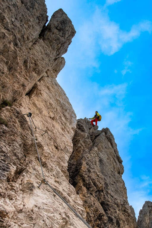
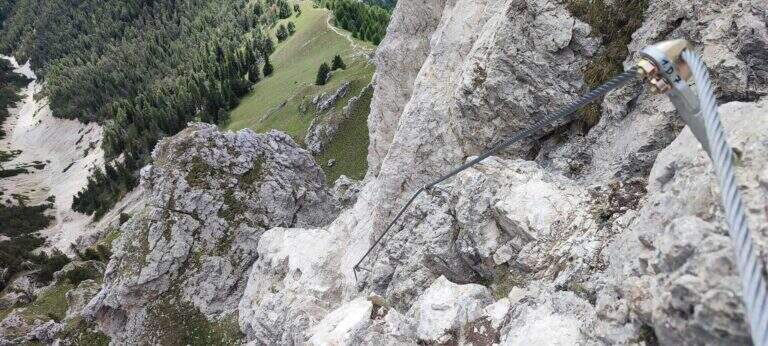
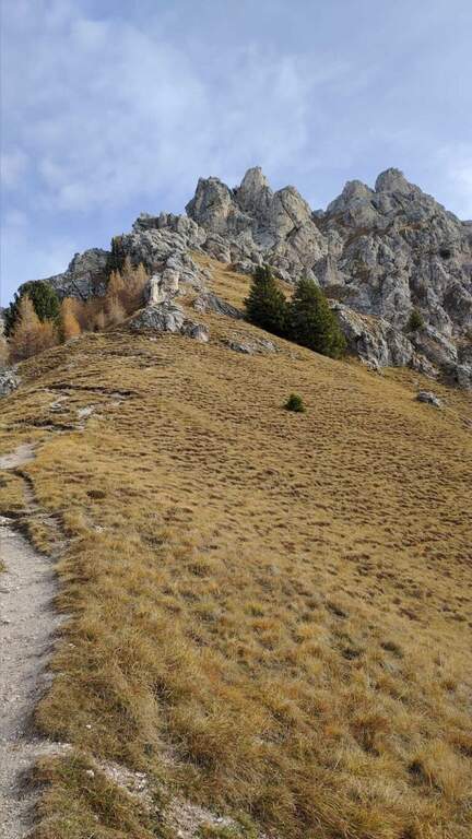
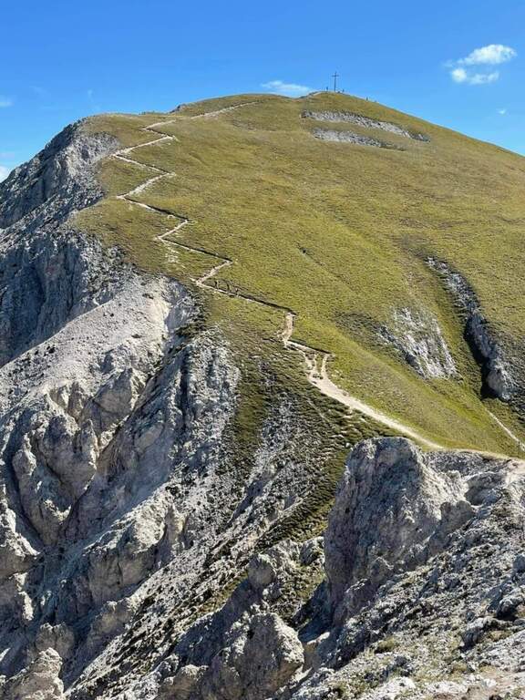
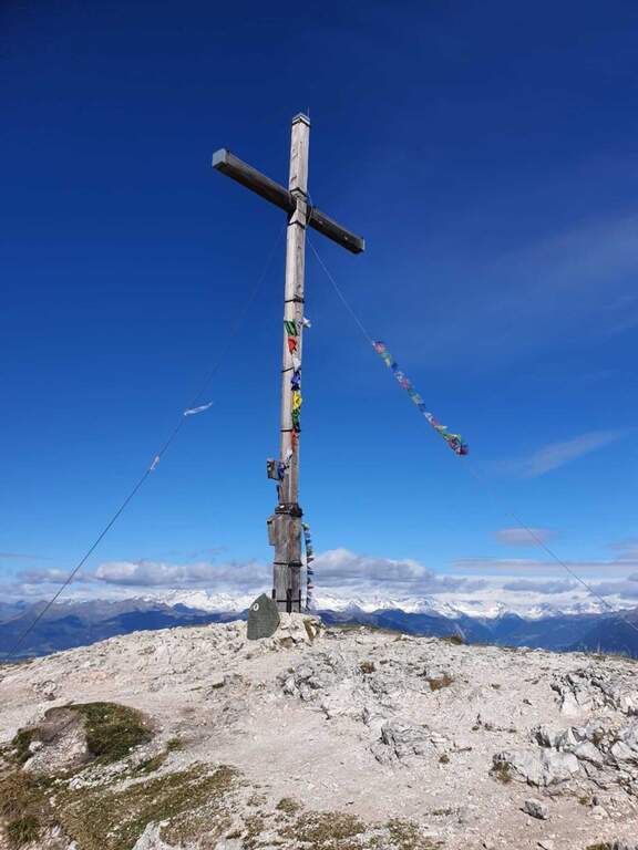
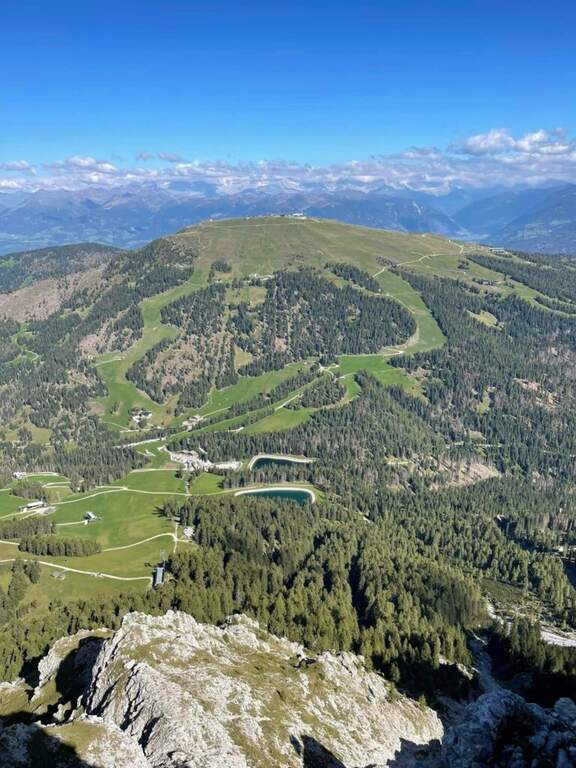
    Inaugurated in 2022 between San Vigilio di Marebbe (Val Badia) and Valdaora (Val Pusteria), a stone's throw from Plan de Corones, the Ferrata al Piz de Peres leads to the panoramic peak of the same name (2507 m). It is a dolomitic mold, of average difficulty with a couple of more challenging points, alternating diedri, walls, canals and stretches of crest exposed with view on the large groups of the Dolomites.

    ▲Approach

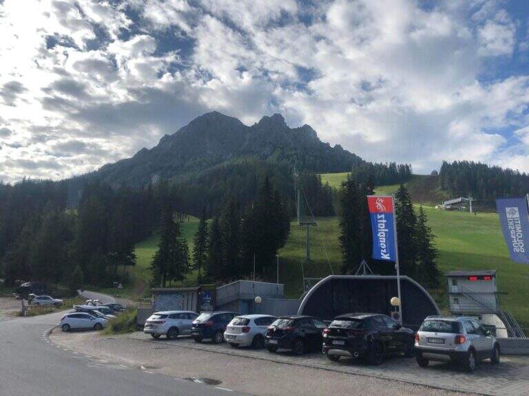
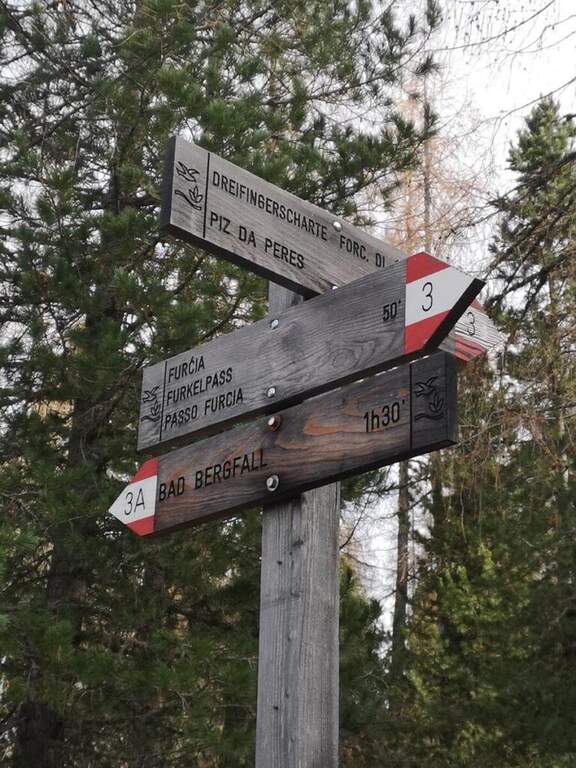
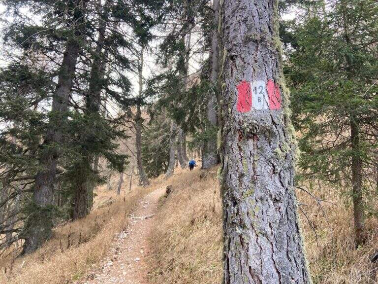
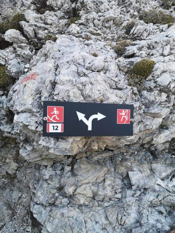
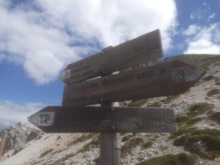
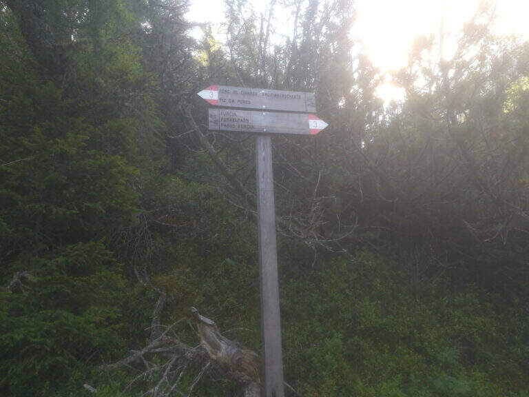
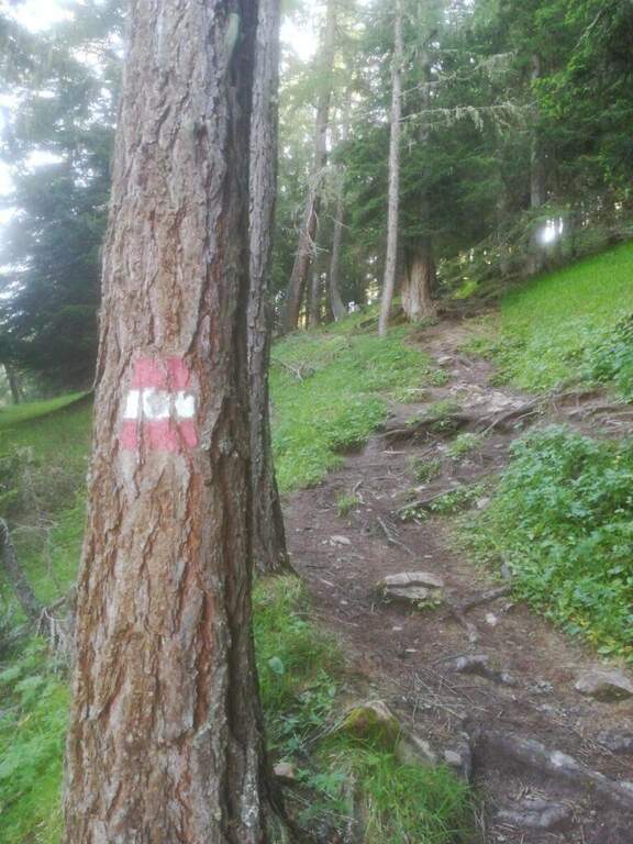
    From the Furcia Pass, on the winding road that connects San Vigilio di Marebbe to Valdaora. Starting point on Google Maps. On the south side you follow path 3 to a crossroads, where you climb steeply on path 12B; pass the refuge and the lifts intersect the path 12, which rises from San Vigilio on the slope of Val Badia. It follows uphill to a clear sign, where you hold the right and in short you reach the attack (about 1h 20' from the parking lot).

    ▲The path

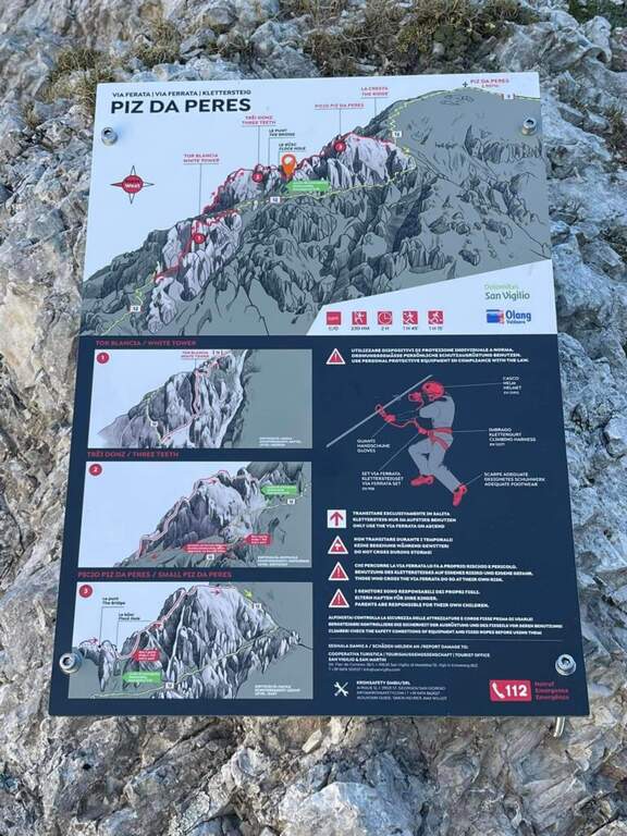
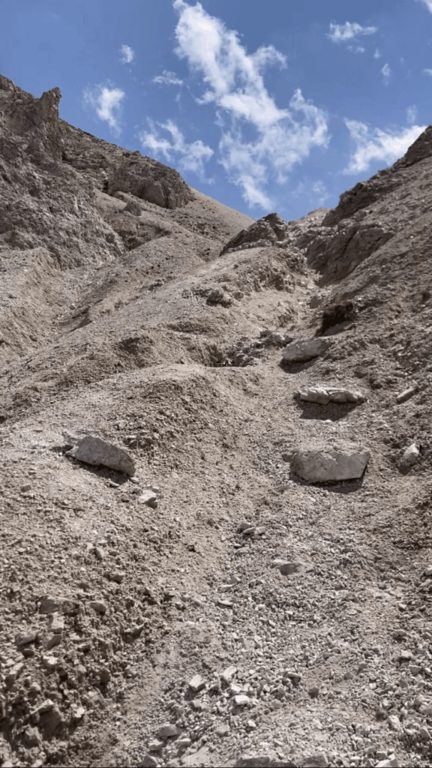
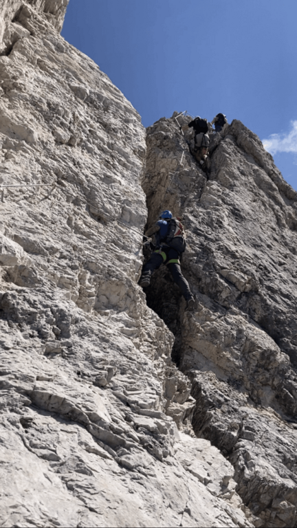
    An all' sign; attack shows the three sections, separated by two escape routes. The prima starts with small rocks equipped to the right; you pass a cave and a wall, then a right nod and, on beautiful exposure, you climb a pillar of medium difficult and pleasant and climbing. The road continues vertically between short terraces up to a transfer nod to the right, where the equipment ends; some rocky leaps lead all' crossroads with path 12, where you can può close (on the left the 12 reports all' attack, on the right you climb to the summit). The seconda section — i «tre denti», the più challenging — starts with a vertical wall hand-marked but hard; with beams to the right you reach a short suspension bridge, then a vertical and exposed but well climbing wall leads to the ridge wire, with never difficult aerial passages, up to a saddle. The second tooth is vertical and challenging; a path along the third tooth avoiding the più passages; hard, while those who complete the third tooth climbs vertically up to a slightly overhanging wall (hard-grade passage), then again on the ridge between ups and downs to the saddle where the second section ends (right a way to escape to path 12). The terza, the più easy, & easy; a long series of jumps and short walls along the crest that leads to the end of the equipment, now in sight of the summit (about 2h from' attack, 3h 15' from the parking lot). From here a path in 15' it reaches the cross of the Piz de Peres (2507 m), about 800 m above the Furcia Pass (3h 30' total).

    ▲Character and difficulty

    Altogether average difficulty, with the key points (the wall of the first tooth and the overhanging of the third) of difficult and exposed degree. Equipment in good condition.

    ⚠ The two escape routes allow to reduce the effort by skipping the hardest teeth. As a crest exposed at altitude, it is advisable to start with stable weather and snow free canals.
    ▲Period and safety

    Summer itinerary of medium-high altitude: indicated from late spring to autumn, with dry rock and bottom of the canals.

    ▲Discipline

    Two options. You can go back to path 12, which runs parallel to the ferrata, up to the attack and then to the parking lot. Or — recommended the ring — from the opposite side to the uphill one goes down to the Forcella delle Tre Dita (2330 m, about 30'), then left along the valley up to the wide path 3 that leads back to the forest to the Furcia Pass (about 2h from the summit, 5h 30' total).

    ▲To match

    The road rises between two valleys rich in ferrate. Not far, on the side of Valdaora, the Ferrata di ValdaoraThe whole of Val Badia and Val Pusteria also offer numerous other routes equipped to concatenate in the following days.

    ▲Gallery
    Technical data
    • DifficultyModerately Hard
    • RegionTrentino-Alto Adige
    • GroupDolomiti – Plan de Corones
    • Approach1:20 h
    • Ferrata2:00 h
    • Itinerary (a/r)5:30 h
    • Hardware level difference250 m
    • Route difference720 m
    • Max2507 m
    • Length5,5 Km
  • Ferrata Mahr

    Ferrata Mahr

    Vie Ferrate › Trentino-Alto Adige › Bolzano
    Ferrata Mahr

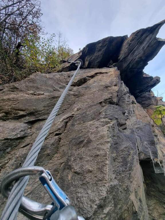
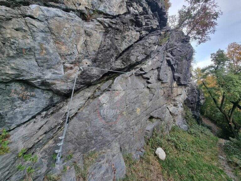
    Inaugurata nel 2022, la Ferrata Mahr è una breve via di falesia a sud di Bressanone che offre due percorsi — uno difficile e uno moderatamente difficile — sulle pareti della falesia di Mahr. È ideale come allenamento.

    ▲Approach

    Si parte da un parcheggio in località Mahr (la Marra), a sud di Bressanone, lungo la strada parallela all'A22 del Brennero. Starting point on Google Maps.

    Dal parcheggio si cammina 5' verso sud: sulla destra appare la parete della falesia; superata una via a destra, una palina con segni bianco-rossi del CAI conduce in breve ai piedi della parete.

    ▲The path

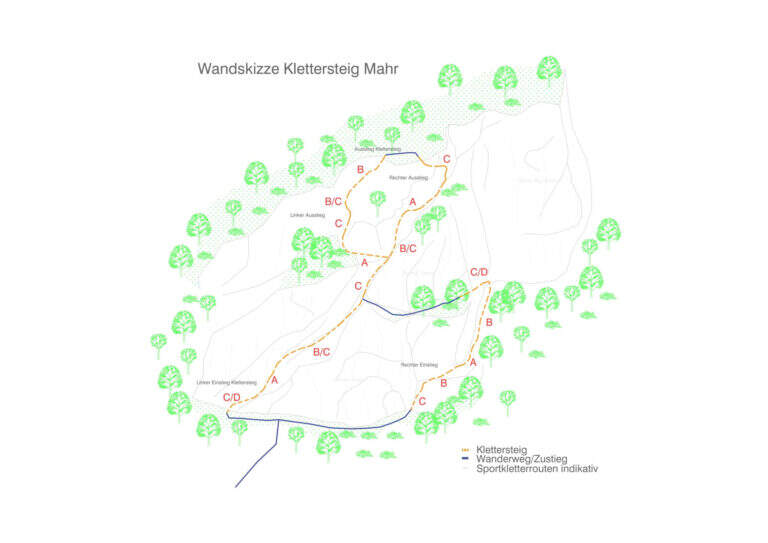
    La via ha uno sviluppo ad 8. La parte bassa a sinistra è la più impegnativa, specie il traverso iniziale, che corre verso destra con un paio di passaggi atletici; la parte bassa a destra è più facile, con qualche passaggio moderatamente difficile. Le due sezioni basse si uniscono a metà itinerario sotto un diedro verticale. In alto, il lato destro è più impegnativo, con tratti verticali e un breve passaggio strapiombante, mentre il lato sinistro resta di livello moderatamente difficile.

    ▲Character and difficulty

    Ferrata corta ma con passaggi tecnici, adatta ad allenarsi su roccia con difficoltà graduabili scegliendo il lato più o meno duro.

    ⚠ La discesa avviene lungo una delle due vie: se si ha forza per le varianti difficili in salita, conviene scendere lungo gli itinerari moderatamente difficili.
    ▲Period and safety

    Falesia di bassa quota (circa 635 m), percorribile in gran parte dell'anno con roccia asciutta. Per la cartografia si consiglia la carta di Val Gardena, Val di Funes e Alpe di Siusi.

    ▲Discipline

    Si scende lungo una delle due ferrate, preferendo le varianti moderatamente difficili.

    ▲Gallery
    Technical data
    • DifficultyDifficile / Mod. Difficile
    • RegionTrentino-Alto Adige
    • GroupBressanone
    • Approach0:05 h
    • Ferrata0:30 h
    • Itinerary (a/r)0:45 h
    • Hardware level difference90 m
    • Max635 m
    • Length1 Km
    • Year2022
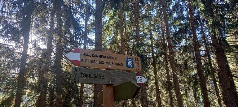
  • Ferrata Hans Kammerlander

    Ferrata Hans Kammerlander

    Vie Ferrate › Trentino-Alto Adige › Bolzano
    Ferrata Hans Kammerlander
    Very difficult● OpenDescriptionComplexityMapsGallery

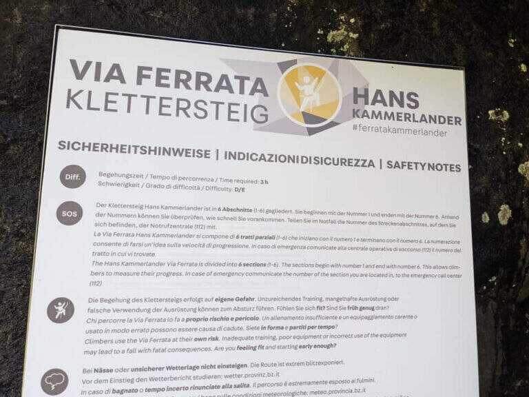
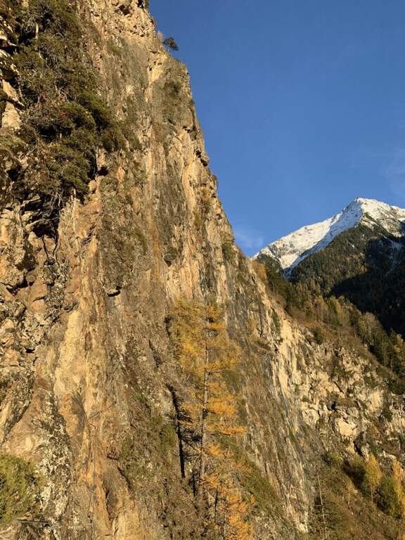
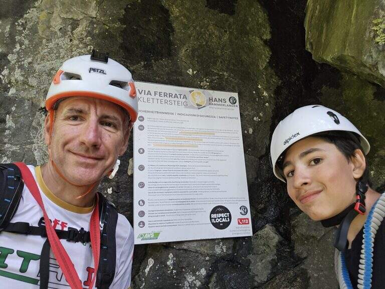
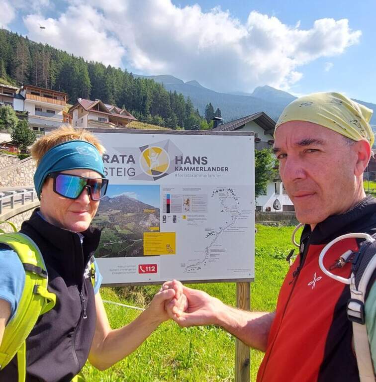
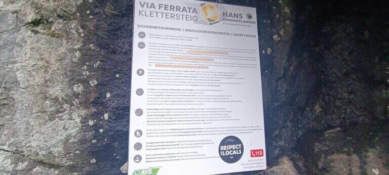
    Tracciata sopra Acereto, in Valle Aurina, la recente Ferrata Hans Kammerlander è un itinerario moderno e impegnativo: non raggiunge una cima, ma cerca le difficoltà della parete con notevole esposizione e una grande varietà di passaggi. Avvicinamento e rientro brevi ne fanno un'ottima meta per una mezza giornata.

    ▲Approach

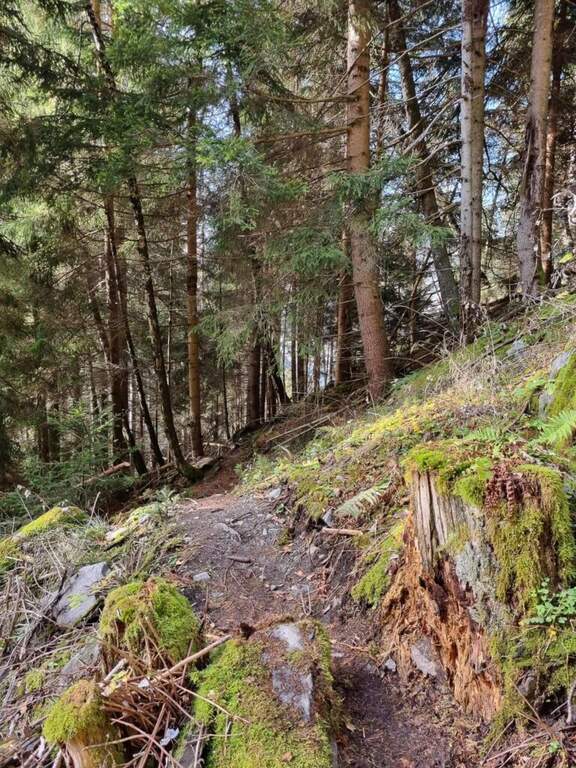
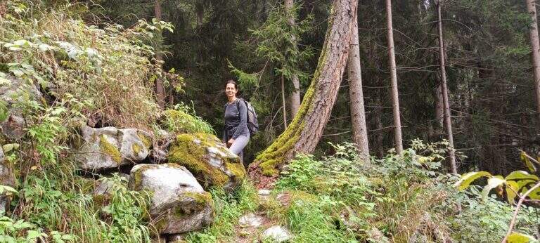
    Si parte da Acereto, tra Campo Tures e Riva di Tures, in provincia di Bolzano. Giunti a Campo Tures si seguono le indicazioni per la SP48 verso Riva di Tures; dopo qualche minuto, sulla sinistra, le indicazioni per Acereto portano a un ampio spiazzo ghiaioso sulla destra, presso una fermata dell'autobus, dove conviene parcheggiare perché l'itinerario è ad anello (starting point on Google Maps). Dal parcheggio si sale sul bordo destro della strada e si imbocca la Hintergasse in leggera discesa, seguendola per circa 1 km fino a un tornante più marcato; pochi metri oltre, una traccia a sinistra scende nel bosco e, seguendo i cartelli, in pochi minuti porta all'attacco (circa 30' dal parcheggio).

    ▲The path

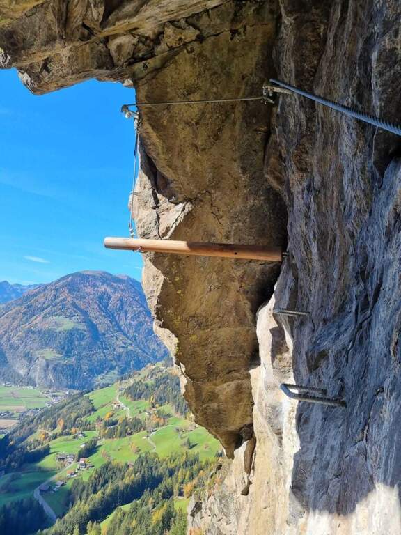
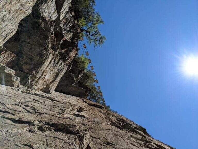
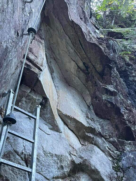
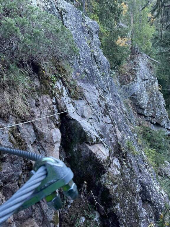
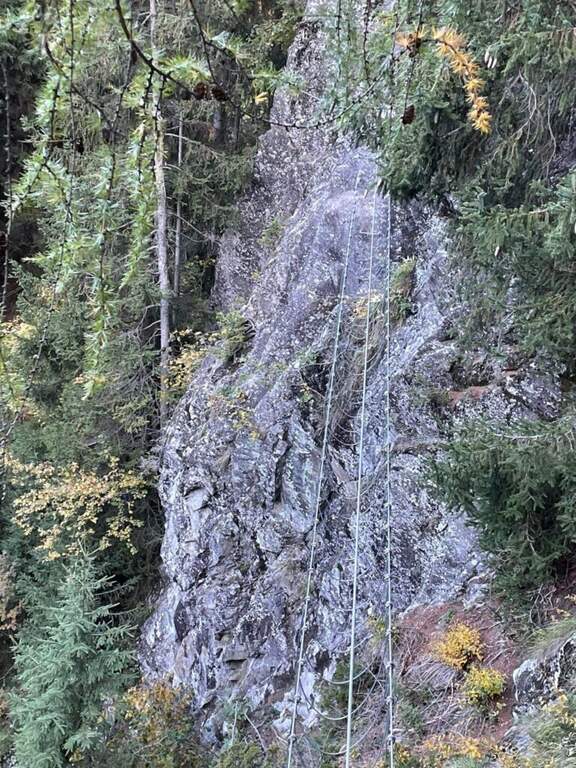
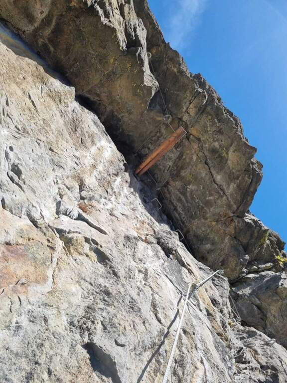
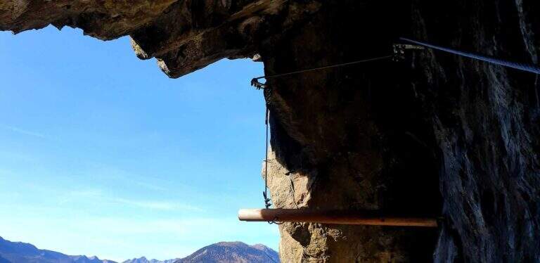
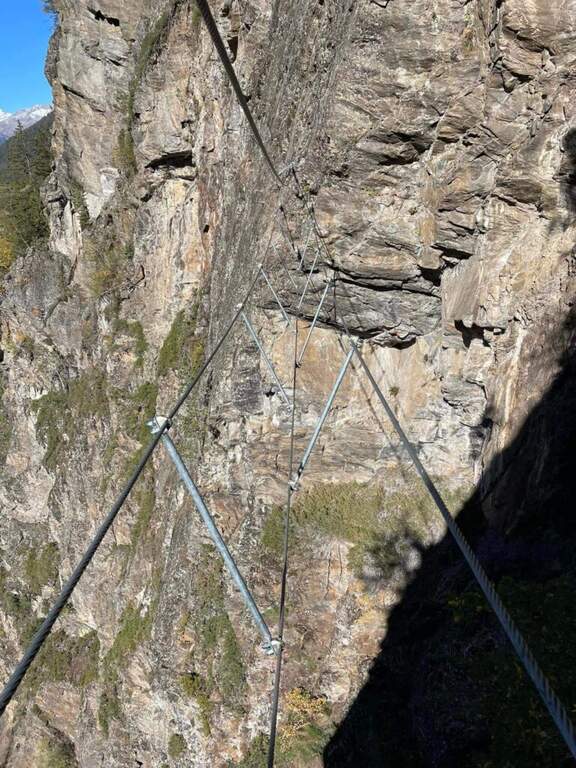
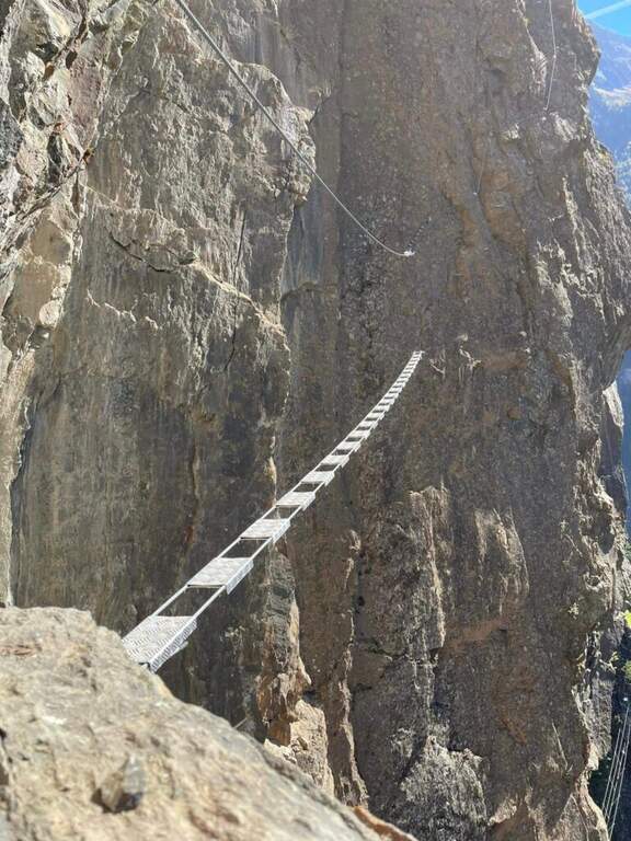
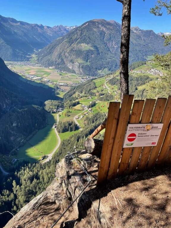
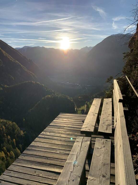
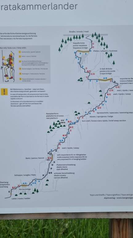
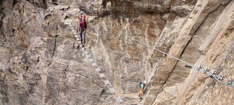
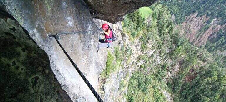
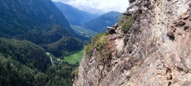
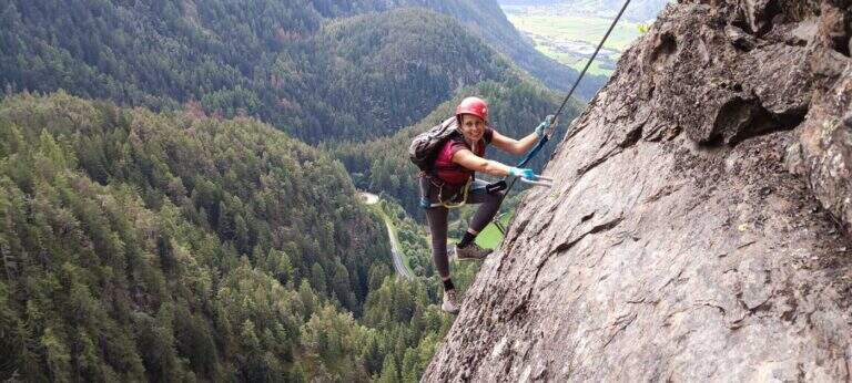
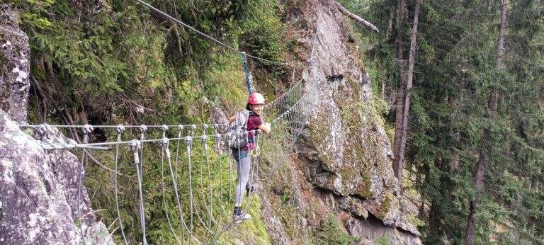
    Dalla nicchia di partenza si sale una breve scala metallica e si affronta una prima serie di traversi verso destra, già impegnativi per la scarsità di appoggi e per la roccia scivolosa e coperta di muschio; conducono al primo ponte sospeso, reso un po' ballerino dal fatto che gli appoggi per i piedi sono separati dalla struttura. Oltre il ponte, alcuni passaggi più semplici con comode staffe portano a una cengia erbosa dove conviene studiare il seguito, perché la difficoltà aumenta nettamente e si mantiene alta quasi fino alla fine. Si attacca un impegnativo traverso a destra su roccia via via strapiombante, con appoggi sfuggenti e umidi che riducono le possibilità di arrampicare e impongono l'uso del cavo; si sale poi un bel diedro a roccia levigata fino a un punto di riposo, con una panchina in legno a sinistra, sotto una lunga scala "marinara" meno stabile, da salire con equilibrio e decisione. Segue il passo chiave, breve ma intenso: un traverso a sinistra in forte esposizione per aggirare uno spigolo e salire una breve paretina levigata, con possibilità di arrampicare ridotte. Usciti dal passaggio si riposa su un tratto orizzontale e si riprende su una paretina verticale ricca di cambre metalliche per i piedi, poi un paio di paretine intervallate da facili traversi fino a due panchine in legno con il libro firme, a circa metà via, con vista su Campo Tures. La seconda parte attacca una paretina con staffe e un traverso orizzontale che supera un breve strapiombo; si prosegue a destra tra balzi e traversi fino a un passaggio difficile, sotto un pronunciato tetto da aggirare a sinistra usando un tronco d'albero sospeso come appoggio per i piedi attorno a uno spigolo marcato, con un traverso esposto e atletico ma breve. Raggiunto e superato il secondo ponte sospeso, si traversa a sinistra in grande esposizione, con buoni appoggi, fino a un diedro appoggiato dove le difficoltà calano. Nel tratto finale si sale verso sinistra al terzo e ultimo ponte, dagli ampi appoggi per i piedi ma con una sola fune come corrimano; oltre il ponte, gli ultimi dieci metri verso destra chiudono la via (circa 3h dall'attacco, 3h 30' totali).

    ▲Character and difficulty

    È una ferrata di stile moderno, con modeste possibilità di arrampicare sulla roccia, che concentra strapiombi, traversi, passaggi espostissimi, scale e ponti in un itinerario bello e vario.

    ⚠ Un paio di passaggi, brevi, sono estremi pur senza essere mai continui: è importante affrontare la via in buono stato di forma. Si consiglia di portare una longe per potersi fermare e riposare nei tratti più impegnativi.

    ▲Discipline

    Pochi metri oltre il termine si raggiunge una strada che si segue verso sinistra, in salita, per qualche minuto; il rientro si può abbreviare imboccando a sinistra alcune tracce che tagliano nel bosco verso il paese. In circa 30 minuti si è di nuovo in paese e quindi al parcheggio (circa 4h totali).

    ▲History

    La via è dedicata al fortissimo alpinista Hans Kammerlander, nato proprio ad Acereto: ha salito dodici dei quattordici Ottomila, sette dei quali con Reinhold Messner. La ferrata è stata inaugurata nel 2022.

    ▲To match

    A Campo Tures si trova la più breve ma altrettanto impegnativa Ferrata Pursteinwand. Salendo verso nord lungo la Valle Aurina si raggiunge il lungo itinerario che include la Ferrata al Sasso Nero e la più facile Ferrata di Speikboden; scendendo verso sud si arriva alle ferrate della Val Pusteria, tra cui la recente Ferrata del Piz de Peres.

    ▲Gallery
    Technical data
    • DifficultyVery difficult
    • RegionTrentino-Alto Adige
    • GroupValle Aurina
    • Approach0:30 h
    • Ferrata3:00 h
    • Itinerary (a/r)4:00 h
    • Hardware level difference300 m
    • Route difference340 m
    • Max1566 m
    • Length5,8 Km
Need help? Write to us!