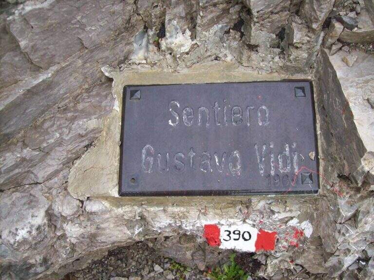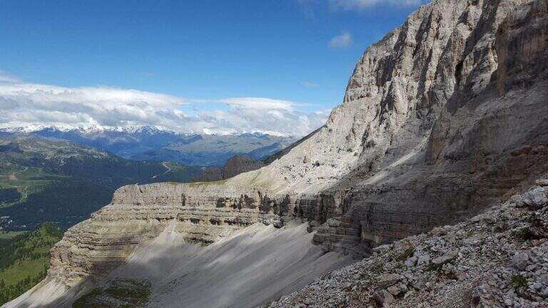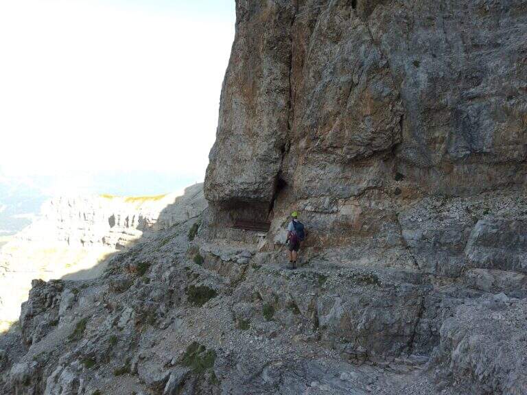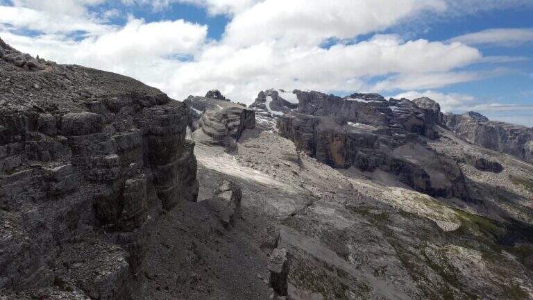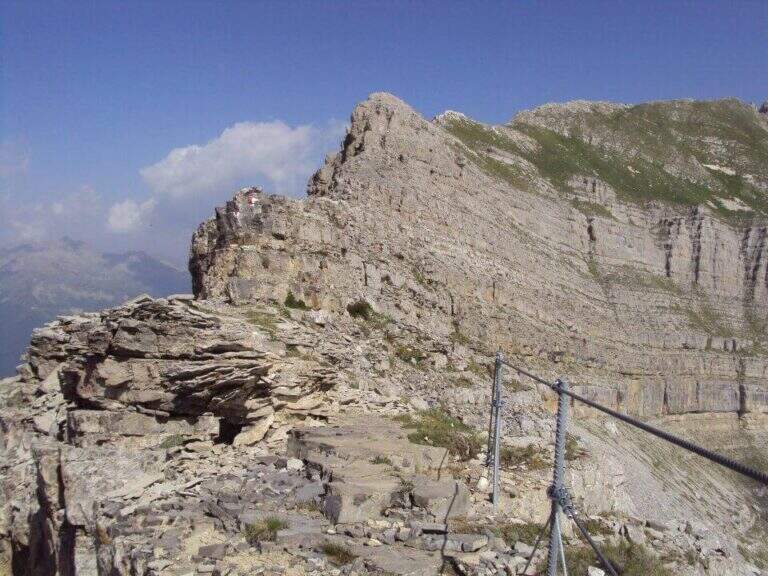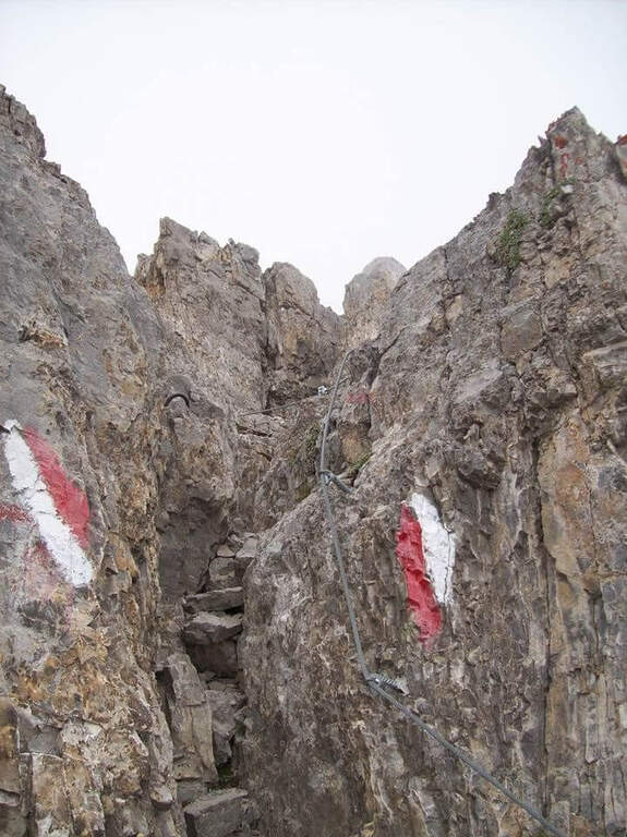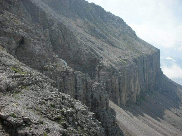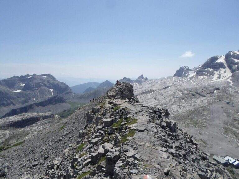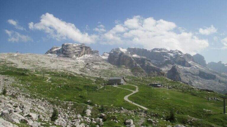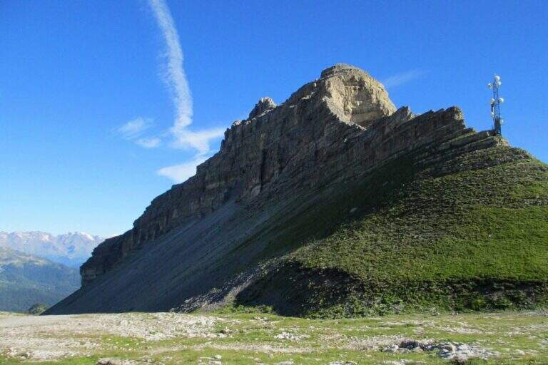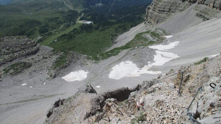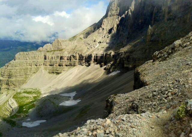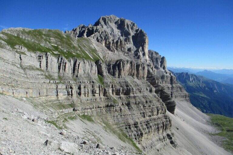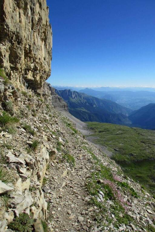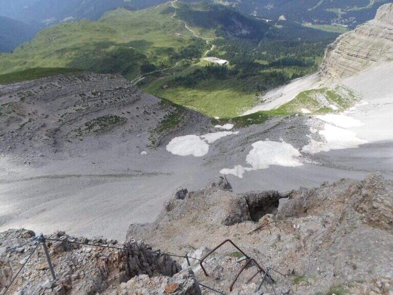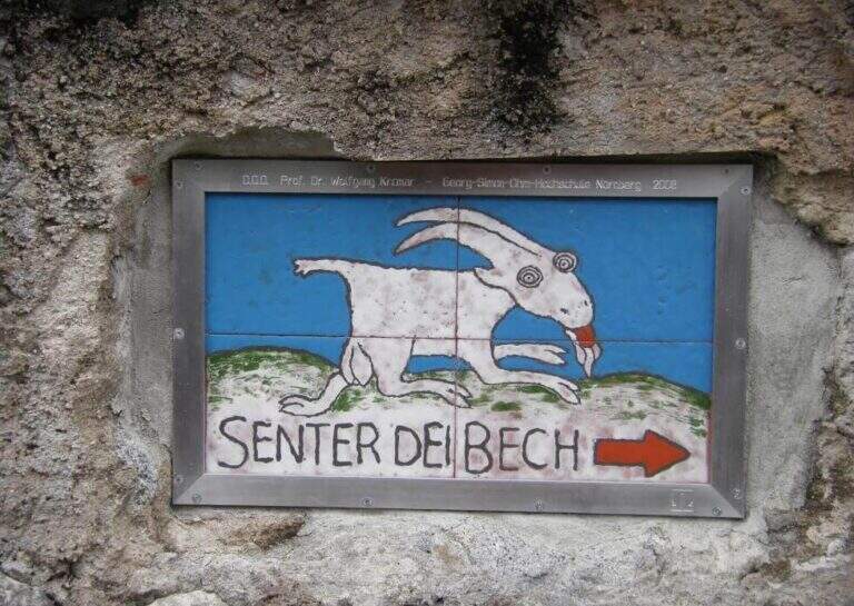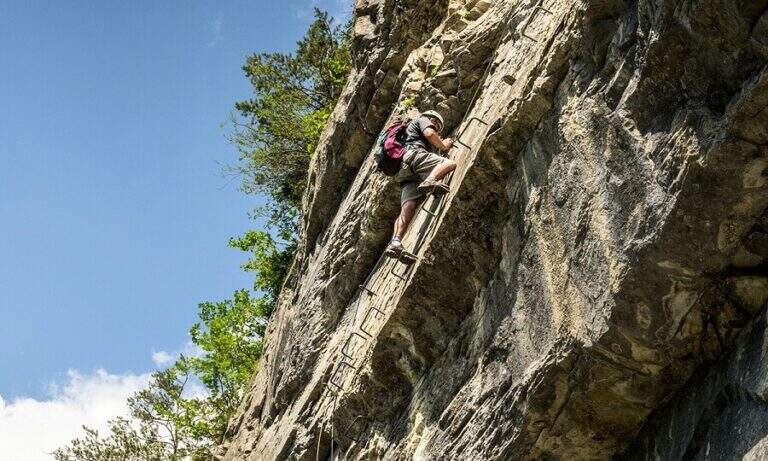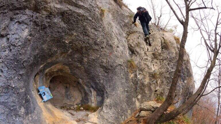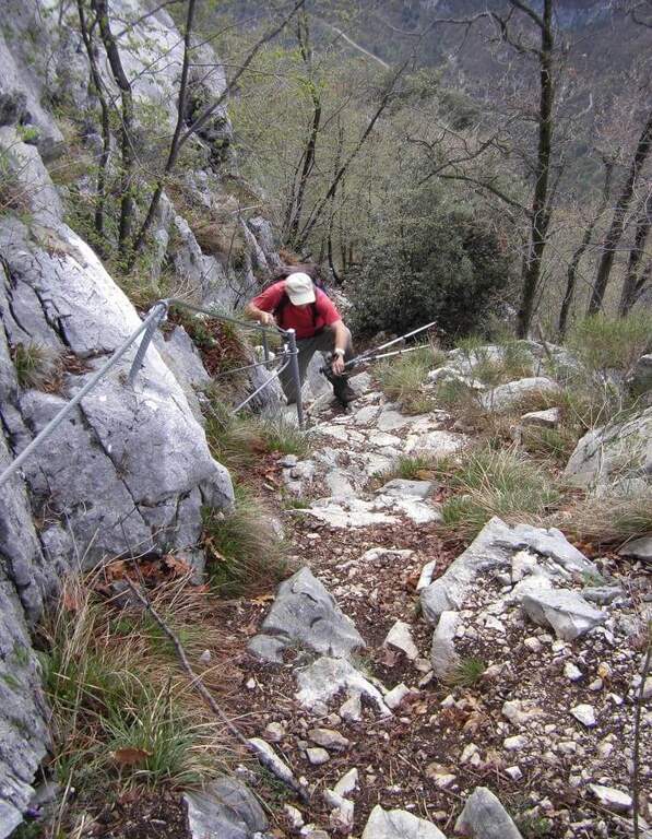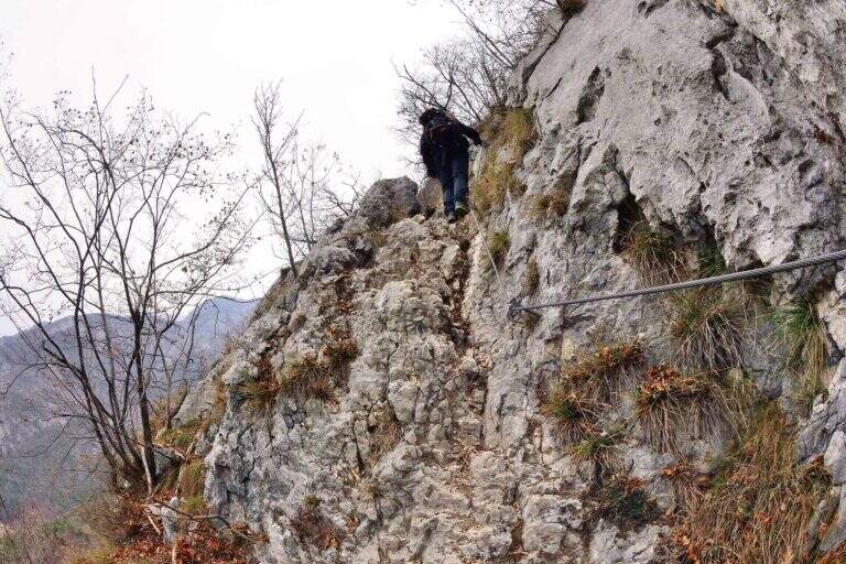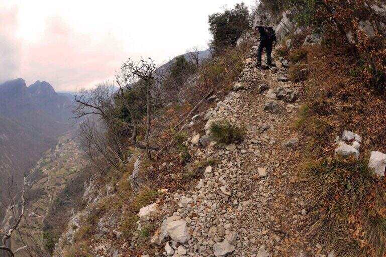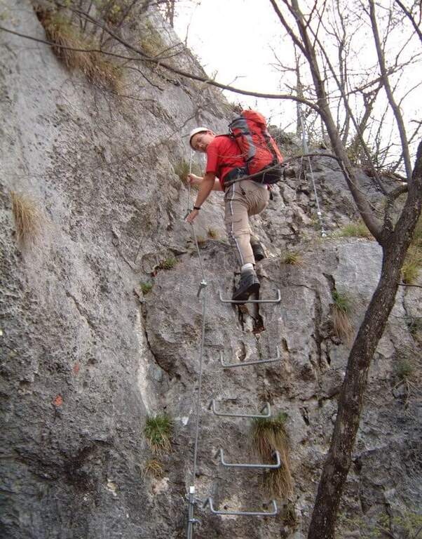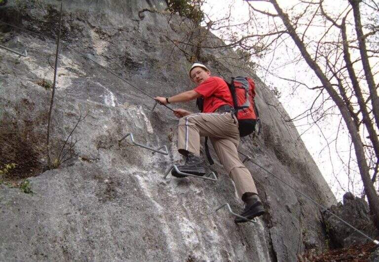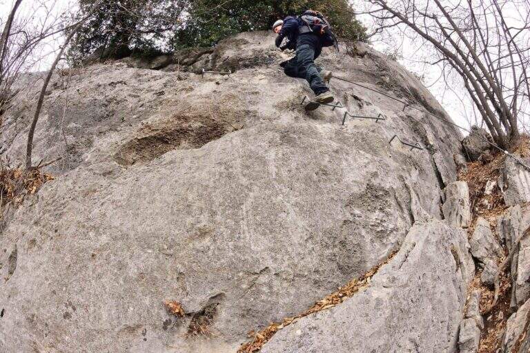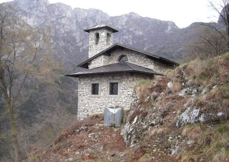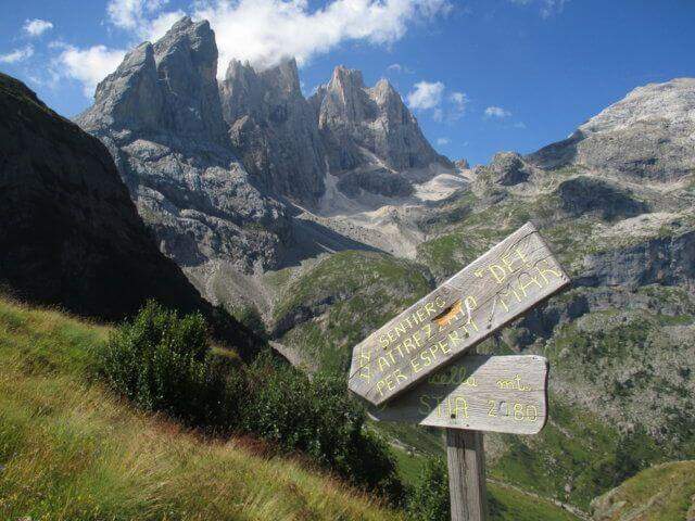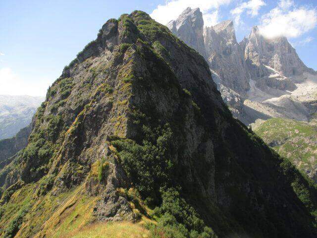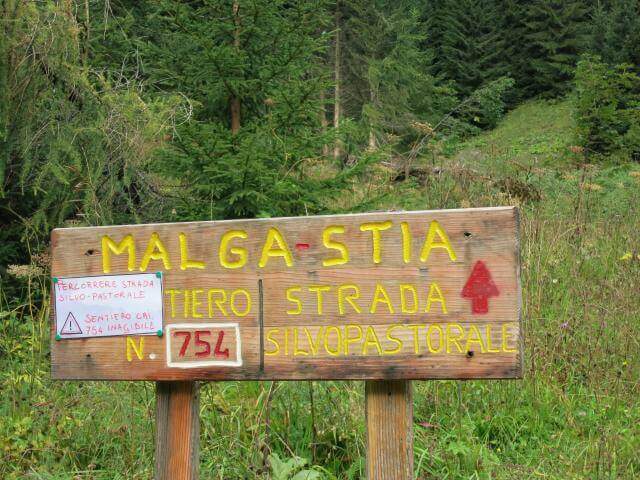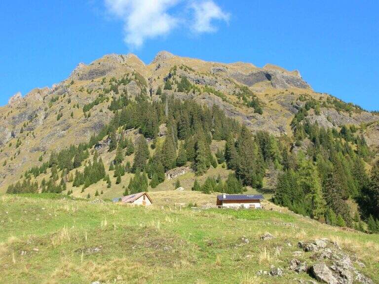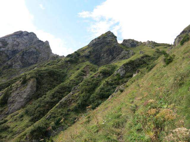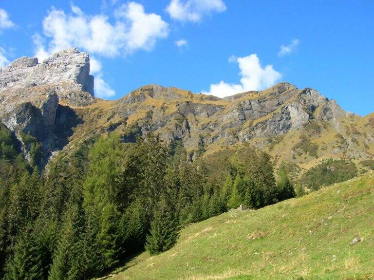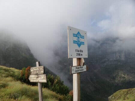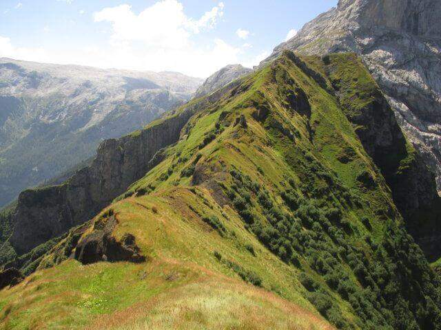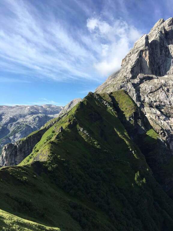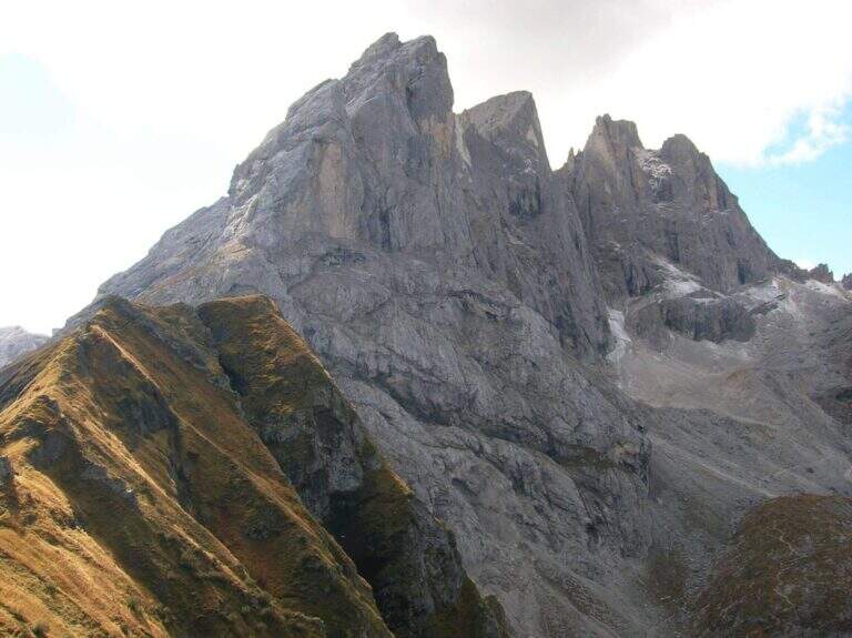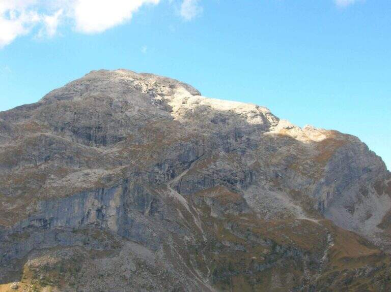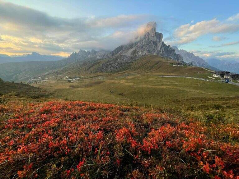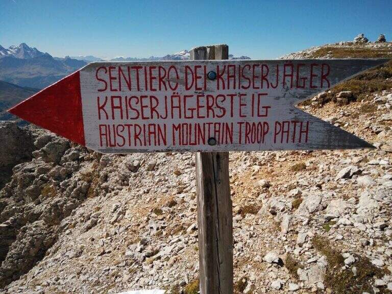
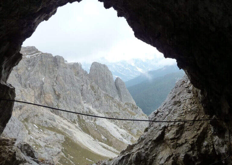
The Kaiserjager Trail climbs to the Piccolo Lagazuoi from the Valparola Pass, in an impregnated context of war history: the Austrian trenches and defensive structures of the Great War accompany each step. Itinerary easy, ideal to approach the world of ferrate routes with a panoramic experience of great impact.
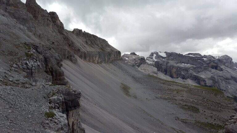
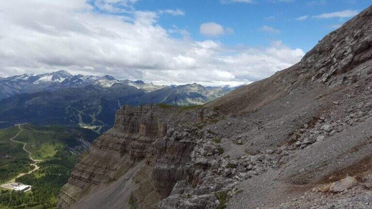
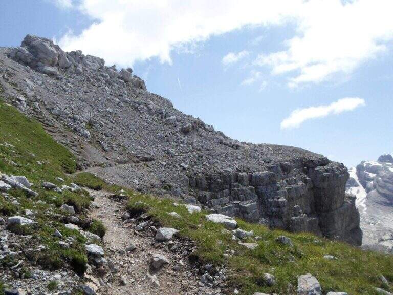
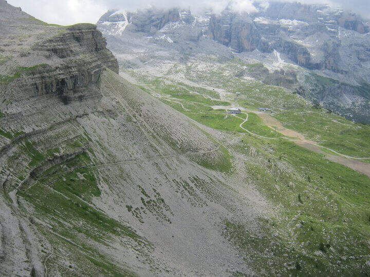
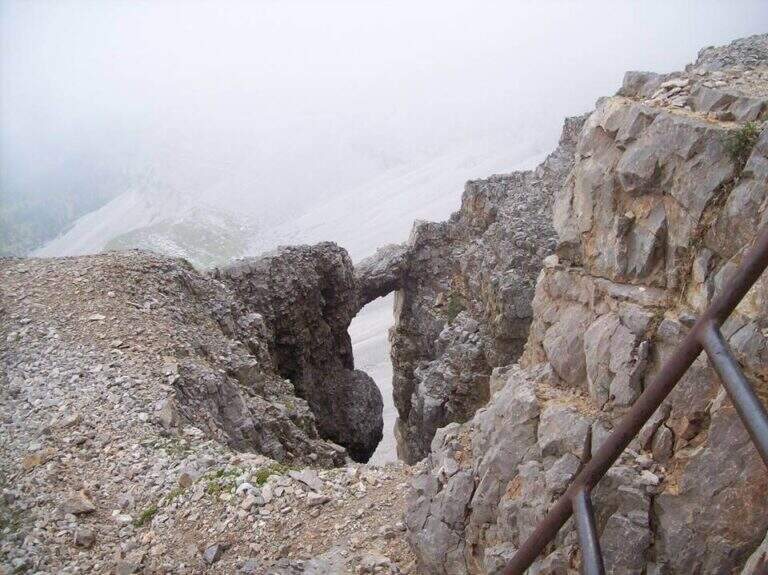
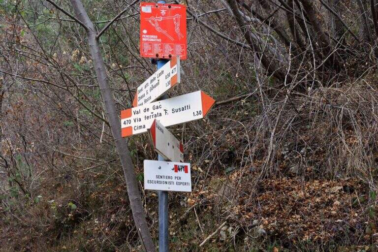
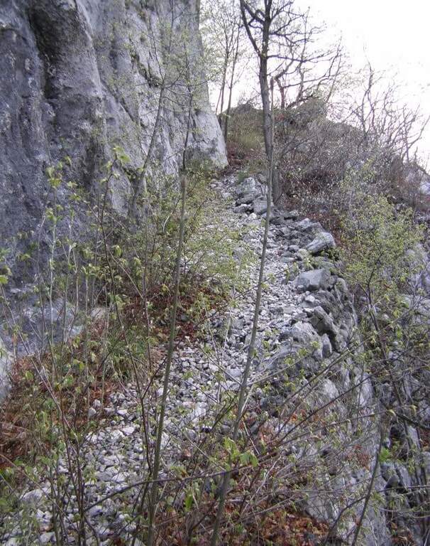
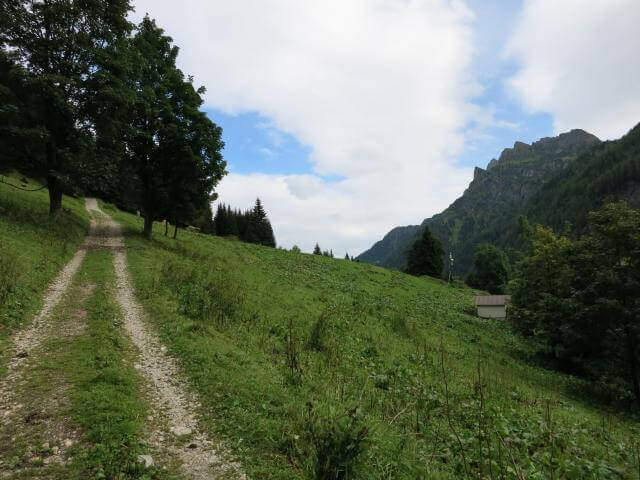
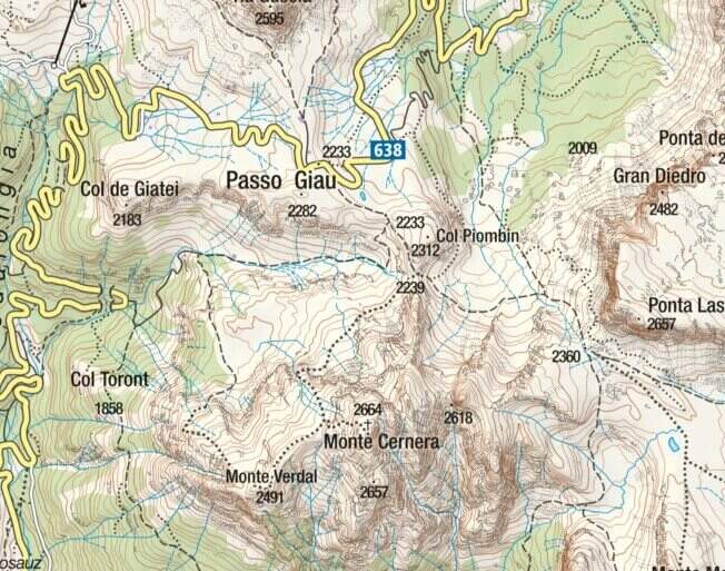
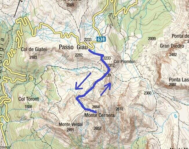
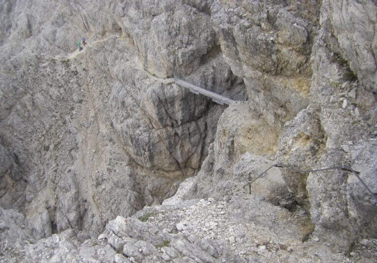
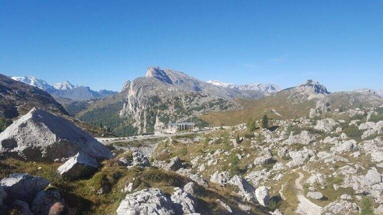
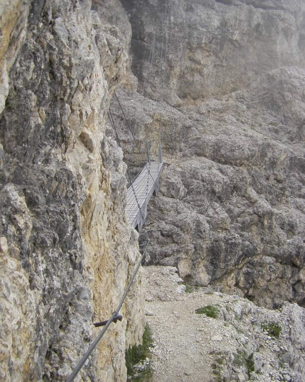
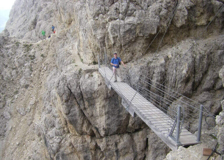
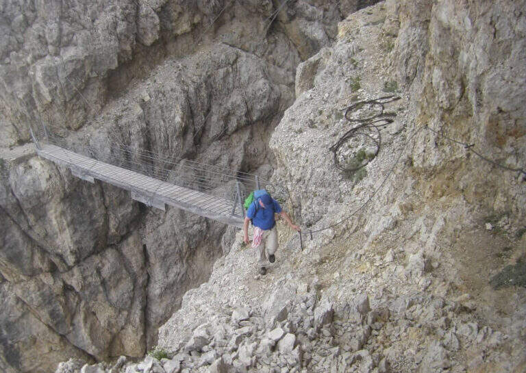
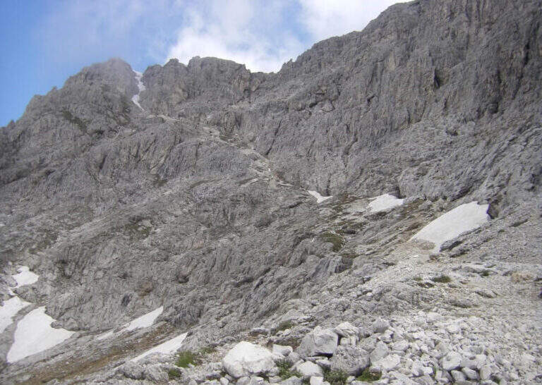
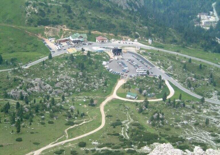
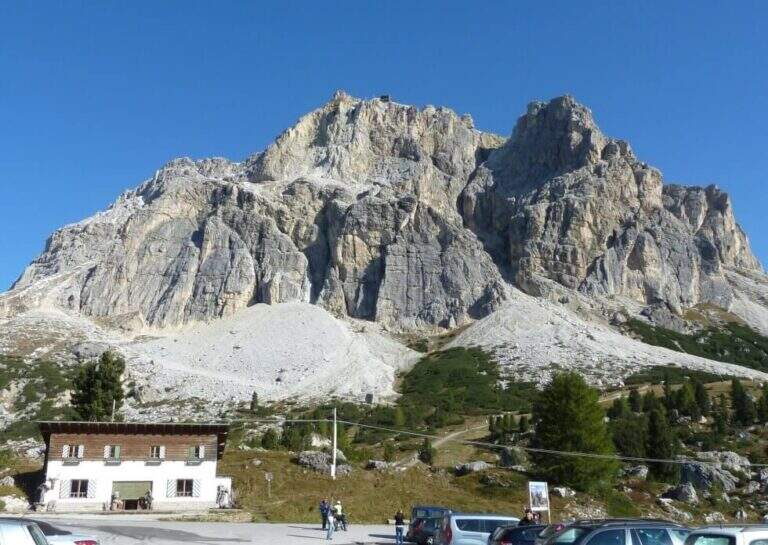
You can reach the Valparola Pass, 2 Km east of the Falzarego Pass on the road between Cortina and Val Badia. Large parking space near the restaurant bar (directions road map). From the parking lot you descend slightly on the path and walk along a track pointing towards the southern walls of Lagazuoi, identifying the gorge with the suspended bridge. In about 45 minutes you can reach the equipped nod that marks the start of the route.
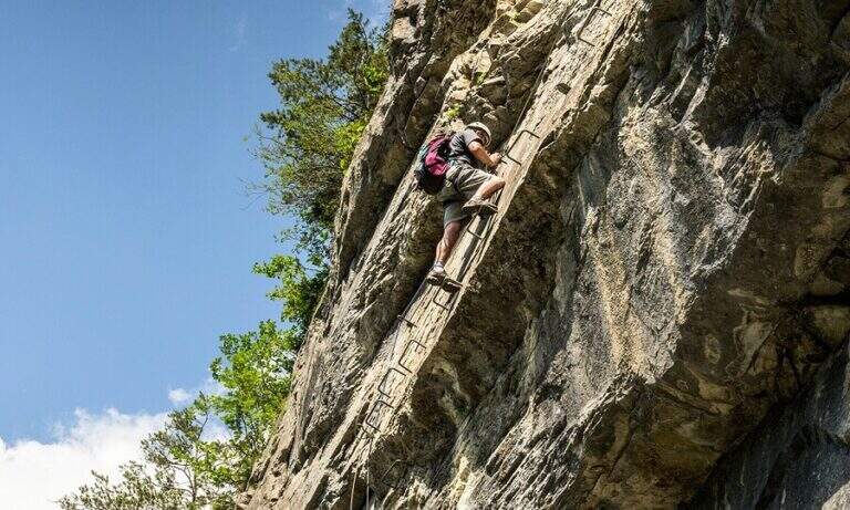
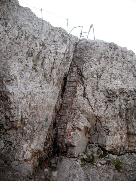
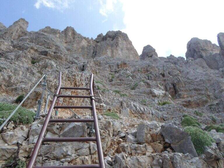
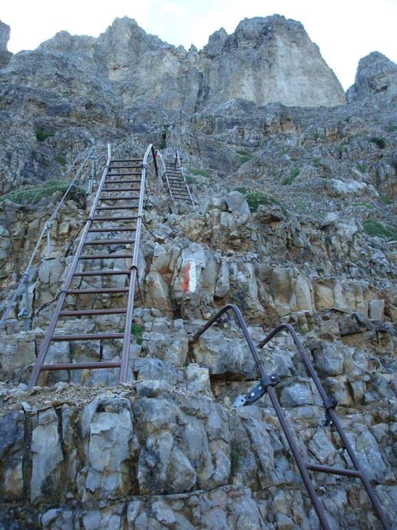
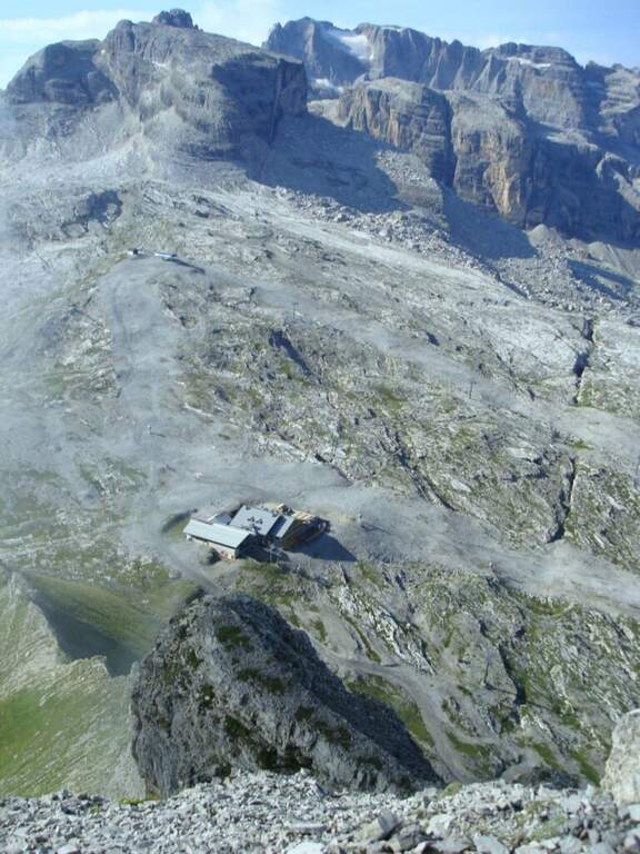
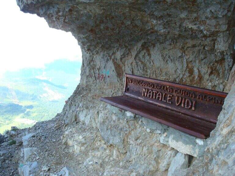
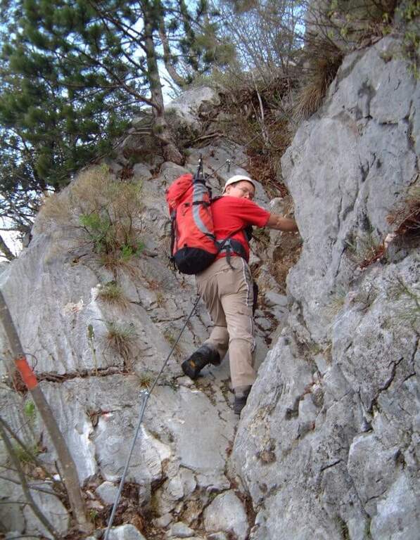
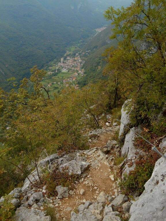
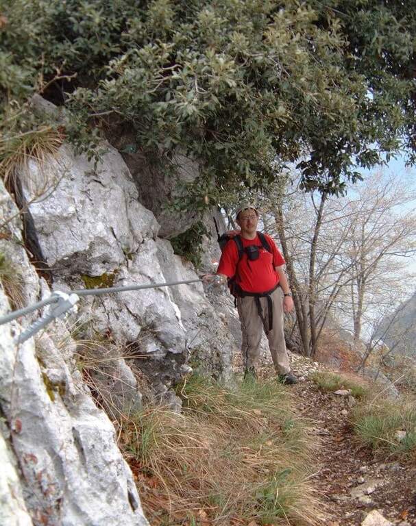
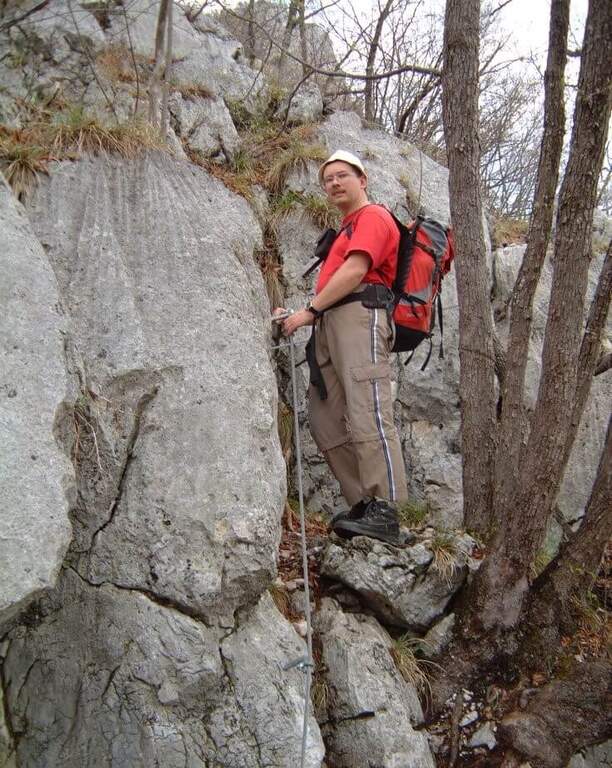
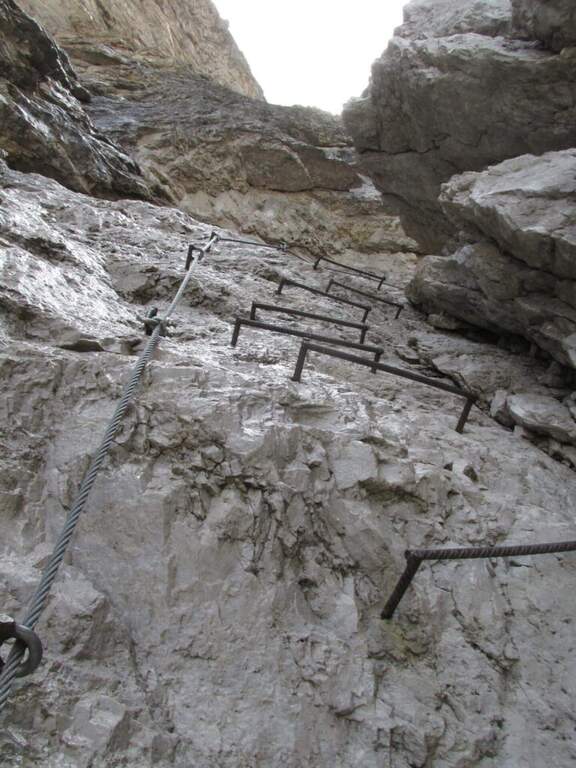
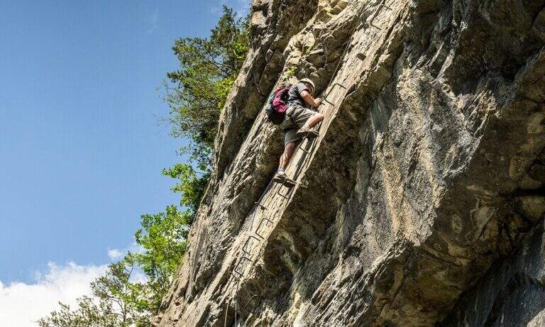
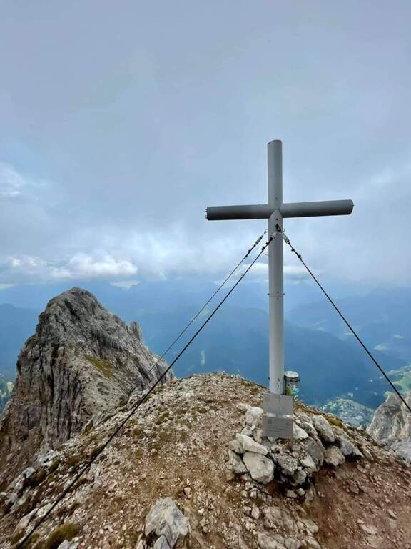
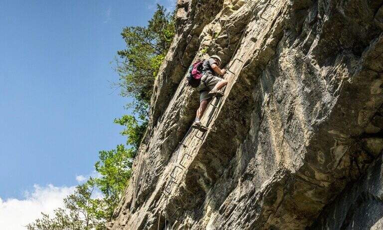
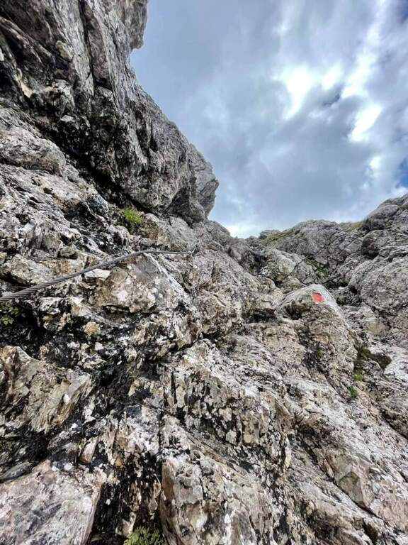
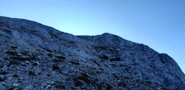
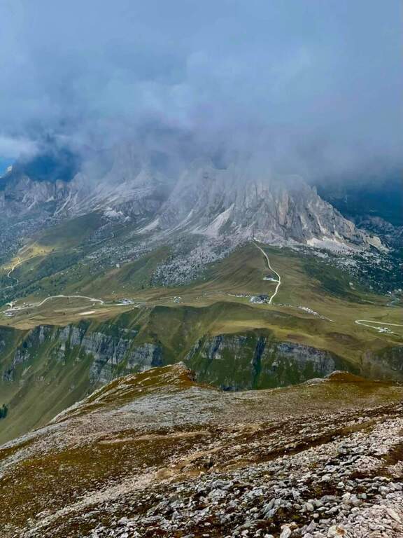
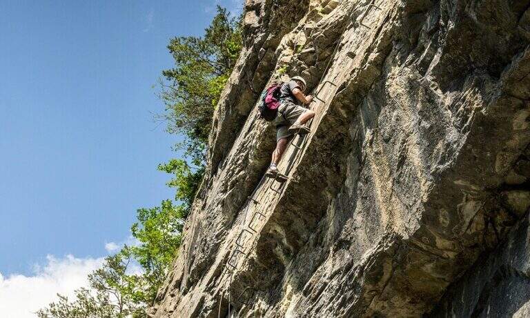
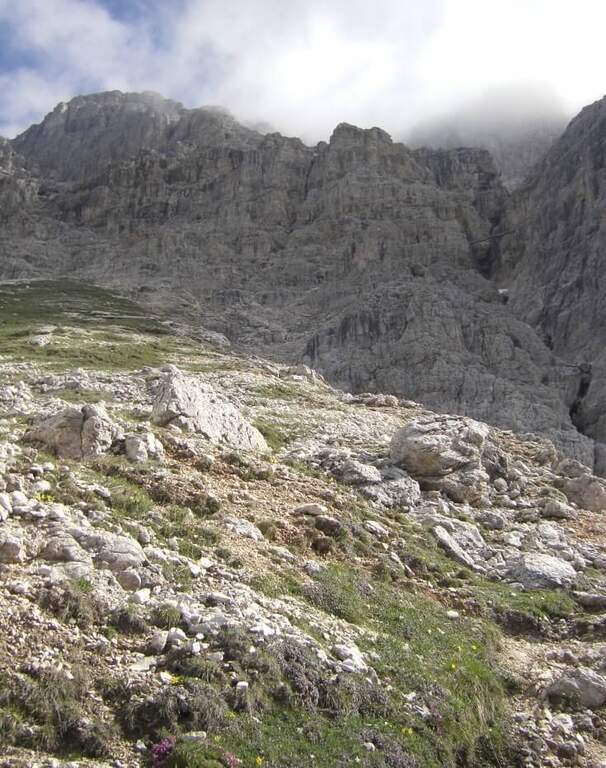
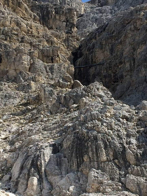
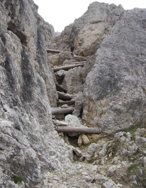
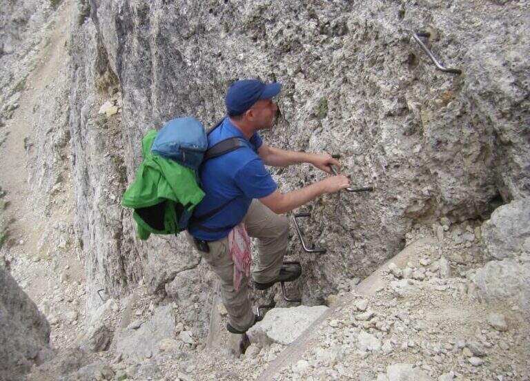
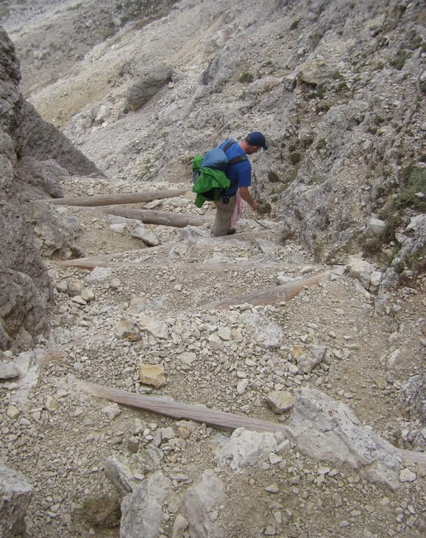
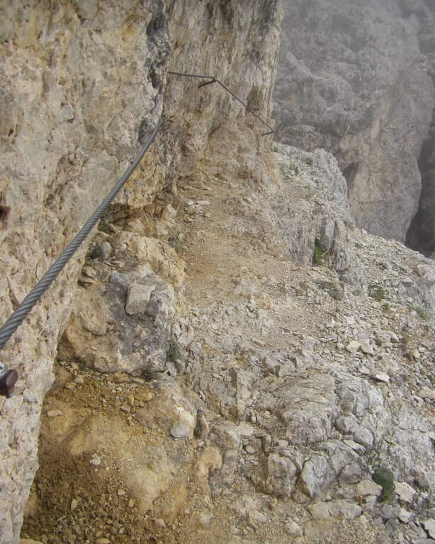
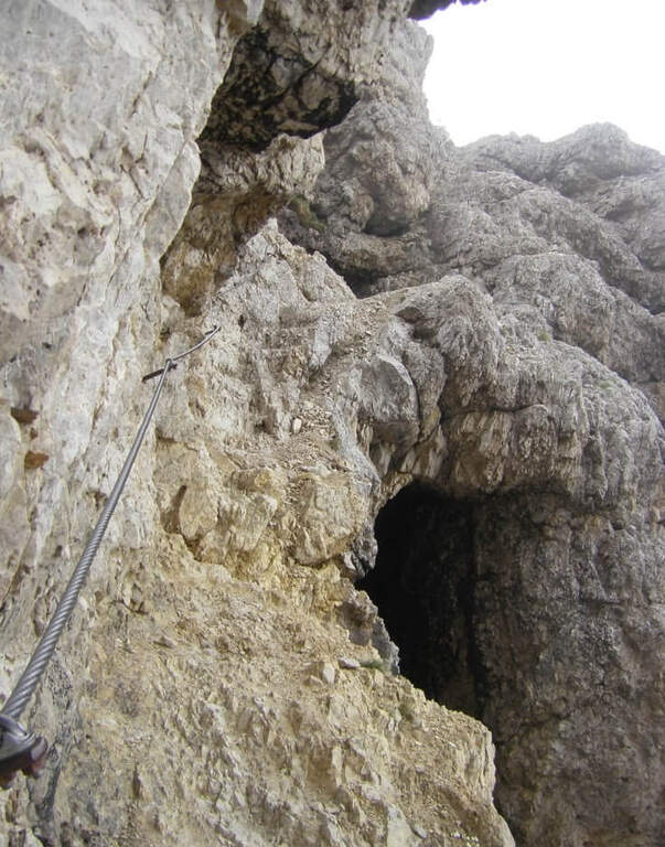
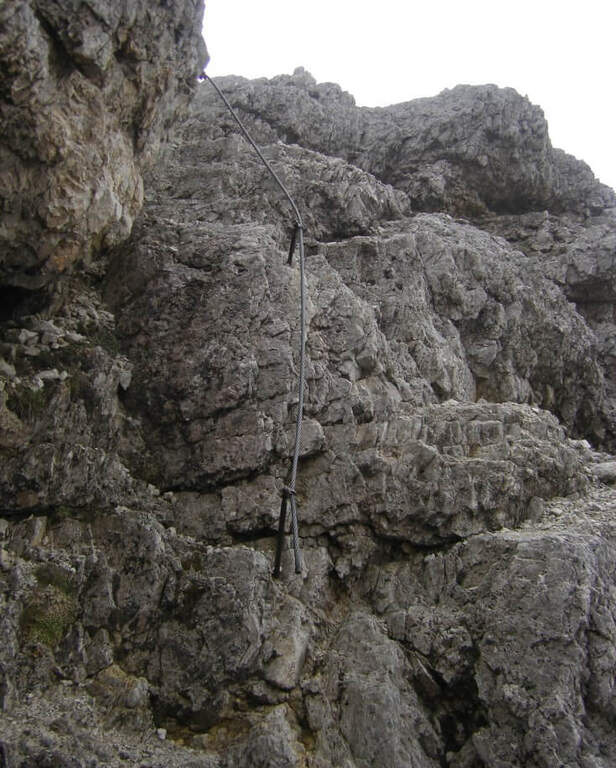
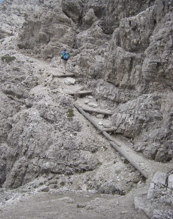
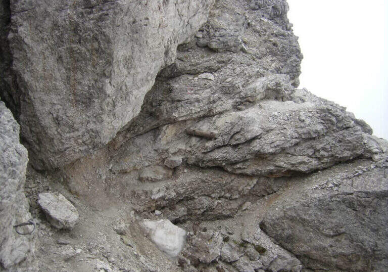
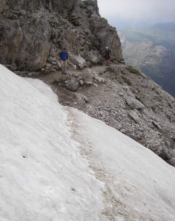
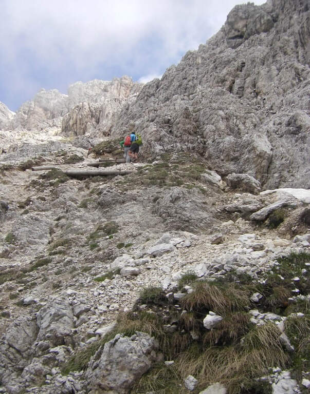
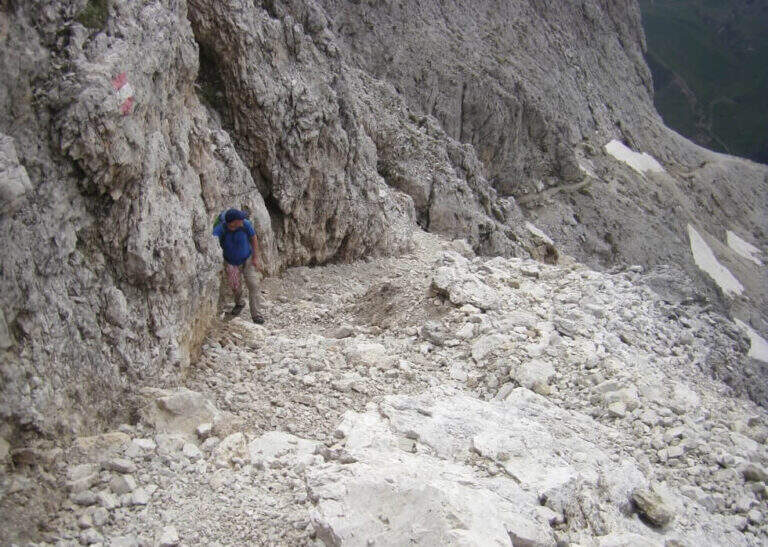
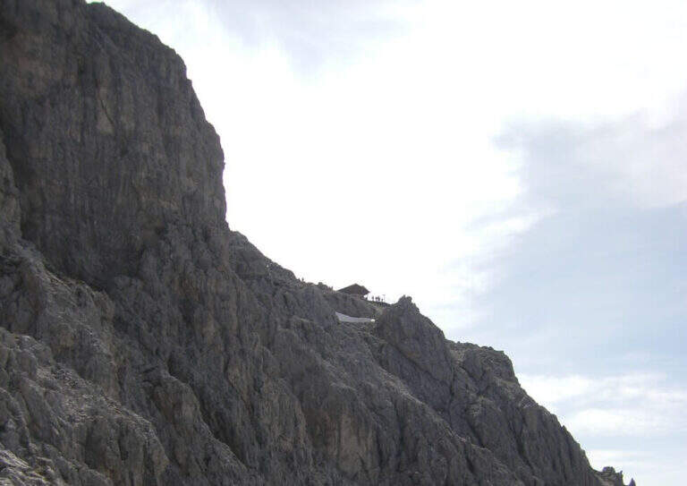
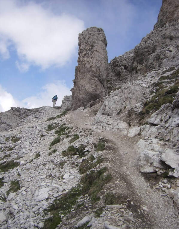
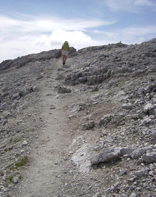
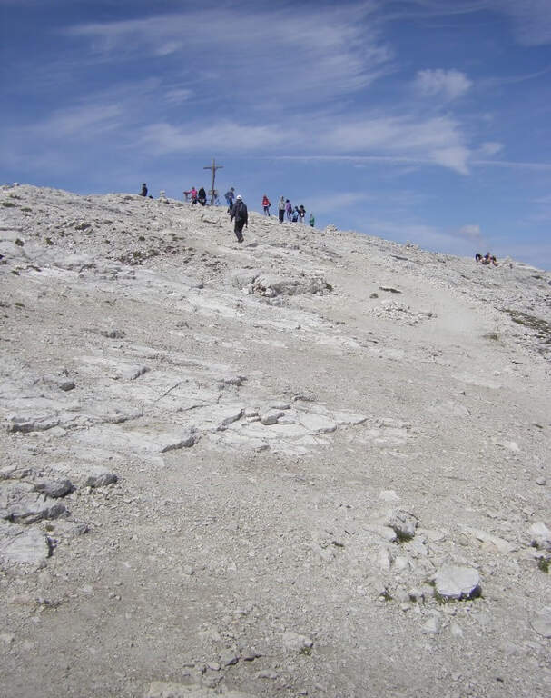
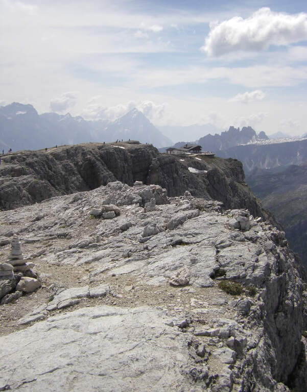
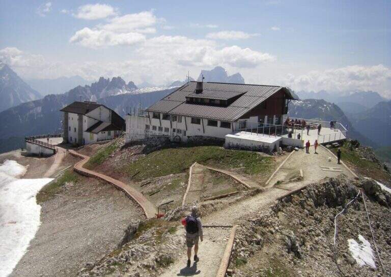
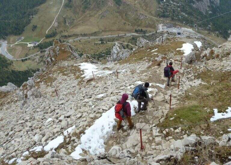
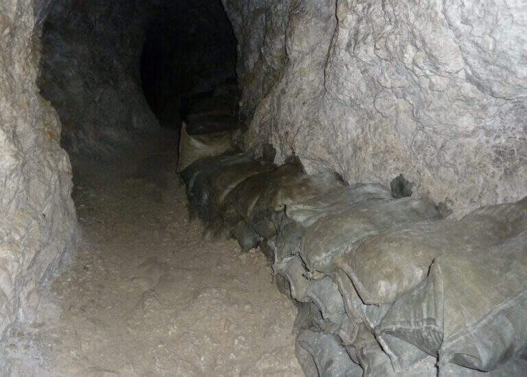
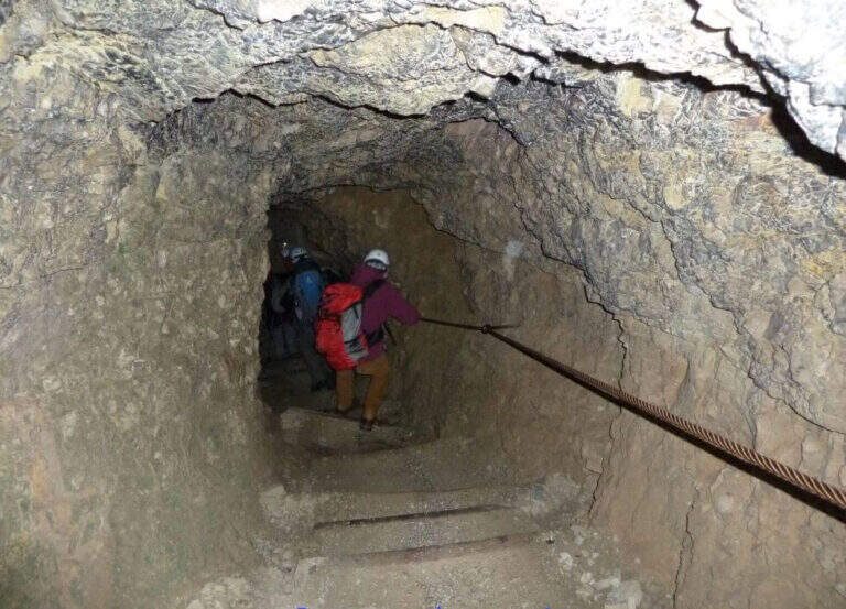
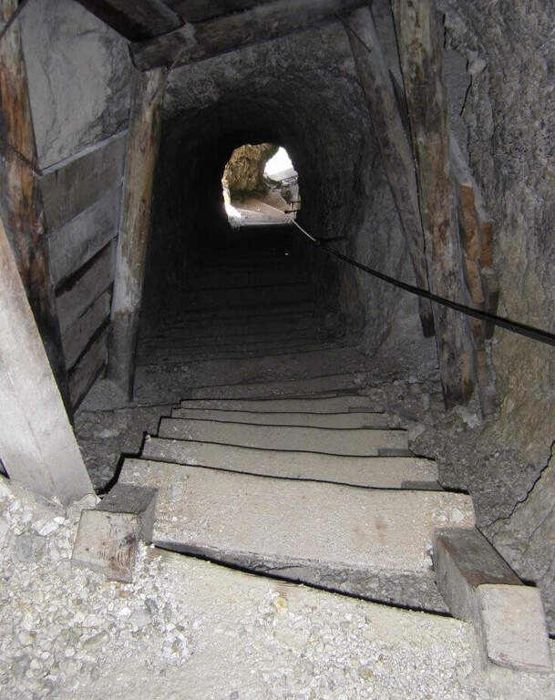
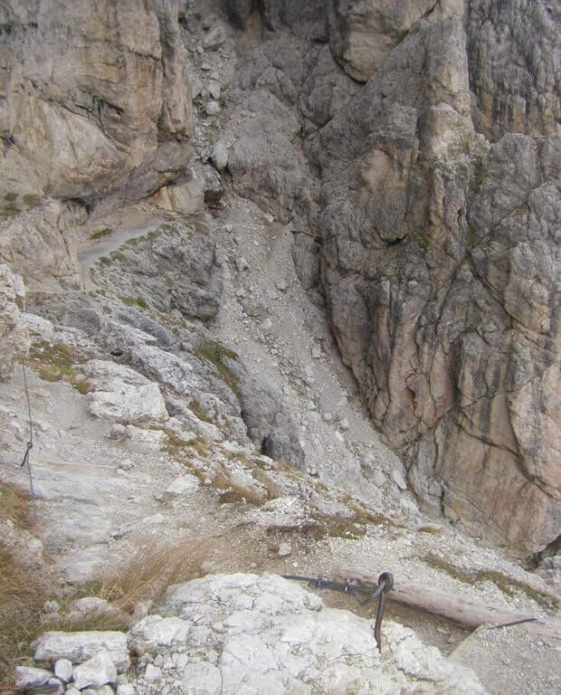
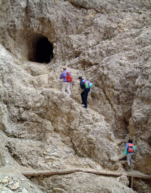
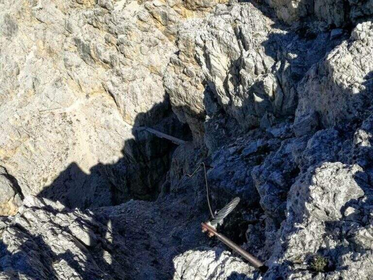
It goes through the nod to a canal: it goes up using wooden boards framed as steps and a series of metal fixtures without continuous cable. Caution — on these infixes you must ensure individually if you want to proceed safely. After passing the canal you enter an equipped nod with cable that leads upwards, offering an ever wider view of the Dolomites. You reach the summit plateau and the military bivouac of the Piccolo Lagazuoi (1h 15′ from the attack, 2778 m). Downhill you can choose the same route or take the war tunnel of Lagazuoi which goes down to the cable car station.
Easy classified: the equipped steps do not have significant technical difficulties. Complexity: technique 1/5, physics 2/5, exposure 2/5, environment 2/5. Great for neophytes with guide or for families with hiking experience.
From June to October. Avoid in case of storm: the nod is exposed to lightning. The Lagazuoi cable car offers a comfortable alternative return.
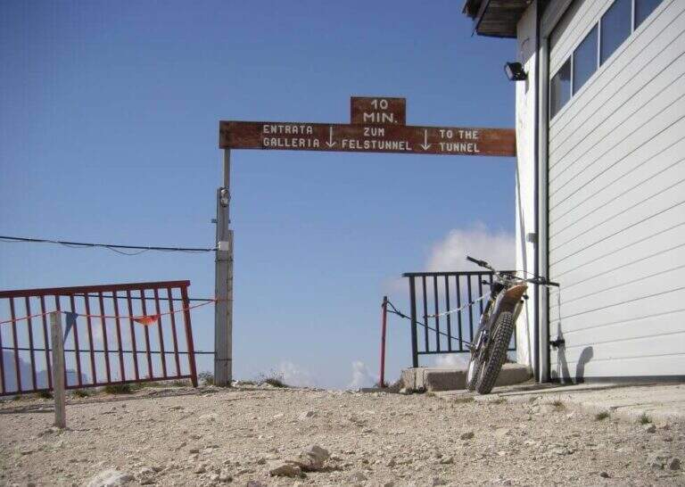
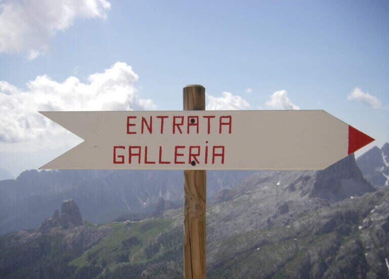
Go down the uphill road (45′ to the parking lot) or go through the war tunnel inside the Lagazuoi to the cable car station and go down to Passo Falzarego (extra charge).
Nearby: la Ferrata Fusetti at Sas de Stria, la Ferrata Tomaselli and the classic ♪.
- DifficultyEasy
- RegionVeneto
- GroupDolomiti Ampezzane
- Approach0:40 h
- Ferrata1:15 h
- Itinerary (a/r)4:45 h
- Hardware level difference350 m
- Route difference575 m
- Max2778 m
- Length5,2 Km