Caratteristica: Possibile variante

  • Ferrata Sora el Sass

    Ferrata Sora el Sass

    Vie Ferrate › Veneto › Belluno
    Ferrata Sora el Sass

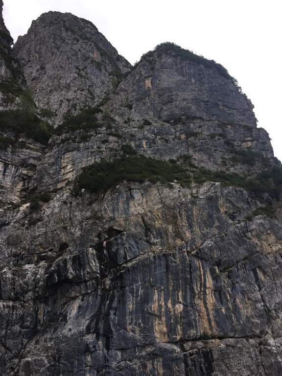
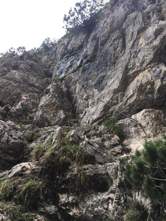
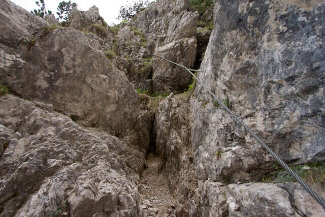
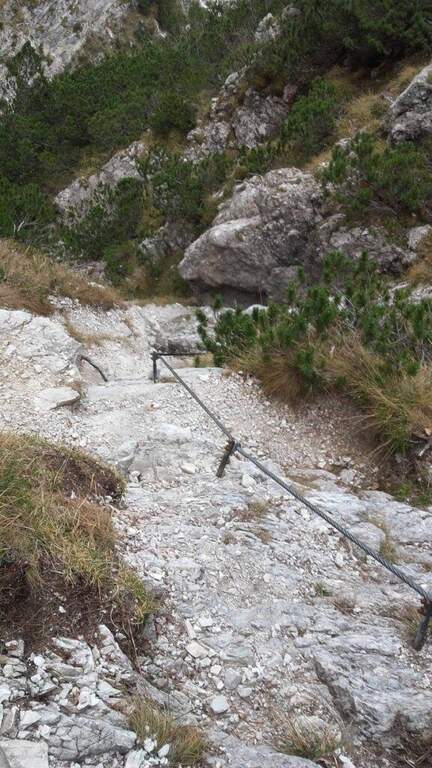
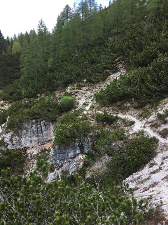
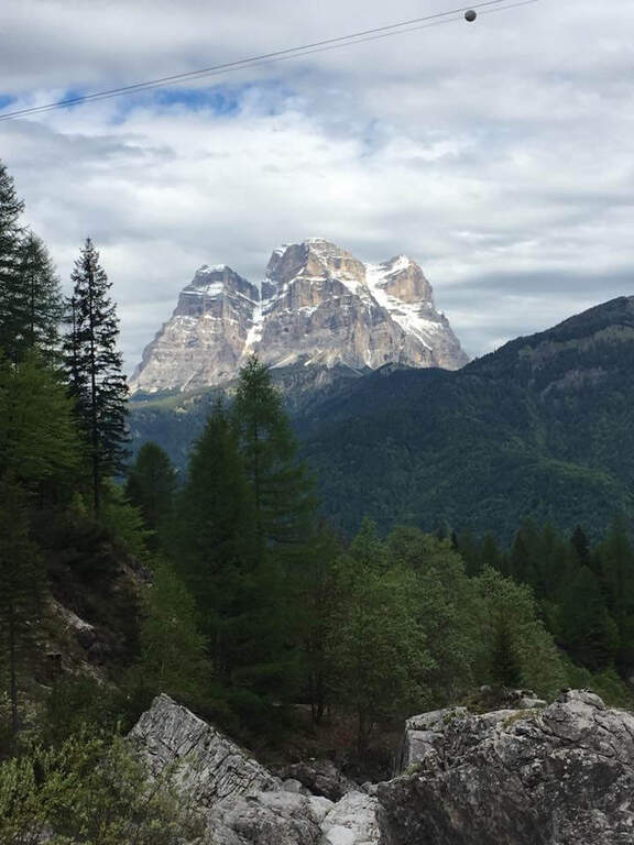
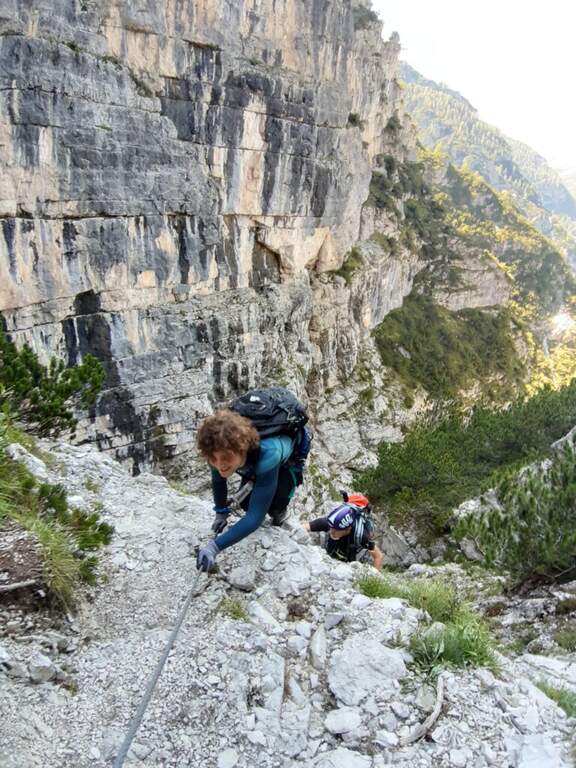
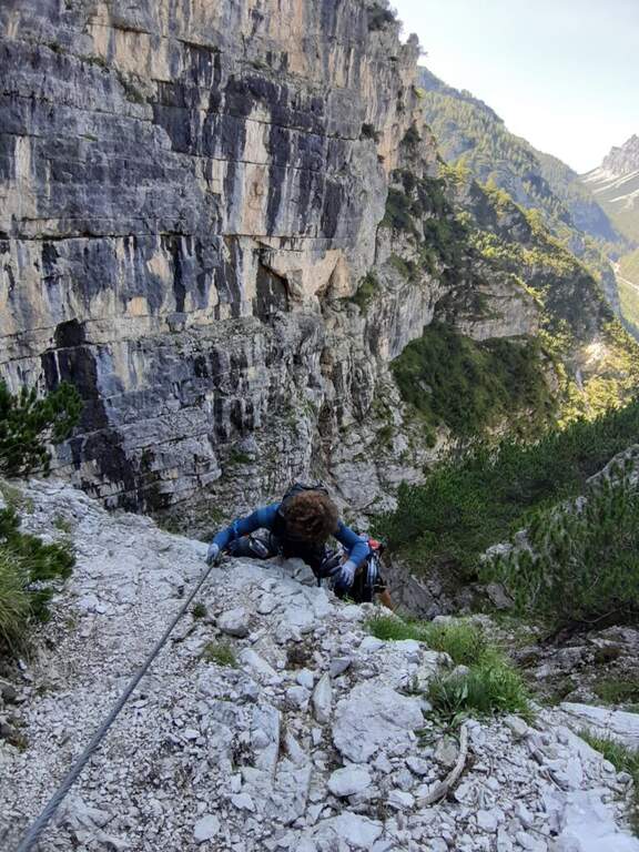
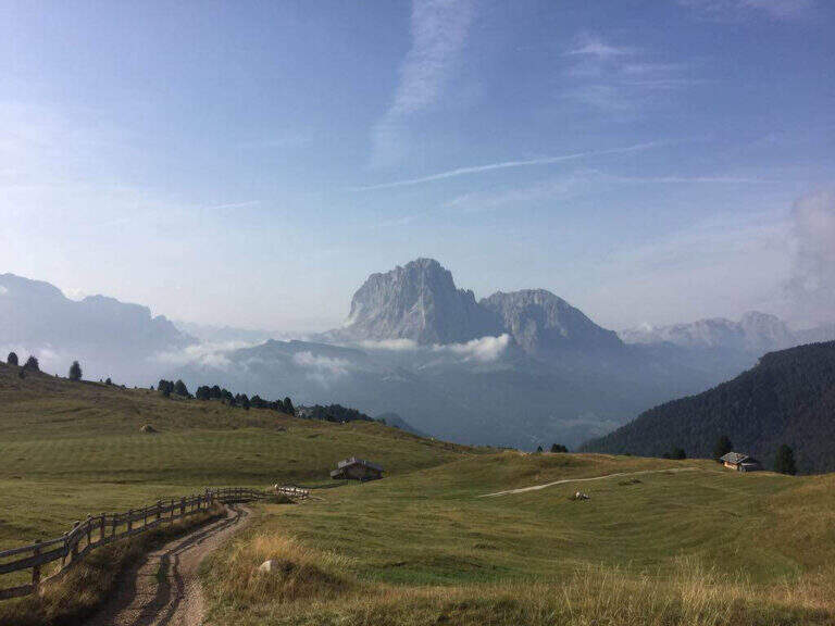
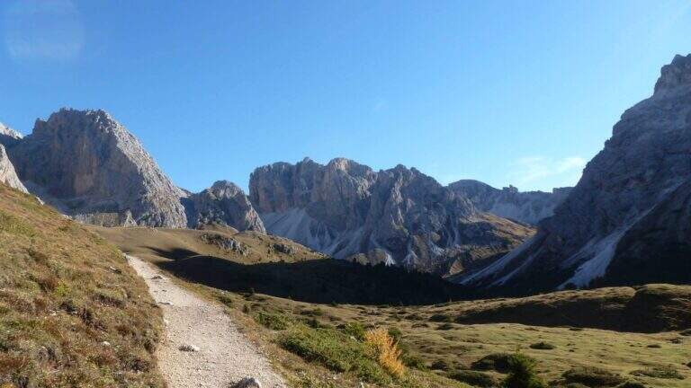
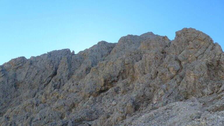
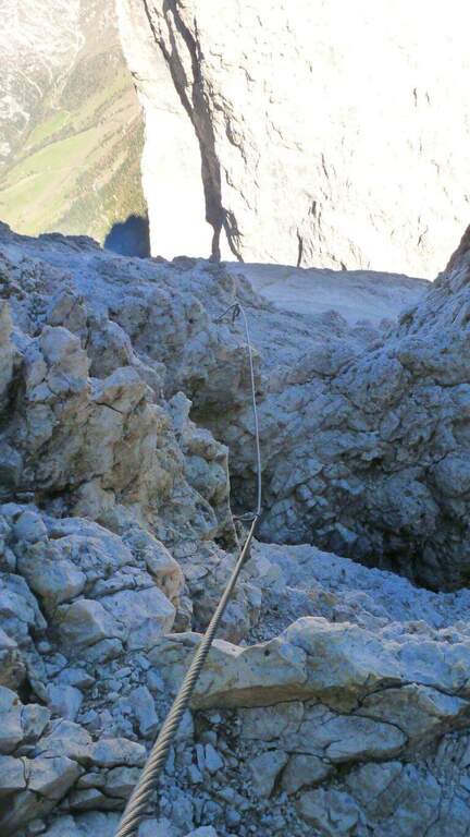
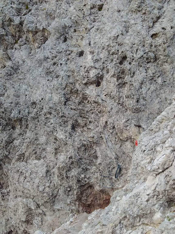
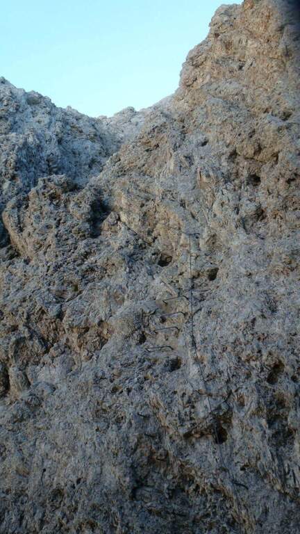
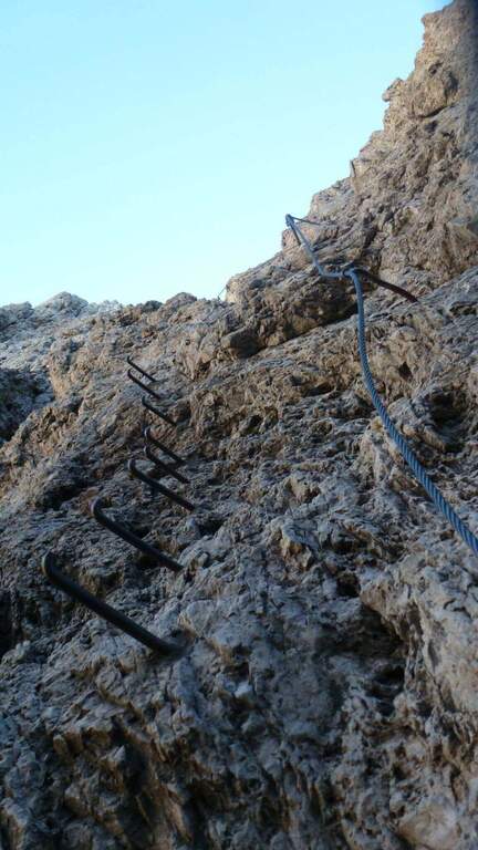
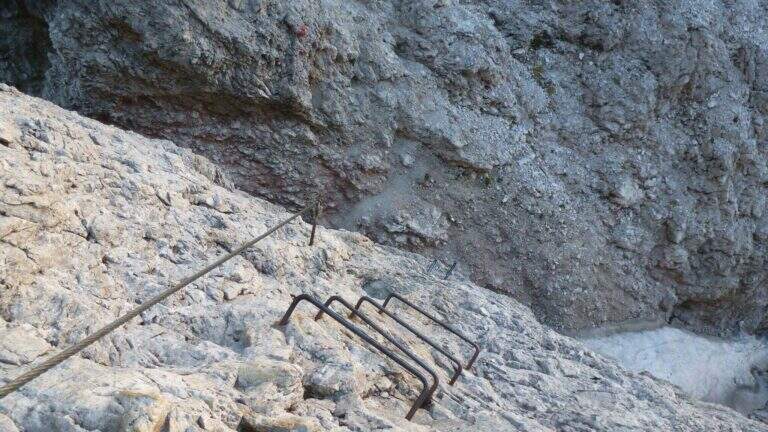
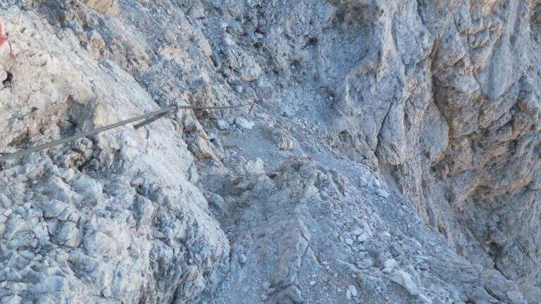
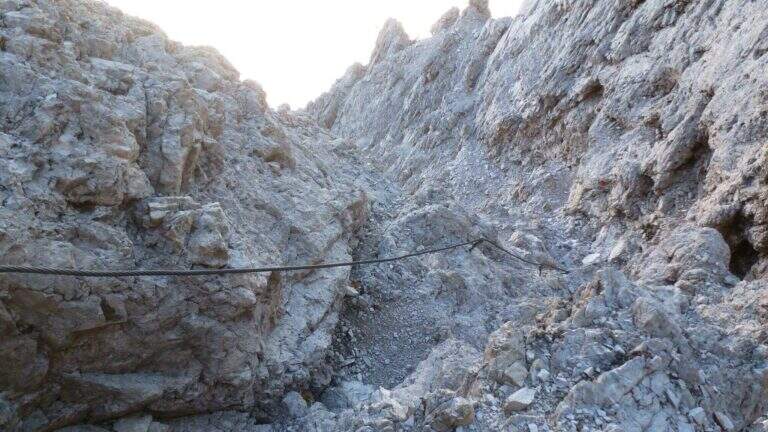
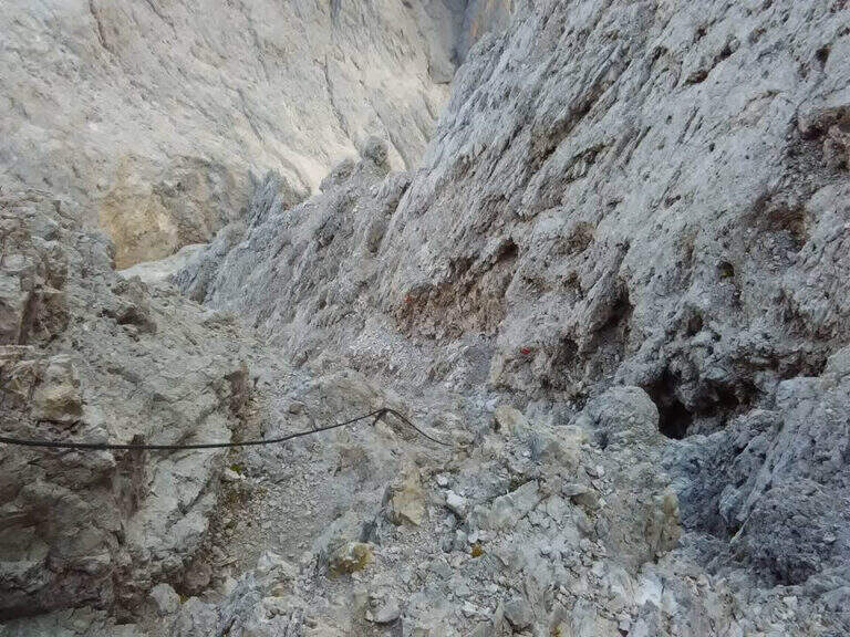
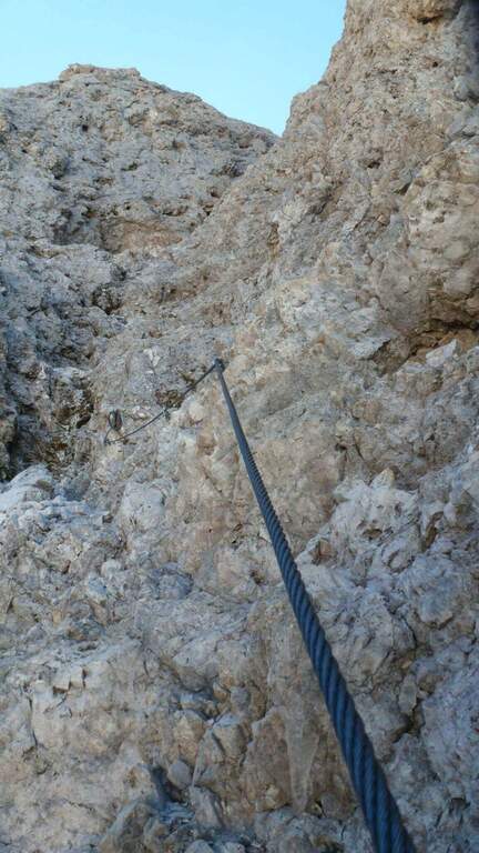
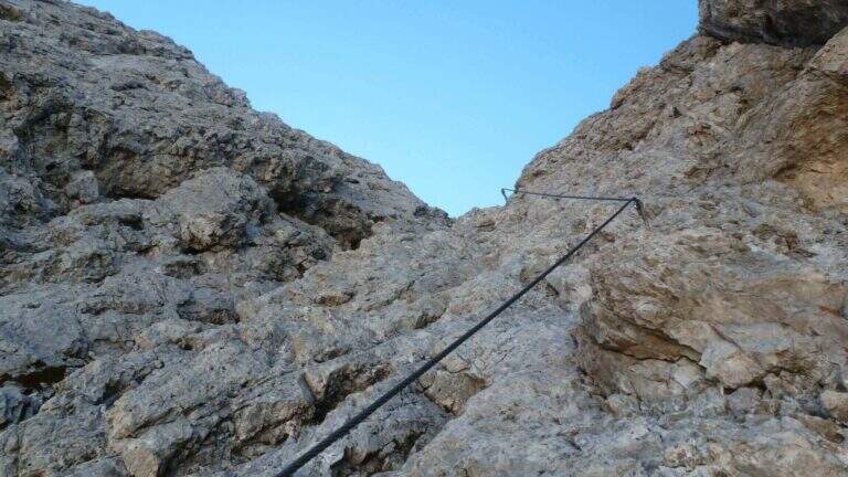
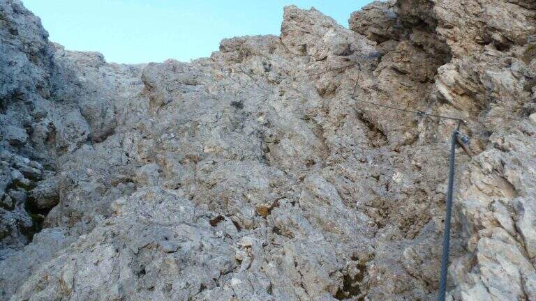
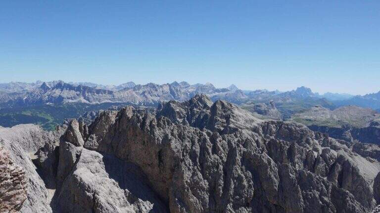
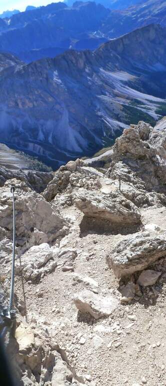
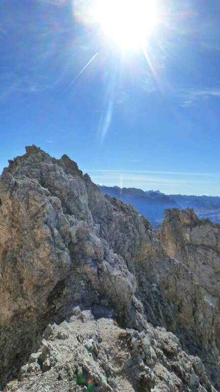
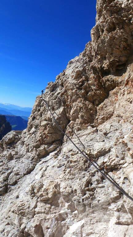
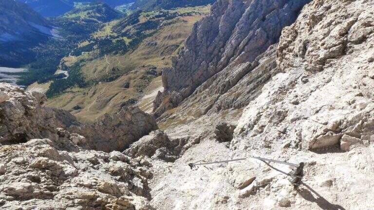
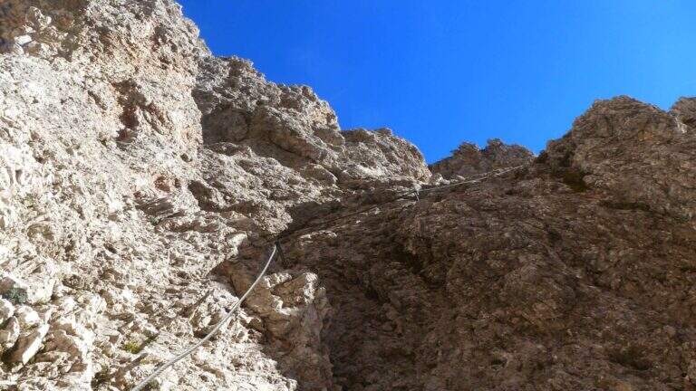
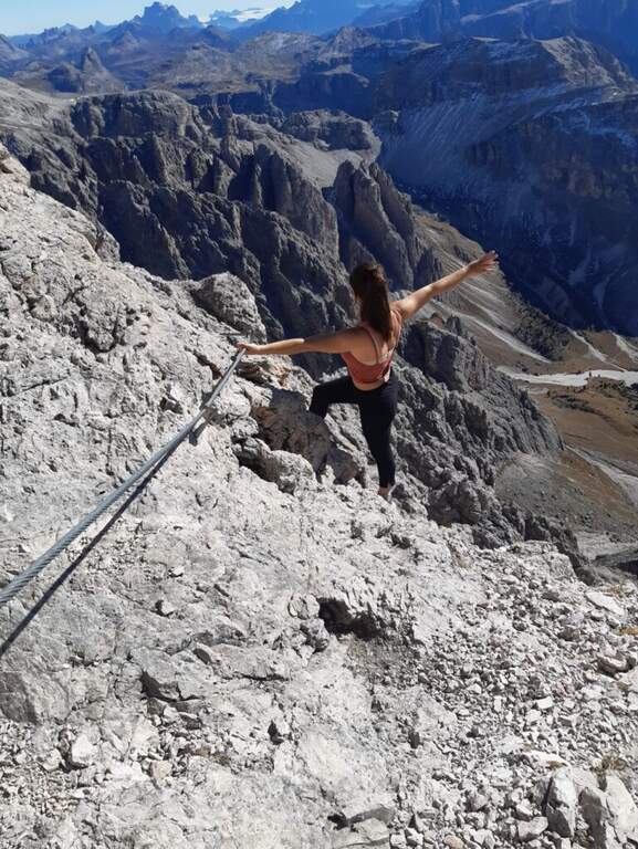
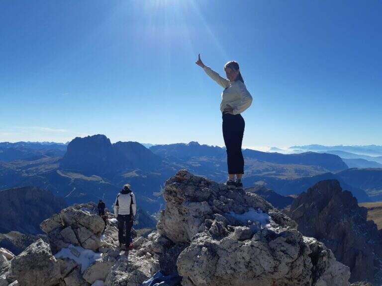
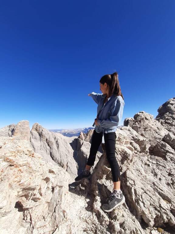
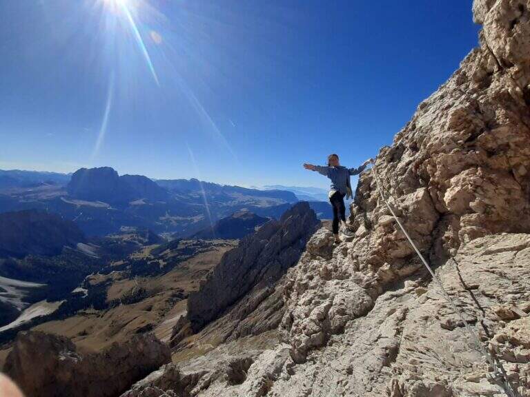
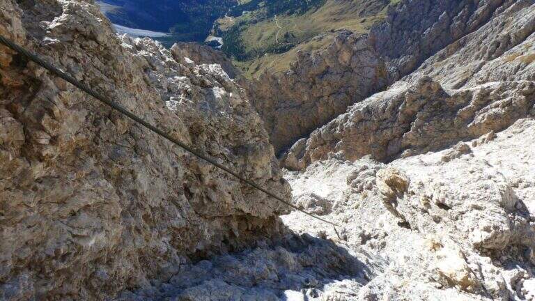
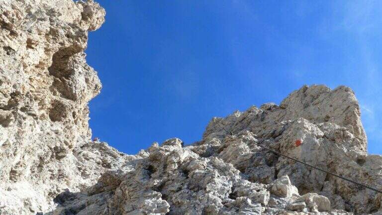
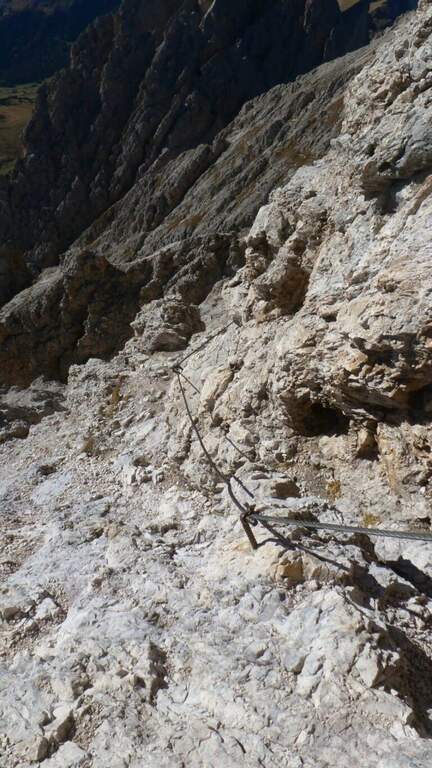
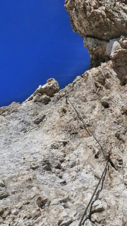
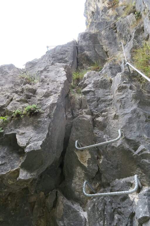
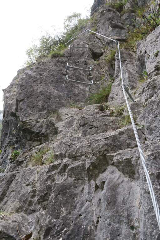
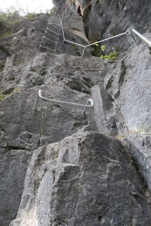
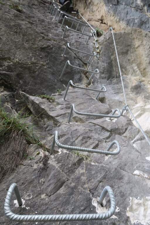
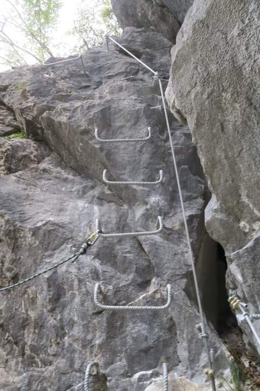
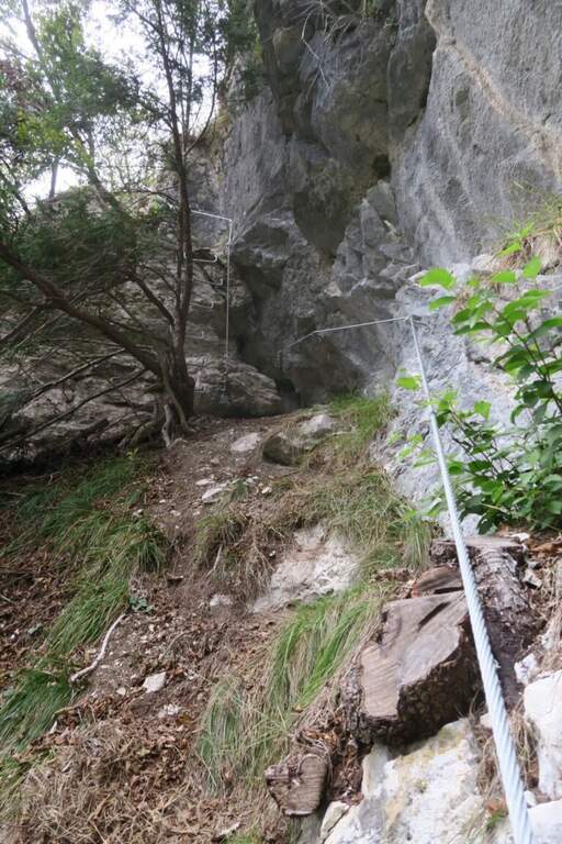
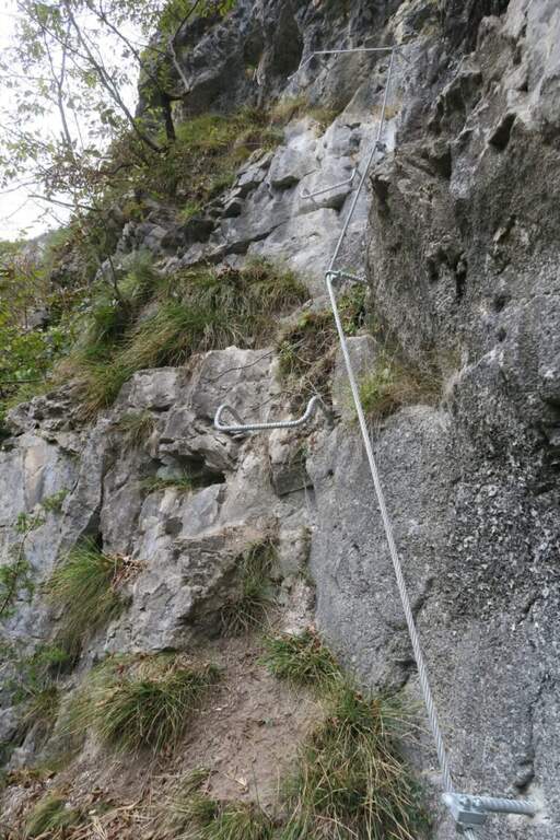
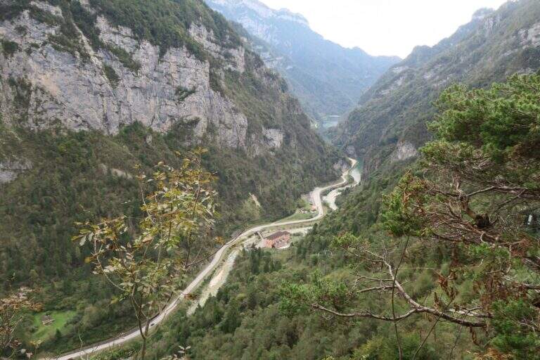
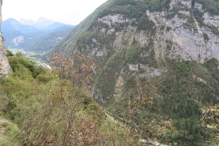
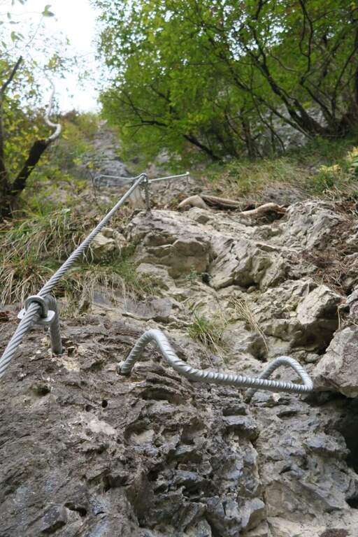
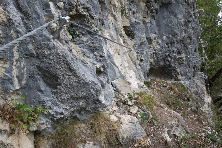
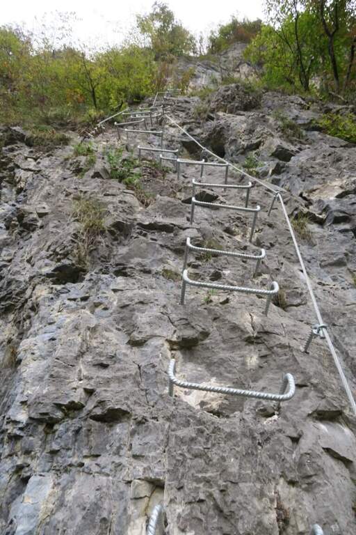
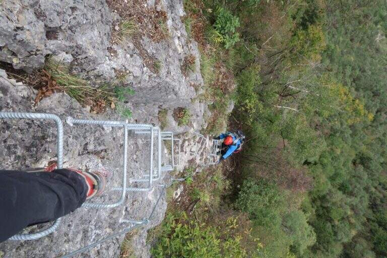
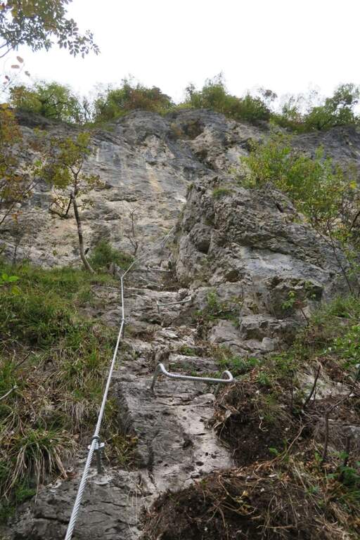
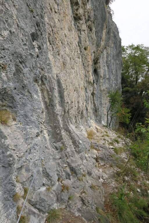
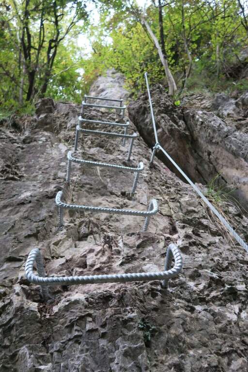
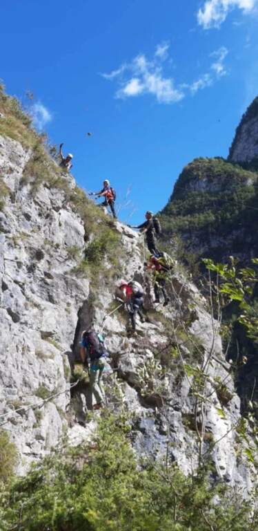
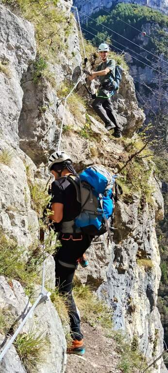
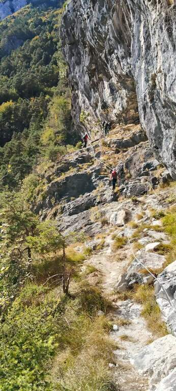
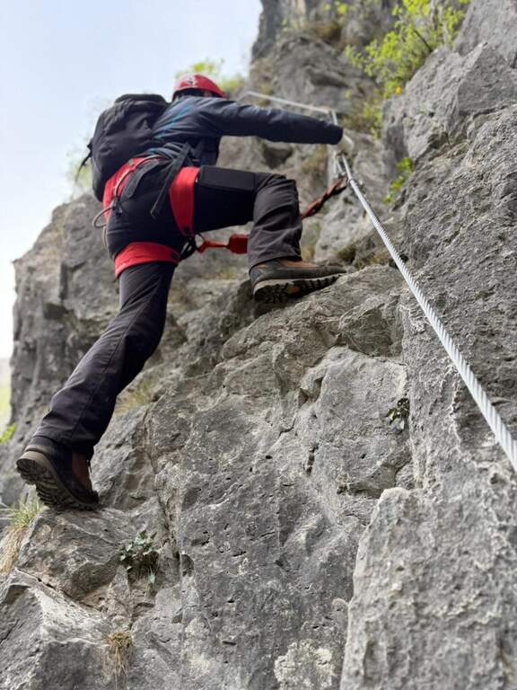
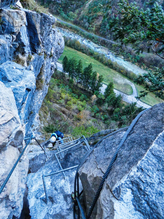
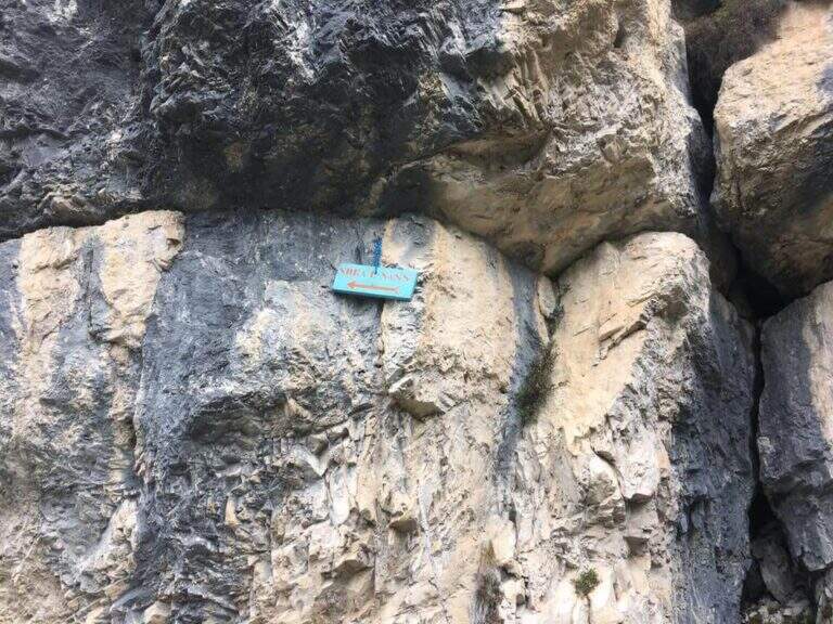
    La Ferrata at the Sora el Sas, near the Spitz of Mezzodì, è a facile street divided into two short sections: the first goes up a canalone, the second goes up to a panoramic pulpit called Belvedere. Adapted to the neophytes, it offers beautiful views of the Dolomites of Bellunese.

    ▲Approach

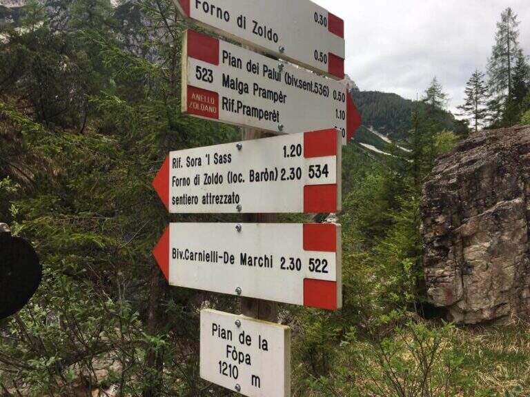
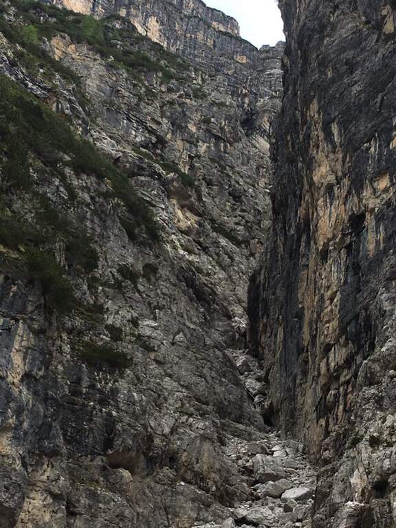
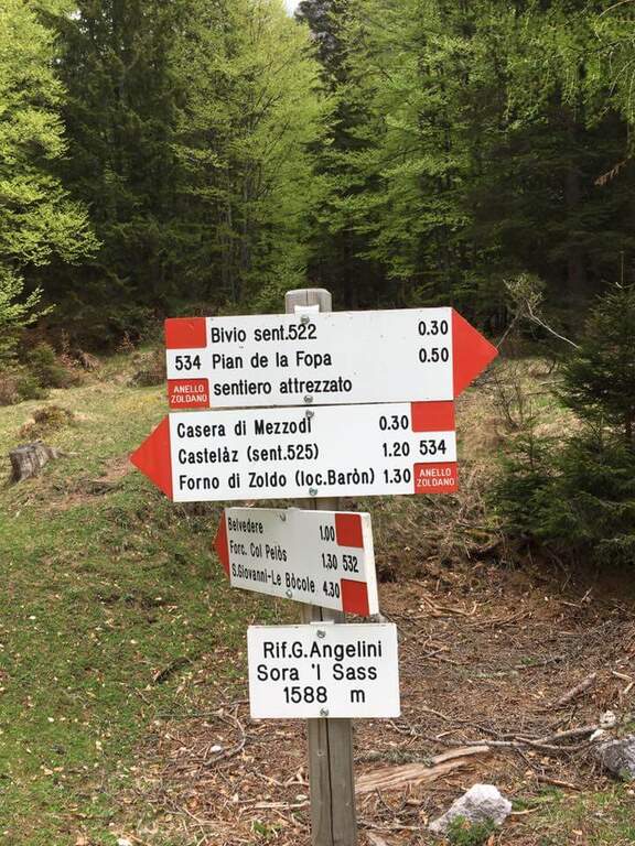
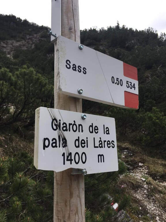
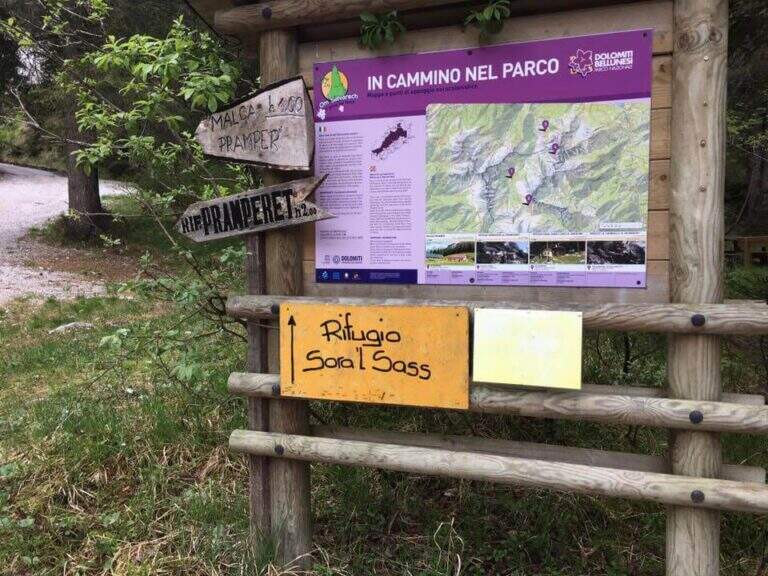
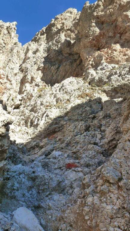
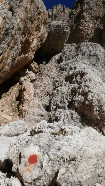
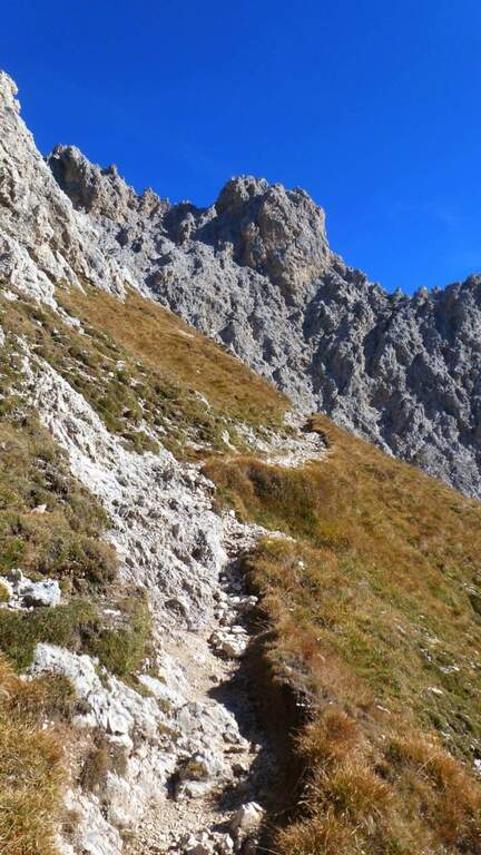
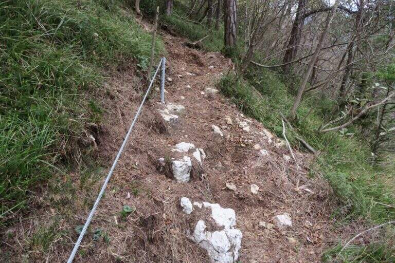
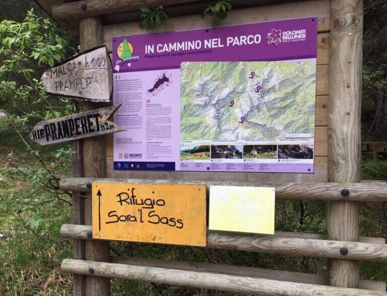
    Starting point parking in the village of Pian de la Fopa, in Val Pramper south of Forni di Zoldo (Belluno): in the village follow the signs south towards the Rifugio Pramperet, then at a crossroad take the secondary road (in part dirt road but in good condition) to the Rifugio Sora el Sass, for about 4.5 km until the parking lot. Open road signs on Google Maps. Follow the forest and then the CAI path 534 for the refuge Sora el Sass towards the walls of the Spitz of Mezzodì at a crossroads you leave 522 (to the Bivacco Carnielli) holding the left towards a shady canalone, up to the first equipment (45' from the parking lot).

    ▲The path

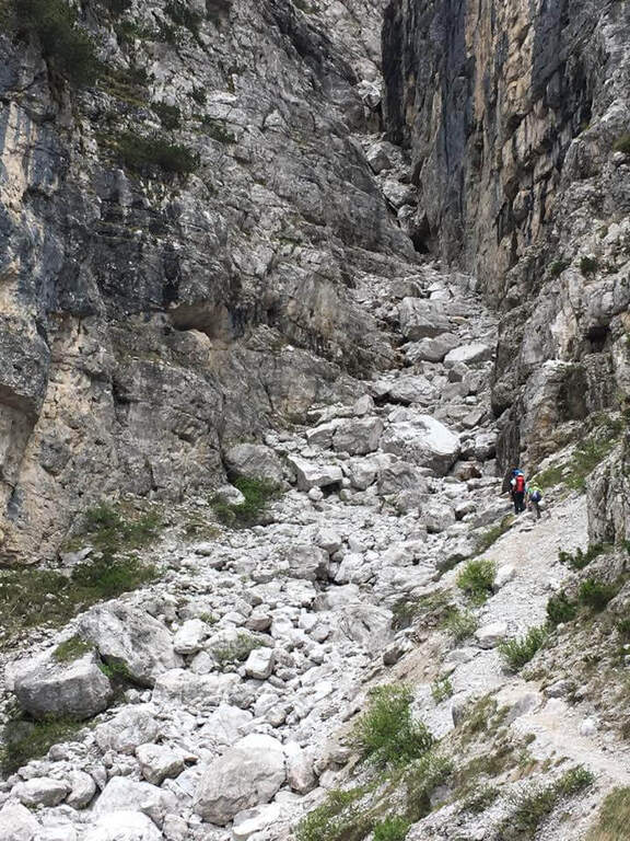
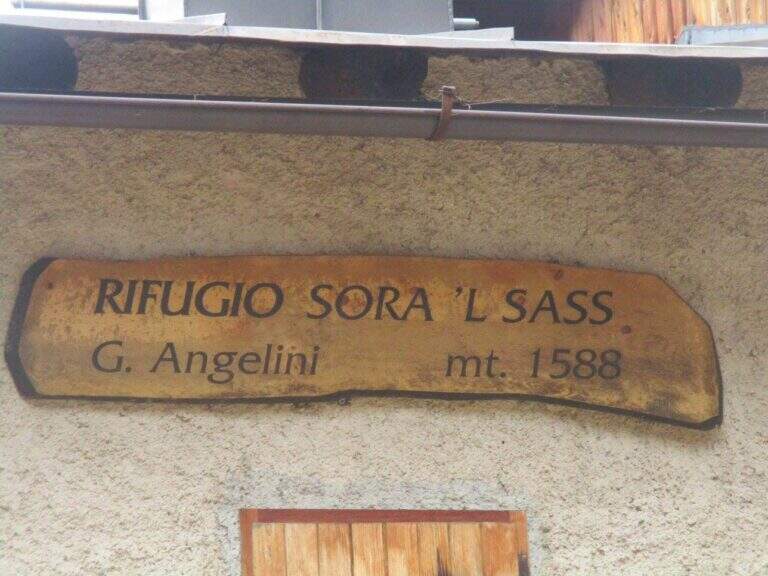
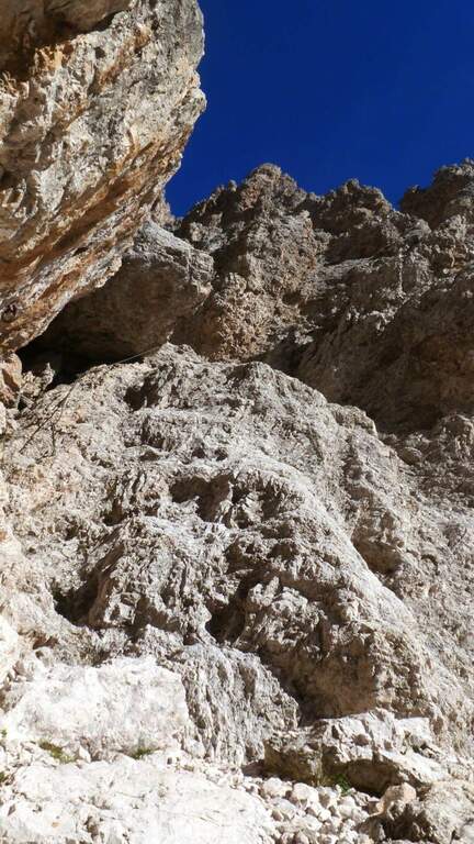
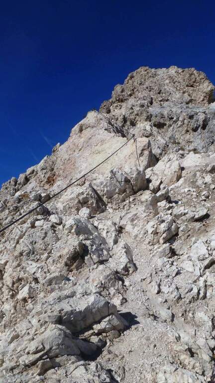
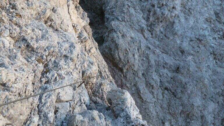
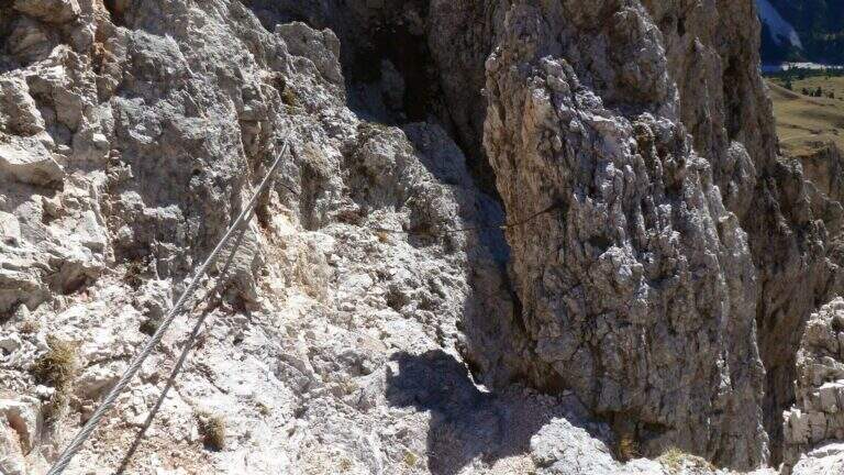
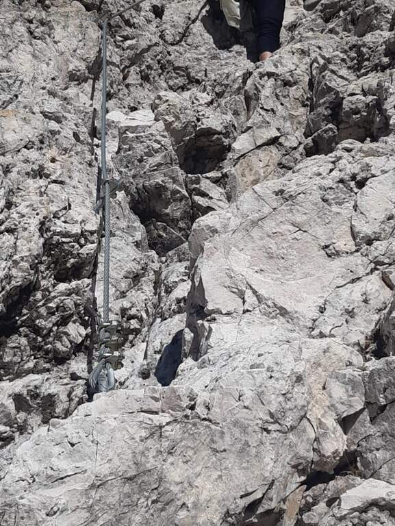
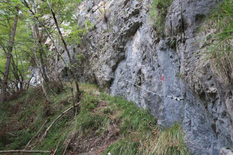
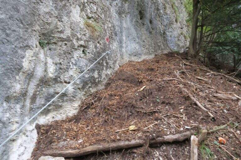
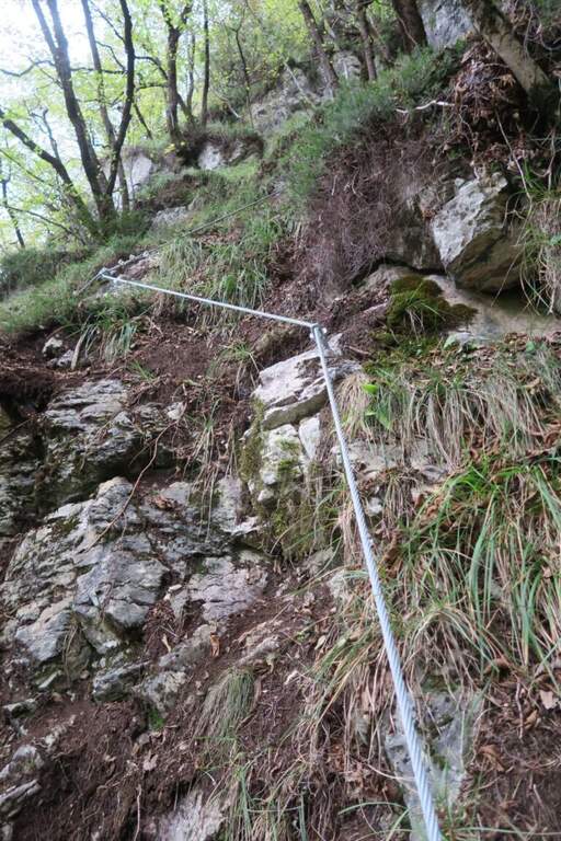
    La first section esce dal canalone con una rampa a sinistra priva di difficoltà e un facile canalino gradonato (attrezzatura a destra, appigli abbondanti a sinistra); si piega a destra per pochi metri e poi su comoda cengia a sinistra, si aggira uno spigolo e si salgono roccette ben appigliate, arrampicabili (attenzione al fondo di ghiaino instabile, rischio di smuovere detriti). Una facile placchetta e una cengia a sinistra chiudono le attrezzature (20' dall'attacco); su comodo sentiero si raggiunge il Rifugio Angelini (Sora el Sass, 1588 m, 1h 30' dal parcheggio). Da qui si può rientrare oppure proseguire verso il Belvedere col CAI 532: a un bivio si sale a destra per il sentiero attrezzato (per scendere poi dalla via normale), superando un balzo verticale ben appigliato, una cengia, un canalino e un balzo più marcato, fino al Belvedere, punto panoramico sui gruppi bellunesi con il Pelmo in evidenza (1965 m, 45' dal rifugio, 2h 15' totali).

    ▲Character and difficulty

    Easy itinerary, ideal for neophytes and families.

    ⚠ At the beginning of the season the canalone can still be snowed: it is useful to have the ramps. The equipped sections are quite dirty with debris material: pay close attention not to move stones.

    ▲Period and safety

    An official GPS track is not available for this route. The map of the 4Land Dolomites is useful.

    ▲Discipline

    Dal Belvedere si scende sul lato nord per sentiero facile, si aggira il Belvedere e si rientra al Rifugio Angelini (45' dalla vetta); per chiudere l'anello si prosegue verso nord sul CAI 534 verso la Casera di Mezzodì, scendendo il ripido Vallon Piccolo a tornanti, poi sul 525 fino alla forestale e in salita al parcheggio (1h 30' dal Rifugio Angelini, 4h 30' totali).

    ▲To match

    The way is in the Pramper group. To the west the Civetta and the Moiazza with the difficult Constantine, Titus, Alleghesi e Yellow Flames; to the south Ferrata della Memoria al Vajont e la Val Gallina; northwards Vandal and the impegnative Ferrata at the Glacier of Antelaoto Agordo Alpine star at Agner.
    ▲Gallery
    Technical data
    • DifficultyEasy
    • RegionVeneto
    • GroupPrampering
    • Approach0:45 h
    • Ferrata1:15 h
    • Itinerary (a/r)4:30 h
    • Hardware level difference200 m
    • Route difference764 m
    • Max1964 m
    • Length6 Km
  • Ferrata Sass Rigais

    Ferrata Sass Rigais

    Vie Ferrate › Trentino-Alto Adige › Bolzano
    Ferrata Sass Rigais
    Moderately Hard● OpenDescriptionComplexityMapsGallery

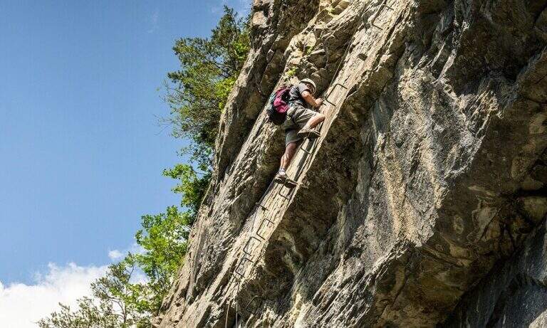
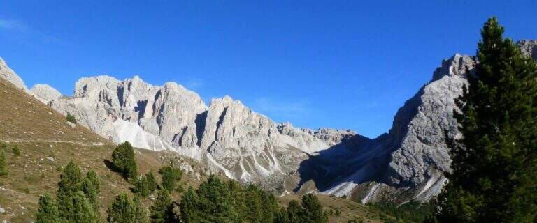
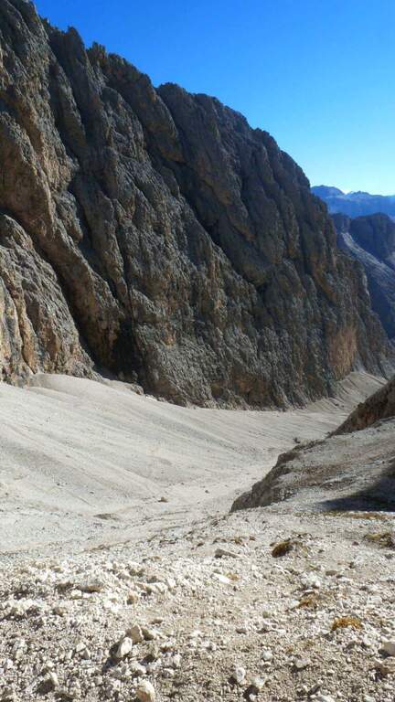
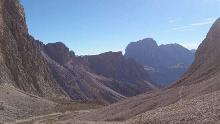
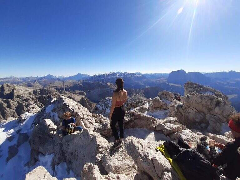
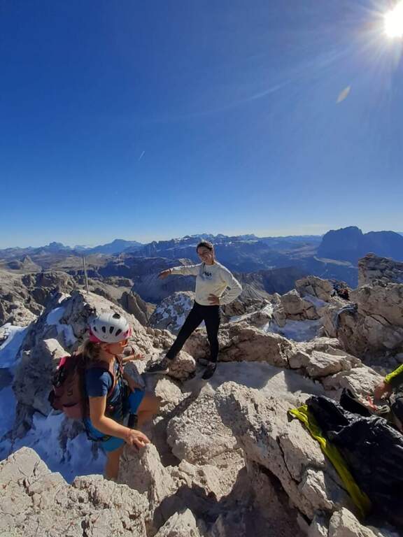
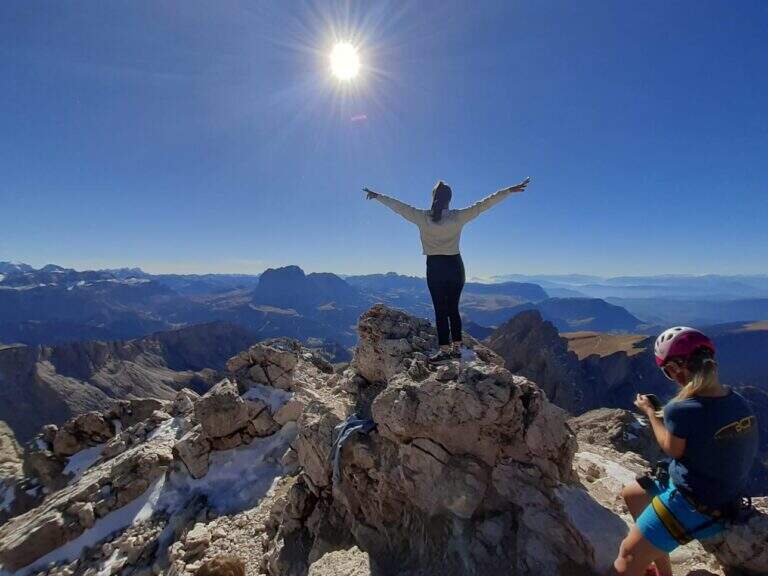
    La Ferrata at Sass Rigais door on the highest peak of Val Gardena and Odle, to 3025 m, combining two equipped routes: the ferrata est e la south ferrata. The difficulties are medium-low on both, but the east has more accentuated vertical traits and it is therefore advisable to go uphill. Approach and return are long and challenging.

    ▲Approach

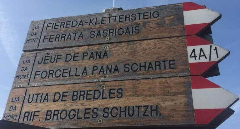
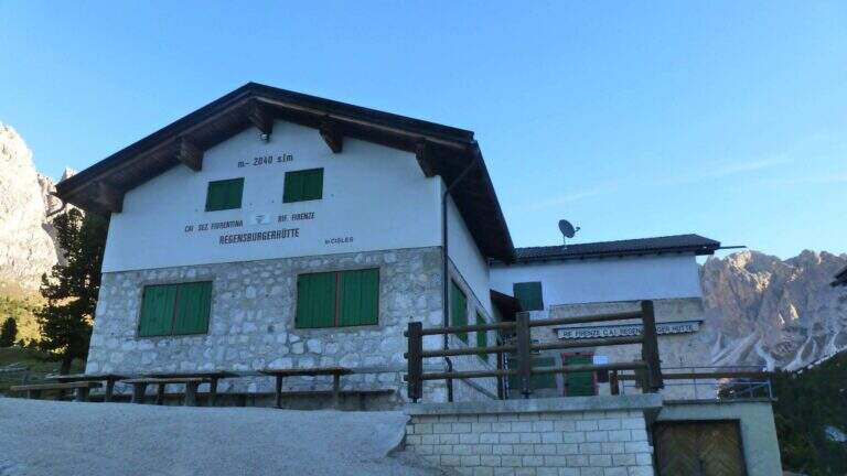
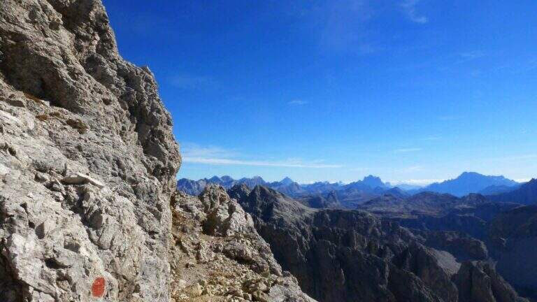
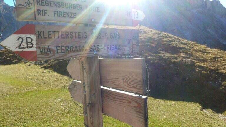
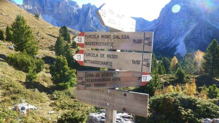
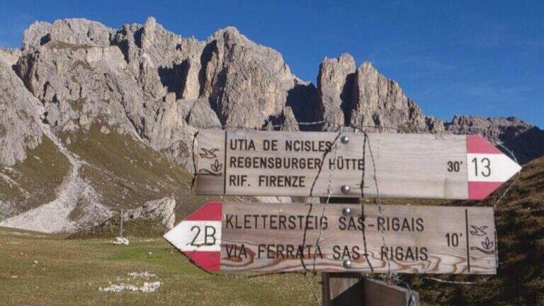
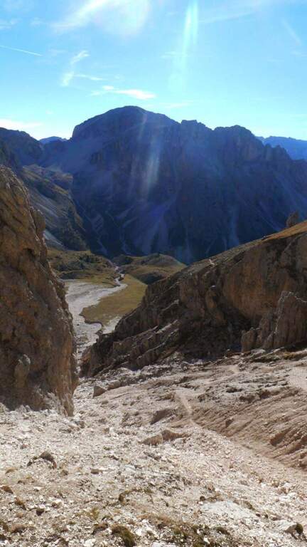
    Starting from the mountain station of the cable car that connects Selva di Val Gardena to the Rifugio Col Raiser (2106 m): from Selva you go towards Santa Cristina to the Strada Ruecia, where are the plants, parking in the wide beach in front. Open road signs on Google Maps. From the upstream station follow signs for Sass Rigais to the north-east, signpost 4, up to the Rifugio Firenze (2040 m), reached in a few minutes of ascents on road. From the refuge the path 13 punta dritto al Sass Rigais fino al bivio presso il Plan Ciautier (2322 m, 1h dalla stazione a monte): qui si può tenere la destra e salire il lungo vallone detritico della Val Salieres (per la ferrata est) oppure la sinistra col segnavia 29 verso la Forcella de Mesdì (per la ferrata sud). In questa relazione si sale dalla est e si scende dalla sud. Tenuta la destra e risalito il vallone detritico tra Sass Rigais e Furchetta, si raggiunge la forcella che li separa (2696 m, 2h 15' totali), con vista sulla Val di Funes; si tiene poi la sinistra per salire su traccia con bolli rossi la placca est fino alla sella d'attacco (2800 m, 2h 30' totali).

    ▲The path

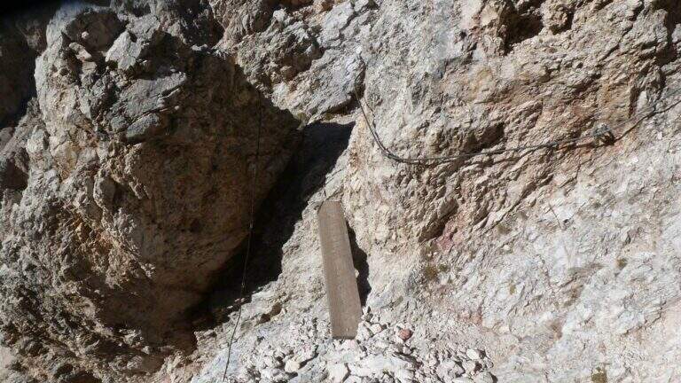
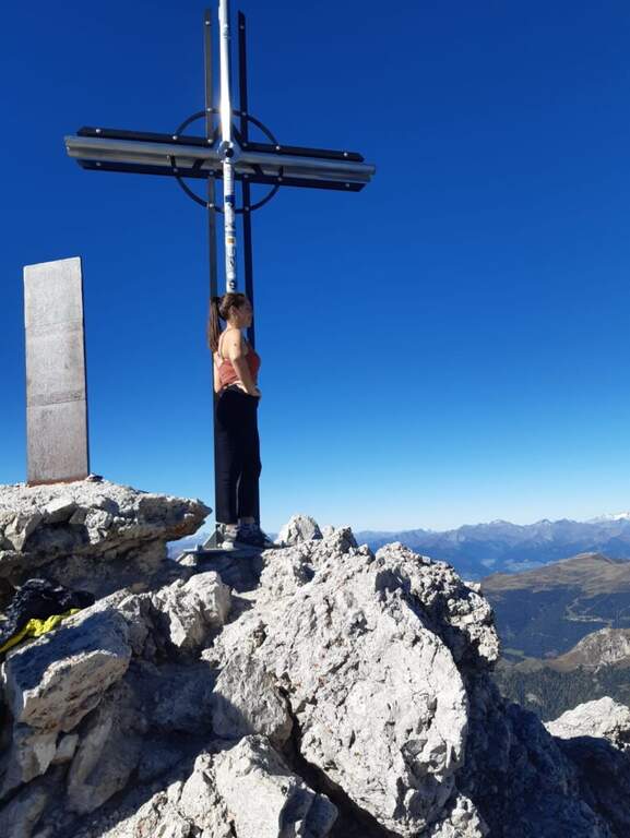
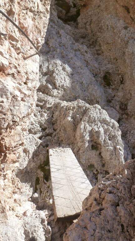
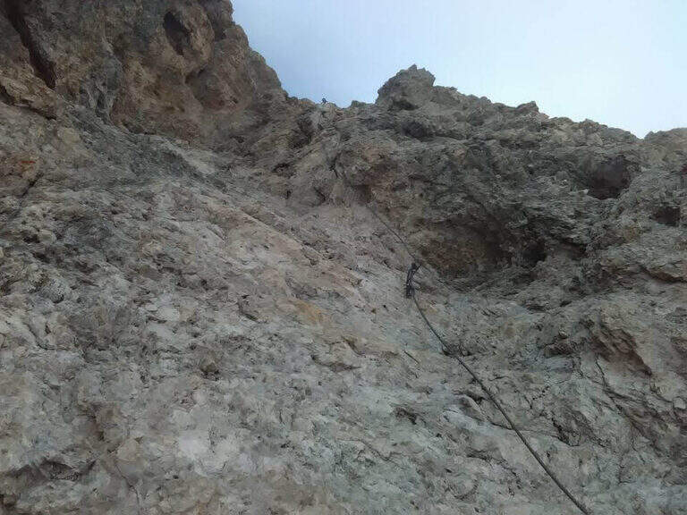
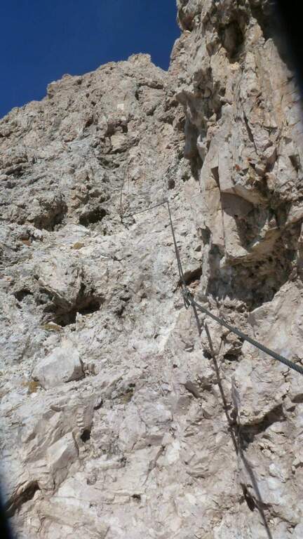
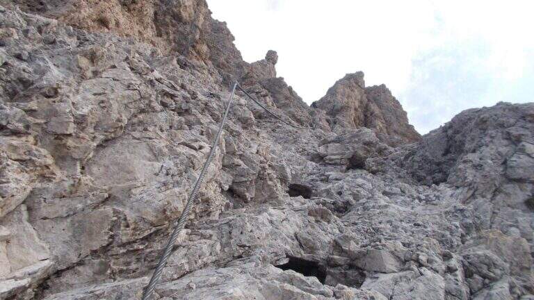
    La east ferrata inizia su roccette ben appigliate, dove il cavo serve da sola autoassicurazione; si supera una fessura e una rampa verso sinistra fino a un punto verticale che si affronta con un breve traverso a sinistra su semplici chiodi e poi in verticale su ampie e solide staffe. Seguono ancora roccette senza difficoltà e un canalino roccioso verso destra; usciti dal canalino si vede la croce sommitale. Una serie di balzi rocciosi alternati a facili roccette porta alla crestina finale e alla croce del Sass Rigais (3025 m, 1h dall'attacco, 3h 30' totali). Per la discesa si imbocca la ferrata sud: ci si dirige a sud lungo una crestina sommitale a tratti non protetta, poi su una lunga serie di roccette, rampe inclinate e balzi di difficoltà medio-bassa con cui si perde rapidamente quota fino a innestarsi in un sentiero ripido; un ultimo balzo con una rampa e un salto più verticale presso una passerella in legno chiude le attrezzature (1h dalla vetta, 4h 30' totali).

    ▲Character and difficulty

    Medium difficulty Ferrata that leads on a three thousand of the Odle-Puez; the combination of a uphill road and a downhill road makes it pleasant also for the expert ferratista.

    ⚠ The approach is long and challenging. Attention to the quota and to the fact that there are no escape routes other than the ferrates themselves: to avoid with unstable time. Nothing prohibits taking the route in reverse direction or getting off the same way uphill.

    ▲Period and safety

    GPS tracks (GPX and KMZ) are available; the map of Val Gardena, Val di Funes and Alpe di Siusi or Val Badia di 4Land is useful for the area.

    ▲History

    Sass Rigais is the highest mountain in Val Gardena and Odle. Reinhold Messner went up with his father only five years, well before the construction of the via ferrata.

    ▲Discipline

    From the end of the equipment you descend to the valley for a gravel valley towards the Plan Ciautier; at a crossroads you can può keep the right for a shortcut marked towards the Col Raiser (reent about 1h, totale about 6h).

    ▲To match

    In Val Gardena you can join the ferrates Small e al Gran Cir near Selva; towards the Sella Group the overview Tridentine; towards Passo Sella, in an increasing order of difficulty Ferrata at the Col Rodella, la Schuster at Sassopiatto e la of the Mesules at the Piz Selva.

    ▲Gallery
    Technical data
    • DifficultyModerately Hard
    • RegionTrentino-Alto Adige
    • GroupOdle
    • Approach2:30 h
    • Ferrata1:00 h
    • Itinerary (a/r)6:00 h
    • Hardware level difference225 m
    • Route difference870 m
    • Max3025 m
    • Length9,7 Km
  • Ferrata di San Silvestro al Monte Totoga (Primiero)

    Ferrata di San Silvestro al Monte Totoga (Primiero)

    Vie Ferrate › Trentino-Alto Adige › Trento
    Ferrata di San Silvestro al Monte Totoga (Primiero)
    Moderately Hard● OpenDescriptionComplexityMapsGallery

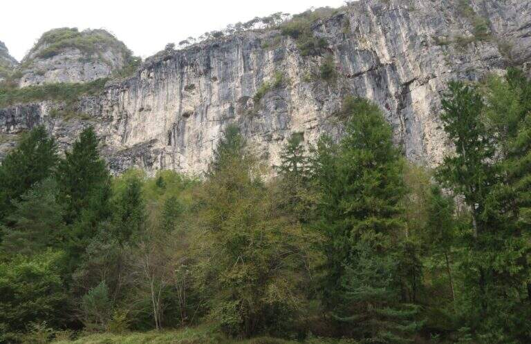
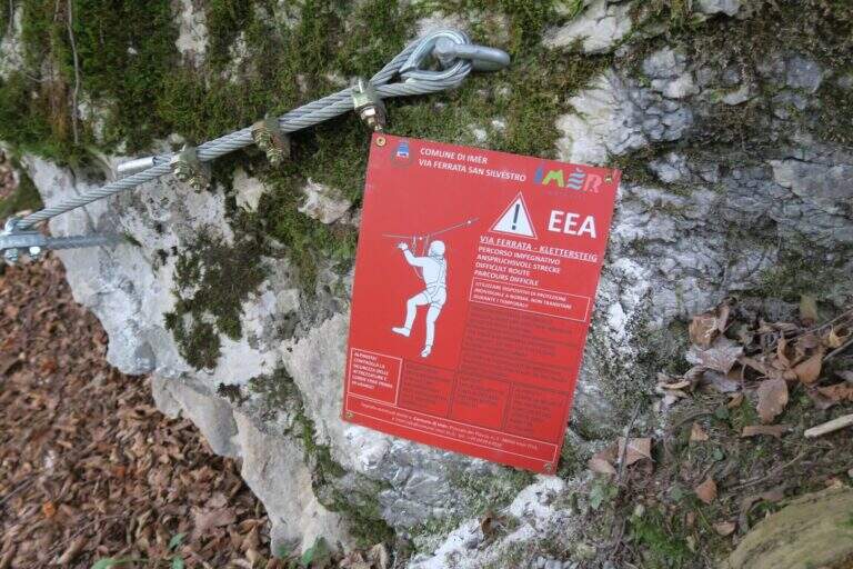
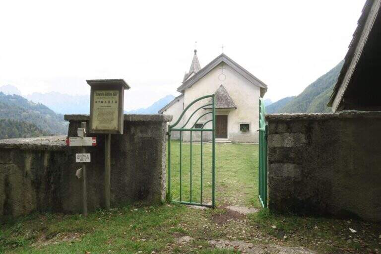
    The Ferrata di San Silvestro takes its name from the chiesetta on the middle coast of Monte Totoga, the final destination of the ' itinerary. È a short route, mainly facile with some moderately difficult passages, divided into two sections; approaching less than 5 minutes, low exposure and quick return make it ideal for beginners and hikers looking for a simple equipped route.

    ▲Approach

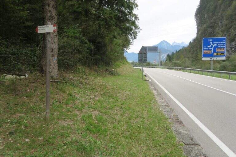
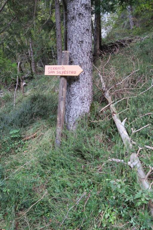
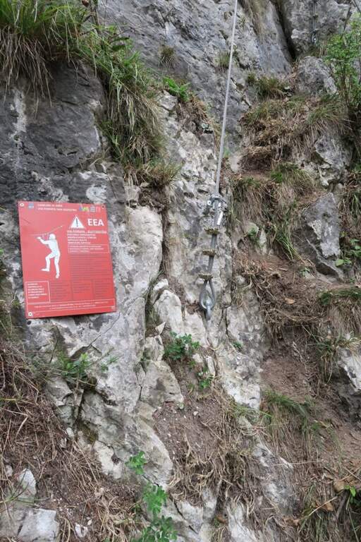
    The starting point is on board the SS 50 of Grappa and the Rolle Pass, climbing from Feltre to Primiero: just finished the lago of Schenér, just before the roundabout for Imer and just before the tunnel for Canal San Bovo, c'è a deck with indication «Falesia San Silvestro» (another più parking lot; large on the opposite side). Open road signs on Google Maps. Follow the path «Falesia di San Silvestro» and, shortly after, a sign on the right indicates l' attack, with the classic red sign (5' parking ).

    ▲The path

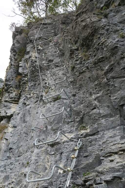
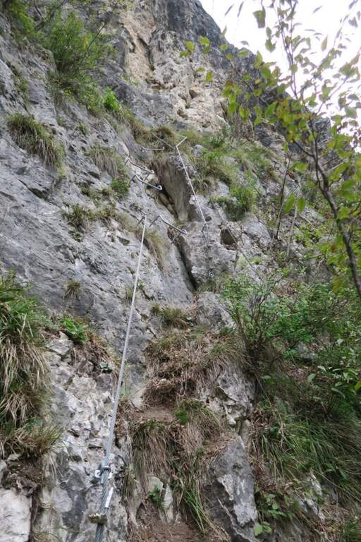
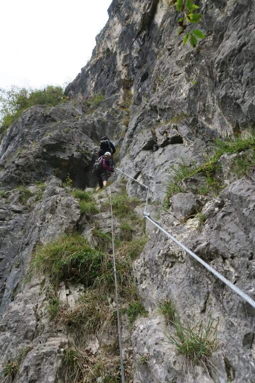
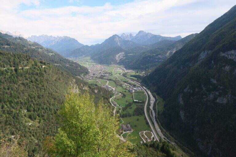
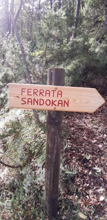
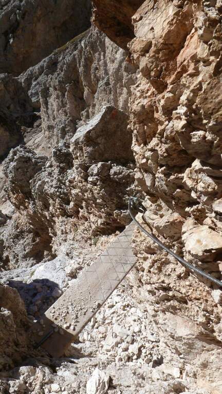
    First section: si parte con un tratto abbastanza verticale ma ben ammanigliato (gradini in roccia, staffe e facili roccette), poi si sale in diagonale verso sinistra su gradoni di solida roccia con varie cambre, una serie di cambre verticali, qualche balzo e una paretina staffata, fino al pianoro boschivo che chiude la prima sezione (circa 150 m di quota dal parcheggio): la parte iniziale è moderatamente difficile, il resto facile. In 5 minuti si arriva a un bivio sotto un traliccio: a sinistra il percorso per ragazzi «Sandokan», dritto la seconda sezione (qui un primo rientro per chi non vuole proseguire, 20' dall'attacco). Si prosegue nel sottobosco e in circa 15' si raggiungono le attrezzature: tre tratti di semplice sentiero attrezzato, poi facili roccette con qualche staffa e un traverso a sinistra fino a una parete verticale di circa 10 m ben provvista di cambre — il primo dei due tratti più esposti, comunque contenuto. Da un terrazzino panoramico (a destra il lago di Schenér, a sinistra Imer e Mezzano) si continua con altri passaggi su appoggi naturali e staffe; un traverso a destra e una lunga serie di staffe irregolari per circa 15 m costituiscono il secondo tratto più esposto. Si prosegue tra roccette, scalini e staffe, poi un lungo e semplice traverso a destra protetto dal bosco; si aggira la parete in obliquo aiutandosi col cordino a sinistra e, dopo un ultimo facile tratto attrezzato (terreno a tratti fangoso dopo le piogge), si arriva alla Chiesetta di San Silvestro, splendido punto panoramico (circa 1h dall'attacco / 1h 5' dal parcheggio).

    ▲Character and difficulty

    Way adapted to the principianti: very short approach, contained exposure, modest physical commitment. A metà path, at the crossroads, the easy variant « is separated;Sandokan» (edited by Alberto Zanon), which descends to a large census and then to zig-zag in the forest up to one' another crag and parking (about 20', accessible uphill or downhill).

    ▲Period and safety

    Low altitude: all year round, with attention to snow or ice in winter. Exposed to the south-east, it is not recommended on very hot summer days, while being partly sheltered from the vegetation. No official GPS available on this route.

    ▲Discipline

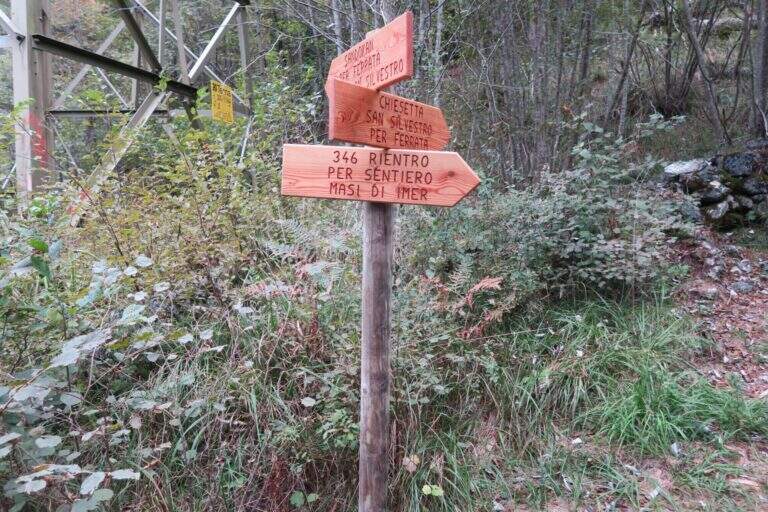
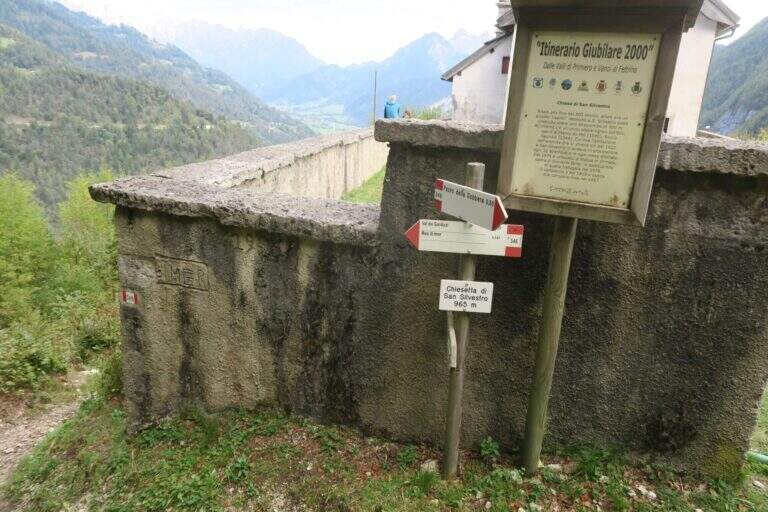
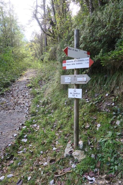
    From the church a sign indicates two options. Recommended: trail 346 which in about 40' leads to the provincial to the Masi of Imer (restaurant « At Bus») and in other 10' at the parking lot, crossing the road and the roundabout in front of the tunnel (50' from the term). Alternatively, it can be può stretch the lap up to 346 until the Passo Gobbera and get off for the provincial road towards Imer or for dirt/summer that connects più below the first option (about 1h 30').

    ▲To match

    In the Primiero and surroundings: the Ferrata del Canalone at the refuge Treviso and, at the Pale, the Ferrata Bolver-Lugli; towards the Dolomites Feltrine la Ferrata at Monte Coppolo.

    ▲Gallery
    Technical data
    • DifficultyModerately Hard
    • RegionTrentino-Alto Adige
    • GroupPrimiero
    • Approach0:05 h
    • Ferrata1:00 h
    • Itinerary (a/r)1:50 h
    • Hardware level difference330 m
    • Route difference380 m
    • Max965 m
    • Length5,4 Km
Need help? Write to us!