Difficoltà: Moderatamente Difficile

  • Alta Via Günther Messner

    Alta Via Günther Messner

    Vie Ferrate › Trentino-Alto Adige › Bolzano
    Alta Via Günther Messner

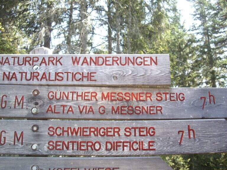
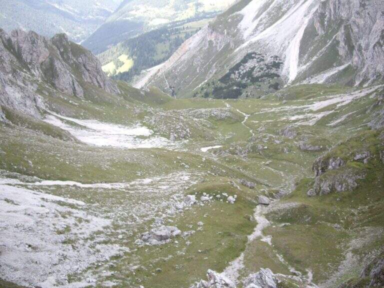
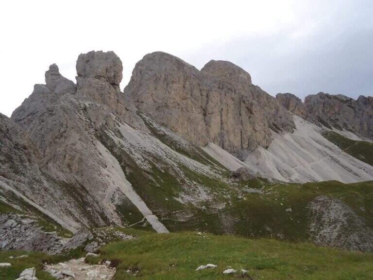
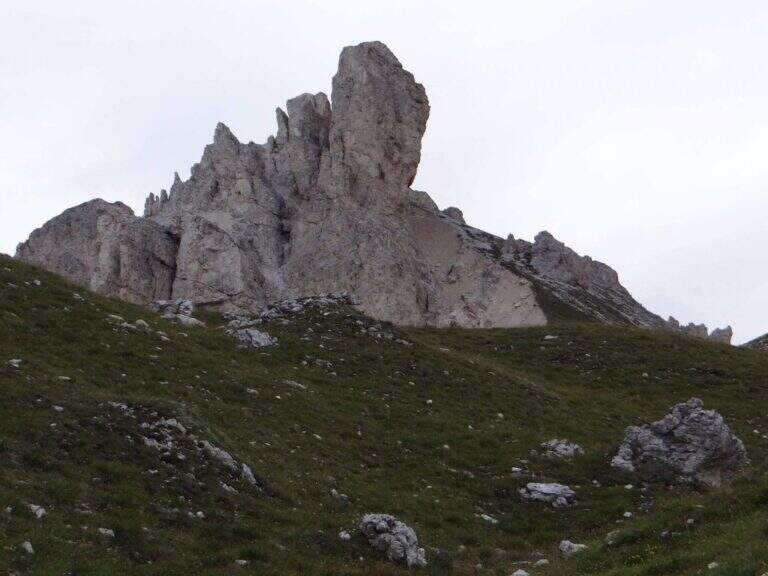
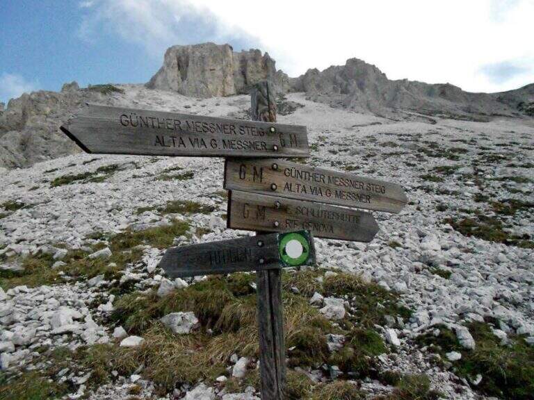
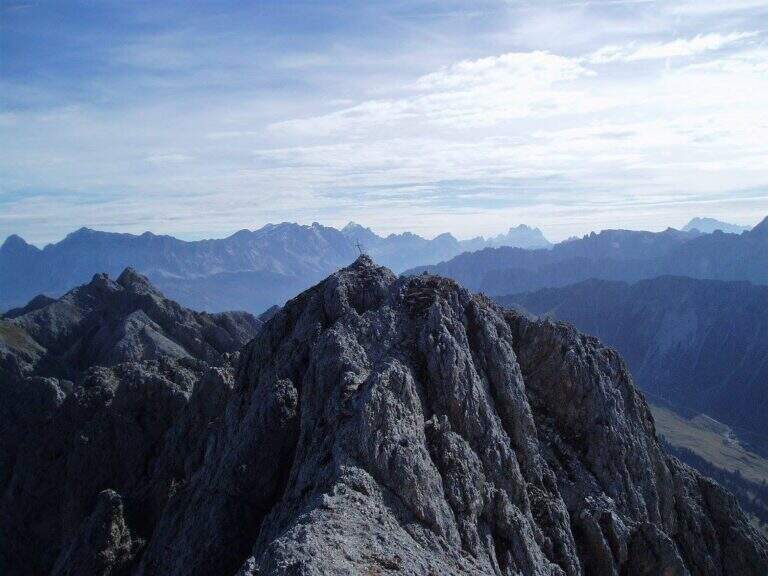
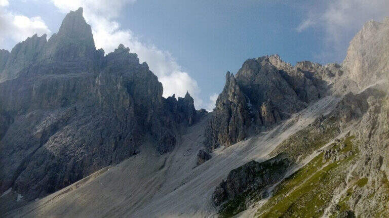
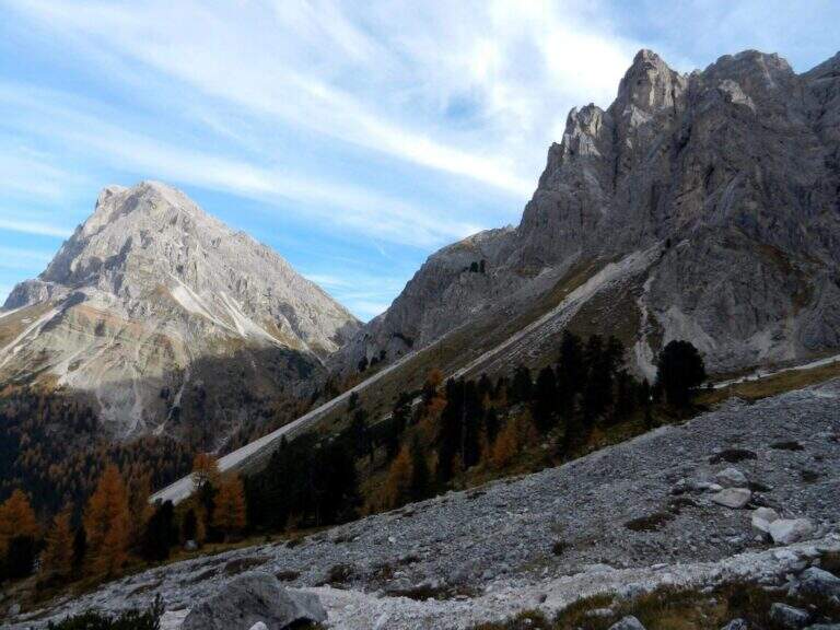
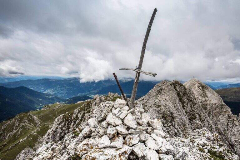
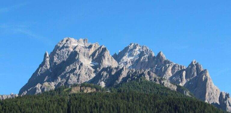
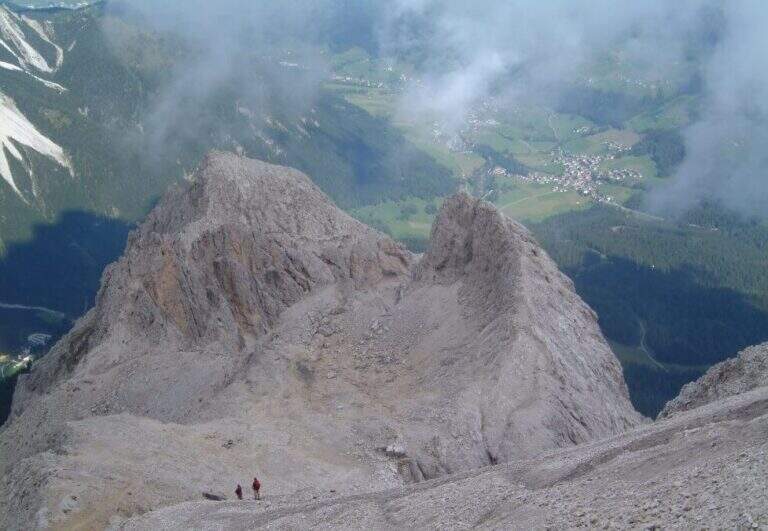
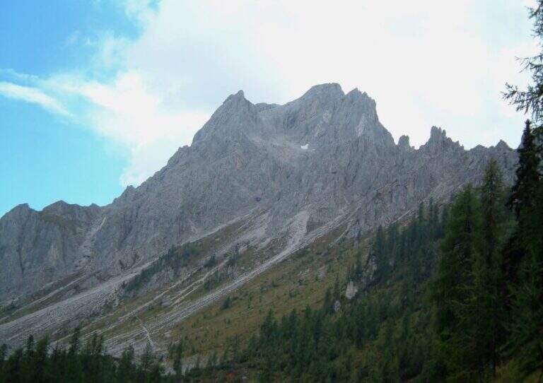
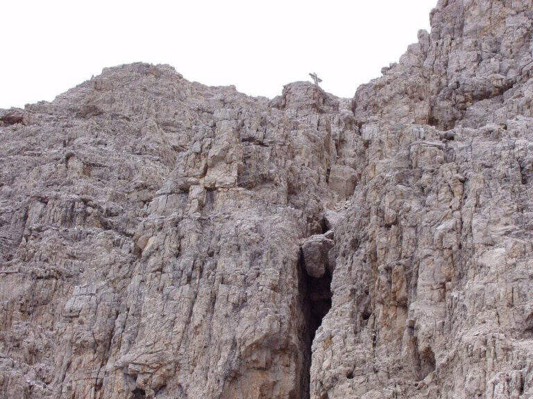
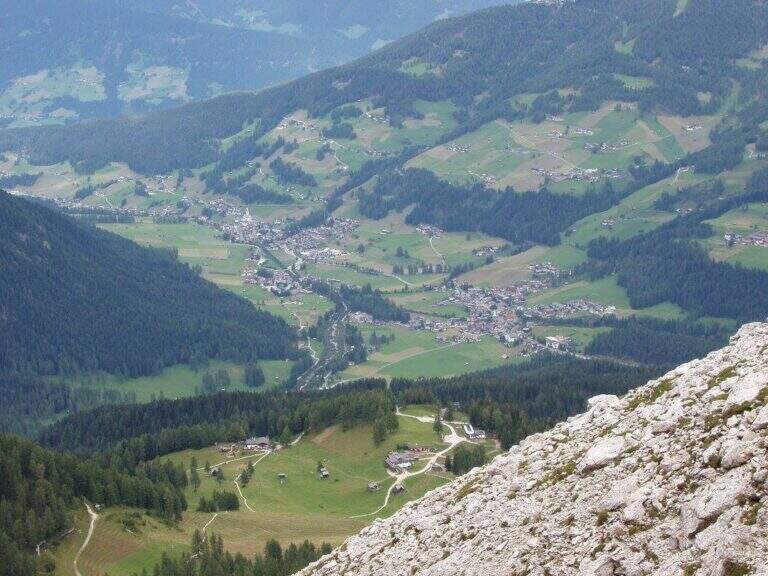
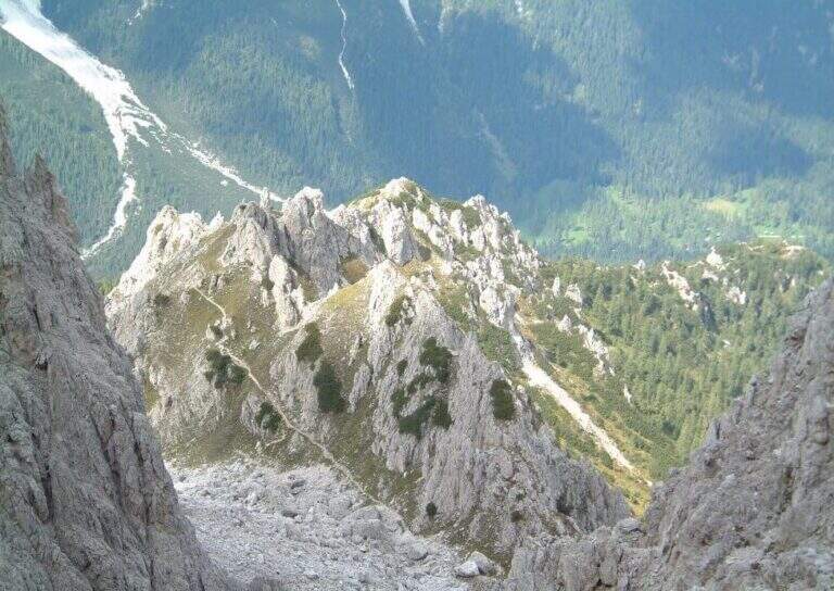
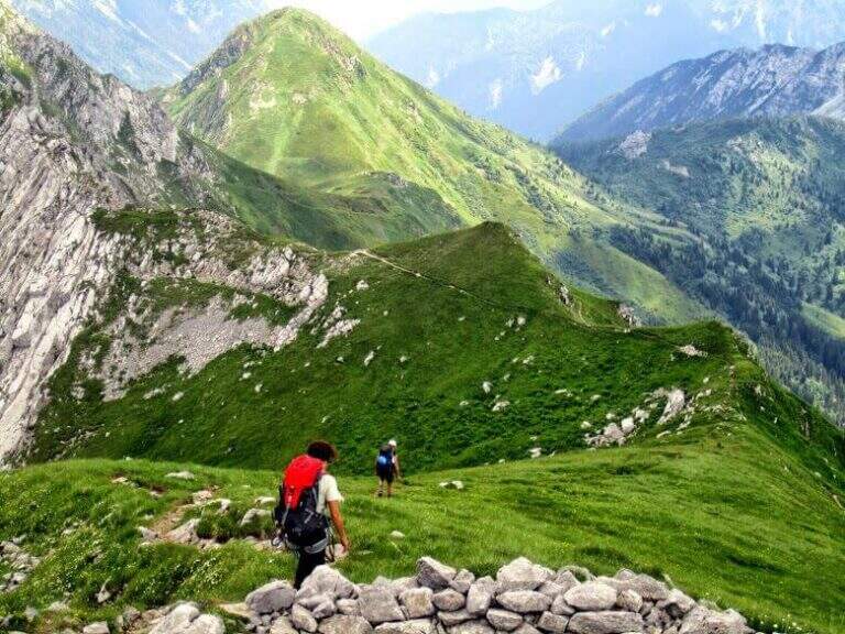
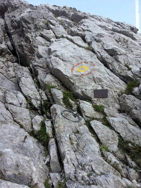
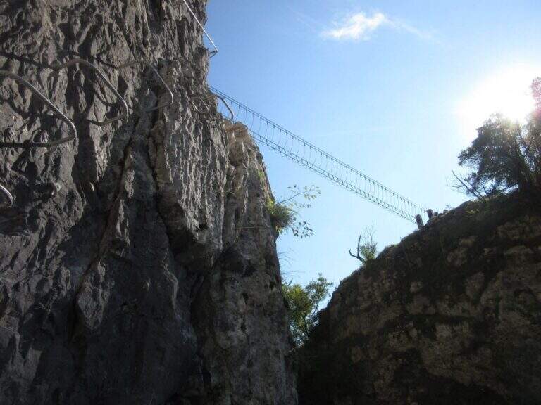
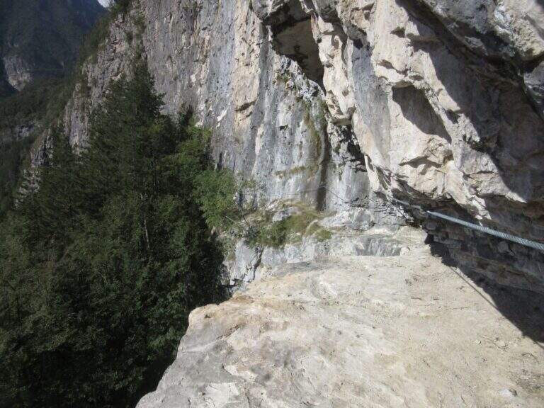
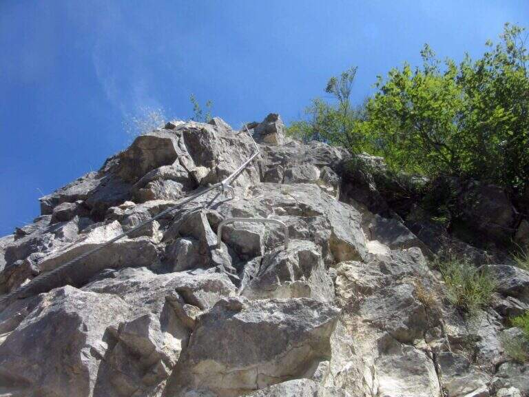
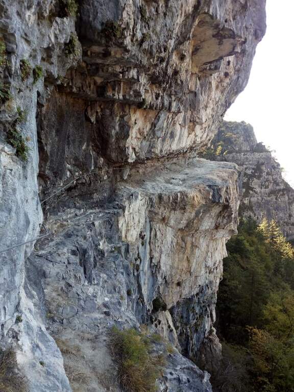
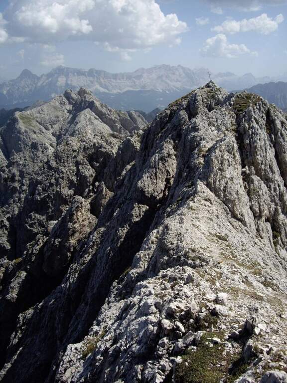
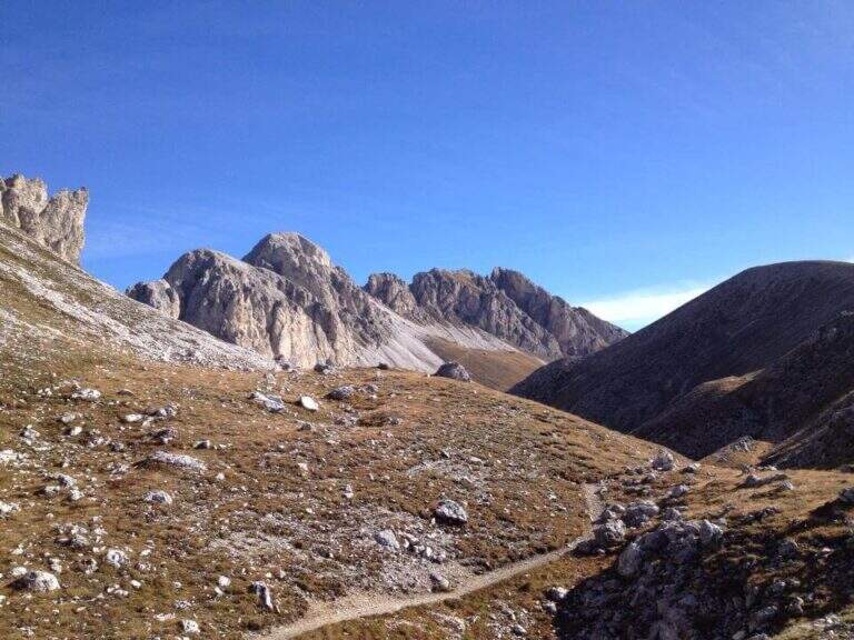
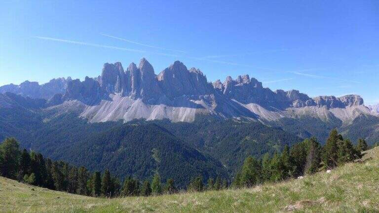
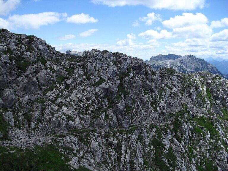
    L’Alta Via Günther Messner è un meraviglioso itinerario d’alta quota lungo la cresta occidentale delle Odle di Eores, in Val di Funes (provincia di Bolzano). Tocca il Monte Tullen e il Monte Rovina in un lungo anello panoramico che, pur senza difficoltà tecniche rilevanti, richiede ottima resistenza fisica per il continuo sali-scendi e attenzione nei numerosi tratti esposti e in alcuni passaggi non protetti.

    ▲Approach

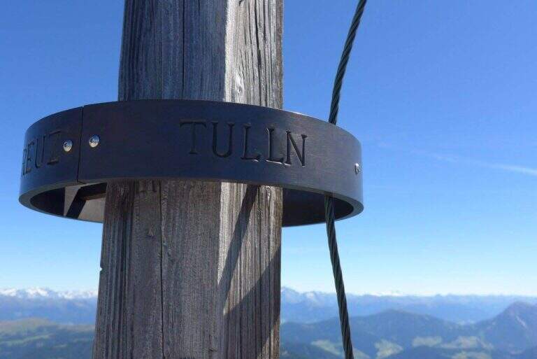
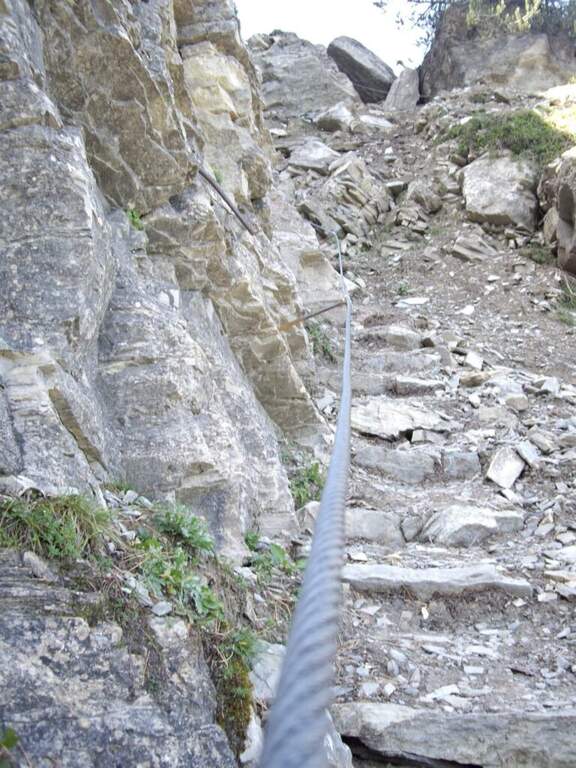
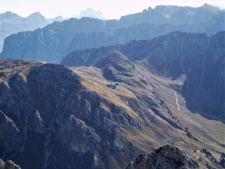
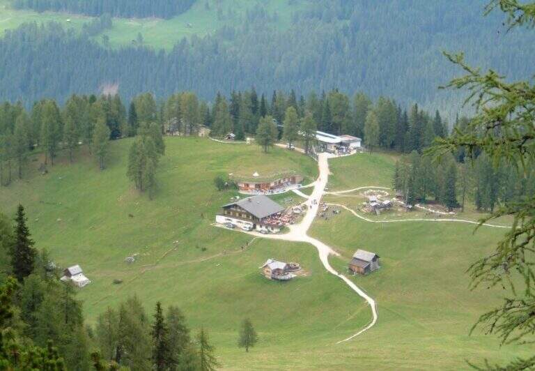
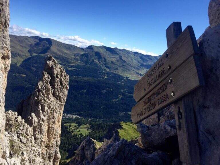
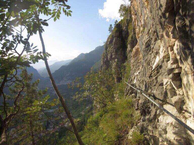
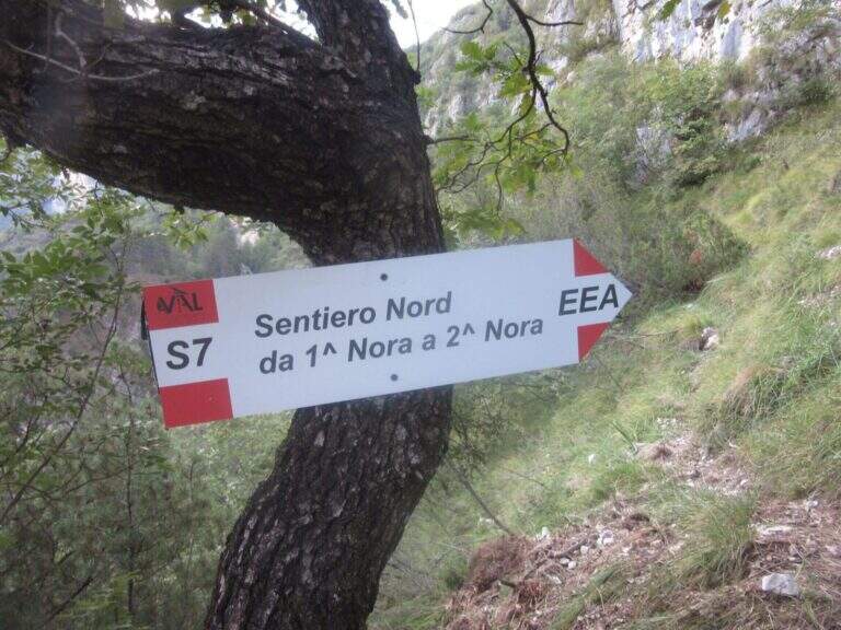
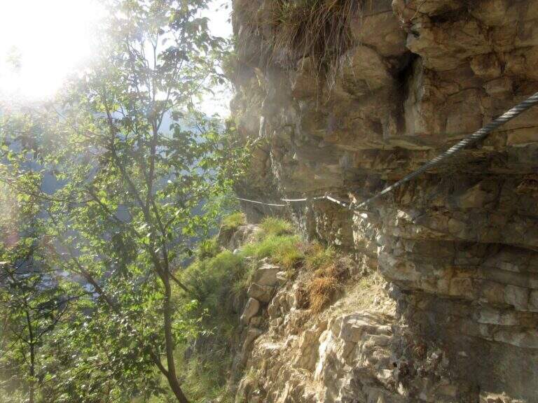
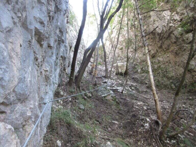
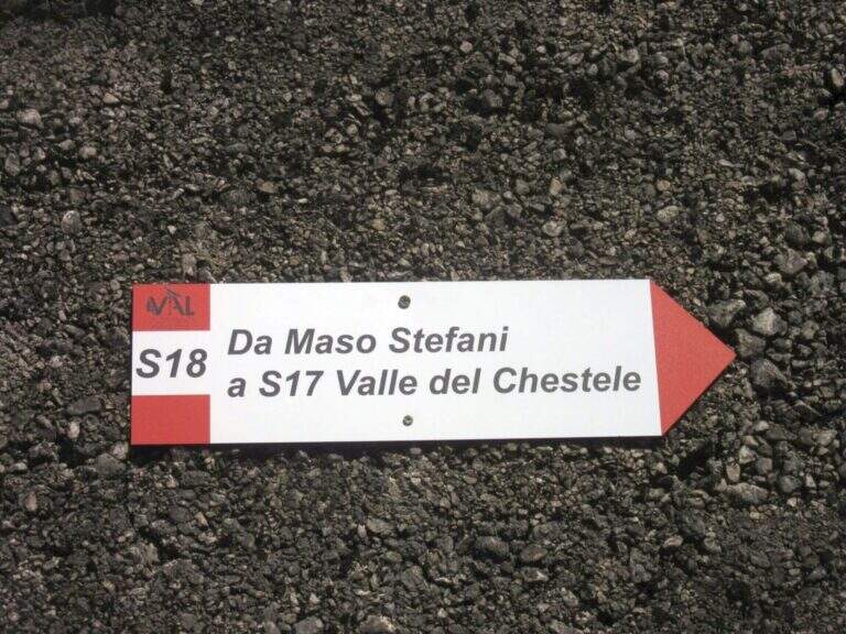
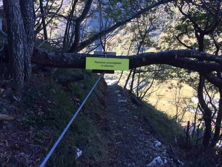
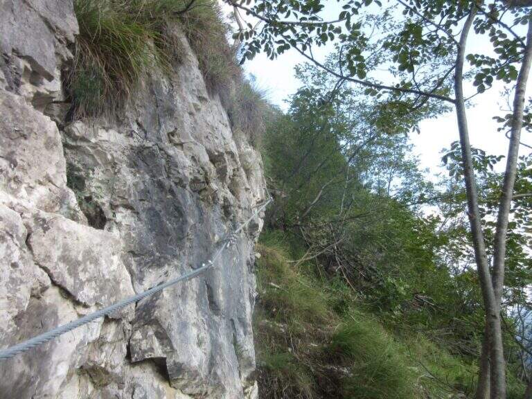
    Il punto di partenza è lungo la strada che da Chiusa (uscita A22 del Brennero) sale in Val di Funes verso il Passo delle Erbe: superato San Pietro, presso un tornante dove a sinistra scende la SP29 per Bressanone, poco prima del bivio e appena passato un ponte, sulla destra si trova uno spiazzo dove parcheggiare (località Croce dei Russi; open the starting point on Google Maps; in estate arrivare presto, i posti sono pochi). Dal parcheggio si torna a ritroso sull’asfalto verso San Pietro per circa 100 metri fino alle indicazioni d’inizio dell’Alta Via e si sale nel bosco. Dopo un tratto a mezzacosta esposto su scarpata detritica con semplici passaggi attrezzati e due fonti d’acqua, si aggira il Col Magrei fino al bivio con il sentiero 32A (da Santa Maddalena); tenendo la sinistra in salita si raggiunge la Sella di Col Magrei (2160 m, 1 ora dall’inizio), con vista sul Gruppo delle Odle, il Sass Rigais e la Furchetta. Si prosegue oltre il bivio con il CAI 25 (dal Rifugio Zannes) restando sull’Alta Via, a mezzacosta sul versante sud del Col Magrei e poi in un vallone isolato, fino a una sella (2527 m, 2h 15′ totali). Da qui è consigliata la salita al Monte Tullen (2653 m), con un breve tratto attrezzato e un sentiero di cresta a tratti esposto su detrito instabile (15′ dal bivio, 2h 30′ totali); si rientra poi alla sella a ritroso (2h 45′ totali).

    ▲The path

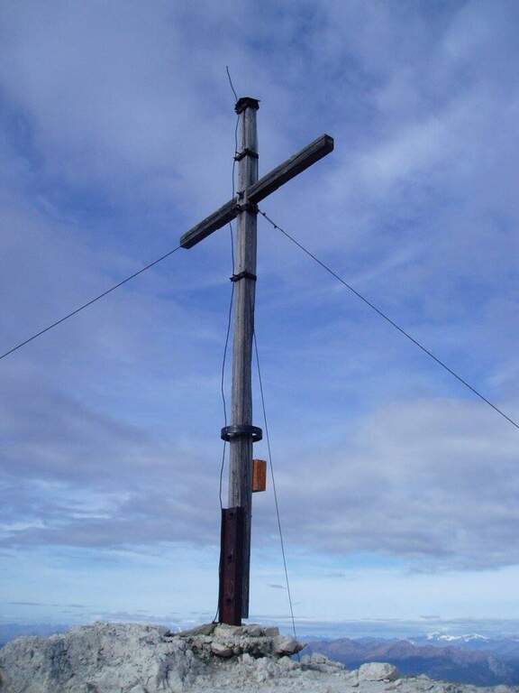
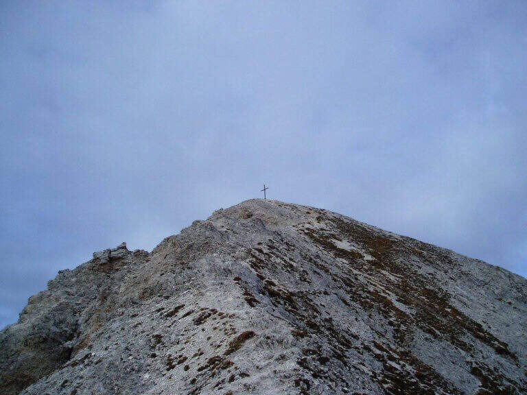
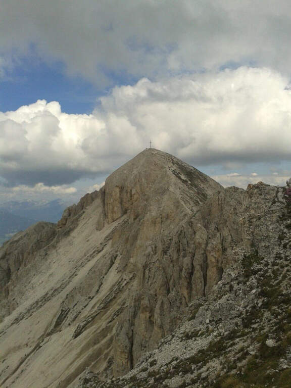
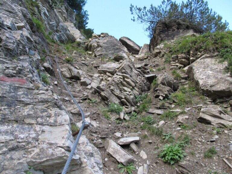
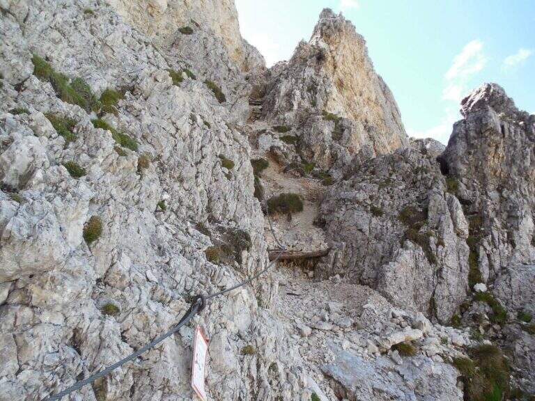
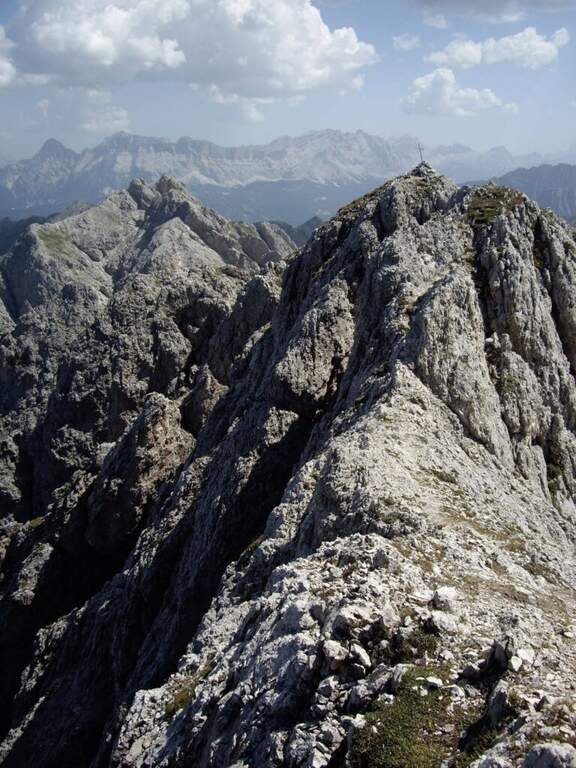
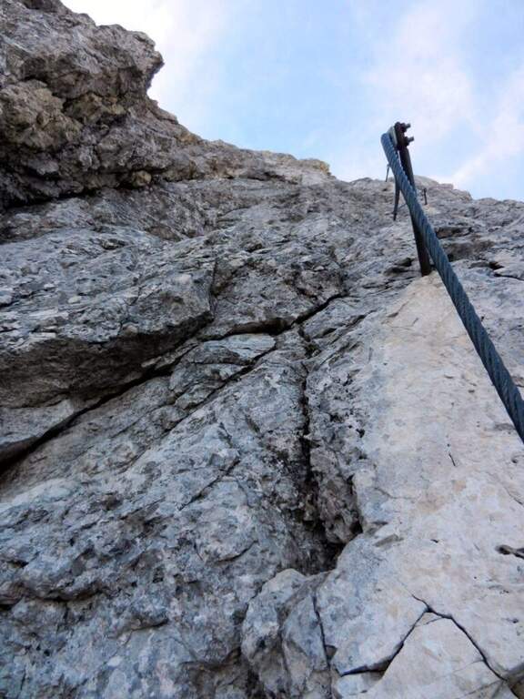
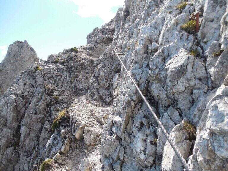
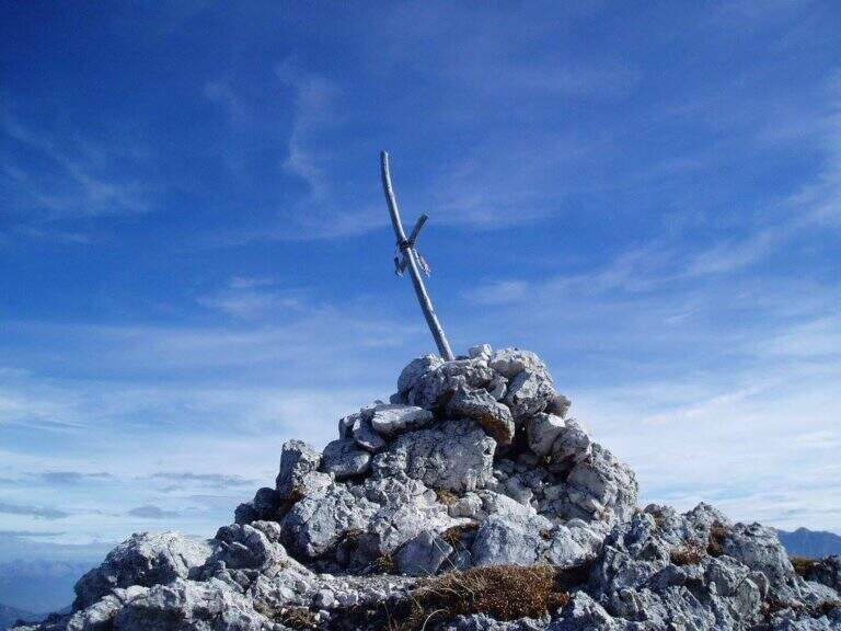
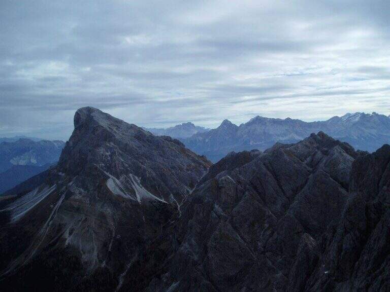
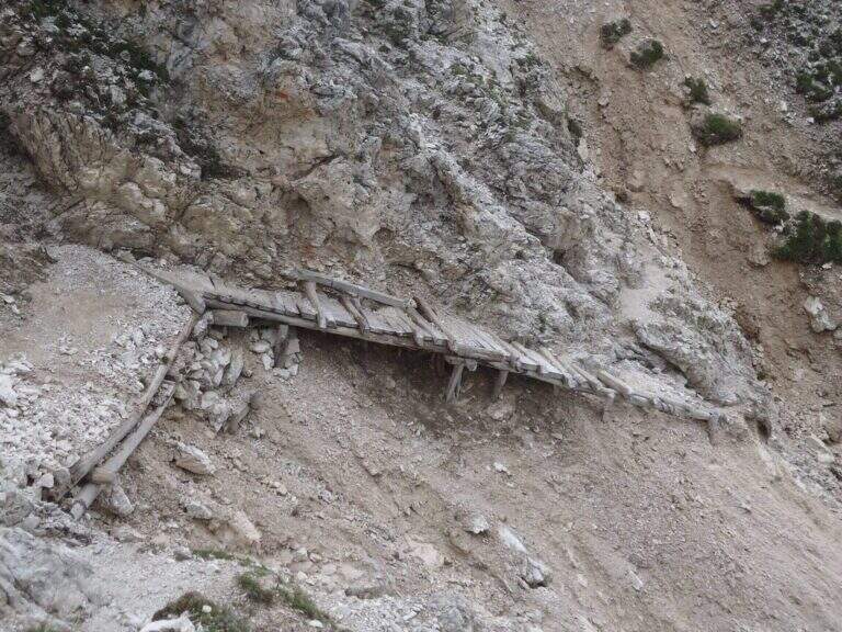
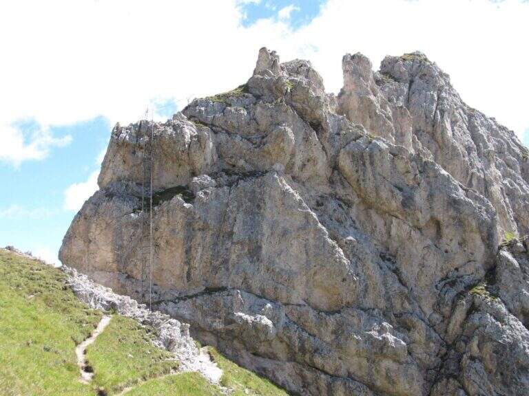
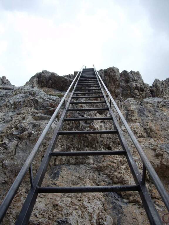
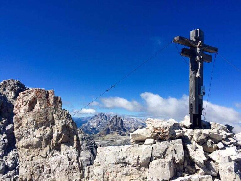
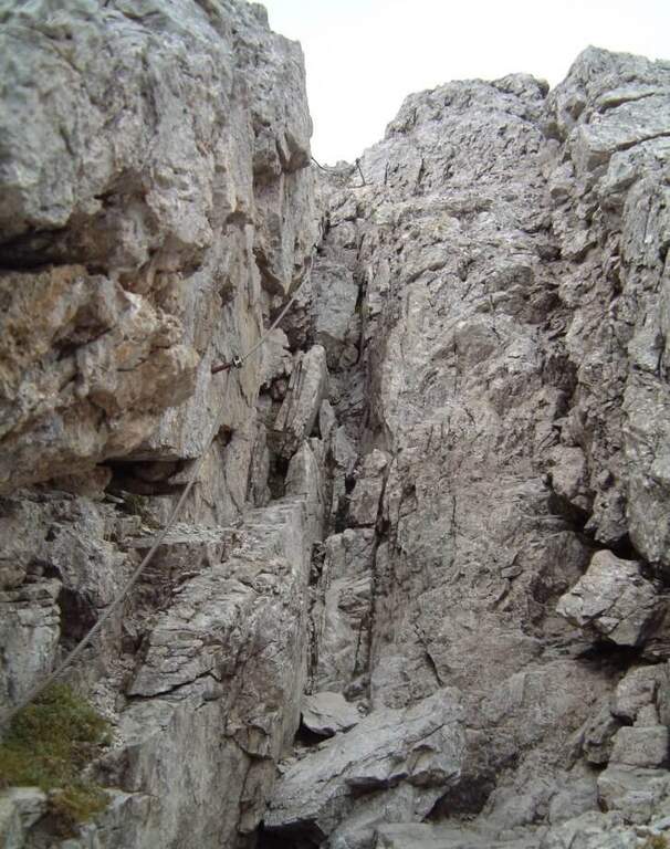
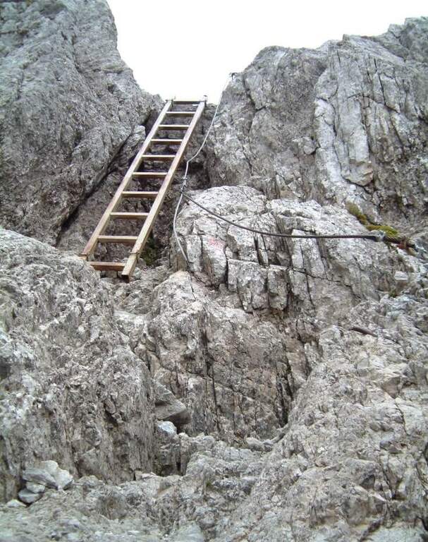
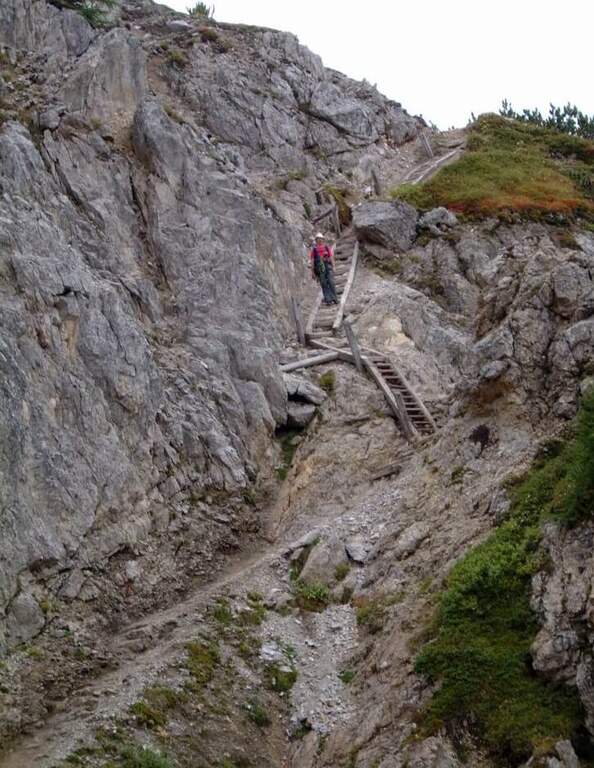
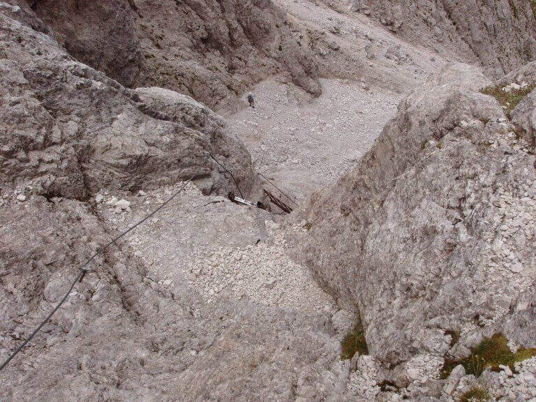
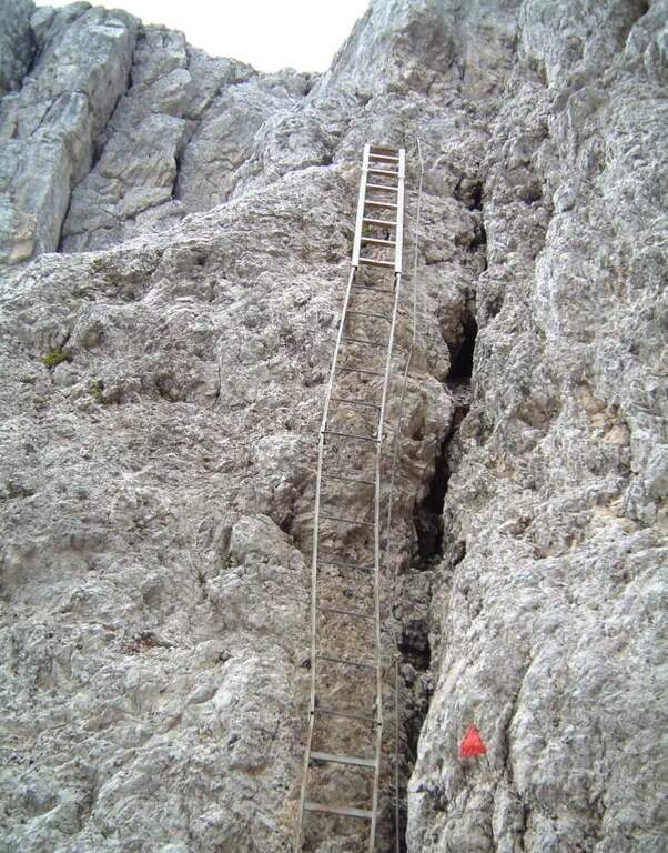
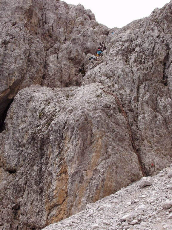
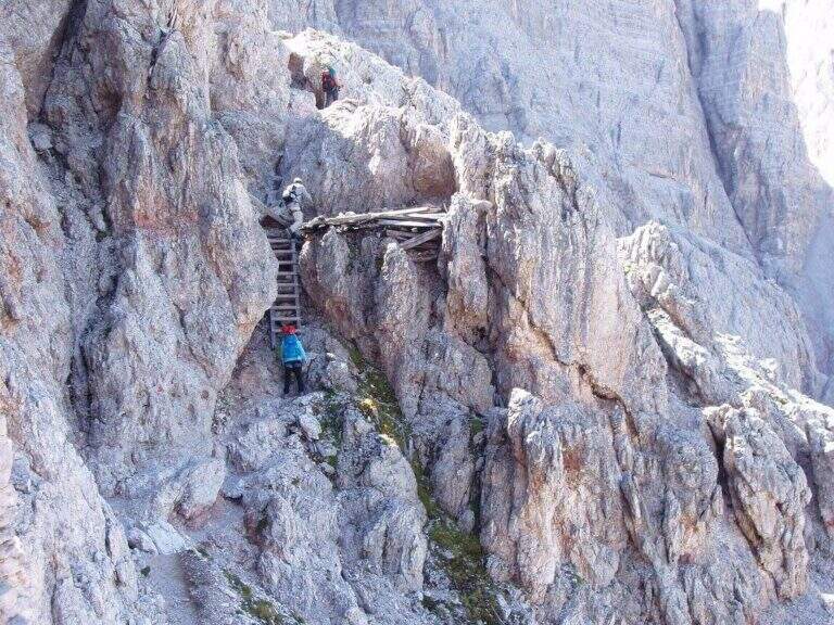
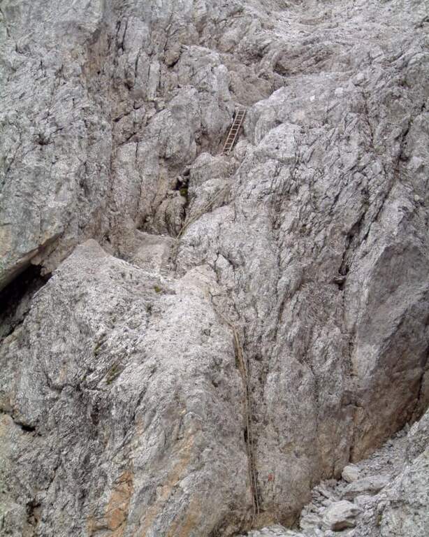
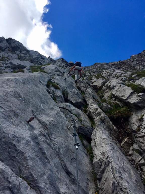
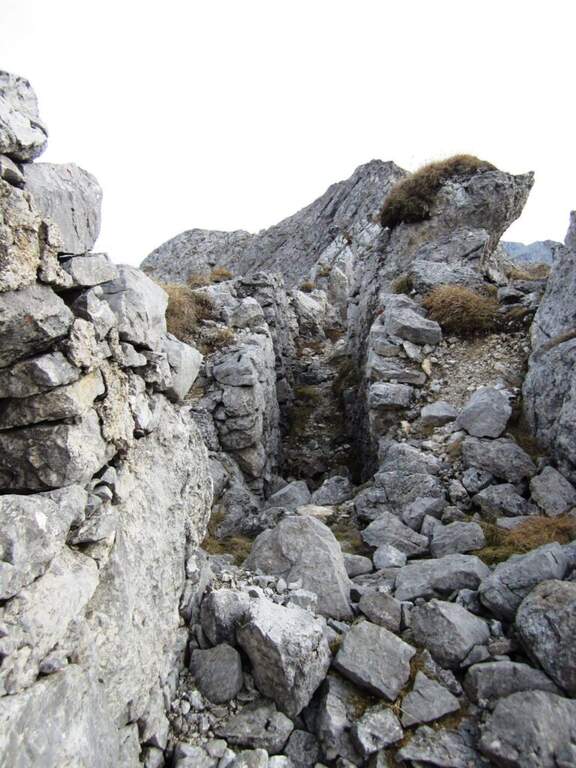
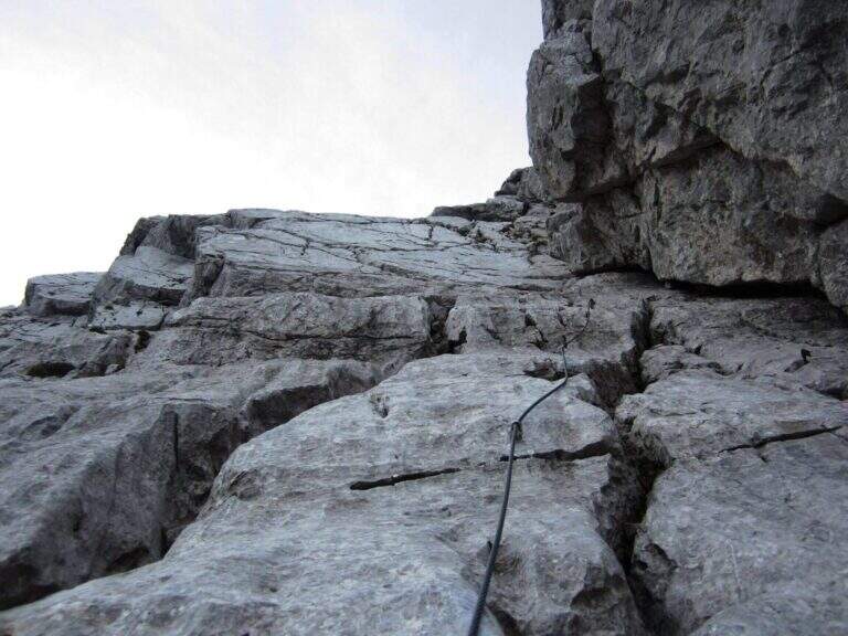
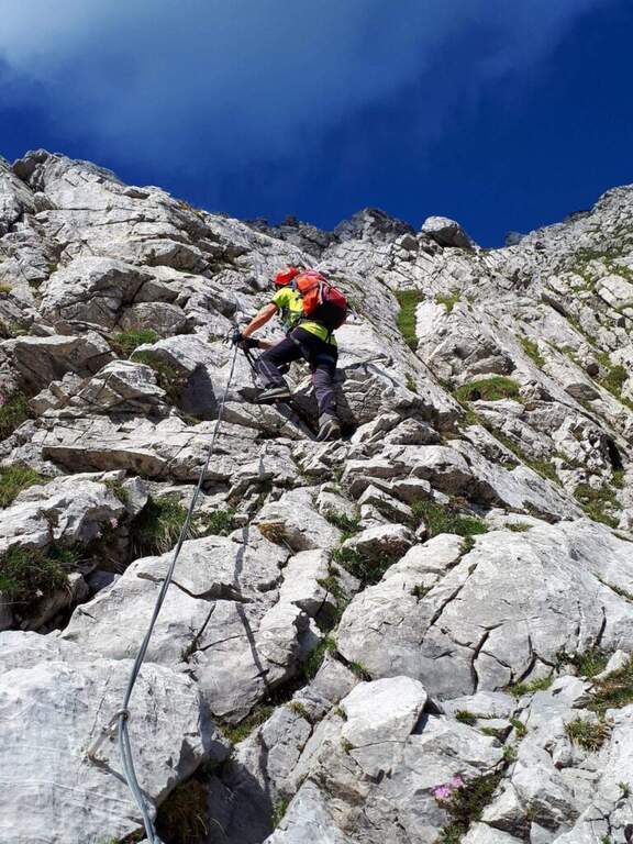
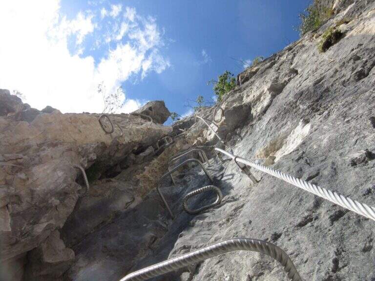
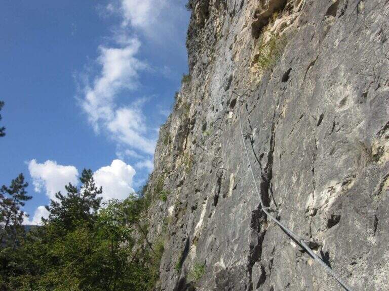
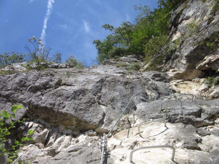
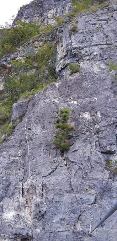
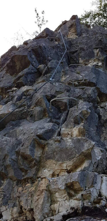
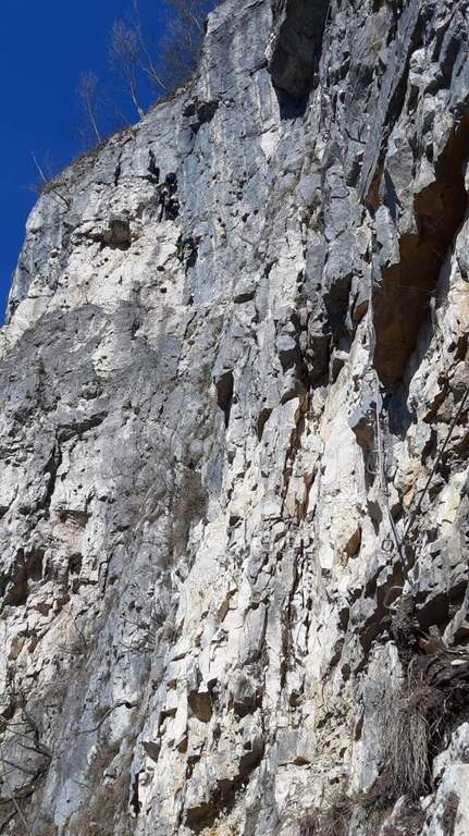
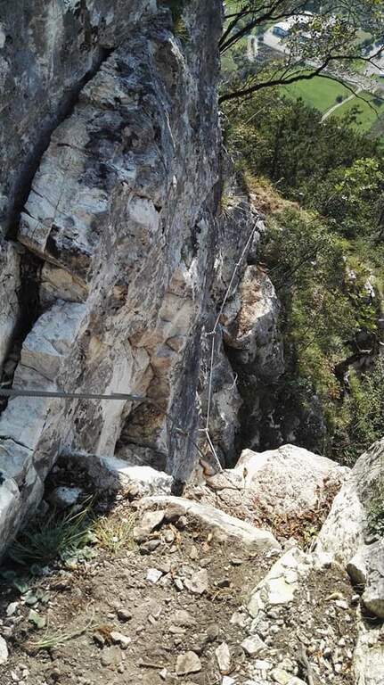
    Lasciato il Tullen alle spalle si procede a mezzacosta verso la cresta, dove iniziano i tratti attrezzati: il primo è un ripido canalino attrezzato che deposita in cresta. Si percorre la cresta per alcuni minuti fino al Monte Rovina (2646 m, 30′ dalla Sella del Tullen), che si aggira a nord sul versante sinistro con un secondo tratto attrezzato; dalla piccola croce sommitale si gode la vista sul Sass de Putia. Si scende quindi dalla cresta iniziando un sali-scendi a mezzacosta sul versante sud, in alcuni punti esposto, con un passaggio più ostico: un canalino di I grado non protetto, non difficile ma da affrontare con attenzione per l’esposizione e il fondo sabbioso poco saldo. Si prosegue perdendo quota, si supera una passerella in legno e si arriva a una scala metallica di circa 15 metri davanti a una parete rocciosa (2500 m, 1h 30′ dal Monte Rovina, 4h 45′ totali). Risalita la scala e superato un altro breve tratto attrezzato, si passa sul versante nord costeggiando le pareti fino a un crocevia: a destra si scende al Rifugio Genova, mentre si tiene la sinistra sul largo sentiero 4 fino alla Forcella de Putia (2357 m, 5 ore totali).

    ▲Character and difficulty

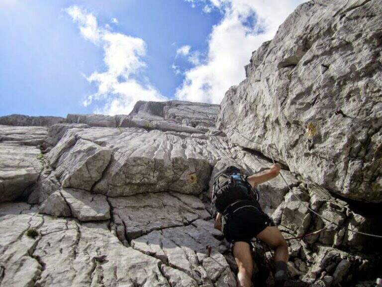
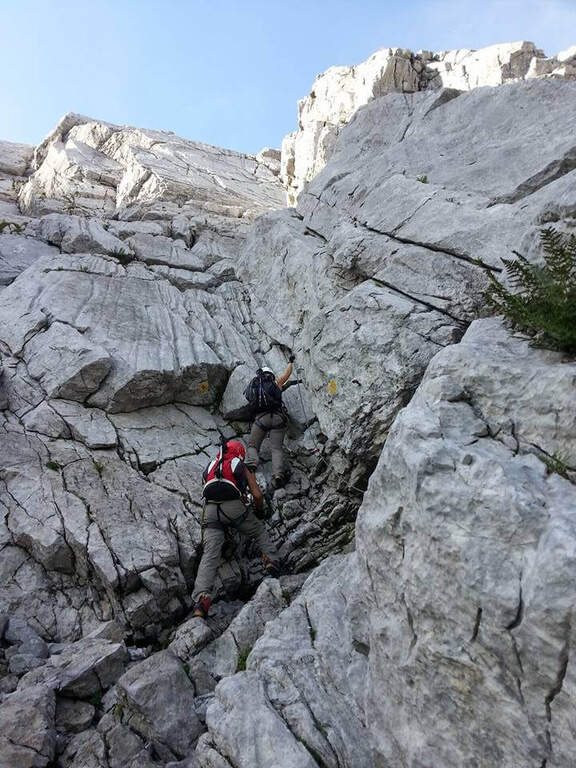
    Classificata Moderatamente Difficile (MD): le difficoltà tecniche sono contenute (2/5) ed esposizione media (2/5), ma complessità ambientale e impegno fisico sono più alti (3/5) per la lunghezza e l’isolamento. Le sezioni attrezzate sono semplici; i punti che richiedono più attenzione sono un paio di passaggi non attrezzati (l’ultimo tratto prima del Tullen e il canalino di I grado), oltre ai sentieri esposti in cresta. Obbligatori imbracatura, kit da ferrata e casco: il kit va usato anche se molti lo affrontano senza.

    ⚠ Itinerario lungo (circa 16 km, 7 ore) e poco frequentato, con poche vie di fuga (Malga Zannes e Rifugio Genova, da cui però si rientra con i mezzi pubblici) e nessun ristoro lungo la cresta: portare acqua in abbondanza. Affrontarlo solo con meteo stabile: dopo le piogge i tratti detritici e i canaloni non attrezzati possono franare e diventare insidiosi. Le corde fisse sono a tratti un po’ molli. Richiede passo fermo e concentrazione costante.
    ▲Period and safety

    Via estiva d’alta quota, ideale a stagione inoltrata con tempo stabile e buona visibilità. Un cenno di storia: l’itinerario è dedicato a Günther Messner, fratello di Reinhold, morto nel 1970 durante la drammatica discesa dal Nanga Parbat. Pianificare con attenzione tempi e scorta d’acqua.

    ▲Discipline

    Dalla Forcella de Putia — da cui è possibile salire al Sass de Putia con l’omonimo sentiero attrezzato (1h 30′ andata) — inizia il sentiero di rientro che corre parallelo a mezzacosta, sul versante settentrionale della cresta delle Odle di Eores. Si segue l’ampio sentiero ignorando in rapida successione i sentieri 8A, 1 e 4 che conducono al Passo delle Erbe, fino a tornare in falsopiano al parcheggio (2 ore dalla Forcella de Putia, 7 ore complessive).

    ▲To match

    Per un itinerario di più giorni si può salire al Sass de Putia con il sentiero attrezzato raggiungibile dal Rifugio Genova. Scendendo in Val Badia si trovano la Ferrata Sas dla Crusc e il Sass delle Dieci e, verso Corvara, la Ferrata della Pace e il Sentiero Tru Dolomieu.
    ▲Gallery
    Technical data
    • Approach2:45 h
    • Duration2:15 h
    • Total itinerary7:00 h
    • Hardware level difference70 m
    • Route difference824 m
    • Maximum altitude2653 m
    • Length16 Km
  • Ferrata alla Croda Rossa di Sesto

    Ferrata alla Croda Rossa di Sesto

    Vie Ferrate › Trentino-Alto Adige › Bolzano
    Ferrata alla Croda Rossa di Sesto
    Moderately Hard● OpenDescriptionComplexityMapsGallery

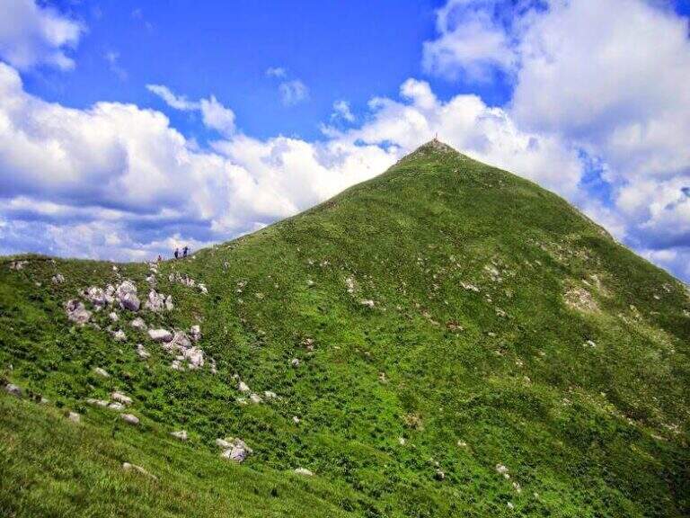
    La ferrata dei Costoni della Croda Rossa di Sesto risale una delle cime simbolo delle Dolomiti di Sesto, in un ambiente d’alta quota carico di storia della Grande Guerra. È una via di media difficoltà ma lunga e d’impegno, agevolata in partenza dalla seggiovia dei Prati di Croda Rossa, con scale metalliche e tratti attrezzati fino ai 2939 m della vetta.
    ▲Approach

    Dalla stazione a monte della seggiovia (~1924 m, presso il Rifugio Prati di Croda Rossa) si segue il sentiero 15 e poi il 15B verso la Croda Rossa, in circa 30 minuti, fino a un balzo verticale. Road signs →

    ▲The path

    Il balzo si supera con una serie di scale metalliche (la prima è la più lunga); si prosegue su ghiaioni e roccette attrezzate fino a una forcella, passando accanto ai resti di baracche della Prima Guerra Mondiale. Dopo un tratto in leggera discesa e altri resti bellici, un tratto verticale a camino e alcune roccette finali conducono alla croce di vetta (circa 2936 m, circa 2h15 dall’attacco).

    ⚠ Itinerario lungo da non sottovalutare; l’esposizione prevalente a nord lascia neve anche a stagione inoltrata in alcuni punti. Da non confondere con la “Ferrata alla Croda Rossa” (sentiero 100). La variante di discesa per la Ferrata del Castelliere verso il Passo della Sentinella è più impegnativa. Verifica gli orari della seggiovia: in genere chiude verso le 17:30.
    ▲Discipline

    La discesa avviene per il medesimo itinerario (circa 2h45 dalla vetta), in alternativa — per esperti — lungo la più impegnativa Ferrata del Castelliere verso il Passo della Sentinella.

    ▲To match

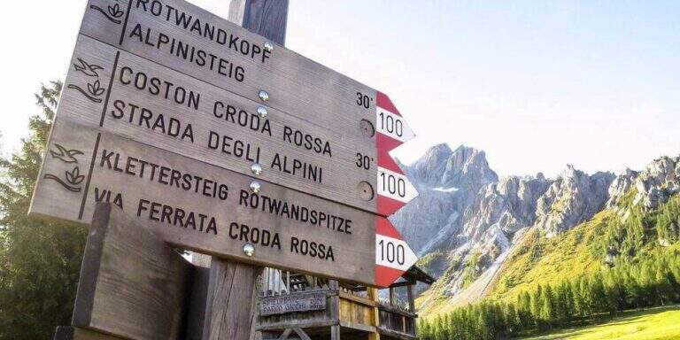
    Nelle Dolomiti di Sesto si trovano la Ferrata Zandonella, la Strada degli Alpini e la Ferrata Roghel.

    ▲Gallery
    Technical data
    • DifficultyModerately Hard
    • RegionTrentino-Alto Adige
    • ProvinceBolzano
    • GroupSesto Dolomites
    • Approach0:45 h
    • Ferrata1:30 h
    • Total itinerary5:45 h
    • Hardware level difference~400 m
    • Route difference1090 m
    • Max Altitude2939 m
    • Length7,3 km
  • Ferrata at Monte Zermula

    Ferrata at Monte Zermula

    Vie Ferrate › Friuli-Venezia Giulia › Udine
    Ferrata at Monte Zermula
    Moderately Hard● OpenDescriptionComplexityMapsGallery

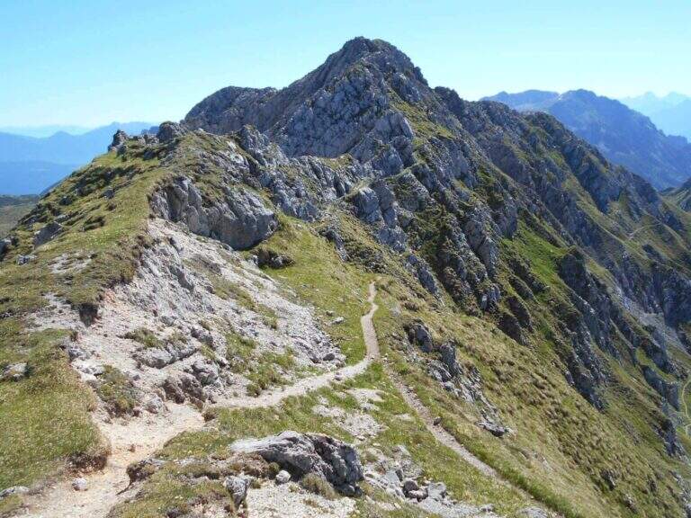
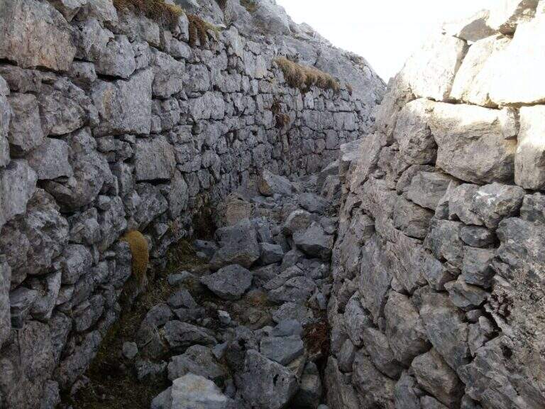
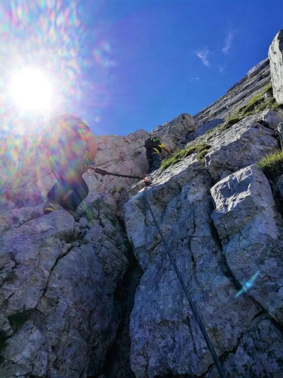
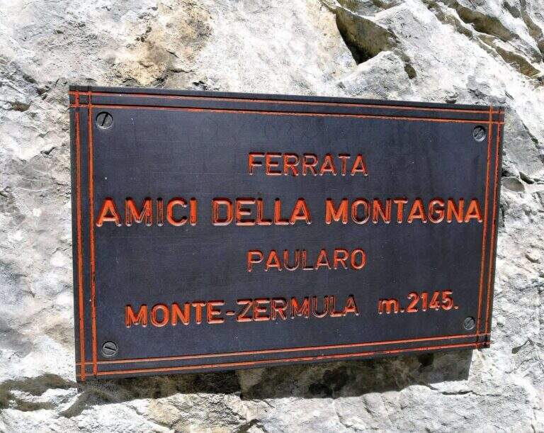
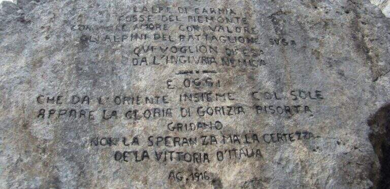
    Built in 1983 by the Friends of the Mountain of Paularo, the ferrata to Mount Zermula climbs the north wall of this top of the Carnic Alps and ends with a suggestive ridge between trenches and positions of the Great War. It is a medium difficulty route, never extreme, on good rock rich in hooks, with a strong historical and panoramic value.

    ▲Approach

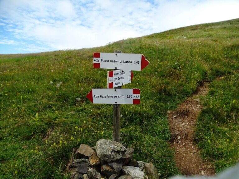
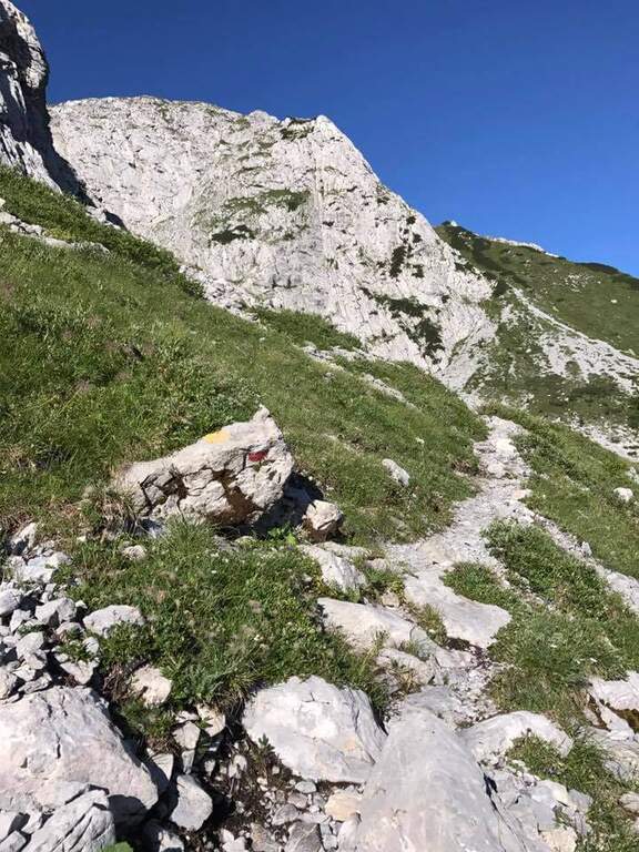
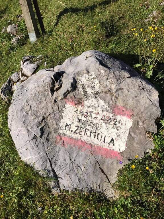
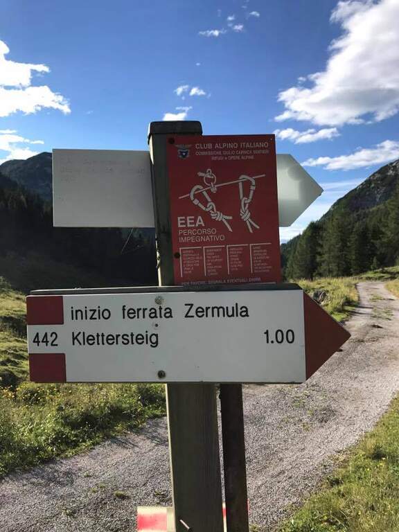
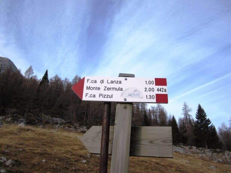
    Starting from the Cason Pass of Lanza (1552 m): cross the road, a dirt road and then the 442 mark in the forest lead to the base of the north wall; a detritic valley cut diagonally leads to the attack (1833 m) in about an hour. Road signs →

    ▲The path

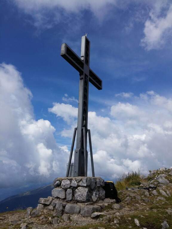
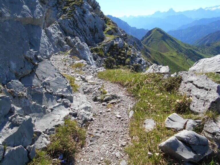
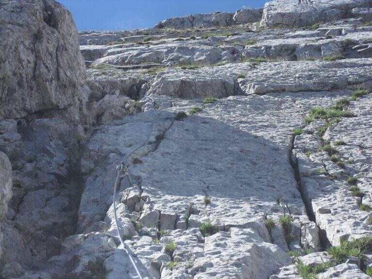
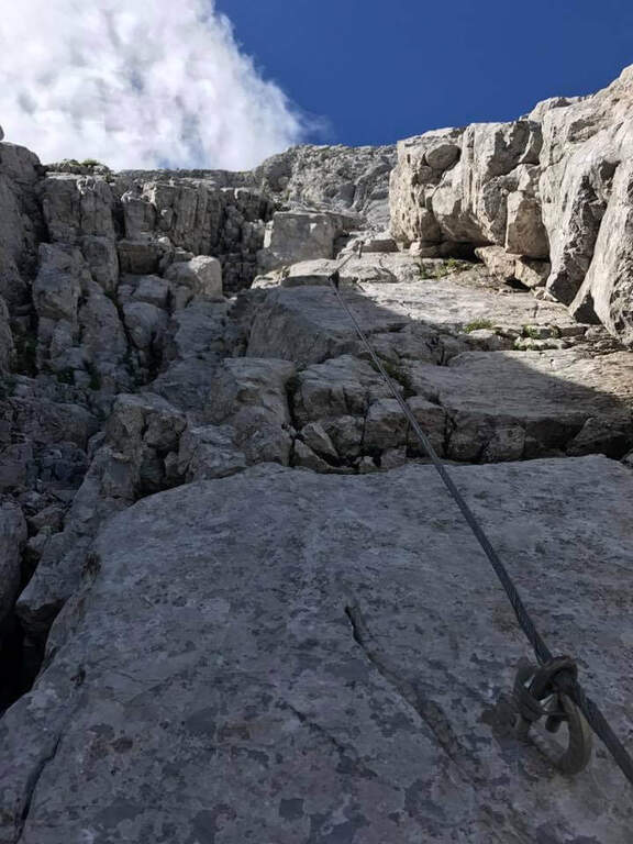
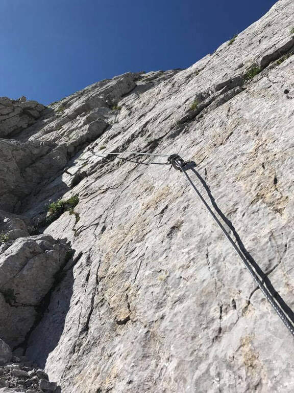
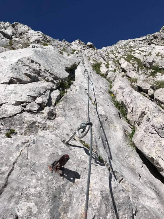
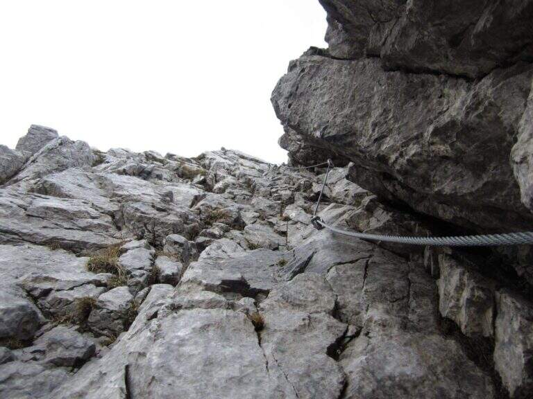
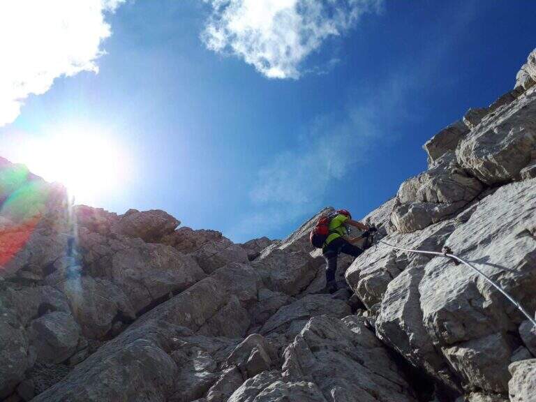
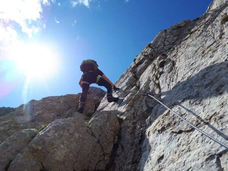
    From the attack you climb on rocks to the cable; the wall is steep but very attached, and you proceed in fun climbing between diedri, grooved plates and panoramic terraces. After a stretch on the path and a narrow nod, some more vertical walls and a detritic colatoio lead to the crest (about an hour from the attack). From here a ridge path exposed but comfortable, on the south side, leads to the summit cross of Mount Zermula (2145 m).

    ⚠ The initial signage is not optimal: recommended GPS track. The plaques with karst grooves become slippery if wet; some sections of the ferrata and the ridge path are exposed. At the beginning of the season it assesses the possible snow language in the approaching valley.
    ▲Discipline

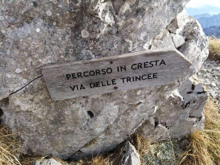
    From the summit you descend along the panoramic Cresta delle Trincee, between walks and barracks, until you land on 442 and reach the Forcella di Lanza; the track 442a then returns to the Cason di Lanza (about 3h45 total). Those with favorable energy and weather can match the nearby Ferrata Zuc della Guardia.

    ▲To match

    In the Cason area of Lanza there is the Ferrata Zuc of the Guard, la Ferrata Crete Rosse e la Ferrata Senza Confini.

    ▲Gallery
    Technical data
    • DifficultyModerately Hard
    • RegionFriuli-Venezia Giulia
    • ProvinceUdine
    • GroupMonte Zermula (Alpi Carniche)
    • Approach1:00 h
    • Ferrata1:15 h
    • Total itinerary3:45 h
    • Hardware level difference252 m
    • Route difference593 m
    • Max Altitude2145 m
    • Length5 km
    • Opening1983
  • Ferrata Anelli delle Anguane

    Ferrata Anelli delle Anguane

    Vie Ferrate › Veneto › Vicenza
    Ferrata Anelli delle Anguane
    Moderately Hard● OpenDescriptionComplexityMapsGallery

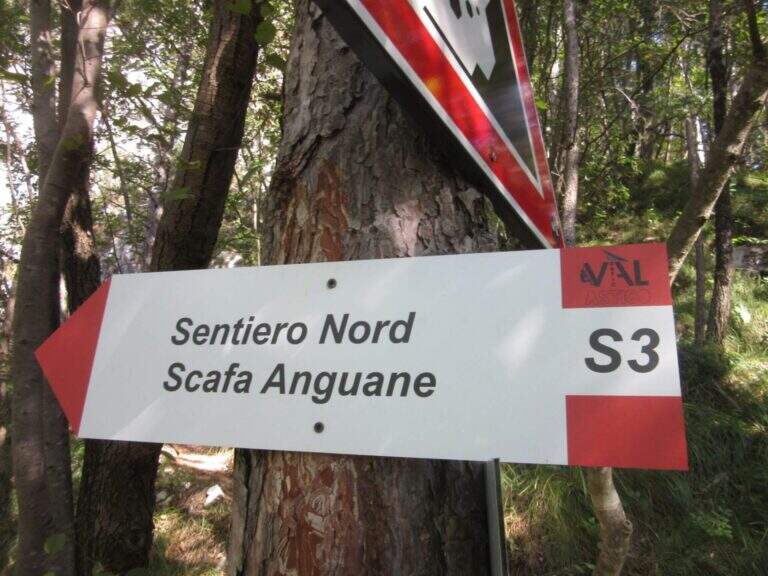
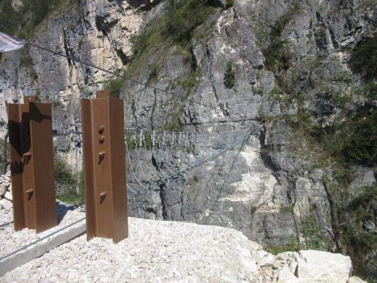
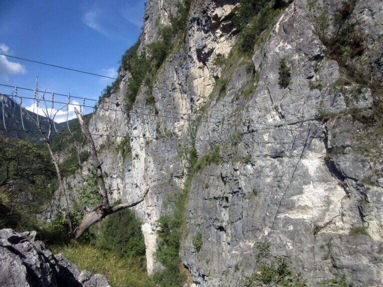
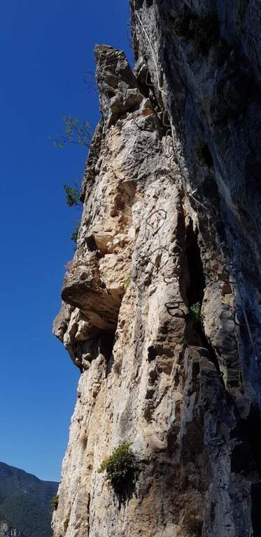
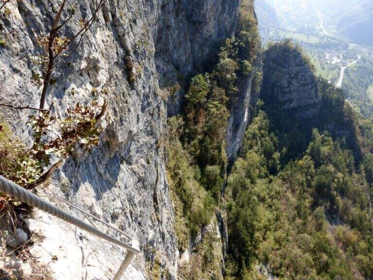
    Gli Anelli delle Anguane sono un vero parco di vie ferrate sopra San Pietro Valdastico, sulle bastionate del Sojo di Mezzogiorno: un intreccio di anelli, ponti sospesi, scale metalliche e varianti che si possono combinare in itinerari di difficoltà molto diversa, dalla media fino a sezioni estreme. La quota bassa li rende percorribili gran parte dell’anno, anche d’inverno.

    ▲Approach

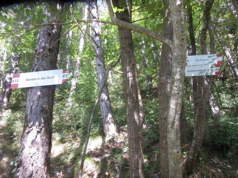
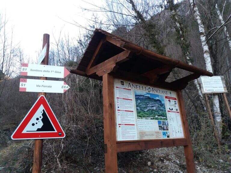
    Dal parcheggio di San Pietro Valdastico un sentiero sale verso le bastionate fino a una bacheca con la mappa dei percorsi; si seguono i sentieri S1 e poi S2 fino all’attacco, raggiunto in 20-25 minuti. Road signs →

    ▲The path

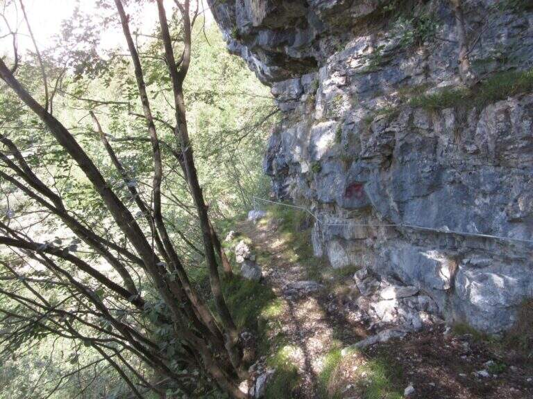
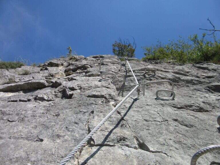
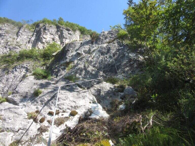
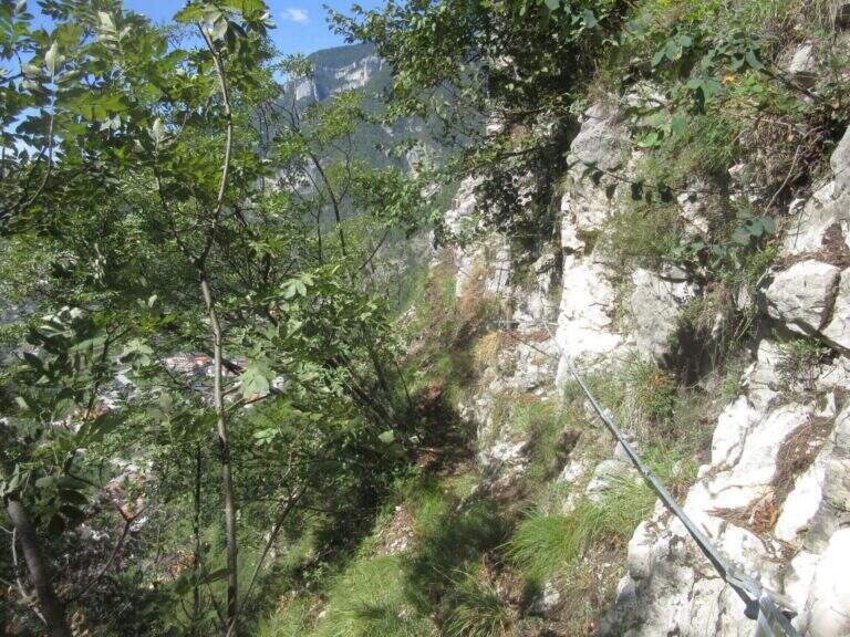
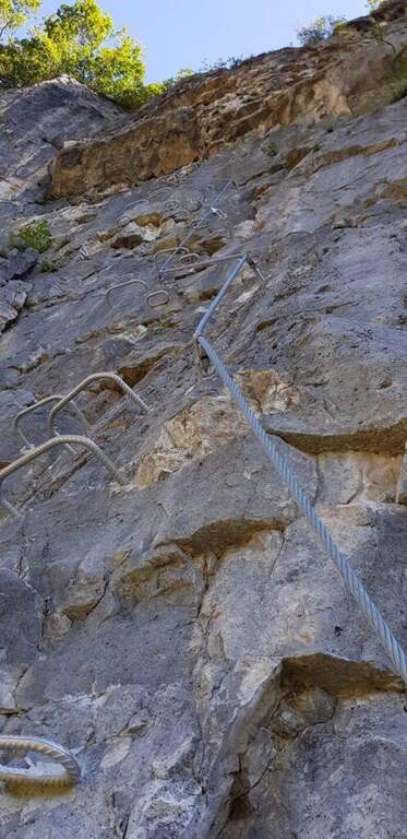
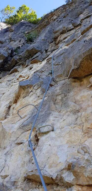
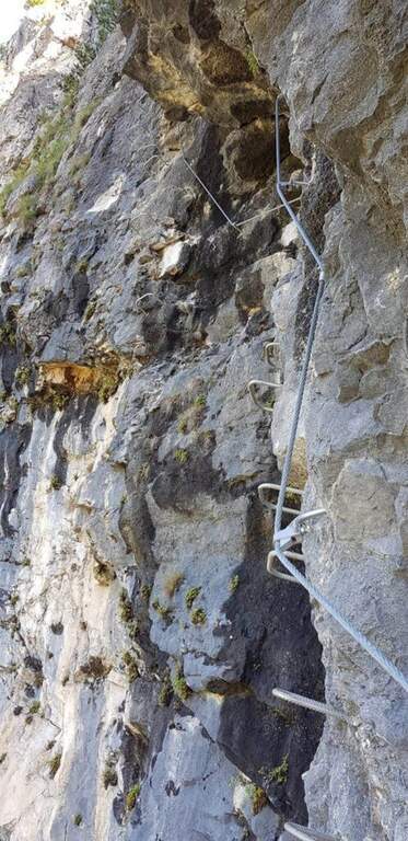
    L’itinerario base alterna paretine verticali ricche di cambre, traversi su roccia compatta, tratti di sentiero attrezzato nel bosco e canalini. Il pezzo forte è il ponte sospeso a quattro corde (circa 25 m), seguito da salite diagonali e brevi strapiombi attrezzati; lunghe cenge esposte collegano i vari anelli. Chi cerca difficoltà maggiori può inserire le varianti estreme: il “Salto delle Anguane” con scale metalliche mobili e tratti strapiombanti, le lunghe scale sospese “Scala Bruna” (40 m) e “Scala Grazia” (70 m), e il “Tetto dei Salbanei”, un tetto roccioso da superare in piena esposizione.

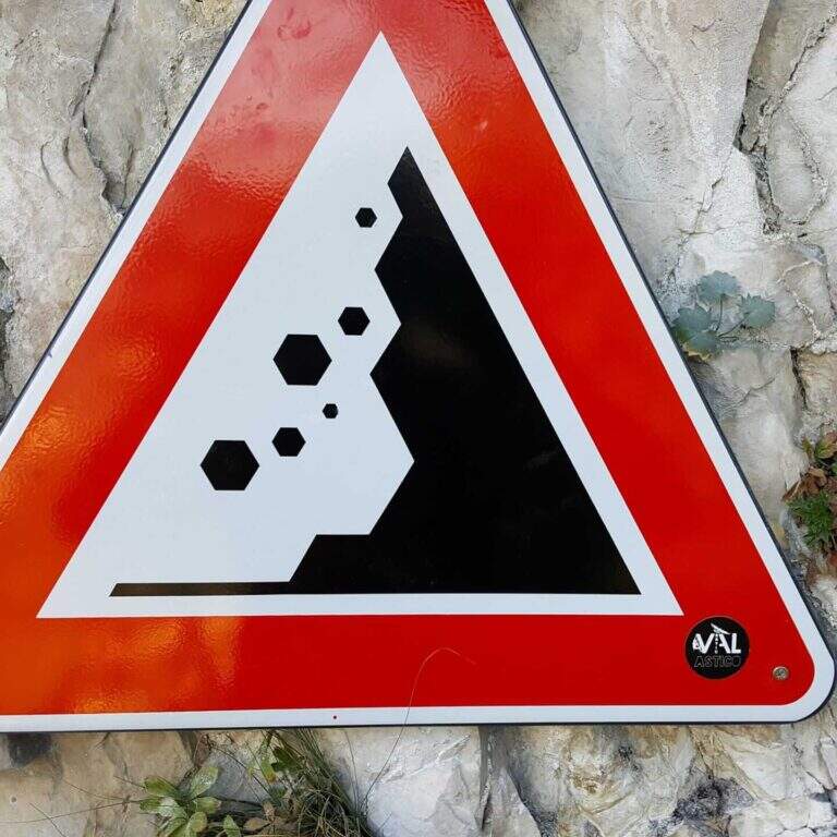
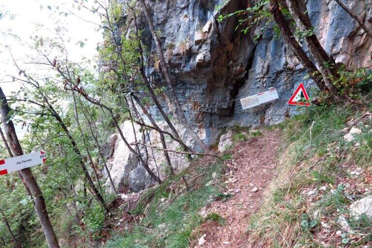
    ⚠ Caschetto obbligatorio: i percorsi si intrecciano e ci possono essere escursionisti sopra, con possibili scariche di sassi segnalate da cartelli. Le varianti estreme (Salto delle Anguane, Tetto dei Salbanei) alzano nettamente difficoltà ed esposizione: affrontale solo se esperti, valutando una longe per le soste. I tempi sono indicativi e dipendono dalla combinazione di anelli scelta.
    ▲Discipline

    Il rientro avviene a ritroso lungo i sentieri di avvicinamento, a seconda degli anelli percorsi.

    ▲To match

    Nelle vicinanze, tra Grappa e Pasubio, si trovano la Ferrata Sass Brusai, la Ferrata di Santa Felicita e la Ferrata Carlo Campalani al Carega.

    ▲Gallery
    Technical data
    • DifficultyModerately Hard
    • RegionVeneto
    • ProvinceVicenza
    • ZonaVal d'Astico
    • Approach0:25 h
    • Ferrata3:00 h
    • Total itinerary4:30 h
    • Hardware level difference300 m
    • Max Altitude750 m
    • Length5,5 km
    • Opening2018
  • Ferrata alla Forcella del Sassolungo

    Ferrata alla Forcella del Sassolungo, group of Sassolungo, Dolomites

    Vie Ferrate › Trentino-Alto Adige › Bolzano
    Ferrata alla Forcella del Sassolungo
    Moderately Hard
    ● Open
    Description
    Complexity
    Maps

    Gallery

    Inaugurated in 2022, the railway that climbs to the Forcella del Sassolungo is a modern, varied and very climbing route that leads from Passo Sella to the Toni Demetz Refuge, in the heart of the Sassolungo–Sassopiatto group, between the Val Gardena wood carving e la Val di Fassa. It is a medium difficulty road (MD) that, while not reaching a peak, gives a fun progression, some air stroke and an exceptional panorama on the Dolomite groups around Passo Sella. The altitude is not high and the approach is short, which makes it an excellent start of season or to be combined with other itineraries of the area.

    ▲Departure and approach

    The starting point & the valley station of the cable car that from the Passo Sella (2180 m) rises to the Demetz Refuge. The pass is reached by car both from Canazei, coming up from Val di Fassa, and from Selva, from Val Gardena. Here the road signs and parking on Google Maps →

    There are two ways to get to the’ attack. The first è all on foot: from the parking lot follow the sentiero CAI 525 and, after about 45–60 minutes, the signs indicate l’ are located on the left. The second takes advantage of the funivia Passo Sella → Demetz: once in altitude you lose a po’ of difference in altitude descending along the 525 until the junction for l’ attack, saving about one’ hour of walk. The climb on foot remains the più choice; satisfying and complete.

    ▲The route, stretch by stretch

    The ferrata does not allow heating: the first meters are the most challenging of the whole street. It attaches a short vertical dihedron of dark rock with an initial step in light overhangs to disconnect from the ground; pioli and metal brackets help in the very first meters, then it crosses right and begins to gain altitude. After passing this first leap, you walk around a corner and walk a narrow nod to the left, up to a beautiful vertical wall.

    Here the rock is very well-maintained and it is best to climb by looking for natural hooks instead of tractioning on the cable: it is one of the most pleasant traits. You reach the edge of a canal, you cross it and continue on the right side; bypassing another edge you are under a leap near a diedro, where some brackets facilitate the rise of a logical and fun passage. Upstairs it stands on a small grassy plateau.

    Start to the left on a nod that is thinned to become a cross, reaching a classic dolomitic channel. The cable leads uphill diagonally, with good supports for the feet but a constant commitment, up to a short overhanging step: here too the brackets reduce the difficulty and, but it serves a decisive point to face it. All’ exit from the fireplace the spires of the Sassolungo and the Sassopiatto emerge imposing above the head. The box with the libro of summit and a panoramic bench, about 30–40 minutes after l’ attack: the ideal spot for a stop.

    From here the road goes up some small rocks, over a corner and with a right-hand crossing reveals the Rifugio Demetz, destination of the ’ itinerary. You earn the ridge, easy but exposed, you walk through short climbs and a characteristic bridge suspended , then you wind up a vertical stretch up to a fork. In addition to the fork the cable is divided vertically and, for più rocks; easy, leads to a beautiful yellowish placconata: a challenging first step, then still vertical climb up to a worked dihedron. The last fifty meters remain beautiful and continuous, bringing back on the ridge with a narrow fireplace, before the short discesa equipped that closes the way just above the shelter (about 1h 30′ from the’ attack, 2h 30′ from Passo Sella).

    Numerous equipped escape routes allow you to return to path 525 without completing l’ entire ferrata: useful in case of crowding or weather worsening.

    ▲Character and difficulty

    Despite the classification of difficultà media; (MD), the Forcella del Sassolungo non è a way for absolute beginners. È continuously equipped and therefore always safe, but often develops vertically and on display, with three or four steps requiring good force of arms and familiarity with the rock. Where progression is made più hard intervene pioli and artificial brackets that lower the difficultà technique, but l’ initial attack and overhanging steps remain challenging. È perfect for those who have già some ferrata in the legs and want to climb having fun; not recommended to those suffering from vacuum or è to the very first experience.

    ▲Period, equipment and descent

    Recommended period: from the beginning of summer all’ autumn, snow allowing; the contained quota makes it available even at season not yet mature. Tool: homologated hardware kit, harness and mandatory helmet — this is a recent opening route, the può rock; present still friable traits, then pay attention to the mobile stones, especially at the start and with other ropes above. Descent: from the end of the cable leads down to the nearby Demetz Refuge (2685 m, about 10 minutes); from here you return with the cable car to Passo Sella or walk on path 525 (about 1h 15′), for a total of about 4 hours.

    ▲To match

    The natural continuation from Demetz is the summit of Sassopiatto with the Ferrata Oskar Schuster: who leaves early and is well trained can chain the two ways into a challenging ring. From Passo Sella you can also reach the short Ferrata at the Col Rodella and the commitment Ferrata delle Mesules in the Sella Group; coming down in Val Gardena you will find the Tridentine, il Small e il Gran Cir.

    ▲Gallery

    Technical data
    • DifficultyModerately Hard
    • RegionTrentino-Alto Adige
    • ProvinceBolzano
    • GroupSaxony
    • Approach1:00 h
    • Ferrata1:30 h
    • Total itinerary4:00 h
    • Hardware level difference~200 m
    • Route difference440 m
    • Max Altitude2685 m
    • Length~5 km
    • Opening2022
Need help? Write to us!