Difficoltà: Moderatamente Difficile

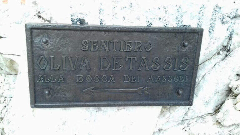
  • Ferrata Oliva Detassis

    Ferrata Oliva Detassis

    Vie Ferrate › Trentino-Alto Adige › Trento
    Ferrata Oliva Detassis
    Moderately Hard● OpenDescriptionComplexityMapsGallery

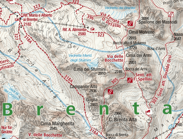
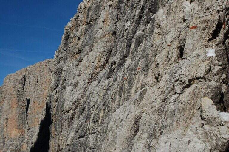
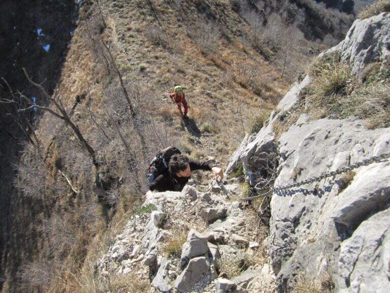
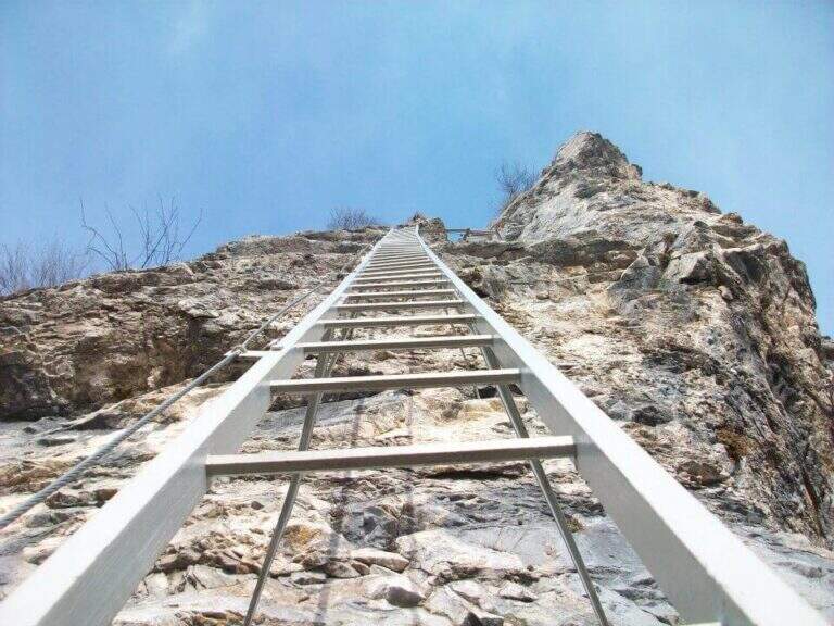
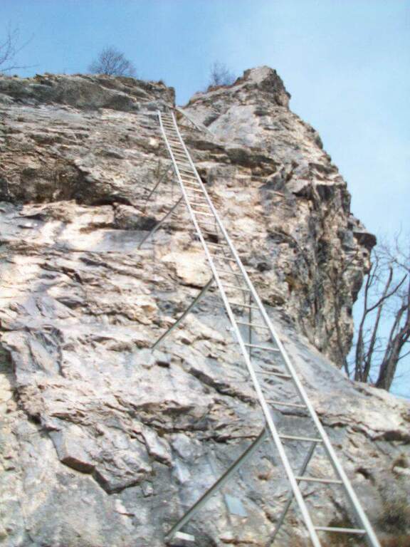
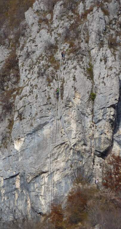
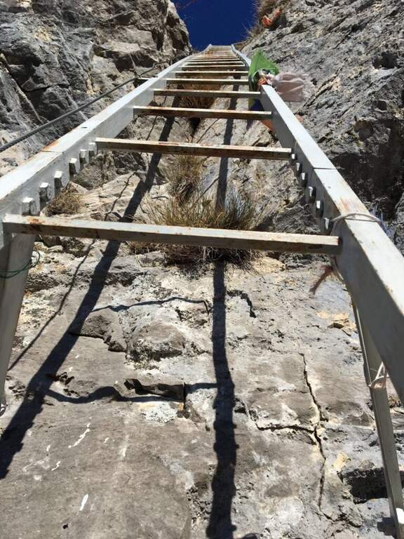
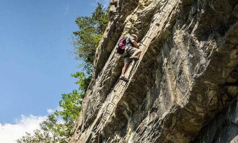
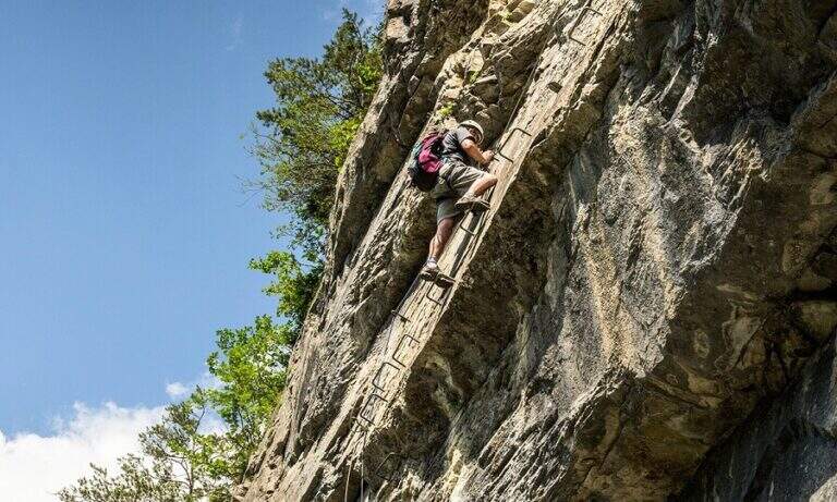
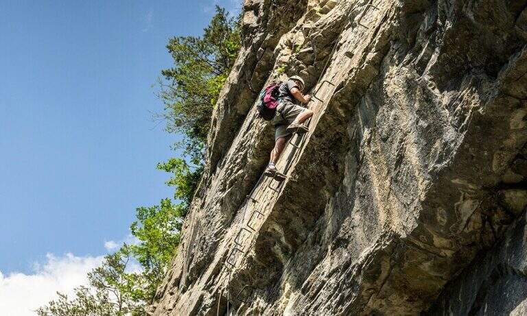
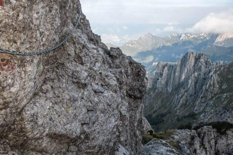
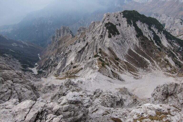
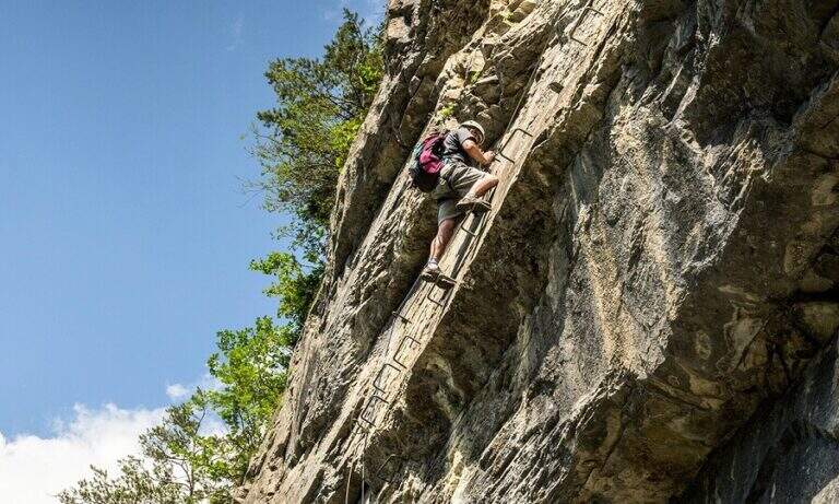
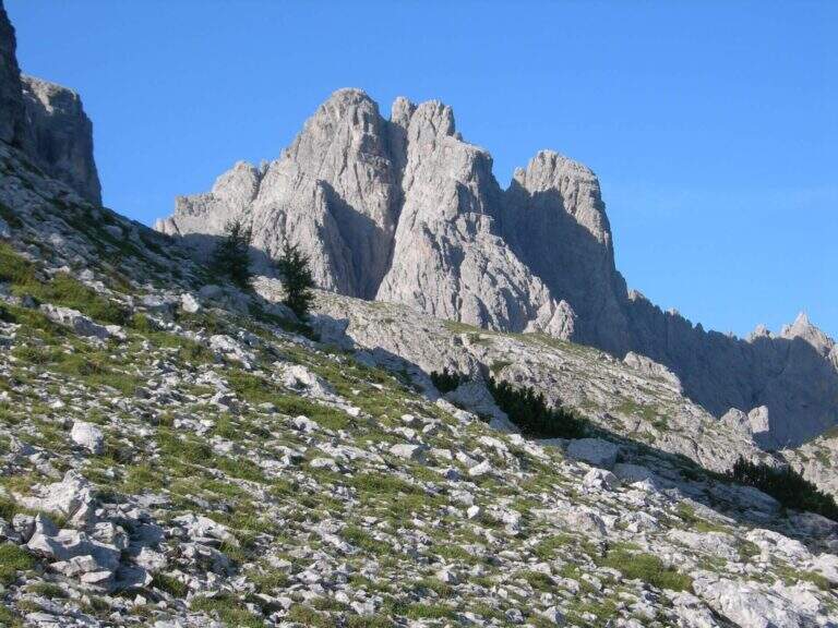
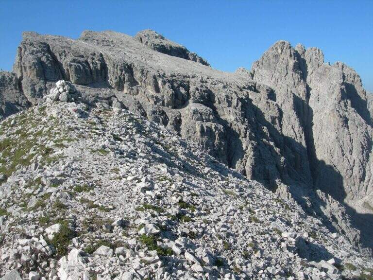
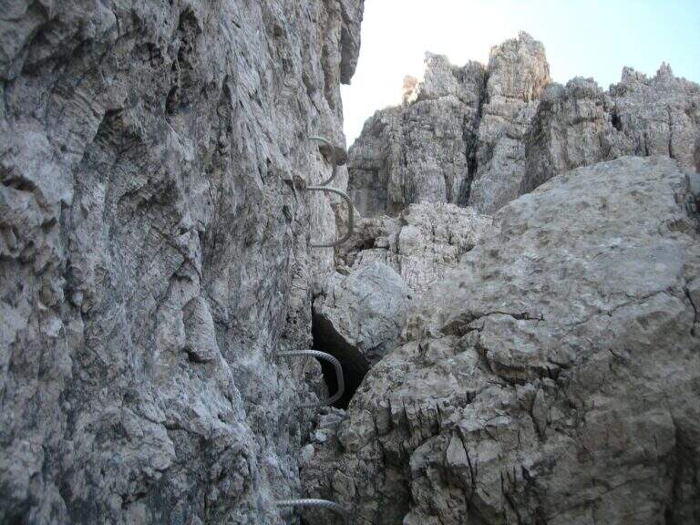
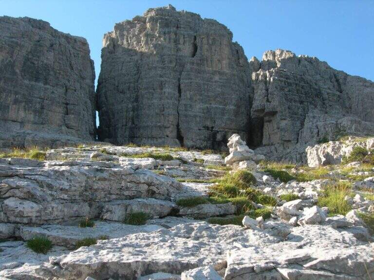
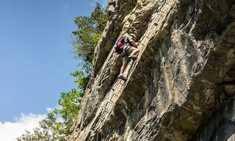
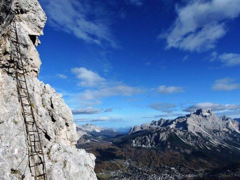
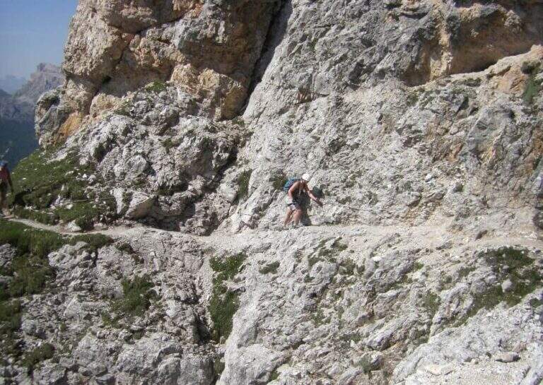
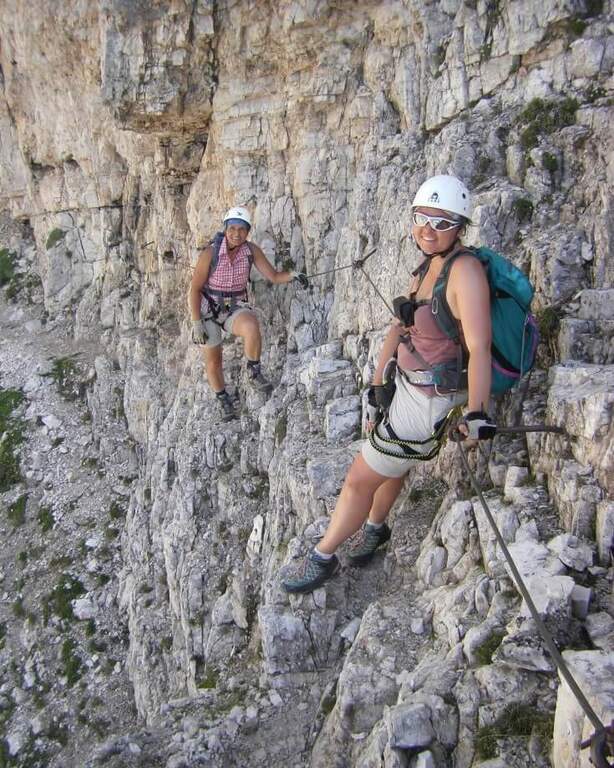
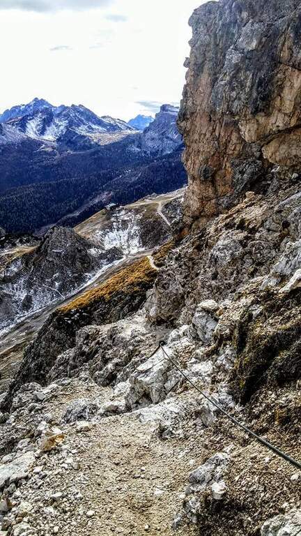
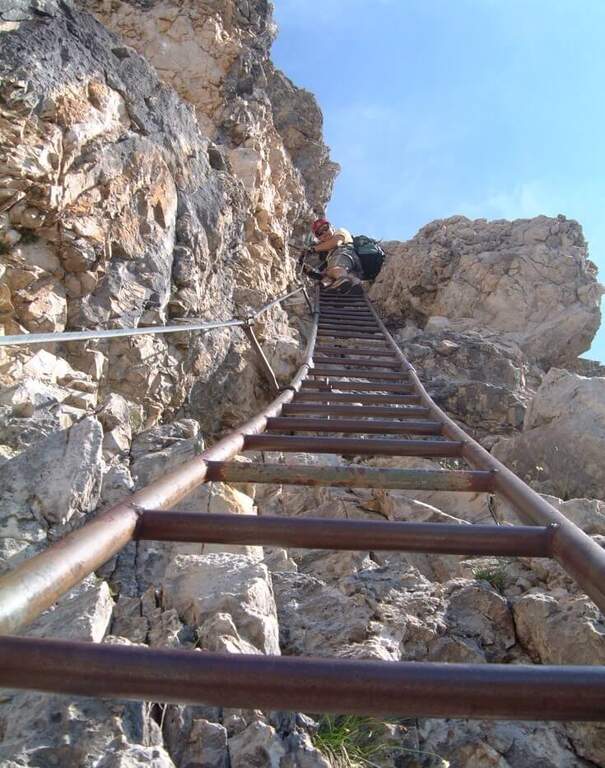
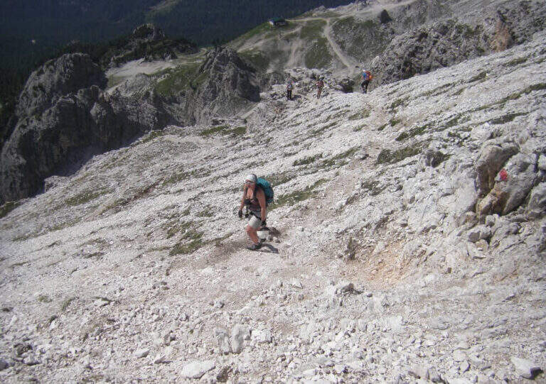
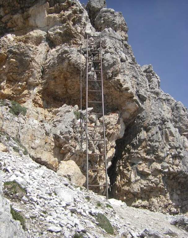
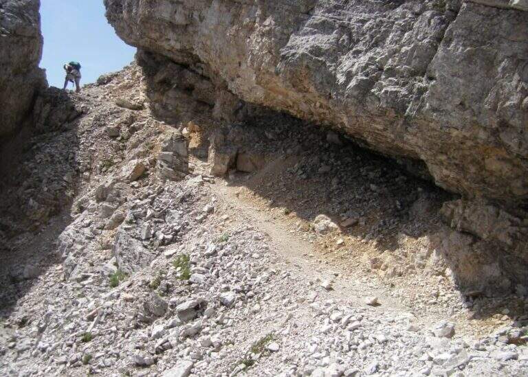
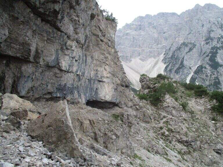
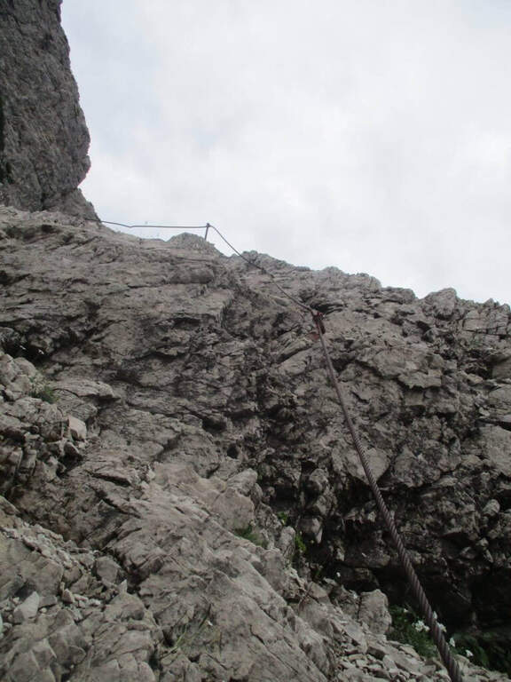
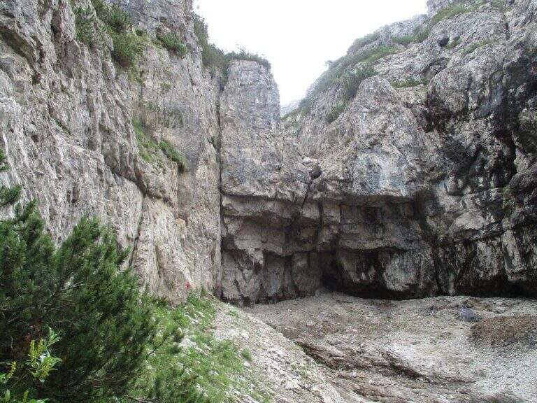
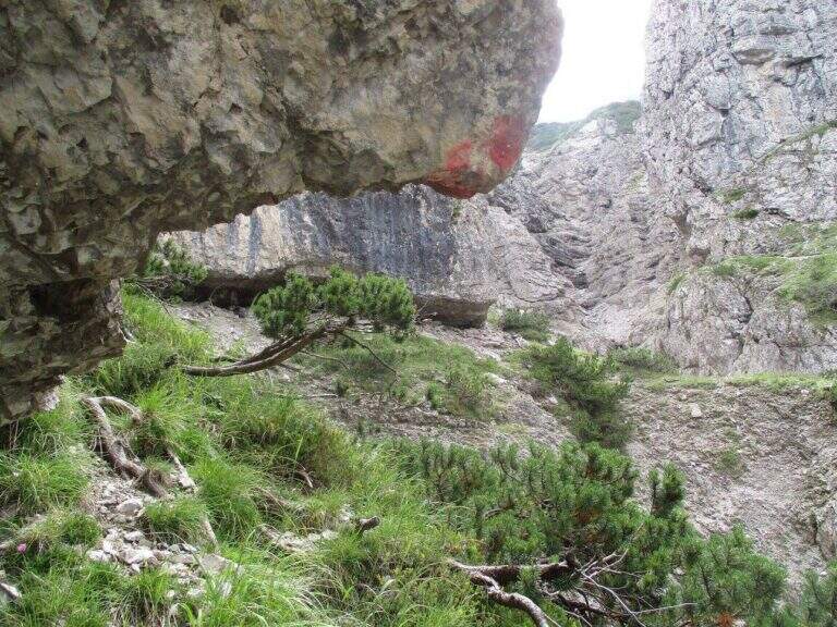
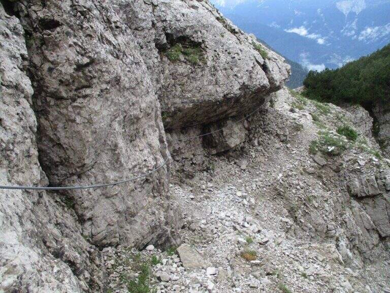
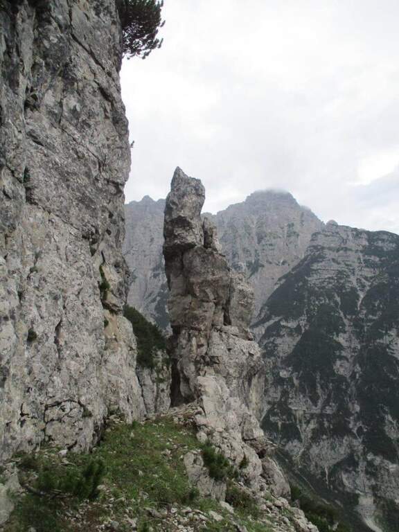
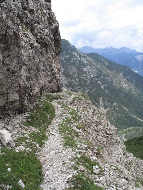
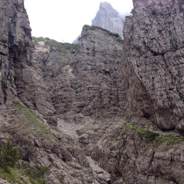
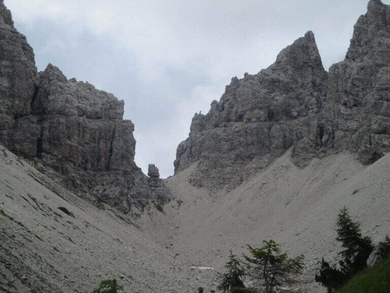
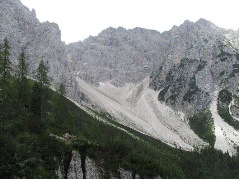
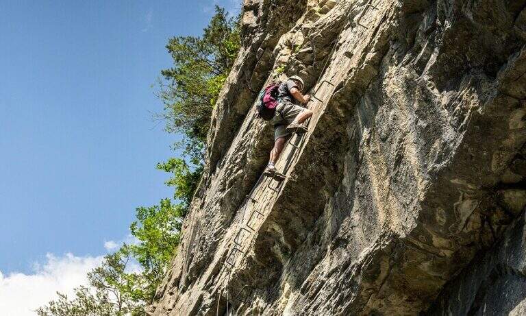
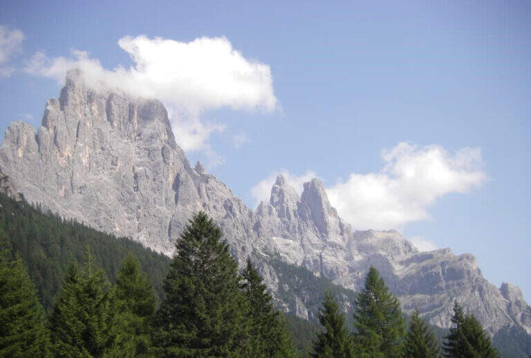
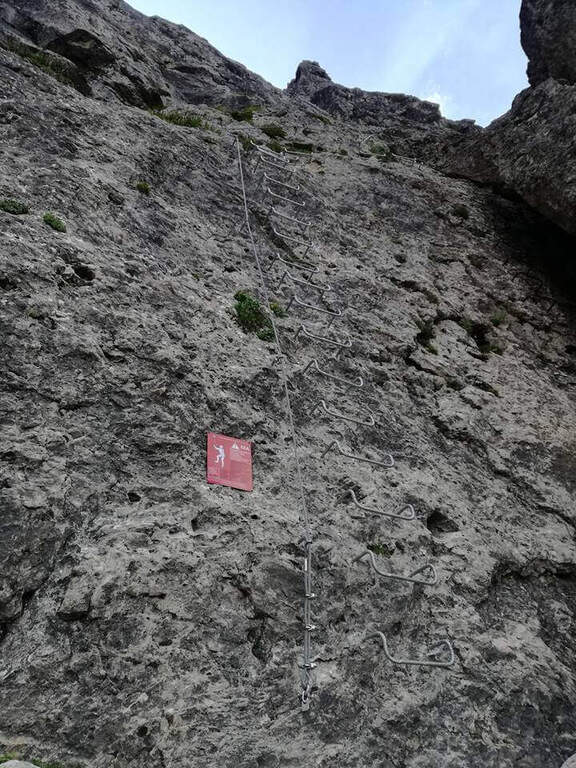
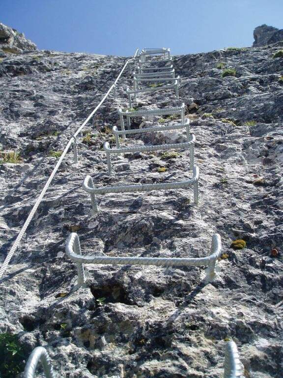
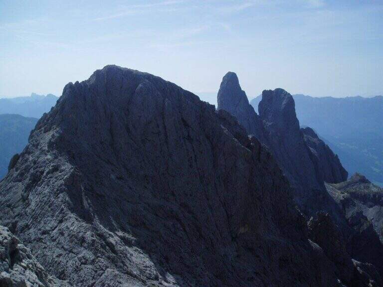
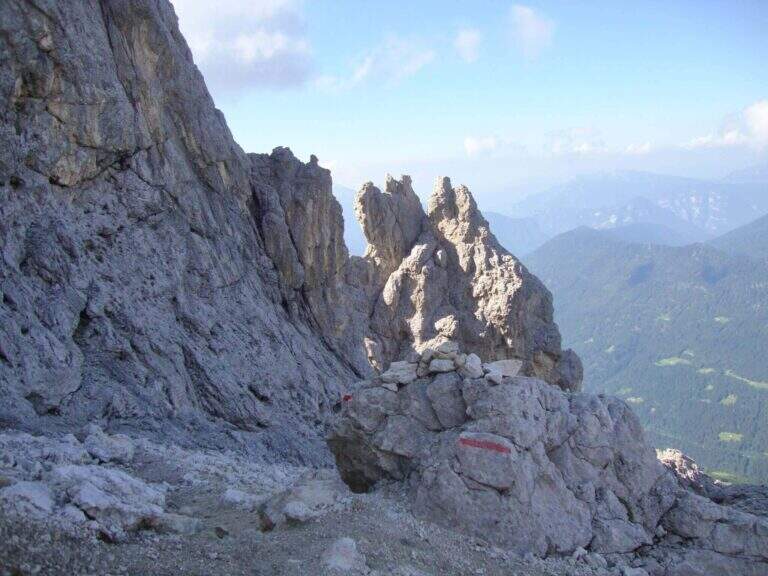
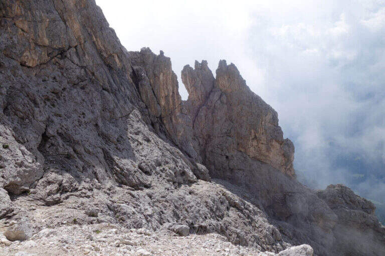
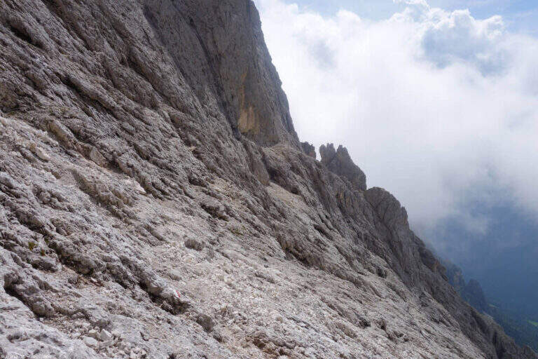
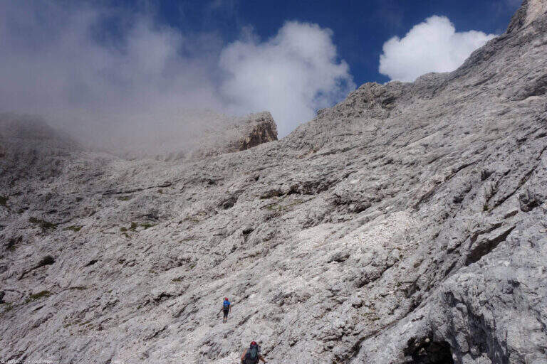
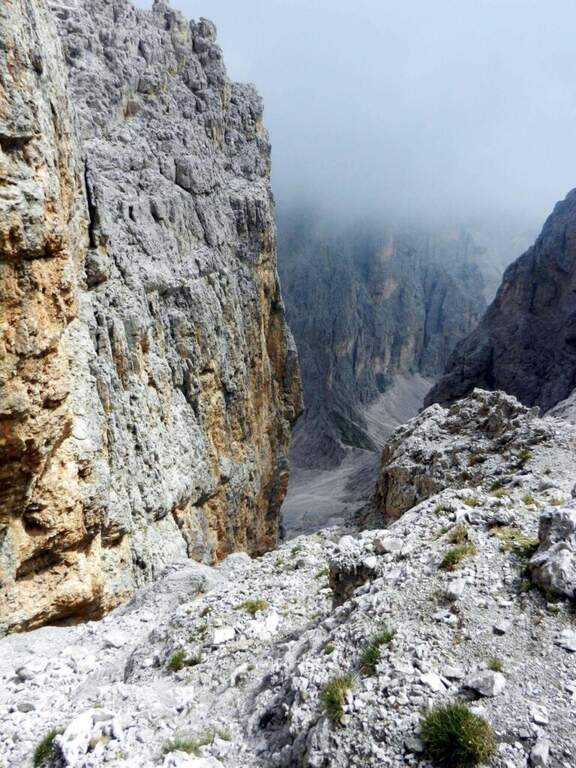
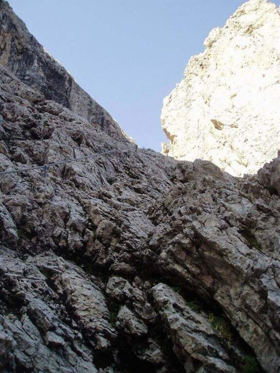
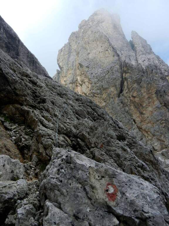
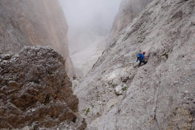
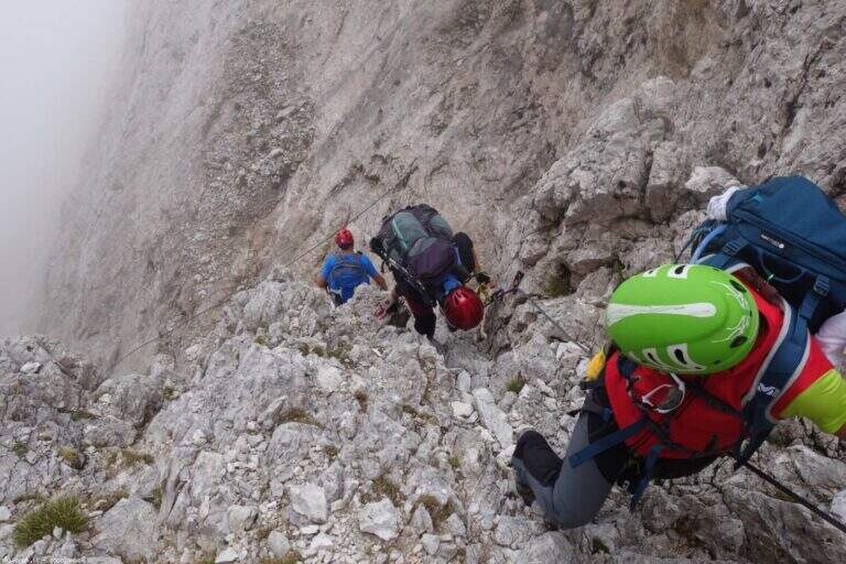
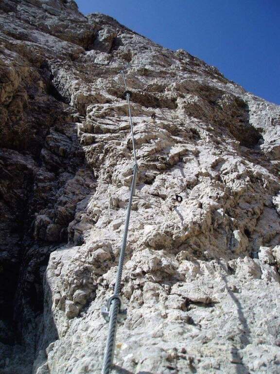
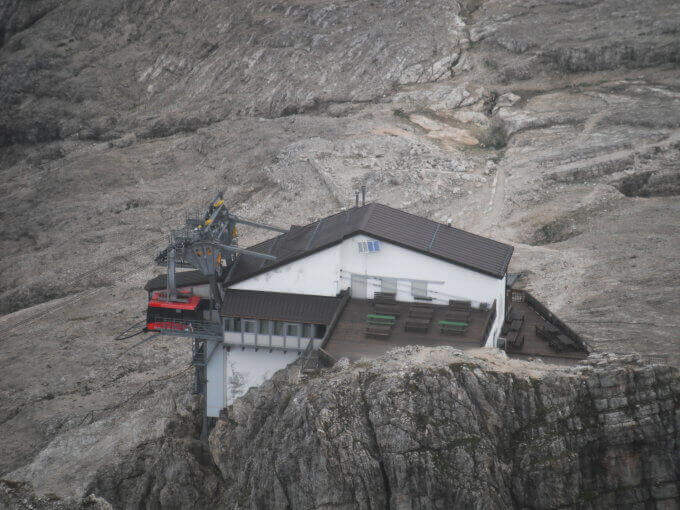
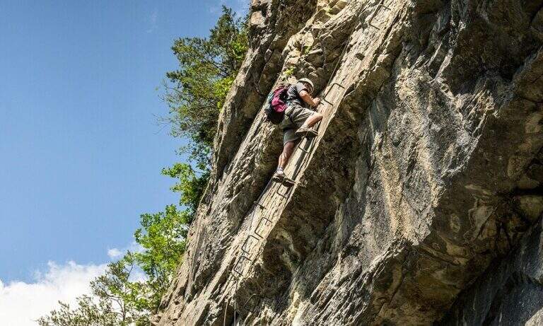
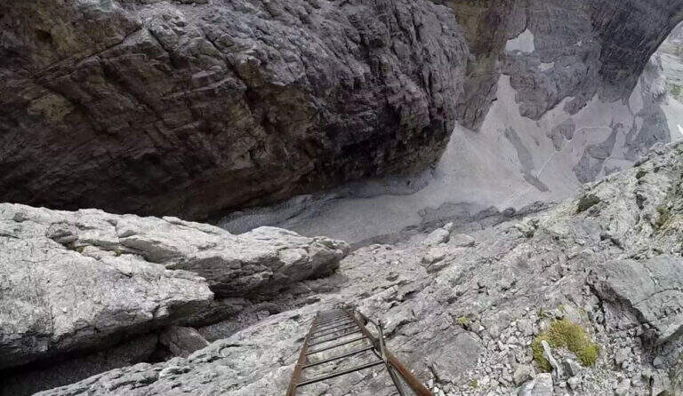
    The Ferrata Oliva Detassis is a great classic of the Brenta Dolomites: a long sequence of vertical metal stairs — more than one hundred meters of well constructed bastion — that connect the plateau below with the Bocca Bassa di Massodì (2790 m), entering the itinerary of the Bocchette Alte. The dolomitic environment of rare beauty abundantly compensates for the long approach.

    ▲Approach

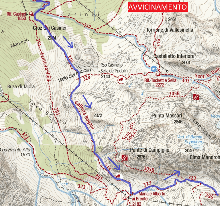
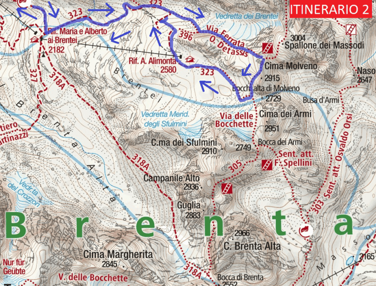
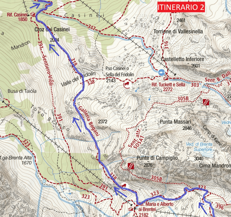
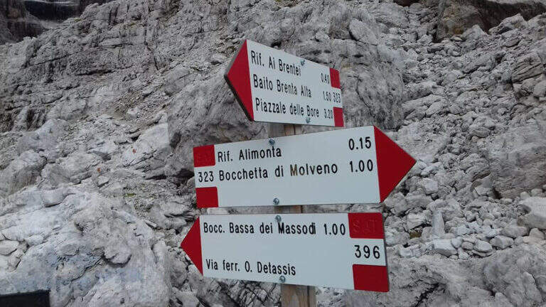
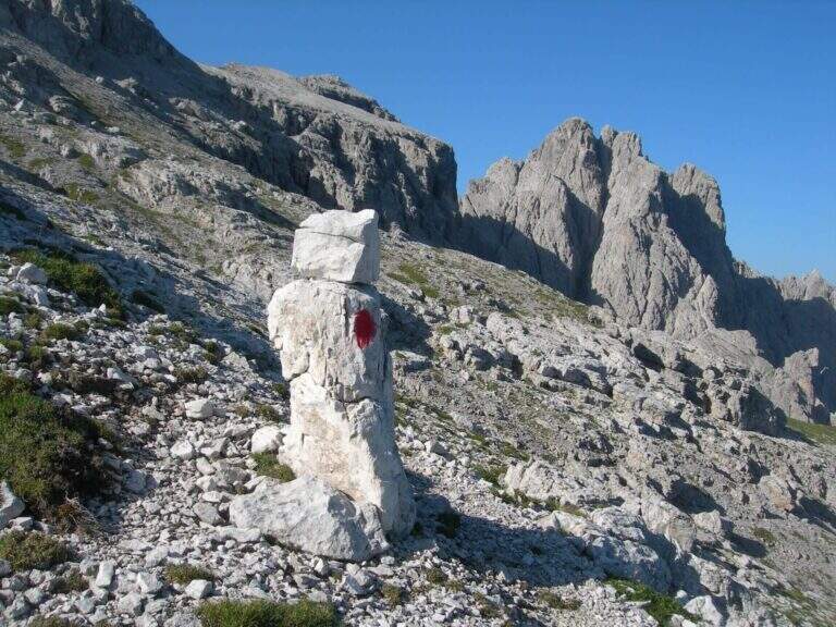
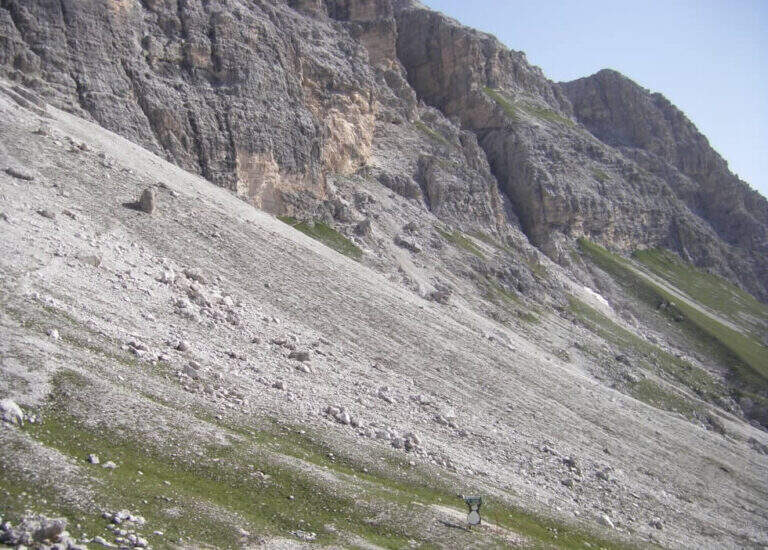
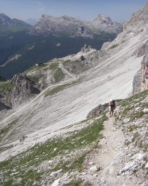
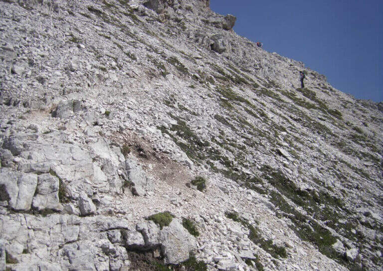
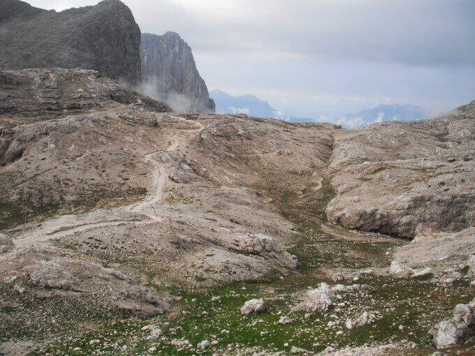
    Si parte dal parcheggio del Rifugio Vallesinella (Madonna di Campiglio, TN). Si sale nel bosco fino al Rifugio Casinei (1850 m), poi si segue il sentiero CAI 318 attraversando la Galleria Bogani — breve tratto esposto ma ben attrezzato. Si raggiunge il Rifugio Brentei (2182 m) in circa 2 ore e 15 minuti. Dal rifugio si prende il CAI 323 verso nord-est fino a un bivio: si ignora la deviazione per il Rifugio Alimonta e si piega a sinistra sul CAI 396 fino all’attacco della ferrata, raggiunto in circa 3 ore e 15 minuti totali.

    ▲The path

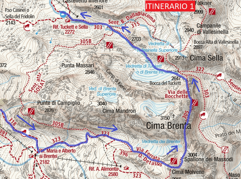
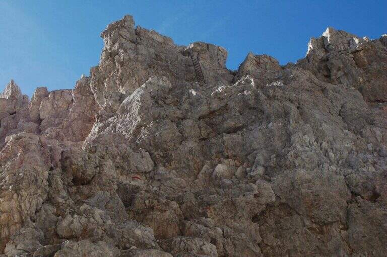
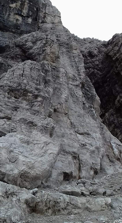
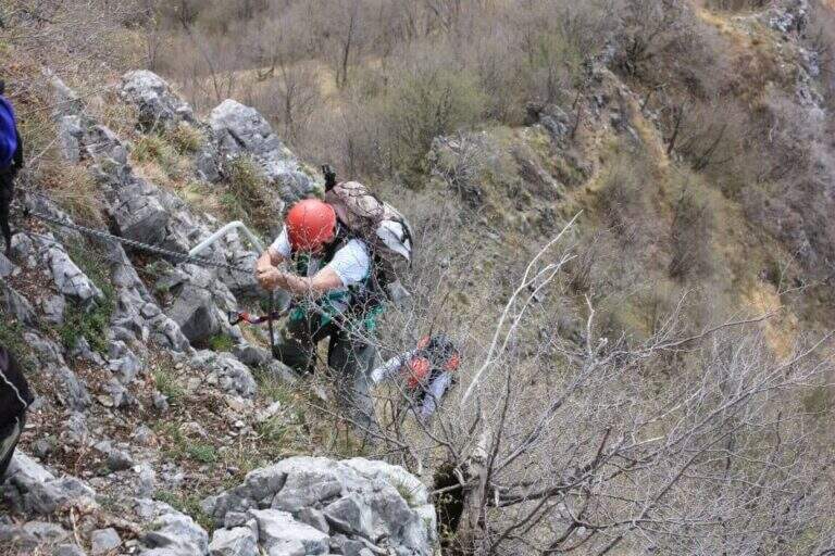
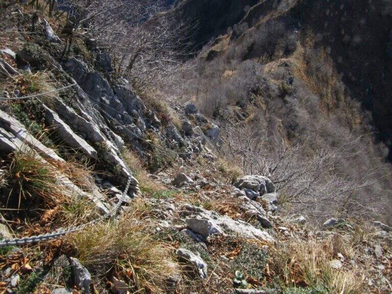
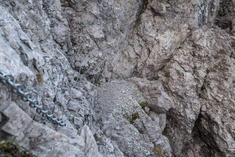
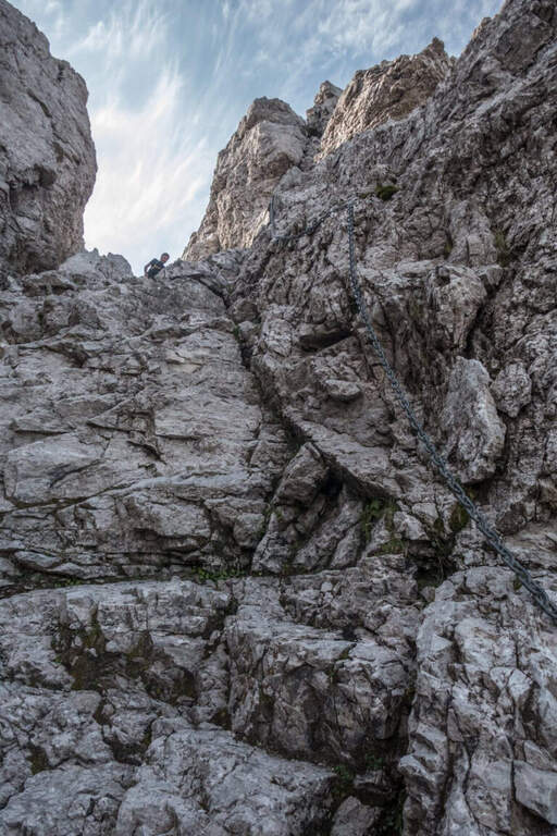
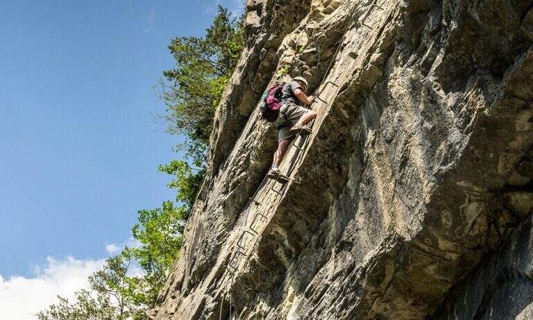
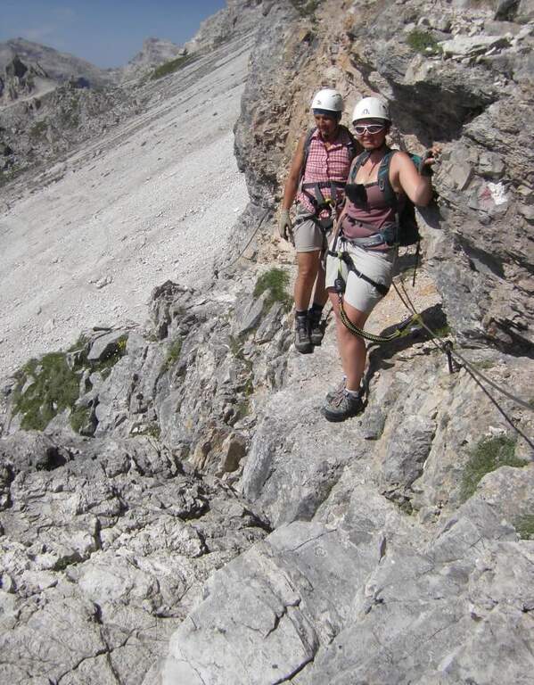
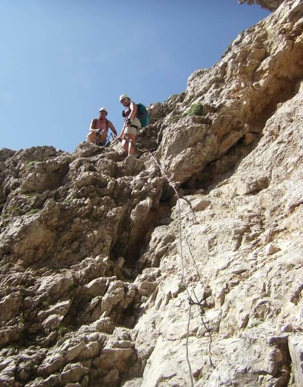
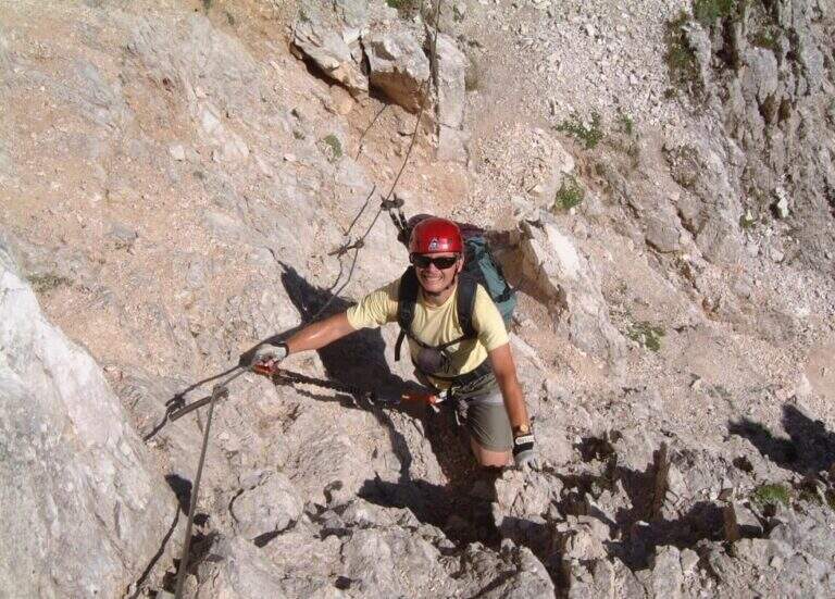
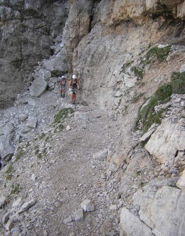
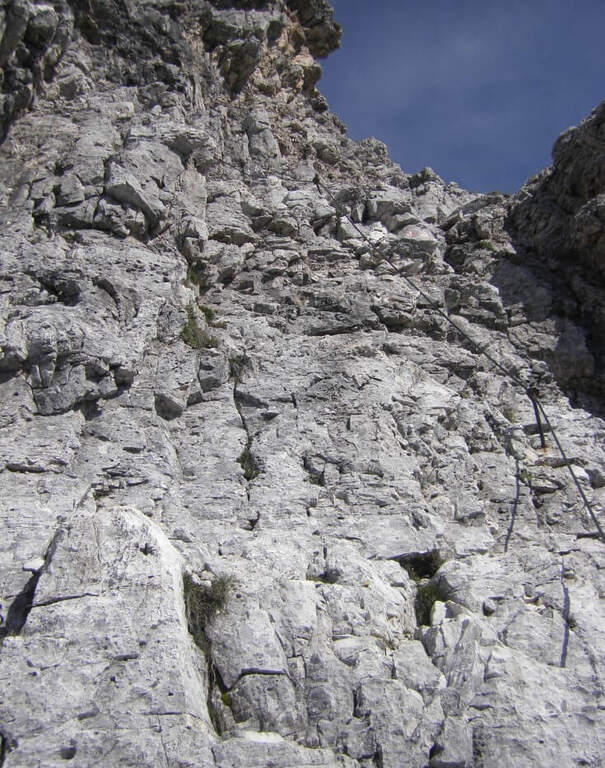
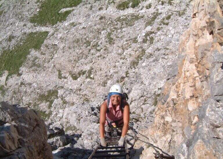
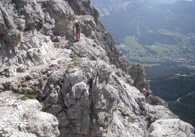
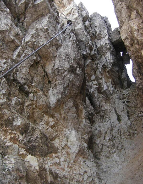
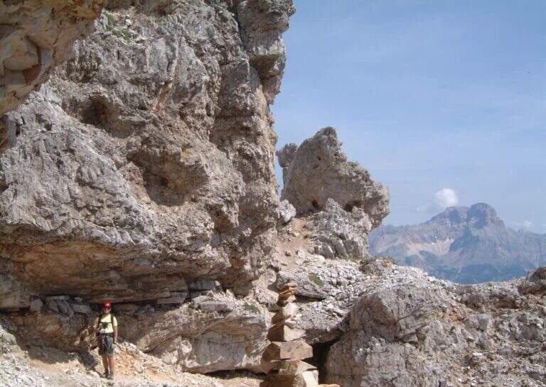
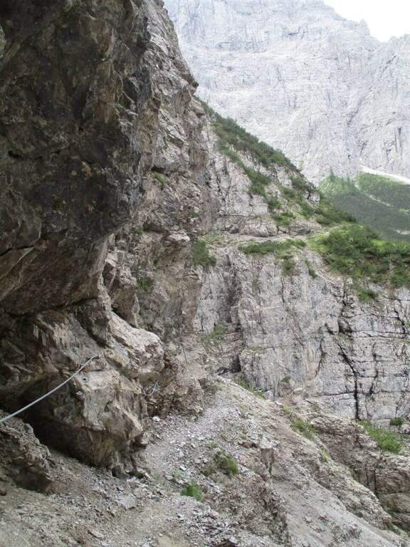
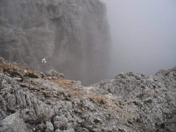
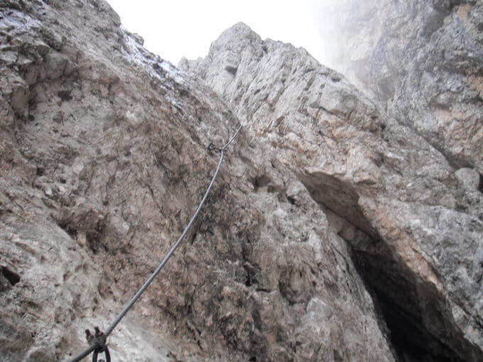
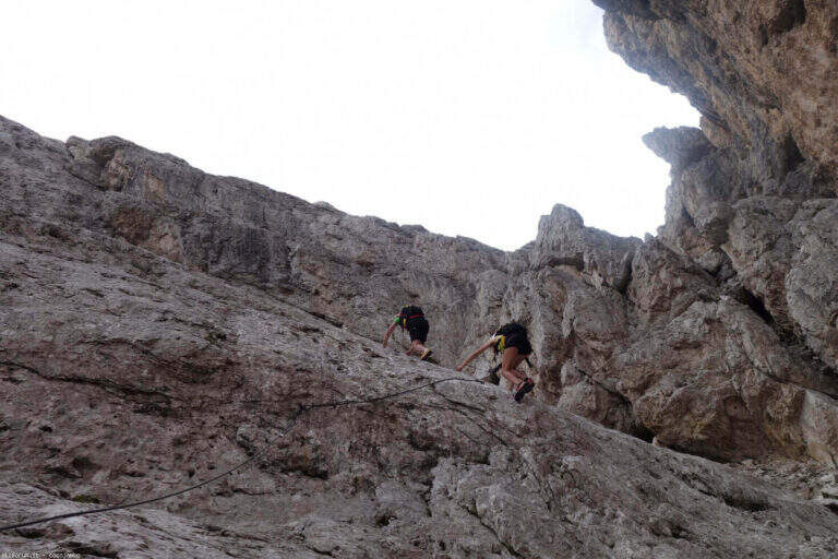
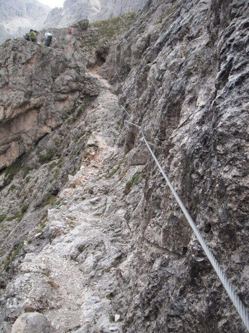
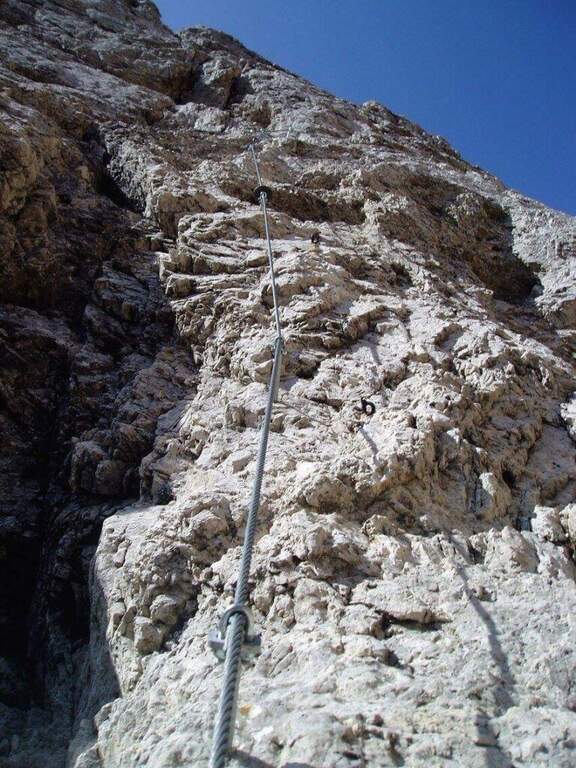
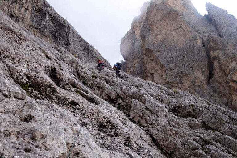
    L’ entrance to the ferrata takes place with a first staircase, followed by staffe metalliche which lead to a long sequence of scale vertical very exposed: the bastion exceeds 100 meters of vertical development and is excellently built, with the possibility to stop to rest on the stairs themselves. Halfway there is a stopover . After passing the second section of stairs and a final crossing you reach the Bocca Bassa di Massodì (2790 m). From here you can continue along the Bocchette Alte towards the Tucket Refuge.

    ▲Character and difficulty

    Difficulty Moderately Difficult. The required technique is contained — the stairs have good brackets and chains — but the exposure is high and the altitude above 2700 m imposes caution in the evaluation of weather conditions. This ferrata is a variant of the Via delle Bocchette Alte, not a complete autonomous route.

    ⚠ Long itinerary with approach of more than 3 hours: start soon. The altitude exposes to the afternoon thunderstorms typical of the Dolomites. The Brentei Refuge offers accommodation for those who want to break the trip in two days.
    ▲Discipline

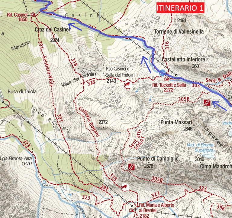
    From the Bocca Bassa in Massodì you descend on a path towards the Brentei Refuge and from there you return to the parking lot of the Vallesinella Refuge for the uphill road. Alternatively, continue the Bocchette tour towards the Tucket Refuge. Total tour time: about 10 hours.
    ▲Gallery
    Technical data
    • DifficultyModerately Hard
    • RegionTrentino-Alto Adige
    • GroupDolomiti di Brenta
    • Approach3:15 h
    • Ferrata1:15 h
    • Itinerary (a/r)10:00 h
    • Hardware level difference110 m
    • Route difference230 m
    • Max2807 m
    • Length2 Km
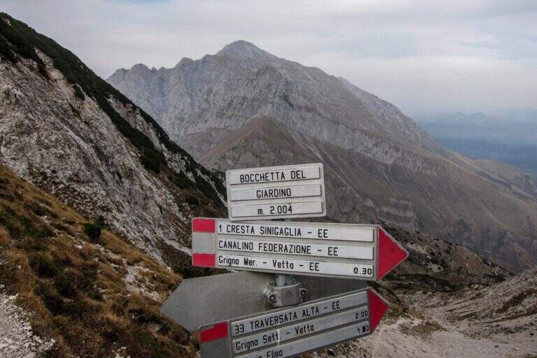
  • Hiking Trail

    Hiking Trail

    Vie Ferrate › Lombardia › Lecco
    Hiking Trail
    Moderately Hard● OpenDescriptionComplexityMapsGallery

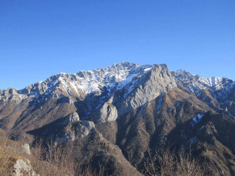
    The Attrezzato Path of Sileggio — in the municipality of Mandello del Lario, above the hamlet Sonvico — is a long and varied route that connects two ridges and two peaks through a four-metre fireplace and two metal stairs, the first of which overhanging. With about five hours of walking and 1100 m of altitude difference is a challenging itinerary, but the quality of the equipped progression and the landscape on the Lario pay off every effort.

    ▲Approach

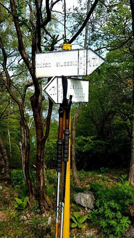
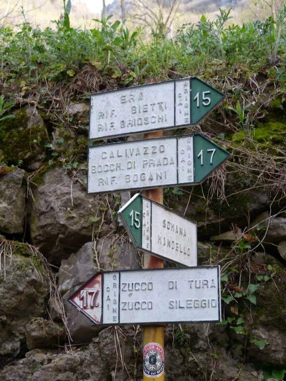
    Starting from the fraction of Sonvi (Mandello del Lario, LC). Take over trail 15 in the wood following the white-red markers to the pole of the marker 17B (Southeast Coast), reachable in about 45 minutes. From here you take the 17B signpost (blue signs) steep climb to the base of the Zucco di Tura, where the old cable car is located.

    ▲The path

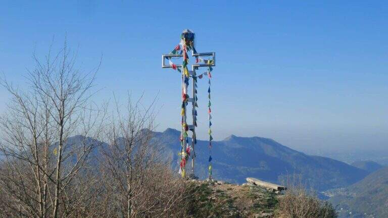
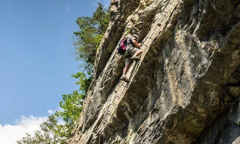
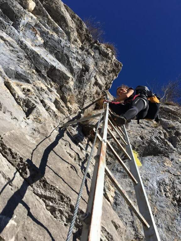
    From the base of the cable car, the ground is more challenging: a slope with chains leads to the Zucco of Tura. Then follow the eastern ridge to a saddle where you will find a deviation for the Val d’ Era: ignore it and continue uphill towards the Zucco di Morterolo. The key passage is a 4-metre camino — the chain is located on the left but the best hooks are on the right. two metallic scales (the first overhanging, the second most supported) and a wall that climbs first diagonally then vertically up to the Croce of summit (1368 m s.l.m.).

    ▲Character and difficulty

    Difficulty Moderately Difficult. The length of the route (10 km, 5 hours a/r with the stops) is the most characteristic of this route: it is not technically prohibitive but requires training and good resistance.

    ⚠ The chain of the fireplace is a little lasca: use it only as a balance point, not for traction. Water is not available on the route: enough. The path can be combined with the River Path in reverse direction, adding about 45 minutes for a total of about 6 hours.
    ▲Discipline

    The descent takes place for 17B mark reversely, returning to Sonvico. Those who want to stretch can continue towards the Attreized Path of the River, crossing it in the opposite direction (+45 min). Total itinerary: 10 km, height difference 1100 m, estimated time 5 hours.

    ▲Gallery
    Technical data
    • DifficultyModerately Hard
    • RegionLombardy
    • GroupPrealps Lecchesi
    • Approach1:00 h
    • Ferrata1:45 h
    • Itinerary (a/r)5:00 h
    • Hardware level difference600 m
    • Route difference1100 m
    • Max1368 m
    • Length10 Km
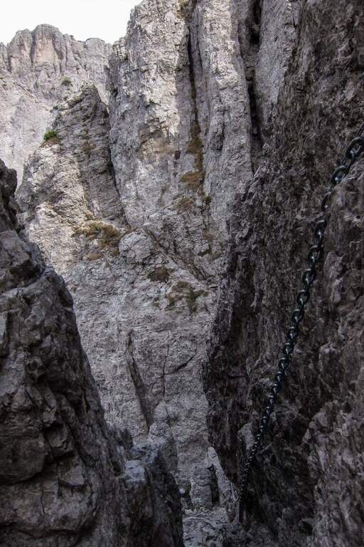
  • SOSAT Trained Path

    Vie Ferrate › Trentino-Alto Adige › Trento
    SOSAT Trained Path
    Moderately Hard● OpenDescriptionComplexityMapsGallery

    The Sentiero Attrezzato SOSAT is one of the great classics of the Brenta Dolomites: a ridge itinerary that runs along a long stretch of the Bocchette, with ladders, fixed ropes and passages exposed in a dolomitic environment of great impact. Technically demanding — one of the most challenging of the Bocchette — but exceptionally panoramic from the Rifugio Pedrotti to the Bocca di Tuckett.

    ▲Approach

    Starting from the Rifugio Pedrotti (2491 m), reachable from the Val di Genova or from Molveno following the CAI signs. From the hut follow the path north to the ’ attack of the Central Bocchettes — time of approach from the refuge: about 20 minutes.

    ▲The path

    The SOSAT runs through the Bocchette Centrali of the Brenta Dolomites with a sequence of vertical ladders, exposed hinges, fixed ropes and aerial beams. The most challenging steps are in the central part of the route, where the walls rise and l’ exposure becomes significant. It climbs up to the Armi Mouth and then to the Bocca of Tuckett (2648 m), where the equipped section ends.

    ▲Character and difficulty

    Difficulty Moderately Difficult. It is one of the most technical and challenging routes of the Bocchette di Brenta: it requires experience of ferrata, absence of dizziness and good physical form. It is not an itinerary for beginners.

    ⚠ The SOSAT is exposed to the afternoon storms typical of the Dolomites: start early in the morning. Bring complete hardware kit (shading, double longe with heatsink, helmet). Metal stairs can be slippery in case of moisture. Always check snow conditions at the beginning and end of the season.
    ▲Discipline

    From the mouth of Tuckett you descend to the Rifugio Tuckett and Sella (2272 m) following the CAI path. From here you can return to Madonna di Campiglio with the cable car or on foot. Total itinerary from ’ Tuckett Bocca attack: about 5 hours.

    ▲Gallery
    Technical data
    • DifficultyModerately Hard
    • RegionTrentino-Alto Adige
    • GroupDolomiti di Brenta
    • Approach0:20 h
    • Ferrata3:00 h
    • Itinerary (a/r)5:00 h
    • Hardware level difference200 m
    • Route difference450 m
    • Max2648 m
    • Length7,5 Km
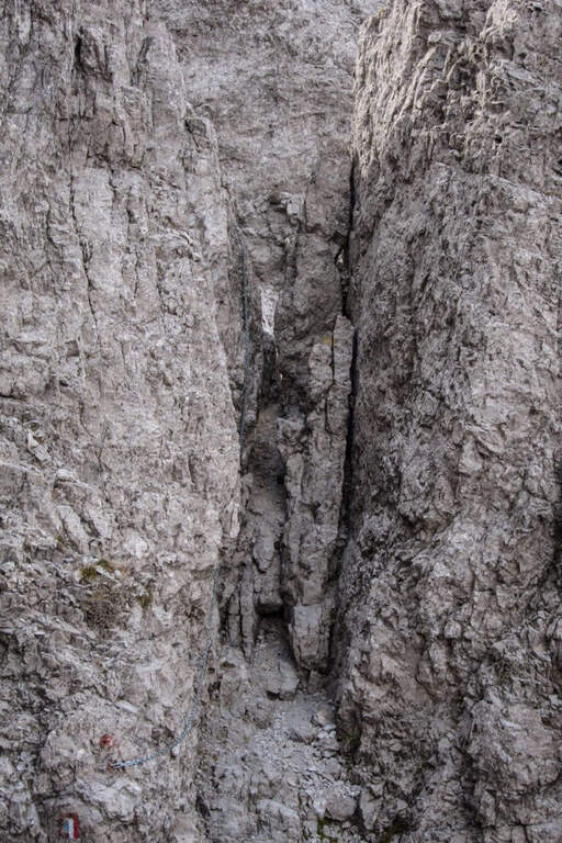
  • Sentiero Attrezzato Tru Dolomieu

    Vie Ferrate › Trentino-Alto Adige › Bolzano
    Sentiero Attrezzato Tru Dolomieu

    The Tru Dolomieu Path is the most challenging route of the Conturines group, in Alta Badia (BZ): 10 total hours, 1800 m of altitude difference and a wild and lonely Dolomite environment. Reserved for experienced mountaineers, it offers spectacular peaks and absolute silences in the UNESCO World Heritage Dolomites.
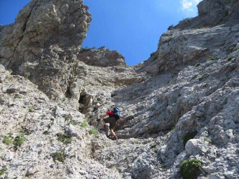
    ▲Approach

    Si parte da La Villa (Alta Badia, BZ) salendo in seggiovia fino a Pra di Rit o in auto per la strada forestale. Si segue il segnavia verso i Conturines, raggiungendo il Rifugio Gardenaccia (2050 m) in circa 1 ora e 30 minuti. Dal rifugio si prosegue verso il Piz Conturines per sentiero fino all’attacco, raggiunto in circa 3 ore totali dalla partenza.

    ▲The path

    The Tru Dolomieu dates back to the walls of the Conturines with a sequence of equipped passages — fixed ropes, chains, stairs — in a strongly exposed environment and at high altitudes (over 3000 m). The Piz Conturines (3064 m) is the highest peak of the group and is the main term of the route. L’ route is long, physically very challenging and requires excellent altitude orientation.

    ▲Character and difficulty

    Hard difficulty. The length of the route (10 hours, 1800 m of altitude difference), the altitude above 3000 m and the remote and lonely environment make this route suitable only for mountaineers with solid experience. It is not an itinerary for beginners or those who are not accustomed to the demanding equipped routes.

    ⚠ Start very soon: 10 hours of itinerary at altitude imply departure before 6:00. Snow can stay until July in some stretches. Bring complete hardware kit, warm clothing, food and water enough. The mountain hut Gardenaccia offers accommodation for those who want to break in two days.
    ▲Discipline

    The descent takes place on the normal route of Piz Conturines or on the west side towards Val Badia, returning to La Villa. Total itinerary: about 10 hours for 17 km with 1800 m of altitude difference.

    ▲Gallery
    Technical data
    • DifficultyHard
    • RegionTrentino-Alto Adige
    • GroupConturines / Alta Badia Dolomites
    • Approach3:00 h
    • Ferrata3:00 h
    • Itinerary (a/r)10:00 h
    • Hardware level difference550 m
    • Route difference1800 m
    • Max3064 m
    • Length17 Km
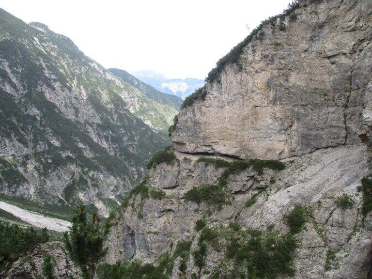
  • Sentiero Attrezzato della Val Scarettone

    Sentiero Attrezzato della Val Scarettone

    Vie Ferrate › Lombardia › Lecco
    Sentiero Attrezzato della Val Scarettone
    Moderately Hard● OpenDescriptionComplexityMapsGallery

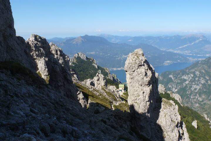
    The Attrezzato Path of the Val Scarettone is the longest way to reach the summit of the South Grigna (2184 m) starting from the Piani dei Resinelli, entirely developed on the north-western side. Completely refurbished in 2015, it is considered challenging for the bumpy profile with canals, blinds and chain-protected beams: recommended for experienced and trained hikers.

    ▲Approach

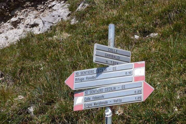
    The recommended starting point is the parking of the Piani of Resinelli (1183 m). From there you climb to the Rifugio Rosalba (1730 m) — about 2h — choosing between the direct path or the Sinigaglia ridge. From the Rosalba follow the sentiero 10 towards the southeast, passing through the Colle Garibaldi (1824 m) to the Colle Valsecchi (1898 m, 30 min from the Rosalba — 2h 30 min total).

    ▲The path

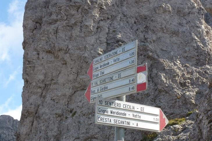
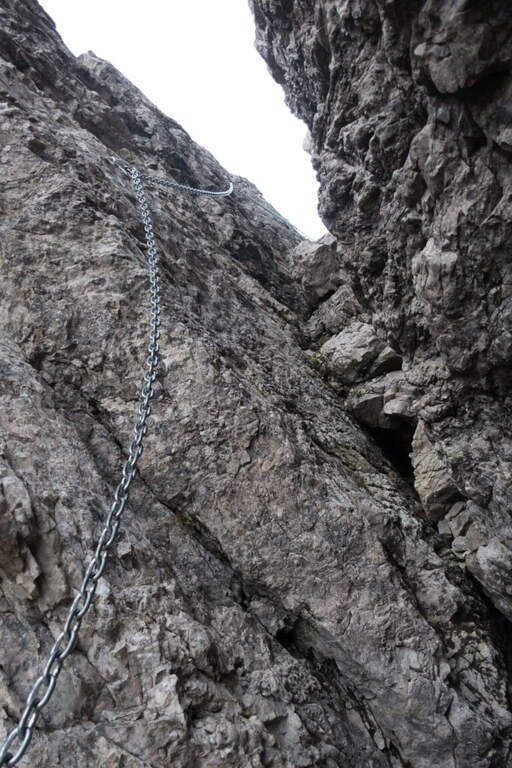
    At the Colle Valsecchi you leave the path 10 (which continues towards Cresta Cermenati) and take on the left the sentiero 11, that is the Path Attrezzato of the Scarettone. From here the route exceeds a series of canalini, cenges, beams and rock jumps, all equipped with chains in the most difficult and exposed points. Then there is a steep grassy slope with hairpin bends and you reach the detritic bottom of the summit valley, from which the last rocks lead to the vetta of the South Grigna (2184 m).

    ▲Character and difficulty

    Classified Moderately Difficult for the variety and continuity of technical steps: slippery canals, narrow waxes and exposed beams. The re-equipment of 2015 improved safety but did not reduce the selectivity of the path.

    ⚠ It is recommended only for hikers with experience of routes. Avoid with wet rock or winter season.
    ▲Period and safety

    From June to October. The Rosalba refuge offers refreshment and overnight stay. The Colle Valsecchi is a crossroads of several paths: a marked road on all branches.

    ▲Discipline

    From the summit you can return to the Sentiero Attrezzato Cecilia (path 10, via Cresta Cermenati and Rifugio Rosalba) or to any other access path to Piani dei Resinelli. The descent for the Scarettone is not recommended for l’ inverted exposure (6h total for the complete lap).

    ▲Gallery
    Technical data
    • DifficultyModerately Hard
    • RegionLombardy
    • GroupSouthern Grigna
    • Approach2:30 h
    • Ferrata1:30 h
    • Itinerary (a/r)6:00 h
    • Hardware level difference150 m
    • Route difference1000 m
    • Max2184 m
    • Length16 Km
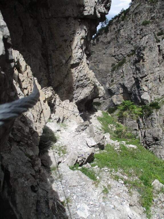
  • Sentiero Attrezzato Simone – Creton dell’Arco, Alpi Carniche

    Sentiero Attrezzato Simone – Creton dell'Arco, Carniche Alps

    Vie Ferrate › Friuli-Venezia Giulia › UD
    Sentiero Attrezzato Simone – Creton dell'Arco, Carniche Alps
    Moderately Hard● OpenDescriptionComplexityMapsGallery

    Itinerary of medium difficulty leading to the Creton dell'Arco (2357 m) in the Carnic Alps near Sappada. The final fireplace is the most technical passage of the street. Easily combined with the most demanding Ferrata dei Cinquanta del Clap for a long and varied day.
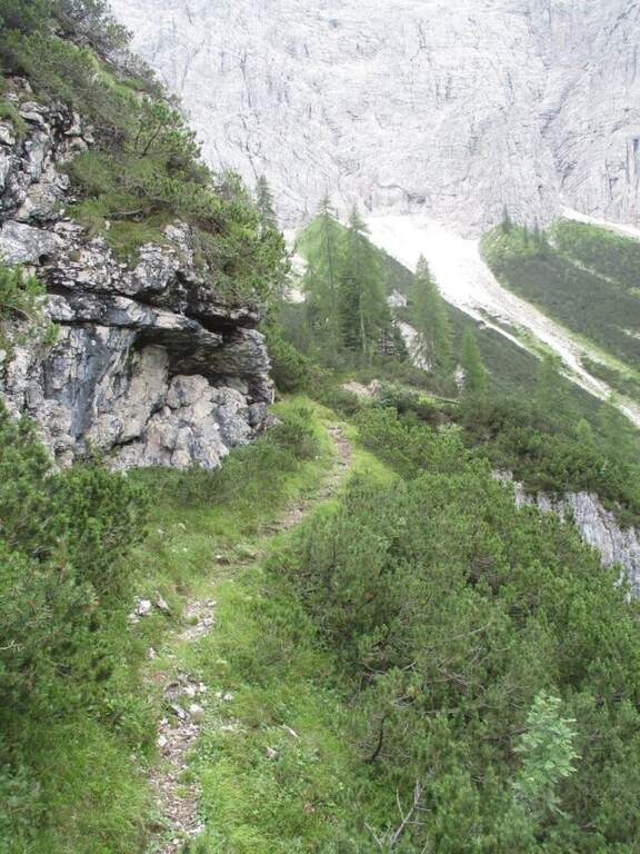
    ▲Approach

    From Sappada (UD) you park in the wide south of Piave, near the camper stop. Follow the path 317 on the right of the Rio Storto, ignoring the right track for the Bivacco Damiana (sentiero 322, which will be option of return). You climb into the wood with hairpin bends to Passo dell'Arco (1907 m, 1h30'), recognizable for the homonymous rock arch. Already near the pass, on the right there is a well marked track that leads to the attack (1h45' from the parking lot).

    ▲The path

    The first equipped section dates back to a detritic canal with unstable grassy background. It reaches a nod that leads to the rocky walls and then to the beginning of the throat, which goes up with the help of some metal brackets alternating stretches equipped with a path with reduced difficulty. The last stretch is the most technical: a right-hand crossing on excellent hooks and then a well-dressed but more challenging fireplace of the average. After the fireplace you gain the final slope and on obvious trace with white-red signs you arrive at the Creton dell'Arco (2357 m, 1h15' from the beginning equipment, 3h total).

    ▲Character and difficulty

    Moderately difficult. The final fireplace requires good technique and safety on the vertical steps.

    ⚠ The unstable grass bottom of the first canal can be insidious. Wet rock makes the final fireplace significantly more difficult.

    ▲Period and safety

    Summer (July-September). Avoid with wet rock. The throat remains shaded until mid-morning.

    ▲Discipline

    It is restored for the same climb (2h from the peak, 5h total). A demanding alternative: from the top you can reach an intermediate point of the Ferrata dei Cinquanta del Clap, but this option is technically much more difficult and not recommended downhill.

    ▲To match

    La Fifties of the Clap at the Creton de Culzei is the natural combination for those looking for a more challenging day in the Carnic Alps of Sappada.

    ▲Gallery
    Technical data
    • DifficultyModerately Hard
    • RegionFriuli-Venezia Giulia
    • GroupCarnic Alps / Sappada
    • Approach1:45 h
    • Ferrata1:15 h
    • Itinerary (a/r)8:00 h
    • Hardware level difference250 m
    • Route difference1177 m
    • Max2357 m
    • Length15 Km
  • Sentiero Attrezzato al Rifugio Quintino Sella – Monte Rosa

    Sentiero Attrezzato al Rifugio Quintino Sella – Monte Rosa

    Vie Ferrate › Aosta Valley › AO
    Sentiero Attrezzato al Rifugio Quintino Sella – Monte Rosa
    Moderately Hard● OpenDescriptionComplexityMapsGallery

    Impressive mountain itinerary that climbs from Gressoney-La-Trinité to the Rifugio Quintino Sella (3585 m) in the Monte Rosa massif. The last equipped stretch runs along an air crest and exposed with alternating ridge wire, wooden walkway and a short vertical. It requires maximum attention to weather conditions and snow.

    ▲Approach

    From Gressoney-La-Trinité you can reach Stafal (fine road, parking) and take the lifts (funivia then covered chairlift) to the Colle della Bettaforca (2680 m, approx. 30'). From the mountain station follow path 9 towards the north on stone with yellow and omit signs. You reach the Colle Bettolina Inferiore, then the Colle Bettolina Superiore (nevaio residual until late season), where you intersect the path 10 from Pian di Verra Superiore. Continue on bubbles and stones vertically, with a more clear mark, until the final ridge (2h45' from the upstream station).

    ▲The path

    The last crest before the shelter is airy and exposed, equipped with fixed rope. Take the ridge line alternating left and right side to a wooden walkway that connects two points of the crest. You pass a narrow traverse and then a short vertical of about 2 m with natural hooks for hands and feet. The last metres of ridge lead to the Rifugio Quintino Sella (40' from the equipped ridge, 3h30' total).

    ▲Character and difficulty

    Moderately difficult. The equipped ridge air does not present excessive technical difficulties but requires safe passage, no dizziness and the ability to read the ground at high altitude.

    ⚠ High mountain at 3585 m: weather can deteriorate rapidly. Persistent Nevary at the Colle Superiore until late July. Start early in the morning.

    ▲Period and safety

    July-September with stable weather. Always check the snow conditions and the weather forecast of Monte Rosa before departure. High altitude requires adequate clothing and water supply.

    ▲Discipline

    Same climb (3h from the hut, 6h30' total). Alternativa: at the Colle Superiore you can follow the path 10 towards Pian di Verra Superiore, adding about an hour to the route.

    ▲To match

    In the area of Gressoney lies the Ferrata Angster in Gressoney e la Ferrata Guide of Gressoney.

    ▲Gallery
    Technical data
    • DifficultyModerately Hard
    • RegionAosta Valley
    • GroupMonte Rosa
    • Approach2:45 h
    • Ferrata0:40 h
    • Itinerary (a/r)6:30 h
    • Hardware level difference90 m
    • Route difference850 m
    • Max3585 m
    • Length9,5 Km
  • Sentiero Attrezzato Olivieri – Rifugio Ra Vales

    Sentiero Attrezzato Olivieri – Rifugio Ra Vales

    Vie Ferrate › Veneto › BL
    Sentiero Attrezzato Olivieri – Rifugio Ra Vales
    Moderately Hard● OpenDescriptionComplexityMapsGallery

    Itinerary under the east wall of Punta Anna in Tofane, with a path equipped on exposed cenges, stairs and a fireplace that leads to 2580 m in the heart of the Dolomites of Ampezzo. The Ra Vales Refuge is the intermediate destination of the ring, immersed in an exceptional Dolomite scenery reachable from Cortina.

    ▲Approach

    From Cortina d'Ampezzo you can climb to Baita Pie Tofana (1675 m), directions road map) and continue on the chairlift or on foot on the path 405 to the Pomedes Refuge (2303 m). From the shelter you can walk the track and then a trace in the gravel under the eastern wall of Punta Anna, to the commemorative plate that marks the attack (1h15′ from the upper system, 1h45′ total).

    ▲The path

    It sticks with an uphill slope equipped, followed by the descent of a short wall with canal (possible remaining snow in spring). You cross a second canal and follow a new nod on a detritic background. You meet the first exposed staircase, then some small rocks and a downhill nod. A steep and winding stretch on gravel leads to the spur with the second staircase. There is a fireplace whose first leap is athletic, we walk through a census under a roof and we pass a corner: the Path Attrezzato ends at 2580 m (1h15′ from the attack). From here you descend into the right valley towards the Ra Vales Refuge (2470 m, 2h total).

    ▲Character and difficulty

    Classified Moderately Difficult. The fireplace with the first athletic leap and the exposed stairs are the steps that require more technique. The detritic background and the possible residual snow increase the degree of attention needed.

    ⚠ The canals can store snow until late July. Check conditions before leaving, especially in the first part of the season.
    ▲Period and safety

    July to October. The Ra Vales Refuge offers halfway catering.

    ▲Discipline

    From the Ra Vales Refuge follow the path 407 north to the Forcella Ra Vales (2300 m), then descend to the bay to the Baita Pie Tofana (5h30′ total ring). Alternatively, you return to the cable car from the Pomedes Refuge.

    ▲To match

    The Tofane area offers many other high altitude routes in the Dolomites of Ampezzo.

    ▲Gallery
    Technical data
    • DifficultyModerately Hard
    • RegionVeneto
    • GroupDolomiti Ampezzane
    • Approach2:00 h
    • Ferrata2:00 h
    • Itinerary (a/r)5:30 h
    • Hardware level difference120 m
    • Route difference280 m
    • Max2576 m
    • Length2,9 Km
  • Sentiero Attrezzato Olivato – Monte Miaron

    Sentiero Attrezzato Olivato – Monte Miaron

    Vie Ferrate › Friuli-Venezia Giulia › UD
    Sentiero Attrezzato Olivato – Monte Miaron
    Moderately Hard● OpenDescriptionComplexityMapsGallery

    The route to Mount Miaron starts from the Mauria Pass and goes up the north-west side of the mountain along the cenges and canalons, with short stretches equipped, up to the Bivacco Vaccari at 2050 m. A corner of the Carnic Prealps not frequented, with wild environments and a key section on the guinea without protections that is the true discriminating passage of the excursion.

    ▲Approach

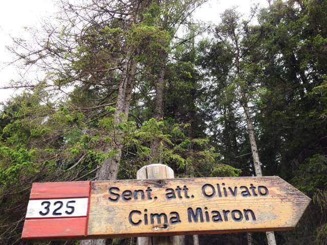
    From the Mauria Pass (1298 m, directions road map) take the trail 325, prohibited by cars. You can reach the Military Miaron in about 45 minutes. At the biforcation you leave the path 327 (normal road) and take the 325 to the right, which leads on a halfway between mughi on the NW side. A red indication signals the deviation towards the detritic ski lift.

    ▲The path

    It faces a first vertical wall equipped to the side of a straw canal, then a half-coast stretch on rocky edge. They follow cenges and canalons on the west side of Miaron, where the helmet is mandatory for the risk of falling mass. You reach a pylon-fork, then at a second similar nod. The key passage is an unprotected wreath at 1900 m altitude: the step must be carefully calibrated since the ground does not offer rope safety. After this stretch, a stable nod leads to a third inlet with a narrow nod equipped, then to Bivacco Vaccari (2050 m, 3h45′ from Passo Mauria).

    ▲Character and difficulty

    Classified Moderately Difficult. The main difficulty does not lie in the equipped traits but in the unprotected gland, which requires safe foot and absolute prudence. Lonely and wild environment.

    ⚠ The helmet is mandatory. Avoid crossing the west side in the presence of other hikers on the wall above for the risk of massive fall.
    ▲Period and safety

    From June to September. The unprotected gland is particularly insidious in wet conditions.

    ▲Discipline

    From Bivacco Vaccari you descend along the path 340 east towards the Forca del Cridola (2176 m), then along the path 348 to the Forcella Fossiana (1967 m), going down the Val del Cadorini to Passo Mauria (6h30′ total).

    ▲To match

    The Mauria Pass is a reference point for numerous itineraries in the Carnic Prealps on the border between Friuli and Veneto.

    ▲Gallery
    Technical data
    • DifficultyModerately Hard
    • RegionFriuli-Venezia Giulia
    • GroupCarnic prealps
    • Approach1:45 h
    • Ferrata2:00 h
    • Itinerary (a/r)6:30 h
    • Hardware level difference90 m
    • Route difference878 m
    • Max2176 m
    • Length9 Km
  • Sentiero Attrezzato Gusella – Passo di Ball

    Sentiero Attrezzato Gusella – Passo di Ball

    Vie Ferrate › Trentino-Alto Adige › TN
    Sentiero Attrezzato Gusella – Passo di Ball
    Moderately Hard● OpenDescriptionComplexityMapsGallery

    A large mountain ring in the Pale di San Martino that combines the short Ferrata della Vecia with the most challenging Sentiero Attrezzato Gusella–Ball, crossing wild forks and high mountain environments in a complete itinerary of about 9 hours. One of the most complete proposals of the Natural Park Paneveggio–Pale di San Martino.

    ▲Approach

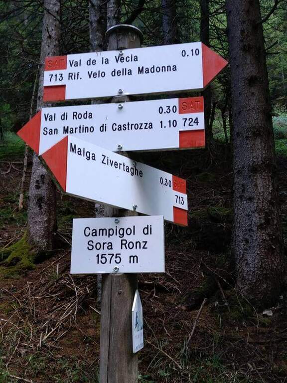
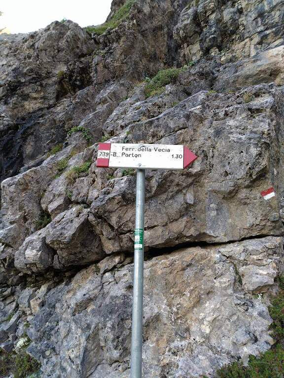
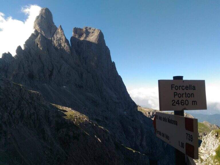
    From Malga Civertaghe (1375 m, directions road map) take the path 713 towards the upper malages. Follow the 713 until the Malga Sopra Ronz, then left the steep variant towards the stone. At a crossroads take the path 739 left towards Ferrata della Vecia (2h30′ to Forcella del Porton at 2460 m).

    ▲The path

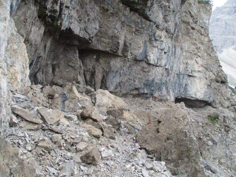
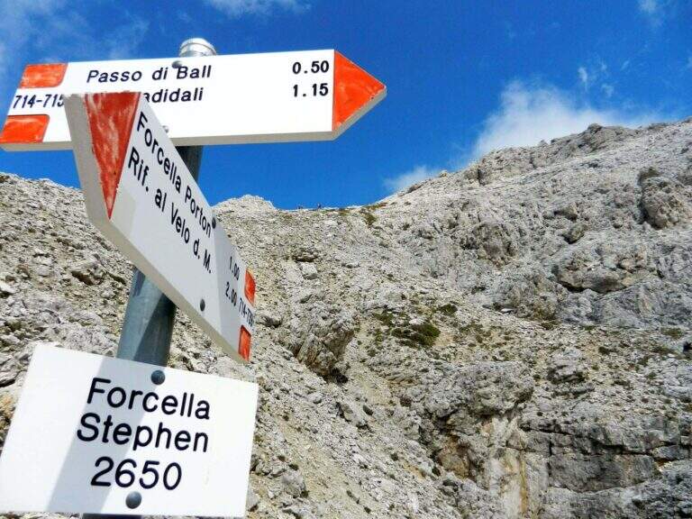
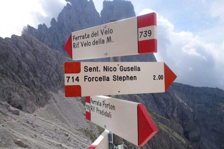
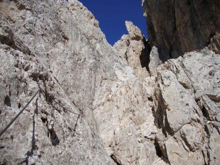
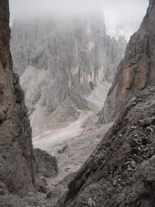
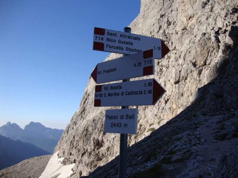
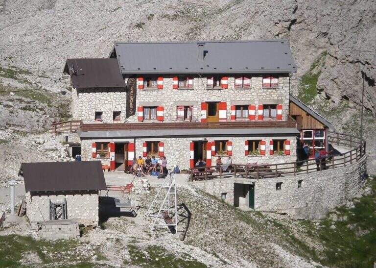
    The Ferrata della Vecia covers about 50 m of vertical cambres. From the Forcella del Porton (2460 m) take the path 714 towards Gusella, bypassing the Cima Ball on the south side and going up to the Forcella della Fede. You descend a canal without protections, then the Sentiero Attrezzato Gusella begins: a long diagonal crossing on the west side of Cima Ball marked by red stamps, with equipped strokes alternating sections on free ground. You reach Forcella Stephen (2650 m, 4h total). The descent to the Ball Pass (2443 m, 4h45′) is steep and equipped in several points: a 20 m plaque, a fireplace and vertical blinds require attention. From the pass you reach the Pradidali Refuge (2278 m) and then go back to the Porton and return to Malga Civertaghe (9h total).

    ▲Character and difficulty

    Classified Moderately Difficult, but long and physically challenging. Combine real ferrata, equipped alpine path, exposed free stretches and long high altitude crossing. It is necessary to leave at dawn.

    ⚠ The Gusella tract is marked only by red stamps: follow them carefully. Not suitable for early hardware.
    ▲Period and safety

    From July to September, verifying that the Forcella della Fede is free from snow. Recommended departure at the first lights.

    ▲Discipline

    From the Rifugio Pradidali go up to the Porton (7h15′ total) and return to the path 713 in Malga Civertaghe (9h total).

    ▲To match

    The area of the Pale di San Martino offers itineraries for all levels; the Ferrata del Porton, included in this ring in the ascent section, is also accessible as an excursion to itself.

    ▲Gallery
    Technical data
    • DifficultyModerately Hard
    • RegionTrentino-Alto Adige
    • GroupPale di San Martino
    • Approach2:30 h
    • Ferrata2:15 h
    • Itinerary (a/r)9:00 h
    • Hardware level difference262 m
    • Route difference1270 m
    • Max2698 m
    • Length18 Km
Need help? Write to us!