Gruppo: Adamello

  • Ferrata Terzulli all’Adamello

    Ferrata Terzulli at Adamello

    Vie Ferrate › Lombardy › Brescia
    Ferrata Terzulli at Adamello

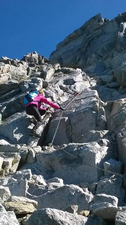
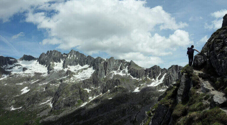
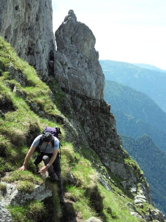
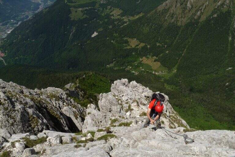
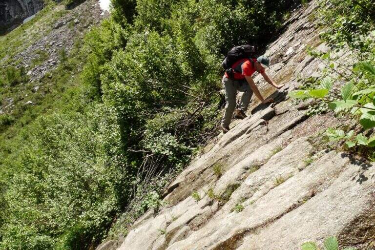
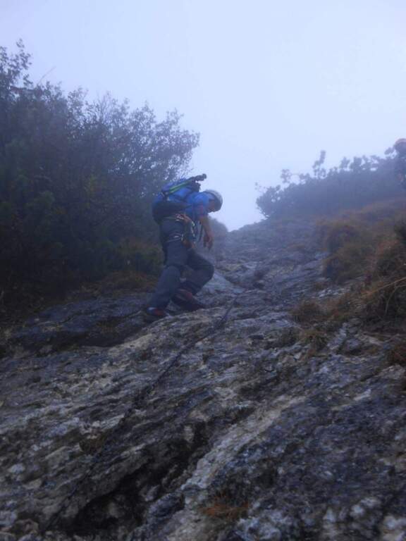
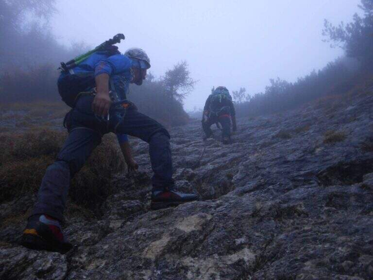
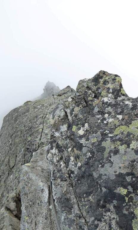
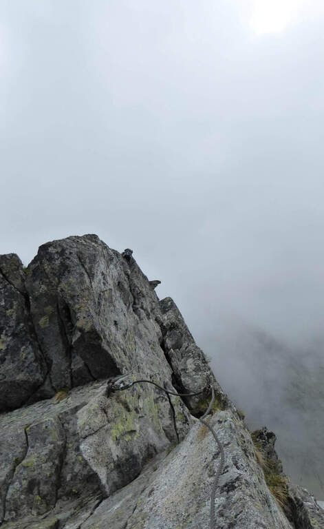
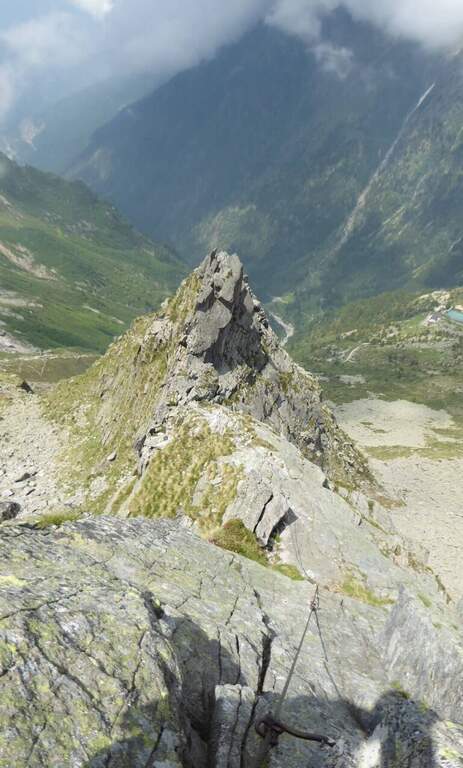
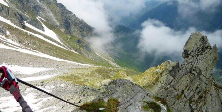
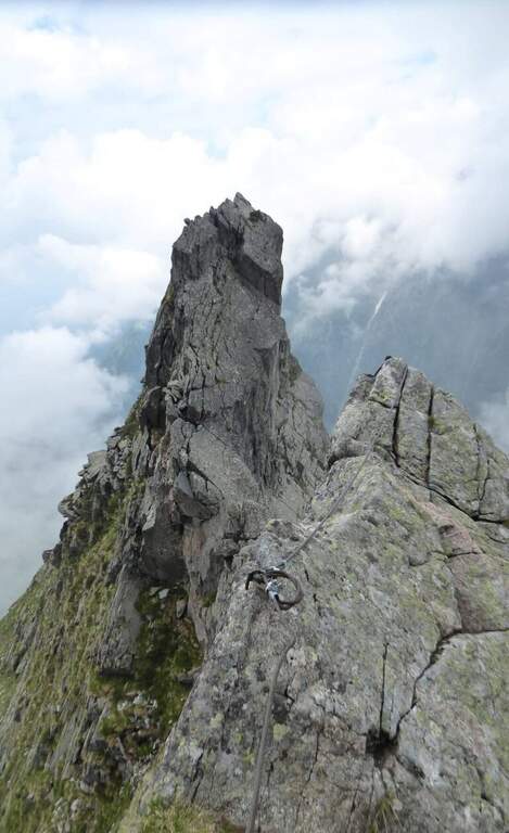
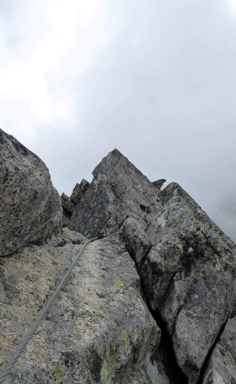
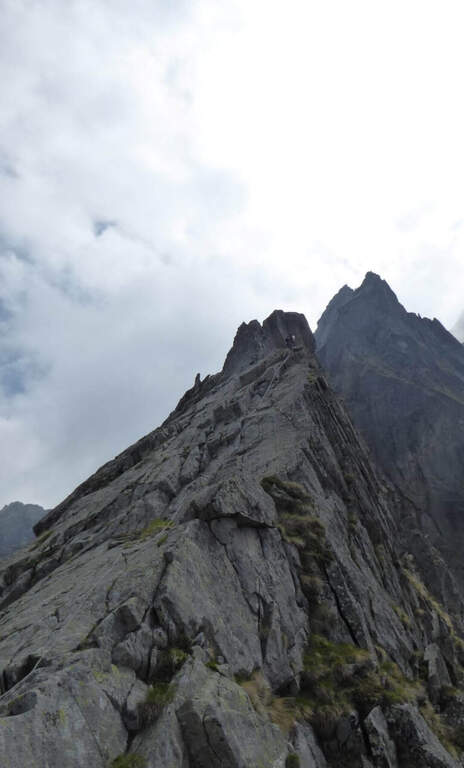
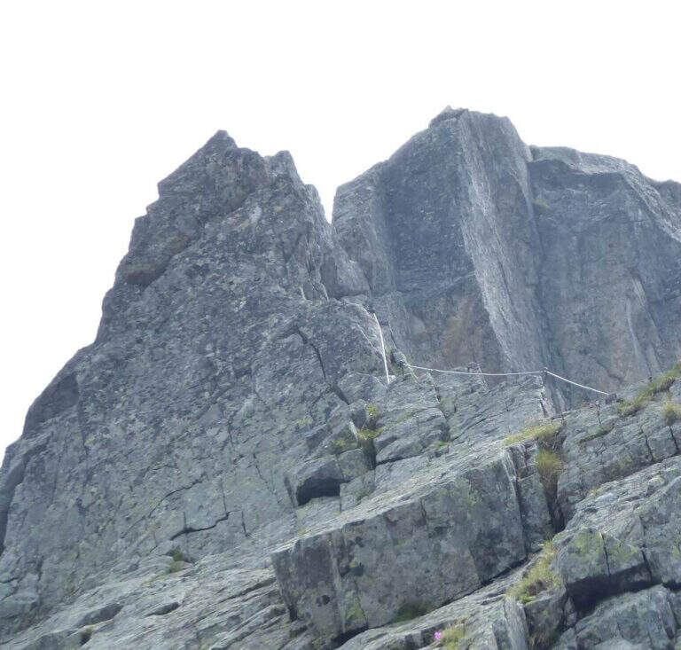
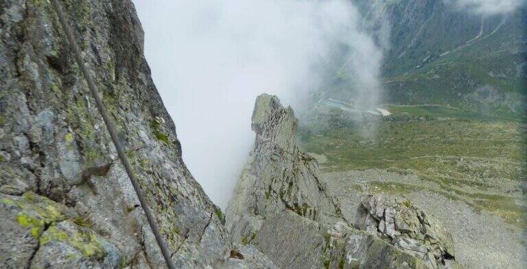
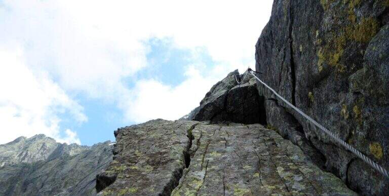
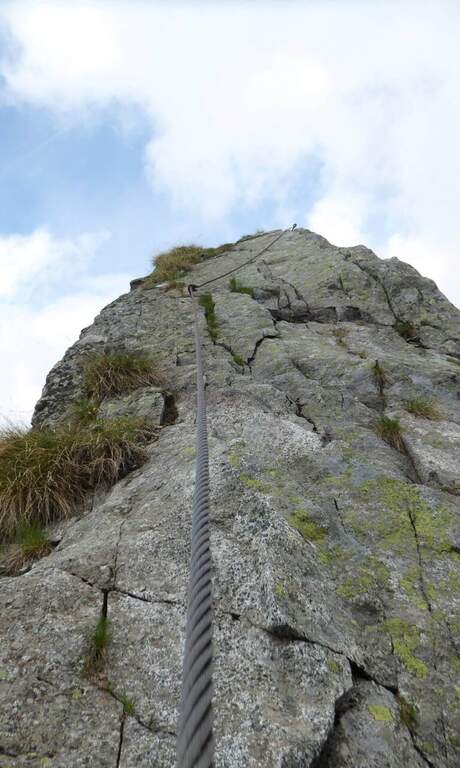
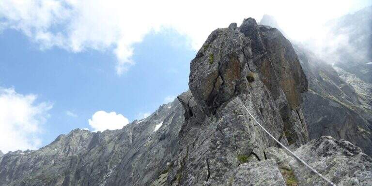
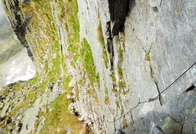
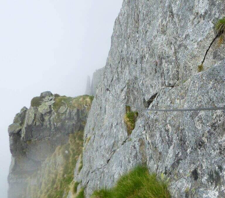
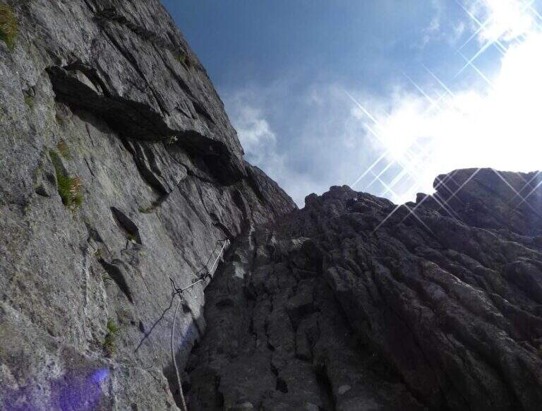
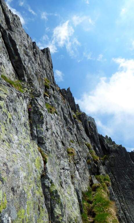
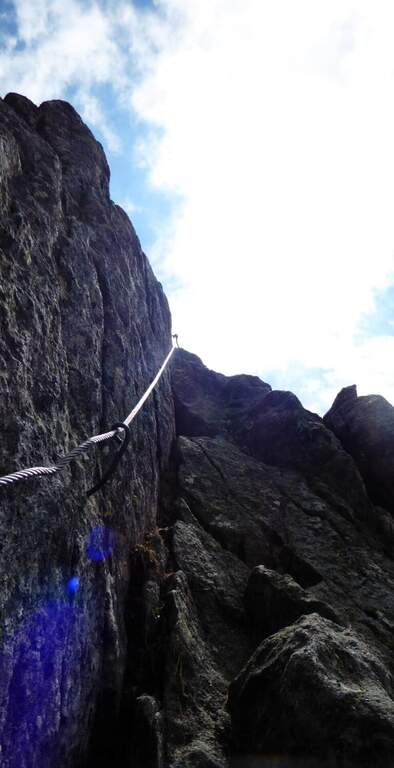
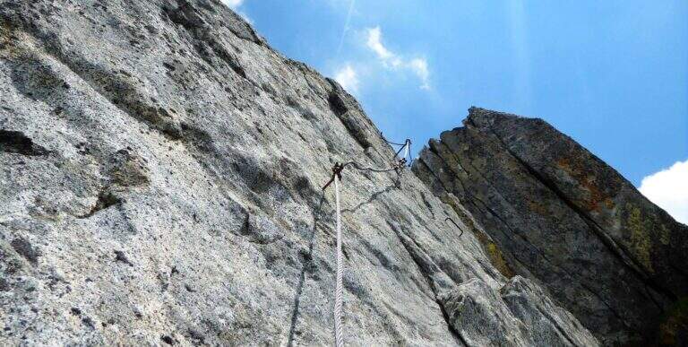
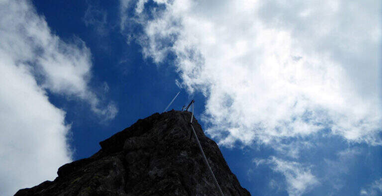
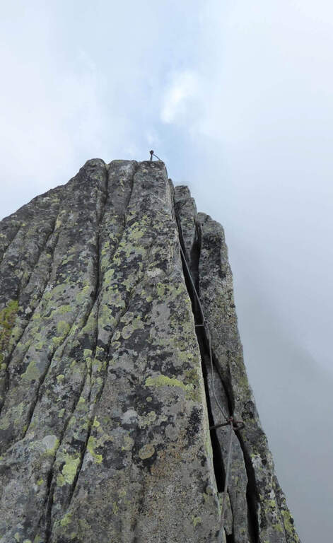
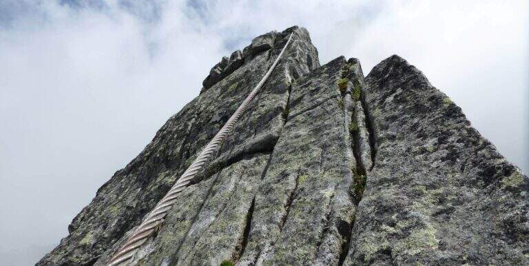
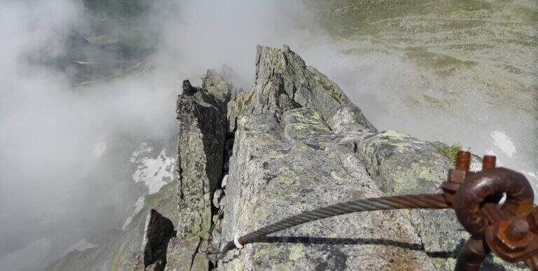
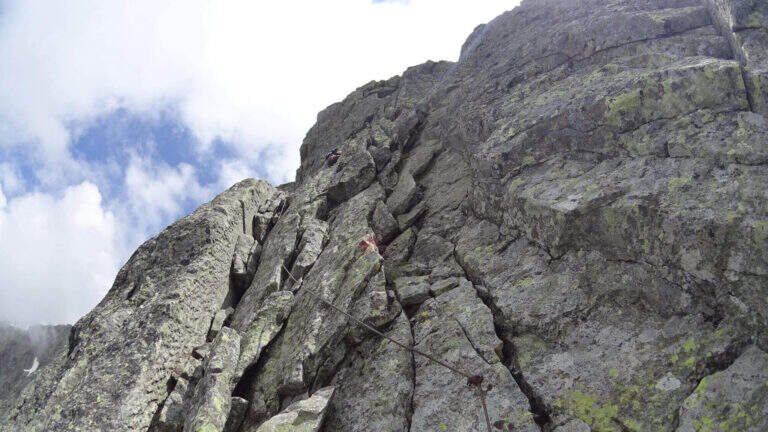
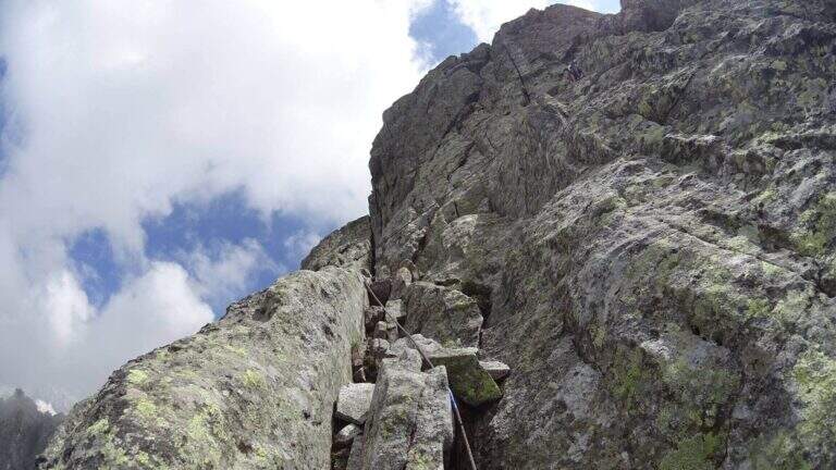
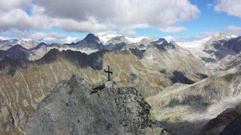
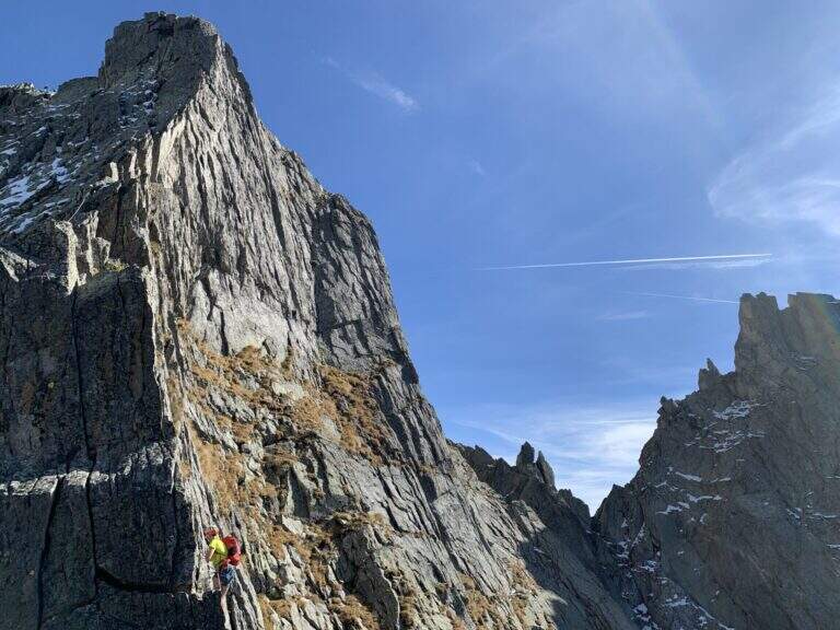
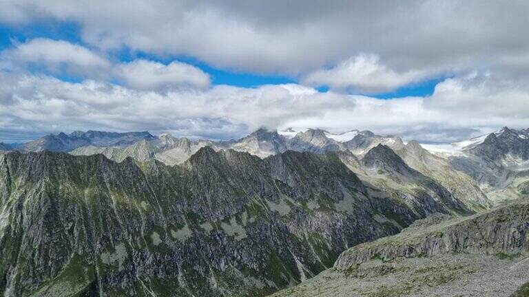
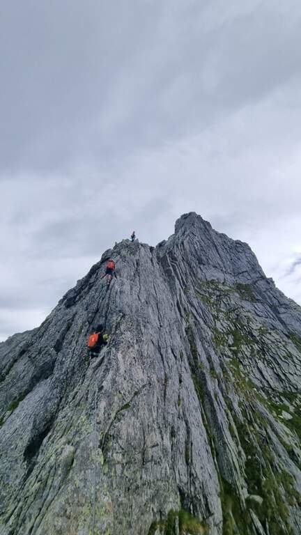
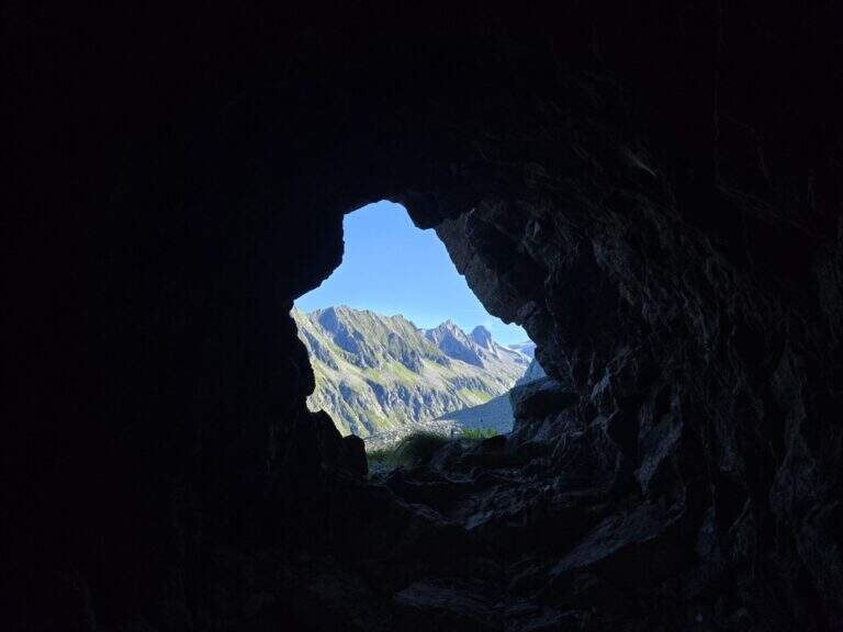
    La Ferrata Terzulli connects the Val Miller with the Adamello Pass and is normally inserted in the ascent to the Adamello. The equipment itself is of limited difficulty, but the itinerary takes place in a high mountain environment with a strong mountain character: it is therefore reserved for those with experience of ferrate and high altitude, with stable time.

    ▲Approach

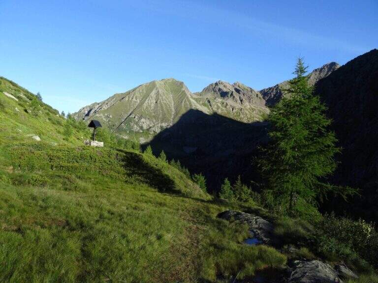
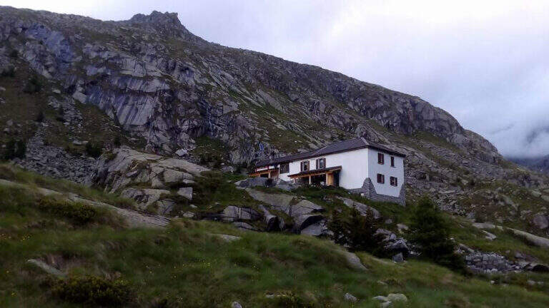
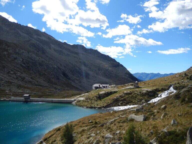
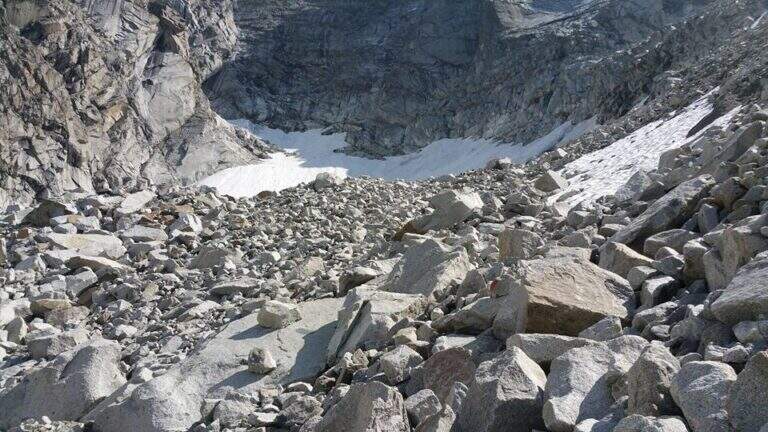
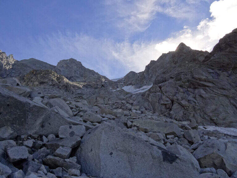
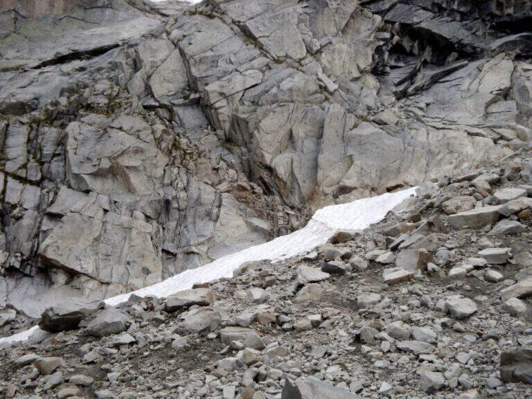
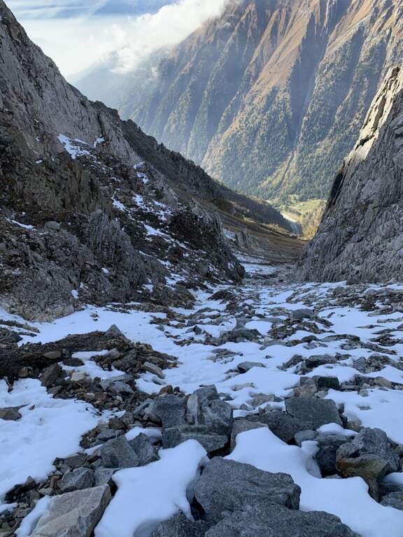
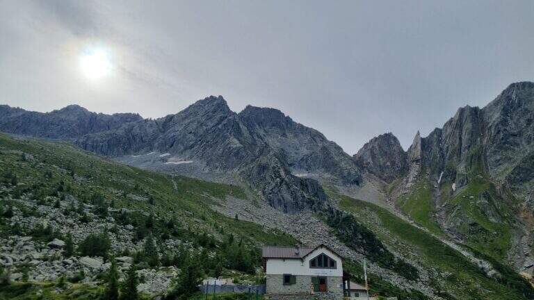
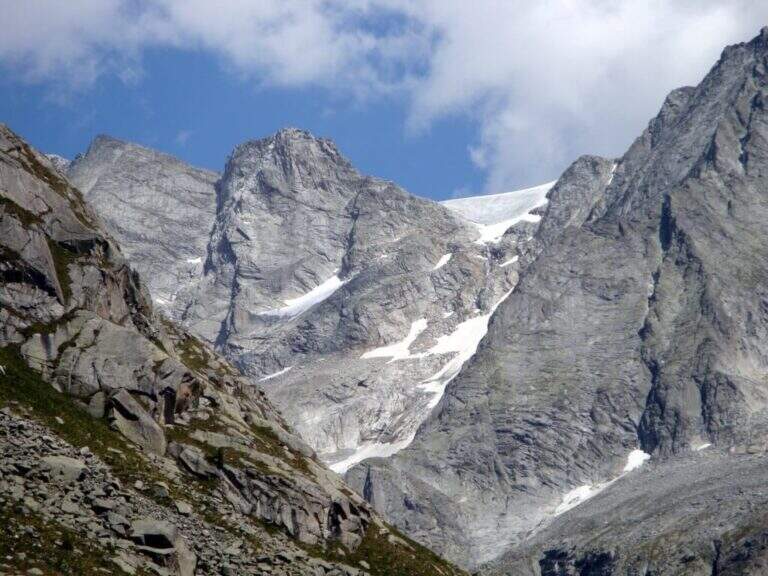
    Start from the beach at the bridge on the river Remulo, along the road to Val Malga (1528 m). Open road signs on Google Maps. Beyond the bridge, follow the dirt road to Malga Premassone, then the sentiero 23 over Malga Frino (1698 m) and go up the Miller Valley, passing the characteristics Scale Miller (rock steps with short equipped sections, 2050 m). You can reach the Rifugio Gnutti (2166 m, 1h 30' from the parking lot); continue on the 23rd along the Lake Miller and crossing the «Pantano Miller», on soil always più rocky and with possible snow languages, until all' attack (2930 m, 2h from Gnutti, 3h 30' totali).

    ▲The path

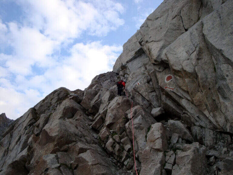
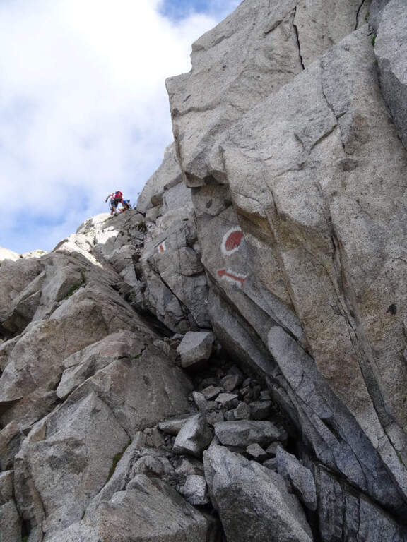
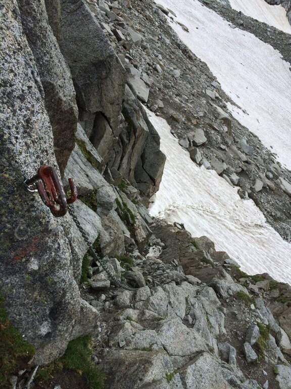
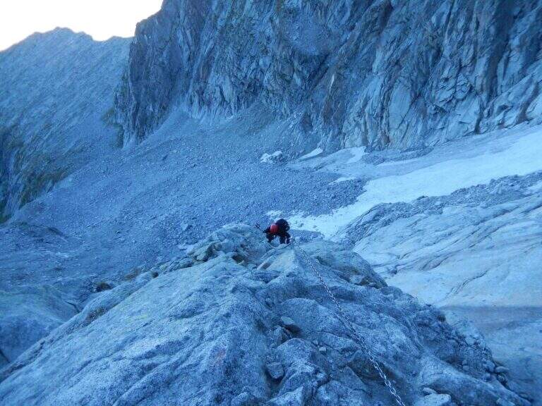
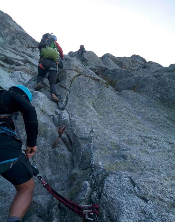
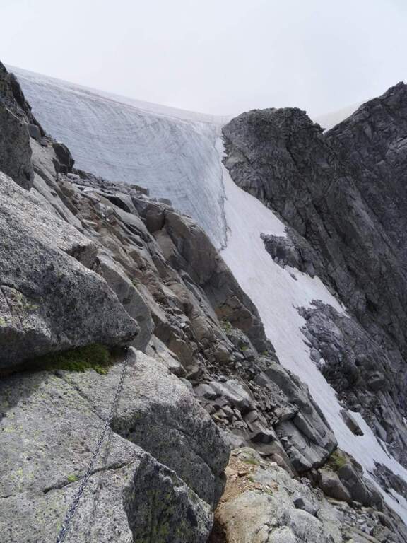
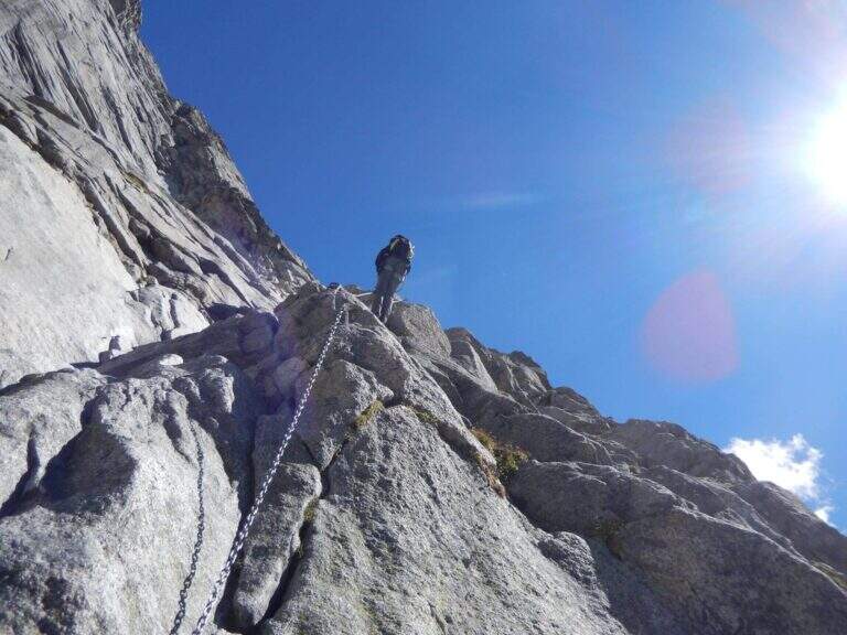
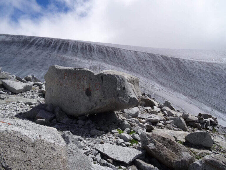
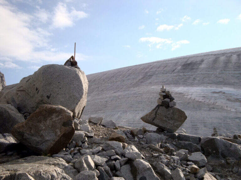
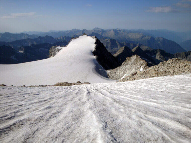
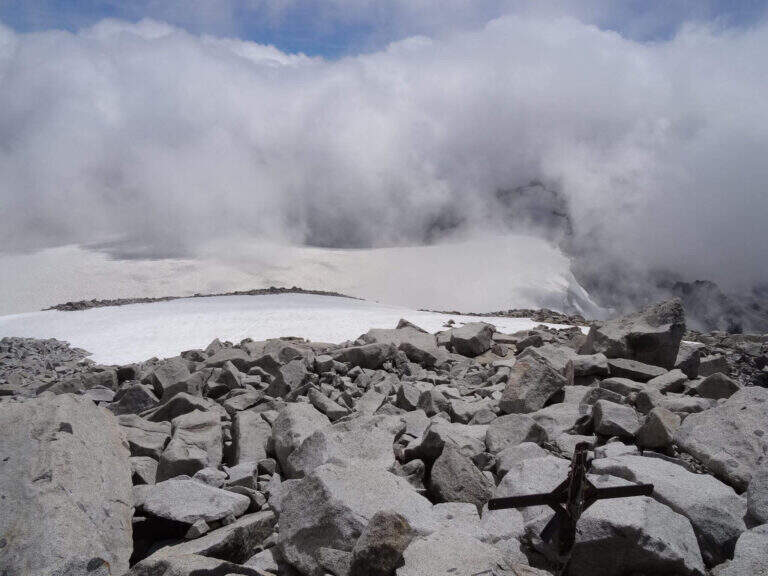
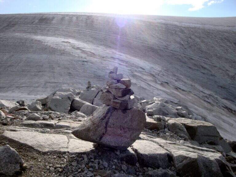
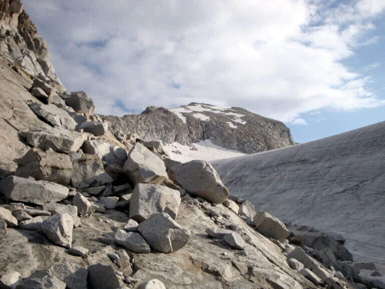
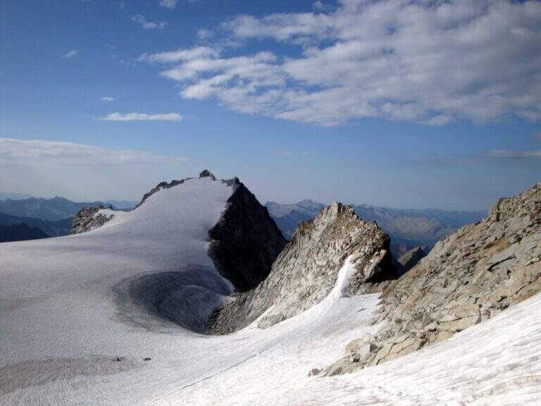
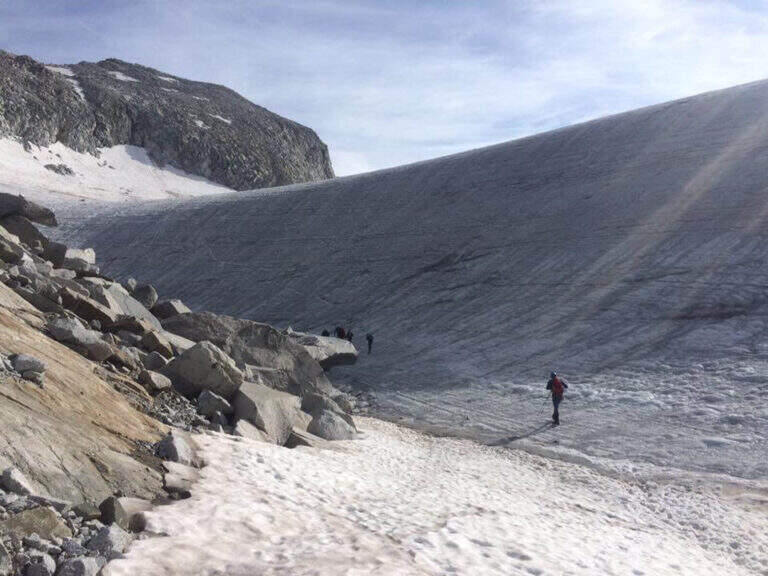
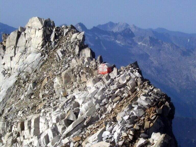
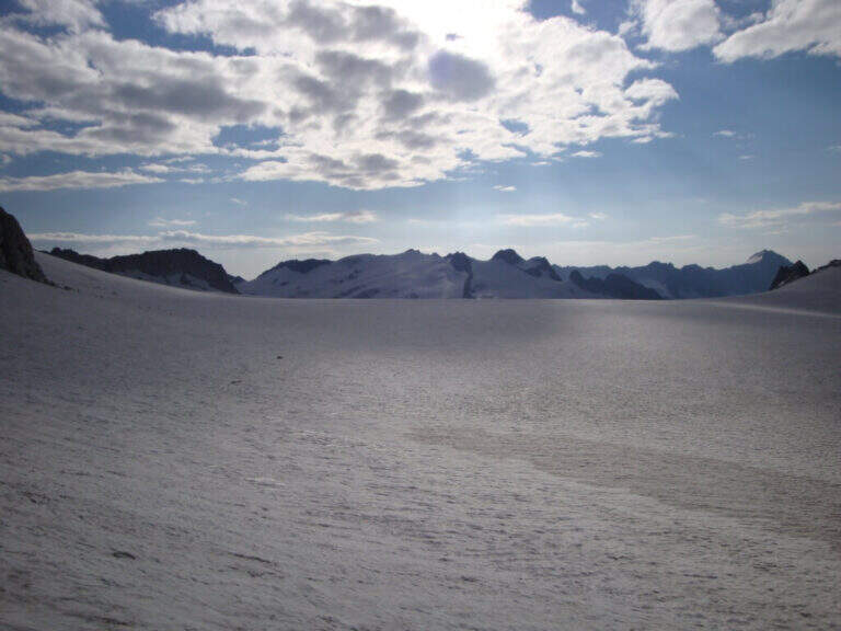
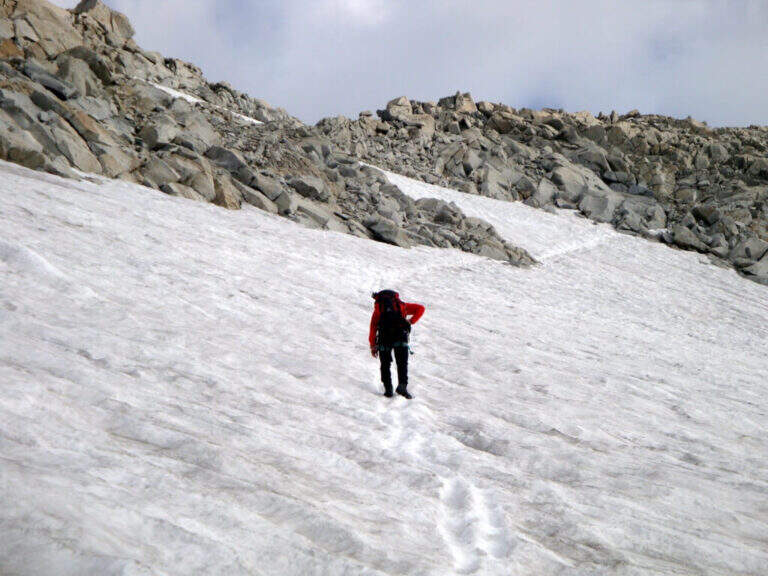
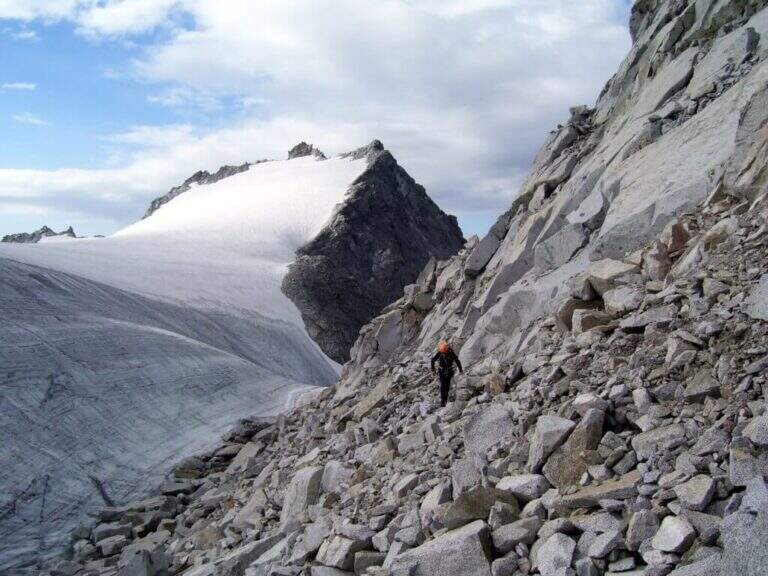
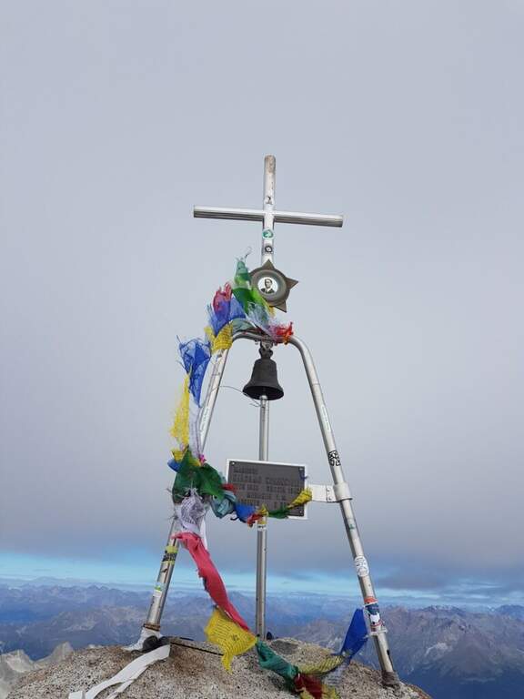
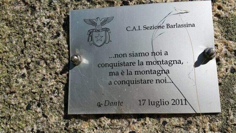
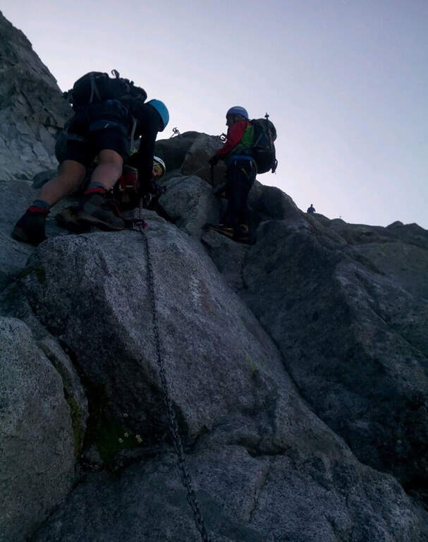
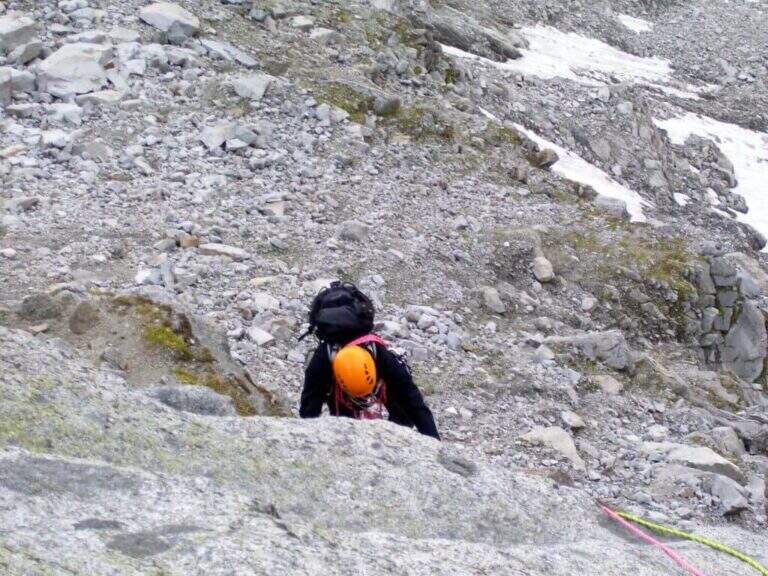
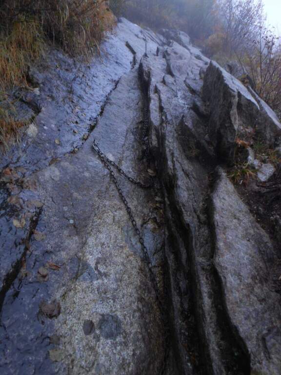
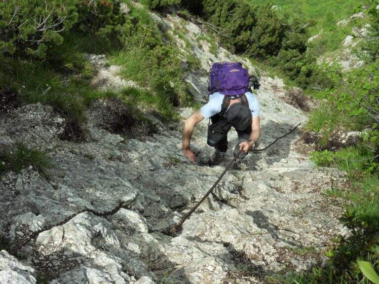
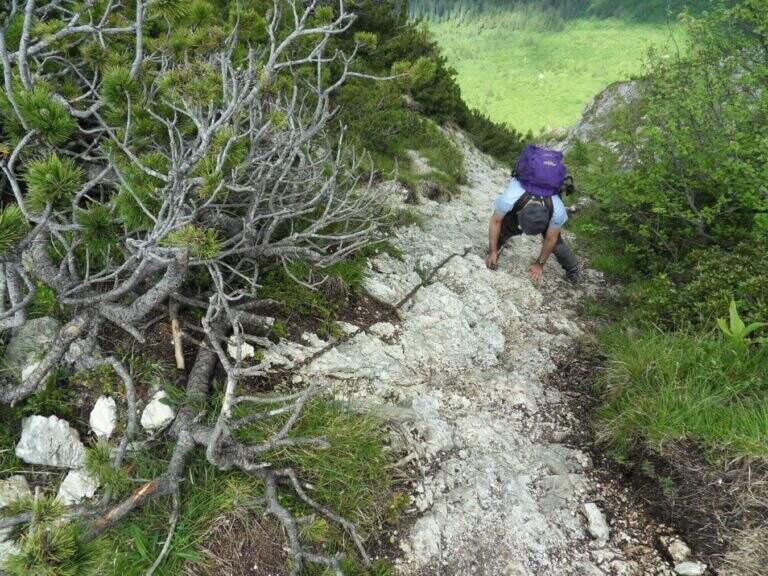
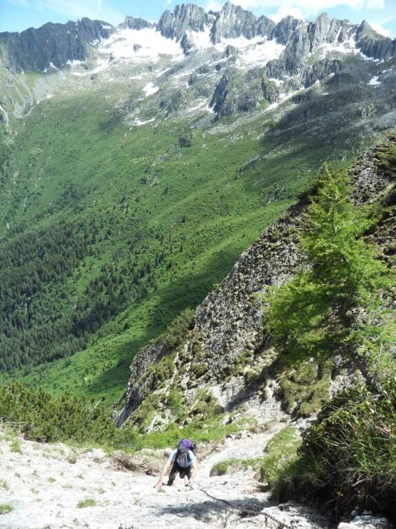
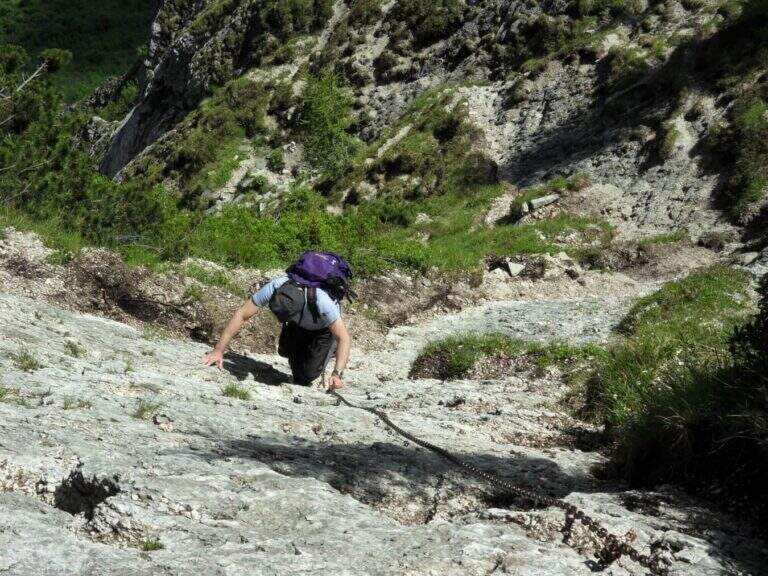
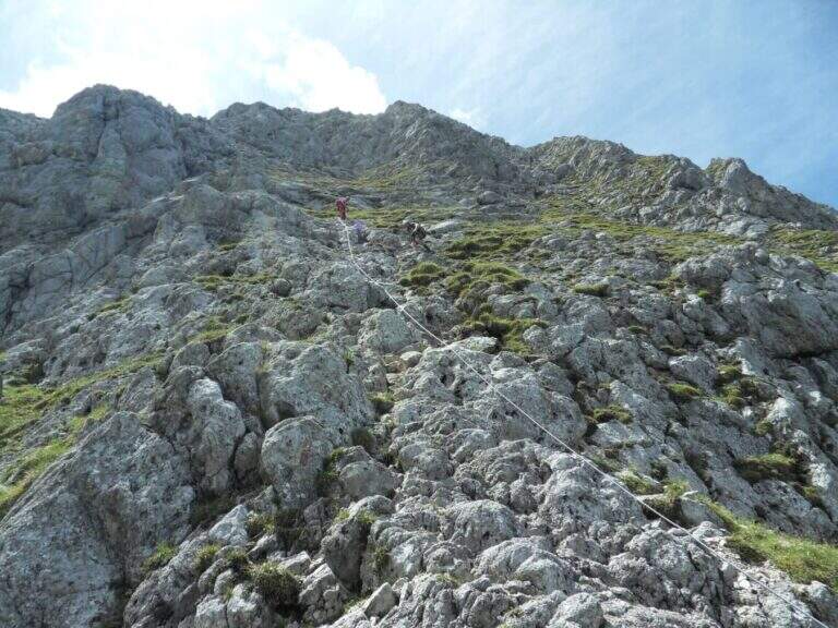
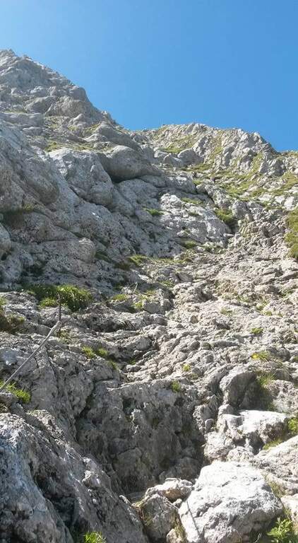
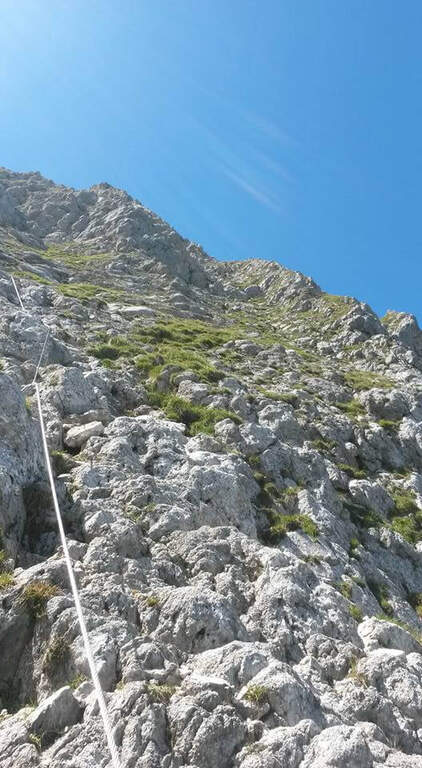
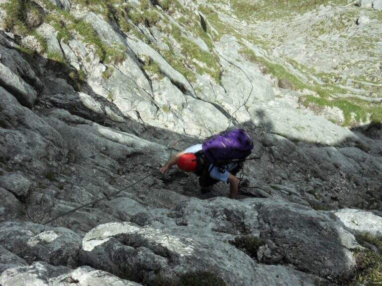
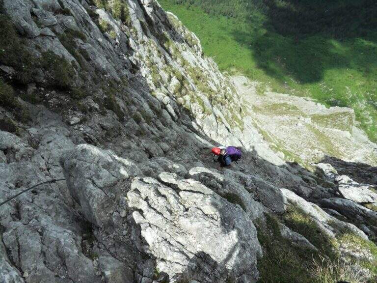
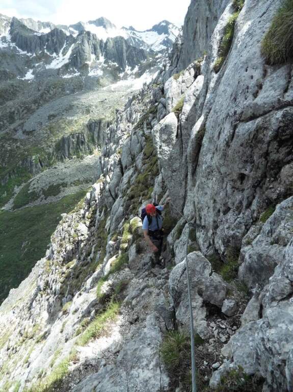
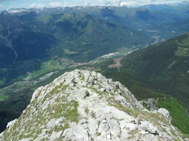
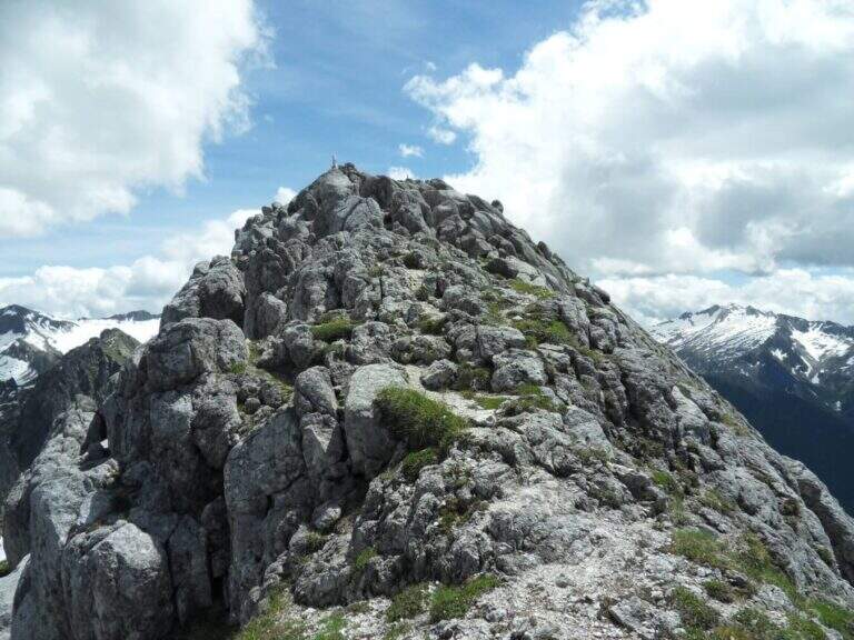
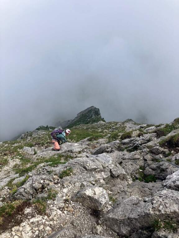
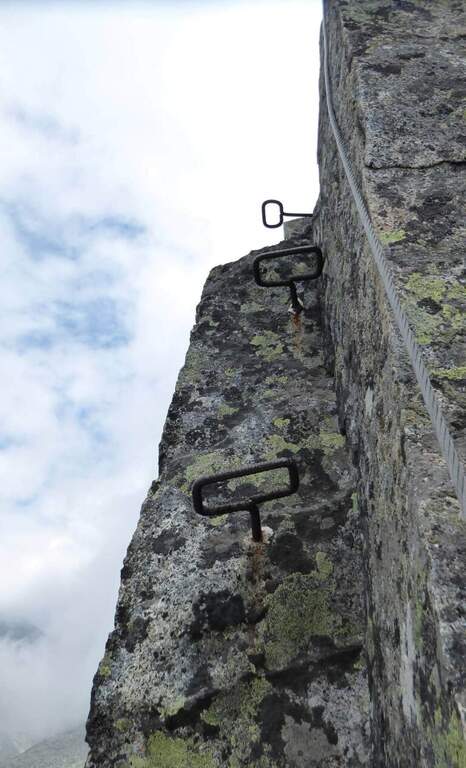
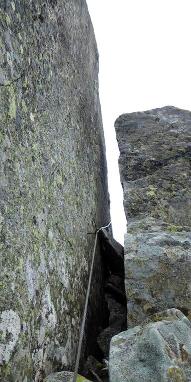
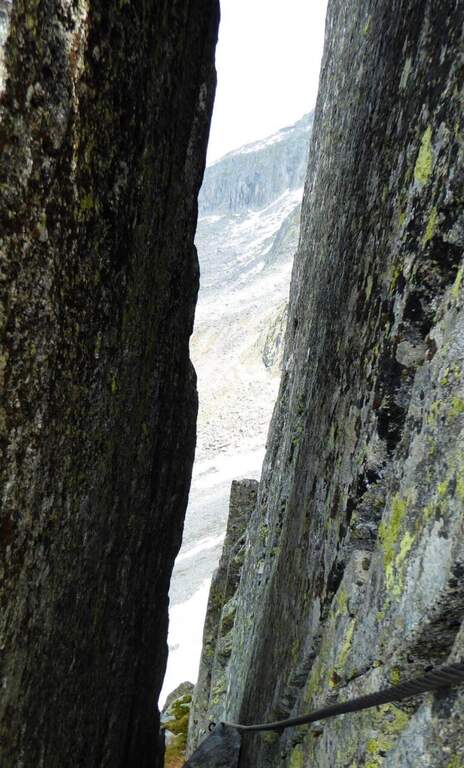
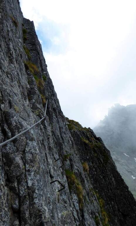
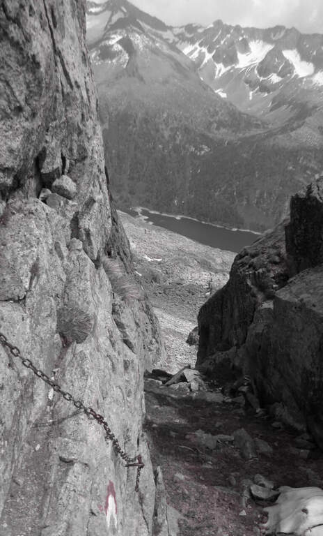
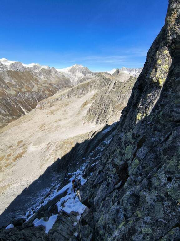
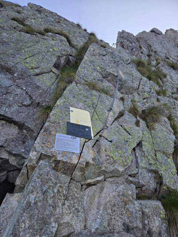
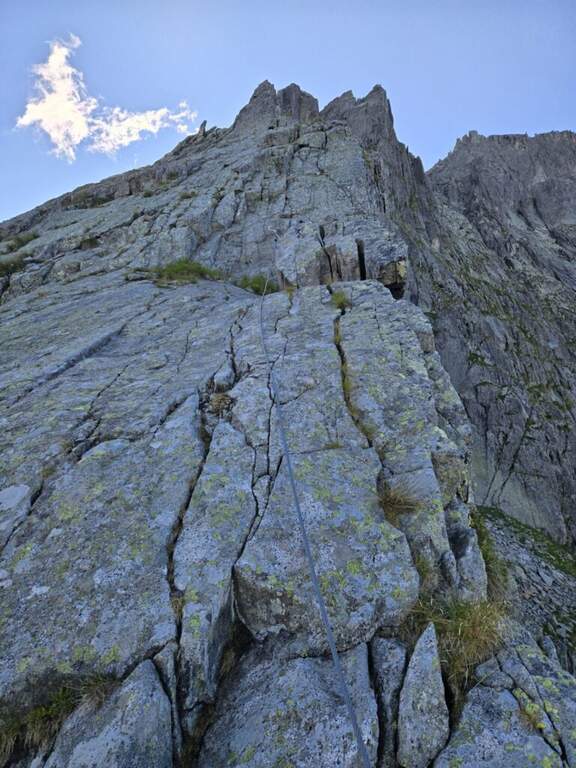
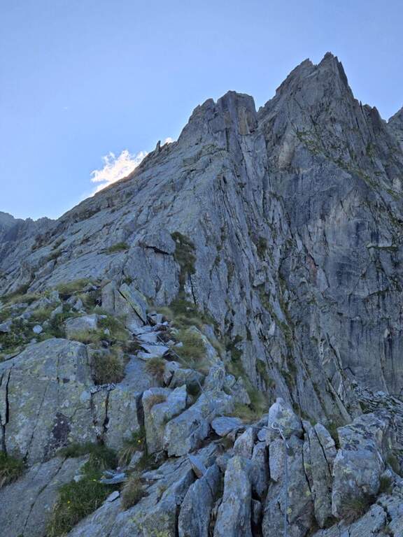
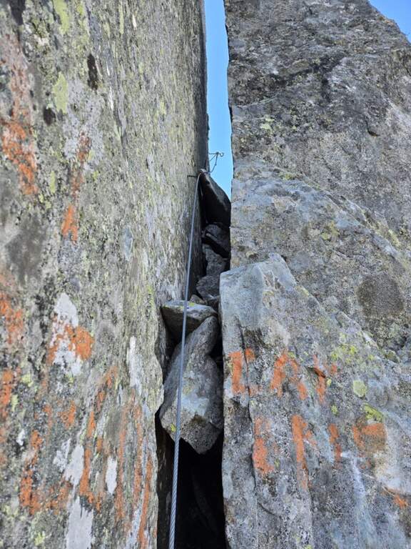
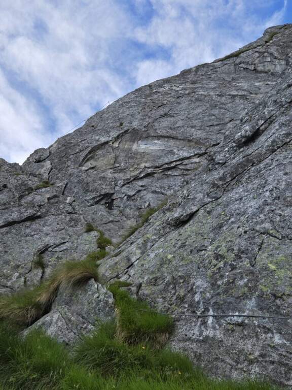
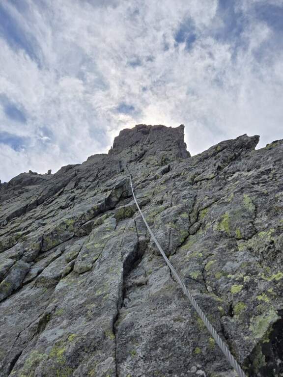
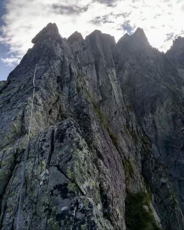
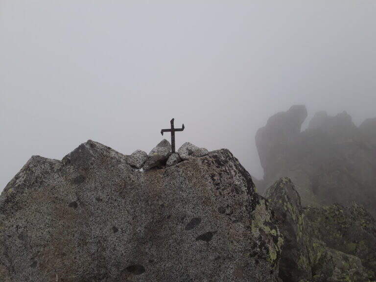
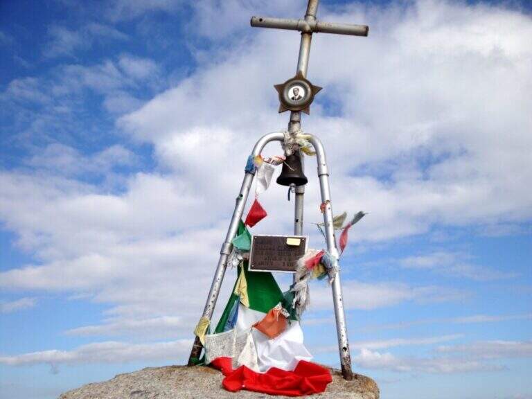
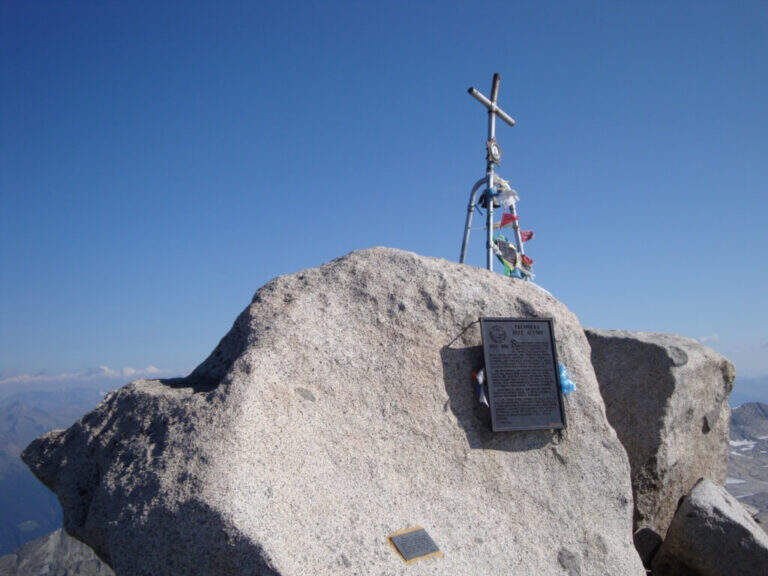
    La via è attrezzata con catena a tratti. Si inizia su un breve spigolo; a un primo terrazzino si cambiano i moschettoni su una nuova catena e si sale verticali su roccia compatta ma levigata. Terminata la catena, un sentierino esposto e roccette portano a un tratto diagonale a sinistra e poi a una salita più ripida ma senza difficoltà tecniche. Dove le attrezzature finiscono si seguono segni bianco-rossi e ometti fino a una placca inclinata dove le catene riprendono: la si risale in linea retta e poi a destra, si percorre una cengia terrosa e un traverso esposto attrezzato, quindi una breve placca chiude le attrezzature poco sotto il Passo dell'Adamello (3240 m, 1h from the attack, 4h 30' total). From here the itinerary continues in the glacial environment: you descend on the left edge of the Adamello Glacier (Bivacco Ugolini and Cima del Laghetto on the left), then climb the last ~300 m on rocks of I degree up to the west ridge and, for the thread with small balconies exposed, to the summit cross of the Adamello (3539 m, 1h 30' from the Pass, 6h total).

    ▲Character and difficulty

    Technically the ferrata is not difficult for those who already have good experience; the rock is good but not always rich in hooks. The real difficulties are the environment, the length, the altitude difference (over 2000 m overall) and the altitude. Development 22 km, maximum altitude 3539 m.

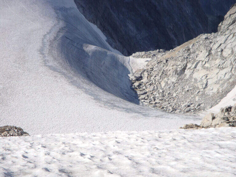
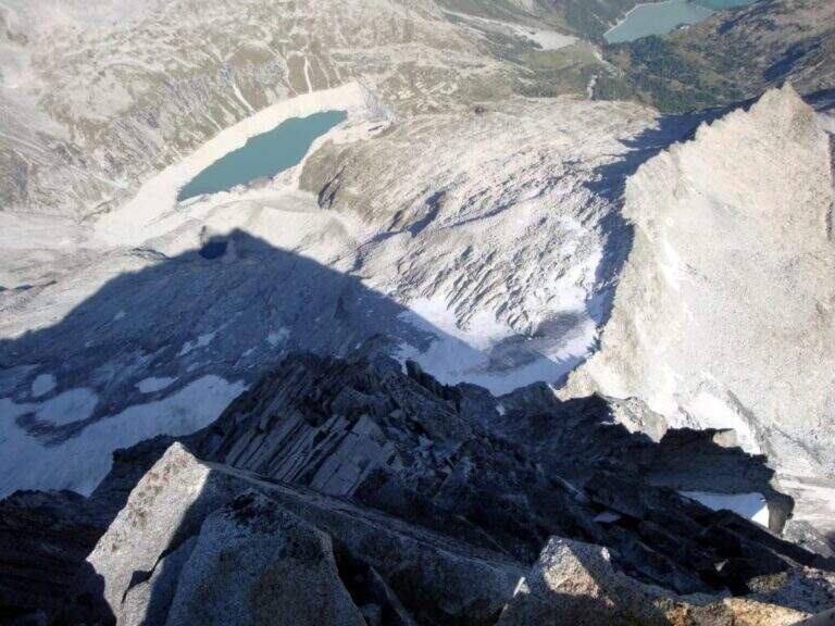
    ⚠ Itinerary d' high mountain: necessary ramponi and peak for the Snow Plan, evaluation of the conditions of the glacier on the spot and stable weather. The descent è long, exhausting and at times steep and exposed (in particular the crest from the summit to the glacier). It is recommended to break l' two-day itinerary by staying at the Gnutti Refuge.
    ▲Discipline

    The descent follows l' the entire ascent itinerary, disarrampicando also the Ferrata Terzulli (the normal & free route; a different itinerary that would require an overnight stay). From the summit, taking care of the steep and exposed traits; from the refuge there are the Miller Stairs and the last kilometers up to ' car (1h 30' from the refuge, 5h from the summit, 11h totali).

    ▲To match

    Staying in the upper Val Camonica you can walk, further south, the Ferrata at Corno di Grevo e la Ferrata at Pizzo Badile Camuno; towards the Tonale Pass Ferrata del Sentiero dei Fiori and, on the trentino side, the Ferrata Monte Nero.
    ▲Gallery
    Technical data
    • DifficultyHard
    • RegionLombardy
    • GroupAdamello
    • Approach3:30 h
    • Ferrata1:00 h
    • Itinerary (a/r)11:00 h
    • Hardware level difference200 m
    • Route difference2011 m
    • Max3539 m
    • Length22 Km
  • Ferrata at Pizzo Badile Camuno

    Ferrata at Pizzo Badile Camuno

    Vie Ferrate › Lombardy › Brescia
    Ferrata at Pizzo Badile Camuno

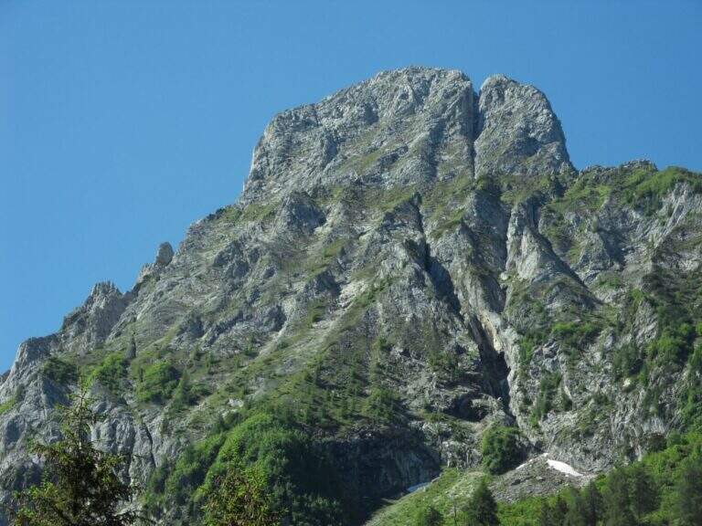
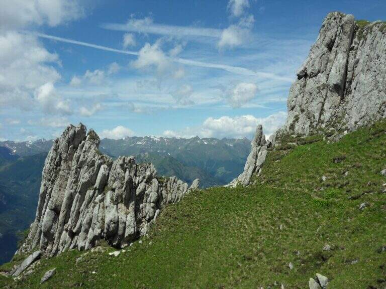
    The Ferrata al Pizzo Badile Camuno is a great excursion on one of the southern peaks of the Adamello Group, in the upper Val Camonica (Brescia). The itinerary is challenging for the long approach and the difference in altitude, while the fully equipped section does not have significant technical difficulties; the view from the top largely repays fatigue.

    ▲Approach

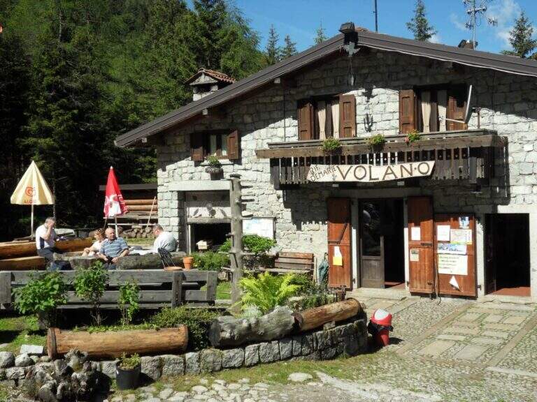
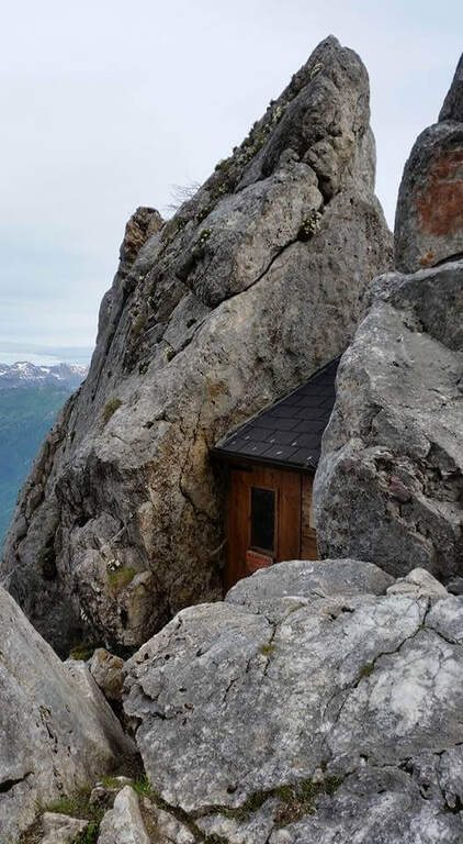
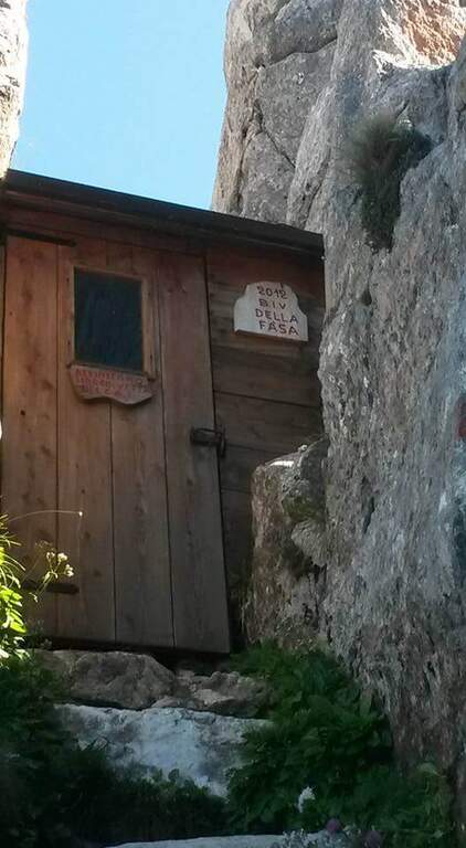
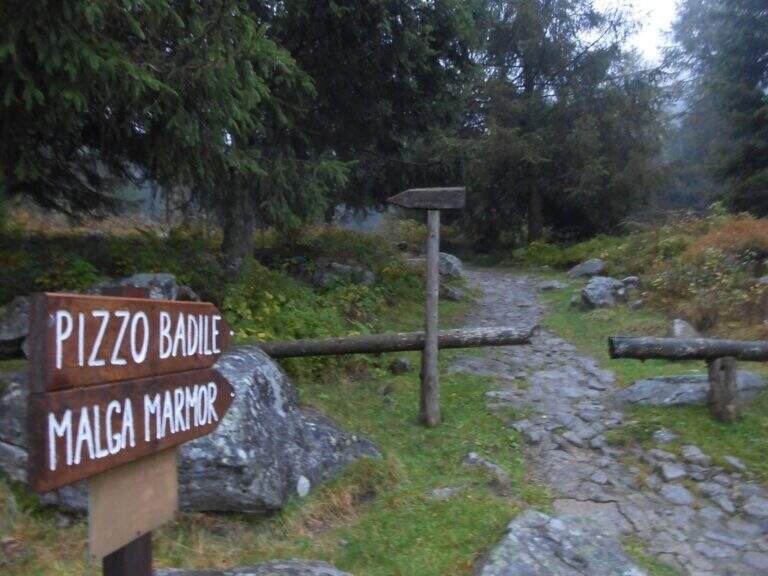
    The starting point is at Cimbergo, in the upper Val Camonica. Once in the village, on the right you take the road with directions to Volano and Redole; initially in good condition, it must be followed by ignoring the secondary bivi until it becomes dirt, where you can leave the car (willing to continue until the next slargo, but the bottom is more dissected). Starting point on Google Maps. From the parking lot follow the dirt road, which coincides with path CAI 16, to the Rifugio De Marie; here you leave the 16 and take the CAI 77 path, well marked. The path climbs steeply in the woods and after about 30 minutes leads to the first equipped sections: a plaque supported with a lasca chain, then stretches of steep path with small rocks following the white-red signs, some rocks to be overcome with the help of brackets and the exit from the wood. You reach a second stretch equipped with chain, a wall resting of 30-40 meters not trivial (a couple of scarce, chain lasca in several points); a little further you pass near a bivouac, from which a path exposed to stretches equipped leads, between aerial passages but easy, to the attack of the ferrata (2h 30' from the parking lot).

    ▲The path

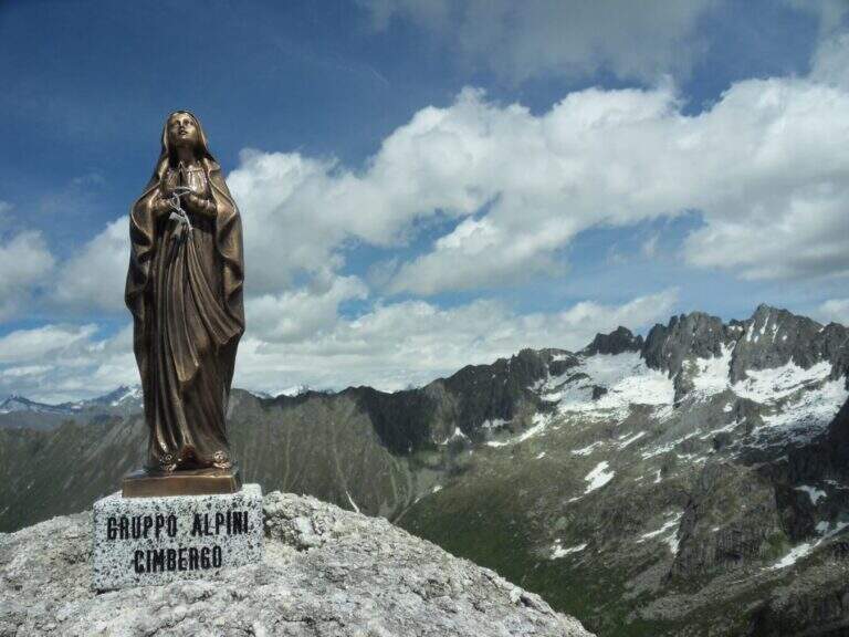
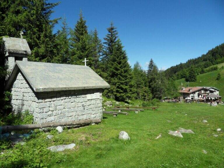
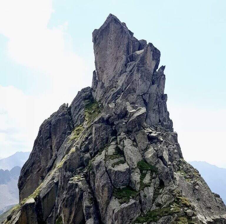
    The ferrata begins by climbing a wall almost everywhere: the climb is pleasant and logical, with the cable that often acts as a handrail. After a first linear stretch bends slightly to the right on an ascending, comfortable and panoramic nod; from this pulpit the cable resumes more vertical, first to the right then to the left, on very stable rock and in prevalence diagonally. You earn another terrace, then the slope increases: you pass a couple of walls leaned but more steep and then a vertical wall that goes up a little marked canal. Folding to the right, some rocks are reassembled in the crest, beyond which the equipment ends; along the wide ridge you reach the Madonnina just below the summit (2435 m), where the road ends (30' from the attack, 3h 30' total).

    ▲Character and difficulty

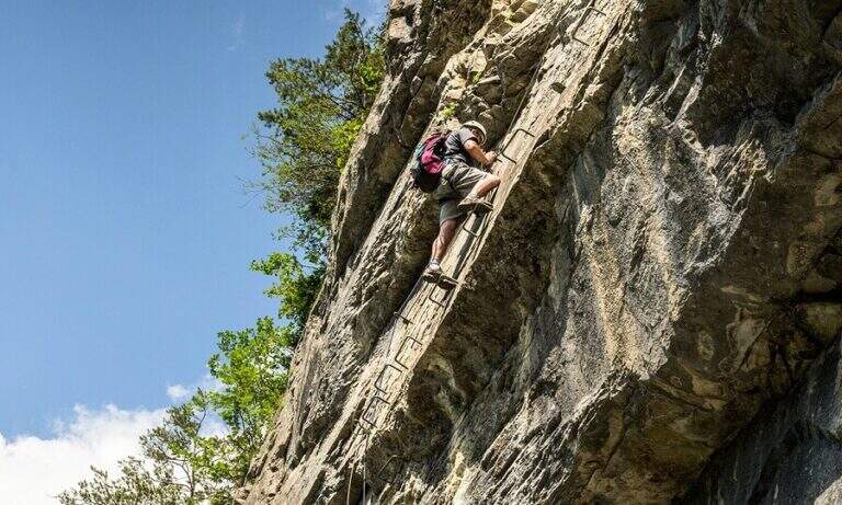
    It is a traditional ferrata: few metal supports, logical climb, the goal of reaching a top more than looking for the degree. Although with relatively low altitude, the set has the character of a difficult alpine hike.

    ⚠ The real commitment lies in approaching and returning: exposed traits and some passages of I degree in climbing and climbing in the wood. The fatigue of the long descent must be realized.
    ▲Period and safety

    Summer itinerary: the length and rocky sections of the path require a stable day and good energy management.

    ▲Discipline

    You return to the same route. Maximum attention to the climbing of the ferrata and the rocky stretches climbed; the descent is challenging and should be considered in the balance of the day (2h 45' from the summit, 6h 30' total).

    ▲To match

    Itinerary long that hardly converges in the day, but the high valleys of Brescia offer many equipped. Risalendo la Val Camonica: la Ferrata Arosio al Corno del Grevo, la Ferrata Terzulli and, at the Passo del Tonale, the Path of Flowers; towards Valtellina the easy Ferrata del Cuore at the Cross of Monte Palabione.

    ▲Gallery
    Technical data
    • DifficultyHard
    • RegionLombardy
    • GroupAdamello
    • Approach3:00 h
    • Ferrata0:30 h
    • Itinerary (a/r)6:30 h
    • Hardware level difference200 m
    • Route difference1385 m
    • Max2435 m
    • Length10 Km
  • Ferrata al Corno del Grevo (Erminio Arosio)

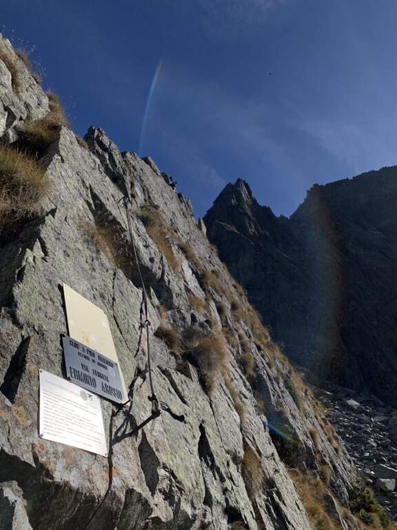
    Ferrata al Corno del Grevo (Erminio Arosio)

    Vie Ferrate › Lombardy › Brescia
    Ferrata al Corno del Grevo (Erminio Arosio)
    Very difficult● OpenDescriptionComplexityMapsGallery

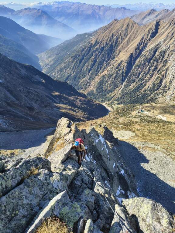
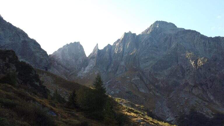
    La Ferrata al Corno del Grevo (Erminio Arosio) è una delle vie attrezzate più impegnative dell’arco alpino. Risale da ovest la frastagliata cresta del Corno del Grevo, in Val Camonica, con esposizione fortissima e continua, poca attrezzatura artificiale e passaggi vari e difficili. Ambiente severo e poco battuto: itinerario da riservare a escursionisti molto esperti e in ottima forma.

    ▲Approach

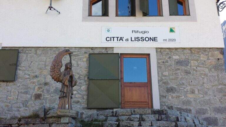
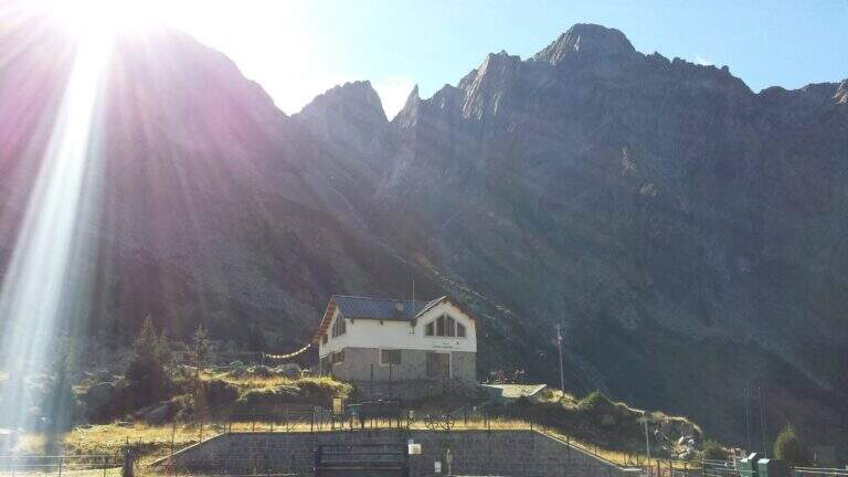
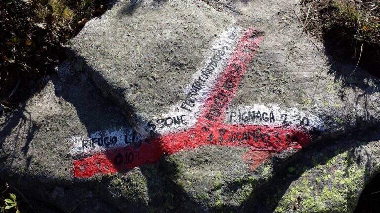
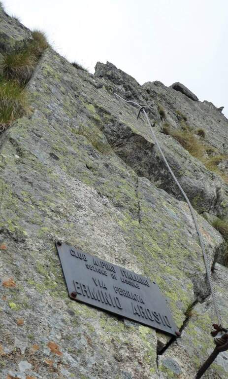
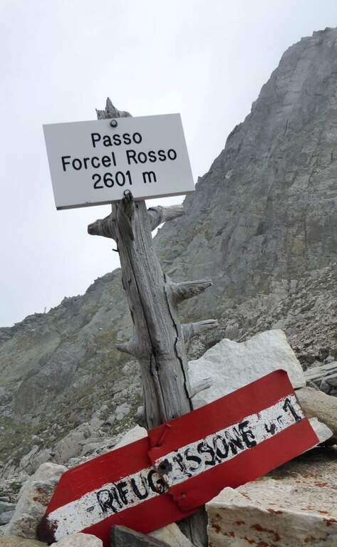
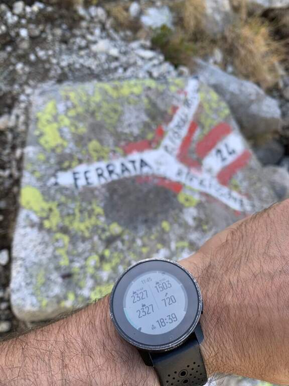
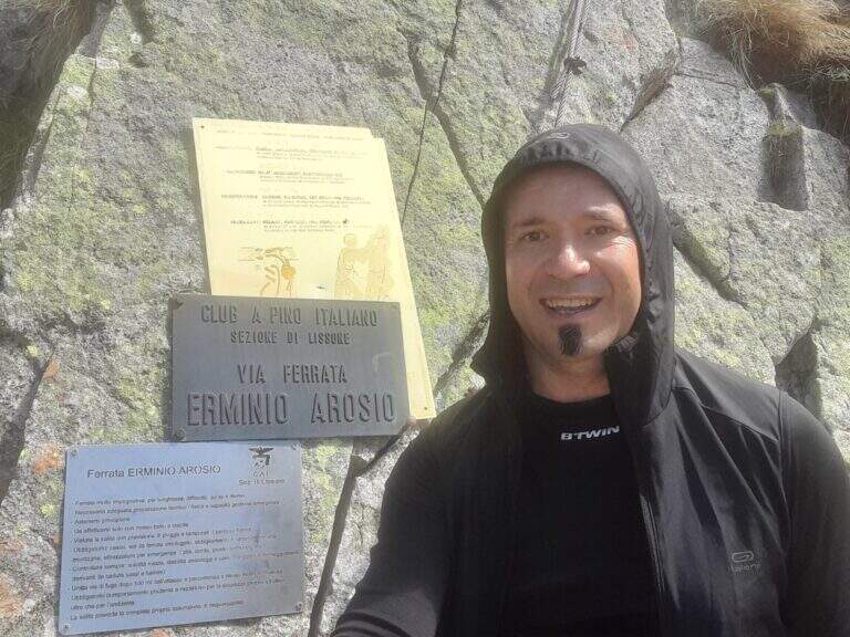
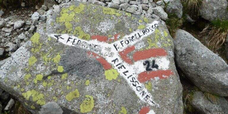
    Punto di partenza è il parcheggio presso Malga Licino. Si risale la Val Camonica (BS) fino a Cedegolo, si prende a destra per Valle (15 km) e, all’uscita del paese, si seguono diritti i cartelli marroni per le località Rasega e Forami; si continua sulla stretta strada fino alla fine dell’asfalto presso un ponte, dove si parcheggia (starting point on Google Maps). Si segue il sentiero CAI 15 fino alle Scale di Adamè e quindi al Rifugio Lissone (2000 m, 45′ dal parcheggio). Dietro il rifugio una traccia sale tra i mughi verso sudest (CAI 24) in direzione del Passo di Forcella Rossa; salendo ripidi, a sinistra compaiono il Corno di Grevo e la cresta ovest della ferrata. A un bivio segnato su una roccia si tiene la sinistra (a destra il CAI 24 prosegue verso la forcella e la via normale) e si raggiunge l’attacco, con targa bianca accanto a una ex galleria militare (1h dal rifugio, 1h 45′ totali).

    ▲The path

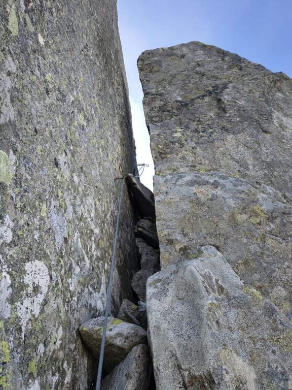
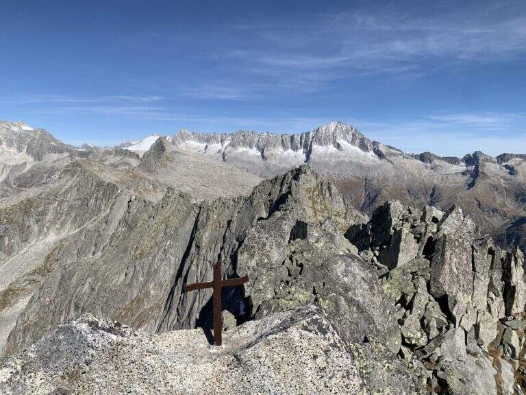
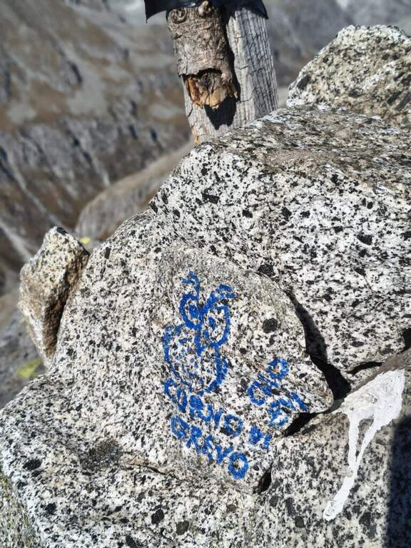
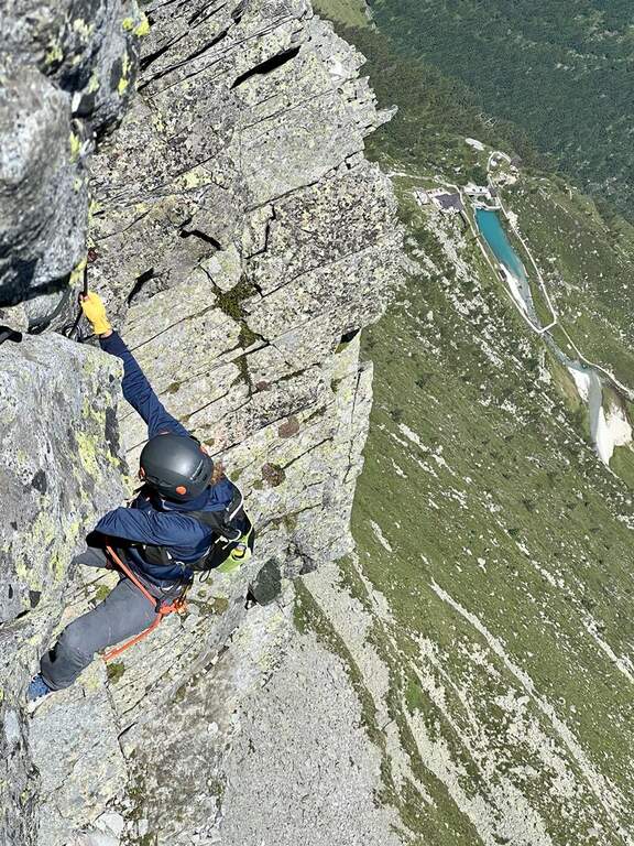
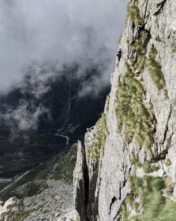
    Si parte su una bella placca verticale ben appigliata che porta subito sullo spigolo che caratterizza tutta la salita: si procede lungo l’esposto filo di cresta con il cavo (non sempre teso) sul lato sinistro, alternando i due versanti a seconda della convenienza, tra forcelline, brevi cenge e un singolare pilastro usato come appoggio. Si incontra un primo balzo difficoltoso (il cavo passa quasi sopra la testa, scarso aiuto: si rimonta con le gambe), poi si risale il filo sul versante destro, un tratto verticale, una placca ascendente con pochi appigli dove si traziona il cavo, alcune fessure e un tratto di discesa su placca inclinata fino a una forcellina erbosa. La cresta riparte ripida ed esposta: roccia frastagliata ma non sempre facile da arrampicare, da superare aiutandosi col cavo; seguono tratti pianeggianti, una breve parete inclinata, una verticale insidiosa con pochi appigli e poi un camino, affrontato prima come diedro e poi attraversato letteralmente quando la fessura si allarga (attenzione agli zaini ingombranti). Si esce in forte esposizione e si affronta un tratto diagonale, un breve diedro e una cengia ascendente molto esposta; aggirato uno spigolo arriva un traverso molto esposto, la cui parte chiave rimonta verso destra una parete liscia con alcune staffe, dove serve forza (cavo a tratti lasco). Dopo un terrazzino erboso si sale un lungo diedro fisico (a tratti in arrampicata, a tratti tirando il cavo), poi placche e tratti aerei a cavallo dello spigolo levigato. Seguono una cengia mista, una forcellina (maniglia per rimontare una sporgenza), una breve parete con pochi appigli e di nuovo il filo di cresta in fortissima esposizione; un terrazzino, uno sperone da salire e poi scendere, un diedro brevissimo ma poverissimo di appigli (gambe e una provvidenziale maniglia), un secondo diedro più appigliato, una fessura tra cresta e pilastro e una lama sporgente da aggirare a sinistra. Si rimonta l’ultima parete verticale, si scavalca la cresta sul versante destro e, salito l’ultimo balzo, si esce sul prato sommitale dove, lungo una cresta sassosa non difficile, terminano le attrezzature presso la croce di vetta del Corno del Grevo (2827 m, 3h 30′ dall’attacco, 5h 15′ totali).

    ▲Character and difficulty

    Via di altissimo impegno, tra le più difficili delle Alpi. La roccia granitica è solida e ruvida, ma spesso povera di appigli evidenti: alcuni tratti si percorrono in aderenza tirando il cavo. Sono presenti un difficile traverso, un paio di diedri impegnativi e molti tratti verticali, ma soprattutto un’esposizione costante dall’inizio alla fine.

    ⚠ Via per espertissimi, ben allenati e con buona arrampicata: NON ha vie di fuga, quindi va affrontata solo in ottime condizioni fisiche, psicologiche e meteo. I fittoni sono distanti tra loro e il cavo resta mobile: valutare un cordino con nodo Prusik e un rinvio aggiuntivo per maggiore sicurezza; utili le scarpette d’arrampicata per l’aderenza. Nell’avvicinamento la deviazione per l’attacco è dipinta su un sasso: con nebbia o nevischio è facile non vederla.

    ▲Period and safety

    Itinerario d’alta quota per la piena estate (quota massima circa 2869 m), in ambiente severo e poco frequentato. Il cavo è stato ammodernato nel 2017. Cartografia: carta delle Giudicarie, Val di Daone e Valle del Chiese, oppure carta dell’Adamello & Presanella (4Land).

    ▲Discipline

    La discesa inizia poco oltre il termine delle attrezzature, sul versante sud: si scende a tratti con fune e catena, poi su roccette, alternando brevi salite e discese (fino al II grado in salita), alcune difficili e da affrontare con attenzione (segnavia biancorossi 24). In circa 40′ si raggiunge il Passo del Forcellino Rosso, dove si tiene la destra verso il Rifugio Lissone scendendo un lungo canalino franoso che richiede molta prudenza (consigliati i bastoncini); raggiunto il bivio dell’avvicinamento si torna a ritroso al rifugio e al parcheggio (3h dalla vetta, 8h 30′ totali).

    ▲To match

    Via lunga e difficile che difficilmente lascia energie per un secondo itinerario in giornata; in zona, comunque, la Ferrata Terzulli all’Adamello (alpinistica) e la Ferrata al Pizzo Badile Camuno. Verso il Lago d’Idro l’atletica Ferrata del Fregio e la Ferrata delle Ginestre o la Ferrata Crench; verso il Tonale il Path of Flowers e il Sentiero degli Alpini a Punta d’Albiolo.

    ▲Gallery
    Technical data
    • DifficultyVery difficult
    • RegionLombardy
    • GroupAdamello
    • Approach1:45 h
    • Ferrata3:30 h
    • Itinerary (a/r)8:30 h
    • Hardware level difference500 m
    • Route difference1200 m
    • Max2869 m
    • Length11 Km
Need help? Write to us!