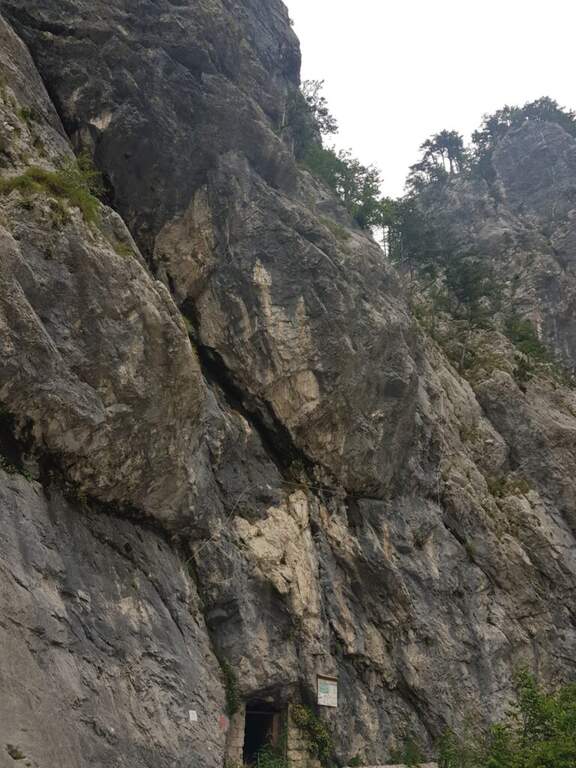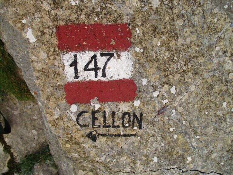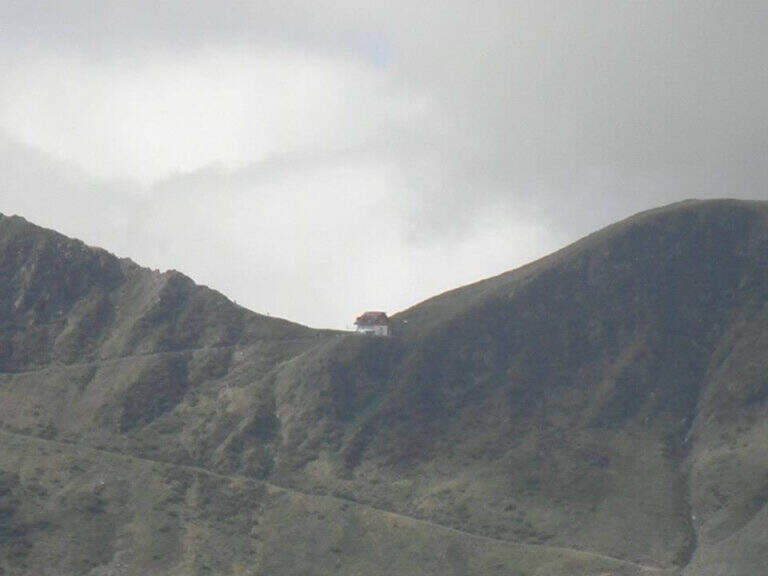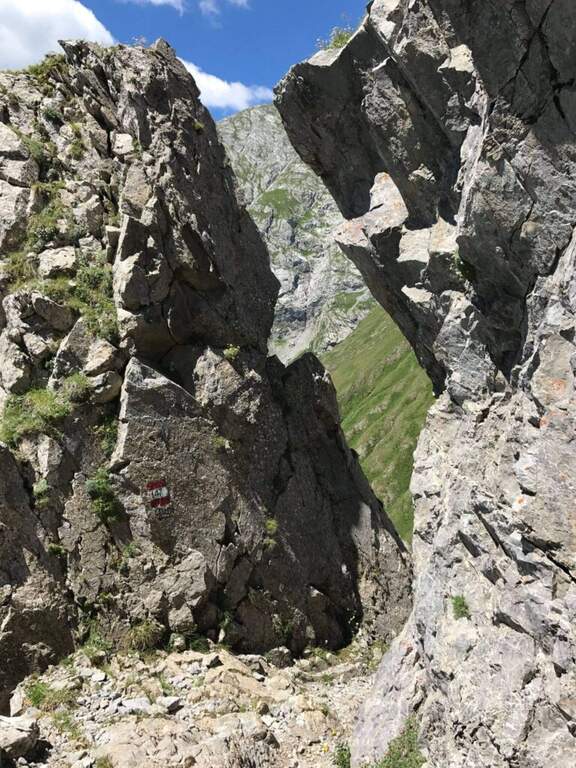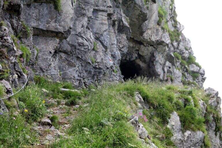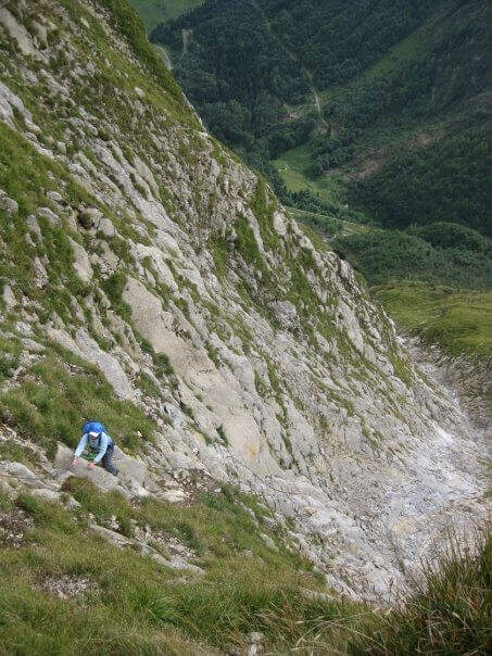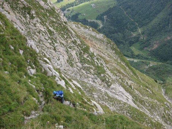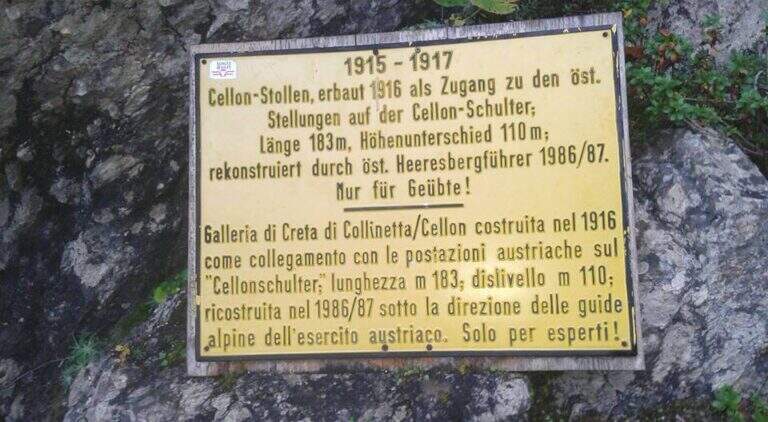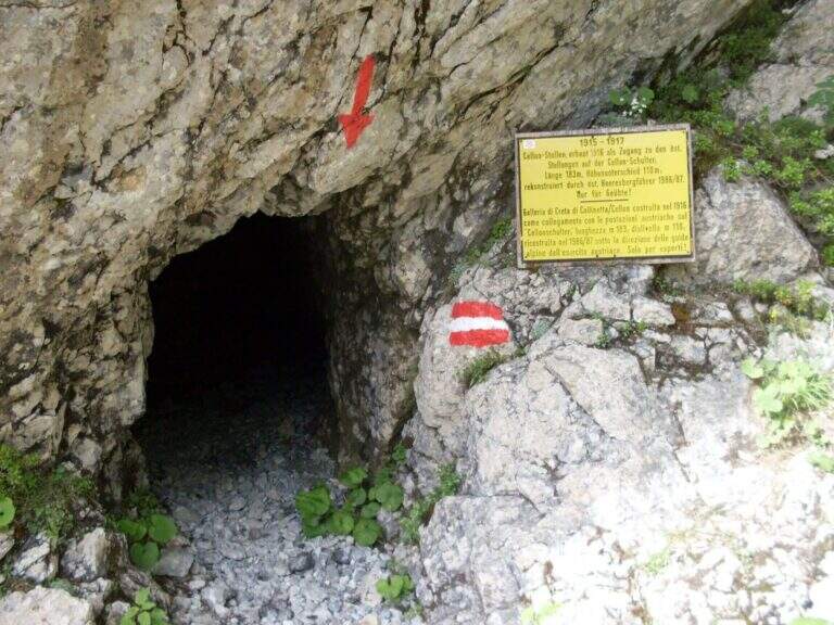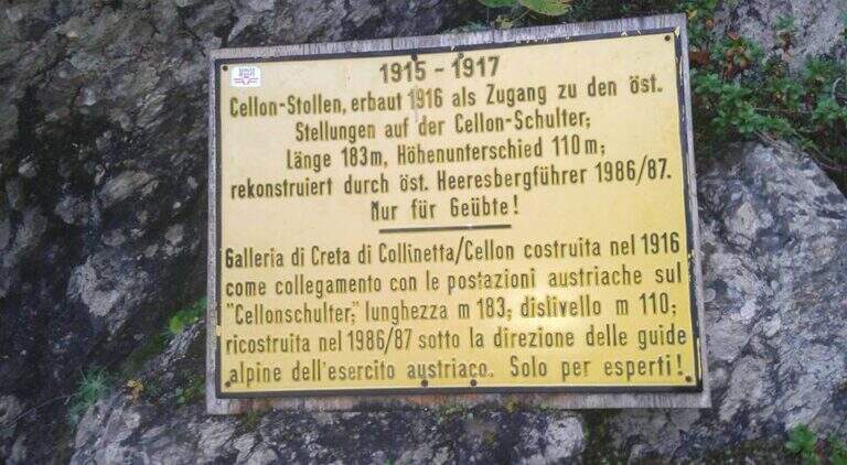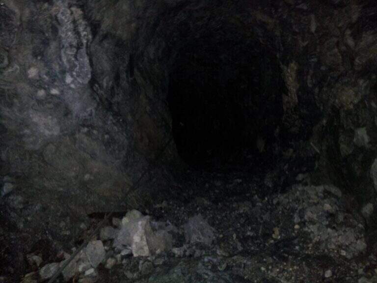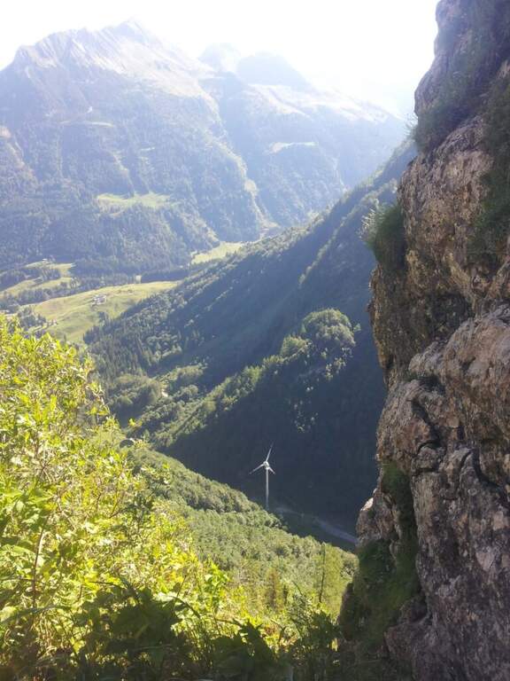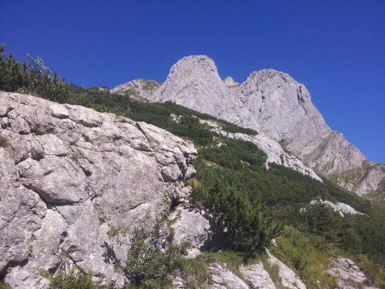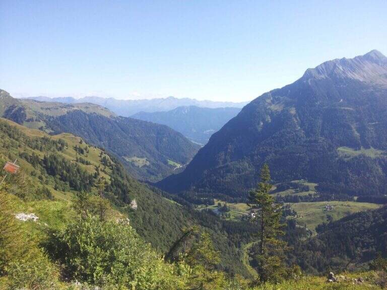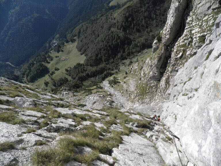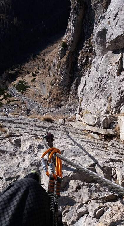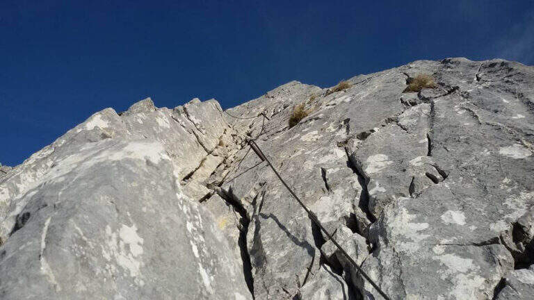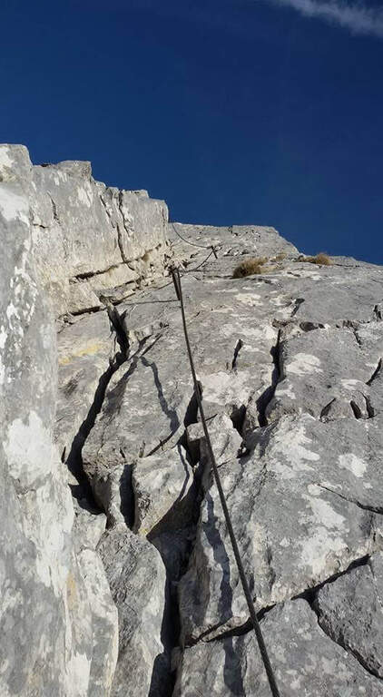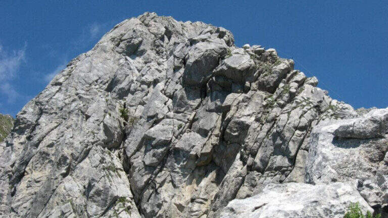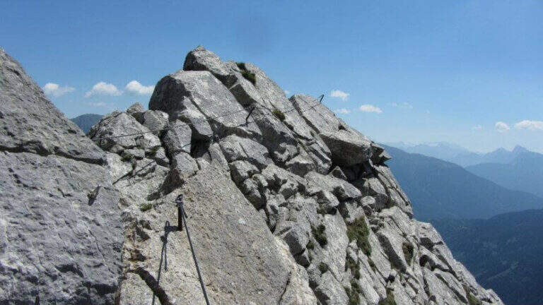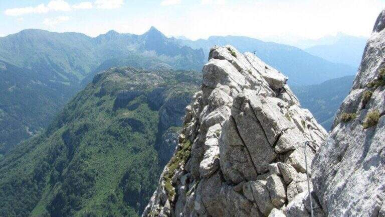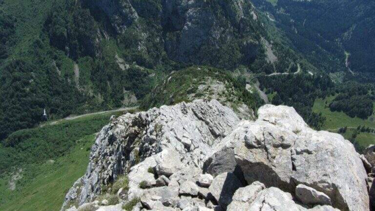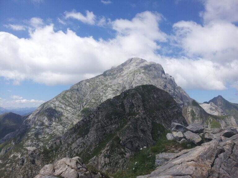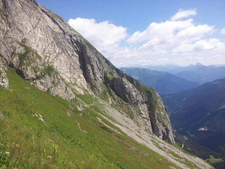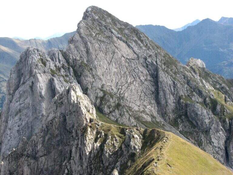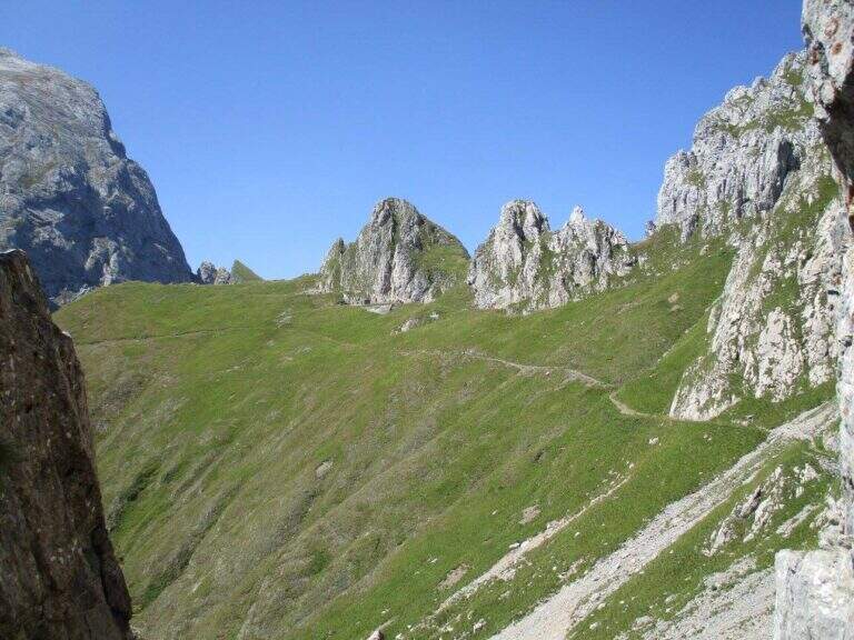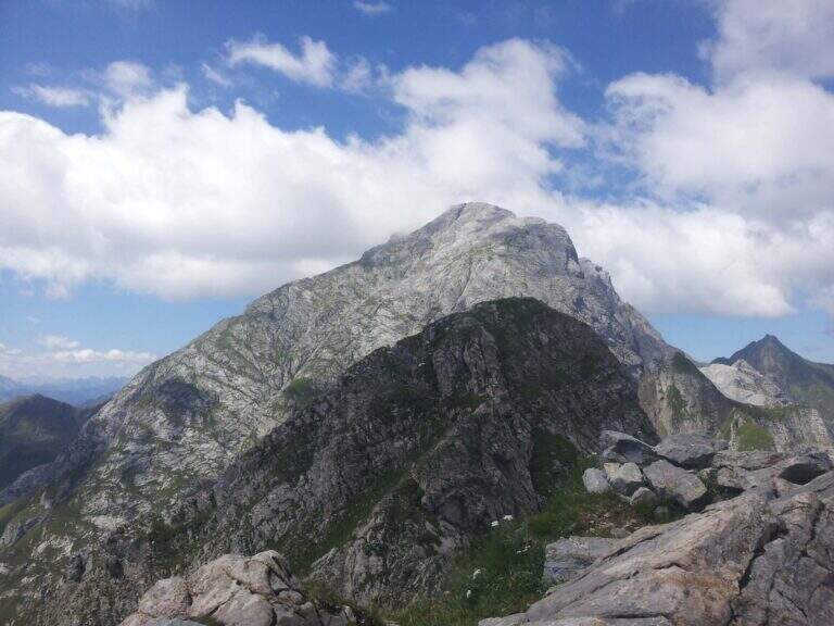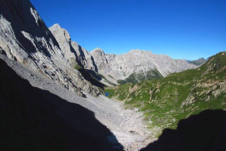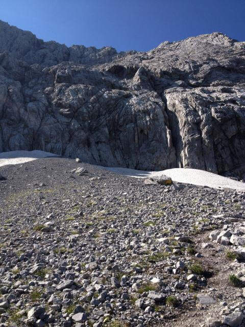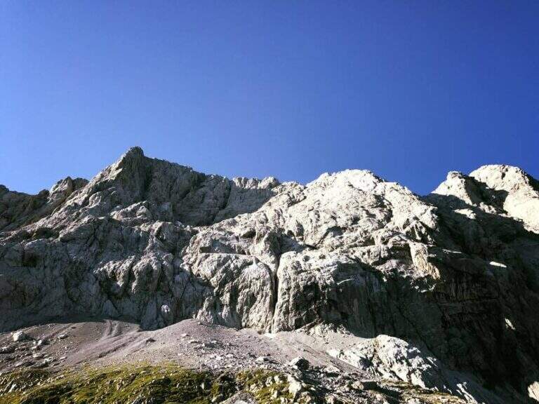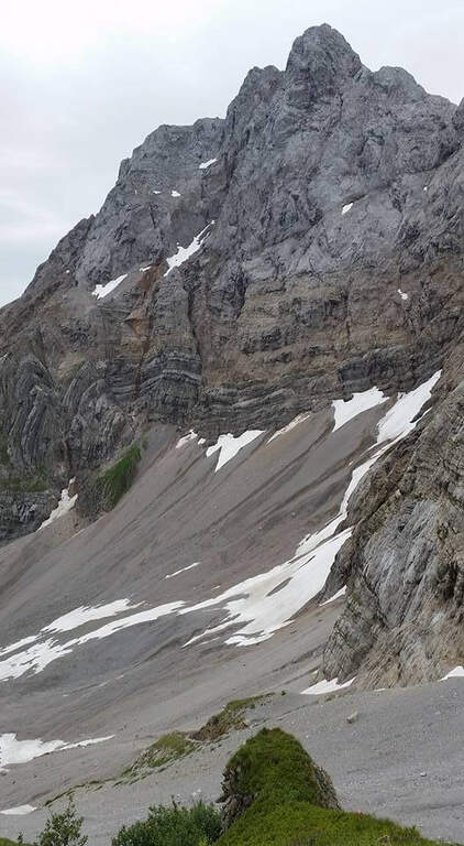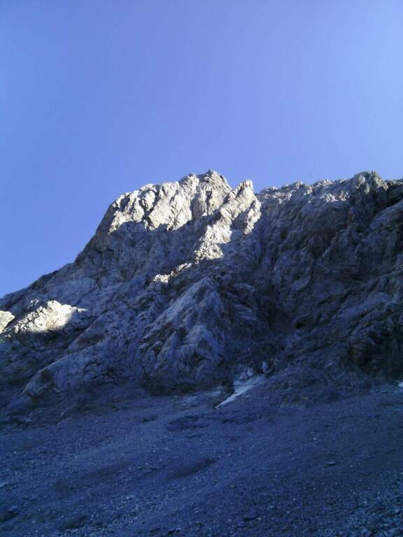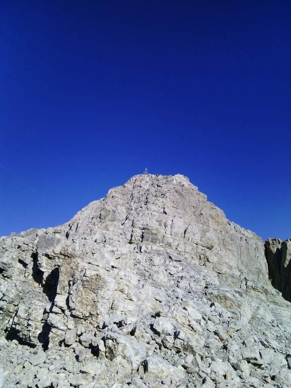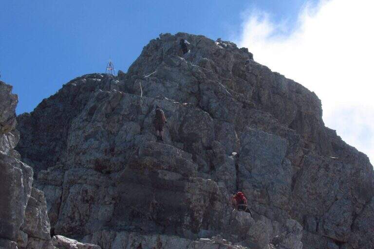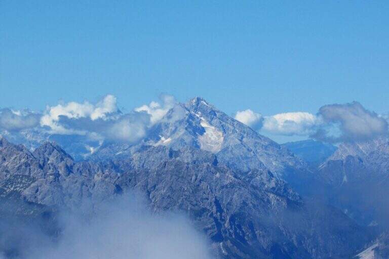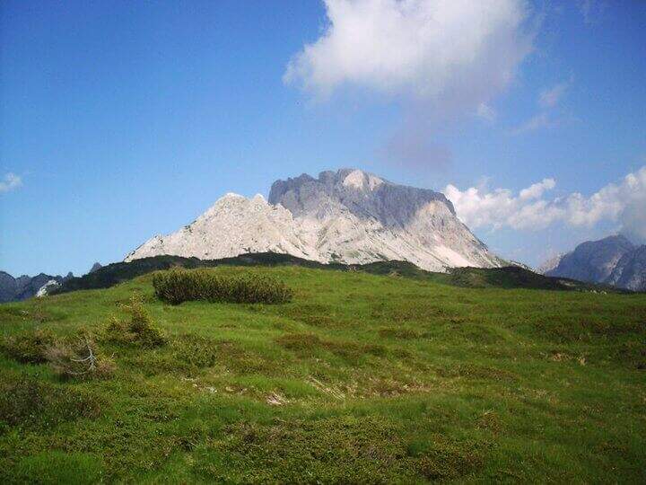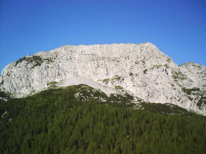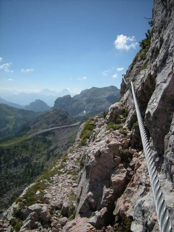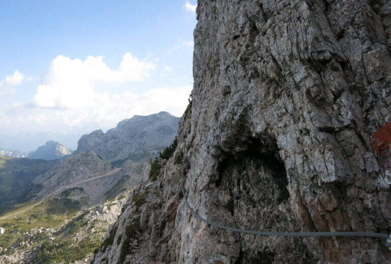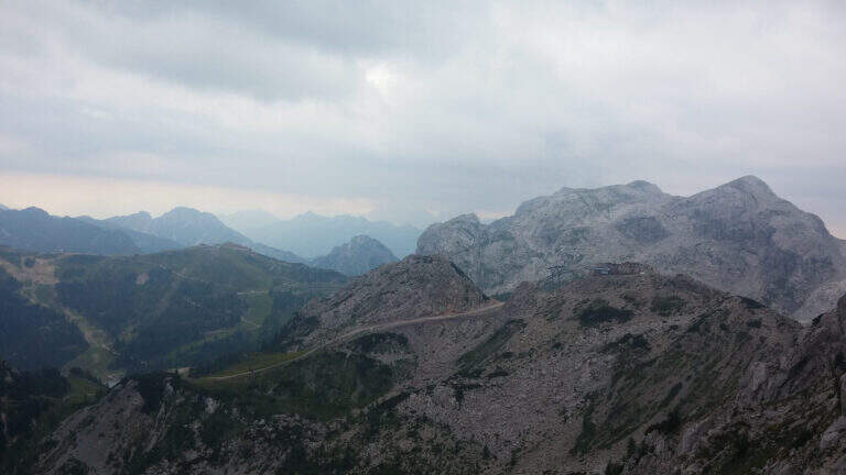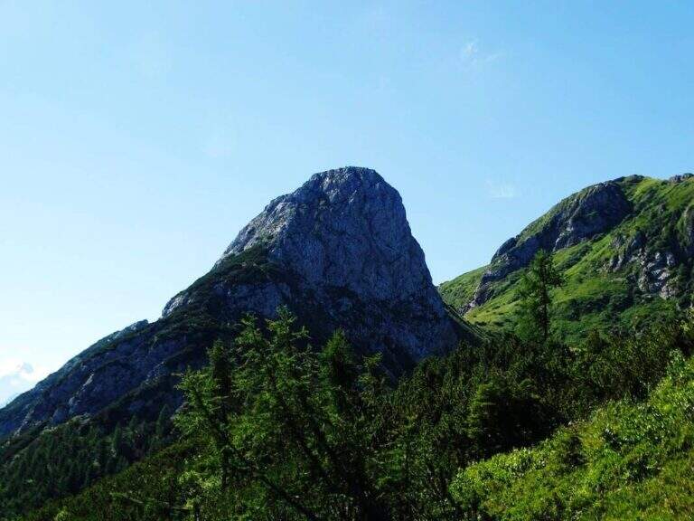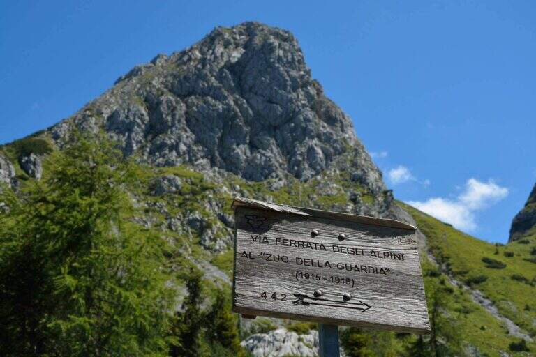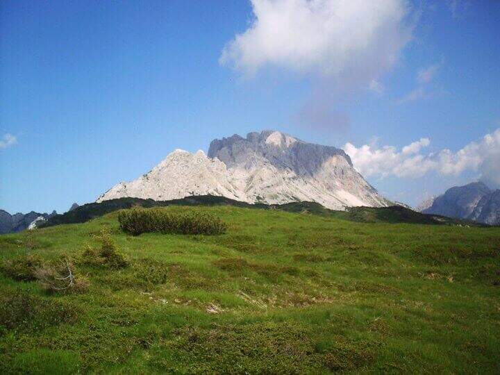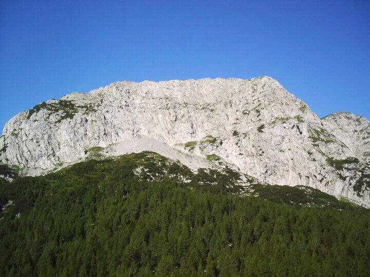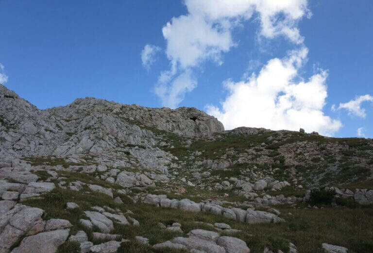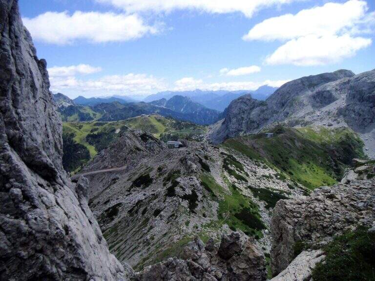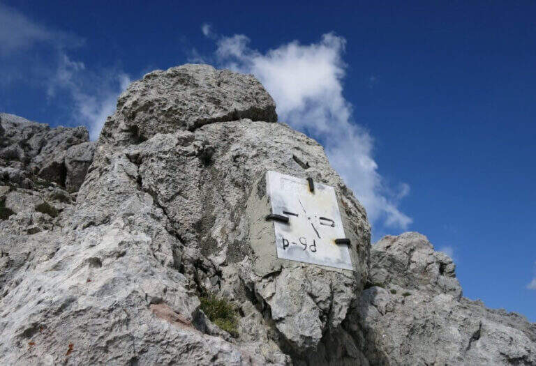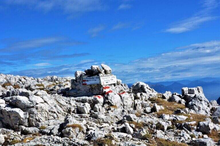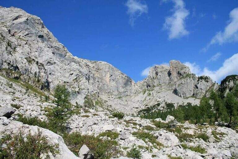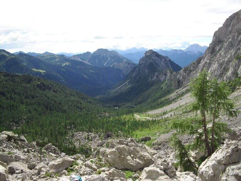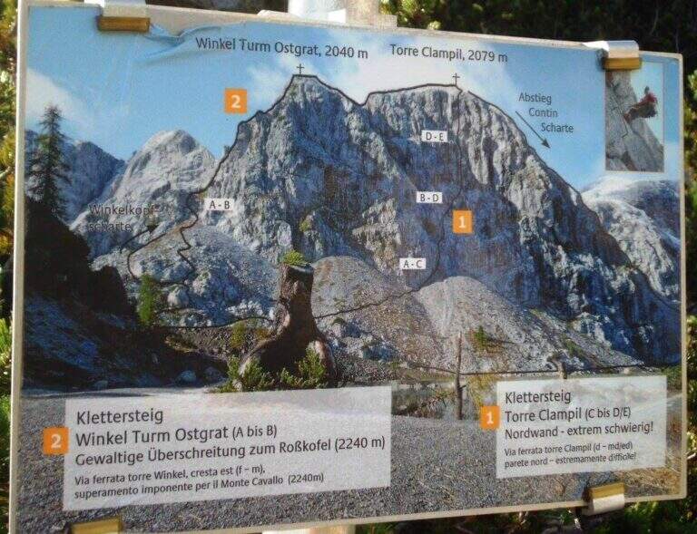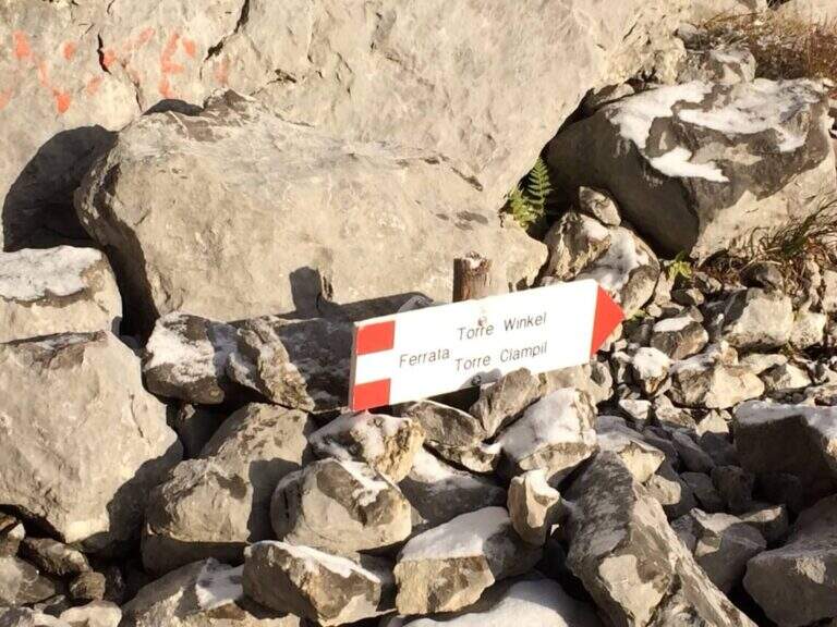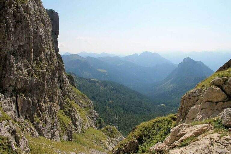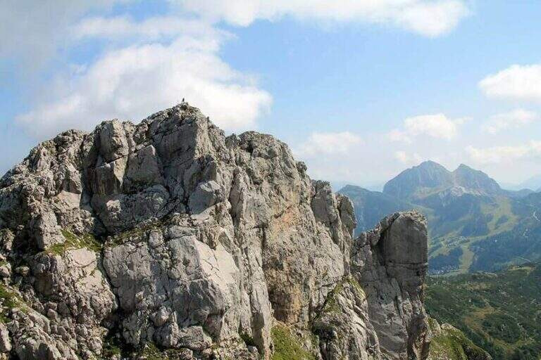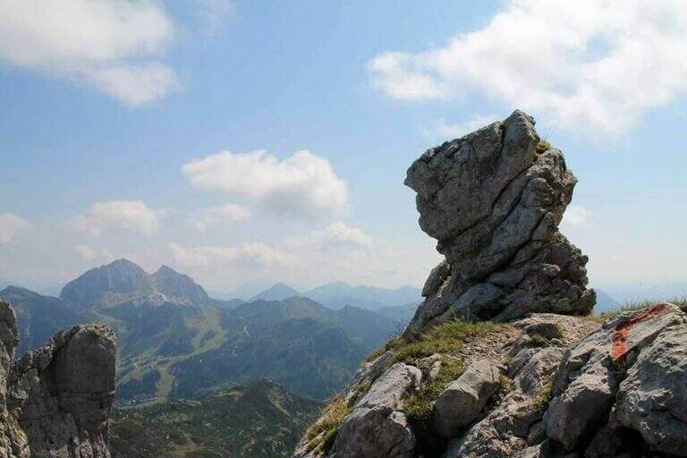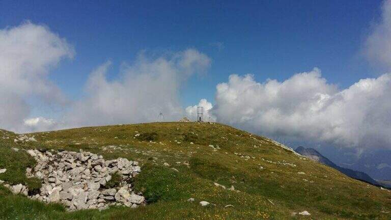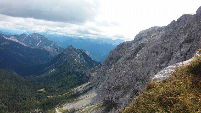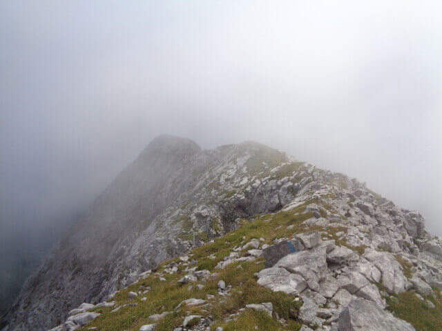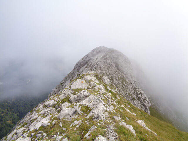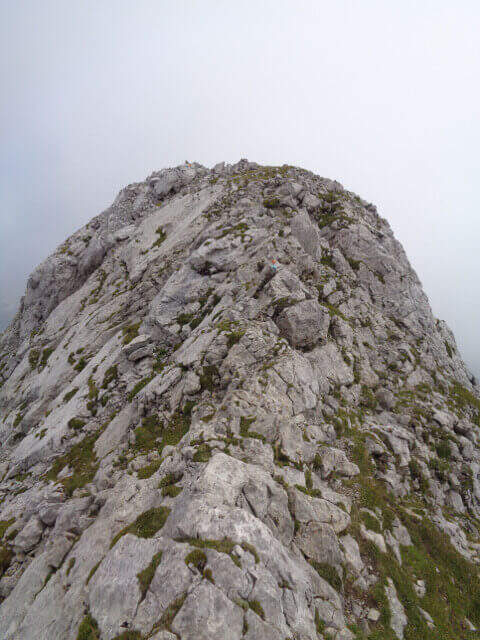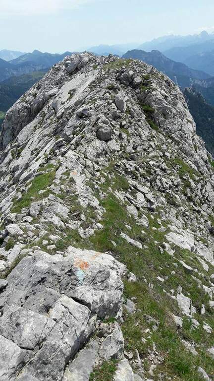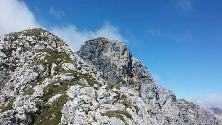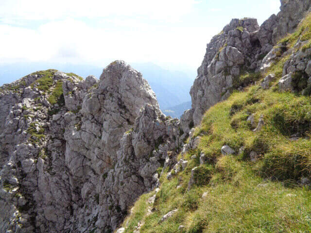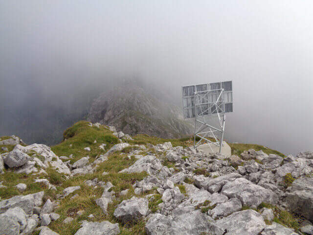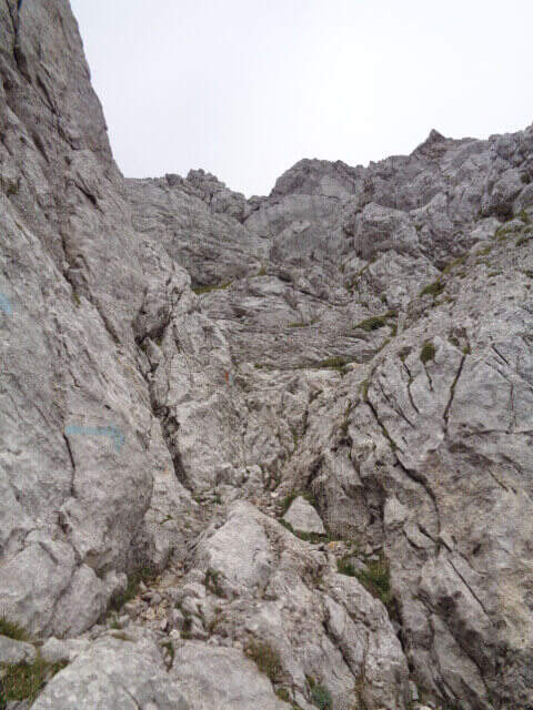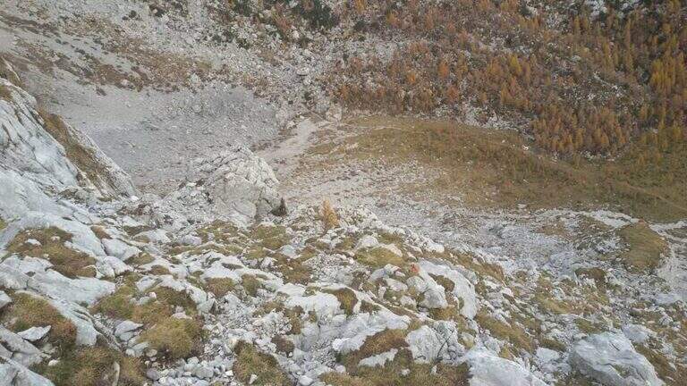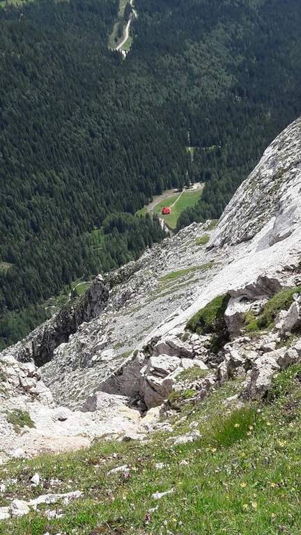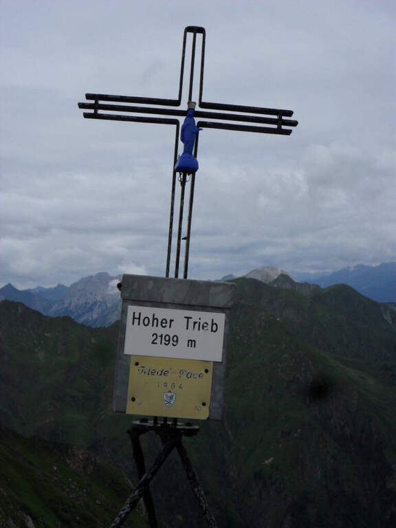
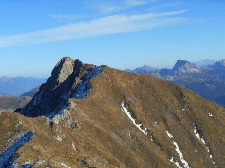
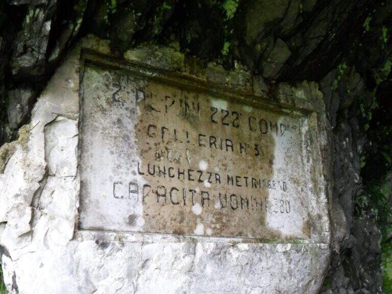
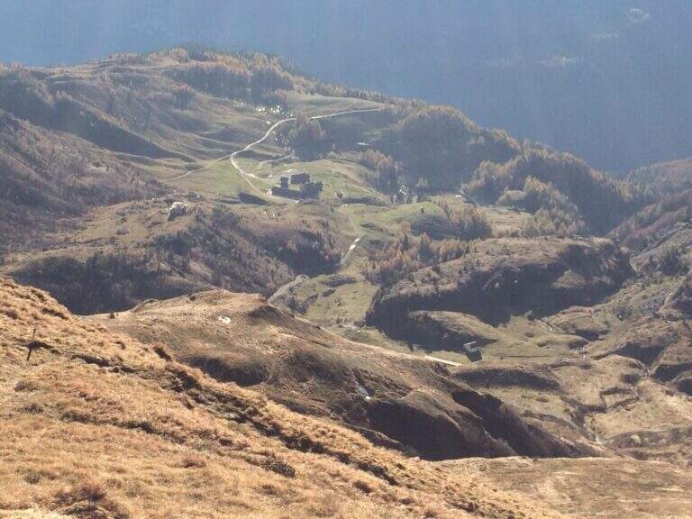
The Sentiero Attrezzato al Cuestalta climbs to the homonymous mountain (Hoher Trieb in German), located on the border between Italy and Austria. It is a long but never excessively demanding itinerary, with a stretch of ridge equipped in the most exposed and vertical points, in a carnic environment rich in history of the Great War.
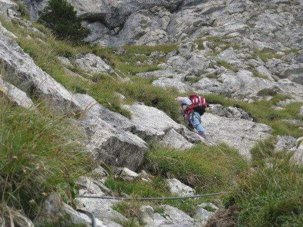
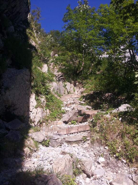
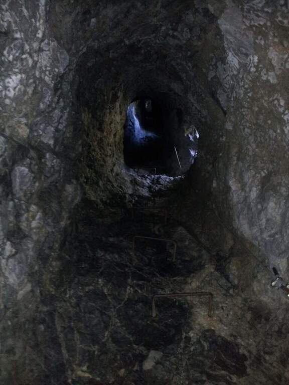
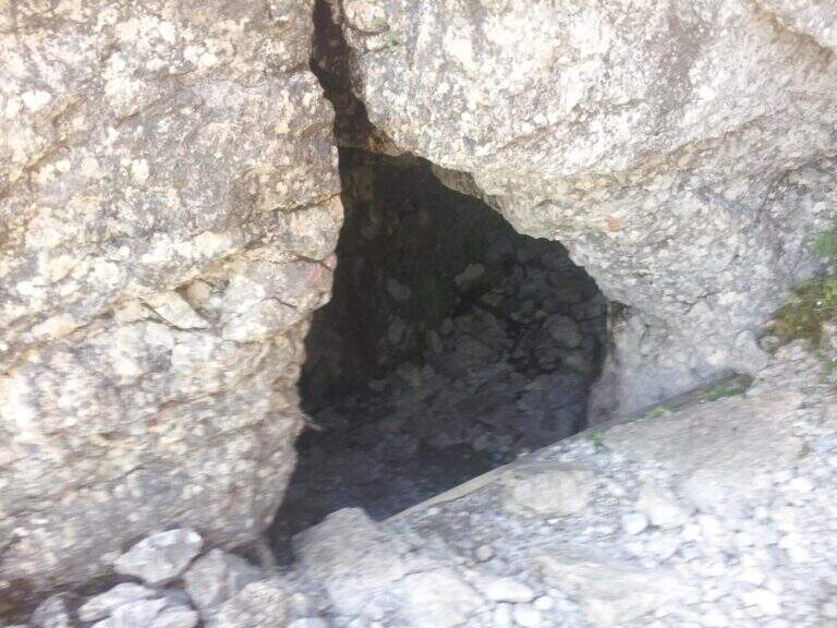
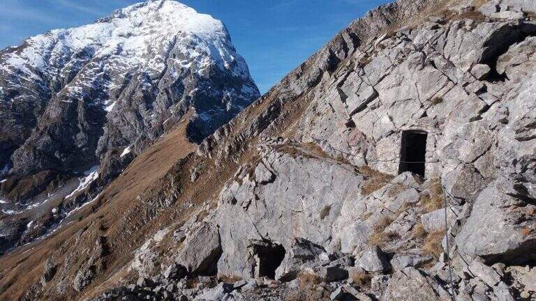
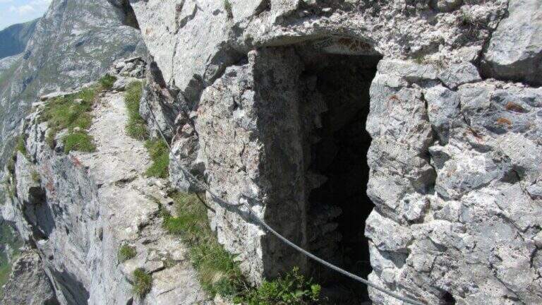
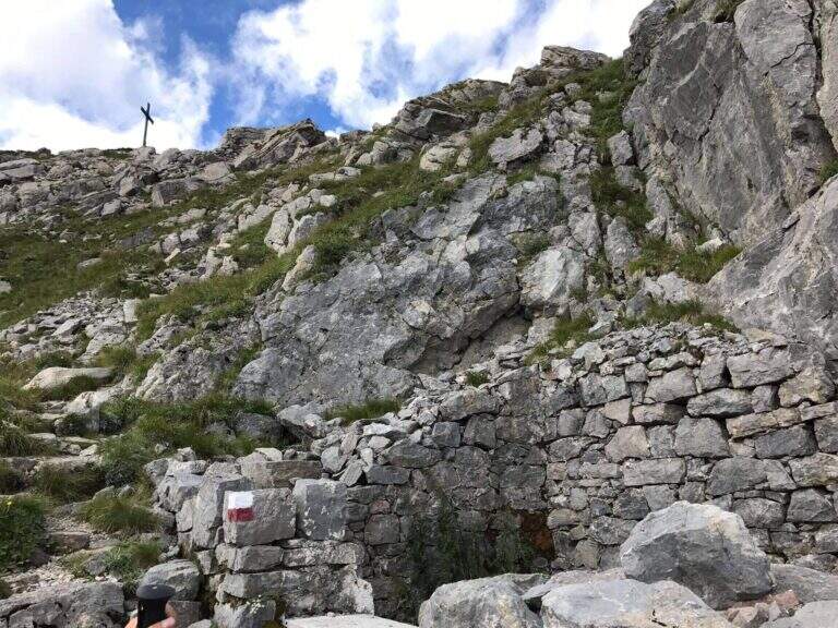
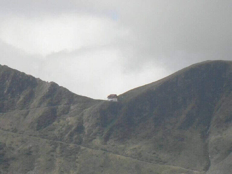
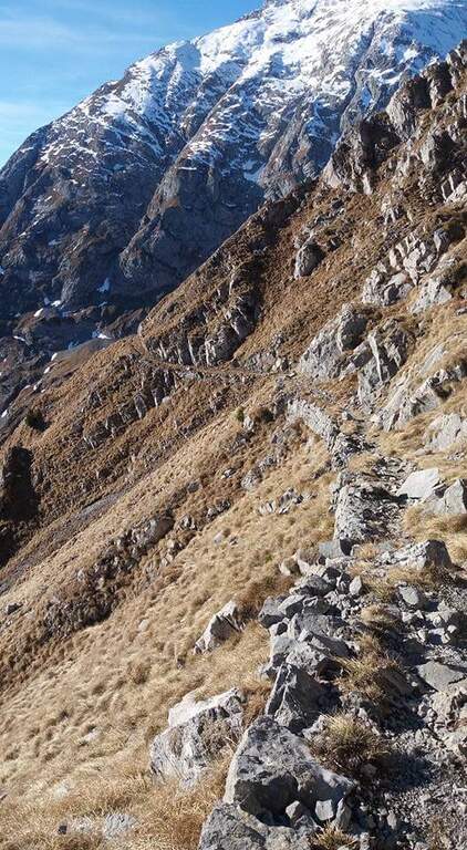
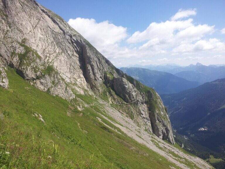
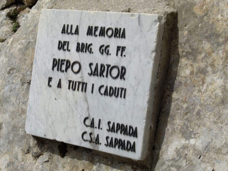
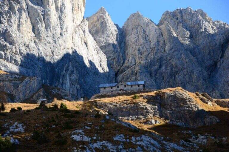
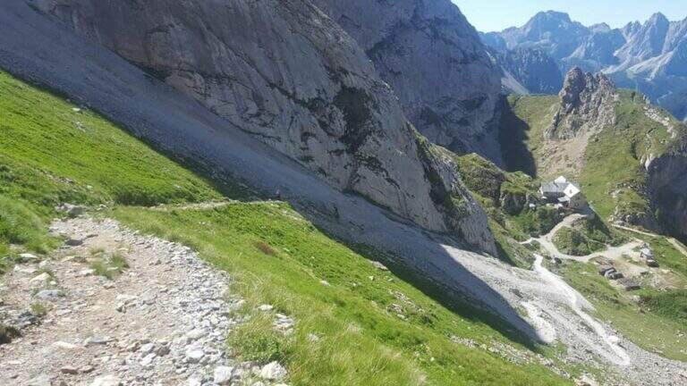
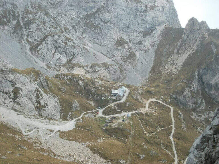
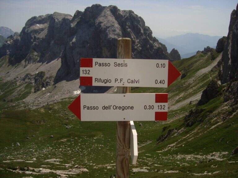
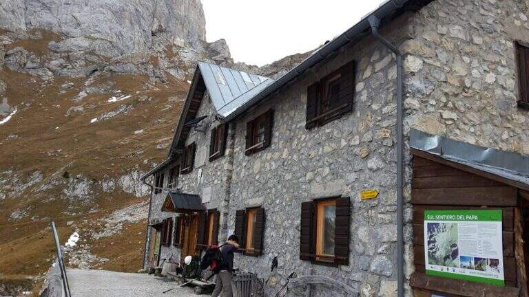
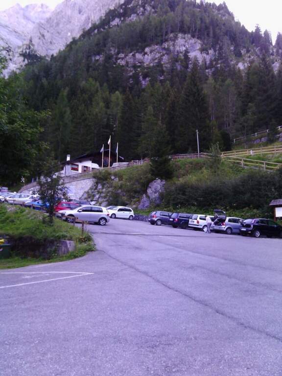
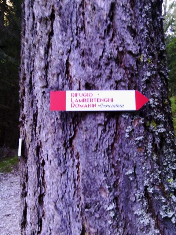
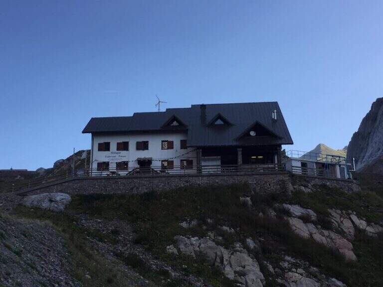
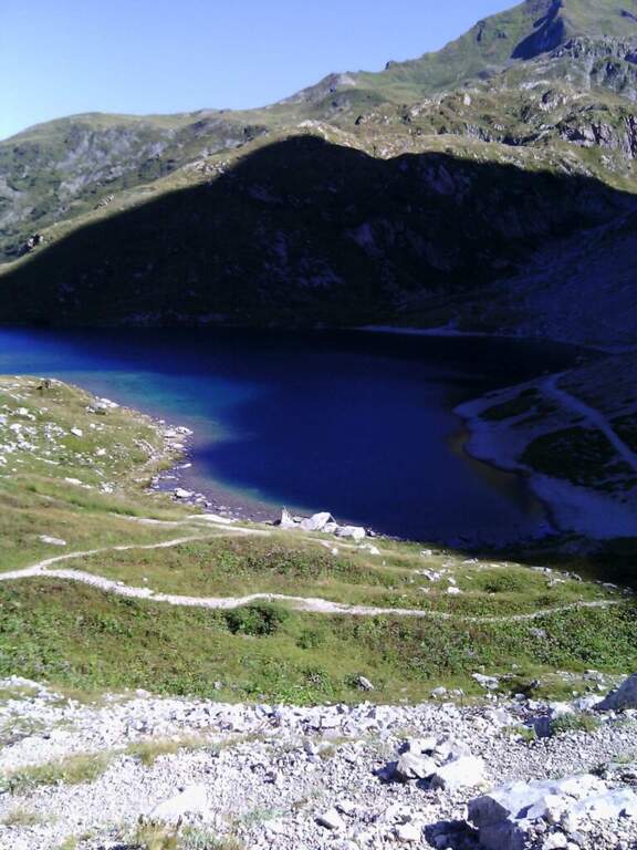
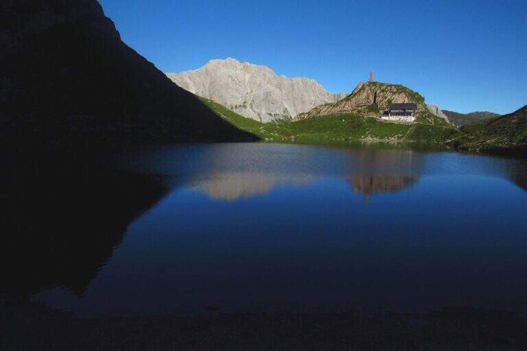
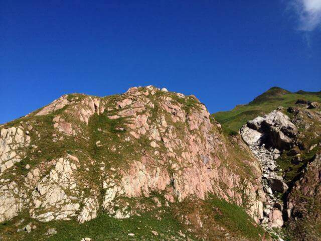
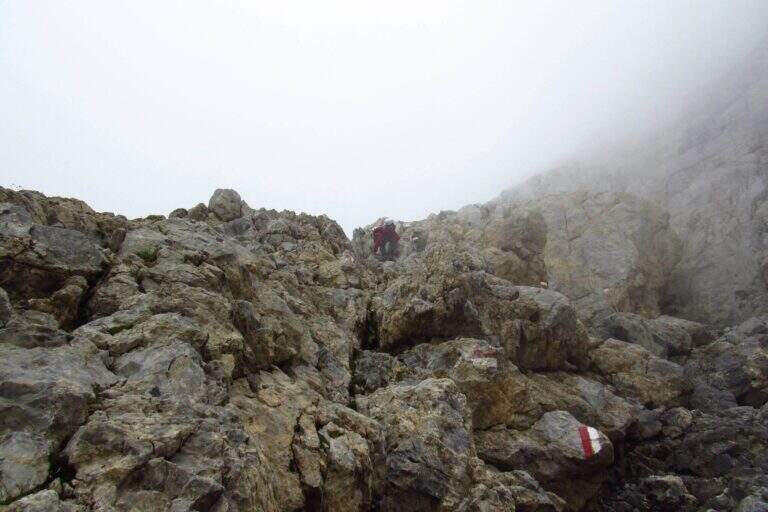
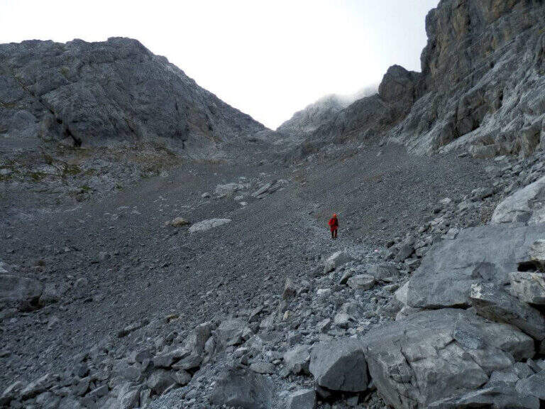
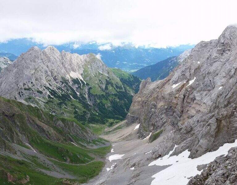
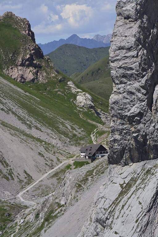
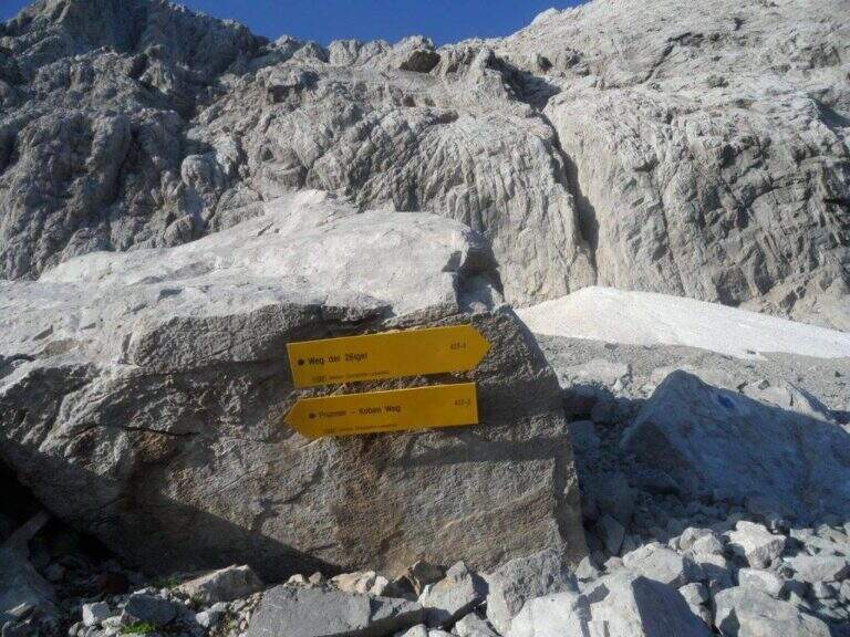
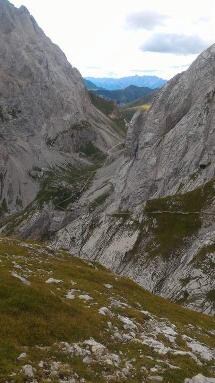
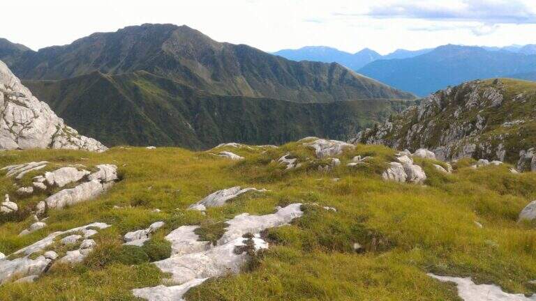
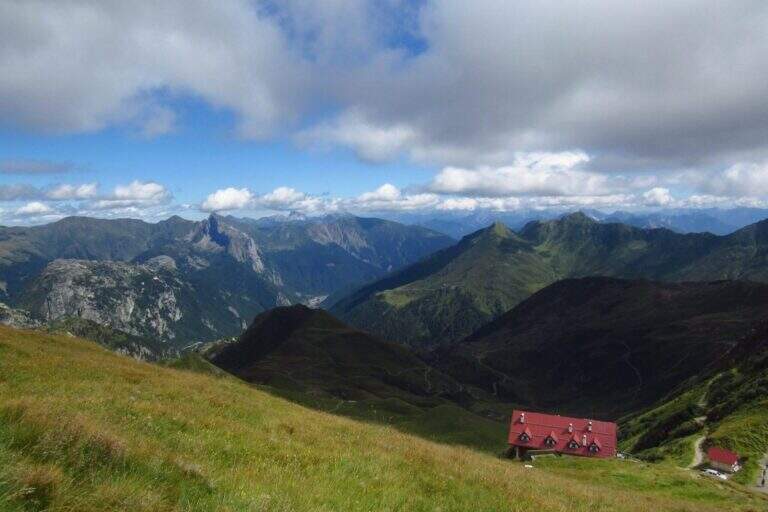
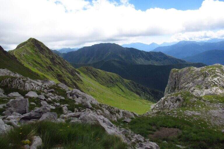
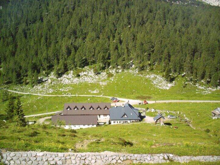
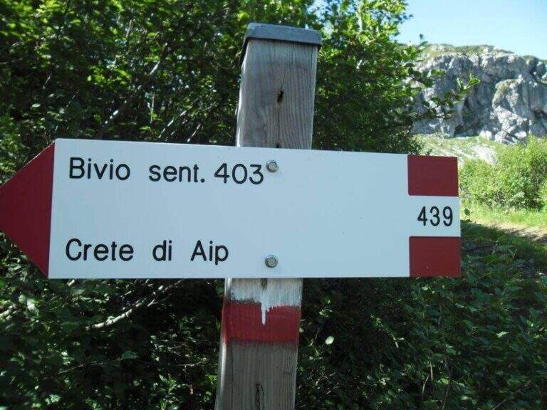
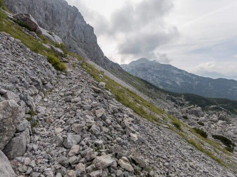
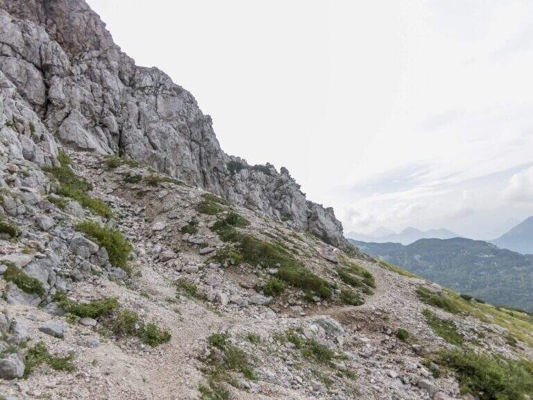
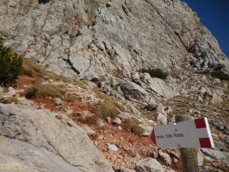
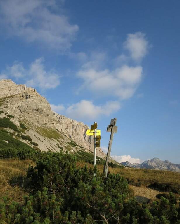
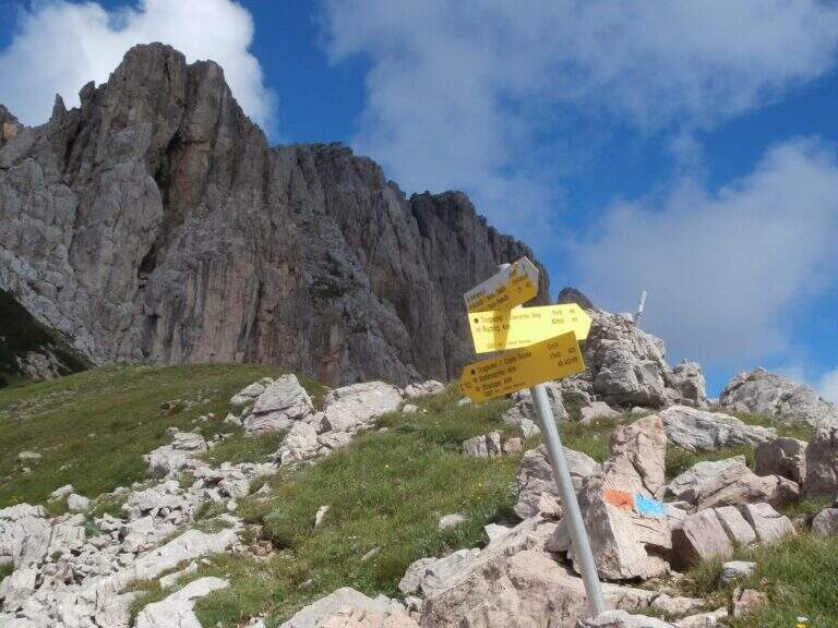
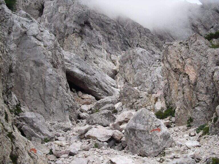
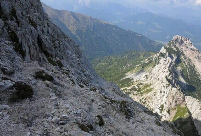
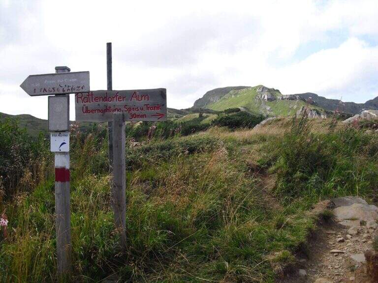
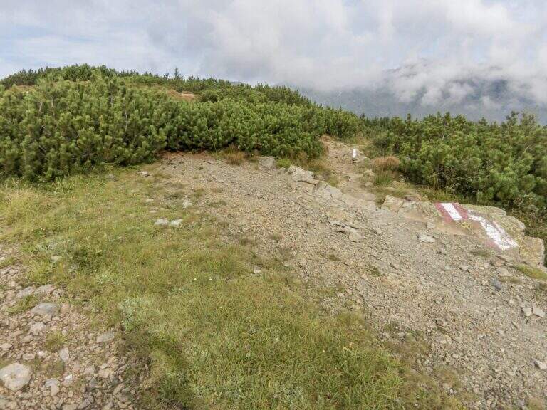
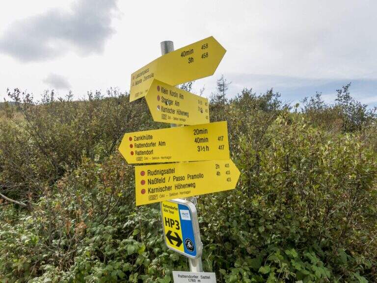
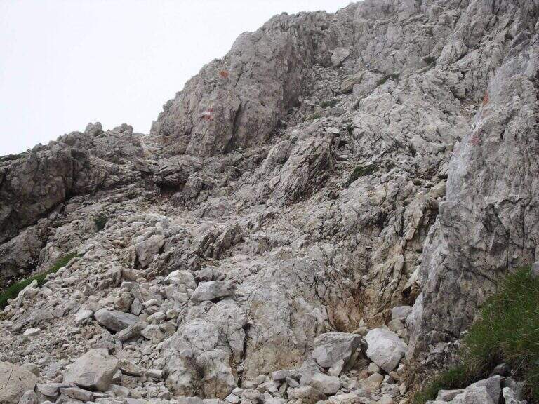
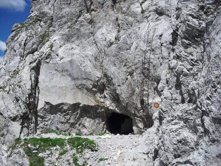
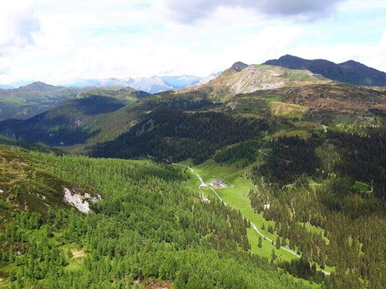
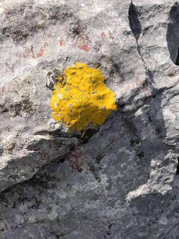
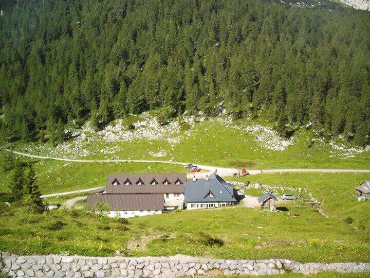
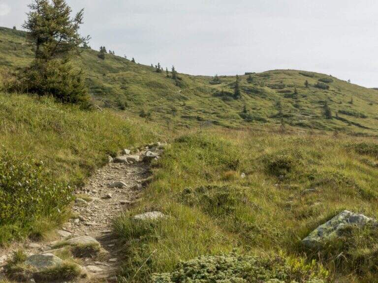
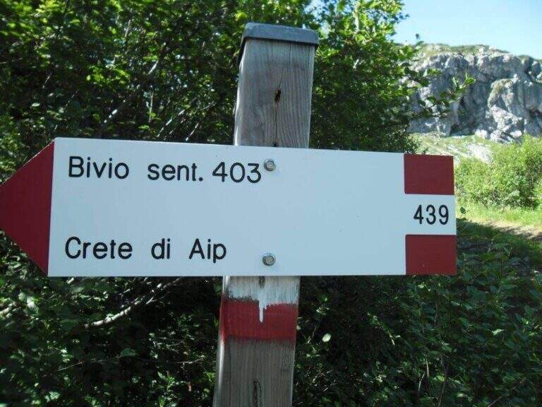
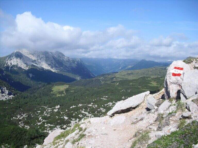
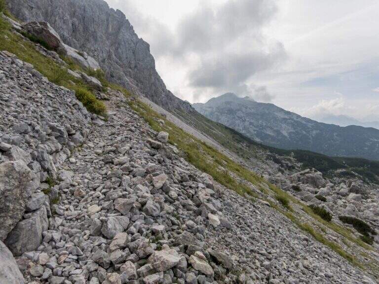
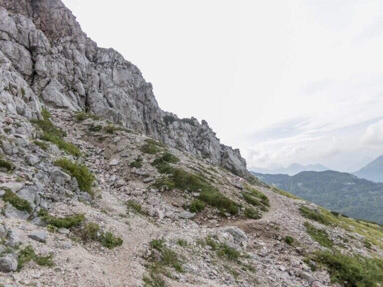
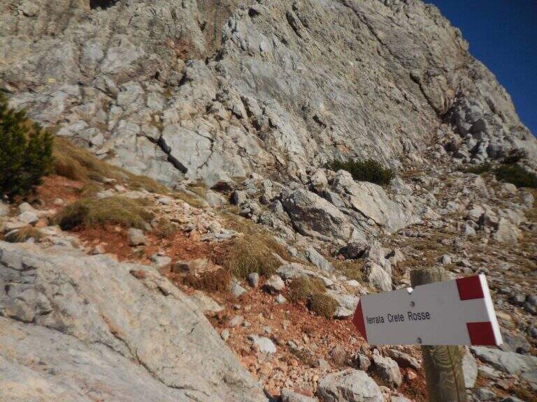
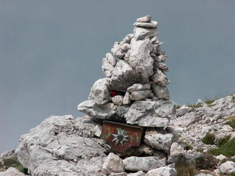
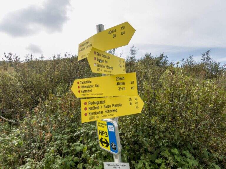
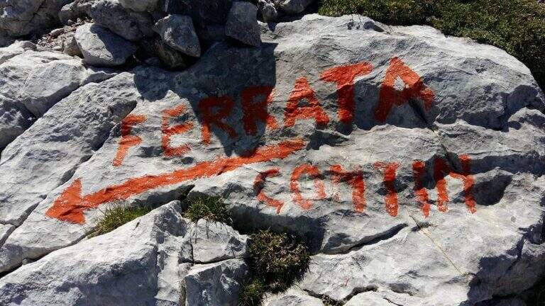
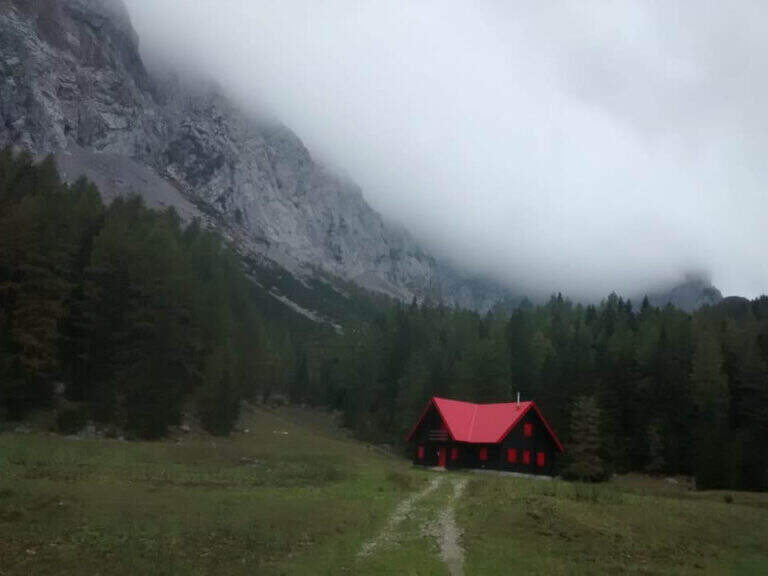
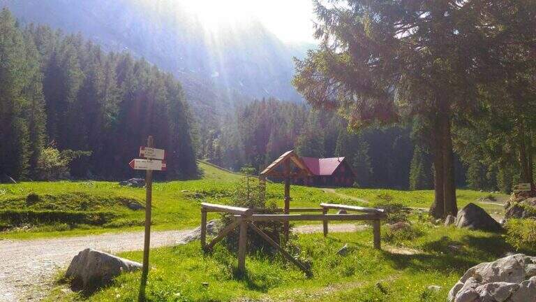
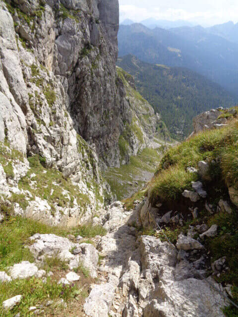
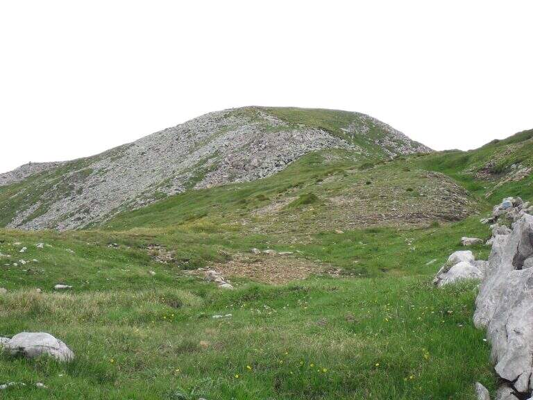
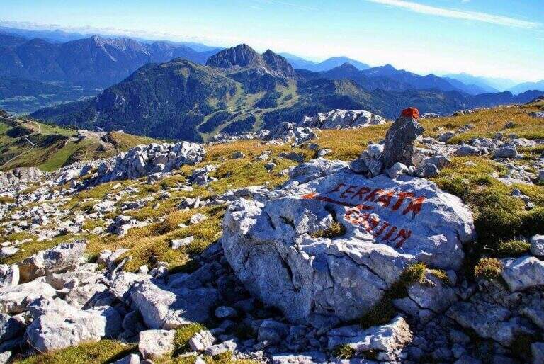
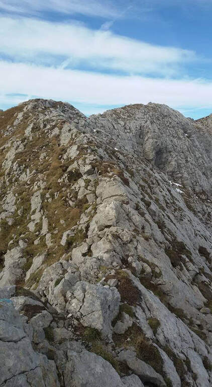
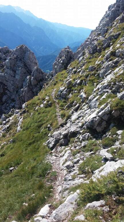
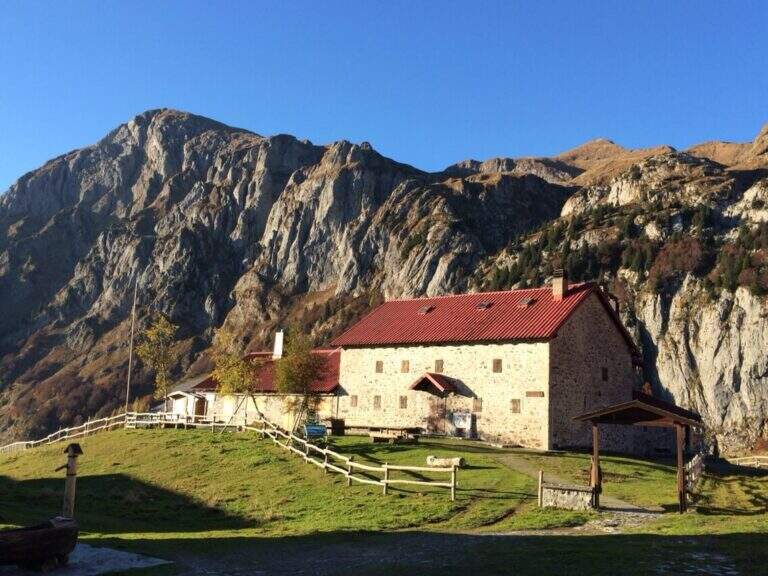
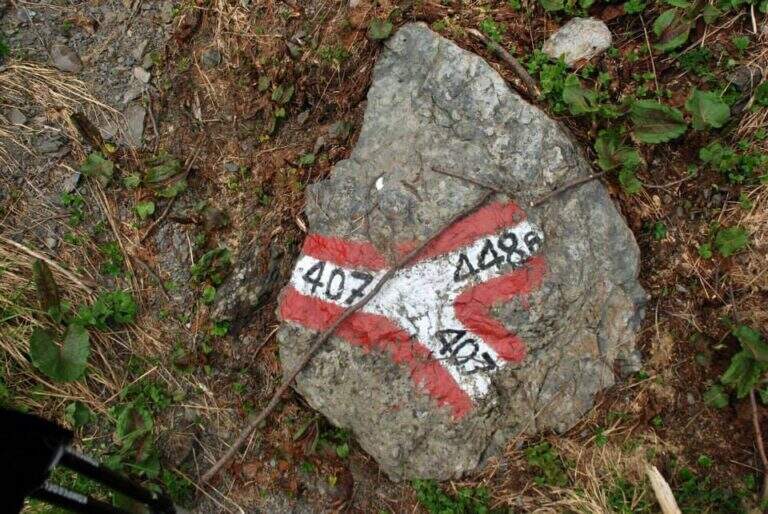
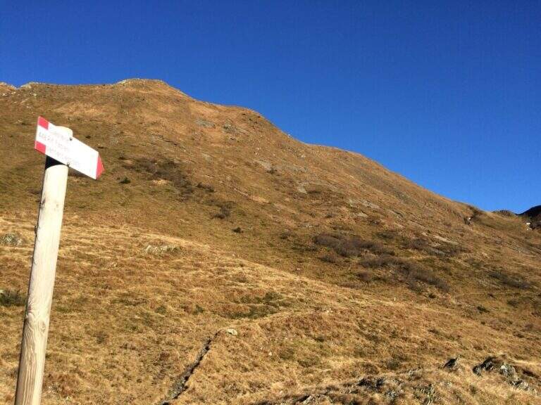
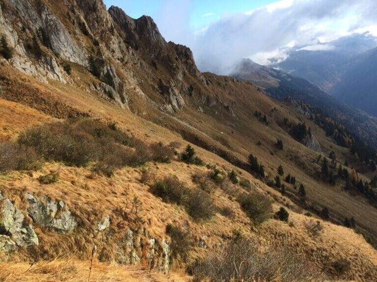
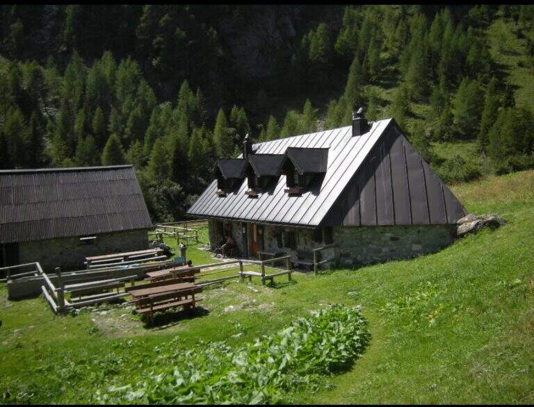
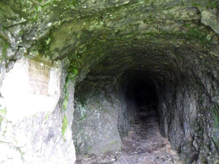
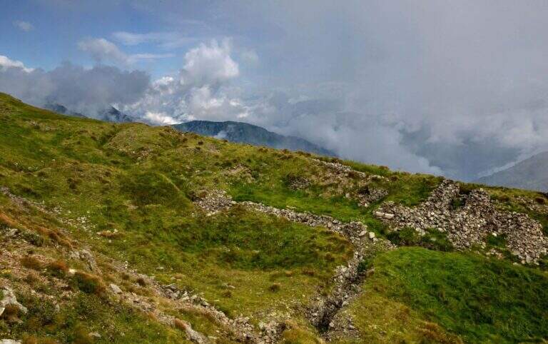
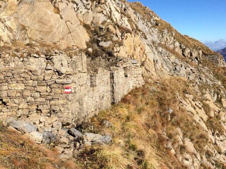
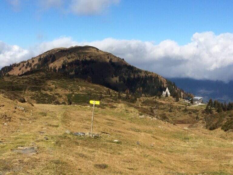
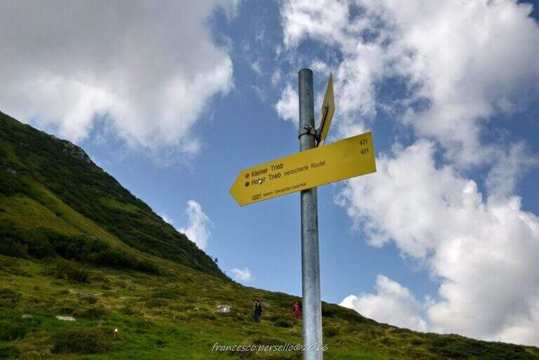
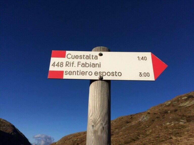
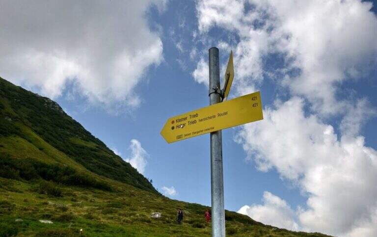
Starting from Malga Pramosio, in the municipality of Paluzza (UD), reachable on a dirt road in good condition from the village of Claulis, along the state that from Tolmezzo rises to the Pass of Monte Croce Carnico; at the entrance of the village a clear sign indicates the Forest of Pramosio, and follow the road until the end at the malga, which also offers possibility of overnight stay (open up Google Maps). From Casera di Pramosio (1521 m) follow the path 407 to the east; immediately ignore the junction of 404 and cross the Sella di Cercevesa and the ruins of the homonymous house. At a new crossroads (1h15 from the parking lot) you leave the 407 that goes right and you stay on path 448, indicated as exposed, which cuts halfway the Cuestalta ridge (attention to the bottom in case of abundant rains). At a later crossroads, where on the left the 448 climbs to the normal Italian road, continue halfway on the 448th towards the Fabiani Refuge; the path bends towards the Red Crete, reached after a stretch of ridge a little exposed but not difficult (1770 m, 1h from the junction of 407, 2h15 total), and from here descend steeply to the Fabiani Refuge (1539 m, 2h40 total). From the refuge the path 454 climbs to Passo Pecol di Chiaula (1797 m, 3h total), border of State between Italy and Austria, with numerous testimonies of the Great War: tunnels, trenches and barracks. You descend now in the Austrian territory towards a refuge with a chapel; after a few minutes, ignore the traces on the left, it is advisable to descend to a signaled cross and follow on the left the sign for the Kleiner Trieb (path 421) going up towards Cima Medatte; steep, you reach the cross of Punta Medatte (2095 m, 1h from Passo Pecol di Chiaula, 4h total).
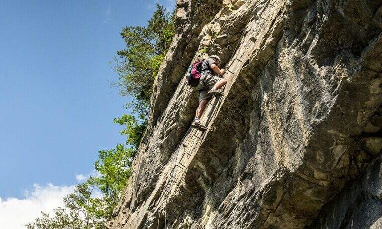
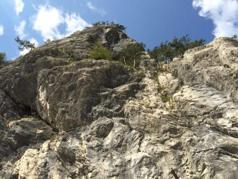
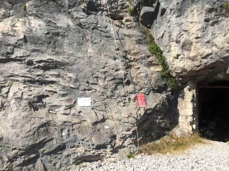
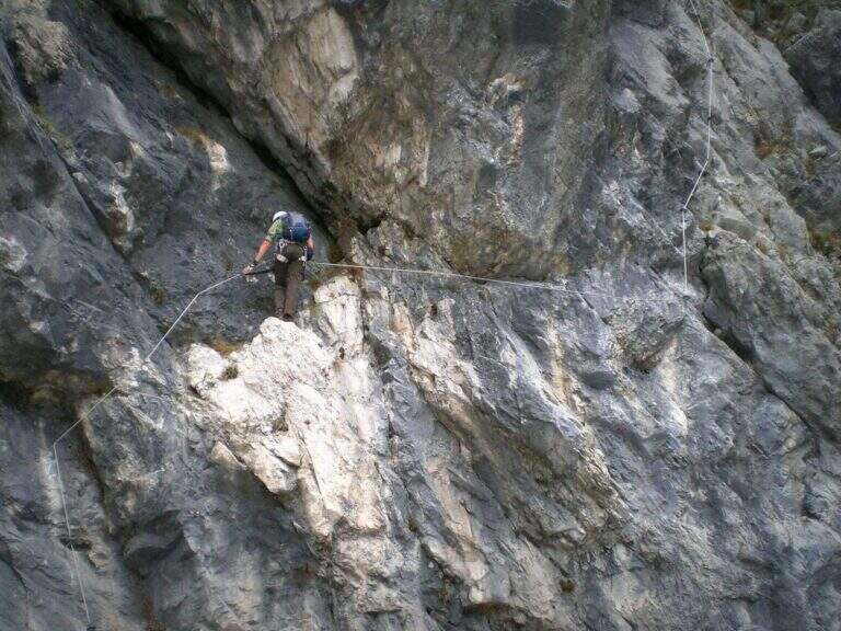
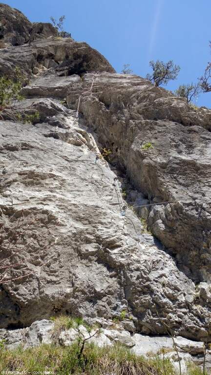
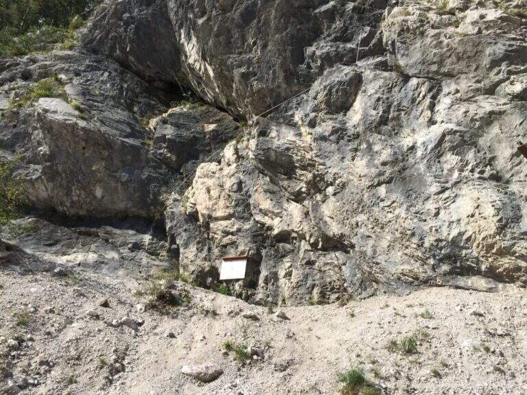
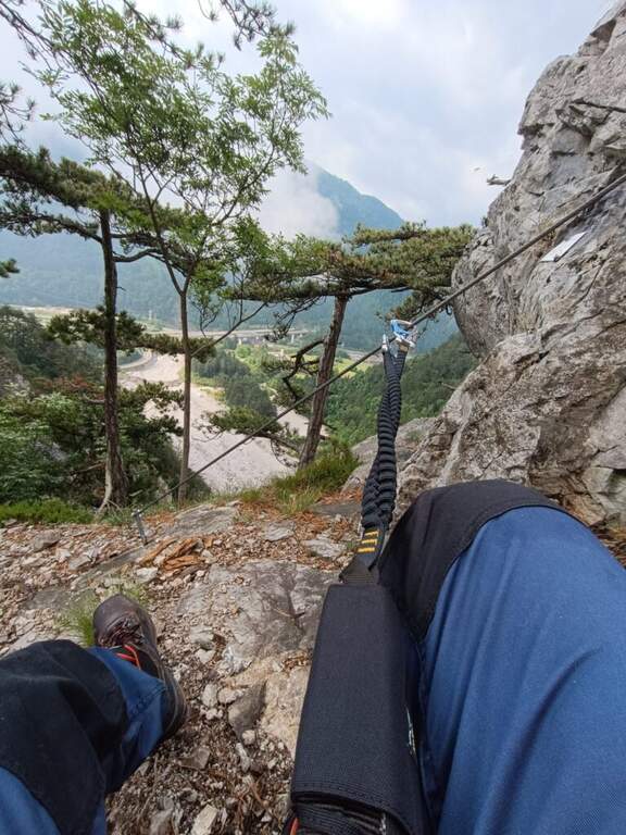
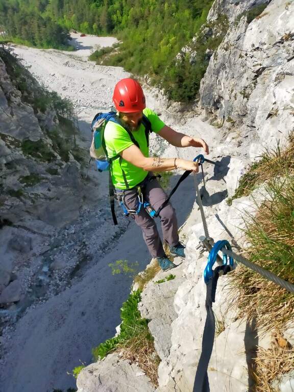
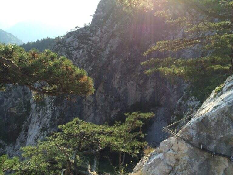
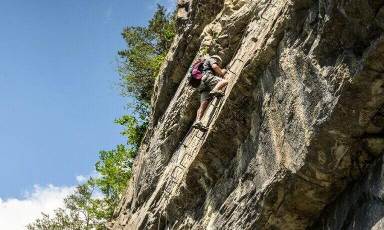
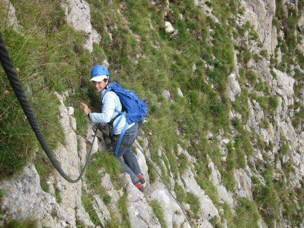
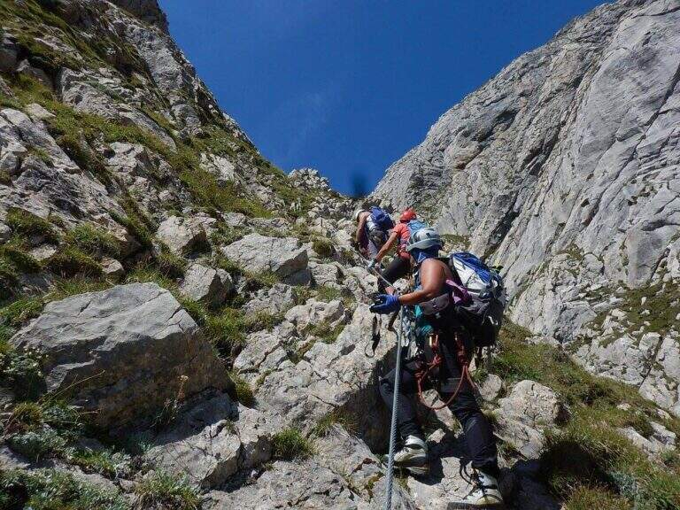
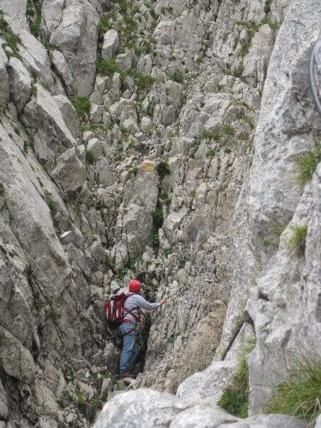
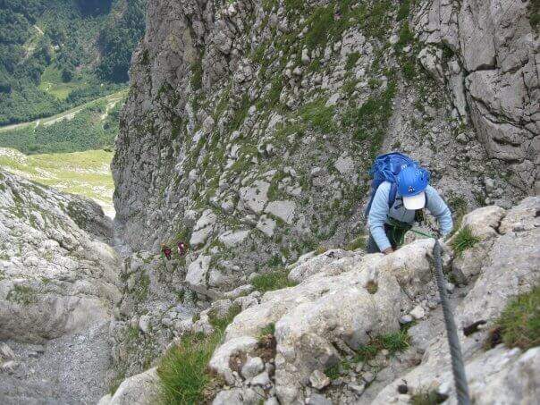
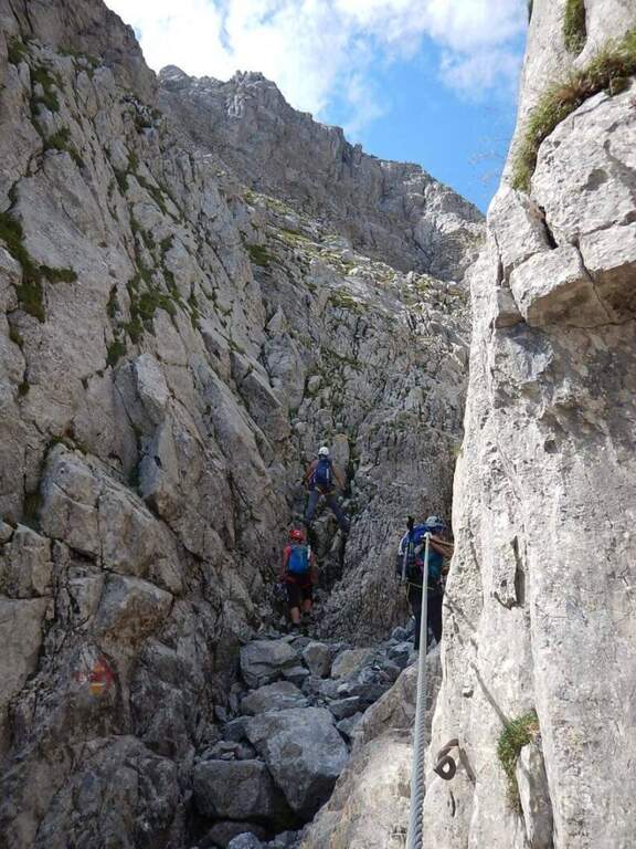
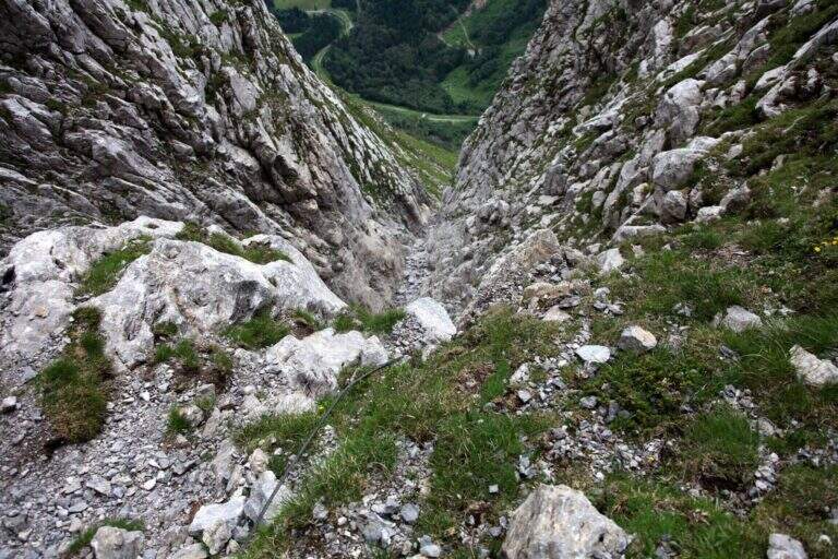
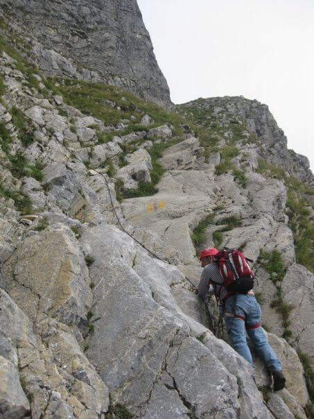
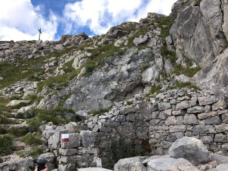
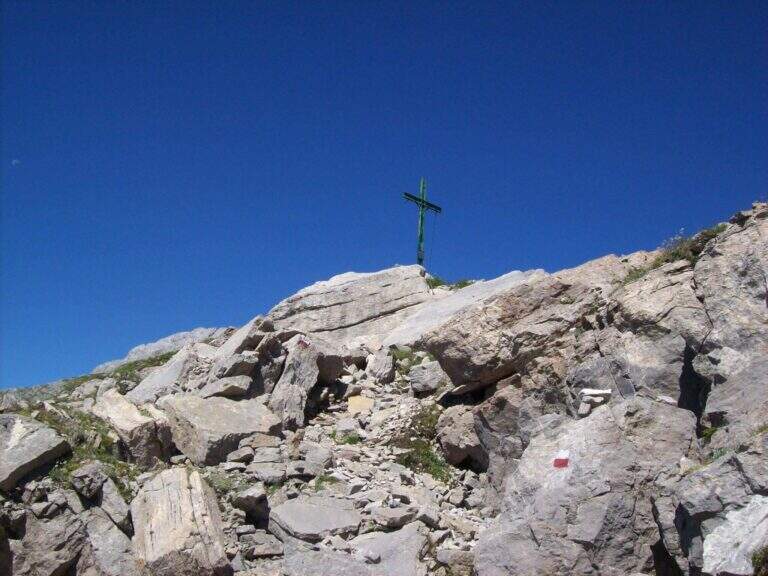
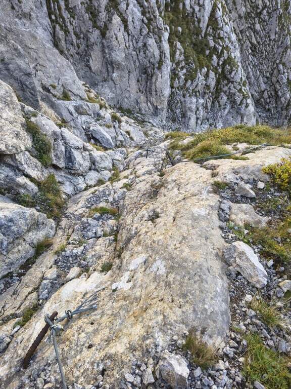
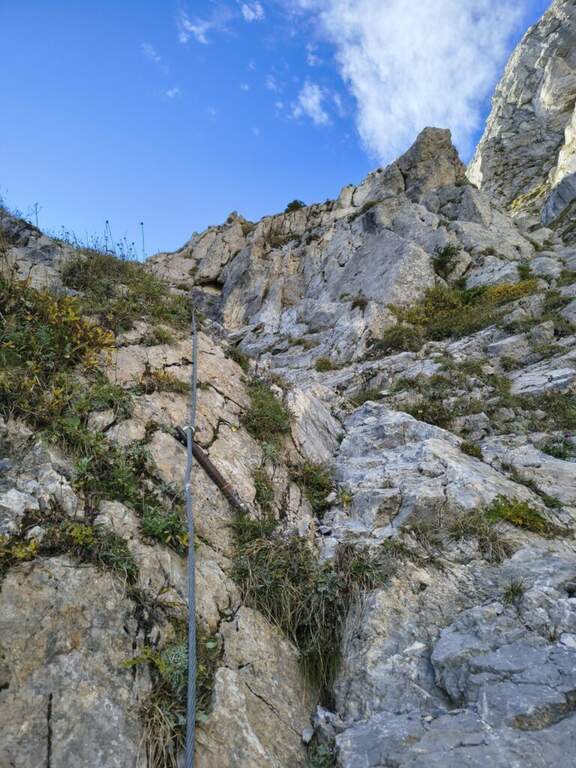
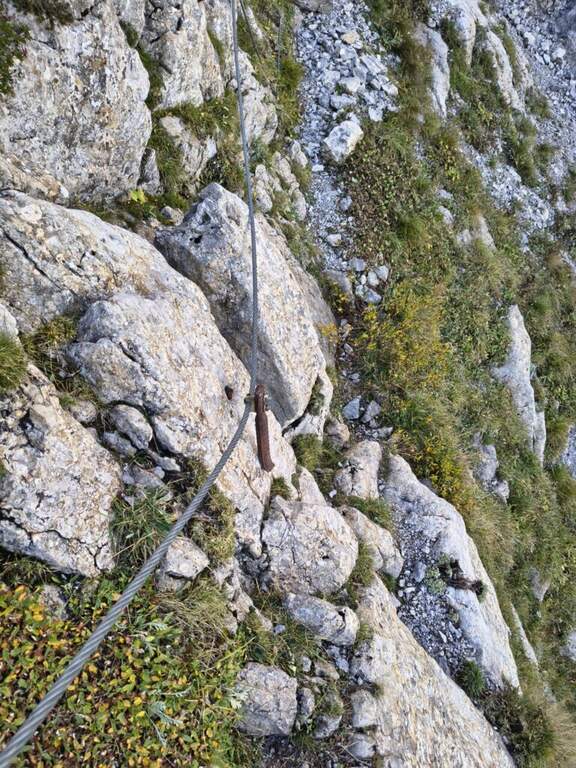
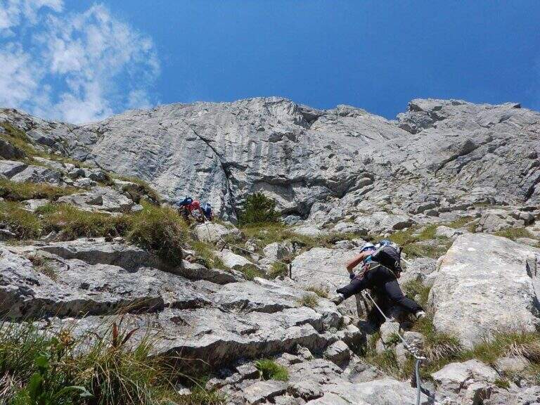
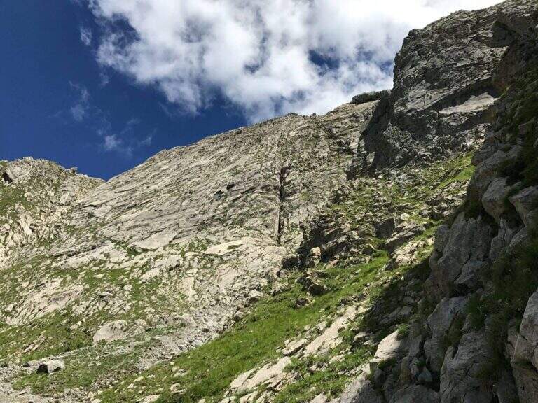
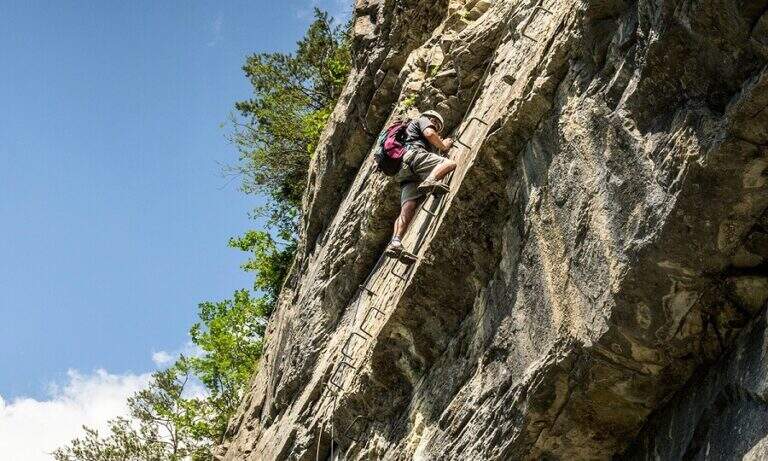
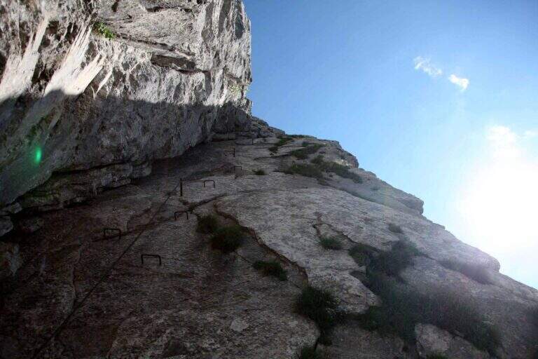
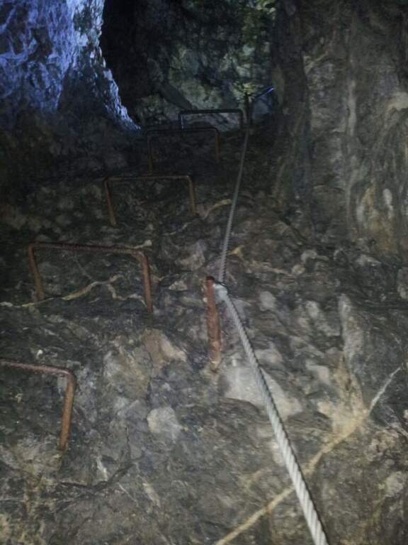
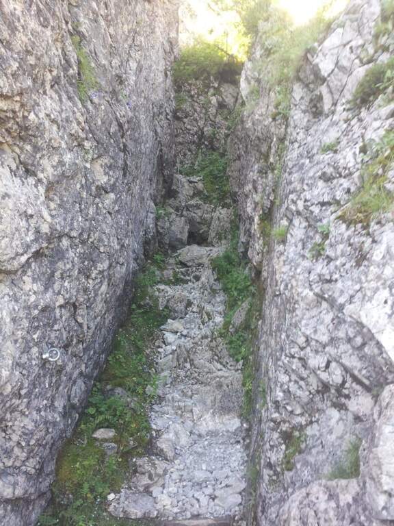
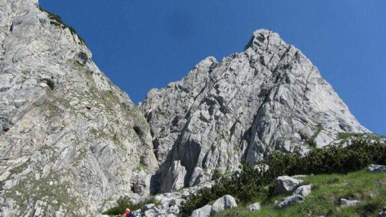
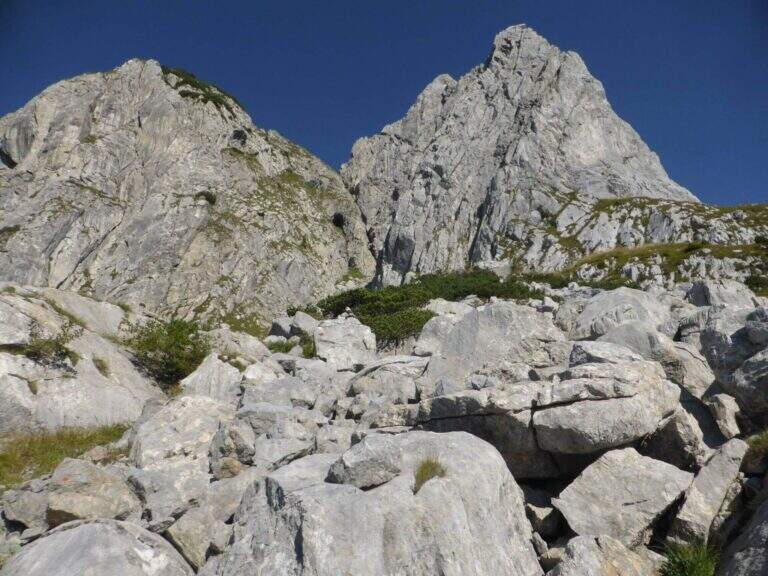
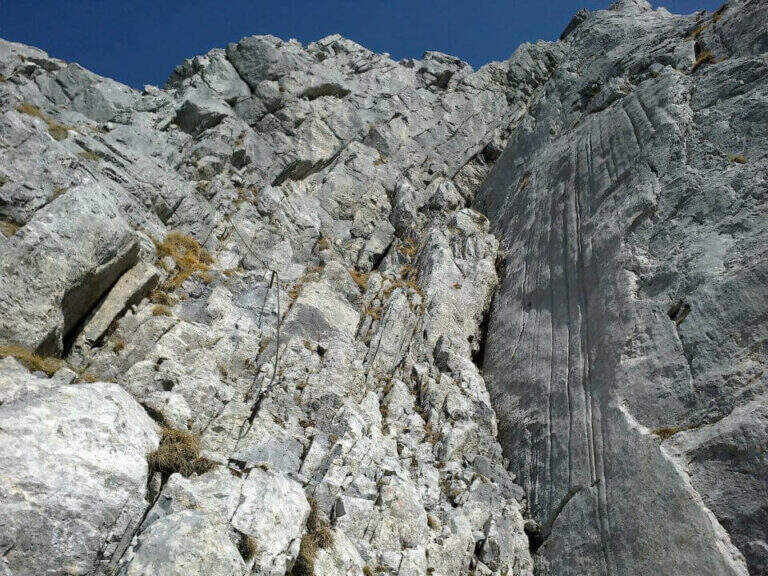
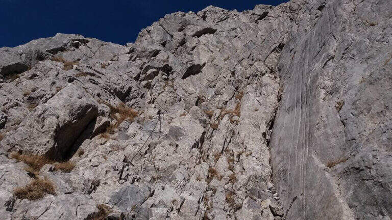
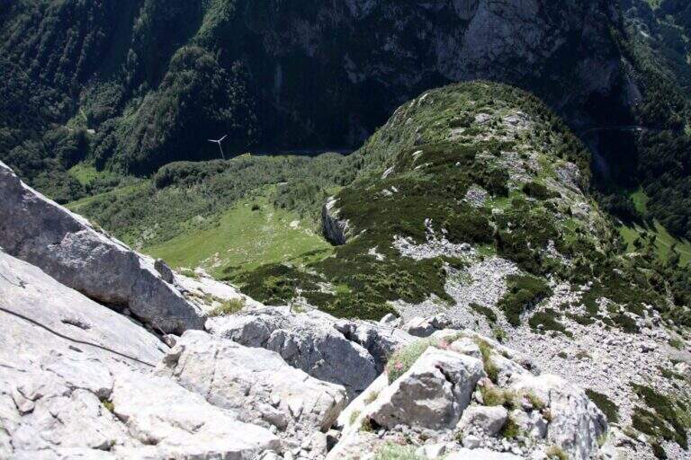
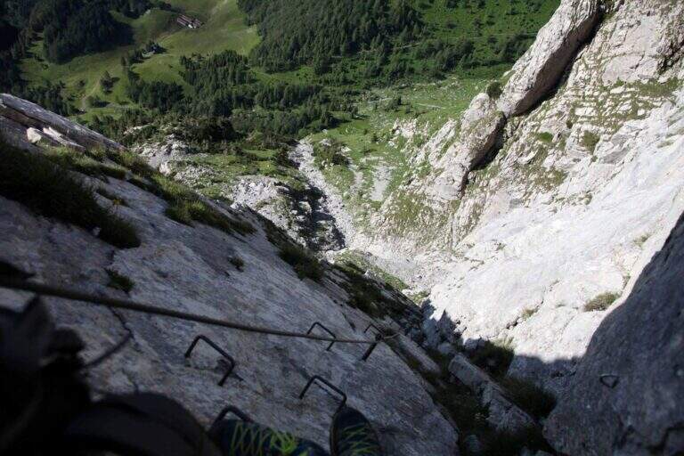
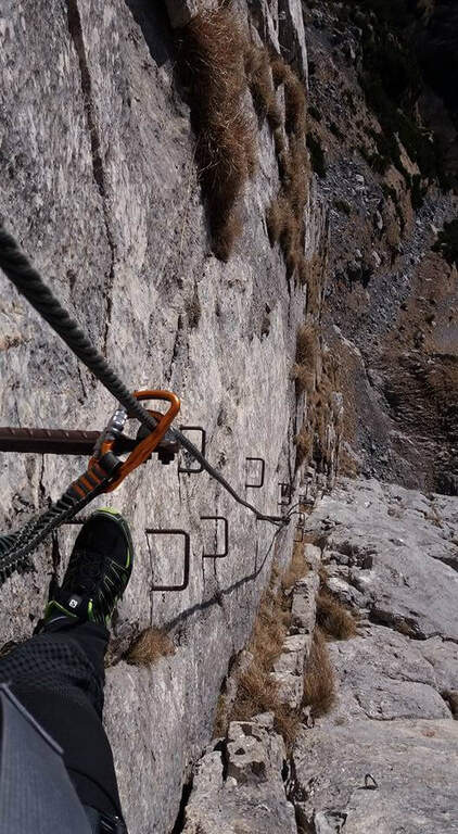
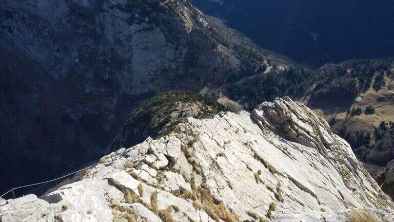
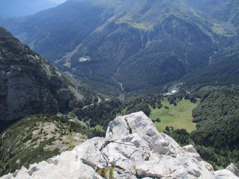
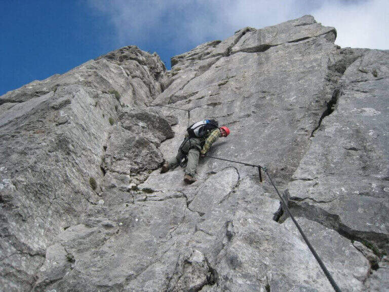
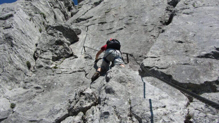
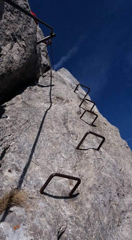
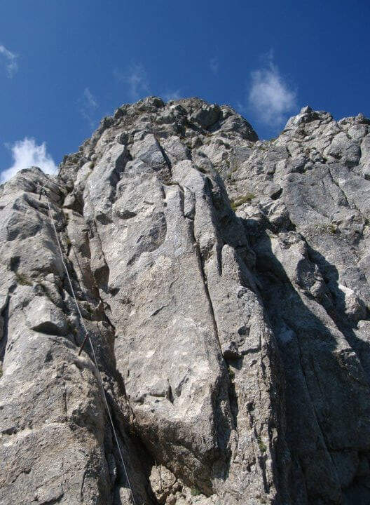
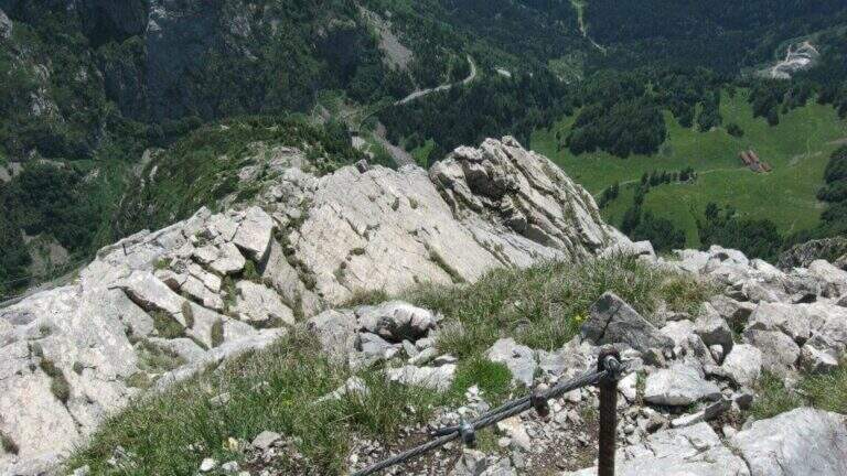
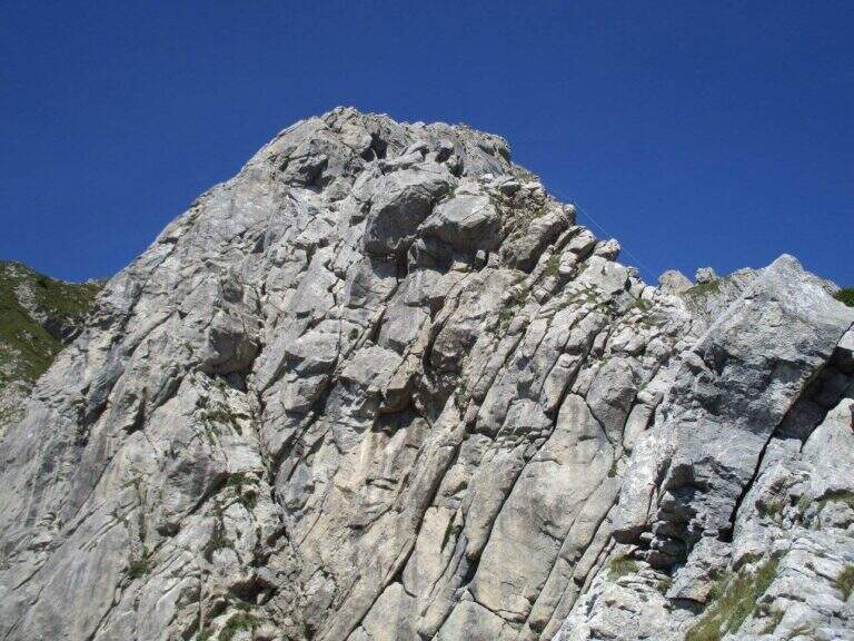
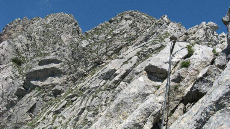
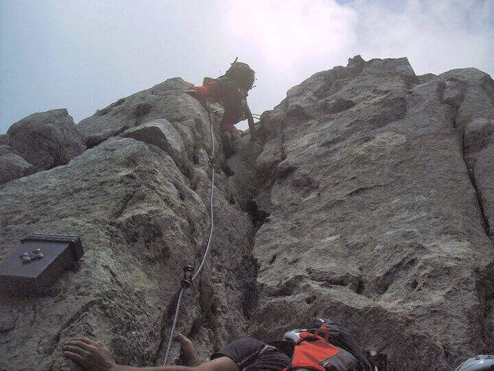
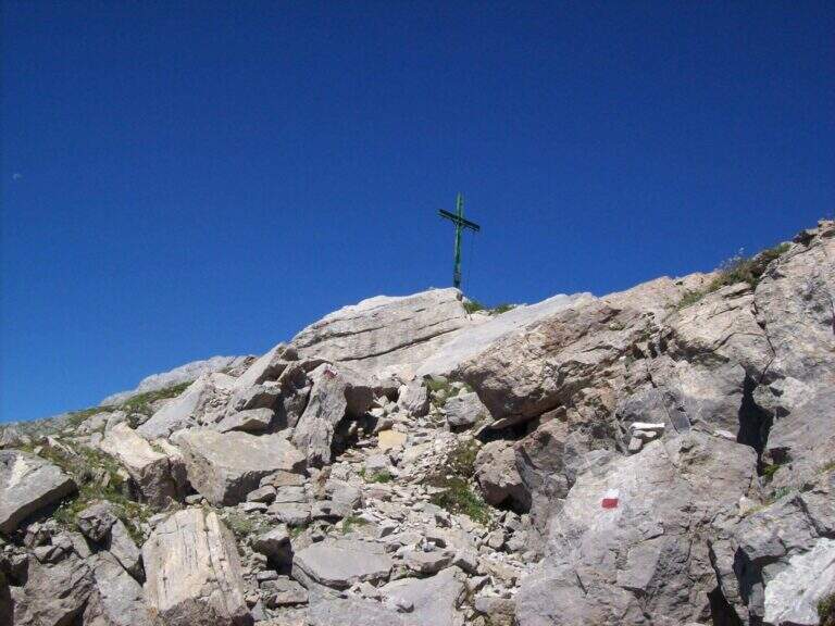
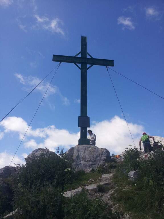
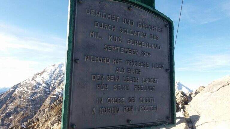
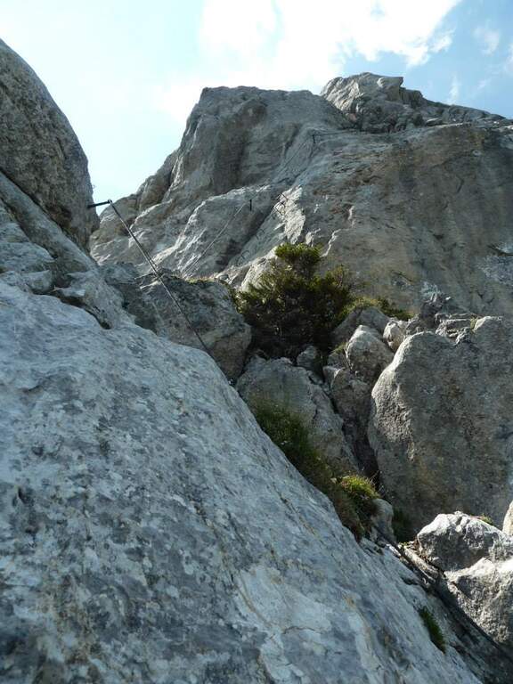
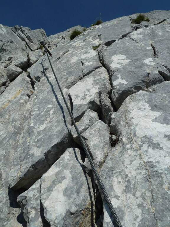
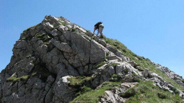
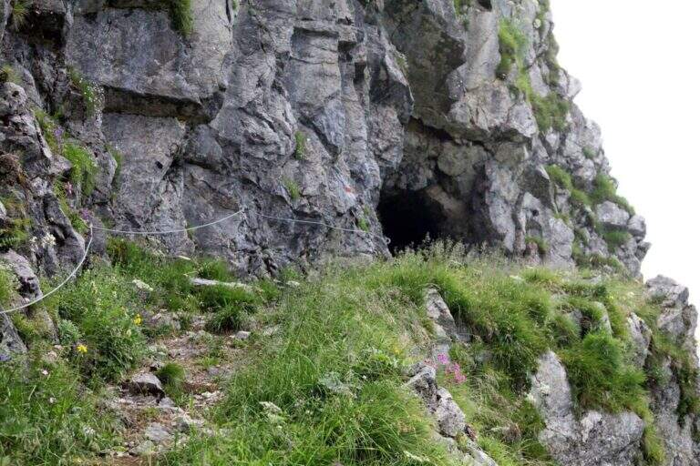
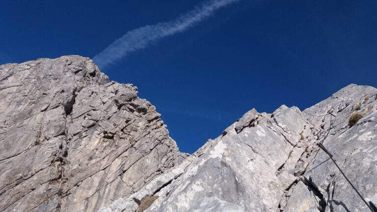
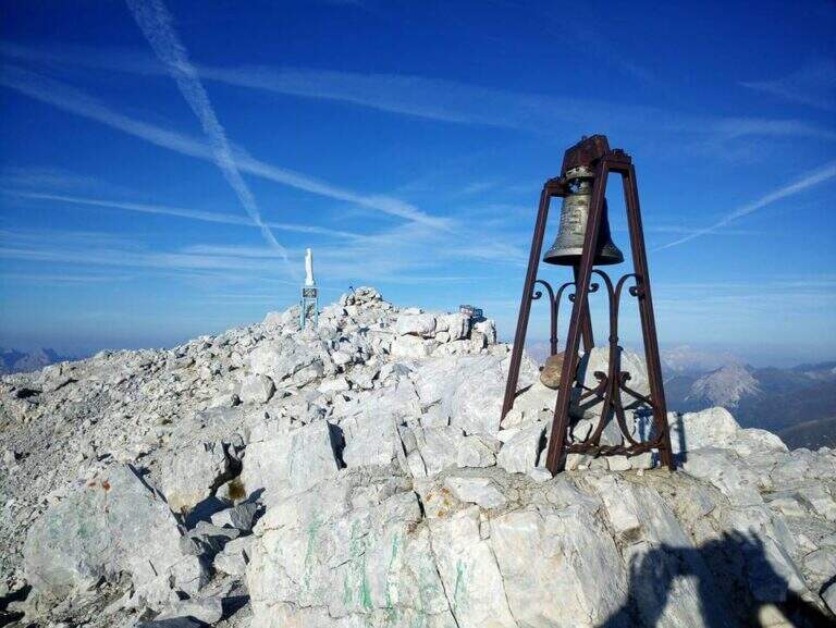
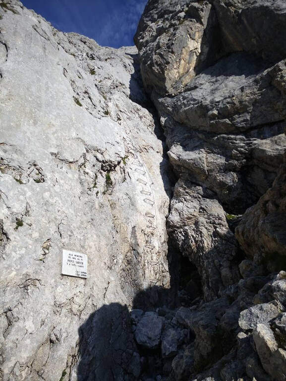
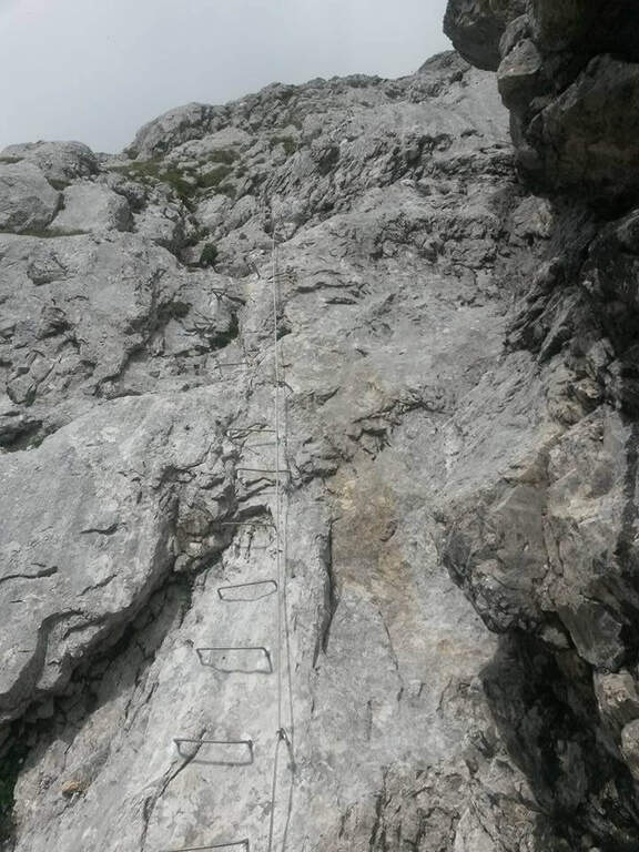
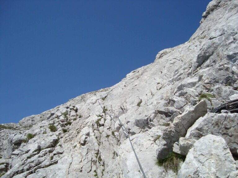
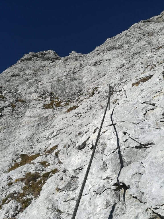
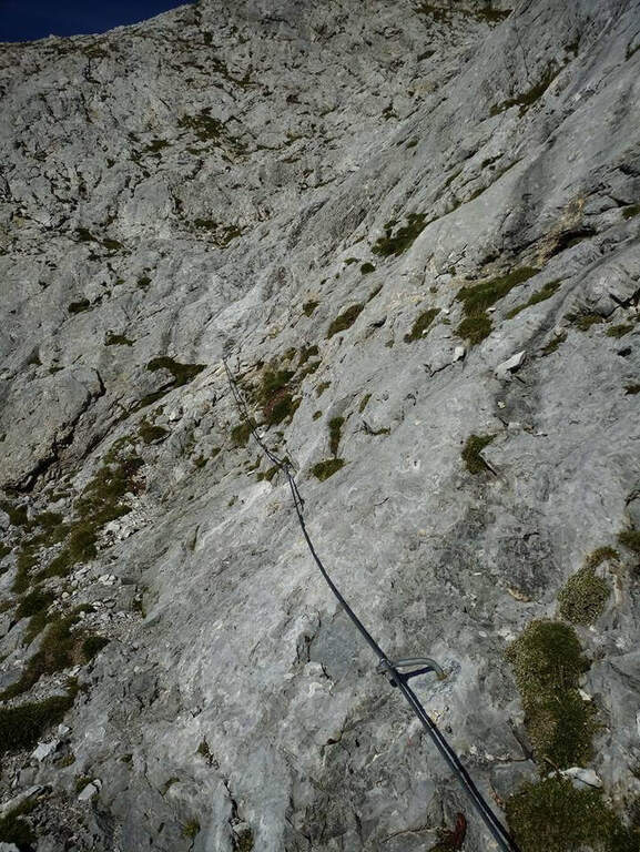
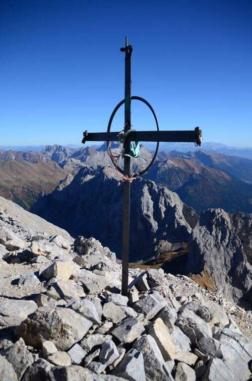
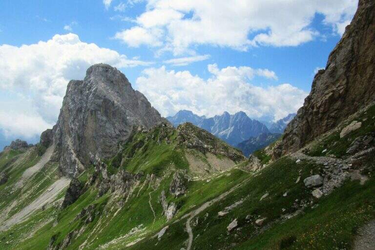
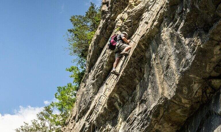
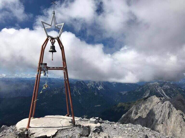
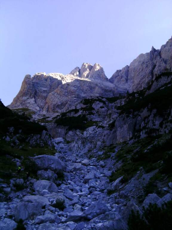
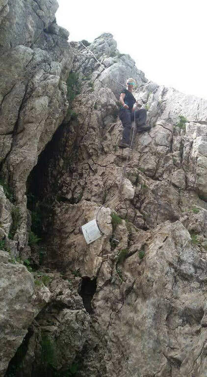
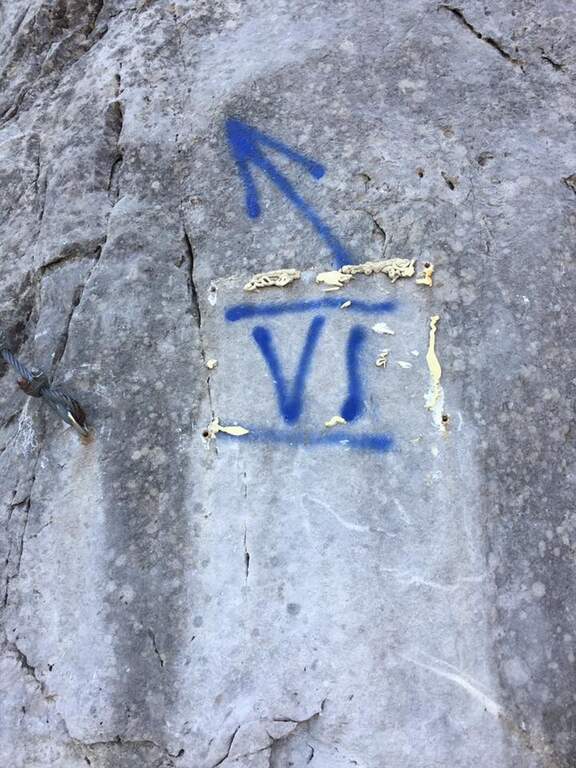
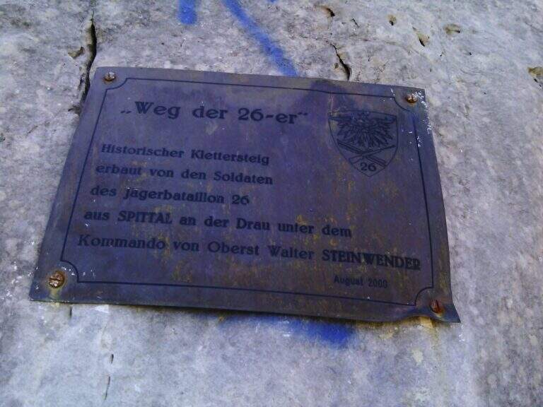
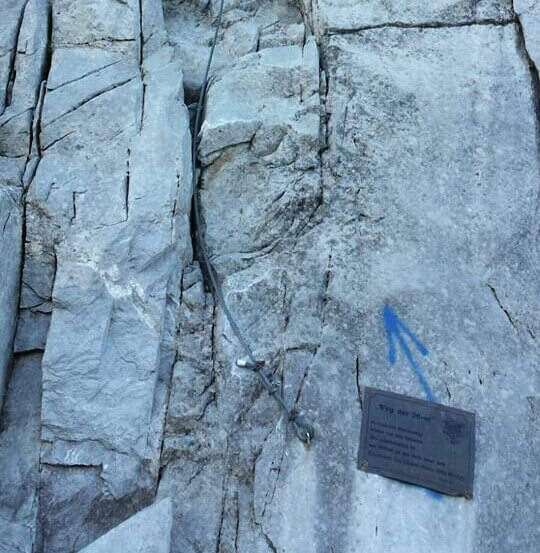
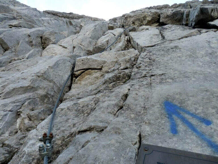
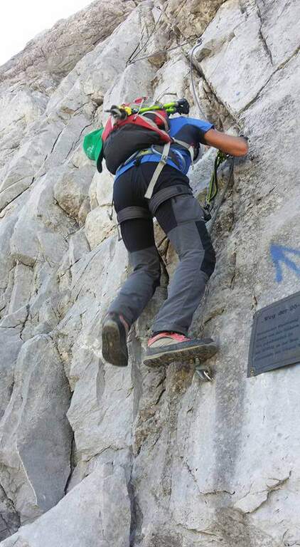
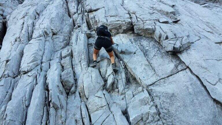
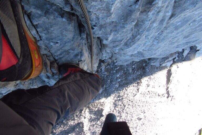
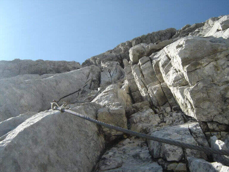
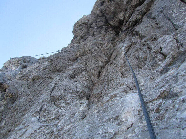
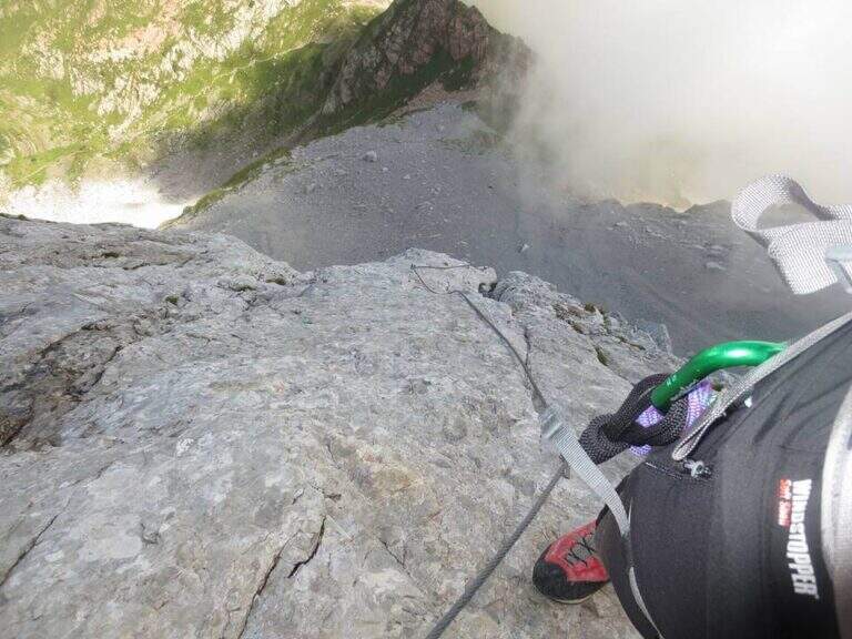
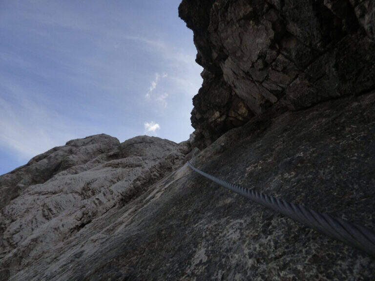
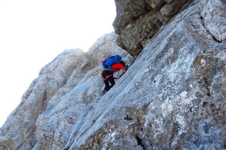
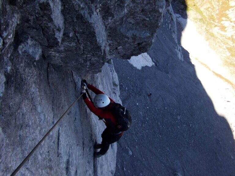
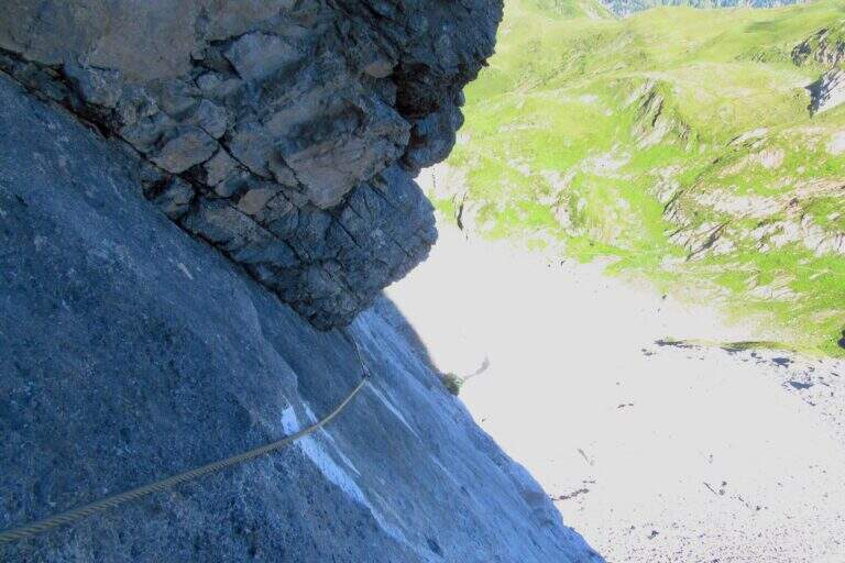
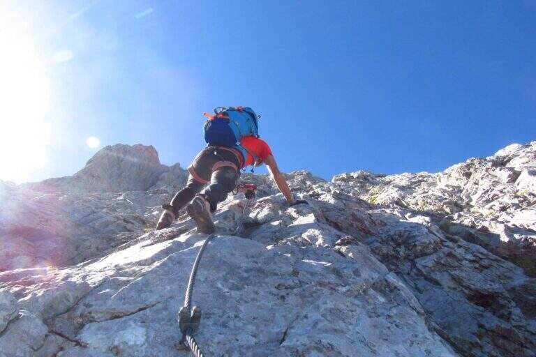
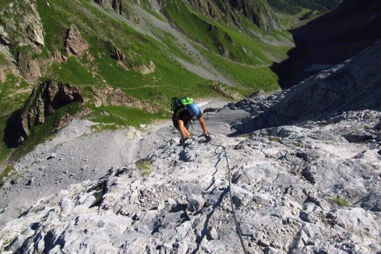
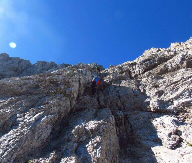
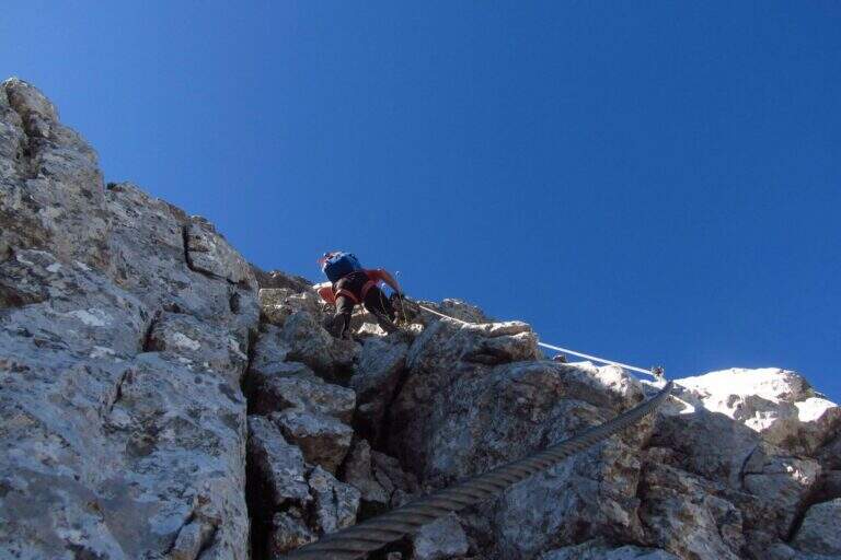
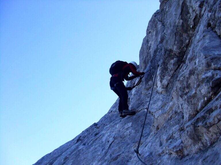
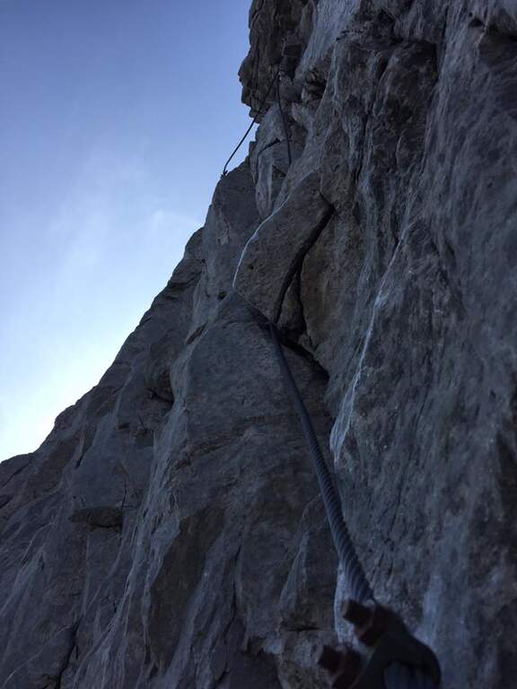
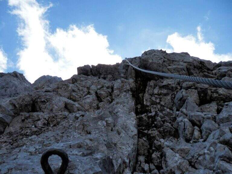
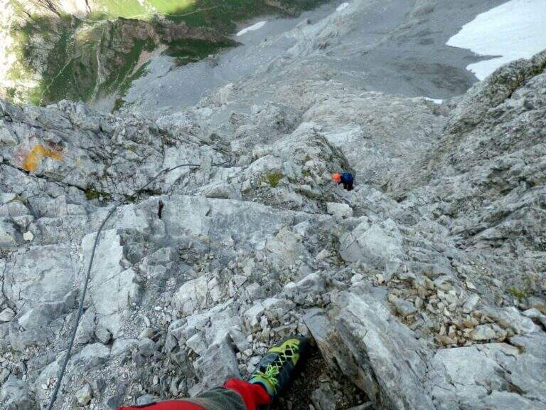
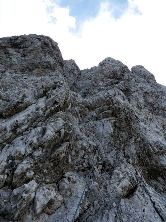
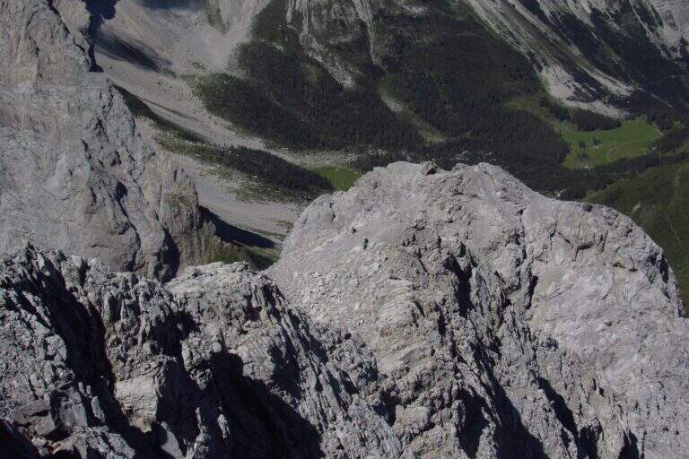
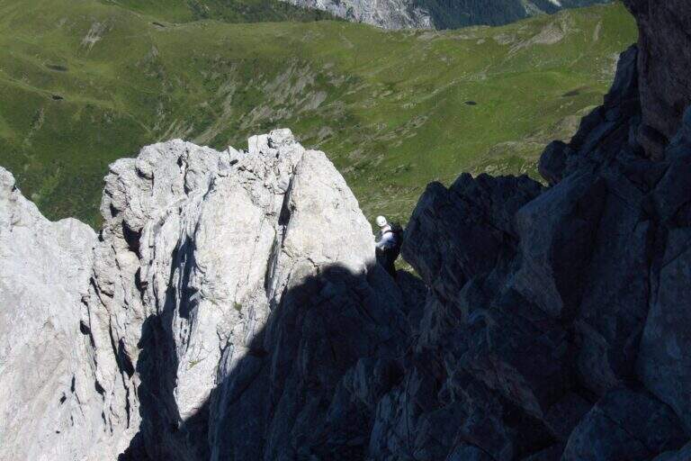
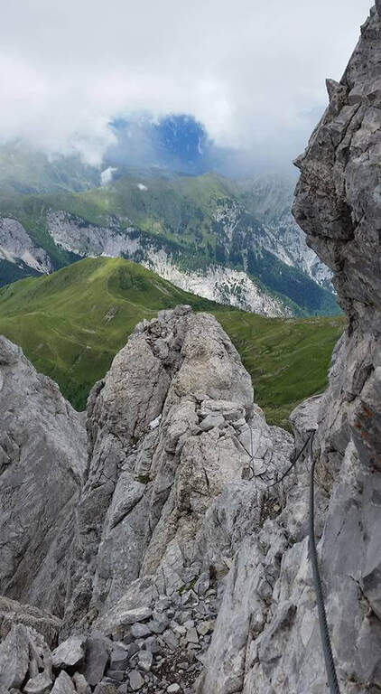
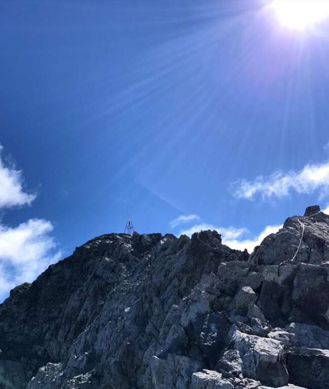
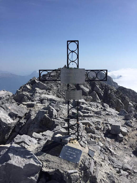
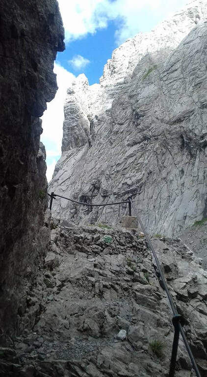
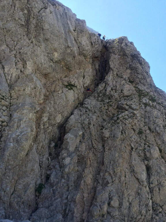
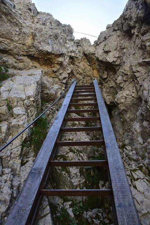
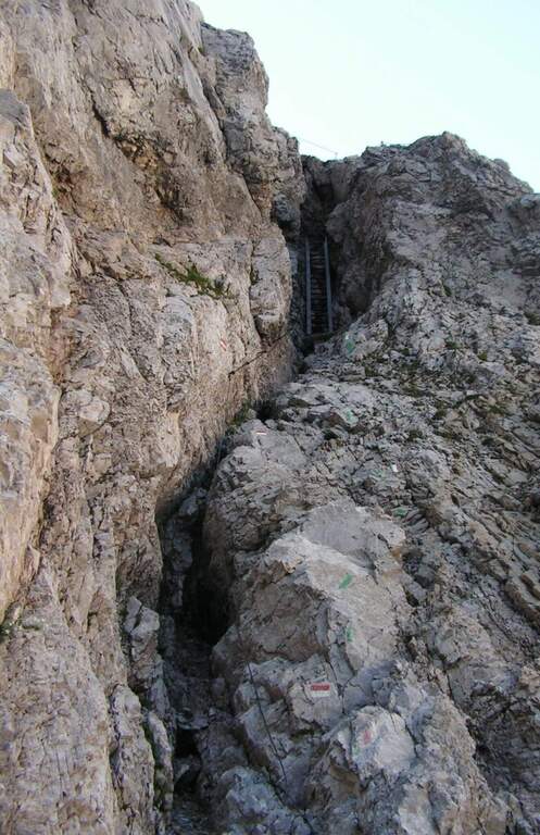
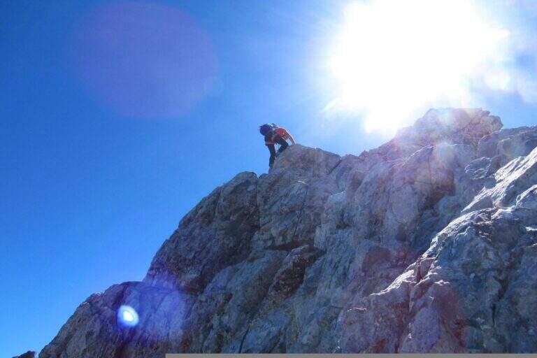
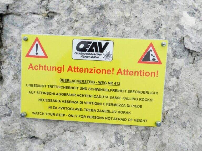
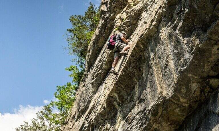
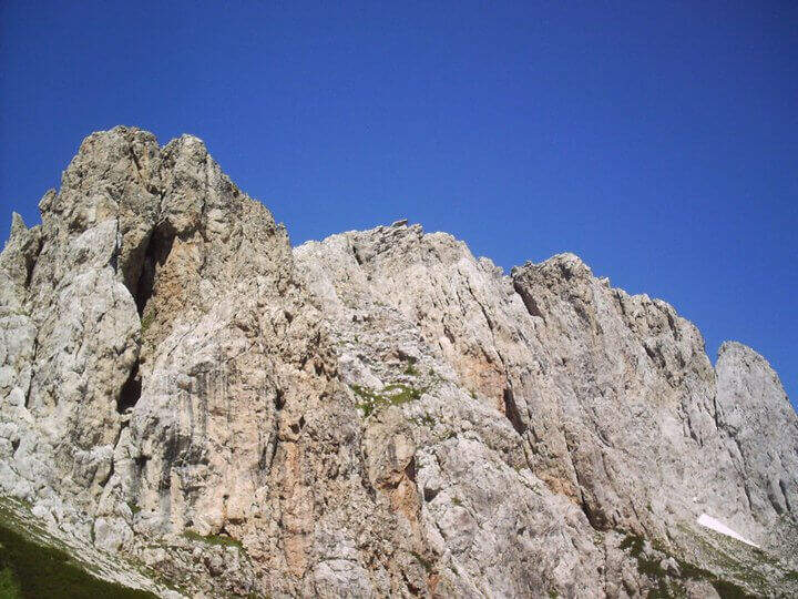
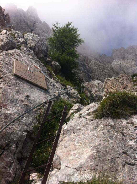
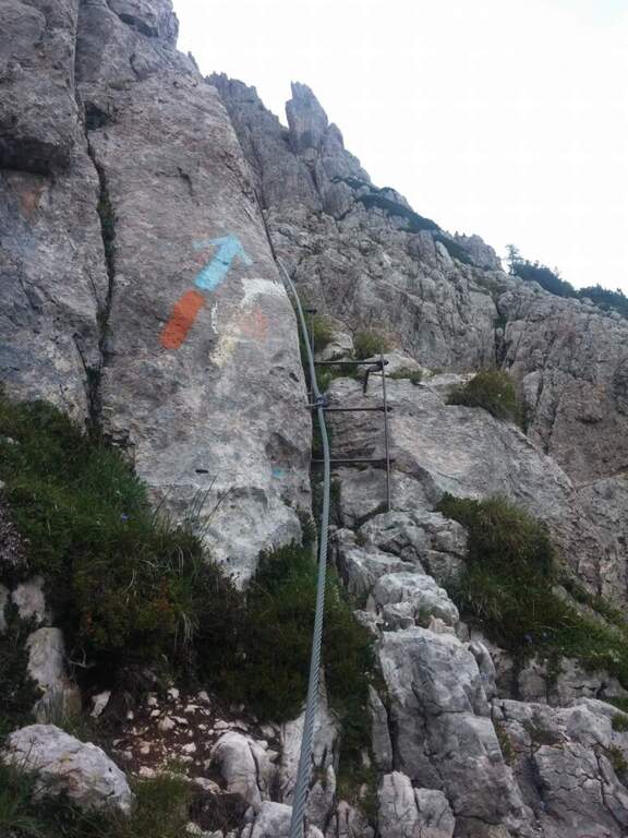
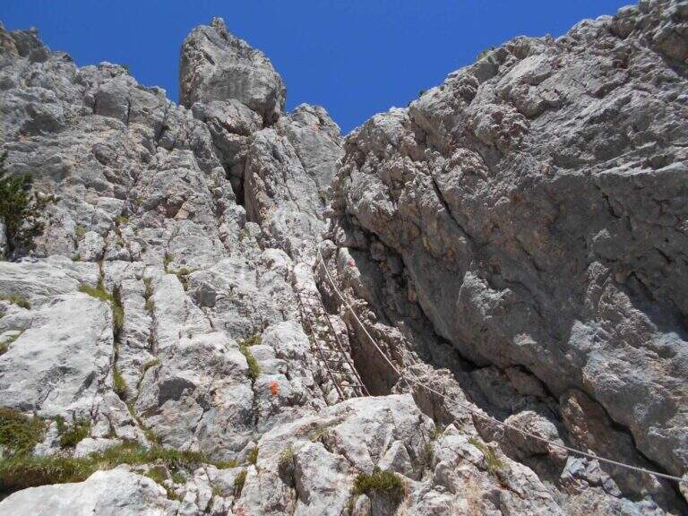
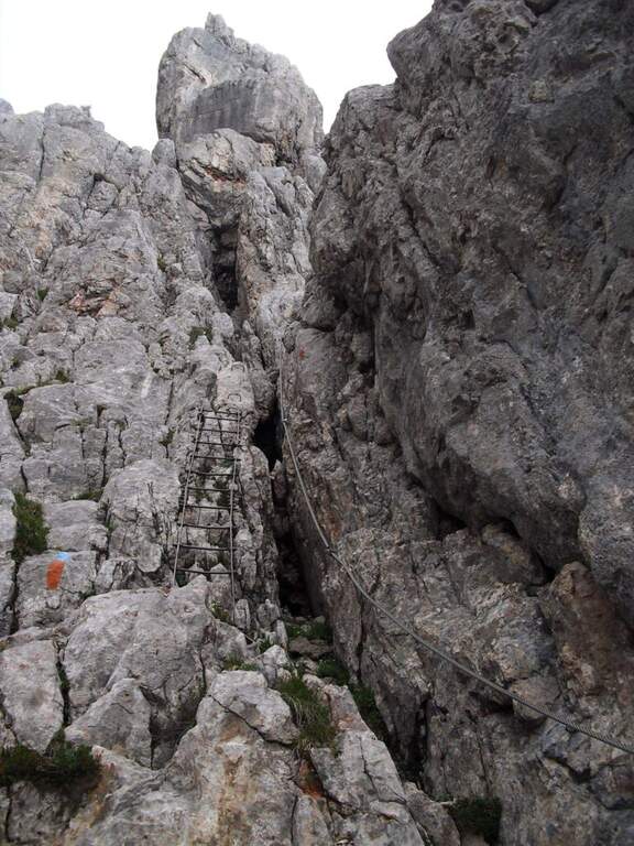
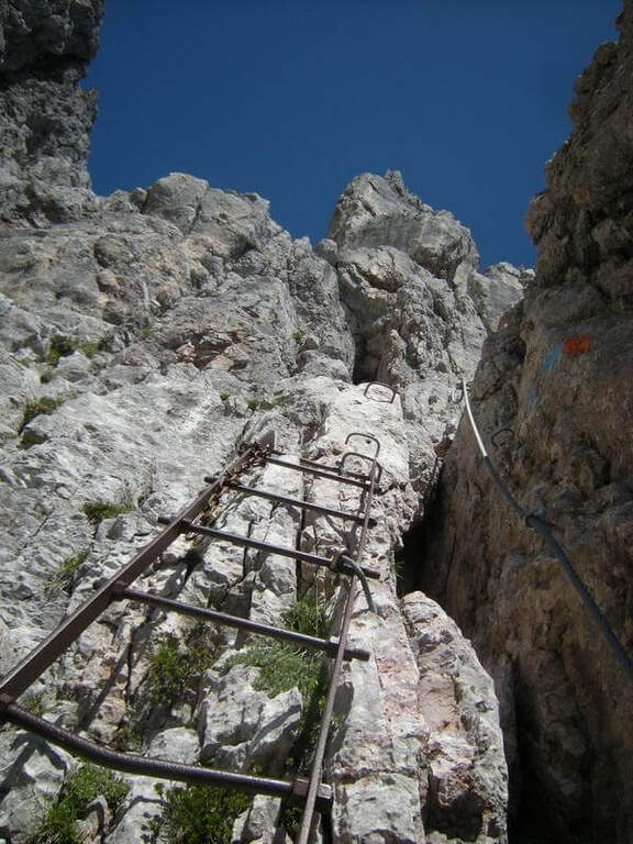
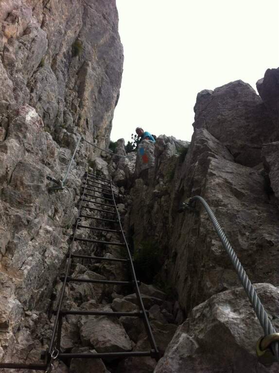
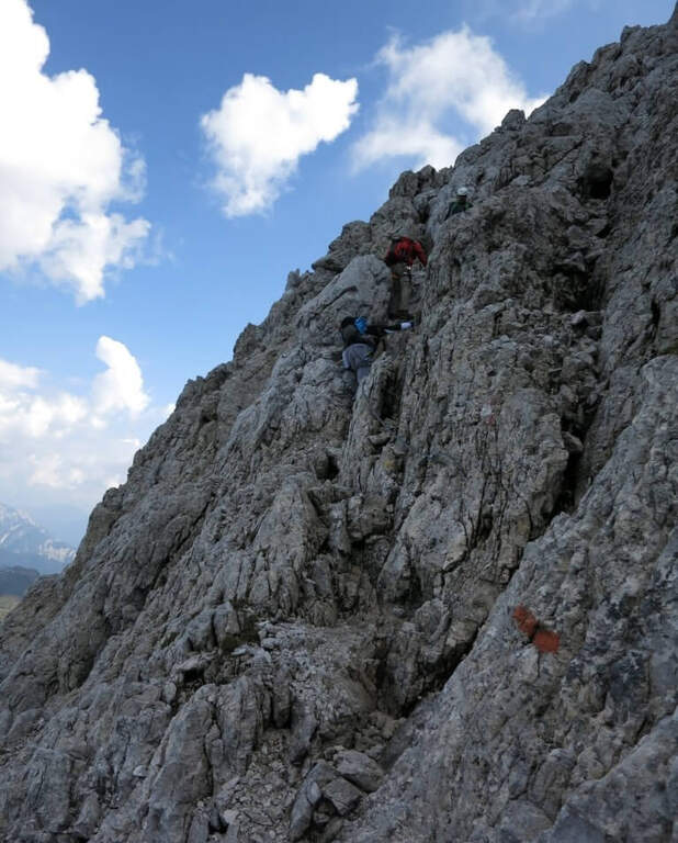
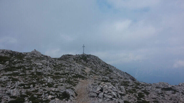
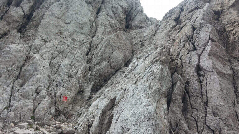
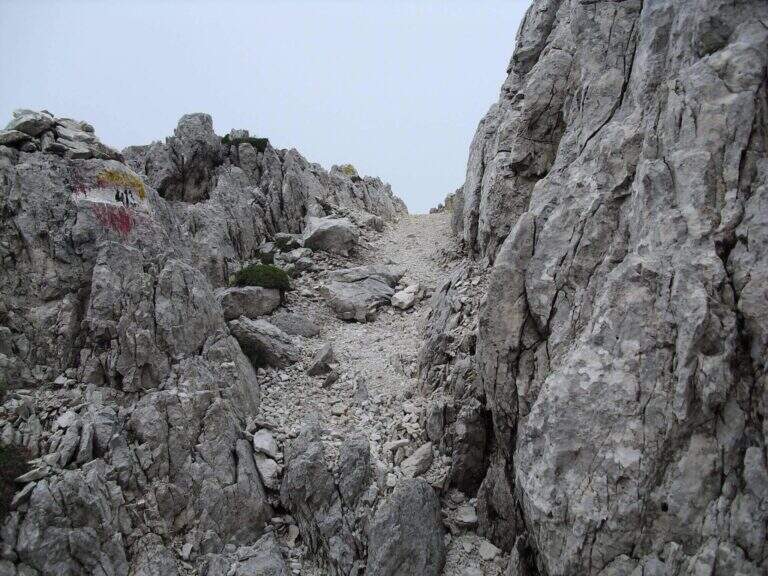
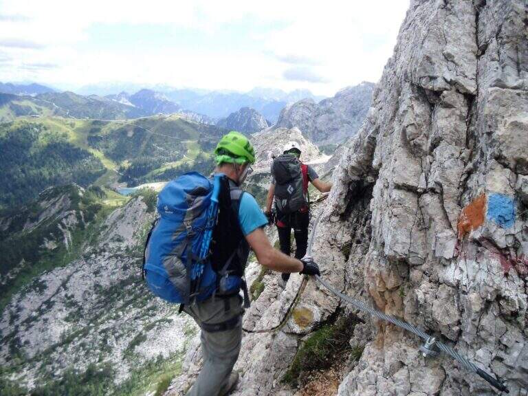
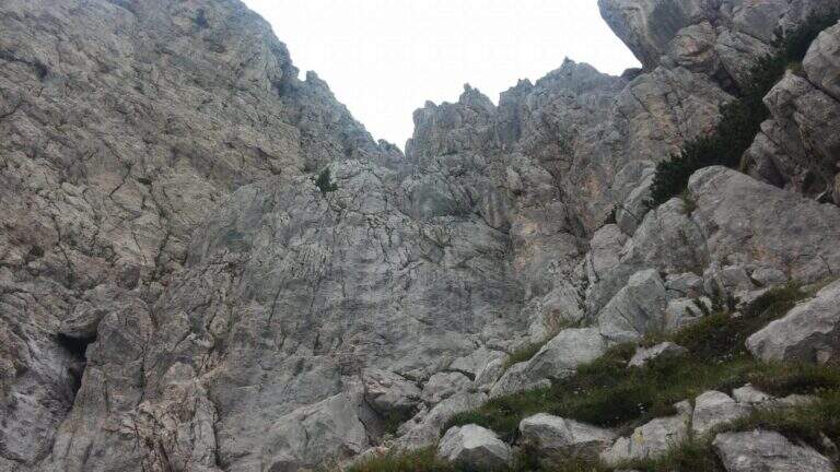
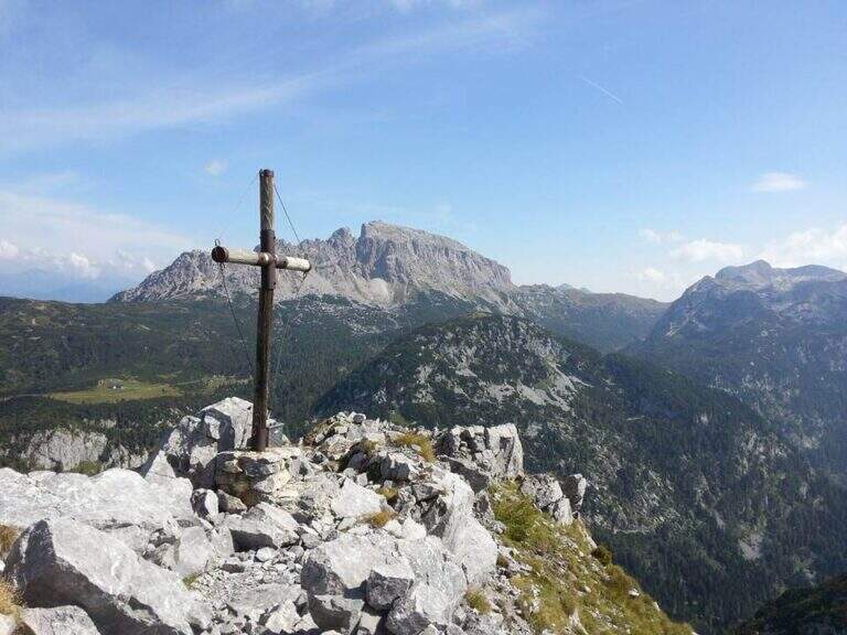
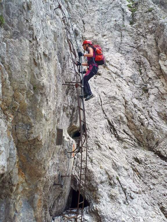
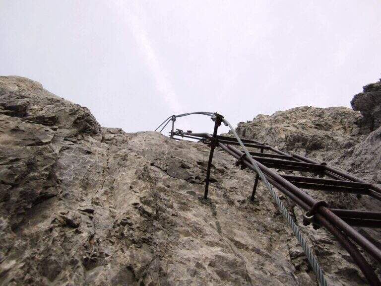
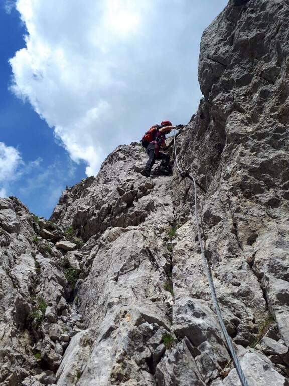
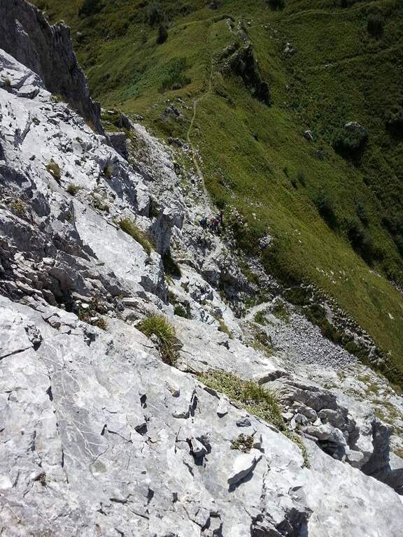
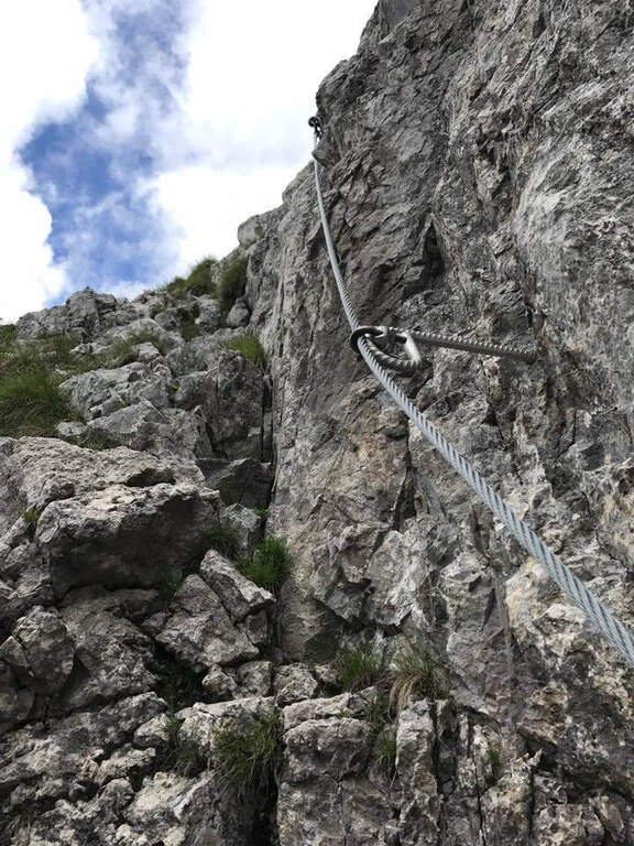
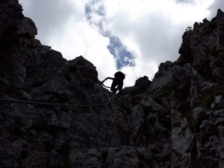
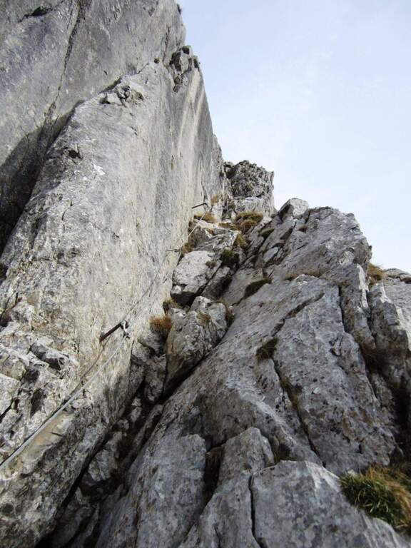
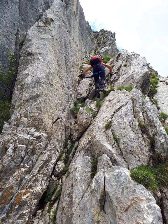
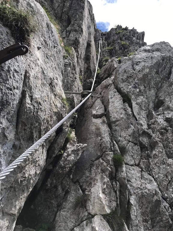
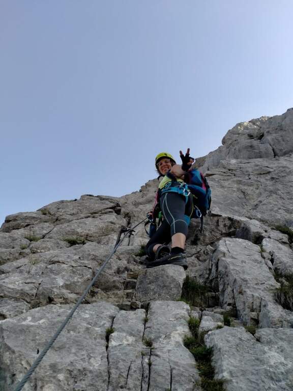
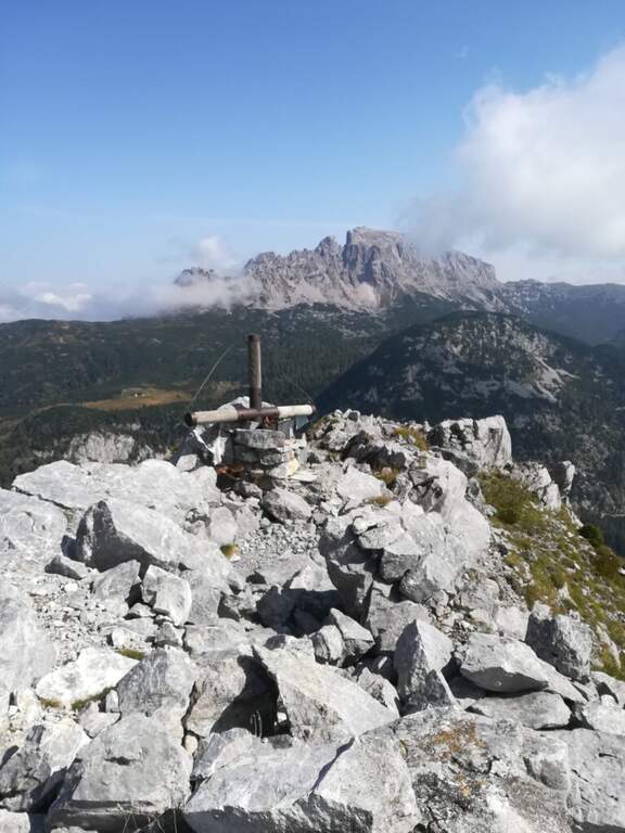
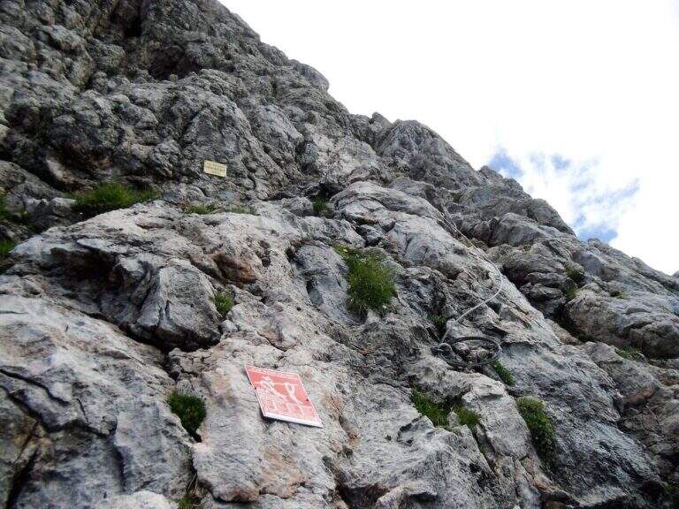
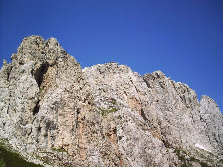
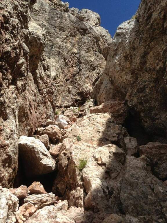
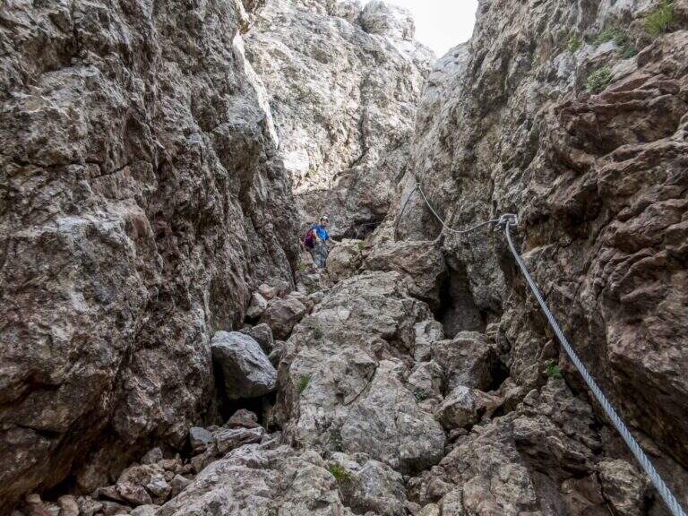
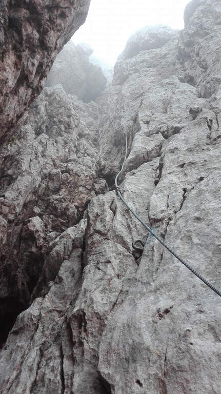
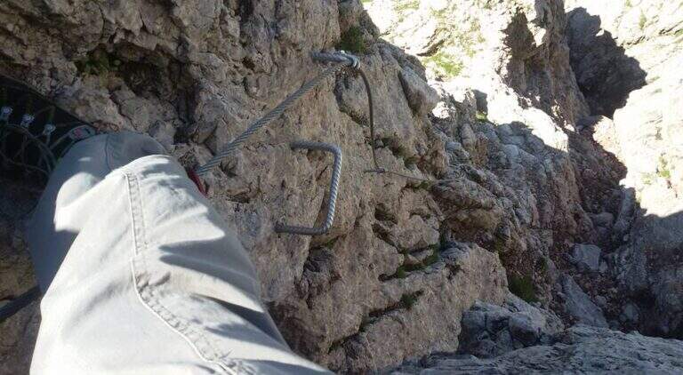
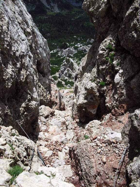
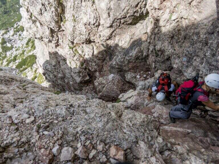
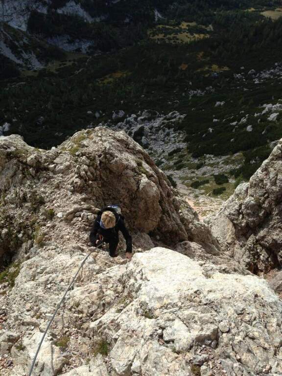
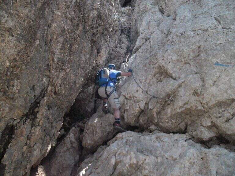
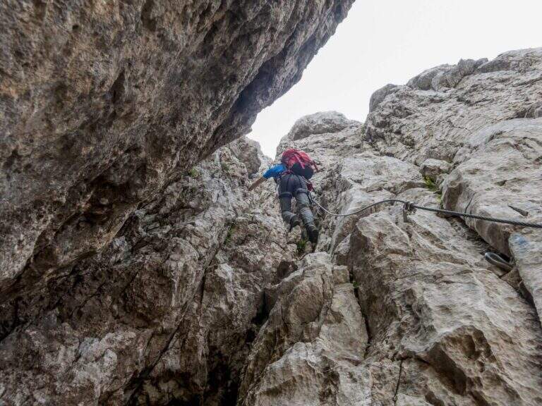
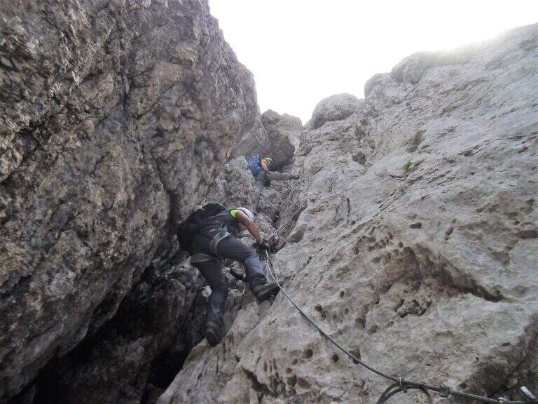
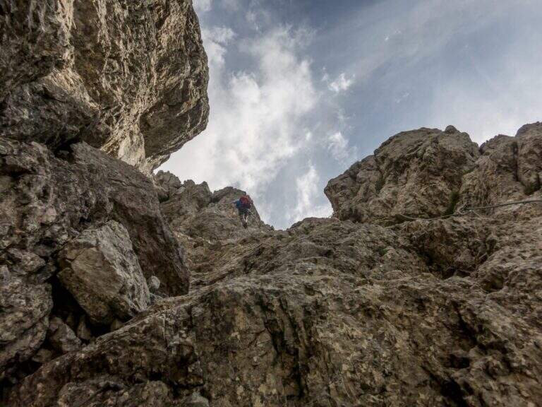
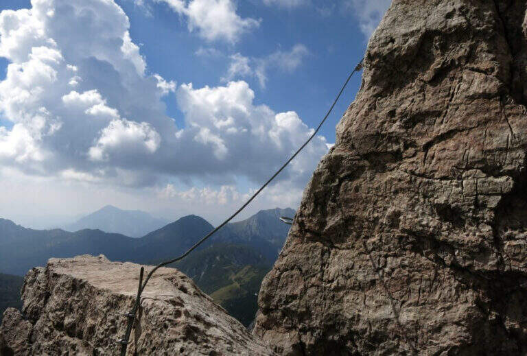
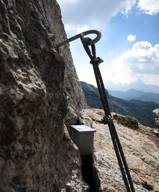
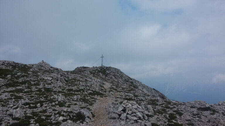
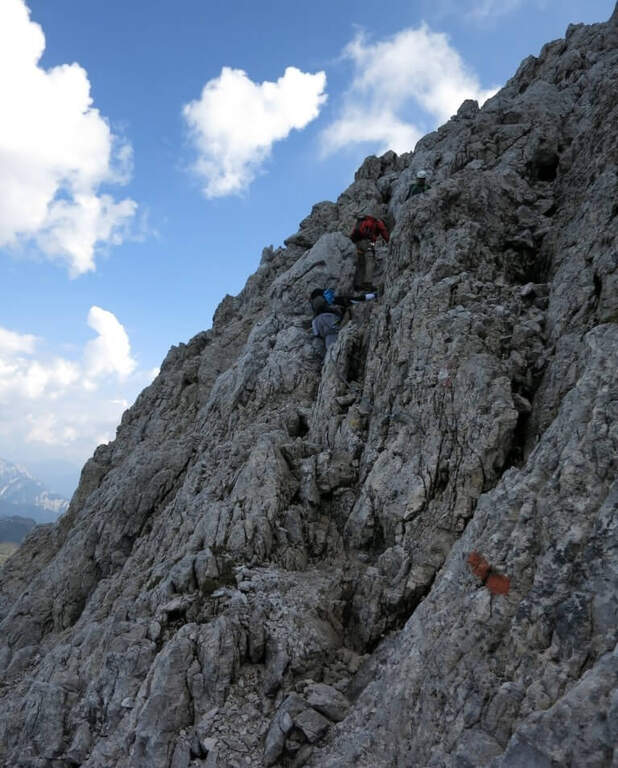
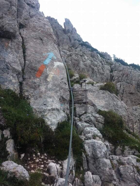
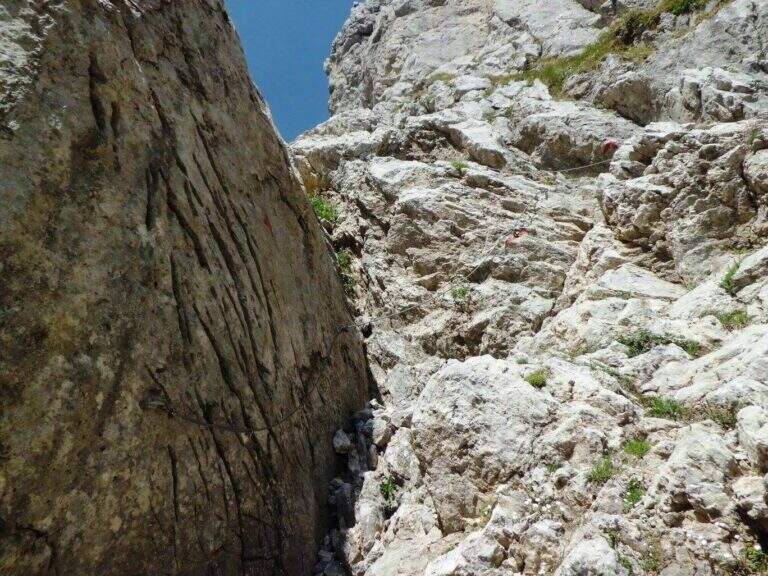
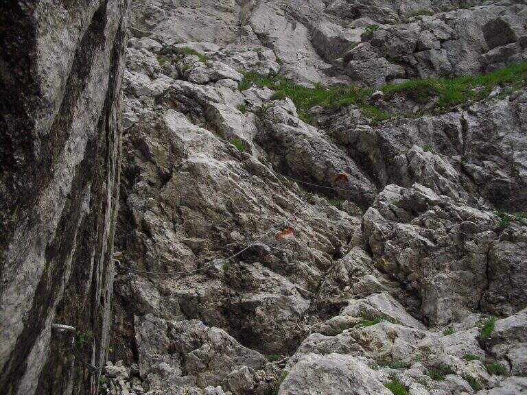
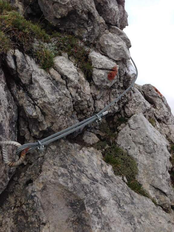
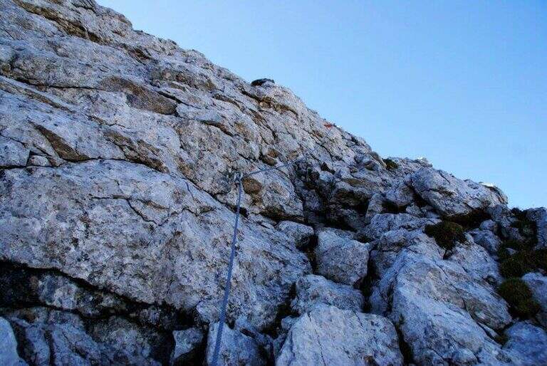
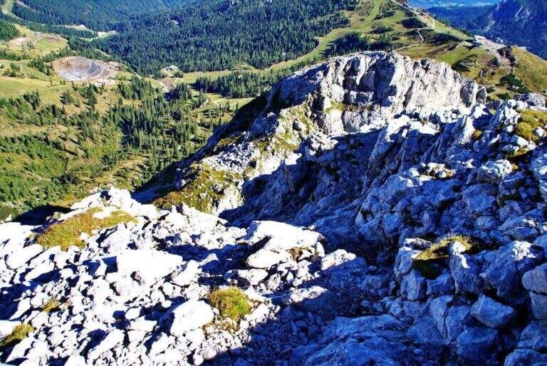
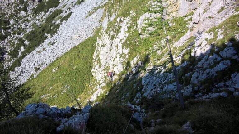
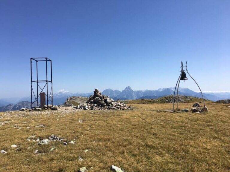
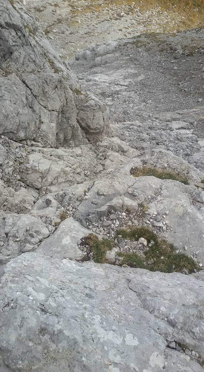
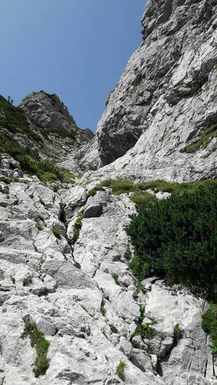
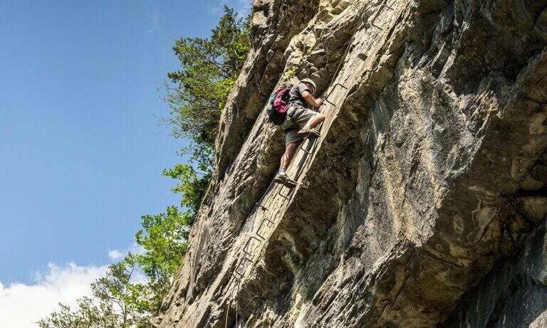
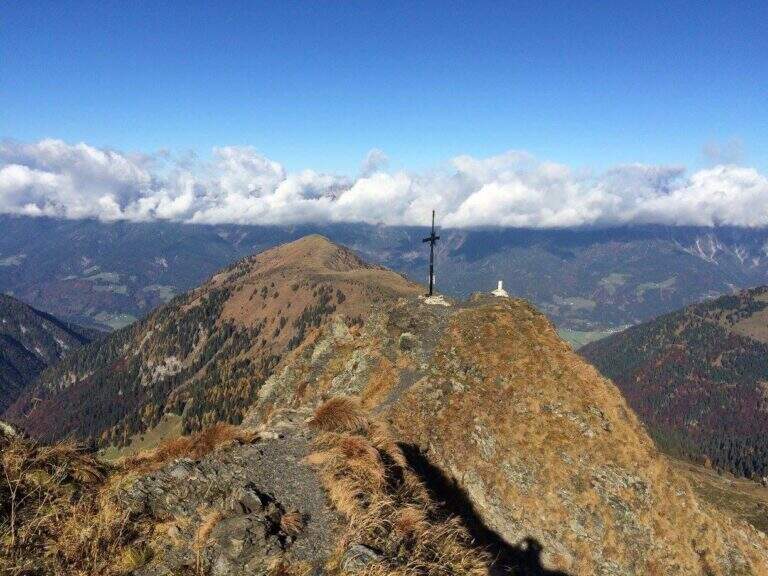
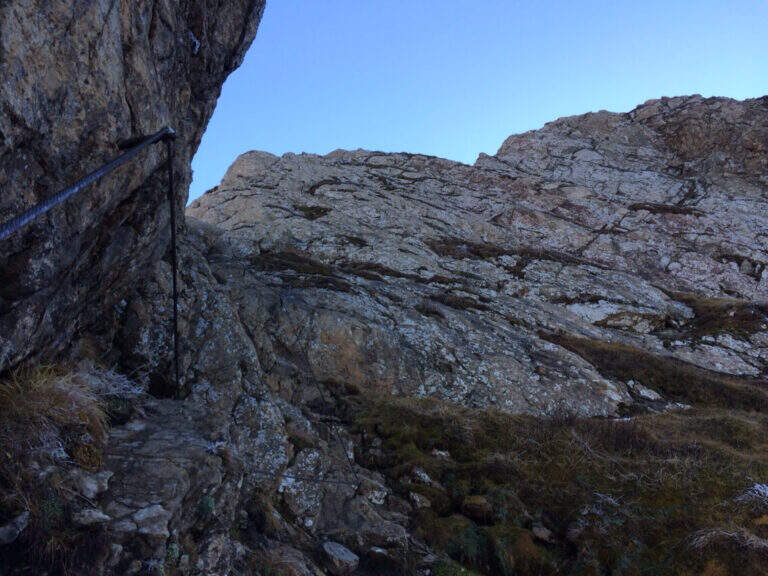
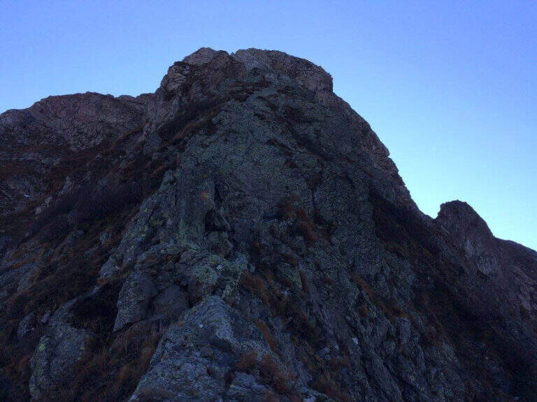
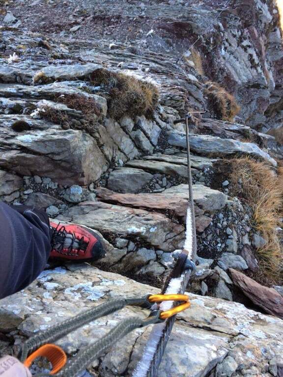
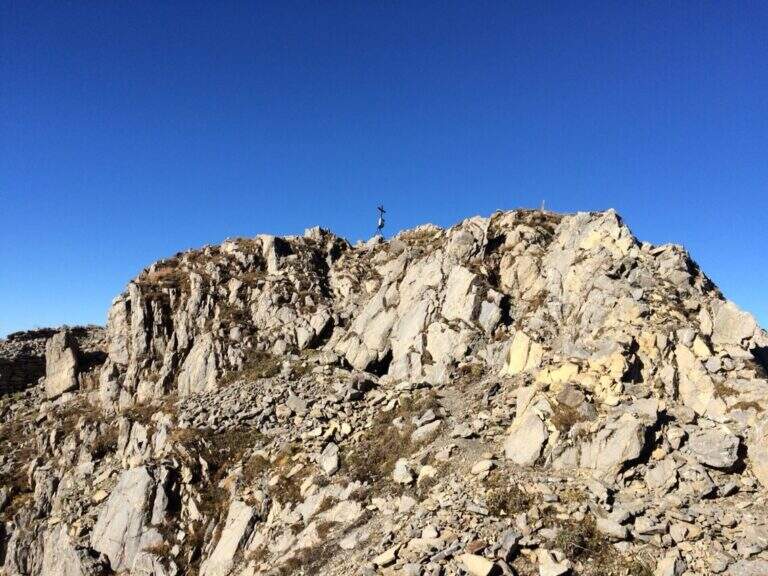
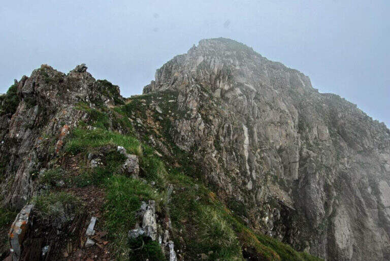
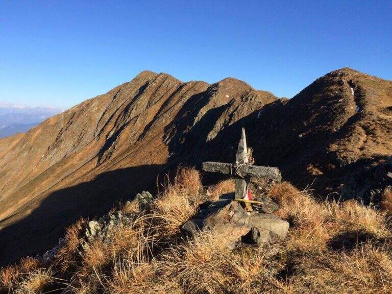
Start here the ridge stretch with the equipped steps. Punta Medatte (Kleiner Trieb) is separated from the nearby Cuestalta (Hoher Trieb) by a saddle: descend along the ridge, equipped with handcuffed cable at the exposed points. From the saddle (10′ from Punta Medatte) starts the short ferrata that climbs to the Cuestalta: you pass some unprotected rocks until you meet the cable, which leads first on small rocks and then, from left to right, on a wall. The easy-level ferrata climbs on a very well-dressed crest, pleasant to climb; being a ridge path is exposed, but never excessively. The climb, very logical, deposits just below the top of the Cuestalta, signaled by a metal cross that is reached on the path (2199 m, 20′ from the saddle, 30′ from Punta Medatte, 4h30 overall).
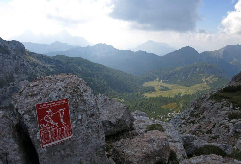
It is a beautiful itinerary that cuts a piece of the border of Italy-Austrian, long but not excessively challenging: the equipped part only serves to climb the ridge in the more vertical and exposed sections. The historical context, with the testimonies of the Great War, is one of its strengths.
Summer season, maximum altitude 2199 m. Despite no significant difficulties, long development requires good time management and attention to the weather, given the high mountain environment.
From the top of the Cuestalta you descend along the steep stretches, some ruins of trenches, up to the crossroads between the path 448 (normal Italian road) and the one that continues on the crest towards the Passo Pramosio. It remains on the latter, of crest only at exposed and free climbing traits, passing near Monte Scarniz (saw with a short deviation), up to Passo Pramosio (1785 m, 1h15 from Cuestalta, 5h30 overall). From the pass, visible a few hundred meters further downstream, you reach the Malga Pramosio with a stretch of path and then dirt road (6h15 overall).
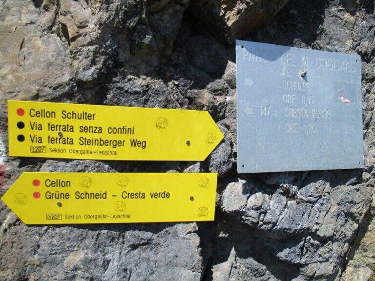
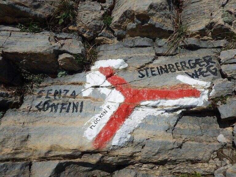
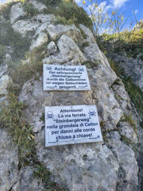
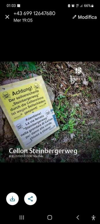
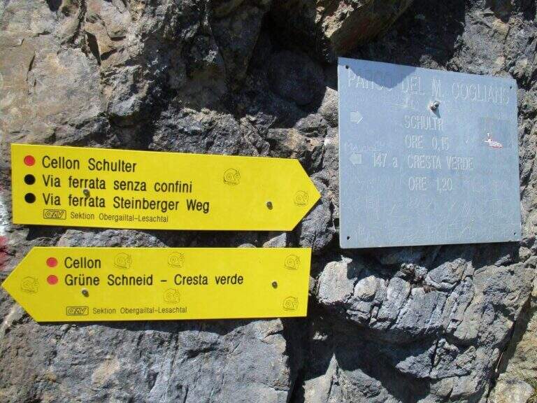
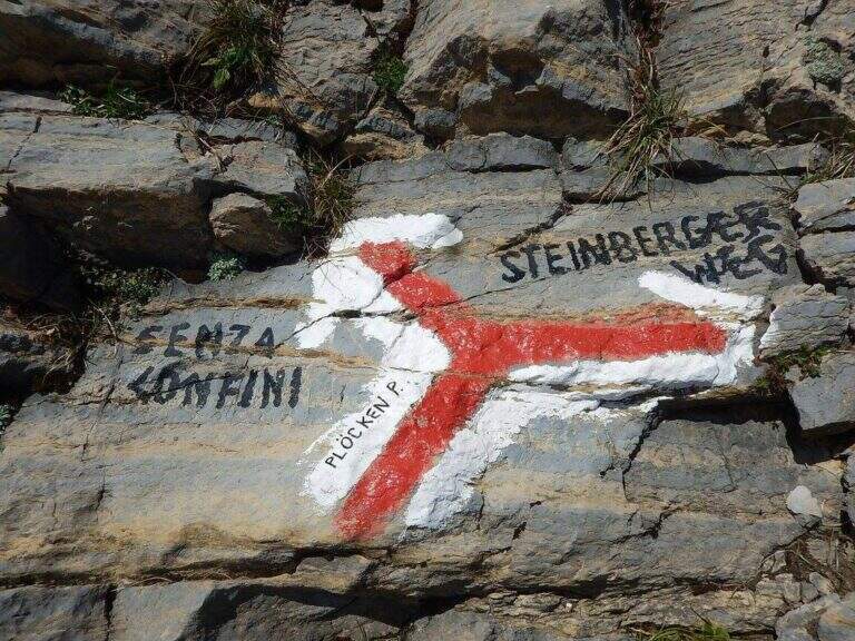
Along this line there are other routes equipped, generally more difficult and athletic: in increasing order of commitment, relatively close, the Ferrata Steinbergerweg at Cellon, la Ferrata al Coglians e la Ferrata Senza Confini.
- DifficultyEasy
- RegionFriuli-Venezia Giulia
- GroupAlps Carnia
- Approach4:00 h
- Ferrata0:30 h
- Itinerary (a/r)6:15 h
- Hardware level difference150 m
- Route difference678 m
- Max2199 m
- Length13 Km