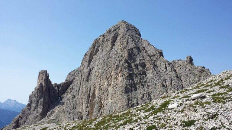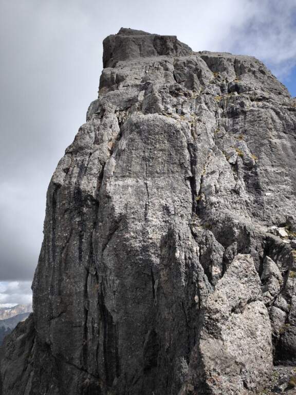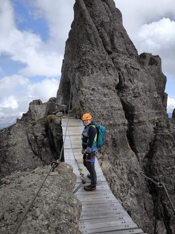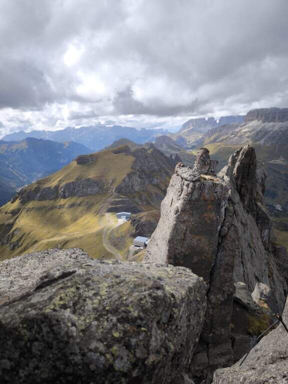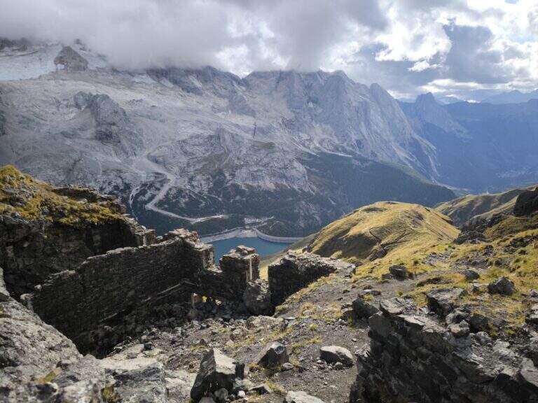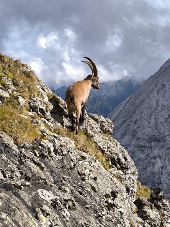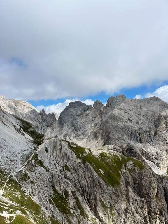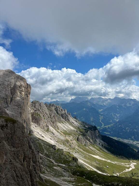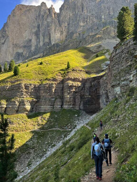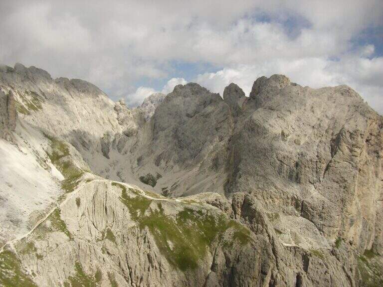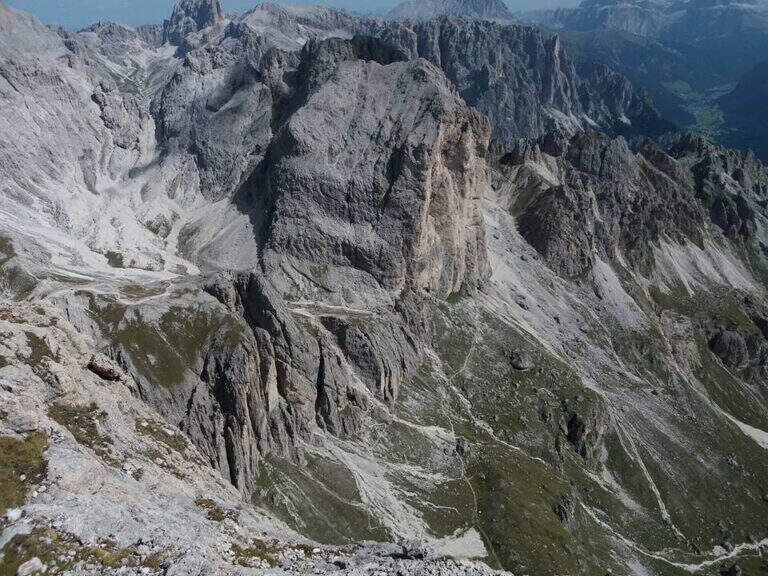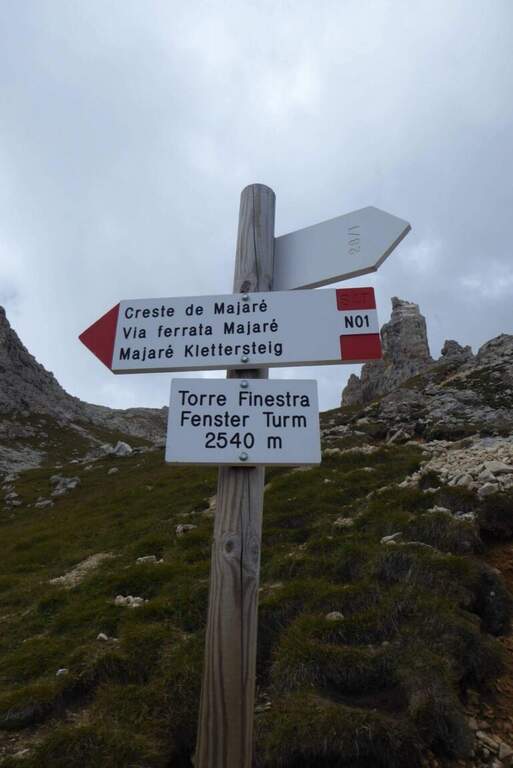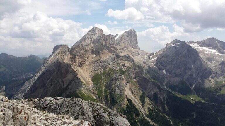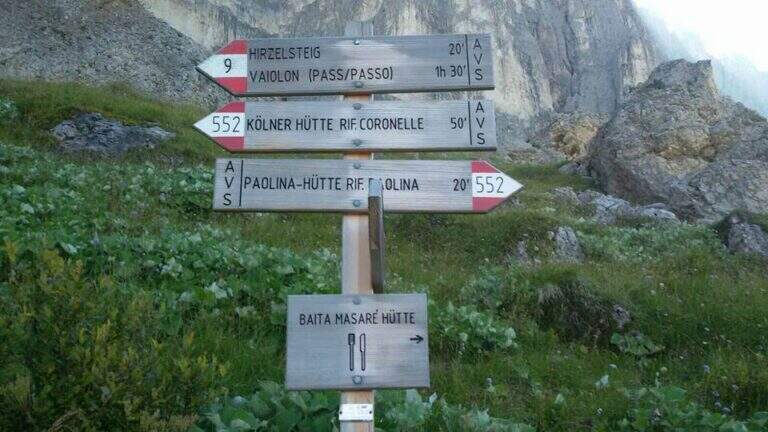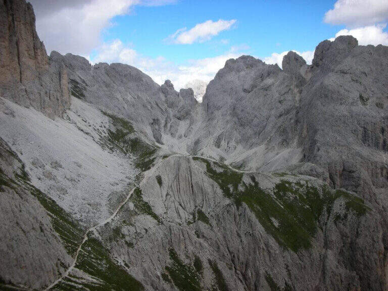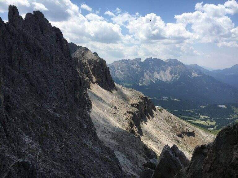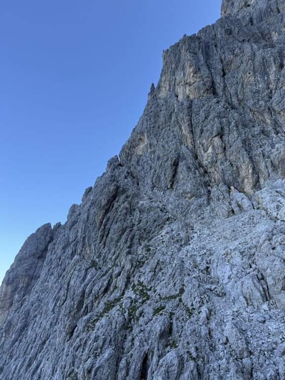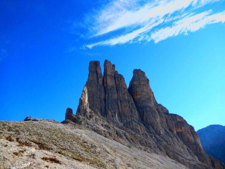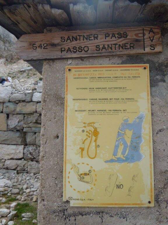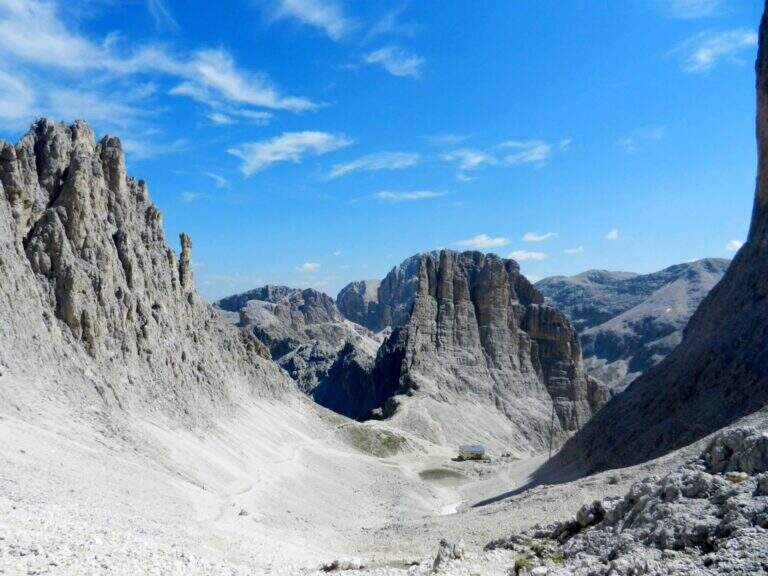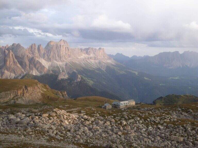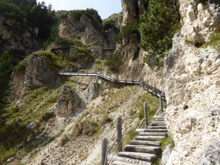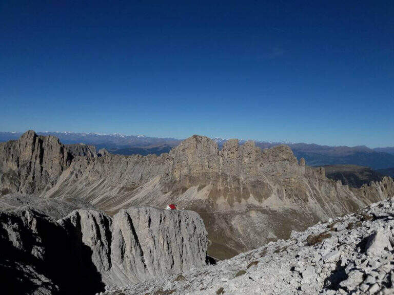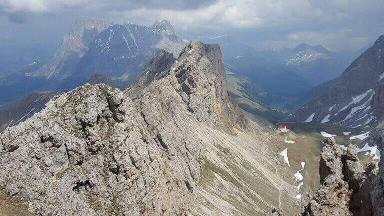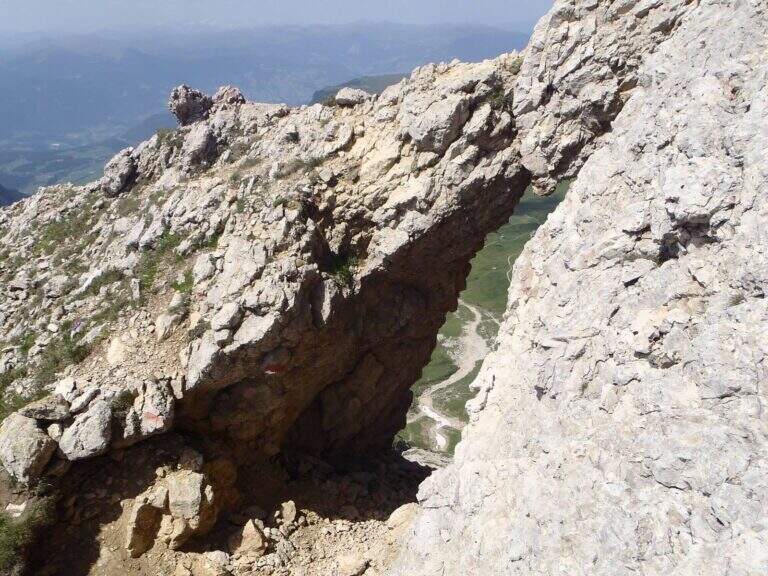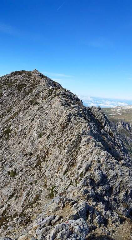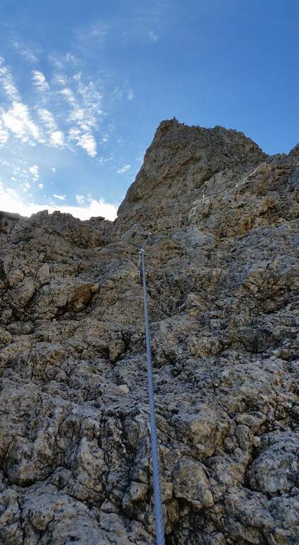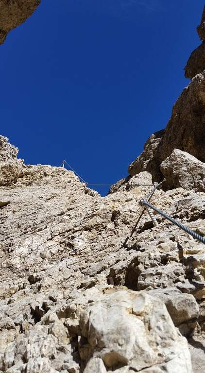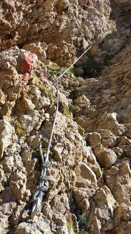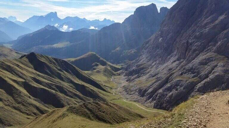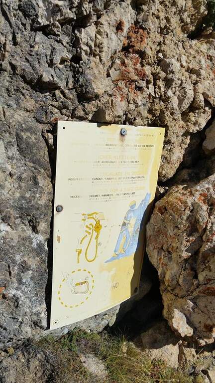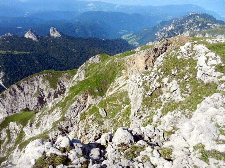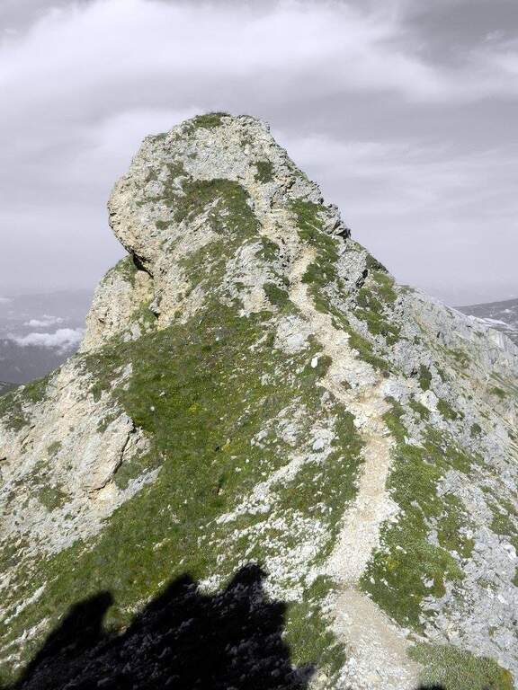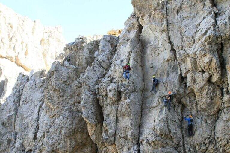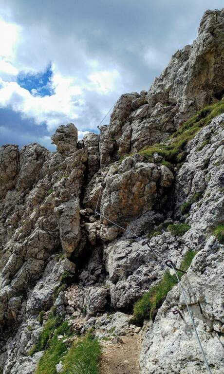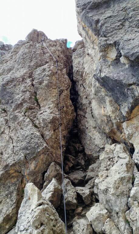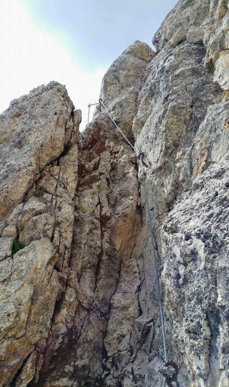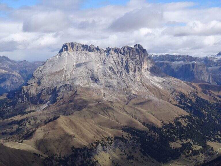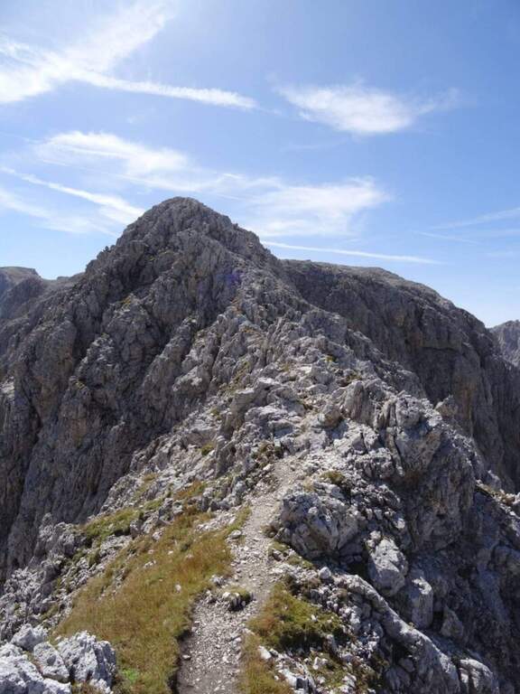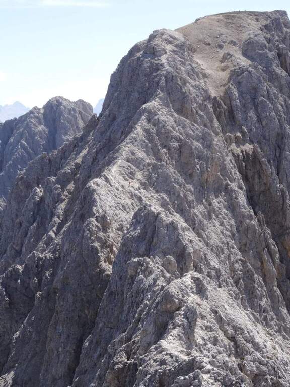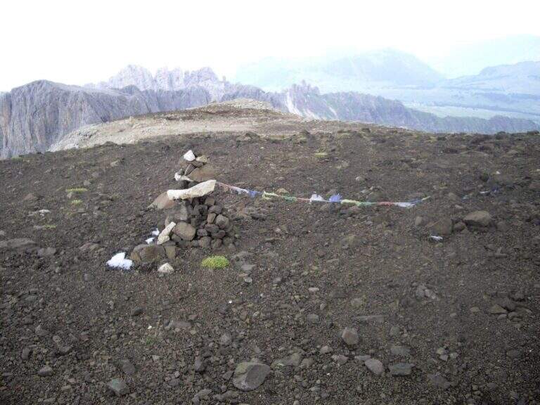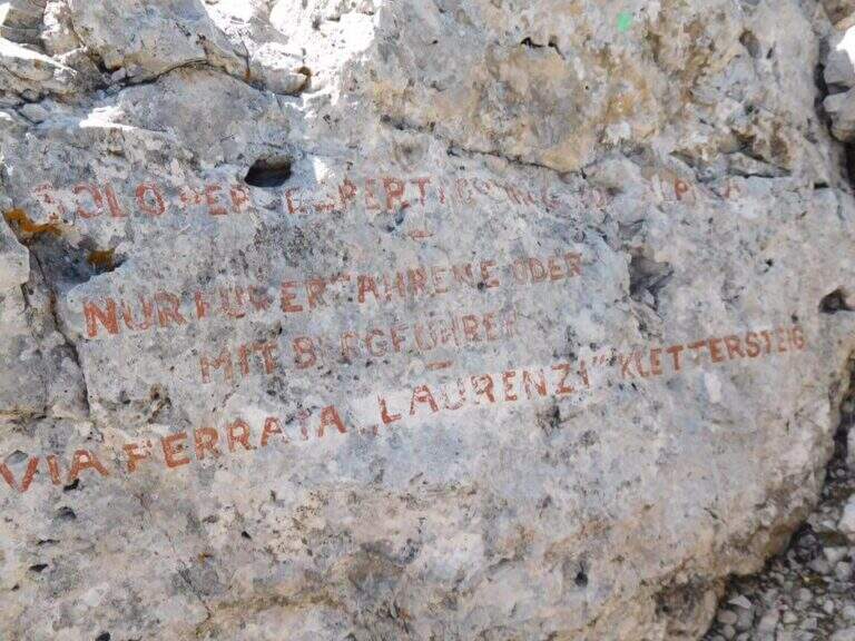
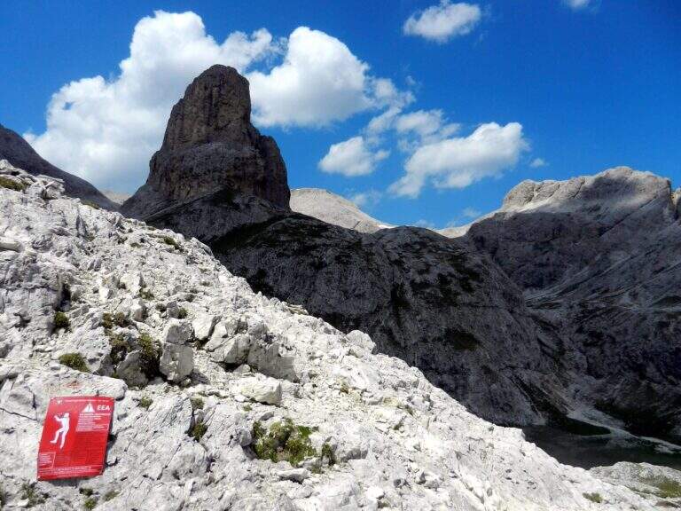
The Sentiero Attrezzato delle Scalette is the most direct route from Rifugio Gardeccia to the austere valleys of Larsec and Laussa, in the heart of Catinaccio. The itinerary does not have particular technical difficulties and can be routed also by those who are the first experiences on the equipped routes; however, great attention should be paid to the weather if you decide to continue in the two valleys at altitude.
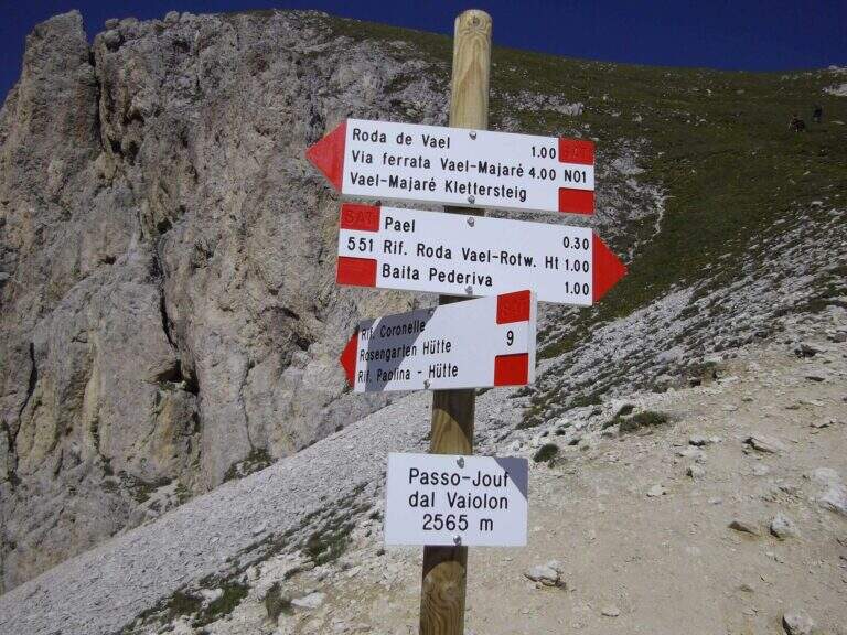
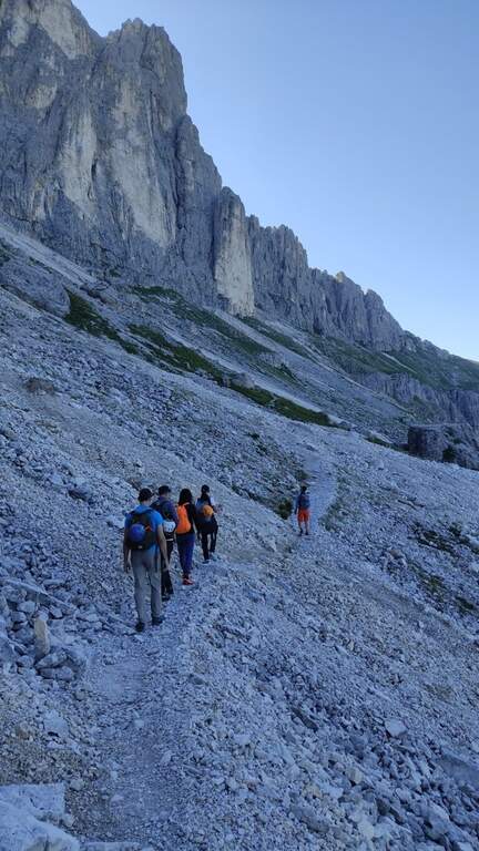
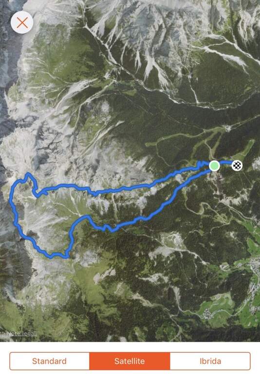
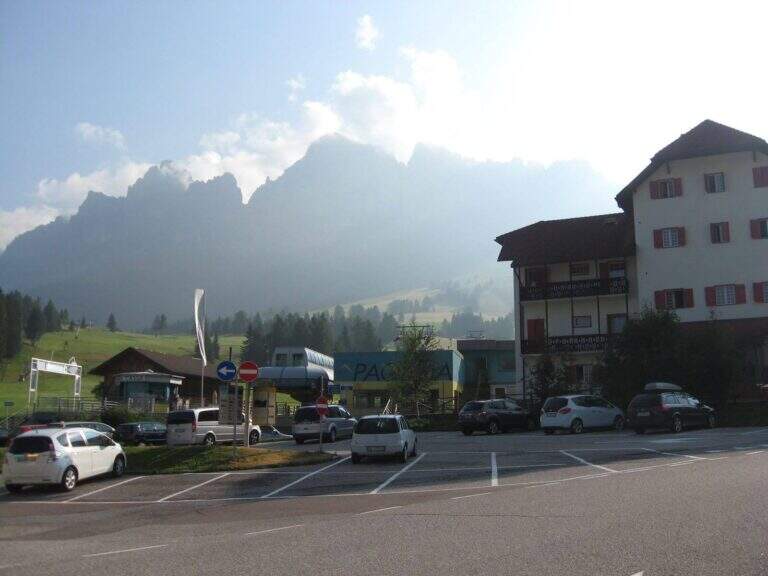
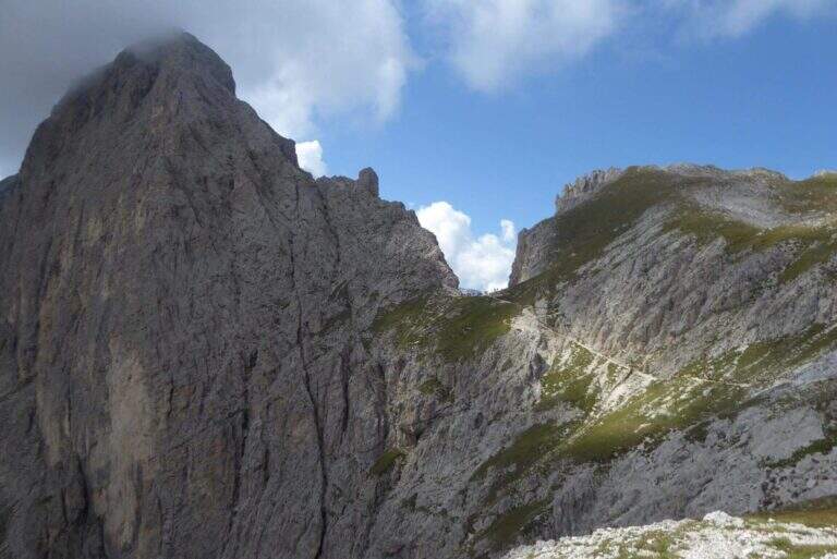
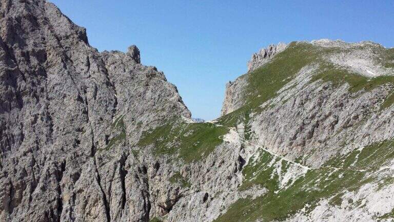
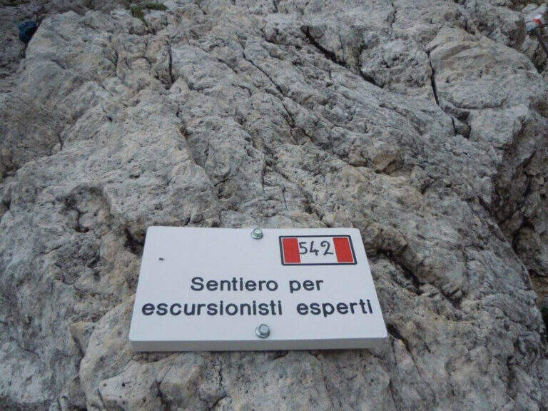
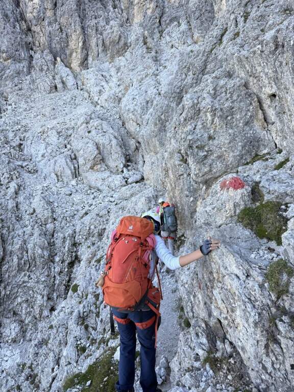
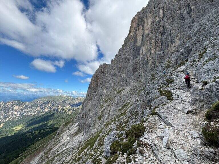
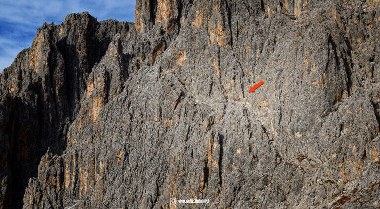
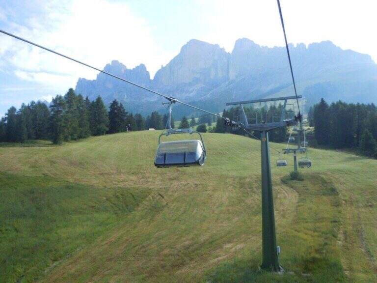
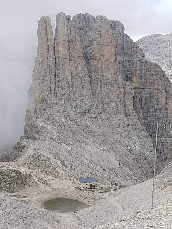
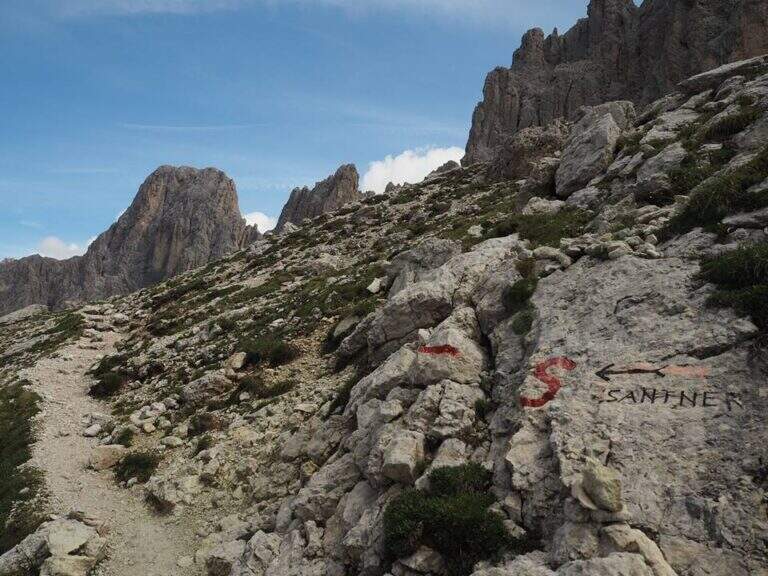
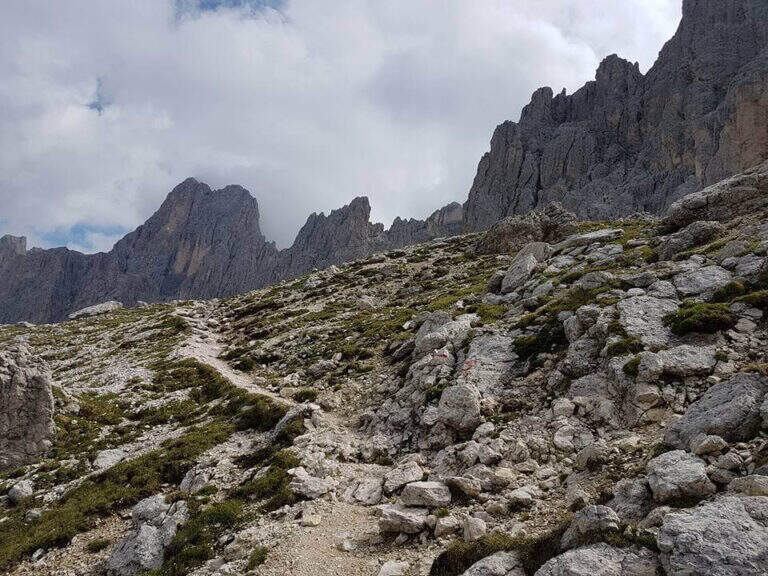
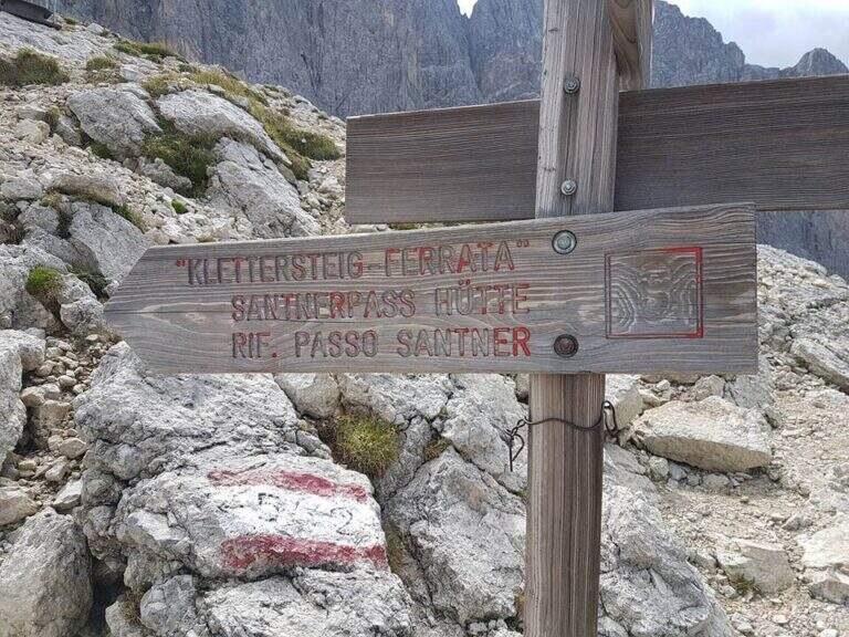
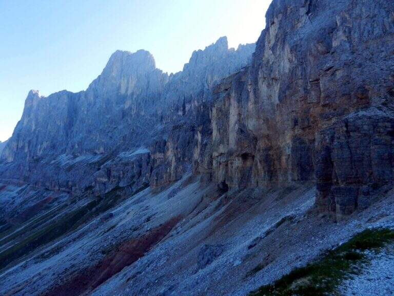
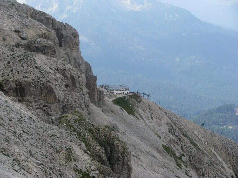
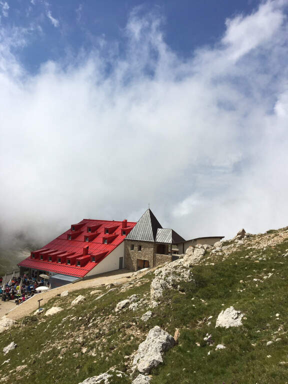
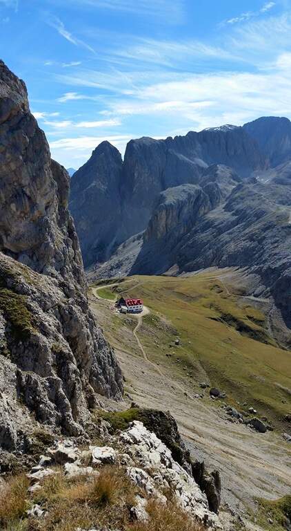
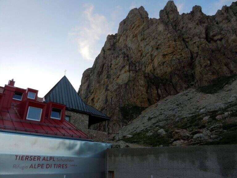
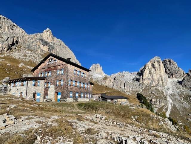
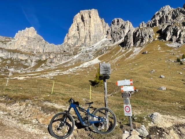
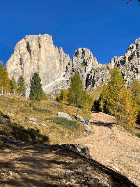
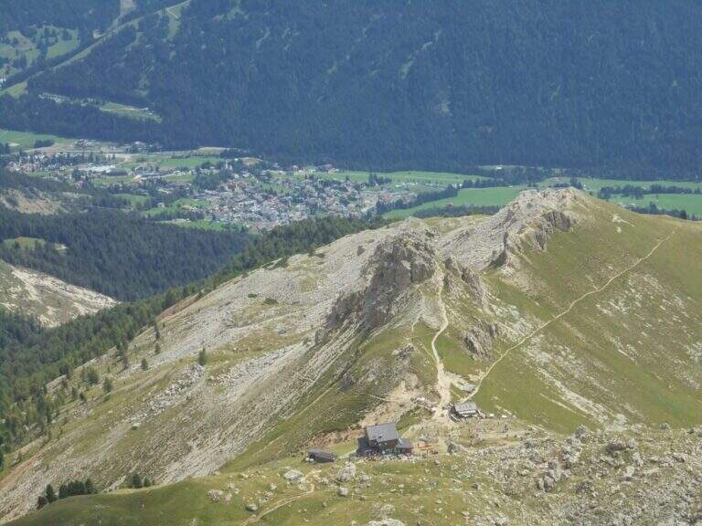
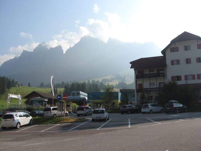
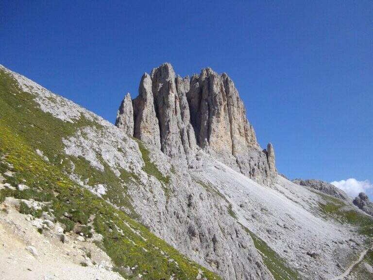
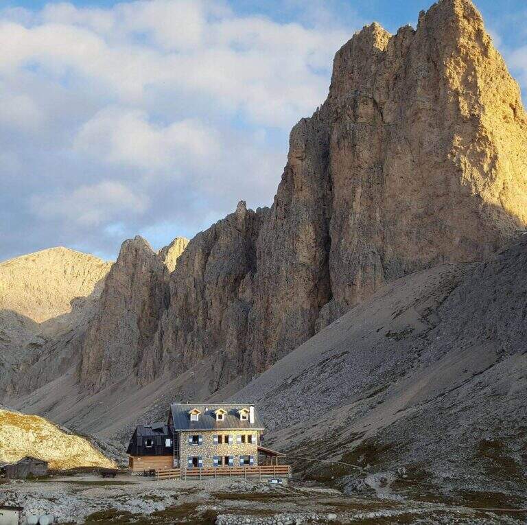
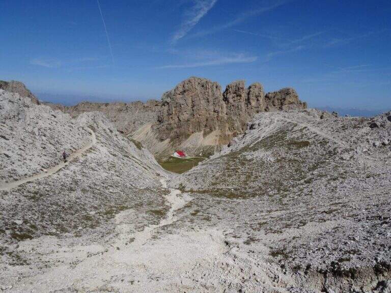
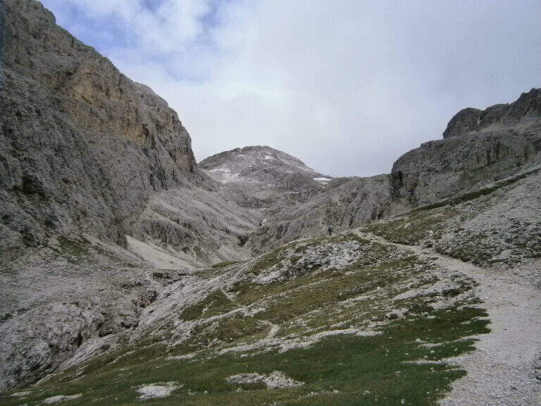
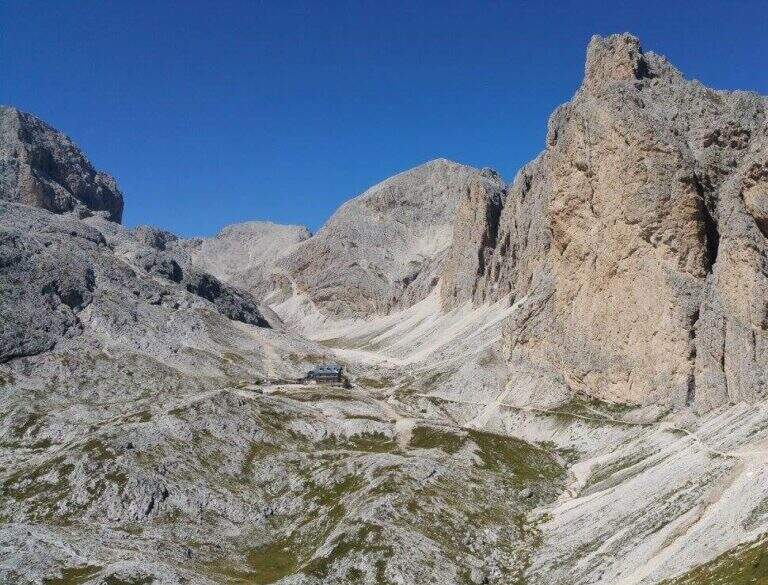
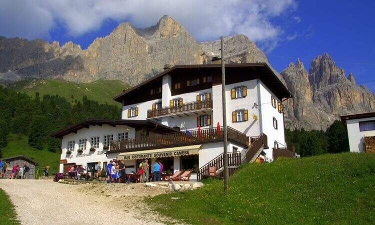
The starting point is the Rifugio Gardeccia, in the Val del Vajolet (parallela alla Val di Fassa, TN) and the private traffic. To reach it there are various options: go up with the cable car from Vigo di Fassa to the Ciampedie Refuge and continue on a comfortable path in about 45′; use the shuttle bus from Pozza di Fassa (20′, you should check point and times with the tourist office); or go up with the cable car from Pera di Fassa and reach the refuge on foot (open up Google Maps). From the Gardeccia Refuge (1949 m) follow the CAI 583 which, halfway, passes under the Larsec cliffs to the east, wanders the imposing rocky ramparts and continues to the north in more marked ascent; at a certain point a pole indicates to keep the left on a new track, which replaces an old street subject to a landslide (1h from the Gardeccia Refuge).
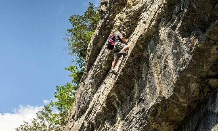
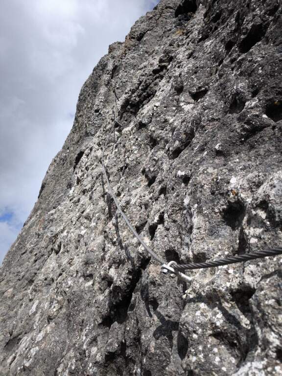
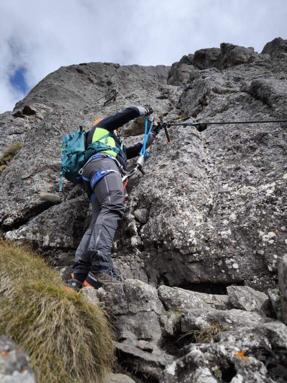
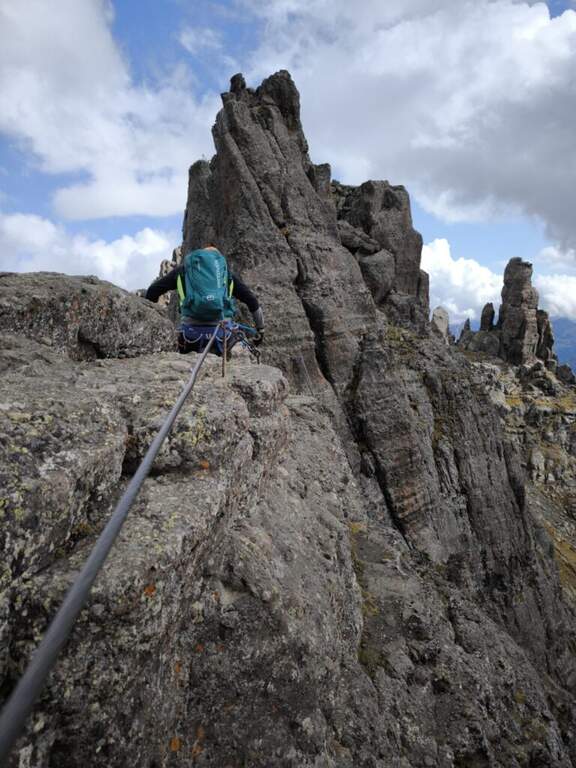
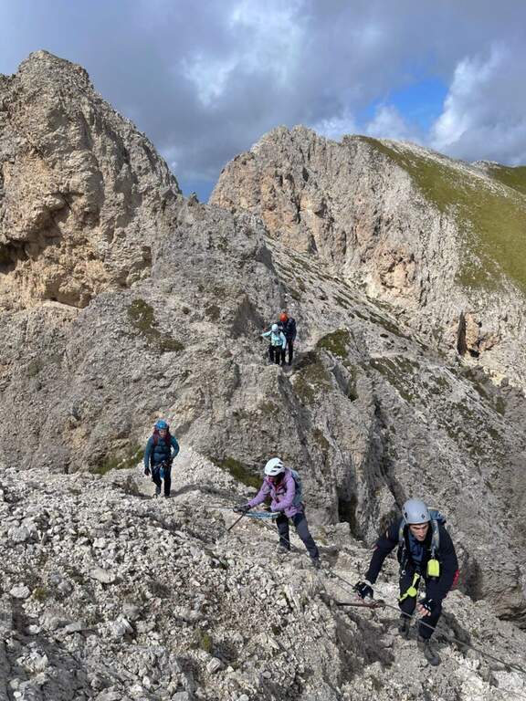
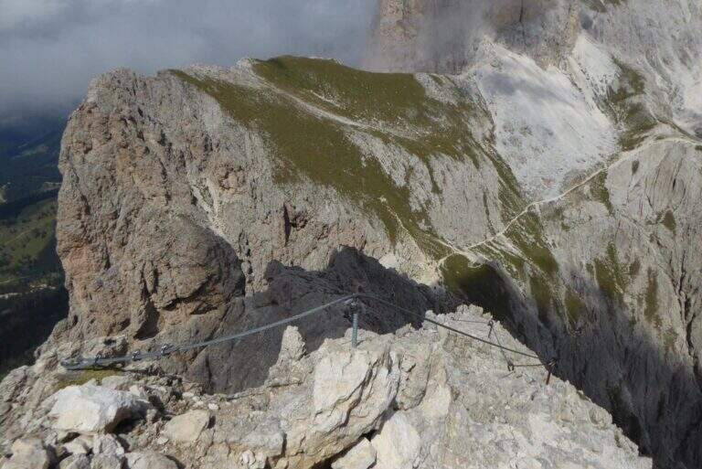
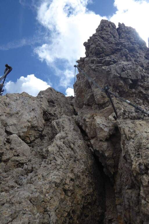
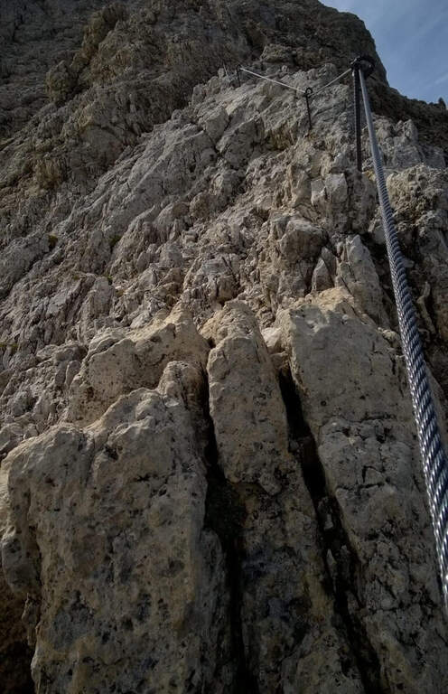
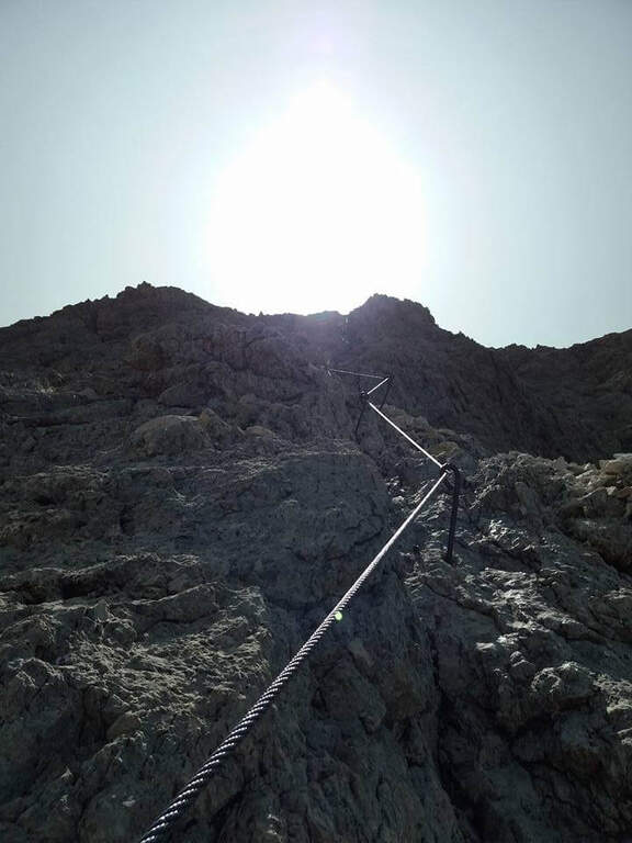
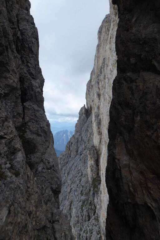
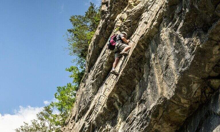
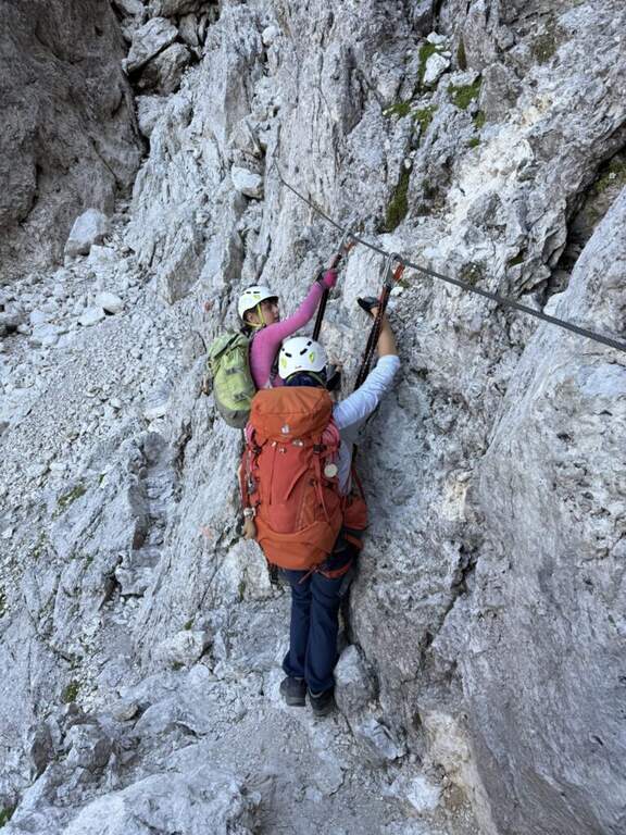
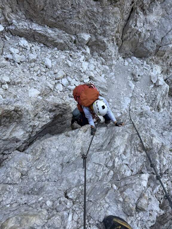
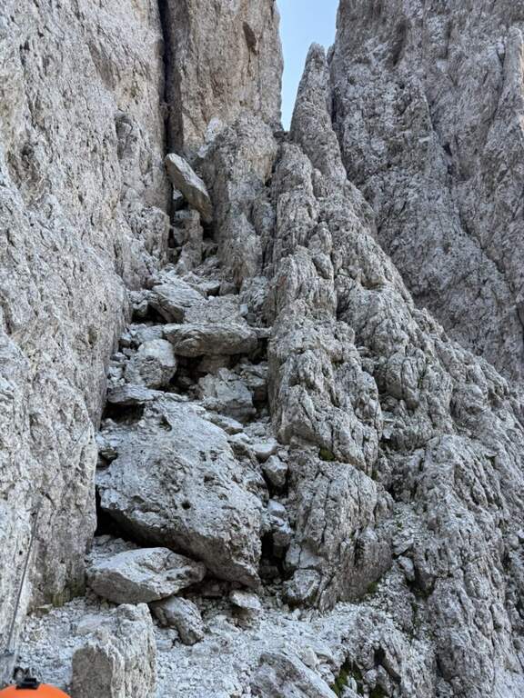
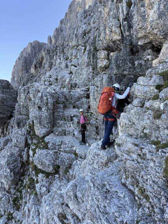
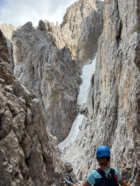
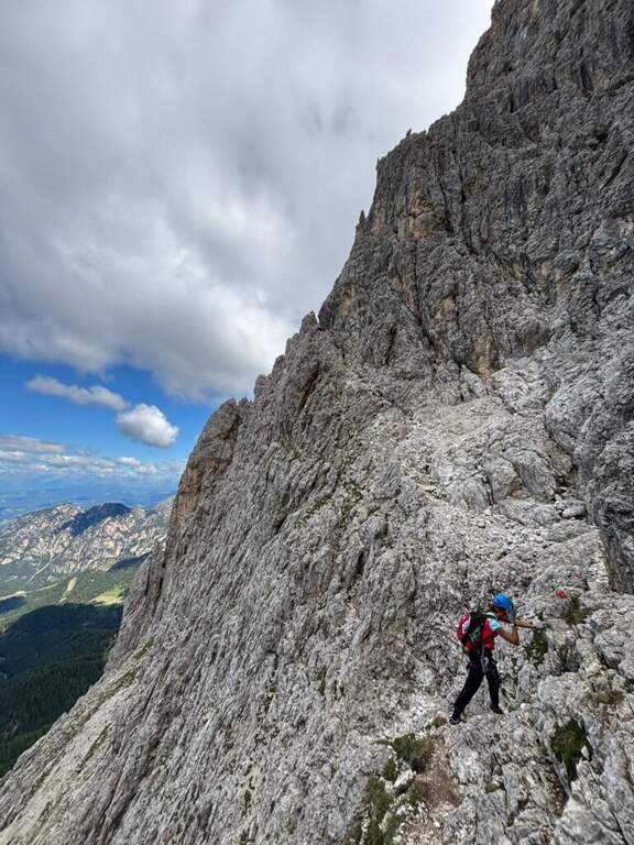
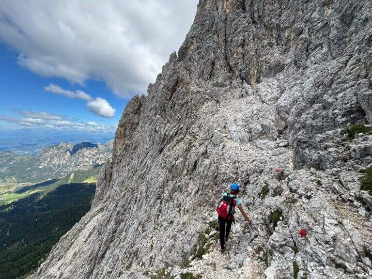
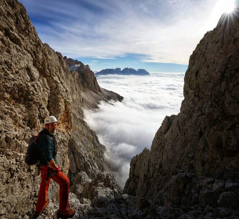
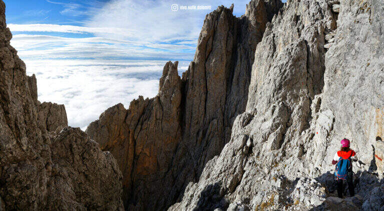
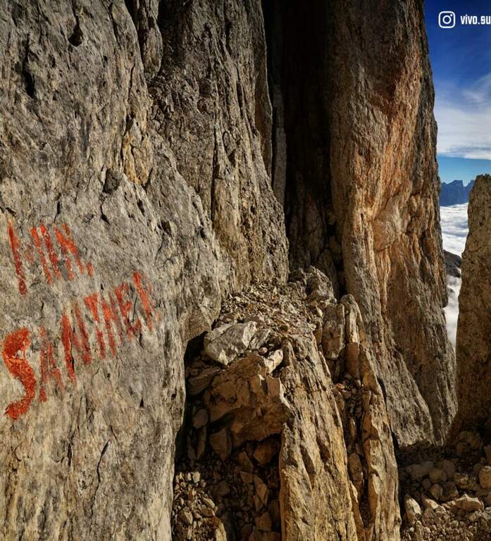
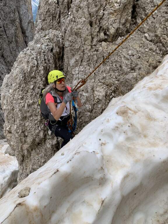
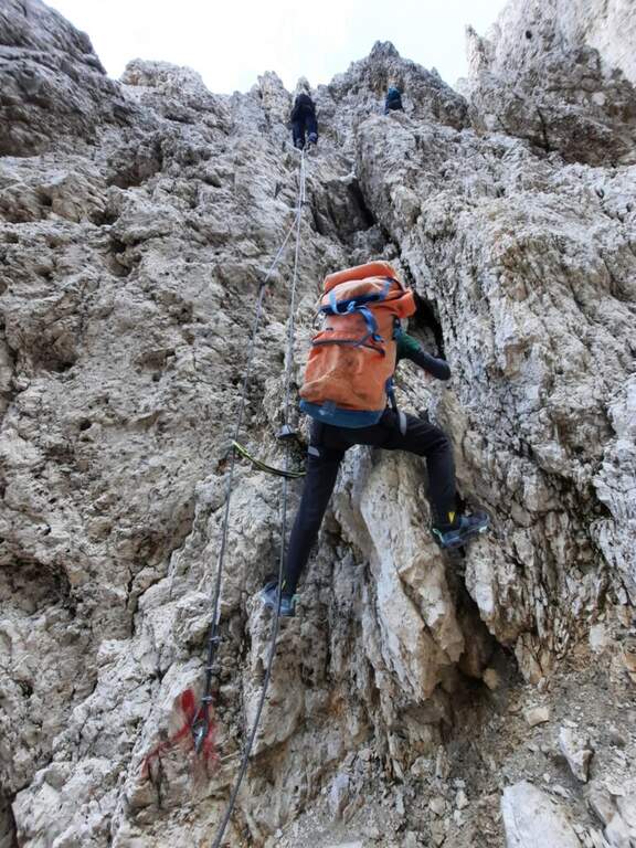
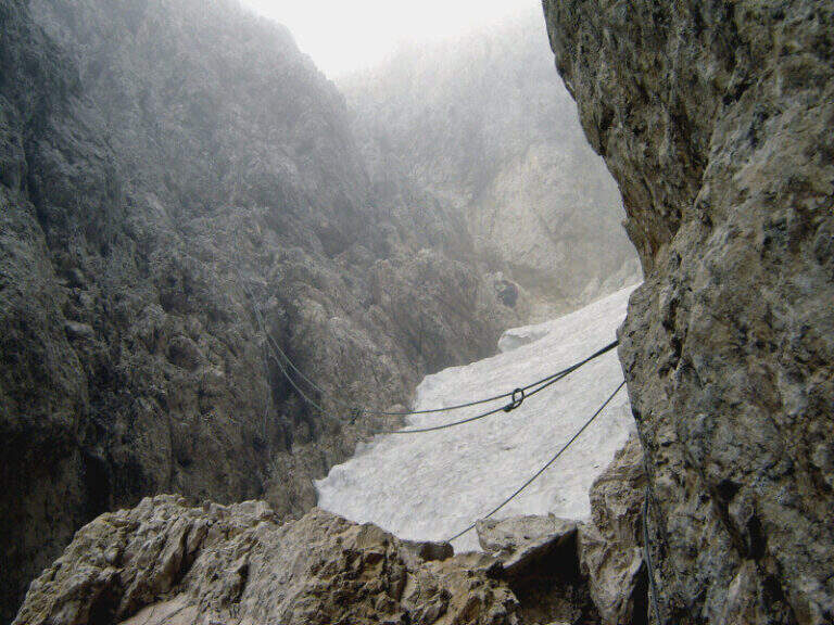
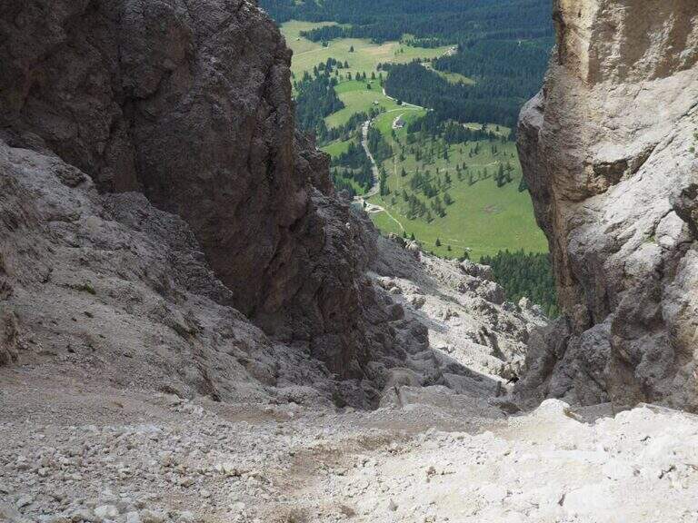
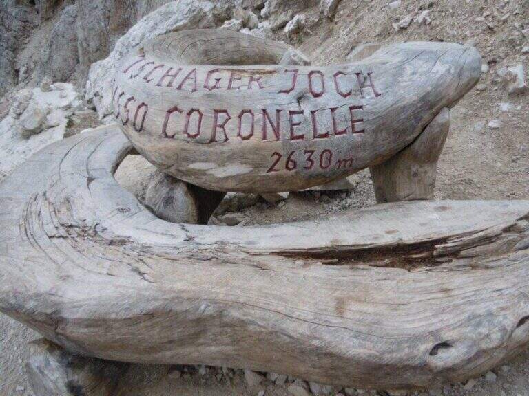
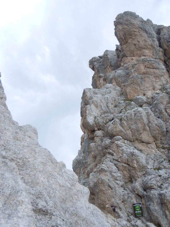
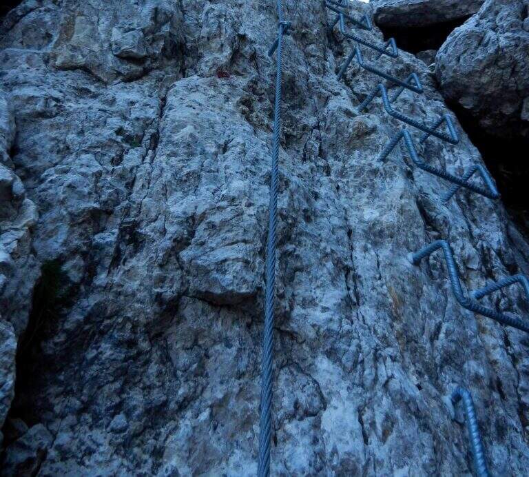
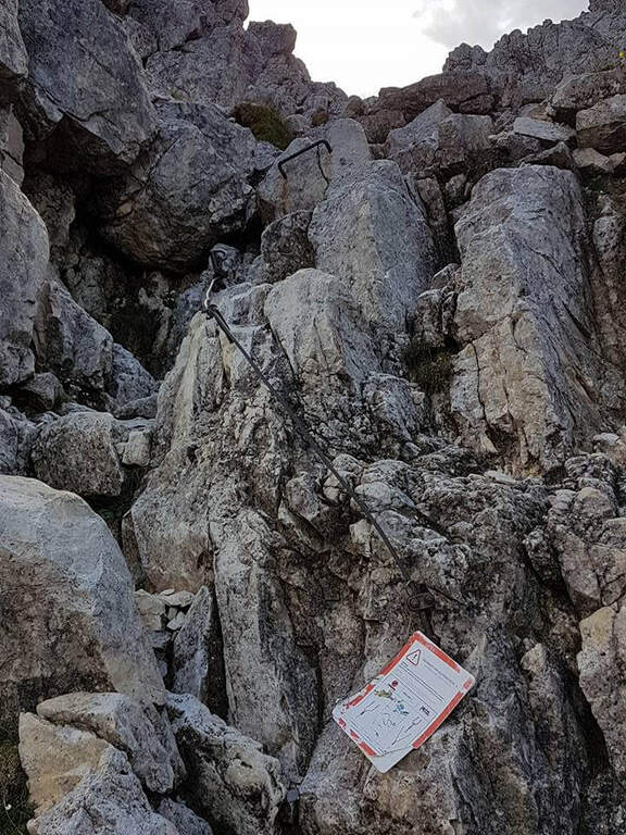
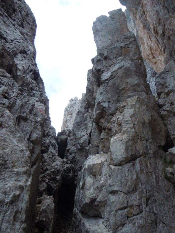
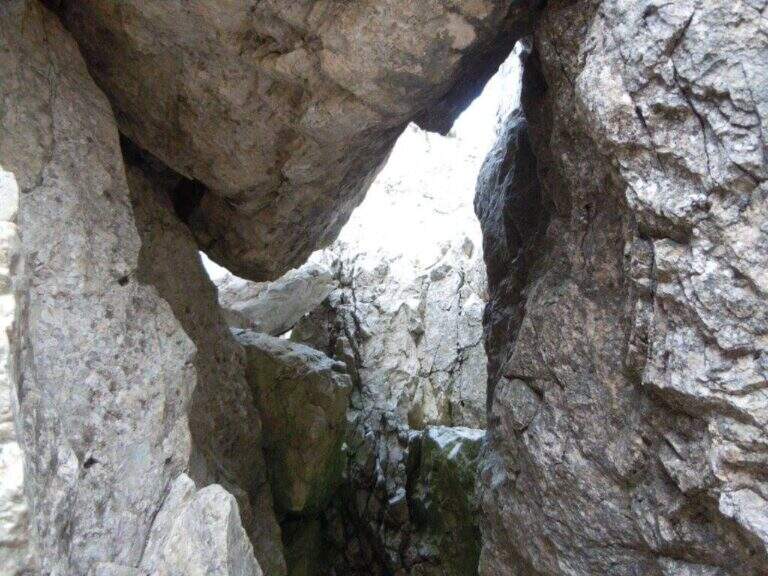
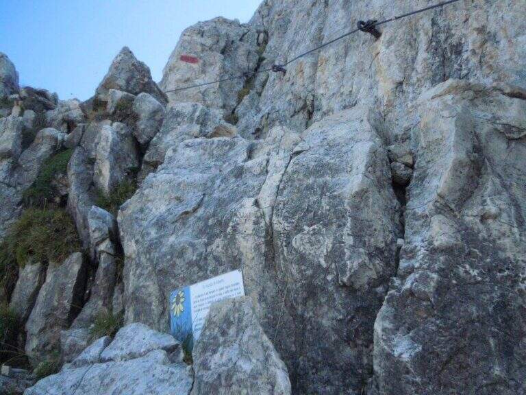
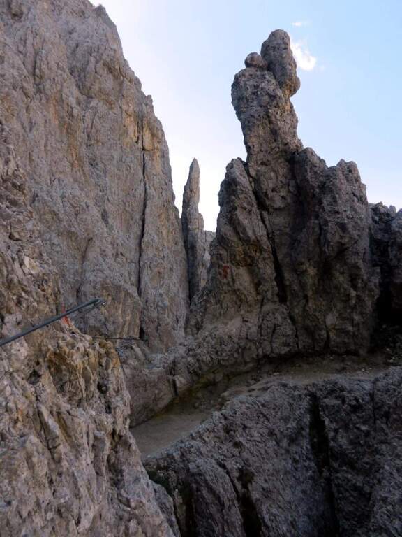
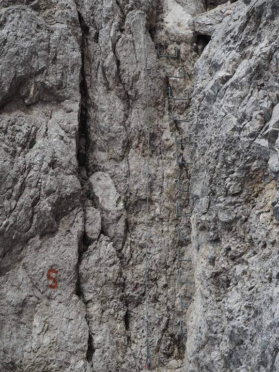
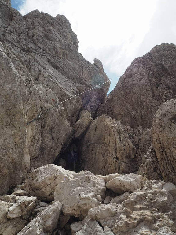
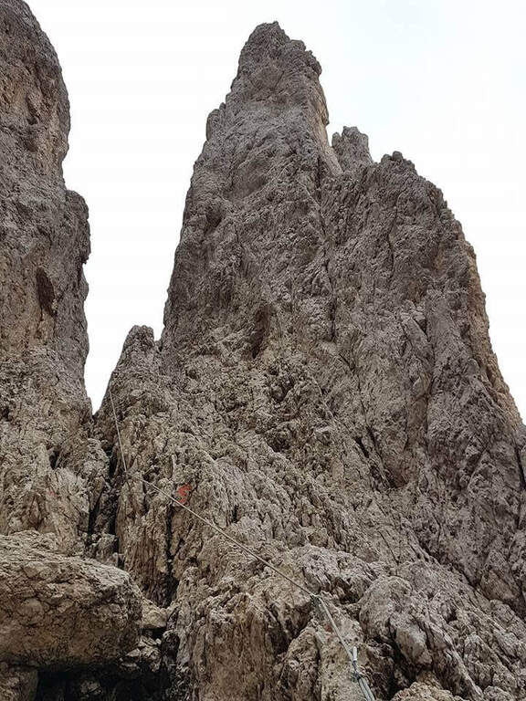
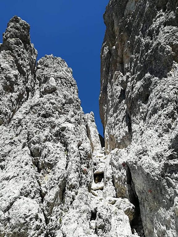
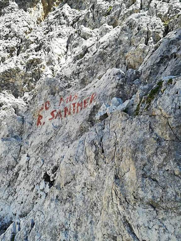
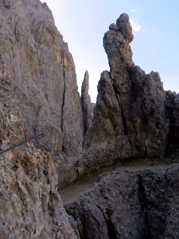
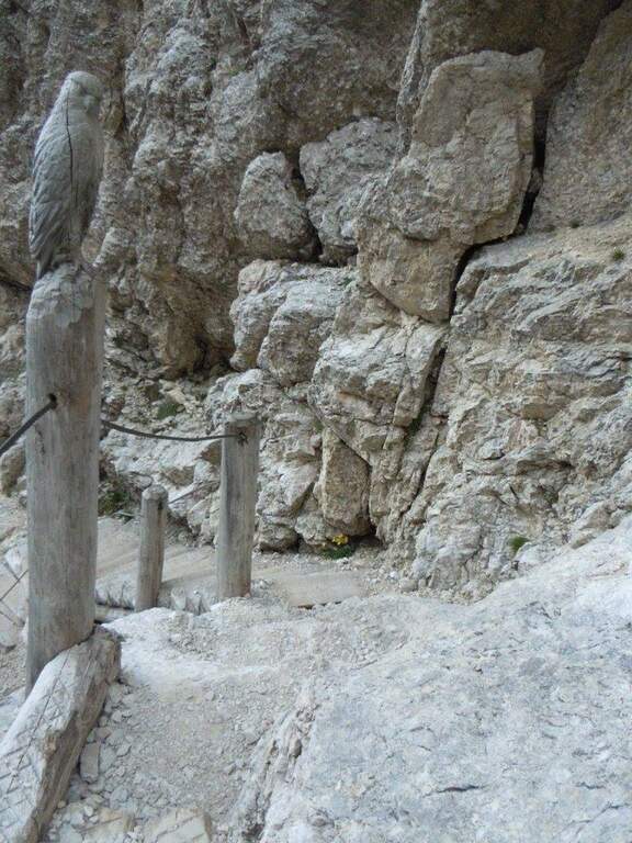
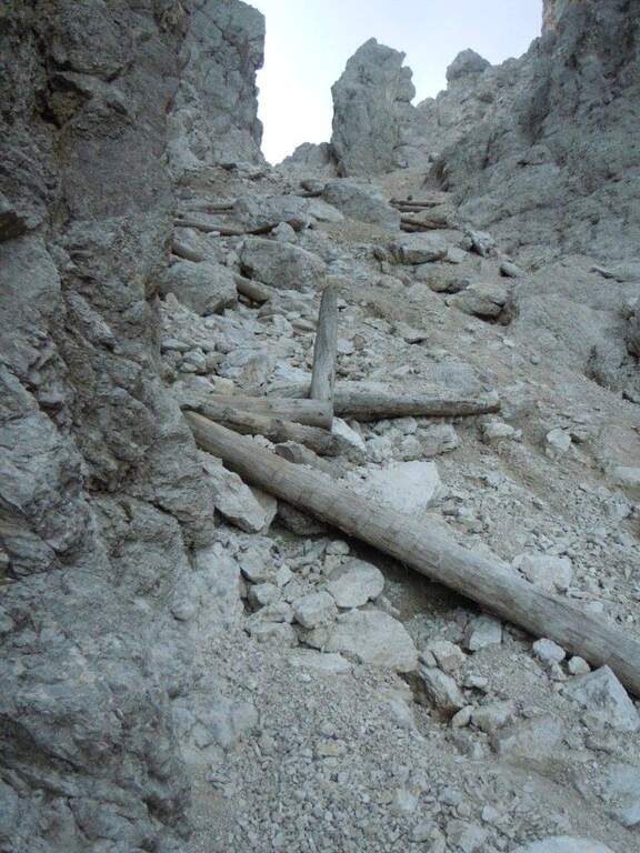
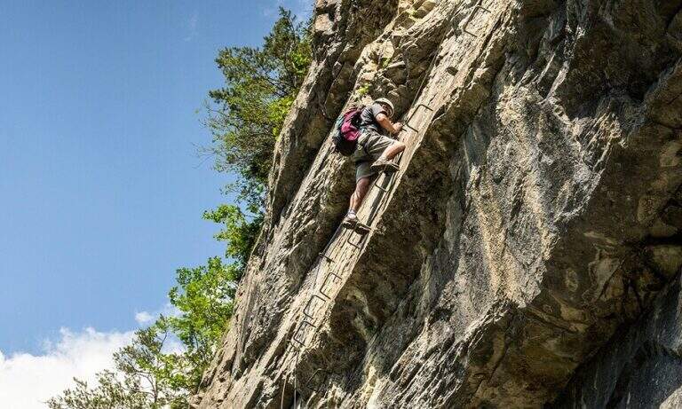
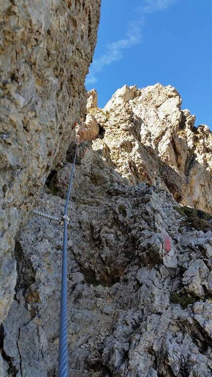
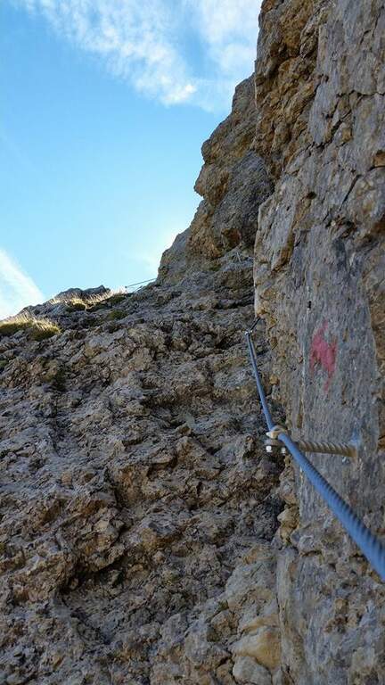
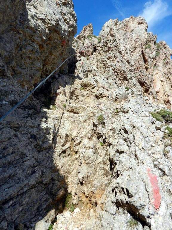
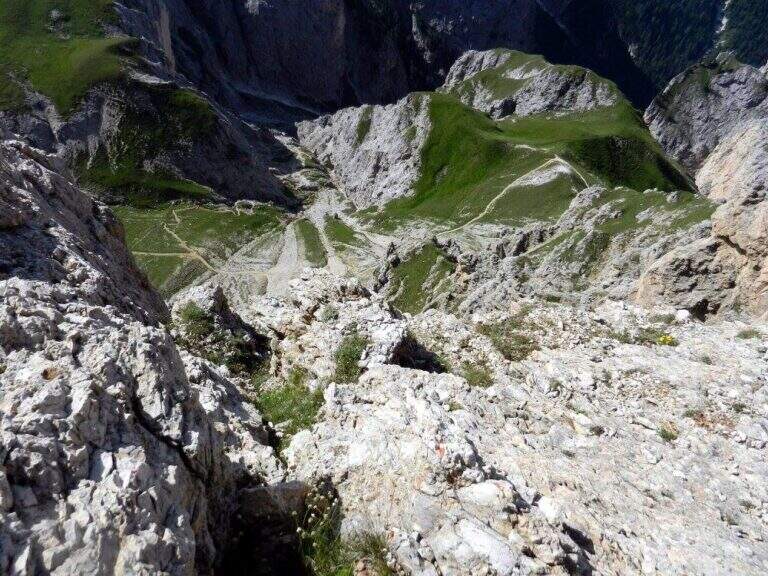
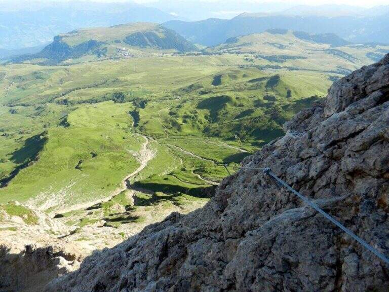
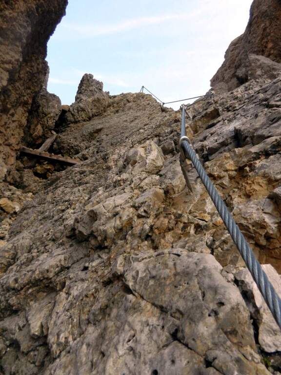
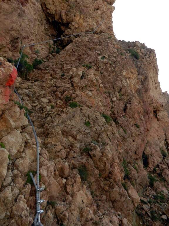
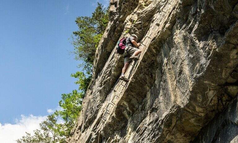
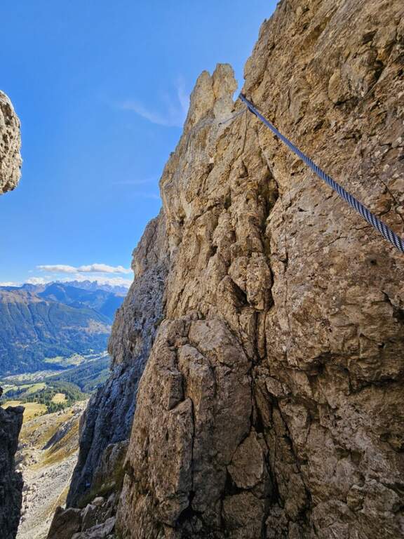
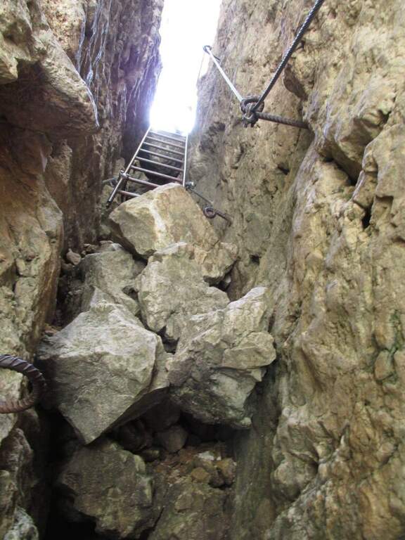
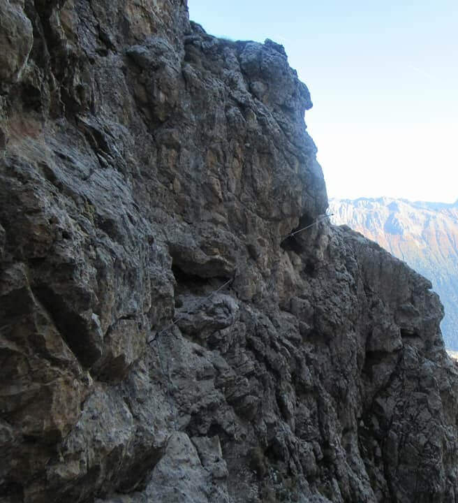
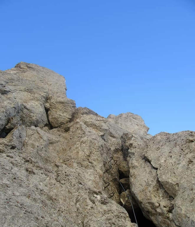
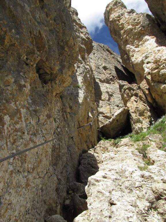
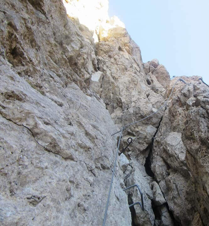
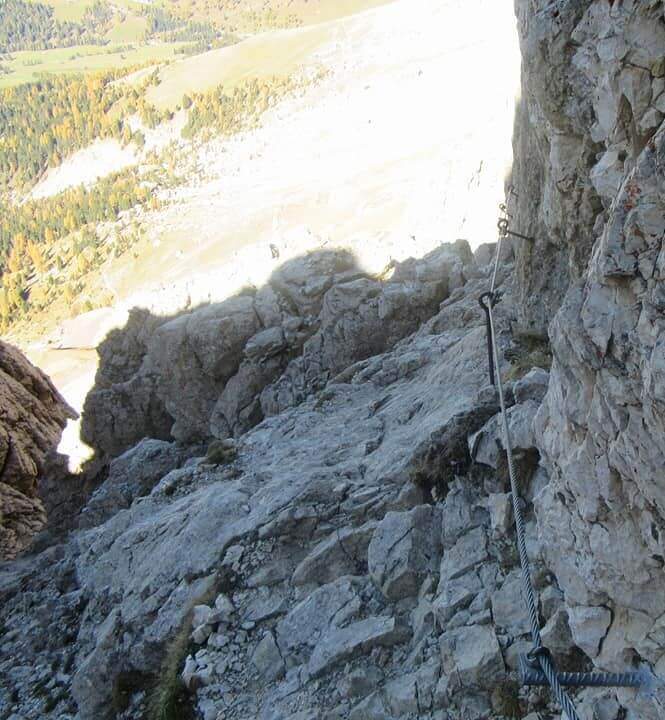
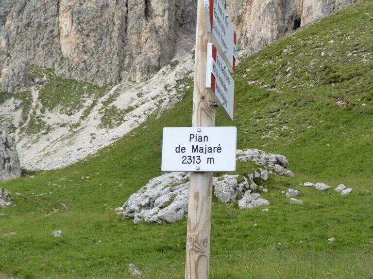
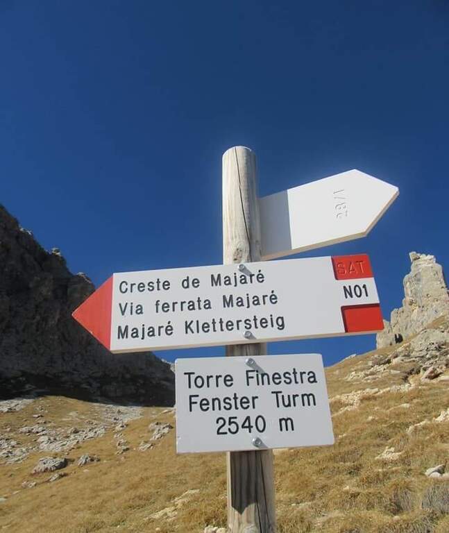
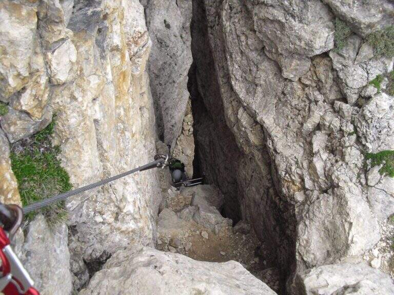
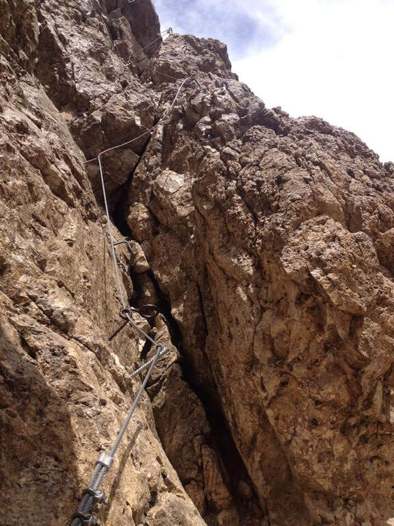
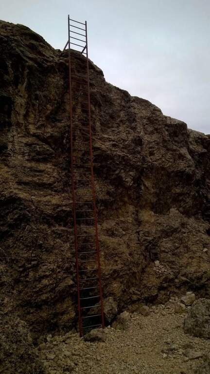
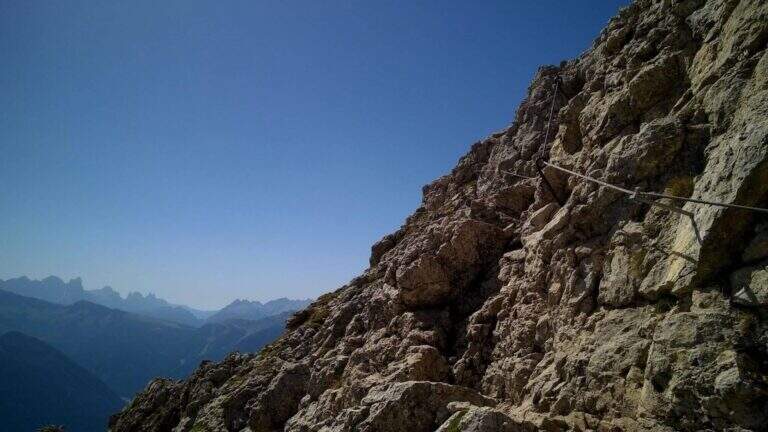
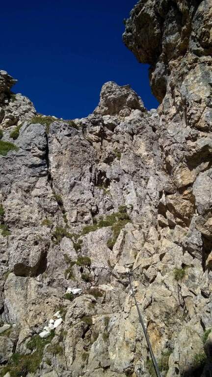
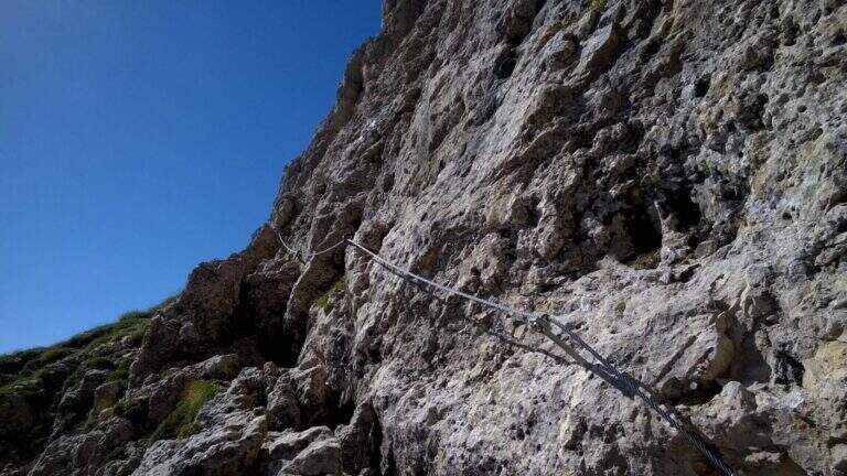
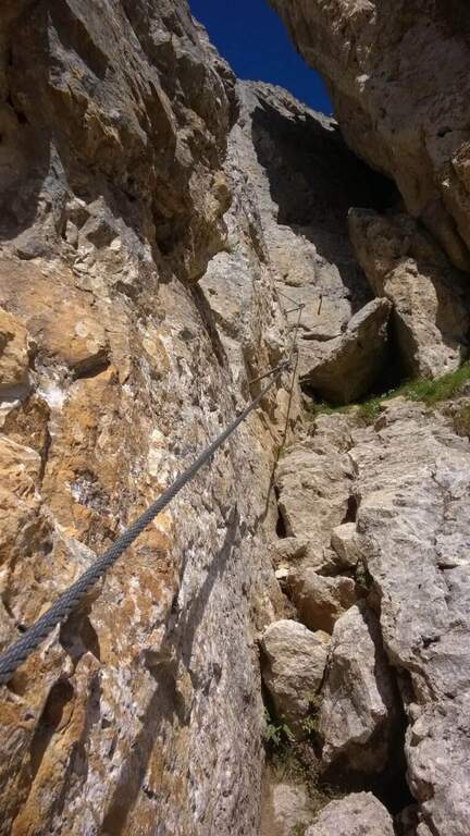
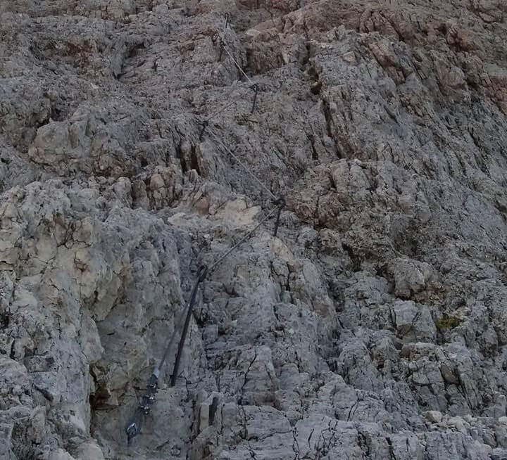
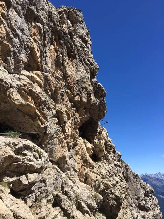
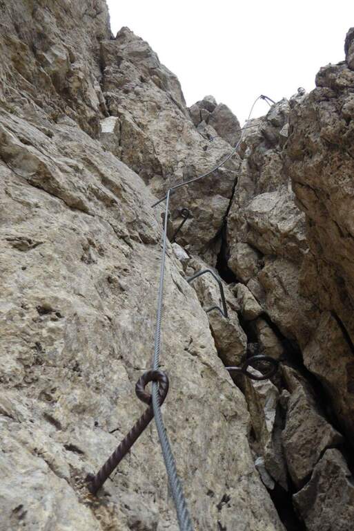
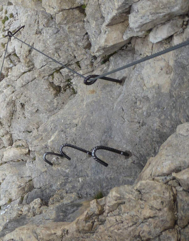
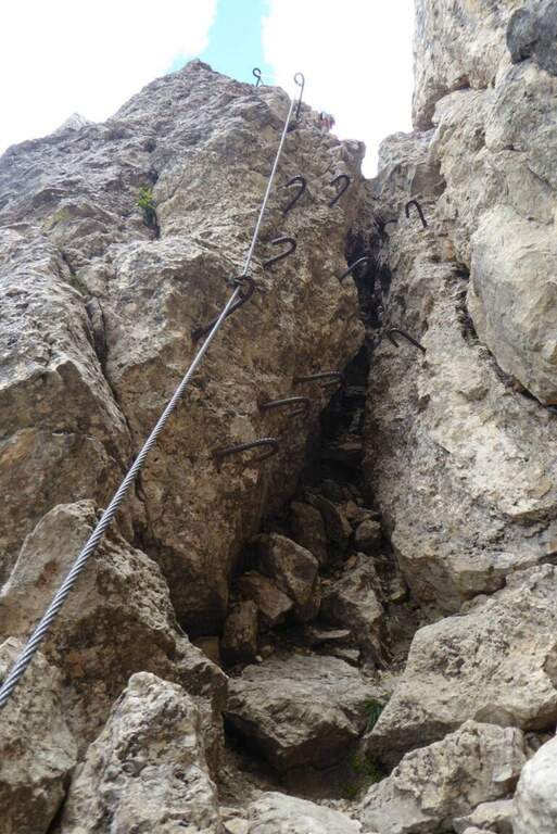
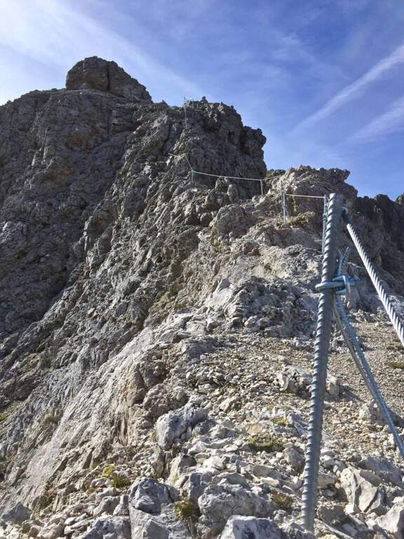
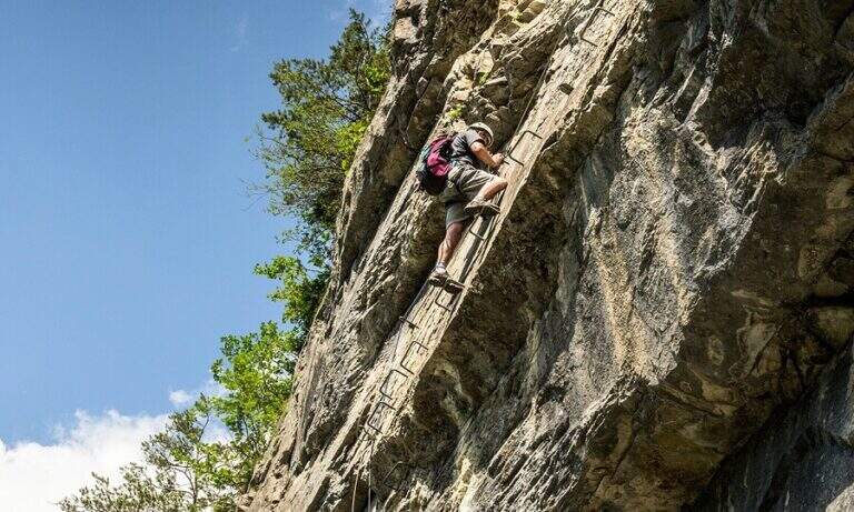
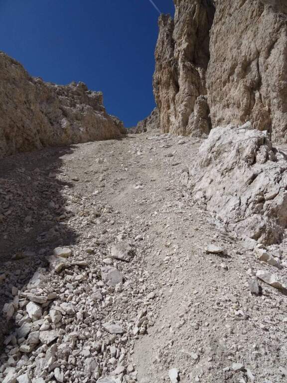
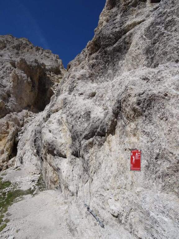
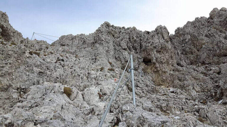
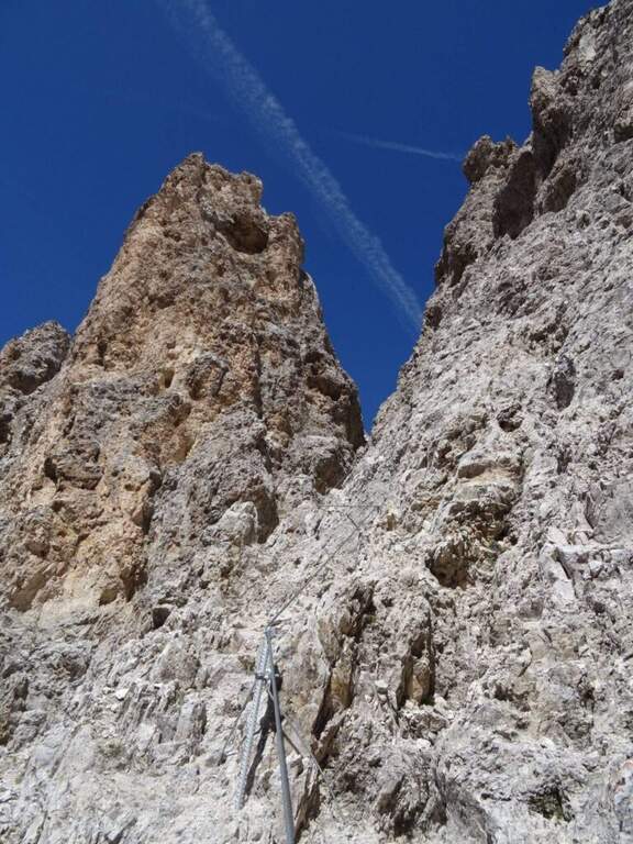
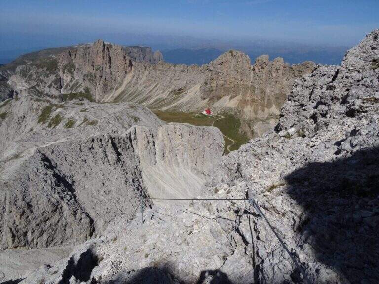
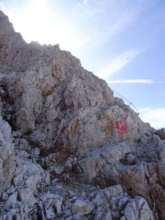
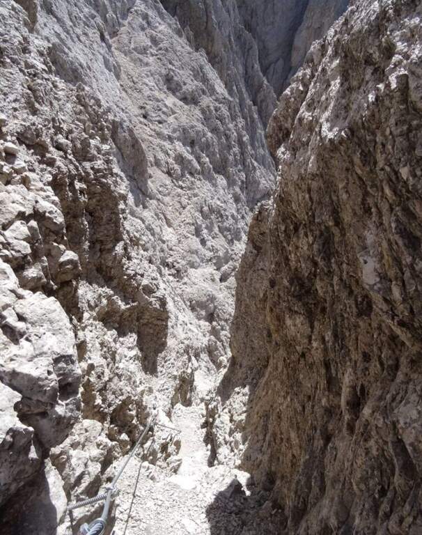
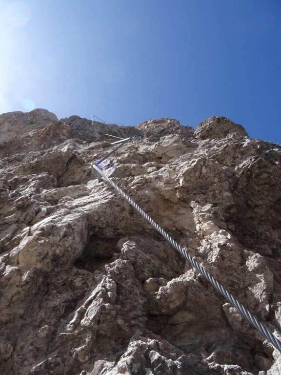
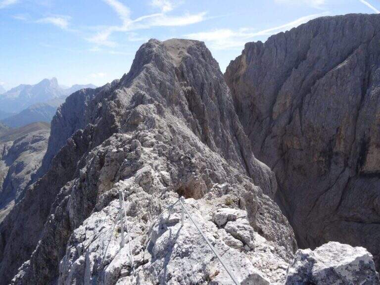
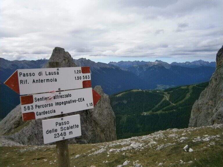
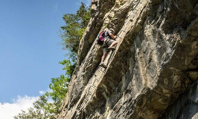
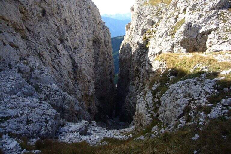
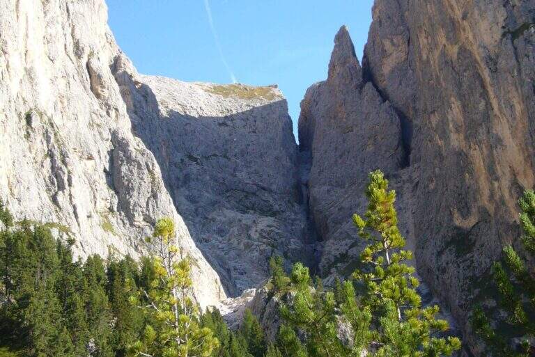
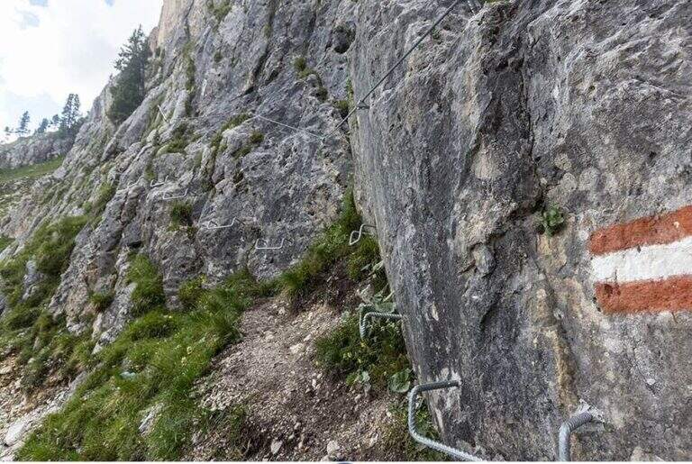
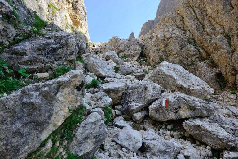
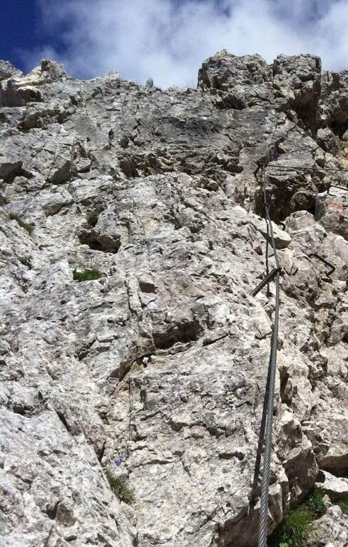
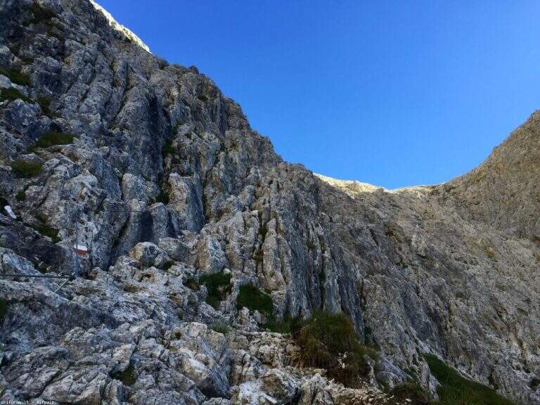
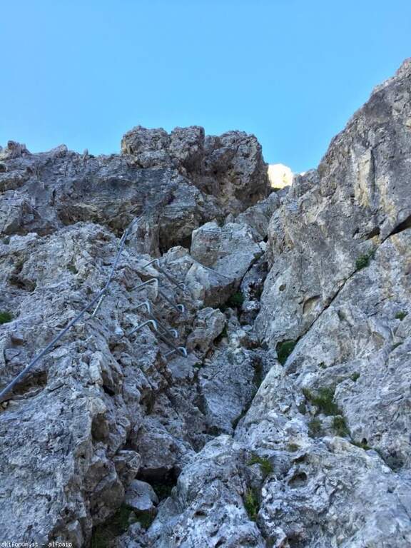
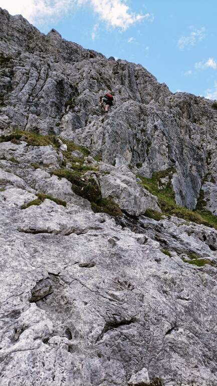
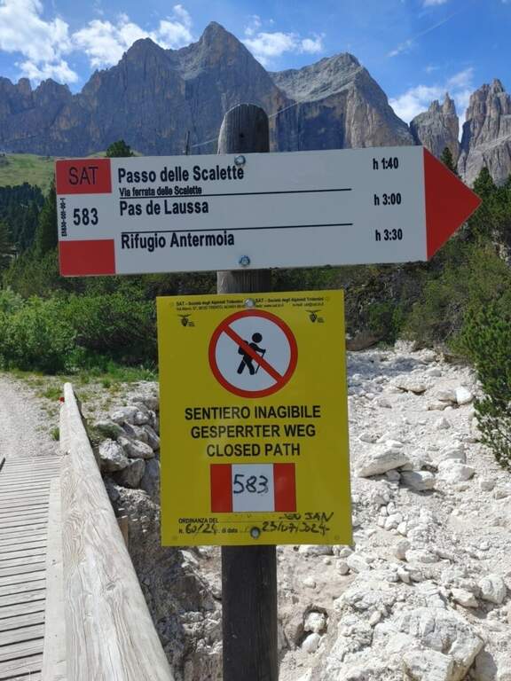
From here onwards you will walk through the actual Sentiero delle Scalette, which is inerpica in a canalone at the end of which you will reach the Passo delle Scalette. The first stretches are on an exposed nod, besides which a series of metal brackets allows to trace a traverse; it follows a stretch of erto path without equipment up to a second stretch equipped, consisting of small rocks that rise on the left side of the canalone. We pass a short vertical leap, where some new metal cambres give support, and we go up a further stretch of steep path to the Passo delle Scalette (2348 m, 1h from the attack, 2h from the Rifugio Gardeccia).
The path does not have particular technical difficulties; the main commitment is the difference in level, which requires a good state of form. It deserves a note apart from the possible continuation in the debris valleys of Larsec or Laussa.
High mountain summer itinerary (max. 2720 m on the longest ring). Technical difficulties are contained, but high altitude development and environment require good physical preparation and attention to weather conditions.
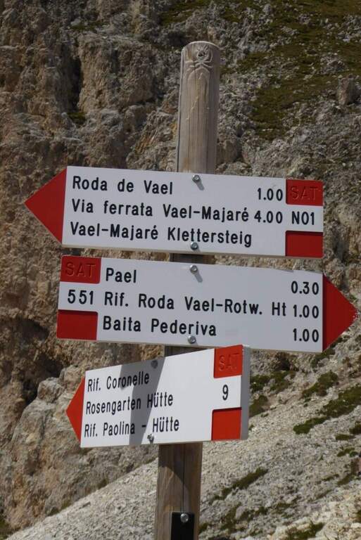
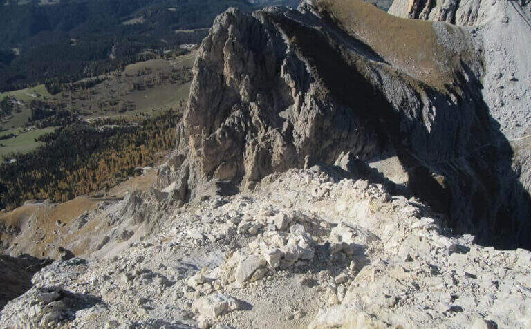
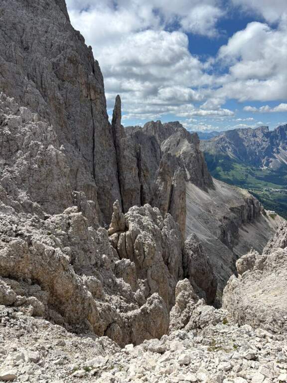
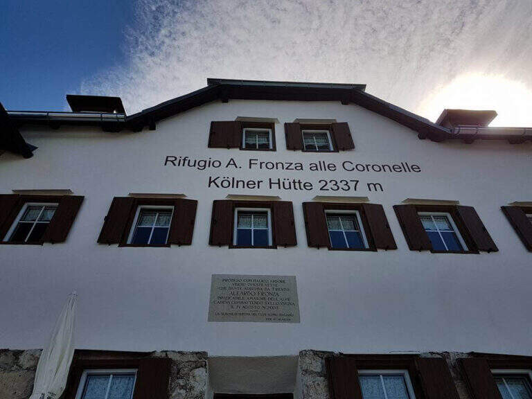
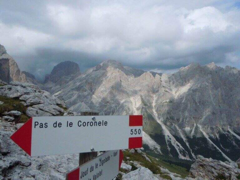
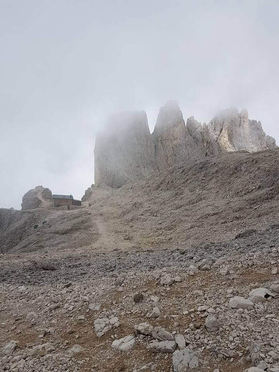
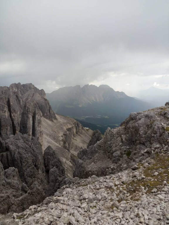
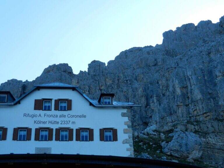
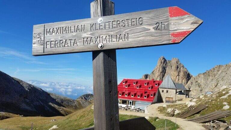
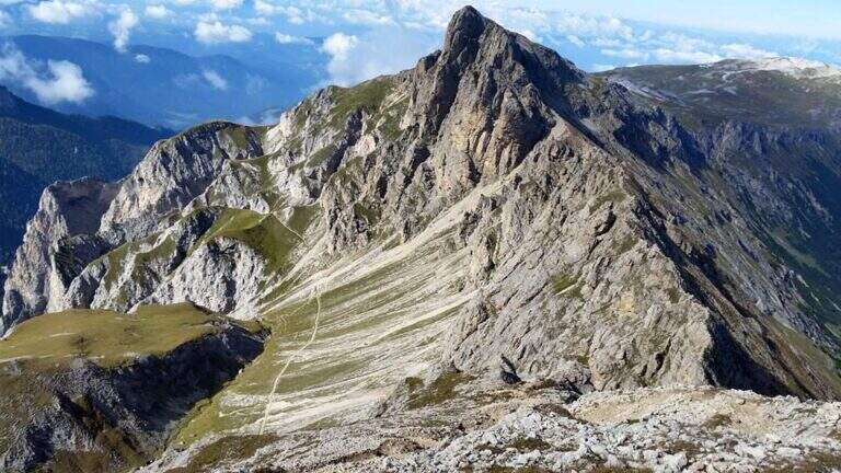
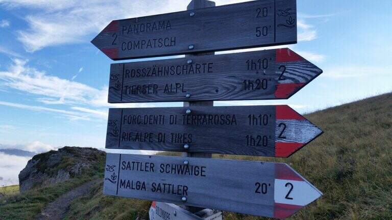
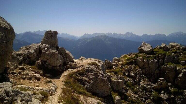
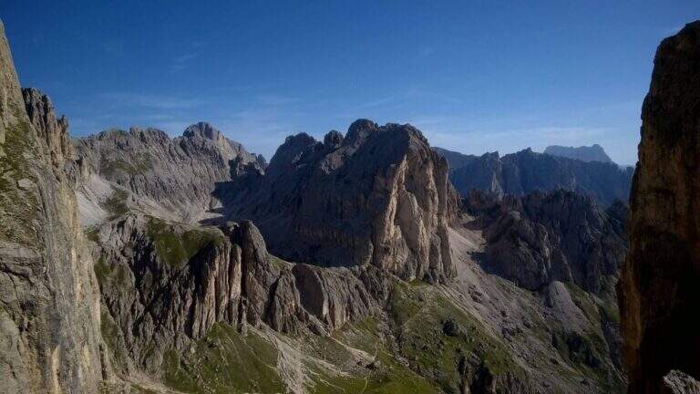
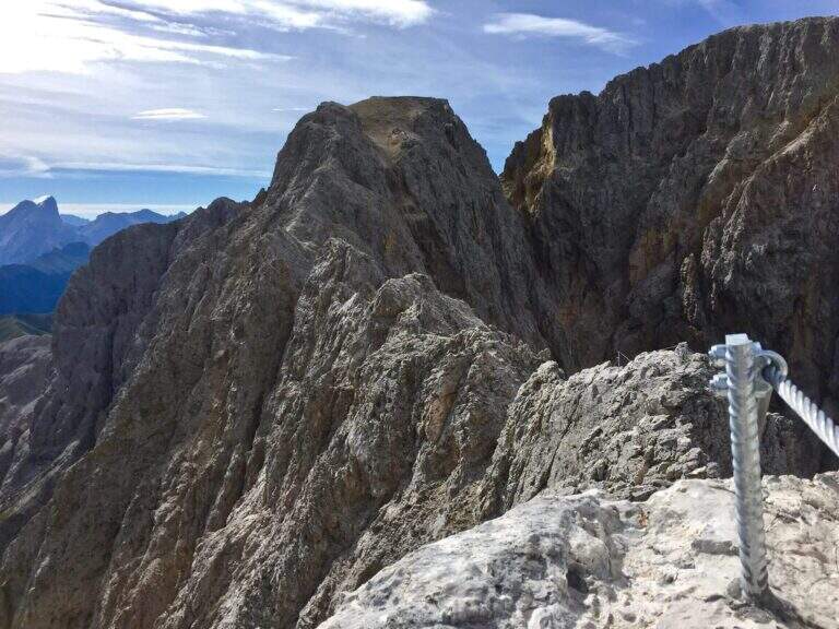
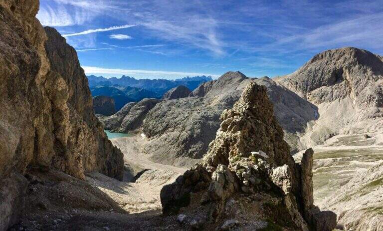
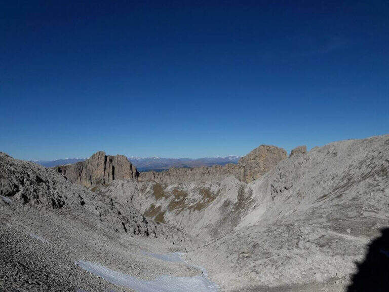
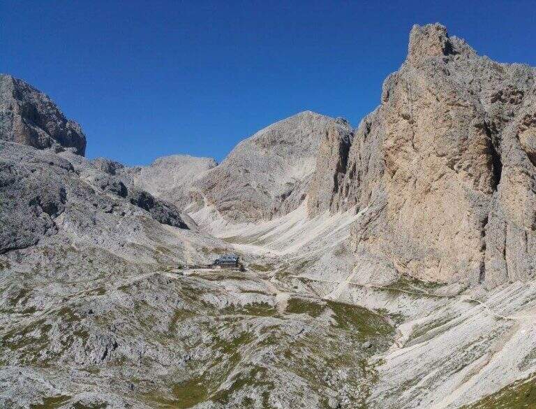
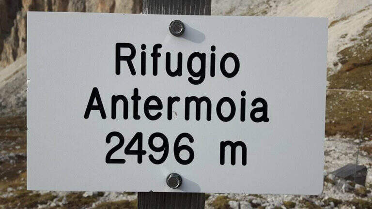
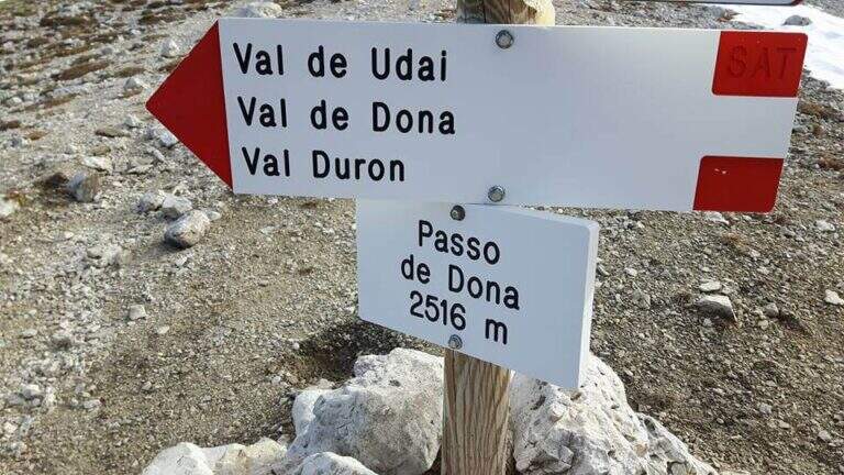
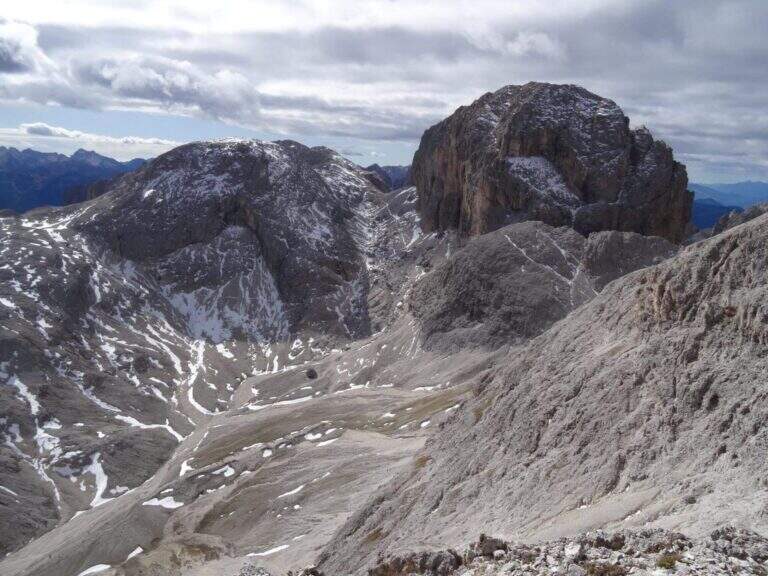
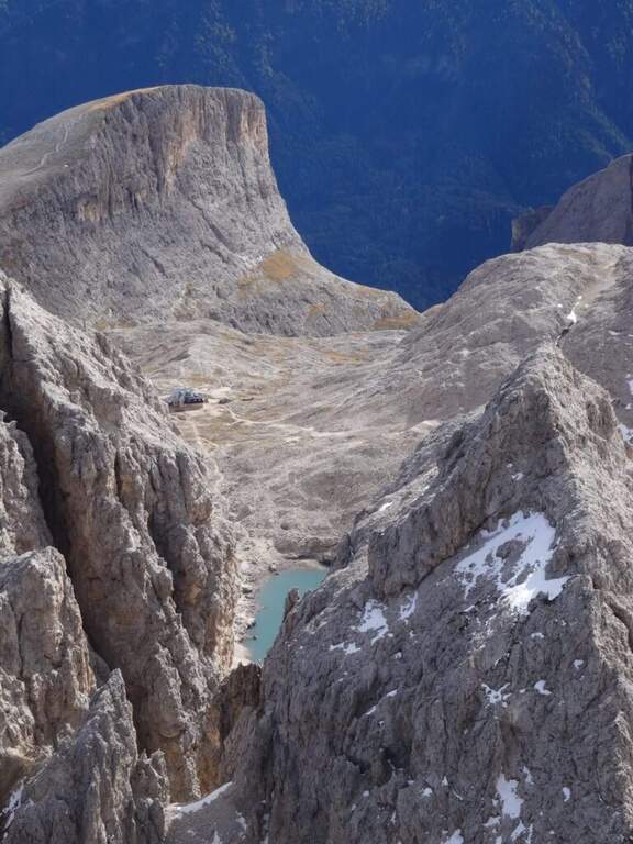
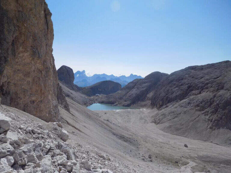
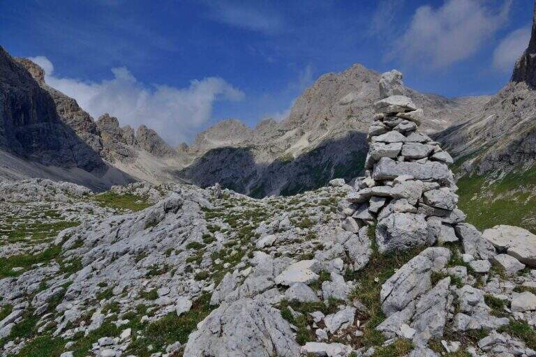
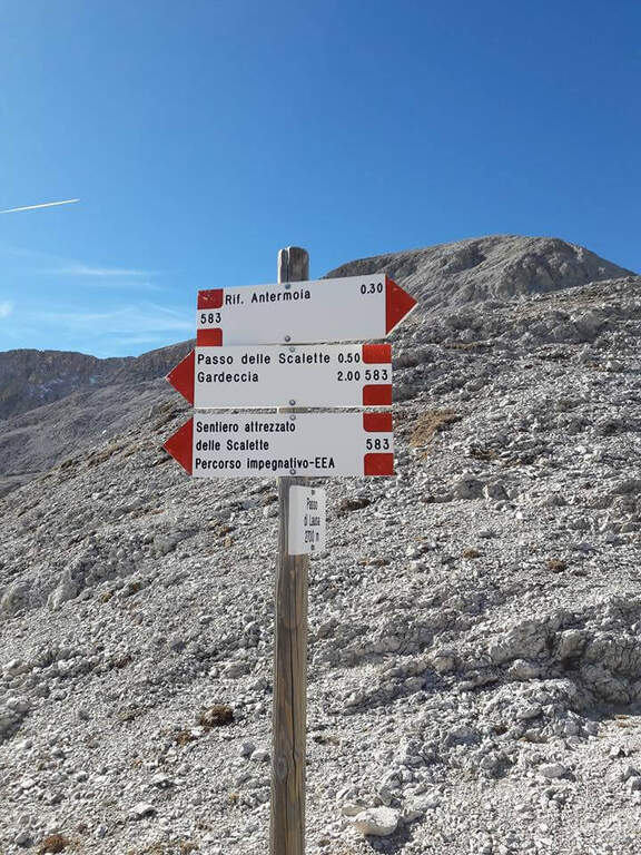
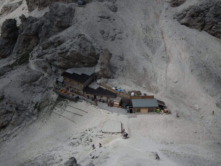
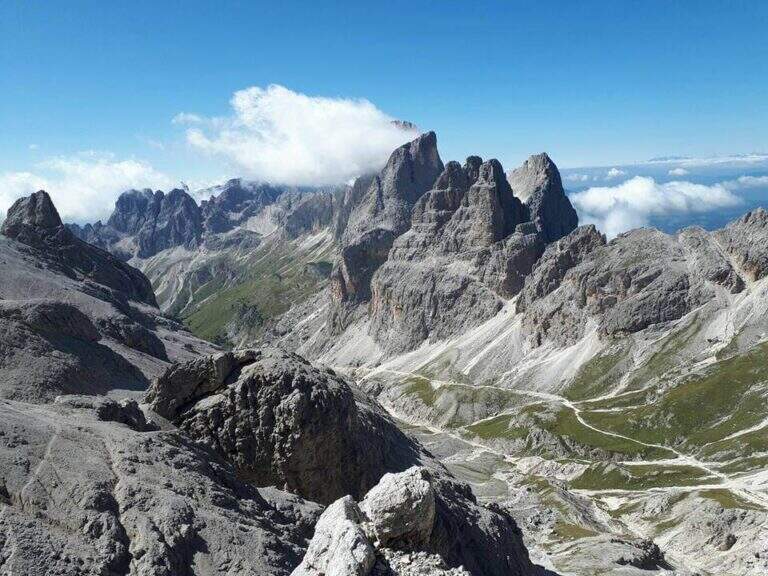
From the Step of the Stairs you choose between various options of return. The most beat runs through the desolate Valle del Larsec to Passo Pope (2720 m), from which you descend along the steep path Don Guido to the Vajolet Refuge (2243 m) and, along the Vajolet Valley, to the Gardeccia Refuge (1950 m, 5h30). The longest option remains on the CAI 583 in the Valle di Laussa up to the homonymous pass (2700 m), to get off at the Rifugio d’Antermoia (2497 m) at the glacial lake, or keep the left towards Passo Principe; from the Rifugio Antermoia you can reach the Passo Principe by taking the Ferrata to the Catinaccio d’Antermoia, and from the Passo Principe go down all the Valle del Vajolet 30 to the The shortest, but less fulfilling option is the return to return along the route (3h30 total).
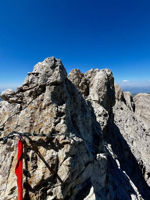
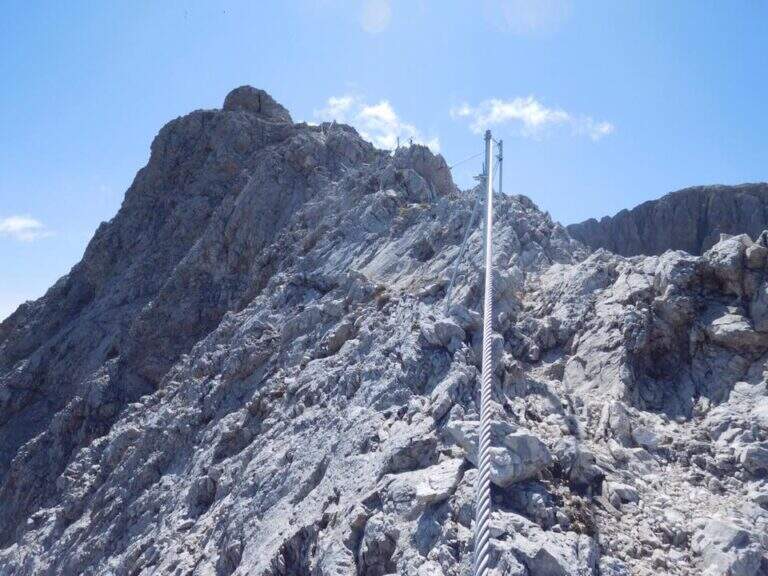
The path can be combined with Ferrata at the Catinaccio d'Antermoia — as described in the return — or Ferrata Bepo de Medil, preferably downhill.
- DifficultyModerately Hard
- RegionTrentino-Alto Adige
- GroupCatering
- Approach1:00 h
- Ferrata1:00 h
- Itinerary (a/r)5:30 h
- Hardware level difference150 m
- Route difference761 m
- Max2720 m
- Length16 Km