Gruppo: Dolomiti

  • Sentiero Attrezzato Gino Badia

    Sentiero Attrezzato Gino Badia

    Vie Ferrate › Trentino-Alto Adige › TN
    Sentiero Attrezzato Gino Badia

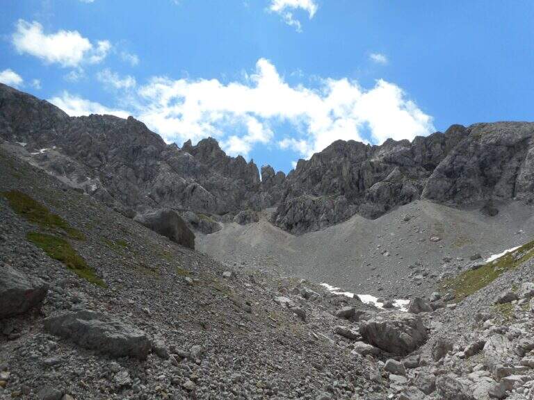
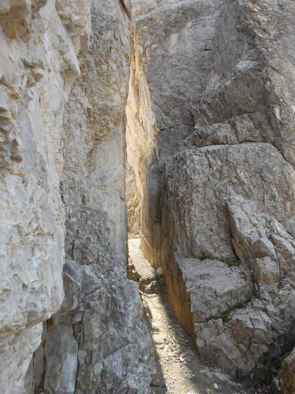
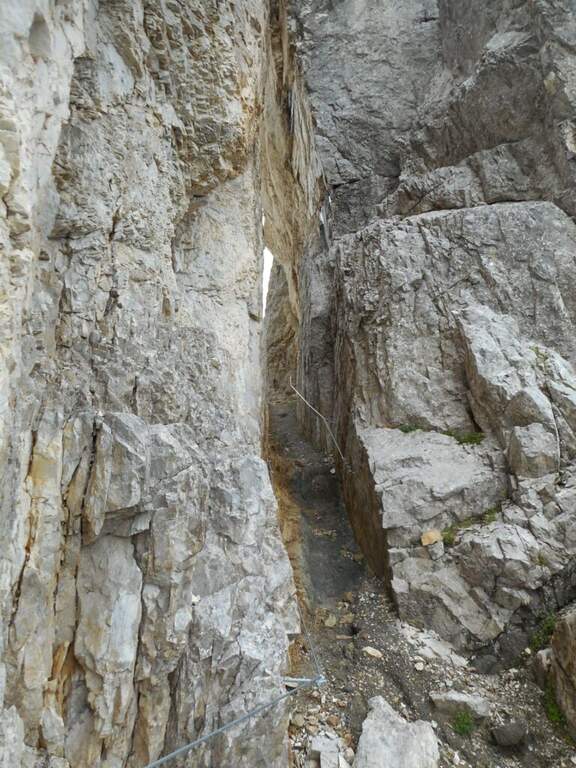
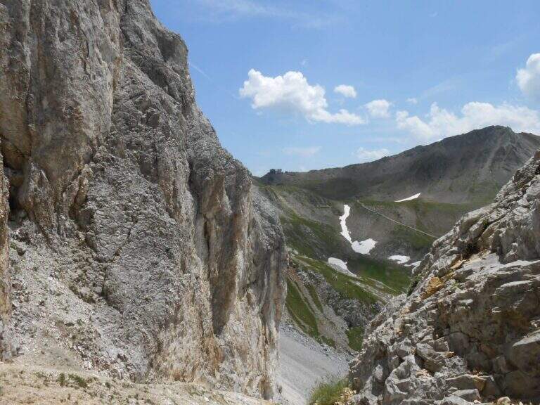
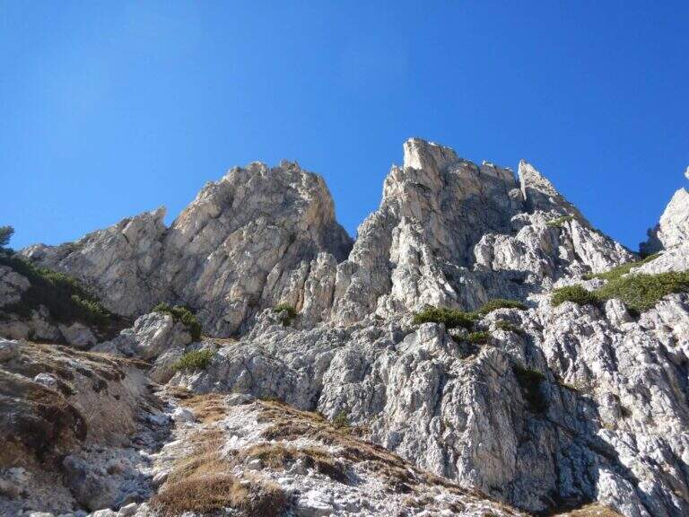
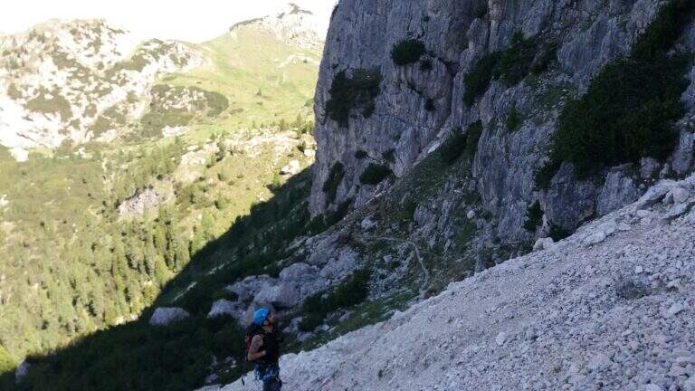
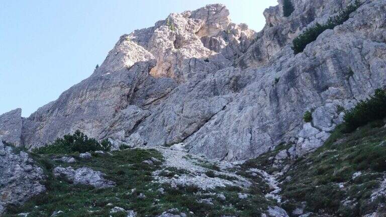
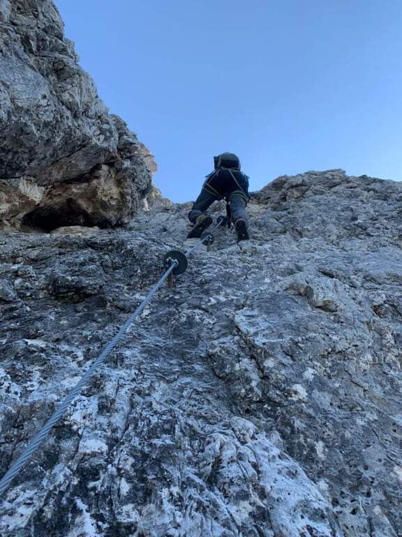
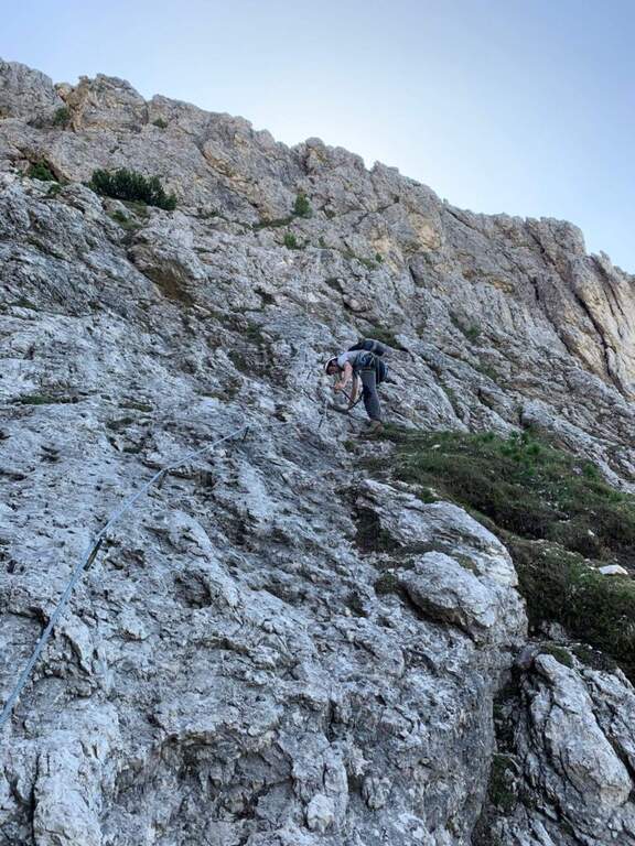
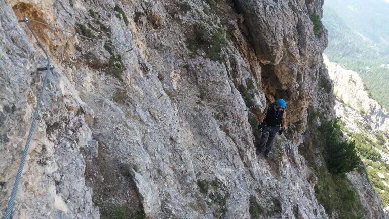
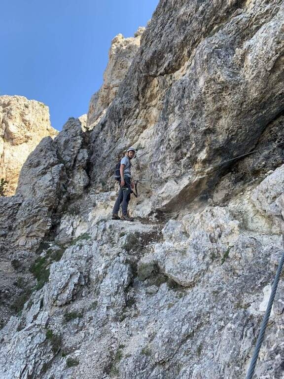
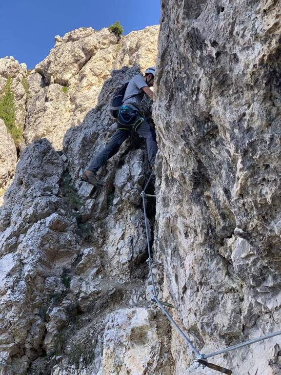
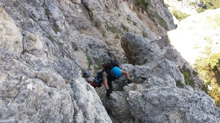
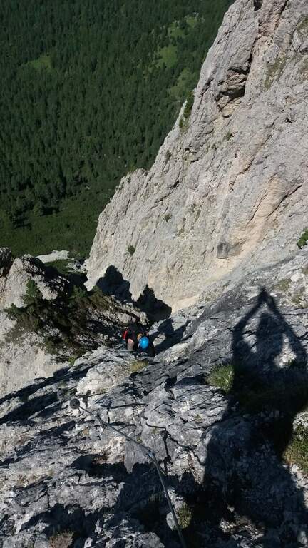
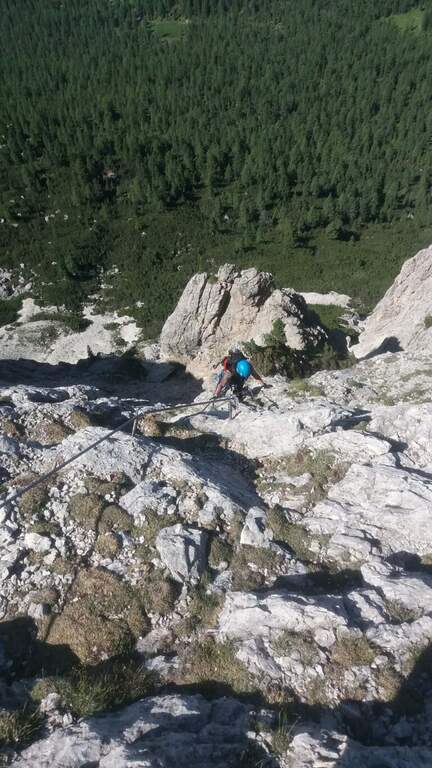
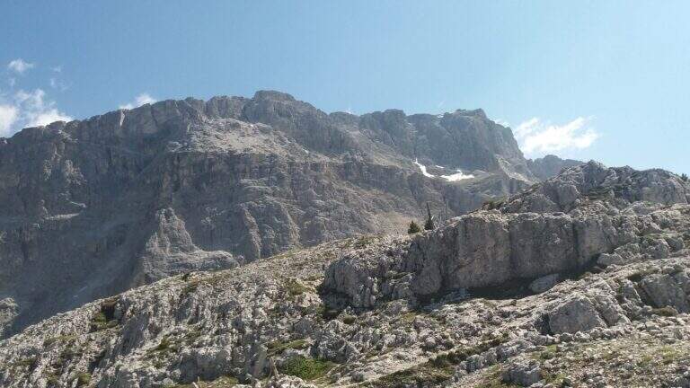
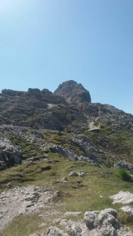
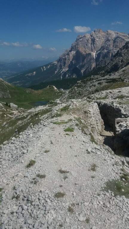
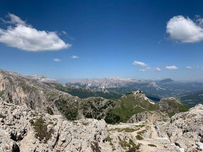
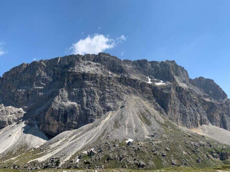
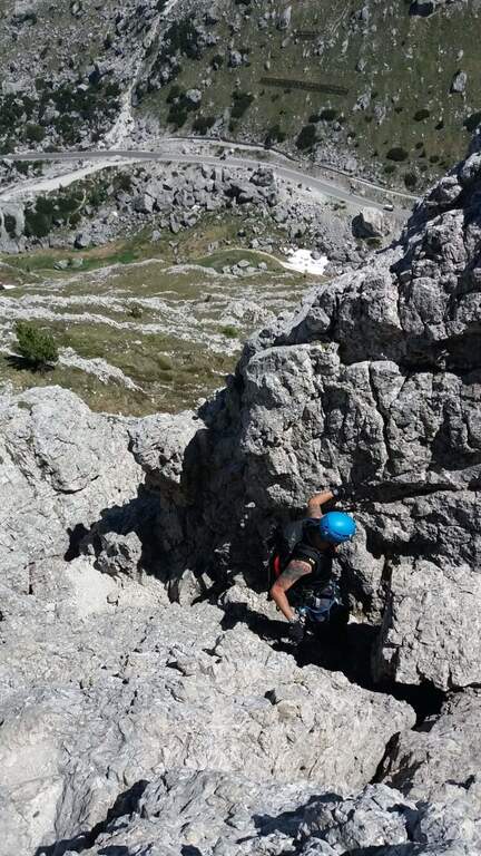
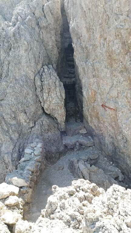
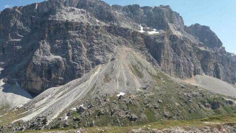
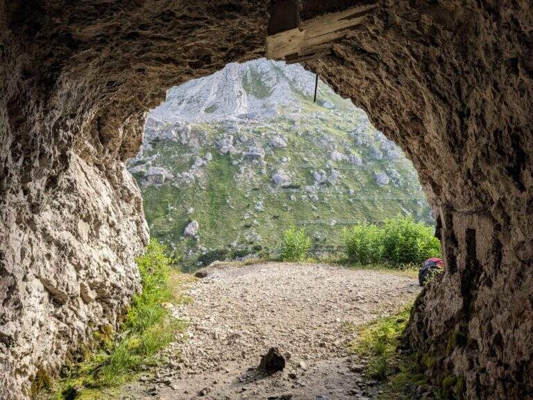
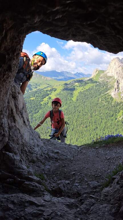
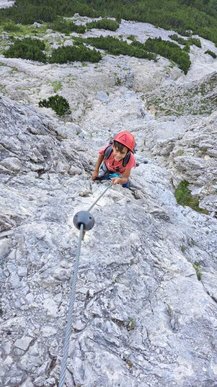
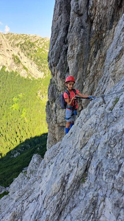
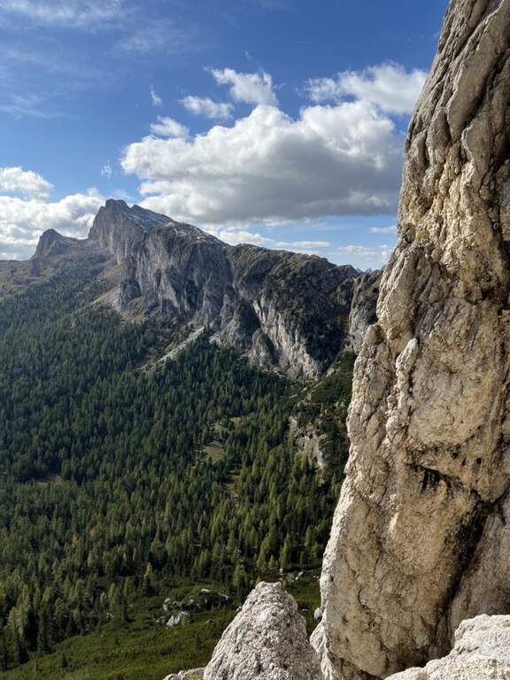
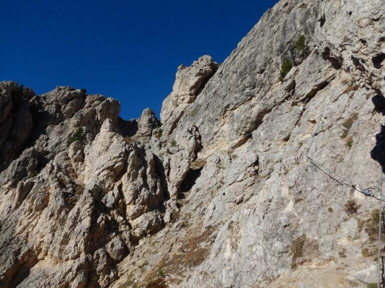
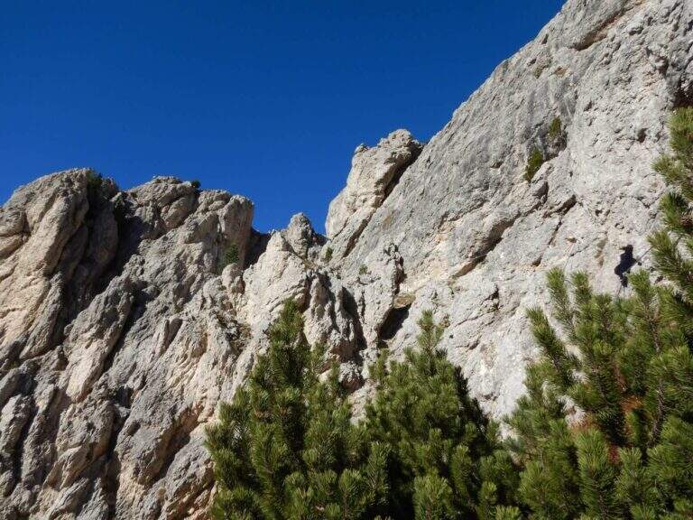
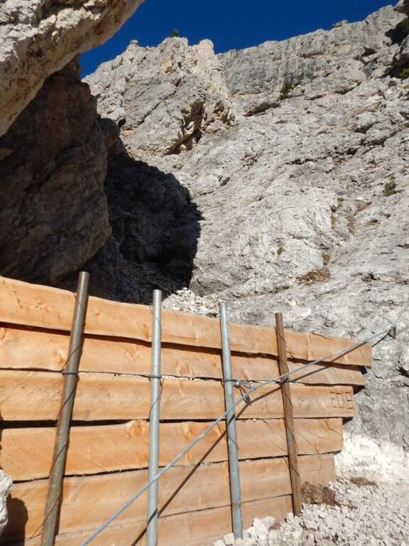
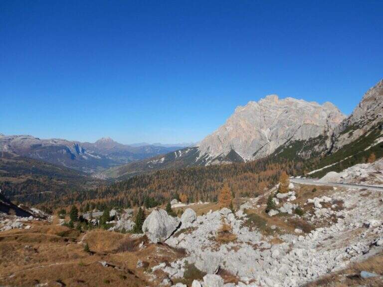
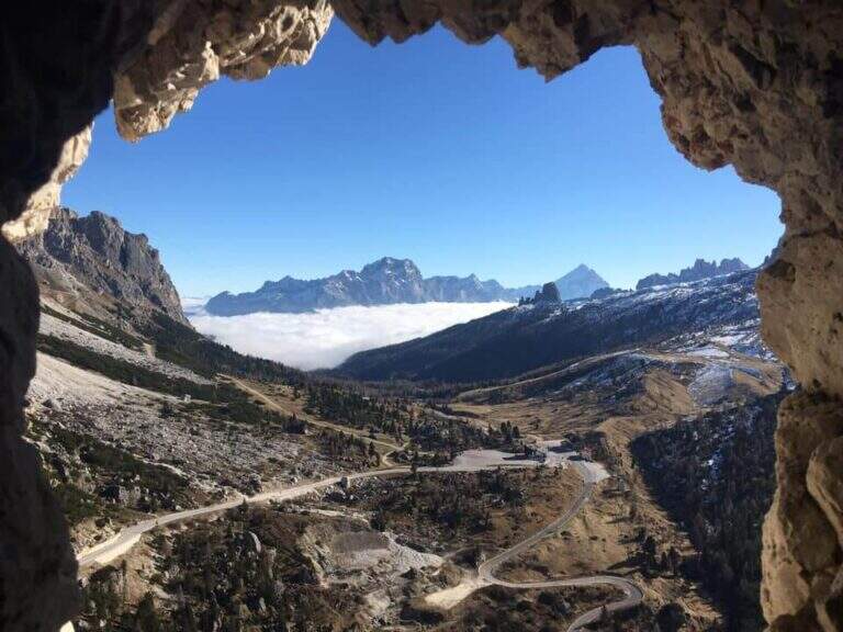
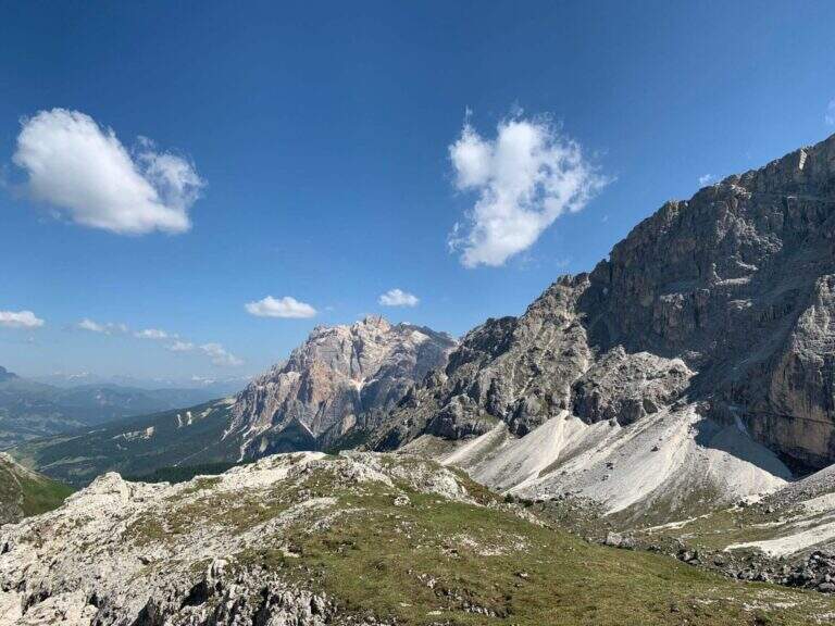
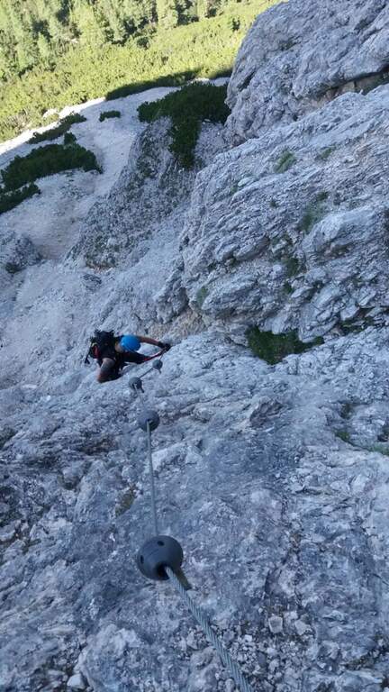
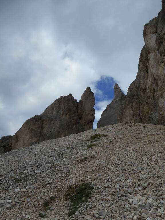
    The Sentiero Attrezzato Gino Badia is a high mountain route in the Trentino Dolomites of Val San Nicolò, near Pozza di Fassa: a challenging climb with equipped stretches that culminates in the iconic carving of the Forcella del’Ort between two rocky towers.

    How to arrive and approach

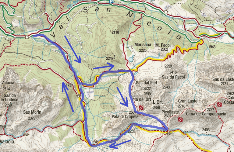
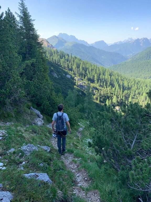
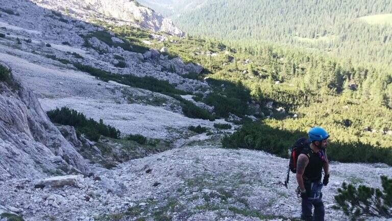
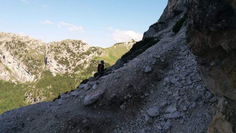
    The starting point is Malga Crocefisso (1522m), reachable from Val San Nicolò — right side of Val di Fassa — near Pozza di Fassa (TN). Follow the forest road that goes up the Val San Nicolò until the parking lot at the hut. From the parking lot take the 603 signpost that enters the valley. Approximation takes about 2 hours to the Forcella from Pief (2186m), along the signs 603, 641 and 640A in succession.

    The path

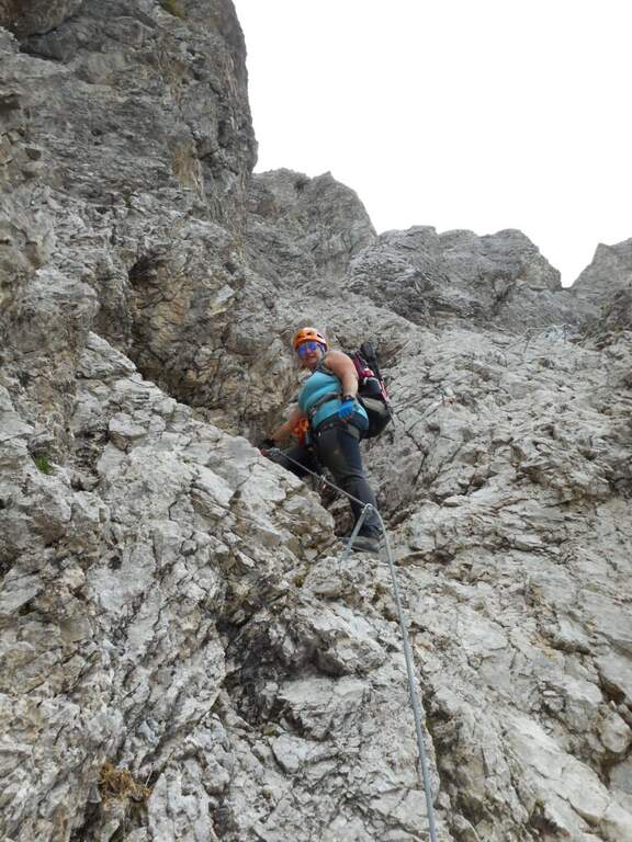
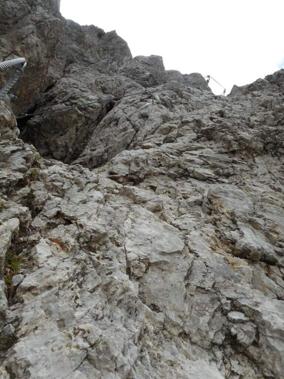
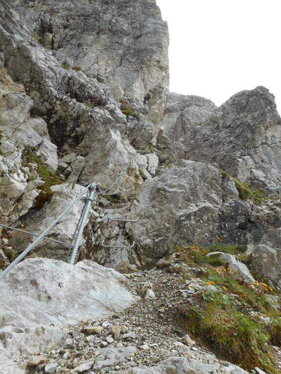
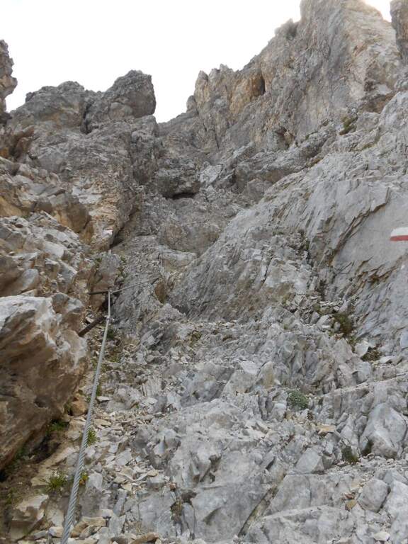
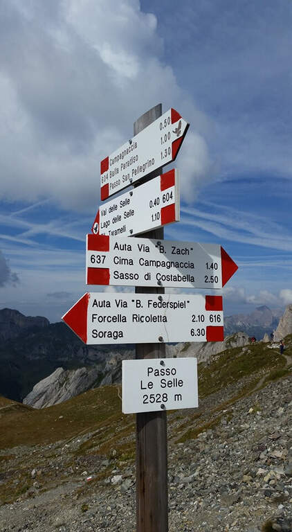
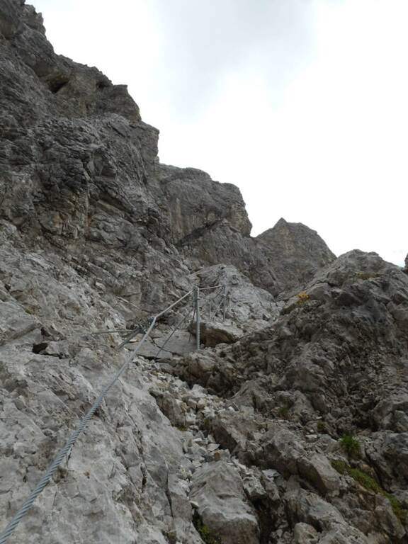
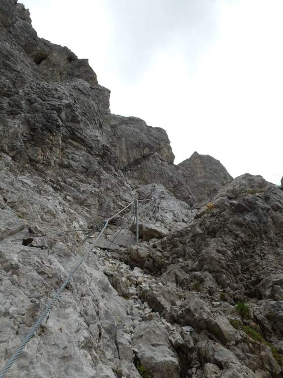
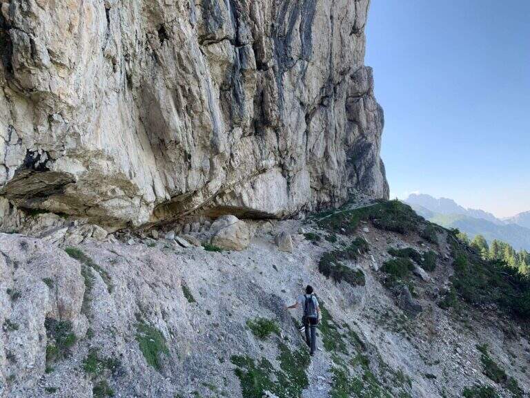
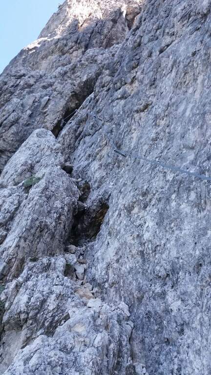
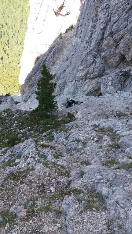
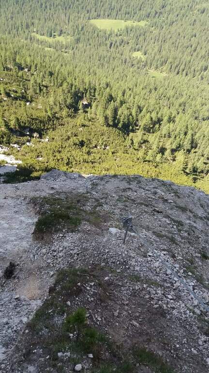
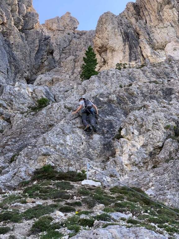
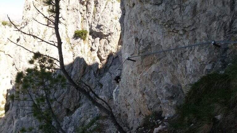
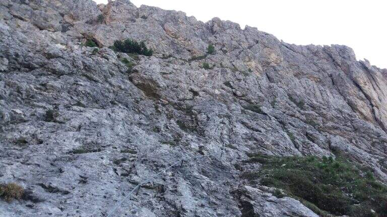
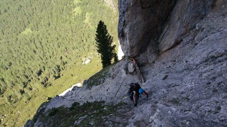
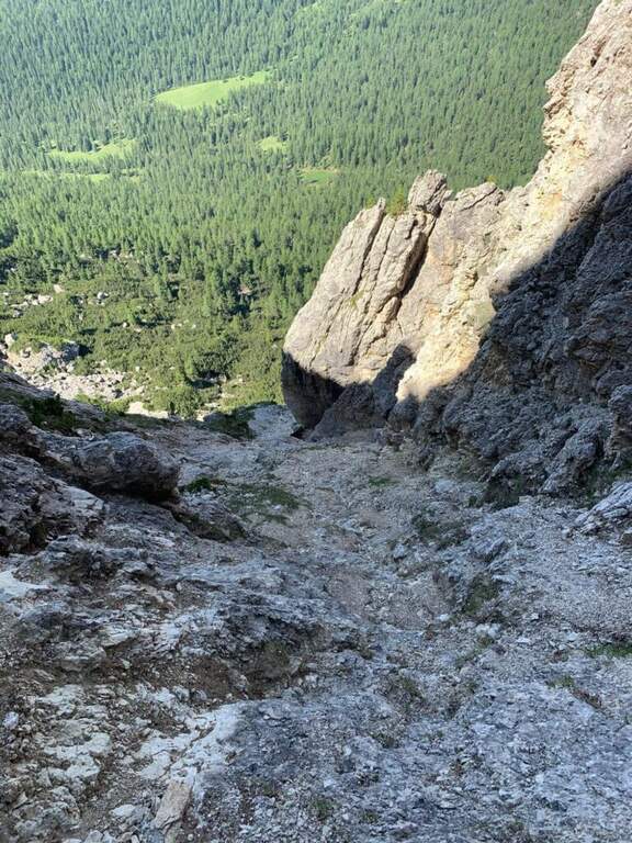
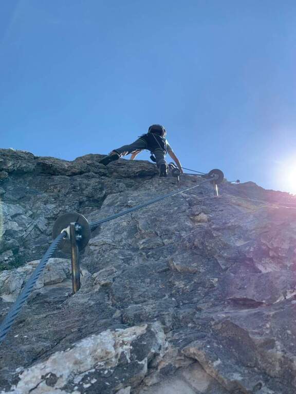
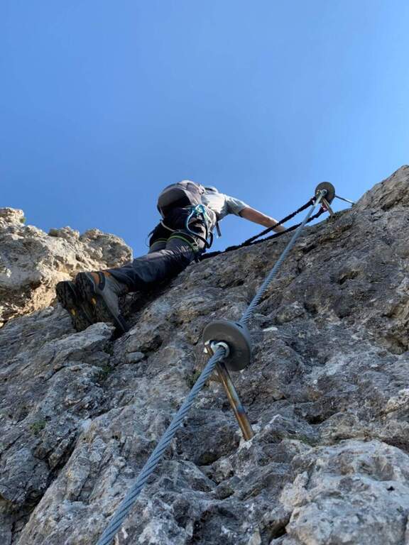
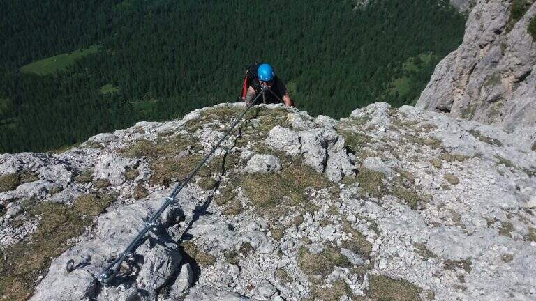
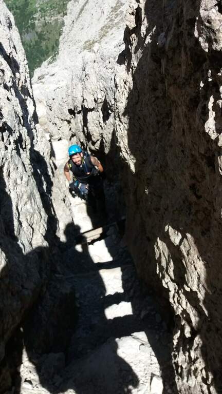
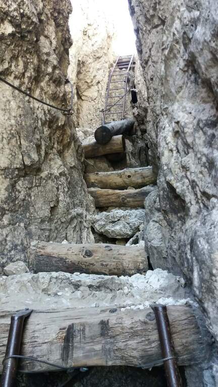
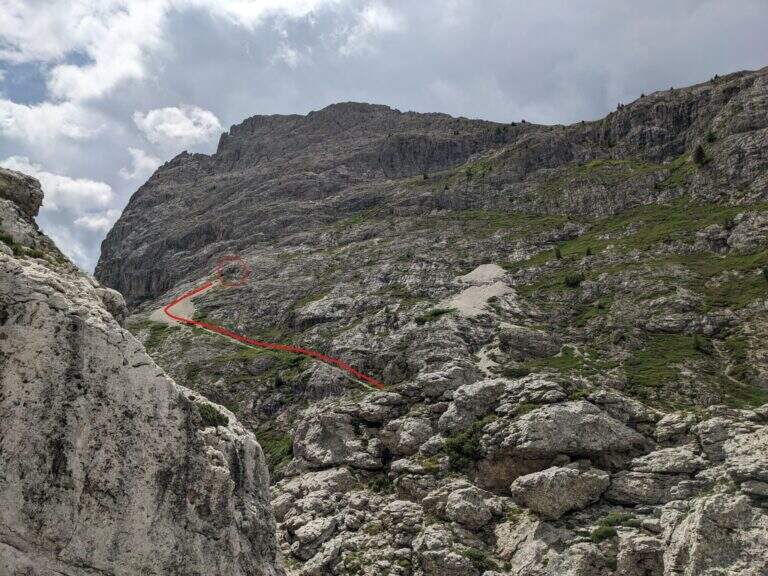
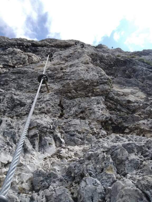
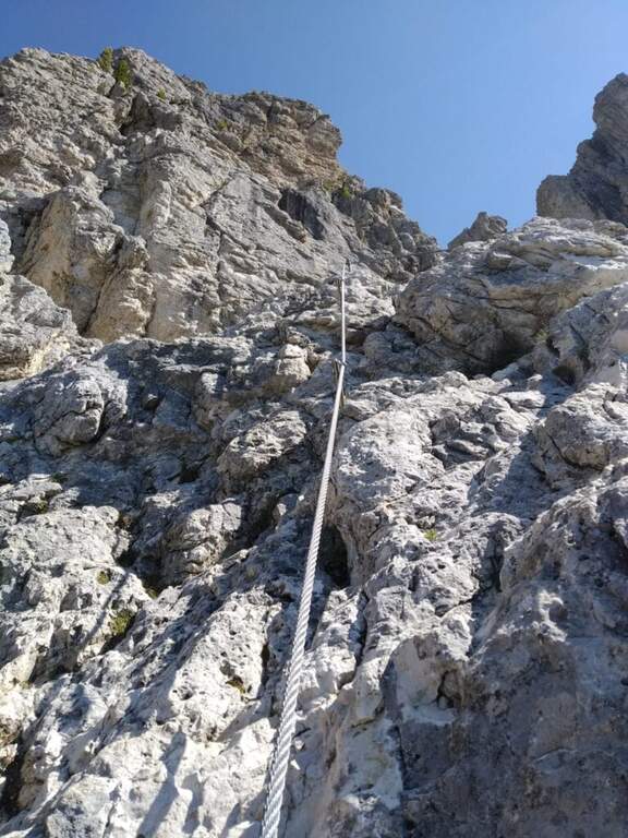
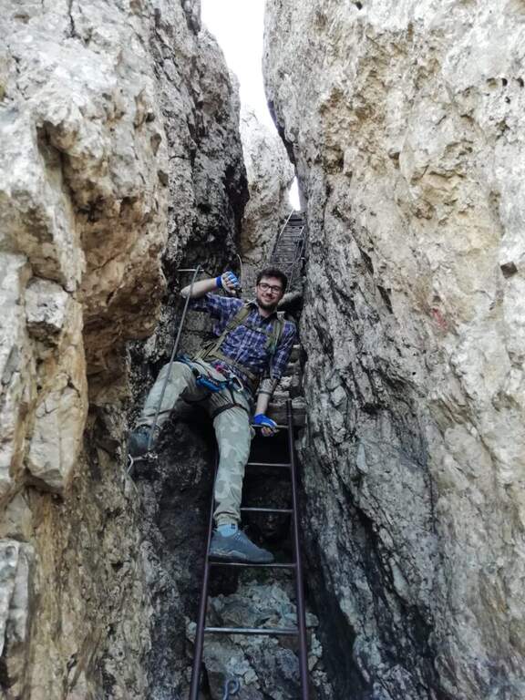
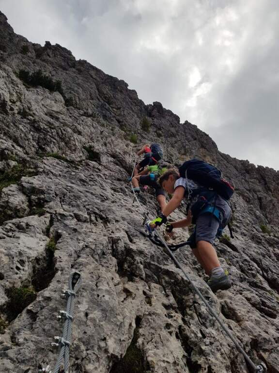
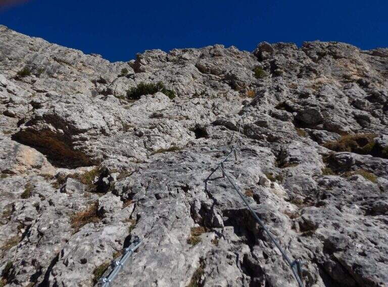
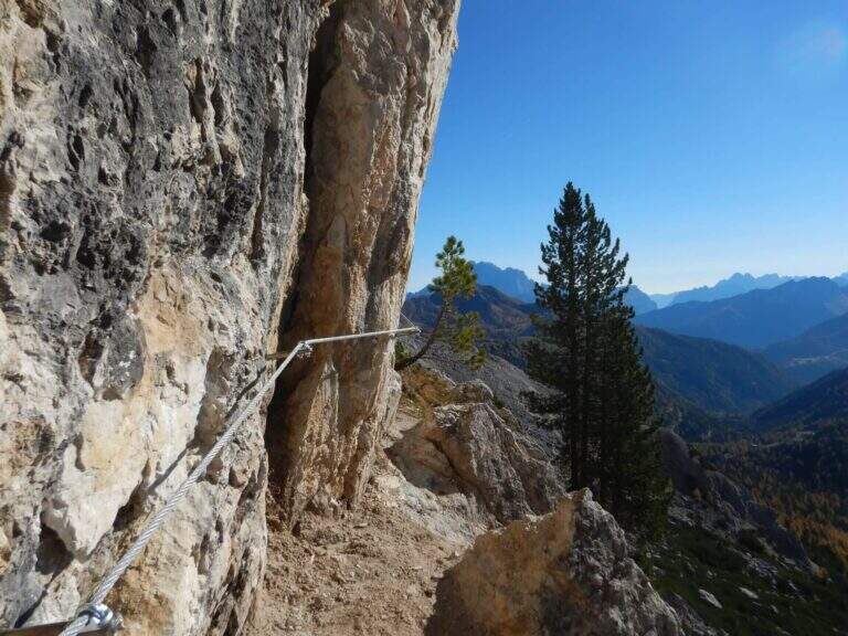
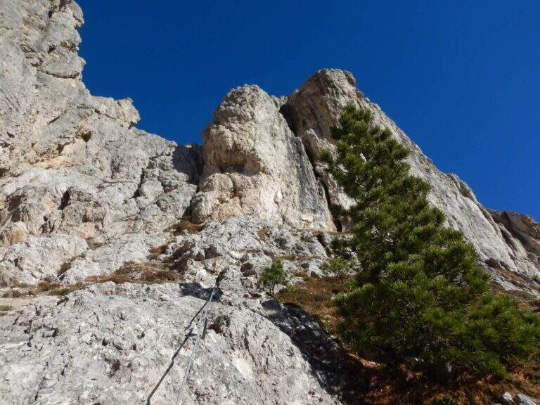
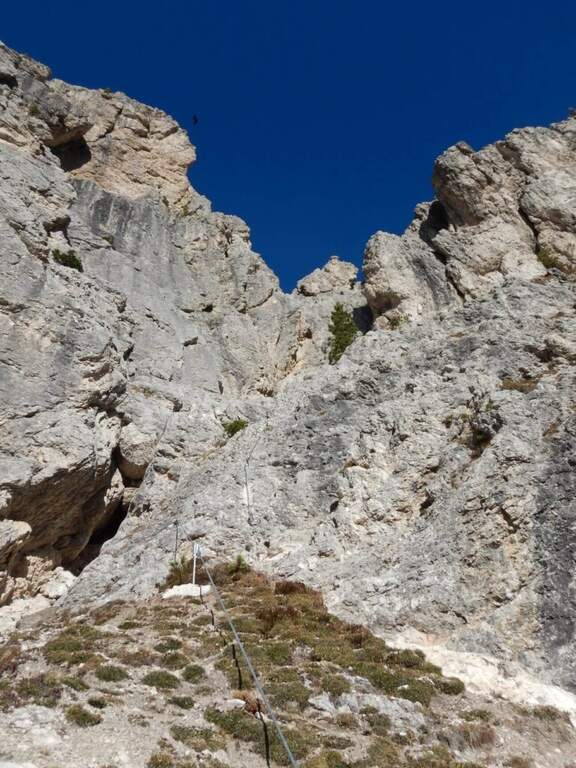
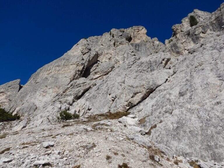
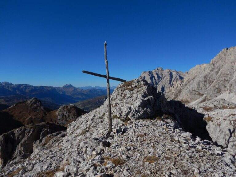
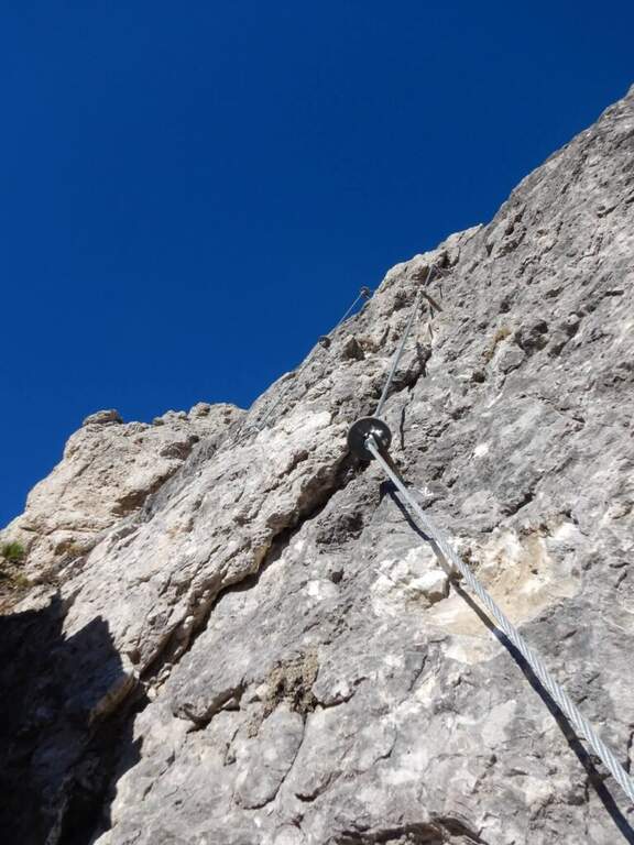
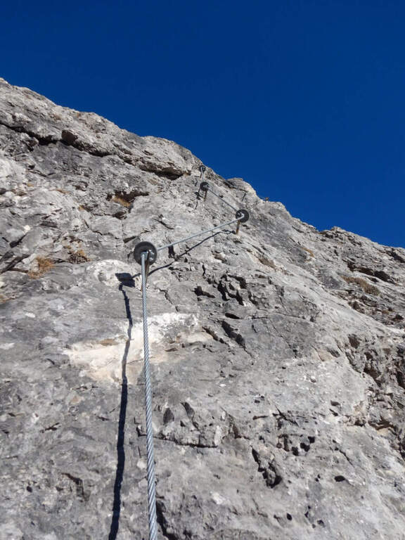
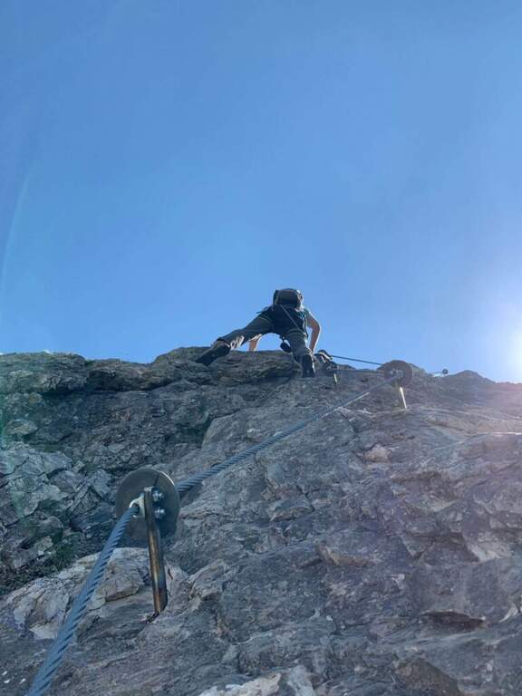
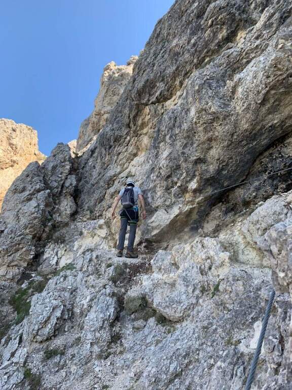
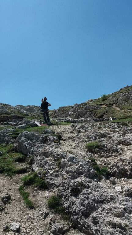
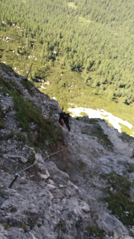
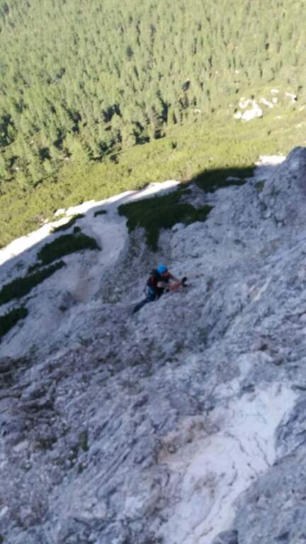
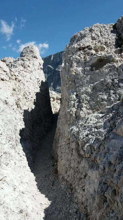
    From Malga Crocefisso (1522m) go up for the 603-641-640A signs to the Forcella from Pief (2186m) in about 1h30′. From the fork begin the equipped sections of the Sentiero Gino Badia: about 45 minutes of progression on dolomitic rock with a height difference of 75m. The route culminates in the spectacular Forcella del Ort, a narrow air carving between two rocky Dolomite towers that constitutes the most characteristic passage of the route. The maximum quota reached is 2528m.

    Character and difficulty

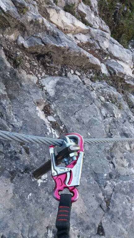
    The path is classified difficult especially for the long approach (2 hours) and the total difference (1006m on 13km total). The section equipped in the strict sense is short-lived but takes place on dolomitic soil at more than 2400m of altitude, requiring good technique of progression and absence of dizziness. The Forcella del Ort is a very characteristic air passage. Difficulty: Hard.

    Period and safety

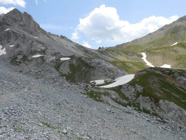
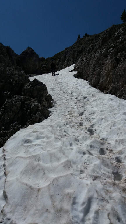
    Recommended from July to September. At an altitude of 2528m the Dolomitic weather can change quickly: the morning departure is mandatory to avoid the afternoon storms. Snow presence possible even in summer in the canals of the Forcella del Ort. Check conditions before facing the route, especially in the first and last part of the summer season.

    Discipline

    From the highest point (2528m) it descends towards the Forcella from Pief and then to Malga Crocefisso for the climb path, or you can access other routes of the Val Monzoni area. The total time of the excursion is about 5h30′.

    To match

    The Val di Fassa and the surrounding Dolomites are equipped with trails of all levels. The Val San Nicolò is a quiet and unpopular environment, ideal for approaching other peaks of the Monzoni Group. In the surroundings of Pozza di Fassa there are numerous itineraries of the Dolomites of Fassa.
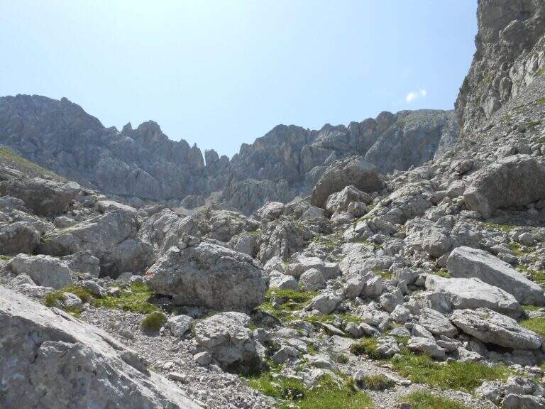
    ▲Gallery
    Technical data
    • DifficultyHard
    • RegionTrentino-Alto Adige
    • GroupDolomites
    • Approach2:00
    • Ferrata0:45 h
    • Itinerary (a/r)5:30 h
    • Hardware level difference75 m
    • Route difference1006 m
    • Max2528 m
    • Length13 Km
  • Ferrata Fusetti at Sas de Stria

    Ferrata Fusetti at Sas de Stria

    Vie Ferrate › Veneto › Belluno
    Ferrata Fusetti at Sas de Stria
    Moderately Hard● OpenDescriptionComplexityMapsGallery

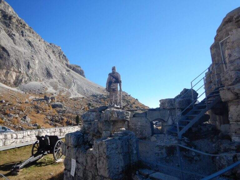
    La Ferrata Fusetti Sass de Stria rises, near the Valparola Pass on the border between Belluno and Bolzano. Built by the Alpini and dedicated to the Lieutenant Mario Fusetti, fell here in the First World War, & a medium-low difficult & agrave; very logical and climbing, of great historical value and perfect for those & beginnings.

    ▲Approach

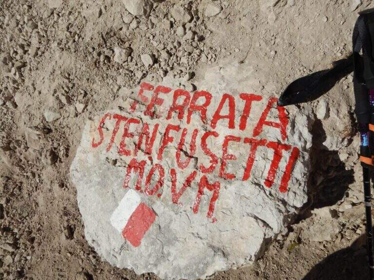
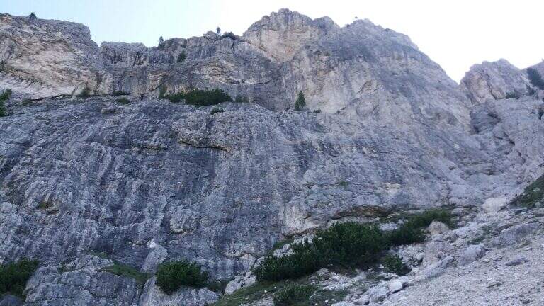
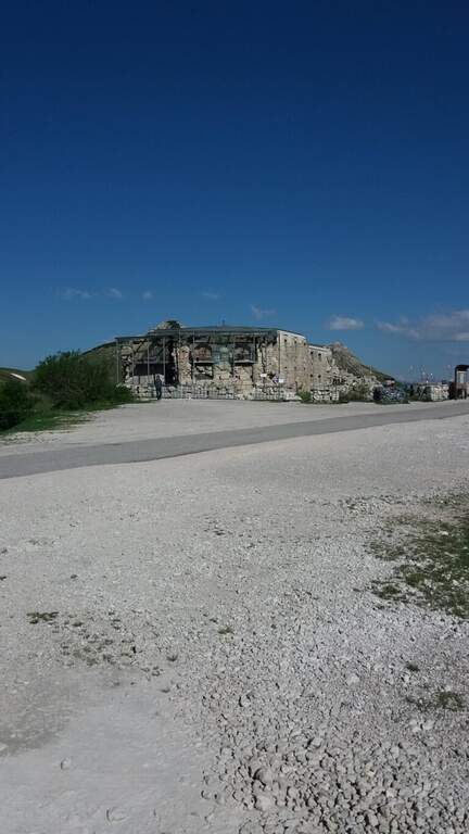
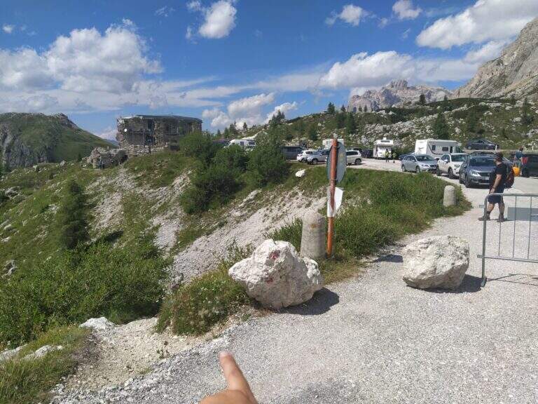
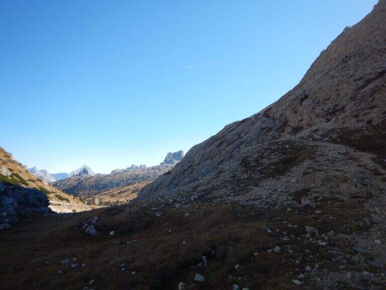
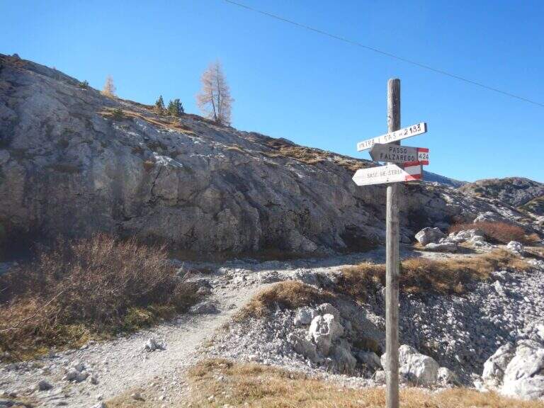
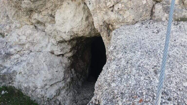
    Starting from the ' large parking lot of the Forte at Passo di Valparola, reachable from Val Badia, Cortina and the Veneto side of Col di Lana. Open road signs on Google Maps. L'attacco è sul versante sud del Sass de Stria, opposto al parcheggio, e si raggiunge in due modi. Via breve: si segue la traccia minore che scende verso il versante ovest e in circa 5' porta alla postazione Edelweiss; da qui, attenzione a una traccia non segnalata che si stacca a sinistra aggirando la parete (presto compaiono bolli rossi e segni bianco-rossi) e, lungo la parete ovest, conduce sotto le bastionate sud fino a un sasso con l'indicazione della deviazione (20') e all'attacco (30' dall'auto). Long way: follow the white road towards Falzarego, visit the Galleries of Guerra and, bypassing the east and south slopes, you reach the same indicator rock (1h from'auto).

    ▲The path

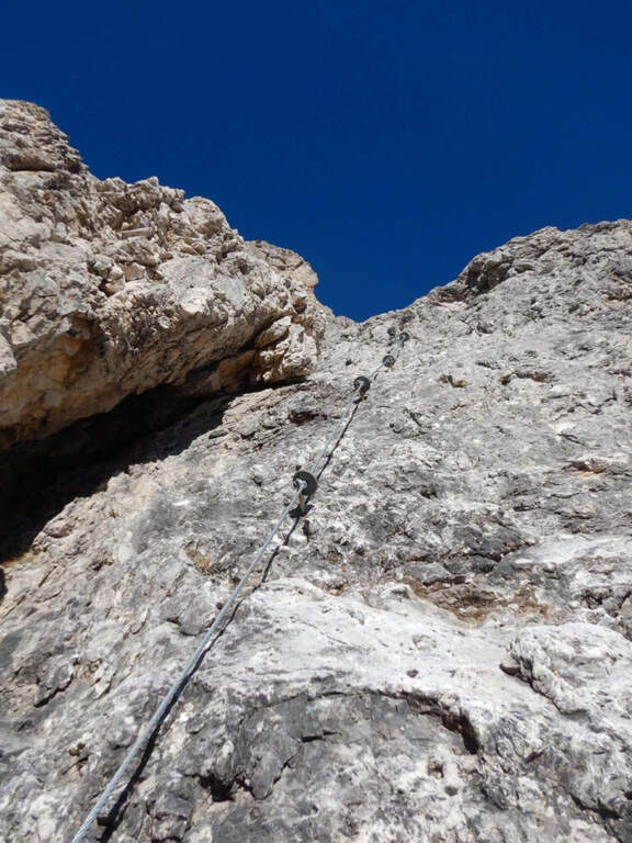
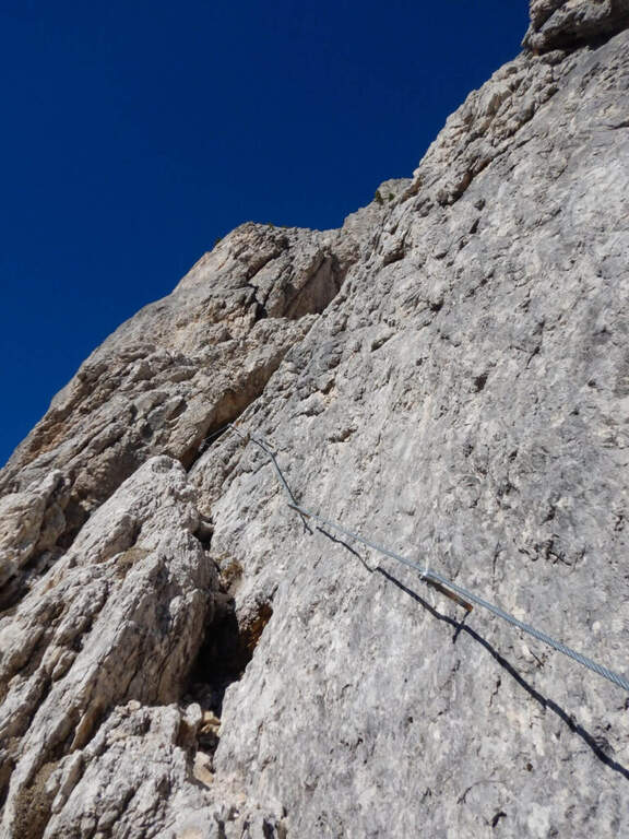
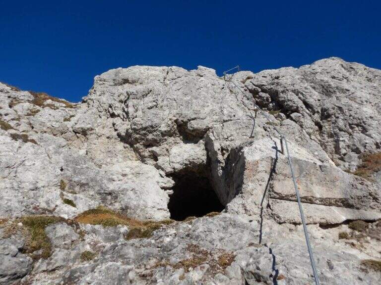
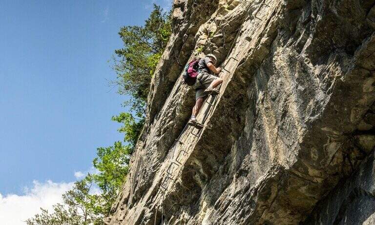
    The first meters are simple: you climb diagonally to the left and then on a sided wall. After a short connection, you will pass easy rocky leaps on a detritic background (attention not to move stones) moving to the right, up to a nod with wooden parasassis that closes the first section, easy. In front of it you can see the development on a supported plate: you climb first to the right, then to the left in a horizontal section, then a short camino full of hooks. It comes as well; under the sezione più challenging (obviously difficult): a vertical plate of about ten meters with supports present but less evident. A galleria di guerra is reached by the galleria and, for the last metres supported, the equipment is closed (45' by ' attack, 1h 15' by'auto).

    ▲Character and difficulty

    Logic and very climbing climb: the technical difficulties remain moderate and the experienced ferratista can minimize the use of the cable, while beginners find an ideal way. Level difference in ferrata 200 m, total 307 m, maximum altitude 2477 m, development 3.5 km. Inaugurated on 18 October 2018, it is a "return to the ancient" with metal equipment reduced to the minimum.

    ⚠ As often in the Dolomite ferrates the bottom is rich in debris and the ascent line is linear: pay special attention not to move stones towards those who follow.
    ▲Period and safety

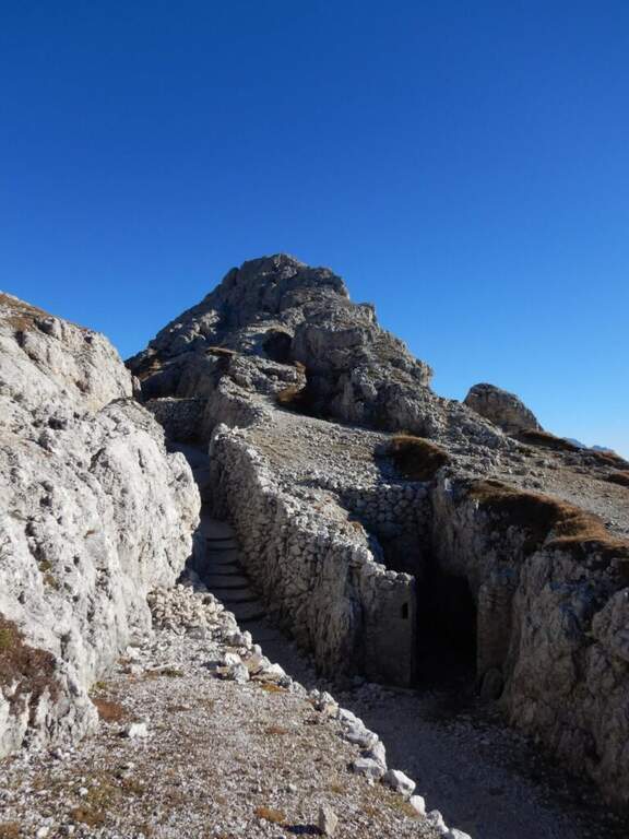
    Summer street with a strong historical value, with a true open-air museum of the Great War (trinces and galleries) along the route. Short approach and return, easy to match with nearby ferrates. GPX and KMZ tracks available.

    ▲Discipline

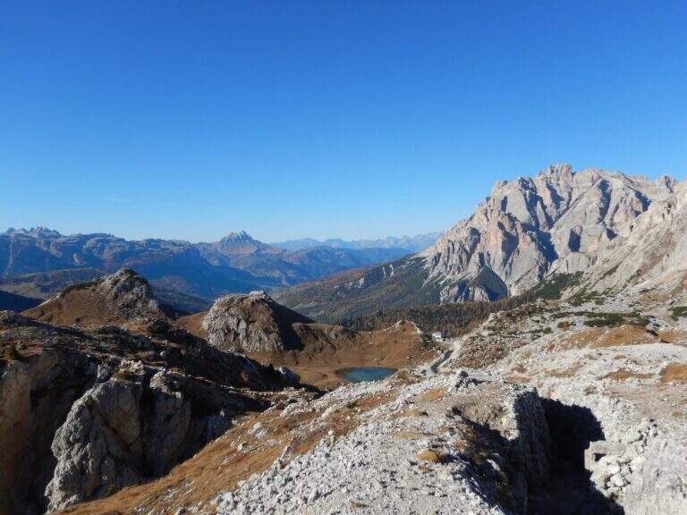
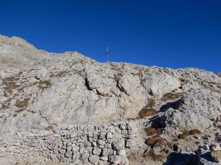
    The ferrata ends on a plateau in the middle of the normal route of the Sass de Stria. You can return directly to the Valparola Pass (20' from the term, about 1h 30' total) or, recommended, climb up to the top: follow a track between the trenches, some rocks of I degree and two series of ladders with cord, reaching the top in about 30' from the end of the ferrata, with 360° view over the dolomites.

    ▲To match

    From the Valparola Pass and the nearby Falzarego are many equipped: the Kaiserjager trail at Lagazuoi, la Ferrata Cesco Tomaselli in Cima Fanis Sud, la Alpine Brigade Cadore at Col dei Bos; going down towards Cortina la Ferrata dell'Averau e la Nuvolau; on the Tofana of Rozes Ferrata Lipella; towards Val Badia il Piz Conturines and the long Ferrata della Pace.

    ▲Gallery
    Technical data
    • DifficultyModerately Hard
    • RegionVeneto
    • GroupDolomites
    • Approach0:30 h
    • Ferrata0:45 h
    • Itinerary (a/r)2:00 h
    • Hardware level difference200 m
    • Route difference307 m
    • Max2477 m
    • Length3,5 Km
Need help? Write to us!