Gruppo: Piccole Dolomiti

  • Sentiero Attrezzato Baglioni – Pasubio

    Sentiero Attrezzato Baglioni – Pasubio

    Vie Ferrate › Veneto › VI
    Sentiero Attrezzato Baglioni – Pasubio

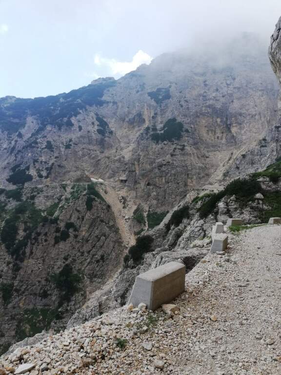
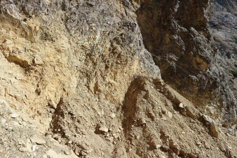
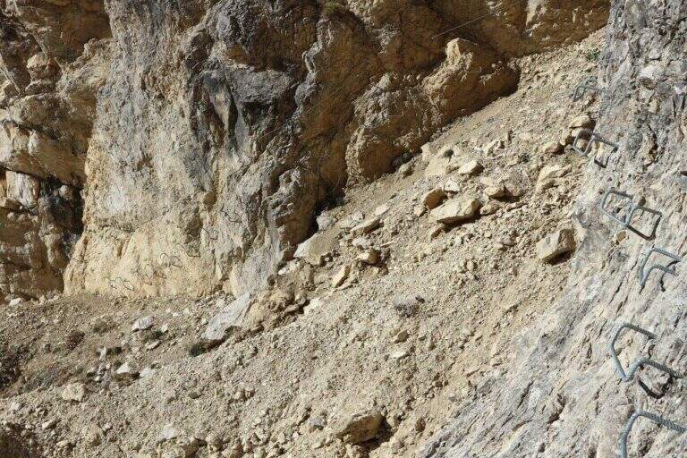
    ⚠ SENTIERO CHIUSO The Path Attrezzato Baglioni is currently closed due to a dangerous landslide along the way. Do not venture until the official reopening confirmed by the local CAI or the Park Authority.

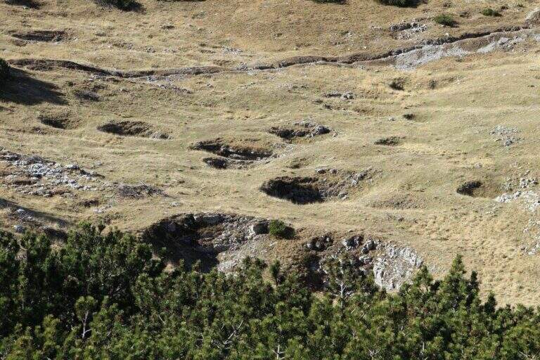
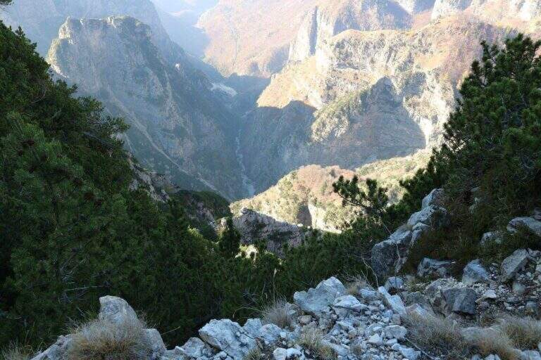
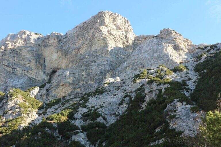
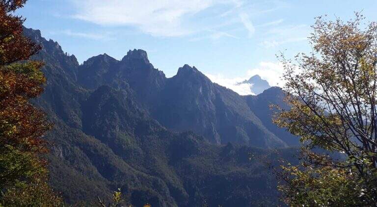
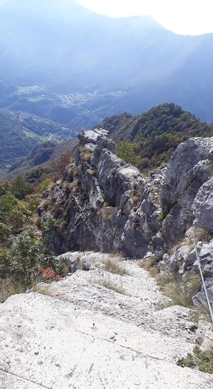
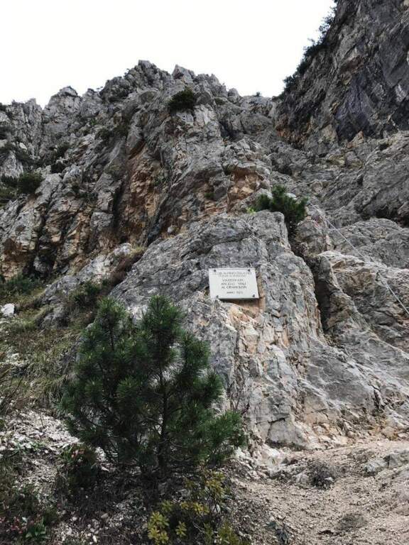
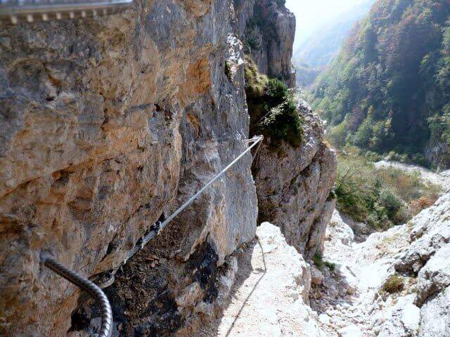
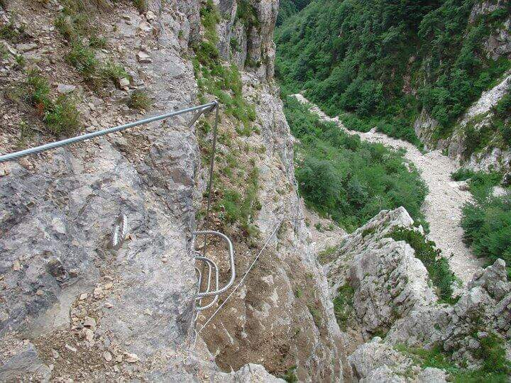
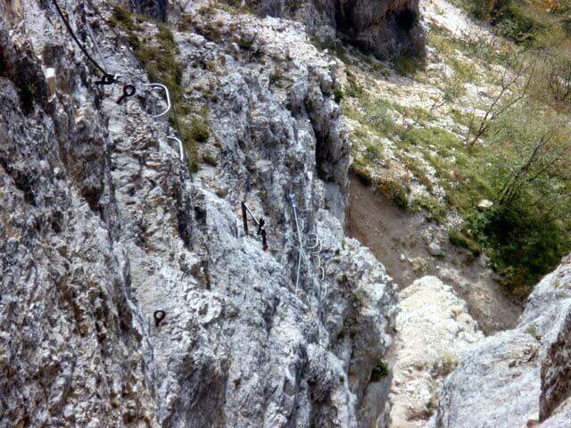
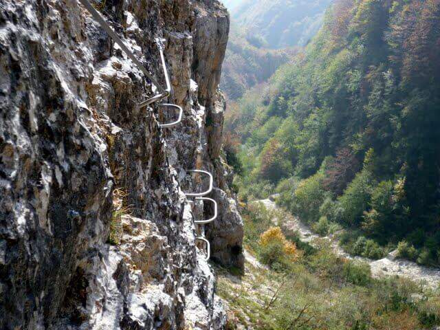
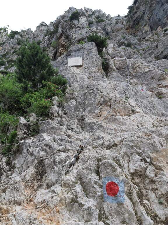
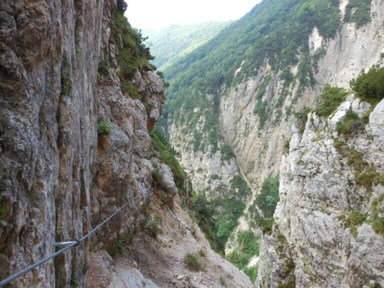
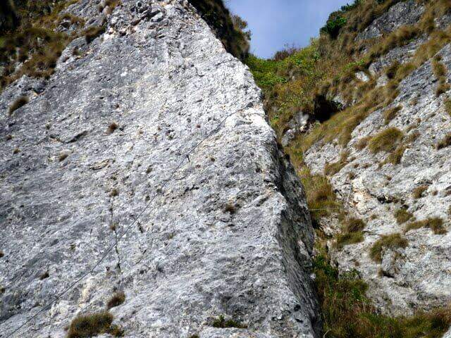
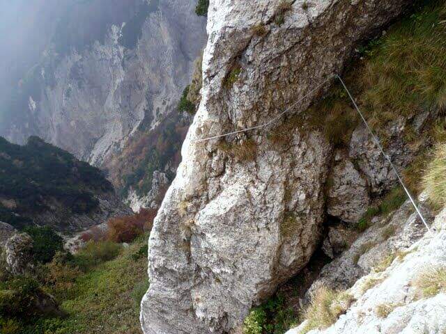
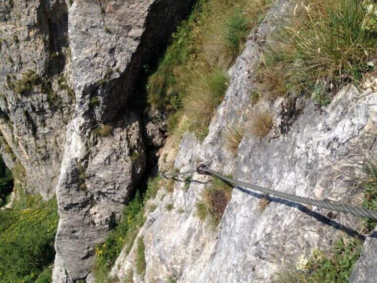
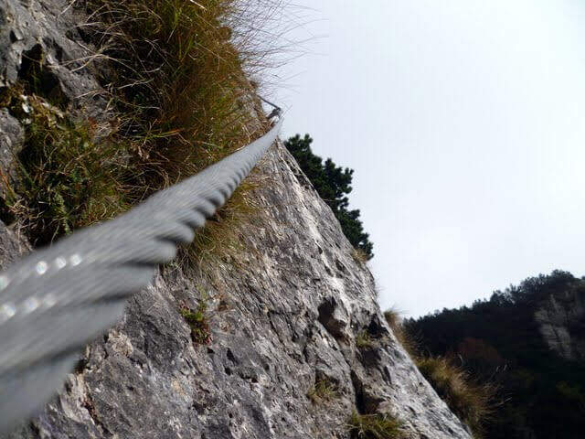
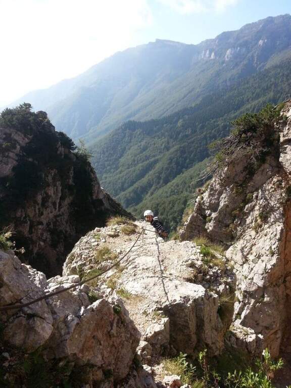
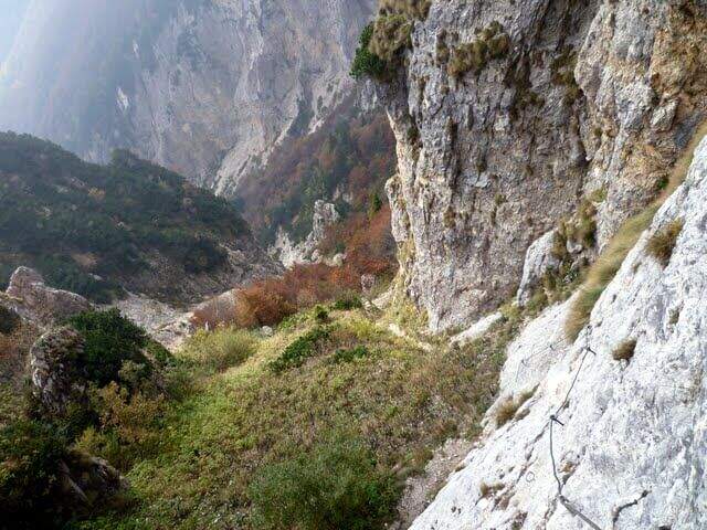
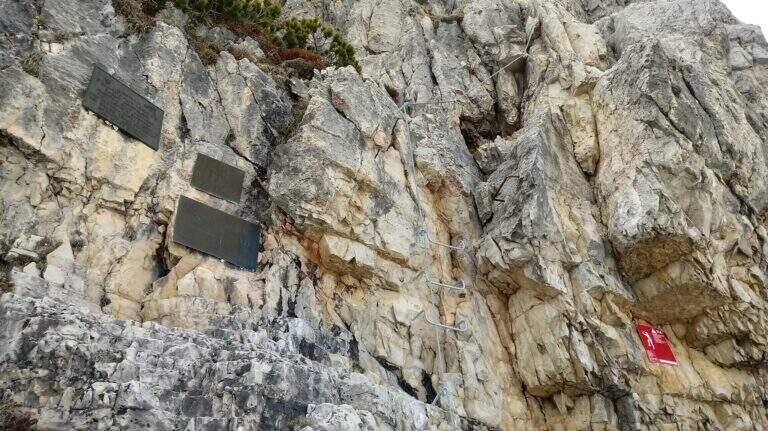
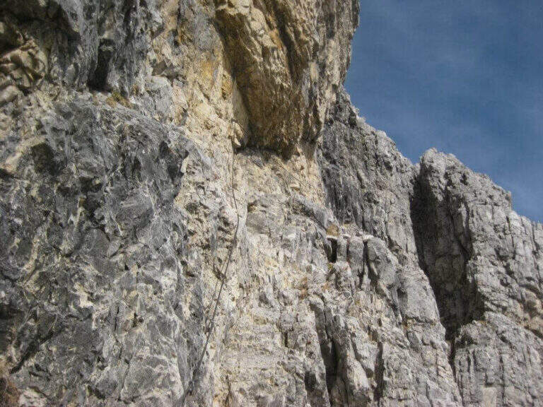
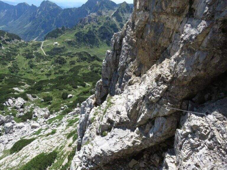
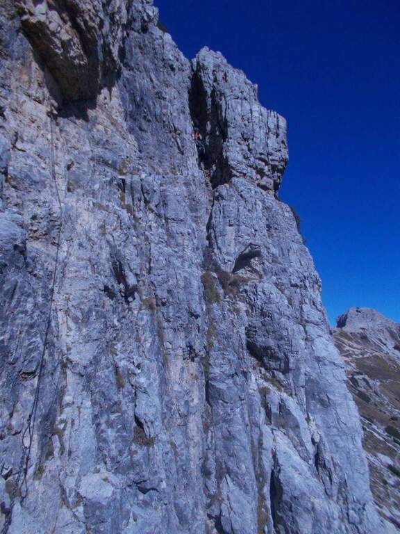
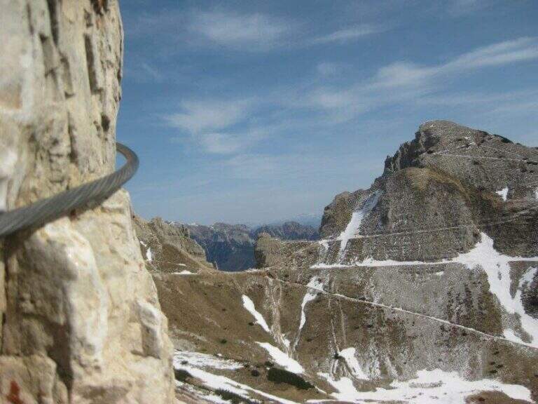
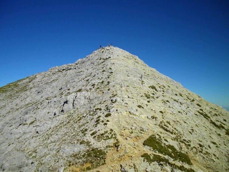
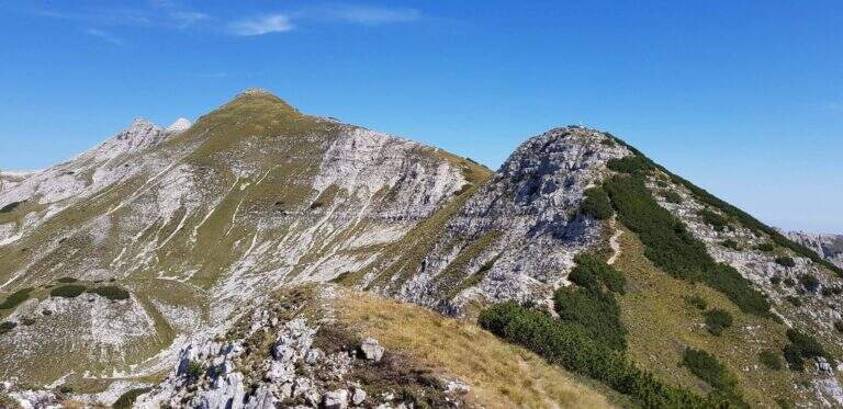
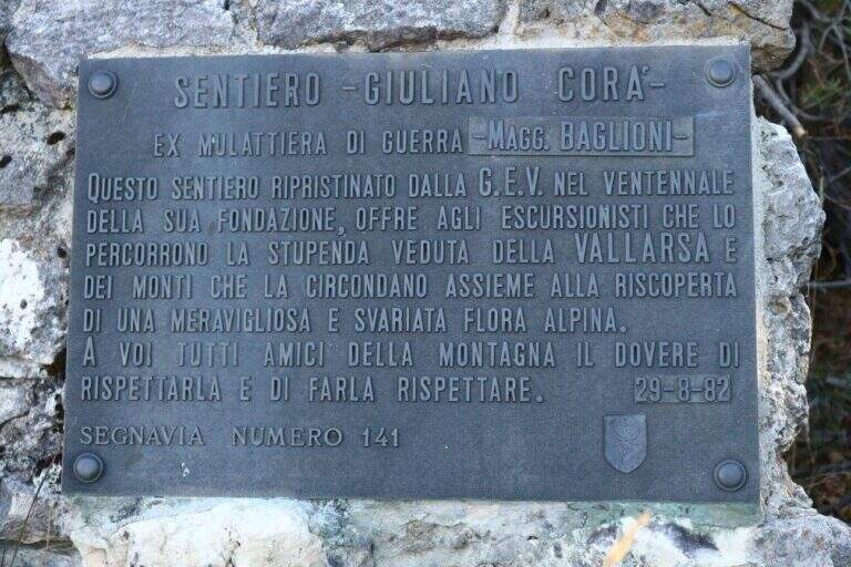
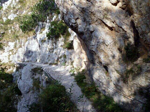
    Path Attrezzato, titled at Pasquale Baglioni, runs on the western side of Pasubio, in the Prison Valley, in an area full of testimonies of the First World War. The route starting from Pian delle Fugazze is as interesting from the historical point of view as varied in the environments, with equipped sections, galleries and belvederi on the valley below.

    ▲Approach

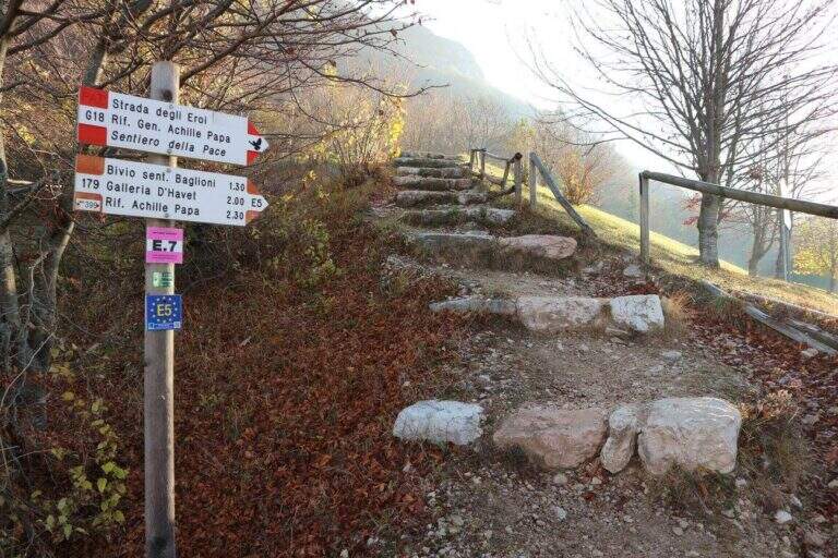
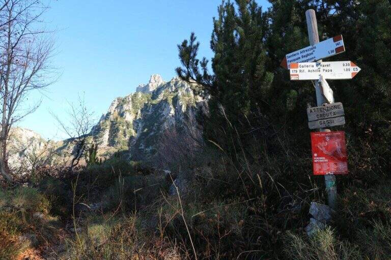
    From Pian delle Fugazze (wide park at the pass, reachable from Rovereto or Schio, directions road map) cross the road to the north and climb to the CAI path 179 (‘Strada degli Eroi’), a track that will also travel back. The path shortens the bends of the road and arrives at Malga Val di Fieno, where you leave the path 170 for the Pope Refuge and follow the signs for the Path Attrezzato Baglioni with CAI 141 marker (1645 m, 1h15′ from the parking lot).

    ▲The path

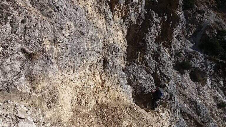
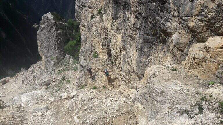
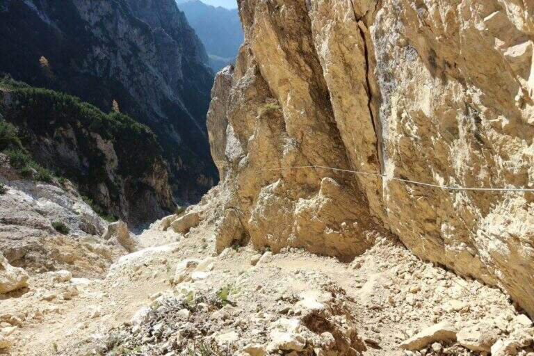
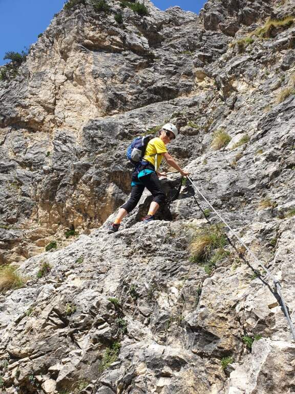
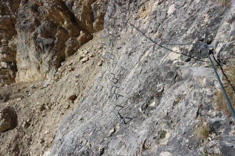
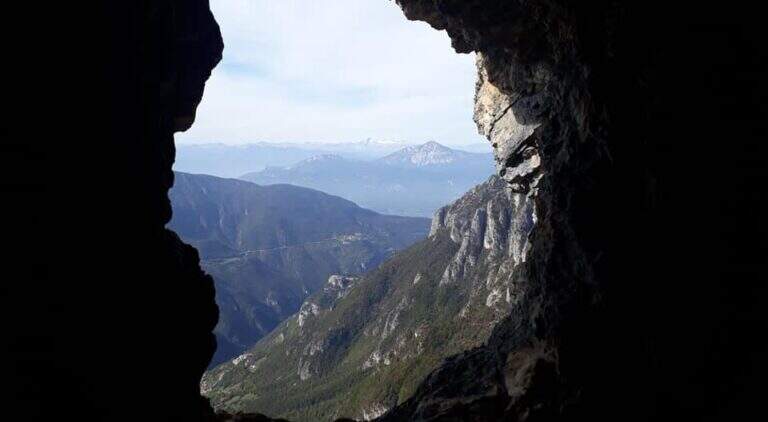
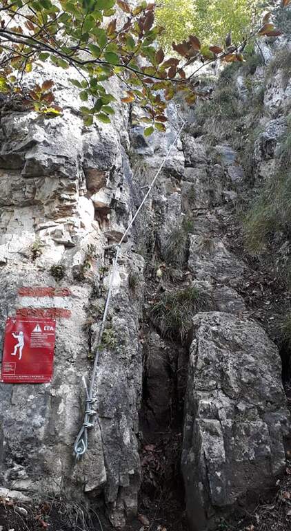
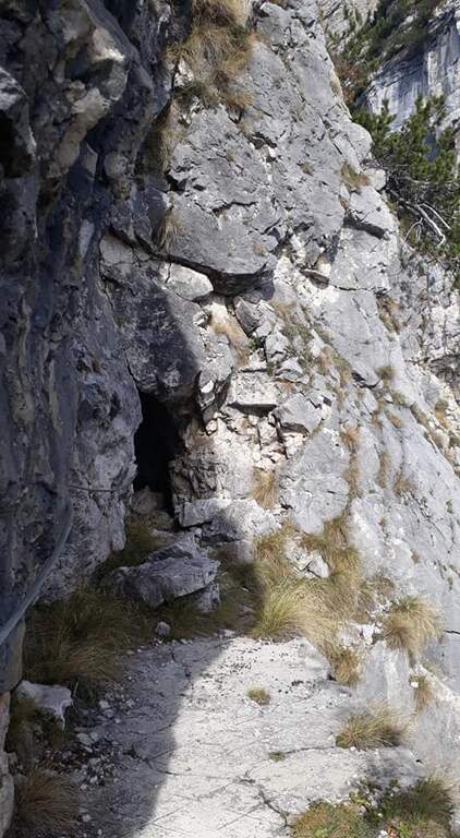
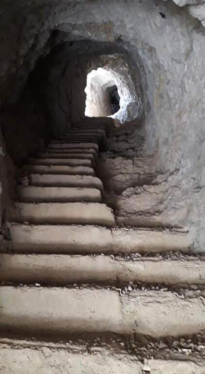
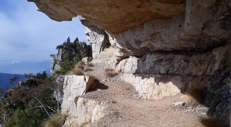
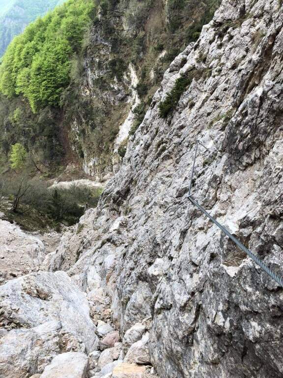
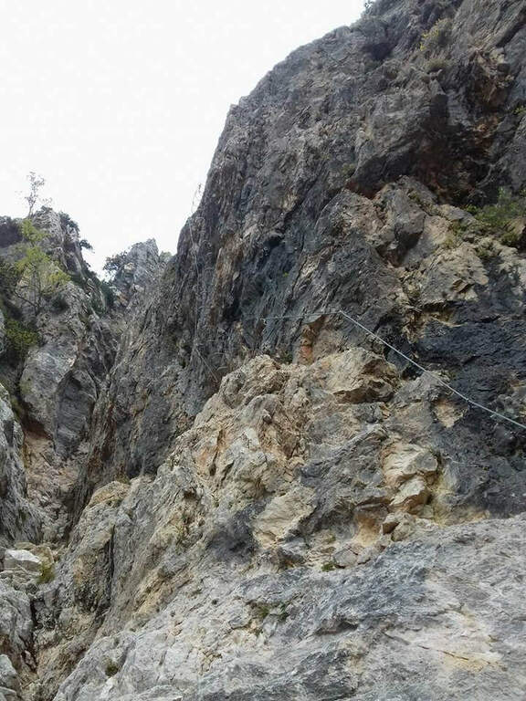
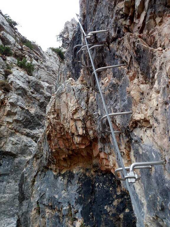
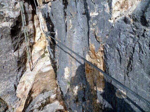
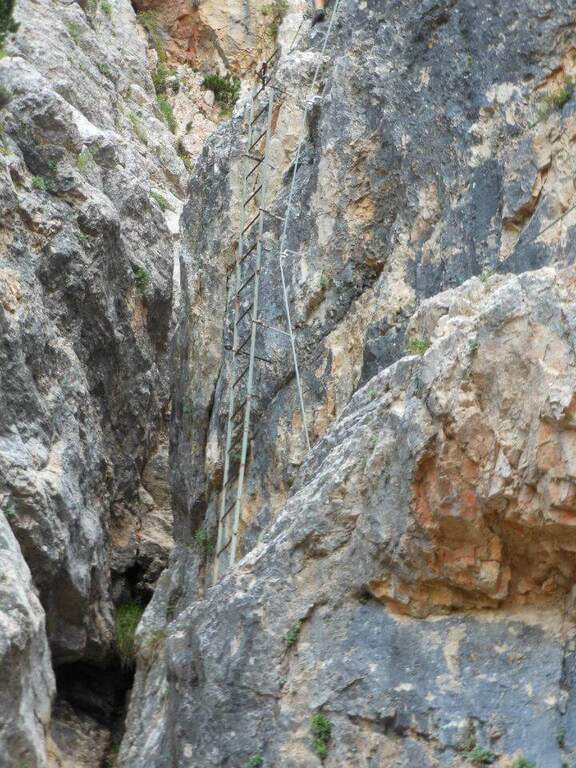
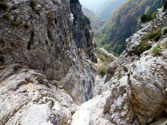
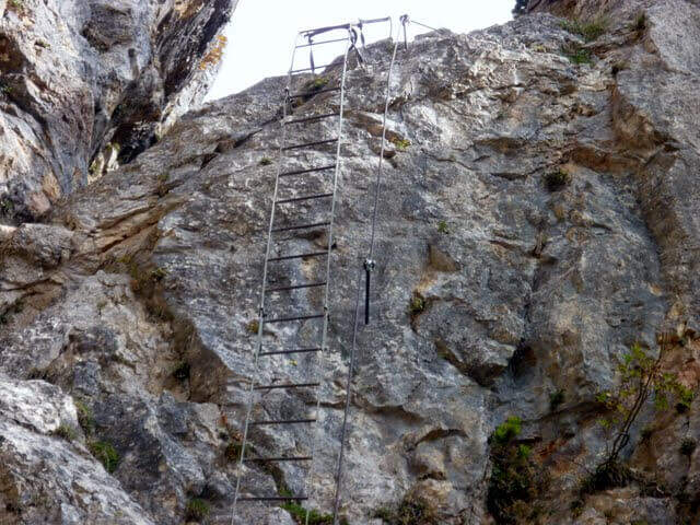
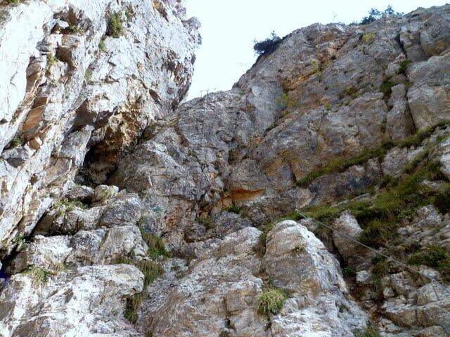
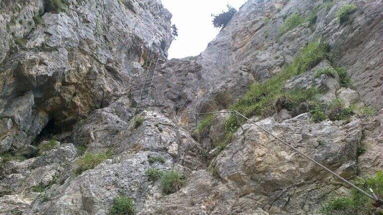
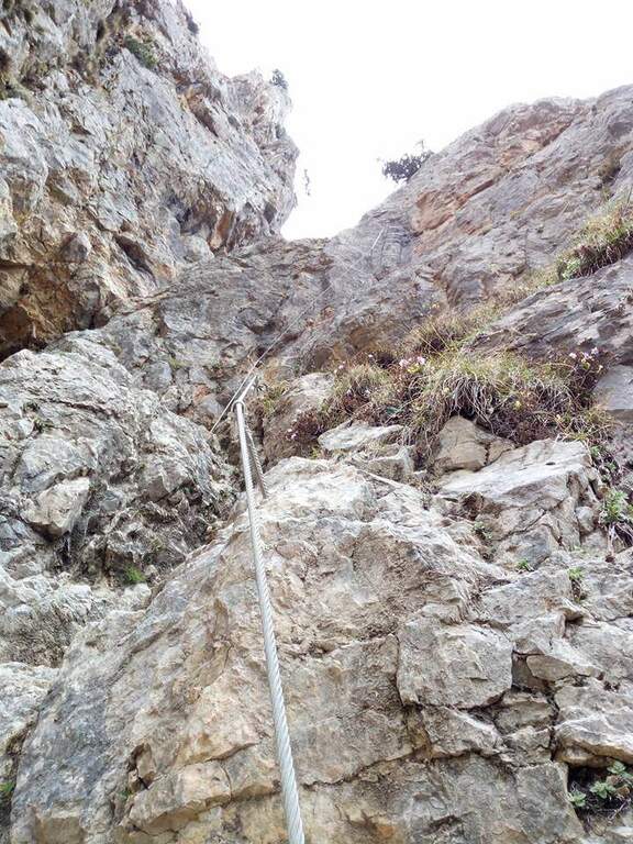
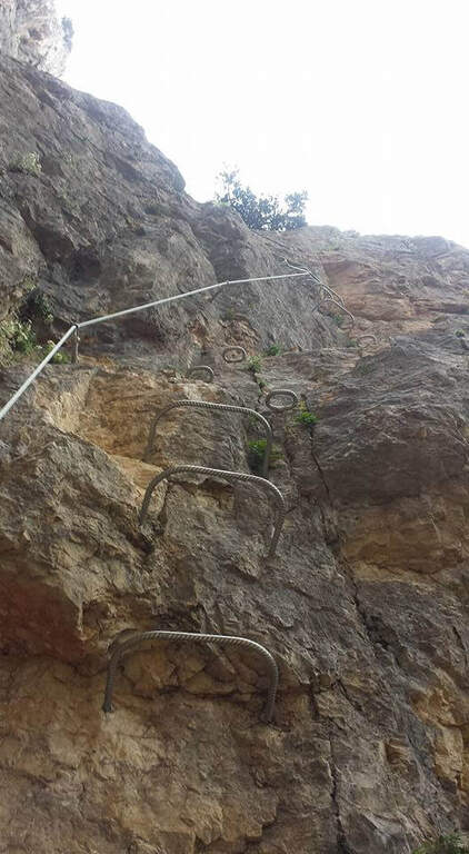
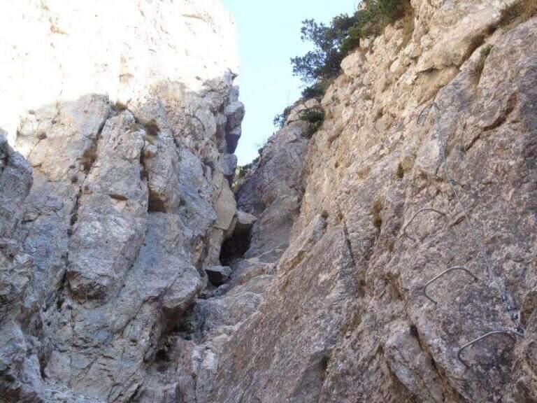
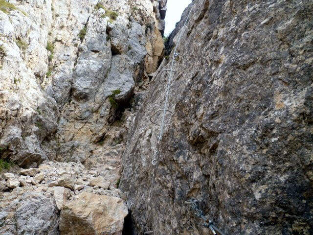
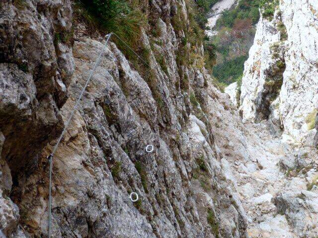
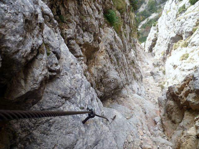
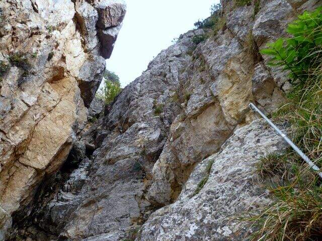
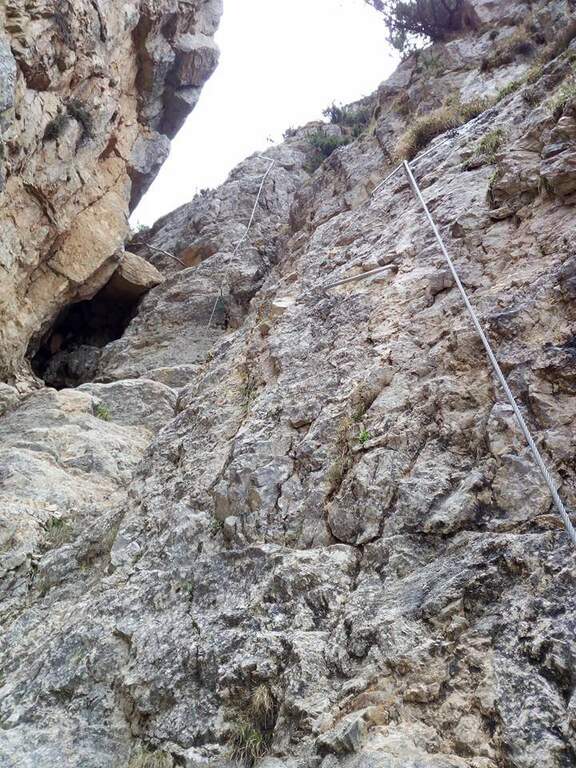
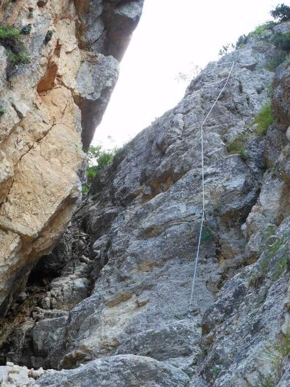
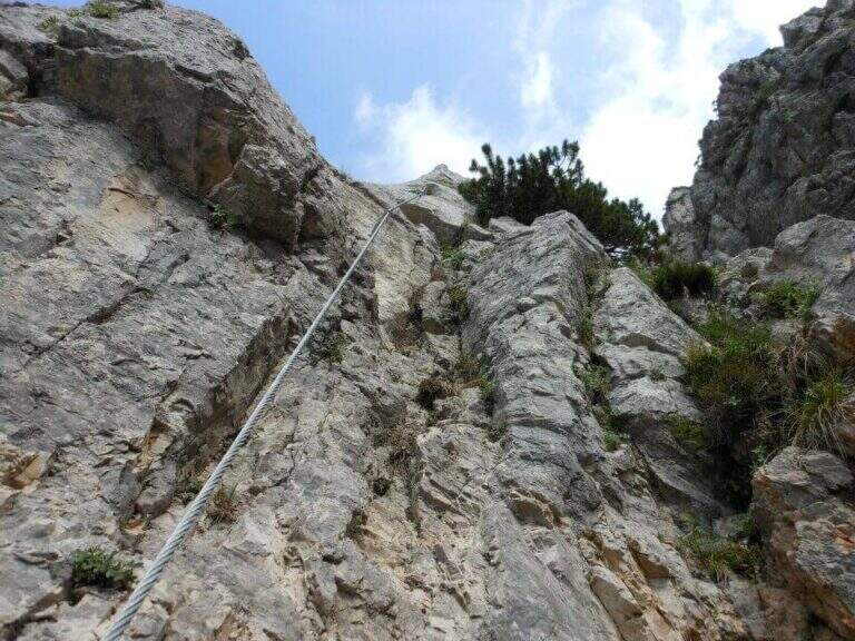
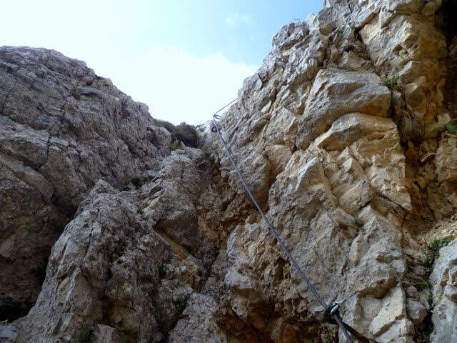
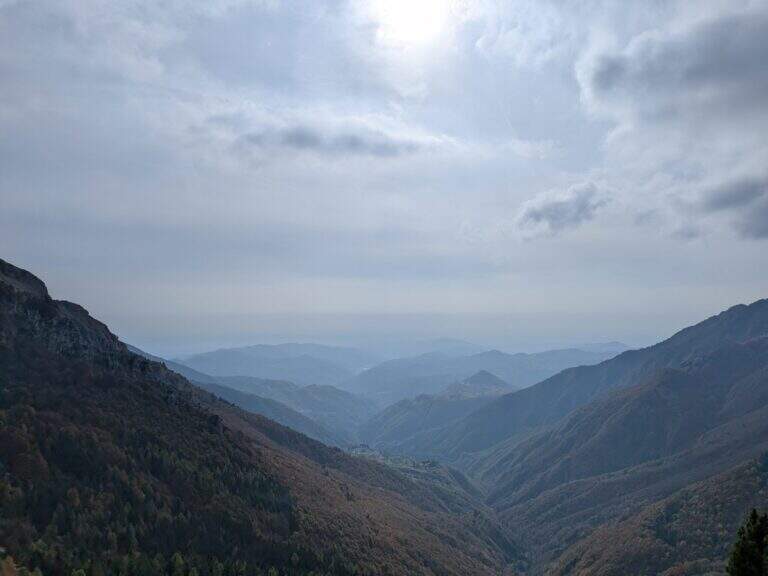
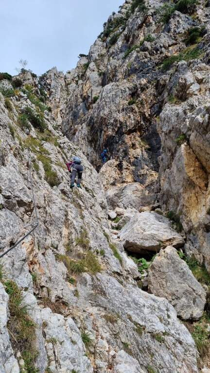
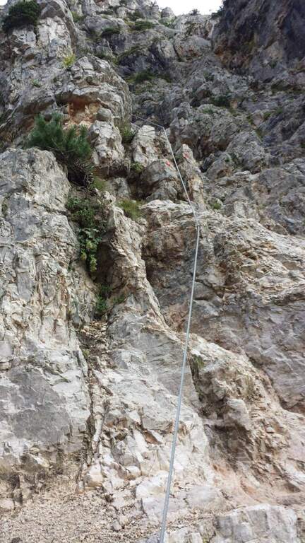
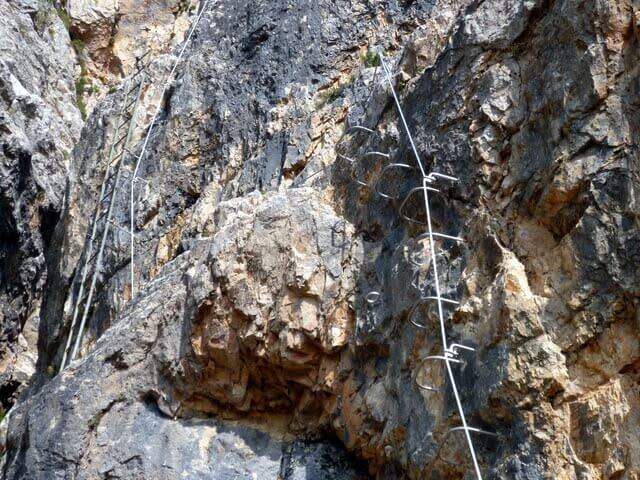
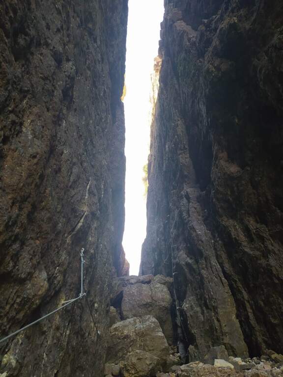
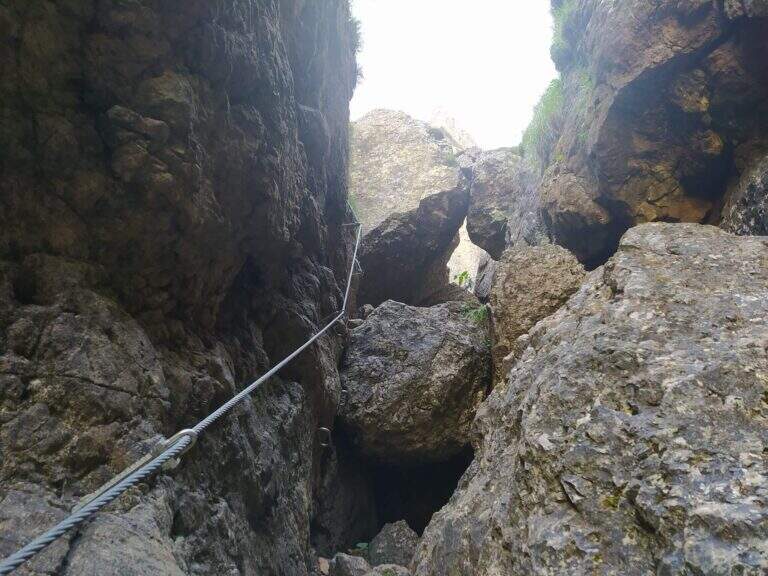
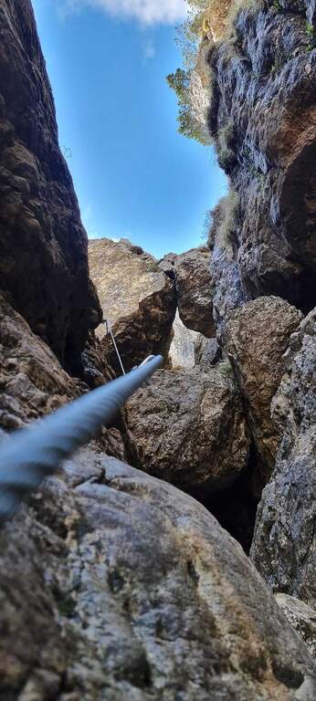
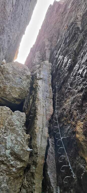
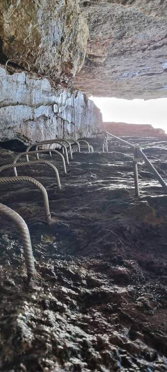
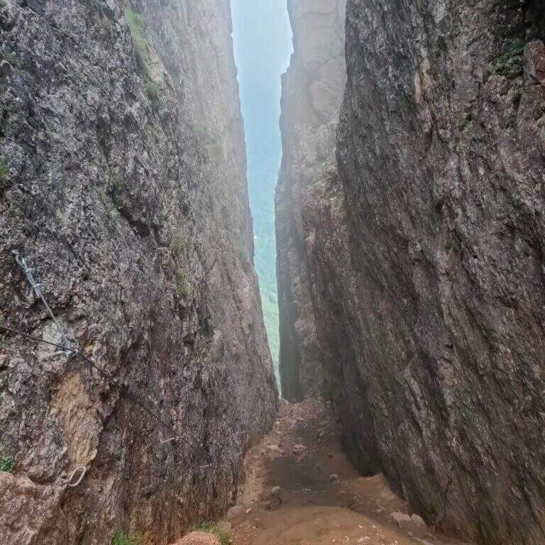
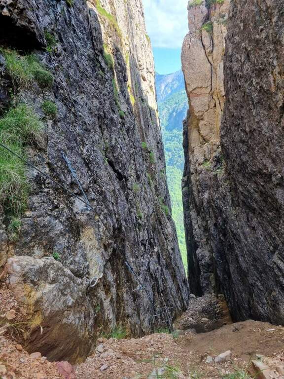
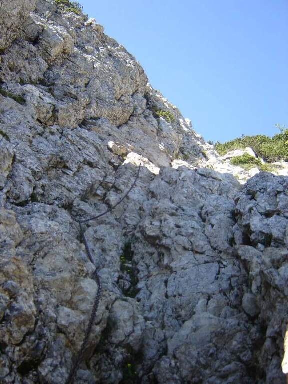
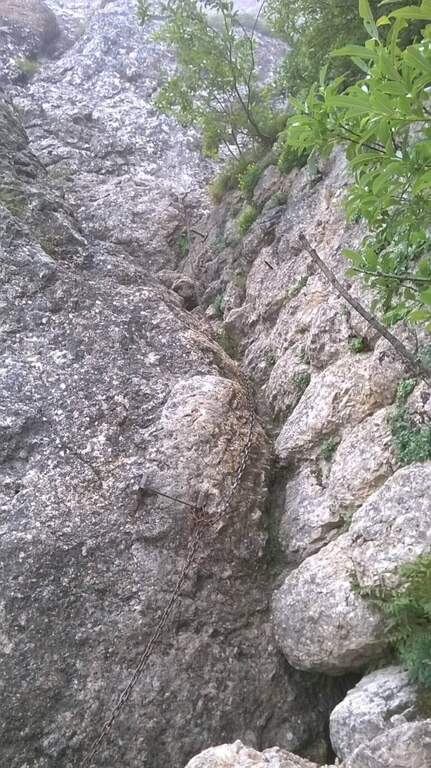
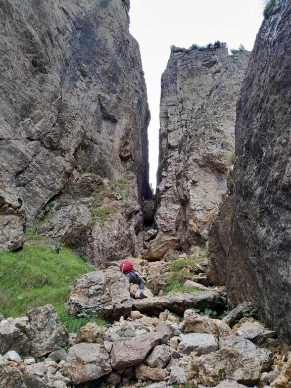
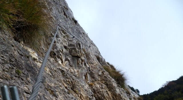
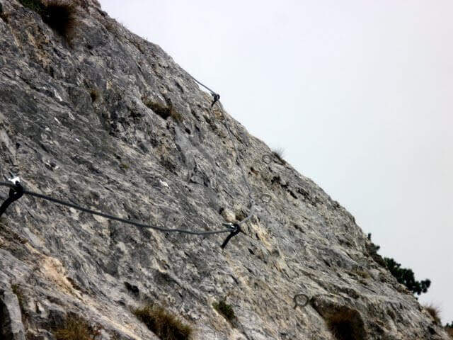
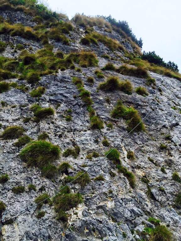
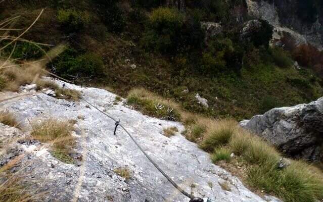
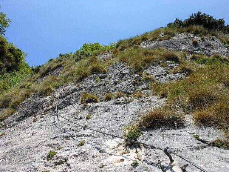
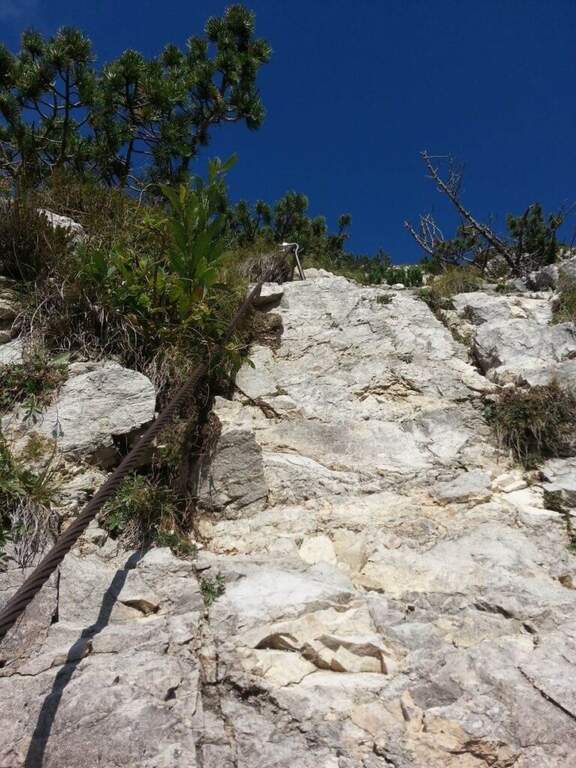
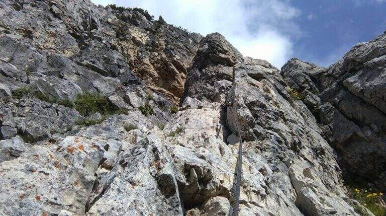
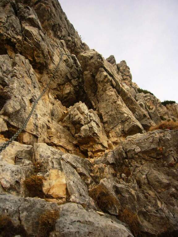
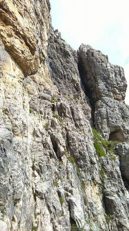
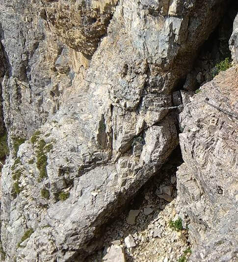
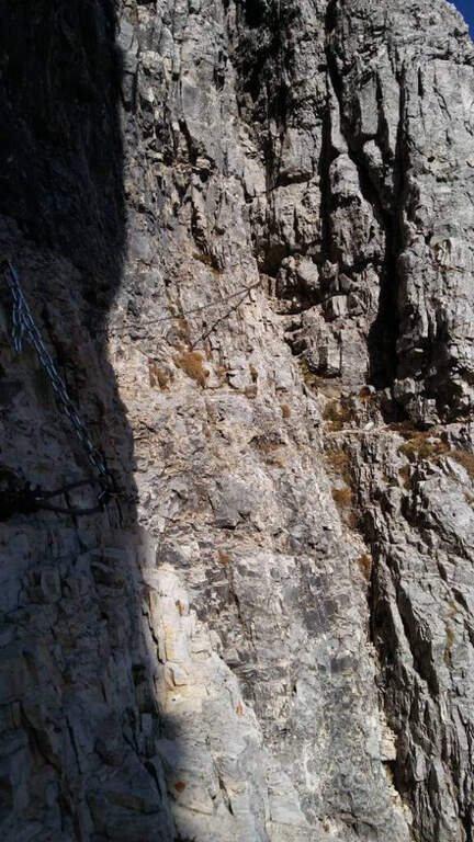
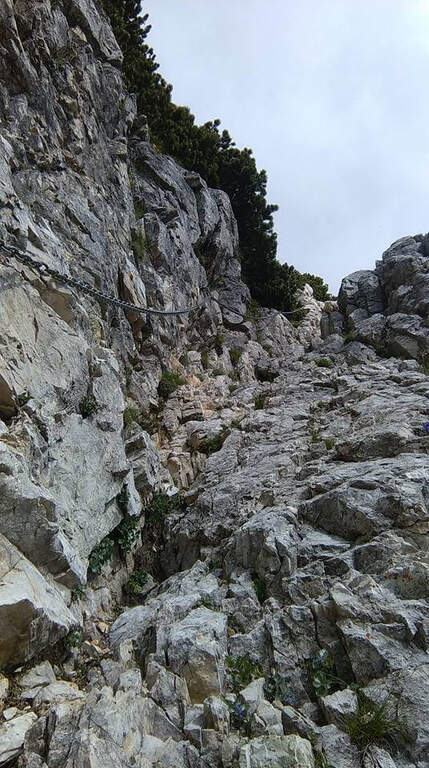
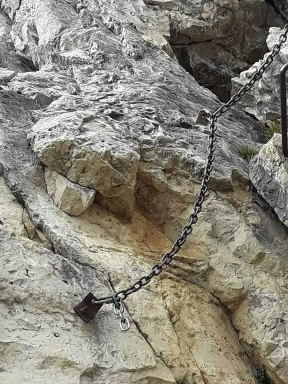
    The path continues halfway, cutting the southern dorsal of the Cima Palon. The first equipped sections, with cables that act more as a handrail than as a true protection, accompany a slight loss of altitude. The view of the valley below and overhead reliefs is remarkable for all progression. You reach the most challenging passage: a rocky canal with unstable and fragrant background, descended while keeping on the right side with the help of cambre. After about 1h15′ from the beginning of the Baglioni Path, two galleries cross the rock without requiring the torch. After the tunnels go up a green valley up to a crossroads: on the left the Homo Pass, straight the continuation (1h45′ from the beginning, 3h total).

    ▲Character and difficulty

    Classified Hard. The canal with franous background is the most technical passage; the traits equipped in the rest of the route have difficulty contained. The added value is the unique historical-alpinistic environment of the Pasubio with its galleries and testimonies of the Great War.

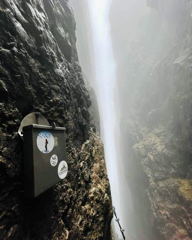
    ⚠ Attention to the afternoon fog, characteristic of the Pasubio and frequent even in summer. Prefer the morning hours for the excursion.
    ▲Period and safety

    The trail is currently closed. When reopened, the recommended season is from May to October. Always check the opening status at the local CAI before leaving.

    ▲Discipline

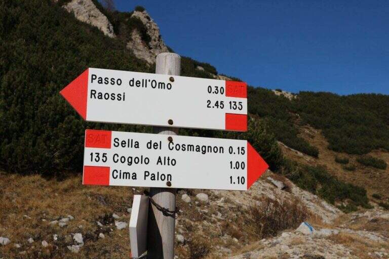
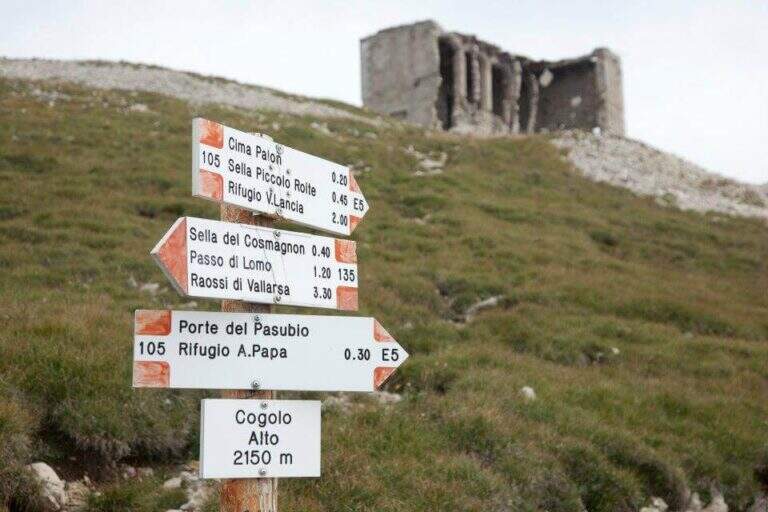
    From the end of the Sentiero Baglioni follow the path 135 towards the right with indications for the General Pope's Refuge. You can go down to the refuge or continue at altitude through tunnels and war finds, grafting on the path to the Pope from Pian delle Fugazze and going down to the fork (2h30′ from the end, 5h45′ total).

    ▲To match

    The small Dolomites offer great value itineraries including Alpine trail Falcipieri, il Sentiero Attrezzato al Monte Cornetto, la Ferrata Campalani, il Pojesi Path at Carega, la Ferrata Biasin, la Ferrata Viali e la Ferrata Ezio Ferrari.
    ▲Gallery
    Technical data
    • DifficultyHard
    • RegionVeneto
    • GroupSmall Dolomites
    • Approach1:15 h
    • Ferrata1:45 h
    • Itinerary (a/r)5:45 h
    • Hardware level difference100 m
    • Route difference988 m
    • Max2150 m
    • Length8 Km
  • Path equipped Franco Galli

    Path equipped Franco Galli

    Vie Ferrate › Trentino-Alto Adige › TN
    Path equipped Franco Galli

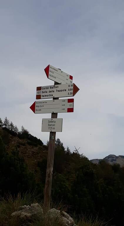
    The Attrezzato Path Franco Galli leads to the Corno Battisti (1762m) on the Trentino side of the Massif of the Pasubio, going through places marked by the events of the First World War and rich of still well preserved war installations.

    How to arrive and approach

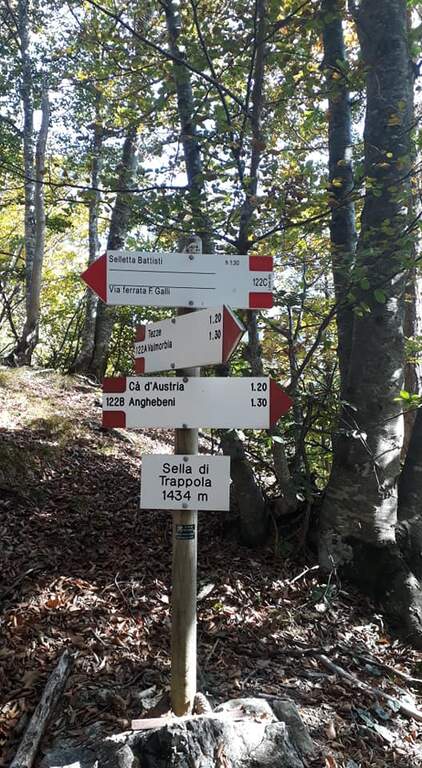
    The starting point is the village of Tezze, near Valmorbia (TN), on the state road 46 Rovereto-Valli del Pasubio. From Valmorbia turn left towards the center of the village and then right on the first road uphill, narrow and winding, up to a slargo where leave the car (about 750m). Parking is poor: those who do not find a place can leave the car in the village and walk the last stretches on asphalt road, adding about 200m of altitude difference. We recommend the route counterclockwise so that the tunnels are crossed uphill: take the 122A signpost to the right, leaving the 123 mark on the left (it will be the return route). The path 122A climbs steadily and steeply in the woods without technical difficulties until the Sella di Trappola (1435m, about 2 hours from Tezze); from the saddle you hold the left towards the Corno Battisti.

    The path

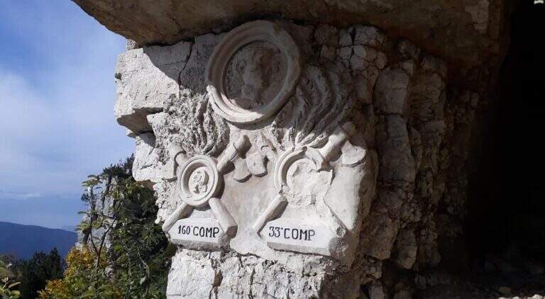
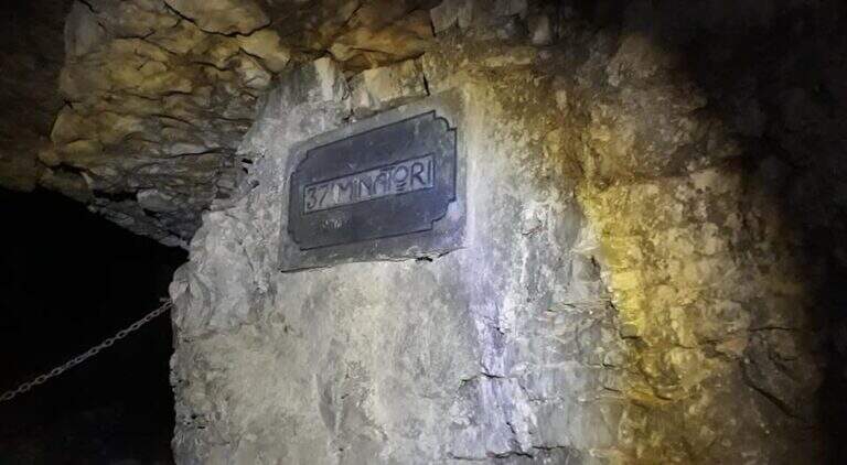
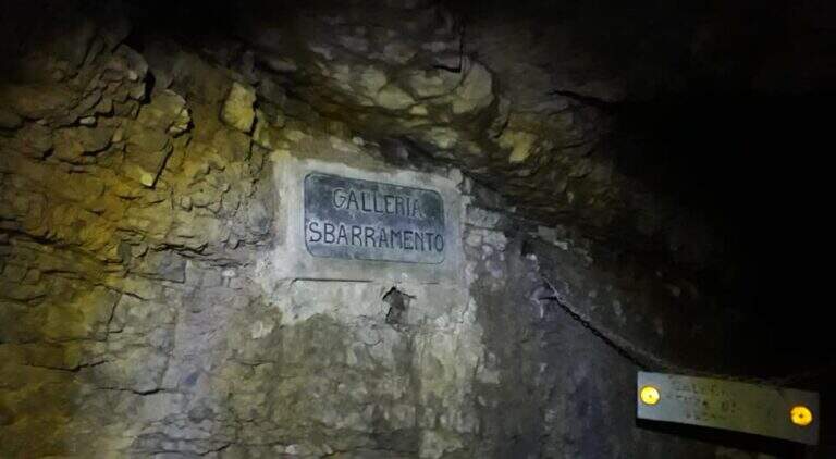
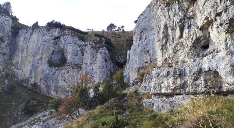
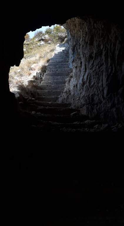
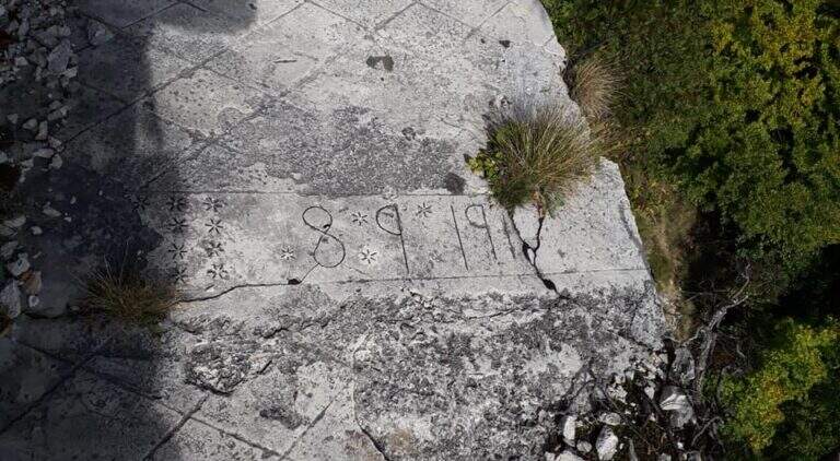
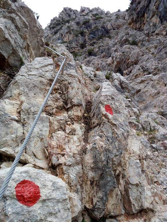
    From Sella di Trappola (1435m) begins the stretch equipped towards Corno Battisti. The path in the forest rarely leads to the first war station of the Great War and to the first equipped highlight marked by a characteristic red sign. You go up a rocky canal, you reach another location and then a first gallery. Following the white-red signposts you will meet new positions and a sign indicating the Pulcinella Hat (photography, optional deviation on the left). The itinerary alternates galleries and outdoor paths; a staircase carved into the rock precedes a wooded section and then a new gallery to be climbed internally for a long staircase. At the exit, marble marks commemorate the military units that fought in this area. You will walk through a picturesque nod and a rocky highlight before taking the main tunnel, to be crossed entirely without entering the closed branches. You can reach the Corno Battisti (1762m).

    Character and difficulty

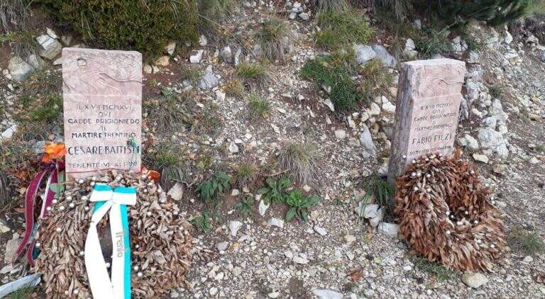
    Itinerary of considerable historical interest — in these places were captured by the Austrian troops the Trentino irredentists Cesare Battisti and Fabio Filzi — and physically challenging for the total length and difference (1000m, 14km, 6 hours total). The equipped traits are of average level but follow after a long approach that requires good physical preparation. Difficulty: Hard. Need a front torch for tunnels.

    Period and safety

    From May to October. The galleries are in the dark: the front torch is indispensable. Attention to the wet rock in the exposed sections of the nod. In winter, tunnels can present ice. The length of the route (6 total hours) requires adequate supply of water and food and to leave early morning.

    Discipline

    From Corno Battisti (1762m) you descend for the 123 marker, which closes the ring returning to Tezze in about 3h30′. This return path is more direct than the route but without the tunnels. The total time of the ring hike is about 6 hours.

    To match

    On the Venetian side of the Pasubio is the Sentiero Attrezzato Falcipieri alle 5 Cime del Pasubio, great crossing equally rich in history of the Great War. The Piccole Dolomiti and Massiccio del Pasubio host many other historical and mountaineering routes.

    ▲Gallery
    Technical data
    • DifficultyHard
    • RegionTrentino-Alto Adige
    • GroupSmall Dolomites
    • Approach2:30 h
    • Ferrata1:30 h
    • Itinerary (a/r)6:00 h
    • Hardware level difference200 m
    • Route difference1000 m
    • Max1762 m
    • Length14 Km
  • Ferrata Viali at Monte Gramolon

    Ferrata Viali at Monte Gramolon

    Vie Ferrate › Veneto › Vicenza
    Ferrata Viali at Monte Gramolon
    Moderately Hard● OpenDescriptionComplexityMapsGallery

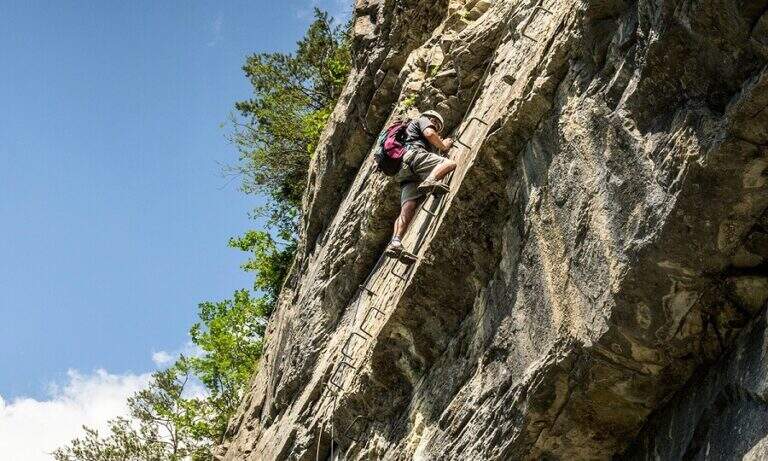
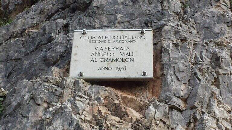
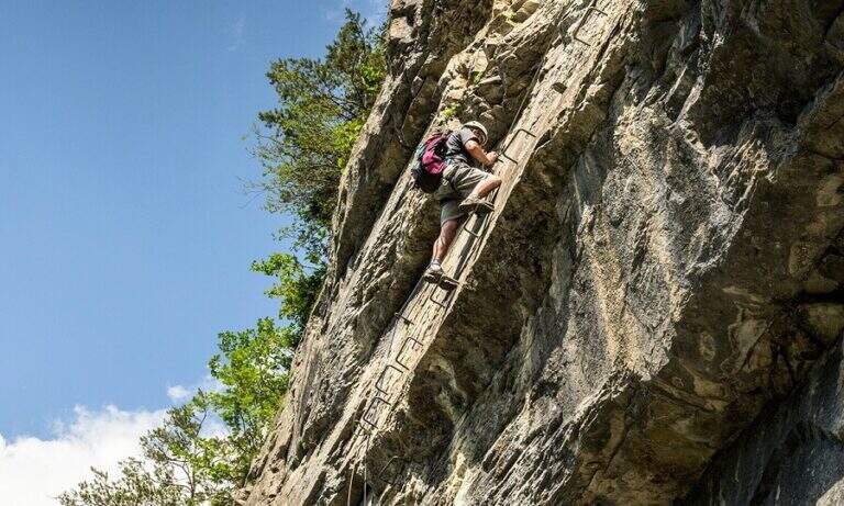
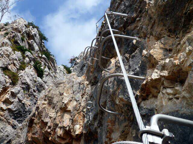
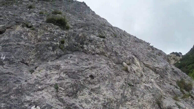
    La Ferrata Viali salt a canon under the Monte Gramolon, in the vicentino. È varied, of medium difficulty and with some pi&grave passages; challenging and athletic (in particular two overhanging walls equipped with brackets), with short approach and return and development at low altitude.

    ▲Approach

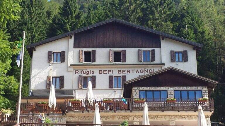
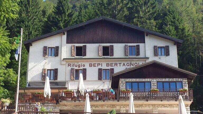
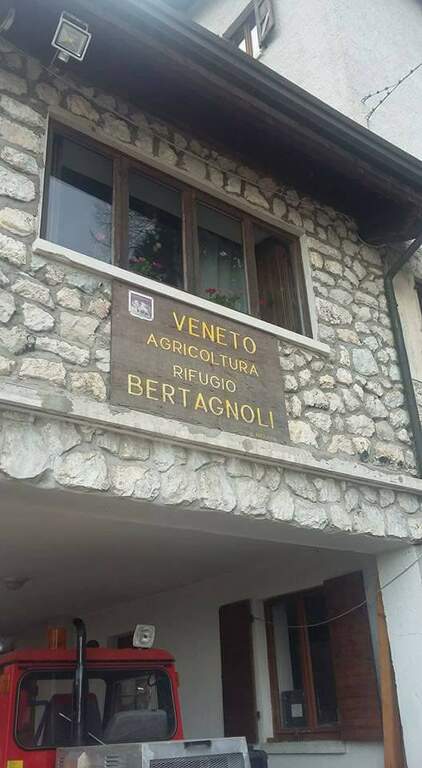
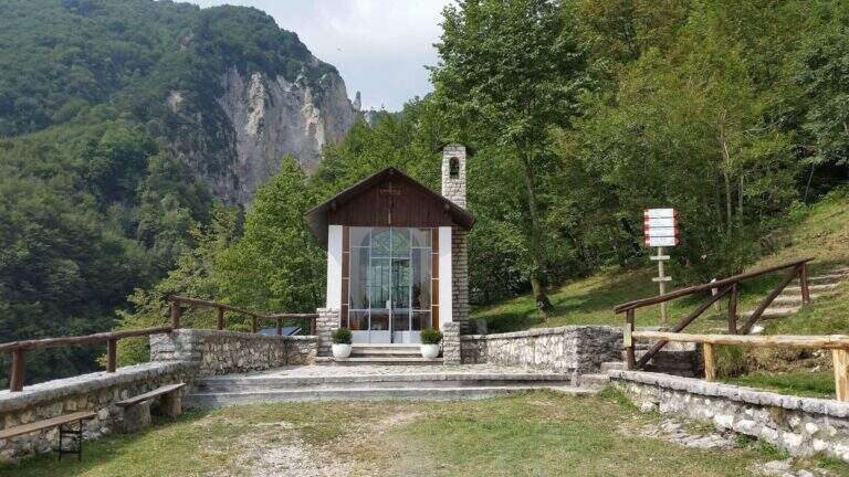
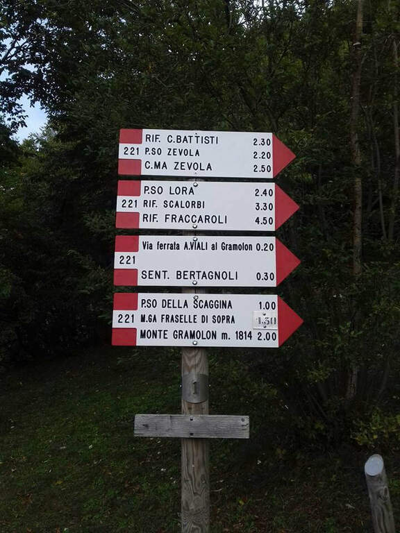
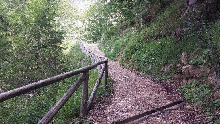
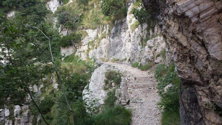
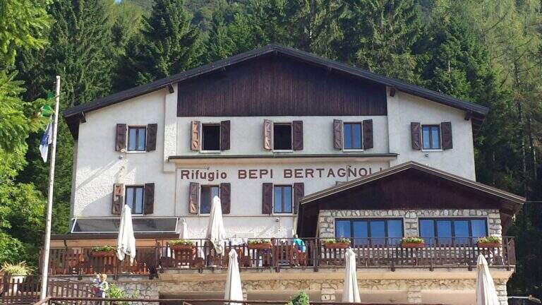
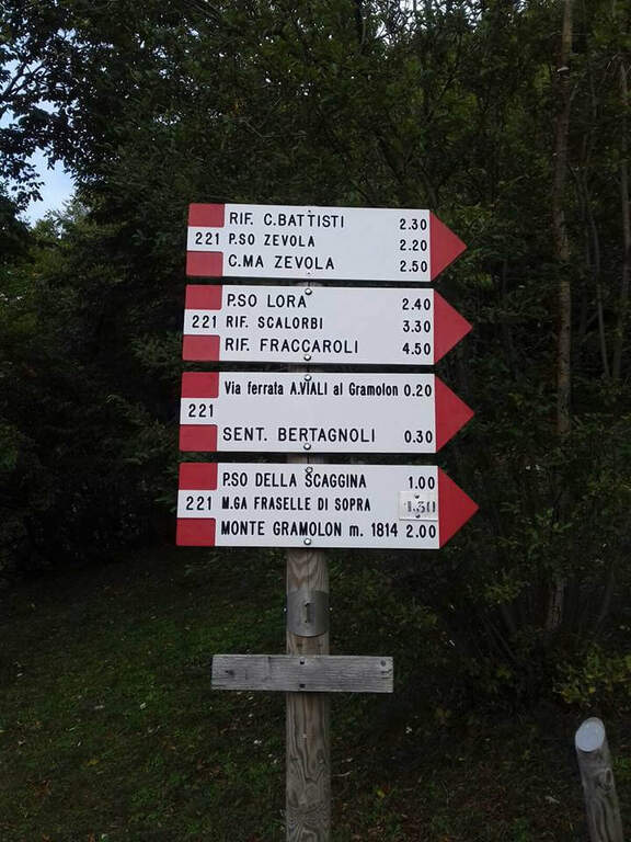
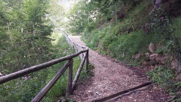
    Starting from the Rifugio Bepi Bertagnoli (1225 m), where ends the road of the valley of Campodalbero (from Arzignano to Chiampo, then right to Campodalbero). Open road signs on Google Maps. Oltre il rifugio, presso una chiesetta, una palina CAI indica a destra il sentiero 221; tra salita e discesa, con alcuni passaggi attrezzati esposti su fondo un po' franoso, si scende alla base del canalone fino al primo cartello della Ferrata Viali e all'attacco poco più in alto (20' dal parcheggio).

    ▲The path

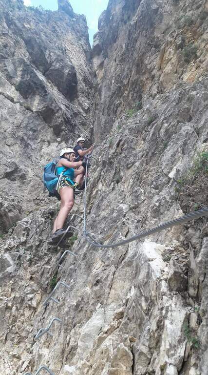
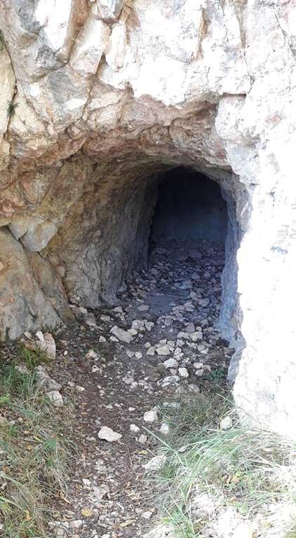
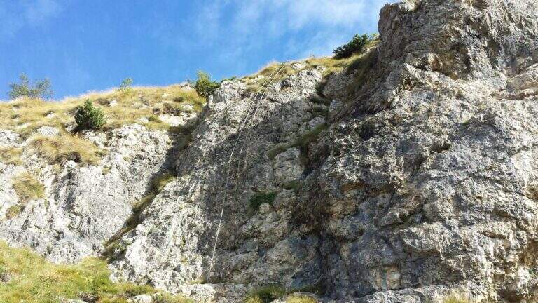
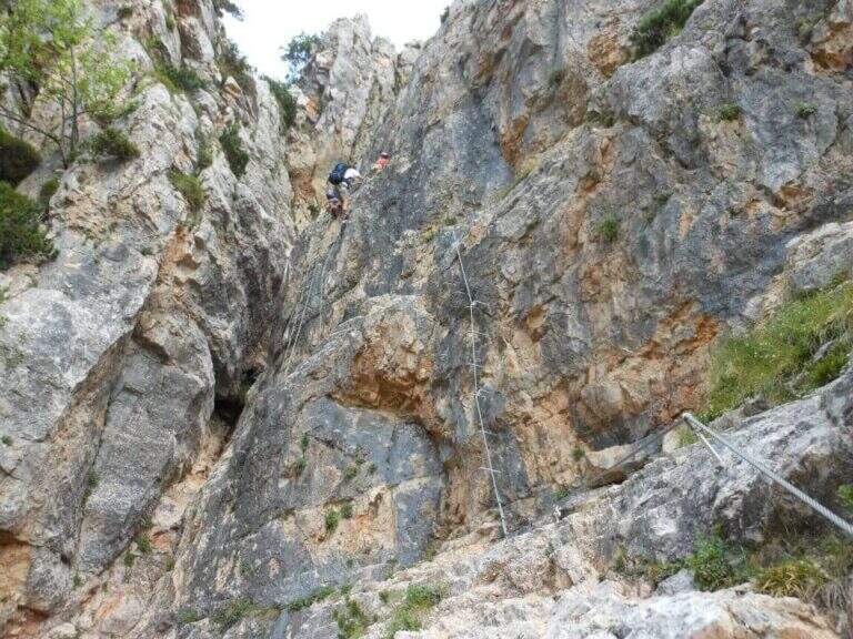
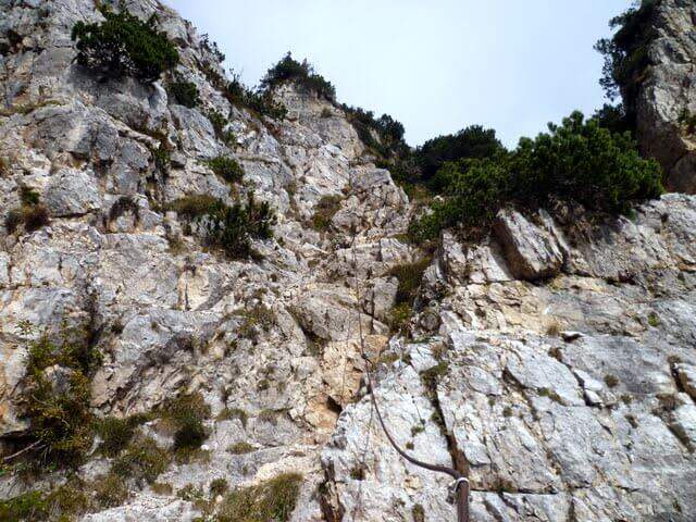
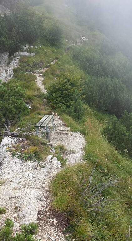
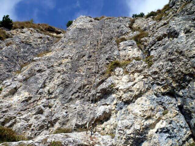
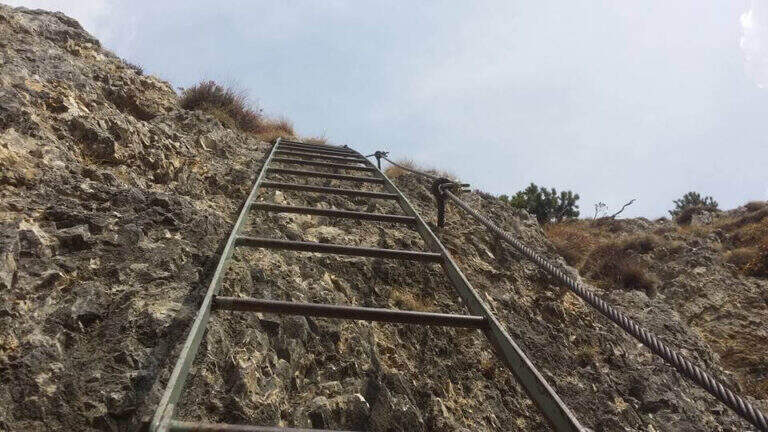
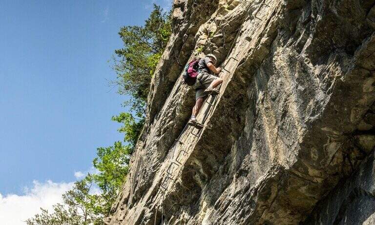
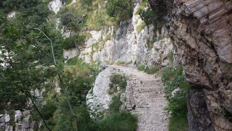
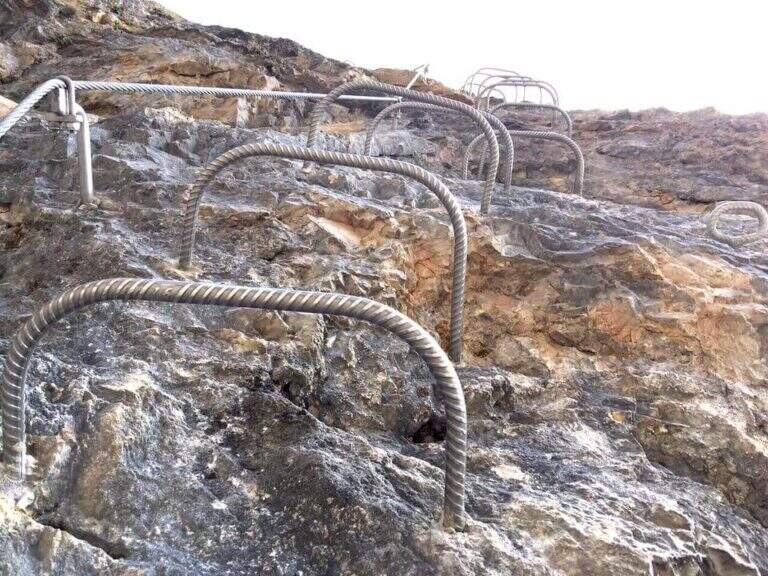
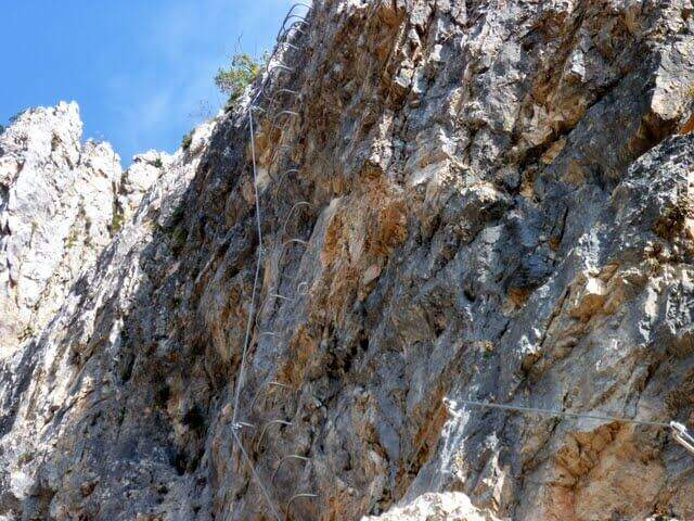
    You climb diagonally on a corner to the left of the canalone, on rock, then a traverse to the right of difficult-and-grave media; it leads to the right side of the canal. After a brief mention, the key pass is facing: a overhanging wall of about fifteen meters equipped with a long series of wide brackets (strapillating all' start, vertical in the center, again overhanging at the top). An exposed cross leads to a second wall equipped , challenging but più short, ending with diagonal brackets on a nod. There is a vertical staircase of about twenty pioli, traverses and vertical traits on poles and brackets in the canalone, a long stretch on slightly overhanging edge and a climb on the opposite side, exposed and graded. A path equipped with a bench connects to the final section: a long metal staircase of about 25 meters and a stretch of equipped path leads to the path 202, where the Ferrata Viali ends (2h from' attack).

    ▲Character and difficulty

    Fun and athletic way in the overhanging stretches, on rock not always solid. Level difference in ferrata 370 m, total 550 m, maximum altitude 1700 m, development 3.5 km. Being low altitude, to avoid on summer days too hot.

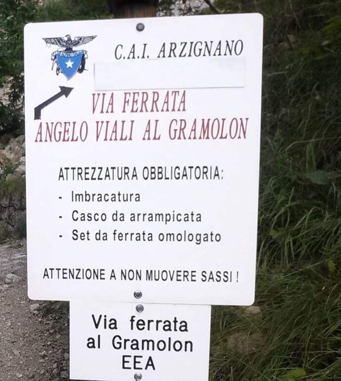
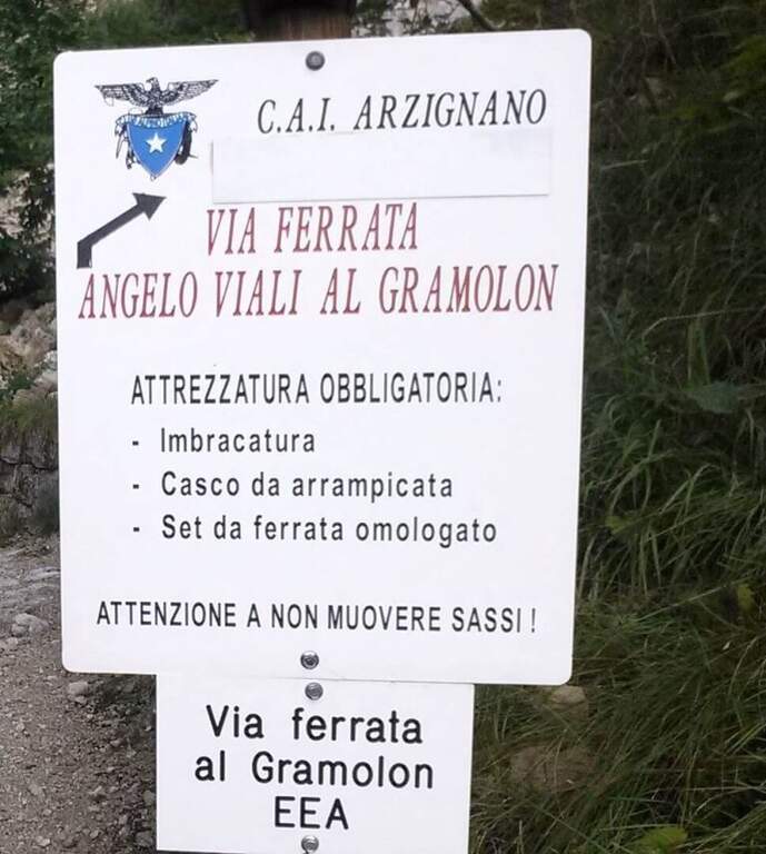
    ⚠ The bottom è composed of pebbles and unstable traits and are not rare the scariche di sassi: the helmet è absolutely mandatory and you need not to move rocks on the canal to the following.
    ▲Discipline

    Per rientrare al Rifugio Bertagnoli si segue il sentiero 202 a sinistra, si attraversa una galleria militare (non serve la torcia) fino a un ripido sentiero prima del Passo di Scagina che scende nel bosco, passando accanto al monumento a Bepi Bertagnoli, fino all'attacco della ferrata (40' dal termine) e quindi a ritroso al parcheggio (circa 1h dal termine, 3h 30' totali). In alternativa si può proseguire verso la vetta del Gramolon.

    ▲To match

    On the same Gramolon Ferrata Ezio Ferrari; not far, towards the Carega, the Ferrata Campalani.

    ▲Gallery
    Technical data
    • DifficultyModerately Hard
    • RegionVeneto
    • GroupSmall Dolomites
    • Approach0:20 h
    • Ferrata2:00 h
    • Itinerary (a/r)3:30 h
    • Hardware level difference370 m
    • Route difference550 m
    • Max1700 m
    • Length3,5 Km
  • Ferrata del Vajo Stretto

    Ferrata del Vajo Stretto

    Vie Ferrate › Trentino-Alto Adige › Trento
    Ferrata del Vajo Stretto
    Moderately Hard● OpenDescriptionComplexityMapsGallery

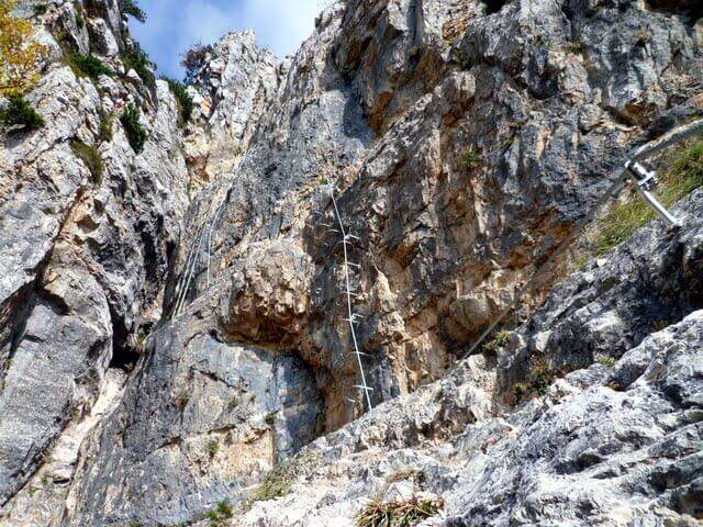
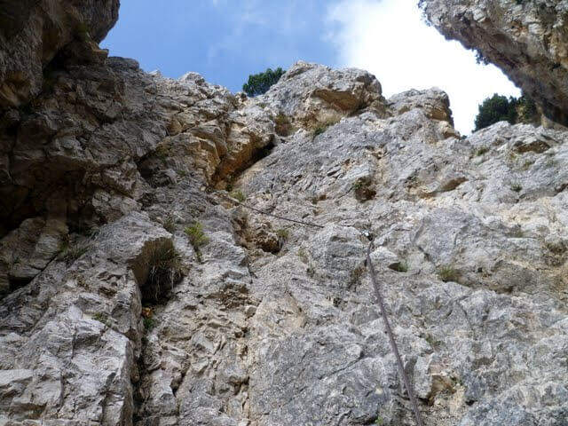
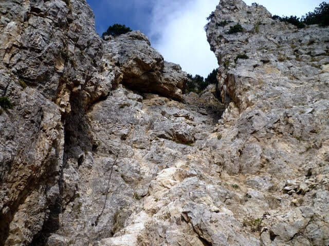
    La Ferrata del Vajo Stretto rises the eastern wall of the Monte Cornetto, in the small Dolomites on the border between Trento and Vicenza. It stands a narrow rocky streak with difficulty and agrave; never significant, in a very beautiful environment; combined with the summit of Cornetto becomes a long and fulfilling ring.

    ▲Approach

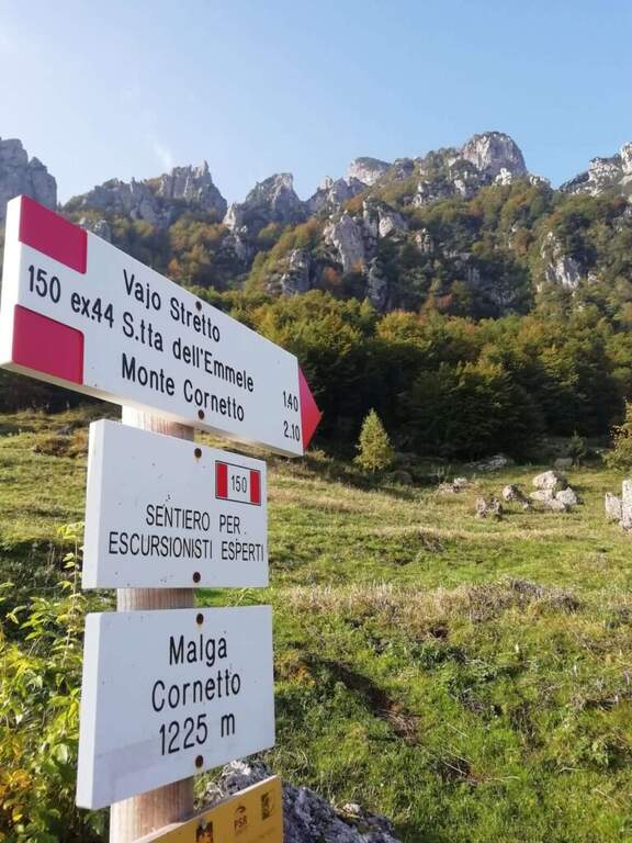
    Starting from Malga Cornetto (1225 m), on the road connecting Pian delle Fugazze to the Pasubio Shrine (large paid parking). Open road signs on Google Maps. Follow the sentiero 150 (ex 44) first on meadows then in the forest, with CAI signs and written on stones, up to ' attack ( approximately 40' from parking ).
    ▲The path

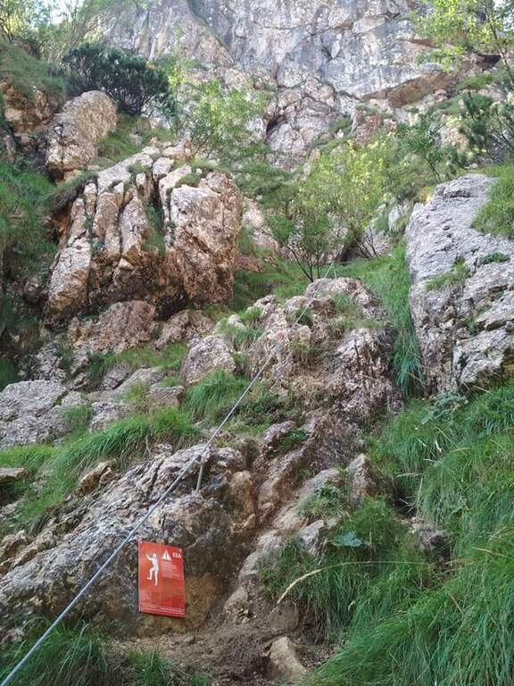
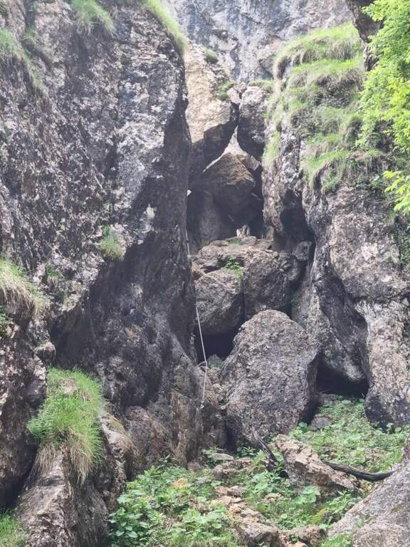
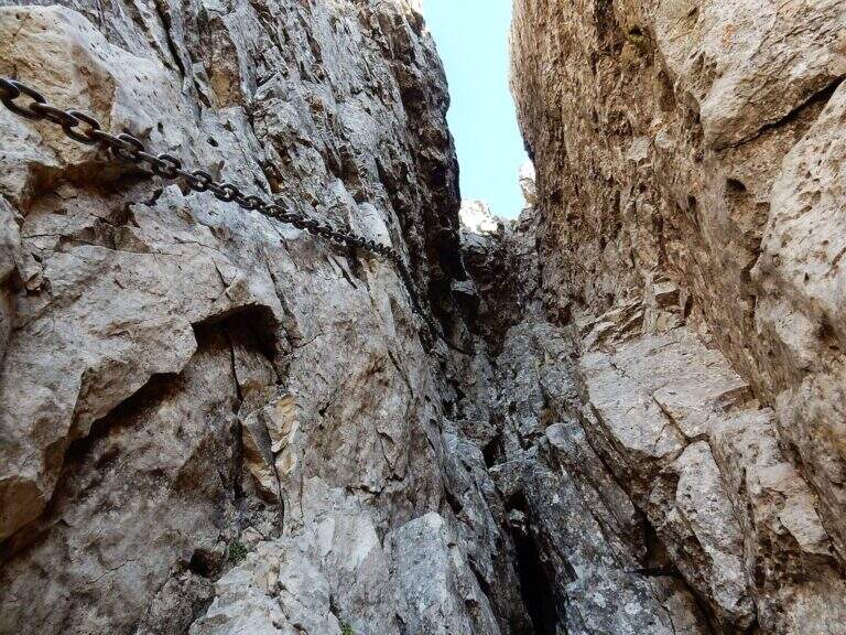
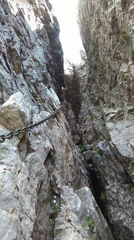
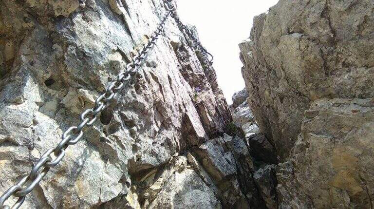
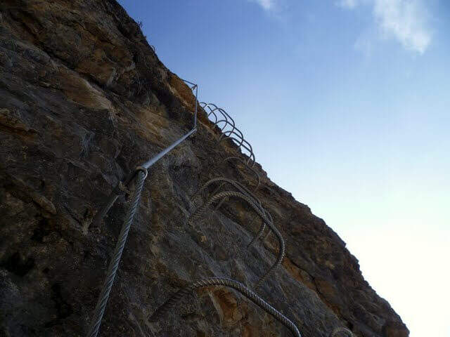
    Dal cartello rosso si salgono facili roccette verso l'evidente canalone, alternando risalti e cenge erbose fino all'ingresso del vajo. Le attrezzature si interrompono e ci si sposta sul lato sinistro per risalire il canale su roccia appigliata e qualche cambra, verso un caratteristico tunnel naturale tra massi incastrati. Oltre il tunnel si prosegue nella fenditura tra incombenti pareti, alternando tratti di sentiero a tratti assicurati con passi di arrampicata mai difficili e diversi passaggi in camino tra rocce incastrate. Un passaggio più verticale (molte cambre) e un traverso esposto a sinistra, oltre un grande masso spesso umido, portano al libro firme; si sale infine la rampa sul lato destro e si esce dal Vajo Stretto, dove termina la ferrata (circa 1550 m, 1h dall'attacco, 1h 45' dal parcheggio). All'intersezione col Vajo Cassa da Morto si tiene la sinistra in salita fino a un ghiaione e alla Selletta dell'Emmele (1675 m, 20'); consigliato proseguire per la vecchia mulattiera militare alla Forcella del Cornetto (1825 m) e, per il sentiero attrezzato della via normale (esposto ma non difficile, tratti con catena), alla croce del Monte Cornetto (1899 m, circa 3h dal parcheggio).

    ▲Character and difficulty

    Itinerary of difficulty contained but of great atmosphere, between fireplaces and framed stones. Overall difference 600 m, maximum altitude 1899 m, development 8.6 km.

    ⚠ Helmet absolutely necessary for the danger of falling stones along the vajo. Attention to the slippery bottom of some sections; bulky backpacks create problems in the most cramped points, better a small backpack or connect it to the harness with a fectuccia.
    ▲Discipline

    You go down backwards the path equipped with summit up to path 149; it is recommended to continue south halfway towards the Baffelan and the Campogrosso Pass, between never difficult stretches and war tunnels, up to the Passo degli Onari (1760 m) and the Passo del Baffelan. From here the sentiero 177 (Boale del Baffelan) descends a canalone (attention, with a vertical jump protected by chain) to the Road of the King (sentiero 175) which reports to Malga Cornetto (3h from the summit, 6h totali).

    ▲To match

    The Cornetto area is rich in equipped itineraries: towards Carega la Ferrata del Vajo Scuro e la Ferrata Campalani at Carega.

    ▲Gallery
    Technical data
    • DifficultyModerately Hard
    • RegionTrentino-Alto Adige
    • GroupSmall Dolomites
    • Approach0:40 h
    • Ferrata1:00 h
    • Itinerary (a/r)6:00 h
    • Route difference600 m
    • Max1.899 m
    • Length8,6 Km
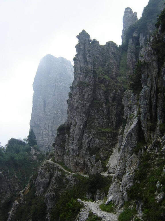
  • Ferrata Ferrari al Gramolon

    Ferrata Ferrari al Gramolon

    Vie Ferrate › Veneto › Vicenza
    Ferrata Ferrari al Gramolon

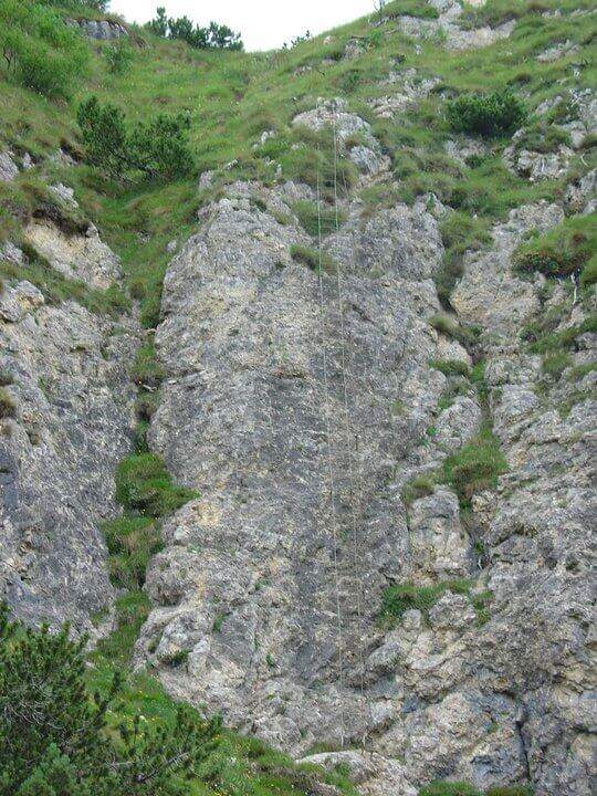
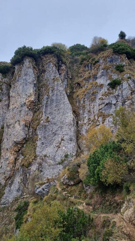
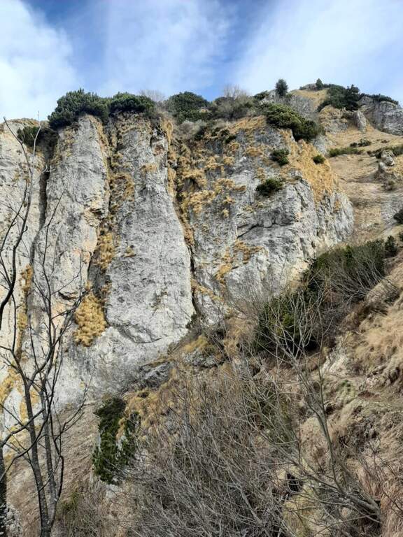
    La Ferrata Ezio Ferrari al Gramolon è breve, atletica e impegnativa: si sviluppa quasi per intero su traversi diagonali in forte esposizione, lungo una placca levigata delle Piccole Dolomiti vicentine. È il naturale completamento di un'escursione che comprende prima la vicina Ferrata Viali e poi la salita alla vetta del Gramolon.

    ▲Approach

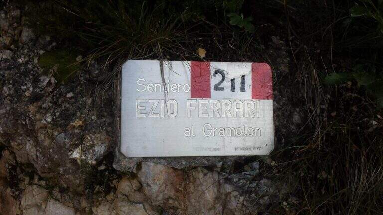
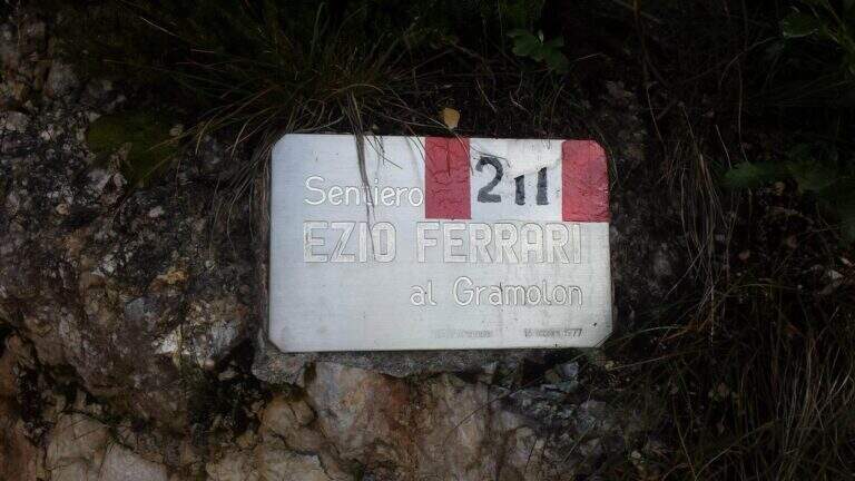
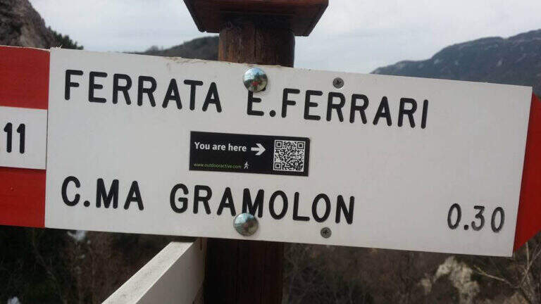
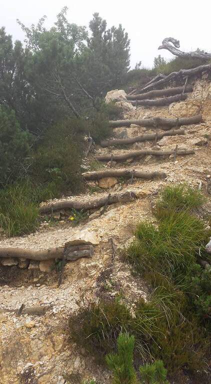
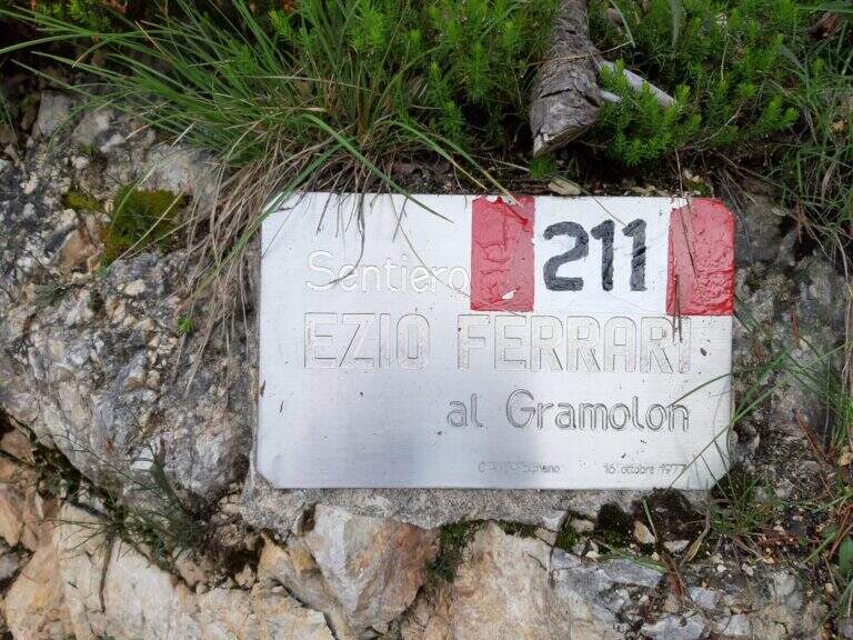
    Il punto di partenza è il Rifugio Bepi Bertagnoli (1225 m), dove termina la strada che risale la Val di Campodalbero, in provincia di Vicenza. Da sud si segue per Arzignano e poi in direzione Chiampo; risalendo la valle, dopo la località Valletta si presta attenzione alla svolta a destra per Campodalbero (prima indicazione per il rifugio) e si prosegue su strada via via più stretta, oltre Campodalbero, fino al parcheggio del rifugio (starting point on Google Maps). La soluzione consigliata è percorrere prima la Ferrata Viali e poi, con un breve tratto di collegamento (10'), la Ferrari: in questo caso si calcolano circa 2h 30' dal parcheggio. Volendo invece raggiungere direttamente la Ferrari, dal rifugio si seguono i segnavia 211 verso est; si sale e poi si scende fino all'attacco della Ferrata Viali, che si ignora, proseguendo in salita costante. Si incontra una deviazione a destra (scorciatoia più ripida ma consigliata, che fa risparmiare circa 15') e si raggiunge il sentiero 202, che taglia a mezzacosta il Monte Gramolon. Si tiene la destra e si attraversa una galleria militare (non serve la torcia); usciti, in breve si arriva a un tornante con una panchina e le indicazioni del sentiero 211 per il Gramolon. Si sale ripidi tra rocce e mughi, su un percorso attrezzato in alcuni brevi tratti esposti, fino a una forcellina da cui si vede la parete della Ferrari; a un bivio segnalato si tiene la sinistra e, attenzione, si supera un singolo passaggio esposto aggirando un masso, raggiungendo infine l'attacco (1h 15' dal parcheggio).

    ▲The path

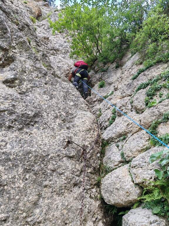
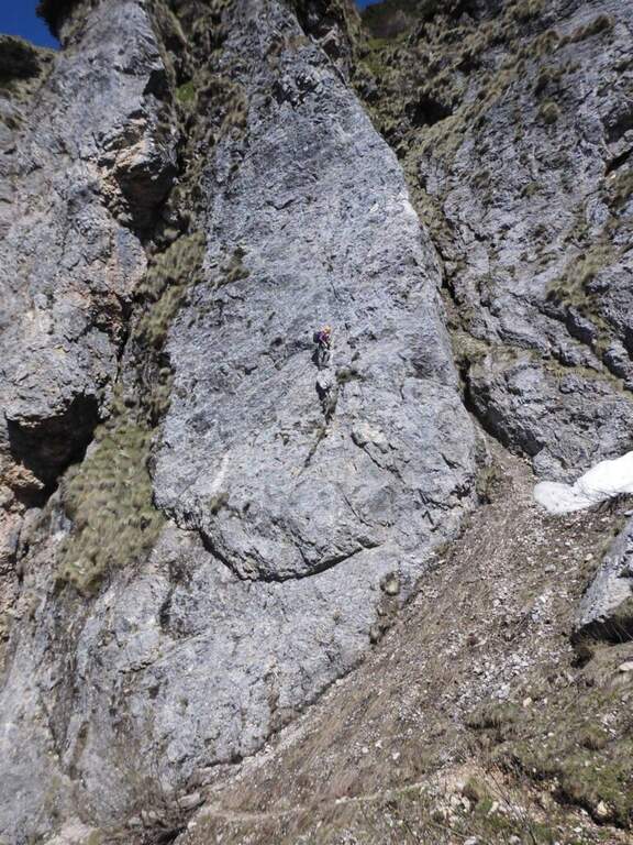
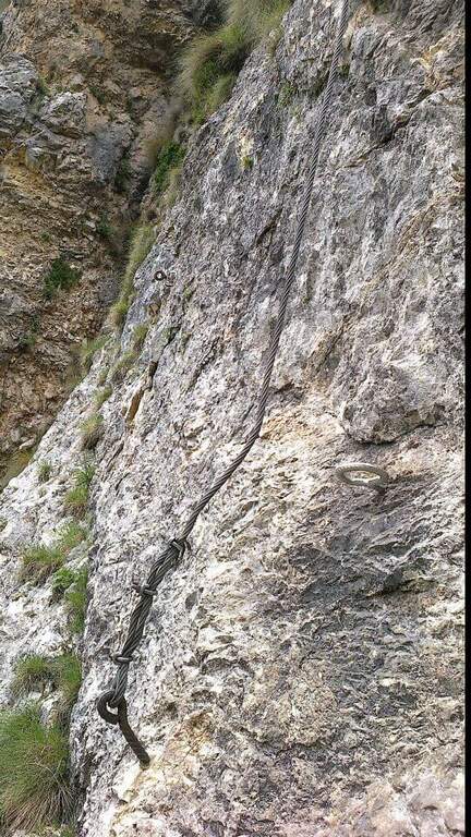
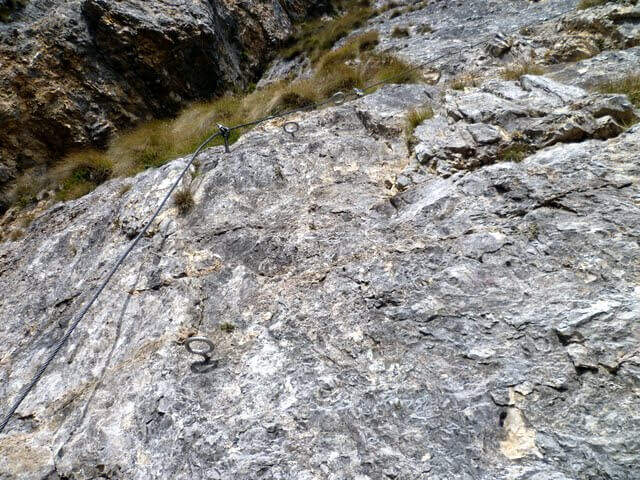
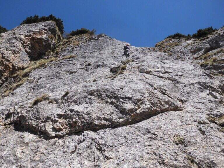
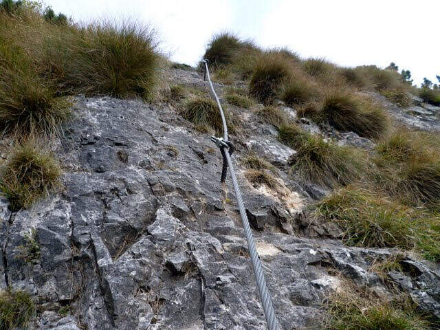
    La ferrata risale una placca levigata dotata di pochi appigli artificiali e di piccole rugosità naturali: è una salita atletica, con molti passaggi d'aderenza, e può essere utile percorrerla con scarpette d'arrampicata per migliorare il grip. Il primo passaggio sono una decina di metri verticali su roccia levigata, con alcune maniglie d'aiuto; il cavo inizia poi a piegare a destra a circa 45 gradi in un lungo traverso che aumenta gradualmente la pendenza, sempre con qualche maniglia, fino a uno spigolo. Aggirato lo spigolo si entra in un diedro che si percorre spostandosi con un traverso orizzontale dal suo lato sinistro a quello destro; sul lato destro si prosegue con elevata esposizione lungo un traverso diagonale levigato di una trentina di metri, fino a una brusca deviazione della fune verso sinistra. Si sale il balzo e si prosegue a sinistra in un nuovo traverso; al suo termine il cavo riprende in verticale con un singolo passaggio strapiombante, dove con un po' di forza e agilità si supera uno spanciamento della roccia. Si risale poi una placca verticale priva di appigli e si esce dalla parete su un ripido sentiero attrezzato a fondo terroso: pochi metri ancora e terminano le attrezzature (20' dall'attacco, circa 1h 40' dal parcheggio, circa 3h se si è percorsa anche la Viali).

    ▲Character and difficulty

    La Ferrari è diversa dalle altre vie delle Piccole Dolomiti: corta, quasi interamente su traverso impegnativo e poco arrampicabile, tanto che sarà frequente l'uso estensivo della fune metallica per progredire.

    ⚠ Via breve ma fisicamente esigente, con traversi esposti su roccia levigata: se mantenesse questo impegno su sviluppo maggiore sarebbe da classificare «Molto Difficile». Da affrontare ben allenati. I sentieri della zona sono ben segnati, un aiuto in caso di nebbia, frequente nel pomeriggio sulle Piccole Dolomiti.

    ▲Period and safety

    Itinerario per la stagione estiva. Cartografia consigliata: carta del Pasubio e Vallagarina di 4Land.

    ▲Discipline

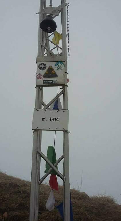
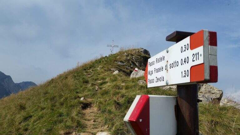
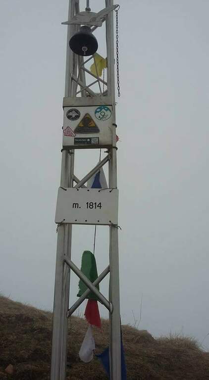
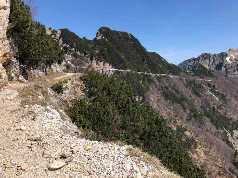
    Terminata la ferrata si prosegue sulla traccia che si innesta sul sentiero abbandonato in precedenza e si sale alla croce di vetta del Gramolon (1814 m, 20' dal termine della ferrata, circa 2h dal parcheggio). Per chiudere l'anello si rientra a ritroso fino all'innesto sul sentiero 202 (20'), poi si tiene la sinistra percorrendo a mezzacosta l'ampio sentiero di origine militare fino all'innesto del 207, che a destra scende al Rifugio Bertagnoli e quindi al parcheggio (1h dalla vetta, circa 3h totali).

    ▲To match

    L'abbinamento naturale è con la Ferrata Viali, da percorrere prima. Restando nelle Piccole Dolomiti, in direzione del Carega si raggiungono la Ferrata del Vajo Scuro, la Ferrata Campalani at Carega and the answer Ferrata Biasin; in Val d'Astico si trovano invece gli Anelli delle Anguane.

    ▲Gallery
    Technical data
    • DifficultyHard
    • RegionVeneto
    • GroupSmall Dolomites
    • Approach1:15 h
    • Ferrata0:20 h
    • Itinerary (a/r)3:00 h
    • Hardware level difference60 m
    • Route difference589 m
    • Max1814 m
    • Length6 Km
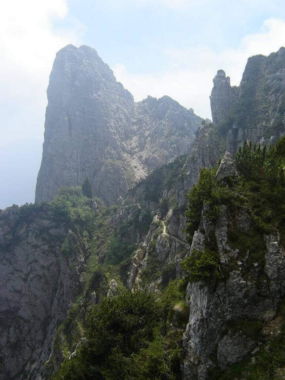
  • Ferrata Carlo Campalani al Carega

    Ferrata Carlo Campalani al Carega

    Vie Ferrate › Veneto › Verona
    Ferrata Carlo Campalani al Carega
    Moderately Hard● OpenDescriptionComplexityMapsGallery

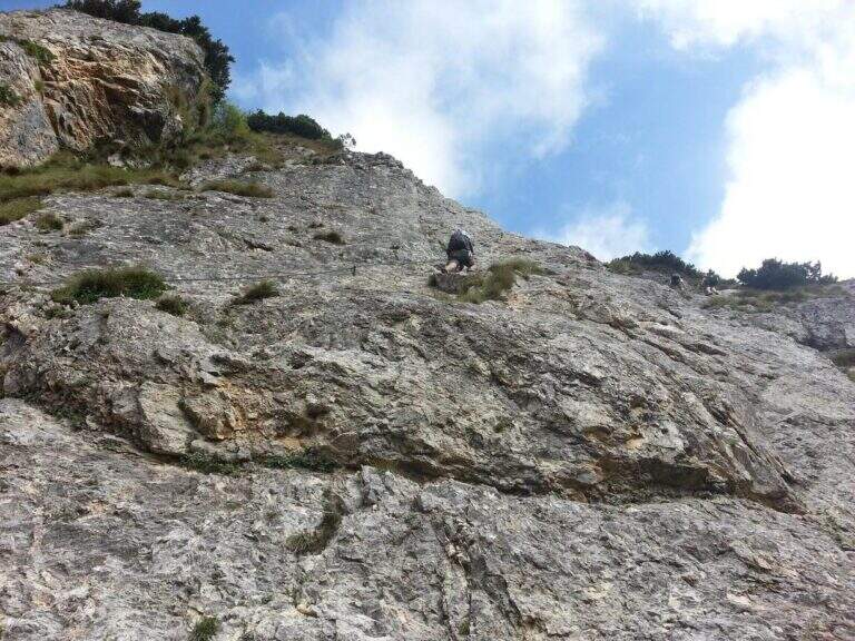
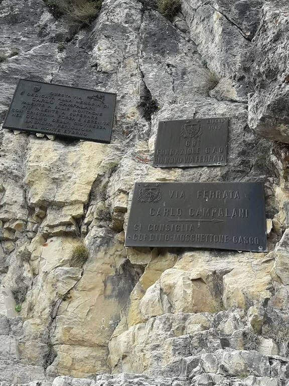
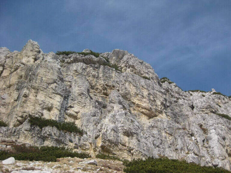
    La Ferrata Carlo Campalani risale il versante est del Carega, nelle Piccole Dolomiti. Pur breve, presenta singoli passaggi difficili ed è generalmente esposta, con una bella varietà di terreni: diedri, traversi e un caratteristico camino. È la più antica ferrata delle Piccole Dolomiti, inaugurata nel 1958.

    ▲Approach

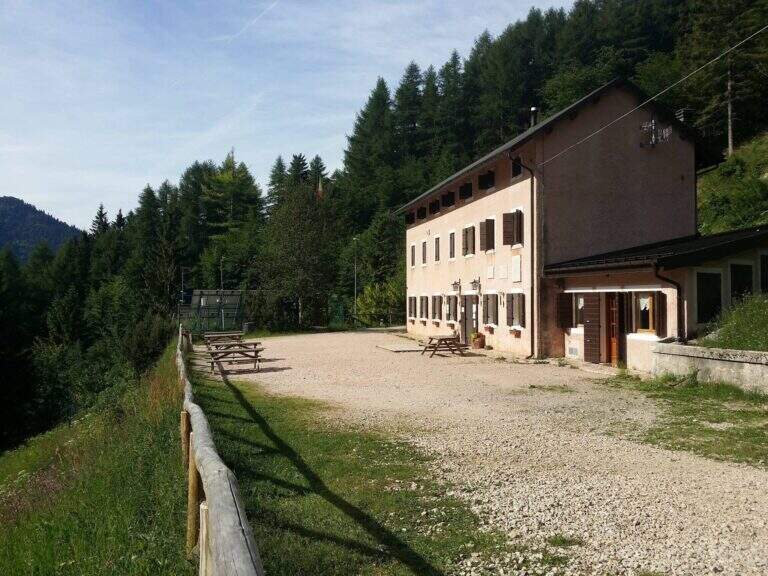
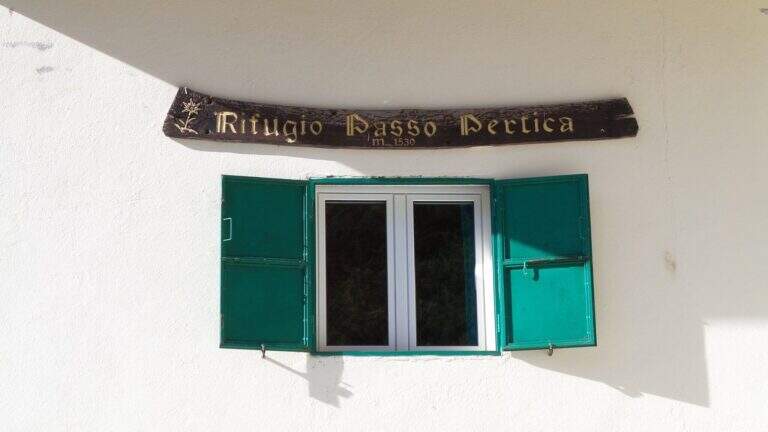
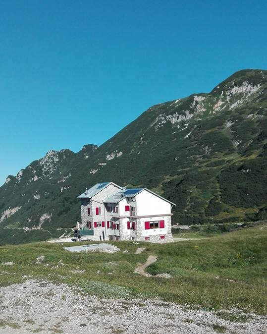
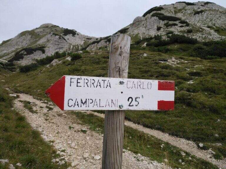
    Punto di partenza il Rifugio Revolto (1.355 m), in fondo alla Val d’Illasi: da sud si esce dall’A4 a Verona Est o Soave, si raggiunge Selva di Progno e si prosegue verso Giazza, poi per circa 7 km lungo la strada fino al rifugio (starting point on Google Maps). Dal Revolto si raggiunge il Rifugio al Passo Pertica (1.530 m), per forestale o per sentiero nel bosco (20-30′). Dal passo si segue l’ampia forestale (sentiero 109) verso il Rifugio Scalorbi; a un bivio segnalato, prima dello Scalorbi, si tiene la sinistra sul sentiero 19, che sale a pendenza costante verso il Carega. A un nuovo bivio segnalato si tiene ancora la sinistra (indicazioni per la Ferrata Campalani) e, in salita più marcata tra i mughi, si raggiunge l’attacco sotto una parete giallastra (2h dal parcheggio).
    ▲The path

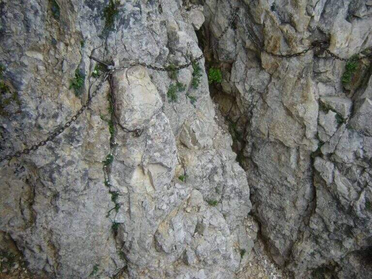
    L’inizio è la sezione più impegnativa. Il passaggio chiave dei primi metri è stato facilitato nel 2019 con alcune cambre: ora si vincono i primi 5-6 metri con il cavo a sinistra di un diedro, che si risale fino a un terrazzino. Si aggira un esposto spigolo a destra cercando piccoli appigli per i piedi e si risale una fessura (dove la fune ha sostituito la vecchia catena), uscendo a sinistra attorno a una costola rocciosa; un tratto esposto e povero di appigli porta a un terrazzino per riprendere fiato. Si prosegue con un traverso orizzontale a destra che aggira uno spigolo e immette su una stretta cengia esposta; il cavo sale in diagonale (attenzione al fondo friabile). Dopo un breve traverso a destra, presso uno spigolo, la catena conduce a un esposto traverso diagonale che porta in un grande e ombroso camino: la catena sale verticale e poi si addentra nel camino, dove conviene cercare appigli su entrambi i lati tenendo via via il lato sinistro per evitare una sporgenza e uscire da un passaggio angusto. Seguono roccette in diagonale a destra, una breve fessura tra parete e sperone, e una nuova fessura impegnativa ed esposta che immette su un traverso orizzontale dove è posto il libro di vetta. Si risalgono altri balzi su roccia frastagliata (non sempre solida) e, dopo un breve passaggio aereo in discesa, si arriva sotto l’ultima parete a diedro: meno dura della prima sezione ma impegnativa nei primi metri, poi più appoggiata e appigliata. La catena piega a destra tra i mughi: si salgono gli ultimi balzi a sinistra e, dopo un breve traverso, si esce sull’ampio crinale (45′ dall’attacco, 2h 45′ totali).

    ▲Character and difficulty

    Via che alterna tratti di media difficoltà ad almeno due passaggi più impegnativi (il traverso e il camino), mai però proibitivi. Roccia spesso ricca di appigli ma a tratti friabile; in larghi tratti attrezzata con catena. Ristrutturata nel 2018 e con attacco facilitato nel 2019. Difficoltà complessiva: Moderatamente Difficile.

    ⚠ Attenzione alla tipica nebbia che avvolge le Piccole Dolomiti nelle ore pomeridiane, soprattutto d’estate: può creare problemi sull’aerea cresta finale verso il Fraccaroli. Roccia friabile in alcuni punti: cautela negli appoggi.
    ▲Period and safety

    Ambiente d’alta montagna (quota max 2.259 m): stagione estiva con tempo stabile, possibilmente al mattino per evitare la nebbia pomeridiana. Cartografia consigliata: carta del Pasubio e Vallagarina oppure dei Monti Lessini di 4Land.

    ▲Discipline

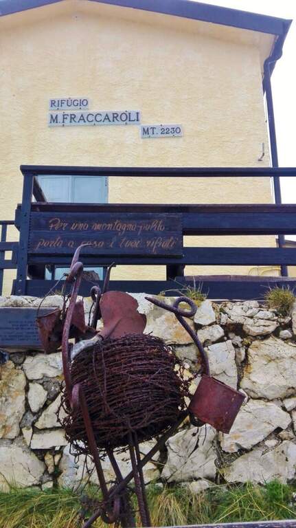
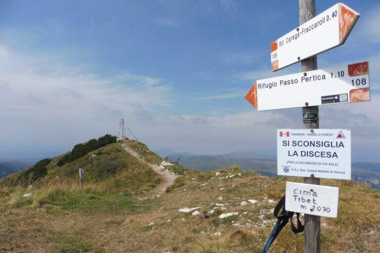
    Dal termine si percorre la cresta aerea (non difficile) che in circa 20′ porta al Rifugio Fraccaroli (2.230 m) e in breve alla cima del Carega (2.259 m, 30′ dal termine della ferrata). Per il rientro tre opzioni: scendere al Rifugio Scalorbi (sentieri 157 e 192) e a ritroso all’auto (circa 5h 15′ totali); scendere direttamente sul sentiero 108 al Passo Pertica e all’auto (circa 4h 45′ totali); oppure dal 108 imboccare il Sentiero Attrezzato Pojesi fino al Passo Pertica (6h 45′ totali), prestando molta attenzione a non smuovere sassi sugli escursionisti sottostanti.

    ▲To match

    Nelle Piccole Dolomiti si abbinano più itinerari: in discesa il Path equipped Pojesi; dal Passo Pertica la breve e atletica Ferrata Biasin; verso il Monte Obante la Ferrata del Vajo Scuro; verso il Gramolon la Ferrata Viali. Verso il Pasubio la Ferrata del Vajo Stretto, il Sentiero Falcipieri e il Sentiero Baglioni.

    ▲Gallery
    Technical data
    • DifficultyModerately Hard
    • RegionVeneto
    • GroupSmall Dolomites
    • Approach2:00 h
    • Ferrata0:45 h
    • Itinerary (a/r)5:45 h
    • Hardware level difference309 m
    • Route difference937 m
    • Max2259 m
    • Length14 Km
Need help? Write to us!