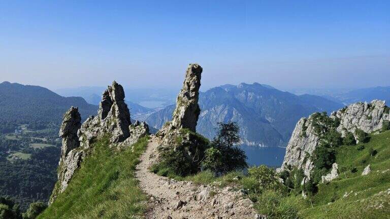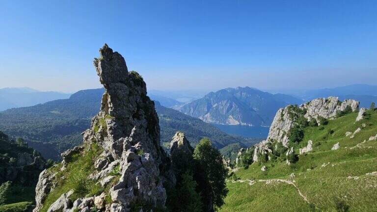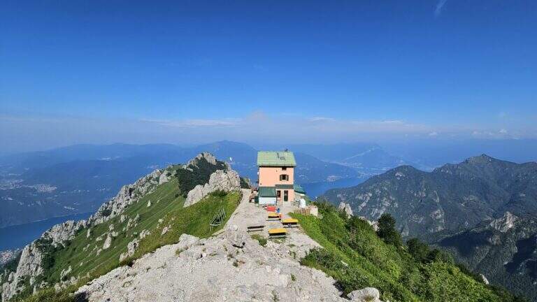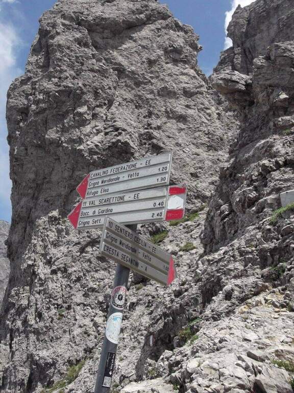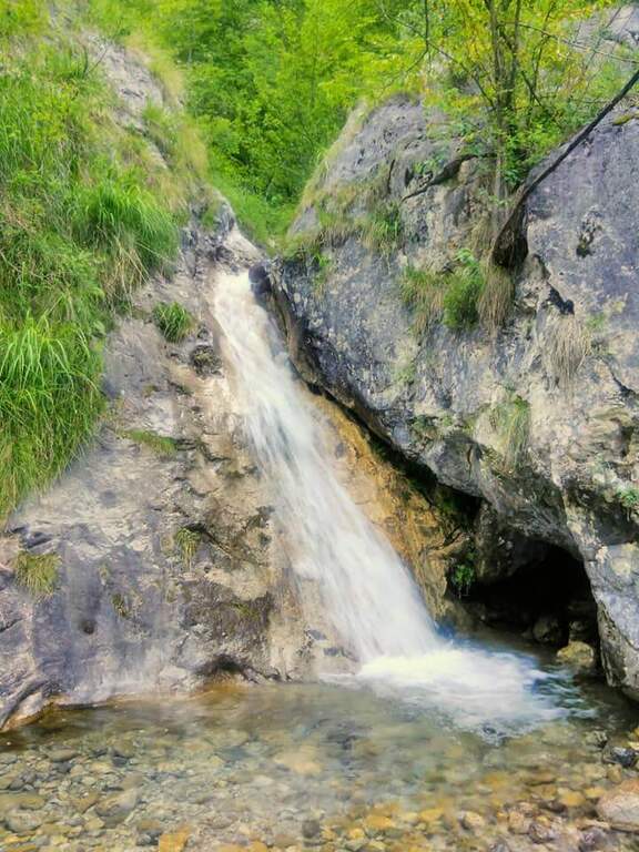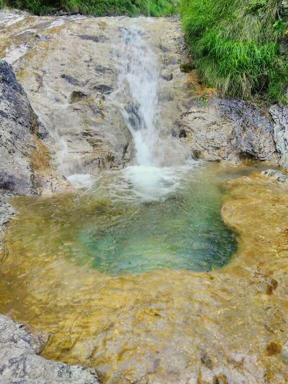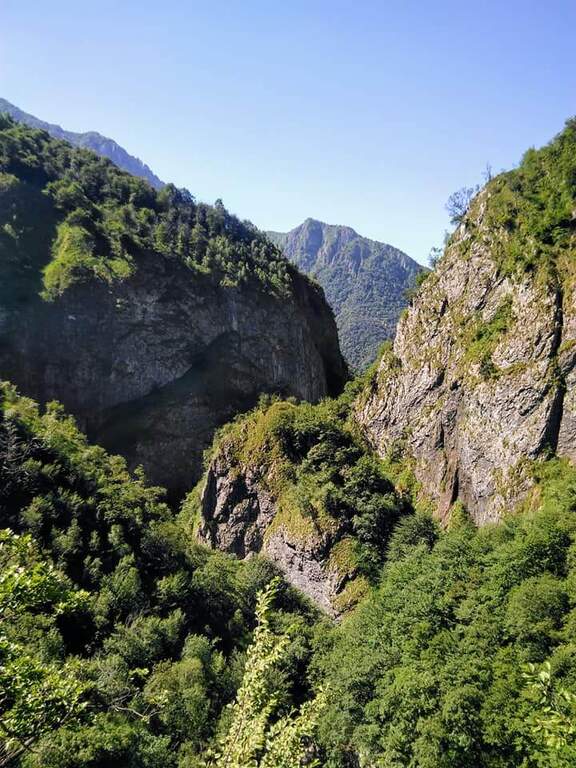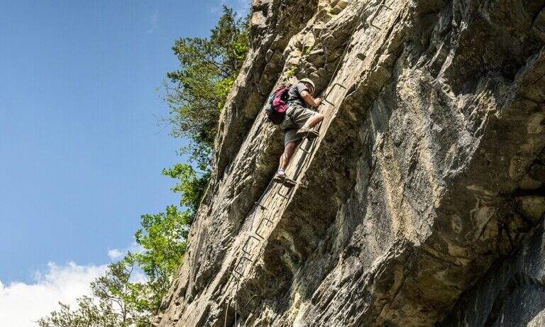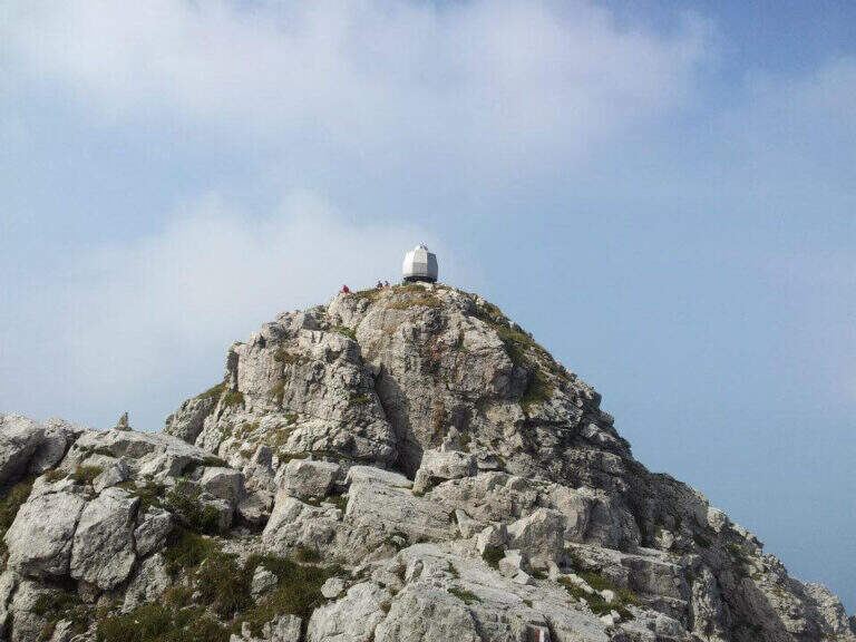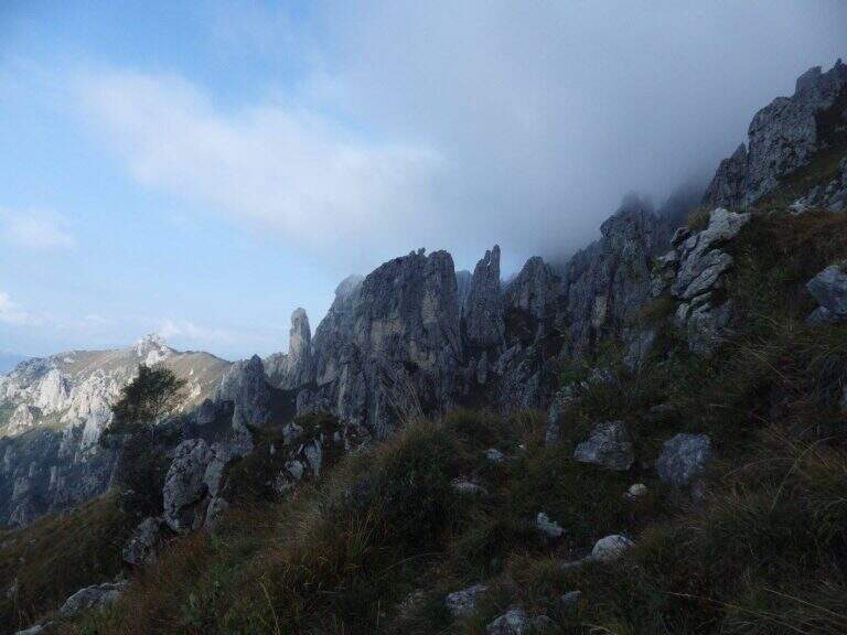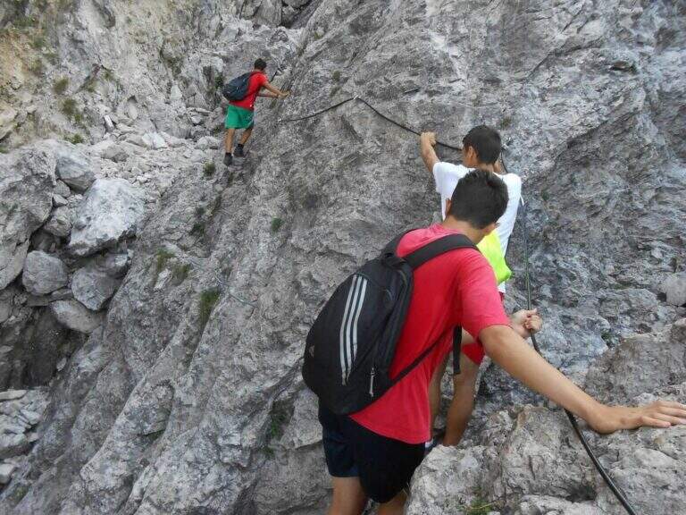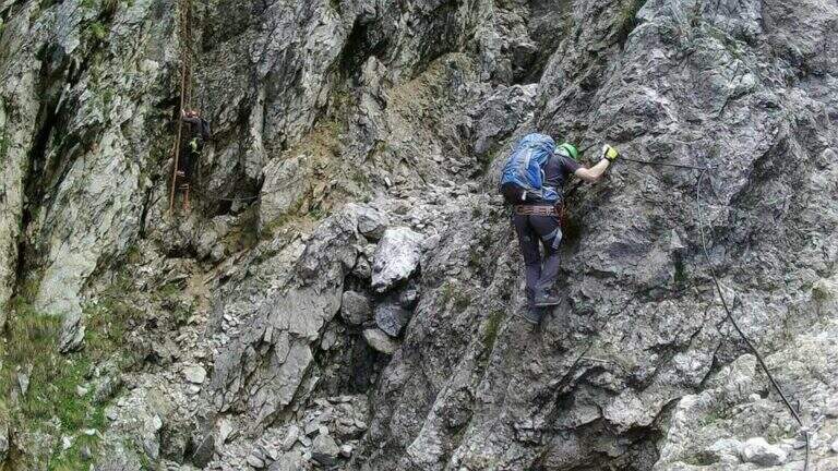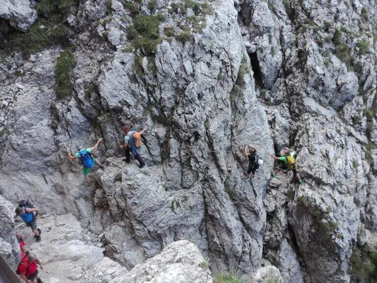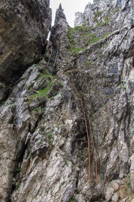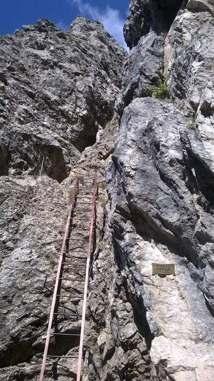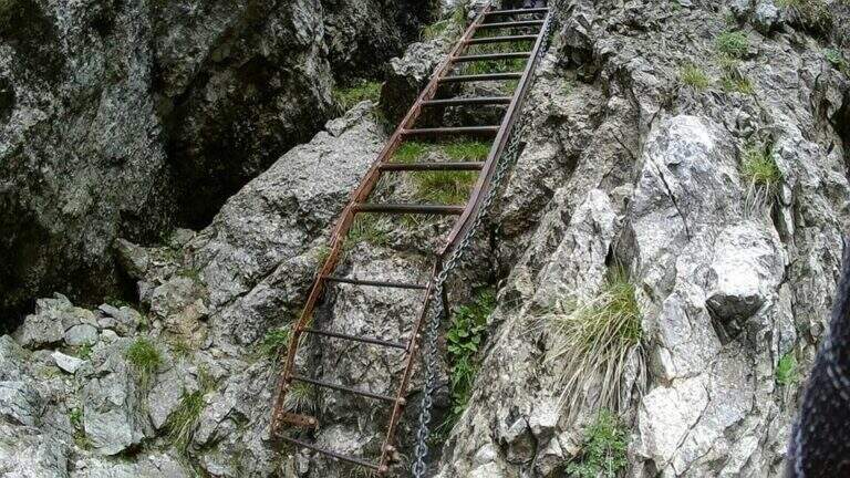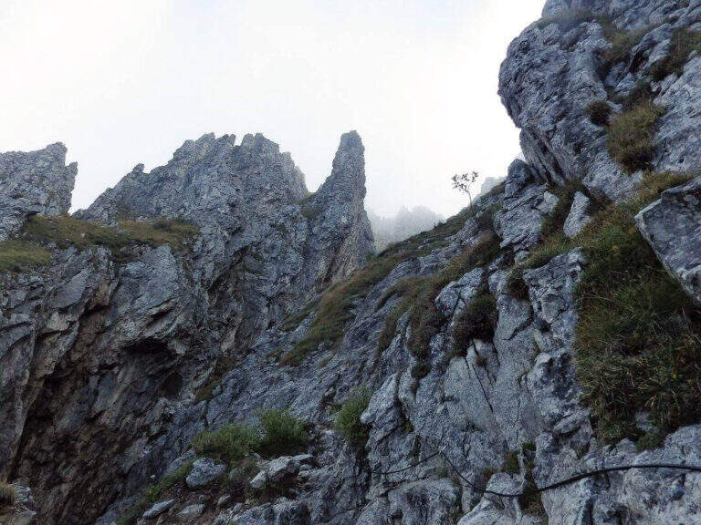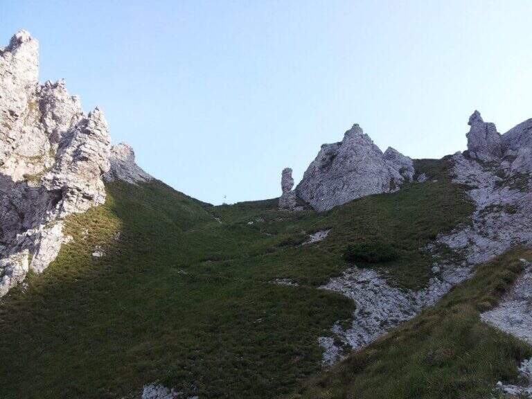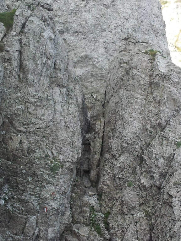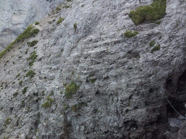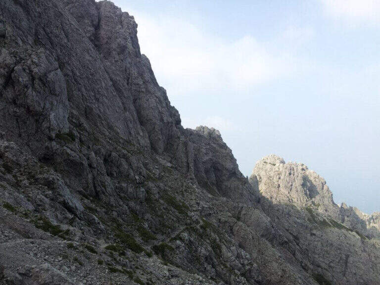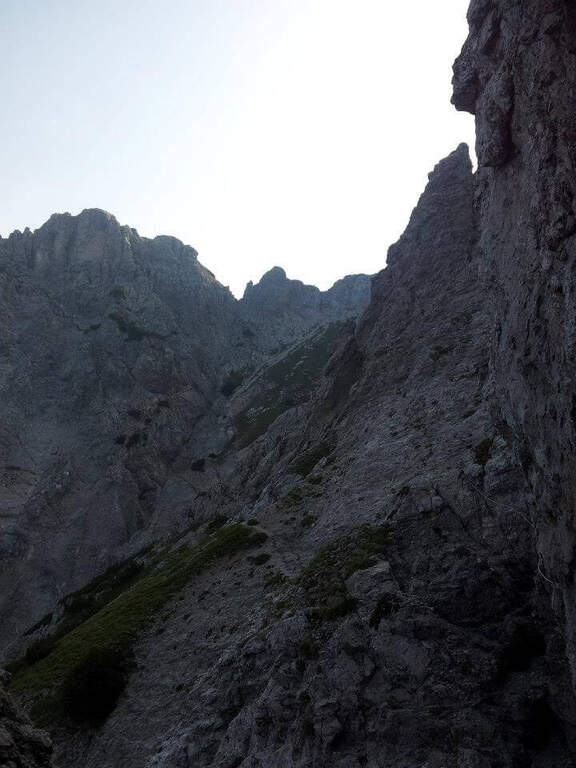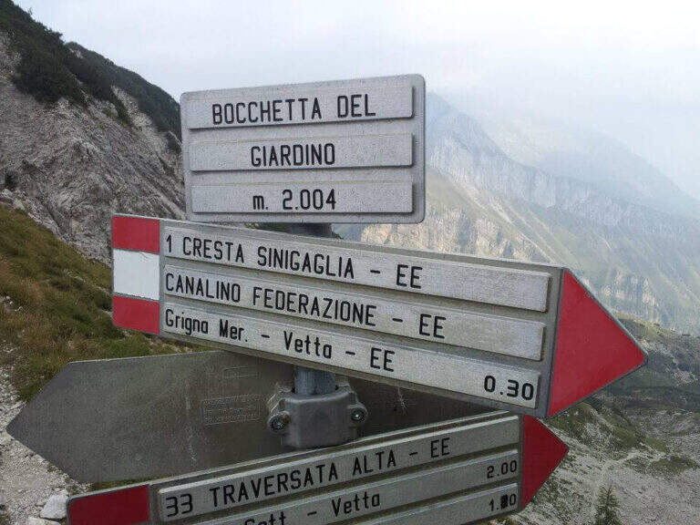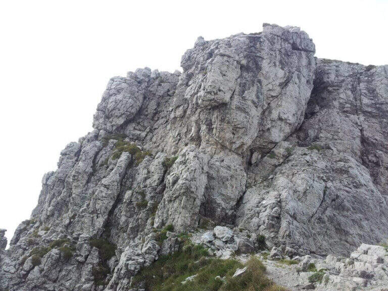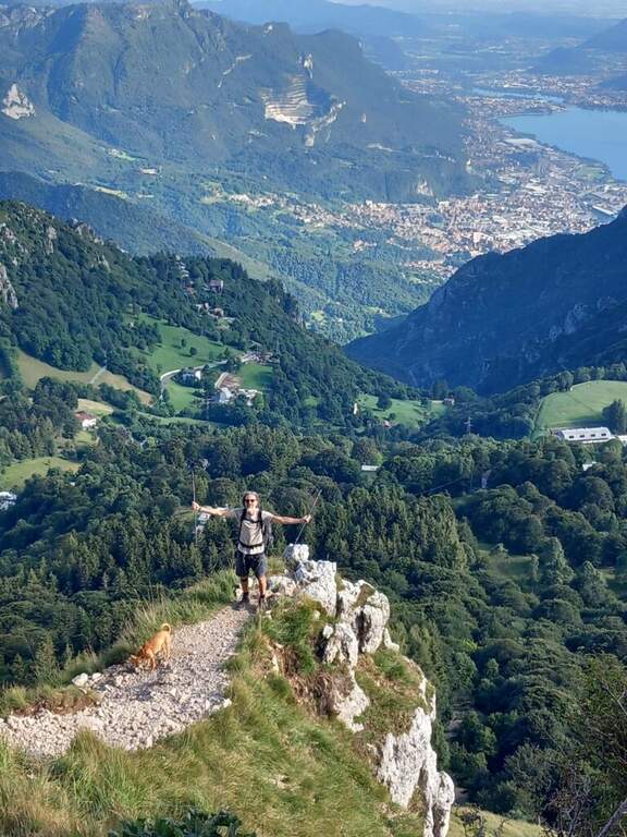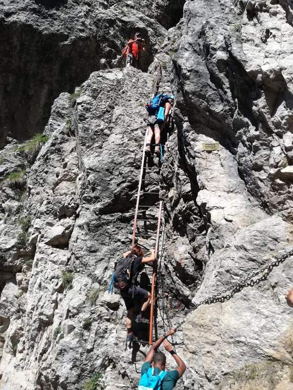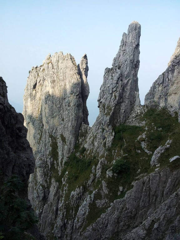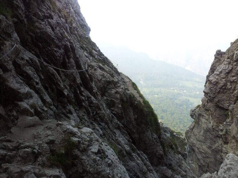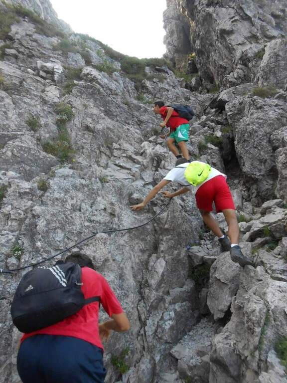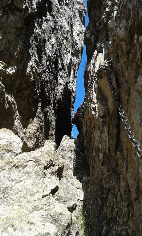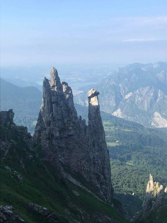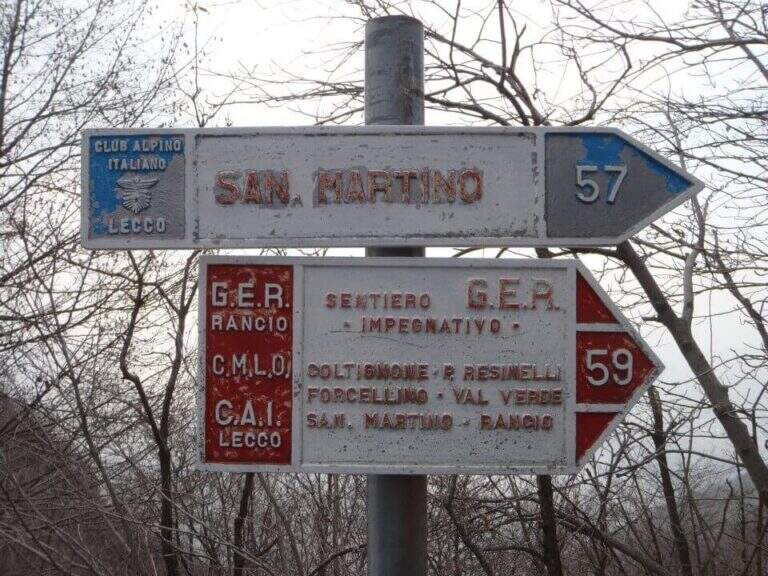
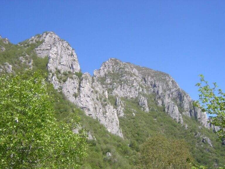
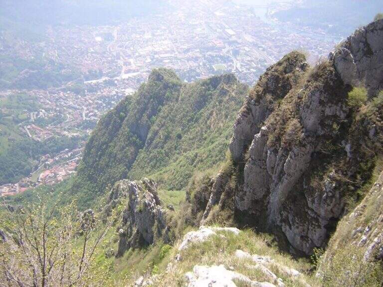
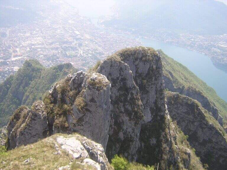
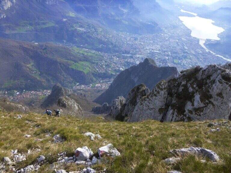
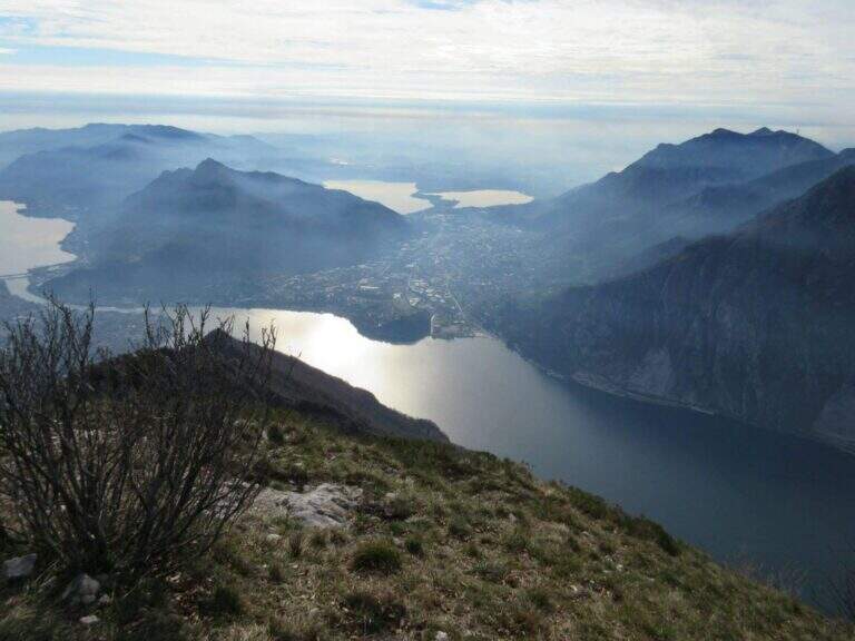
The Sentiero Attrezzato GER — signed by the Gruppo Escursionisti Rancesi — dates back to the southern slope of Monte Coltiglione above Lecco: a long prealpine itinerary, with exposed sections and an exceptional panorama on Lake Como and the surrounding Alps.
How to arrive and approach
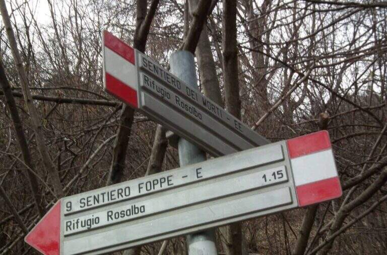
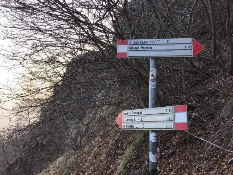
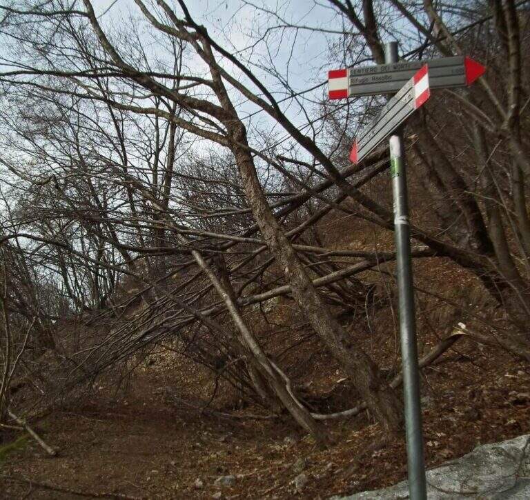
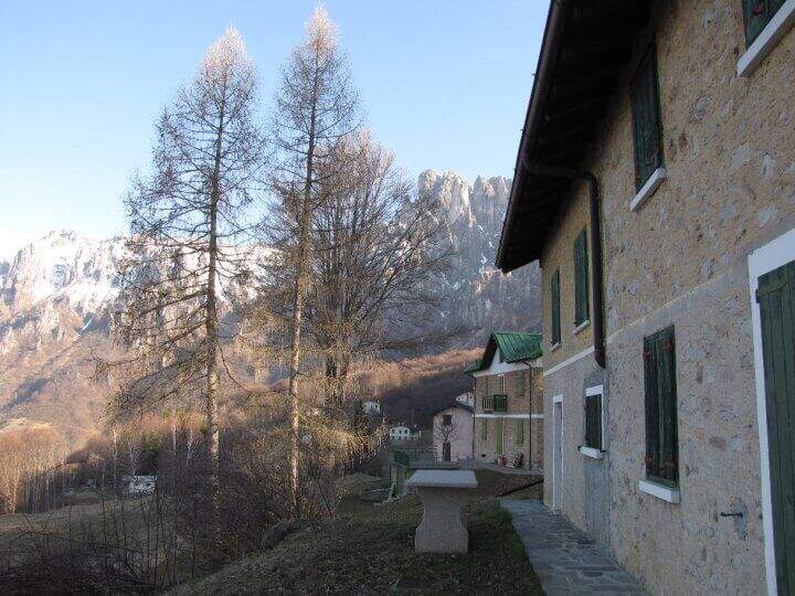
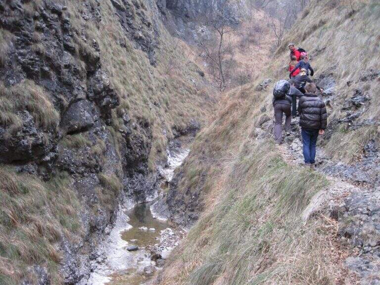
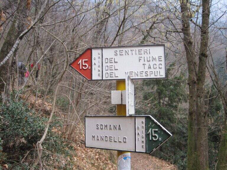
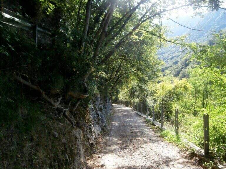
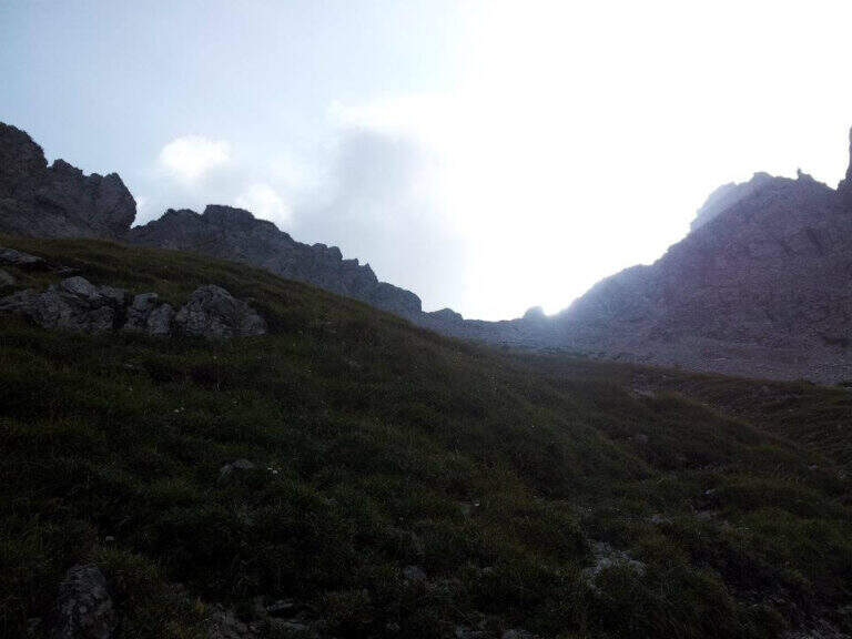
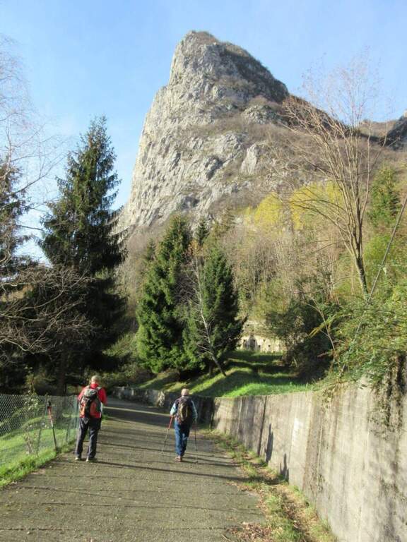
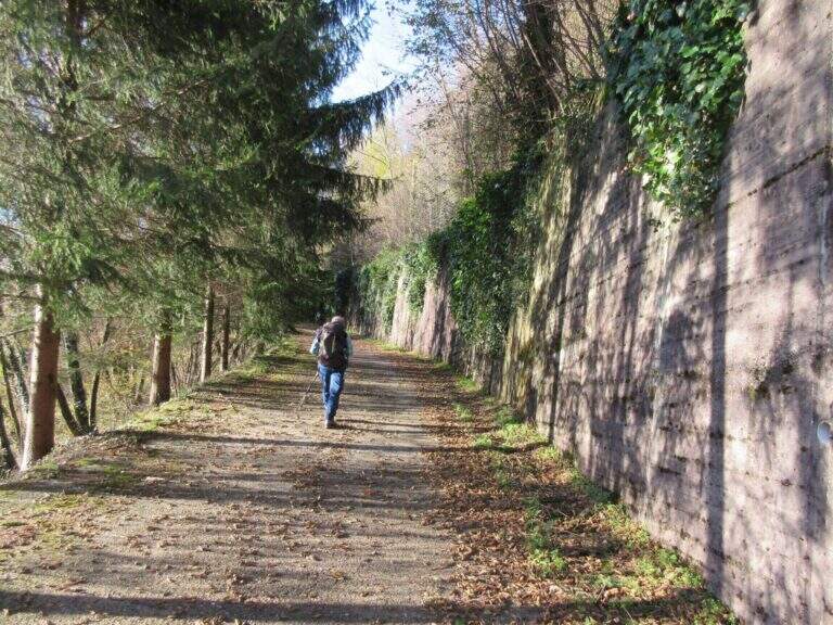
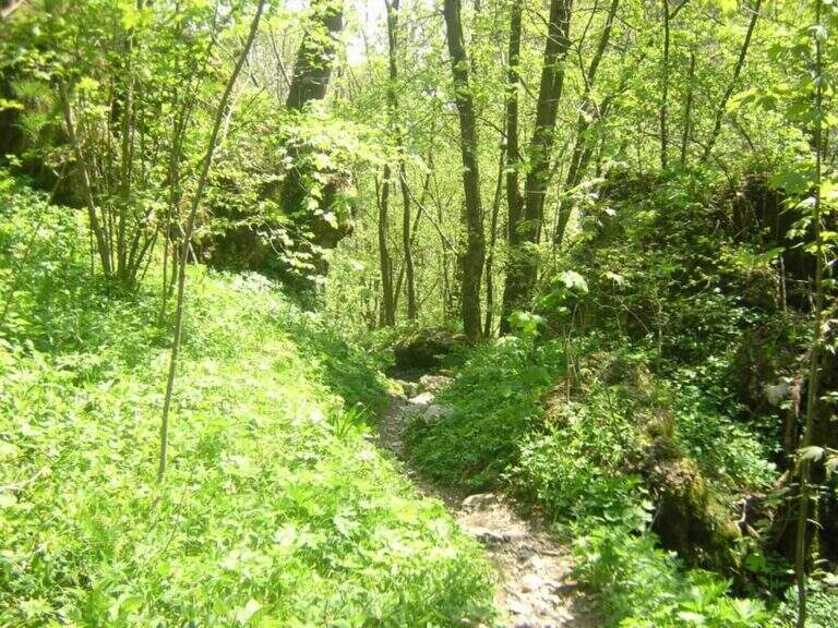
The starting point is located in Rancio Alto, a hilly hamlet above the district of Rancio di Lecco, reachable via Quarto from the city of Lecco. You climb up to a bar that prevents transit to motorized vehicles and park in the few spaces available along the road. The approach from the bar to the attack of the first equipped sections requires about 1h30′ walk in the forest on a path without technical difficulties.
The path
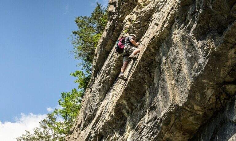
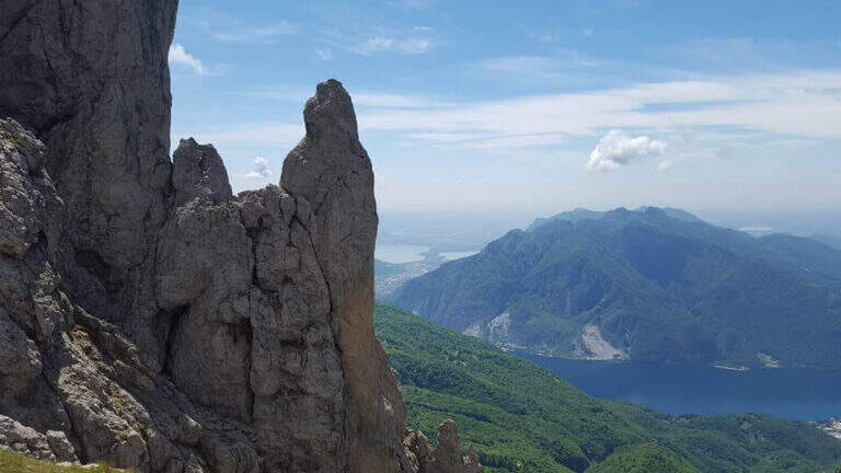
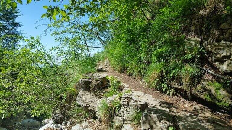
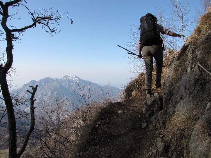
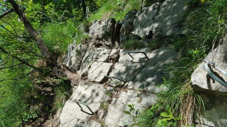
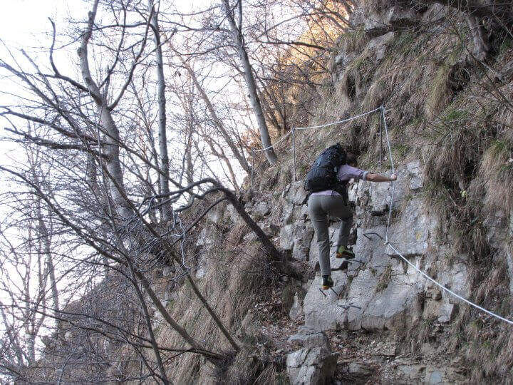
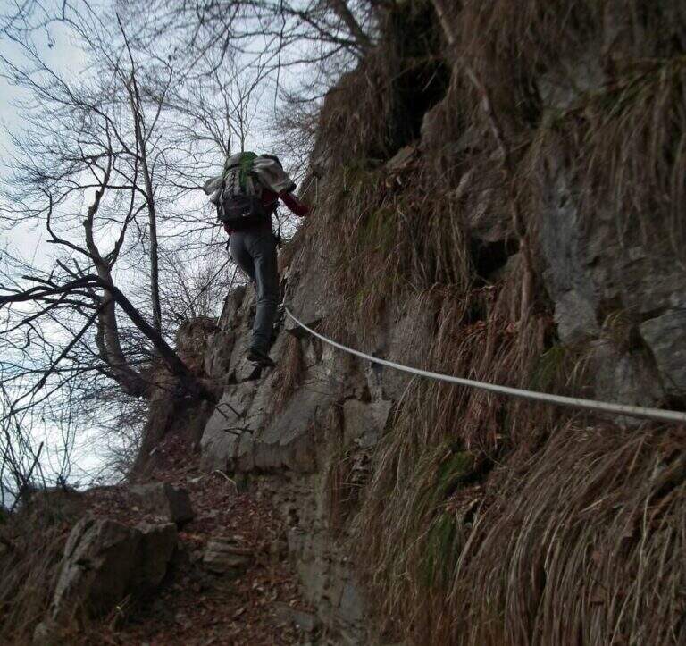
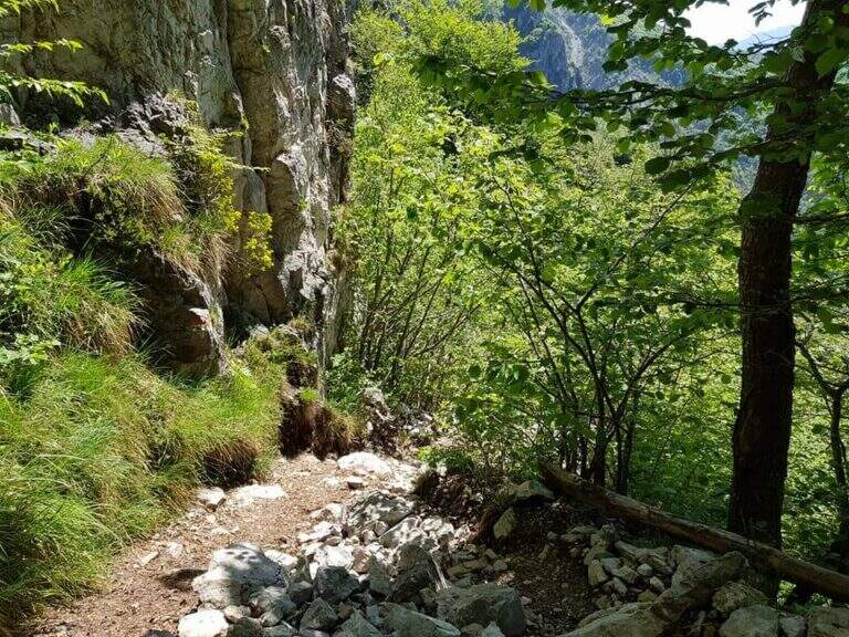
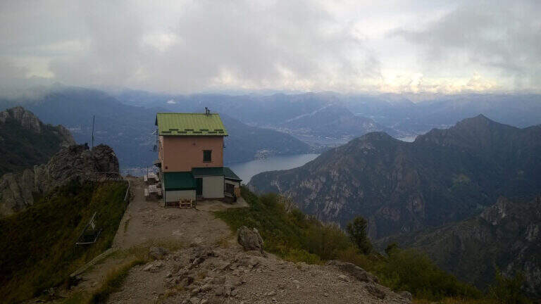
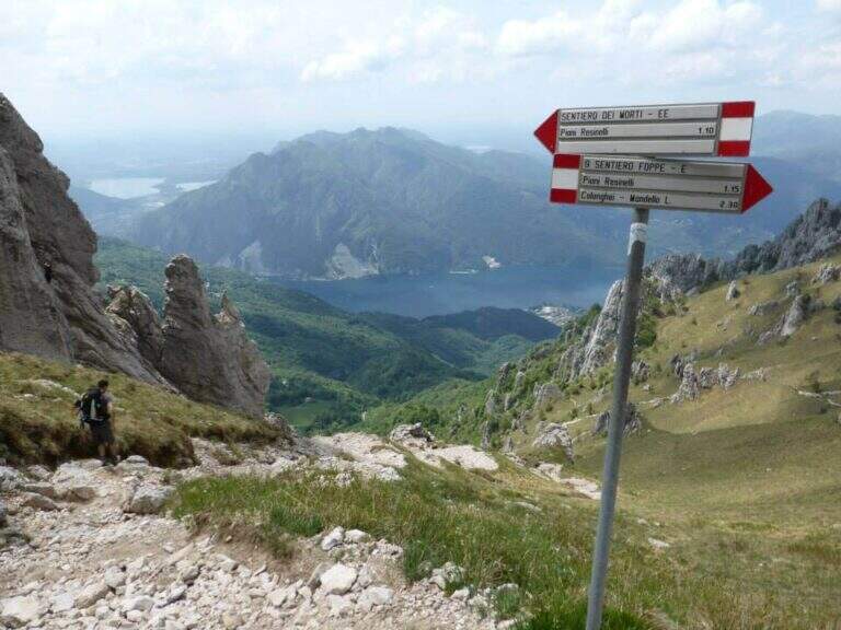
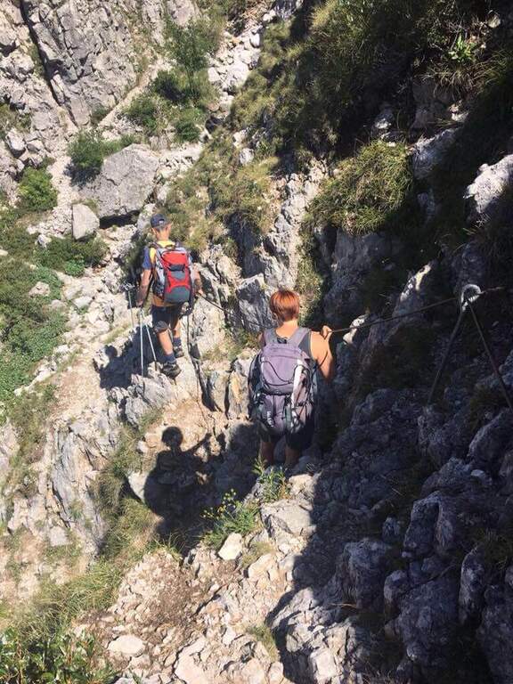
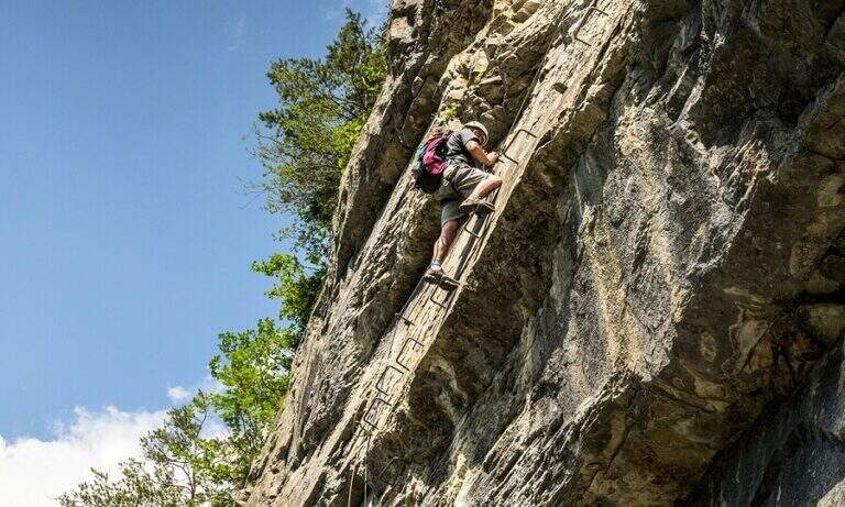
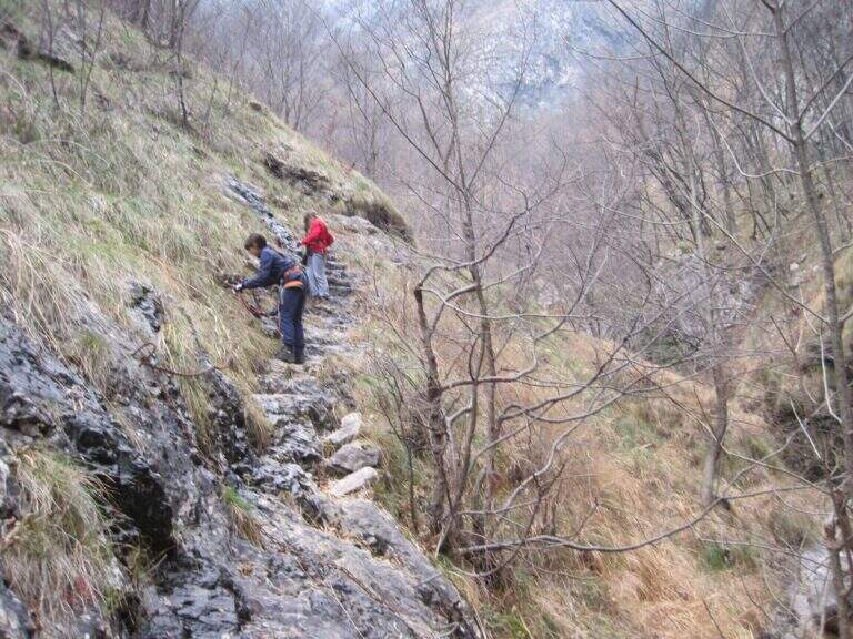
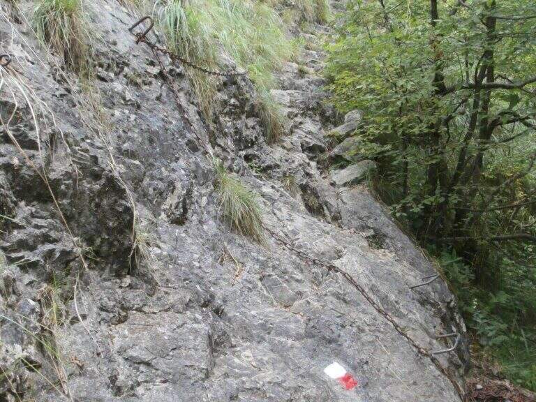
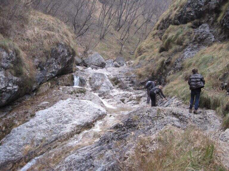
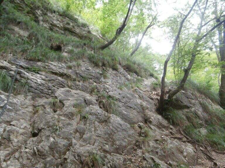
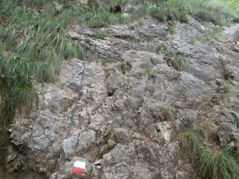
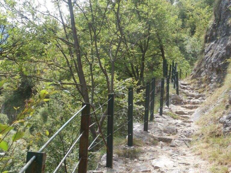
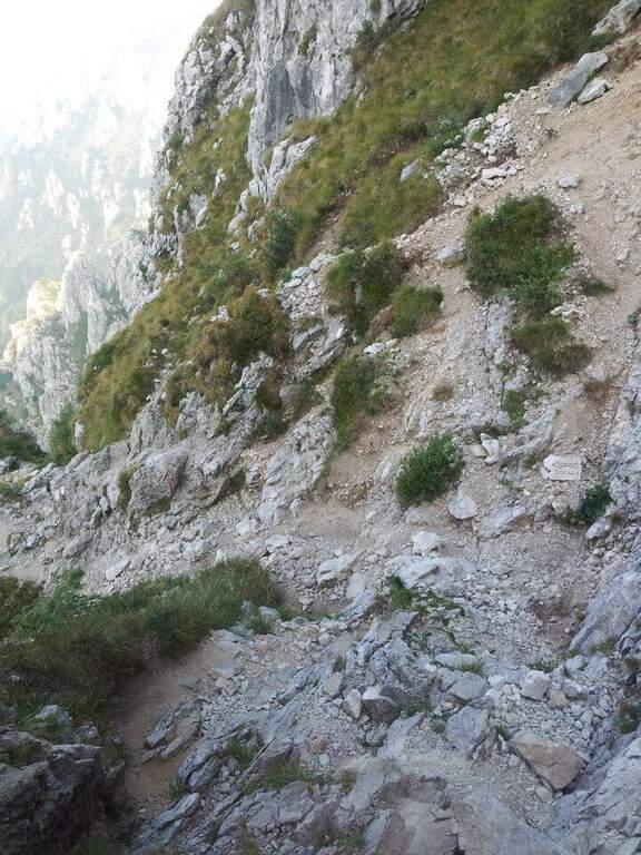
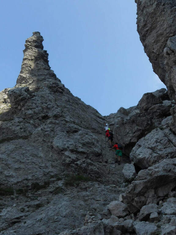
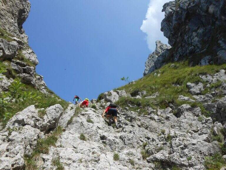
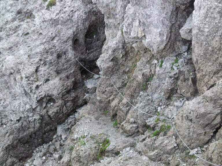
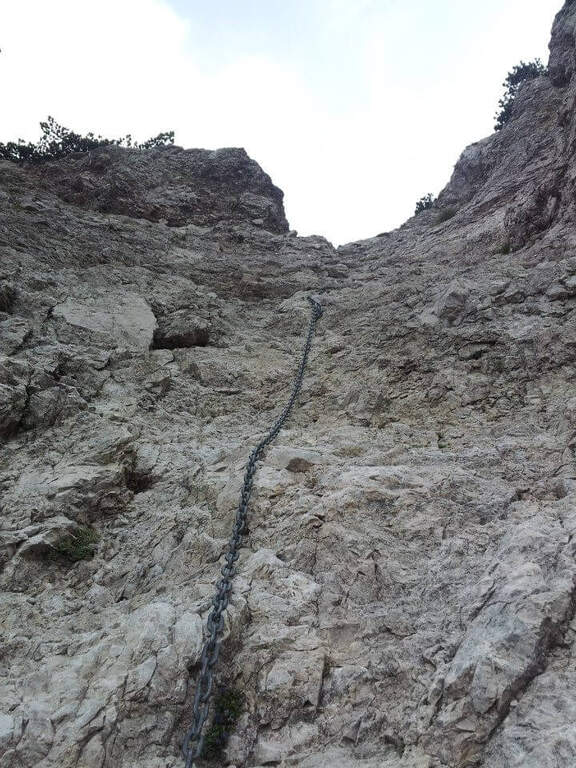
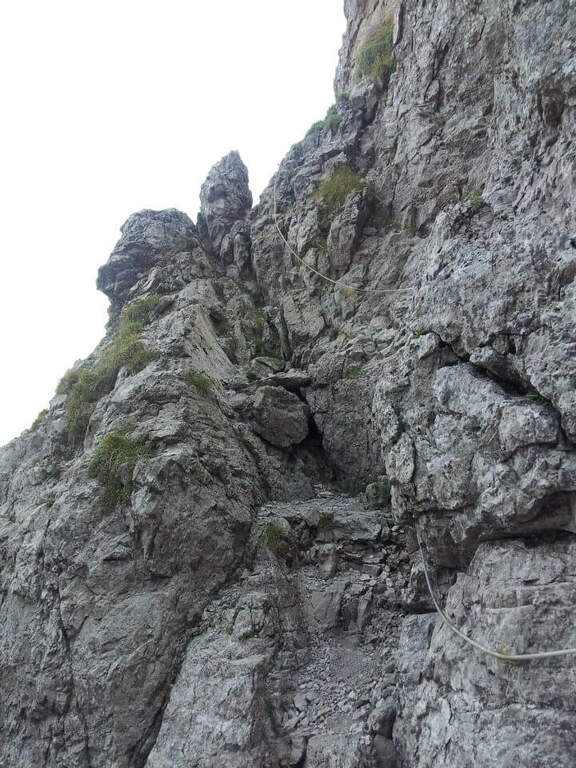
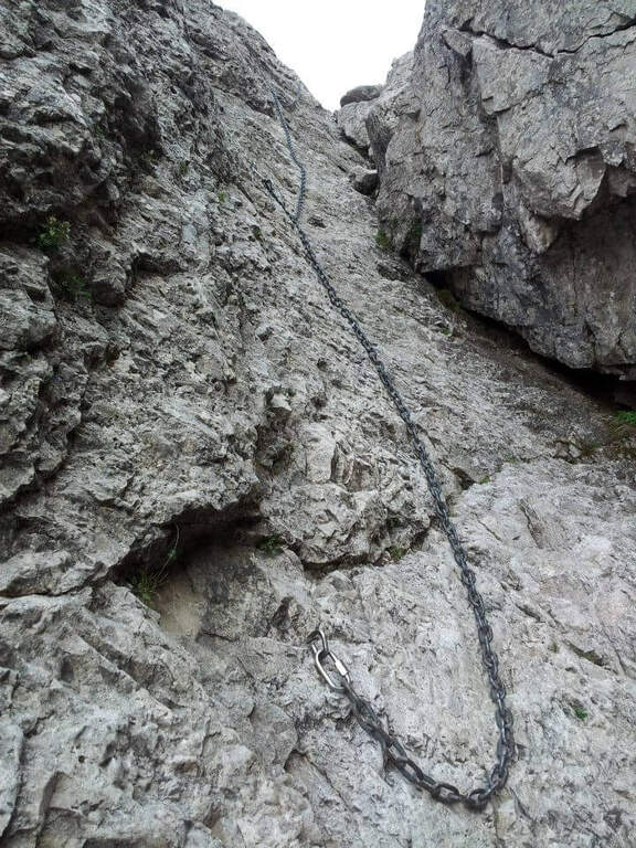
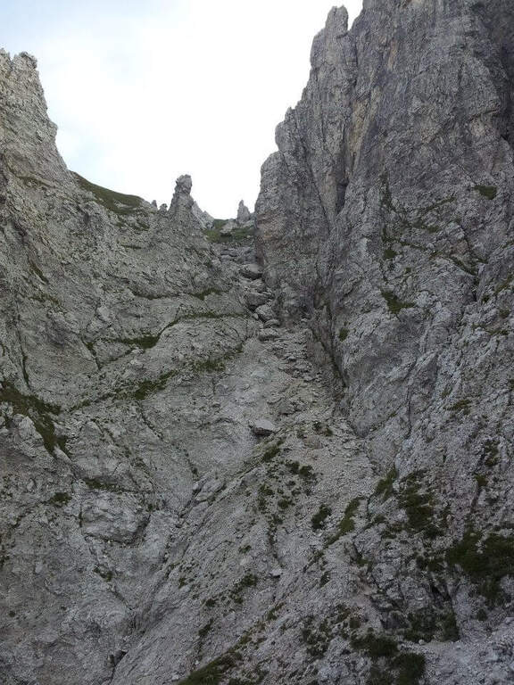
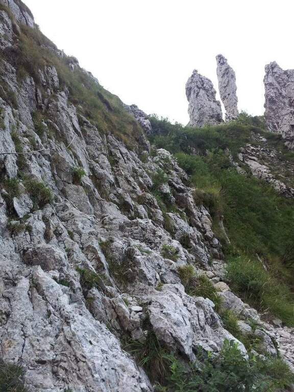
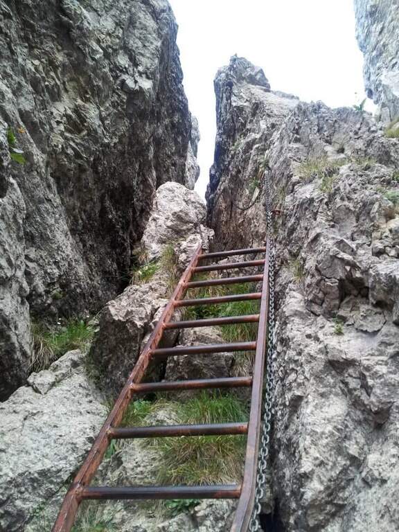
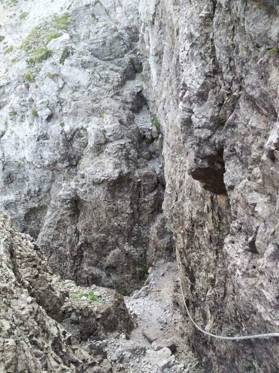
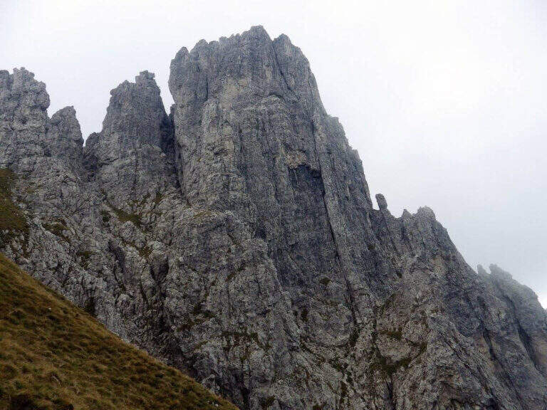
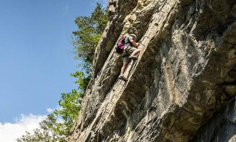
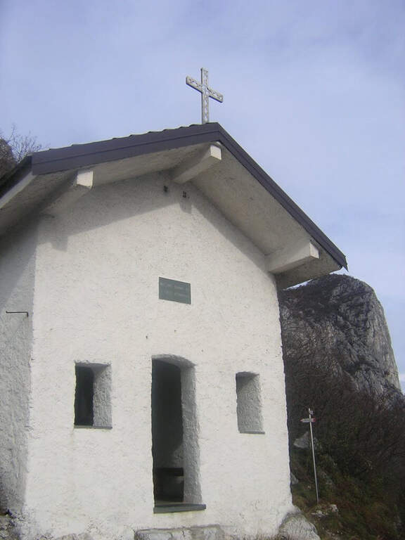
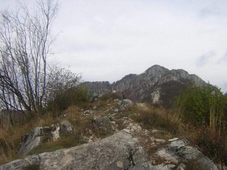
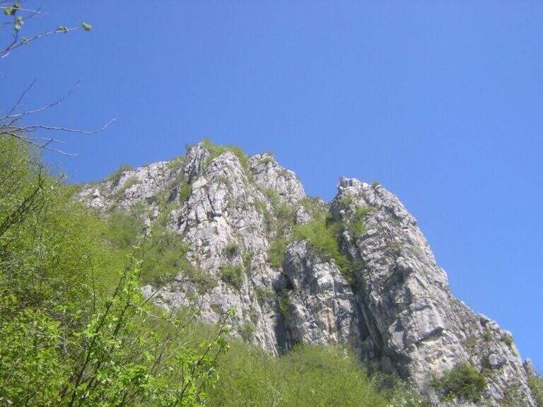
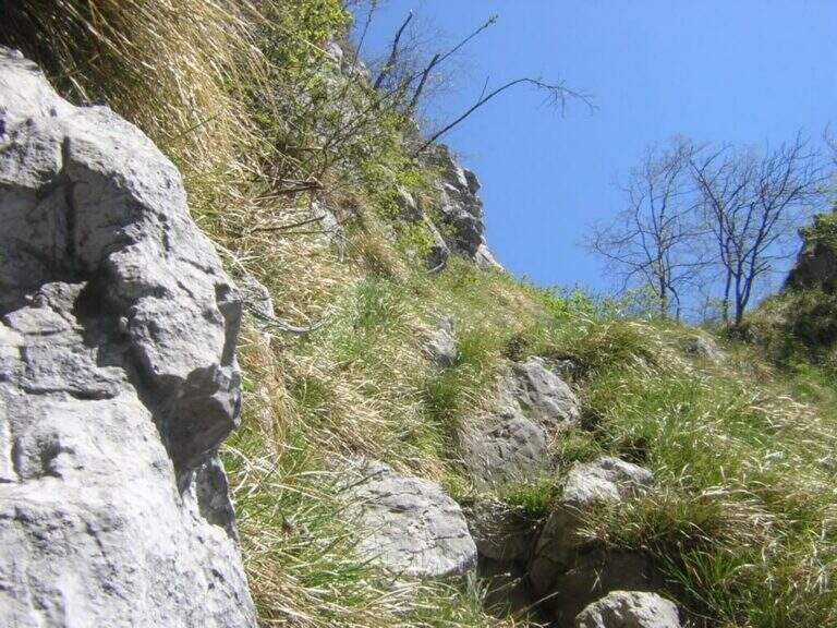
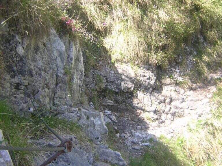
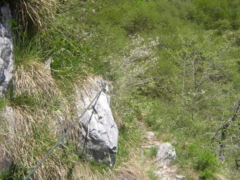
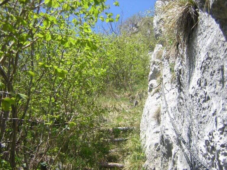
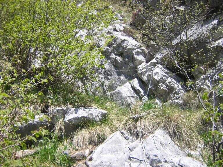
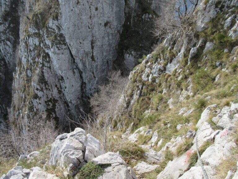
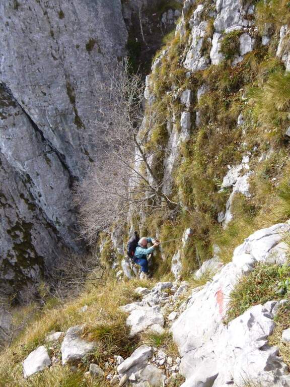
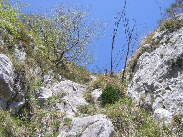
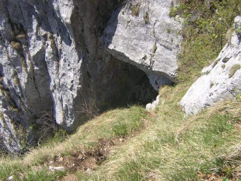
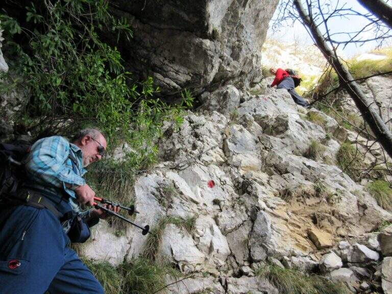
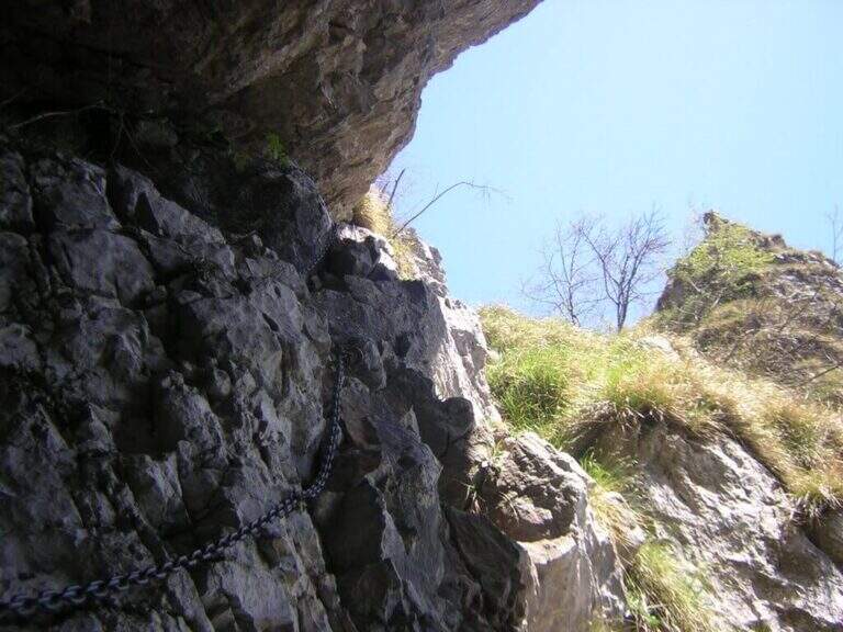
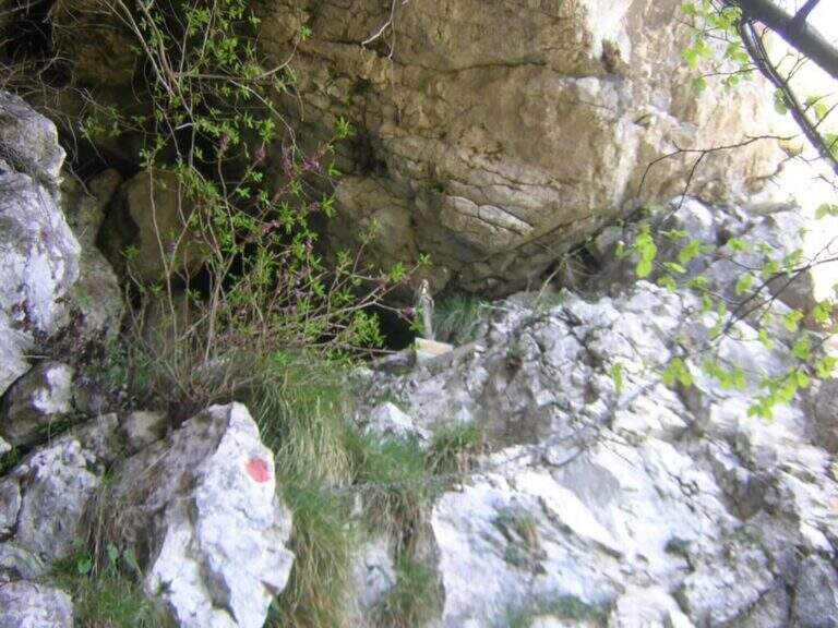
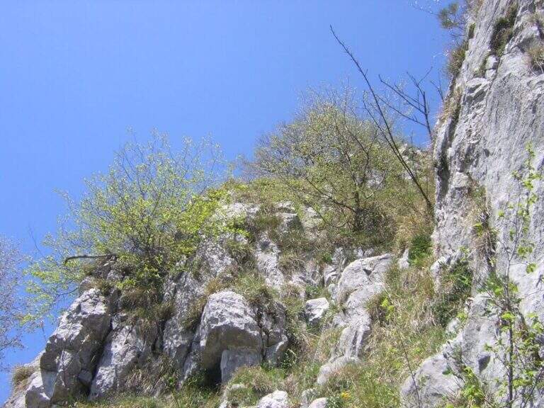
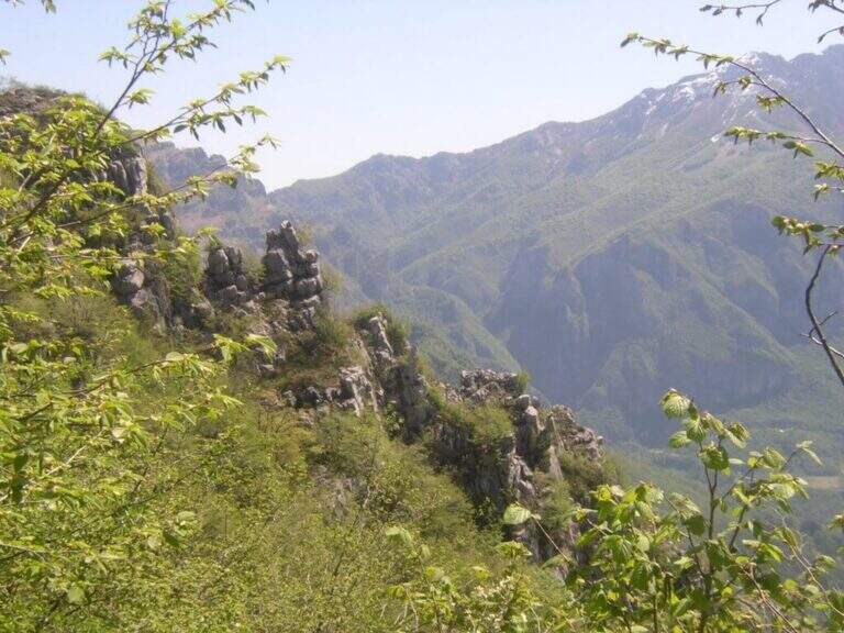
From the parking lot you go up the forest on the path to the attack of the first equipment, on the south side of Monte Coltiglione (1479m). The equipped stretch develops for about 1h45′ with fixed cables and piles that exceed the steepest sections of the limestone slope. The route also includes unequipped exposed traits that require attention and sense of orientation. The peak of Monte Coltiglione (1479m) offers ample views of Lake Como, the Grigne and the Lombard Prealps to the Alps.
Character and difficulty
Itinerary difficult and tiring mainly for the length (16km, 1110m of total difference, 6 hours total) more than for the individual technical difficulties of the equipment. Some unequipped exposed traits require autonomous progression on prealpine soil. The GER is mainly frequented by hikers from Lecco and Rancio. Difficulty: Hard. Not suitable for fog or poor visibility for unequipped traits.
Period and safety
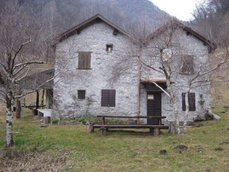
Recommended from April to October. The length and altitude difference make the itinerary challenging on hot summer days: prefer autumn or spring for the most favorable temperatures. Beware of unequipped traits in case of wet. There are no shelters along the path: adequate supply of water and food is necessary.
Discipline
The descent takes place on the return path towards Rancio Alto, completing the ring tour in about 6 hours total. The route does not have intermediate water points: plan stocks accordingly.
To match
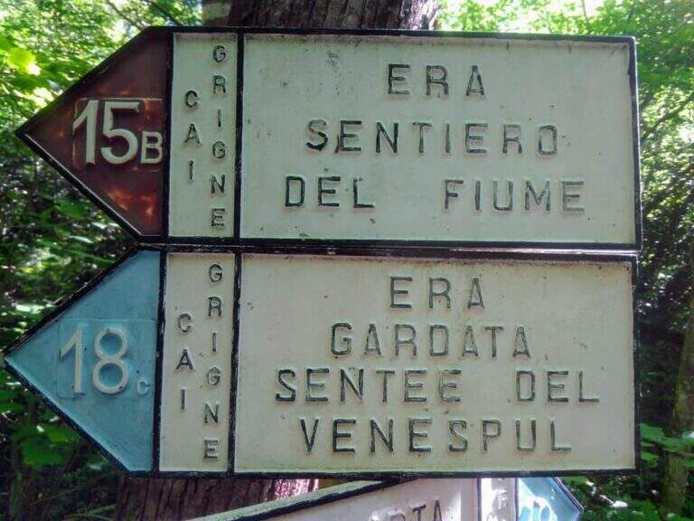
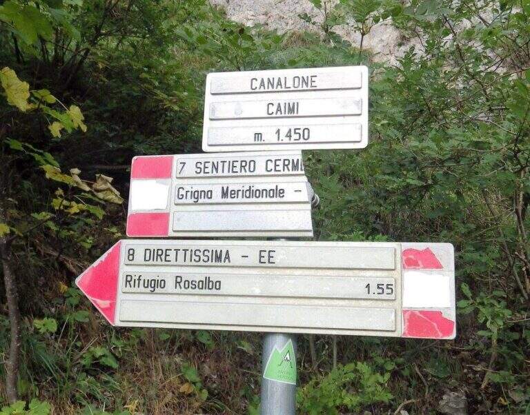
The Monte Coltiglione is located in the heart of the Prealps of Lecco, where there are numerous equipped routes. Nearby are the Sentiero Attrezzato della Direttissima on the South Grigna and the Route of the River mandello del Lario.
- DifficultyHard
- RegionLombardy
- GroupPrealpi Lombarde
- Approach1:30 h
- Ferrata1:45 h
- Itinerary (a/r)6:00 h
- Hardware level difference250 m
- Route difference1110 m
- Max1479 m
- Length16 Km