Regione: Lombardia

  • Hiking Trail

    Hiking Trail

    Vie Ferrate › Lombardia › Lecco
    Hiking Trail
    Moderately Hard● OpenDescriptionComplexityMapsGallery

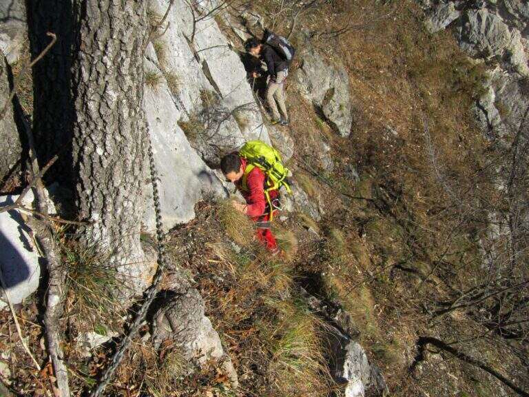
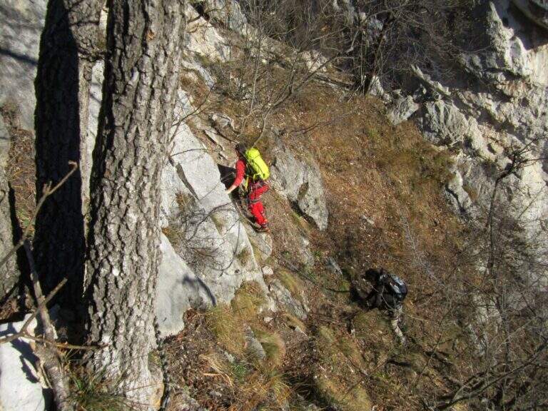
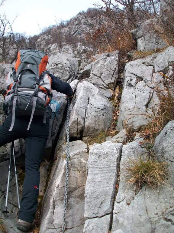
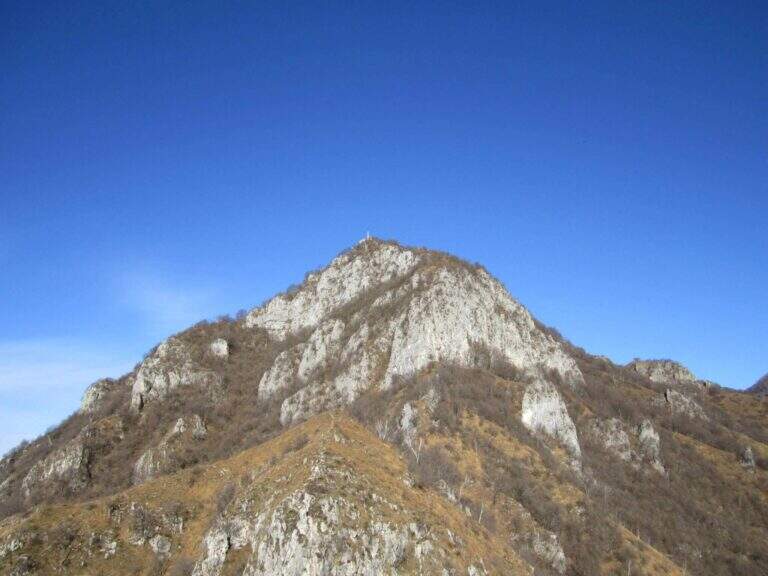
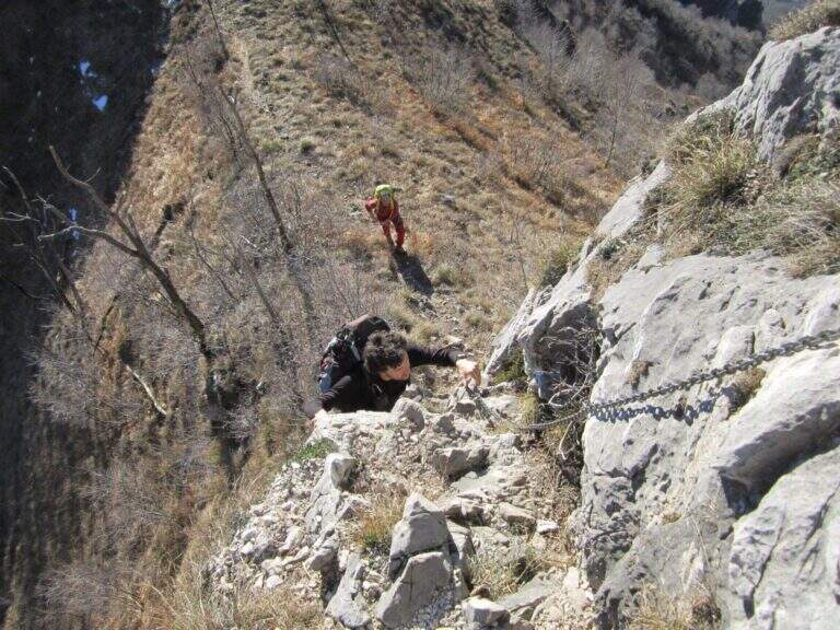
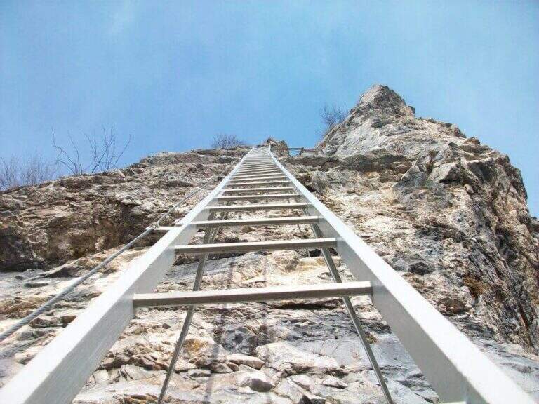
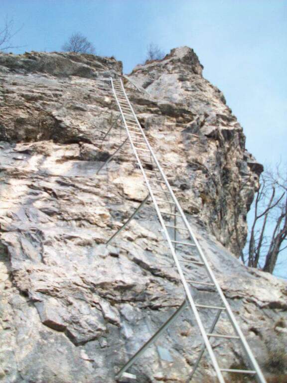
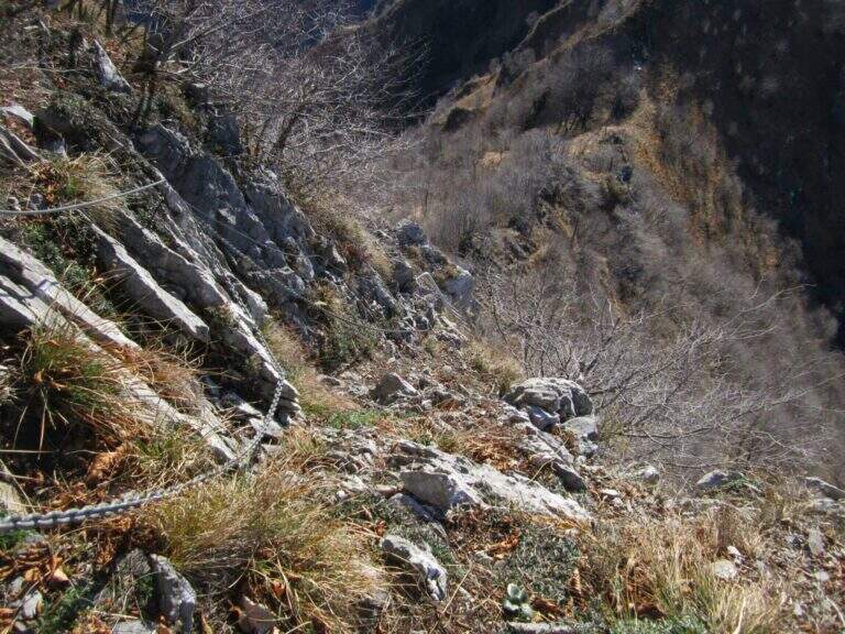
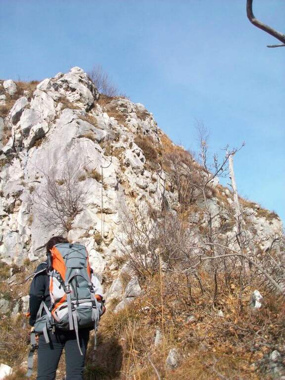
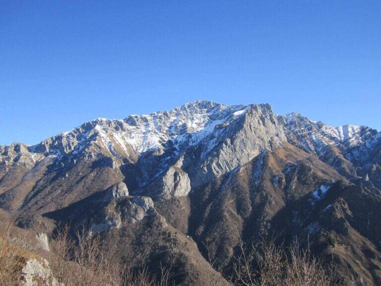
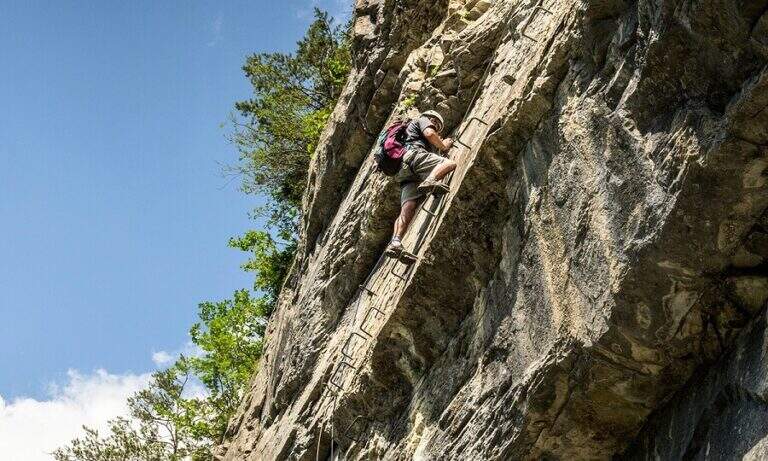
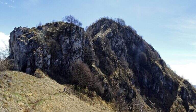
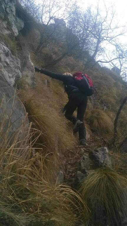
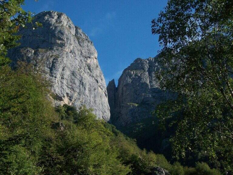
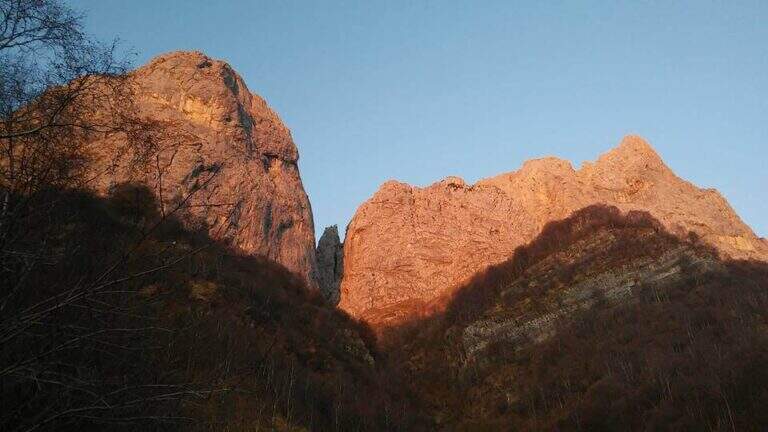
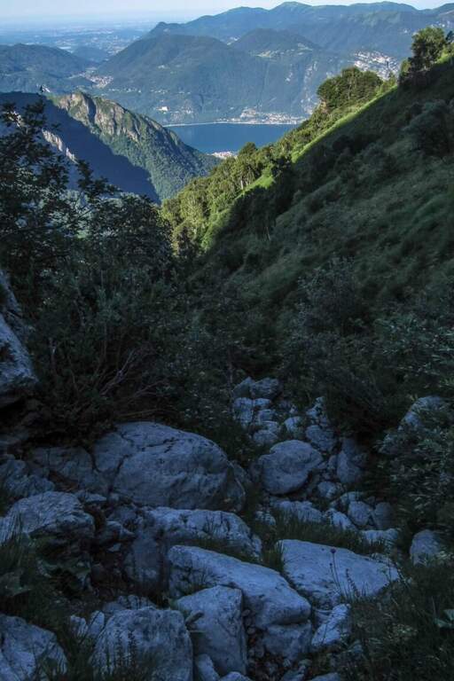
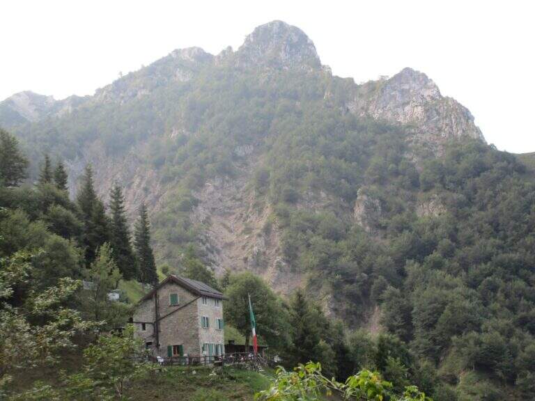
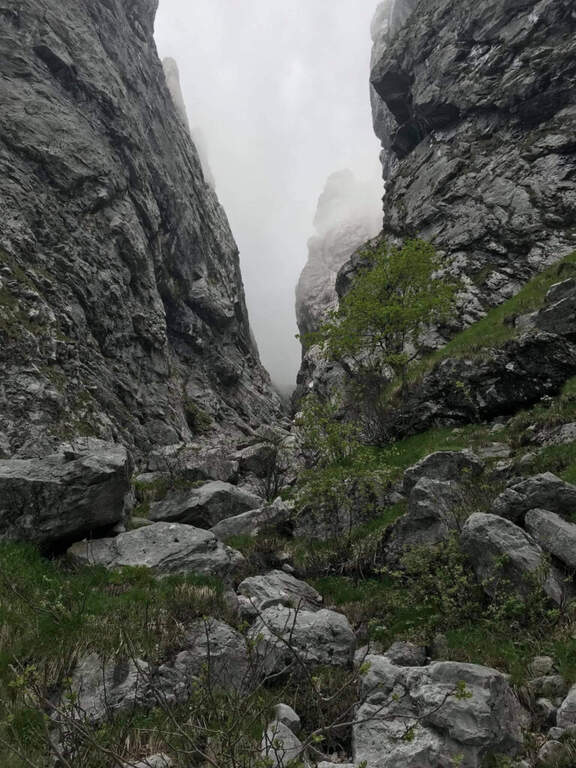
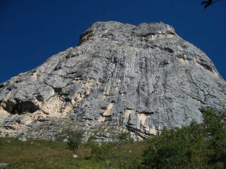
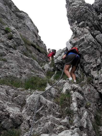
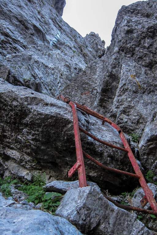
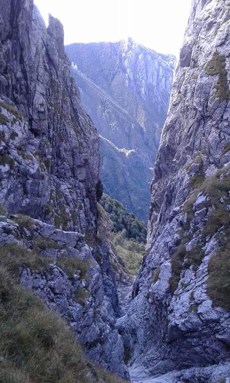
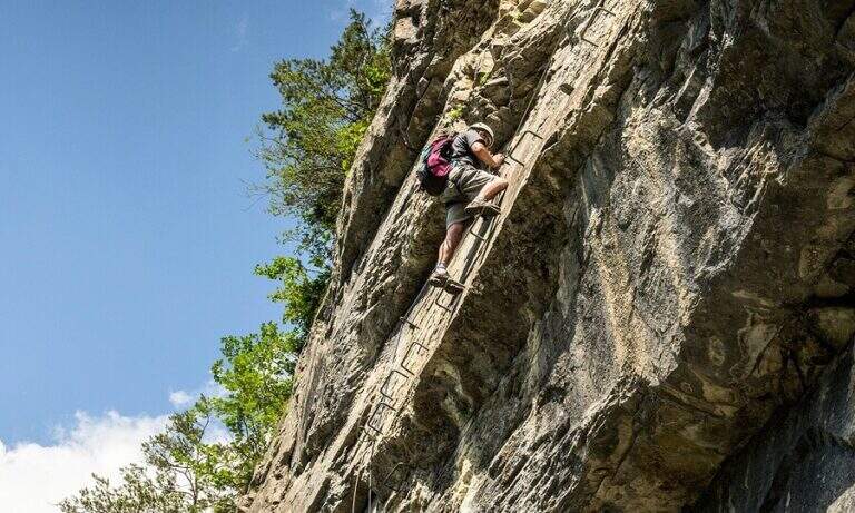
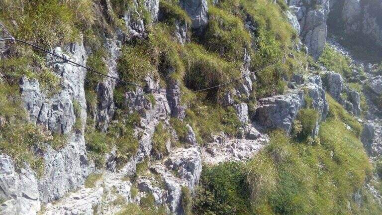
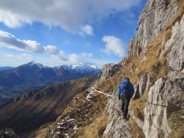
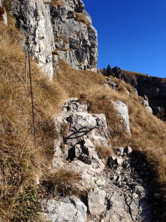
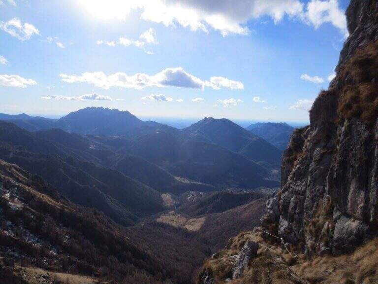
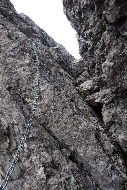
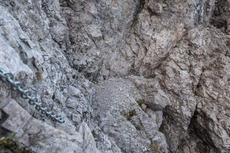
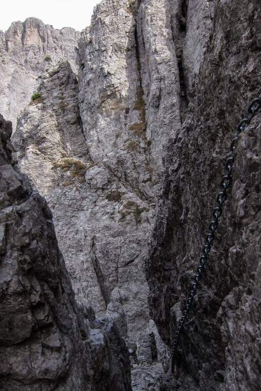
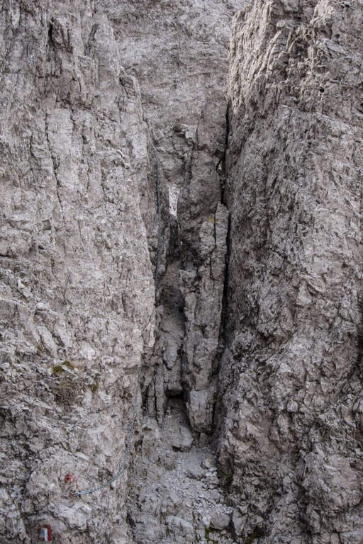
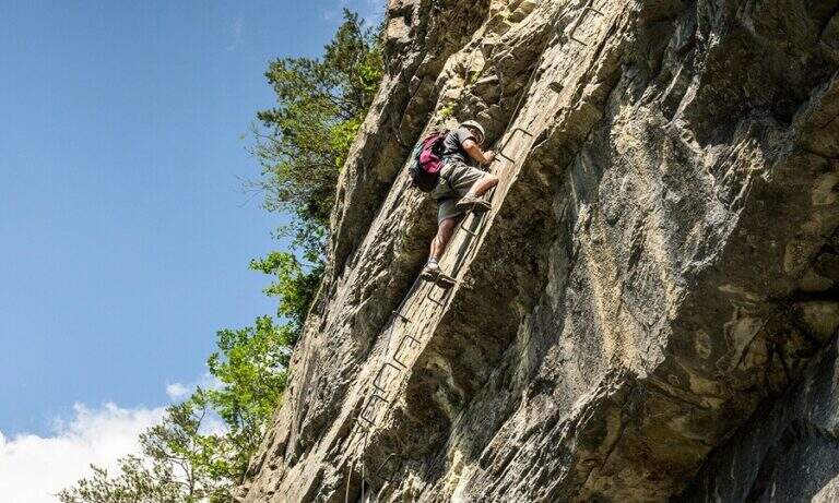
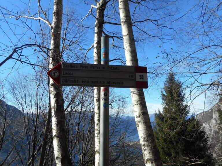
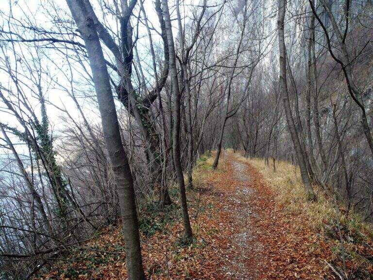
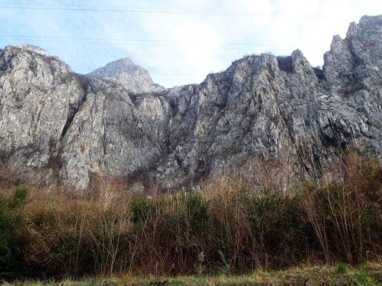
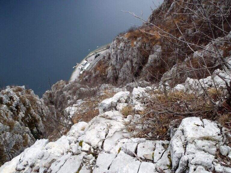
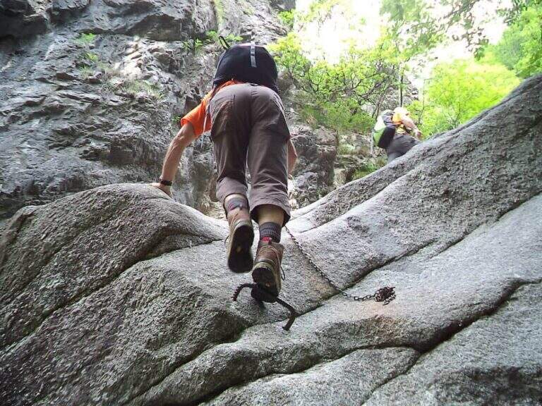
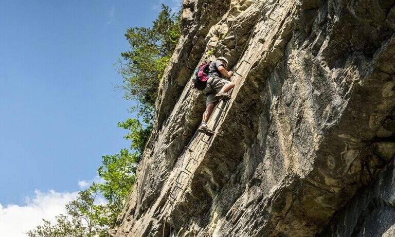
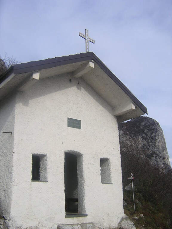
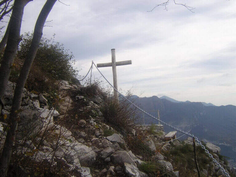
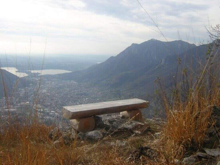
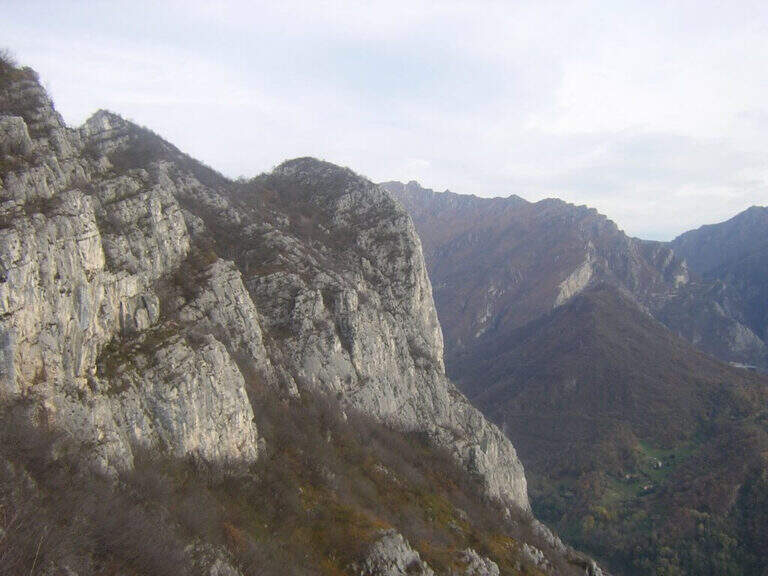
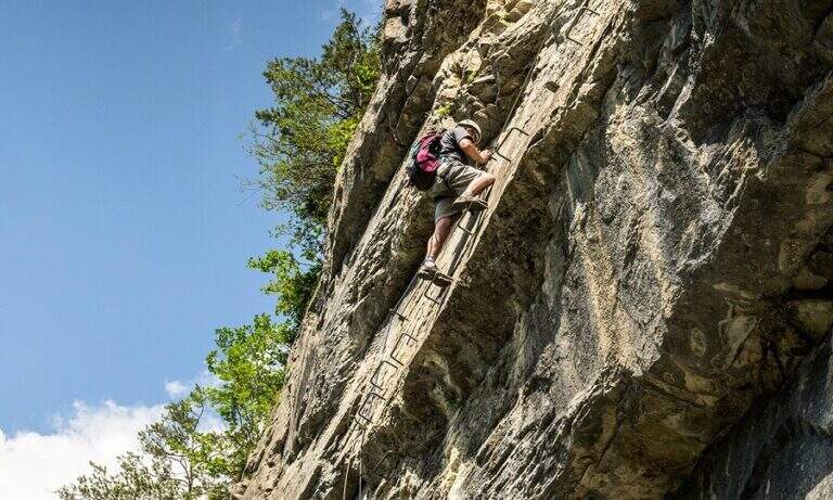
    The Attrezzato Path of Sileggio — in the municipality of Mandello del Lario, above the hamlet Sonvico — is a long and varied route that connects two ridges and two peaks through a four-metre fireplace and two metal stairs, the first of which overhanging. With about five hours of walking and 1100 m of altitude difference is a challenging itinerary, but the quality of the equipped progression and the landscape on the Lario pay off every effort.

    ▲Approach

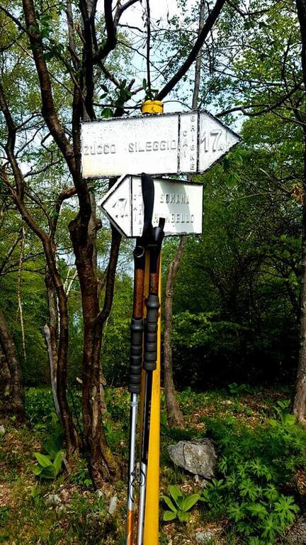
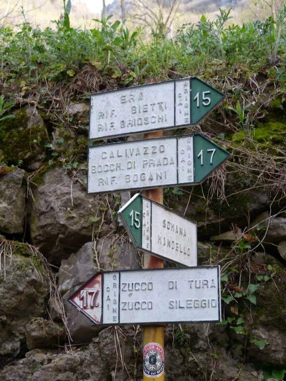
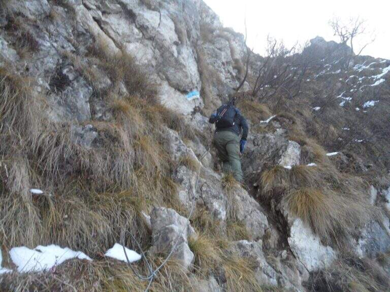
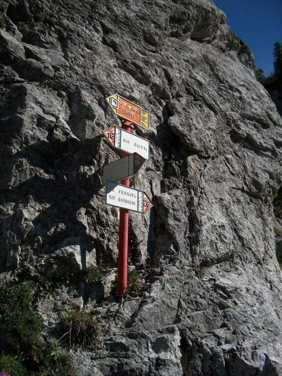
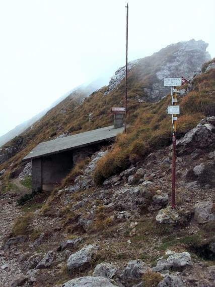
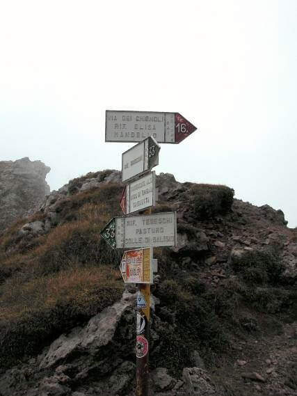
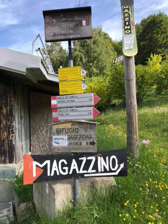
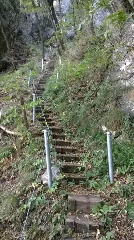
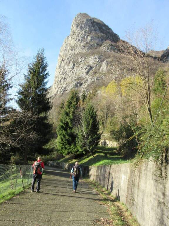
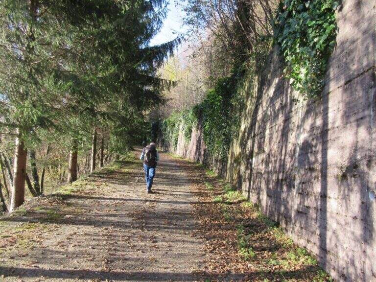
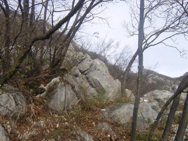
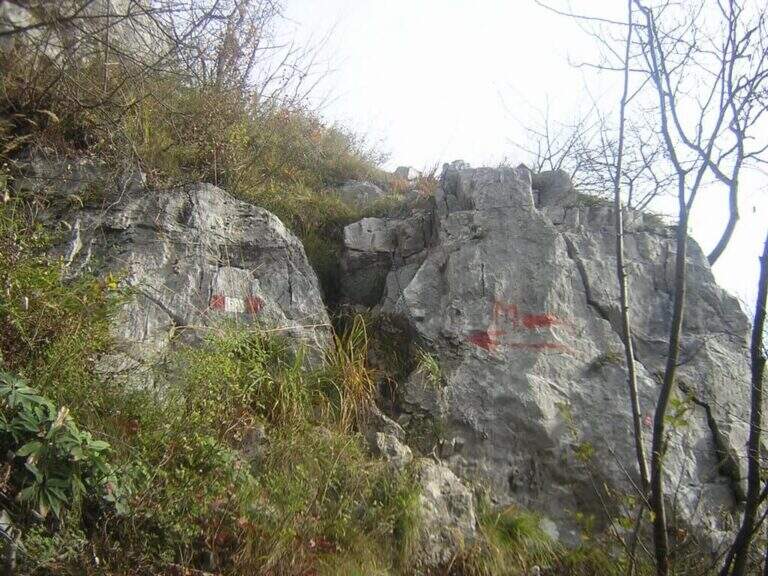
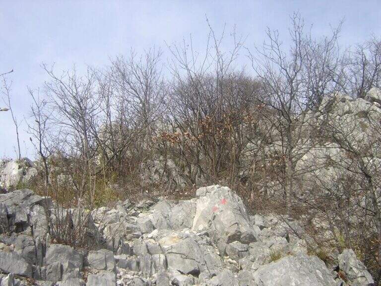
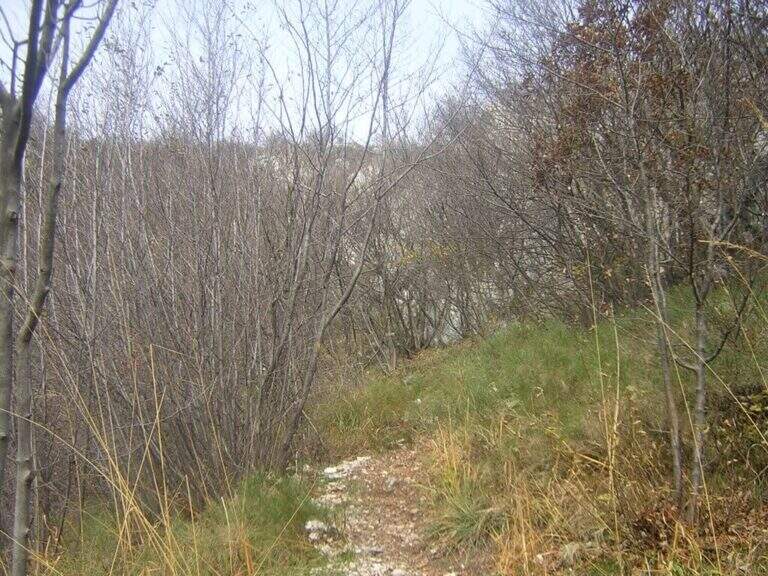
    Starting from the fraction of Sonvi (Mandello del Lario, LC). Take over trail 15 in the wood following the white-red markers to the pole of the marker 17B (Southeast Coast), reachable in about 45 minutes. From here you take the 17B signpost (blue signs) steep climb to the base of the Zucco di Tura, where the old cable car is located.

    ▲The path

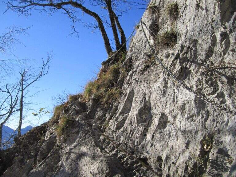
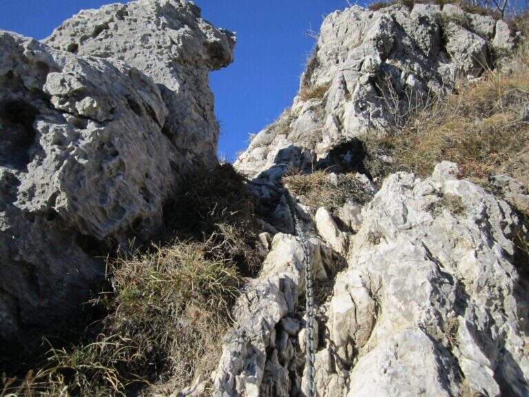
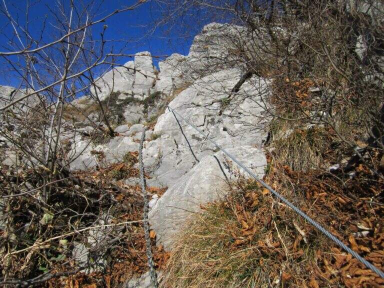
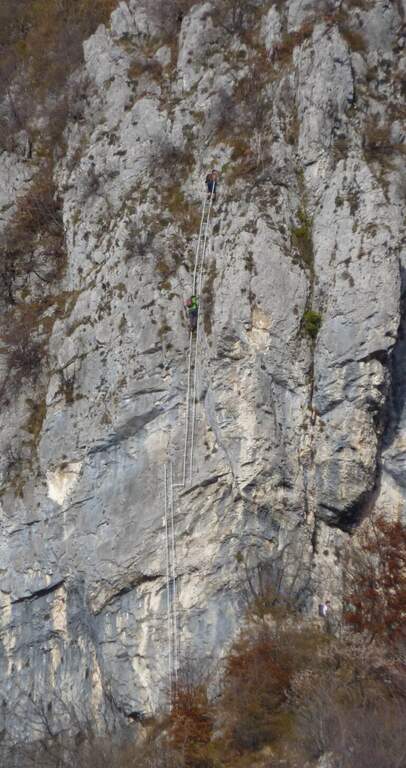
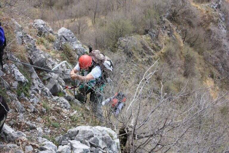
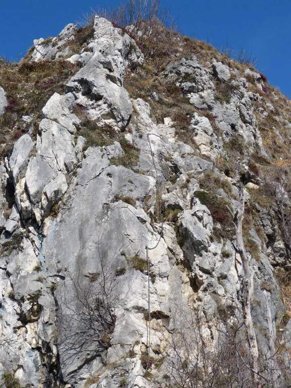
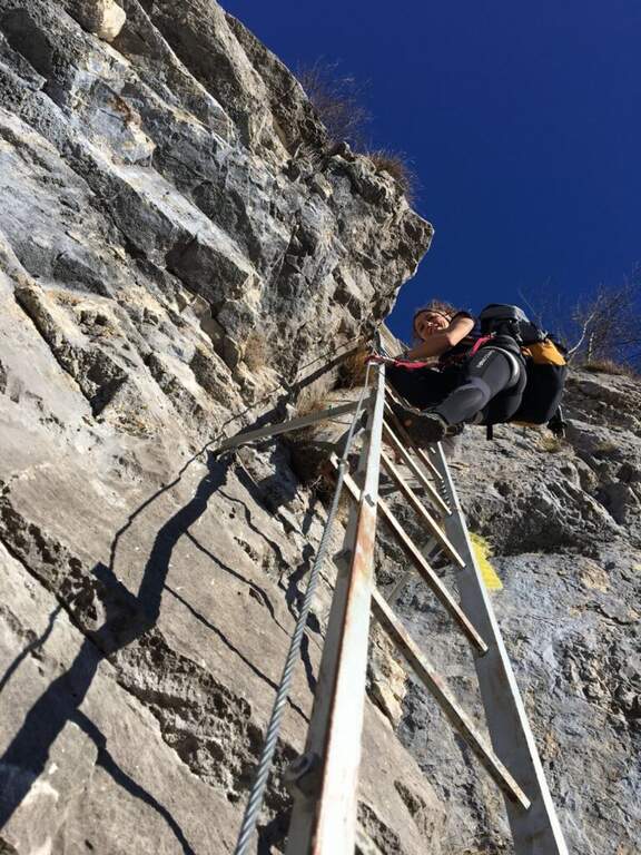
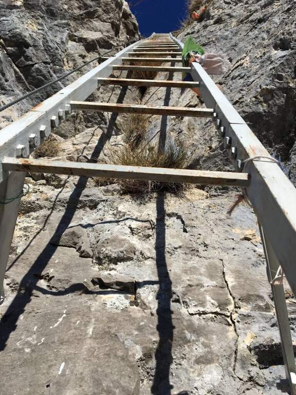
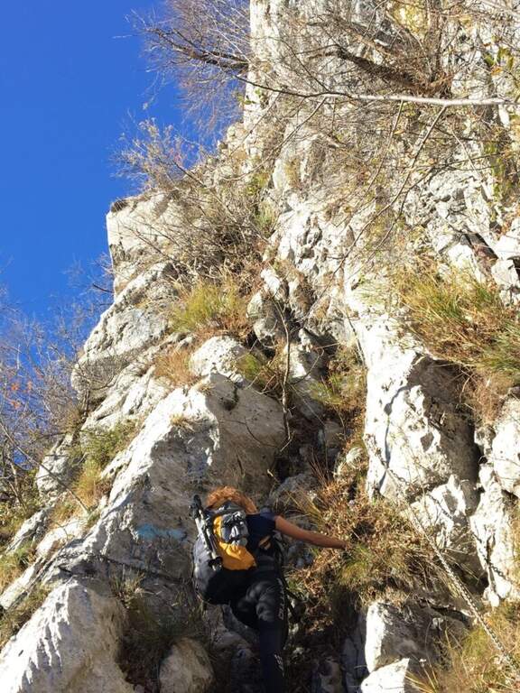
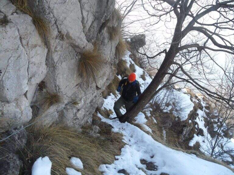
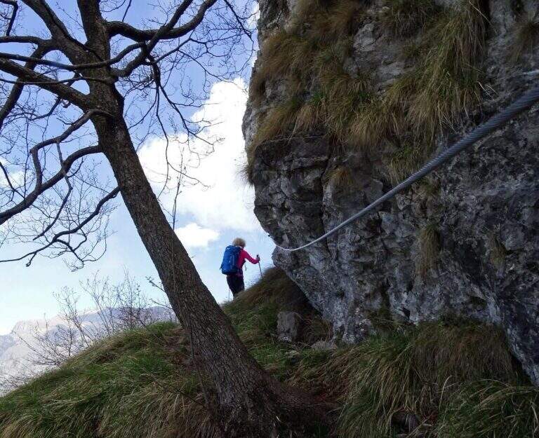
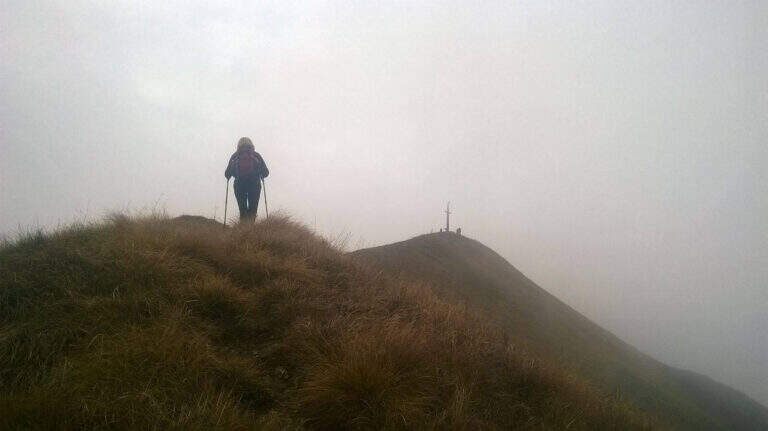
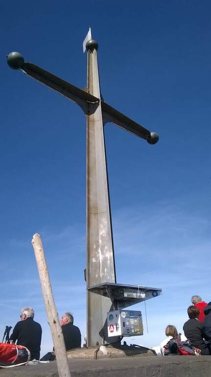
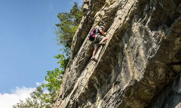
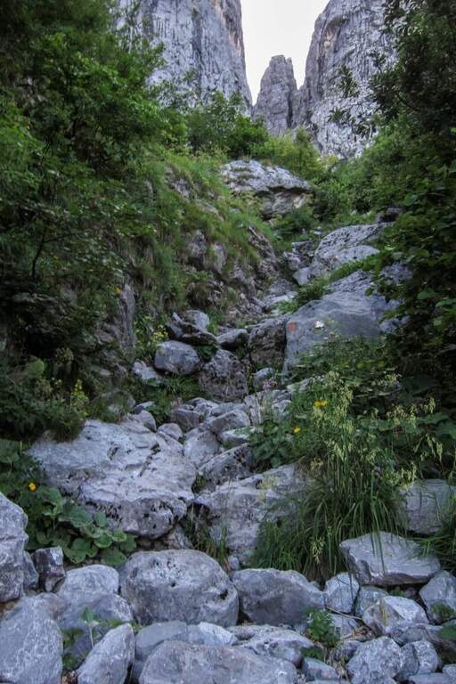
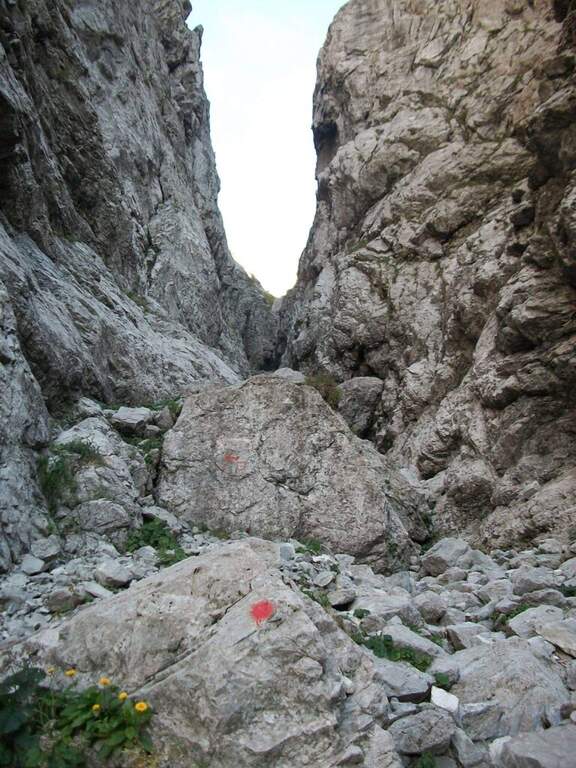
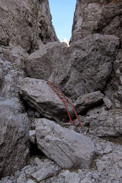
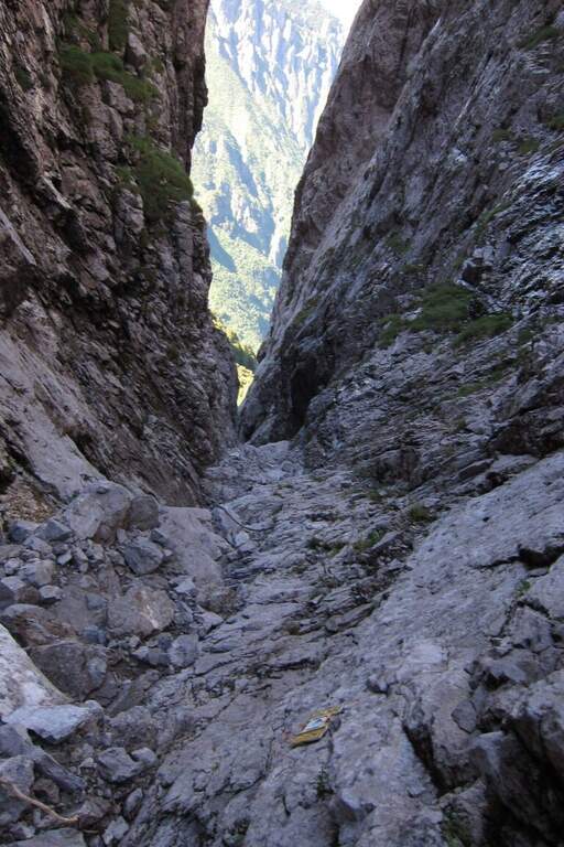
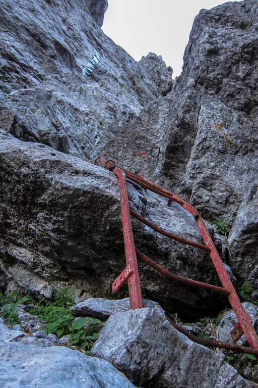
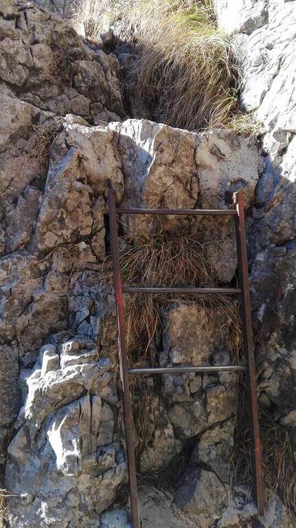
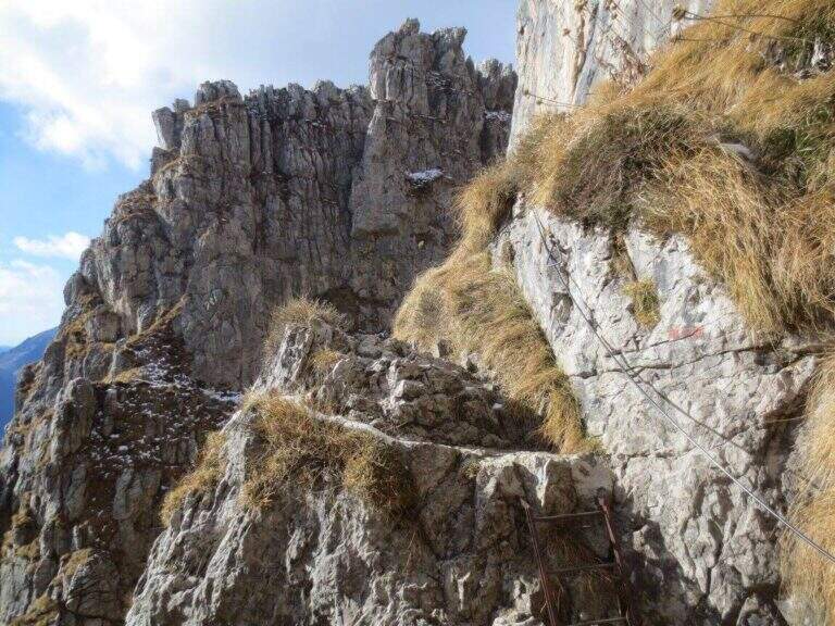
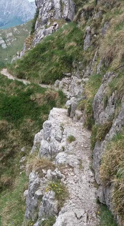
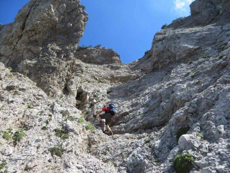
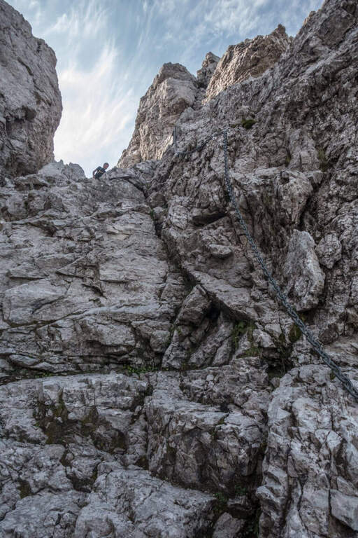
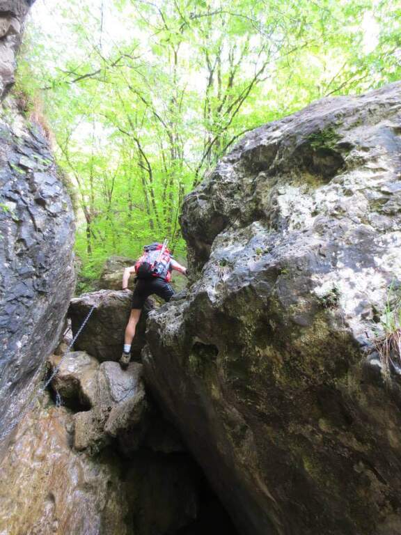
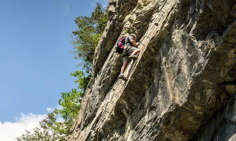
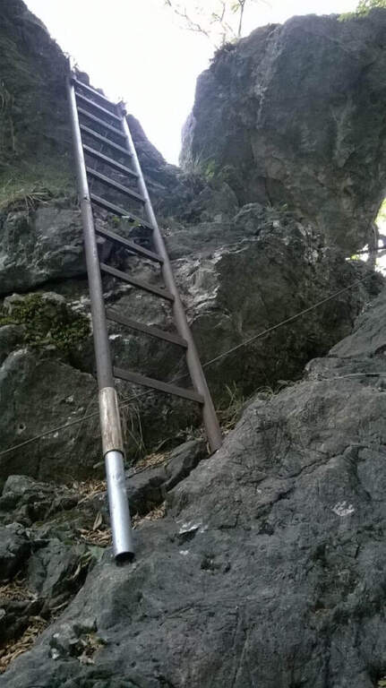
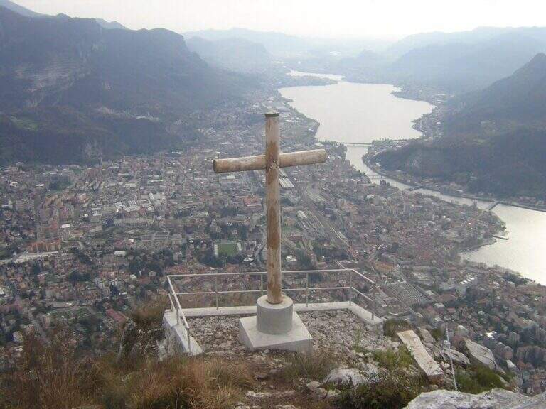
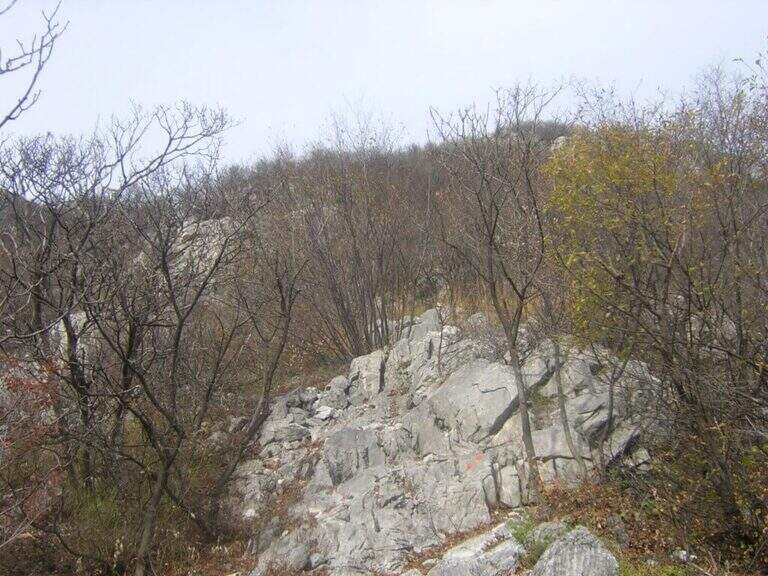
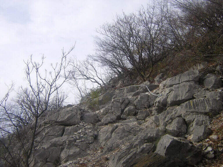
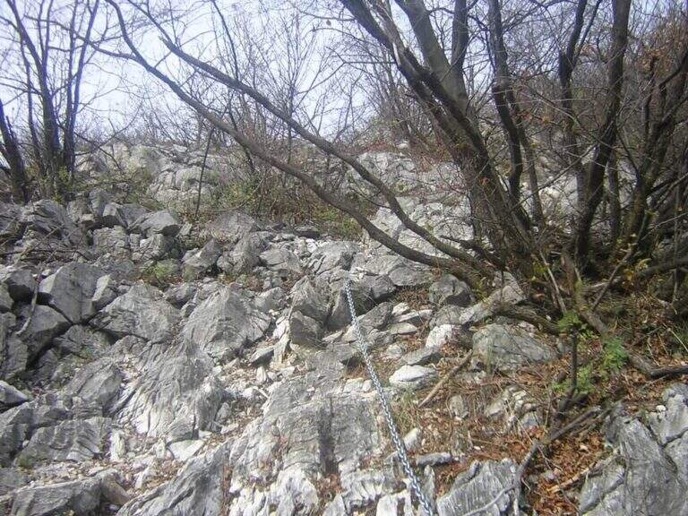
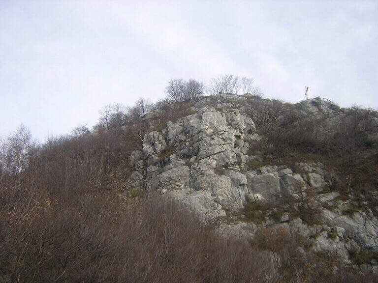
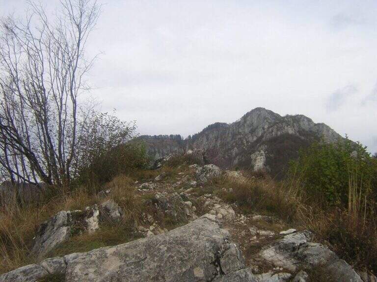
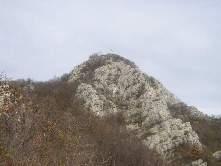
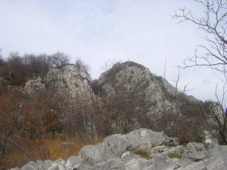
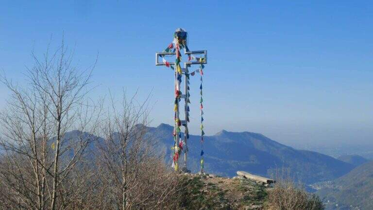
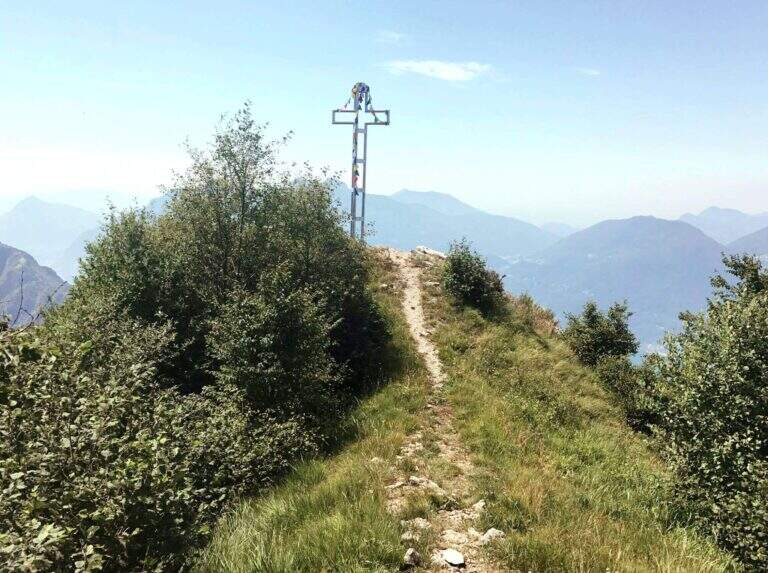
    From the base of the cable car, the ground is more challenging: a slope with chains leads to the Zucco of Tura. Then follow the eastern ridge to a saddle where you will find a deviation for the Val d’ Era: ignore it and continue uphill towards the Zucco di Morterolo. The key passage is a 4-metre camino — the chain is located on the left but the best hooks are on the right. two metallic scales (the first overhanging, the second most supported) and a wall that climbs first diagonally then vertically up to the Croce of summit (1368 m s.l.m.).

    ▲Character and difficulty

    Difficulty Moderately Difficult. The length of the route (10 km, 5 hours a/r with the stops) is the most characteristic of this route: it is not technically prohibitive but requires training and good resistance.

    ⚠ The chain of the fireplace is a little lasca: use it only as a balance point, not for traction. Water is not available on the route: enough. The path can be combined with the River Path in reverse direction, adding about 45 minutes for a total of about 6 hours.
    ▲Discipline

    The descent takes place for 17B mark reversely, returning to Sonvico. Those who want to stretch can continue towards the Attreized Path of the River, crossing it in the opposite direction (+45 min). Total itinerary: 10 km, height difference 1100 m, estimated time 5 hours.
    ▲Gallery
    Technical data
    • DifficultyModerately Hard
    • RegionLombardy
    • GroupPrealps Lecchesi
    • Approach1:00 h
    • Ferrata1:45 h
    • Itinerary (a/r)5:00 h
    • Hardware level difference600 m
    • Route difference1100 m
    • Max1368 m
    • Length10 Km
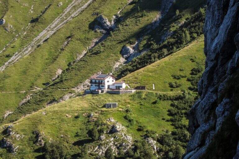
  • Sentiero Attrezzato Filippo Benedetti – Punta Almana

    Sentiero Attrezzato Filippo Benedetti - Punta Almana

    Vie Ferrate › Lombardy › Brescia
    Sentiero Attrezzato Filippo Benedetti – Punta Almana

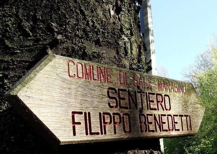
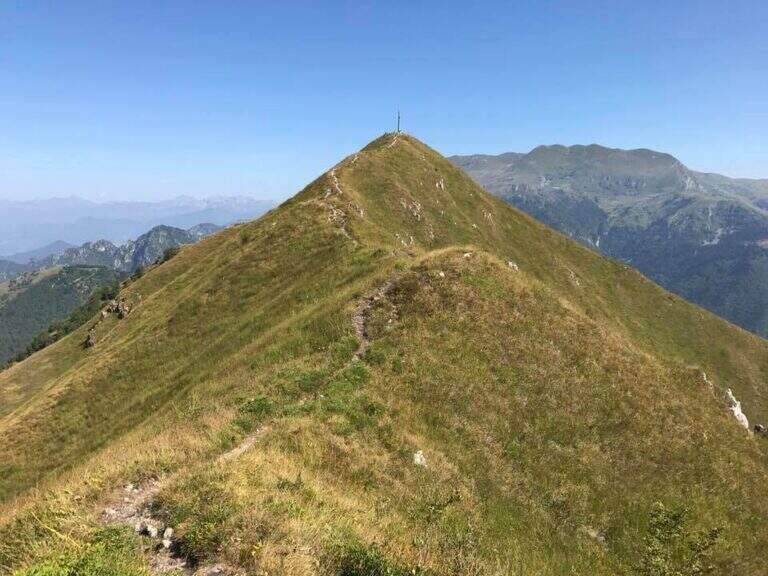
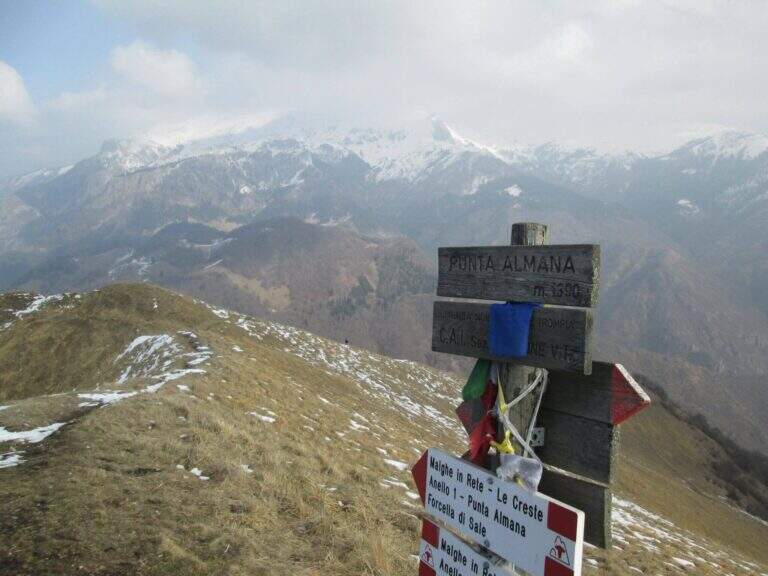
    The Attrezza Path Filippo Benedetti reaches the Punta Almana (1390 m) above Lake Iseo from the eastern shore of Brescia. The real ferrata lasts about an hour from the attack, but it fits into an almost four-hour itinerary with exceptional views of the Sebino. From north to south and in reverse direction.

    ▲Approach

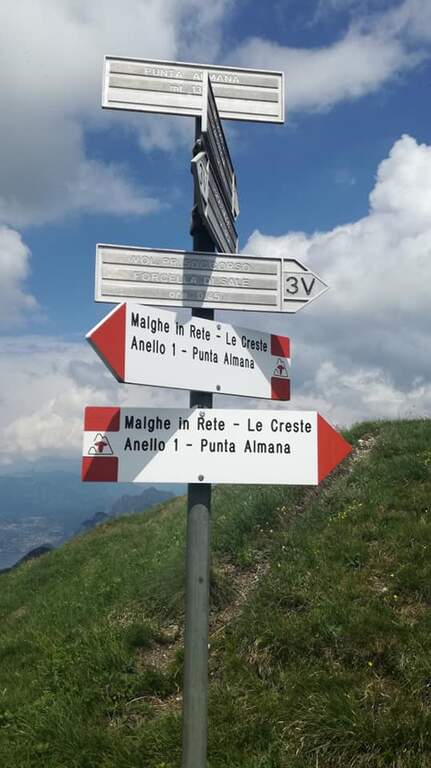
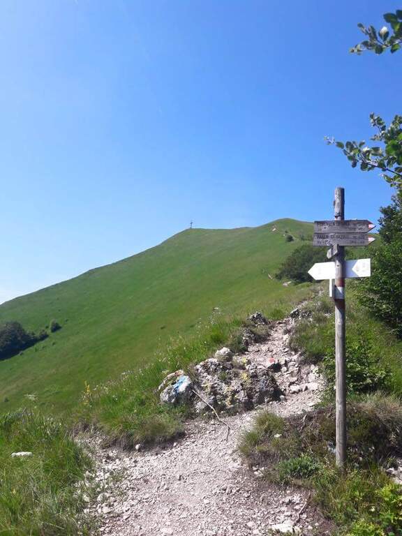
    The starting point is Portole, small hamlet above Provaglio d’Iseo on the eastern shore of Lake Iseo (Brescia). From here take a dirt road that climbs north-east to Salt Fork (about 1 hour). At the fork you enter the forest following the path 3V/314, you will meet a crossroads and take the right towards the Sentiero Benedetti, reached about 1 hour and 15 minutes from the departure.

    ▲The path

    From ’ attack climbs through the meadows following the signs white-blue to a rocky fork. The Punta Cabrera is reached by ’, where the first diagonal nod begins on grass-terrous soil — maximum attention with the wet bottom. Follow a grassy canal and touch the Punta Cabrera, then a short descent precedes the most exposed cross , protected by cable. The final rock channel leads to the Punta Almana (1390 m), term of equipment, about 30 minutes from the ’ attack and 1 hour and 45 minutes from the start.

    ▲Character and difficulty

    Easy difficulty. The equipment is adequate and the difference in level of the ferrata is limited. The point that requires greater care is the grassy bottom of the first nod, slippery if wet.

    ⚠ The path is accessible both north-south (Forcella di Sale → Croce di Pezzolo) and south-north, with possibility of crossing leaving a means at each end.
    ▲Discipline

    From the Punta Almana you continue towards the Croce of Pezzolo following the 3V path southward, or you reverse the path returning to the Forcella di Sale. Total itinerary: about 3 hours and 45 minutes for 8.2 km with 830 m of total altitude difference.

    ▲Gallery
    Technical data
    • DifficultyEasy
    • RegionLombardy
    • GroupPrealpi Bresciane / Lake Iseo
    • Approach1:15 h
    • Ferrata1:00 h
    • Itinerary (a/r)3:45 h
    • Hardware level difference372 m
    • Route difference830 m
    • Max1390 m
    • Length8,2 Km
  • Sentiero Attrezzato dei Pizzetti

    Vie Ferrate › Lombardia › Lecco
    Sentiero Attrezzato dei Pizzetti

    The Sentiero Attrezzato dei Pizzetti, in the municipality of Esino Lario (LC), is a ring of about five hours that explores the Pizzetti di Esino through ridges and exposed passages, with a total difference of 900 m. Ideal for those looking for a short but complete alpine experience, with departure and arrival from the same point and white-red signage.

    ▲Approach

    From Esino Lario (LC), reachable by car from SS36 of Lake Como and Spluga. It leaves l’ car in the center of the country and follows the signs for the Pizzetti of Esino. The path climbs into the forest reaching the base of the Pizzetti crests in about 45 minutes.

    ▲The path

    The route develops as a ring with departure and arrival at Esino Lario. You go up to the Pizzetto di Sopra and then cross the ridge towards the Pizzetto di Sotto, with short stretches (cavi and brackets) at the most exposed points. The ridges offer exceptional views of Lake Como and the Grigne groups. Then descend along the path into the woods to the starting point.

    ▲Character and difficulty

    Easy difficulty. The equipped stretches are short and well protected; the greater difficulty is given by the exposure of the crest. Suitable for hikers with experience of mountain trails.

    ⚠ The crest is very exposed to the wind. In case of bad weather or wet soil the difficulty increases considerably. Bring layered clothing and check the weather forecast before leaving.
    ▲Discipline

    The descent takes place on a path in the forest, returning to Esino Lario for the way down the ring road. Total itinerary: about 5 hrs ring with 900 m of total altitude difference.

    ▲Gallery
    Technical data
    • DifficultyEasy
    • RegionLombardy
    • GroupPrealps Lecchesi / Grigna
    • Approach0:45 h
    • Ferrata1:30 h
    • Itinerary (a/r)5:00 h
    • Hardware level difference350 m
    • Route difference900 m
    • Max1573 m
    • Length10 Km
  • Sentiero Attrezzato della Val Cassina

    Sentiero Attrezzato della Val Cassina

    Vie Ferrate › Lombardia › Lecco
    Sentiero Attrezzato della Val Cassina

    The Sentiero Attrezzato della Val Cassina dates back to a narrow and suggestive canyon between the Sasso dei Carbonari and Sasso Cavallo on the southern side of the North Grigna. It is a long route (6h 30 min, 1425 m of altitude difference) with metal equipment in the most challenging passages of the canalone, suitable for hikers in good physical form.

    ▲Approach

    The departure is from the hamlet of Rongio in the municipality of Mandello del Lario (province of Lecco). From Mandello follow the roundabout, you pass under the railway bridge and walk up the road uphill to Rongio (about 400 m). From the parking lot follow the paved road that becomes dirt in the wood, then path that climbs with moderate slope in the direction of Val Cassina (about 3h until the beginning of the equipped sections).

    ▲The path

    The Val Cassina is recessed between the wall of the Sasso dei Carbonari to the right (west) and the Sasso Cavallo to the left (east). In the most challenging stretches of the canalone are placed metal equipment — fixed steps and short reinforcements — which assist the overcoming of rocky and steeper ridges, sometimes with l’ help of hands and feet also in simple climbing. The canal ends at the Bocchetta della Val Cassina (1823 m, 45 min from the ’ start of the equipment), where the view opens on the meadows of the west side of the North Grigna.

    ▲Character and difficulty

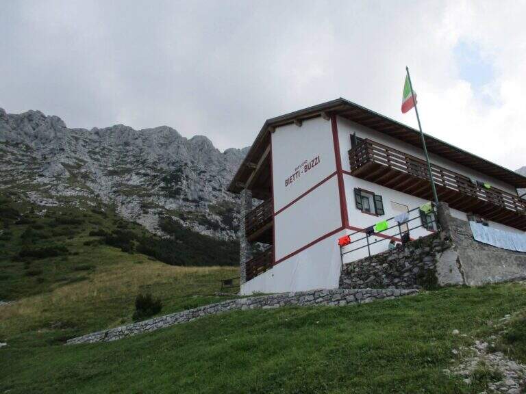
    Easy path from a technical point of view, but long and challenging for the difference in altitude of about 1425 m. There are support points along the road: the Elisa Refuge and the Bietti Buzzi Refuge are within walking distance.

    ▲Period and safety

    From May to October. The canalone can hold snow in depth until late June: check the conditions before leaving. Bring enough water for a long hike.

    ▲Discipline

    From Bocchetta della Val Cassina take a half-circle towards Rifugio Bietti Buzzi (1719 m), from which the sentiero 25 descends to Rongio for return to the car park (6h 30 min total). Alternatively, you can climb from Bietti Buzzi to the summit of the North Grigna or Monte Cavallo (signavia 16B, approx. 30 min extra).

    ▲Gallery
    Technical data
    • DifficultyEasy
    • RegionLombardy
    • GroupNorth Sea
    • Approach3:00 h
    • Ferrata0:45 h
    • Itinerary (a/r)6:30 h
    • Hardware level difference300 m
    • Route difference1425 m
    • Max1823 m
    • Length6:30 h
  • Sentiero Attrezzato degli Stradini

    Sentiero Attrezzato degli Stradini

    Vie Ferrate › Lombardia › Lecco
    Sentiero Attrezzato degli Stradini

    The Sentiero Attrezzato degli Stradini connects the Piani d’Artavaggio to Piani di Bobbio along the east and south side of the Zucco Pesciola, with stretches equipped with ropes and corners, wide views of Lake Lecco and Valsassina. Suitable for neophytes who want to approach the paths equipped in a context of low technical difficulty but of great satisfaction landscape.

    ▲Approach

    The starting point is the mountain station of the cable car at Piani d’Artavaggio (1650 m), in the province of Lecco. From Lecco follow the Val Sassino, cross Ballabio and the hamlet of Balisio, then turn right following the signs for Moggio and the cable car of Artavaggio (street close to the plant). The plant dates back to Piani d’Artavaggio in a few minutes.

    ▲The path

    From the mountain station (1650 m) follow the wide uphill path towards the Cazzaniga and Nicola Refugees. Next you take the signs for Malga Campelli, then continue until the Bocchetta del Faggio (approx. 1900 m), where the Sentiero degli Stradini becomes well visible in front of us. The path cuts halfway through the southern slope of the Zucco Pesciola: take a stretch with a slight descent bypassing a slope, then pass a spigolo assisted by the fune and continue slightly uphill. The path alternates grassy cenges and rocky steps, with additional stretches equipped where the chains guarantee safe progression on the most exposed points. Finally, you reach the Piani of Bobbio (1641 m) and the Lecco Refuge (2h from the starting point).

    ▲Character and difficulty

    Easy path, free of challenging technical steps. The exhibition is present but not excessive. The route is accessible in both directions, making it versatile as approaching Ferrata Zucco Pesciola or Ferrata Mario Minonzio that develop on the Piani di Bobbio.

    ▲Period and safety

    From spring to autumn. The Artavaggio cable car has seasonal hours: check the opening before leaving. If the cable car is closed you can reach Artavaggio on foot from the bottom with about 1h additional.

    ▲Discipline

    From Rifugio Lecco to Piani di Bobbio you can descend with the cable car of Bobbio or on foot to Valsecca. Alternatively, go back to Artavaggio on the same path (4h 30 min overall for the ring).

    ▲Gallery
    Technical data
    • DifficultyEasy
    • RegionLombardy
    • GroupResegone
    • Approach0:45 h
    • Ferrata2:00 h
    • Itinerary (a/r)4:30 h
    • Hardware level difference140 m
    • Route difference180 m
    • Max2010 m
    • Length6 Km
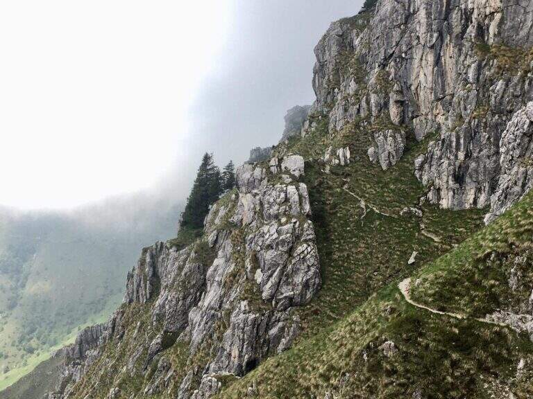
  • Sentiero Attrezzato della Val Scarettone

    Sentiero Attrezzato della Val Scarettone

    Vie Ferrate › Lombardia › Lecco
    Sentiero Attrezzato della Val Scarettone
    Moderately Hard● OpenDescriptionComplexityMapsGallery

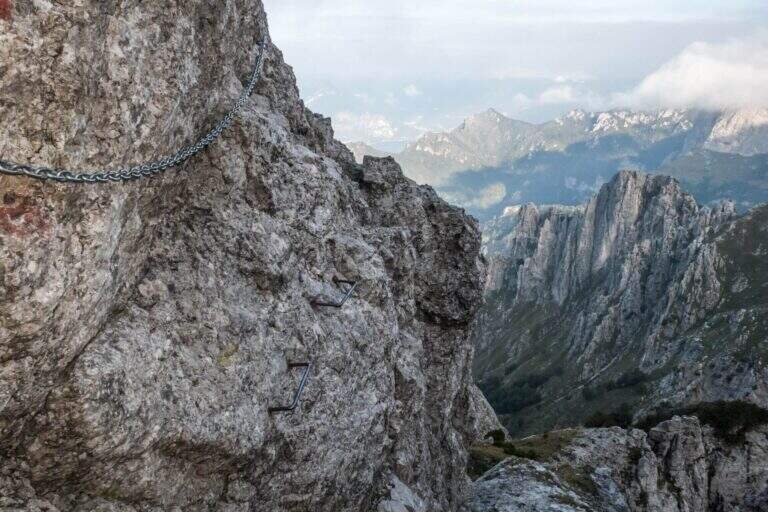
    The Attrezzato Path of the Val Scarettone is the longest way to reach the summit of the South Grigna (2184 m) starting from the Piani dei Resinelli, entirely developed on the north-western side. Completely refurbished in 2015, it is considered challenging for the bumpy profile with canals, blinds and chain-protected beams: recommended for experienced and trained hikers.

    ▲Approach

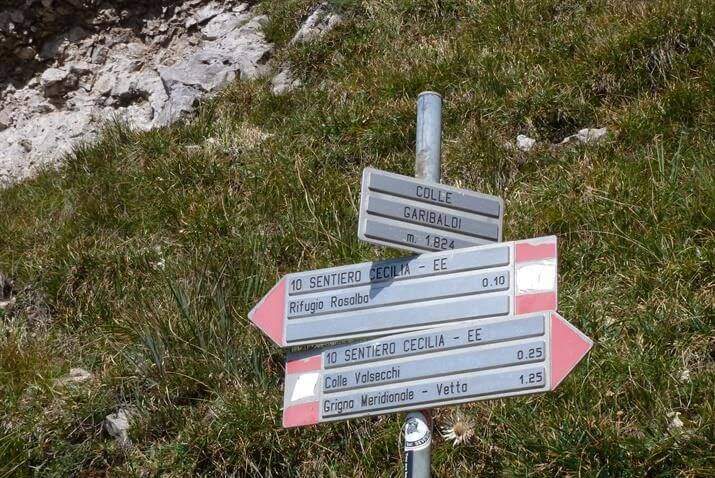
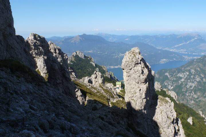
    The recommended starting point is the parking of the Piani of Resinelli (1183 m). From there you climb to the Rifugio Rosalba (1730 m) — about 2h — choosing between the direct path or the Sinigaglia ridge. From the Rosalba follow the sentiero 10 towards the southeast, passing through the Colle Garibaldi (1824 m) to the Colle Valsecchi (1898 m, 30 min from the Rosalba — 2h 30 min total).

    ▲The path

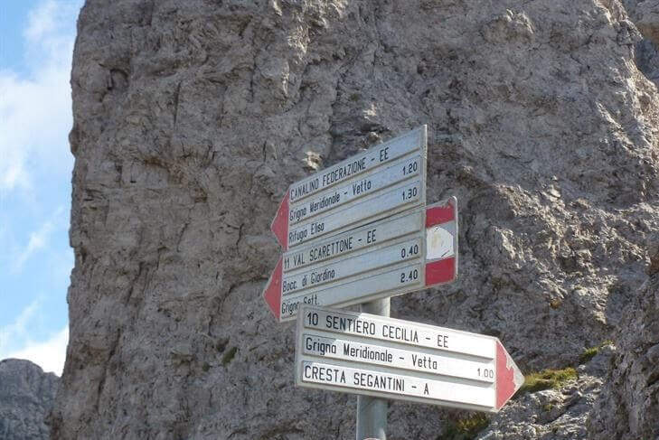
    At the Colle Valsecchi you leave the path 10 (which continues towards Cresta Cermenati) and take on the left the sentiero 11, that is the Path Attrezzato of the Scarettone. From here the route exceeds a series of canalini, cenges, beams and rock jumps, all equipped with chains in the most difficult and exposed points. Then there is a steep grassy slope with hairpin bends and you reach the detritic bottom of the summit valley, from which the last rocks lead to the vetta of the South Grigna (2184 m).

    ▲Character and difficulty

    Classified Moderately Difficult for the variety and continuity of technical steps: slippery canals, narrow waxes and exposed beams. The re-equipment of 2015 improved safety but did not reduce the selectivity of the path.

    ⚠ It is recommended only for hikers with experience of routes. Avoid with wet rock or winter season.
    ▲Period and safety

    From June to October. The Rosalba refuge offers refreshment and overnight stay. The Colle Valsecchi is a crossroads of several paths: a marked road on all branches.

    ▲Discipline

    From the summit you can return to the Sentiero Attrezzato Cecilia (path 10, via Cresta Cermenati and Rifugio Rosalba) or to any other access path to Piani dei Resinelli. The descent for the Scarettone is not recommended for l’ inverted exposure (6h total for the complete lap).

    ▲Gallery
    Technical data
    • DifficultyModerately Hard
    • RegionLombardy
    • GroupSouthern Grigna
    • Approach2:30 h
    • Ferrata1:30 h
    • Itinerary (a/r)6:00 h
    • Hardware level difference150 m
    • Route difference1000 m
    • Max2184 m
    • Length16 Km
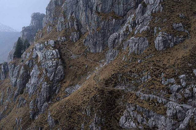
  • Sentiero Attrezzato dei Tecett

    Sentiero Attrezzato dei Tecett

    Vie Ferrate › Lombardia › Lecco
    Sentiero Attrezzato dei Tecett

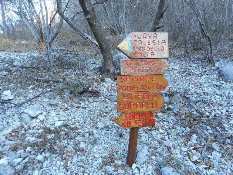
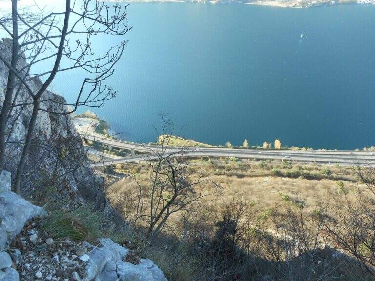
    The Attrezzato Path of the Tecett is the oldest equipped path of the Lecchesi mountains: the western bastion of Monte San Martino overlooking Lake Como and the highway for Sondrio, leading to the Rifugio Piazza through ramps, plates and the characteristic sloped nod named after the route. Panorami on the lake and the surrounding peaks accompany the whole ascent.

    ▲Approach

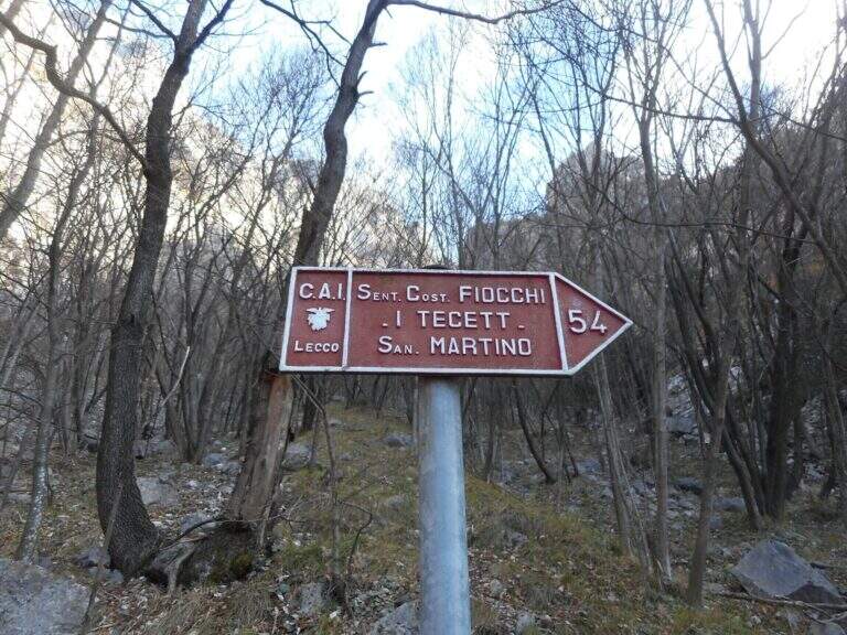
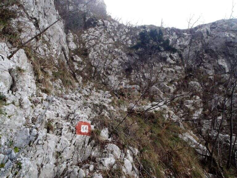
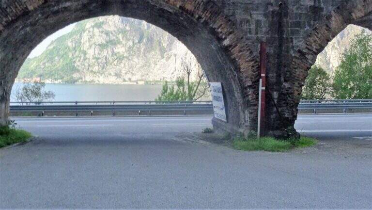
    The departure is in Pradello, municipality of Lecco, at the parking lot of the restaurant “I Bodega” (210 m). Coming from Lecco follow the Lungolago Piave towards Malgrate, then turn towards Acquate and Pratello following the signs. From the parking lot follow the sentiero 54 of the Tecett, steep but well marked, which in about 30 minutes leads to the ’ start of the equipment.
    ▲The path

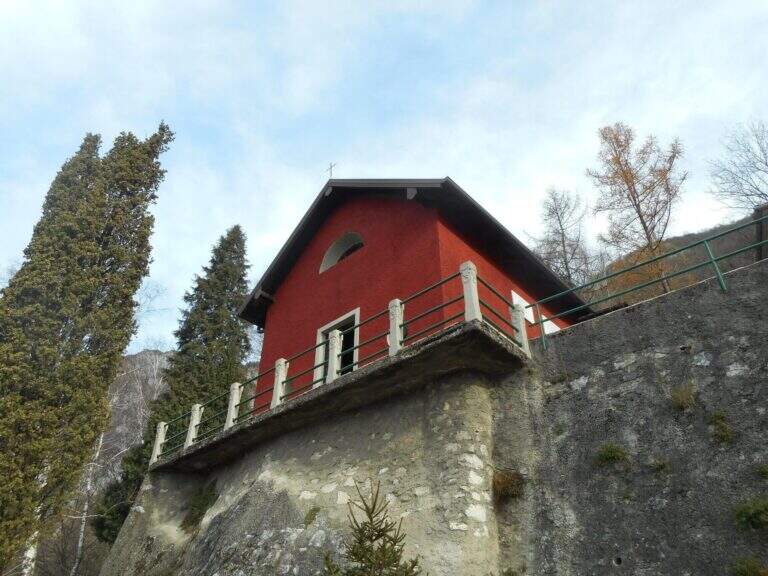
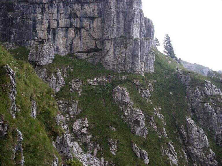
    From the ’ the beginning of the equipment is a series of protruding ramps and plates without particular difficulty, taking advantage of canals and blinds presided over by catene and metal pioli. You reach the inclined cengia of Tecett — the key passage that gives name all’ itinerary — an oblique balcony in the wall with vertical view on the lake below. After passing the nod continue uphill along tree-lined ribs up to the Chiesetta di San Martino and the contiguous Rifugio Piazza (767 m, 1h 30 min total from the start). The refuge is generally open on Thursday and Sunday, without overnight.

    ▲Character and difficulty

    Easy path with well-placed equipment. The inclined nod can impress those who suffer from dizziness for exposure to the lake, but technically it does not require ironic experience. The track is available in all seasons thanks to the low altitude.

    ▲Period and safety

    All year round, ideal even in winter in the absence of ice. The view of Lake Como is particularly suggestive on clear spring and autumn days.

    ▲Discipline

    From the Rifugio Piazza you have more options: return to the parking lot for the same path 54 or crossing towards the Coltiglione or the Val Farina. The direct return to Pradello takes about 45 minutes (3h total).

    ▲Gallery
    Technical data
    • DifficultyEasy
    • RegionLombardy
    • GroupMonte San Martino
    • Approach0:30 h
    • Ferrata0:45 h
    • Itinerary (a/r)3h
    • Hardware level difference150 m
    • Route difference560 m
    • Max767 m
    • Length5,2 Km
  • Hiking Trail Skiing

    Hiking Trail Skiing

    Vie Ferrate › Lombardia › Lecco
    Hiking Trail Skiing

    The Sentiero Attrezzato delle Vasche dates back to the Inferno stream in Valmadrera, combining equipped sections, simple first-degree climbing passes and beautiful views of the natural basins carved in the rio. The route is divided into two sections: a first easier part between the typical tanks, and a second slightly more technical with traverse and wall. Variable difficulty with the flow of the stream.

    ▲Approach

    The starting point is the hamlet of Ceppo in the municipality of Valmadrera (province of Lecco). You search for parking in the 3 parking spaces on the road and go up the asphalted road until the ’ isolated. From Ceppo follow the white-red road signs that descend towards the greed of the Inferno stream, going up to the first waterfall where the real equipped path starts (15 min from the parking lot).

    ▲The path

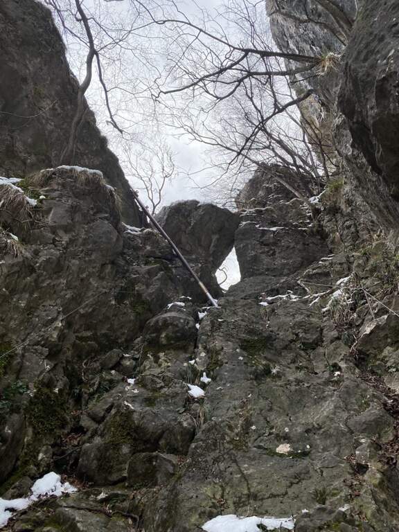
    From the first waterfall you can walk up the path on the destra orografica, leaving the river bed temporarily. Then go back to the bed, passing alongside the natural basins — the wells and sculptures d’ water that give name all’ itinerary — moving the progression alternately on the right and on the golden left of the stream. The second section addresses a across and then a short paretine equipped next to the d’ course; water with first-degree passes. Pass the wall and continue until the Taja Sass, the term of the equipped path.

    ▲Character and difficulty

    Easy path, suitable for those who approach this route for the first time. Climbing passes are short and equipped. The wall in the second section is the most technical point.

    ⚠ The difficulties vary considerably with the water flow of the Inferno stream. With abundant water the steps closer to the bed of the rio can become dangerous. Evaluate the conditions before leaving.
    ▲Period and safety

    From March to November. Particularly pleasant in spring with full tanks and in summer for the chilling of the stream. Avoid in intense rainy days.

    ▲Discipline

    From Taja Sass take the right path towards San Tomaso and then towards the village, going down to Belvedere and going up towards Ceppo (50 min from the end of the path). Alternatively, follow the path that in a single stretch leads directly to the Ceppo (3h total).

    ▲Gallery
    Technical data
    • DifficultyEasy
    • RegionLombardy
    • GroupPrealps Lecchesi
    • Approach0:15 h
    • Ferrata1:30 h
    • Itinerary (a/r)3:00 h
    • Hardware level difference280 m
    • Route difference370 m
    • Max623 m
    • Length7 Km
  • Sentiero Attrezzato Sperone del Crocefisso

    Sentiero Attrezzato Sperone del Crocefisso

    Vie Ferrate › Lombardy › Brescia
    Sentiero Attrezzato Sperone del Crocefisso

    Short excursion equipped in the Brescian Prealps that leads to an iconic rocky spur under the Monte Maddalena, with stretches equipped with low difficulty and a beautiful view over the city of Brescia. Suitable for neophytes and families, it is available in any season thanks to low altitude.

    ▲Approach

    The starting point is the parking lot of the restaurant Al Grillo in Via della Maddalena, Brescia, reachable along Via della Maddalena north from the city. From the parking lot (approx. 430 m) follow the CAI path with a white-blue marker towards the former Magdalene refuge (0h 30 min).
    ▲The path

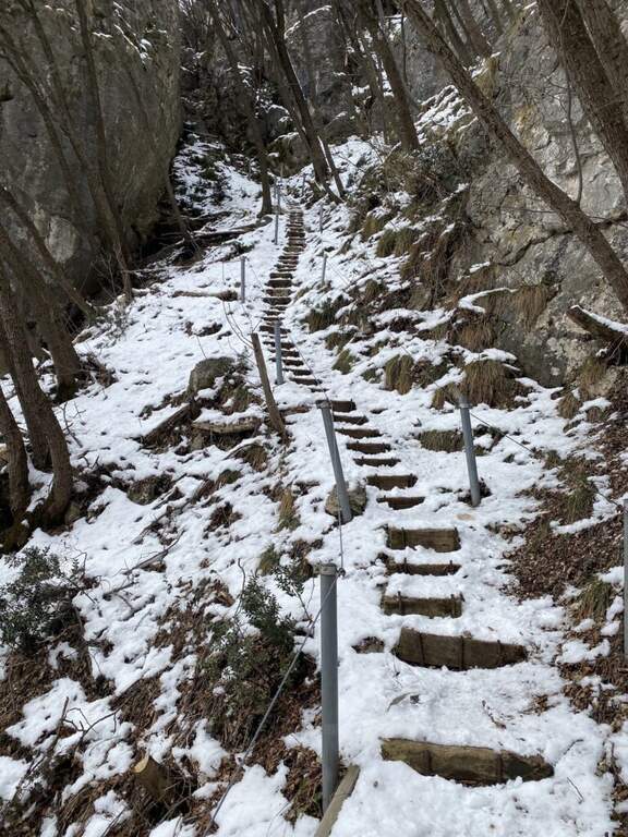
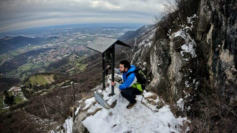
    From the ’ former Magdalene refuge, continue along the path towards the radio repeaters of Monte Denno, following the white-blue markers of CAI. The first equipped section dates back to a series of steps made with wooden frames, simple and safe. It then accesses a rocky sloped ramp always equipped but without technical difficulties: turn left and in short you reach under a metal staircase that leads to the top of the Sperone del Crocefisso (730 m circa, 0h 40 min from the’ start of the equipment). The summit offers a close view of the capital and surrounding Prealps.

    ▲Character and difficulty

    Easy itinerary, without technical difficulties. The equipped sections are short and well protected: wooden steps, rock ramp with rope and metal staircase. Recommended route as the first approach to the equipped paths.

    ▲Period and safety

    Throughout the year thanks to low altitude. In winter pay attention to any ice on the steps and on the rocky ramp. The itinerary is short (3 km, 1h 30 min total), ideal as a morning excursion from Brescia.

    ▲Discipline

    You return to the same route to the parking lot (approx. 45 min from the top, 1h 30 min total).

    ▲Gallery
    Technical data
    • DifficultyEasy
    • RegionLombardy
    • GroupPrealps Bresciane
    • Approach0:30 h
    • Ferrata0:40 h
    • Itinerary (a/r)1:30 h
    • Hardware level difference30 m
    • Route difference300 m
    • Max730 m
    • Length3 Km
  • Sentiero Attrezzato Silvia – Monte San Martino

    Sentiero Attrezzato Silvia – Monte San Martino

    Vie Ferrate › Lombardy › LC
    Sentiero Attrezzato Silvia – Monte San Martino

    Itinerary directed from Lecco to the top of Monte San Martino (approx. 980 m), going up the south-west wall with elementary equipped sections. Easily concatenable with other routes of the Medale and the Coltiglione, it is one of the most popular equipped paths of the Lecchese area.

    ▲Approach

    From Lecco follow the road towards Ballabio to a evident double hairpin bend in the center of Rancio Alto. At the second bend you continue straight on Via Quarto for about 200 m, then take a steep asphalted road on the right with bar: you park at the bar. Turn the cemented road up to a bend, continue straight on the CAI 52 mule track under the high walls of the Medale and Monte San Martino. Ignoring the crossroads and the CAI 58, you arrive at a main crossroads (20' from the parking lot): on the left the Vergella Trail leads to the Chapel of Our Lady of Carmine in 1h30'; on the right a steep path in the wood with rocky balconies leads to the same chapel in approx. 45' (1h15' total).

    ▲The path

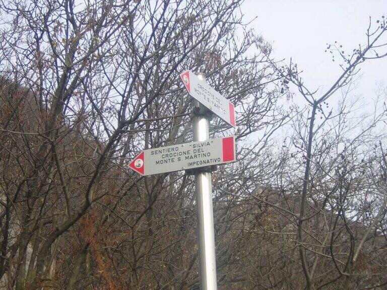
    From the Chapel of the Madonna del Carmine the Sentiero Silvia starts from the right side with red signs. It goes steeply with two short chain sections: the first is a series of easy rocky leaps, the second is a stretch leaning with steps to the left. Both elementary, the chains are useful especially with wet soil. At the following crossroads you will take the right towards the rocky gendarme, key passage of the itinerary: you will face it with the equipped fireplace (chain on the right side, inside the fireplace) or you will wander it on exposed but not technical path. Beyond the gendarme you can see the summit; continue on a steep path with some balzes equipped to the summit cross of Monte San Martino (45' from the chapel, 2h total).

    ▲Character and difficulty

    Easy. The equipped sections are elementary and the exposure is moderate. The fireplace of the gendarme is the most technical passage of the street.

    ▲Period and safety

    It can be traveled almost all year round, avoid with ice. Also excellent as winter hike with dry soil. The proximity to Lecco makes the path very popular on weekends.

    ▲Discipline

    From Monte San Martino you descend north-east towards the Coltiglione to a crossroads, then you return to the parking lot for the most direct path.

    ▲To match

    In the Medale area there is the Sentiero Attrezzato Ger del Coltiglione e la Sentiero Attrezzato della Vergella.

    ▲Gallery
    Technical data
    • DifficultyEasy
    • RegionLombardy
    • GroupLecchesi Prealps / Medale
    • Approach1:15 h
    • Ferrata0:45 h
    • Itinerary (a/r)3:30 h
    • Hardware level difference300 m
    • Route difference670 m
    • Max1042 m
    • Length8,2 Km
Need help? Write to us!