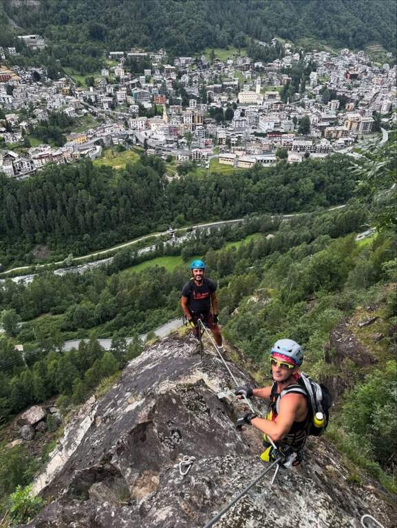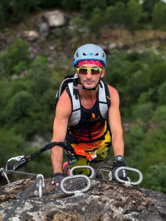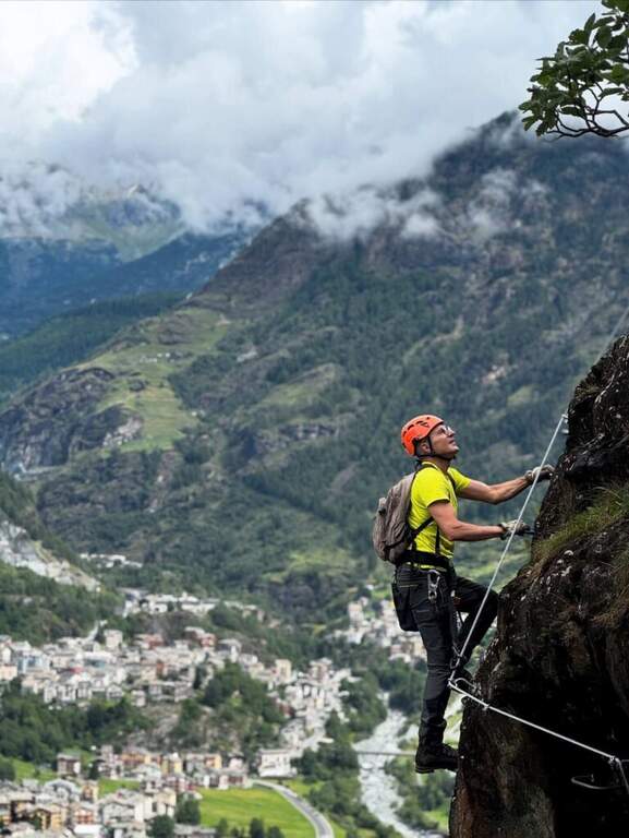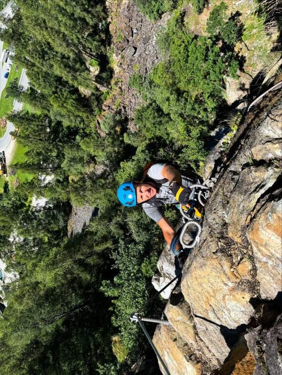
Regione: Lombardia

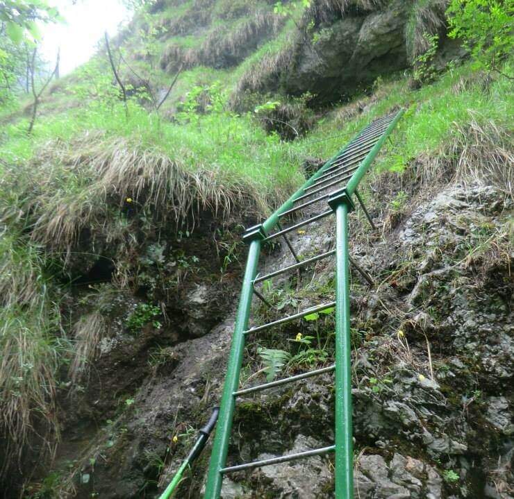
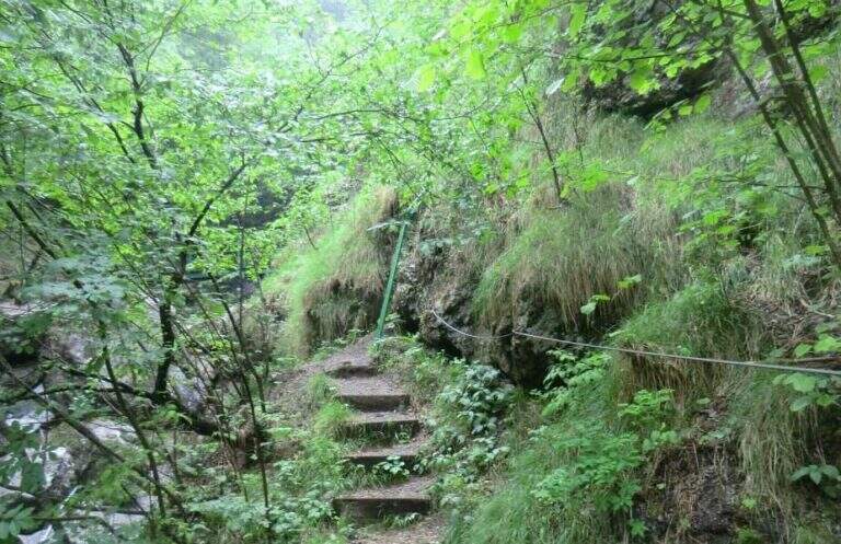
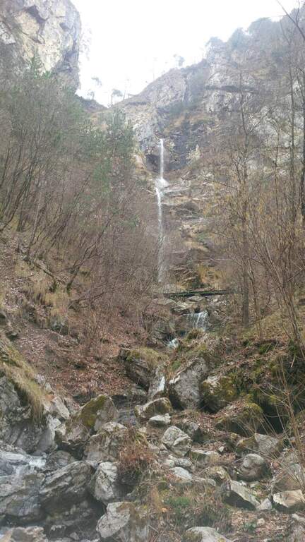
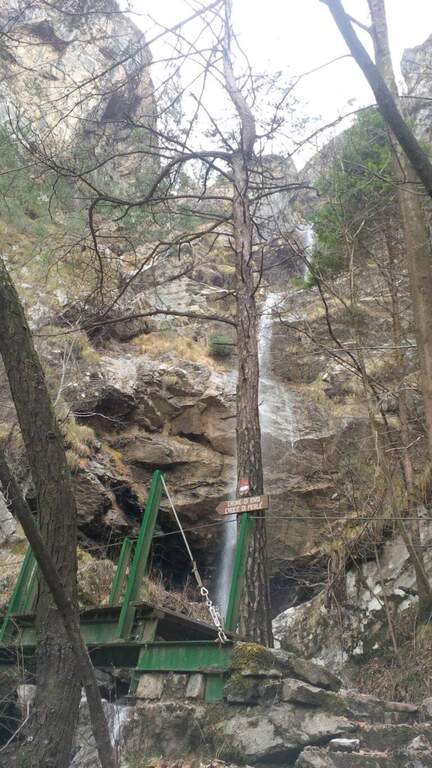
  • Sentiero Attrezzato Cecilia alla Grigna Meridio

    Sentiero Attrezzato Cecilia alla Grigna Meridio

    Vie Ferrate › Lombardia › Lecco
    Sentiero Attrezzato Cecilia alla Grigna Meridio
    Moderately Hard● OpenDescriptionComplexityMapsGallery

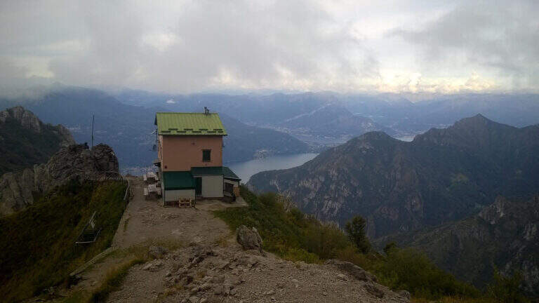
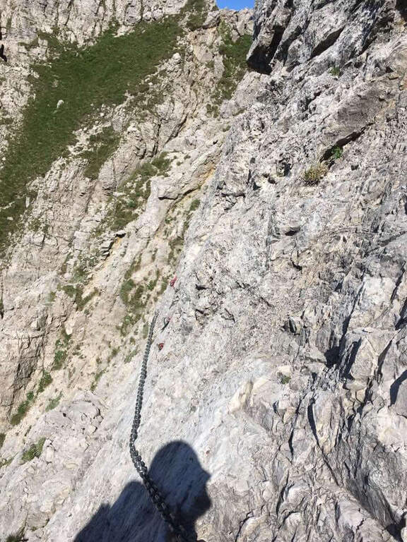
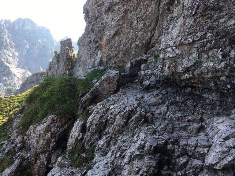
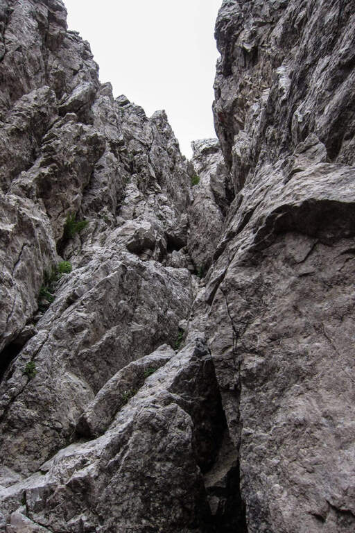
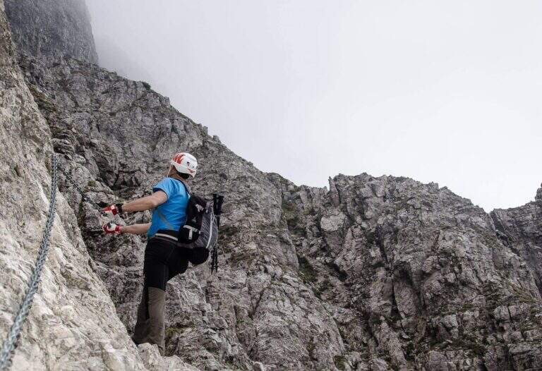
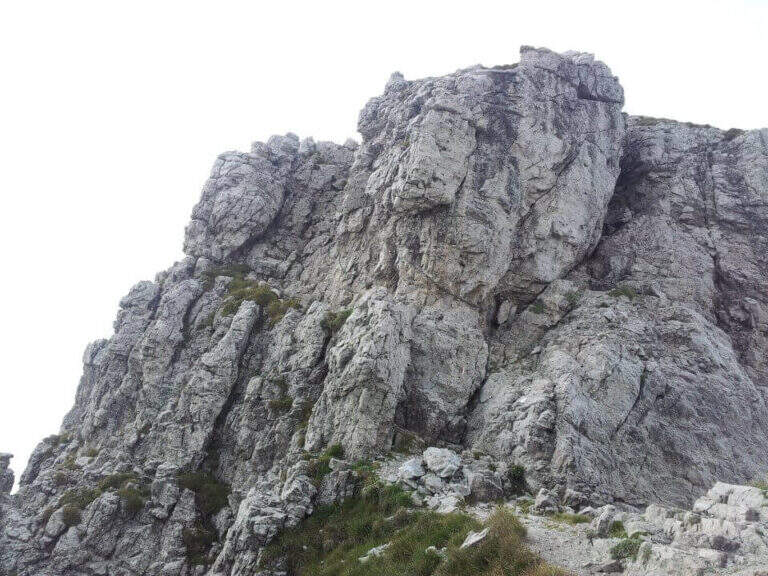
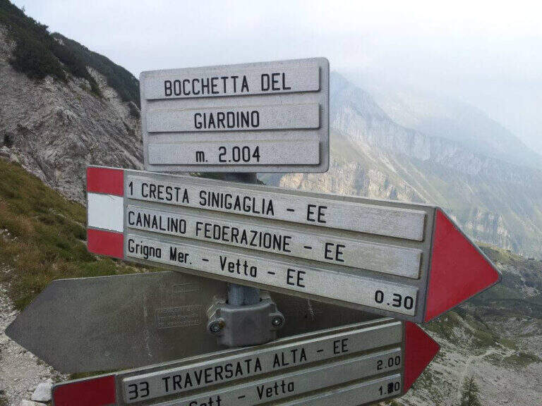
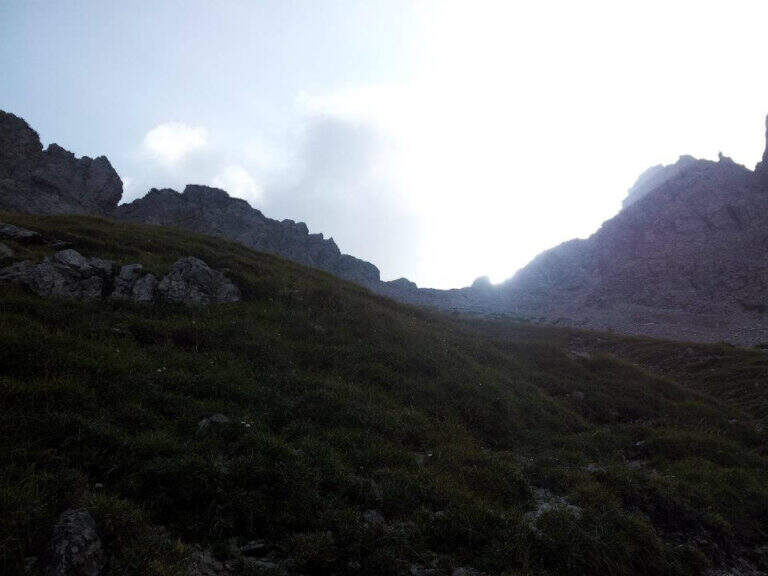
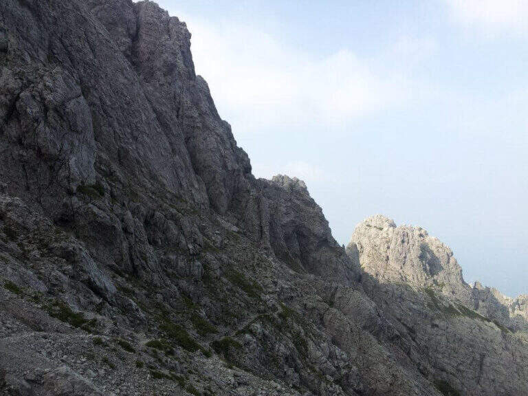
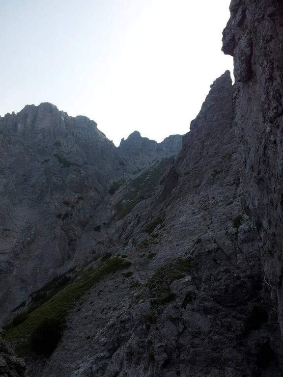
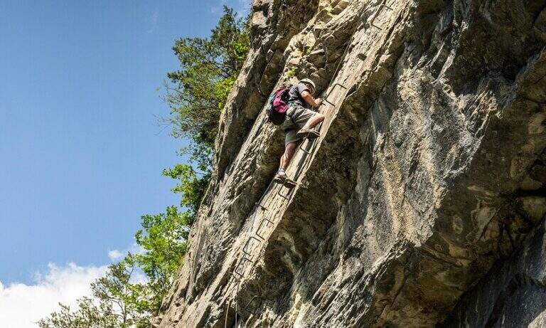
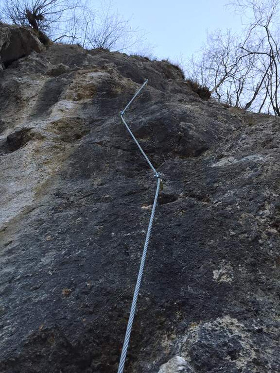
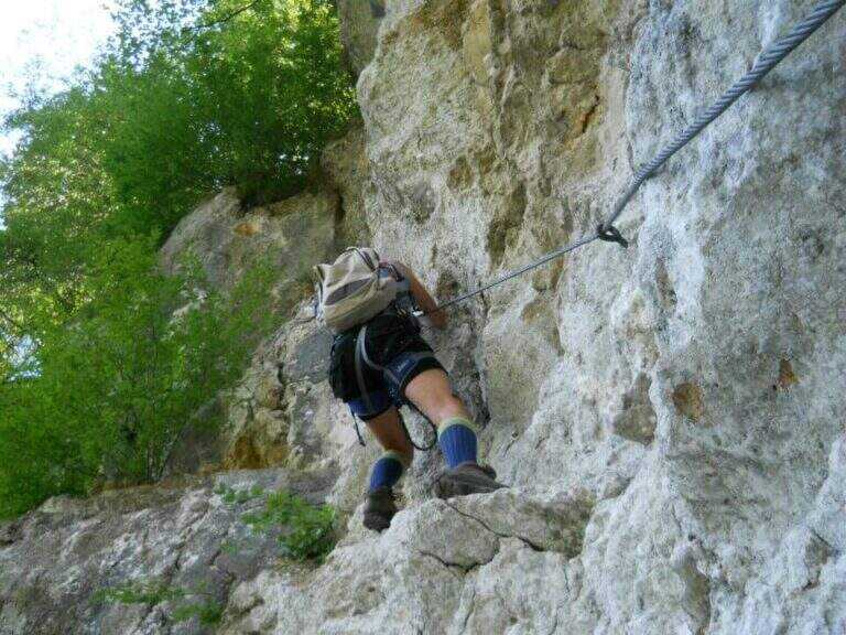
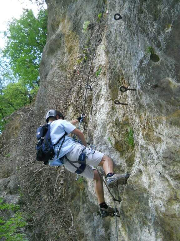
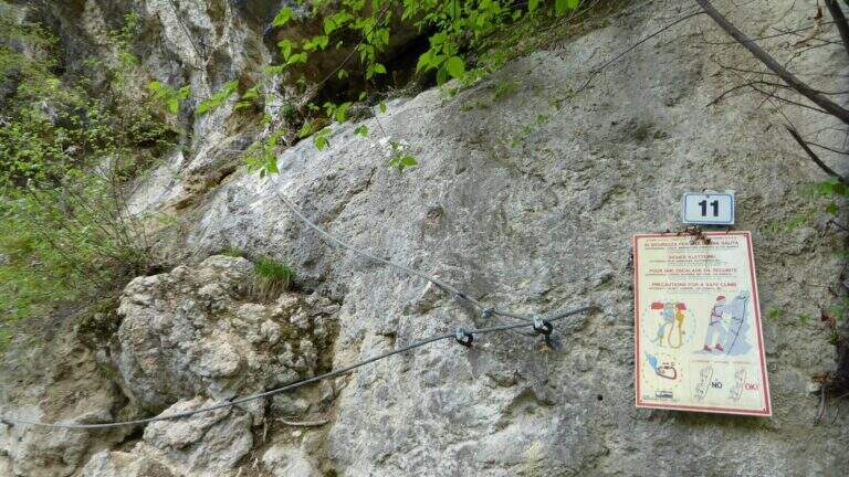
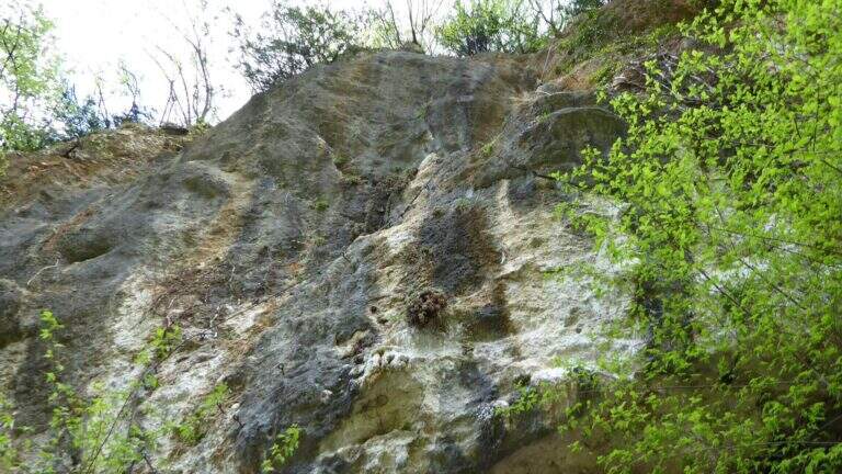
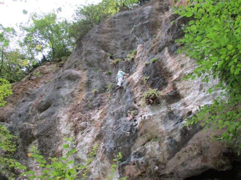
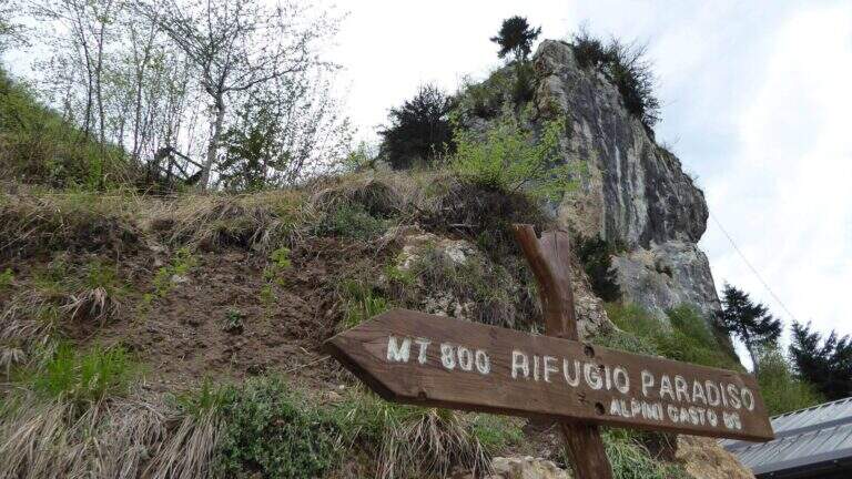
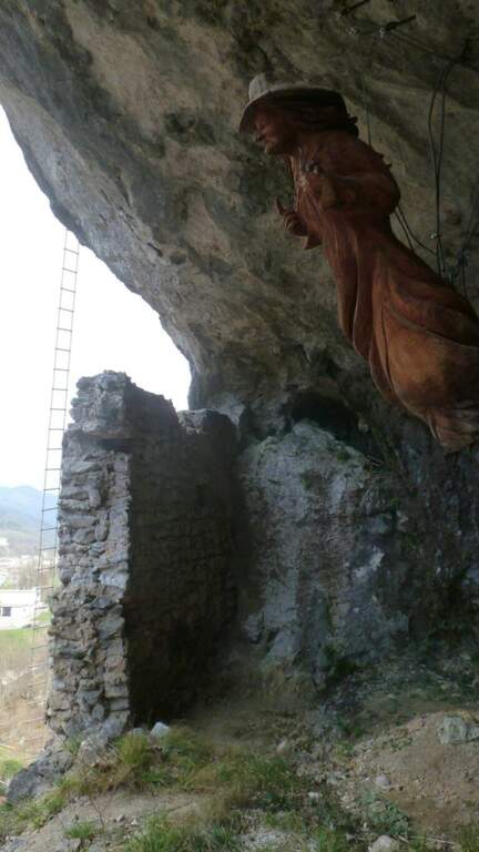
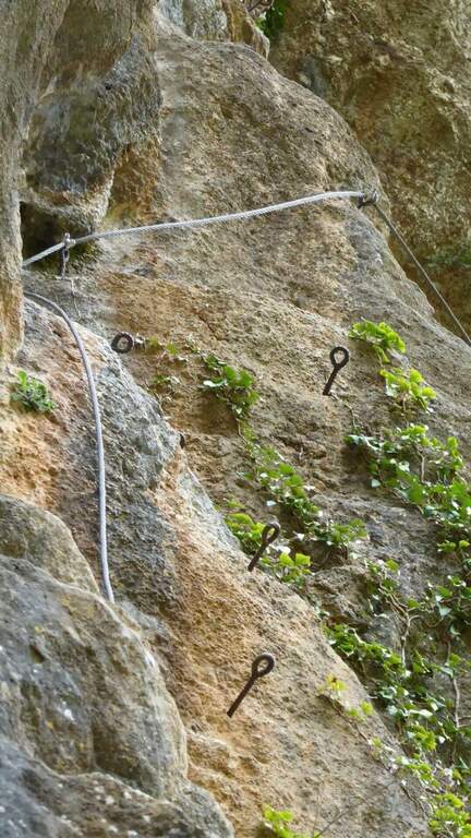
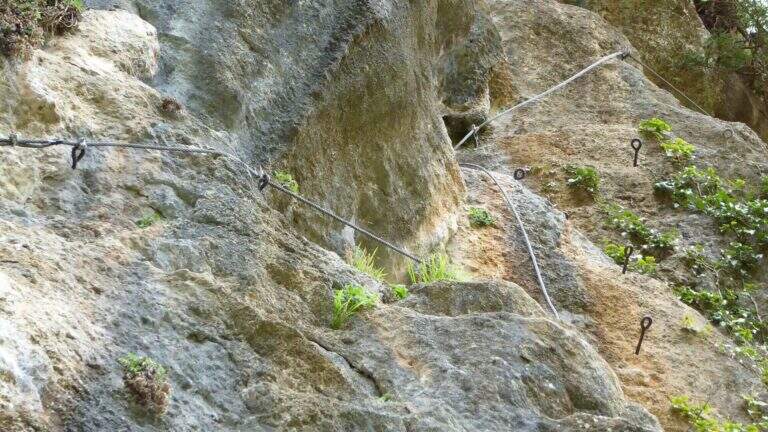
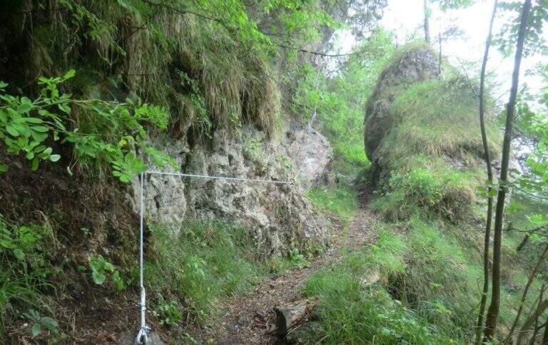
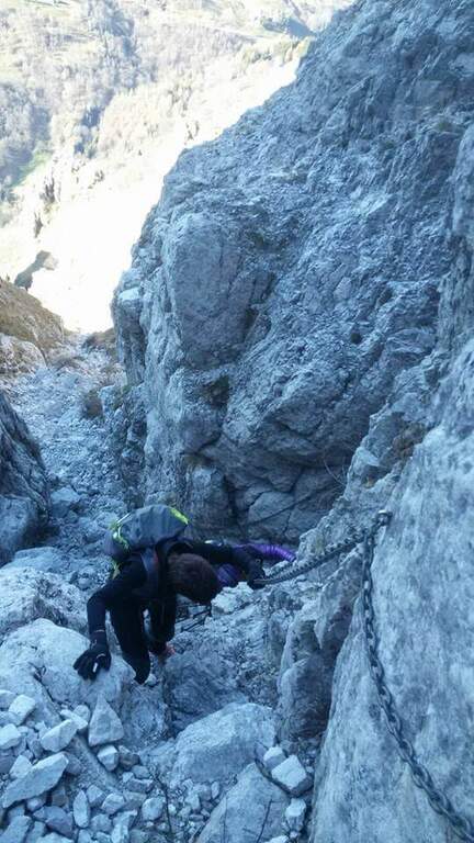
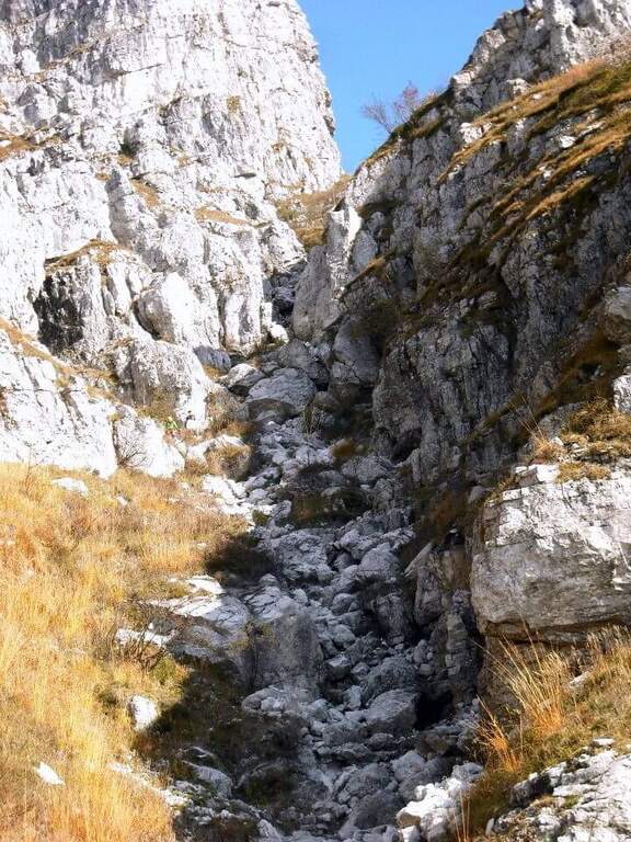
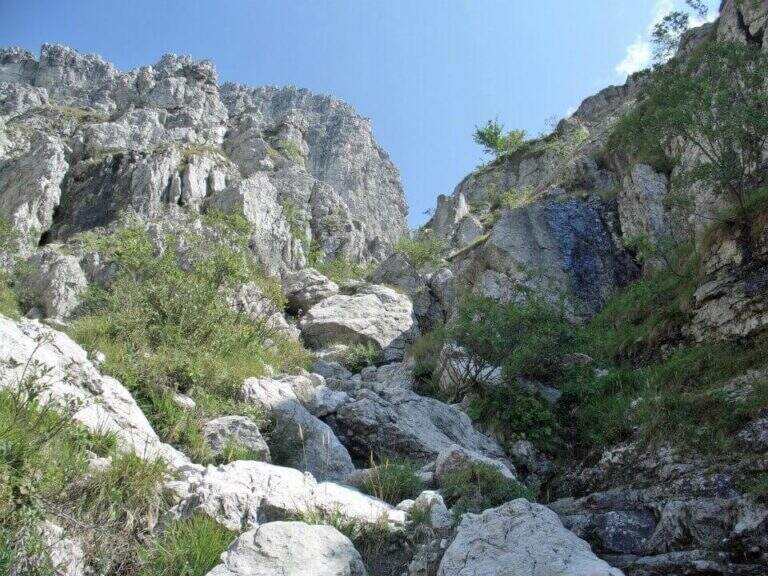
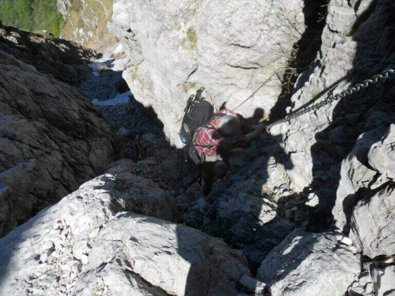
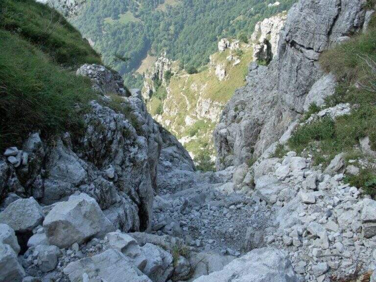
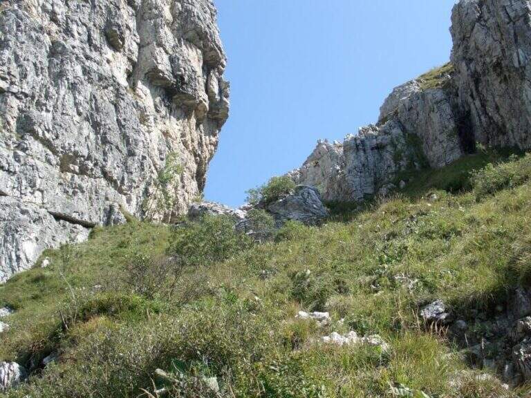
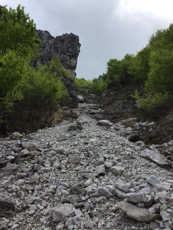
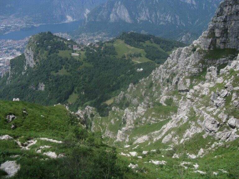
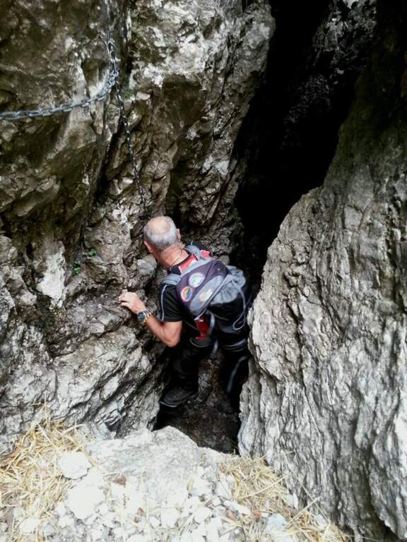
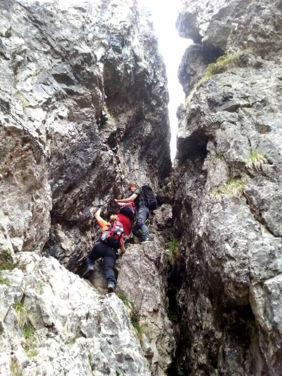
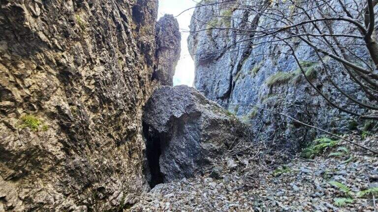
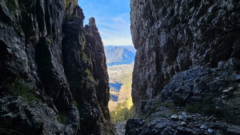
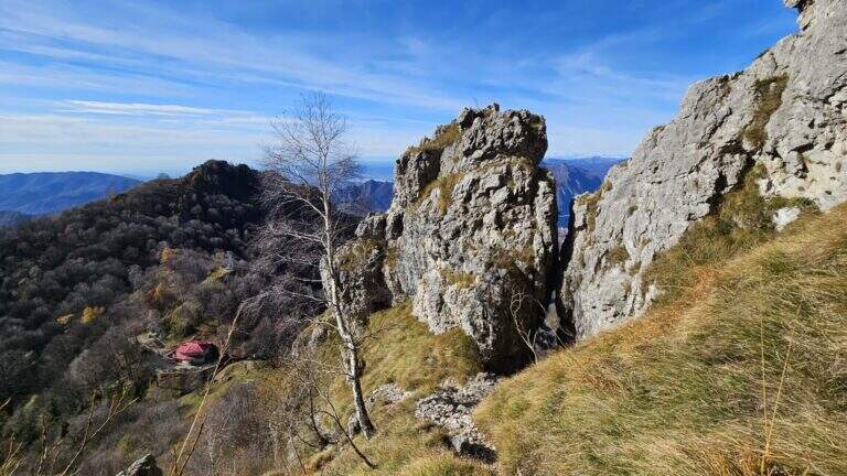
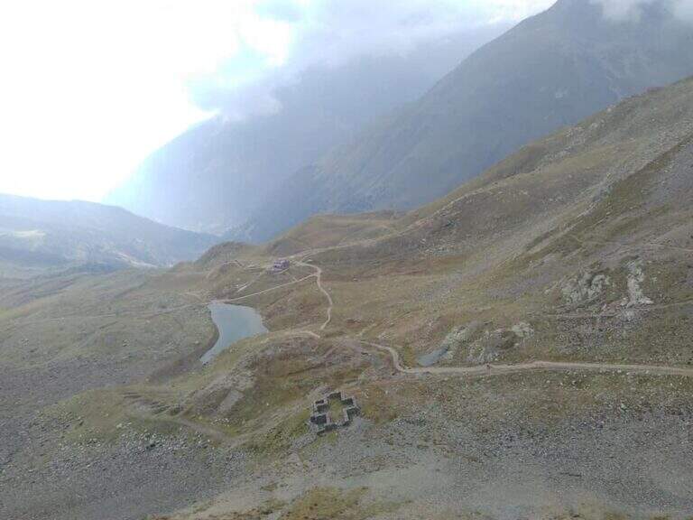
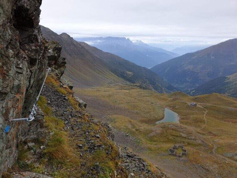
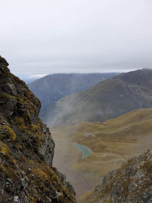
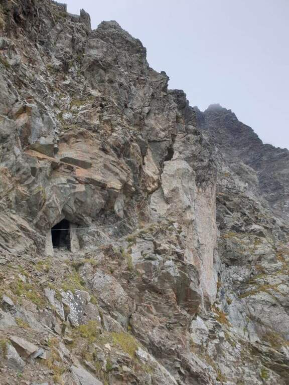
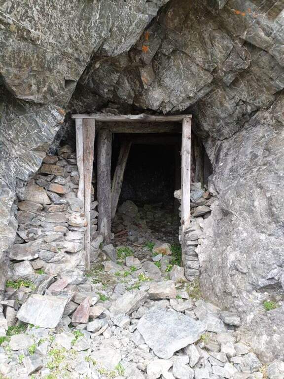
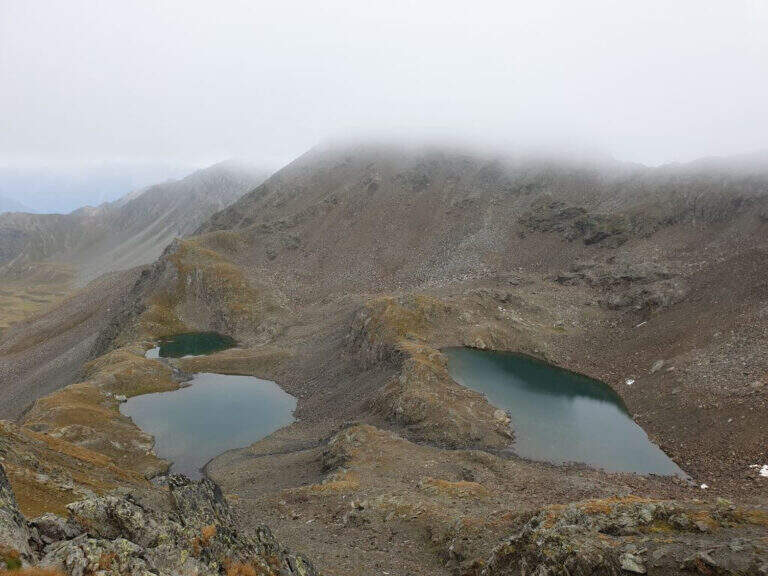
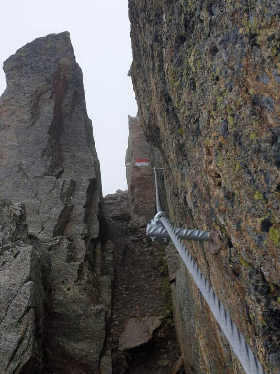
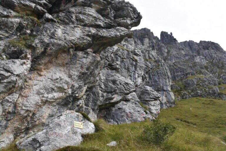
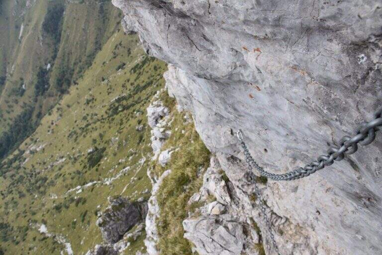
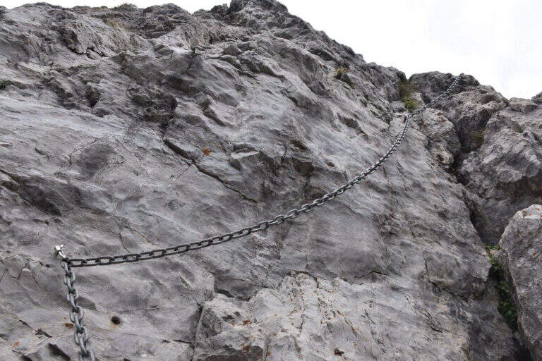
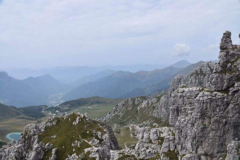
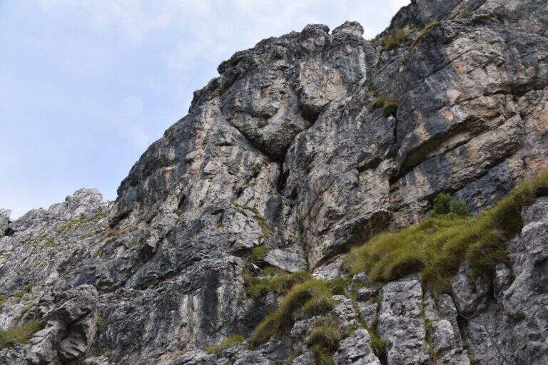
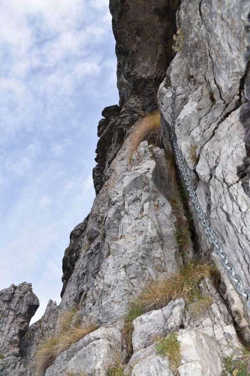
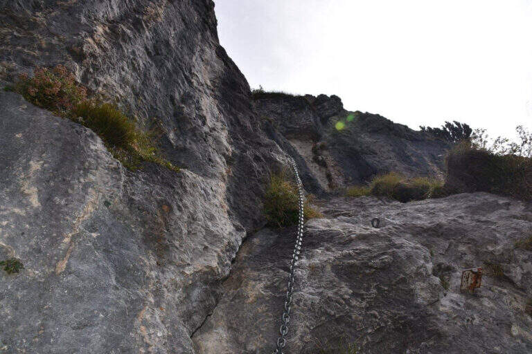
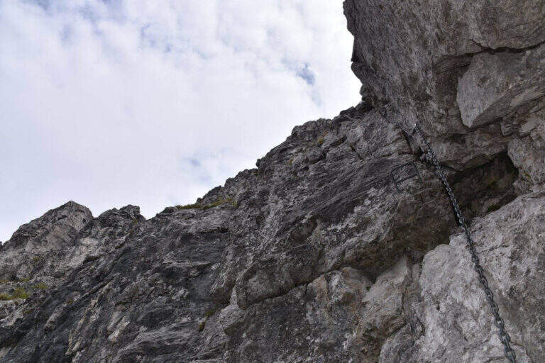
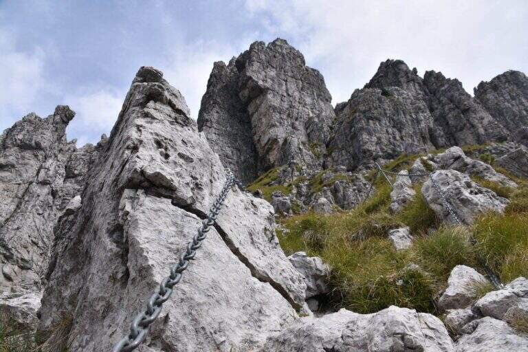
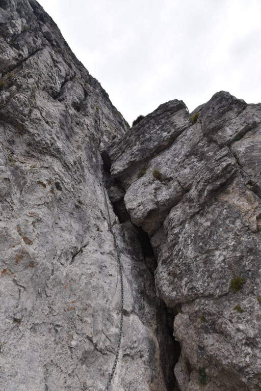
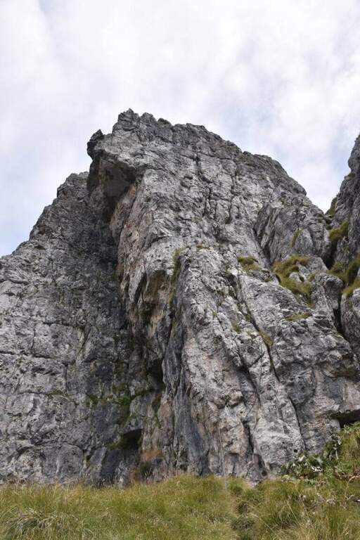
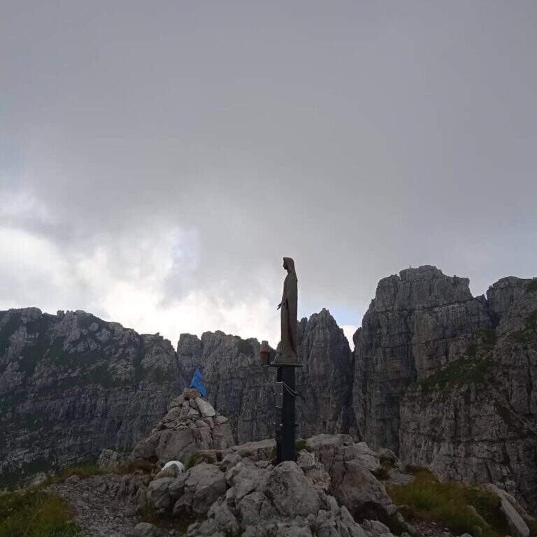
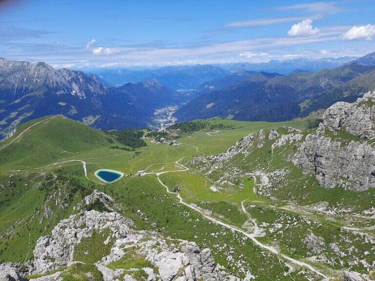
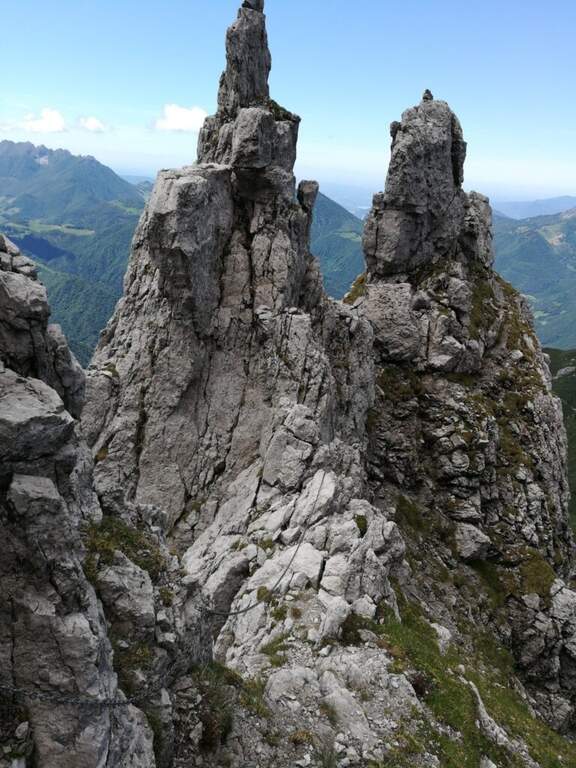
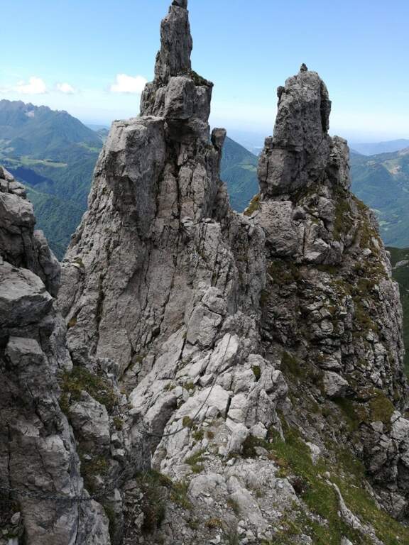
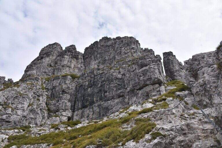
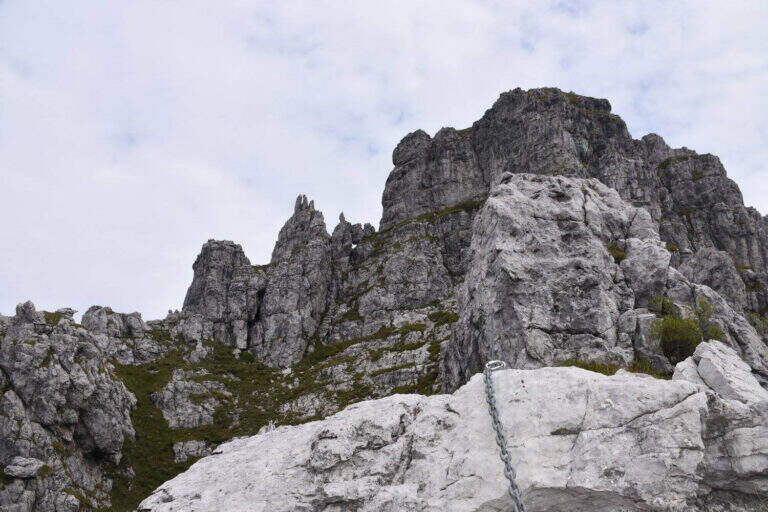
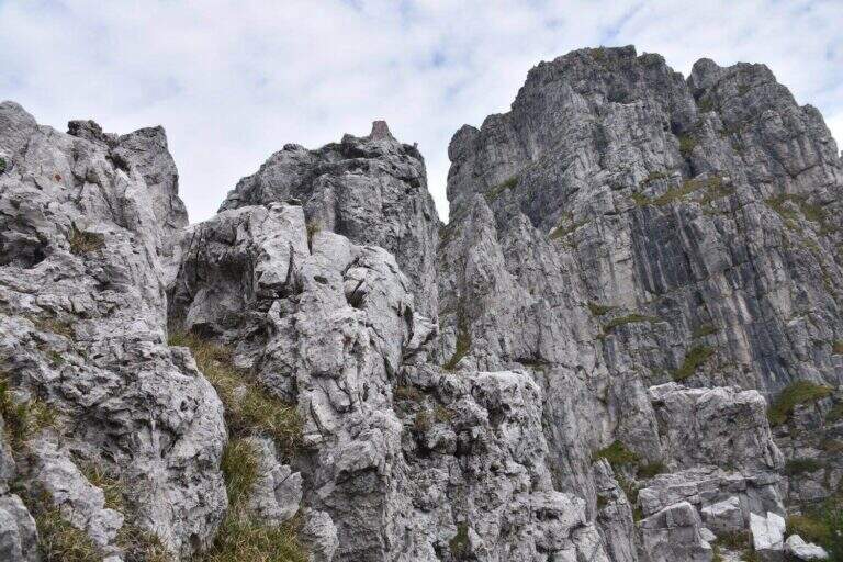
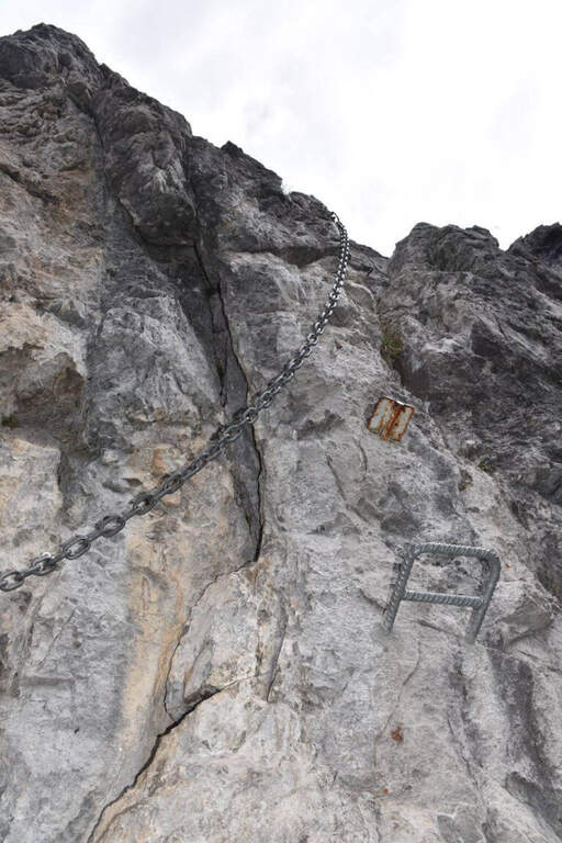
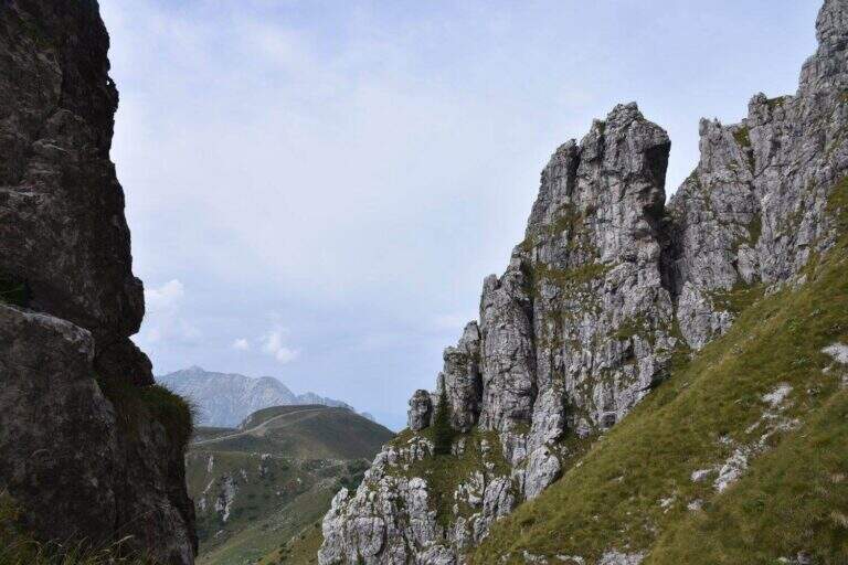
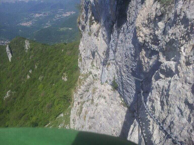
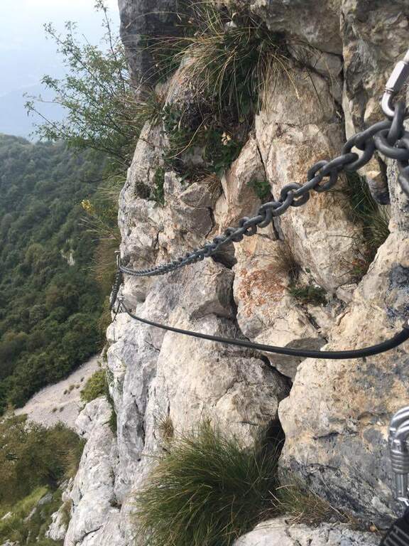
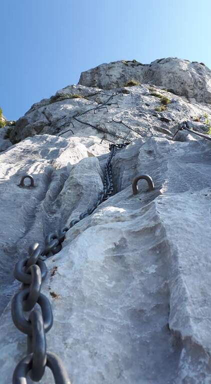
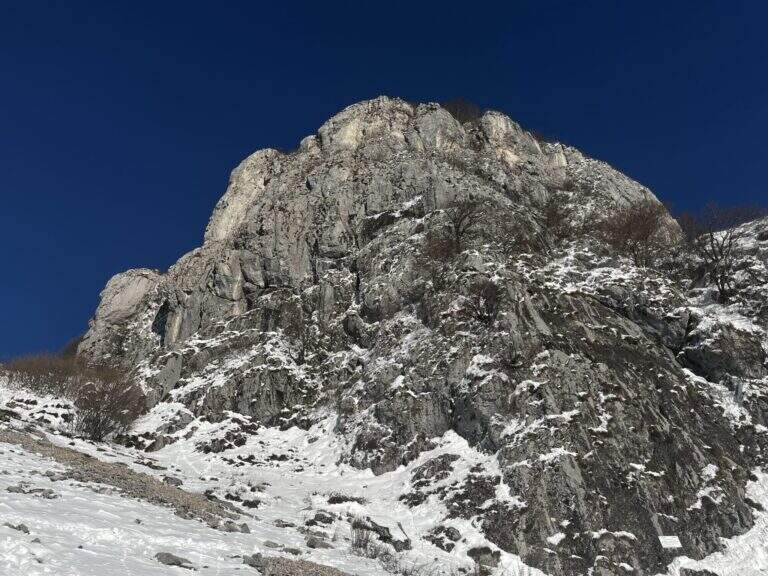
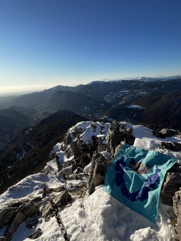
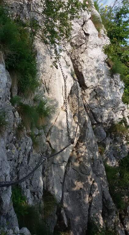
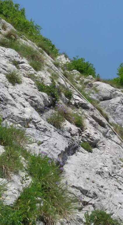
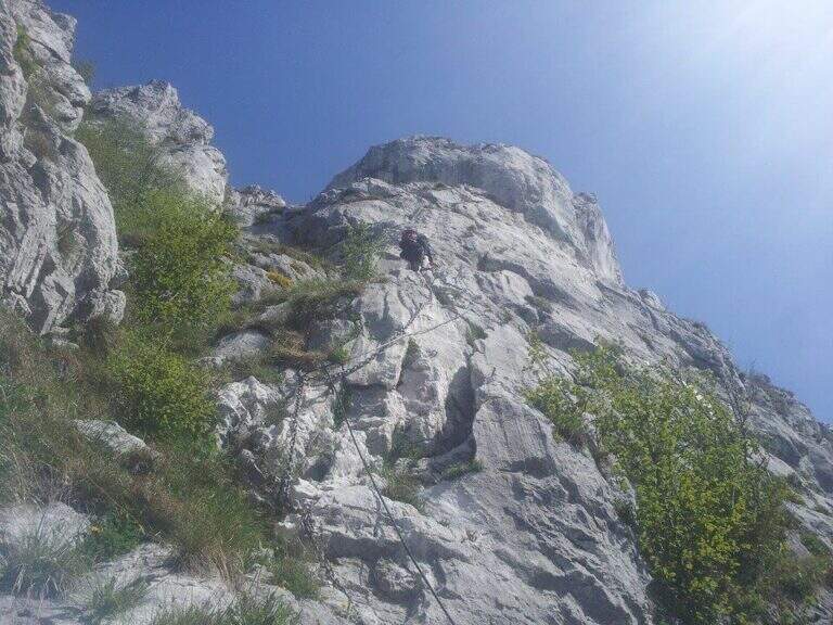
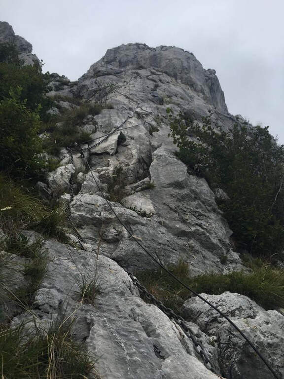
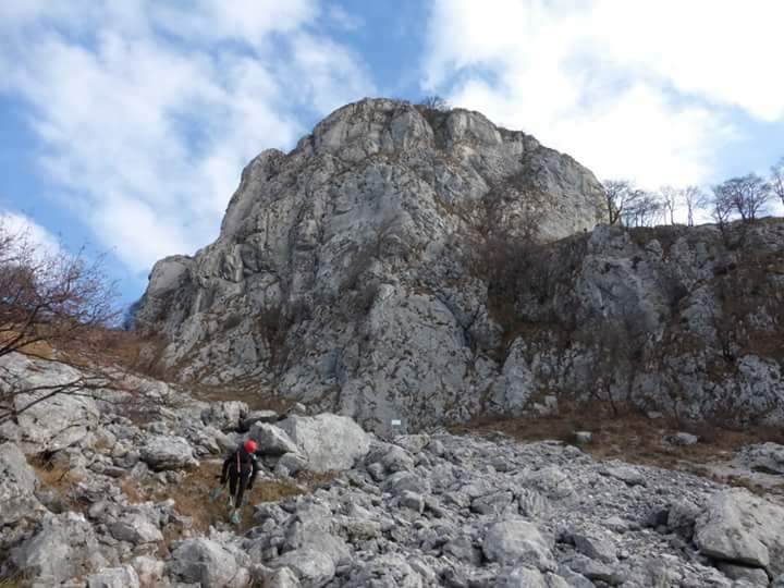
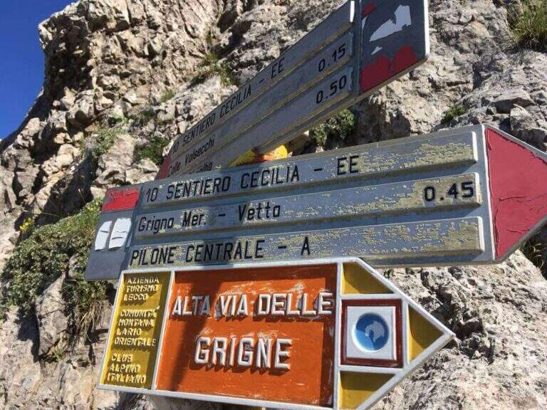
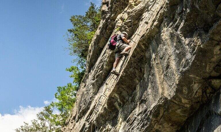
    The Path Attrezzato Cecilia connects the Rosalba Refuge to the path of the Cresta Cermenati, which climbs to the summit of the Grigna Meridionale (Grignetta). It is not a purely vertical path: it is useful to cut, among continuous climbs, the rocky wall that runs under the Cresta Segantini. A long and challenging itinerary in the legs, in one of the most beloved corners of the Grigne.

    ▲Approach

    Starting from Piani dei Resinelli, in the province of Lecco, reached by Ballabio climbing the hairpin bends. When you arrive at the hamlet you will find parking near the former Alippi refuge (open up Google Maps). From here you go up to the Rosalba Refuge following the path 9, known as Sentiero Attrezzato delle Foppe (1h45 from the parking lot). Alternatively, along the ascent you can choose the variant of the Attrezza dei Morti Path, steeper, which saves about fifteen minutes and still leads to the refuge (1h30 from the parking lot).

    ▲The path

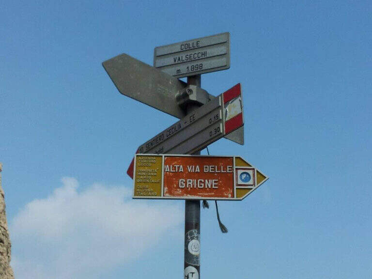
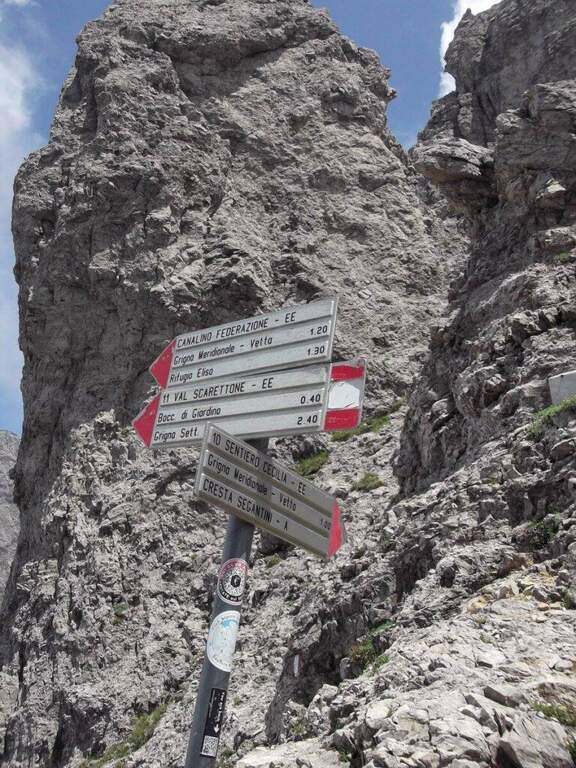
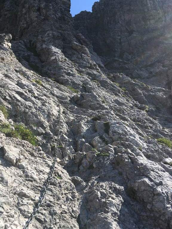
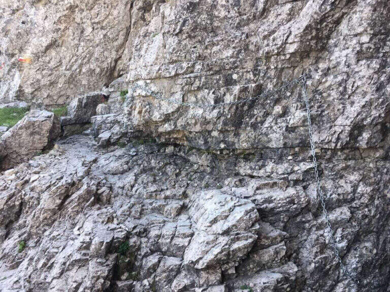
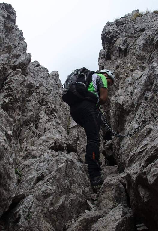
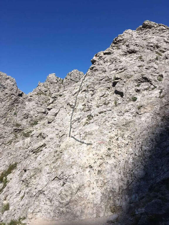
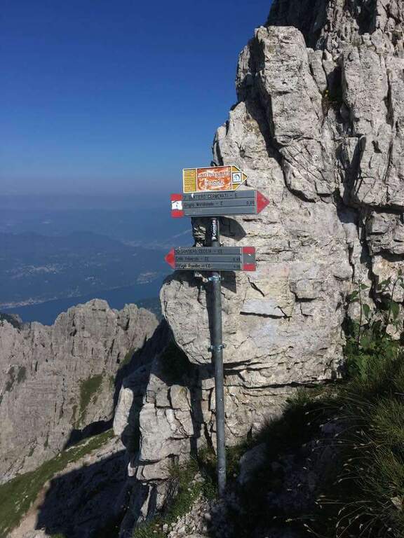
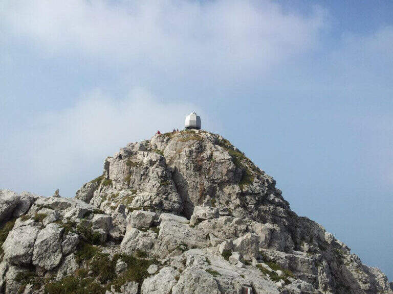
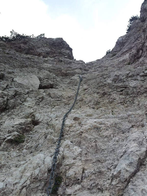
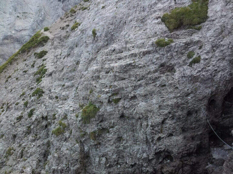
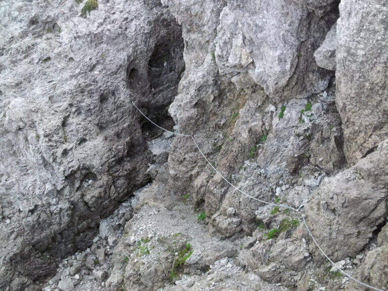
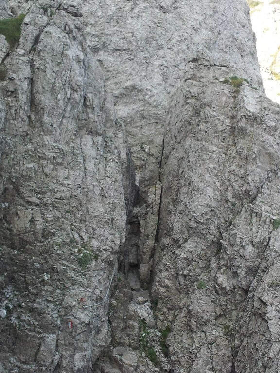
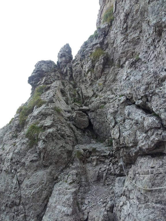
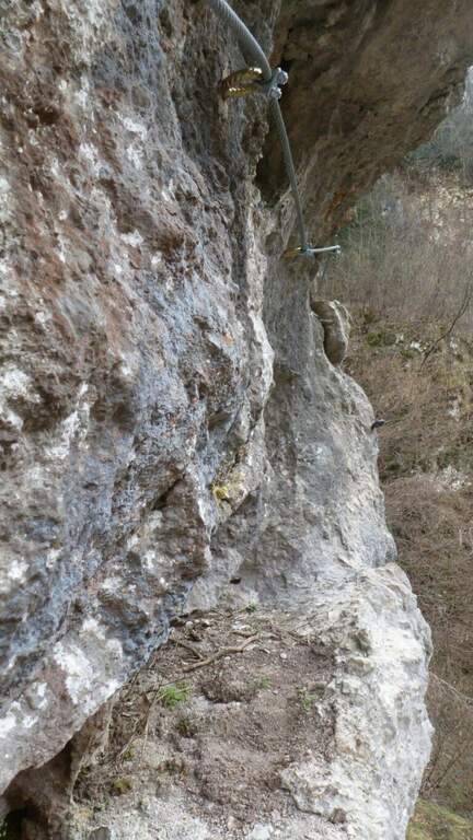
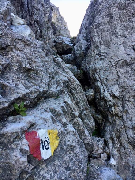
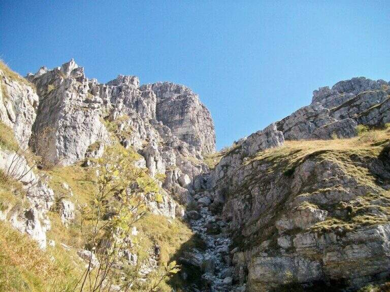
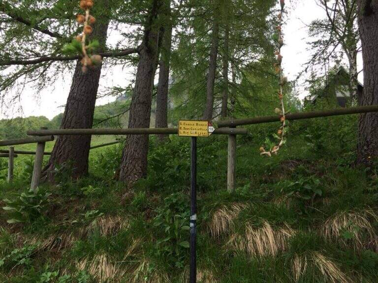
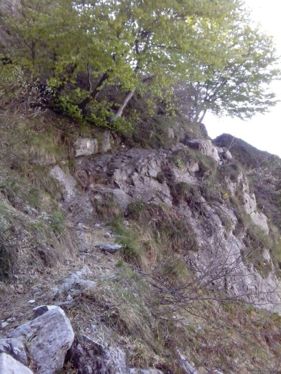
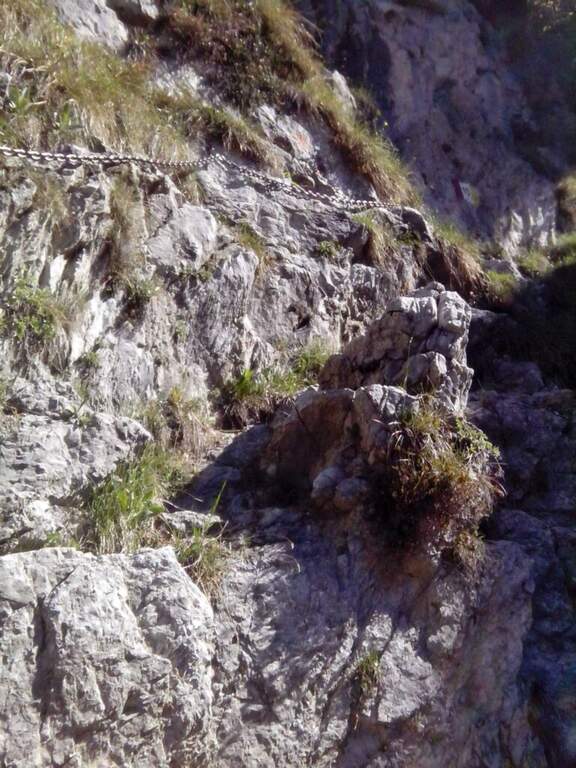
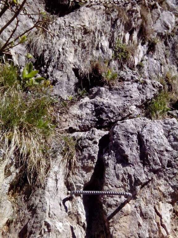
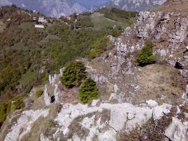
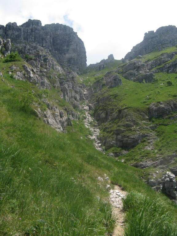
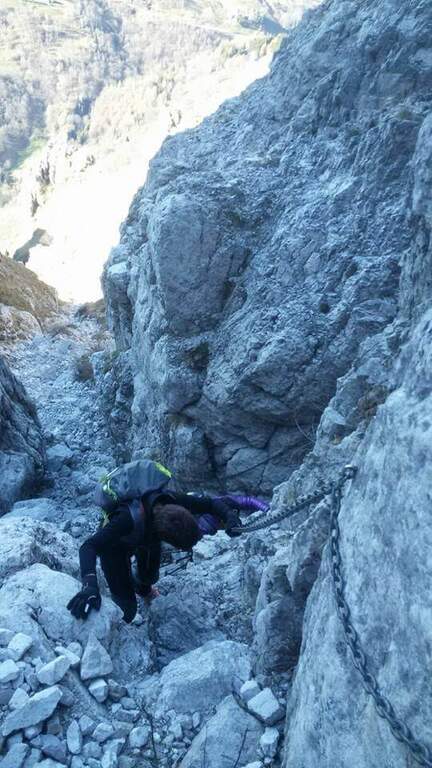
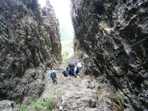
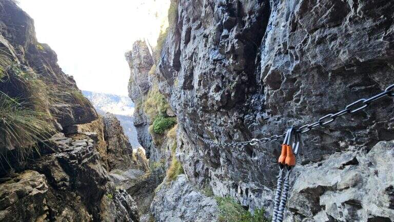
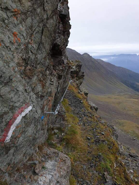
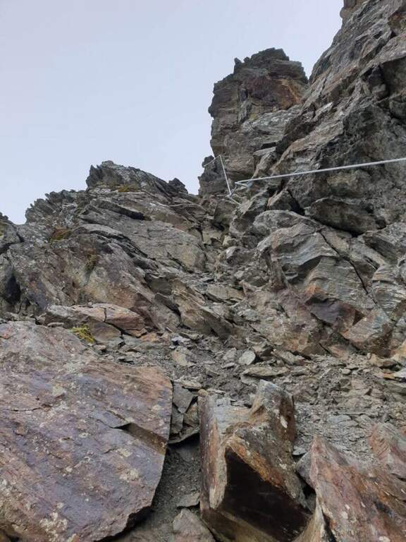
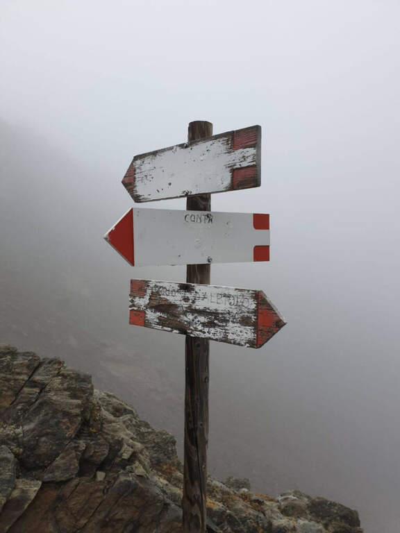
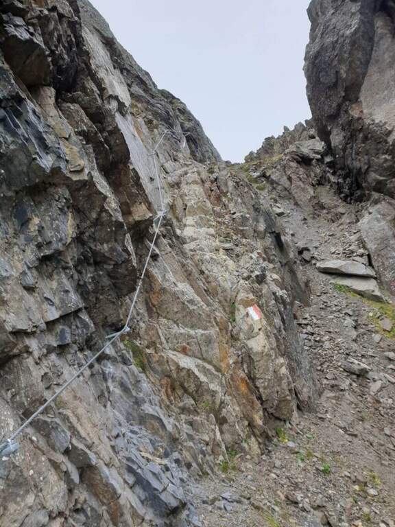
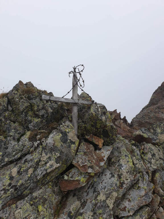
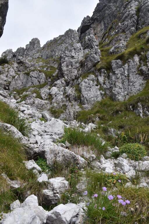
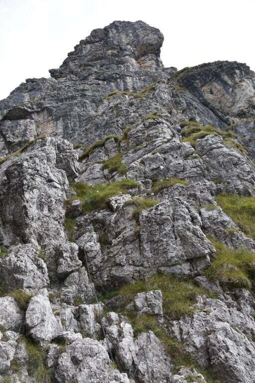
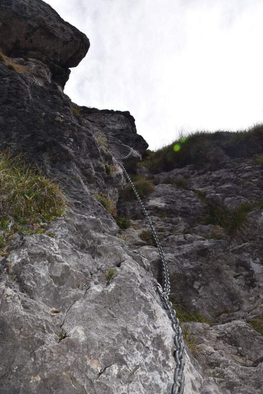
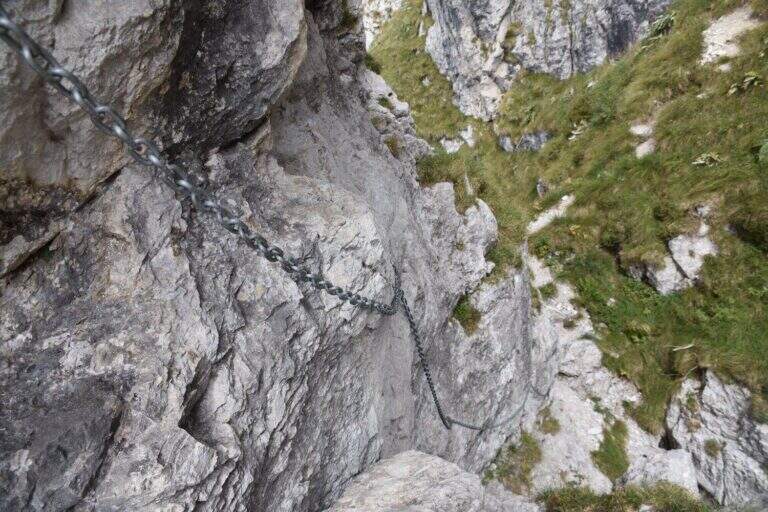
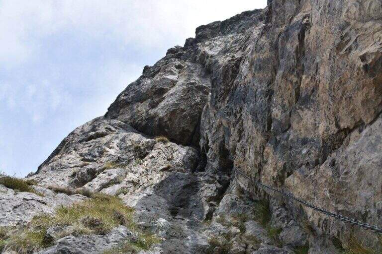
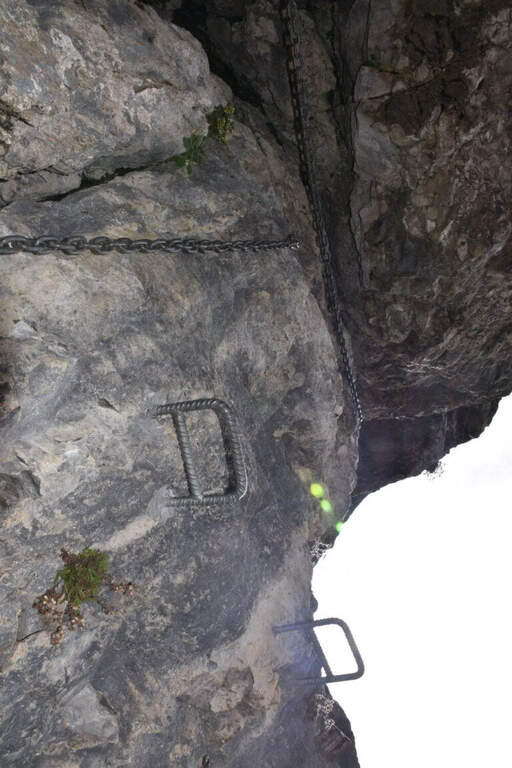
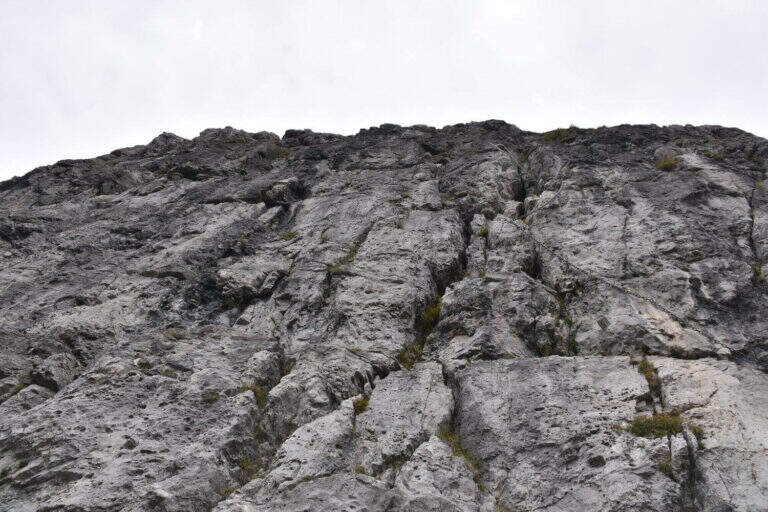
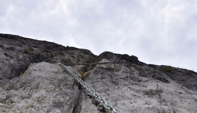
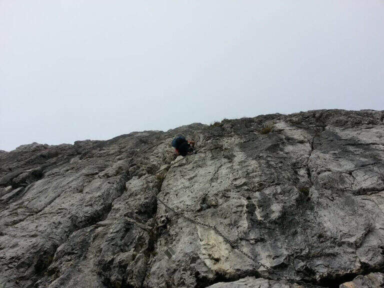
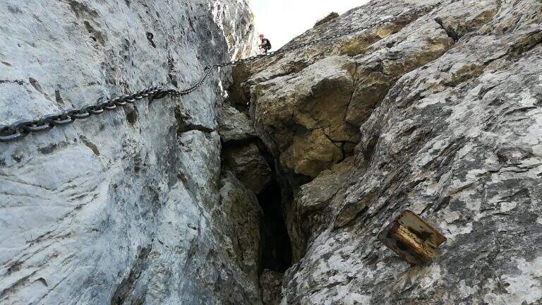
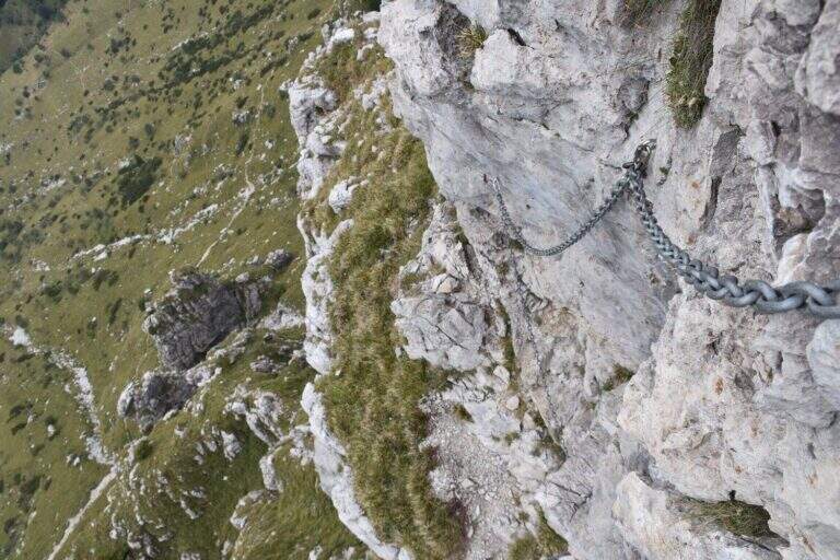
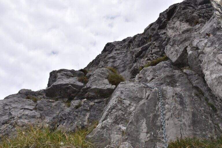
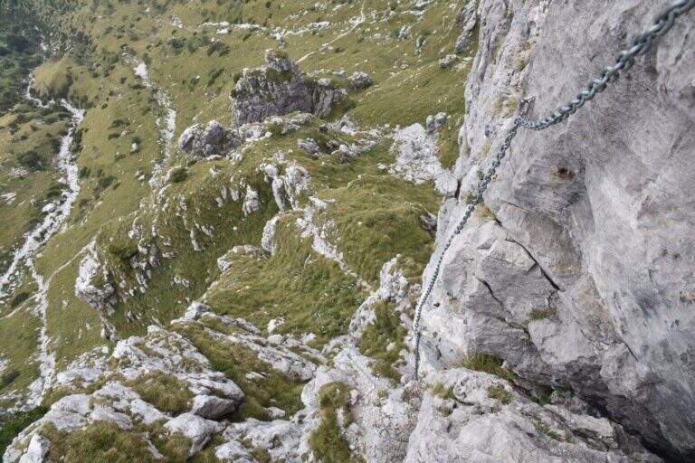
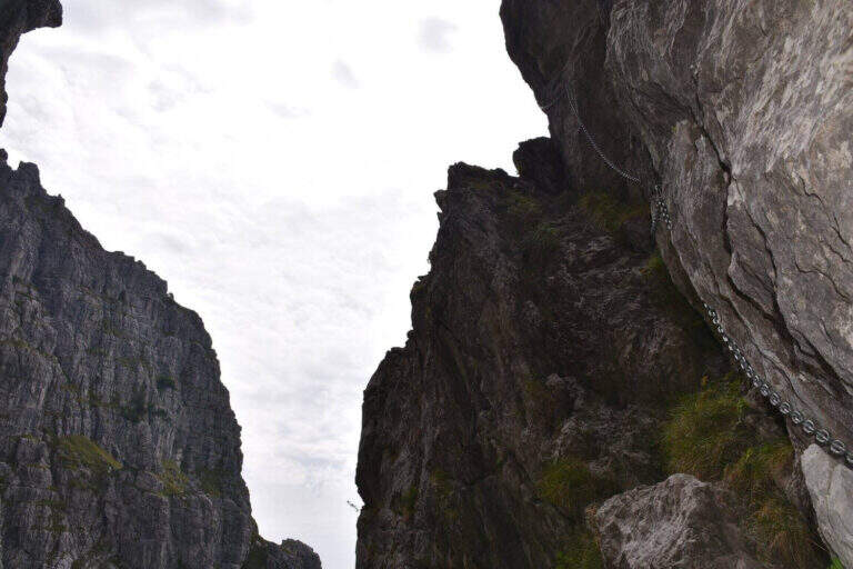
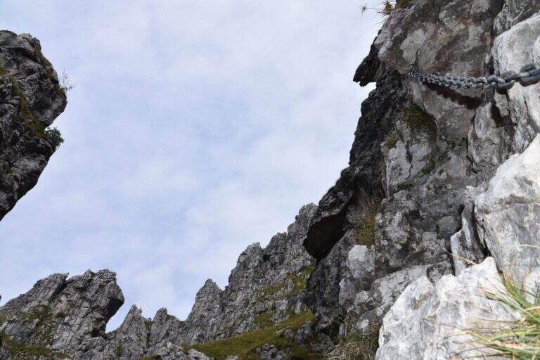
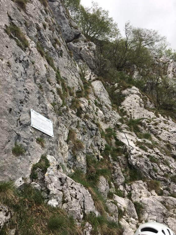
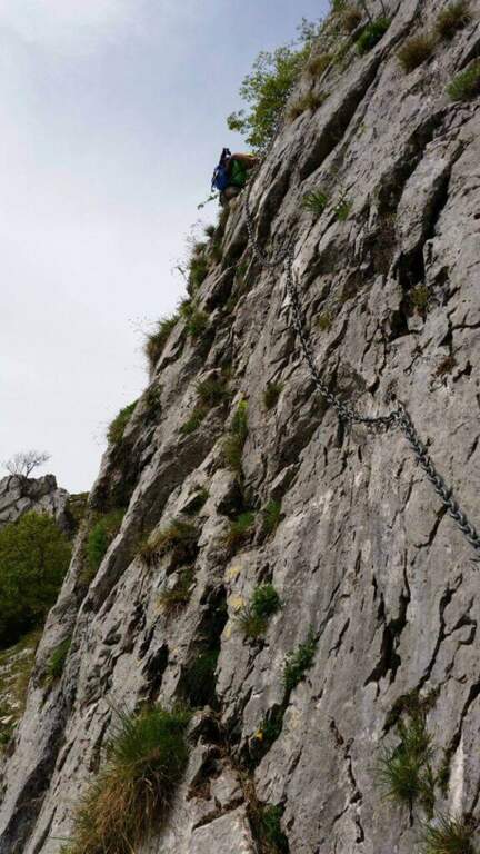
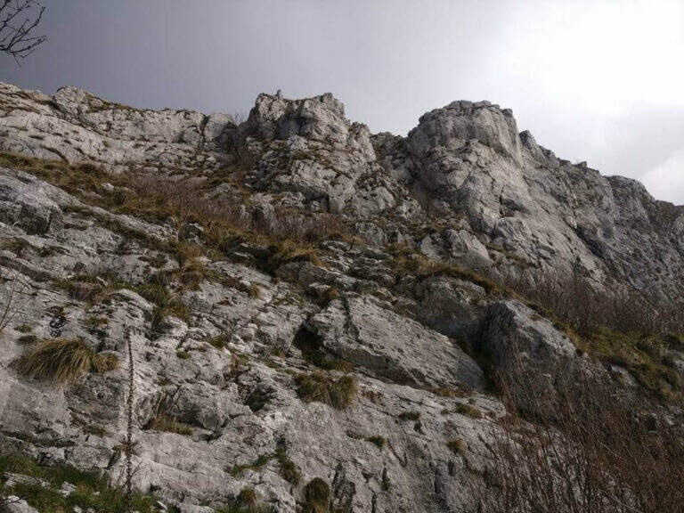
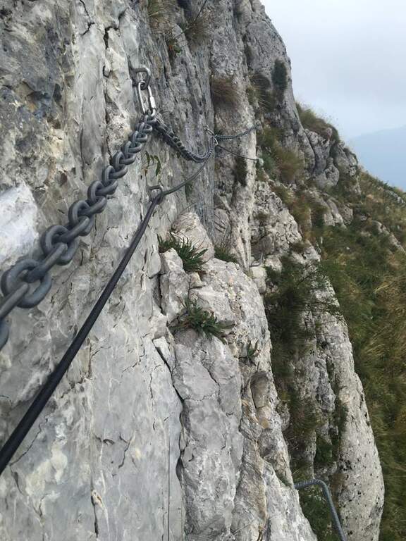
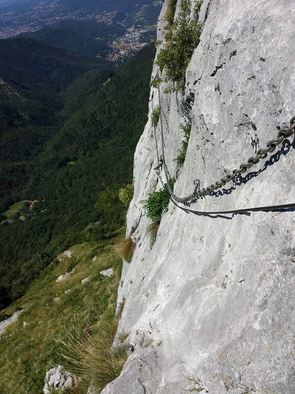
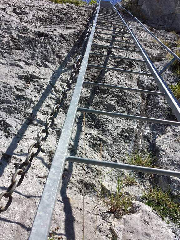
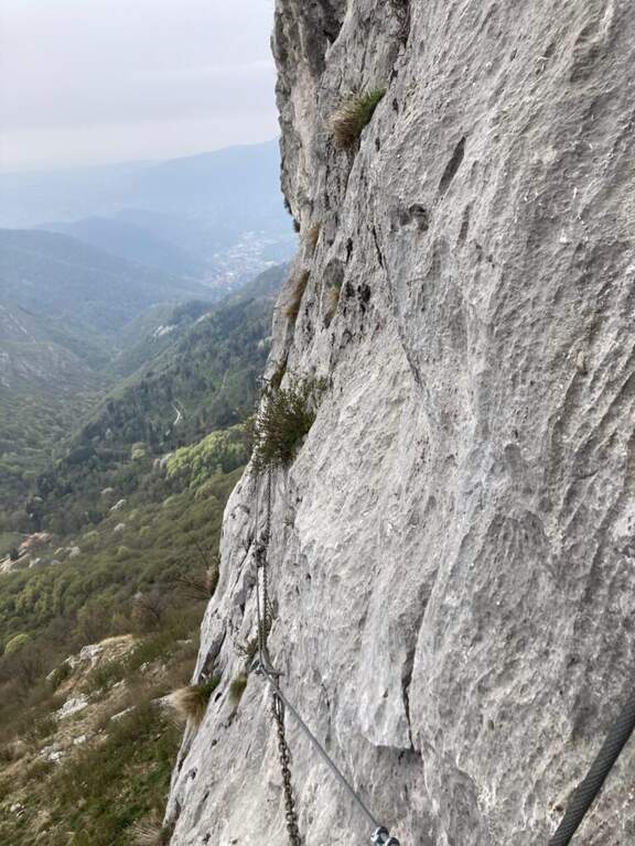
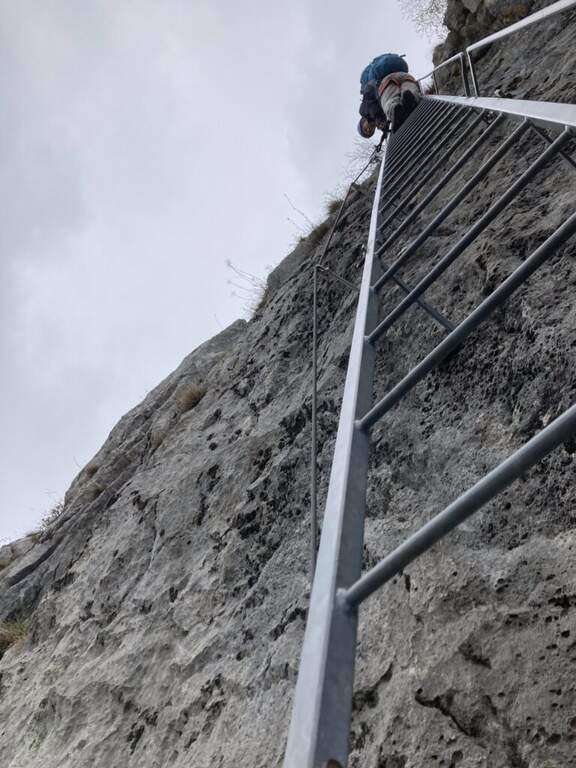
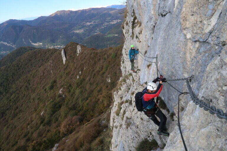
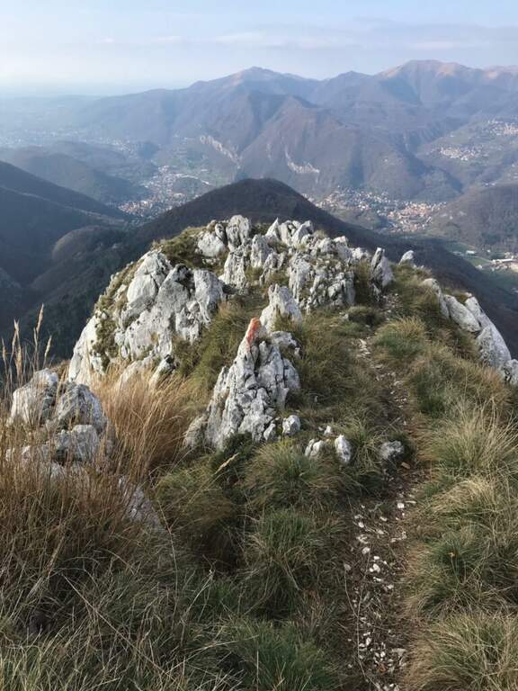
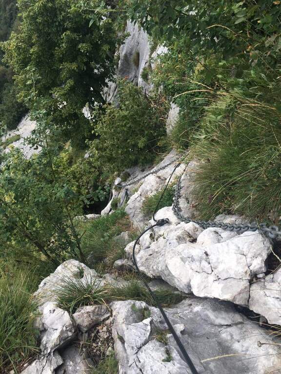
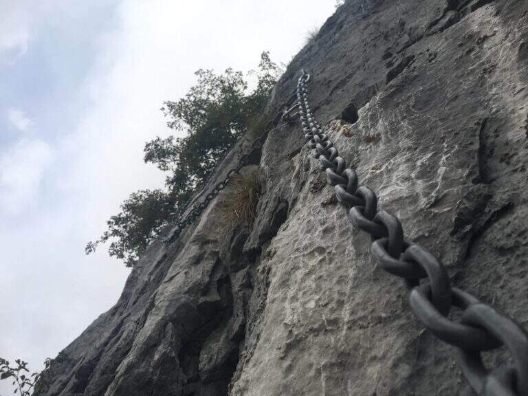
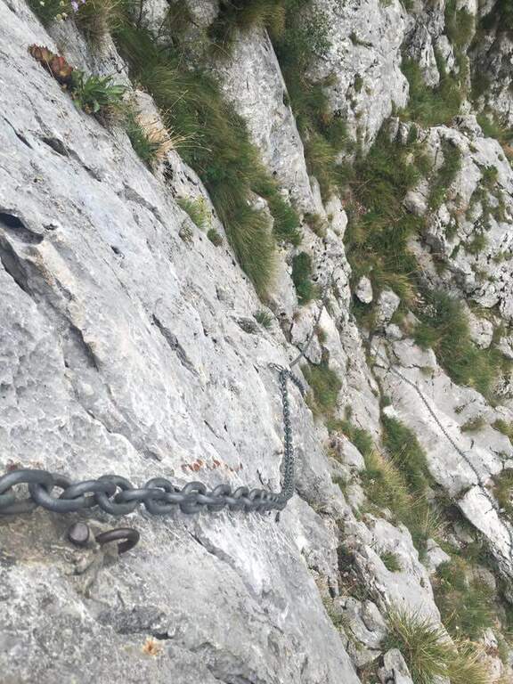
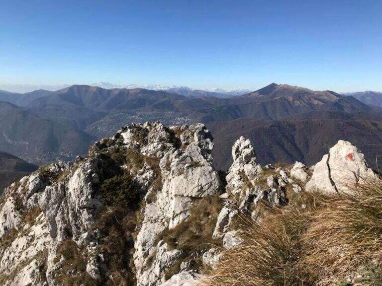
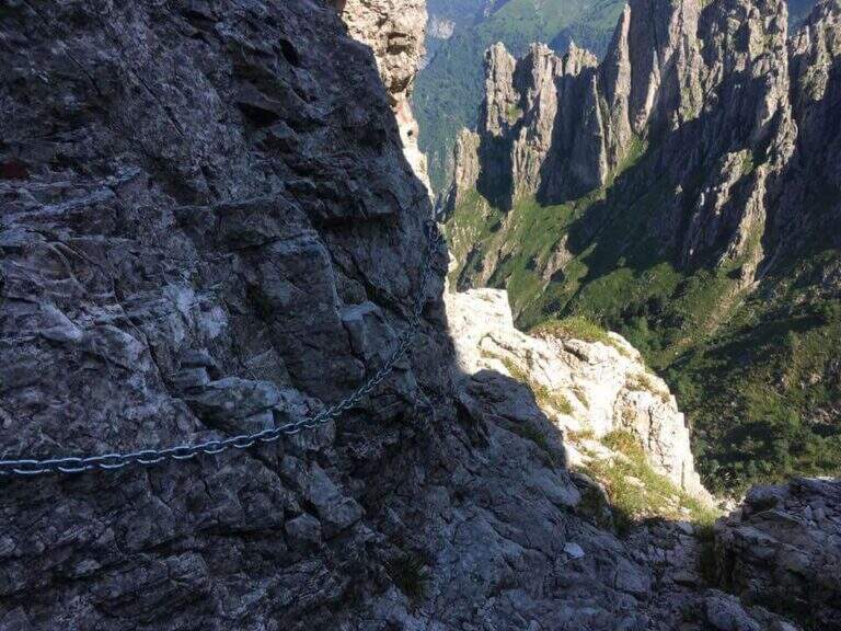
    From the Rifugio Rosalba take the path 10, which enters a rocky amphitheatre and in about ten minutes, with the first metal equipment, leads to the Colle Garibaldi (1824 m). Continue now on the slope of the Val Scarettone, meeting some equipped sections, up to the Colle Valsecchi (1898 m), where the Sentiero della Direttissima is set in Cecilia. Shortly after you ignore the left deviation for the Path of the Val Scarettone and continue between climbs under the Cresta Segantini. It faces a long diagonal crossing with chains under the Central Pilone, alternating stretches of convenient path to rocks, transverses and cenges, sometimes equipped with chains sometimes not. There are some exposed but well-painted walls up to the path 7 of the Cresta Cermenati: from here the difficulties fall clearly and, with still few steps equipped with chain, you gain the summit of the South Grigna (1h30 from the Rosalba Refuge, 3h15 overall).

    ▲Character and difficulty

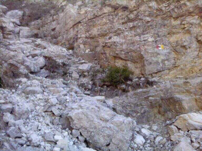
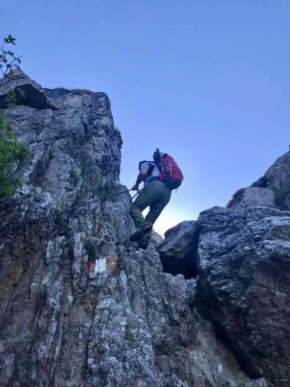
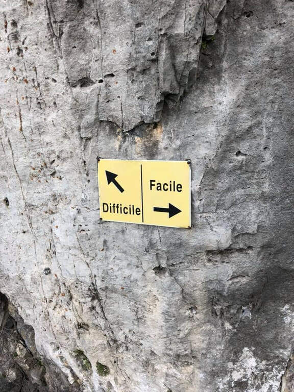
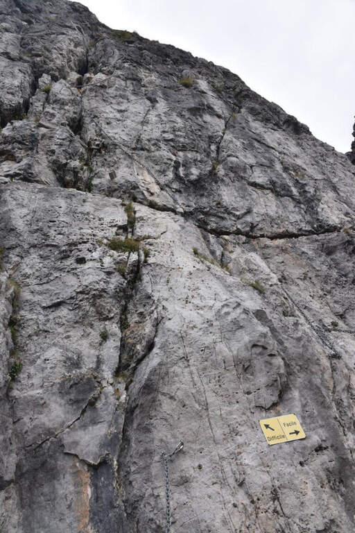
    Technically it is not an extreme itinerary, but it demands constant attention for the numerous traits exposed on cenges and transverses, some of which are not protected, and for long and tiring development. Along the way it is necessary to follow carefully the signs (blue-red circles), which in some part is not immediate.

    ⚠ For most of the route you walk along traverses placed under the high Cresta Segantini, a mountaineering itinerary: the helmet is highly recommended for the whole route, for the risk of rocks from above.
    ▲Period and safety

    High mountain summer itinerary in the Grigne (max. 2184 m). The development of 14 km and the exposed sections require good physical preparation, steady pace and attention to orientation.

    ▲Discipline

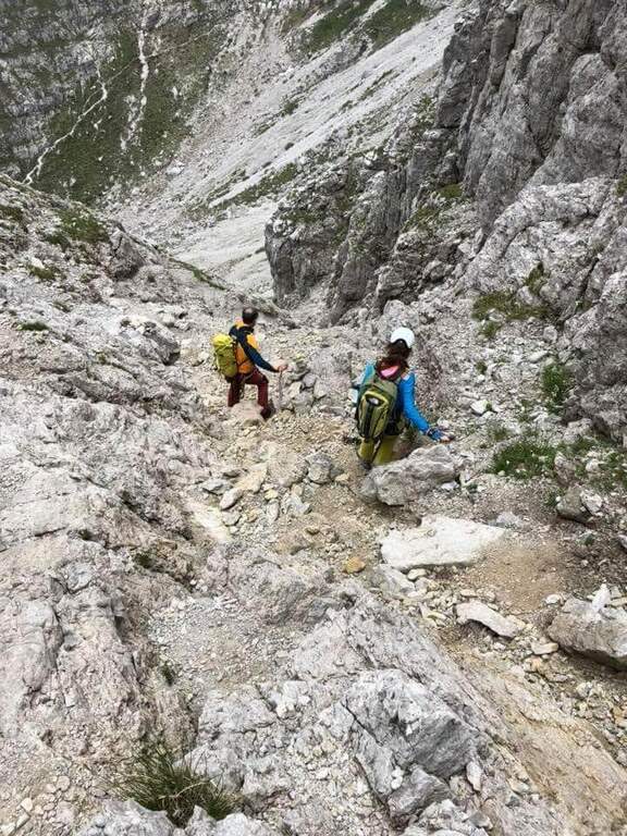
    From the top of the Grignetta you can descend in several ways. Returning back, you can walk through the Path Attrezzato Cecilia or the Sentiero Attrezzato della Val Scarettone (an imperative downhill) to the Rifugio Rosalba, and then the Sentiero delle Foppe or the variant of the Morti (about 2h30 from the top, 5h30 total). Alternatively, go down the south side along the Cresta Cermenati up to the Rifugio Carlo Porta and then to the parking lot, or face the most complicated Cresta Sinigaglia, with its equipped path, always towards the Rifugio Carlo Porta: in the latter case a long and beautiful ring of about 7 hours total.

    ▲To match

    Cecilia is often faced after Sentiero Attrezzato delle Foppe. Staying in Grigne area you can think of a multi-day itinerary that includes the Ferrata del CAI Mandello al Sasso Carbonari on the Grignone; on the way down to the lake there is the Hiking Trail e il Route of the River.
    ▲Gallery
    Technical data
    • DifficultyModerately Hard
    • RegionLombardy
    • GroupGrims
    • Approach1:45 h
    • Ferrata1:30 h
    • Itinerary (a/r)5:30 h
    • Hardware level difference259 m
    • Route difference850 m
    • Max2184 m
    • Length14 Km
  • Sentiero Attrezzato delle Cascate di Monticelli Brusati

    Sentiero Attrezzato delle Cascate di Monticelli Brusati

    Vie Ferrate › Lombardy › Brescia
    Sentiero Attrezzato delle Cascate di Monticelli Brusati

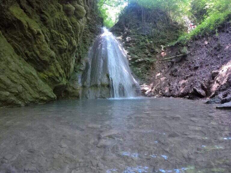
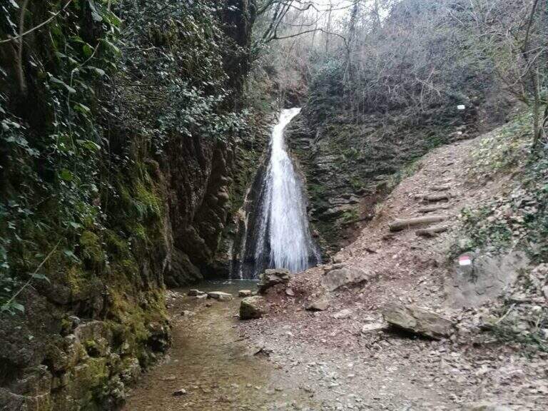
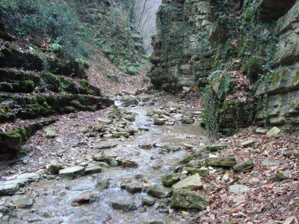
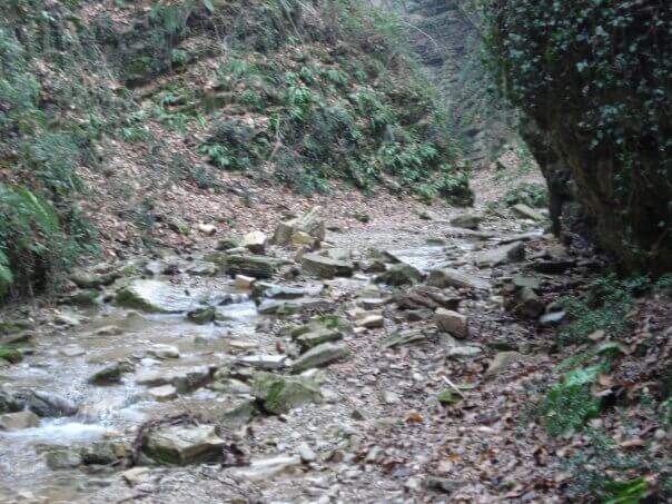
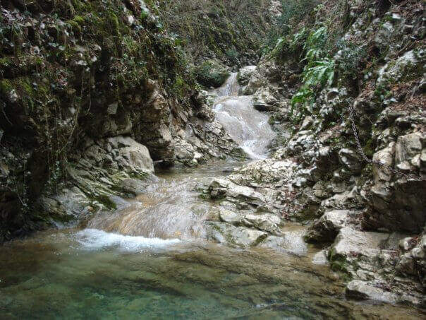
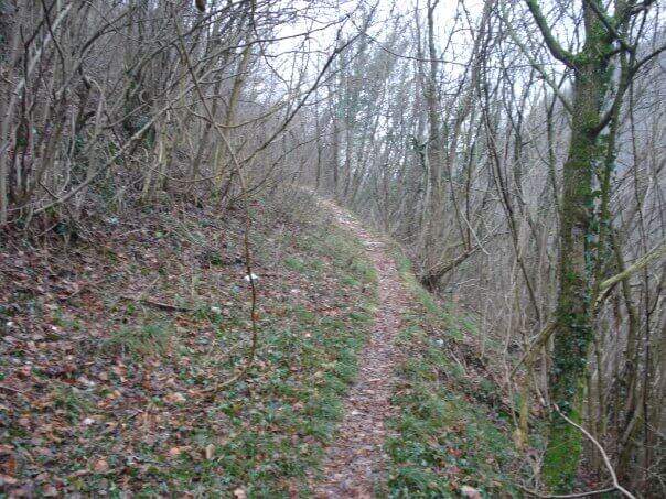
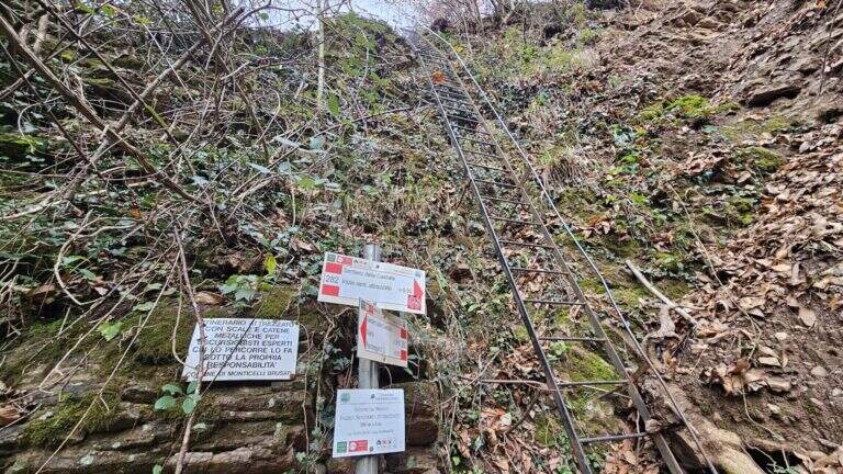
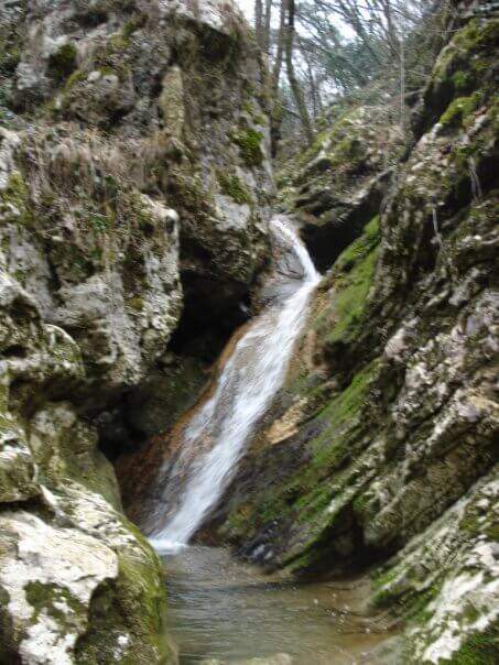
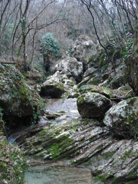
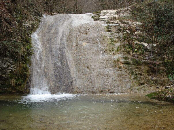
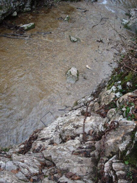
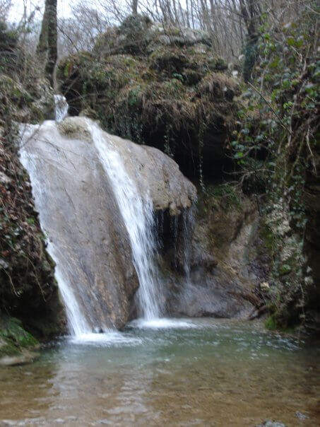
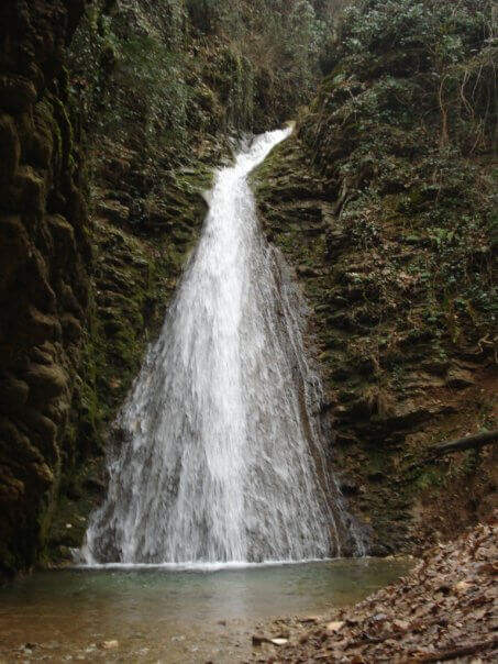
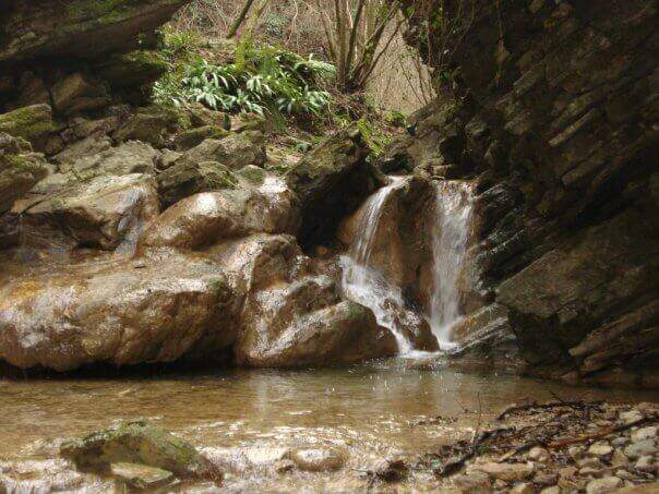
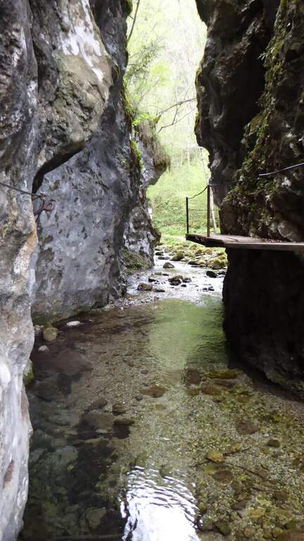
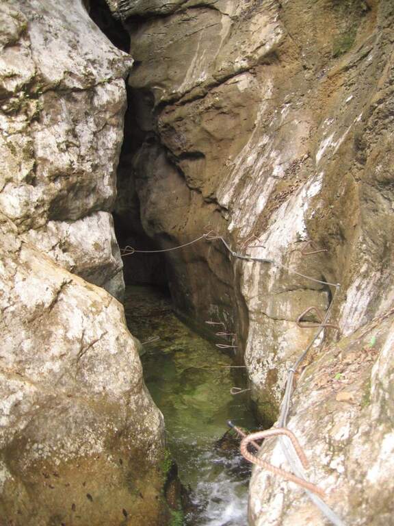
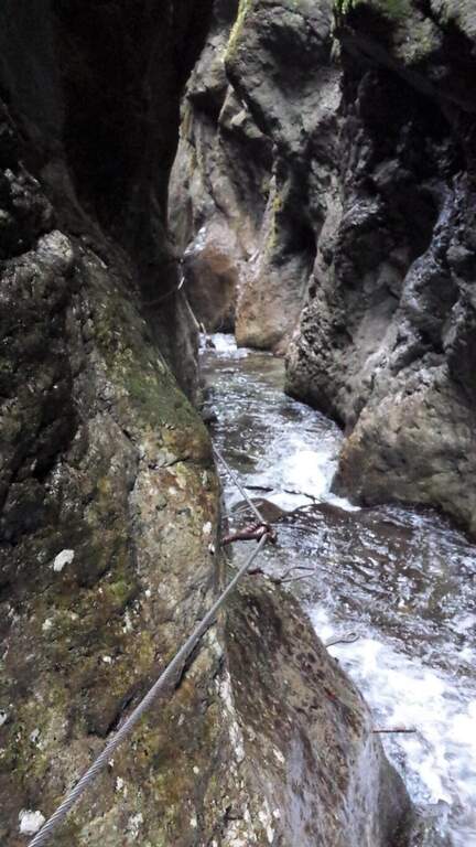
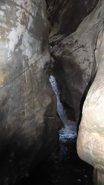
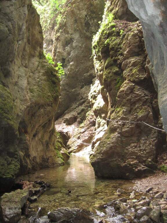
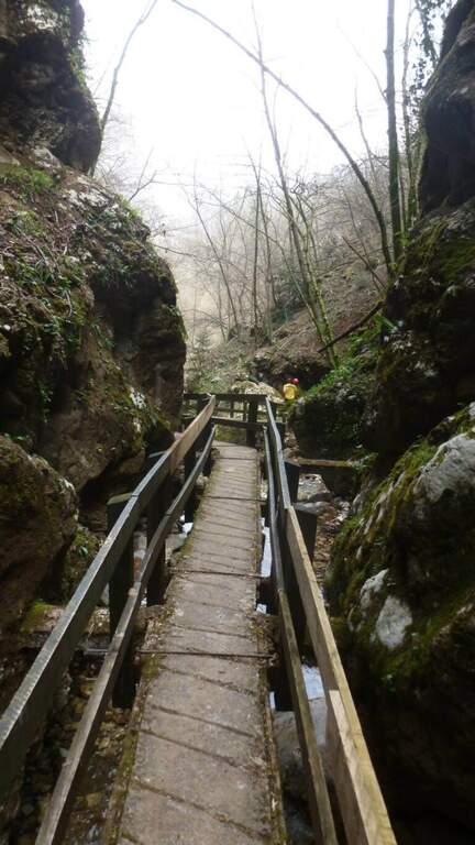
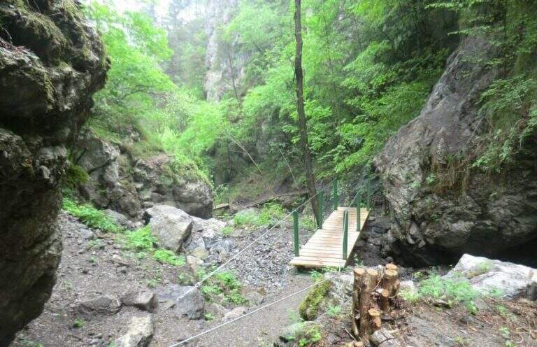
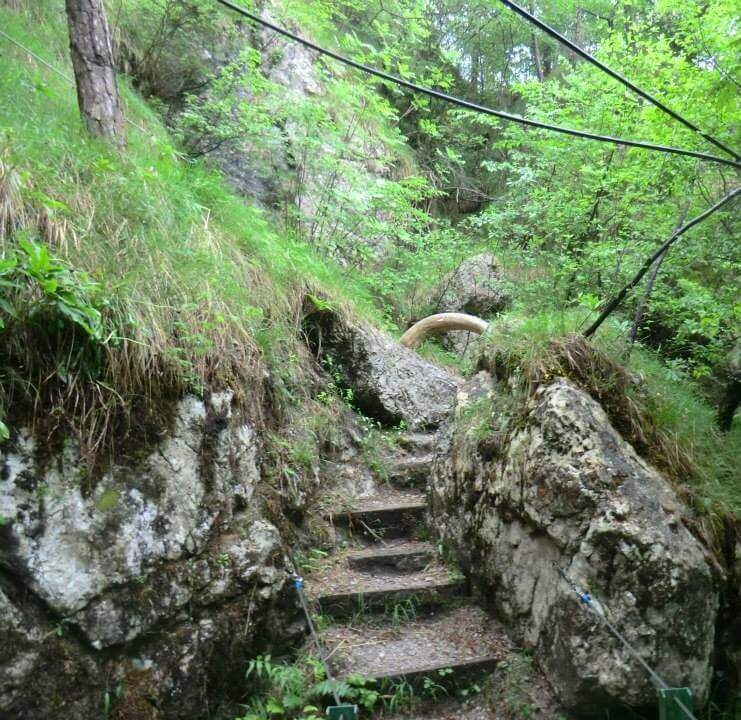
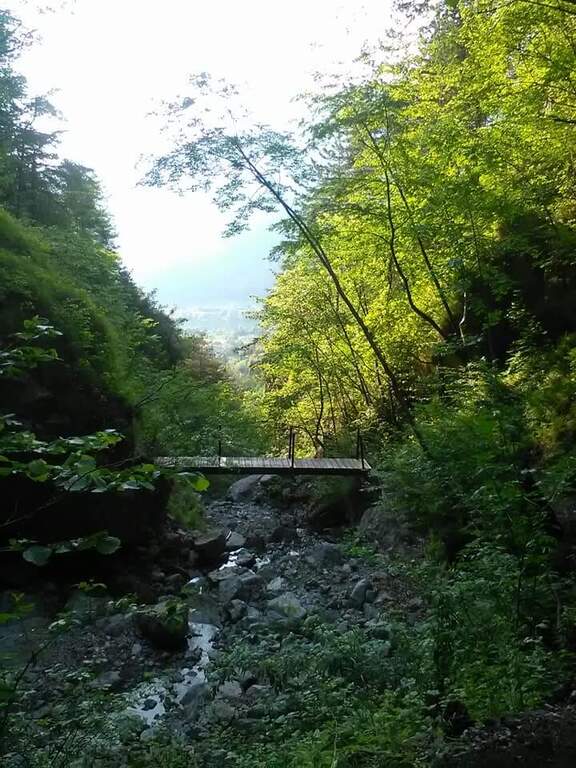
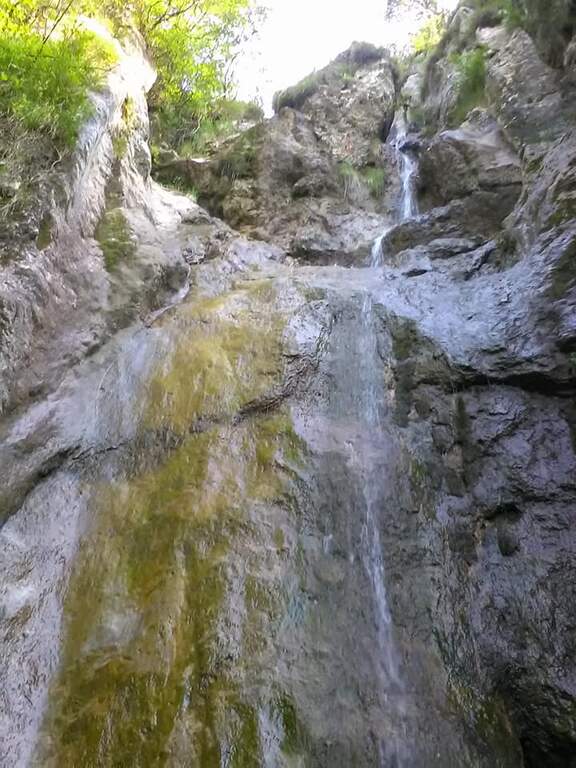
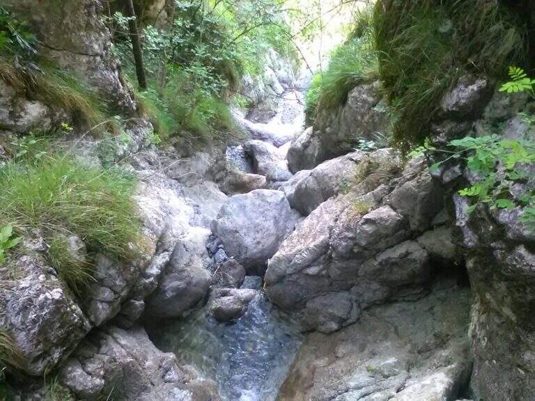
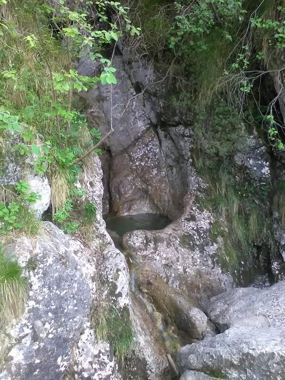
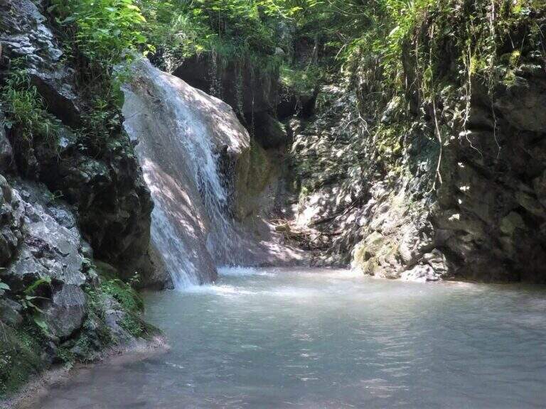
    In the gorge excavated by the Gaina stream, in the province of Brescia, this equipped path gives an easy and suggestive itinerary, without technical difficulties and with a landscape suitable also for families and children. It is the type of route that you play all about the environment: water, laminated rocks and waterfalls, with the equipment used only to accompany the progression along the stream.

    ▲Approach

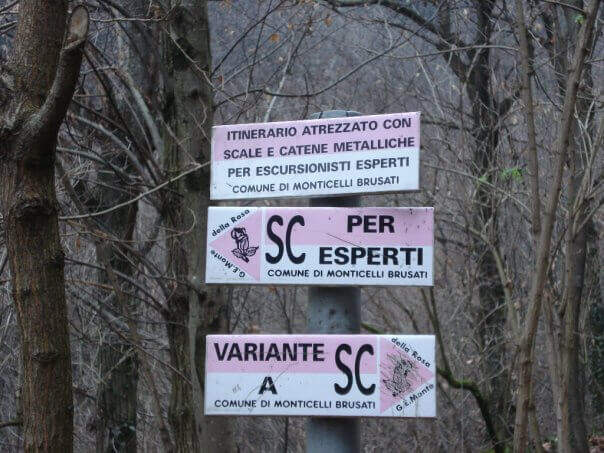
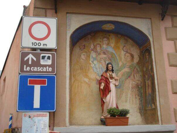
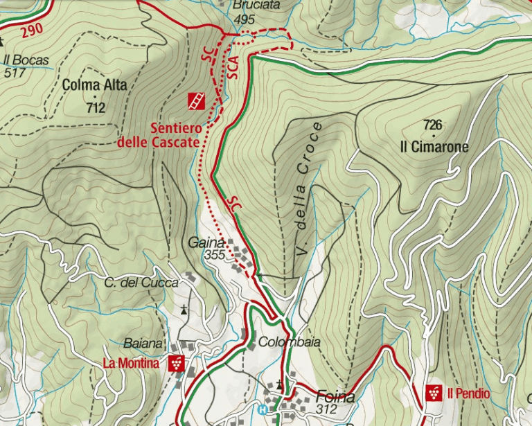
    It starts from the village of Gaina, fraction of Monticelli Brusati (BS). After passing the bus station of Monticelli Brusati, after a few minutes you can see on the left a white sign that indicates Gaina: take the road uphill, which soon narrows, until the village, where the road biforca. You hold the right and you will immediately find the parking place where you leave the car (open up Google Maps). From the parking lot, in front, a brown sign indicates “Cascate”: continue on the road, initially asphalted, up to a junction (10′ from the parking lot) where you choose between the easy route and that for experts. The most beautiful solution is to climb from the path for experts and return from the easy one.

    ▲The path

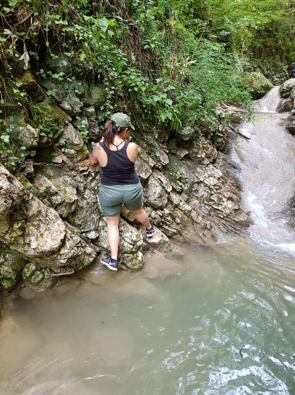
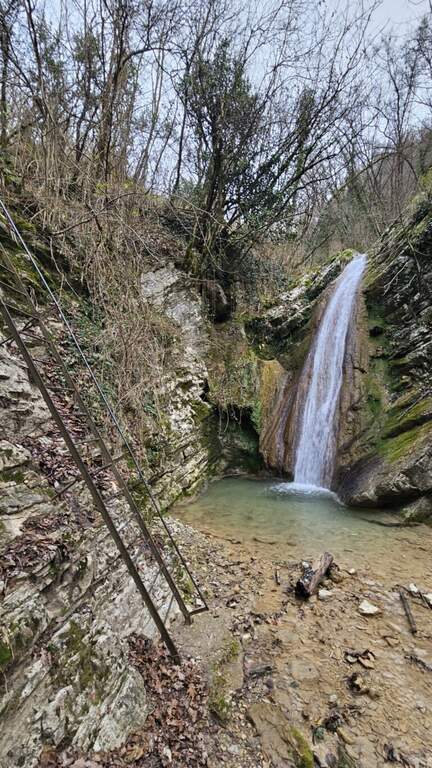
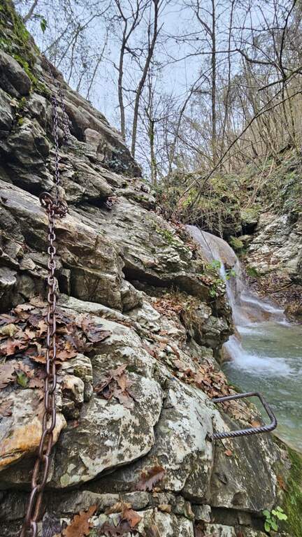
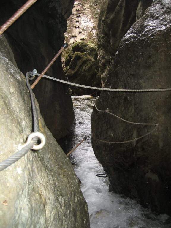
    You descend on the bed of the creek, now proceeding on the right now on the left horographic depending on where the bottom is dry, helping with the big rocks to cross it. You will encounter a crossroads that would bring you back to the easy path: you ignore it and head towards a waterfall, where the equipped section begins. It sticks up a metal staircase of about ten meters, then walks next to the stream between laminated rocks and wood. After a first curve the throat tightens and finally begins the equipped part: it starts on the left with some chains on sloping rocks, then it passes on the right horographic with a short traverse equipped with three brackets for the feet, which avoids entering the water. Continue on a slight diagonal and cross the stream, then go up a rocky slope diagonally next to the water (attention to the wet rock). A new crossing wets the feet, except in the summer months; on the other side you find the chain at a waterfall, in correspondence of the only vertical stretch equipped, a 6-8 meters wall to be overcome also with the help of the brackets. You cross the stream and enter the final stretch: in short, on the path, you reach the last beautiful waterfall, next to which a second staircase closes the route (1h15 from the attack, 1h30 total).

    ▲Character and difficulty

    Also in the variant for experts the path does not have significant technical difficulties: it is suitable for neophytes and keeps everywhere a contained exposure. The only real attention goes to the moisture brought from the stream, which can make more slippery some passages.

    ⚠ The rock at the creek is often wet: careful foot in the transverses and the cenges. Several crossings bathe the feet, except in summer when the flow is low or the bed is dry.
    ▲Period and safety

    The altitude is low (538 m), therefore the route is accessible in most of the year; in the warm months the stream can however show up with little water or dry, reducing the spectacularness of the falls.

    ▲Discipline

    From the end of the staircase you go up the track to a crossroads that indicates the easy return or that for experts. You can then go back to the equipped path or, more quickly, take the easy variant that runs higher than the stream. In both cases you reach the country and then parking (30′ from the end of the street, 2h overall).

    ▲To match

    Energies allowing, it is a route that lends itself to be combined with a more challenging route of the area, such as the Ferrata Corno del Bene o il Sentiero Attrezzato Trentapassi. Moving to Val Trompia you can reach Ferrata Caspai, la Ferrata Nasego e il Parco delle Fucine di Casto.

    ▲Gallery
    Technical data
    • DifficultyEasy
    • RegionLombardy
    • GroupPrealps Bresciane
    • Approach0:10 h
    • Ferrata1:15 h
    • Itinerary (a/r)2:00 h
    • Hardware level difference190 m
    • Route difference200 m
    • Max538 m
    • Length5 Km
  • Ferrate del Parco delle Fucine di Casto

    Ferrate del Parco delle Fucine di Casto

    Vie Ferrate › Lombardy › Brescia
    Ferrate del Parco delle Fucine di Casto

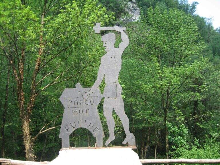
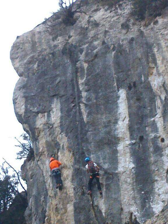
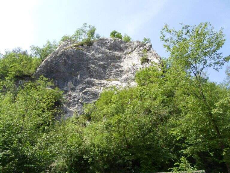
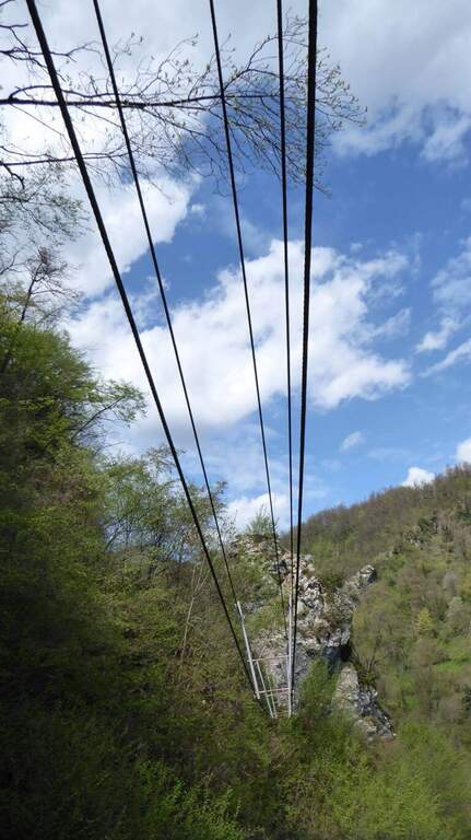
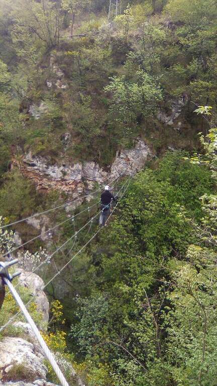
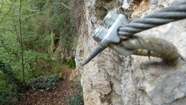
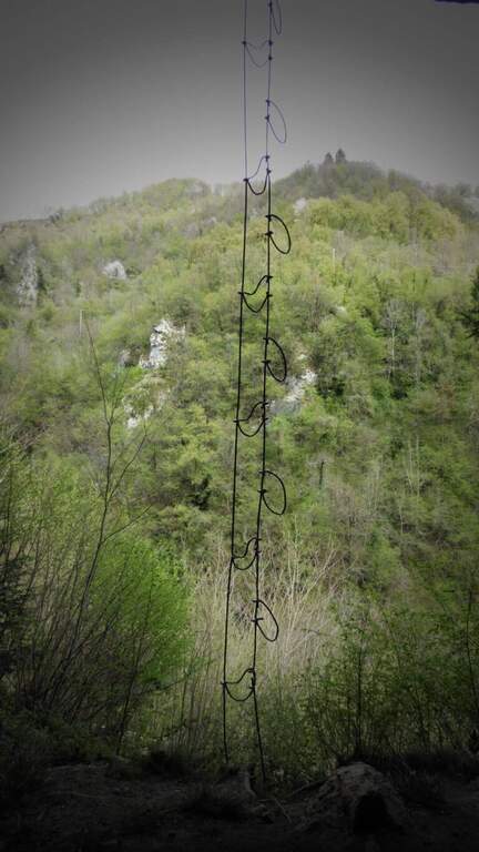
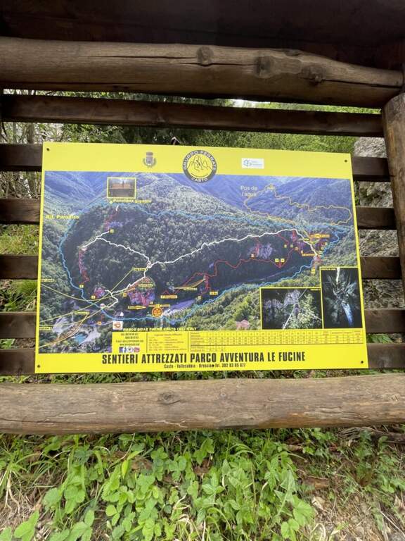
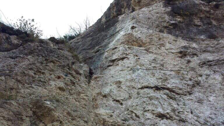
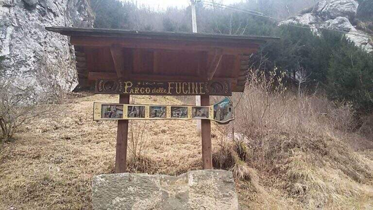
    Il Parco delle Fucine di Casto (Brescia, Valle Sabbia) è a unique park in Italy: at free entrance, it gathers on a few walls over fifteen equipped routes, as well as hiking, mountain biking, zip line, suspended bridges and refreshments. The streets are largely atletic and little climbable, excellent for l' training; the difficult ` ranges from an easy way to vertical and very demanding tracks.

    ▲Approach

    Starting from the ' ample parking along the park, at Casto. From the center of the village take left (south) via Marconi which, with clear indications, leads to the Parco delle Fucine in about a kilometer. Open road signs on Google Maps. Parking is just a few steps from the entrance (free); from here you can see some streets (the Strega Colpo, the Arcobaleno) and at least one suspended bridge. The times of approach to the individual attacks range from a few minutes up to about 15 minutes in the most distant ways, towards the Strait of Luina.

    ▲The equipped routes

    Each path has development to itself and signalled attack; below a faithful picture of length, difference in level and character.

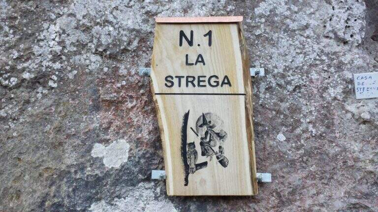
    Ferrata 1 (House of Witches, on Corna Zana, near the parking lot): 115 m, height difference 28 m. Dedicated diagonal traverse and horizontal beams exposed, with brackets and pioli on polished rock.
    Ferrata 2: 61 m, height difference 23 m. The least challenging of the park, on beams with good supports and a vertical variant; ideal for starting.
    Ferrata 3: 152 m, height difference 78 m. Long and challenging, with long beams on very smooth rock (strong traction on the cable) and vertical aerial traits.
    Ferrata 4: 60 m, height difference 49 m. Vertical, with first challenging and slightly overhanging meters and an aerial edge; higher climbing part.
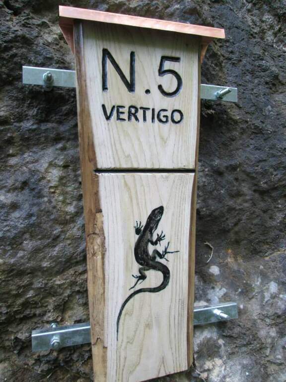
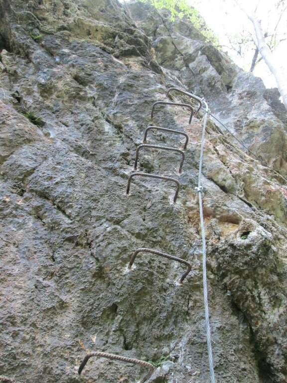
    Ferrata 5 «Vertigo»: 40 m, height difference 25 m. Verticality, slightly overhanging brackets and a challenging overhanging passage; ends at a suspended bridge of about 30 m.
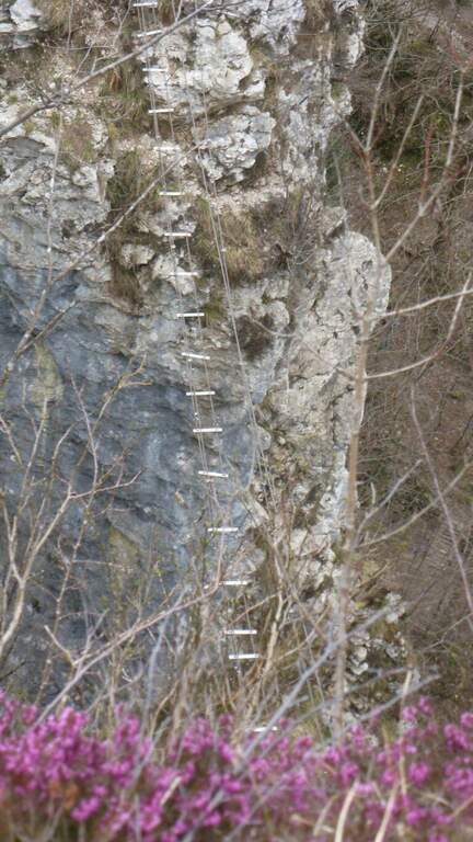
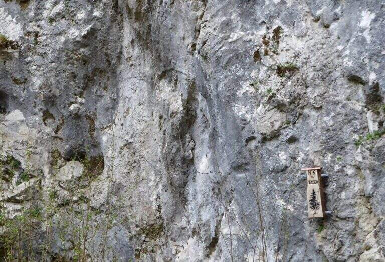
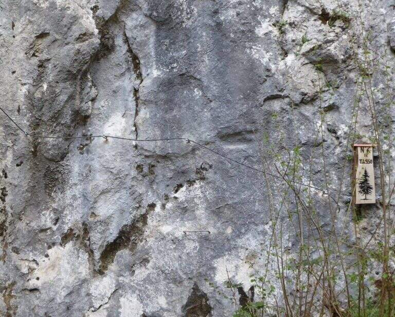
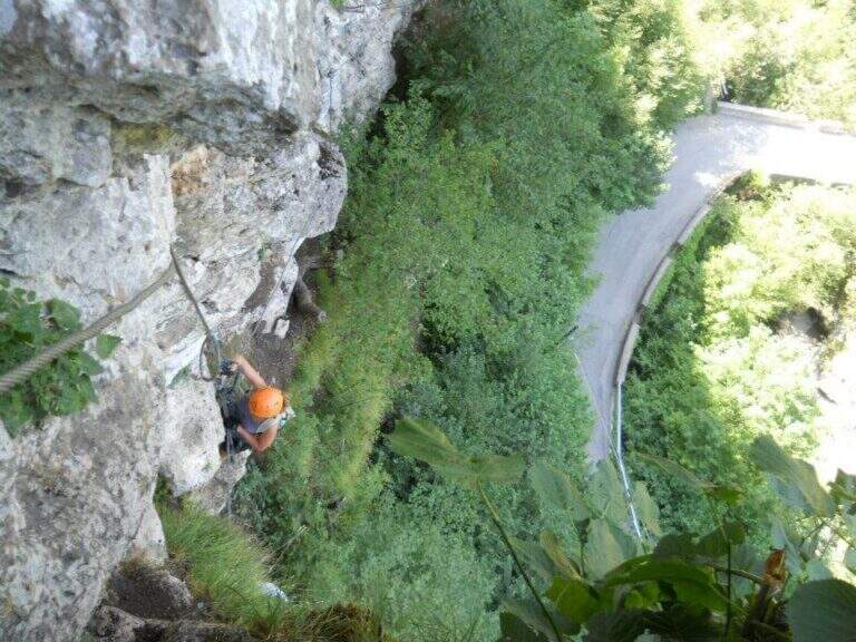
    Ferrata 6 «Tasso»: 28 m, altitude difference 25 m. Short: initial crossing, overhanging stretch with brackets; at the end you cross the bridge suspended on the Strait of Luina.
    Ferrata 7: 60 m, height difference 28 m. Follow us downhill from the suspended bridge; adrenaline exposed edge and tiring vertical descent, up to join Ferrata 8.
    Ferrata 8: 68 m, height difference 47 m. Impegnative, with key passage on dark and polished wall of 4-5 m and marine scale final.
    Ferrata 9: 68 m, height difference 47 m. Adjacent to 8, with a demanding vertical tear up to the common sea scale.
    Ferrata 10: 60 m, elevation difference 46 m. Diagonal copper, exposed beams and challenging vertical passages alternating with terraces.
    Ferrata 11: 58 m, dislivello 45 m. Tra le più dure del parco: parete giallastra verticale e strapiombante, variante verticale estrema e forte esposizione.
    Ferrata 12: 65 m, dislivello 28 m. Spigolo, canalino e un passo strapiombante; sale un gendarme (bandiera in vetta), con rientro per un ponte sospeso di quasi 40 m piuttosto ballerino.
    Ferrata 12 bis: 46 m, dislivello 26 m. Attacco subito verticale e strapiombante, ponte delle scimmie di circa 8 m, poi si innesta sulla Ferrata 12.
    Ferrata 14 «Edera»: 44 m, dislivello 36 m. Diedro tecnico e piacevole, poi un ponte sospeso a 4 corde di circa 35-40 m e un secondo ponte più stabile.
    Ferrata 15: 125 m, dislivello 23 m. Prevalentemente in traverso lungo il torrente, con ponti sospesi e un ponte delle scimmie; senza difficoltà particolari ma talvolta scivolosa.
    Colpo della Strega (sopra il parcheggio): 45 m, dislivello 38 m. Verticale, tecnica e difficile, su roccia levigata povera di appigli che sollecita molto le braccia.
    Arcobaleno: 55 m, dislivello 38 m. Privilegia l'arrampicata su pioli e prese sferiche (cavo «alla francese»), con spigolo aereo e passaggio strapiombante assistito.
    Dragone (Grotta del Dragone): 240 m, sviluppo 50 m. Meno verticale, di fatto un sentiero attrezzato con scala marinara e un lungo ponte sospeso, che tocca gli attacchi delle vie 11, 10, 9, 8, 7 e quelle 5, 6 e 14.
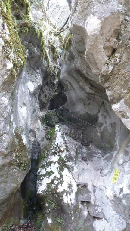
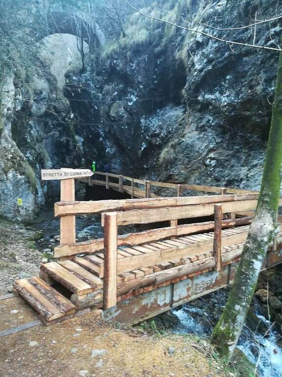
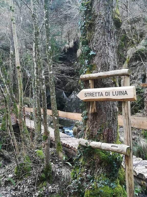
    Stretta di Luina: percorso prevalentemente orizzontale, quasi al pelo dell'acqua nella forra del torrente; non difficile ma scivoloso, con ponti su tronchi e ponti delle scimmie.

    ▲Character and difficulty

    The park offers a wide range: from easy Ferrata 2 and the Dragon to extremely athletic and overhanging routes (Ferrata 11, Vertigo, Colpo della Strega). The rock is often smoothed and undressed, with frequent traction on the cable; numerous suspended bridges and monkey bridges, exposed but fun.

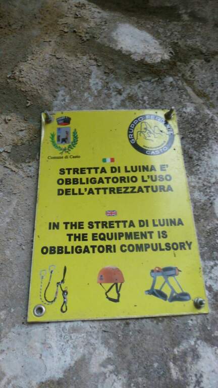
    ⚠ Many routes are physically demanding and little climbing, not suitable for neophytes (except Ferrata 2 and Dragon). Helmet and hardware set are indispensable; attention to the slippery bottom in the holes and swinging bridges. Choose the route based on your training.

    ▲Discipline

    Almost all routes fall for sentiero (usually holding the right at the end). The routes 5, 6 and 14 and 7-8 use the bridges suspended on the Strait of Luina; the 12 and the 12 bis fall through the suspension bridge of almost 40 m at the tower. The times are short given the proximity to the parking lot.

    ▲Period and safety

    The best periods are the mezze season; the itineraries can also be covered d' winter, except in snowy periods. Being at low altitude, in the middle of summer some walls exposed to the sun are very warm.

    ▲To match

    Always in the area of Lake Idro you can walk Ferrata Crench, il Idro Waterfall Trail e la Ferrata delle Ginestre.

    ▲Gallery
    Technical data
    • DifficultyFrom Easy to Extremely Hard
    • RegionLombardy
    • ProvinceBrescia
    • GroupPrealps Bresciane
    • Approach5-15 min
    • Fully equippedover 15
    • EntryFree
    • PeriodHalf seasons (also winter except snow)
  • Sentiero Attrezzato delle Cascate di Idro

    Sentiero Attrezzato delle Cascate di Idro

    Vie Ferrate › Lombardy › Brescia
    Sentiero Attrezzato delle Cascate di Idro

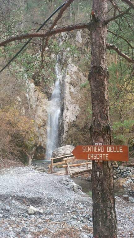
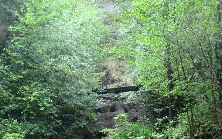
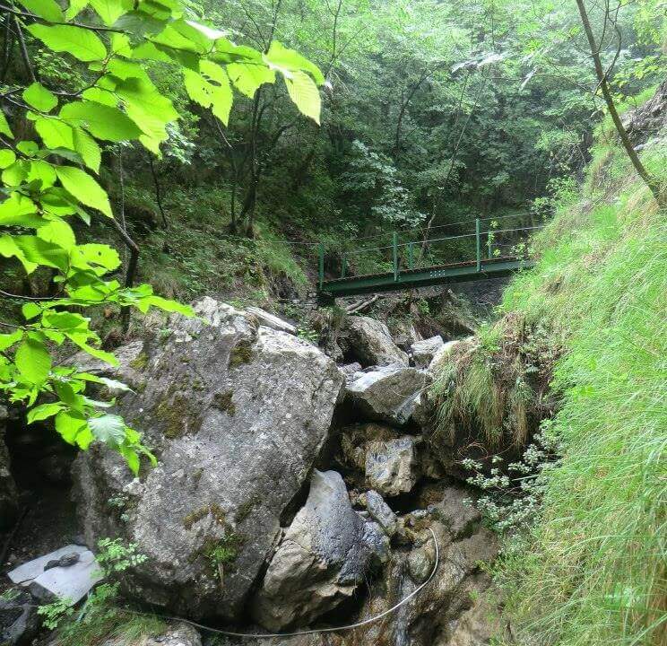
    Il Sentiero Attrezzato alle Cascate di Idro ` an easy itinerary, equipped in the exposed part inside the hole of the torrente Neco, on Lake d’Idro. Very beautiful from the landscape point of view, shows a suggestive throat with short approach, ideal for those with little experience.

    ▲Approach

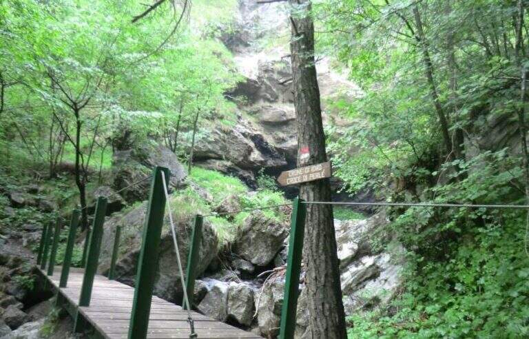
    Starting from Crone, on the eastern shore of Lake d’Idro: along the SP58 you can see on the right a road towards the Pizzeria Ristorante Bellavista, where you park (Via Coste), then take right the directions for the path. Open road signs on Google Maps. Follow the signs: straight the normal path, at destra il «Sentiero delle Cascate» (the two are reunited with più forward). You climb on the road between the meadows, then downhill to the bed of the Neco and its hole, at a wooden bridge and a first waterfall; you avoid the bridge and climb on the left side of the waterfall, entering the equipped path (15′ from the parking lot).

    ▲The path

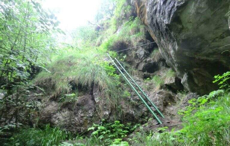
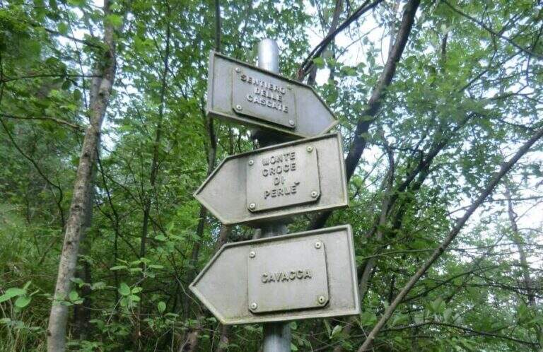
    There are two inclined rock walls equipped with two metal scales (the second più long of the first); on the top you go left on a engineered grassy and, bypassing a edge, ends the equipped part (10′ from’ attack, 25′ from parking). Continue on the path passing a bridge at a ’ another beautiful waterfall and then in the forest, until a crossroads with the normal path left at ’ start. From here you can rejoin; close the short hike turning left towards Crone (40′ overall) or keep the right towards the Croce of Perlè : with lake view, then in the Serè valley; and in a thick forest, at a crossroads turn left and follow a short stretch of ridge with easy rocks up to the peak cross (1h 30′ overall).

    ▲Character and difficulty

    Itinerary without any technical difficulties of importance, it is also advisable for those who have little or no experience provided in form and with firm foot; equipment in good condition. Traced ex novo in 1995-96 and restored in 2004.

    ⚠ It is better to travel in the half seasons, avoiding the summer heat and l’ winter, when the falls can iced. Recommended helmet for stairs in the hole.

    ▲Discipline

    It can be traced back, possibly along the equipped path (about 1h from the summit, 2h 30′ overall). Alternatively, from the ’ last intersection can be combined; close a long anello for the Cocca di Idro, Cima Crench and Punta Pelada, returning to Crone (about 4h 30′ overall).

    ▲To match

    Concatenate well with the Ferrata Crench (saving Cima Crench and Cocca d'Idro) and, always on Lake Idro, with easy Ferrata delle Ginestre e la Ferrata del Fregio.

    ▲Gallery
    Technical data
    • DifficultyEasy
    • RegionLombardy
    • ProvinceBrescia
    • GroupLake Idro
    • Approach15 min
    • Fully equipped10 min
    • Complete itinerary2h 30′
    • Level difference200 m
    • Route difference220 m
    • Maximum620 m
    • Length3,5 km
  • Sentiero Attrezzato Carlo Villa al Canale Bobbio

    Sentiero Attrezzato Carlo Villa al Canale Bobbio

    Vie Ferrate › Lombardia › Lecco
    Sentiero Attrezzato Carlo Villa al Canale Bobbio
    Moderately Hard● OpenDescriptionComplexityMapsGallery

    Il Sentiero Attrezzato Carlo Villa al Canale Bobbio connects the Piani d'Erna to the crest of the Resegone, going up a suggestive channel with some exposed sections equipped. It is accessible in both directions and easily connected to the other routes of Resegone.

    ▲Approach

    Starting from the ' wide square of the funivia for the Plans d'Erna in Lecco (from the highway Lecco–Ballabio, exit «Piani d'Erna», between the hairpin bends to the square). Open road signs on Google Maps. It can be arranged; climb to Piani d'Erna in three ways: with the funivia, walk to Stoppani Refuge, or with the long but not difficult Ferrata Gamma 1. From Piani d'Erna descends to the Bocche d'Erna and follow the signs for the Sentiero 10, uphill on dirt road to some houses; from here, to the right (cartel), the path enters the forest where the actual route begins (20' from Piani d'Erna).

    ▲The path

    Il sentiero parte senza difficoltà verso sud-sudovest, con molti saliscendi, alcuni assistiti da catene e cavi nei tratti più esposti (attenzione col fondo umido). Si raggiungono alcune cenge esposte attrezzate, una con una staffa; da qui il percorso si fa più impegnativo addentrandosi nel canalone, seguendo i segni bianco-rosso-giallo. Si risale una costa esposta sul lato destro con l'aiuto del cavo, tratto più ripido e faticoso, incastonato tra le guglie della cresta nord del Resegone, fino nella parte più angusta del Canalone Bobbio. Si risale un tratto di poco meno di 100 metri con diversi massi attrezzati (paretine di 2-4 metri, in genere in traversata diagonale, con un paio di tratti verticali). Il paesaggio diventa più austero fino a una stretta gola dove si trova il passaggio chiave, comunque di difficoltà moderata; nella gola un gendarme roccioso di circa 3 metri si risale e si attraversa in diagonale a sinistra, chiudendo le difficoltà. Si prosegue in ripida salita su misto terra e sassi e poi sui prati sommitali fino alla Selletta di Bobbio, dove il sentiero termina (2h dall'inizio del tratto attrezzato, 2h 20' dalla stazione a monte).

    ▲Character and difficulty

    Itinerary of moderate difficulty: the equipped sections protect exposed cenges and the mass of the canalone, never really exposed but sometimes steep and tiring. Beautiful rocky environment between the Resegone spires.

    ⚠ With wet bottom the initial ups and the cenges become slippery: prudence. Helmet and essential hardware set, also for possible stones in the canalone.

    ▲Discipline

    L' più option; common: in about 20' we reach the Rifugio Azzoni by crossing the ridge south-southwest; from here we descend on Sentiero 1 and, at the crossroads on Sentiero 5 to Piani d'Erna and the cable car (1h 45' from the end, 4h complex Alternatively, from the Selletta Bobbio you can può take the north ridge of the Resegone (beware of the rocks) to the Passo Giuff.

    ▲To match

    It easily concatenates with other routes of Resegone, such as the Ferrata Gamma 1 approaching and the Sentiero del Caminetto downhill.

    ▲Gallery
    Technical data
    • DifficultyModerately Hard
    • RegionLombardy
    • ProvinceLecco
    • GroupResegone
    • Approach20 min
    • Fully equipped2h
    • Complete itinerary4h
    • Level difference400 m
    • Route difference451 m
    • Maximum1740 m
    • Length6 km
  • Sentiero Attrezzato del Caminetto (Buco della Carlotta)

    Sentiero Attrezzato del Caminetto (Buco della Carlotta)

    Vie Ferrate › Lombardia › Lecco
    Sentiero Attrezzato del Caminetto (Buco della Carlotta)

    Il Sentiero Attrezzato del Caminetto, also known as Buco by Carlotta, allows you to reach Pian Serrada from the Fò Pass; under the Resegone (Lecco). It develops along a fairly steep canyon with some chain-equipped sections; it is often combined with other routes in the area.

    ▲Approach

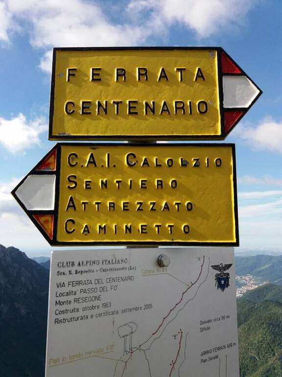
    Starting from the ' wide square of the funivia for the Plans d'Erna in Lecco (from the highway Lecco–Ballabio, all' exit of a gallery follow the signs «Piani d'Erna» going up through hairpins to the square). Open road signs on Google Maps. L' approach to the Passo Fò coincides with that of the Ferrata del Centenario: about 1h climbing with the cable car, or about 1h 30' walking from the parking lot (Sentiero 1 and then Sentiero 6). At the Fò Pass; the signs separate the ferrata from the equipped path.

    ▲The path

    From the Fò Pass; take destra (cartel) on steep and rocky path until the ' attack. You start with the first chain going up a placca, then turn left, you go back a couple of stretches and you do a short descent. The characteristic passage is reached between slender: under a grosso masso framed which goes beyond the right and goes up the «Buco della Carlotta» until you leave on a nod. It follows a second canal with some stretches a po' athletics (to climb it is necessary to try with patience to stick not immediately evident); then the path becomes più easy and exits from the fireplace. On the left, a sign indicates the Ferrata del Centenario; the trail continues on lawn and rocks in the Pian Serrada, where it ends (45' from' attack, 1h 45' from the cable car, 2h 15' overall).

    ▲Character and difficulty

    Itinerary easy, with some vertical but not difficult passages and contained exposure, developing in a canon. More equipped path that real ferrata.

    ⚠ Be careful not to move uphill stones: they could hit those who are below ( indispensable helmet). A passage in the canal is narrow and can give problems with bulky backpacks: useful a postponement/feed to hang the backpack to the harness.

    ▲Discipline

    From Pian Serrada go up to Sentiero 1 and take it downhill until the junction with Sentiero 5: right to the cable car station of Piani d'Erna (1h from the term, 2h 45' overall), or straight to Stoppani Refuge and parking (1h 45' from the term, 3h 30' overall).

    ▲To match

    It is often used as a descent/return to Passo Fò after the Ferrata del Centenario, or as a return from excursions to Resegone as the Ferrata Gamma 2 o la Ferrata Silvano de Franco.

    ▲Gallery
    Technical data
    • DifficultyEasy
    • RegionLombardy
    • ProvinceLecco
    • GroupResegone
    • Approach1h
    • Fully equipped45 min
    • Complete itinerary2h 45'
    • Level difference150 m
    • Route difference180 m
    • Maximum1475 m
    • Length6 km
  • Sentiero Attrezzato degli Alpini a Punta d’Albiolo

    Sentiero Attrezzato degli Alpini in Punta d'Albiolo

    Vie Ferrate › Lombardy › Brescia
    Sentiero Attrezzato degli Alpini in Punta d'Albiolo
    Moderately Hard● OpenDescriptionComplexityMapsGallery

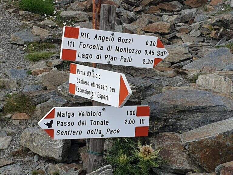
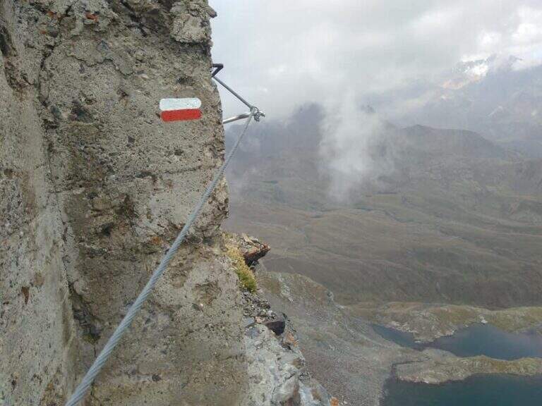
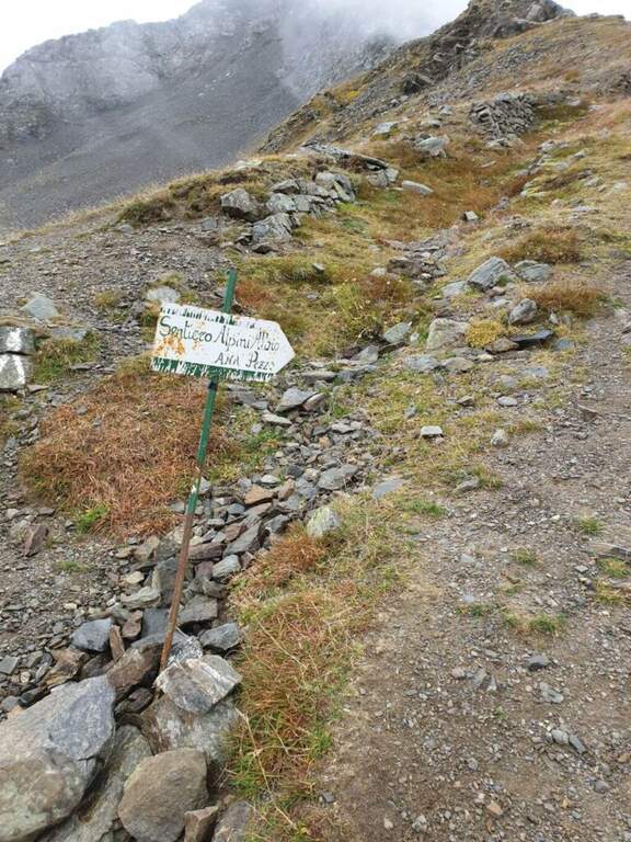
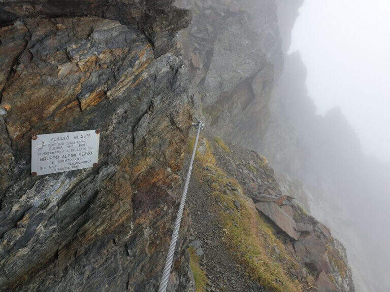
    Il Sentiero Attrezzato degli Alpini connects the Forcella del Montozzo to Passo dei Contrabbandieri, near Passo del Tonale (Brescia). More than a via ferrata is an exposed path equipped with modest difficulty: the cable is useful especially with wet bottom and in a couple of exposed beams. The report is described by the Forcella del Montozzo at Passo dei Contrabbandieri, but the route is commonly done on the contrary; the optional climb to Punta d'Albiolo is recommended.

    ▲Approach

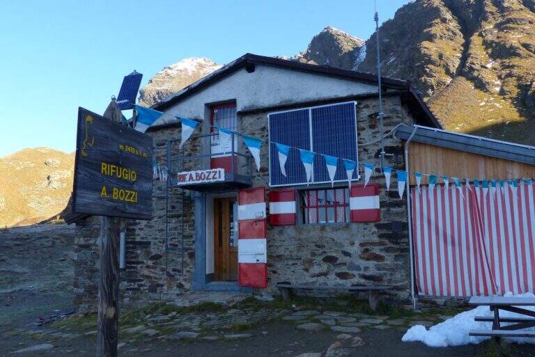
    It starts from Case of Viso (1754 m), in the province of Brescia at Passo del Tonale. Open road signs on Google Maps. Take the sentiero n. 52 which in a ' hour and a half leads to the Rifugio Bozzi (2478 m); stretching about twenty minutes you will reach steeply the Forcella del Montozzo (2613 m, 1h 45'), beginning of the path equipped. Alternatively, you can può climb from Trentino to Pejo (loc. Fontanino, paths 111/111b, about 3h 50') or from Passo del Tonale (Hospizio di San Bartolomeo, path 111 for Malga Valbiolo, about 2h 30' at Passo dei Contrabbandieri, along così l' route on the contrary).

    ▲The path

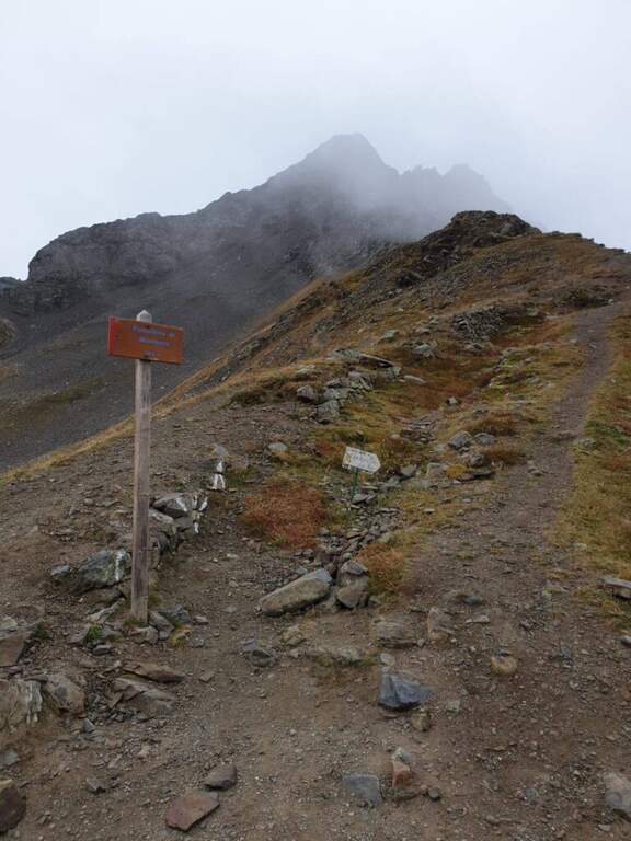
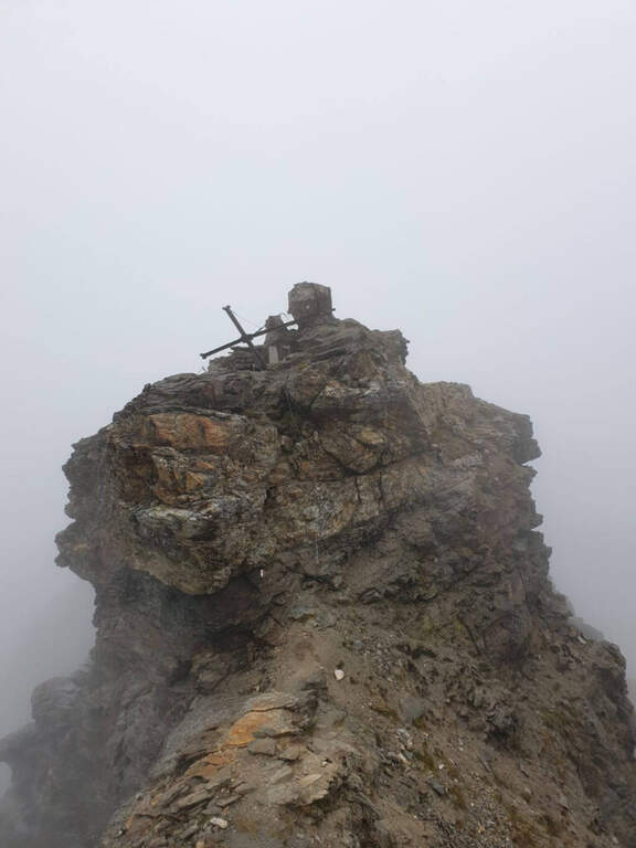
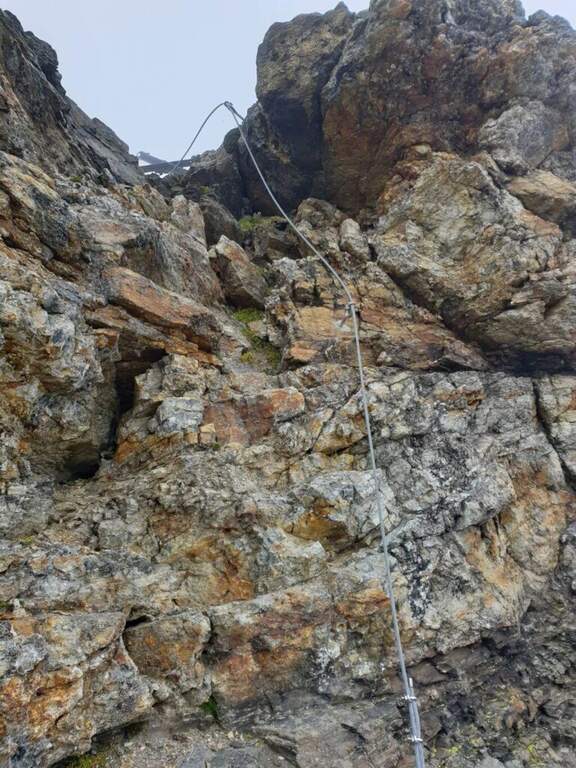
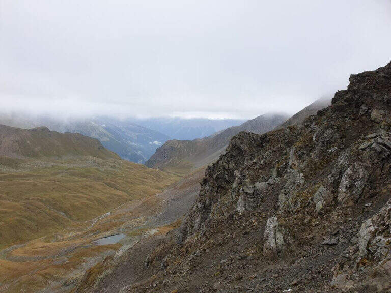
    Dalla Forcella del Montozzo (2613 m) il sentiero parte sul versante che domina la valle del Montozzo e il Rifugio Bozzi, incontrando subito diverse gallerie e tunnel usati dagli Alpini nella Prima Guerra Mondiale. Il tracciato è molto ripido e a tratti esposto; dopo alcuni passaggi attrezzati si supera una piccola forcella che apre la vista sui laghetti di Albiolo. Seguono altre cenge e passaggi esposti fino a un cartello: a destra prosegue il Sentiero degli Alpini verso il Passo dei Contrabbandieri, a sinistra la deviazione per il Torrione di Albiolo. Prendendo la deviazione, in pochi minuti e semplici passaggi si arriva sotto l'Albiolino (piccola croce di vetta); proseguendo a sinistra si trova il Torrione di Albiolo (2976 m), con un cavo metallico che aiuta la salita alla croce (attenzione: tratto con pericolo di caduta). Tornati al cartello, si riprende il Sentiero degli Alpini che in circa mezz'ora porta al Passo dei Contrabbandieri (2679 m), dove sorge una capanna in totale abbandono (1h 30' dall'inizio del sentiero, circa 3h 30' complessive). Chi vuole può allungare in meno di mezz'ora alla Cima Casaiole (2779 m), splendido balcone panoramico con altri camminamenti e trincee della Grande Guerra.

    ▲Character and difficulty

    Nice path of mention on the war walks, of technical commitment contained but with exposed traits where the cable instills safety. The equipped part has been completely renovated in August 2019 and is in excellent condition, except for a couple of loose but not dangerous thickets.

    ⚠ To face only in the absence of snow (ideally from June to September): wet soil è insidious, especially in chain-free passages. Helmet and iron set recommended.

    ▲Discipline

    From the Contrabbandieri Pass the più return; quick descends north to the Rifugio Bozzi (20-30') and from here to Case di Viso (about 1h 15'), for a total of almost 5h.

    ▲To match

    The natural ridge ` the Ferrata of Austriaci, which from Punta d'Albiolo leads to the Eastern Tonal (a similar, difficult and slightly higher environment). In the area of Ponte di Legno è very recommended the Path of Flowers; going down in Val Camonica there are the Ferrata at Corno del Grevo, la Ferrata at Pizzo Badile Camuno e il Parco delle Fucine di Casto.

    ▲Gallery
    Technical data
    • DifficultyModerately Hard
    • RegionLombardy
    • ProvinceBrescia
    • GroupAdamello-Presanella
    • Approach1h 45'
    • Fully equipped1h 30'
    • Complete itinerary4h 45'
    • Route difference1250 m
    • Maximum2970 m
    • Length11 km
  • Ferrata Zucco Pesciola

    Ferrata Zucco Pesciola

    Vie Ferrate › Lombardia › Lecco
    Ferrata Zucco Pesciola
    Very difficult● OpenDescriptionComplexityMapsGallery

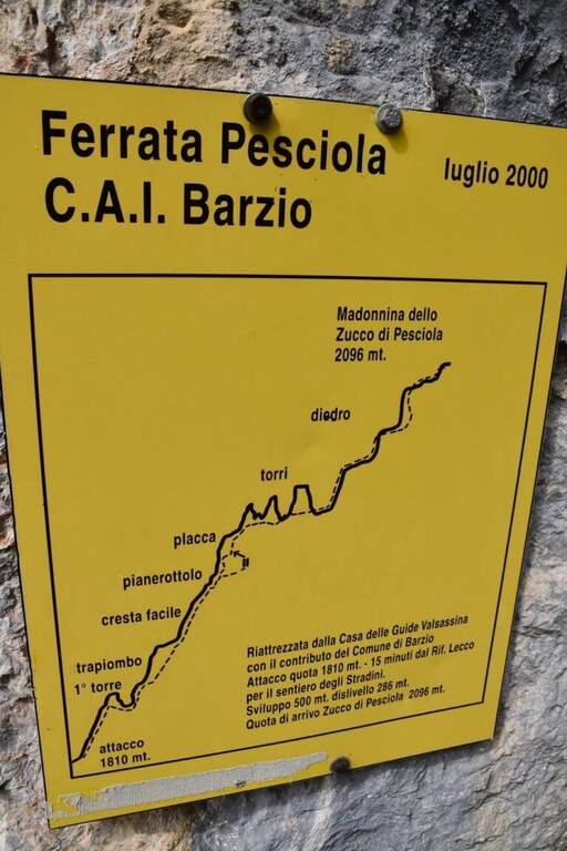
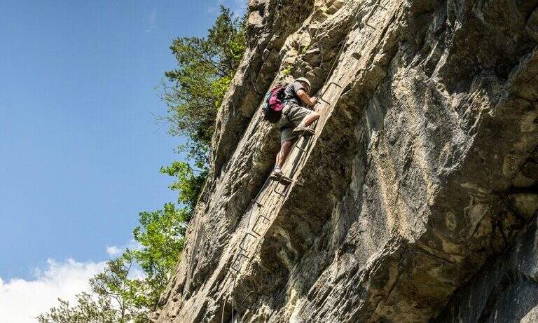
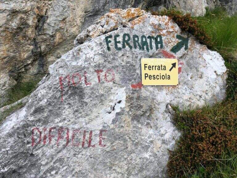
    La Ferrata Zucco Pesciola & a beautiful, challenging and panoramic Via delle Orobie over the Piani di Bobbio. Tests between fireplaces, diedri, climbing walls and ridge traits; its variante difficult & free; among the più traits; hard of the Italian railway landscape and should be faced only with excellent training.

    ▲Approach

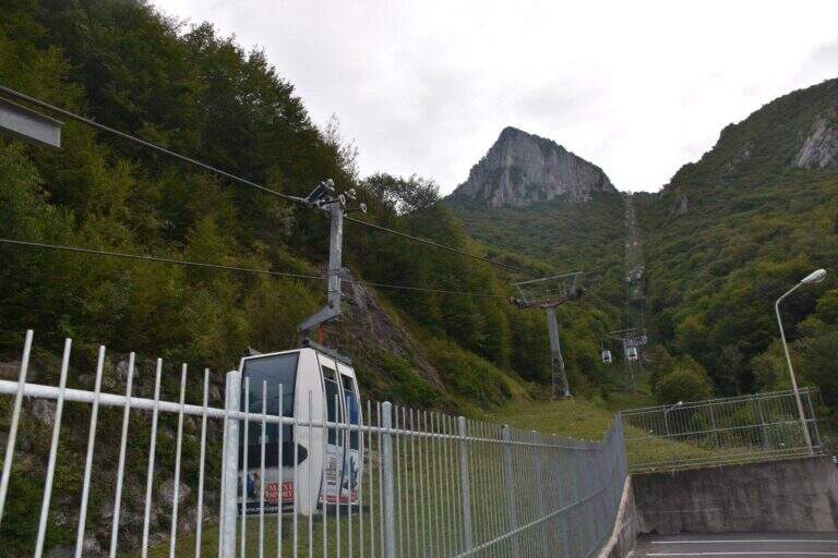
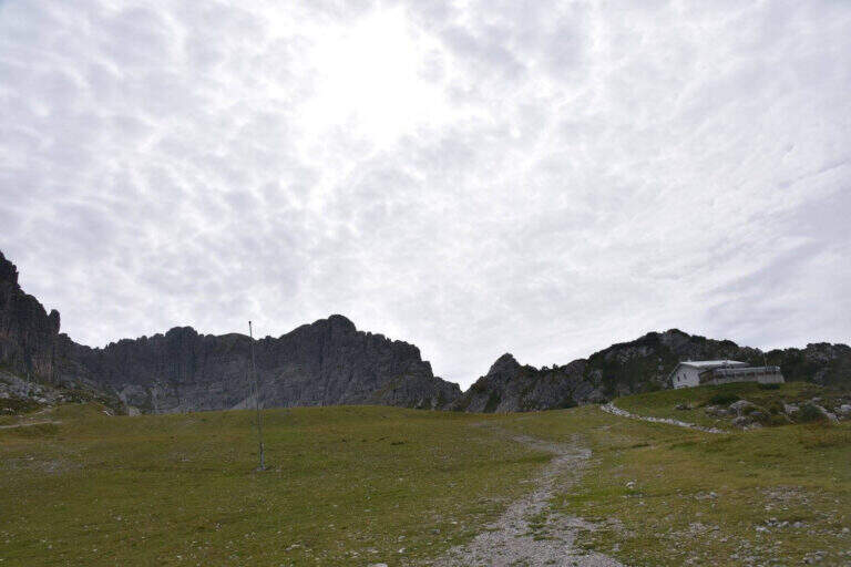
    From the upstream station of the funivia dei Piani di Bobbio (from Lecco to Barzio, then to the plants). Open road signs on Google Maps. You climb along the slopes towards the Rifugio Lecco, then to the right the sentiero 30 (which becomes Path Attrezza degli Stradini) towards the Bocchetta di Pesciola, up to a rock with l' indication of the ' attack just off the path (' from the mountain station). Alternatively, it can be recognised; it can be reached by Plans d' Artavaggio per il Sentiero degli Stradini.

    ▲The path

    Si inizia risalendo un torrione: roccette a sinistra, poi balzi e placche verticali su buona roccia fino a un traverso esposto che ne chiude la cima. Un breve tratto di discesa attrezzato porta alla seconda parte: una parete con fessura e poi un diedro strapiombante dove la catena scorre a destra e gli appigli sono a sinistra (si procede in spaccata, con una seconda catena e una maniglia nel punto più sporgente). Seguono cresta, un breve camino (4 m), un traverso atletico in diagonale su staffe e un impegnativo diedro con traverso a destra. Si arriva a un bivio: a destra la via facile (un canalino arrampicabile in spaccata fino a una scaletta), in verticale la variante estremamente difficile (parete strapiombante povera di appigli, catena lasca, occhielli per sostare con un rinvio). Le due varianti si ricongiungono; un ultimo tratto verticale, una sporgenza e un camino con cambio moschettone portano a un breve sentiero di cresta. Dopo un tratto pianeggiante e l'ultima parete appoggiata si raggiunge la madonnina di vetta (1h 45' from the attack, 2h 30' total).

    ▲Character and difficulty

    Hard way with many challenging steps: diedri and chimneys in which it is recommended, if not obligatory, proceed climbing so as not to get too busy. The chain is sometimes lasca (the carabiner flows badly) but can be used almost everywhere to stop. It traces almost entirely the historical ferrata dedicated to Domenico Rebuzzini. Level difference in ferrata 190 m, total 426 m, maximum altitude 2161 m, development 6 km.

    ⚠ Along the way there are many detriti: be careful not to move them. The difficult and extremely difficult variante; extremely difficult , overhanging and poor of hooks: carefully evaluate their conditions at the crossroads.
    ▲Discipline

    Towards the plains of Bobbio you go east for obvious track to a mouth, where on the left you take the steep Canale Madonna which leads to the Valley of the Camosci; from here you descend west towards the Rifugio Lecco (1h from the end of the ferrata).

    ⚠ The return channel is exposed to the north and often remains snowed until late season: it can be dangerous, equip itself accordingly.
    ▲To match

    For experienced hikers, from the top you can reach the Zuccone Campelli and descend along the Ferrata Mario Minonzio.

    ▲Gallery
    Technical data
    • DifficultyVery difficult
    • RegionLombardy
    • Group♪
    • Approach0:45 h
    • Ferrata1:45 h
    • Itinerary (a/r)3:30 h
    • Hardware level difference190 m
    • Route difference426 m
    • Max2161 m
    • Length6 Km
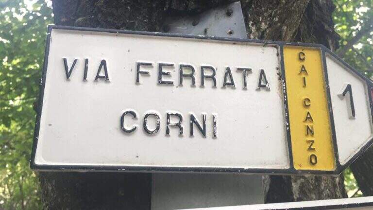
  • Ferrata del Twenty-fivennale al Corno Occidentale di Canzo

    Ferrata del Twenty-fivennale al Corno Occidentale di Canzo

    Vie Ferrate › Lombardy › Como
    Ferrata del Twenty-fivennale al Corno Occidentale di Canzo

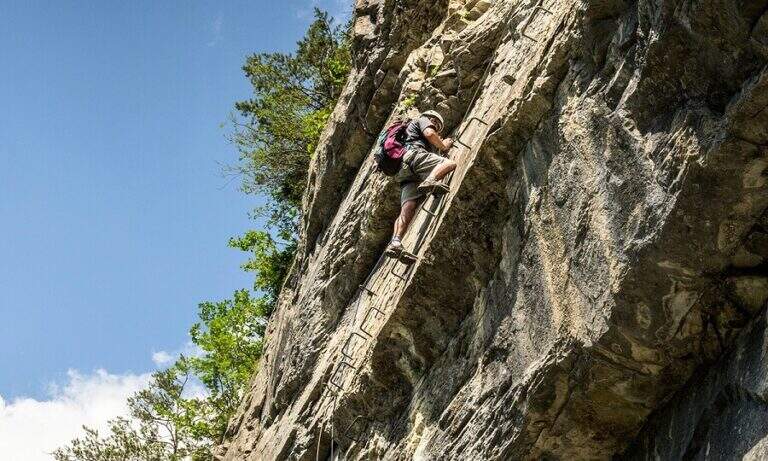
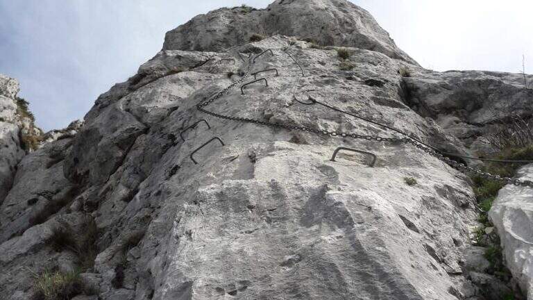
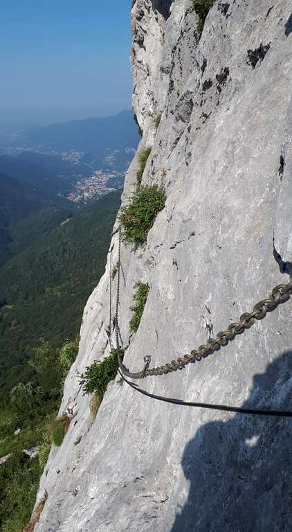
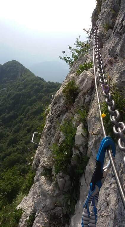
    La Ferrata del Twenty-fivennale at the Western Horn of Canzo, in the comasco, is a challenging route with rather long approach. It develops on a wall that makes little use of brackets: in order not to strain unnecessarily the arms on the chain it is advisable to climb, exploiting the excellent natural hooks.

    ▲Approach

    It starts from the Sorgenti of Gajum, in Canzo (Como), where at the end of via Gajum c'è a deck to park. Open road signs on Google Maps. Da Gajum si raggiunge il Rifugio Terz'Alpe (sentiero lungo il torrente Ravella oppure per Prim'Alpe e Second'Alpe); dal rifugio si sale ripidi a nord verso la Colma di Pianezzo e, poco prima della croce, si segue a destra una traccia che per un ghiaione porta all'attacco (1h 45' da Gajum).
    ▲The path

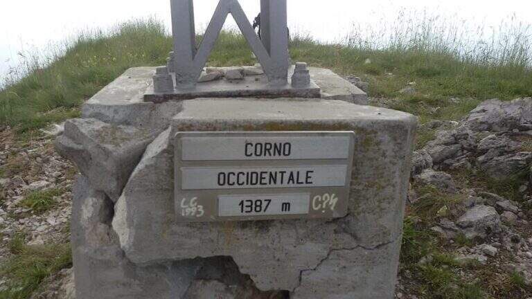
    It sticks on a short plate leaning on the right, then on the left diagonally on a well-dressed wall up to a long smooth plate, originally without brackets and today with some artificial hooks: it should climb. Turn right into a narrow canal with two brackets, walk around a tree and face a long traverse to the right with good supports but not always easy hooks (use the chain to balance, without induging in the stretches in light overhangs). There is a non-banal dihedron, some small rocks, a vertical wall of medium difficult to use; and a wire scale of about 20 meters; after a belly and small rocks you can reach a well-equipped path and l' last pillar, which requires good technique on smooth plaques (some staff present). After the walls, follow the red boils to the right, descend the saddle and go up to the summit of the Corno Occidentale (1h 30' from the attack, 3h total).

    ▲Character and difficulty

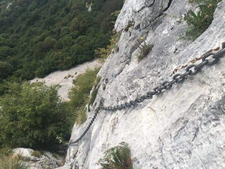
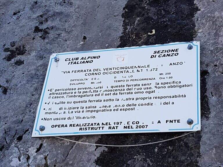
    Not long but with numerous technical steps, not recommended for beginners. The rope è often flanked or replaced by a catena coarse which sometimes prevents the carabiner to flow. Lifting height 250 m, total 900 m, maximum altitude 1373 m, development 11 km.

    ⚠ Beware of the Passo della Vacca, to be faced at least once at the end of the summit: passage not difficult but exposed, not to be underestimated just when you relax after the effort.
    ▲Discipline

    Two options. For a ripido Canalno (passages of I degree, slippery if wet) follow the red boils north to the fork of the Two Horns, then to the Rifugio Pianezzo and Gajum (1h 45' from the term, 4h 45' totali). Alternatively, go back to the path from the saddle to the ridge to a less steep canal, descending at the cross of the' approach and then to the Rifugio Pianezzo and Gajum (2h from the term, 5h total).

    ▲To match

    The most trained hikers can combine it in a long ring with Ferrata at Corno Rat, from Valmadrera.

    ▲Gallery
    Technical data
    • DifficultyHard
    • RegionLombardy
    • GroupLarian Triangle
    • Approach1:45 h
    • Ferrata1:30 h
    • Itinerary (a/r)4:45 h
    • Hardware level difference250 m
    • Route difference900 m
    • Max1373 m
    • Length11 Km
  • Ferrata Vigneron in Caspoggio

    Ferrata Vigneron in Caspoggio

    Vie Ferrate › Lombardy › Sondrio
    Ferrata Vigneron in Caspoggio
    Moderately Hard● OpenDescriptionComplexityMapsGallery

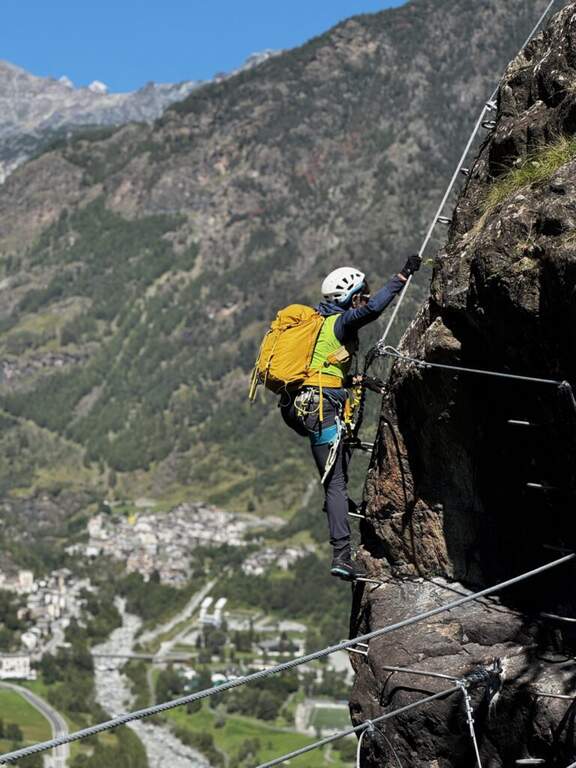
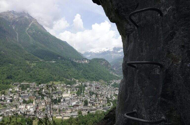
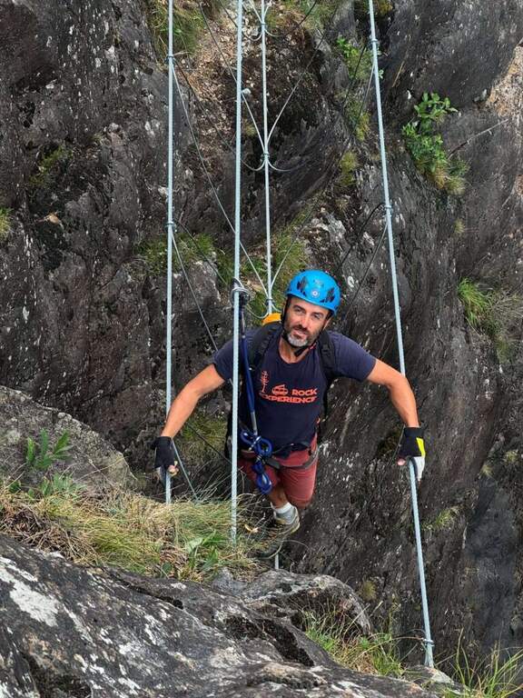
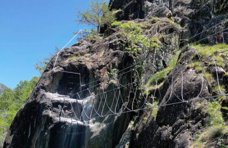
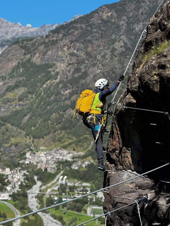
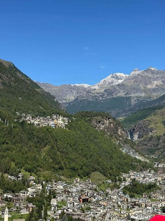
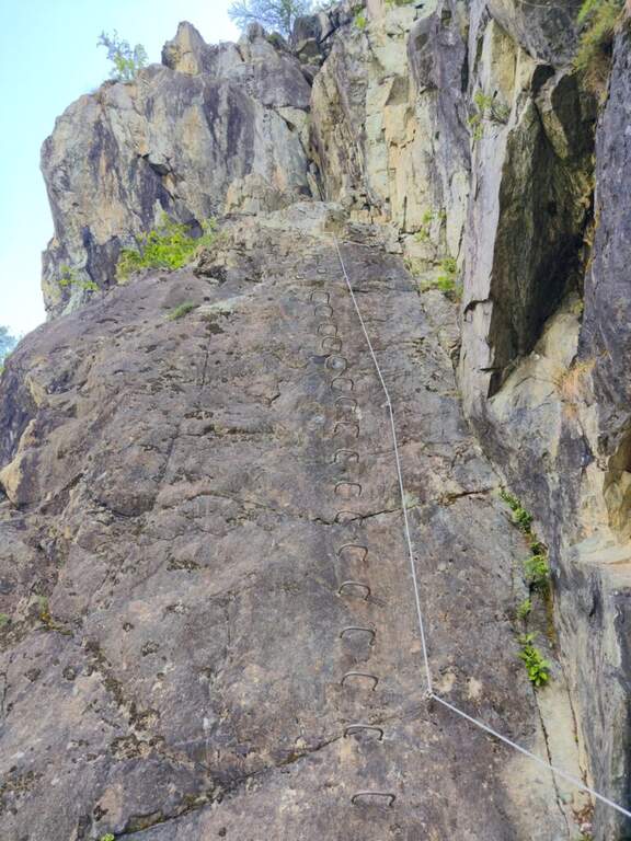
    La Ferrata Vigneron in Caspoggio (Valmalenco, Sondrio) è un via «alla Francese», athletic, vertical and exposed but without particular difficulties; techniques: it goes up long plates abundantly equipped with brackets and rope very tense, and gives a ponte tibetano and spectacular views of the valley.

    ▲Approach

    You leave at the resort "Castello" in Caspoggio (SO): you park near the roundabout on the provincial road of Valmalenco (or at the parking lot of the first bend for Caspoggio). Open road signs on Google Maps. You climb the town for about 150 m to the hairpin bend; over a large boulder a first sign indicates the path to the crag « The Castle » and a second l' attack of the ferrata, on the southern edge of the cliff ( approximately 10' from'auto).

    ▲The path

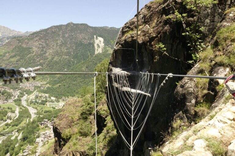
    It begins with a wall with almost vertical leaps that oblique to the left, then a wall leads to the large end of the first section. An easy crossing north leads to the second section, più long: vertical balzes and leans up to an almost vertical ramp, a short traverse and an air passage between edge and dihedron overlooking Primolo. After a resting edge you reach the più tract; vertical, the muro of Old England, overhanging for a few meters all' start (athletic and exposed pass) and then vertical. The oblique street on the left until the ponte tibetano (about 12 meters), which ends with a short vertical wall very airy and a panoramic edge on the Valmalenco Church; who wants to avoid the può bridge; bypass it on the right on the nod. It follows another long wall, at some point vertical and exposed, then the ferrata is lowered and by line of life on a well-equipped path you will arrive at the end (1h 45' from' attack, about 2h totali), overlooking the Pizzo Scalino and Caspoggio.

    ▲Character and difficulty

    Vertical and exposed with athletic difficulties but well equipped; the low altitude makes it possible almost all year round except the coldest winter months. Level difference in ferrata 210 m, total 260 m, maximum altitude 1215 m, development 3 km.

    ⚠ The road remains in shadow in the morning and takes little sun d' winter: attention to the possible ice on the path of return and prudence in the forest after the rains.
    ▲Discipline

    Dal boschetto sommitale, a sinistra (nord) un comodo sentiero porta in 10' alla frazione di Santa Elisabetta; prima delle prime villette si vira a sinistra (ovest) nel bosco verso Caspoggio, si raggiunge il centro sportivo Zenith e, per via Vanoni e via Burri, si segue verso la frazione Albertazzi fino alla strada dei parcheggi (45' dal termine, circa 3h totali).

    ▲To match

    In Valmalenco you can match the Ferrata al Torrione Porro above Clarification.

    ▲Gallery
    Technical data
    • DifficultyModerately Hard
    • RegionLombardy
    • GroupValmale
    • Approach0:10 h
    • Ferrata2:00 h
    • Itinerary (a/r)3:00 h
    • Hardware level difference210 m
    • Route difference260 m
    • Max1215 m
    • Length3 Km
Need help? Write to us!