Regione: Lombardia

  • Sentiero Attrezzato Sasse – Lake Idro

    Sentiero Attrezzato Sasse – Lake Idro

    Vie Ferrate › Lombardy › BS
    Sentiero Attrezzato Sasse – Lake Idro

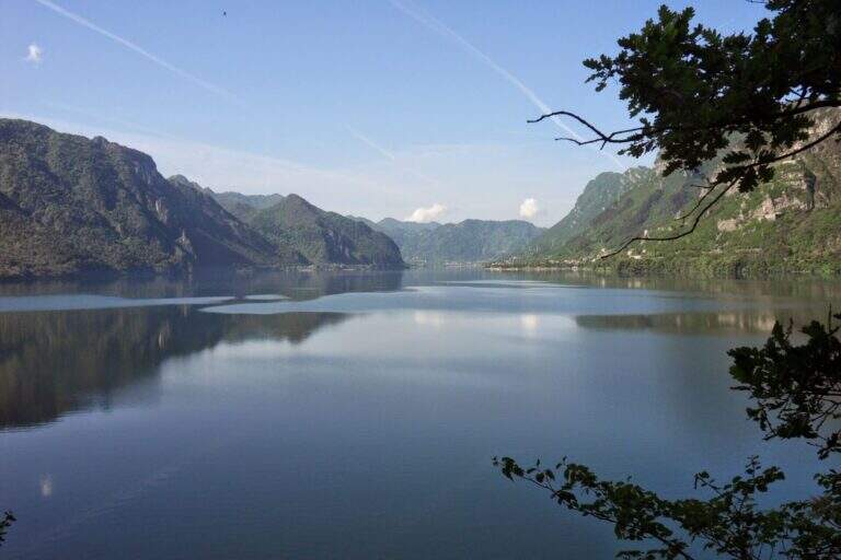
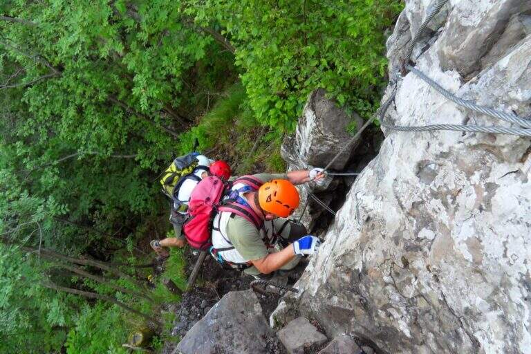
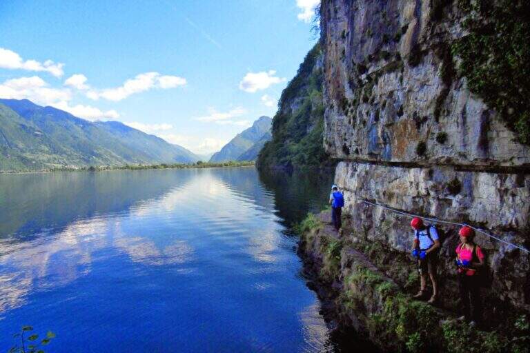
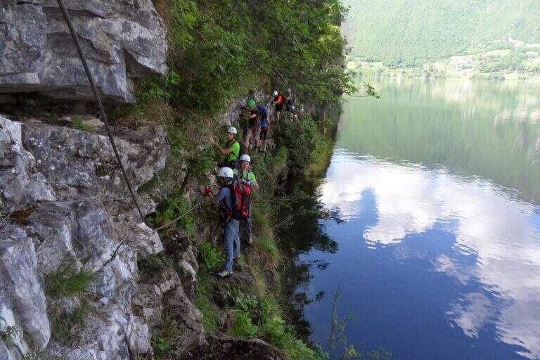
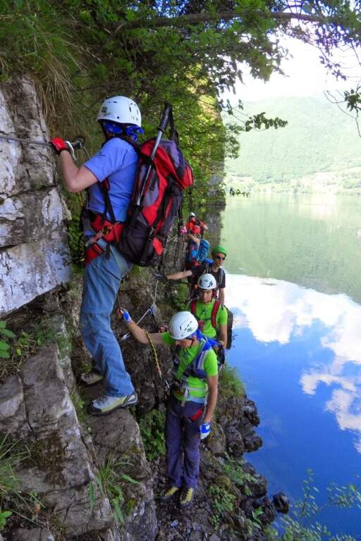
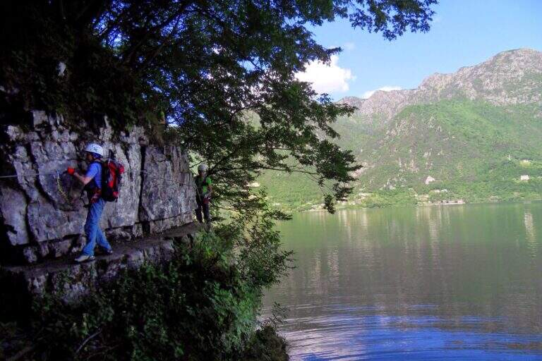
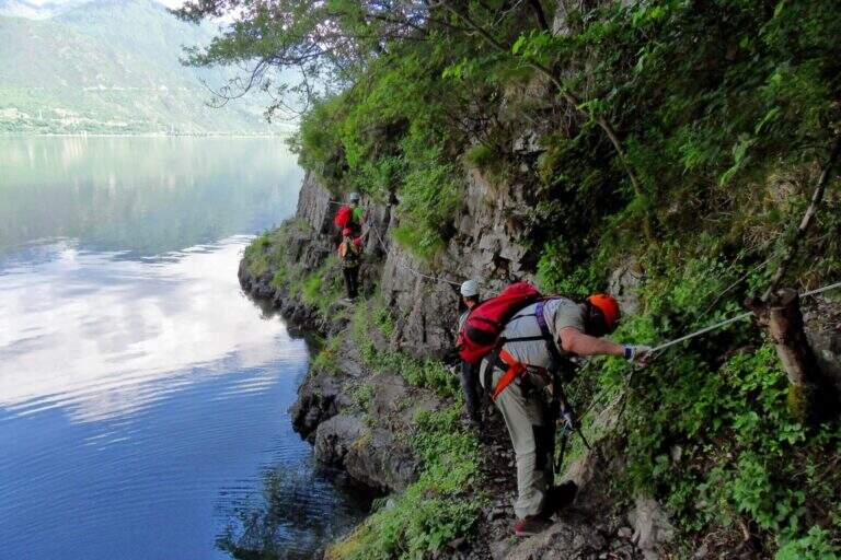
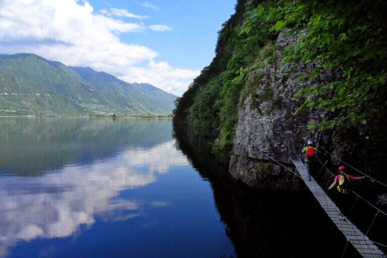
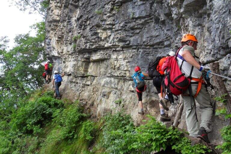
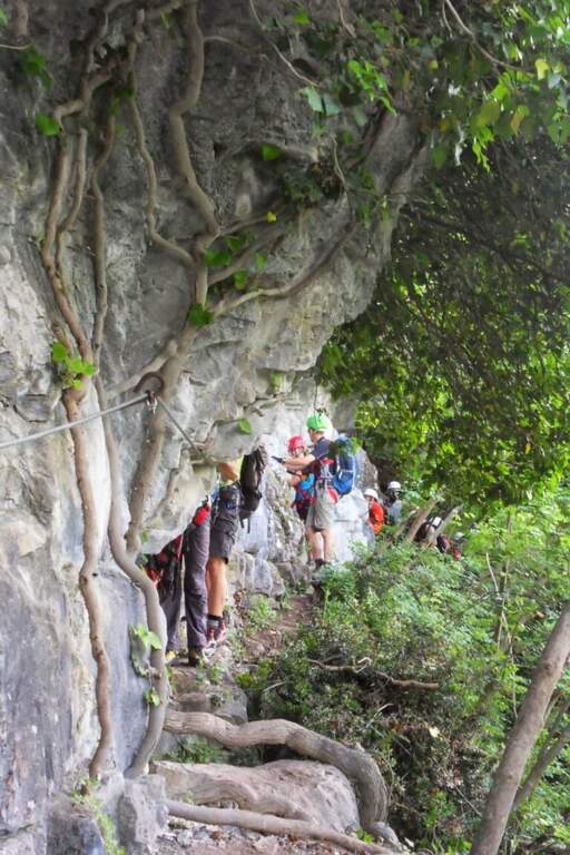
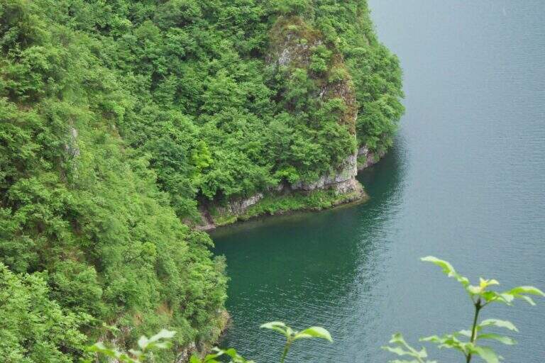
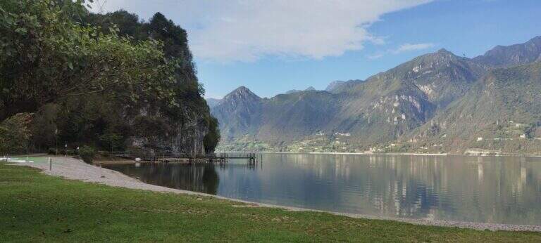
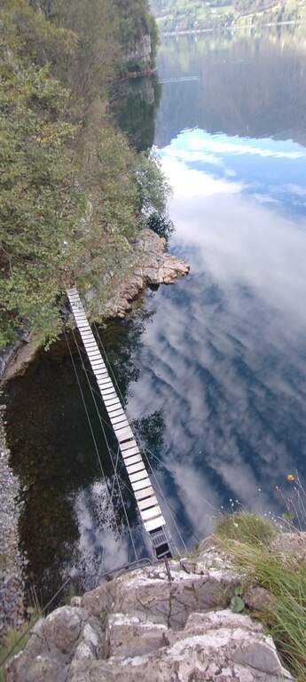
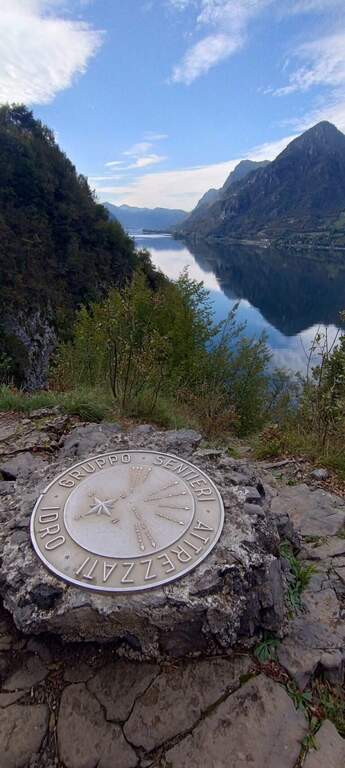
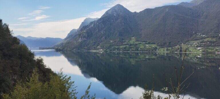
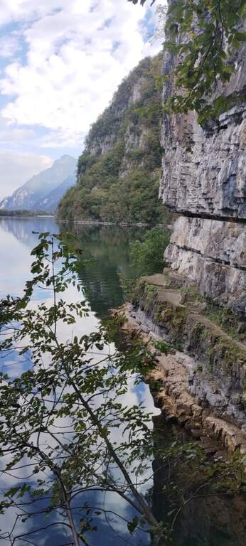
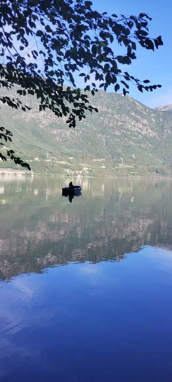
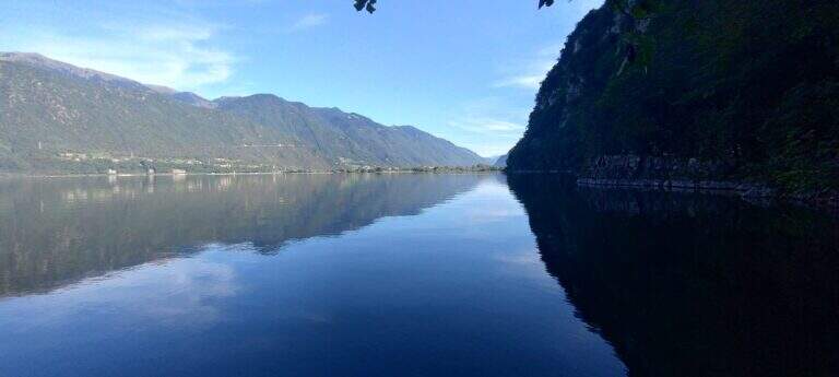
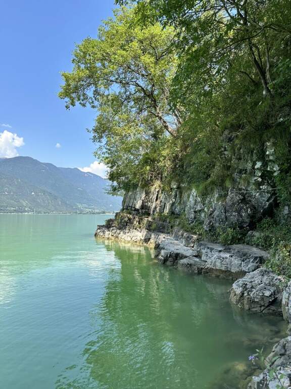
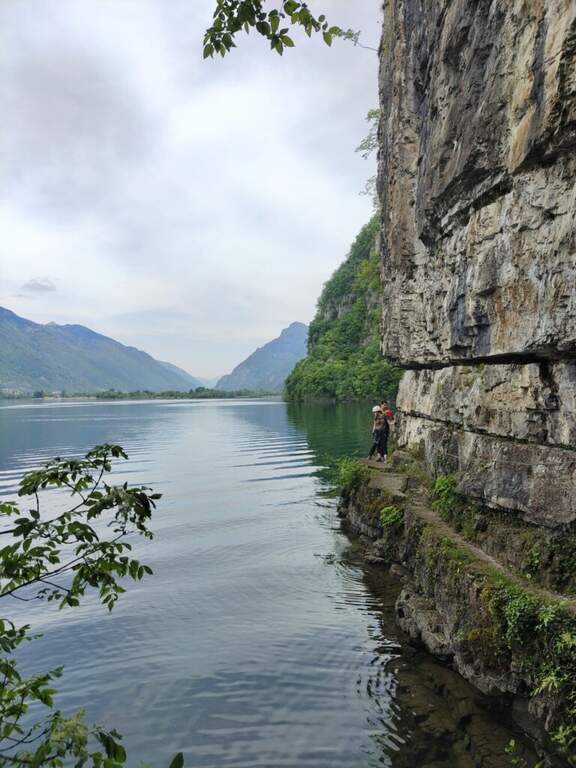
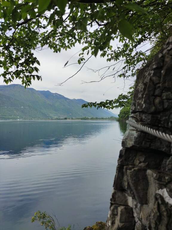
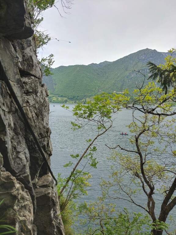
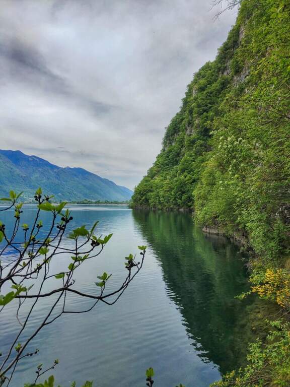
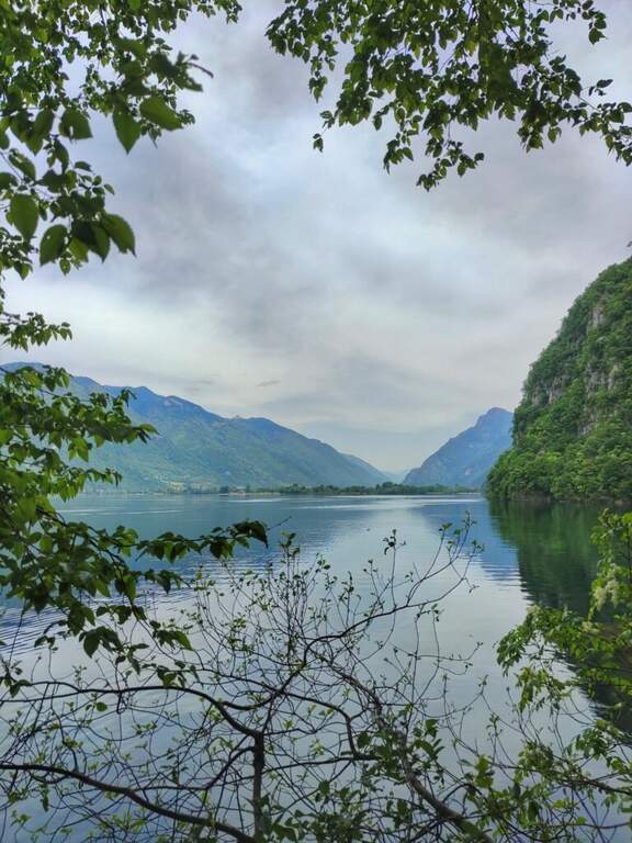
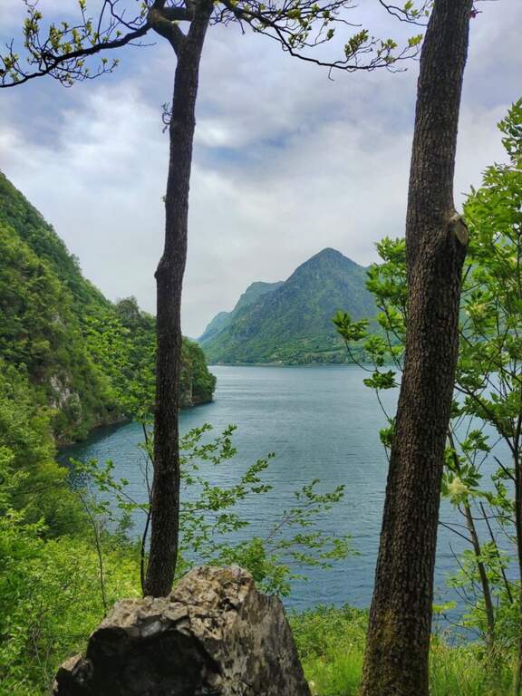
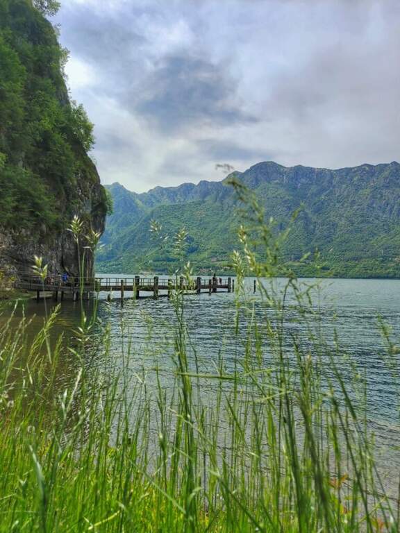
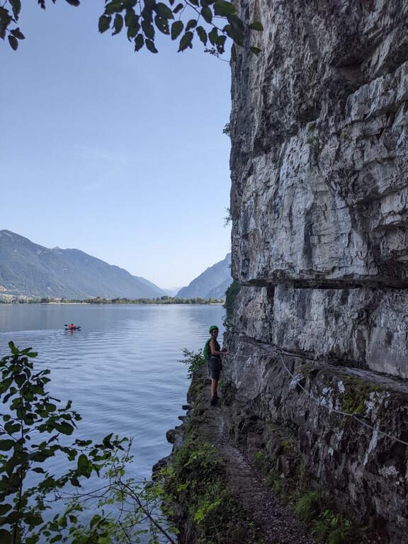
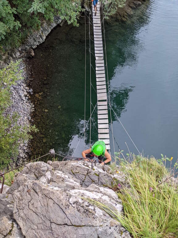
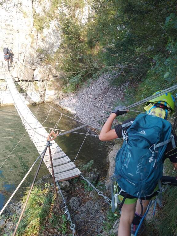
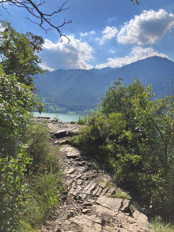
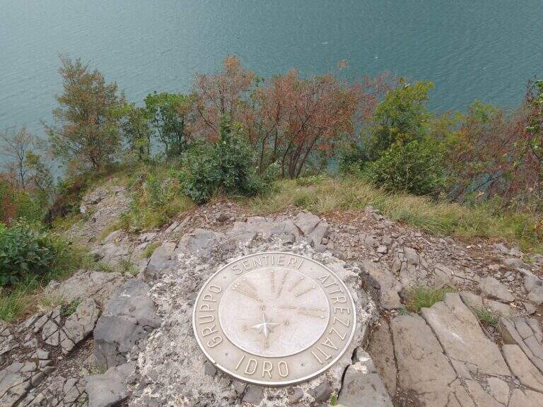
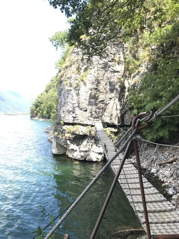
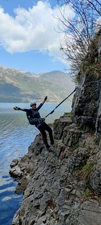
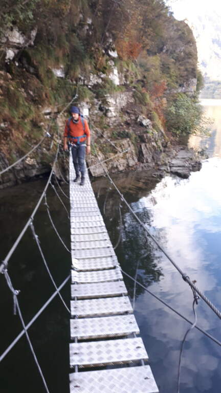
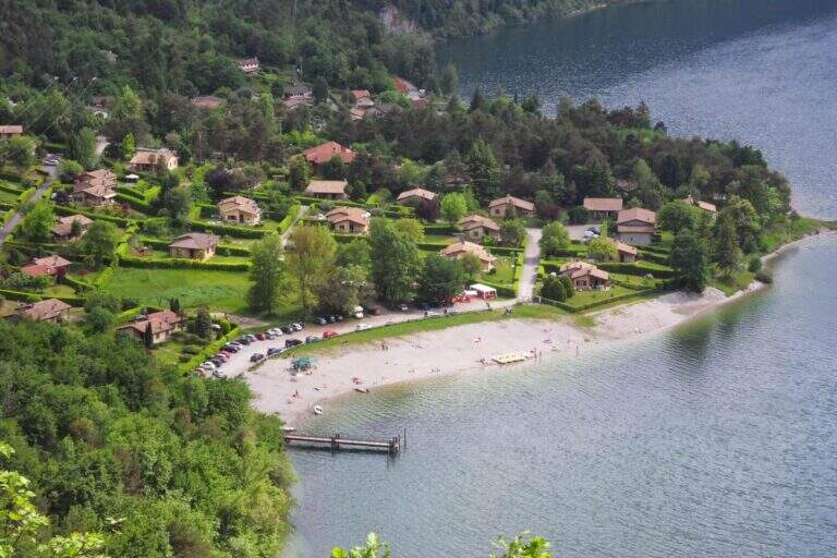
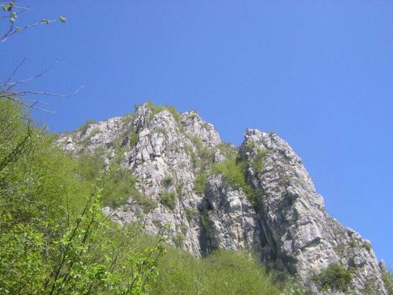
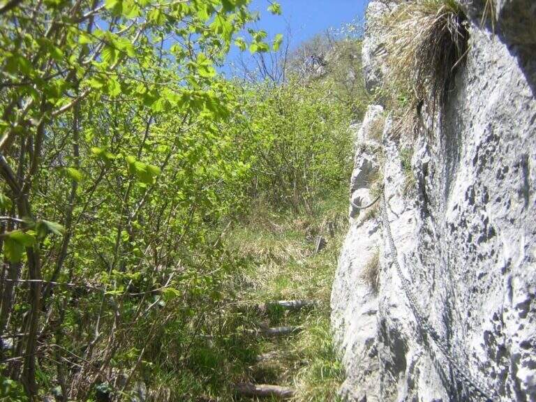
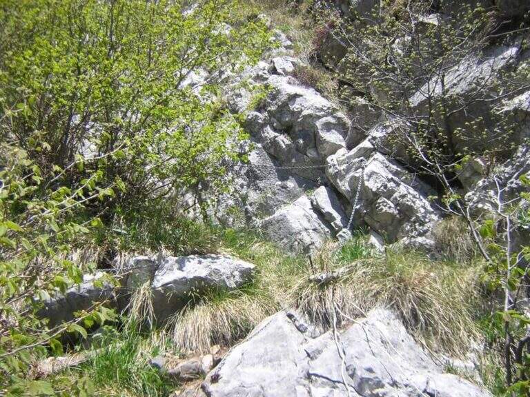
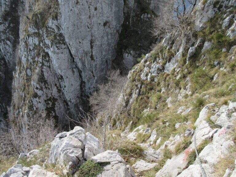
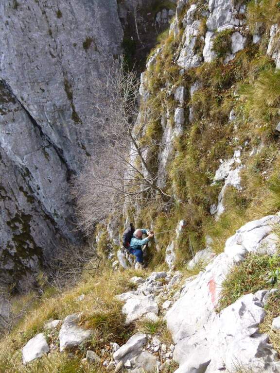
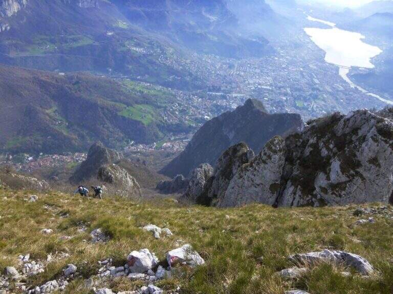
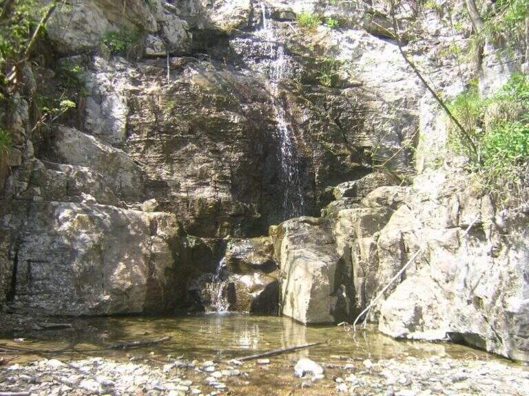
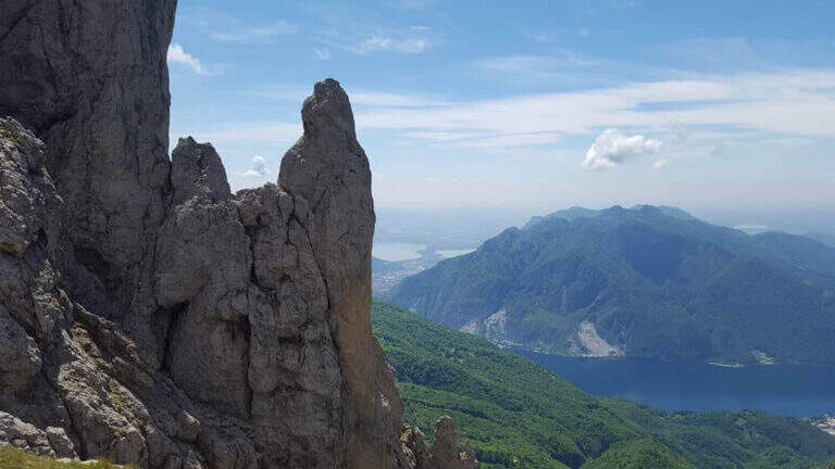
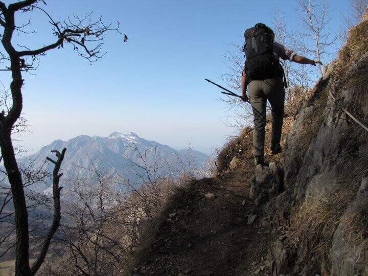
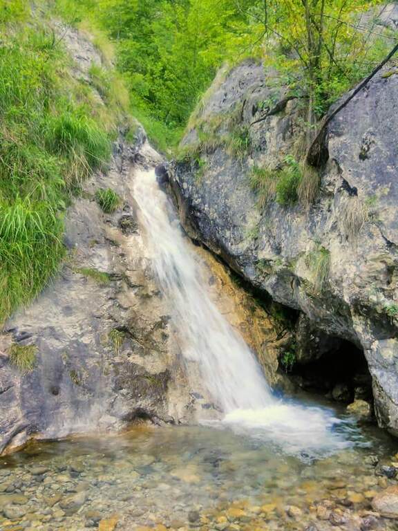
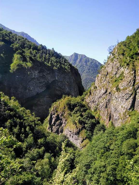
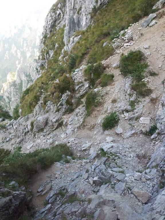
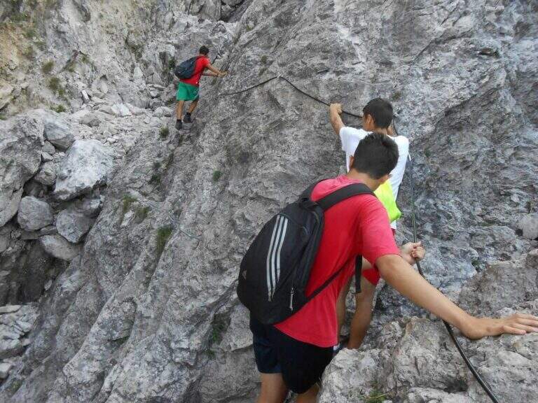
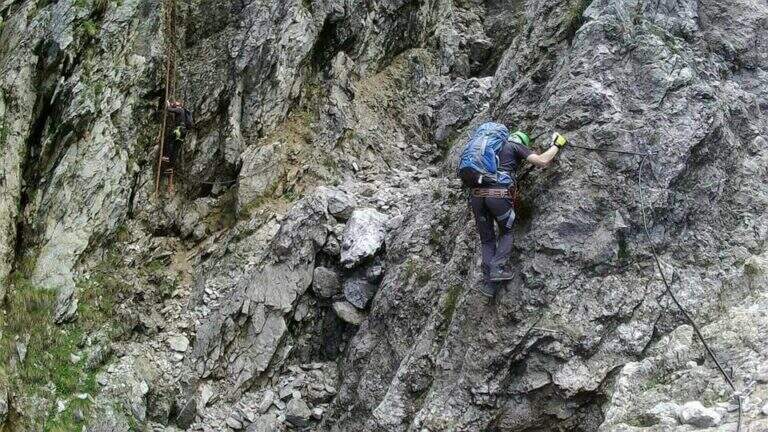
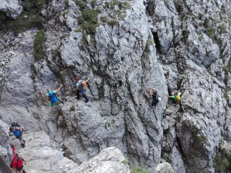
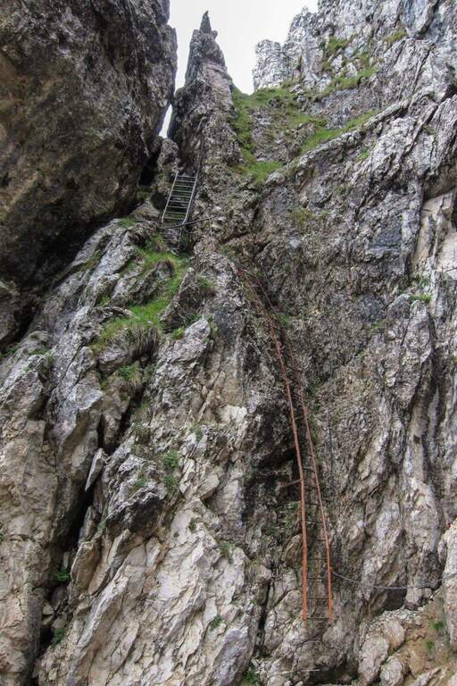
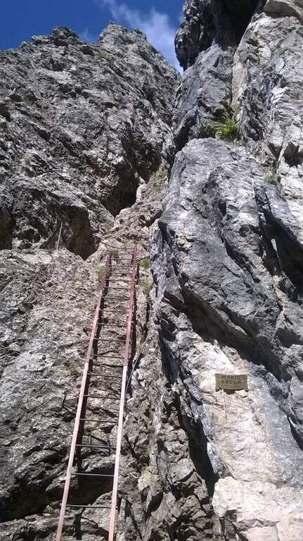
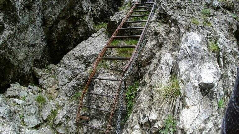
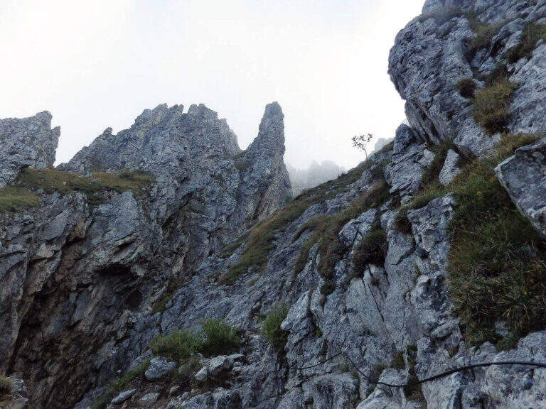
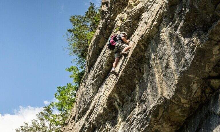
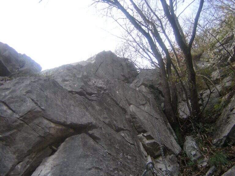
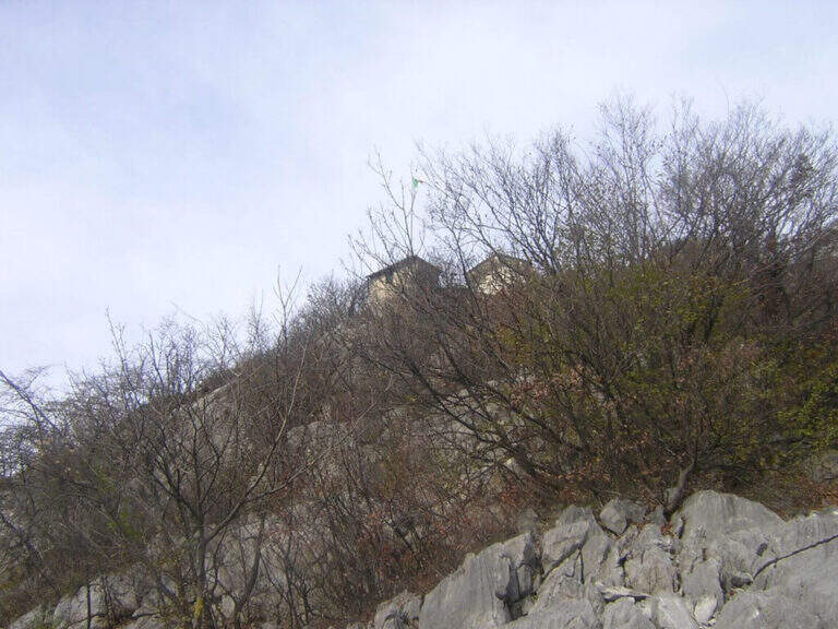
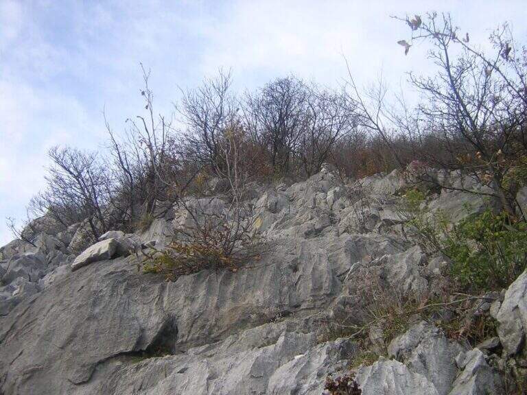
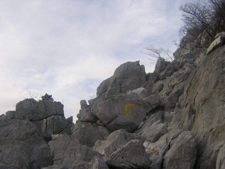
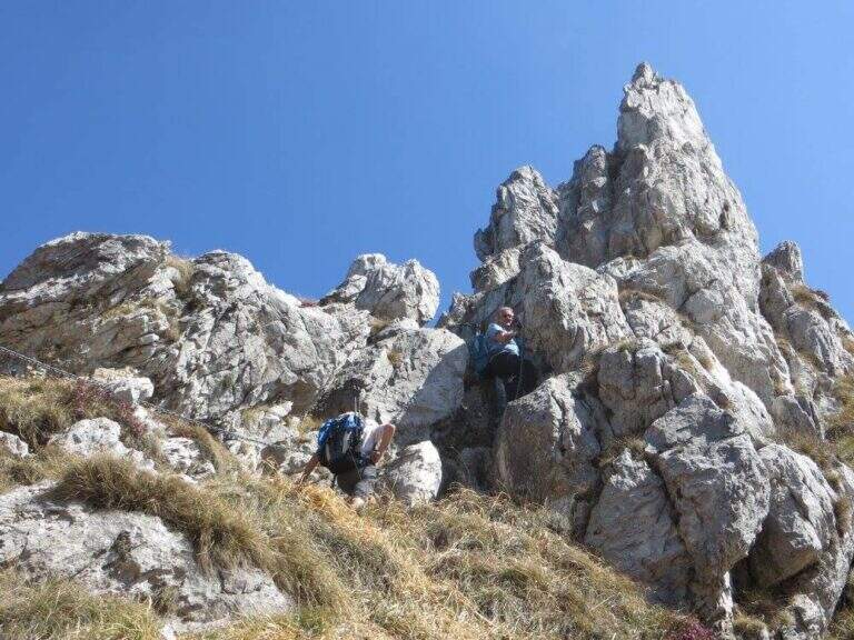
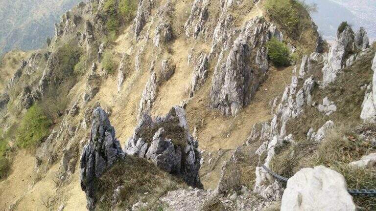
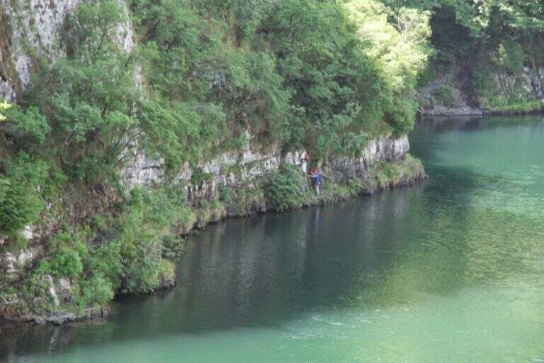
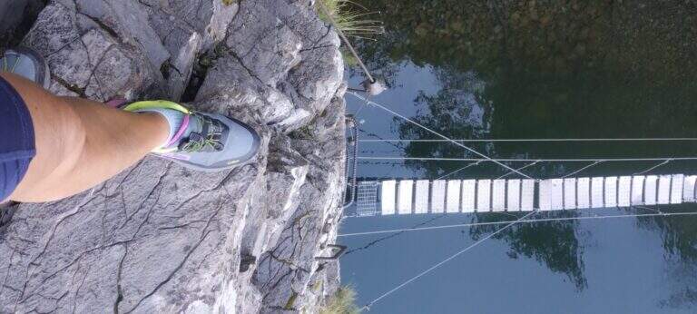
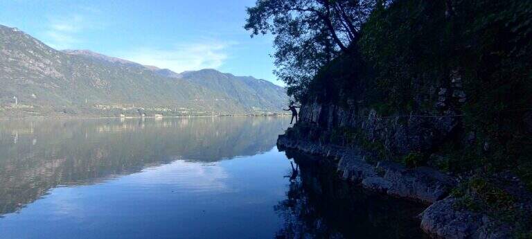
    Spectacular itinerary on the eastern side of Lake Idro between the villages of Vesta and Baitoni (Brescia). Water-haired Cenge, a suspended bridge with wooden axles and some rocky balconies make up one of the most panoramic equipped paths of Lake Idro, accessible in both directions.

    ▲Approach

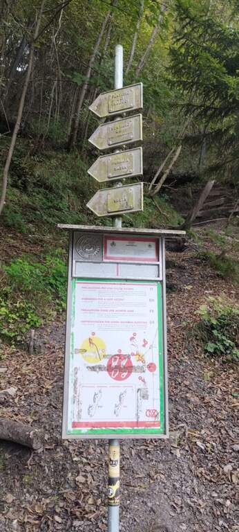
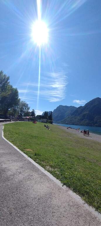
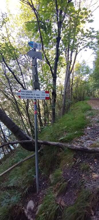
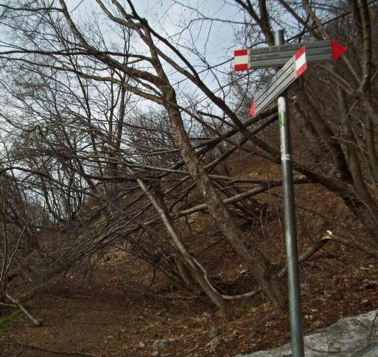
    The starting point is La Busetta beach in Vesta, on the eastern shore of Lake Idro (BS). You cross the village to the point where the road bends towards the lake: in the deck you park and you notice the metal pole with directions for the paths. From the parking lot follow the path to the north passing near the rock gym Corna di Fenere. At the crossroads continue straight to the Dosso della Madonnina (20' from the parking lot), where the path starts.

    ▲The path

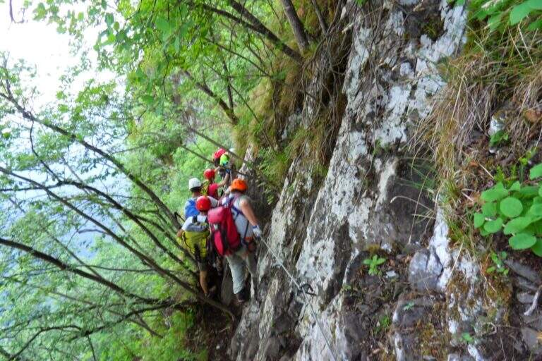
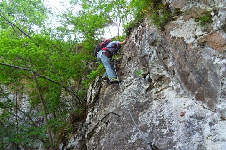
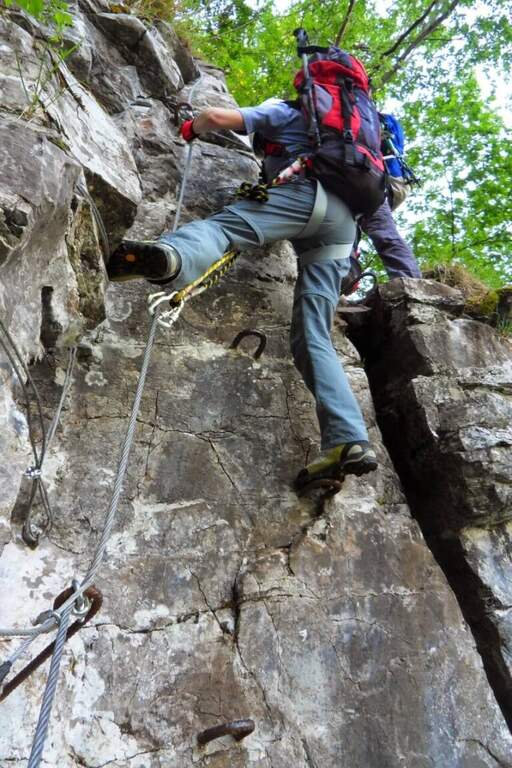
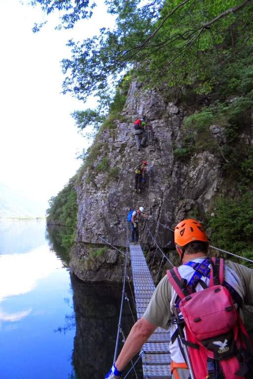
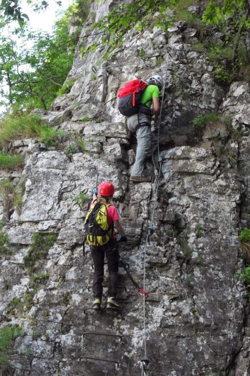
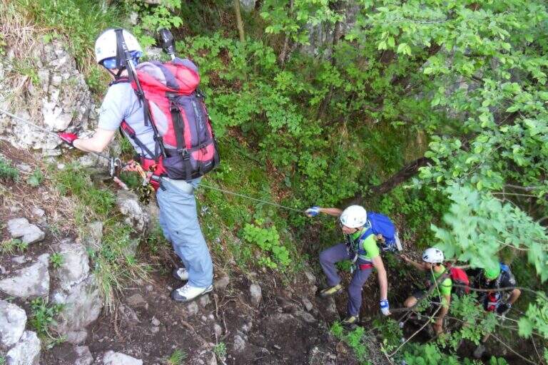
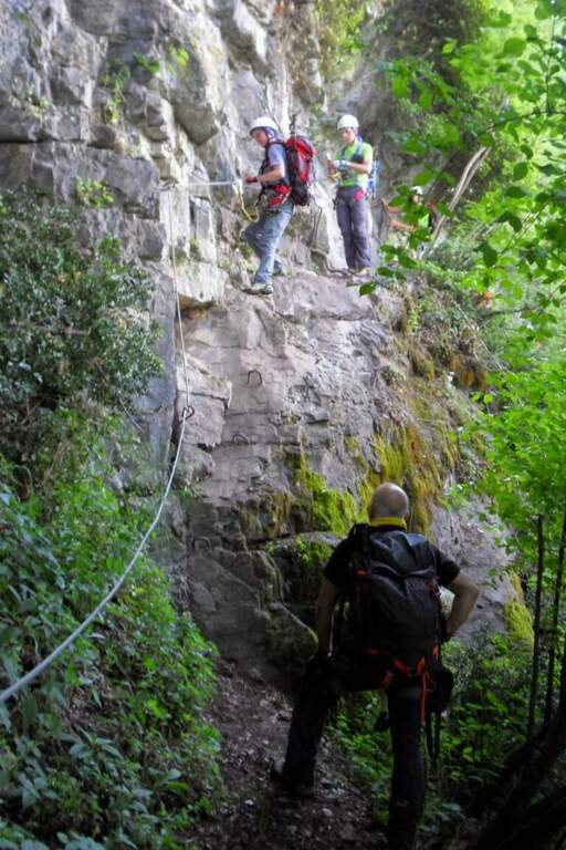
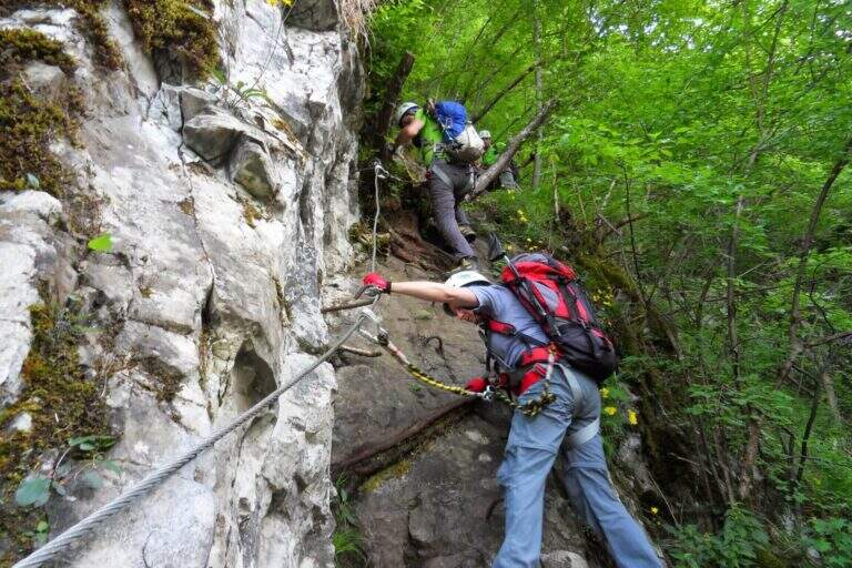
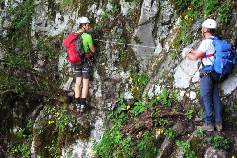
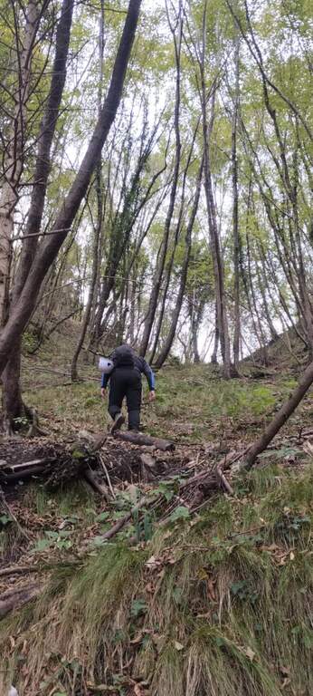
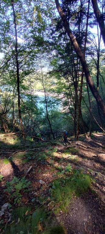
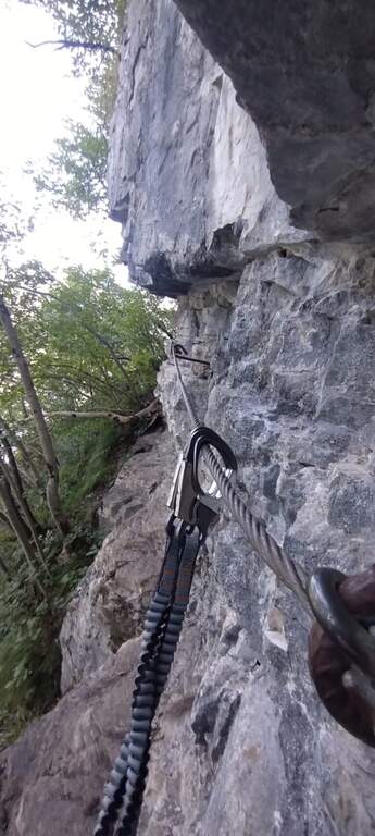
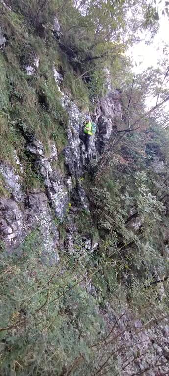
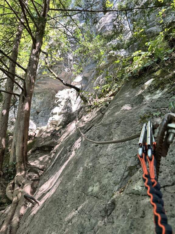
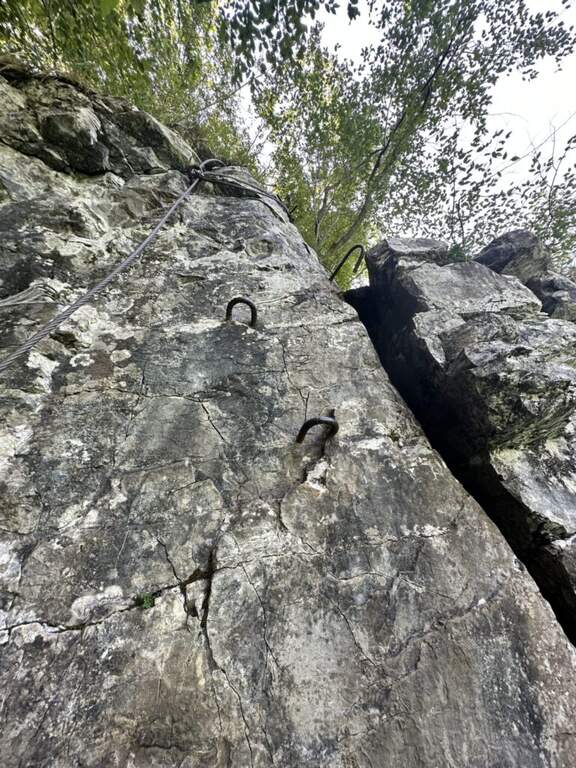
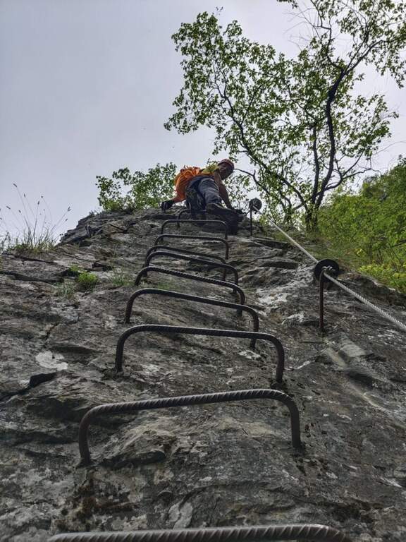
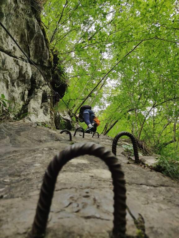
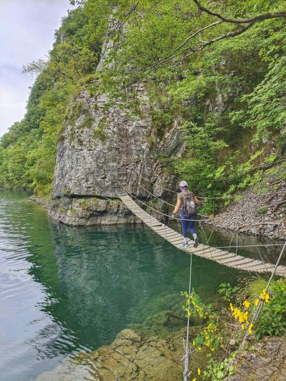
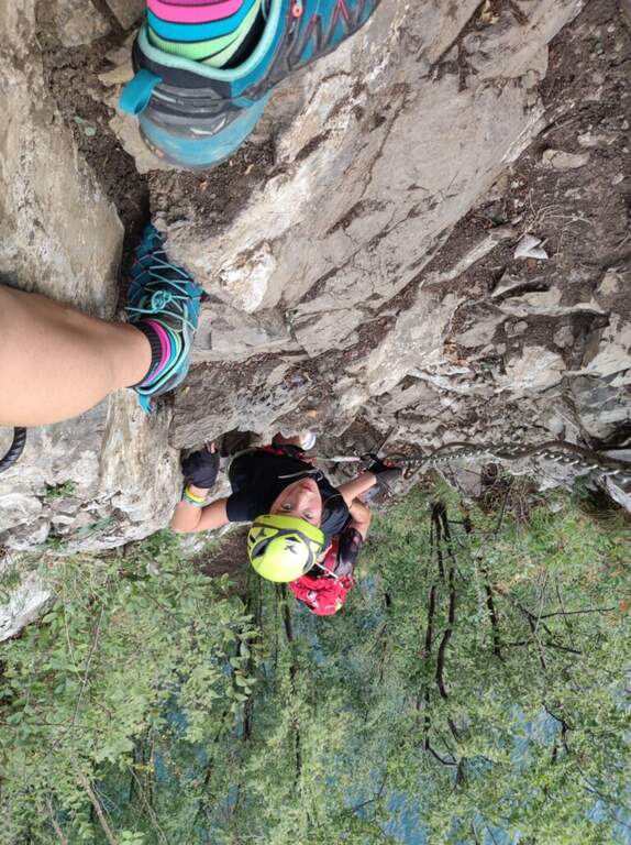
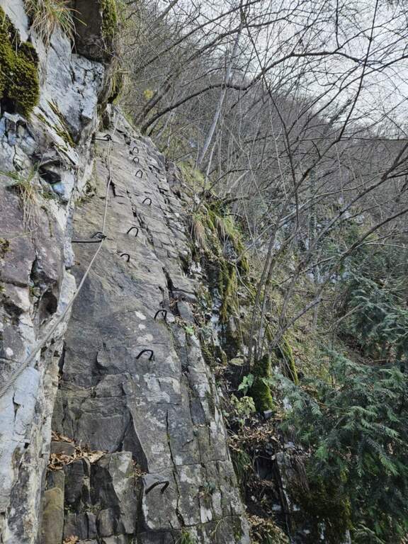
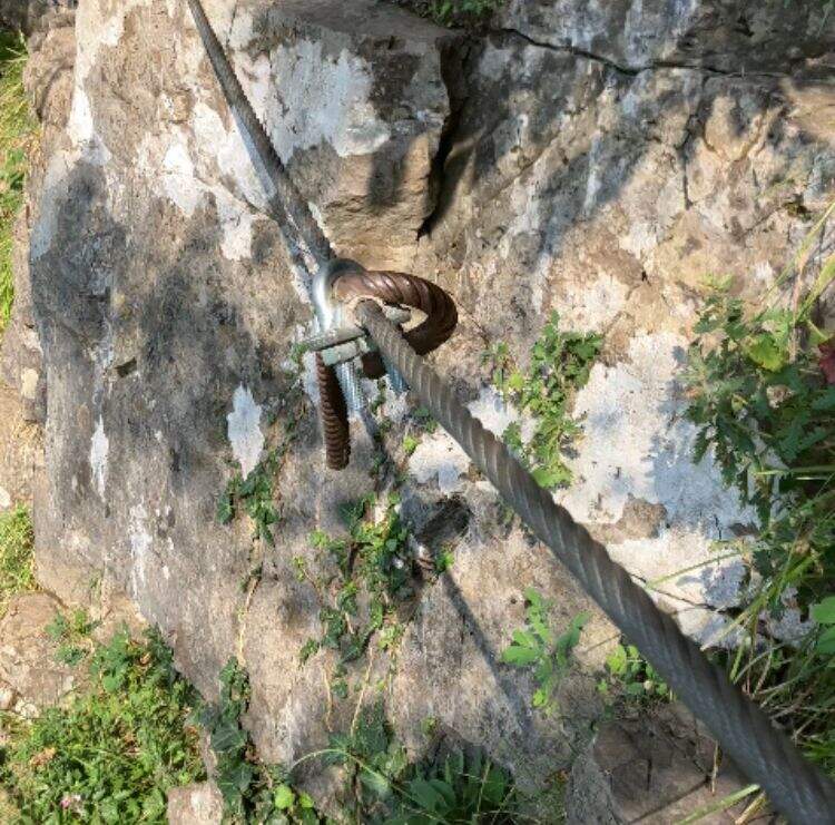
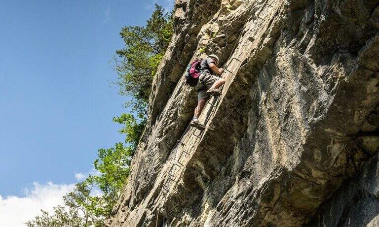
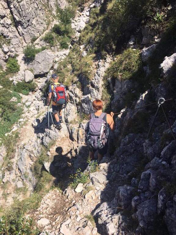
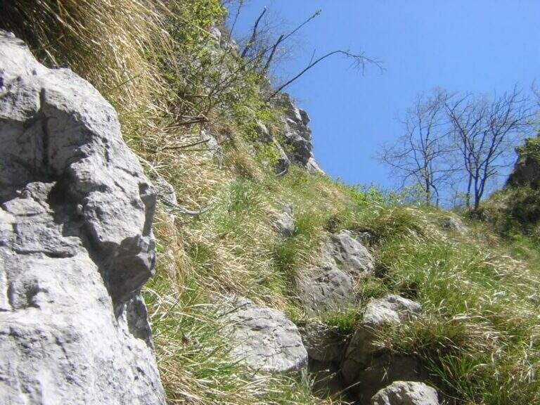
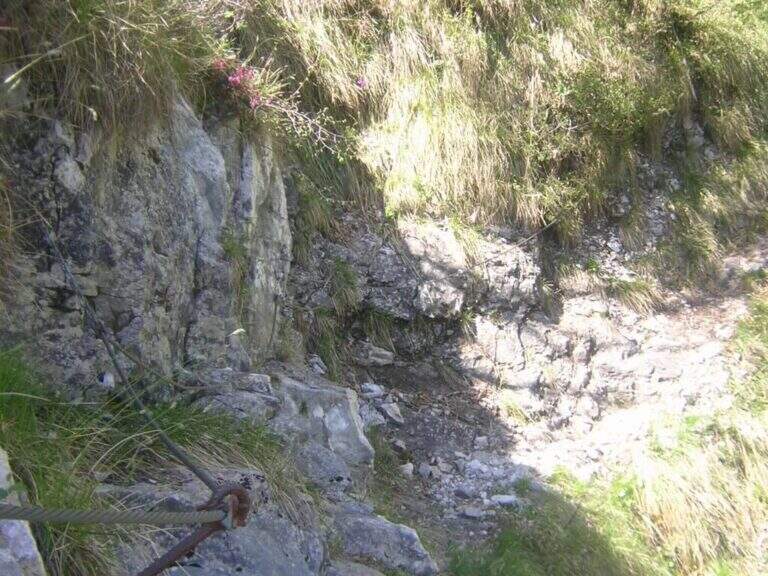
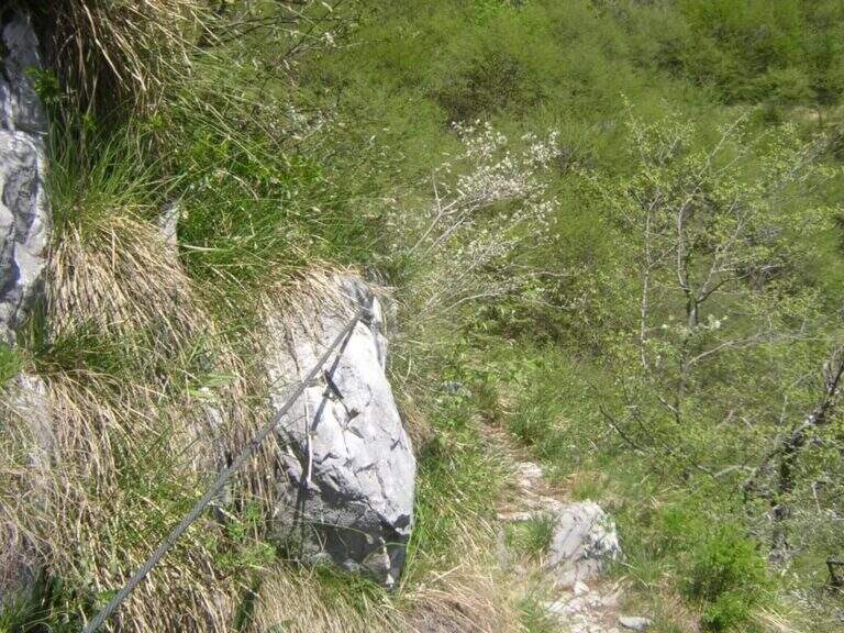
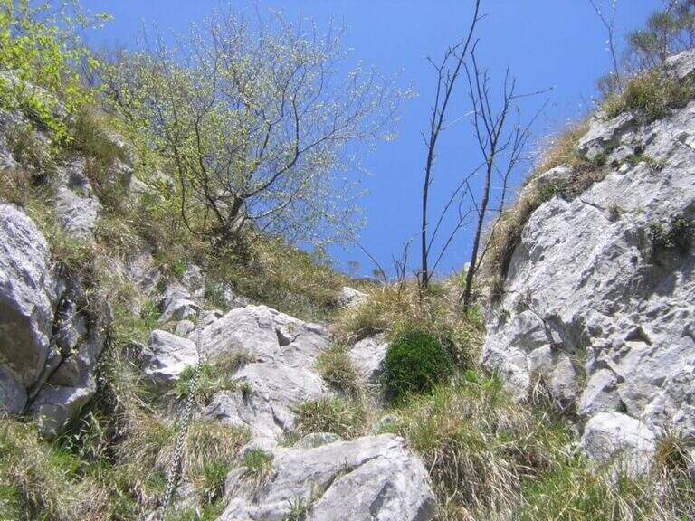
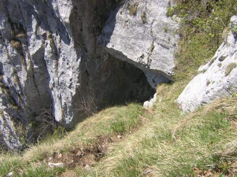
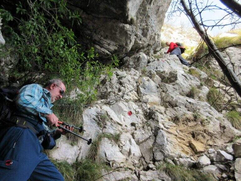
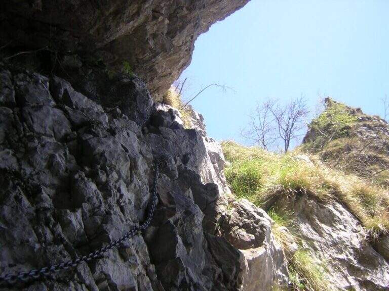
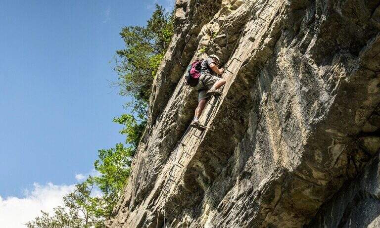
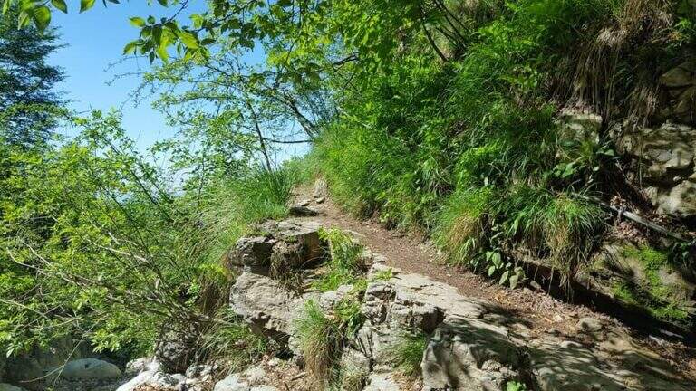
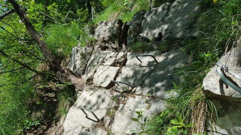
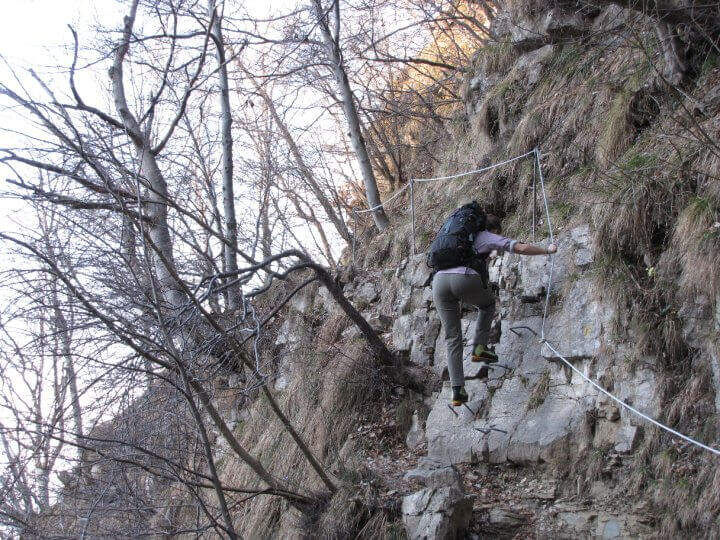
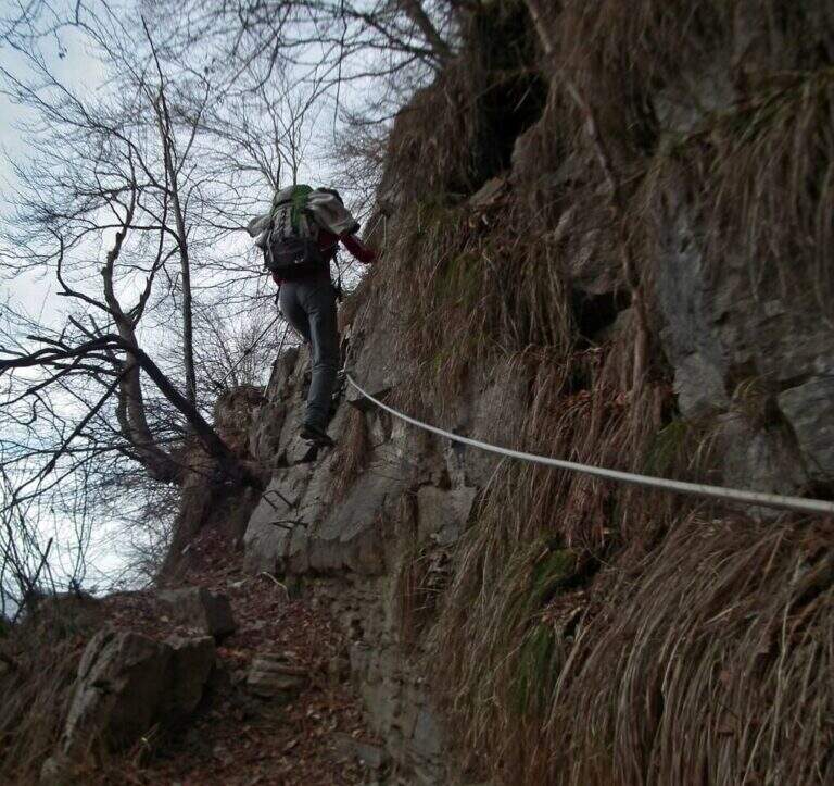
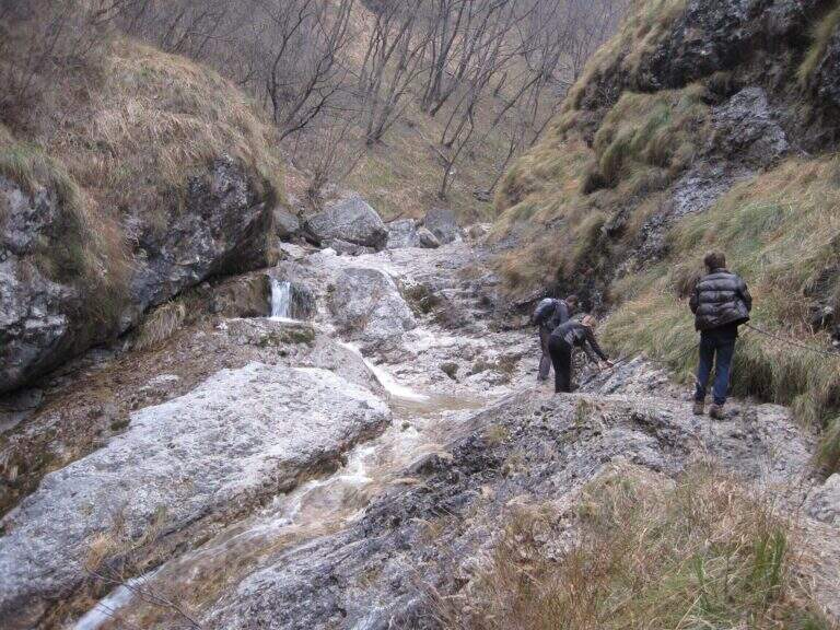
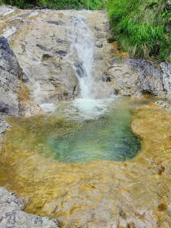
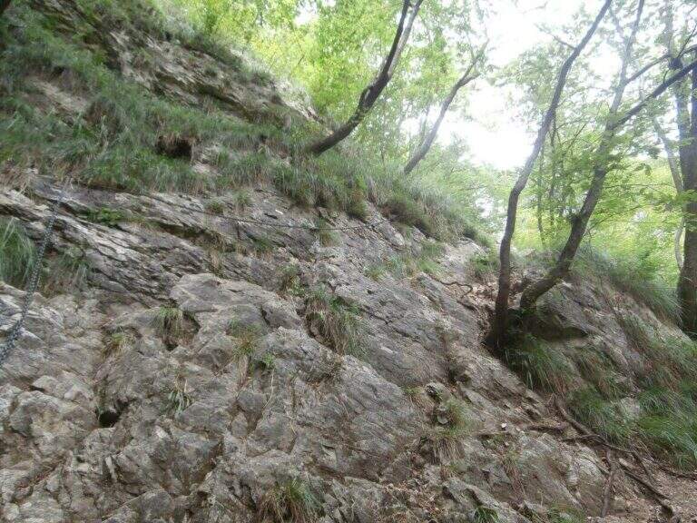
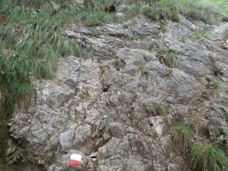
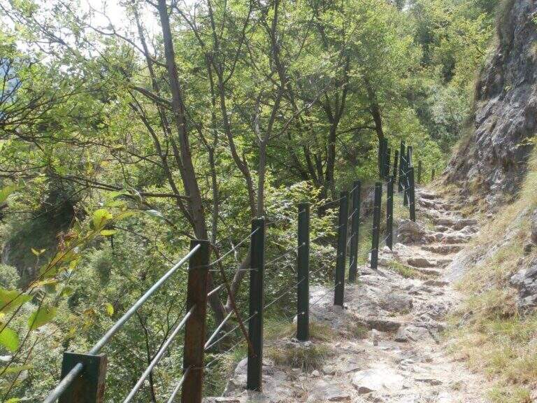
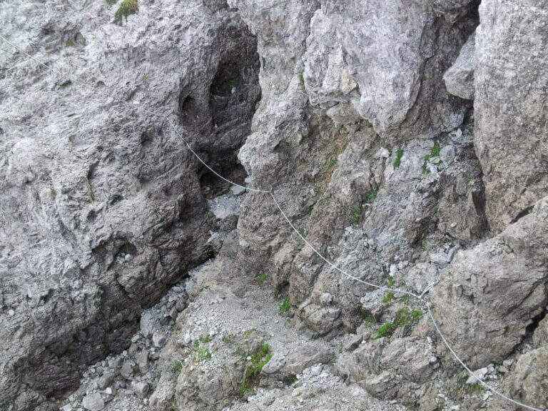
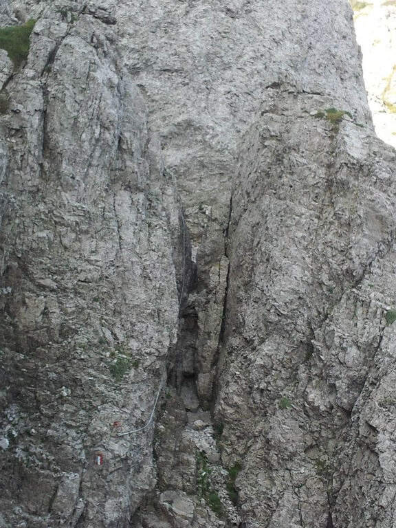
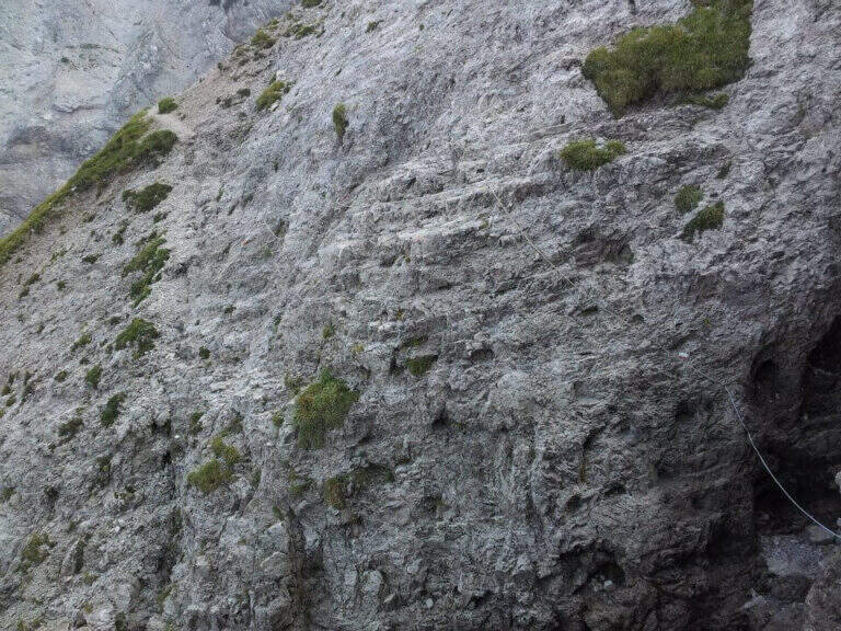
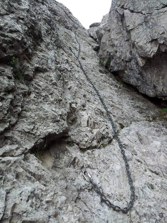
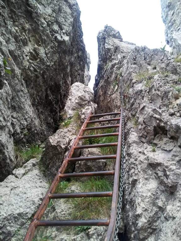
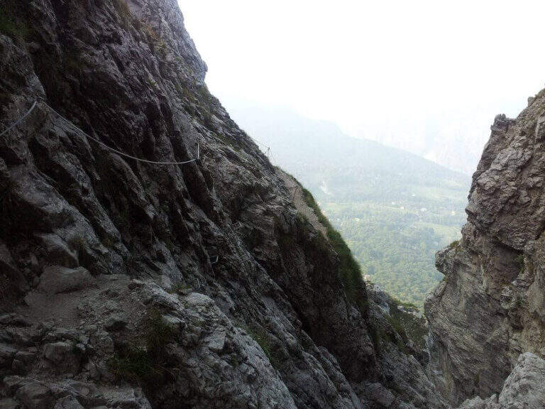
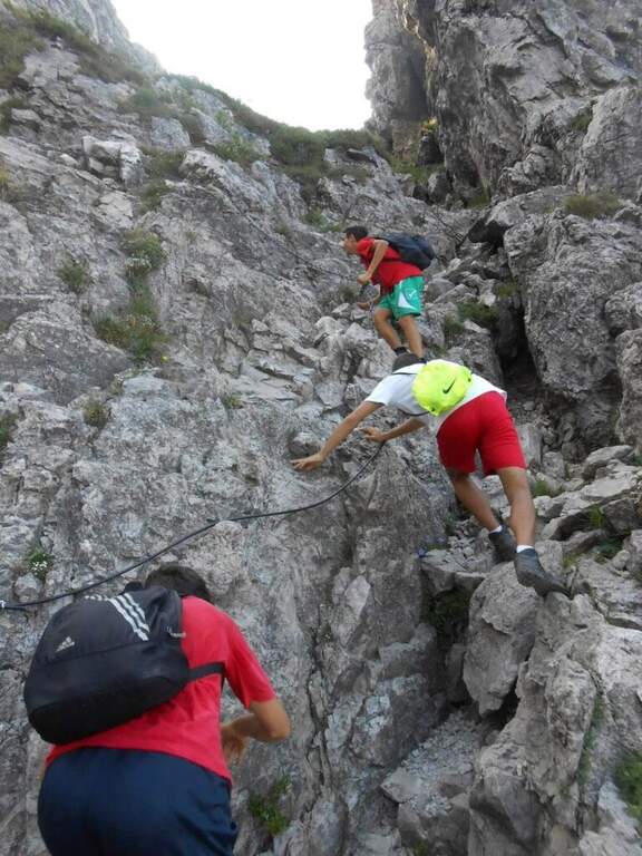
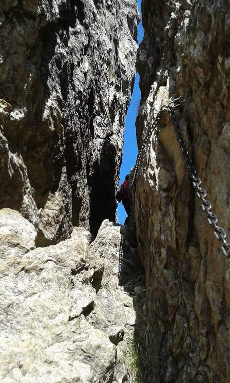
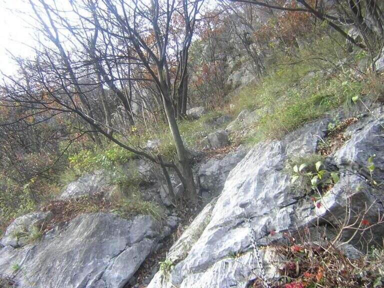
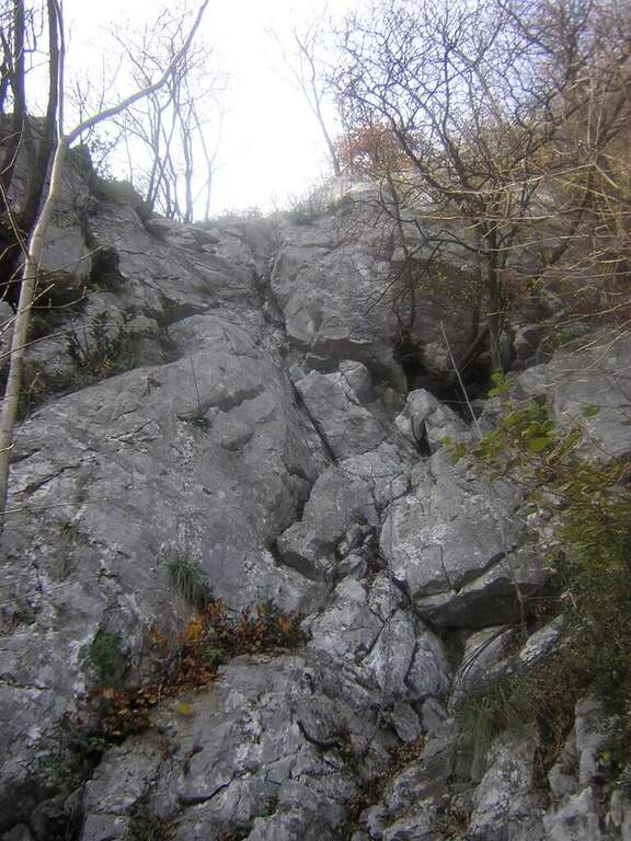
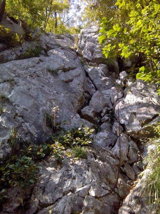
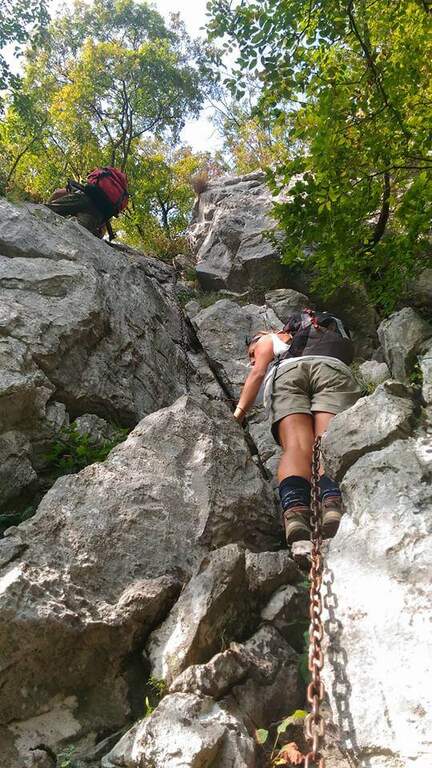
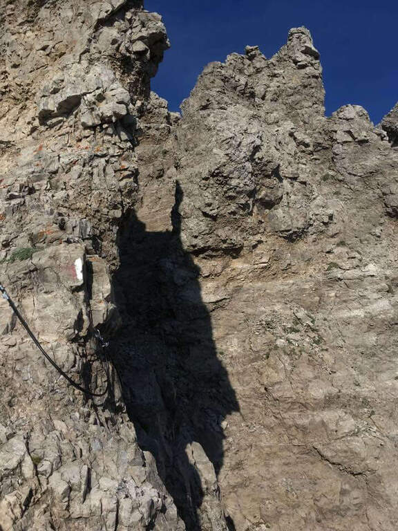
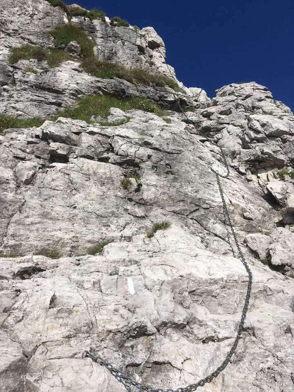
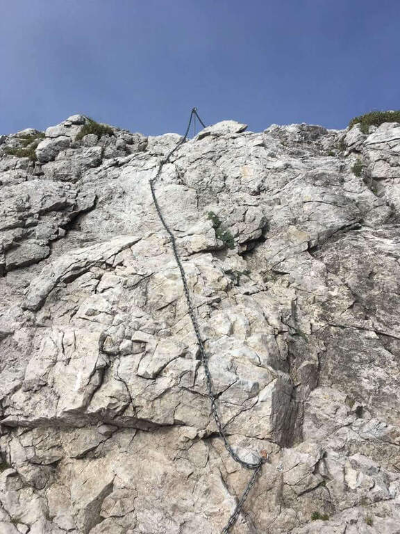
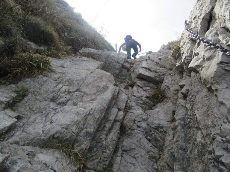
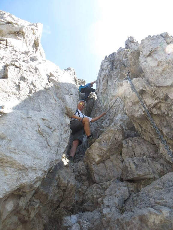
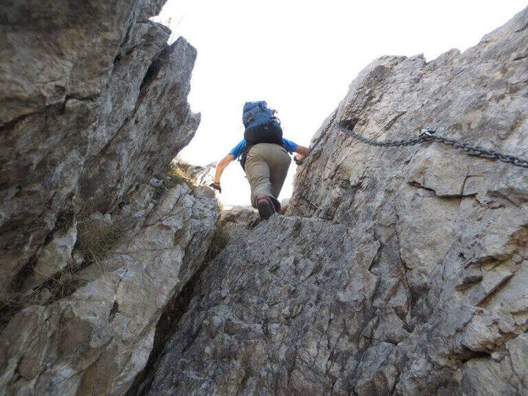
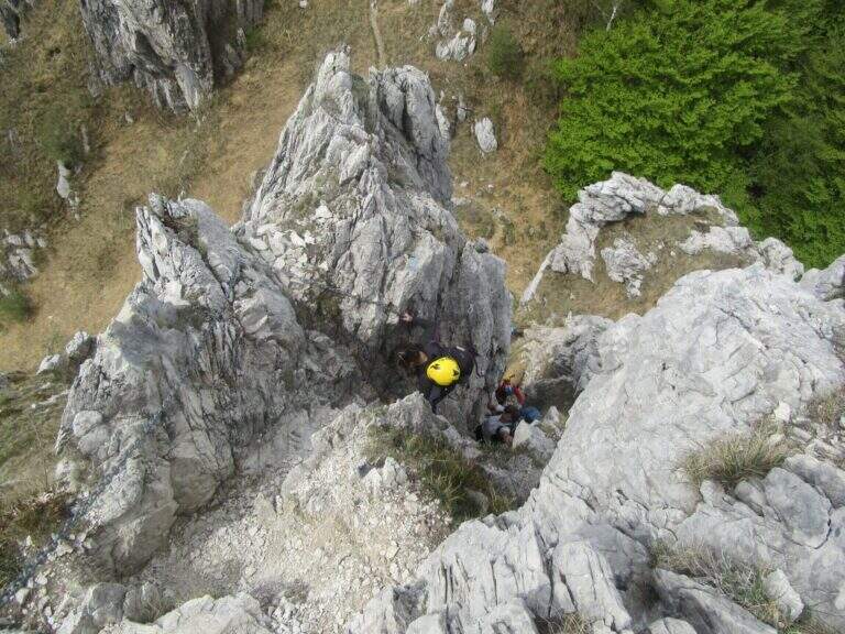
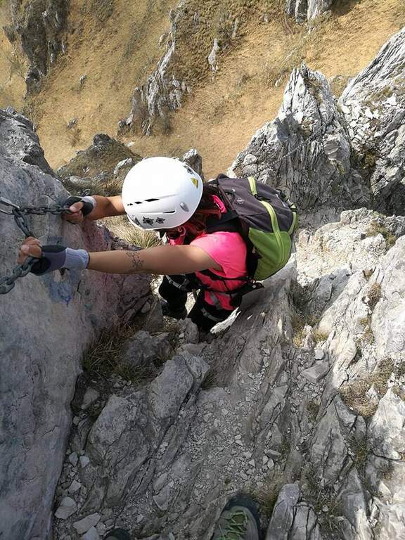
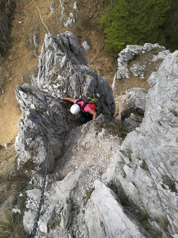
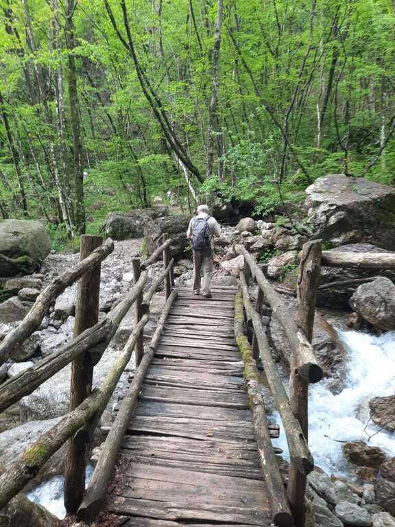
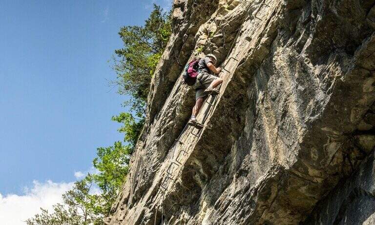
    The first section of the Sasse Path descends towards the lake with a hand-rail cable on the right, then an exposed nod leads to a vertical wall with brackets optimally positioned for the descent. You enter the most suggestive section: a long nod with some rocky leap and a non-hard traverse travelled by water. You reach the suspended bridge, stable with wooden boards, which also represents the first escape route (50' total). After the bridge you go up an easy vertical wall with metal frames and continue on salt-and-scends carefully to two descents equipped with a cross with dry rock. A passage on logs through a fragrant canal closes the stretch equipped to the white sign of Baitoni (1h50' total).

    ▲Character and difficulty

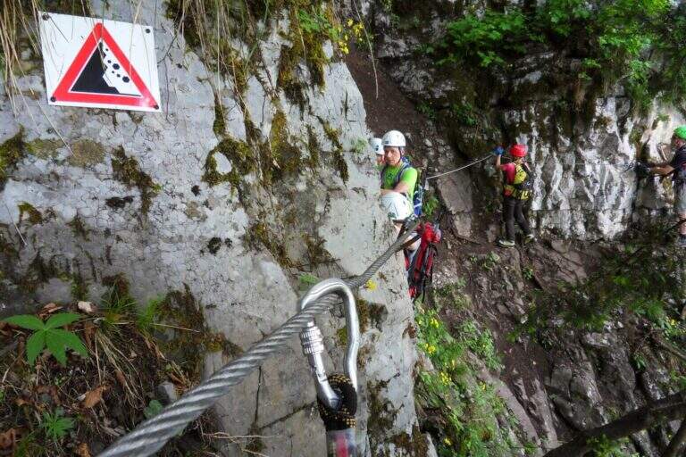
    Easy. The suspended bridge is solid and well equipped. Attention to the two descents equipped with slippery soil.

    ⚠ The equipped descents require attention with wet soil. The final franous canal is unstable.

    ▲Period and safety

    April - October. Avoid with rain for the slippery bottom on the cenges. The route is well marked in both directions.

    ▲Discipline

    From the end of the equipped path, continue north on the path to the swamp of the Path of the Contrabbandieri (or Sentiero dei Tralicci), which returns to Vesta at a higher altitude, reconnecting to the junction and then to the parking lot.

    ▲To match

    In the surroundings of Lake Idro there is the Ferrata delle Ginestre, la Ferrata Fregio e la Sentiero Attrezzato alle Cascate di Idro.
    ▲Gallery
    Technical data
    • DifficultyEasy
    • RegionLombardy
    • GroupMonte Calva / Lake Idro
    • Approach0:20 h
    • Ferrata1:30 h
    • Itinerary (a/r)3:00 h
    • Hardware level difference100 m
    • Route difference370 m
    • Max515 m
    • Length7,2 Km
  • Sentiero Attrezzato dei Morti – Rifugio Rosalba

    Sentiero Attrezzato dei Morti – Rifugio Rosalba

    Vie Ferrate › Lombardy › LC
    Sentiero Attrezzato dei Morti – Rifugio Rosalba

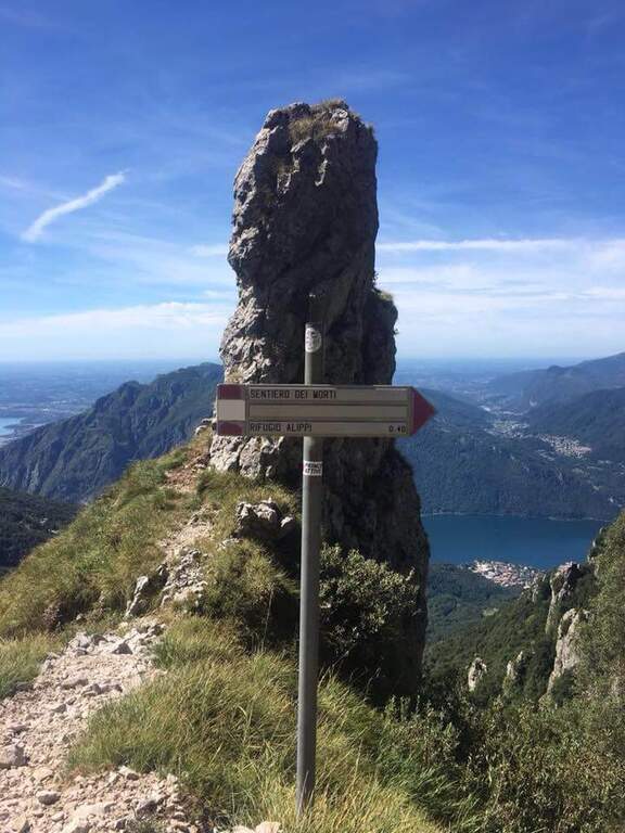
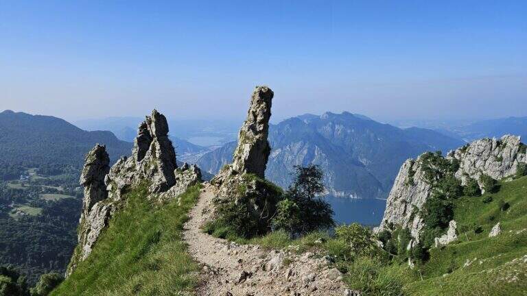
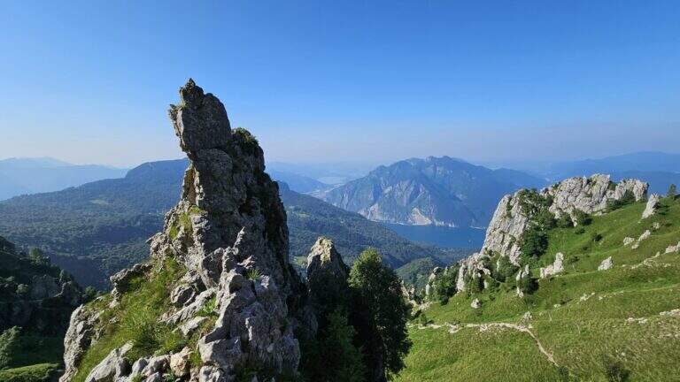
    Itinerary short but of character along the side of the South Grigna, with a single stretch equipped on sloped and fragrant soil that leads to the Rosalba Refuge. The evocative name, the unstable terrain and the panorama on the crests of the Grigna make this path all but trivial despite the modest length.

    ▲Approach

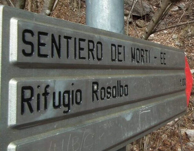
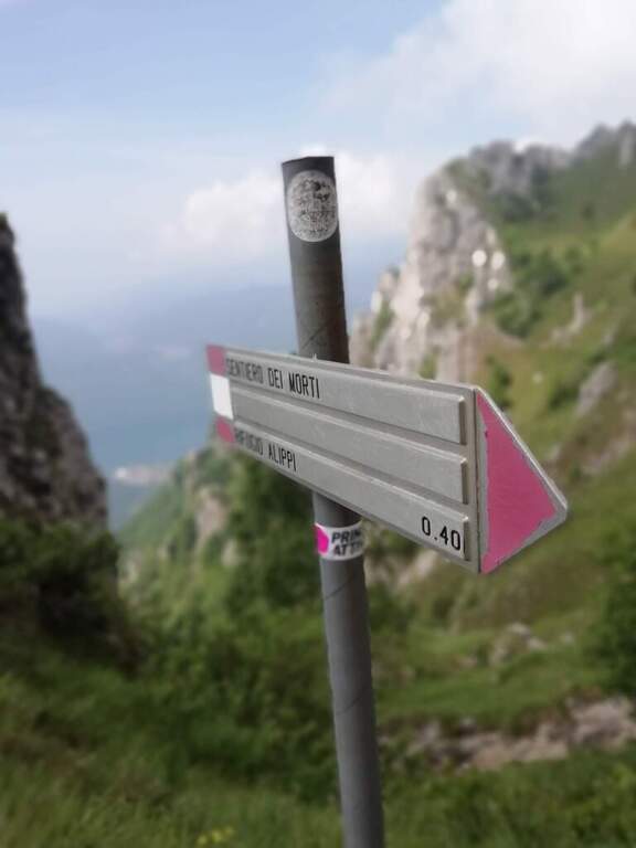
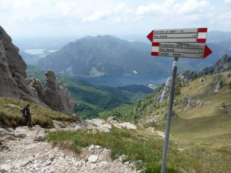
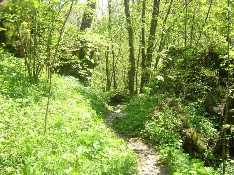
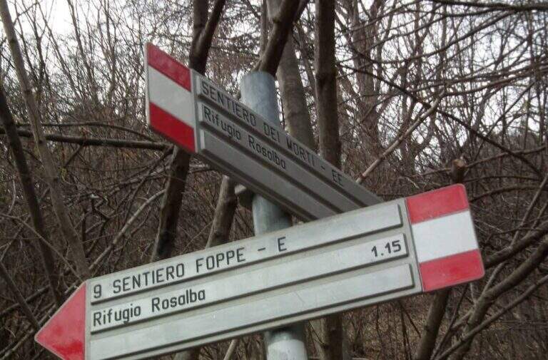
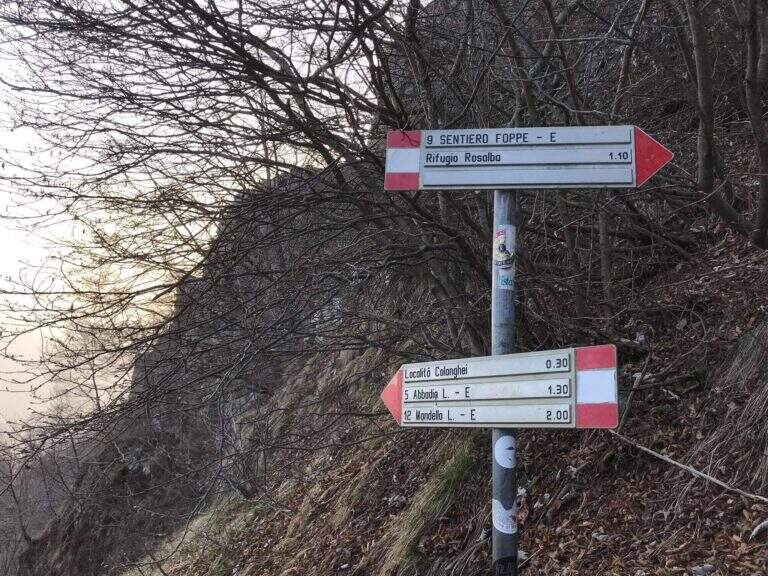
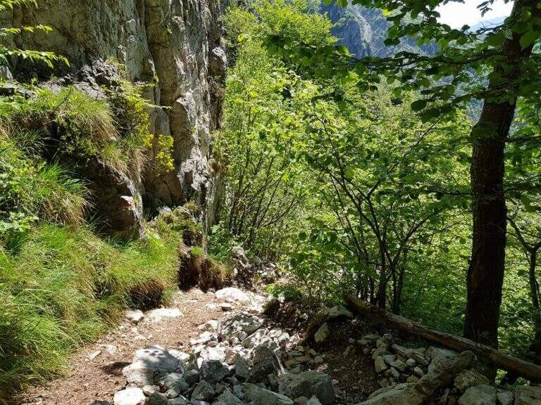
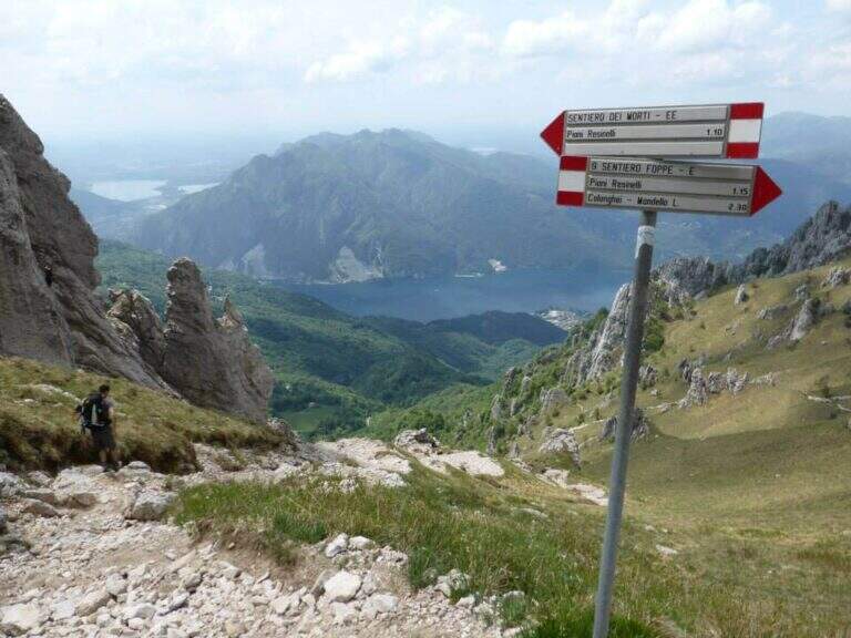
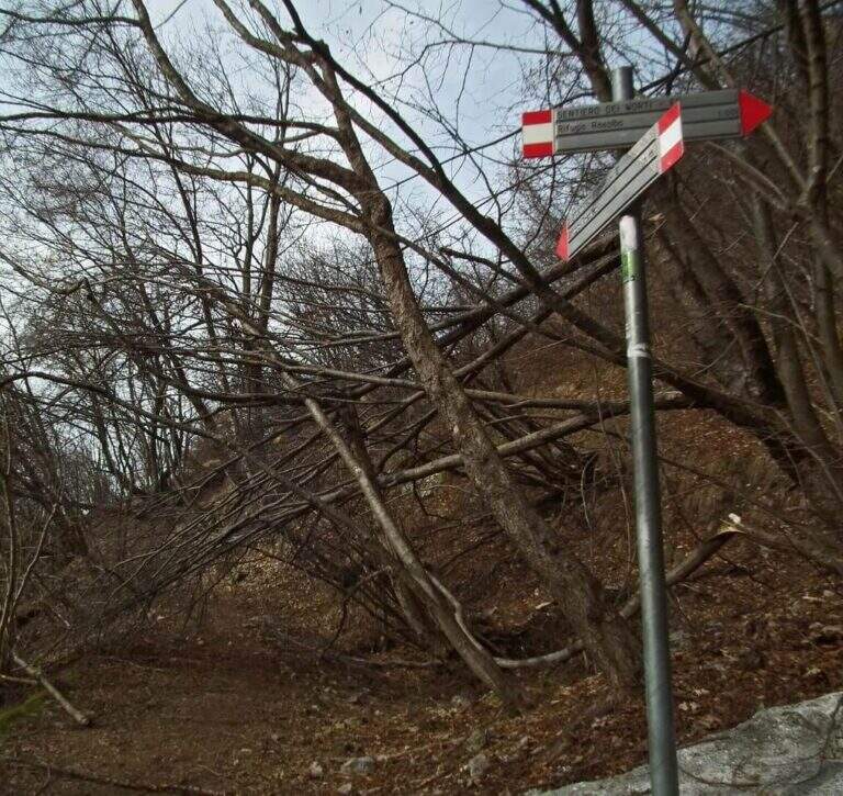
    Dai Piani Resinelli (former Alippi refuge, directions road map) follow the path 9 towards Foppe for about 30′, until a pole that indicates the deviation to the right towards the Path of the Dead. You climb into the woods and then through steep meadows.

    ▲The path

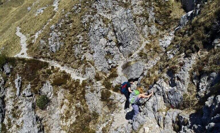
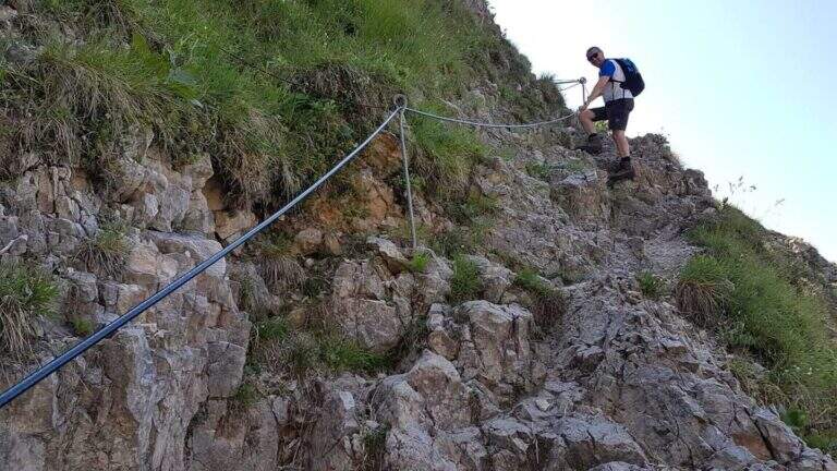
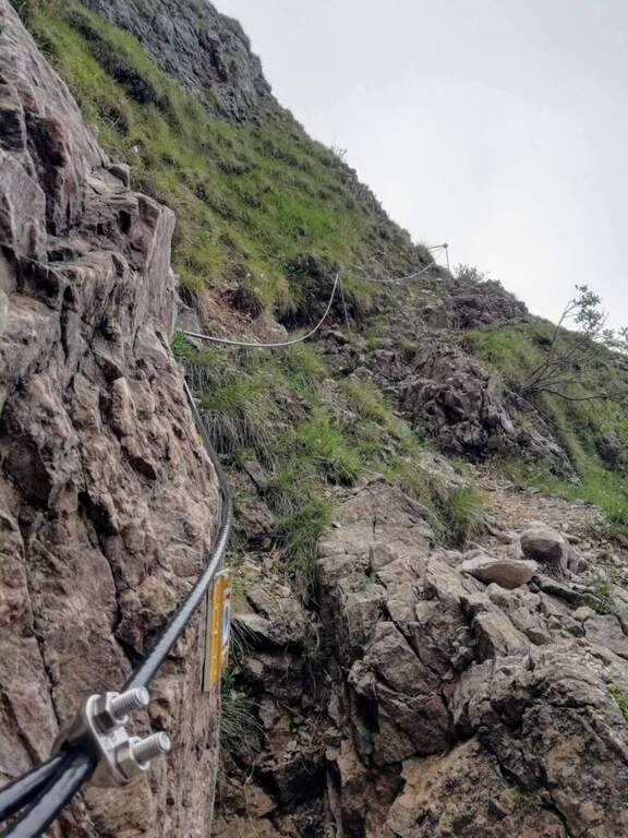
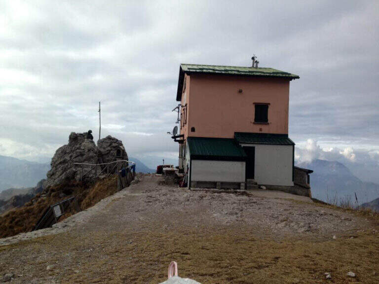
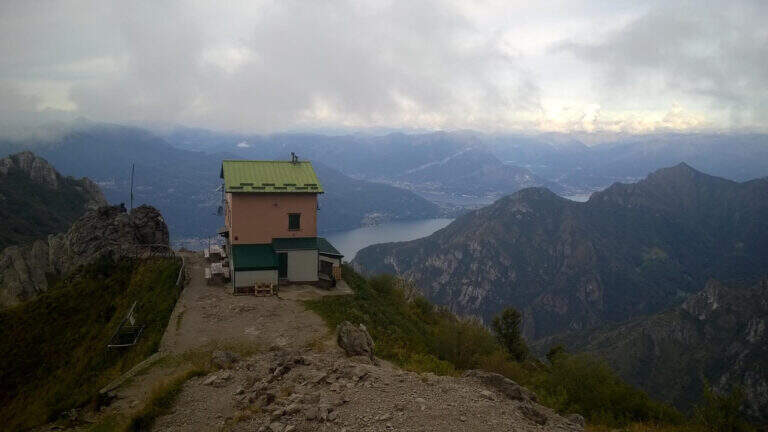
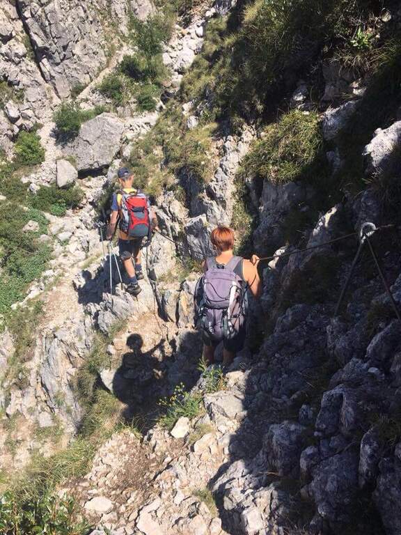
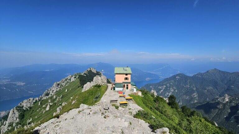
    The equipped stretch is a single sloped crossing with cable on slippery and partially fragrant soil, which requires continuous attention throughout its extension. The unstable fund amplifies the risk: a false step at this point can be dangerous. After passing the cross, go up to the Rosalba Refuge (1h from the junction, 1h30′ total from the Resinelli Plans).

    ▲Character and difficulty

    Classified Difficult despite the reduced development, due to the unstable and fragrant soil in the equipped stretch.

    ⚠ Avoid completely after recent rains or in the presence of residual snow. Telescopic sticks are recommended for the traverse. Always keep the slings attached to the cable.
    ▲Period and safety

    Recommended from May to October with dry soil. Avoid in case of rain or immediately after rainfall.

    ▲Discipline

    You return to the same path or go down to Foppe following the alternative path.

    ▲To match

    There are numerous itineraries on the southern Grigna. The neighbor Sentiero Attrezzato del Moregallo completes a weekend of exits in the Larian Prealps.

    ▲Gallery
    Technical data
    • DifficultyHard
    • RegionLombardy
    • GroupLarian Prealps
    • Approach0:30
    • Ferrata1:00 h
    • Itinerary (a/r)3:00 h
    • Hardware level difference40 m
    • Route difference550 m
    • Max1730 m
    • Length9,2 Km
  • Sentiero Attrezzato del Moregallo

    Sentiero Attrezzato del Moregallo

    Vie Ferrate › Lombardy › CO
    Sentiero Attrezzato del Moregallo

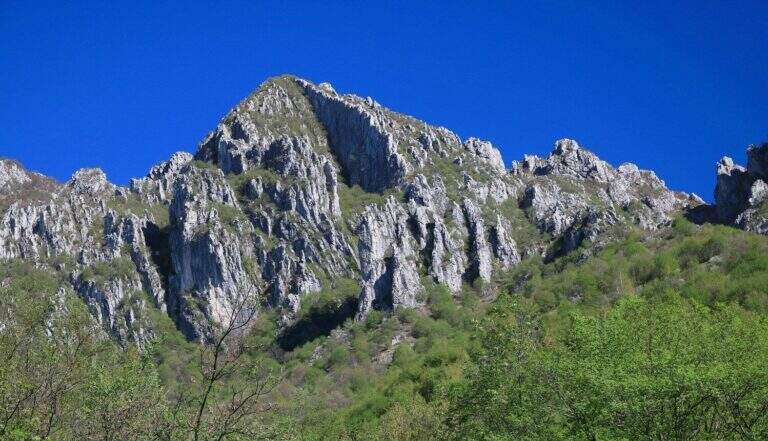
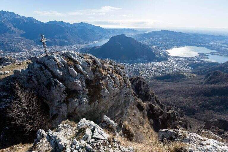
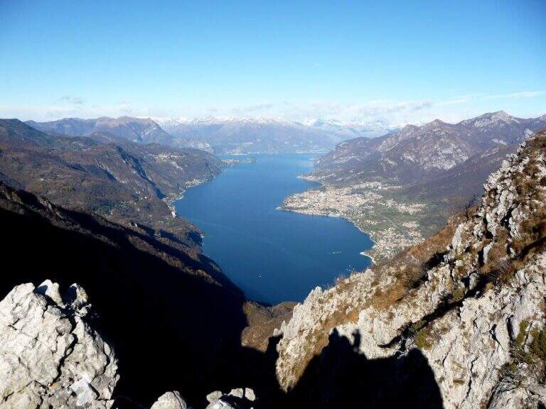
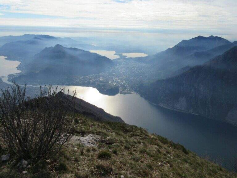
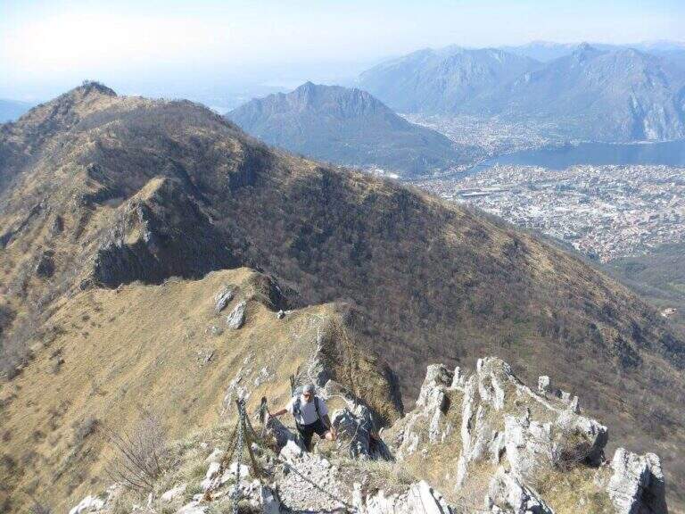
    The Attrezzato Path of Moregallo scales the western ridge of the mountain of the same name that looms on Lake Como and on Valmadrera, leading to the summit with an exposed and athletic path among the most famous proposals of the Larian Prealps. A journey of satisfaction with one of the widest views of the lake and the surrounding peaks.

    ▲Approach

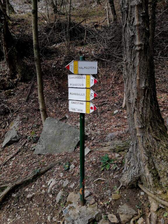
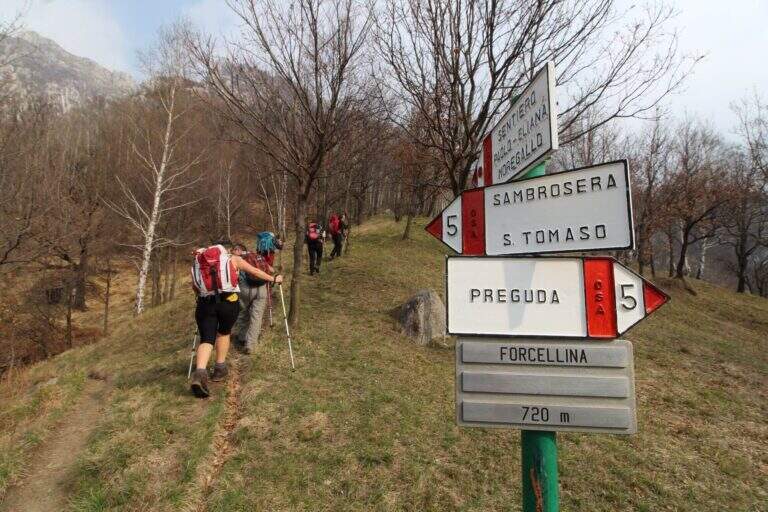
    From Valmadrera/Belvedere you can reach the Chapel of San Tomaso following the signs 6 and 7 (directions road map). Continue to Sambrosera until the Bocchette di Moregge, starting point of the equipment (2h15′ from the start).

    ▲The path

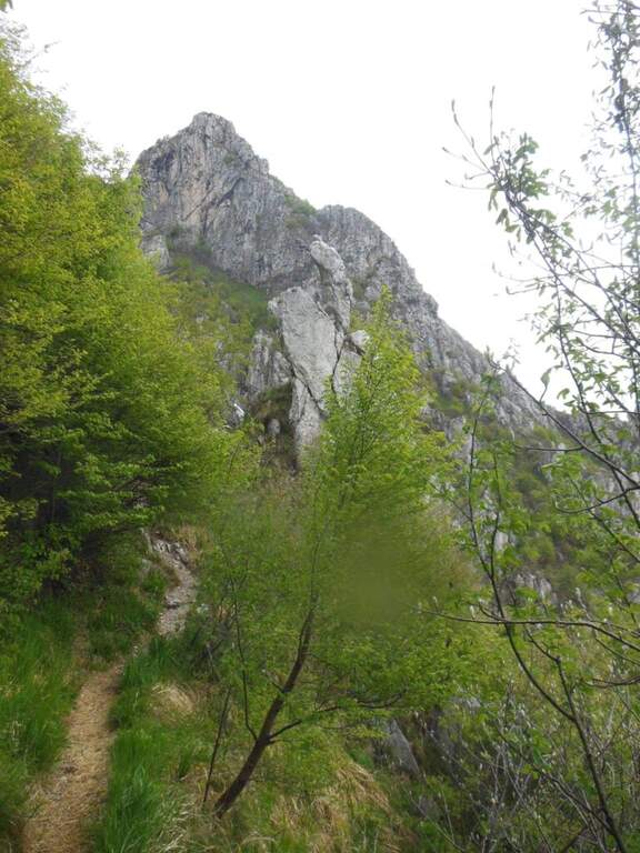
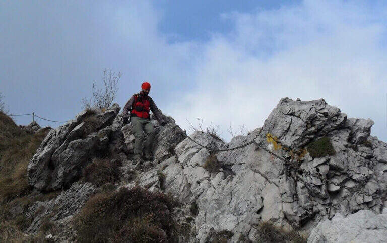
    The Bocchettes attack the west ridge. After an initial saddle, a first stretch of chains introduces to the progression at altitude. The trail then runs halfway with a short crossroads: on the right the way to Tavoulera, on the left the direct continuation on the crest. Alternating ramps, short vertical walls and air blinds with increasing exposure. The last vertical and air stretch leads to the summit of Moregallo in about 40′ from the Bocchette.

    ▲Character and difficulty

    Classified Hard. The equipped passages require good technique of progression and absence of dizziness; the exposure is marked in the upper part of the west ridge.

    ⚠ The final ridge is exposed on both sides: proceed carefully even in favorable weather conditions.
    ▲Period and safety

    From April to November, preferably in the morning to avoid summer afternoon storms. Drained with wet rock or in presence of strong wind.

    ▲Discipline

    The descent can take place either on the east ridge or on the west ridge towards the Bocchette di Moregge and then at the starting point.

    ▲To match

    There are many other routes in the Larian Alps Sentiero Attrezzato dei Morti towards the Rosalba refuge is a valid alternative in the same area.

    ▲Gallery
    Technical data
    • DifficultyHard
    • RegionLombardy
    • GroupLarian Prealps
    • Approach2:15 h
    • Ferrata0:40 h
    • Itinerary (a/r)5:00 h
    • Hardware level difference90 m
    • Route difference1025 m
    • Max1276 m
    • Length12 Km
  • Path equipped GER

    Path equipped GER

    Vie Ferrate › Lombardy › LC
    Path equipped GER

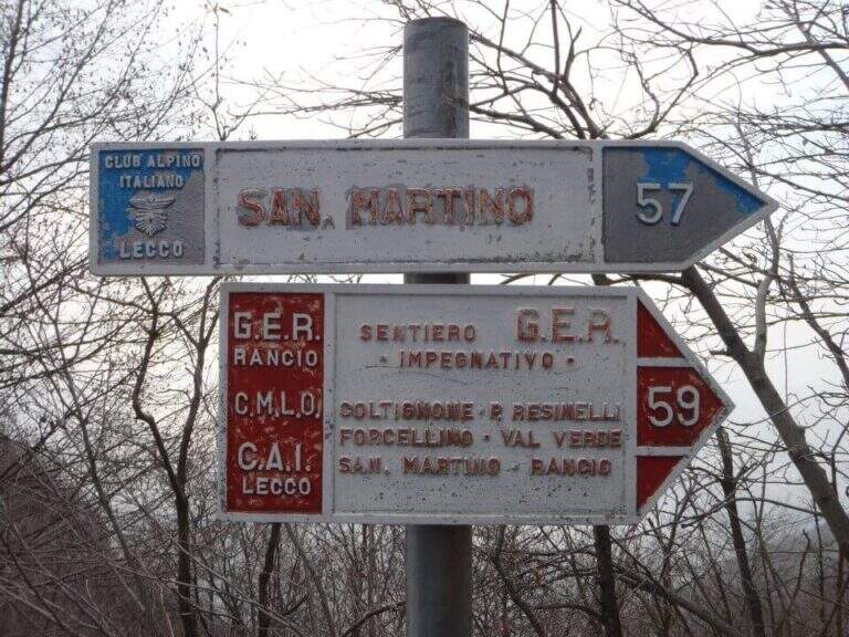
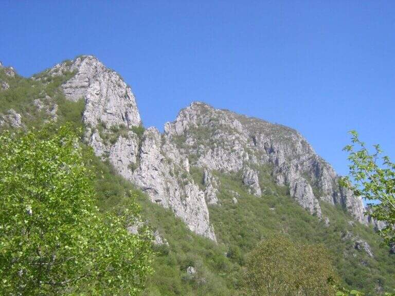
    The Sentiero Attrezzato GER — signed by the Gruppo Escursionisti Rancesi — dates back to the southern slope of Monte Coltiglione above Lecco: a long prealpine itinerary, with exposed sections and an exceptional panorama on Lake Como and the surrounding Alps.

    How to arrive and approach

    The starting point is located in Rancio Alto, a hilly hamlet above the district of Rancio di Lecco, reachable via Quarto from the city of Lecco. You climb up to a bar that prevents transit to motorized vehicles and park in the few spaces available along the road. The approach from the bar to the attack of the first equipped sections requires about 1h30′ walk in the forest on a path without technical difficulties.
    The path

    From the parking lot you go up the forest on the path to the attack of the first equipment, on the south side of Monte Coltiglione (1479m). The equipped stretch develops for about 1h45′ with fixed cables and piles that exceed the steepest sections of the limestone slope. The route also includes unequipped exposed traits that require attention and sense of orientation. The peak of Monte Coltiglione (1479m) offers ample views of Lake Como, the Grigne and the Lombard Prealps to the Alps.

    Character and difficulty

    Itinerary difficult and tiring mainly for the length (16km, 1110m of total difference, 6 hours total) more than for the individual technical difficulties of the equipment. Some unequipped exposed traits require autonomous progression on prealpine soil. The GER is mainly frequented by hikers from Lecco and Rancio. Difficulty: Hard. Not suitable for fog or poor visibility for unequipped traits.

    Period and safety

    Recommended from April to October. The length and altitude difference make the itinerary challenging on hot summer days: prefer autumn or spring for the most favorable temperatures. Beware of unequipped traits in case of wet. There are no shelters along the path: adequate supply of water and food is necessary.

    Discipline

    The descent takes place on the return path towards Rancio Alto, completing the ring tour in about 6 hours total. The route does not have intermediate water points: plan stocks accordingly.

    To match

    The Monte Coltiglione is located in the heart of the Prealps of Lecco, where there are numerous equipped routes. Nearby are the Sentiero Attrezzato della Direttissima on the South Grigna and the Route of the River mandello del Lario.

    ▲Gallery
    Technical data
    • DifficultyHard
    • RegionLombardy
    • GroupPrealpi Lombarde
    • Approach1:30 h
    • Ferrata1:45 h
    • Itinerary (a/r)6:00 h
    • Hardware level difference250 m
    • Route difference1110 m
    • Max1479 m
    • Length16 Km
  • Sentiero Attrezzato delle Foppe

    Sentiero Attrezzato delle Foppe

    Vie Ferrate › Lombardy › LC
    Sentiero Attrezzato delle Foppe
    Moderately Hard● OpenDescriptionComplexityMapsGallery

    The Sentiero Attrezzato delle Foppe is a difficult path that connects the Piani dei Resinelli to the Rosalba Refuge, a gateway to the South Grigna, with a few but well positioned equipped sections.

    How to arrive and approach

    You can reach the Piani dei Resinelli da Ballabio, going up the panoramic road with its many bends. When you arrive at the hamlet you will find parking near the former Alippi refuge. From the parking lot follow the abundant indications for path no. 9, also called Sentiero delle Foppe. At first you can walk to the Foppe, a private asphalted road with moderate slope that leads out of the village; at a signposted crossroad you continue to the right increasing the steepness and following the white-red road signs up to the first equipped section (about 30 minutes from the parking lot).

    The path

    The first equipped stretch is immediately after a detritic canal: a chain ensures the most exposed passage. Continuing you leave on the left the deviation for the Mountain Towers Punta Giulia, Torre Costanza and Mongolfiera. A short distance away is the second short stretch, consisting of a pair of metal brackets and a fixed rope that helps to climb a short jump of rock. From this point the slope increases considerably and the equipped section ends, leaving room for a steep path in the woods. A third and last equipped passage — an easy wall — precedes the arrival to the Rosalba Refuge (1730m), destination of the route (about 1 hour in total from the first equipped sections).

    Character and difficulty

    Path with very limited technical difficulties: the few equipment present help to overcome the rare challenging steps without requiring real experience of ferrata. The altitude difference of 550m in 13km makes it a suitable itinerary for hikers who want to approach the paths equipped in a landscape of great beauty. Difficulty: Moderately Difficult. On summer weekends the path and the shelter are very frequent.

    Period and safety

    Recommended from April to November. The path takes place mainly in the wood and the equipment is easy to progress; however, limestone rock can become slippery in case of frost or rain. Pay attention to crowding on summer weekends. The Rosalba Refuge (1730m) offers refreshment and shelter in case of rapid deterioration of weather conditions.

    Discipline

    From the Rosalba refuge you can return to the Resinelli for the uphill path in about 1 hour (3 hours total). An interesting alternative is the descent to the Path Attrezzato dei Morti: from the refuge you descend briefly, then you turn left on a steep path with a stretch equipped on exposed traverse, which reports just above the first section of the Path of the Foppe (about 1h30′ from the refuge, 3h30′ total).

    To match

    From the Rosalba refuge there are many equipped and mountaineering routes on the South Grigna. From here you can continue towards Sentiero Attrezzato della Direttissima and towards Sentiero Cecilia. The Route GER at Monte Coltiglione can be reached from the same area of the Resinelli.

    ▲Gallery
    Technical data
    • DifficultyModerately Hard
    • RegionLombardy
    • GroupPrealpi Lombarde
    • Approach0:30 h
    • Ferrata0:30 h
    • Itinerary (a/r)3:00 h
    • Hardware level difference60 m
    • Route difference550 m
    • Max1730 m
    • Length13 Km
  • Route of the River

    Route of the River

    Vie Ferrate › Lombardy › LC
    Route of the River

    The Sentiero Attrezzato del Fiume runs uphill through the picturesque hill of the river Era in the surroundings of Mandello del Lario, offering a low altitude hike through almost all seasons.

    How to arrive and approach

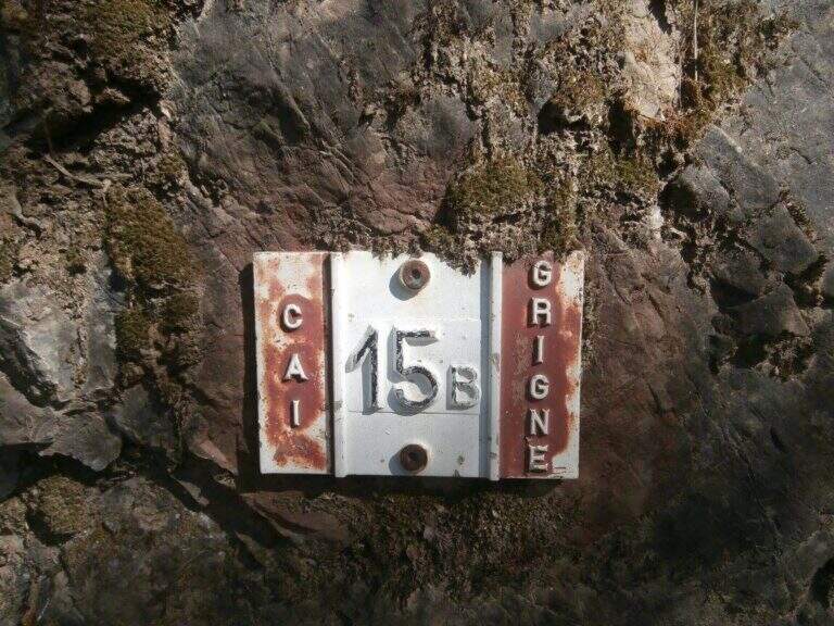
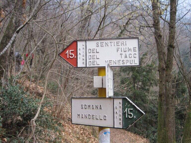
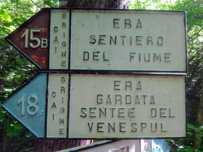
    The starting point is located in the hamlet of Sonvico, in the municipality of Mandello del Lario (LC), reachable from the Larian state leaving in Abbadia Lariana and following the signs for Mandello del Lario. From Mandello you go up to the hamlet of Somana and then towards Sonvico. At the crossroads you will find some parking options. From the parking lot follow the signs: the route is marked with the number 15B. You walk on a false plateau in the woods to a fountain (at the crossroads you hold the left), then still on the floor until a second pole (newly on the left), then in a slight descent to the river Era, where the route begins (about 30 minutes from the parking lot).

    The path

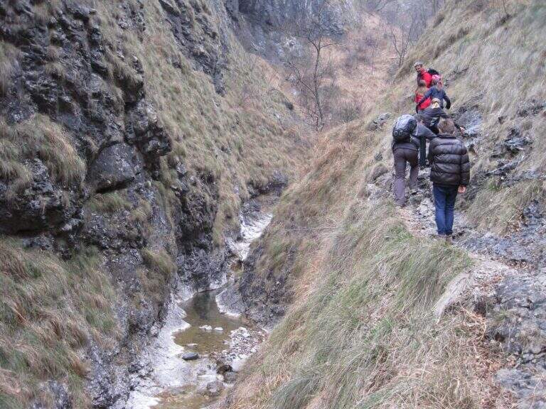
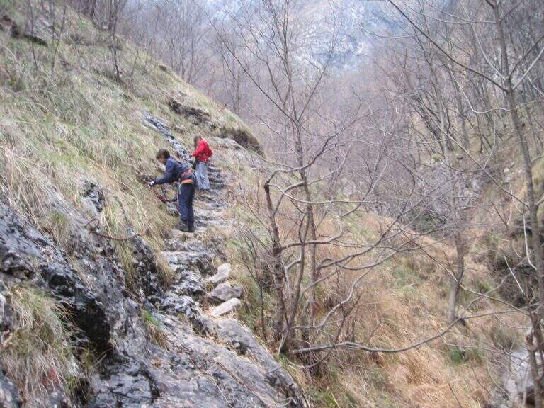
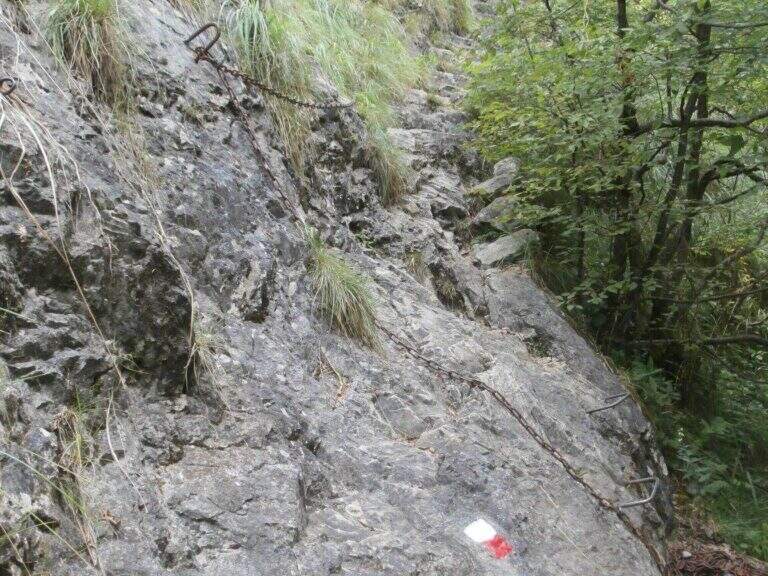
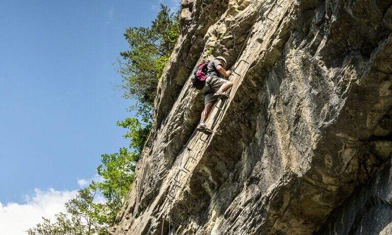
    The path, marked with red and white-red signs, develops mainly on the left bank of the river Era. After a first forado you will meet the stretches equipped with chains that ensure the most exposed steps. The itinerary alternates uphill stretches and descent, with the noise of the water always present. A second time you cross the water course, taking you to the right bank, and gradually climb up rocky ridges. In close proximity to an area of rapids and particularly scenic waterfalls there is a cross equipped with metal brackets. The longer vertical stretch — about 6 meters — goes up with excellent hooks for hands and feet. Some concluding rocks and a traverse to the right complete the equipped section (about 1 hour from the attack).

    Character and difficulty

    Despite the low altitude and brevity, the route has high difficulty passages due to the presence of vertical rock traits requiring progressive technique. The sections with chain are interspersed with stretches of unequipped path in which it is essential not to miss the signs. Difficulty: Hard. It is recommended equipped by ferrata (imbrago, longe, helmet) for vertical stretches. The low altitude and the surrounding wood keep the route fresh even on summer days.

    Period and safety

    It can be traveled almost all year thanks to the maximum modest quota (about 850m). It is essential to avoid the route in case of full of the river Era: some sections take place in the river bed or very close to the water and under high level conditions become impractical and dangerous. Be careful to keep the signs in particular in the stretches where the path crosses the same bed of the stream.

    Discipline

    At the end of the equipped route there is a pole with the signs. To return to the parking lot of Sonvico descends left on path n. 15, which leads to the starting point in about 1h15′ (3h30′ total for the entire excursion). There are at least two other variants of descent to the Mandello del Lario area.

    To match

    From Mandello del Lario there are several routes on the Larian Prealps. Nearby is the Route GER at Monte Coltiglione, more challenging itinerary for length and altitude difference on the same slope prealpino lecchese.

    ▲Gallery
    Technical data
    • DifficultyHard
    • RegionLombardy
    • GroupPrealpi Lombarde
    • Approach0:30 h
    • Ferrata1:00 h
    • Itinerary (a/r)3:30 h
    • Hardware level difference250 m
    • Route difference500 m
    • Max850 m
    • Length9,2 Km
  • Sentiero Attrezzato della Direttissima

    Sentiero Attrezzato della Direttissima

    Vie Ferrate › Lombardy › LC
    Sentiero Attrezzato della Direttissima
    Moderately Hard● OpenDescriptionComplexityMapsGallery

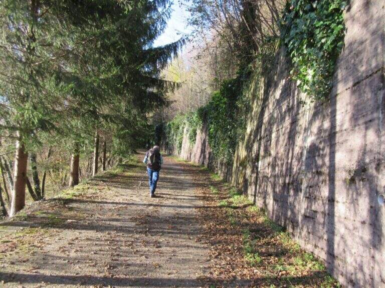
    The Direttissima alla Grigna Meridionale is one of the most beautiful equipped routes of the Lombard Alps, able to give spectacular views on the limestone spires of Grignetta up to Lake Como.

    How to arrive and approach

    The starting point is the plateau of the Resinelli in the province of Lecco, reachable from Ballabio along the panoramic road that goes up with numerous bends the left golden slope. Arrived near the brown welcome sign you continue a hairpin bend, then you hold the left to the next branch along the narrow paved road until the parking lot near a bar. From the parking lot you can reach the Rifugio Carlo Porta in a few minutes, from which you take the path n. 8 that goes up in the woods. At a first crossroads you leave the Cresta Cermentati on the right and continue on the left towards the Direttissima. After transiting near a canalone, the track gradually becomes steeper until the first metal equipment (about 30 minutes from the parking lot).

    The path

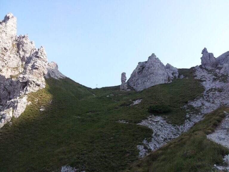
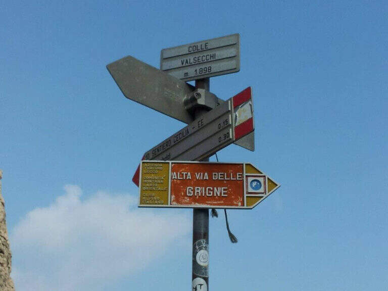
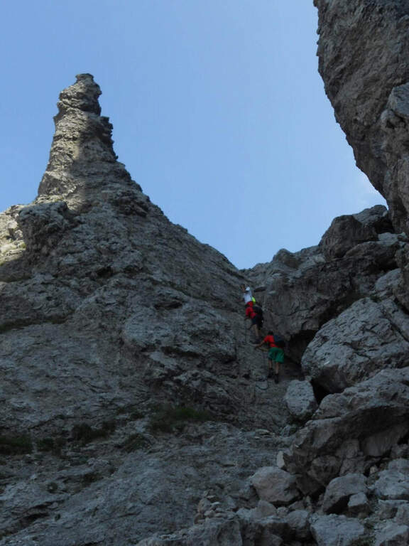
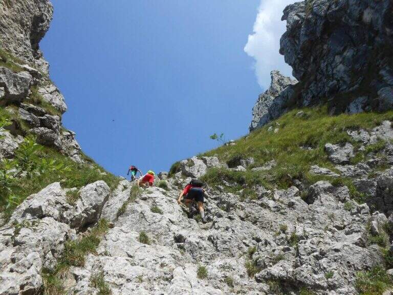
    The equipped road develops on rocky spurs, often diagonally, where you can exploit the rock to rise without relying exclusively on the chains. They face a series of laughter assisted by a metal cable, therefore an exposed traverse equipped with brackets for the feet, before entering into a canalone with some jumps. The most technical section is the Pagani Caminetto, climbed up with two metal stairs: the first overhanging, the second most supported. Exit from the fireplace — attention to the voluminous backpacks in the narrow passage — you walk a scenic stretch between the pinnacles and limestone spires, ignoring the lateral deviations. After a crossroads near the Canalone Angelina, there are walls resting up to Colle Valsecchi (2177m), where the main equipment ends.

    Character and difficulty

    Moderate difficulty path, never technical in an extreme way but rich in exposed passages that require good balance and absence of dizziness. Progression is almost always intuitive and the equipment is rational. The most challenging sections are the exposed traverse before the Pagani Caminetto and the two metal stairs of the fireplace itself. Difficulty: Moderately Difficult. Recommended standard hardware equipment: sling, double longe with heatsink, helmet.

    Period and safety

    Recommended from May to October, avoiding days with low fog or risk of afternoon storms. The route takes place at altitudes between 1300m and 2177m: even in summer temperatures can be lowered quickly with the arrival of disturbances. The limestone rock of the Grignetta becomes slippery after the rain. On summer weekends the path is very popular: an early departure allows to avoid queues on the equipment.

    Discipline

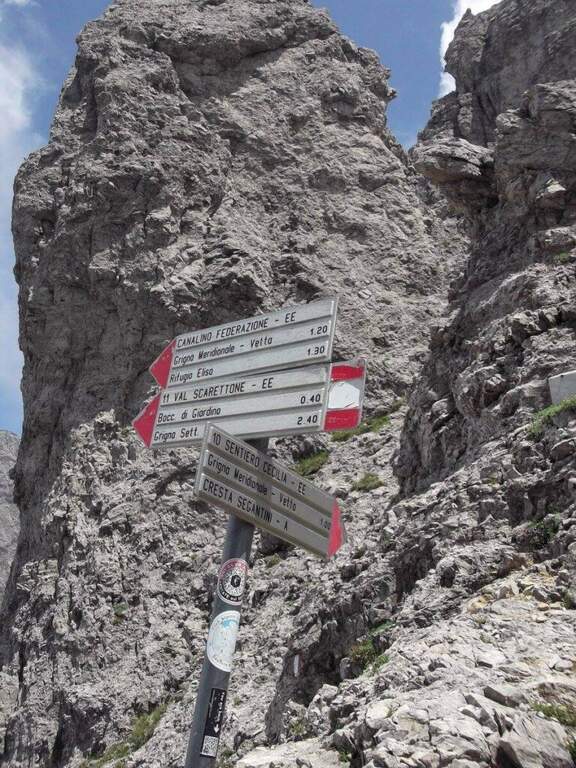
    From Colle Valsecchi (2177m) you have multiple return options. You can continue on the Path Attrezzato Cecilia or go down towards the Val Scarlettone following the Canalino Federation, a well-equipped route that leads back to the Resinelli. Alternatively, Cresta Cermentati or Cresta Sinigaglia offer longer but panoramic descents. The total time of the tour is 6 hours.

    To match

    The Athletic Path of the Direttissima naturally matches Sentiero Attrezzato Cecilia, with which he shares the terminal stretch from Colle Valsecchi. In the immediate vicinity are also located Sentiero Attrezzato delle Foppe for the Rosalba refuge and numerous other mountaineering itineraries on the South Grigna.

    ▲Gallery
    Technical data
    • DifficultyModerately Hard
    • RegionLombardy
    • GroupPrealpi Lombarde
    • Approach0:45 h
    • Ferrata2:30 h
    • Itinerary (a/r)6:00 h
    • Hardware level difference600 m
    • Route difference930 m
    • Max2177 m
    • Length10 Km
  • Sentiero Attrezzato della Vergella al Monte San Martino

    Sentiero Attrezzato della Vergella al Monte San Martino

    Vie Ferrate › Lombardia › Lecco
    Sentiero Attrezzato della Vergella al Monte San Martino

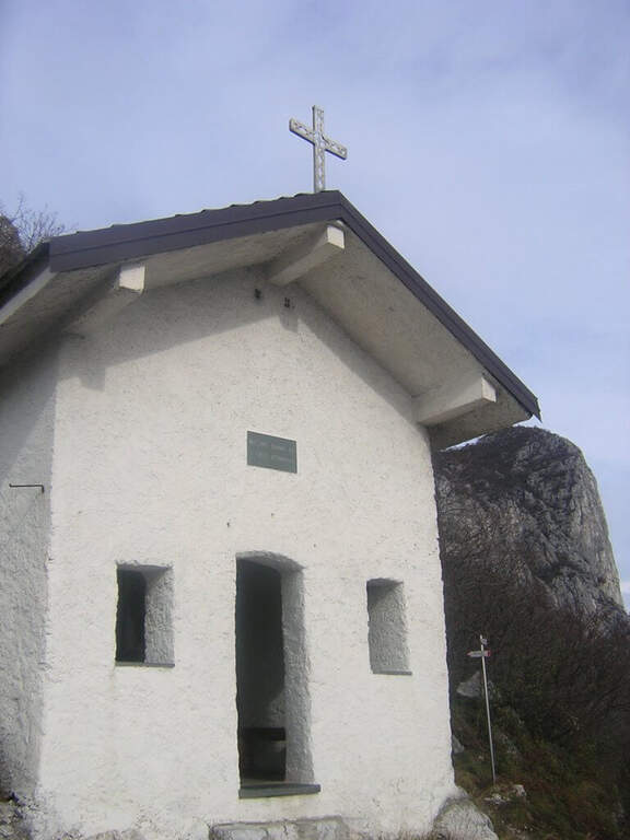
    The Sentiero Attrezzato della Vergella is a variant of ascent compared to the most beaten path that from Lecco leads to the Chapel of Madonna del Carmine, under Monte San Martino. It has no hardship and allows to trace back a couple of more challenging rocky laughter with the help of some chains. It is generally available throughout the year, paying attention to the warmest months.

    ▲Approach

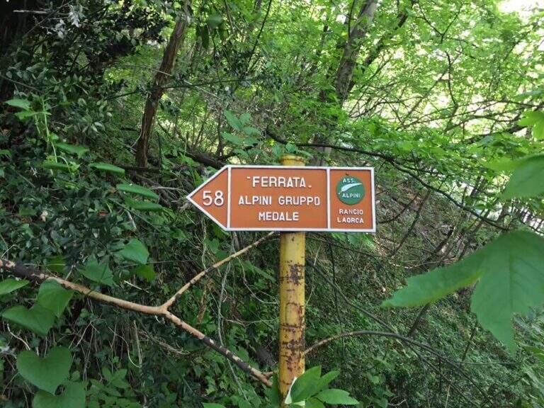
    It starts from the town of Rancio Alto, over Lecco. From Lecco take the road towards Ballabio up to a evident double hairpin bend in the middle of the houses: near the second bend, where on the left a road continues straight, take Via Quarto and walk about 200 meters until you notice, near a pedestal, an asphalted road on the right that goes steeply with an open rusty white bar. You go up this steep street, you turn a first bend on the left and, at a crossroad, you go right uphill for a couple of minutes until a bar where you park (open up Google Maps). From the parking lot continue on the cemented road to a bend, where you continue straight on a mule track (CAI 52); you ignore some bivores that detach to the right (including CAI 58 for Ferrata del Medale) and, under the walls of Monte San Martino, you go back some bends up to a crossroad where a white sign indicates left the Sentiero Attrezzato della Vergella (20′ from the parking lot).

    ▲The path

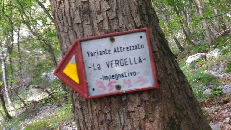
    From the deviation follow the yellow signs of the route; near the crag of the Placchette di San Martino you continue straight until the attack. The equipped path goes up a rocky channel in which the chain immediately develops vertically on a wall at first smoothed, then more entangled, climbs quite smoothly; in the upper part it crosses to the left leaving on a beautiful panoramic terrace. Continue up to a second vertical wall, from the appearance of an unmarked dihedron, which sticks following the chain on the left side; climb the wall and face a traverse to the left, exit and rise some rocky steps until the end of the equipment. Between rocky balconies and uncomplicated rocks, and a last steep stretch of path, ends the Path of the Vergella (1h from the attack, about 1h30 from the parking lot), with the Chapel of the Madonna del Carmine now in sight.

    ▲Character and difficulty

    The itinerary has no significant difficulty. The two more vertical sections are suitably equipped and give the necessary safety to less experienced hikers, while those who are more trained can try to trace them back without using the chain.

    ⚠ After abundant rains or in autumn months the foliage makes slippery some stretches, especially if the path is traveled downhill.
    ▲Period and safety

    Low altitude (maximum 742 m): it is a route almost all year round, with attention to the heat in the summer months and the slippery of the bottom in the humid seasons.

    ▲Discipline

    If the itinerary ends at the chapel, take the path to its right, which descends first into the woods, then between rocky steps and finally under the walls of Monte San Martino, until you reach the path of the way and then to the parking lot (45′ from the chapel, 2h15 total). Alternatively you can continue along other routes: on the right of the chapel take the Sentiero Attrezzato Silvia for the summit of Monte San Martino (45′), evaluating then if you continue towards the Corno del Medale and descend along the Path of the Medale, or towards the Coltiglione along the Sentiero del GER; another possibility is to climb up the summit for the normal route and, towards the Rifugio Piazza, descend along the most difficult Sentiero dei Pitti.

    ▲To match

    For experienced hikers an interesting alternative is to climb the challenging Ferrata del Medale and descend along the Sentiero Attrezzato Silvia and then this of the Vergella. In the surroundings there are also GER Path to the Coltiglione and the most difficult Sentiero Attrezzato dei Pizzetti.

    ▲Gallery
    Technical data
    • DifficultyEasy
    • RegionLombardy
    • GroupPrealpi Lecchesi – Monte San Martino
    • Approach0:20 h
    • Ferrata1:00 h
    • Itinerary (a/r)2:00 h
    • Hardware level difference150 m
    • Route difference372 m
    • Max742 m
    • Length7 Km
  • Sentiero Attrezzato della Cresta Sinigaglia alla Grigna Meridio

    Sentiero Attrezzato della Cresta Sinigaglia alla Grigna Meridio

    Vie Ferrate › Lombardia › Lecco
    Sentiero Attrezzato della Cresta Sinigaglia alla Grigna Meridio
    Moderately Hard● OpenDescriptionComplexityMapsGallery

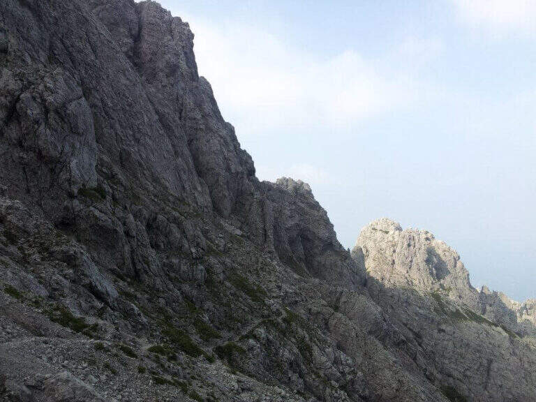
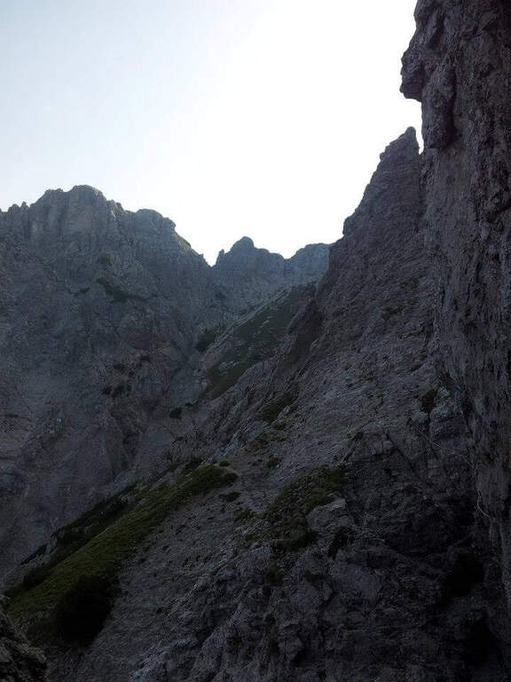
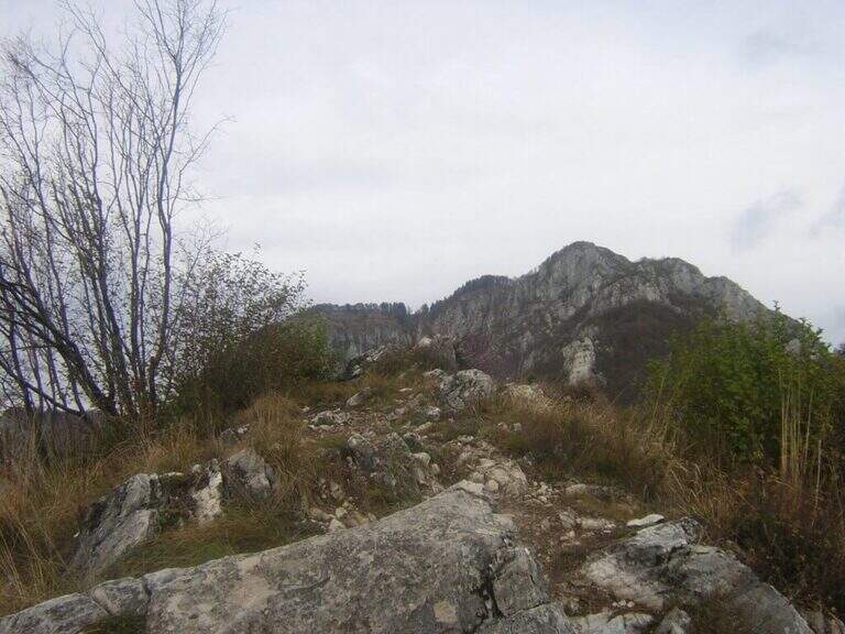
    The Attrezzato Path of Cresta Sinigaglia is one of the possible climbs to the South Grigna starting from the Resinelli Plans. Compared to the nearest and most frequented Cresta Cermenati is less beaten and a little more difficult, while remaining on moderate technical difficulties; the last stretch is very exposed, although the climbing difficulties remain contained.
    ▲Approach

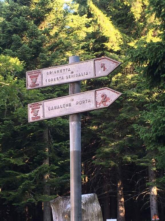
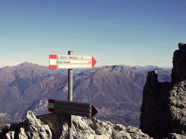
    It starts from Piani dei Resinelli, in the province of Lecco. From Ballabio you go up the uphill slope and, after the many bends, near the big brown welcome sign you continue for a hairpin bend; you climb briefly and at the next junction you hold the left along the narrow paved road until a parking lot at a bar (open up Google Maps). From the parking lot in 5 minutes you reach the Rifugio Carlo Porta and continue on the paths 1/2 inside the forest; you ignore a crossroads to the right for the Rifugio Soldanella, then, exit the forest, another crossroads where on the left the path 2 goes up the Canalone Porta. Unknown both, continue on path 1 to Cresta Sinigaglia climbing steeply to the north-east; you ignore the crossroads through the mountain routes up to a pitch for the landing of the helicopters, continue straight and, ignored also the path 3 that goes down to Canalone Porta, you reach the first equipped parts (2h from the parking lot).

    ▲The path

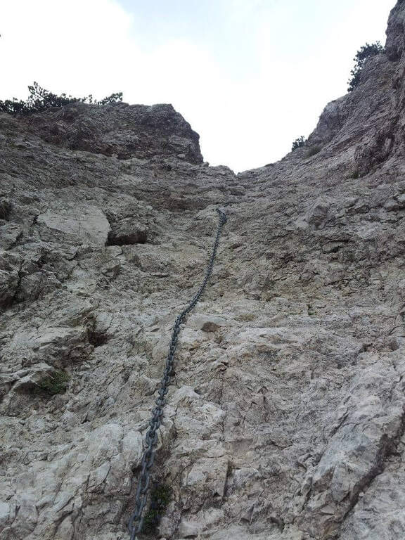
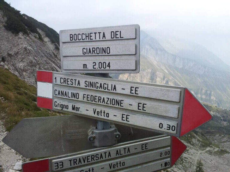
    The equipped stretch begins with an exposed traverse, the “Salto del Gatto”, where a wire rope with black sheath helps to pass in greater safety until the beginning of a rocky canal to rise. After the canal you arrive at the Wind Mouth (2065 m), from which you can finally see the top of the South Grim. Continue along the ridge of path 1 to the west, ignoring the path that on the right descends along the steep Canalino of the Federation; after the fork there is about ten minutes to the summit, to be earned going up the last stretch equipped with big chains: a series of small rocks and a last exposed wall lead to Bivacco Ferrario and the summit cross (45′ from the Salto del Gatto, 2h45 overall).

    ▲Character and difficulty

    Two points deserve attention along the way: the “Salto del Gatto” and the last equipped stretch that leads to the top. They are not difficult steps, but are exposed and require a minimum of experience.

    ⚠ The last stretch towards the cross is very exposed, although with technical difficulties contained: firm foot and a minimum of habit to the equipped paths.
    ▲Period and safety

    High mountain summer itinerary in the Grigne (max. 2177 m). The exposure of the equipped sections requires attention, especially with wet rock.

    ▲Discipline

    From the South Grigna the most used way to return to the Rifugio Carlo Porta is the path 7 along the Cresta Cermenati: not difficult, but generally quite crowded and a little slippery. In about 1h30 he returns to the refuge (4h total).

    ▲To match

    You can combine in a long ring with the Sentiero Attrezzato Cecilia towards the Rosalba refuge, then descending to the Resinelli plains with the Foppe Path. For a multi-day itinerary towards the North Sea you can evaluate the Ferrata del CAI Mandello.

    ▲Gallery
    Technical data
    • DifficultyModerately Hard
    • RegionLombardy
    • GroupGrims
    • Approach2:00 h
    • Ferrata0:45 h
    • Itinerary (a/r)4:00 h
    • Hardware level difference123 m
    • Route difference629 m
    • Max2177 m
    • Length6 Km
  • Sentiero Attrezzato della Cresta Giumenta al Monte Magnodeno

    Sentiero Attrezzato della Cresta Giumenta al Monte Magnodeno

    Vie Ferrate › Lombardia › Lecco
    Sentiero Attrezzato della Cresta Giumenta al Monte Magnodeno

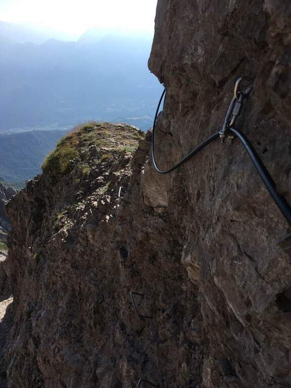
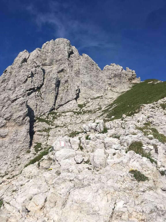
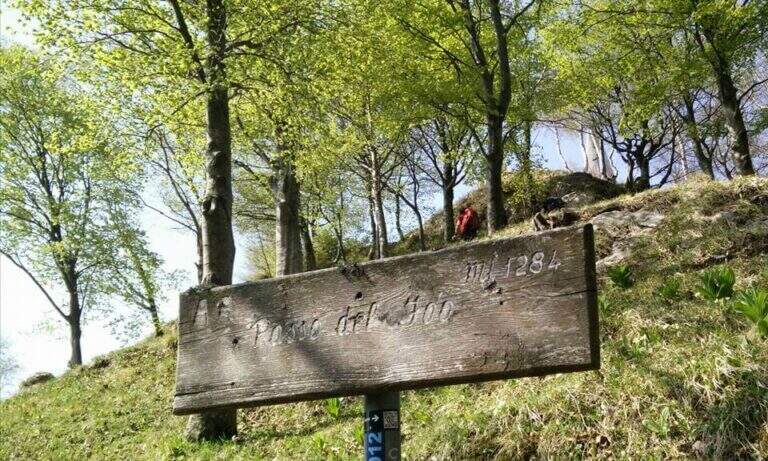
    The Path Attrezza della Cresta Giumenta is a scenic ridge route that winds between Monte Magnodeno and Passo Fò, under the Resegone. It is very panoramic and in some sections exposed, but protected with chains for self insurance. You can walk in both ways: in the direction of Magnodeno – Passo Fò is easier, because the most challenging stretches face uphill.

    ▲Approach

    From the large square of the cable car to Piani d’Erna, in Lecco. Arrived in Lecco from the highway that connects the city with Ballabio and Valtellina, at the exit of a gallery take the exit with the clear indications for “Piani d’Erna” and climbs between hairpins to the square (open up Google Maps). The path connects Passo Fò (Monzesi/Ghislandi Alpine bivouac) to Monte Magnodeno (Magnodeno bivouac). To start from the Magnodeno, from the parking lot take the path 1 towards the Stoppani refuge: after about 30 minutes, at a crossroad where on the left continues the path 1 (Rifugio Stoppani), you keep the right towards the Azzoni refuge and Campo de Boi; further on, to another crossroad where on the left the path 1 goes to Erna and to the Azzoni refuge, you go straight on the 25A for the Magnodeno refuge Alternatively, from Passo Fò, you can reach it from the mountain station of the cable car along the path 5 (50′) or from the car park following path 1 to the junction with 6 (1h30).

    ▲The path

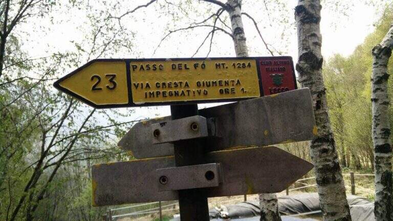
    We describe the meaning Monte Magnodeno – Passo Fò. From the peak of the Magnodeno you descend a few meters helping with some chains up to a first crossroads for the Alpine hut Monzesi; you continue briefly in that direction up to a fountain with bench, where a signposted crossroad indicates on the left the Cresta di Giumenta. Exit from the wood with a half-coast stretch you reach the beginning sign of the equipped part. It begins with a downhill stretch on slippery rocks, then a second stretch equipped in climbs; therefore a long stretch of crest, not difficult but exposed, with the chain present almost everywhere. Risaled a tower, the crest leads to the most challenging and satisfying section: a series of towers that lead to the Cima del Fò, partly laughtered and partly wandered with the help of the chain and, in some cases, of the rope with sheath; stand out a couple of small walls, short but more climbing than the rest. At the end of an exposed tower you return to the crest until a first technically more difficult canal; a climb between towers and saddles engages for 10-15 minutes until the Cima Fò with its cross (1348 m), from which is clearly visible the Azzoni refuge in the summit of Resegone. From the top you go down to a saddle where, on the right, you start a way of escape that avoids the last difficult stretches, while on the left continues the equipped; staying on the crest you get to the key passage, a channel that climbing takes the look of a fireplace, to rise for about ten meters. Finally, there are a few short rocky pillars up to the monument to the Falls of the Mountain and then to the Passo Fò (1284 m, 1h30 from the attack, 3h30 overall), under the bastion on which the Ferrata del Centenario and the Sentiero Attrezzato del Caminetto, natural continuations of the route.

    ▲Character and difficulty

    Although it is not difficult, some stretches are exposed and, if you go downhill, require attention: for this the Magnodeno sense – Passo Fò, which faces uphill the most challenging steps. The chain, present along almost all the way, allows a comfortable self insurance; the more technical points are a canal and the fireplace of the key passage.

    ⚠ It grows panoramic but exposed, with some stretches on slippery rock: steady foot and attention, especially in the steps facing downhill.
    ▲Period and safety

    Itinerary for the hiking season (max. 1348 m). The development is long and ridge: it serves good management of the step in the exposed sections and a minimum of habit to the equipped excursions.

    ▲Discipline

    The descent depends on the chosen direction: you can use the other of the two approaching options as a way back to the end of the path, reducing the time needed by a 20% indicative.

    ▲To match

    At Passo Fò the path naturally connects to the bastion of the Resegone, where the Ferrata del Centenario e il Sentiero Attrezzato del Caminetto, its ideal continuations.

    ▲Gallery
    Technical data
    • DifficultyEasy
    • RegionLombardy
    • GroupResegone
    • Approach2:00 h
    • Ferrata1:30 h
    • Itinerary (a/r)5:00 h
    • Hardware level difference200 m
    • Route difference850 m
    • Max1348 m
    • Length9,8 Km
Need help? Write to us!