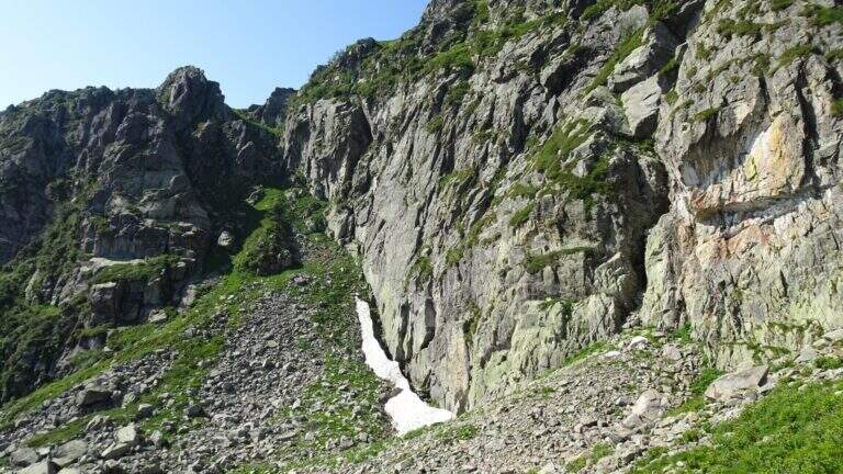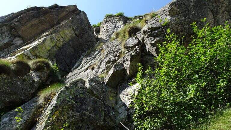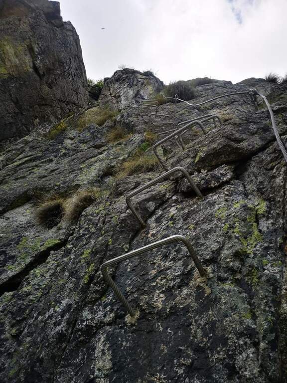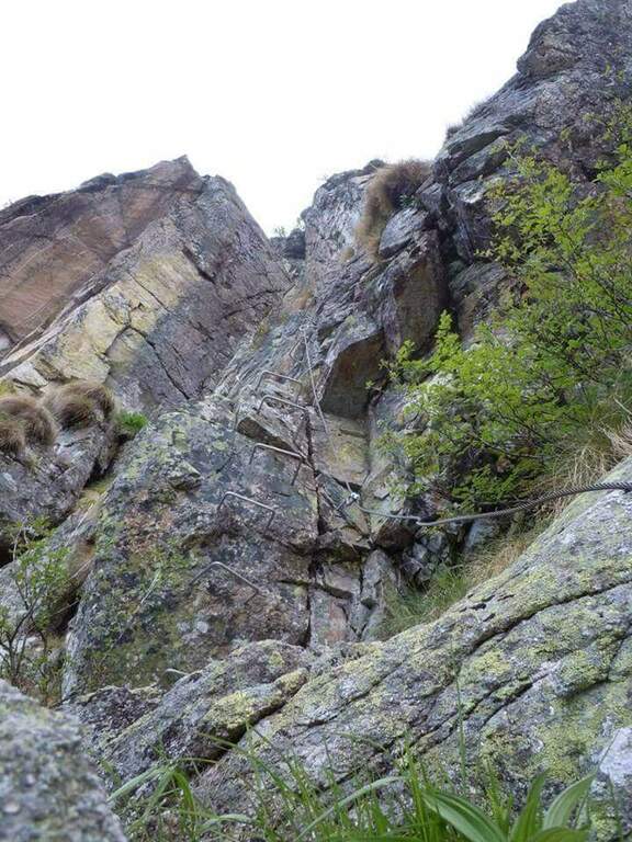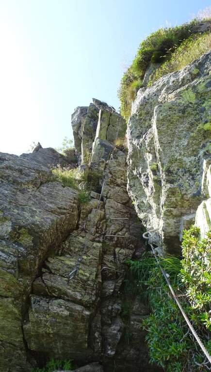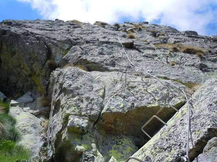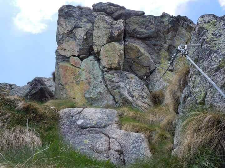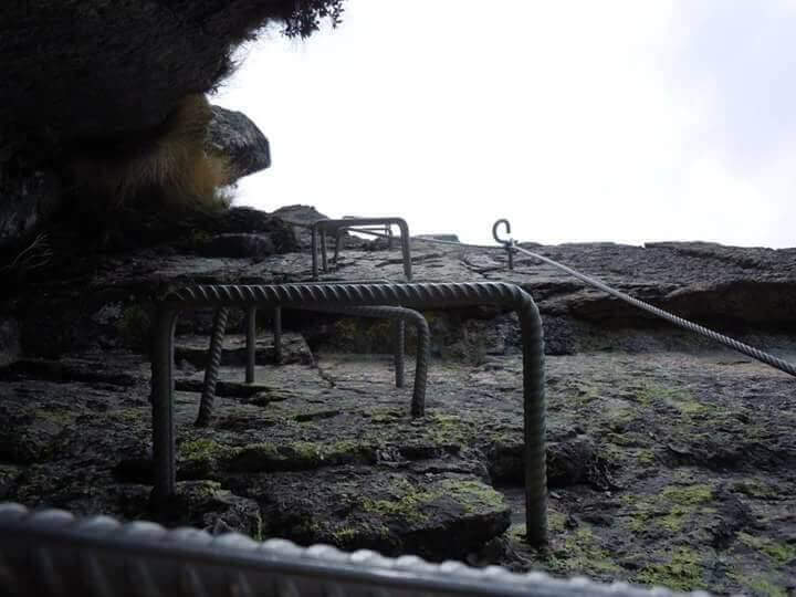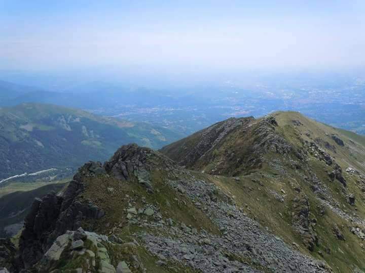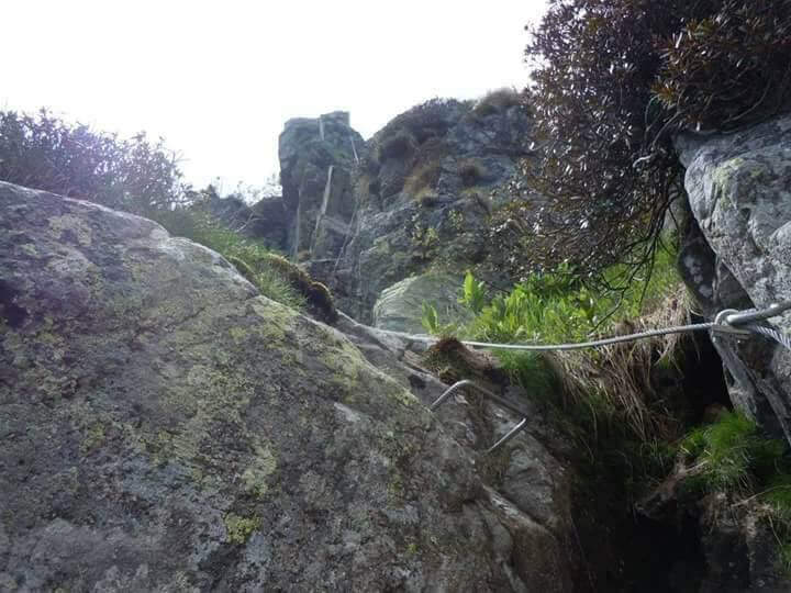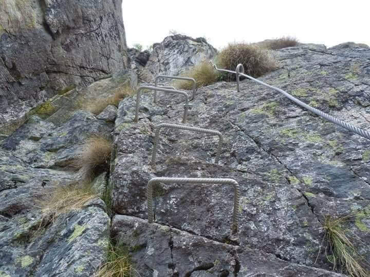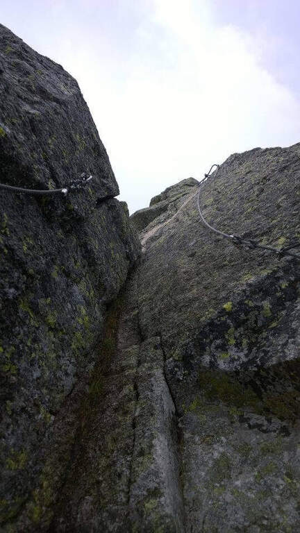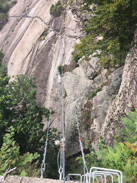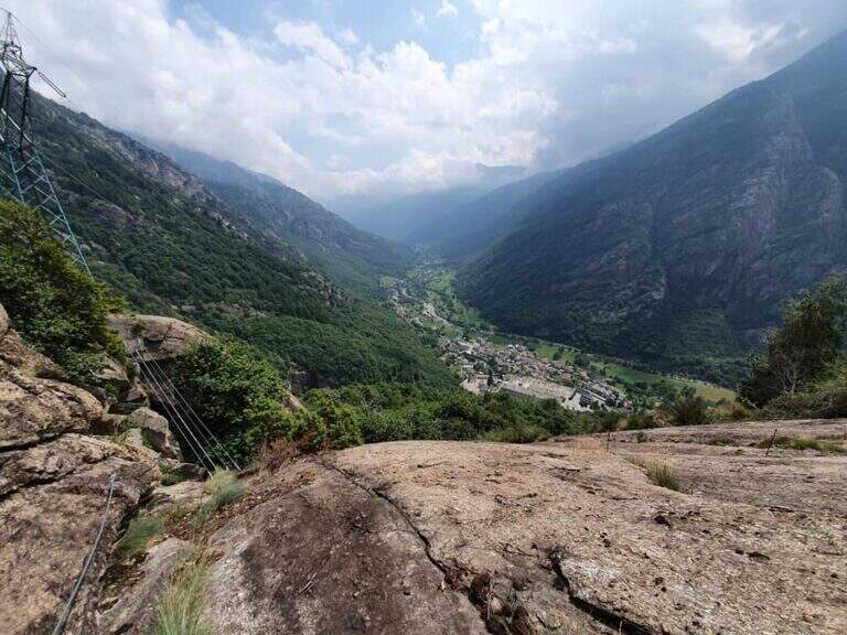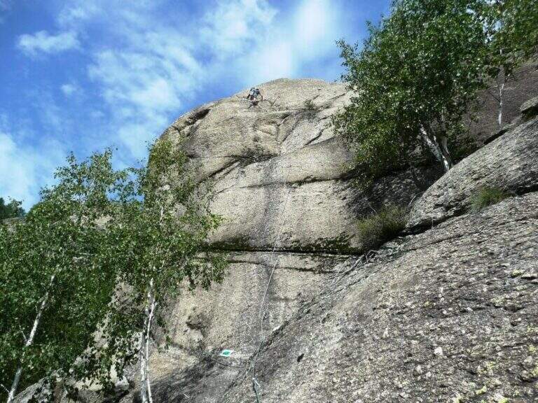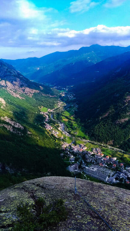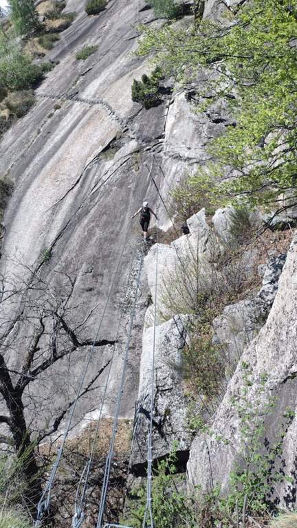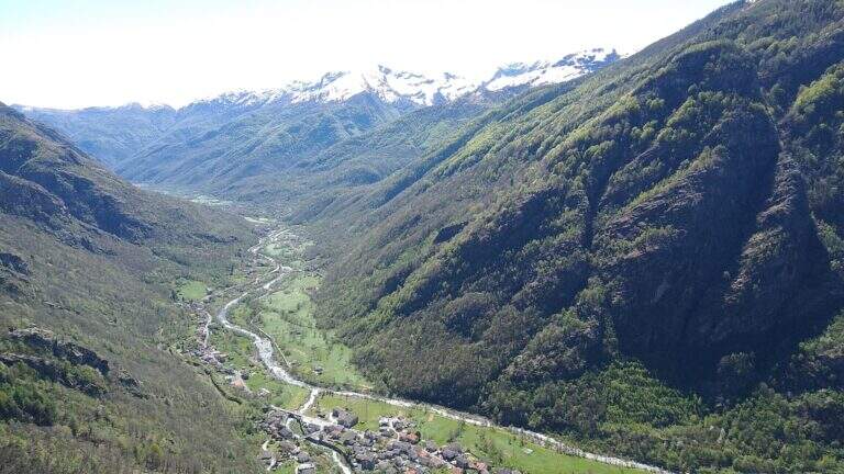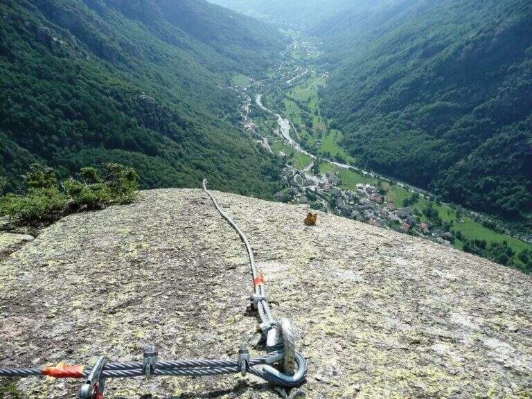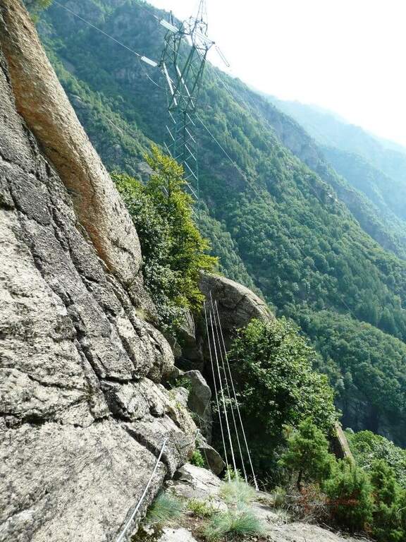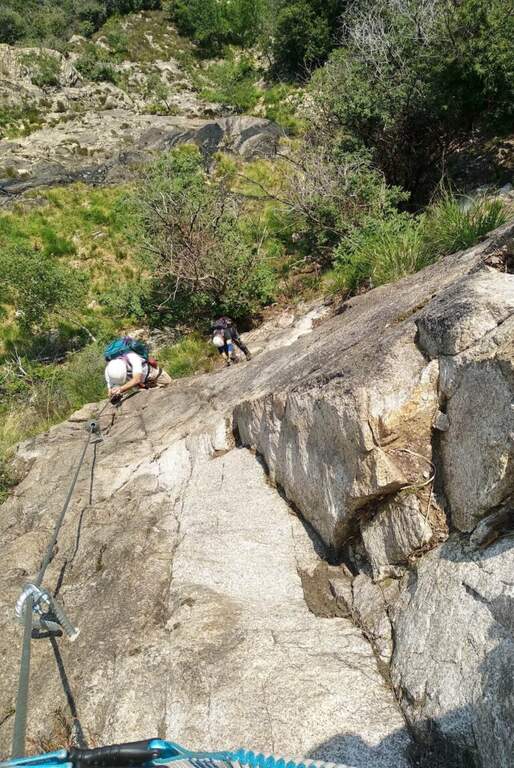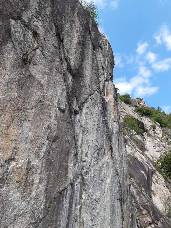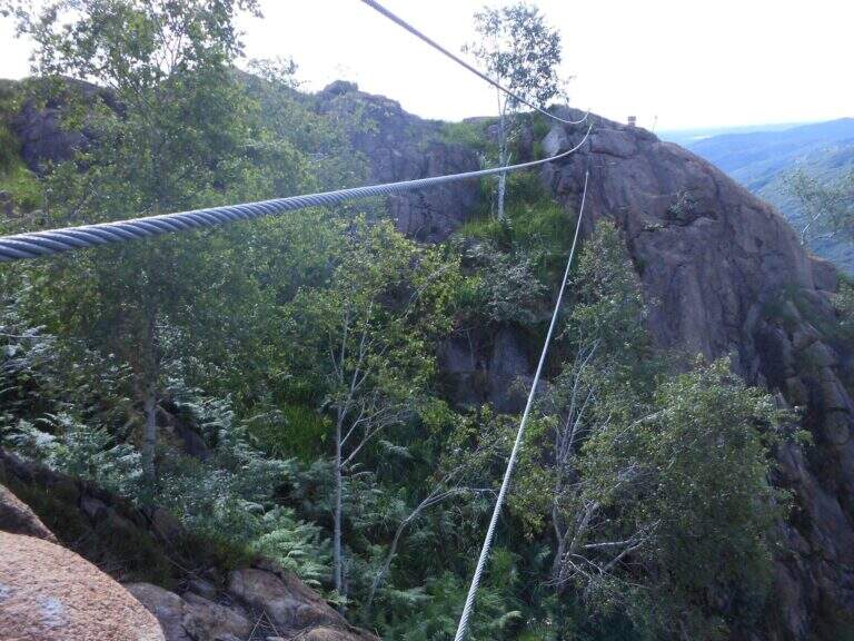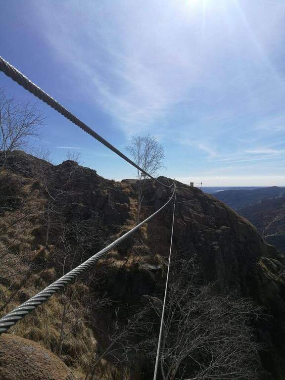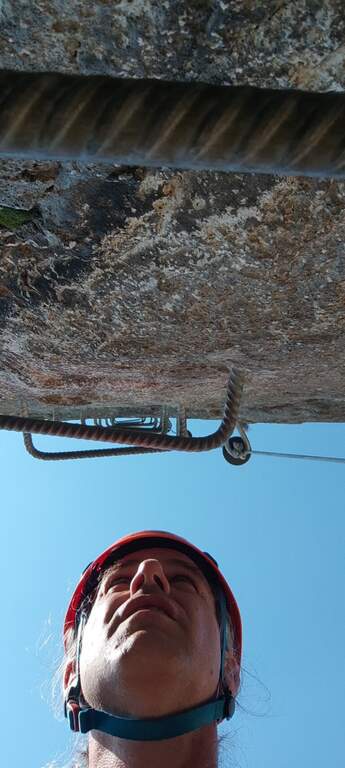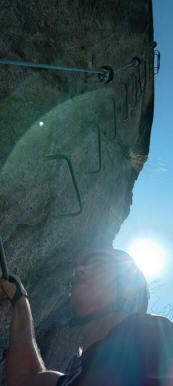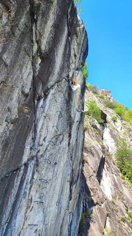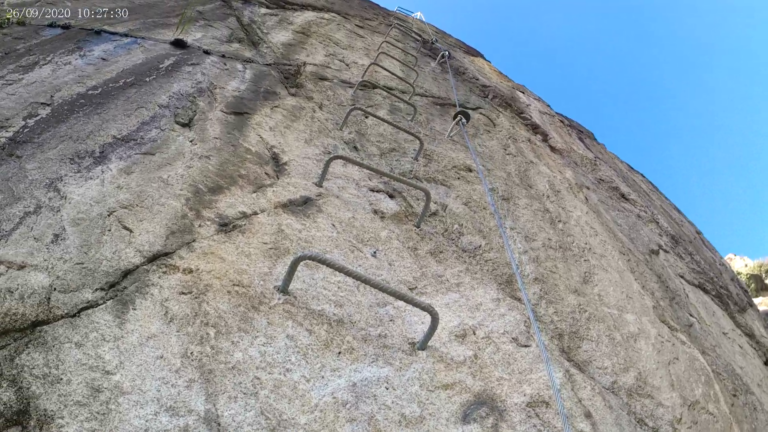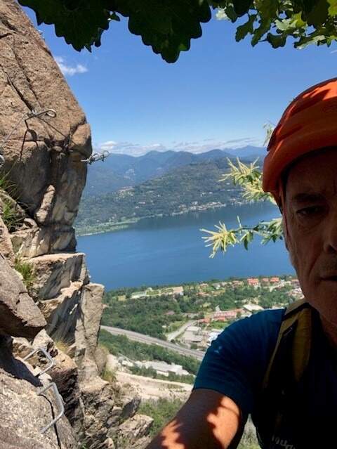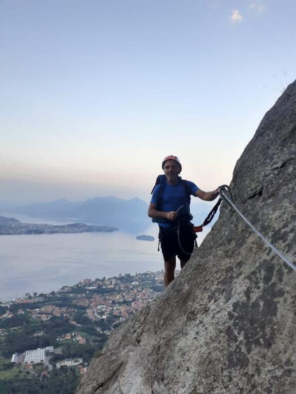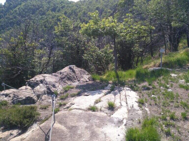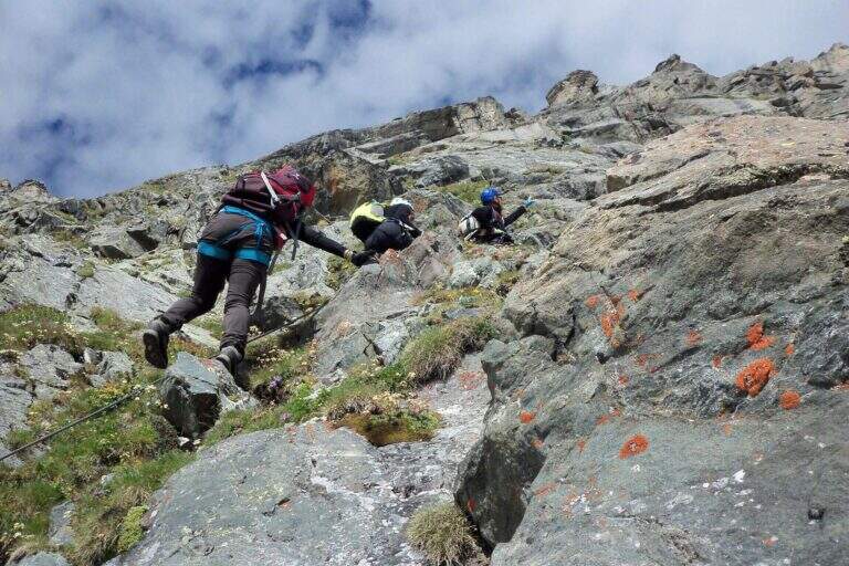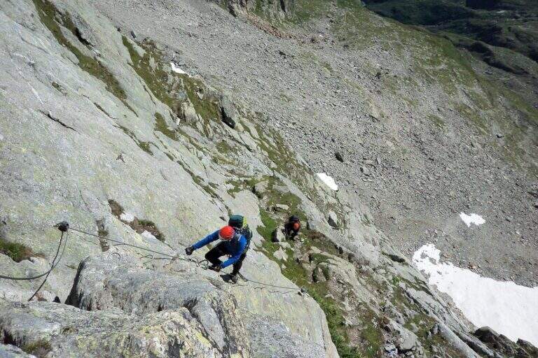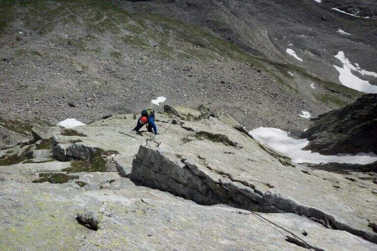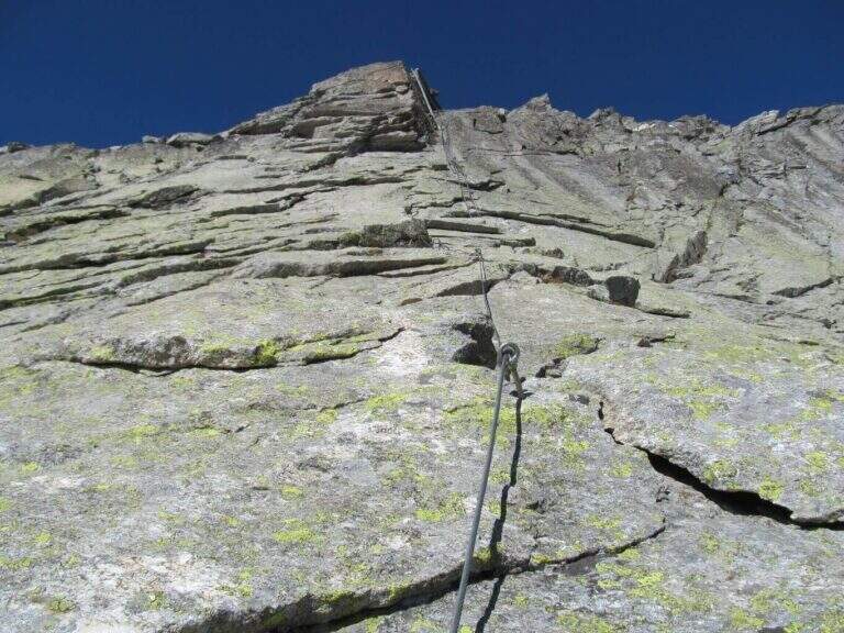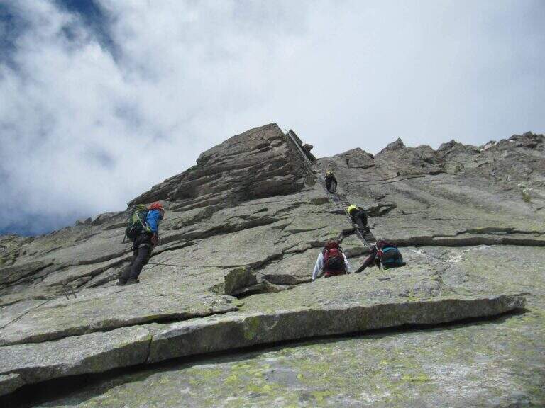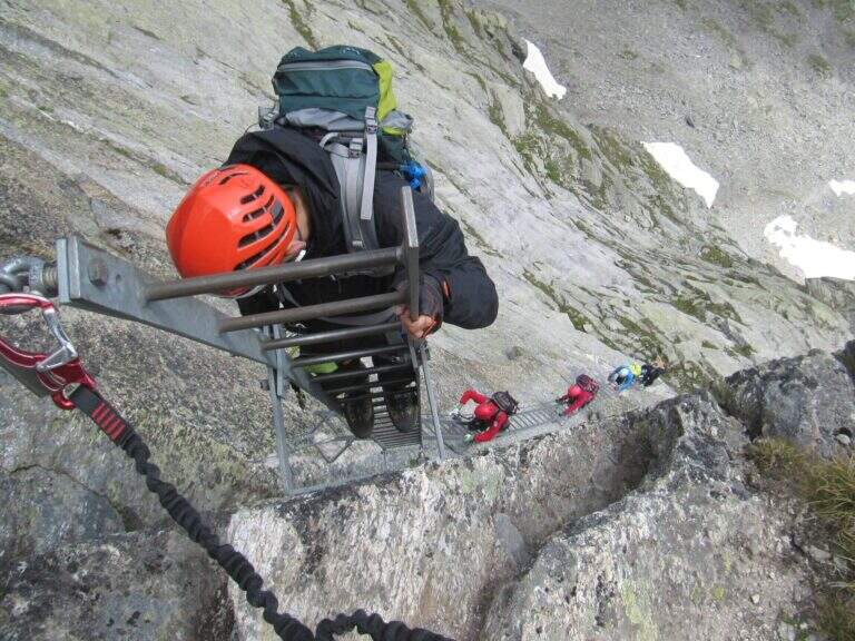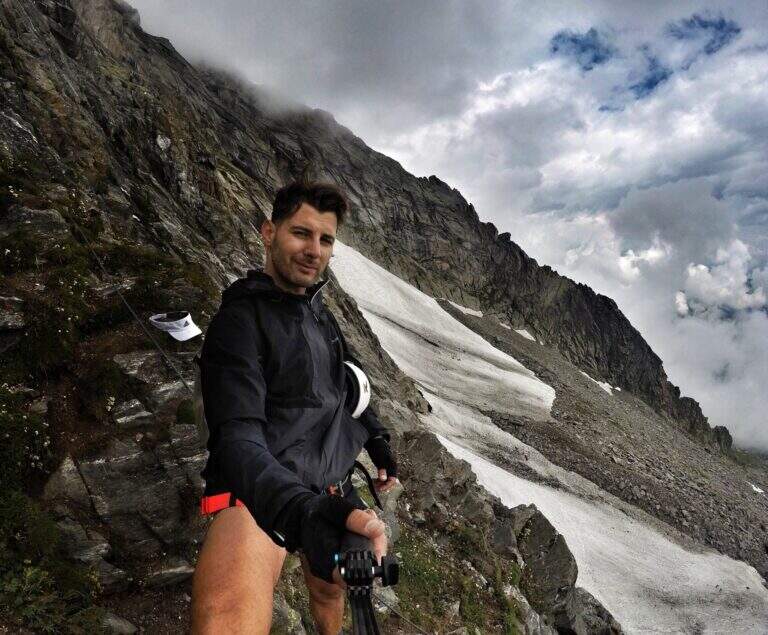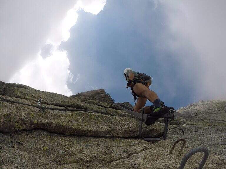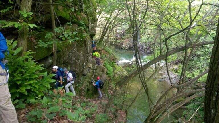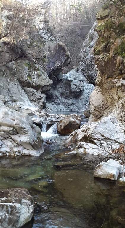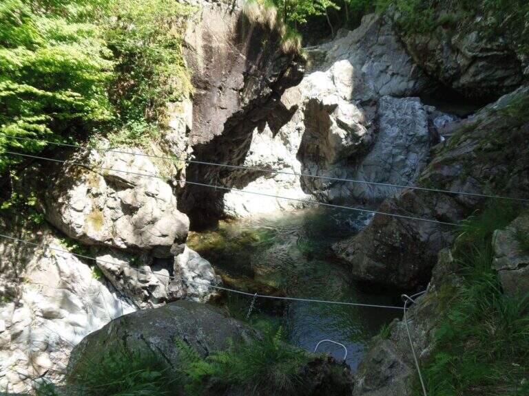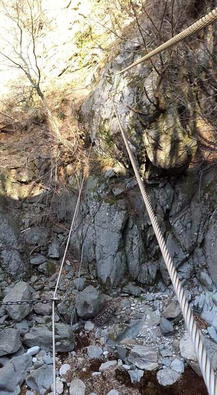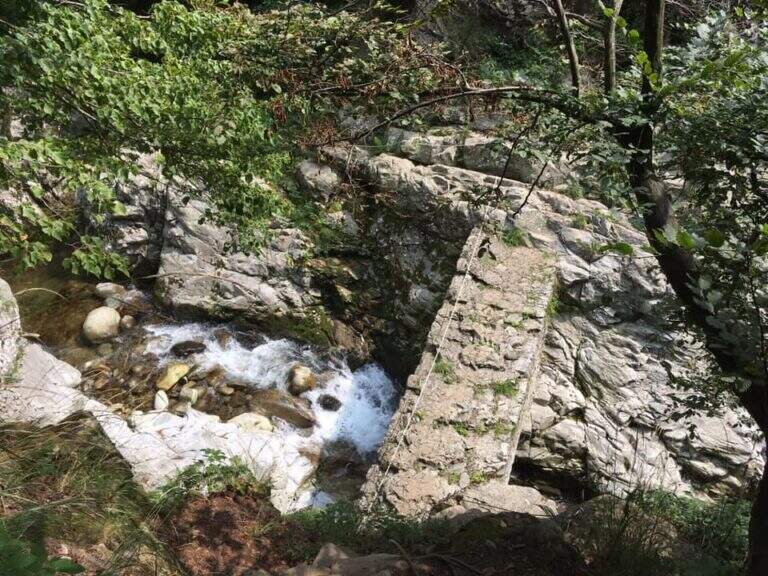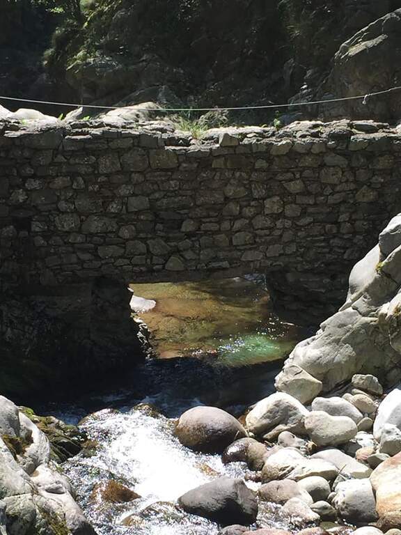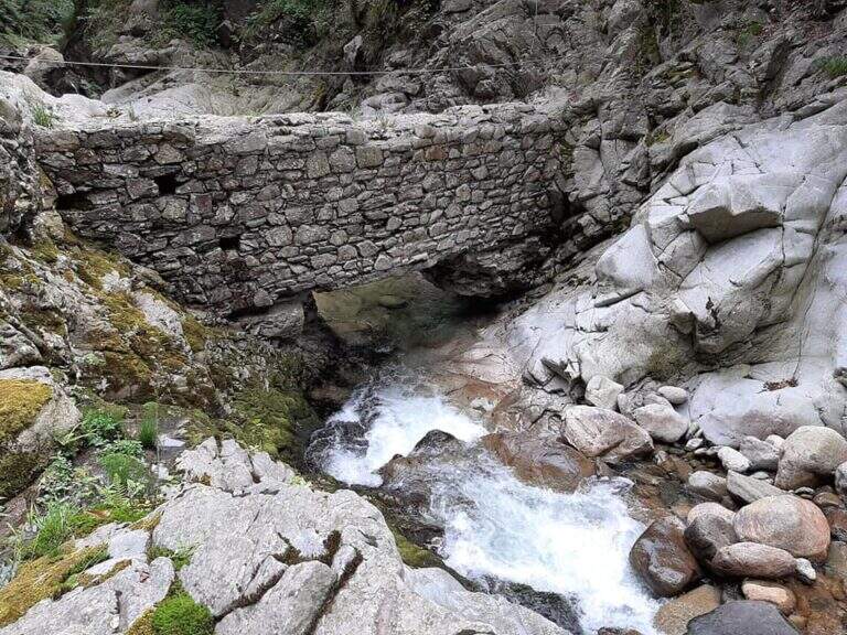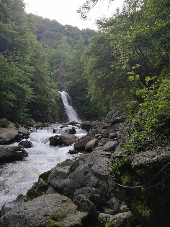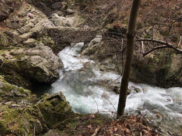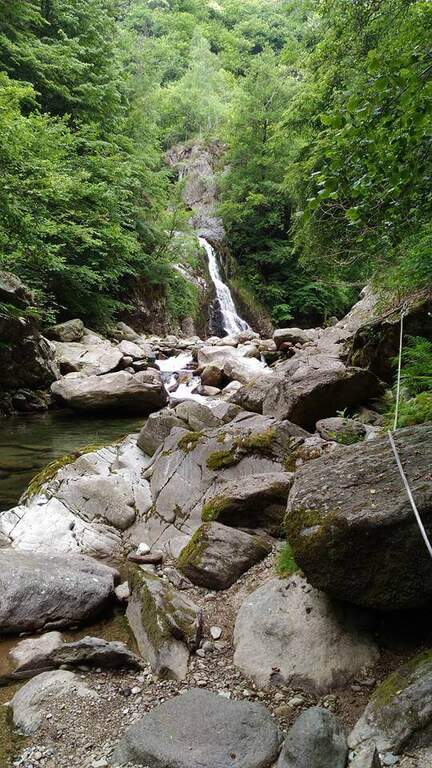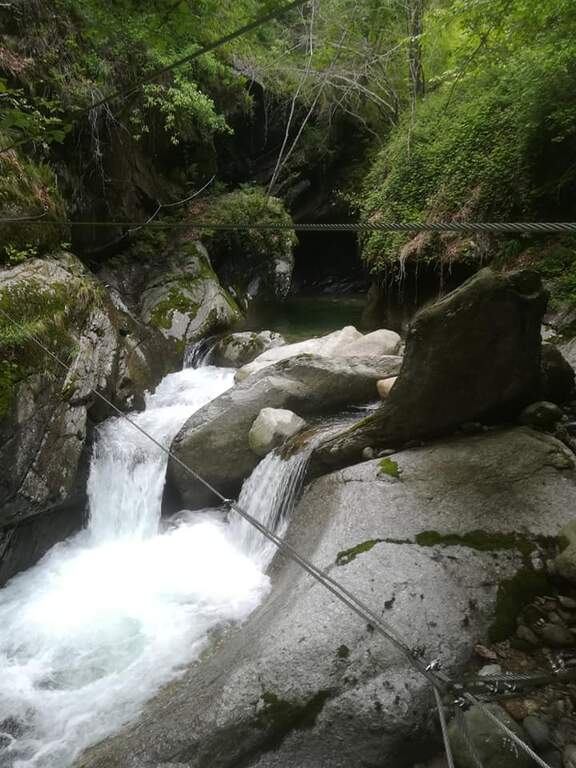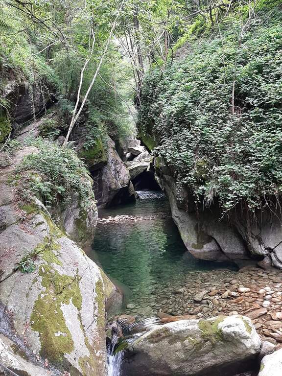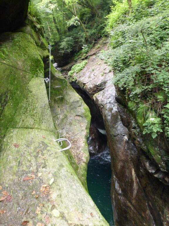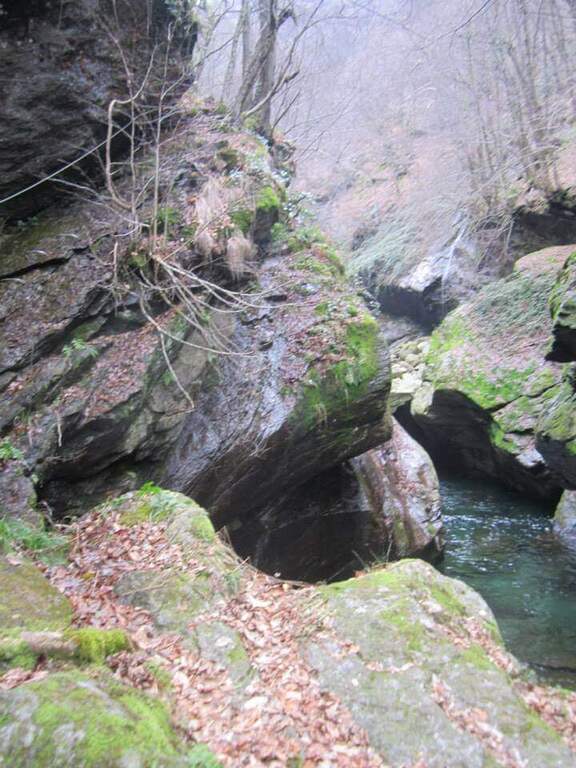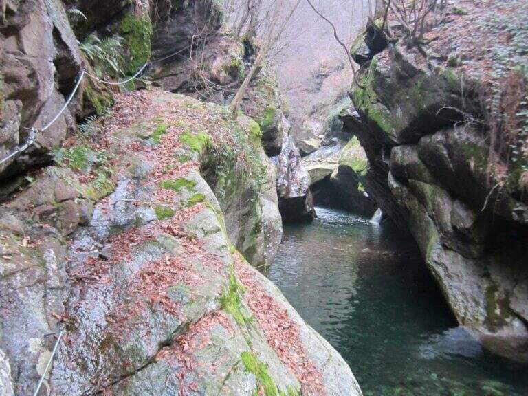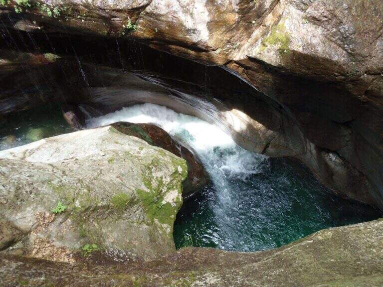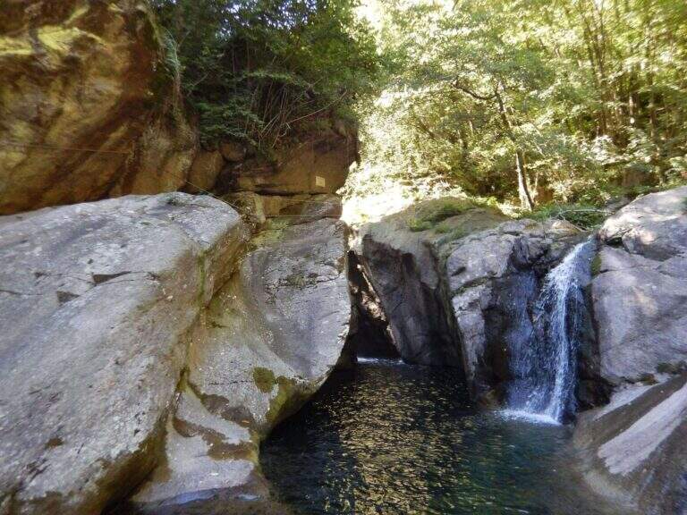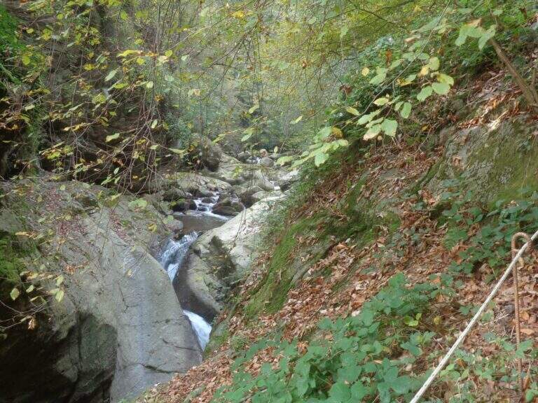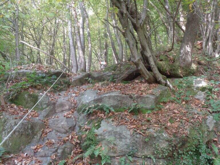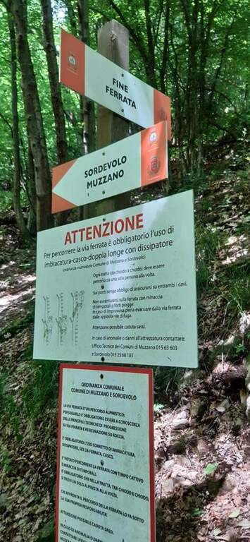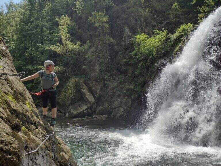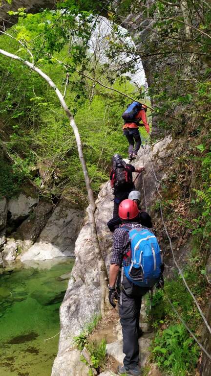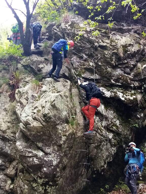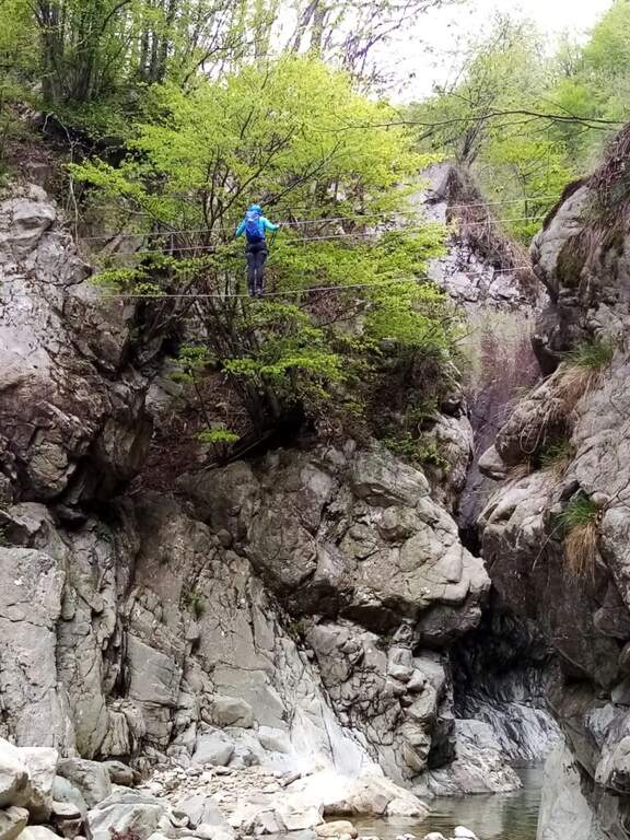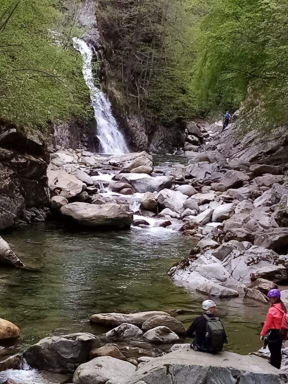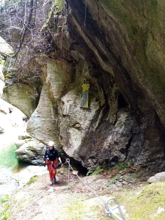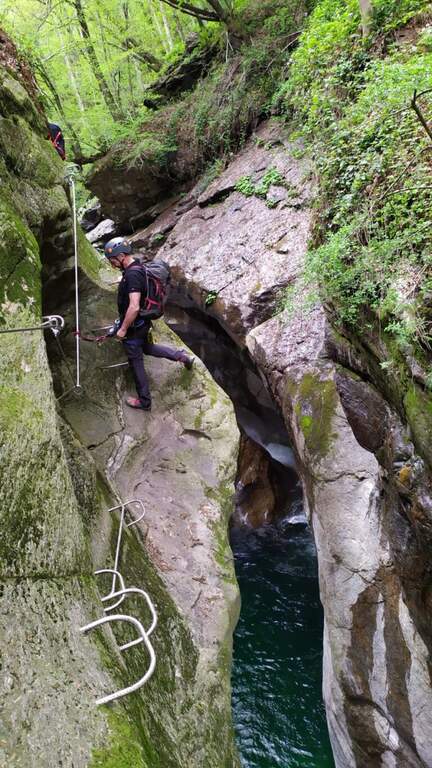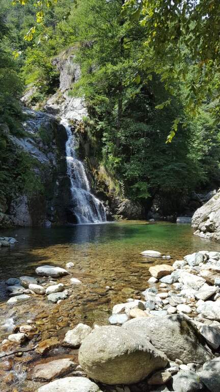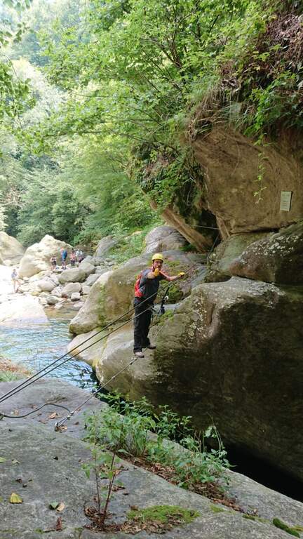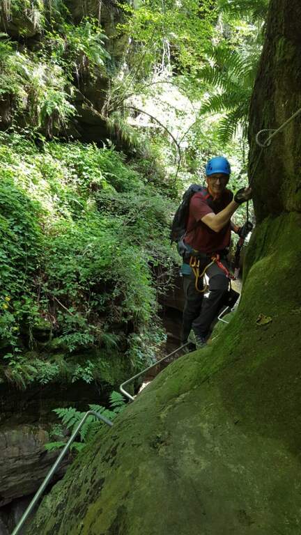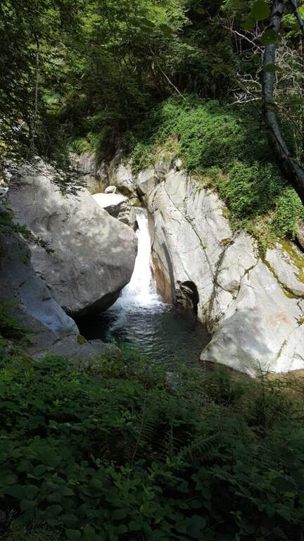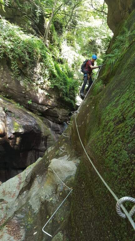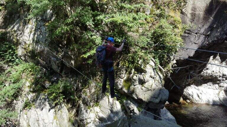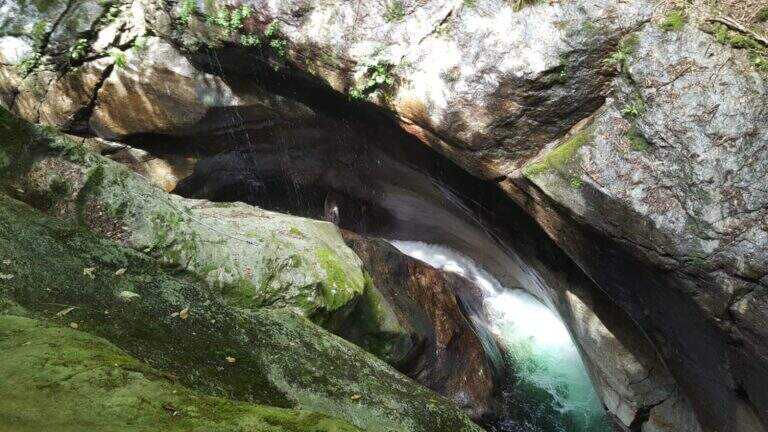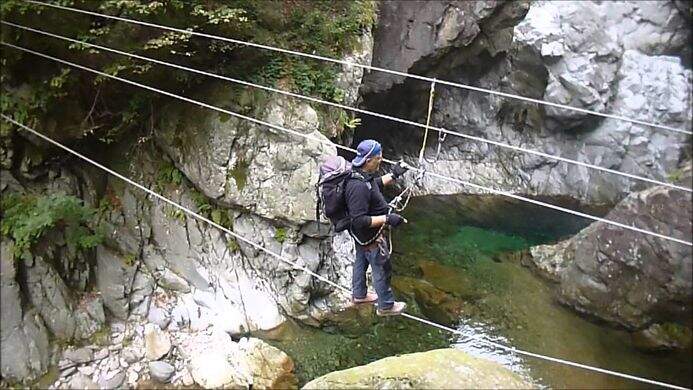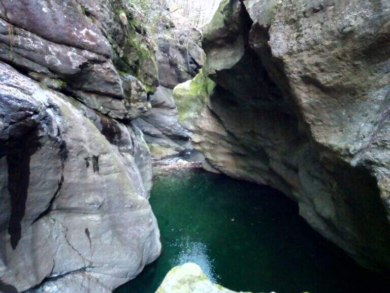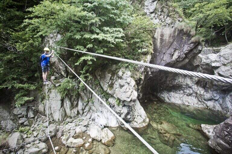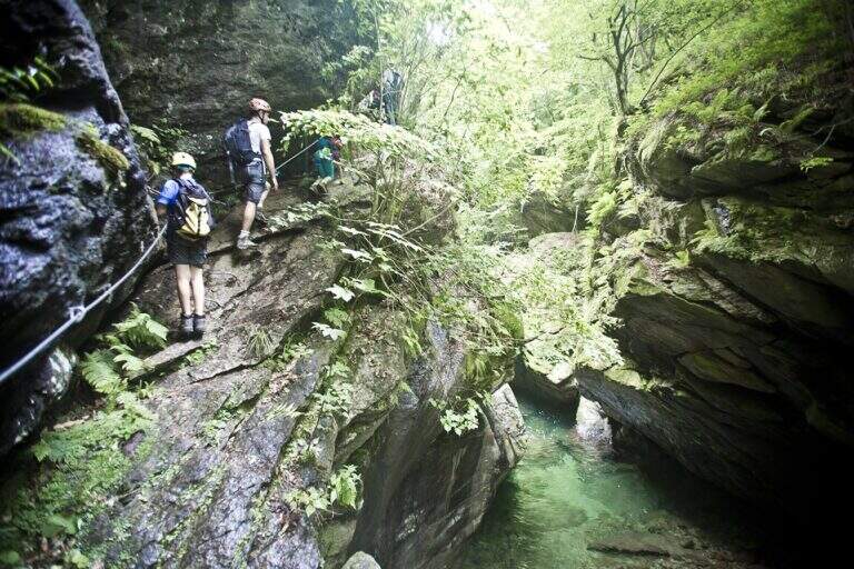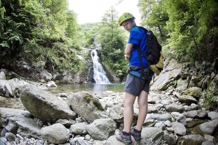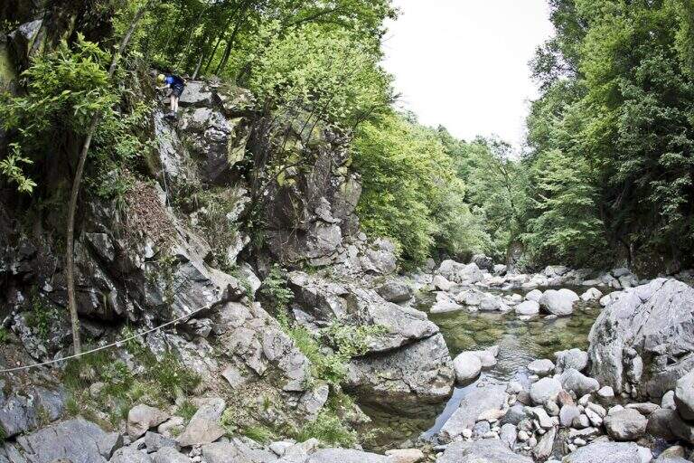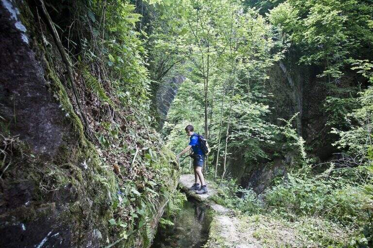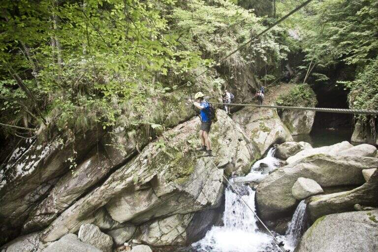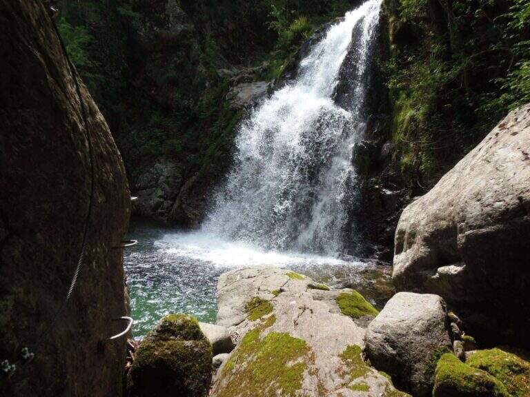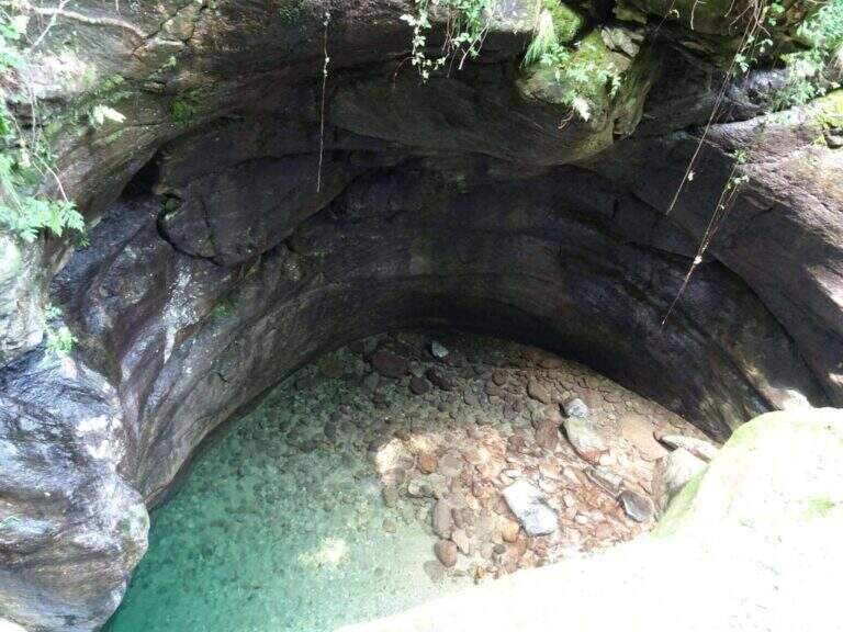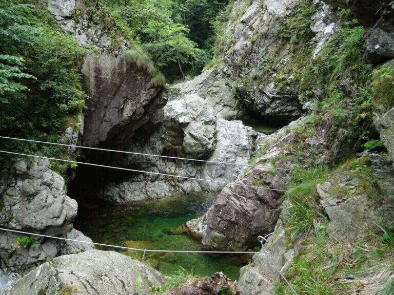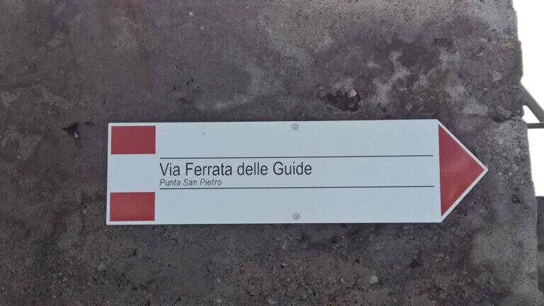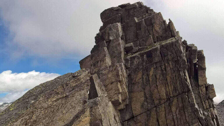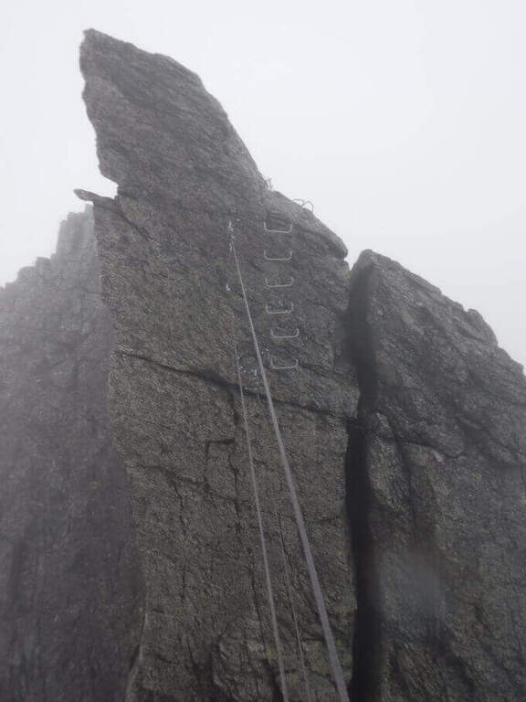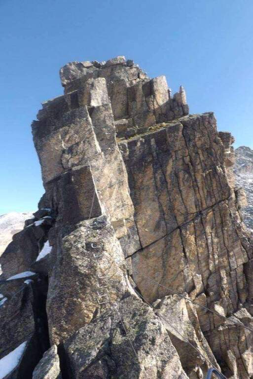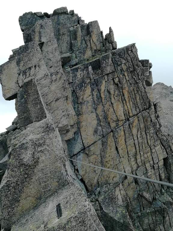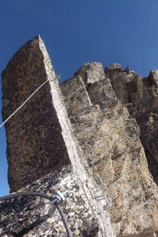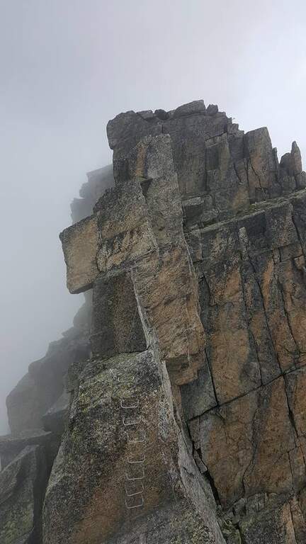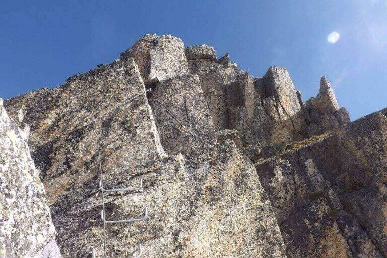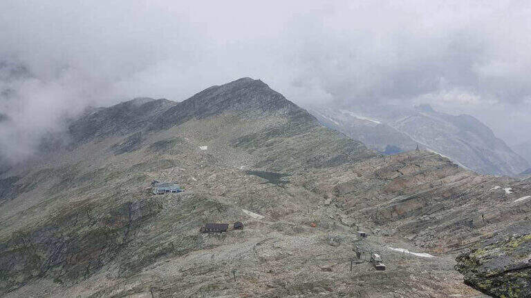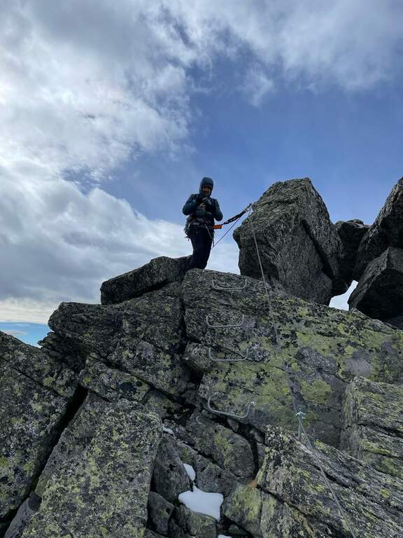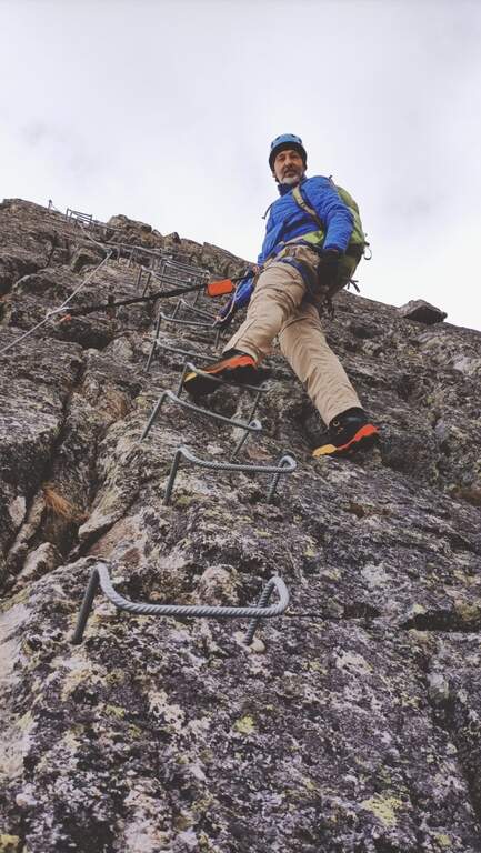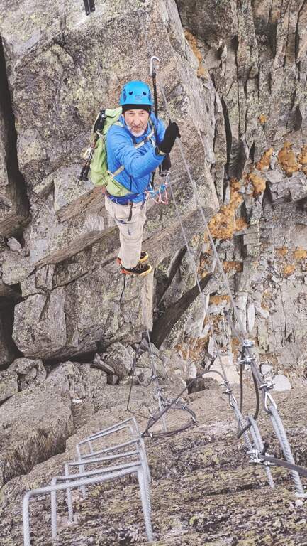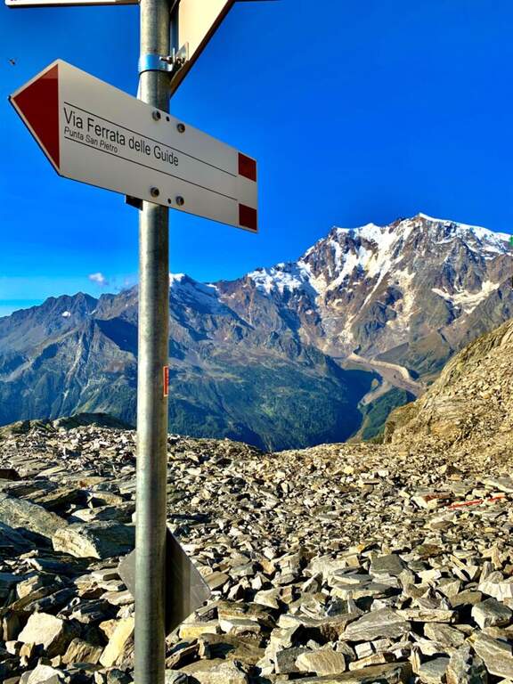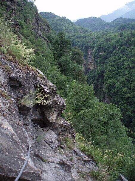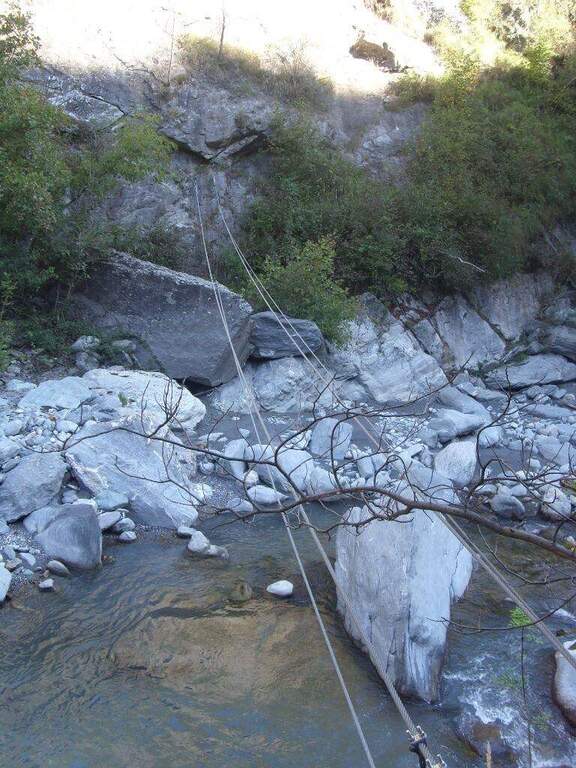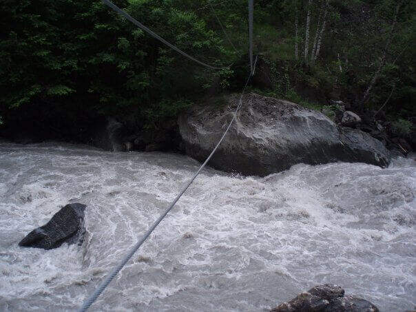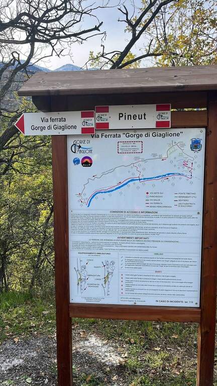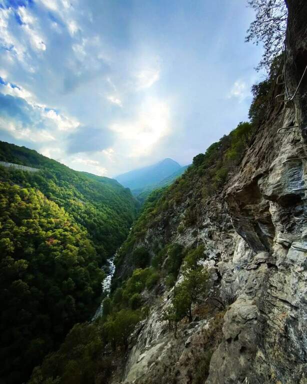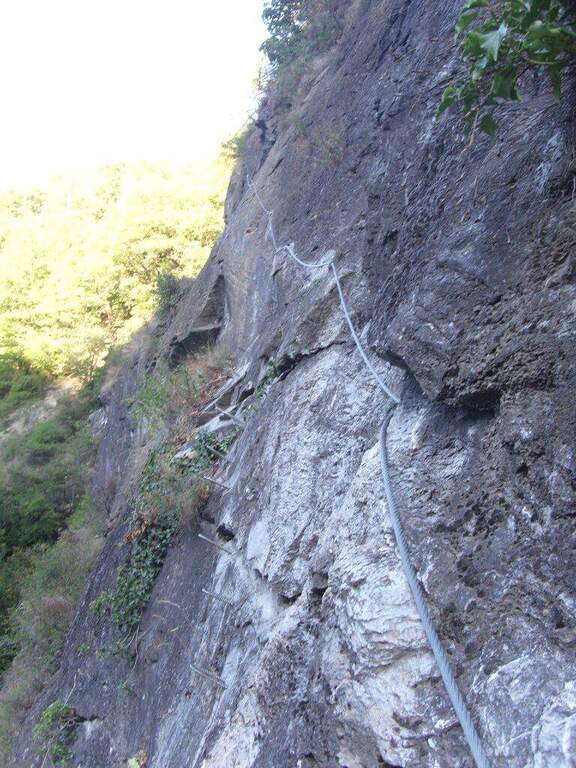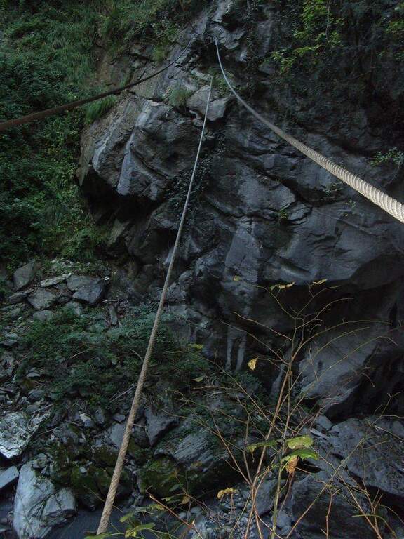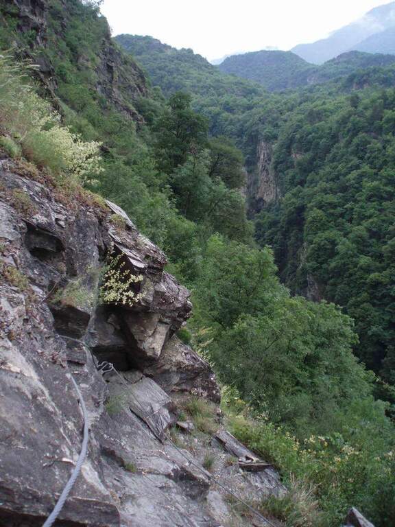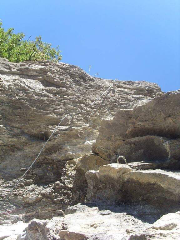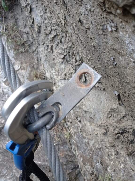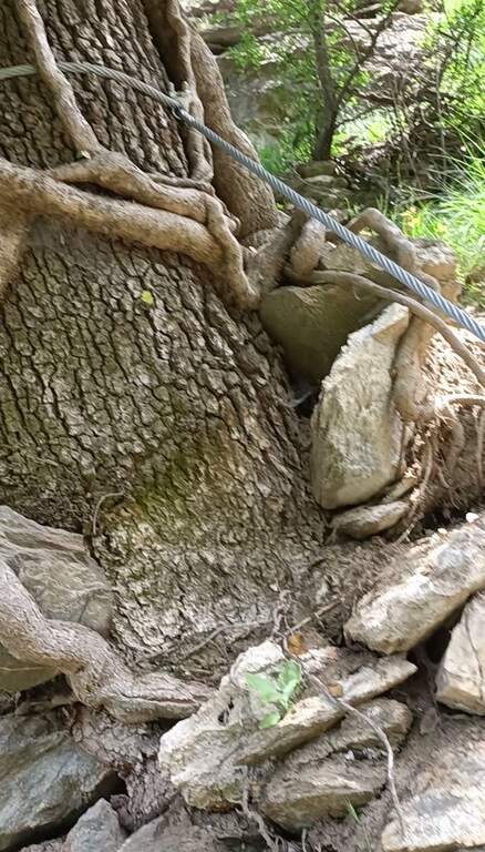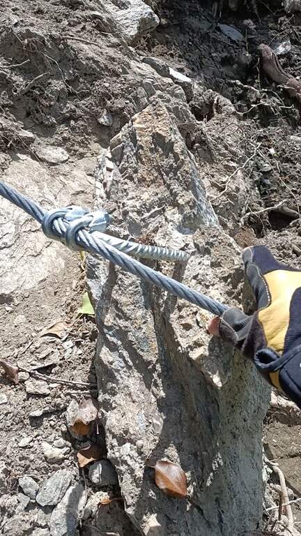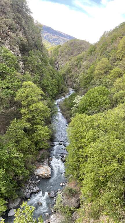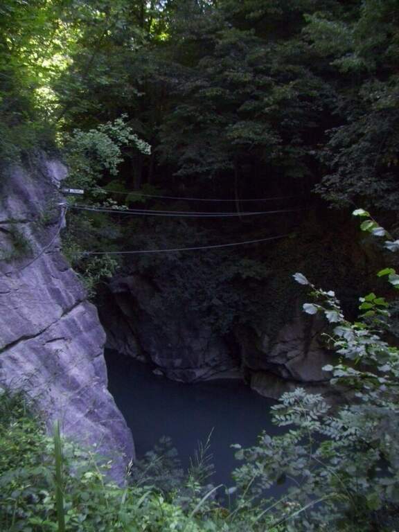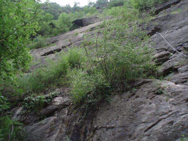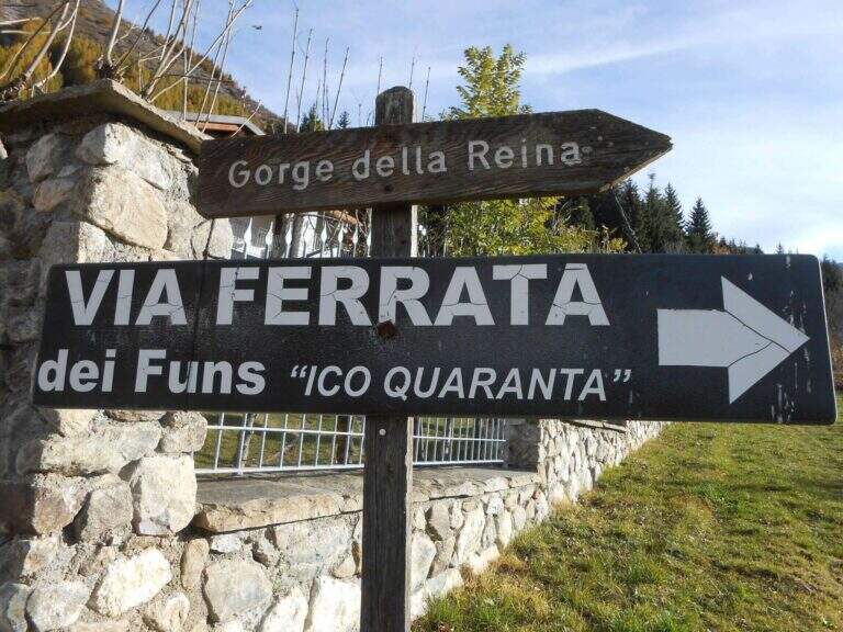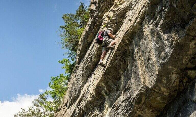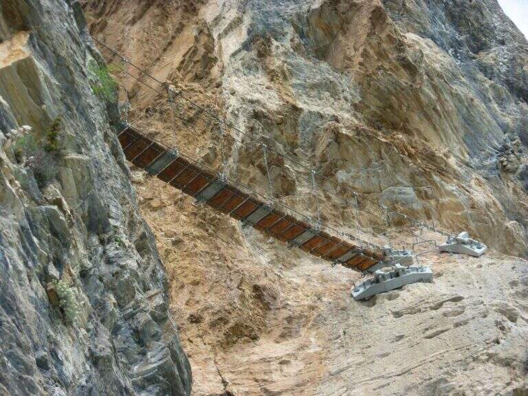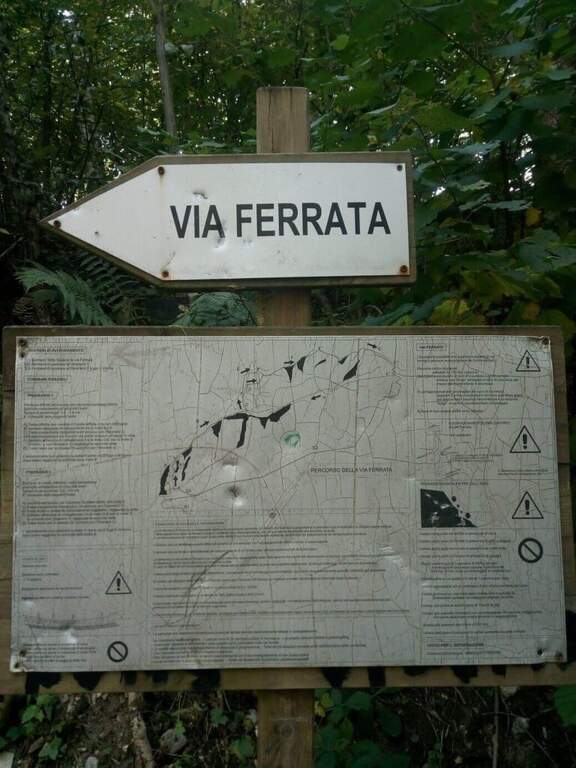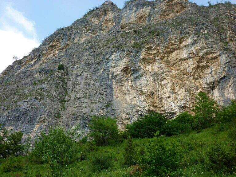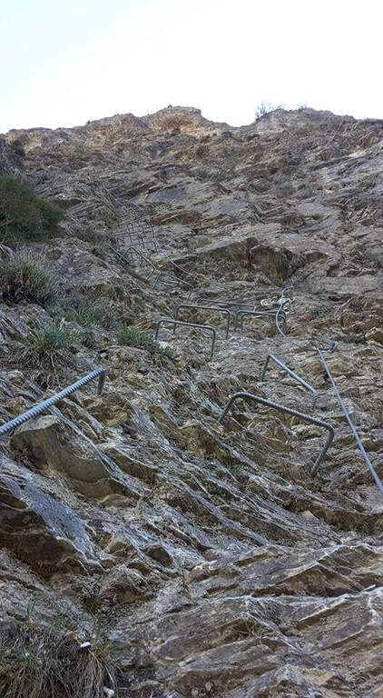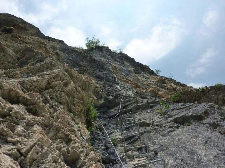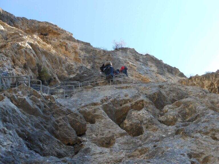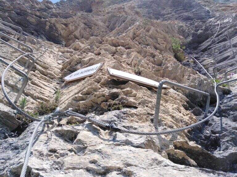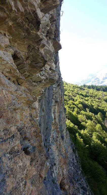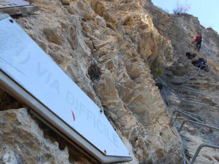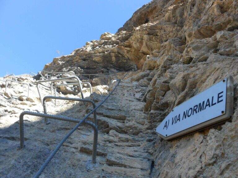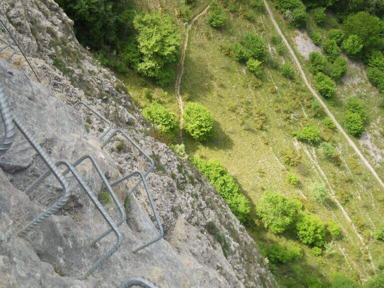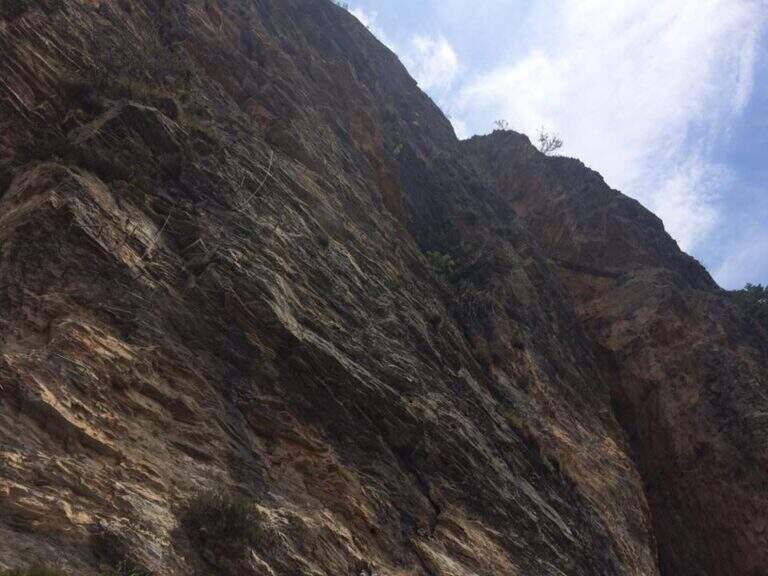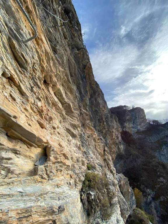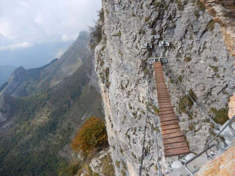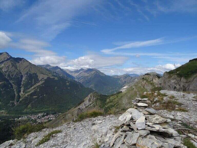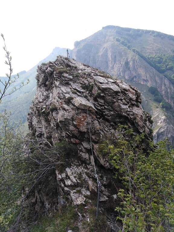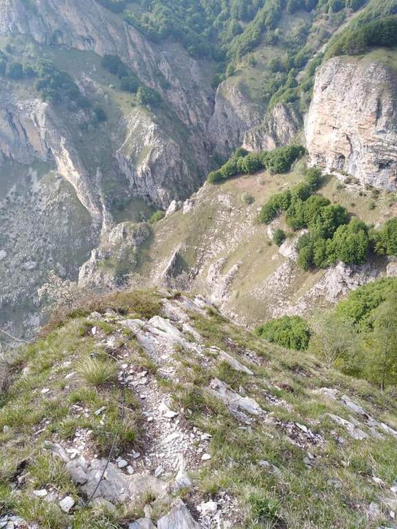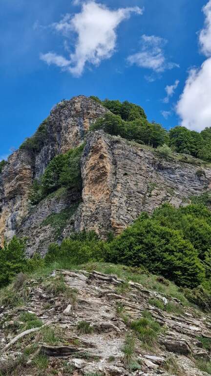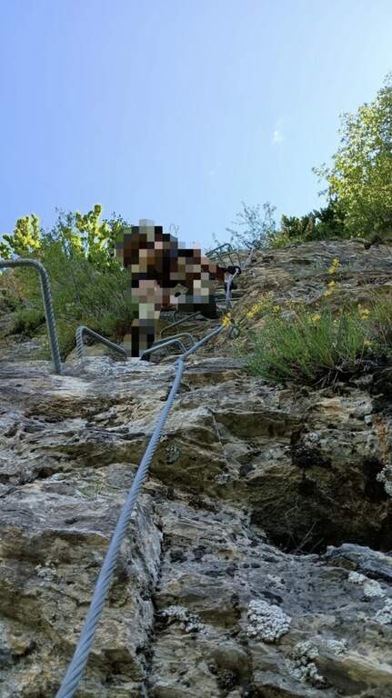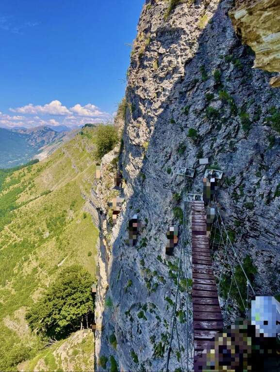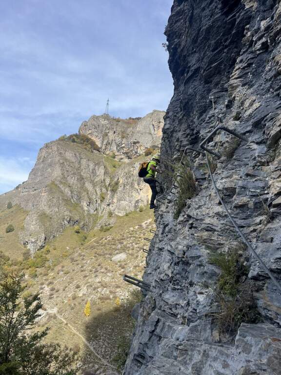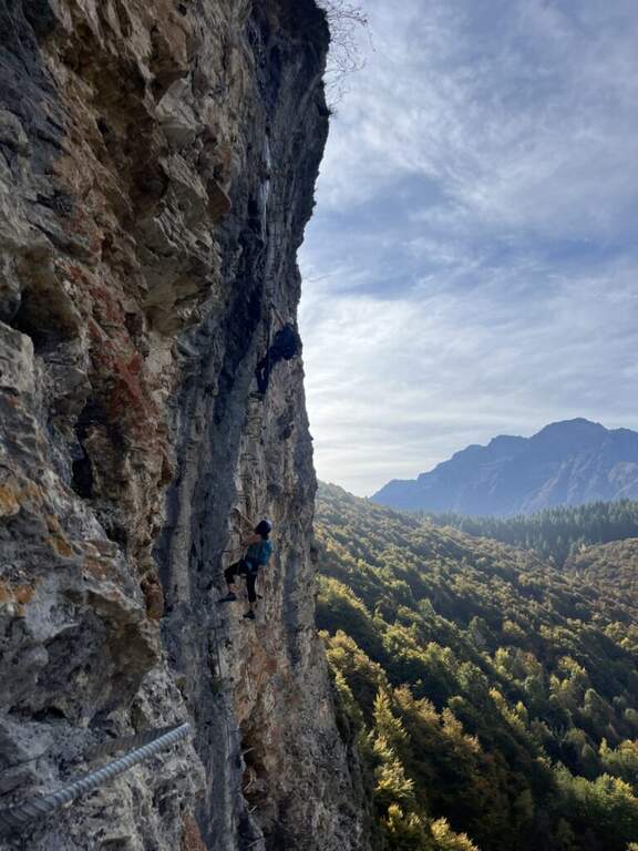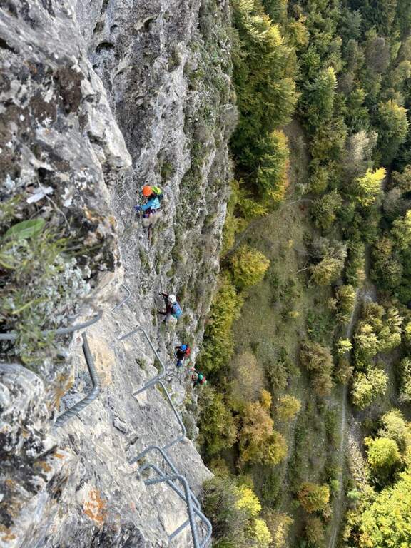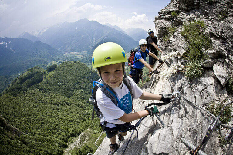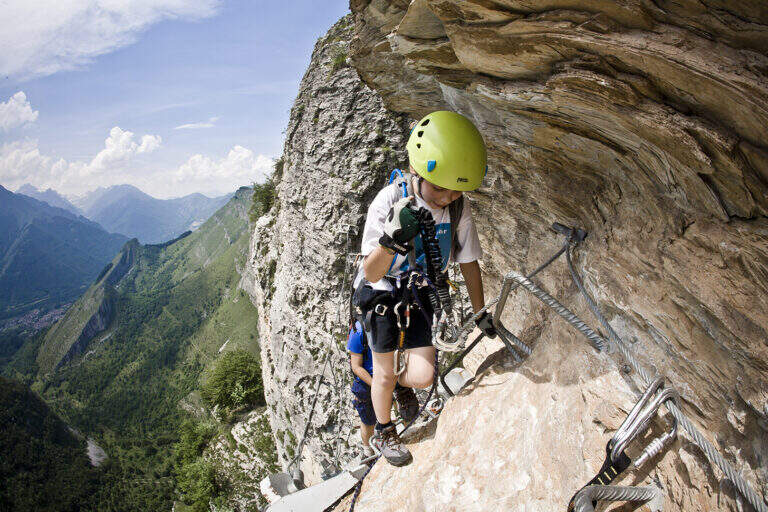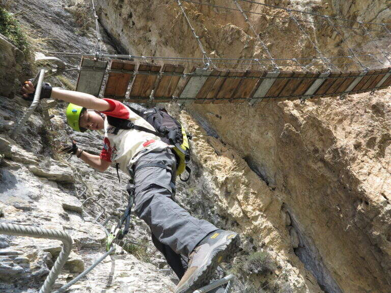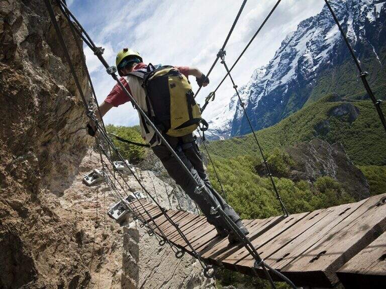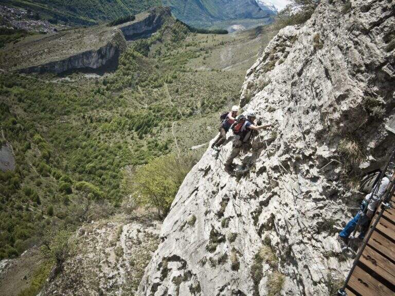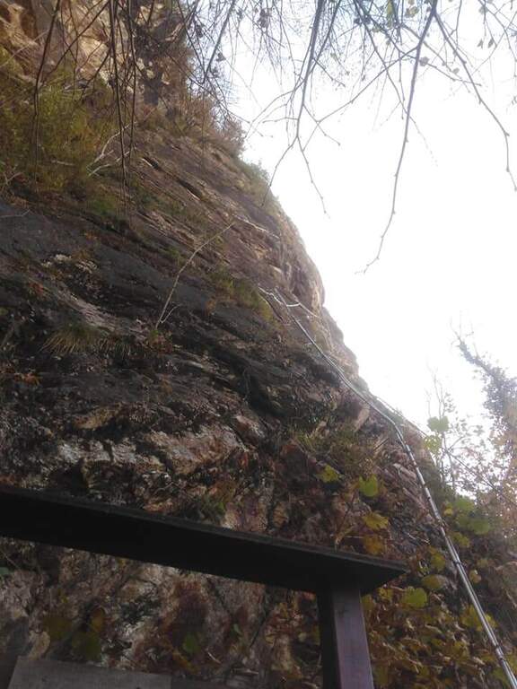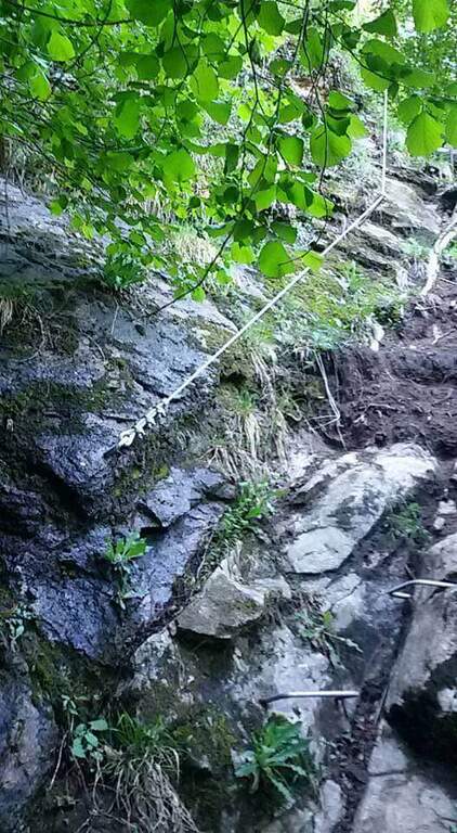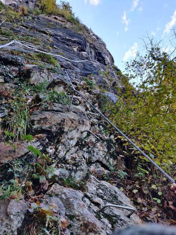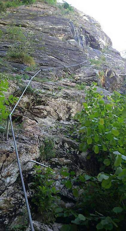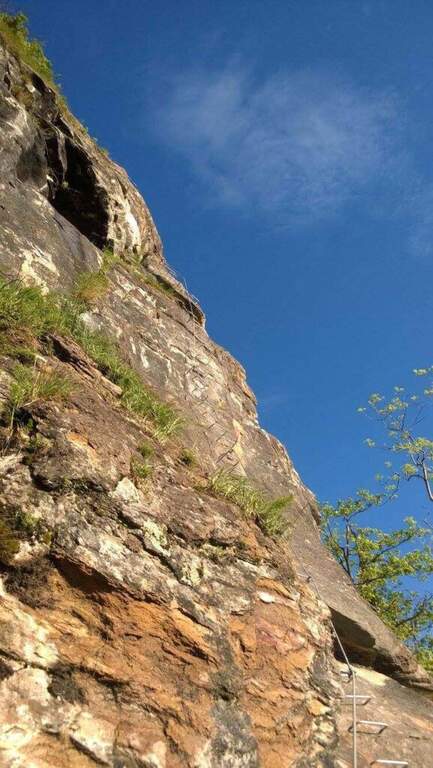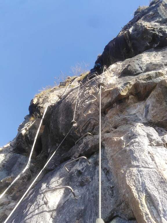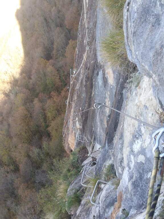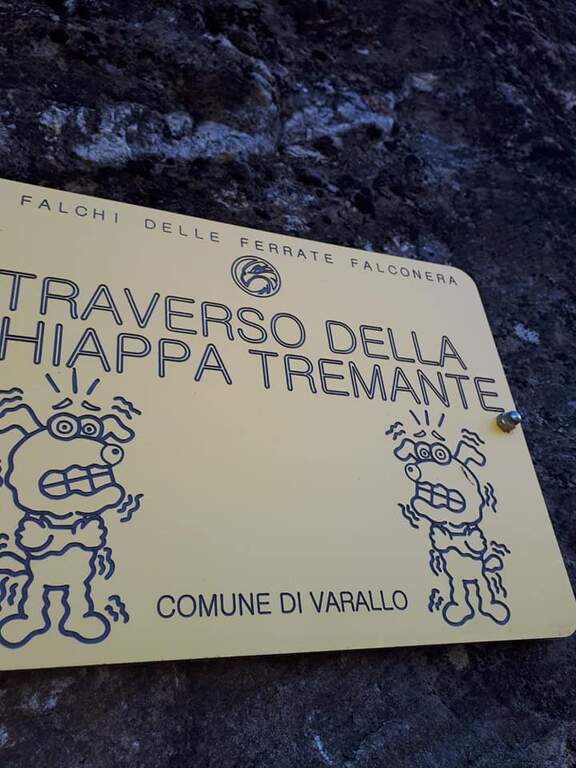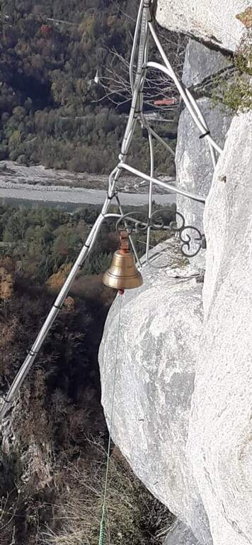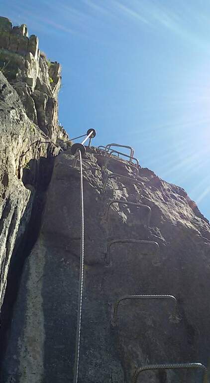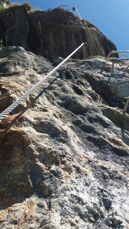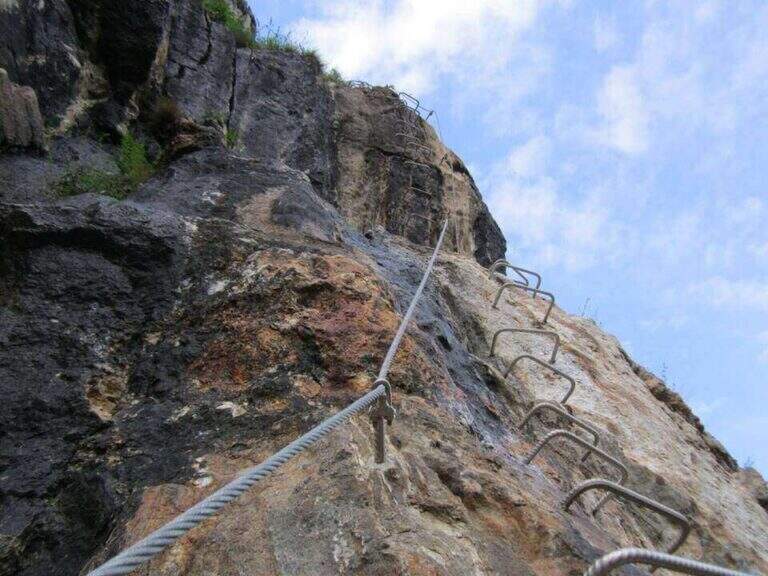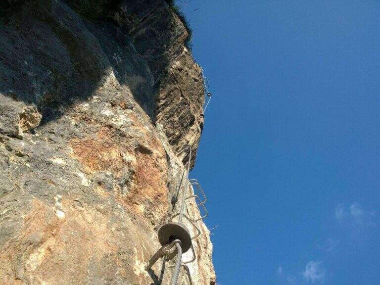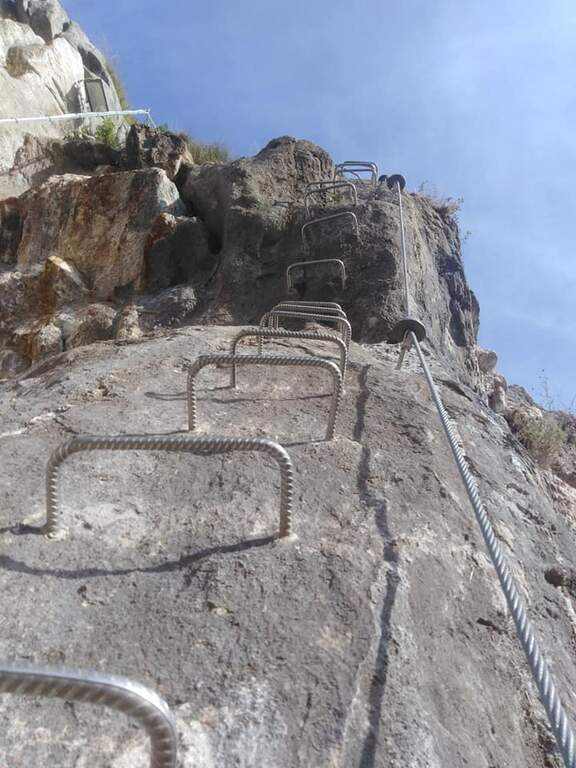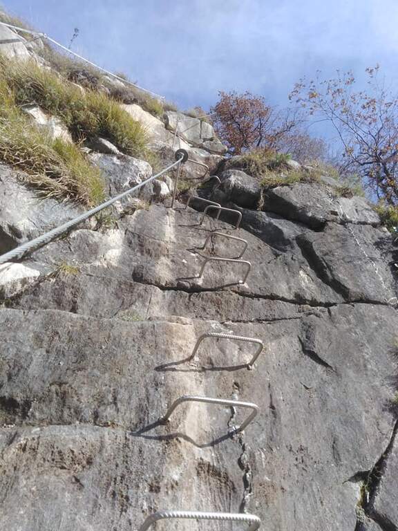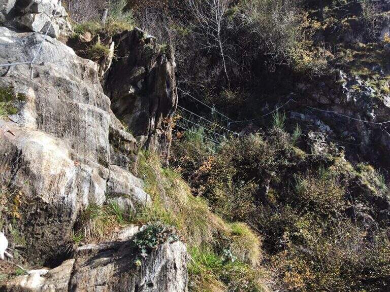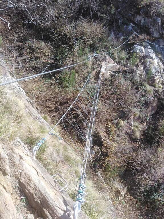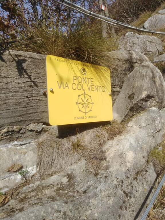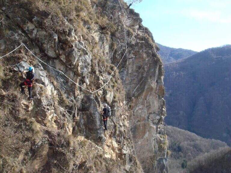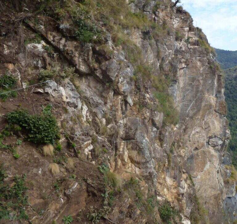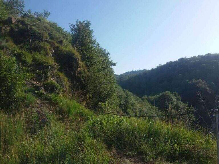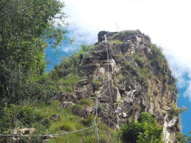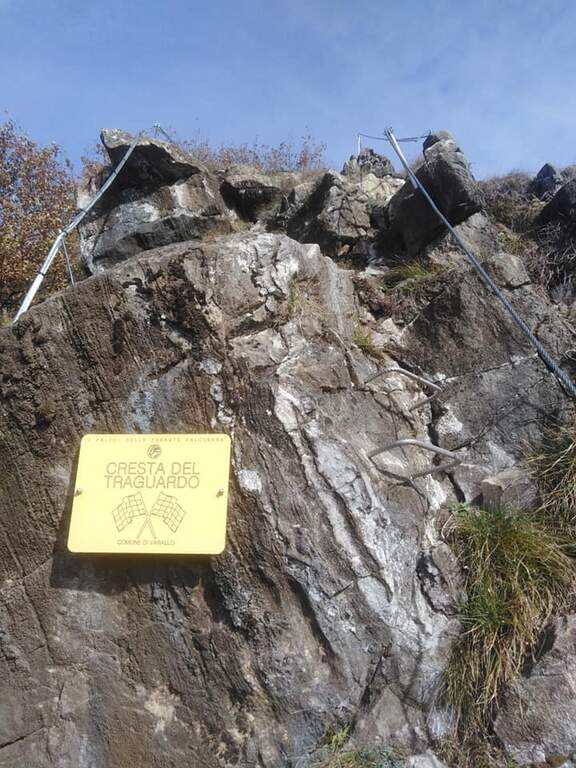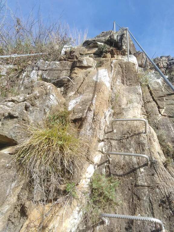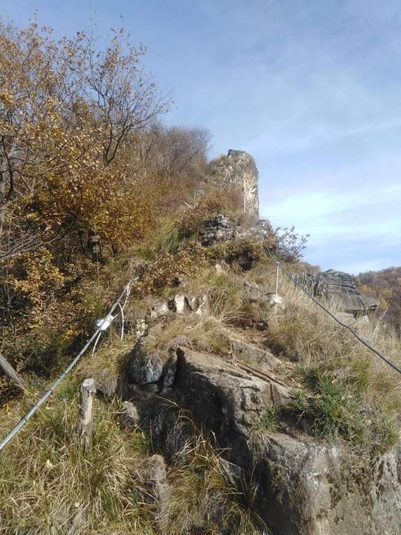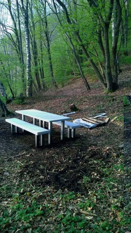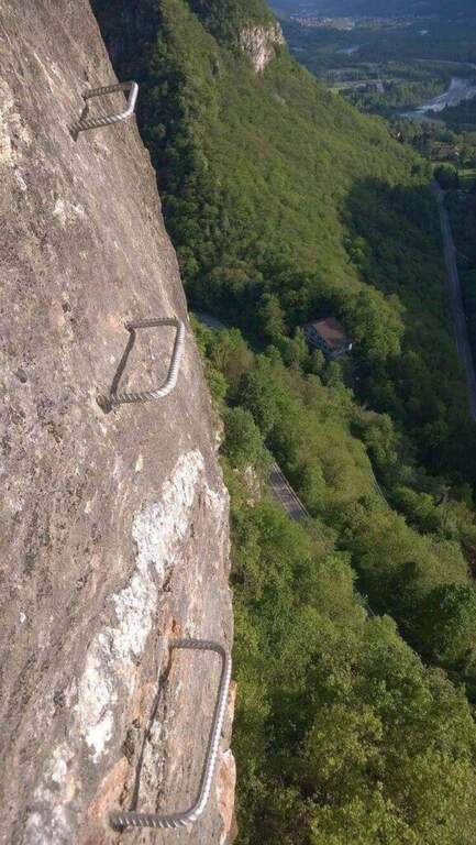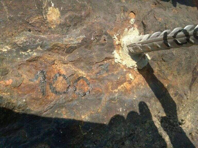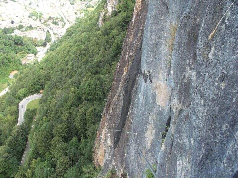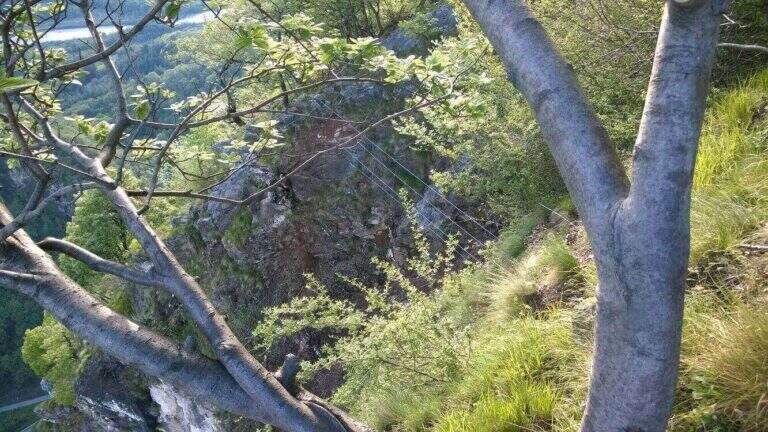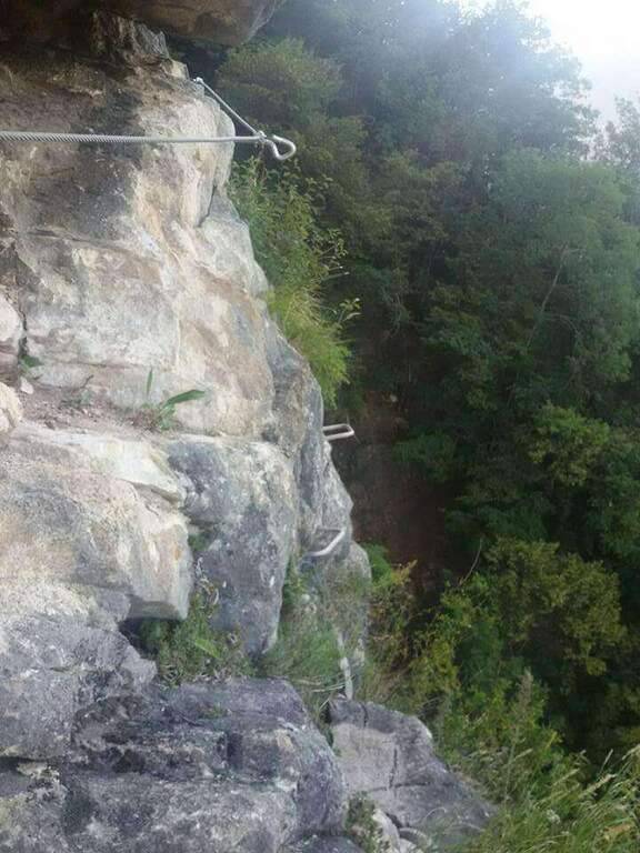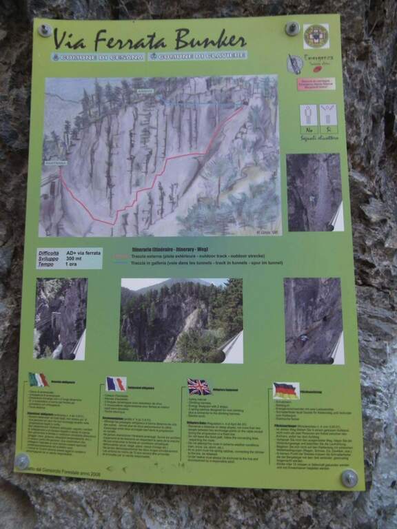
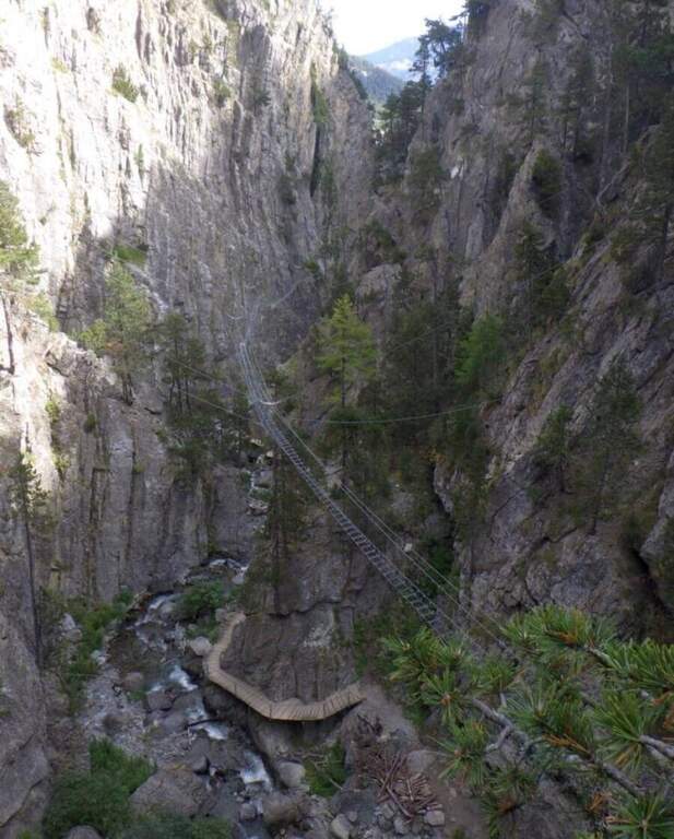
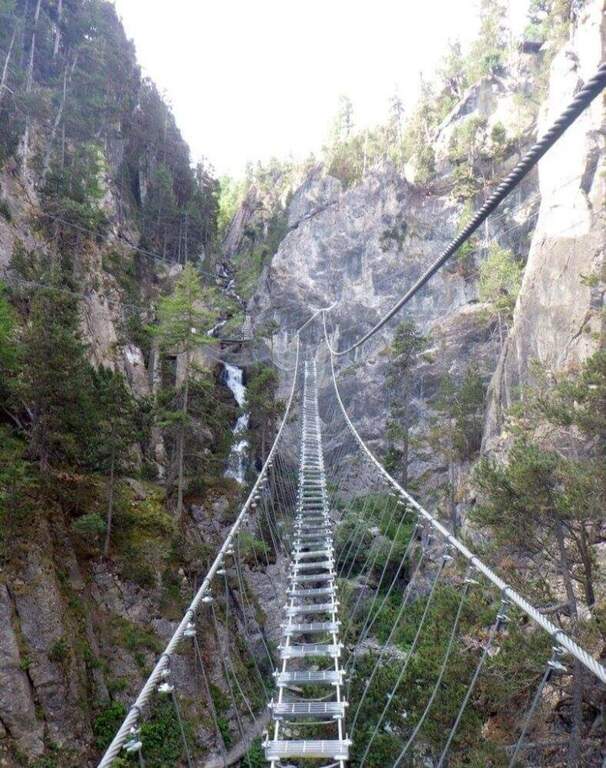
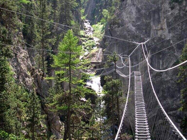
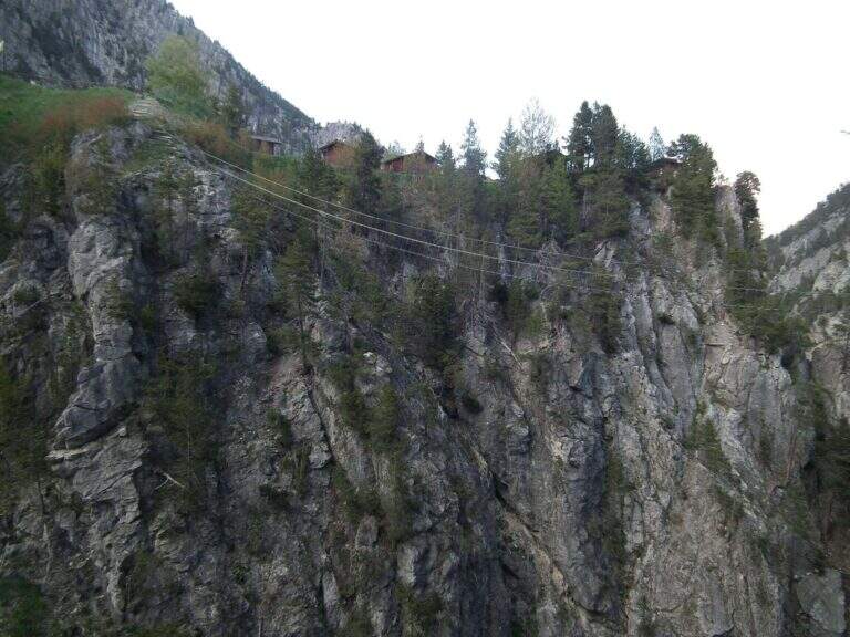
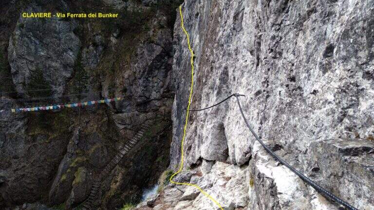
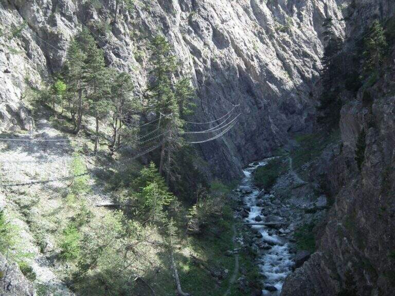
The Ferrata del Bunker (or the Military) runs along the wall that divides the Gorges of San Gervasio, on the Dora Piccola, near Claviere. It's not difficult, but it's definitely aerial: it starts immediately after the world's longest suspended bridge and closes through a short bunker and two other Tibetan bridges.
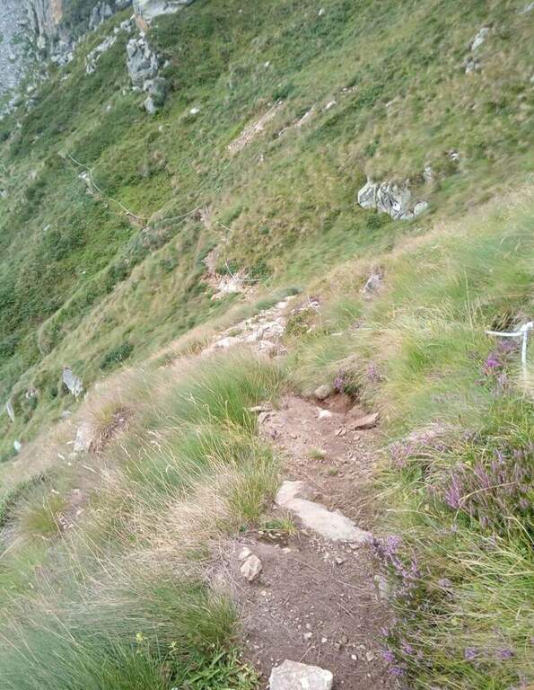
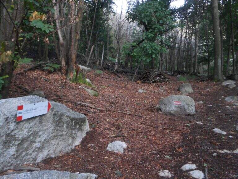
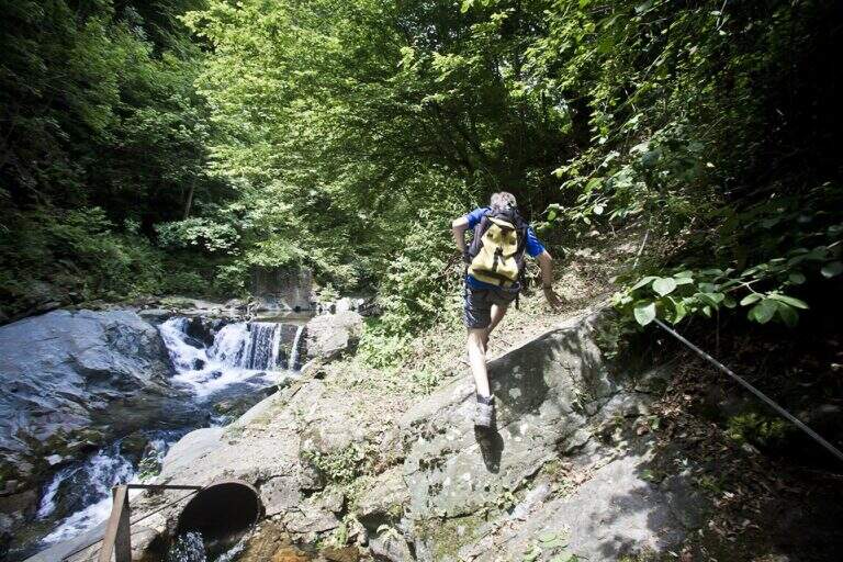
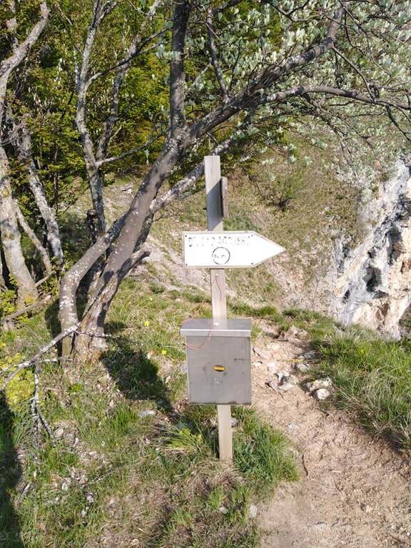
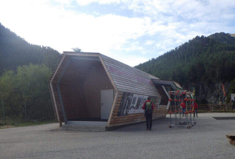
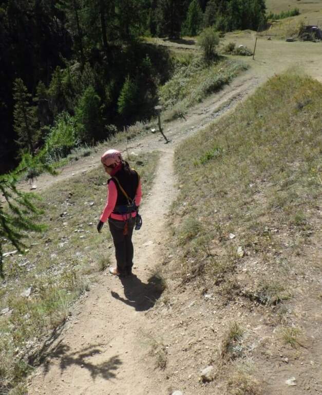
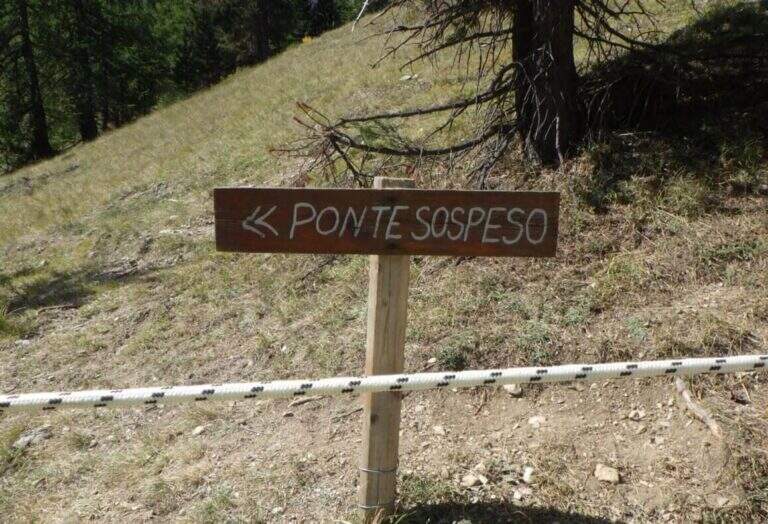
The usual starting point is the ticket office of the Tibetan Bridge of Claviere (high Val di Susa, Turin), a wooden case well marked in the village. Open road signs on Google Maps. From the center you cross the suspension bridge «Sergio Bompard» (408 m), followed by an approach bridge of another 70 m: at the end it is at l' attack (30' from parking). Alternatively, park at the campsite after the roundabout before the gallery: go down to the ski lift for children, go up the opposite side and go left towards the gorge of the Tibetan bridge (25').
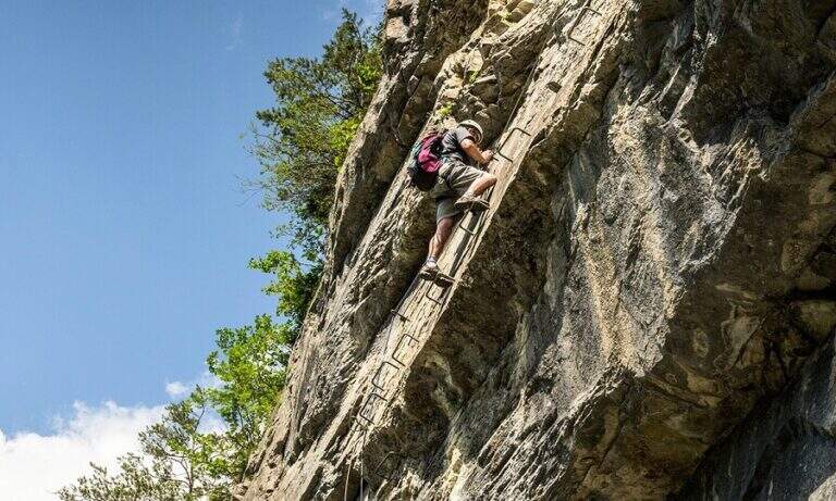
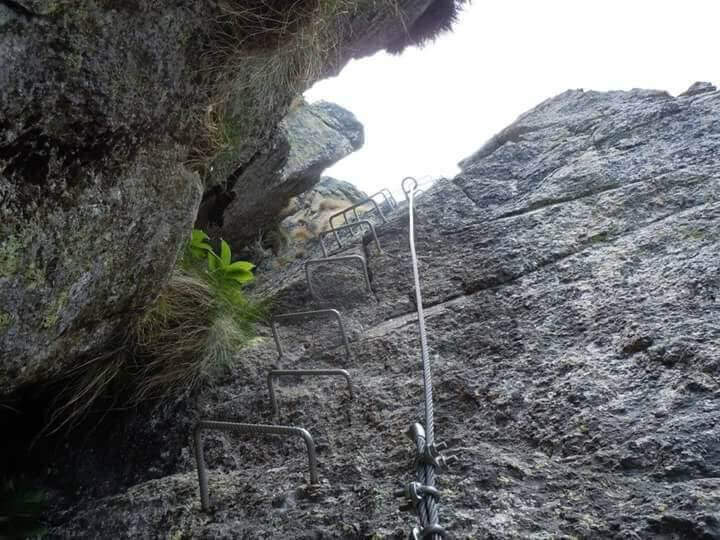
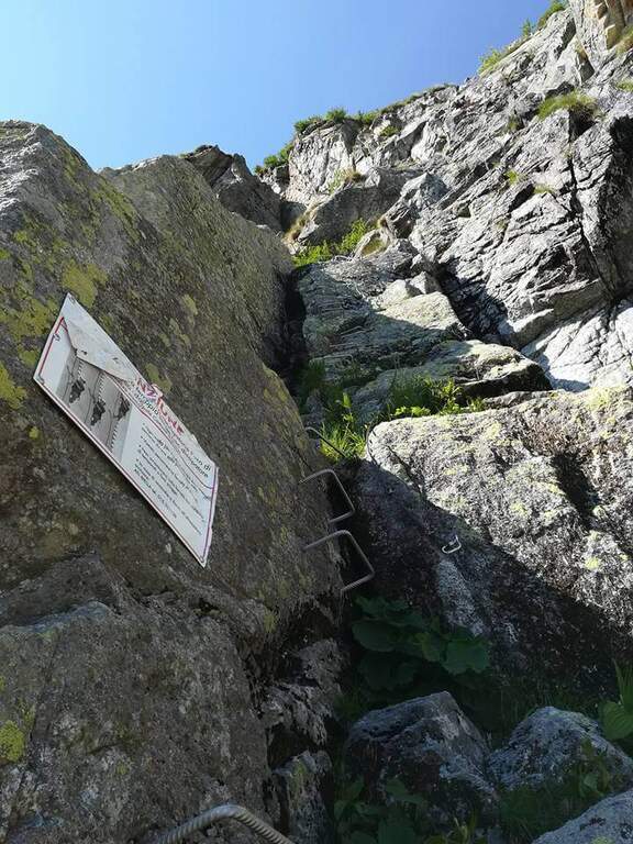
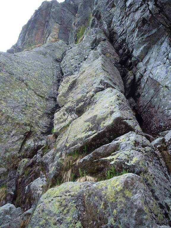
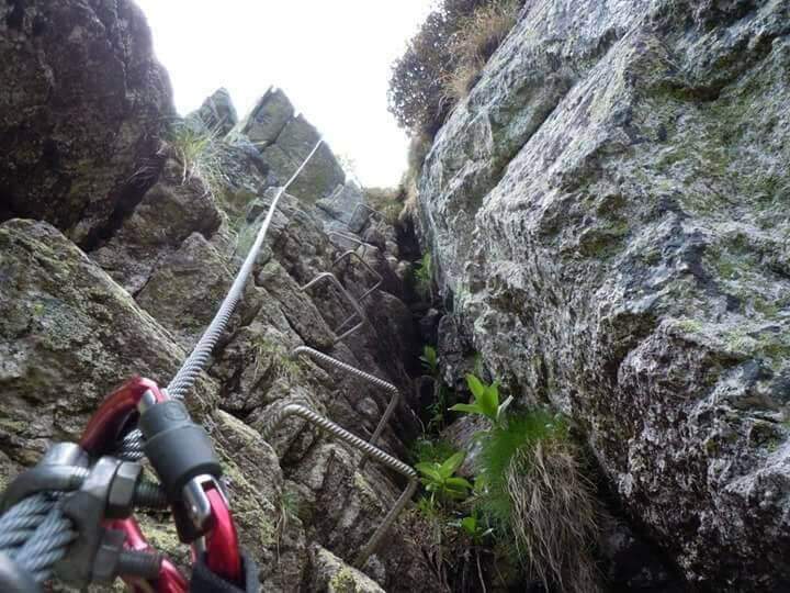
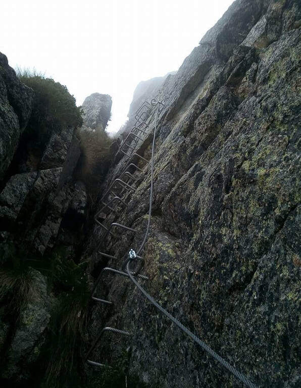
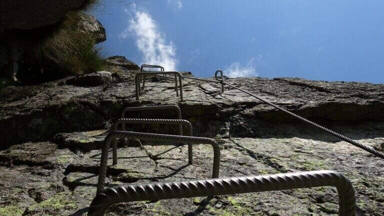
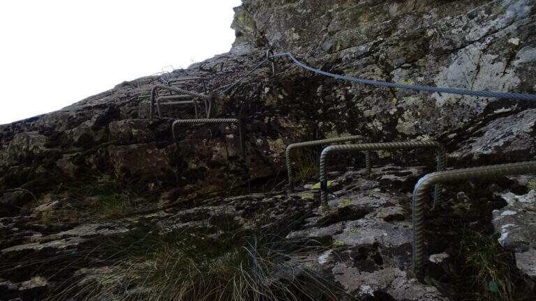
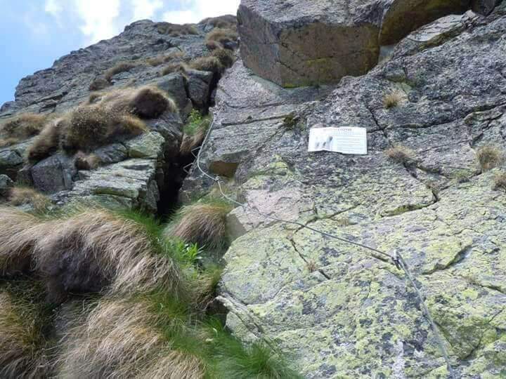
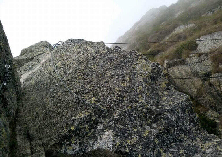
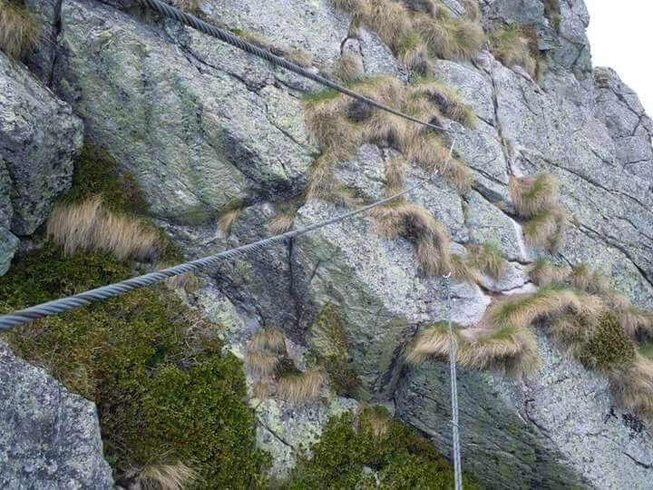
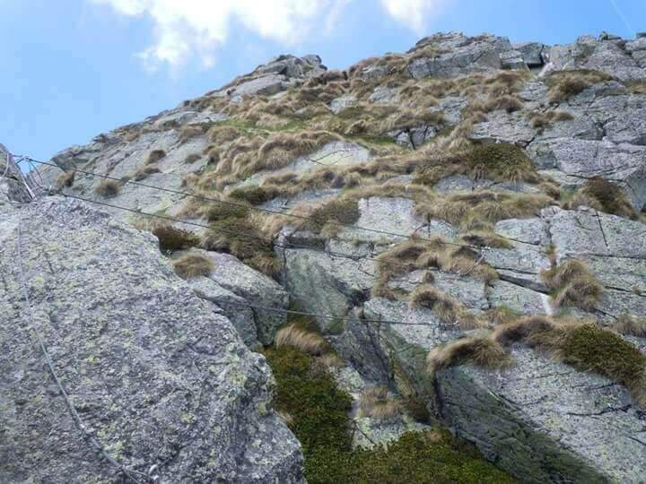
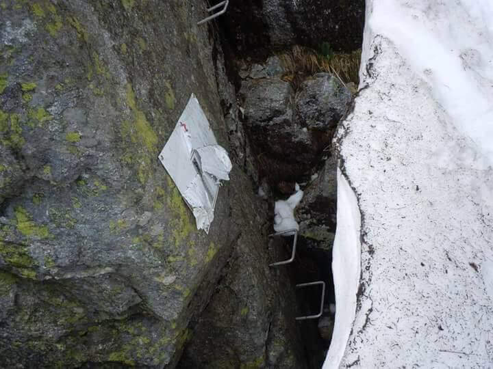
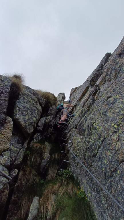
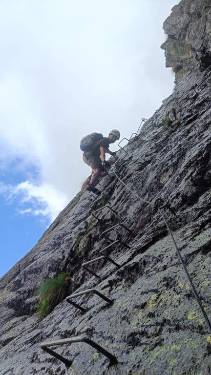
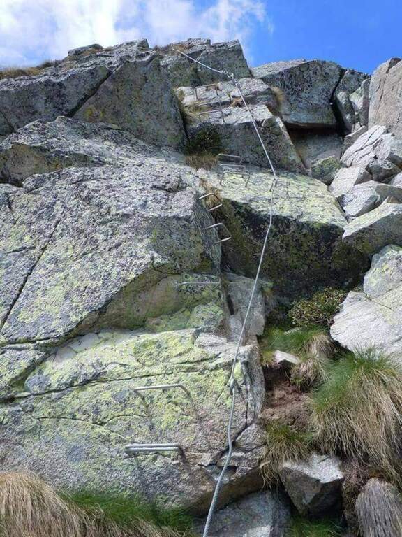
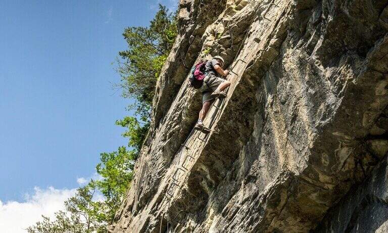
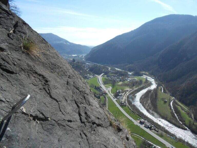
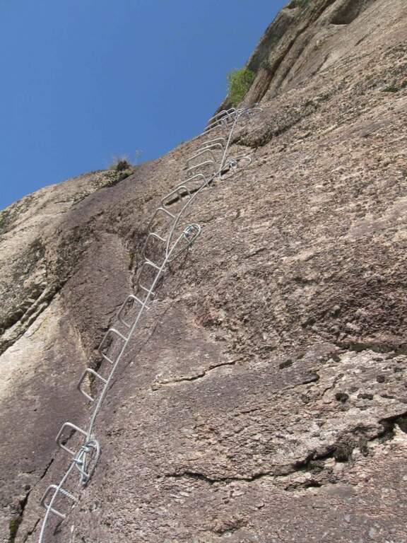
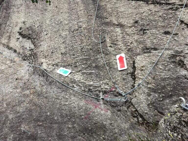
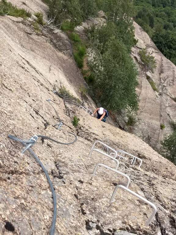
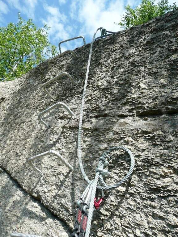
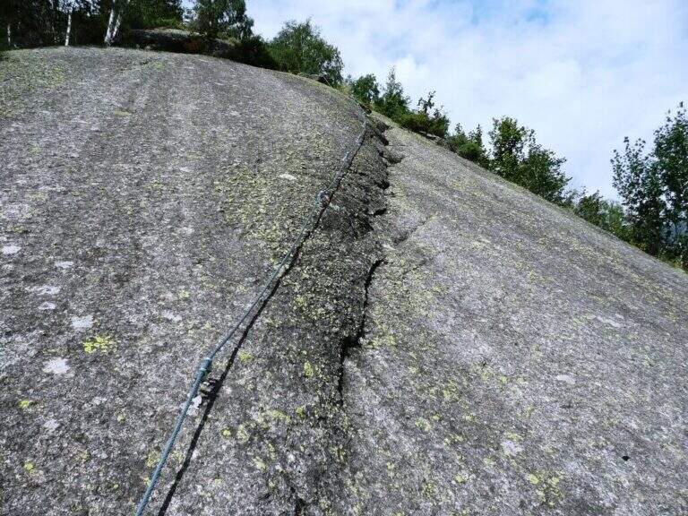
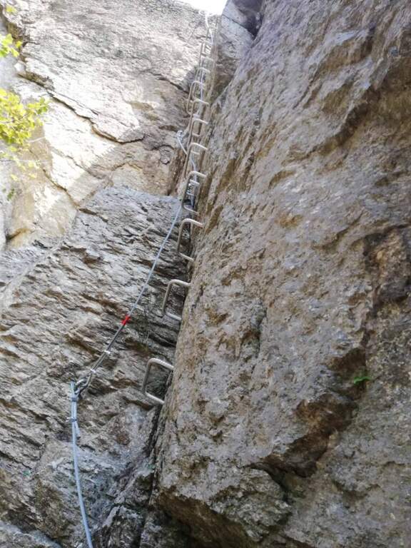
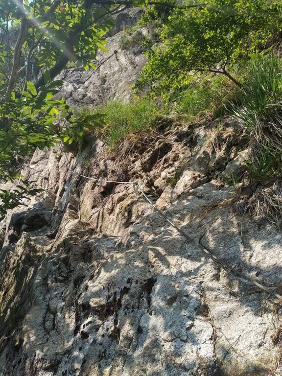
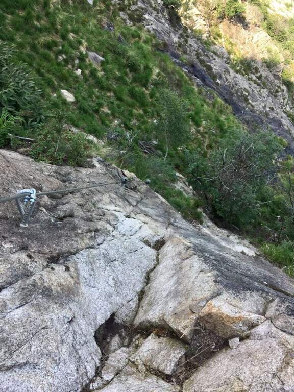
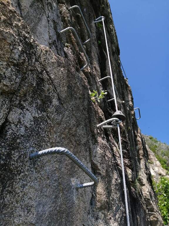
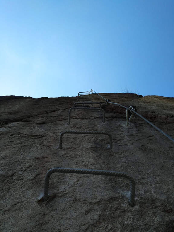
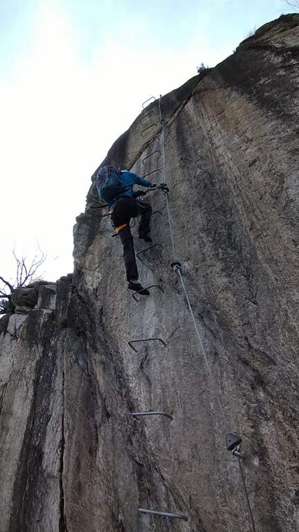
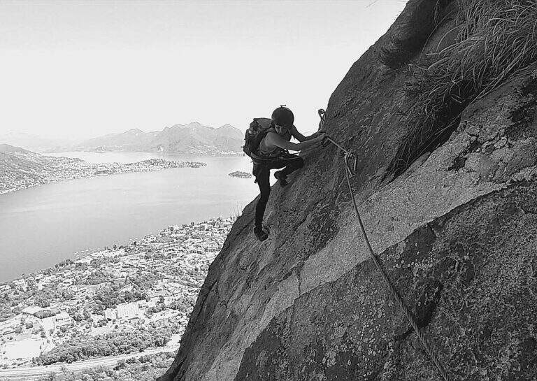
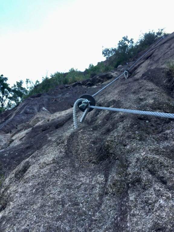
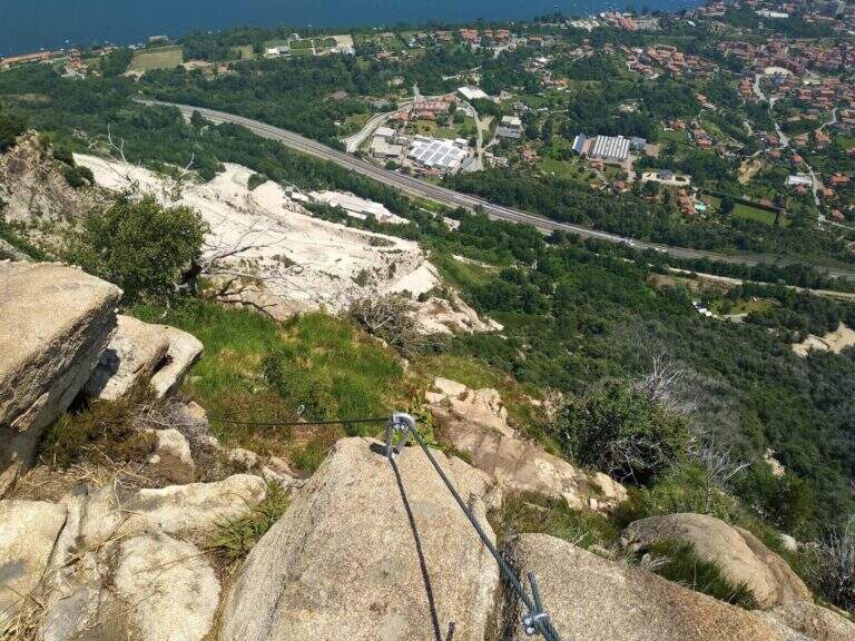
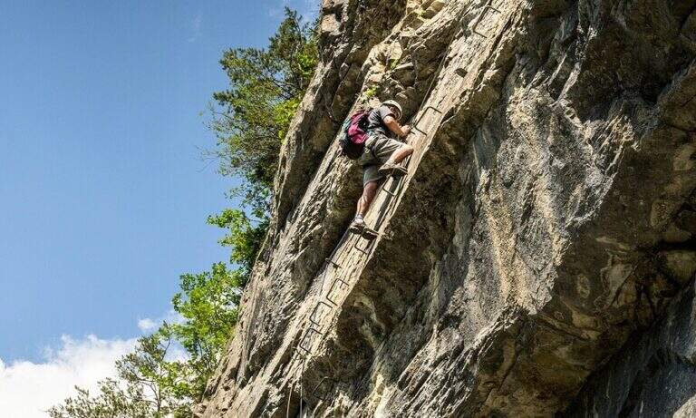
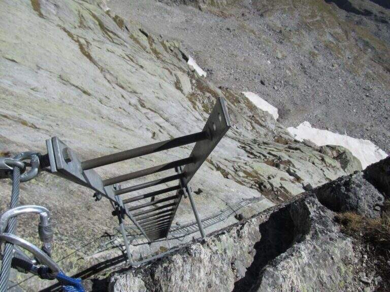
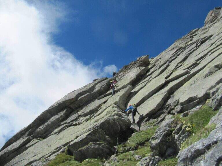
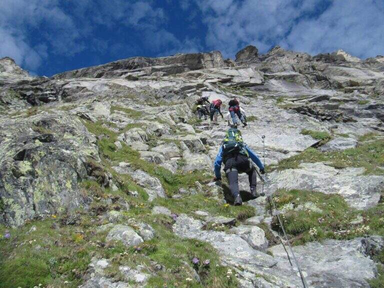
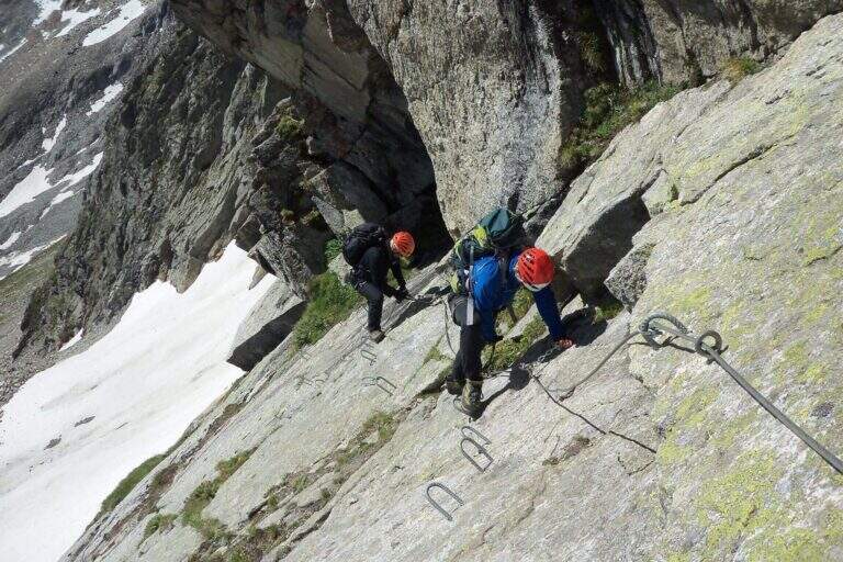
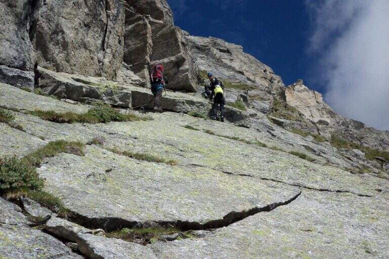
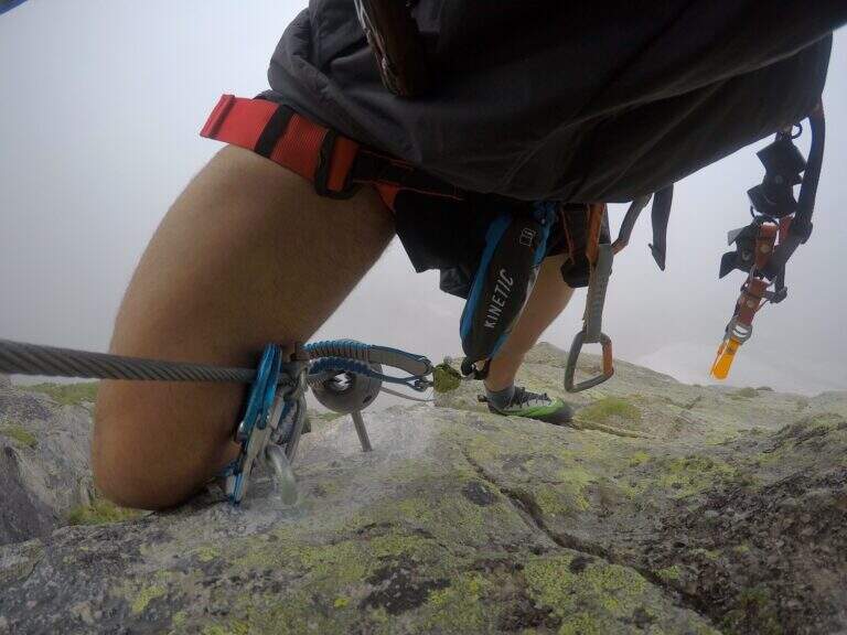
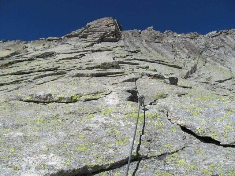
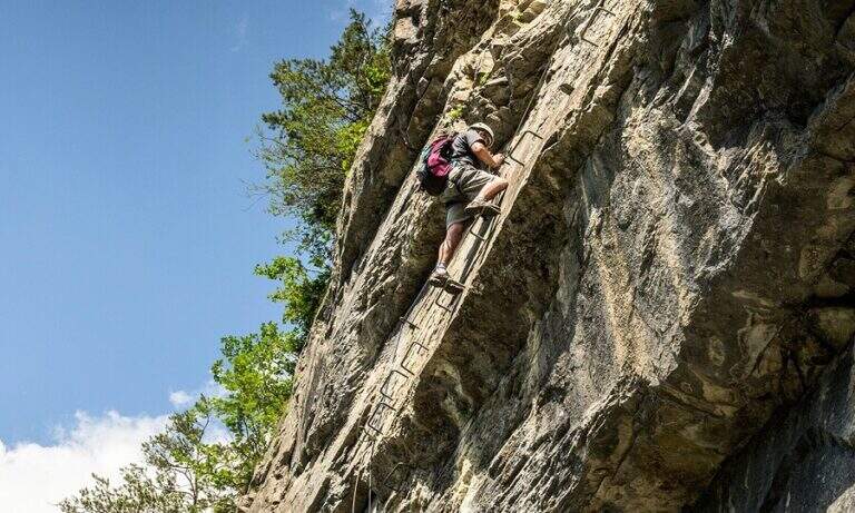
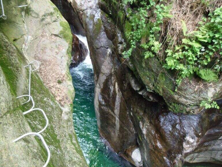
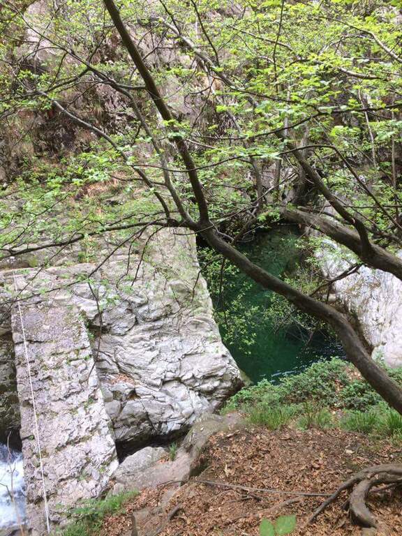
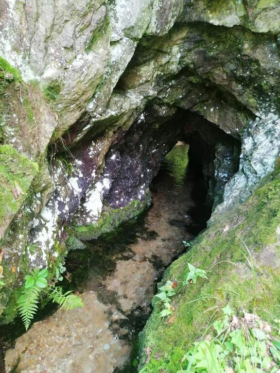
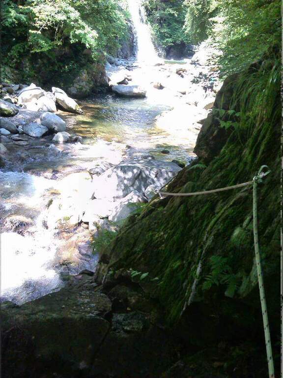
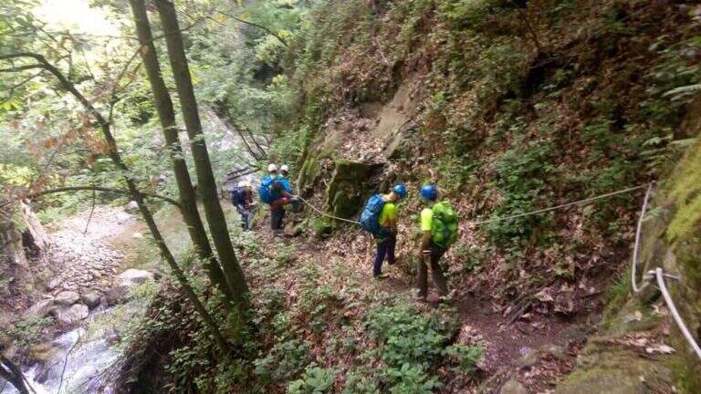
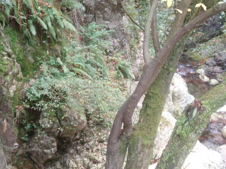
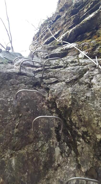
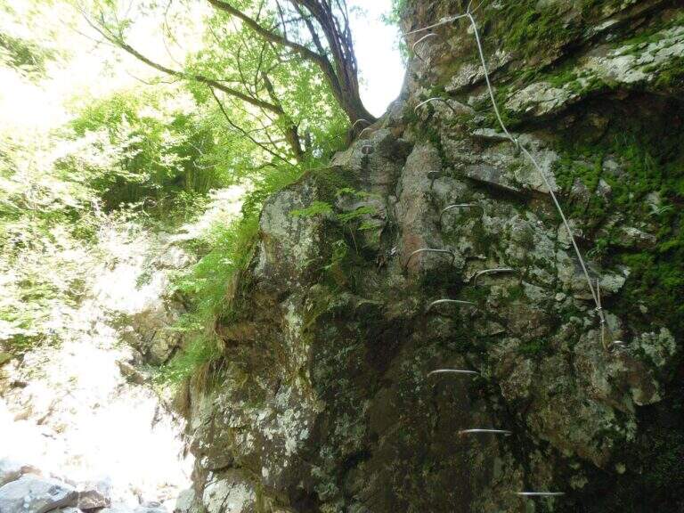
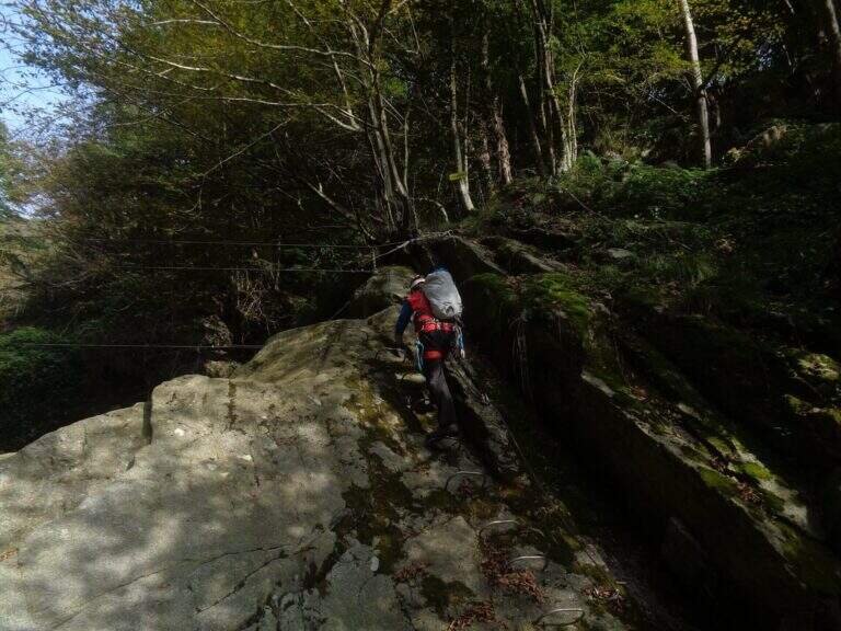
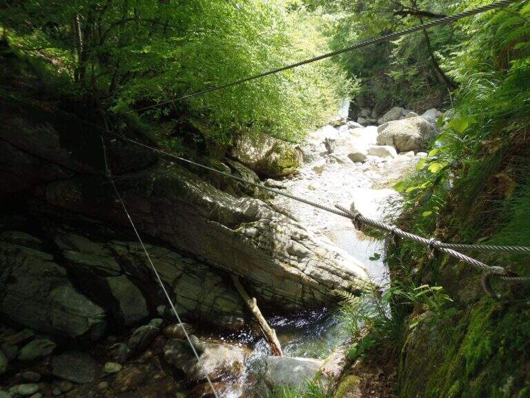
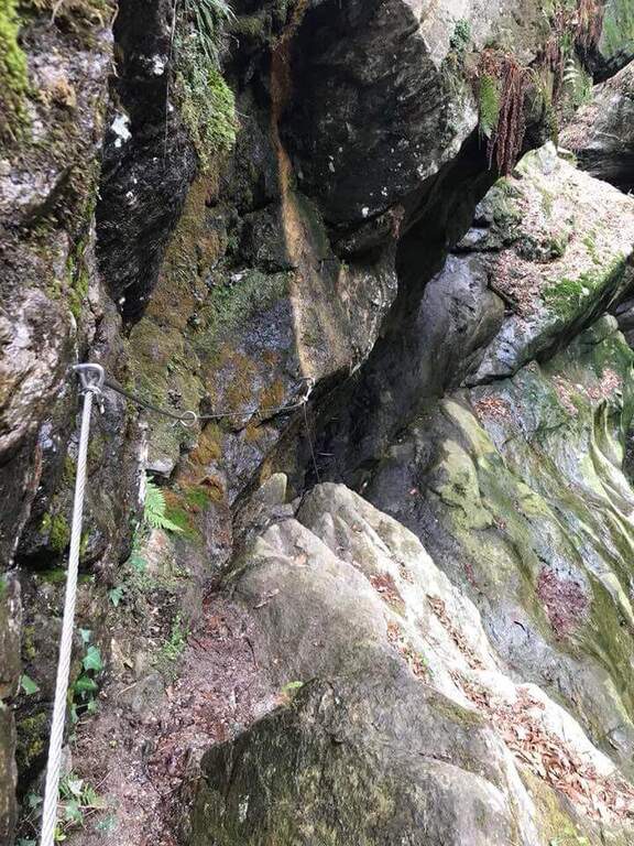
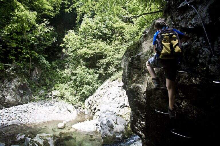
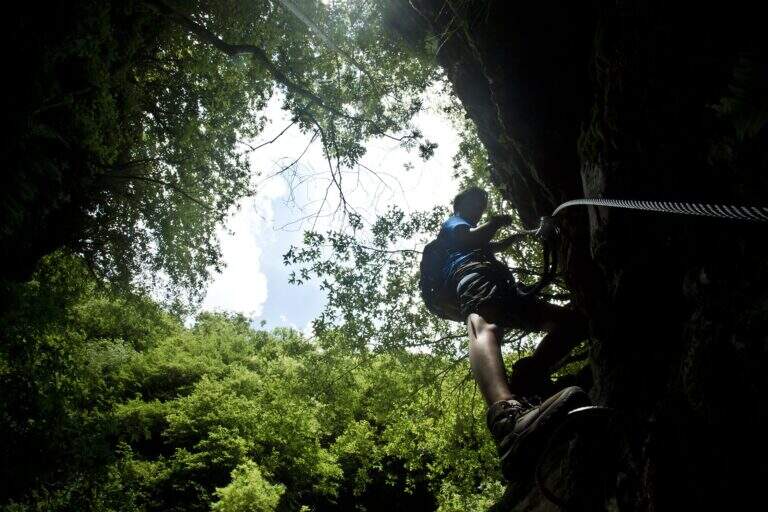
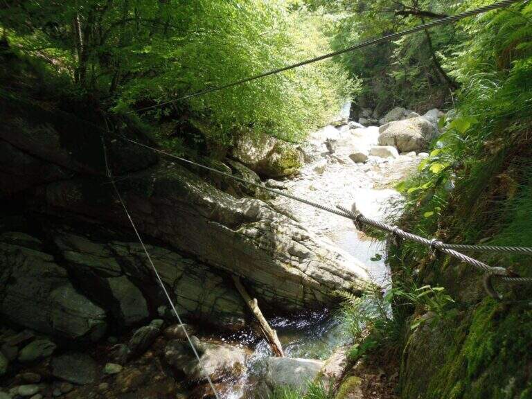
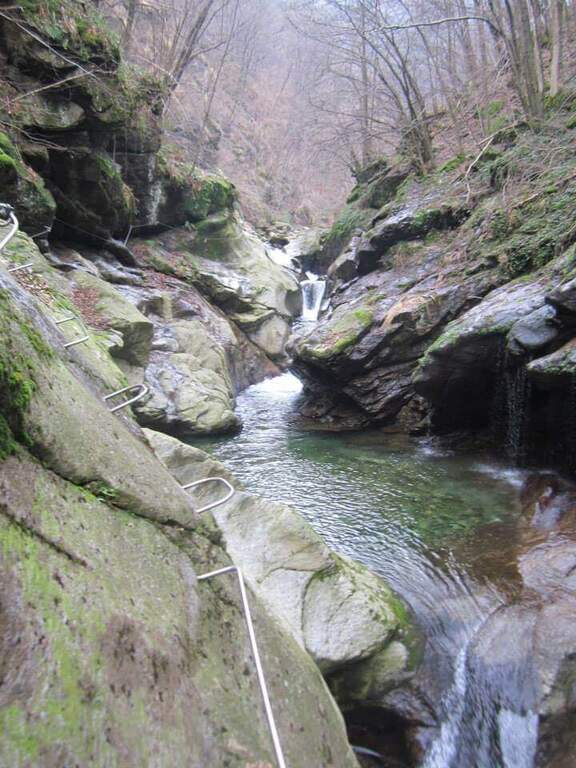
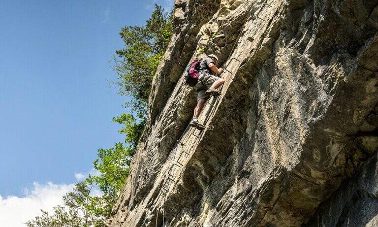
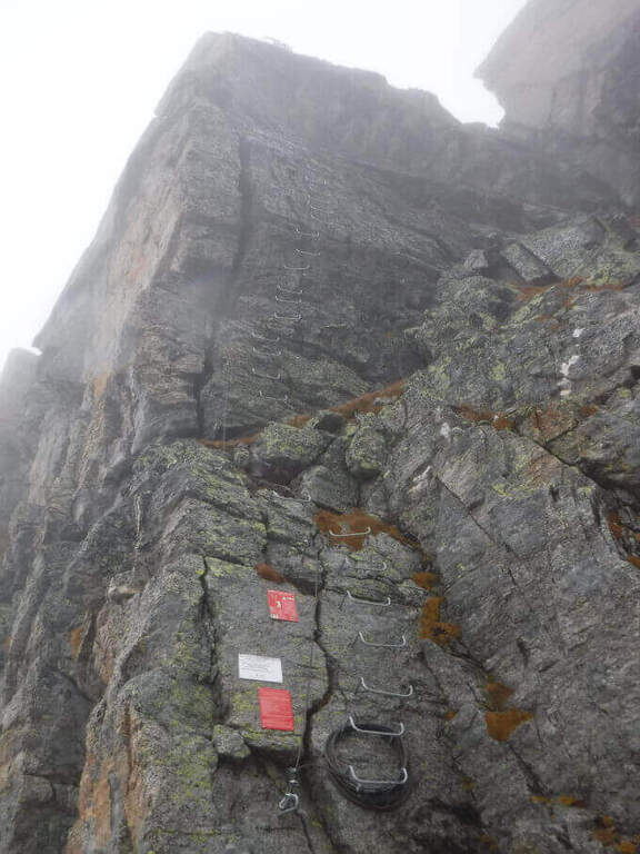
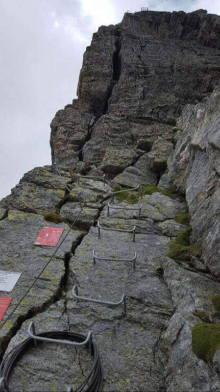
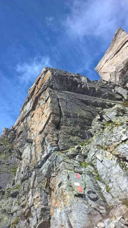
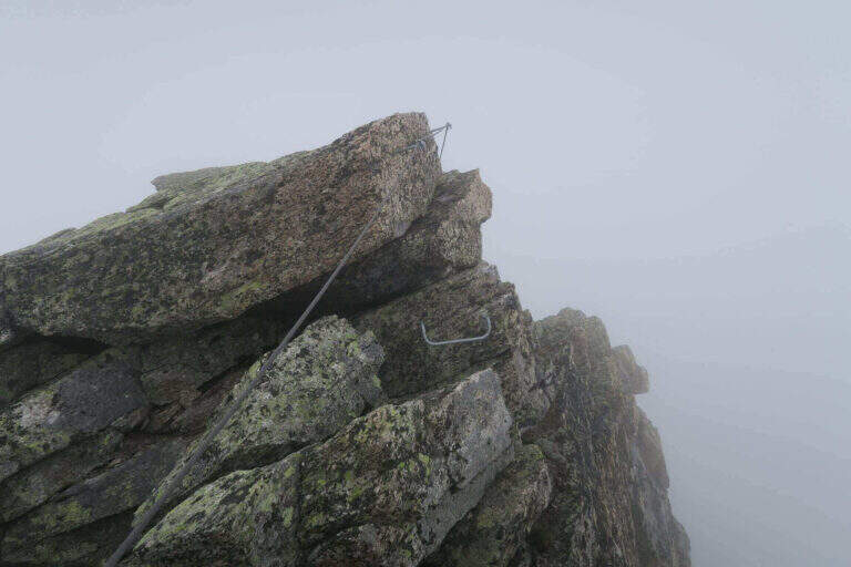
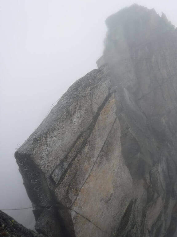
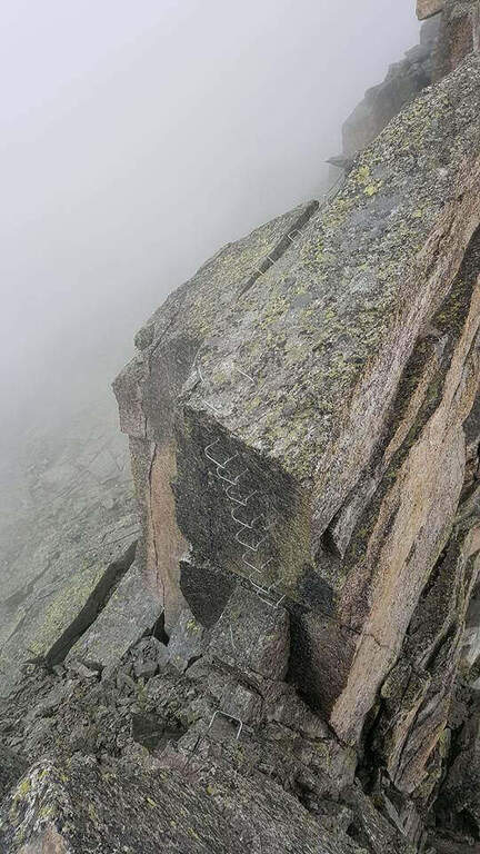
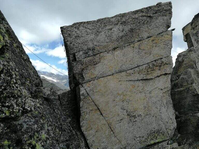
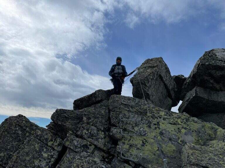
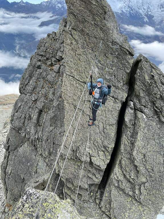
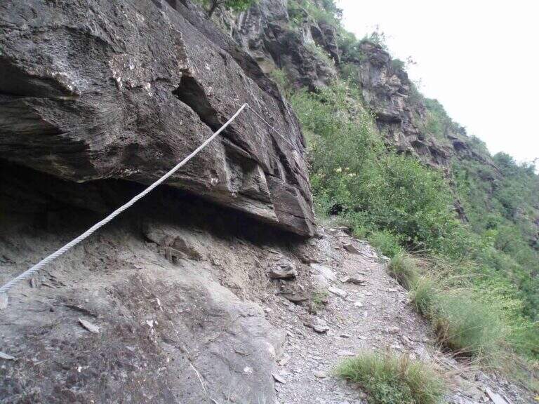
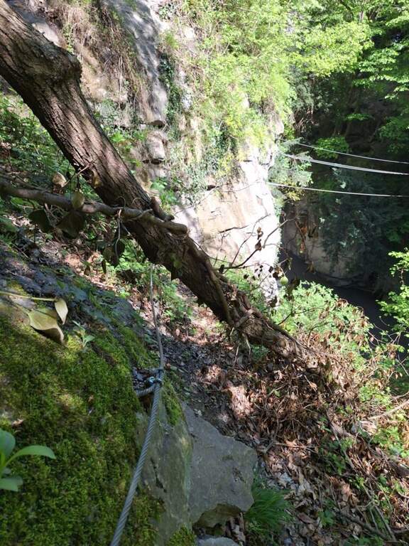
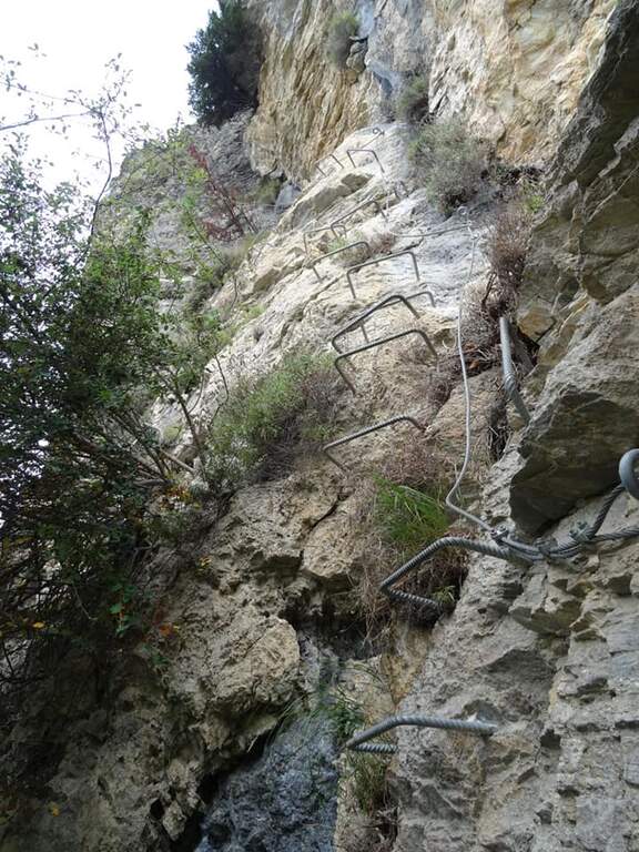
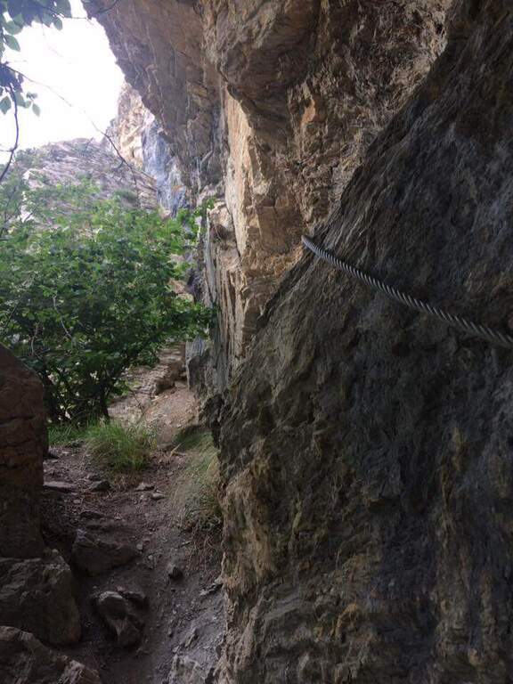
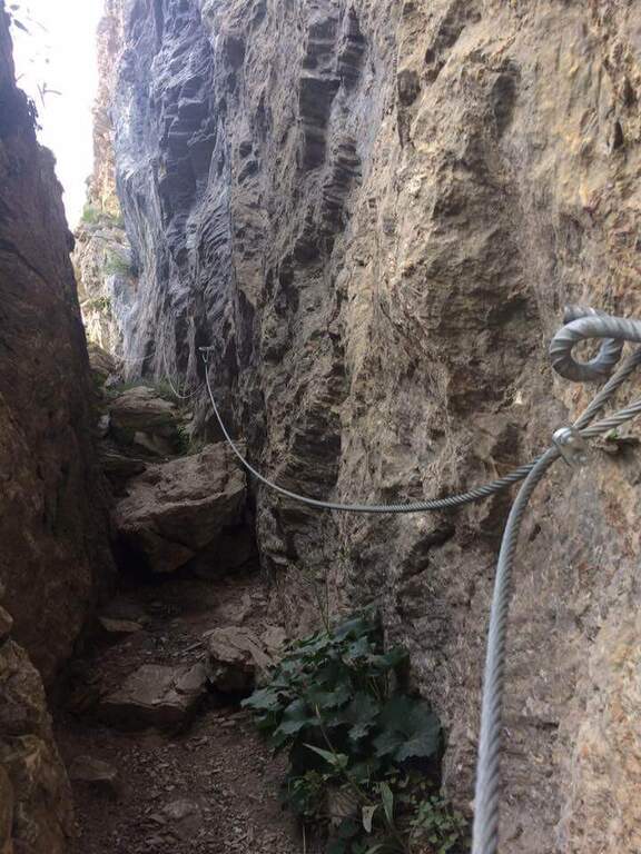
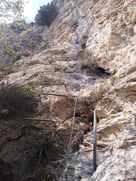
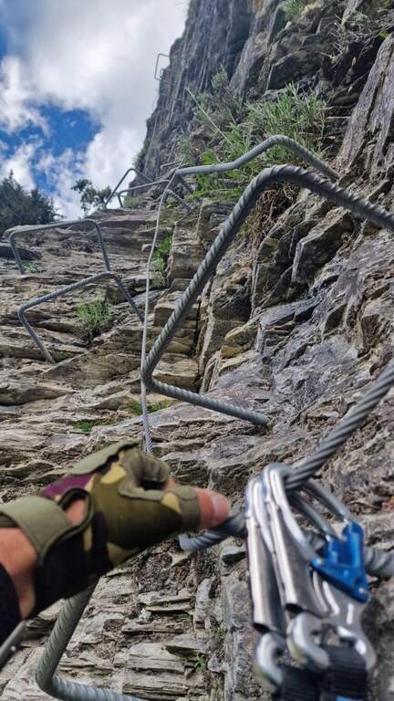
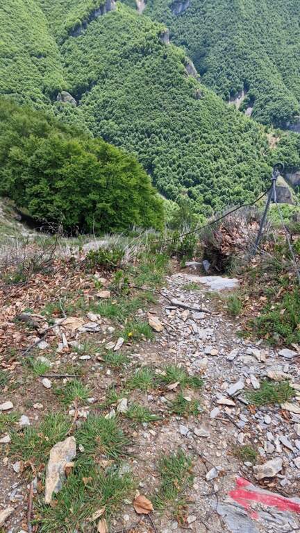
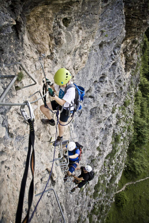
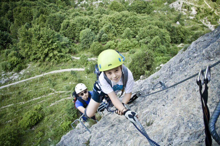
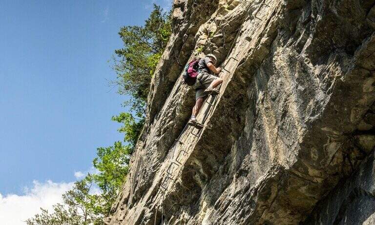
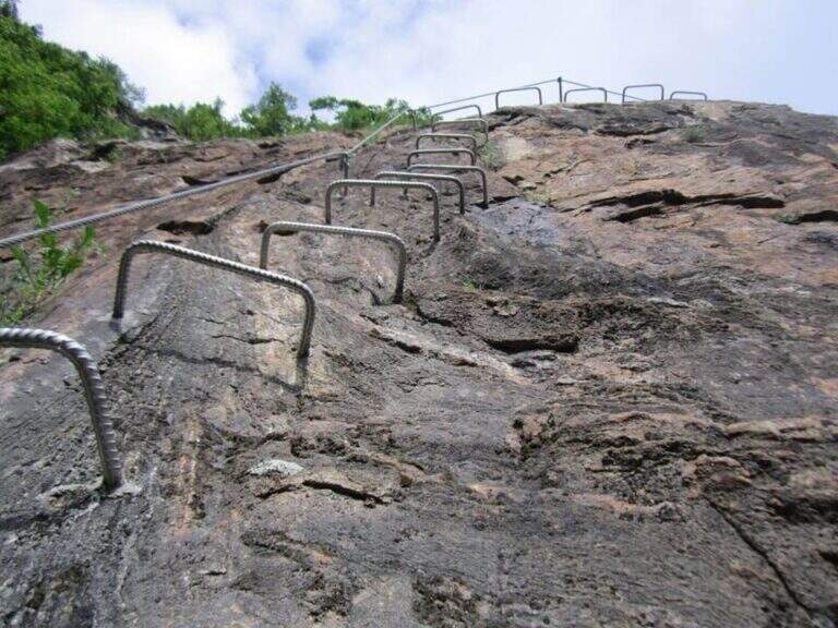
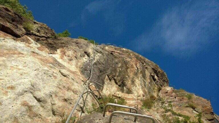
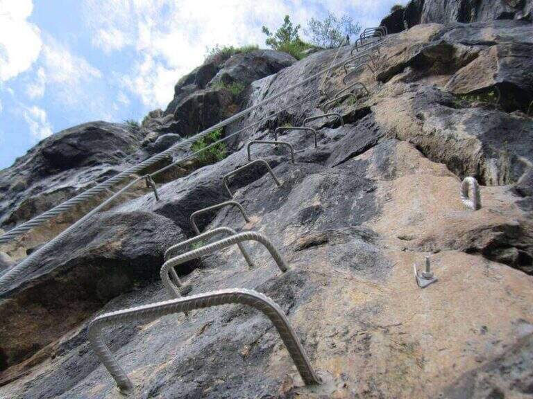
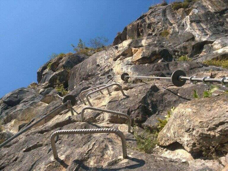
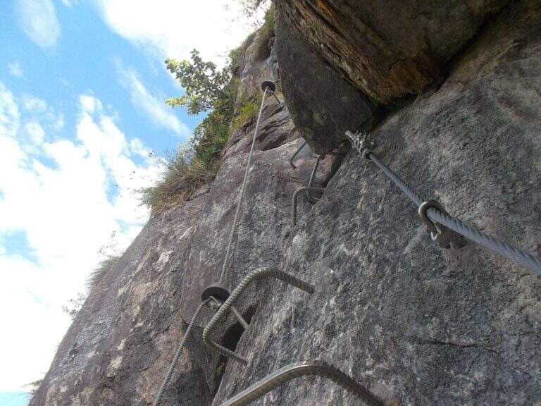
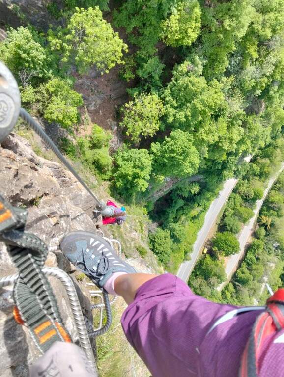
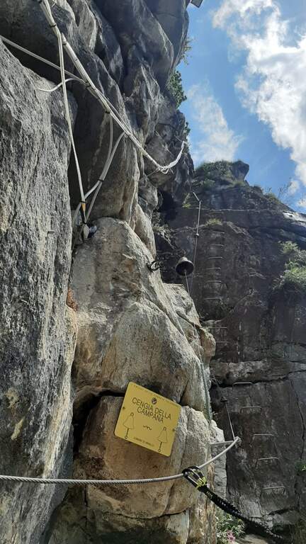
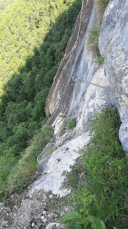
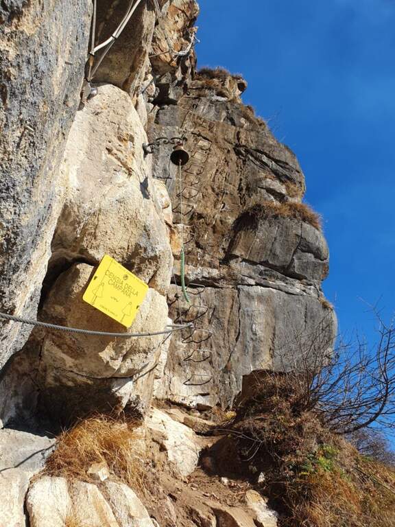
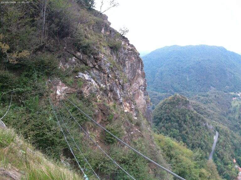
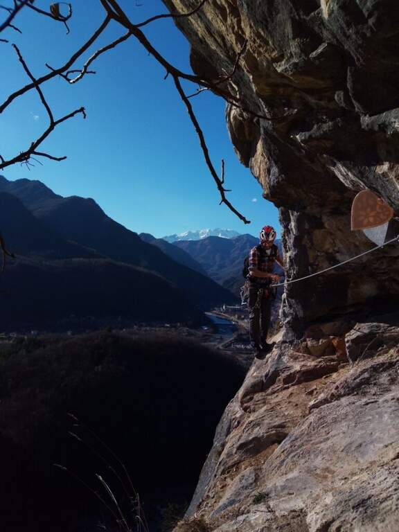
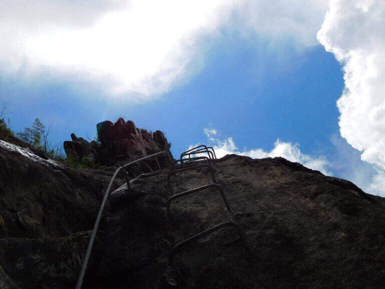
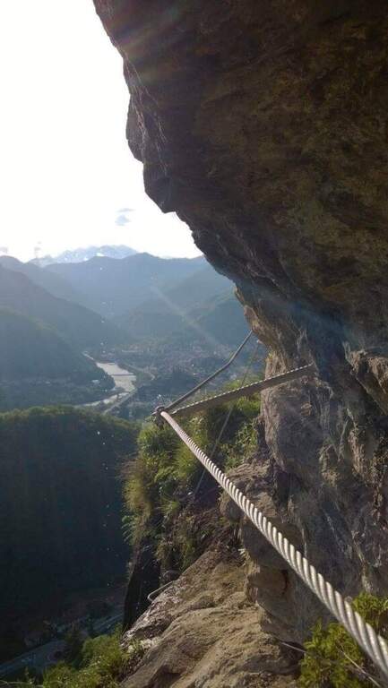
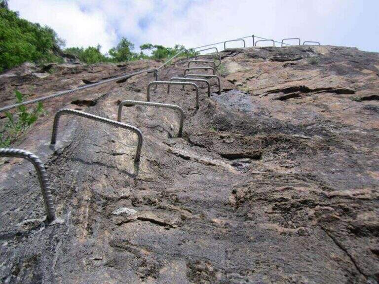
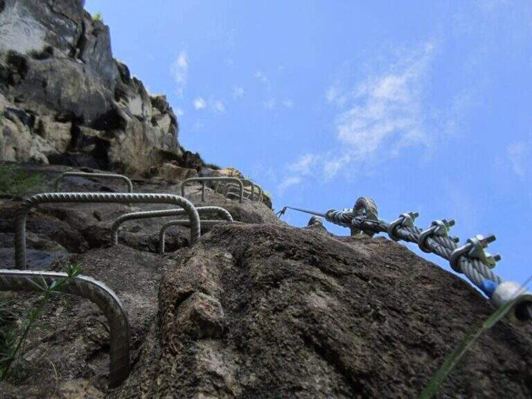
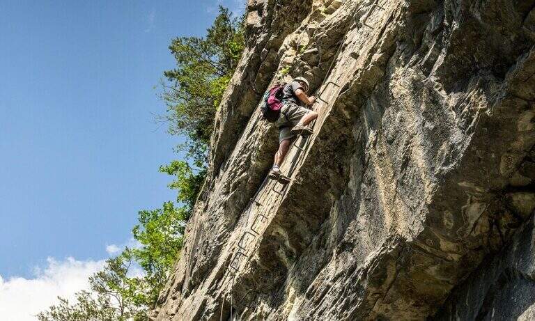
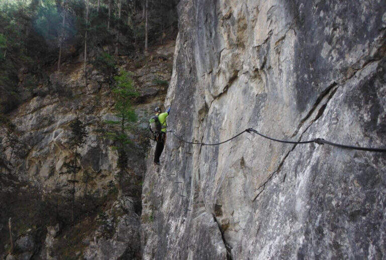
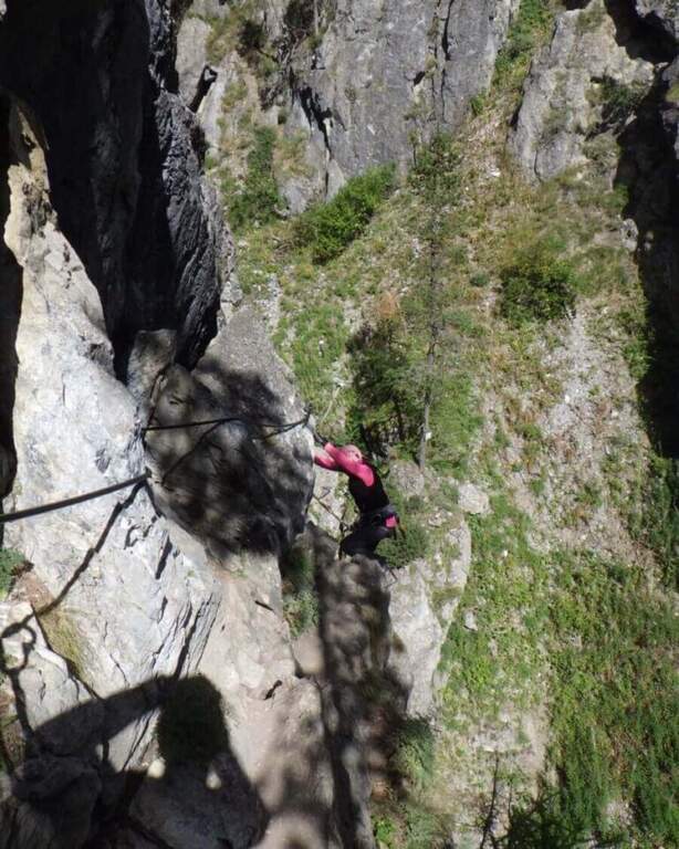
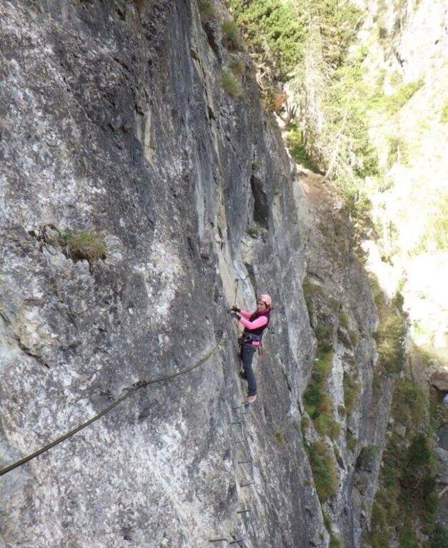
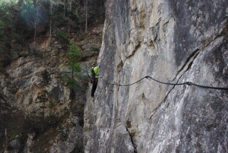
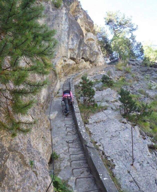
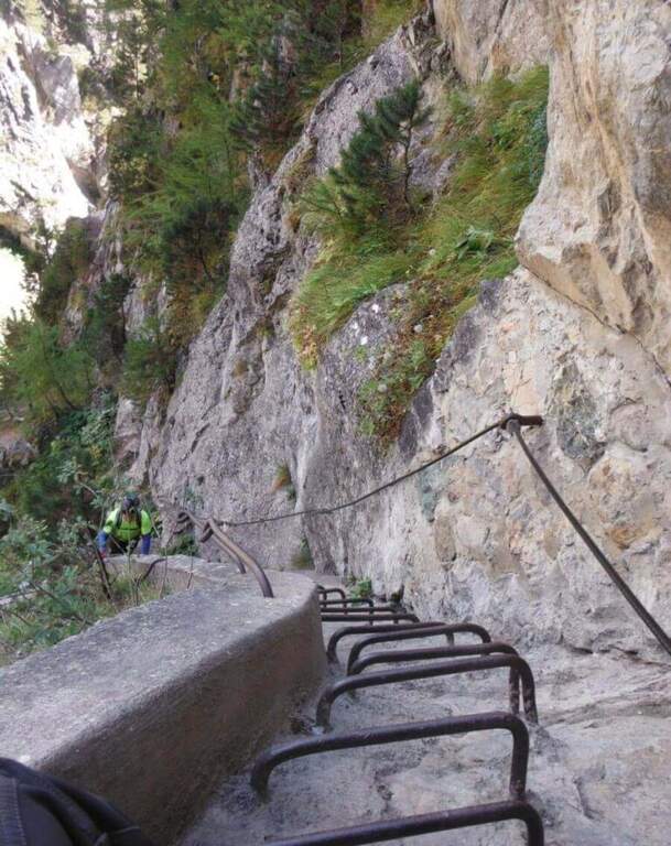
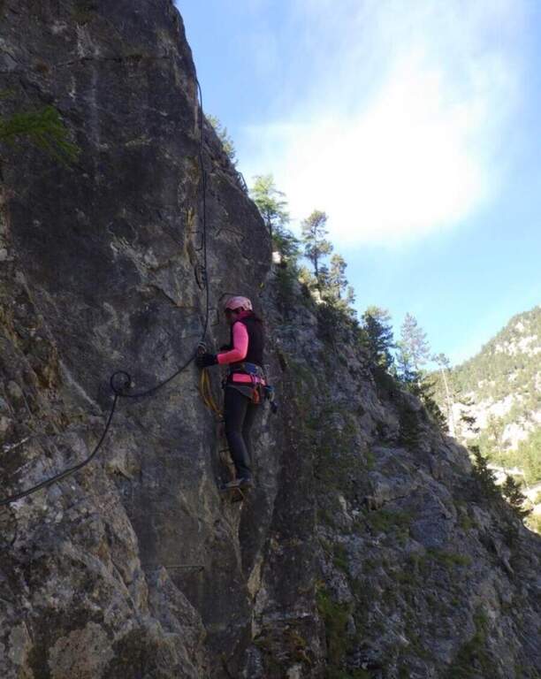
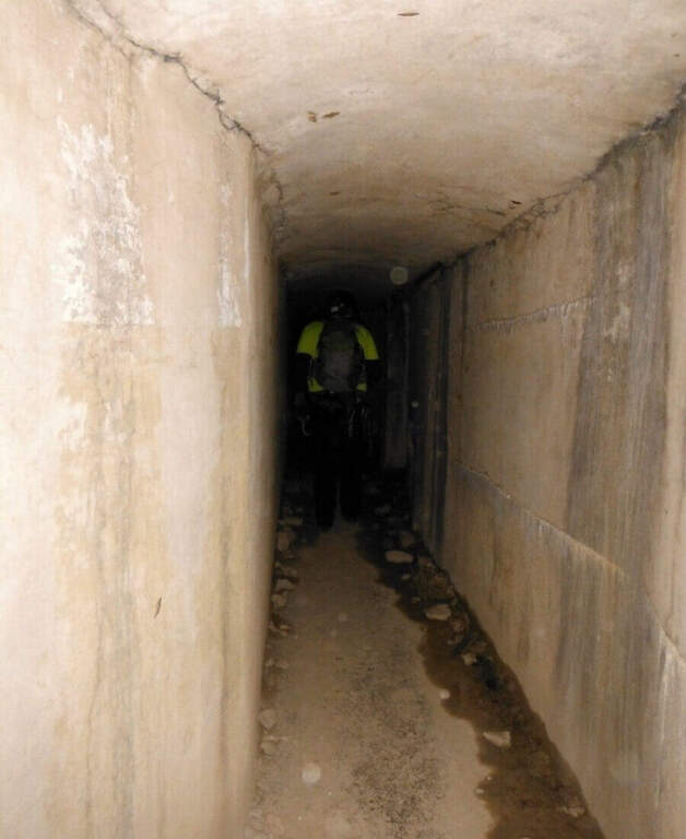
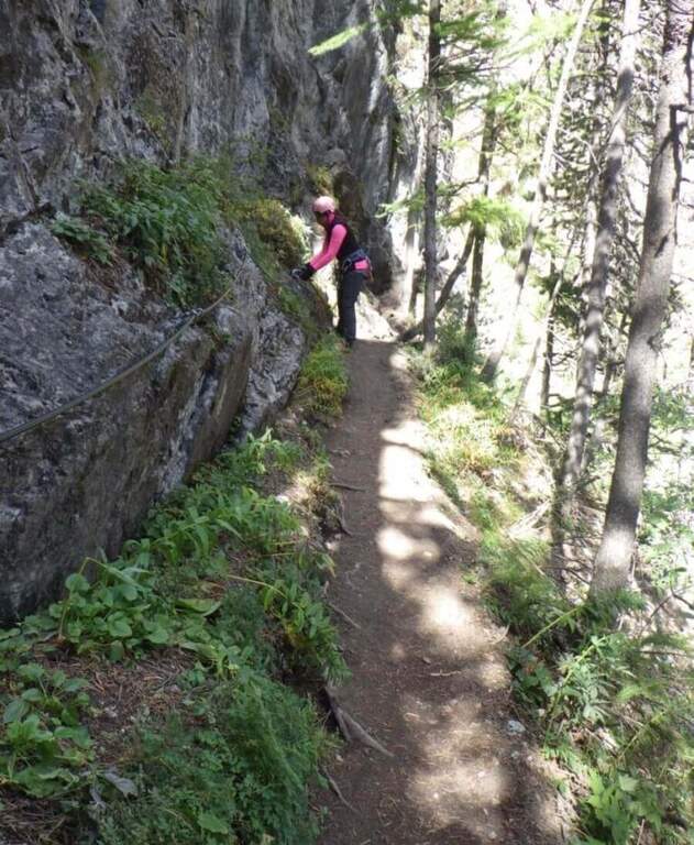
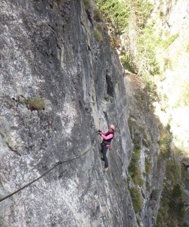
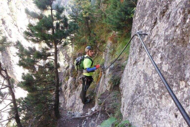
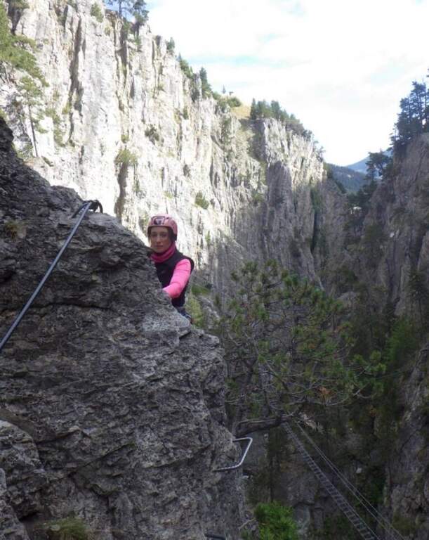
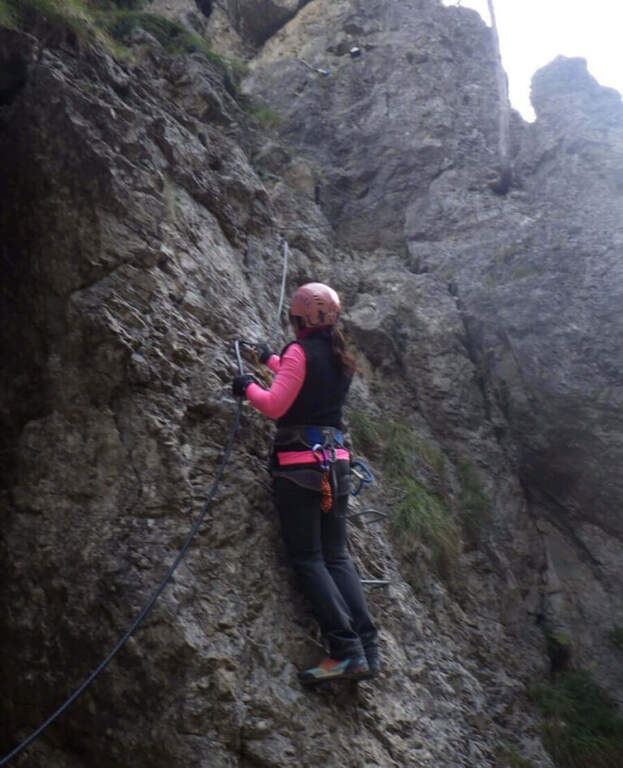
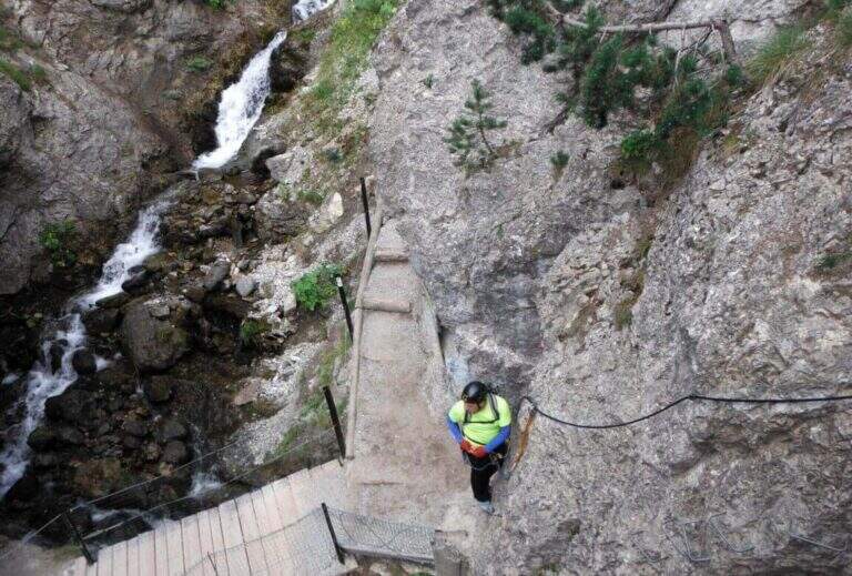
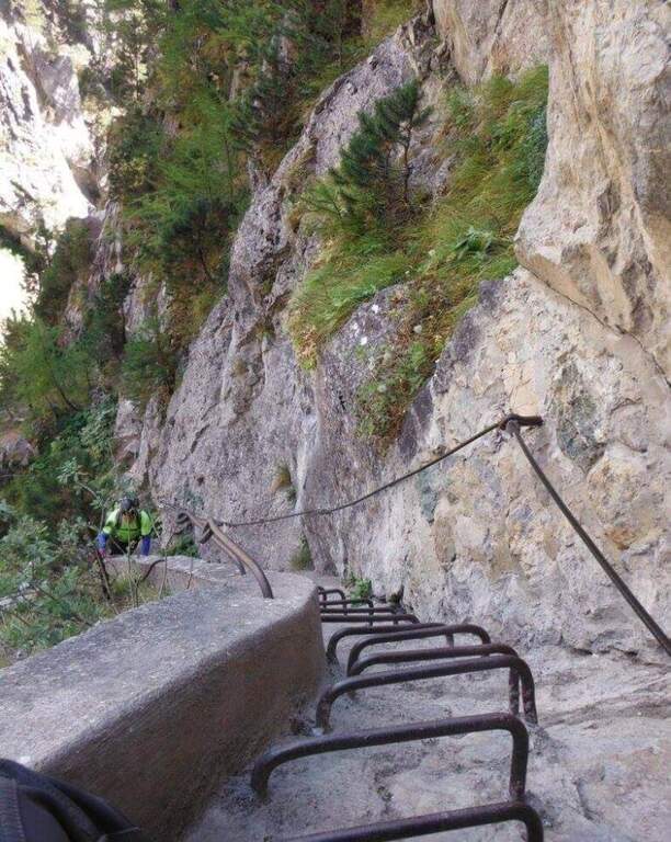
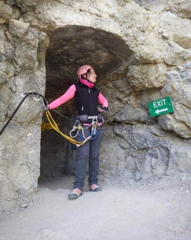
The ferrata begins with a downhill stretch, then climbs right onto the wall that divides the Dora Piccola, earning immediately exposure. It proceeds on a horizontal across a lot of plane above the river, well assisted by brackets, up to a tilted ramp that becomes vertical ascent and ends on a nod. The nod leads to the bunker (usually illuminated in opening hours, but a torch is recommended); all' exit is at a third long Tibetan bridge that leads to the slope where the ferrata ends (1h from' attack, 1h 30' parking).
Technically contained, but very exposed: the three Tibetan bridges require absolute absence of dizziness. Suitable for those with little experience but firm head.
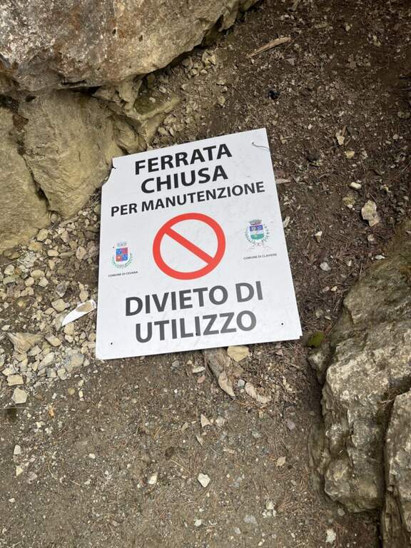
Season from late spring to autumn. Check times and accessibility of bridges at the operator.
From the end of the final Tibetan bridge you descend in short to the ticket office (15', 2h total).
Often combined with the Ferrata di Rocca Clarì (difficile) and the Low-High and Chaberton Battery Hardware, which concatenates three ways. From 2024 we also signal the Ferrata delle Cascate di Novalesa.
- DifficultyModerately Hard
- RegionPiedmont
- GroupAlta Val di Susa
- Approach0:30 h
- Ferrata1:00 h
- Itinerary (a/r)2:00 h
- Hardware level difference90 m
- Route difference100 m
- Max1758 m
- Length2 Km