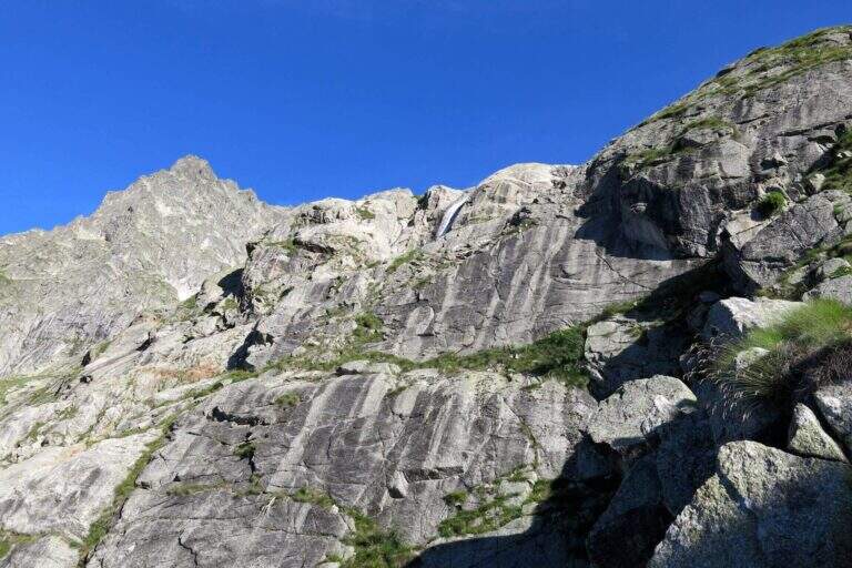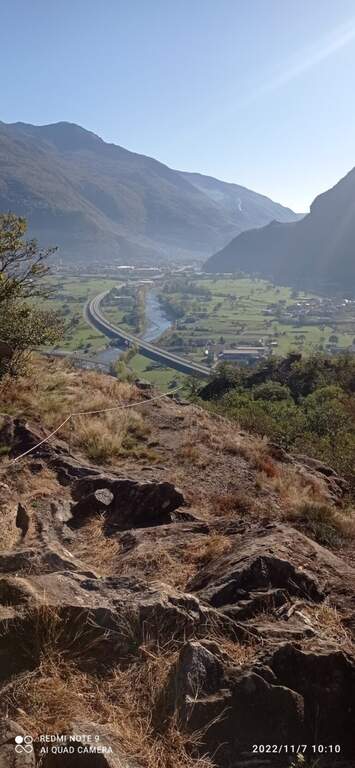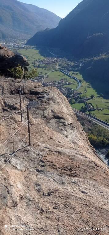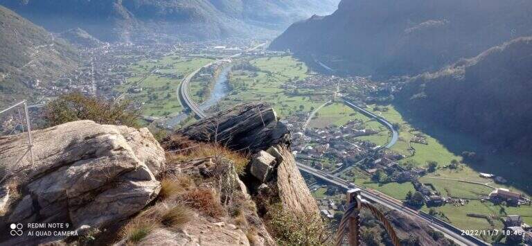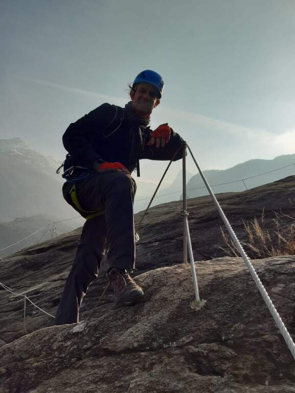
Regione: Valle d’Aosta

  • Sentiero Attrezzato al Rifugio Quintino Sella – Monte Rosa

    Sentiero Attrezzato al Rifugio Quintino Sella – Monte Rosa

    Vie Ferrate › Aosta Valley › AO
    Sentiero Attrezzato al Rifugio Quintino Sella – Monte Rosa
    Moderately Hard● OpenDescriptionComplexityMapsGallery

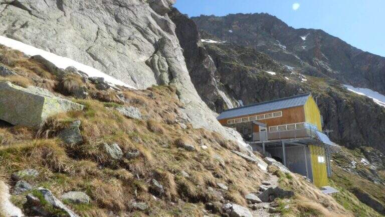
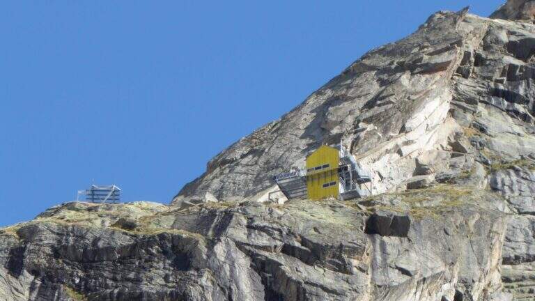
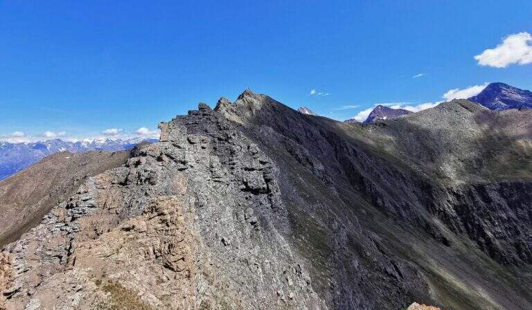
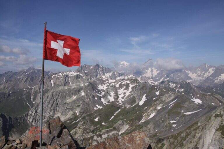
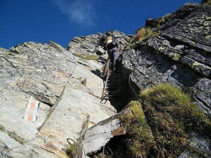
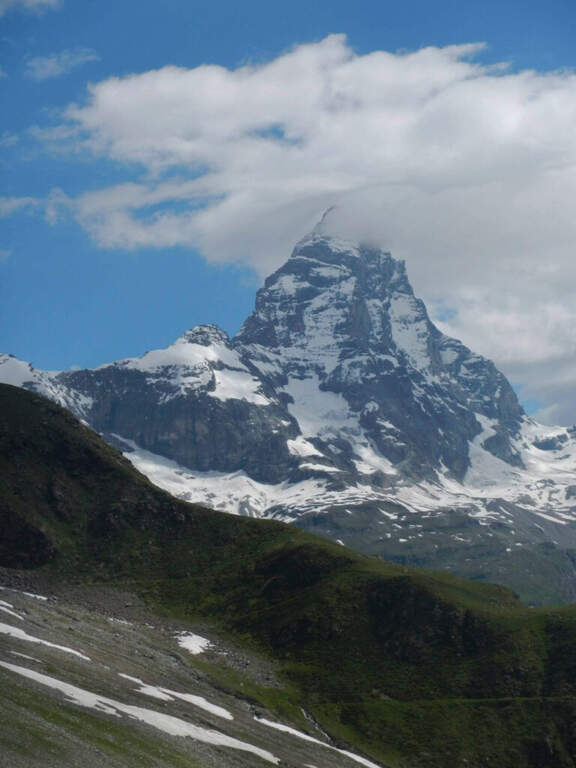
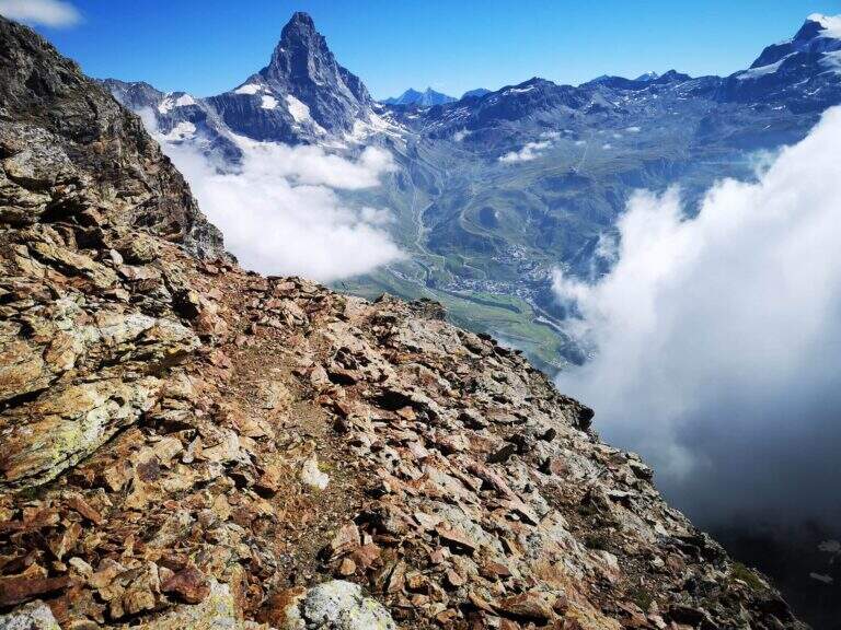
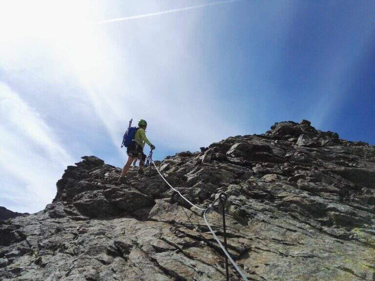
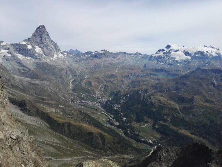
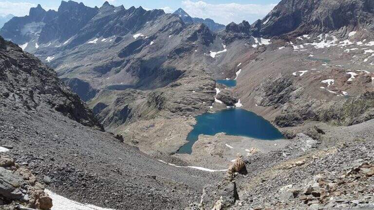
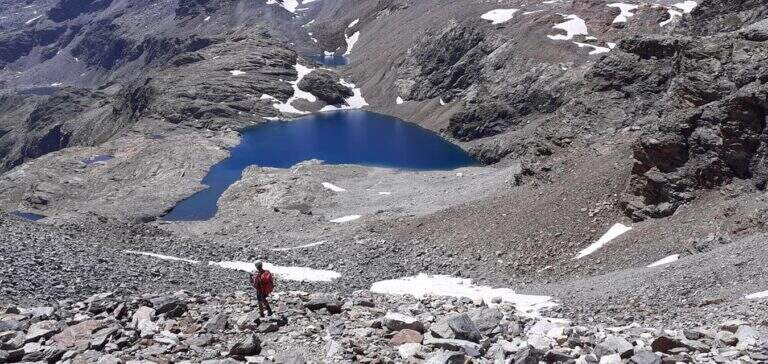
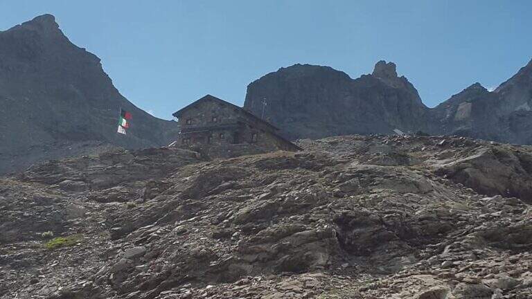
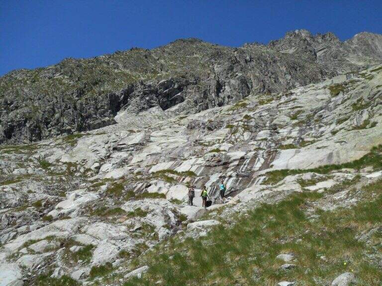
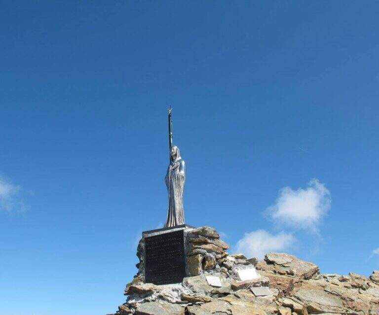
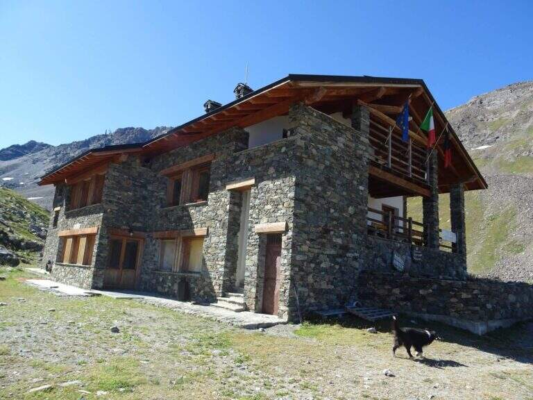
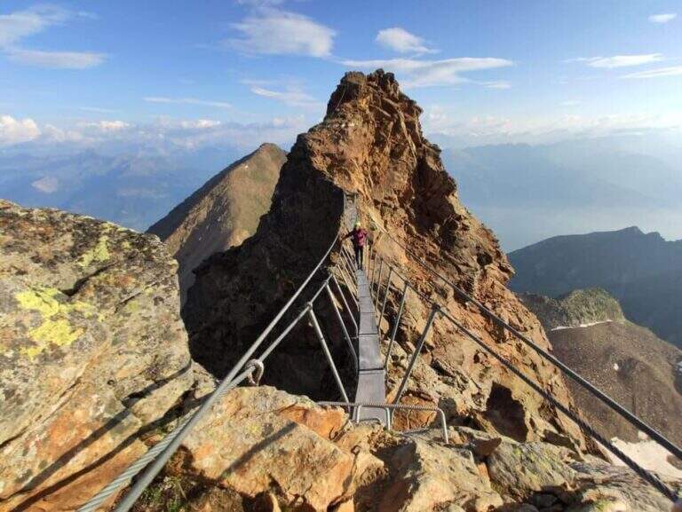
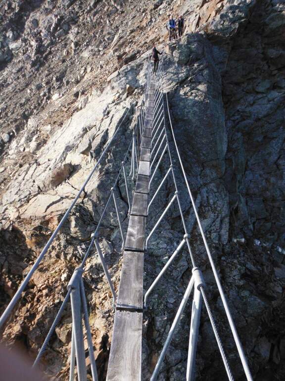
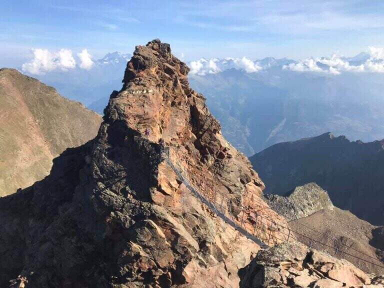
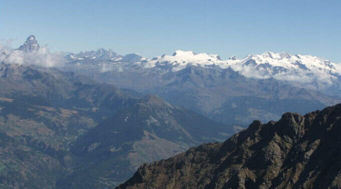
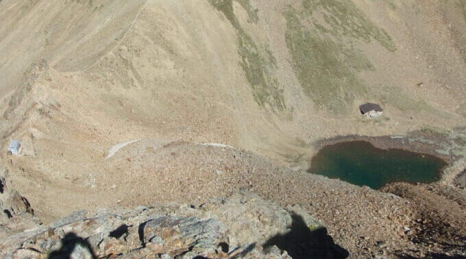
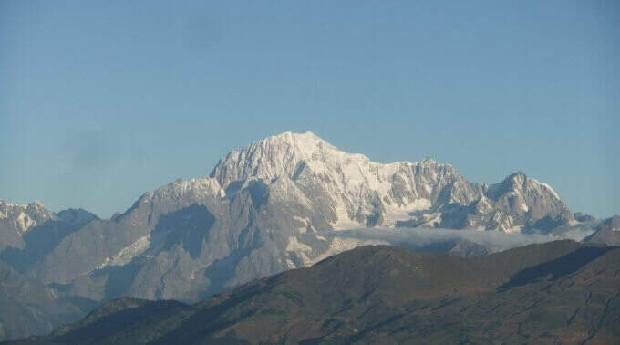
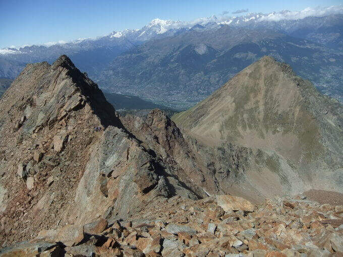
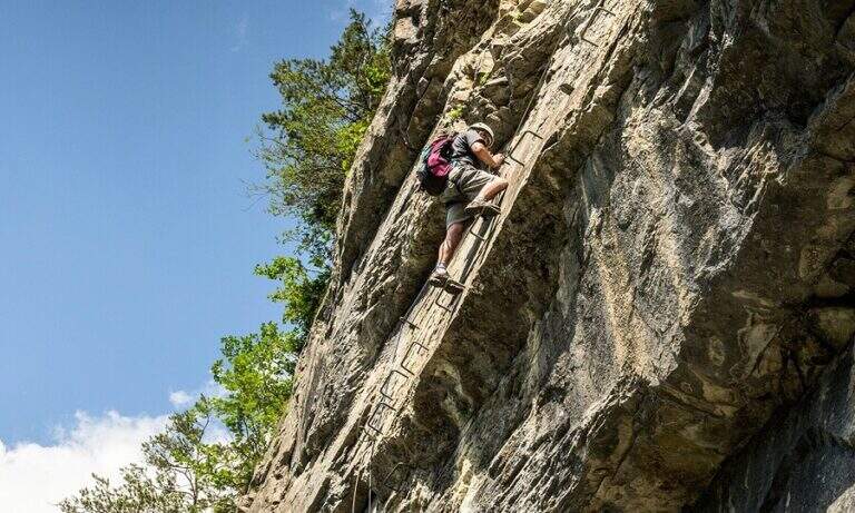
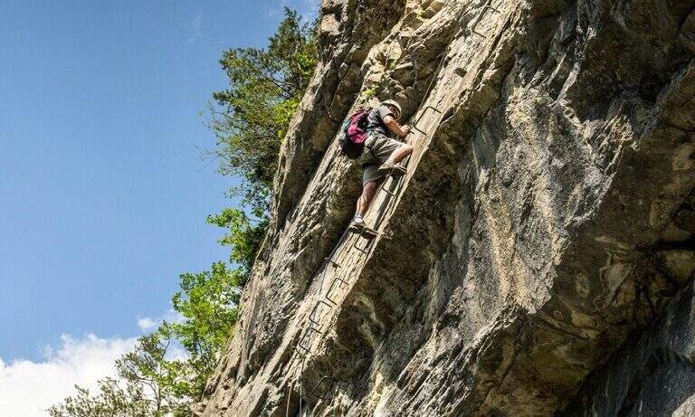
    Impressive mountain itinerary that climbs from Gressoney-La-Trinité to the Rifugio Quintino Sella (3585 m) in the Monte Rosa massif. The last equipped stretch runs along an air crest and exposed with alternating ridge wire, wooden walkway and a short vertical. It requires maximum attention to weather conditions and snow.

    ▲Approach

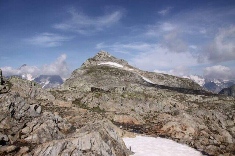
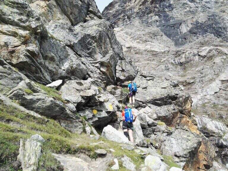
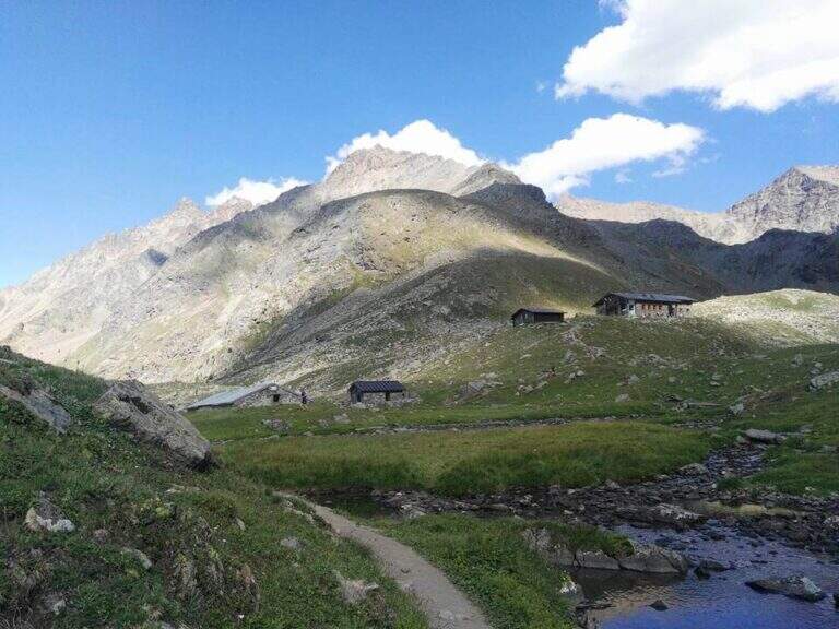
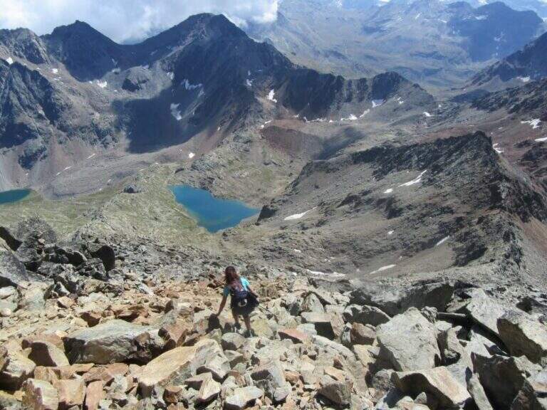
    From Gressoney-La-Trinité you can reach Stafal (fine road, parking) and take the lifts (funivia then covered chairlift) to the Colle della Bettaforca (2680 m, approx. 30'). From the mountain station follow path 9 towards the north on stone with yellow and omit signs. You reach the Colle Bettolina Inferiore, then the Colle Bettolina Superiore (nevaio residual until late season), where you intersect the path 10 from Pian di Verra Superiore. Continue on bubbles and stones vertically, with a more clear mark, until the final ridge (2h45' from the upstream station).

    ▲The path

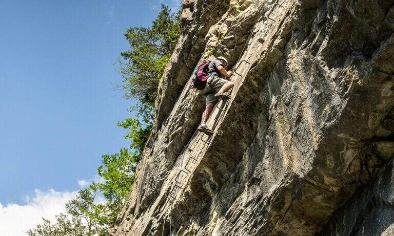
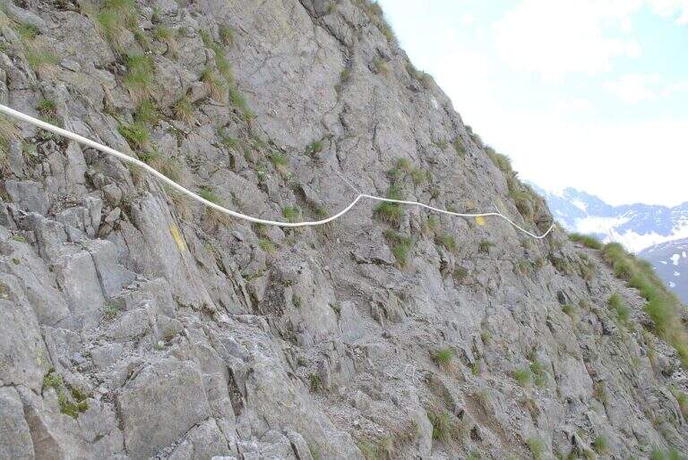
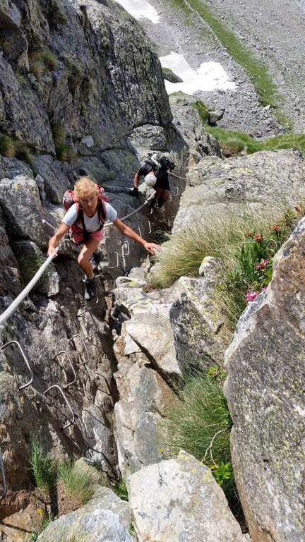
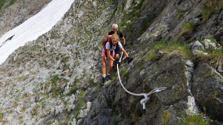
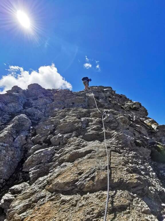
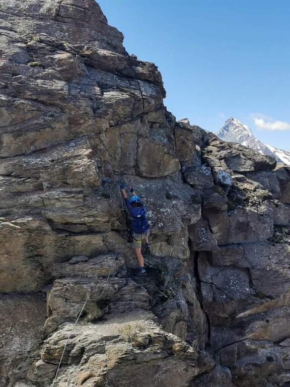
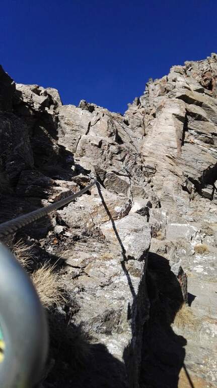
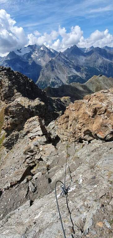
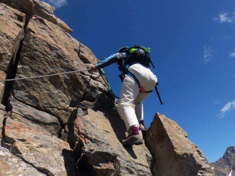
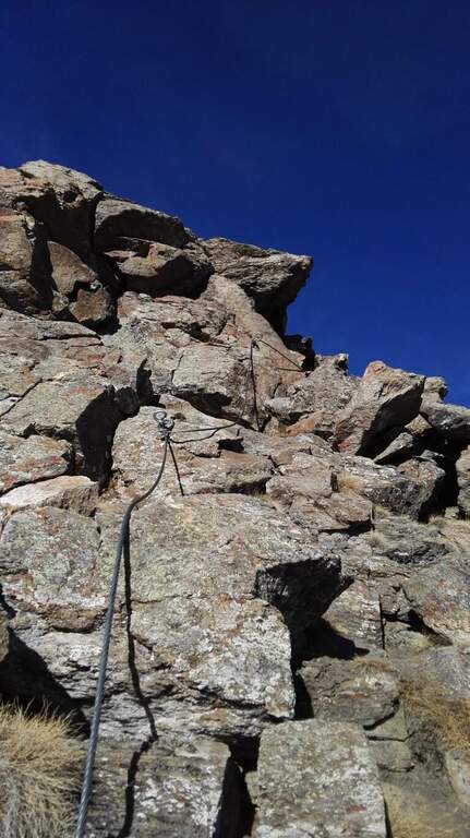
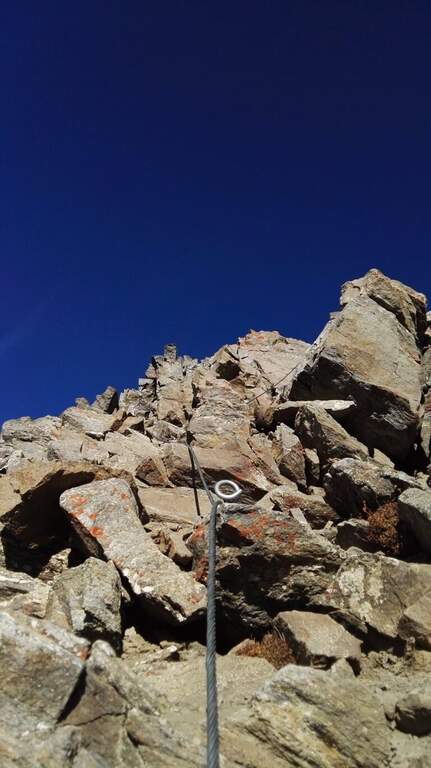
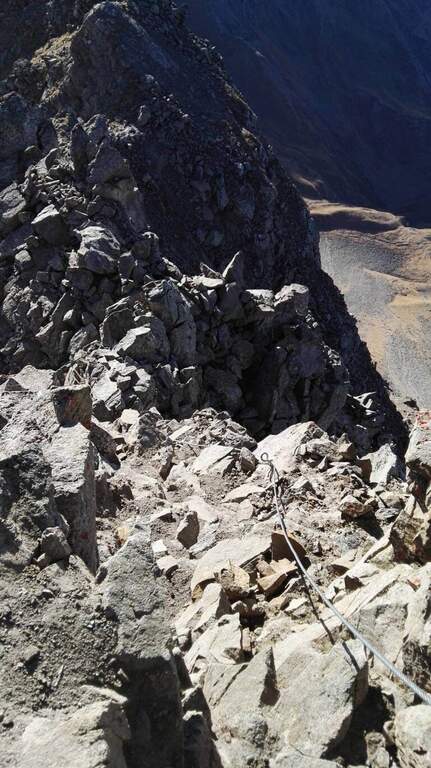
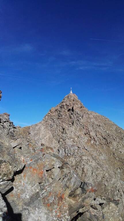
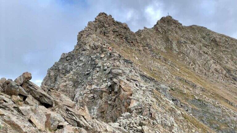
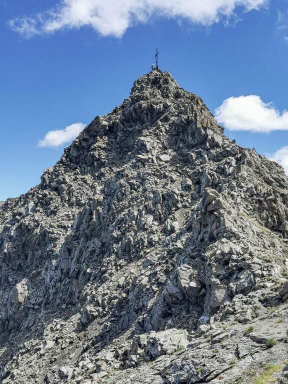
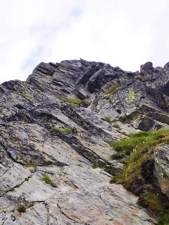
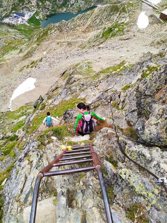
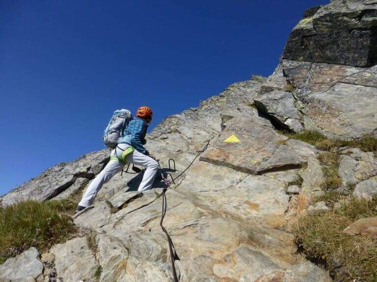
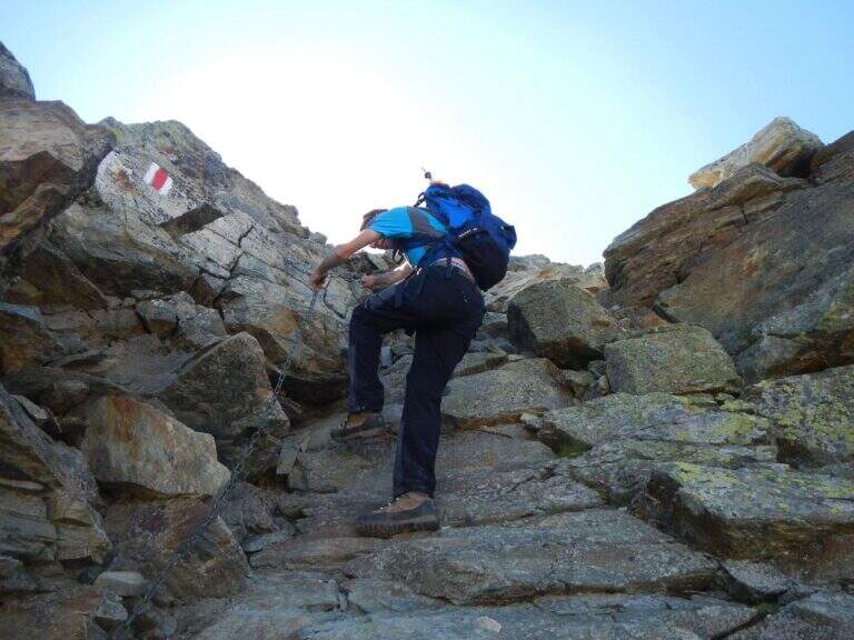
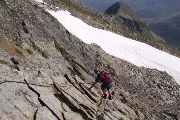
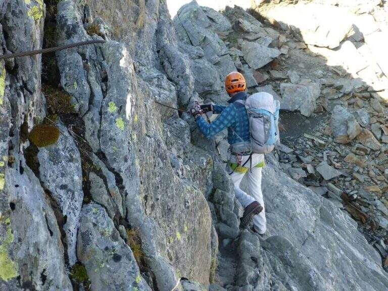
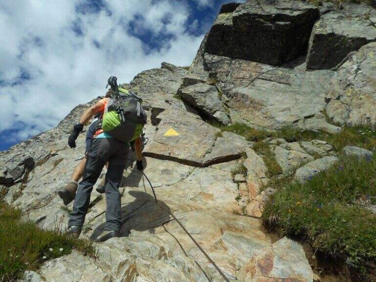
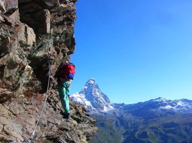
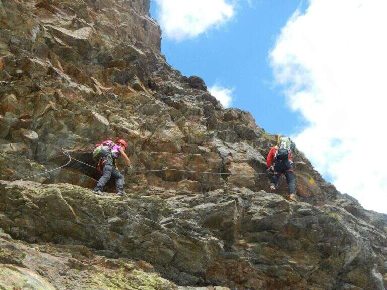
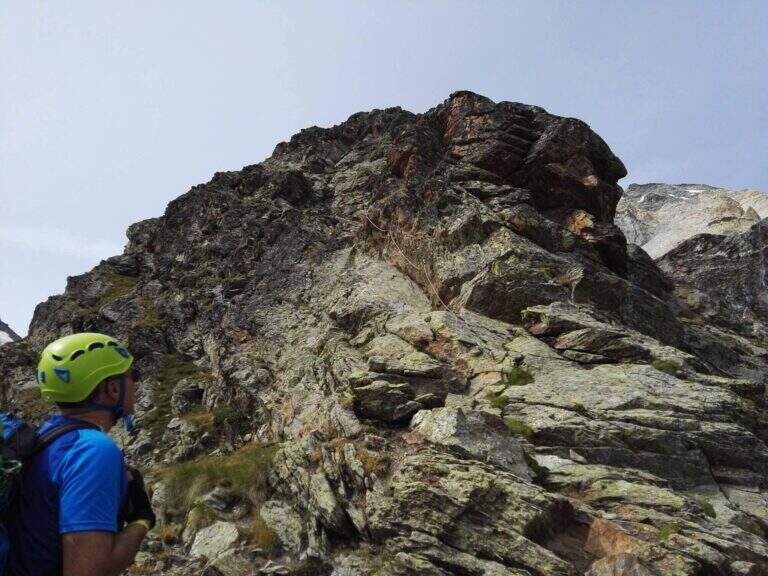
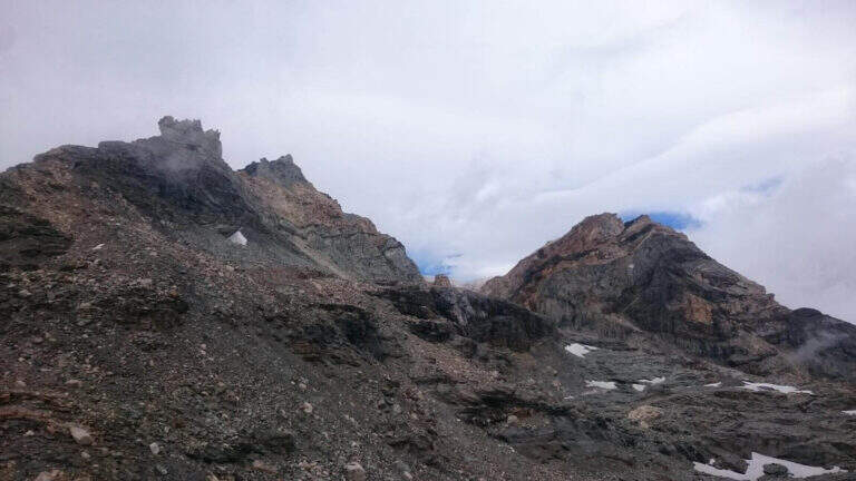
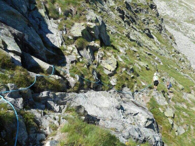
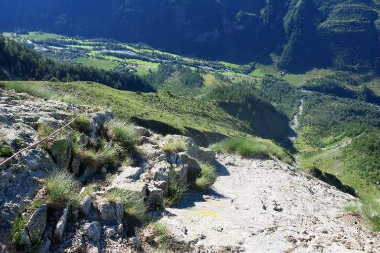
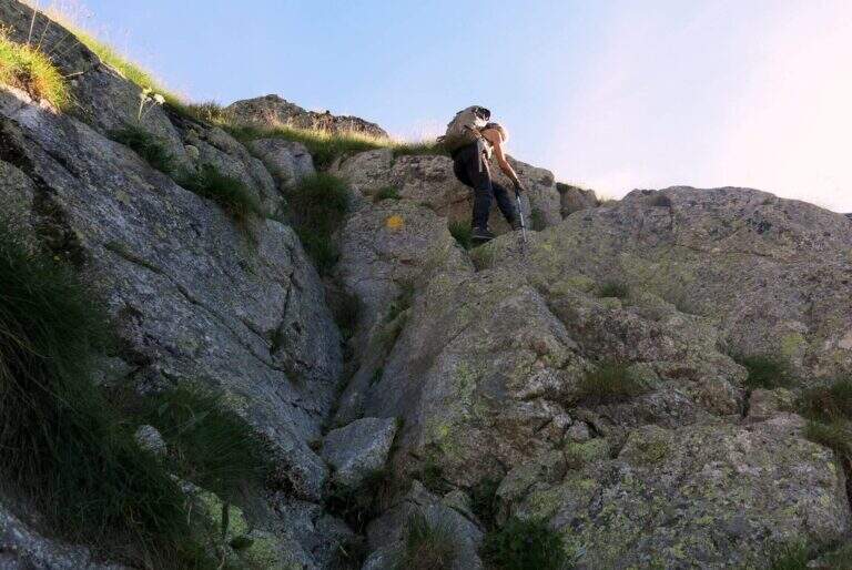
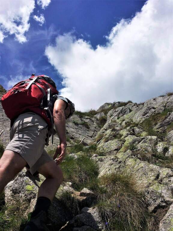
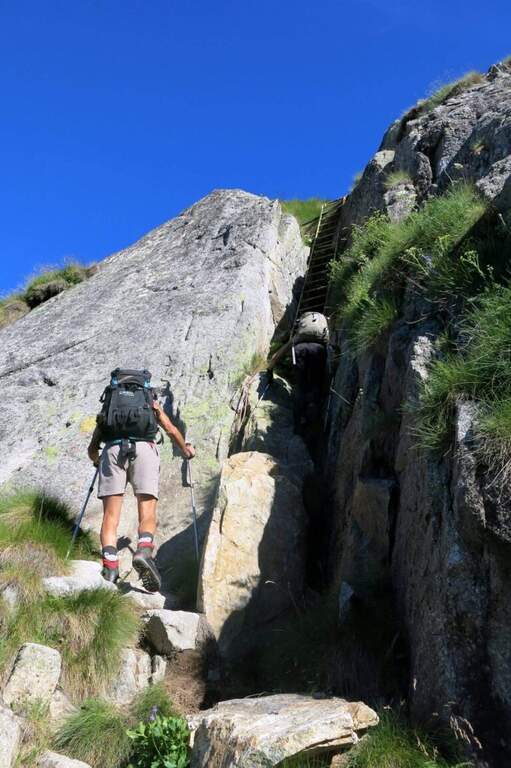
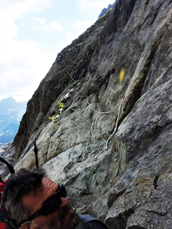
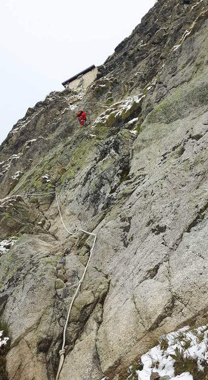
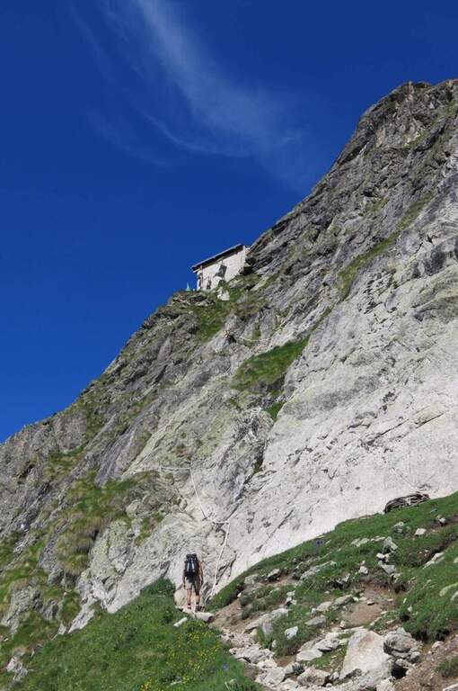
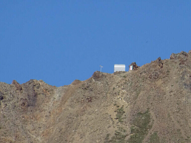
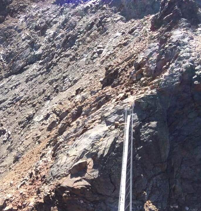
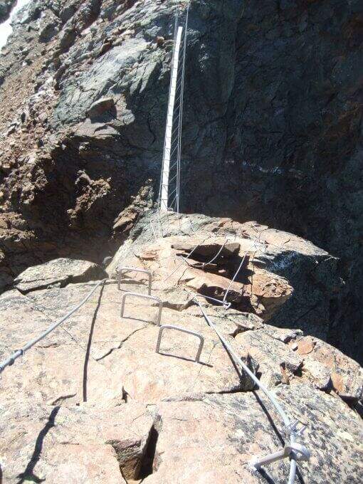
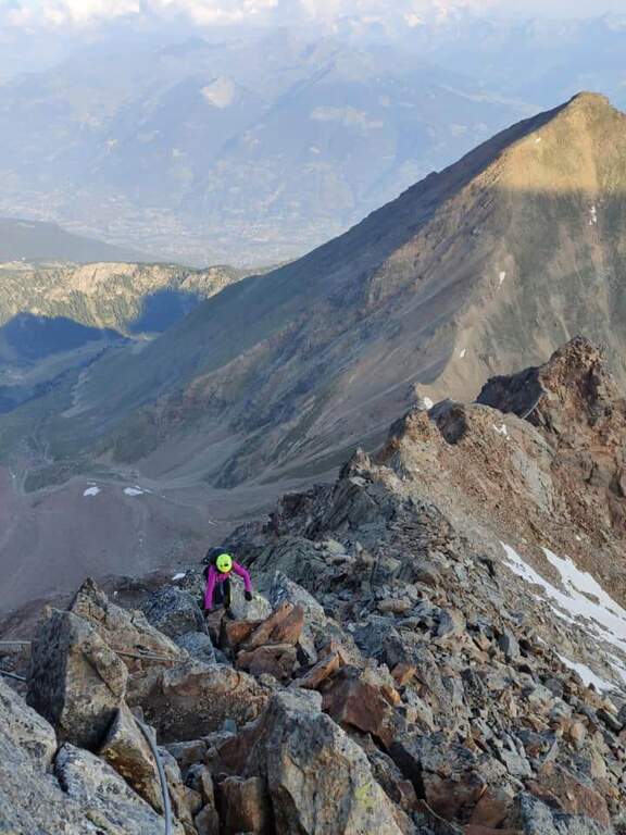
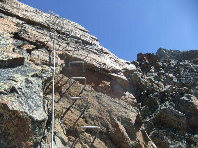
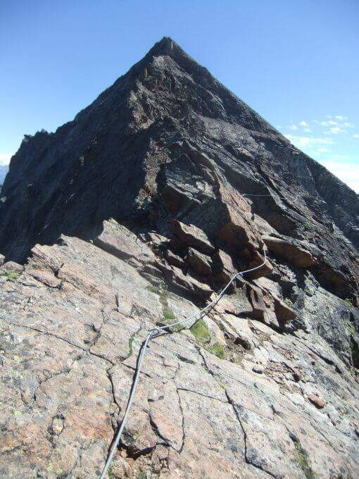
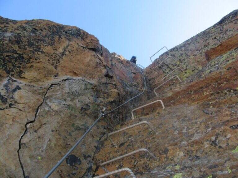
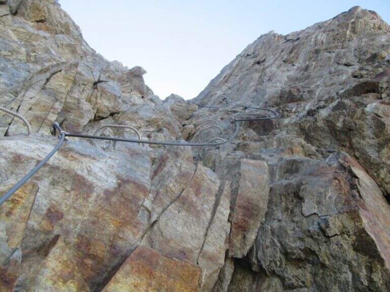
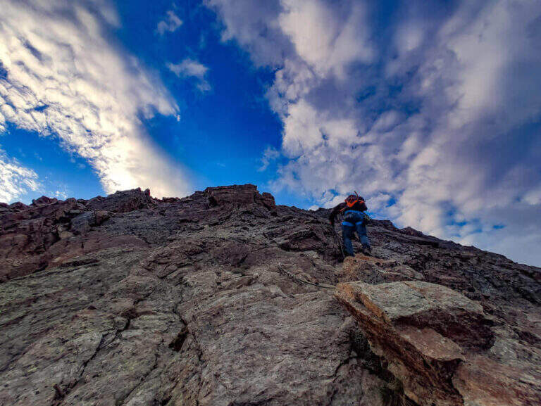
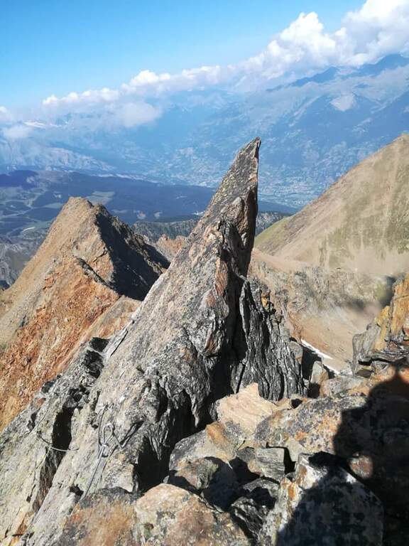
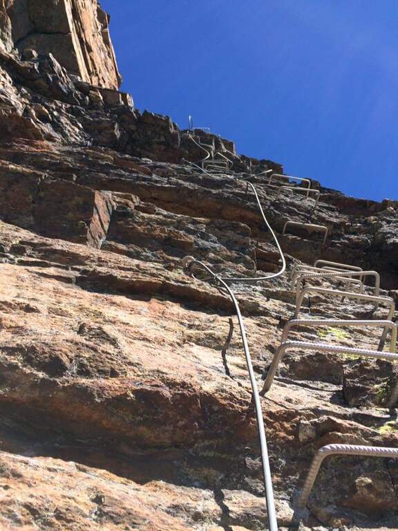
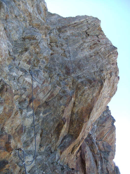
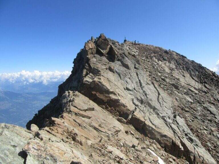
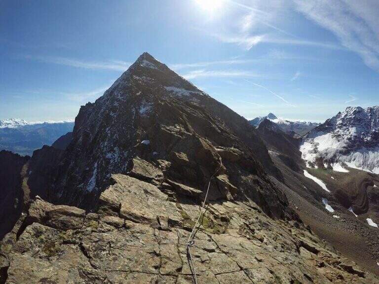
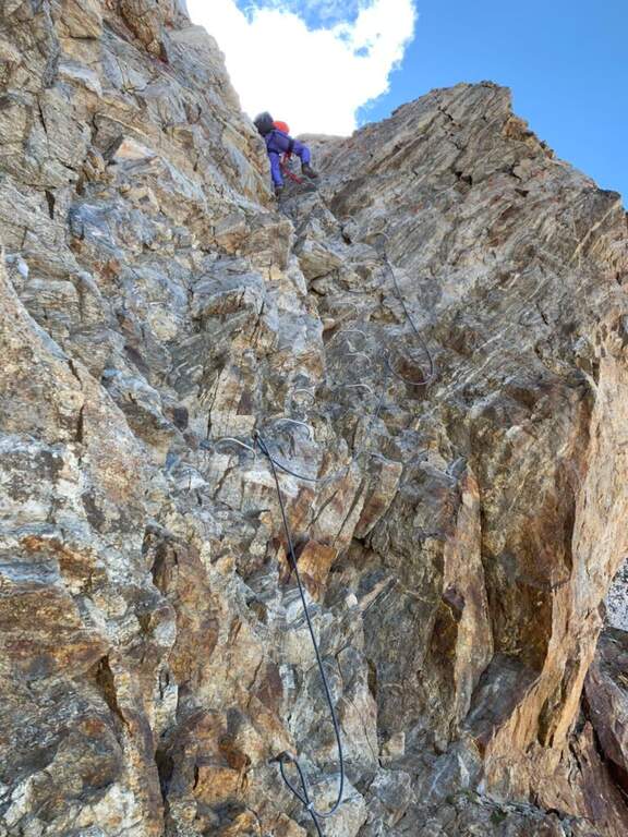
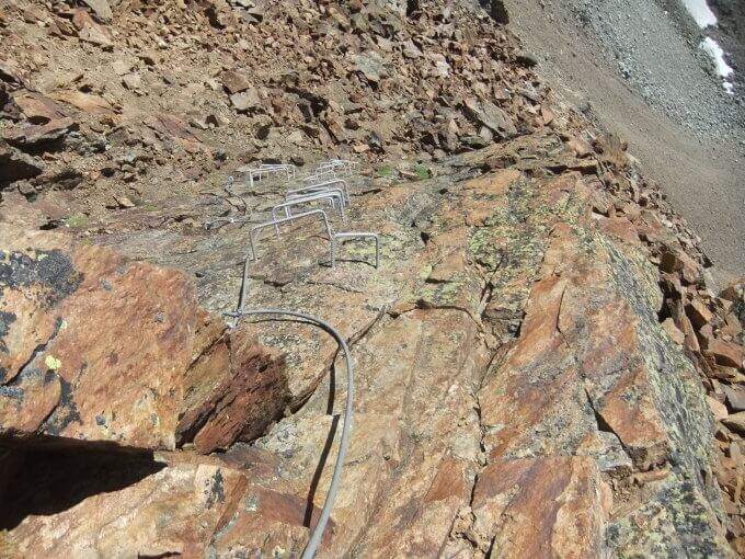
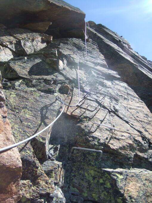
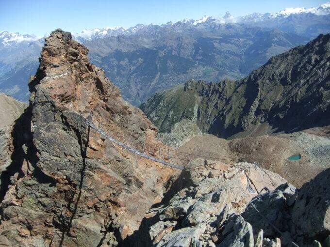
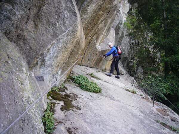
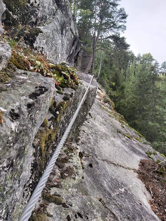
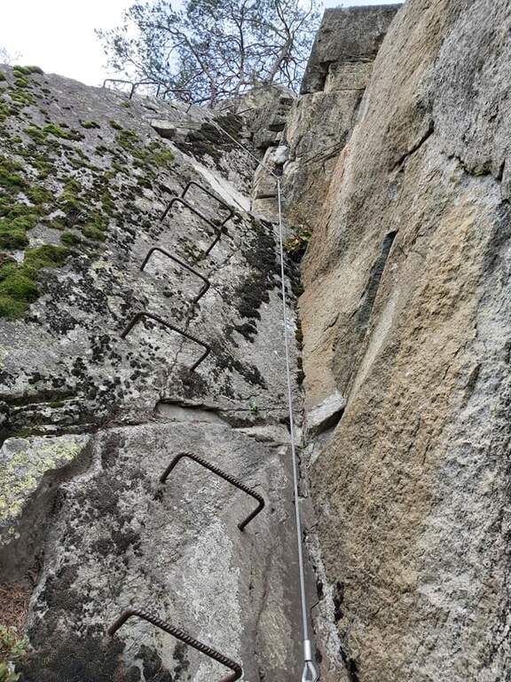
    The last crest before the shelter is airy and exposed, equipped with fixed rope. Take the ridge line alternating left and right side to a wooden walkway that connects two points of the crest. You pass a narrow traverse and then a short vertical of about 2 m with natural hooks for hands and feet. The last metres of ridge lead to the Rifugio Quintino Sella (40' from the equipped ridge, 3h30' total).

    ▲Character and difficulty

    Moderately difficult. The equipped ridge air does not present excessive technical difficulties but requires safe passage, no dizziness and the ability to read the ground at high altitude.

    ⚠ High mountain at 3585 m: weather can deteriorate rapidly. Persistent Nevary at the Colle Superiore until late July. Start early in the morning.

    ▲Period and safety

    July-September with stable weather. Always check the snow conditions and the weather forecast of Monte Rosa before departure. High altitude requires adequate clothing and water supply.

    ▲Discipline

    Same climb (3h from the hut, 6h30' total). Alternativa: at the Colle Superiore you can follow the path 10 towards Pian di Verra Superiore, adding about an hour to the route.

    ▲To match

    In the area of Gressoney lies the Ferrata Angster in Gressoney e la Ferrata Guide of Gressoney.

    ▲Gallery
    Technical data
    • DifficultyModerately Hard
    • RegionAosta Valley
    • GroupMonte Rosa
    • Approach2:45 h
    • Ferrata0:40 h
    • Itinerary (a/r)6:30 h
    • Hardware level difference90 m
    • Route difference850 m
    • Max3585 m
    • Length9,5 Km
  • Sentiero Attrezzato al Rifugio Dalmazzi – Bacino del Triolet

    Sentiero Attrezzato al Rifugio Dalmazzi – Bacino del Triolet

    Vie Ferrate › Aosta Valley › AO
    Sentiero Attrezzato al Rifugio Dalmazzi – Bacino del Triolet

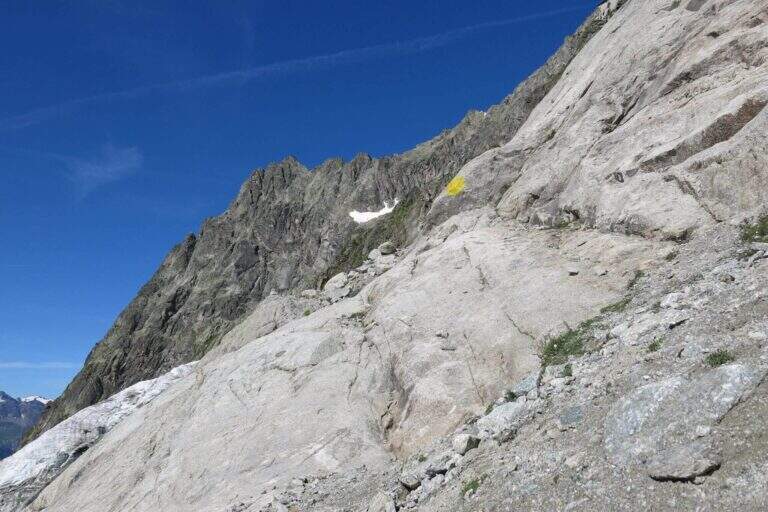
    ⚠ The equipped path is at the moment dismantled. The fixed ropes were removed. Check the updated conditions before approaching the refuge.

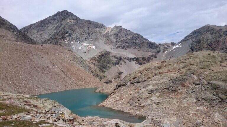
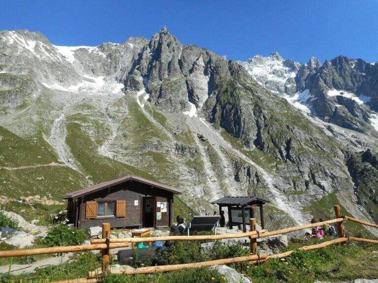
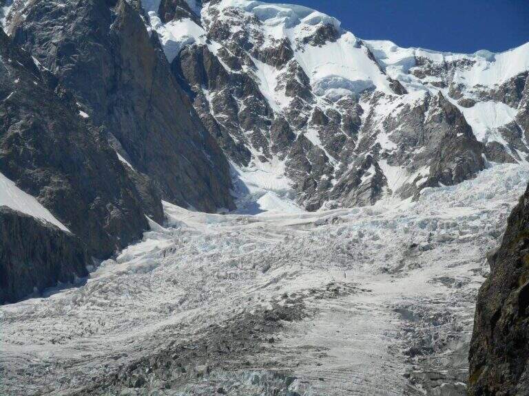
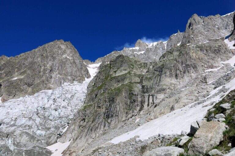
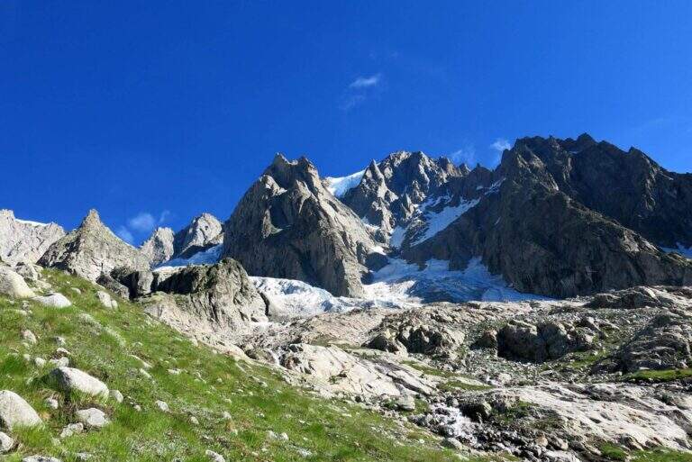
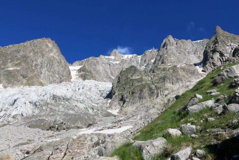
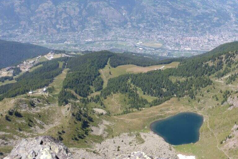
    Itinerary of high mountain in Val Ferret which leads to the Dalmazzi refuge in the Triolet Glacier basin (White Mountain). Technically not difficult, the severe alpine context with snow, blackberry and risk falling stones requires high mountain experience. Equipped path currently dismantled.

    ▲Approach

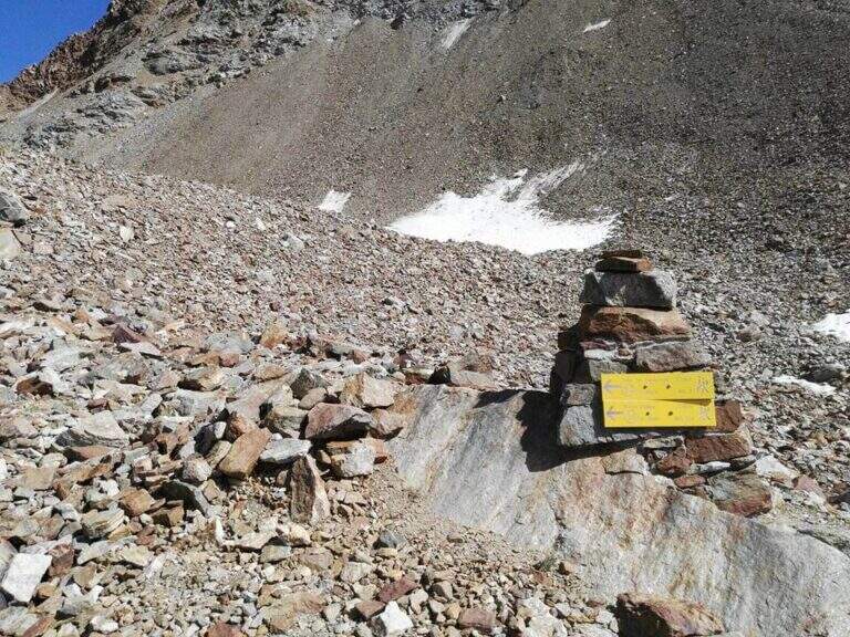
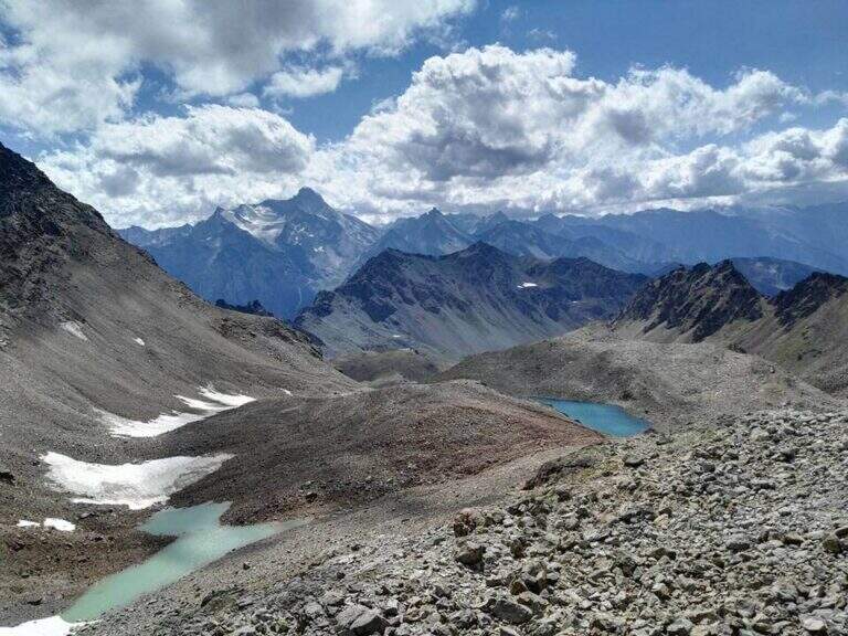
    The starting point is the hamlet of Arnouva, last resort of Val Ferret in the town of Courmayeur (AO). You park in the square in front of the restaurant-camp and follow the dirt road (mark 23 then 32) for about 1 km towards the Elena Refuge. At a right corner there is the crossroads on the left for the Dalmazzi Refuge. You go up the valley bottom ignoring the Bivacco Comine (sentiero 22), you cross 4 streams triluent of the Dora di Ferret and you reach the Moor of the Triolet Glacier. Following the yellow boils, follow the stone, the north side of the valley, a stretch in light descent towards the glacial valley and then again uphill to the ridge, where a snowman precedes the last stretch (2h from the parking lot).

    ▲The path

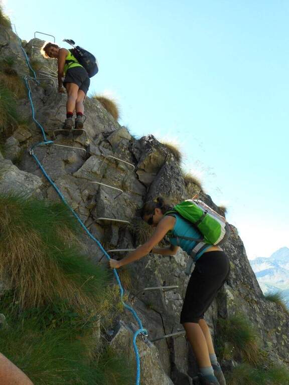
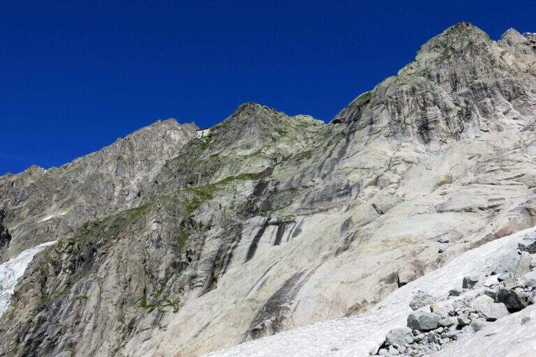
    From the ridge you will encounter big rocky rocks with fixed rope brushes anchored to fittons and nails (currently removed). You go up the channel to the left, you pass an exposed edge and you face a dihedron with ropes and metal brackets. On the grassy plateau above a traverse to the right and a few meters of path conclude the stretch equipped in proximity of the Dalmazzi refuge (30' from the first rope, 2h30' from the parking lot).

    ▲Character and difficulty

    Easy technically, but it is a high mountain hike with severe environments, nearby glaciers and risk of rock fall along the ascent channel.

    ⚠ A challenging alpine environment: do not underestimate the altitude, the glacier and the rockfall along the uphill channel.

    ▲Period and safety

    Summer (July-August) with stable weather. Snow remaining at altitude until late season. Before leaving check the state of the route equipped with the shelter or local guides.

    ▲Discipline

    Same climb (2h from the hut, 5h total). The equipped sections, if present, are easy downhill.

    ▲Gallery
    Technical data
    • DifficultyEasy
    • RegionAosta Valley
    • GroupMont Blanc / Val Ferret
    • Approach2:00 h
    • Ferrata0:30 h
    • Itinerary (a/r)5:00 h
    • Hardware level difference150 m
    • Route difference800 m
    • Max2590 m
    • Length9,8 Km
  • Sentiero Attrezzato Panorama – Punta Valletta

    Sentiero Attrezzato Panorama – Punta Valletta

    Vie Ferrate › Aosta Valley › AO
    Sentiero Attrezzato Panorama – Punta Valletta

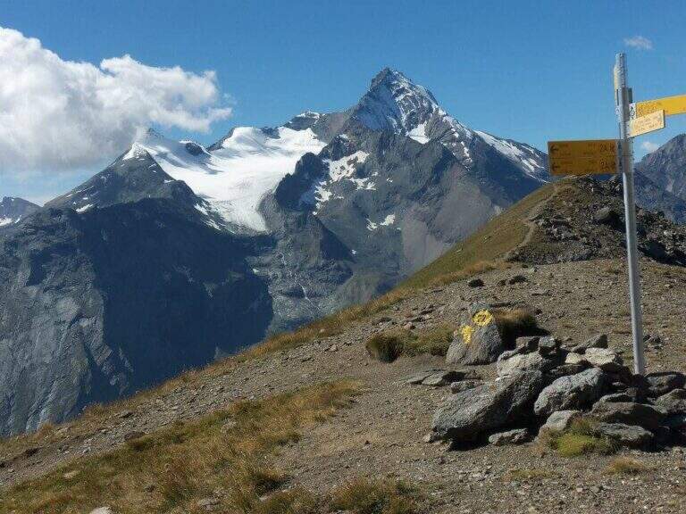
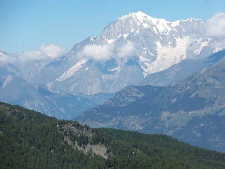
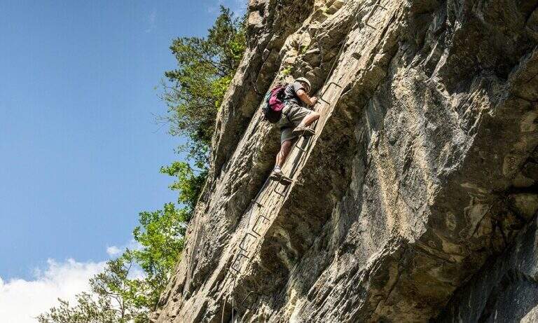
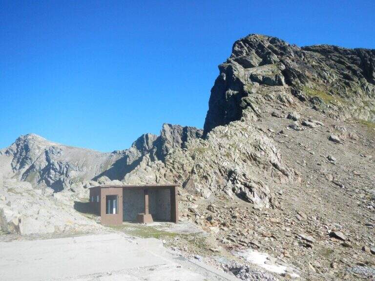
    The Sentiero Attrezzato Panorama runs through the ridge that culminates on the Punta Valletta (3090 m) above Aosta, reaching an easy three thousand with metal equipment to support the most delicate passages. An excursion with departure and arrival by cable car from Pila, with superb views of Mont Blanc, Cervino, Monte Rosa and Gran Paradiso.

    ▲Approach

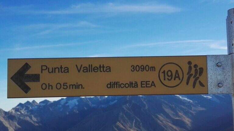
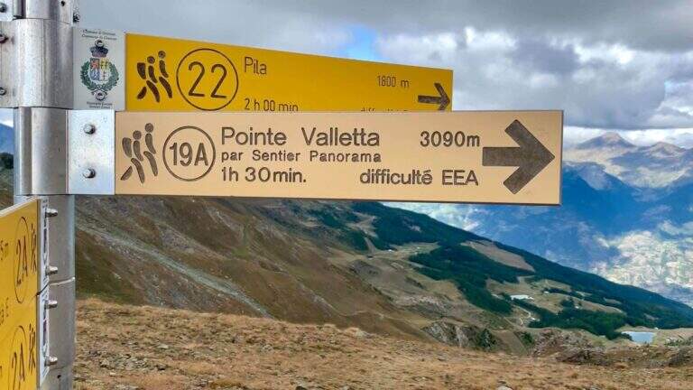
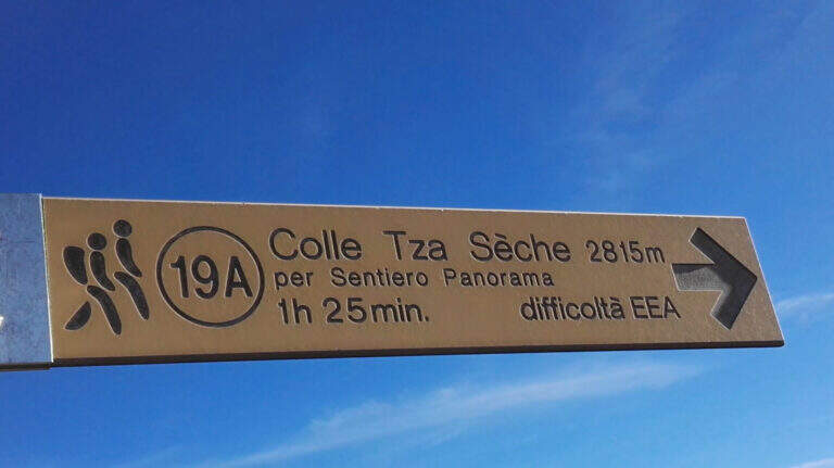
    From Chamôle station upstream of Aosta–Pila plants (directions road map) descend slightly on path 19C ignoring deviations towards chairlift Couis 1. Then take left the deviation for the Col Tsa Setse following path 22. The climb, never too steep and guided by yellow signals on the rocks, leads to the Col Tsa Setse (2815 m) with magnificent views of the Mont Blanc massif. From the hill, directions left towards Punta Valletta lead to path 19A, point of attack of the equipment (2h from the mountain station).

    ▲The path

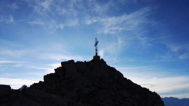
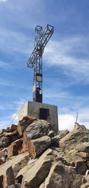
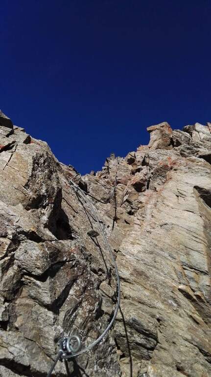
    The Attrezzato Path begins with a short descent equipped and then a rocky gendarme. Walk along the rocky crest towards the anticyme, bypassing a second gendarme in adherence with the cable. A cross-exposed little below the crest wire introduces to a long stretch of crest with the already visible cross. The last highlight features a few short stretches of rocky walls and balconies, as well as the peak cross of the Punta Valletta (3090 m, 1h from the attack, 3h total from the mountain station).

    ▲Character and difficulty

    Classified Difficult for altitude, ridge exposure and short climbing routes ensured in the final part. The equipment is recent and the route has no high technical difficulties at any point; however, the high altitude environment and the steep descent to the Col de Chamôle require extensive hiking experience.

    ⚠ Downhill, ignore the yellow arrow that indicates a steep and dangerous canyon: always follow the official path towards the Col de Chamôle. Beware of the fog that can suddenly rise from the valley below.
    ▲Period and safety

    From July to September with good conditions. The altitude requires high mountain experience, especially in the steep stretch of descent to the Hill of Chamôle.

    ▲Discipline

    From the summit you descend north on the normal road, on slopes and grassy crest towards Tête Noire and then to the Col de Chamôle. From here you can reach the Chamôle lake near the cable car to return (2h from Punta Valletta, 5h total).

    ▲To match

    From the same cable car of Pila is accessible the most demanding Monte Emilius Ferrata. The Arbolle Refuge, accessible from the Col de Chamôle, is a useful base for connecting the two routes.

    ▲Gallery
    Technical data
    • DifficultyHard
    • RegionAosta Valley
    • GroupAlps
    • Approach2:00 h
    • Ferrata1:00 h
    • Itinerary (a/r)5:00 h
    • Hardware level difference250 m
    • Route difference800 m
    • Max3090 m
    • Length12,8 Km
  • Path equipped Grande Chenalette

    Path equipped Grande Chenalette

    Vie Ferrate › Aosta Valley › AO
    Path equipped Grande Chenalette

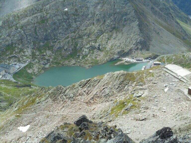
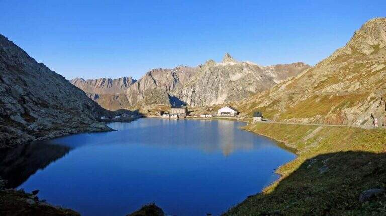
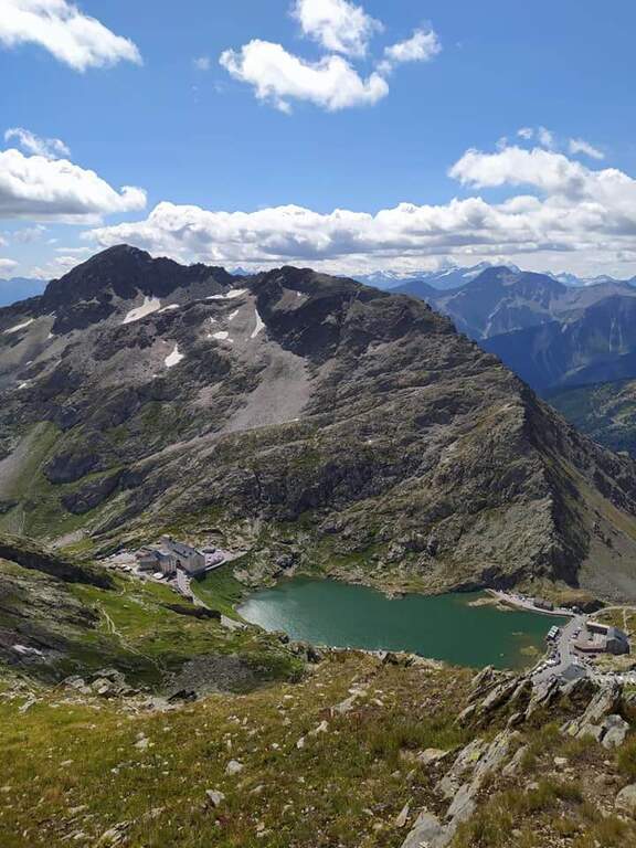
    The Sentiero Attrezzato della Grande Chenalette climbs from the Colle del Gran San Bernardo up to 2950m of the Valdostana peak, with technical traits on rock diedri in an alpine border between Italy and Switzerland.
    How to arrive and approach

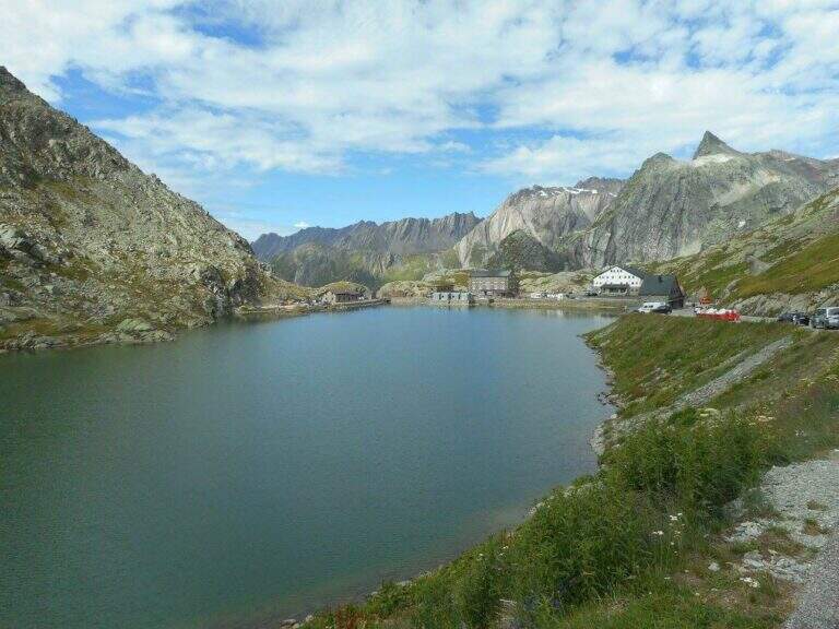
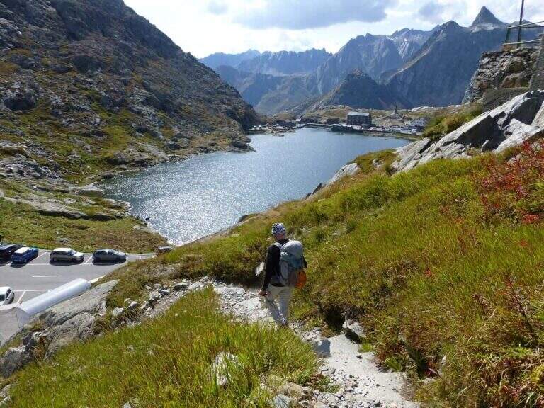
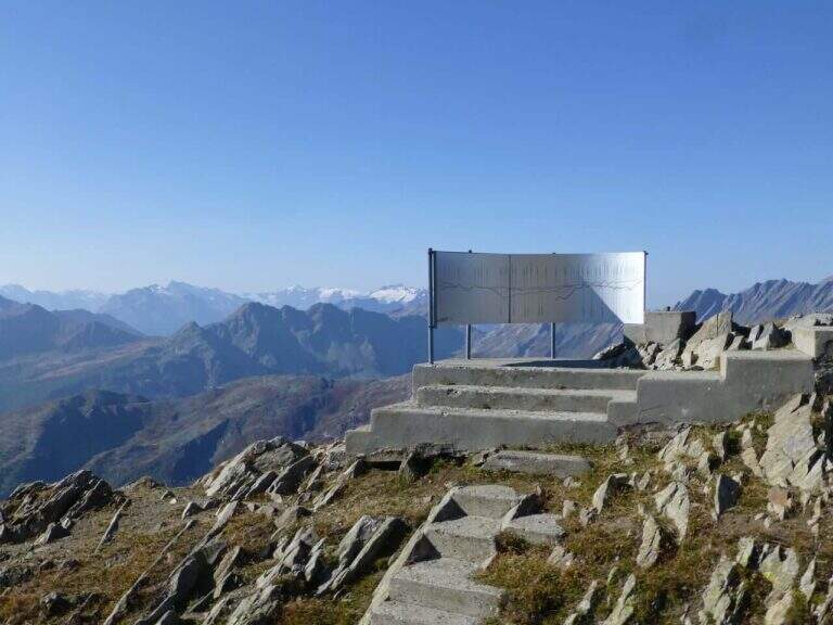
    The starting point is located at the Colle del Gran San Bernardo (2469m), the Alpine pass on the border between Valle d’Aosta and Switzerland, reachable from Italy via the hill road or the Traforo del Gran San Bernardo. It is parked in the area of the hospice, on the Swiss side of the pass. Approximation takes about 1h20′′: go up north passing near the ruins of the ski slopes of the 80’s until a panoramic viewpoint at altitude 2650m. The real attack of the equipped section is located at 2780m, about 1h20′ from the parking lot.

    The path

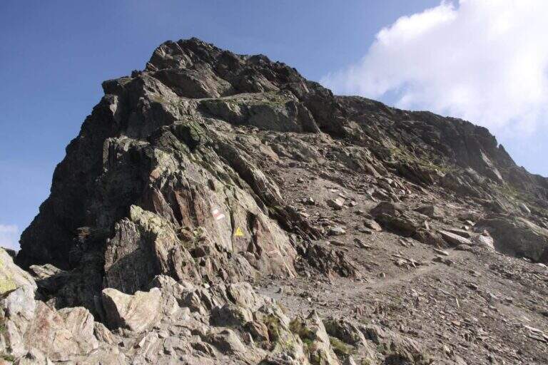
    From altitude 2780m begins the equipped section of the Great Chenalette. The route develops on a rocky dihedron assisted by metal pioli and fixed ropes for a height difference of 108m in about 1 hour. The progression on rock is technical but the equipment is well placed. The summit of the Great Chenalette (2950m) is the destination of the itinerary: from here the panorama stretches over the Pennine Alps to the Italian-Swiss border in all directions.

    Character and difficulty

    Path difficult especially for the high altitude (about 2950m) and exposure of the dihedron. Despite the relative brevity (6.4km, 1 hour of equipped stretch), the altitude requires good acclimatization and trained physical. The technical-athletic complexity index is high on all parameters. Difficulty: Hard. Route for experienced climbers and mountaineers accustomed to high altitude.

    Period and safety

    Recommended from July to August. At 2950m snow and ice can persist even in summer, especially in the equipped dihedron exposed to the north. The strong wind is frequent on the border ridge. Carefully check the nivometeorological conditions before taking the excursion. Complete fitting indispensable.

    Discipline

    The descent takes place on the way up: from the equipped diedro comes back to the belvedere at 2650m and then to the hospice of the Gran San Bernardo. Total excursion time: about 3h30′.

    To match

    The Gran San Bernardo is located in the heart of the Valdostane Alps. The Aosta Valley offers some of the most demanding ferrates in the Western Alps, in a unique high glacial mountain context. Nearby are alpine paths on the ridge of the Italo-Swiss border.

    ▲Gallery
    Technical data
    • DifficultyHard
    • RegionAosta Valley
    • GroupAlps Pennine
    • Approach1:20 h
    • Ferrata1:00 h
    • Itinerary (a/r)3:30 h
    • Hardware level difference108 m
    • Route difference530 m
    • Max2950 m
    • Length6,4 Km
  • Sentiero Attrezzato del Vofrede (Ferrata dello Sperone)

    Sentiero Attrezzato del Vofrede (Ferrata dello Sperone)

    Vie Ferrate › Aosta Valley › Aosta
    Sentiero Attrezzato del Vofrede (Ferrata dello Sperone)

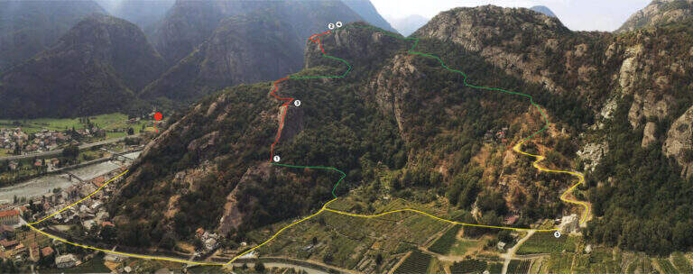
    The Sentiero Attrezzato del Vofrede — called by some Ferrata dello Sperone — is a difficult itinerary but with breathtaking views, which dates back to the Cignana valley surrounded by beautiful alpine lakes. You arrive near the Colle di Vofrede with a ring return on a very satisfying tour, under the look of the Divine.

    ▲Approach

    The starting point is along the road from Châtillon to Breuil-Cervinia (AO). Pass Valtournenche and continue beyond the hydroelectric power station of Perrères until you see on the left an area where you work the sand; along a straight you notice a dirt road that goes down that direction and, before crossing the bridge, you park on the road. If the entrance to the dirt road was not possible for work, continue for a few meters on the main road and park on the right in a small street, elongating the excursion (open up Google Maps). From the parking lot you pass the bridge on the Marmore stream, turning right towards the lake for sports fishing; near the sign for access you take the wide path that goes up the valley of the creton stream, up to a pole with the various signposts, where you hold the signpost 9 (yellow signs). Where the path bends to the left you cross a stream and you go up a hill on a living rock; on a comfortable path you reach a crossroad where, while on the left you go towards the glacier of Vofrede, you keep the right continuing straight along the moraine and, after some bends, you reach the attack of the Sentiero Attrezzato del Vofrede (2h from the parking lot).

    ▲The path

    The first section takes place on some short walls, followed by a horizontal traverse exposed but with plenty of place for the feet; there is an unmarked edge and easy rocks rise. The equipment ends momentarily and follows the track up to a vertical wall, easily climbed secured by the cable; overcoming some rock leaps not steep until a balcony overlooking the Vofrede glacier. From the terrace you face a vertical wall of a few meters, not difficult, which leads to a second panoramic balcony, beyond which continues the vertical tract; the equipped path continues without difficulty until you cross a split in the rock, now near the term. The last tens of meters run and, in the plateau under the Castelletto Whymper, the equipped path ends with a magnificent view of the nearby Cervino (1h30 from the attack, 3h30 total). From the end you continue west (left) along the stone towards the Colle di Vofrede (3130 m, highest point of the excursion, 4h total), following the yellow signs and omits.

    ▲Character and difficulty

    The itinerary is not technically difficult, but it is long: arrived at the Colle di Vofrede you are less than half a hike, so the total length, especially for the return.

    ⚠ The return, although not difficult, takes place in a remote area with path not always well marked: it can make sense to carry a GPS track, in particular in case of announcements or fog with difficulty of orientation.
    ▲Period and safety

    High-mountain summer itinerary (maximum rate 3130 m), in wild and beautiful surroundings. Long development and distance from support points require good autonomy and attention to the weather.

    ▲Discipline

    From the Colle di Vofrede you descend west towards the Gran Lago, following the labile track of the path and then the drains to the eastern side of the basin; follow the wall of containment towards the valley up to a small ruin from the grounded roof, from which a path connects shortly after a larger one that goes up to the wall where rises the Perucca Vuillermoz Refuge. From the hut follow the path 6 – Alta Via 3 towards the bivouac Manenti, to the bends, to the edge of Lake Balanselmo; continue along a half-coast at the Alpe di Chevalley, then on a dirt road up to a saddle from which you take the path 107, holding the left towards the refuge La Riondè and continuing towards the visible sand quarry and then to the parking lot (330).

    ▲Gallery
    Technical data
    • DifficultyEasy
    • RegionAosta Valley
    • GroupCervino – Valtournenche
    • Approach2:00 h
    • Ferrata1:30 h
    • Itinerary (a/r)7:30 h
    • Hardware level difference450 m
    • Route difference1200 m
    • Max3130 m
    • Length14,9 Km
  • Sentiero Attrezzato Francesco e Giuditta Gatti al Mont de la Brenva

    Sentiero Attrezzato Francesco e Giuditta Gatti al Mont de la Brenva

    Vie Ferrate › Aosta Valley › Aosta
    Sentiero Attrezzato Francesco e Giuditta Gatti al Mont de la Brenva
    Moderately Hard● OpenDescriptionComplexityMapsGallery

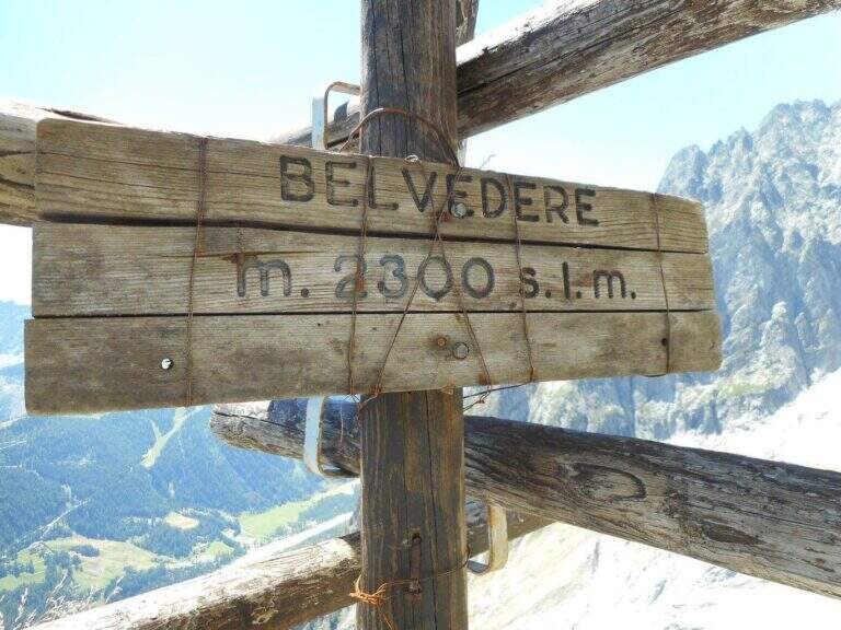
    Il Sentiero Attrezzato Francesco e Giuditta Gatti at Mont de la Brenva è an equipped route of difficult and difficult media; in the alpine environment, at the slopes of the Mont Blanc group. It leads to a panoramic plateau – the Belvedere – with a view between the pi` beautiful of all the Western Alps.

    ▲Approach

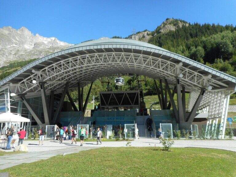
    From the mountain station of the cable car of La Palud (Courmayeur, Aosta). Open road signs on Google Maps. We descend to the first stop of the route « The Palud–Punta Helbronner» and follow the path in a slight ascent next to the botanical garden Saussurea; at the first crossroad you will keep the left on a well-marked path that crosses the grassy slopes towards the moraine of the Toula glacier. A short stretch equipped with a chain exceeds some rocks and reaches a ' panoramic area with bench, where the equipped stretch begins (30' from the mountain station).
    ▲The path

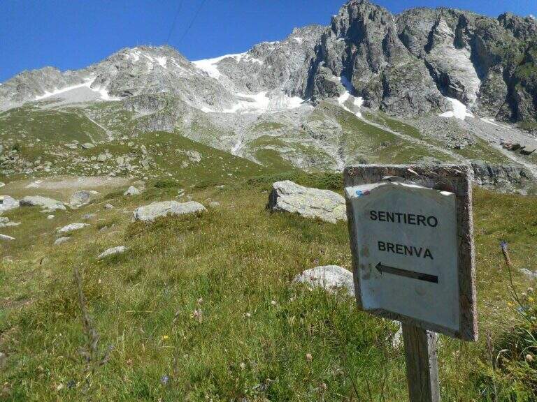
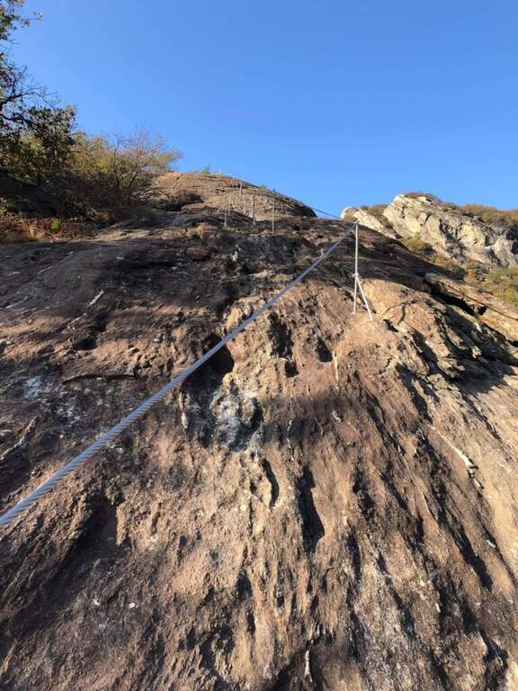
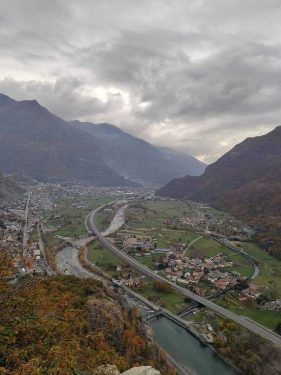
    The equipped part starts going down the eastern shoe of Mont de la Brenva, with steep stretches in which the rope dà safety; a downhill section of III degree, not difficult, è supported by the chain. Continue on half-coast with climbs and descents, assisted by chain and brackets on the right side, and cross a pietraia (yellow signs); at the end a path goes steeply towards the rocks of Brenva to the Belvedere (2300 m, 1h 30' from' start of the stretch), with views of the Bremayn.

    ▲Character and difficulty

    Path equipped not long and not difficult, but in the alpine environment and with exposed sections where the protections are essential; the view from the Belvedere is only a great reason to travel it.

    ⚠ High mountain environment on blackberry and stone: recommended helmet and attention to the bottom. Evaluate the time and time of the cable car for the return.

    ▲Discipline

    The descent takes place on the same climb route (1h 30' from Belvedere, 3h 45' overall).

    ▲To match

    Starting soon, you can connect to Ferrata Casimiro (about 1h by car). In the area Sentiero al Rifugio Dalmazzi, il Sentiero al Bivacco Boccalatte e la Ferrata at Monzino Refuge.

    ▲Gallery
    Technical data
    • DifficultyModerately Hard
    • RegionAosta Valley
    • ProvinceAosta
    • GroupMont Blanc
    • Approach30 min
    • Fully equipped1h 30'
    • Complete itinerary (a/r)3h 45'
    • Level difference130 m
    • Route difference322 m
    • Maximum2300 m
  • Sentiero Attrezzato al Bivacco Boccalatte-Piolti

    Sentiero Attrezzato al Bivacco Boccalatte-Piolti

    Vie Ferrate › Aosta Valley › Aosta
    Sentiero Attrezzato al Bivacco Boccalatte-Piolti

    The ascent to the Bivacco Boccalatte-Piolti, at the foot of the Grandes Jorasses in the group of Mont Blanc, & a long and challenging itinerary, with considerable difference in altitude and some not always easy. The part with fixed protections (bridges and stairs) covers about 200 meters and ` only a component of un' hike with a strong alpine character.

    ▲Approach

    Starting point & free; Planpincieux, a fraction of Courmayeur (Aosta): turn towards the center of the village, where c' ` a wide deck to park, and follow the signs of the sentiero 21 at l' hotel-restaurant Miravalle. Open road signs on Google Maps. The first hour & quiet, first in the woods then on the meadows with incredible views of Mont Blanc and Grandes Jorasses; after about one' now we face due guadi climbing up the walls of a stream. Then a placconata is very steep with passages of I and II degree (not always stable and slippery if wet); following the yellow signs and a few short stretches equipped you reach a wire scale that exceeds a leap of 20 meters (1h 30' from the parking lot). Continue to zig-zag on a morainic crest and, after about one' now, turn left through a nevaio to the rocky bastion above which rises the bivouac.

    ▲The path

    Climb on rock sections helped by grossi canaponi which cut to the left; follow the fixed ropes up to a pulpit and then, on air route, up to the balcony on which è built the Bivacco Boccalatte-Piolti (30' from the strike, 3h 30' from the parking lot È you can continue beyond the refuge on fixed ropes until you reach the glacier.

    ▲Character and difficulty

    Itinerary for experienced hikers: the difficulty lies in the difference in altitude, in the guds, in the rock passages of I-II degree and in the mountain environment at the base of one of the most challenging climbs of the Alps.

    ⚠ In the ' last traverse on the nerve attention to the above steel, which può download ice blocks: mandatory helmet. Guades can be difficult at certain times. Il bivacco/rifugio è open on weekends of June and every day of July and August (information at the CAI of Turin).

    ▲Discipline

    You descend along the same climb route (about 3h).

    ▲To match

    For the length does not match other routes in the same day, but in the area there are the Sentiero Attrezzato al Rifugio Dalmazzi, la Ferrata al Bivacco Borelli, il Sentiero al Mont de la Brenva e la Ferrata at Monzino Refuge.

    ▲Gallery
    Technical data
    • DifficultyHard
    • RegionAosta Valley
    • ProvinceAosta
    • GroupMont Blanc
    • Approach3h
    • Fully equipped30 min
    • Complete itinerary (a/r)6h 30'
    • Level difference150 m
    • Route difference1224 m
    • Maximum2803 m
    • Length8,3 km
  • Ferrata delle Peredrette in Donnas

    Ferrata delle Peredrette in Donnas

    Vie Ferrate › Aosta Valley › Aosta
    Ferrata delle Peredrette in Donnas

    The Ferrata delle Peredrette is a recent route that dates back to a rocky coast near Donnas, in the lower Aosta Valley. It is easy and suitable for beginners and, for altitude and exposure, it lends itself well to the half seasons and the beautiful winter days.

    ▲Approach

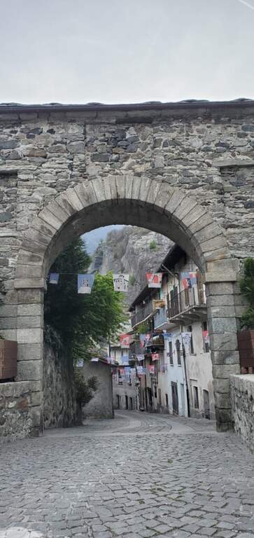
    You reach Donnas; the most convenient option is to park in an old industrial area along the Dora Baltea: shortly after the village, at a roundabout where the state road continues straight, you descend to the left until a large parking lot. Starting point on Google Maps. You pass under the state road, continue north-east in a street of the village up to a stone arch; you cross it and climb left for about 300 meters. After a first bridge (indications for Pomeroud) you reach a second bridge, where you turn left following the signs: about 300 meters, a turn left and you reach the first equipment in the wood (about 20' from the parking lot).

    ▲The path

    The first part is a path equipped with low difficulty that climbs ramps and pitches in the woods, with beautiful views of the valley and the vineyards; it has more the characteristics of an equipped path than a real ferrata, missing with verticality. After a short stretch downhill and other easy passages ends the first part; it follows a stretch of connection in the forest (about ten minutes, yellow pollen) until the second part, more vertical and fun. The cable resumes on plates supported up to a first prominence with abundant cambre; it exits right in view of the valley, you pass another short stretch downhill and you reach the most characteristic passage, on the edge of the wall overlooking the valley (without difficulty, but very panoramic). At a crossroads you can choose on the right the easy street or on the left a moderately difficult variant, which after a short crossing rises a small wall slightly adjective of about ten meters, rich of cambre. The two routes gather for the final meters: a few horizontal steps and an easy diagonal crossing up to the end (about 1h 15' from the beginning of the equipment, about 1h 45' total).

    ▲Character and difficulty

    Itinerary short and easy, ideal for neophytes and accessible most of the year; the left variant adds a pinch of commitment for those who want something more vertical.

    ▲History

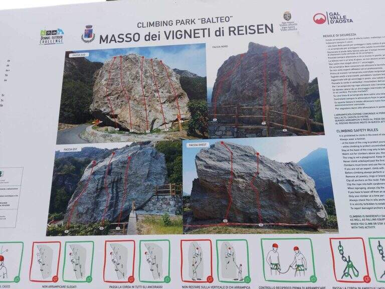
    The ferrata was inaugurated on 6 November 2021, within a larger project that also includes new equipped cliffs (Piramide di Pomerou, Falesia delle Ciliegie, Masso Vigneti di Reisen).

    ▲Discipline

    The return path is well marked and develops in the woods, rejoining with the final part of the approach; you return to the car backwards (about 40' from the term, about 2h 30' total).

    ▲To match

    Short and easy, leave time for a second way in the day: the most difficult Ferrata del Gorbeillon towards Cervinia, the Ferrata Casimiro o la Ferrata José Angster; staying in the lower valley Ferrata di Covarey.

    ▲Gallery
    Technical data
    • DifficultyEasy
    • RegionAosta Valley
    • GroupLower Aosta Valley
    • Approach0:20 h
    • Ferrata1:15 h
    • Itinerary (a/r)2:30 h
    • Hardware level difference200 m
    • Route difference300 m
    • Max639 m
    • Length4 Km
  • Ferrata del Monte Emilius (Col Carrel)

    Ferrata del Monte Emilius (Col Carrel)

    Vie Ferrate › Aosta Valley › Aosta
    Ferrata del Monte Emilius (Col Carrel)
    Very difficult● OpenDescriptionComplexityMapsGallery

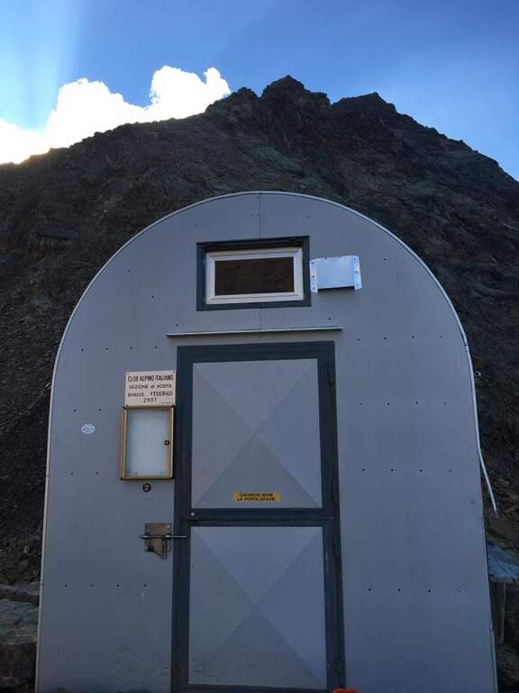
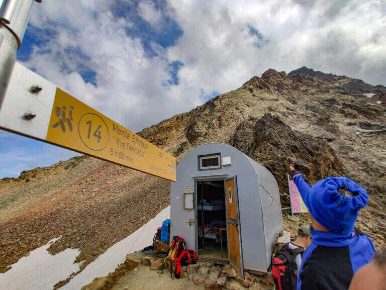
    The Ferrata del Monte Emilius crosses the north and north-west ridge of the top (3551 m) from the Colle Carrel: for length, environment and altitude difference should be considered one of the most challenging. It is a high mountain itinerary not to be underestimated, more than 16 km, which should be broken in two days with overnight stay at the Arbolle Refuge or the Federigo Bivacco.

    ▲Approach

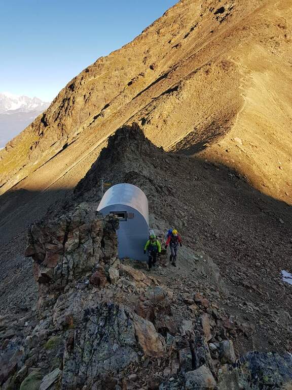
    From the Aosta-Pila mountain station, continue to Chamolé station (2300 m). Open road signs on Google Maps. Follow the path towards Refuge Arbolle (mark 19c then 19a uphill, then a hundred meters downhill in the Arbolle valley; 1h 30' from the upstream station). You should stay at the shelter. From there go down the path 14 (Vallone di Comboe) up to a crossroads where you keep the right on the paths 16c e 16a to the spartan Bivacco Federigo (2907 m), under the Colle Carrel (1h 30' from the refuge, 3h 45' total). The ferrata starts right behind the bivouac.

    ▲The path

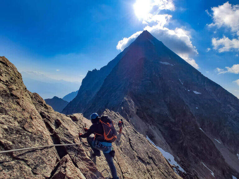
    From the bivouac follow the traces up to the' attack; the road takes place mainly on the crest wire. There are rocks and several exposed but not difficult traverses, up to a point where you disarrampica towards a suspended bridge very exposed, with wooden walkway for your feet. Beyond the bridge you reach the Mont Ross, from which you continue on the right side on sloped and exposed plates; here a via escape (cart) descends right towards Lake Gelato. The ferrata alternates along the crest path and vertical or exposed passages protected by cable and cambre, along beautiful granite plaques, up to the Petit Emilius (3342 m). Always holding the right of the wire you pass the steps and a vertical section with metal fixtures where there can be a snowmaker even in late season (better to have the ramps). A last rocky highlight leads to the final ridge and, in about ten minutes, to the top madonnine (3551 m, 4h 30' from the bivouac, 7h 30' total).

    ▲Character and difficulty

    Excellent and well positioned equipment, but it is a ferrata to be considered as part of a long, challenging and fulfilling alpine itinerary. At the end of the road, attention is paid to some unprotected sections on rock not always stable.

    ⚠ Until at least at the end of July bringing ramps and peak: it is not unusual to find snow at altitude, where safety equipment can be unusable. A stable weather is indispensable. The cable car closes relatively early in summer: prohibitive route in one day, better in two.
    ▲Period and safety

    Full summer with snow absent or manageable at altitude. High mountain: assess conditions, plant and weather times.

    ▲Discipline

    From the top you descend along the normal road to the Passo dei Tre Cappuccini, along the Gelato Lake and continue until the Rifugio Arbolle (2h 30' from the top, 10h total). From the refuge, back to the path of approach to the cable car (1h from the refuge, 11h total).

    ▲To match

    Staying in Arbolle, on the return you can walk the simplest but panoramic Sentiero Attrezzato Panorama. Other itineraries in Valle d'Aosta: Ferrata del Gran Paradiso, Ferrata al Bivacco Borelli e Ferrata delle Crete Seche.

    ▲Gallery
    Technical data
    • DifficultyVery difficult
    • RegionAosta Valley
    • GroupMonte Emilius
    • Approach3:00 h
    • Ferrata4:30 h
    • Itinerary (a/r)11:00 h
    • Hardware level difference750 m
    • Route difference1250 m
    • Max3551 m
    • Length16,4 Km
  • Ferrata Marguerettaz

    Ferrata Marguerettaz

    Vie Ferrate › Aosta Valley › Aosta
    Ferrata Marguerettaz

    La Ferrata Marguerettaz è la classica via ideale per far provare a un neofita un percorso attrezzato. Tecnicamente non presenta alcuna difficoltà e si svolge in un ambiente protetto, senza avversità ambientali, dopo un semplice avvicinamento.

    ▲Approach

    Si parte presso Morgex (Aosta): da Morgex si imbocca la SR39 verso Arpy; al nono tornante c'è uno spiazzo dove parcheggiare (poi 200 m a piedi in salita), oppure si prosegue circa 200 m oltre il tornante cercando posto in due piccoli spiazzi. Starting point on Google Maps.

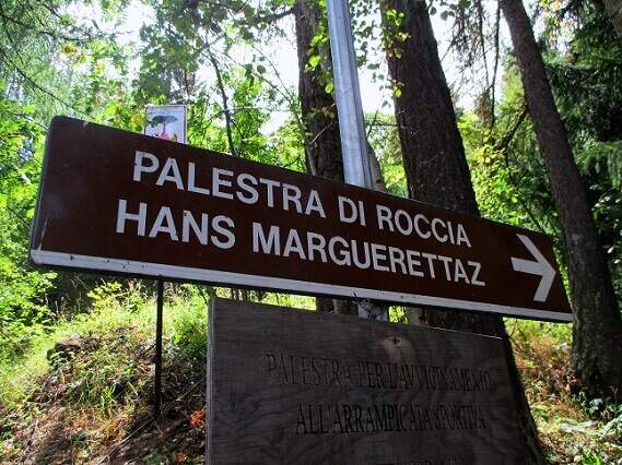
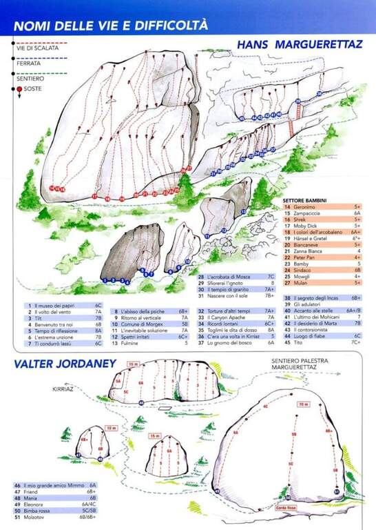
    Dal parcheggio una sterrata (vietata alle auto) entra nel bosco a destra: si seguono i segni giallo-neri per la palestra di roccia «Hans Marguerettaz». A un bivio si tiene la destra in falsopiano, si attraversa un ruscello su un ponticello di tronchi e si raggiungono le prime falesie; superata la zona di arrampicata per bambini, alcuni tornanti portano all'inizio delle attrezzature (30' dal parcheggio).

    ▲The path

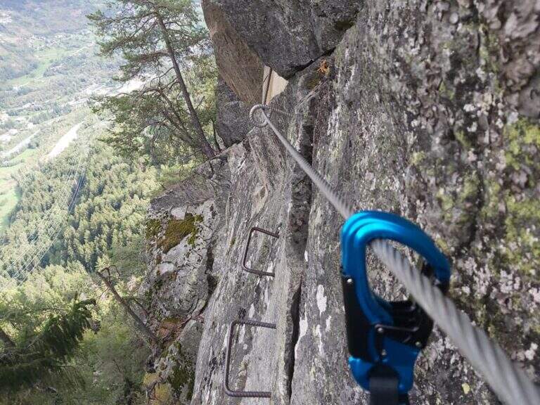
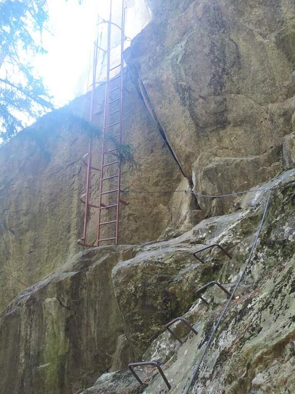
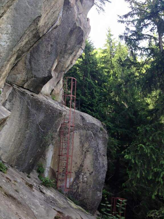
    La facile ferrata sale una parete verticale attrezzata con staffe, con una breve deviazione a sinistra fino a una lunga cengia da cui partono alcune vie di arrampicata; segue un diedro attrezzato con ampie staffe e un facile traverso orizzontale a destra. Si salgono alcuni facili balzi fino a una scala rossa protetta, la si risale spostandosi a sinistra; una seconda scala rossa conduce a un tiro di arrampicata, mentre la ferrata termina a sinistra (20' dall'attacco, 50' totali).

    ▲Character and difficulty

    Via senza difficoltà tecniche né esposizione eccessiva: perfetta come prima esperienza. Accanto, una falesia con molti tiri di grado basso permette di arrampicare a chi è alle prime armi.

    ⚠ Per consolidare l'esperienza, conviene percorrere la facile via anche in discesa (disarrampicata), in un contesto privo di complicazioni ambientali.
    ▲Period and safety

    Bassa quota (1390 m) e ambiente protetto: percorribile per gran parte della stagione con le normali cautele.

    ▲Discipline

    Si consiglia di ripercorrere a ritroso la ferrata in disarrampicata; in alternativa si aggira lo sperone roccioso sulla sinistra, si scende dalle vie di arrampicata e si torna all'auto per il sentiero d'avvicinamento (circa 30', 1h 30' totali).

    ▲To match

    Risalendo la valle, la Ferrata del Bicentenario al Mont Chetif; per chi ha bambini e vuole proseguire l'avvicinamento alle ferrate, in valle di Gressoney la Ferrata Harry Potter e la Ferrata dei Bambini.

    ▲Gallery
    Technical data
    • DifficultyEasy
    • RegionAosta Valley
    • GroupMorgex
    • Approach0:30 h
    • Ferrata0:20 h
    • Itinerary (a/r)1:00 h
    • Hardware level difference90 m
    • Route difference250 m
    • Max1390 m
    • Length4 Km
Need help? Write to us!