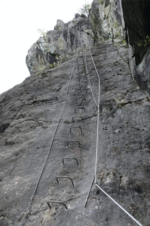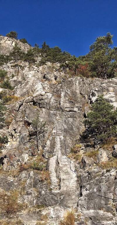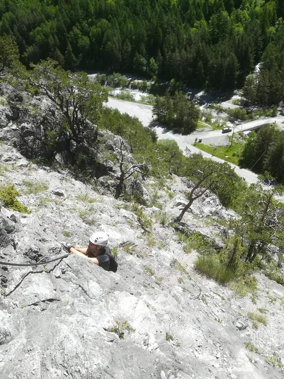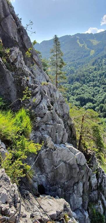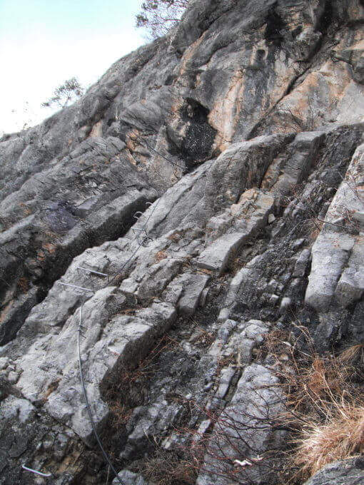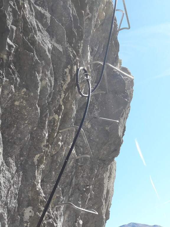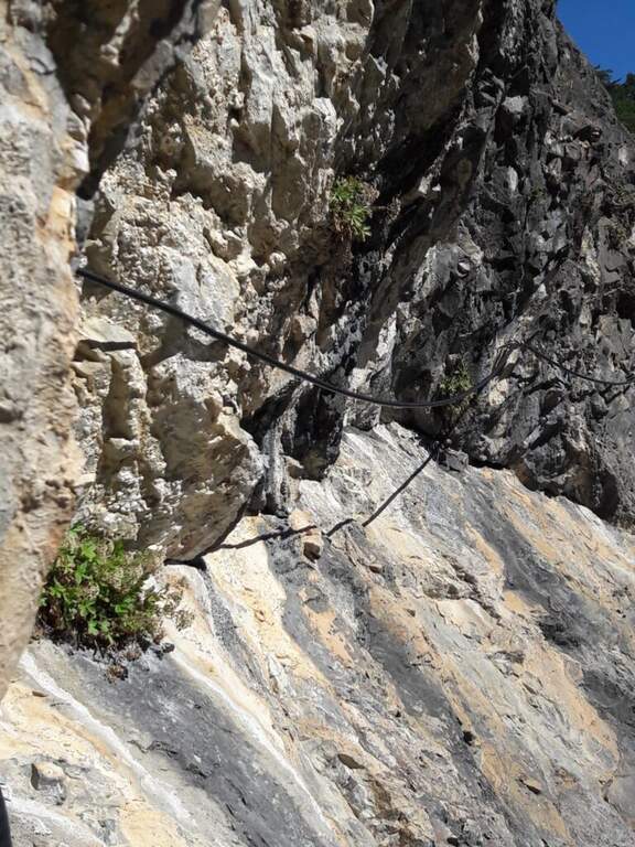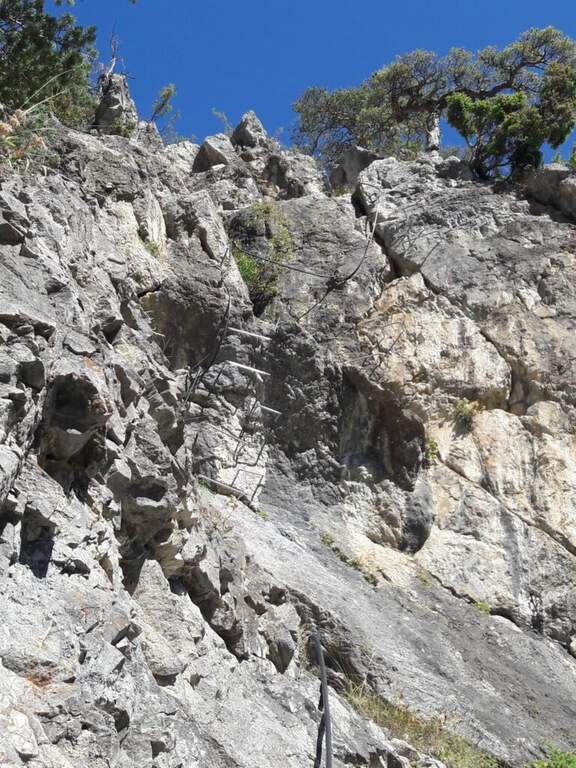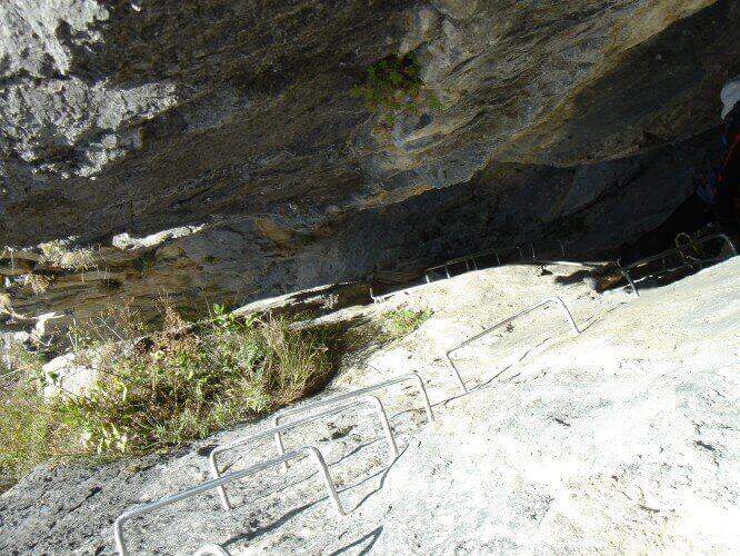
Caratteristica: Atletica

  • Ferrata Ivano Dibona al Cristallo

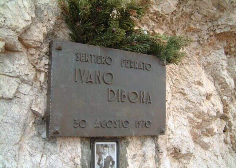
    Ferrata Ivano Dibona al Cristallo

    Vie Ferrate › Veneto › Belluno
    Ferrata Ivano Dibona al Cristallo
    Moderately Hard● OpenDescriptionComplexityMapsGallery

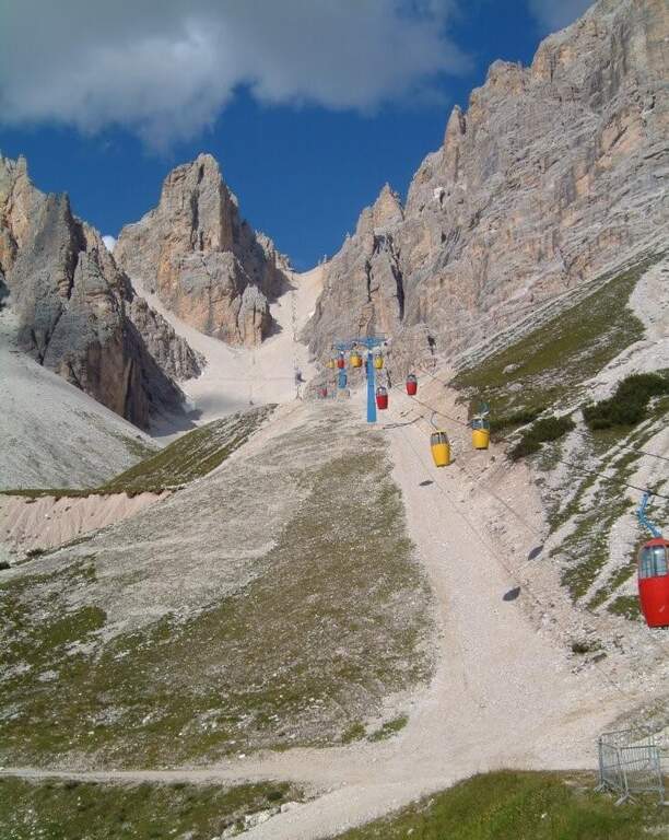
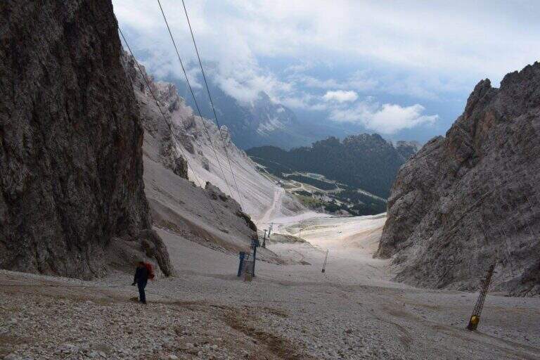
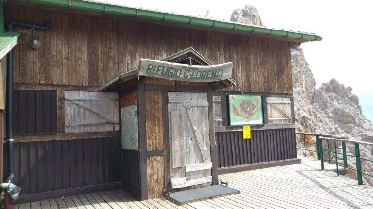
    viso Notice — The bidonvia that climbed to Forcella Staunies has been dismantled (July 2017) and is waiting for reconstruction to date to be allocated; the only way to reach the attack is today to trace the steep detritic valley of the Gran Staunies, on an unstable gravel bottom (at least 2h from the end of the chairlift). The Lorenzi refuge, at the beginning of the ferrata, is also closed. It is a long and challenging itinerary regardless: plan time and weather carefully.

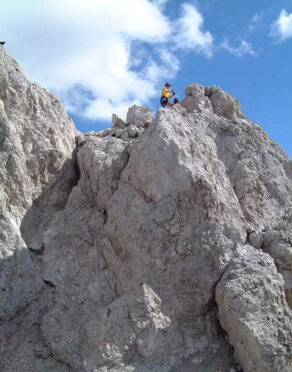
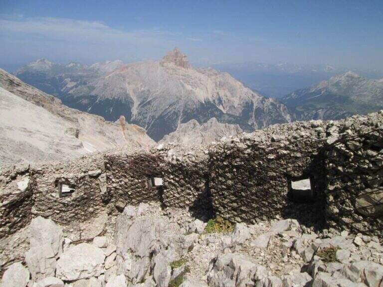
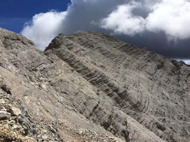
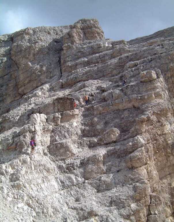
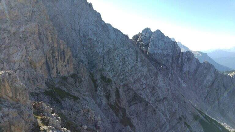
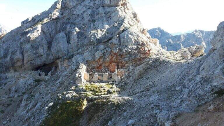
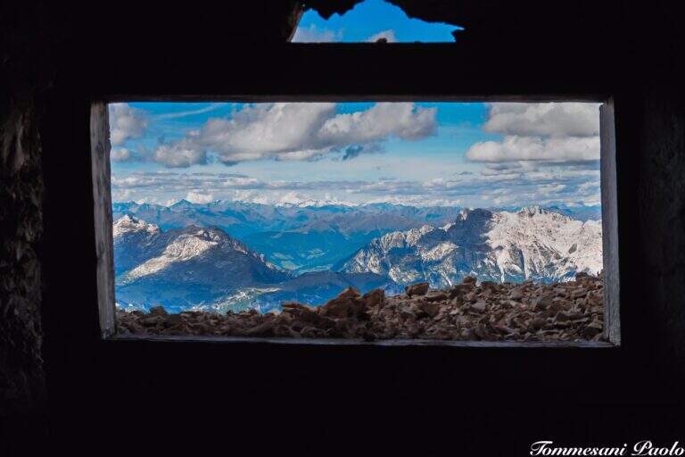
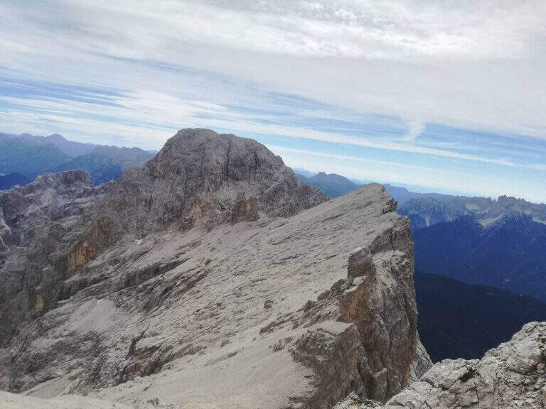
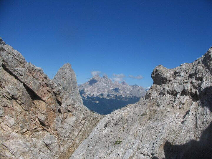
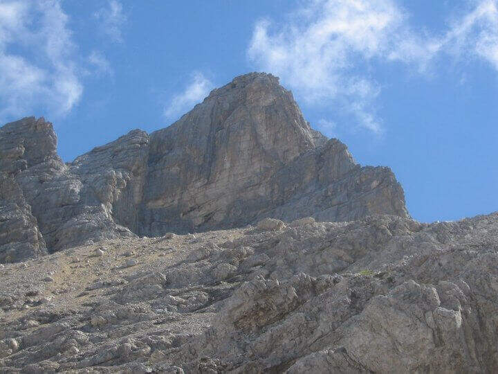
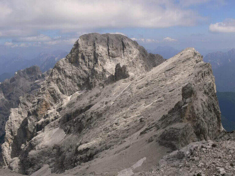
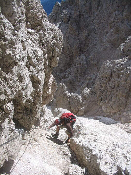
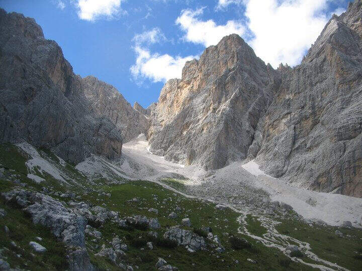
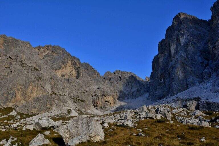
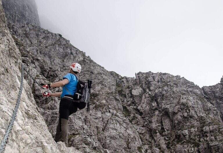
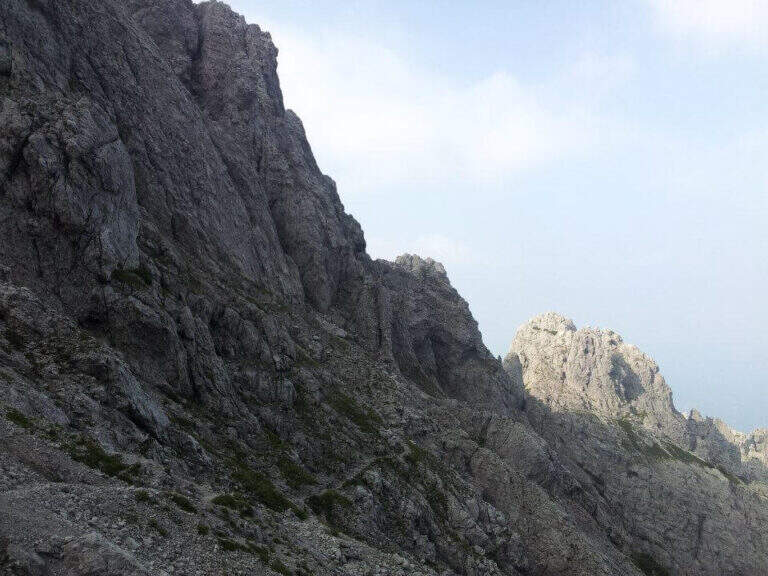
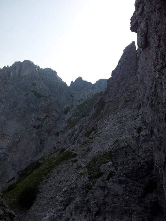
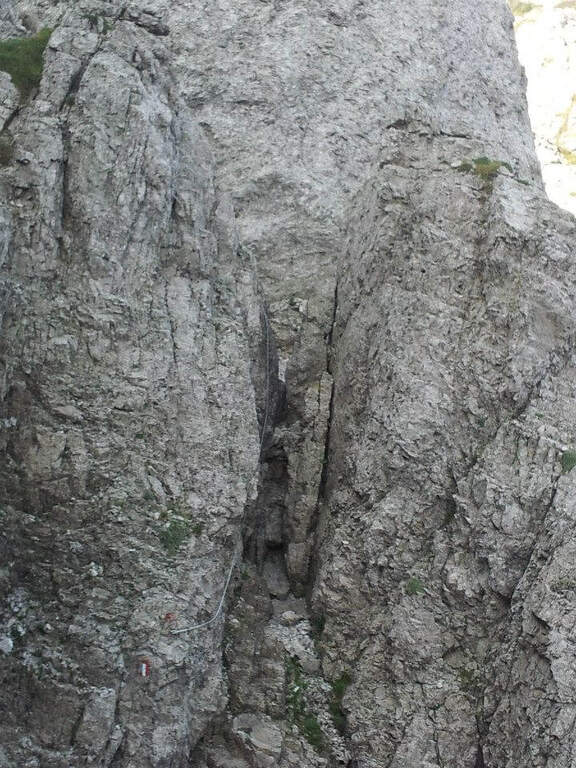
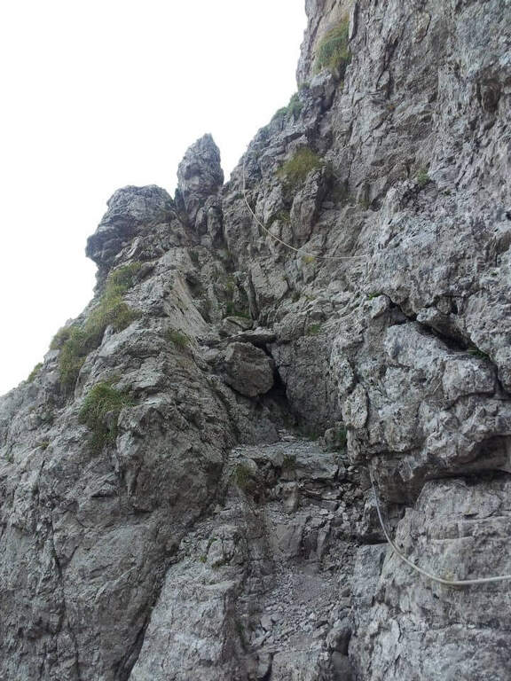
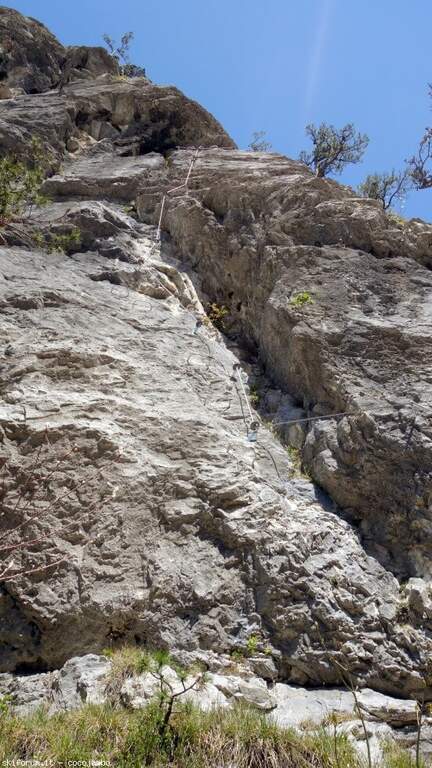
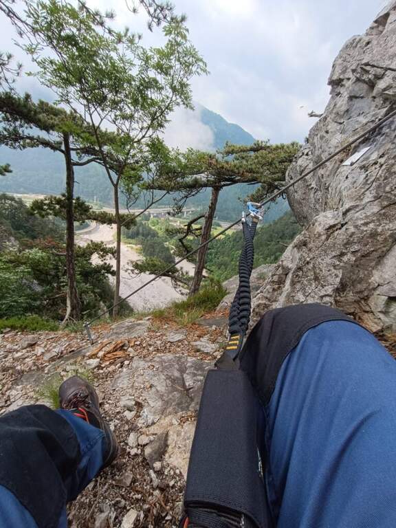
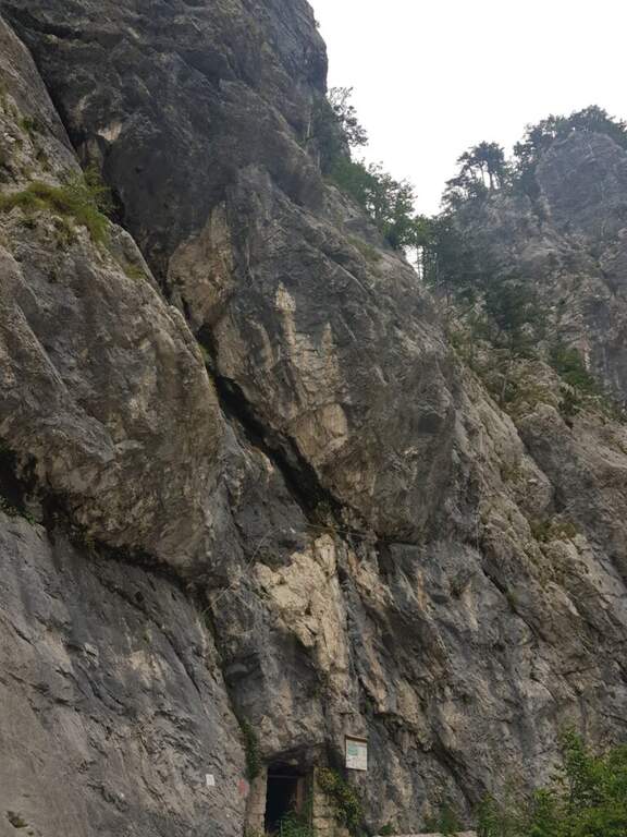
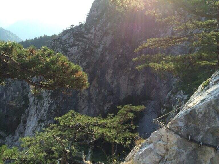
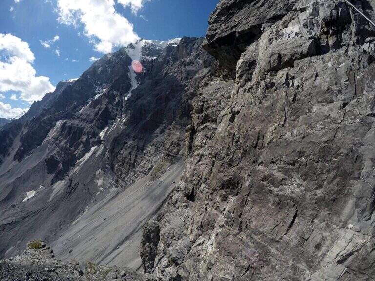
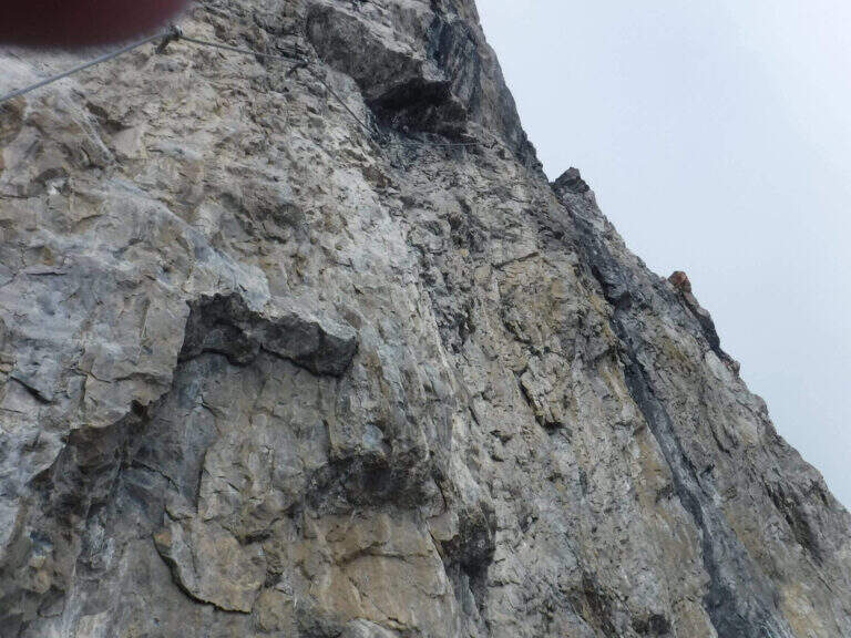
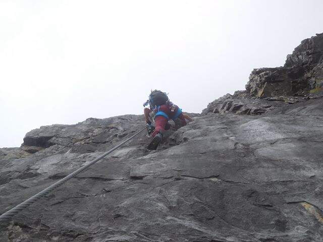
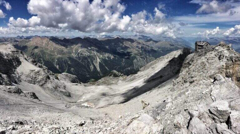
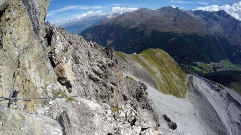
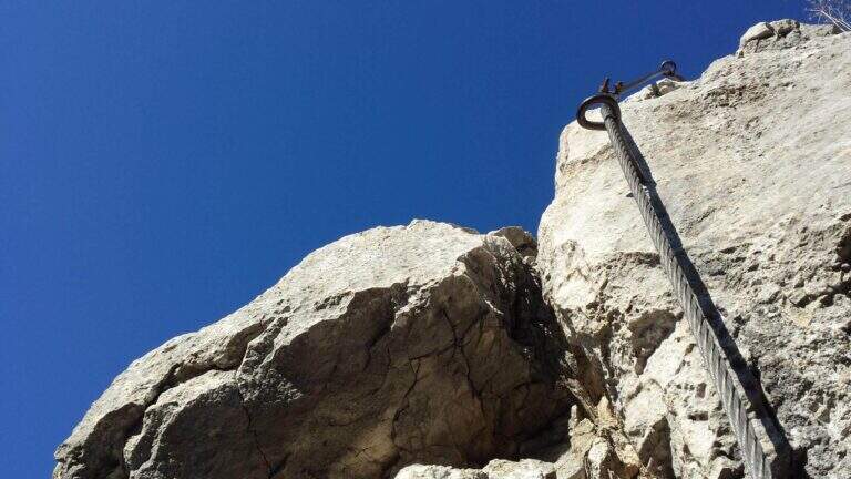
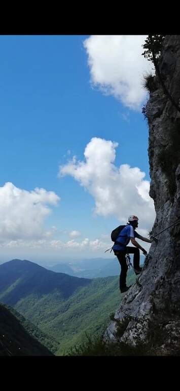
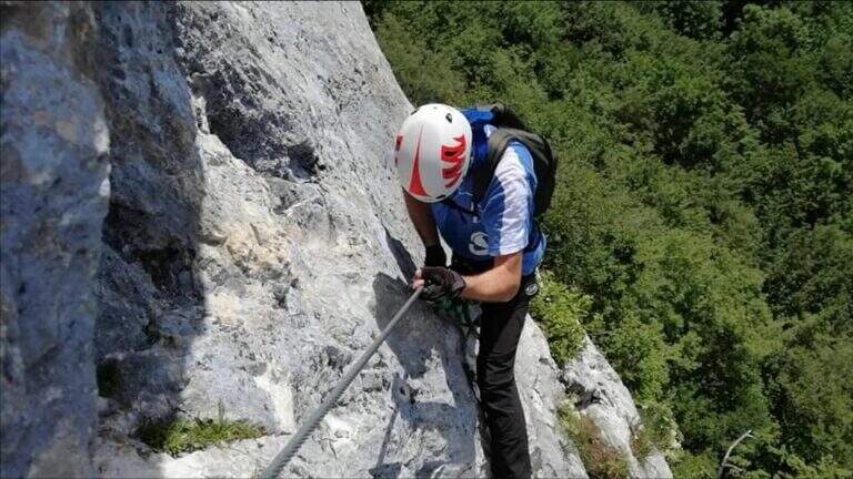
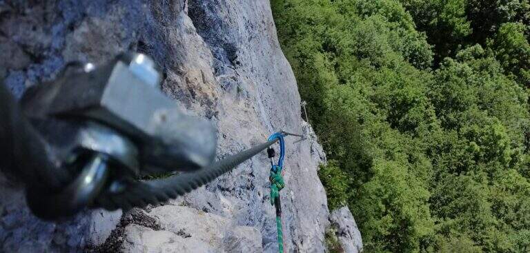
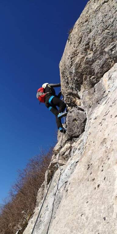
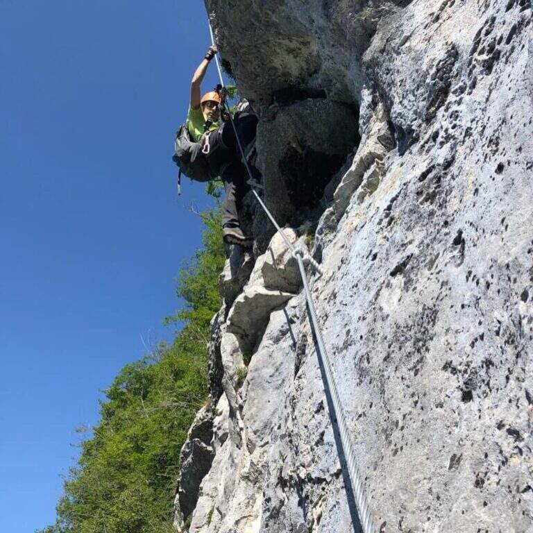
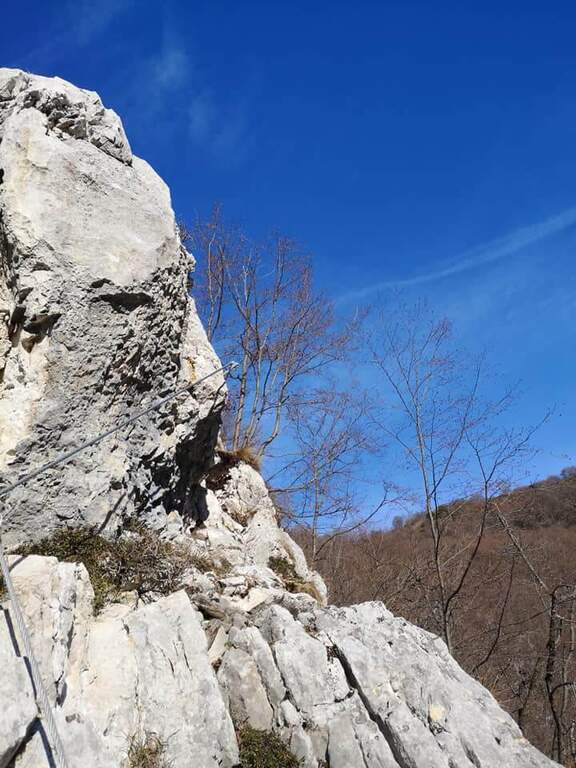
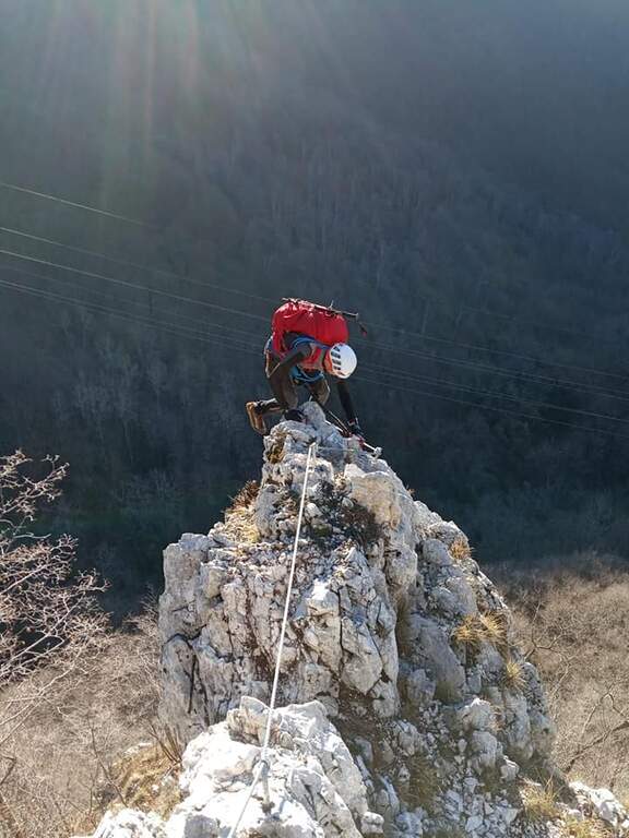
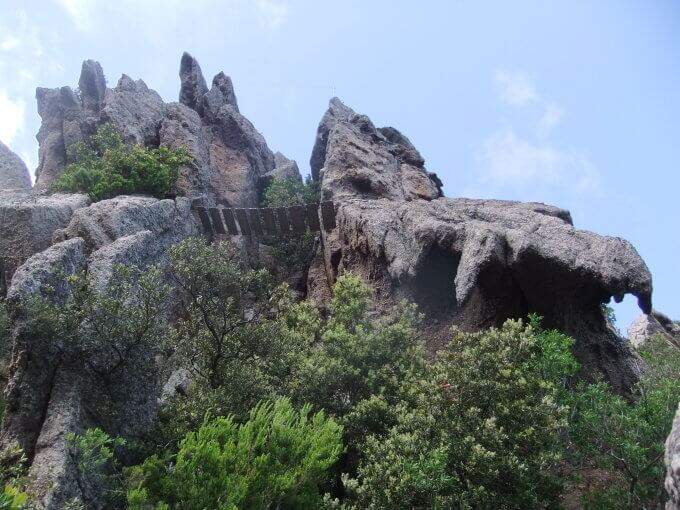
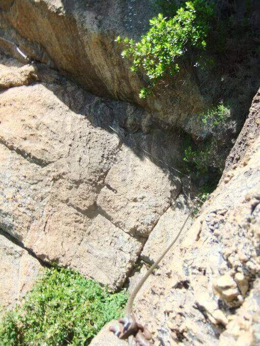
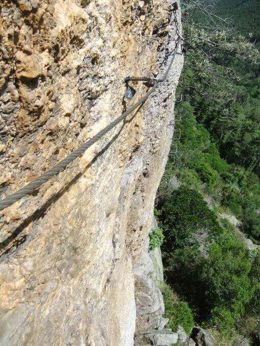
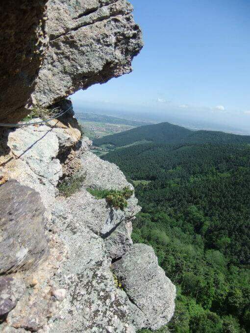
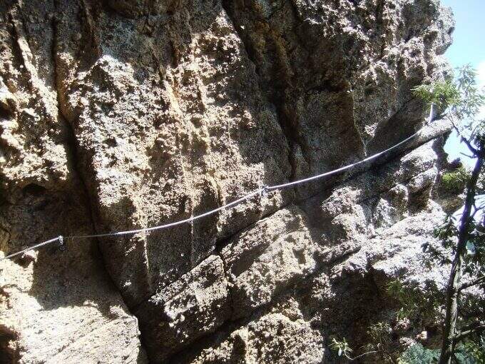
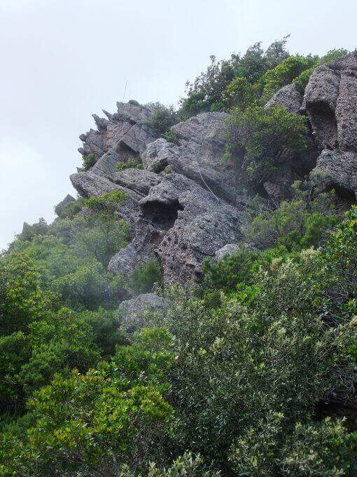
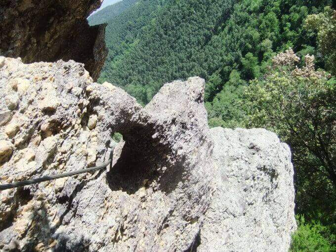
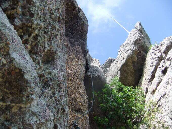
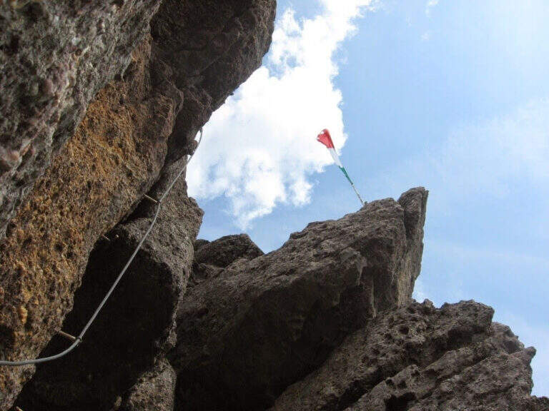
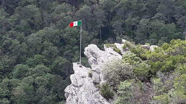
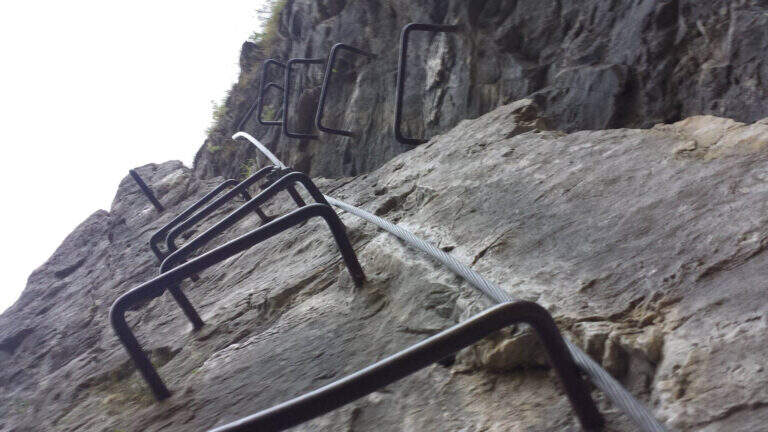
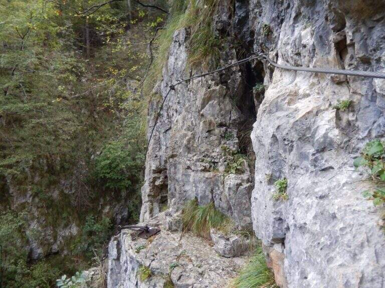
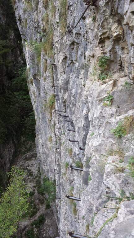
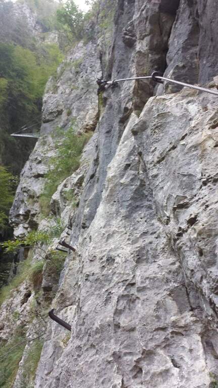
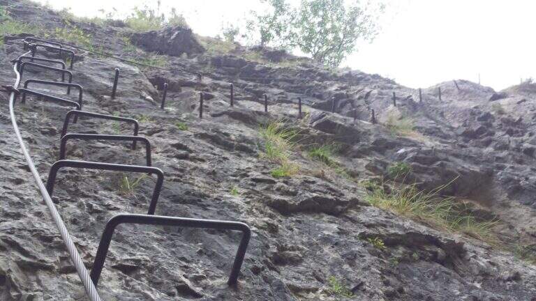
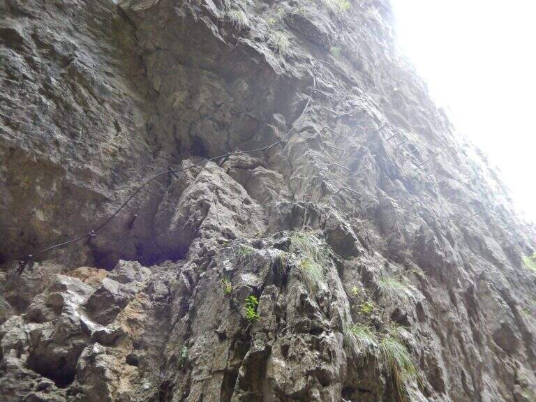
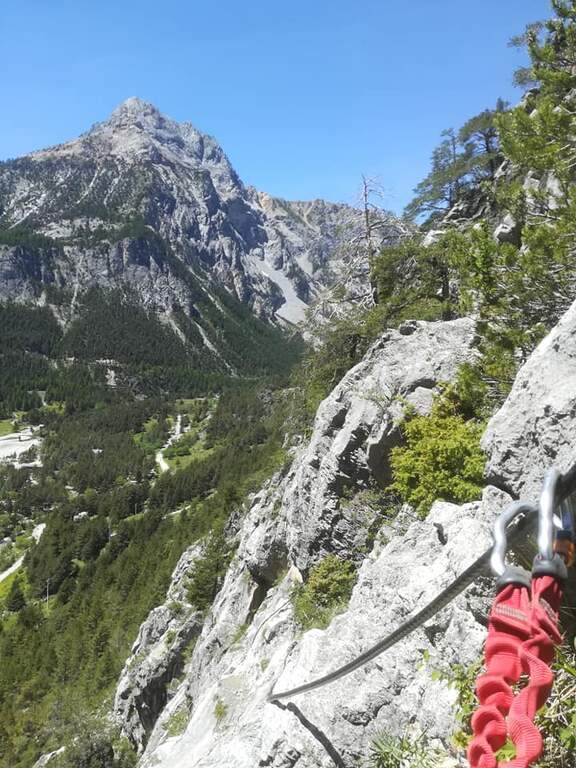
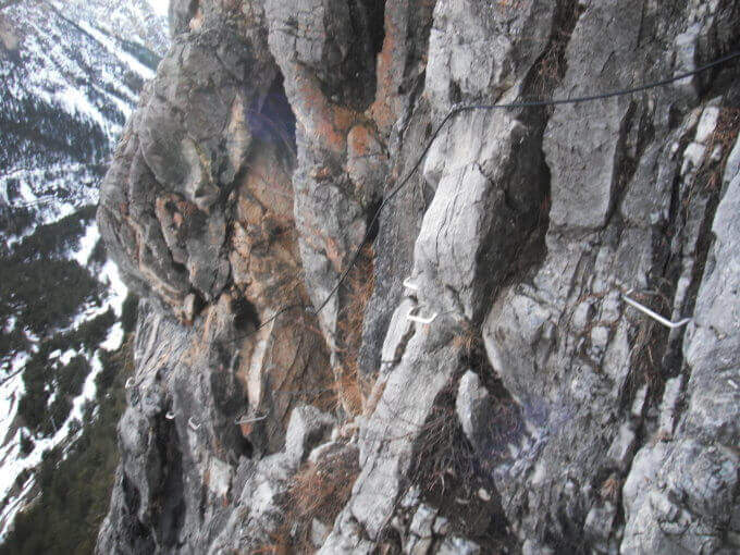
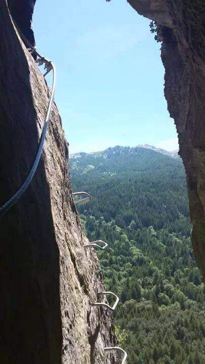
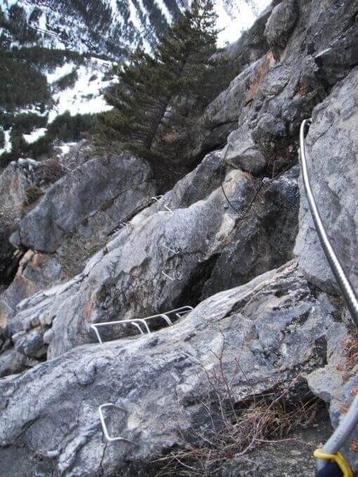
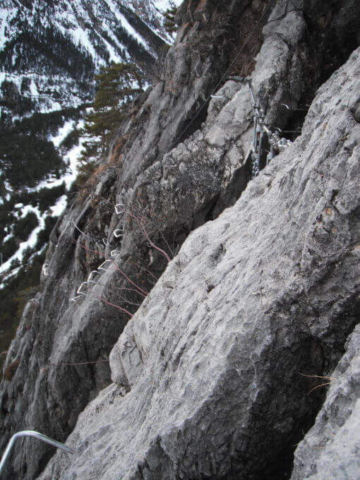
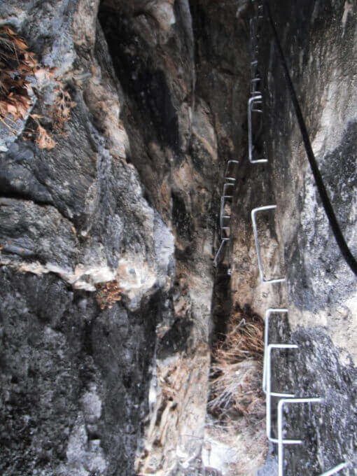
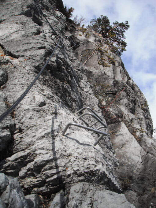
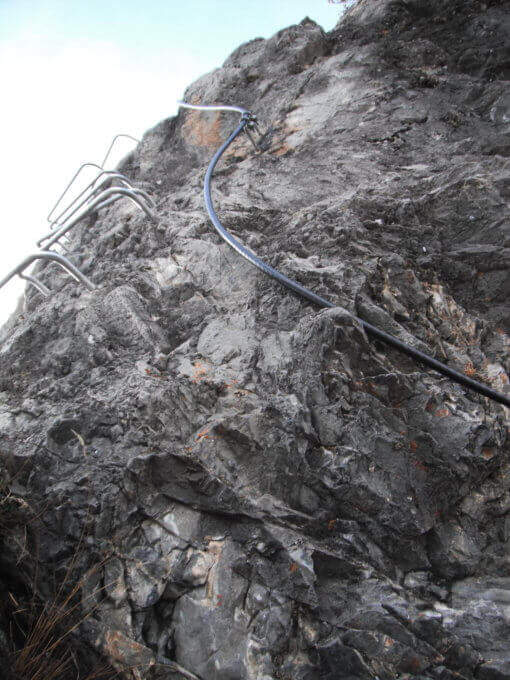
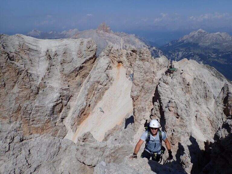
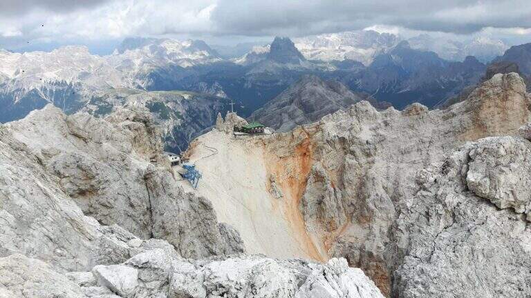
    The Ferrata Ivano Dibona is a wonderful ridge route on the Crystal Group. From Forcella Staunies runs through the entire ridge that descends to the Col dei Stombi, in a path of great landscape interest and rich in in indelible traces of the fighting of the Great War. The technical difficulties are not high, but some traits are exposed and above all the overall difference requires an excellent training.

    ▲Approach

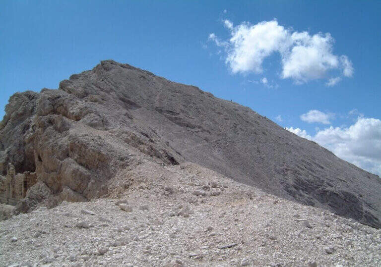
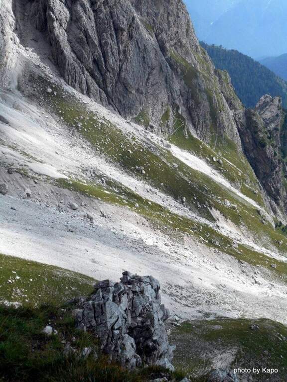
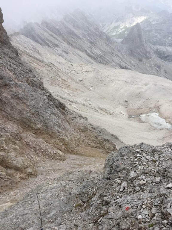
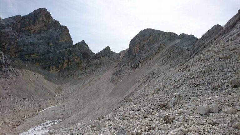
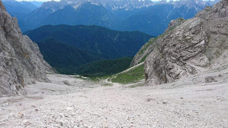
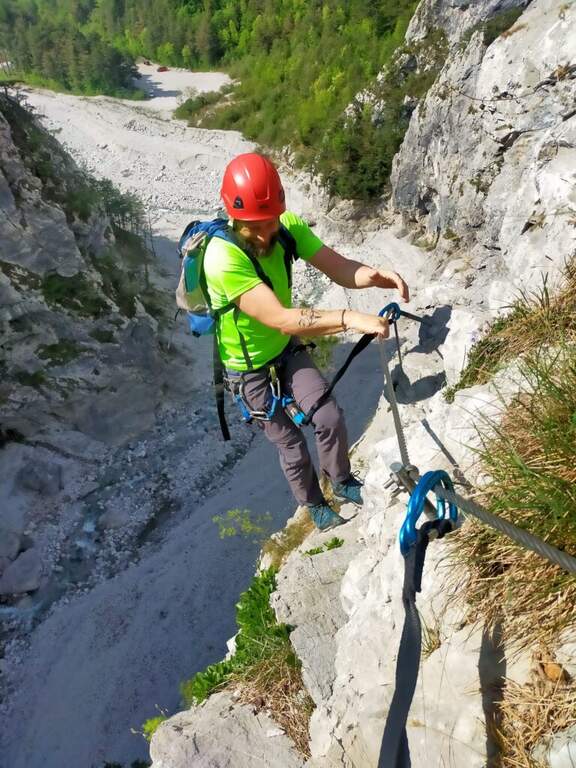
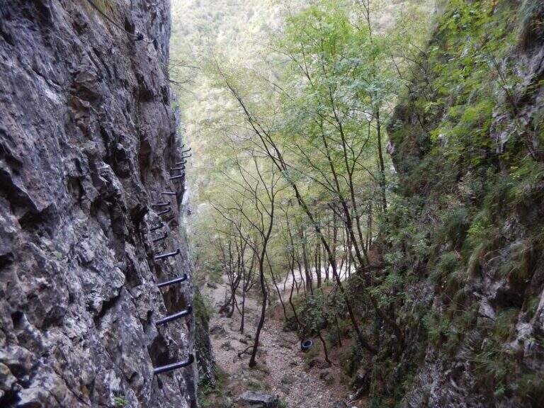
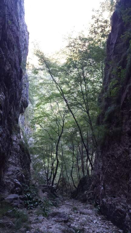
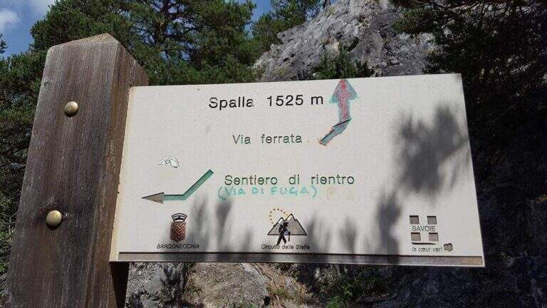
    Starting from the parking lot at the Restaurant Rio Gere, from which rises the chairlift that connects Rio Gere (1700 m) with the Son Forca Refuge (2215 m), along the road of the Passo delle Tre Croci that joins Cortina d’Ampezzo to Auronzo di Cadore, on the ampezzano slope (open up Google Maps). The attack is in Forcella Staunies (2932 m): from Rio Gere there are almost 1250 m of altitude, so it is highly recommended to use the chairlift up to the Son Forca Refuge. From here, dismantling the old bidonvia that climbed to the fork, the only solution is to climb up the detritic valley of the Gran Staunies, a steep channel and on unstable gravel bottom to deal with carefully, taking into account at least 2 hours from the end of the chairlift.

    ▲The path

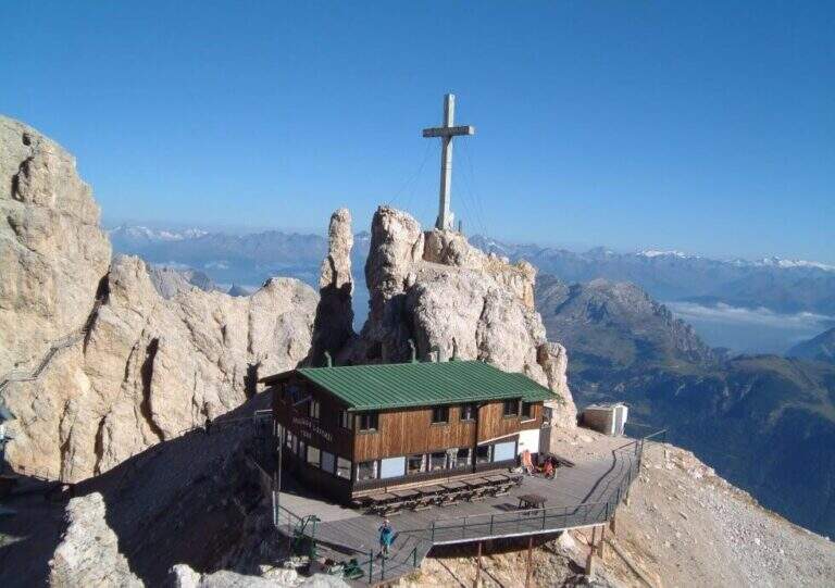
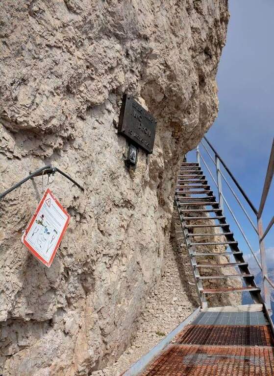
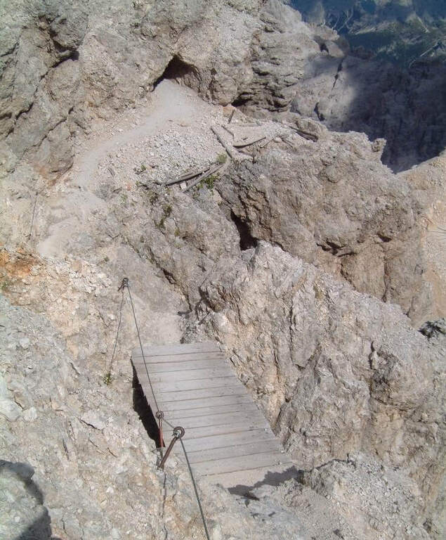
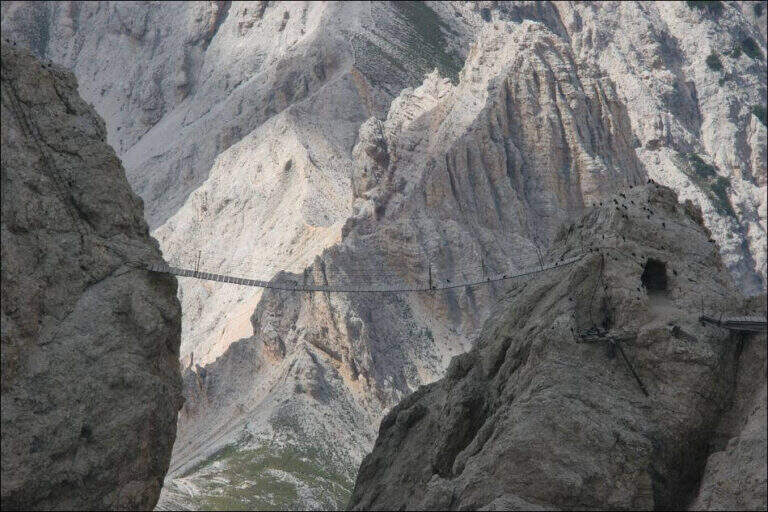
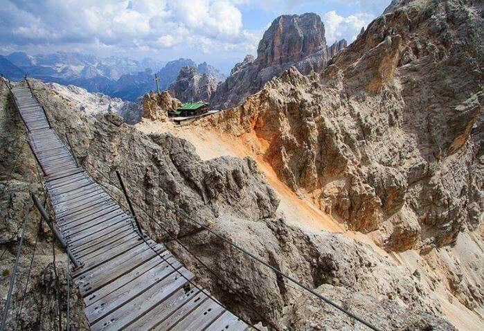
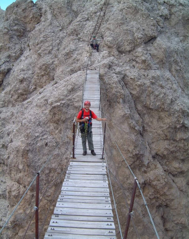
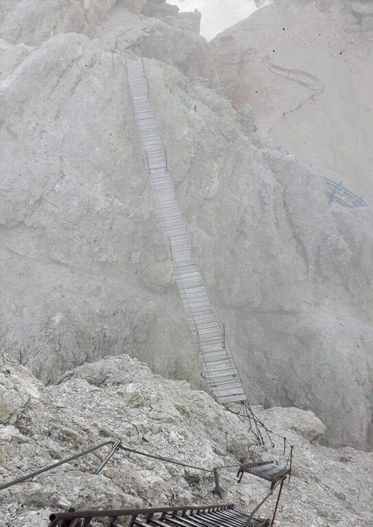
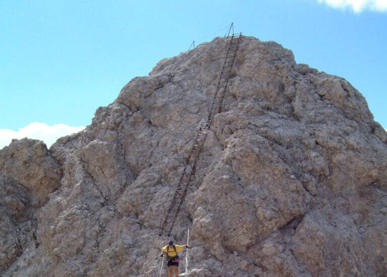
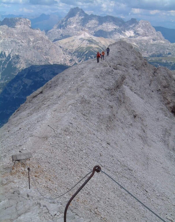
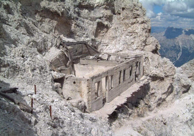
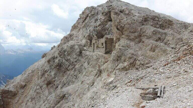
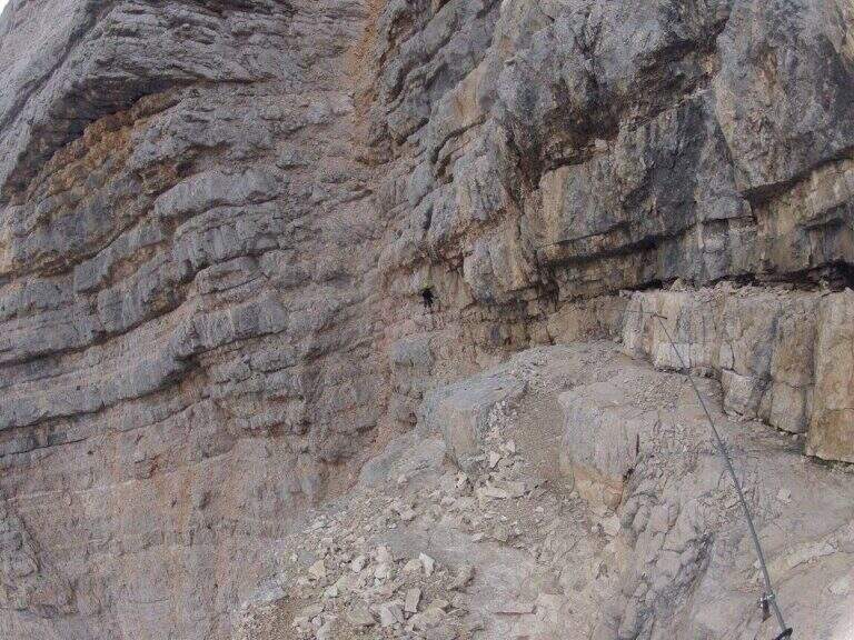
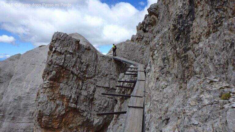
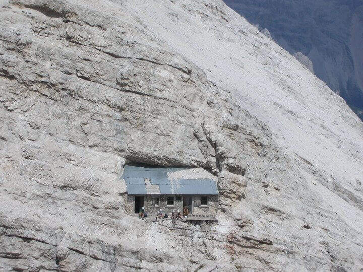
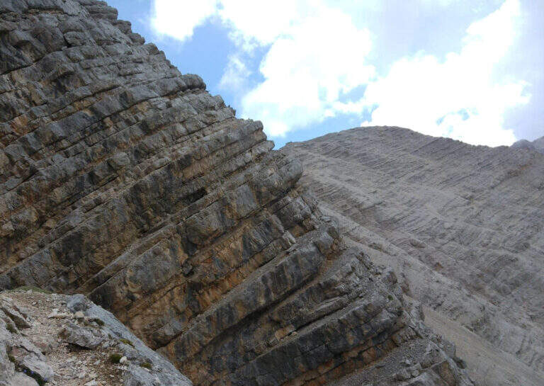
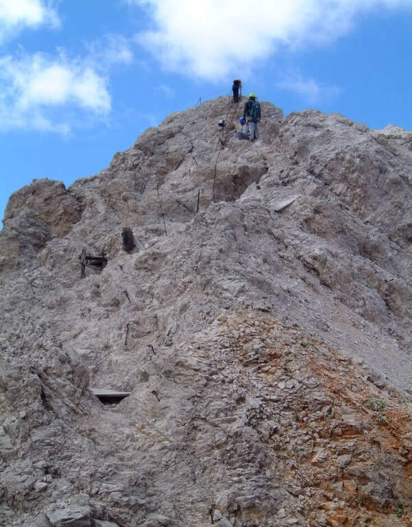
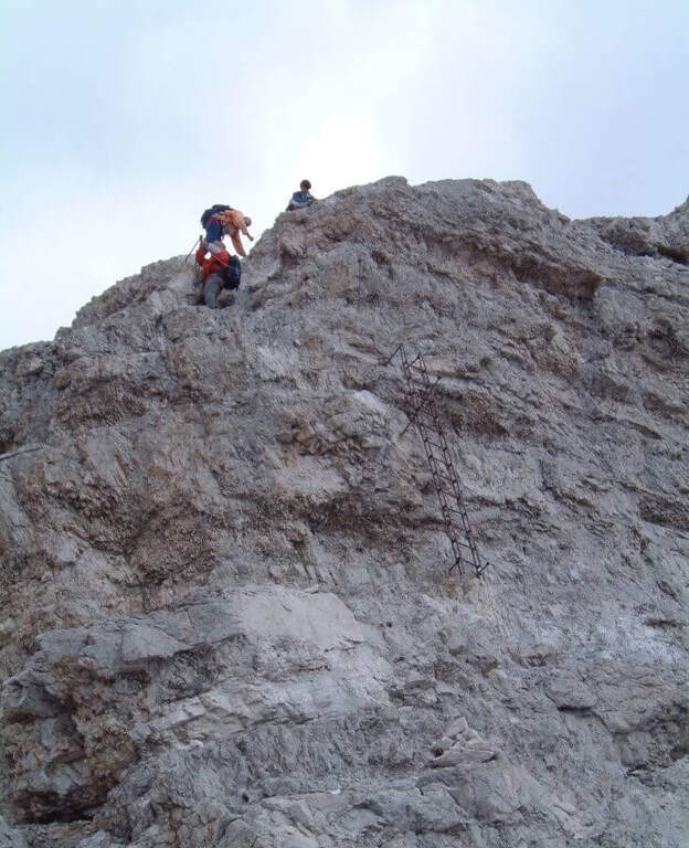
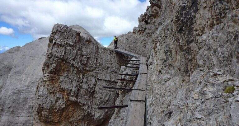
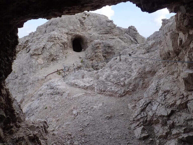
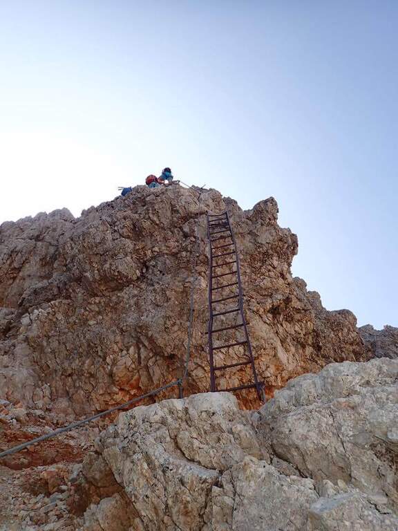
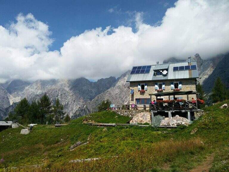
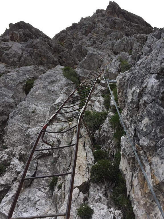
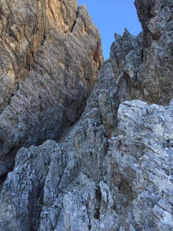
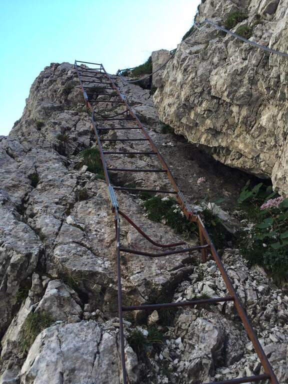
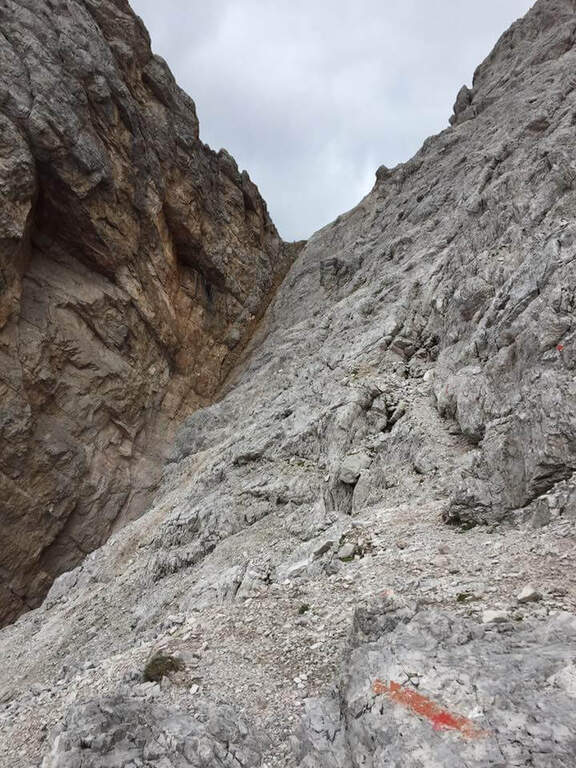
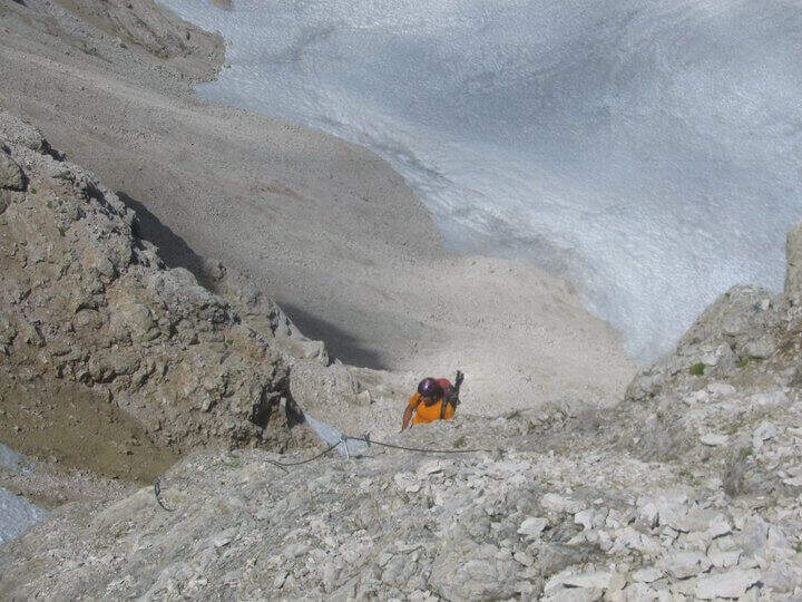
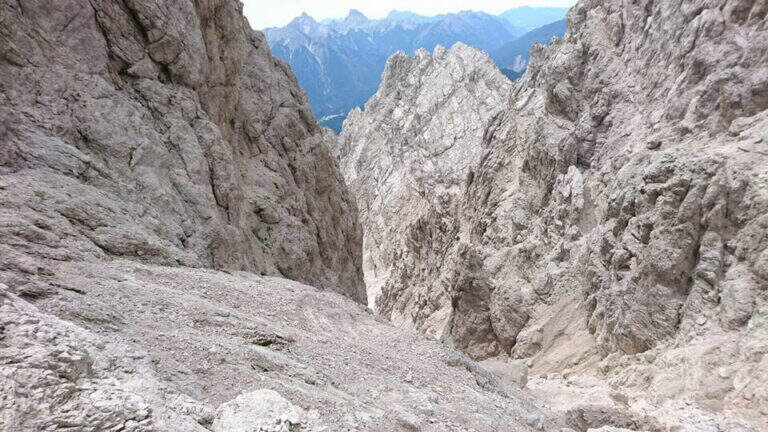
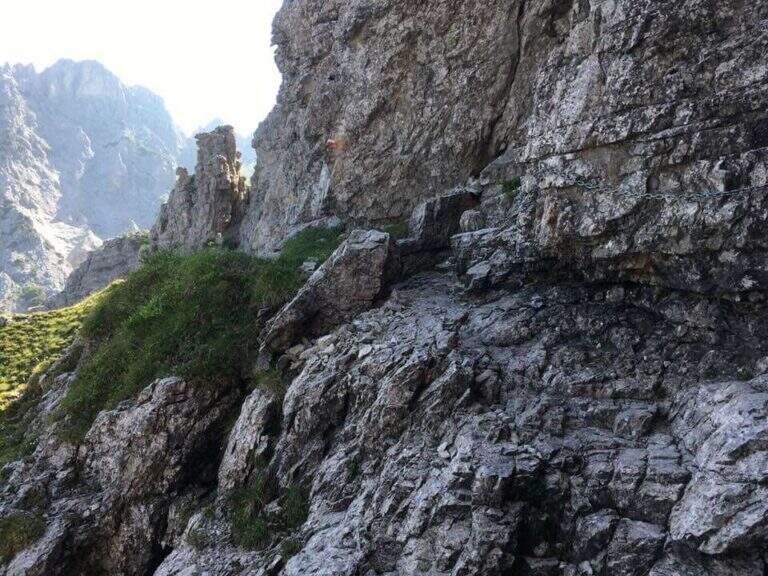
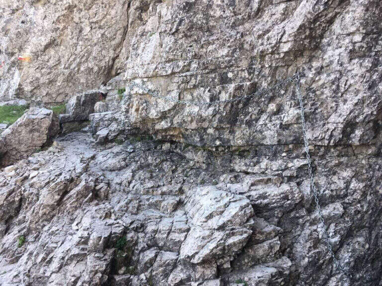
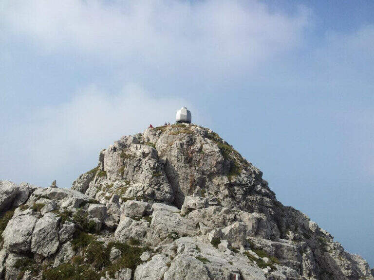
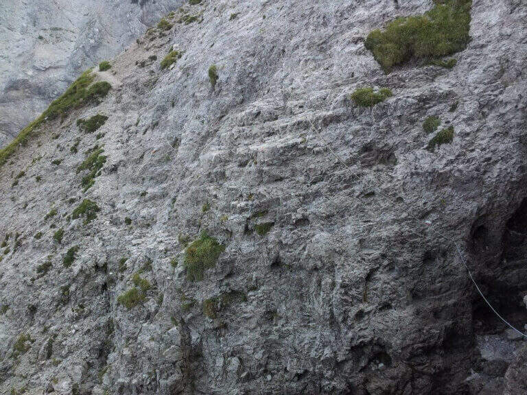
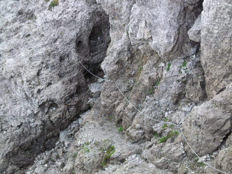
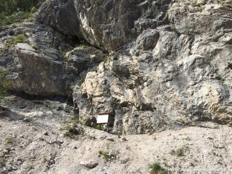
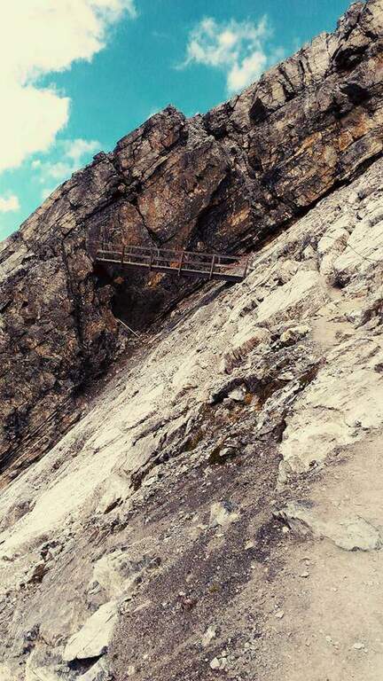
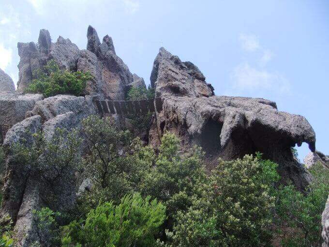
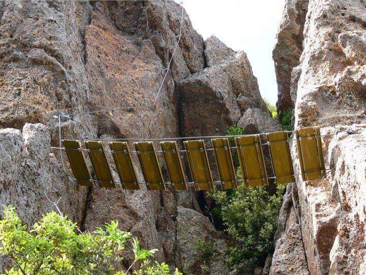
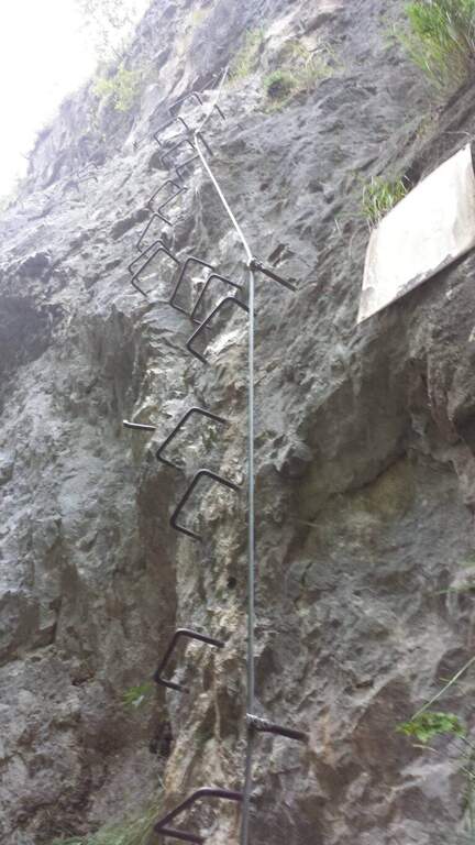
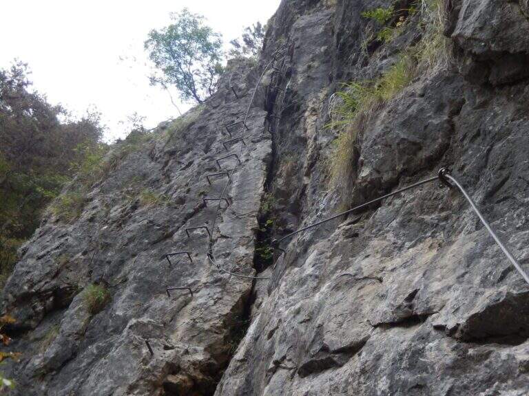
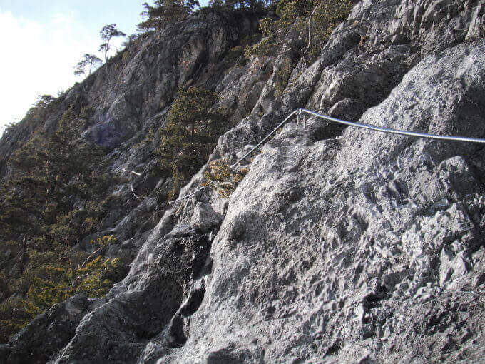
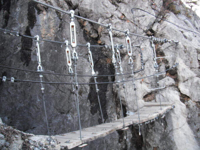
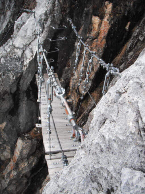
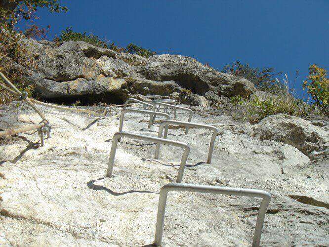
    Adding the Forcella Staunies you can see the silhouette of the Lorenzi Refuge, in a beautiful but closed position; behind it a metal staircase set in the rock gives start to the ferrata. After finishing the metal walkway, a ladder starts the first section, the most “ferrate” of the entire itinerary: a nod with a passage on a wooden walkway, a short passage that circumvents a rocky highlight with a couple of climbs without difficulty, some small rocks towards a rather short arcade that bends immediately to the left (not necessary twist) and a comfortable nod with wooden walkway. There are other small rocks and you will continue just below the ridge, with large passages and wooden walkways where the ground narrows, up to the suspended bridge of about 30 meters, one of the most iconic points of the route: turning you see the Lorenzi Refuge just left and the beginning of Ferrata Bianchi, which proceeded in reverse direction (15′ from the attack to the refuge, 2h30 total). The bridge is very large, built with wooden beams (a pair not fixed). Beyond the bridge a long metal staircase, divided into two sections, earns altitude and leads on the long ridge that characterizes this part of the route, well equipped with rope despite it is almost everywhere wide. After a slight descent to the Forcella Grande you will find a crossroads (2980 m, 15′ from the bridge, 30′ from the attack): you can go straight on the Dibona or take the optional turn left for Cima Cristallino, going up halfway to an insellatura and then on a corner not difficult to the base of the summit (2997 m, 10′ from the junction); you will climb preferably from the west side, Resumption downhill the Dibona, descends towards the Forcella Grande (2874 m), where on the right is the path to the Ferrata Renè de Pol at the Punta del Forame and you will meet some remains of snipers of the Great War; on the fork is held the left remaining on the Dibona. On the left side you pass next to the ruins of a former Italian military shelter and follow, under the Cresta Bianca, a section where you alternate paths, cenges, easy walks and walks equipped with a modest difference in altitude, up to the Forcella Padeon (2762 m, 2h from the attack included the deviation to the Cristallino, 4h15 total), where stands the Bivacco Buffa di Perre Guerra Continue on a half-coast on the south side of Vecio del Forame, with some exposed cenges at unprotected strokes, up to a detritic canalone that descends on the left with a long stretch, reaching first the Forcella Alta (2650 m) and then a fork (2490 m, 1h from the Bivacco Buffa di Perrero, 5h15 total). Here, while on the left the steep franous canal of Val Padeon is a difficult and little advisable escape route, continue straight on the path Dibona up to the Forcella Bassa (2450 m); then walk halfway without equipment along the Cresta dello Zurlon, climb a ladder that leads to some military ruins (2360 m, 40′ from Forcella Bassa, 6h total) and, after a short climb From Col dei Stombi you descend steeply, between bends and serpentine, up to the graft on the forest (CAI 203, 1700 m, 30′ from the hill, 7h15 total).

    ▲Character and difficulty

    The technical difficulties are not high, but the itinerary is long and contracting, with exposed traits and some unprotected cenges; the difference in level to be faced is remarkable and requires excellent training. Historically it is one of the most fascinating routes in the Dolomites, scattered with traces of the Great War.

    ⚠ Itinerary very long (23 km, up to 10h) and challenging, with exposed traits and blinds at unprotected strokes: start early, with stable weather, and take into account the now more tiring access (risalita del Gran Staunies).
    ▲Period and safety

    High mountain summer itinerary (max. 3008 m at Cristallino). The length, exposure and demanding access make it suitable for well-trained and autonomous hikers.

    ▲Discipline

    Adding the forest is left on path 203, ignoring all deviations, up to Passo Son Forcia (2109 m, 1h45 from graft on the forest, 8h total). From here you can go up to the Son Forca refuge to take the chairlift that goes down to the Rio Gere (attention to the opening hours of the lifts), or keep the right on 203 until you turn left for the CAI 206 (1948 m, 20′ from the Son Forcia Pass), in the direction of Malga Lareto; go down on 206 until you find an exotic unmarked track that goes down to the Rio Gere (30′ from the end of the inn.

    ▲To match

    From the Forcella Grande the Ferrata Renè de Pol to the Punta del Forame, natural continuation for those who still have energies.
    ▲Gallery
    Technical data
    • DifficultyModerately Hard
    • RegionVeneto
    • GroupCrystal
    • Approach2:15 h
    • Ferrata5:00 h
    • Itinerary (a/r)10:00 h
    • Hardware level difference1300 m
    • Route difference1300 m
    • Max3008 m
    • Length23 Km
  • Sentiero Attrezzato degli Alpini in Forcella Jau Tana

    Sentiero Attrezzato degli Alpini in Forcella Jau Tana

    Vie Ferrate › Veneto › Belluno
    Sentiero Attrezzato degli Alpini in Forcella Jau Tana

    The Sentiero Attrezzato degli Alpini in Forcella Jau Tana, in the Marmarole Group, is a challenging itinerary: high altitude difference, wild and unspoilt environment. The equipped strokes are of medium-low difficulty, but the long stretches are not protected and must be avoided absolutely with bad weather.

    ▲Approach

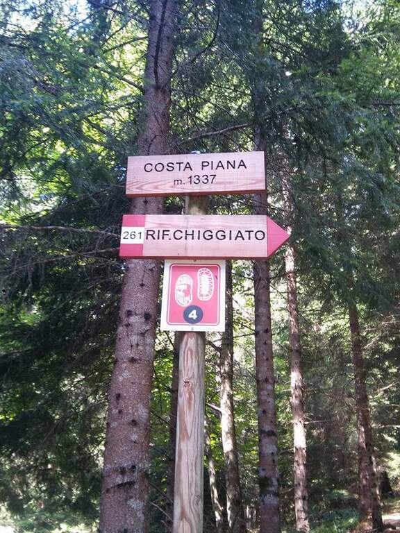
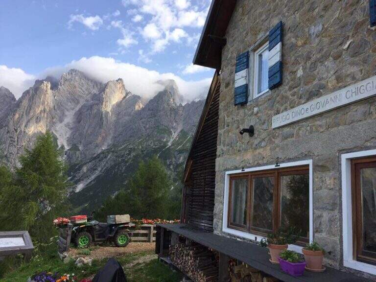
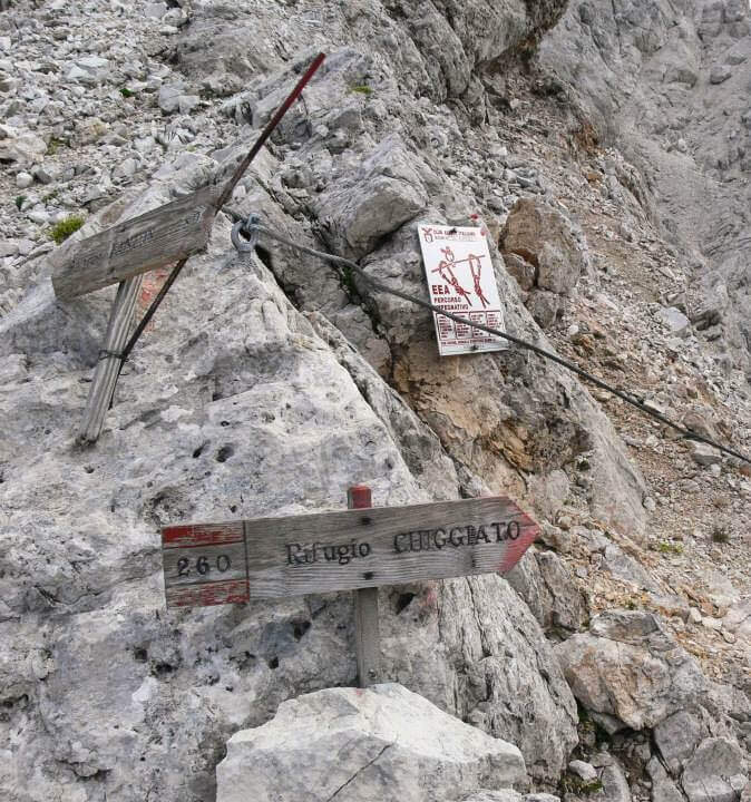
    It starts from the resort Stua, near Calalzo di Cadore (BL). In Calalzo follow the signs for Pian dei Buoi, on a narrow but asphalted road, entering the wood towards Val d’Oten up to a crossroads 2,5 km from the center, where you take to the right and continue for another 2,5 km in the wood until the parking lot (open up Google Maps). From Stua (1555 m) follow the path 261, which climbs steeply in the forest to the bends towards the Chiggiato Refuge: you pass the resort Costapiana (1337 m, 30′ from the parking lot) and the locality La Serra, recognizable for a trip that recalls the passage of Pope John Paul II, up to the Chiggiato Refuge (1911 m, 2h from the parking lot). From the refuge you go north along the high street 5, signpost 260/262, to the Forcella Sacu, where you will meet a first easy passage equipped (1914 m, 15′ from the shelter, 2h15 total). From here the path changes character and begins to climb north-east, cutting diagonally the south walls of the Cimon della Froppa with a succession of narrow cenges exposed; at the top, straight at the front, you can see the fork Jau Tana, the destination. Crossing a detritic valley meet the first metal equipment (1h by Forcella Sacu, 3h15 total).

    ▲The path

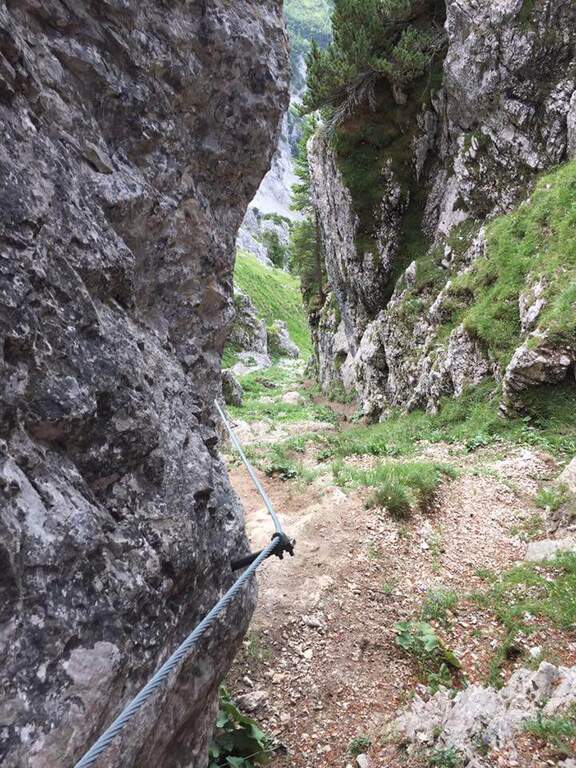
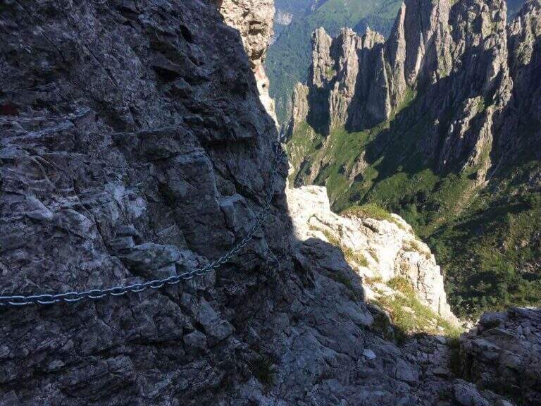
    There are about twenty meters of rocks without particular difficulty and you reach a first metal staircase resting; the ropes then help to climb up the canal, entering the throat that leads to the fork. After a second ladder, a corner is around and climbs towards the fork, with typically easy stretches alternating with stretches of unprotected and rather exposed path, to be faced with caution. In the upper part of the valley you climb on the right side without crossing it, with few equipment, until you reach the fork after a long and constant climb (1h from the attack, 4h15 total). The environment is wild and imposing, with the Cimon della Froppa that stands out right. The route now bends right towards the Forcella delle Marmarole, where the descent begins: it cuts in half-coast the summits, with attention to the bottom not always stable, until the Forcella delle Foppe (2790 m), then a stretch of descent at times equipped leads to the Forcella Marmarole (2661 m, 1h15 from Forcella Jau Tana), with in front of the Cresta degli Invalidi. The difficulties, however, are not finished: the descent continues along the Vallon del Froppa, a steep canyon with an unstable bottom, equipped in the first meters and followed by about 20 minutes on a steep and exposed background to be covered with great attention. At the end of the wreath we start on path 262, where the difficulties — and with them the equipped path — end (1h from Forcella Marmarole, 6h30 total).

    ▲Character and difficulty

    The equipped sections do not have any technical difficulties: the real difficulties are the long stretches not protected on unstable background, in particular the connection section at altitude and the descent in the Vallon del Froppa. It is a physically demanding itinerary, in a wild and unpopular environment.

    ⚠ Long stretches not protected on unstable and infido background, exposed, to avoid absolutely with bad weather. Development (17 km, 1498 m of altitude difference, 8h15) requires excellent physical preparation, experience and stable weather.
    ▲Period and safety

    High mountain summer itinerary (max. 2790 m), reserved for trained and experienced hikers, autonomous on unstable and unprotected terrain. The detritic background and exposure impose constant prudence.

    ▲Discipline

    Follow the path 262 downhill towards the south (right) to the Forcella Sacu and then back, along the approach path, to the Chiggiato Refuge and finally to the parking lot (1h45 from the graft on 262, 8h15 overall).

    ▲Gallery
    Technical data
    • DifficultyHard
    • RegionVeneto
    • GroupMarmarole
    • Approach3:15 h
    • Ferrata3:15 h
    • Itinerary (a/r)8:15 h
    • Hardware level difference200 m
    • Route difference1498 m
    • Max2790 m
    • Length17 Km
  • Sentiero Attrezzato Cecilia alla Grigna Meridio

    Sentiero Attrezzato Cecilia alla Grigna Meridio

    Vie Ferrate › Lombardia › Lecco
    Sentiero Attrezzato Cecilia alla Grigna Meridio
    Moderately Hard● OpenDescriptionComplexityMapsGallery

    The Path Attrezzato Cecilia connects the Rosalba Refuge to the path of the Cresta Cermenati, which climbs to the summit of the Grigna Meridionale (Grignetta). It is not a purely vertical path: it is useful to cut, among continuous climbs, the rocky wall that runs under the Cresta Segantini. A long and challenging itinerary in the legs, in one of the most beloved corners of the Grigne.

    ▲Approach

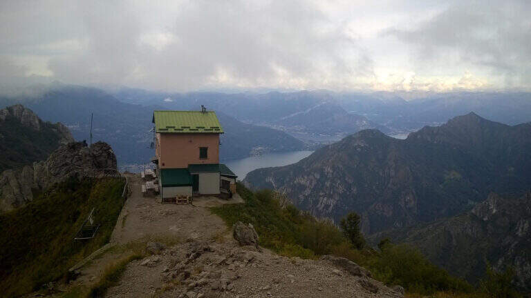
    Starting from Piani dei Resinelli, in the province of Lecco, reached by Ballabio climbing the hairpin bends. When you arrive at the hamlet you will find parking near the former Alippi refuge (open up Google Maps). From here you go up to the Rosalba Refuge following the path 9, known as Sentiero Attrezzato delle Foppe (1h45 from the parking lot). Alternatively, along the ascent you can choose the variant of the Attrezza dei Morti Path, steeper, which saves about fifteen minutes and still leads to the refuge (1h30 from the parking lot).

    ▲The path

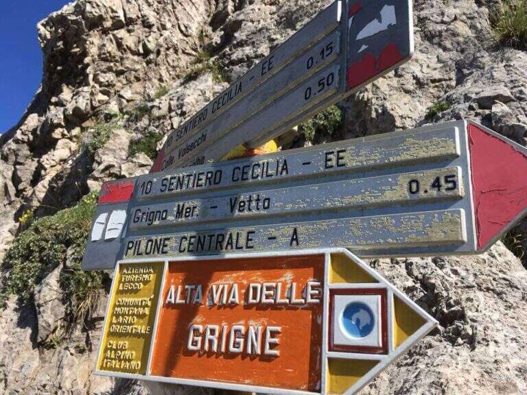
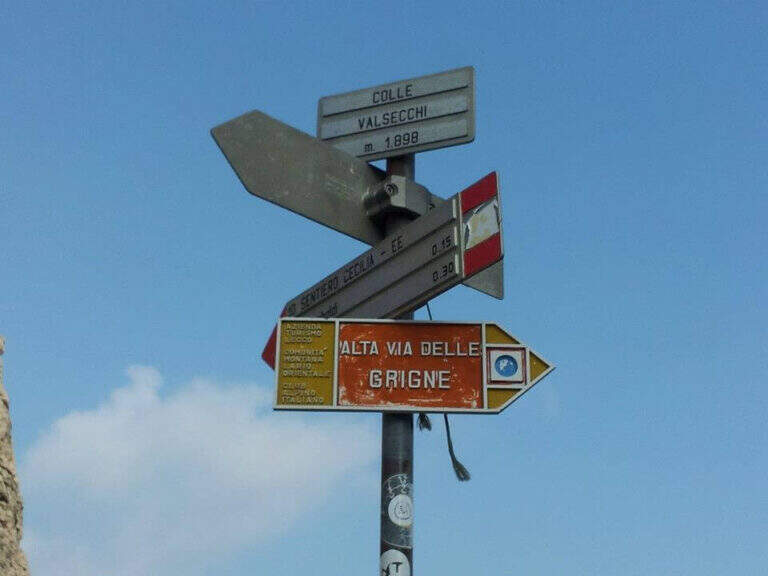
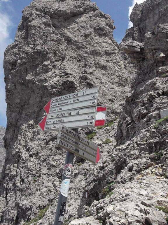
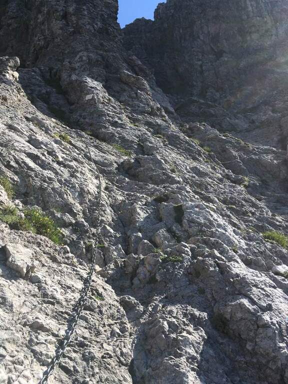
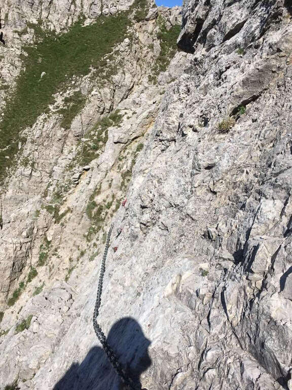
    From the Rifugio Rosalba take the path 10, which enters a rocky amphitheatre and in about ten minutes, with the first metal equipment, leads to the Colle Garibaldi (1824 m). Continue now on the slope of the Val Scarettone, meeting some equipped sections, up to the Colle Valsecchi (1898 m), where the Sentiero della Direttissima is set in Cecilia. Shortly after you ignore the left deviation for the Path of the Val Scarettone and continue between climbs under the Cresta Segantini. It faces a long diagonal crossing with chains under the Central Pilone, alternating stretches of convenient path to rocks, transverses and cenges, sometimes equipped with chains sometimes not. There are some exposed but well-painted walls up to the path 7 of the Cresta Cermenati: from here the difficulties fall clearly and, with still few steps equipped with chain, you gain the summit of the South Grigna (1h30 from the Rosalba Refuge, 3h15 overall).

    ▲Character and difficulty

    Technically it is not an extreme itinerary, but it demands constant attention for the numerous traits exposed on cenges and transverses, some of which are not protected, and for long and tiring development. Along the way it is necessary to follow carefully the signs (blue-red circles), which in some part is not immediate.

    ⚠ For most of the route you walk along traverses placed under the high Cresta Segantini, a mountaineering itinerary: the helmet is highly recommended for the whole route, for the risk of rocks from above.
    ▲Period and safety

    High mountain summer itinerary in the Grigne (max. 2184 m). The development of 14 km and the exposed sections require good physical preparation, steady pace and attention to orientation.

    ▲Discipline

    From the top of the Grignetta you can descend in several ways. Returning back, you can walk through the Path Attrezzato Cecilia or the Sentiero Attrezzato della Val Scarettone (an imperative downhill) to the Rifugio Rosalba, and then the Sentiero delle Foppe or the variant of the Morti (about 2h30 from the top, 5h30 total). Alternatively, go down the south side along the Cresta Cermenati up to the Rifugio Carlo Porta and then to the parking lot, or face the most complicated Cresta Sinigaglia, with its equipped path, always towards the Rifugio Carlo Porta: in the latter case a long and beautiful ring of about 7 hours total.

    ▲To match

    Cecilia is often faced after Sentiero Attrezzato delle Foppe. Staying in Grigne area you can think of a multi-day itinerary that includes the Ferrata del CAI Mandello al Sasso Carbonari on the Grignone; on the way down to the lake there is the Hiking Trail e il Route of the River.

    ▲Gallery
    Technical data
    • DifficultyModerately Hard
    • RegionLombardy
    • GroupGrims
    • Approach1:45 h
    • Ferrata1:30 h
    • Itinerary (a/r)5:30 h
    • Hardware level difference259 m
    • Route difference850 m
    • Max2184 m
    • Length14 Km
  • Ferrata Vigneron in Caspoggio

    Ferrata Vigneron in Caspoggio

    Vie Ferrate › Lombardy › Sondrio
    Ferrata Vigneron in Caspoggio
    Moderately Hard● OpenDescriptionComplexityMapsGallery

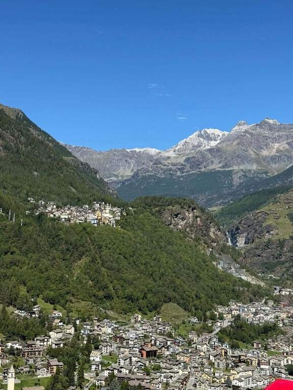
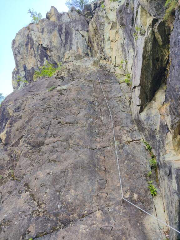
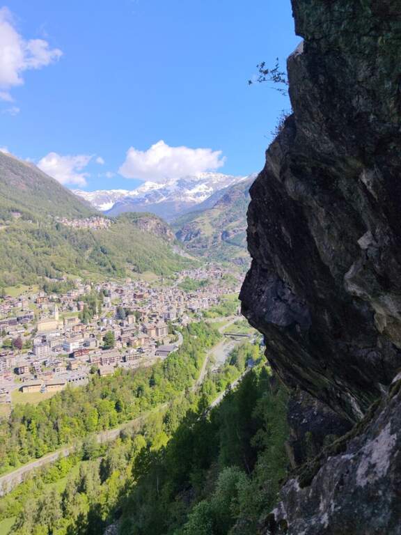
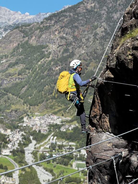
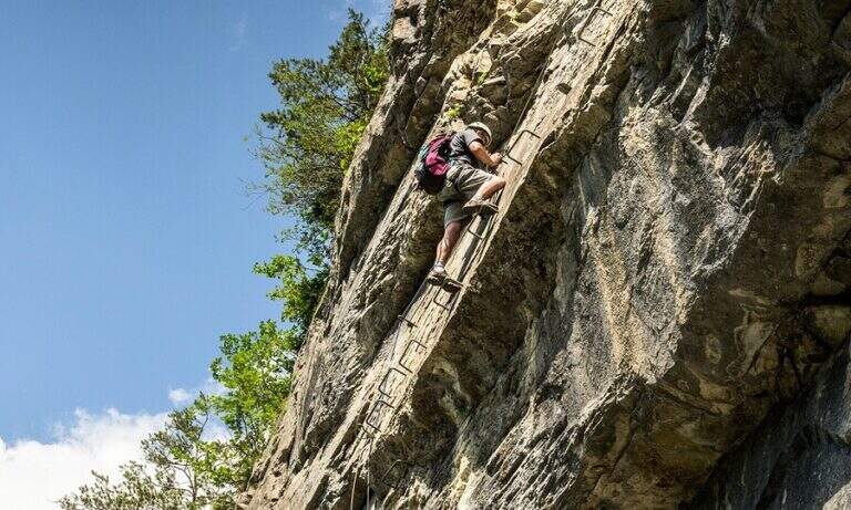
    La Ferrata Vigneron in Caspoggio (Valmalenco, Sondrio) è un via «alla Francese», athletic, vertical and exposed but without particular difficulties; techniques: it goes up long plates abundantly equipped with brackets and rope very tense, and gives a ponte tibetano and spectacular views of the valley.

    ▲Approach

    You leave at the resort "Castello" in Caspoggio (SO): you park near the roundabout on the provincial road of Valmalenco (or at the parking lot of the first bend for Caspoggio). Open road signs on Google Maps. You climb the town for about 150 m to the hairpin bend; over a large boulder a first sign indicates the path to the crag « The Castle » and a second l' attack of the ferrata, on the southern edge of the cliff ( approximately 10' from'auto).

    ▲The path

    It begins with a wall with almost vertical leaps that oblique to the left, then a wall leads to the large end of the first section. An easy crossing north leads to the second section, più long: vertical balzes and leans up to an almost vertical ramp, a short traverse and an air passage between edge and dihedron overlooking Primolo. After a resting edge you reach the più tract; vertical, the muro of Old England, overhanging for a few meters all' start (athletic and exposed pass) and then vertical. The oblique street on the left until the ponte tibetano (about 12 meters), which ends with a short vertical wall very airy and a panoramic edge on the Valmalenco Church; who wants to avoid the può bridge; bypass it on the right on the nod. It follows another long wall, at some point vertical and exposed, then the ferrata is lowered and by line of life on a well-equipped path you will arrive at the end (1h 45' from' attack, about 2h totali), overlooking the Pizzo Scalino and Caspoggio.

    ▲Character and difficulty

    Vertical and exposed with athletic difficulties but well equipped; the low altitude makes it possible almost all year round except the coldest winter months. Level difference in ferrata 210 m, total 260 m, maximum altitude 1215 m, development 3 km.

    ⚠ The road remains in shadow in the morning and takes little sun d' winter: attention to the possible ice on the path of return and prudence in the forest after the rains.
    ▲Discipline

    Dal boschetto sommitale, a sinistra (nord) un comodo sentiero porta in 10' alla frazione di Santa Elisabetta; prima delle prime villette si vira a sinistra (ovest) nel bosco verso Caspoggio, si raggiunge il centro sportivo Zenith e, per via Vanoni e via Burri, si segue verso la frazione Albertazzi fino alla strada dei parcheggi (45' dal termine, circa 3h totali).

    ▲To match

    In Valmalenco you can match the Ferrata al Torrione Porro above Clarification.

    ▲Gallery
    Technical data
    • DifficultyModerately Hard
    • RegionLombardy
    • GroupValmale
    • Approach0:10 h
    • Ferrata2:00 h
    • Itinerary (a/r)3:00 h
    • Hardware level difference210 m
    • Route difference260 m
    • Max1215 m
    • Length3 Km
  • Ferrata Lieutenant Ferrante di Ruffano

    Ferrata Lieutenant Ferrante di Ruffano

    Vie Ferrate › Friuli-Venezia Giulia › Udine
    Ferrata Lieutenant Ferrante di Ruffano
    Very difficult● OpenDescriptionComplexityMapsGallery

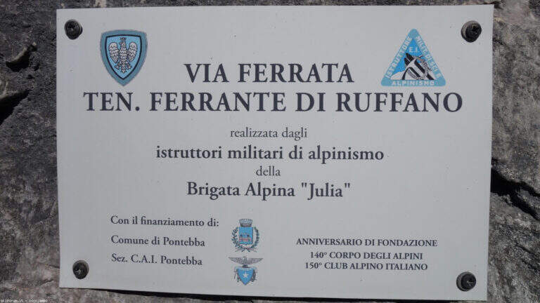
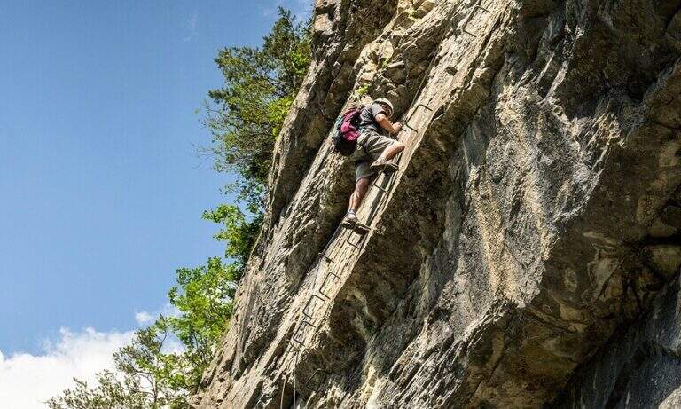
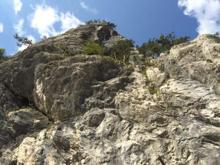
    La Ferrata Lieutenant Ferrante di Ruffano was created by the Alpini near Pontebba, in the province of Udine. It is a vertical, challenging and athletic way in many passages, ideal as training in the months when high altitudes are not practicable: it does not reach any peak and develops at low altitude alongside numerous climbing pitches.

    ▲Approach

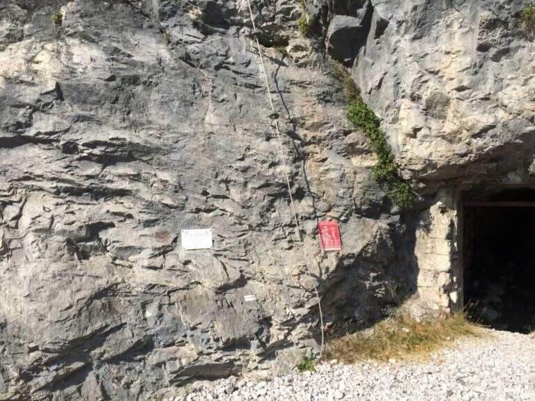
    From the tollgate of Pontebba you hold the left towards the center; over a bridge, under the viaduct of the highway you turn right on an asphalted road that continues under the highway towards the valley, becomes dirt in good condition and ends at a pedestal. Open road signs on Google Maps. Continue towards the Falesia Rio degli Uccelli following a sign that indicates l' the ferrata attack (5' from'auto), on the right side of the stream, reached with some fixed ropes just above the raw.

    ▲The path

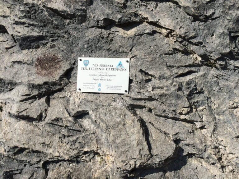
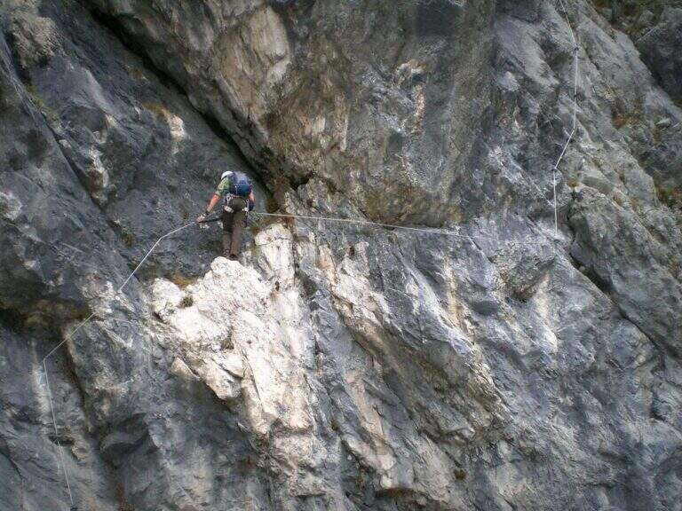
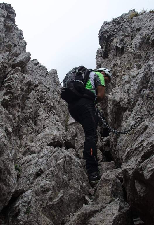
    Accanto alla targa commemorativa il cavo parte verticale e l'impostazione atletica è subito chiara. I primi metri salgono su roccia levigata e traversano a destra fino a un terrazzino con breve cengia; segue un impegnativo traverso orizzontale di 6-8 metri, dove la scarsità di appoggi per i piedi è la difficoltà principale: si scende un paio di metri e poi il cavo riparte verticale, agevolato da alcune cambre. Con l'aiuto di staffe si raggiunge un breve tratto di collegamento appoggiato (attenzione a non smuovere sassi su chi segue). Dopo una cengia a sinistra ci si porta verso un evidente diedro: lo si sale prima a destra, poi attraversandolo a sinistra senza difficoltà sostanziali grazie a numerose cambre, fino a un passo strapiombante da affrontare con decisione e rapidità (qui avviene il cambio di moschettone in pieno strapiombo). Si esce su una parete verticale molto esposta ma ricca di cambre, dove è possibile riposare; ci si sposta a sinistra su buona roccia e si sale una paretina e un bel diedro, quindi facili gradoni appoggiati. La via riparte verticale e impegnativa fino a un tratto di sentiero attrezzato tra i pini, da cui una deviazione raggiunge un pulpito. Riprende con un traverso a sinistra in leggera discesa (occhio ai sassi mobili) e uno in salita in lieve strapiombo, fino a uno spigolo da cui inizia un lungo tratto di discesa attrezzata su placca, non difficile ma che richiede attenzione nella ricerca degli appoggi. Si raggiunge così il termine della via (circa 1h 30' dall'attacco).

    ▲Character and difficulty

    Low-altitude, training and vertical, physical at the most difficult points and with new fixtures in good state. Not to be underestimated also for the long stretch of descent equipped. Level difference in ferrata 130 m, total 160 m, development 4 km.

    ⚠ Along the vertical and overhanging traits it is worth planning the stops; in the connecting tract and in the beams they are easily removed stones: maximum prudence for those below.
    ▲Period and safety

    It is a low-altitude è route; it can be reached in much of the ' year, rock conditions allowing. GPX and KMZ tracks are available.

    ▲Discipline

    From the end of the road follow the trail used for nearby climbing routes ( approximately 30', 2h totali).

    ▲Gallery
    Technical data
    • DifficultyVery difficult
    • RegionFriuli-Venezia Giulia
    • GroupAlps Carnia
    • Approach0:15 h
    • Ferrata1:15 h
    • Itinerary (a/r)2:00 h
    • Hardware level difference130 m
    • Route difference160 m
    • Max726 m
    • Length4 Km
  • Ferrata Tabaretta

    Ferrata Tabaretta

    Vie Ferrate › Trentino-Alto Adige › Bolzano
    Ferrata Tabaretta
    Very difficult● OpenDescriptionComplexityMapsGallery

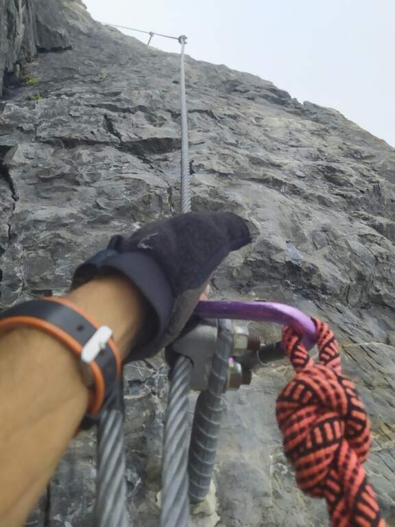
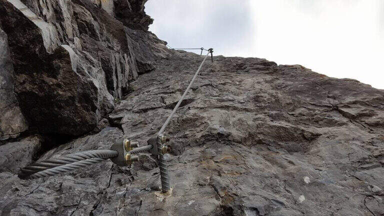
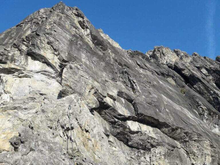
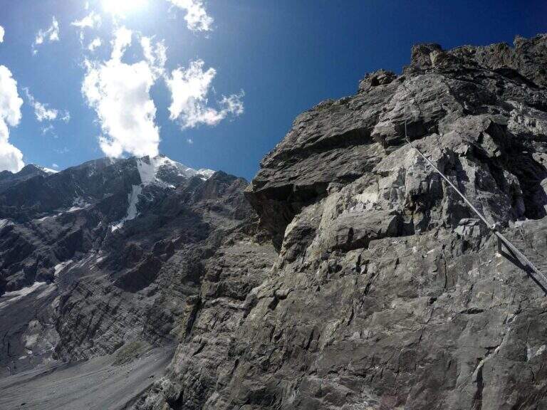
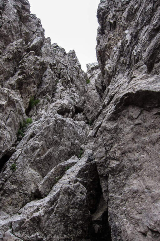
    La Ferrata Tabaretta is one of the most severe routes in the Italian Alps: the imposing north wall of the Ortles, under Punta Tabaretta, dates back to a high mountain environment over 3000 meters. Technical difficulties up to the extreme are added to a remarkable physical and mental commitment; the rock is often poor of hooks and in many ways it advances by pulling on the cable. There are no escape routes.

    ▲Approach

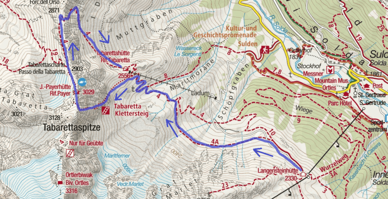
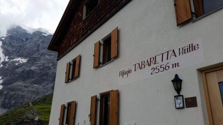
    From the upstream station of the seggiovia dell'Orso in Solda (2330 m); è the share to which to descend, without continuing beyond. Open road signs on Google Maps. Dalla stazione si segue il sentiero CAI 10 a mezza costa fino a un bivio, dove si tiene la sinistra sul CAI 4A; si procede verso ovest aggirando la parete nord dell'Ortles fino a innestarsi sul CAI 4 e, per alcuni tornanti, si raggiunge il Rifugio Tabaretta (2556 m, 45' from the upstream station). Behind the refuge starts the marked path «Ferrata – North-and-raque wall; which, halfway south-west, leads under the bastion all' attack (15' from the shelter, 1h from the station).

    ▲The path

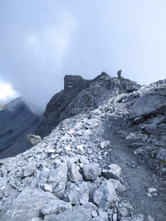
    You start on rocks at a corner; climb it immediately you gain exposure and you enter the street figure, with few hooks that force you to pull on the cable. After a terrace you descend a couple of meters and you will reassemble a very exposed dihedron, then a diagonal plate leads to a small terrace. Since 2019 the original attack has been replaced by a more challenging variant: a wall of a hundred meters, vertical, exposed and flooded with supports, which stands on the same terrace. Continue to the right on small rocks and on a vertical plaque, a short traverse to the right and a dihedron taste; a rocky roof forces to cross to the left at a crack (first tiring tract). The cable starts vertically in a slightly overhanging and little stretched up to a panoramic terrace on the Tabaretta Refuge and Ortles. After some vertical meters bend diagonally to the right in ascending cross of Geelen Knott, the key passage: very few supports for the feet, to be overcome with rapidity and force of arms not to "burn" (use a referral or a fog). You pass the roof, you go up with a second rope on the right, you walk around a corner and you reach a large terrace with short hint. They follow a plaque of about twenty meters, easy rocks, a smooth plaque to be overcome by pulling on the cable, a very exposed right traverse and more climbing traits, up to a stretch of crest and to the book signatures. The last section climbs on aerial edge, a horizontal beam exposed, a vertical wall with a small protruding roof and an ascending traverse to the demanding but entangled right, then a difficult dihedron and plane (plug on the right side, not enough to climb without cable). You leave on the left, you pass plaque, small rocks and a short fireplace and finish the equipment. For a gravel path you can connect to the ridge that from the Rifugio Payer climbs to the Ortles, the highest point of the route (3076 m), and descend to the Rifugio Payer (3029 m, 2h from the attack, 3h 45' from the mountain station).

    ▲Character and difficulty

    Continues and without respite: most of the stretches are difficult and very difficult, with extreme tips such as the Geelen Knott traverse. Maximum ratings on all fronts (technical, environment, exposure, physical commitment). The equipment is great but should not induce to underestimate the way.

    ⚠ No escape and mountain environment over 3000 m: climb reserved for very trained ferratisti, with careful weather assessment and early departure. Level difference in ferrata 500 m, total 720 m, development 9,6 km.
    ▲Period and safety

    Summer itinerary d' high altitude, to be faced with stable conditions and dry rock. The GPX and KMZ tracks are available. The Tabaretta and Payer refuges offer support along the route.

    ▲Discipline

    Dal Rifugio Payer si segue il sentiero di cresta CAI 4, con tratti esposti e parzialmente attrezzati, fino alla Forcella dell'Orso (2871 m); da qui si scende ripidamente, poi più dolcemente, nella vallata di Solda al Rifugio Tabaretta (1h 30' dal Payer, 5h 15' totali). Si rientra infine a ritroso per il sentiero di avvicinamento alla stazione a monte della funivia dell'Orso (30', 5h 45' totali).

    ▲Gallery
    Technical data
    • DifficultyVery difficult
    • RegionTrentino-Alto Adige
    • GroupOrtles
    • Approach1:45 h
    • Ferrata2:00 h
    • Itinerary (a/r)5:45 h
    • Hardware level difference500 m
    • Route difference720 m
    • Max3076 m
    • Length9,6 Km
  • Ferrata Spigolo della Bandiera

    Ferrata Spigolo della Bandiera

    Vie Ferrate › Lombardy › Brescia
    Ferrata Spigolo della Bandiera
    Moderately Hard● OpenDescriptionComplexityMapsGallery

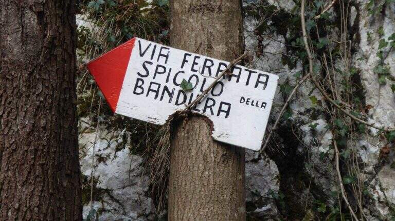
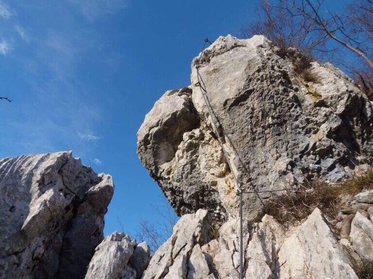
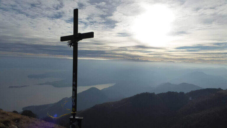
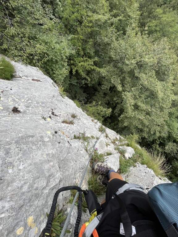
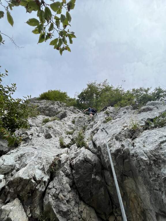
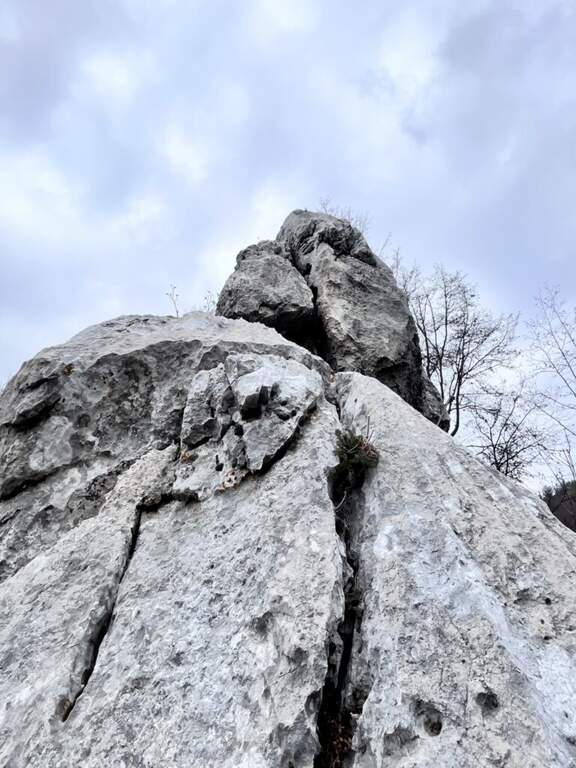
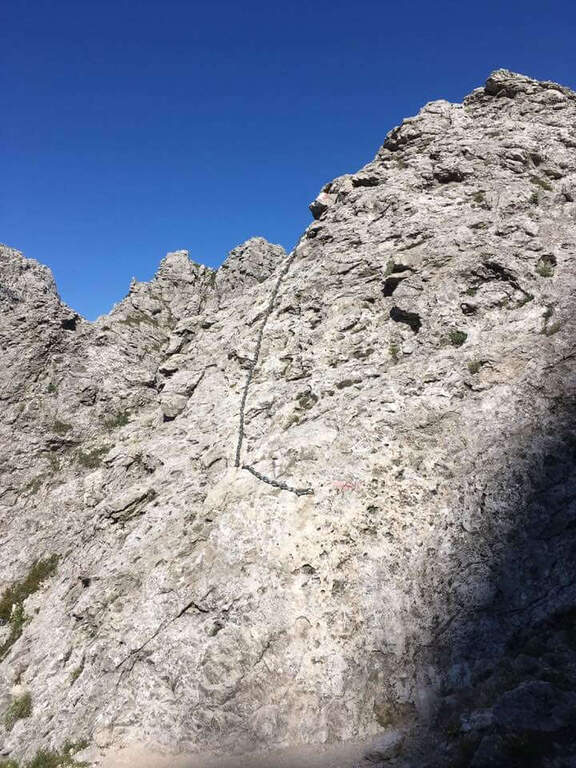
    La Ferrata Spigolo della Bandiera climbs an aerial edge at Monte Spino, above the western coast of Lake Garda. È a short but exposed and athletics: in più points l' excellent jagged rock allows to climb, but a passage requires a momentum due to the scarce natural couple. The route è was renovated in 2019 with a slightly modified track that avoids the old key point, but that introduces a short overhanging step of level difficult not to underestimate.
    ▲Approach

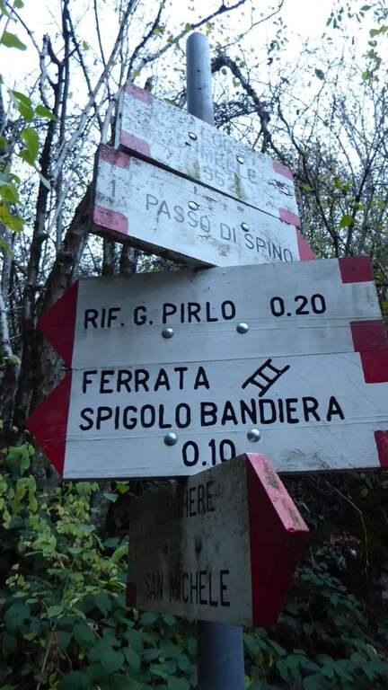
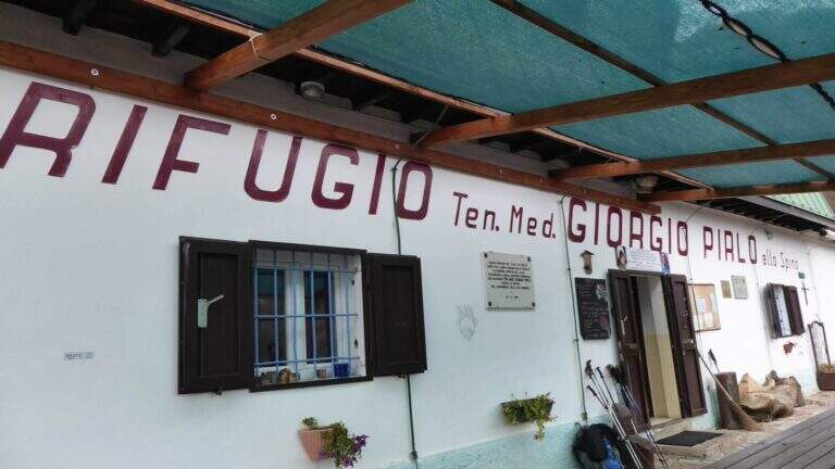
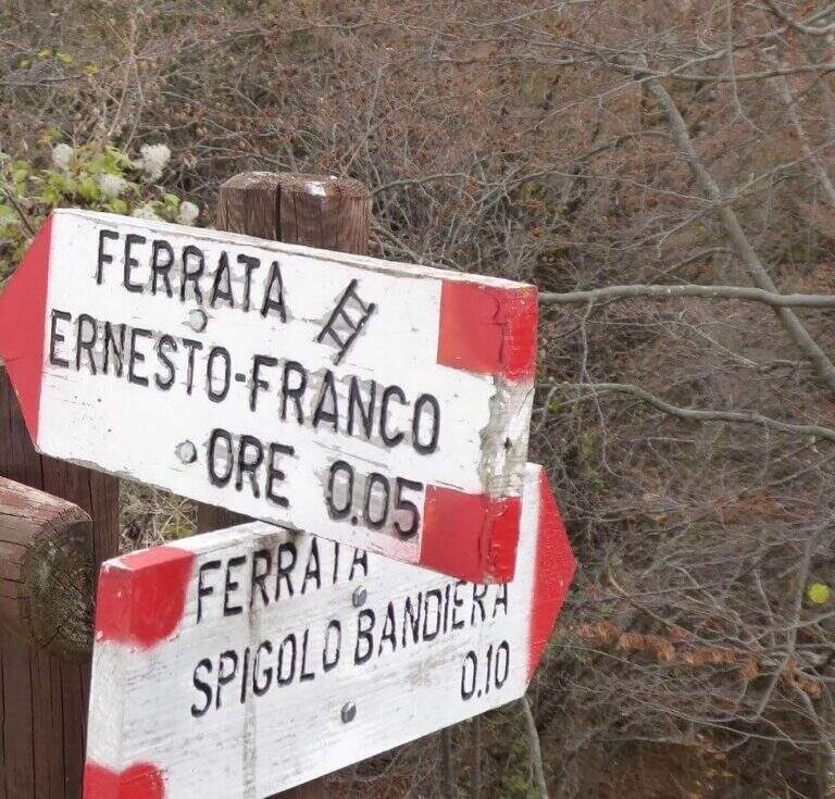
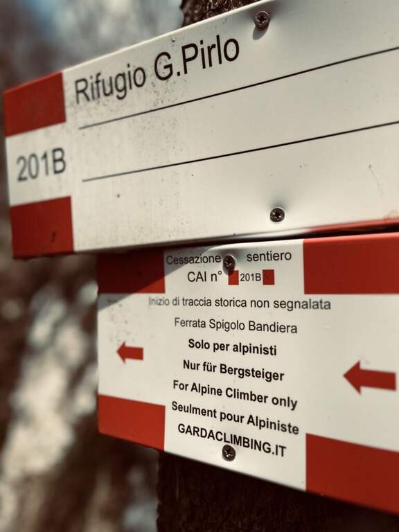
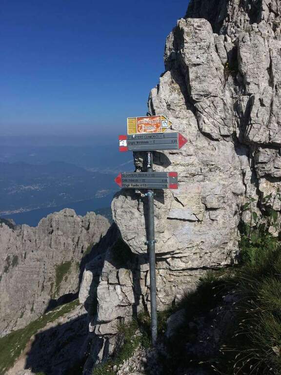
    Starting point San Michele, at Gardone Riviera (crossing Brescia del Garda): from San Michele you go towards the Val di Sura to the Restaurant Colomber, at a fork. Open road signs on Google Maps. You can park at the restaurant or keep the left on a road that soon becomes dirt and then dissected (recommended to the low cars), with several wide to the locality Verghere. From the restaurant continue on the road on the left to Verghere, then on the CAI path 201, guadando due volte il torrente Barbarano (attenzione a seguire i segni CAI, talvolta ingannevoli) fino al bivio di Cascina Gemelle (950 m, 1h dal parcheggio), dove si tiene la sinistra in salita verso il Rifugio Pirlo allo Spino e la ferrata; un ripido sentiero porta al bivio segnalato per la Spigolo della Bandiera (1h 10' dal parcheggio, 1h 30' dal ristorante).

    ▲The path

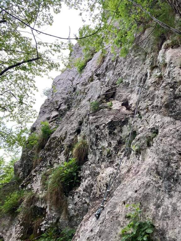
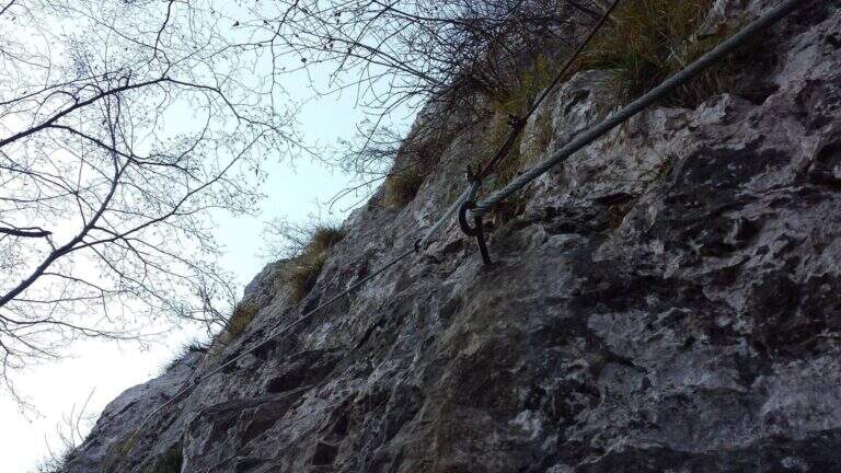
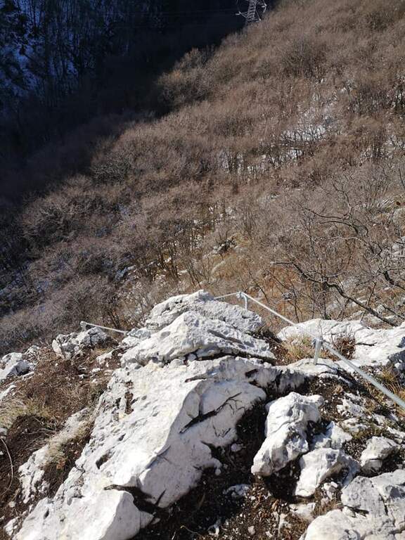
    The road begins with a medium-traverse of difficult-to-grave; to the left to a vertical wall on the right side of the edge: part quite entangled, with a couple of challenging passages for the small hooks, up to a nail beyond which the edge becomes più easy and pleasantly climbable, albeit aerial (attention to the stability & agrave; of some blocks). You reach a rough terrace where to stay. On the new track 2019, from the terrace you move to the left in an exposed area, crossing on smooth rock and difficult to climb, up to good supports for the feet leading under the new key step: a overhanging wall of 4-5 meters, where two brackets help the first two meters but the rest is probably going over the cable. You get under the characteristic passage of the old track, which goes right up a wall with l' aid of a bracket, reconnecting just above all' original itinerary on the terminal crest. Quest' last stretch è exposed but not difficult, with the cable that mainly acts as a handrail; finished the equipment, the path leads to the top flag (30' from' attack, 1h 40' totali).

    ▲Character and difficulty

    Short but exposed, good test bench after the first easy ferrates: vertical, with stretches free of natural or artificial hooks in which you need to pull up of arms with a certain athleticity. The rock is however good and in many ways gives idea of stability.

    ⚠ Strong exposure along almost the entire route, with a peak in the last passage before the final crestine. The new 2019 track does not reduce the difficulties but increases them, with the overhanging step as a key point.

    ▲Period and safety

    GPS tracks are available (GPX and KMZ); for the area is useful the map of the 4Land Alto Garda Bresciano Park.

    ▲Discipline

    Dal termine si segue la traccia più marcata a sinistra verso il Rifugio Pirlo (da cui il sentiero direttissimo riporta al bivio della ferrata e all'auto, 3h totali), oppure a destra verso il Passo dello Spino e poi il CAI 1 fino al bivio dell'andata (3h 30' totali); in alternativa l'ampia forestale riporta al Ristorante Colomber (4h totali).

    ▲To match

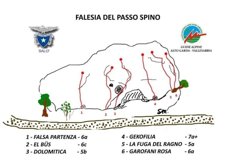
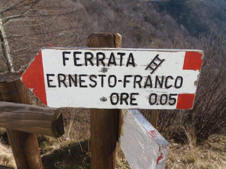
    The nearby Ferrata Ernesto Franco, an ideal time to match, was dismantled and replaced by a cliff equipped at the Pirlo refuge. Returning, you can continue towards Sentiero Sperone del Crocefisso o, towards Lake Idro, la Ferrata Crench and the neighbors ♪ e Gypsies.

    ▲Gallery
    Technical data
    • DifficultyModerately Hard
    • RegionLombardy
    • GroupAlto Garda Bresciano
    • Approach1:10 h
    • Ferrata0:30 h
    • Itinerary (a/r)3:00 h
    • Hardware level difference100 m
    • Route difference650 m
    • Max1165 m
    • Length11,6 Km
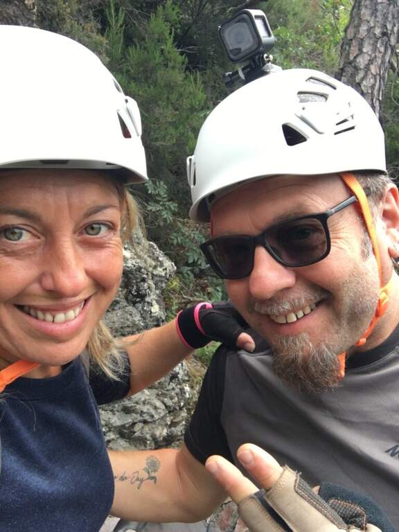
  • Ferrata Sant’Antone al Monte Serra (Buti)

    Ferrata Sant'Antone al Monte Serra (Buti)

    Vie Ferrate › Tuscany › Pisa
    Ferrata Sant'Antone al Monte Serra (Buti)

    ⚠ Reported as a CHIUSA. The source shows the status of this ferrata as chiusa: check agibilità and conditions at the CAI section of Pontedera (which manages it) or the authorities; local, and do not travel untilché it is not reopened.

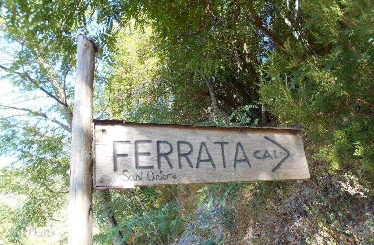
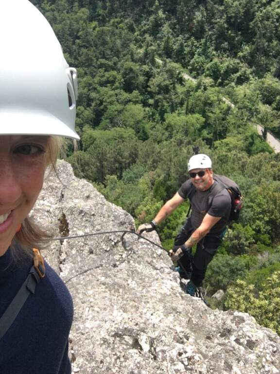
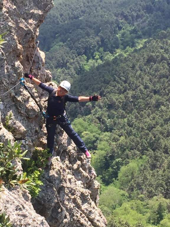
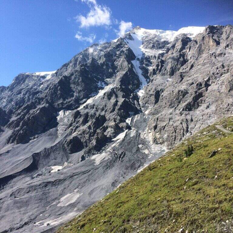
    The Ferrata Sant'Antone è a difficile street on the Pisani Mountains, between 500 and 600 meters of altitude. It has no great difference in altitude, but & made of numerous traversi exposed and overhanging that test arms and technique.

    ▲Approach

    Starting point a well visible pitch along the SP 56 that from Buti (PI) climbs to Monte Serra, recognizable for the fontana and the canton house on the opposite side. Open road signs on Google Maps. You go up the paved road for about 200 m up to the ferrata sign, you take 5' an uphill path with white-red signs and at the crossroad you will take the destra towards l' attack (10' parking ).

    ▲The path

    Si parte subito con un obliquo traverso che supera uno spigolo in esposizione, in trazione sul cavo e con gli scarponi in aderenza — il tema dominante della via. Si risale una parete verticale con attacco leggermente strapiombante (aiutano le cambre), poi un esposto traverso orizzontale in aderenza, attenti alla roccia sporgente sopra la testa; un passaggio in discesa non banale (bisogna buttarsi in fuori per cercare gli appoggi) precede un impegnativo traverso a sinistra leggermente strapiombante che entra e aggira una gola. Si sale in diagonale dove un tetto obbliga ad abbassarsi, si supera un'ultima parete verticale di media difficoltà e si raggiunge una via di fuga (in salita conduce alla fine della via in 5', in discesa all'attacco in 10'). Proseguendo a sinistra, dopo un traverso obliquo e l'aggiramento di un altro spigolo esposto, si scende un passaggio in cui studiare bene la posizione per non essere sbalzati contro la roccia; seguono saliscendi, camini e traversi generalmente difficili e atletici. L'ultima sezione, più verticale, ha due passaggi più duri: un camino decisamente strapiombante (tecnico nei primi metri) e, dopo una breve interruzione delle attrezzature, un sasso da risalire in spaccata con pochi appigli e un leggero strapiombo. Alcuni traversi esposti ma non difficili portano all'ultimo bivio: a destra si conclude la via; a sinistra, dopo un traverso, un breve ed esposto ponte sospeso introduce al passaggio chiave, un tratto verticale tecnico e fisico (5 fittoni fino alla bandiera italiana), reso difficile dalla mancanza di appigli e dalla stanchezza: l'ostacolo maggiore è staccarsi dal ponte, soprattutto per chi è di bassa statura, aiutandosi poi con due singolari staffe a Y sul lato destro. Così si conclude la ferrata (1h 15' dall'attacco / 1h 25' dal parcheggio).

    ▲Character and difficulty

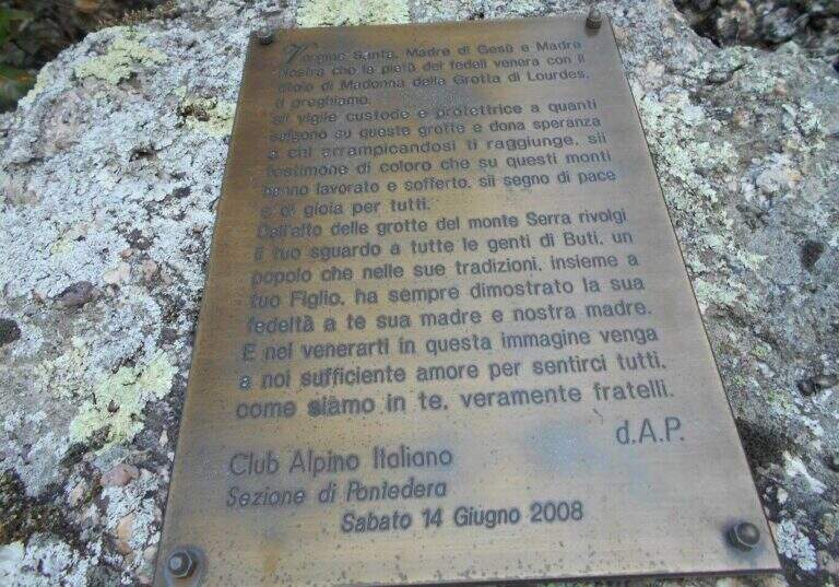
    Very varied and athletes: plenty of transverses, challenging downhill stretches, walls and fireplaces, with many overhanging steps that require good force of arms. Each stick is numbered (about 170 in everything). Inaugurated on the 14 June 2008 and managed by the CAI section of Pontedera; very exciting the descent into the ridge.

    ▲Period and safety

    Low altitude, in theory all l' year with good grip of rock; at the moment, però, the route turns out chiusa (see notice in the head). For the many transverses it lends itself to be chased back by experts.

    ▲Discipline

    From the term, a labile trace to sinistra is followed to a series of stones to be traced back and to the «Ghiaccietto» ; cross right towards the parking lot following the CAI path to the first escape route, then giù until all' attack and, backwards, all' car. After l' crossing with the escape route the signs ` poor: the road & however a few tens of più meters; below and, between shrubs and franosis traits, it is reached by holding the left (25' from the term / 1h 45' from the parking ).

    ▲To match

    In Tuscany, towards Arezzo la Ferrata Romana Nesi at Pratomagno; on the Apuans the Ferrata Salvatori e la Ferrata del Procinto.

    ▲Gallery
    Technical data
    • DifficultyHard
    • RegionTuscany
    • GroupMonti Pisani
    • Approach0:10 h
    • Ferrata1:10 h
    • Itinerary (a/r)1:50 h
    • Hardware level difference120 m
    • Route difference200 m
    • Max540 m
    • Length3,3 Km
  • Ferrata Santa Felicita (Bassano del Grappa)

    Ferrata Santa Felicita (Bassano del Grappa)

    Vie Ferrate › Veneto › Vicenza
    Ferrata Santa Felicita (Bassano del Grappa)

    The Ferrata Santa Felicita è a short route and atletica in' the homonymous valley near Bassano del Grappa: short but varied and intense itinerary, which requires good force of arms. It takes place in an area famous for l' sports and & leisure climbing; ideal for training in cold months.

    ▲Approach

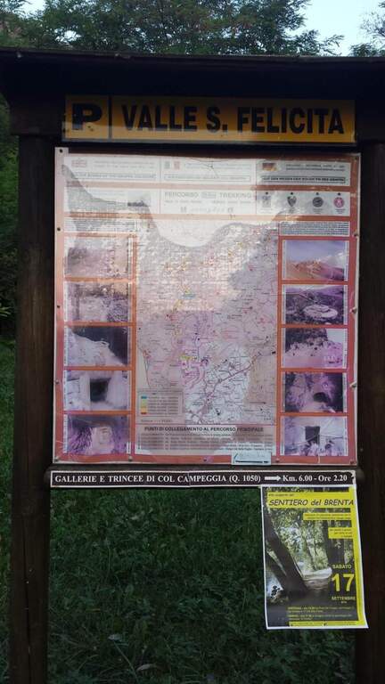
    Starting point the parking d' access to the Valle Santa Felicita, in Romano d'Ezzelino (VI): following the directions to via Santa Felicita you leave l' car in the ' wide parking at the end of the road. Open road signs on Google Maps. You walk north along the path that leads to the wall; part of the path is tiring, on a series of steps in rock, up to the rock gym where you find the indications for the ferrata.

    ▲The path

    It attaches a beautiful vertical wall well equipped with abundant brackets, on excellent granite that, where not replaced by fixtures, offers solid hooks. The brackets move gradually to sinistra with a slight overhanging (first difficult & agrave;); after about ten vertical meters a short horizontal section on the left precedes a second vertical section, always on brackets, with which you quickly gain altitude and exposure. Take a left-hand side, using the pins for the feet, up to a vertical wall of about fifteen meters which above takes the form of a diedro along a crack: climb on brackets, move from the left to the right side of the dihedron, pass a slightly overhanging passage and exit on a left side where to rest. From the census you move left in a stretch of descent, you get around a edge and you get to the più tract; characteristic: a plane across horizontal with nails as foot support. A wall of about 6 meters is down and diagonally on the left begins l' last section, with a slight descent (again on nails); it loses altitude until the end of the crossing, a vertical wall is descended on brackets and a diagonal ramp equipped until the end (30' from' attack / 1h 15' from parking ).

    ▲Character and difficulty

    Short but intense and challenging, with strong exposure throughout the route. Difficult & Agrave; they are mainly athletic: the possibility to climb ` limited by ' abundant use of brackets and piles, and serves good force of arms.

    ⚠ Strong exposure and athletic steps: not recommended to those who are not trained in arms. Excellent in winter for low altitude, but always with dry rock.
    ▲Period and safety

    Low altitude (maximum 350 m): most of the year can be traveled, indicated as training in cold months.

    ▲Discipline

    From the end, a path returns in short to the' the return to the car park takes place on the backward approach path (30' from the term / 1h 45' totali).

    ▲To match

    Near the Grappa massif, it is combined in the day with one of the two itineraries that go up: the Ferrata Sass Brusai e la Ferrata Guzzella. To the north Ferrata Gabrielli to the Cima d'Asta; in Val d'Astico the recent Ferrata Anelli delle Anguane.

    ▲Gallery
    Technical data
    • DifficultyHard
    • RegionVeneto
    • GroupGrappa Massif
    • Approach0:45 h
    • Ferrata0:30 h
    • Itinerary (a/r)1:45 h
    • Hardware level difference40 m
    • Route difference140 m
    • Max350 m
    • Length3 Km
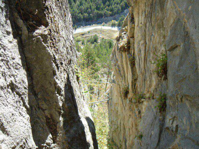
  • Ferrata del Rouas in Bardonecchia

    Ferrata del Rouas in Bardonecchia

    Vie Ferrate › Piedmont › Turin
    Ferrata del Rouas in Bardonecchia
    Moderately Hard● In MaintenanceDescriptionComplexityMapsGallery

    to Status reported: «In Maintenance». The source indicates ongoing work/maintenance: verify the agility and state of the equipment before leaving.

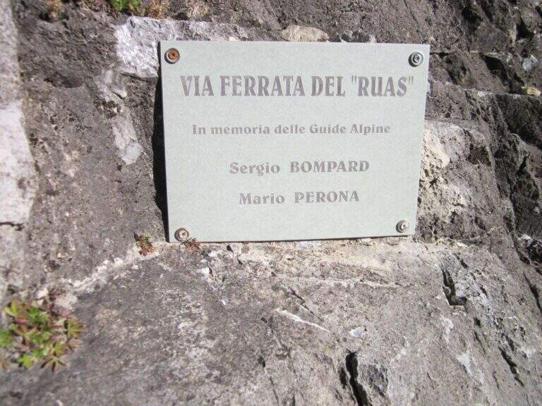
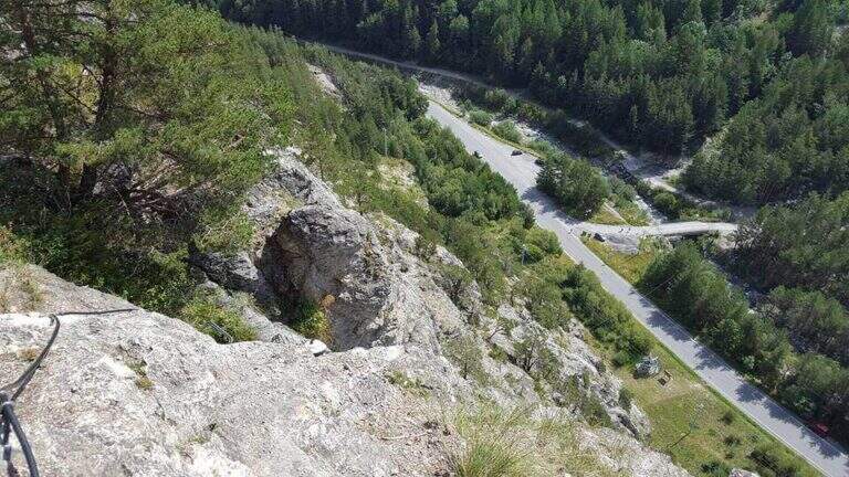
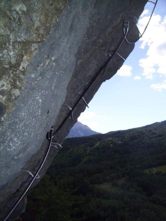
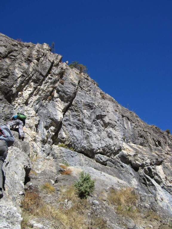
    La Ferrata del Rouas è una via recente nell'alta Val di Susa, al confine con la Francia: atletica e «alla francese», molto attrezzata, con una variante difficile e impegnativa. Nell'itinerario base è adatta anche ai neofiti, viste le attrezzature in ottimo stato. È intitolata a Bompard e Perona.

    ▲Approach

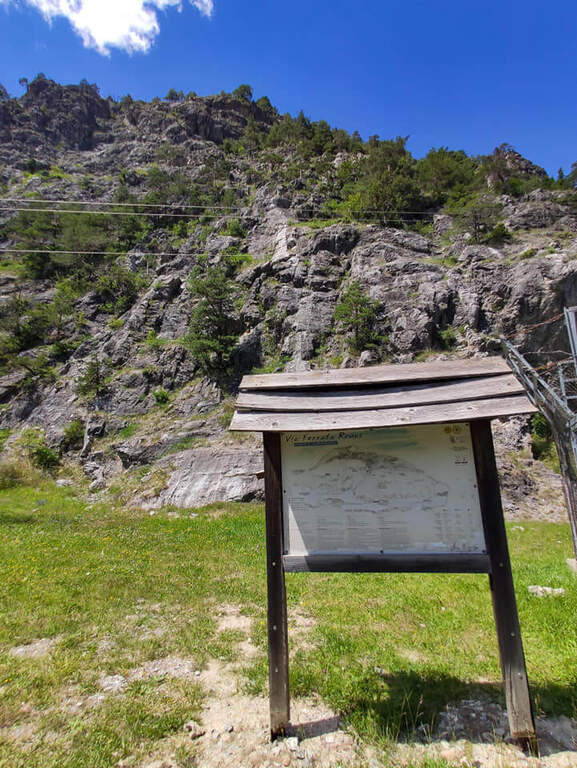
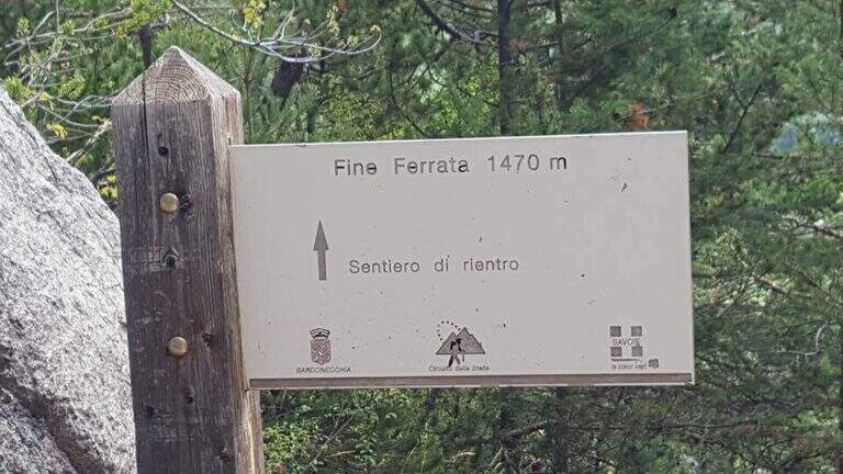
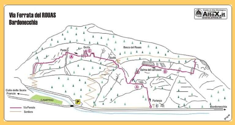
    Starting point the fraction of Melezet, municipality of Bardonecchia (TO): cross the village continue on SP216 for 300 m, until you notice the parable of a repeater; just beyond you park at the inn of the ferrata. Open road signs on Google Maps. A very short path leads in just over 5 minutes to the attack wall.

    ▲The path

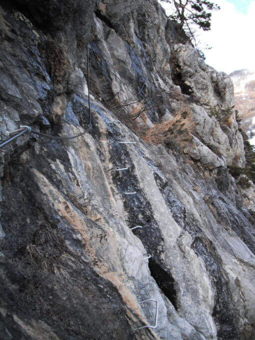
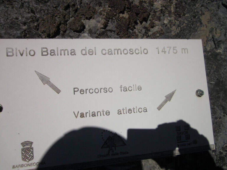
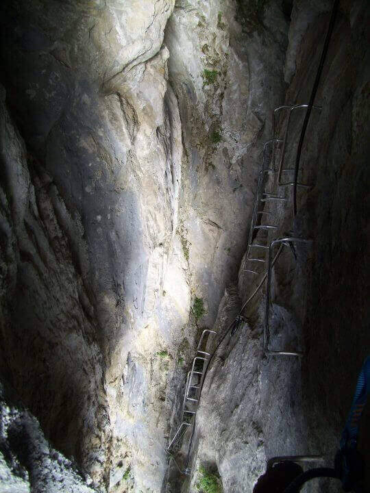
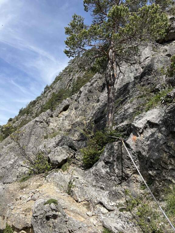
    The route consists of 3 sectors not necessarily concatenabiles. Il sector shares the first section with sector B: a couple of tilted walls and balconies with abundant cambre, turn left on a traverse that bypasses a' imposing protrusion and you reach a crossroad where, vertically, part l' route B (Balma del Camoscio). After leaving the B, three vertical walls with cambre, never too difficult but in increasing exposure, interspersed with traverses (at a point attention to the bulky backpack: useful a postponement to hang it); you reach the shoulder where the path of the section B falls and the via escape. Continue on a long oblique traverse to the cave (Porta C); ignoring the deviation continues until the bridge suspended , crosses it and begins the descent with beams and short walls assisted by brackets, never difficult, until the end (2h by ' attack ignoring the two deviations / 2h 5' totali). L'itinerary B, dal bivio, risale un primo tratto verticale e un lungo traverso, poi un altro tratto verticale impegnativo e infine il passaggio chiave: una parete strapiombante di circa 6 metri, perfettamente staffata ma che «spancia» mettendo a dura prova le braccia (utile un rinvio corto); seguono un traverso in leggera discesa (attenzione ai piedi), un diedro e un paio di piccoli strapiombi, fino a una facile cresta e al bosco di Rouas (1h 15' dal bivio / 1h 45' dall'attacco), da cui un sentiero riporta a un incontro con l'itinerario A. Il tratto C è una breve parete con una grotta e un piccolo tratto sospeso, dopo il quale si ridiscende verso il proseguimento dell'itinerario A (10' dalla deviazione).

    ▲Character and difficulty

    Via alla Francese, very equipped and fun; there is no real summit. L' A è itinerary; also suitable for neophytes, while the B è sector; clearly più athletics (keystrapiombo). Recent equipment and in good condition.

    ▲Period and safety

    Season from spring to autumn with dry rock. Remembering the state "In Maintenance", make sure of the conditions of the equipment.

    ▲Discipline

    After the A section descends along l' obvious path up to a road, which runs towards sinistra in the direction of the parking lot (15' from the term / 2h 20' total if you do not walk the B and C sections; 4h total if routes A, B and C).

    ▲To match

    In Val di Susa, area rich in itineraries: in Claviere la Ferrata di Rocca Clarì, la Ferrata del Bunker e la Low Battery Hardware; la Ferrata Guido Rossa in Caprie, la Ferrata dell'Orrido di Chianocco, la Ferrata dell'Orrido di Foresto e la Ferrata della Ruceia.

    ▲Gallery
    Technical data
    • DifficultyModerately Hard
    • RegionPiedmont
    • GroupVal di Susa
    • Approach0:05 h
    • Ferrata2:40 h
    • Itinerary (a/r)3:00 h
    • Hardware level difference125 m
    • Route difference275 m
    • Max1500 m
    • Length1,4 Km
Need help? Write to us!