Caratteristica: Interesse storico

  • Ferrata Susatti a Cima Capi

    Ferrata Susatti a Cima Capi

    Vie Ferrate › Trentino-Alto Adige › Trento
    Ferrata Susatti a Cima Capi

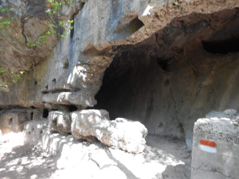
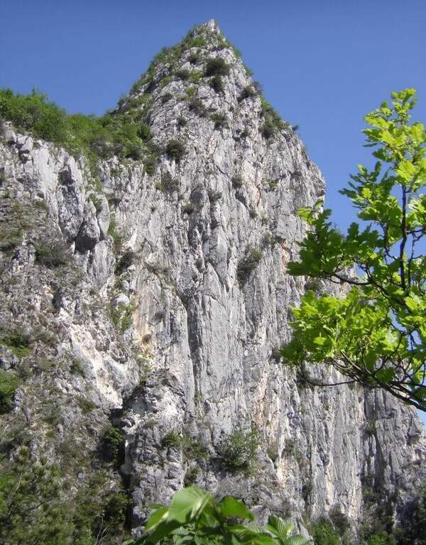
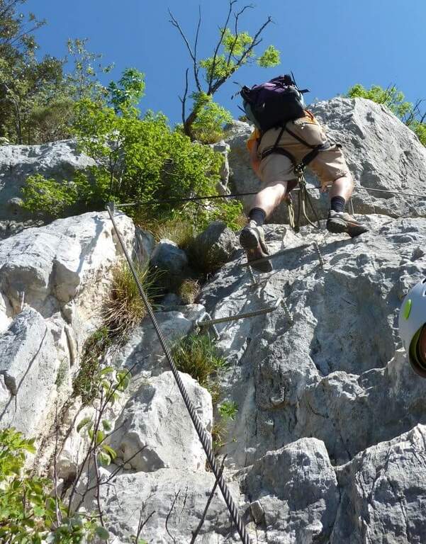
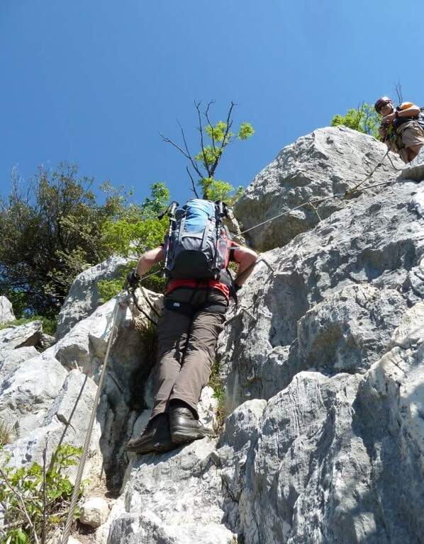
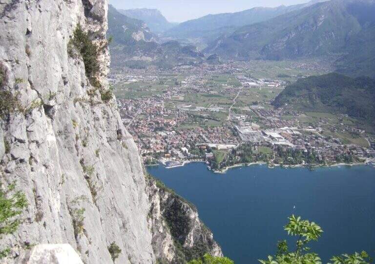
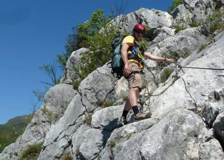
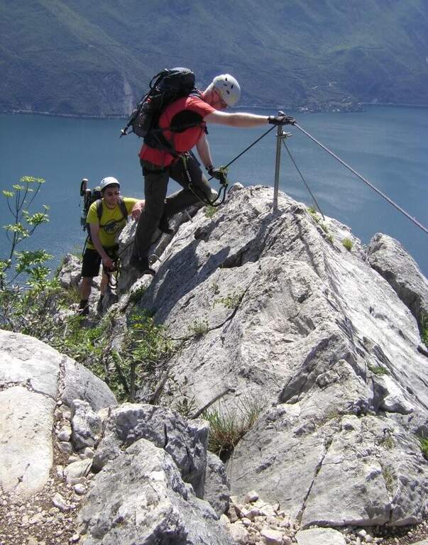
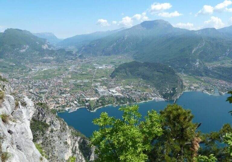
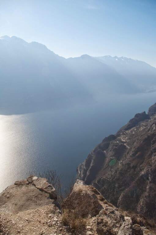
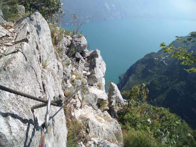
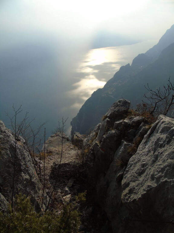
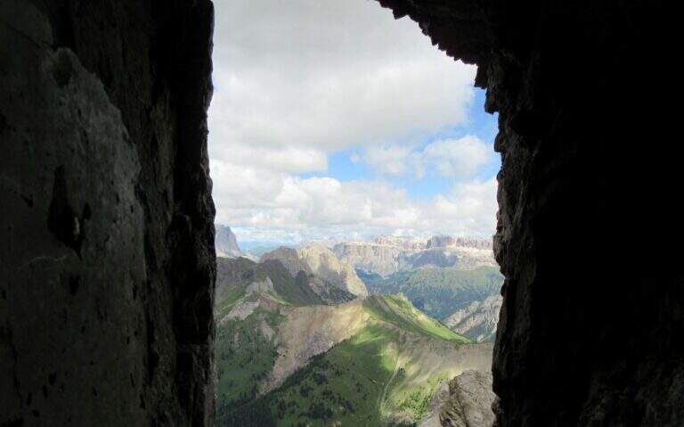
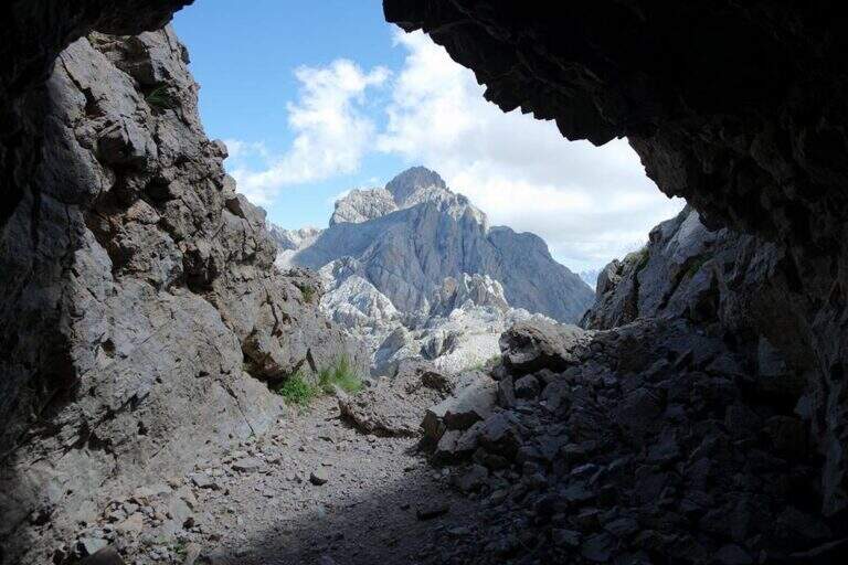
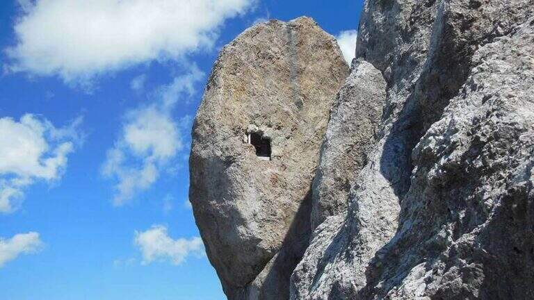
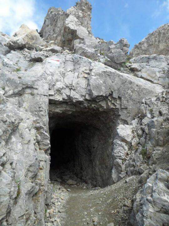
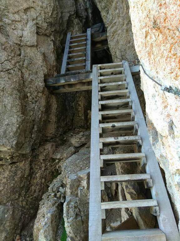
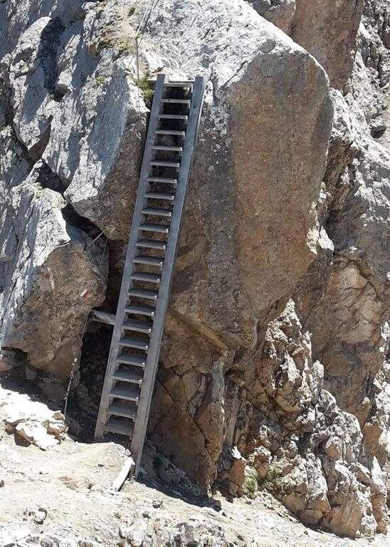
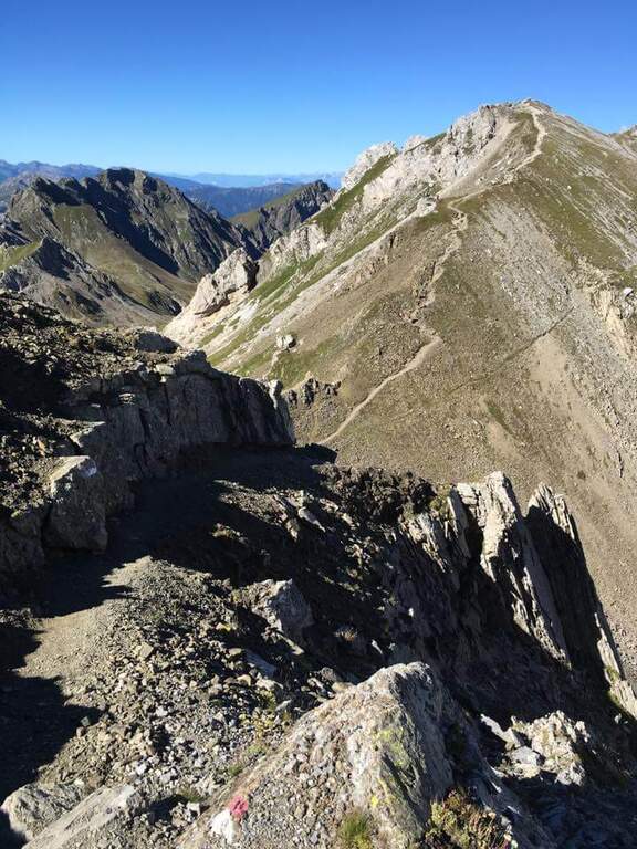
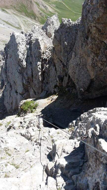
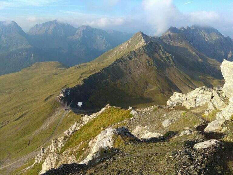
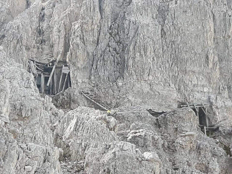
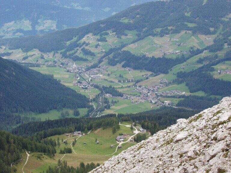
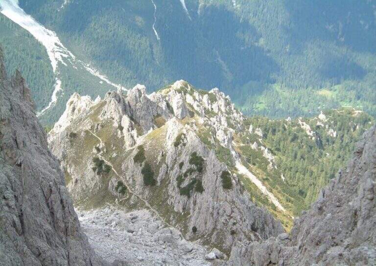
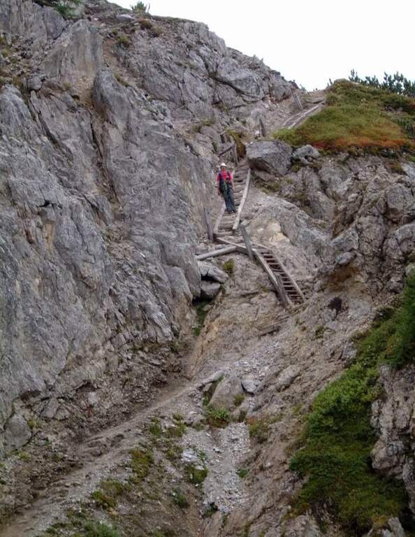
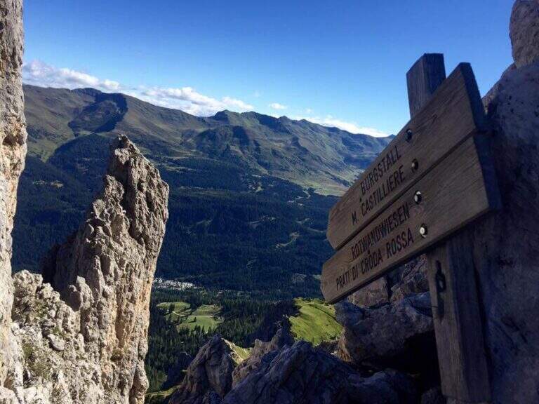
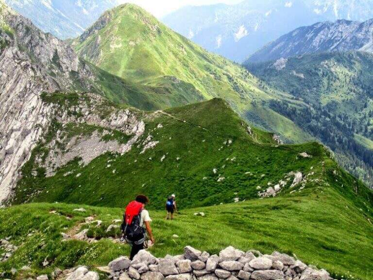
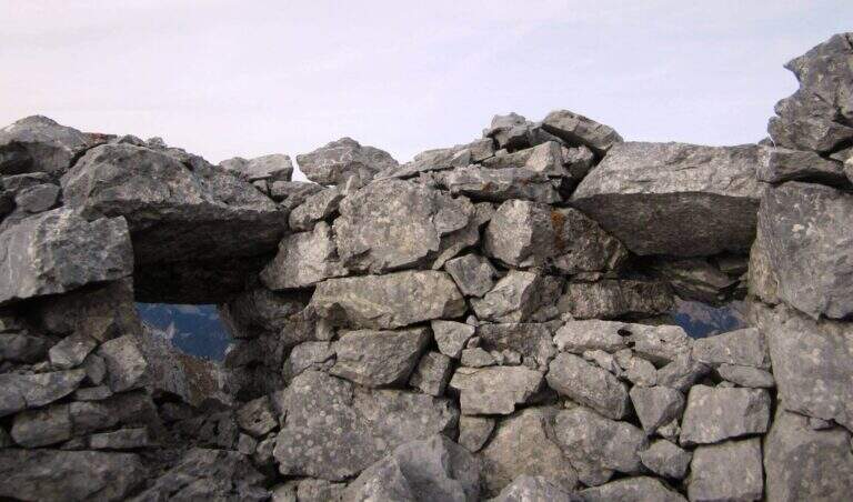
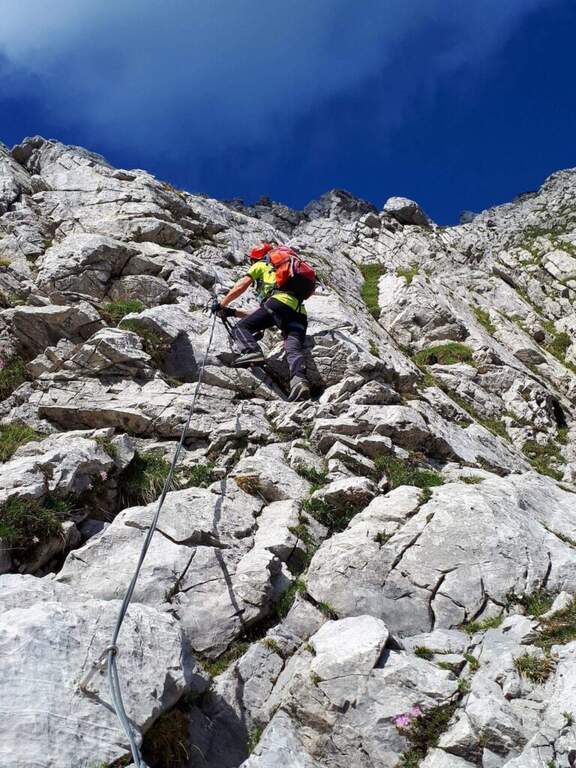
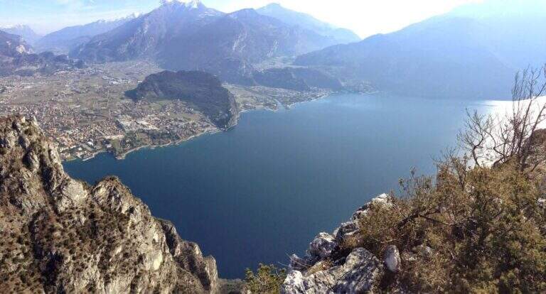
    La Ferrata Susatti a Cima Capi è a facile street and very panoramic above Lake Garda, in Valle di Ledro (province of Trento). Undifficultà techniques of relief but with good exposure, è l’ ideal for those who have già mountain experience but wants to approach the equipped paths. L’ environment, overlooking the lake and rich in traces of the Great War, makes it a journey of great historical interest.

    ▲Approach

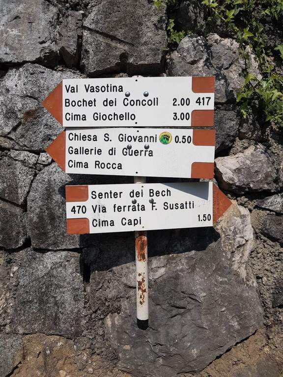
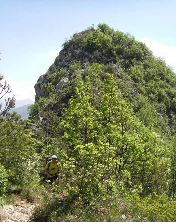
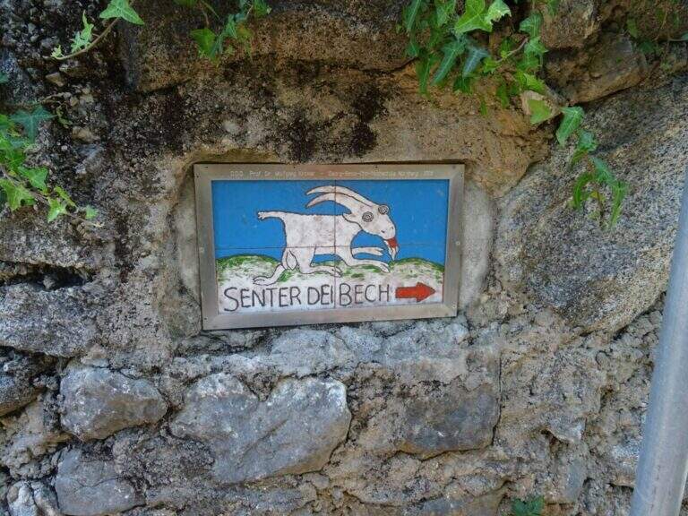
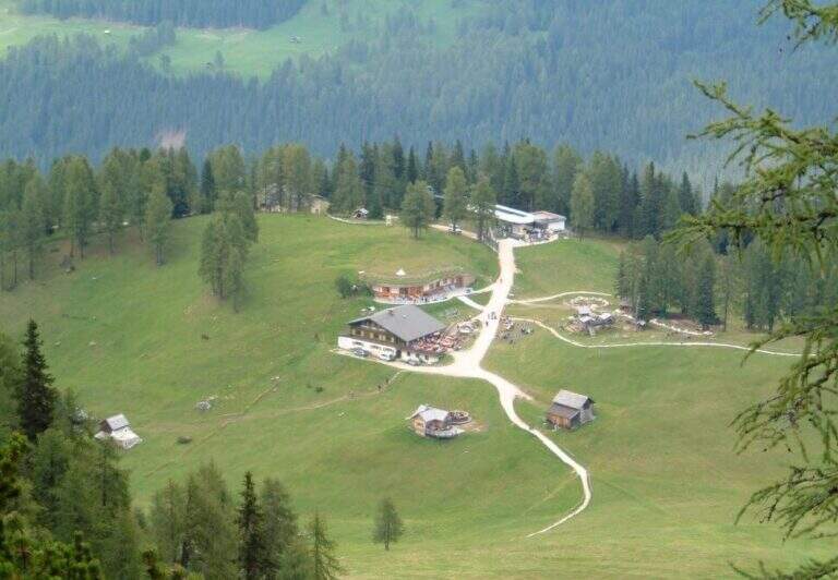
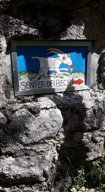
    The starting point è the village of Biacesa, 4 km from Riva del Garda: from Riva follow the tunnels towards Val di Ledro and, exit from the second, you reach Biacesa; you take via dei Dazi to the right and, at the end of the road, still to the right. L’ excursion begins at the playground of Biacesa, where però non è più allowed to park for non-residents: you need to look for a parking place nearby (open the starting point on Google Maps). From Biacesa follow the path CAI 470 (Sentiero dei Bech) to halfway east along the Gec Valley, ignoring the deviation to the left for the Route Attrezzato delle Laste (use as a return). Between climbs and Mediterranean vegetation (fields, olive trees) and some easy rocks you will reach a crossroads where you ignore the CAI 405 (scende to Riva) and climb towards l’ attack, reached after an easy fireplace (1h 15′ from parking).

    ▲The path

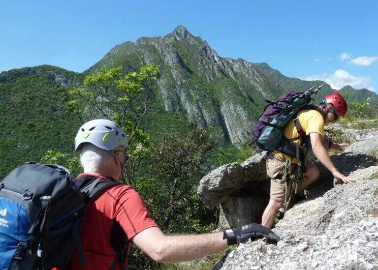
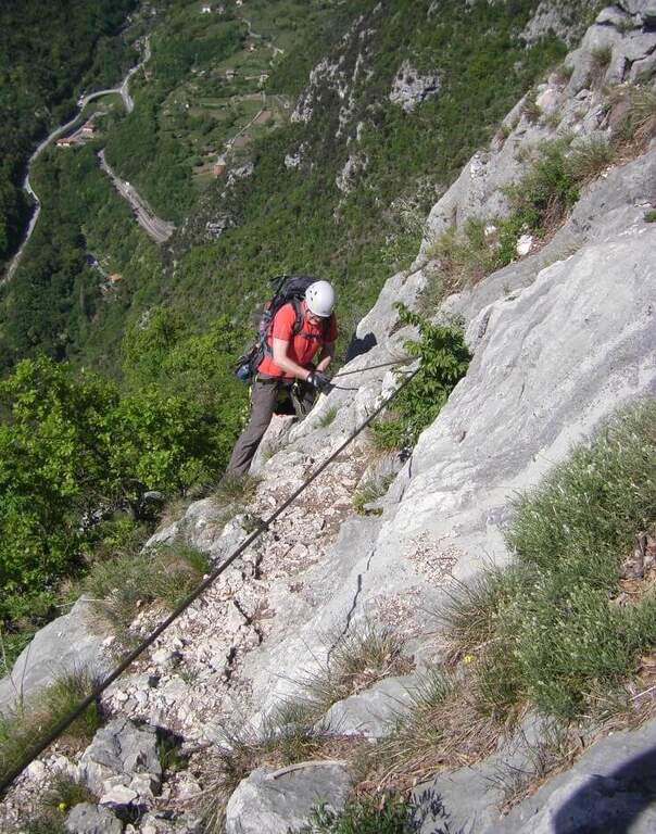
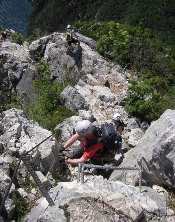
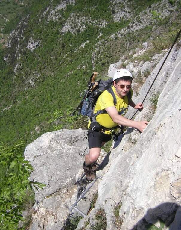
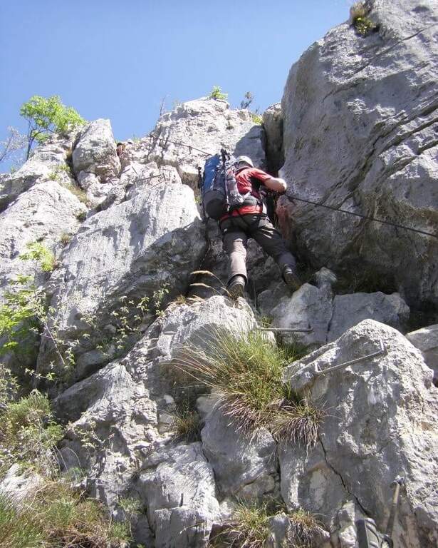
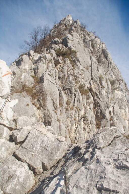
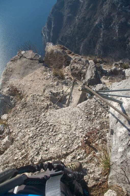
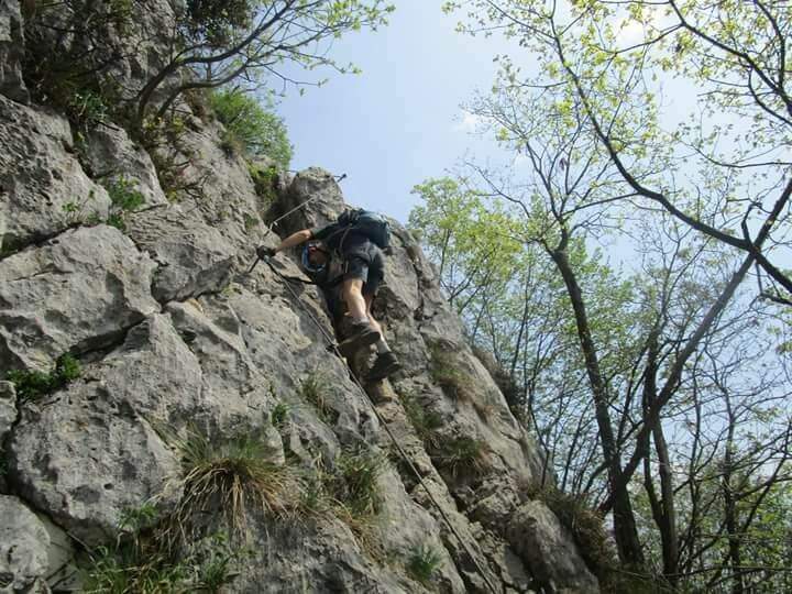
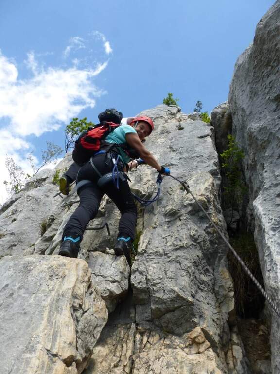
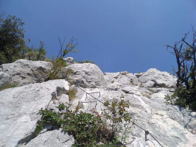
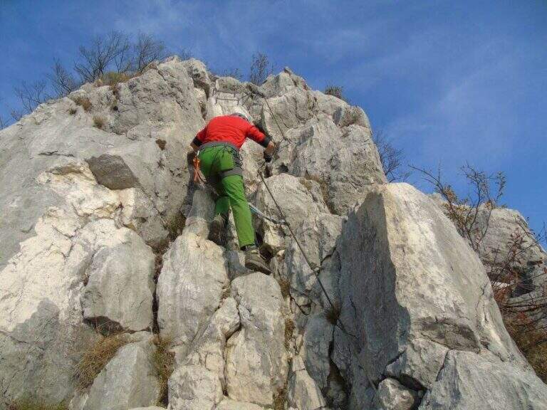
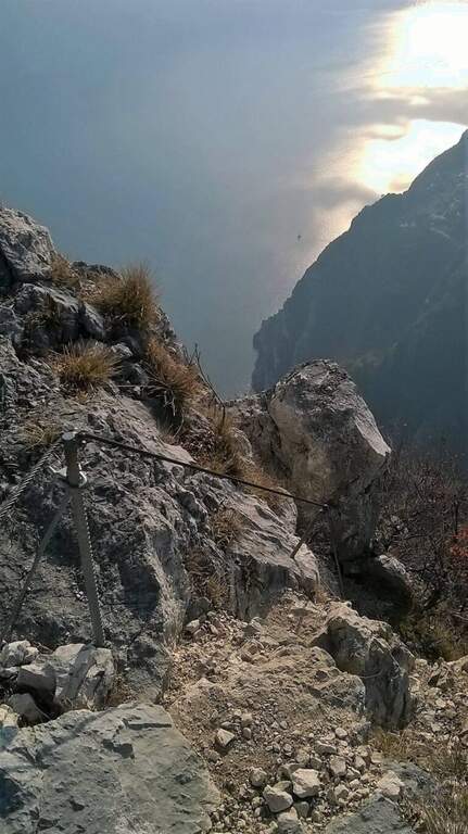
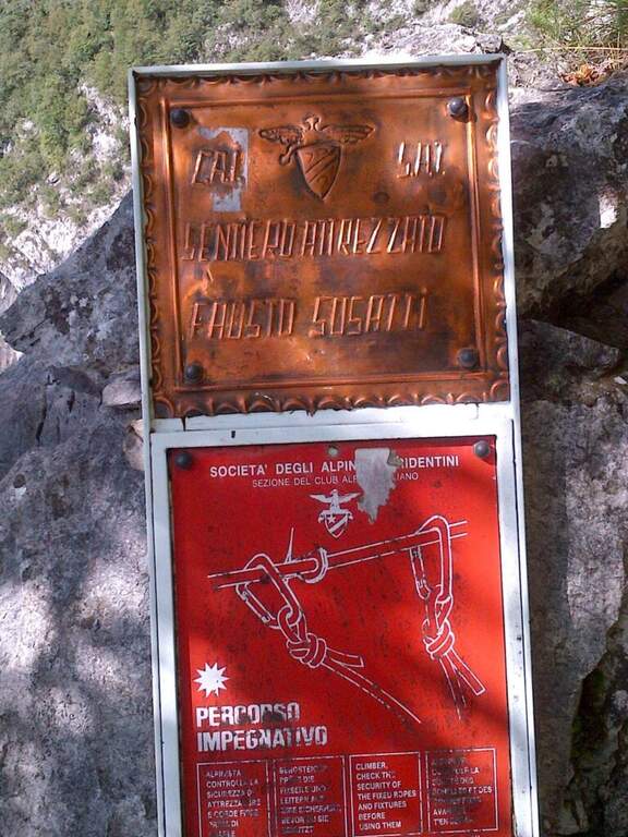
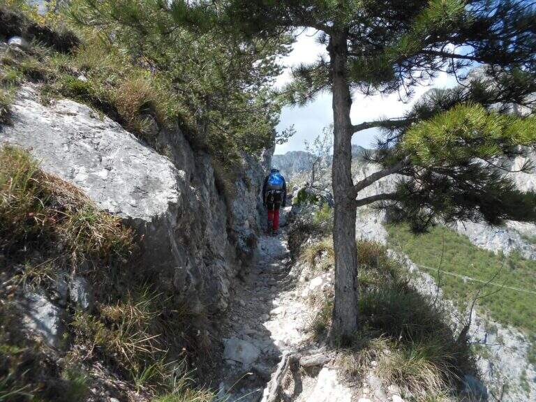
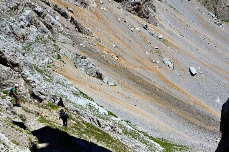
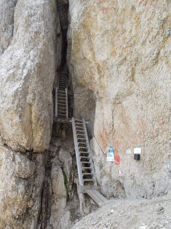
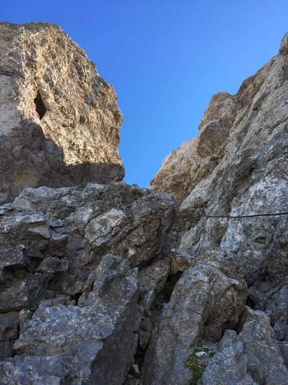
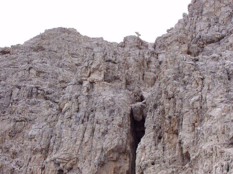
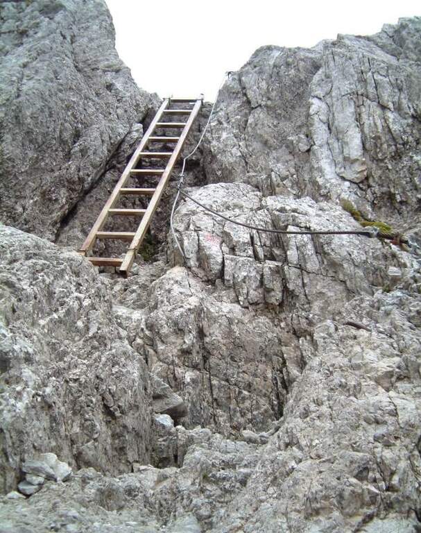
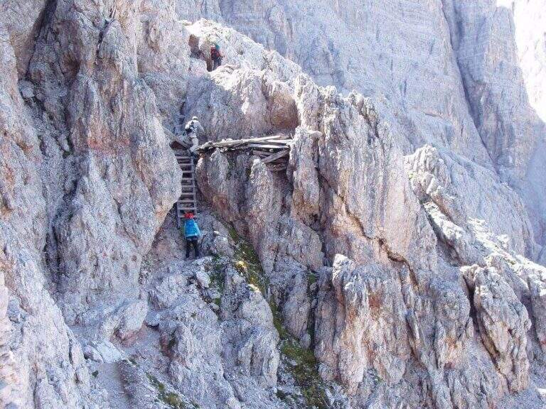
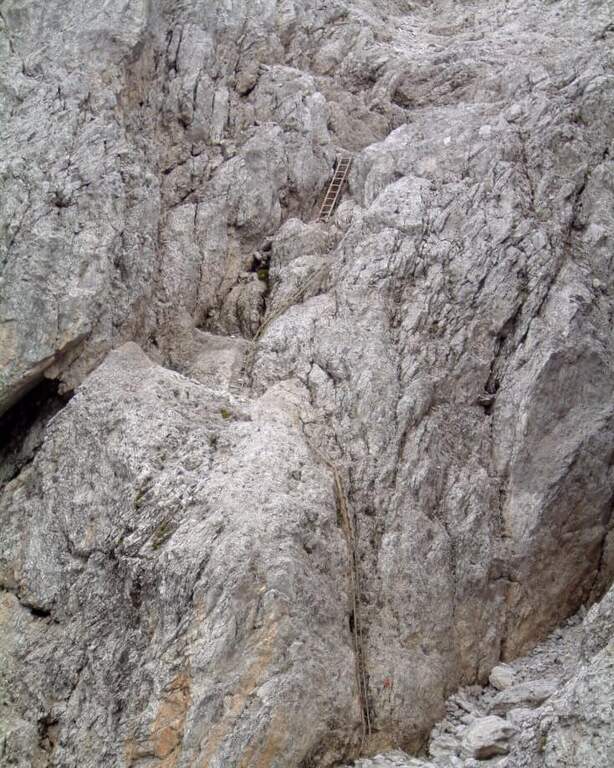
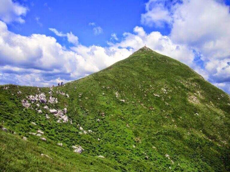
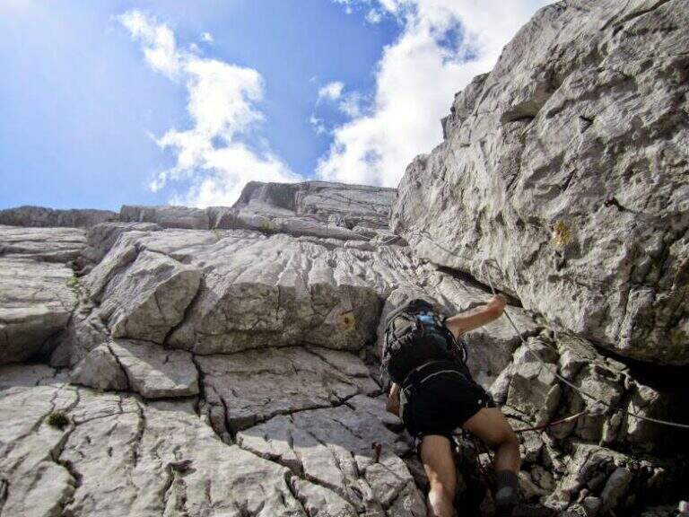
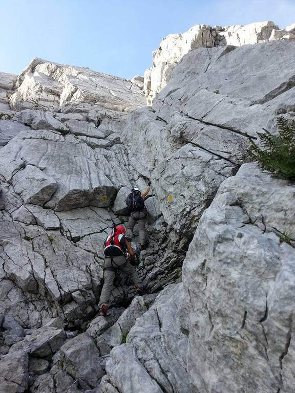
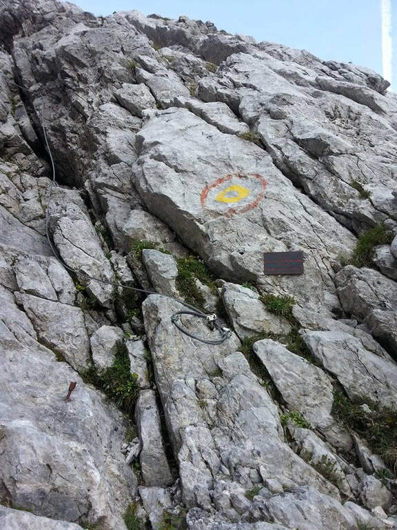
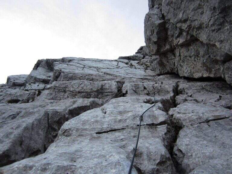
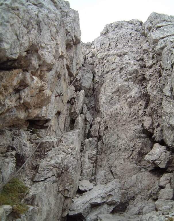
    At the red plate there are some unequipped rocks, besides which the wire rope helps to overcome some rocky jumps in a fireplace. Exit in the ridge rises with increasing exposure, but without difficulty;, on well-calibnate plates where è possible proceed in climbing without relying continuously on the cable. A plaque with a couple of brackets leads to the ridge wire: continue on the right side in strong exposure, always without challenging passages, going up massive and small equipped walls, with Lake Garda behind. L’ the only passage of difficult-and-grave media; consists of the ’ add a large boulder on an exposed traverse, looking for l’appiglio over the edge; supersededed this section, an easy chimney and some short vertical passages put on the path leading to the summit of Cima Capi (909 m, 1h 15′.

    ▲Character and difficulty

    Classified Easy (F), with all the parameters of totaltà on 2/5: the progression è simple but l’ è good, great for taking confidence with l’ equipped environment. Harness obligators, hardware kits and helmet.

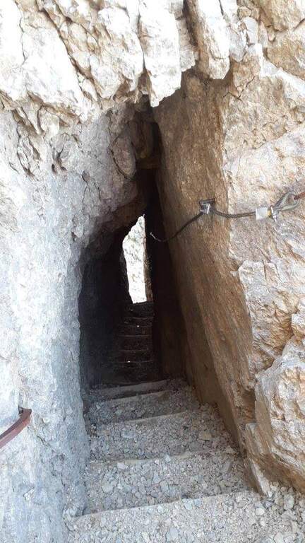
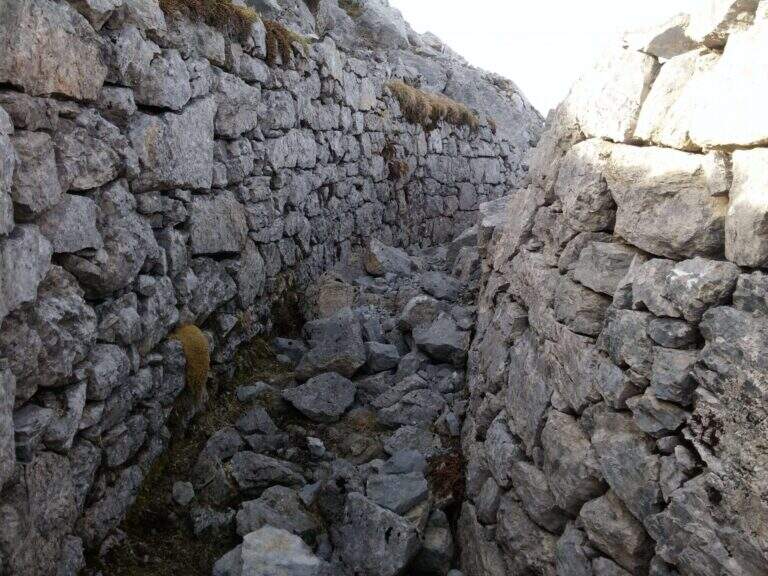
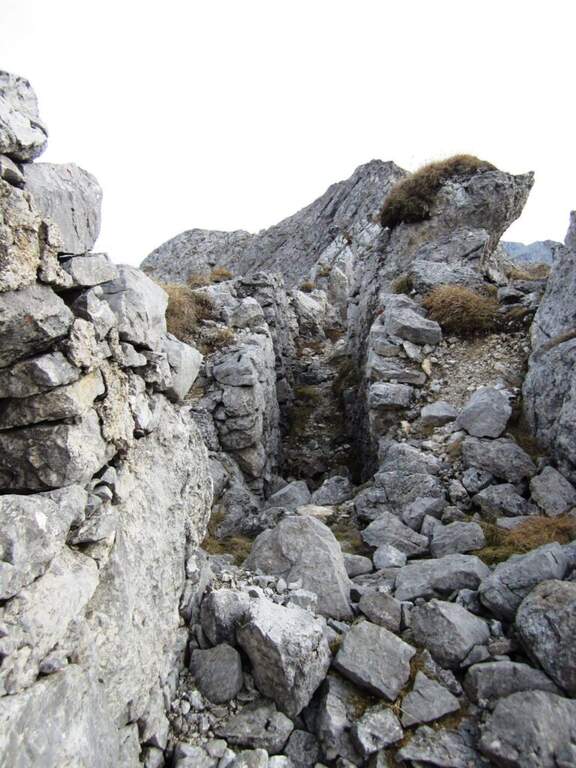
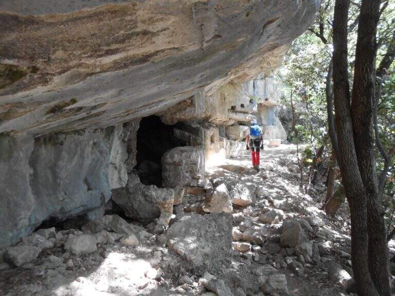
    ⚠ Low altitude and prevailing exposure to the south-east: in the summer months può very hot, it is advisable to leave soon. The &grave area, full of tunnels and trenches of the Great War that can be visited along the paths: bring a frontal torch. At the end of the ferrata it is advisable to not remove the set, because they are encountered other stretches equipped along any return option.
    ▲Period and safety

    Thanks to the modest share it is possible to travel most of the year and is particularly pleasant in the half seasons. The path signs are great. Check the weather and, in summer, avoid the hottest hours given exposure to the sun.

    ▲Discipline

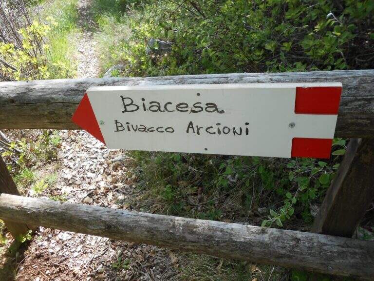
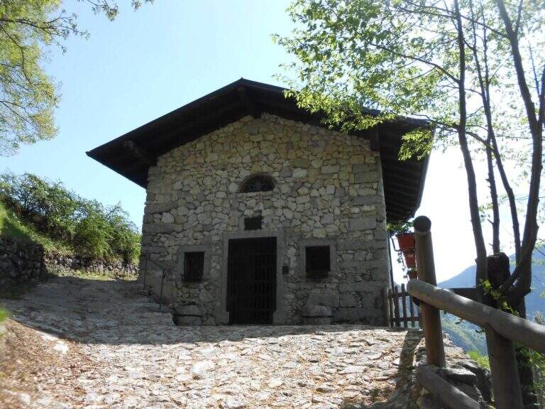
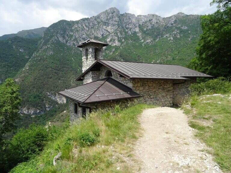
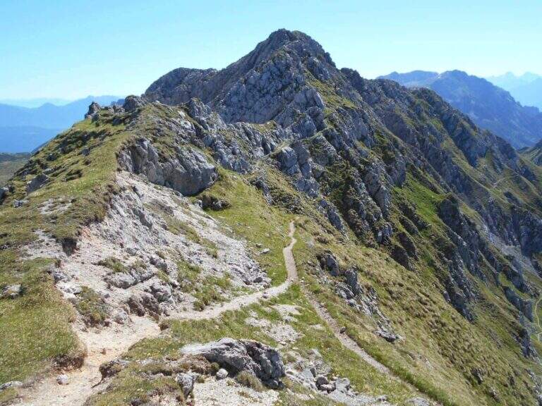
    From the summit you descend on the opposite side to the uphill slope, along an easy ridge path at the trenches of the Great War and a pitch for helicopters; in 15 minutes you reach a crossroads. A left continues the Path Attrezzato Foletti, which leads to the Bivacco Arcioni, to the Church of San Giovanni and then to Biacesa (1h 30′ from Cima Capi, 4 hours overall); from Bivacco Arcioni can be arranged ograve; alternatively go down the più difficult Sentiero delle Laste, which starts on the CAI 470 route Dritto continues the Path Treated Susatti until Bocca d’Enzima (about 1 hour), with not difficult equipped strokes; hence the CAI 404 to Rocchetta Giochello and then the CAI 417 report to Biacesa with a long ring (3 hours from Cima Capi, 5h 30 &8242; overall).

    ▲To match

    You can combine the Path Attrezzato Foletti and the Path of the Laste downhill; from Bivacco Arcioni, energies allowing, the climb to Cima Rocca with the easy hardware. Nearby the Friendship Ferrata in Cima Sat; going up to Trento la Ferrata in Castel Drena and easy Colods and Cavre Path.
    ▲Gallery
    Technical data
    • Approach1:15 h
    • Duration1:15 h
    • Total itinerary4:00 h
    • Hardware level difference315 m
    • Route difference490 m
    • Maximum altitude907 m
    • Length8,1 Km
  • Alta via Bepi Zac

    Alta via Bepi Zac

    Vie Ferrate › Trentino-Alto Adige › Trento
    Alta via Bepi Zac

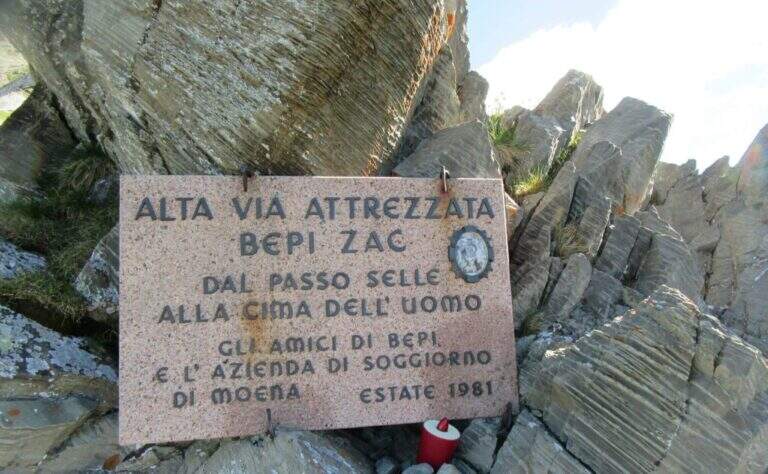
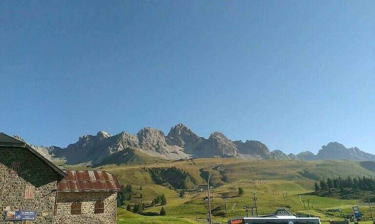
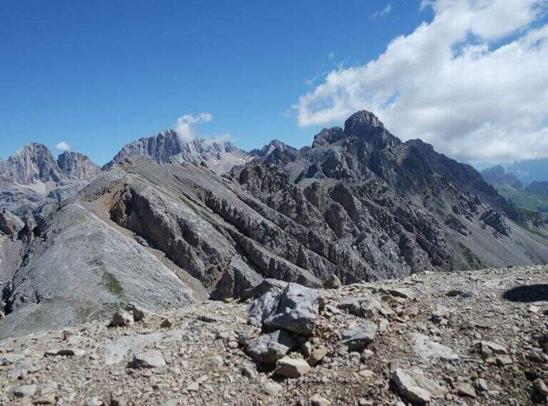
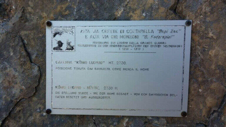
    L’Alta Via Bepi Zac percorre per intero la Cresta di Costabella, nel gruppo dei Monzoni sopra il Passo San Pellegrino: un lungo itinerario di guerra tra trincee, gallerie, camminamenti e passerelle della Grande Guerra, con tratti attrezzati e splendide vedute su Marmolada, Sella e Catinaccio. Più che una ferrata classica è una traversata d’alta quota, lunga e d’impegno, da affrontare con bel tempo.

    ▲Approach

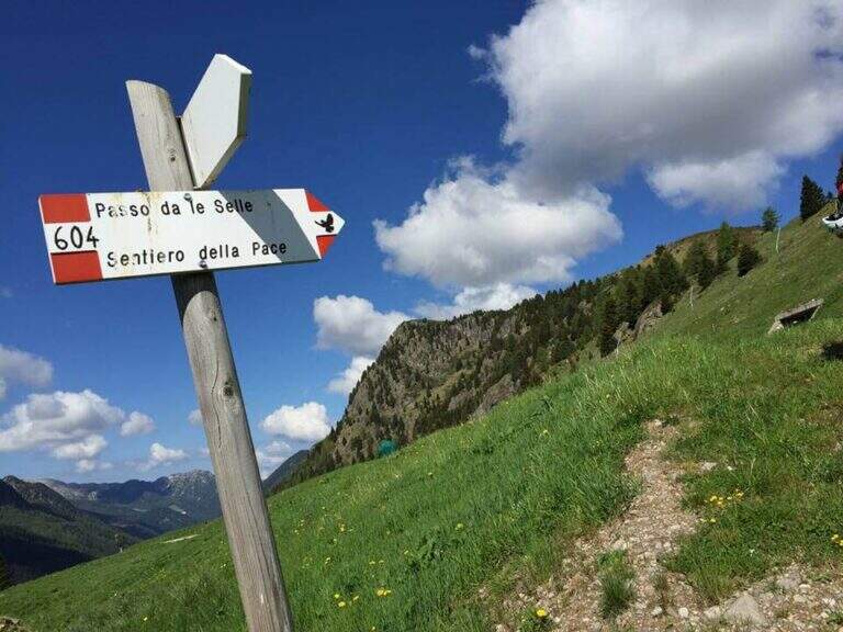
    Dal Passo San Pellegrino (1907 m) si può salire con la funivia verso il Passo delle Selle oppure a piedi sul CAI 604 fino al Rifugio al Passo delle Selle (2528 m), dove inizia il percorso. Road signs →

    ▲The path

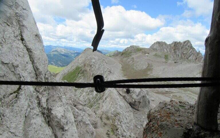
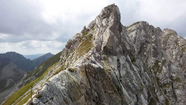
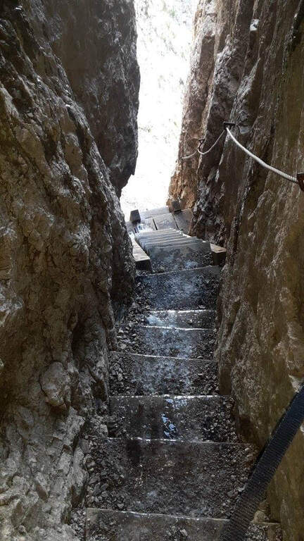
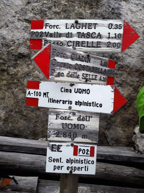
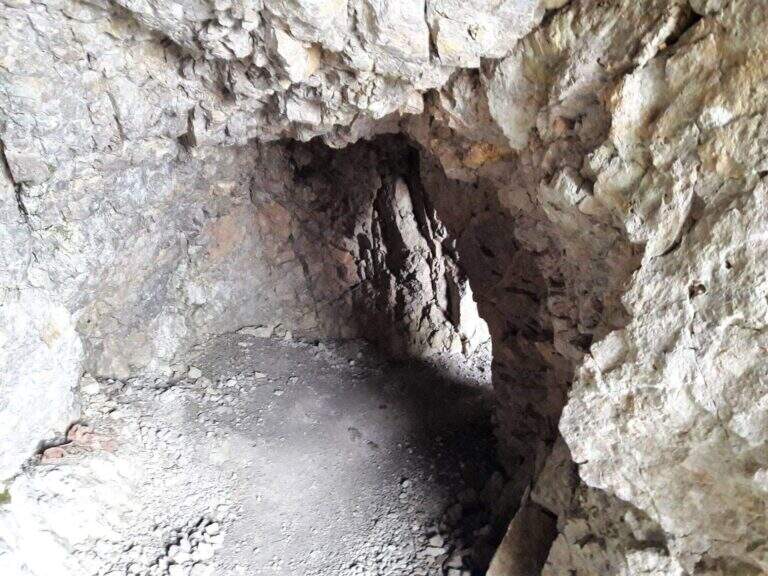
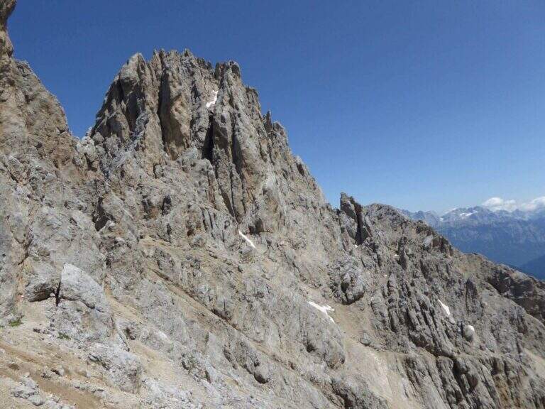
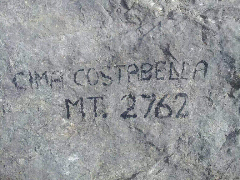
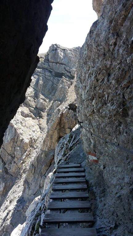
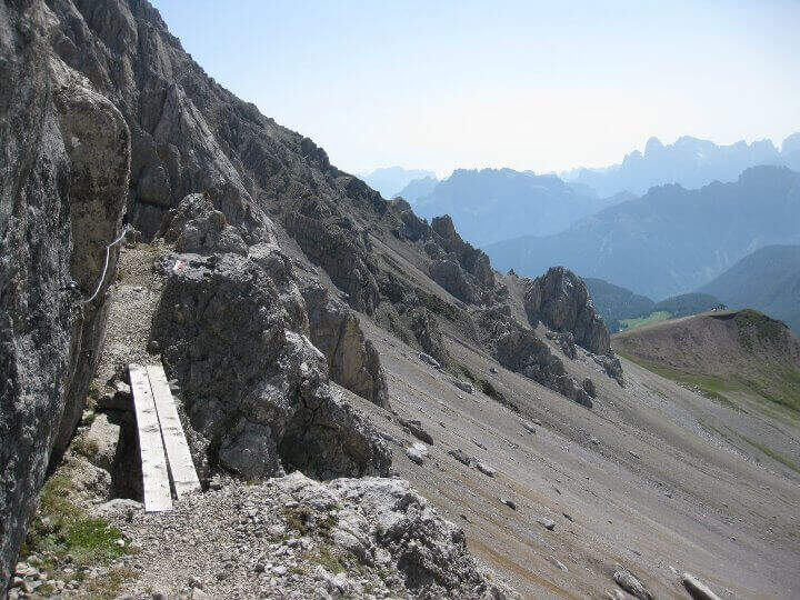
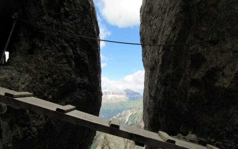
    Dal Passo delle Selle si segue il CAI 637 lungo la cresta, tra resti bellici e gallerie, con i primi tratti attrezzati su terreno a tratti franoso. Si toccano il Piccolo e il Grande Lastel, poi un susseguirsi di saliscendi tra camminamenti, passerelle e intagli porta alla Cima Campagnaccia e, più avanti, a Cima Costabella (2762 m). La seconda metà, più impegnativa, alterna cenge con passerelle in legno, traversi e placche attrezzate, diedri e fessure, fino al tratto di cresta esposto e non protetto che precede la Forcella dell’Uomo (2840 m), da cui parte la salita alpinistica facoltativa alla Cima Uomo (3010 m).

    ⚠ Itinerario quasi interamente in cresta: da evitare con tempo instabile. Numerosi tratti su terreno friabile e instabile non sono attrezzati, e alcuni passaggi di cresta sono esposti e non assicurati; porta una torcia per le gallerie. La salita alla Cima Uomo è di carattere alpinistico, su sentiero esposto e franabile, sconsigliata ai meno esperti. La discesa da Forcella Laghet è su massi instabili.
    ▲Discipline

    A metà percorso, alla Forcella Ciadin, è possibile rientrare. Completando l’alta via, dalla Forcella dell’Uomo si scende ripidamente fino alla Forcella Laghet e poi verso il Rifugio Fuciade e il Passo San Pellegrino.

    ▲To match

    Sulla stessa cresta e nei dintorni si trovano l’Alta Via Bruno Federspiel, la Ferrata Kaiserjager al Col Ombert e la Ferrata Santner al Catinaccio.

    ▲Gallery
    Technical data
    • DifficultyHard
    • RegionTrentino-Alto Adige
    • ProvinceTrento
    • GroupCresta di Costabella (Monzoni)
    • Approach0:45 h
    • Ferrata4:00 h
    • Total itinerary6:30 h
    • Hardware level difference~312 m
    • Route difference467 m
    • Max Altitude2840 m
    • Length12 km
    • Opening1981
  • Ferrata alla Croda Rossa di Sesto

    Ferrata alla Croda Rossa di Sesto

    Vie Ferrate › Trentino-Alto Adige › Bolzano
    Ferrata alla Croda Rossa di Sesto
    Moderately Hard● OpenDescriptionComplexityMapsGallery

    La ferrata dei Costoni della Croda Rossa di Sesto risale una delle cime simbolo delle Dolomiti di Sesto, in un ambiente d’alta quota carico di storia della Grande Guerra. È una via di media difficoltà ma lunga e d’impegno, agevolata in partenza dalla seggiovia dei Prati di Croda Rossa, con scale metalliche e tratti attrezzati fino ai 2939 m della vetta.

    ▲Approach

    Dalla stazione a monte della seggiovia (~1924 m, presso il Rifugio Prati di Croda Rossa) si segue il sentiero 15 e poi il 15B verso la Croda Rossa, in circa 30 minuti, fino a un balzo verticale. Road signs →

    ▲The path

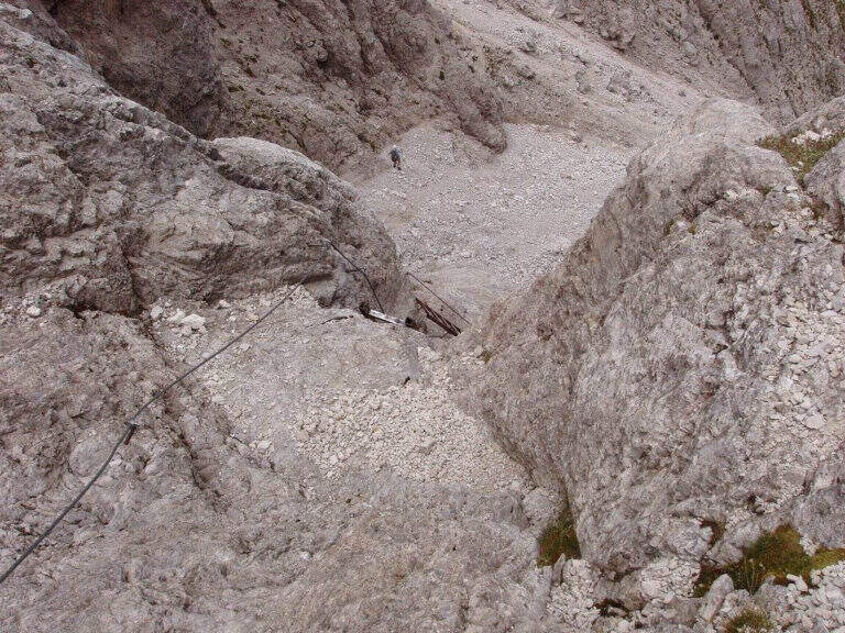
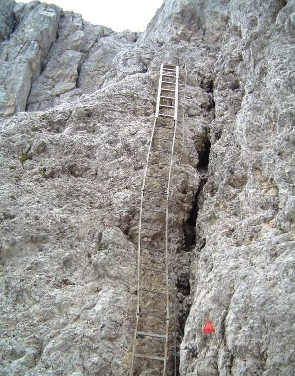
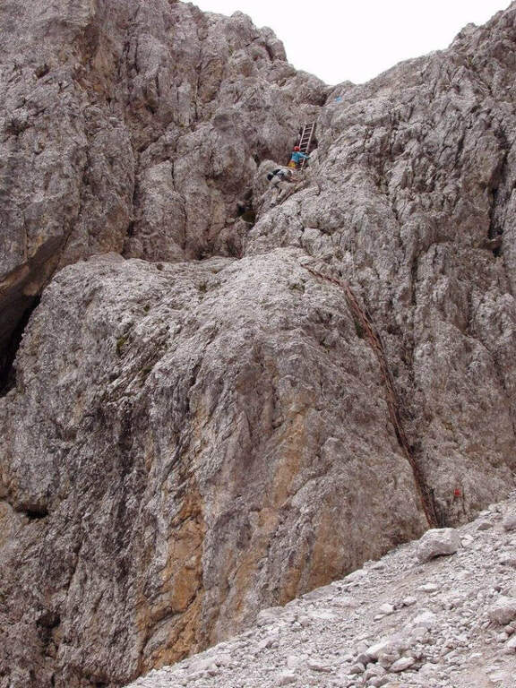
    Il balzo si supera con una serie di scale metalliche (la prima è la più lunga); si prosegue su ghiaioni e roccette attrezzate fino a una forcella, passando accanto ai resti di baracche della Prima Guerra Mondiale. Dopo un tratto in leggera discesa e altri resti bellici, un tratto verticale a camino e alcune roccette finali conducono alla croce di vetta (circa 2936 m, circa 2h15 dall’attacco).

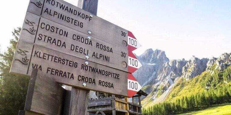
    ⚠ Itinerario lungo da non sottovalutare; l’esposizione prevalente a nord lascia neve anche a stagione inoltrata in alcuni punti. Da non confondere con la “Ferrata alla Croda Rossa” (sentiero 100). La variante di discesa per la Ferrata del Castelliere verso il Passo della Sentinella è più impegnativa. Verifica gli orari della seggiovia: in genere chiude verso le 17:30.
    ▲Discipline

    La discesa avviene per il medesimo itinerario (circa 2h45 dalla vetta), in alternativa — per esperti — lungo la più impegnativa Ferrata del Castelliere verso il Passo della Sentinella.

    ▲To match

    Nelle Dolomiti di Sesto si trovano la Ferrata Zandonella, la Strada degli Alpini e la Ferrata Roghel.

    ▲Gallery
    Technical data
    • DifficultyModerately Hard
    • RegionTrentino-Alto Adige
    • ProvinceBolzano
    • GroupSesto Dolomites
    • Approach0:45 h
    • Ferrata1:30 h
    • Total itinerary5:45 h
    • Hardware level difference~400 m
    • Route difference1090 m
    • Max Altitude2939 m
    • Length7,3 km
  • Ferrata at Monte Zermula

    Ferrata at Monte Zermula

    Vie Ferrate › Friuli-Venezia Giulia › Udine
    Ferrata at Monte Zermula
    Moderately Hard● OpenDescriptionComplexityMapsGallery

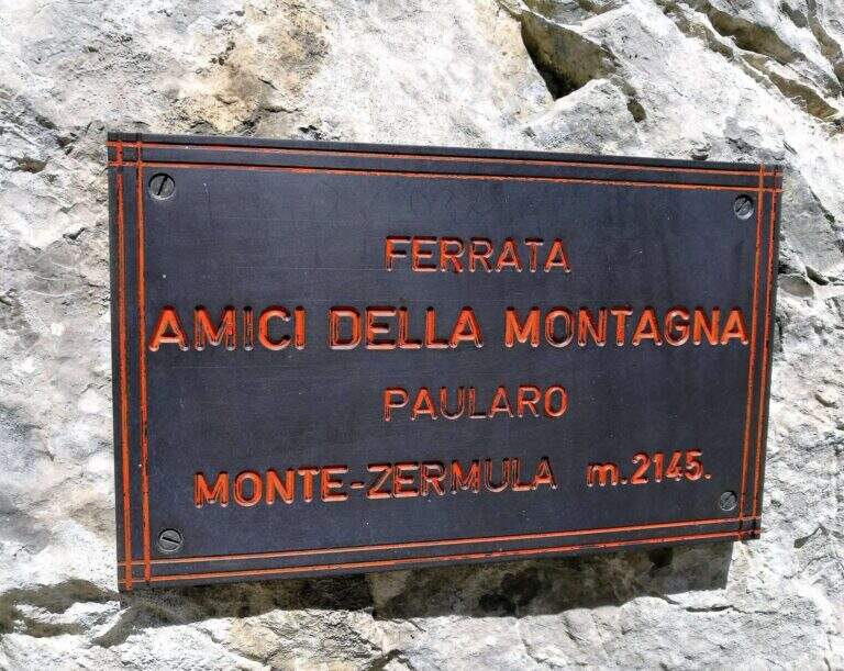
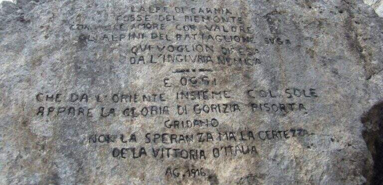
    Built in 1983 by the Friends of the Mountain of Paularo, the ferrata to Mount Zermula climbs the north wall of this top of the Carnic Alps and ends with a suggestive ridge between trenches and positions of the Great War. It is a medium difficulty route, never extreme, on good rock rich in hooks, with a strong historical and panoramic value.

    ▲Approach

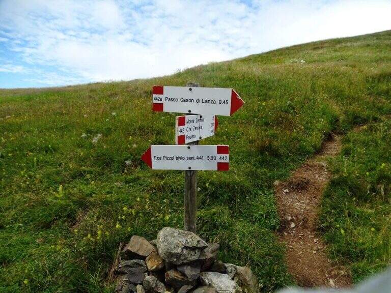
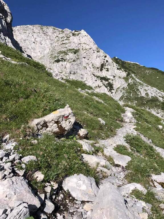
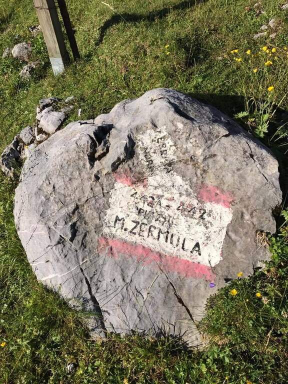
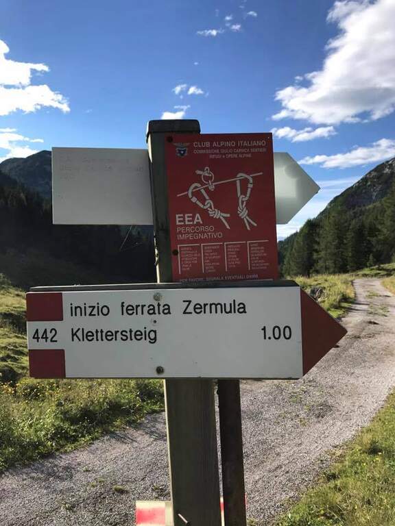
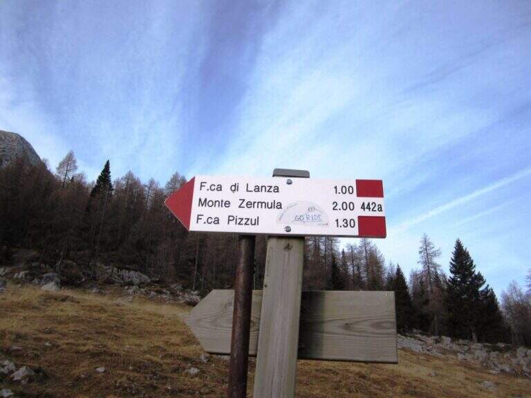
    Starting from the Cason Pass of Lanza (1552 m): cross the road, a dirt road and then the 442 mark in the forest lead to the base of the north wall; a detritic valley cut diagonally leads to the attack (1833 m) in about an hour. Road signs →

    ▲The path

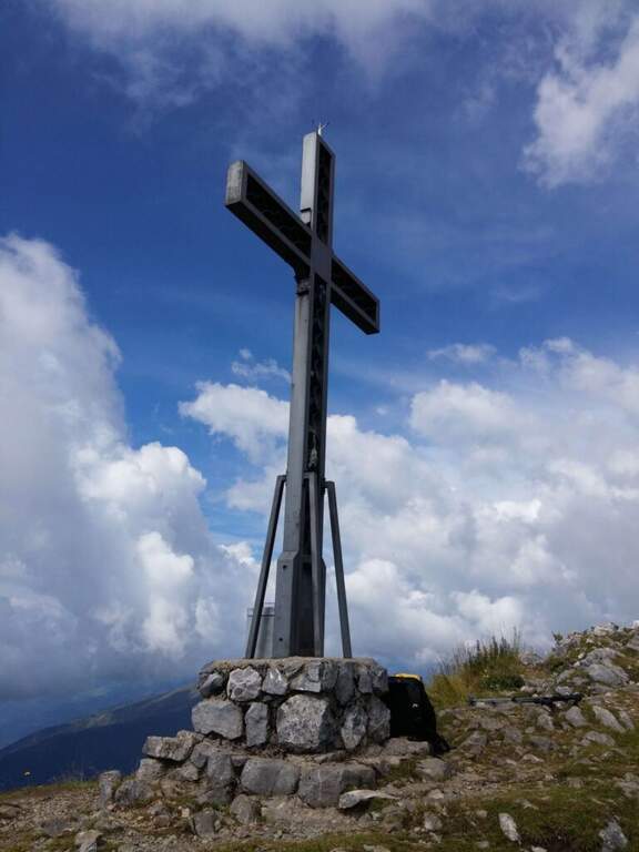
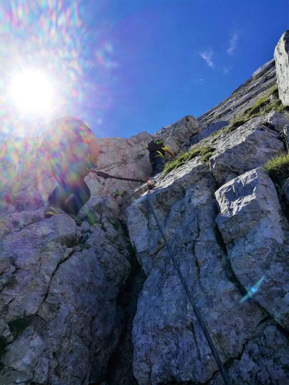
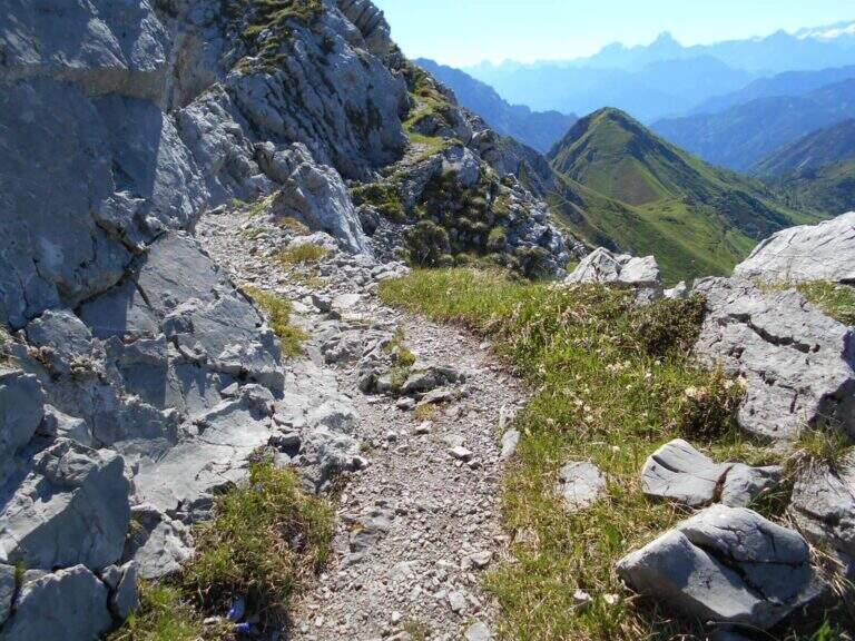
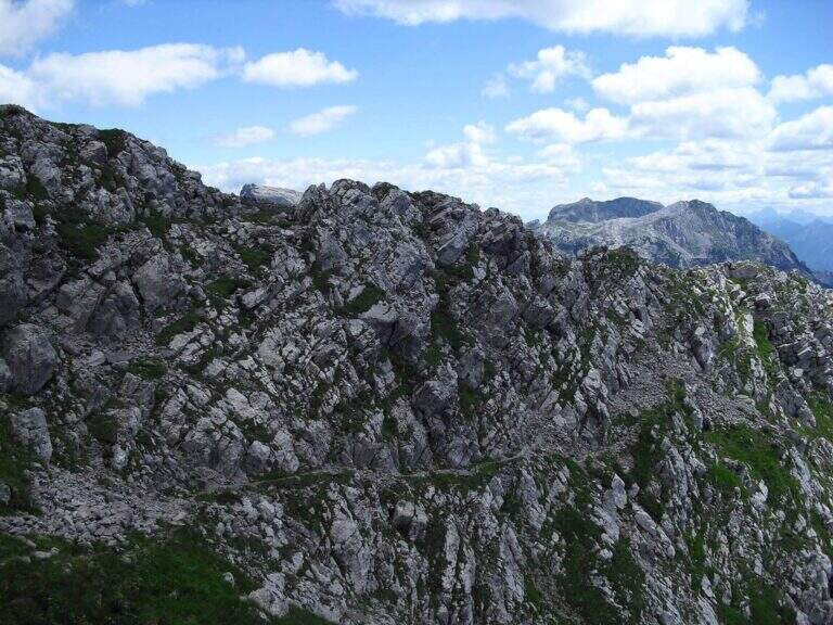
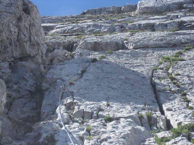
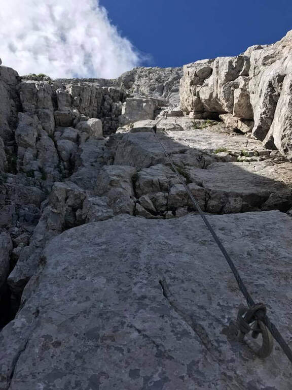
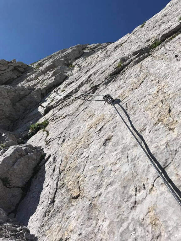
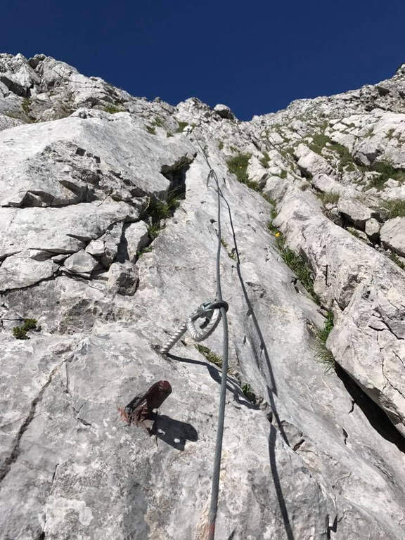
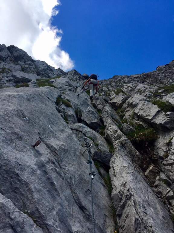
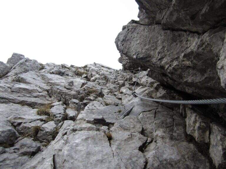
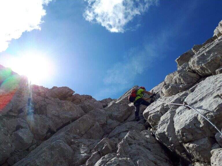
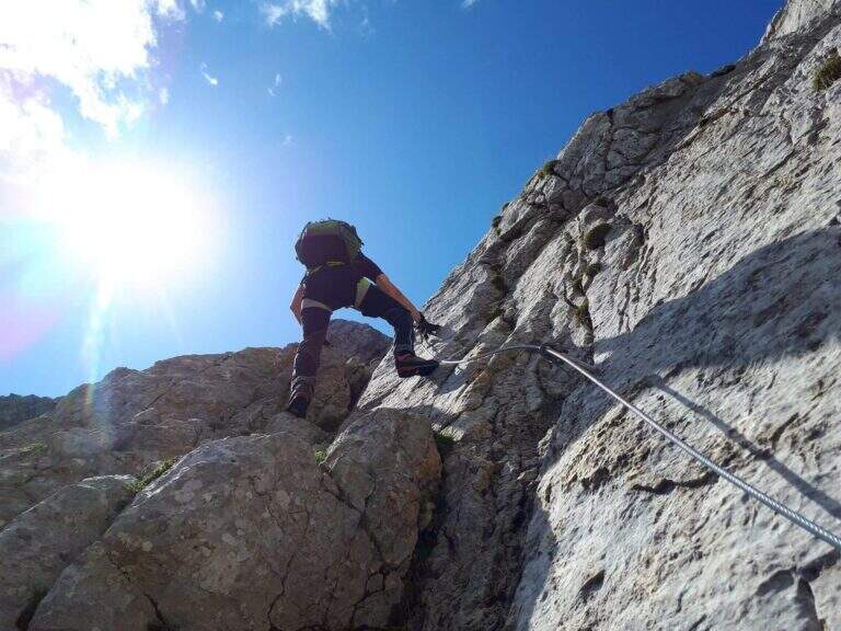
    From the attack you climb on rocks to the cable; the wall is steep but very attached, and you proceed in fun climbing between diedri, grooved plates and panoramic terraces. After a stretch on the path and a narrow nod, some more vertical walls and a detritic colatoio lead to the crest (about an hour from the attack). From here a ridge path exposed but comfortable, on the south side, leads to the summit cross of Mount Zermula (2145 m).

    ⚠ The initial signage is not optimal: recommended GPS track. The plaques with karst grooves become slippery if wet; some sections of the ferrata and the ridge path are exposed. At the beginning of the season it assesses the possible snow language in the approaching valley.
    ▲Discipline

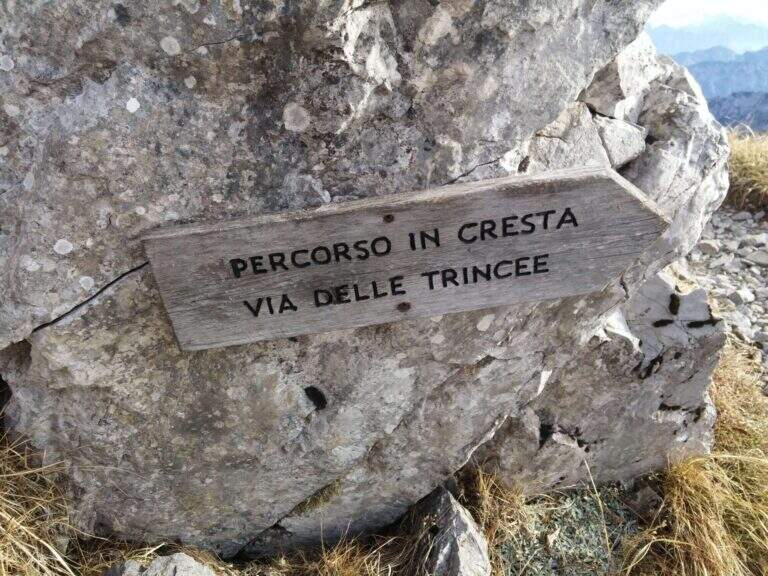
    From the summit you descend along the panoramic Cresta delle Trincee, between walks and barracks, until you land on 442 and reach the Forcella di Lanza; the track 442a then returns to the Cason di Lanza (about 3h45 total). Those with favorable energy and weather can match the nearby Ferrata Zuc della Guardia.

    ▲To match

    In the Cason area of Lanza there is the Ferrata Zuc of the Guard, la Ferrata Crete Rosse e la Ferrata Senza Confini.

    ▲Gallery
    Technical data
    • DifficultyModerately Hard
    • RegionFriuli-Venezia Giulia
    • ProvinceUdine
    • GroupMonte Zermula (Alpi Carniche)
    • Approach1:00 h
    • Ferrata1:15 h
    • Total itinerary3:45 h
    • Hardware level difference252 m
    • Route difference593 m
    • Max Altitude2145 m
    • Length5 km
    • Opening1983
Need help? Write to us!